Trails in Germany
36,852 hiking trails, each with its route, climb, walking time and grade.
All trails, page 602 of 768
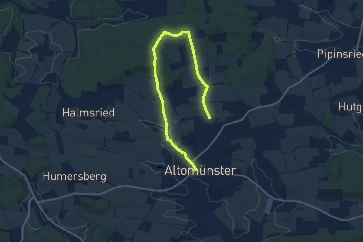
Medium · Trail
St.-Alto-Weg
9.3 km · ↑ 125 m · 2 h 28 min
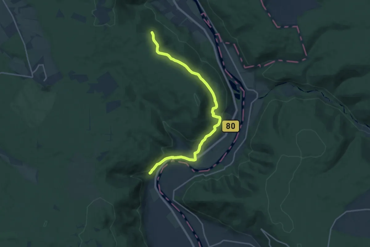
Medium · Trail
Stammesbrücke
13.7 km · ↑ 379 m · 4 h 4 min
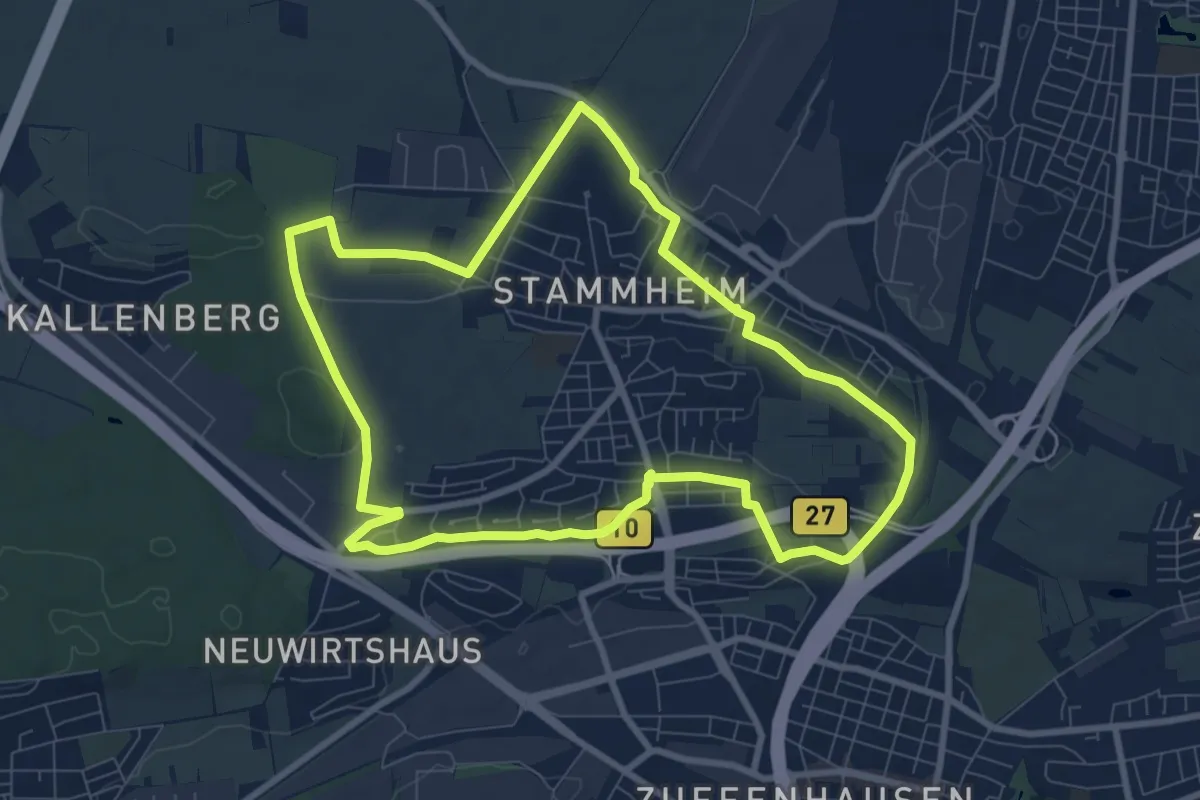
Medium · Trail
Stammheimer Rundwanderweg
8.3 km · ↑ 66 m · 2 h 13 min
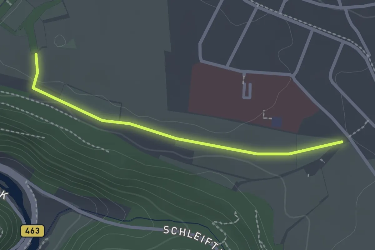
Easy · Trail
Stammheimer Steige - Höfle
2.0 km · ↑ 9 m · 30 min
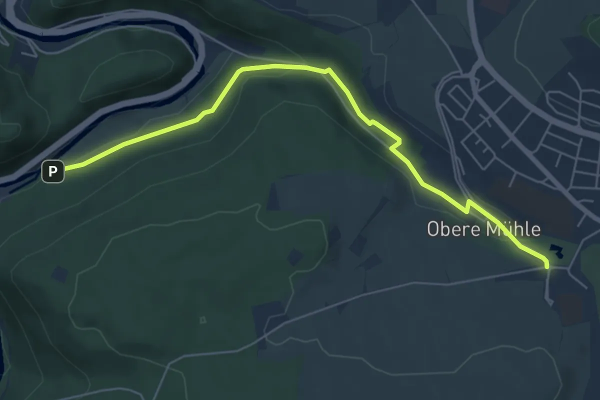
Easy · Trail
Stammheim Freibad-Heubrücke
5.4 km · ↑ 123 m · 1 h 33 min
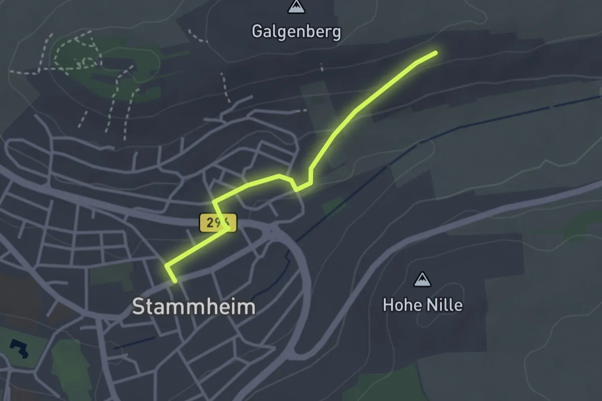
Easy · Trail
Stammheim Rathaus - Galgenbergsteige
2.7 km · ↑ 70 m · 47 min
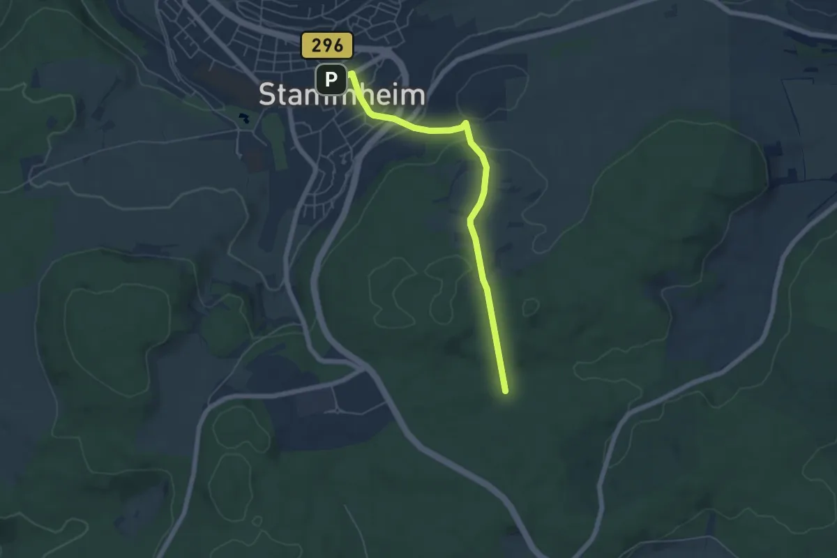
Easy · Trail
Stammheim Rathaus - Gebersack
5.1 km · ↑ 145 m · 1 h 32 min
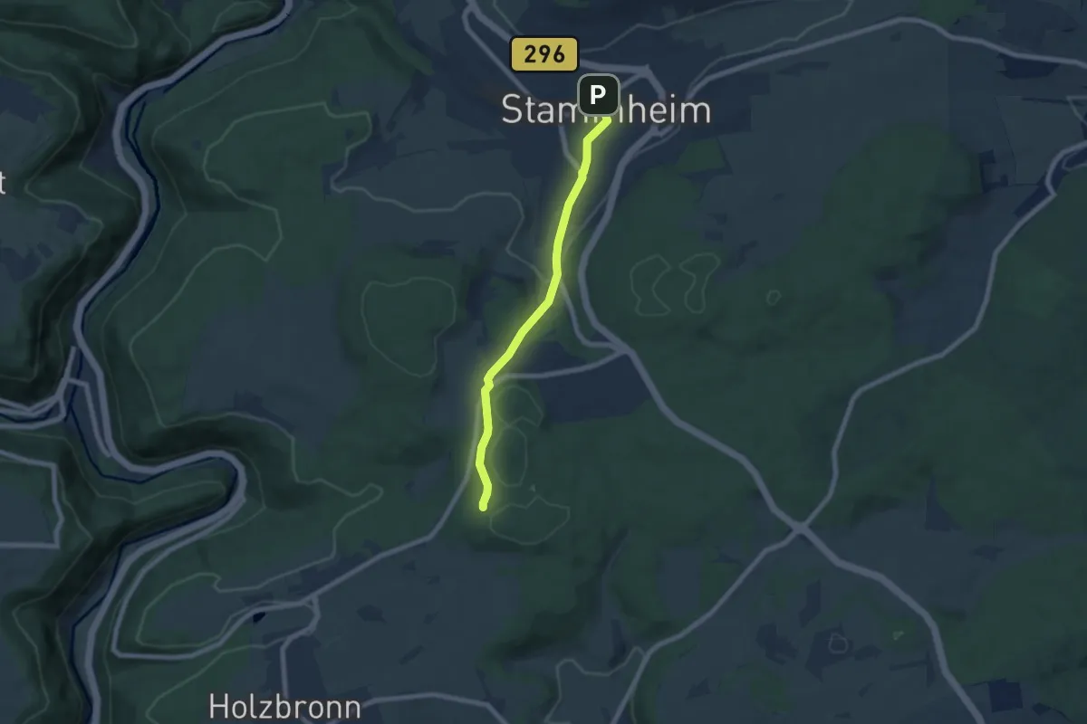
Easy · Trail
Stammheim Rathaus - Zimmerplatz
5.9 km · ↑ 129 m · 1 h 41 min
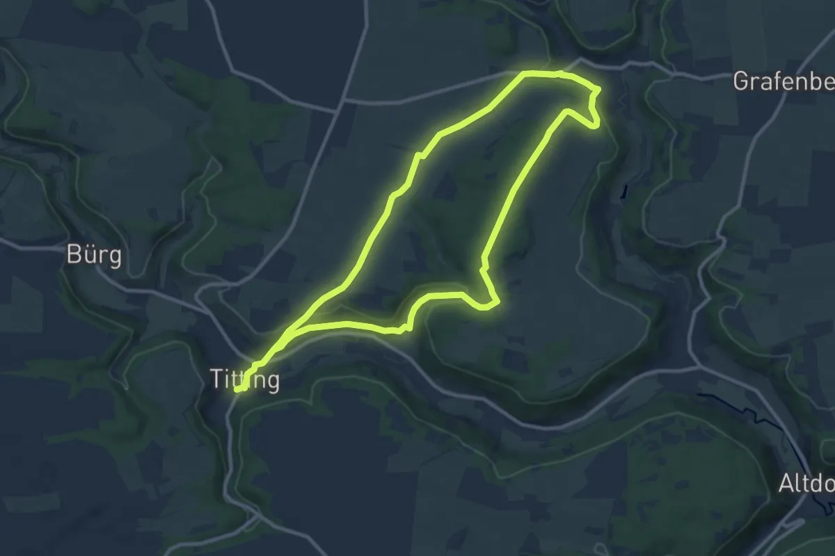
Medium · Trail
Standeslohweg
9.5 km · ↑ 165 m · 2 h 44 min
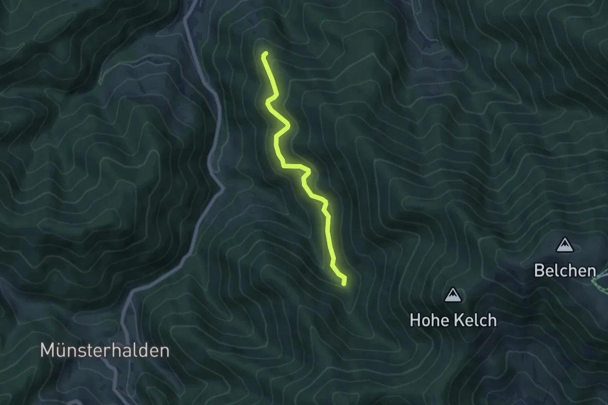
Easy · Cabin
Stangebodenhütte - Langecker Weide
4.7 km · ↑ 307 m · 1 h 46 min
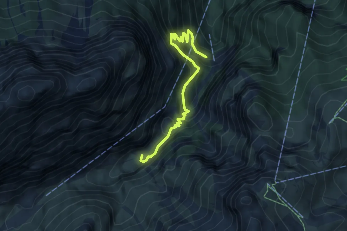
Demanding · Cabin
Stangensteig
4.9 km · ↑ 520 m · 2 h 16 min
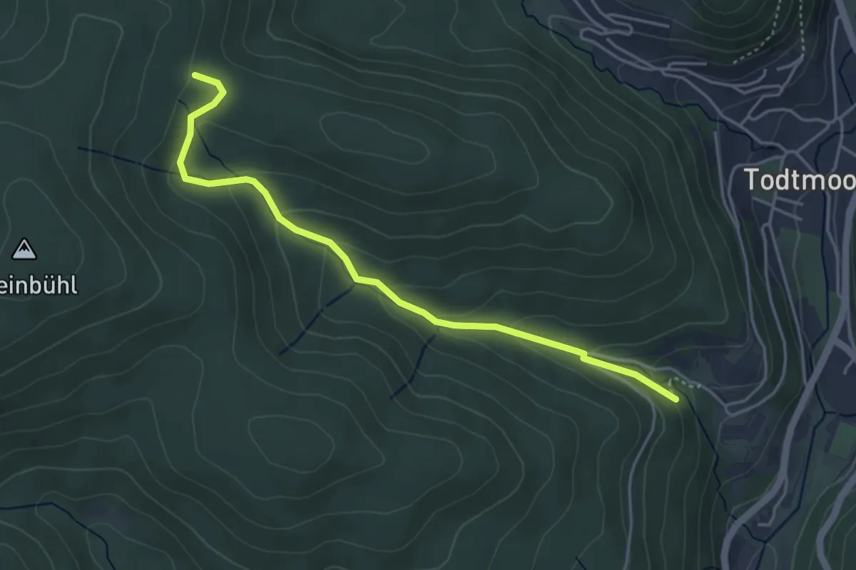
Easy · Trail
St. Antonihütte - Klusenweiher
4.2 km · ↑ 191 m · 1 h 25 min
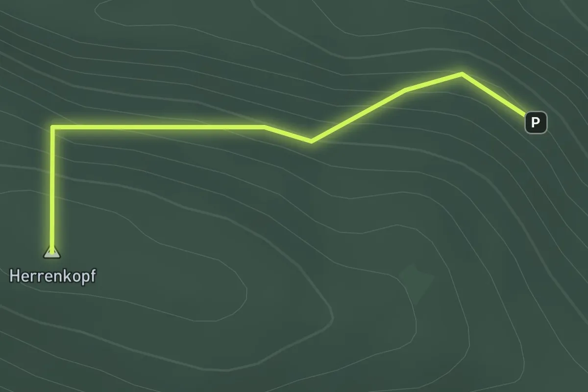
Easy · Summit
St. Antonihütte - Unterm Herrenkopf
1.5 km · ↑ 105 m · 35 min
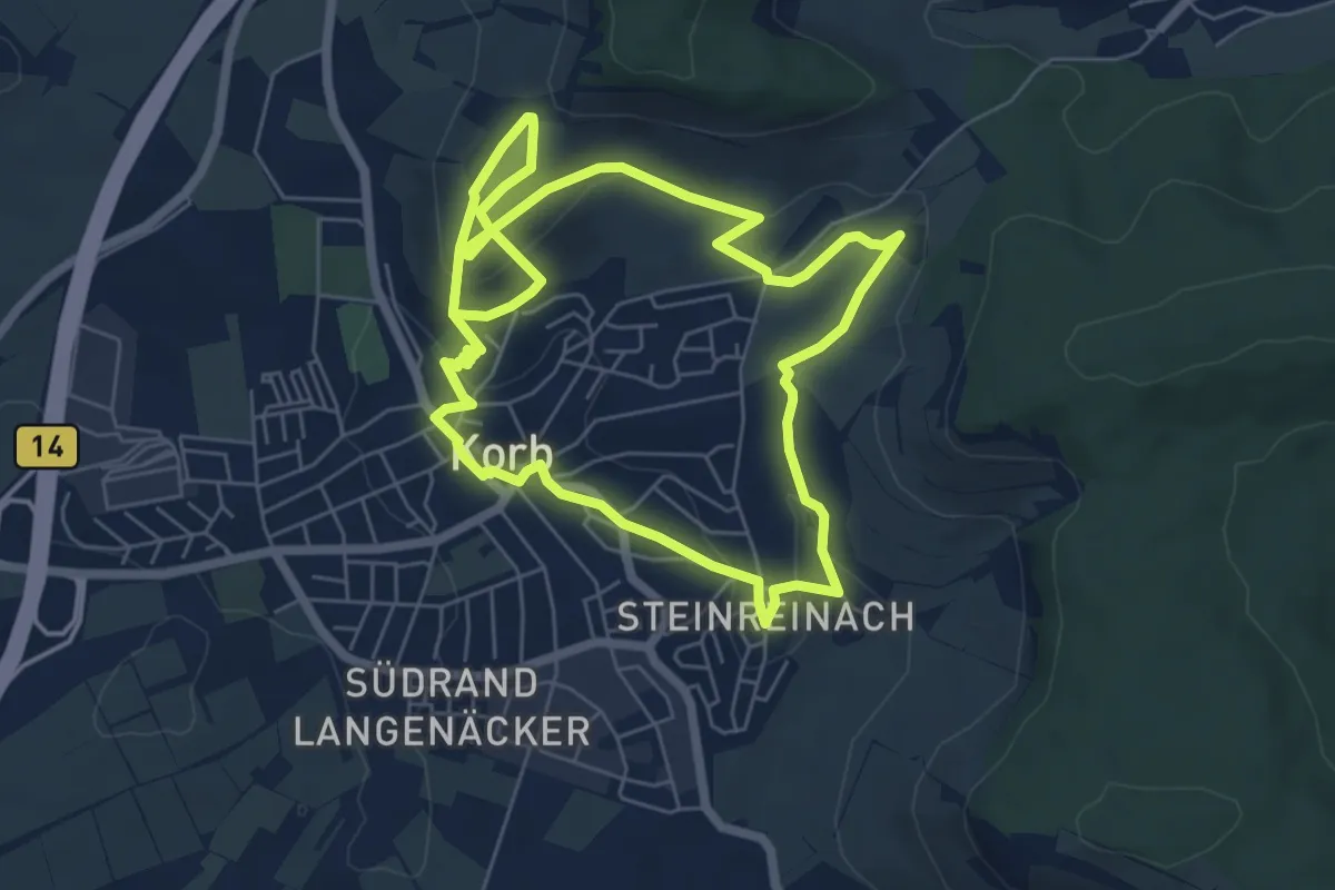
Easy · Trail
Starenweg
6.1 km · ↑ 114 m · 1 h 47 min
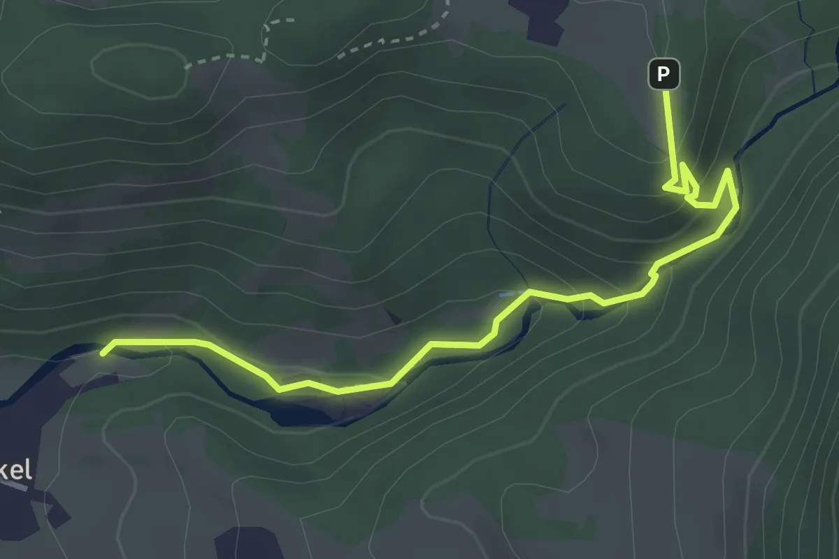
Easy · Trail
Starzlachklamm Wanderweg
3.5 km · ↑ 201 m · 1 h 16 min
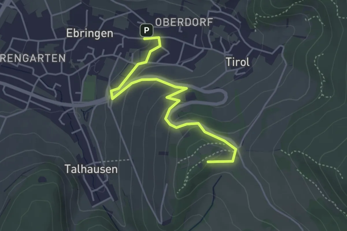
Easy · Summit
Stationenweg
4.4 km · ↑ 150 m · 1 h 22 min
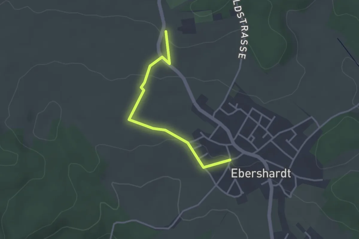
Easy · Trail
Stauch - Egert
2.8 km · ↑ 51 m · 46 min
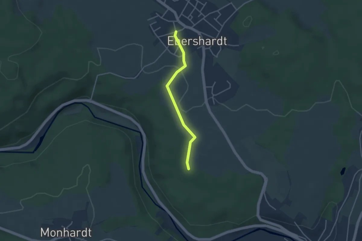
Easy · Trail
Stauch - Saatschule
2.7 km · ↑ 40 m · 43 min
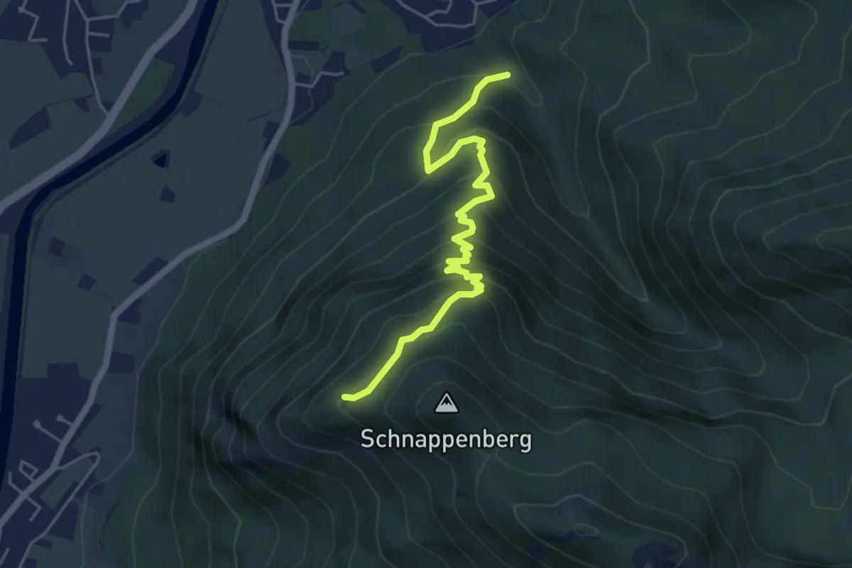
Medium · Trail
Staudach-Schnappenkirche
5.0 km · ↑ 492 m · 2 h 14 min
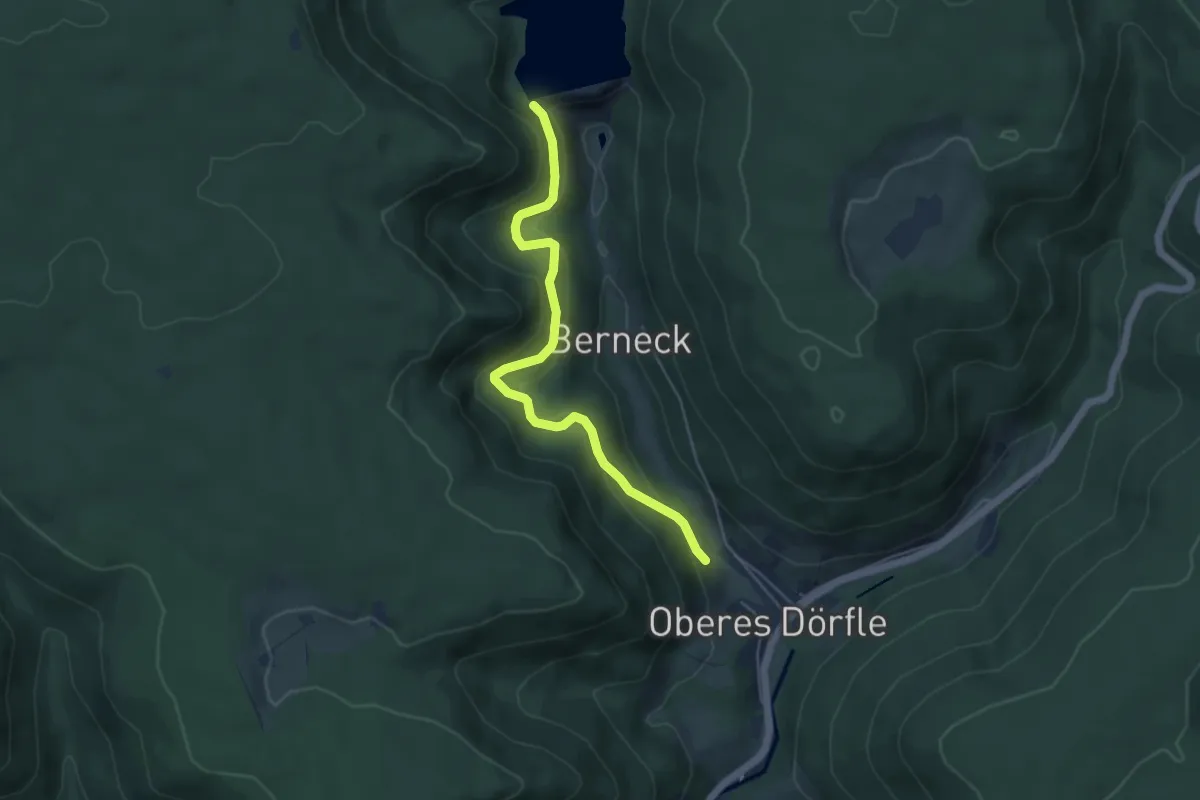
Easy · Trail
Staudamm Kleine Kinzig - Parkplatz Wasserpfad
4.8 km · ↑ 220 m · 1 h 36 min
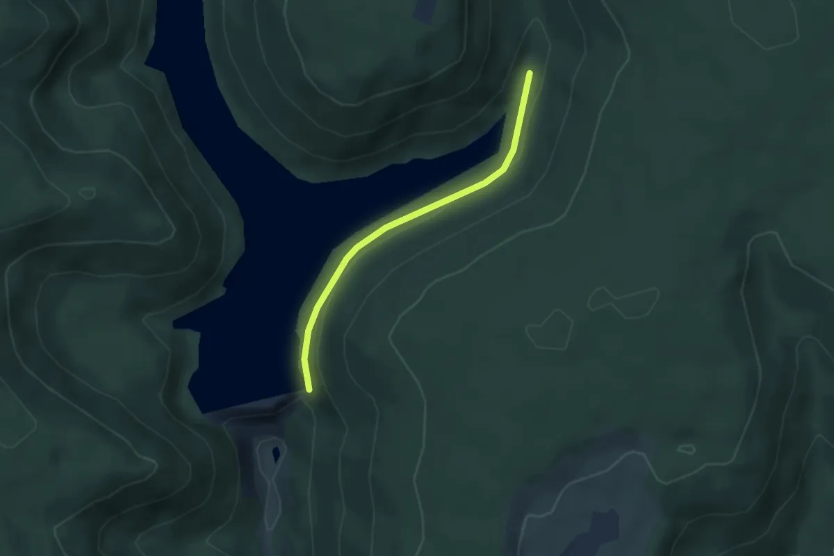
Easy · Trail
Staudamm Kleine Kinzig - Stausee Hüttenbächle
2.9 km · ↑ 98 m · 54 min
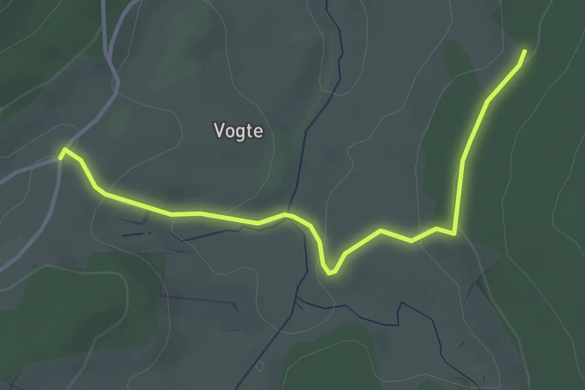
Easy · Trail
Staude Parkplatz - Kieningershof
3.1 km · ↑ 98 m · 57 min
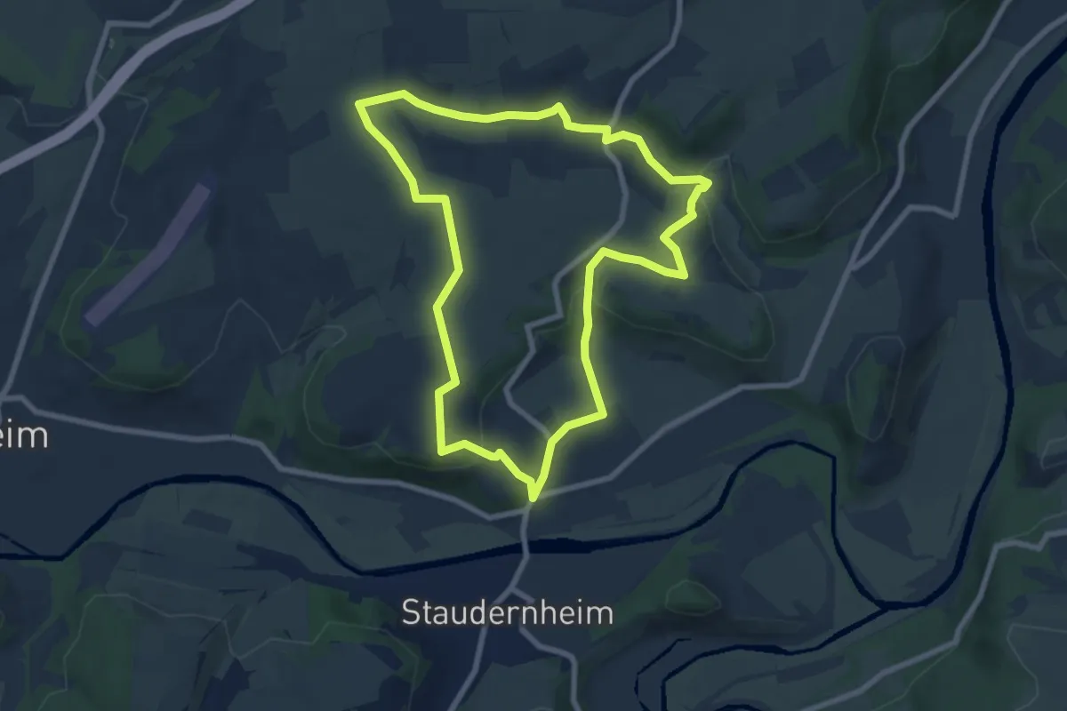
Easy · Trail
Staudernheimer Hang
6.9 km · ↑ 150 m · 2 h 3 min
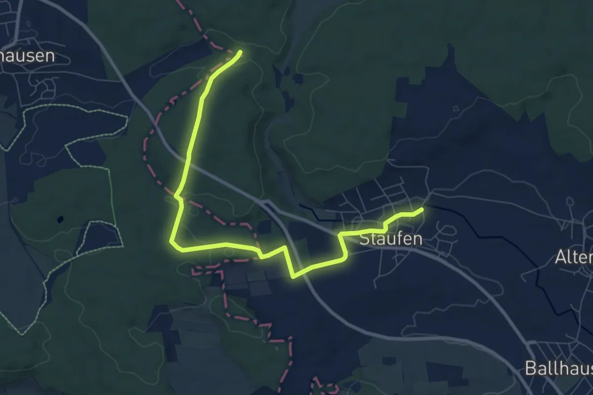
Medium · Trail
Staufen - Abzweig Erzgrube - Weierhau
8.5 km · ↑ 128 m · 2 h 17 min
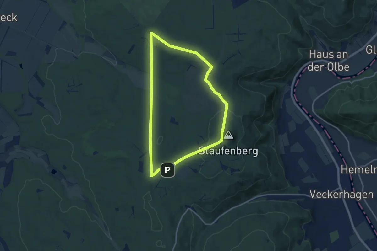
Medium · Trail
Staufenberg-Runde
9.4 km · ↑ 124 m · 2 h 37 min
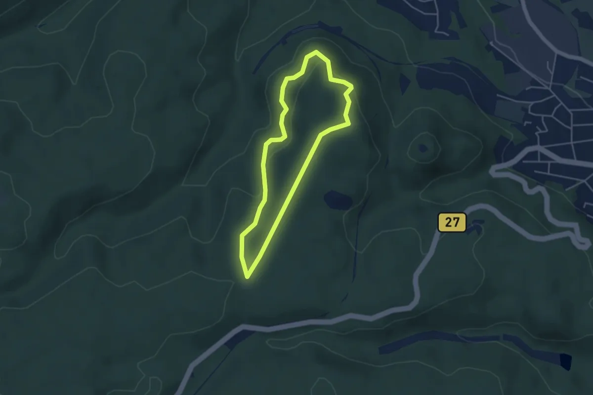
Easy · Summit
Staufenbergrundweg
3.2 km · ↑ 106 m · 1 h 2 min
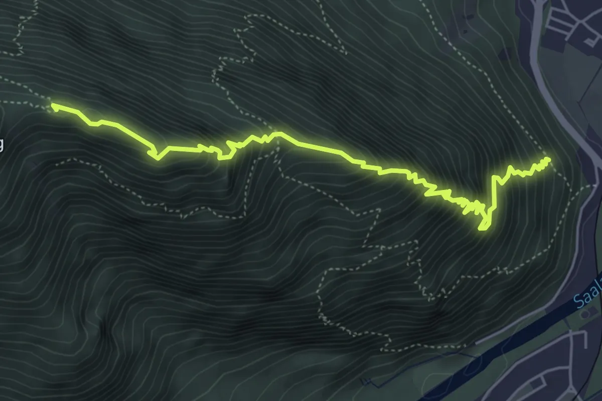
Demanding · Summit
Staufenbrücke-Fuderheuberg
6.0 km · ↑ 867 m · 3 h 18 min
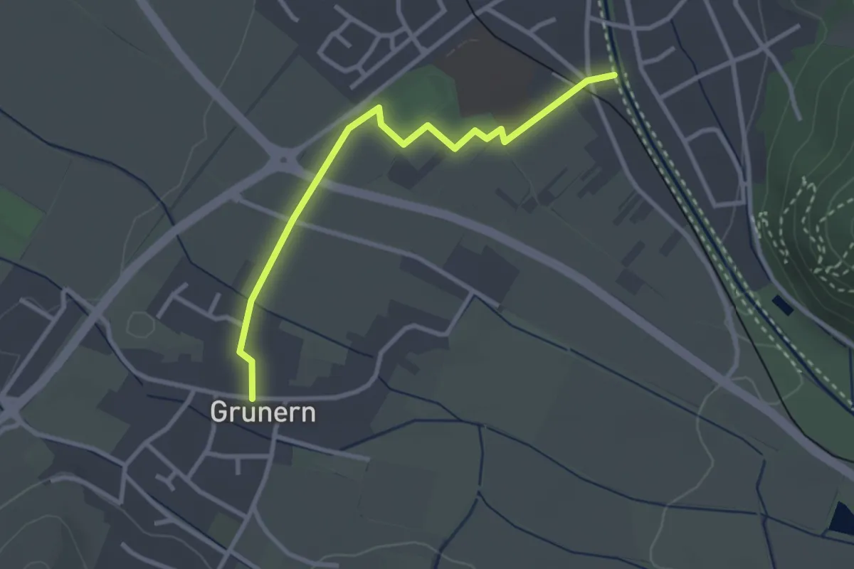
Easy · Trail
Staufen Schießrainsteg - Beim Bärenbad
2.8 km · ↑ 4 m · 40 min
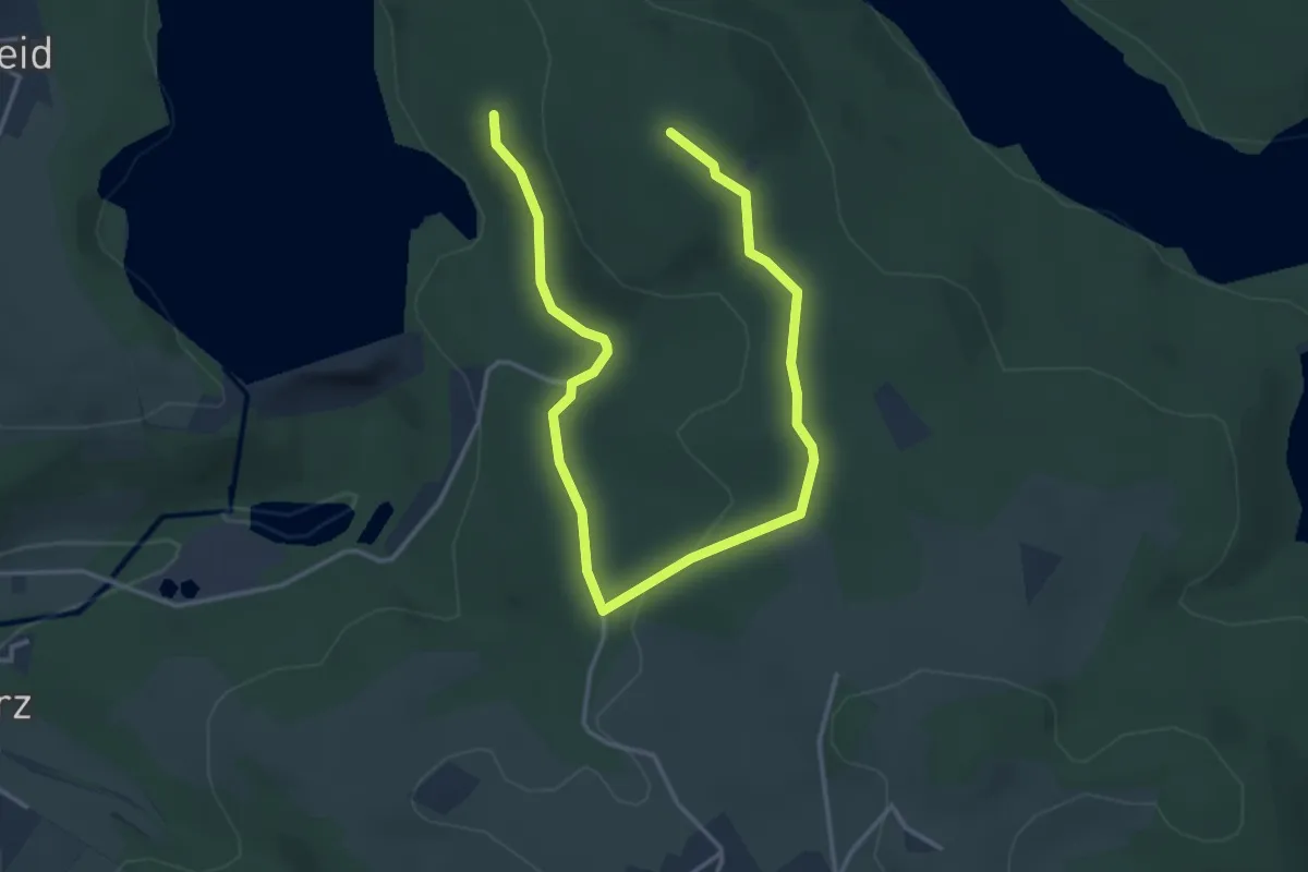
Medium · Trail
Staumauer Wiehltalsperre Rundweg A3
2.4 km · ↑ 86 m · 45 min
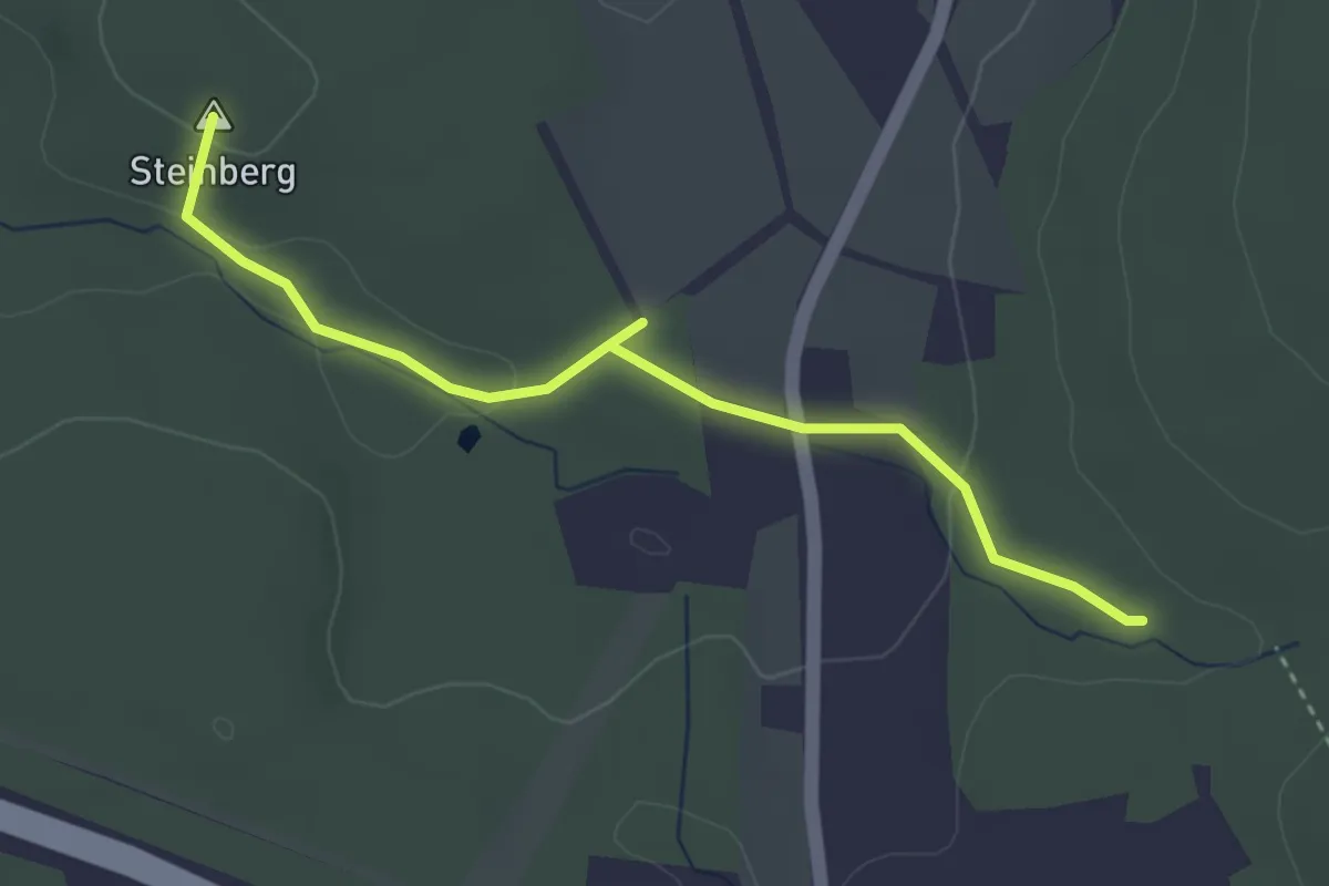
Easy · Summit
Stausee Oberwald - Karl-May-Höhle - Langenberger Höhe
3.3 km · ↑ 54 m · 53 min
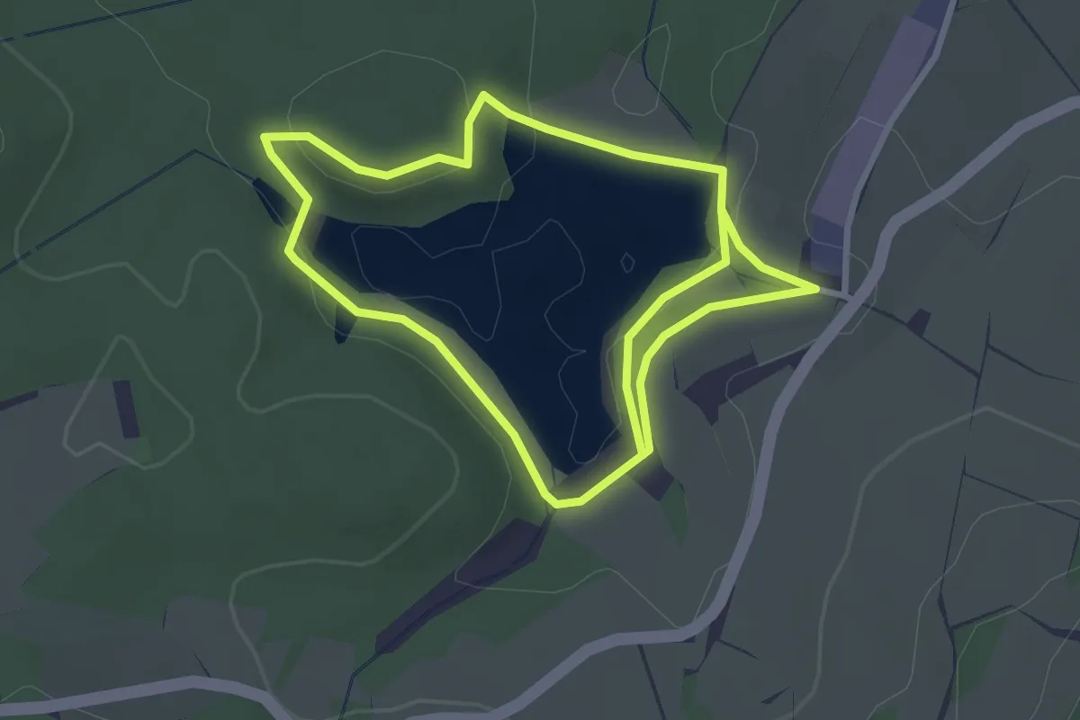
Easy · Trail
Stauseerundweg
2.7 km · ↑ 88 m · 52 min
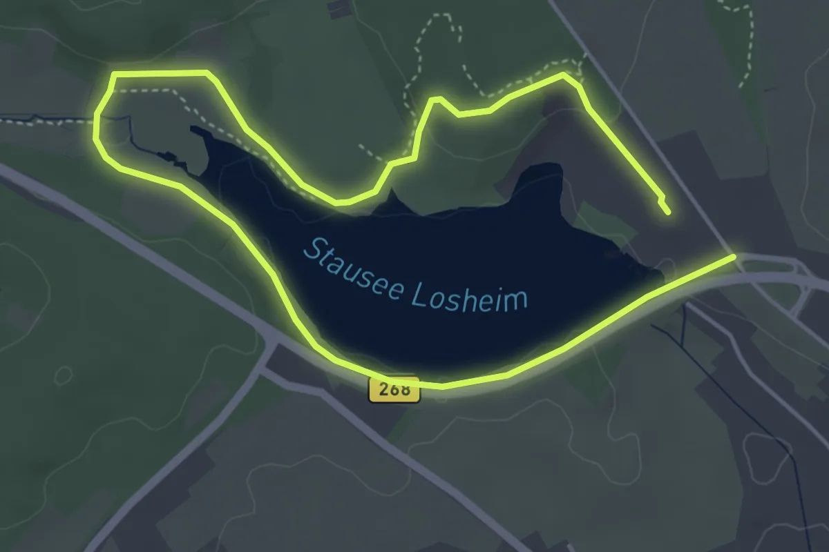
Easy · Trail
Stauseerundweg
3.6 km · ↑ 49 m · 1 h
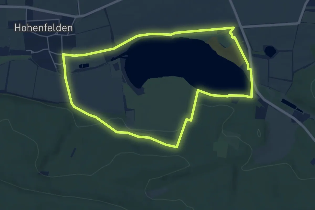
Easy · Trail
Stausee-Rundweg
5.0 km · ↑ 56 m · 1 h 22 min
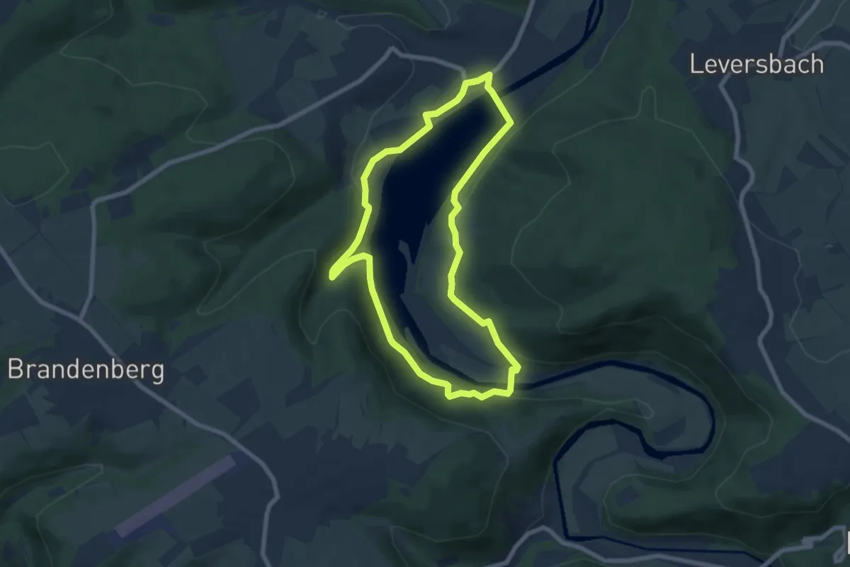
Medium · Trail
Stauseerundweg Obermaubach
5.9 km · ↑ 184 m · 1 h 52 min
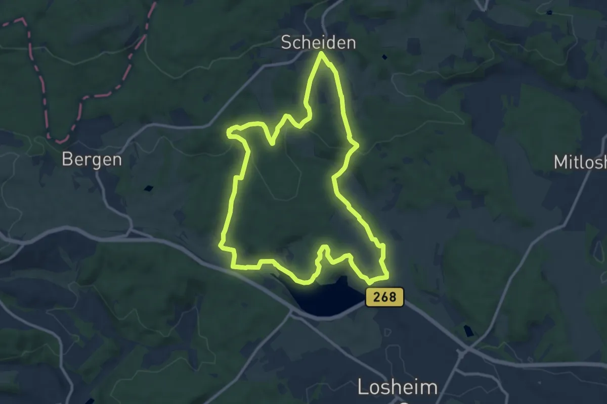
Medium · Trail
Stausee Tafeltour
9.9 km · ↑ 243 m · 3 h 1 min
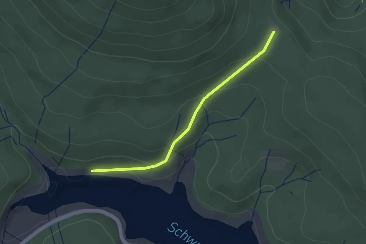
Easy · Trail
Stauseeufer - Wegscheid
2.5 km · ↑ 86 m · 46 min
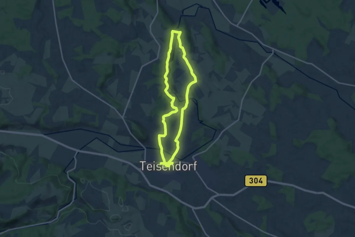
Medium · Trail
Stausee-Weg Nr. 8
9.8 km · ↑ 176 m · 2 h 51 min
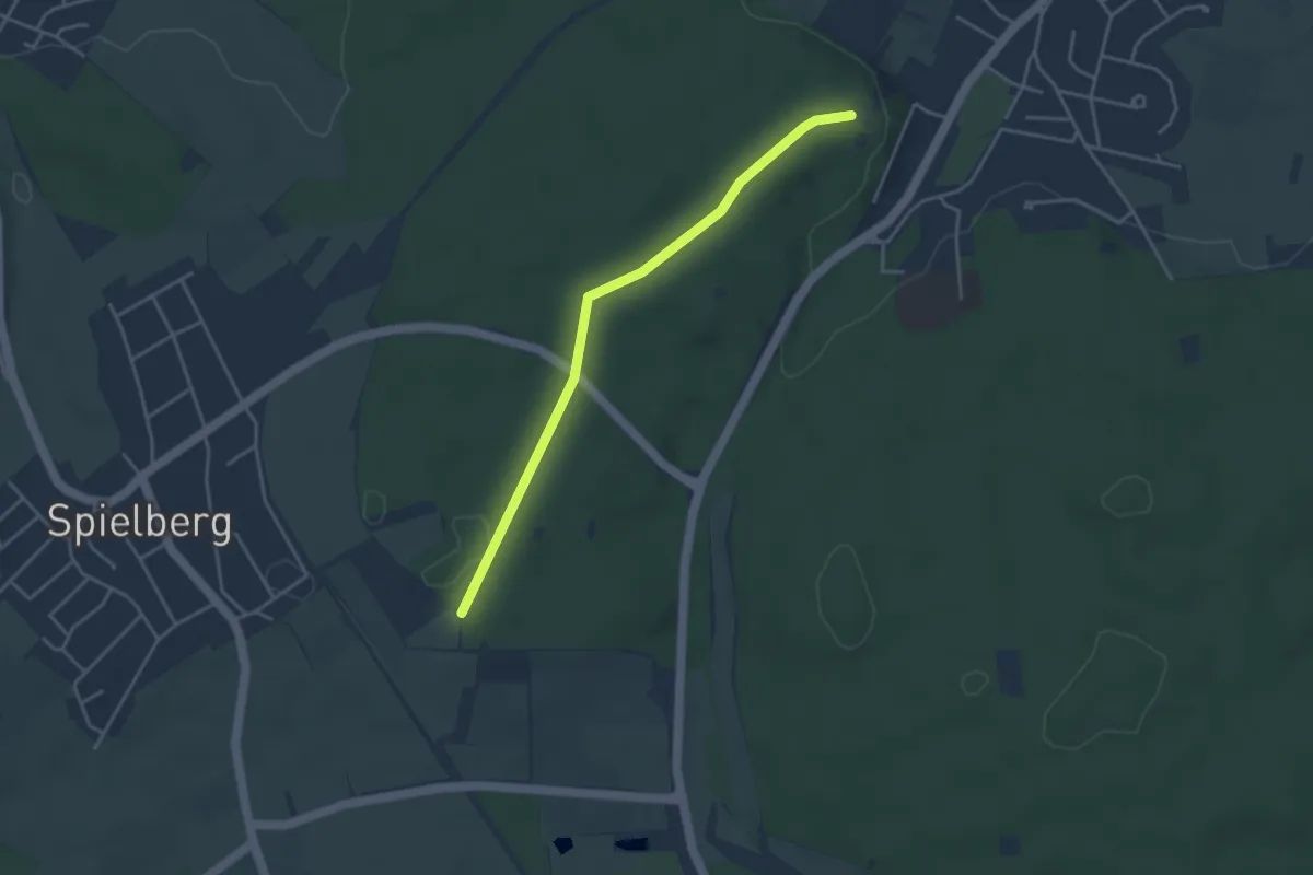
Easy · Trail
St. Barbara Kapelle - Hamberg
3.6 km · ↑ 31 m · 55 min
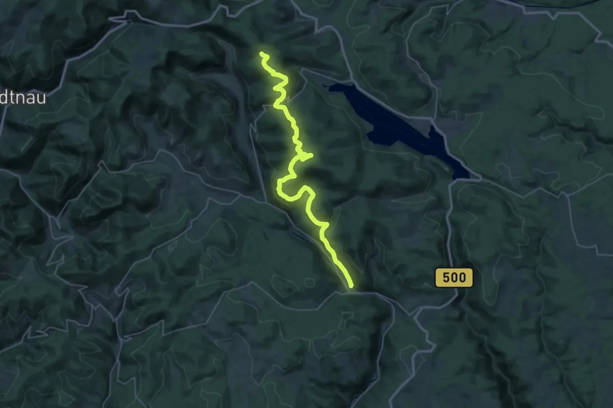
Medium · Trail
St. Blasien - Farnwitte
15.9 km · ↑ 742 m · 5 h 20 min
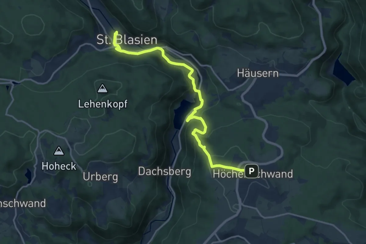
Medium · Trail
St. Blasien - Höchenschwand
12.5 km · ↑ 446 m · 3 h 55 min
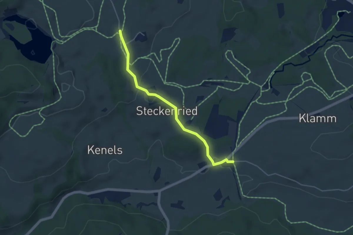
Easy · Trail
Steckenried - Schwarzerd
3.7 km · ↑ 73 m · 1 h 2 min
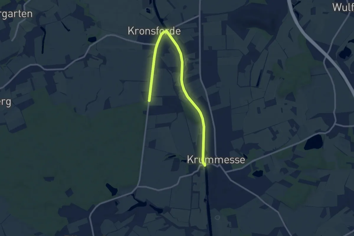
Medium · Trail
Stecknitz-Region (21 km)
9.0 km · ↑ 22 m · 2 h 10 min
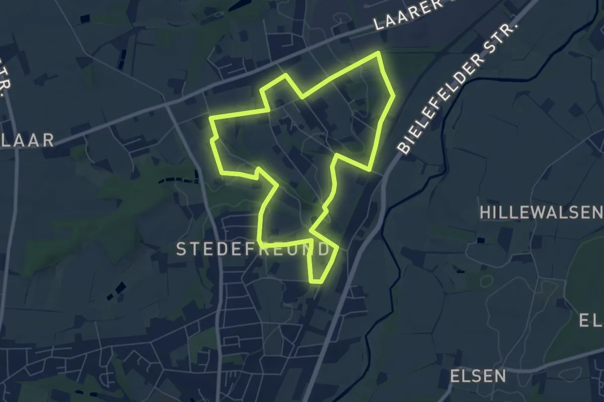
Easy · Trail
Stedefreund Rundweg A4
6.1 km · ↑ 57 m · 1 h 38 min
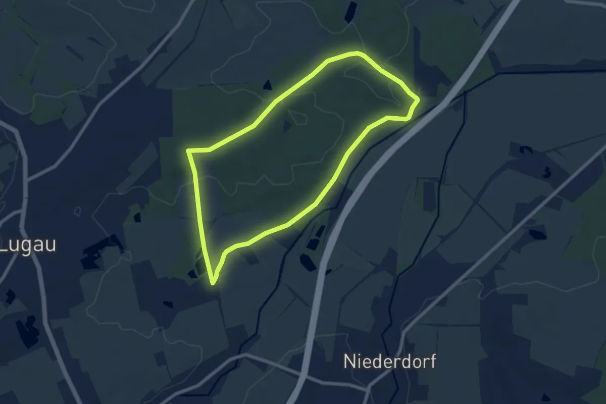
Easy · Trail
Steegenrundweg
5.7 km · ↑ 42 m · 1 h 31 min
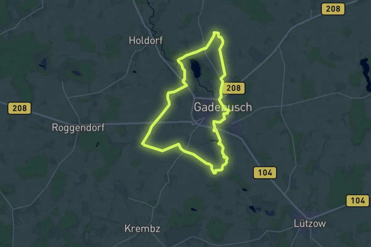
Demanding · Trail
Steenborg Wanderweg
20.4 km · ↑ 80 m · 5 h 16 min
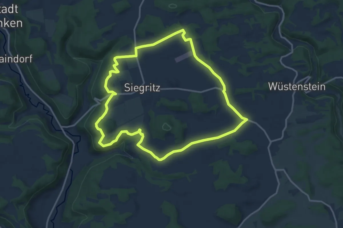
Medium · Trail
Stefan-Lößlein-Weg
9.6 km · ↑ 97 m · 2 h 36 min
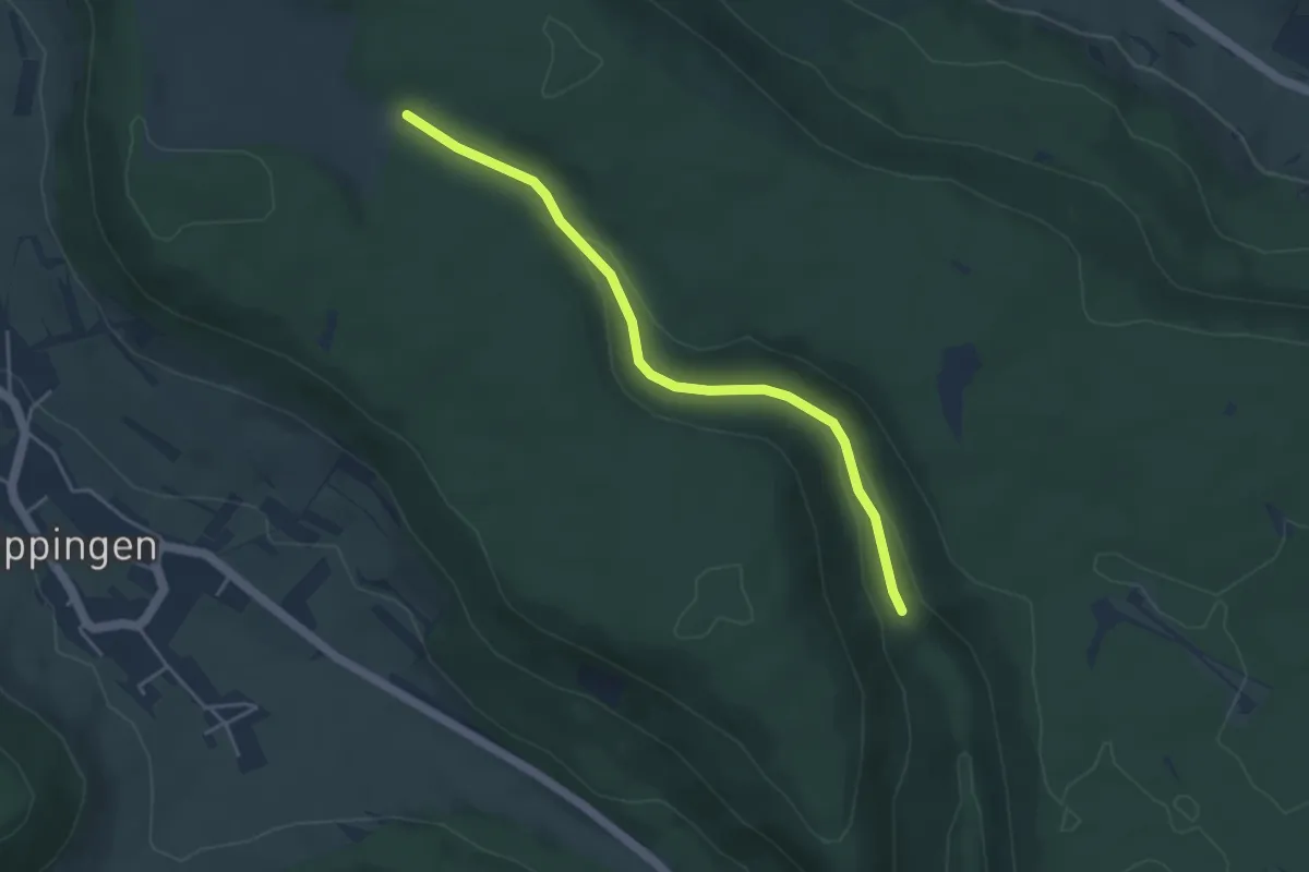
Easy · Trail
Stegen - Ob dem Tiefental
4.1 km · ↑ 88 m · 1 h 9 min
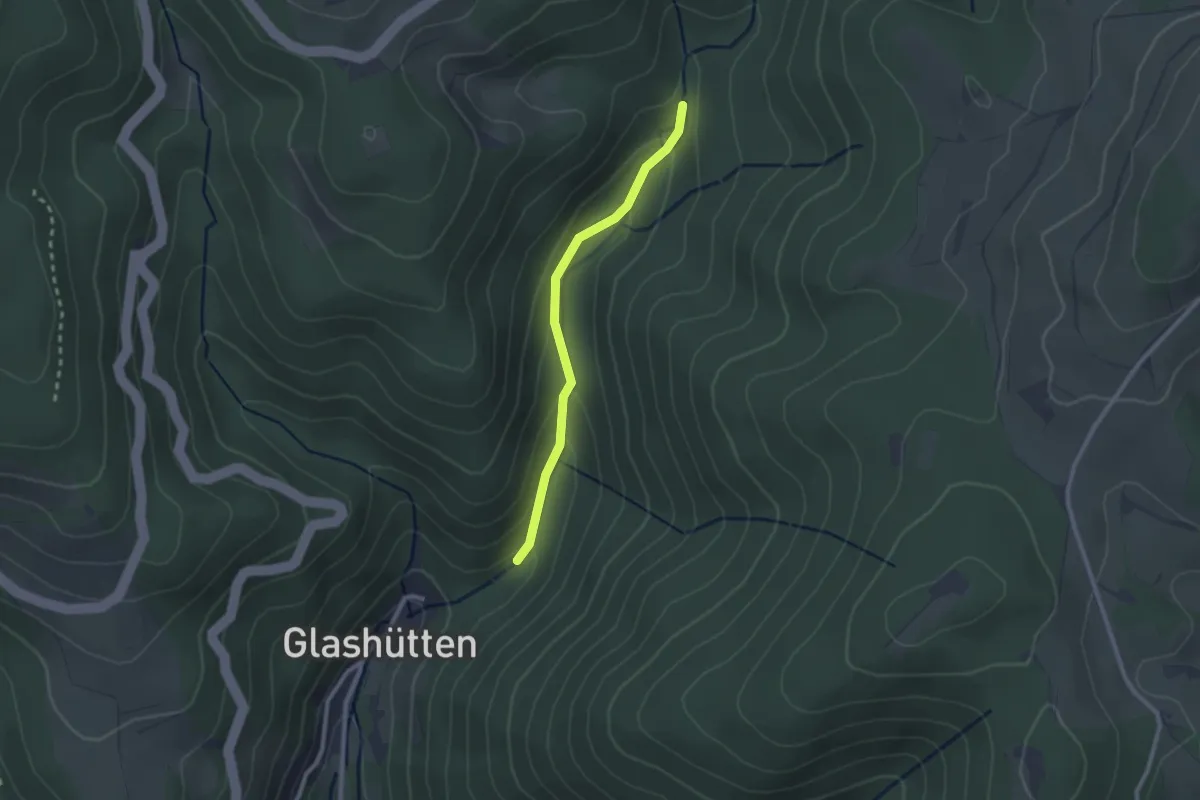
Easy · Trail
Stegmühle - Glashütten
2.1 km · ↑ 87 m · 41 min