Trails in Germany
36,852 hiking trails, each with its route, climb, walking time and grade.
All trails, page 603 of 768
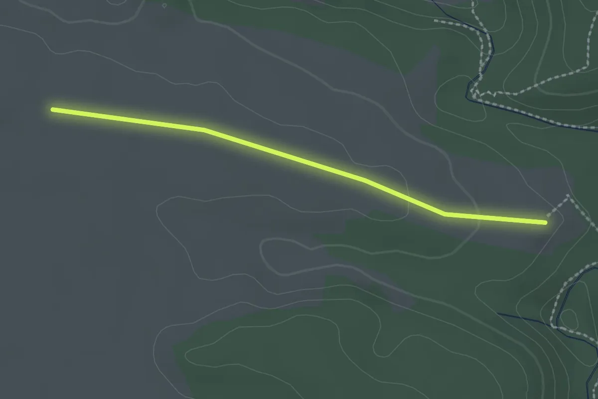
Easy · Trail
Stehles Kreuz - Wanderparkplatz Grünburg
2.0 km · ↑ 23 m · 32 min
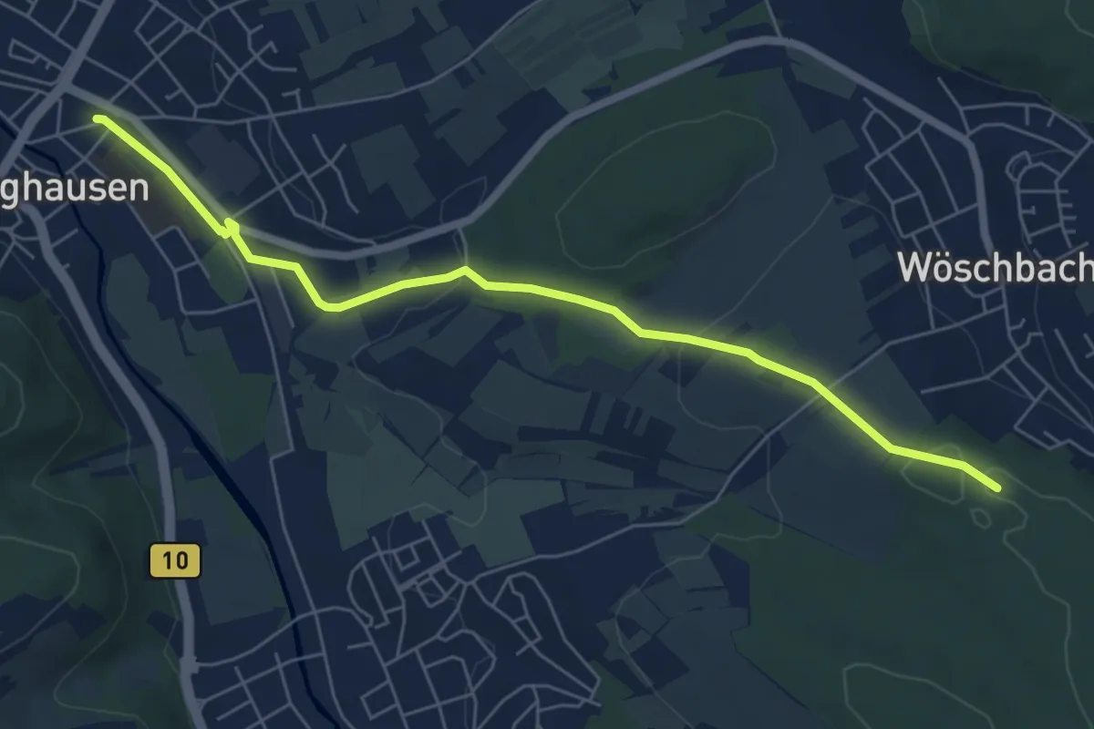
Easy · Trail
Steidig - Berghausen Bahnhof
6.2 km · ↑ 115 m · 1 h 43 min
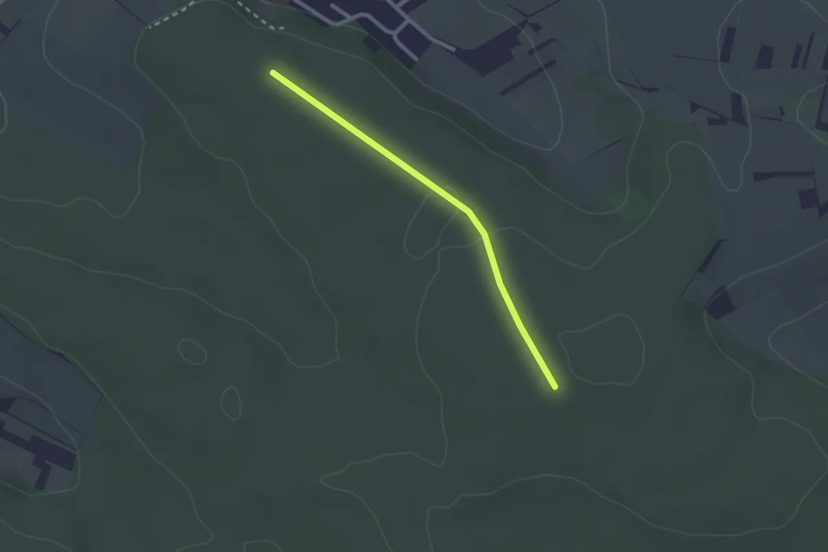
Easy · Trail
Steidig - Hegenach
2.1 km · ↑ 27 m · 33 min
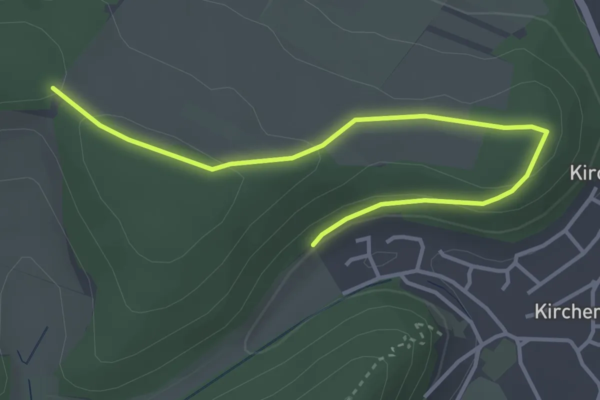
Easy · Trail
Steig - ?
3.7 km · ↑ 84 m · 1 h 3 min
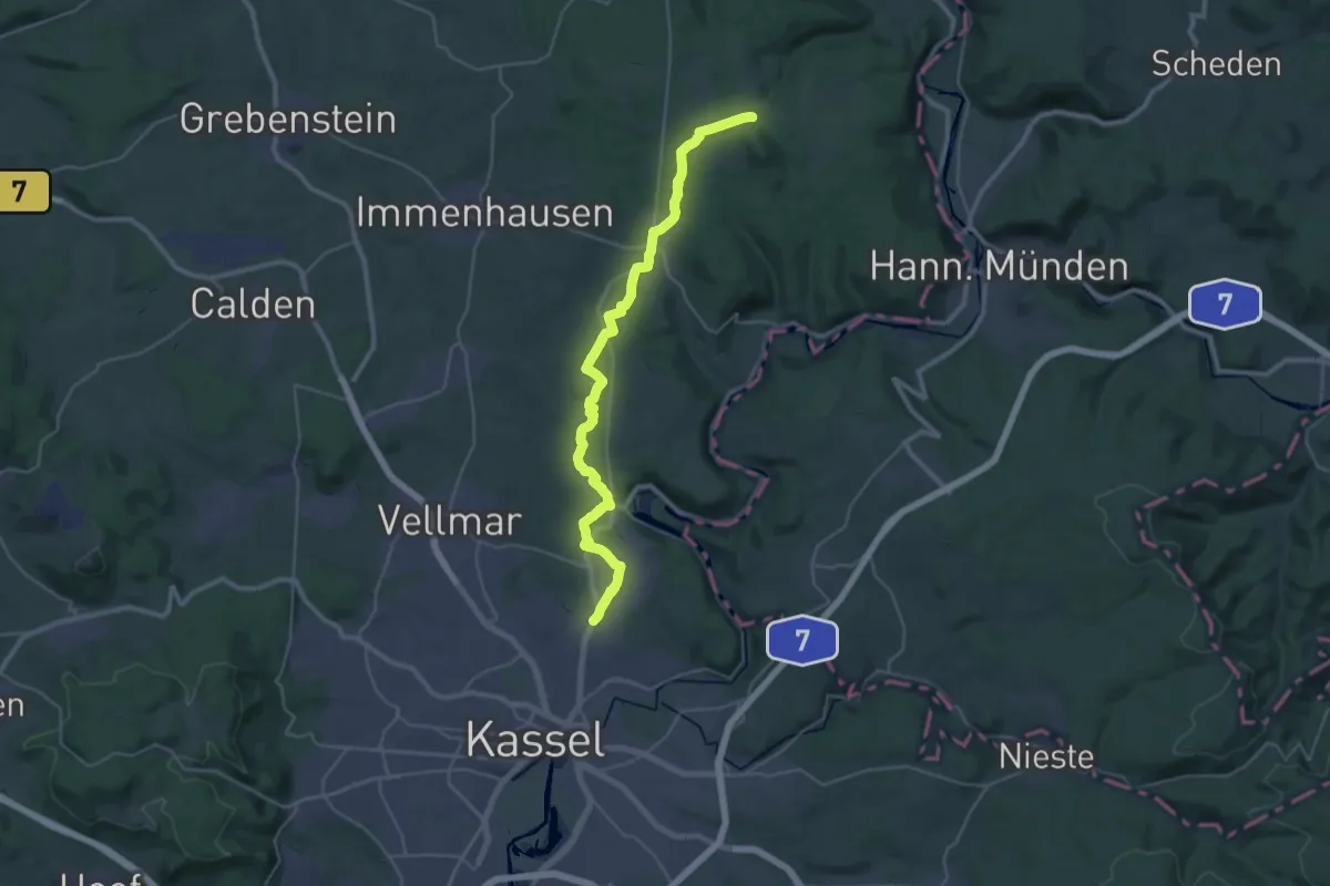
Demanding · Summit
Steigerpfad
33.1 km · ↑ 453 m · 8 h 48 min
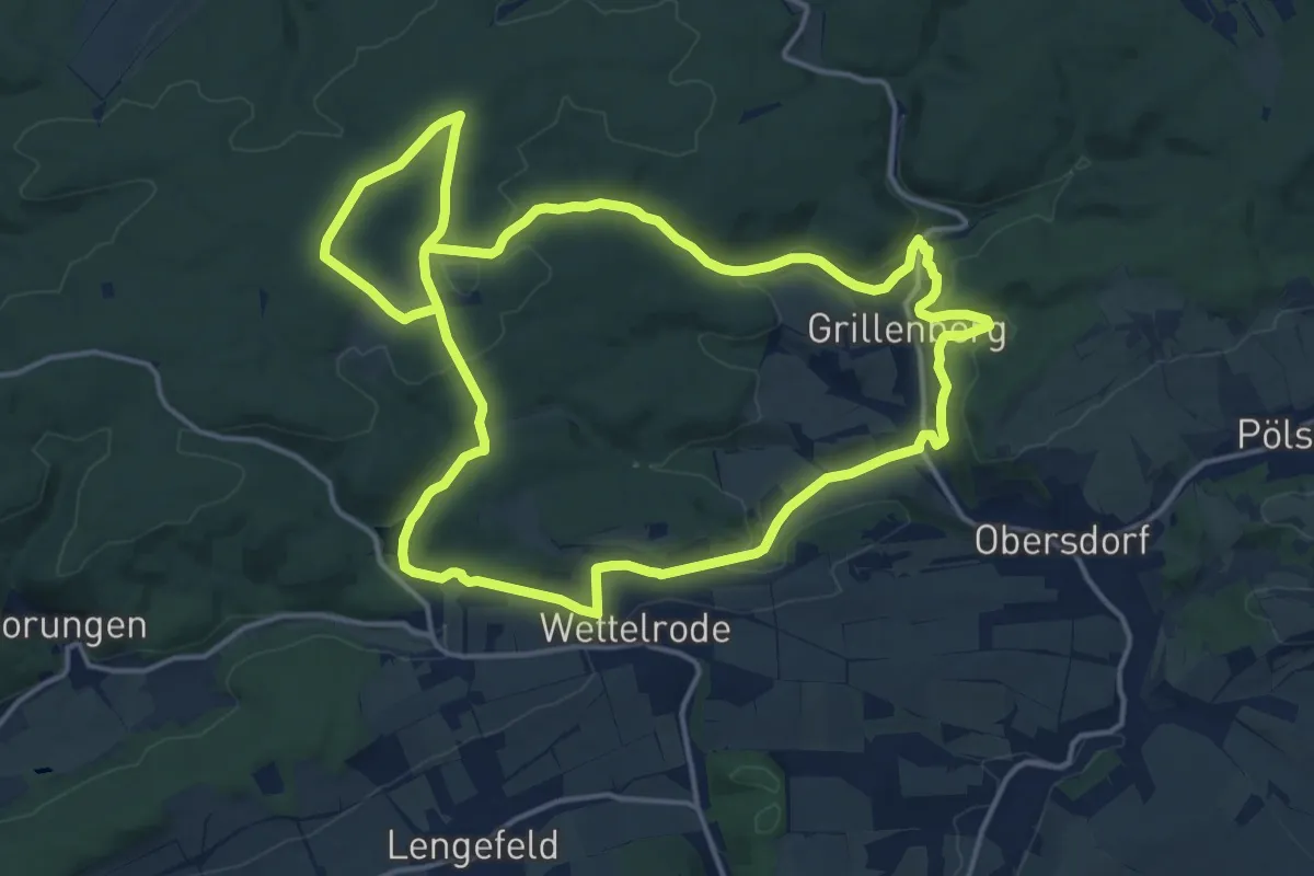
Medium · Trail
Steigerschleife
15.1 km · ↑ 280 m · 4 h 23 min
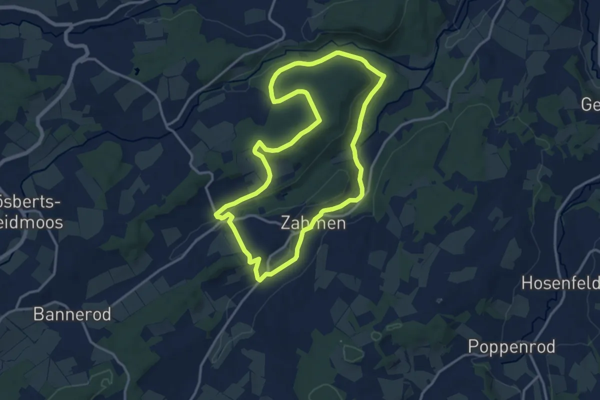
Medium · Trail
Steigertal Rundwanderweg
10.3 km · ↑ 194 m · 2 h 59 min
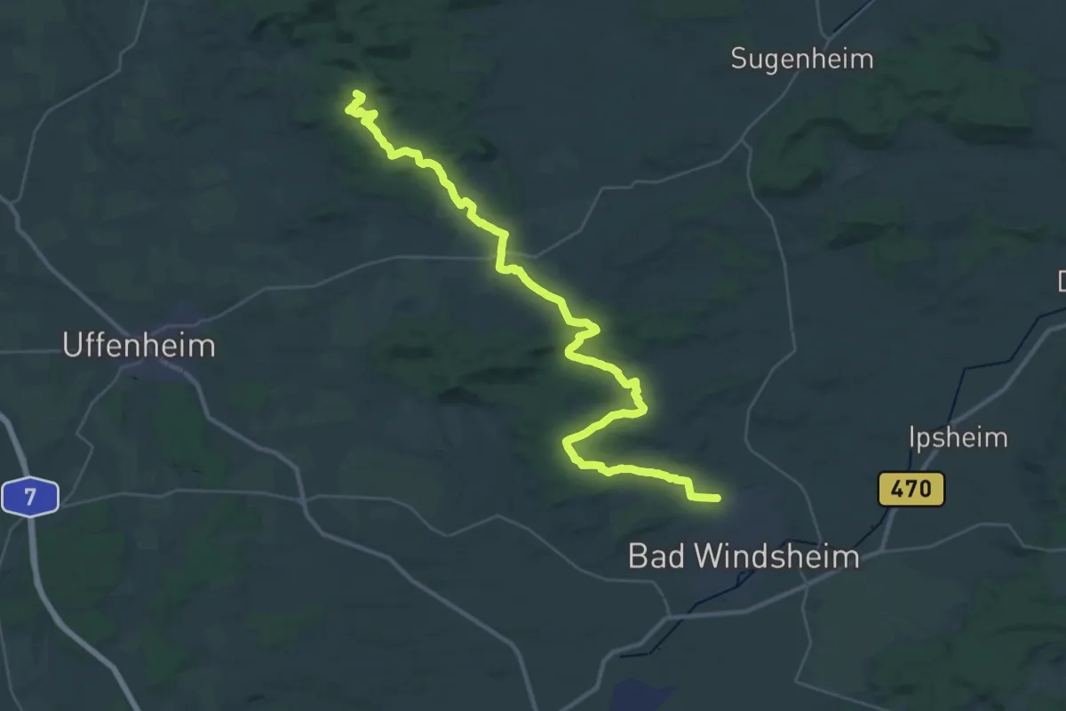
Demanding · Summit
Steigerwald Panoramaweg
38.5 km · ↑ 499 m · 10 h 10 min
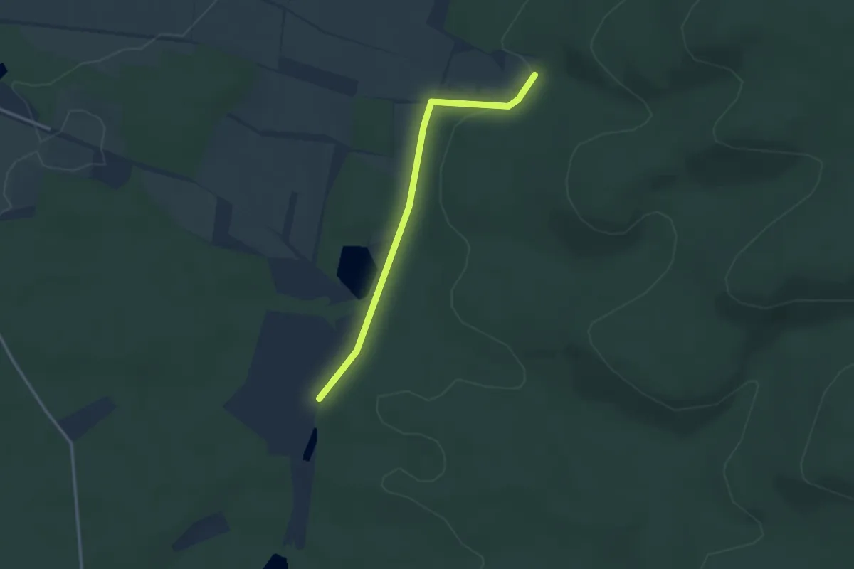
Easy · Trail
Steigerwald Weinwanderweg
2.6 km · ↑ 66 m · 45 min
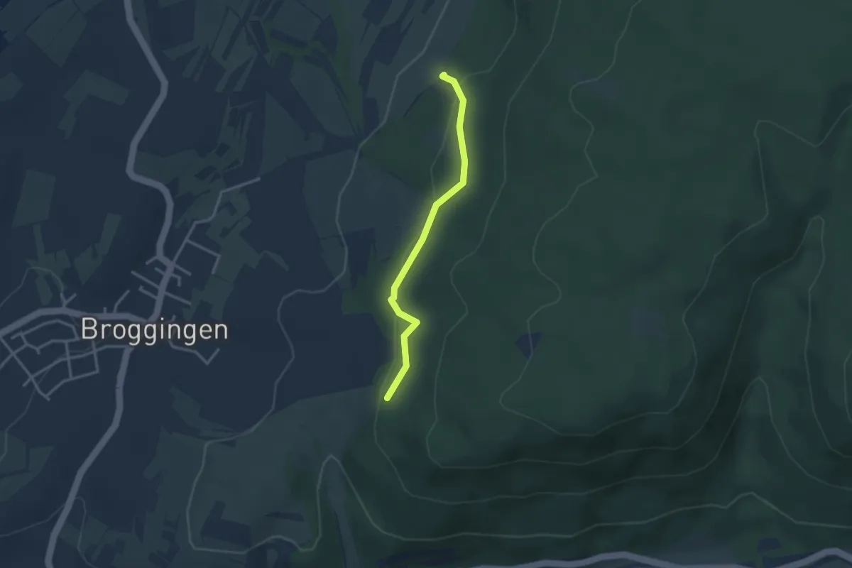
Easy · Trail
Steiggraben - Waldparkplatz Reute
2.6 km · ↑ 82 m · 48 min
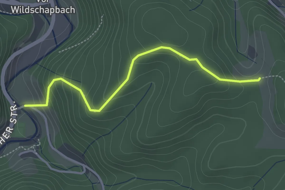
Easy · Trail
Steig - Ochsenwirts Eiche
2.7 km · ↑ 177 m · 1 h 1 min
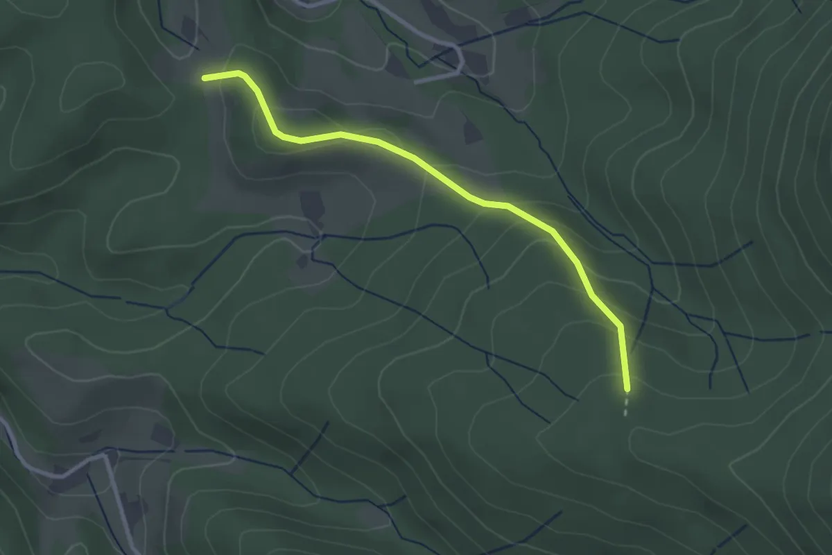
Easy · Trail
Steig - Sand
2.7 km · ↑ 159 m · 58 min
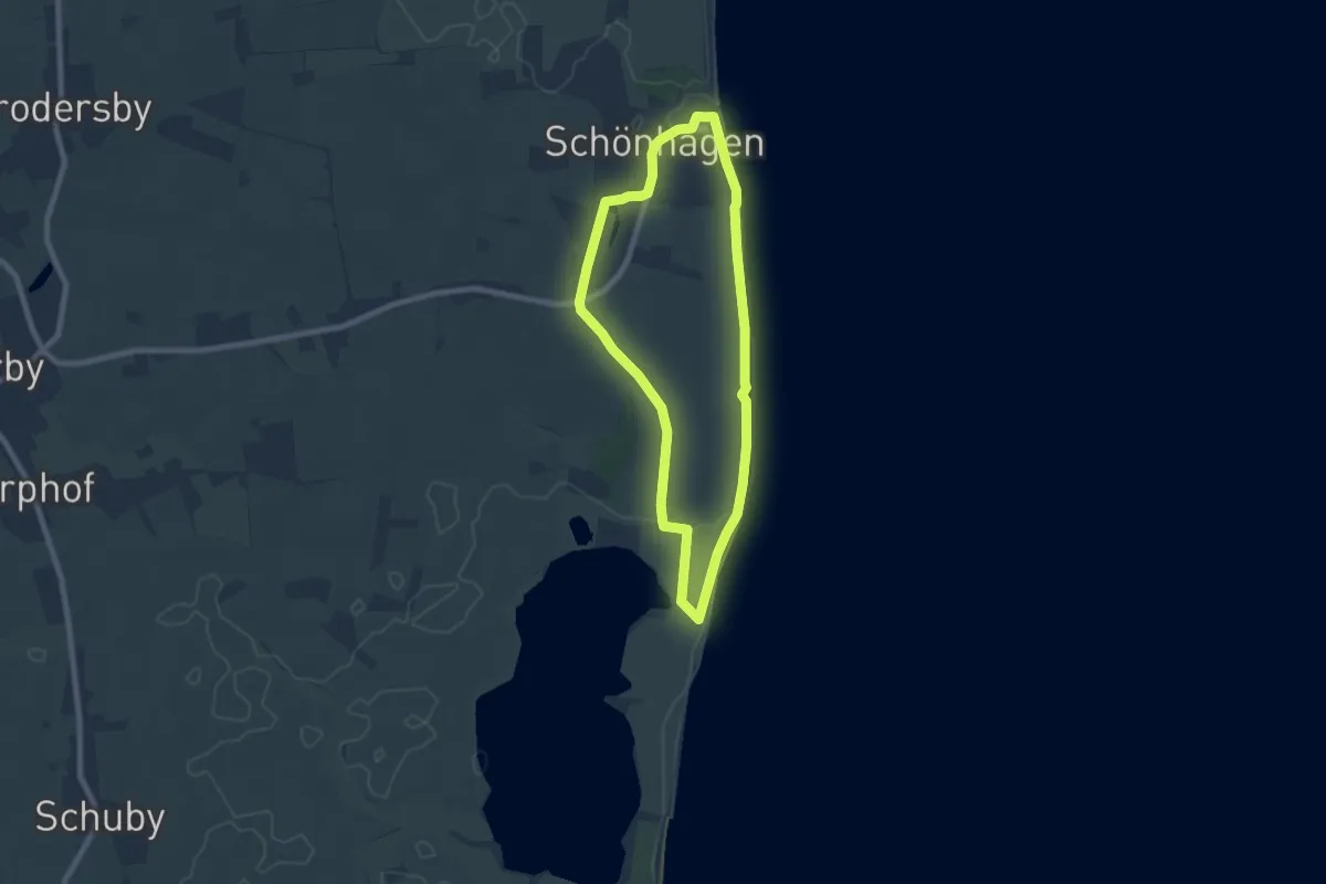
Easy · Trail
Steilküsten Runde
5.8 km · ↑ 26 m · 1 h 30 min
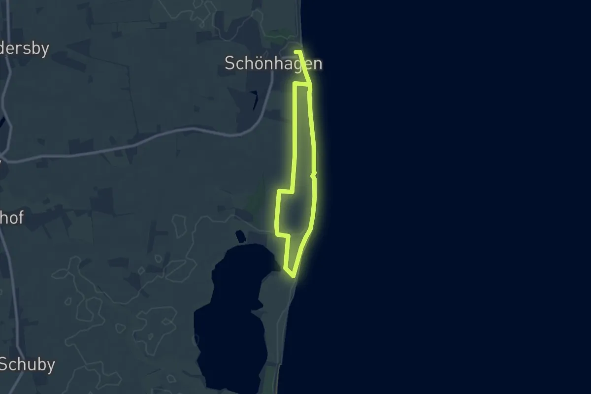
Medium · Trail
Steilküsten-Variante
10.5 km · ↑ 43 m · 2 h 34 min
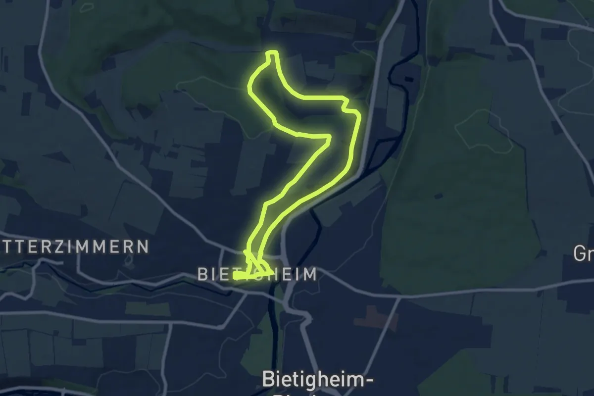
Easy · Trail
Steillagen
7.3 km · ↑ 171 m · 2 h 12 min
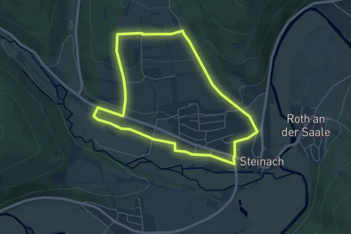
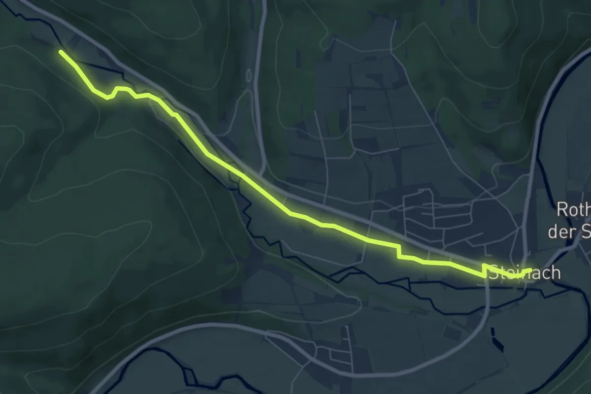
Easy · Trail
Steinach 1
4.7 km · ↑ 108 m · 1 h 24 min
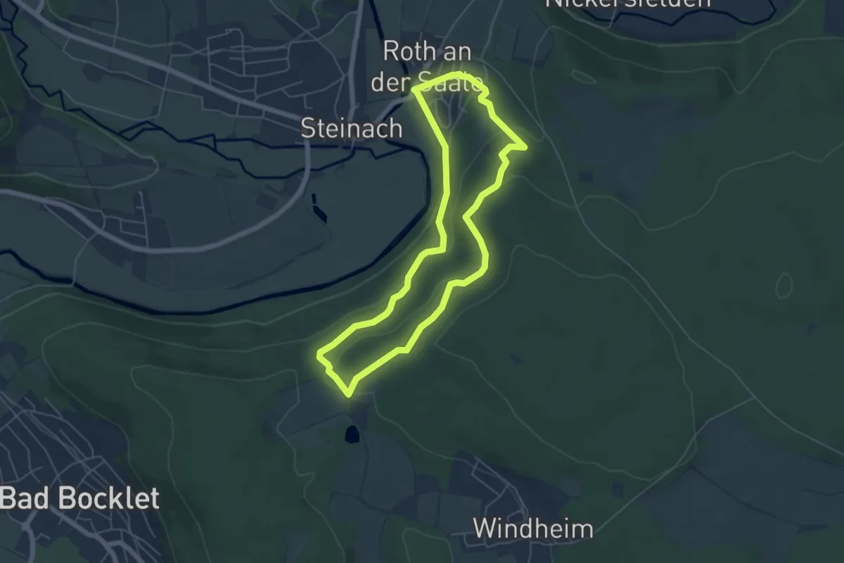
Easy · Trail
Steinach 2
7.2 km · ↑ 66 m · 1 h 51 min
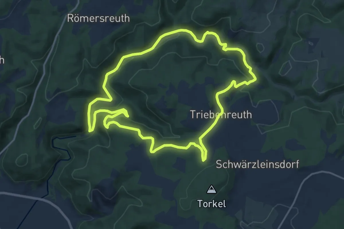
Easy · Trail
Steinach 3
4.8 km · ↑ 188 m · 1 h 37 min
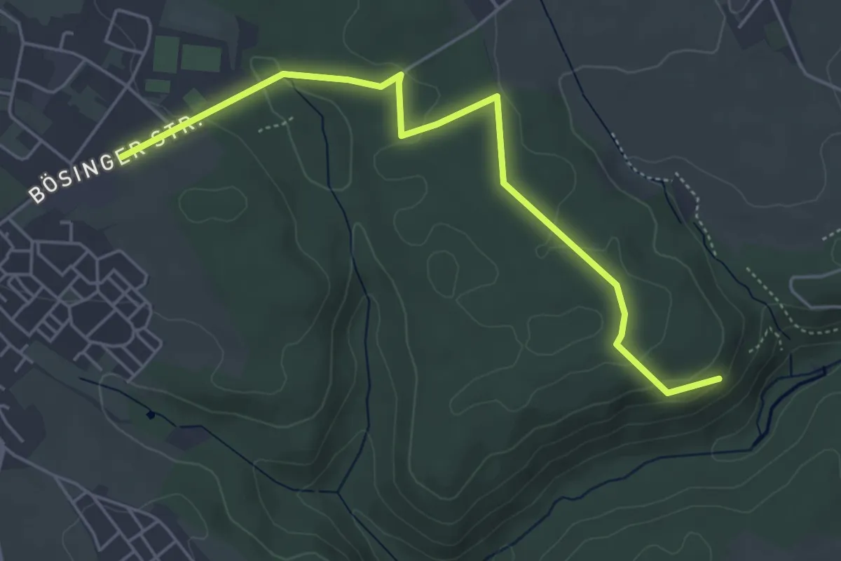
Medium · Trail
Steinachklamm-Weg KU 52
11.1 km · ↑ 366 m · 3 h 34 min
Easy · Trail
Steinach - Ruine Mantelberg
5.1 km · ↑ 87 m · 1 h 24 min
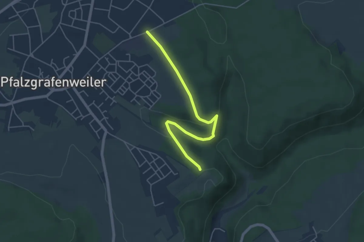
Easy · Trail
Steinach - Schlosswald
4.3 km · ↑ 71 m · 1 h 10 min
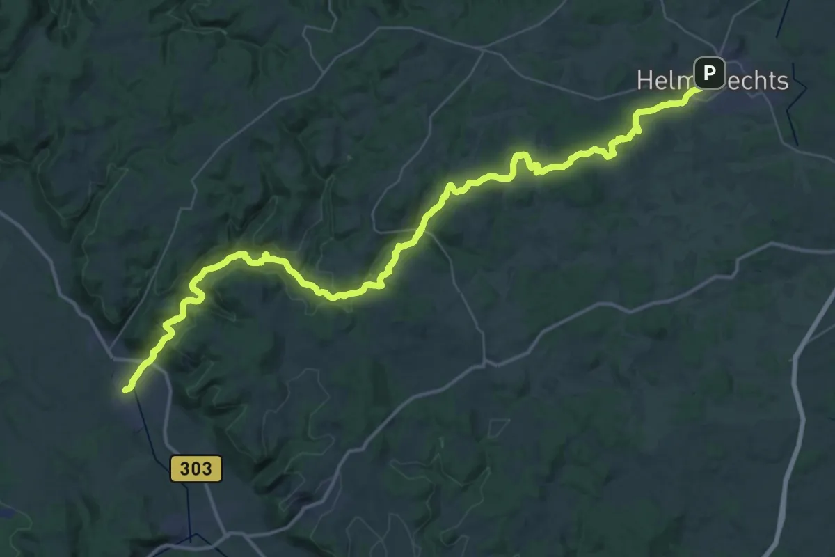
Demanding · Trail
Steinachtal-Weg
23.6 km · ↑ 365 m · 6 h 50 min
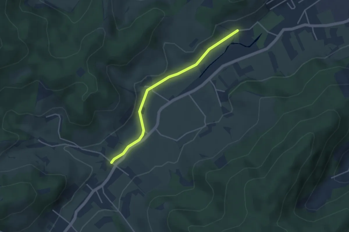
Easy · Trail
Steinach Tennisplatz - Welschensteinach Dörfle
3.2 km · ↑ 43 m · 51 min
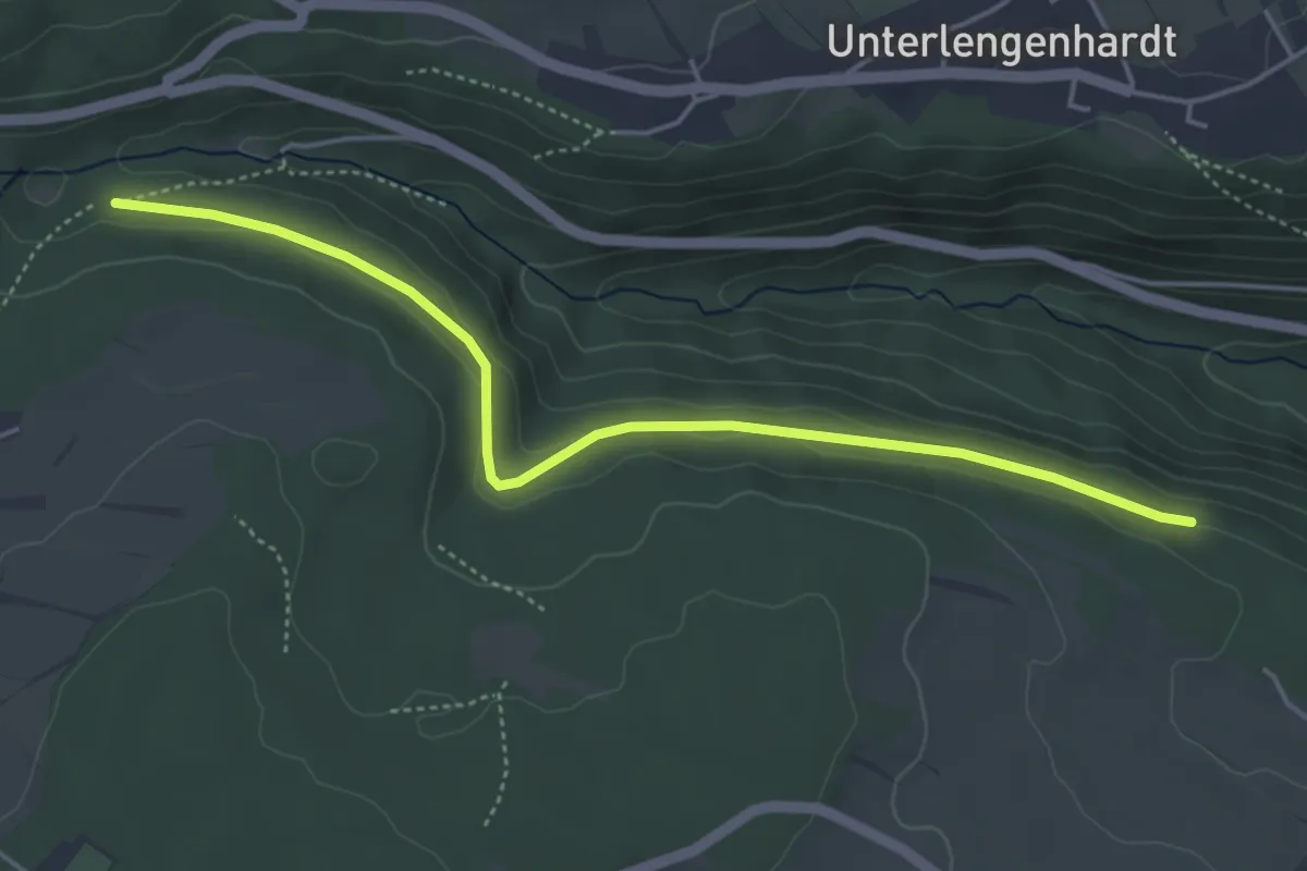
Easy · Trail
Steinachwald - Oberer Finkenberg
4.6 km · ↑ 56 m · 1 h 12 min
Easy · Trail
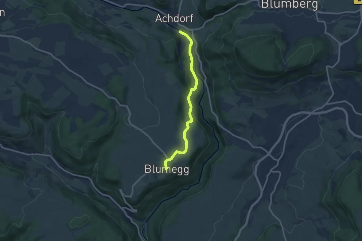
Steinäcker - Blumegg
7.3 km · ↑ 172 m · 2 h 6 min
Medium · Trail
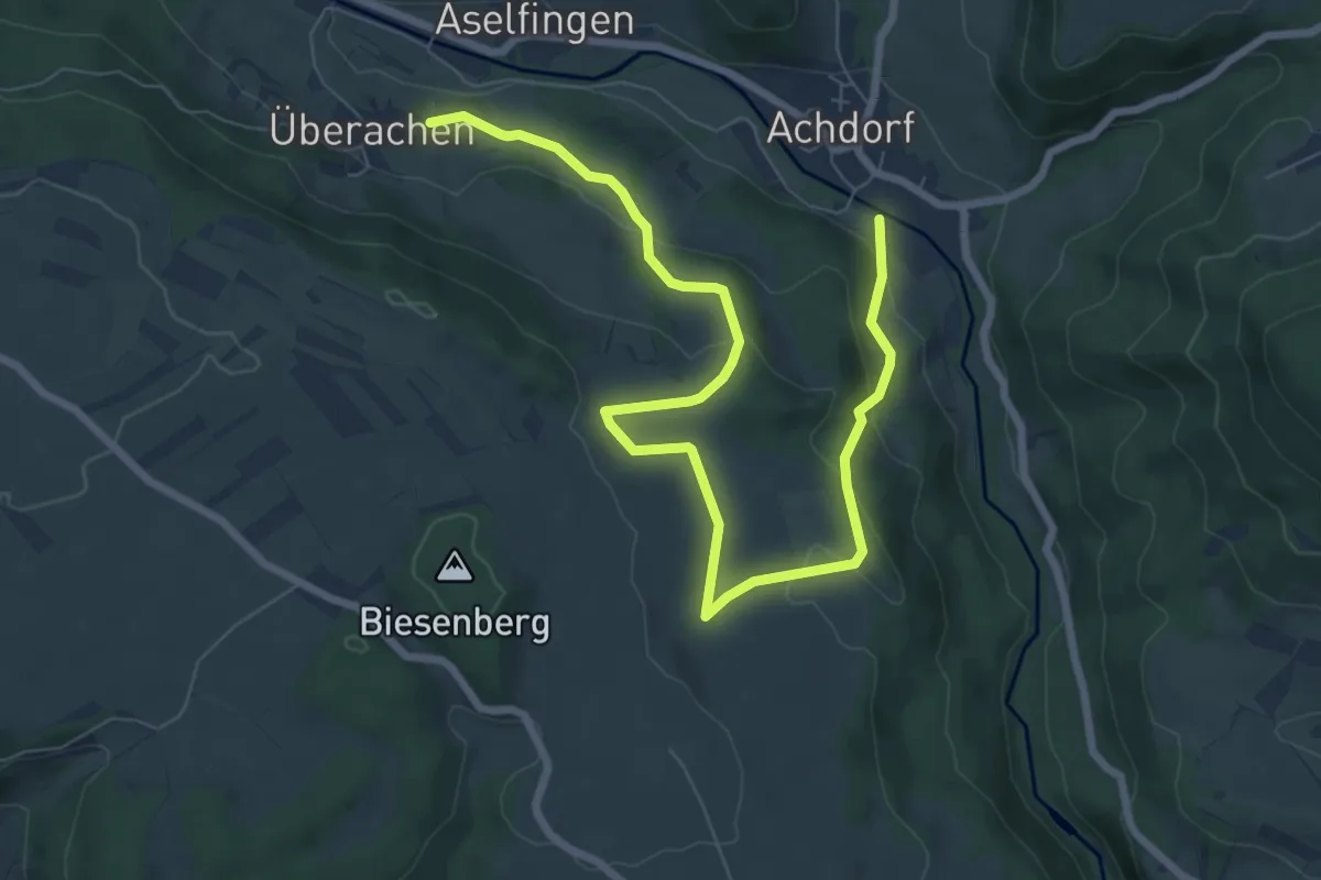
Steinäcker - Überachen
9.1 km · ↑ 308 m · 2 h 50 min
Easy · Trail
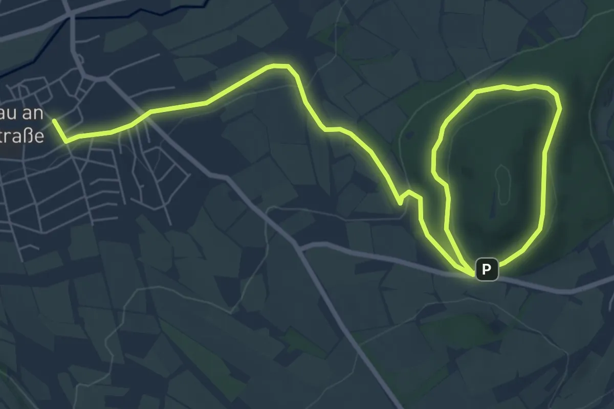
Steinau a. d. Straße, Wanderweg 1
4.9 km · ↑ 49 m · 1 h 24 min
Easy · Trail
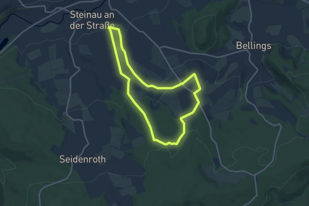
Steinau a. d. Straße, Wanderweg 2
7.4 km · ↑ 198 m · 2 h 16 min
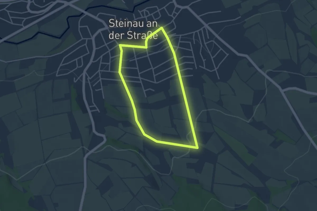
Easy · Trail
Steinau a. d. Straße, Wanderweg 2a
3.0 km · ↑ 66 m · 53 min
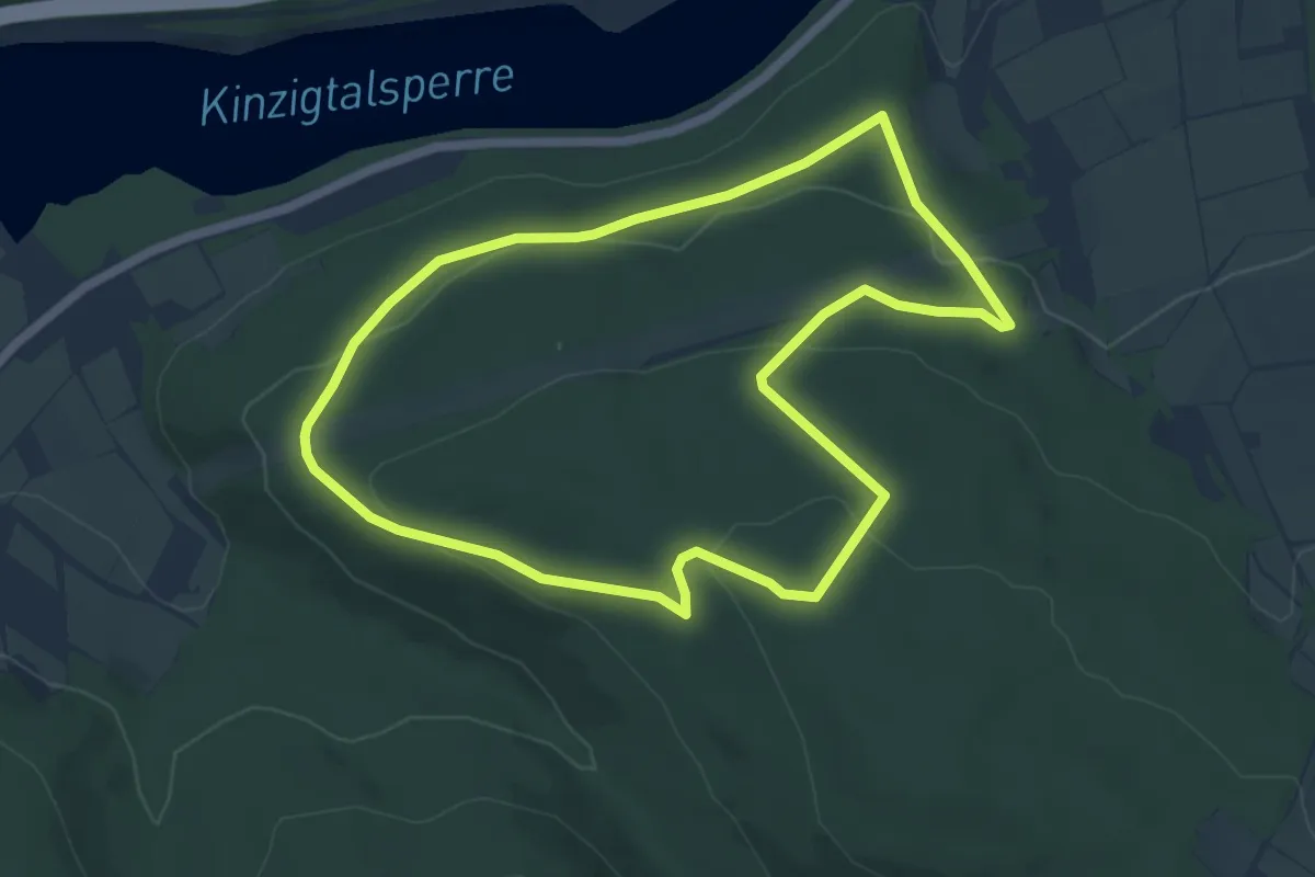
Easy · Trail
Steinau a. d. Straße, Wanderweg 3a
5.3 km · ↑ 144 m · 1 h 39 min
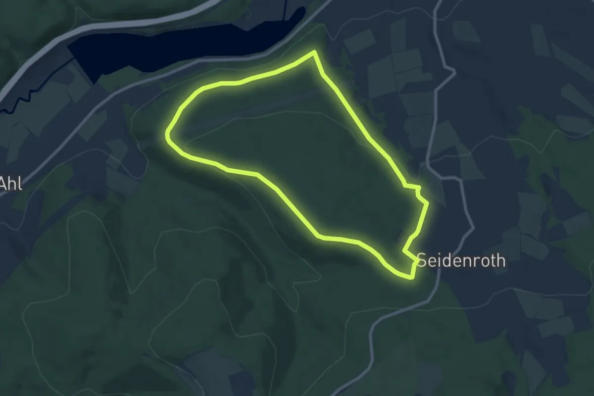
Easy · Summit
Steinau a. d. Straße, Wanderweg 3b
7.3 km · ↑ 181 m · 2 h 13 min
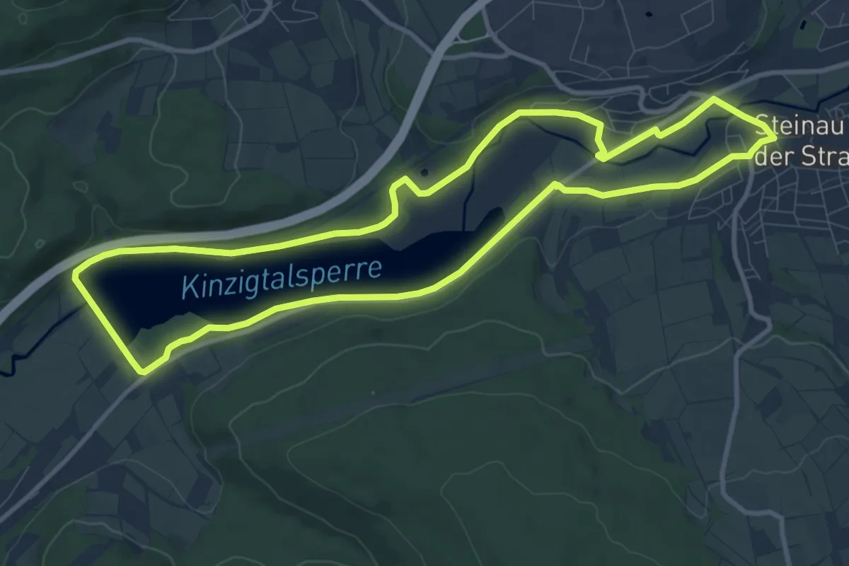
Medium · Trail
Steinau a. d. Straße, Wanderweg 4
9.2 km · ↑ 55 m · 2 h 24 min
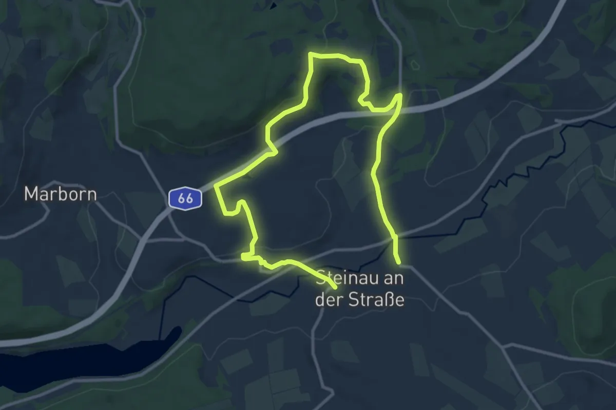
Easy · Trail
Steinau a. d. Straße, Wanderweg 5
7.1 km · ↑ 134 m · 2 h 4 min
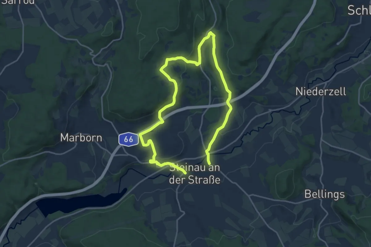
Medium · Trail
Steinau a. d. Straße, Wanderweg 6
10.4 km · ↑ 197 m · 3 h 1 min
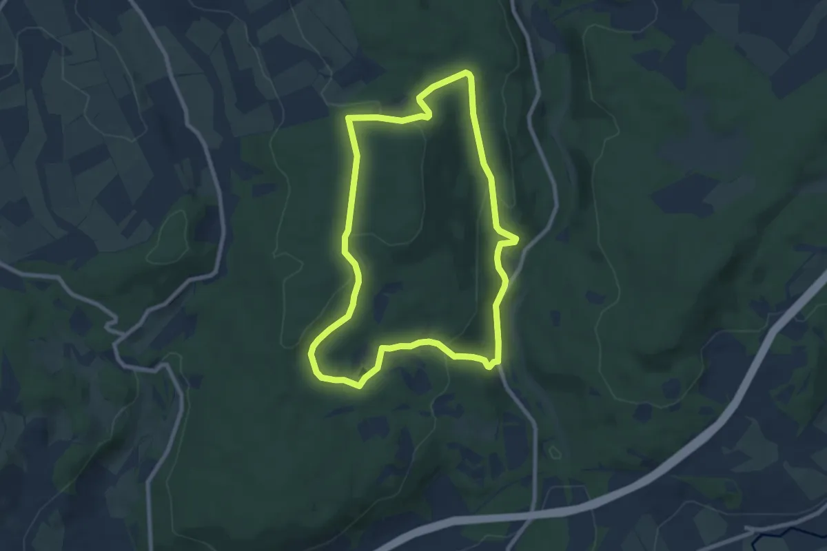
Easy · Trail
Steinau a. d. Straße, Wanderweg 7
6.9 km · ↑ 197 m · 2 h 9 min
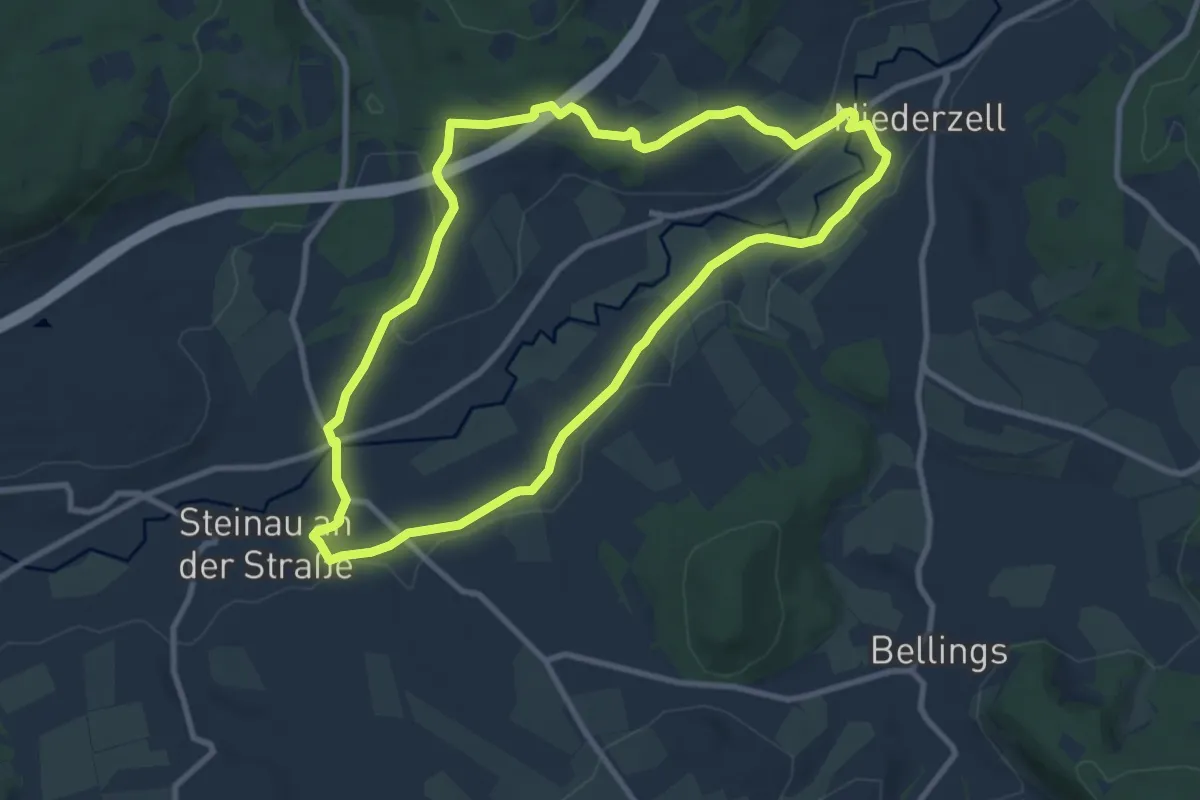
Medium · Trail
Steinau a. d. Straße, Wanderweg 8
8.7 km · ↑ 82 m · 2 h 21 min
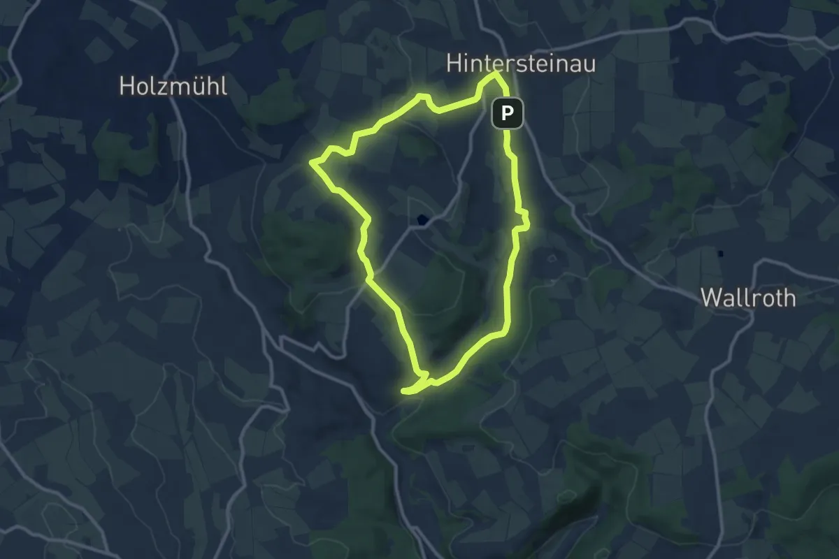
Medium · Trail
Steinau a.d. Straße, Wanderweg 9
9.0 km · ↑ 156 m · 2 h 35 min
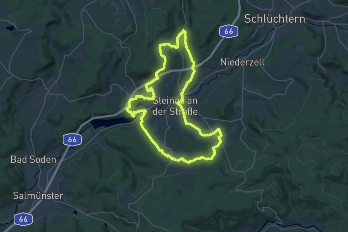
Demanding · Trail
Steinau a.d. Straße - Wartenrundweg
22.3 km · ↑ 468 m · 6 h 36 min
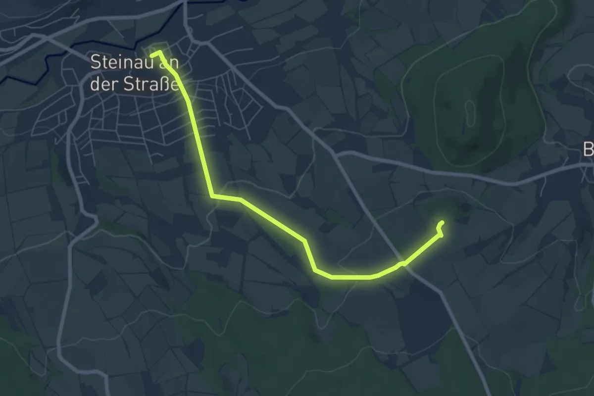
Easy · Trail
Steinau a.d. Straße - Wartenweg 1
6.1 km · ↑ 146 m · 1 h 46 min
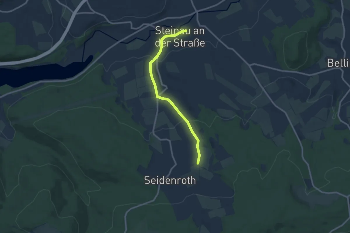
Easy · Trail
Steinau a.d. Straße - Wartenweg 2
6.8 km · ↑ 179 m · 2 h
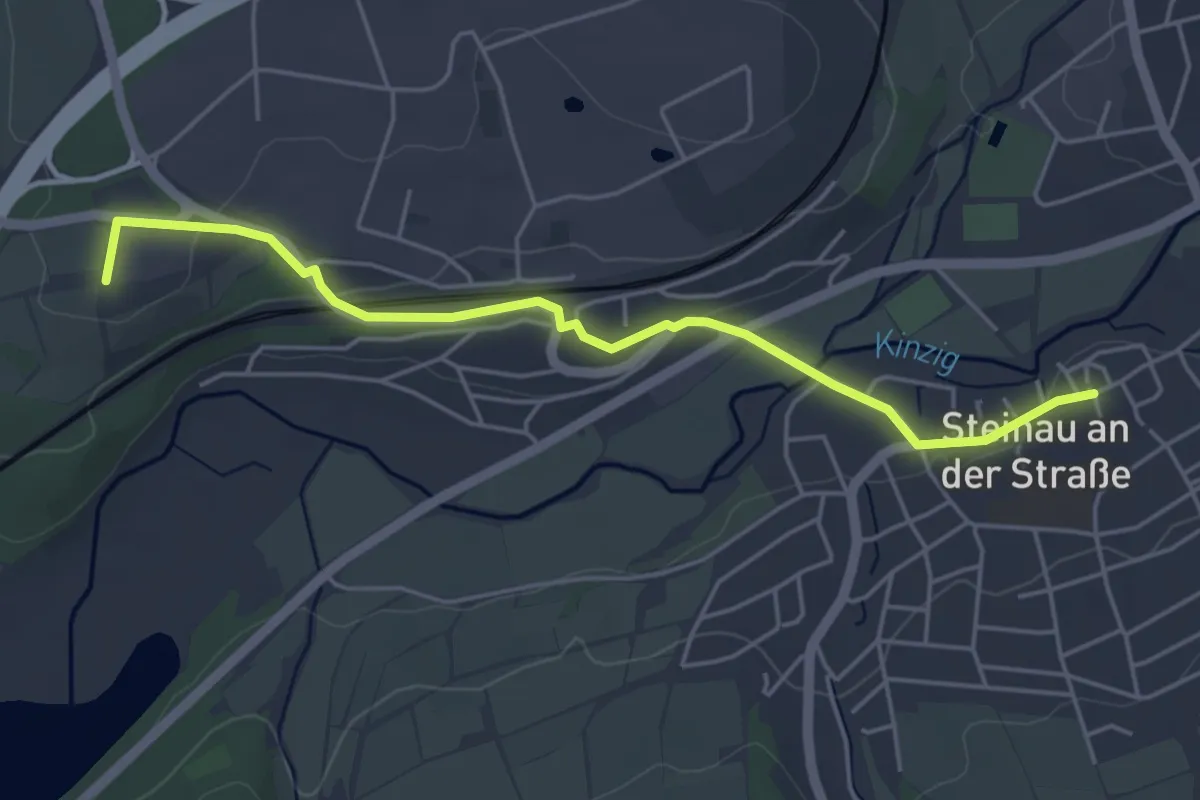
Easy · Trail
Steinau a.d. Straße - Wartenweg 3
4.6 km · ↑ 63 m · 1 h 13 min
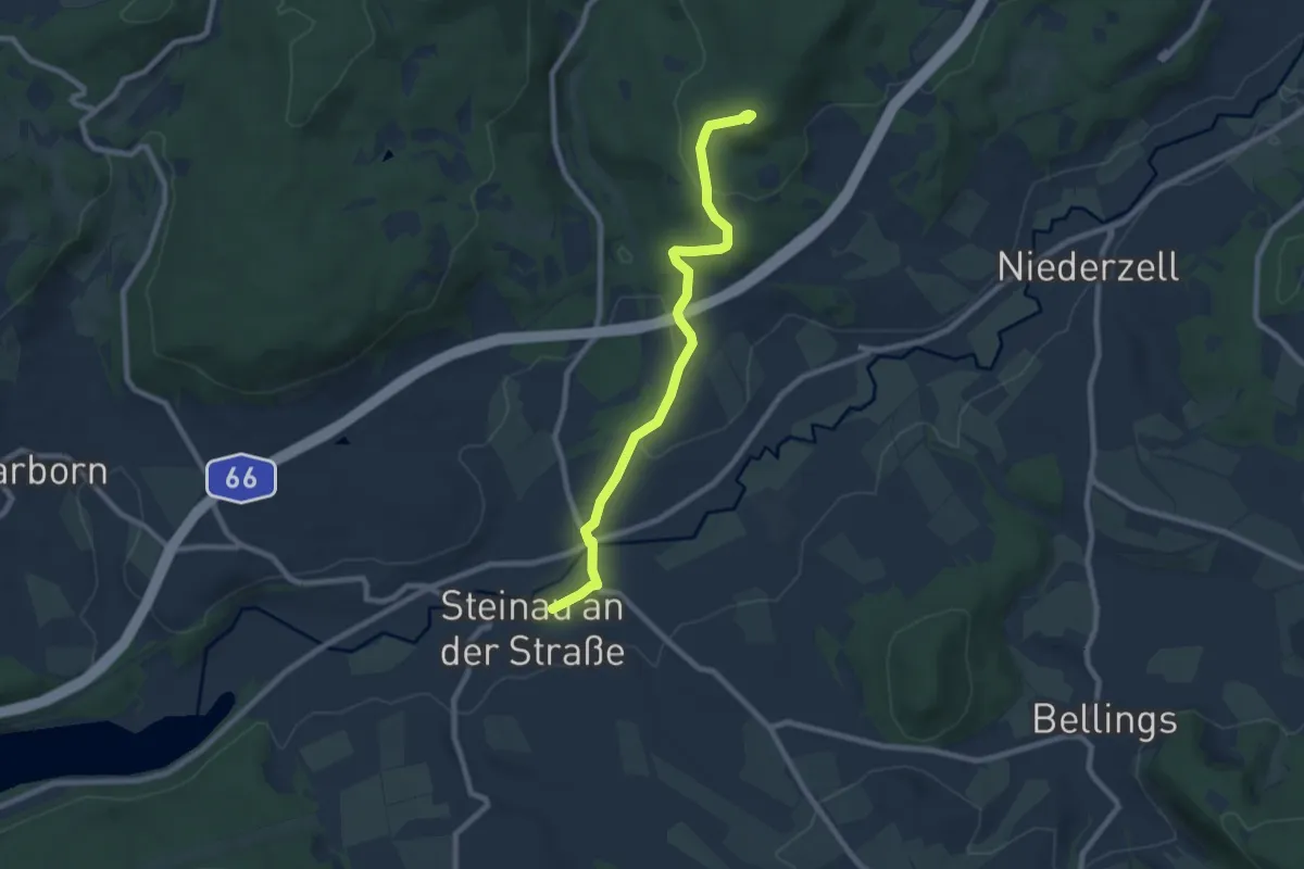
Easy · Trail
Steinau a.d. Straße - Wartenweg 4
7.7 km · ↑ 199 m · 2 h 14 min
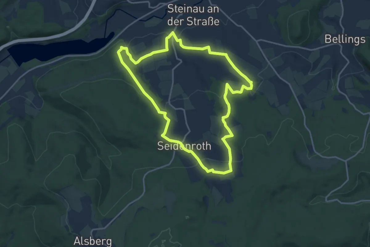
Medium · Trail
Steinauer Hochgefühl ( Spessartfährten )
11.3 km · ↑ 288 m · 3 h 27 min
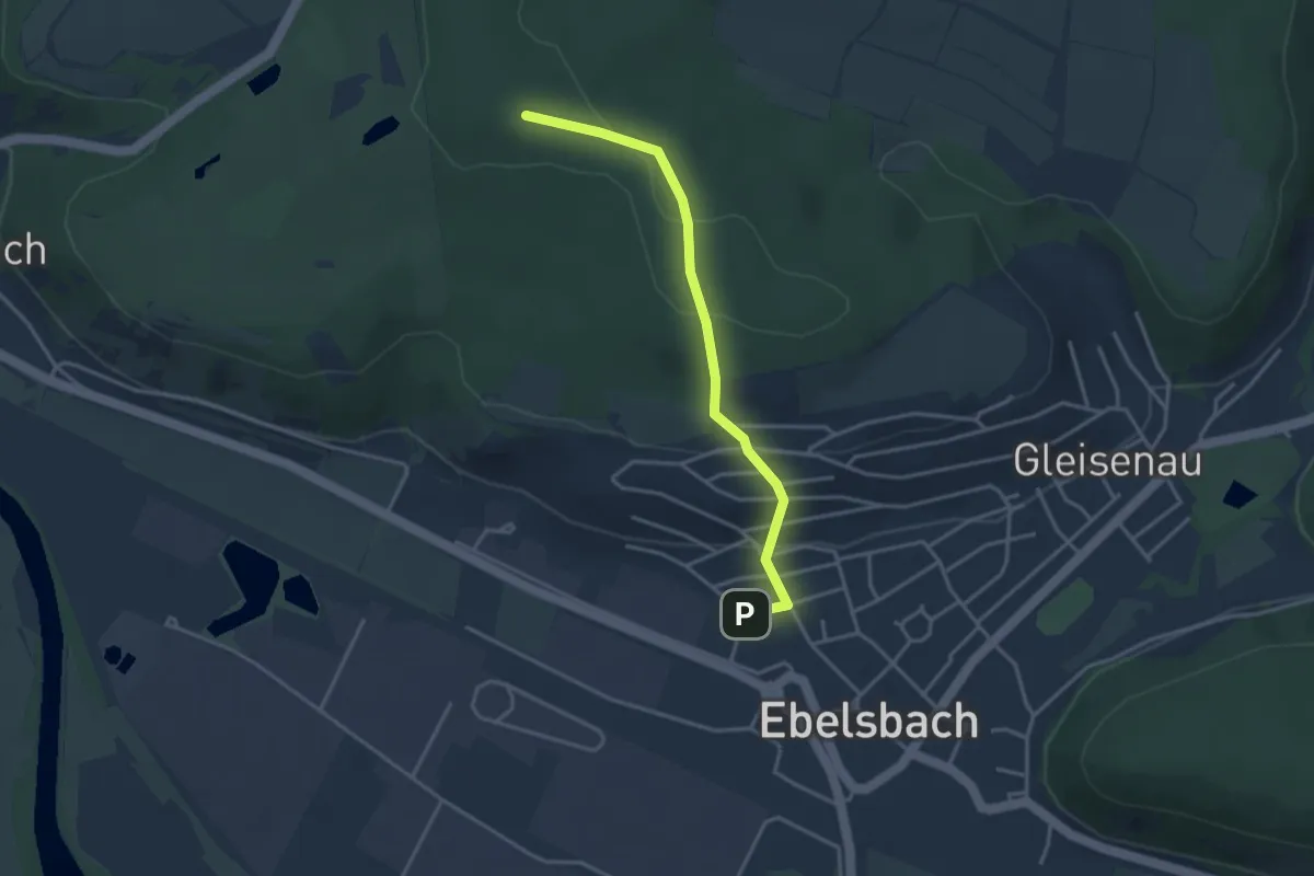
Easy · Summit
Steinbacher Runde
1.6 km · ↑ 135 m · 37 min
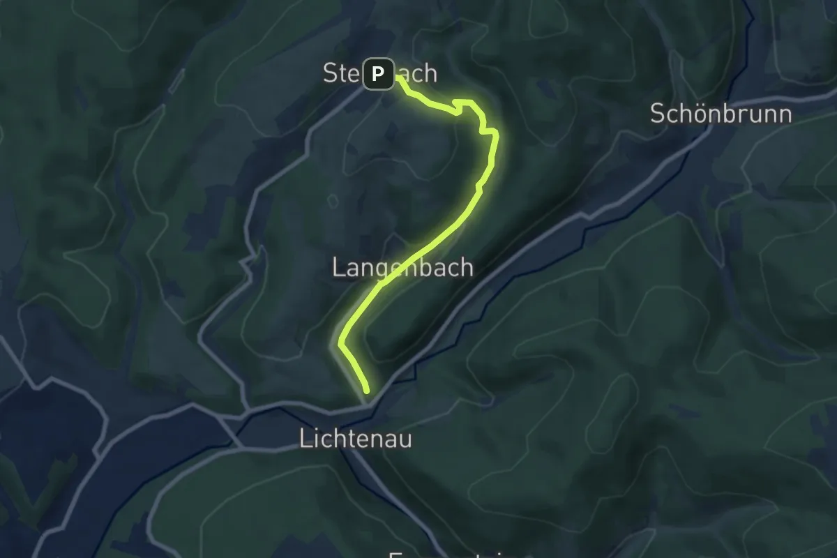
Easy · Trail
Steinbach-Langenbach-Waldau
6.2 km · ↑ 200 m · 1 h 53 min
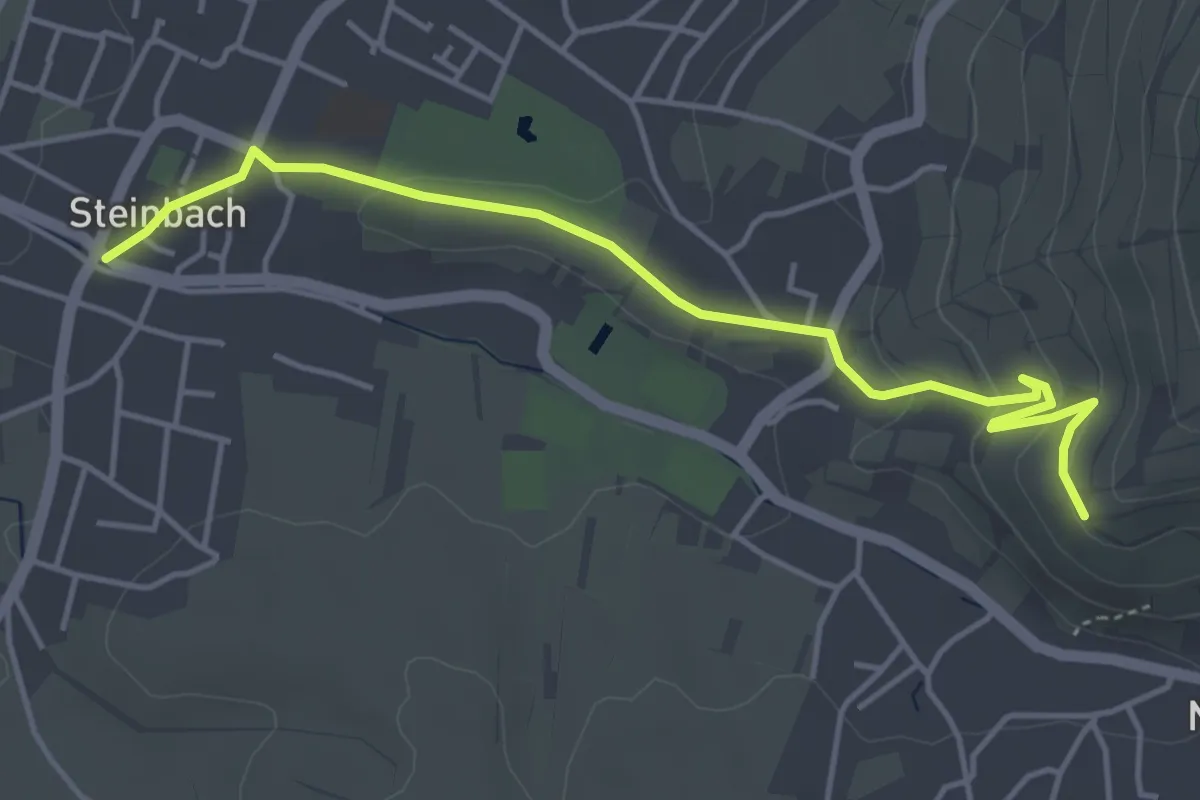
Easy · Trail
Steinbach Postplatz - Über dem Schlossberg
4.6 km · ↑ 124 m · 1 h 21 min
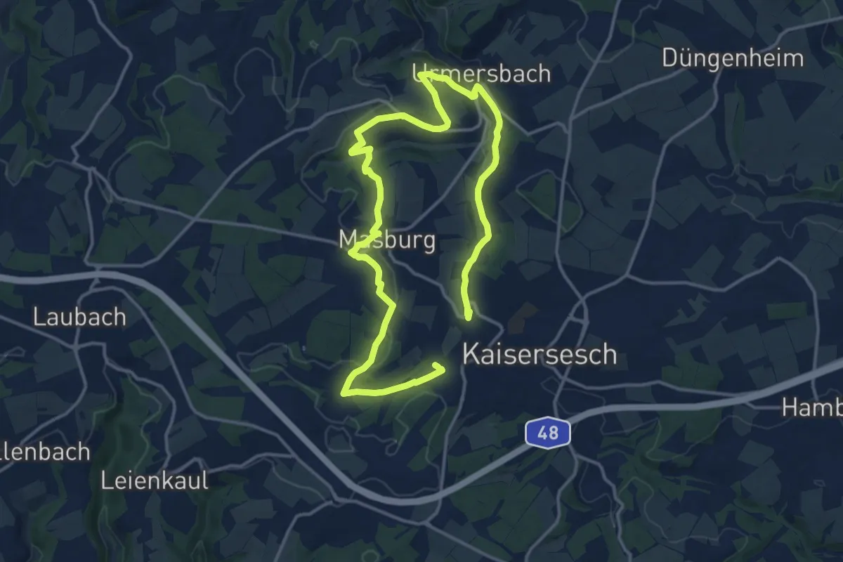
Medium · Trail
Steinbach Rundweg Masburg
10.2 km · ↑ 204 m · 3 h 1 min
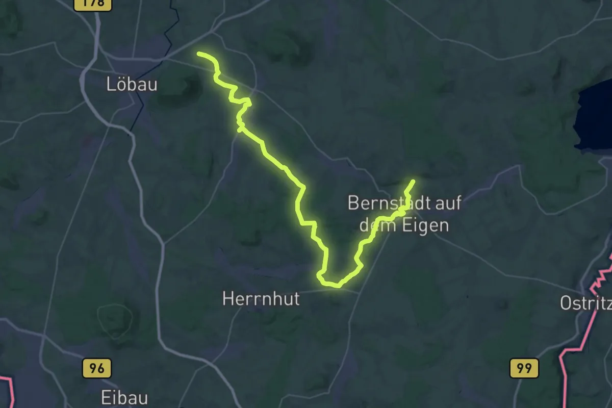
Demanding · Summit
Steinbachtal - Wendisch Paulsdorf (gelber Strich)
42.3 km · ↑ 432 m · 10 h 55 min