Trails in Germany
36,852 hiking trails, each with its route, climb, walking time and grade.
All trails, page 605 of 768
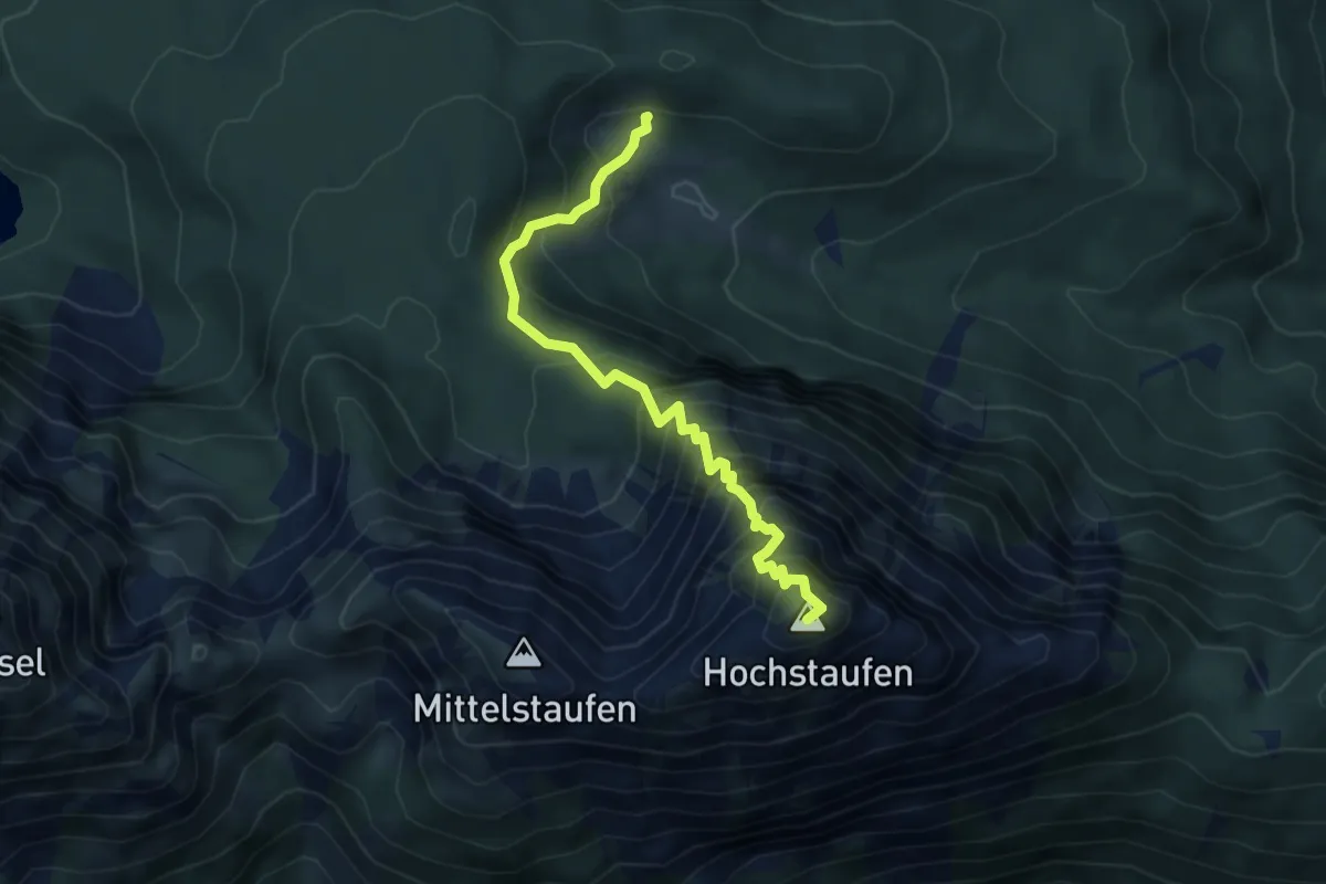
Demanding · Summit
Steineralm - Hochstaufen - Reichenhaller Haus
5.1 km · ↑ 738 m · 2 h 48 min
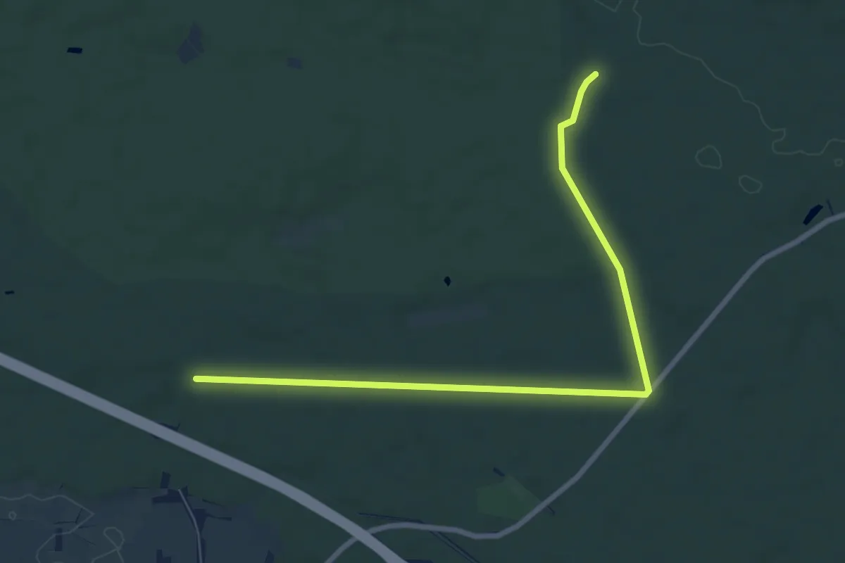
Easy · Trail
Steinernes Brücklein - Esching
7.6 km · ↑ 25 m · 1 h 52 min
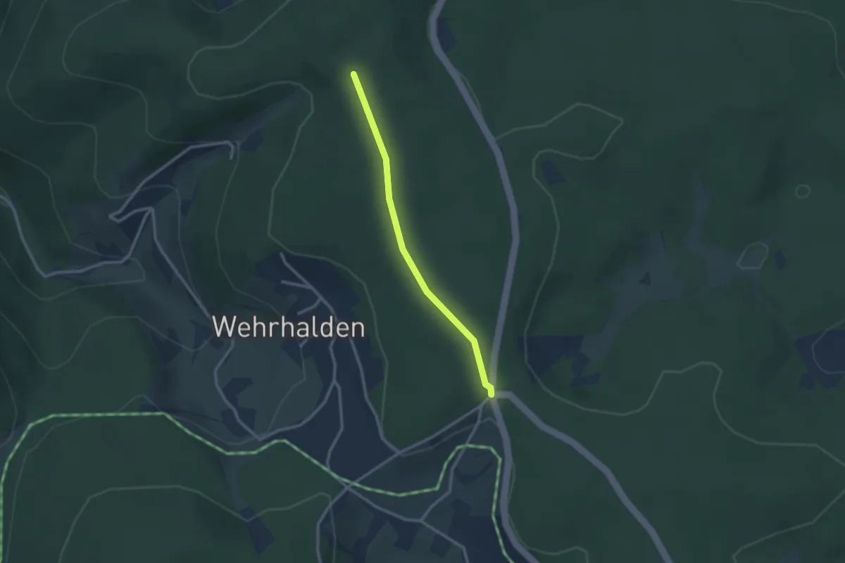
Easy · Trail
Steinernes Kreuz - Kindskreuzle
2.2 km · ↑ 38 m · 37 min
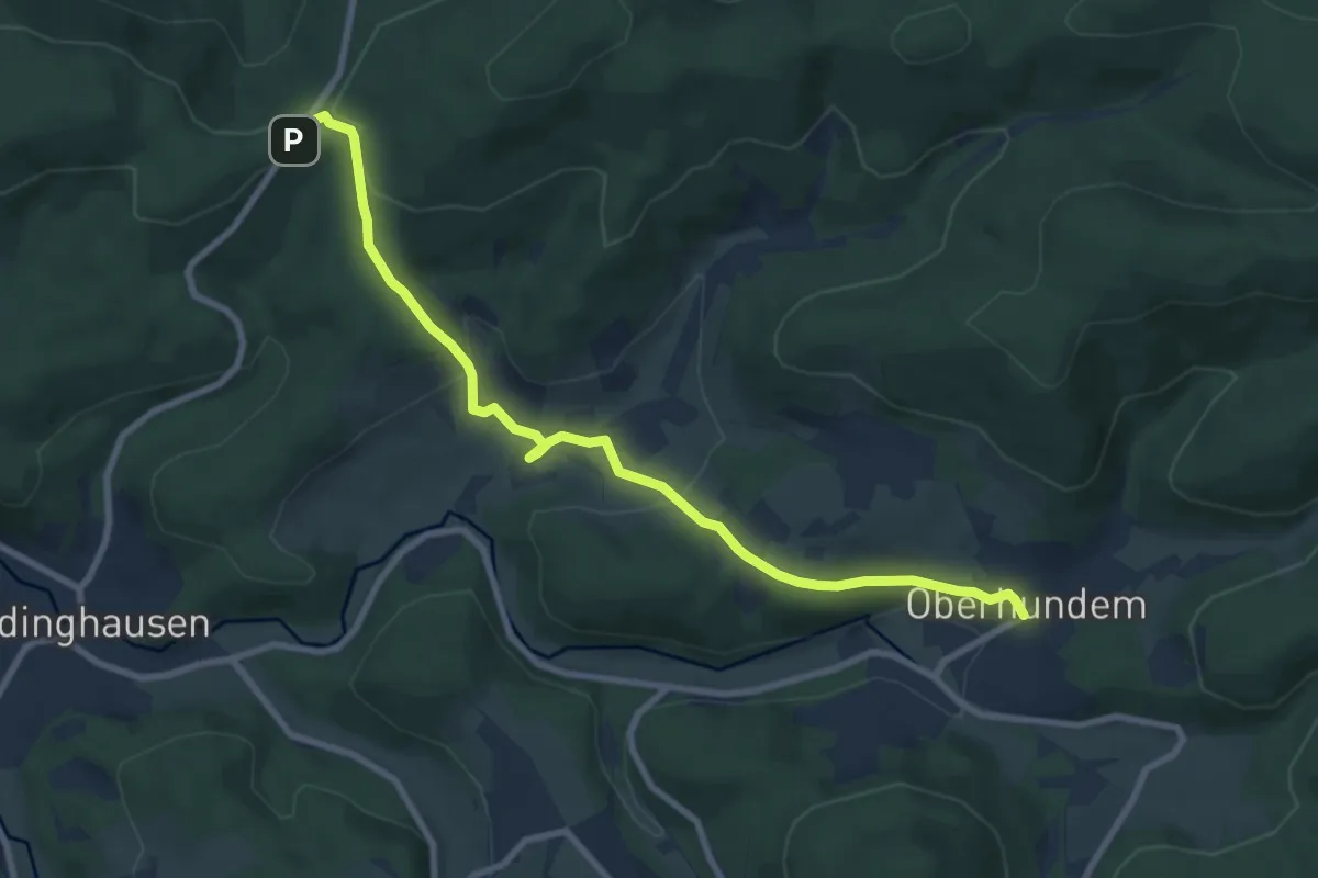
Medium · Trail
Steinernes Kreuz - Oberhundem
8.4 km · ↑ 271 m · 2 h 34 min
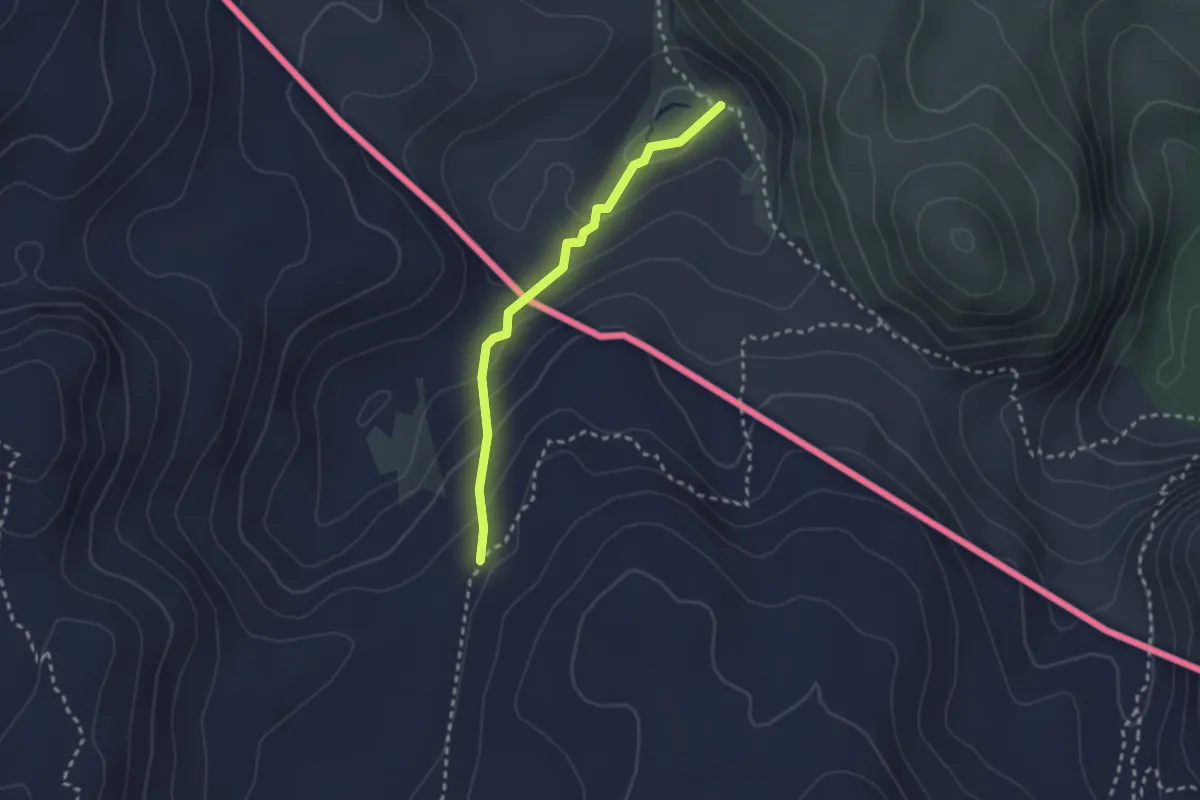
Demanding · Trail
Steinernes Meer, rot markierte Pfadspur
2.3 km · ↑ 149 m · 53 min
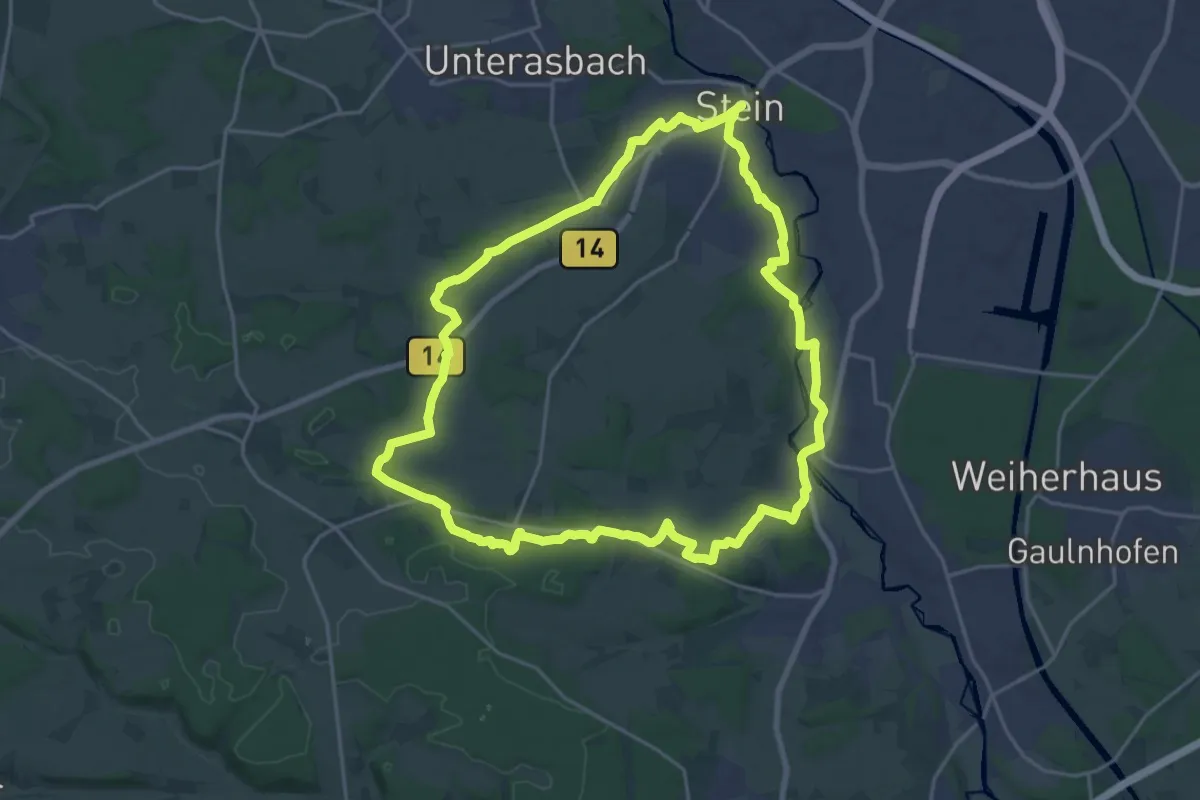
Demanding · Summit
Steiner Rundgang
20.2 km · ↑ 200 m · 5 h 29 min
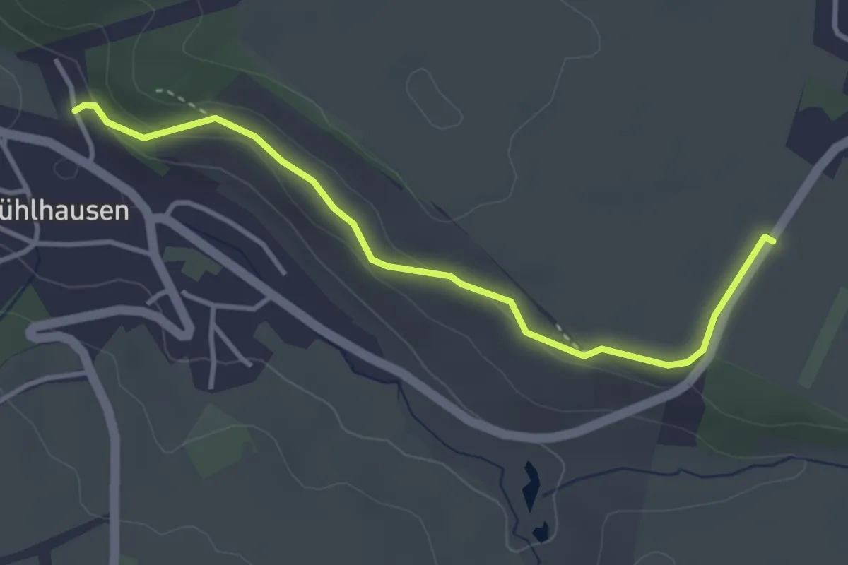
Easy · Trail
Steineschle - Scheibenweg
3.5 km · ↑ 64 m · 57 min
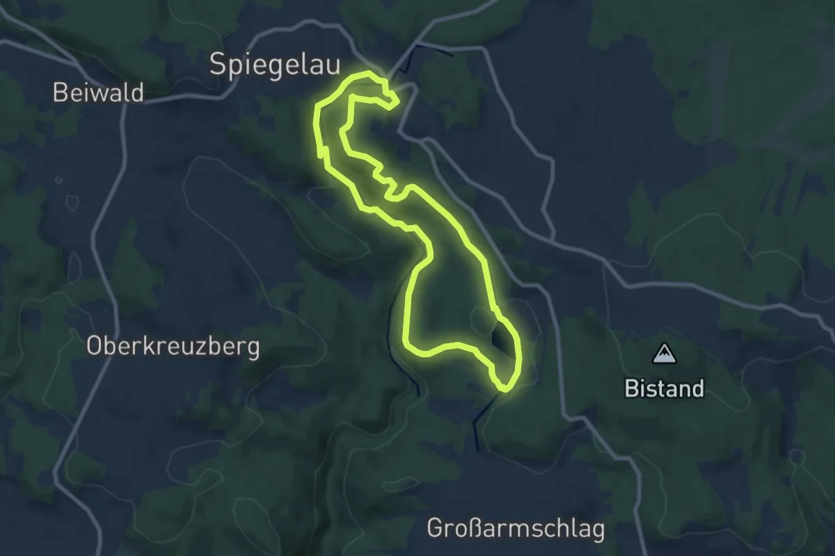
Demanding · Trail
Steinforelle
7.7 km · ↑ 214 m · 2 h 23 min
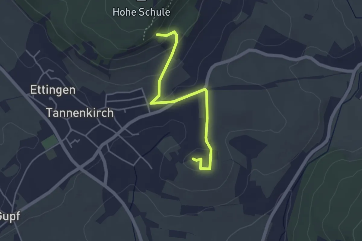
Easy · Summit
Steingäßle
3.4 km · ↑ 92 m · 1 h 1 min
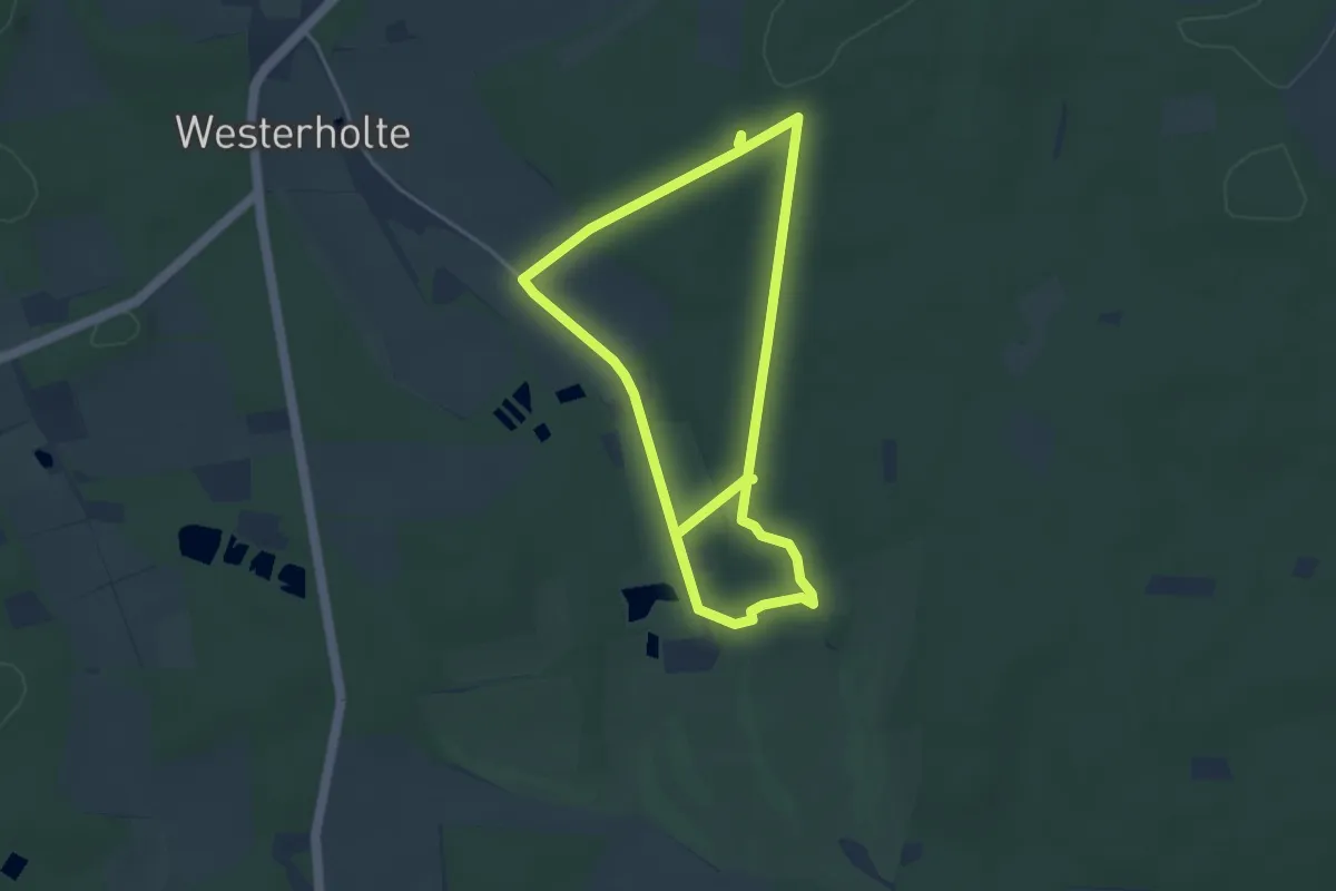
Easy · Trail
Steingräberweg Giersfeld lang
3.5 km · ↑ 28 m · 57 min
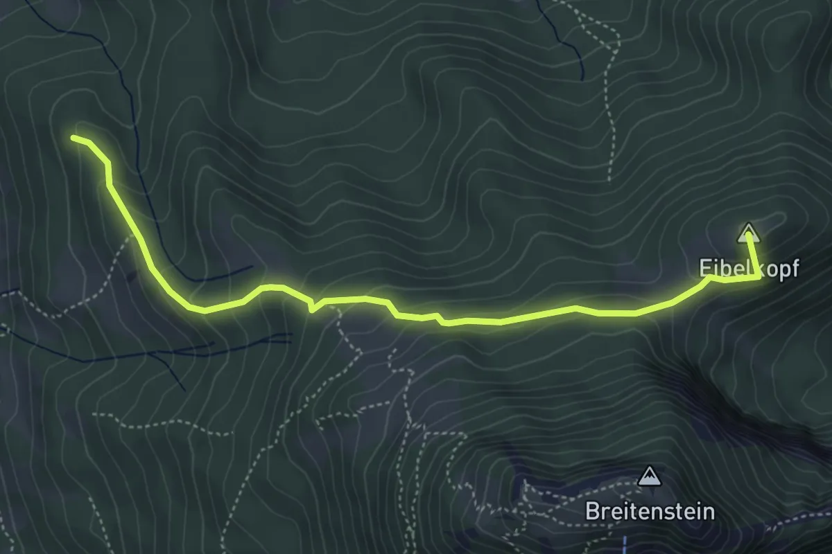
Medium · Summit
Steingrabner - Alm - Wirtsalm - Bad Feilnbach
5.1 km · ↑ 319 m · 1 h 54 min
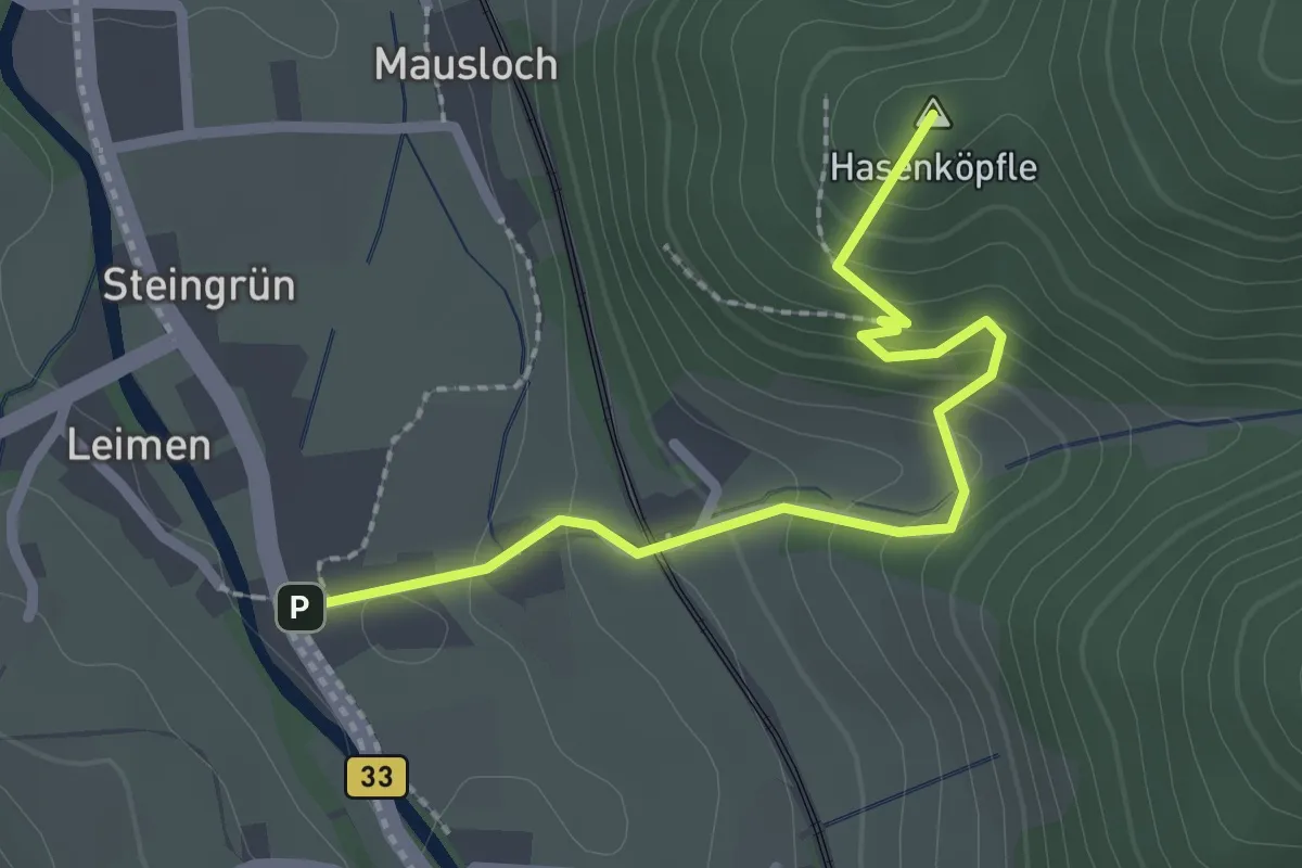
Easy · Summit
Steingrün - Hasenkäpfle
2.3 km · ↑ 159 m · 54 min
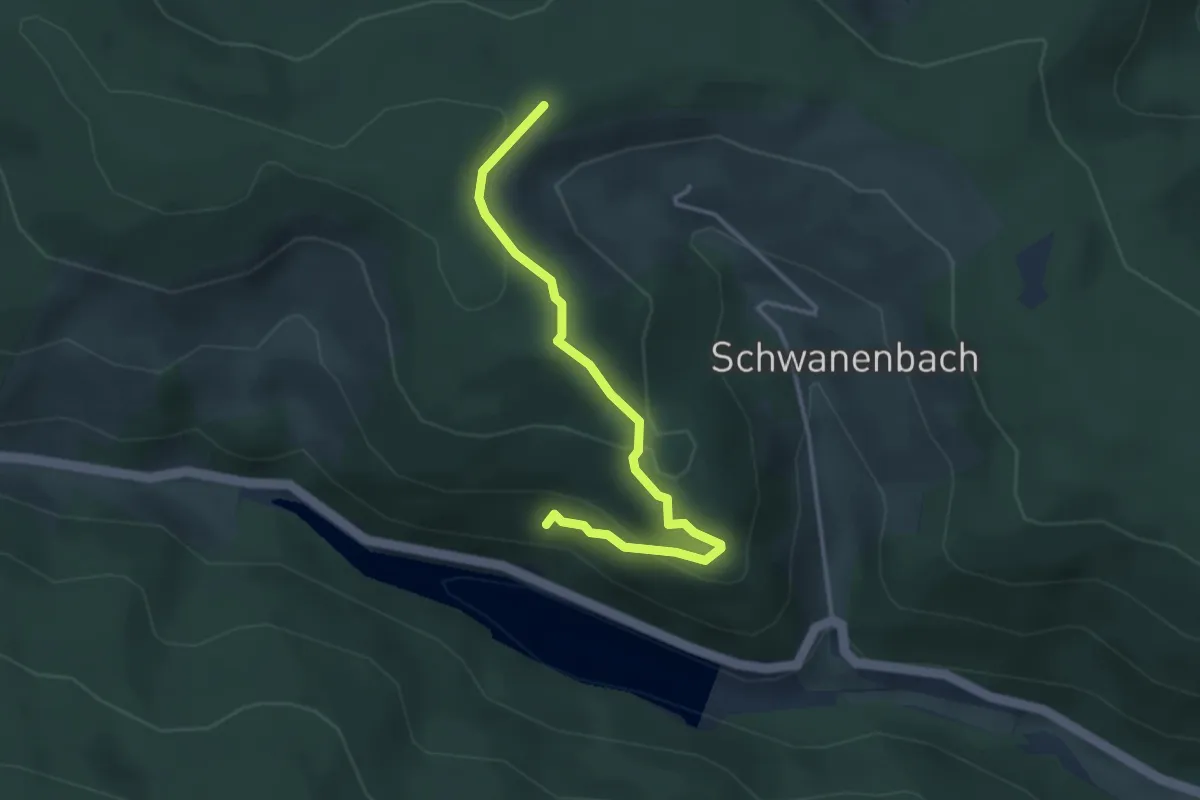
Easy · Trail
Steinhalde - Kesselberg
3.4 km · ↑ 132 m · 1 h 5 min
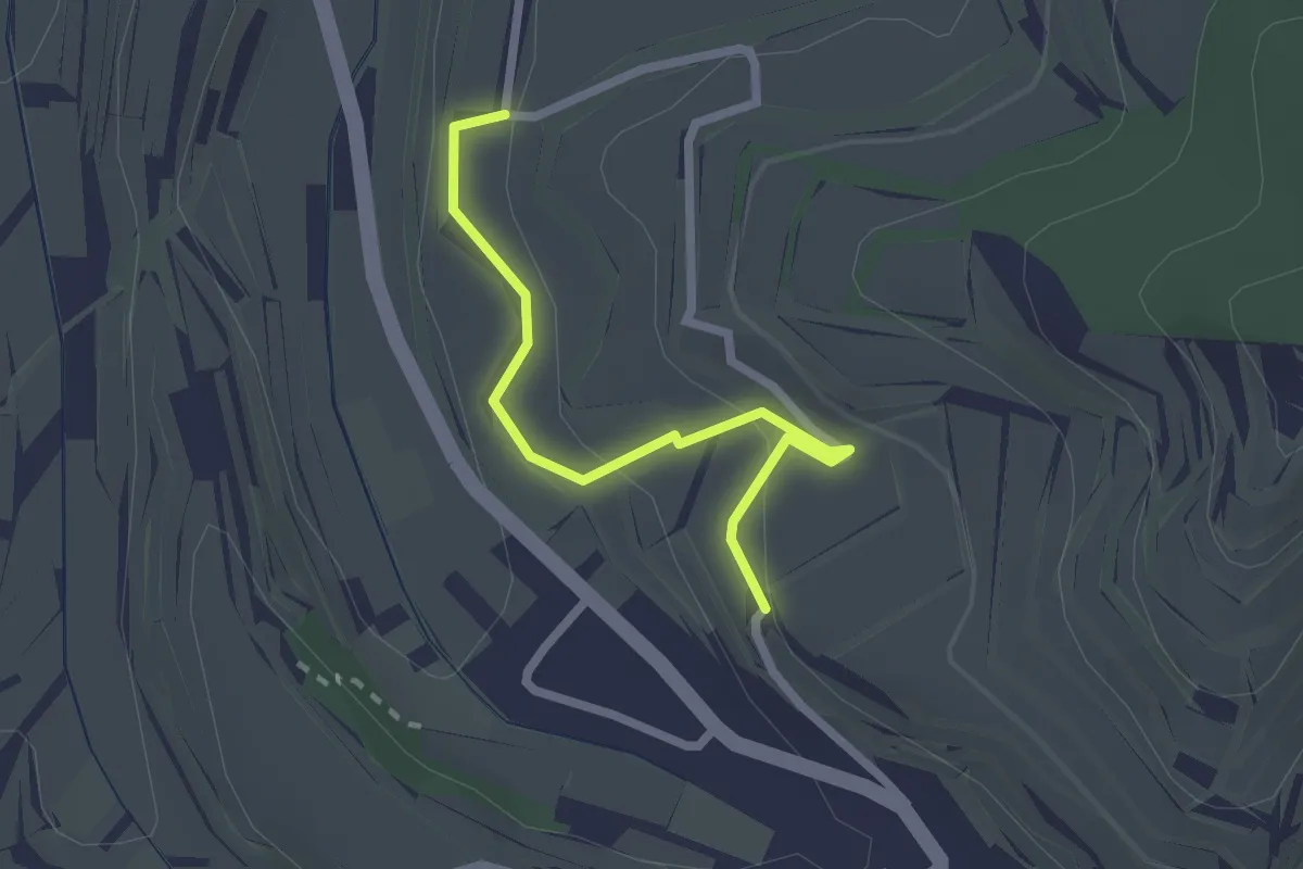
Easy · Trail
Steinhalden - Auenberg
2.1 km · ↑ 100 m · 43 min
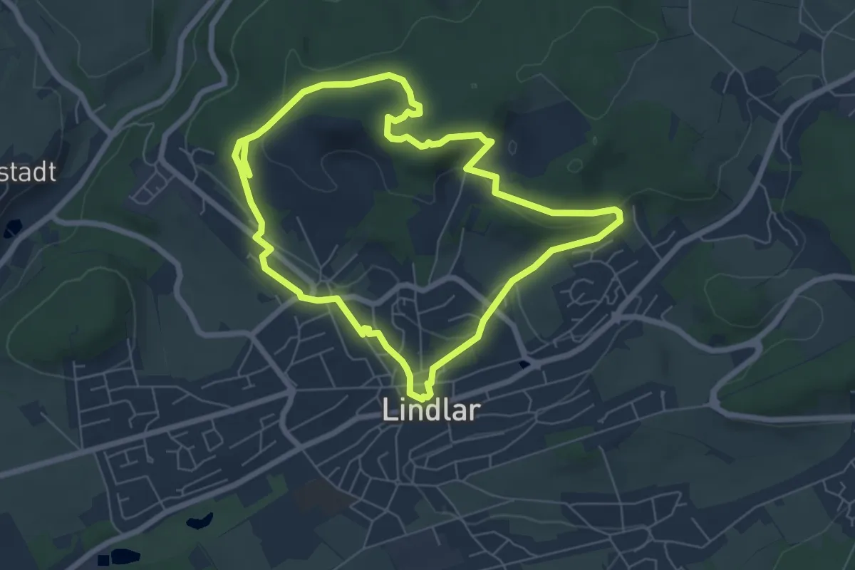
Easy · Trail
Steinhauerpfad
5.6 km · ↑ 146 m · 1 h 43 min
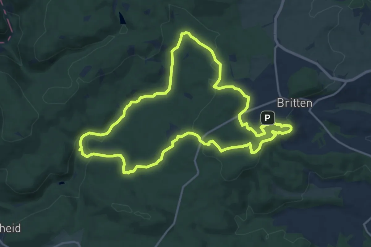
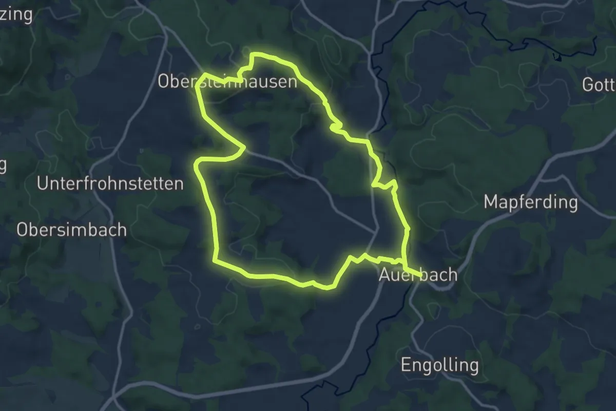
Medium · Summit
Steinhauerweg
10.0 km · ↑ 208 m · 2 h 57 min
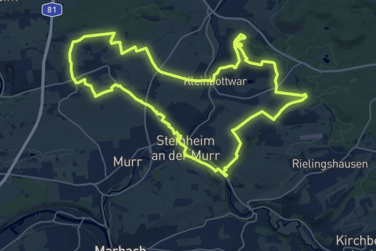
Medium · Summit
Steinhausener Wanderweg
11.6 km · ↑ 271 m · 3 h 30 min
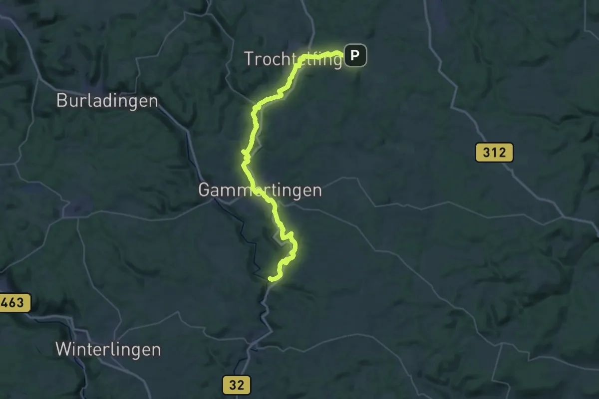
Demanding · Summit
Steinheimer Weg
20.6 km · ↑ 394 m · 6 h
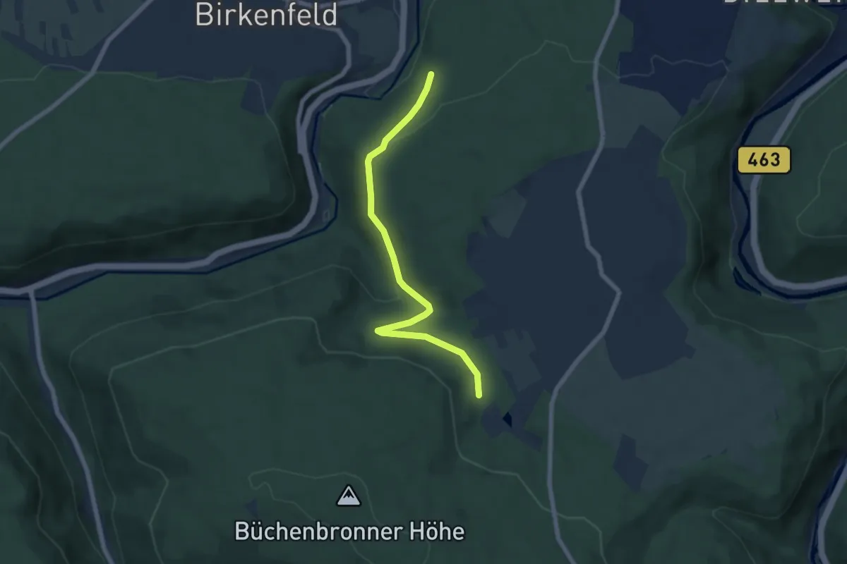
Demanding · Trail
Steinhilben - Gammertingen
20.4 km · ↑ 430 m · 6 h 8 min
Easy · Trail
Steinig - Brötzinger Schlag
5.7 km · ↑ 140 m · 1 h 38 min
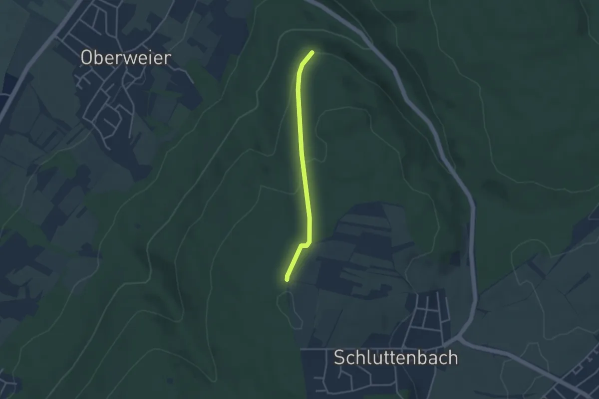
Easy · Trail
Steinig - Unterer Kirchberg
2.7 km · ↑ 106 m · 52 min
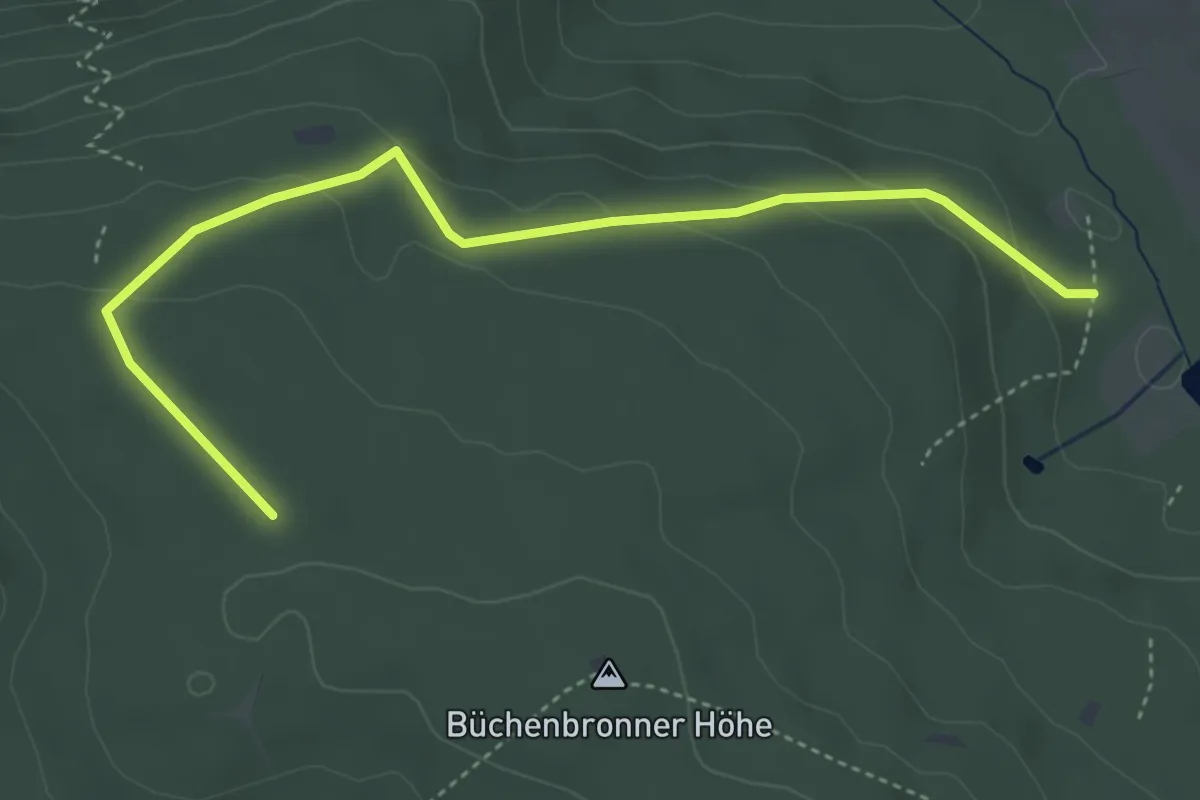
Easy · Trail
Steinig - Winterhälde
4.4 km · ↑ 141 m · 1 h 21 min
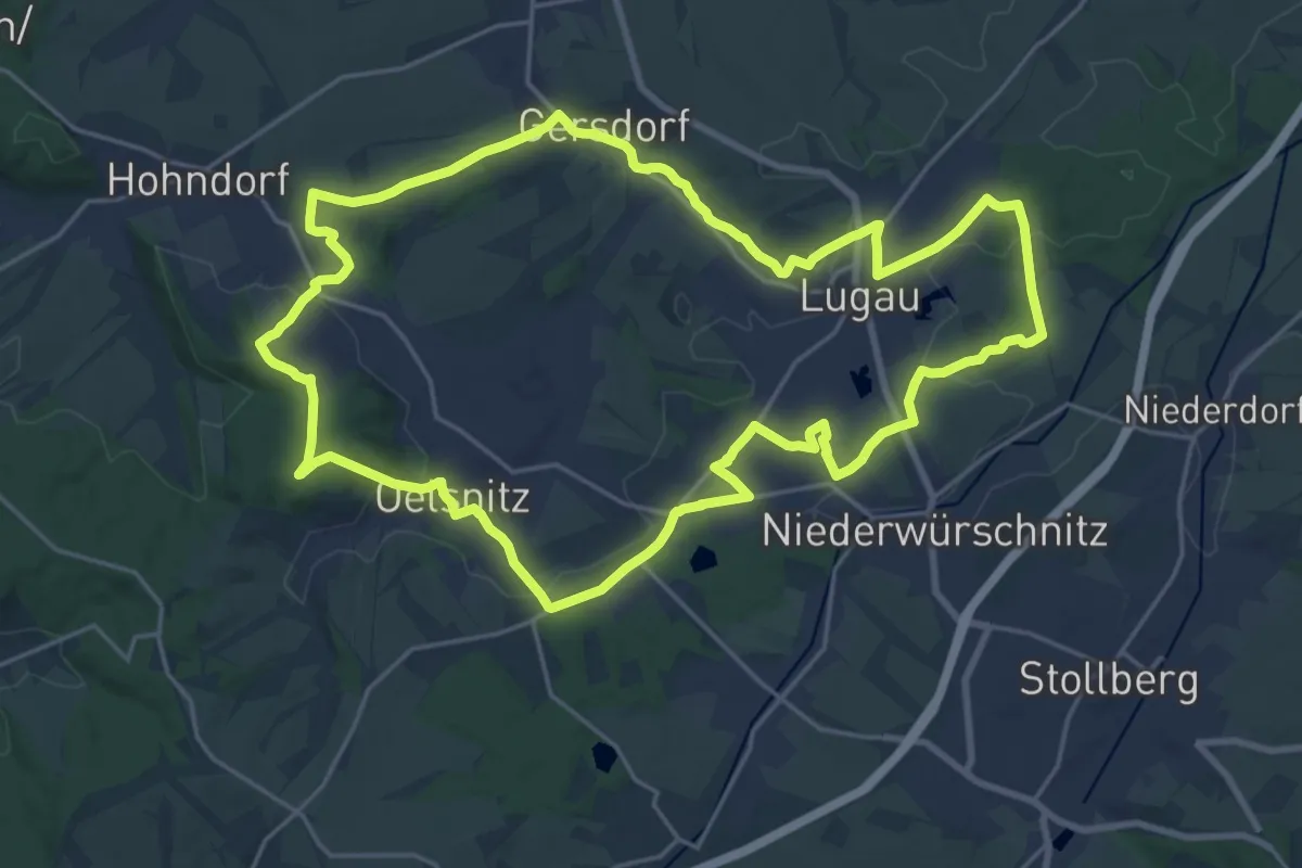
Demanding · Trail
Steinkohlenweg
21.2 km · ↑ 253 m · 5 h 52 min
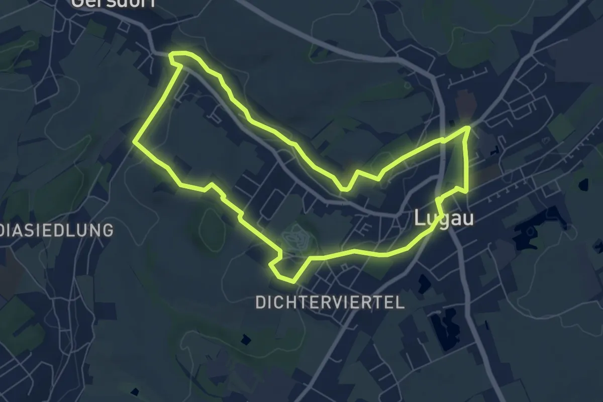
Easy · Trail
Steinkohlenweg Abschnitt Lugau
6.6 km · ↑ 77 m · 1 h 50 min
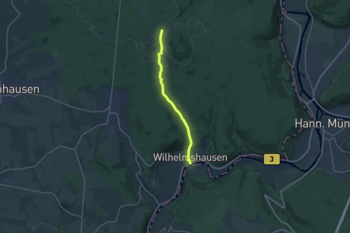
Medium · Trail
Steinköhlerpfad
10.8 km · ↑ 287 m · 3 h 11 min
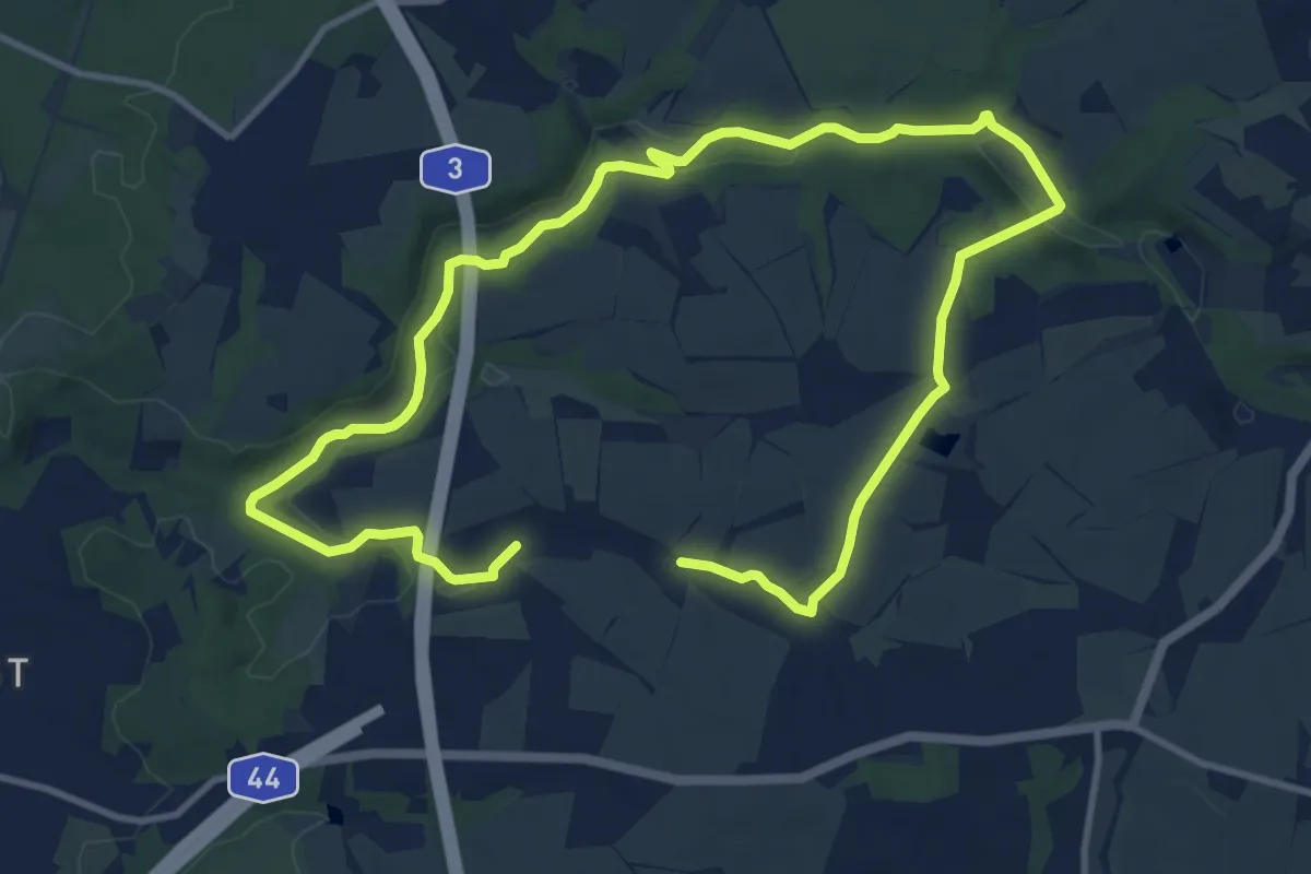
Medium · Trail
Steinkothen Rundweg A9
8.5 km · ↑ 119 m · 2 h 24 min
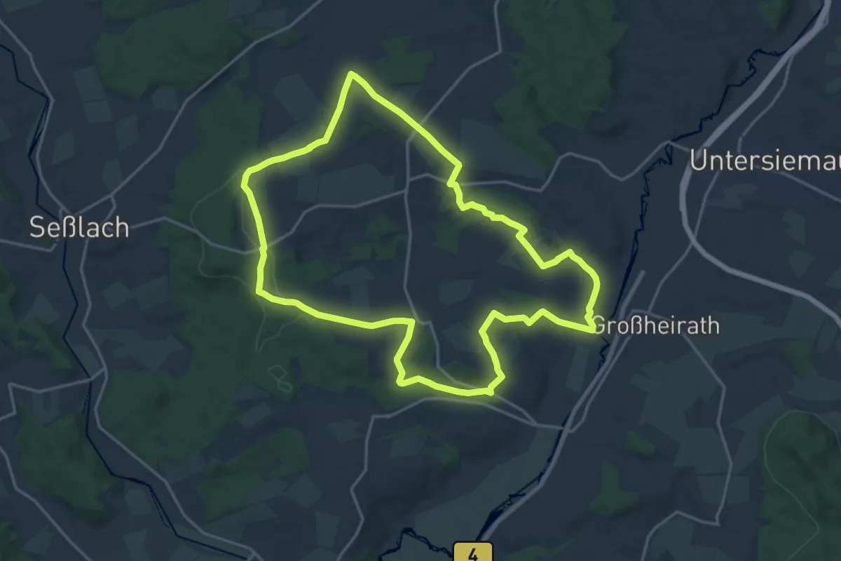
Medium · Trail
Steinlegendenweg
16.6 km · ↑ 231 m · 4 h 39 min
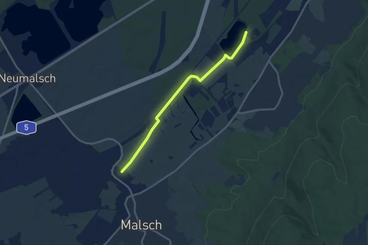
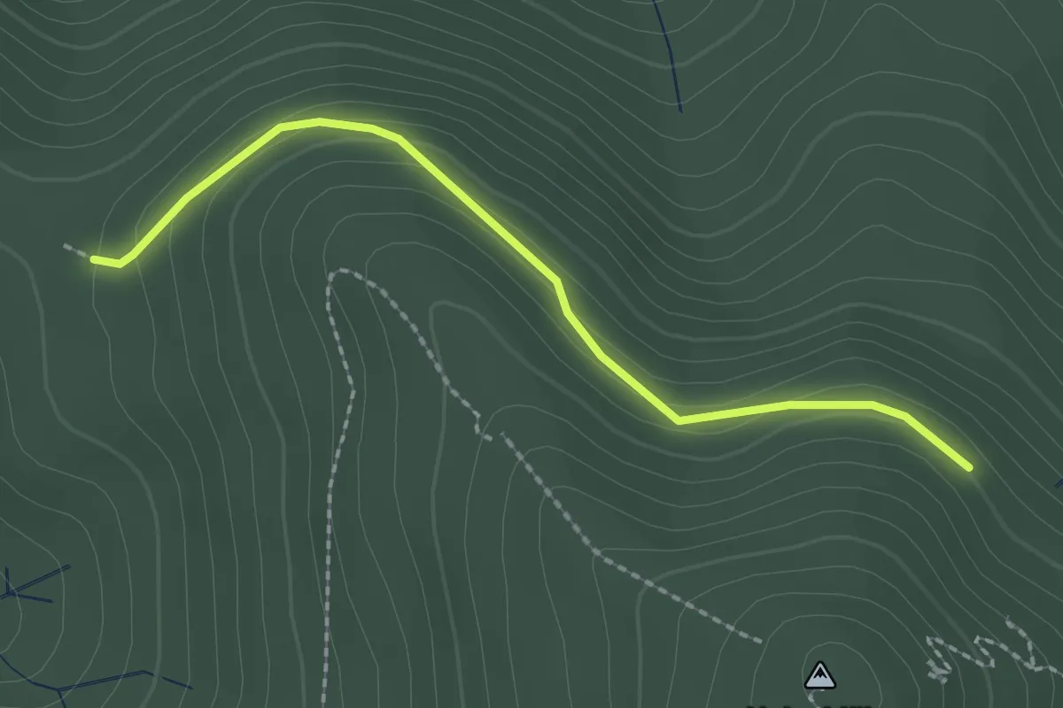
Easy · Trail
Steinleswiesen - Hurstsee
6.9 km · ↑ 12 m · 1 h 40 min
Easy · Trail
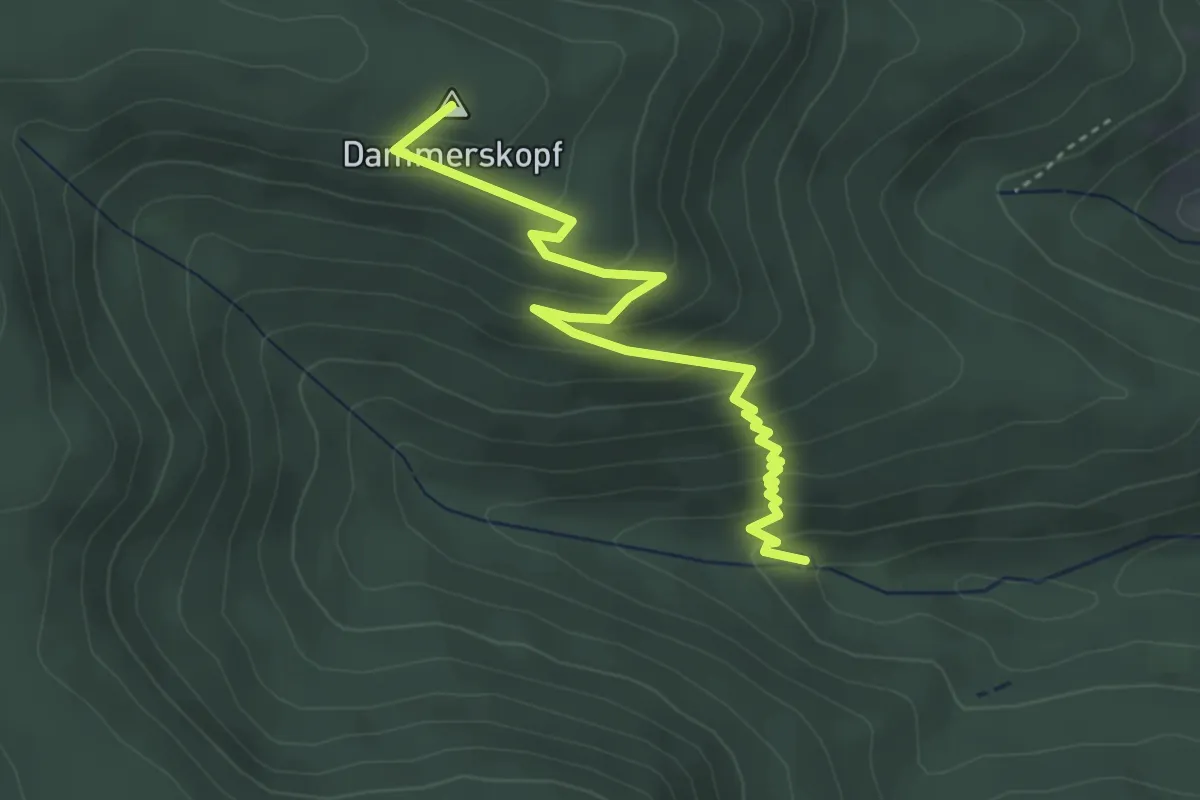
Steinmannshütte - Bei der Rotsruhe
2.1 km · ↑ 84 m · 41 min
Easy · Summit
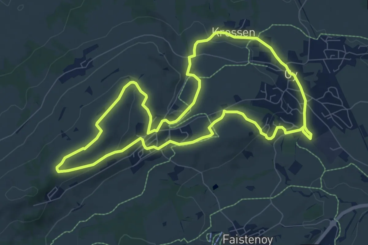
Steinmäuerle - Weiherhütte
4.0 km · ↑ 266 m · 1 h 31 min
Medium · Trail
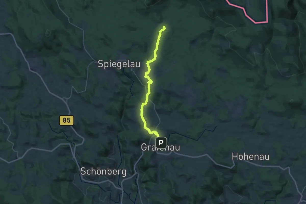
Steinmeile
8.1 km · ↑ 151 m · 2 h 22 min
Demanding · Summit
Steinpilz
23.4 km · ↑ 524 m · 6 h 40 min
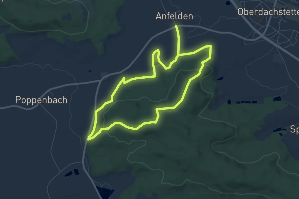
Easy · Summit
Steinpilz
6.9 km · ↑ 135 m · 2 h
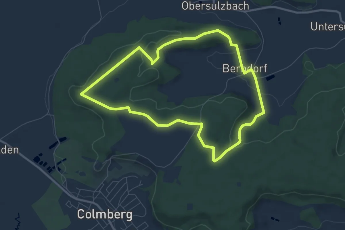
Easy · Trail
Steinpilz
6.8 km · ↑ 98 m · 1 h 55 min
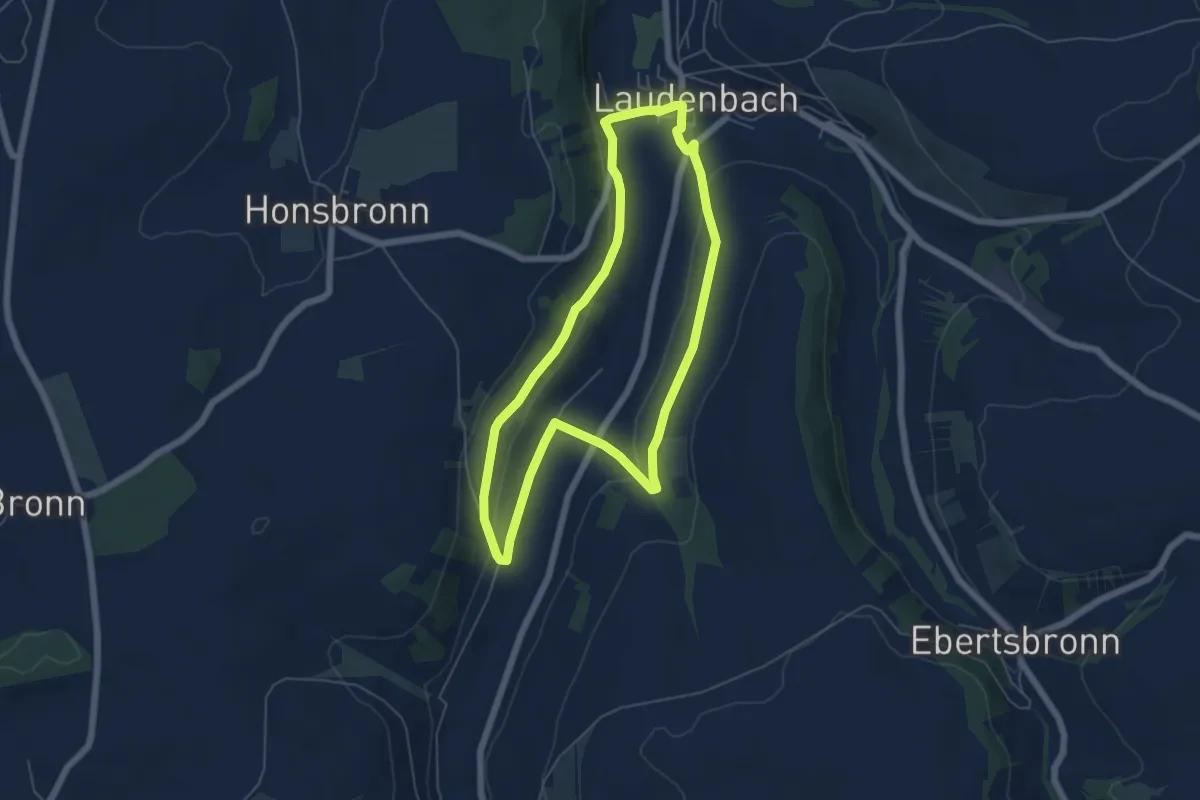
Easy · Trail
Steinriegelweg
5.2 km · ↑ 127 m · 1 h 35 min
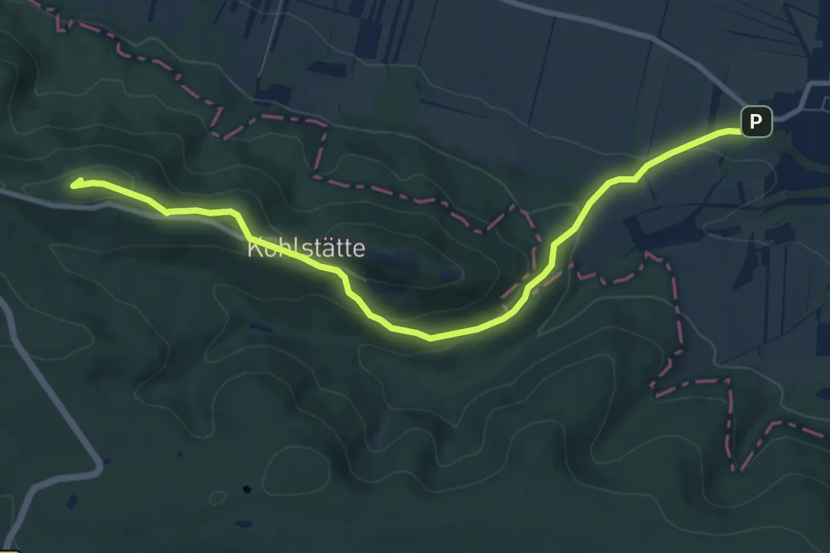
Medium · Summit
Steinthaleben Kyffhäuser Tilleda
8.2 km · ↑ 283 m · 2 h 32 min
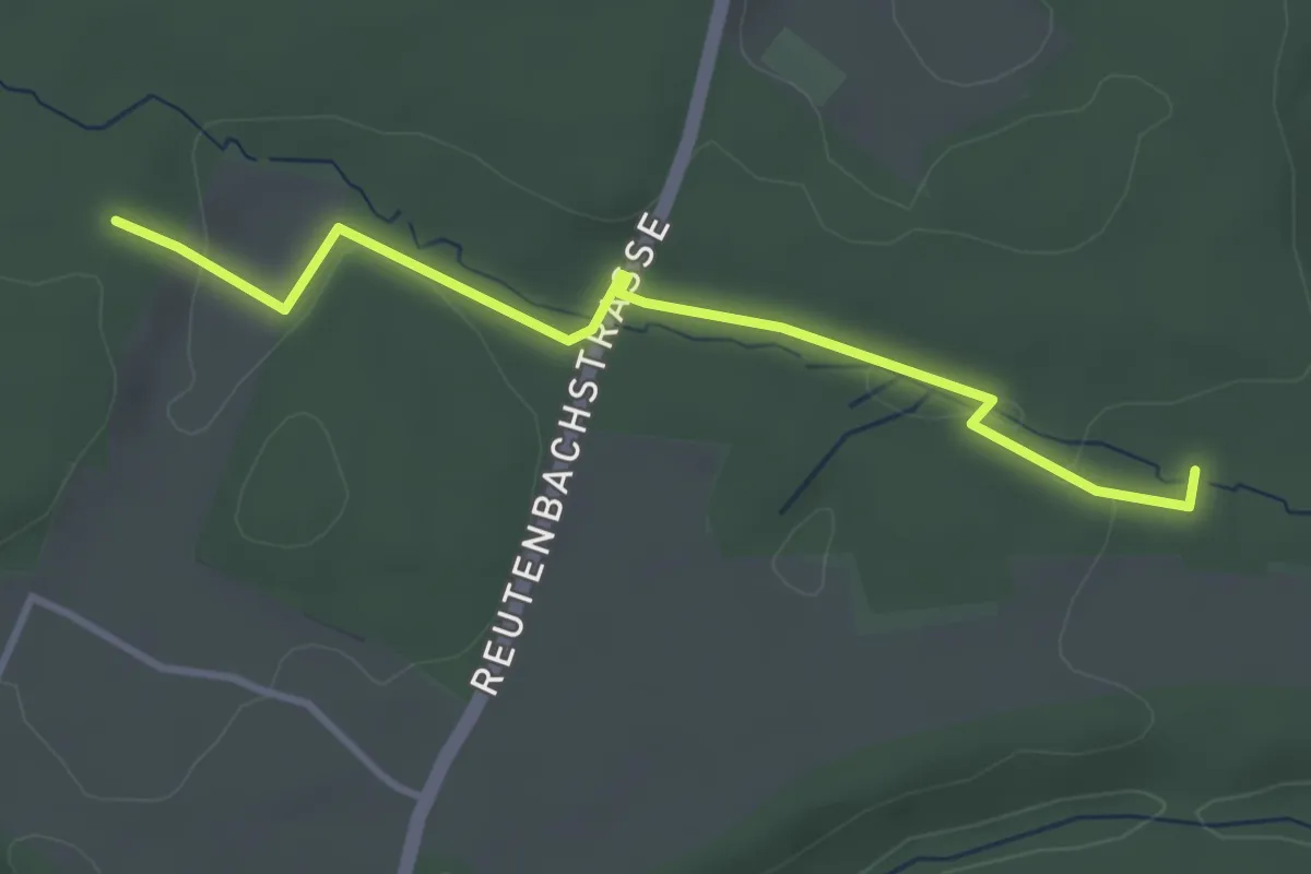
Easy · Trail
Steinwald - Ehemalige Neuwelt
3.4 km · ↑ 46 m · 54 min
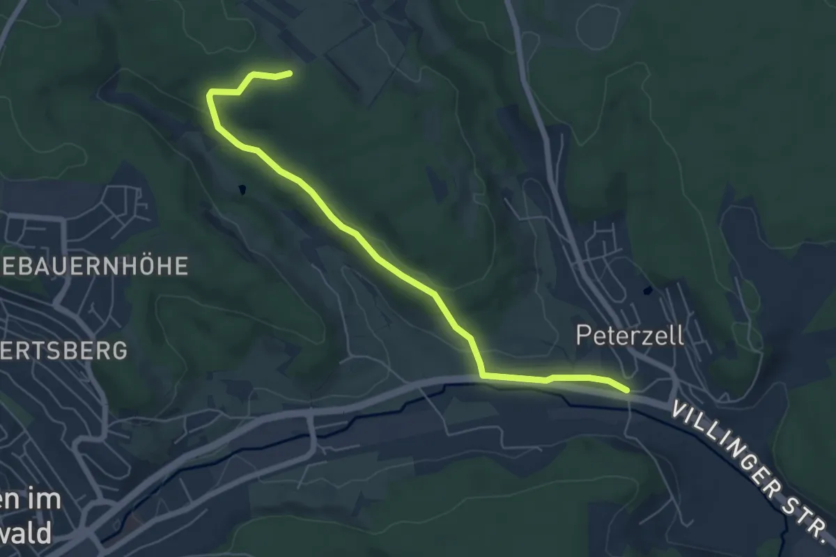
Easy · Trail
Steinwald - Peterzell Ehem. Löwen
5.9 km · ↑ 169 m · 1 h 46 min
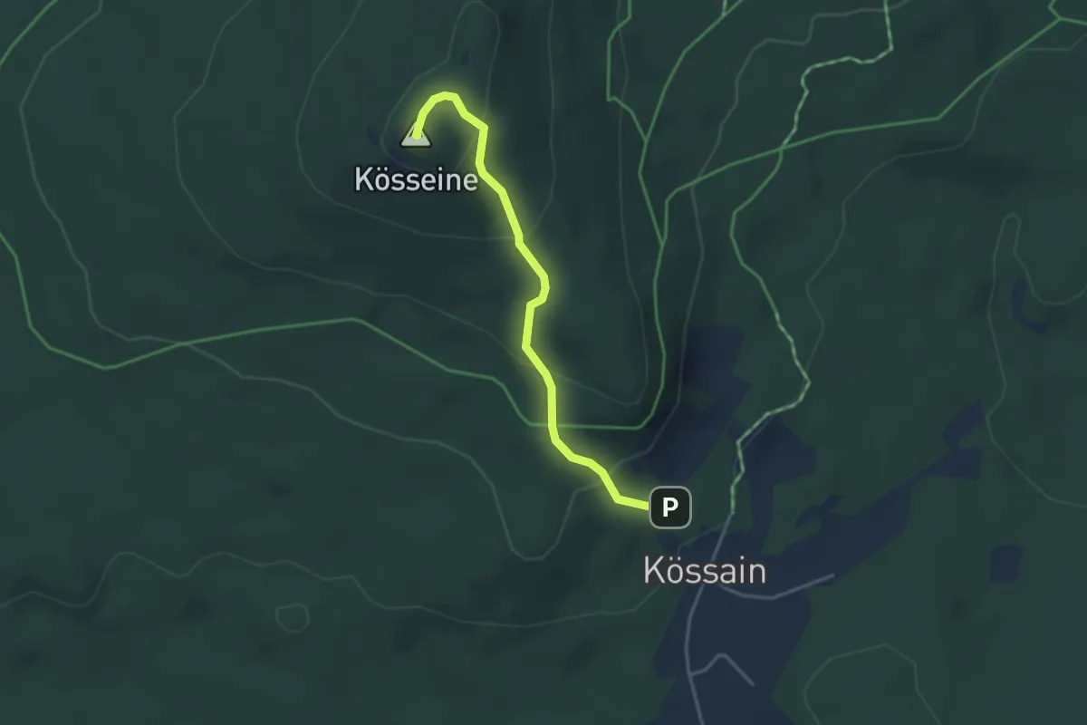
Easy · Summit
Steinwaldweg
3.2 km · ↑ 187 m · 1 h 10 min
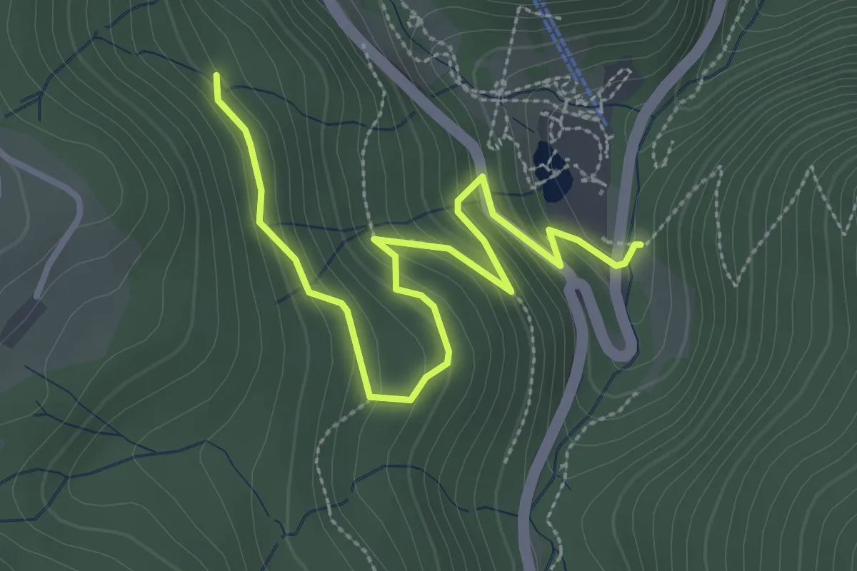
Easy · Trail
Steinwasenpark - Winterhalde
3.4 km · ↑ 238 m · 1 h 20 min
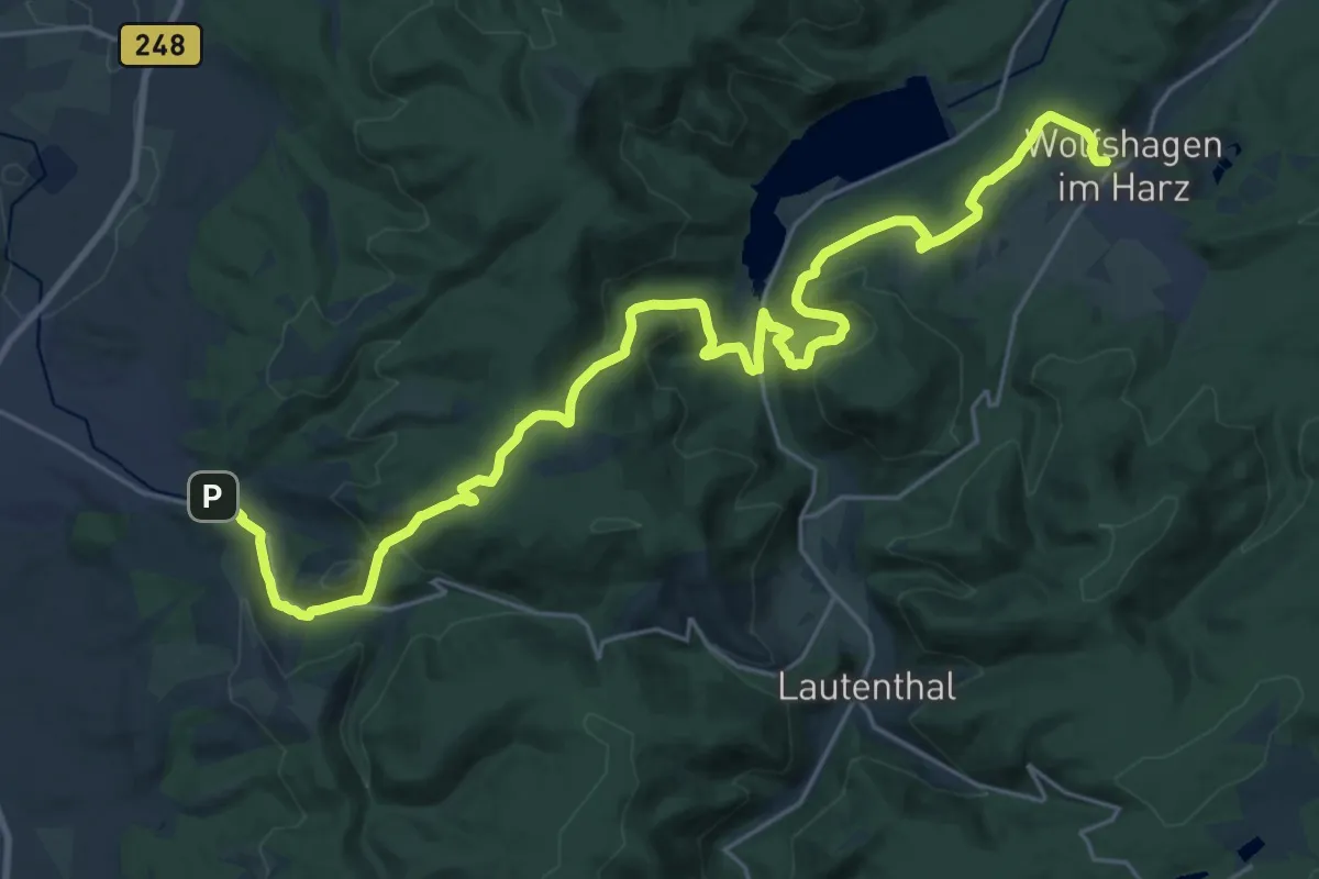
Medium · Trail
Steinway-Trail
14.2 km · ↑ 447 m · 4 h 31 min
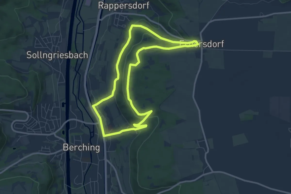
Easy · Trail
Steinweg
7.3 km · ↑ 172 m · 2 h 12 min
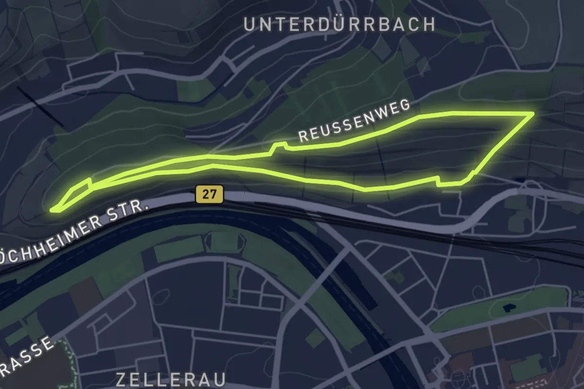
Easy · Trail
Steinweinpfad
4.3 km · ↑ 100 m · 1 h 17 min
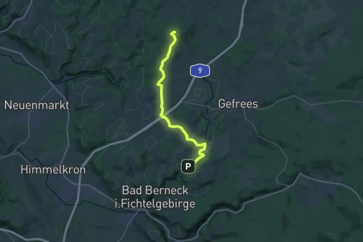
Demanding · Summit
Stein-Weißensteingipfel
22.0 km · ↑ 454 m · 6 h 11 min
Easy · Trail
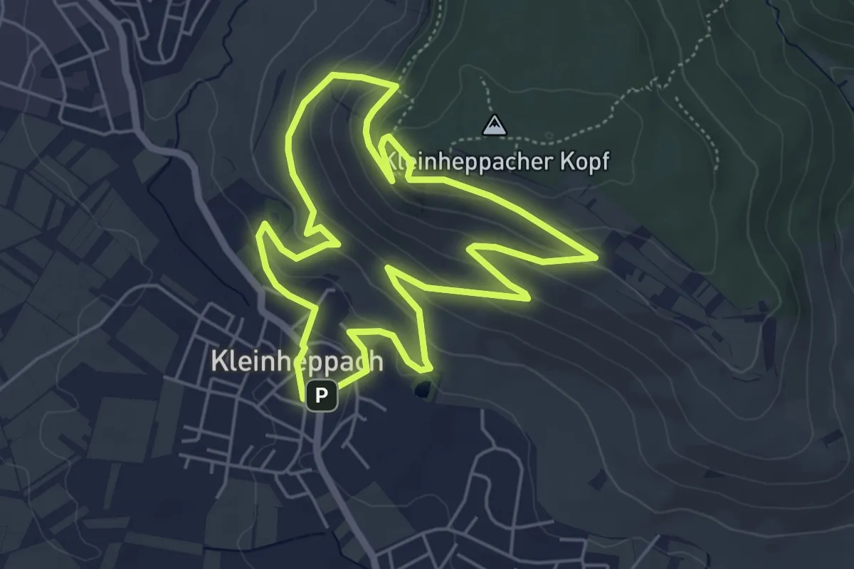
Steinzeitrundweg
4.8 km · ↑ 193 m · 1 h 37 min
Easy · Summit
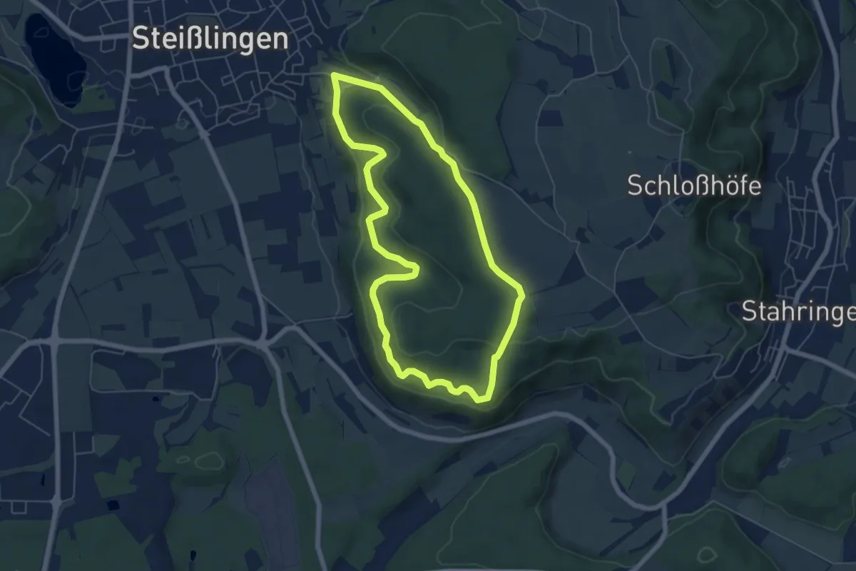
Steißlingen Ans Brünnle
5.5 km · ↑ 151 m · 1 h 41 min
Easy · Trail
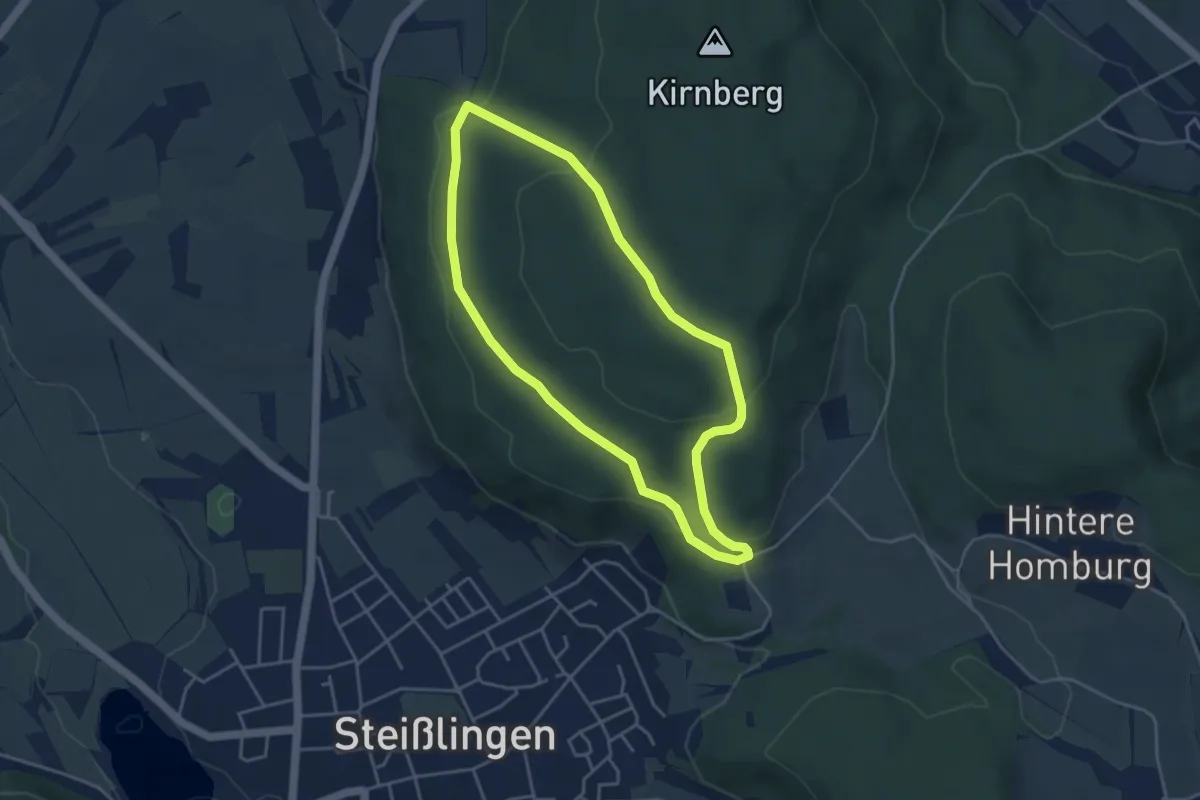
Steißlingen Kirnberg
3.8 km · ↑ 118 m · 1 h 12 min
Easy · Trail
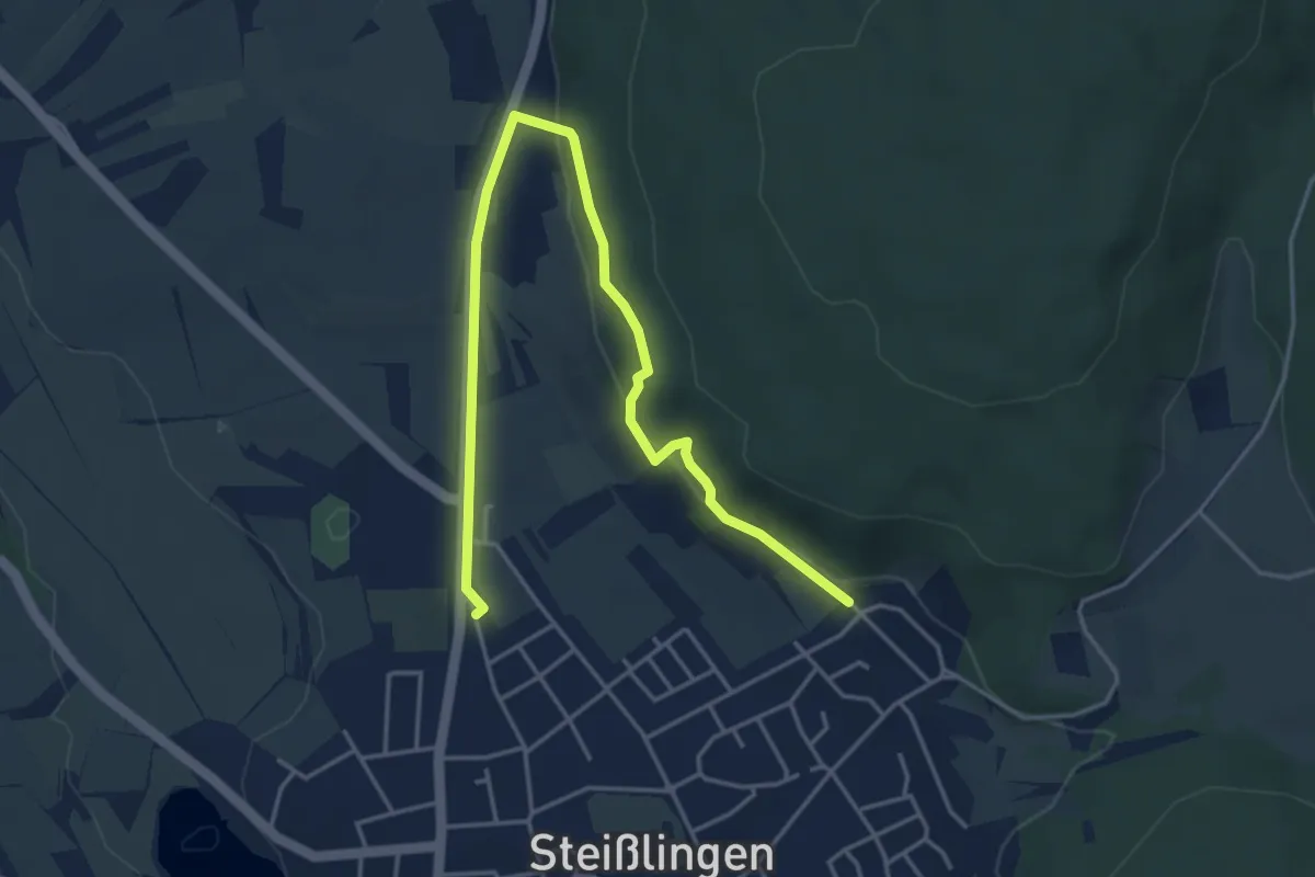
Steißlingen Kirnbergtrauf
5.2 km · ↑ 168 m · 1 h 36 min