Trails in Germany
36,852 hiking trails, each with its route, climb, walking time and grade.
All trails, page 606 of 768
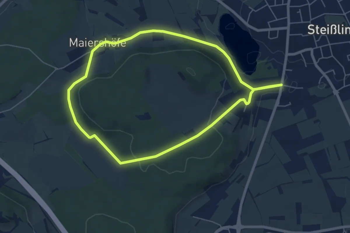
Easy · Trail
Steißlingen Rund ums Fronholz
4.9 km · ↑ 71 m · 1 h 23 min
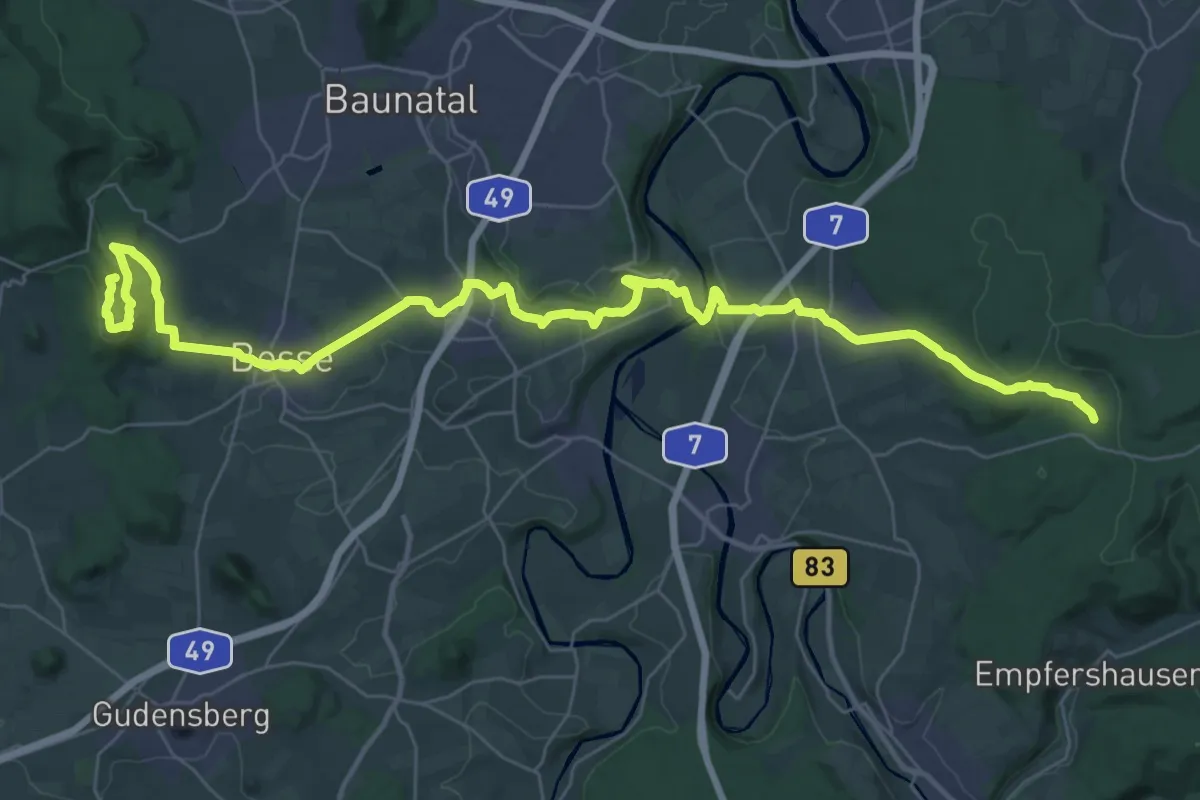
Demanding · Summit
Stellbergsee - Breitenbach
42.2 km · ↑ 813 m · 11 h 43 min
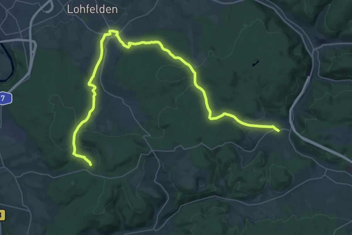
Medium · Trail
Stellbergsee - Eschenstruth
16.8 km · ↑ 349 m · 4 h 57 min
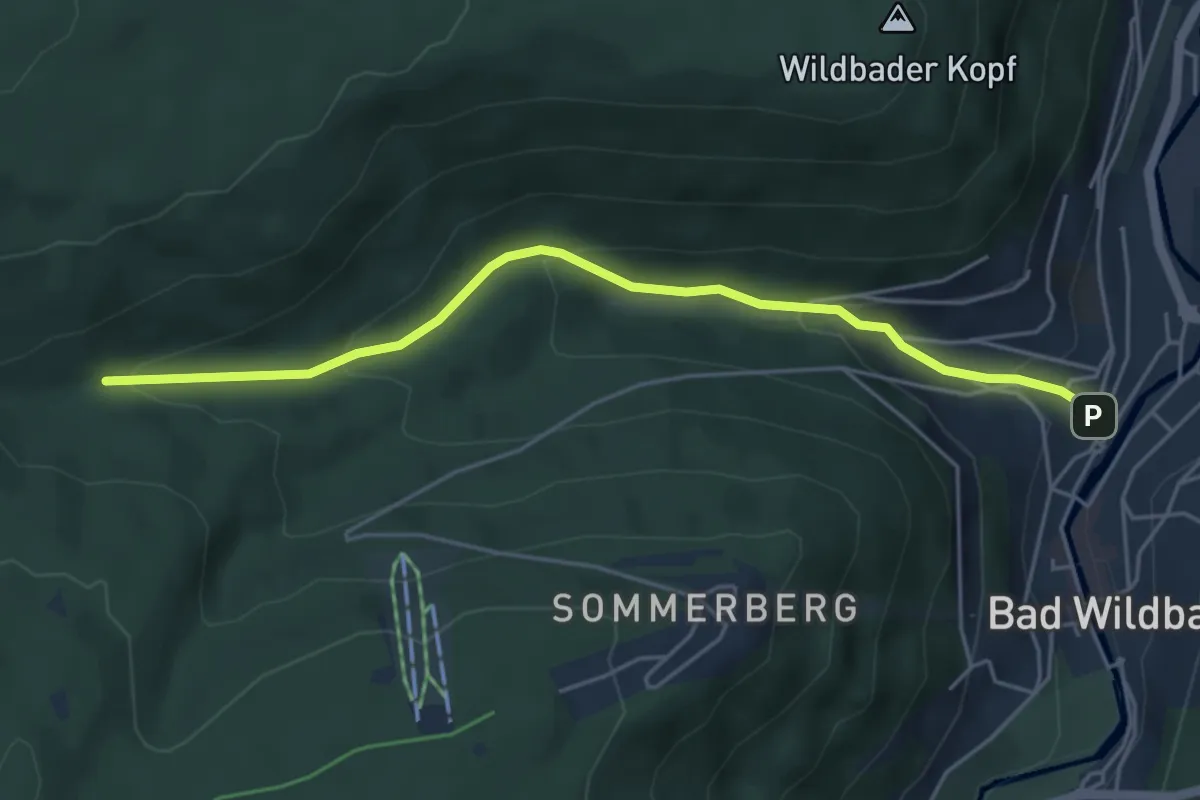
Easy · Trail
Stellebrunnen - Bad Wildbad Rennbach
4.7 km · ↑ 230 m · 1 h 36 min
Easy · Trail
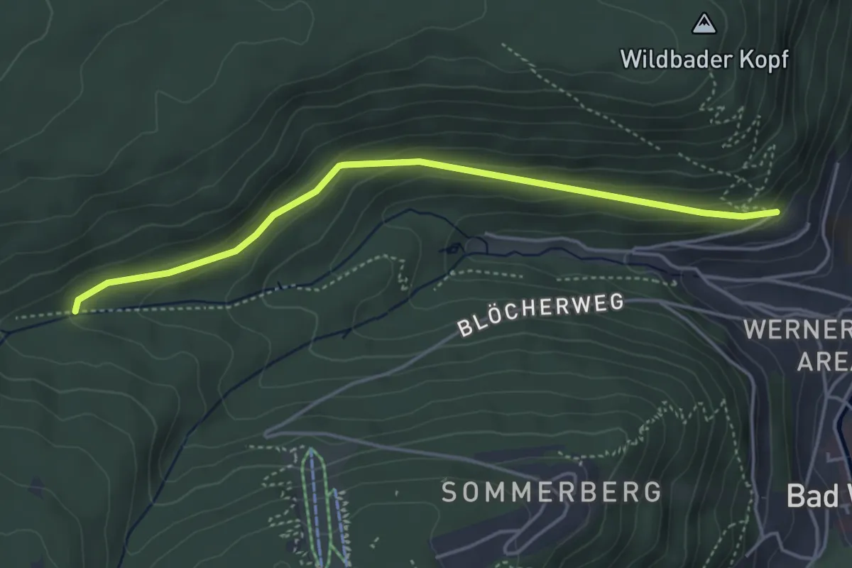
Stellebrunnen - Paulinenhöhe
4.1 km · ↑ 166 m · 1 h 20 min
Medium · Summit
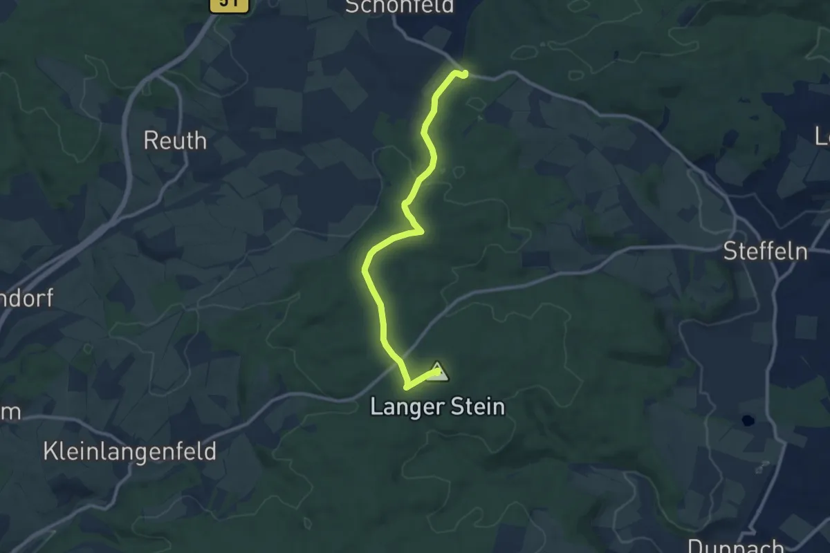
Stelleln 1
8.7 km · ↑ 119 m · 2 h 19 min
Medium · Trail
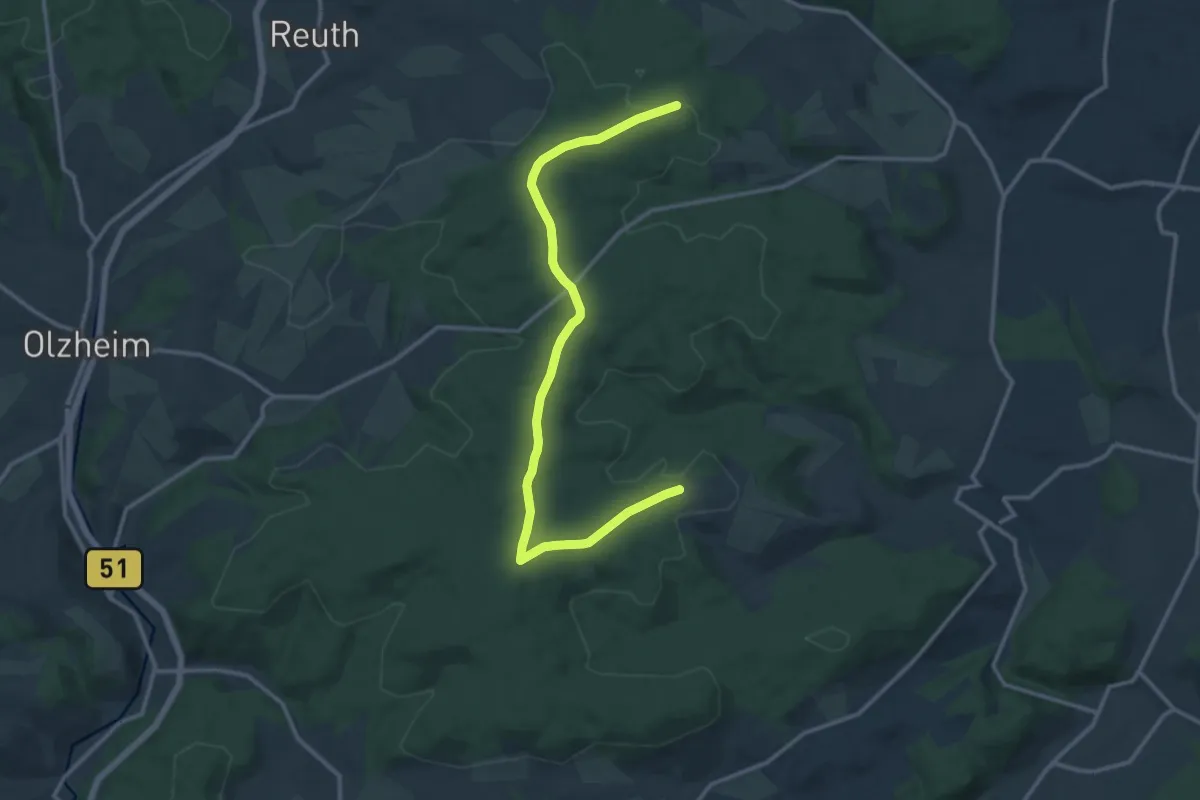
Stelleln Nr. 2
13.1 km · ↑ 140 m · 3 h 24 min
Easy · Trail
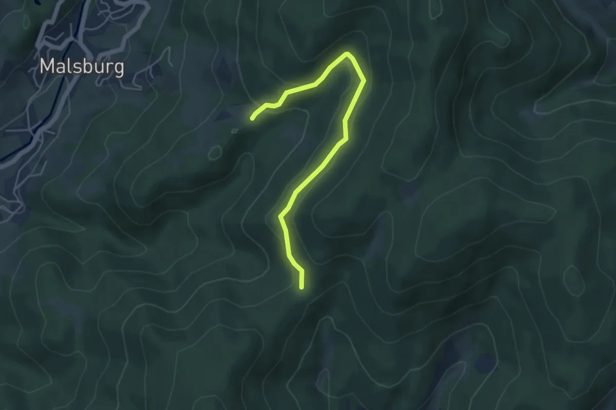
Stelli - Stühle
4.4 km · ↑ 137 m · 1 h 20 min
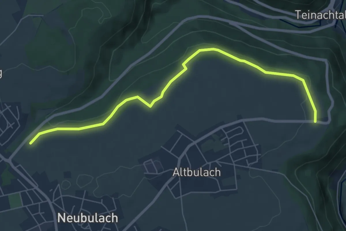
Easy · Trail
Stelzen - Rastplatz Wasen
6.4 km · ↑ 95 m · 1 h 43 min
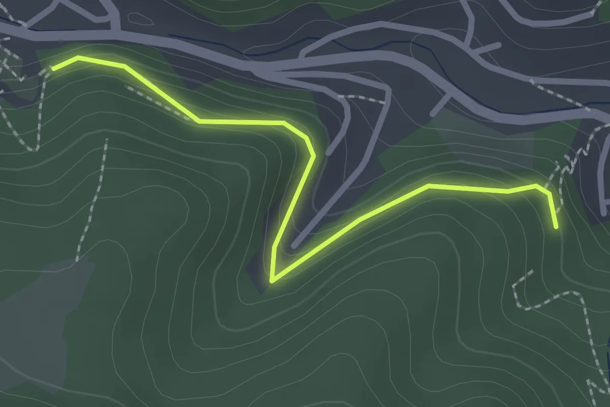
Easy · Trail
Stemmerkapelle Siebenlinden - Lauterbach Aussegnungshalle
2.2 km · ↑ 107 m · 45 min
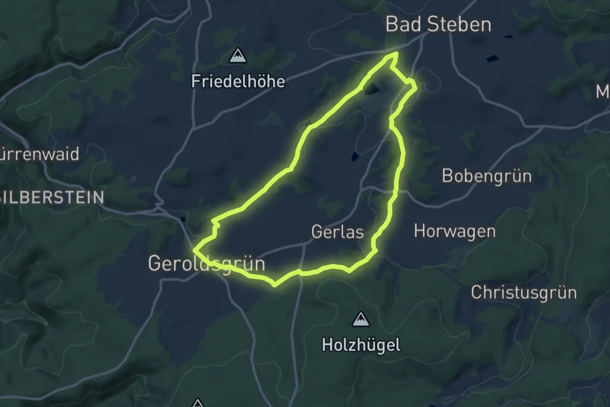
Medium · Trail
Stemmer Steig DÖ 93
10.5 km · ↑ 194 m · 3 h 3 min
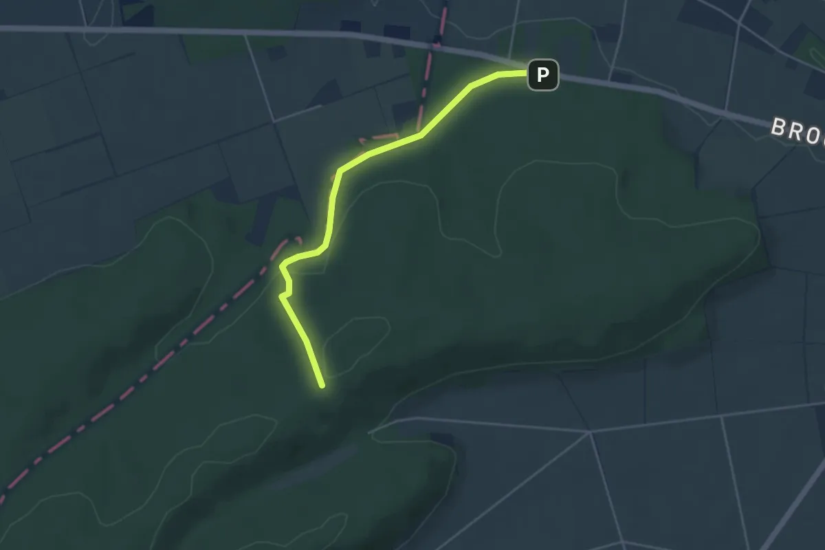
Medium · Trail
Stemwede-Oppendorf Rundweg A4
1.9 km · ↑ 78 m · 37 min
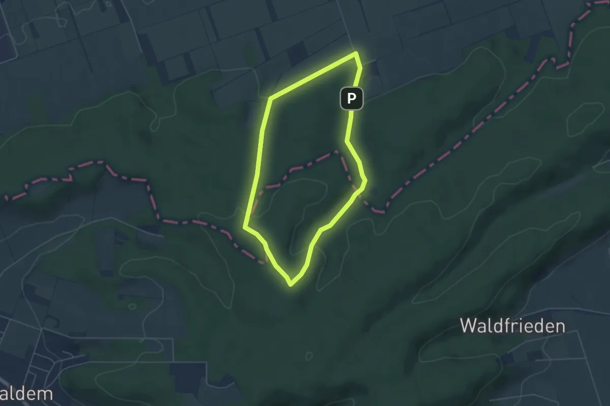
Easy · Trail
Stemweder Berg
4.0 km · ↑ 84 m · 1 h 11 min
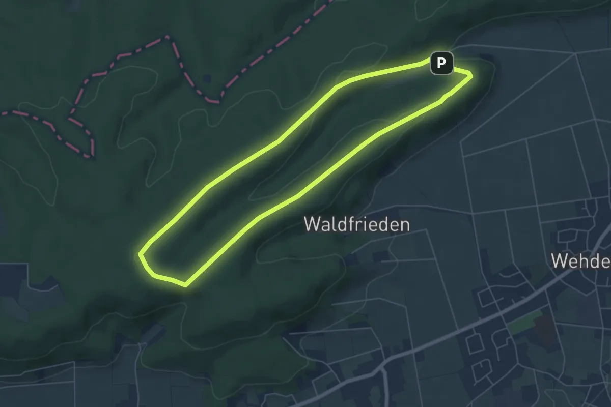
Easy · Summit
Stemweder Berg
5.4 km · ↑ 90 m · 1 h 32 min
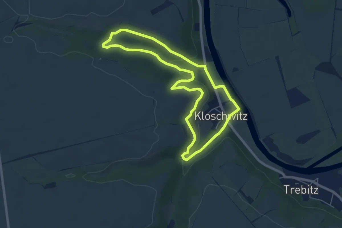
Medium · Trail
Stengelholzweg W 5.13
4.5 km · ↑ 124 m · 1 h 24 min
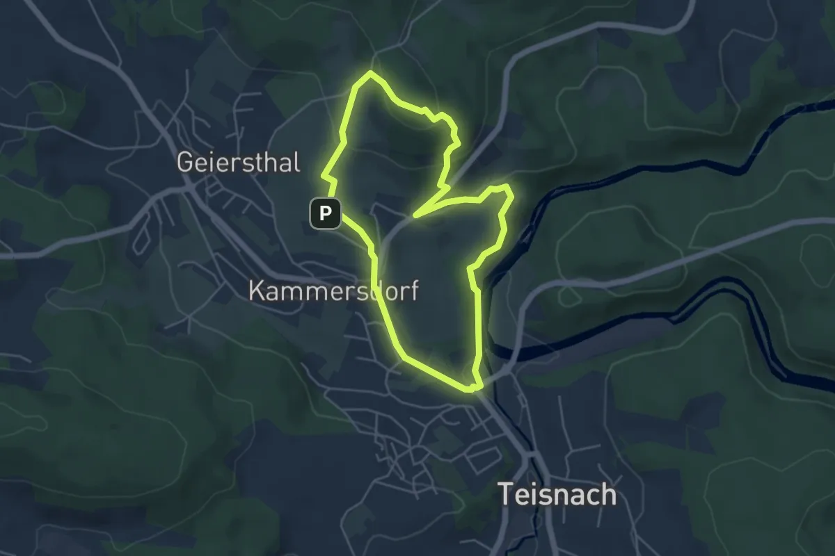
Easy · Summit
Stenzen-Rundweg
4.1 km · ↑ 163 m · 1 h 22 min
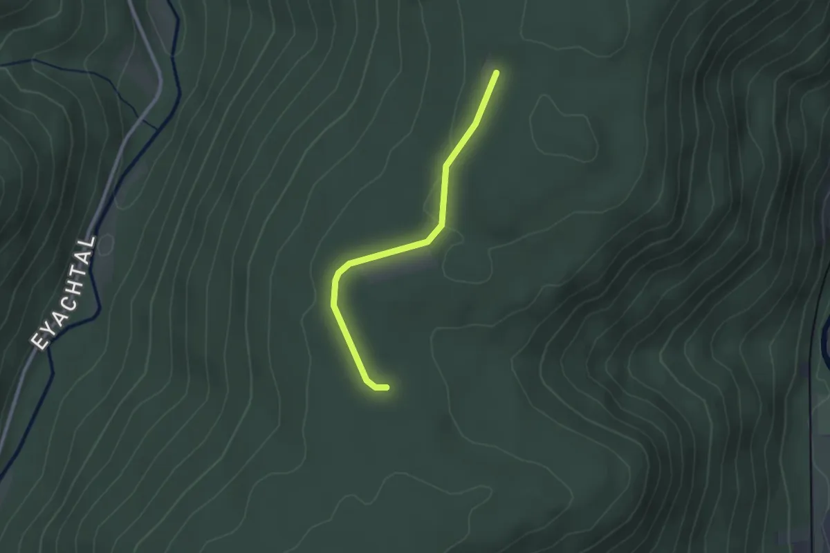
Easy · Trail
Stephanswasen - Brandhütte
2.1 km · ↑ 27 m · 34 min
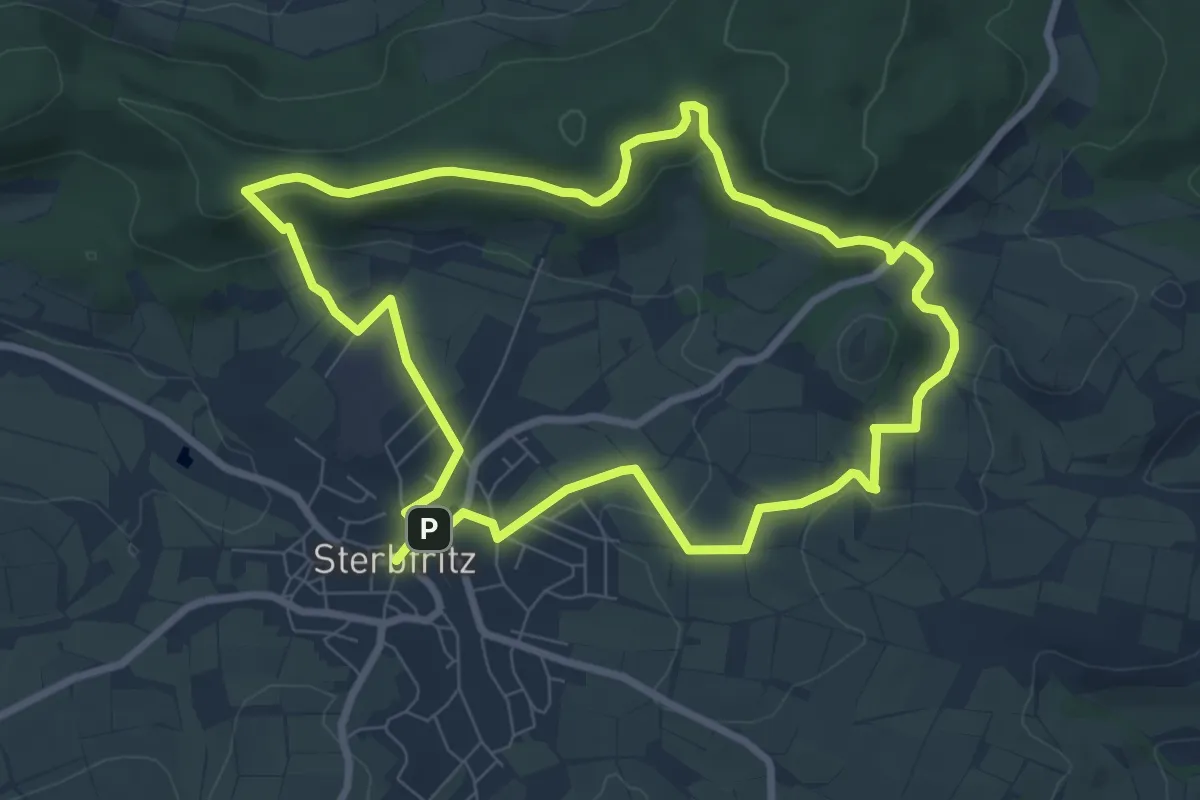
Easy · Summit
Sterbfritz - Rundweg 1
7.3 km · ↑ 161 m · 2 h 11 min
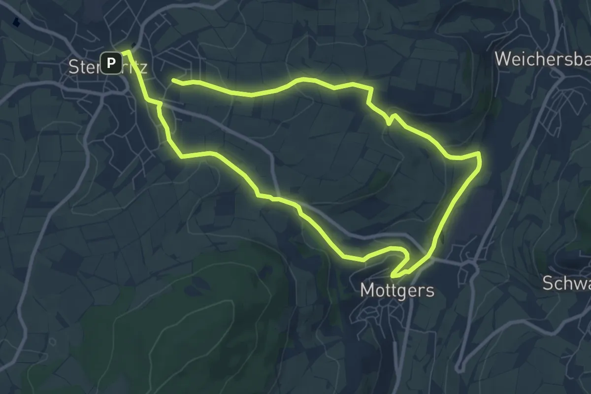
Easy · Trail
Sterbfritz - Rundweg 2
7.0 km · ↑ 174 m · 2 h 8 min
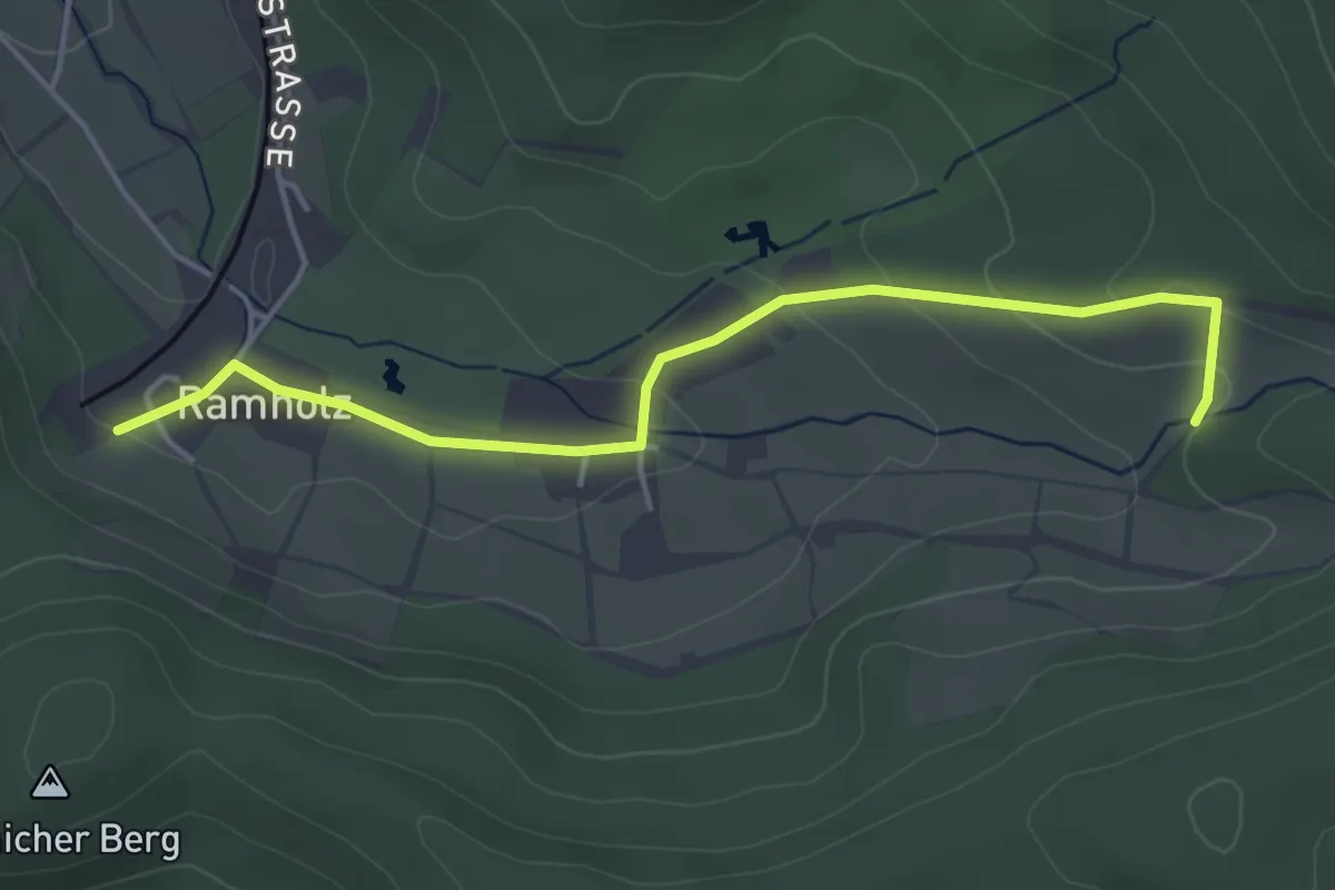
Easy · Trail
Sterbfritz - Rundweg 4
2.1 km · ↑ 37 m · 38 min
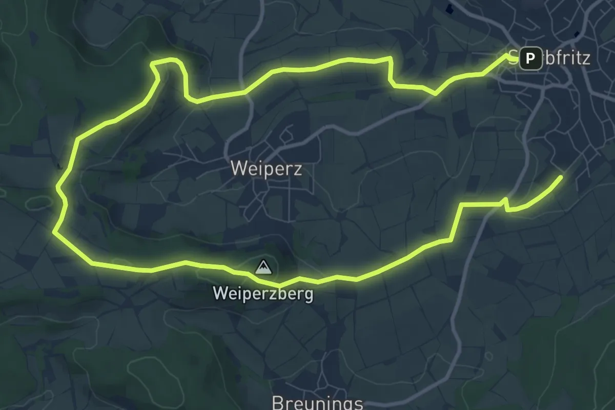
Medium · Summit
Sterbfritz - Rundweg 5
8.5 km · ↑ 175 m · 2 h 29 min
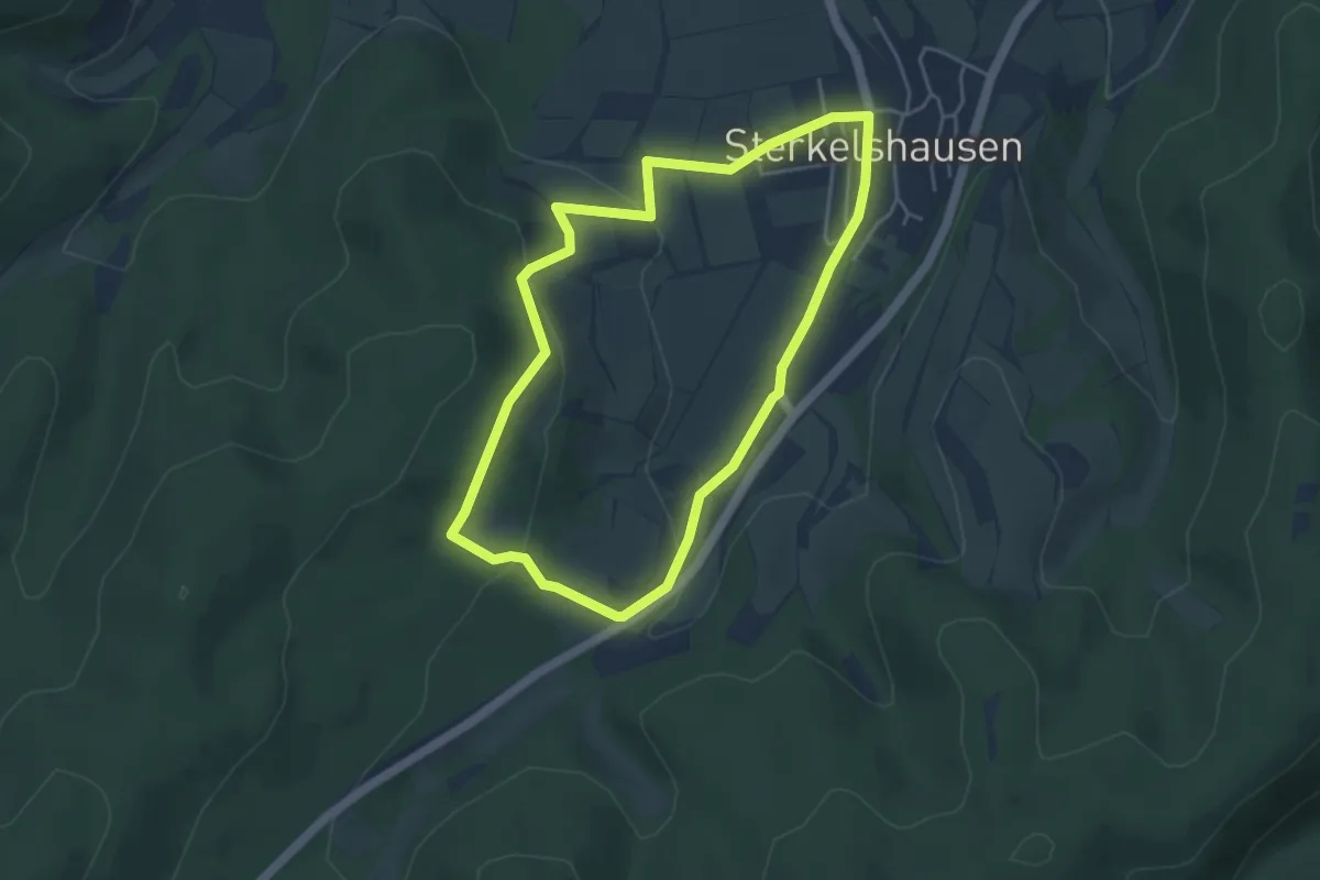
Easy · Trail
Sterkelshausen Rundweg S1
3.8 km · ↑ 111 m · 1 h 12 min
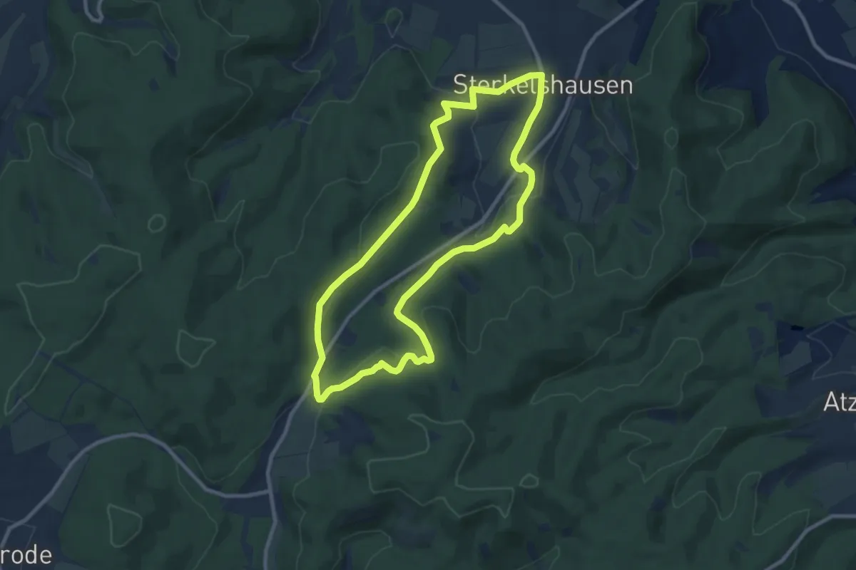
Easy · Trail
Sterkelshausen Rundweg S2
8.0 km · ↑ 212 m · 2 h 27 min
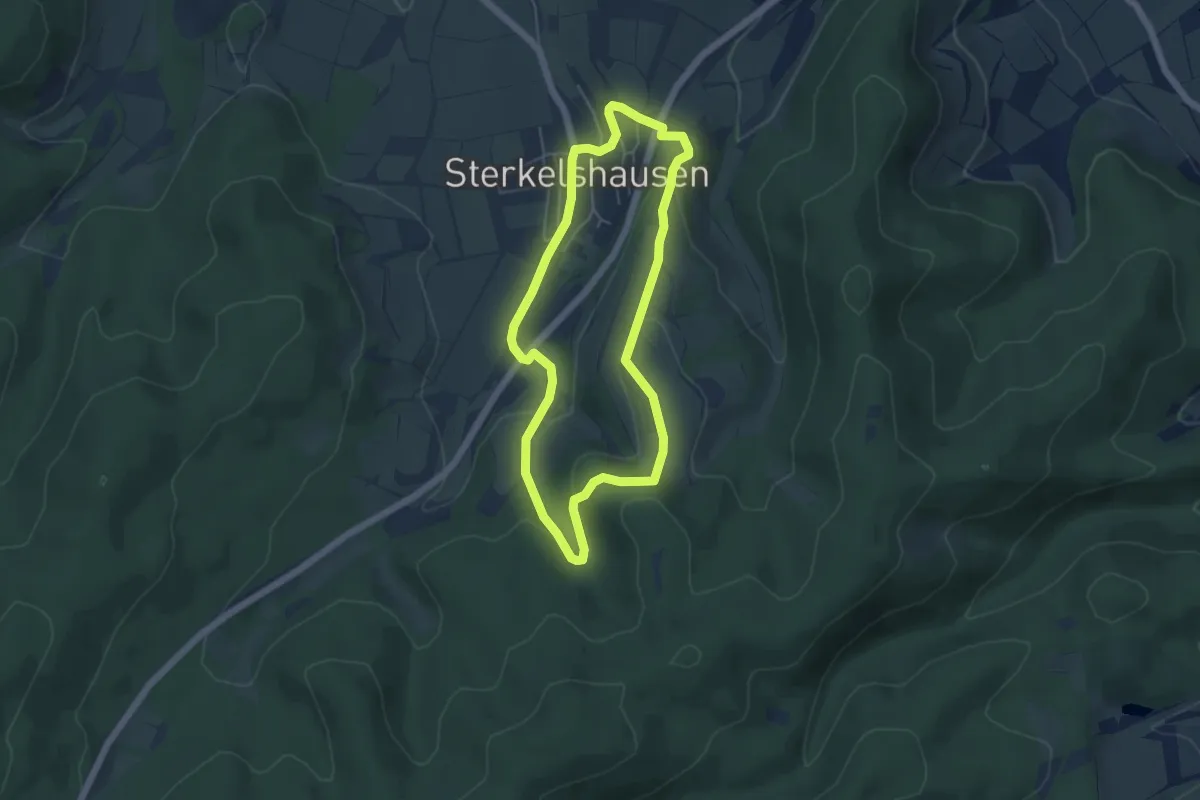
Easy · Summit
Sterkelshausen Rundweg S3
4.2 km · ↑ 110 m · 1 h 18 min
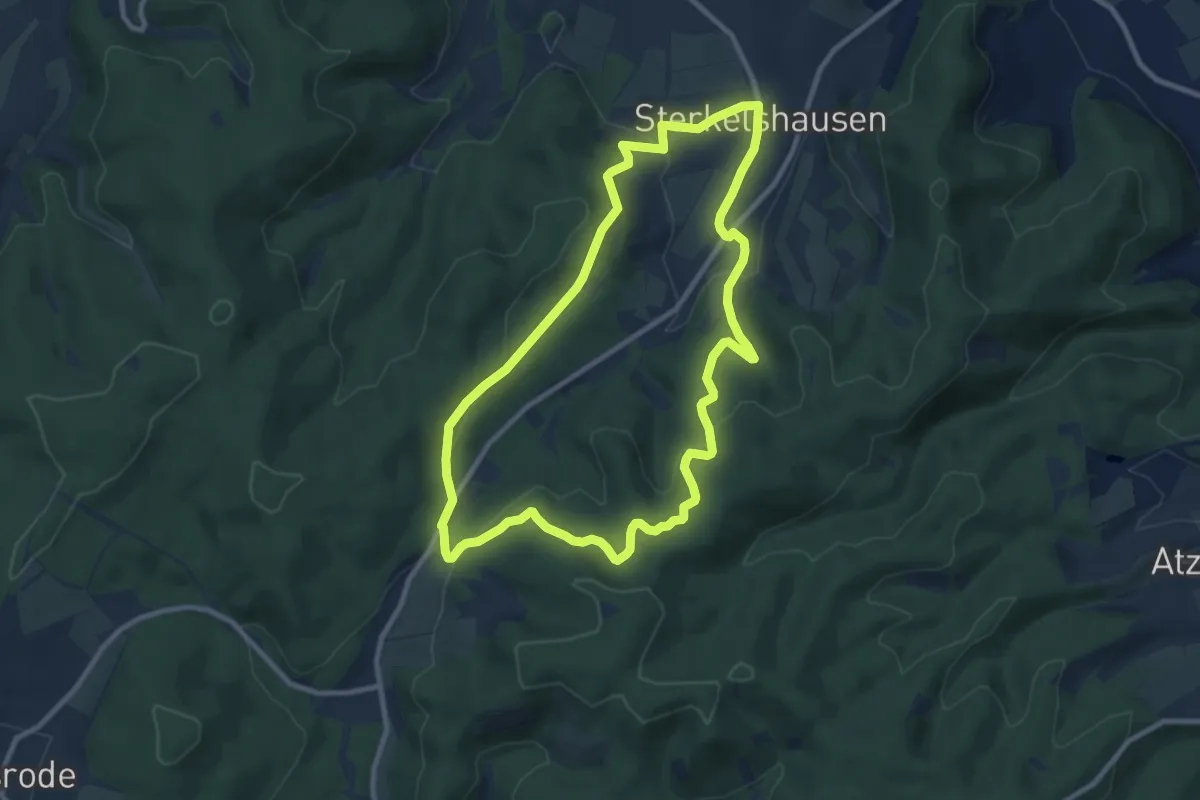
Medium · Trail
Sterkelshausen Rundweg S4
8.6 km · ↑ 252 m · 2 h 42 min
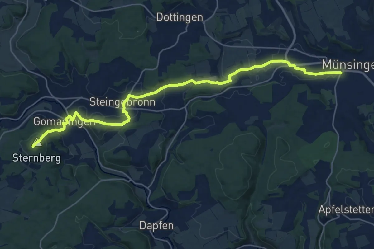
Demanding · Summit
Sternberg - Münsingen
20.9 km · ↑ 417 m · 5 h 50 min
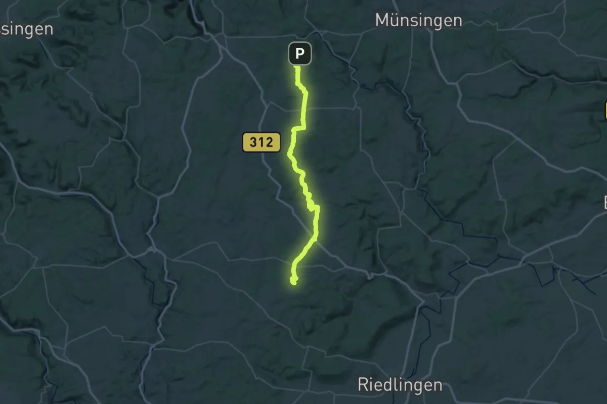
Demanding · Trail
Sternberg - Tigerfeld
23.4 km · ↑ 295 m · 6 h 29 min
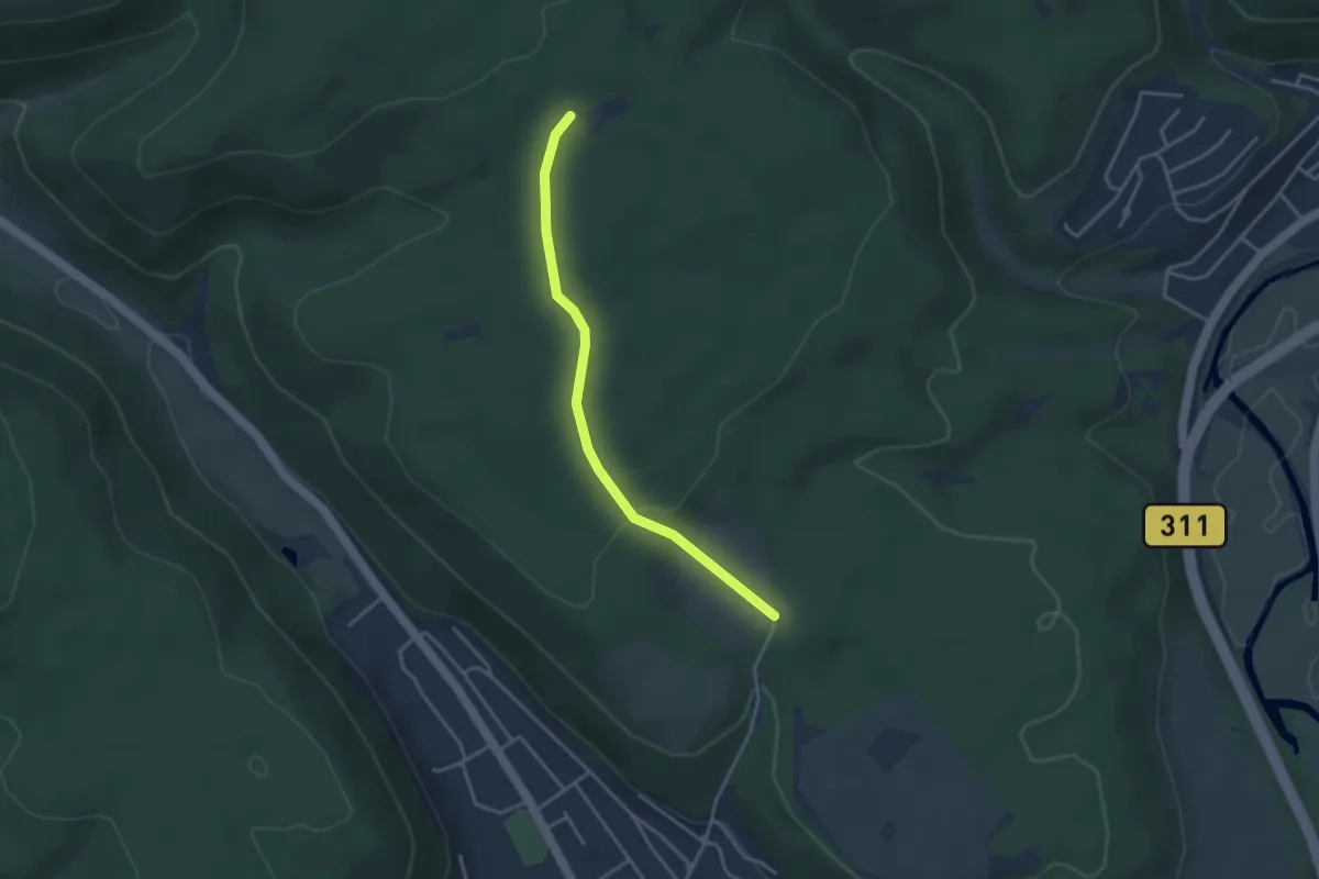
Easy · Trail
Stern - Bumbishütte
3.3 km · ↑ 90 m · 59 min
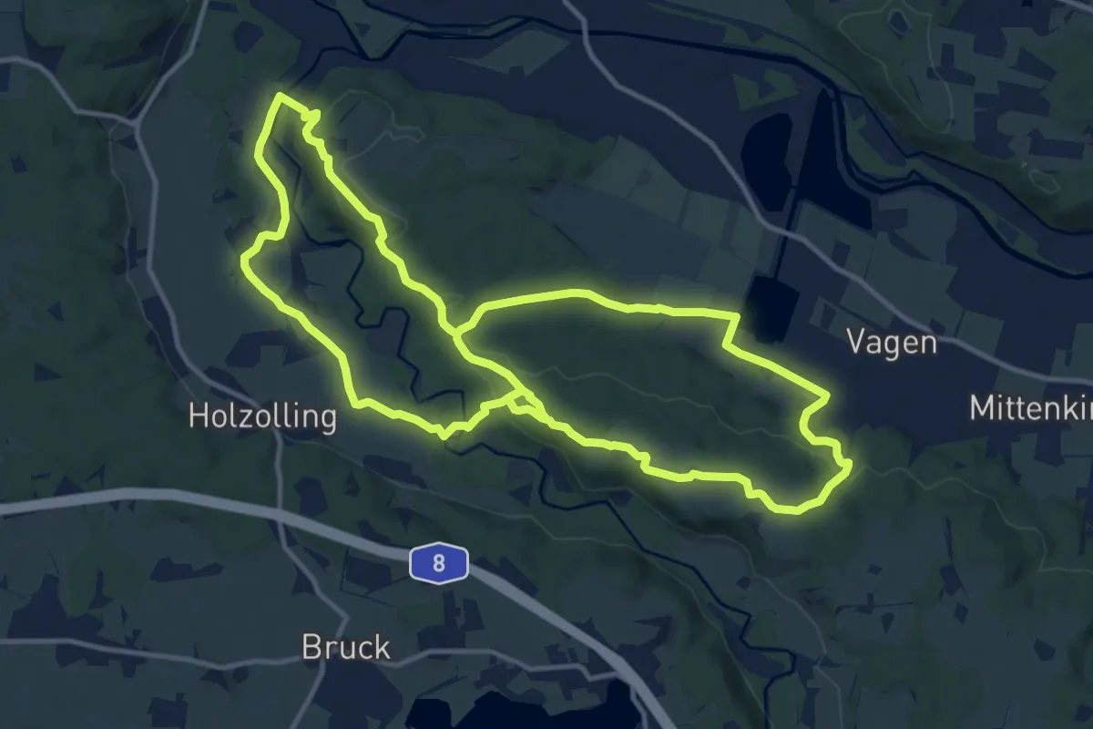
Demanding · Trail
Sterneck
26.1 km · ↑ 495 m · 7 h 14 min
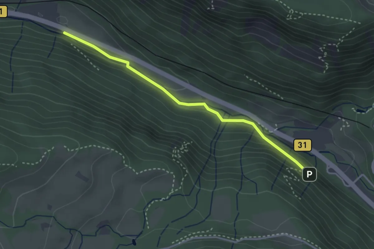
Easy · Trail
Sternenwald - Unterführung Posthalde
3.1 km · ↑ 89 m · 56 min
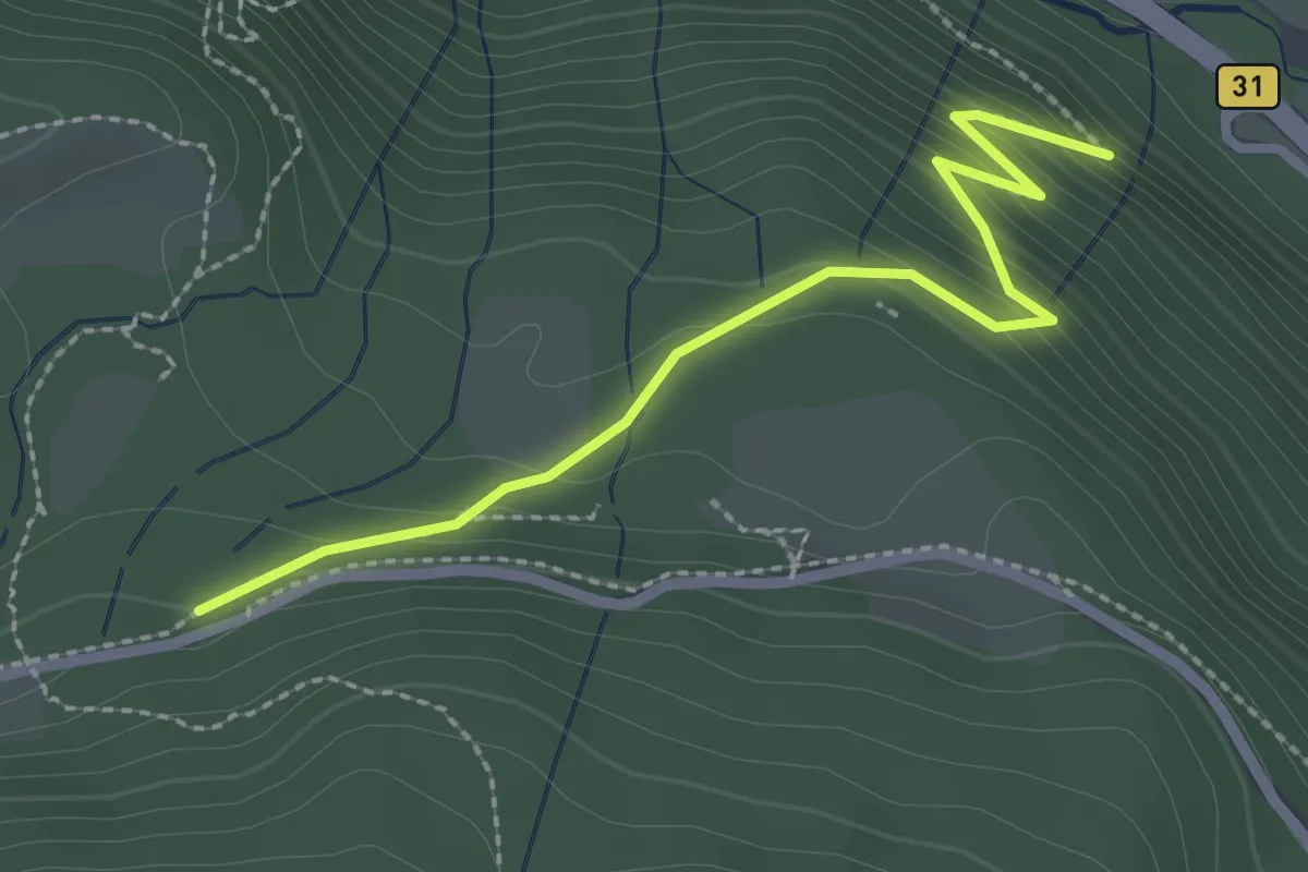
Easy · Trail
Sternenwald - Weberhansenkreuz
2.5 km · ↑ 212 m · 1 h 3 min
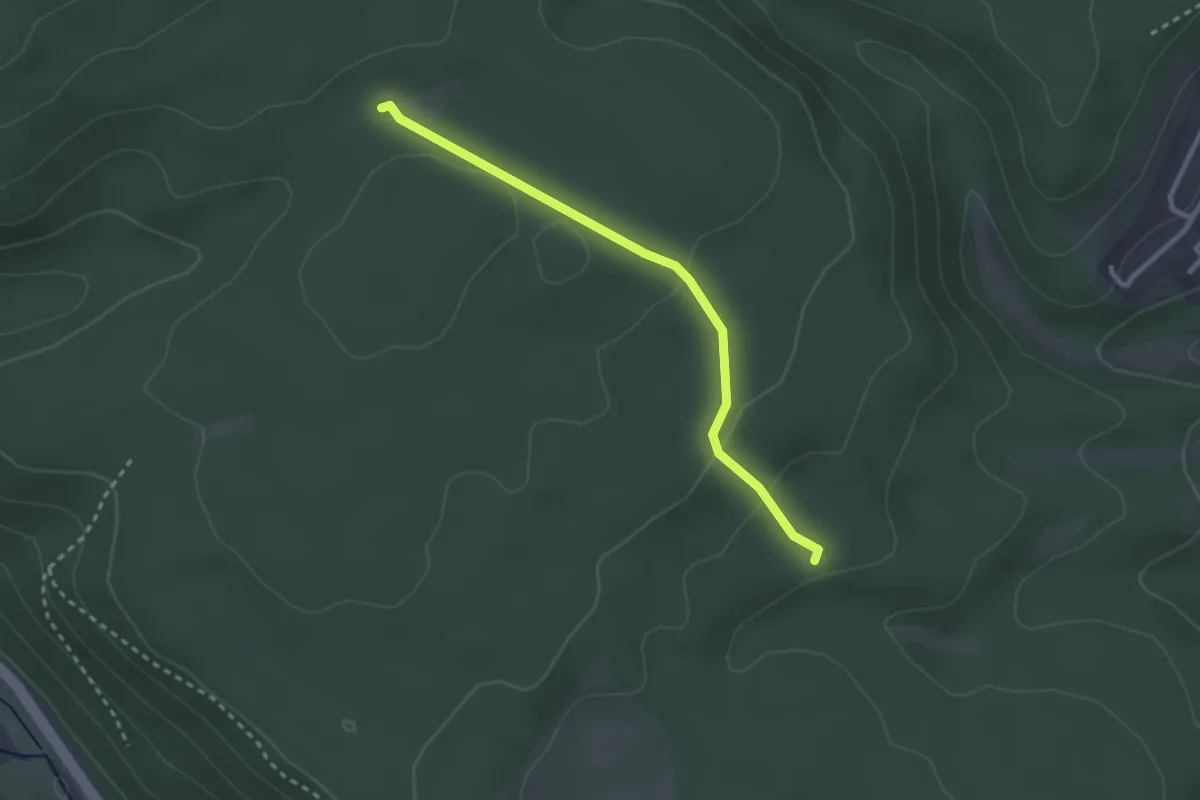
Easy · Trail
Stern - Galgensteig
2.6 km · ↑ 68 m · 45 min
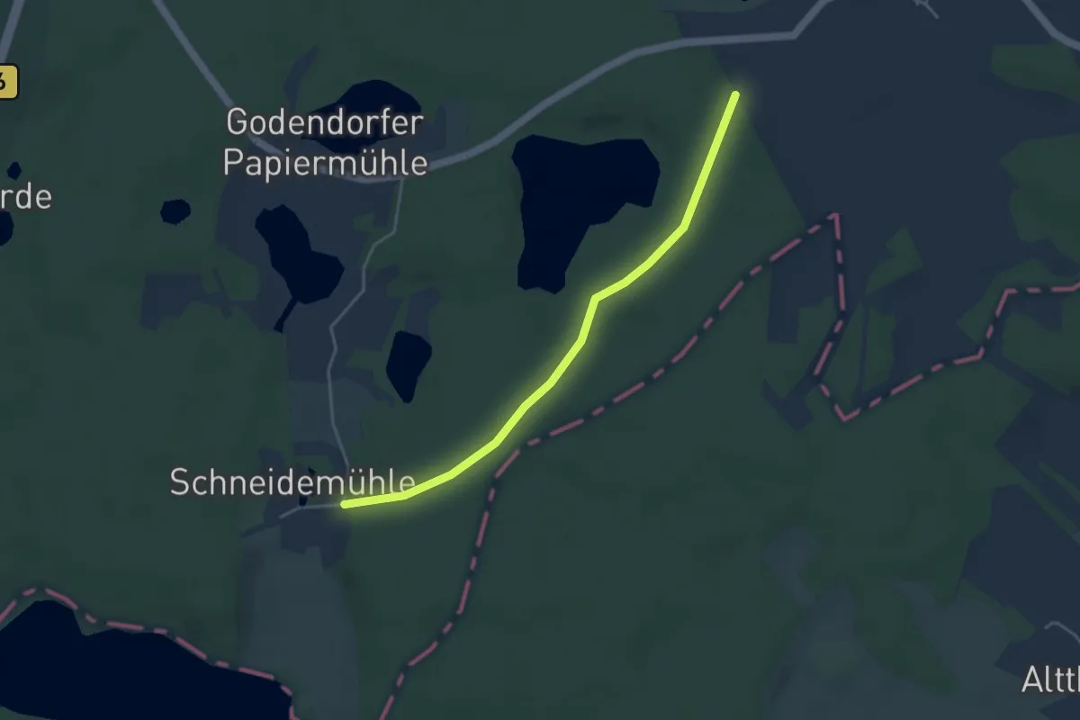
Easy · Trail
Stern-Godendorfer Papiermühle
3.5 km · ↑ 36 m · 54 min
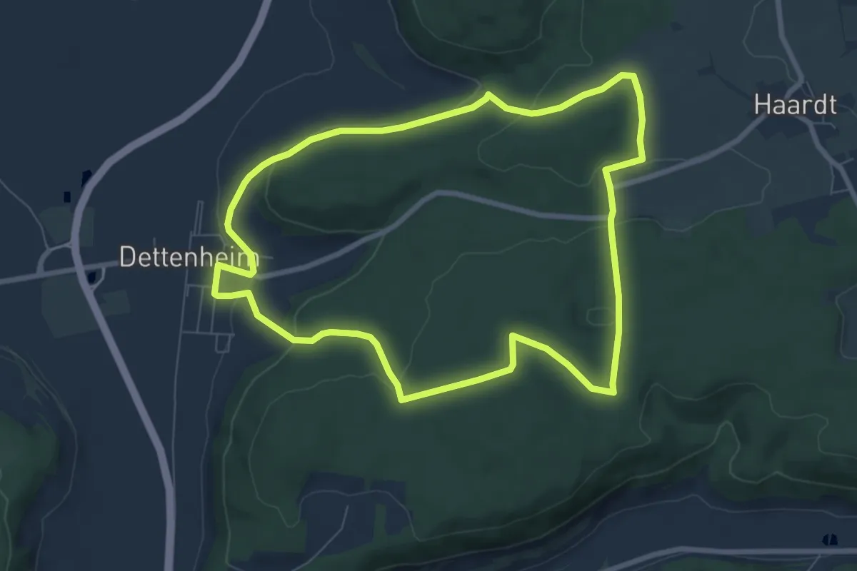
Easy · Trail
Sternschanzweg
7.2 km · ↑ 158 m · 2 h 8 min
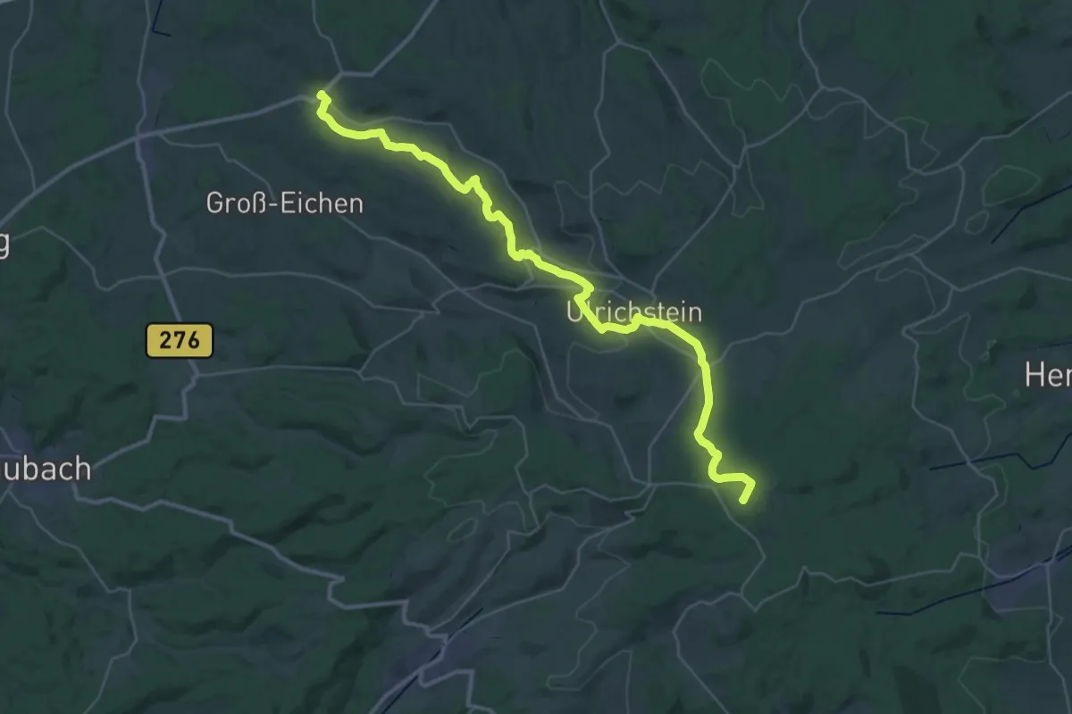
Demanding · Summit
Sternweg
37.4 km · ↑ 697 m · 10 h 20 min
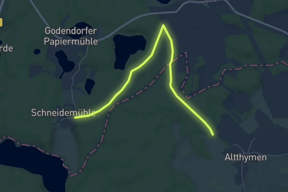
Easy · Trail
Stern-Wokuhl
6.8 km · ↑ 57 m · 1 h 43 min
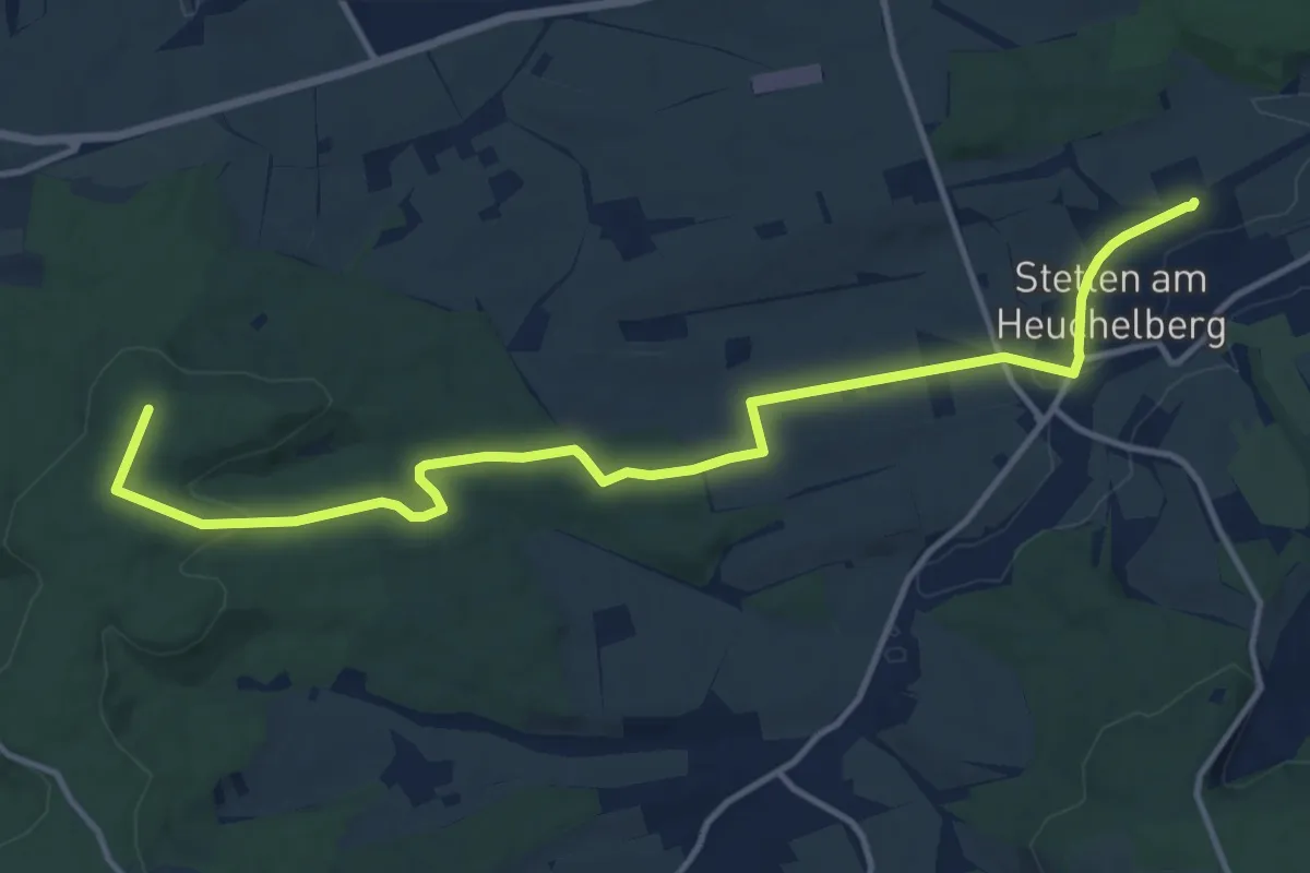
Medium · Trail
Stetten - Eppingen
13.7 km · ↑ 188 m · 3 h 39 min
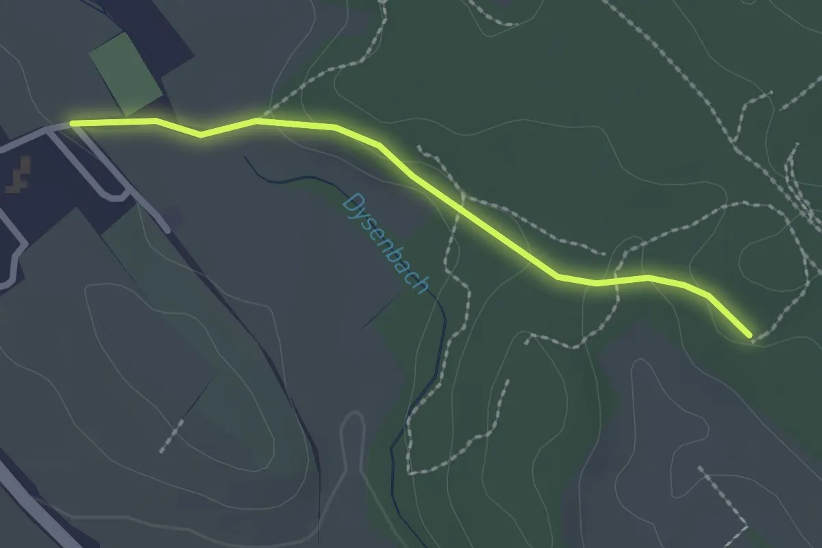
Easy · Trail
Stetten - Hagnau
2.0 km · ↑ 33 m · 33 min
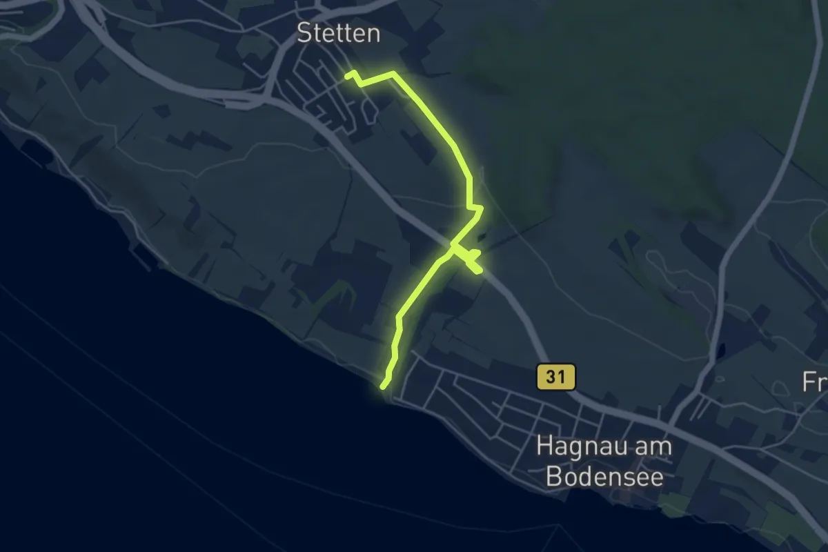
Easy · Trail
Stetten - Harlachen
4.6 km · ↑ 77 m · 1 h 15 min
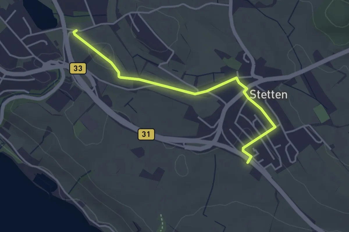
Easy · Trail
Stetten - Meersburg via Trielberg
3.7 km · ↑ 37 m · 57 min
Medium · Trail
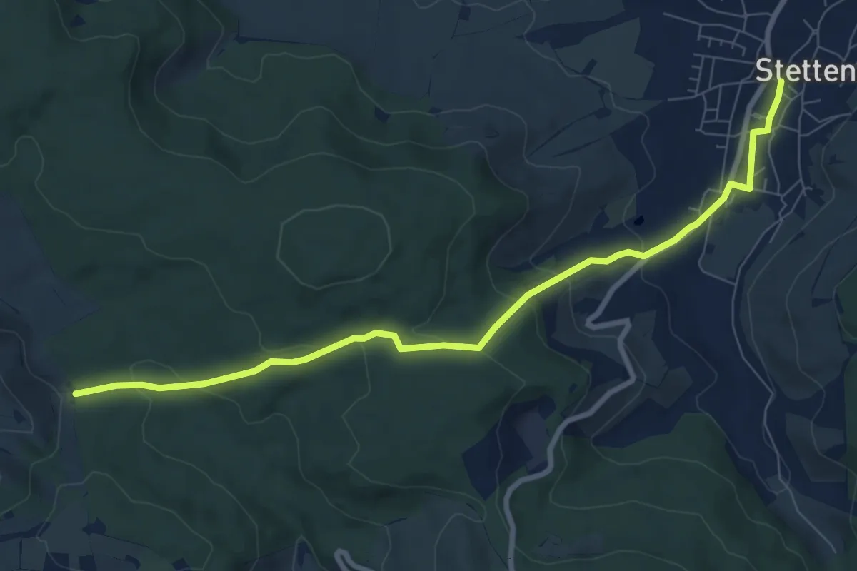
Stetten - Tor / Sieben Linden
8.3 km · ↑ 269 m · 2 h 32 min
Medium · Trail
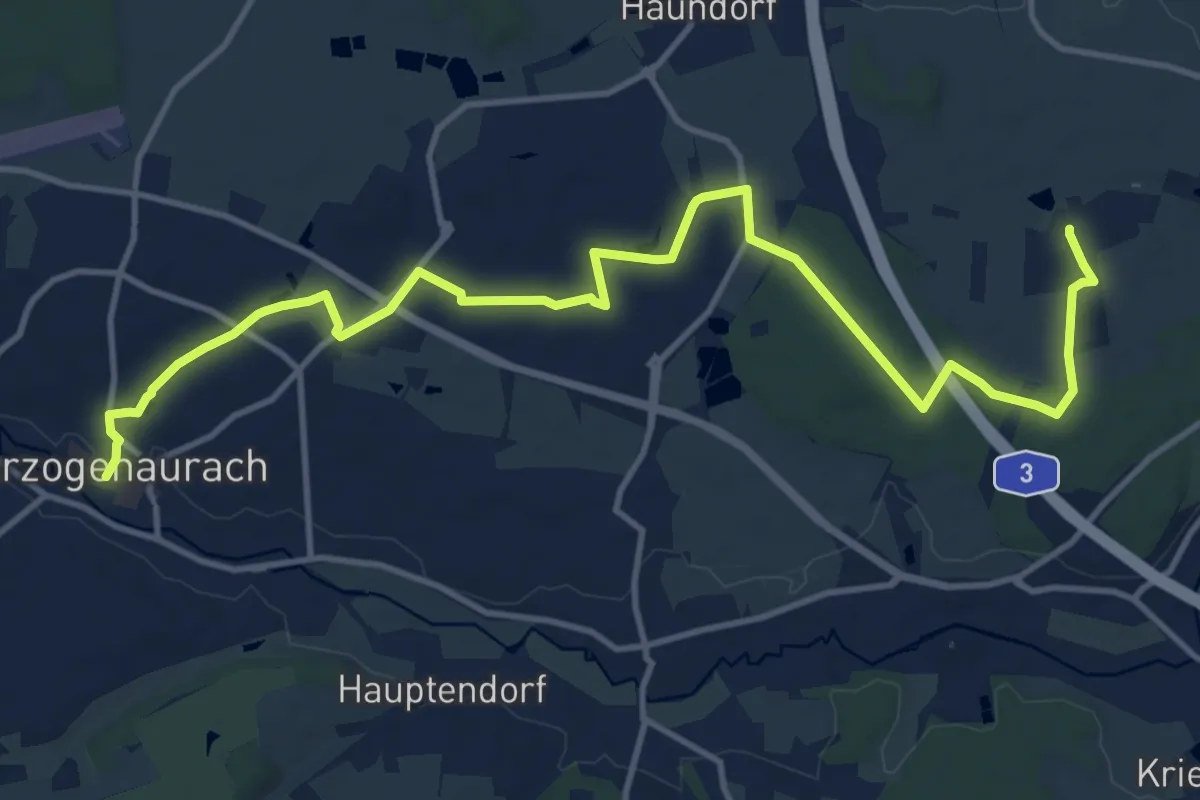
Steudach - Herzogenaurach
14.7 km · ↑ 82 m · 3 h 39 min
Easy · Trail
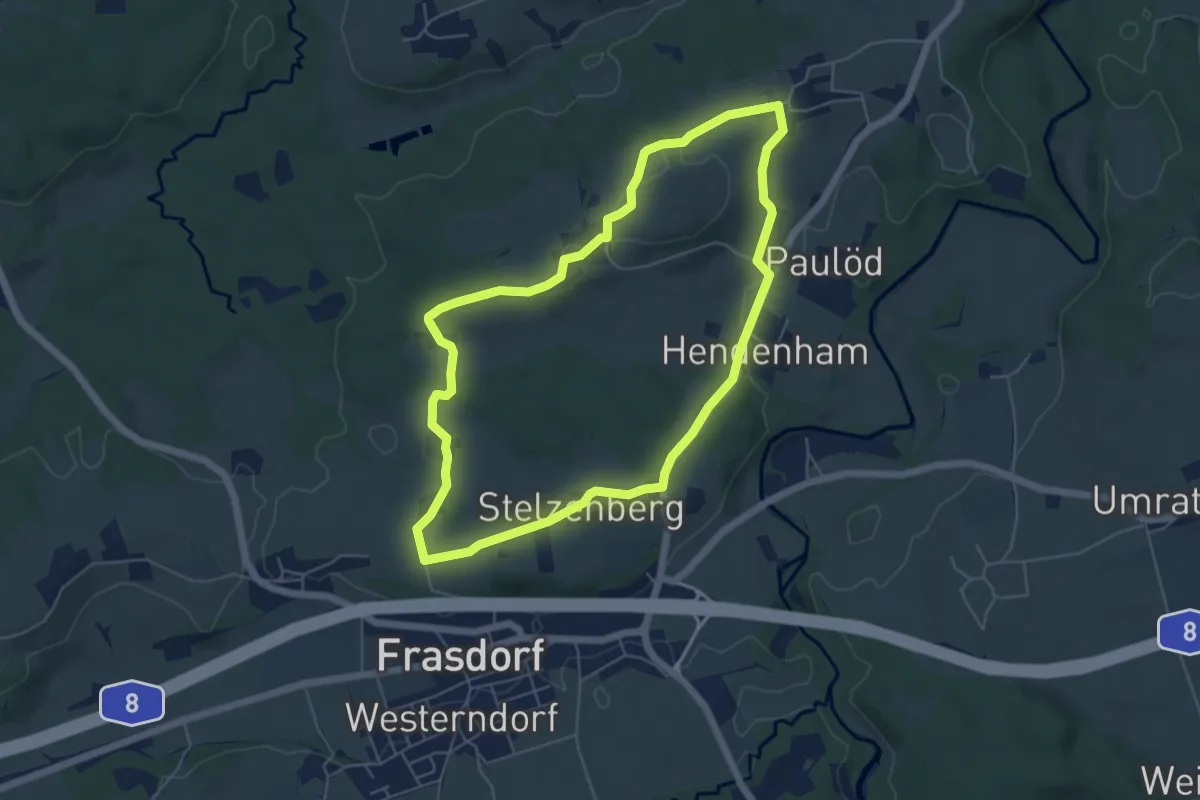
St. Florians-Runde
5.3 km · ↑ 70 m · 1 h 28 min
Medium · Summit
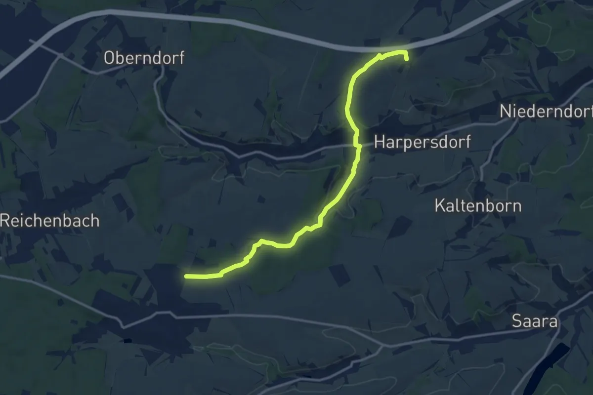
St.Gangloff - Rüdersdorf
10.9 km · ↑ 191 m · 2 h 59 min
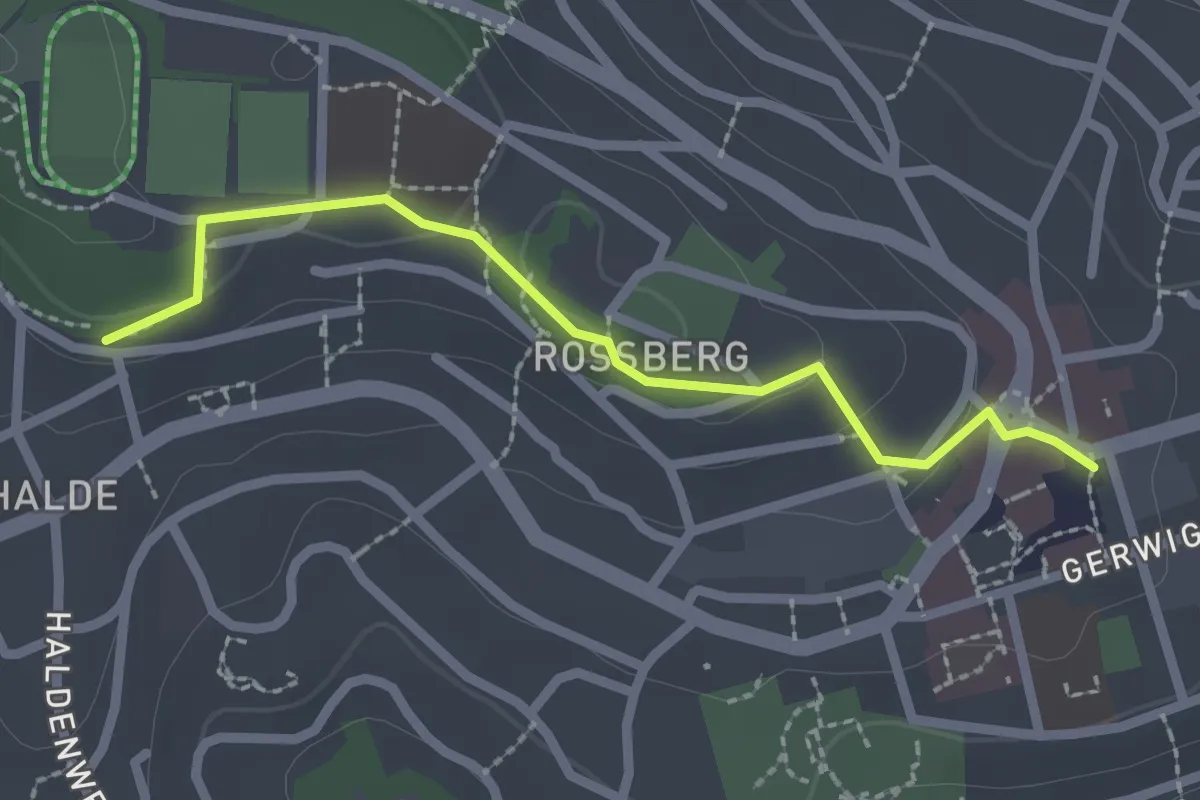
Easy · Trail
St. Georgen Waldstraße - Marktplatz
2.2 km · ↑ 43 m · 37 min
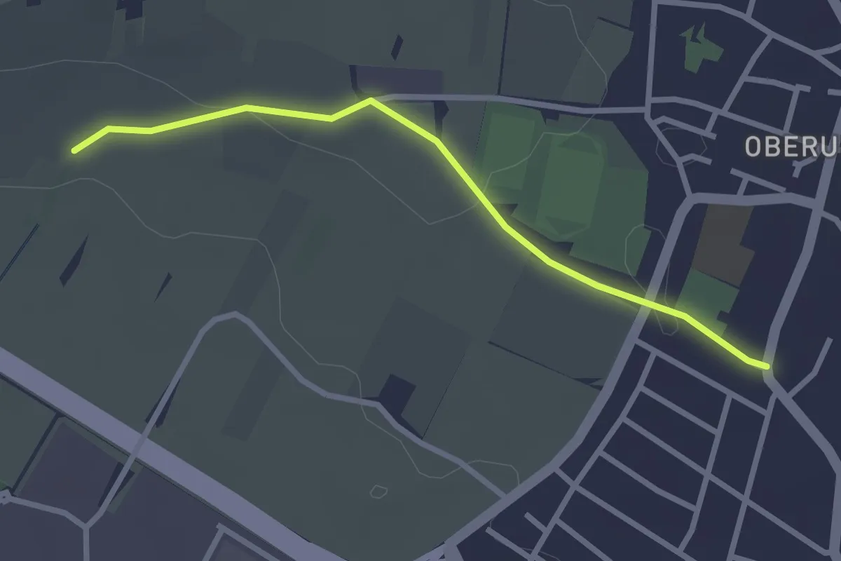
Easy · Trail
Stichweg des SAV (blaues Hufeisen)
2.4 km · ↑ 32 m · 39 min
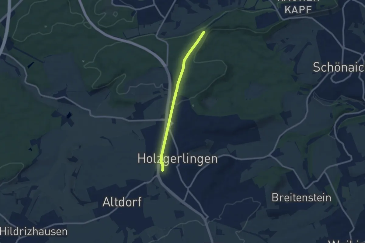
Easy · Trail
Stichweg Holzgerlingen - Böblingen
6.3 km · ↑ 45 m · 1 h 35 min
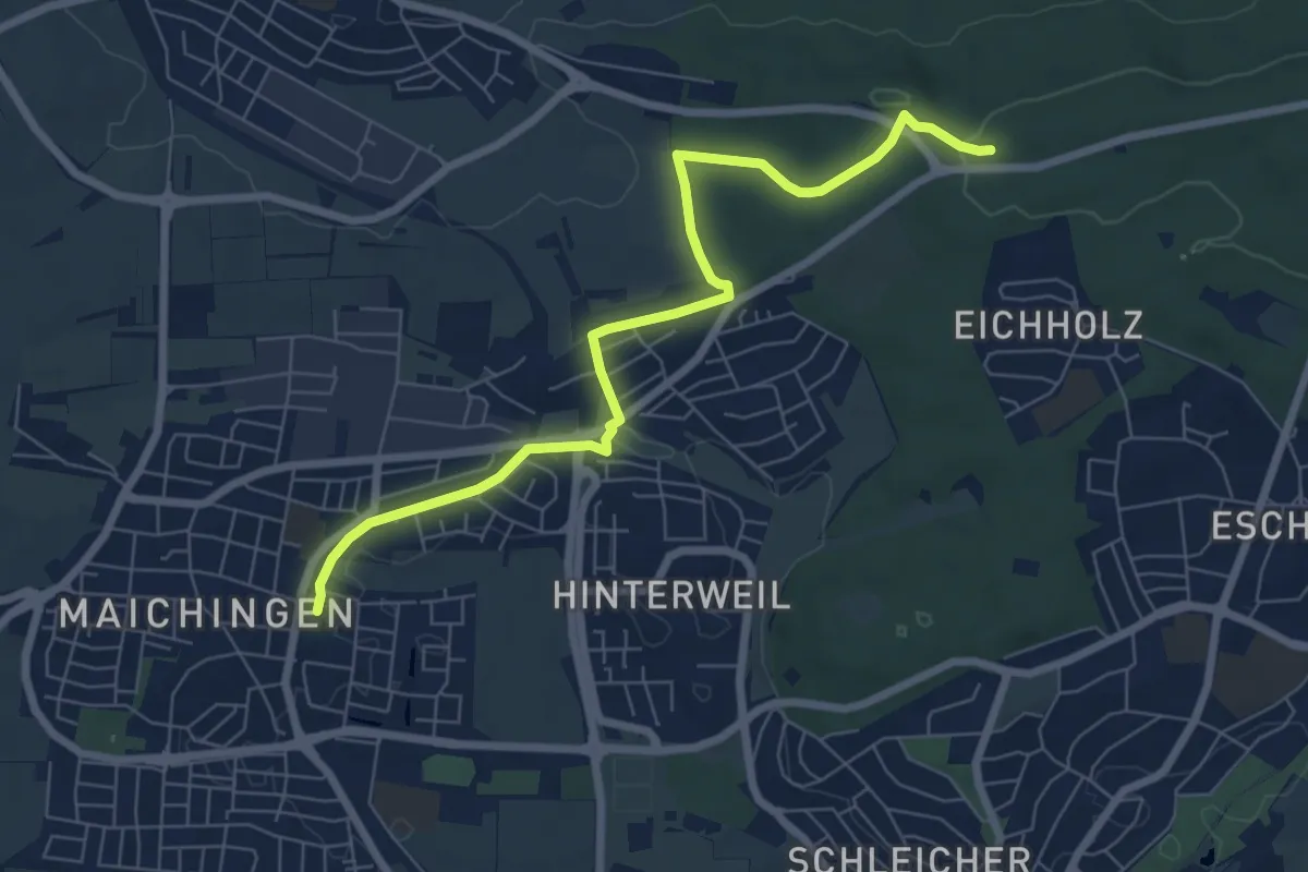
Easy · Trail
Stichweg Maichingen S-Bahnhof - Äußere Winterhalde
7.2 km · ↑ 105 m · 1 h 56 min