Trails in Germany
36,852 hiking trails, each with its route, climb, walking time and grade.
All trails, page 607 of 768
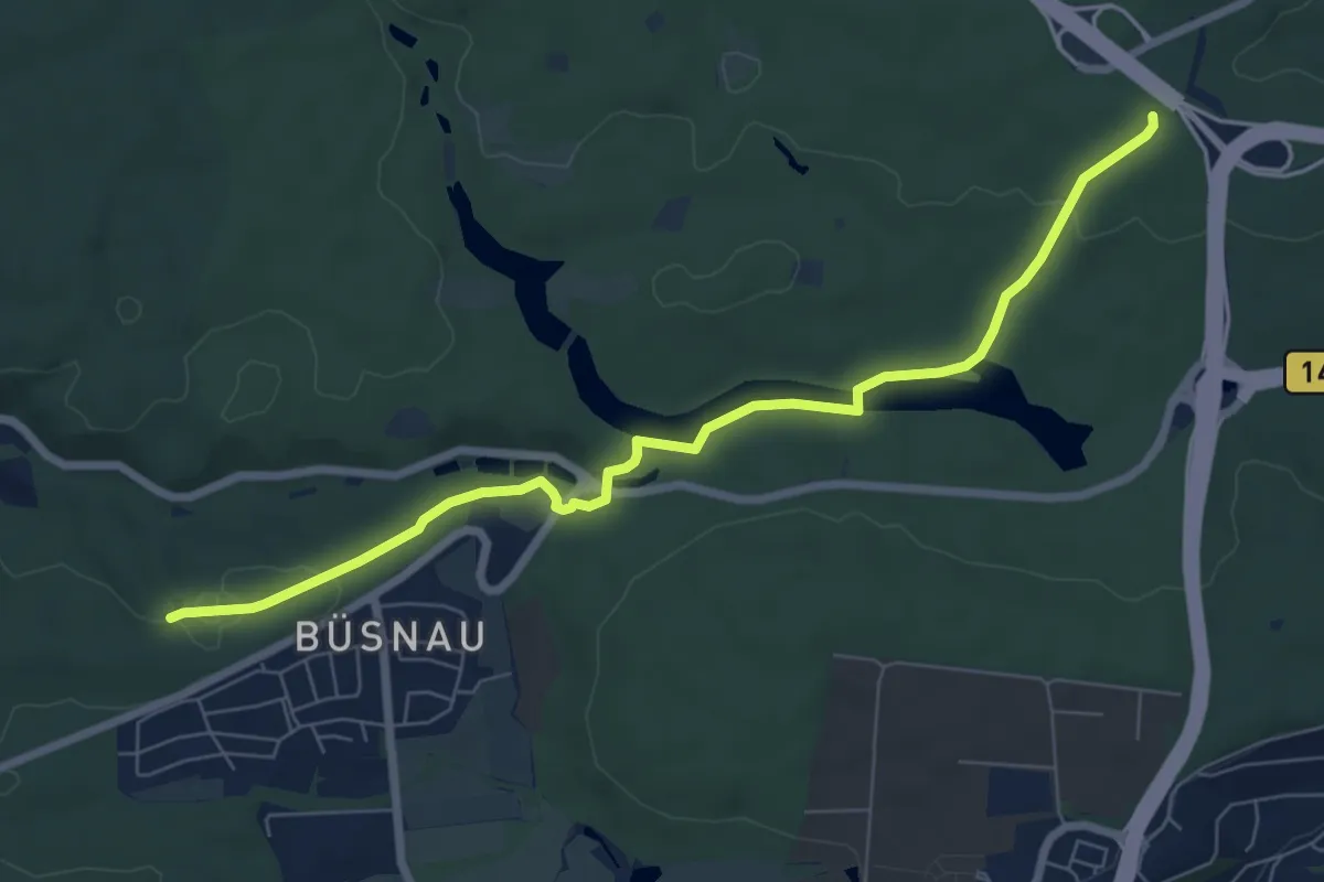
Easy · Trail
Stichweg Schießbudenweg - Stuttgarter Tor
7.3 km · ↑ 93 m · 1 h 55 min
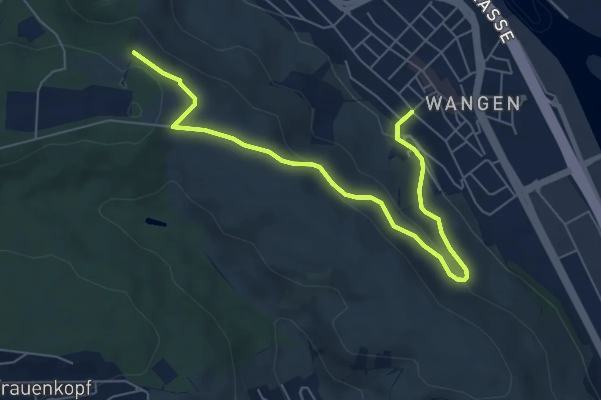
Easy · Trail
Stichweg Schillerlinde - Wangen
5.7 km · ↑ 171 m · 1 h 43 min
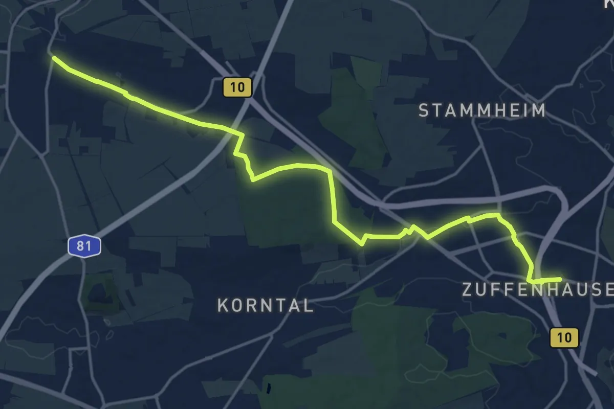
Medium · Trail
Stichweg Zuffenhausen - Münchingen
16.1 km · ↑ 145 m · 4 h 8 min
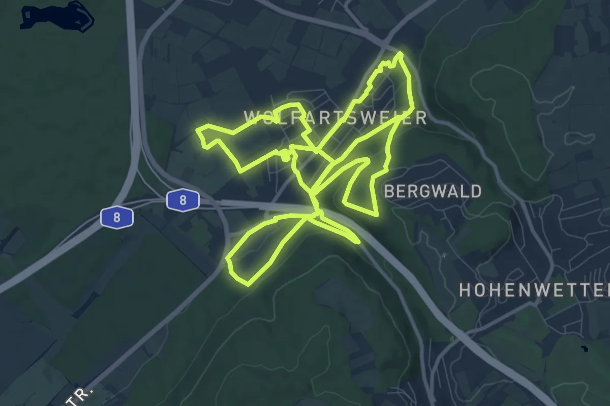
Demanding · Trail
Stickelpfad
21.5 km · ↑ 461 m · 6 h 4 min
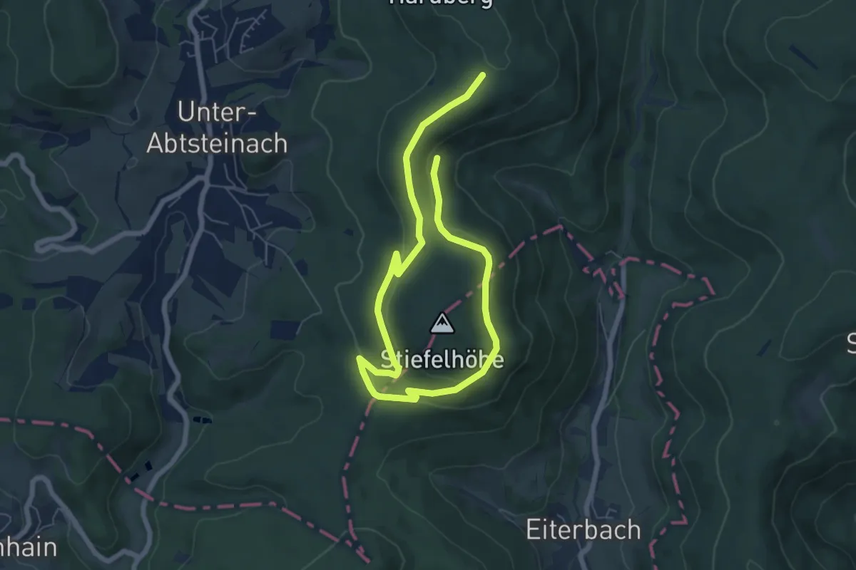
Easy · Trail
Stiefelhütten-Weg
4.4 km · ↑ 131 m · 1 h 22 min
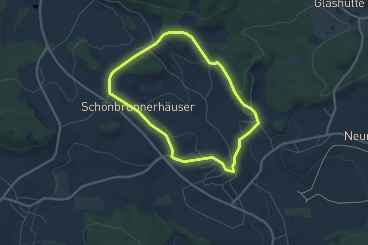
Easy · Trail
Stier
4.6 km · ↑ 101 m · 1 h 23 min
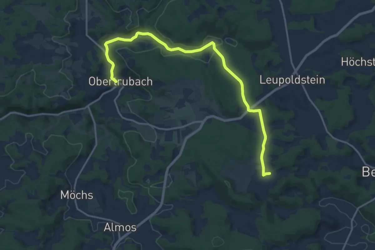
Medium · Trail
Stierberg-Obertrubach
11.6 km · ↑ 169 m · 3 h 7 min
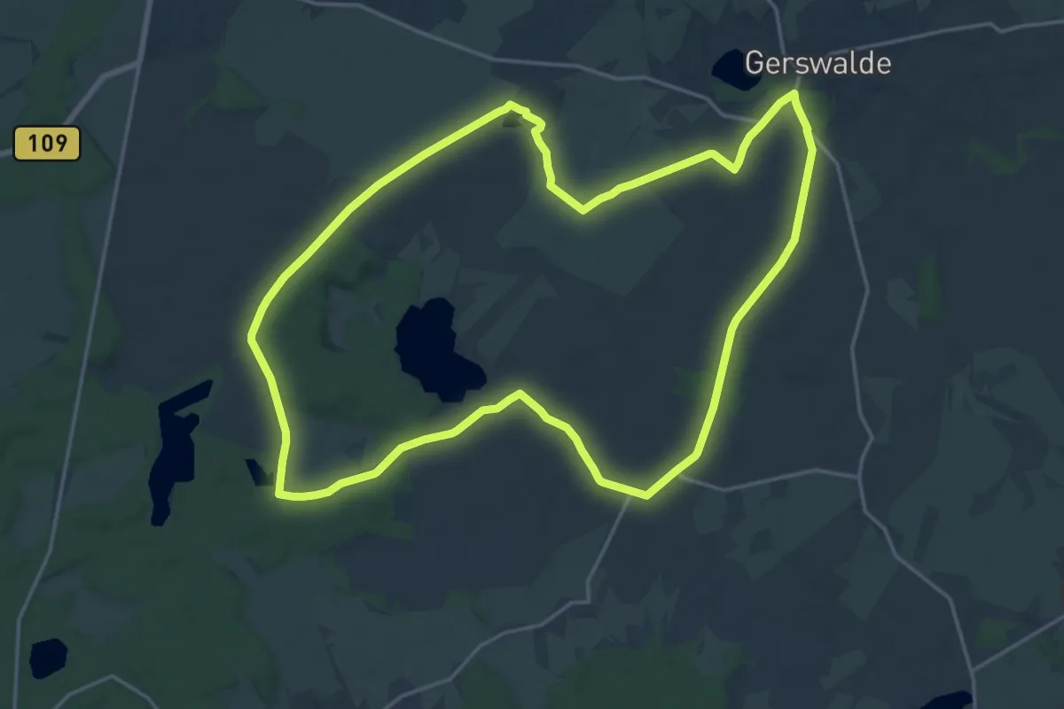
Medium · Trail
Stiernseerundweg
16.6 km · ↑ 84 m · 4 h 20 min
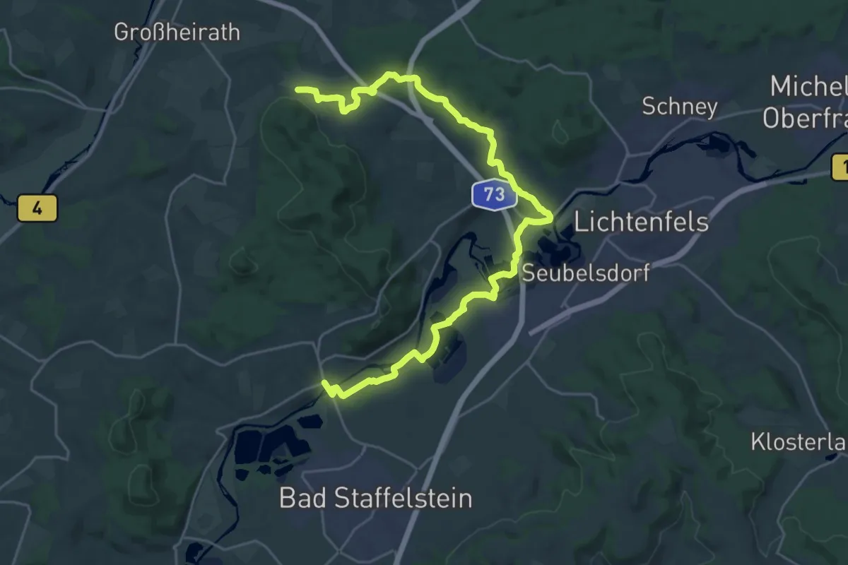
Demanding · Trail
Stiftsland-Weg
27.0 km · ↑ 266 m · 6 h 58 min
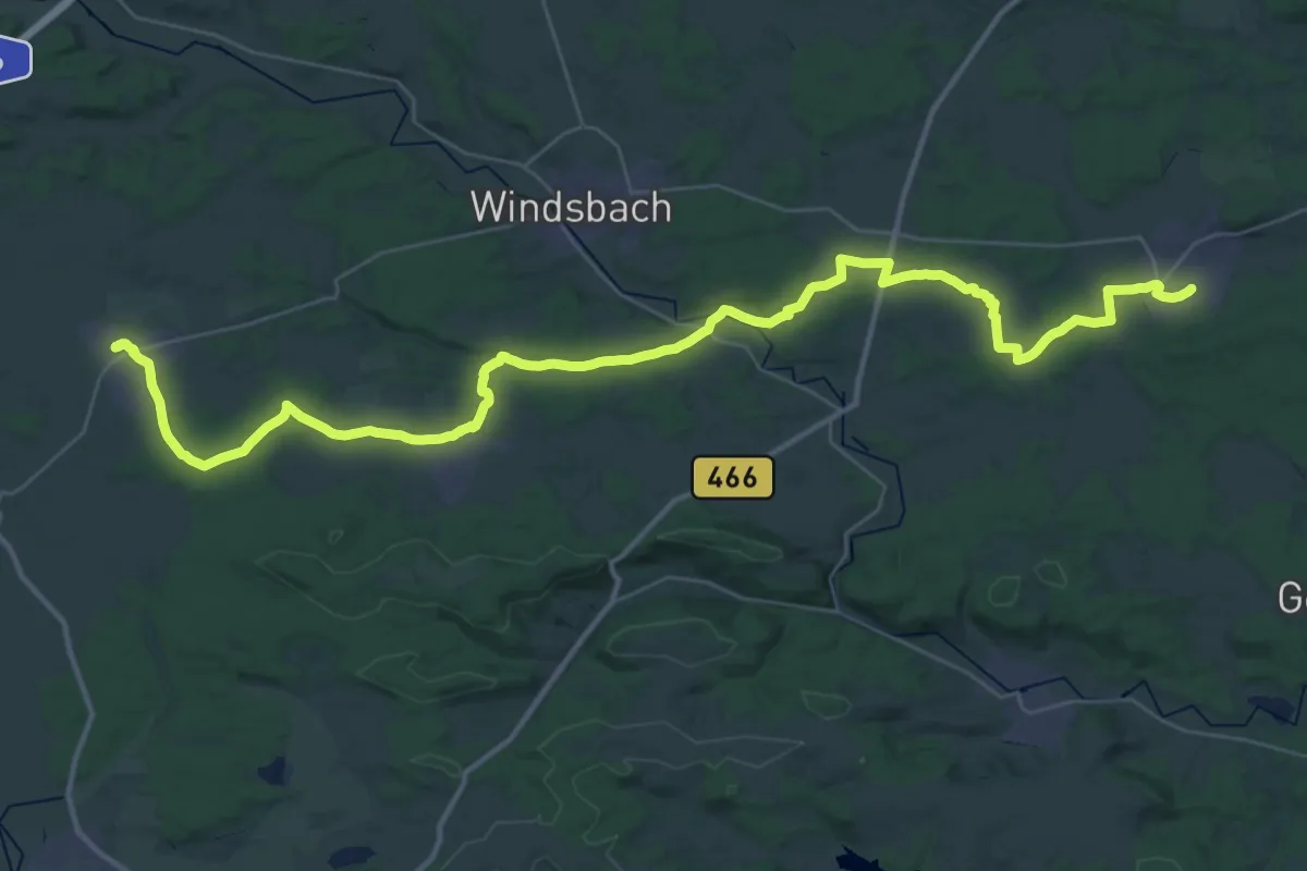
Demanding · Trail
Stilla-Weg
23.8 km · ↑ 137 m · 6 h 16 min
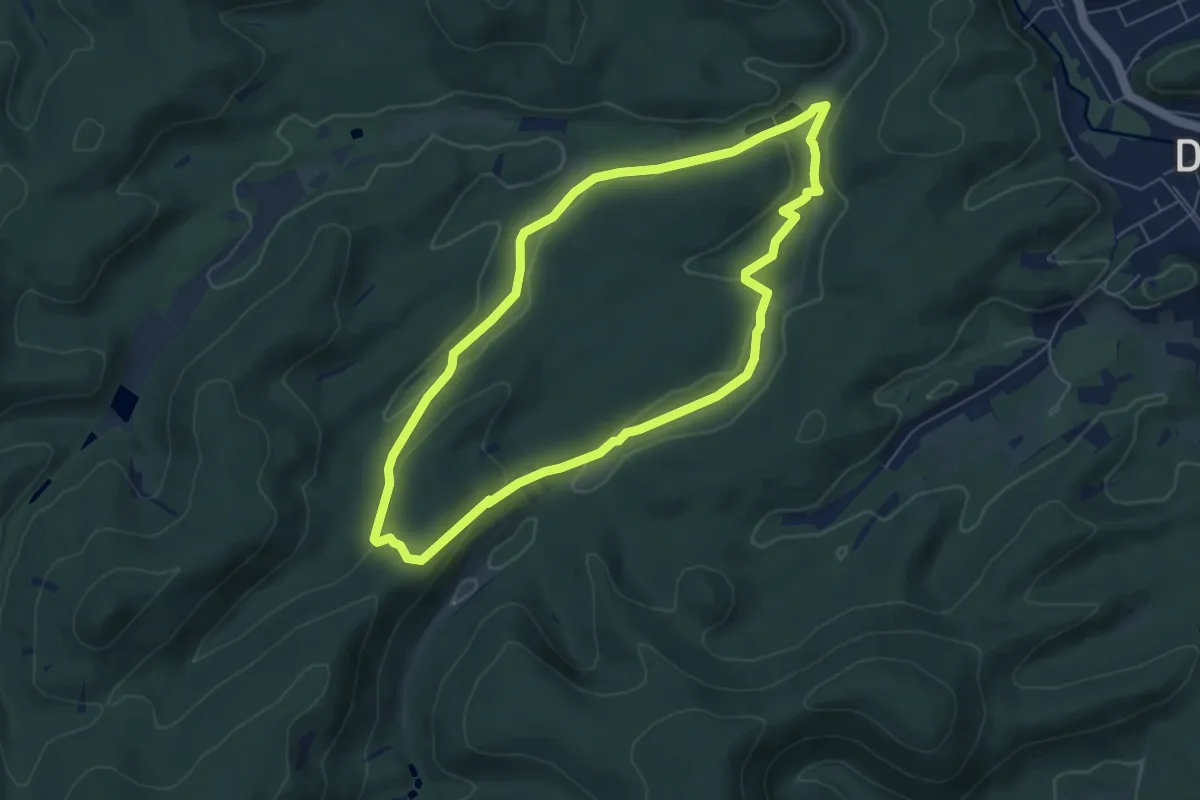
Easy · Trail
Stiller Wald-Tour / Luchs-Pfad
5.8 km · ↑ 123 m · 1 h 42 min
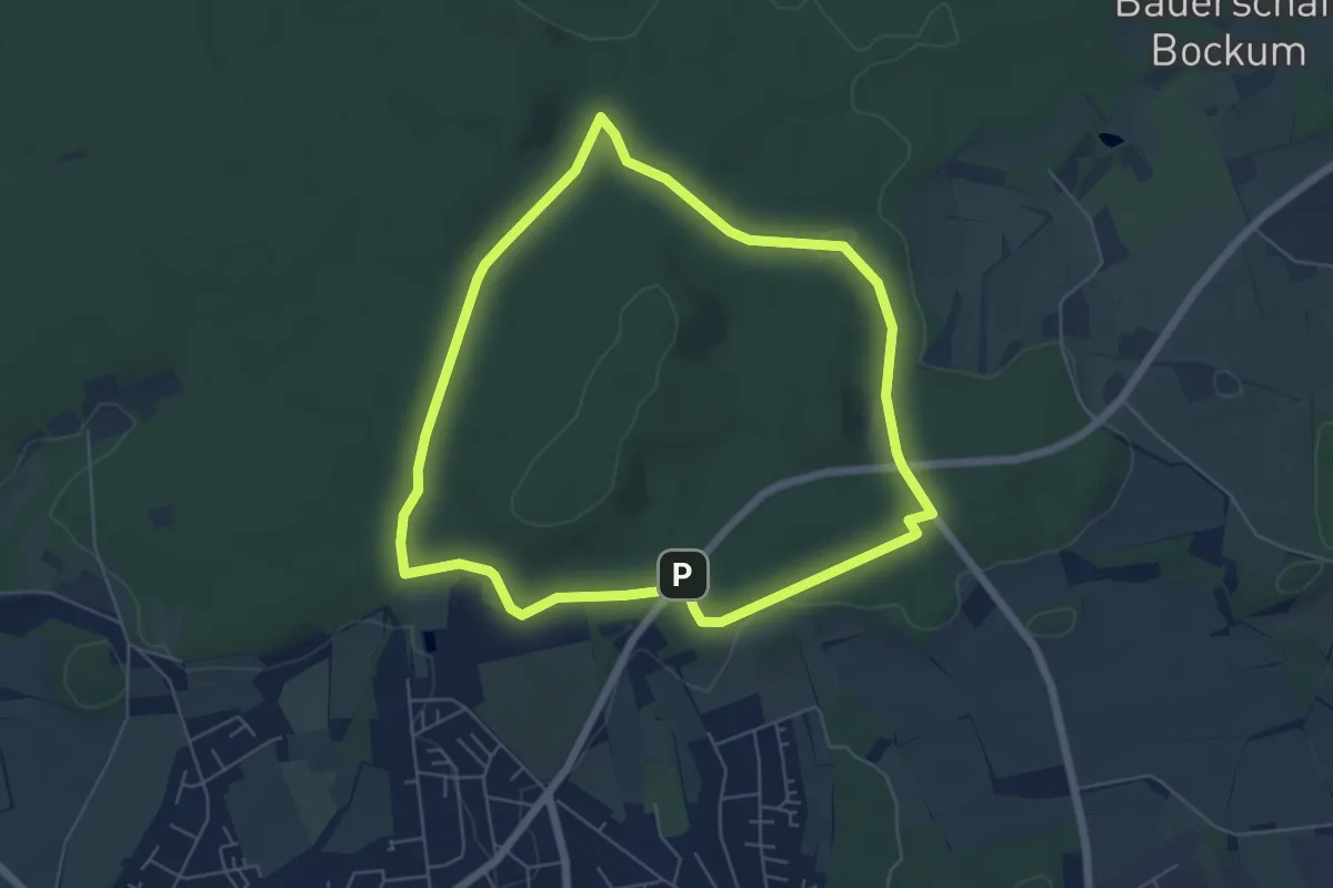
Easy · Trail
Stimbergpark Rundweg A5
5.3 km · ↑ 53 m · 1 h 26 min
Easy · Trail
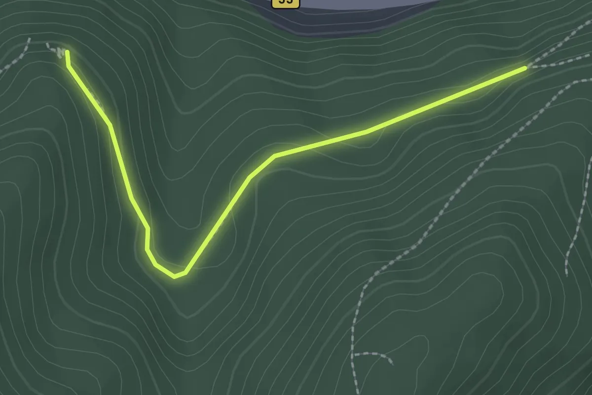
Stimmel - Teufelskanzel
2.3 km · ↑ 84 m · 43 min
Demanding · Trail
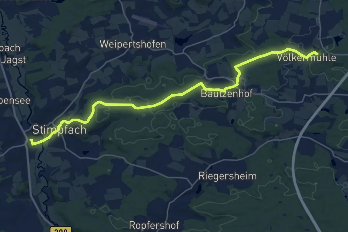
Stimpfach - Völkermühle
18.8 km · ↑ 238 m · 4 h 58 min
Easy · Trail
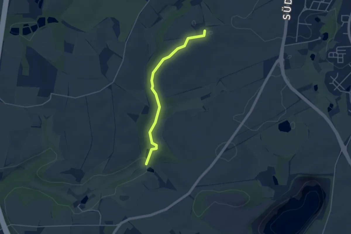
Stinderbachtal
3.3 km · ↑ 42 m · 52 min
Medium · Trail
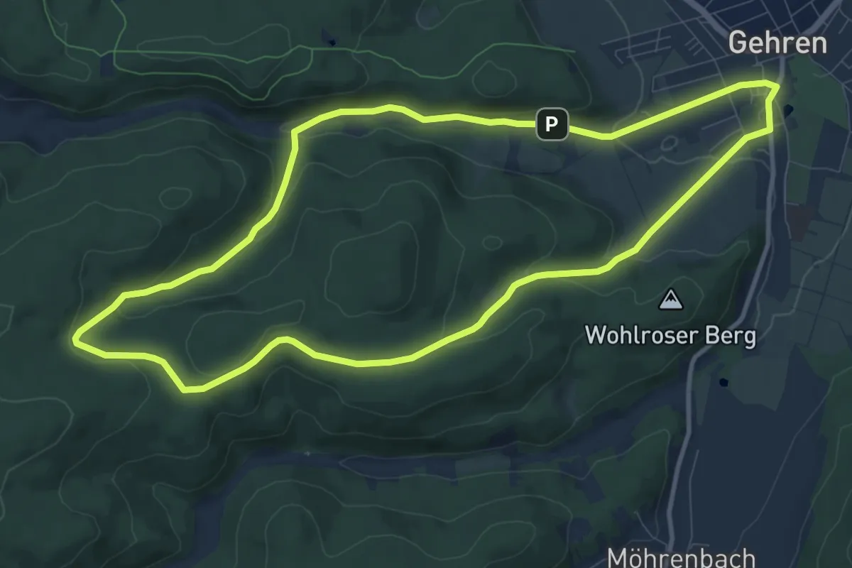
Stippvisite im Biosphärenreservat Vessertal
9.4 km · ↑ 233 m · 2 h 51 min
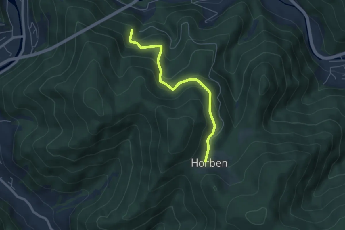
Easy · Trail
St. Jakobuskapelle - Horbenhof
4.5 km · ↑ 299 m · 1 h 42 min
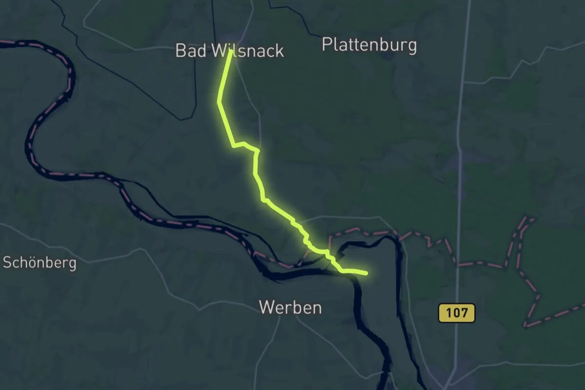
Medium · Pilgrim path
St. Jakobus Pilgerweg (Bad Wilsnack - Tangermünde)
13.0 km · ↑ 23 m · 3 h 17 min
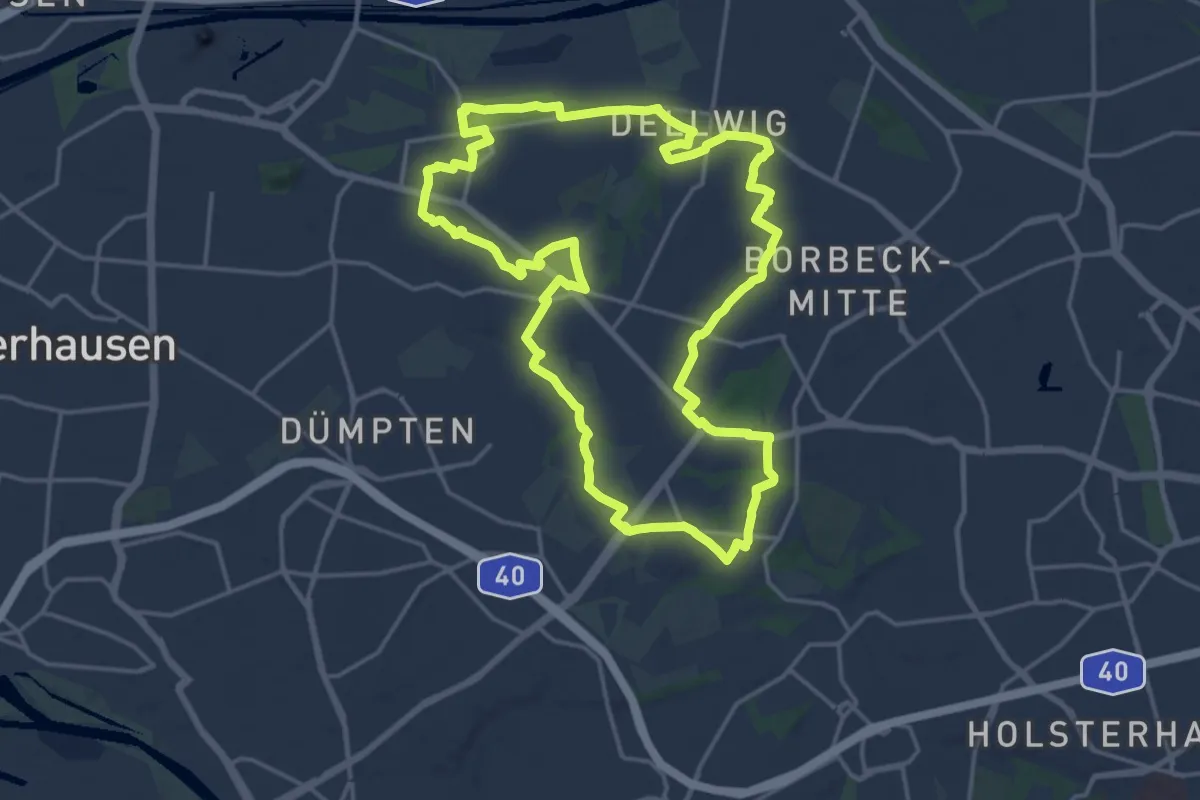
Medium · Trail
St. Josef Trail
16.9 km · ↑ 106 m · 4 h 27 min
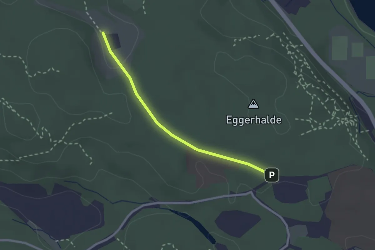
Easy · Trail
St. Katharina - Universität Parkplatz Nord
2.0 km · ↑ 42 m · 34 min
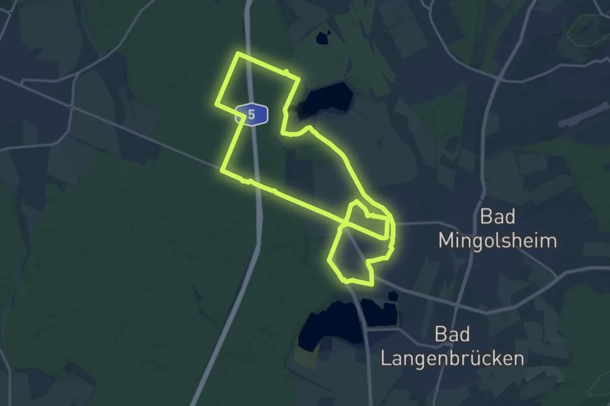
Medium · Trail
St. Laurentius-Weg
14.6 km · ↑ 31 m · 3 h 43 min
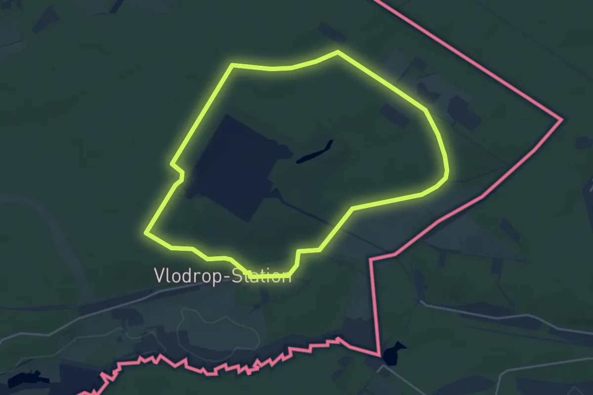
Easy · Summit
St. Ludwig
3.9 km · ↑ 24 m · 1 h 2 min
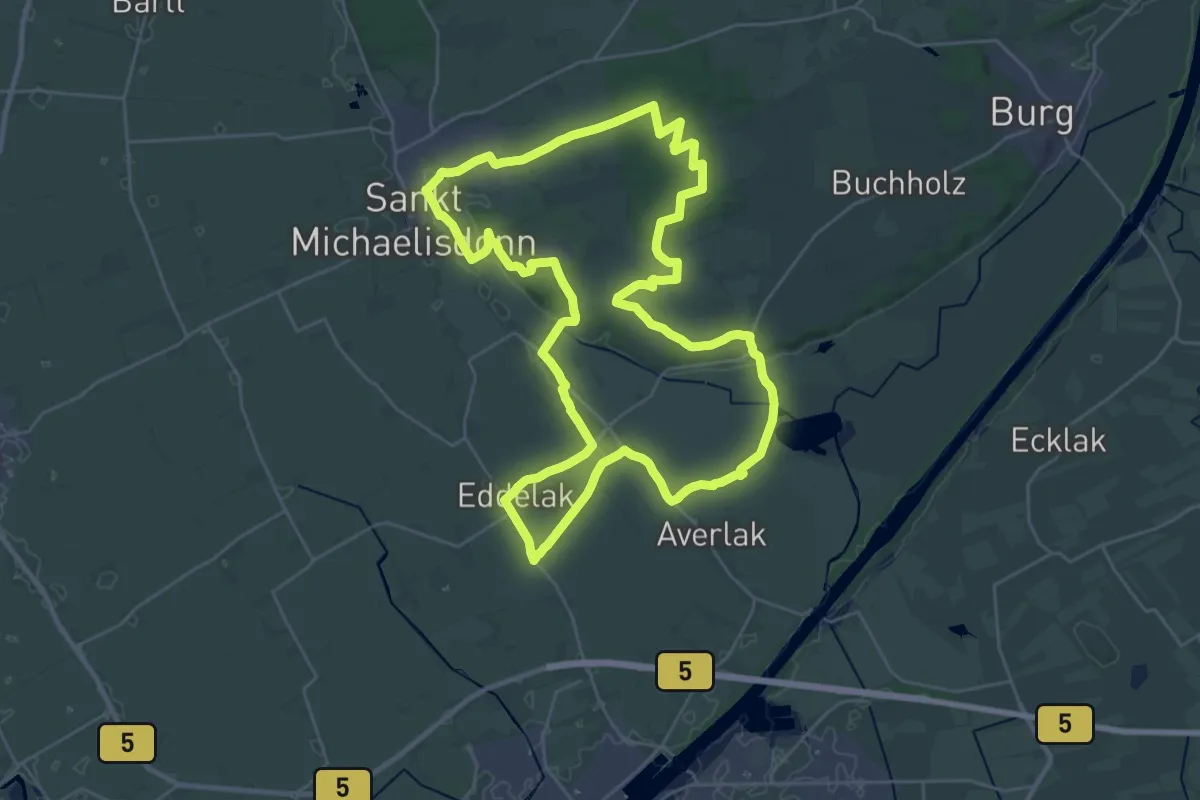
Demanding · Trail
St. Michaelisdonn Rundwanderweg Nr. 1
27.5 km · ↑ 100 m · 7 h 5 min
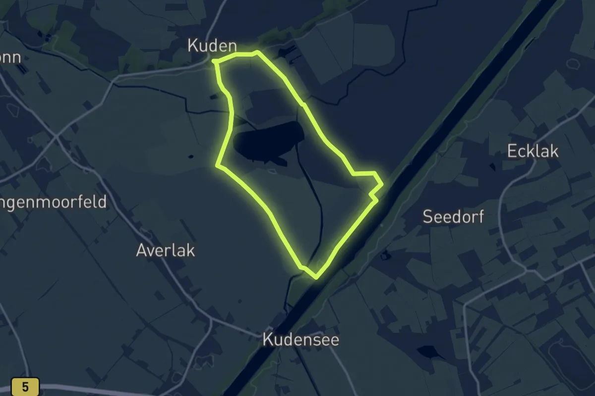
Medium · Trail
St.Michaelisdonn Rundwanderweg Nr. 2 Rund um den Kudensee
8.7 km · ↑ 15 m · 2 h 12 min
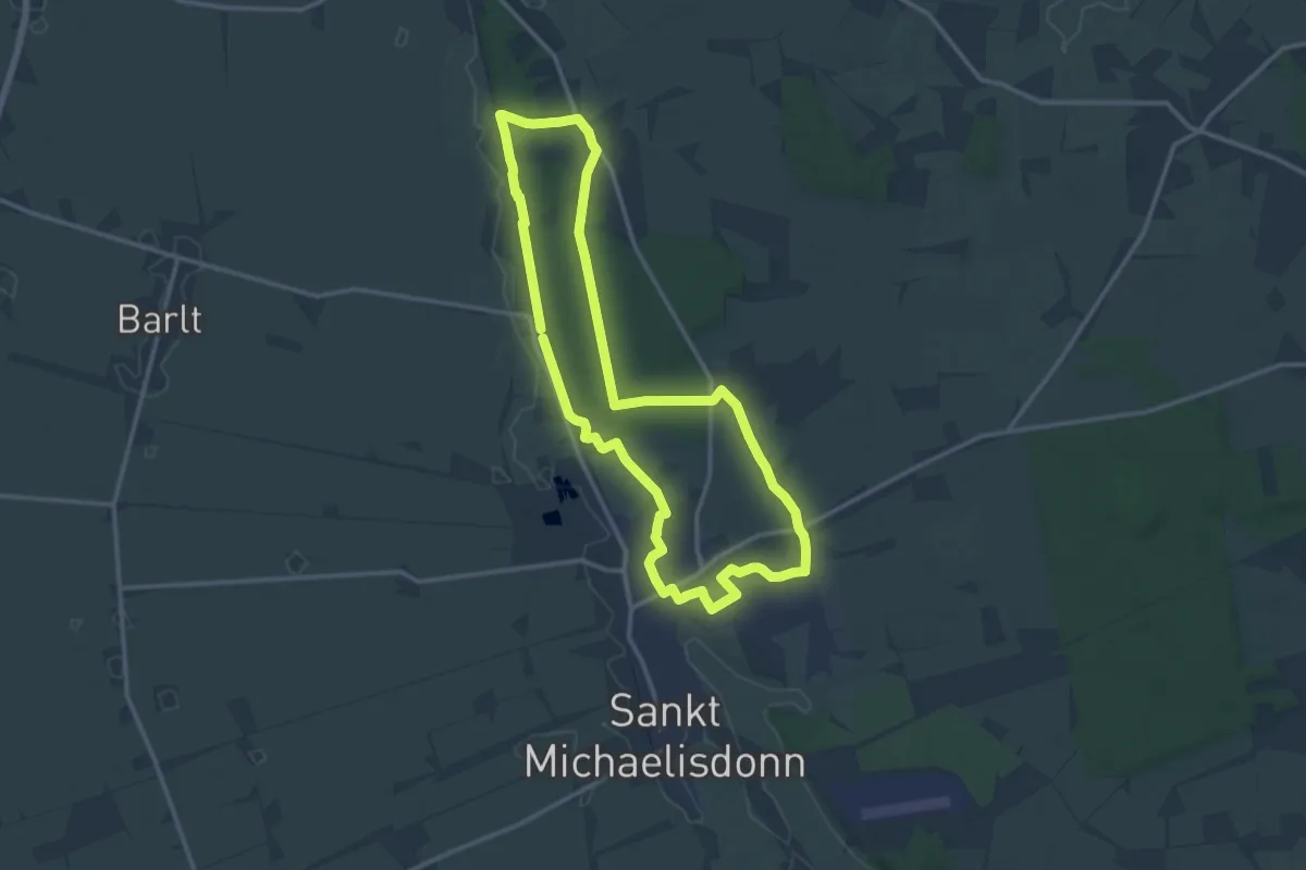
Medium · Trail
St. Michaelisdonn Rundwanderweg Nr. 3
11.4 km · ↑ 57 m · 2 h 59 min
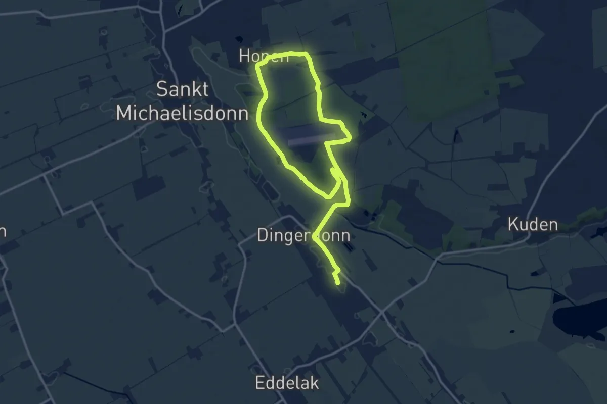
Medium · Trail
St. Michaelisdonn Rundwanderweg Nr. 4
8.2 km · ↑ 73 m · 2 h 12 min
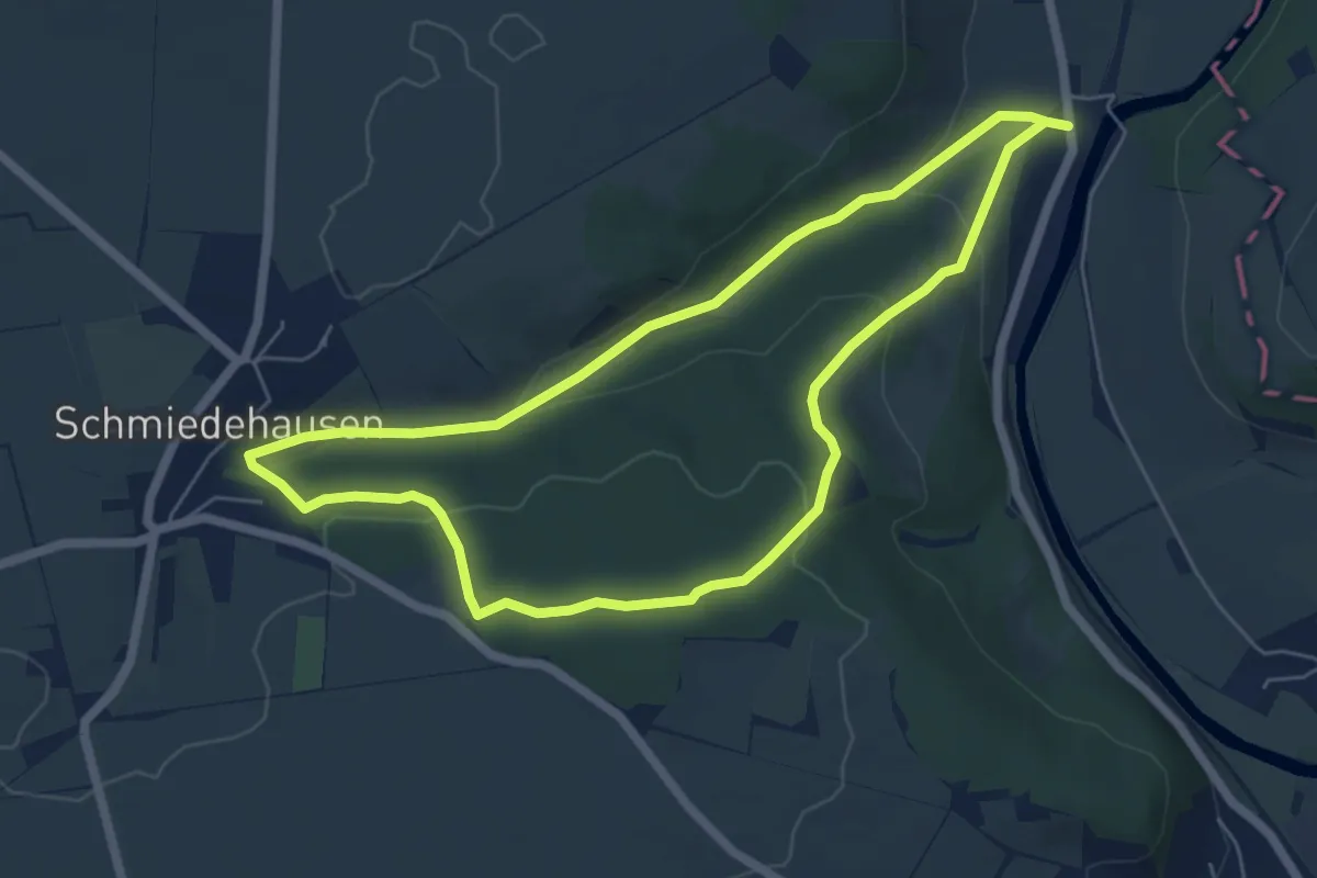
Easy · Trail
Stöben-Schmiedehausen
5.3 km · ↑ 144 m · 1 h 38 min
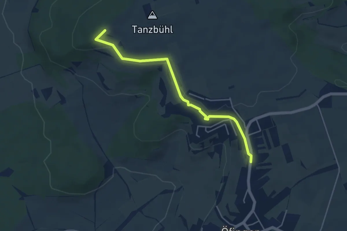
Easy · Trail
Stockacker - Brunnen Bühlstraße
3.7 km · ↑ 70 m · 1 h 2 min
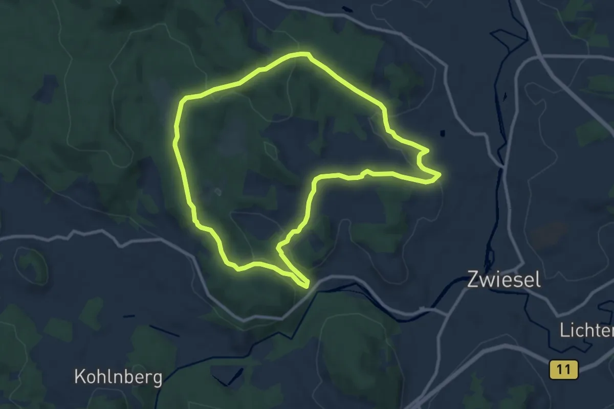
Medium · Trail
Stockauwiesenrunde (27)
8.4 km · ↑ 246 m · 2 h 38 min
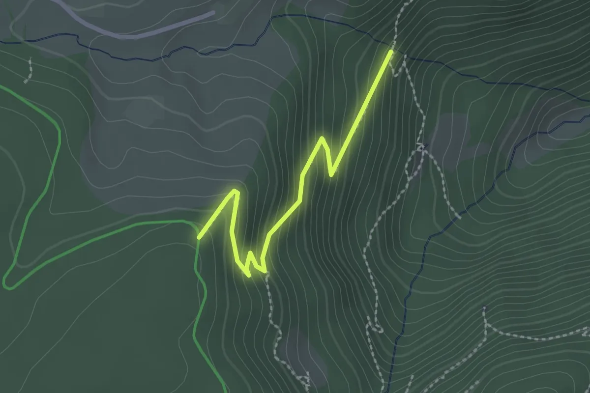
Medium · Trail
Stockbühl - Zweribachwasserfall Brückle
2.2 km · ↑ 172 m · 53 min
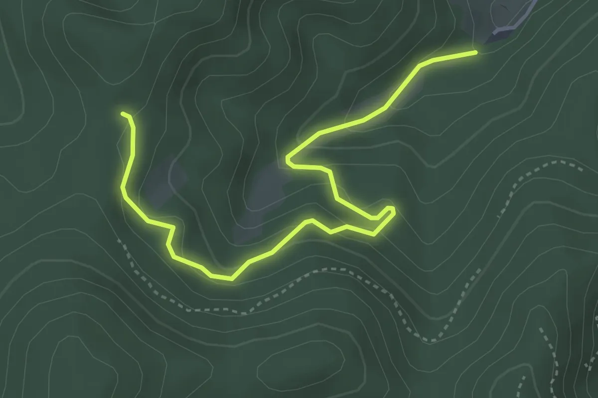
Easy · Trail
Stockelme - Wonnenbach
4.2 km · ↑ 287 m · 1 h 36 min
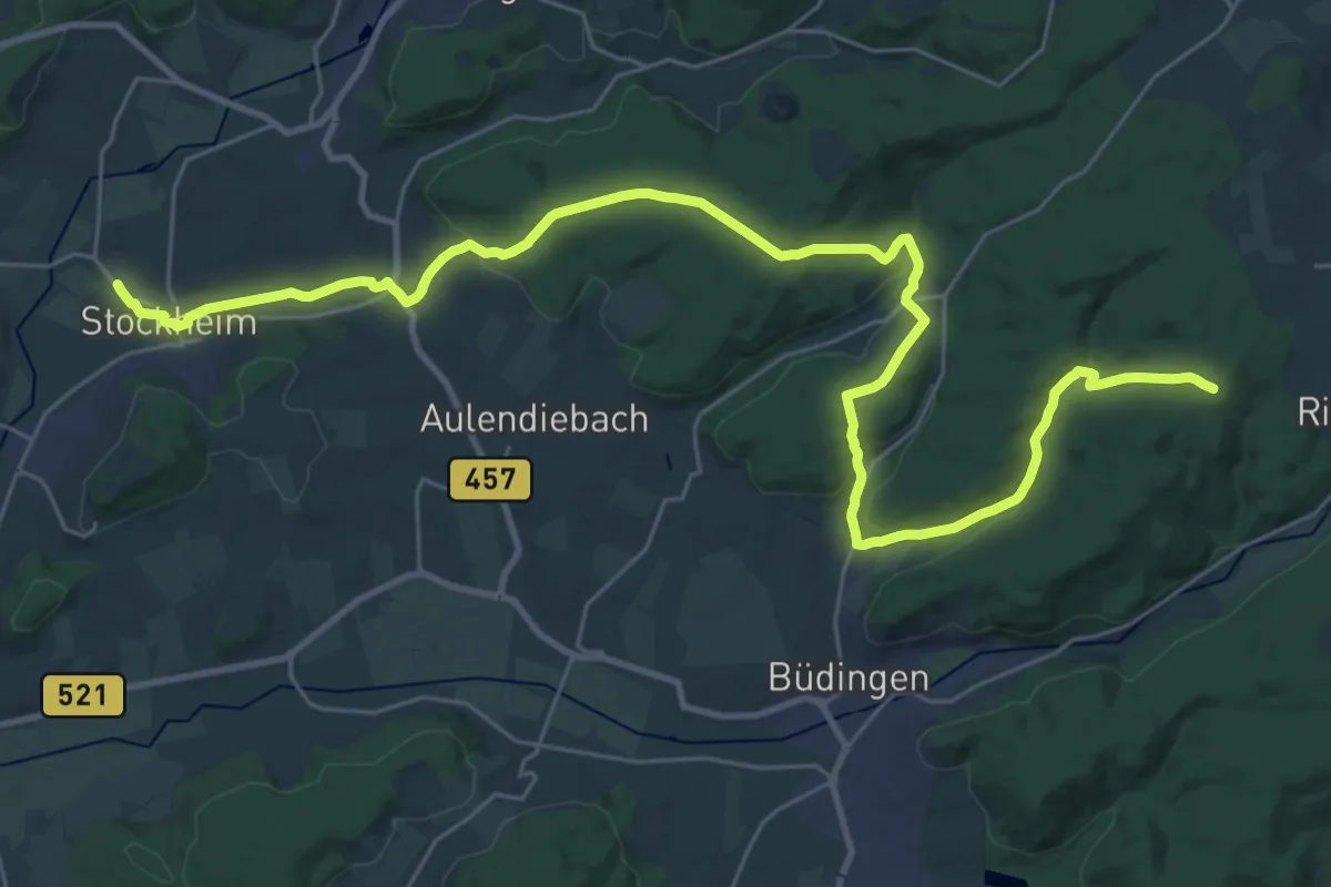
Medium · Trail
Stockheim - Anschluß Vulkansteig
17.2 km · ↑ 464 m · 5 h 11 min
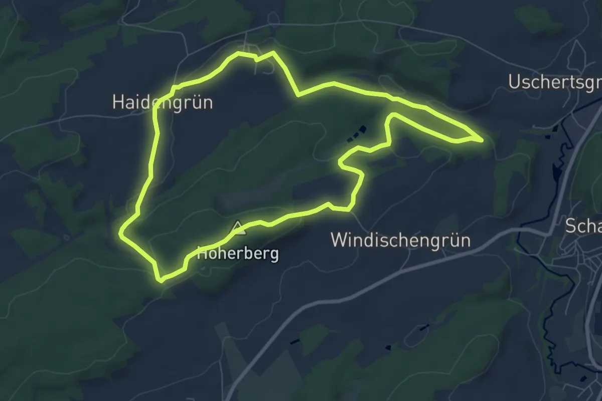
Easy · Summit
Stockhöhen-Weg OS 25
7.4 km · ↑ 150 m · 2 h 10 min
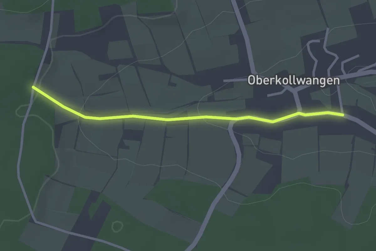
Easy · Trail
Stockmüsse - Oberkollwangen Genthengässle
2.5 km · ↑ 53 m · 42 min
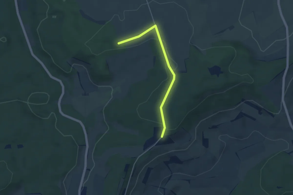
Easy · Trail
Stockreute - Spitzhütte
3.3 km · ↑ 52 m · 54 min
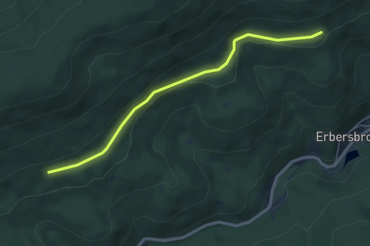
Easy · Trail
Stöcksberg -
4.5 km · ↑ 65 m · 1 h 13 min
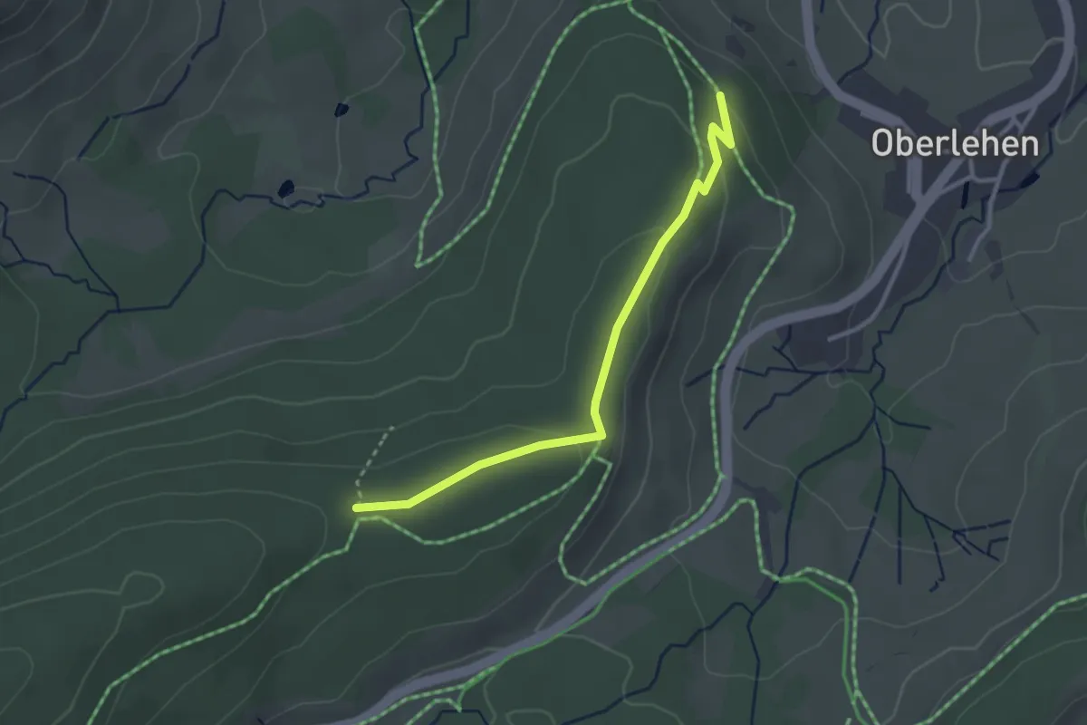
Easy · Trail
Stöck - Stöckerwaldhütte
2.8 km · ↑ 84 m · 51 min
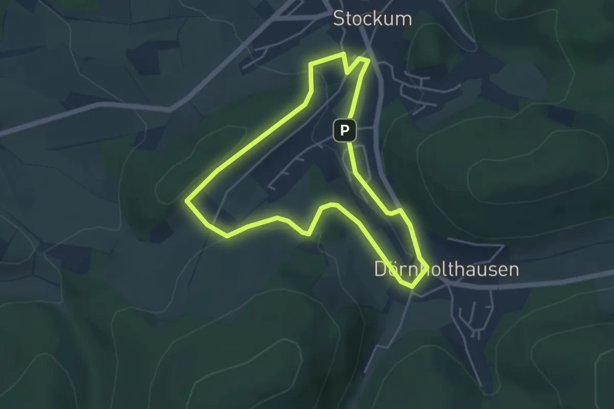
Easy · Summit
Stockumer Skulpturenweg
3.6 km · ↑ 97 m · 1 h 6 min
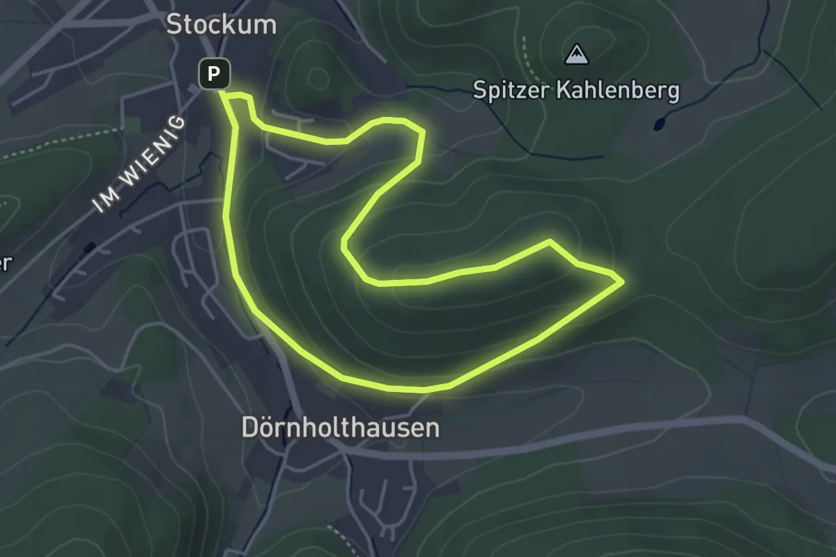
Easy · Summit
Stockum Wanderweg St1
3.6 km · ↑ 143 m · 1 h 12 min
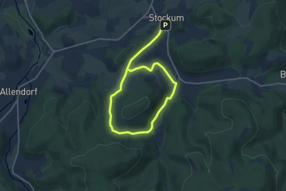
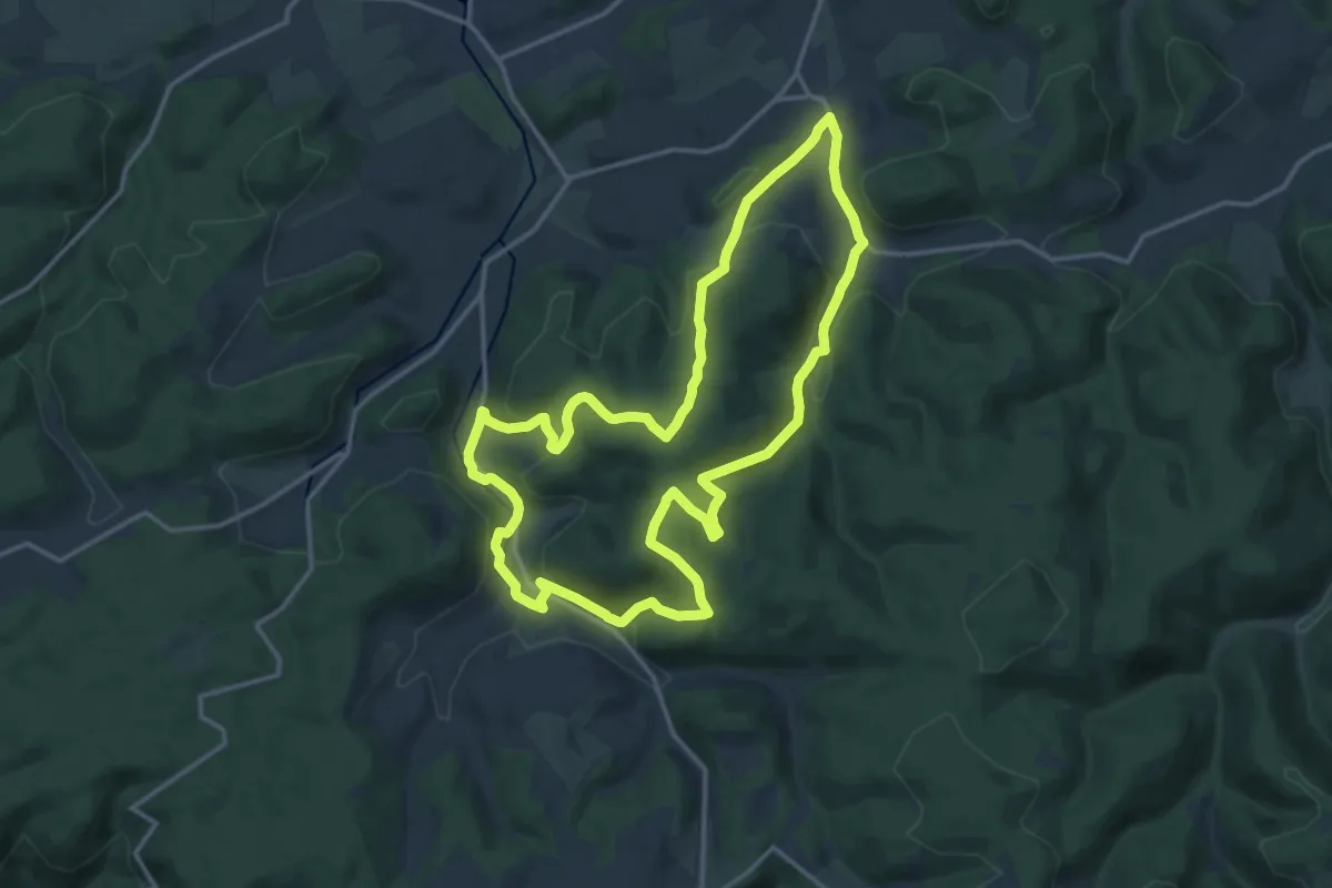
Medium · Trail
Stockum Wanderweg St3
9.9 km · ↑ 409 m · 3 h 13 min
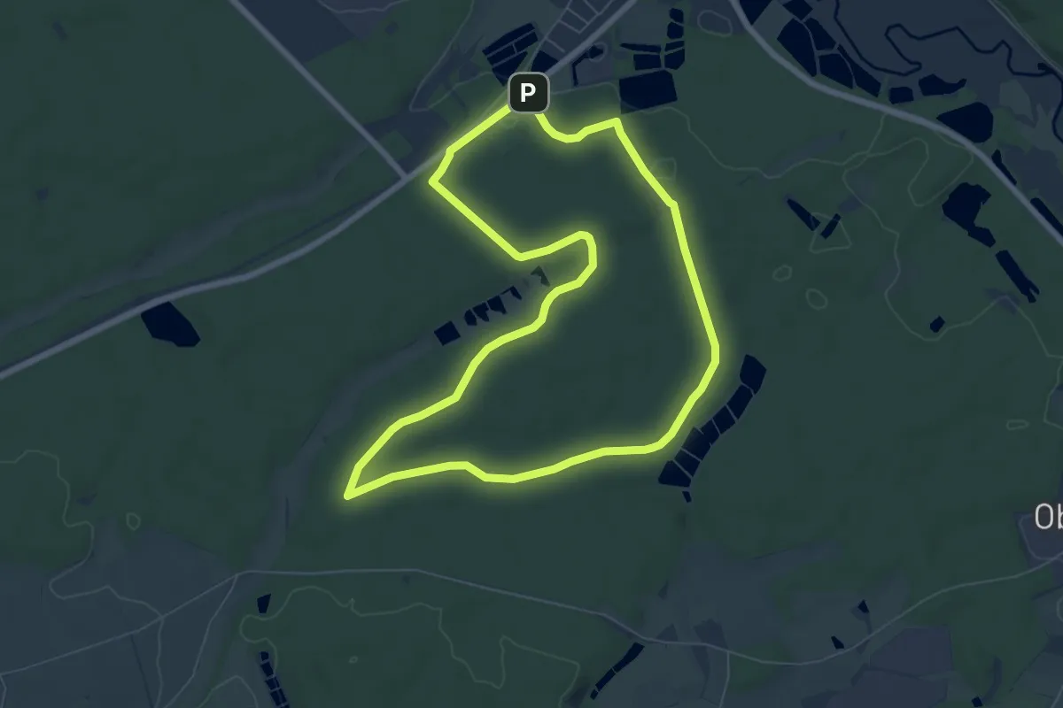
Medium · Trail
Stockum Wanderweg St4
13.8 km · ↑ 532 m · 4 h 35 min
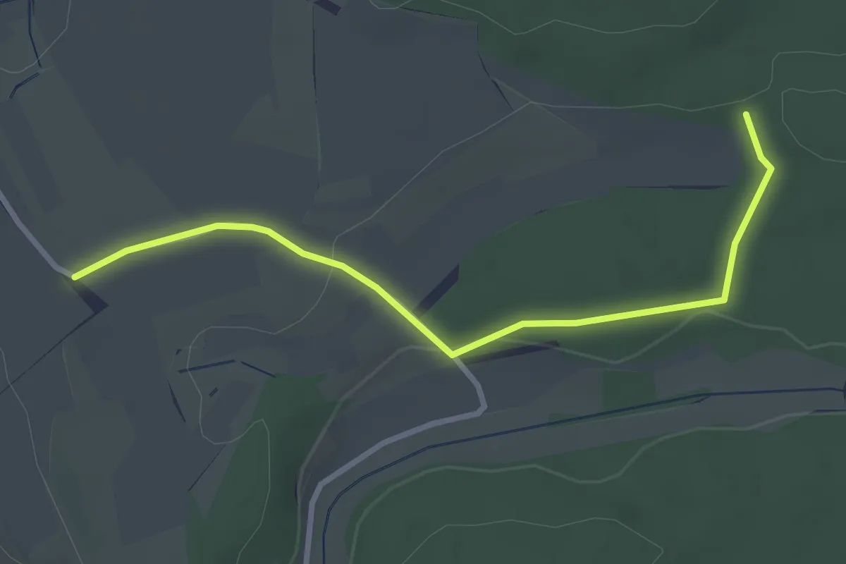
Easy · Trail
Stockweiherweg
6.8 km · ↑ 53 m · 1 h 48 min
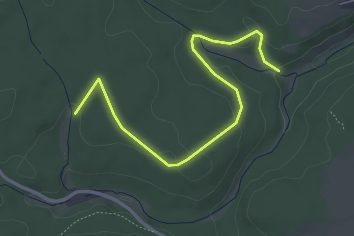
Easy · Trail
Stockwiesen - Spöck
2.9 km · ↑ 56 m · 49 min
Easy · Trail
Stockwiese - Wasserhäusle
5.2 km · ↑ 86 m · 1 h 25 min
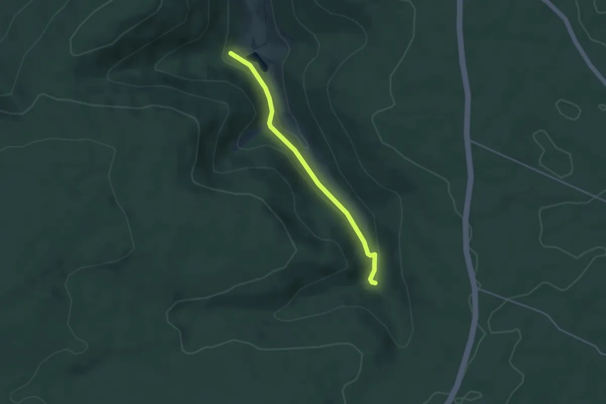
Easy · Trail
Stoffelshütte - Scheidgrund
3.2 km · ↑ 94 m · 57 min
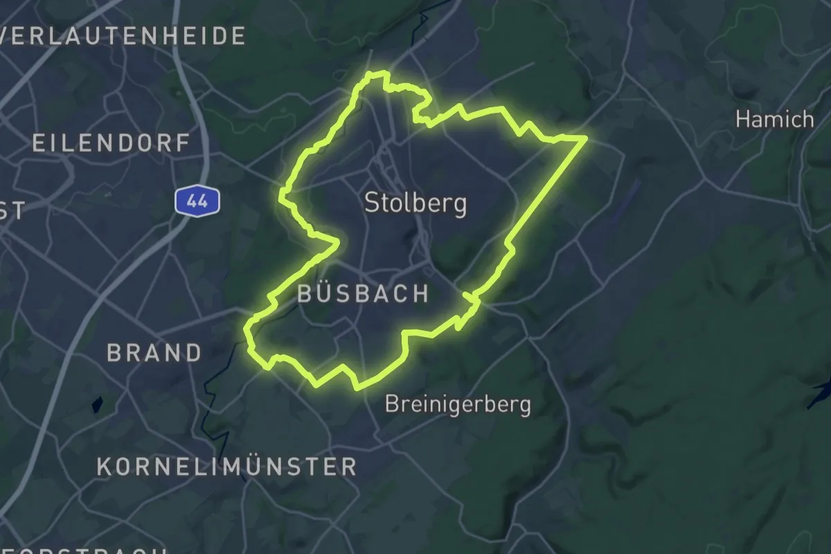
Demanding · Trail
Stolberg Rundweg 1
23.1 km · ↑ 289 m · 6 h 24 min
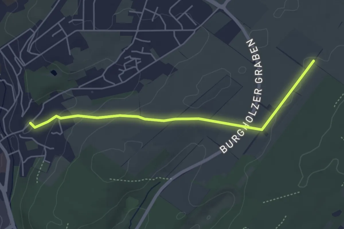
Easy · Trail
Stolberg Rundweg 4
4.1 km · ↑ 87 m · 1 h 10 min
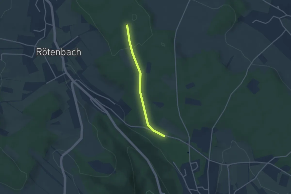
Easy · Trail
Stollenacker - Jägeracker
2.3 km · ↑ 38 m · 37 min