Trails in Germany
36,852 hiking trails, each with its route, climb, walking time and grade.
All trails, page 608 of 768
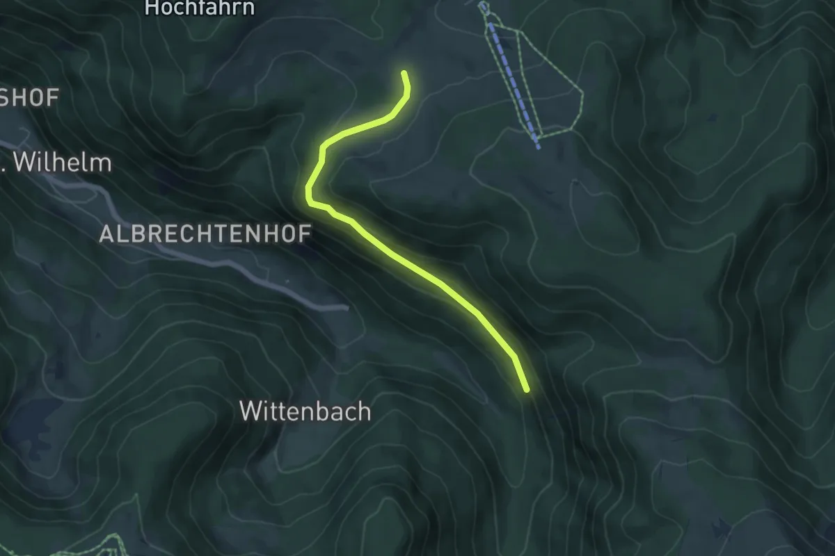
Easy · Trail
Stollenbacher Weide - Unterm Ibenfelsen
5.1 km · ↑ 181 m · 1 h 36 min
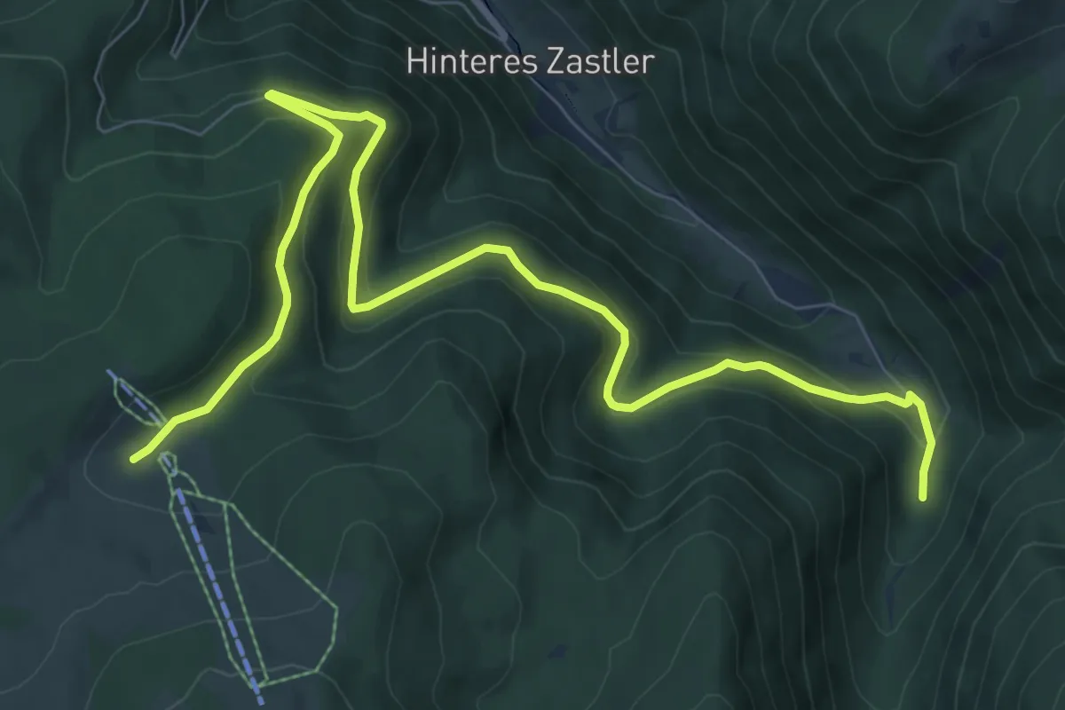
Medium · Trail
Stollenbach - Zastler Herderhäusle
10.3 km · ↑ 564 m · 3 h 39 min
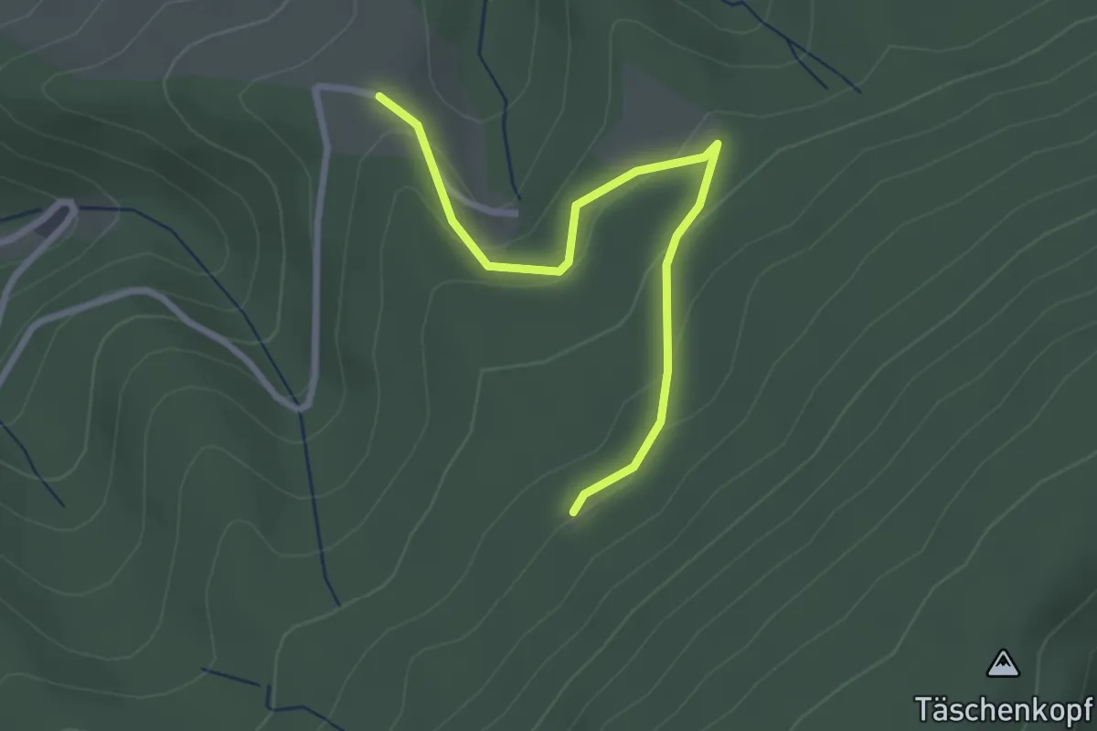
Easy · Trail
Stollengrund - Stollengrundhütte
2.6 km · ↑ 120 m · 53 min
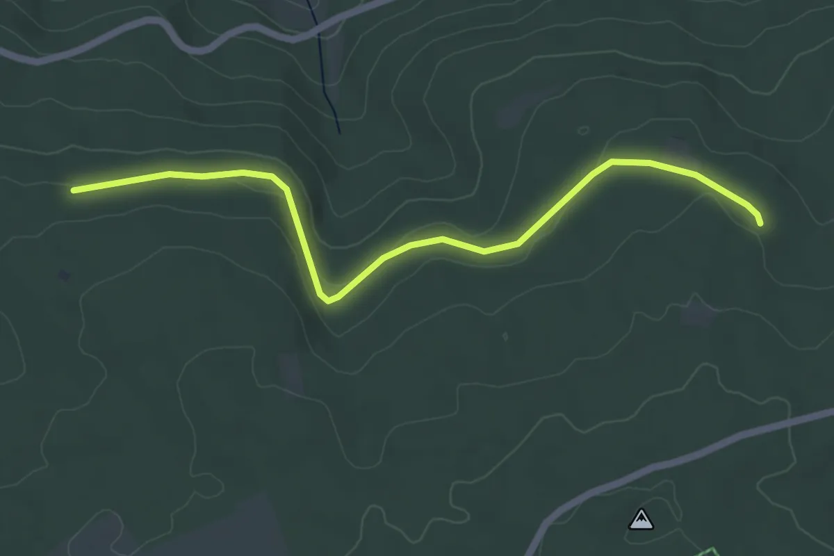
Easy · Trail
Stollenumkehrhütte - Hundlohhütte
4.9 km · ↑ 110 m · 1 h 23 min
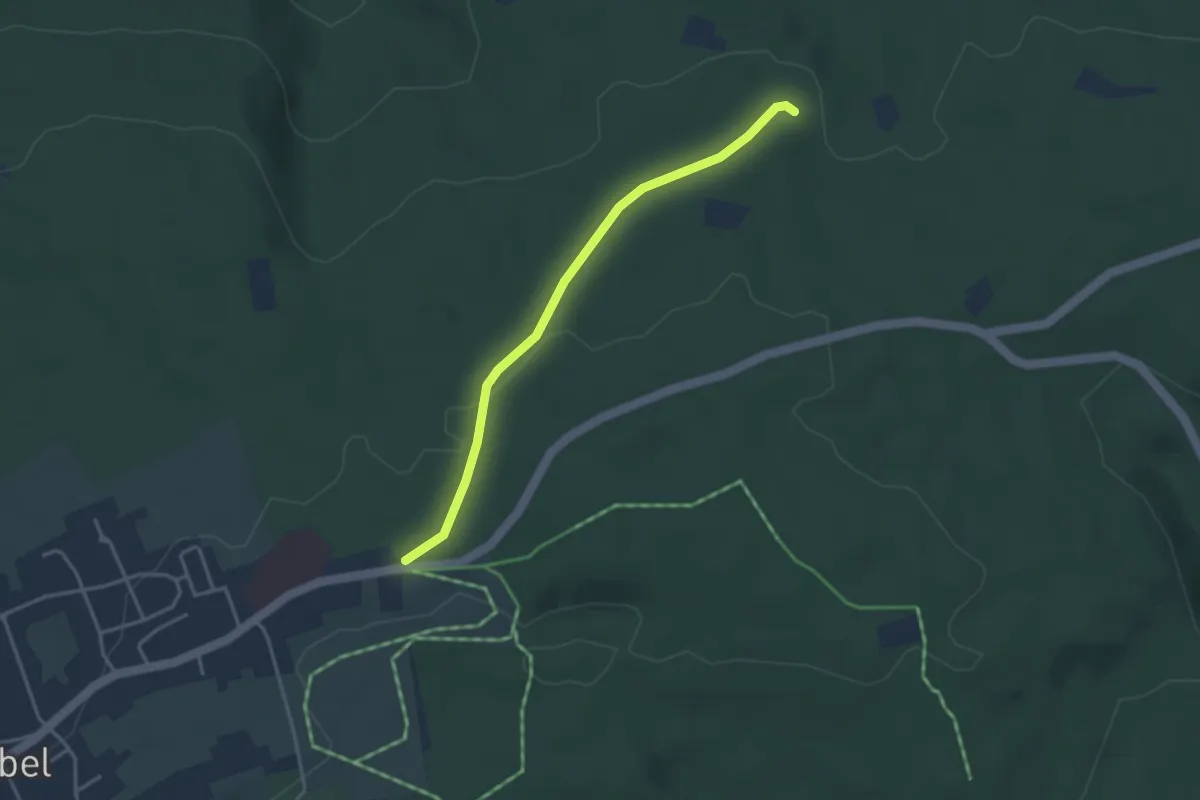
Easy · Trail
Stollenumkehrhütte - Parkplatz Horntannhalde
3.2 km · ↑ 58 m · 53 min
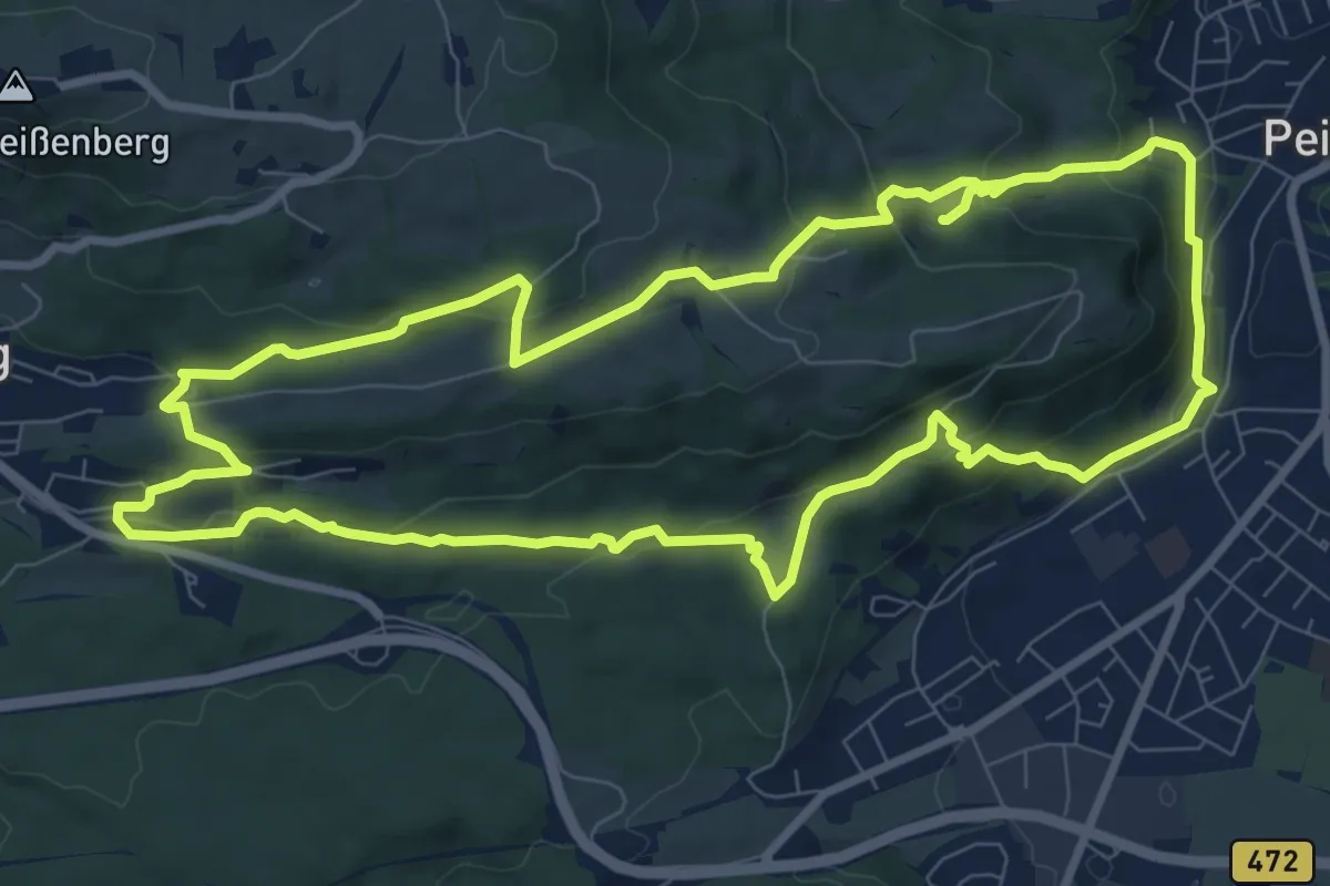
Medium · Trail
Stollenweg
9.4 km · ↑ 371 m · 3 h 8 min
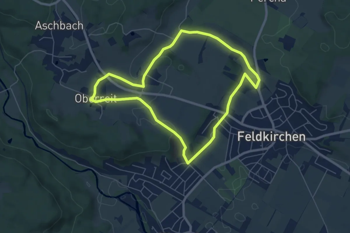
Easy · Trail
Stollwerck'sches Mausoleum
5.5 km · ↑ 64 m · 1 h 31 min
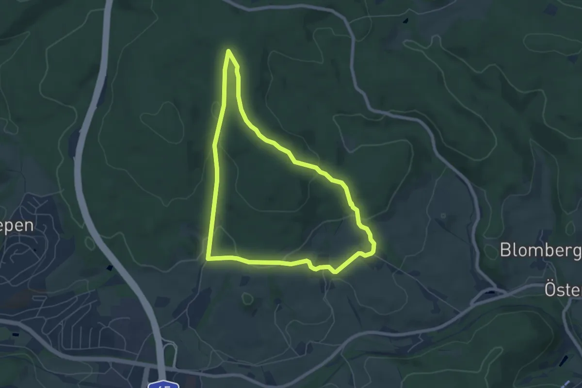
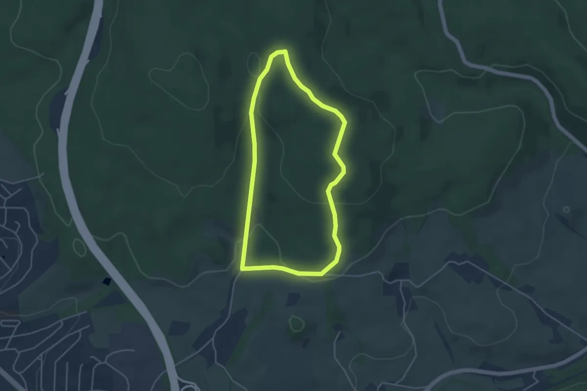
Easy · Summit
Stoltenberg Rundweg A3
5.4 km · ↑ 192 m · 1 h 45 min
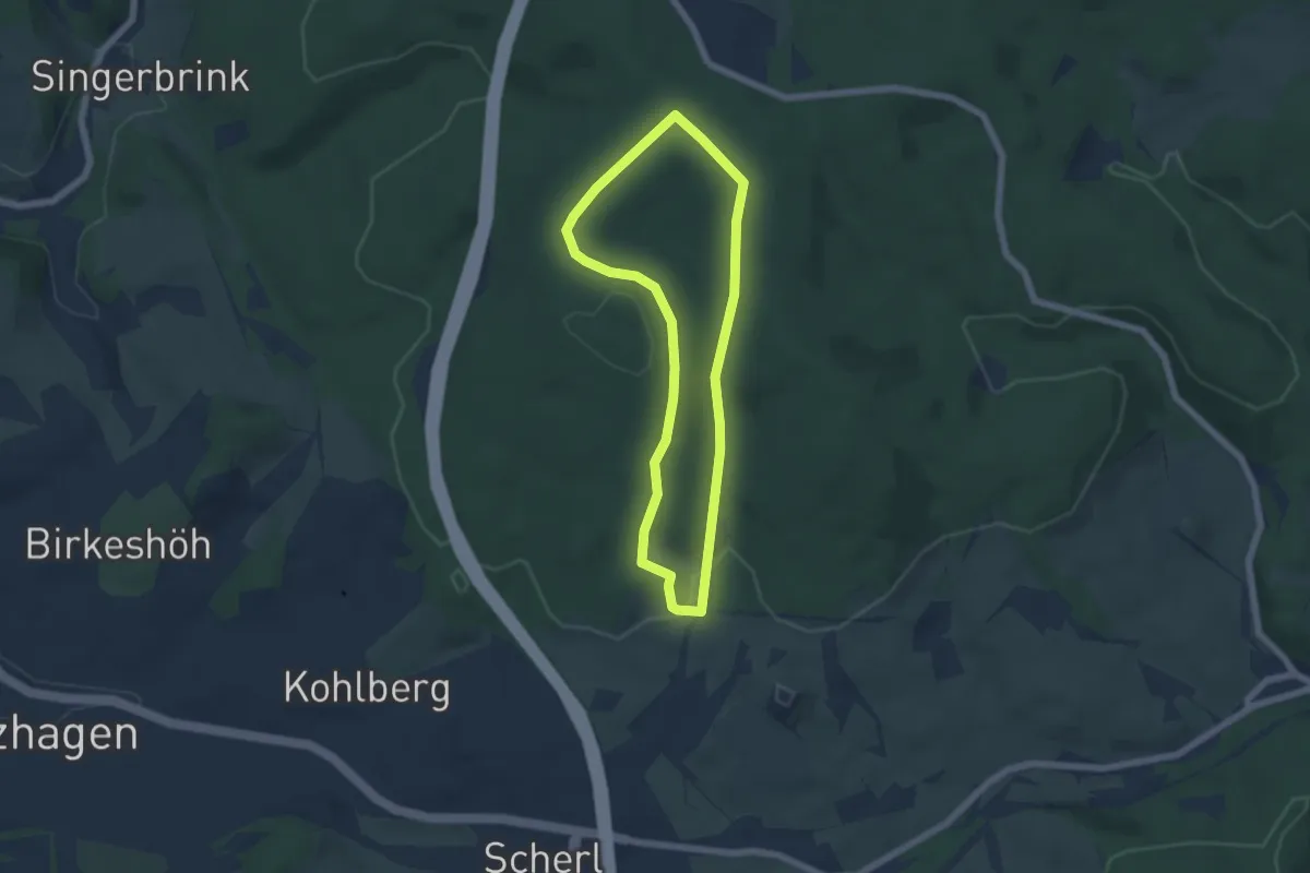
Easy · Summit
Stoltenberg Rundweg A4
3.4 km · ↑ 101 m · 1 h 4 min
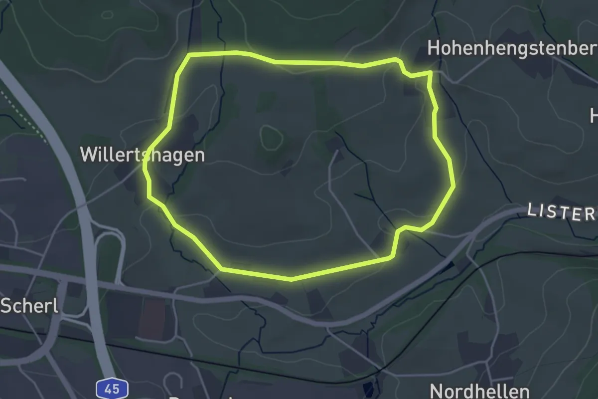
Easy · Trail
Stoltenberg Rundweg A5
4.6 km · ↑ 122 m · 1 h 25 min
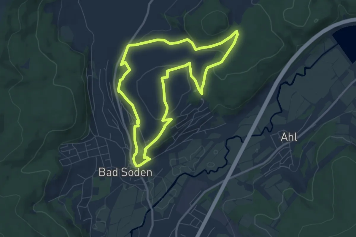
Easy · Trail
Stoltenberg Rundweg A6
3.5 km · ↑ 90 m · 1 h 4 min
Easy · Trail
Stolzenberger Ritterblick ( Spessartfährten )
7.0 km · ↑ 199 m · 2 h 11 min
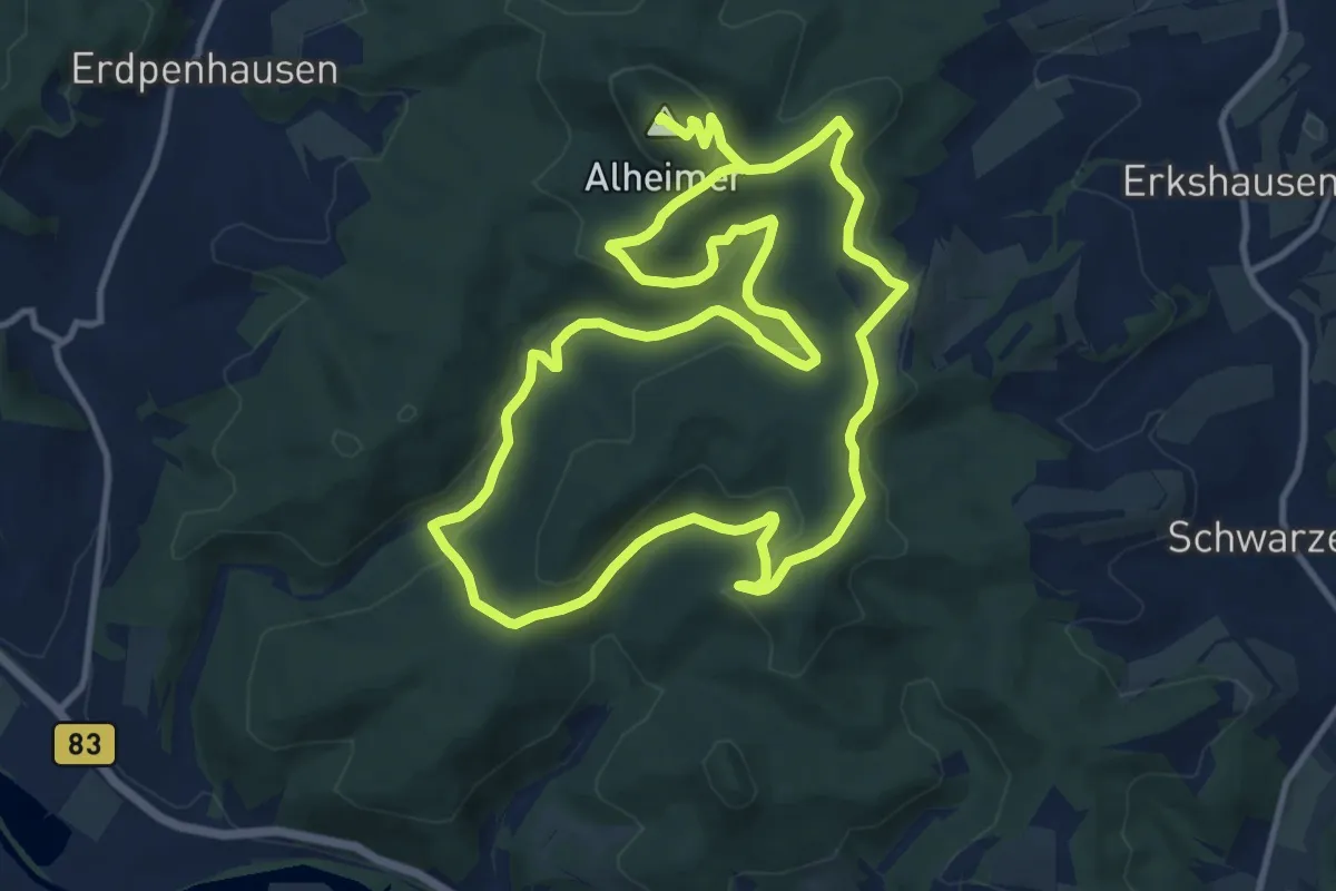
Demanding · Summit
Stölzinger Runde
22.2 km · ↑ 660 m · 6 h 41 min
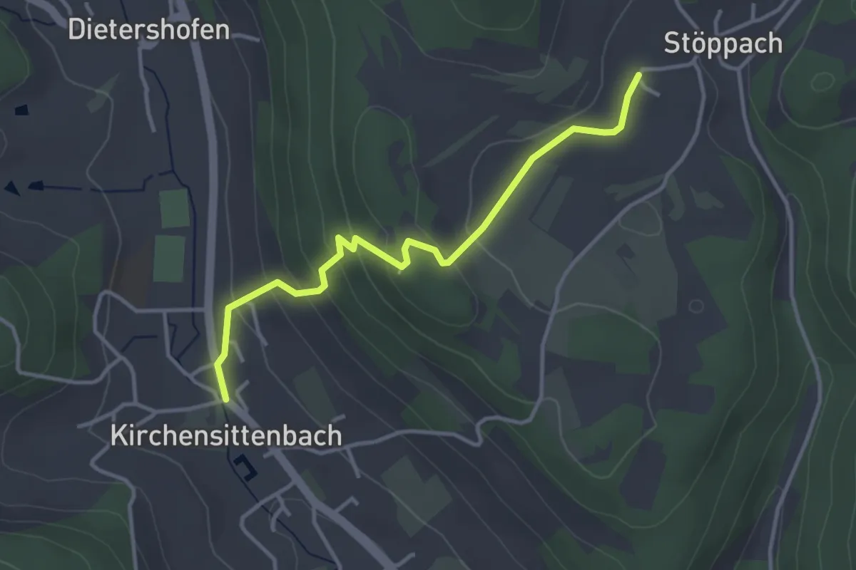
Demanding · Trail
Stöppach-Kirchensittenbach
3.3 km · ↑ 153 m · 1 h 7 min
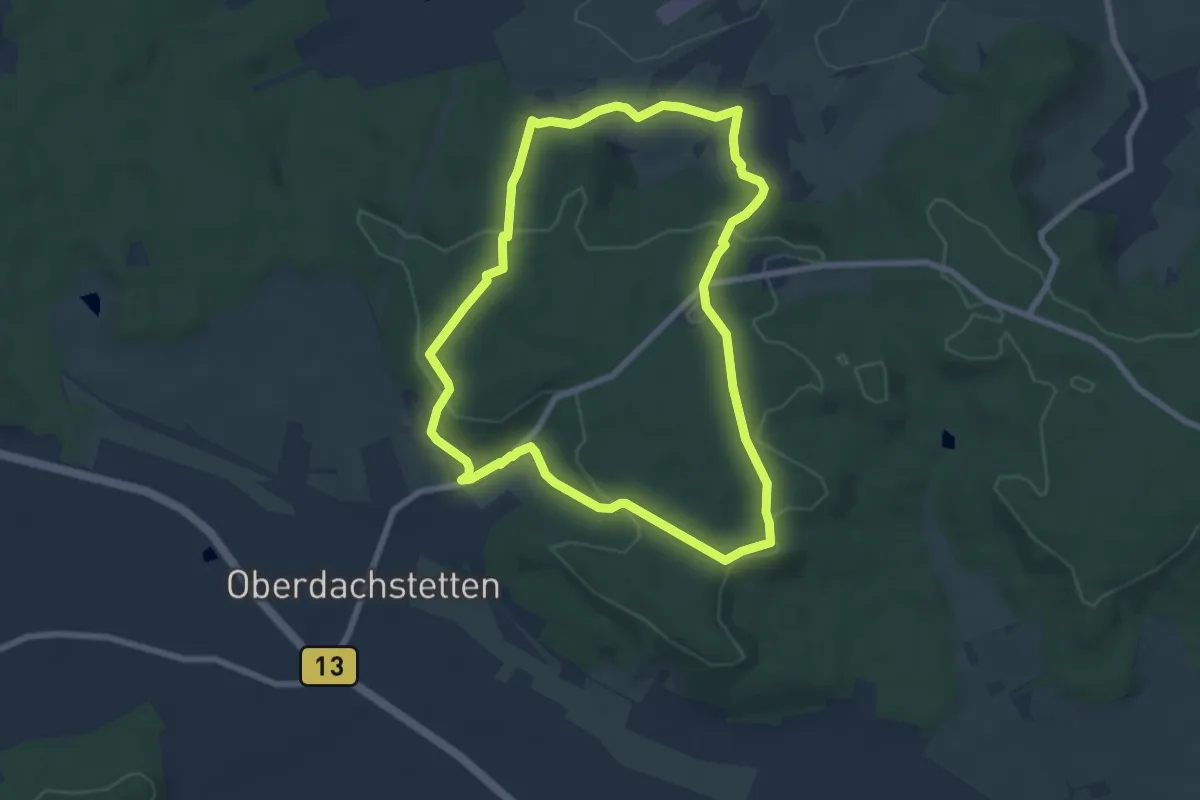
Easy · Trail
Storch
6.9 km · ↑ 187 m · 2 h 7 min
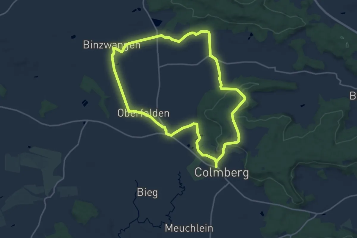
Medium · Summit
Storch
12.5 km · ↑ 128 m · 3 h 24 min
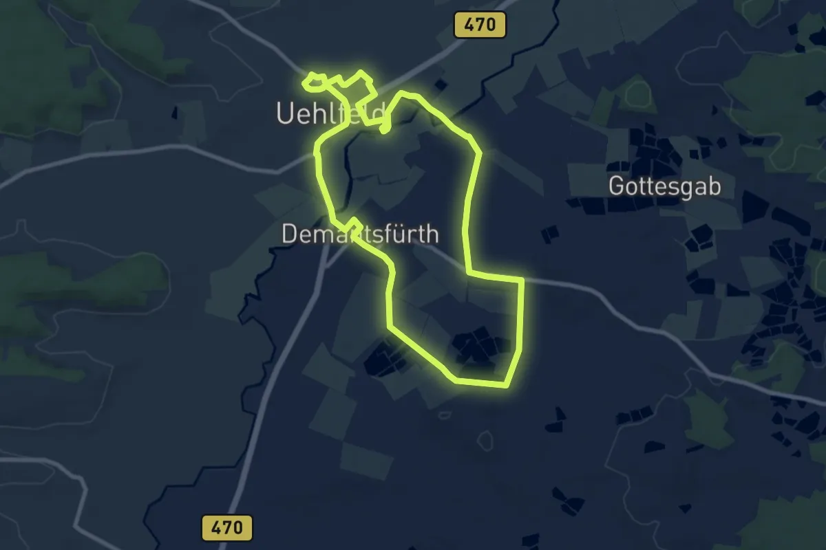
Easy · Trail
Storchen-Lehrpfad Uehlfeld
7.6 km · ↑ 25 m · 1 h 56 min
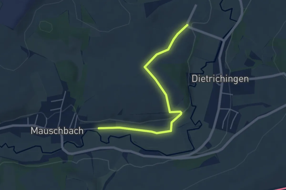
Easy · Trail
Storchen-Libellenweg
4.0 km · ↑ 85 m · 1 h 8 min
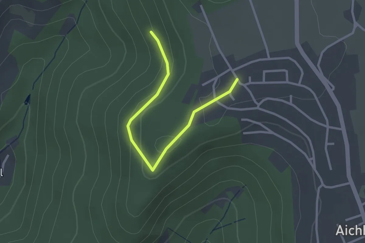
Easy · Trail
Storchenreute - Aichhalden Alter
2.4 km · ↑ 77 m · 45 min
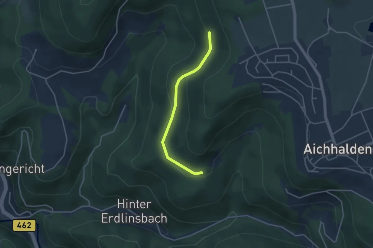
Easy · Trail
Storchenreute - Breitenstein
2.6 km · ↑ 82 m · 47 min
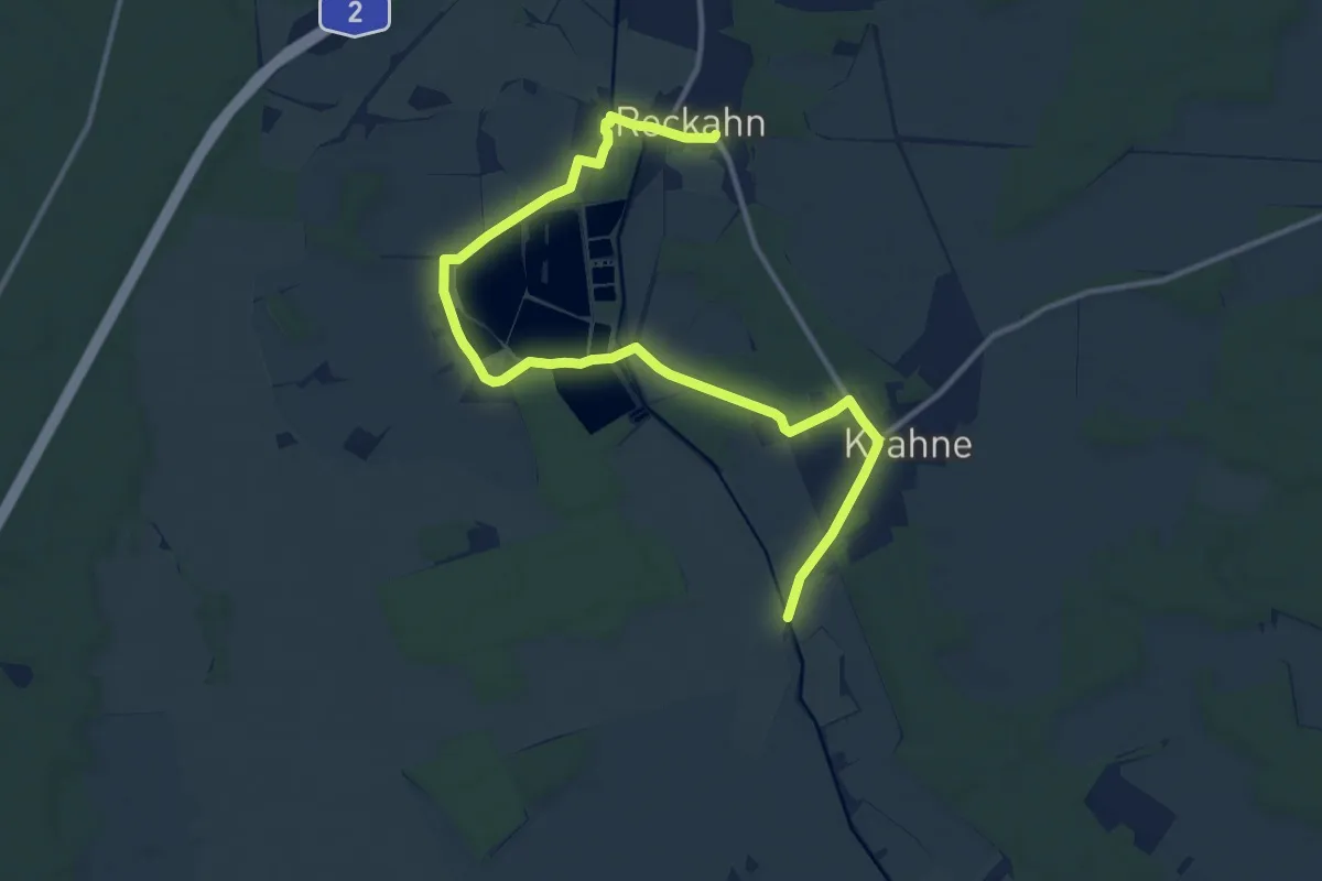
Medium · Trail
Storchenwanderweg
13.2 km · ↑ 35 m · 3 h 11 min
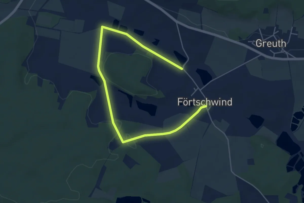
Easy · Trail
Storchenweg
5.5 km · ↑ 32 m · 1 h 22 min
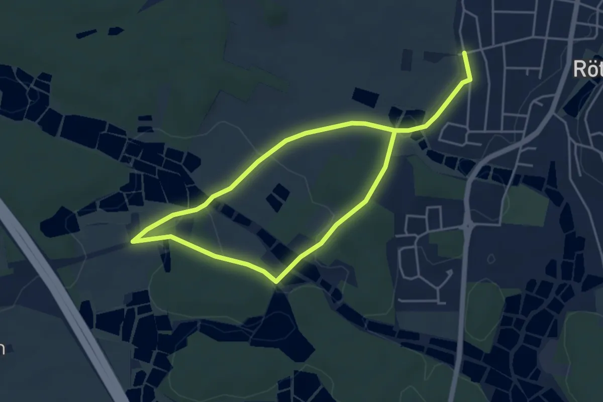
Easy · Trail
Storchenweg
6.5 km · ↑ 56 m · 1 h 39 min
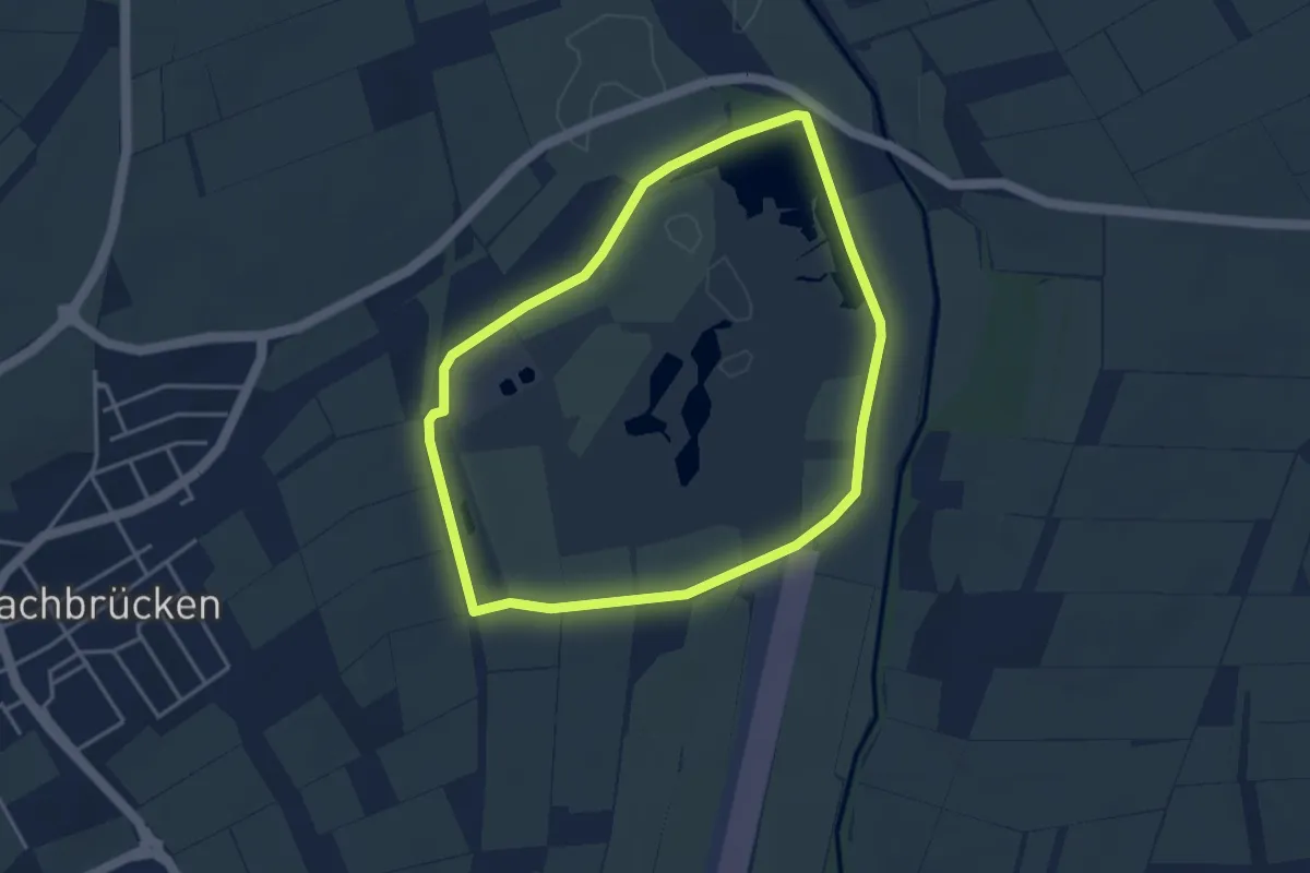
Easy · Trail
Storchenweg
3.4 km · ↑ 4 m · 52 min
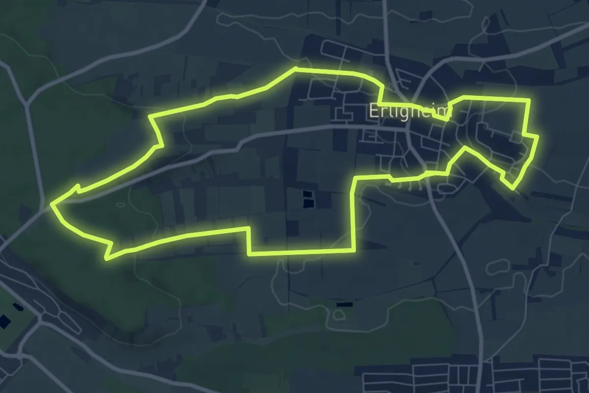
Medium · Trail
Storchenweg
8.5 km · ↑ 115 m · 2 h 22 min
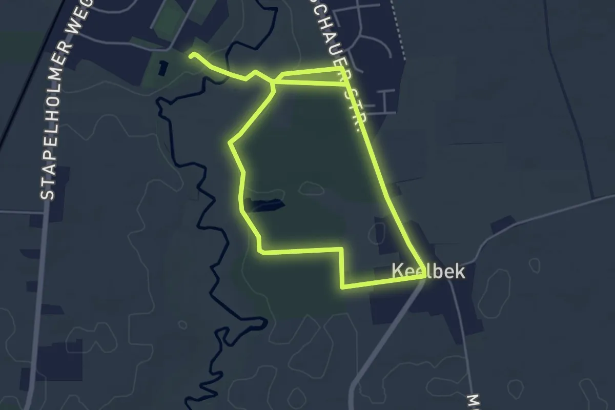
Easy · Trail
Storchenweg
6.2 km · ↑ 32 m · 1 h 31 min
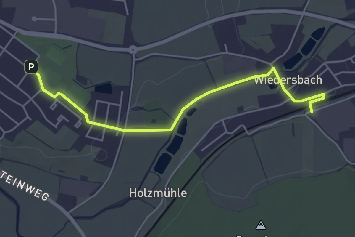
Easy · Trail
Storchweg Leutershausen
4.2 km · ↑ 30 m · 1 h 4 min
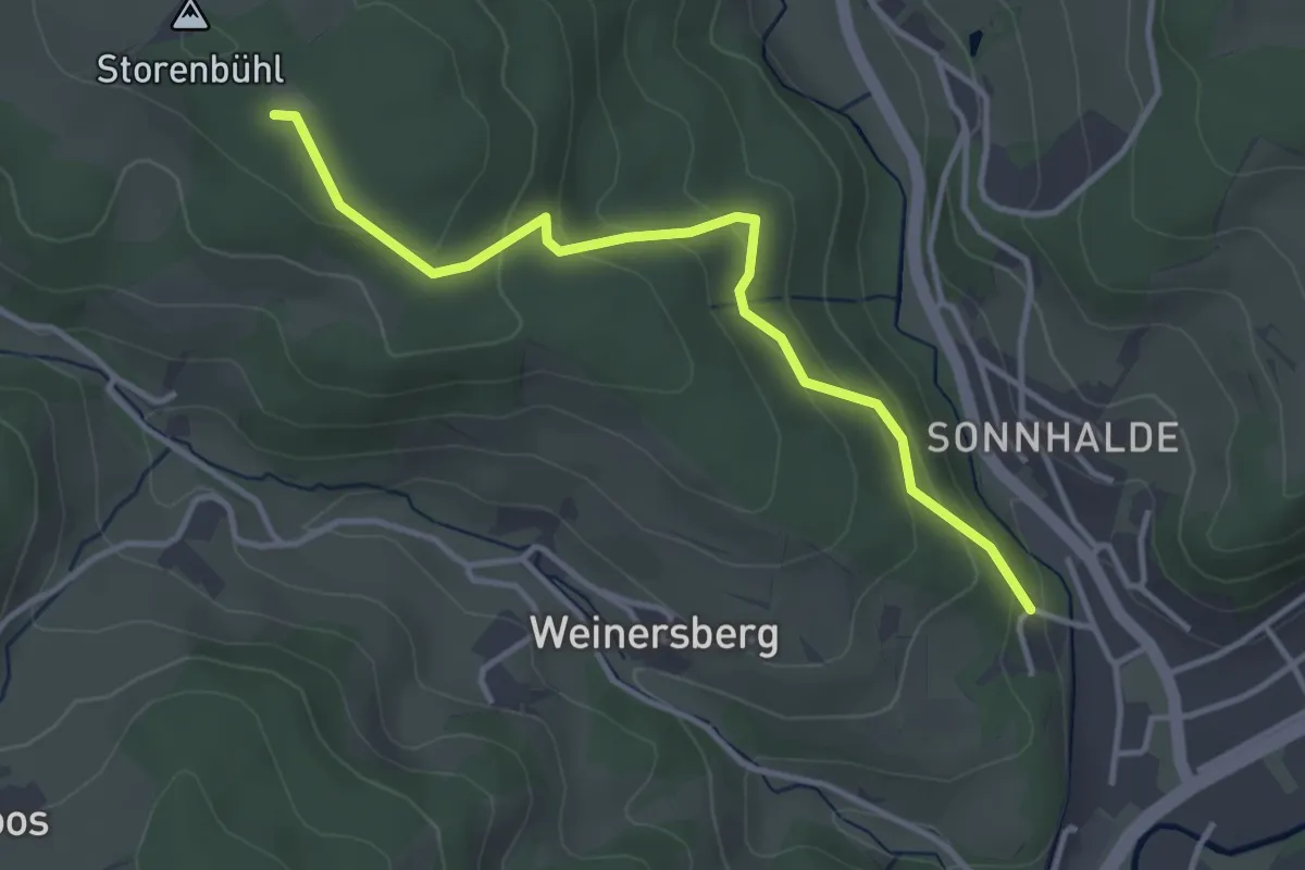
Easy · Trail
Storenbühl - Am Bolzberg
3.5 km · ↑ 170 m · 1 h 12 min
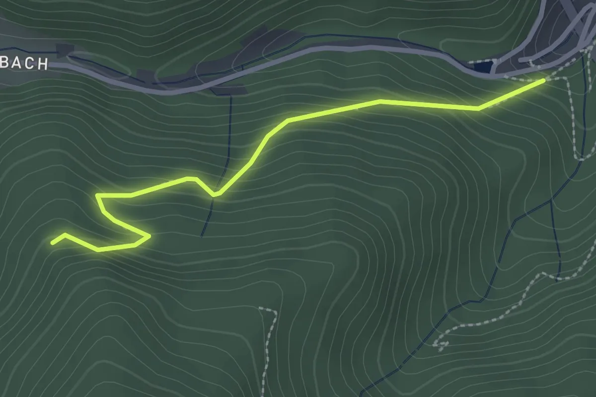
Easy · Trail
Storenwalddobel - Mittlerer Storenwald
2.5 km · ↑ 243 m · 1 h 7 min
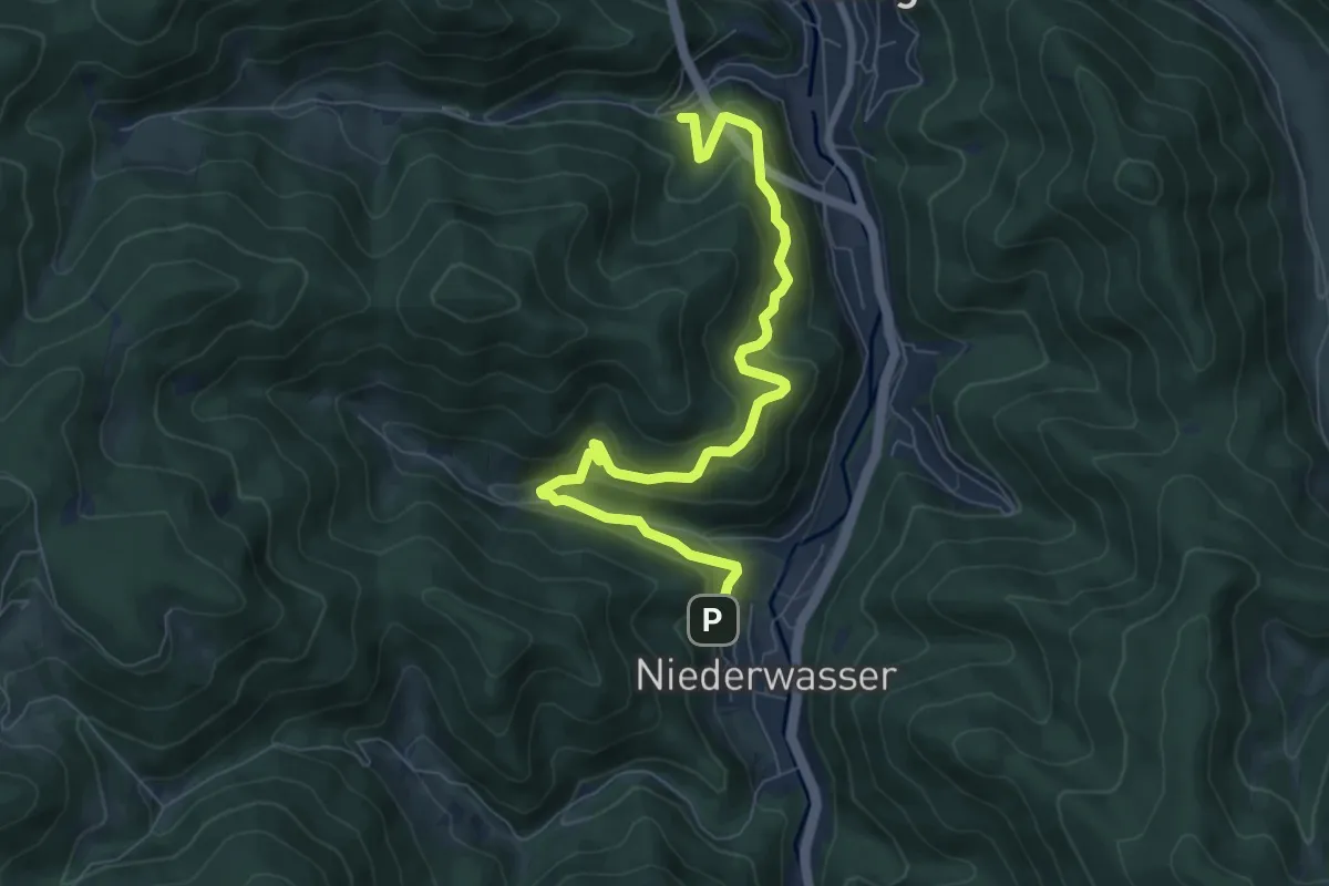
Medium · Trail
Storenwalddobel - Niederwasser Friedhof
8.0 km · ↑ 637 m · 3 h 16 min
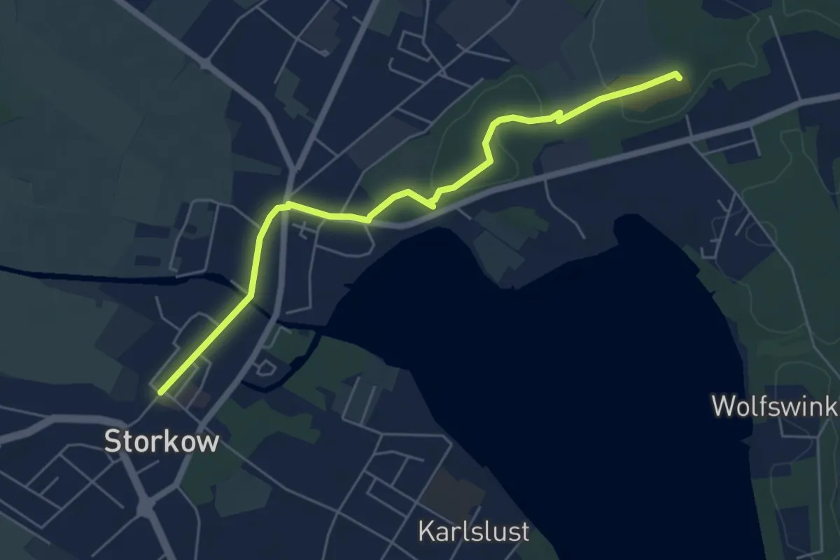
Easy · Summit
Storkow Markt - Binnendüne
5.1 km · ↑ 31 m · 1 h 17 min
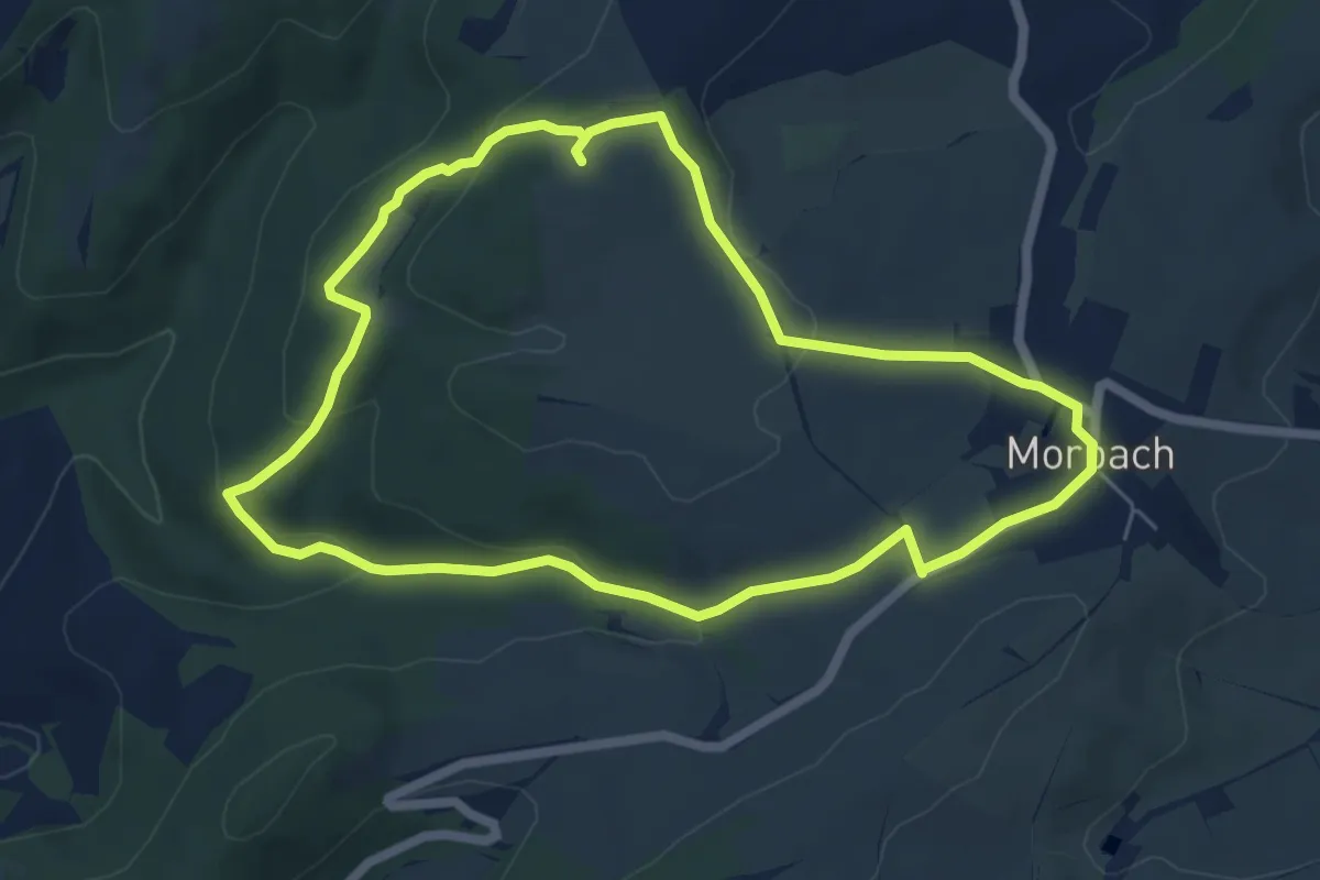
Easy · Trail
Störzelbergrunde
5.6 km · ↑ 166 m · 1 h 45 min
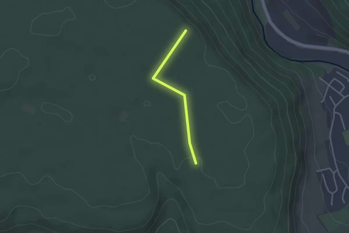
Easy · Trail
Stottele Hütte - Alte Poststraße
2.1 km · ↑ 13 m · 31 min
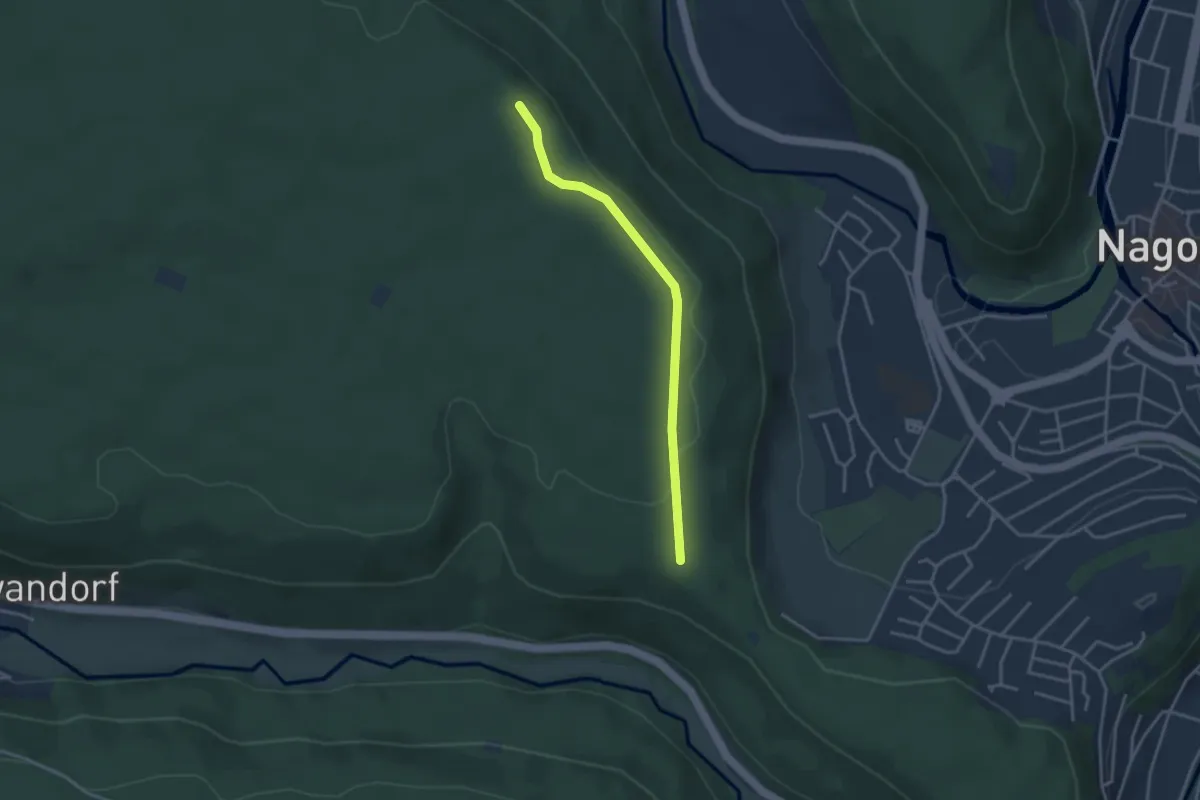
Easy · Trail
Stottele Hütte - Buchschlägle
3.1 km · ↑ 44 m · 49 min
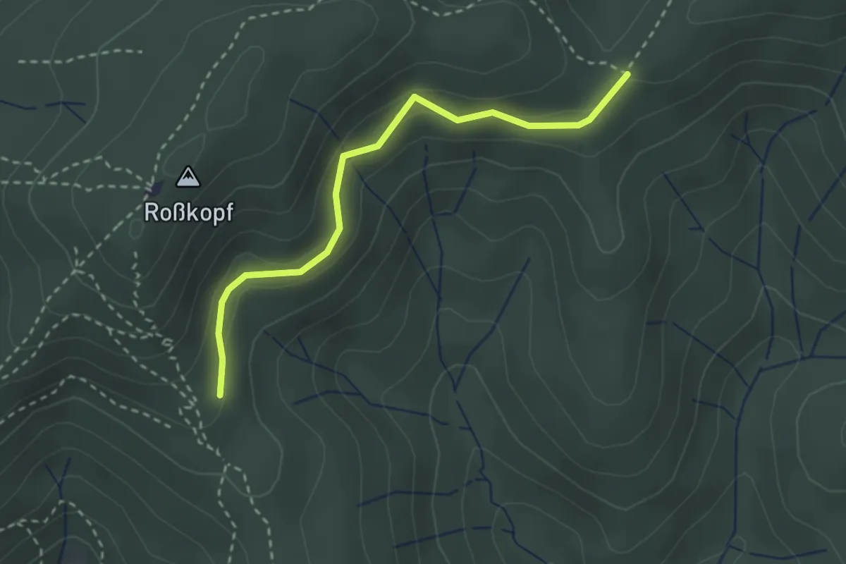
Easy · Trail
St. Ottilienhalde - Ochsenlager Rosmarientanne
2.6 km · ↑ 127 m · 54 min
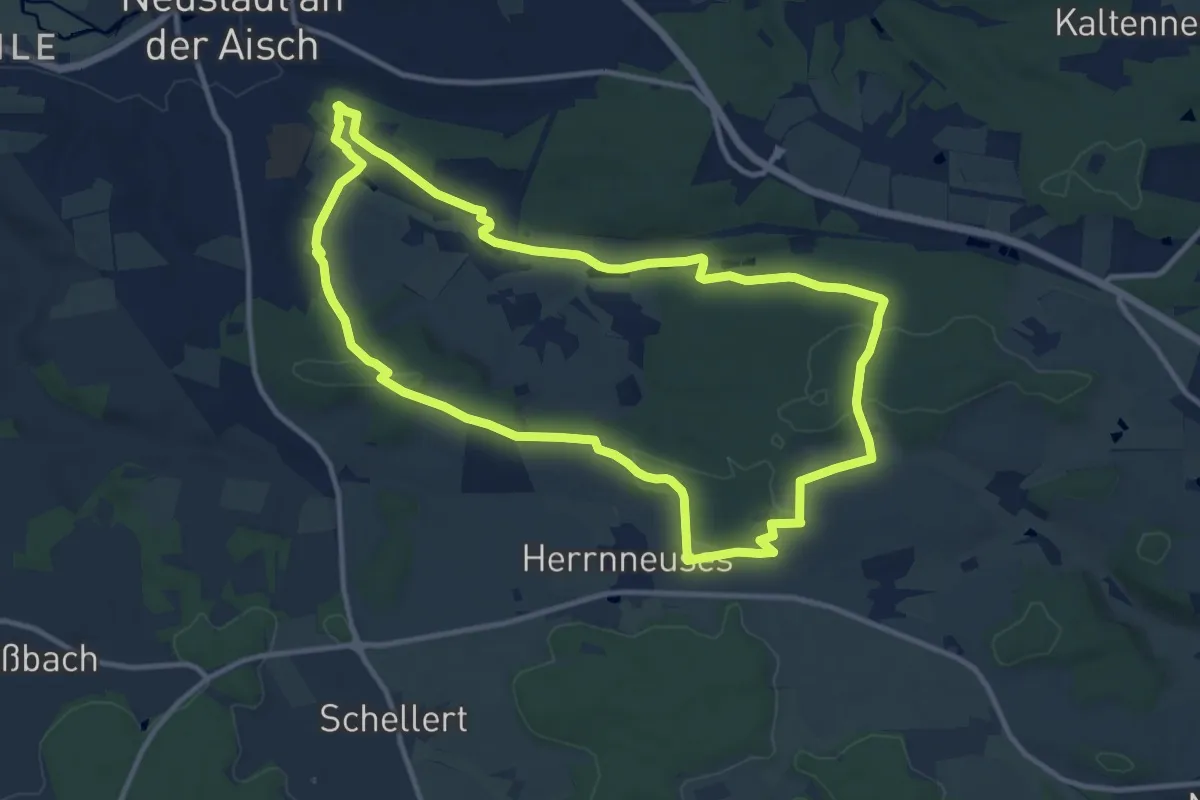
Medium · Trail
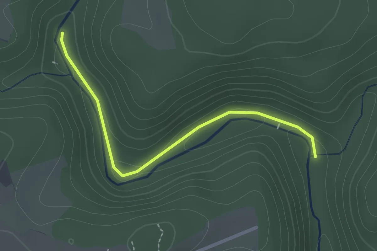
Strahlbach-Tour
11.2 km · ↑ 177 m · 3 h 12 min
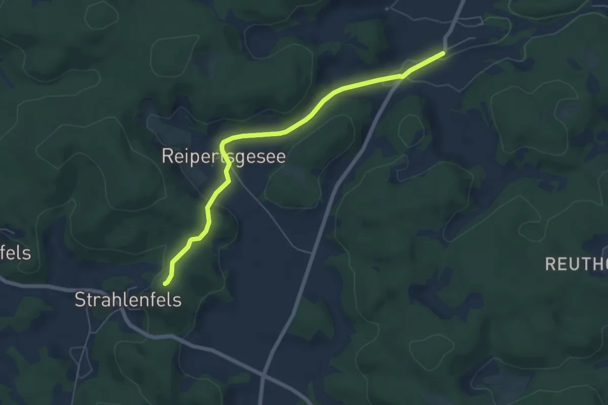
Easy · Trail
Strahlbusch - Alter Stausee
2.1 km · ↑ 57 m · 36 min
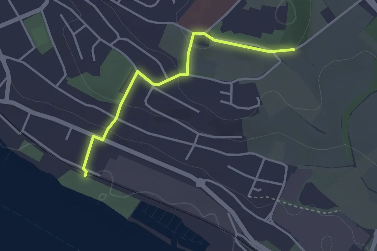
Easy · Trail
Strahlenfels-Hetzendorf
5.4 km · ↑ 109 m · 1 h 31 min
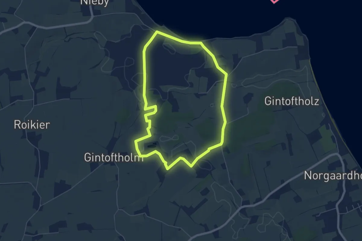
Easy · Trail
Strandbad Ost - St. Leonhard
2.7 km · ↑ 81 m · 49 min
Easy · Trail
Strandrunde Habernis
4.9 km · ↑ 22 m · 1 h 17 min
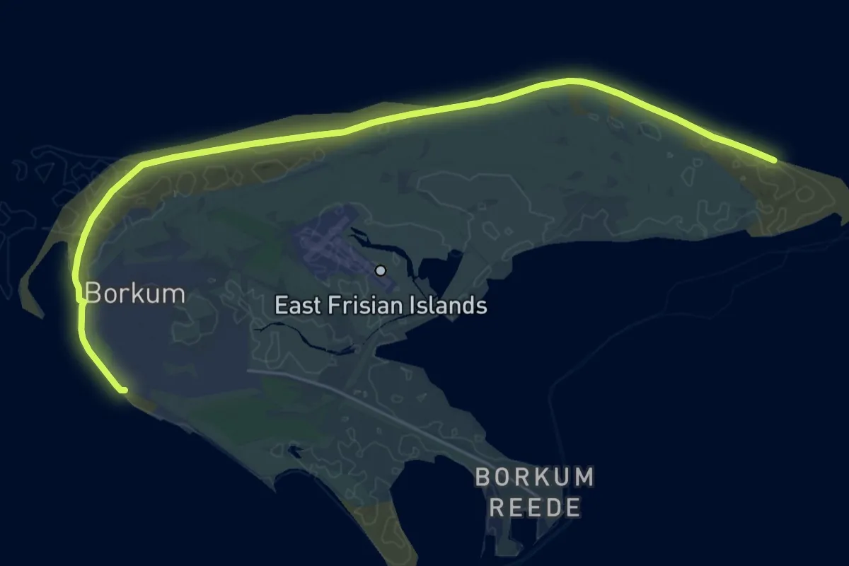
Demanding · Trail
Strandweg
25.7 km · ↑ 61 m · 6 h 12 min
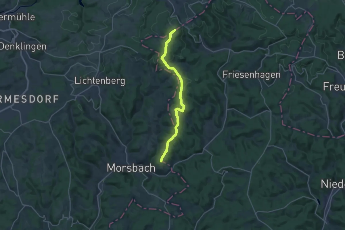
Medium · Trail
Straße der Arbeit [Altenkirchen]
15.1 km · ↑ 312 m · 4 h 15 min
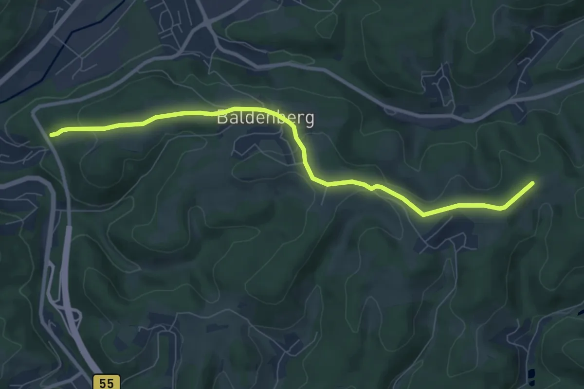
Easy · Trail
Straße der Arbeit [Bergneustadt]
7.3 km · ↑ 156 m · 2 h 4 min
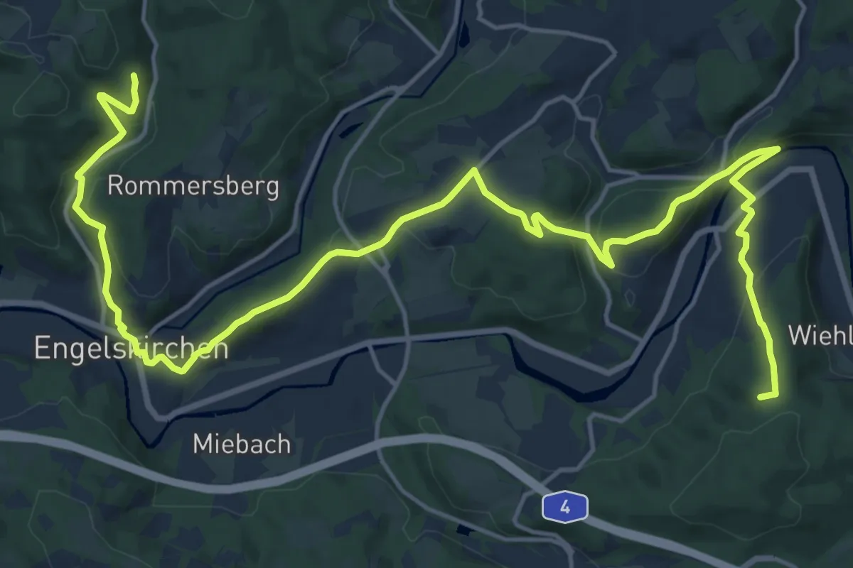
Demanding · Summit
Straße der Arbeit [Engelskirchen]
20.2 km · ↑ 684 m · 6 h 15 min
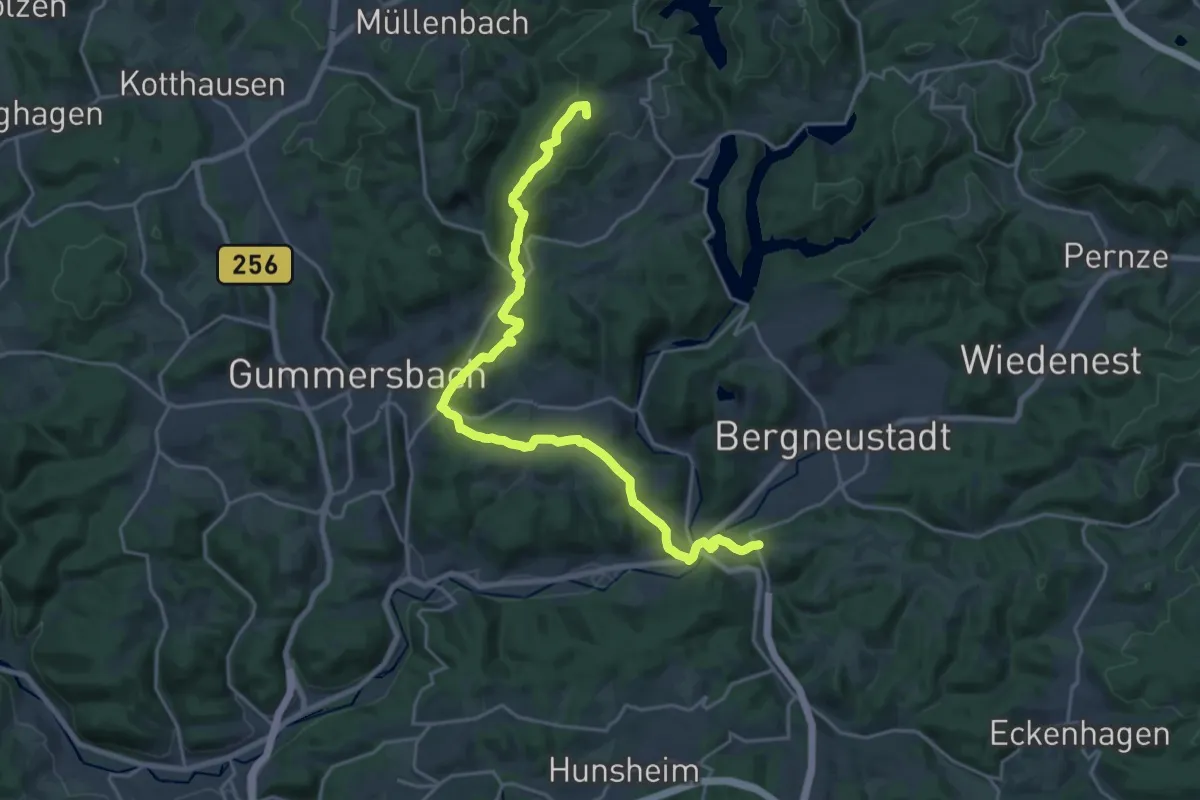
Demanding · Summit
Straße der Arbeit [Gummersbach]
21.8 km · ↑ 718 m · 6 h 42 min
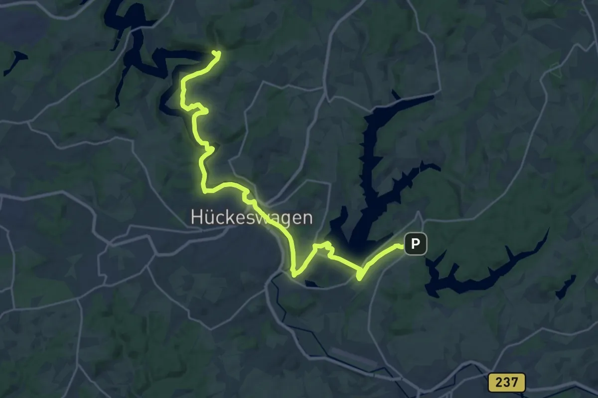
Demanding · Trail
Straße der Arbeit [Hückeswagen]
23.0 km · ↑ 406 m · 6 h 19 min
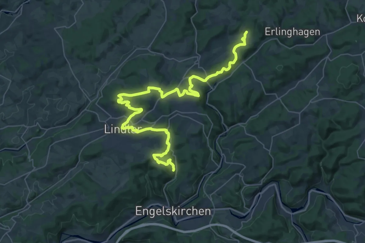
Demanding · Trail
Straße der Arbeit [Lindlar]
18.3 km · ↑ 493 m · 5 h 38 min
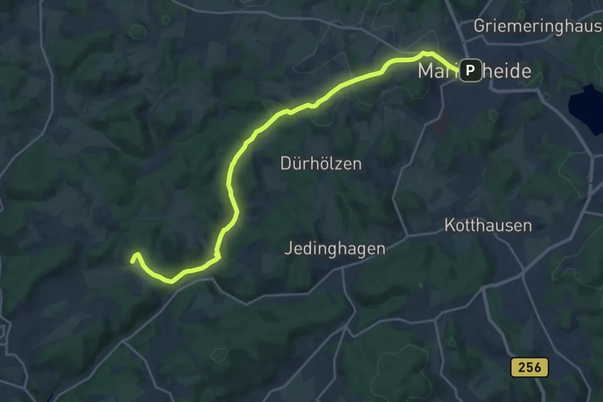
Medium · Trail
Straße der Arbeit [Marienheide]
16.2 km · ↑ 391 m · 4 h 40 min