Trails in Germany
36,852 hiking trails, each with its route, climb, walking time and grade.
All trails, page 609 of 768
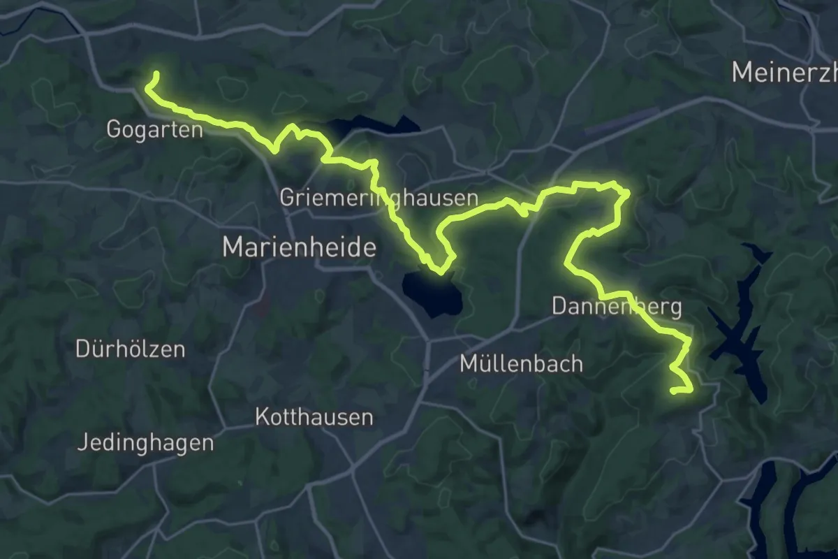
Demanding · Summit
Straße der Arbeit [Marienheide]
32.6 km · ↑ 705 m · 9 h 14 min
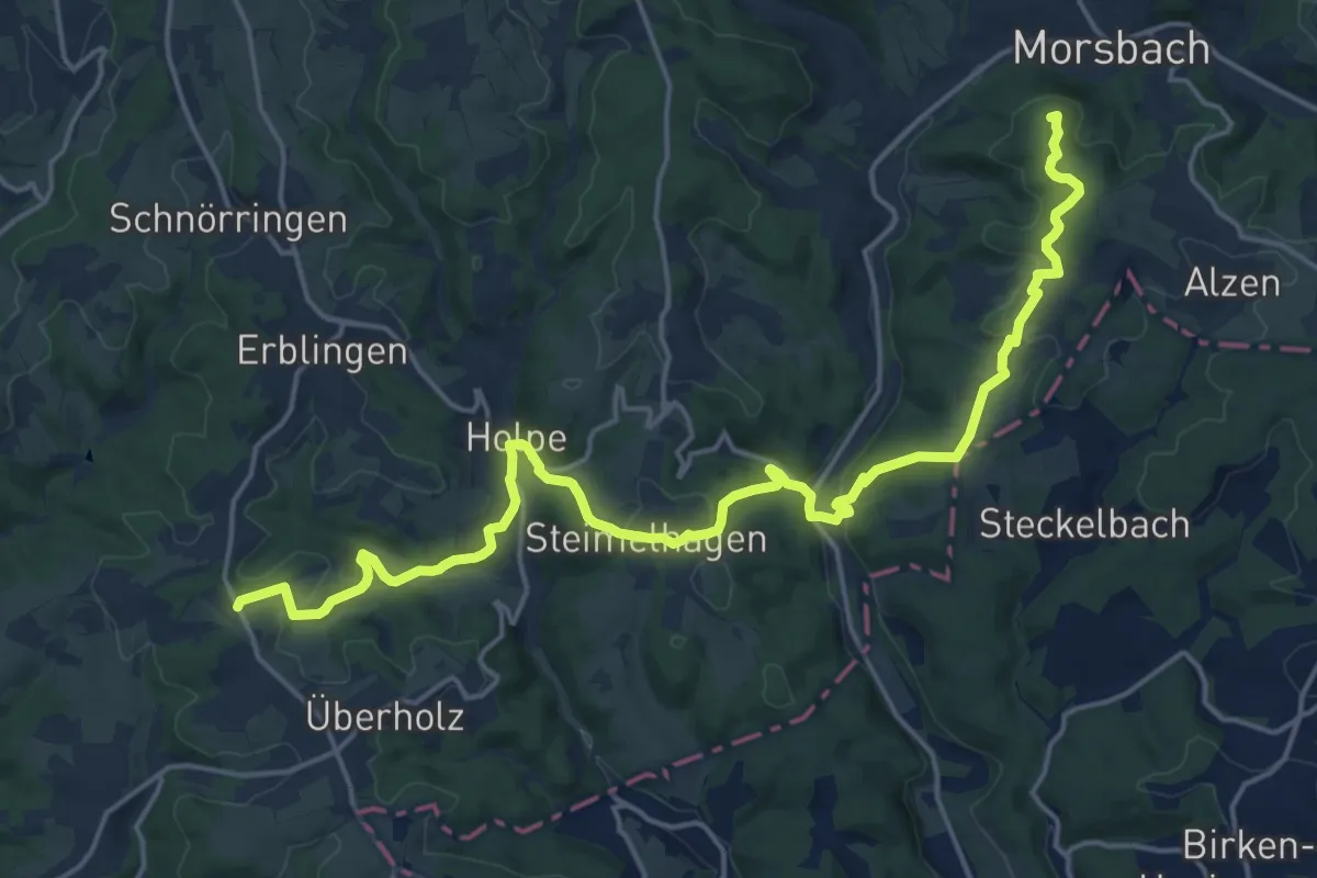
Demanding · Summit
Straße der Arbeit [Morsbach]
20.0 km · ↑ 563 m · 5 h 57 min
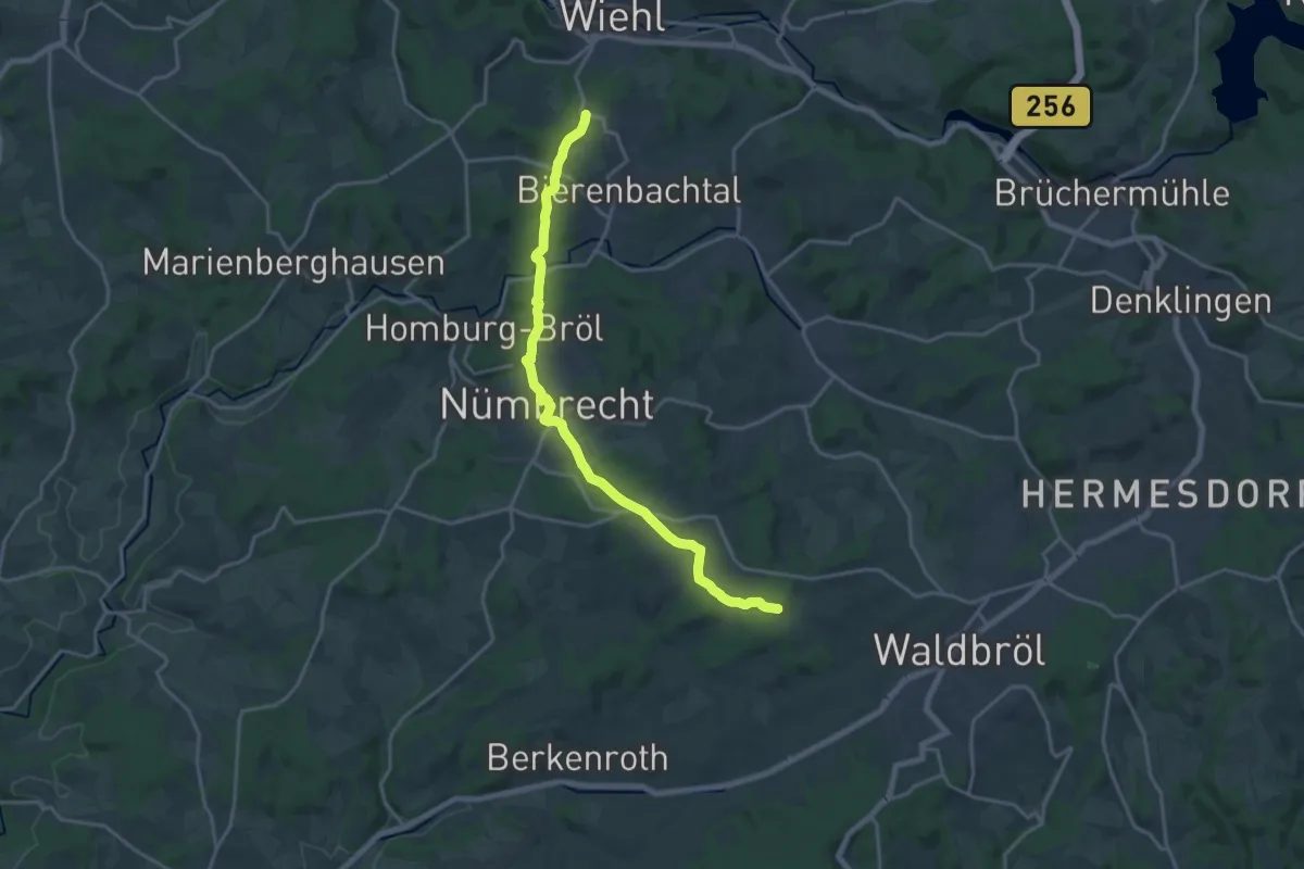
Medium · Trail
Straße der Arbeit [Nümbrecht]
17.5 km · ↑ 349 m · 4 h 53 min
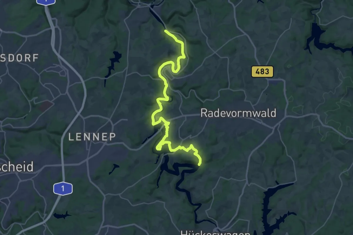
Demanding · Trail
Straße der Arbeit [Radevormwald]
27.9 km · ↑ 646 m · 7 h 59 min
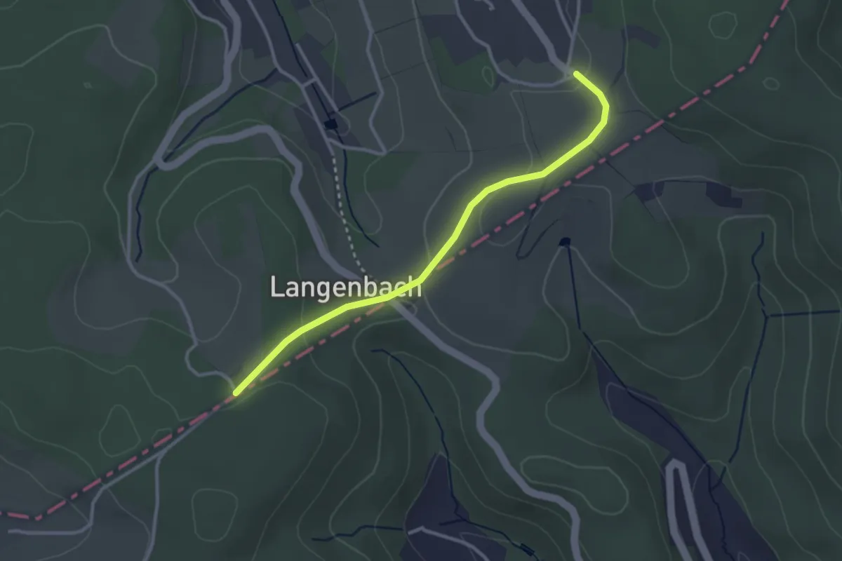
Easy · Trail
Straße der Arbeit [Reichshof]
2.8 km · ↑ 78 m · 49 min
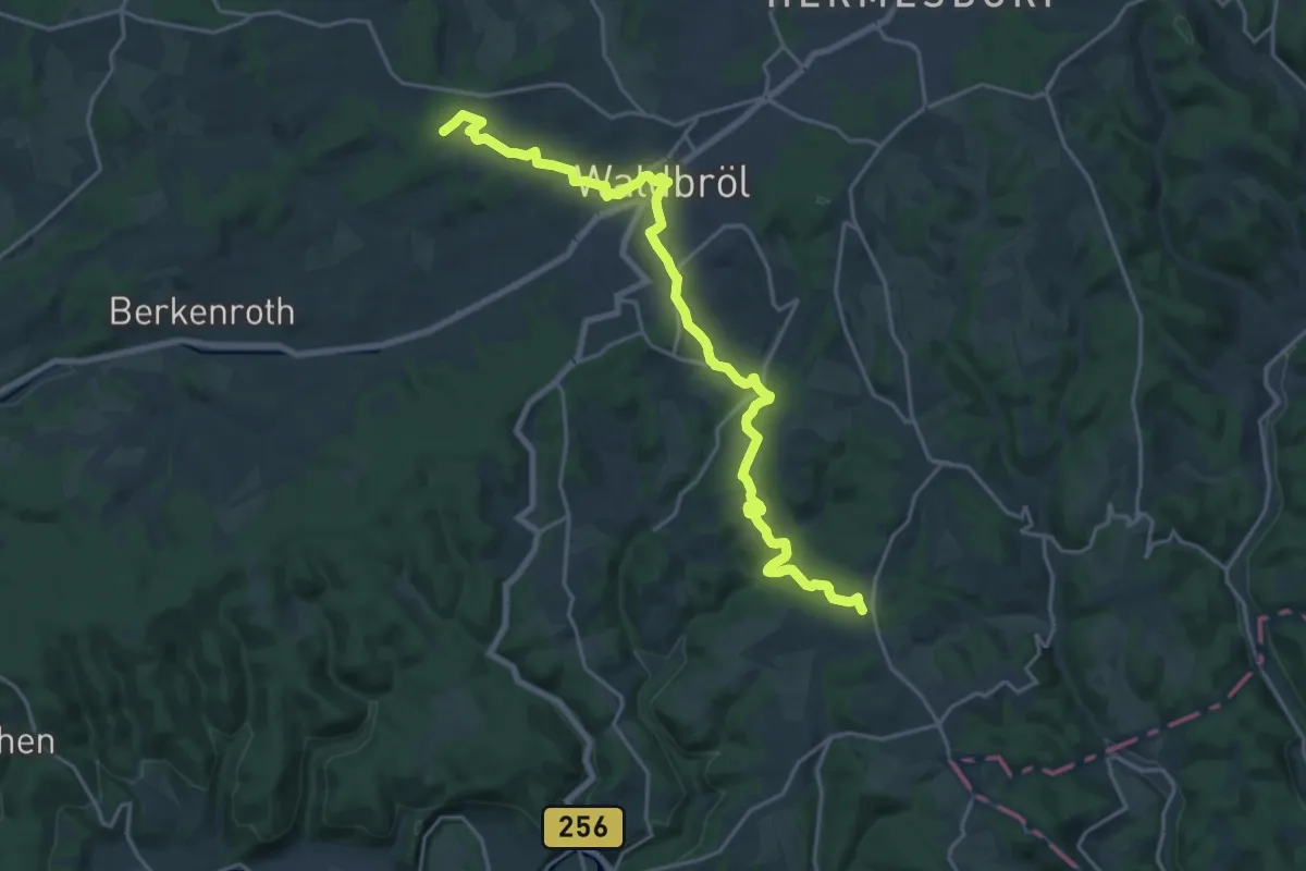
Demanding · Trail
Straße der Arbeit [Waldbröl]
20.7 km · ↑ 499 m · 5 h 58 min
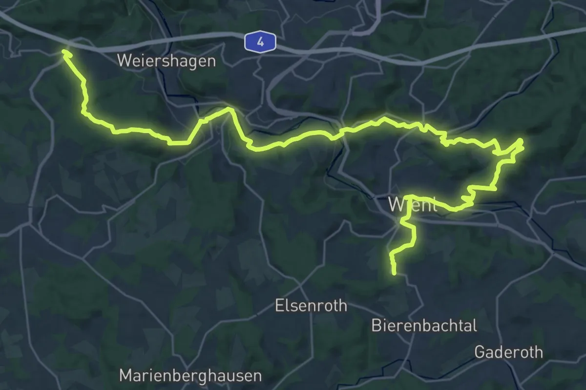
Medium · Trail
Straße der Arbeit [Wiehl]
17.5 km · ↑ 357 m · 5 h 10 min
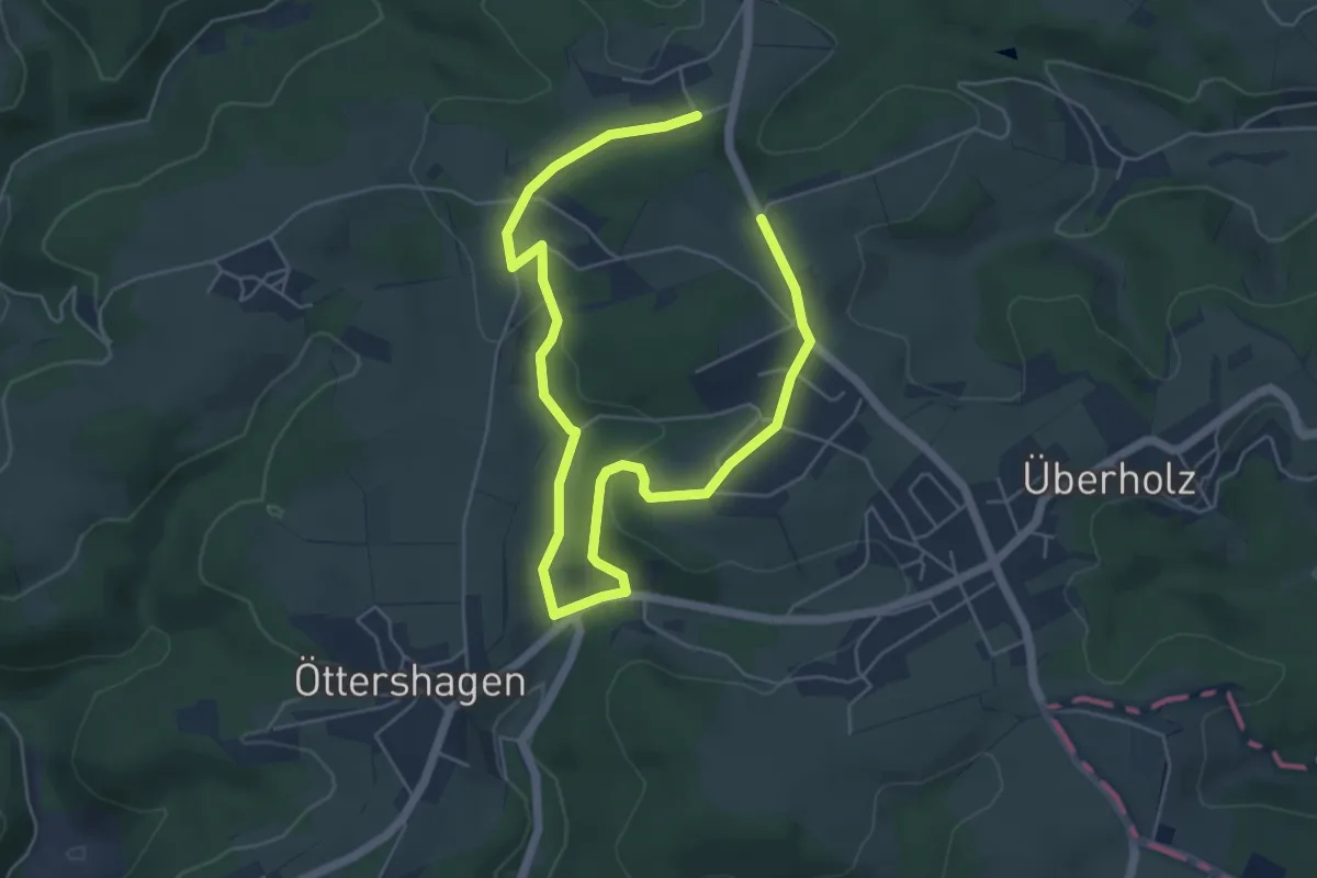
Easy · Trail
Straße der Arbeit [Windeck]
7.4 km · ↑ 153 m · 2 h 5 min
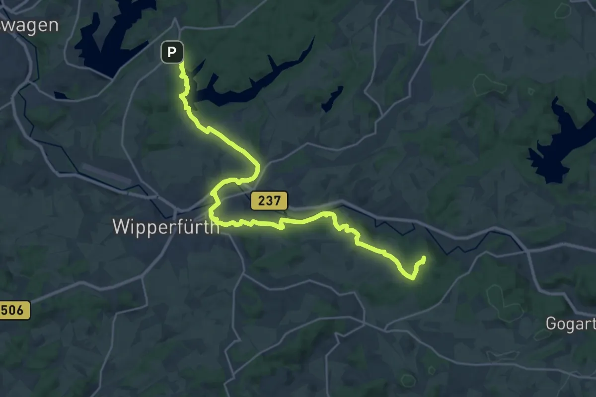
Demanding · Summit
Straße der Arbeit [Wipperfürth]
21.6 km · ↑ 435 m · 6 h 3 min
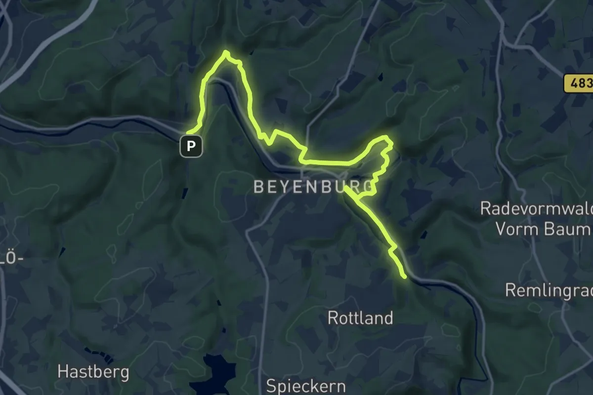
Medium · Trail
Straße der Arbeit [Wuppertal]
15.3 km · ↑ 298 m · 4 h 16 min
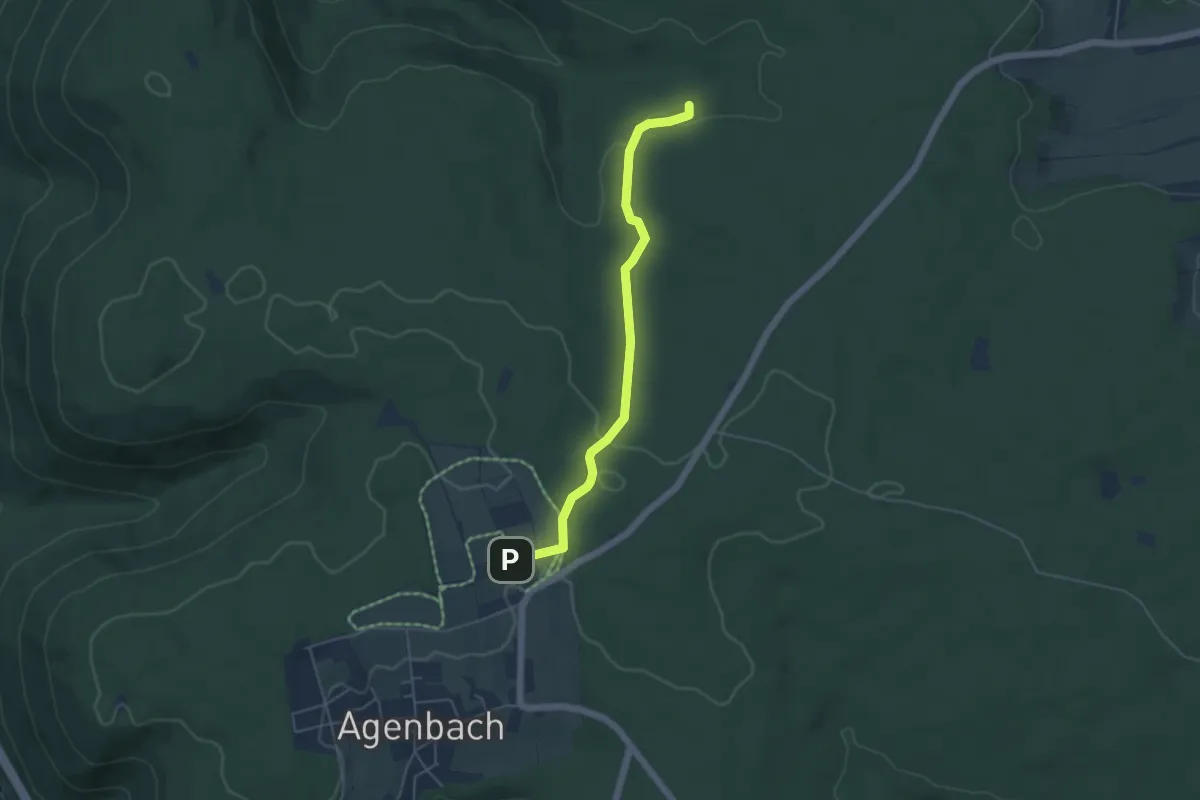
Easy · Trail
Straßenwartshütte - Kohlplatte
4.5 km · ↑ 62 m · 1 h 12 min
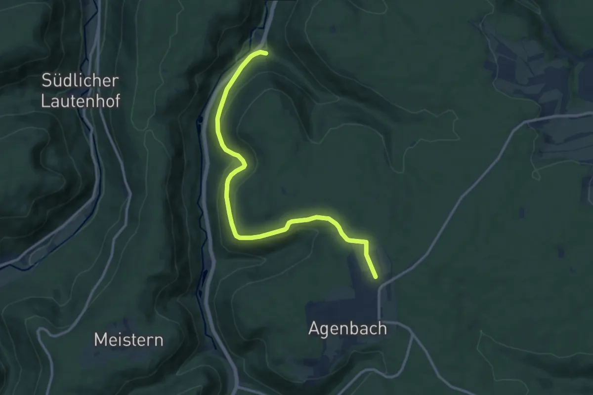
Medium · Trail
Straßenwartshütte - Teufelsberg
10.3 km · ↑ 275 m · 3 h 2 min
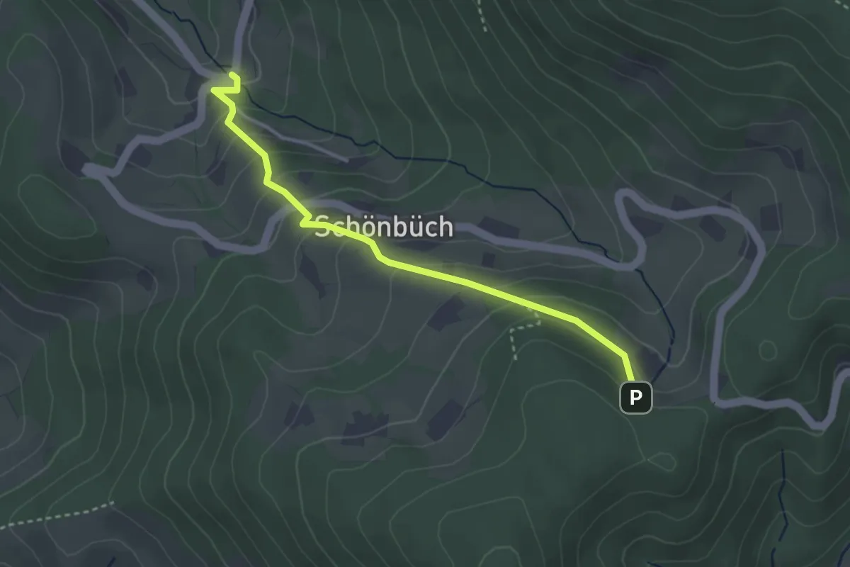
Easy · Trail
Straubenhöf-Mühle - Brünnele
3.2 km · ↑ 237 m · 1 h 15 min
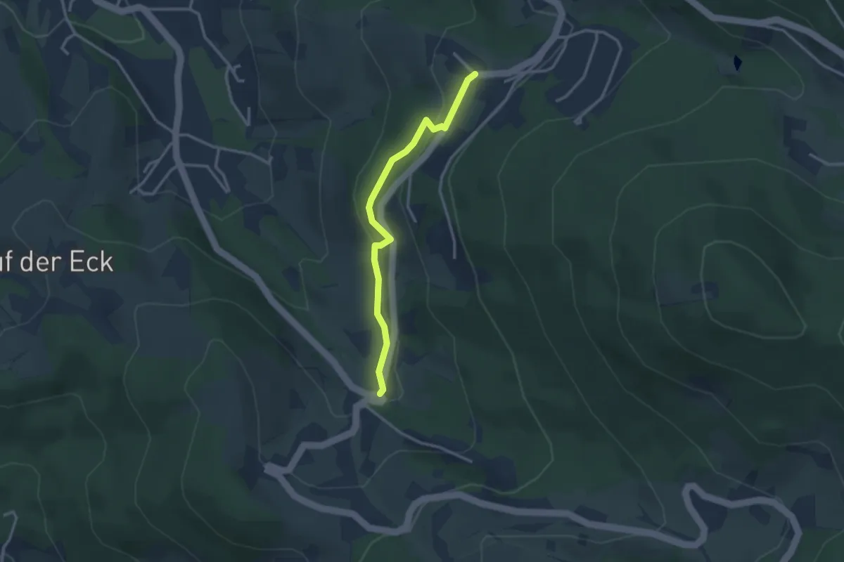
Easy · Trail
Straubenhöf-Mühle - Hörchenberg
2.6 km · ↑ 103 m · 50 min
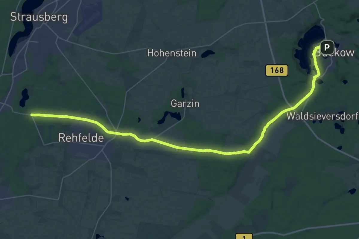
Medium · Trail
Strausberg-Buckow
16.8 km · ↑ 125 m · 4 h 27 min
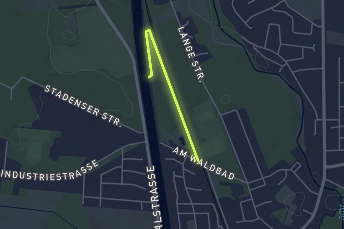
Easy · Trail
Strecke 2 (Puls)
2.4 km · ↑ 8 m · 35 min
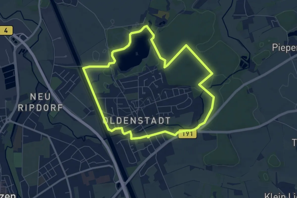
Easy · Trail
Strecke 7A (Senso) (verkürzte Strecke)
6.2 km · ↑ 31 m · 1 h 37 min
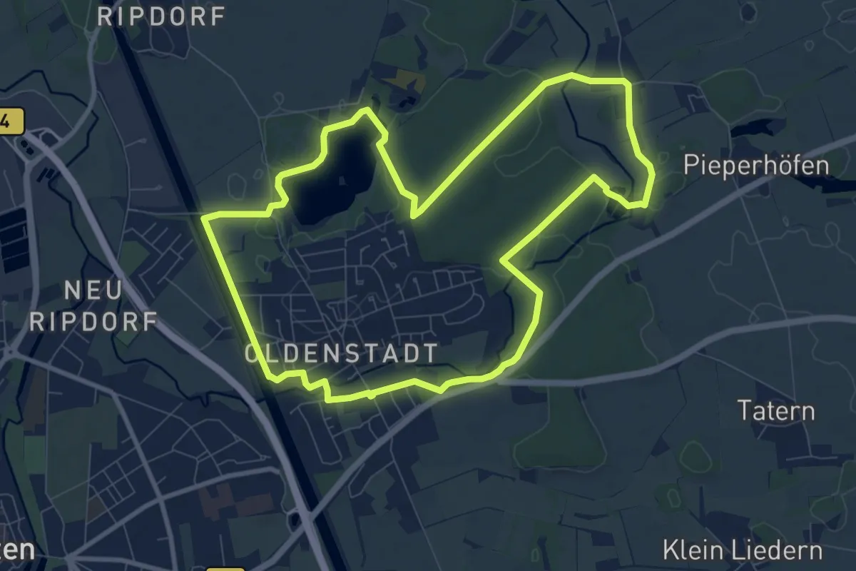
Medium · Trail
Strecke 7 (Senso)
8.1 km · ↑ 41 m · 2 h 7 min
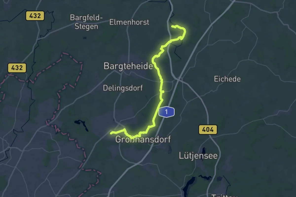
Demanding · Trail
Strecke S1
20.2 km · ↑ 88 m · 5 h 14 min
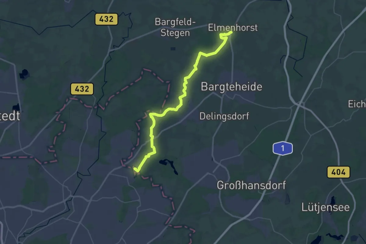
Medium · Summit
Strecke S2
16.8 km · ↑ 42 m · 4 h 19 min
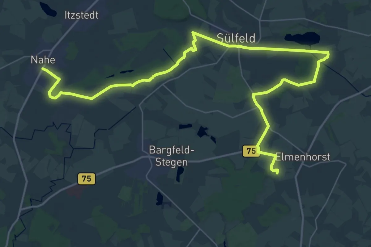
Demanding · Trail
Strecke S3
18.4 km · ↑ 65 m · 4 h 44 min
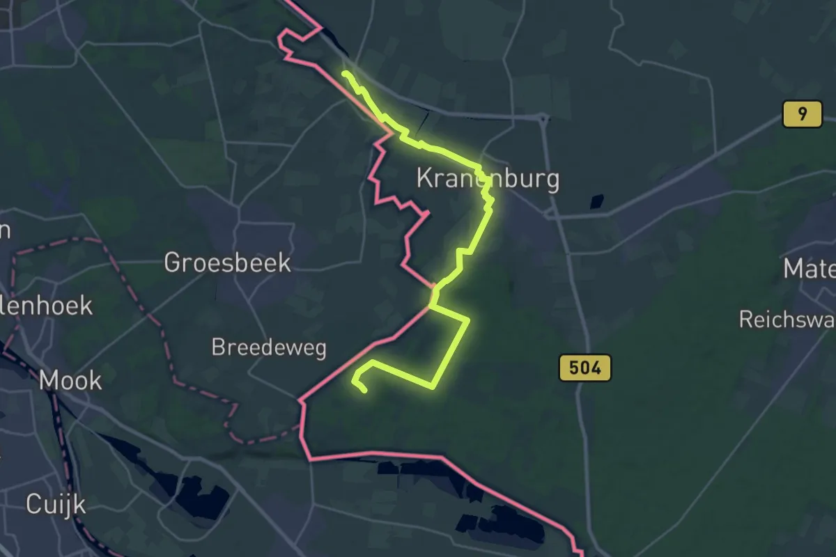
Demanding · Summit
Streekpad Rijk van Nijmegen - 06
24.1 km · ↑ 156 m · 6 h 2 min
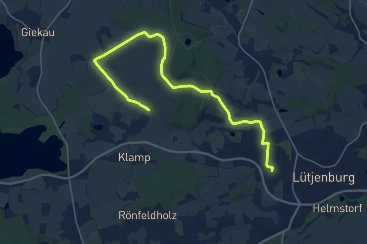
Medium · Trail
Streetzer Berge
14.5 km · ↑ 132 m · 3 h 43 min
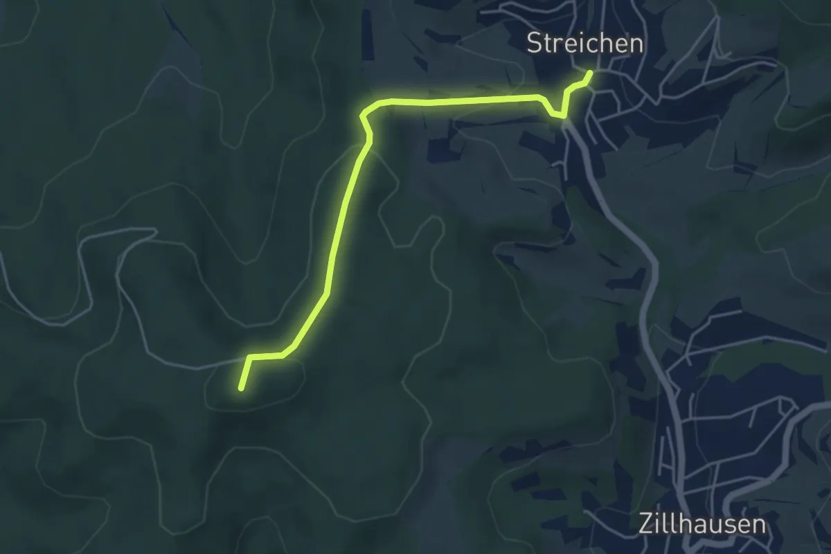
Easy · Summit
Streichen - Höchst
4.1 km · ↑ 141 m · 1 h 17 min
Easy · Trail
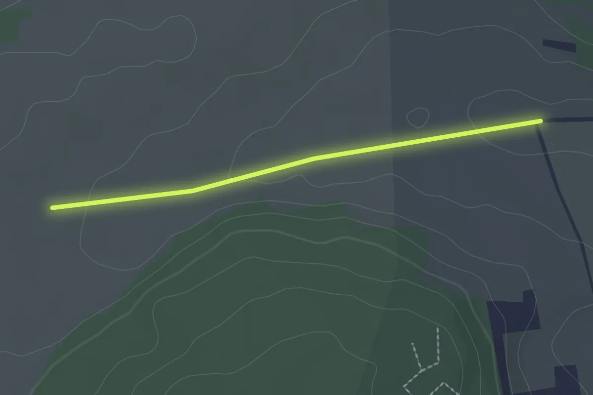
Streitberg - Gechinger Weg
2.1 km · ↑ 23 m · 32 min
Easy · Summit
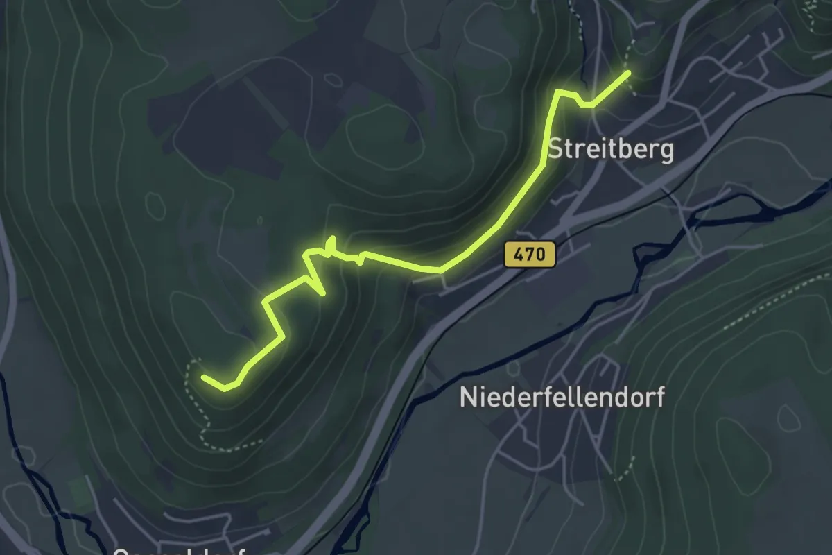
Streitberg-Hummerstein
4.2 km · ↑ 200 m · 1 h 26 min
Easy · Trail
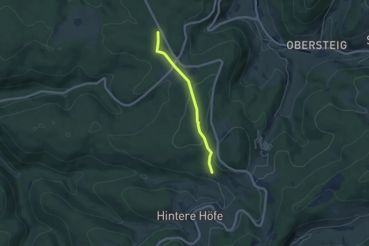
Streitberg - Raubühl
3.6 km · ↑ 107 m · 1 h 5 min
Easy · Trail
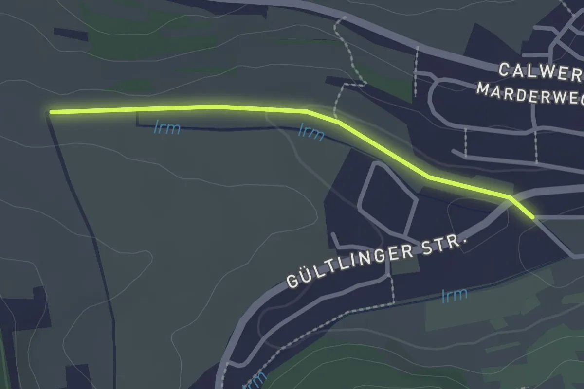
Streitberg - Wolfswiese
2.1 km · ↑ 18 m · 32 min
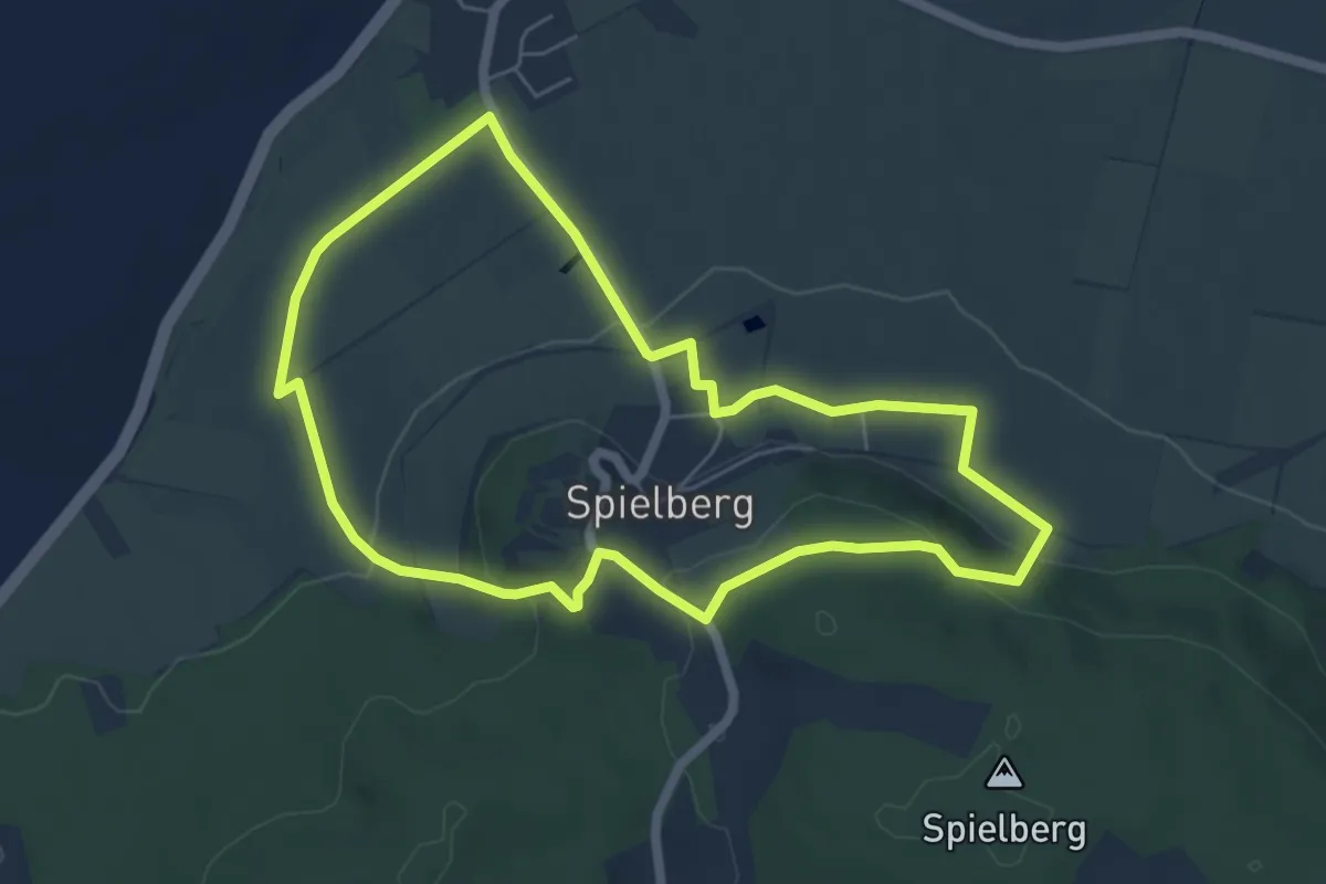
Easy · Summit
Streuobst-Erlebnis-Landschaft Gnotzheim
5.4 km · ↑ 177 m · 1 h 45 min
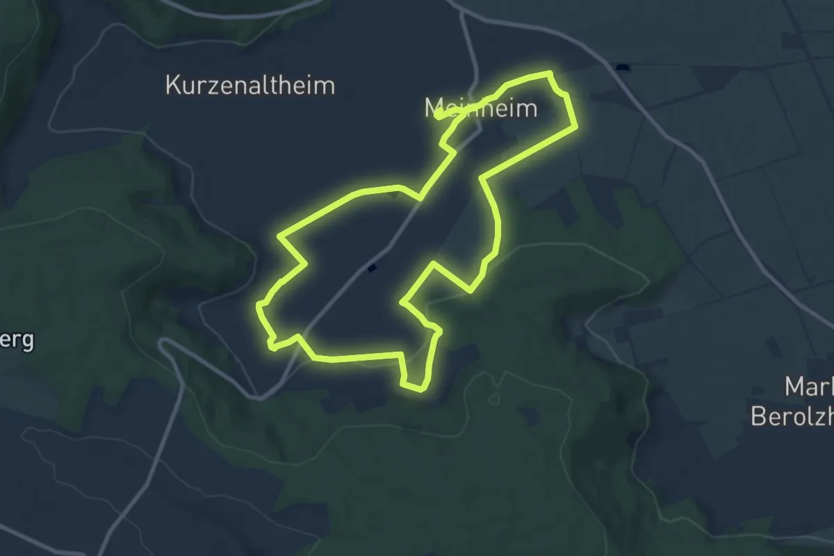
Medium · Trail
Streuobst-Erlebnis-Landschaft Route Meinheim
9.0 km · ↑ 131 m · 2 h 32 min
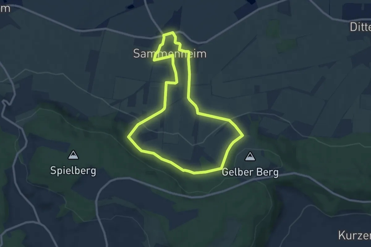
Easy · Trail
Streuobst-Erlebnis-Landschaft Sammenheim
6.5 km · ↑ 131 m · 1 h 55 min
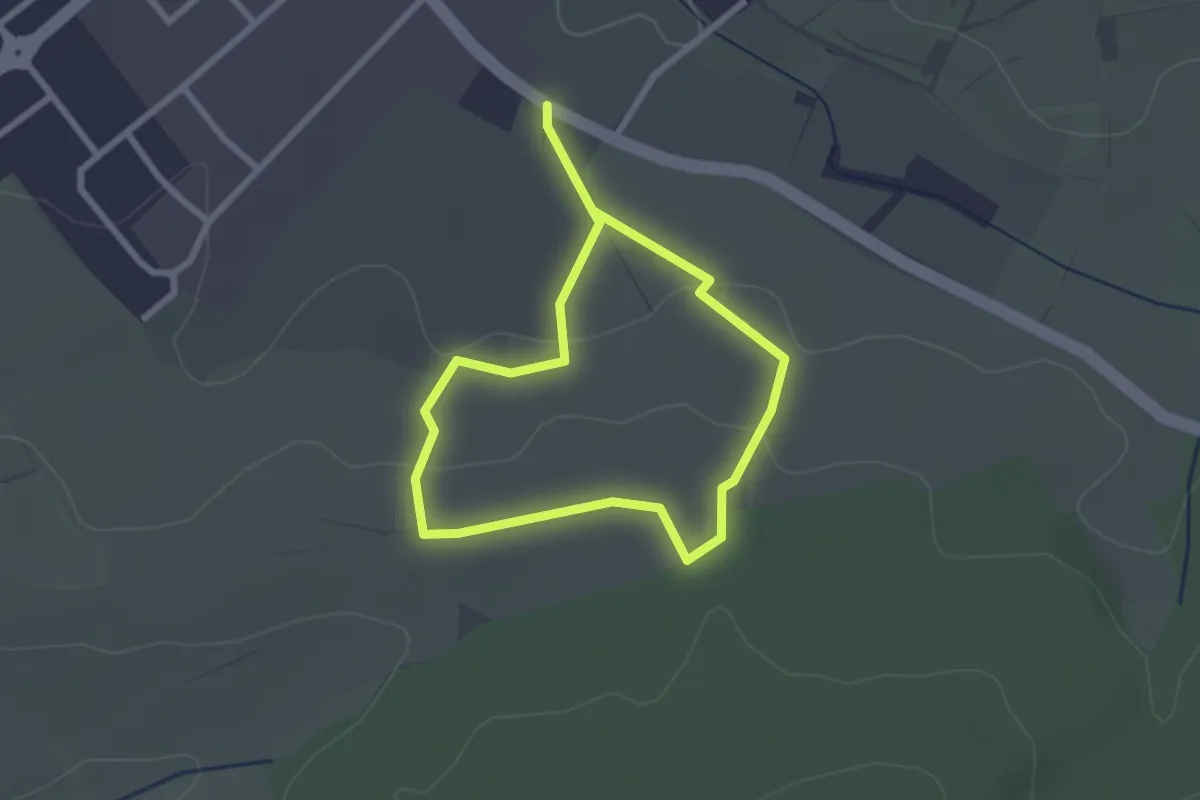
Easy · Trail
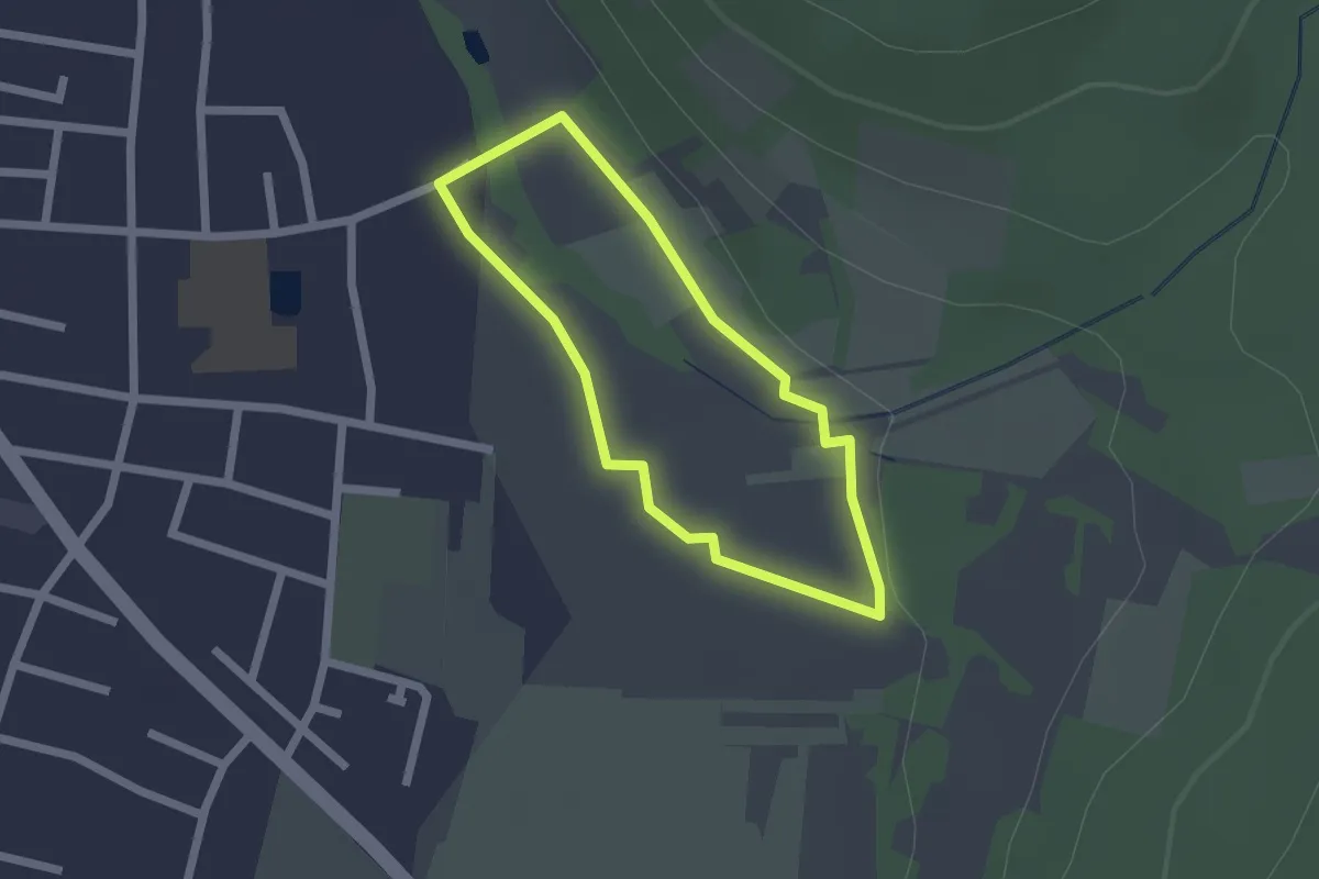
Streuobsterlebnis Sulzfeld
1.9 km · ↑ 47 m · 35 min
Easy · Trail
Streuobsterlebnisweg
1.5 km · ↑ 9 m · 24 min
Medium · Trail
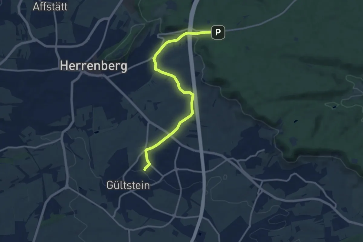
Streuobsterlebnisweg Gültstein
9.3 km · ↑ 177 m · 2 h 35 min
Easy · Trail
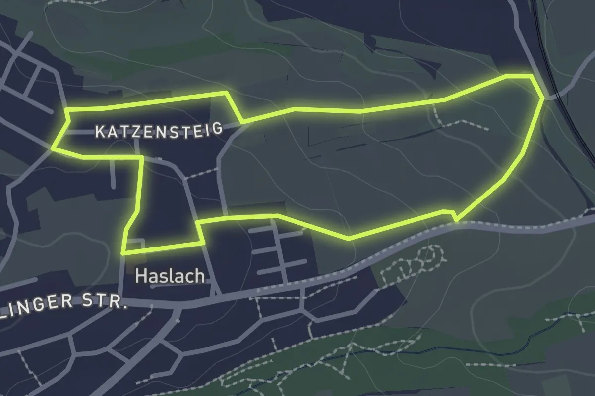
Streuobsterlebnisweg Haslach
2.4 km · ↑ 66 m · 45 min
Easy · Trail
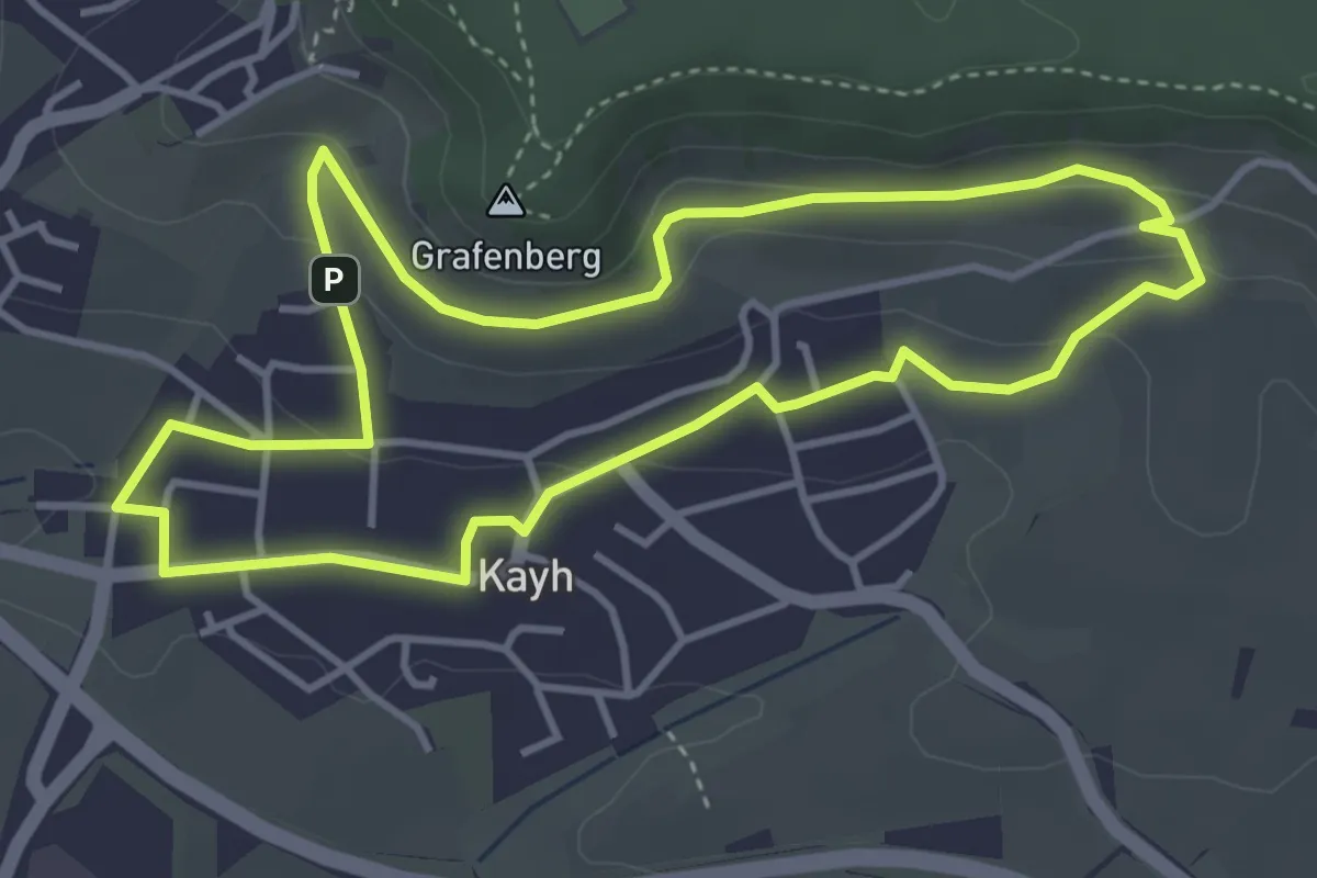
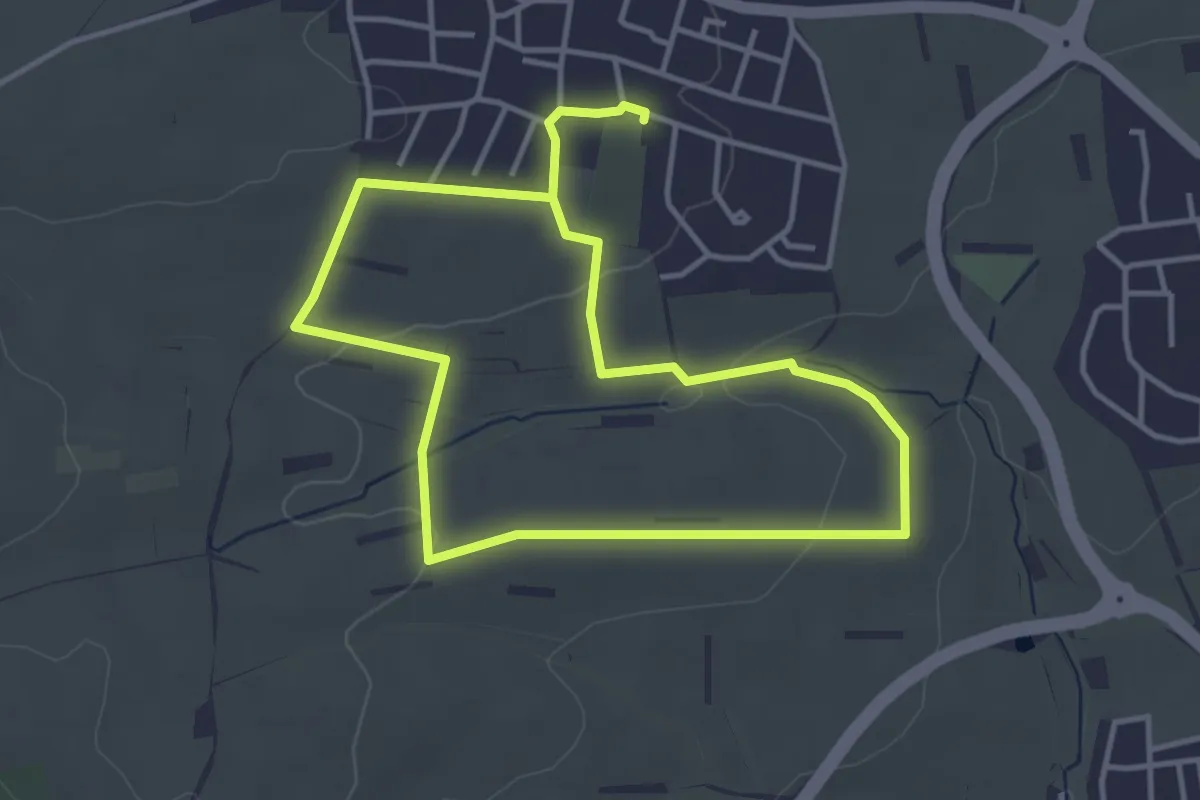
Streuobsterlebnisweg Kayh
3.9 km · ↑ 89 m · 1 h 10 min
Easy · Trail
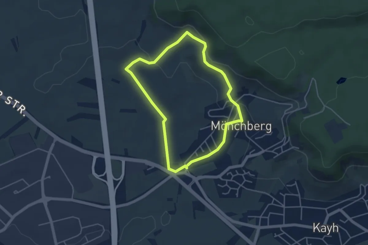
Streuobsterlebnisweg Kuppingen
3.4 km · ↑ 51 m · 57 min
Easy · Trail
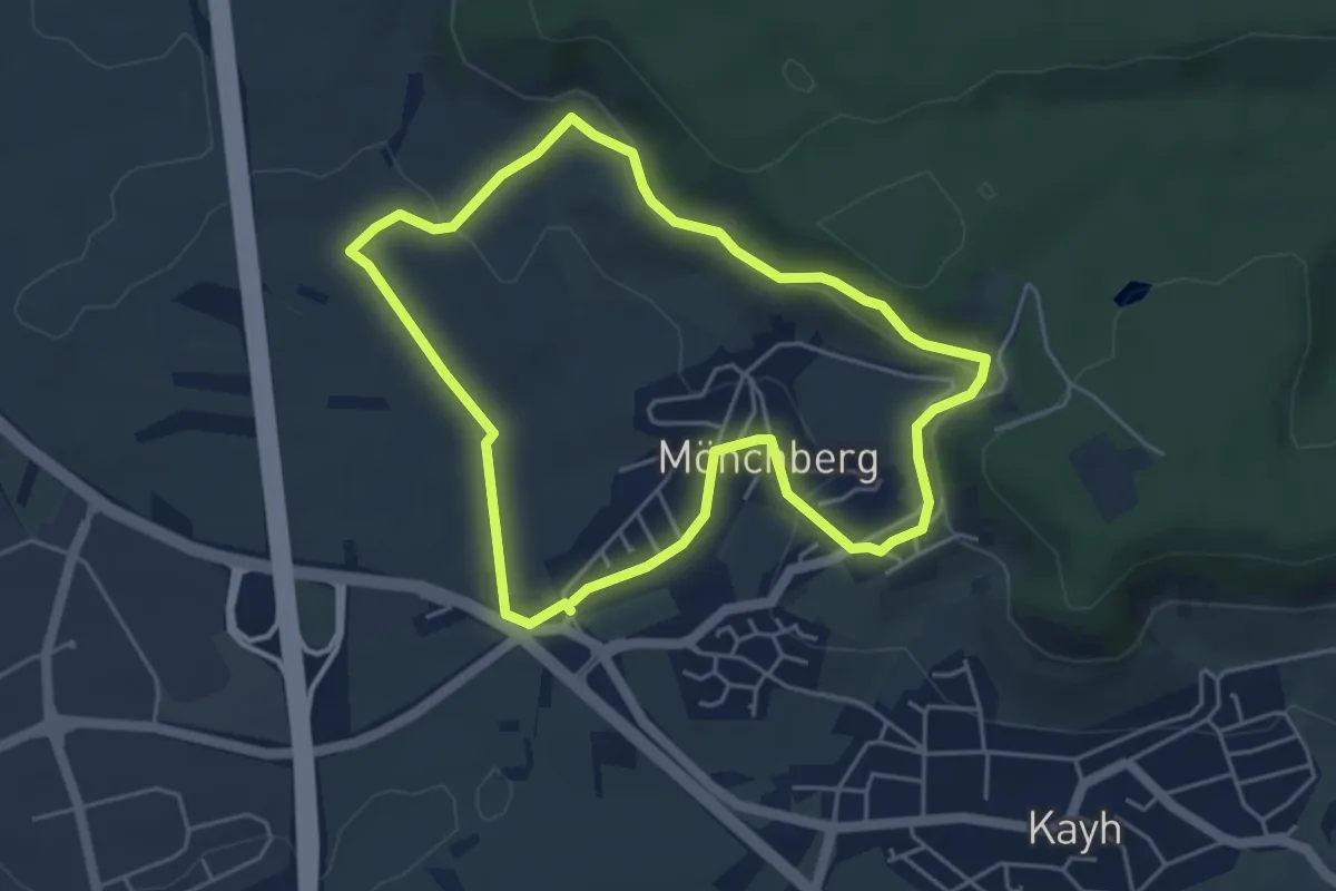
Streuobsterlebnisweg Möchberg
3.2 km · ↑ 92 m · 1 h
Easy · Trail
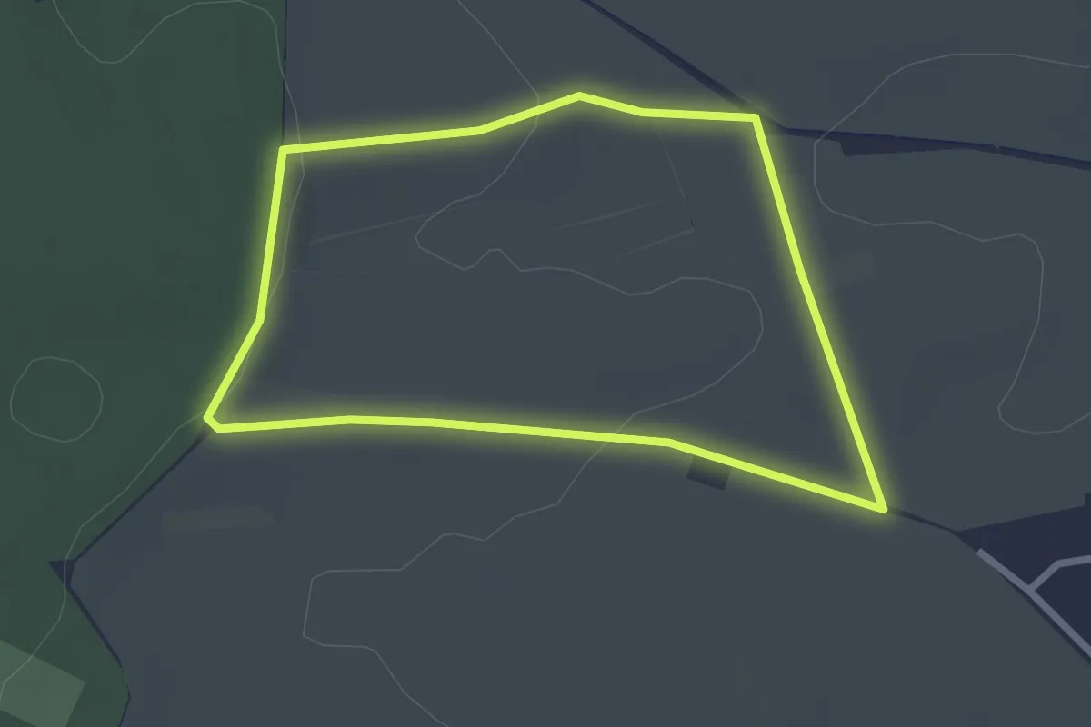
Streuobsterlebnisweg Möchberg Variante Panoramaweg
4.4 km · ↑ 118 m · 1 h 20 min
Easy · Trail
Streuobsterlebnisweg Oberjesingen
2.3 km · ↑ 39 m · 39 min
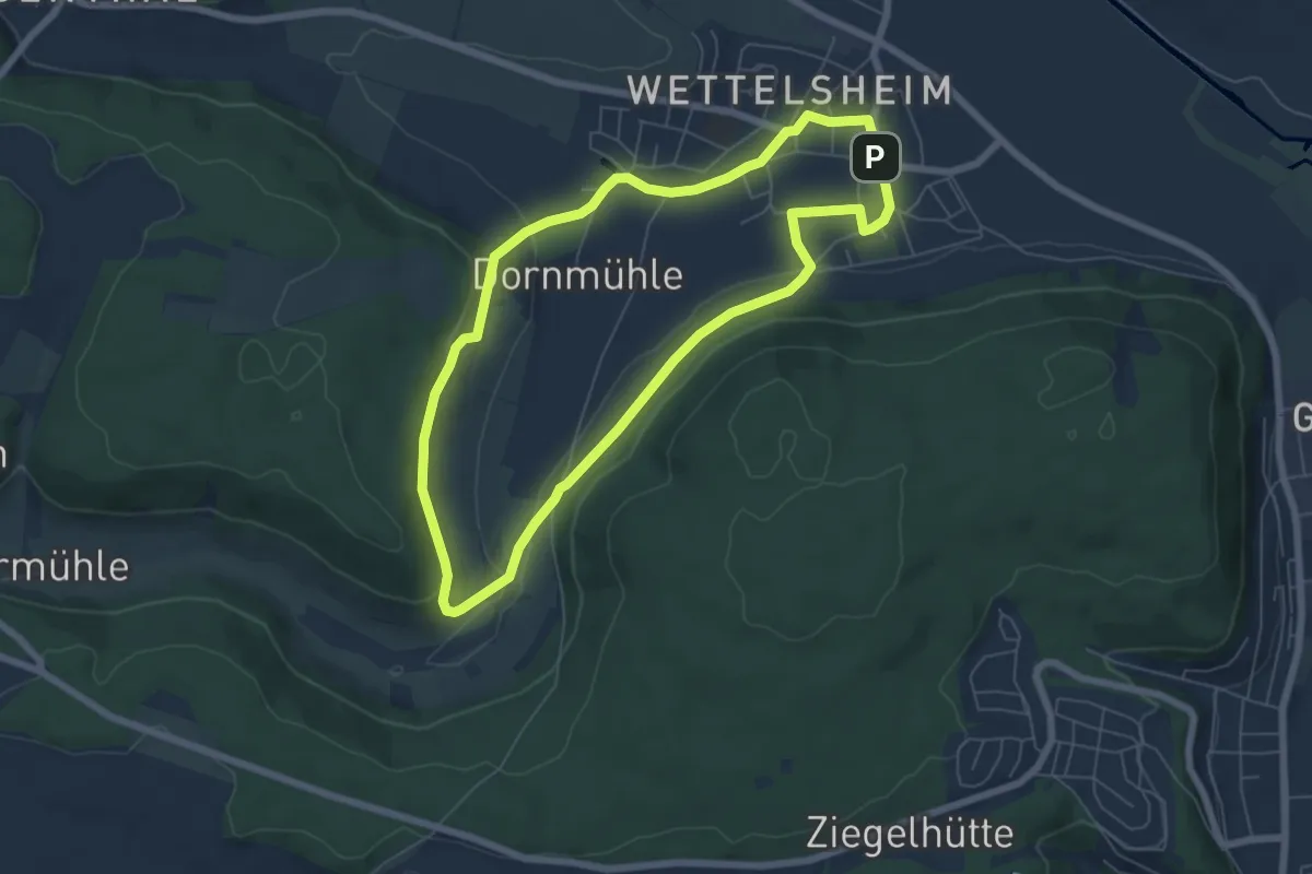
Easy · Trail
Streuobst-Erlebnis-Weg Route Wettelsheim
5.8 km · ↑ 122 m · 1 h 43 min
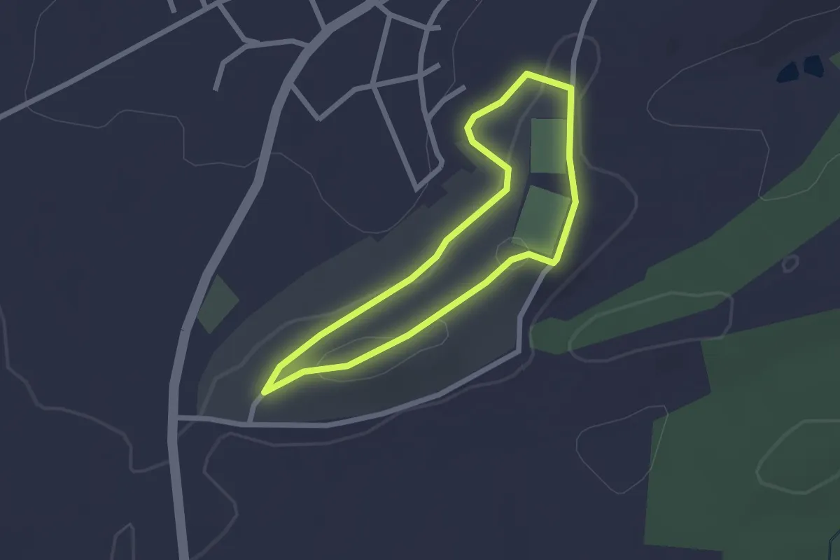
Easy · Trail
Streuobstlehrpfad
1.8 km · ↑ 23 m · 31 min
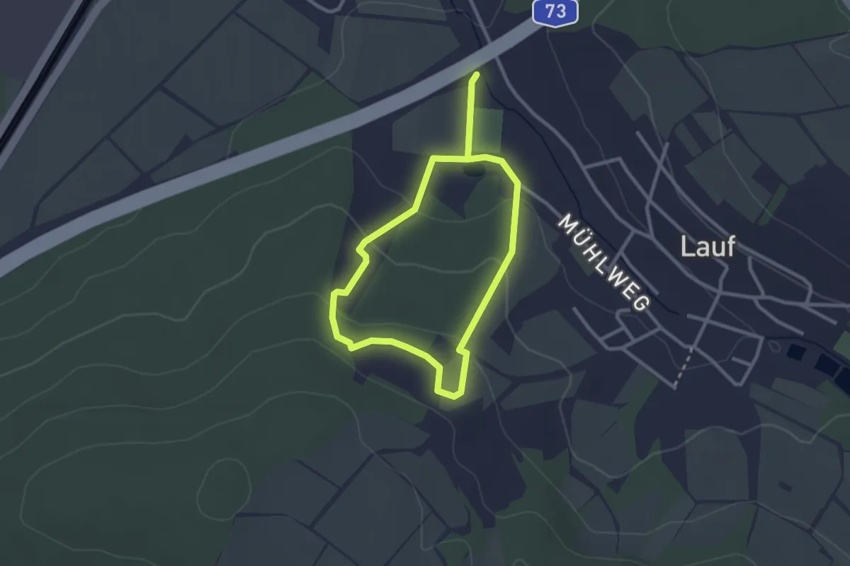
Easy · Trail
Streuobstlehrpfad Lauf
2.2 km · ↑ 73 m · 43 min
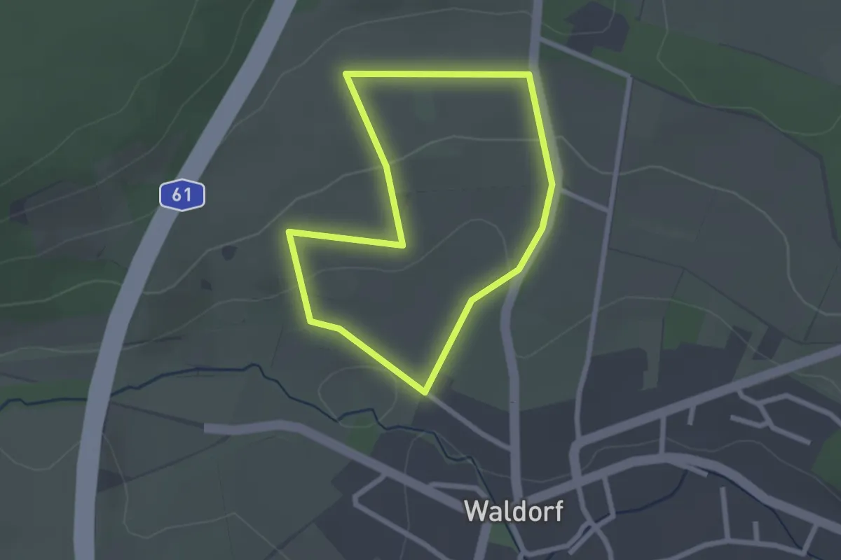
Easy · Trail
Streuobstlehrpfad Waldorf
1.9 km · ↑ 55 m · 36 min
Easy · Trail
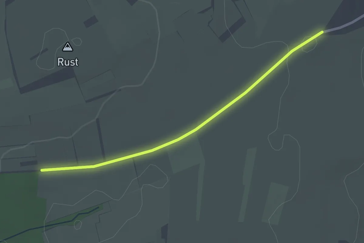
Streuobstlehrpfad Wettersbach
2.3 km · ↑ 22 m · 35 min
Easy · Trail
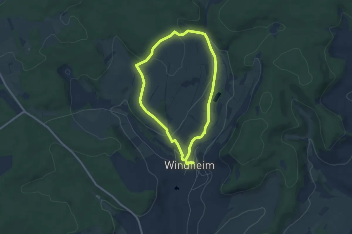
Streuobst-Route
4.8 km · ↑ 116 m · 1 h 27 min
Medium · Trail
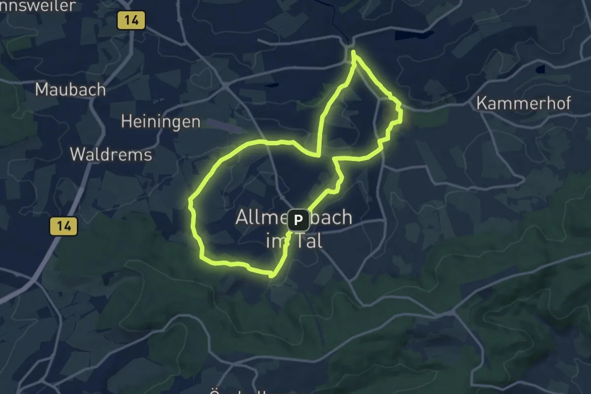
Streuobst-Rundweg
10.3 km · ↑ 107 m · 2 h 49 min
Easy · Trail
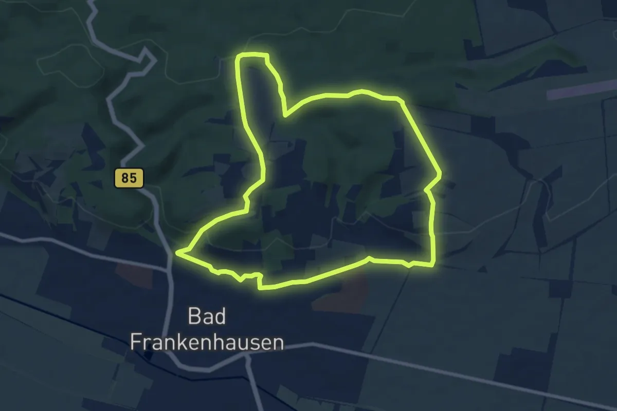
Streuobstweg
7.3 km · ↑ 176 m · 2 h 12 min