Trails in Germany
36,852 hiking trails, each with its route, climb, walking time and grade.
All trails, page 610 of 768
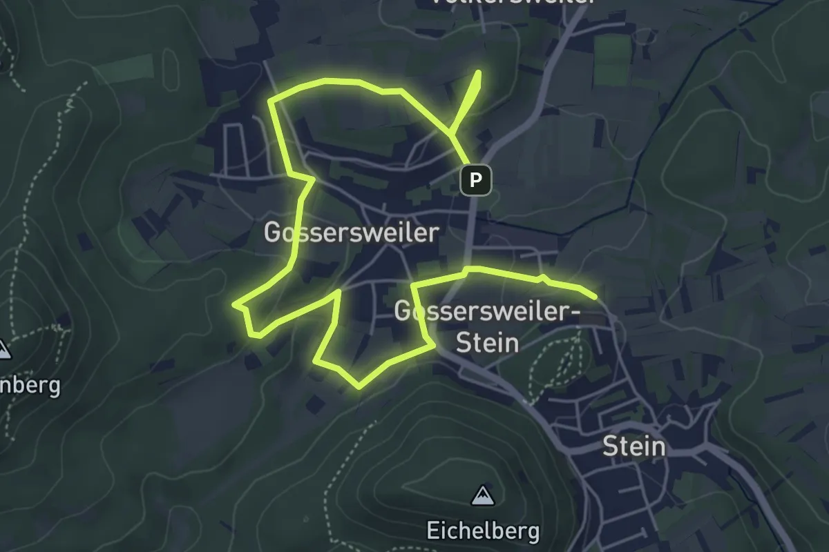
Easy · Trail
Streuobstweg Gossersweiler-Stein
3.7 km · ↑ 99 m · 1 h 7 min
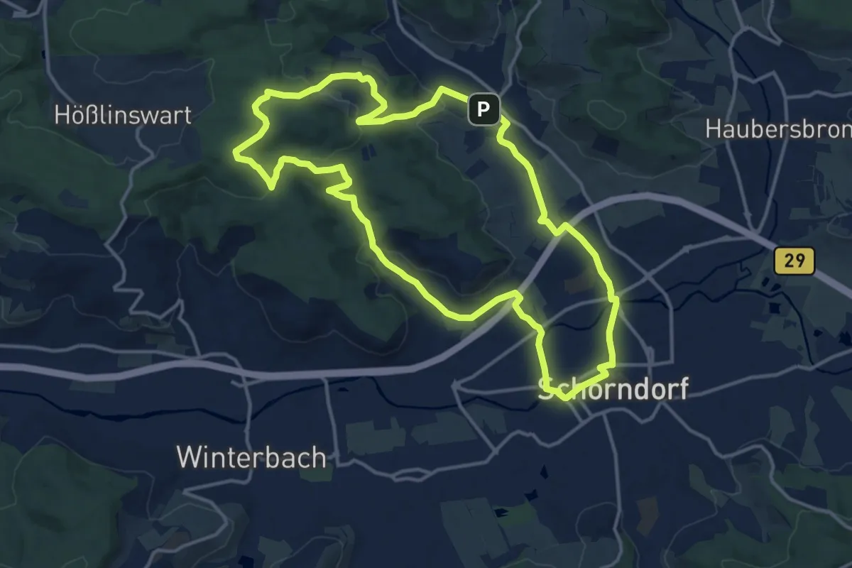
Medium · Trail
Streuobstwiesen
13.6 km · ↑ 233 m · 3 h 54 min
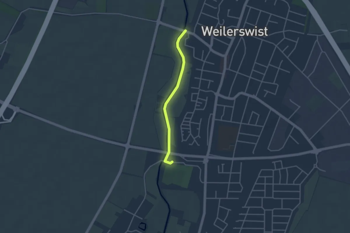
Easy · Trail
Streuobstwiesen-Themenweg
2.6 km · ↑ 4 m · 38 min
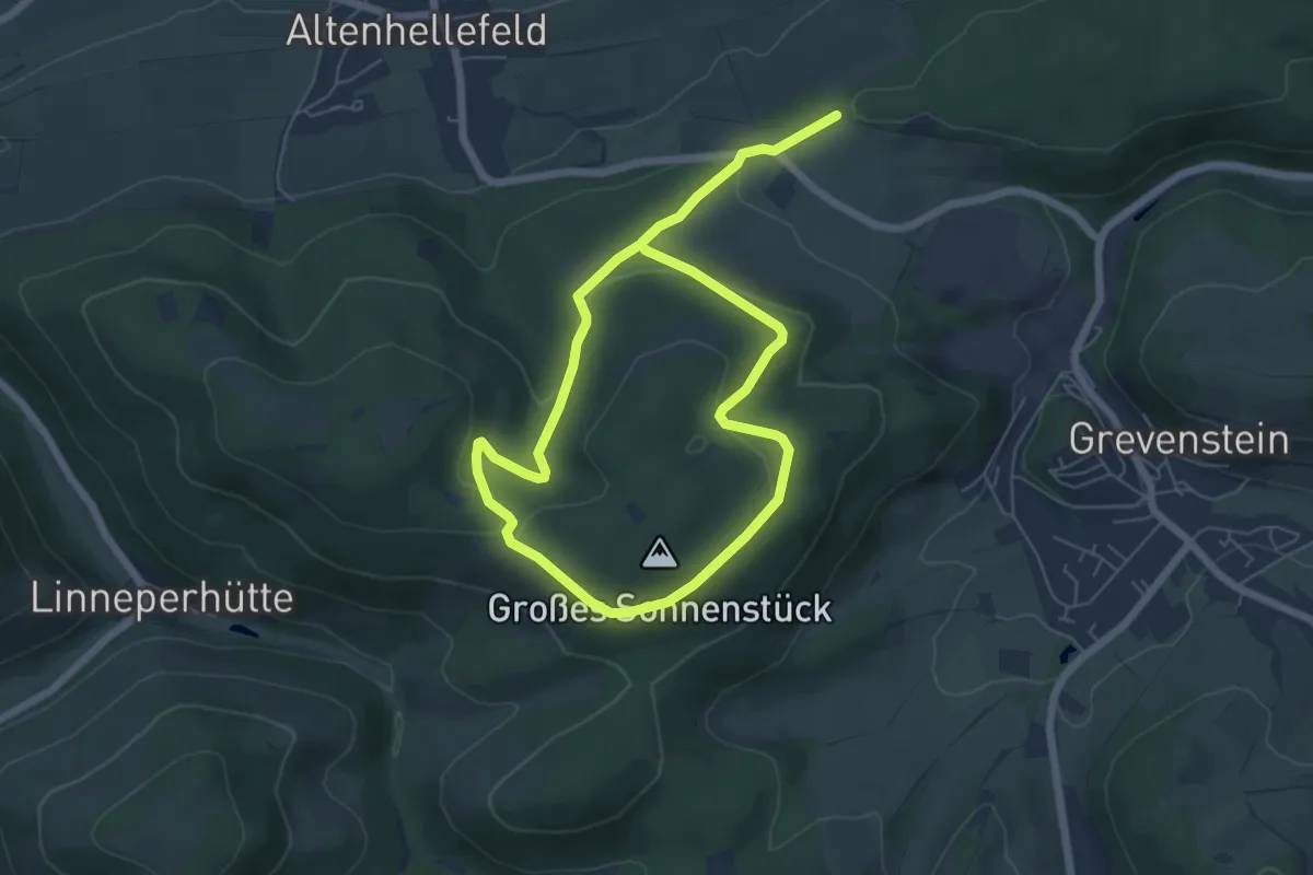
Medium · Trail
Streu Rundweg A1
9.0 km · ↑ 236 m · 2 h 39 min
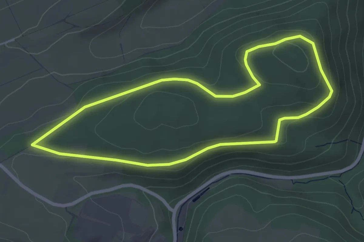
Easy · Summit
Streu Rundweg A3
4.3 km · ↑ 95 m · 1 h 17 min
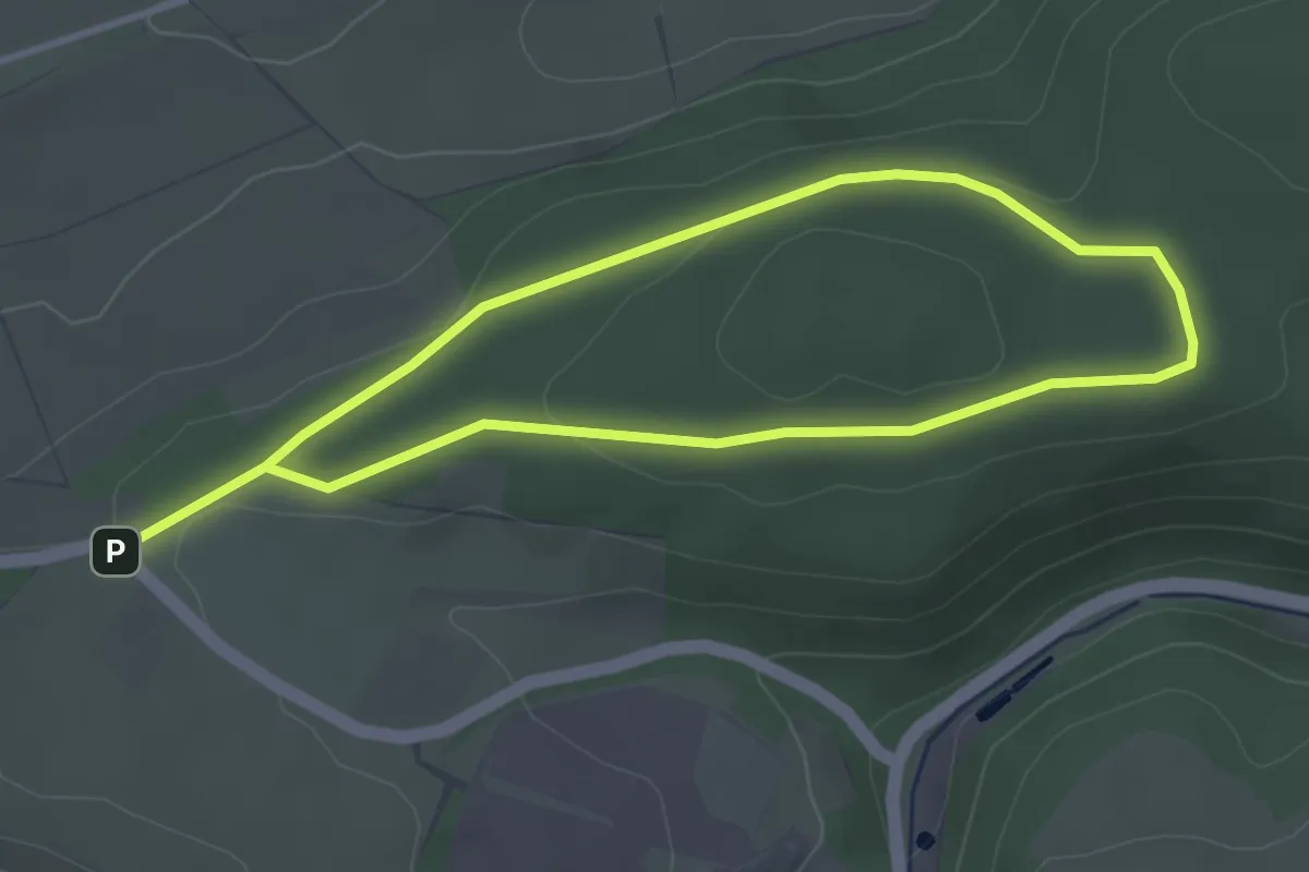
Easy · Summit
Streu Rundweg A4
3.0 km · ↑ 41 m · 50 min
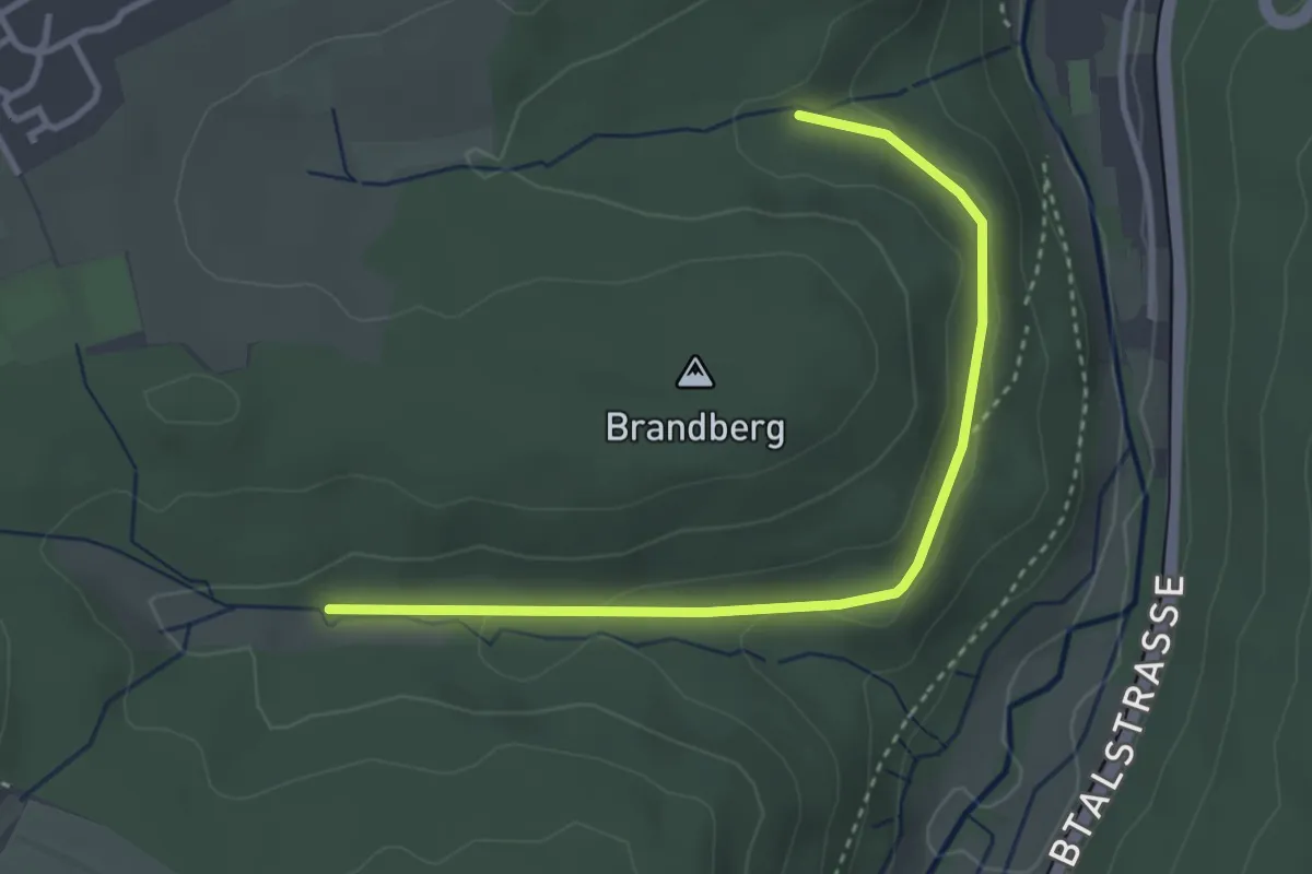
Easy · Trail
Striedenklinge - Windwiesenklinge
3.4 km · ↑ 55 m · 55 min
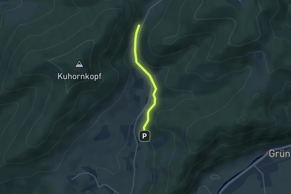
Easy · Trail
Strietparkplatz - Wassertretstelle Hinterhambach
2.3 km · ↑ 128 m · 49 min
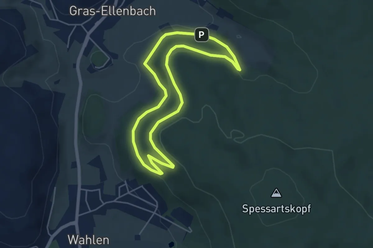
Easy · Trail
Striet-Weg
3.7 km · ↑ 100 m · 1 h 8 min
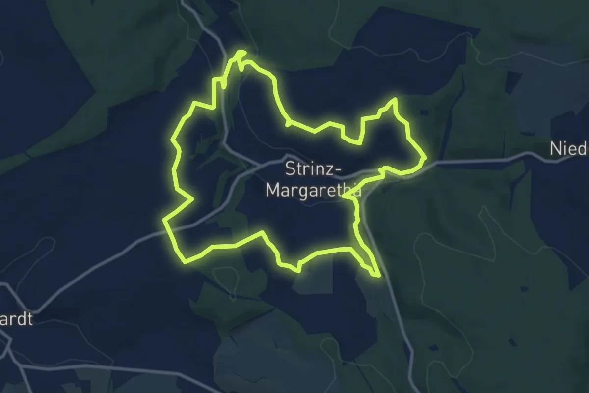
Medium · Summit
Strinzer Drachenrunde
9.3 km · ↑ 189 m · 2 h 44 min
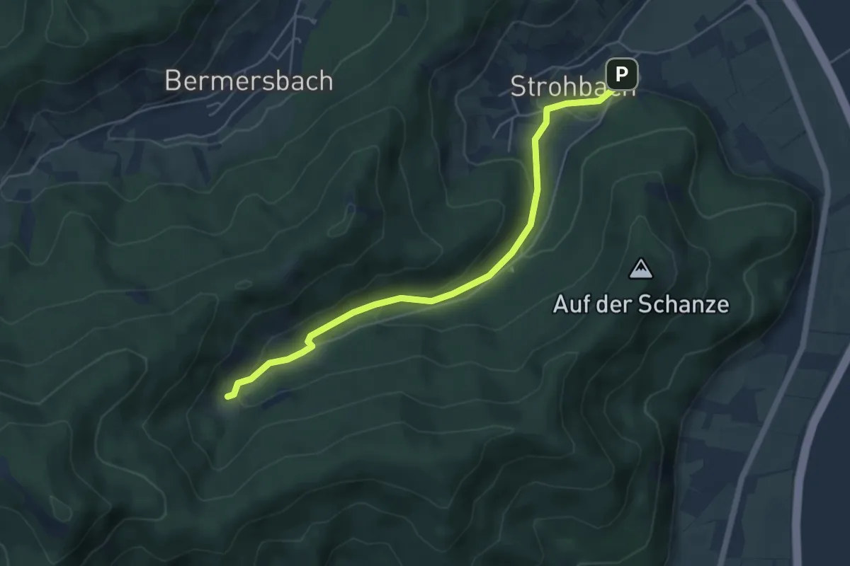
Easy · Trail
Strohbach - Strohhof
5.0 km · ↑ 179 m · 1 h 34 min
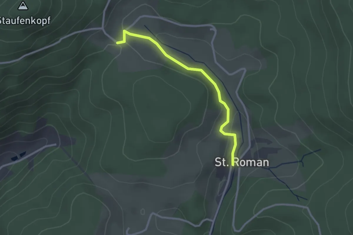
Easy · Trail
St. Roman Adler - Jehlebasche Höhe
2.3 km · ↑ 54 m · 40 min
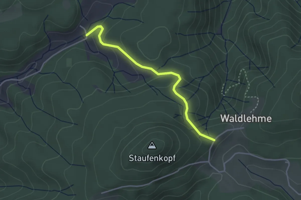
Easy · Trail
St. Romaner Höhe - Staufenhof
3.0 km · ↑ 107 m · 57 min
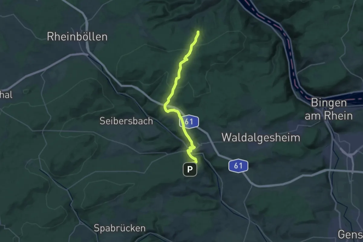
Demanding · Trail
Stromberg - Niederheimbach (grünes Dreieck)
23.6 km · ↑ 736 m · 7 h 11 min
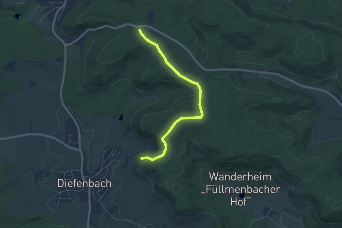
Easy · Trail
Stromberg-Route 1 Walk & Wein Krauchgau-Stromberg
2.7 km · ↑ 114 m · 52 min
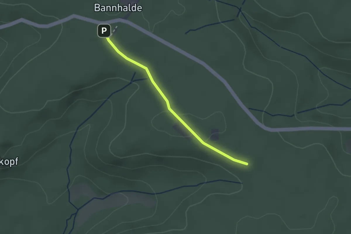
Easy · Trail
Stromberg-Route 2 Walk & Wein Krauchgau-Stromberg
1.1 km · ↑ 9 m · 17 min
Easy · Trail
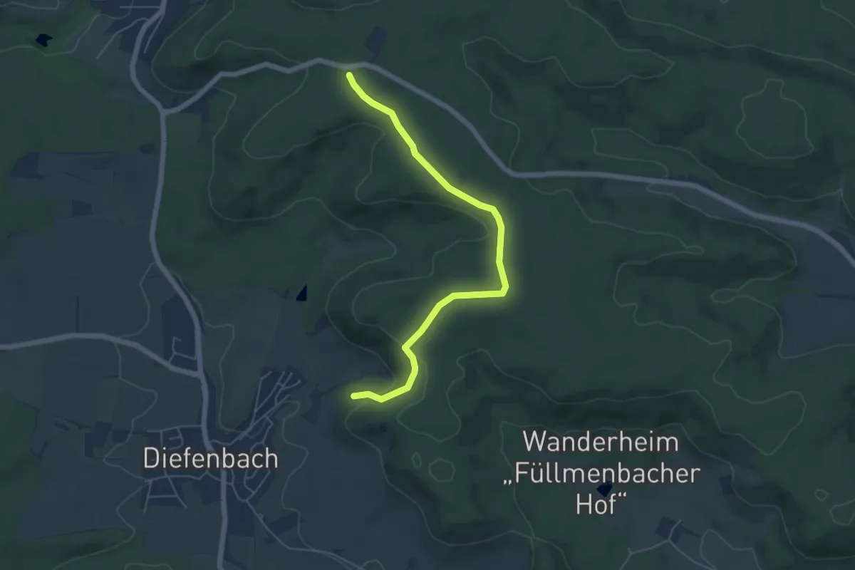
Stromberg-Route 3 Walk & Wein Krauchgau-Stromberg
2.7 km · ↑ 114 m · 52 min
Easy · Trail
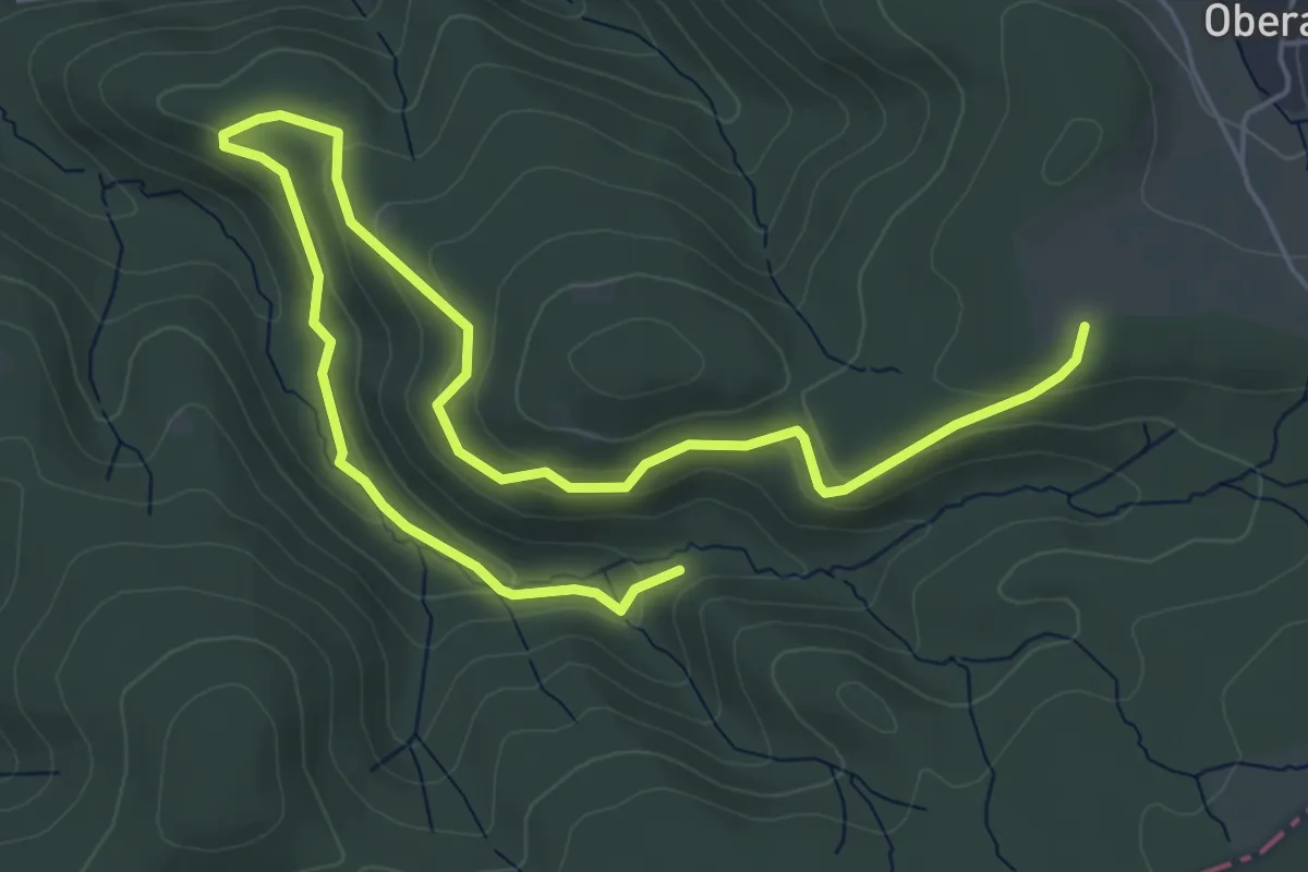
Stromberg Rundweg Dreieck
7.2 km · ↑ 240 m · 2 h 13 min
Easy · Trail
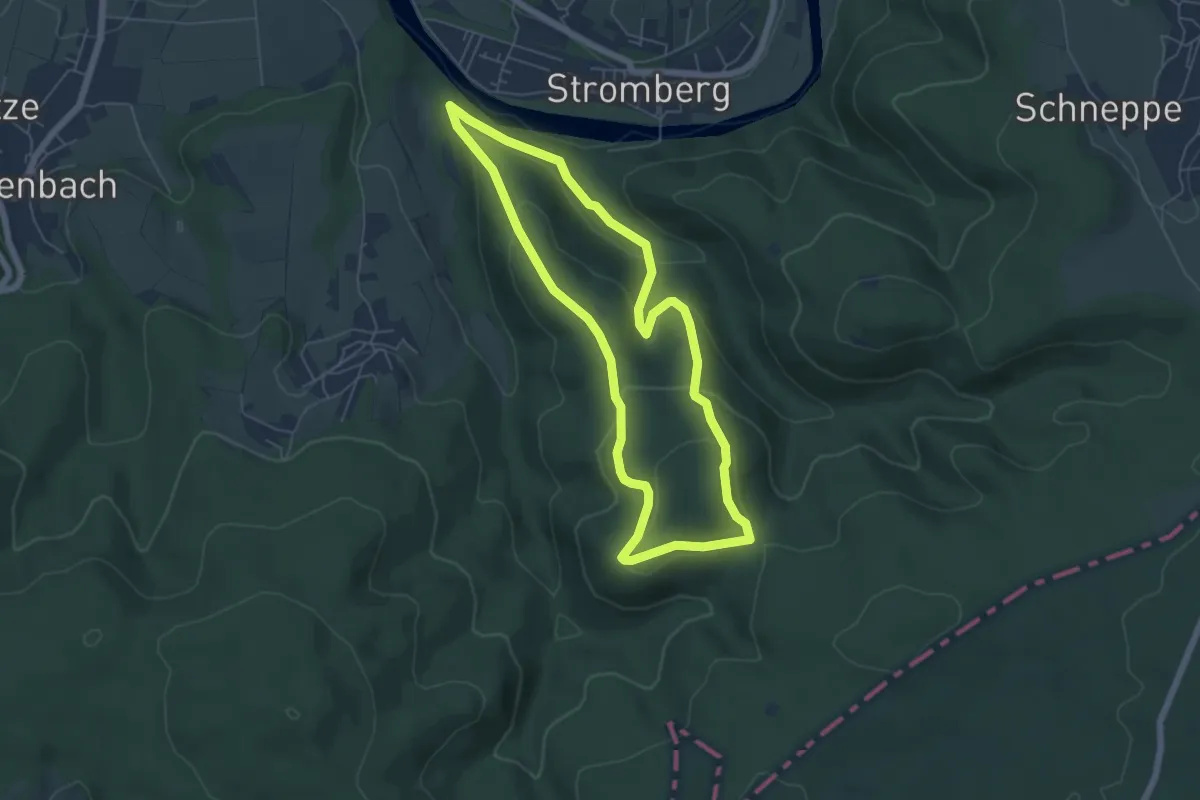
Stromberg Rundweg Quadrat
5.1 km · ↑ 240 m · 1 h 47 min
Demanding · Trail
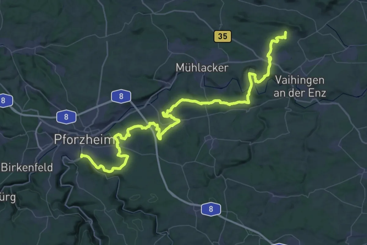
Stromberg-Schwäbischer-Wald-Weg
39.5 km · ↑ 710 m · 11 h 24 min
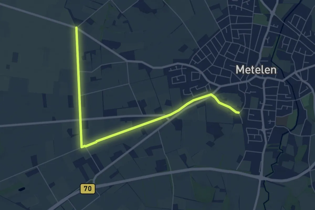
Easy · Trail
Strönfeld
3.5 km · ↑ 0 m · 53 min
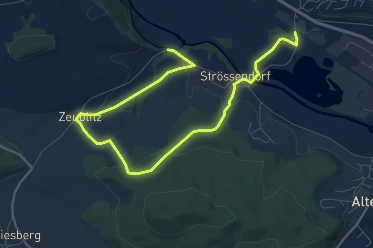
Medium · Trail
Strössendorfer Weg/Main-Aussichts-Weg
9.9 km · ↑ 166 m · 2 h 41 min
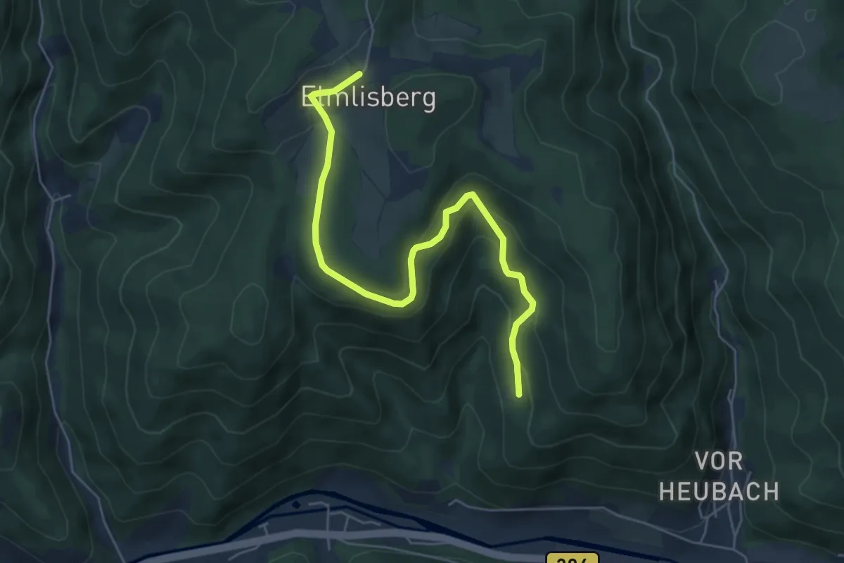
Medium · Trail
Strubenberg - Elmlisberg
5.8 km · ↑ 386 m · 2 h 12 min
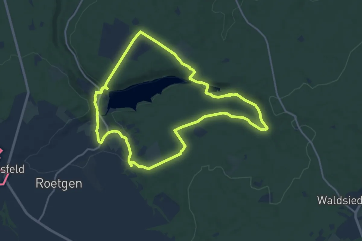
Medium · Trail
Struffeltroute (Eifel)
9.6 km · ↑ 177 m · 2 h 47 min
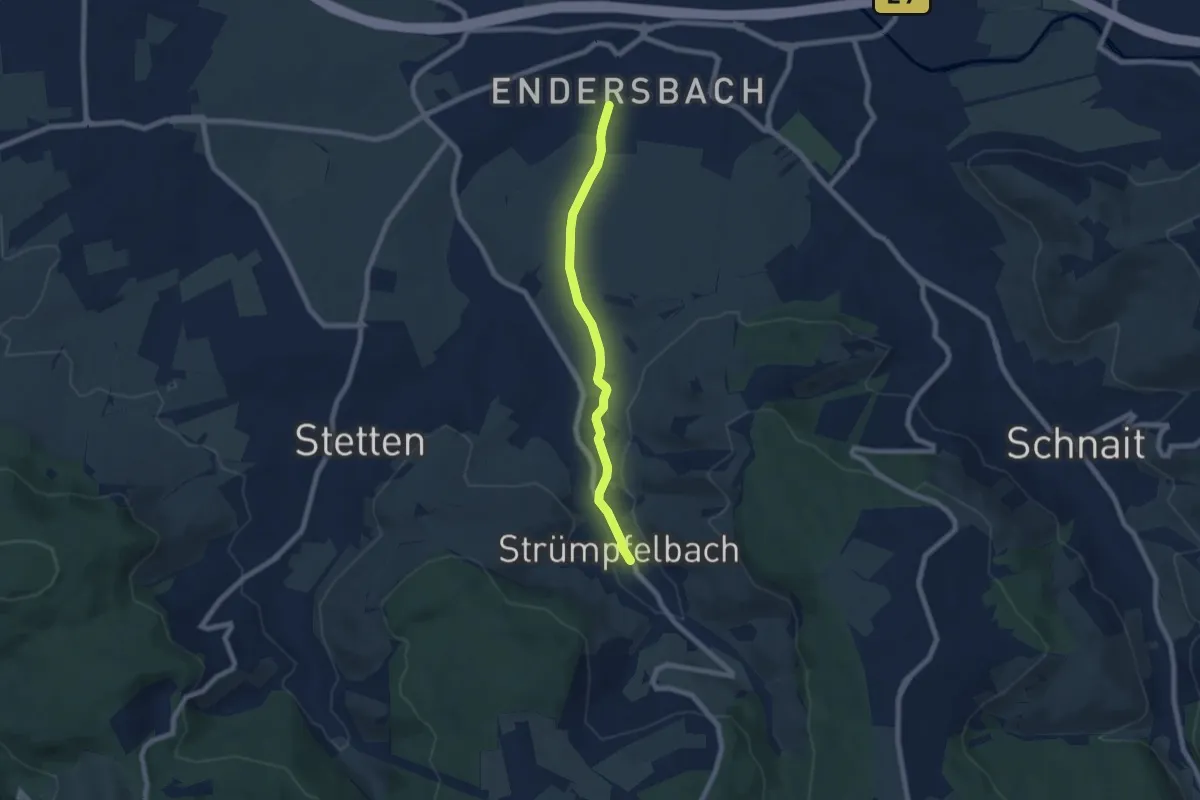
Easy · Trail
Strümpfelbach - Endersbach
6.3 km · ↑ 61 m · 1 h 38 min
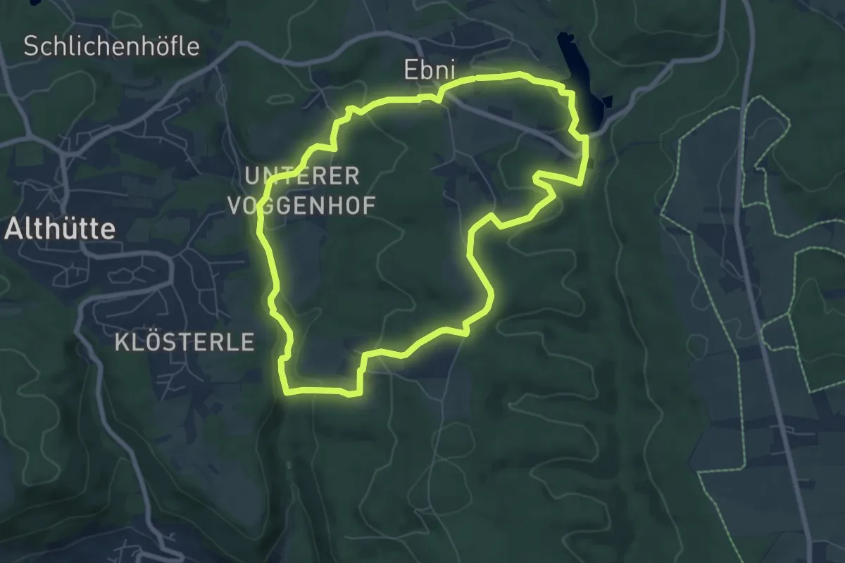
Easy · Trail
Strümpfelbach Rundweg
6.9 km · ↑ 189 m · 2 h 8 min
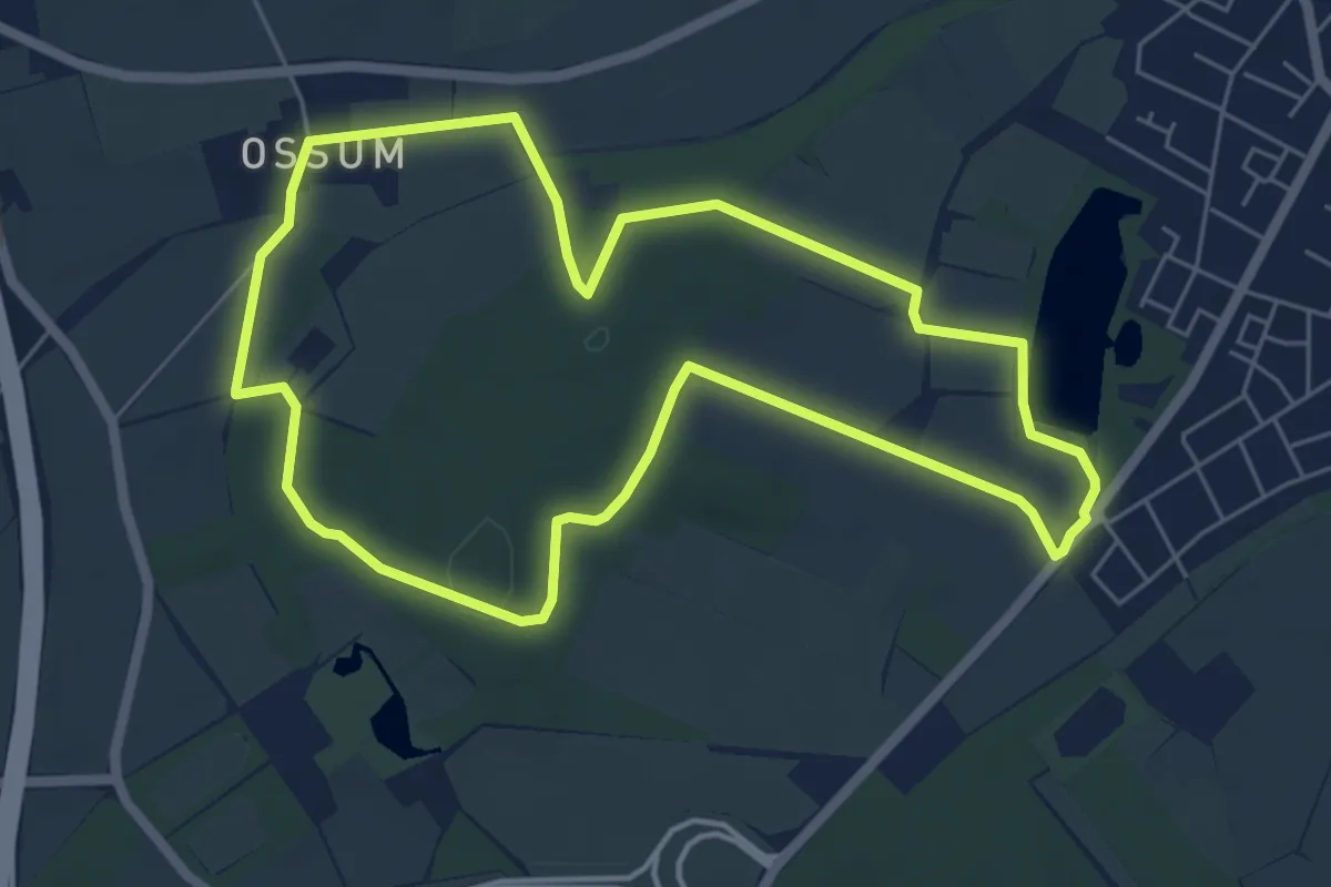
Easy · Trail
Strümp Rundweg A11
5.4 km · ↑ 21 m · 1 h 24 min
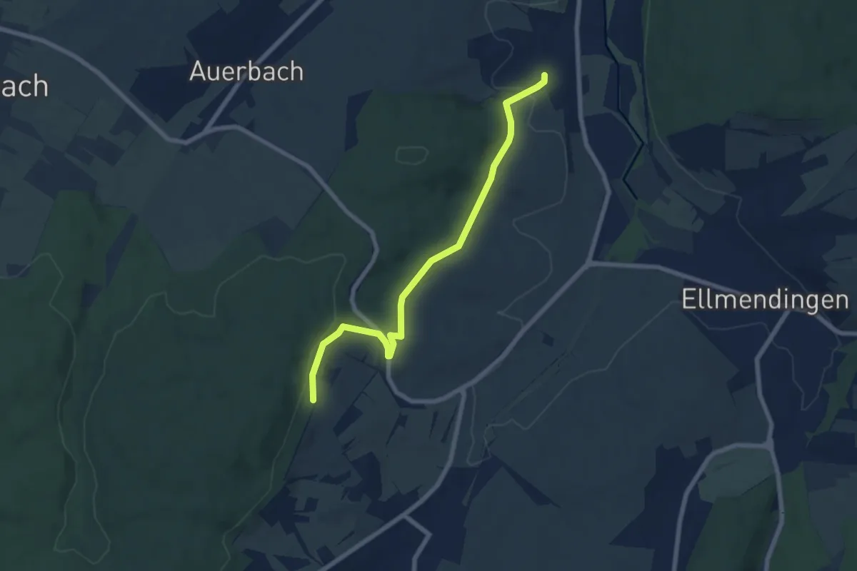
Easy · Trail
Strut - Dietenhausen Kelter
6.3 km · ↑ 198 m · 1 h 55 min
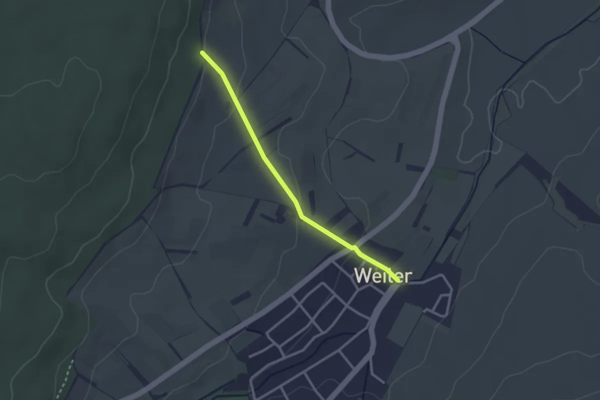
Easy · Trail
Strut - Weiler Altes Rathaus
2.3 km · ↑ 67 m · 41 min
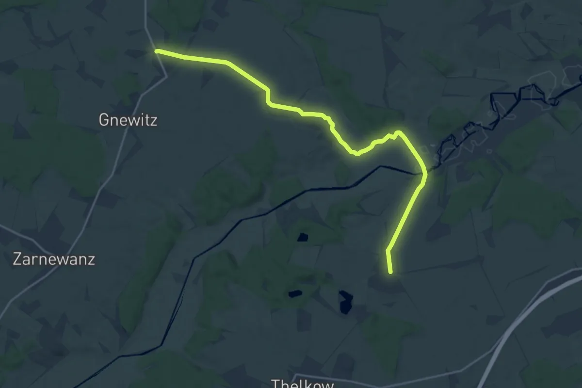
Medium · Trail
Stubbendorf-Liepen
15.7 km · ↑ 92 m · 3 h 55 min
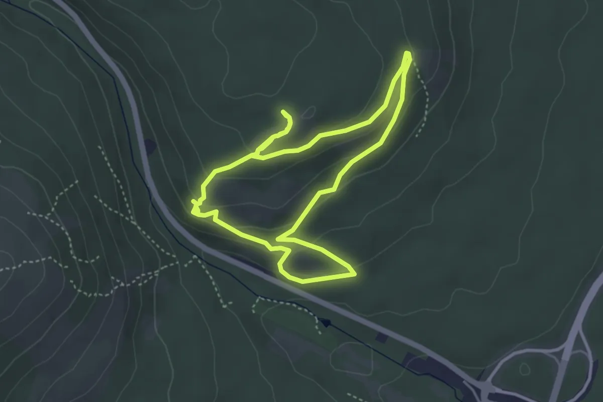
Easy · Trail
Stubenkaterins Abendrunde
3.6 km · ↑ 128 m · 1 h 10 min
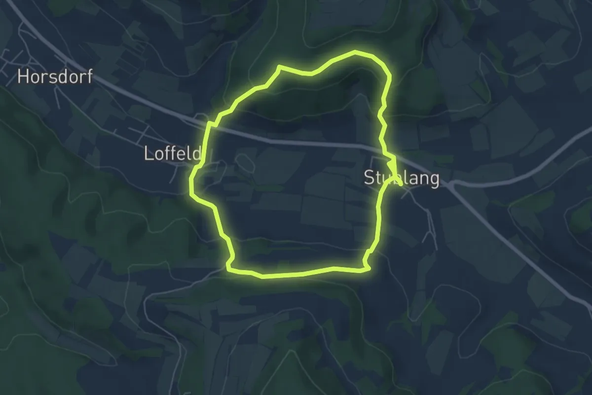
Easy · Trail
Stublanger Rundweg
5.0 km · ↑ 212 m · 1 h 43 min
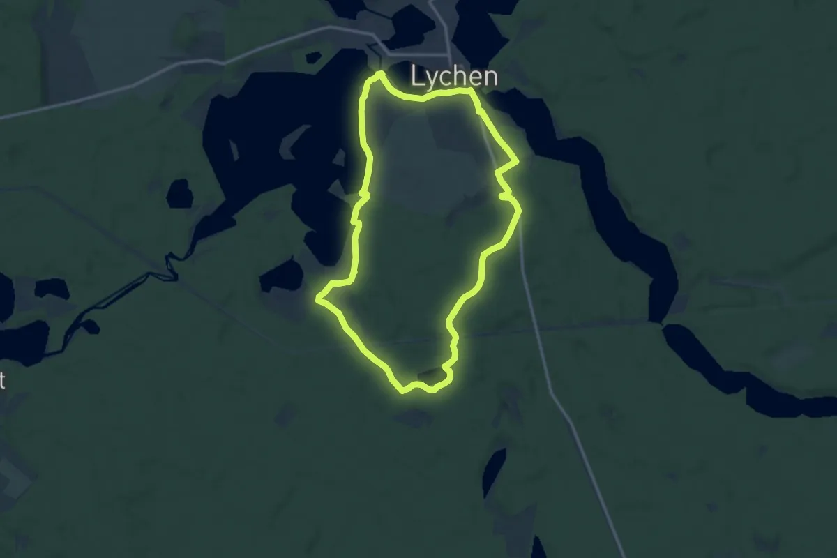
Medium · Trail
Stübnitzseerundweg
10.4 km · ↑ 76 m · 2 h 46 min
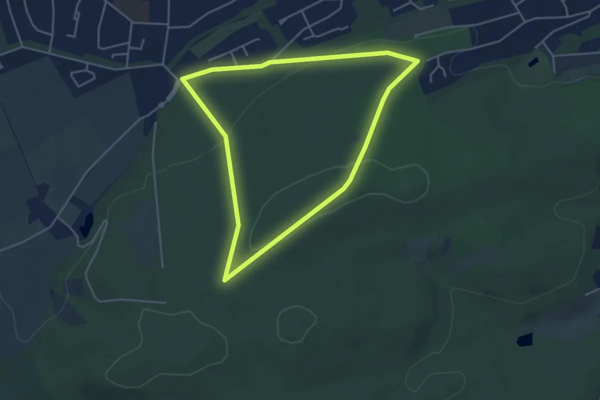
Easy · Trail
Stucken Rundweg A10
3.3 km · ↑ 77 m · 1 h
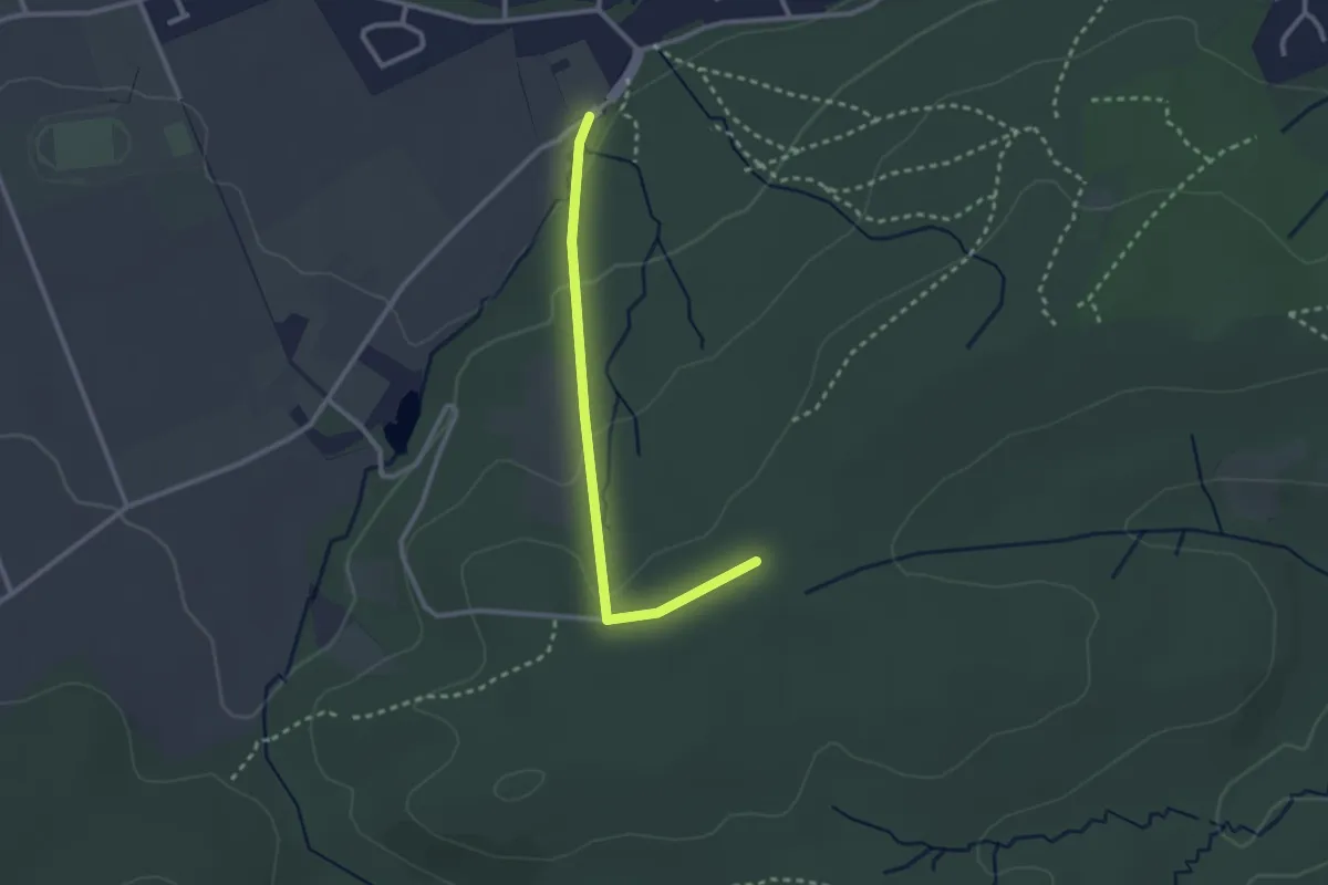
Easy · Trail
Stucken Rundweg A8
1.2 km · ↑ 79 m · 25 min
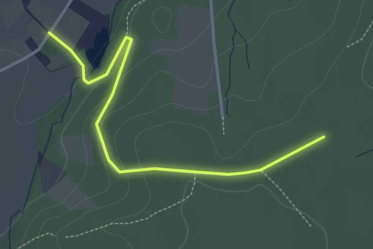
Easy · Trail
Stucken Rundweg A9
1.3 km · ↑ 60 m · 26 min
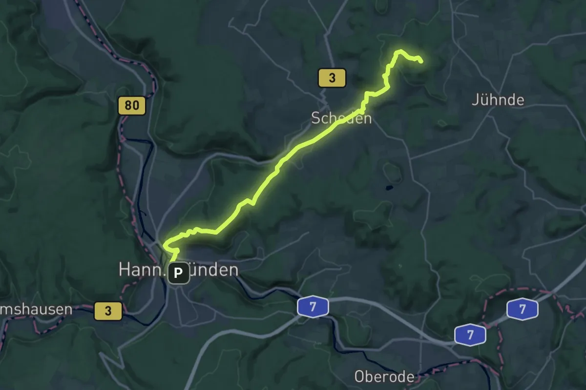
Demanding · Summit
Studentenpfad (Abschnitt 1, Göttingen - Hann.Münden)
26.6 km · ↑ 687 m · 7 h 47 min
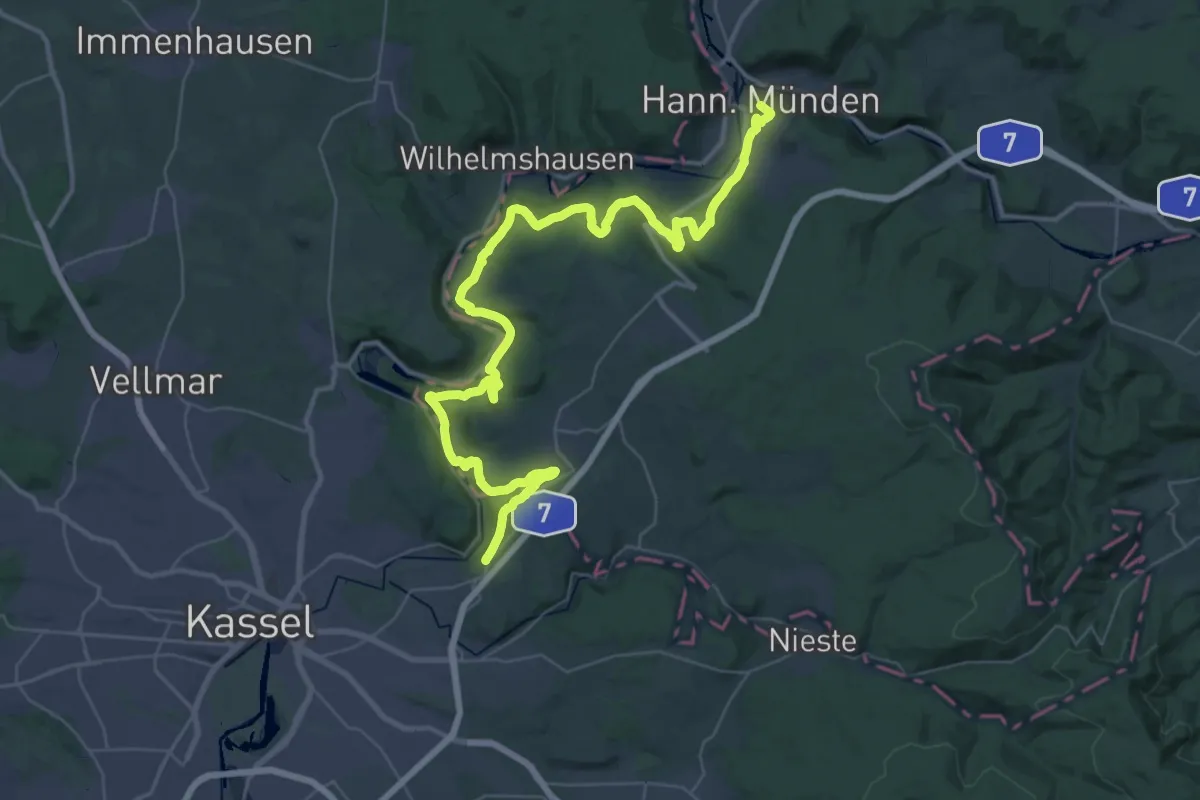
Demanding · Trail
Studentenpfad (Abschnitt 2, Hann.Münden - Kassel)
24.8 km · ↑ 515 m · 7 h 22 min
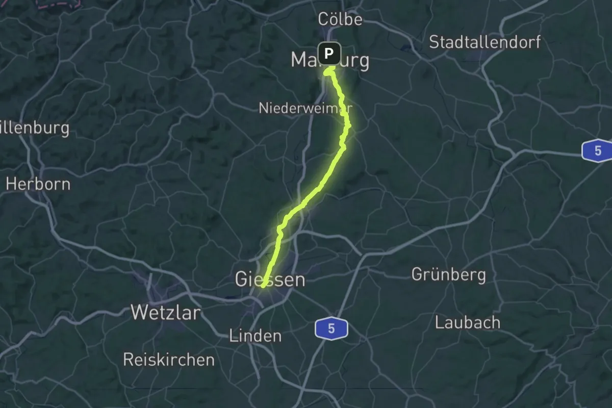
Demanding · Trail
Studentenpfad (Abschnitt 5, Marburg - Gießen)
34.8 km · ↑ 400 m · 9 h 35 min
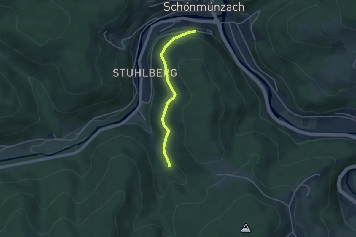
Easy · Trail
Stuhlbergwegle - Blockhaus
2.6 km · ↑ 115 m · 52 min
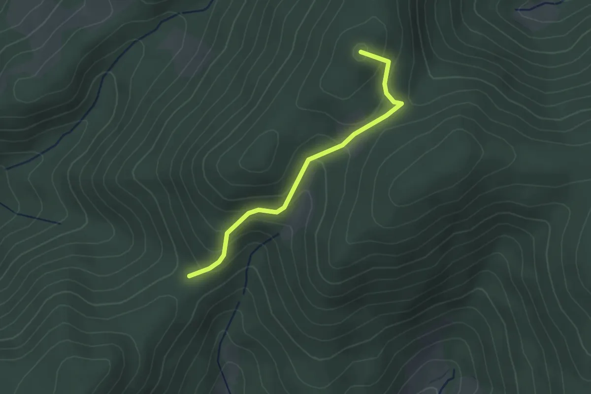
Easy · Summit
Stühle - Am Gleichen
2.7 km · ↑ 172 m · 1 h 1 min
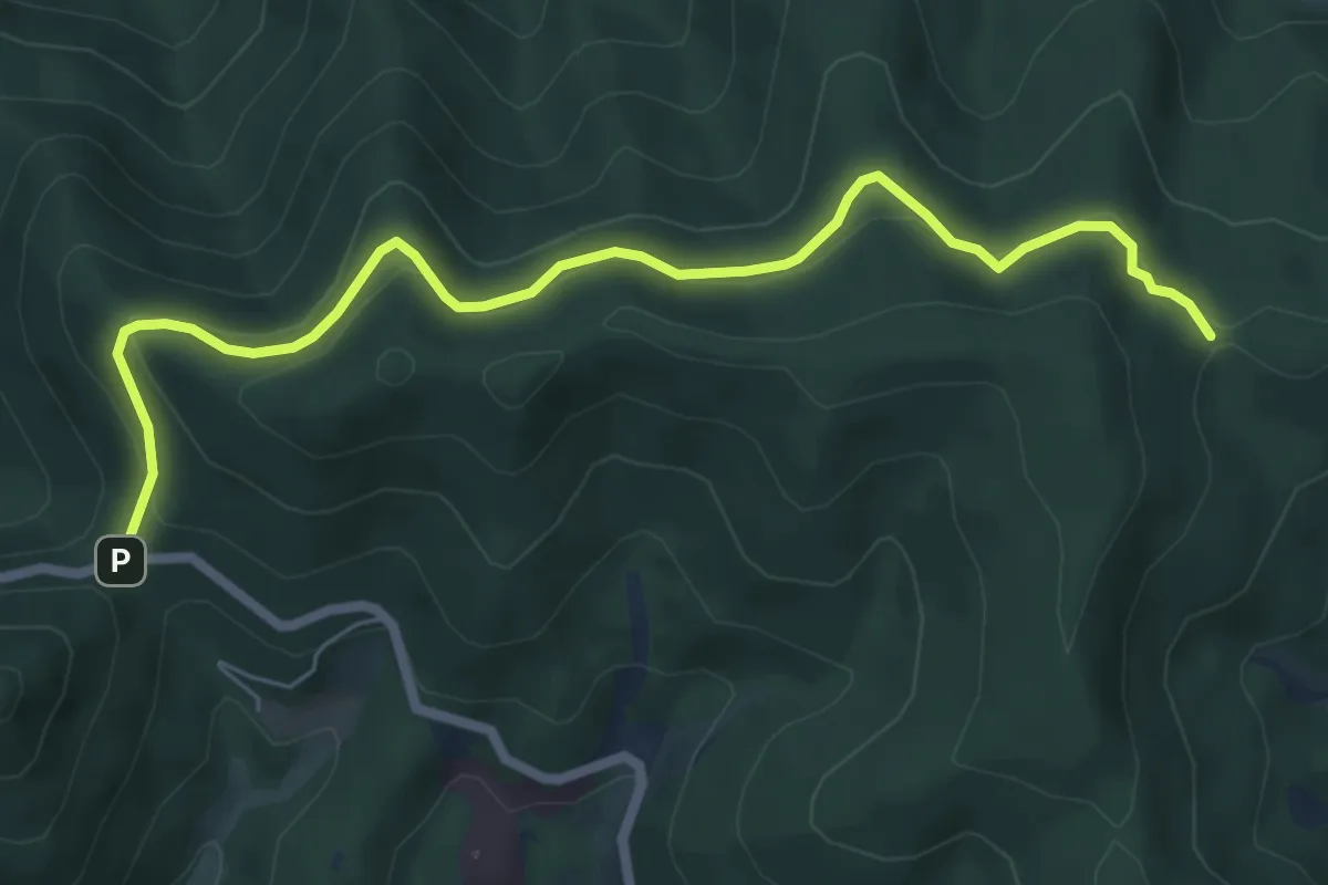
Easy · Trail
Stühle - Egerten
6.9 km · ↑ 222 m · 2 h 6 min
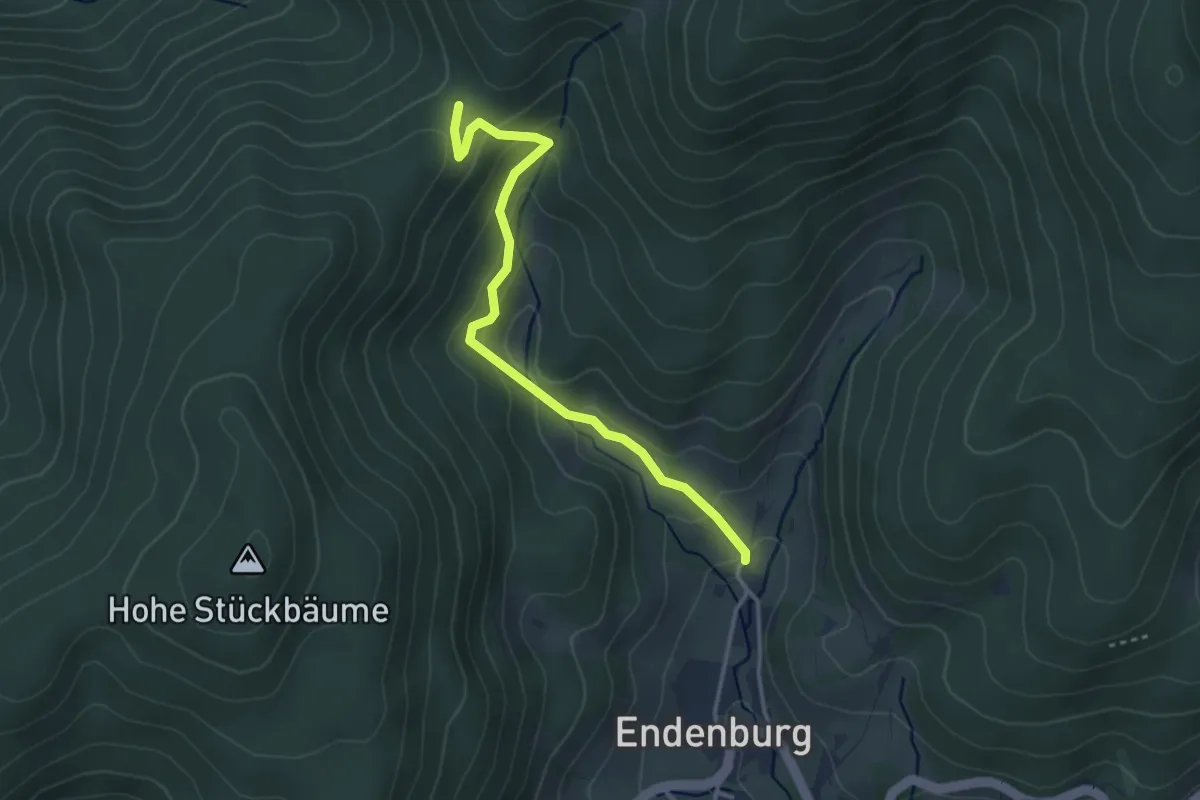
Easy · Trail
Stühle - Endenburg Kirche
3.3 km · ↑ 193 m · 1 h 12 min
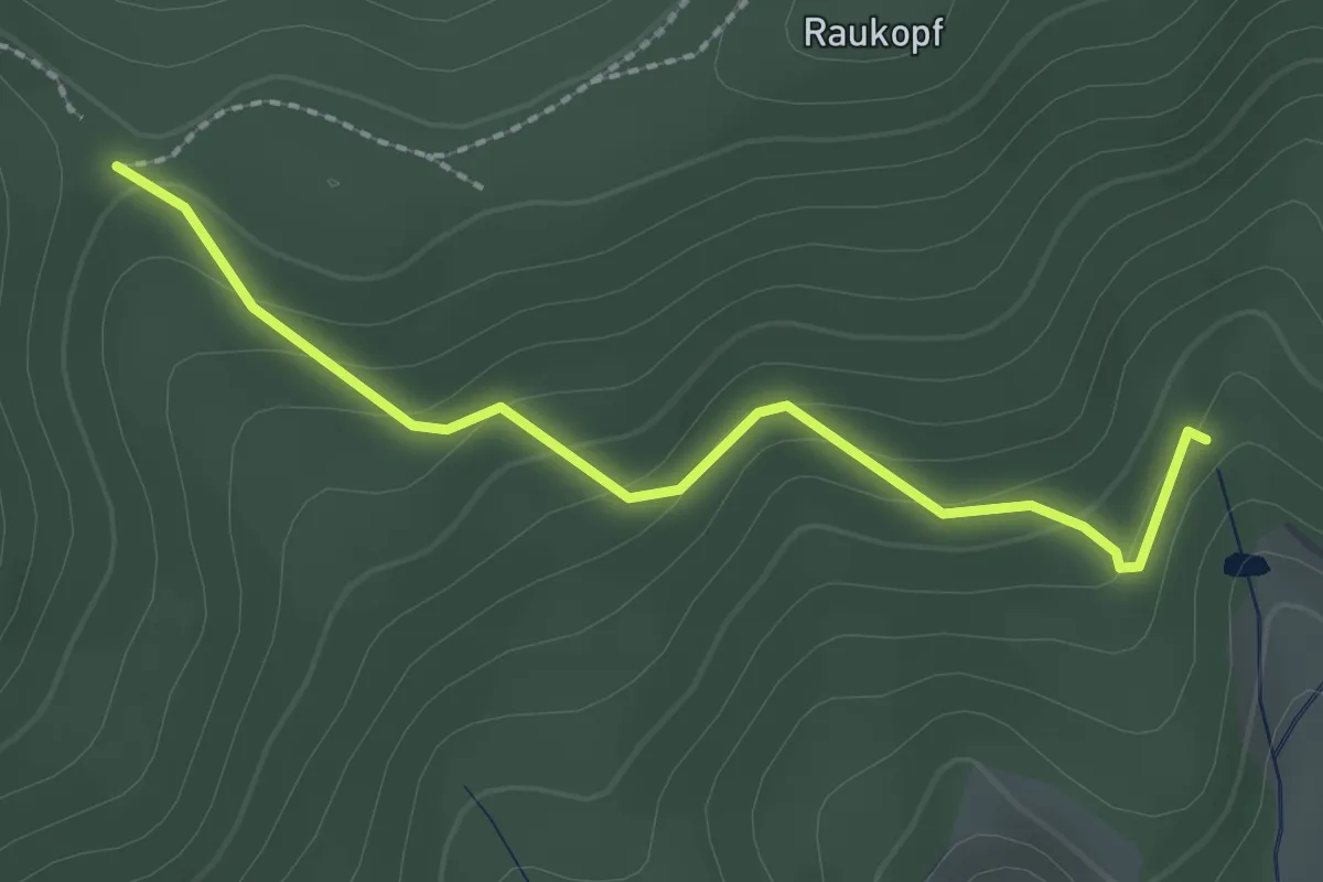
Easy · Trail
Stühle - Sägengrund
2.2 km · ↑ 118 m · 47 min
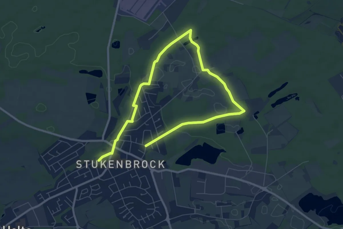
Easy · Trail
Stukenbrocker Zeitreise
4.9 km · ↑ 34 m · 1 h 18 min
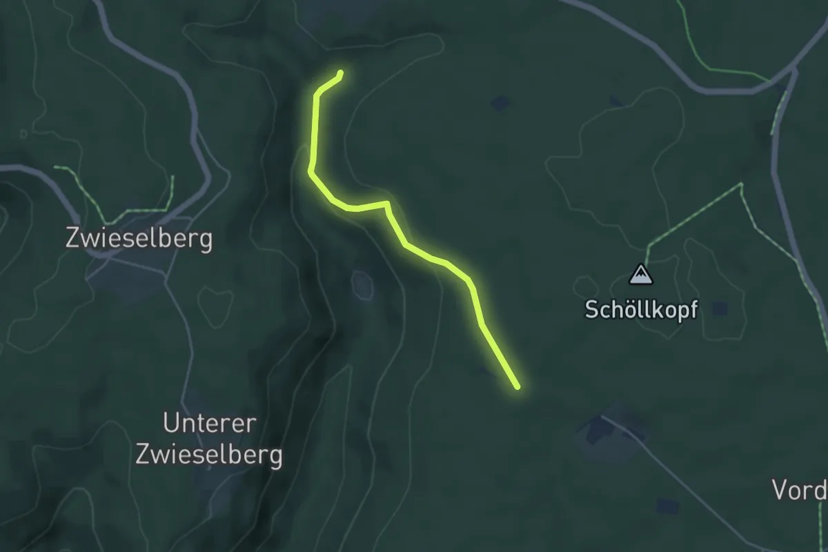
Easy · Trail
Stumpenplatz - Frauenteich
3.6 km · ↑ 118 m · 1 h 6 min
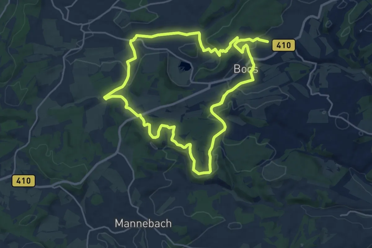
Medium · Summit
Stumpfarmweg
14.0 km · ↑ 313 m · 4 h 9 min
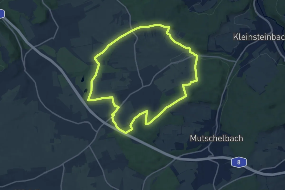
Medium · Trail
Stupfericher Kulturwanderpfad
10.4 km · ↑ 154 m · 2 h 56 min