Trails in Germany
36,852 hiking trails, each with its route, climb, walking time and grade.
All trails, page 614 of 768
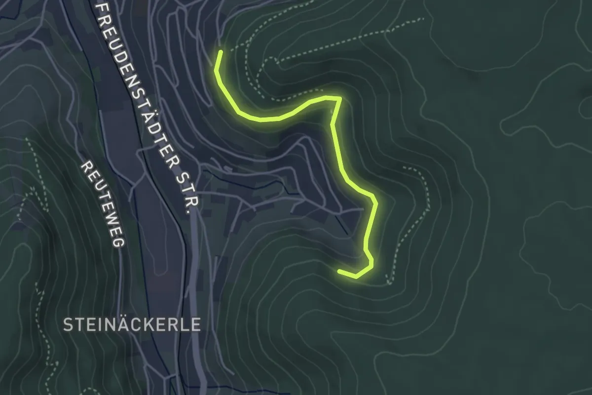
Easy · Trail
Surrbachwegle - Schönblick
3.3 km · ↑ 173 m · 1 h 9 min
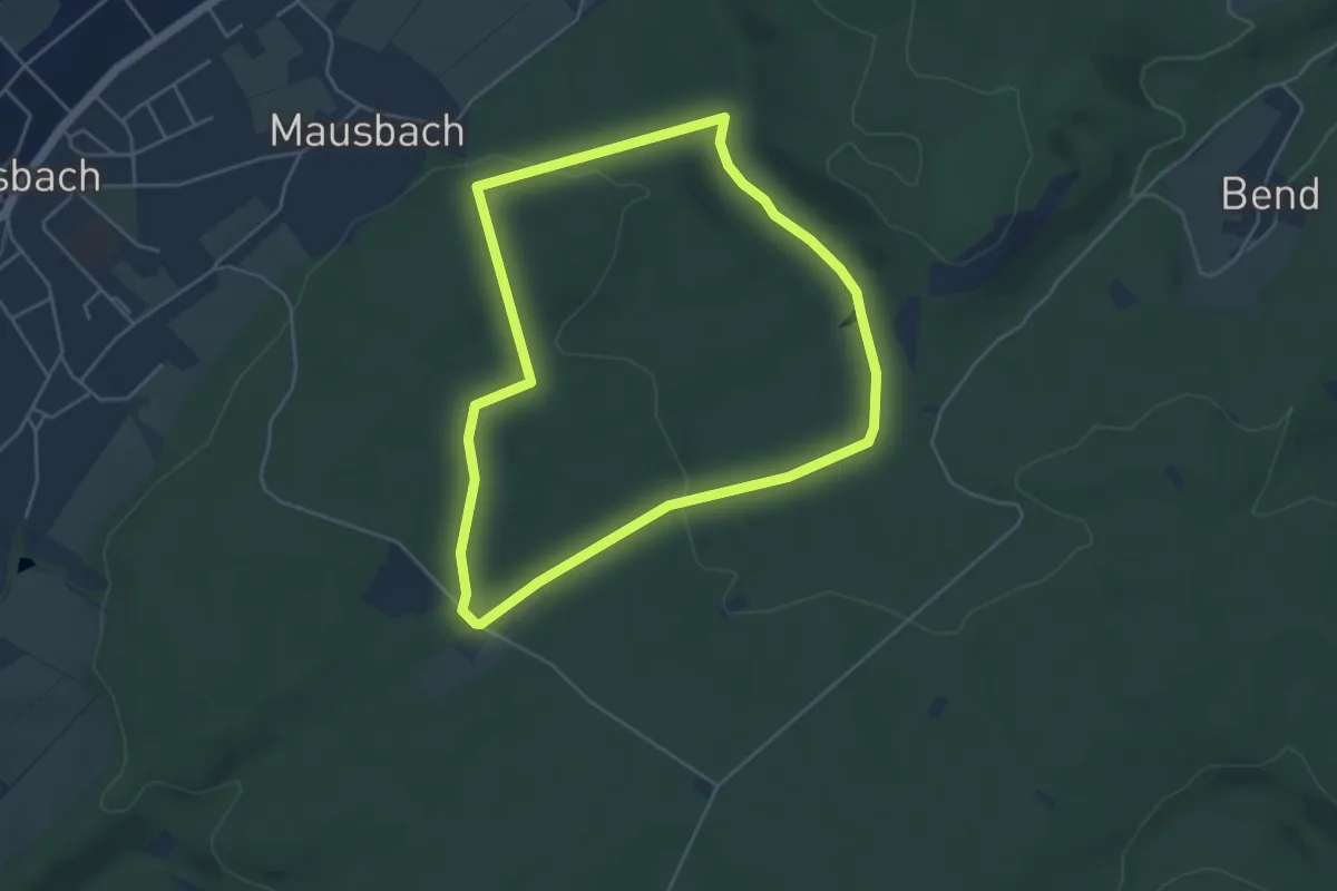
Easy · Trail
Süssendell Rundweg A2
4.1 km · ↑ 60 m · 1 h 10 min
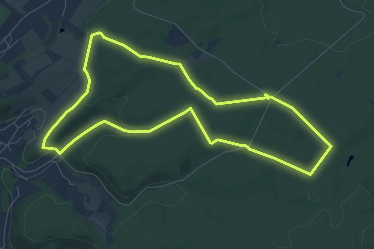
Easy · Trail
Süssendell Rundweg A3
6.7 km · ↑ 99 m · 1 h 54 min
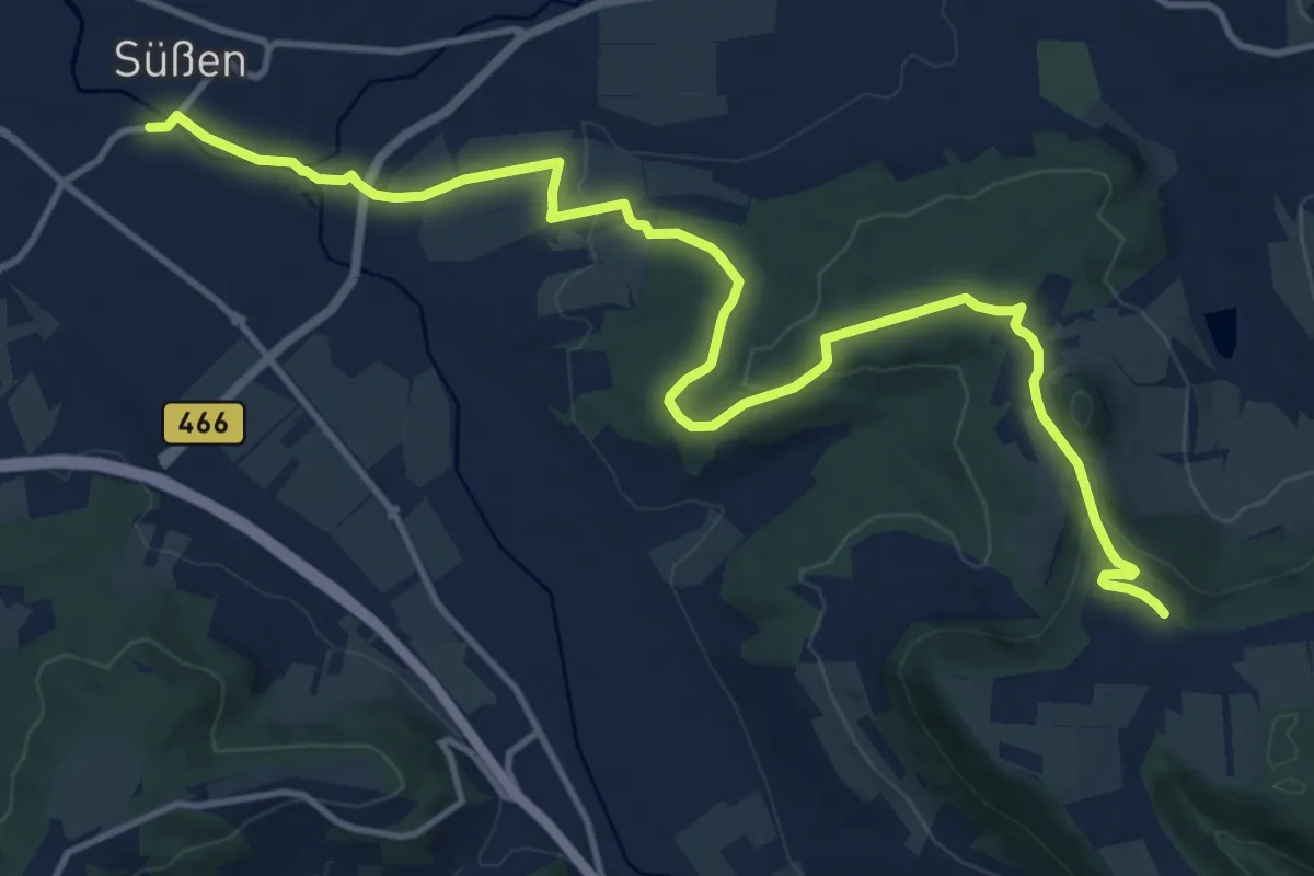
Medium · Trail
Süßen - Scharfenhof - Kuchalb
14.8 km · ↑ 359 m · 4 h 17 min
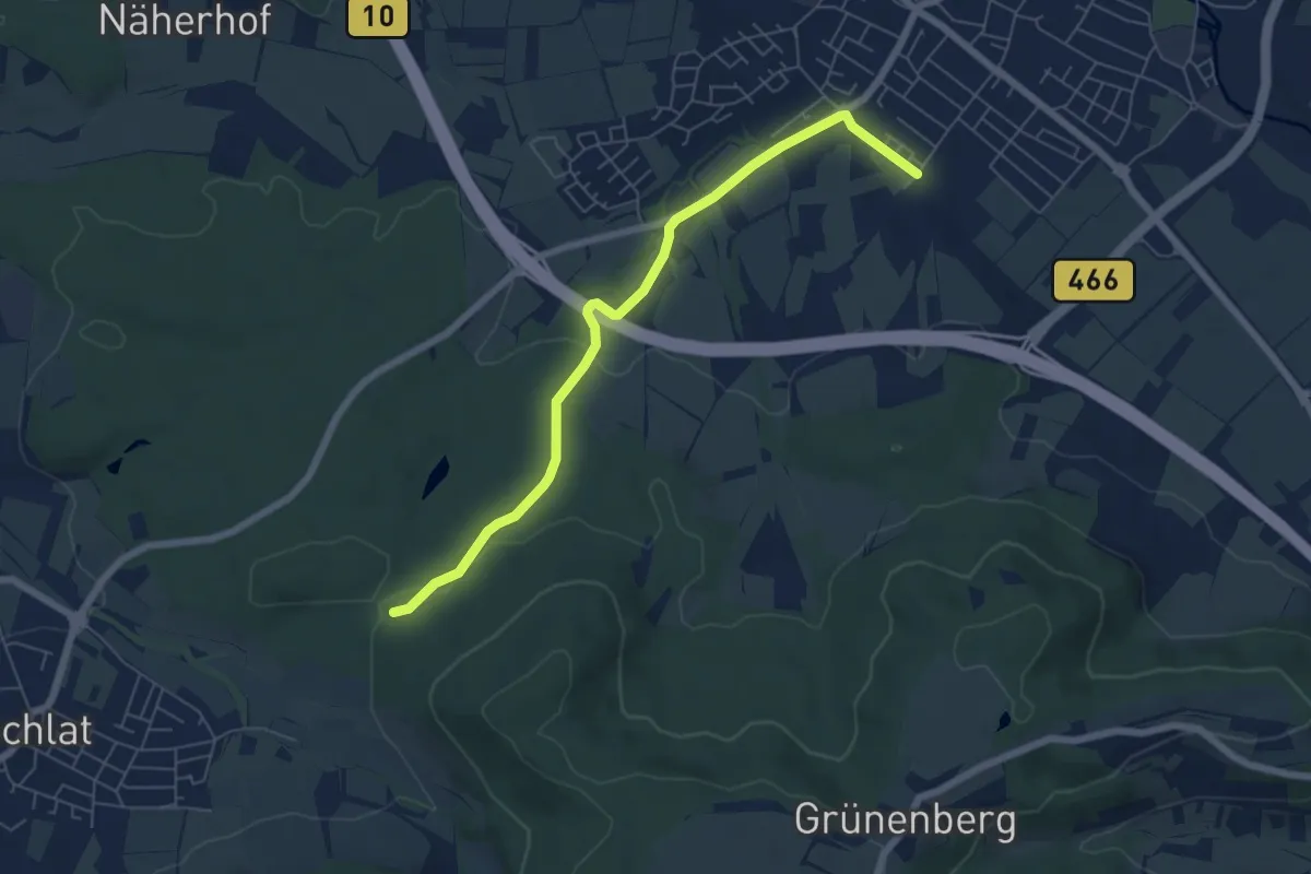
Easy · Trail
Süßen - Schlat
6.2 km · ↑ 89 m · 1 h 39 min
Easy · Trail
Süßmiß - Barongartenhütte
3.0 km · ↑ 43 m · 48 min
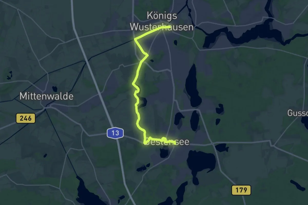
Demanding · Trail
Sutschketalwanderweg
21.5 km · ↑ 76 m · 5 h 14 min
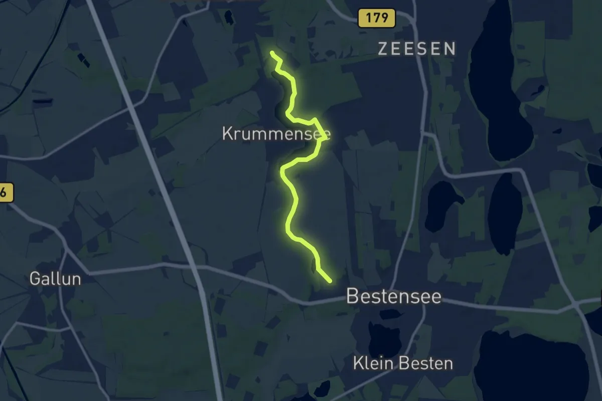
Medium · Trail
Sutschketalwanderweg - Ostseite Krummer See
8.6 km · ↑ 28 m · 2 h 6 min
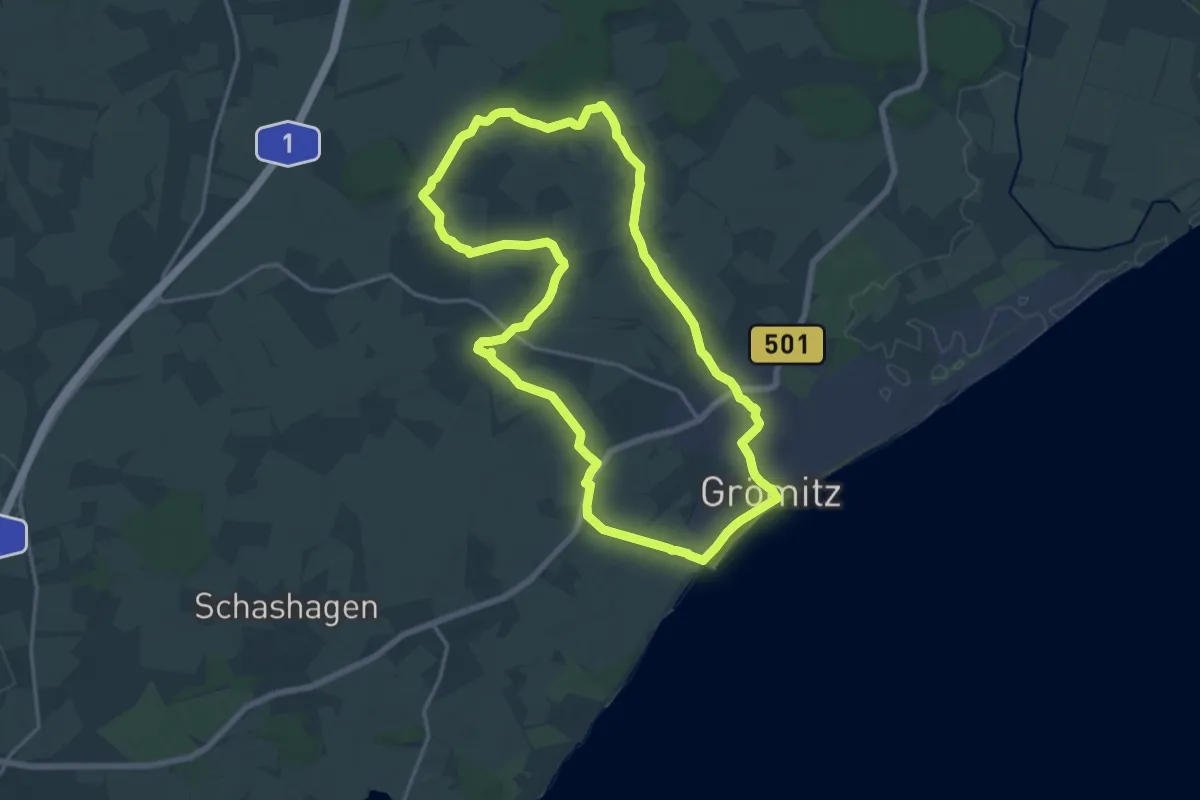
Medium · Trail
Suxdorf-Route, Grömitz
14.7 km · ↑ 55 m · 3 h 47 min
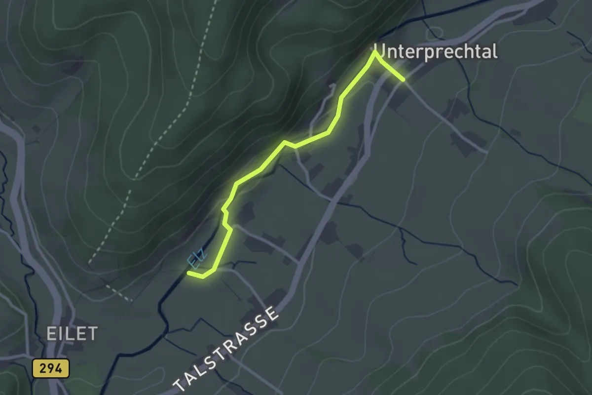
Easy · Trail
s'Vogts - Prechtal Klausenhof
2.4 km · ↑ 86 m · 46 min
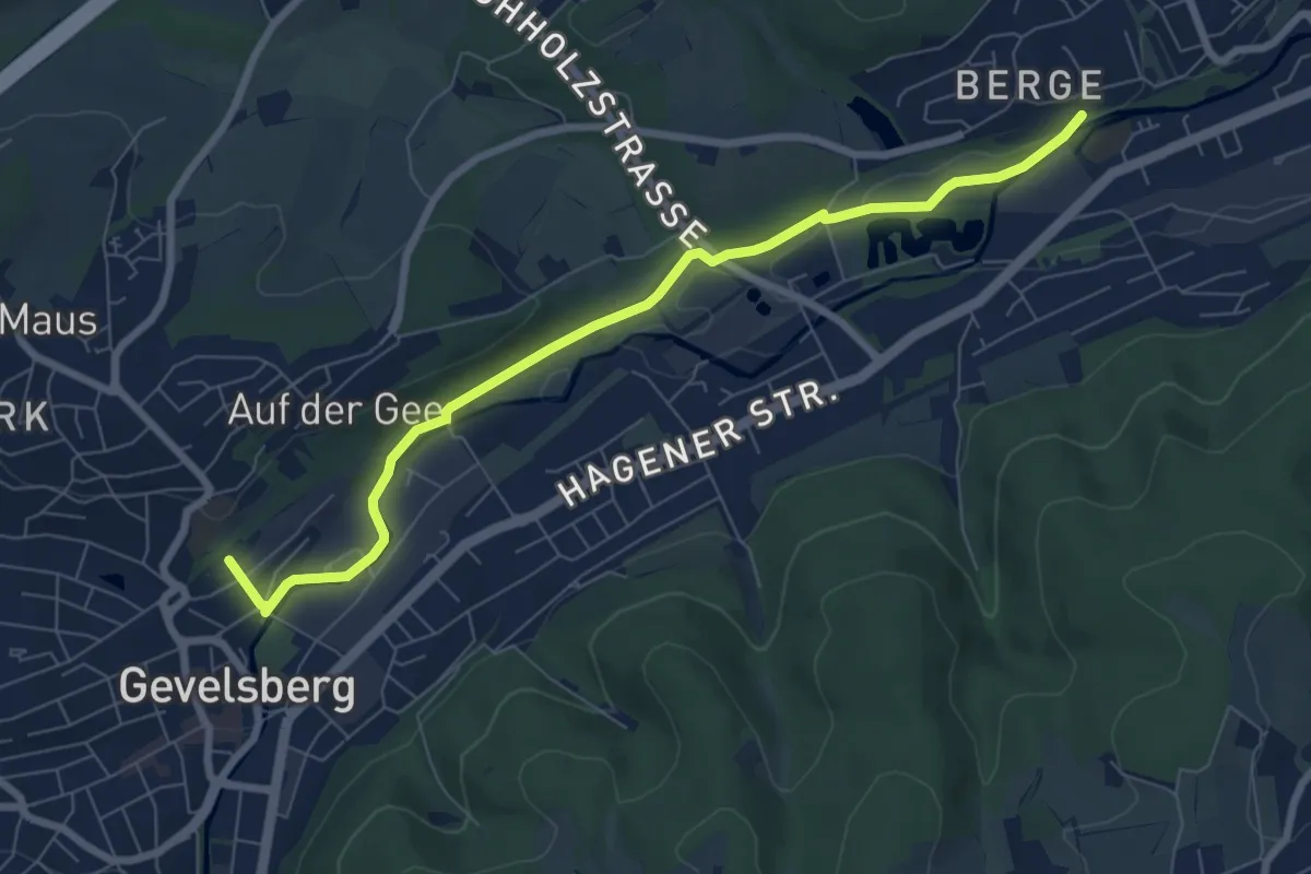
Easy · Trail
[S] Weg an der S-Bahn
7.1 km · ↑ 86 m · 1 h 51 min
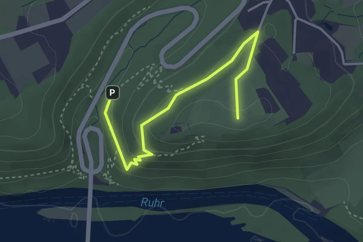
Easy · Summit
Syburg Rundweg A1
2.9 km · ↑ 128 m · 58 min
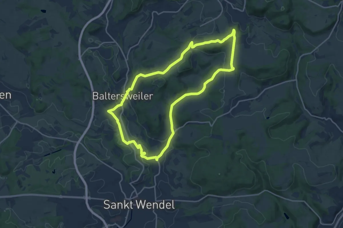
Medium · Trail
Symposium
12.5 km · ↑ 249 m · 3 h 41 min
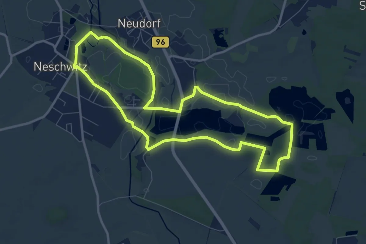
Easy · Trail
SZ-Rundwanderweg
7.0 km · ↑ 13 m · 1 h 47 min
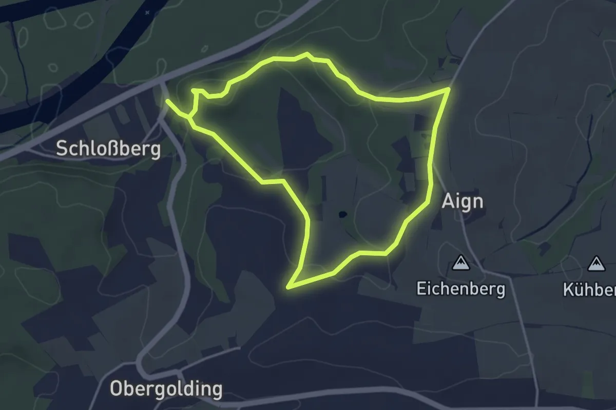
Medium · Trail
T1 - Schloßberg
3.4 km · ↑ 103 m · 1 h 3 min
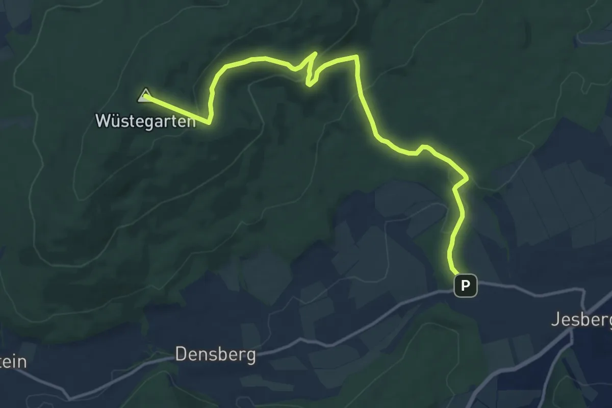
Medium · Summit
T1 Steinboß-Kellerwaldturm
12.5 km · ↑ 411 m · 3 h 50 min
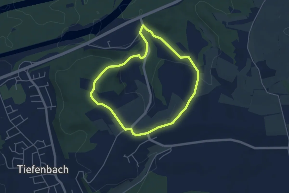
Easy · Trail
T2 - Obergolding
3.4 km · ↑ 81 m · 1 h 1 min
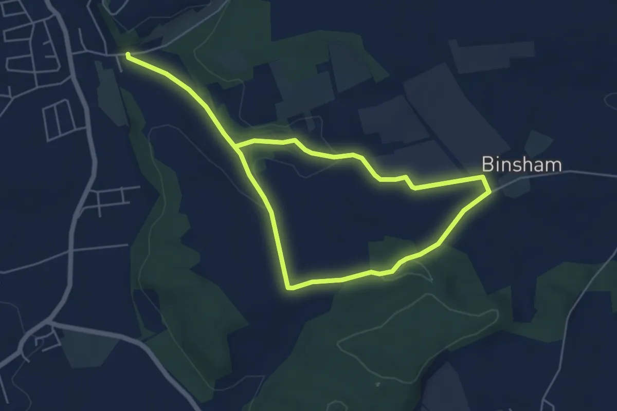
Easy · Trail
T3 Binsham
4.0 km · ↑ 65 m · 1 h 8 min
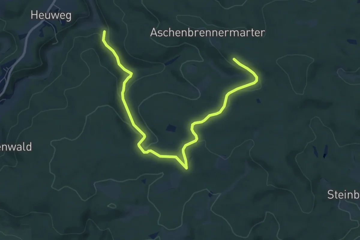
Medium · Trail
T 3 Otterbachtal - Aschenbrennermarter
8.9 km · ↑ 197 m · 2 h 32 min
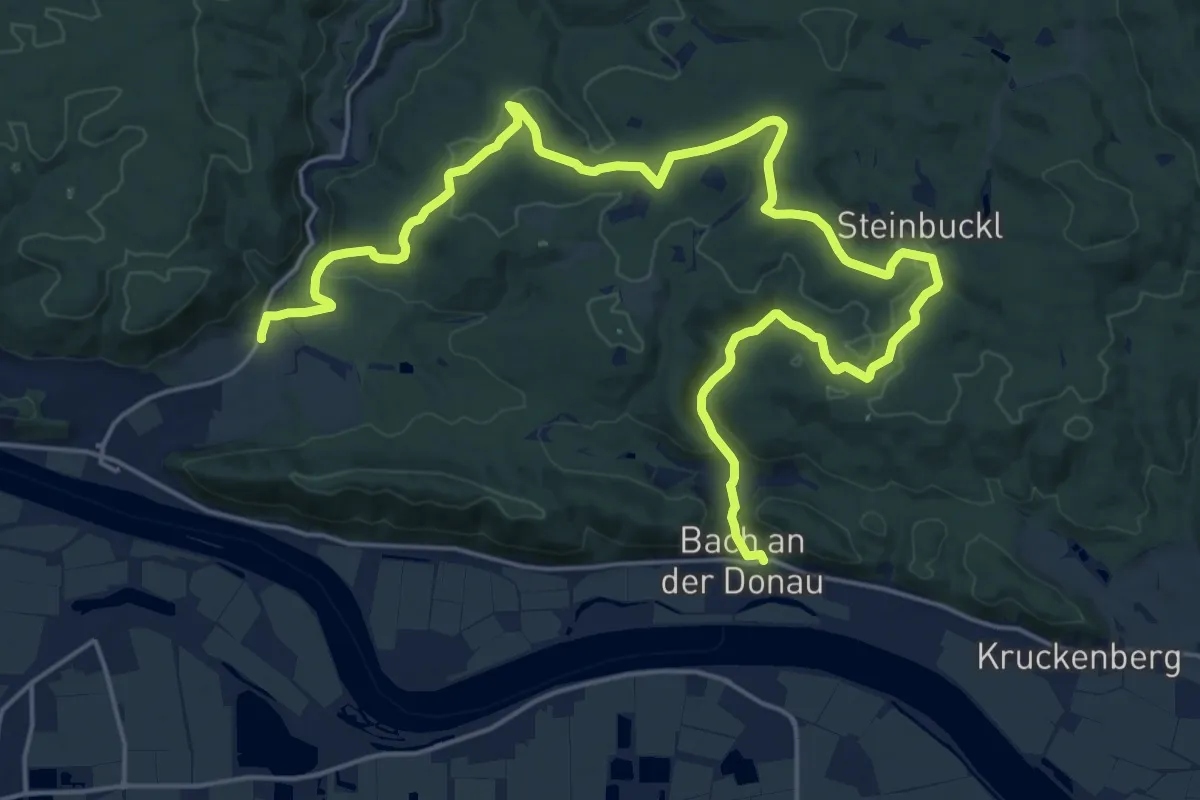
Demanding · Trail
T5 Hammermühle-Adersbachtal-Kittenrain-Bach
26.4 km · ↑ 595 m · 7 h 31 min
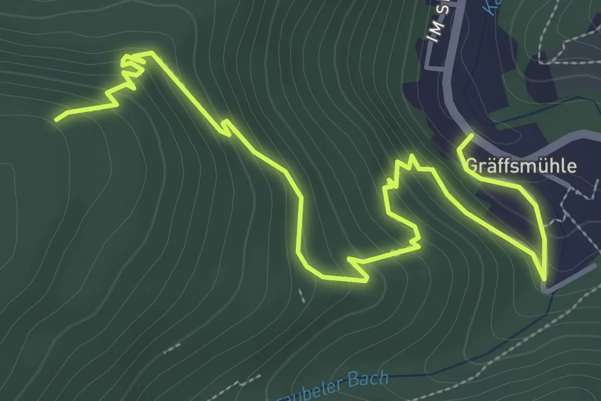
Easy · Trail
T7
4.2 km · ↑ 269 m · 1 h 35 min
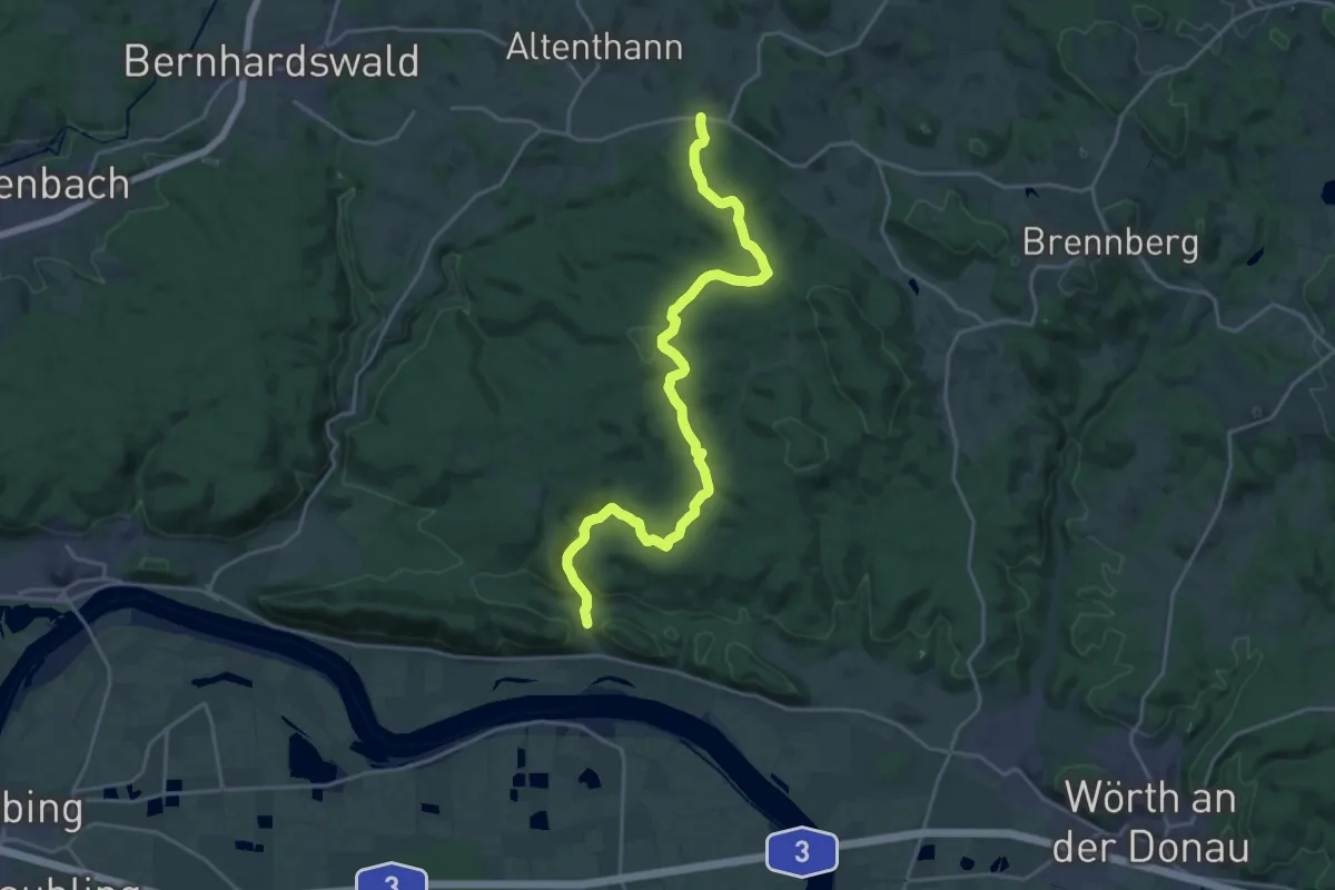
Demanding · Trail
T 7 Forstmühle - Bach/Do.
21.8 km · ↑ 487 m · 6 h 12 min
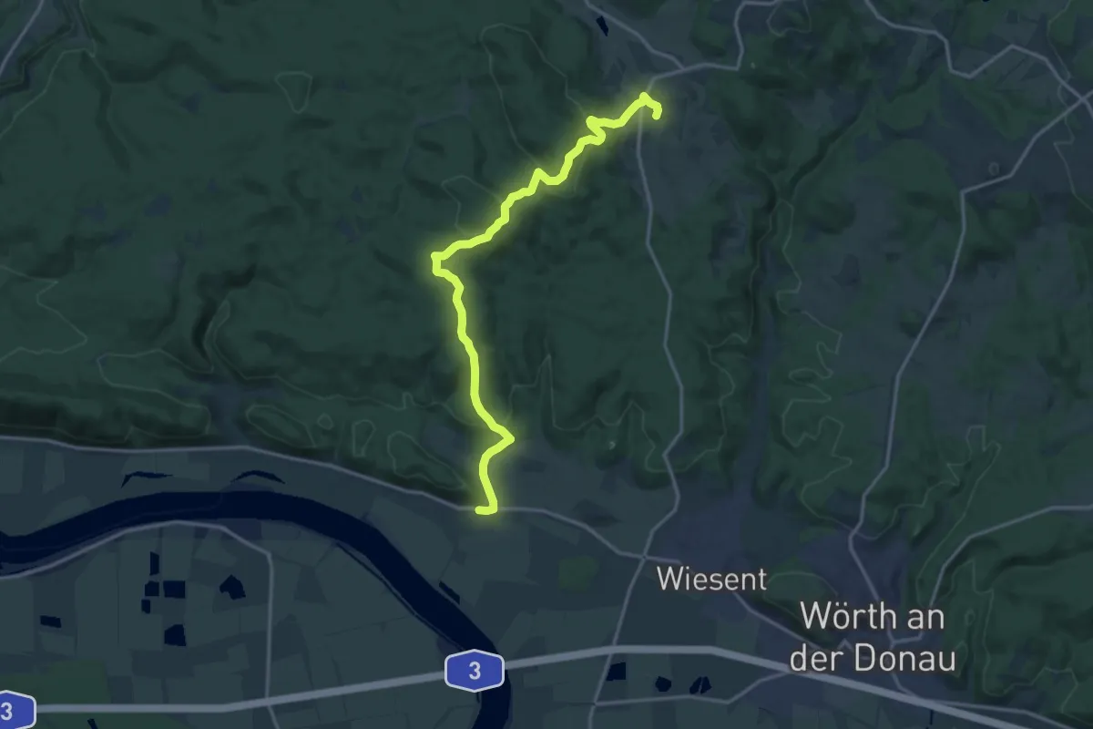
Medium · Trail
T 8 Frauenzell - Breitenstein - Kruckenberg
15.6 km · ↑ 481 m · 4 h 43 min
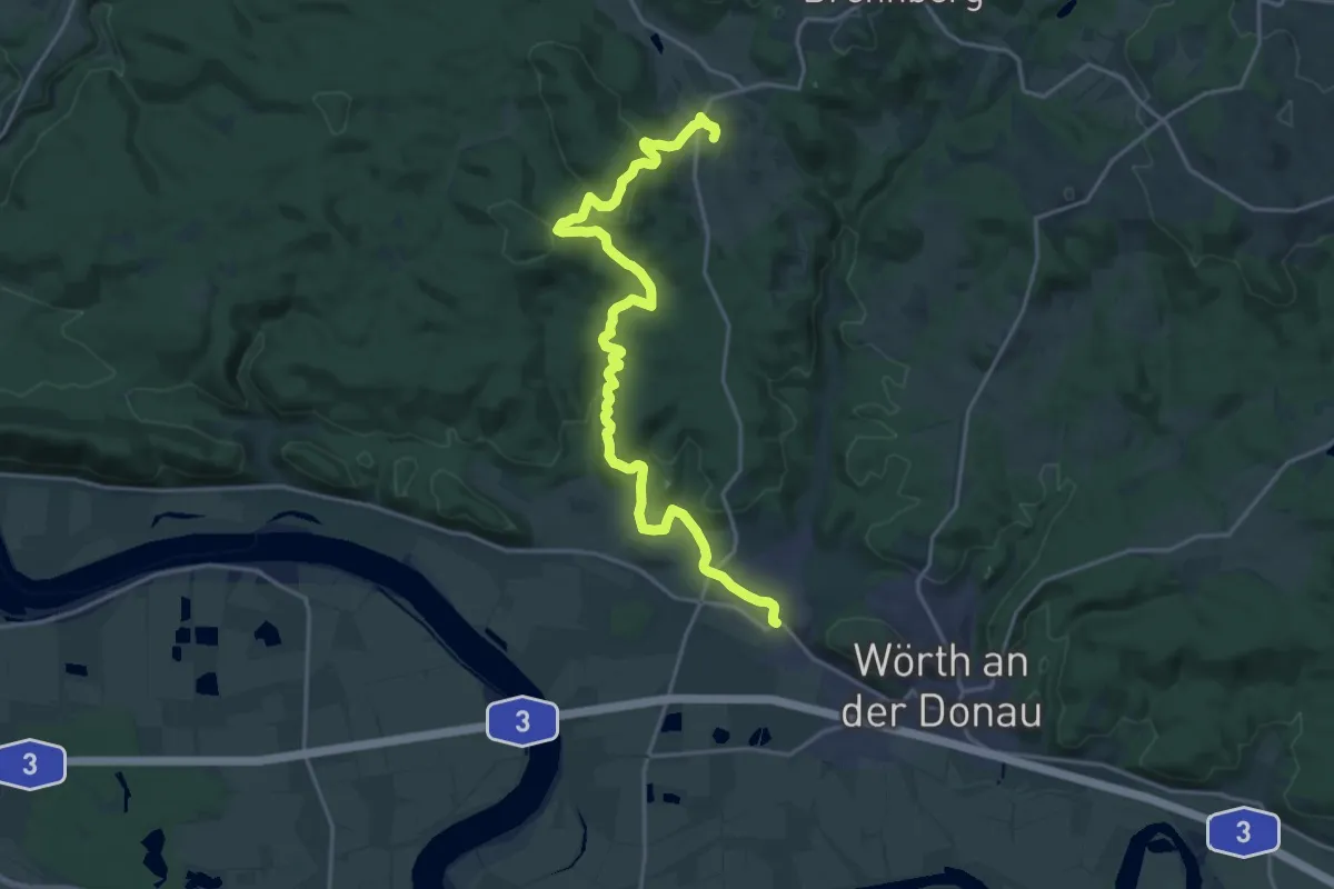
Demanding · Trail
T 9 Frauenzell - Ursbrunn - Kruckenberg
21.1 km · ↑ 527 m · 6 h 7 min
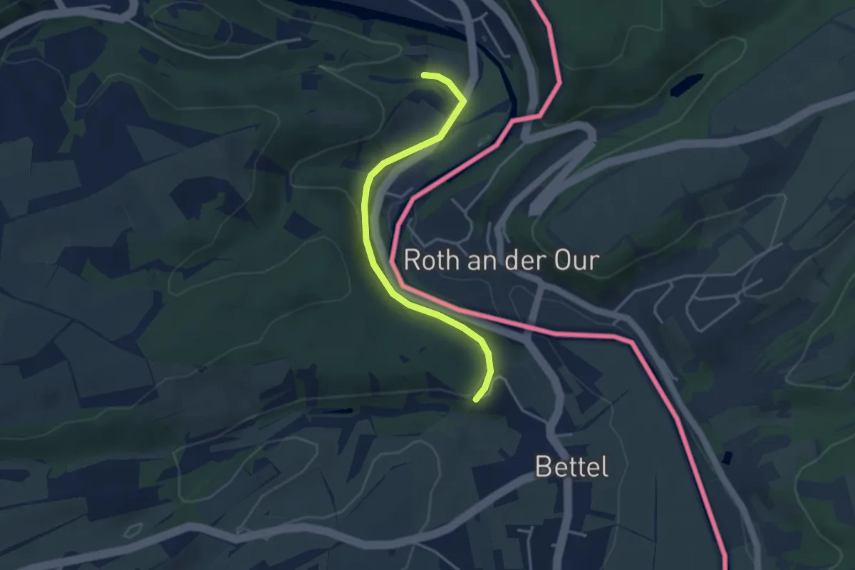
Easy · Trail
TA2
3.2 km · ↑ 106 m · 59 min
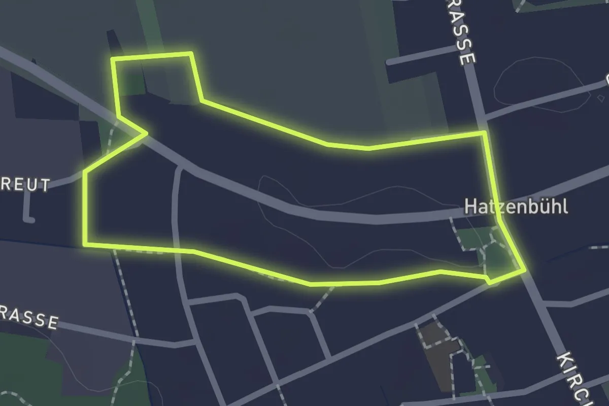
Easy · Trail
Tabakrundweg Hatzenbühl
1.7 km · ↑ 4 m · 27 min
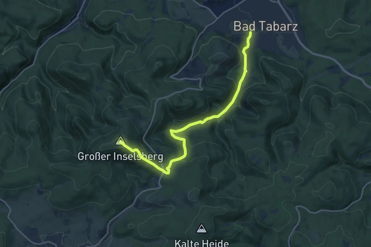
Medium · Summit
Tabarz - Felsental - Großer Inselberg (Gelbes Quadrat)
13.0 km · ↑ 543 m · 4 h 15 min
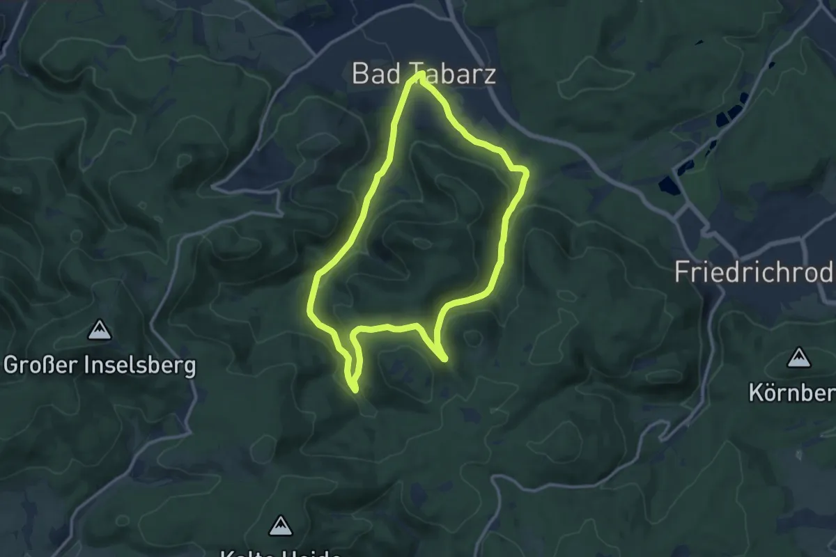
Medium · Summit
Tabarz: Rundwanderweg 2
9.9 km · ↑ 263 m · 3 h 3 min
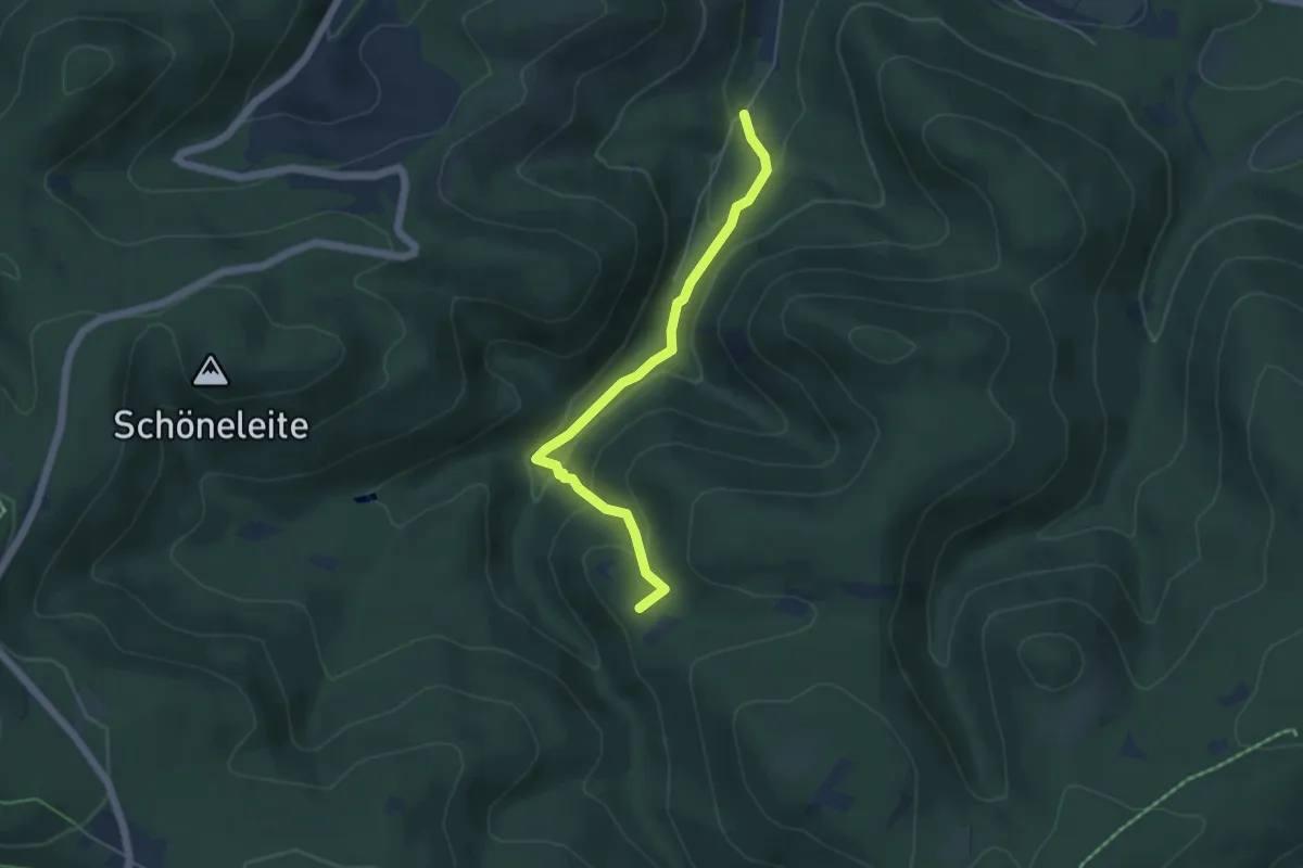
Medium · Summit
Tabarz - Tanzbuche (Grüner Balken)
4.4 km · ↑ 180 m · 1 h 26 min
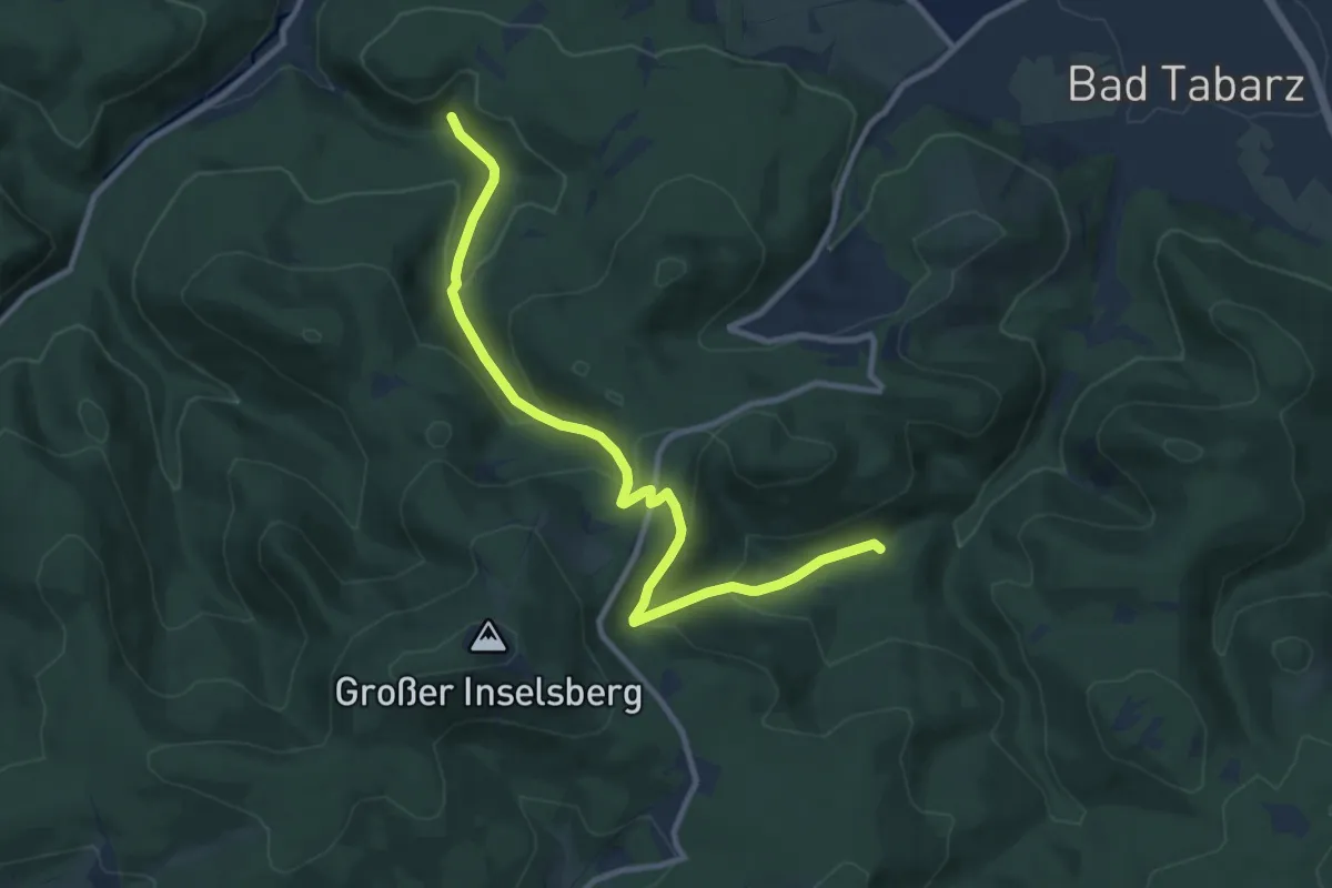
Medium · Summit
Tabarz - Winterstein (Grüner Balken)
9.7 km · ↑ 472 m · 3 h 19 min
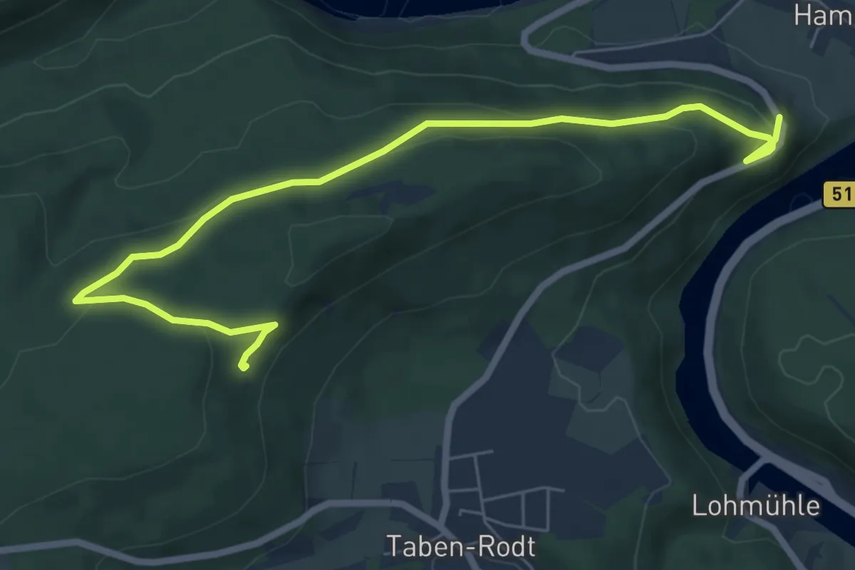
Easy · Trail
Taben-Rodt Rundweg 3
6.9 km · ↑ 199 m · 2 h 3 min
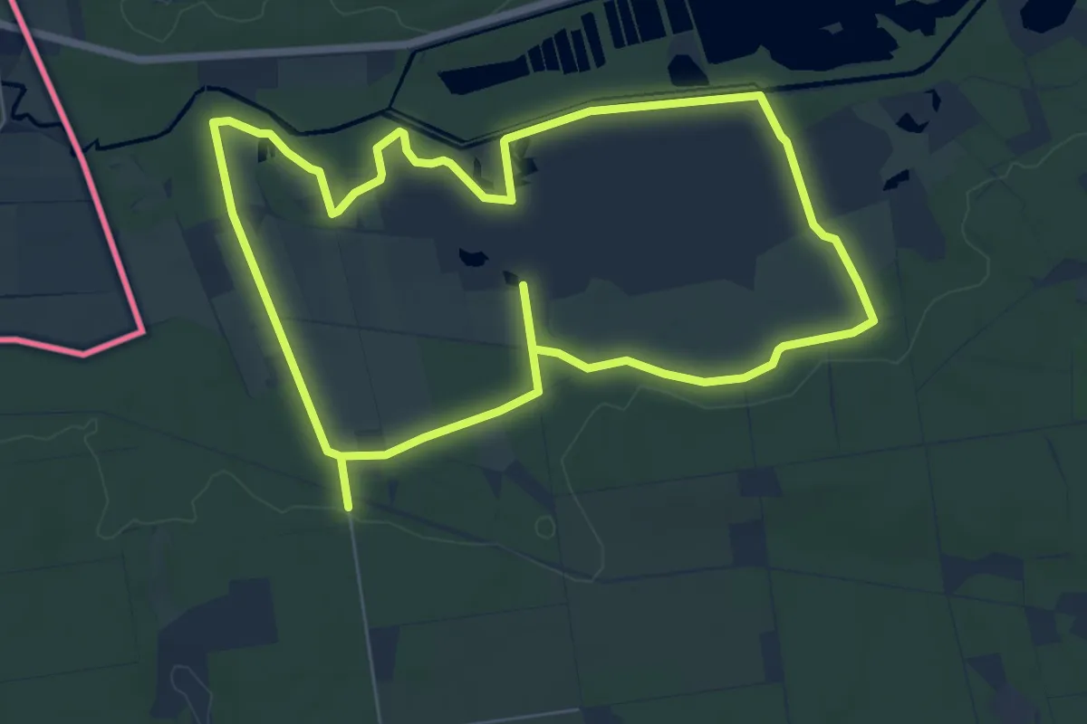
Easy · Trail
Tackenbendener Runde
6.5 km · ↑ 27 m · 1 h 41 min
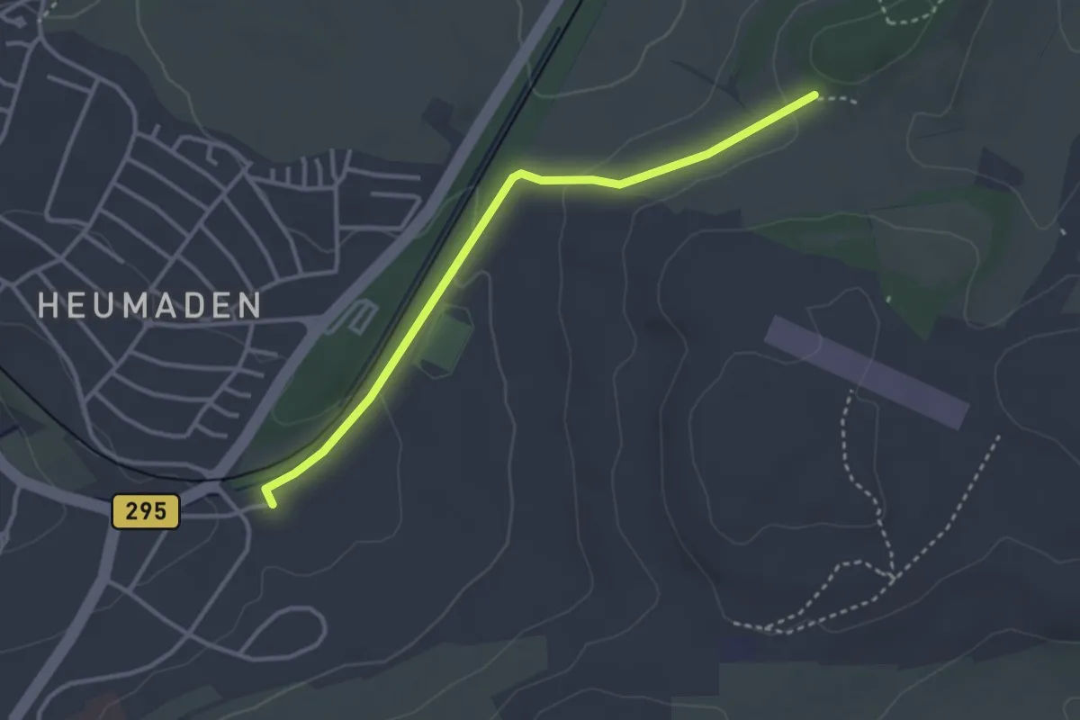
Easy · Trail
Täfelberg - Heumaden Im Hau
3.1 km · ↑ 73 m · 53 min
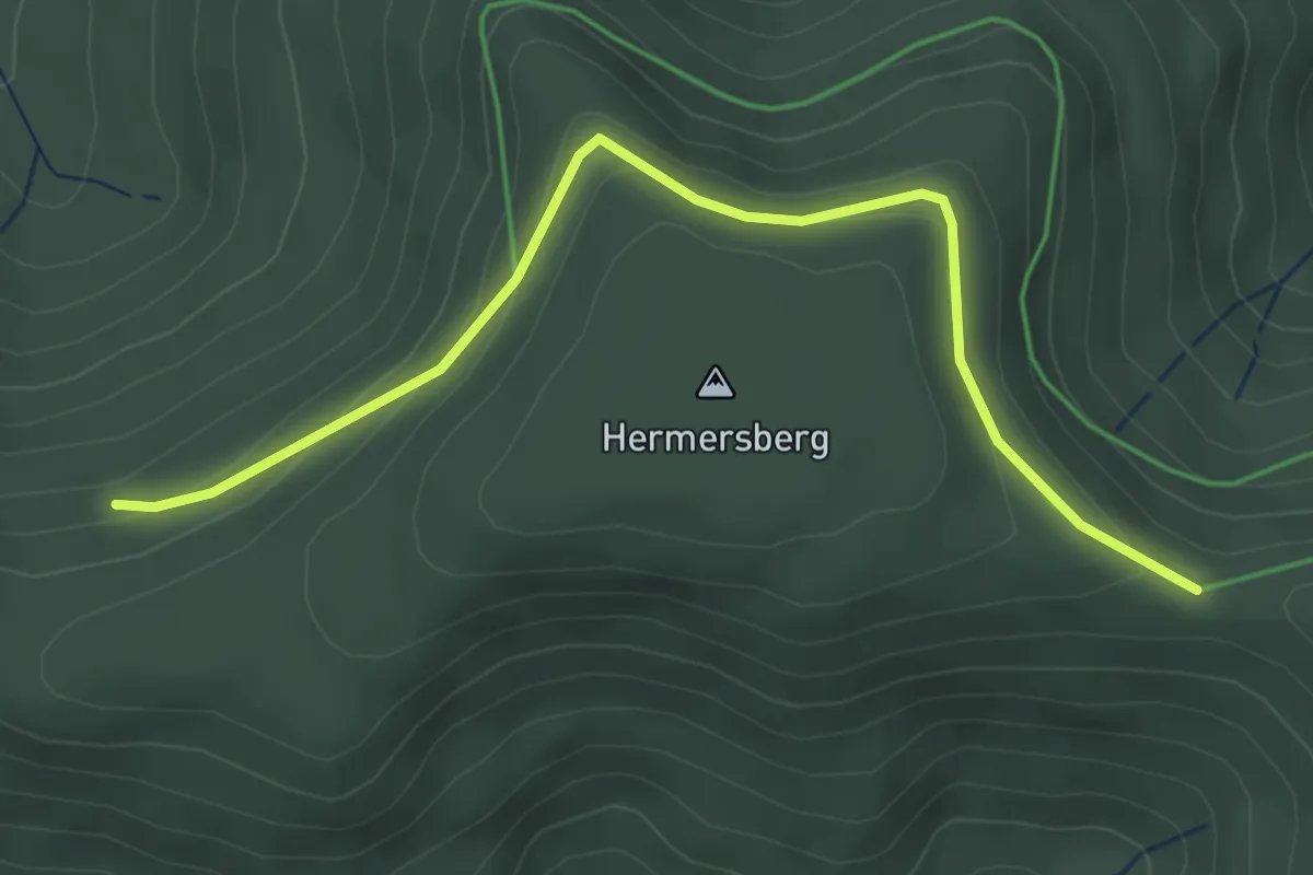
Easy · Trail
Täfele - Hermersberger Hütte
3.8 km · ↑ 169 m · 1 h 15 min
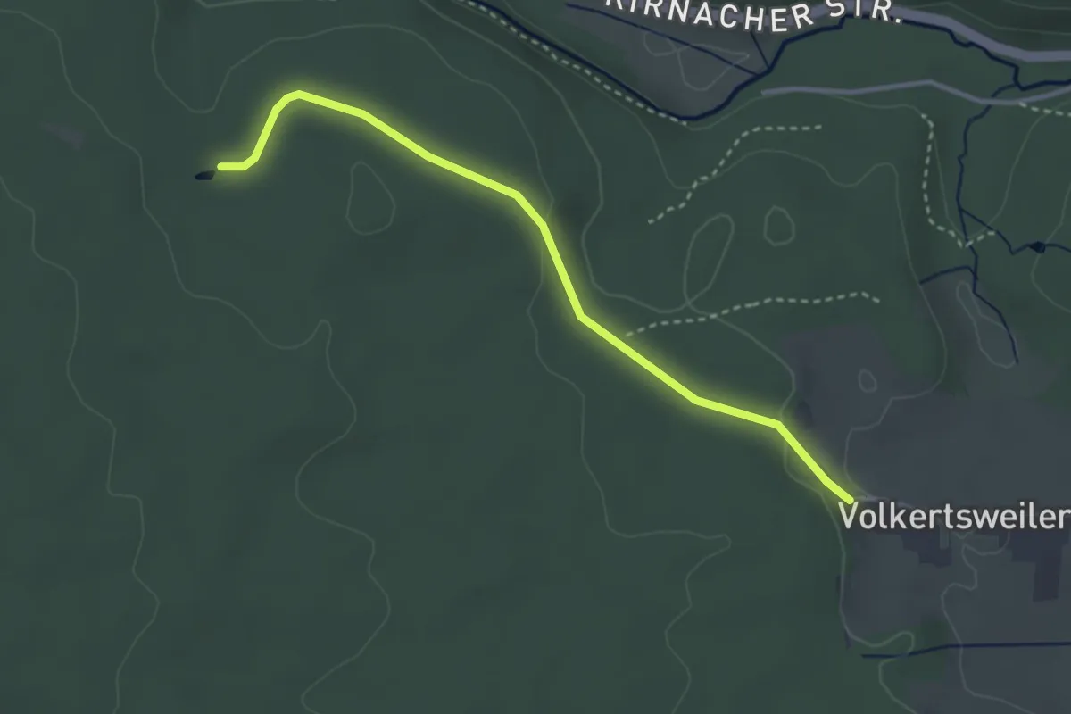
Easy · Trail
Täfeletanne - Volkertsweiler
3.2 km · ↑ 70 m · 55 min
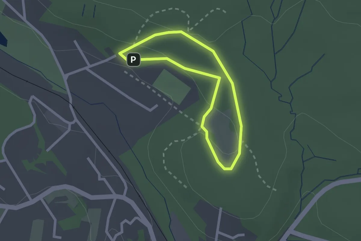
Easy · Trail
Tagpfauenauge
1.6 km · ↑ 38 m · 28 min
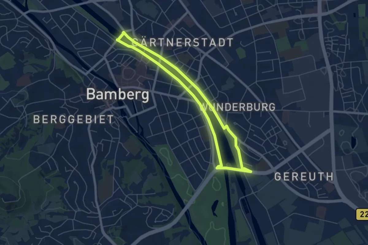
Easy · Trail
Tag und Nacht Trainigsstrecke Weltkulturerbelauf Bamberg
5.0 km · ↑ 10 m · 1 h 16 min
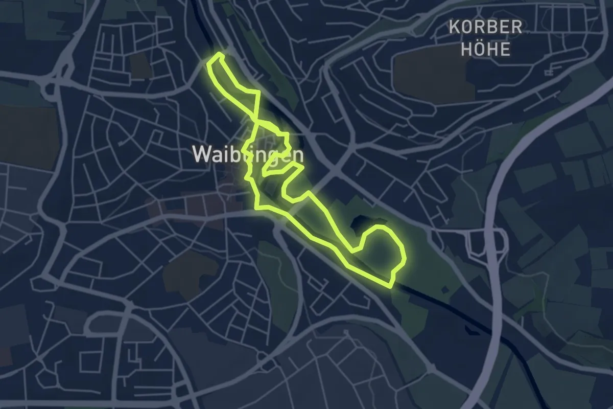
Easy · Trail
TalaueKunst Weg
4.4 km · ↑ 14 m · 1 h 7 min
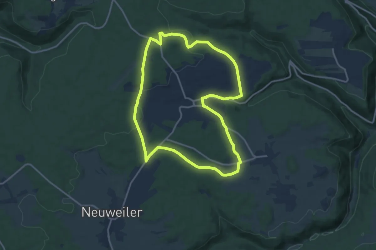
Medium · Trail
Talblick Gelb
9.5 km · ↑ 133 m · 2 h 39 min
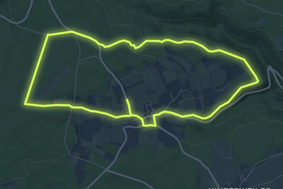
Medium · Trail
Talblick Grün
8.3 km · ↑ 122 m · 2 h 20 min
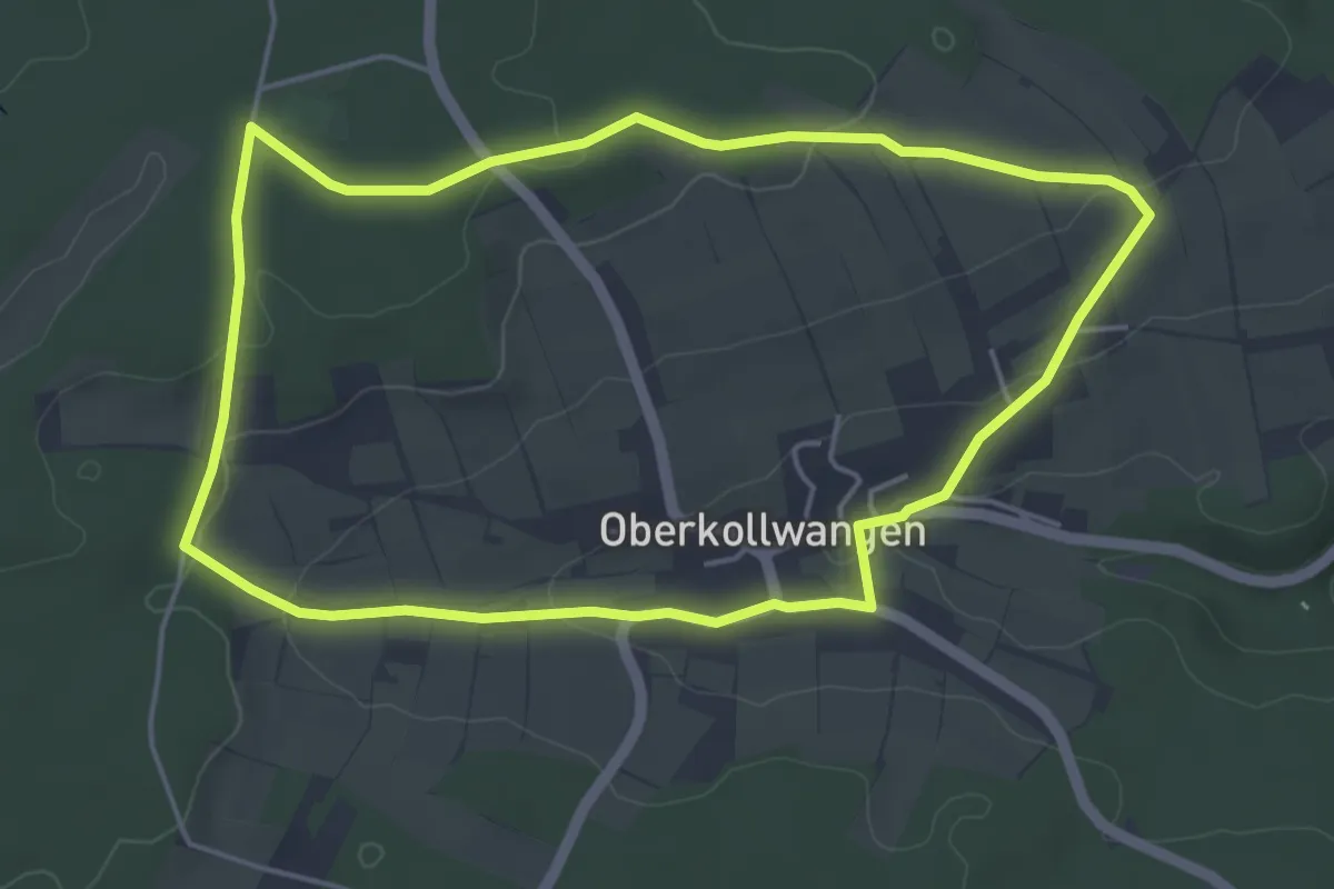
Easy · Trail
Talblick Rot
4.6 km · ↑ 86 m · 1 h 20 min
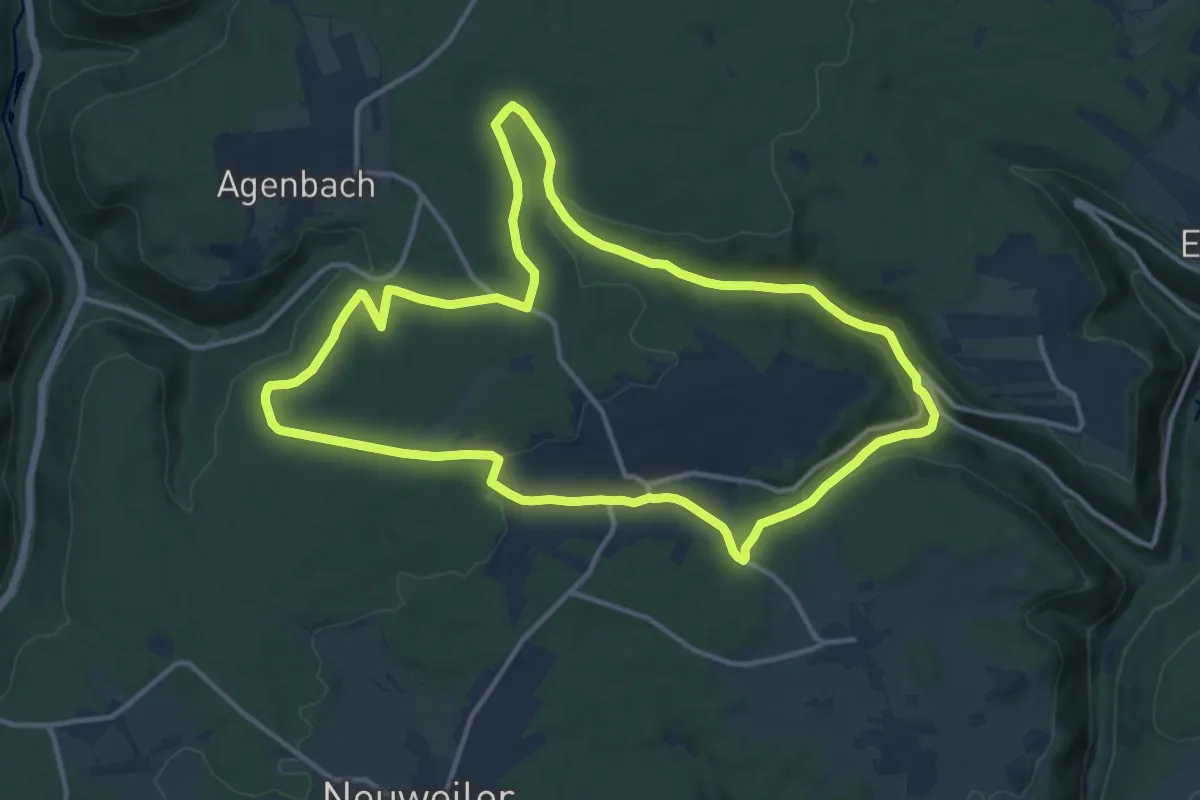
Medium · Trail
Talblick Weiß
13.0 km · ↑ 260 m · 3 h 49 min
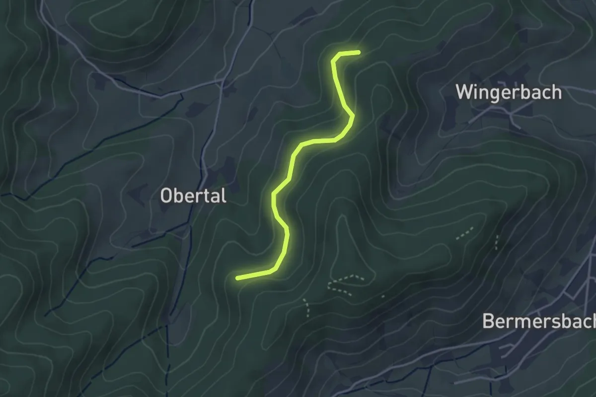
Easy · Trail
Talblick - Wolfsgrube
2.8 km · ↑ 156 m · 59 min
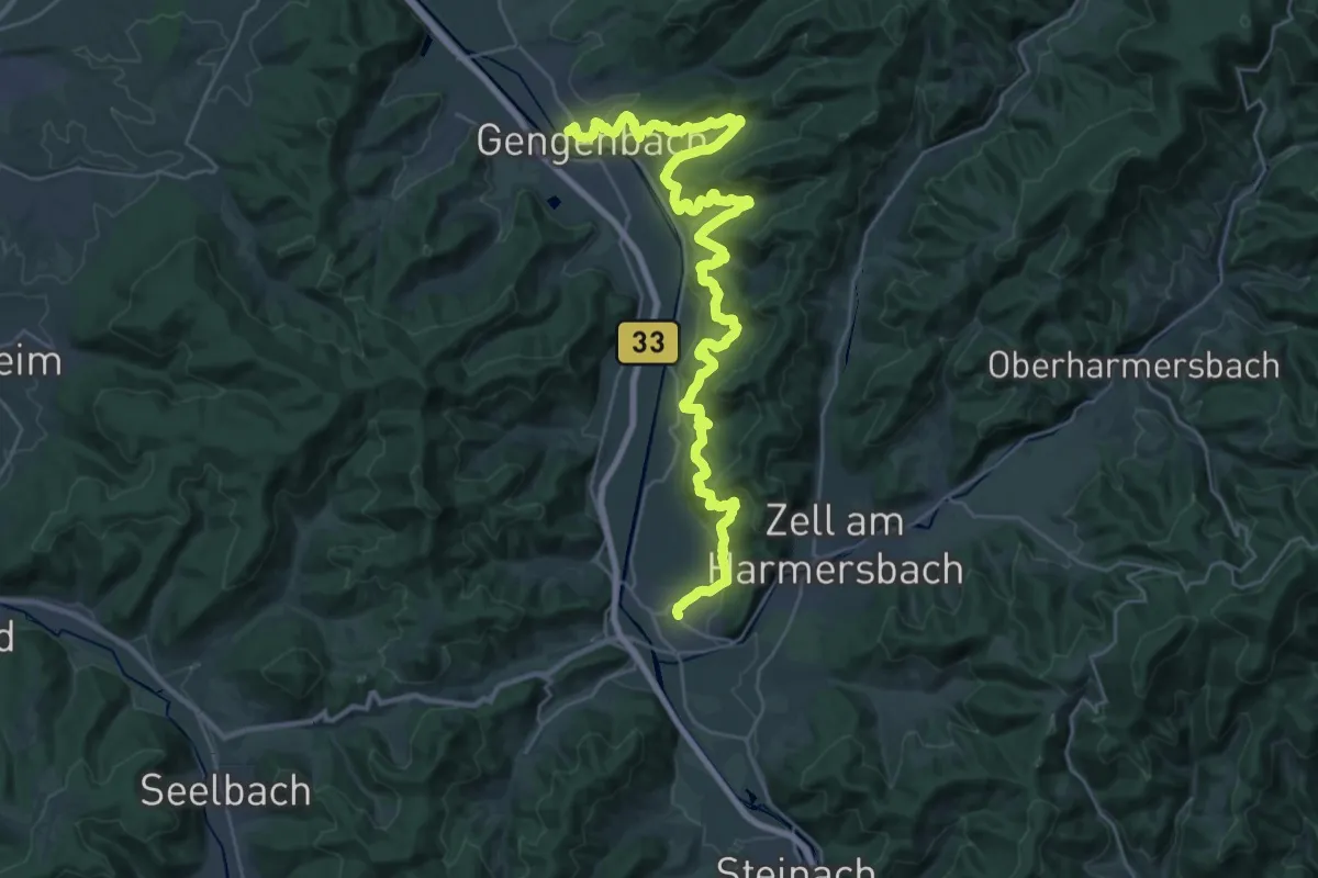
Medium · Trail
Tälerpfad Biberach-Gengenbach
17.7 km · ↑ 770 m · 6 h 6 min
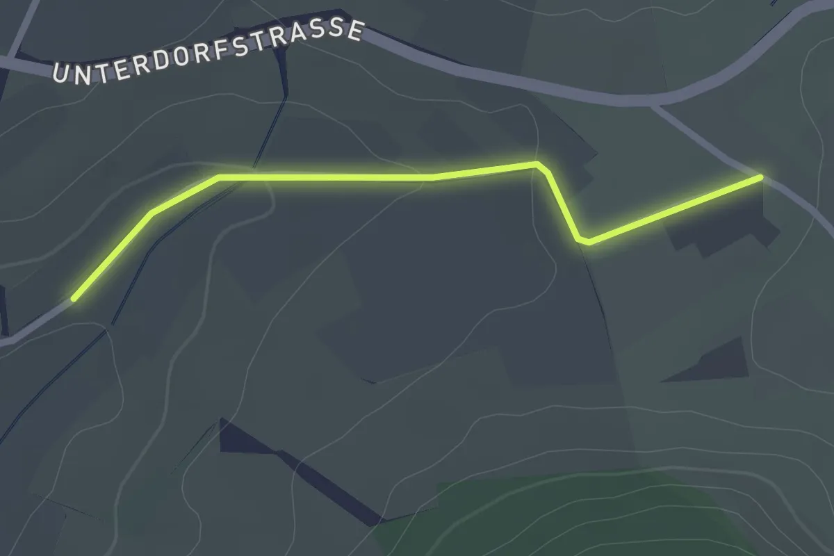
Easy · Trail
Talgraben - Bol
2.0 km · ↑ 28 m · 32 min
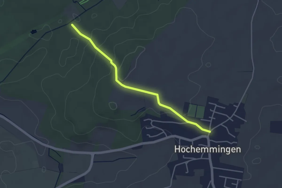
Easy · Trail
Talgraben - Hochemmingen
3.2 km · ↑ 87 m · 57 min
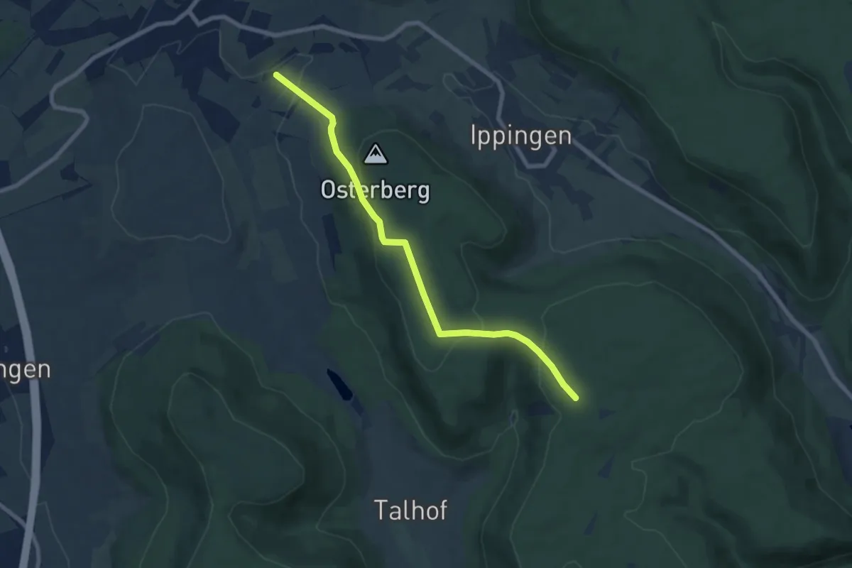
Easy · Trail
Talgraben - Kohlberg
6.9 km · ↑ 193 m · 2 h 3 min
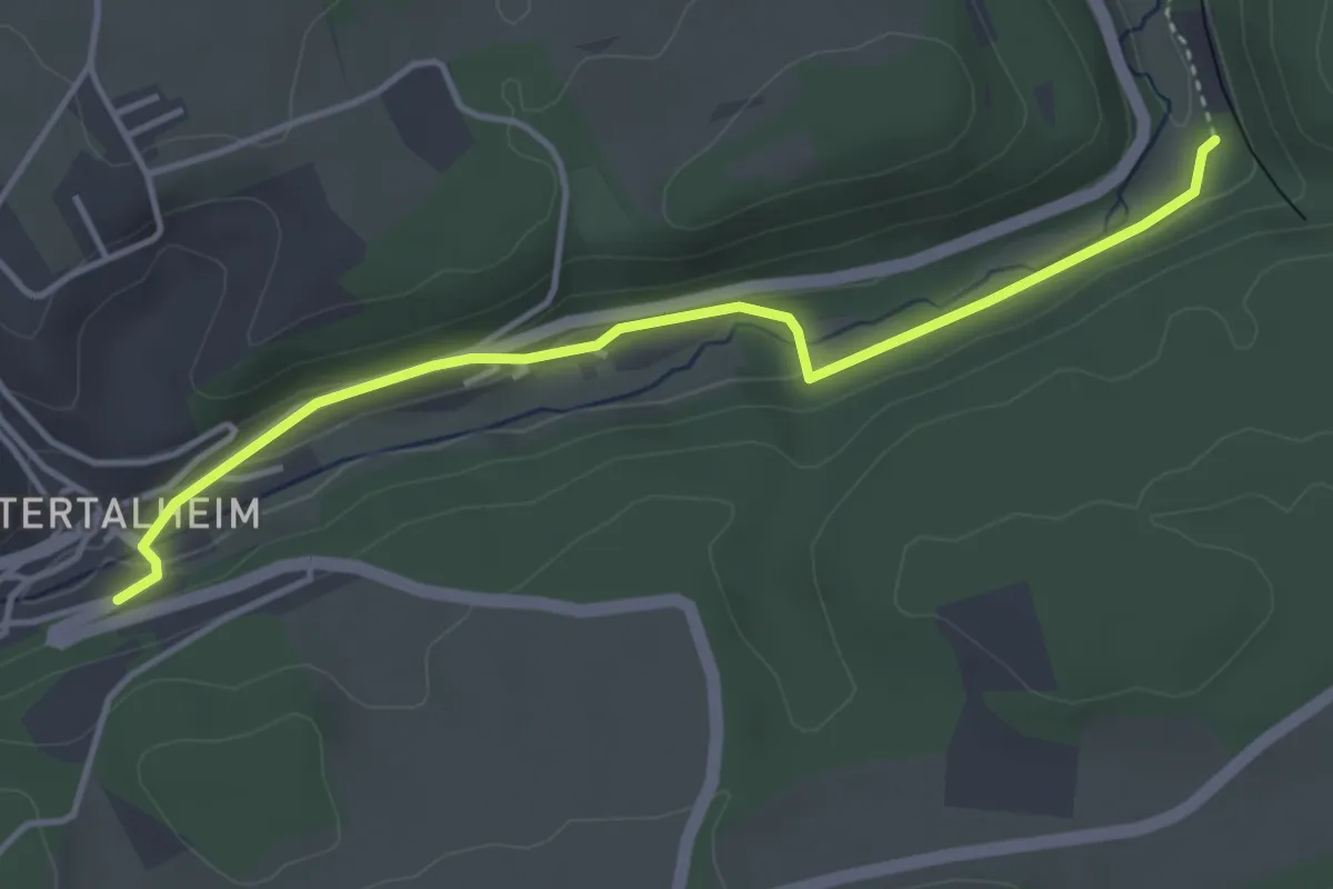
Easy · Trail
Talheim Hochdorfer Str. - Beim Tunnel
3.9 km · ↑ 51 m · 1 h 3 min