Trails in Germany
36,852 hiking trails, each with its route, climb, walking time and grade.
All trails, page 615 of 768
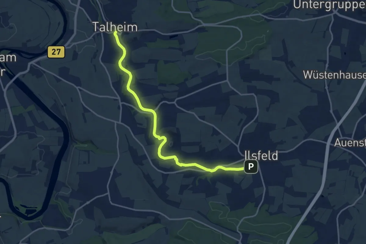
Medium · Trail
Talheim - Ilsfeld
13.1 km · ↑ 112 m · 3 h 20 min
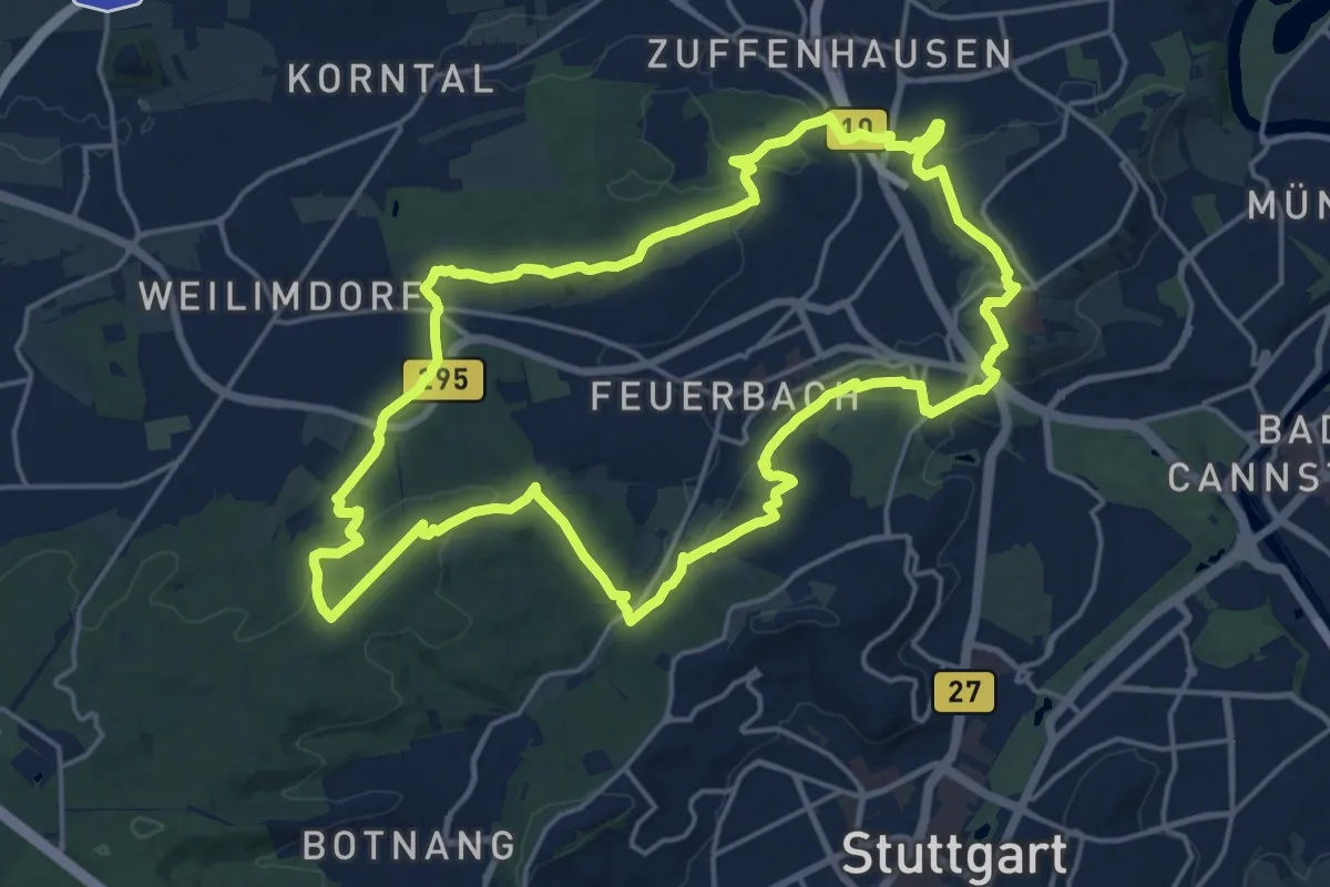
Demanding · Summit
Talkrabbenweg
18.7 km · ↑ 384 m · 5 h 31 min
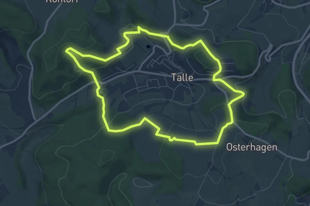
Easy · Summit
Taller Bergrunde
6.9 km · ↑ 204 m · 2 h 10 min
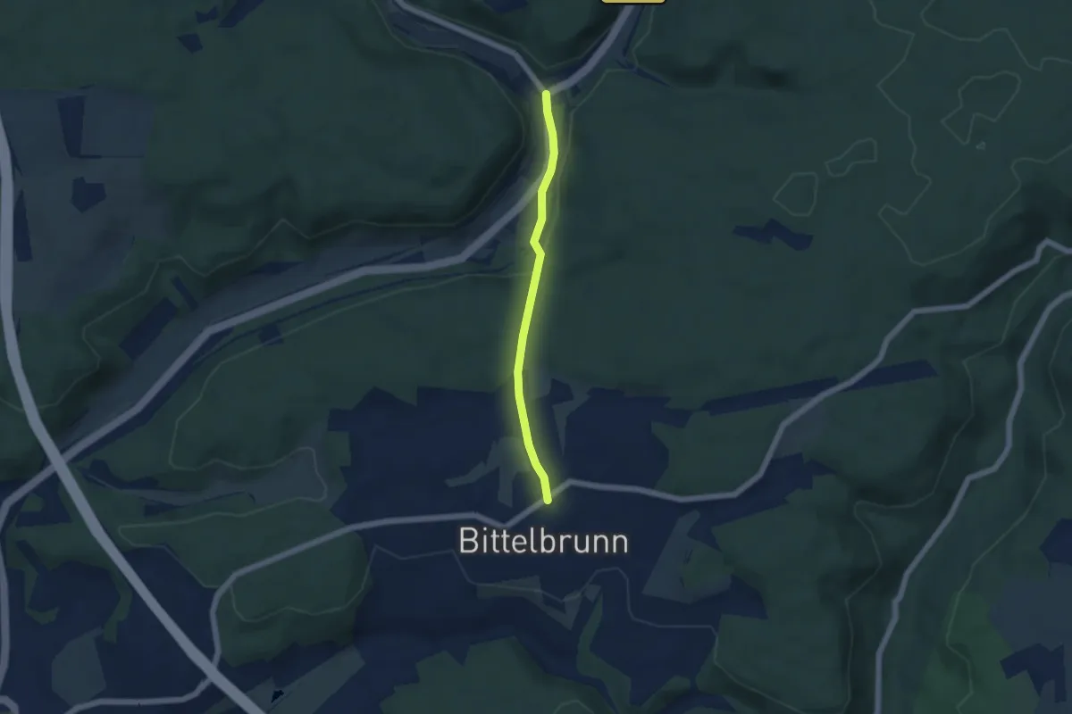
Easy · Trail
Talmühle - Bittelbrunn Zum Schrofen
4.2 km · ↑ 115 m · 1 h 14 min
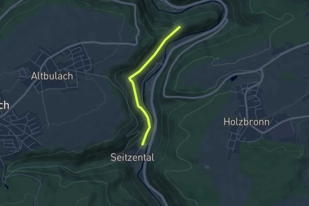
Easy · Trail
Talmühle - Geigerles Lotterbett
3.9 km · ↑ 151 m · 1 h 15 min
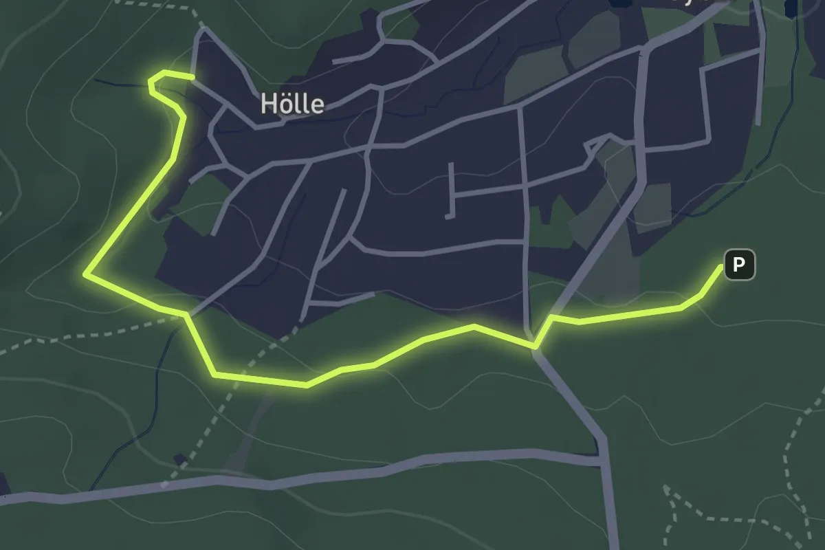
Easy · Trail
Talringweg Oybin (grüner Punkt)
3.5 km · ↑ 96 m · 1 h 1 min
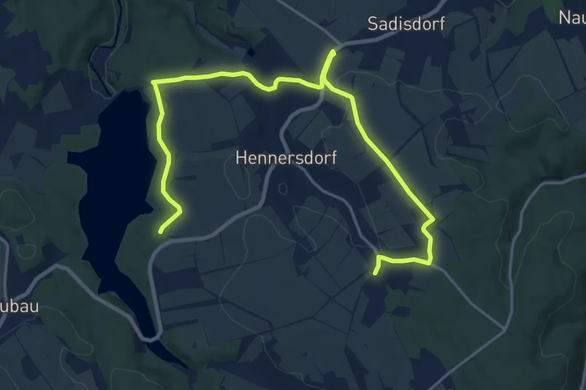
Medium · Trail
Talsperre Lehnmühle - Hennersdorf
14.6 km · ↑ 209 m · 3 h 54 min
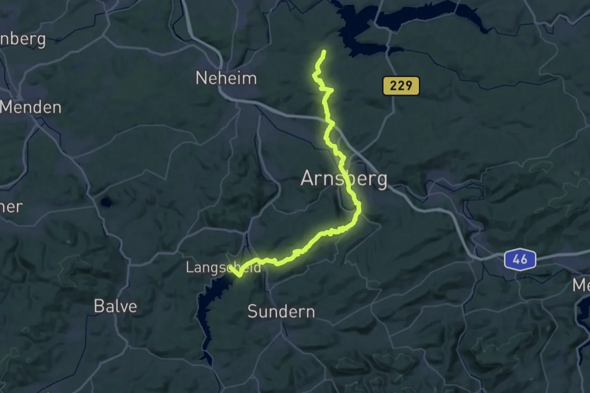
Demanding · Summit
Talsperrenpfad
46.5 km · ↑ 1235 m · 13 h 39 min
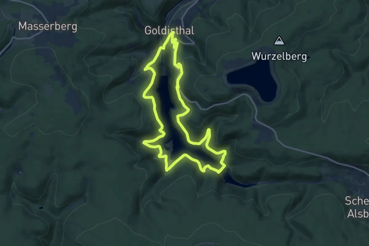
Medium · Trail
Talsperrenrundweg
10.9 km · ↑ 583 m · 3 h 59 min
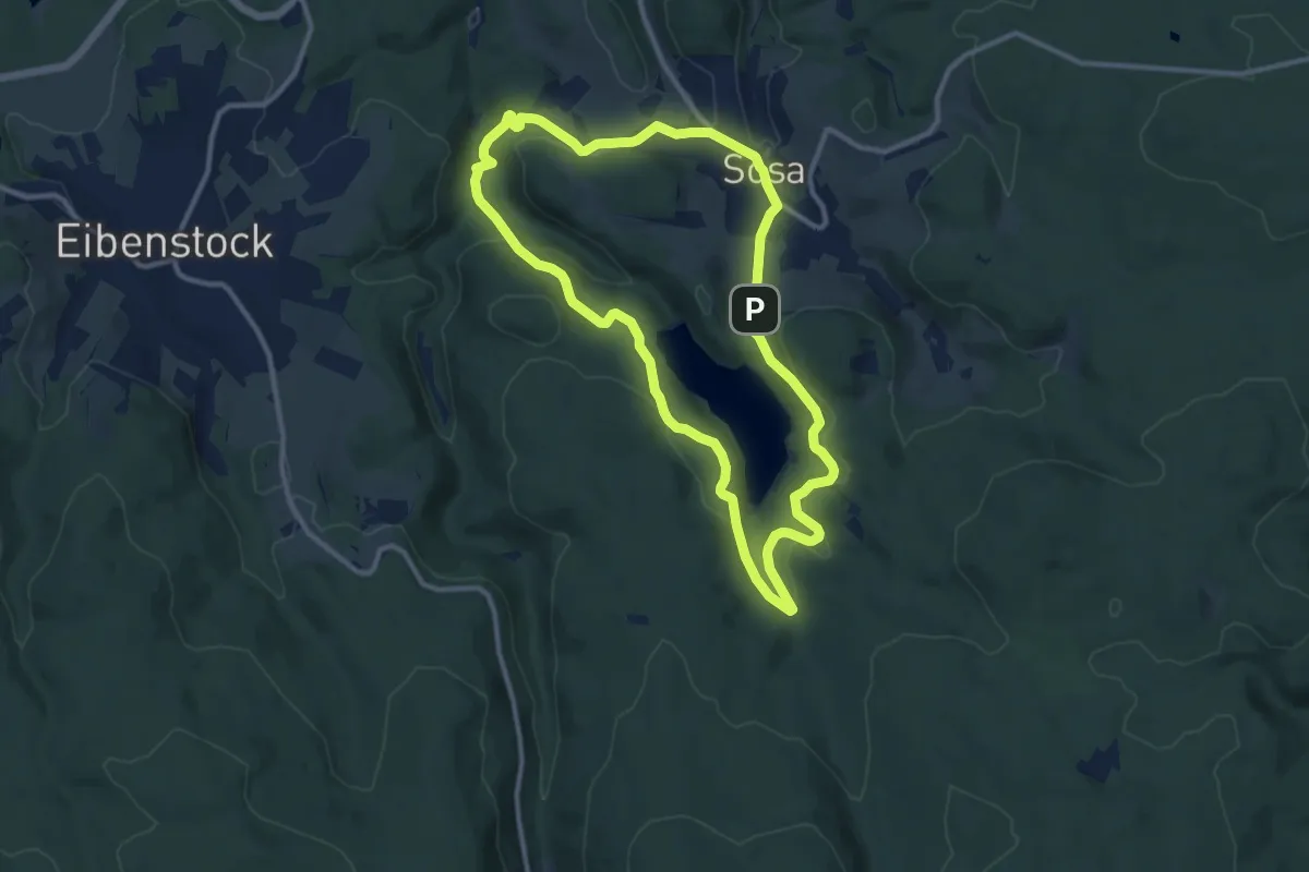
Medium · Trail
Talsperrenrundweg
9.9 km · ↑ 260 m · 3 h 3 min
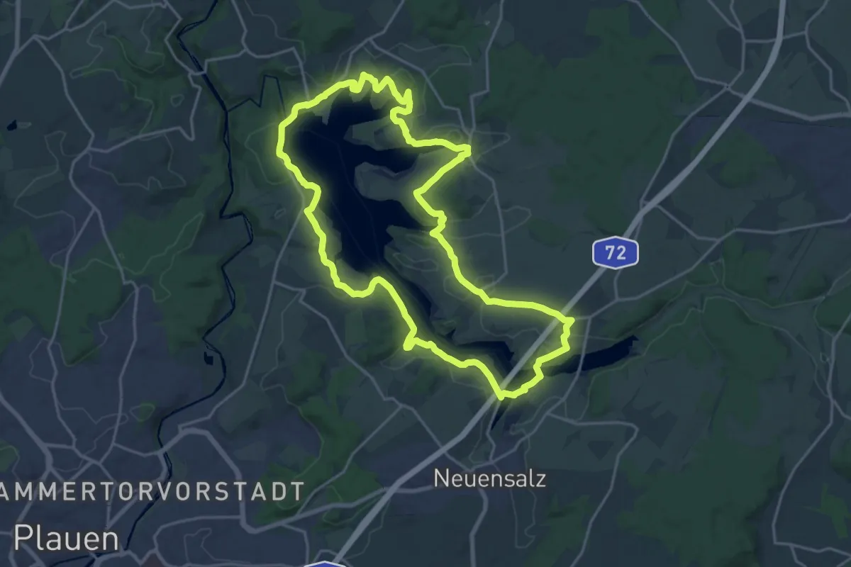
Demanding · Summit
Talsperrenrundweg
18.3 km · ↑ 303 m · 5 h 14 min
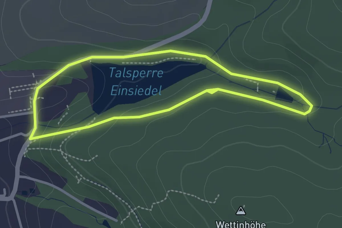
Easy · Trail
Talsperrenrundweg
2.2 km · ↑ 59 m · 41 min
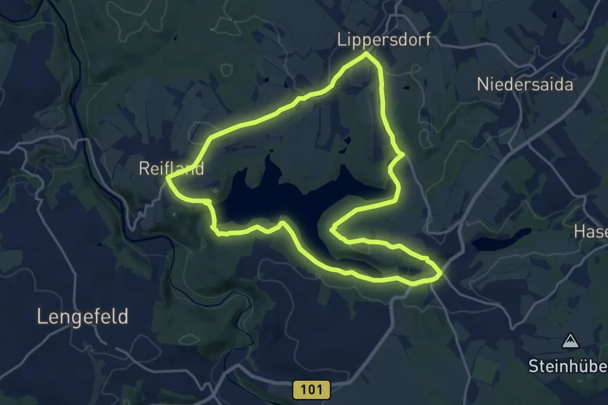
Medium · Trail
Talsperrenrundweg
13.9 km · ↑ 318 m · 4 h 10 min
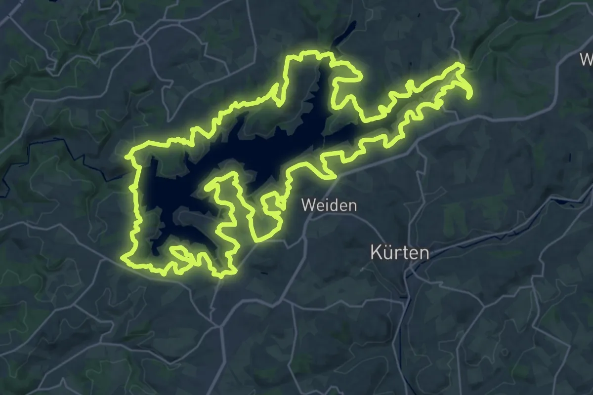
Demanding · Trail
Talsperrenweg
37.1 km · ↑ 855 m · 11 h 8 min
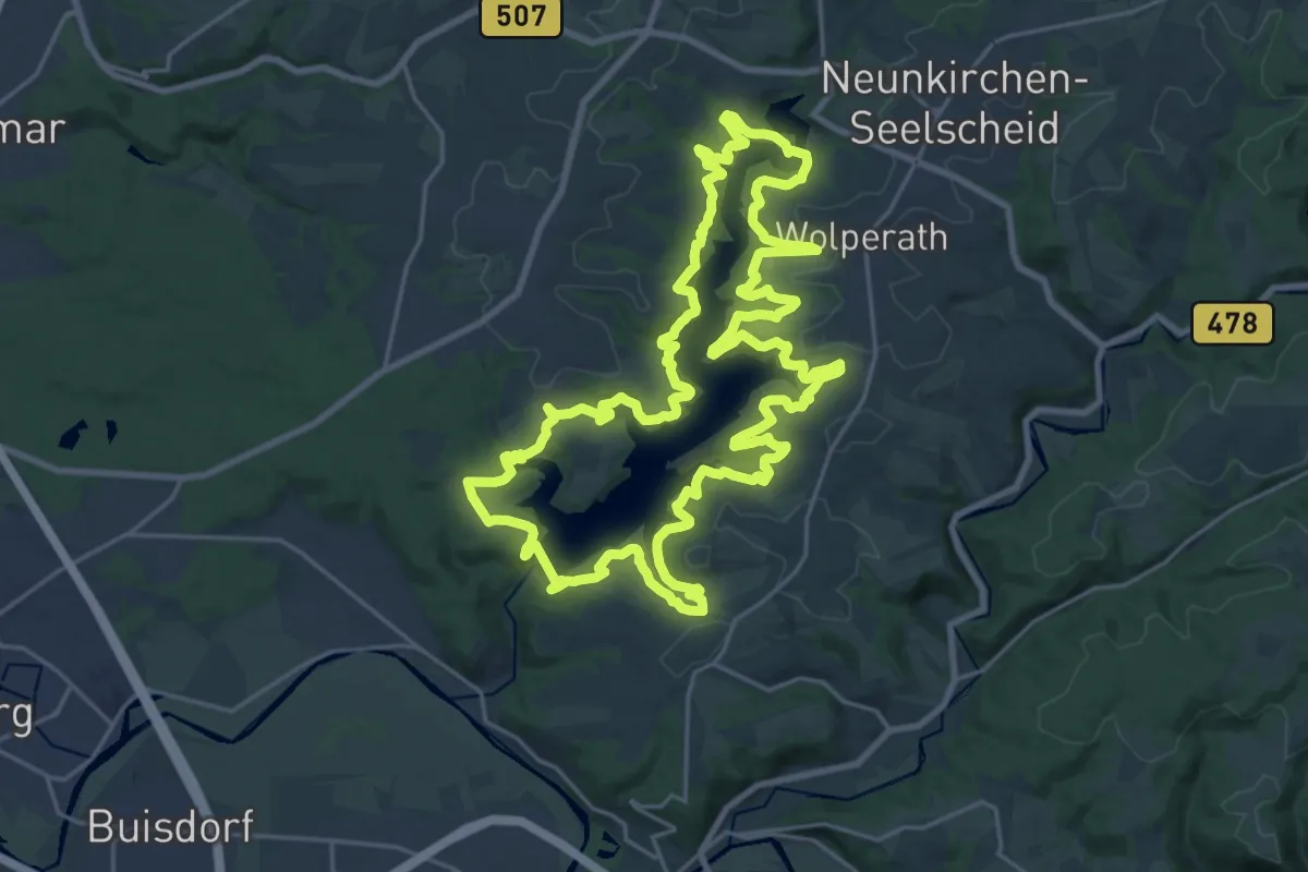
Demanding · Trail
Talsperrenweg Erlebnisweg Sieg Nr. 3
23.2 km · ↑ 598 m · 7 h 6 min
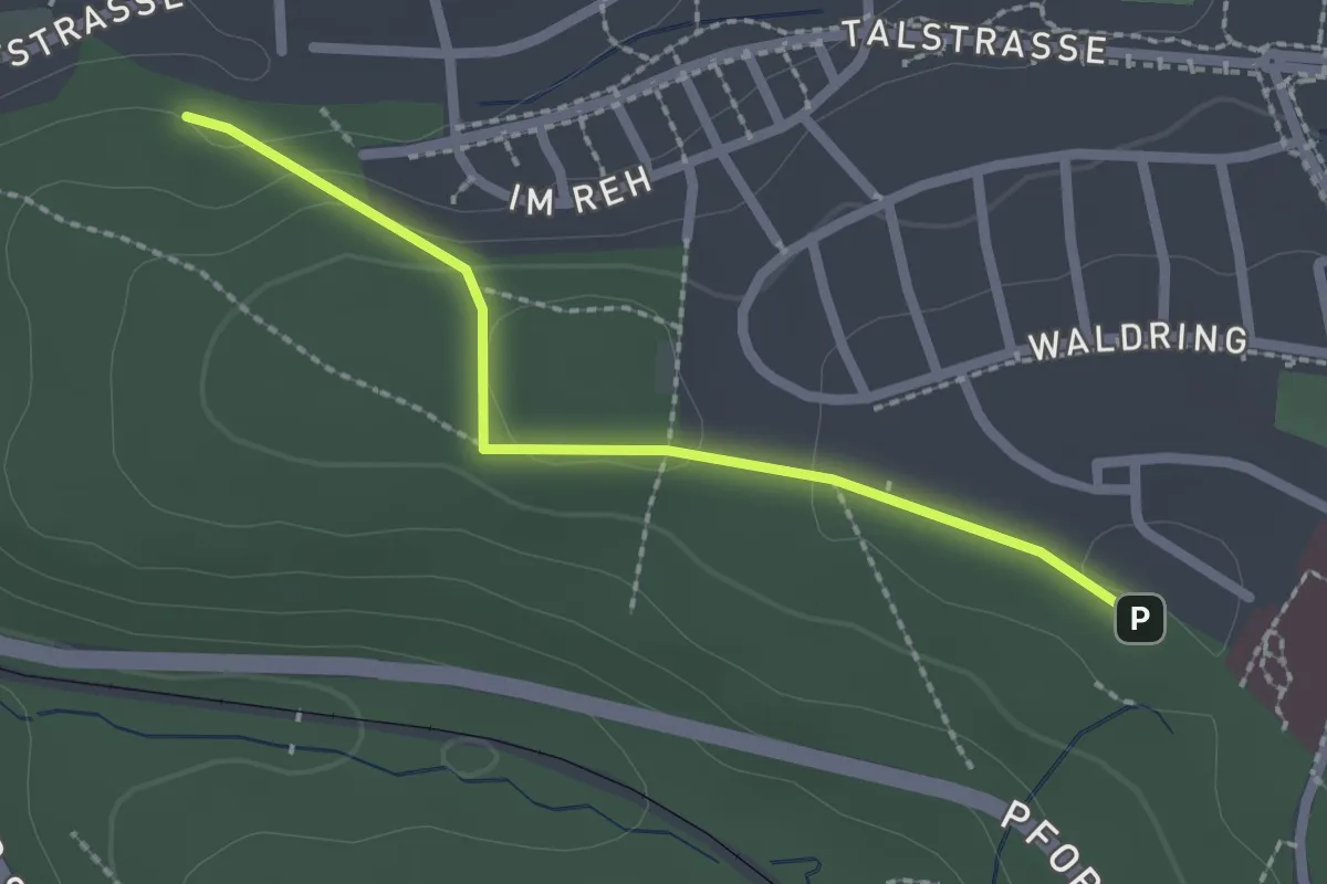
Easy · Trail
Talstraße - Waldpark
2.0 km · ↑ 45 m · 34 min
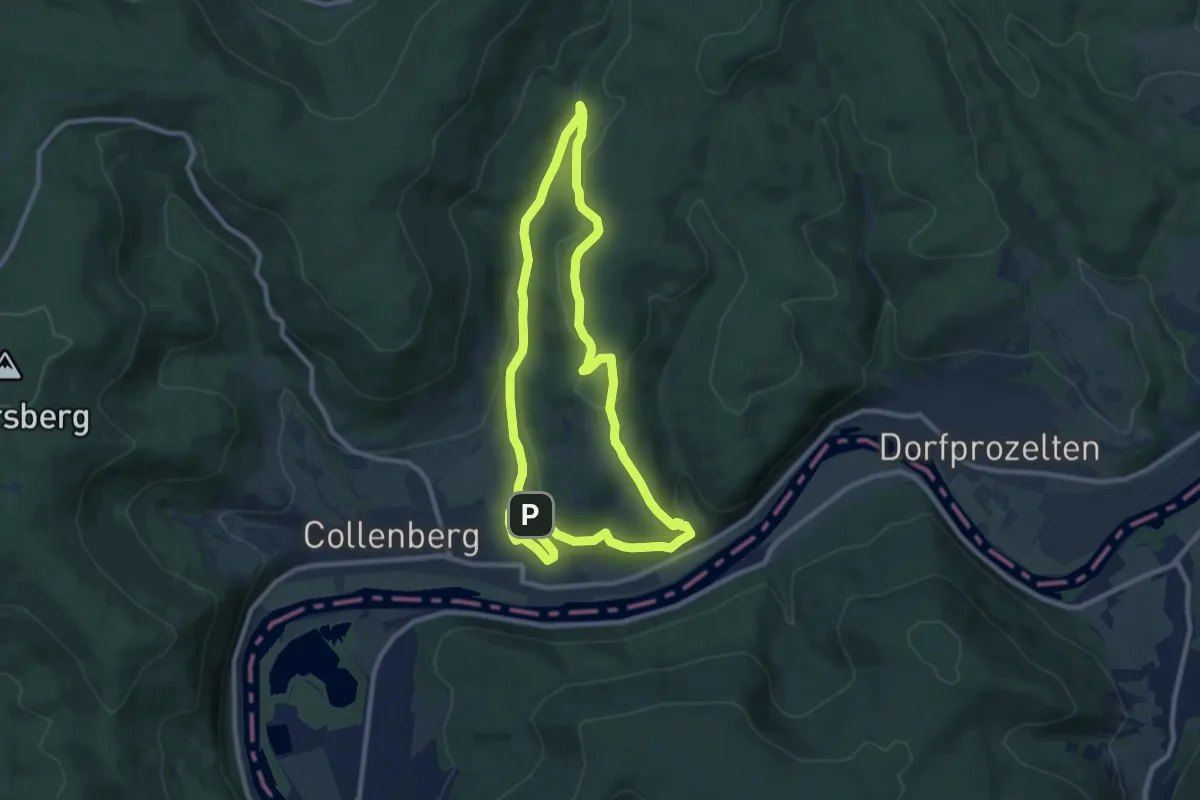
Medium · Summit
Tal-Wald-Burg
8.7 km · ↑ 244 m · 2 h 43 min
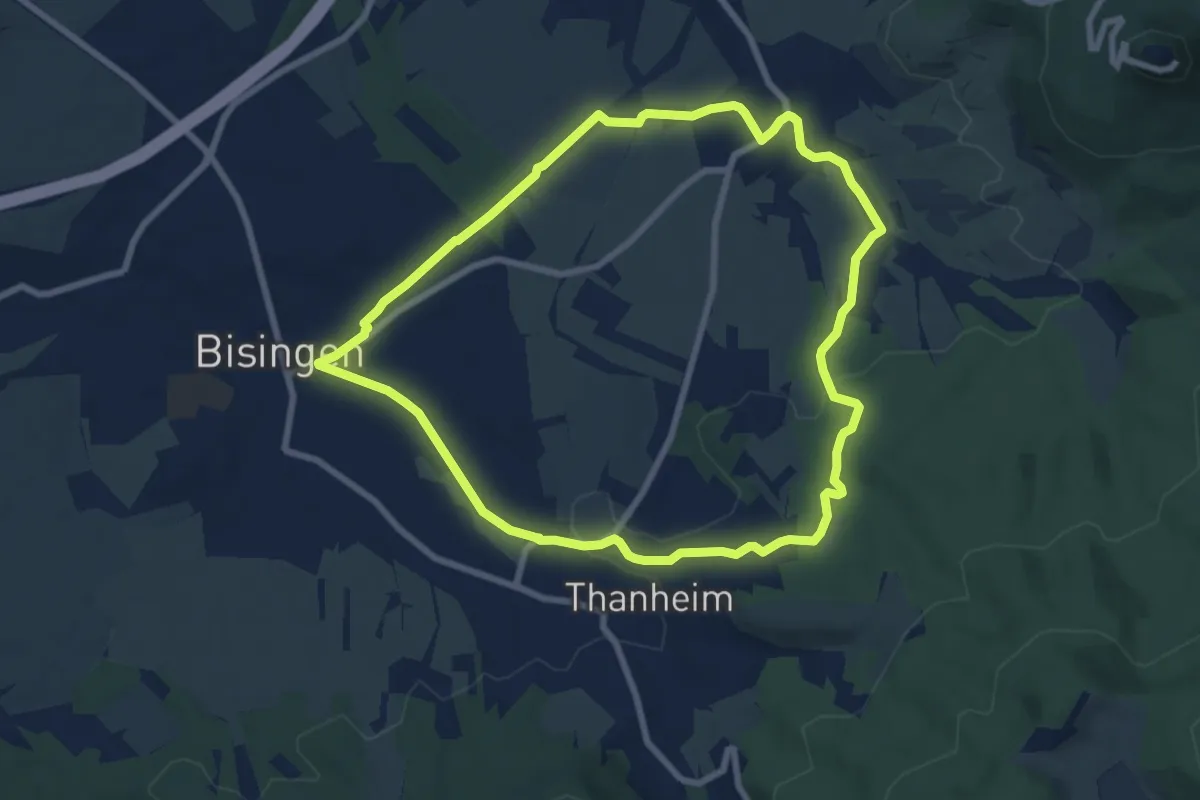
Easy · Trail
Talweg
7.6 km · ↑ 81 m · 2 h 4 min
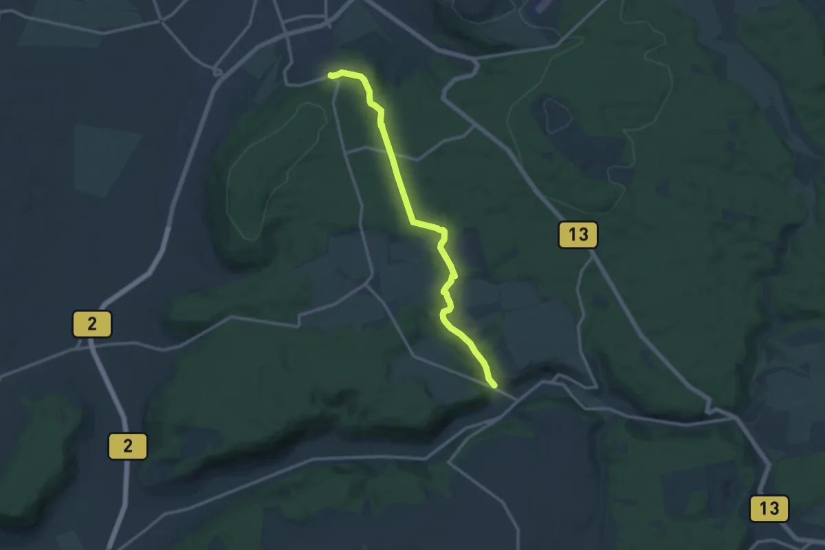
Medium · Trail
Talweg
10.5 km · ↑ 202 m · 2 h 55 min
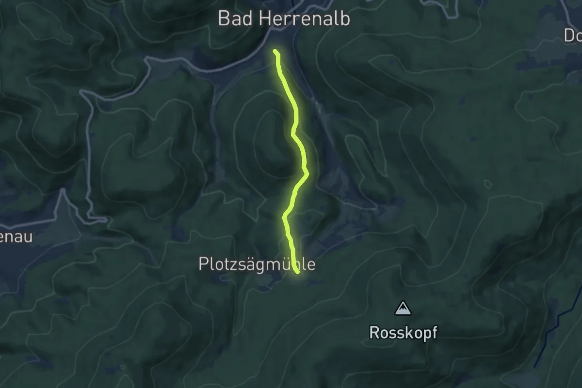
Easy · Trail
Talwiese - Bad Herrenalb Am Wurstberg
6.4 km · ↑ 297 m · 2 h 10 min
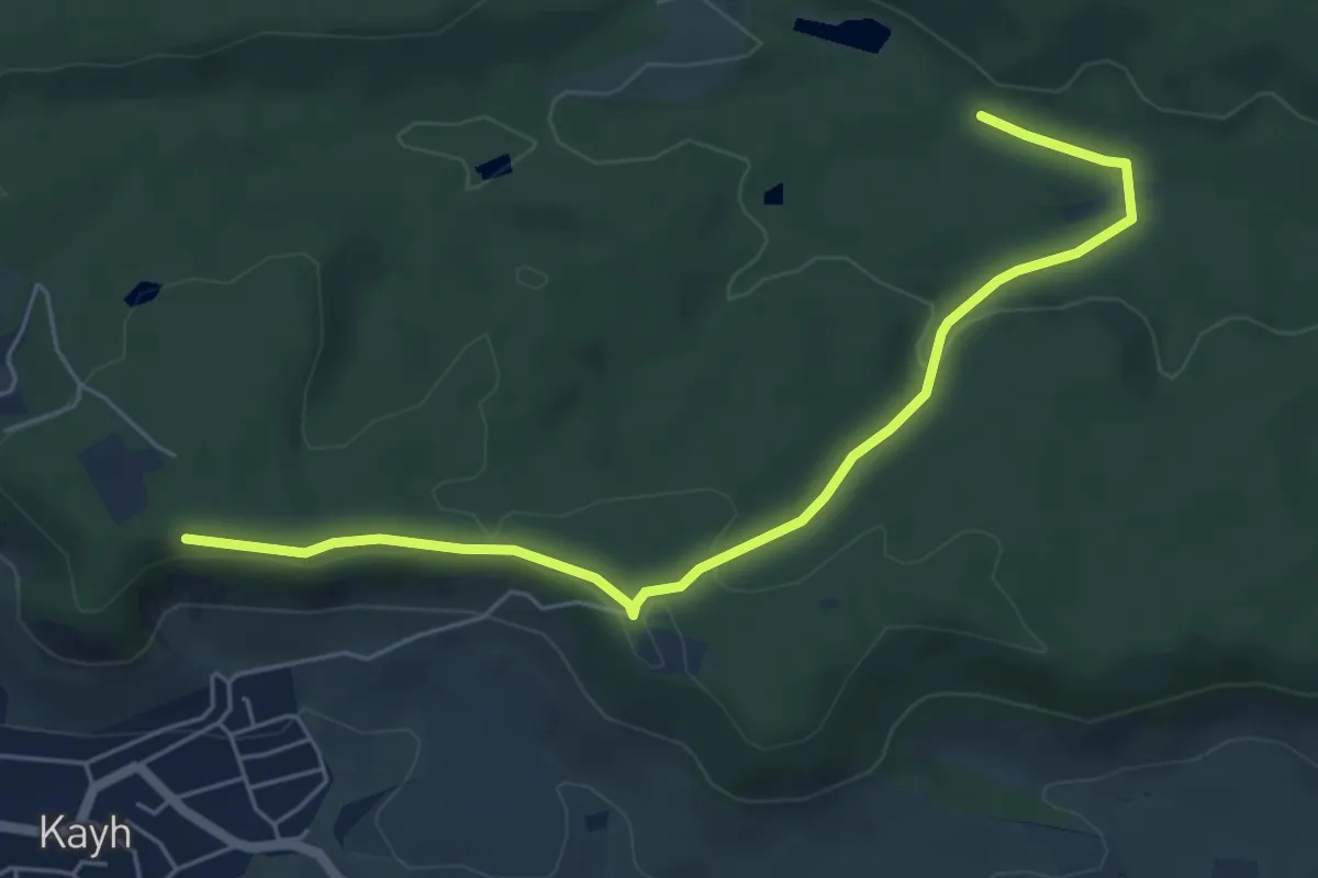
Easy · Trail
Talwiesenweg
5.9 km · ↑ 93 m · 1 h 35 min
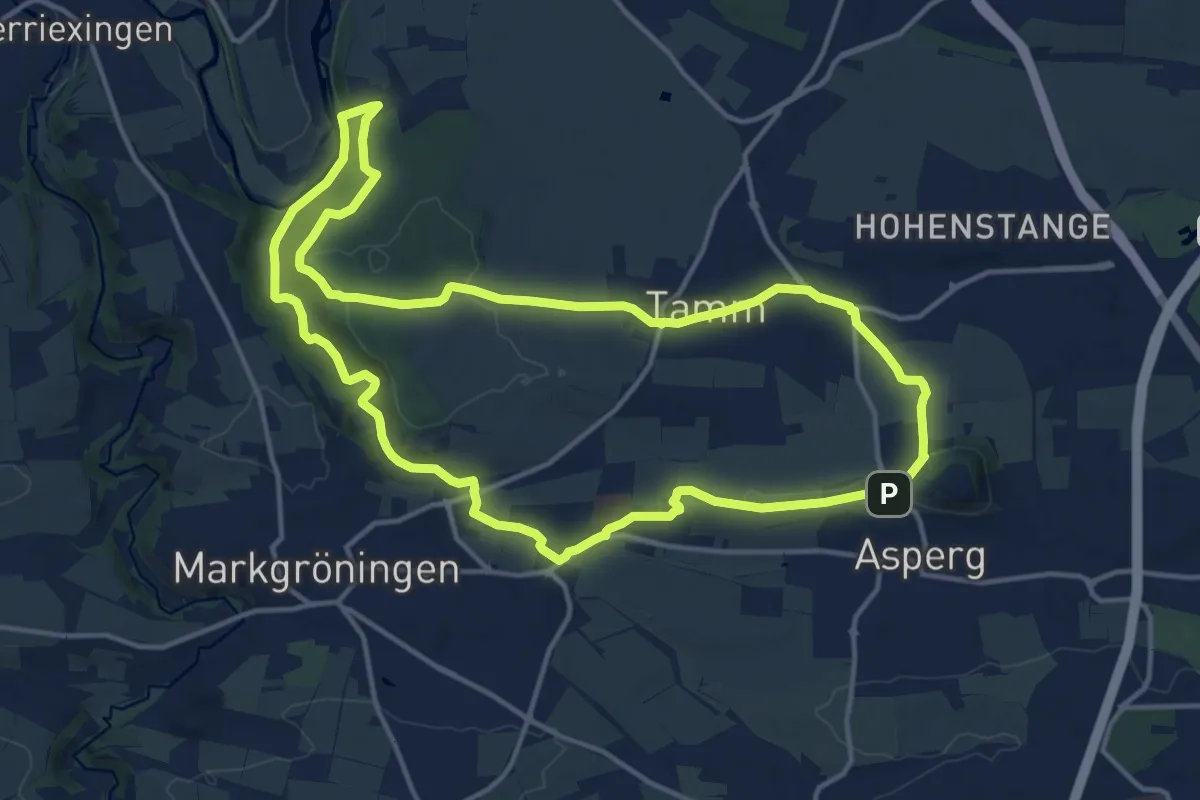
Medium · Trail
tamm Rundweg 1
14.1 km · ↑ 196 m · 3 h 57 min
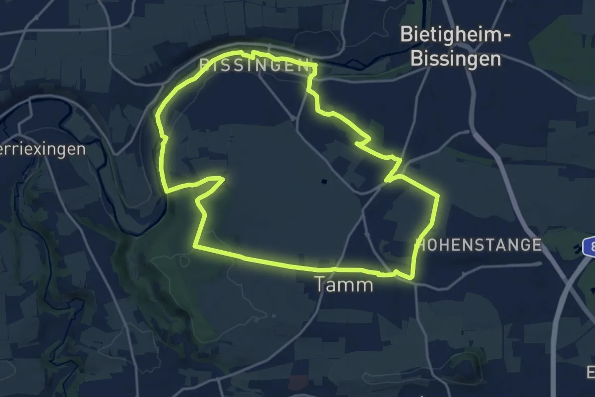
Medium · Trail
tamm Rundweg 2
13.3 km · ↑ 154 m · 3 h 40 min
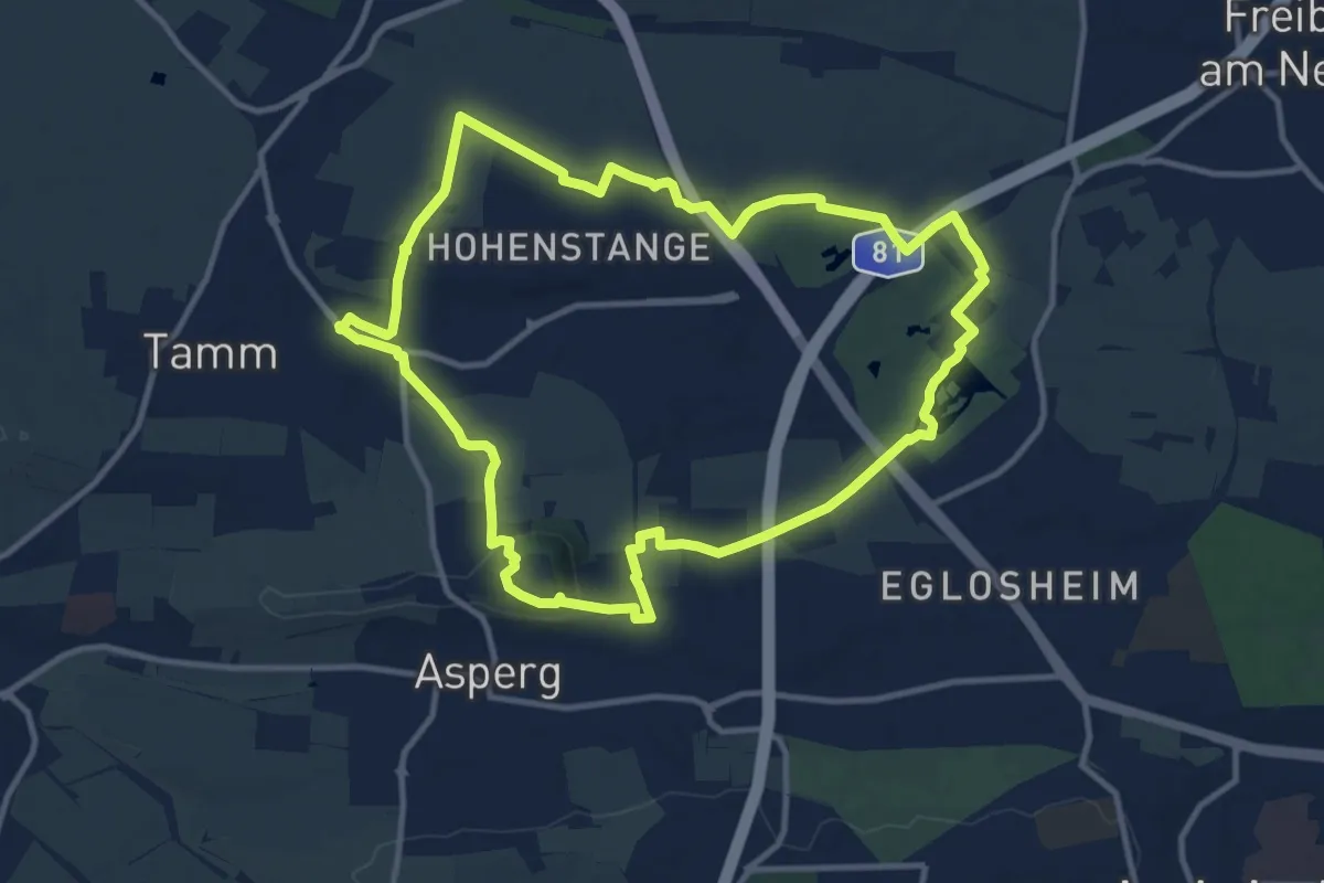
Medium · Trail
tamm Rundweg 3
11.1 km · ↑ 138 m · 3 h 5 min
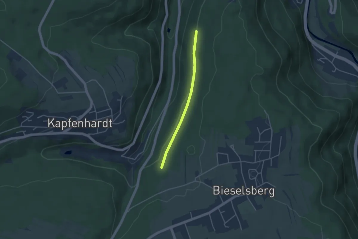
Easy · Trail
Tannberg - Mühlberg
2.7 km · ↑ 12 m · 40 min
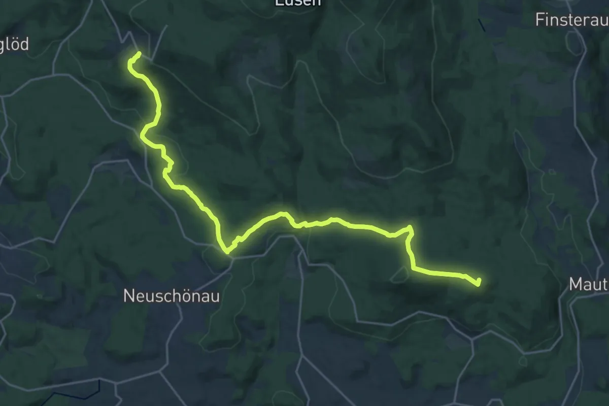
Demanding · Summit
Tanne
23.1 km · ↑ 663 m · 6 h 53 min
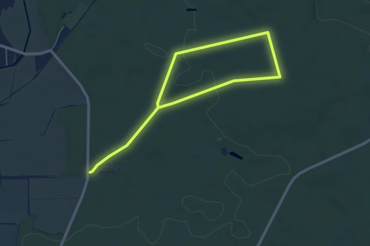
Easy · Trail
Tanne
6.6 km · ↑ 76 m · 1 h 44 min
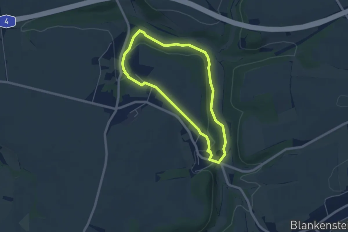
Easy · Trail
Tanneberger Rundweg
3.9 km · ↑ 66 m · 1 h 7 min
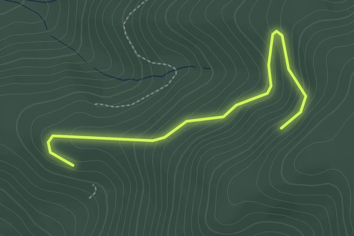
Easy · Trail
Tannenbühl - Lindenweg
2.5 km · ↑ 141 m · 54 min
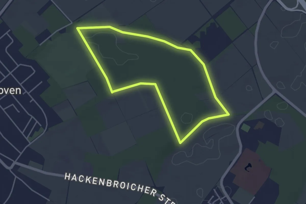
Easy · Trail
Tannenbusch Rundweg A1
3.2 km · ↑ 17 m · 51 min
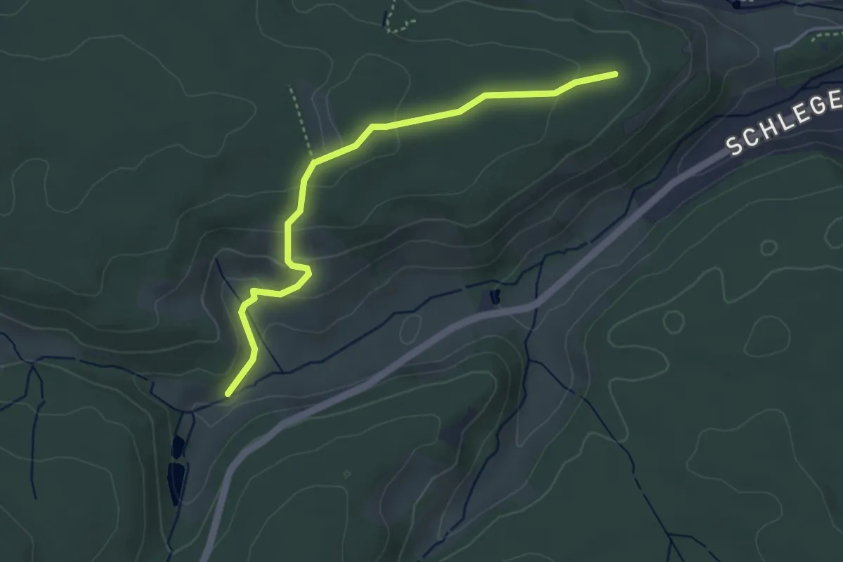
Medium · Trail
Tannenfirst - Schlegelwaldweg
3.8 km · ↑ 109 m · 1 h 8 min
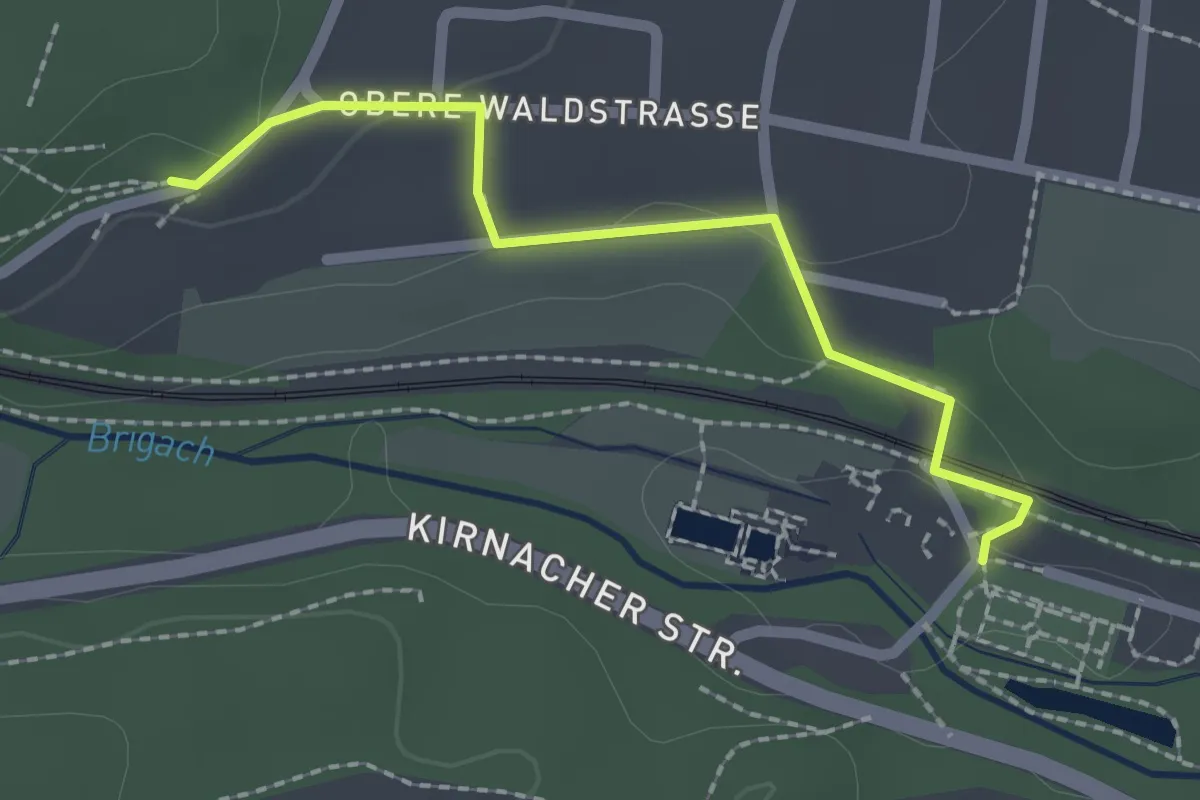
Easy · Trail
Tannenhöhe - Villingen Kurgarten
2.0 km · ↑ 32 m · 32 min
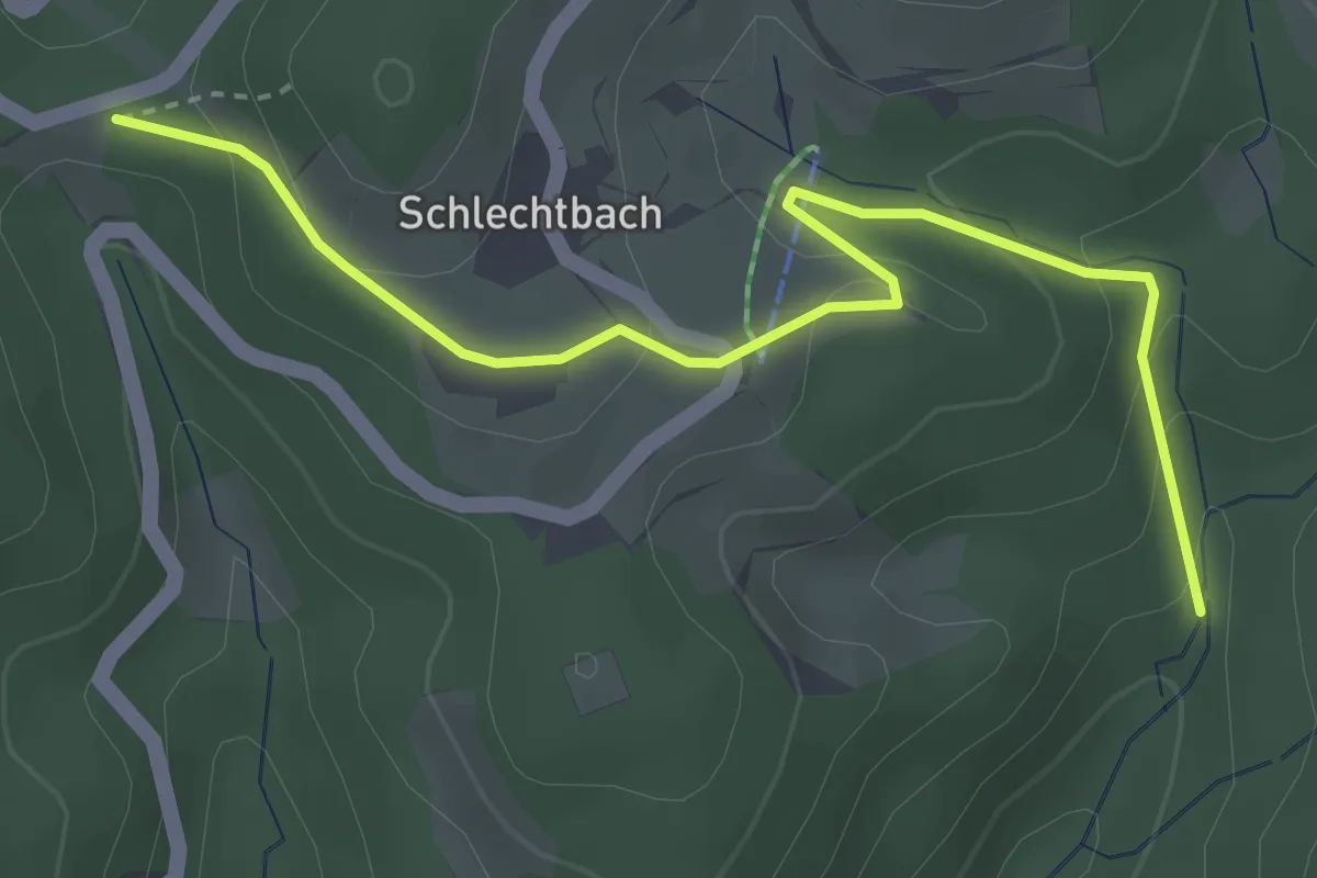
Easy · Trail
Tannenkopf - Stegmühle
3.7 km · ↑ 169 m · 1 h 14 min
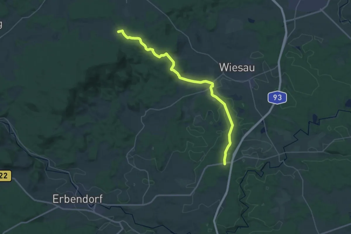
Demanding · Trail
Tannenlohe - Marktredwitzer Haus
26.8 km · ↑ 420 m · 7 h 15 min
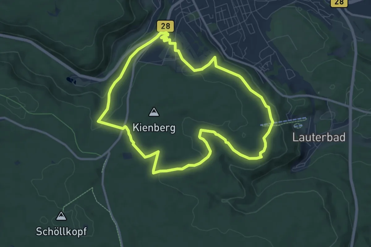
Medium · Trail
Tannenriesen
8.0 km · ↑ 173 m · 2 h 23 min
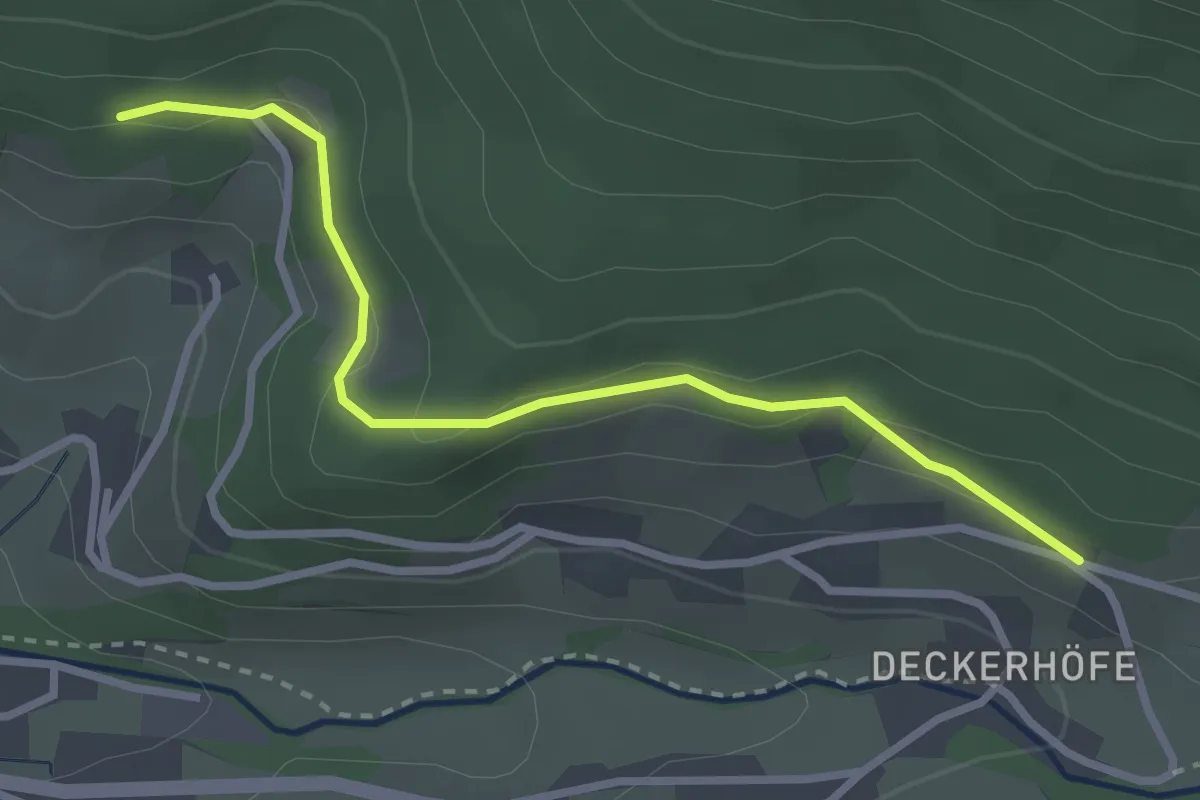
Easy · Trail
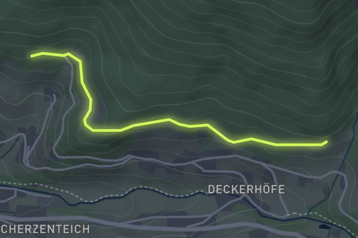
Tannenteich - Über den Deckerhöfen
2.8 km · ↑ 87 m · 51 min
Easy · Trail
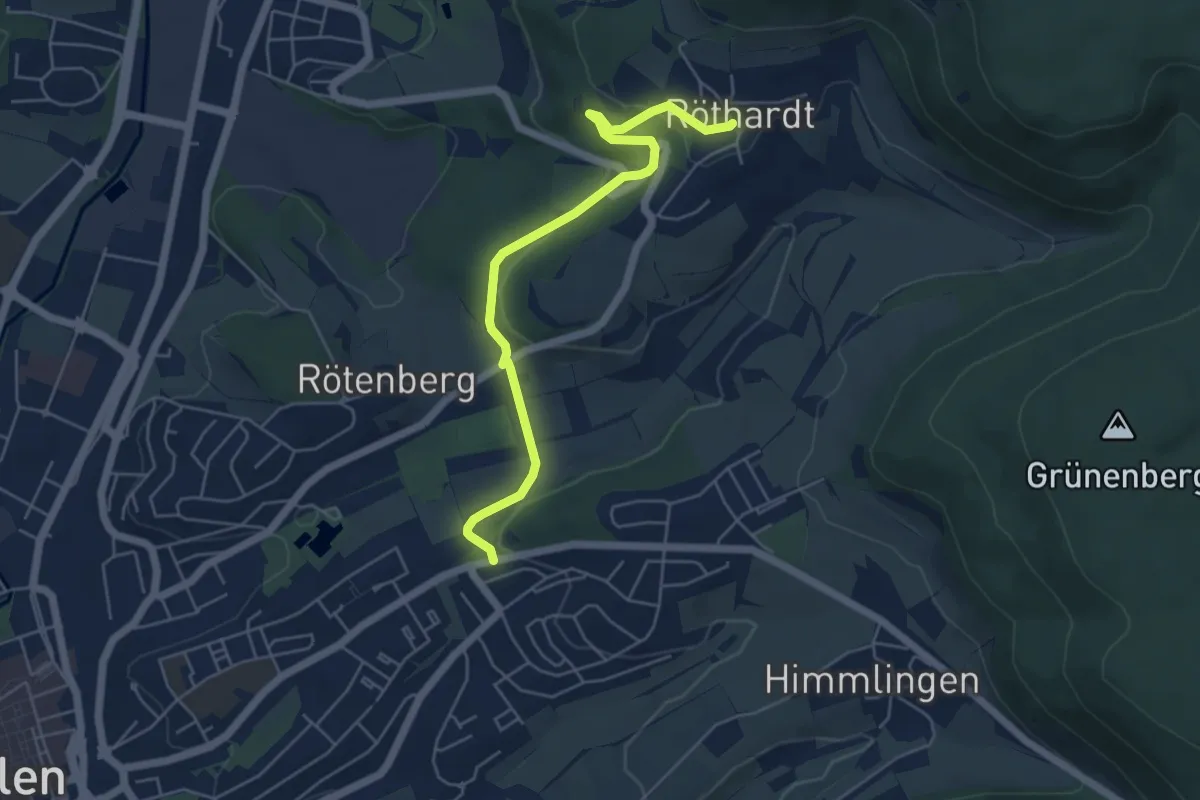
Tannenteich - Unterer Lenderswald
3.3 km · ↑ 107 m · 1 h 1 min
Easy · Trail
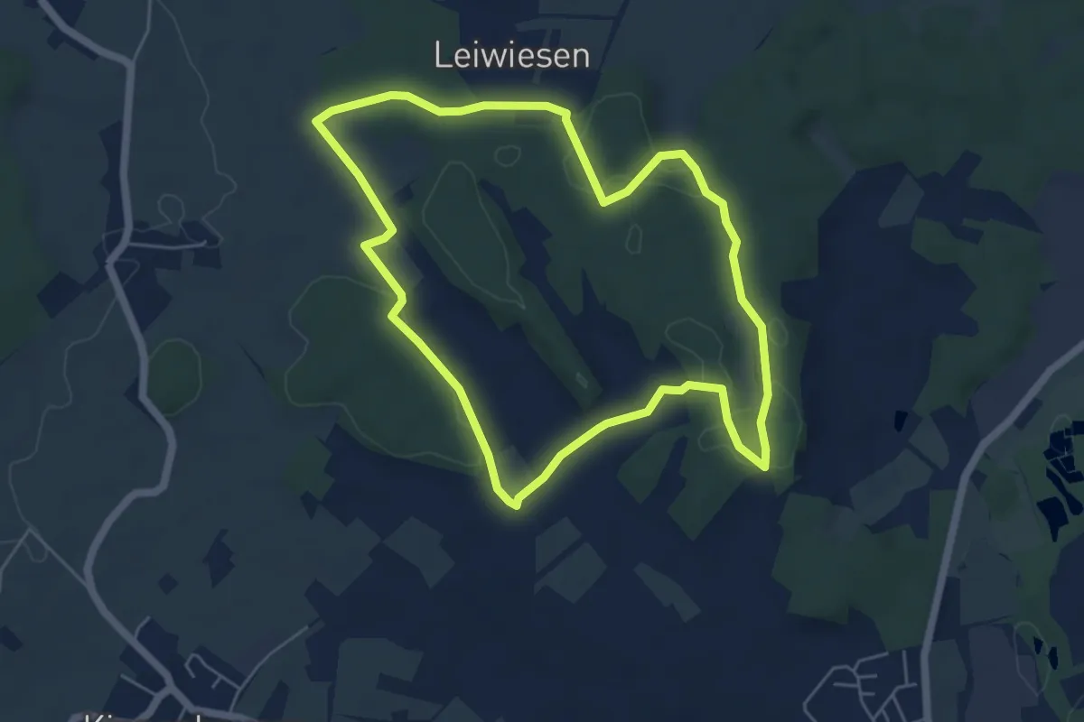
Tannenwäldle - Tiefer Stollen - Röthardt
5.3 km · ↑ 133 m · 1 h 32 min
Easy · Trail
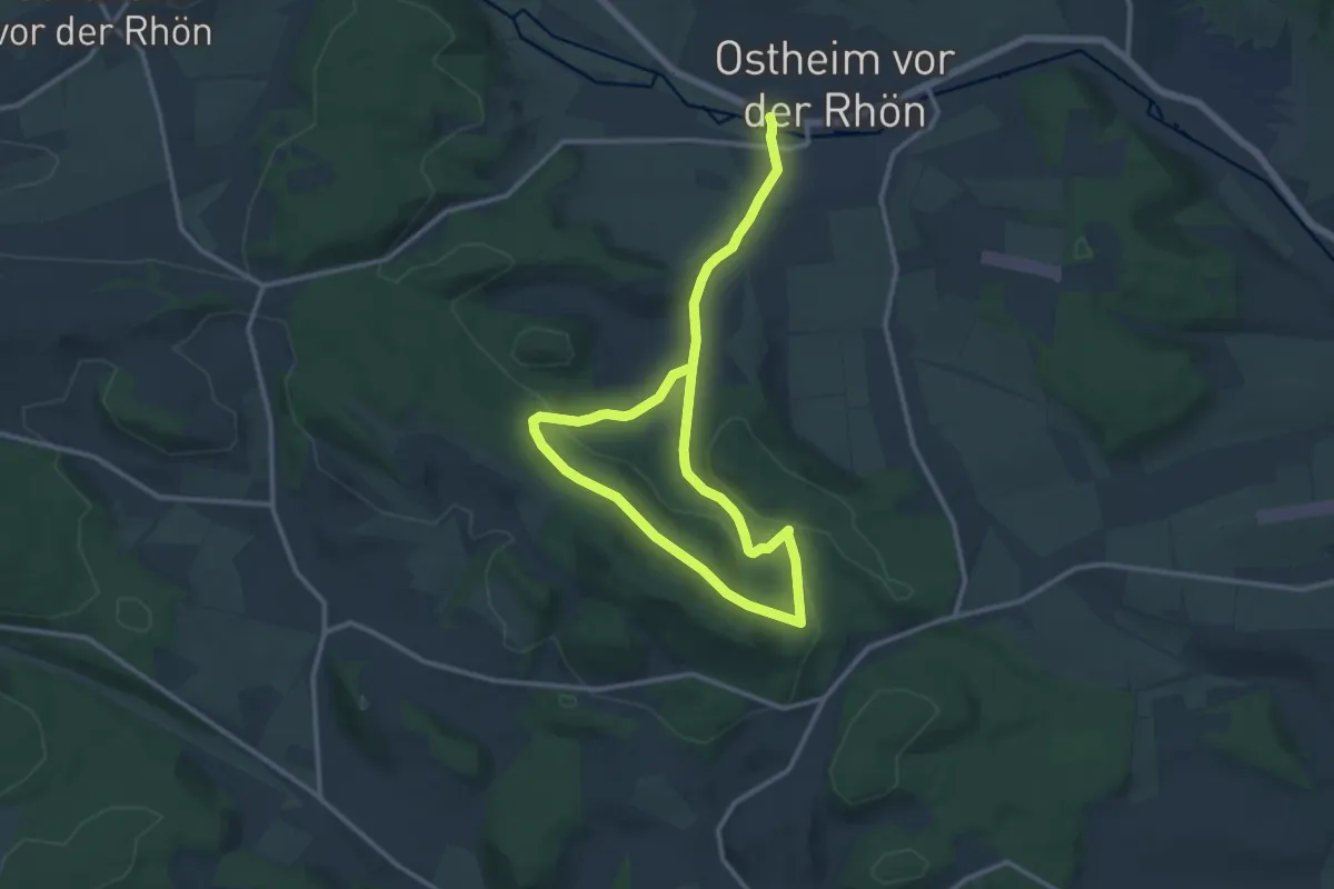
Tannenweg
5.1 km · ↑ 73 m · 1 h 26 min
Medium · Trail
Tannenweg
8.5 km · ↑ 184 m · 2 h 31 min
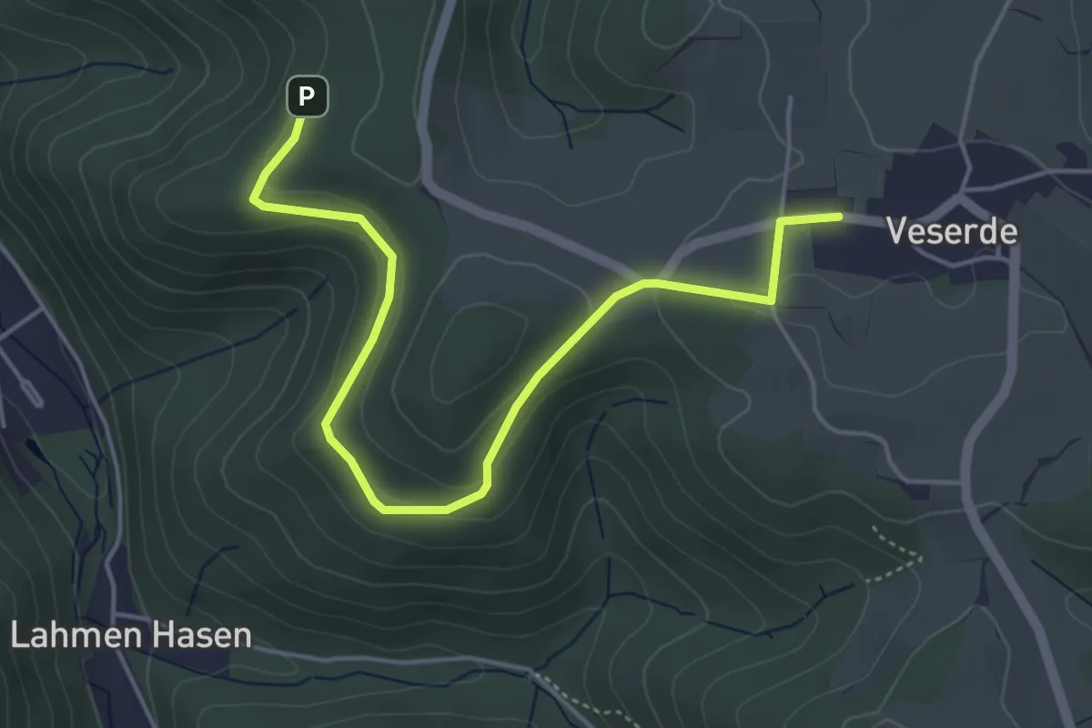
Easy · Trail
Tannenweg
2.3 km · ↑ 93 m · 46 min
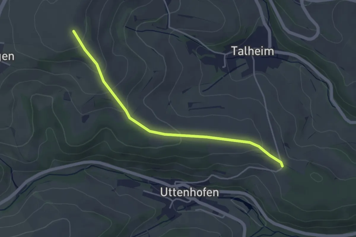
Easy · Trail
Tannen - Worberg
3.6 km · ↑ 124 m · 1 h 8 min
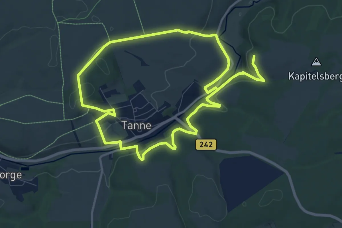
Medium · Summit
Tanner Harzer Höhenvieh-Pfad
7.8 km · ↑ 170 m · 2 h 21 min
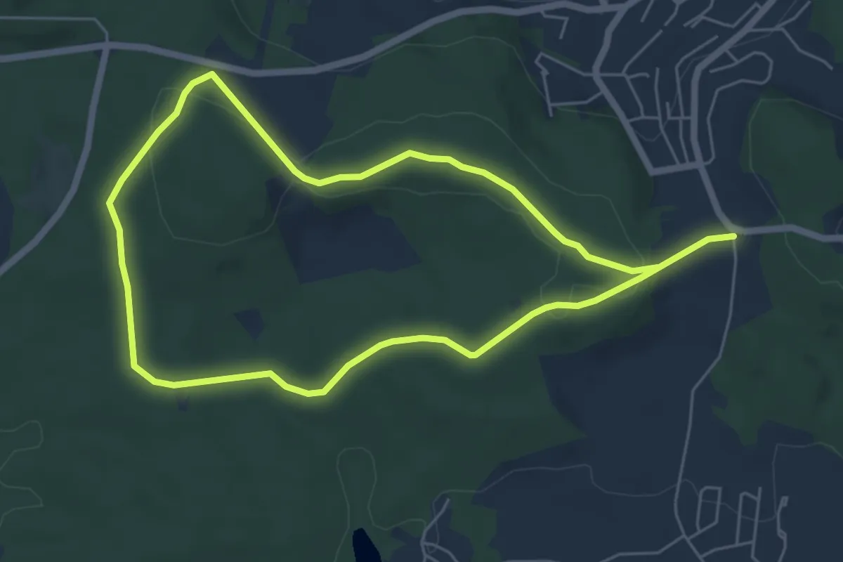
Easy · Trail
Tannerlweg
4.8 km · ↑ 93 m · 1 h 24 min
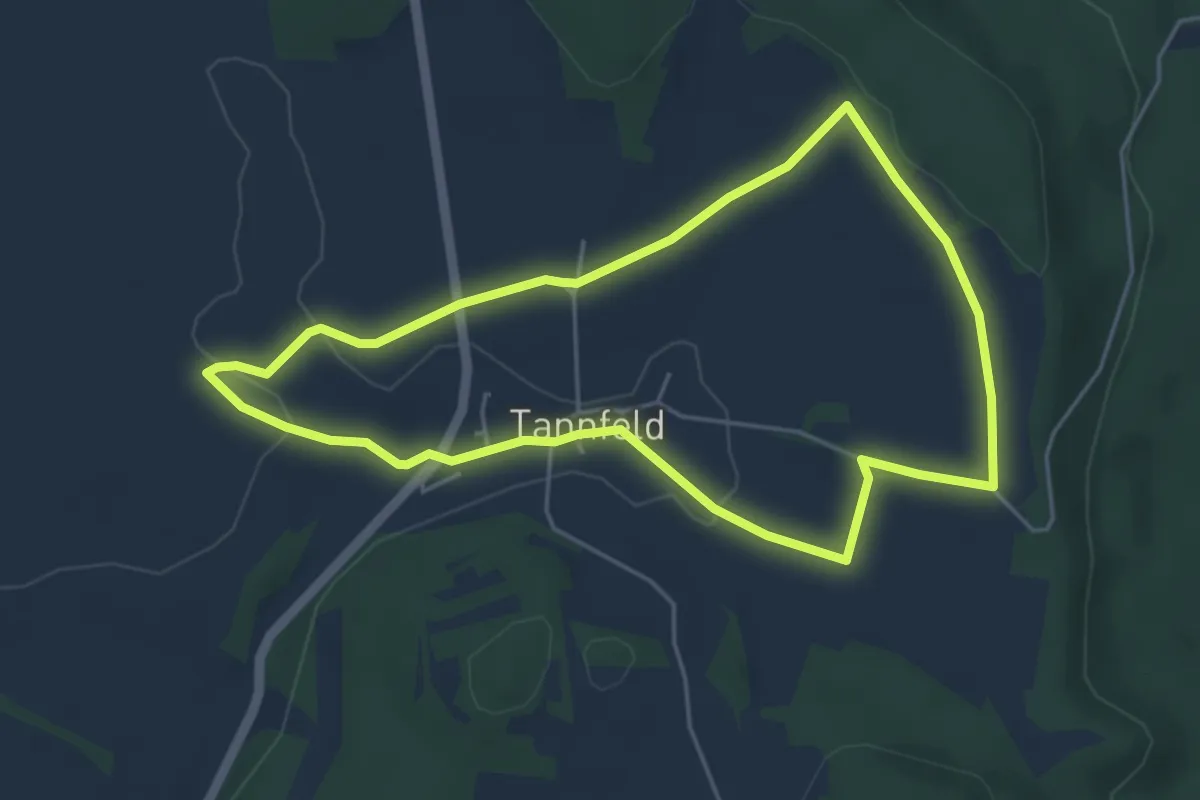
Easy · Trail
Tannfeld Kinder-Naturbegegungsweg
4.4 km · ↑ 53 m · 1 h 13 min
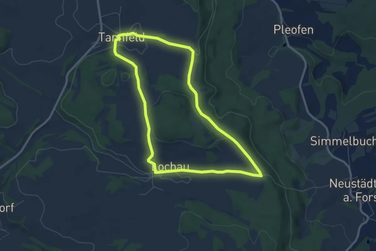
Easy · Trail
Tannfeld Rundweg Schwarzer Ring
6.2 km · ↑ 90 m · 1 h 45 min
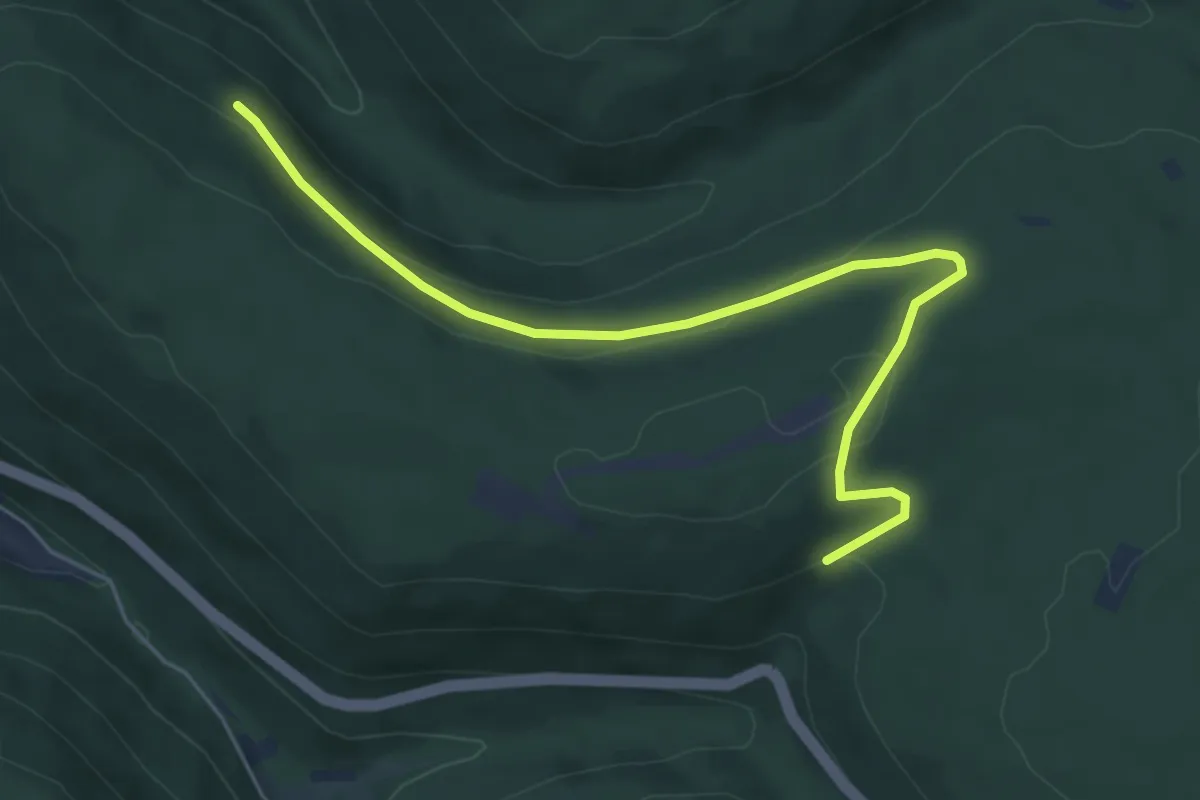
Easy · Trail
Tannhalde - Altvaterstein
5.9 km · ↑ 146 m · 1 h 42 min
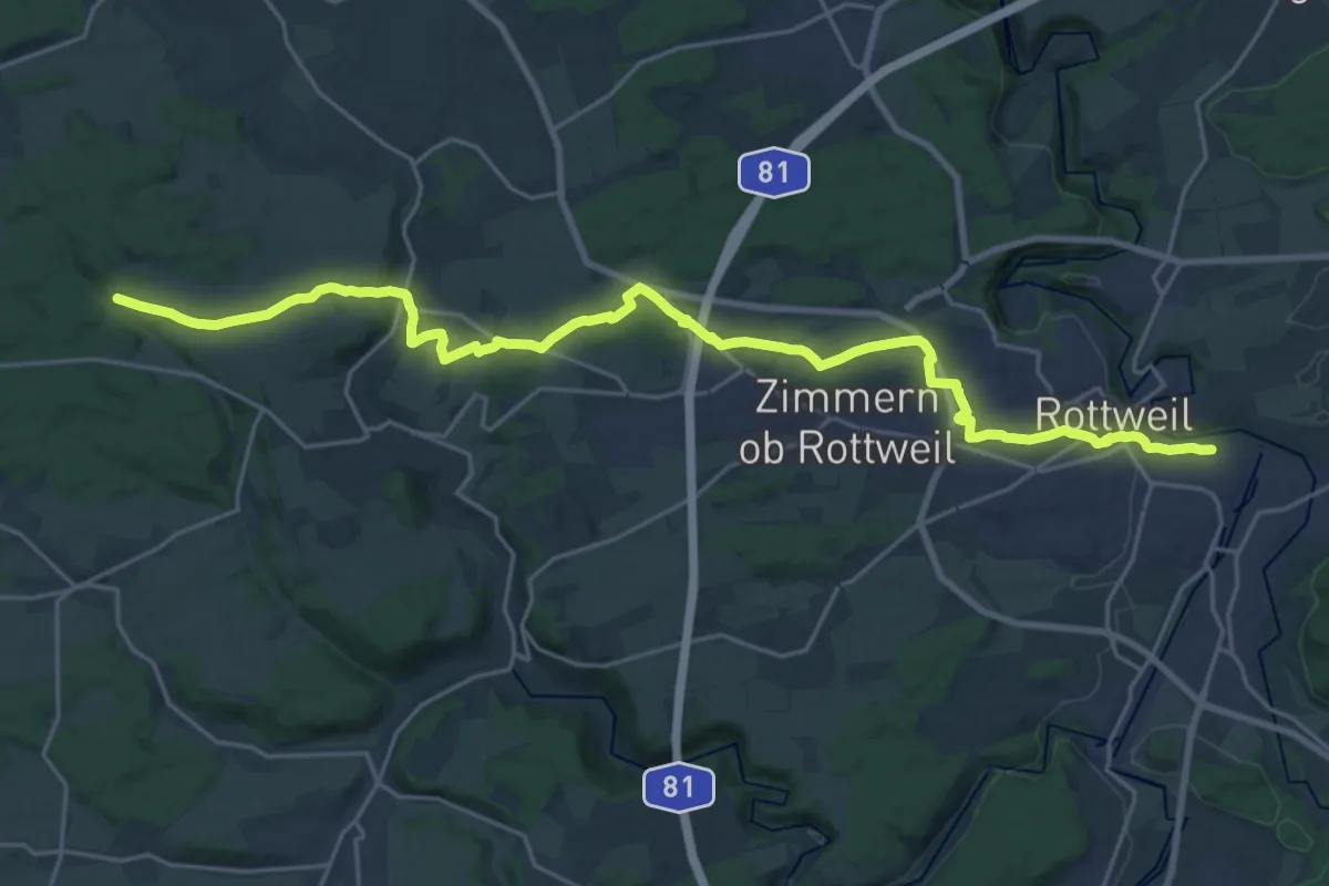
Demanding · Trail
Tannhalde - Rottweil Bahnhof
26.5 km · ↑ 381 m · 7 h 6 min