Trails in Germany
36,852 hiking trails, each with its route, climb, walking time and grade.
All trails, page 621 of 768
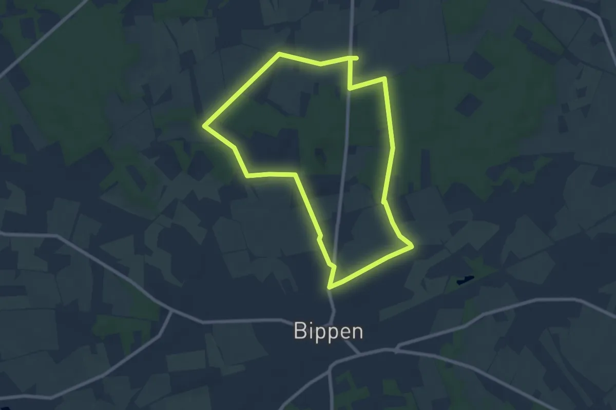
Easy · Trail
TERRA.track Eiszeit-Entdeckerpfad
6.0 km · ↑ 39 m · 1 h 35 min
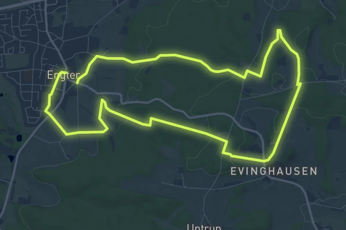
Medium · Trail
TERRA.track "Engethere"
8.9 km · ↑ 173 m · 2 h 36 min
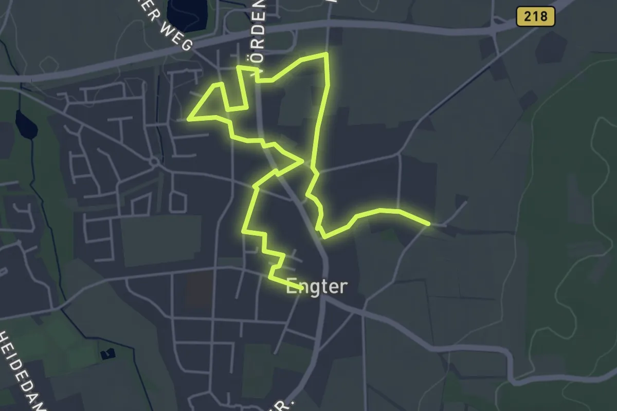
Easy · Trail
TERRA.track "Engethere" - VARIANTE
6.4 km · ↑ 12 m · 1 h 32 min
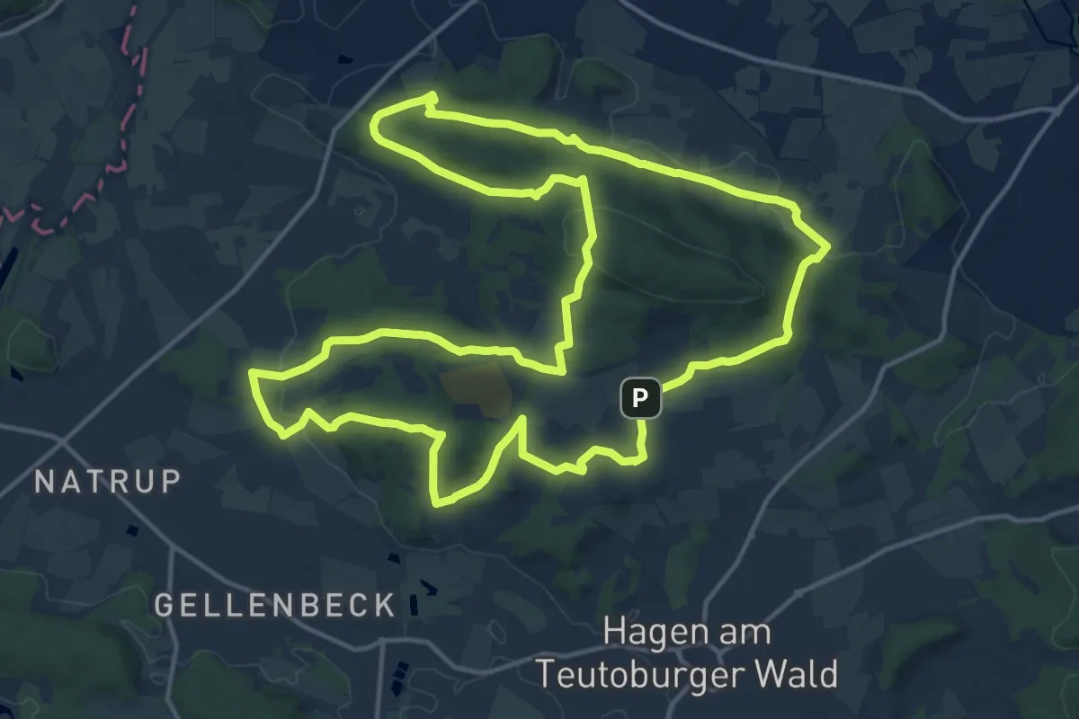
Medium · Summit
TERRA.track "Erz-Steig"
14.8 km · ↑ 331 m · 4 h 25 min
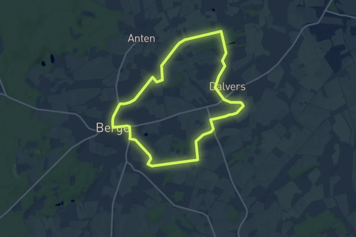
Medium · Trail
TERRA.track Fienenmoor
9.6 km · ↑ 30 m · 2 h 28 min
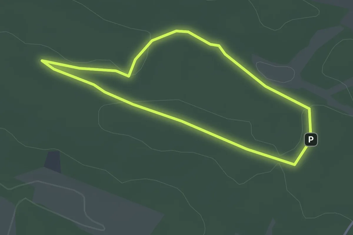
Easy · Summit
TERRA.track "Formica rufa"
2.6 km · ↑ 22 m · 41 min
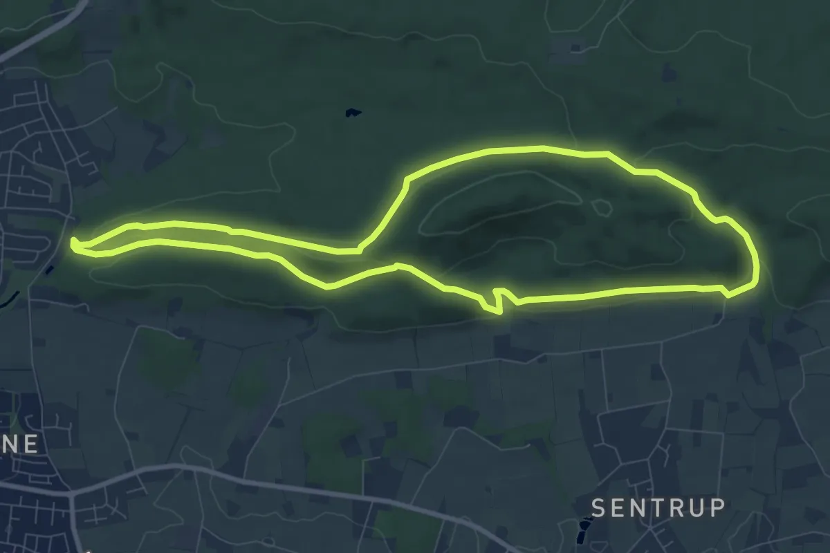
Medium · Summit
TERRA.track "Freedenblüte"
8.1 km · ↑ 206 m · 2 h 29 min
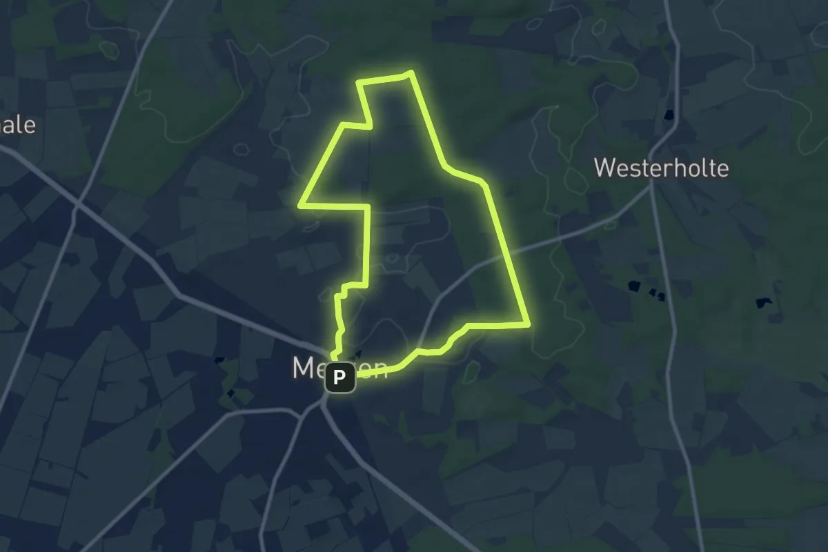
Easy · Summit
TERRA.track Fuchsweg
7.9 km · ↑ 73 m · 2 h 7 min
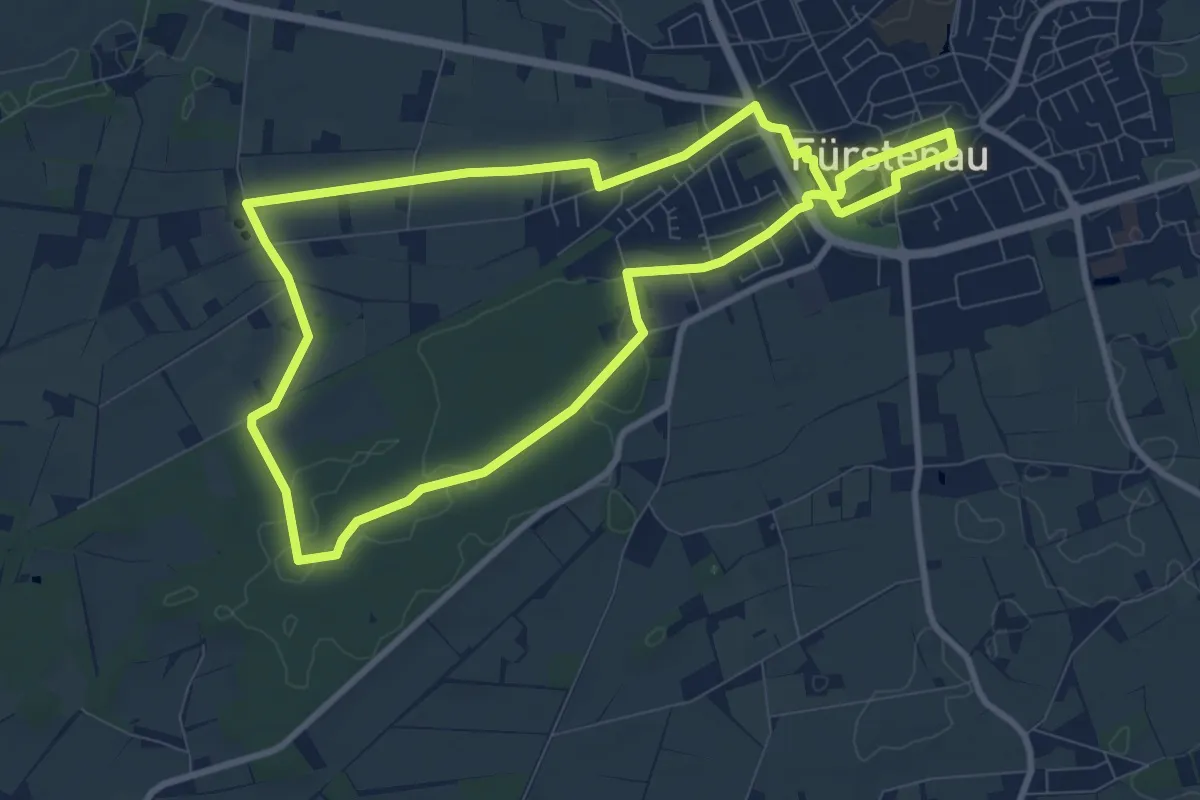
Medium · Trail
TERRA.track Fürstenauer Patt
8.0 km · ↑ 21 m · 2 h 3 min
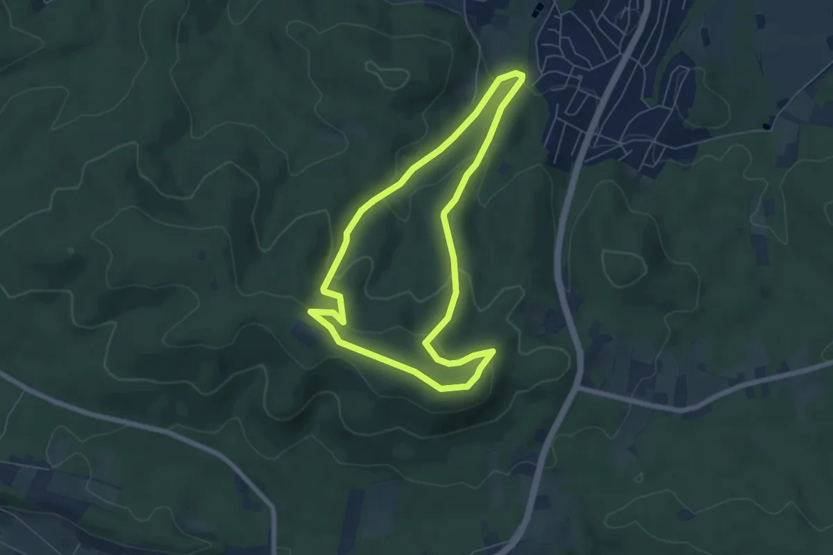
Easy · Summit
TERRA.track "Ganz oben"
5.1 km · ↑ 206 m · 1 h 43 min
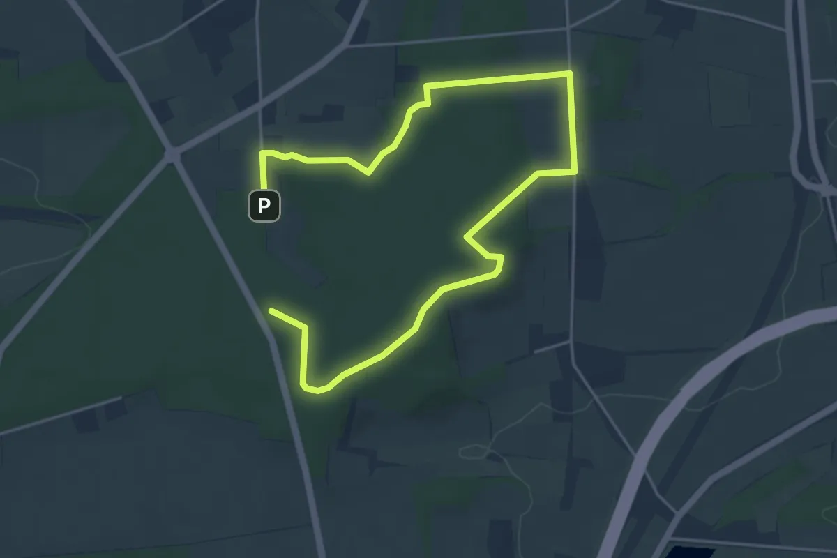
Easy · Summit
TERRA.Track "Gattberg"
3.0 km · ↑ 43 m · 50 min
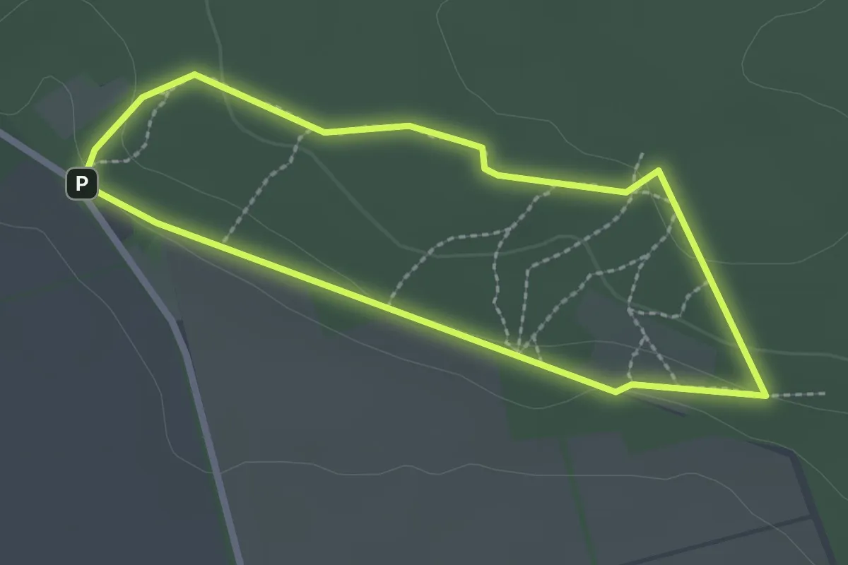
Easy · Trail
TERRA.track "Gehnberg"
1.9 km · ↑ 36 m · 33 min
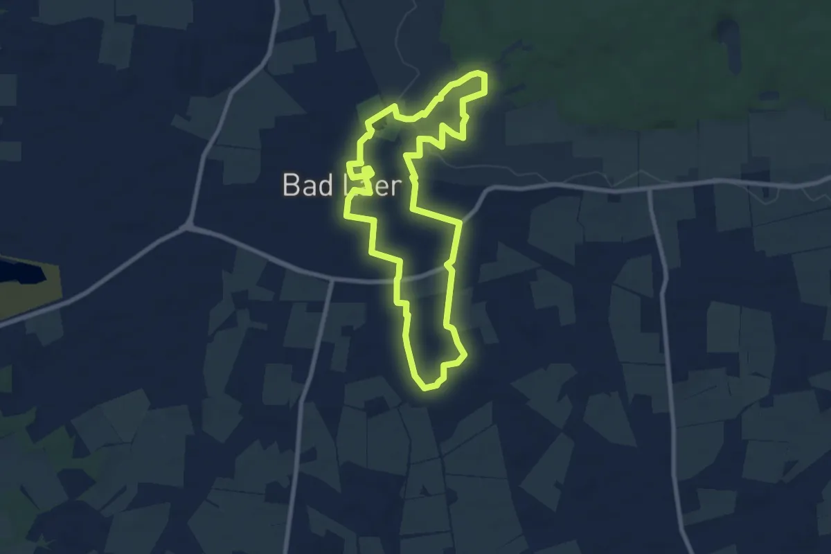
Easy · Trail
TERRA.track GenussKulTour
6.5 km · ↑ 49 m · 1 h 44 min
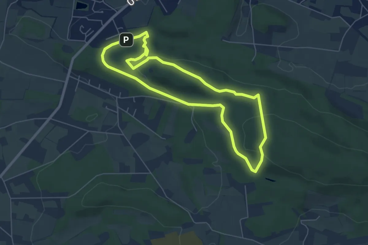
Easy · Summit
TERRA.track "Geologischer Lehrpfad"
4.8 km · ↑ 109 m · 1 h 26 min
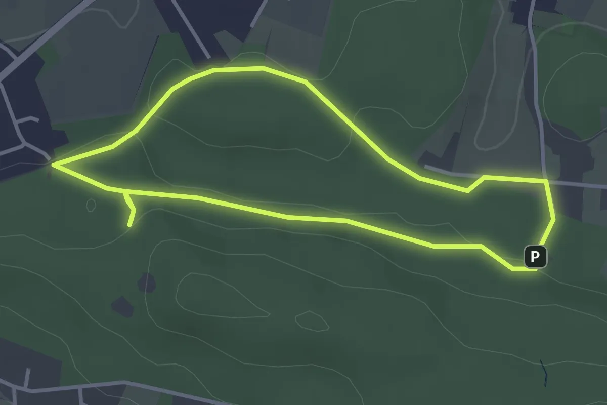
Easy · Trail
TERRA.track "Geologischer Lehrpfad" VARIANTE
2.7 km · ↑ 32 m · 45 min
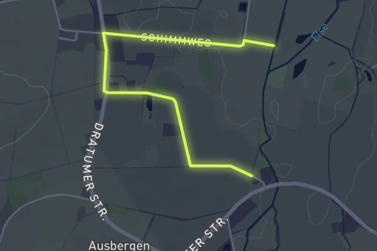
Easy · Trail
TERRA.track "Gesmolder Auenland" - VARIANTE
3.9 km · ↑ 13 m · 57 min
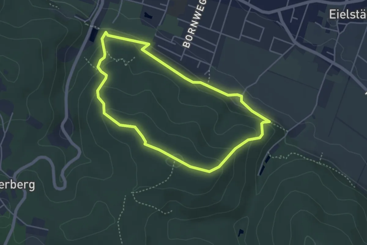
Easy · Summit
TERRA.track "Goethegang"
3.2 km · ↑ 125 m · 1 h 5 min
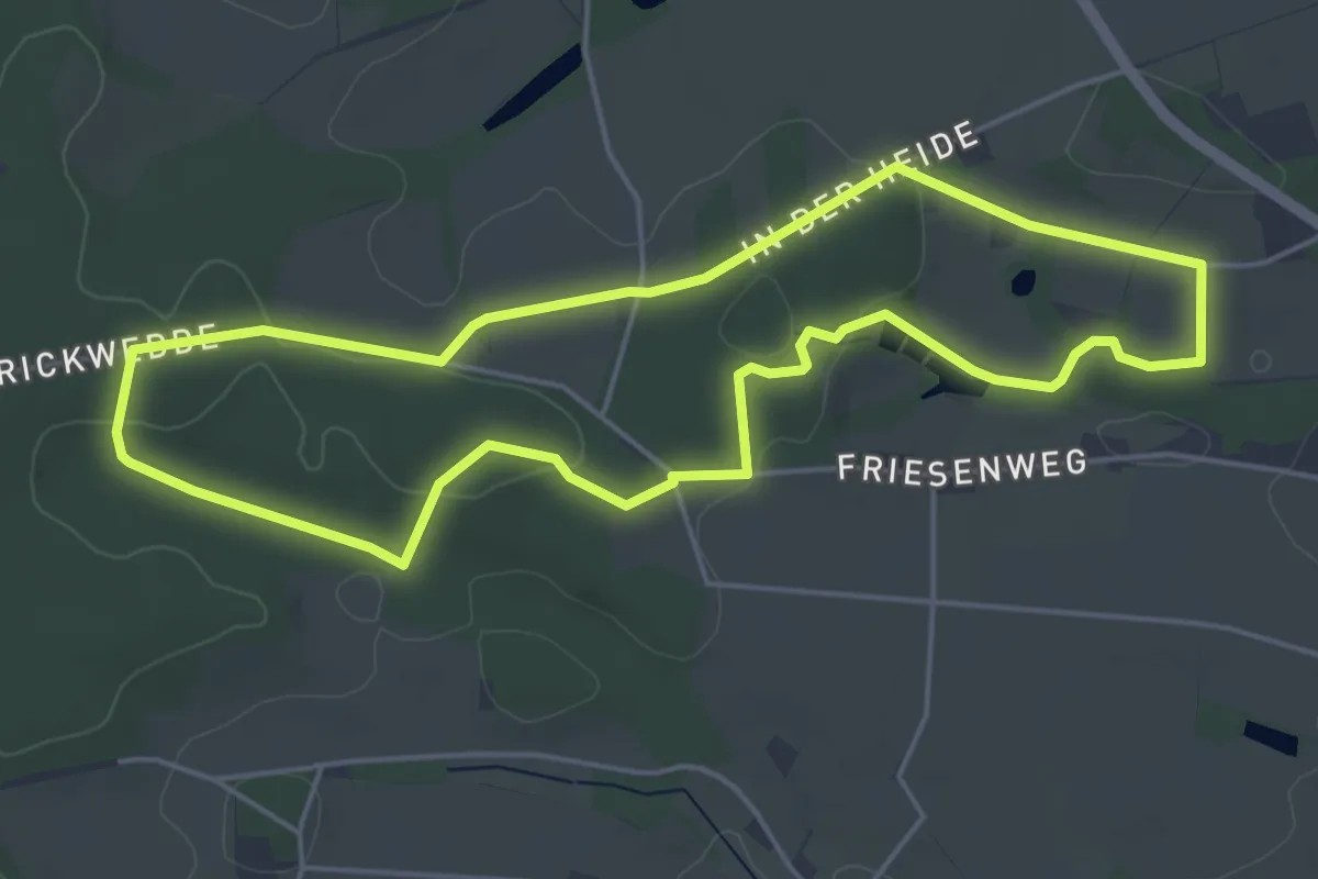
Easy · Summit
TERRA.track Goldhügel
4.4 km · ↑ 51 m · 1 h 12 min
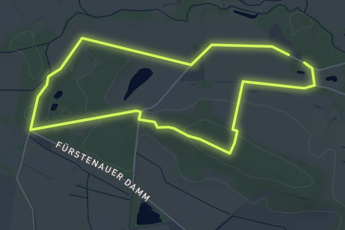
Easy · Summit
TERRA.track "Grasmoor"
4.4 km · ↑ 32 m · 1 h 11 min
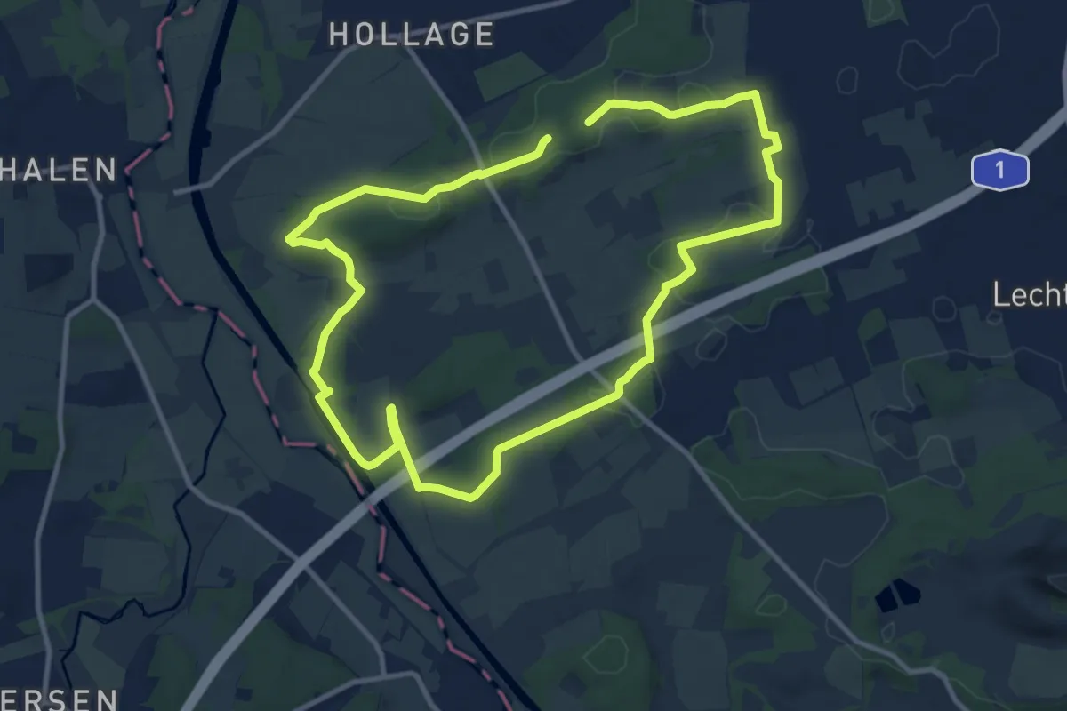
Medium · Trail
TERRA.track "Hollager Berg"
8.6 km · ↑ 119 m · 2 h 24 min
Easy · Trail
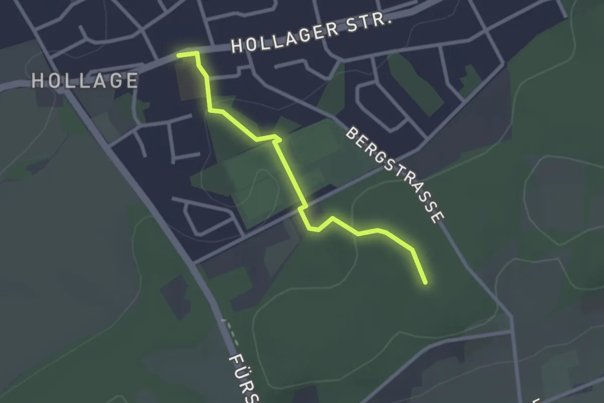
TERRA.track "Hollager Berg" - ZUWEG
2.0 km · ↑ 42 m · 34 min
Medium · Summit
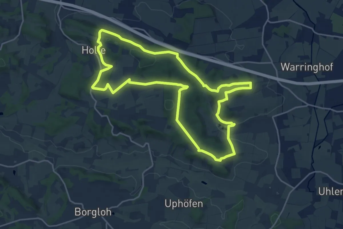
TERRA.track "Holterberg"
12.9 km · ↑ 327 m · 3 h 57 min
Medium · Trail
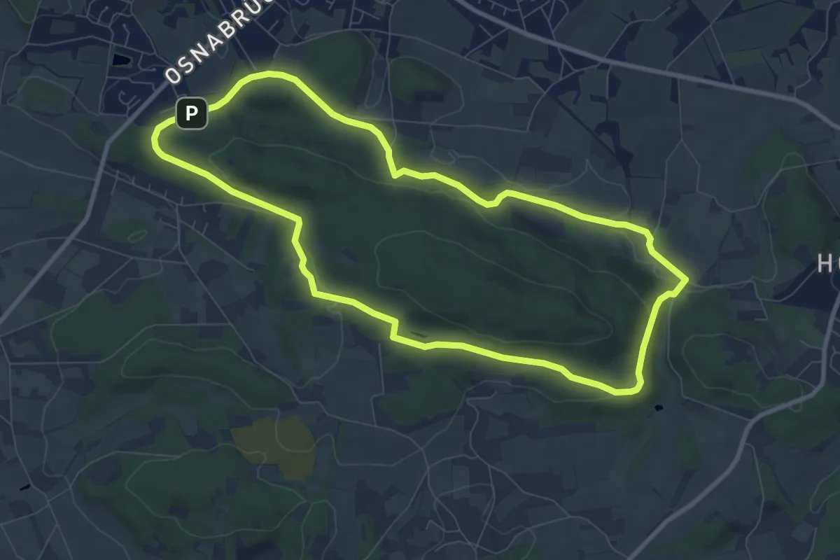
TERRA.track "Hüggelrundweg"
7.6 km · ↑ 159 m · 2 h 14 min
Easy · Summit
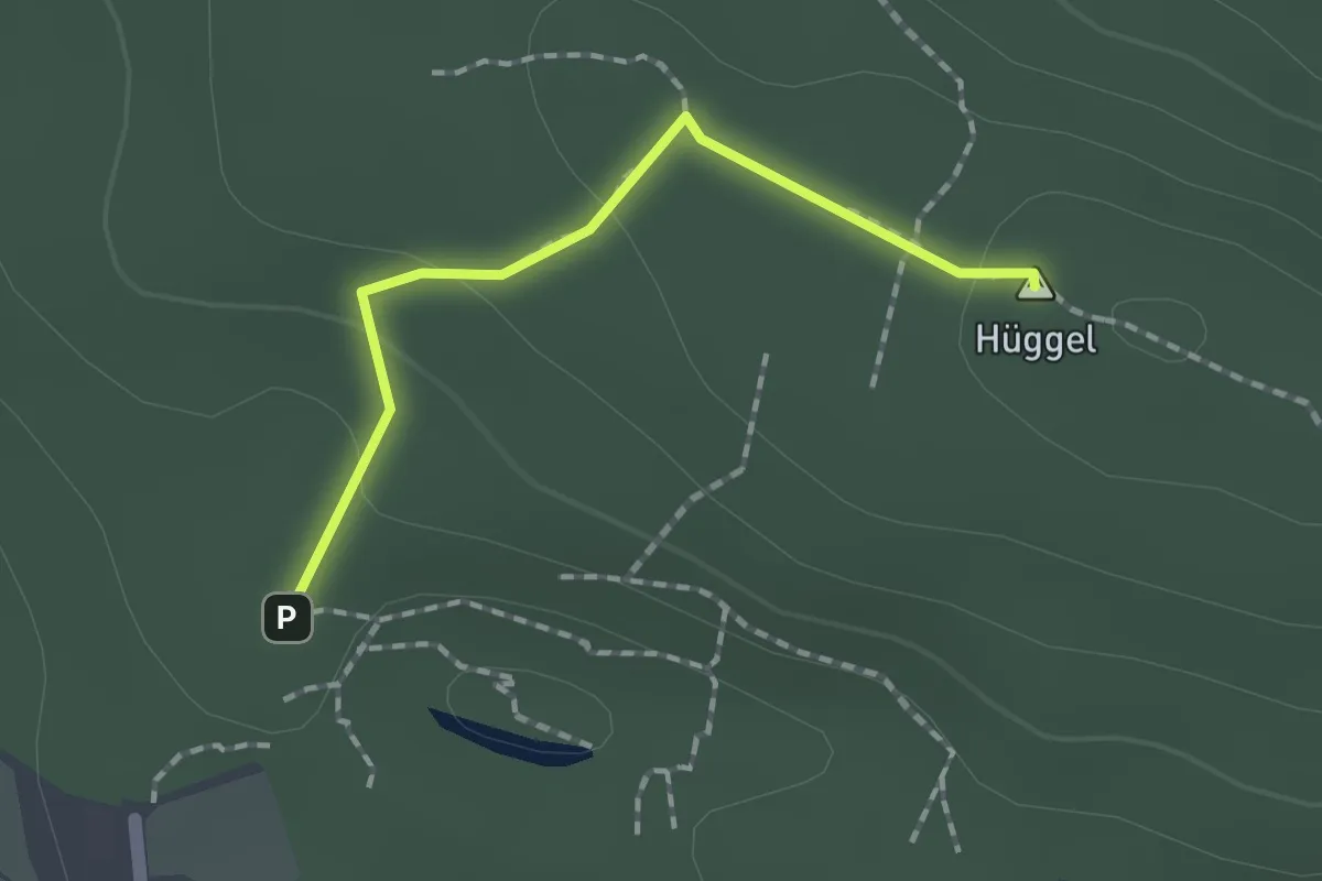
TERRA.track "Hüggelrundweg" VARIANTE
1.4 km · ↑ 43 m · 25 min
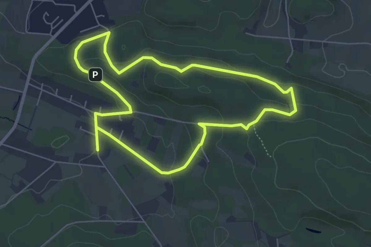
Easy · Summit
TERRA.track "Hüggelzwerge"
4.6 km · ↑ 105 m · 1 h 22 min
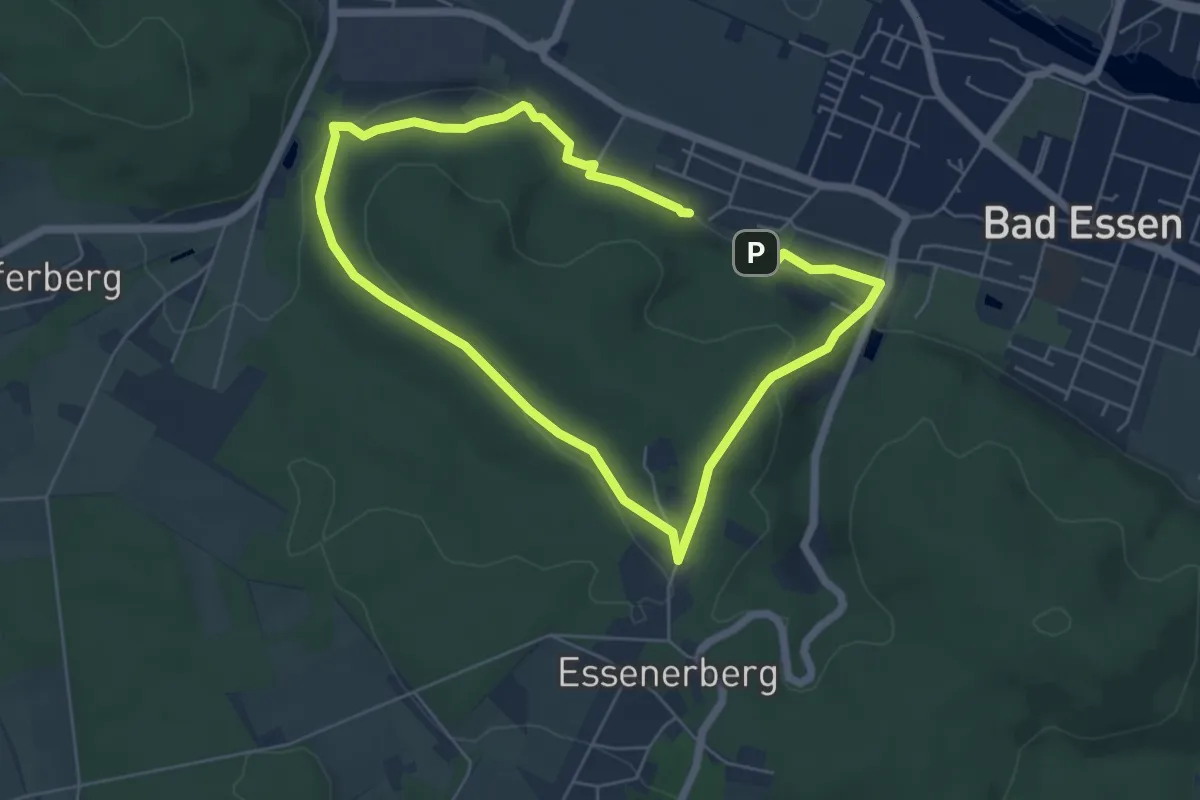
Easy · Trail
TERRA.track "Hünnefelder Tannen"
4.4 km · ↑ 134 m · 1 h 23 min
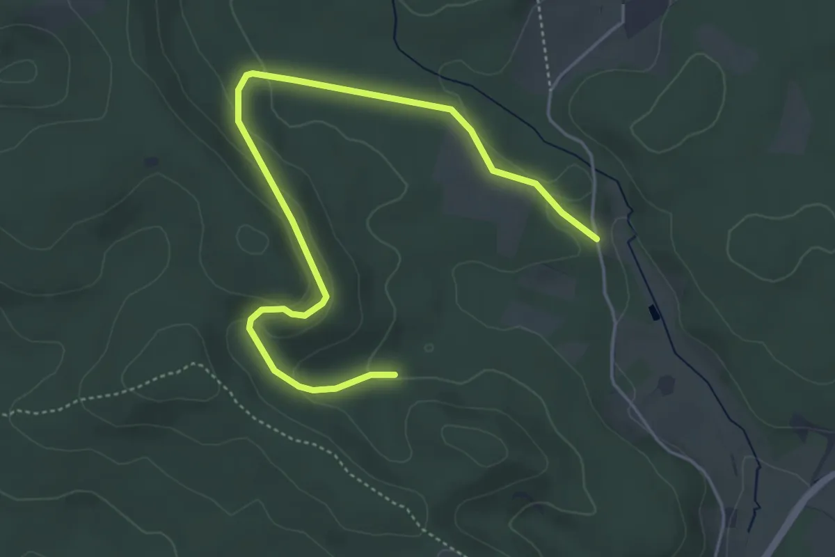
Easy · Summit
TERRA.track "Kalksteinklippe"
2.5 km · ↑ 67 m · 47 min
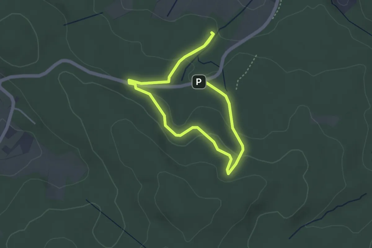
Easy · Trail
TERRA.track "Karl Kalktropfen"
2.4 km · ↑ 61 m · 44 min
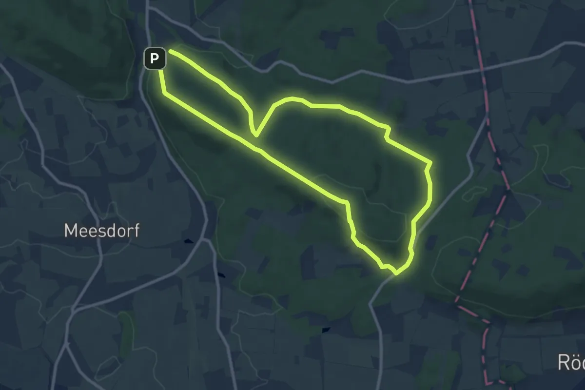
Easy · Trail
TERRA.track "Kellenberg"
7.5 km · ↑ 206 m · 2 h 20 min
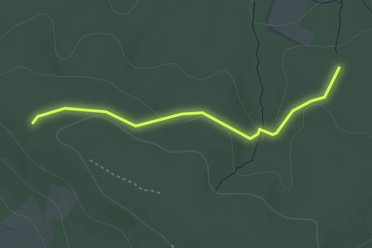
Easy · Trail
TERRA.track "Kellenberg" VARIANTE
2.5 km · ↑ 47 m · 42 min
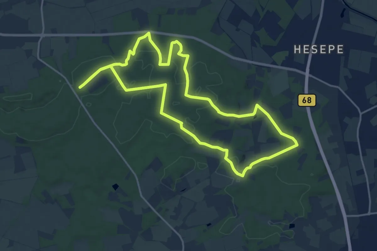
Medium · Trail
TERRA.track "Kettelsberg"
11.8 km · ↑ 139 m · 3 h 15 min
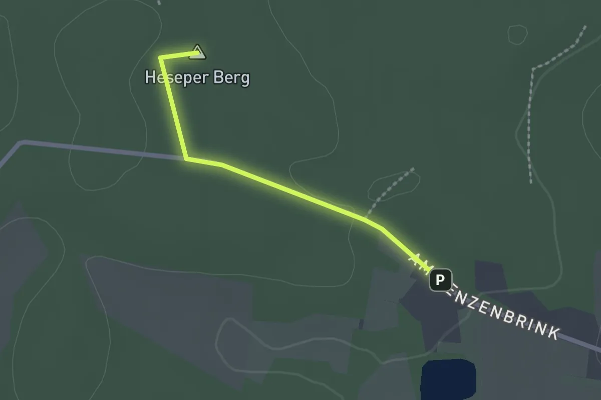
Easy · Summit
TERRA.track "Kettelsberg" - ZUWEG
1.5 km · ↑ 13 m · 24 min
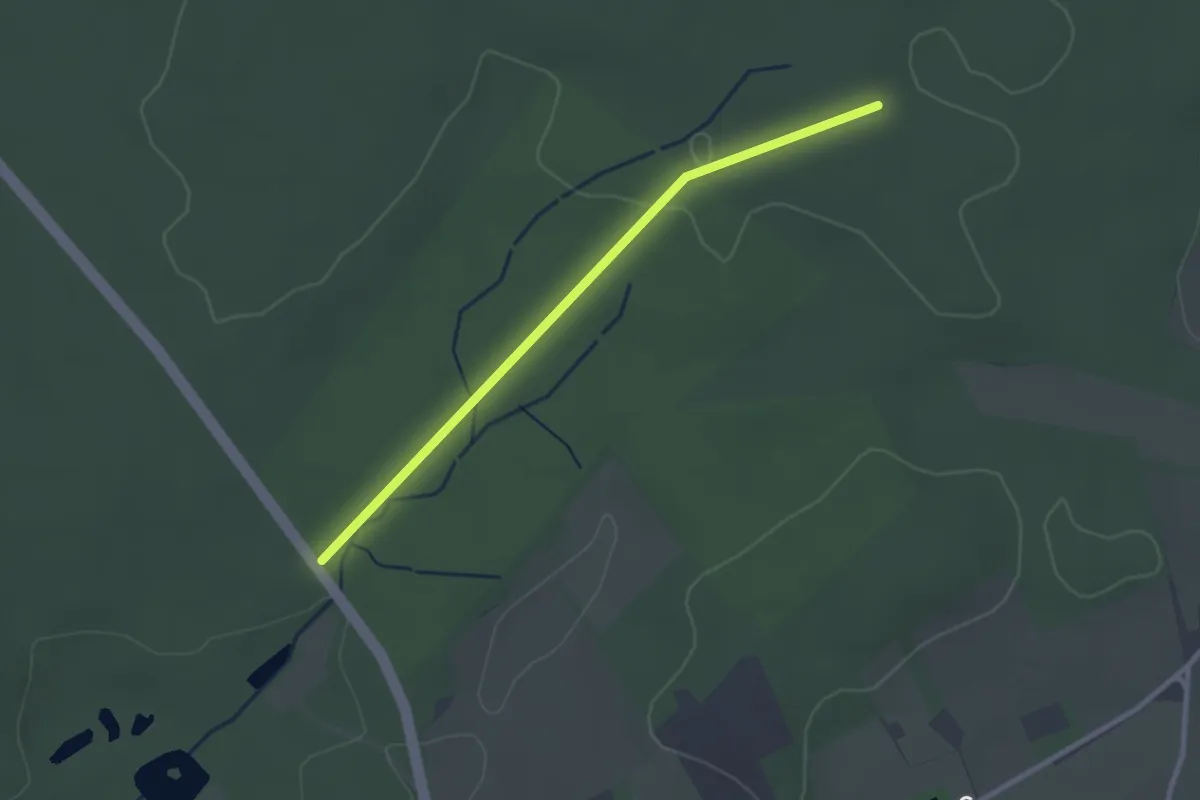
Easy · Trail
TERRA.track "Kettelsberg" - ZUWEG
2.3 km · ↑ 17 m · 35 min
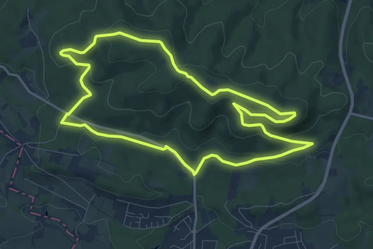
Medium · Summit
TERRA.track "Kneipp to go"
8.4 km · ↑ 192 m · 2 h 31 min
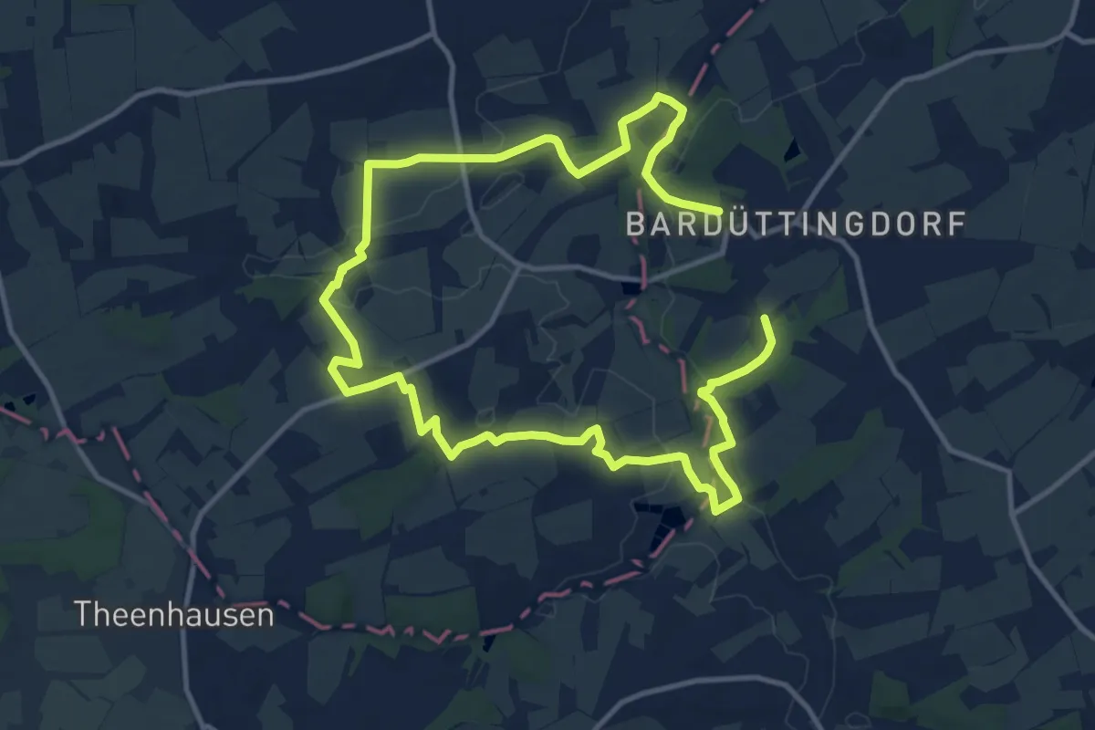
Medium · Trail
TERRA.track "Königsbrück"
8.9 km · ↑ 109 m · 2 h 28 min
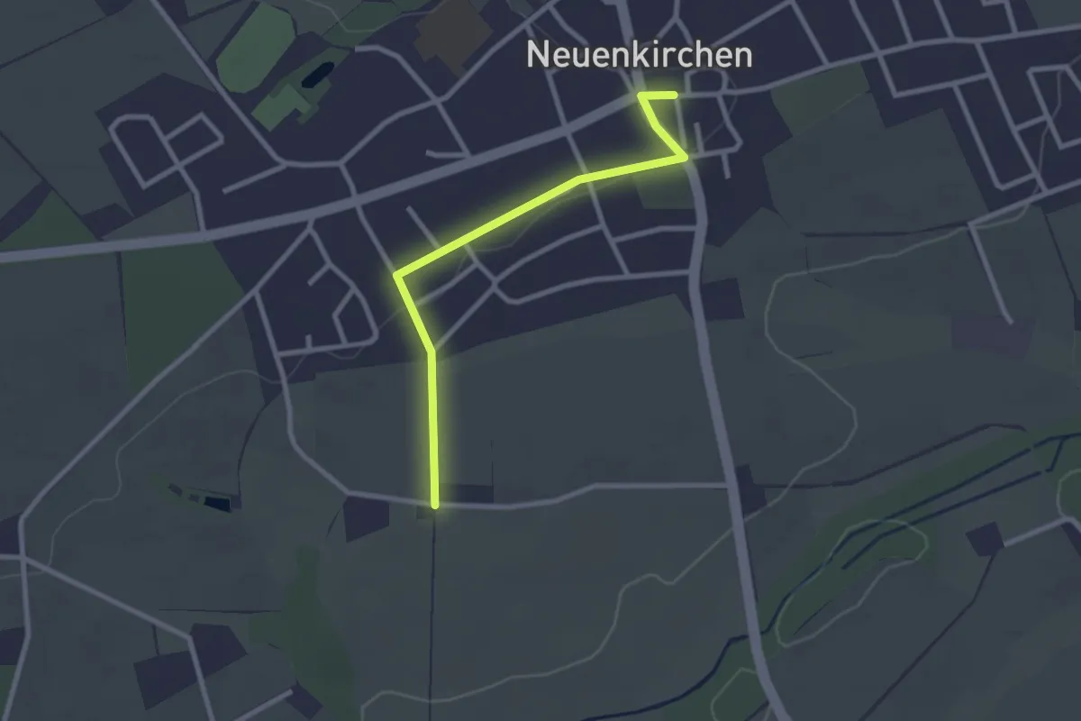
Easy · Trail
TERRA.track "Königsbrück" - ZUWEG
2.3 km · ↑ 5 m · 33 min
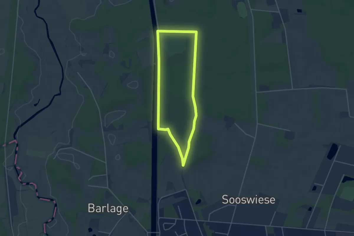
Easy · Trail
TERRA.track "Kulturpfad Königstannen"
3.2 km · ↑ 21 m · 51 min
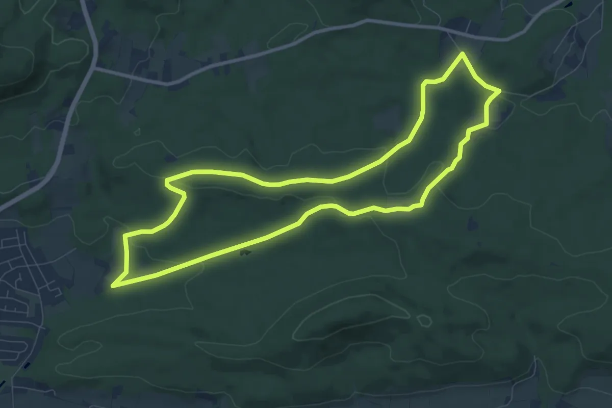
Easy · Summit
TERRA.track "Limberg und Zeppelinstein"
7.7 km · ↑ 148 m · 2 h 15 min
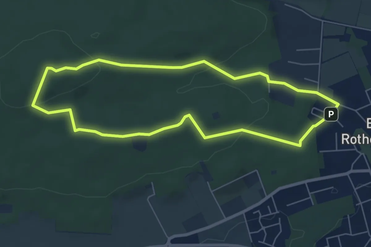
Easy · Summit
TERRA.track "Lüdenstein"
4.7 km · ↑ 98 m · 1 h 23 min
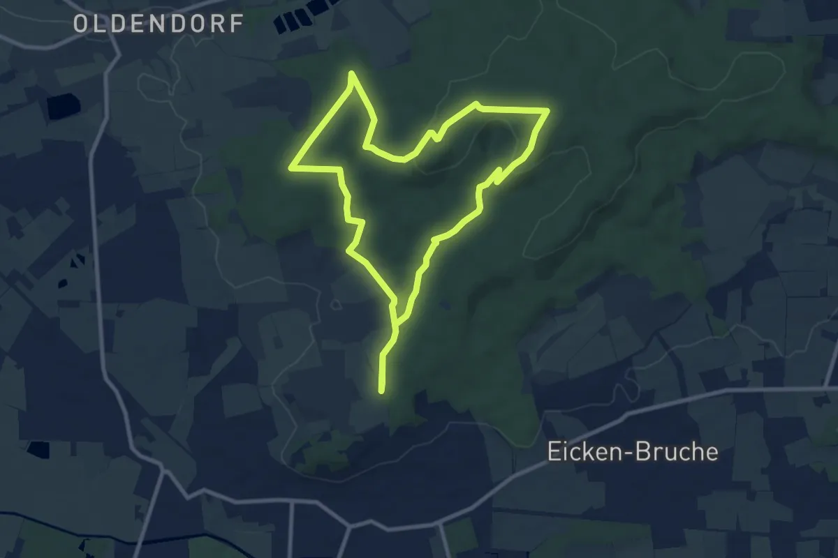
Medium · Summit
TERRA.track "Meller Balkon"
7.8 km · ↑ 161 m · 2 h 18 min
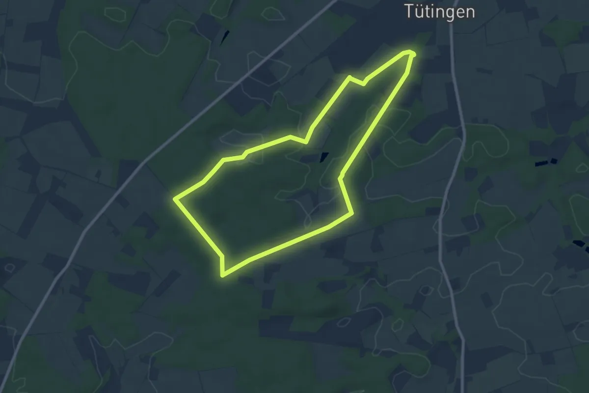
Easy · Trail
TERRA.track "Mooshütte"
6.8 km · ↑ 78 m · 1 h 52 min
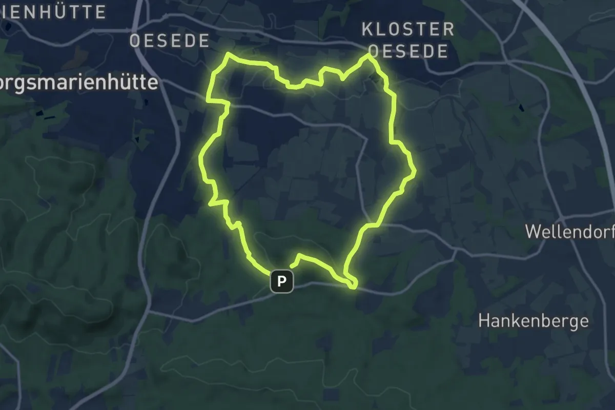
Medium · Summit
TERRA.track "Musenberg"
10.7 km · ↑ 176 m · 3 h 2 min
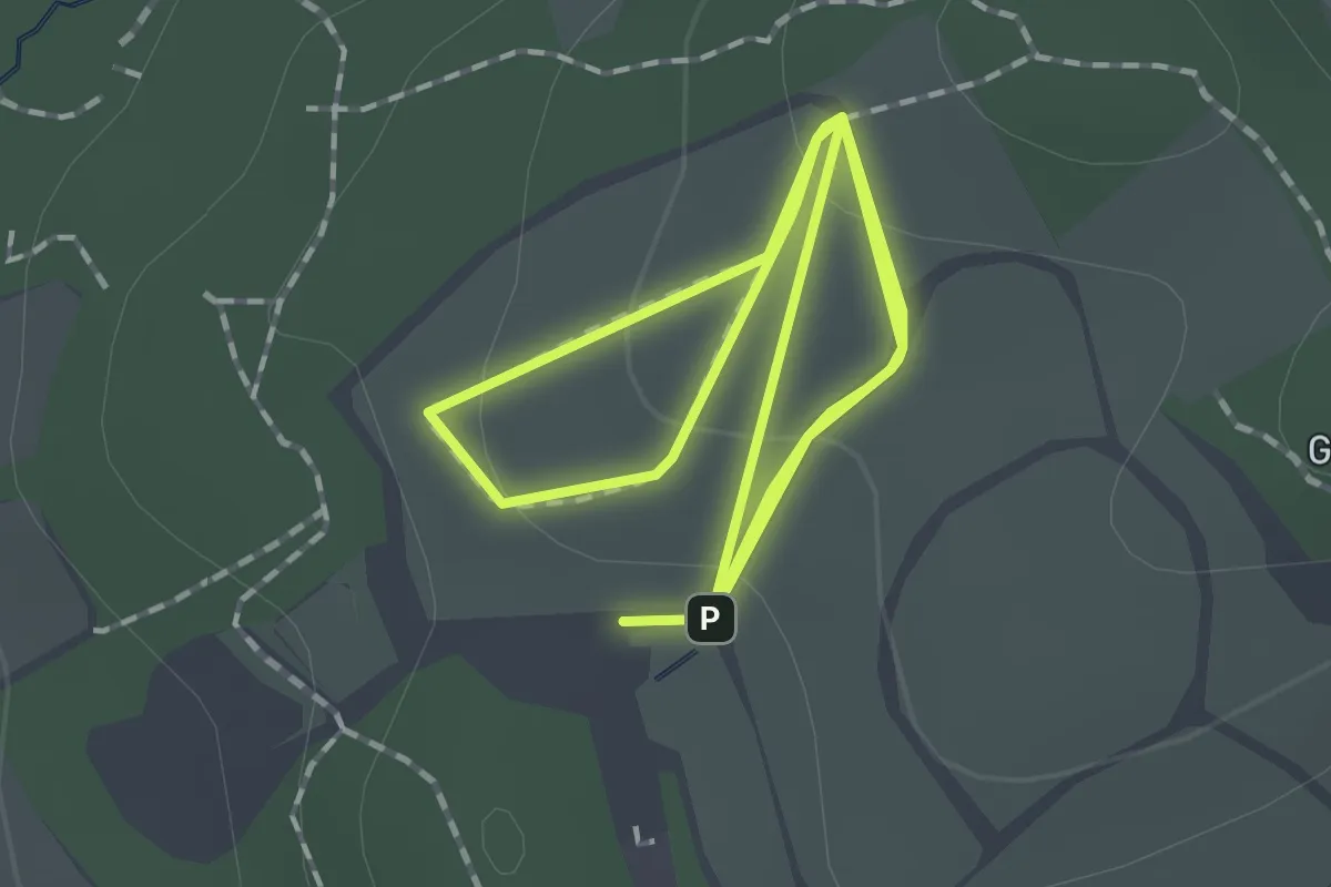
Easy · Trail
TERRA.track "Naturblick-Route"
1.4 km · ↑ 47 m · 27 min
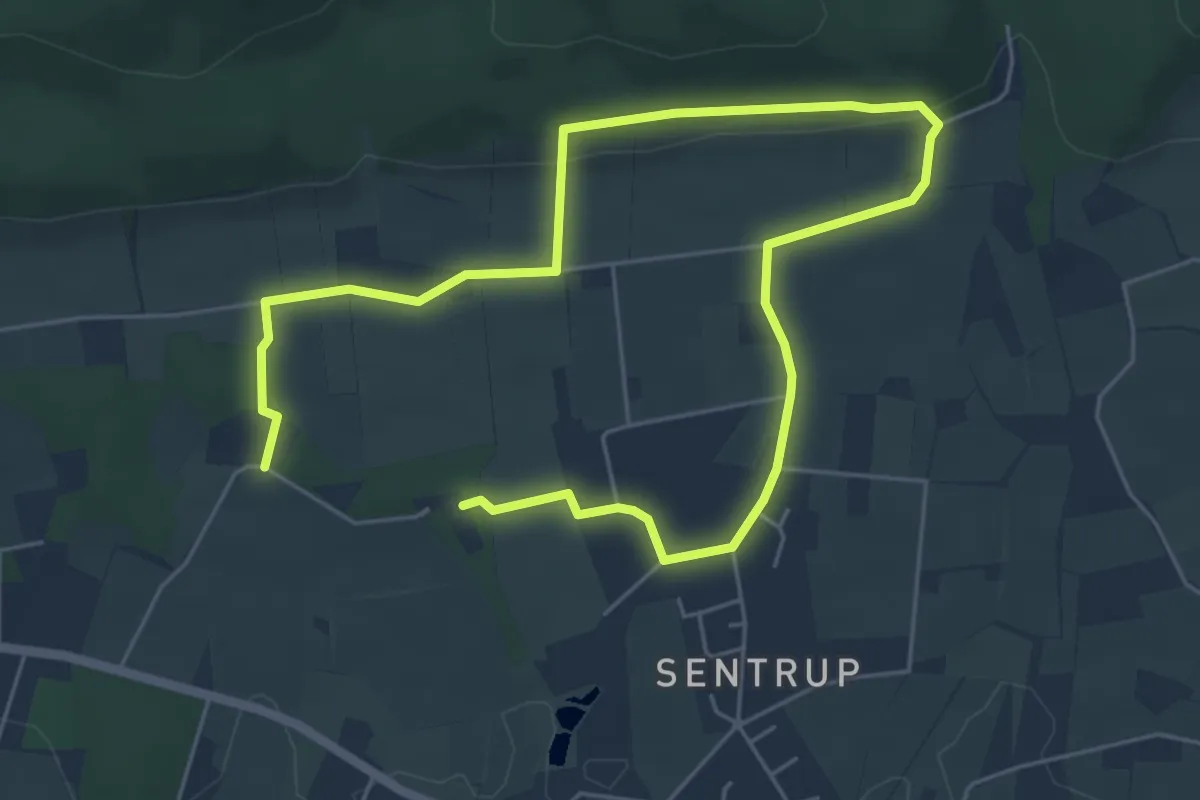
Easy · Trail
TERRA.track "Naturpfad Blüsenpatt"
3.8 km · ↑ 62 m · 1 h 5 min
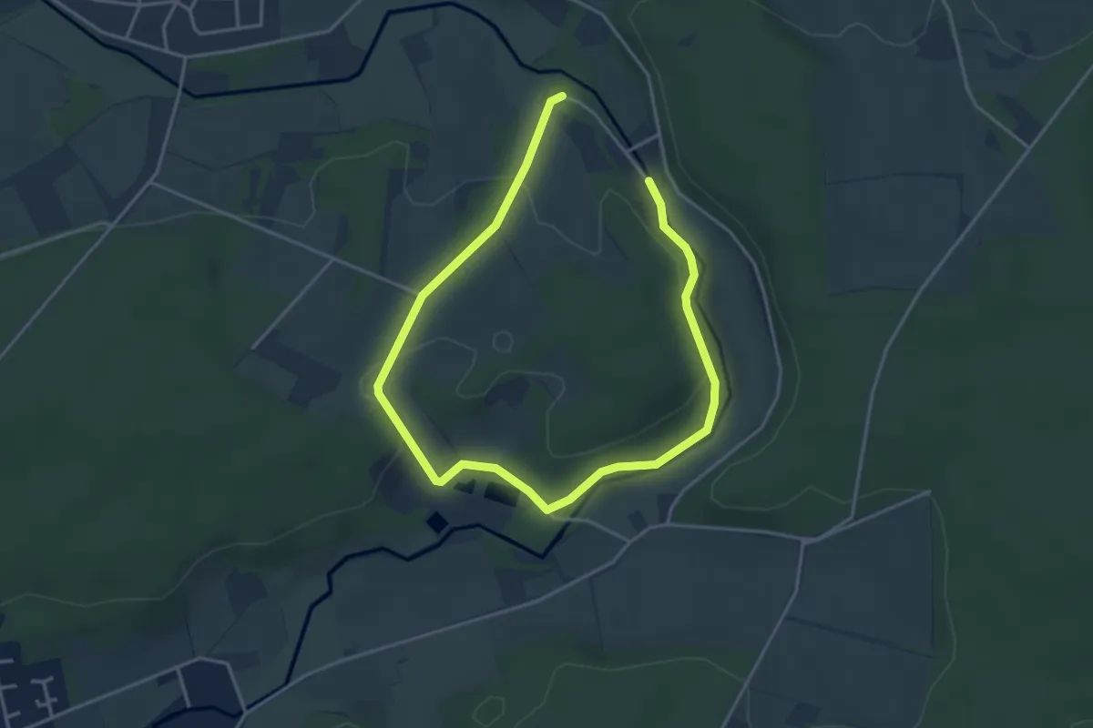
Easy · Trail
TERRA.track "Nettetal"
2.6 km · ↑ 37 m · 43 min
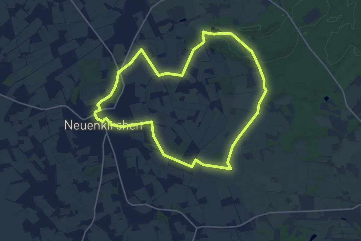
Medium · Trail
TERRA.track "Neuenkirchen-Lünort"
12.1 km · ↑ 81 m · 3 h 12 min
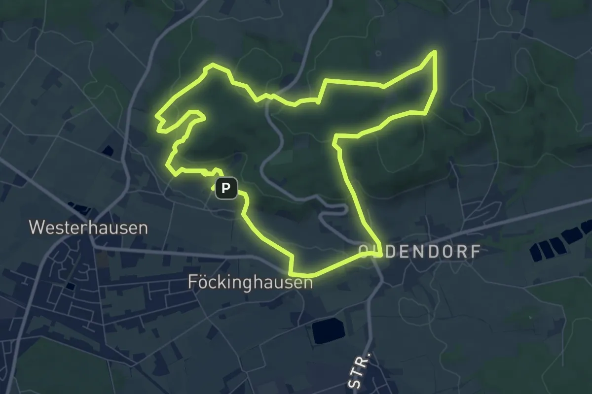
Medium · Summit
TERRA.track "Oldendorfer Aussichten"
8.1 km · ↑ 230 m · 2 h 31 min
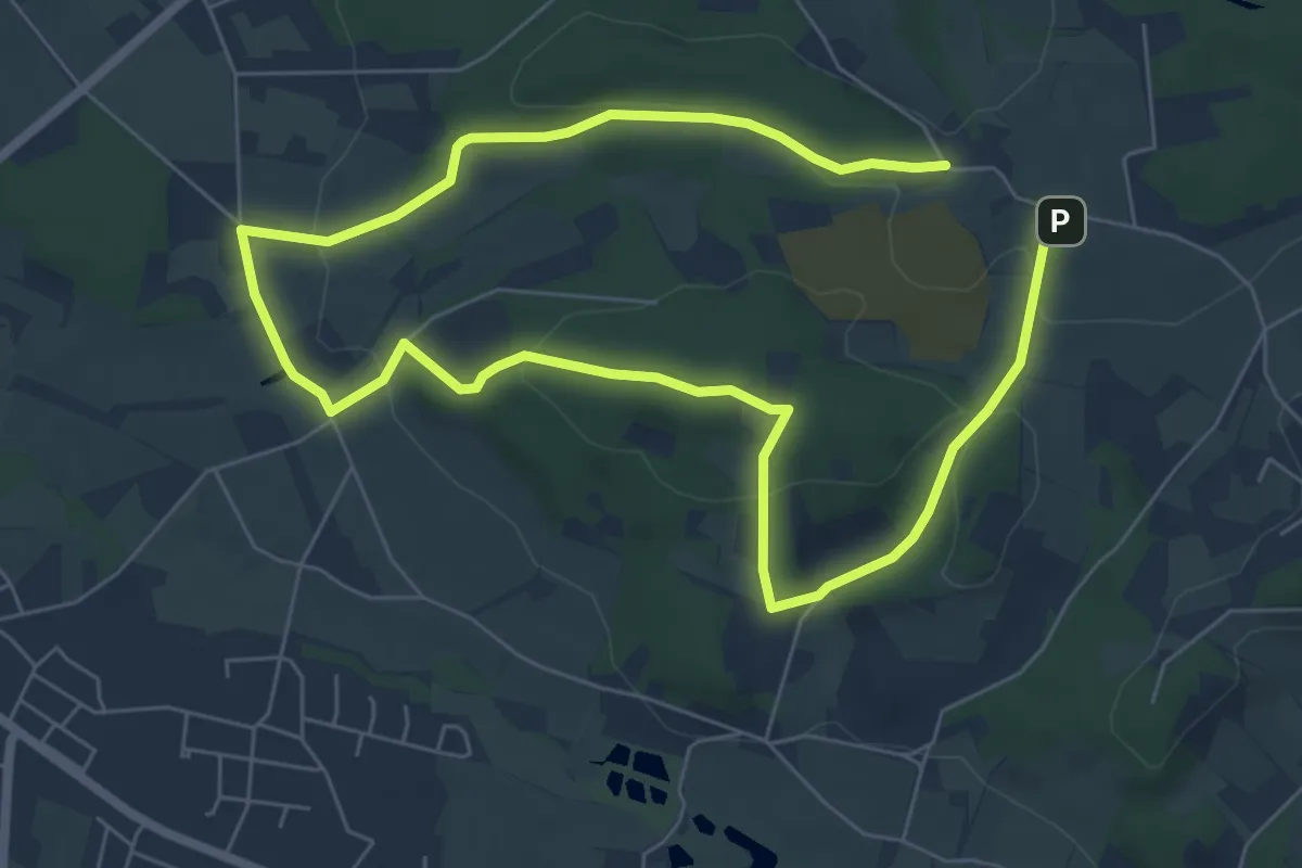
Easy · Summit
TERRA.track "Orchideenwiese"
5.0 km · ↑ 127 m · 1 h 31 min