Trails in Germany
36,852 hiking trails, each with its route, climb, walking time and grade.
All trails, page 622 of 768
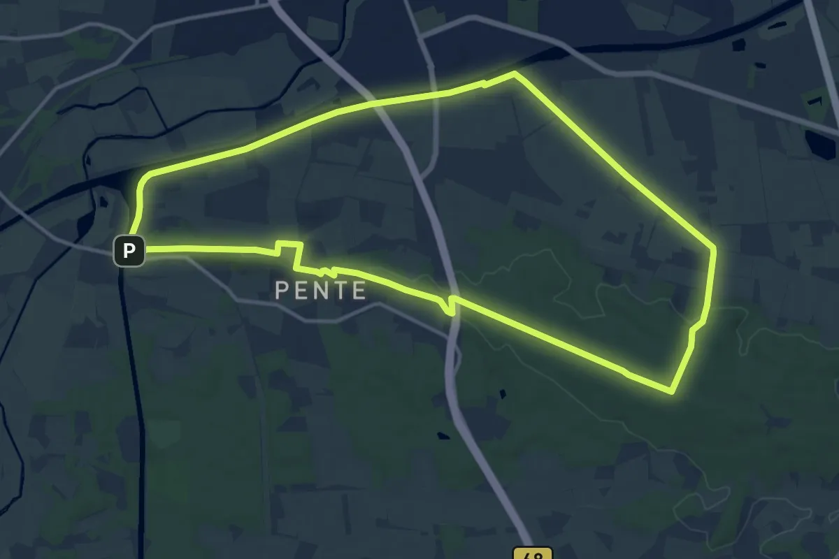
Medium · Summit
TERRA.track "Penter Egge"
11.9 km · ↑ 113 m · 3 h 13 min
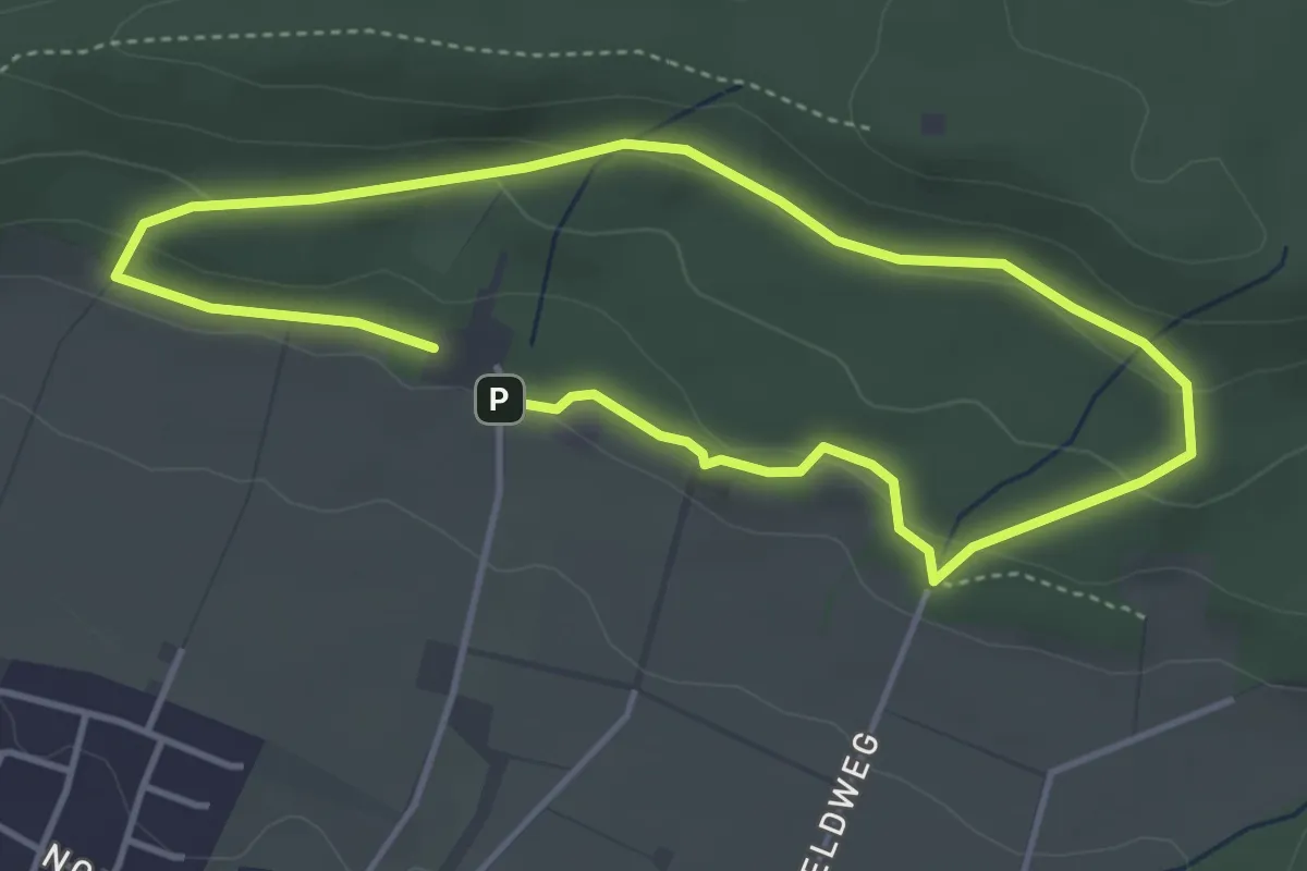
Easy · Trail
TERRA.track "Pilzweg"
3.2 km · ↑ 88 m · 59 min
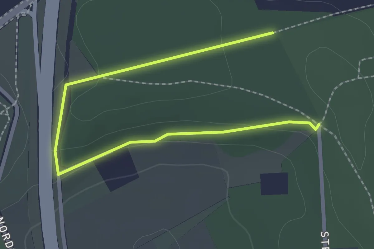
Easy · Trail
TERRA.track "Richtstättenweg" - VARIANTE
2.4 km · ↑ 40 m · 39 min
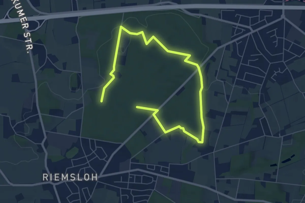
Easy · Trail
TERRA.track "Riemsloher Wald"
4.2 km · ↑ 43 m · 1 h 9 min
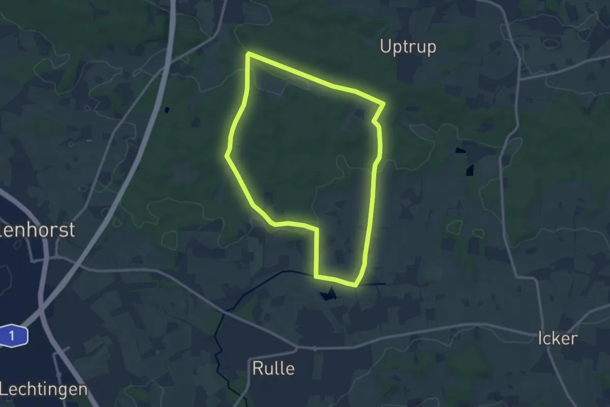
Medium · Summit
TERRA.track "Ruller Bruch"
8.0 km · ↑ 89 m · 2 h 12 min
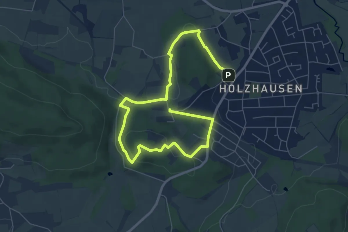
Medium · Summit
TERRA.track "Schau ins Land"
4.1 km · ↑ 94 m · 1 h 14 min
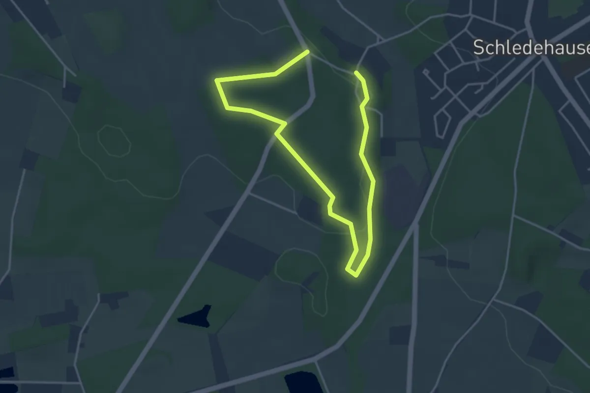
Easy · Trail
TERRA.track "Schelenburg und Wierau"
2.4 km · ↑ 47 m · 42 min
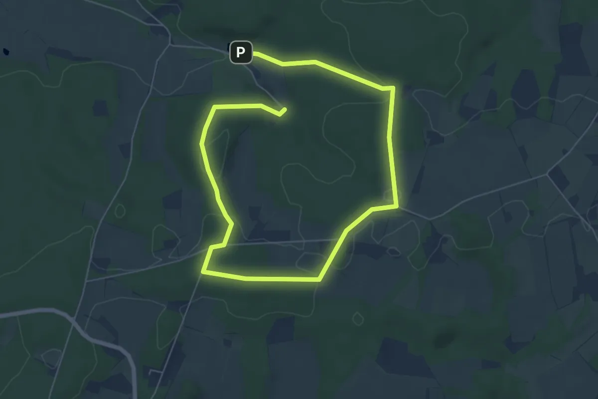
Easy · Trail
TERRA.track "Schmittenhöhe"
4.3 km · ↑ 68 m · 1 h 13 min
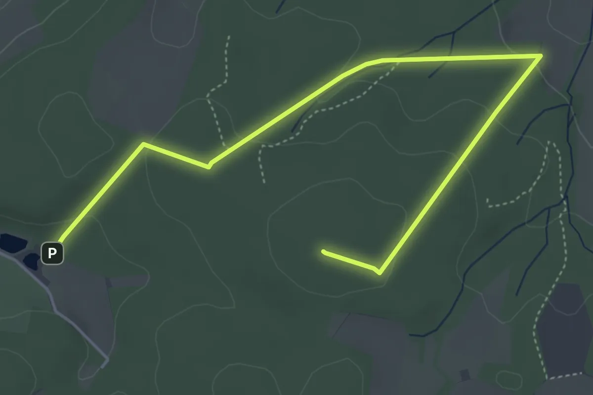
Easy · Summit
TERRA.track "Schmittenhöhe" - VARIANTE
5.3 km · ↑ 156 m · 1 h 36 min
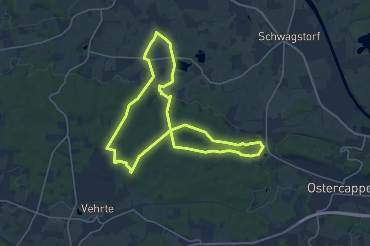
Medium · Trail
TERRA.track "Schnippenburg"
11.8 km · ↑ 237 m · 3 h 27 min
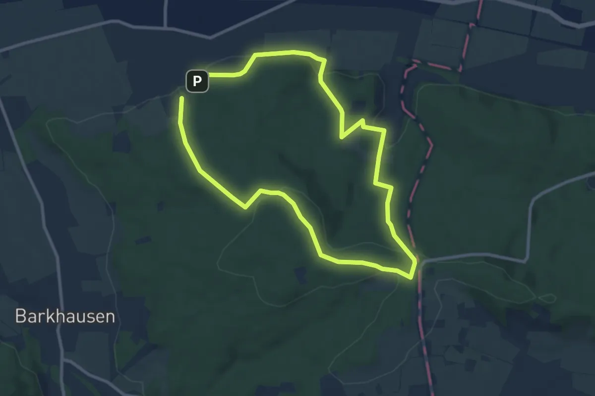
Easy · Summit
TERRA.track "Schwarzer Brink"
6.6 km · ↑ 201 m · 2 h 5 min
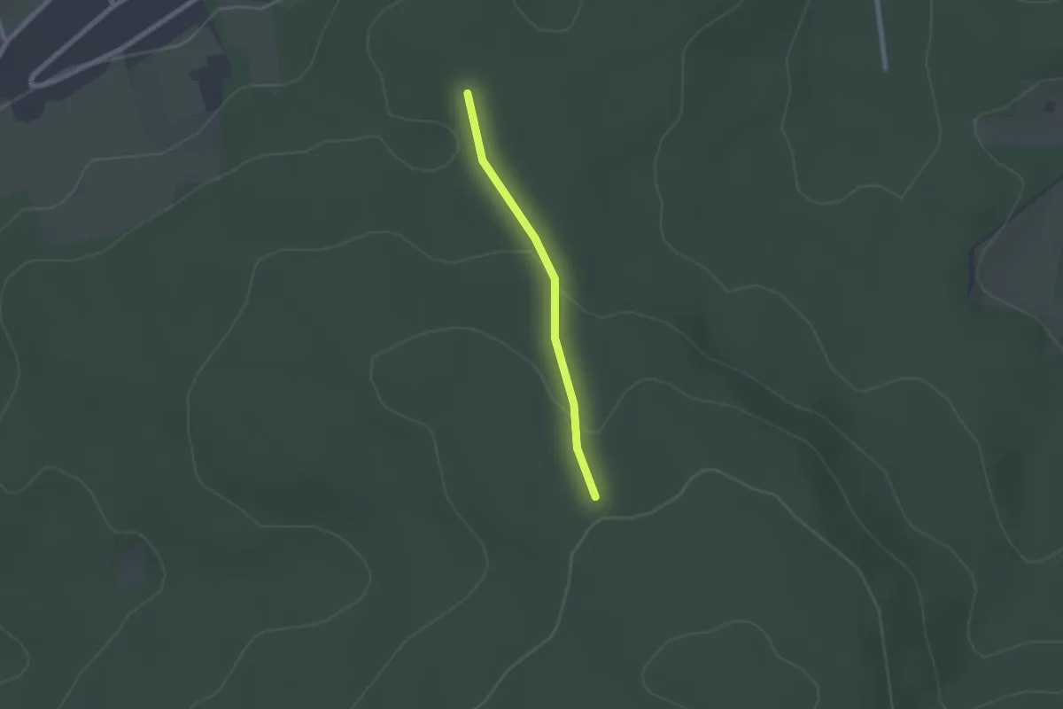
Easy · Summit
TERRA.track "Schwarzer Brink" - VARIANTE
1.5 km · ↑ 32 m · 26 min
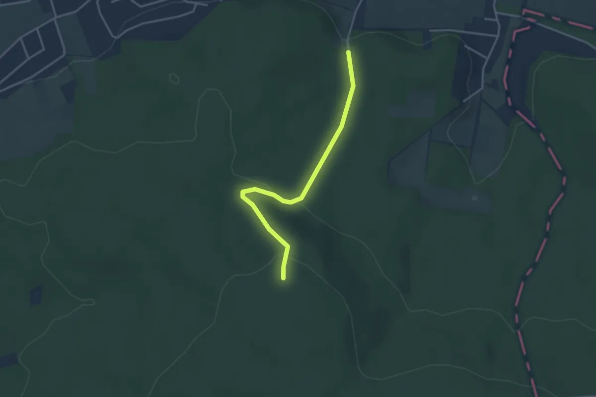
Easy · Trail
TERRA.Track "Schwarzer Brink" - VARIANTE
2.8 km · ↑ 103 m · 52 min
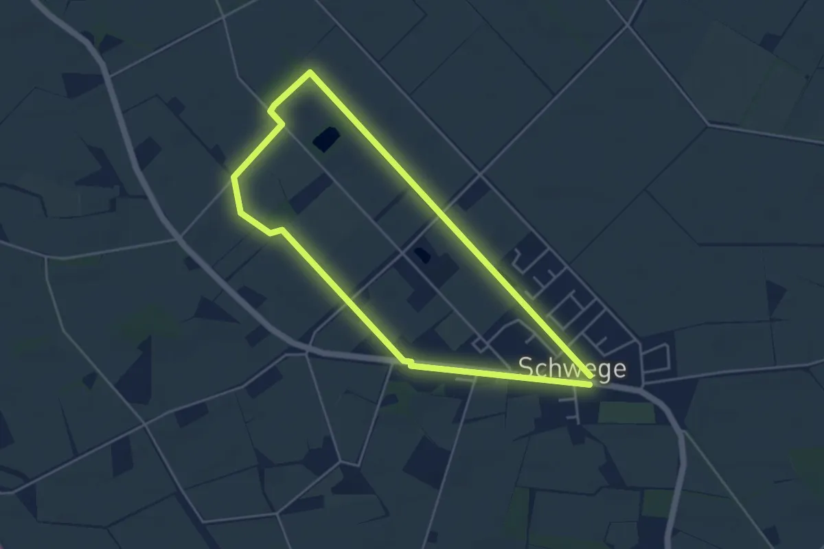
Easy · Trail
TERRA.track "Schweger Wald"
3.6 km · ↑ 4 m · 55 min
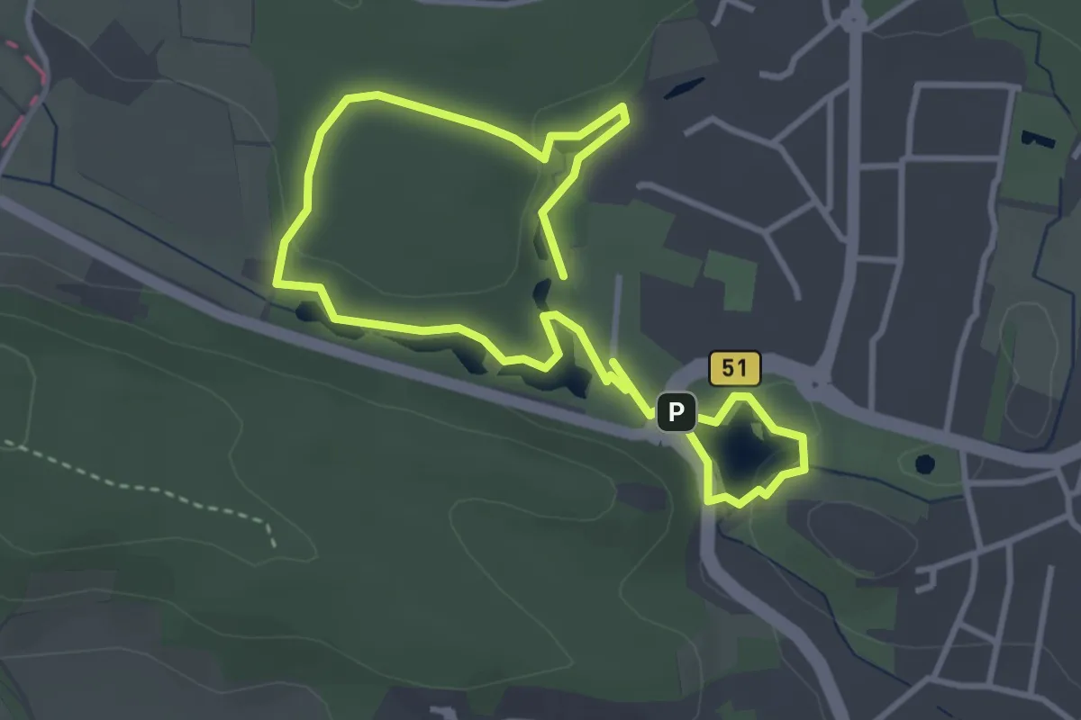
Easy · Trail
TERRA.track "Sieben Seen"
2.7 km · ↑ 31 m · 44 min
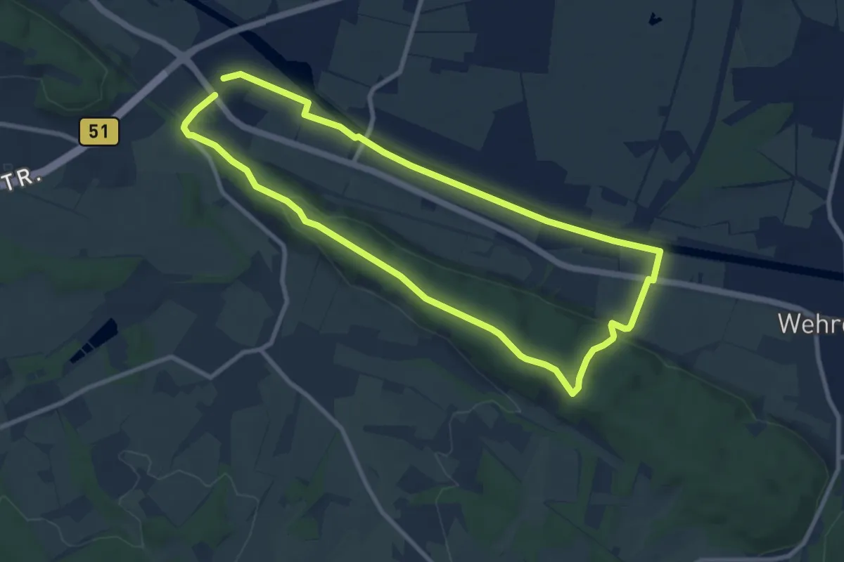
Easy · Summit
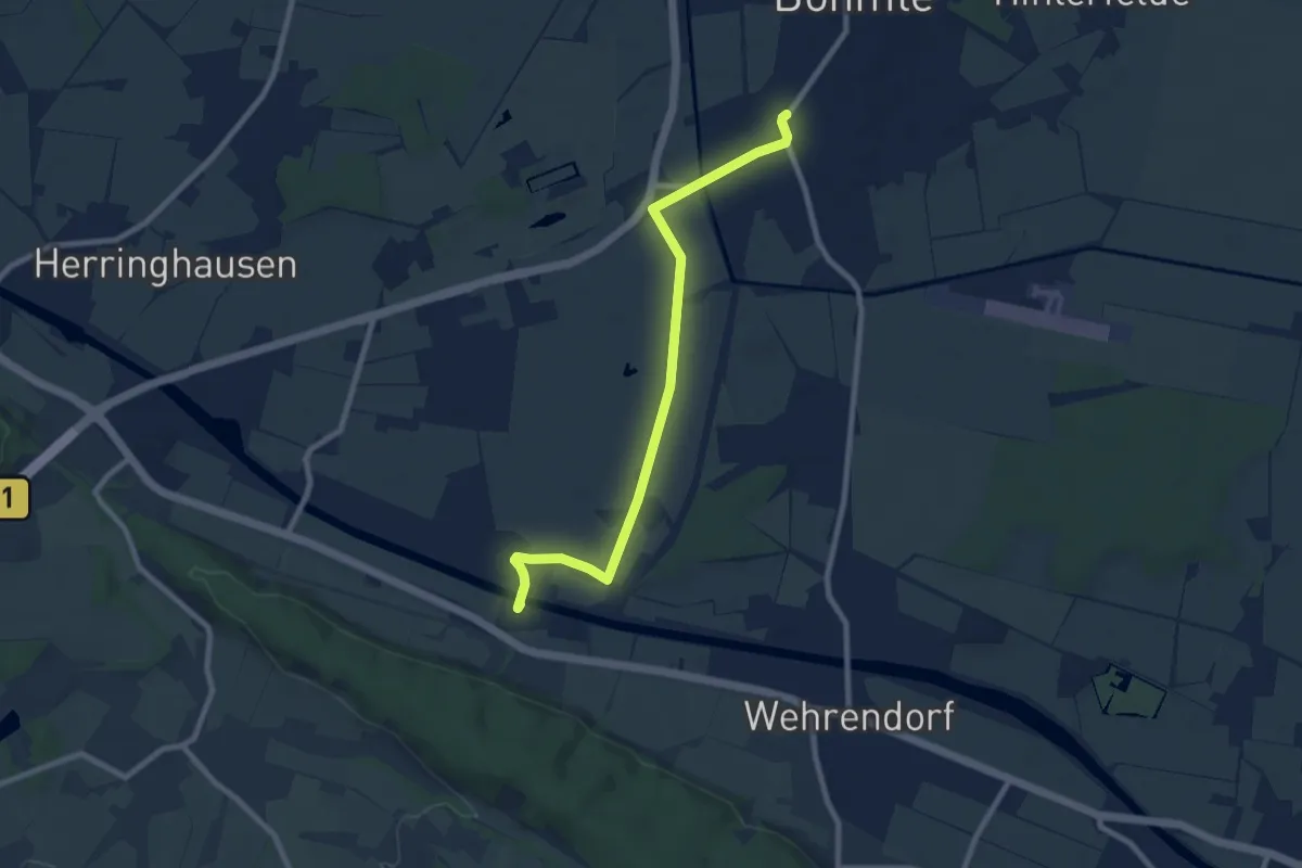
TERRA.track "Stirper Berg"
7.3 km · ↑ 113 m · 2 h 4 min
Easy · Trail
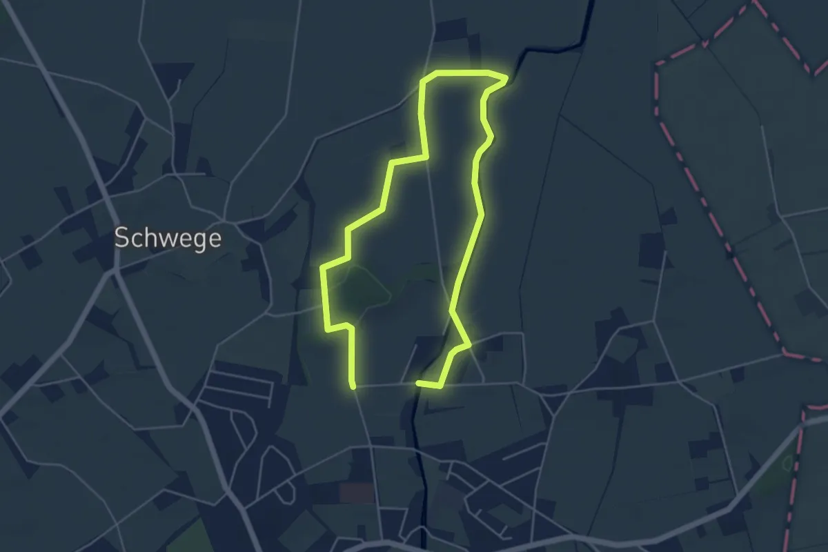
TERRA.track "Stirper Berg" - ZUWEG
7.7 km · ↑ 4 m · 1 h 50 min
Easy · Trail
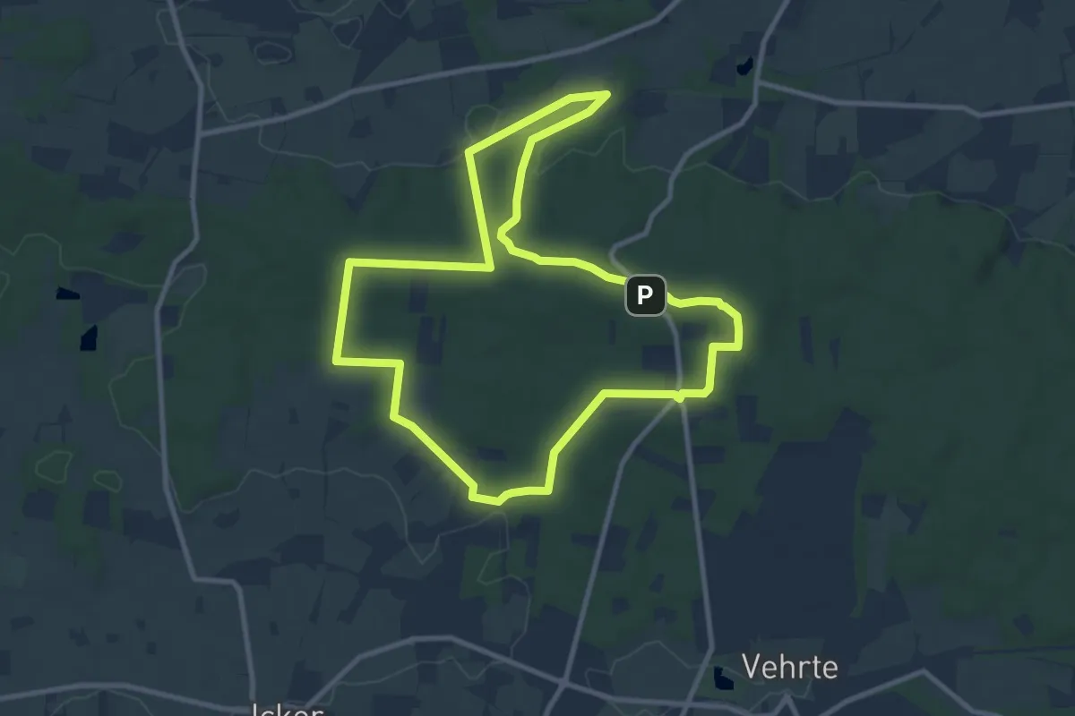
TERRA.track "Streithorst"
3.5 km · ↑ 9 m · 54 min
Medium · Summit
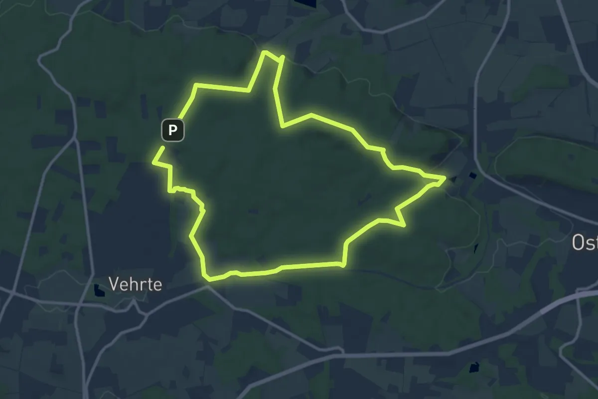
TERRA.track "Süntelstein"
8.6 km · ↑ 147 m · 2 h 28 min
Medium · Trail
TERRA.track "Teufelssteine"
9.1 km · ↑ 200 m · 2 h 43 min
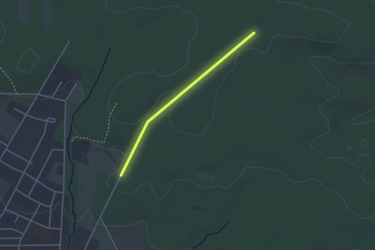
Easy · Trail
TERRA.track "Teufelssteine" - VARIANTE
2.4 km · ↑ 24 m · 37 min
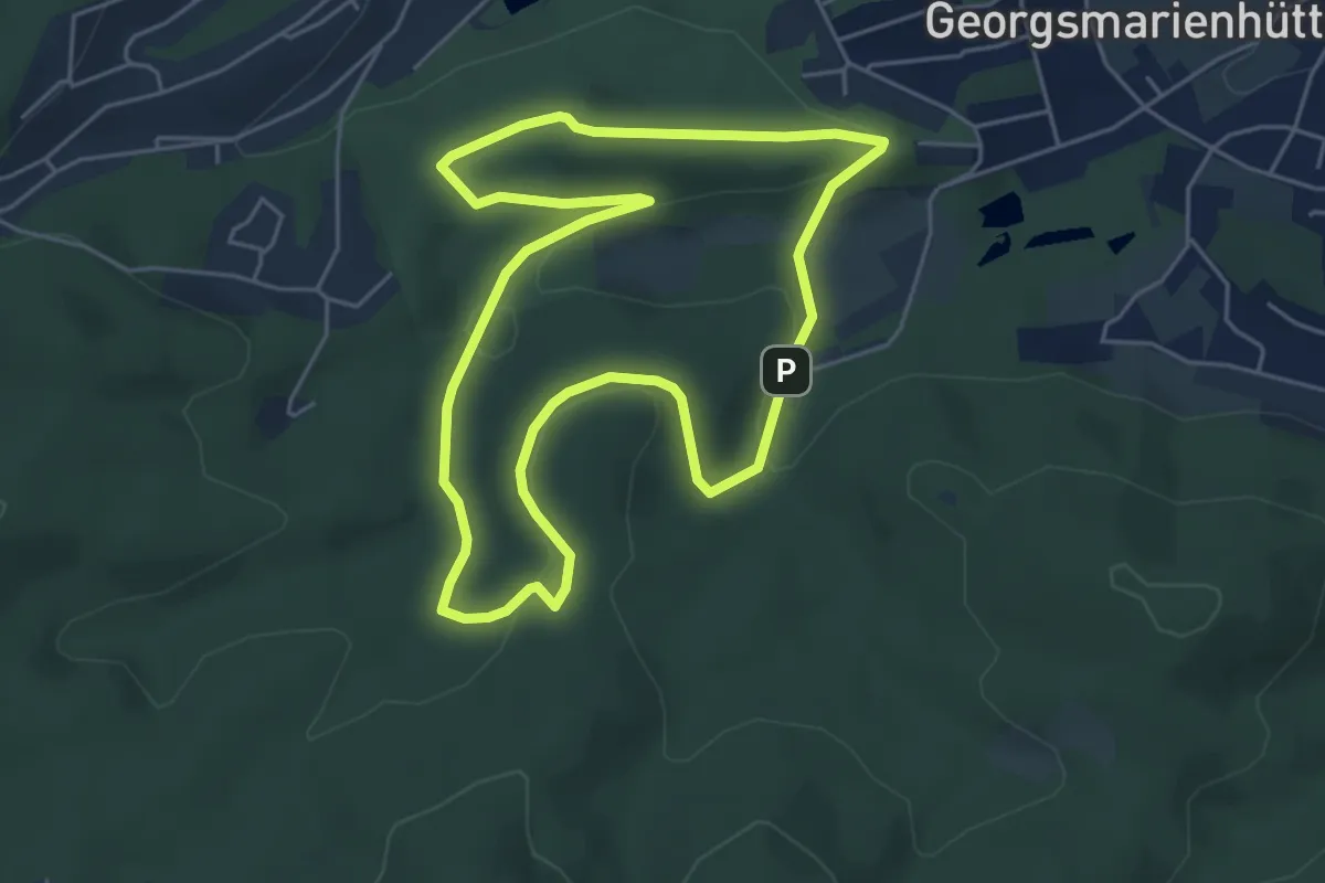
Easy · Summit
TERRA.track "Varusturm & Mathildenruh"
4.5 km · ↑ 120 m · 1 h 23 min
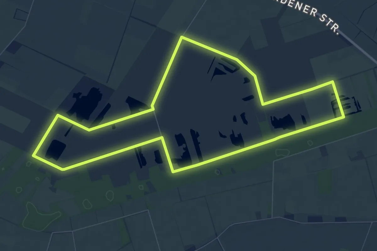
Medium · Trail
TERRA.track "Venner Moorpfad"
8.5 km · ↑ 0 m · 2 h 7 min
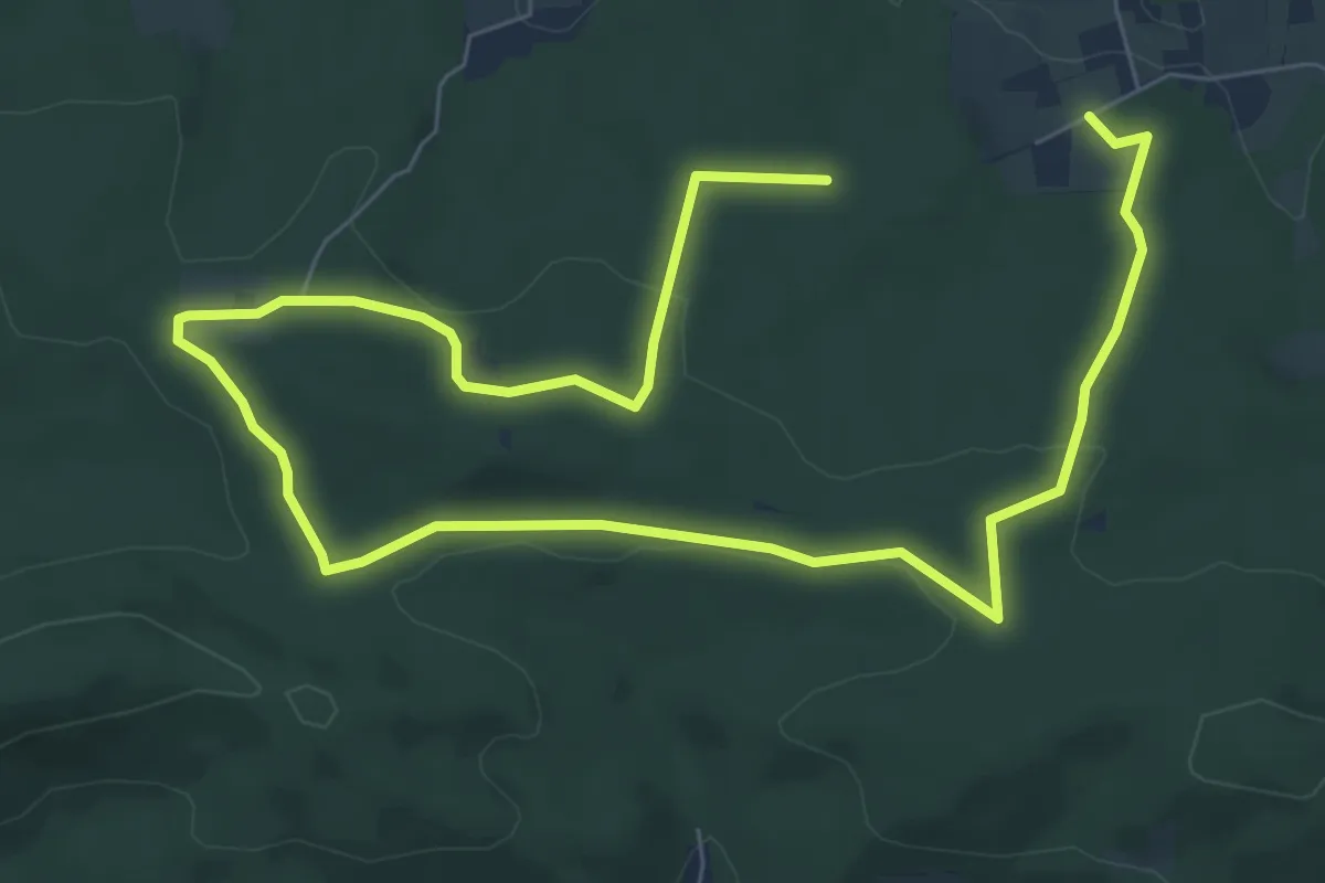
Easy · Trail
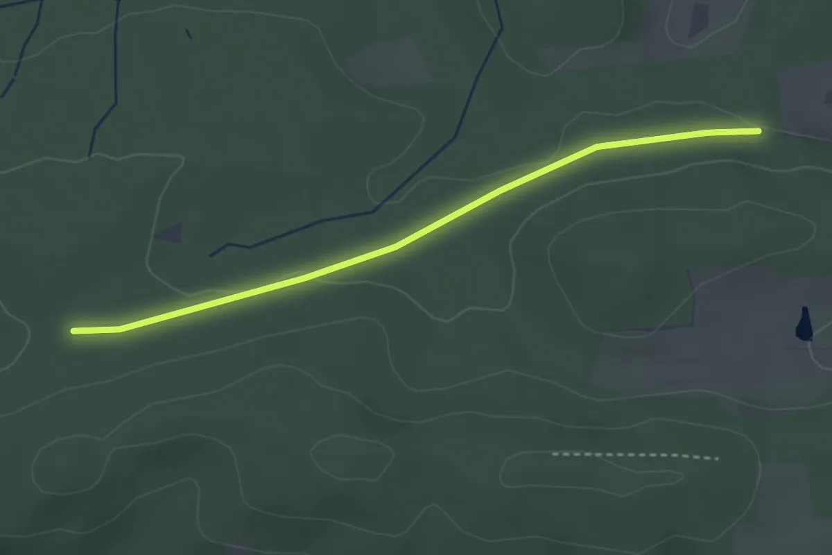
TERRA.track "Vom Limberg zum Hohnsberg"
5.2 km · ↑ 59 m · 1 h 26 min
Easy · Trail
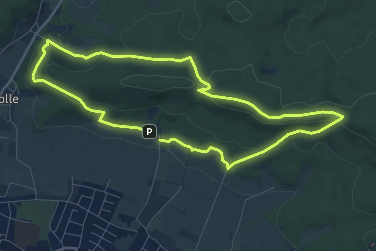
TERRA.track "Vom Limberg zum Hohnsberg" - ZUWEG
2.9 km · ↑ 32 m · 46 min
Medium · Summit
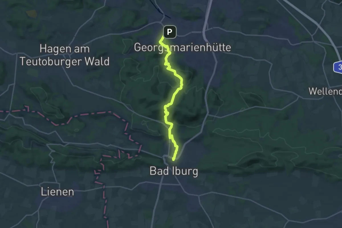
TERRA.track "Von Egge zu Egge"
6.3 km · ↑ 204 m · 2 h 1 min
Medium · Trail
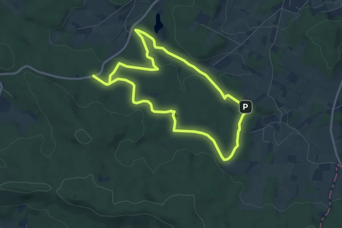
TERRA.track "Von Park zu Park"
15.2 km · ↑ 474 m · 4 h 37 min
Easy · Trail
TERRA.track "Von Quelle zu Quelle"
6.2 km · ↑ 98 m · 1 h 46 min
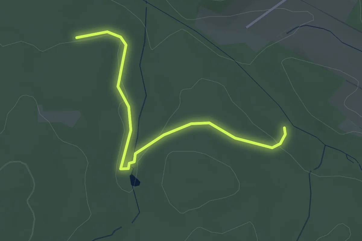
Easy · Trail
TERRA.track "Von Quelle zu Quelle" - VARIANTE
2.9 km · ↑ 44 m · 47 min
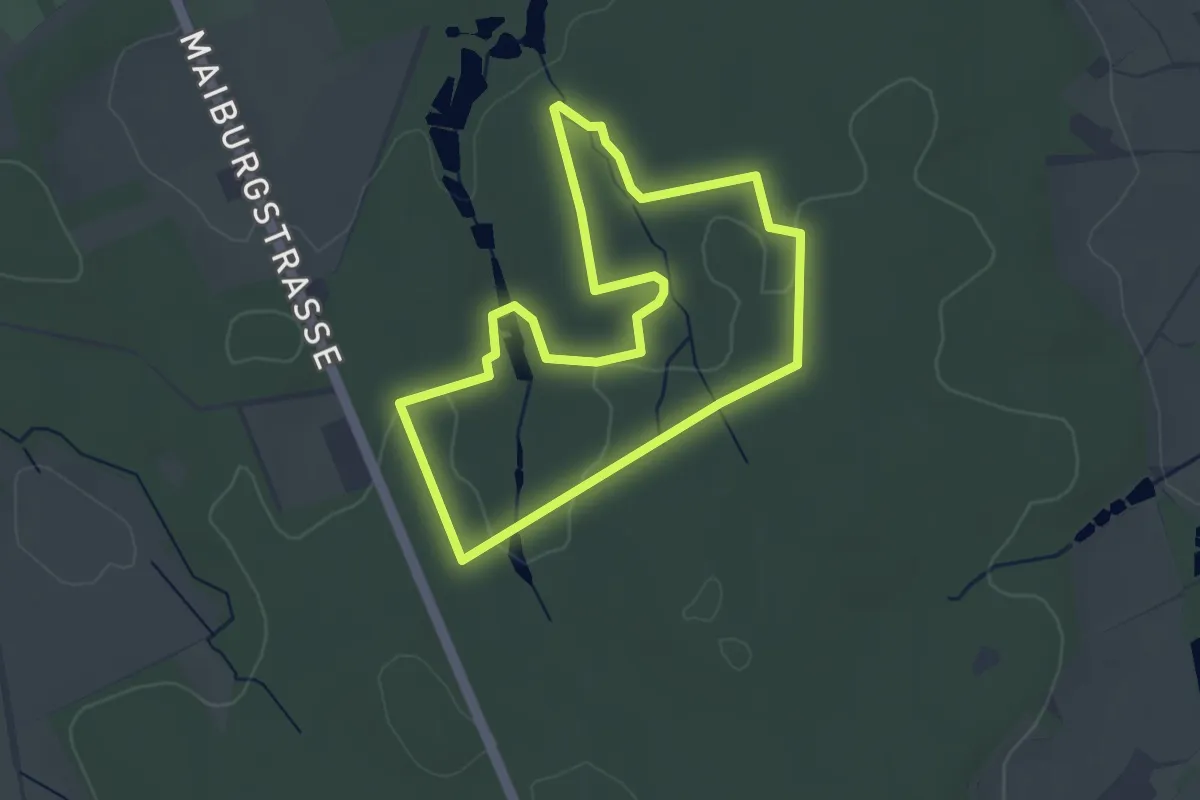
Easy · Trail
TERRA.track Vosspäddgen
3.1 km · ↑ 26 m · 49 min
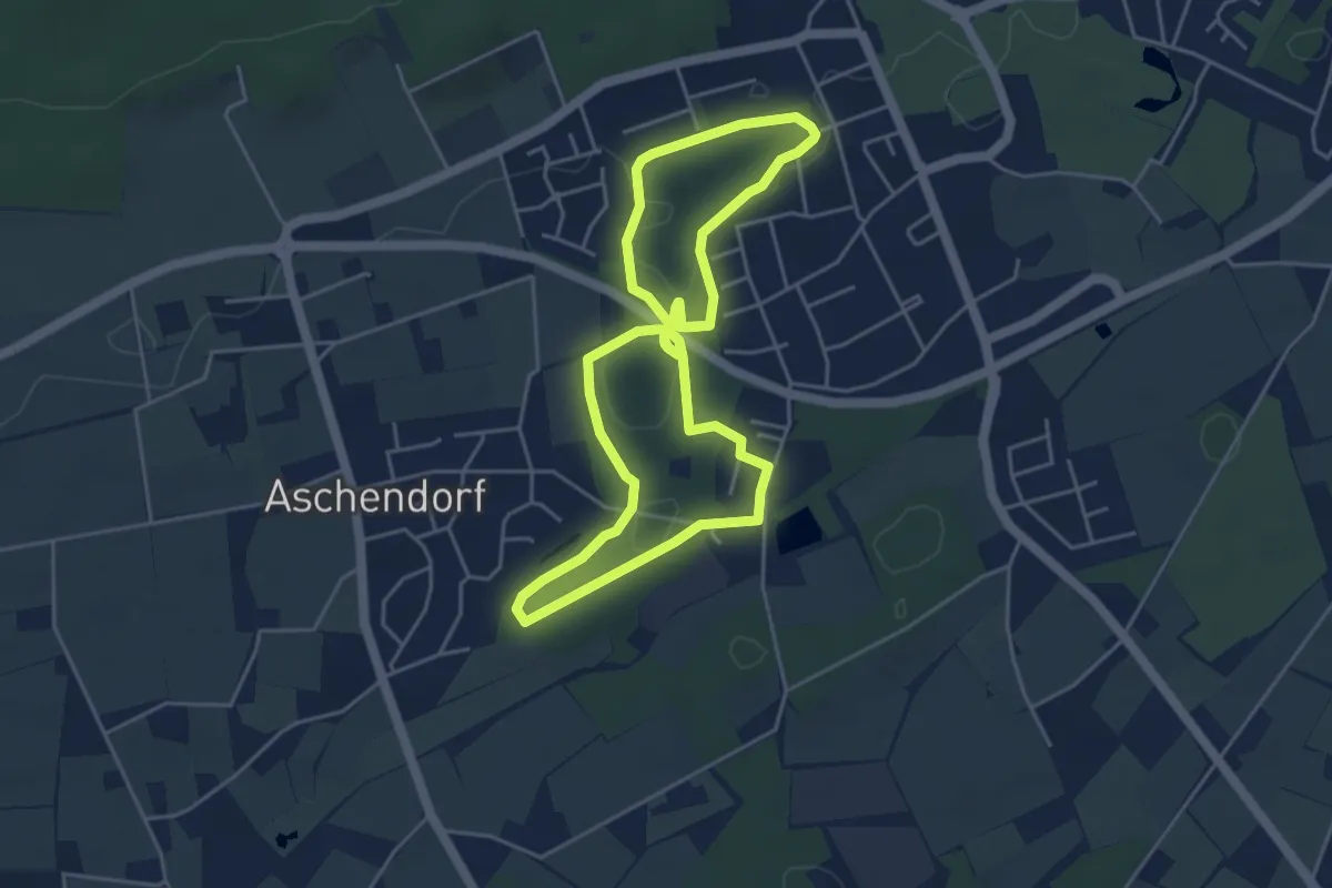
Easy · Trail
TERRA.track "Wellengarten"
4.2 km · ↑ 12 m · 1 h 4 min
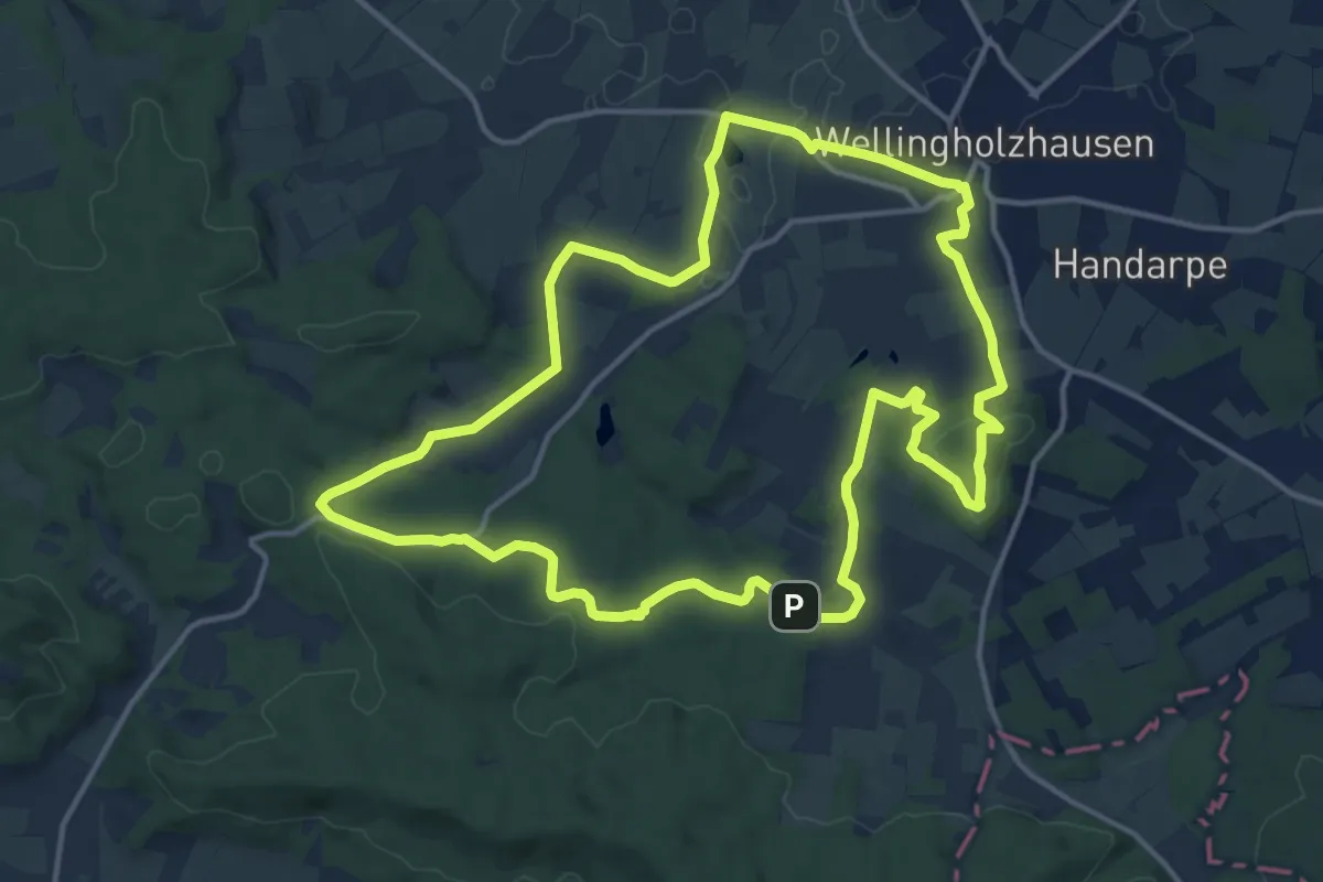
Medium · Summit
TERRA.track "Wellinger Land"
13.5 km · ↑ 247 m · 3 h 54 min
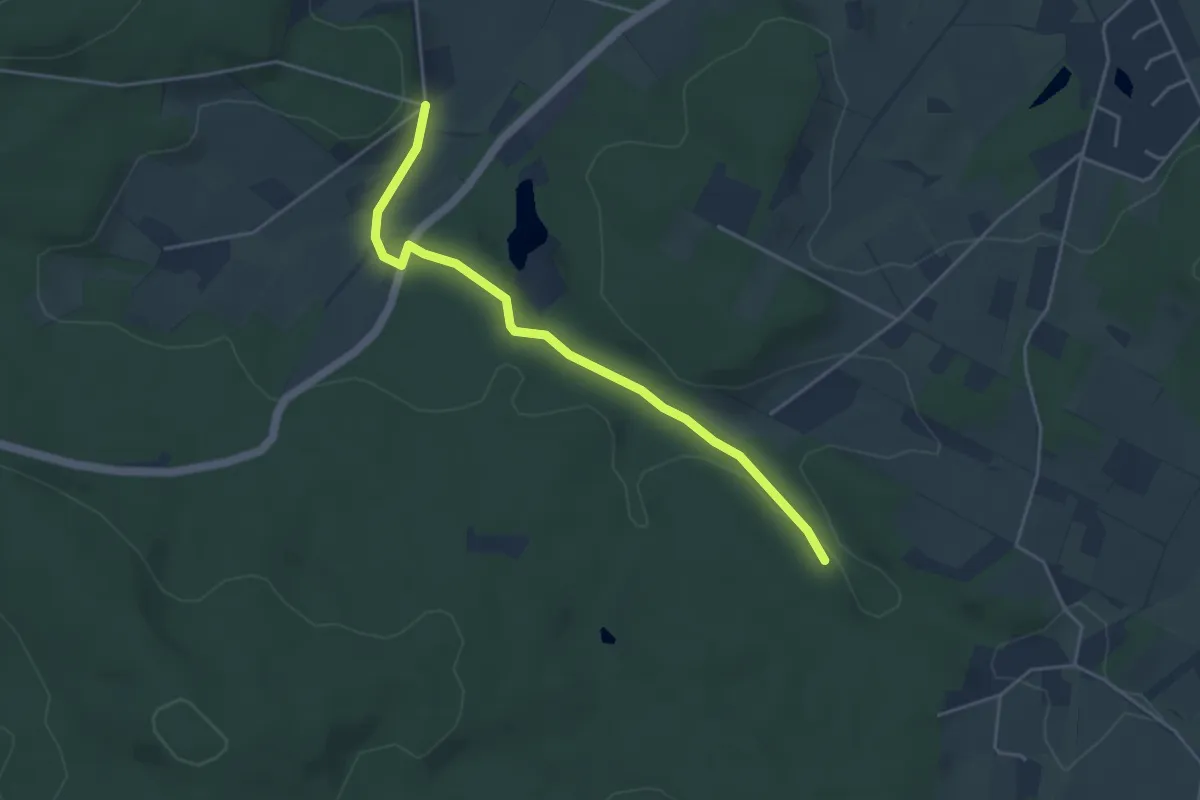
Easy · Trail
TERRA.track "Wellinger Land" VARIANTE
3.9 km · ↑ 60 m · 1 h 3 min
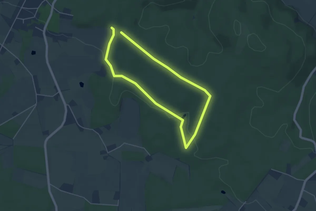
Easy · Trail
TERRA.track "Wildstein"
3.3 km · ↑ 27 m · 54 min
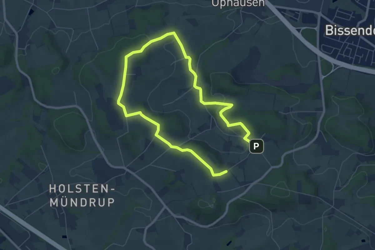
Easy · Summit
TERRA.track "Zittertal"
4.9 km · ↑ 98 m · 1 h 26 min
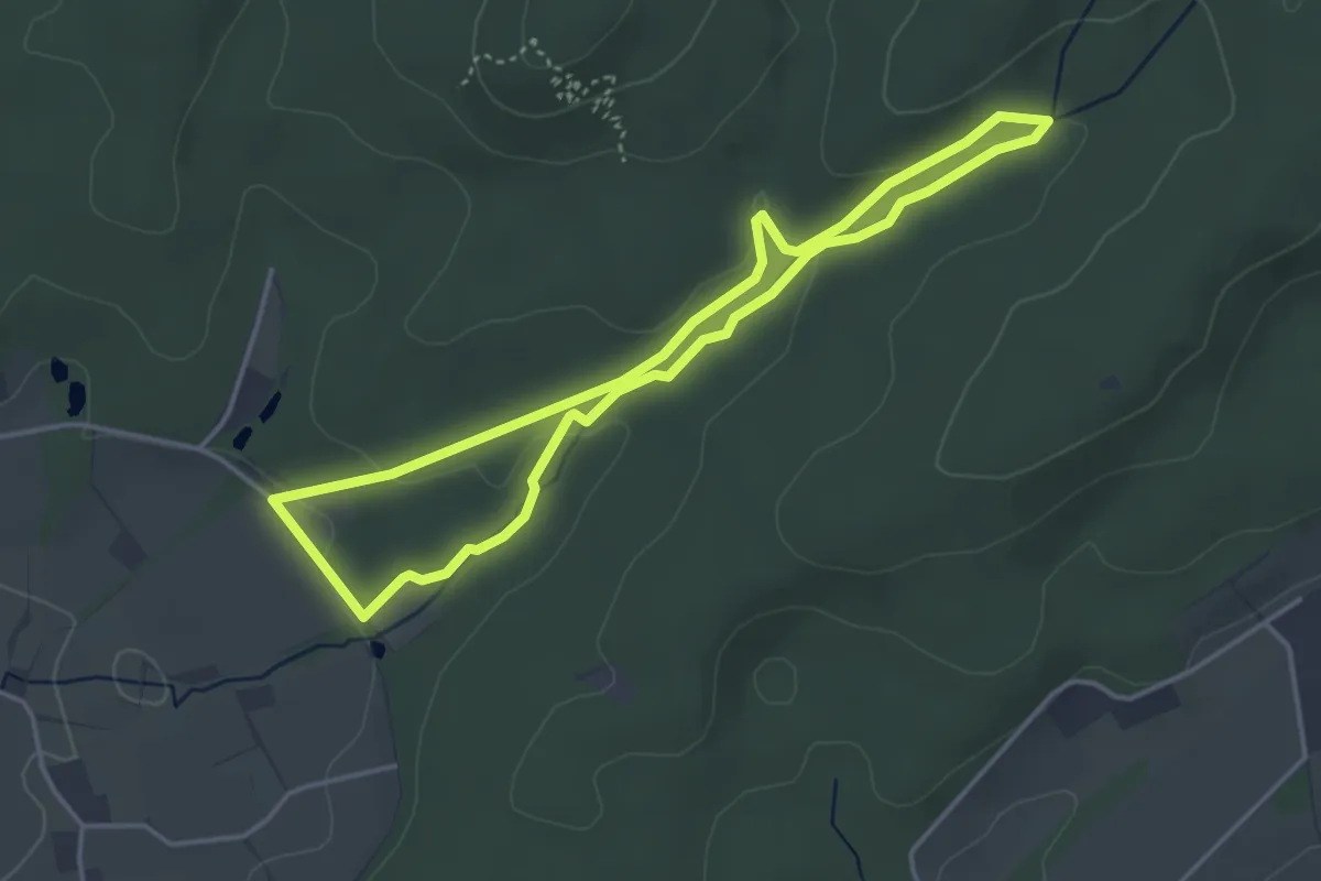
Easy · Trail
TERRA.track "Zwickenbachtal"
3.3 km · ↑ 70 m · 59 min
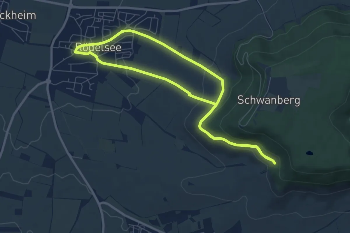
Easy · Trail
terroir f Spazierweg
6.4 km · ↑ 171 m · 1 h 57 min
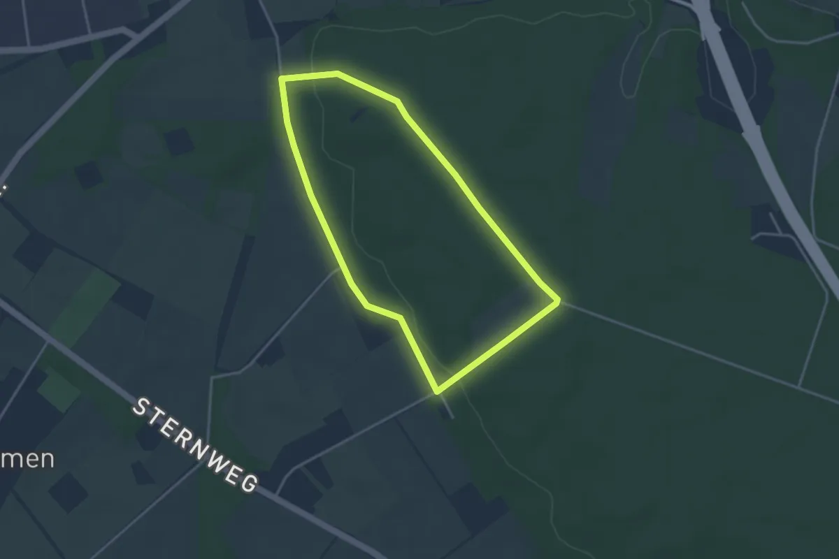
Easy · Trail
Testerberge Rundweg A1
2.9 km · ↑ 31 m · 48 min
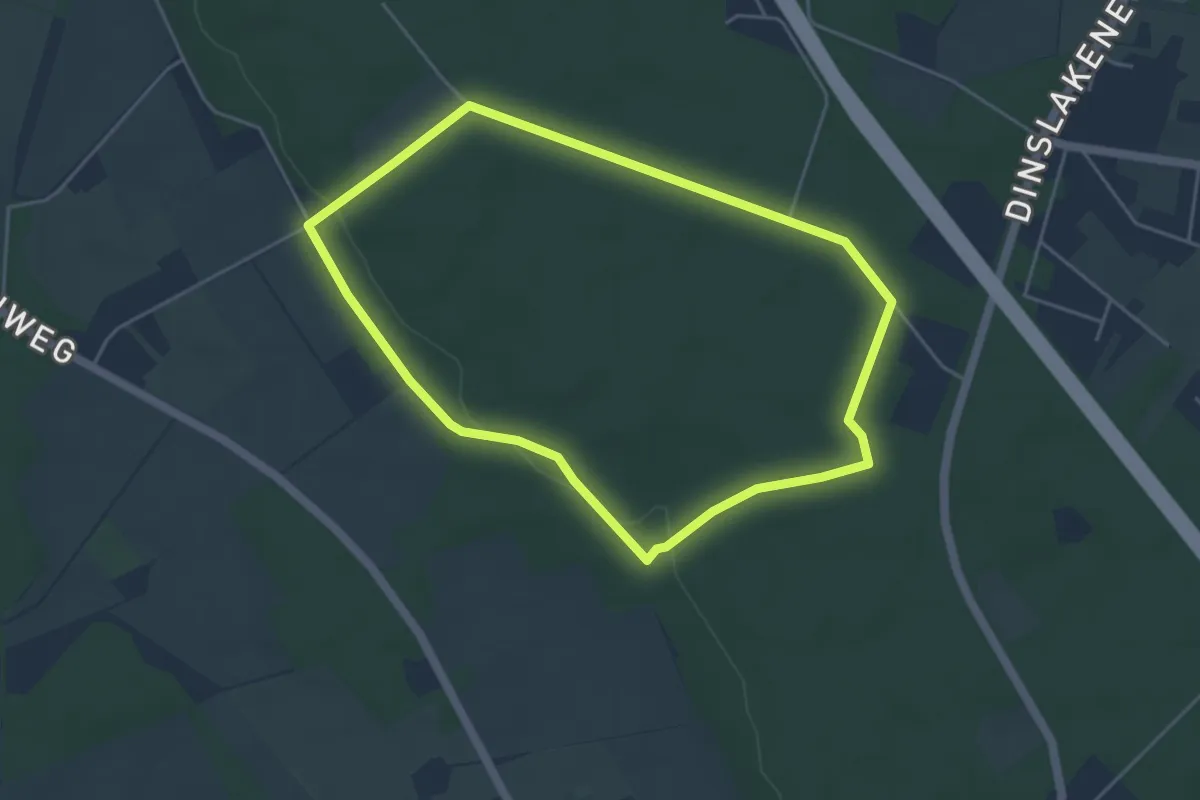
Easy · Trail
Testerberge Rundweg A2
4.0 km · ↑ 41 m · 1 h 5 min
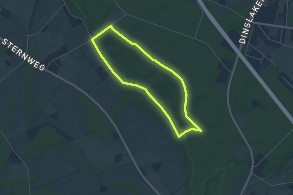
Easy · Trail
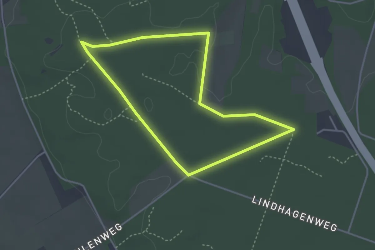
Testerberge Rundweg A3
3.8 km · ↑ 37 m · 1 h 2 min
Easy · Trail
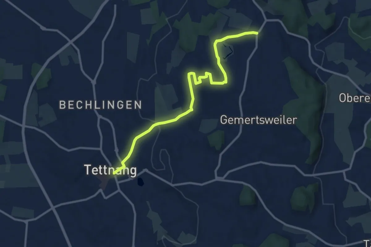
Testerberge Rundweg A4
2.9 km · ↑ 9 m · 45 min
Medium · Trail
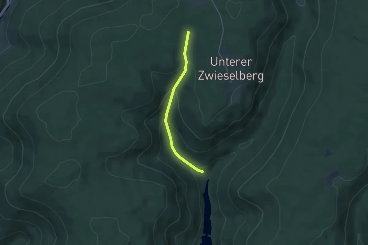
Tettnanger Hopfenpfad
8.5 km · ↑ 143 m · 2 h 19 min
Easy · Trail
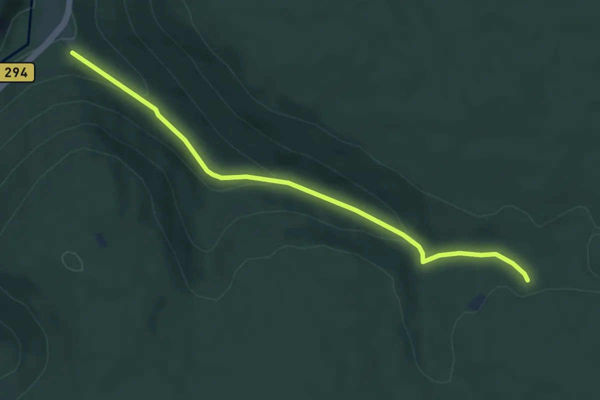
Teufelloch - Schwabachweiher
2.9 km · ↑ 177 m · 1 h 4 min
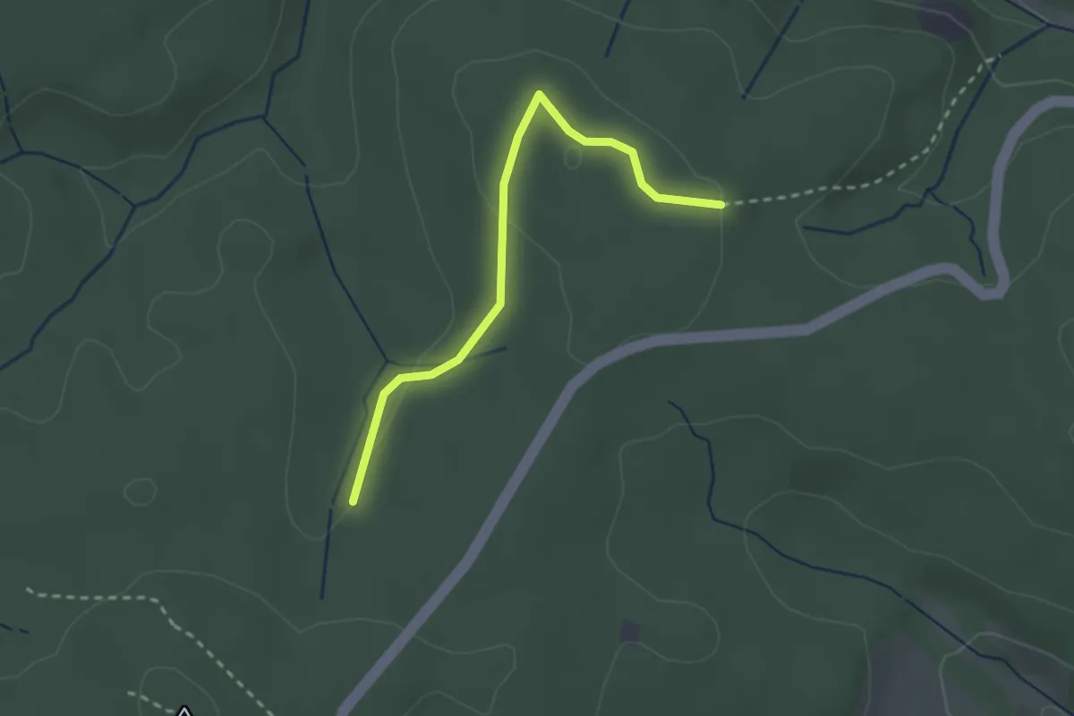
Easy · Trail
Teufelsberg - Kohlplatte
5.0 km · ↑ 181 m · 1 h 34 min
Easy · Trail
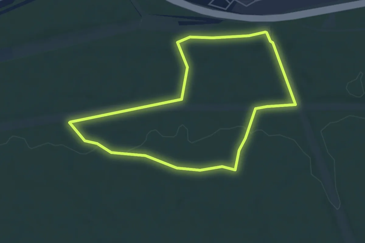
Teufelsbrückle - Binzgenwald
2.4 km · ↑ 38 m · 39 min
Easy · Trail
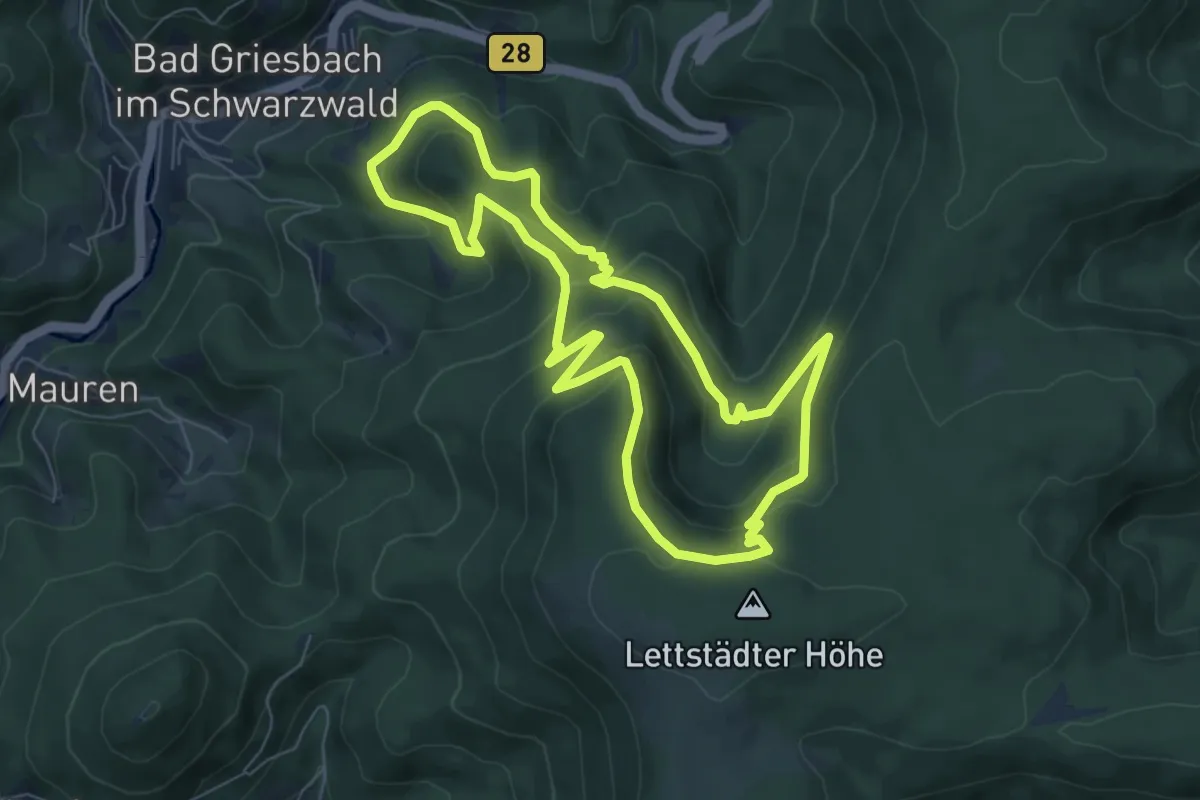
Teufelsgraben Trail
4.3 km · ↑ 40 m · 1 h 10 min
Medium · Trail
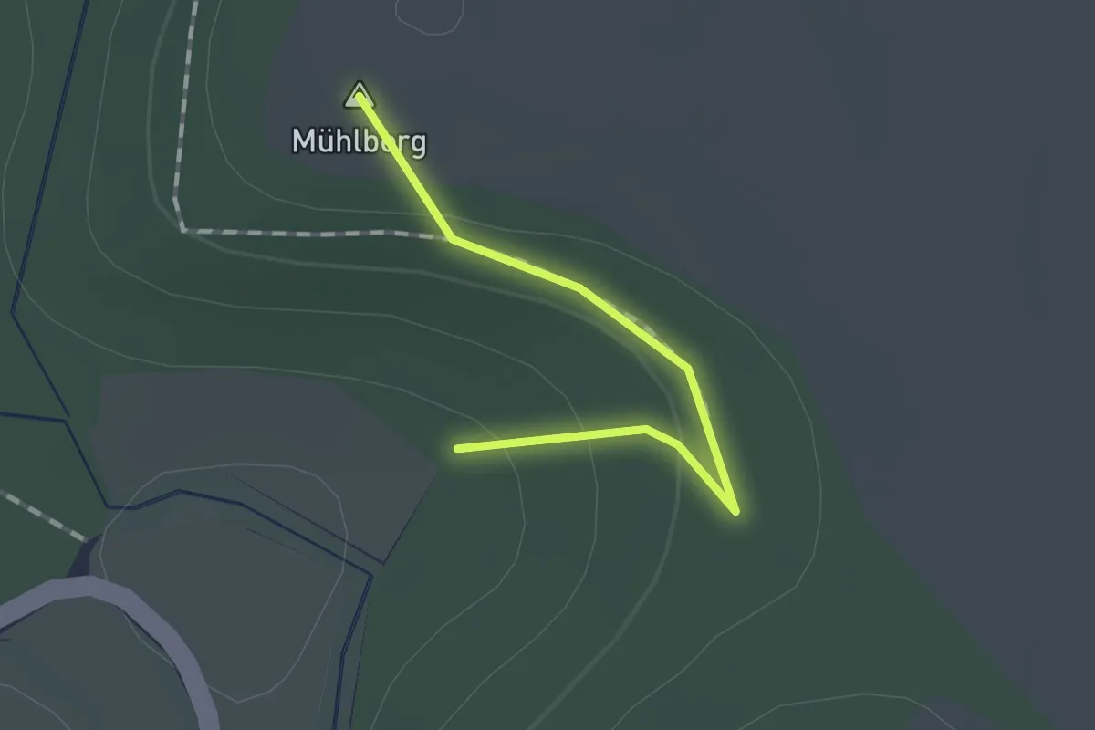
Teufelskanzelsteig
6.7 km · ↑ 388 m · 2 h 31 min
Easy · Summit
Teufelskanzelweg
1.0 km · ↑ 28 m · 18 min