Trails in Germany
36,852 hiking trails, each with its route, climb, walking time and grade.
All trails, page 623 of 768
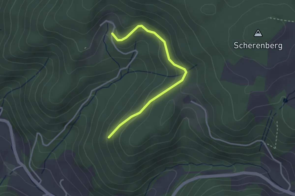
Easy · Trail
Teufelsküche - Morgethof
2.7 km · ↑ 123 m · 55 min
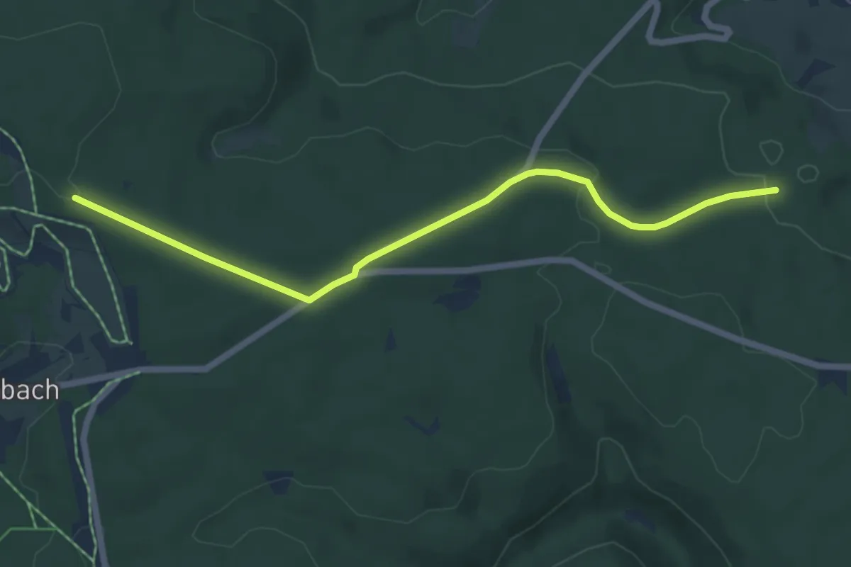
Easy · Trail
Teufelsküche - Waldhofweg
5.6 km · ↑ 99 m · 1 h 32 min
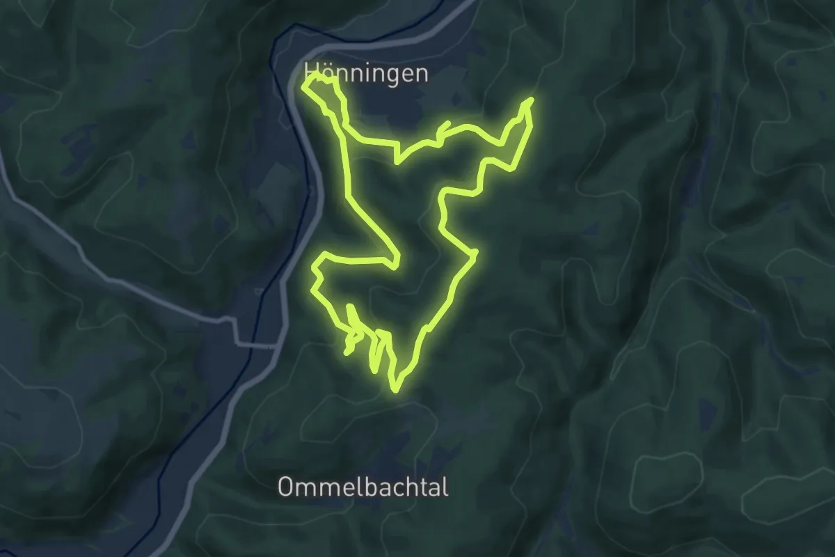
Medium · Summit
Teufelsleyweg
9.2 km · ↑ 412 m · 3 h 10 min
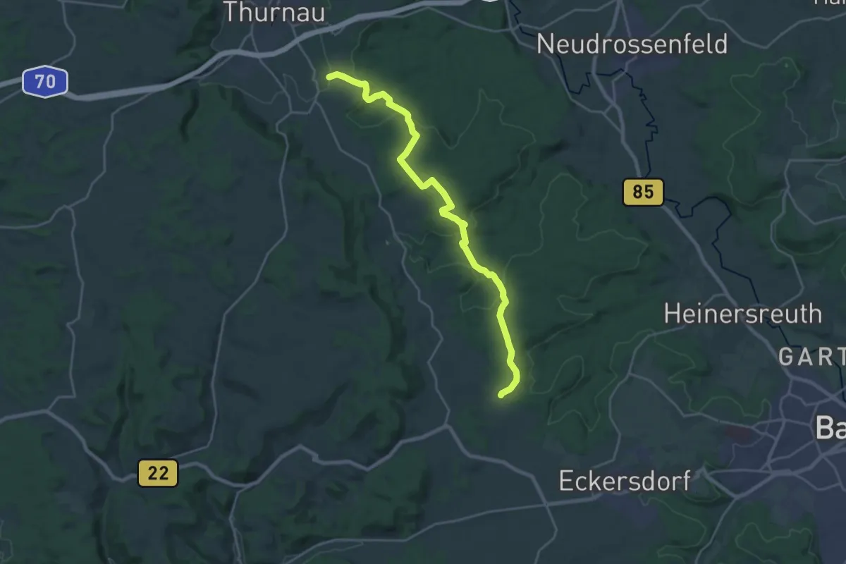
Demanding · Trail
Teufelsloch-Thurnau
20.7 km · ↑ 382 m · 5 h 42 min
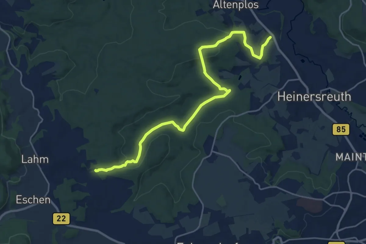
Medium · Trail
Teufelsloch-Unterwaiz
16.5 km · ↑ 284 m · 4 h 30 min
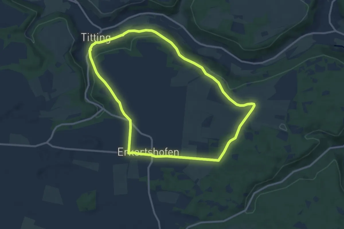
Easy · Trail
Teufelsmauerweg
8.0 km · ↑ 129 m · 2 h 16 min
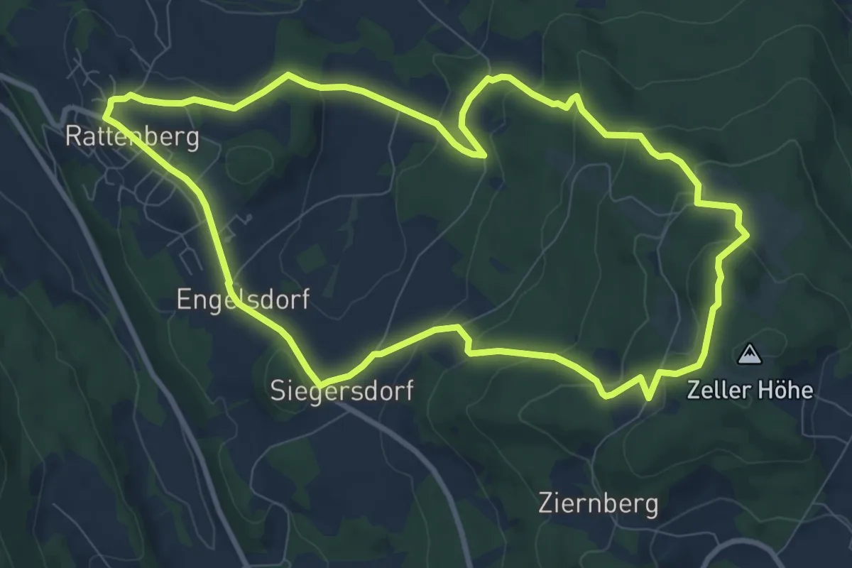
Medium · Trail
Teufelsmühl-Rundweg (Rattenberger Wanderweg 2)
8.7 km · ↑ 337 m · 2 h 55 min
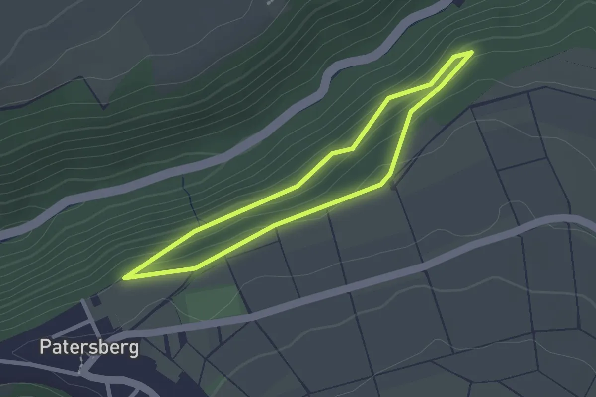
Easy · Trail
Teufelspeedche
1.8 km · ↑ 55 m · 34 min
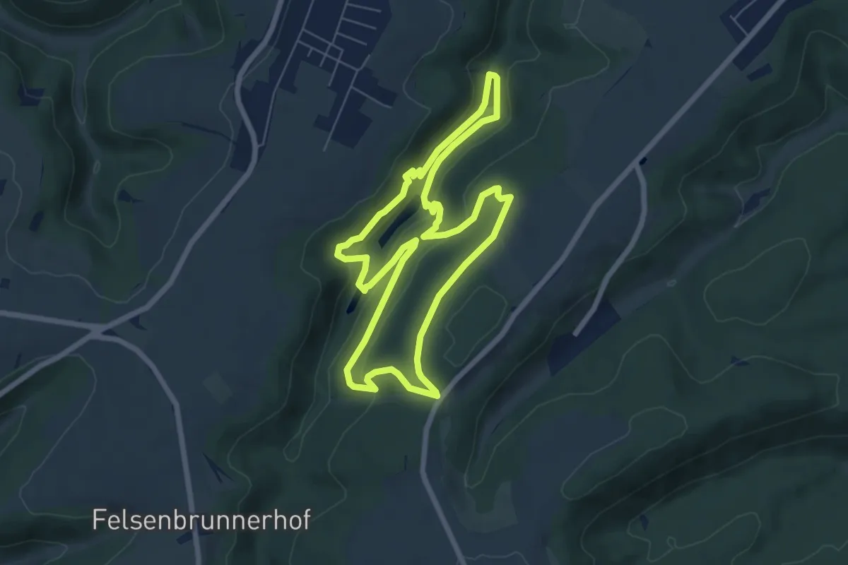
Easy · Trail
Teufelspfad
6.1 km · ↑ 190 m · 1 h 56 min
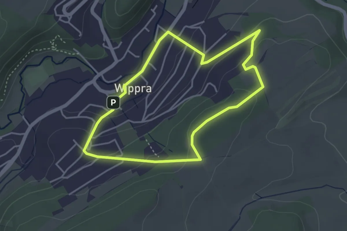
Easy · Trail
Teufelspfad Wippra
3.1 km · ↑ 94 m · 58 min
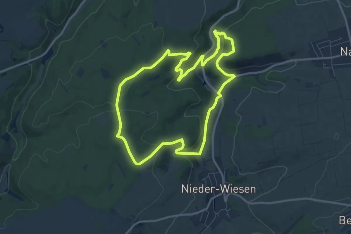
Medium · Summit
Teufelsrutsch
7.3 km · ↑ 246 m · 2 h 21 min
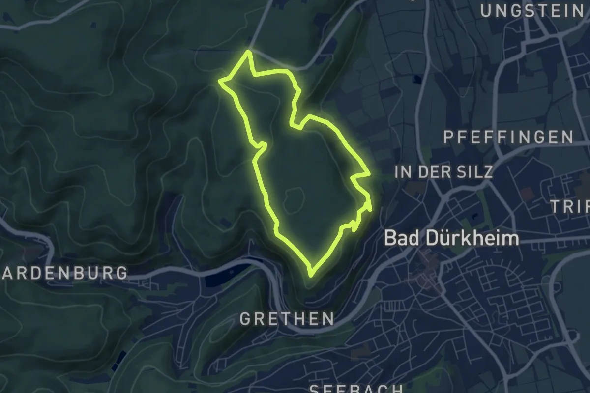
Easy · Trail
Teufelsstein-Kriemhildenstuhl
5.6 km · ↑ 167 m · 1 h 47 min
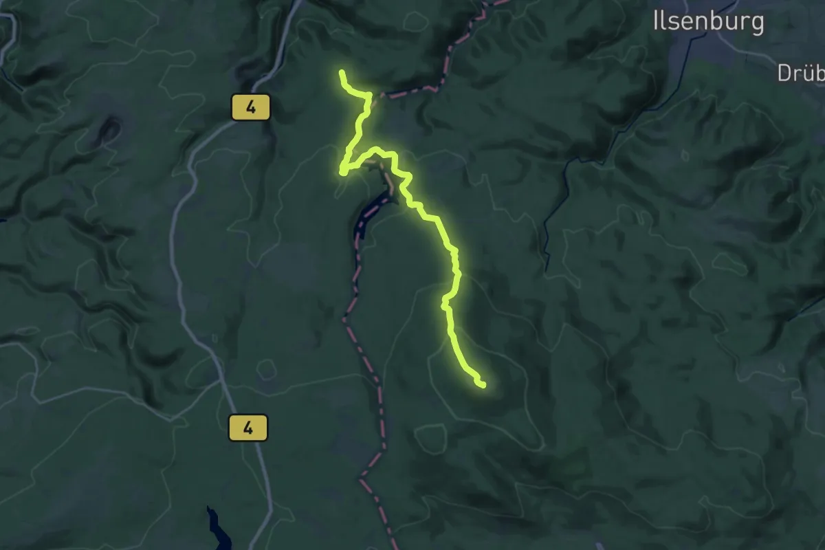
Demanding · Summit
Teufelsstieg
20.4 km · ↑ 779 m · 6 h 30 min
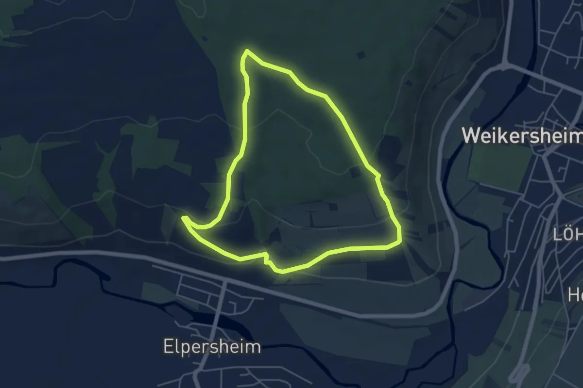
Easy · Trail
Teufelstal bei Elpersheim
4.2 km · ↑ 133 m · 1 h 20 min
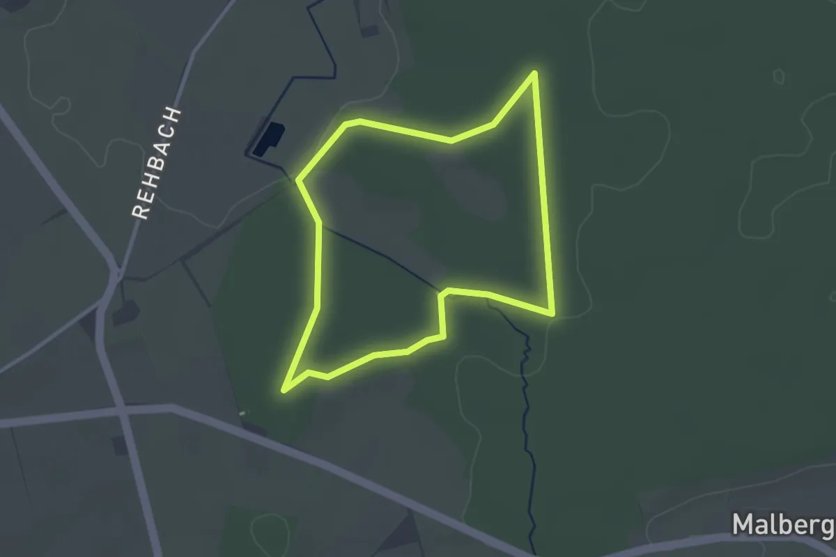
Easy · Trail
Teufelstein Rundweg A1
2.4 km · ↑ 22 m · 39 min
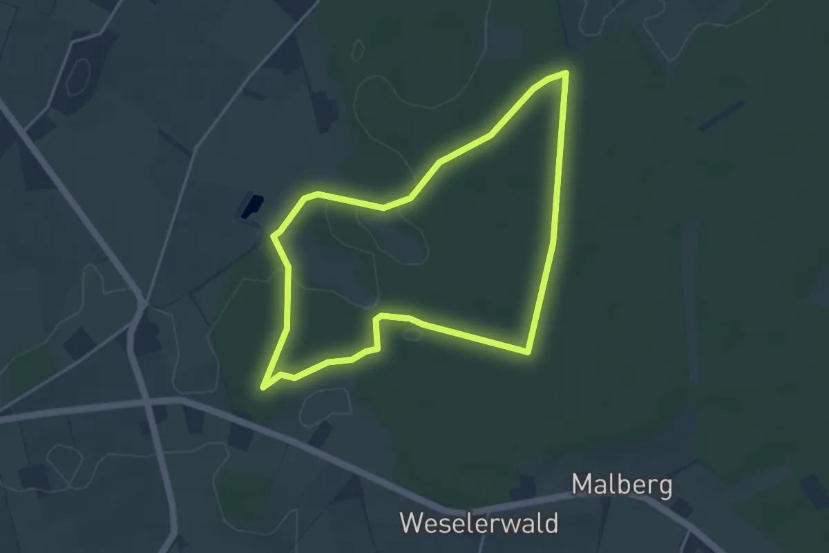
Easy · Trail
Teufelstein Rundweg A2
3.4 km · ↑ 27 m · 55 min
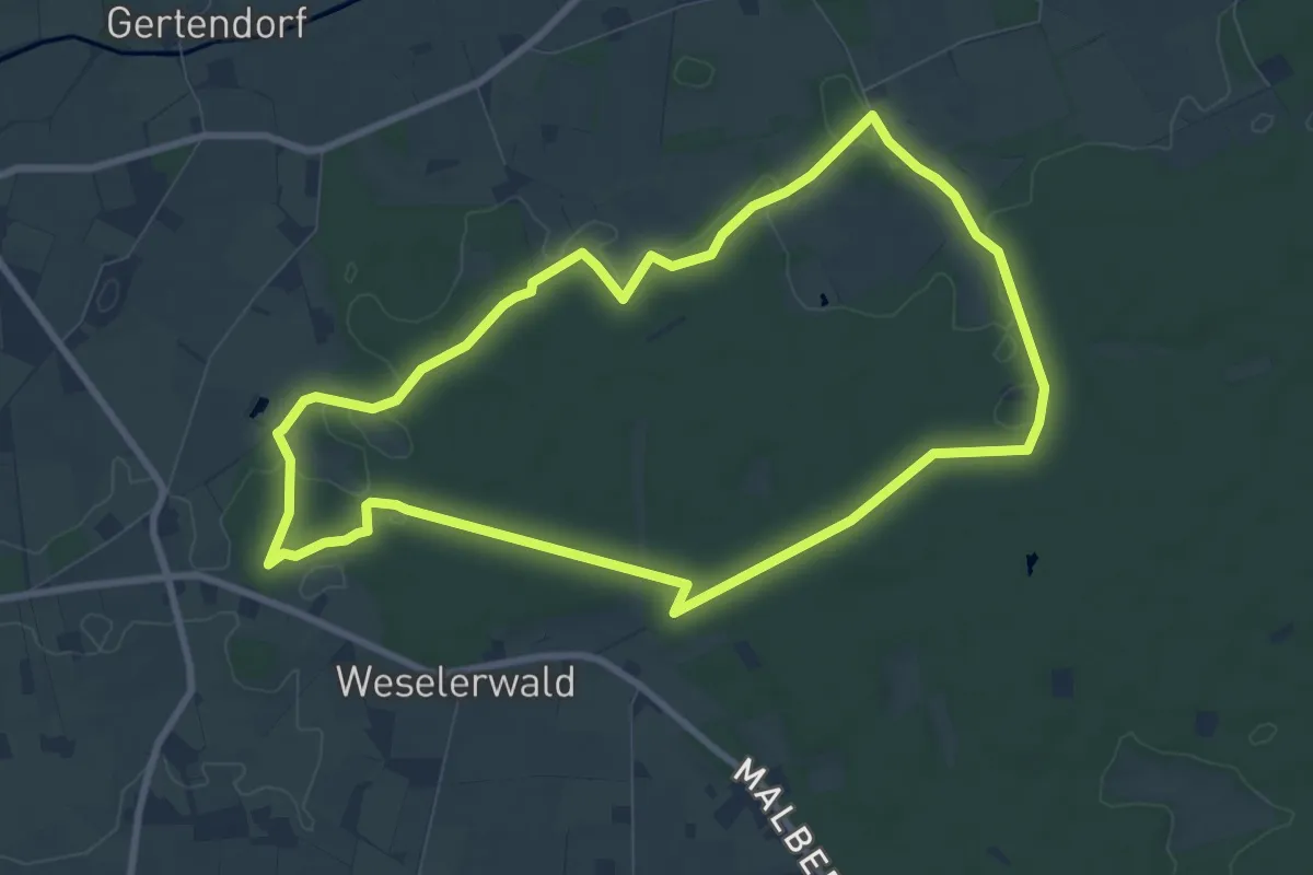
Easy · Trail
Teufelstein Rundweg A3
7.8 km · ↑ 58 m · 2 h 4 min
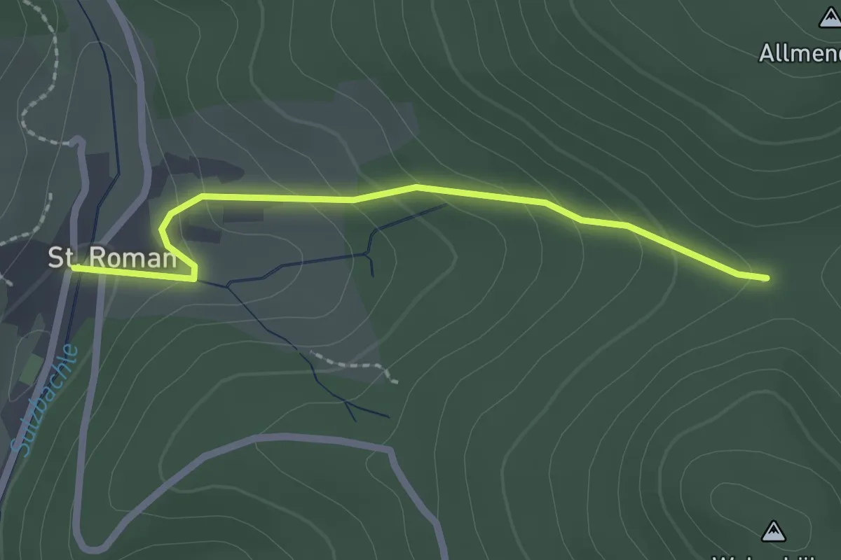
Easy · Trail
Teufelstein - St. Roman Adler
2.0 km · ↑ 104 m · 42 min
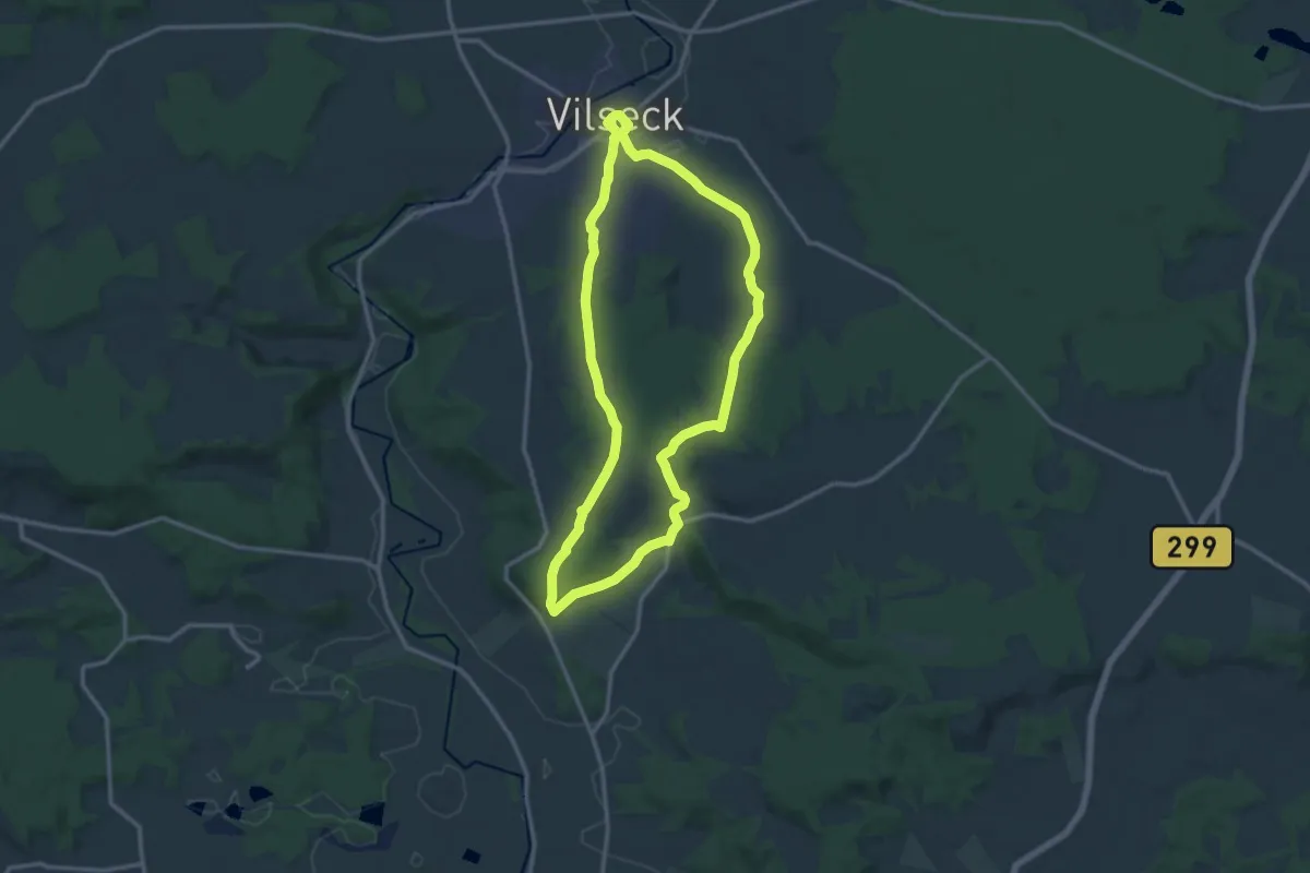
Medium · Summit
Teufelsteinweg
12.1 km · ↑ 208 m · 3 h 29 min
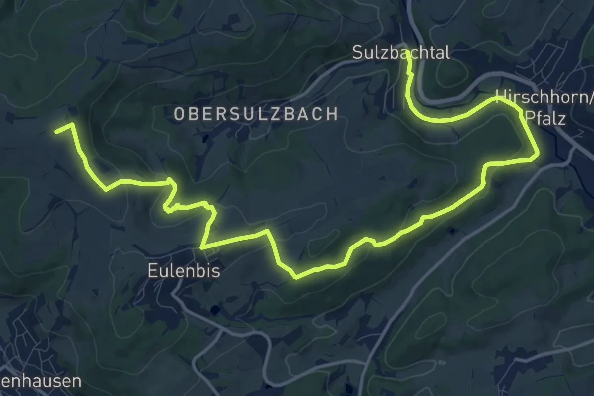
Medium · Summit
Teufelstour
15.4 km · ↑ 388 m · 4 h 29 min
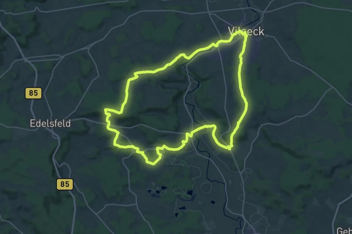
Demanding · Summit
Teufelswanderweg
23.5 km · ↑ 405 m · 6 h 45 min
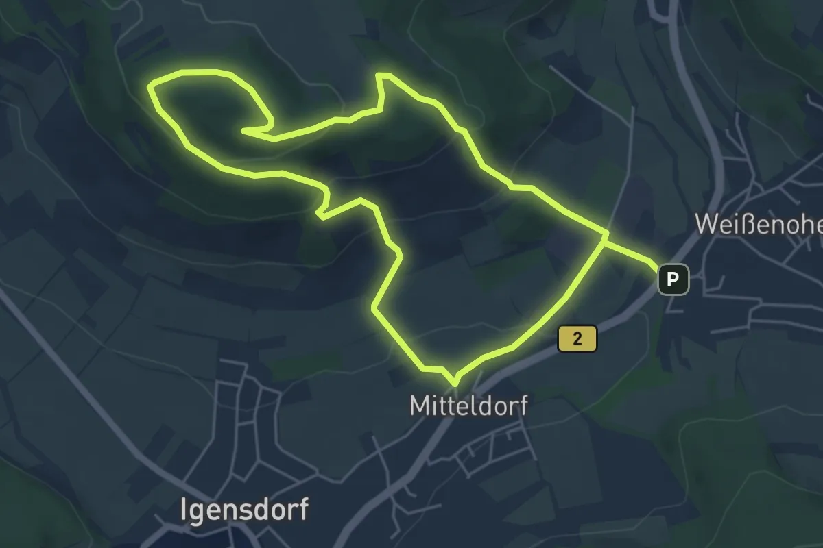
Easy · Summit
Teufelsweg
4.8 km · ↑ 187 m · 1 h 36 min
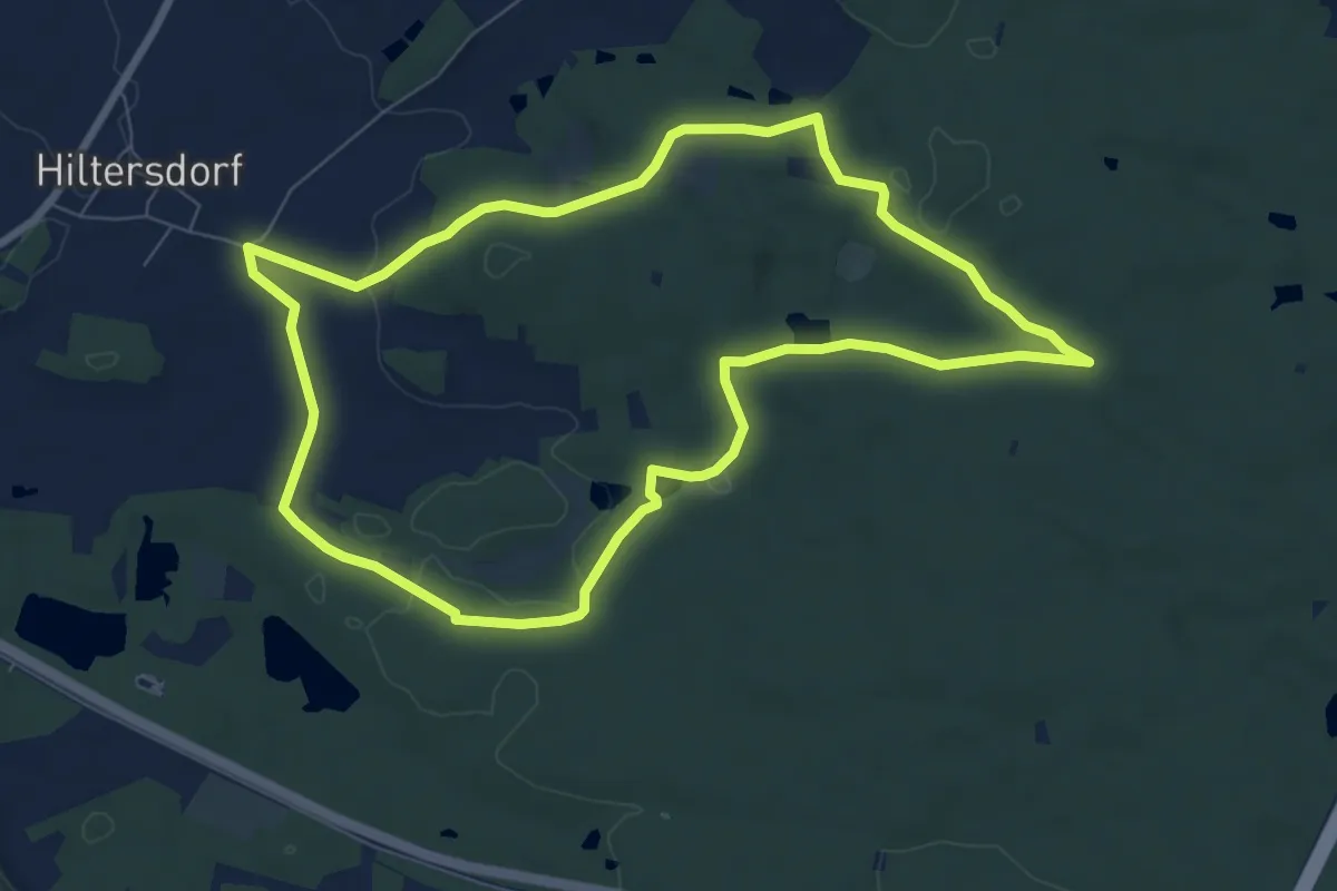
Easy · Summit
Teufelsweiherrunde
7.5 km · ↑ 73 m · 2 h 3 min
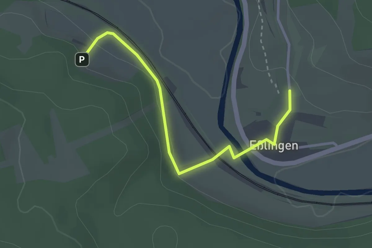
Easy · Trail
Teufel trifft Apostel
1.3 km · ↑ 34 m · 25 min
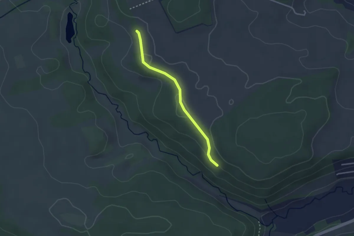
Easy · Trail
Teufenhalde - Banhölzle
2.4 km · ↑ 45 m · 40 min
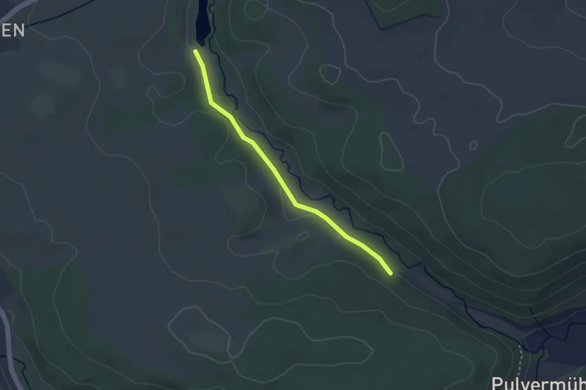
Easy · Trail
Teufensee Süd - Teufenbach
2.6 km · ↑ 14 m · 39 min
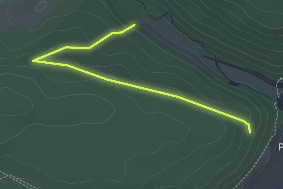
Easy · Trail
Teufenwald - Teufenbach
2.7 km · ↑ 81 m · 48 min
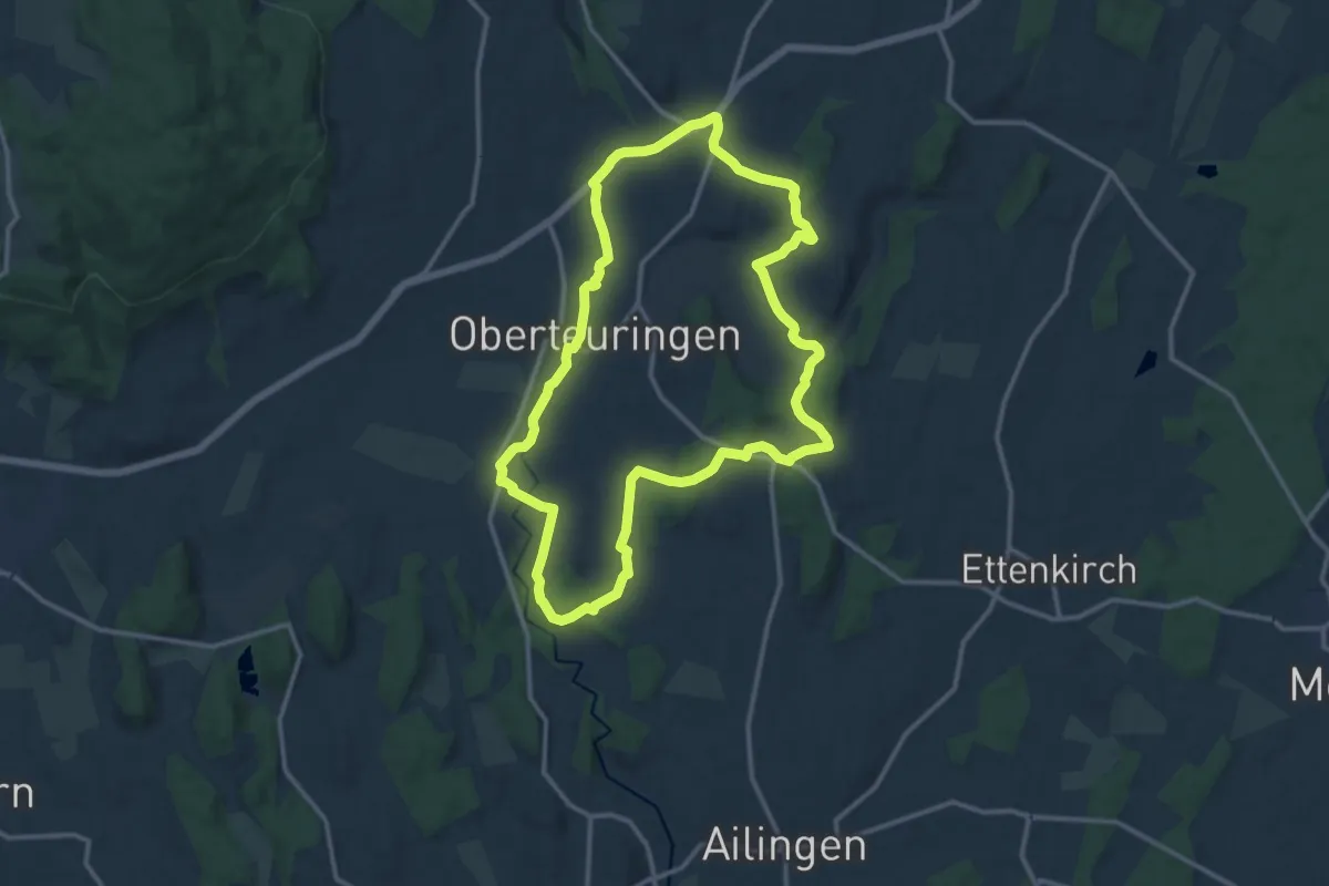
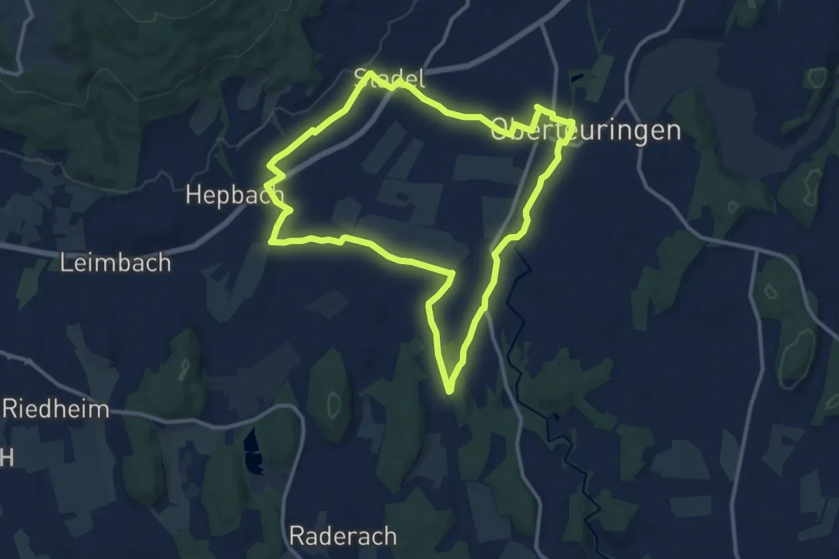
Medium · Trail
Teuringer Bächlepfad
12.8 km · ↑ 113 m · 3 h 27 min
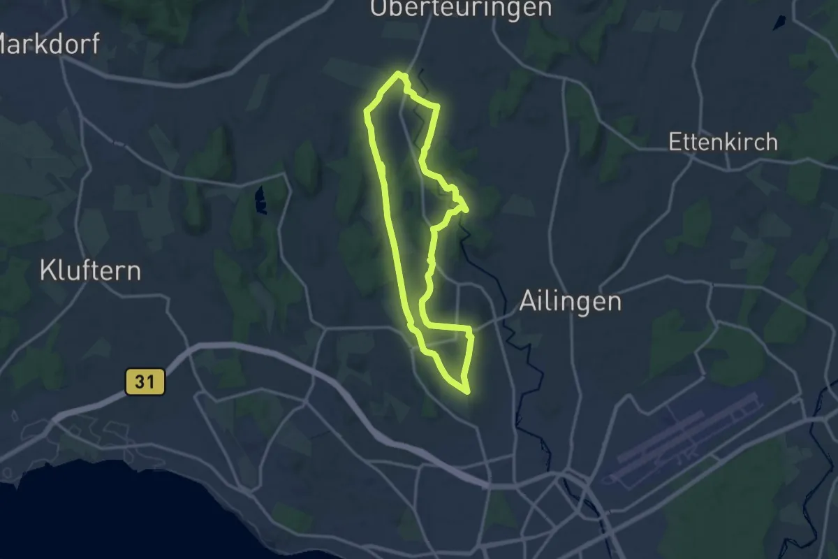
Medium · Trail
Teuringer Riedweg
9.7 km · ↑ 63 m · 2 h 33 min
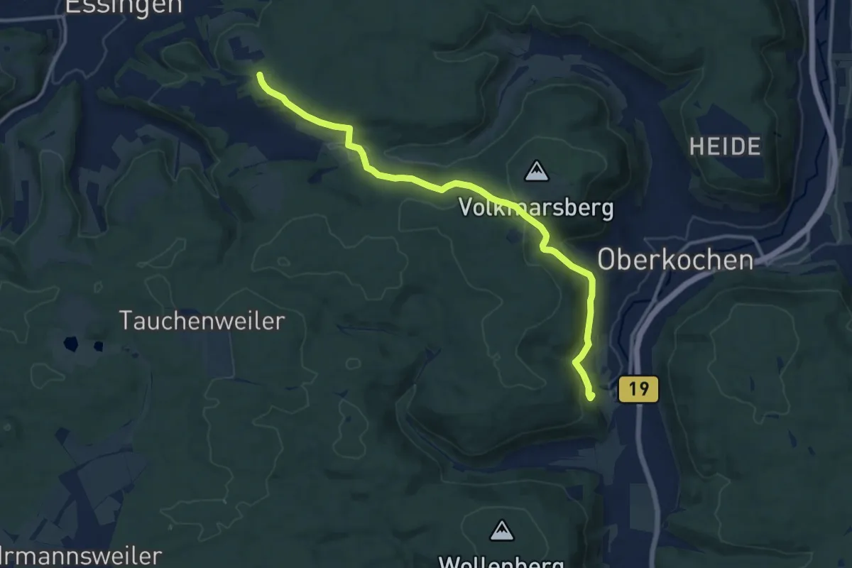
Medium · Trail
Teuringertal Bahnweg ("Wandern in Friedrichshafen")
11.5 km · ↑ 125 m · 3 h 9 min
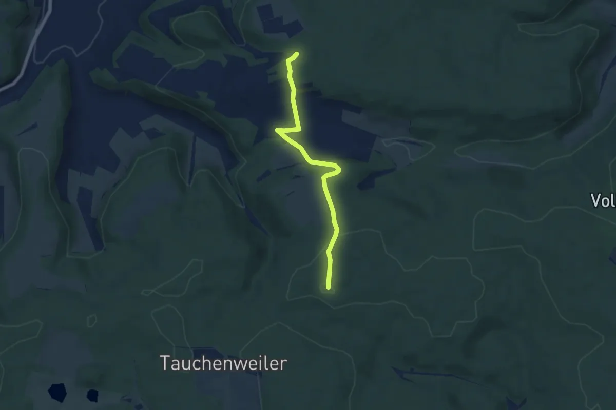
Medium · Trail
Teußenberg - Oberkochen
11.8 km · ↑ 411 m · 3 h 40 min
Easy · Trail
Teußenberg - Tauchenweiler (Kohlhau)
5.1 km · ↑ 148 m · 1 h 31 min
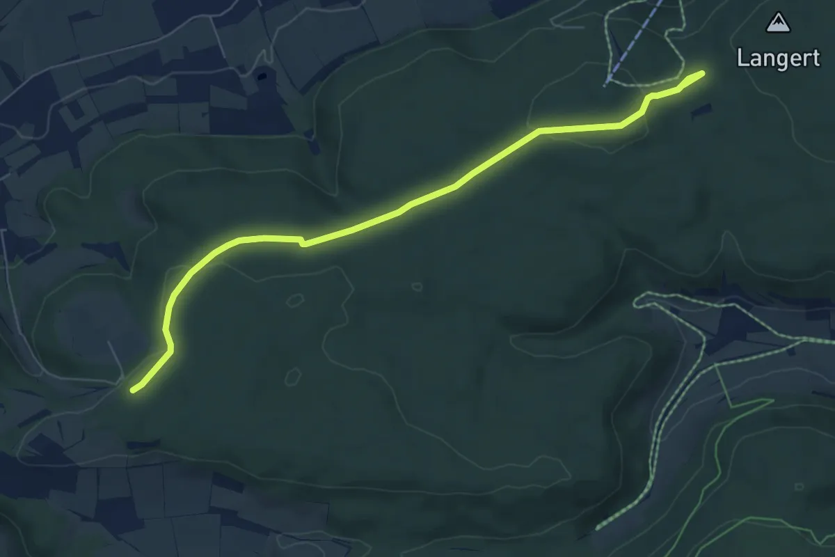
Easy · Trail
Teußenberg - Zeppelinhütte
7.0 km · ↑ 110 m · 1 h 54 min
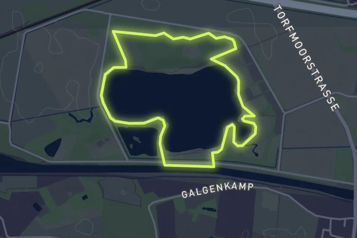
Easy · Trail
Teutochleifchen Torfmoorsee
3.1 km · ↑ 4 m · 48 min
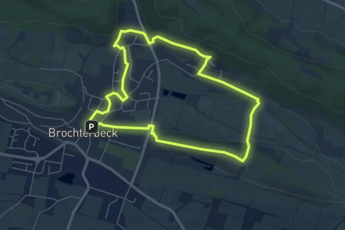
Easy · Trail
Teutoschleifchen Brochterbecker Landpartie
4.5 km · ↑ 116 m · 1 h 23 min
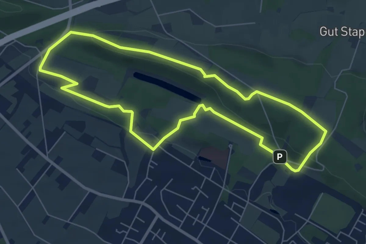
Easy · Summit
TeutoSchleifchen Canyon Tour
5.2 km · ↑ 129 m · 1 h 35 min
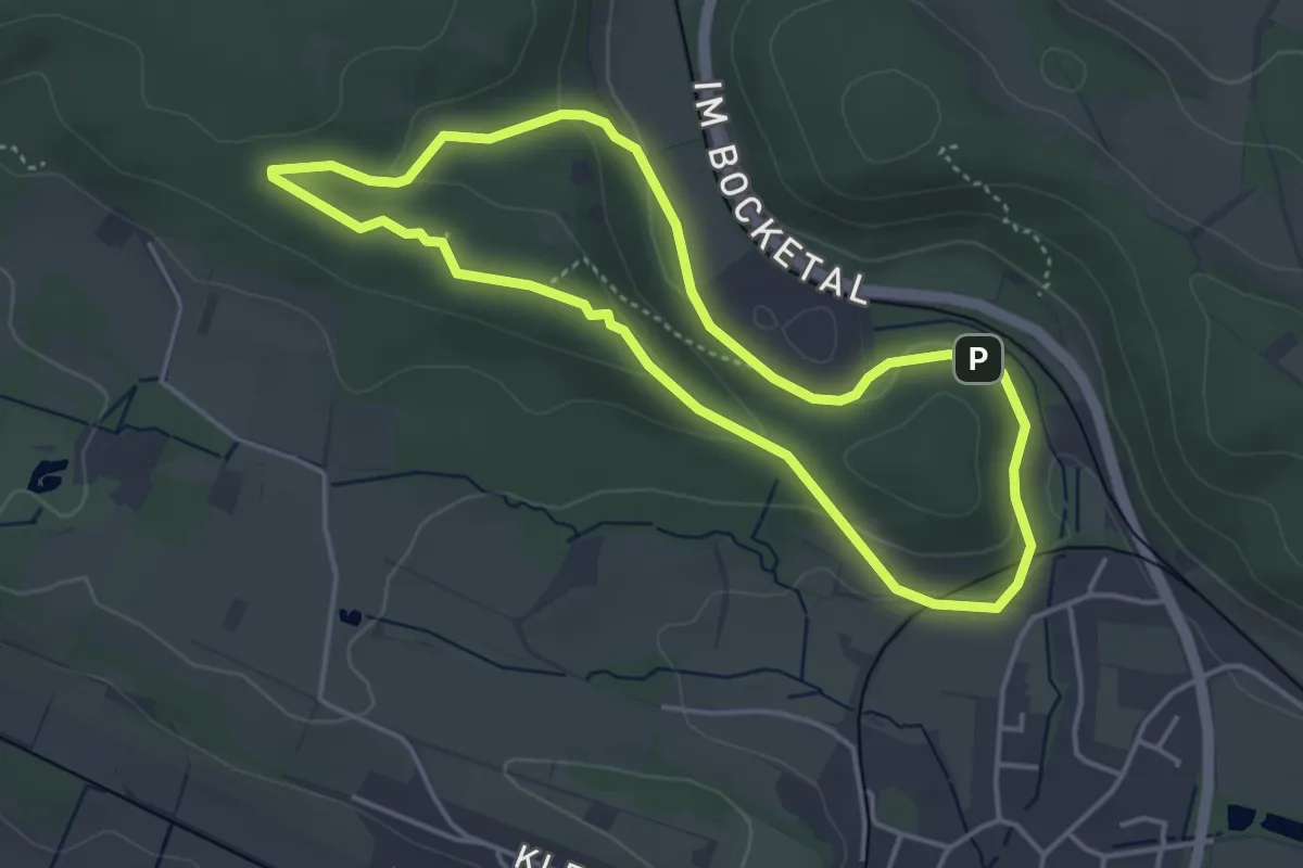
Easy · Trail
Teutoschleifchen Dreikaiserstuhl
3.5 km · ↑ 80 m · 1 h 3 min
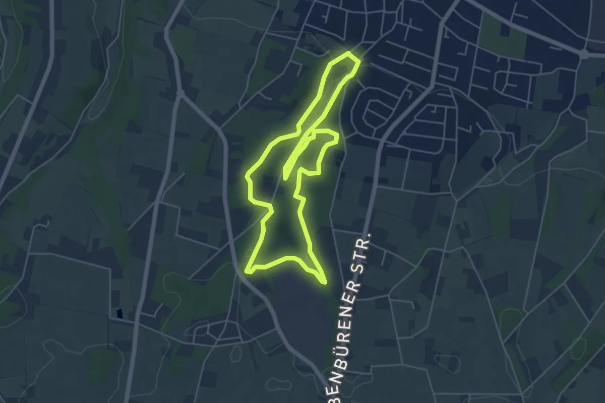
Easy · Trail
Teutoschleifchen Köllbachtal
4.2 km · ↑ 73 m · 1 h 13 min
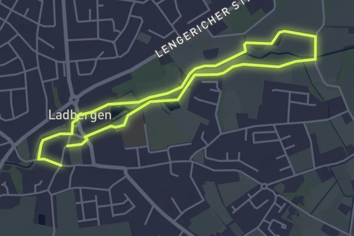
Easy · Trail
Teutoschleifchen Ladbergener Pättken
3.2 km · ↑ 0 m · 47 min
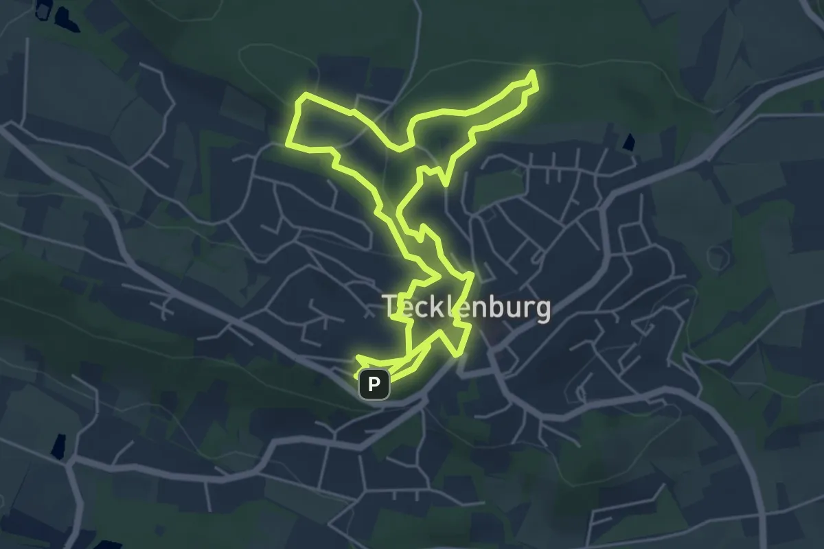
Easy · Summit
Teutoschleifchen Modersohns Spuren
4.5 km · ↑ 126 m · 1 h 23 min
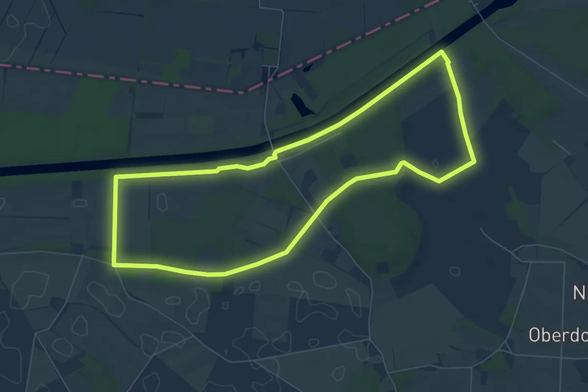
Easy · Trail
Teutoschleifchen Schachselwiesen
6.3 km · ↑ 17 m · 1 h 37 min
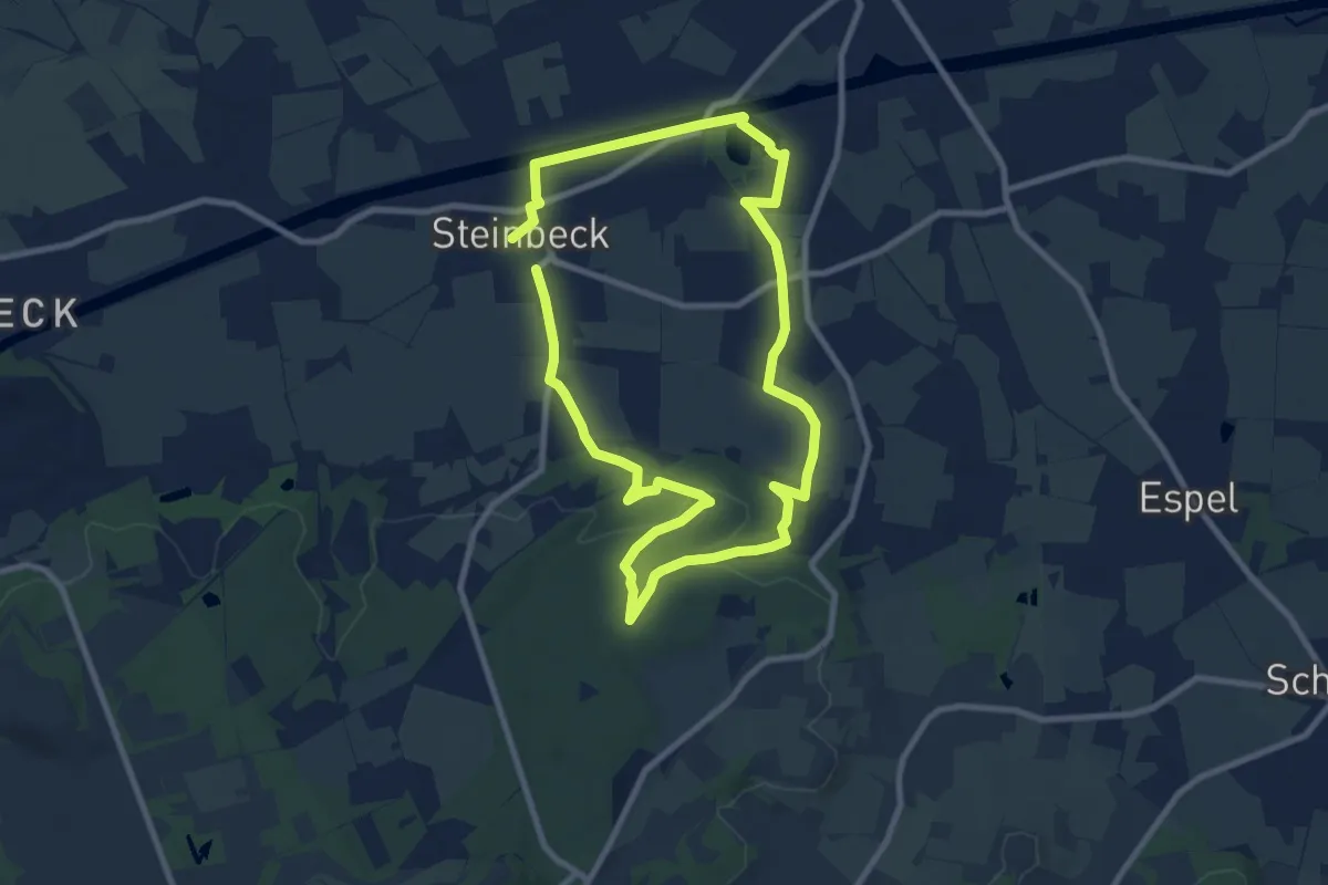
Easy · Trail
Teutoschleifchen Steinbecker Runde
7.5 km · ↑ 72 m · 2 h 1 min
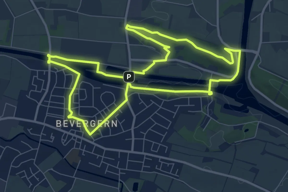
Easy · Summit
Teutoschleife Bevergerner Pättken
7.0 km · ↑ 72 m · 1 h 54 min
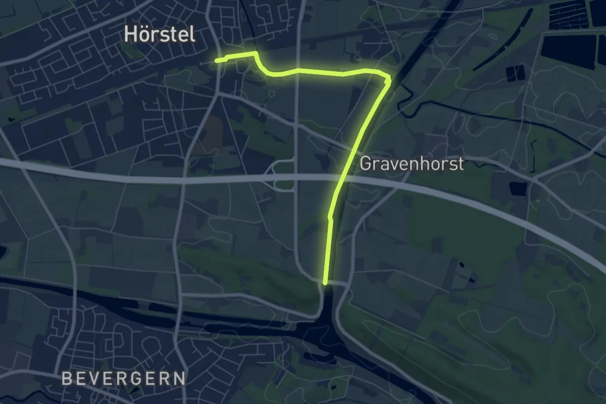
Easy · Trail
Teutoschleife Bevergerner Pättken ZUWEG Hörstel
6.2 km · ↑ 8 m · 1 h 29 min
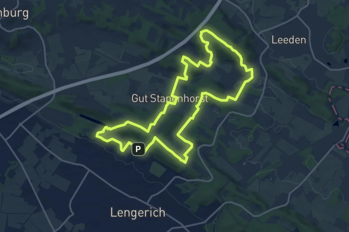
Medium · Summit
TeutoSchleife Canyon Blick
10.7 km · ↑ 312 m · 3 h 21 min
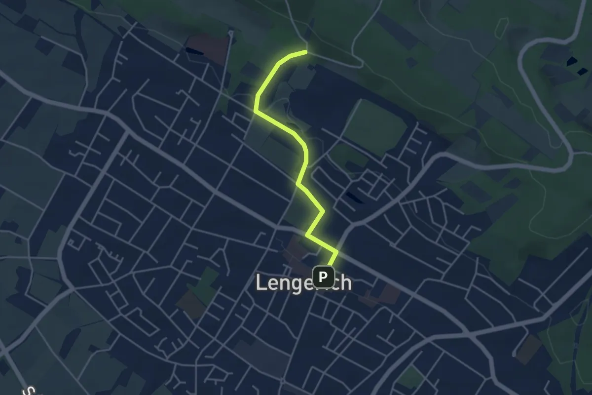
Easy · Trail
TeutoSchleife Canyon Blick ZUWEG Lengerich Rathausplatz
3.0 km · ↑ 54 m · 50 min
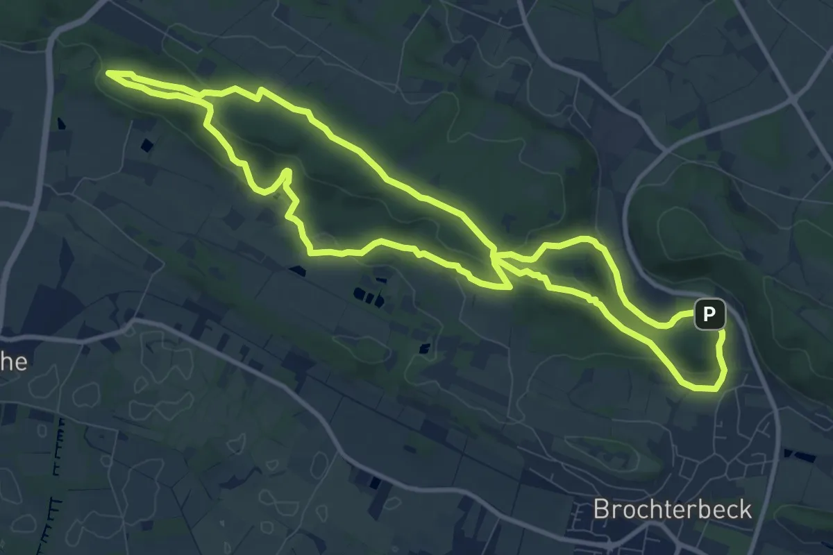
Medium · Summit
Teutoschleife Dörenther Klippen
9.4 km · ↑ 234 m · 2 h 51 min
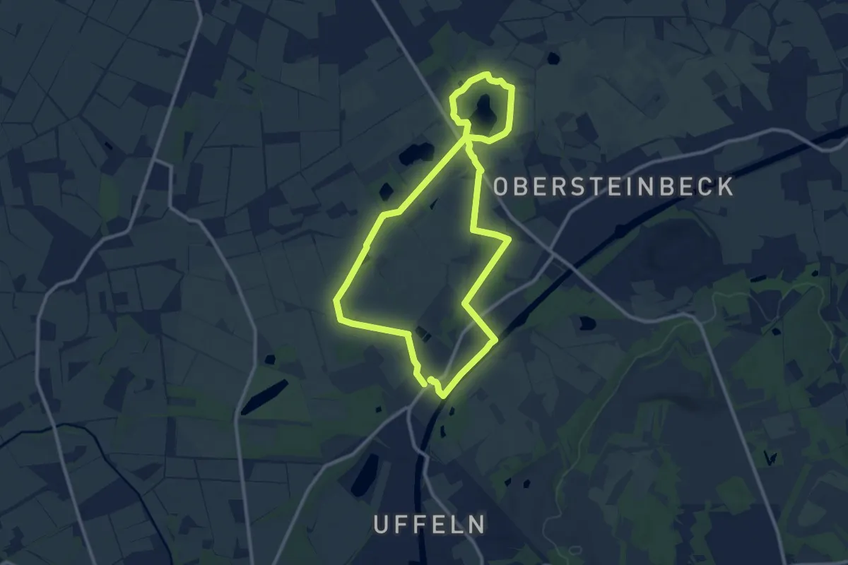
Medium · Trail
Teutoschleife Heiliges Meer
8.5 km · ↑ 8 m · 2 h 8 min