Trails in Germany
36,852 hiking trails, each with its route, climb, walking time and grade.
All trails, page 624 of 768
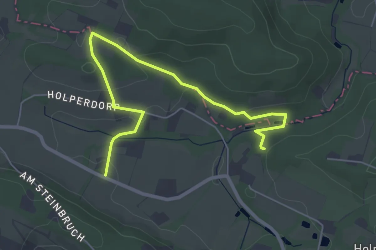
Easy · Trail
TeutoSchleife Holperdorper
2.5 km · ↑ 49 m · 44 min
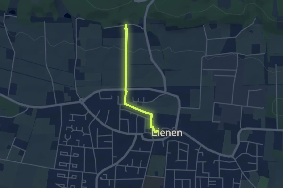
Easy · Trail
TeutoSchleife Holperdorper ZUWEG Lienen
2.4 km · ↑ 43 m · 39 min
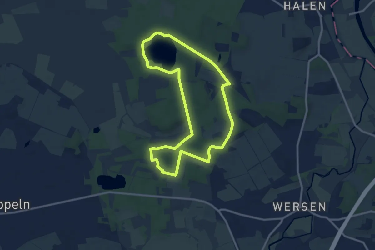
Easy · Trail
Teutoschleife Sloopsteener Seenrunde
6.6 km · ↑ 51 m · 1 h 46 min
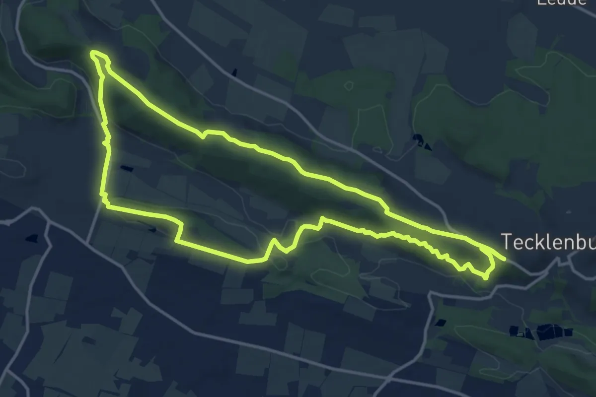
Medium · Trail
Teutoschleife Tecklenburger Bergpfad
10.8 km · ↑ 251 m · 3 h 15 min
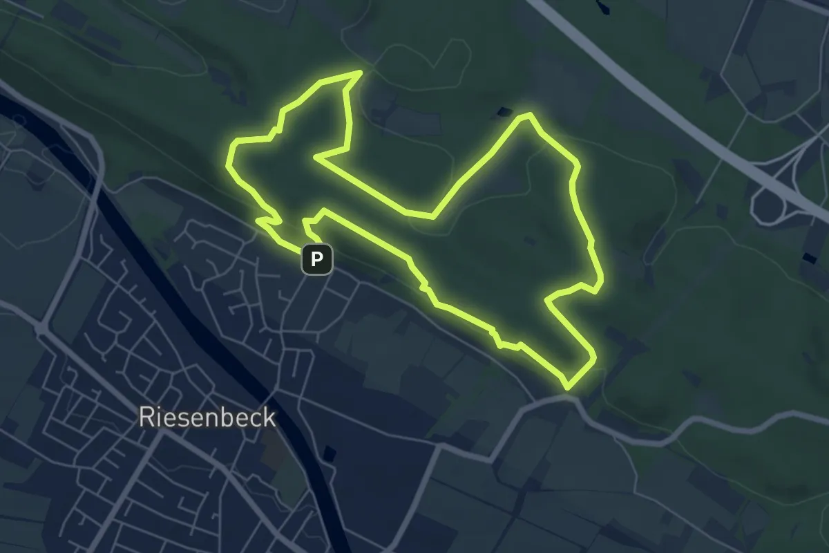
Easy · Summit
Teutoschleife Waldauenweg
5.9 km · ↑ 145 m · 1 h 47 min
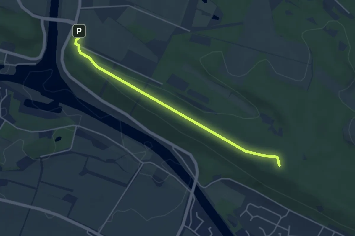
Easy · Summit
Teutoschleife Waldauenweg ZUWEG Wanderparkplatz "Nasses Dreieck"
3.4 km · ↑ 61 m · 56 min
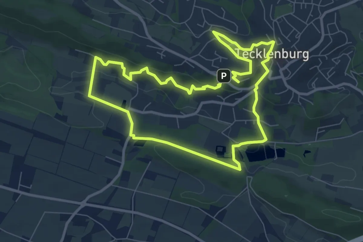
Easy · Summit
TeutoStadtSchleife Tecklenburger Romantik
6.2 km · ↑ 226 m · 2 h 2 min
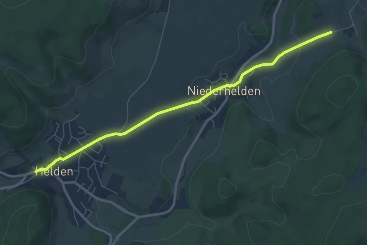
Easy · Trail
T Grevenbrück - Helden
6.0 km · ↑ 92 m · 1 h 36 min
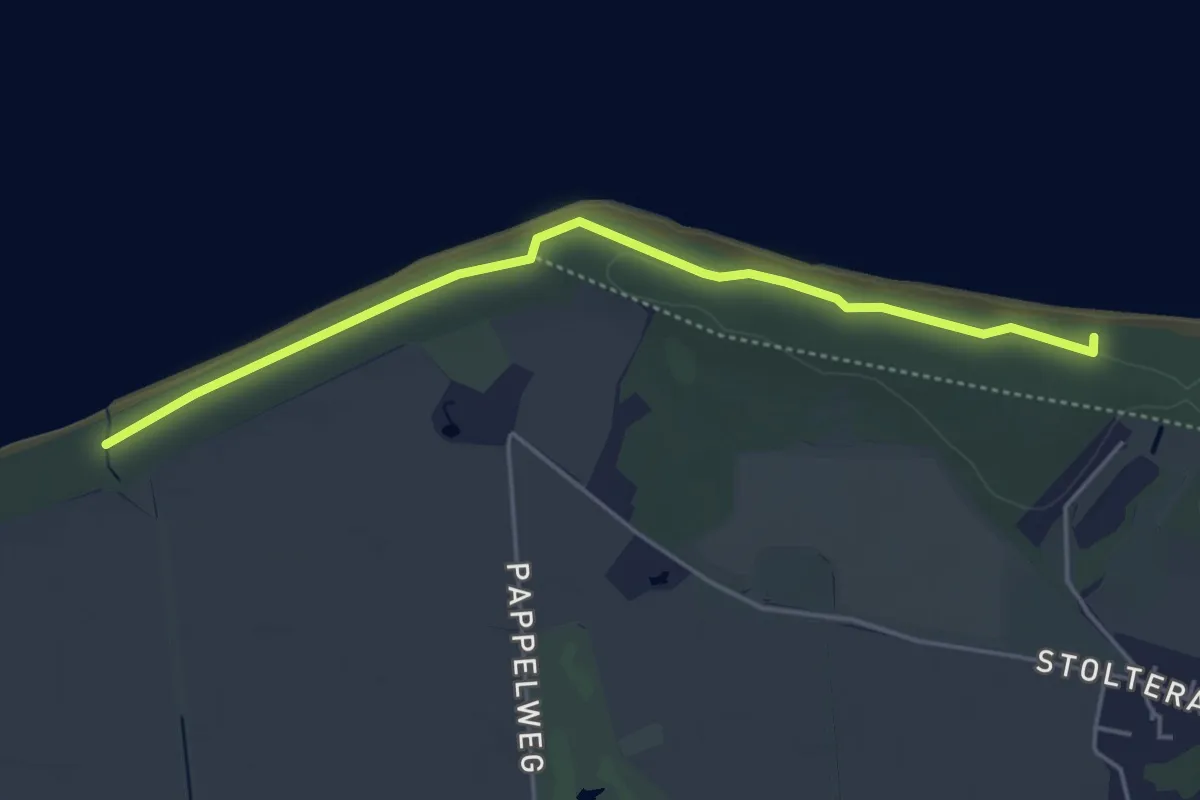
Easy · Trail
Thalasso-Kurweg 1
3.9 km · ↑ 32 m · 1 h
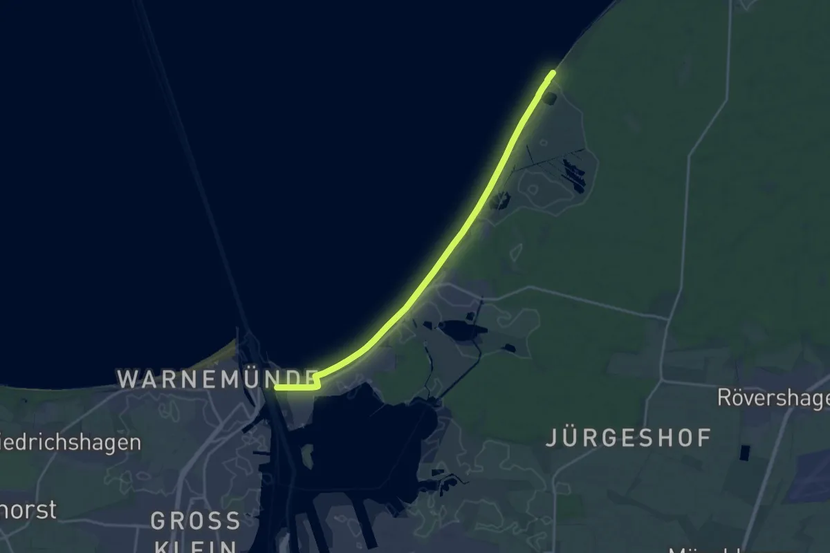
Medium · Trail
Thalasso-Kurweg 10 -- Hohe Düne bis Markgrafenheide
8.1 km · ↑ 4 m · 2 h 2 min
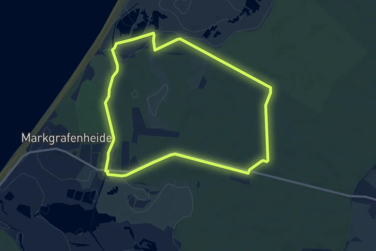
Easy · Trail
Thalasso-Kurweg 3 - Küstenwald, Moor und Heide
6.9 km · ↑ 26 m · 1 h 47 min
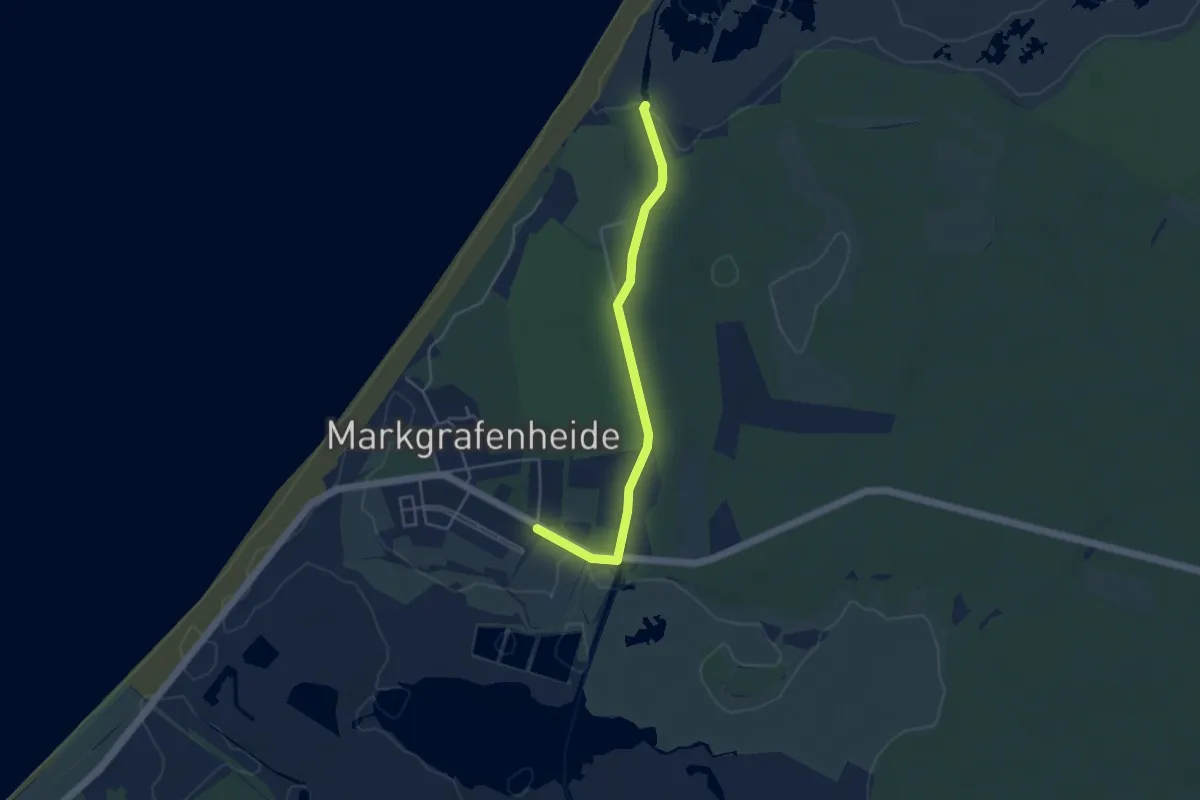
Easy · Trail
Thalasso-Kurweg 4
3.7 km · ↑ 9 m · 53 min
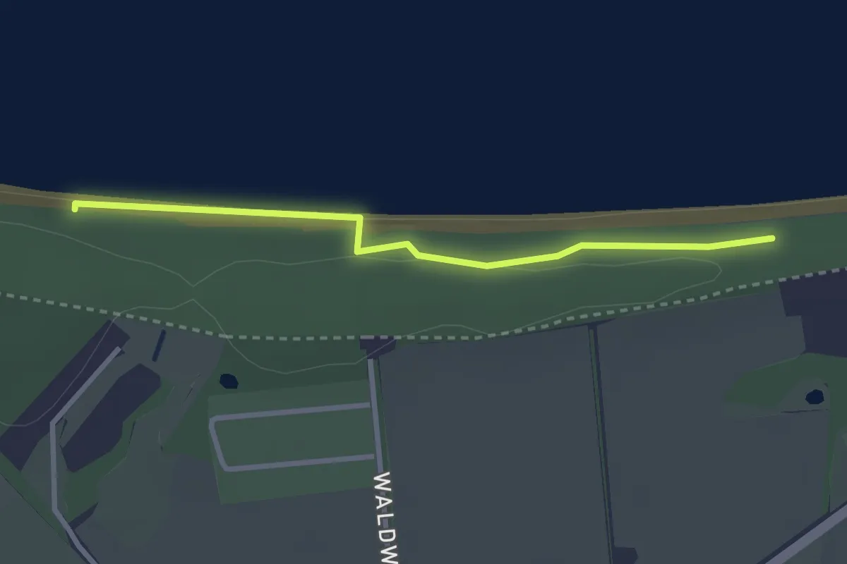
Easy · Trail
Thalasso-Kurweg 6
2.3 km · ↑ 28 m · 37 min
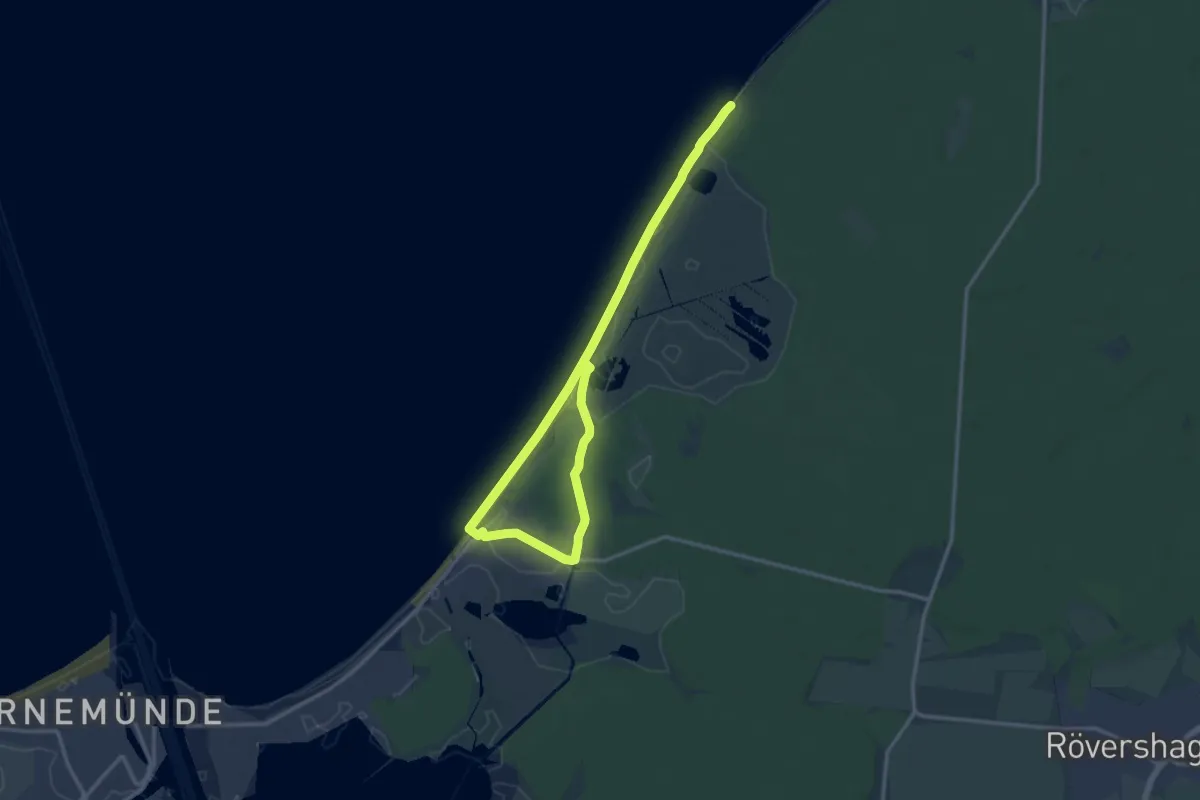
Medium · Trail
Thalasso-Kurweg 8 - Heilklima, Sandstrand und Seebad
16.0 km · ↑ 17 m · 3 h 49 min
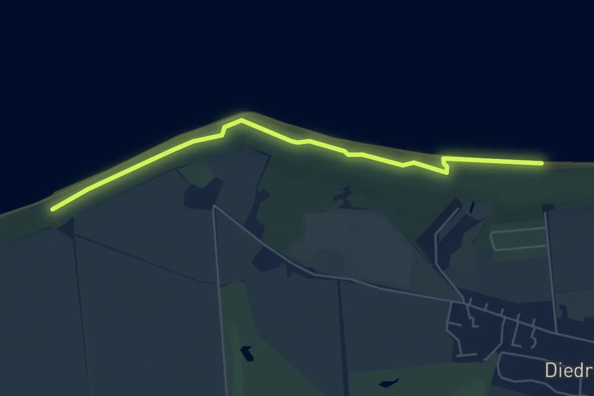
Easy · Trail
Thalasso-Kurweg 9
4.9 km · ↑ 60 m · 1 h 18 min
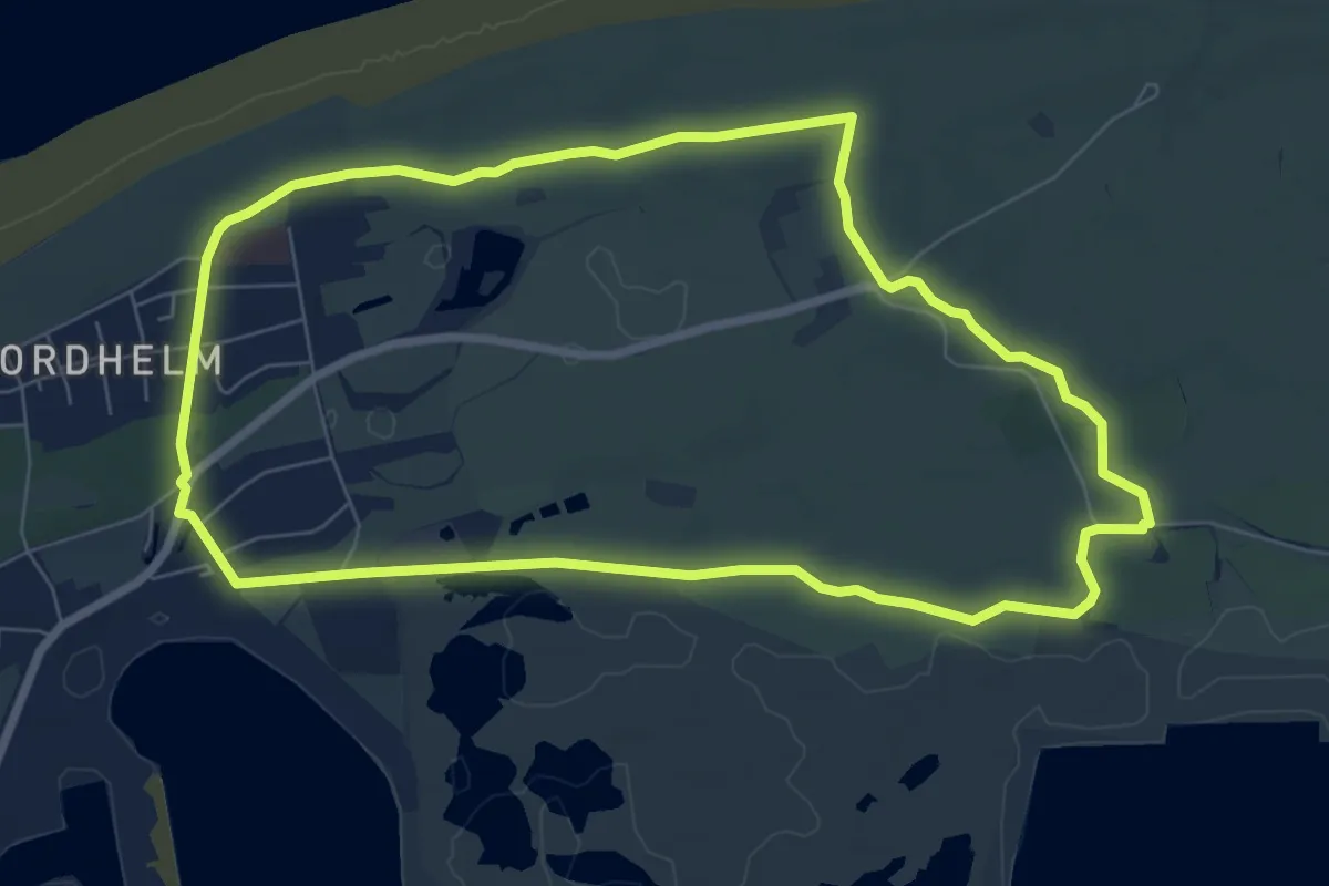
Easy · Trail
Thalasso-Plattform-Dünenweg
6.5 km · ↑ 0 m · 1 h 38 min
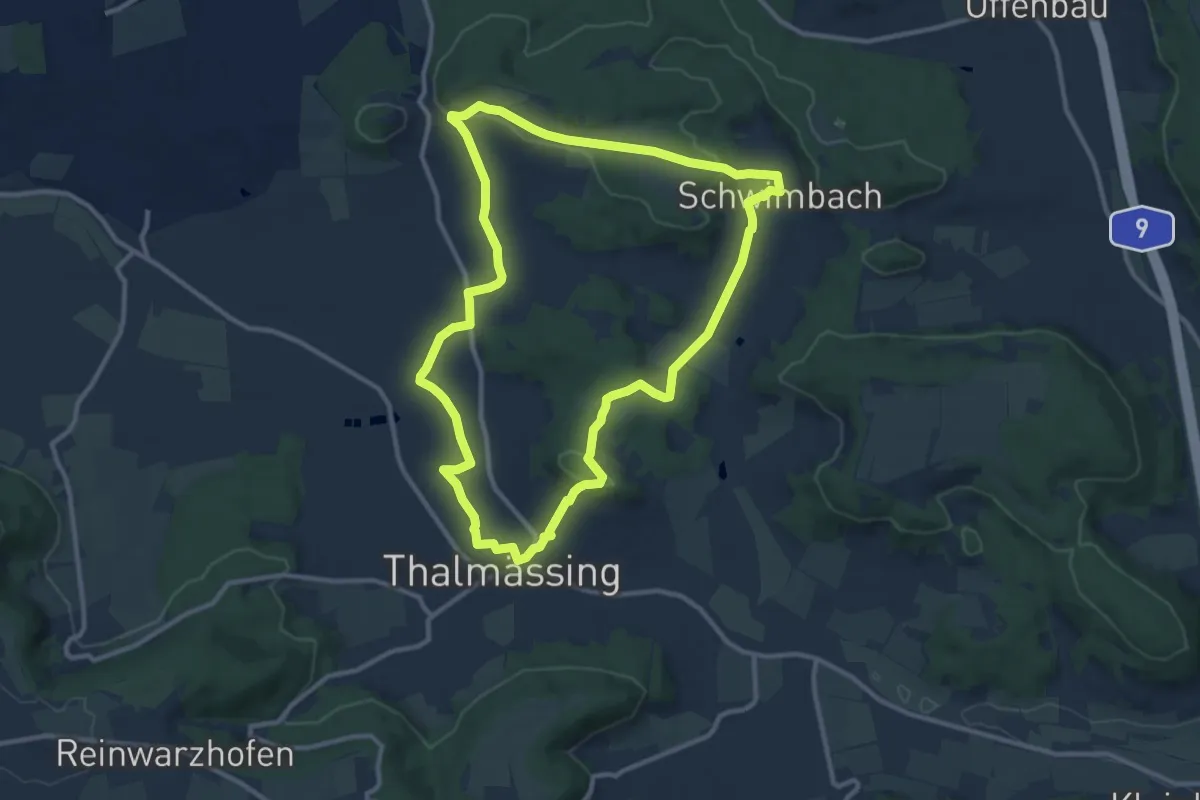
Medium · Trail
Thalmässing 1
10.4 km · ↑ 193 m · 3 h 1 min
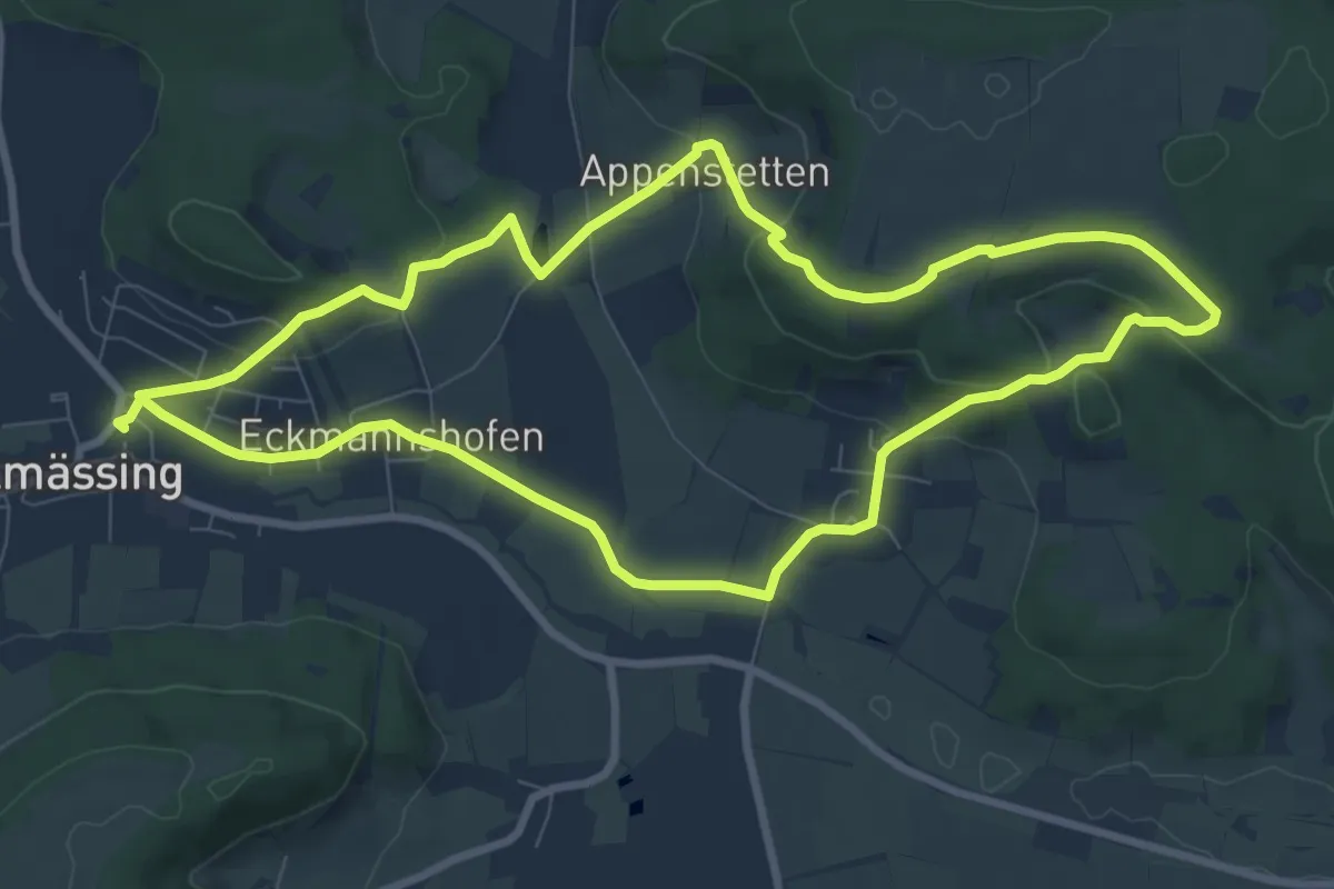
Medium · Trail
Thalmässing 2
8.4 km · ↑ 231 m · 2 h 37 min
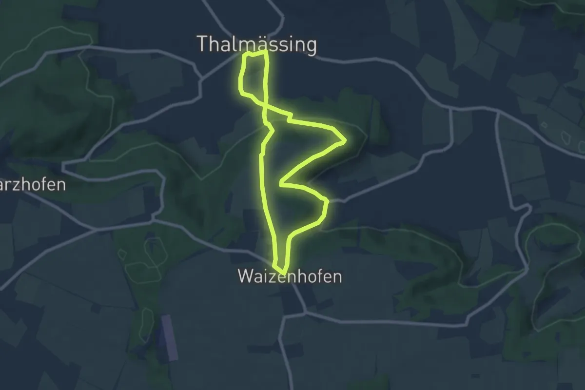
Easy · Trail
Thalmässing 3
5.8 km · ↑ 202 m · 1 h 53 min
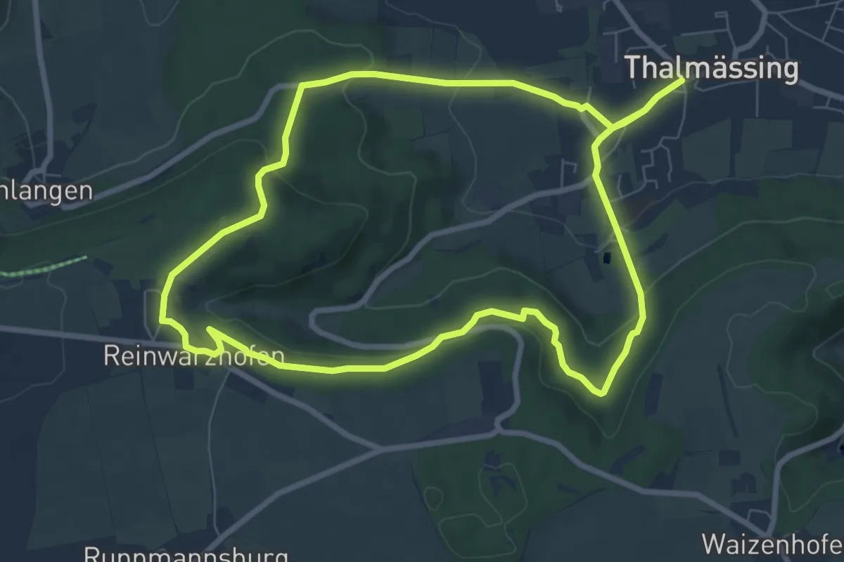
Easy · Trail
Thalmässing 4
7.3 km · ↑ 182 m · 2 h 14 min
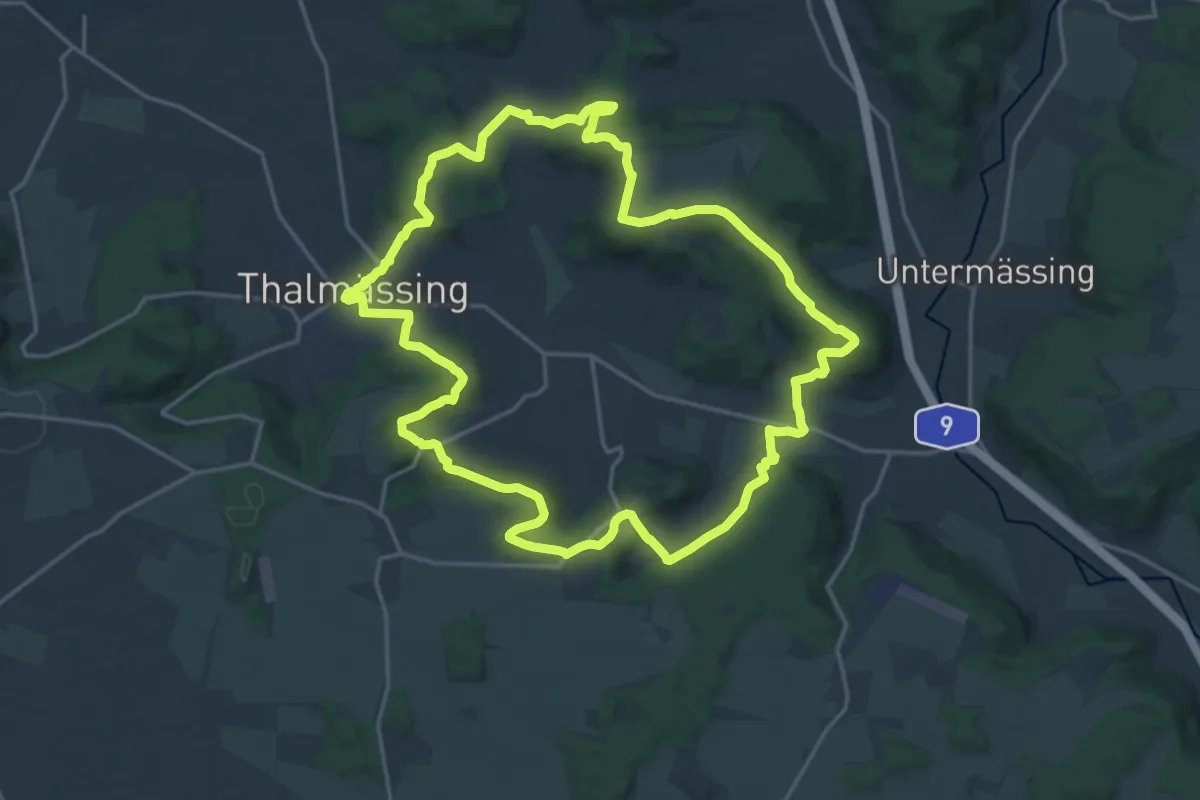
Medium · Summit
Thalmässing 5 Thalachtal Panoramaweg
17.9 km · ↑ 492 m · 5 h 33 min
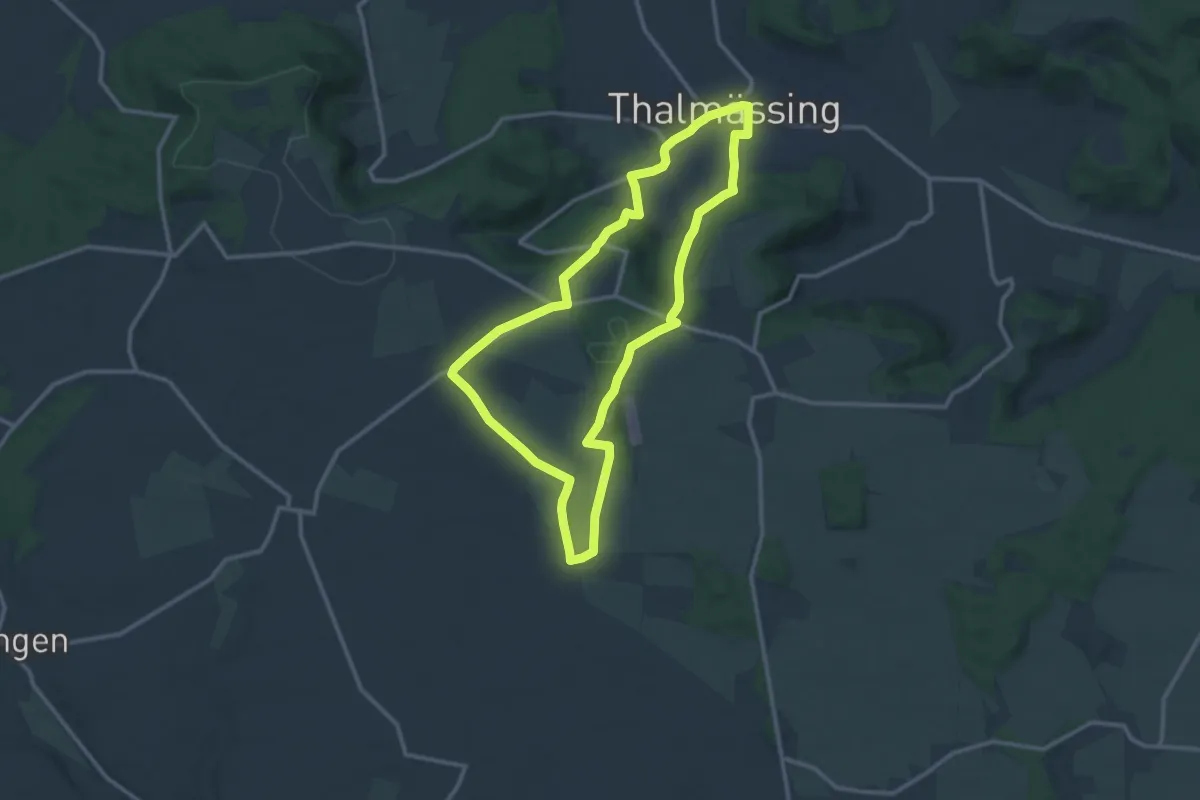
Medium · Trail
Thalmässing 6
10.9 km · ↑ 221 m · 3 h 12 min
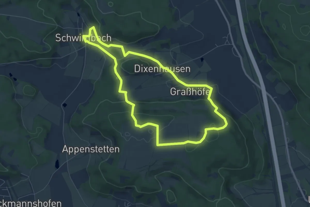
Easy · Trail
Thalmässing 7
6.8 km · ↑ 183 m · 2 h 6 min
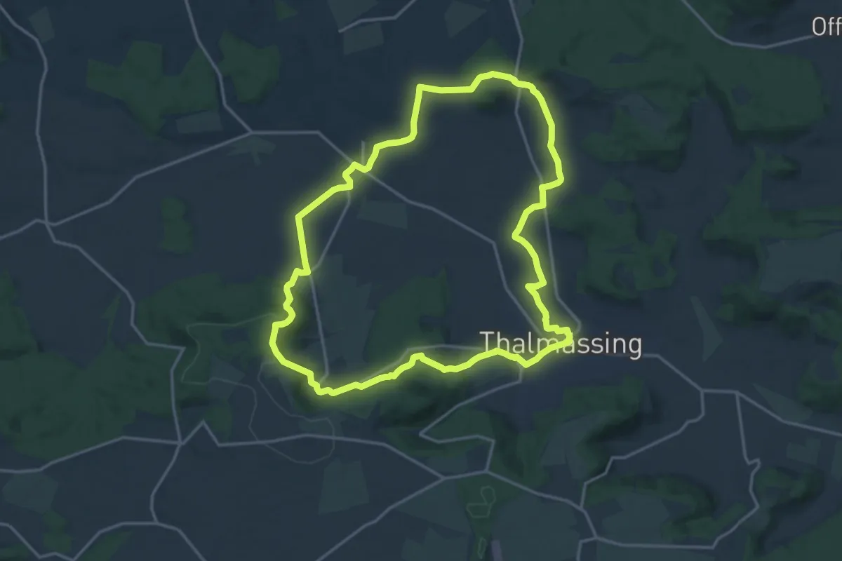
Medium · Trail
Thalmässing 8
14.8 km · ↑ 324 m · 4 h 24 min
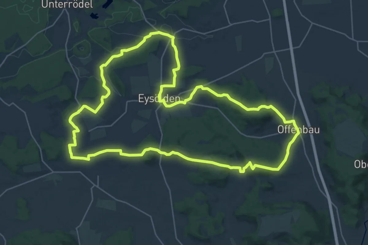
Demanding · Summit
Thalmässing 9 (Grenzwanderweg)
23.6 km · ↑ 457 m · 6 h 53 min
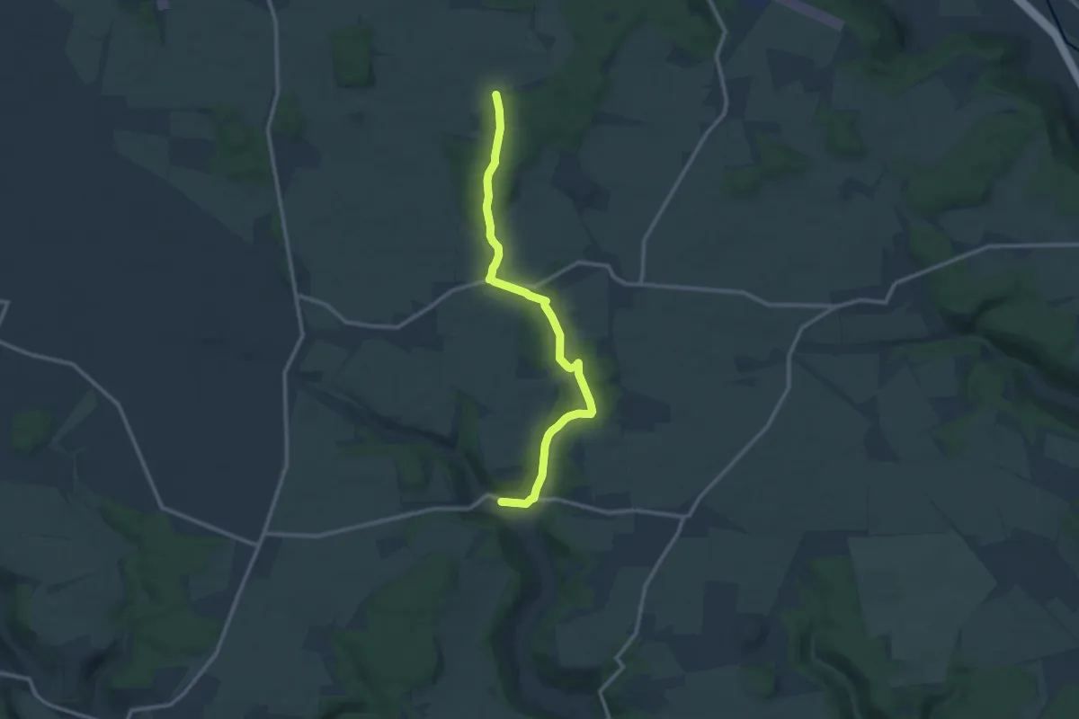
Medium · Trail
Thalmässing D
10.2 km · ↑ 151 m · 2 h 44 min
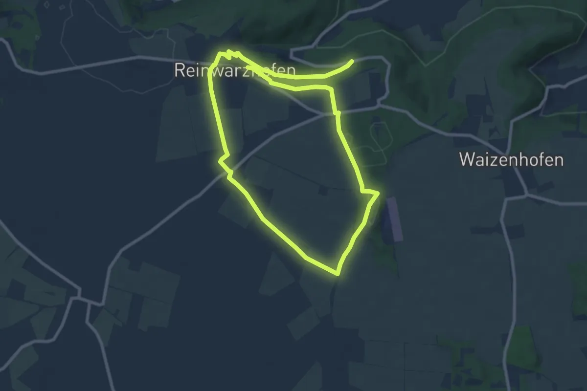
Easy · Trail
Thalmässing Spassweg 1
6.9 km · ↑ 62 m · 1 h 53 min
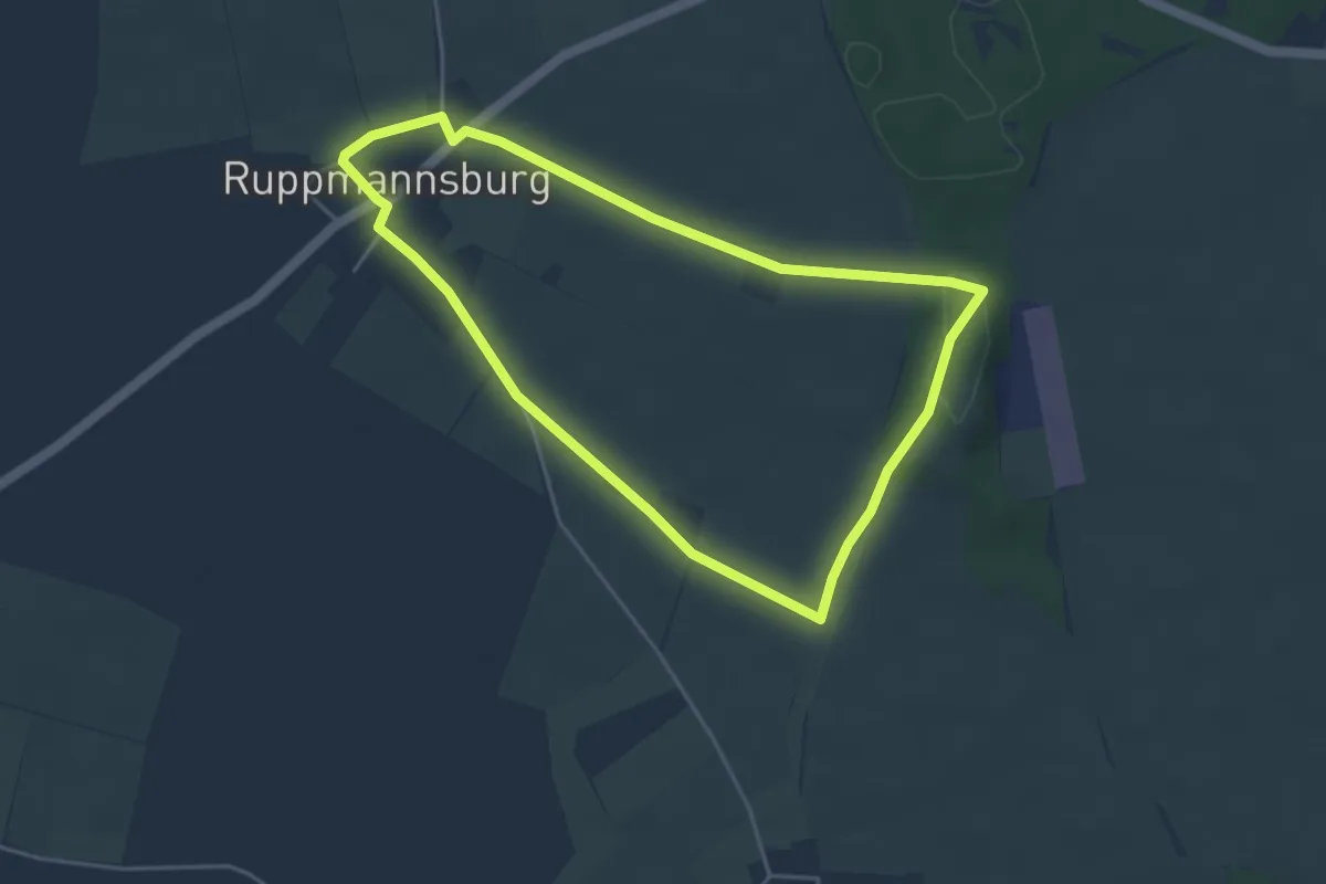
Easy · Trail
Thalmässing Spassweg 3
4.0 km · ↑ 38 m · 1 h 5 min
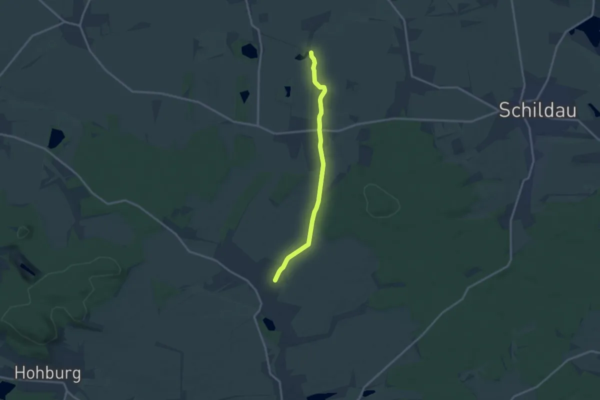
Medium · Trail
Thammenhain-Kobershain
9.5 km · ↑ 53 m · 2 h 21 min
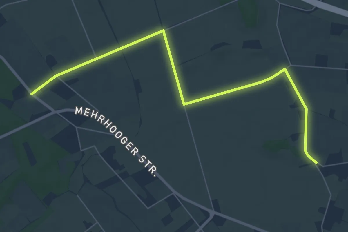
Easy · Trail
T Hamminkeln - Mehrhoog
6.3 km · ↑ 0 m · 1 h 29 min
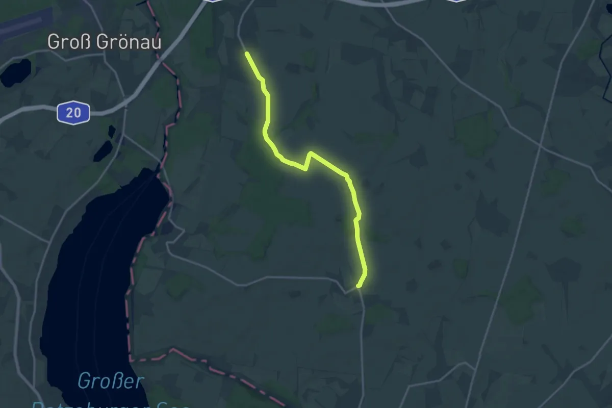
Medium · Trail
Thandorf-Schattin
12.5 km · ↑ 97 m · 3 h 10 min
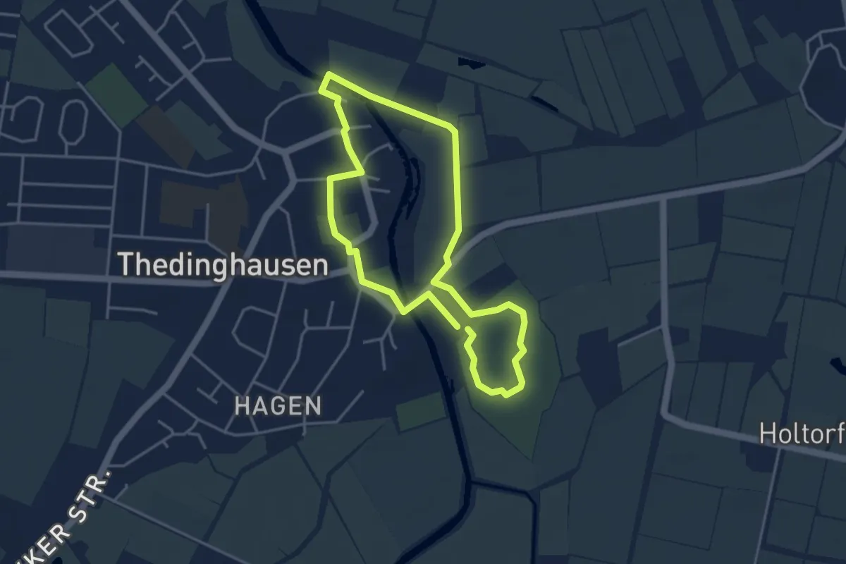
Easy · Trail
Thänhuser Löwenspur
3.0 km · ↑ 0 m · 45 min
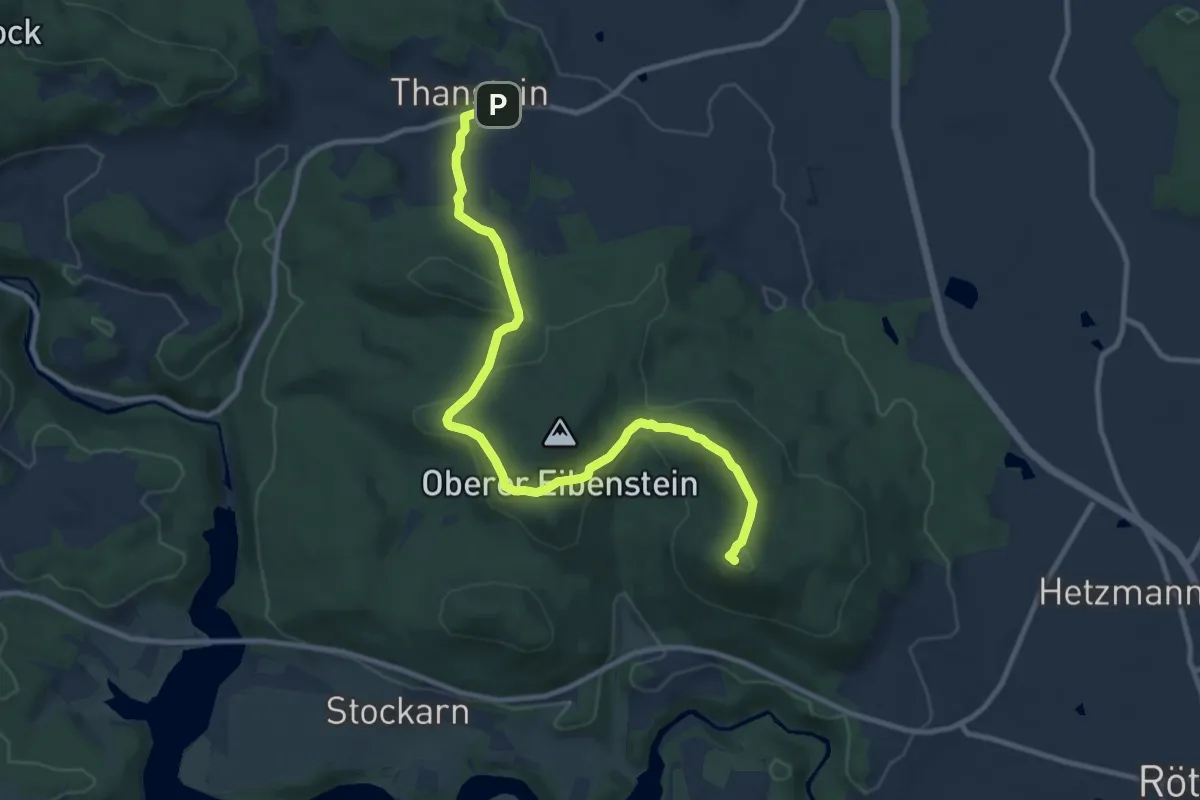
Demanding · Summit
Thanstein-Bauhof-Weg "T3"
10.6 km · ↑ 281 m · 3 h 7 min
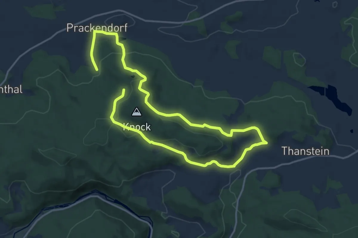
Medium · Summit
Thanstein-Prackendorf-Weg (T 10)
8.9 km · ↑ 225 m · 2 h 45 min
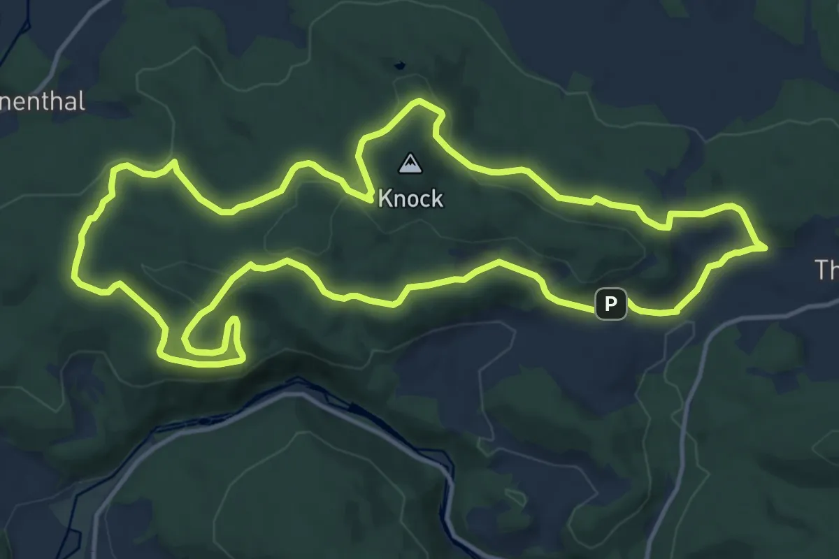
Medium · Summit
Thanstein-Warberg-Weg "T 11"
13.1 km · ↑ 341 m · 4 h
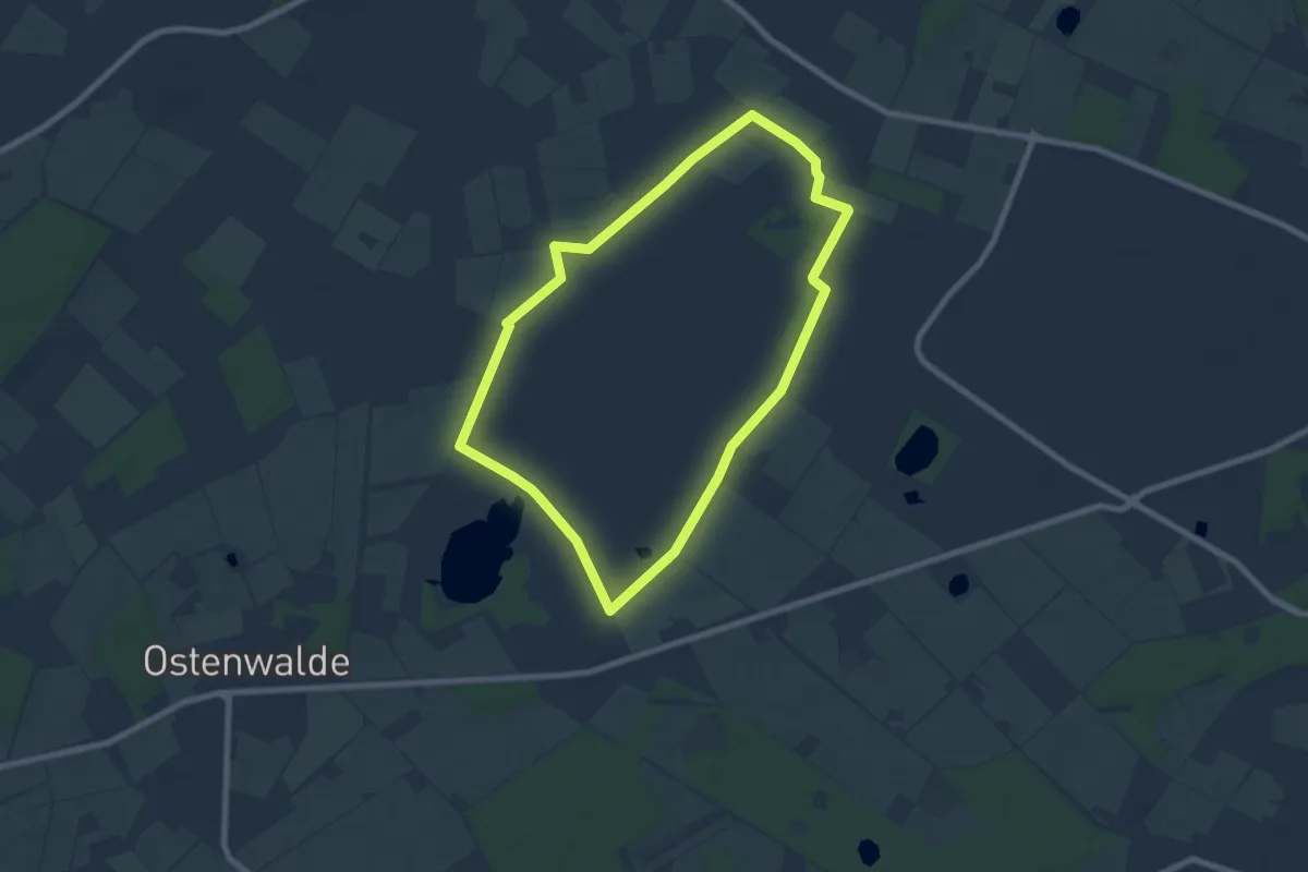
Easy · Trail
Theikenmeer-Runde
6.4 km · ↑ 9 m · 1 h 37 min
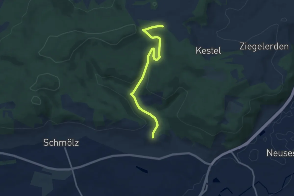
Easy · Trail
Theisenort-Zollbrunn KC 43
6.6 km · ↑ 186 m · 1 h 57 min
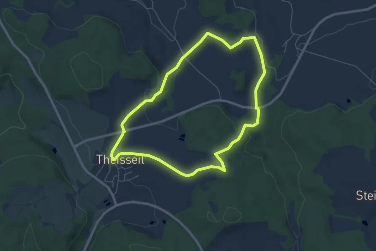
Easy · Summit
Theisseil - Rundwanderweg 1
5.0 km · ↑ 94 m · 1 h 28 min
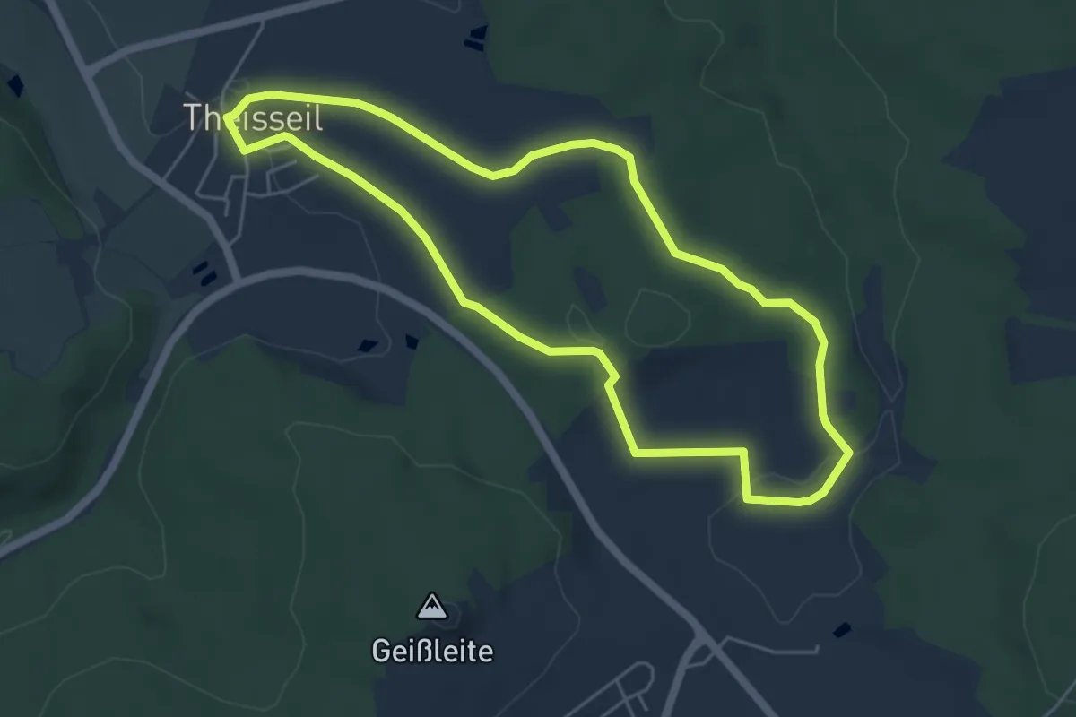
Easy · Trail
Theisseil - Rundwanderweg 2
4.7 km · ↑ 79 m · 1 h 21 min
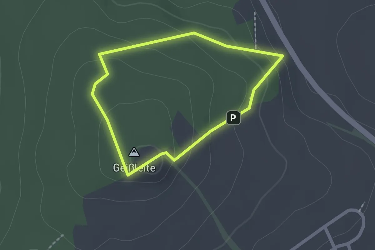
Easy · Summit
Theisseil - Rundwanderweg 3
1.4 km · ↑ 62 m · 29 min
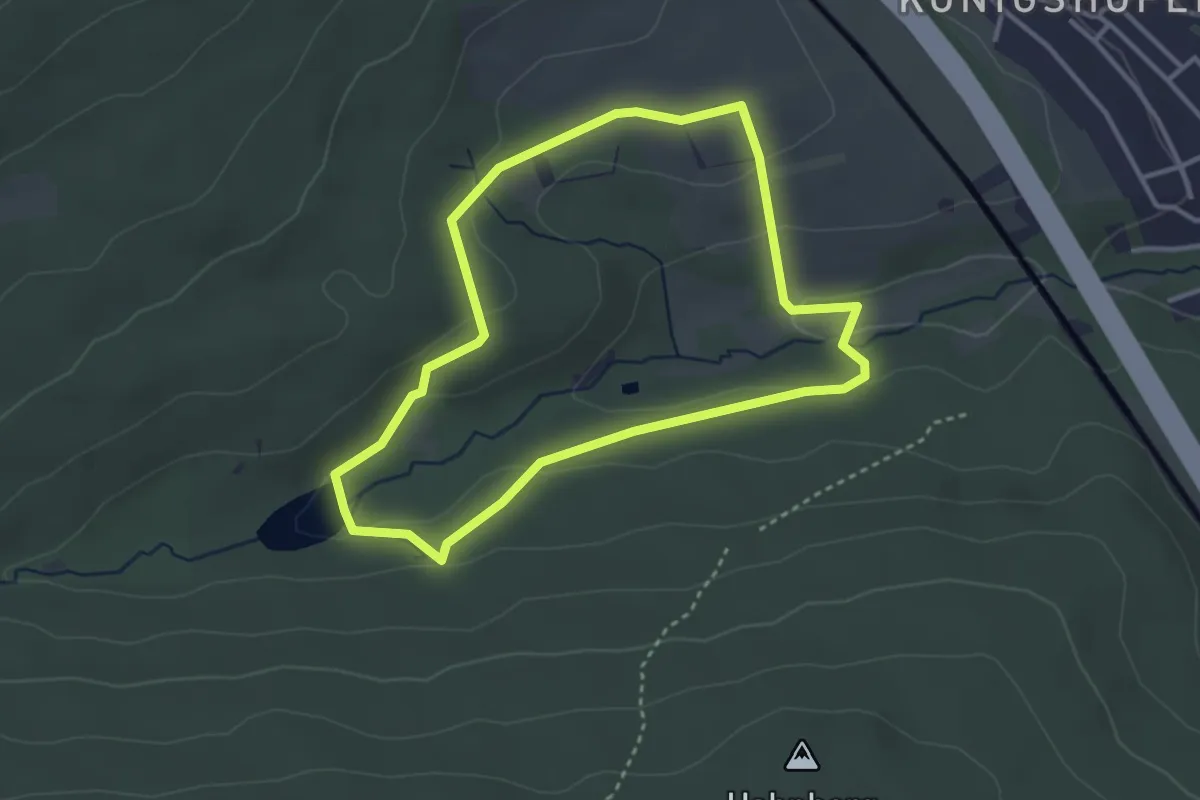
Easy · Trail
Theißtal: Forelle
3.0 km · ↑ 81 m · 55 min
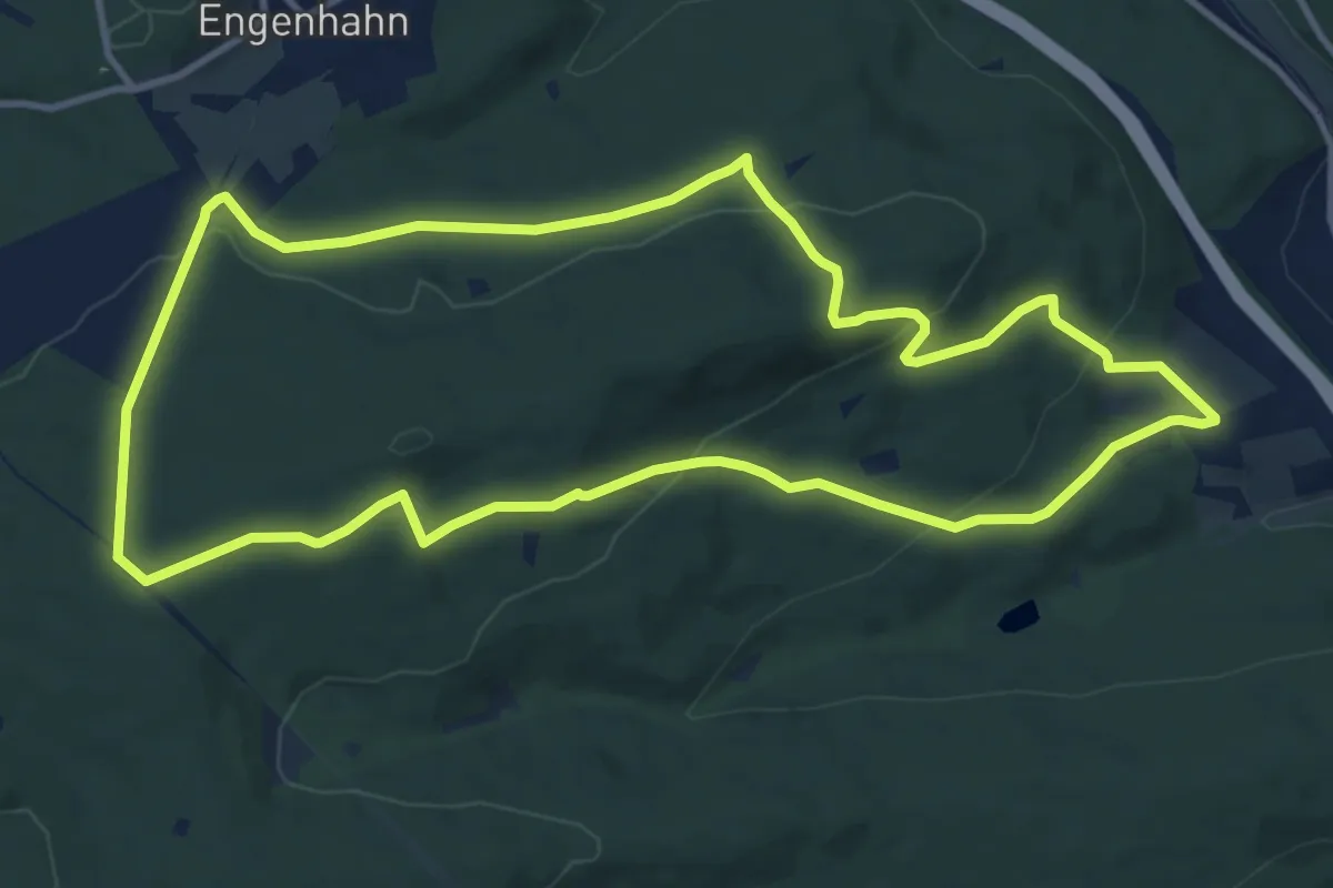
Medium · Trail
Theißtal: Keiler
10.7 km · ↑ 325 m · 3 h 23 min
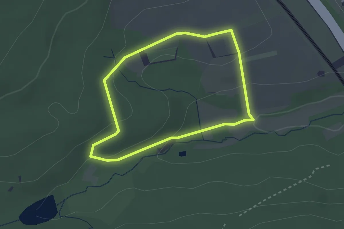
Easy · Trail
Theißtal: Milan
2.0 km · ↑ 53 m · 38 min
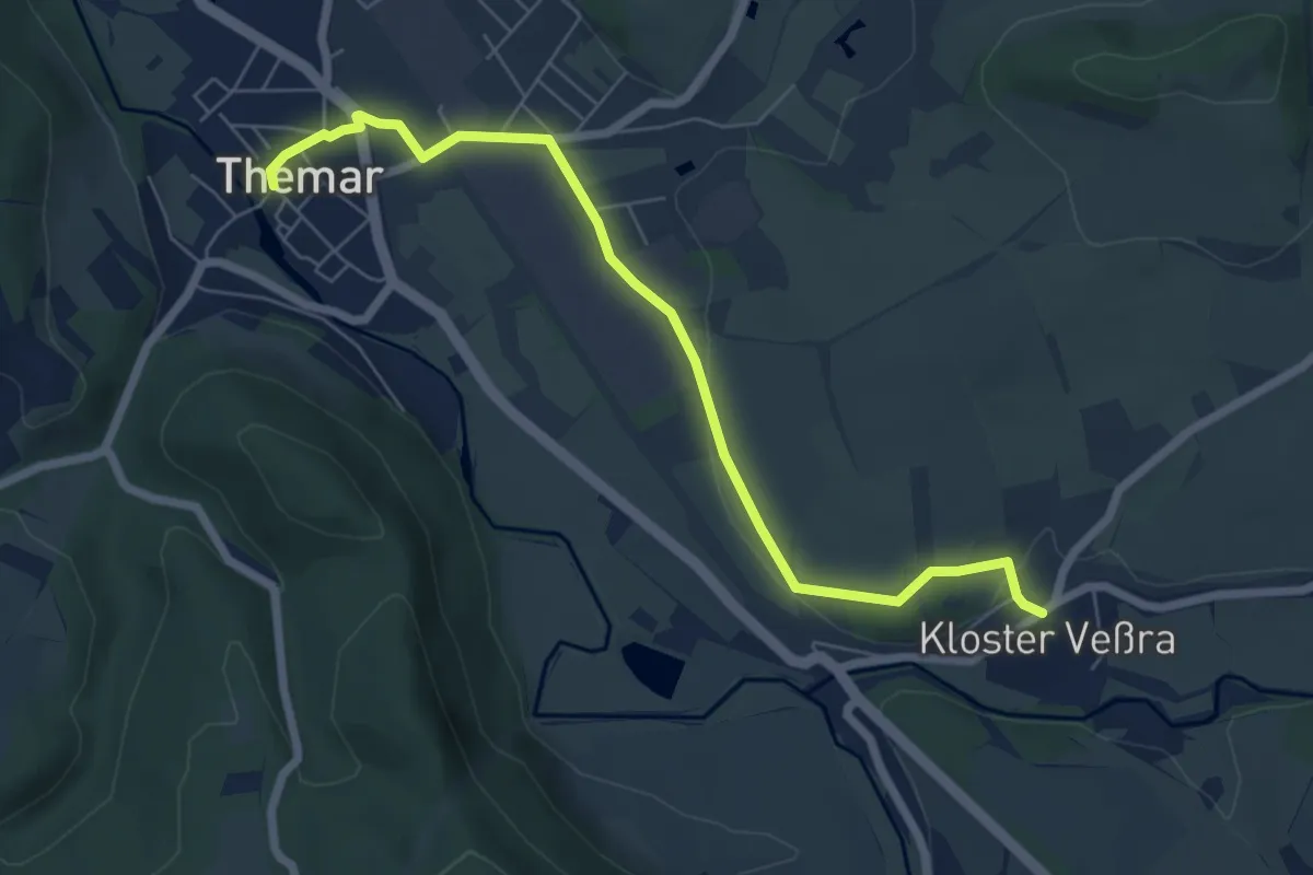
Easy · Trail
Themar-Rundwanderweg Blau
3.2 km · ↑ 25 m · 51 min
Medium · Trail
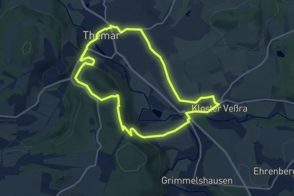
Themar-Rundwanderweg Grün
8.3 km · ↑ 216 m · 2 h 33 min
Easy · Trail
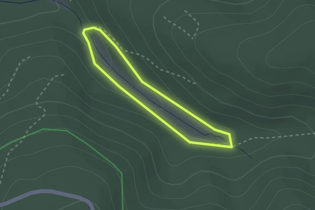
Thematischer Wanderweg Pfanntal
1.6 km · ↑ 40 m · 28 min
Medium · Trail
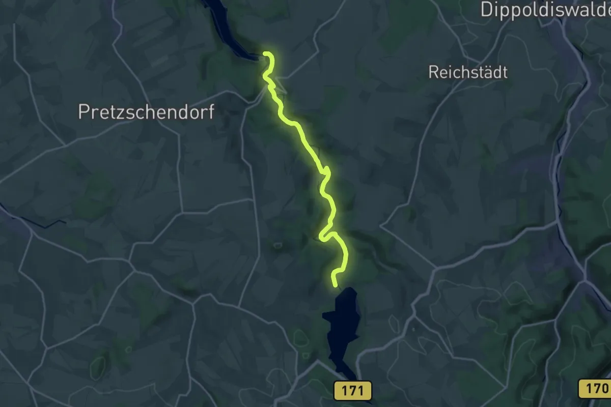
Themenlehrpfad Trinkwasser
15.4 km · ↑ 219 m · 4 h 7 min
Easy · Trail
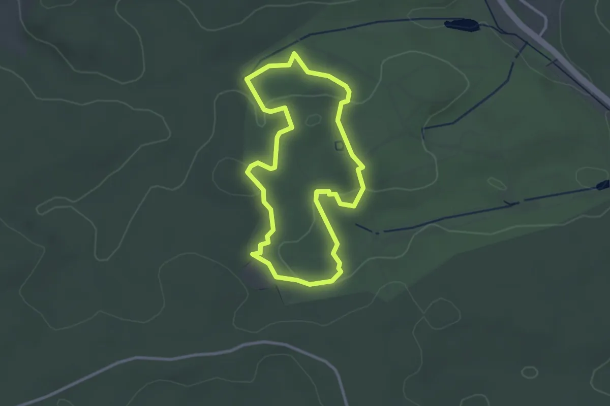
Themenpfad: Europa und Vorderasien
2.5 km · ↑ 51 m · 45 min