Trails in Germany
36,852 hiking trails, each with its route, climb, walking time and grade.
All trails, page 625 of 768
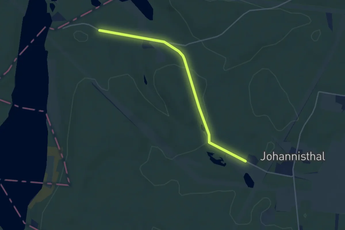
Easy · Trail
Themenpfad Johannisthal
3.7 km · ↑ 53 m · 59 min
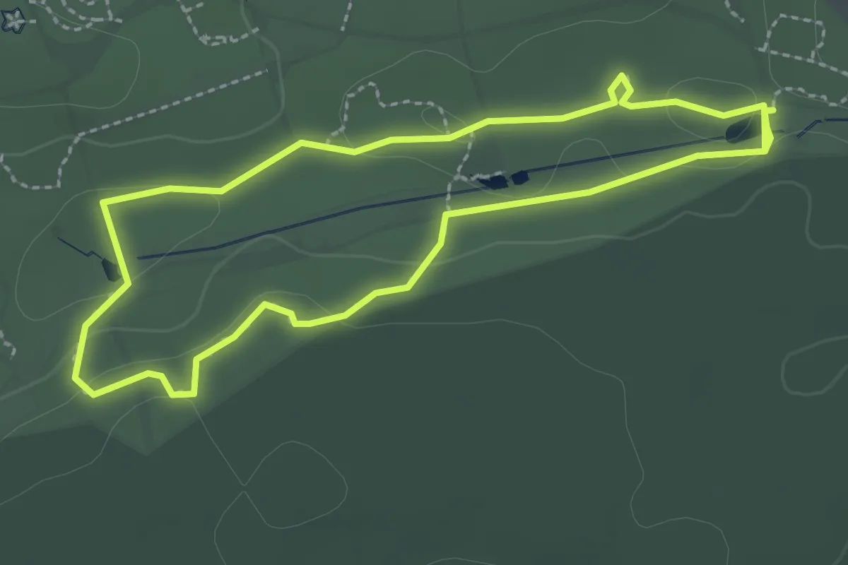
Easy · Trail
Themenpfad: Mittel- und Ostasien
2.2 km · ↑ 22 m · 36 min
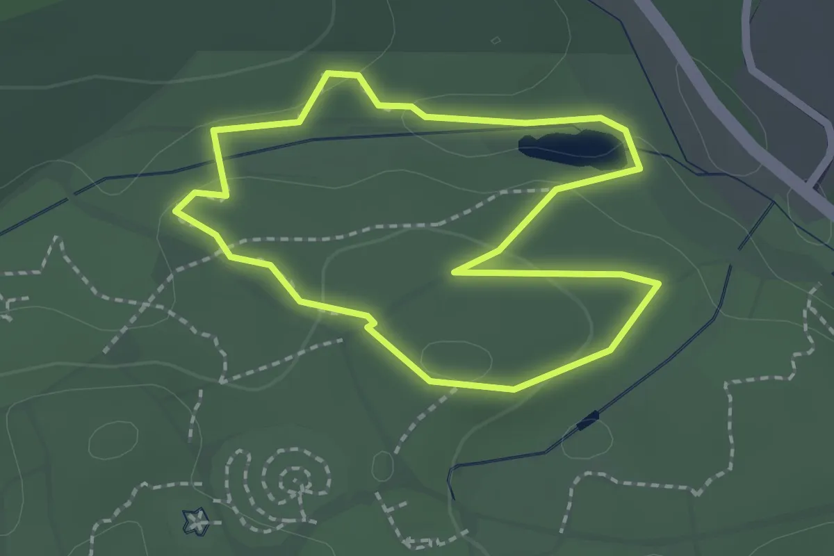
Easy · Trail
Themenpfad: Nordamerika Ost
1.8 km · ↑ 35 m · 31 min
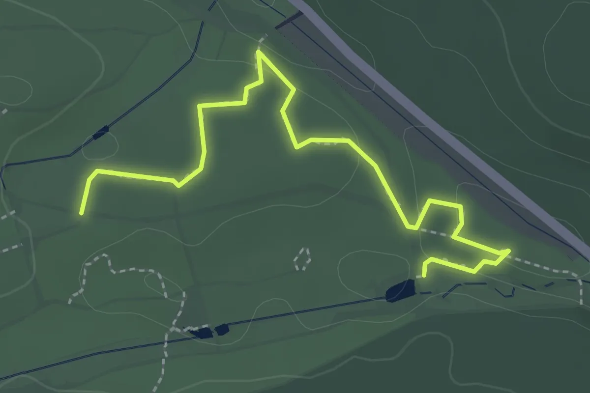
Easy · Trail
Themenpfad: Nordamerika West
2.6 km · ↑ 48 m · 43 min
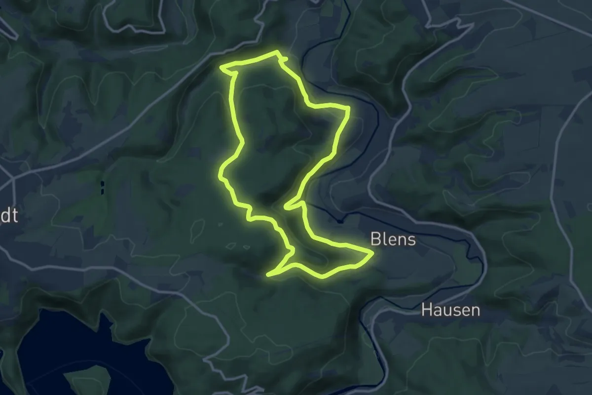
Medium · Trail
ThemenTour 1 - Abkürzung (T1)
10.0 km · ↑ 332 m · 3 h 14 min
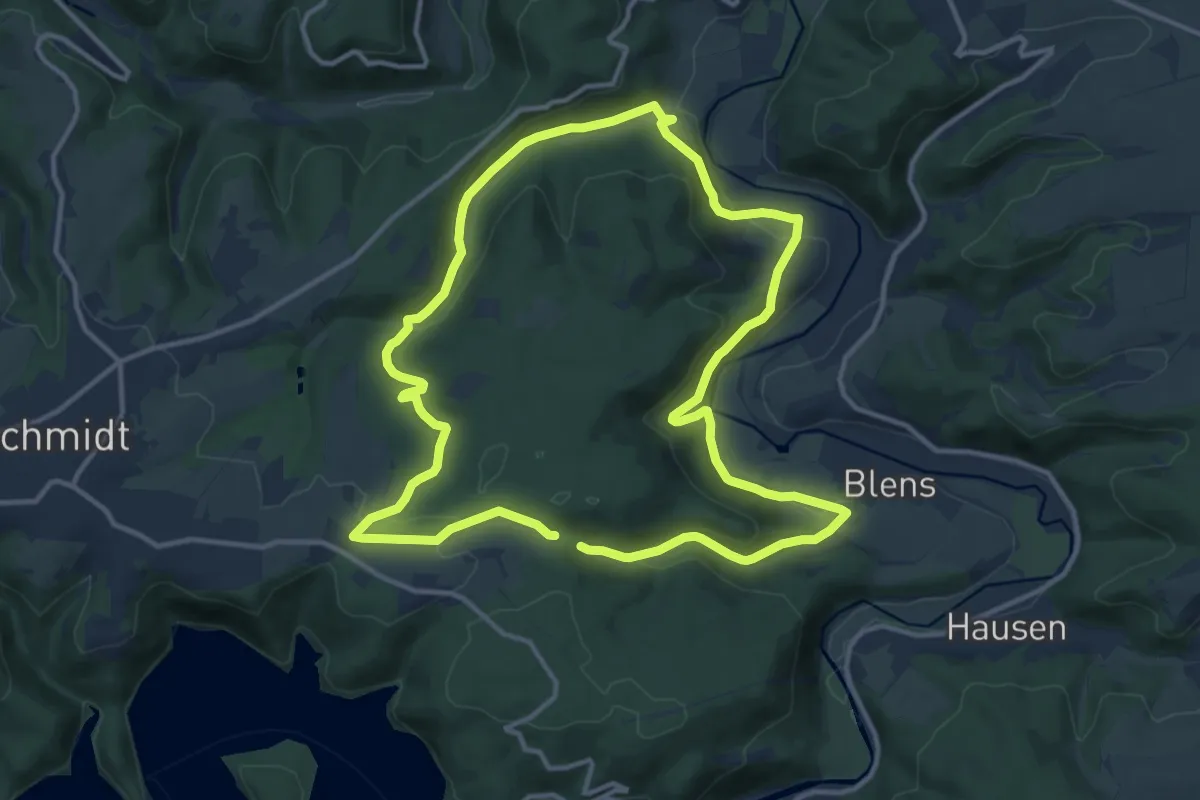
Medium · Trail
ThemenTour 1 (T1)
11.7 km · ↑ 320 m · 3 h 38 min
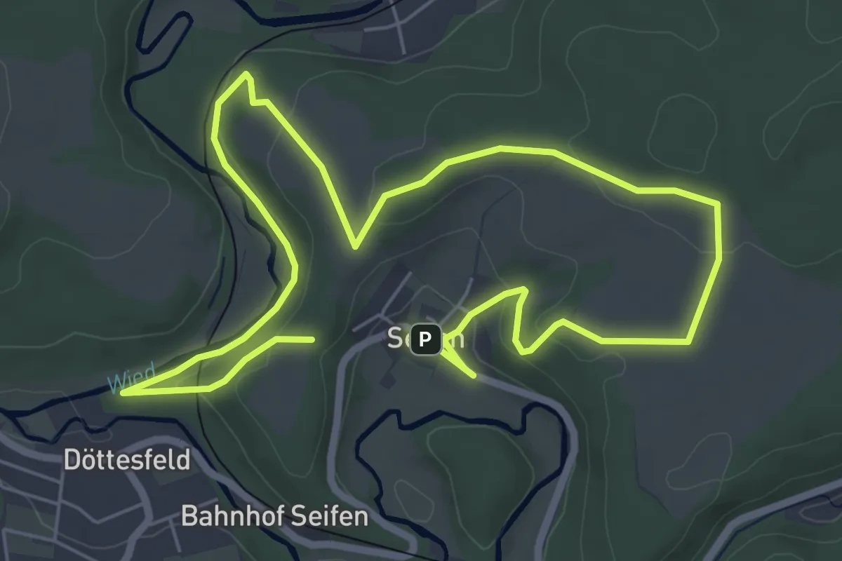
Easy · Trail
Themenwanderweg "1. Klasse"
5.1 km · ↑ 127 m · 1 h 32 min
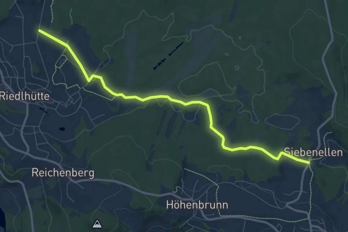
Medium · Trail
Themenwanderweg (Riedelhütte-Häuser)
9.1 km · ↑ 110 m · 2 h 23 min
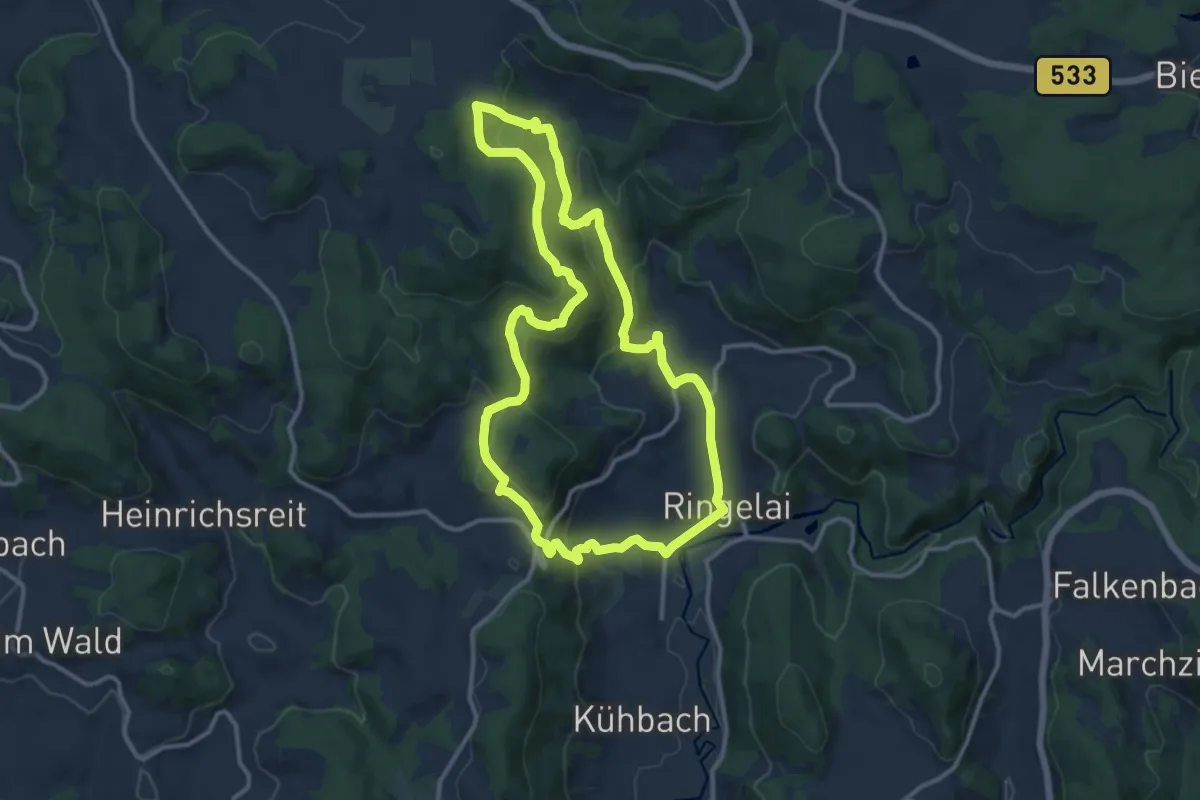
Medium · Summit
Themenwanderweg-Ringelai
11.5 km · ↑ 413 m · 3 h 47 min
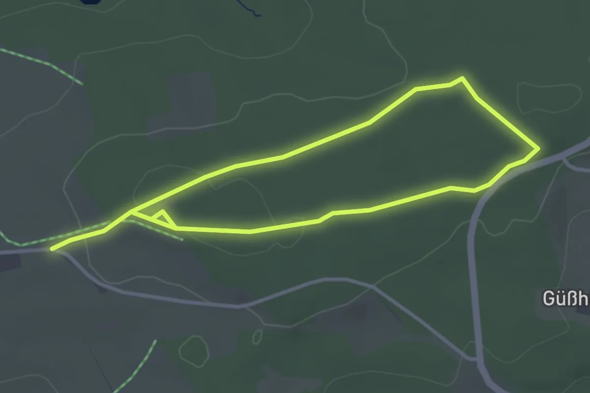
Easy · Trail
Themenwanderweg Wolfsgarten
5.3 km · ↑ 45 m · 1 h 21 min
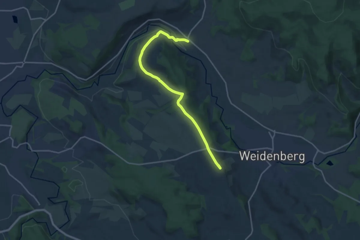
Medium · Summit
Themenweg "Alte Handelsstraße"
12.3 km · ↑ 230 m · 3 h 24 min
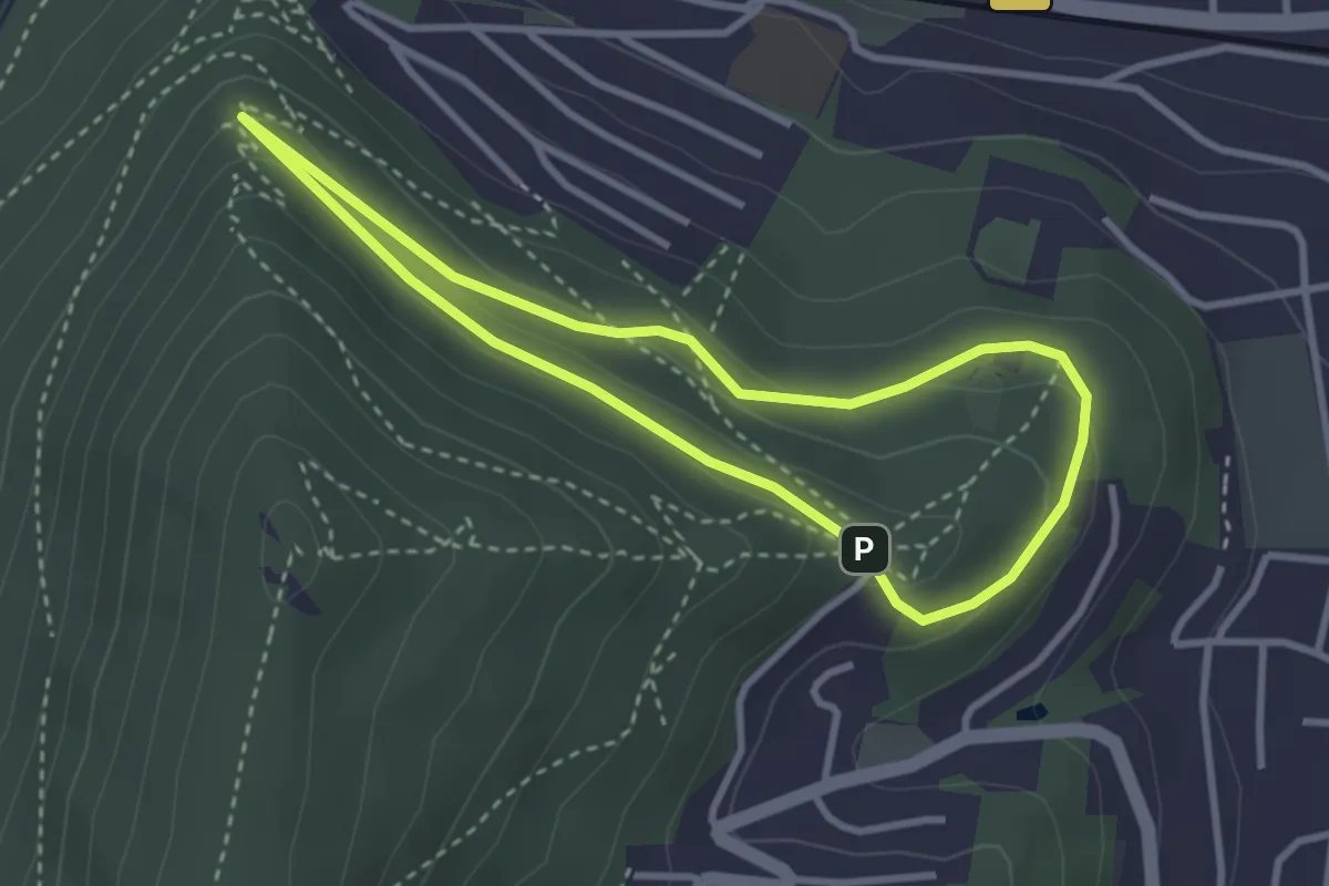
Easy · Summit
Themenweg Kult(ur)wald
2.7 km · ↑ 104 m · 54 min
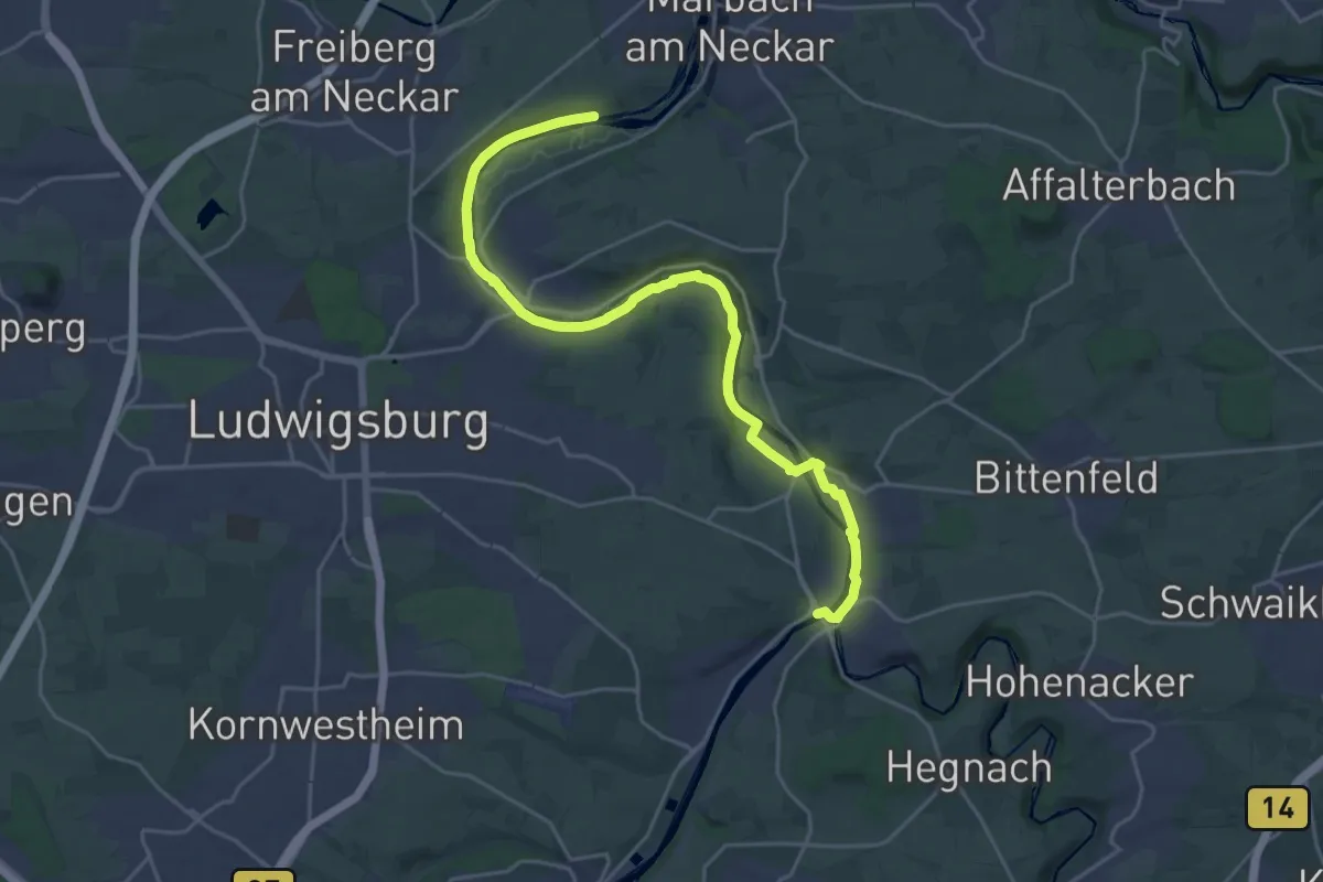
Demanding · Trail
Themenweg Neckar
24.6 km · ↑ 207 m · 6 h 15 min
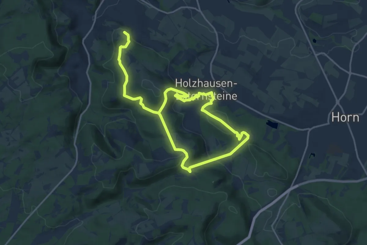
Demanding · Trail
Themenweg Römer-Ritter-Riten
18.1 km · ↑ 596 m · 5 h 34 min
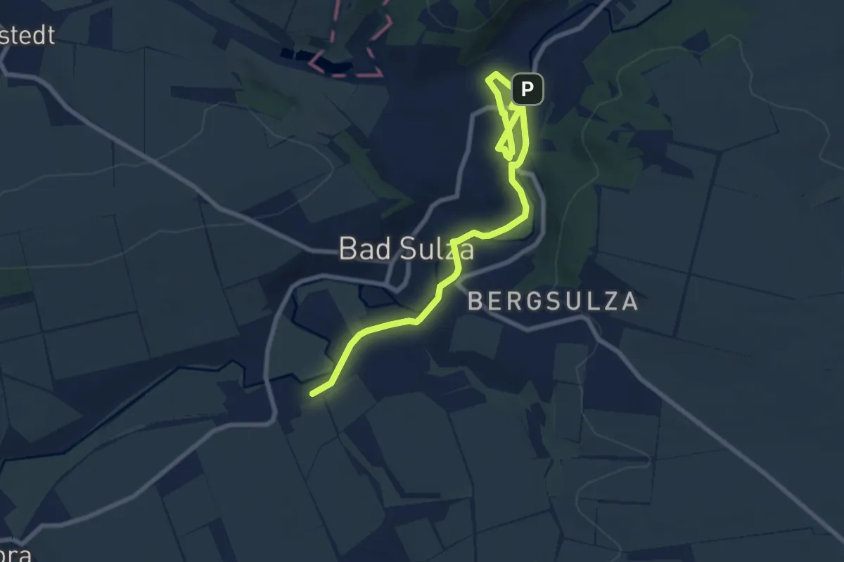
Medium · Trail
Themenweg Salz & Sole
8.7 km · ↑ 51 m · 2 h 9 min
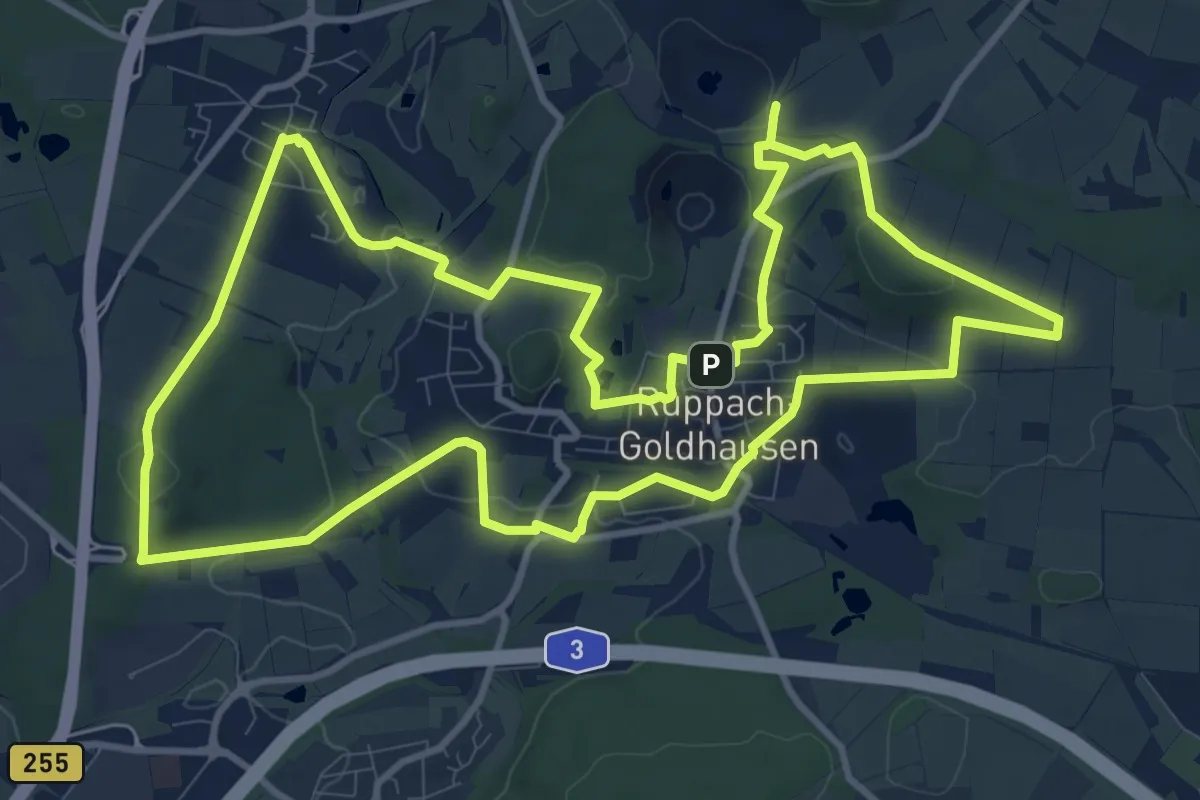
Medium · Summit
Themenweg Ton blau
11.5 km · ↑ 221 m · 3 h 22 min
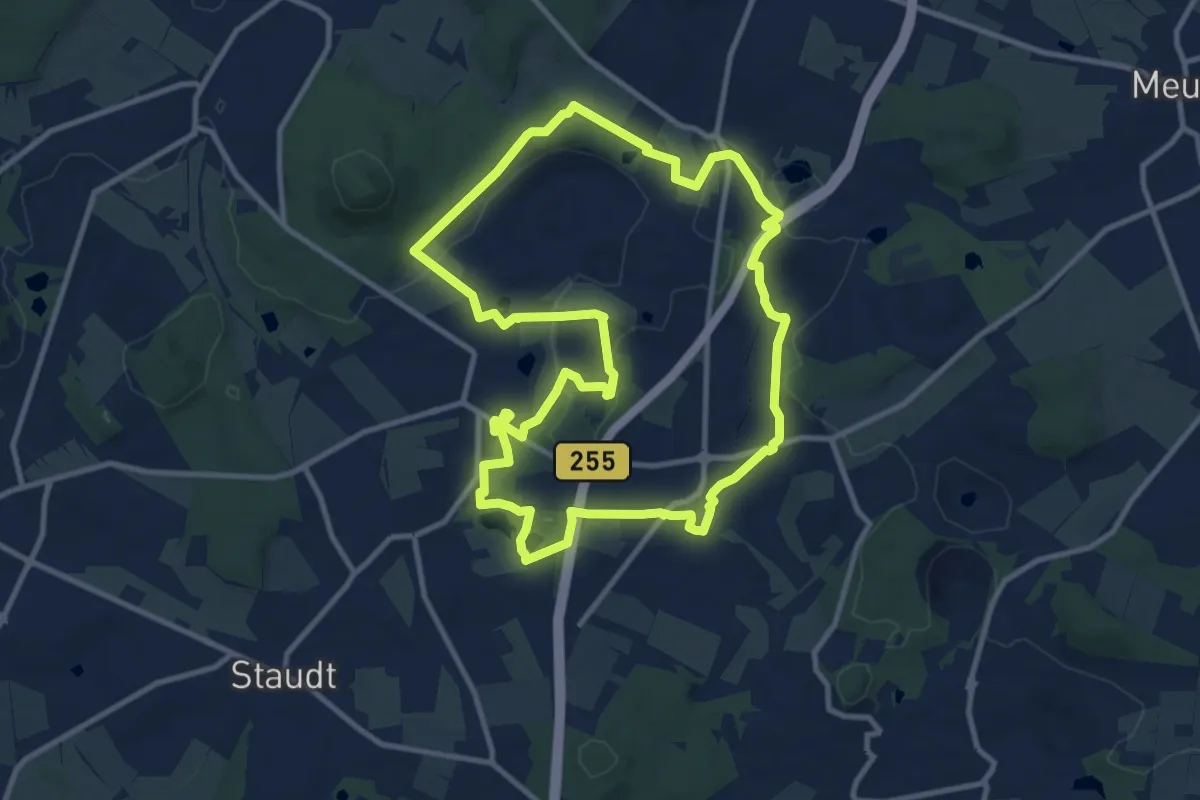
Medium · Summit
Themenweg Ton rot
10.4 km · ↑ 155 m · 2 h 56 min
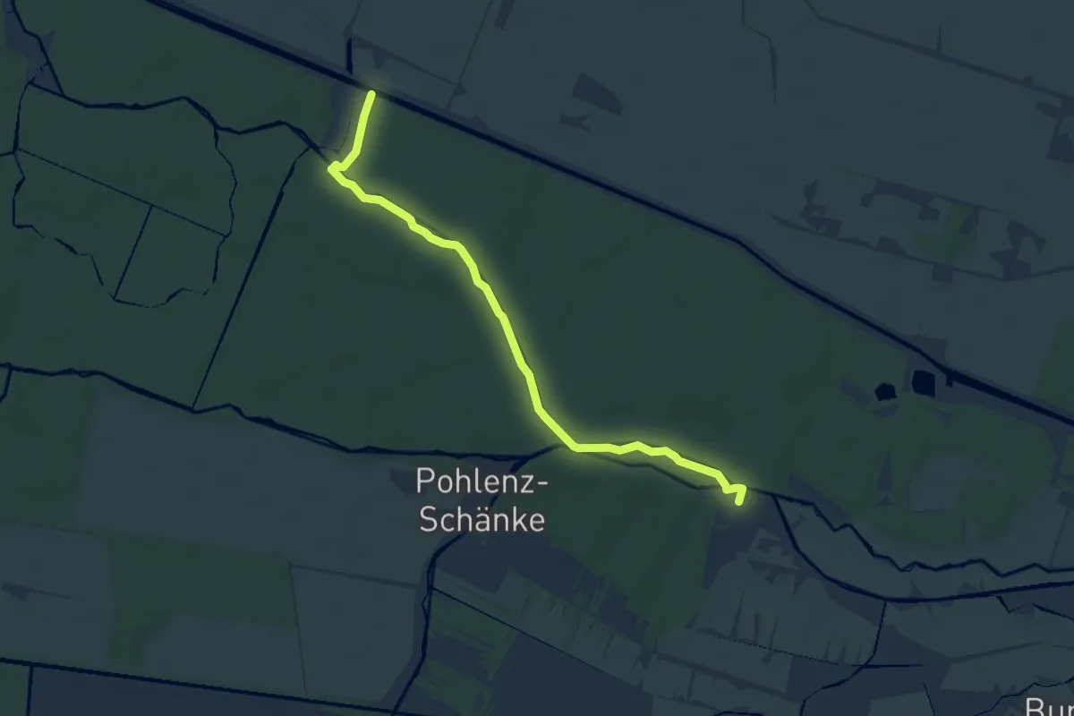
Easy · Trail
Theodor-Fontane-Weg
6.9 km · ↑ 13 m · 1 h 40 min
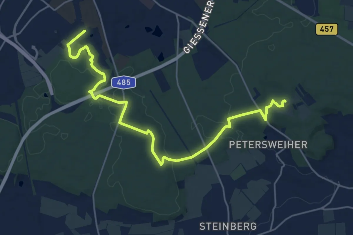
Medium · Summit
Theodors-Ruh-Weg
15.7 km · ↑ 163 m · 4 h 3 min
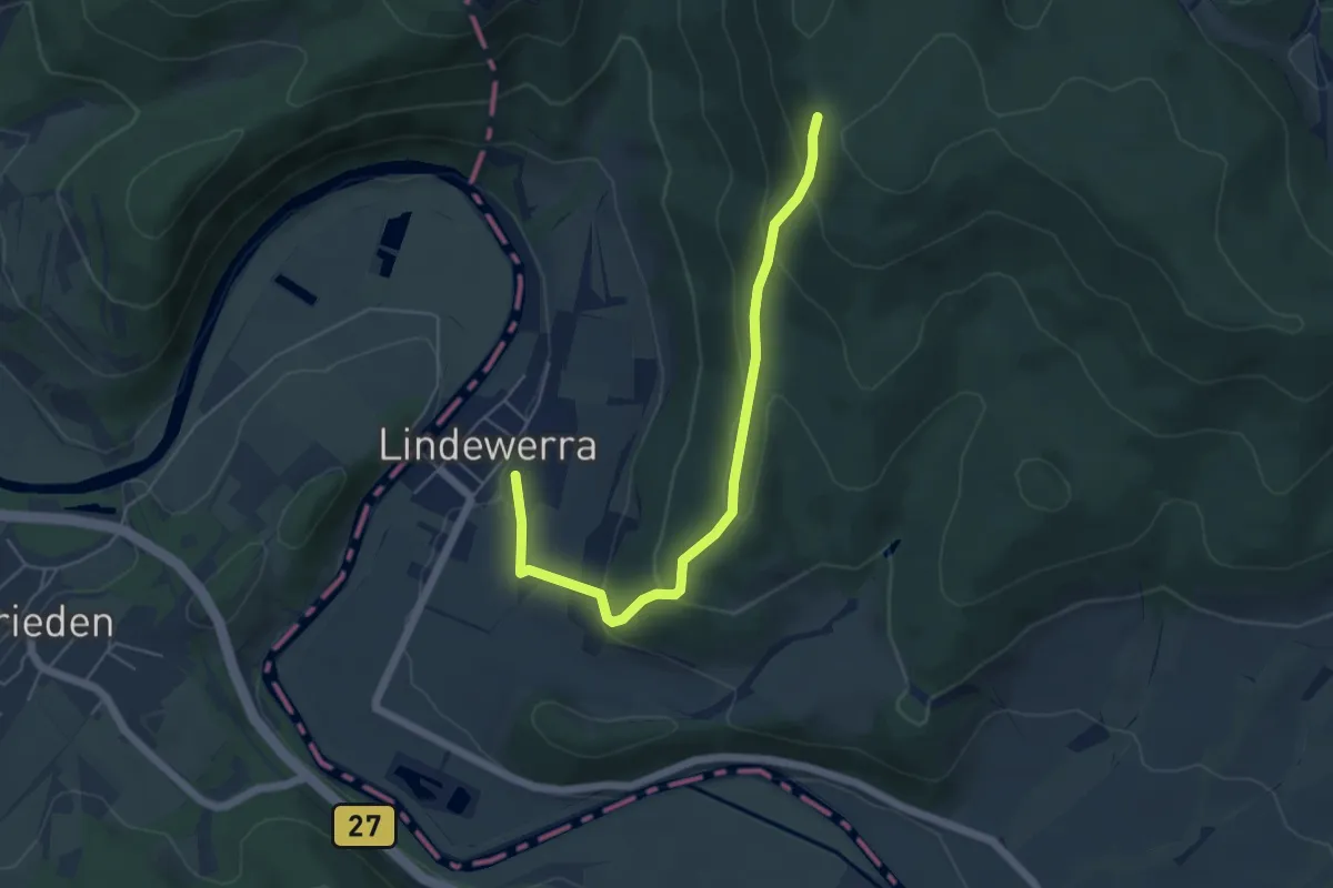
Medium · Trail
Theodor-Storm-Weg
4.9 km · ↑ 276 m · 1 h 45 min
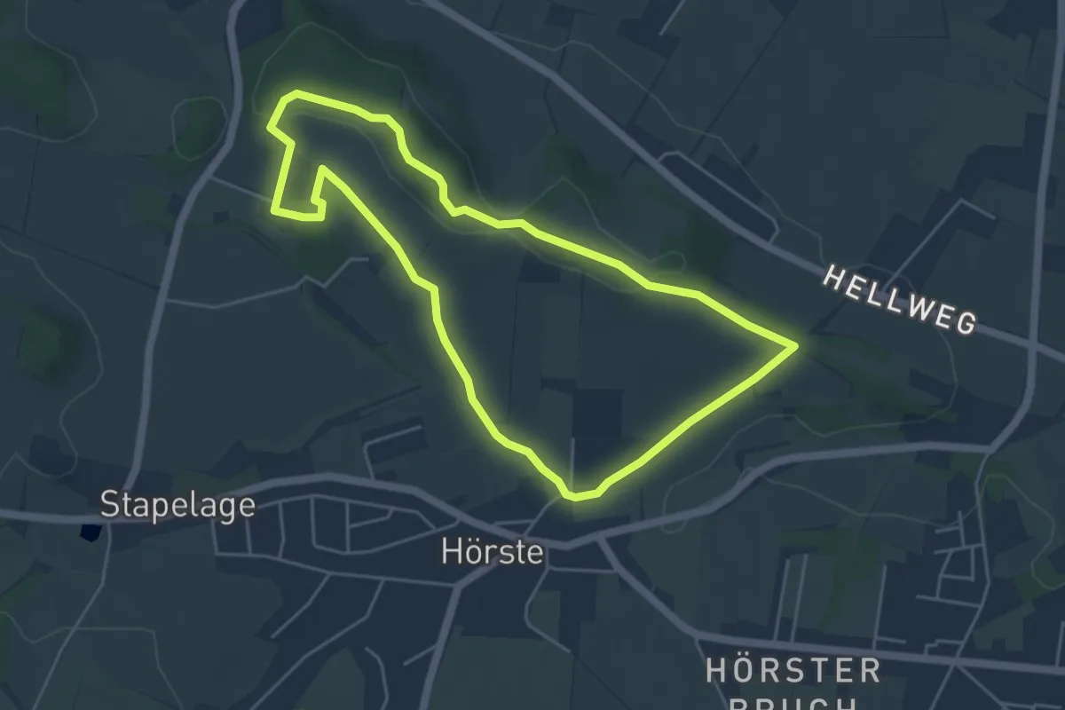
Easy · Summit
Therapeutischer Wanderweg
4.2 km · ↑ 65 m · 1 h 11 min
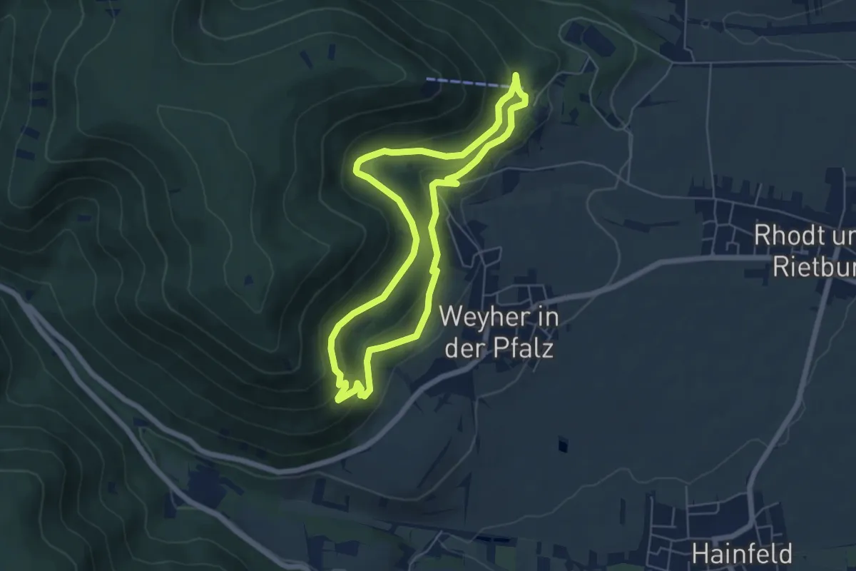
Easy · Trail
Theresienweg Rhodt
5.0 km · ↑ 211 m · 1 h 42 min
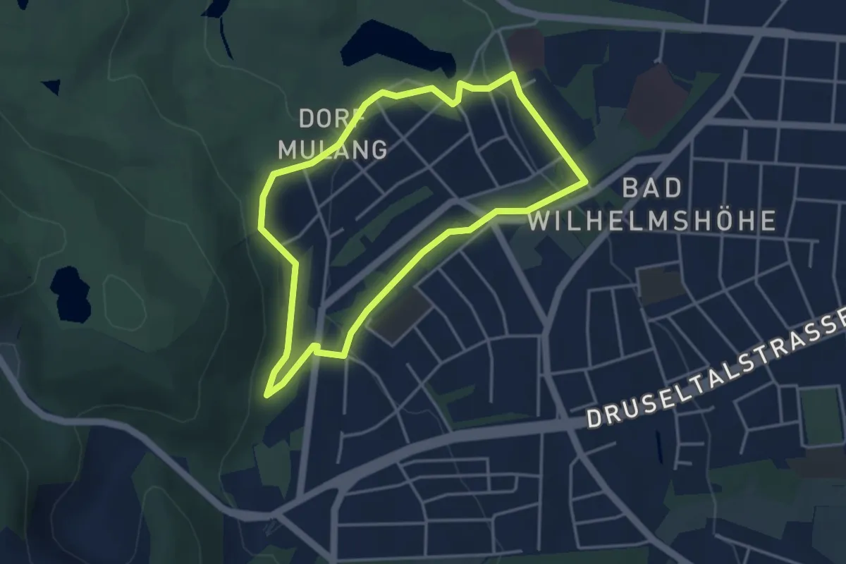
Easy · Trail
Thermalquellenweg
3.2 km · ↑ 127 m · 1 h 4 min
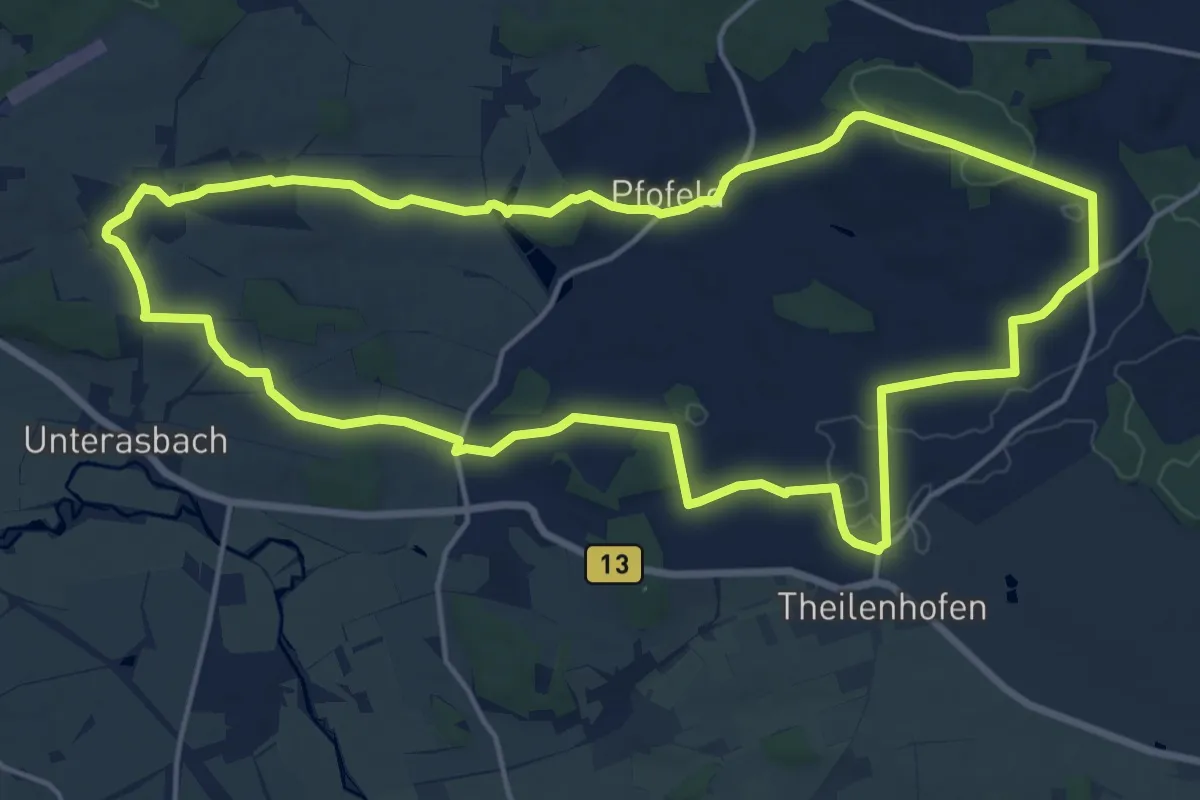
Medium · Trail
Thermenweg
16.7 km · ↑ 238 m · 4 h 41 min
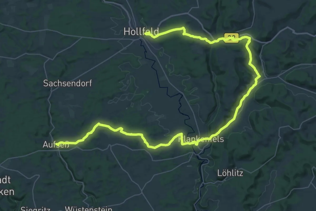
Demanding · Trail
Thermenweg Aufseß-Obernsees
24.8 km · ↑ 457 m · 7 h 11 min
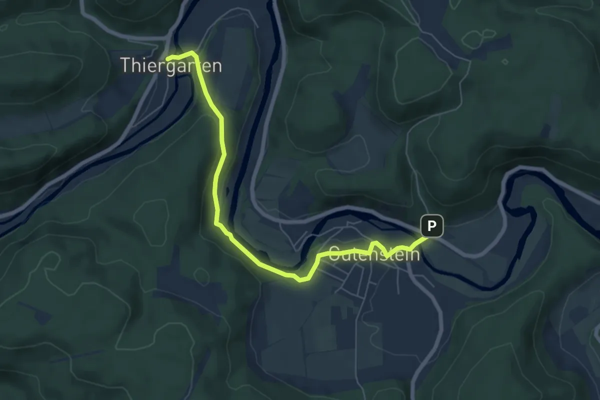
Easy · Trail
Thiergarten - Gutenstein
6.2 km · ↑ 140 m · 1 h 45 min
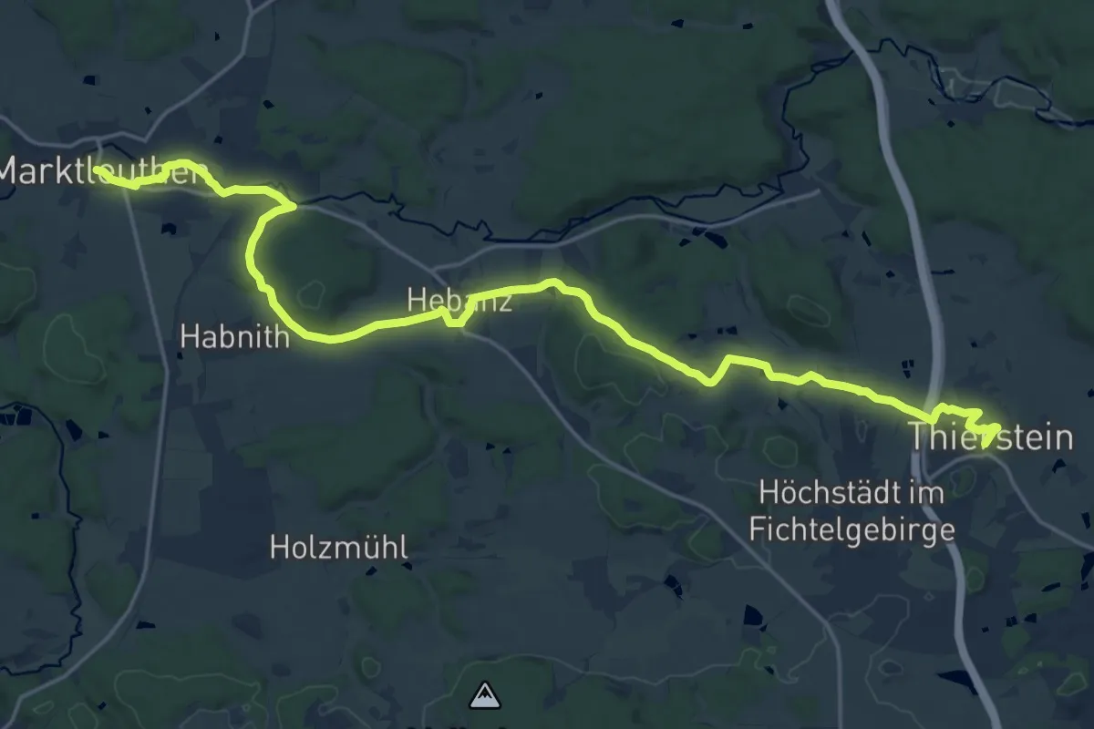
Demanding · Trail
Thierstein-Marktleuthen
21.9 km · ↑ 265 m · 5 h 45 min
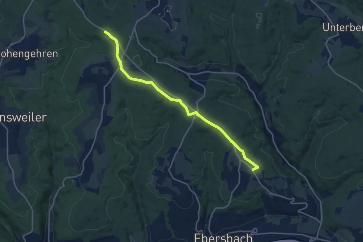
Medium · Summit
Thomashardt - Uhingen
12.0 km · ↑ 108 m · 3 h 4 min
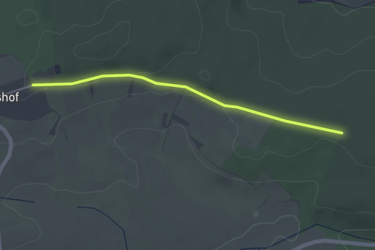
Easy · Trail
Thomashof Forsthaus - Dreimärker
3.0 km · ↑ 33 m · 47 min
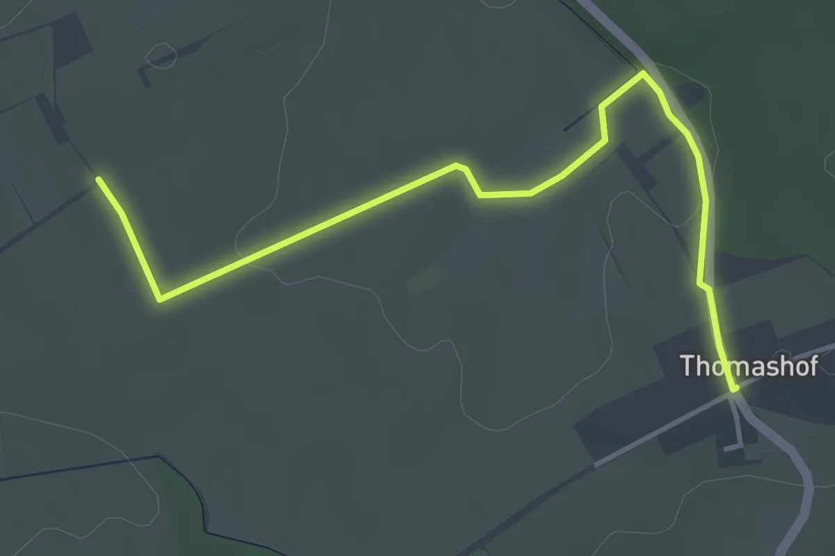
Easy · Trail
Thomashof Tagungsstätte - Fünfzig Morgen
4.0 km · ↑ 51 m · 1 h 3 min
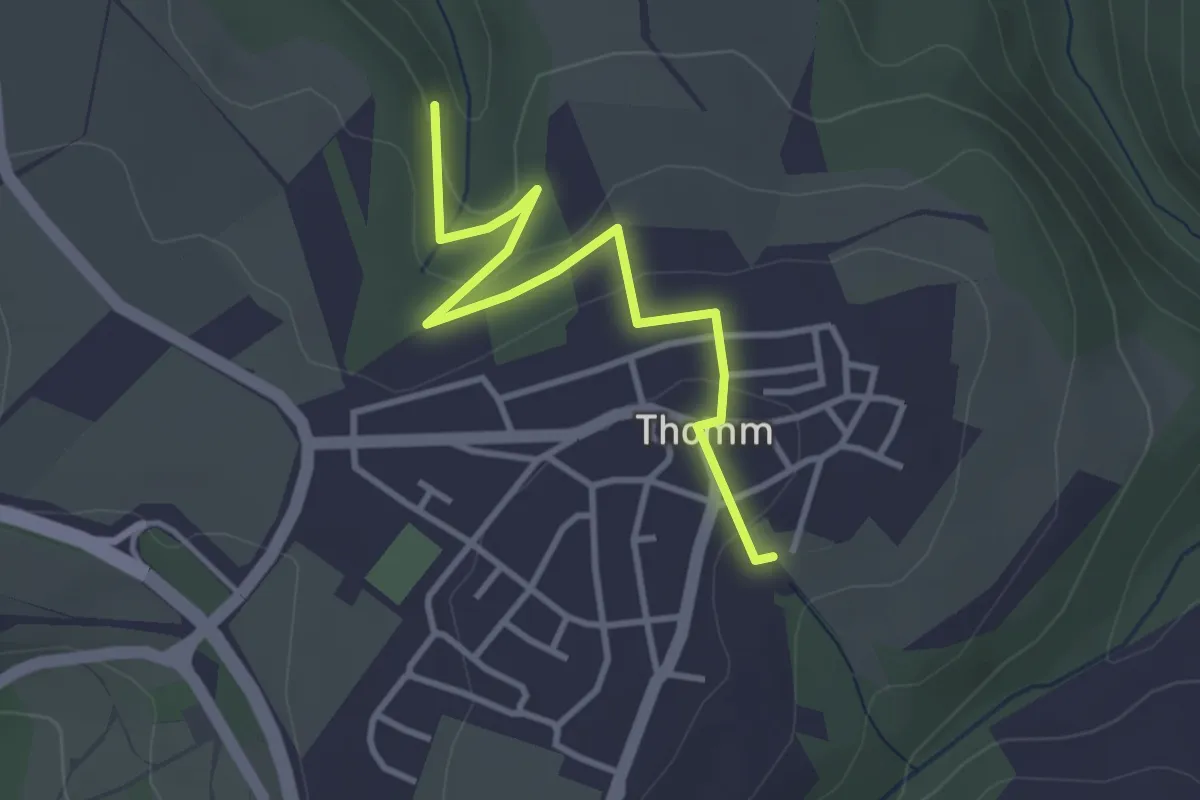
Easy · Trail
Thomm 1
3.2 km · ↑ 106 m · 1 h
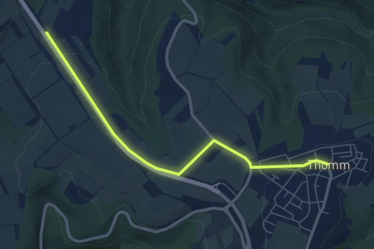
Easy · Trail
Thomm 2
5.6 km · ↑ 61 m · 1 h 27 min
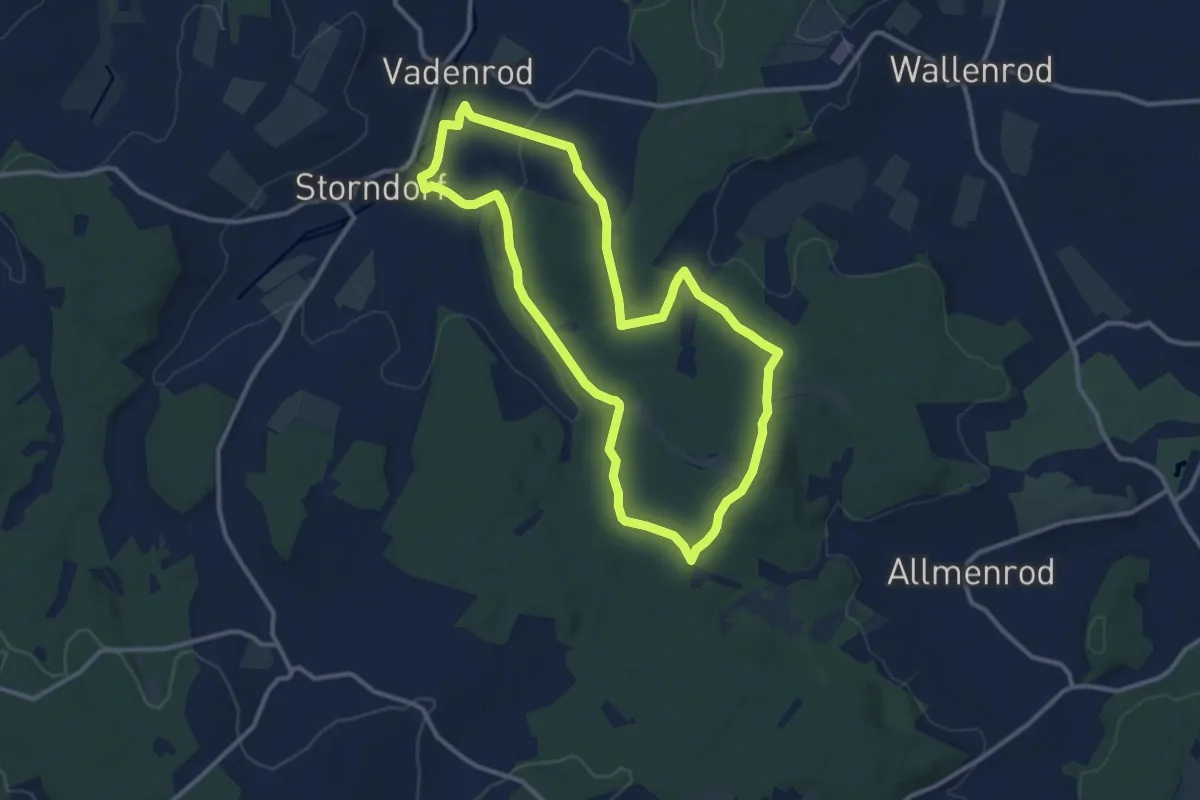
Medium · Summit
Thorkuppenweg
10.6 km · ↑ 169 m · 3 h 1 min
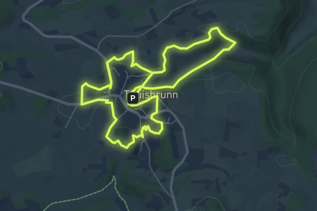
Easy · Trail
Thuisbrunner Leitenweg
5.5 km · ↑ 109 m · 1 h 37 min
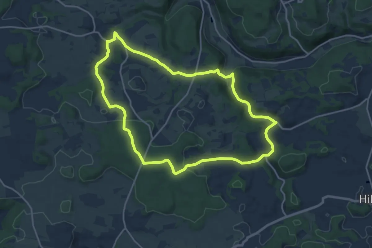
Medium · Trail
Thuisbrunn Rundweg "Ins Großenoher Tal"
10.4 km · ↑ 172 m · 2 h 58 min
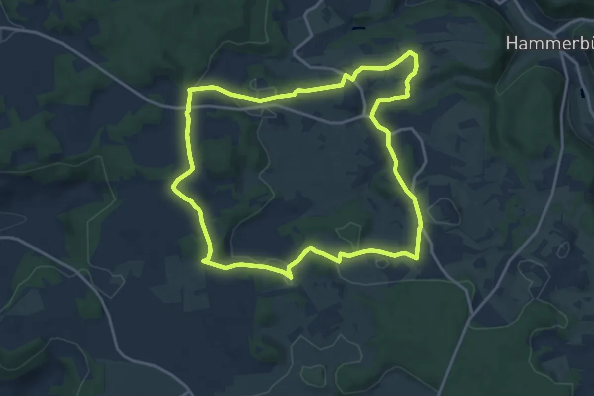
Medium · Summit
Thuisbrunn Rundweg "Rund um Thuisbrunn"
9.4 km · ↑ 157 m · 2 h 42 min
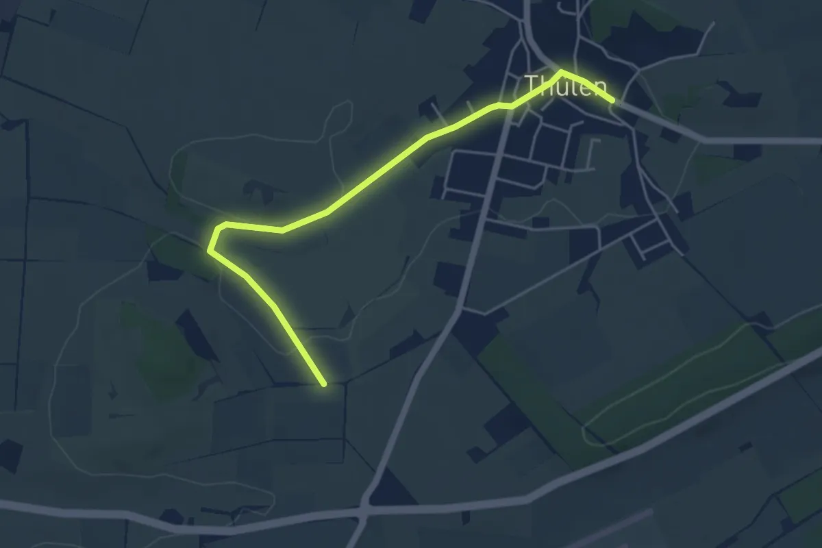
Easy · Trail
Thülen Rundweg T1
2.1 km · ↑ 9 m · 34 min
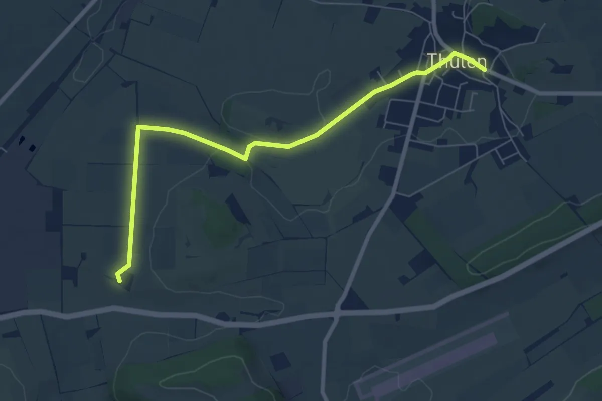
Easy · Trail
Thülen Rundweg T2
3.1 km · ↑ 32 m · 50 min
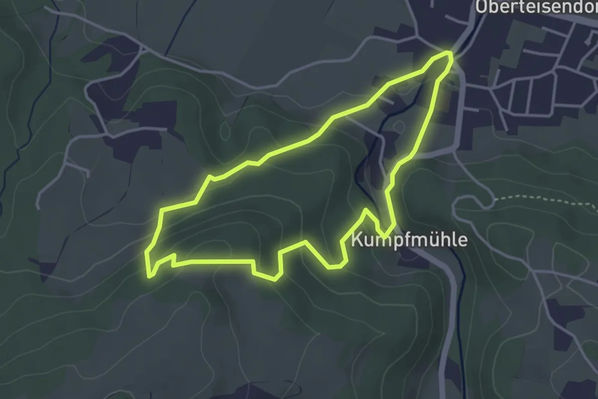
Easy · Trail
Thumberg-Rundweg Nr. 21
3.3 km · ↑ 141 m · 1 h 8 min
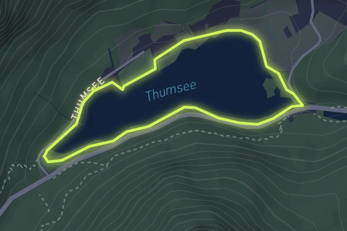
Easy · Trail
Thumseerundweg
2.4 km · ↑ 40 m · 42 min
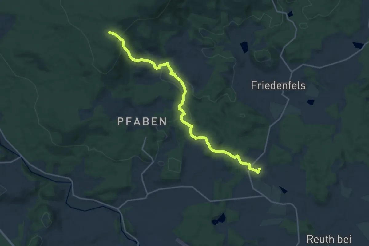
Medium · Summit
Thumsenreuth-Waldhaus
14.3 km · ↑ 402 m · 4 h 14 min
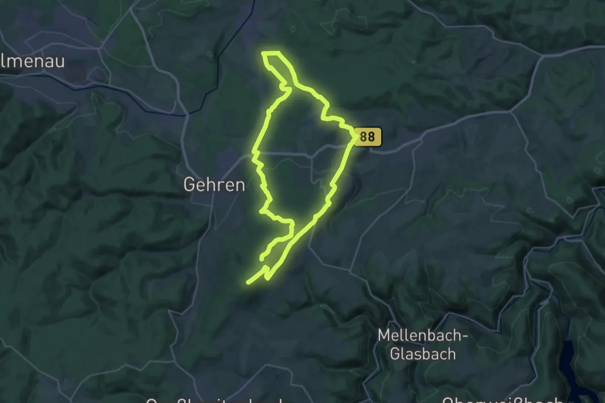
Demanding · Summit
Thüringen, Der Lange Berg
45.2 km · ↑ 912 m · 12 h 39 min
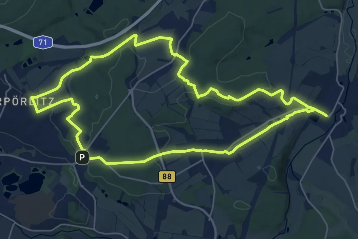
Medium · Trail
Thüringen, Durch den Wipfragrund
15.9 km · ↑ 316 m · 4 h 39 min
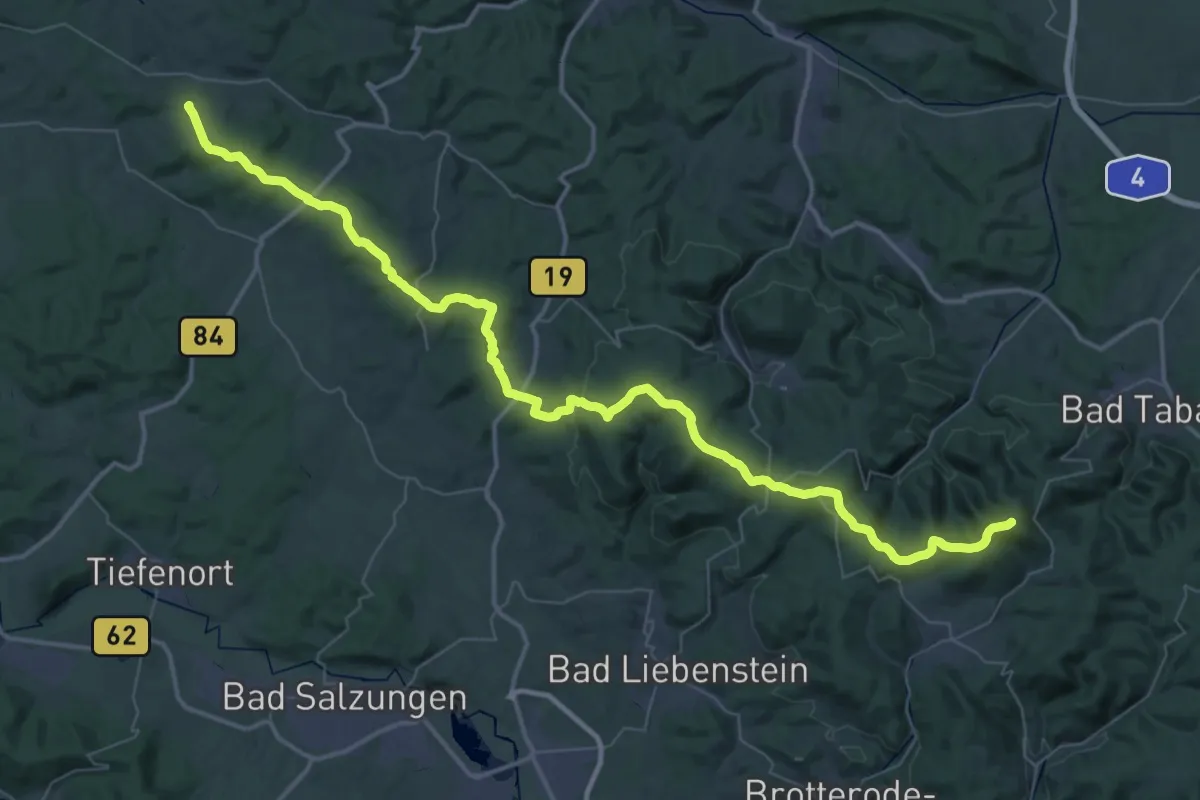
Demanding · Summit
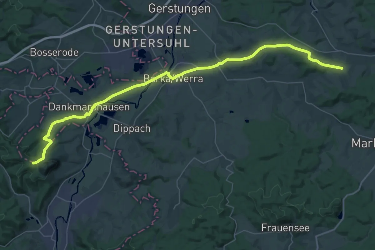
Thüringen-Hessen-Rhein-Wanderweg 01, Großer Inselsberg – Oberellen
58.0 km · ↑ 1311 m · 16 h 31 min
Demanding · Summit
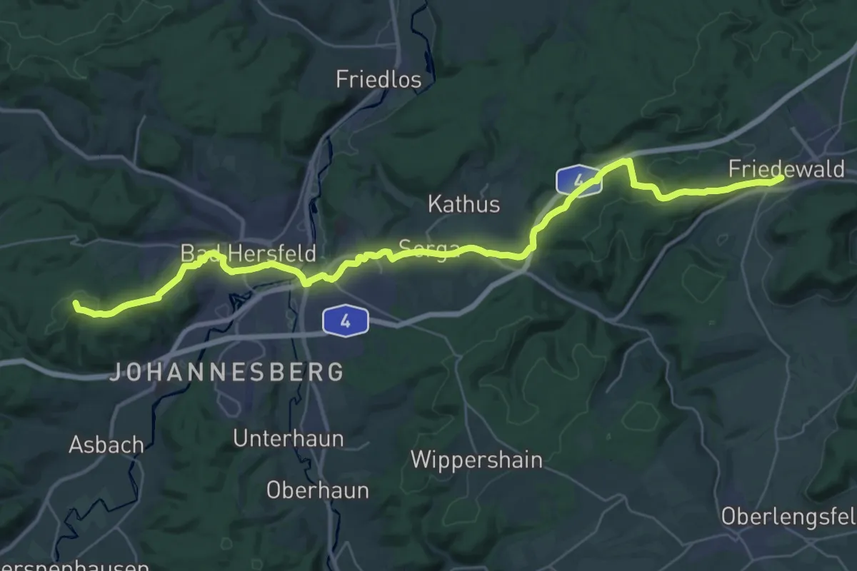
Thüringen-Hessen-Rhein-Wanderweg 02, Oberellen - Friedewald
34.7 km · ↑ 457 m · 9 h 12 min
Demanding · Summit
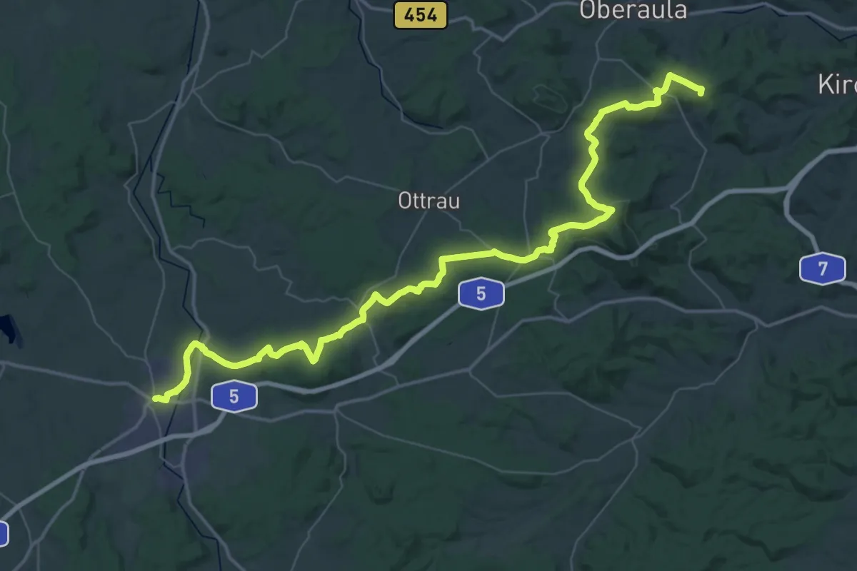
Thüringen-Hessen-Rhein-Wanderweg 03, Friedewald - Kirchheim
34.4 km · ↑ 577 m · 9 h 22 min
Demanding · Summit
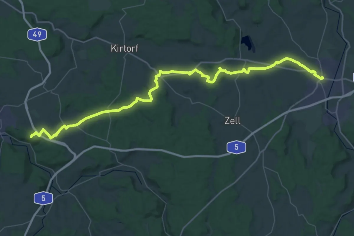
Thüringen-Hessen-Rhein-Wanderweg 04, Kirchheim - Alsfeld
54.0 km · ↑ 1029 m · 14 h 59 min
Demanding · Summit
Thüringen-Hessen-Rhein-Wanderweg 05, Alsfeld - Homberg (Ohm)
45.9 km · ↑ 608 m · 12 h 9 min