Trails in Germany
36,852 hiking trails, each with its route, climb, walking time and grade.
All trails, page 626 of 768
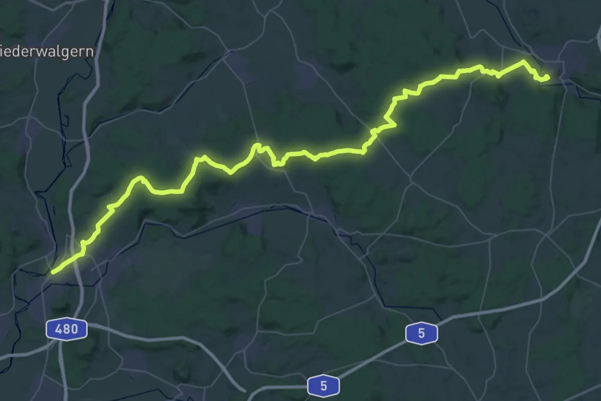
Demanding · Trail
Thüringen-Hessen-Rhein-Wanderweg 06, Homberg (Ohm) - Lollar
30.0 km · ↑ 414 m · 8 h 25 min
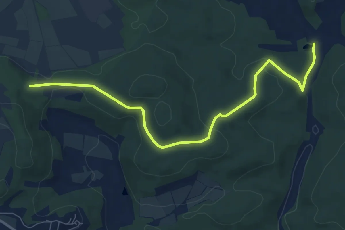
Easy · Trail
Thüringen-Hessen-Rhein-Wanderweg 07, Lollar - Herborn (Alternativroute)
7.3 km · ↑ 193 m · 2 h 9 min
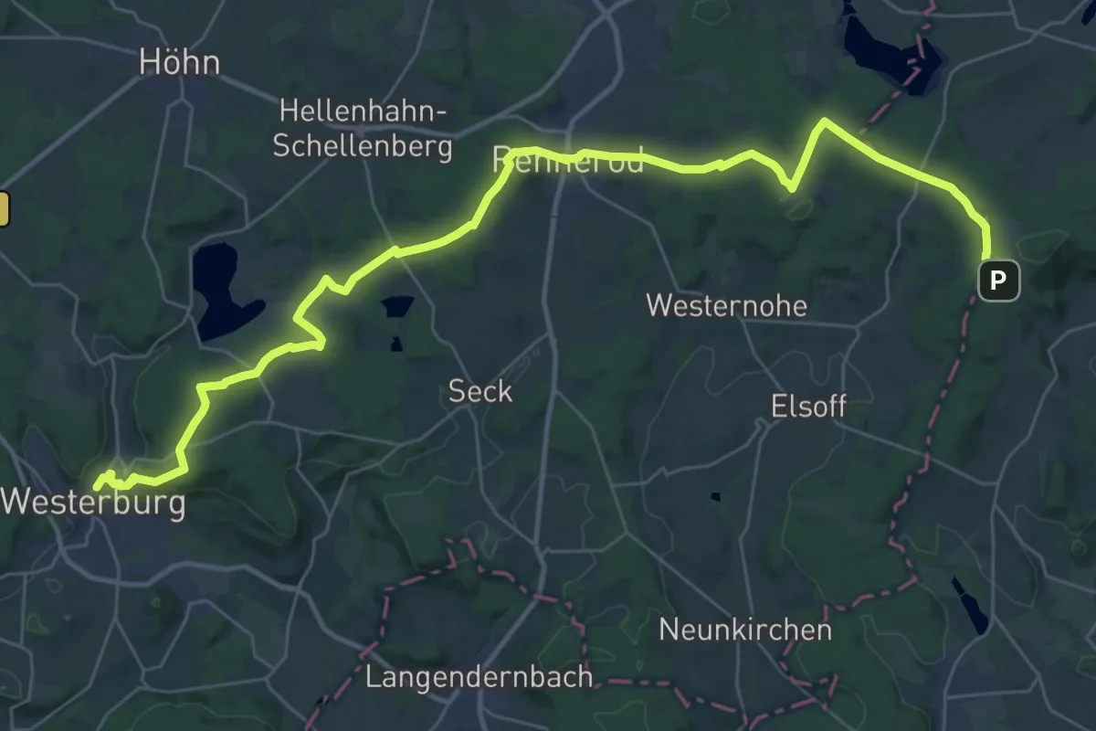
Demanding · Trail
Thüringen-Hessen-Rhein-Wanderweg 08, Herborn - Westerburg
19.4 km · ↑ 215 m · 5 h 26 min
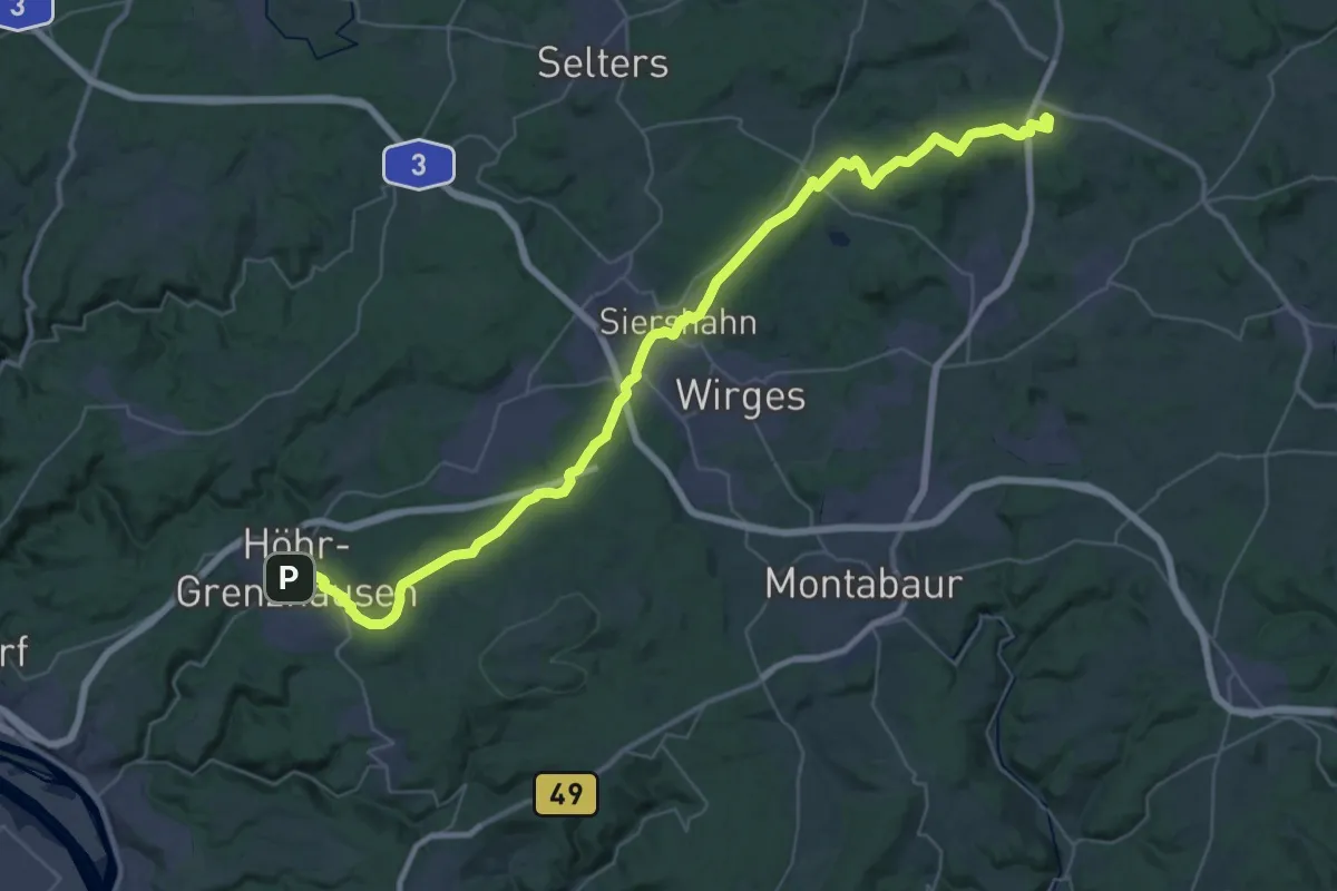
Demanding · Summit
Thüringen-Hessen-Rhein-Wanderweg 09, Westerburg - Höhr-Greznzhausen
45.6 km · ↑ 756 m · 12 h 25 min
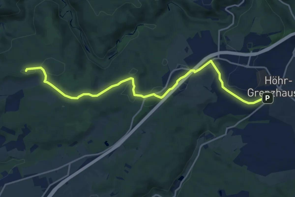
Medium · Summit
Thüringen-Hessen-Rhein-Wanderweg 10, Höhr-Greznzhausen - Schloss Engers
11.3 km · ↑ 121 m · 2 h 56 min
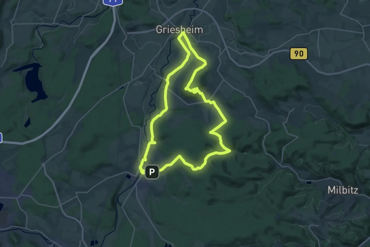
Demanding · Summit
Thüringen, Rund um den Singer Berg
19.6 km · ↑ 406 m · 5 h 47 min
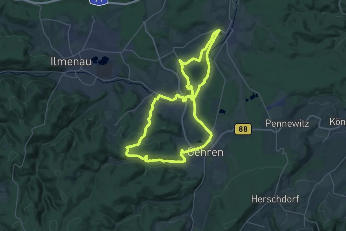
Demanding · Summit
Thüringen, Zum Hexenstein
22.1 km · ↑ 383 m · 6 h 21 min
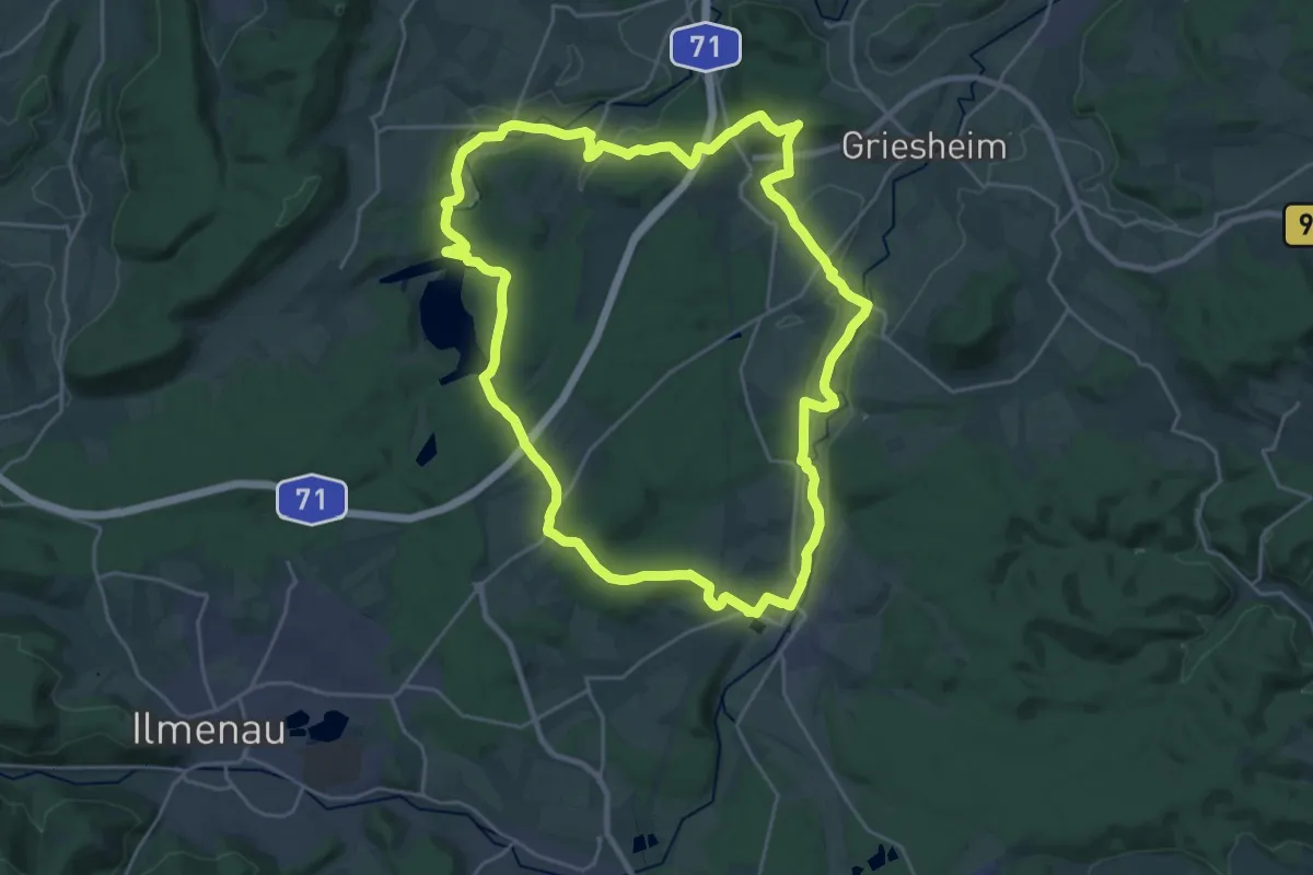
Demanding · Trail
Thüringen, Zum Stausee Heyda
23.2 km · ↑ 333 m · 6 h 31 min
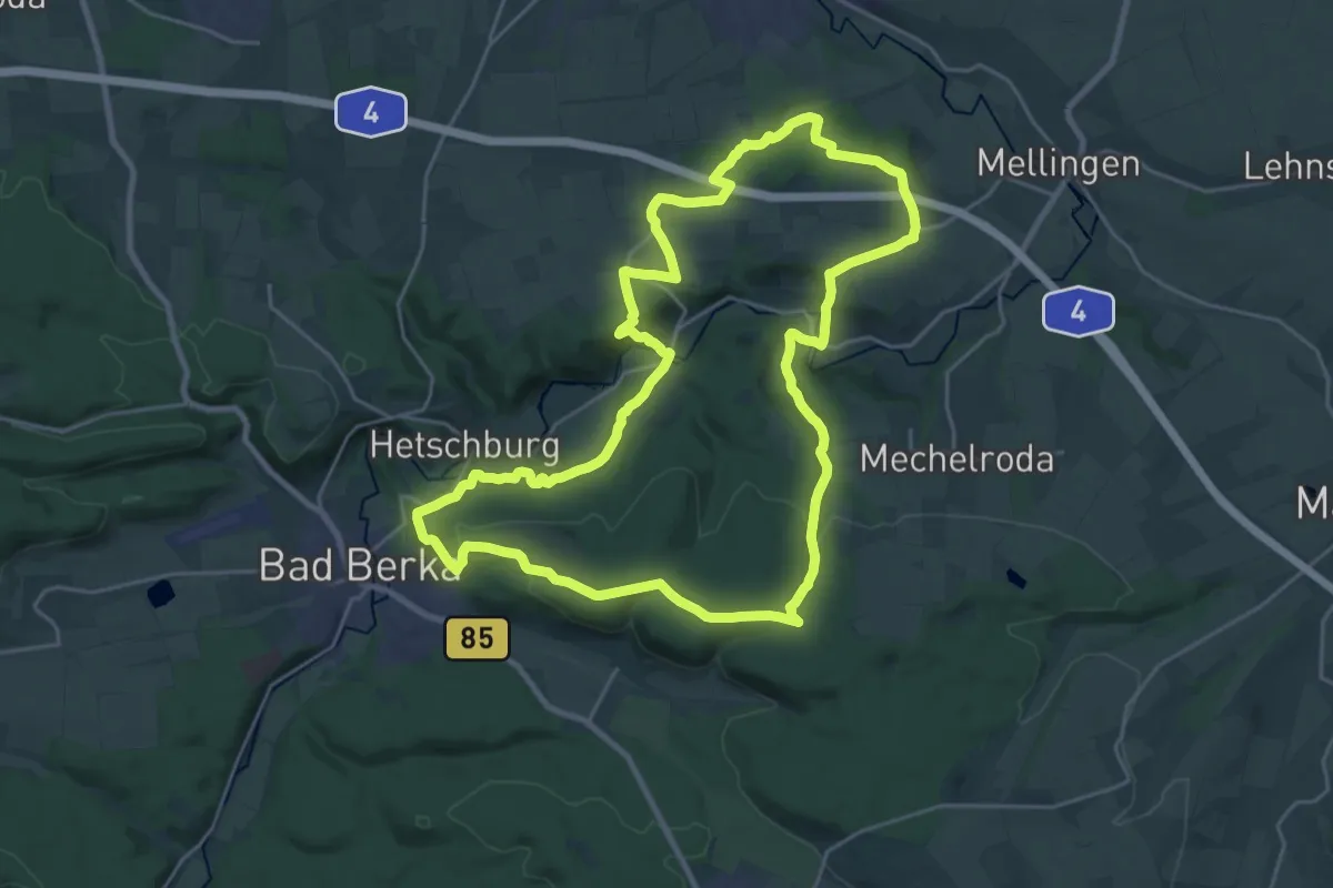
Demanding · Summit
Thüringer Drei-Türme-Weg
22.8 km · ↑ 540 m · 6 h 53 min
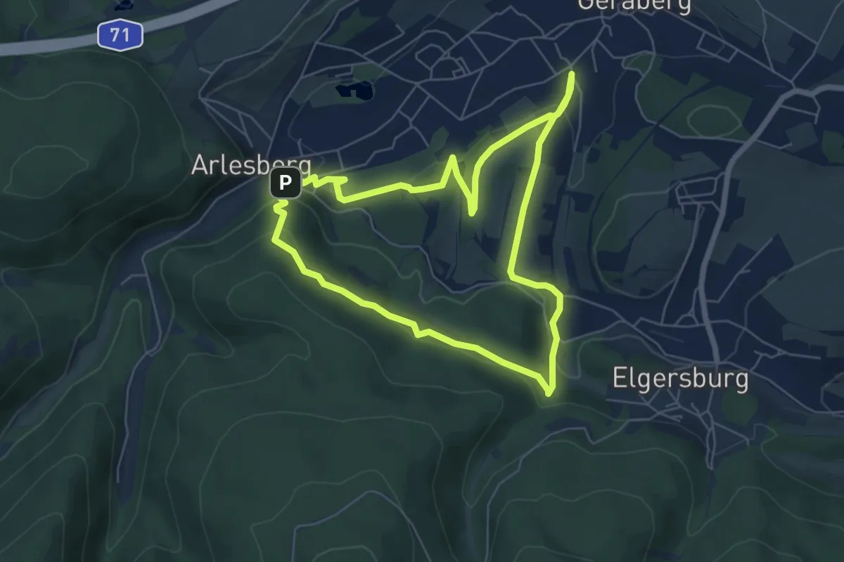
Easy · Trail
Thüringer Klimaweg Geraberg
5.6 km · ↑ 210 m · 1 h 51 min
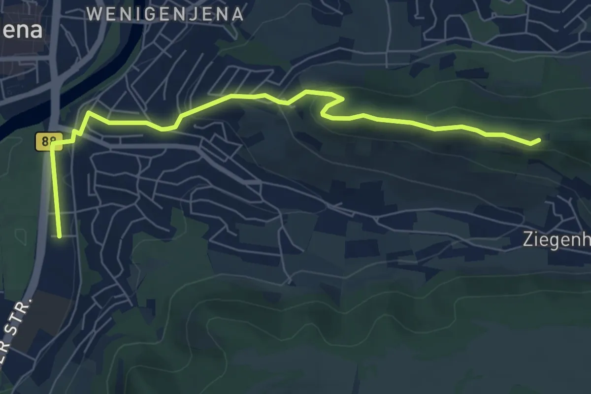
Easy · Trail
Thüringer Langstreckenwanderung links und rechts des Mittleren Saaletals
6.3 km · ↑ 209 m · 1 h 56 min
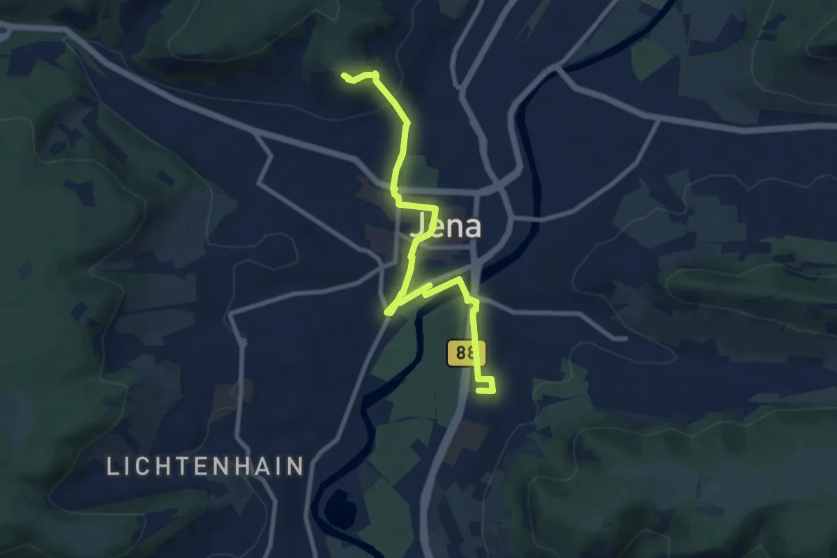
Easy · Trail
Thüringer Langstreckenwanderung links und rechts des Mittleren Saaletals
7.6 km · ↑ 137 m · 2 h 5 min
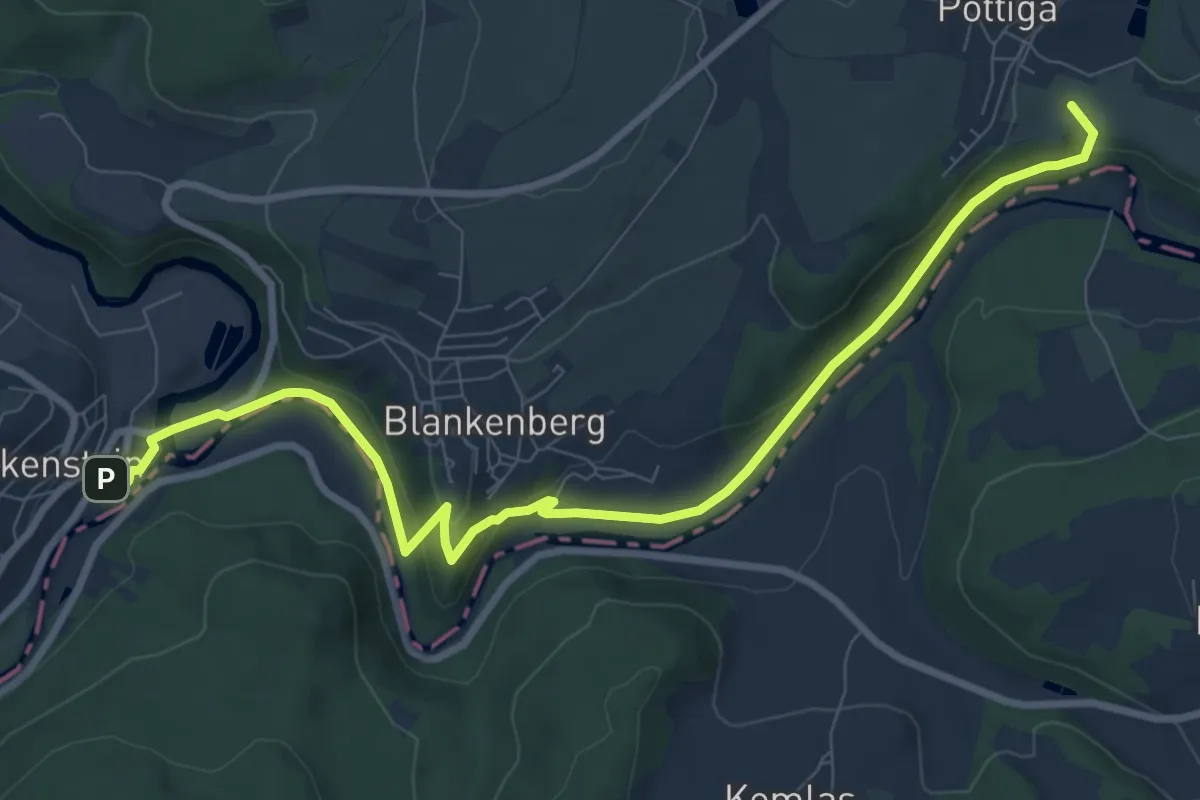
Medium · Trail
Thüringer Meer Weg
9.3 km · ↑ 237 m · 2 h 43 min
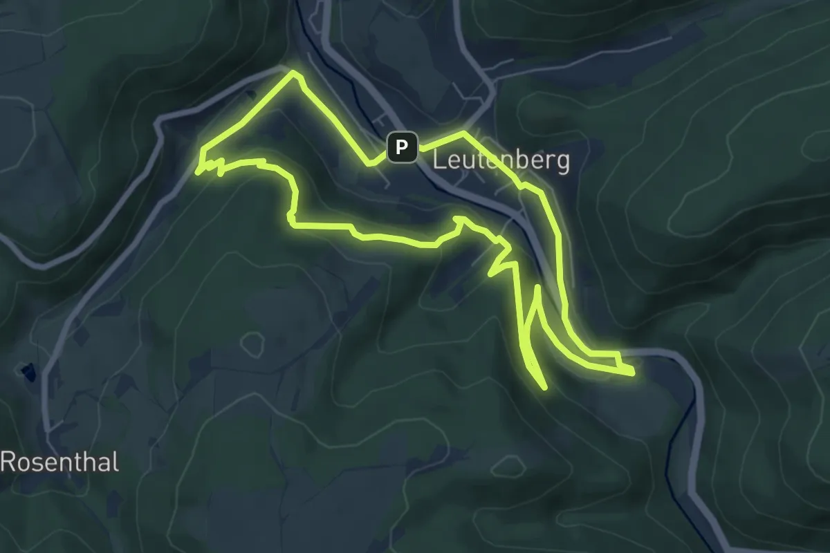
Easy · Summit
Thüringer Urwaldpfad Leutenberg
6.2 km · ↑ 204 m · 2 h
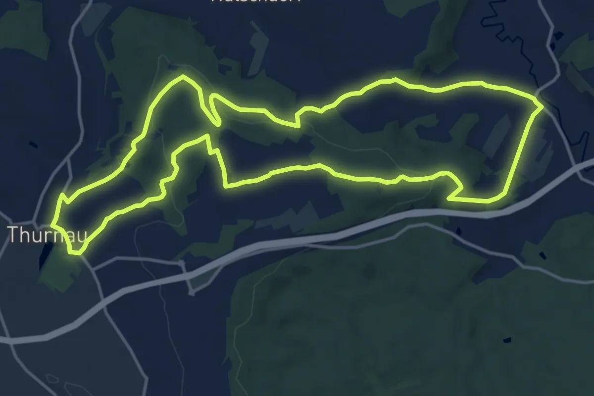
Medium · Trail
Thurnau Rundweg Blauer Ring
12.3 km · ↑ 232 m · 3 h 35 min
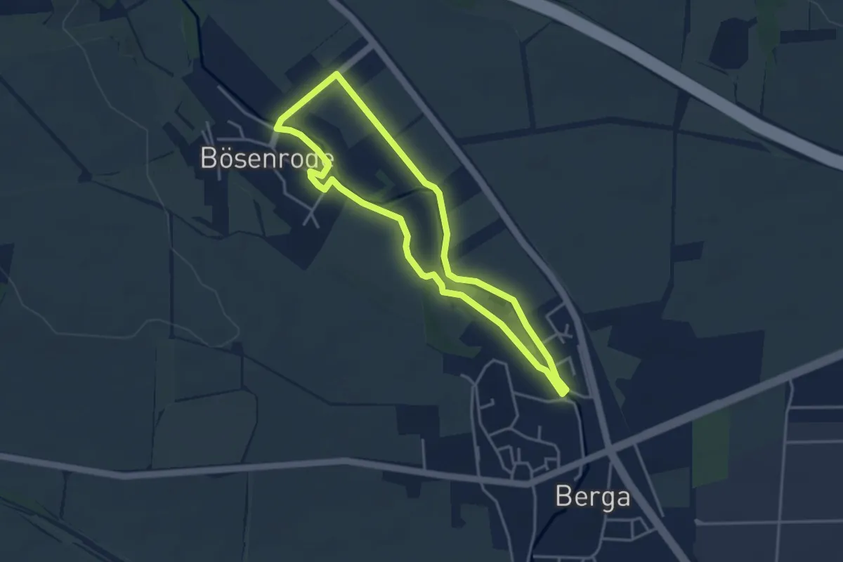
Easy · Trail
Thyra-Erlebnis-Rundweg
3.1 km · ↑ 4 m · 48 min
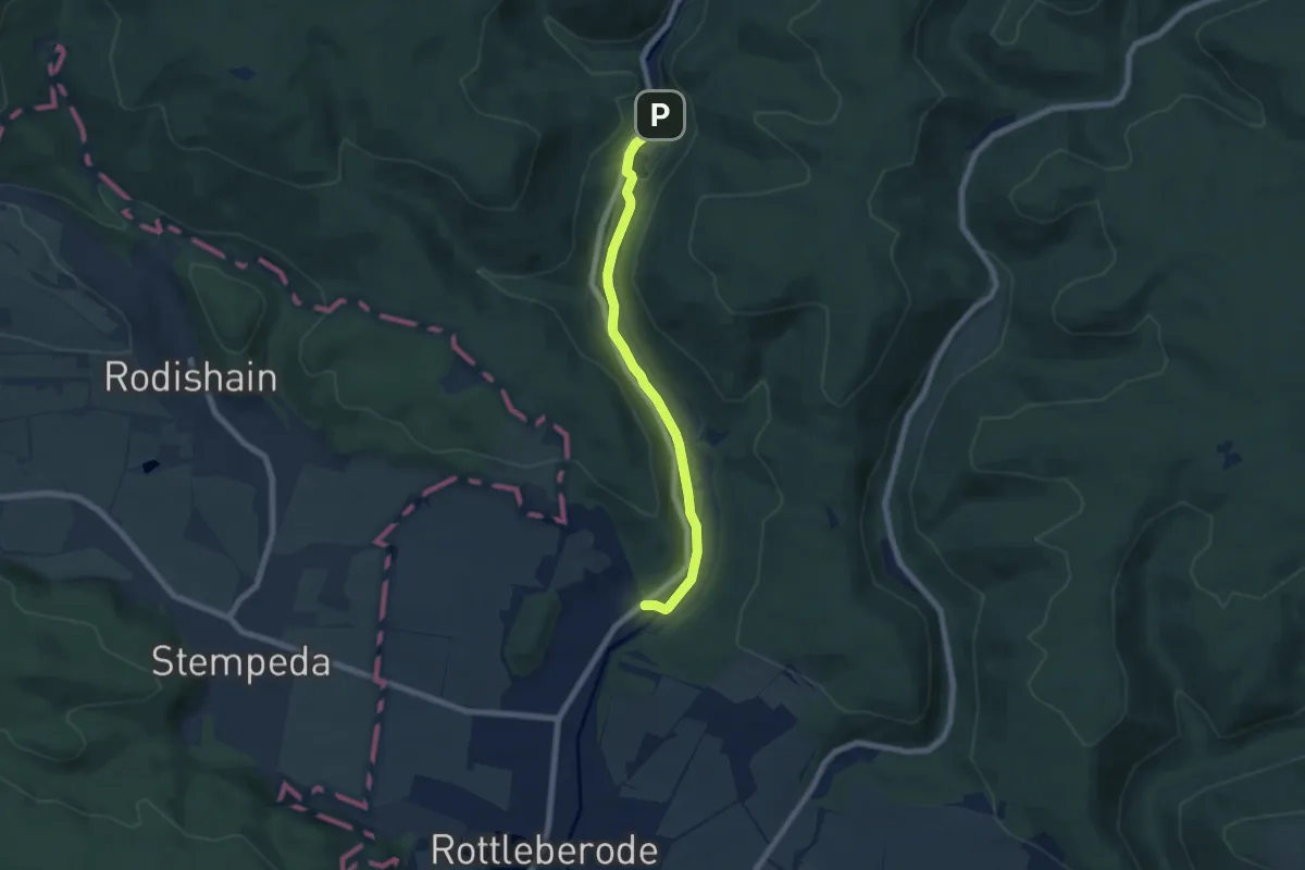
Easy · Trail
Thyratal
5.8 km · ↑ 85 m · 1 h 33 min
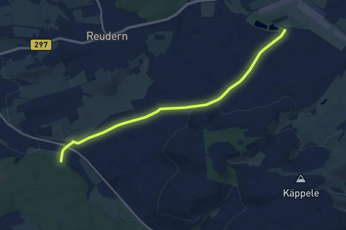
Medium · Trail
Tiefenbach - Bürgerseen
8.9 km · ↑ 164 m · 2 h 27 min
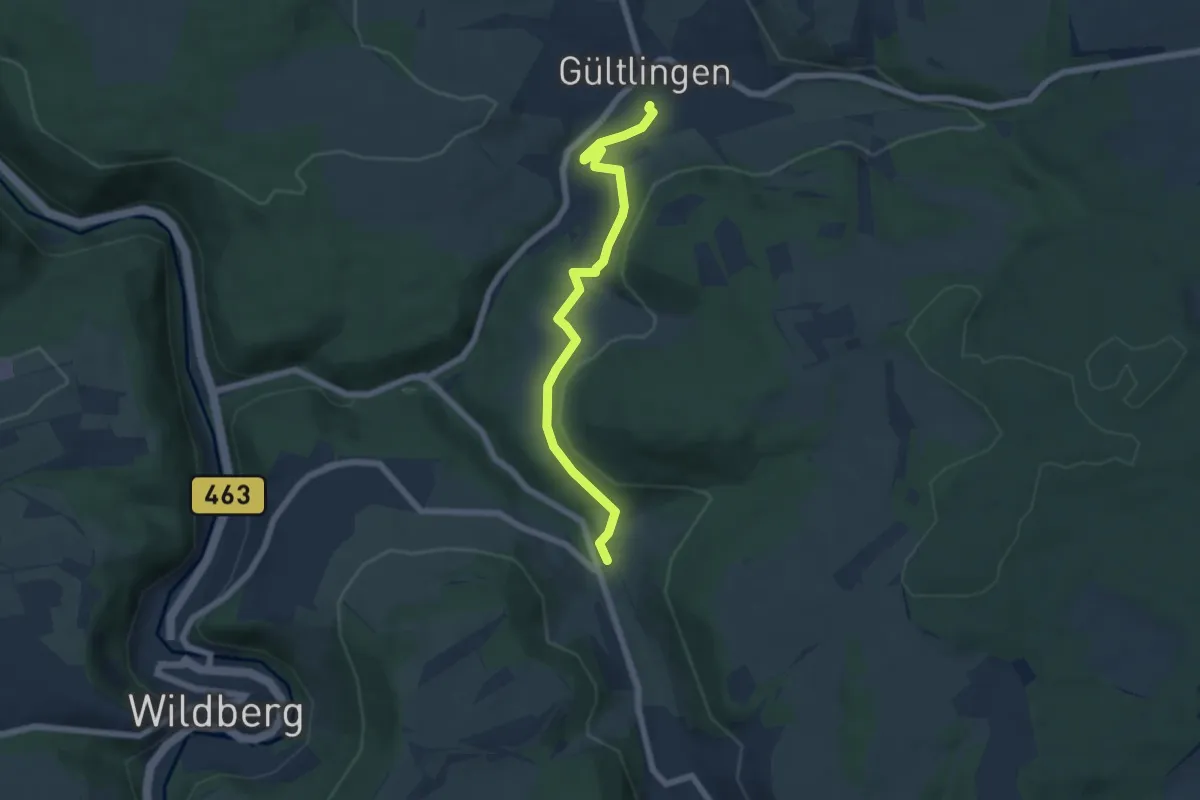
Easy · Trail
Tiefenbach - Gültlingen Backhaus
5.8 km · ↑ 146 m · 1 h 42 min
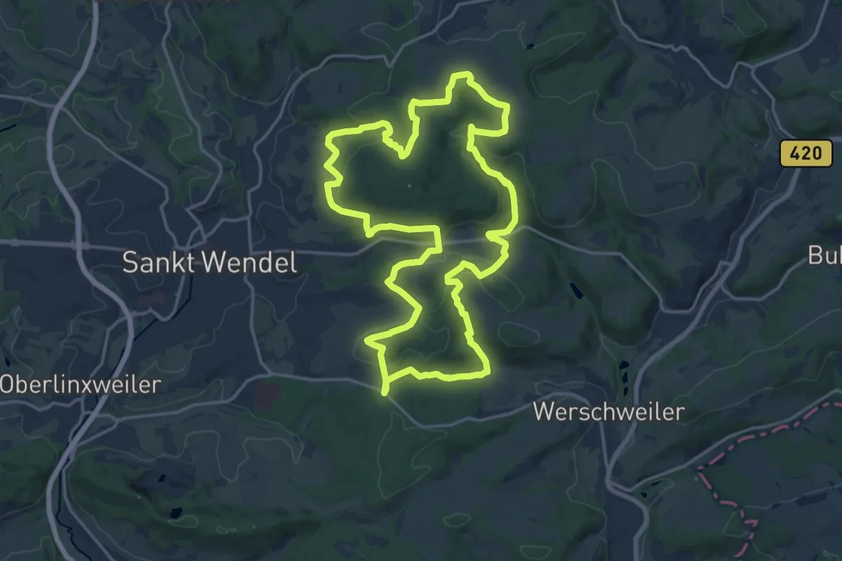
Medium · Trail
Tiefenbachpfad
15.5 km · ↑ 508 m · 4 h 58 min
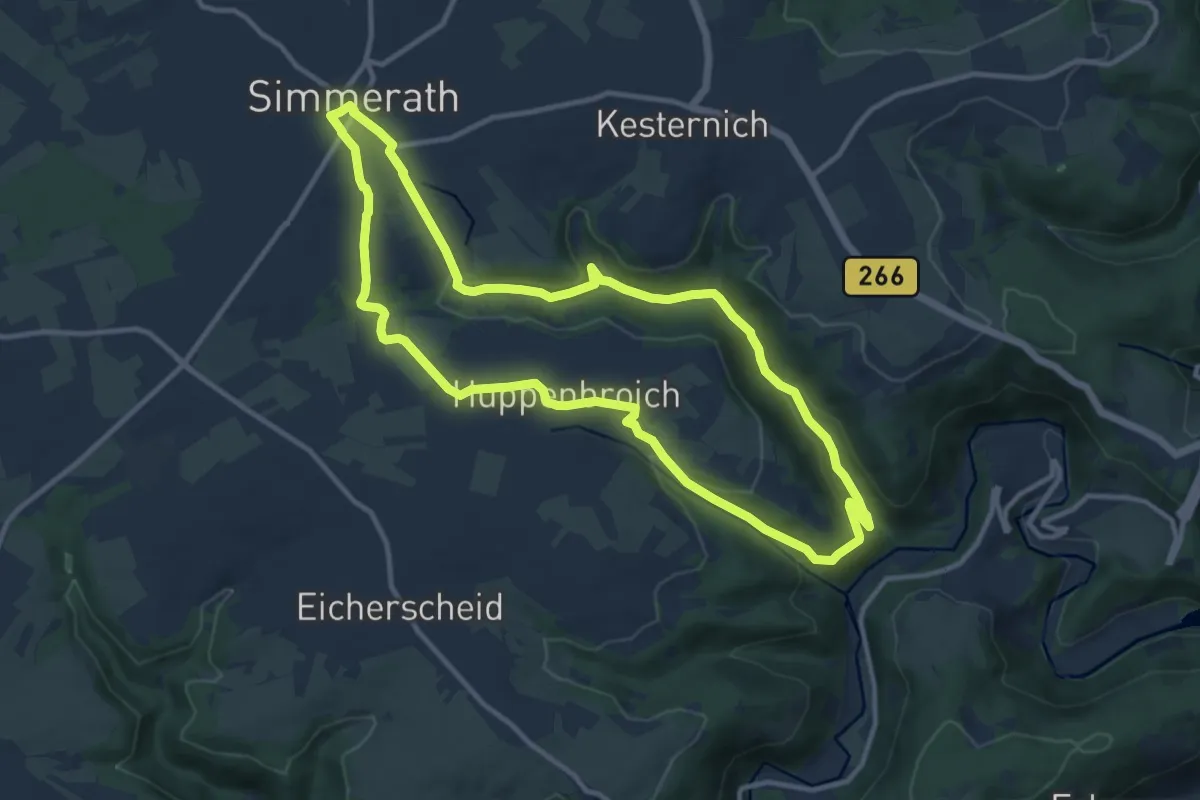
Medium · Trail
Tiefenbachtal
10.6 km · ↑ 227 m · 3 h 9 min
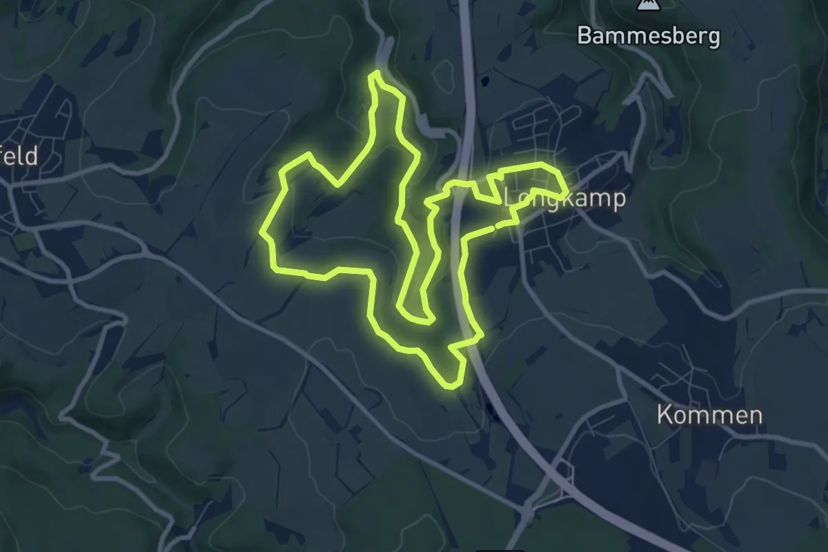
Medium · Trail
Tiefenbach-Tour
8.8 km · ↑ 219 m · 2 h 41 min
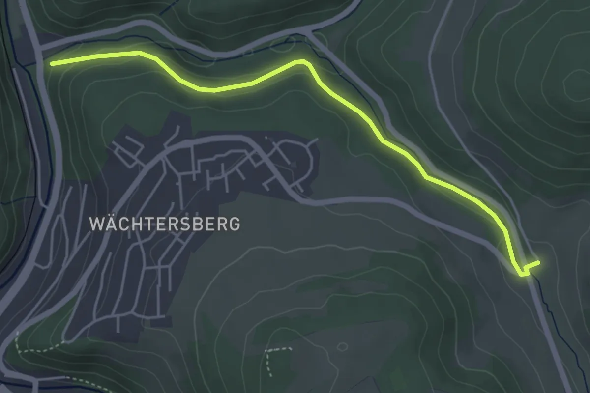
Easy · Trail
Tiefenbach - Untere Papiermühle
4.4 km · ↑ 93 m · 1 h 15 min
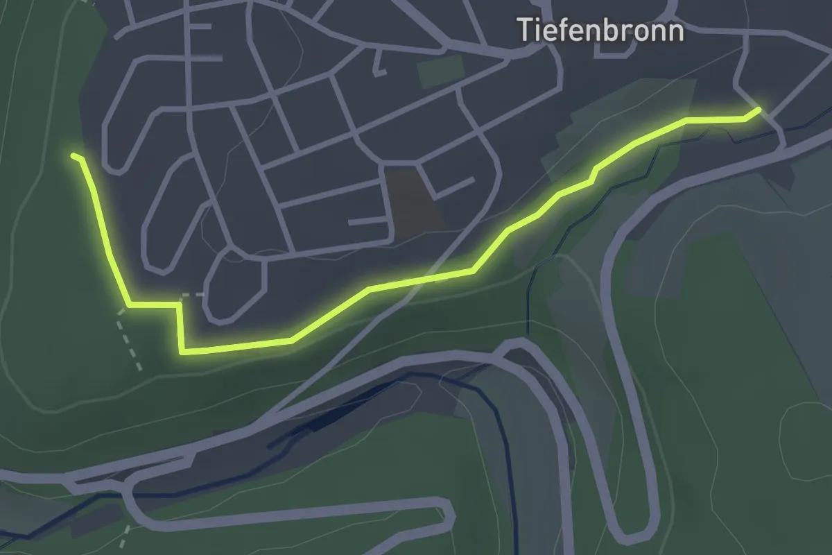
Easy · Trail
Tiefenbronn Schwarzer Adler - Tiefenbronn Mühlweg
2.8 km · ↑ 42 m · 45 min
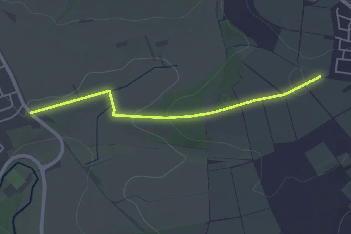
Easy · Trail
Tiefenbronn Wanderweg 1
3.5 km · ↑ 58 m · 56 min
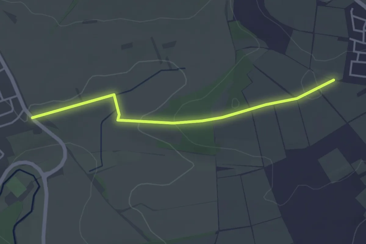
Easy · Trail
Tiefenbronn Wanderweg 2
3.5 km · ↑ 58 m · 56 min
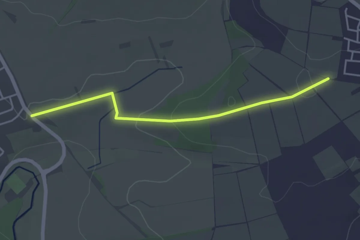
Easy · Trail
Tiefenbronn Wanderweg 3
3.5 km · ↑ 58 m · 56 min
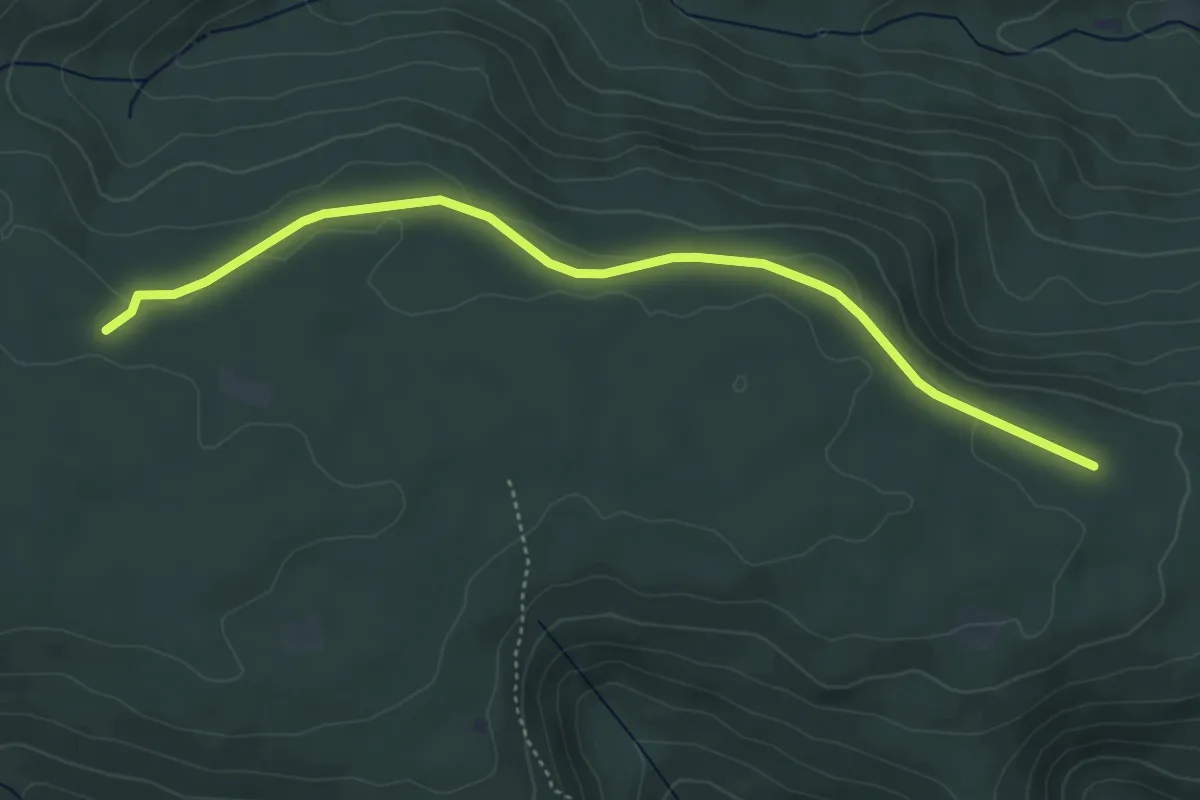
Easy · Trail
Tiefengrund - Wannenebene
4.6 km · ↑ 68 m · 1 h 14 min
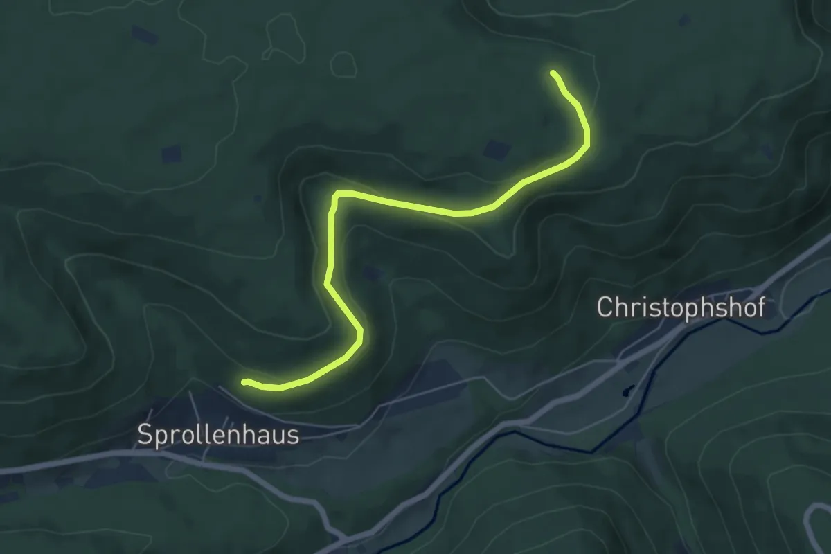
Easy · Trail
Tiefengrund - Wannenschleifweg
5.5 km · ↑ 185 m · 1 h 42 min
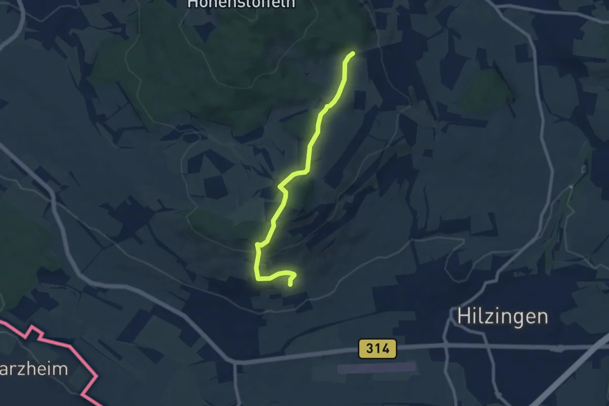
Easy · Trail
Tiefental - Am Riedheimer Basaltgang
6.4 km · ↑ 225 m · 2 h
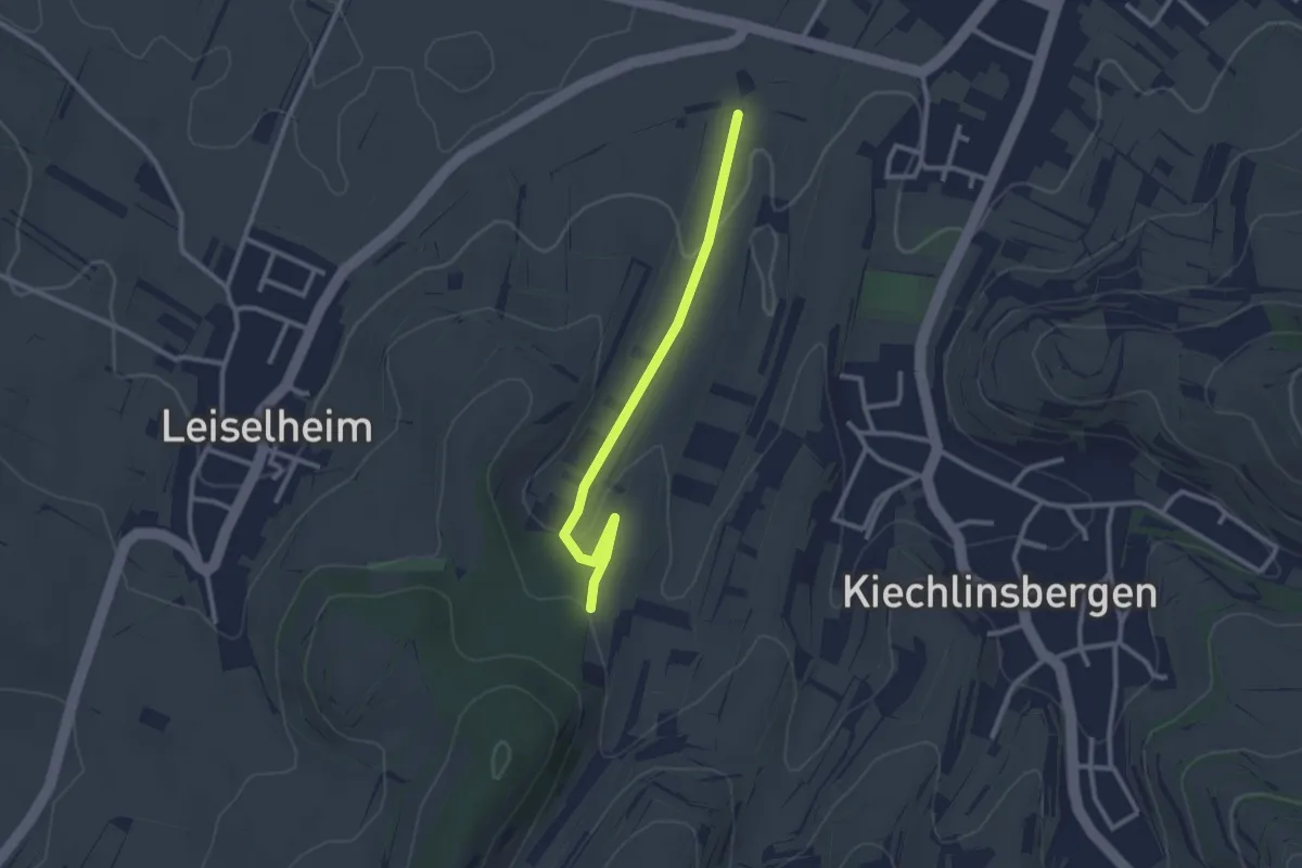
Easy · Trail
Tiefental - Scherch
2.5 km · ↑ 39 m · 40 min
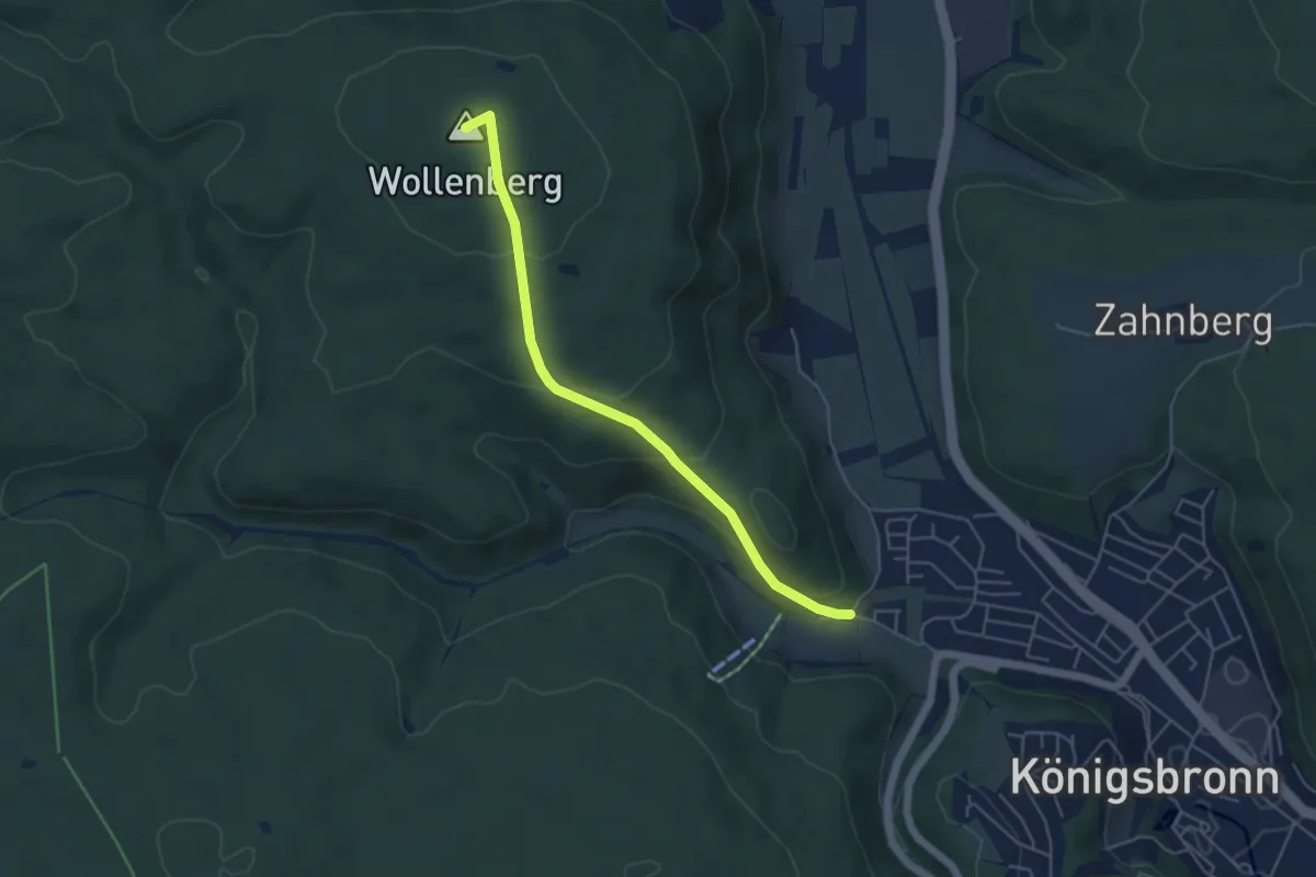
Medium · Summit
Tiefental - Wollenloch - Königsbronn
4.6 km · ↑ 206 m · 1 h 33 min
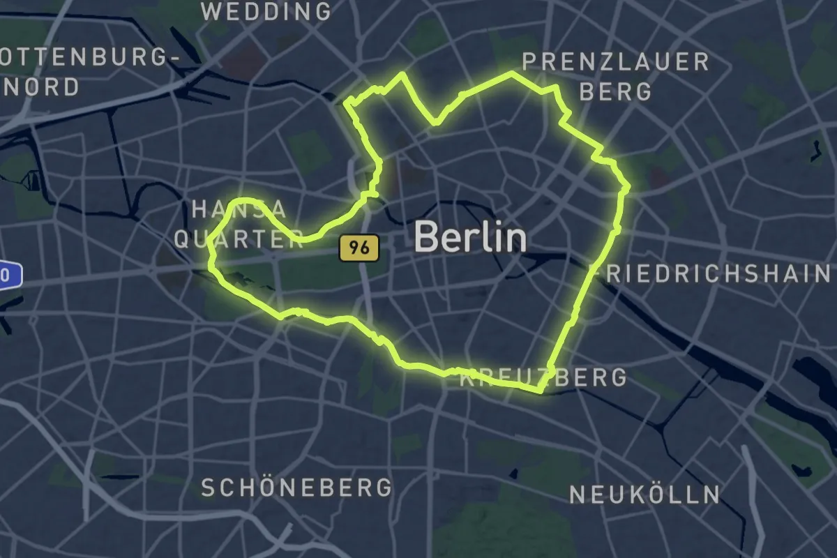
Demanding · Trail
Tiergartenring
22.7 km · ↑ 55 m · 5 h 47 min
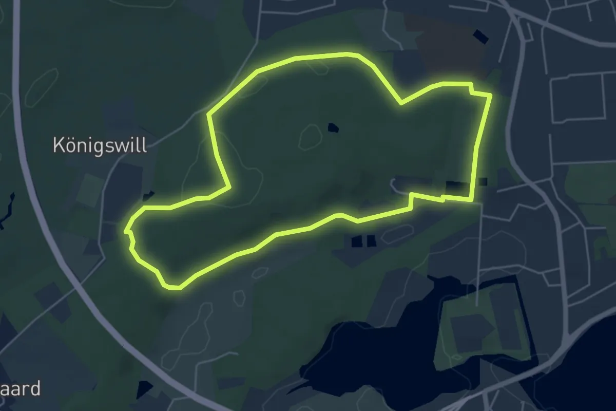
Easy · Trail
Tiergartenroute
4.3 km · ↑ 52 m · 1 h 12 min
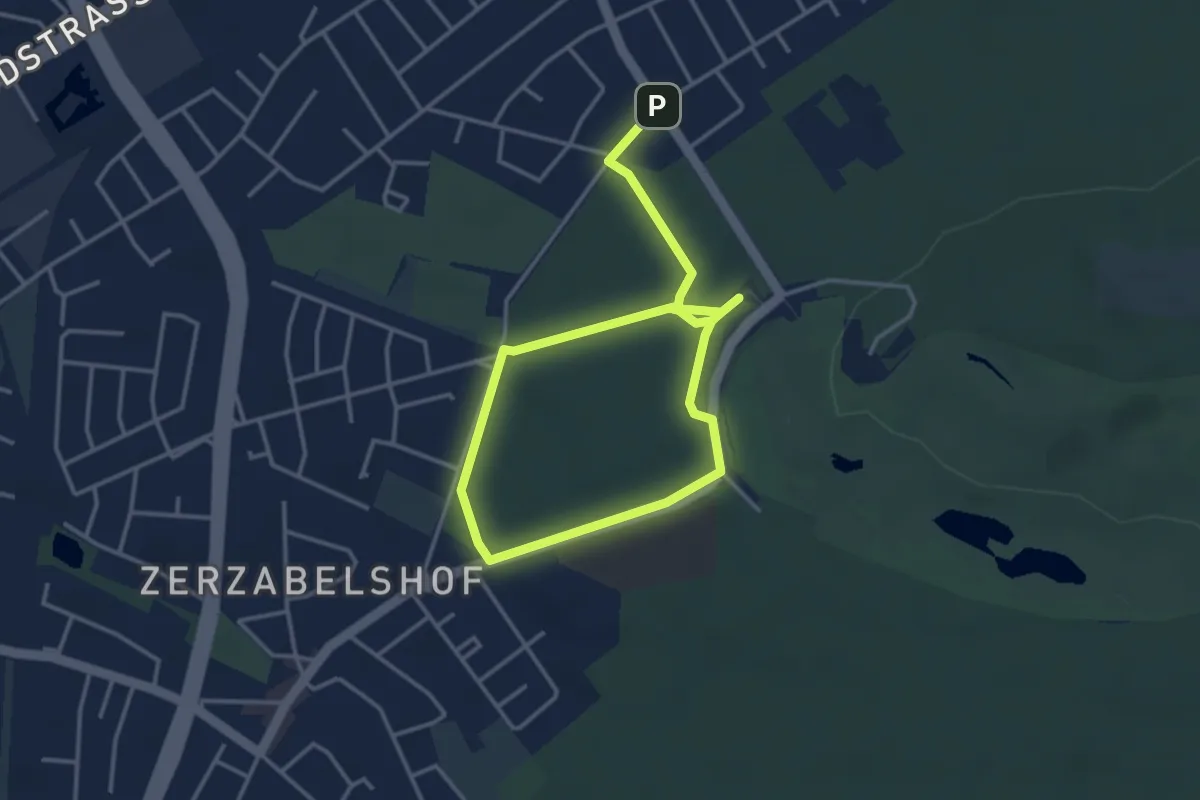
Easy · Trail
Tiergartenrunde
5.2 km · ↑ 48 m · 1 h 20 min
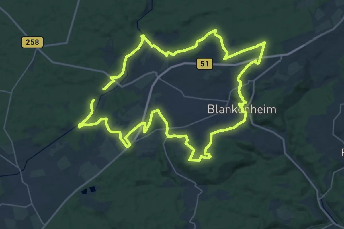
Demanding · Trail
Tiergartentunnel-Wanderweg
21.2 km · ↑ 275 m · 5 h 54 min
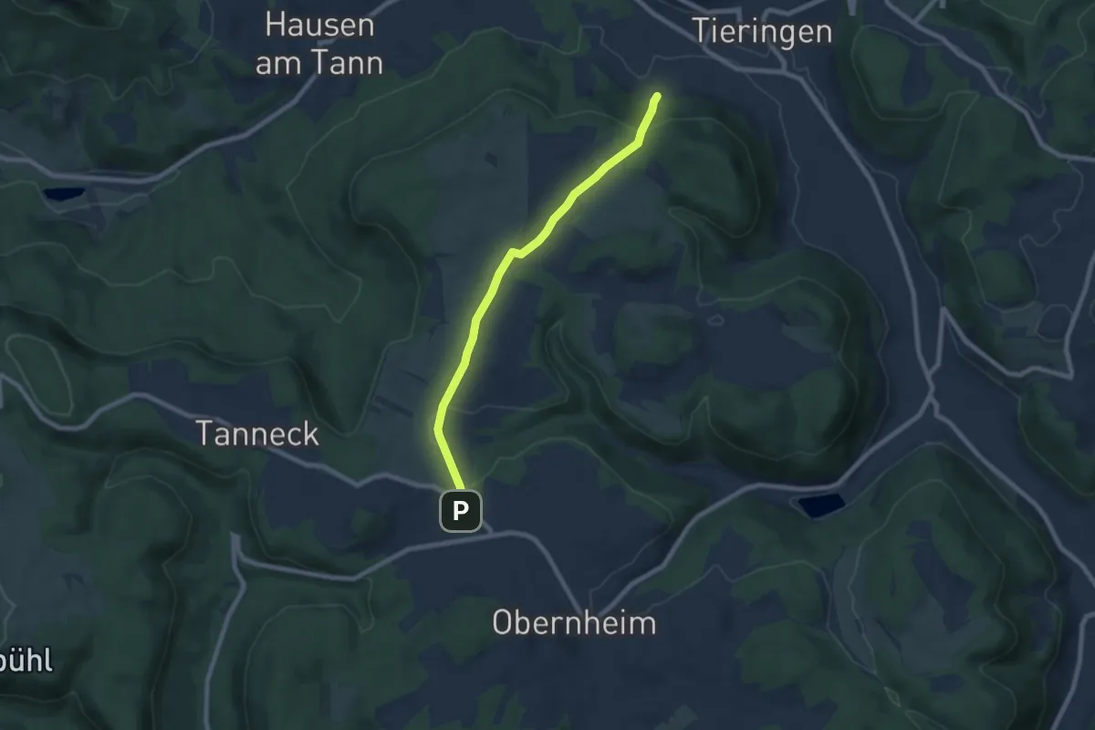
Easy · Trail
Tieringen - Obernheim
6.9 km · ↑ 145 m · 1 h 57 min
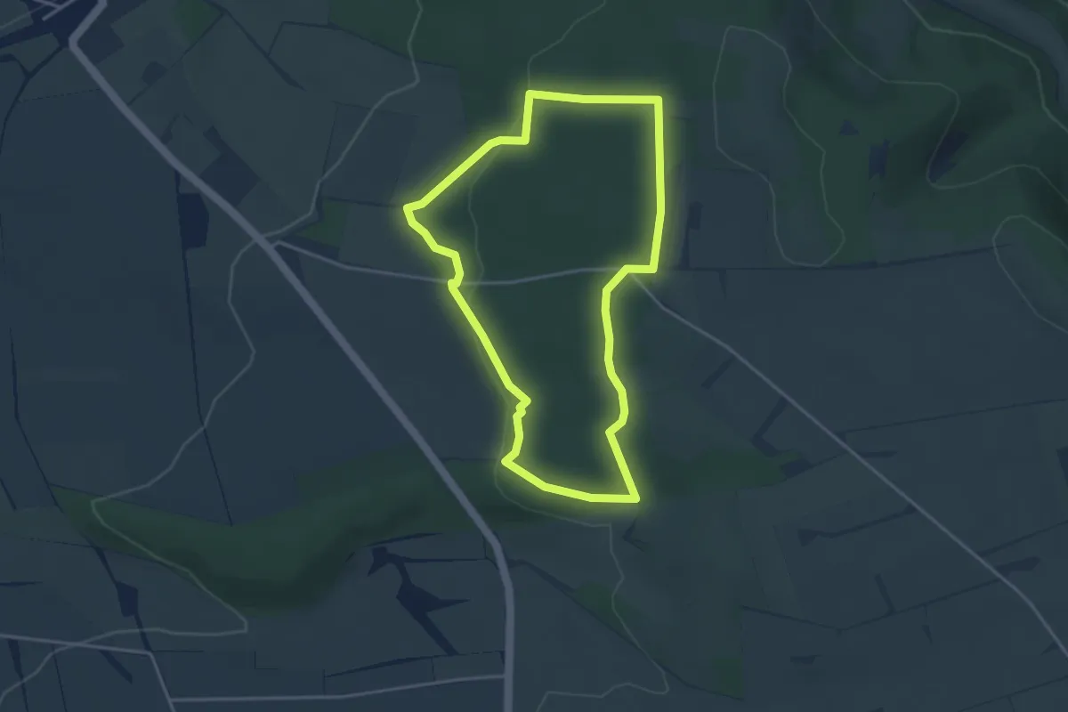
Easy · Trail
Tierisch viel los im Wald
3.3 km · ↑ 65 m · 57 min
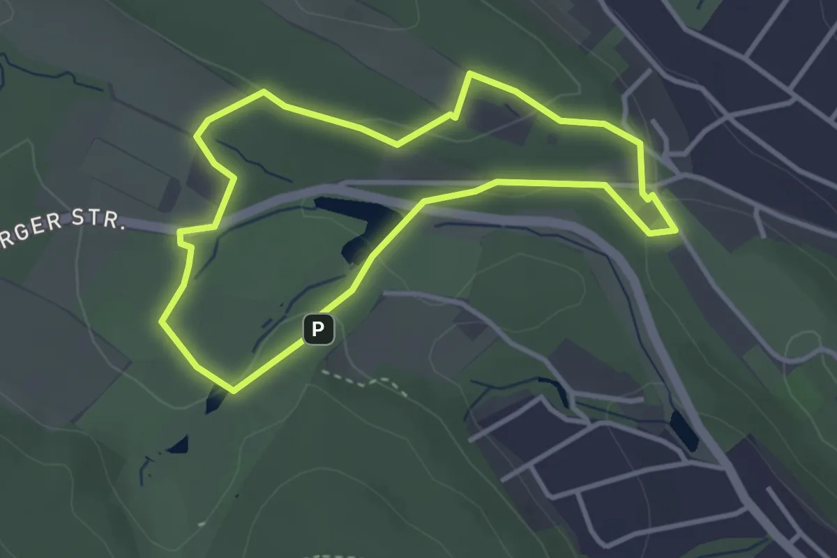
Easy · Trail
Tierpark A7
2.7 km · ↑ 49 m · 47 min
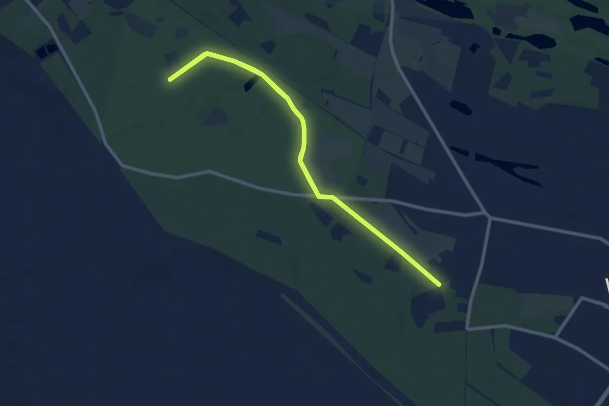
Medium · Trail
Tierpark Wanderweg
10.2 km · ↑ 17 m · 2 h 27 min
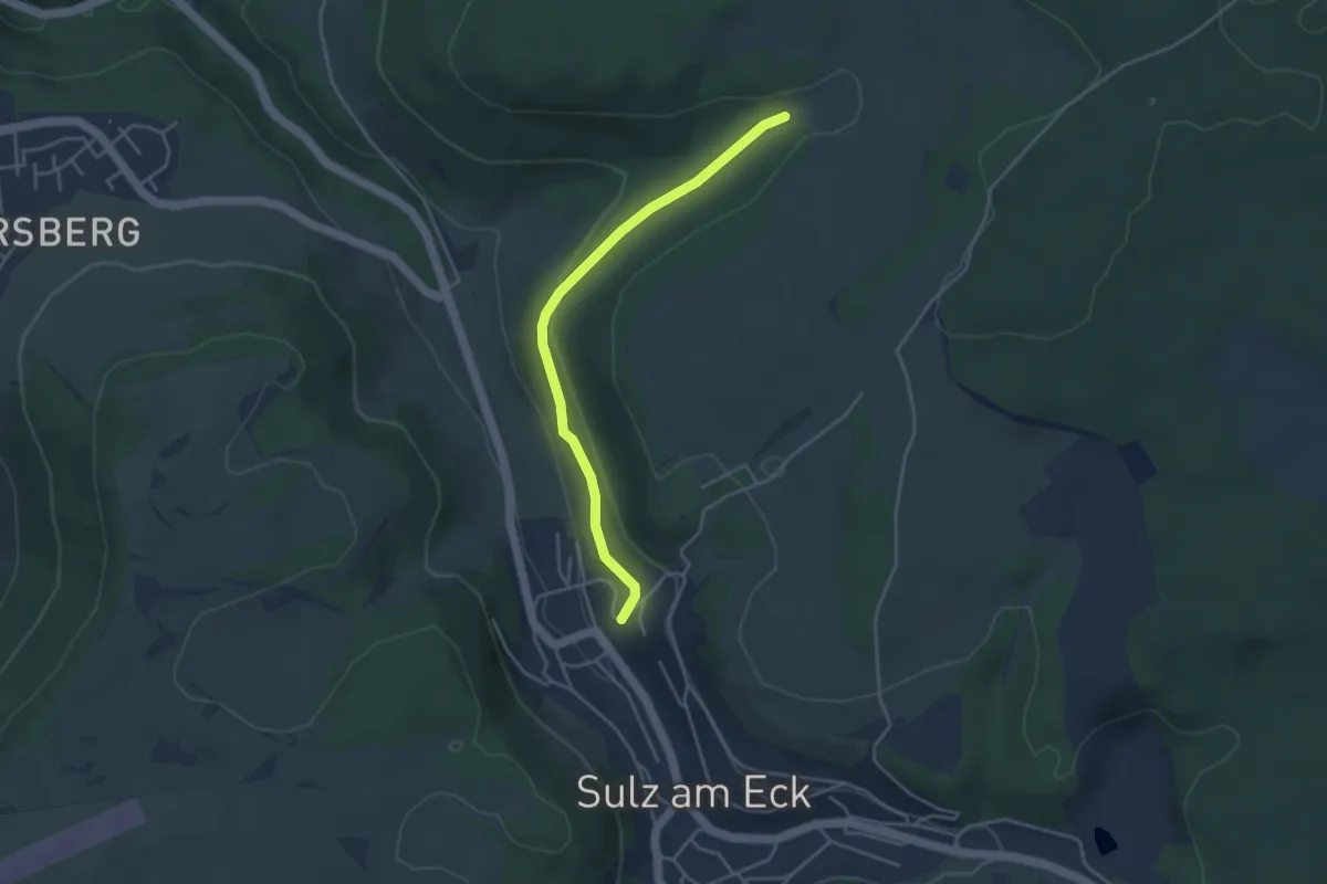
Easy · Trail
Tierstein - Wolfental
3.7 km · ↑ 112 m · 1 h 6 min
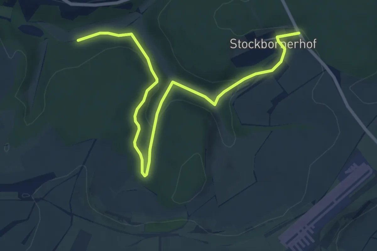
Easy · Trail
Tilemann-Stella-Weg
3.4 km · ↑ 81 m · 1 h 4 min
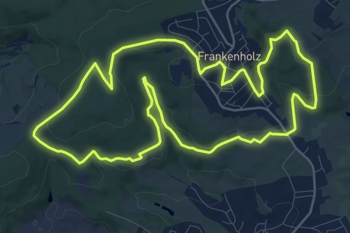
Medium · Trail
Tilemann-Stella-Weg
11.0 km · ↑ 297 m · 3 h 24 min
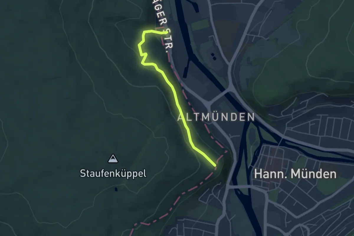
Easy · Trail
Tillyschanze - DJH Hann. Münden
4.1 km · ↑ 162 m · 1 h 19 min
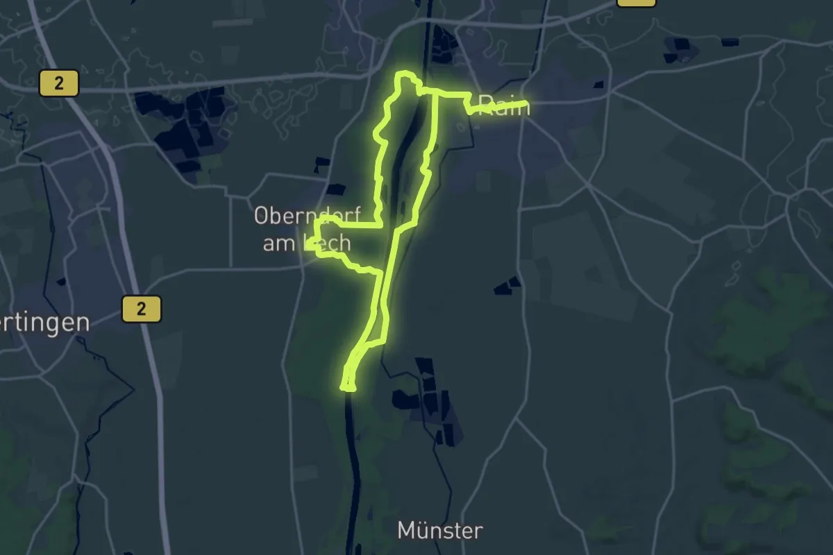
Medium · Trail
Tillyweg
17.5 km · ↑ 36 m · 4 h 28 min
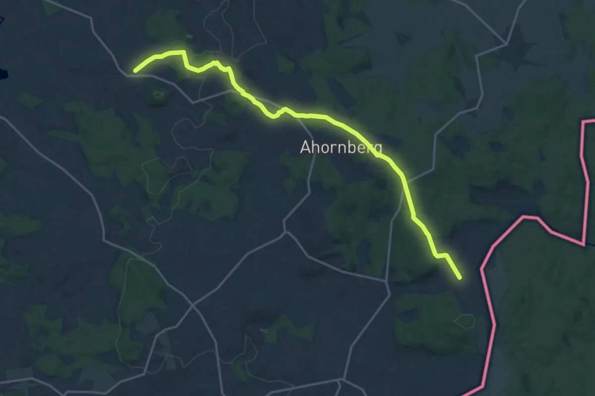
Medium · Trail
Tir-Herrmansreuth
16.4 km · ↑ 289 m · 4 h 30 min
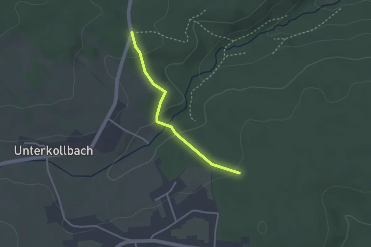
Easy · Trail
Tiroler Wald - Bettelstock
2.2 km · ↑ 52 m · 38 min
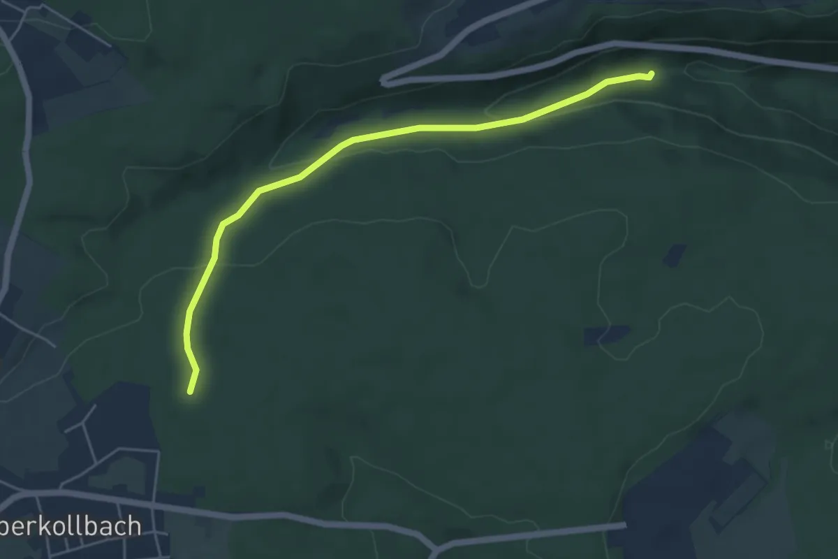
Easy · Trail
Tiroler Wald - Kollbachbrücke
4.7 km · ↑ 164 m · 1 h 28 min