Trails in Germany
36,852 hiking trails, each with its route, climb, walking time and grade.
All trails, page 627 of 768
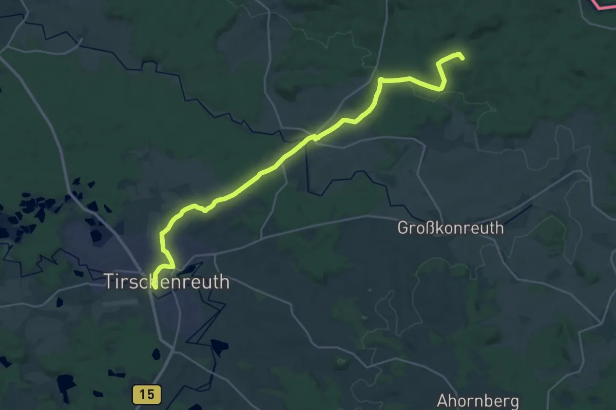
Demanding · Summit
Tirschenreuth - Alter Herrgott
22.6 km · ↑ 314 m · 6 h 1 min
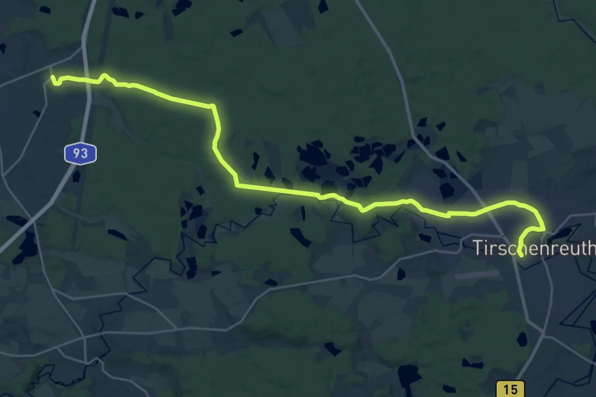
Demanding · Trail
Tirschenreuth – Leugas
24.2 km · ↑ 253 m · 6 h 16 min
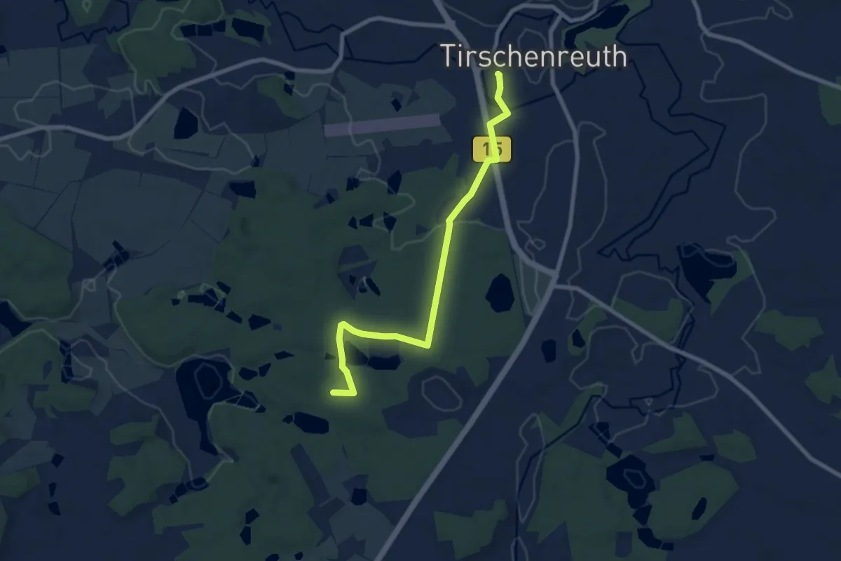
Easy · Summit
Tirschenreuth - Pilmersreuth a.d. Straße
7.0 km · ↑ 61 m · 1 h 48 min
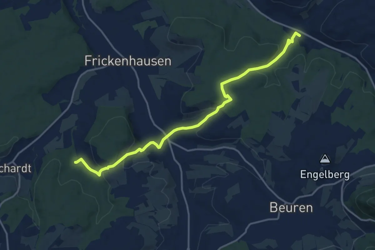
Medium · Trail
Tischardt - Tiefenbachtal-Sonnenhof
12.0 km · ↑ 350 m · 3 h 36 min
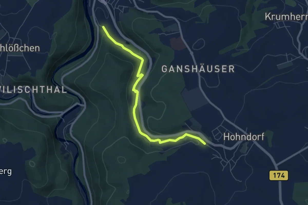
Easy · Trail
Tischautalweg
6.0 km · ↑ 142 m · 1 h 44 min
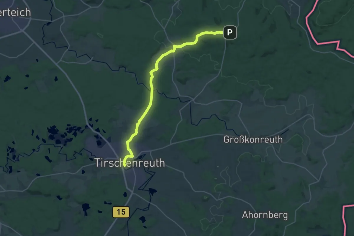
Demanding · Trail
Tischenreuth - Egerer Waldhaus
23.2 km · ↑ 368 m · 6 h 16 min
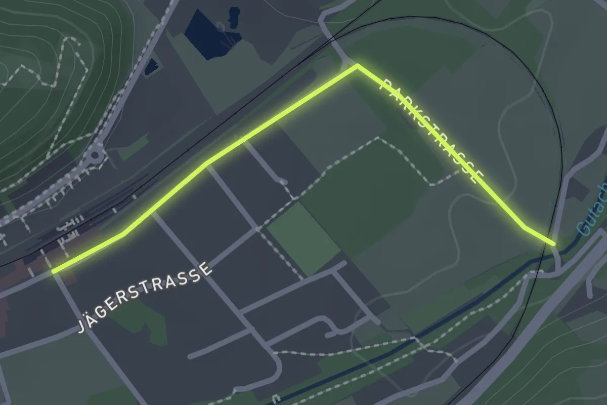
Easy · Trail
Titisee Bahnhof - Titisee Seehofer
2.1 km · ↑ 13 m · 31 min
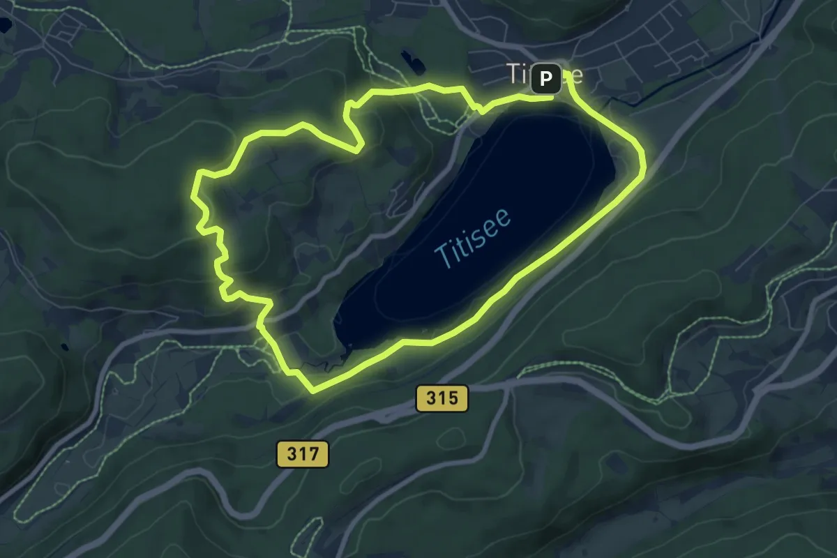
Easy · Summit
Titisee-Rundweg
7.7 km · ↑ 237 m · 2 h 27 min
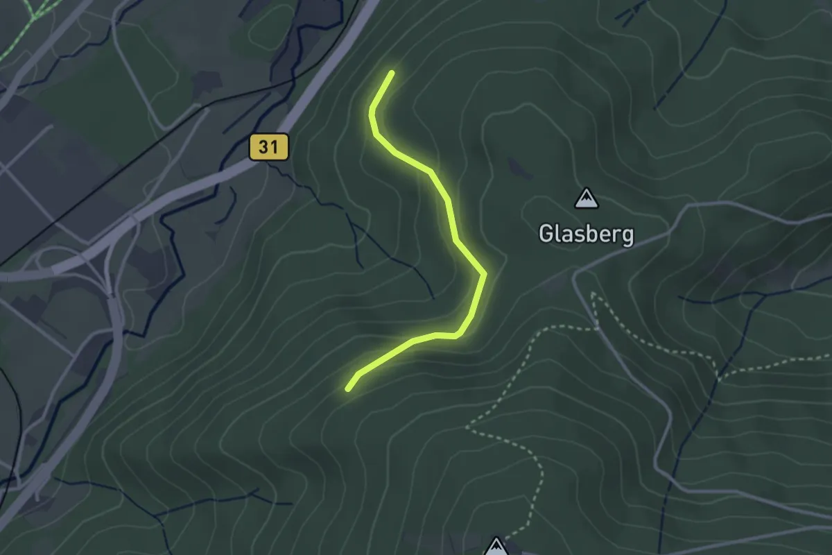
Easy · Trail
Titiseeweg - Saiger Weg
2.5 km · ↑ 130 m · 52 min
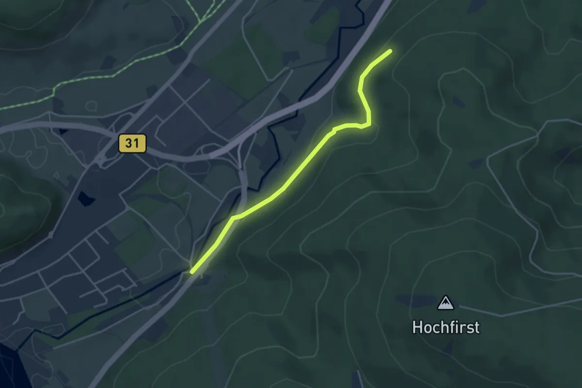
Easy · Trail
Titiseeweg - Seehöfe Marienquelle
3.5 km · ↑ 89 m · 1 h 1 min
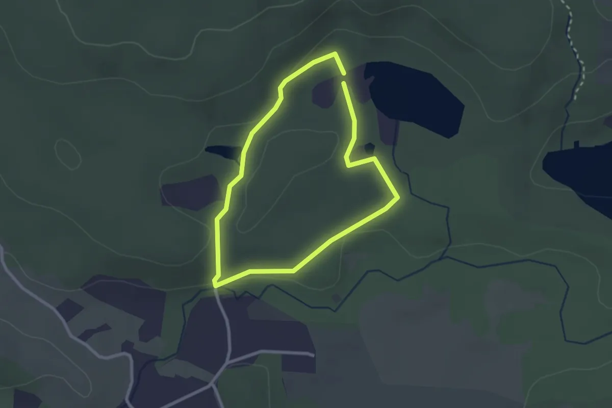
Easy · Summit
TK 1
1.9 km · ↑ 24 m · 32 min
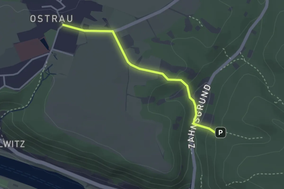
Easy · Trail
TK10
2.6 km · ↑ 83 m · 47 min
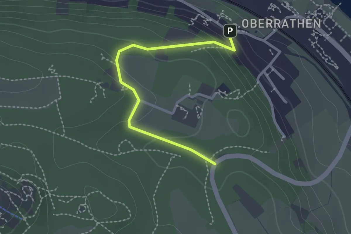
Easy · Trail
Tk 12
2.1 km · ↑ 85 m · 40 min
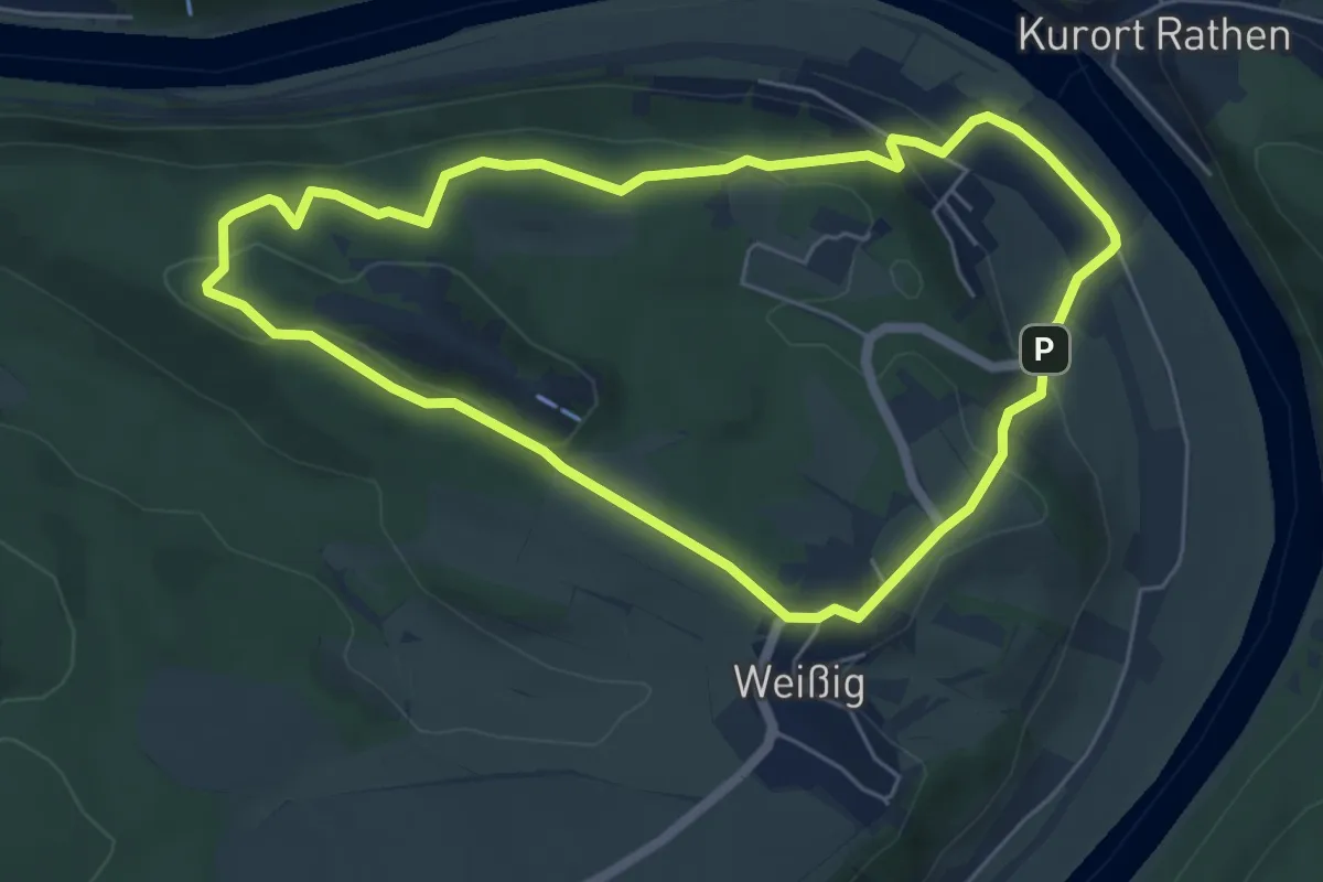
Easy · Summit
Tk 14
5.2 km · ↑ 166 m · 1 h 39 min
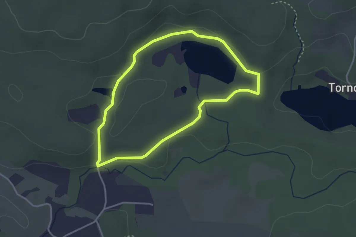
Easy · Summit
TK 2
2.5 km · ↑ 25 m · 40 min
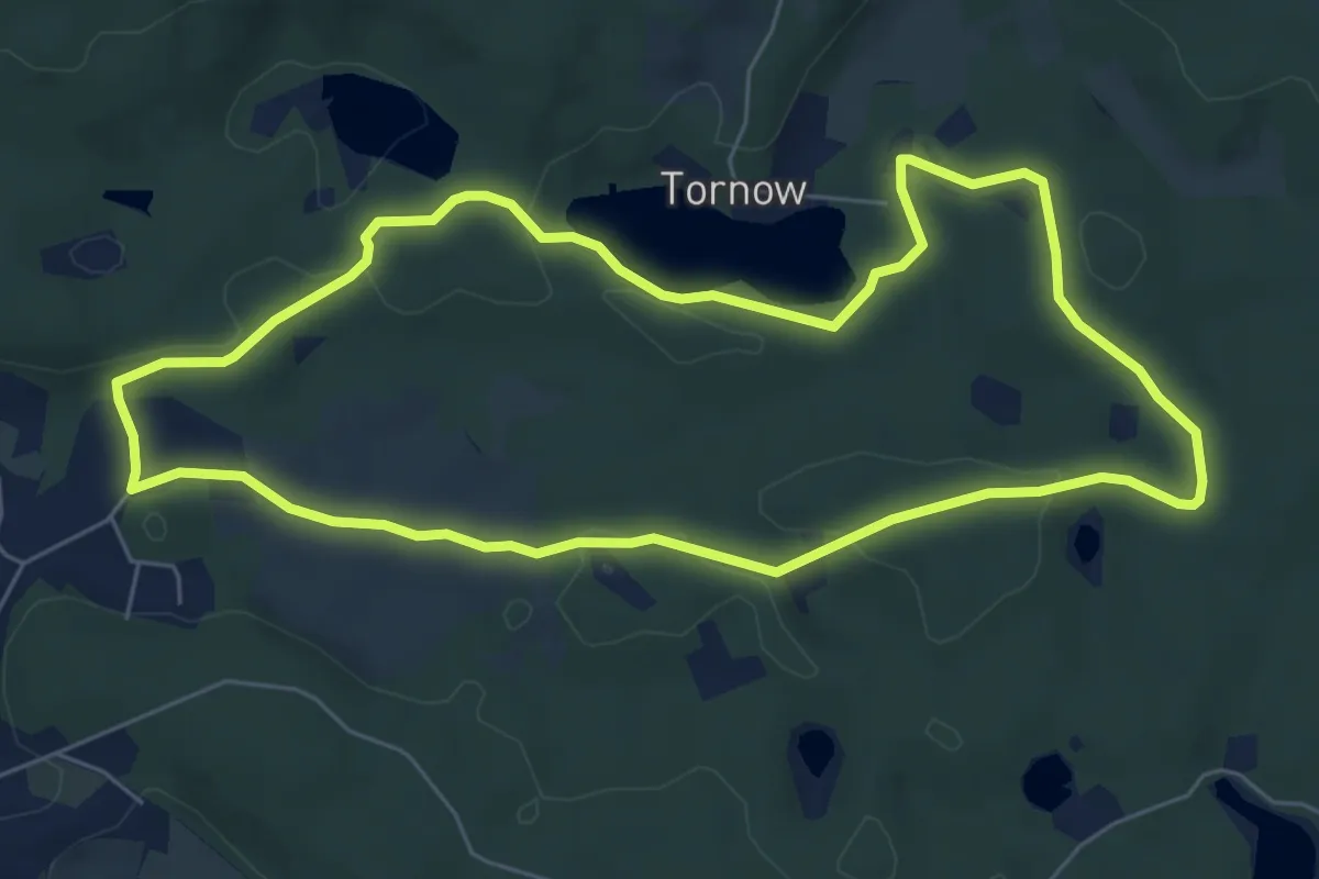
Easy · Summit
TK 3
5.8 km · ↑ 58 m · 1 h 35 min
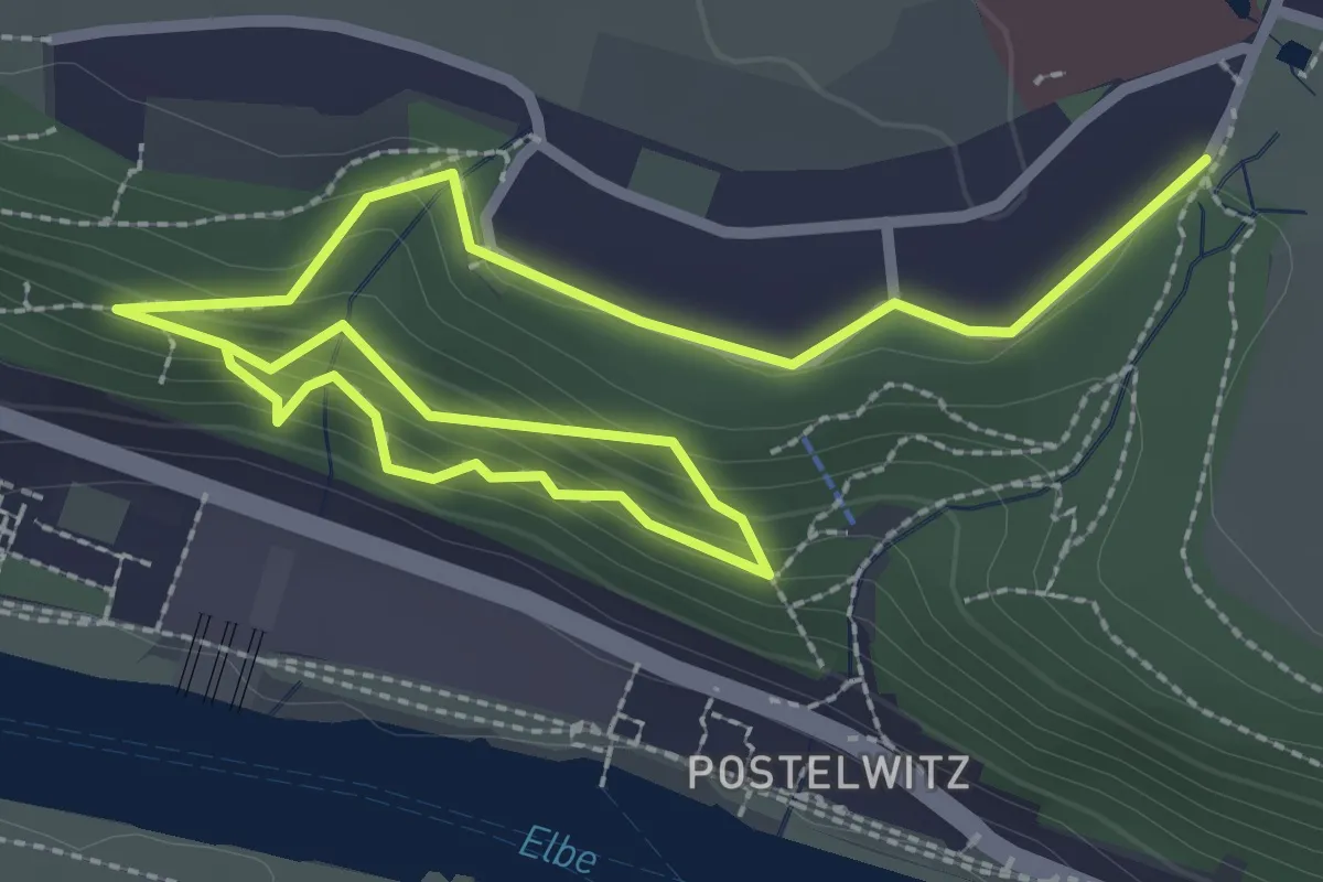
Easy · Trail
TK6
4.0 km · ↑ 237 m · 1 h 28 min
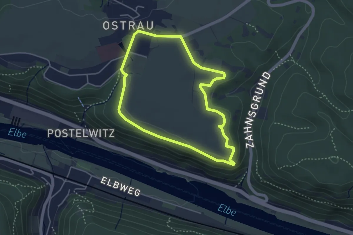
Easy · Trail
TK7
3.1 km · ↑ 33 m · 51 min
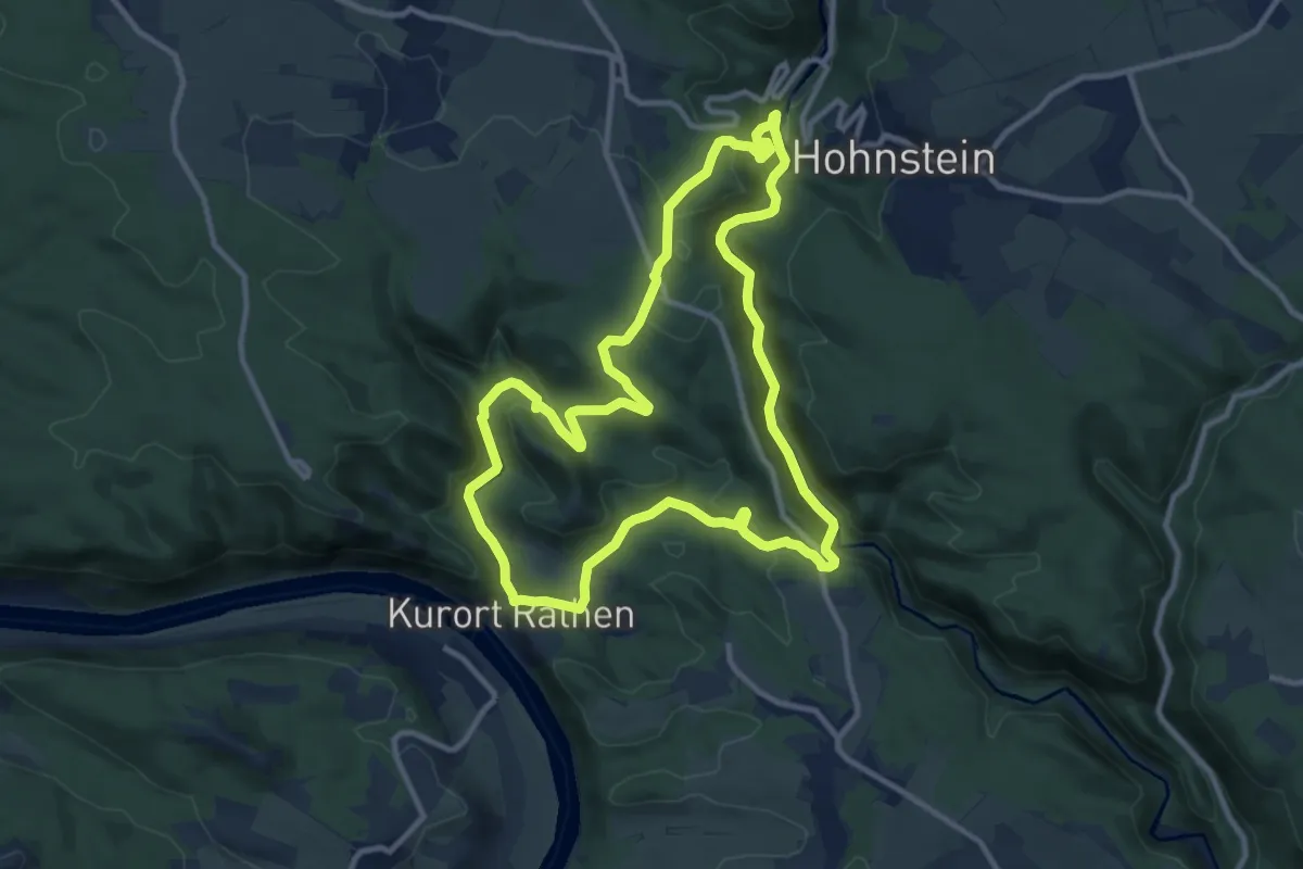
Medium · Summit
Tk9
10.1 km · ↑ 399 m · 3 h 24 min
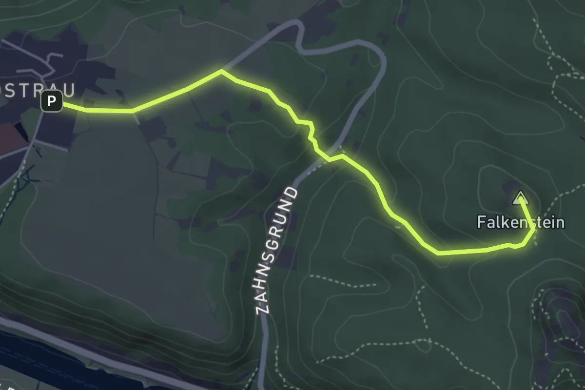
Medium · Summit
TK9
4.4 km · ↑ 110 m · 1 h 17 min
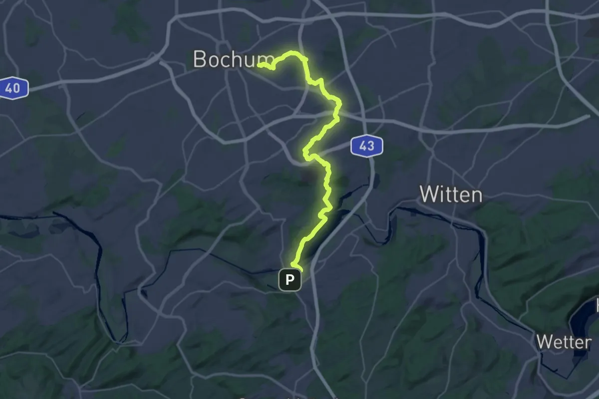
Demanding · Summit
T Kortumpark - Kemnade
29.4 km · ↑ 334 m · 7 h 41 min
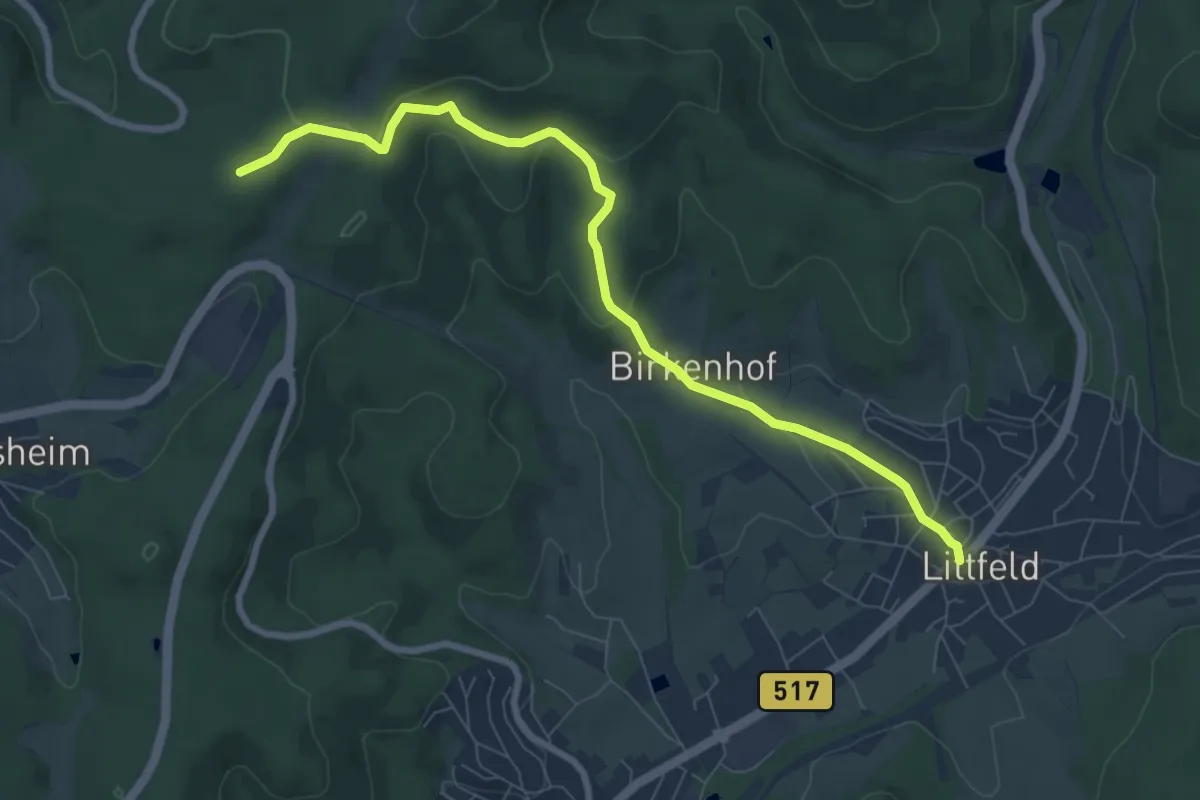
Demanding · Trail
T Littfeld - Neuenkleusheim
7.6 km · ↑ 224 m · 2 h 17 min
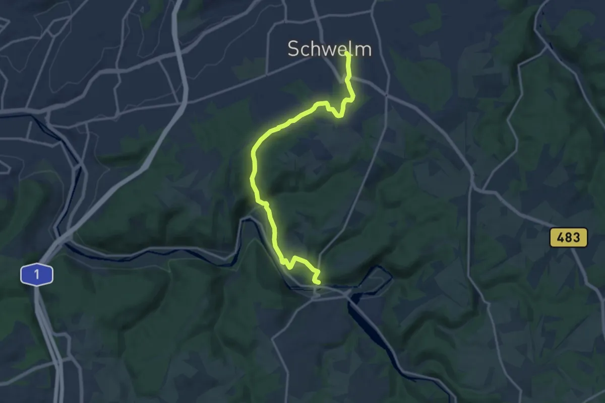
Medium · Trail
[T] Max-Klein-Weg
11.9 km · ↑ 376 m · 3 h 37 min
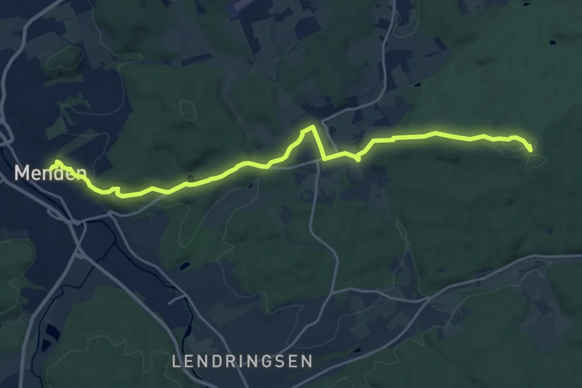
Medium · Summit
T Menden - Kloster Oelinghausen
15.4 km · ↑ 283 m · 4 h 15 min
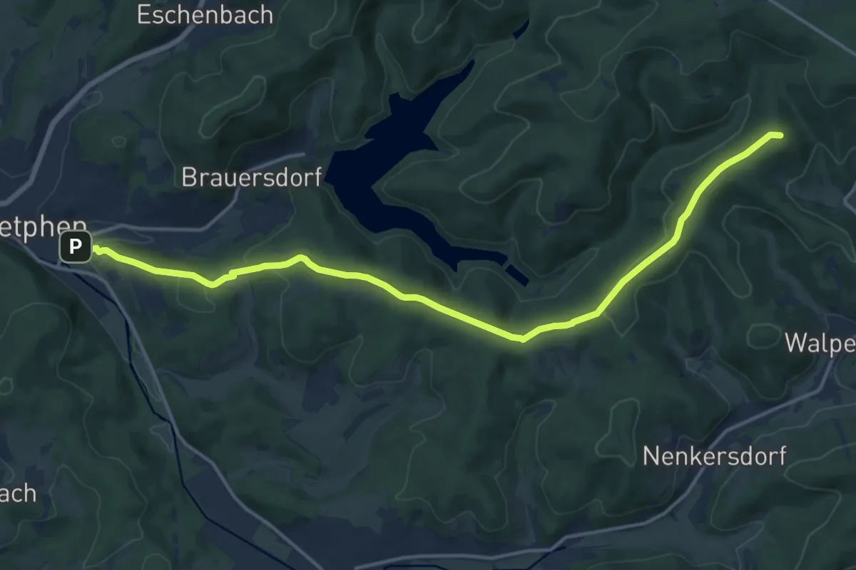
Medium · Summit
[T] Netphen - Forsthaus Hohenroth
15.2 km · ↑ 374 m · 4 h 24 min
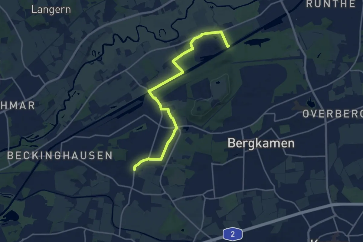
Medium · Trail
T Oberaden - Stauwerk
12.8 km · ↑ 21 m · 3 h 4 min
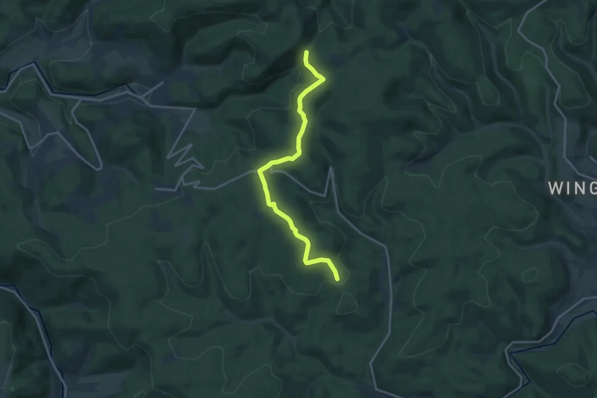
Medium · Trail
T Oberhundem - Rüspe
11.3 km · ↑ 197 m · 3 h 6 min
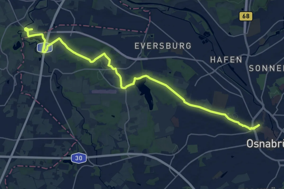
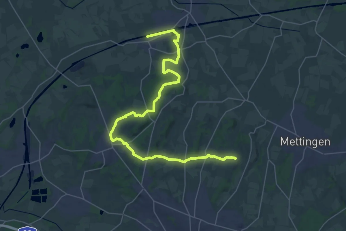
Demanding · Trail
Töddenweg Etappe 1
20.9 km · ↑ 187 m · 5 h 21 min
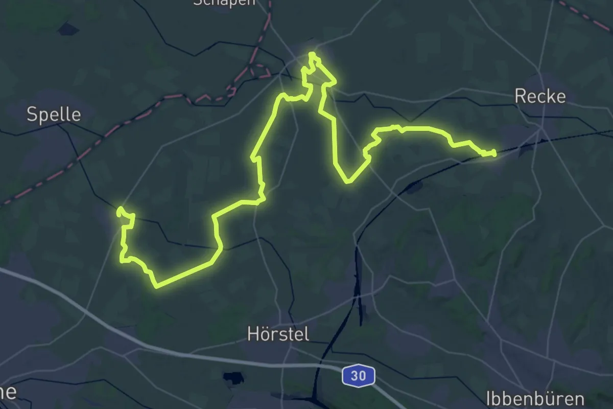
Demanding · Summit
Töddenweg Etappe 2
28.6 km · ↑ 285 m · 7 h 22 min
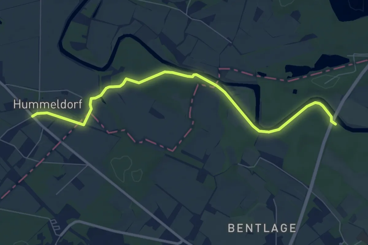
Demanding · Trail
Töddenweg Etappe 3
30.3 km · ↑ 30 m · 7 h 39 min
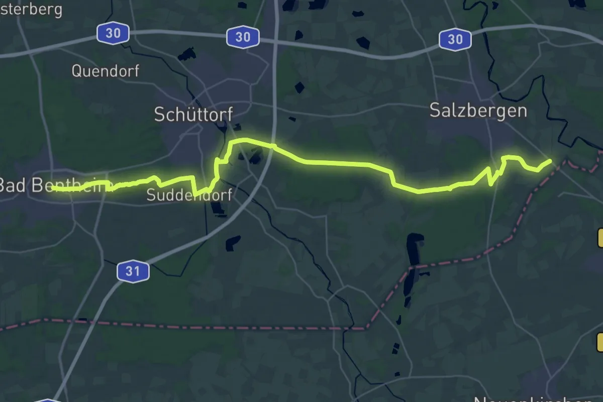
Easy · Trail
Töddenweg Etappe 4
6.8 km · ↑ 14 m · 1 h 38 min
Demanding · Trail
Töddenweg Etappe 5
19.2 km · ↑ 92 m · 4 h 59 min
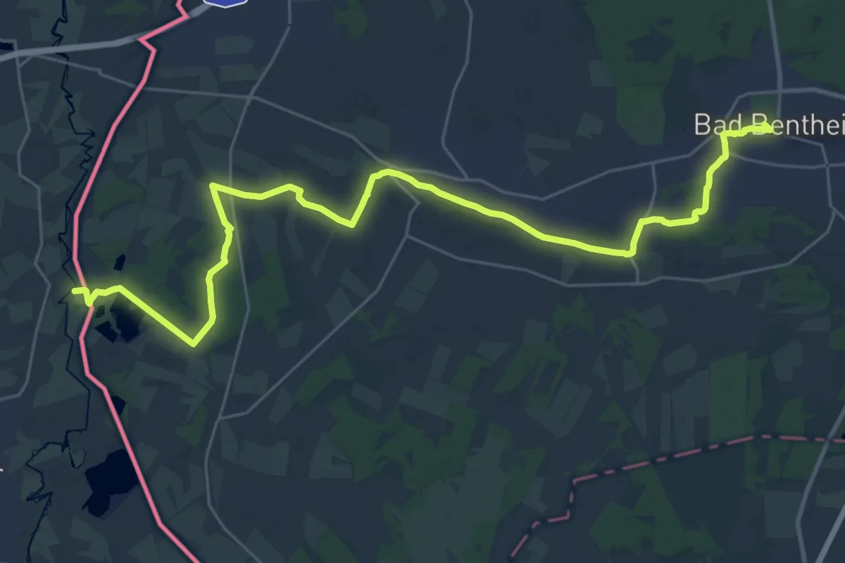
Demanding · Summit
Töddenweg Etappe 6
27.7 km · ↑ 183 m · 6 h 56 min
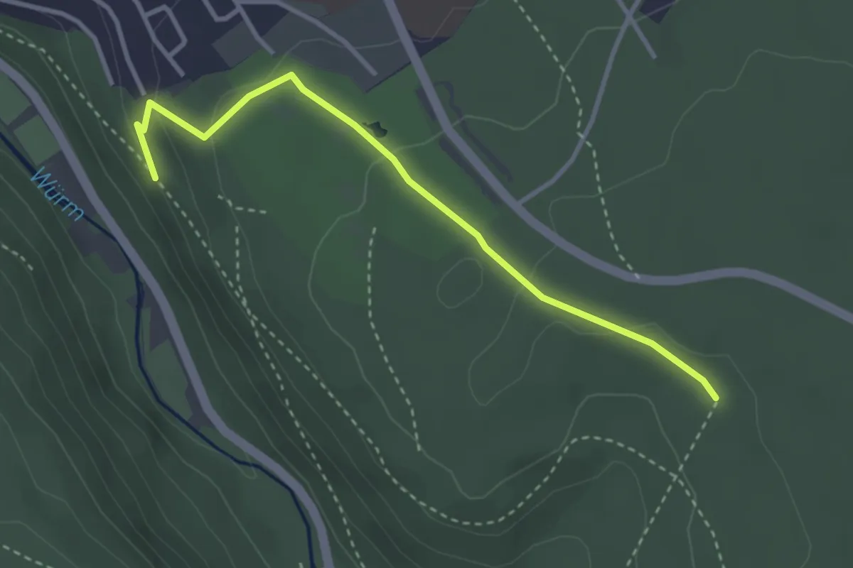
Easy · Trail
Todtenwiesle - Seeberg
3.2 km · ↑ 98 m · 58 min
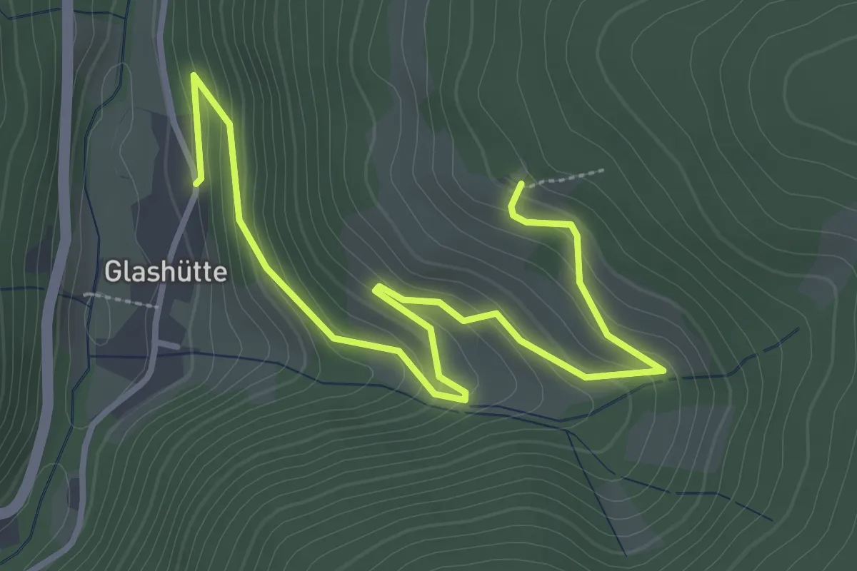
Easy · Trail
Todtmoos-Glashütte - Rheintalblick
3.9 km · ↑ 256 m · 1 h 29 min
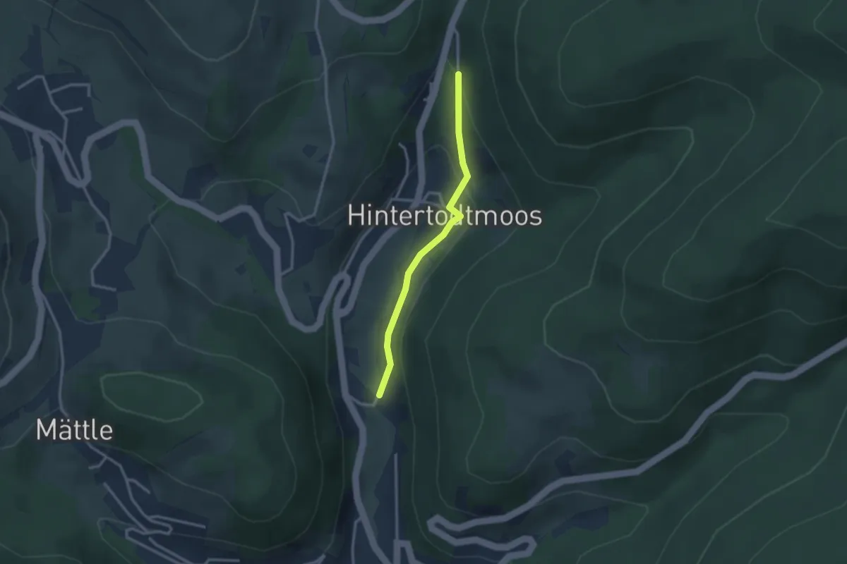
Easy · Trail
Todtmoos-Höfle - Todtmooser Wasserfall
2.4 km · ↑ 87 m · 45 min
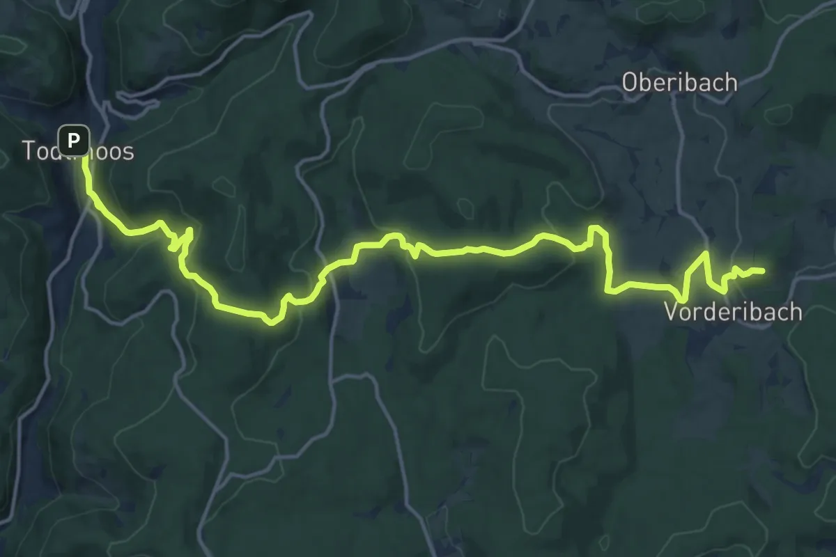
Demanding · Summit
Todtmoos - Sankt Blasien
19.1 km · ↑ 911 m · 6 h 30 min
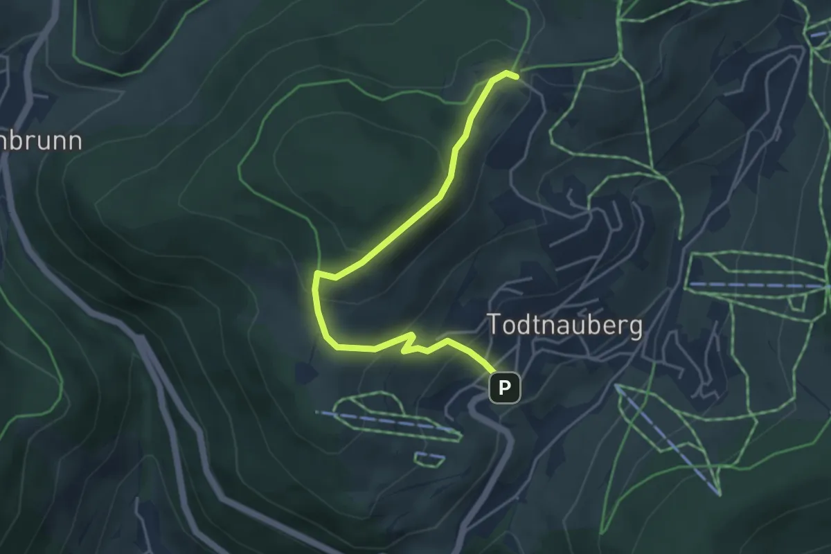
Easy · Trail
Todtnauberg Sternen - Radschert
4.0 km · ↑ 244 m · 1 h 29 min
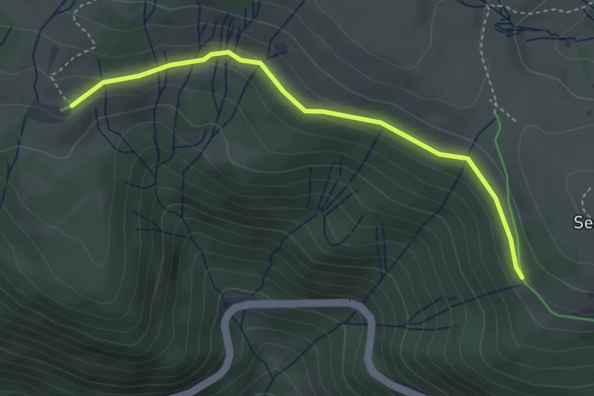
Easy · Cabin
Todtnauer Hütte - Wiesentalblick
3.6 km · ↑ 90 m · 1 h 2 min
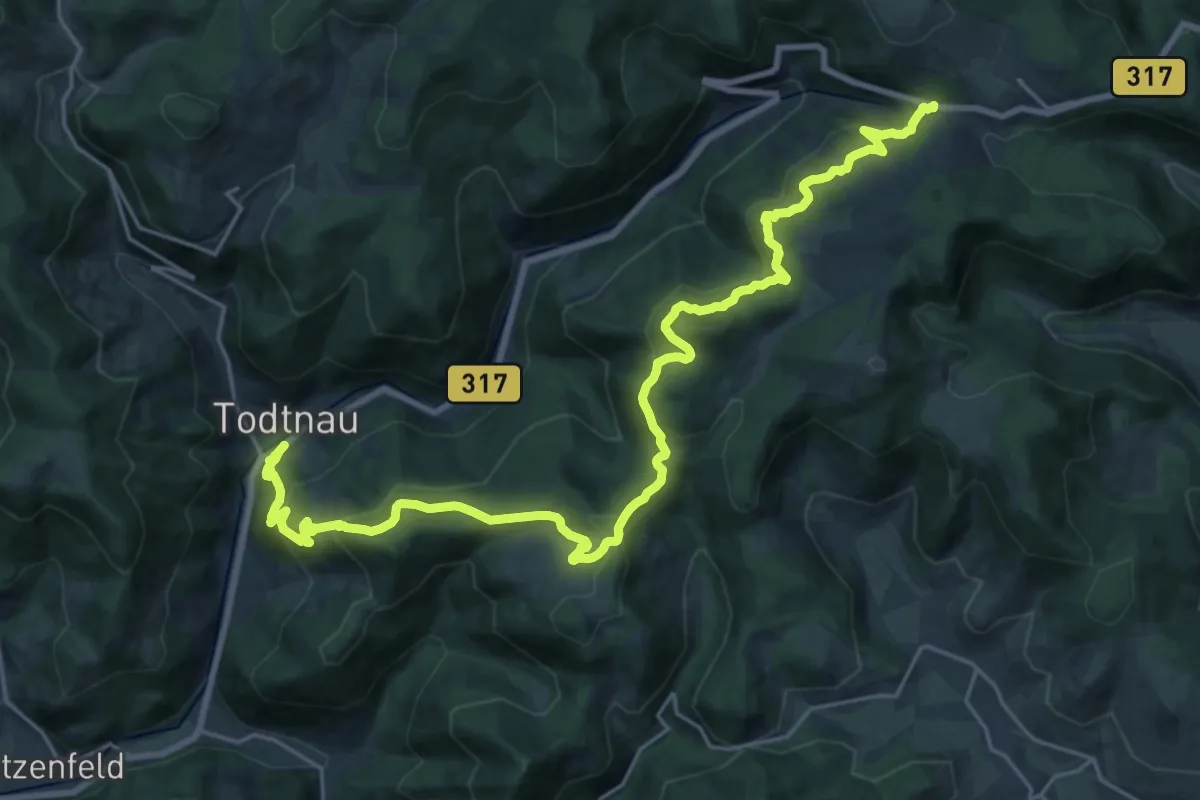
Demanding · Trail
Todtnau - Feldbergpass
13.4 km · ↑ 956 m · 5 h 8 min
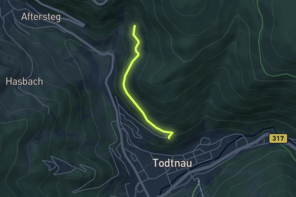
Easy · Trail
Todtnau Hohweg - Stübenmatte
2.8 km · ↑ 145 m · 58 min
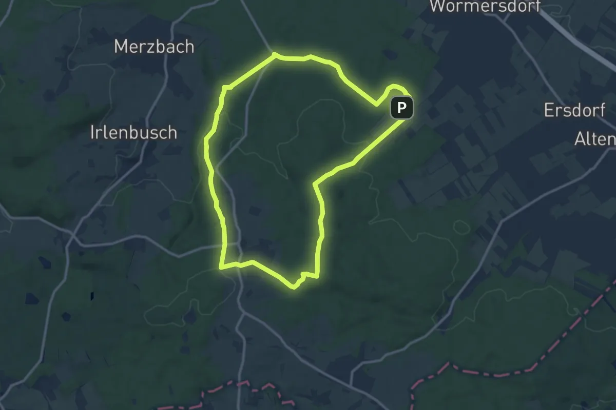
Medium · Summit
Tomberg-Runde
10.1 km · ↑ 201 m · 2 h 58 min
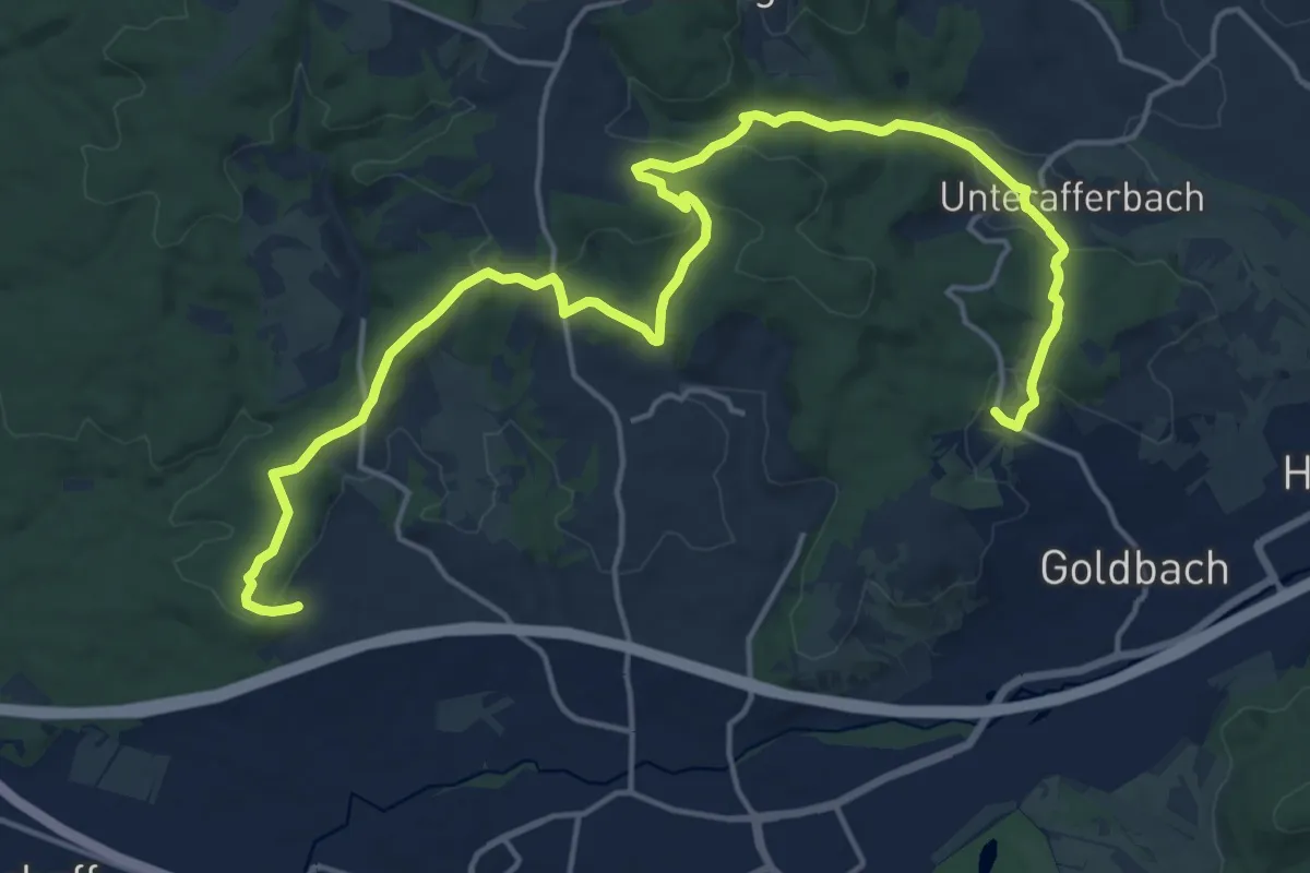
Demanding · Trail
Toni-Welzbacher-Weg
20.7 km · ↑ 593 m · 6 h 10 min
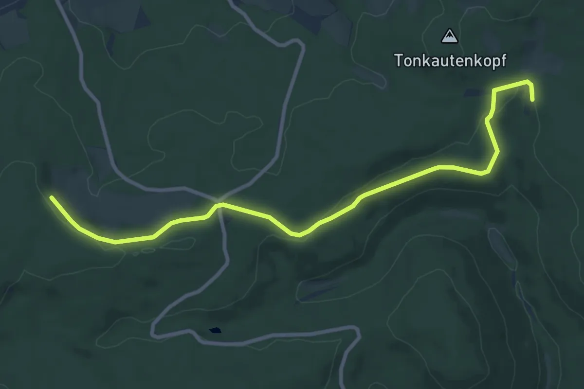
Medium · Trail
Tonkautenkopf - Neudorfwiesen (Verbindungsweg)
8.1 km · ↑ 139 m · 2 h 12 min
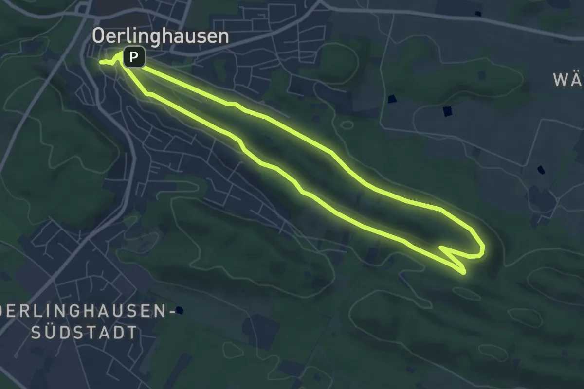
Easy · Summit
Tönsbergblicke
7.1 km · ↑ 160 m · 2 h 8 min
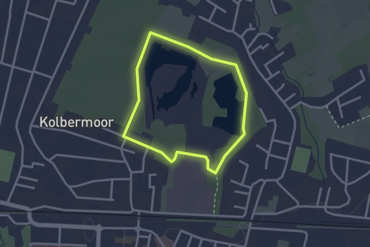
Easy · Trail
Tonwerkweiher Runde
1.9 km · ↑ 4 m · 29 min
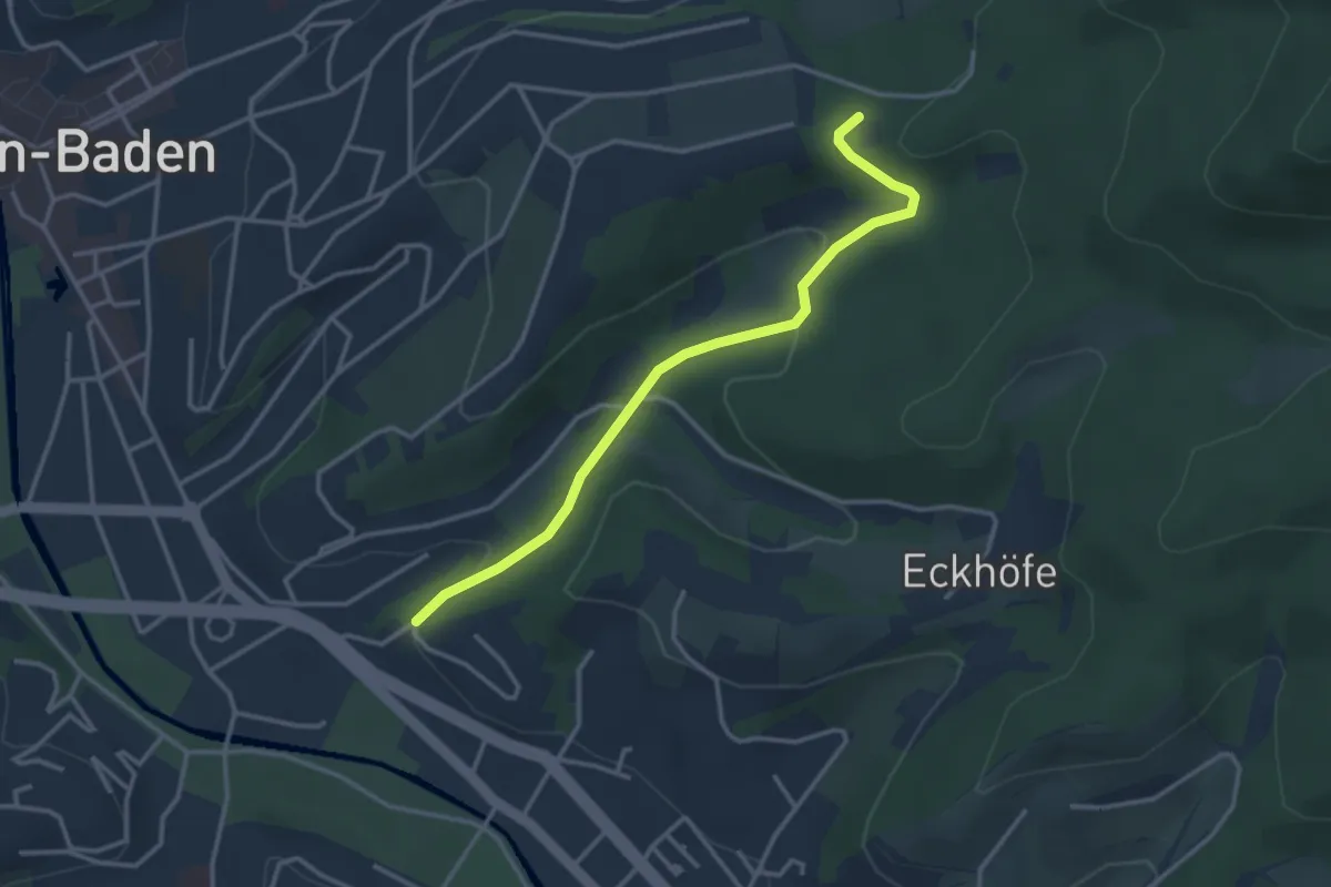
Easy · Trail
Tony-Marshall-Weg - Waldcafe
3.2 km · ↑ 84 m · 56 min
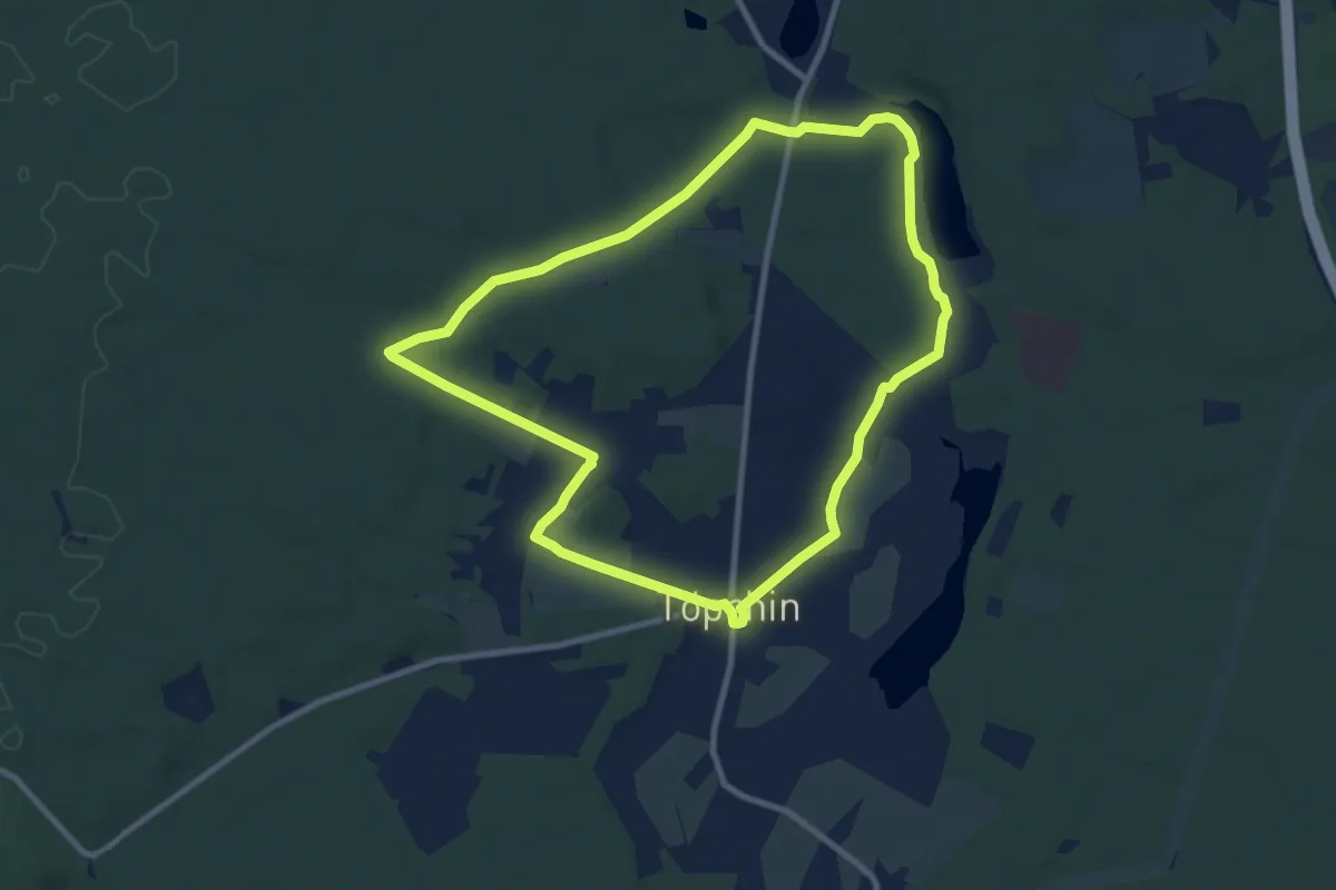
Medium · Trail
Töpchiner Rundwanderweg
8.3 km · ↑ 37 m · 2 h 10 min