Trails in Germany
36,852 hiking trails, each with its route, climb, walking time and grade.
All trails, page 630 of 768
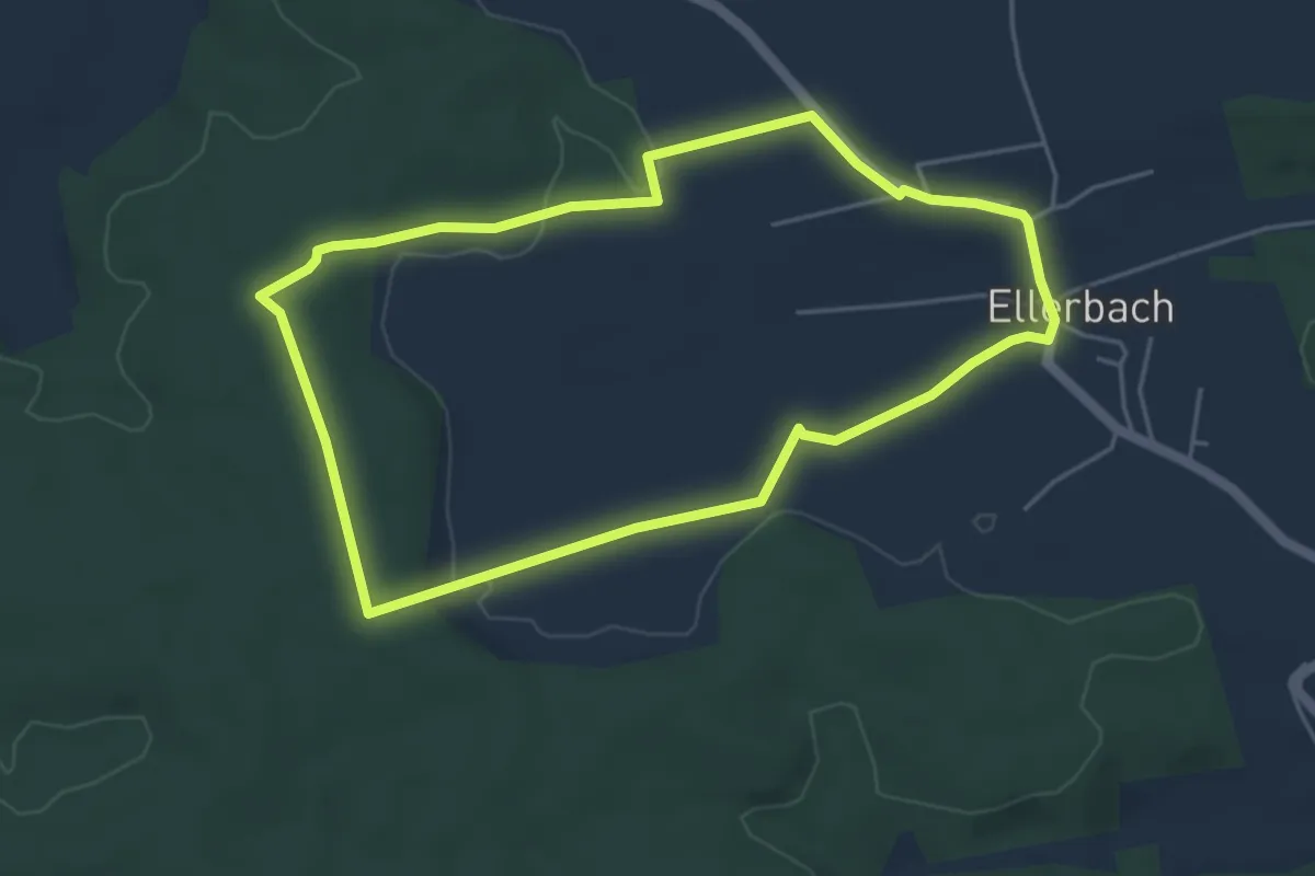
Easy · Trail
Trail 4
4.4 km · ↑ 40 m · 1 h 11 min
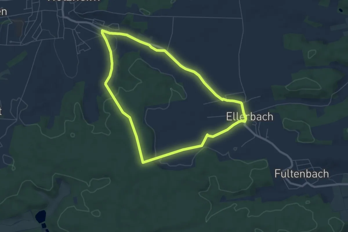
Easy · Trail
Trail 5
6.1 km · ↑ 87 m · 1 h 43 min
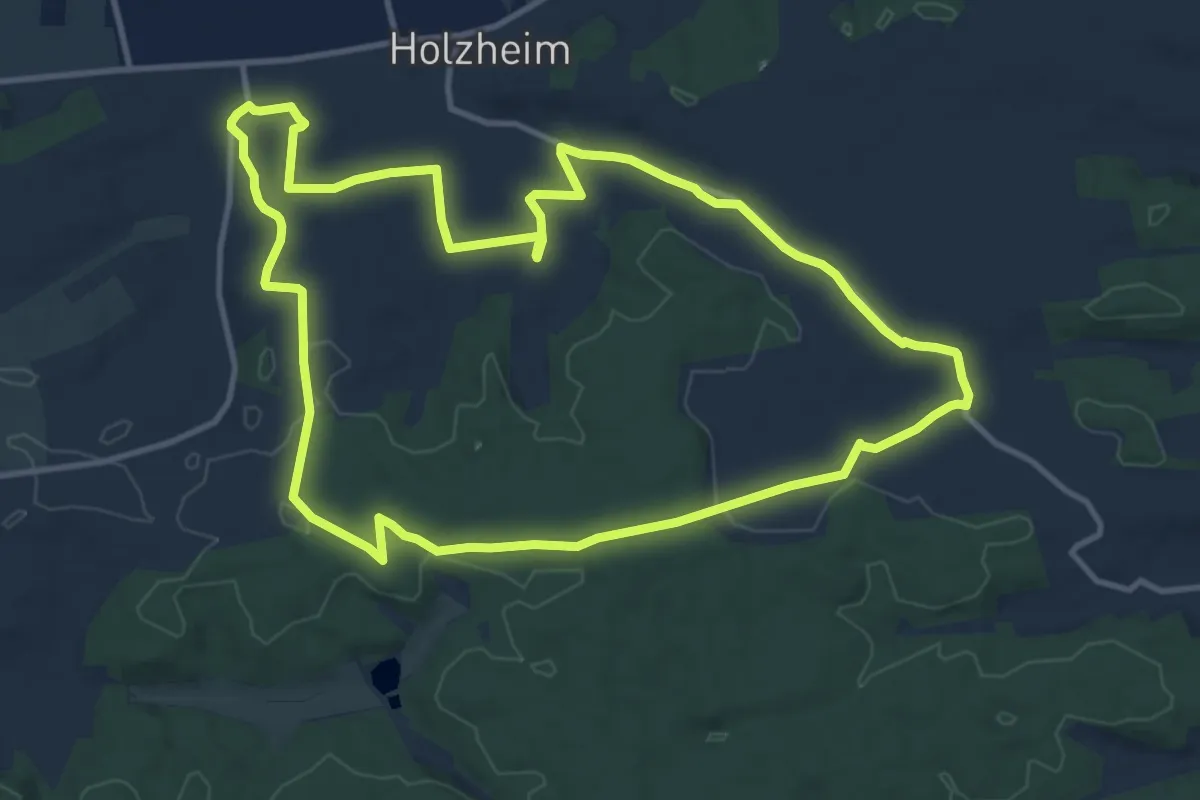
Medium · Trail
Trail 6
11.7 km · ↑ 144 m · 3 h 14 min
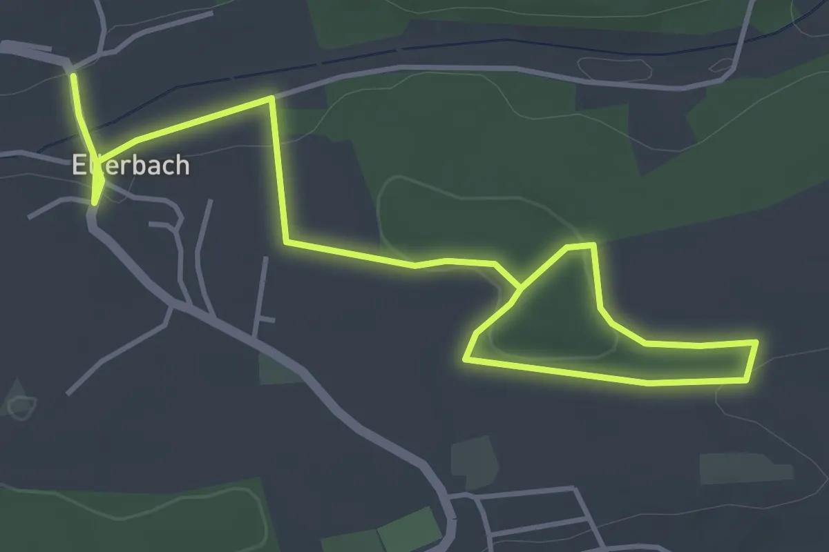
Easy · Trail
Trail 7
5.4 km · ↑ 80 m · 1 h 27 min
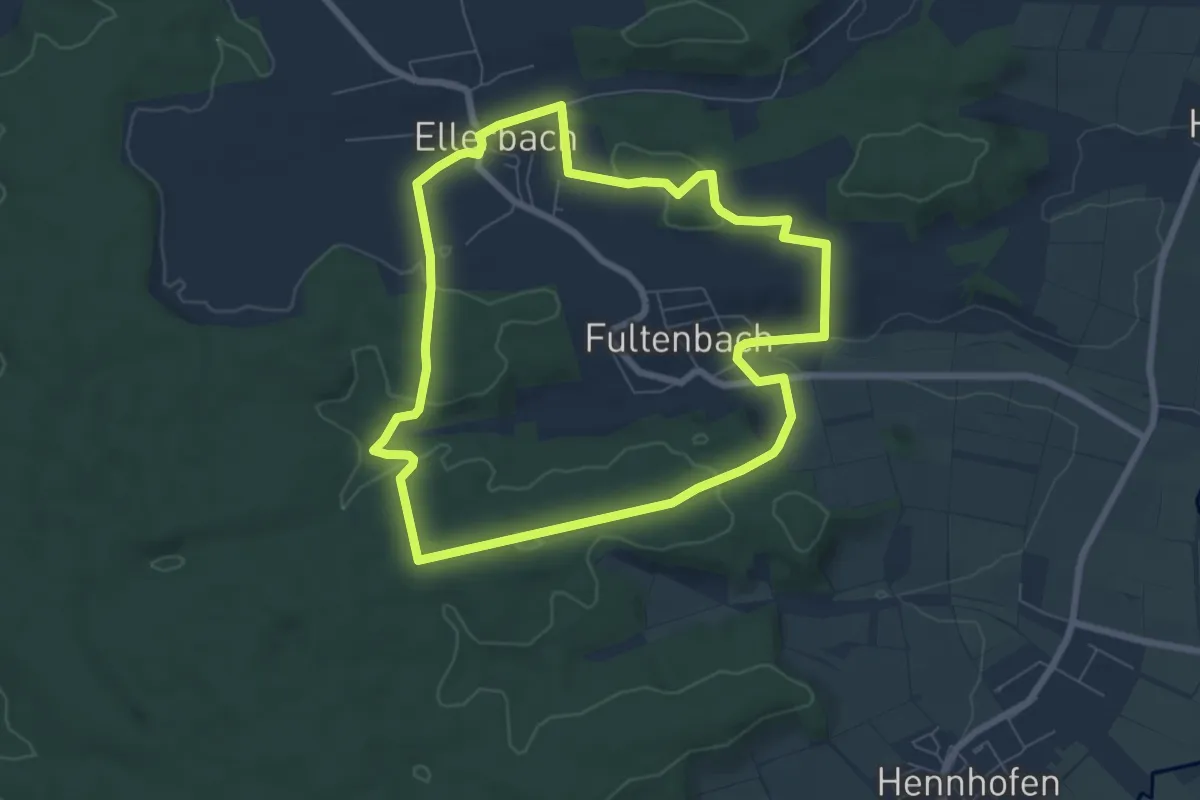
Easy · Trail
Trail 8
6.7 km · ↑ 114 m · 1 h 55 min
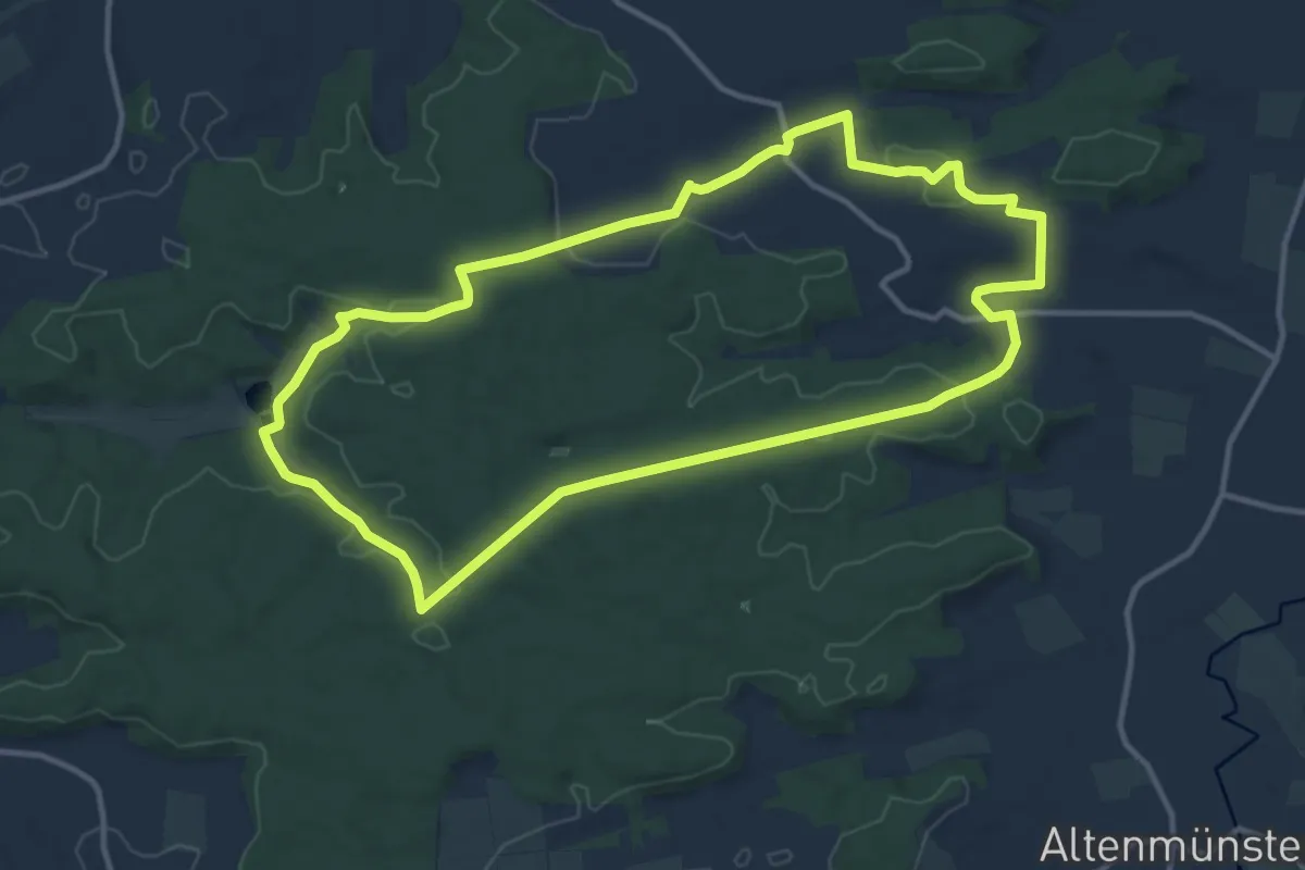
Medium · Trail
Trail 9
11.6 km · ↑ 164 m · 3 h 15 min
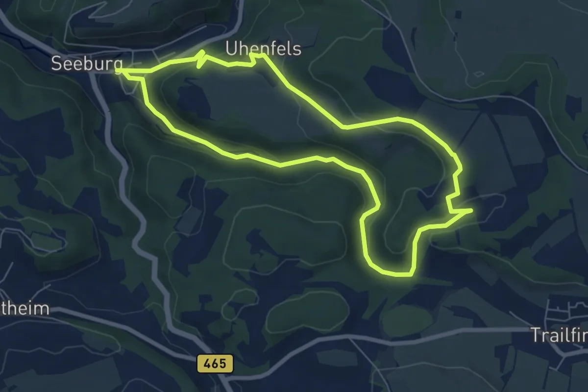
Easy · Trail
Trailfinger Schlucht
6.1 km · ↑ 217 m · 1 h 59 min
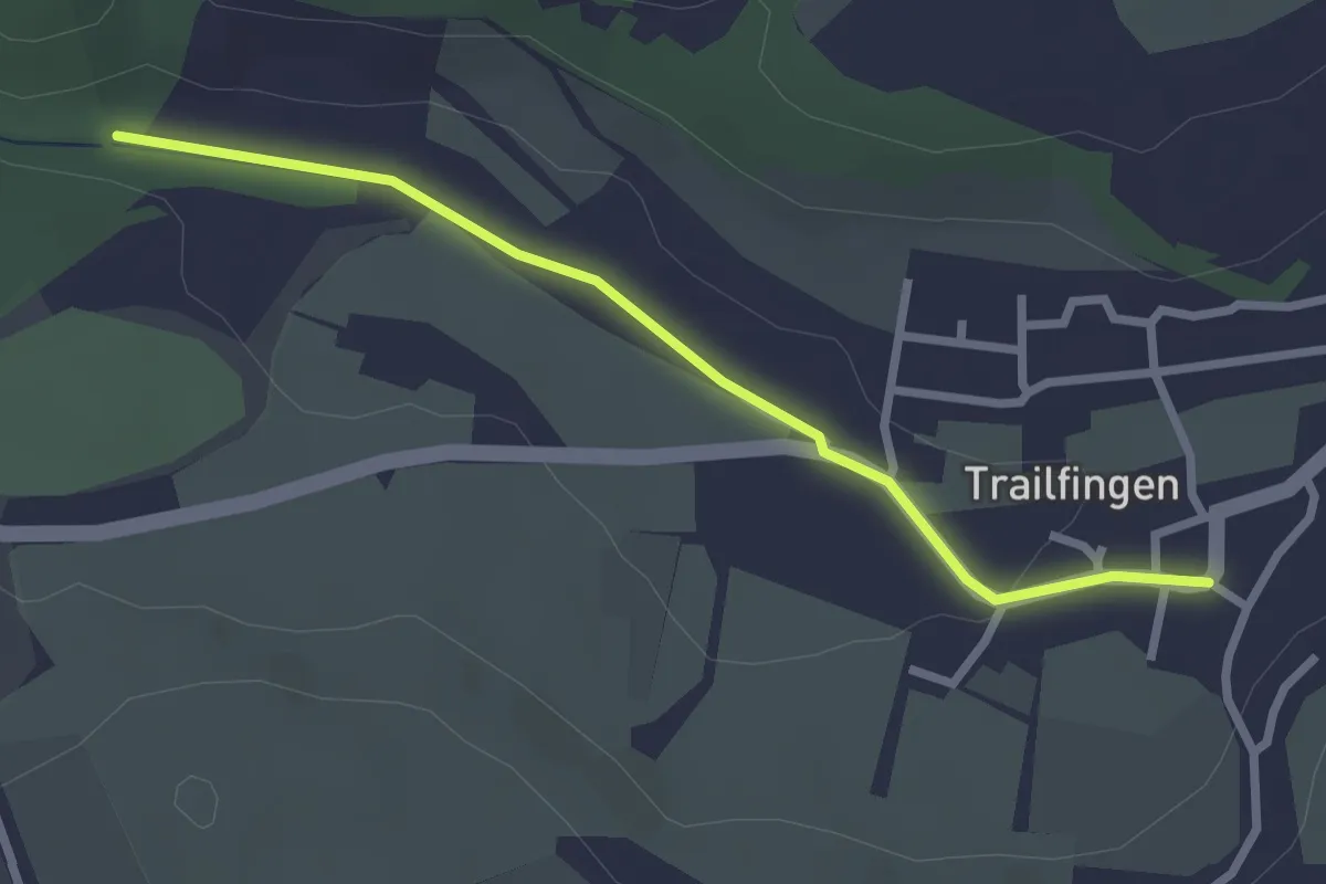
Easy · Trail
Trailfinger Schlucht - Trailfingen
2.5 km · ↑ 33 m · 40 min
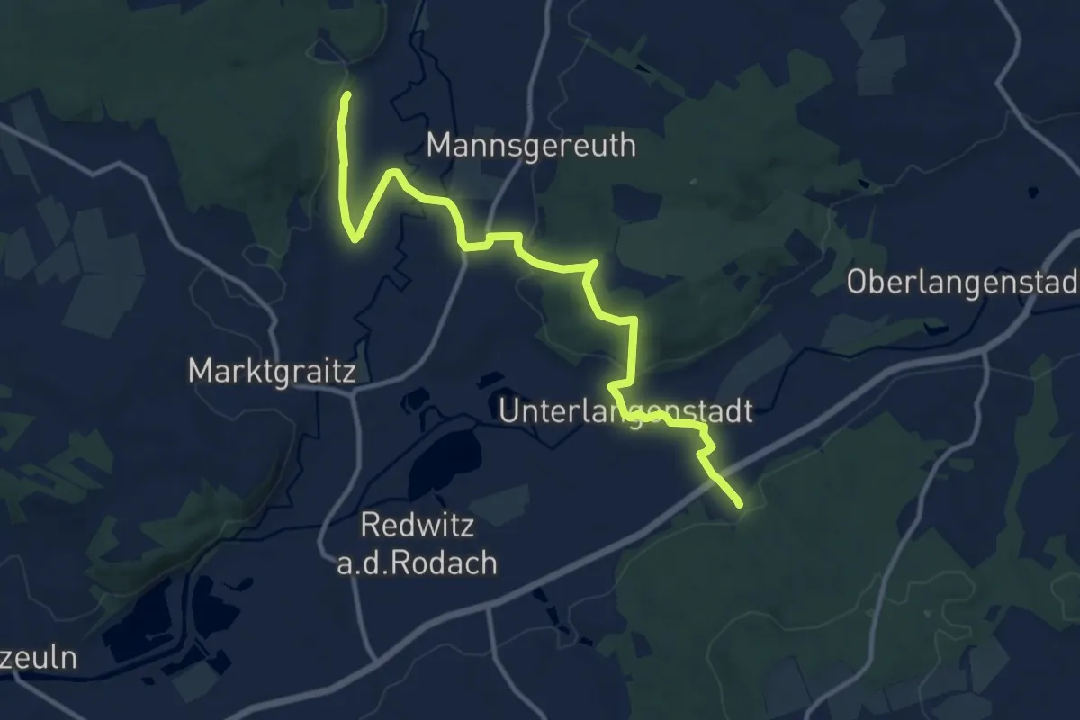
Medium · Trail
Trainauer Weg
11.6 km · ↑ 189 m · 3 h 8 min
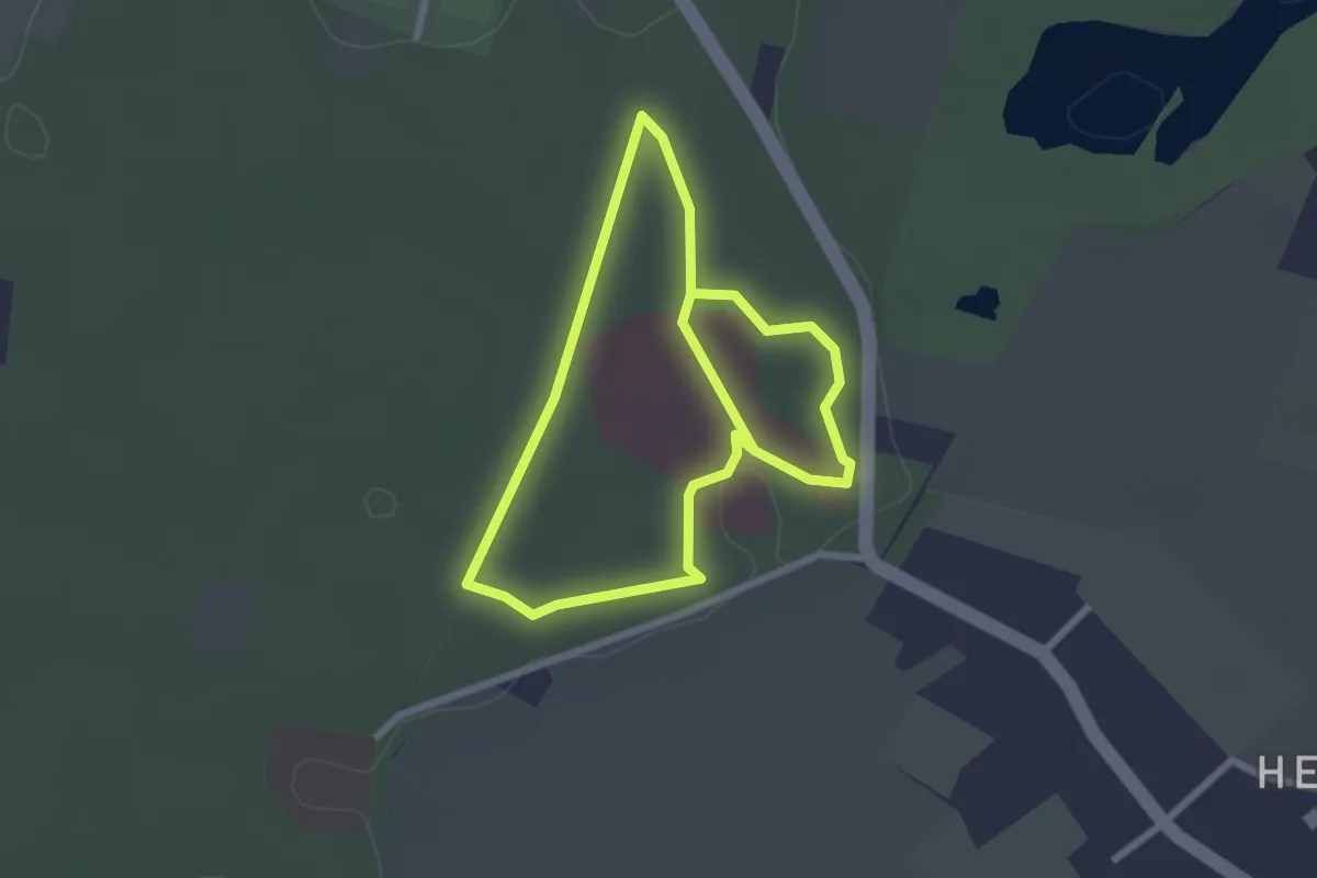
Easy · Trail
Trainingsweg
2.1 km · ↑ 8 m · 32 min
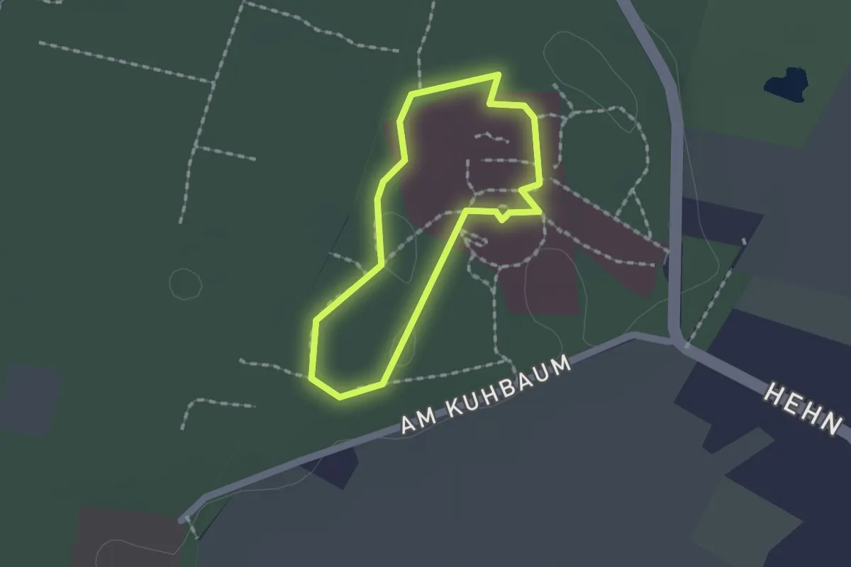
Easy · Trail
Trainingsweg
1.1 km · ↑ 0 m · 17 min
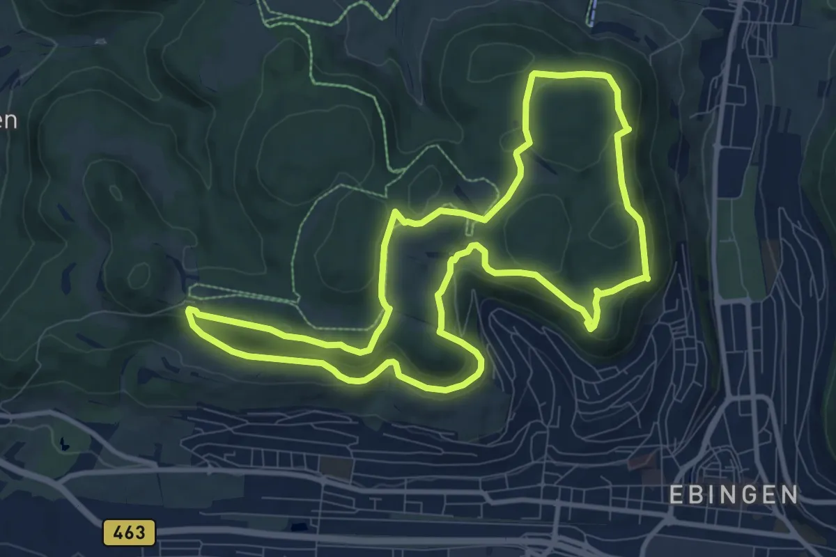
Medium · Summit
Traufgänge - Ochsenbergtour
9.3 km · ↑ 280 m · 2 h 56 min
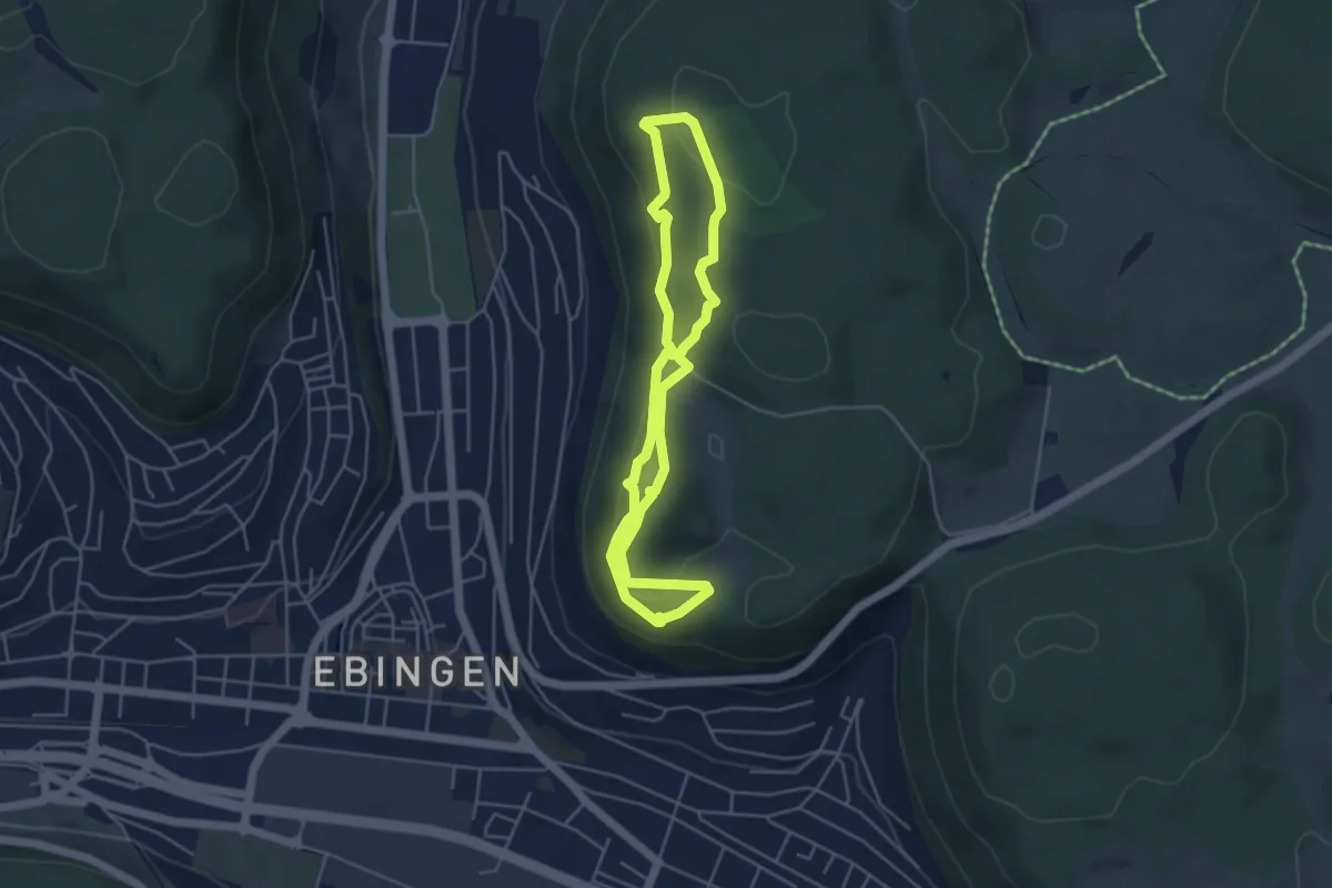
Medium · Summit
Traufgängerle Hexenküche
4.0 km · ↑ 162 m · 1 h 21 min
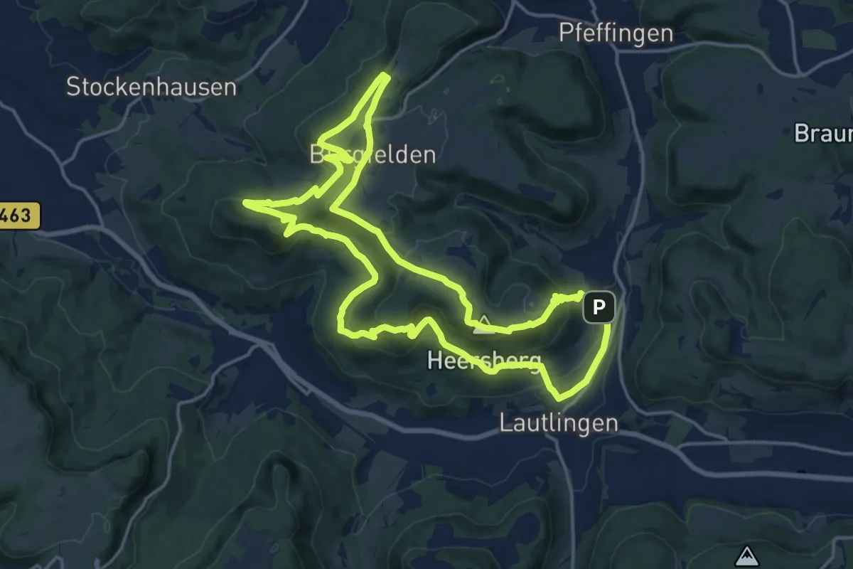
Medium · Summit
Traufgang Felsenmeersteig
16.1 km · ↑ 608 m · 5 h 20 min
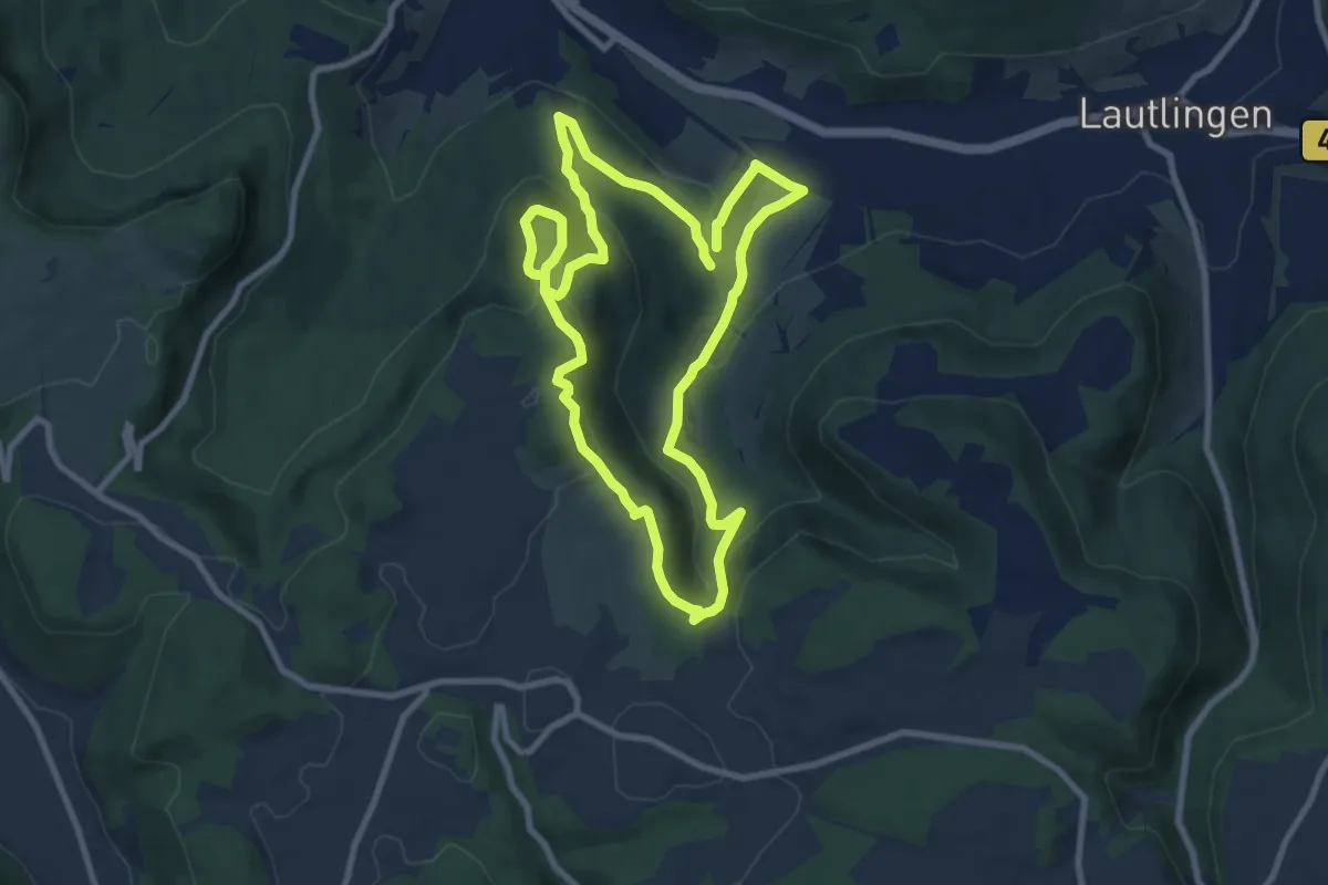
Medium · Summit
Traufgang Hossinger Leiter
8.5 km · ↑ 366 m · 2 h 55 min
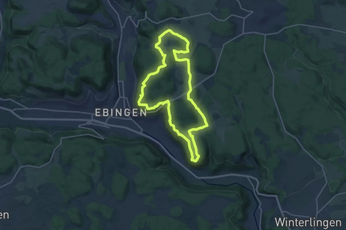
Medium · Summit
Traufgang Schlossfelsen
14.4 km · ↑ 398 m · 4 h 28 min
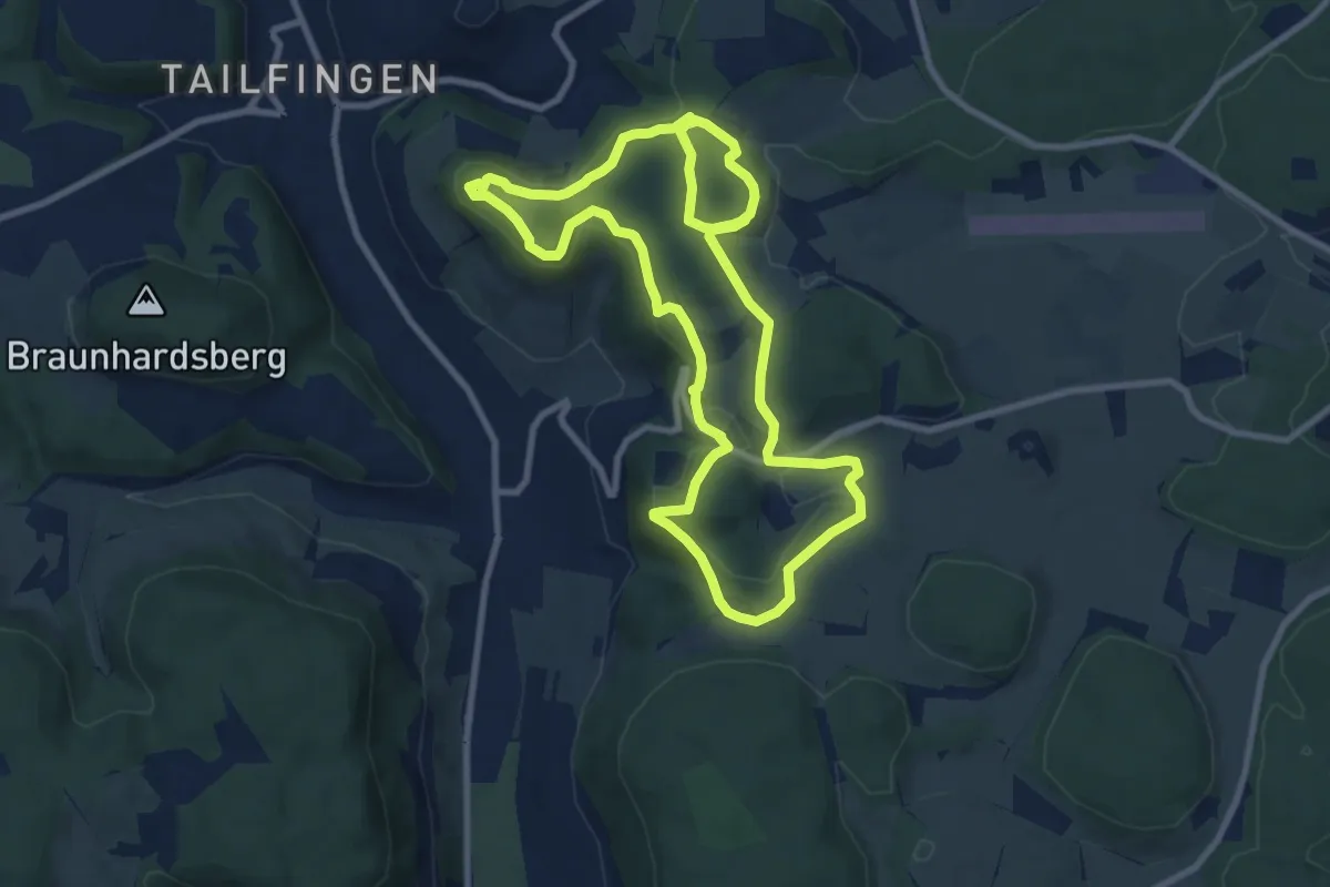
Medium · Summit
Traufgang "Wacholderhöhe"
8.8 km · ↑ 203 m · 2 h 37 min
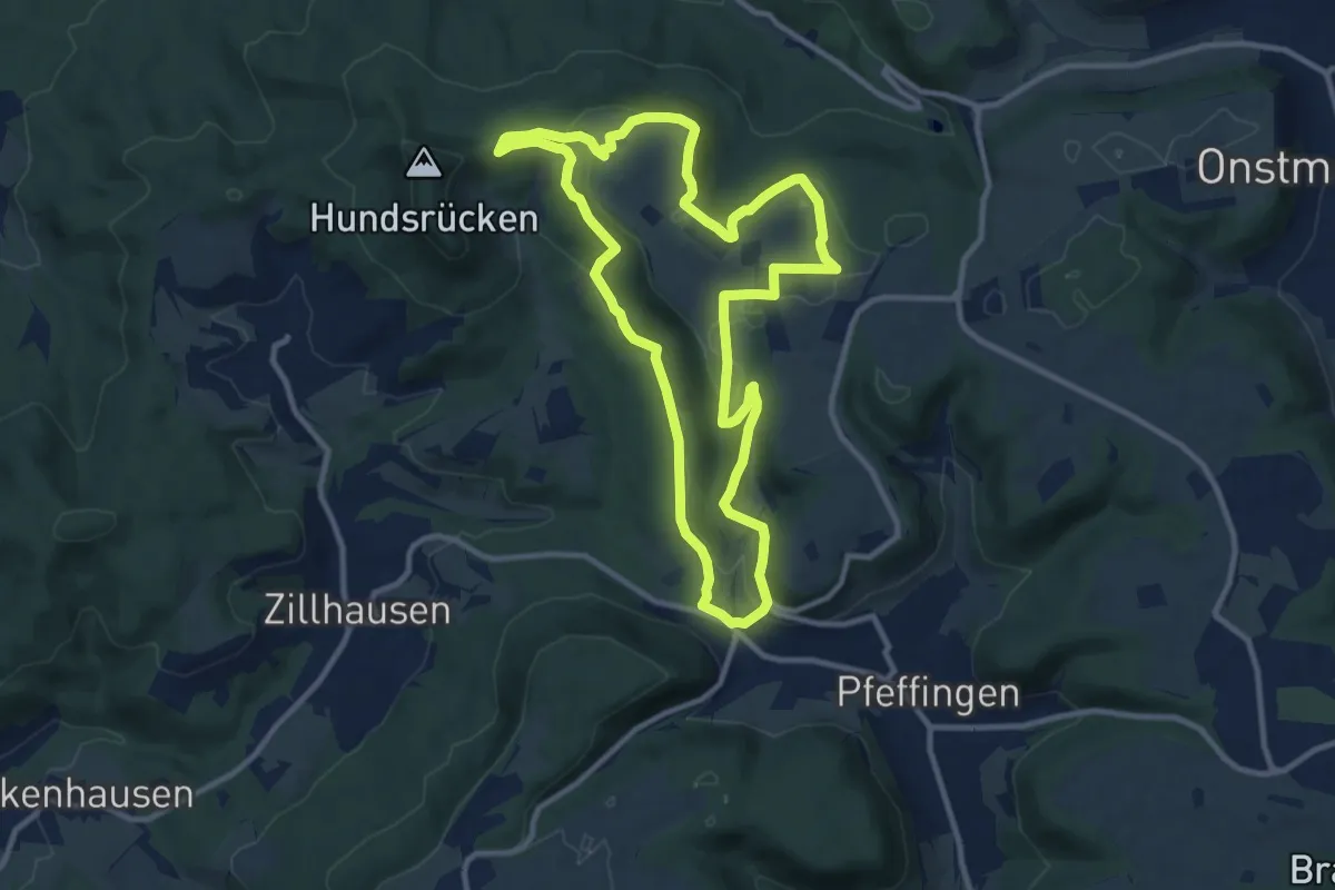
Medium · Summit
Traufgang Wiesenrunde
10.4 km · ↑ 217 m · 3 h 5 min
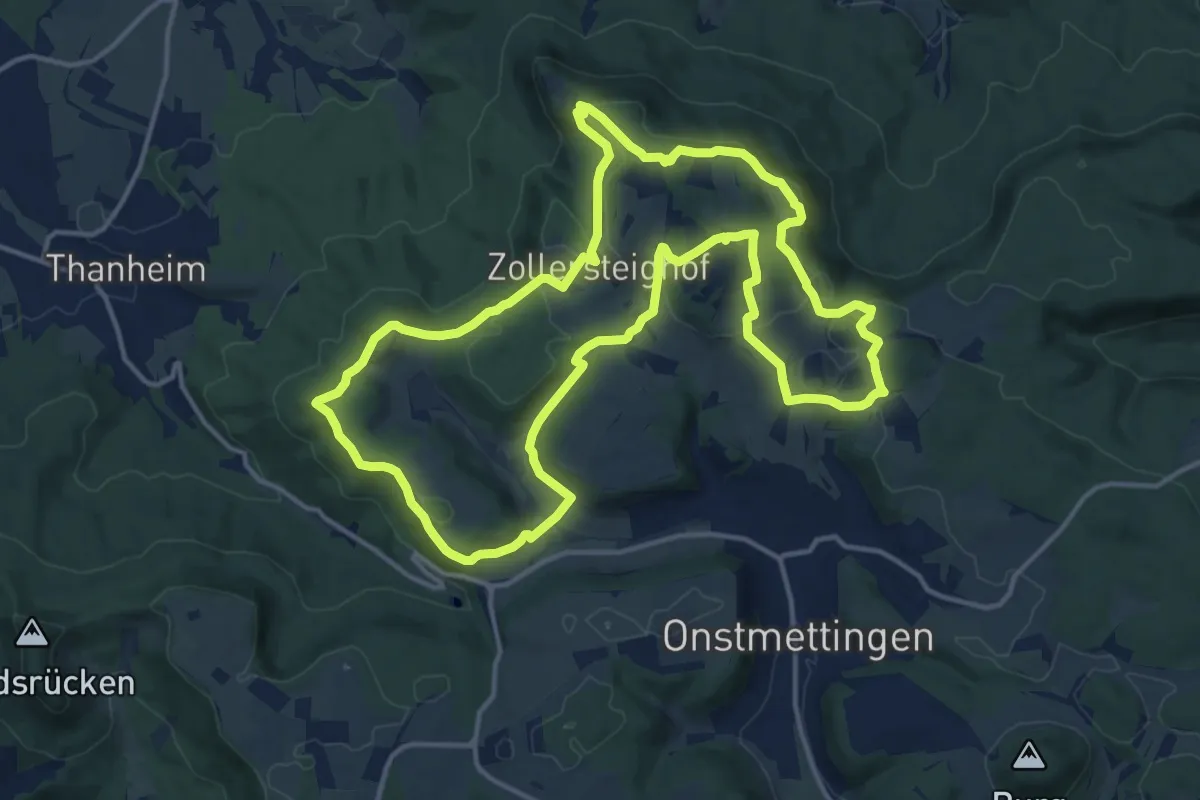
Medium · Summit
Traufgang Zollernburg-Panorama
15.2 km · ↑ 336 m · 4 h 32 min
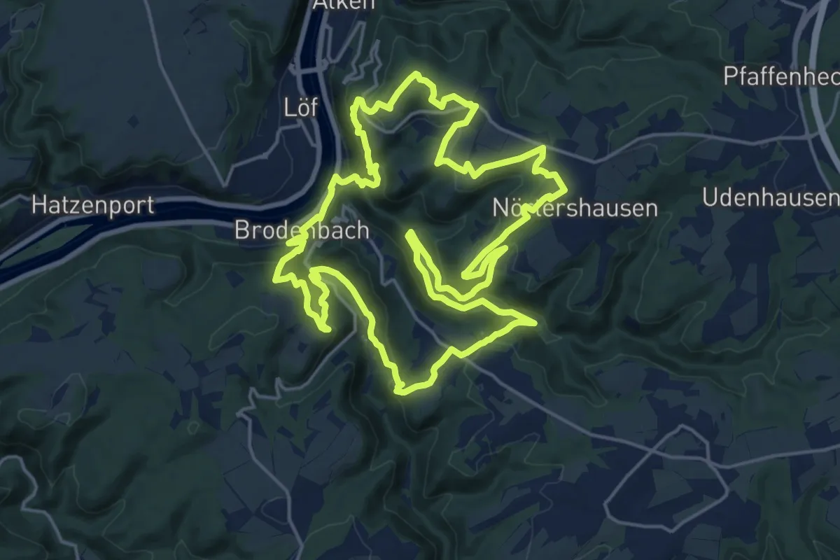
Demanding · Summit
Traumpfad Bergschluchtenpfad Ehrenburg
18.5 km · ↑ 1028 m · 6 h 51 min
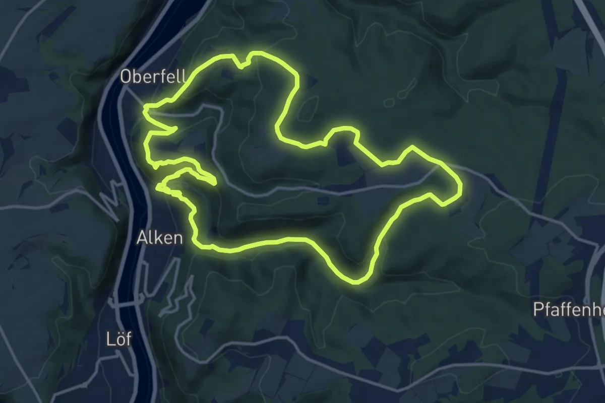
Medium · Trail
Traumpfad Bleidenberger Ausblicke
12.7 km · ↑ 513 m · 4 h 17 min
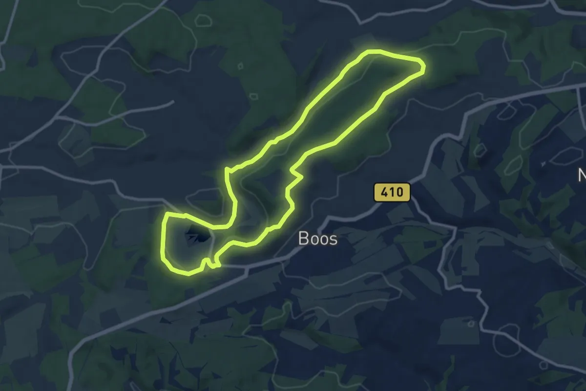
Medium · Summit
Traumpfad Booser Doppelmaartour
9.0 km · ↑ 172 m · 2 h 38 min
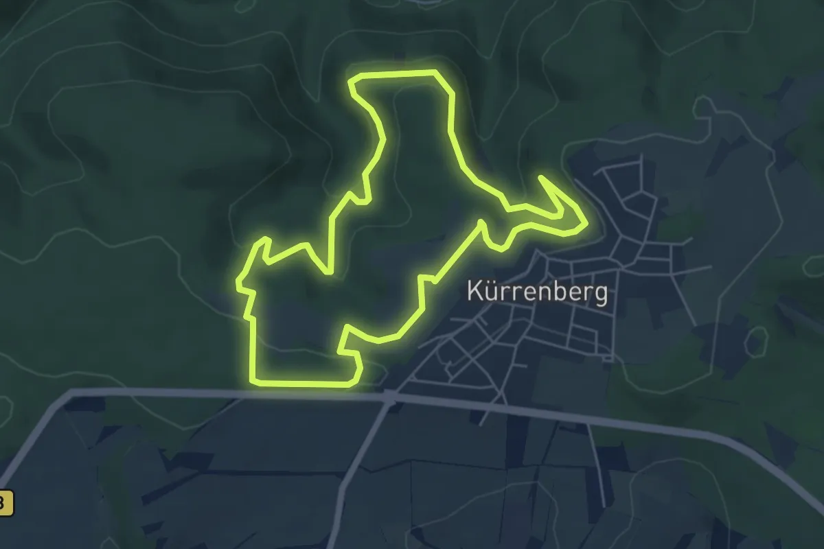
Easy · Trail
Traumpfädchen Eifeltraum
5.3 km · ↑ 186 m · 1 h 43 min
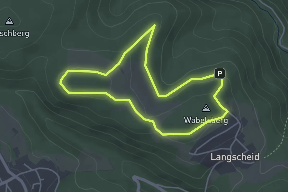
Easy · Summit
Traumpfädchen Langscheider Wacholderblick
3.2 km · ↑ 56 m · 55 min
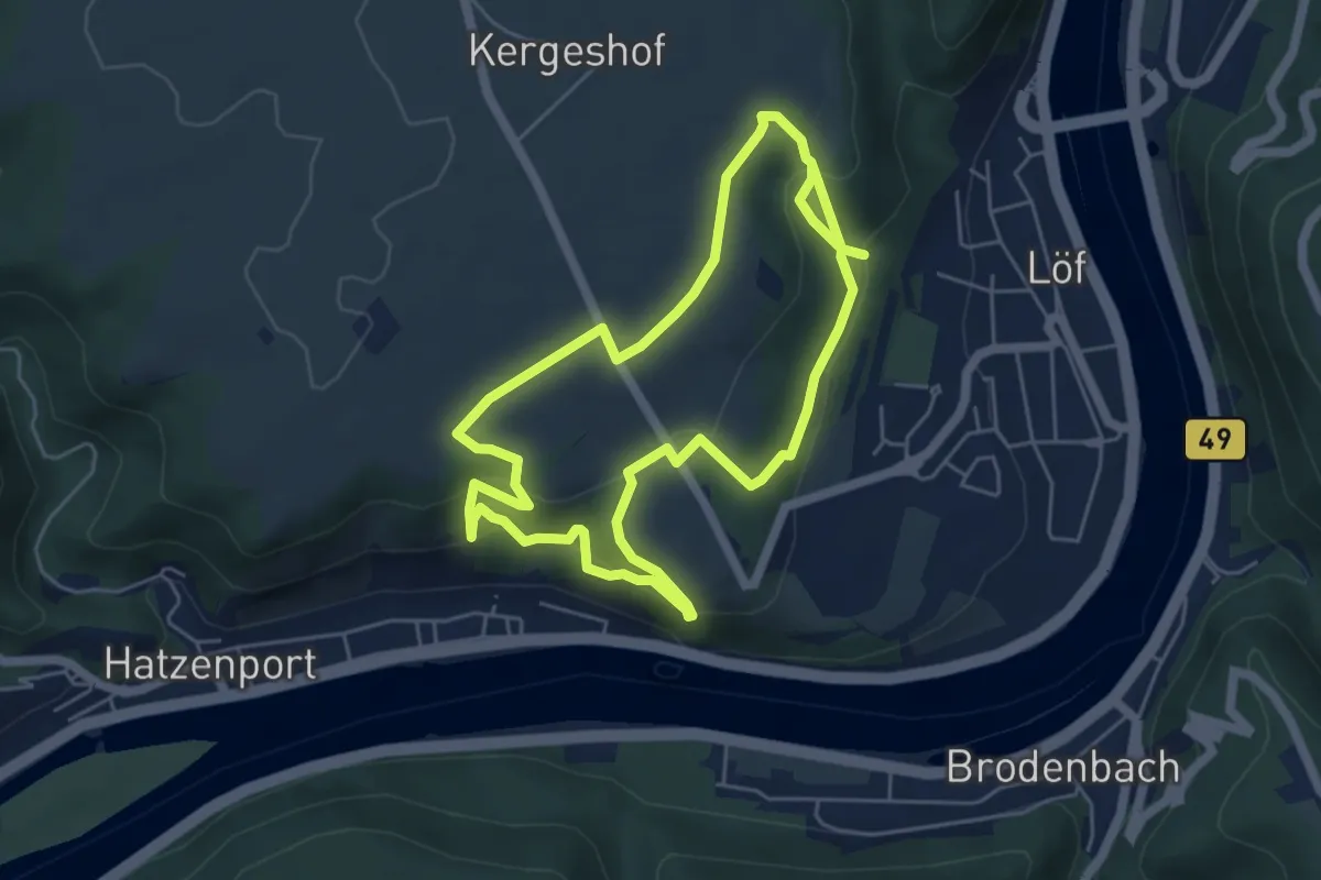
Easy · Trail
Traumpfädchen Löfer Rabenlaypfad
4.8 km · ↑ 240 m · 1 h 45 min
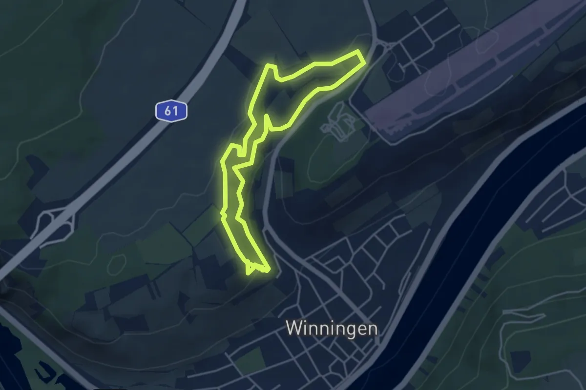
Easy · Trail
Traumpfädchen Moseltraum
3.5 km · ↑ 91 m · 1 h 5 min
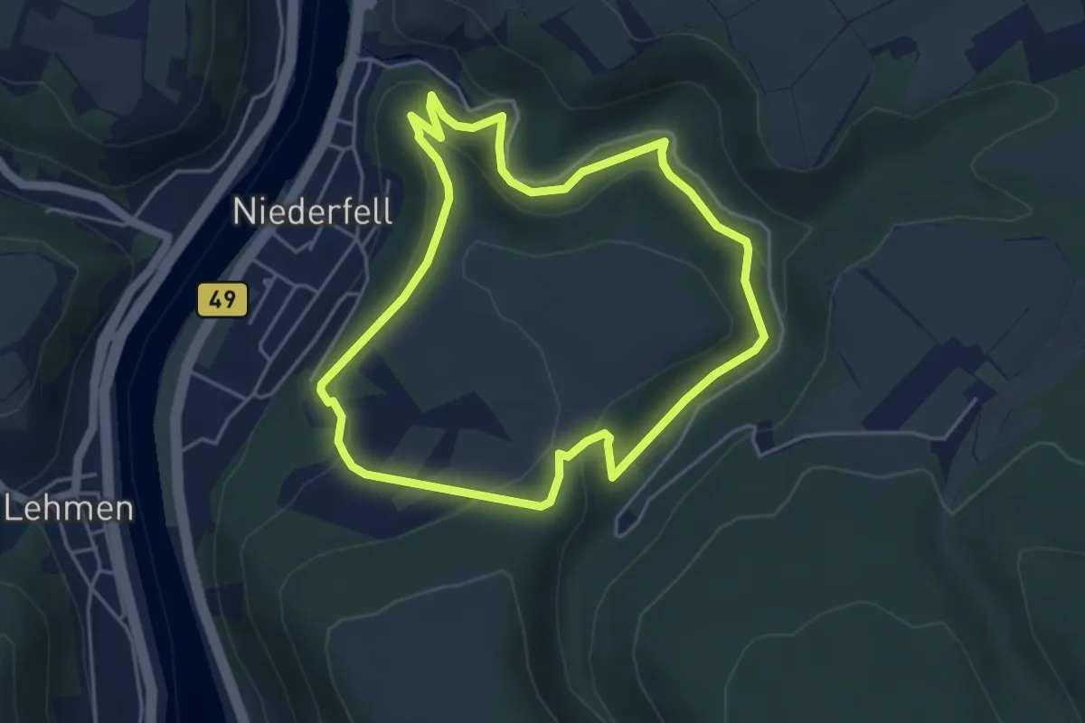
Easy · Trail
Traumpfädchen Niederfeller Schweiz
4.1 km · ↑ 182 m · 1 h 25 min
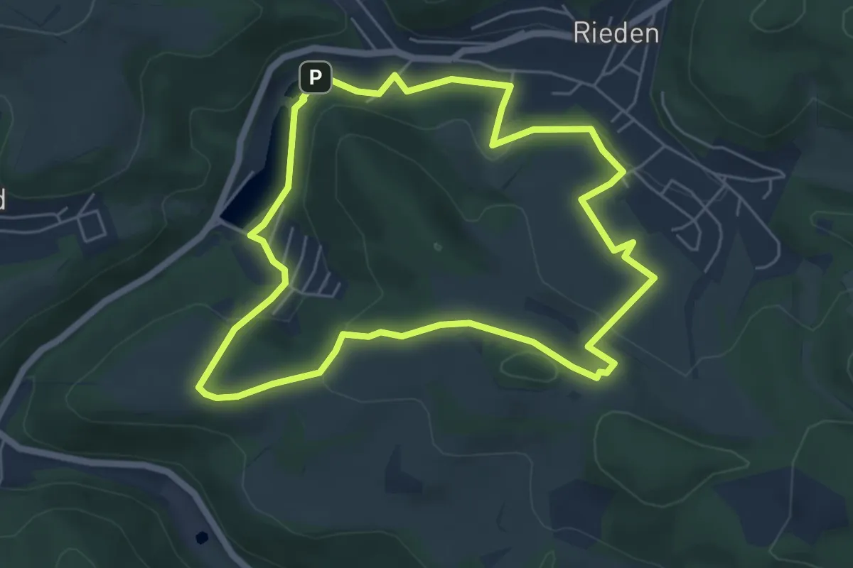
Easy · Trail
Traumpfädchen Riedener Seeblick
5.1 km · ↑ 132 m · 1 h 33 min
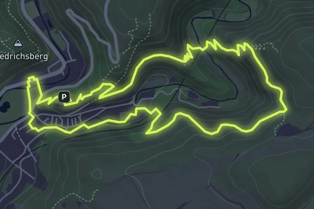
Easy · Trail
Traumpfädchen Sayner Aussichten
5.8 km · ↑ 284 m · 2 h 3 min
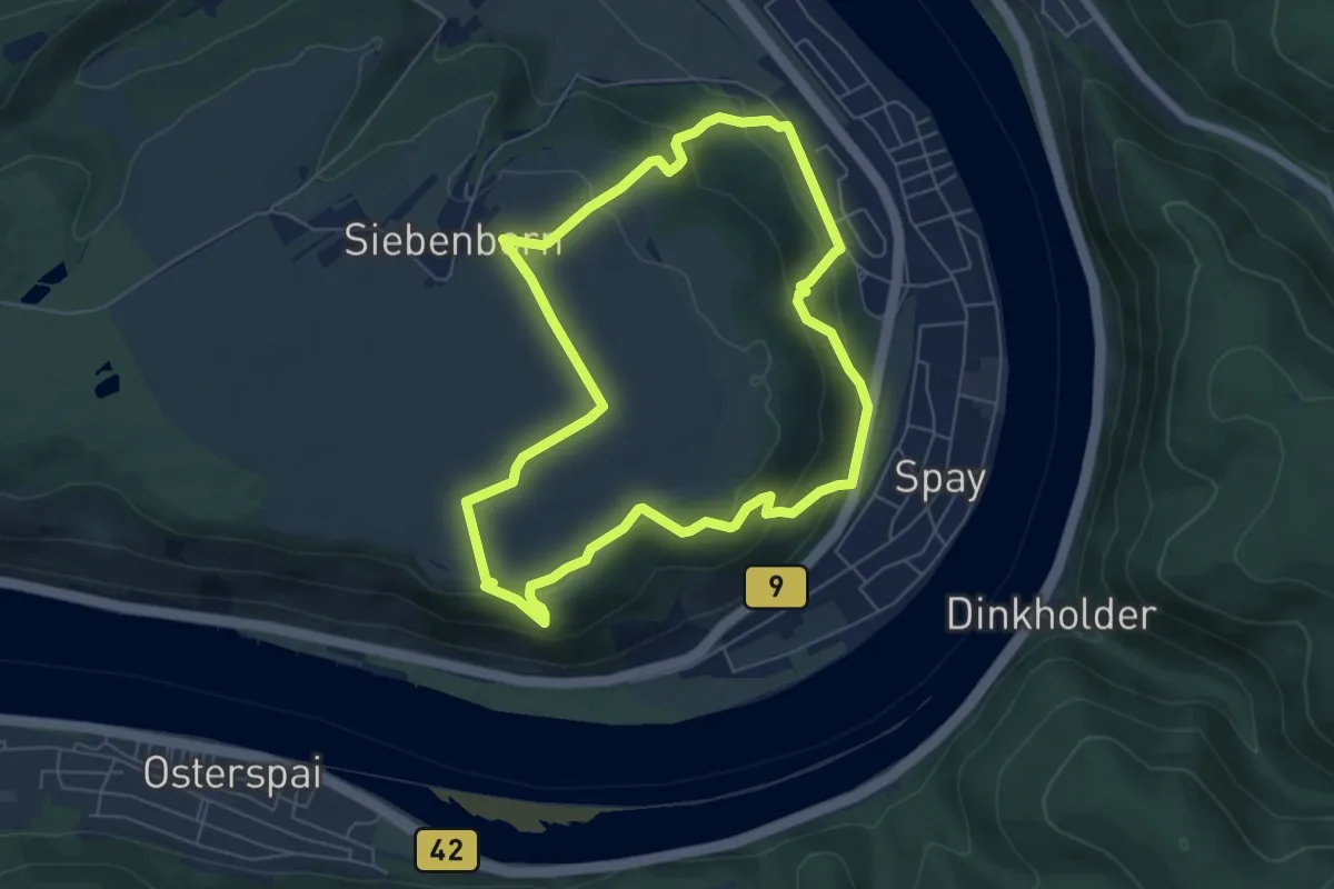
Easy · Trail
Traumpfädchen Spayer BlickinsTal
5.6 km · ↑ 212 m · 1 h 52 min
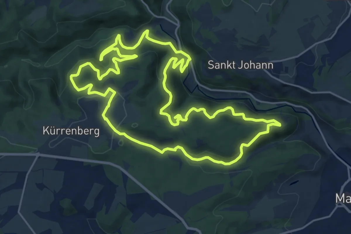
Medium · Trail
Traumpfad Förstersteig
14.4 km · ↑ 742 m · 5 h 13 min
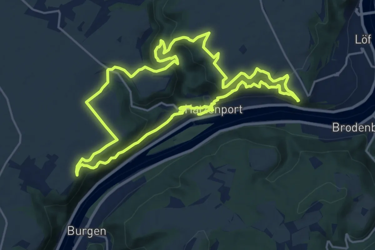
Medium · Trail
Traumpfad Hatzenporter Laysteig
12.2 km · ↑ 496 m · 4 h 8 min
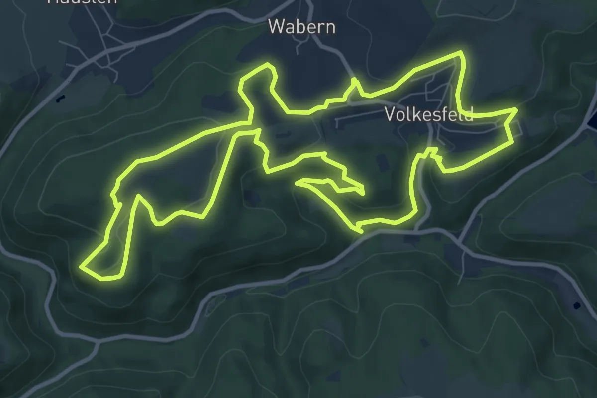
Medium · Summit
Traumpfad Heidehimmel Volkesfeld
9.3 km · ↑ 248 m · 2 h 52 min
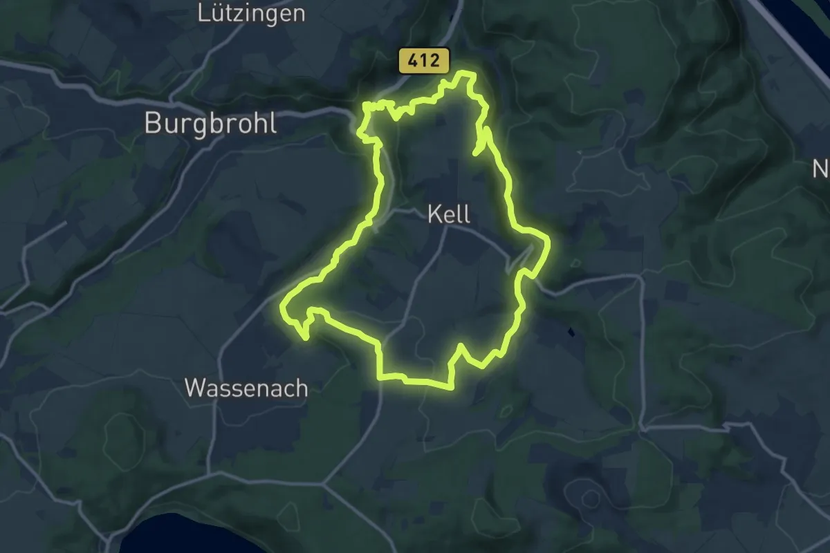
Medium · Summit
Traumpfad Höhlen- und Schluchtensteig
12.0 km · ↑ 360 m · 3 h 47 min
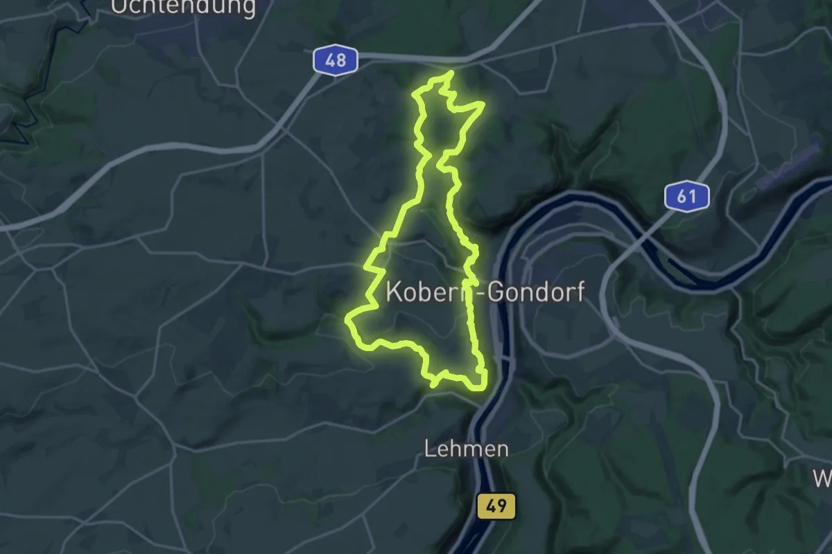
Medium · Trail
Traumpfad Koberner Burgweg
16.8 km · ↑ 484 m · 5 h 15 min
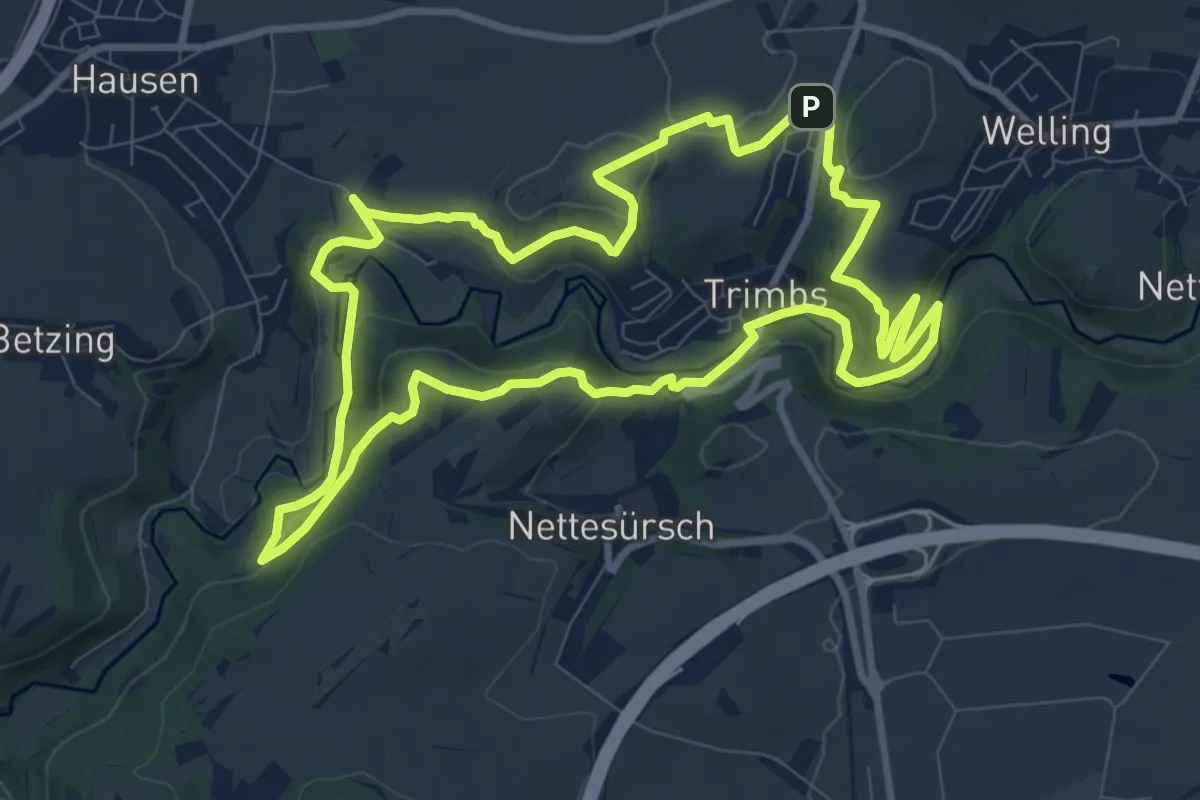
Expert · Summit
Traumpfad Nette-Schieferpfad
9.1 km · ↑ 279 m · 2 h 53 min
Expert · Trail
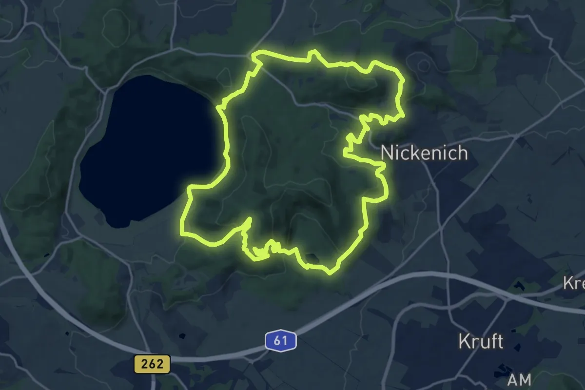
Traumpfad Pellenzer Seepfad
15.9 km · ↑ 548 m · 5 h 10 min
Medium · Summit
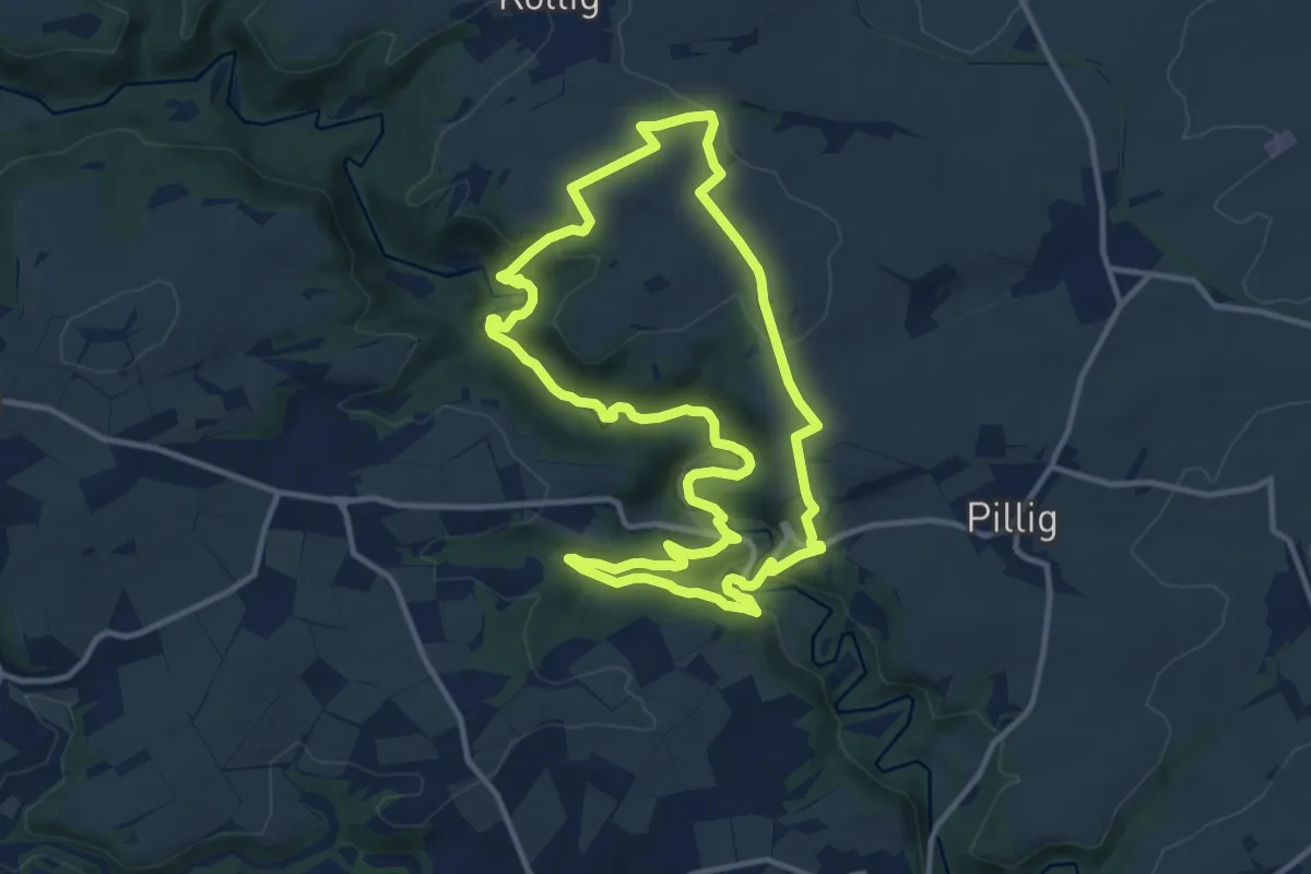
Traumpfad Pyrmonter Felsensteig
11.4 km · ↑ 288 m · 3 h 28 min
Medium · Trail
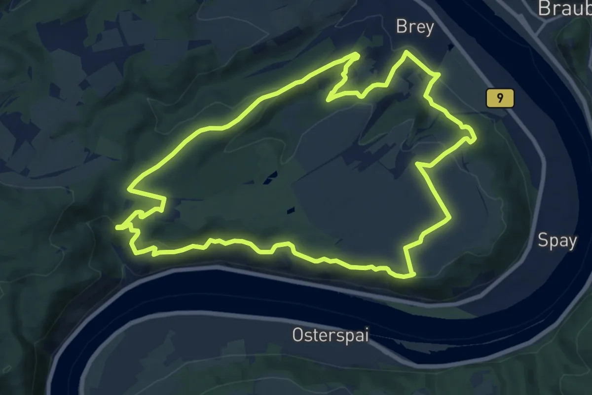
Traumpfad Rheingoldbogen
12.5 km · ↑ 426 m · 4 h 4 min
Medium · Trail
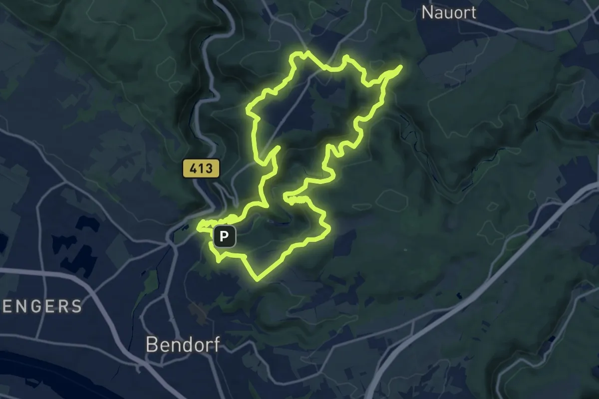
Traumpfad Saynsteig
15.5 km · ↑ 616 m · 5 h 12 min
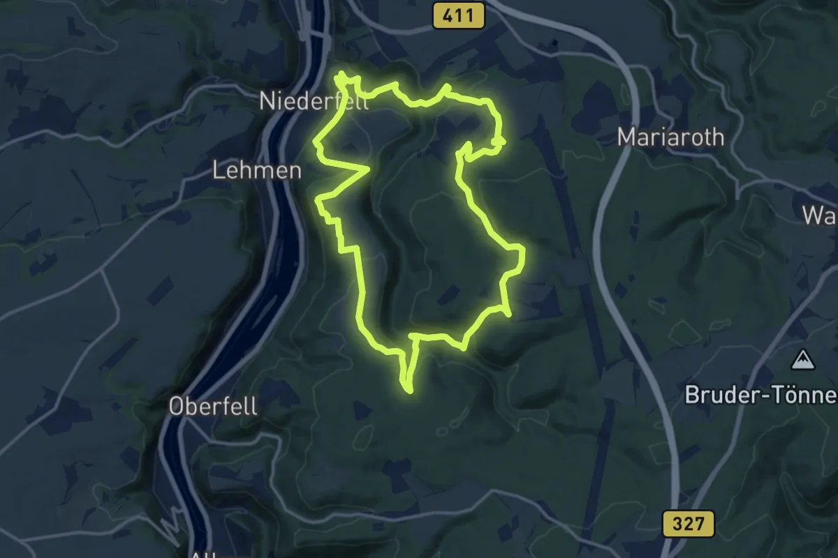
Medium · Trail
Traumpfad Schwalberstieg
12.9 km · ↑ 530 m · 4 h 23 min
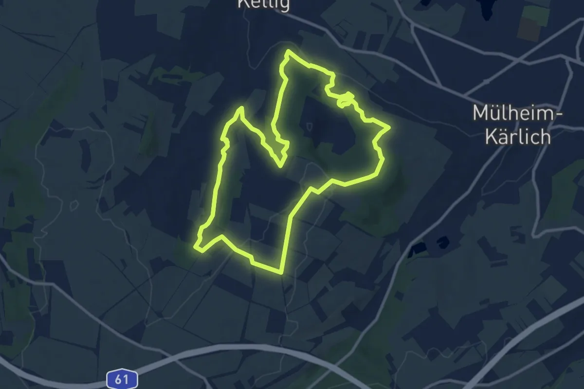
Medium · Trail
Traumpfad Streuobstwiesenweg
8.8 km · ↑ 221 m · 2 h 41 min
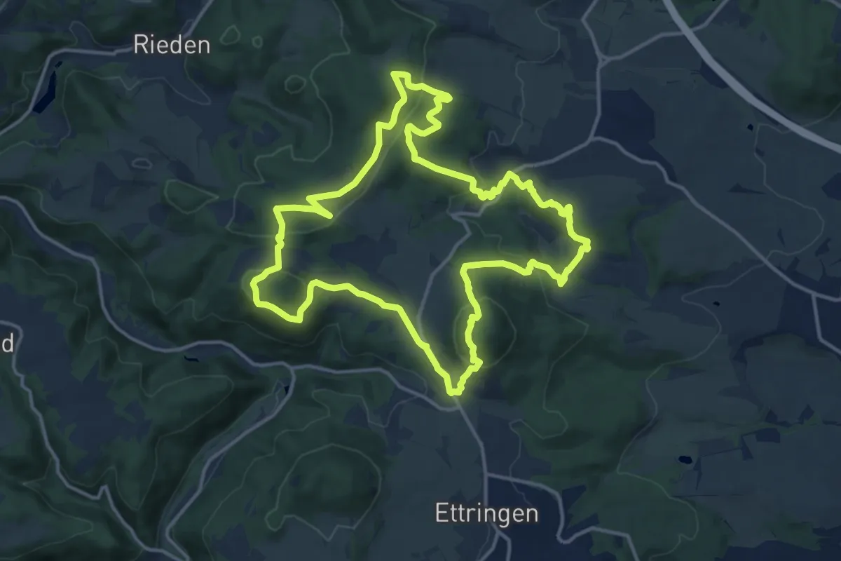
Medium · Summit
Traumpfad Vier-Berge-Tour
13.2 km · ↑ 475 m · 4 h 20 min
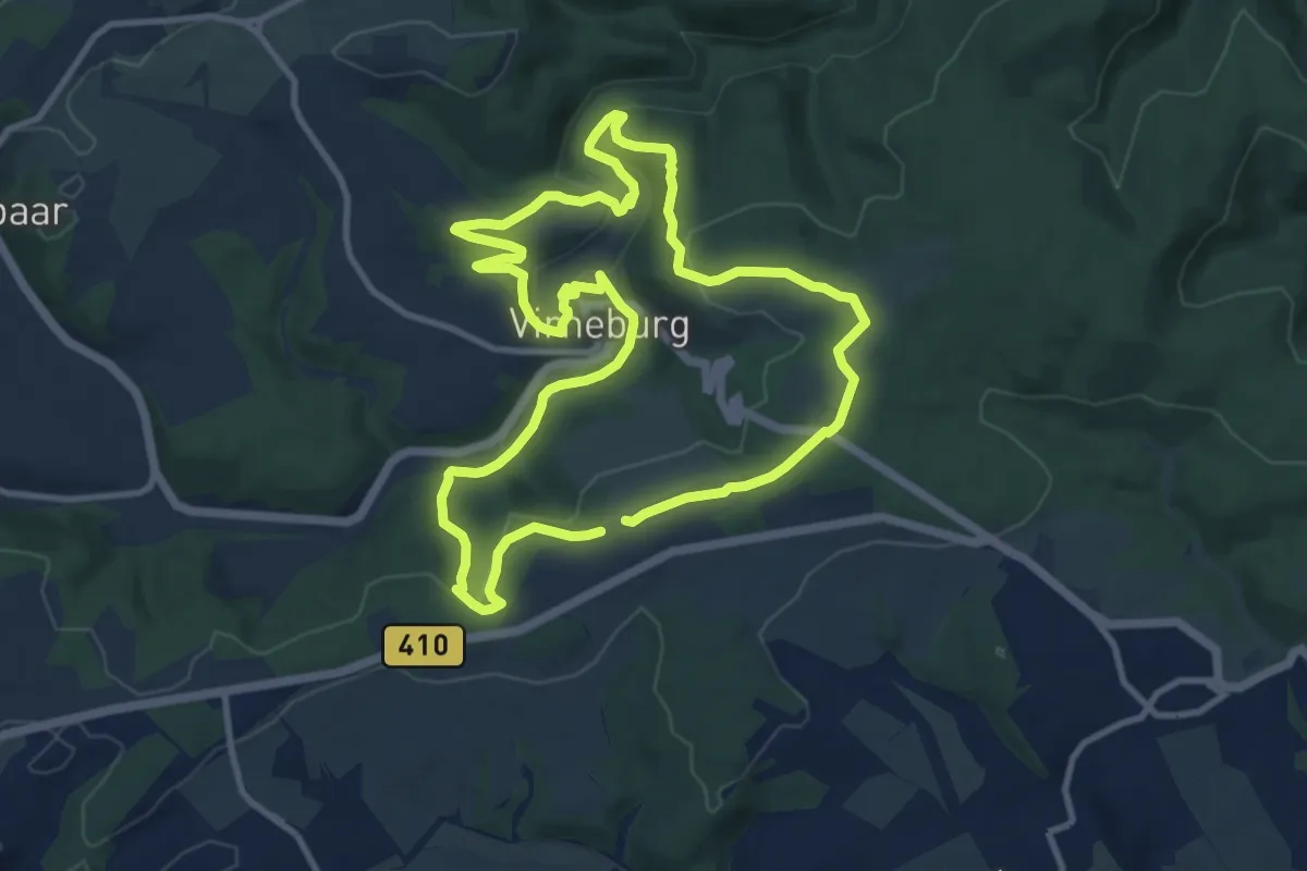
Medium · Summit
Traumpfad Virne-Burgweg
9.7 km · ↑ 235 m · 2 h 55 min
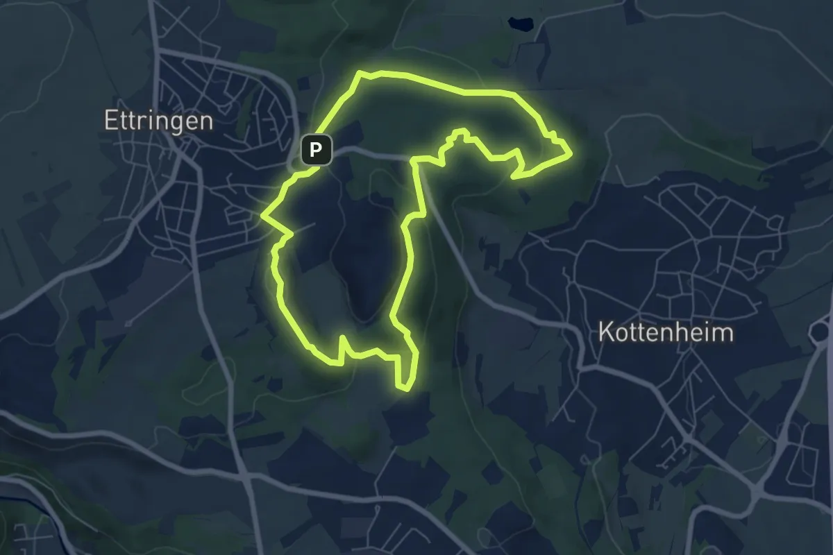
Easy · Summit
Traumpfad Vulkanpfad
6.3 km · ↑ 160 m · 1 h 55 min
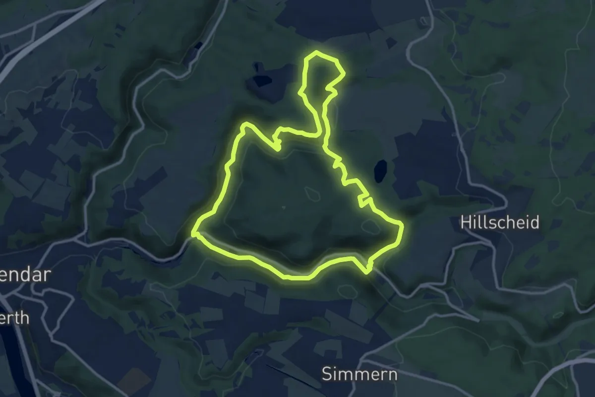
Medium · Trail
Traumpfad Waldschluchtenweg
10.6 km · ↑ 325 m · 3 h 21 min
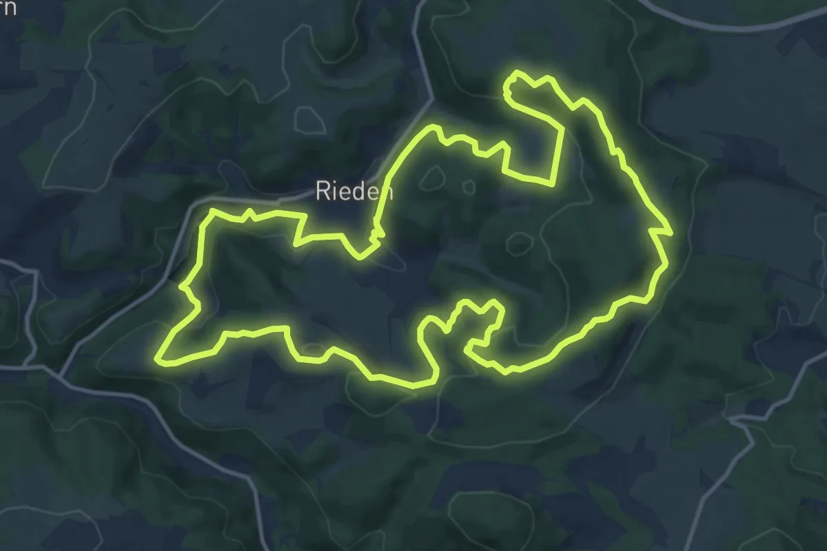
Medium · Summit
Traumpfad Waldseepfad Rieden
13.6 km · ↑ 360 m · 4 h 11 min
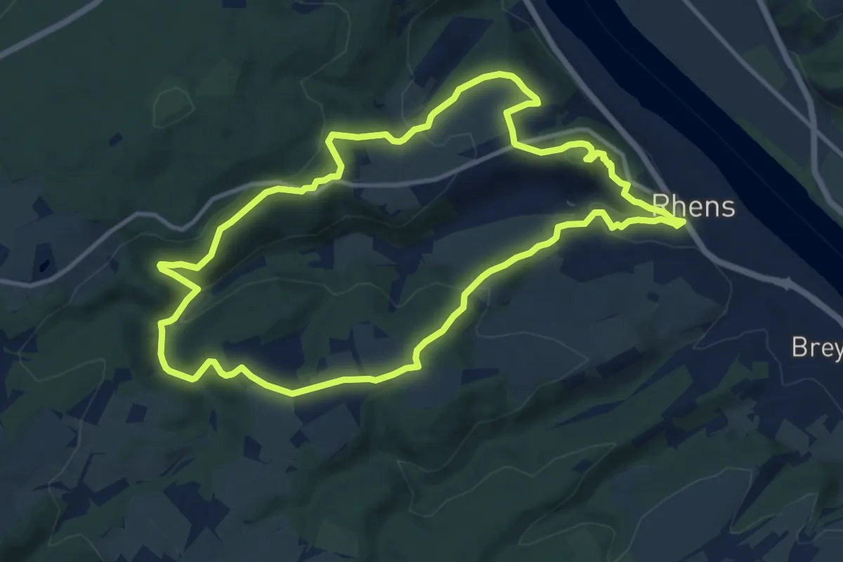
Medium · Summit
Traumpfad Wolfsdelle
10.2 km · ↑ 347 m · 3 h 17 min