Trails in Germany
36,852 hiking trails, each with its route, climb, walking time and grade.
All trails, page 631 of 768
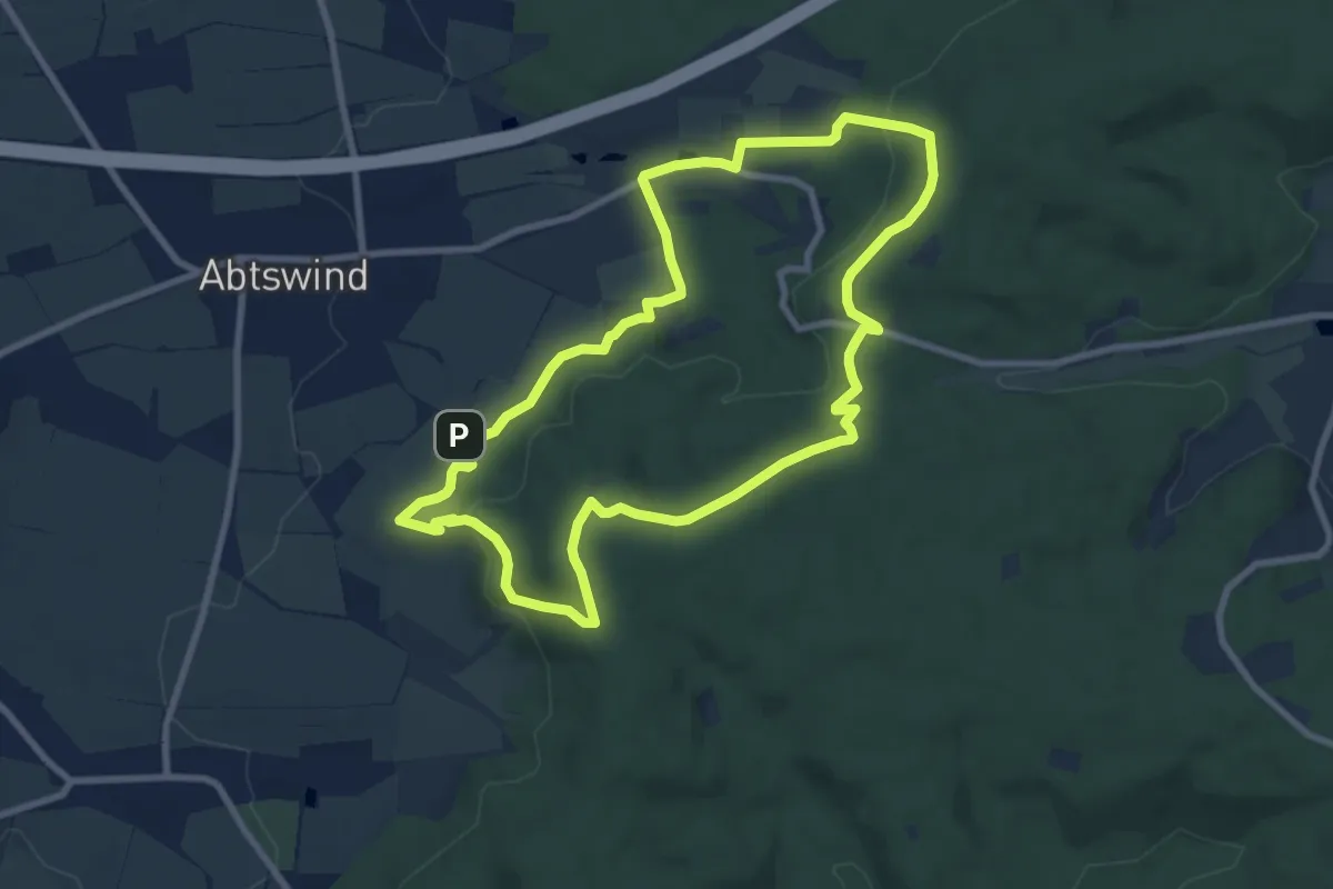
Medium · Summit
Traumrunde Abtswind
8.1 km · ↑ 265 m · 2 h 36 min
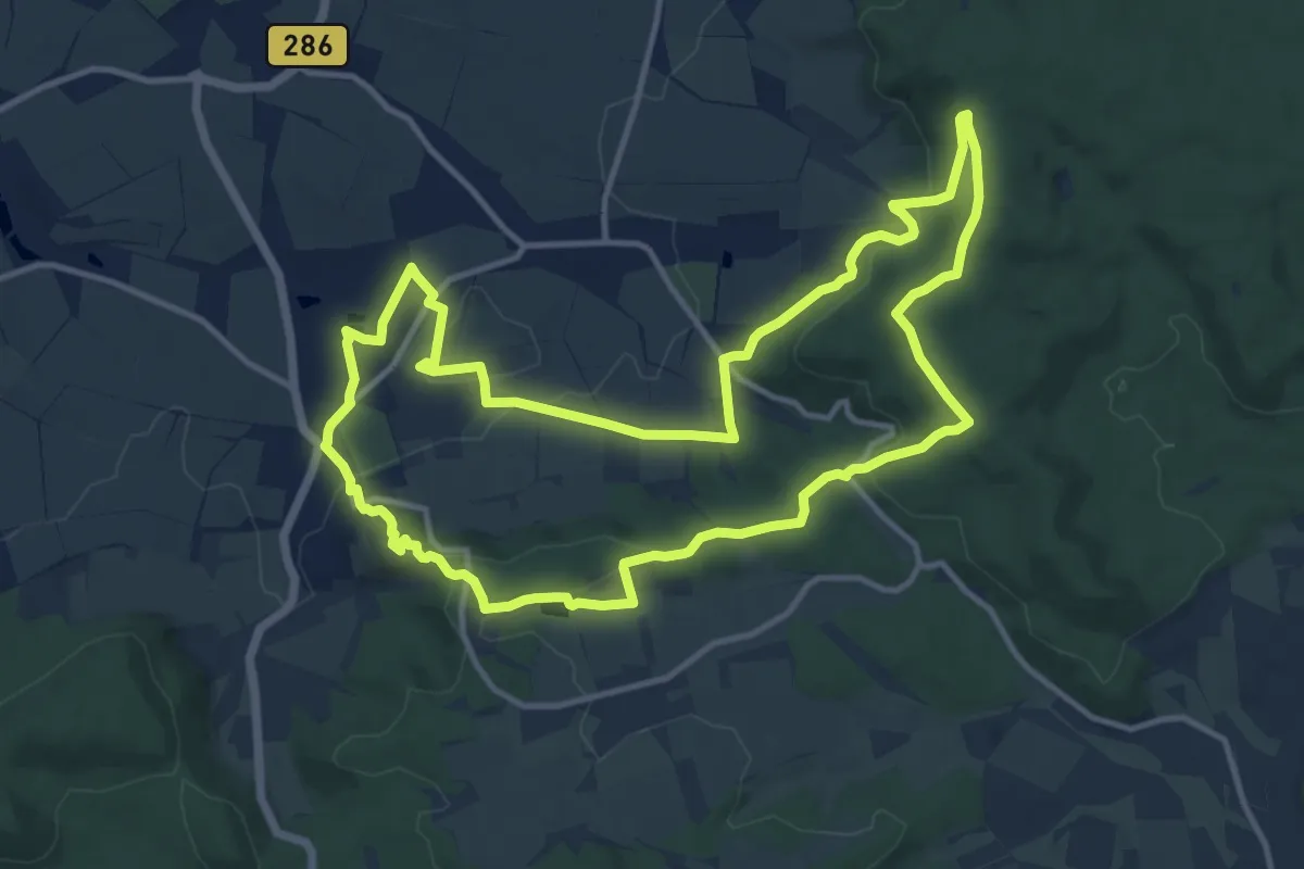
Medium · Summit
TraumRunde Castell
12.0 km · ↑ 361 m · 3 h 47 min
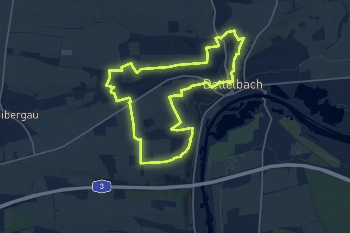
Medium · Trail
TraumRunde Dettelbach
10.4 km · ↑ 222 m · 3 h 5 min
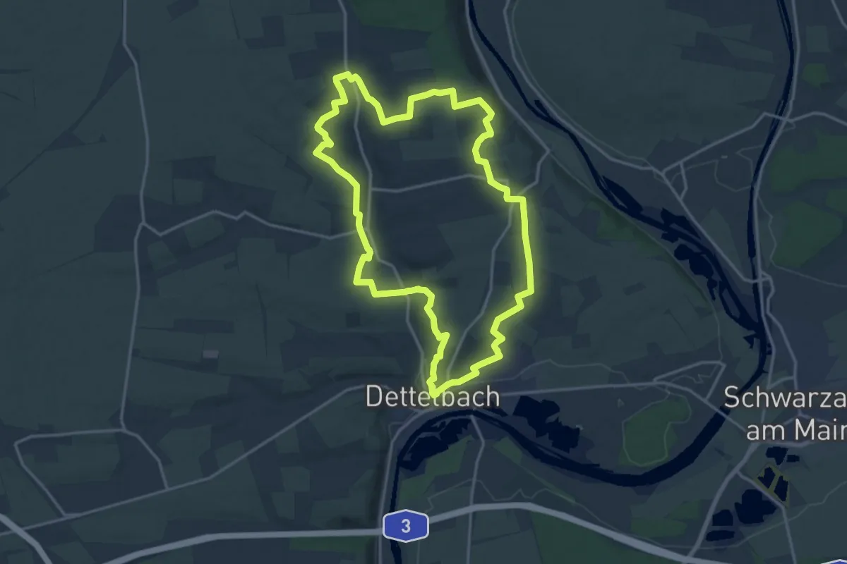
Medium · Trail
TraumRunde Dettelbacher Dörfer
15.1 km · ↑ 243 m · 4 h 18 min
Medium · Trail
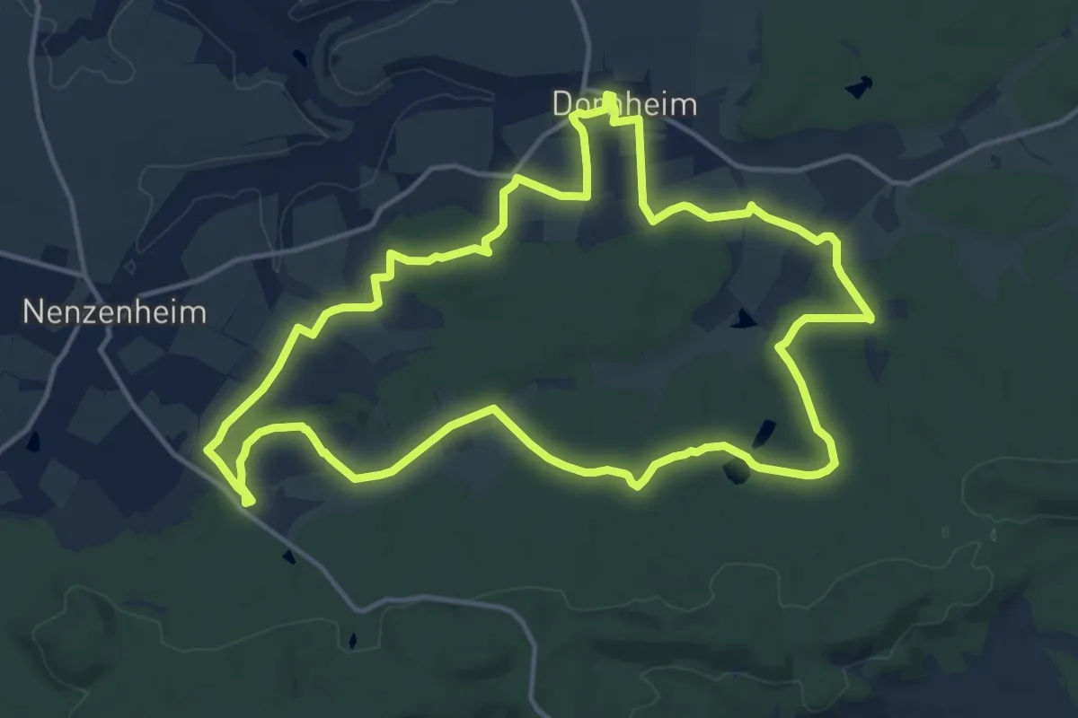
Traumrunde Dornheim
14.1 km · ↑ 190 m · 3 h 57 min
Medium · Trail
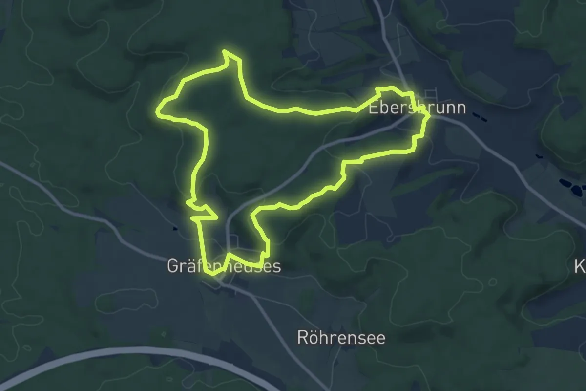
TraumRunde Geiselwind
8.0 km · ↑ 201 m · 2 h 26 min
Medium · Summit
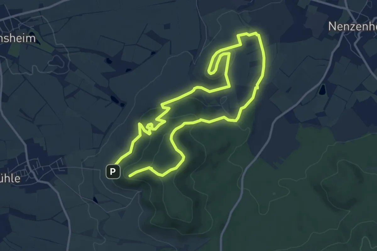
Traumrunde Hüttenheim-Seinsheim
8.1 km · ↑ 275 m · 2 h 35 min
Medium · Trail
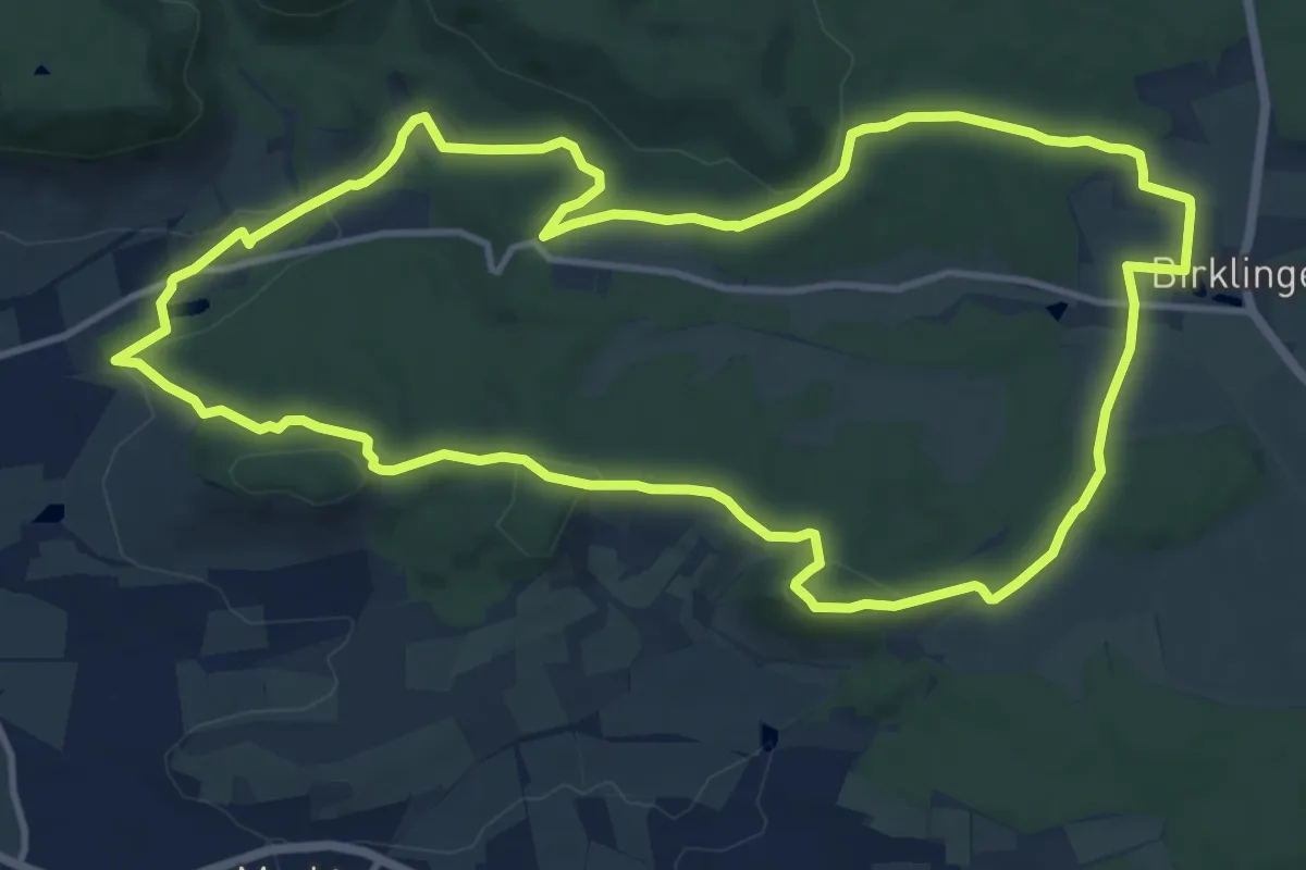
Traumrunde Iphofen
12.5 km · ↑ 263 m · 3 h 41 min
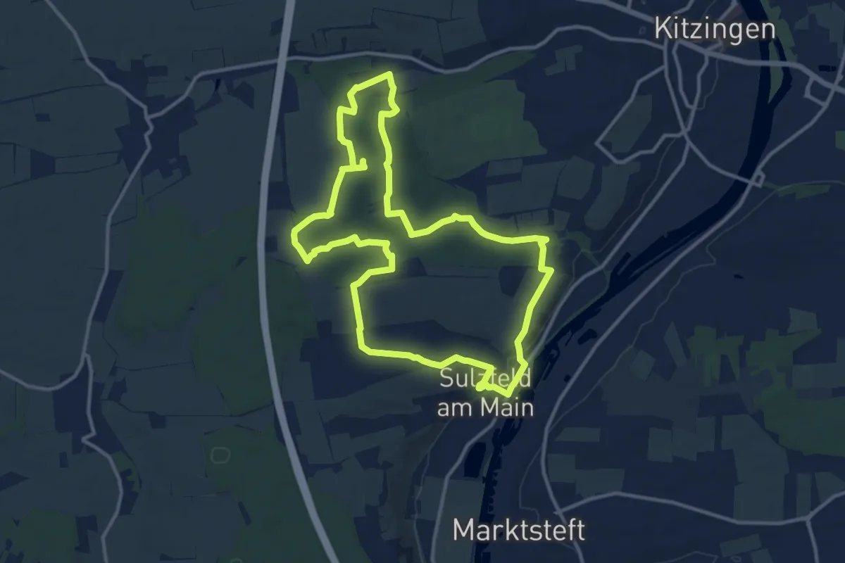
Medium · Trail
Traumrunde Kitzingen Sulzfeld
11.4 km · ↑ 177 m · 3 h 14 min
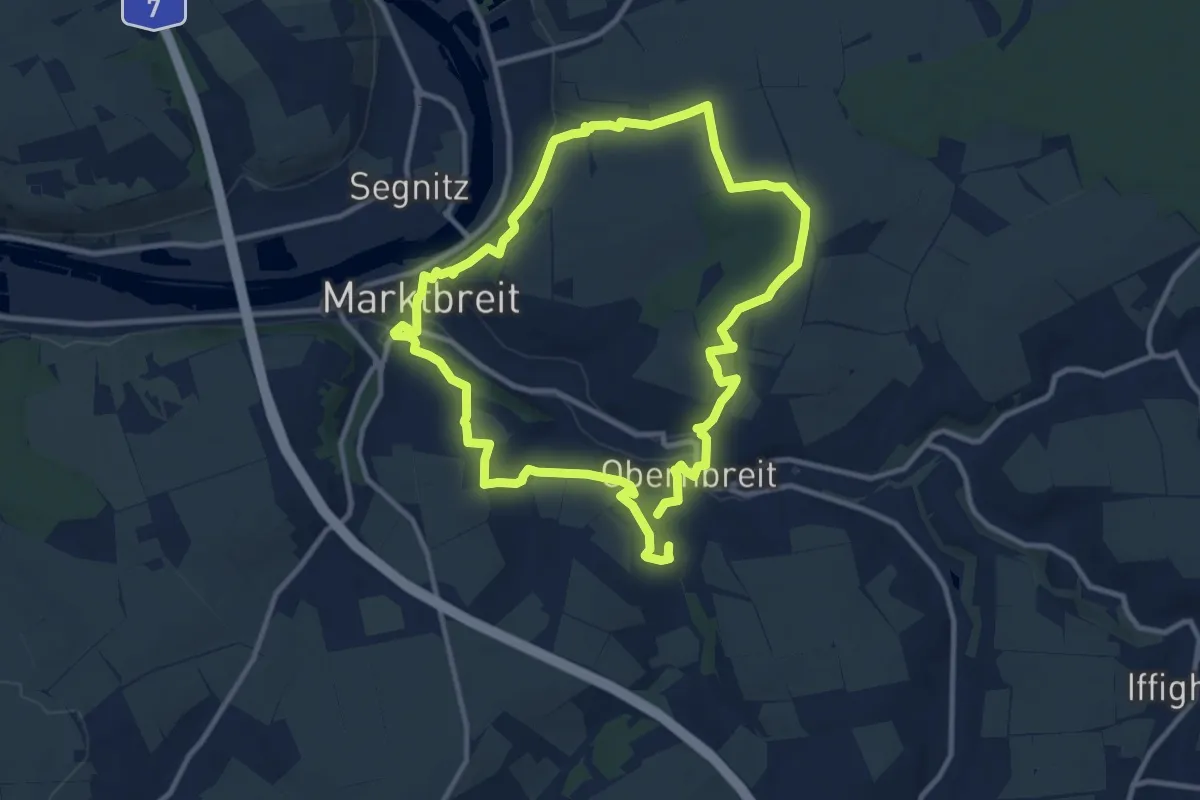
Medium · Trail
TraumRunde Marktbreit-Obernbreit
9.8 km · ↑ 217 m · 2 h 56 min
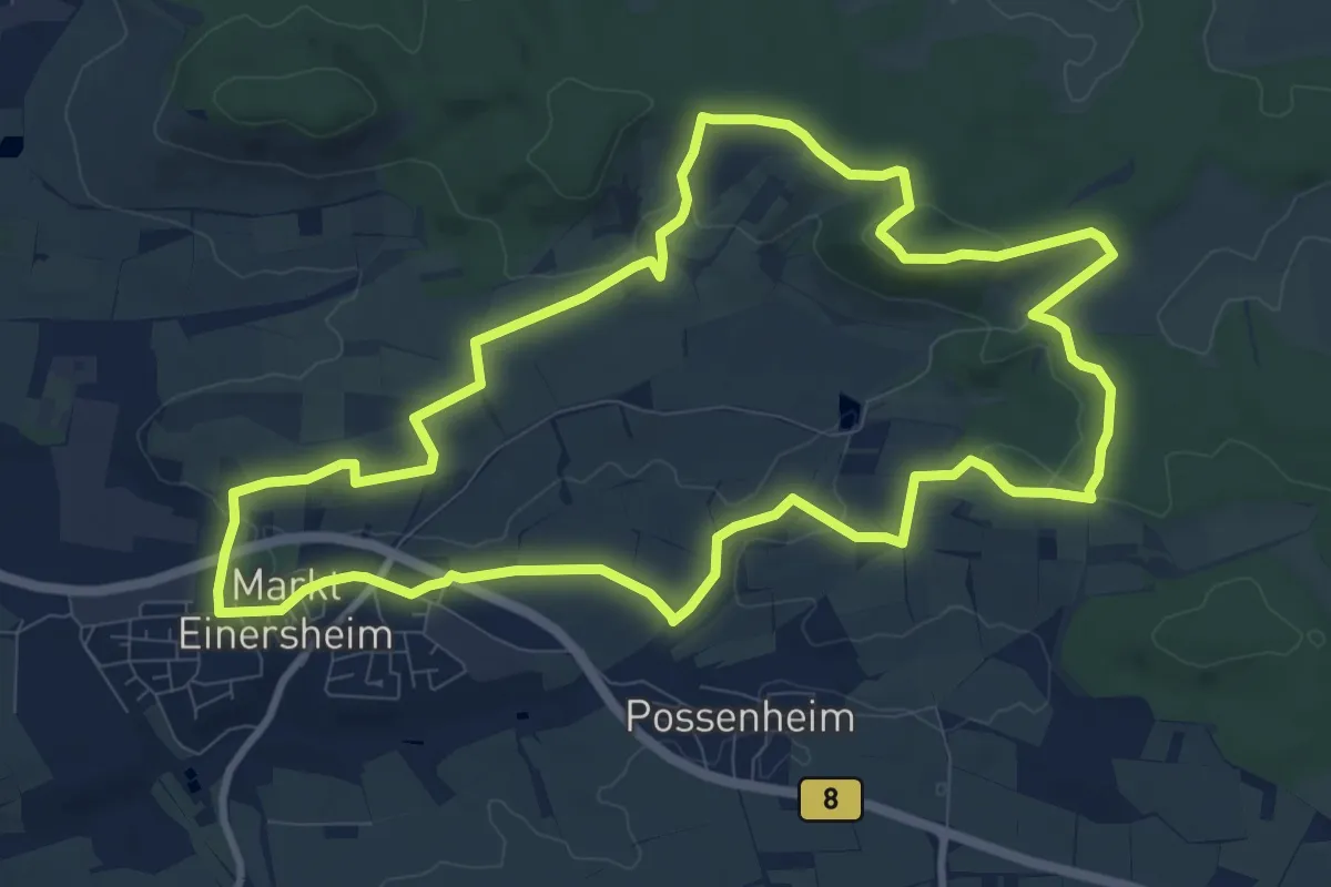
Medium · Trail
Traumrunde Markt Einersheim
9.9 km · ↑ 167 m · 2 h 51 min
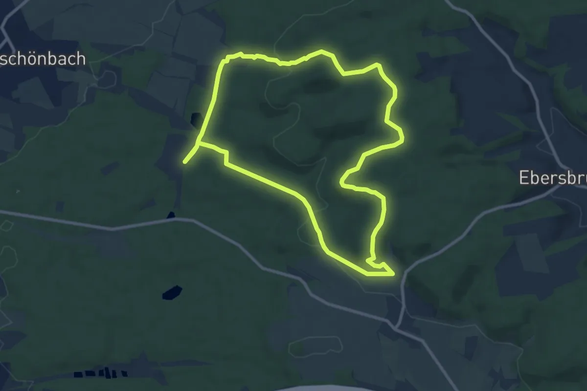
Medium · Trail
TraumRunde Prichsenstadt
8.1 km · ↑ 203 m · 2 h 28 min
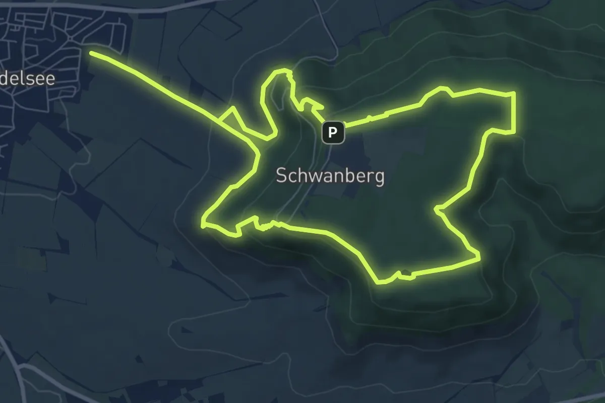
Medium · Summit
Traumrunde Rödelsee
8.9 km · ↑ 285 m · 2 h 50 min
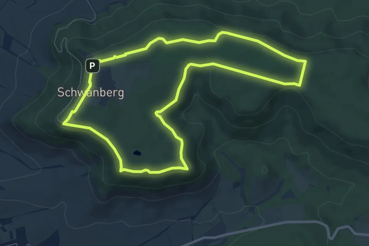
Easy · Summit
Traumrunde Schwanberg
7.0 km · ↑ 128 m · 2 h 1 min
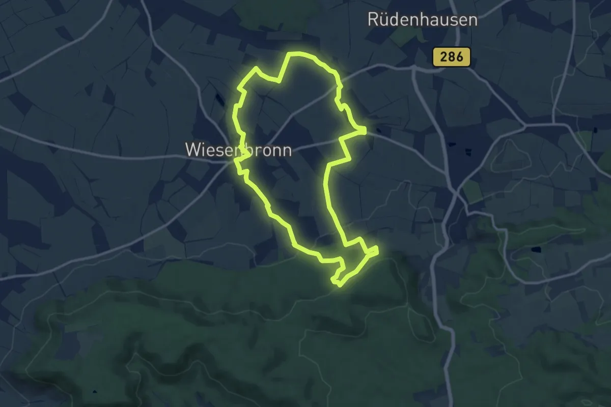
Medium · Trail
Traumrunde Wiesenbronn
10.8 km · ↑ 168 m · 3 h 4 min
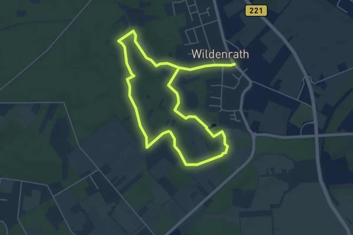
Easy · Trail
Traumschleifchen A7 Biberrunde
4.0 km · ↑ 17 m · 1 h 2 min
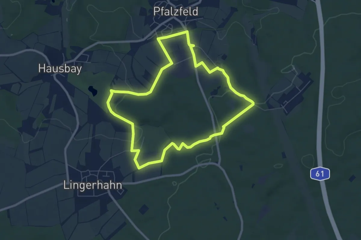
Easy · Trail
Traumschleifchen Baybachquellen
6.3 km · ↑ 126 m · 1 h 51 min
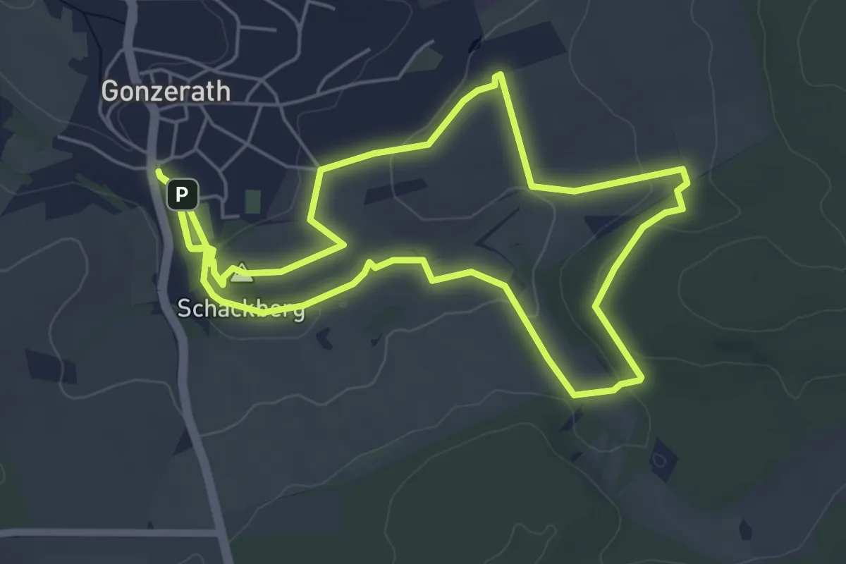
Easy · Summit
Traumschleifchen Butzel-Kewes-Weg
5.2 km · ↑ 91 m · 1 h 30 min
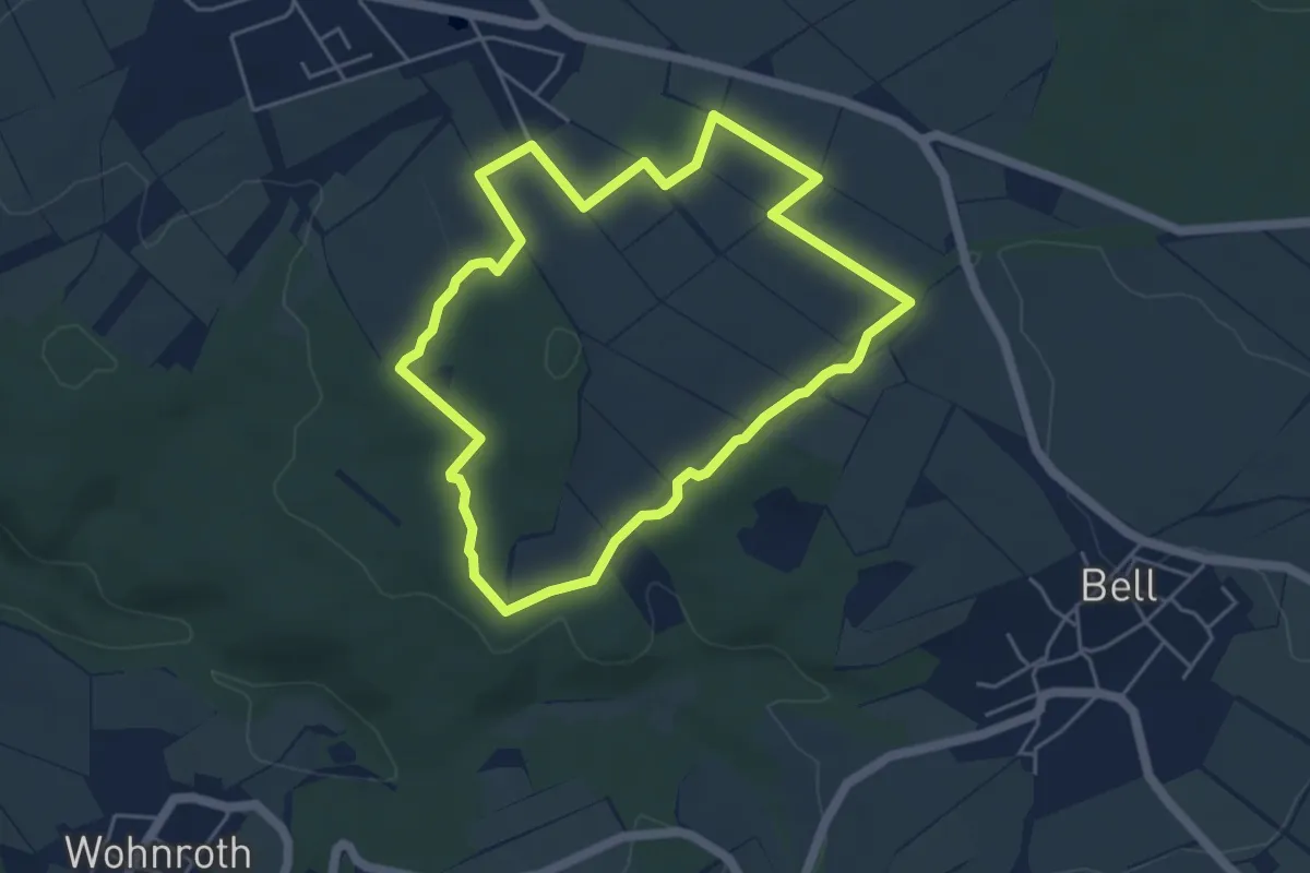
Easy · Trail
Traumschleifchen Junge Wald
4.4 km · ↑ 64 m · 1 h 14 min
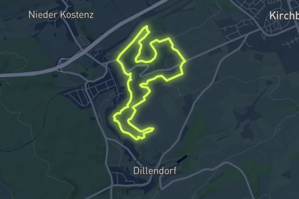
Easy · Trail
Traumschleifchen Karrenberg
6.0 km · ↑ 153 m · 1 h 50 min
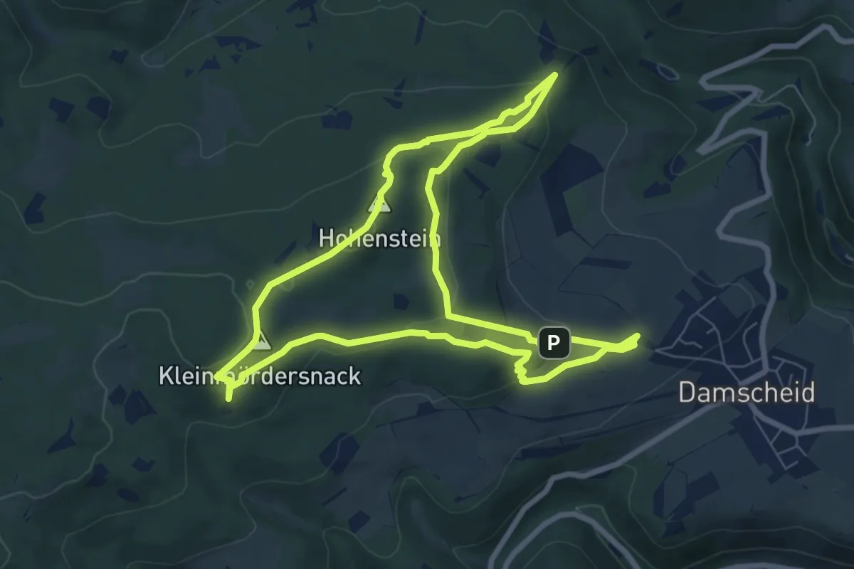
Medium · Summit
Traumschleifchen Kuckucksnack
6.9 km · ↑ 214 m · 2 h 11 min
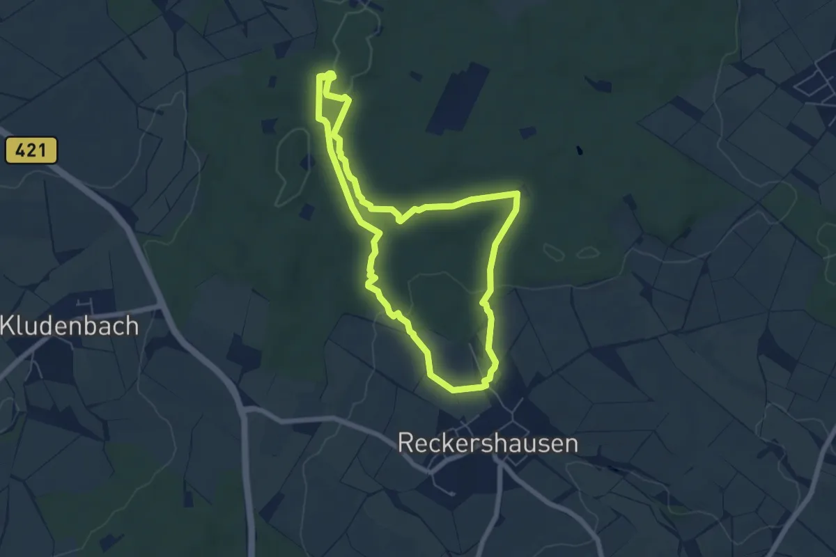
Easy · Trail
Traumschleifchen Reckershäuser Busch
5.3 km · ↑ 91 m · 1 h 31 min
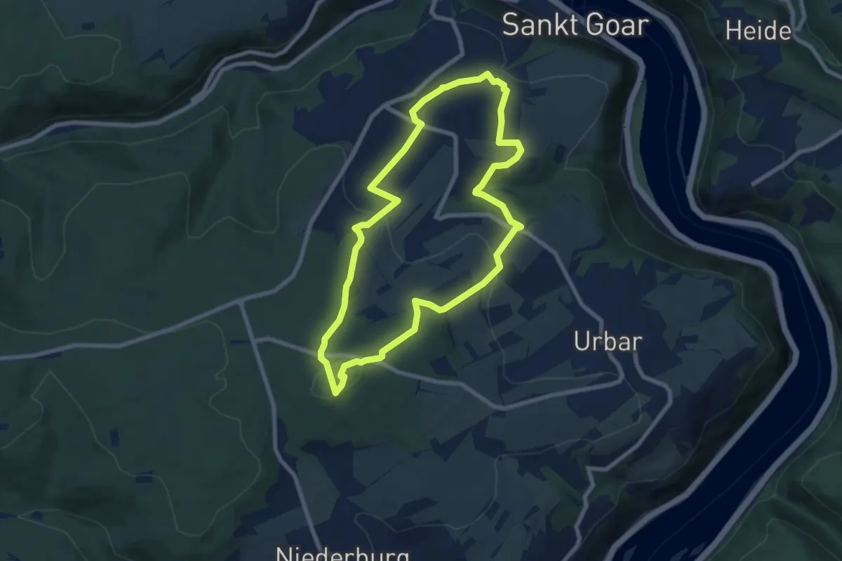
Easy · Summit
Traumschleifchen Spitzer Stein
6.6 km · ↑ 210 m · 2 h 6 min
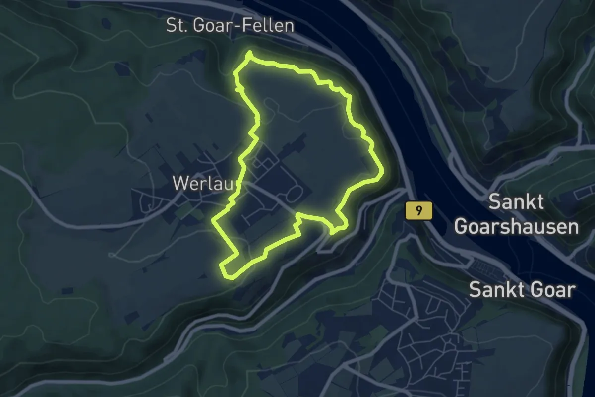
Easy · Trail
Traumschleifchen Werlauer Pilz
5.5 km · ↑ 182 m · 1 h 46 min
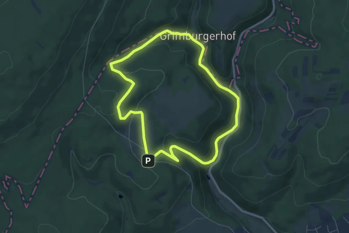
Easy · Trail
Traumschleife Almglück
5.7 km · ↑ 216 m · 1 h 54 min
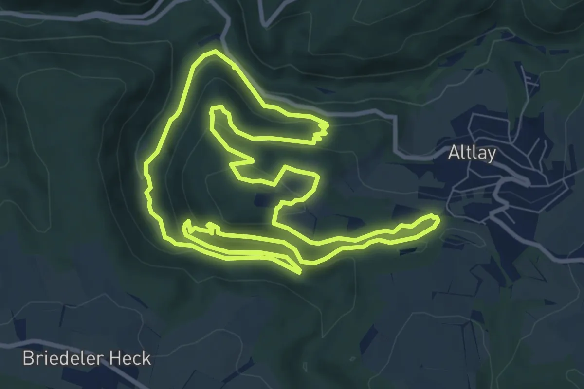
Medium · Trail
Traumschleife Altlayer Schweiz
8.4 km · ↑ 311 m · 2 h 46 min
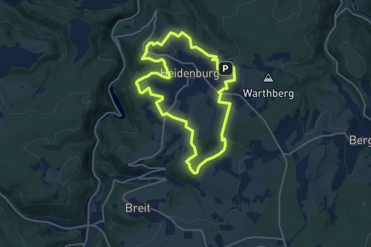
Medium · Trail
Traumschleife Arten-Reich
9.8 km · ↑ 221 m · 2 h 56 min
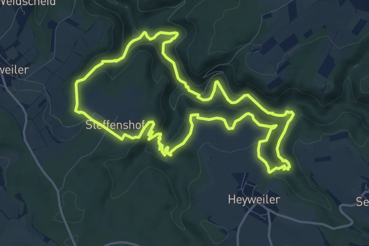
Demanding · Trail
Traumschleife Baybachklamm
10.0 km · ↑ 355 m · 3 h 16 min
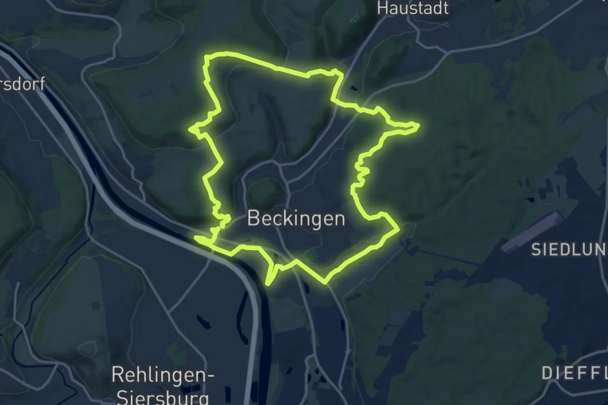
Medium · Trail
Traumschleife: Beckinger SaarBlicke
14.2 km · ↑ 349 m · 4 h 18 min
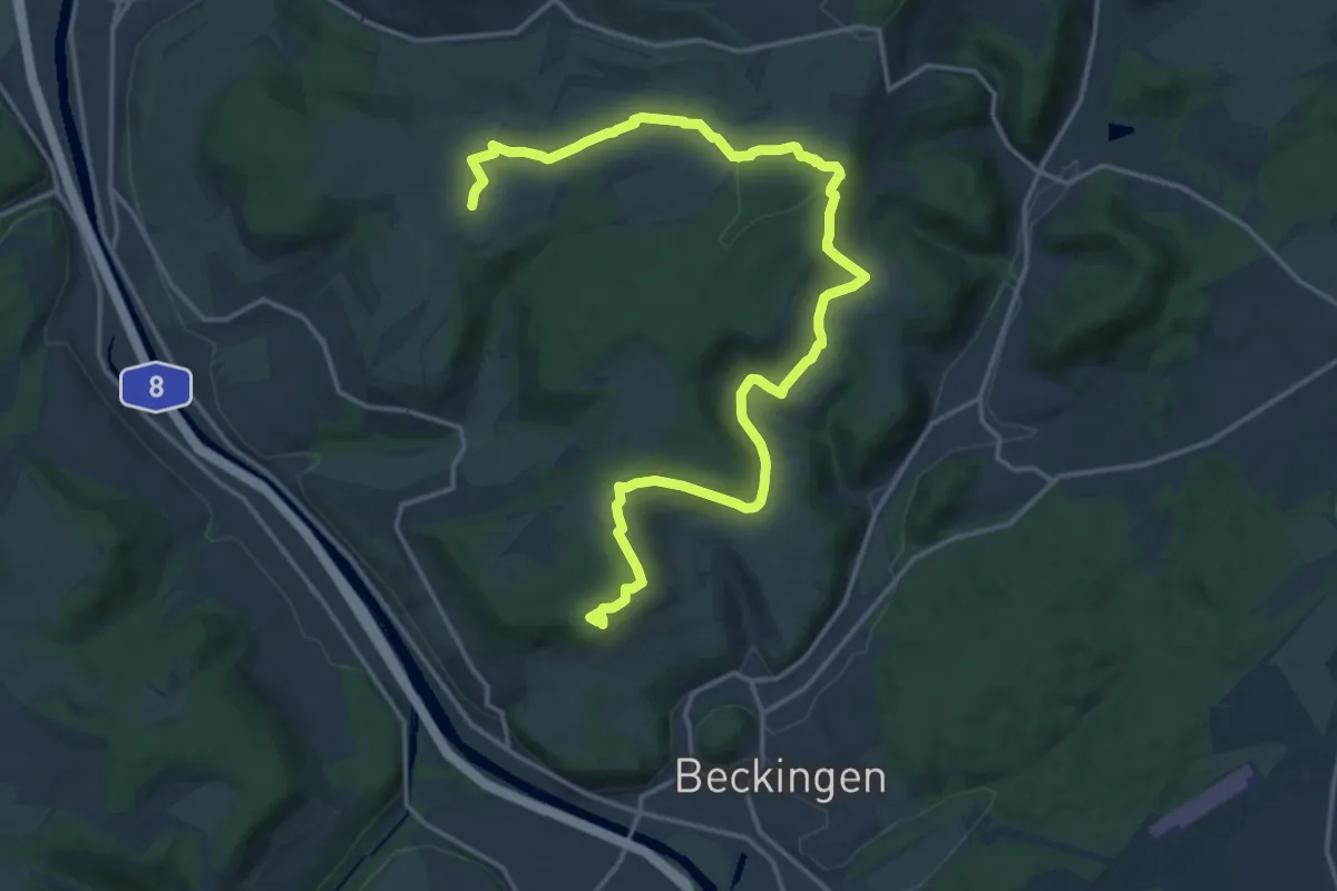
Medium · Trail
Traumschleife: Bietzerberger
9.6 km · ↑ 192 m · 2 h 49 min
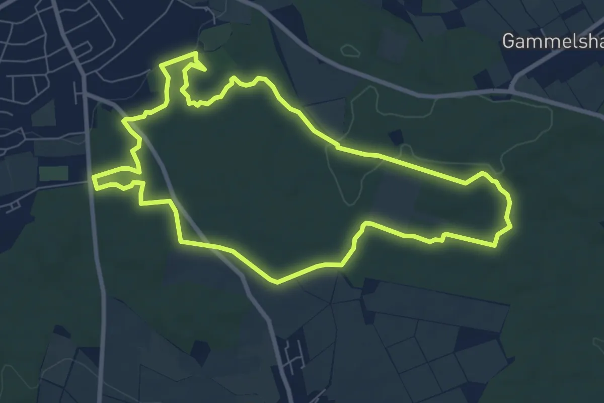
Easy · Trail
Traumschleife Burgstadt-Pfad
6.7 km · ↑ 98 m · 1 h 54 min
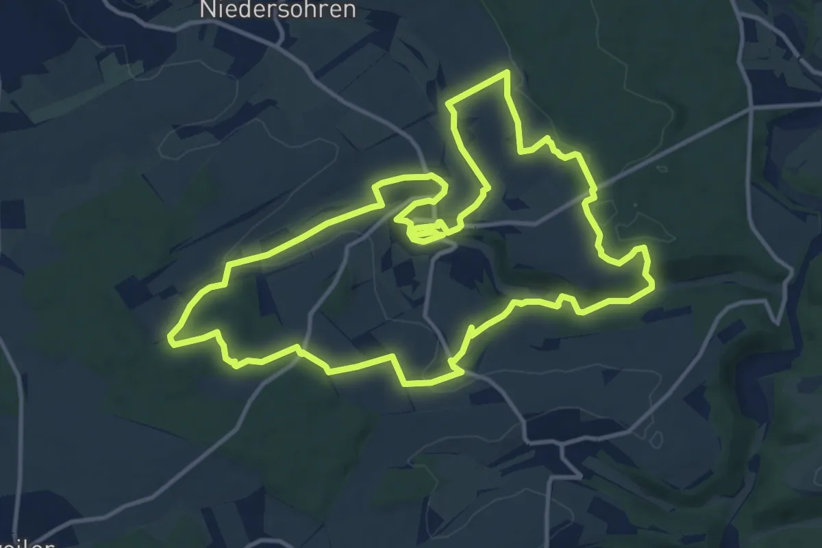
Medium · Trail
Traumschleife Diller Burgpfad
11.8 km · ↑ 219 m · 3 h 26 min
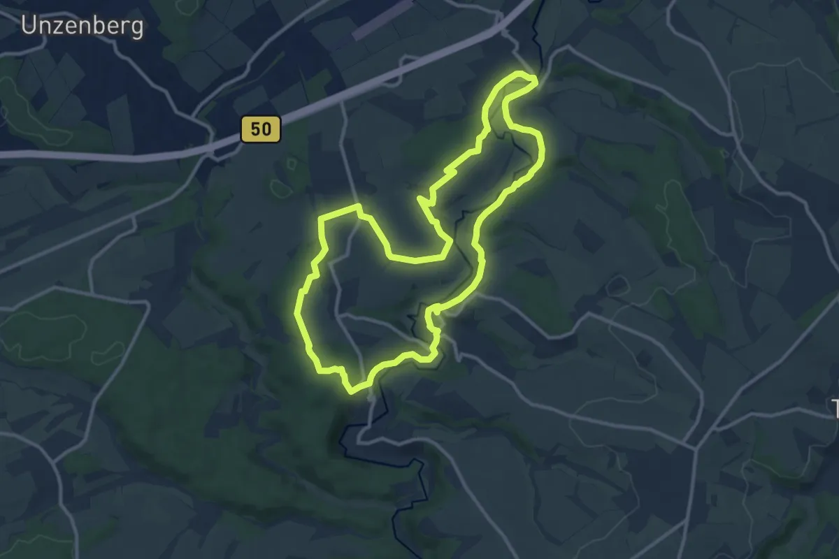
Medium · Trail
Traumschleife Domblick
10.7 km · ↑ 193 m · 3 h 6 min
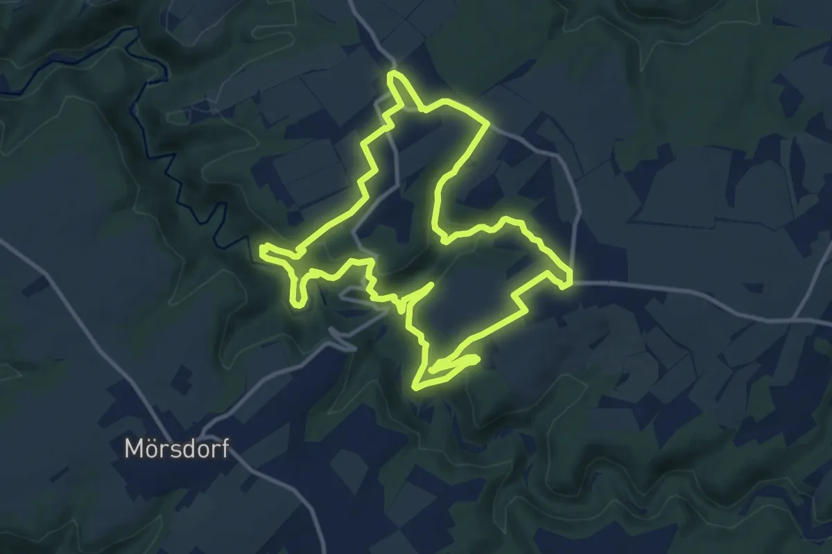
Demanding · Trail
Traumschleife Dünnbachpfad
10.7 km · ↑ 306 m · 3 h 20 min
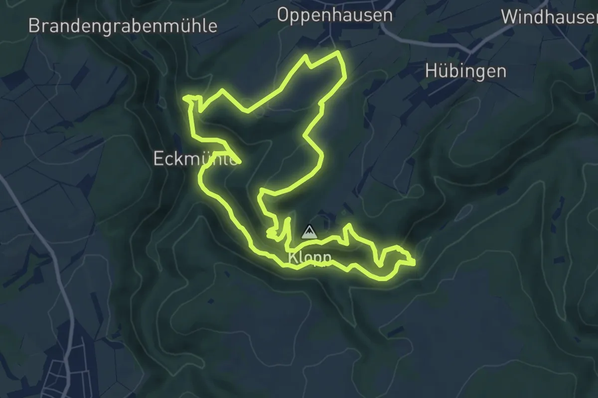
Medium · Summit
Traumschleife Ehrbachklamm
8.7 km · ↑ 335 m · 2 h 55 min
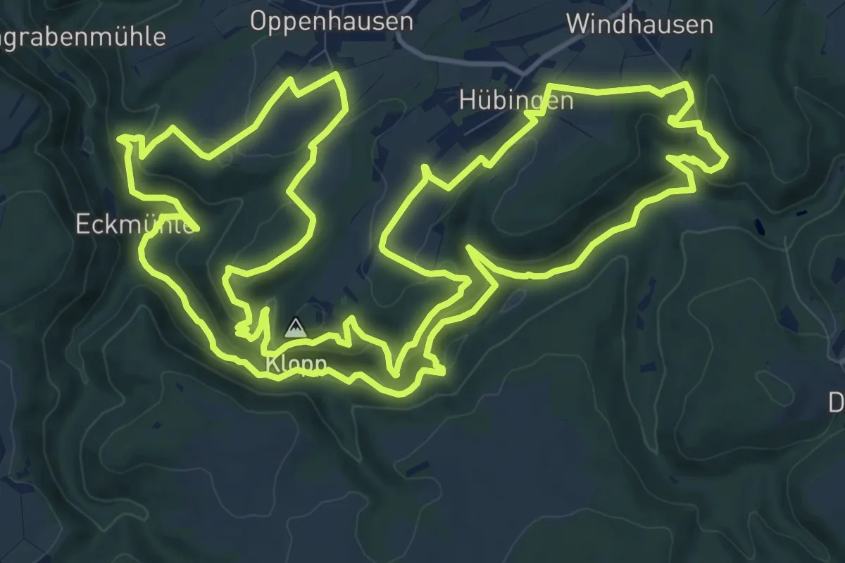
Demanding · Summit
Traumschleife Ehrbachklamm+
15.4 km · ↑ 535 m · 5 h
Medium · Summit
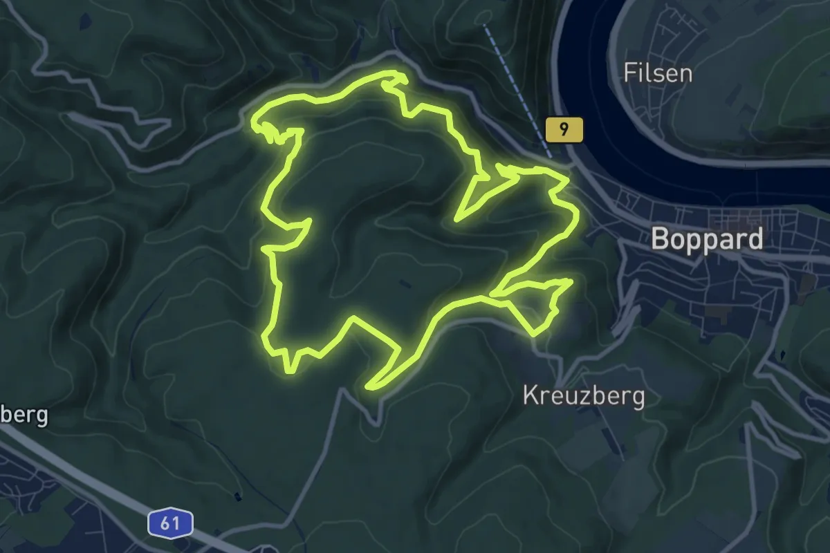
Traumschleife Elfenlay
10.7 km · ↑ 555 m · 3 h 52 min
Medium · Summit
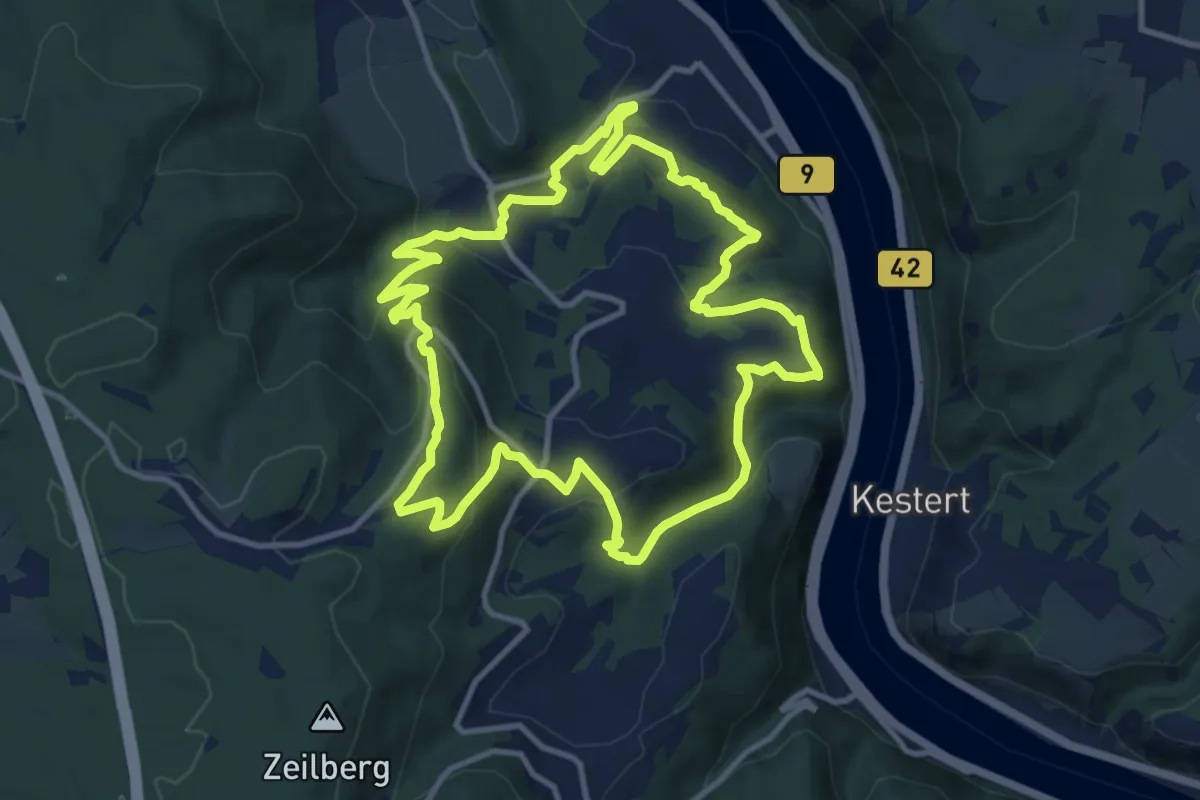
Traumschleife Fünfseenblick
10.8 km · ↑ 436 m · 3 h 39 min
Medium · Trail
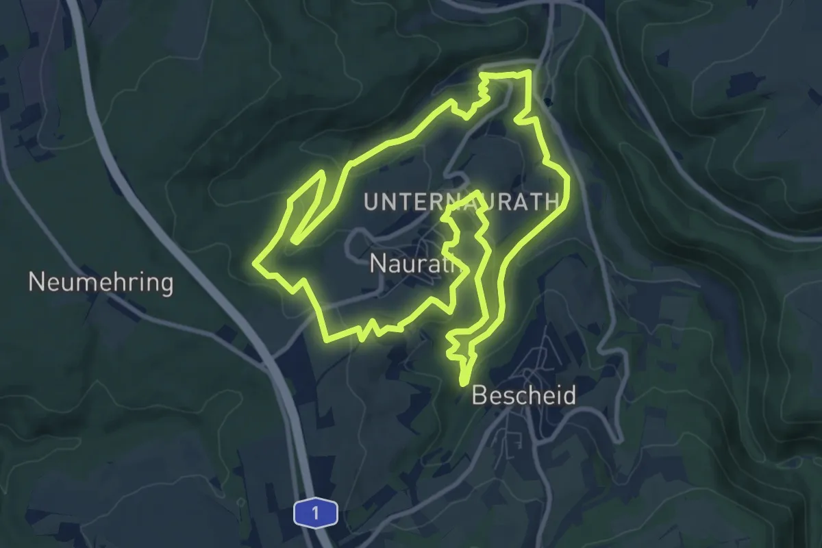
Traumschleife Fünf-Täler-Tour
9.7 km · ↑ 348 m · 3 h 10 min
Easy · Summit
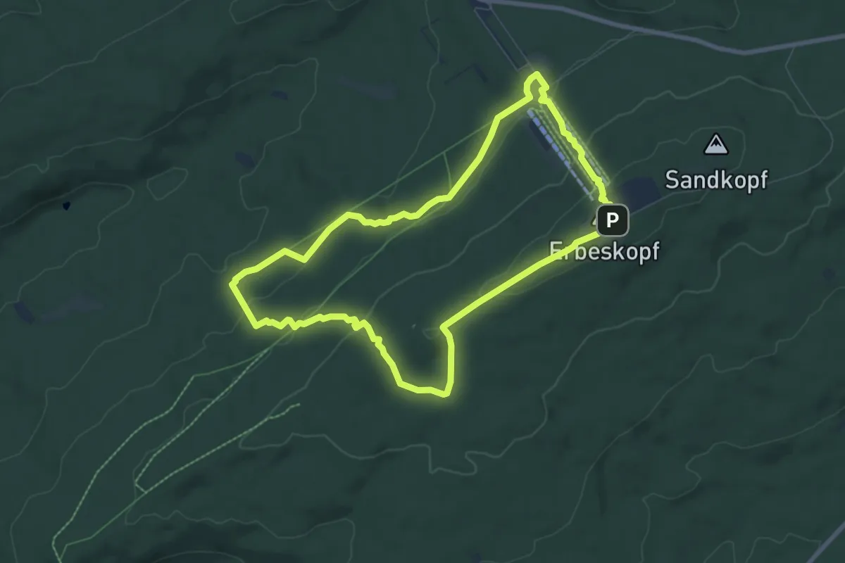
Traumschleife Gipfelrauschen
6.9 km · ↑ 240 m · 2 h 15 min
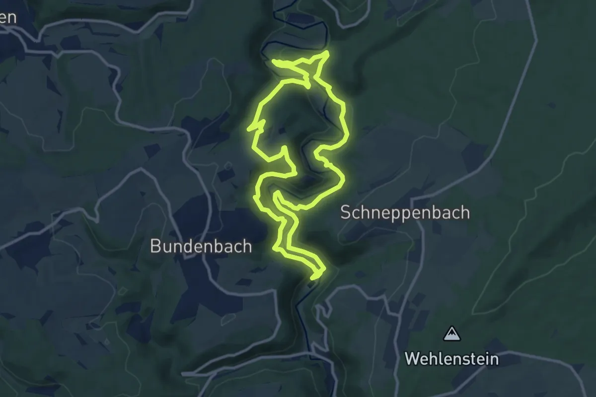
Medium · Trail
Traumschleife Hahnenbachtaltour
9.7 km · ↑ 329 m · 3 h 8 min
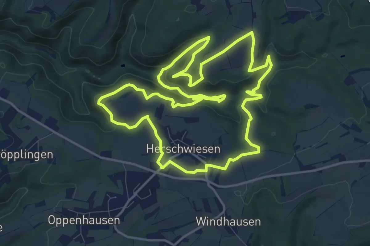
Medium · Trail
Traumschleife Hasenkammer
10.4 km · ↑ 270 m · 3 h 12 min
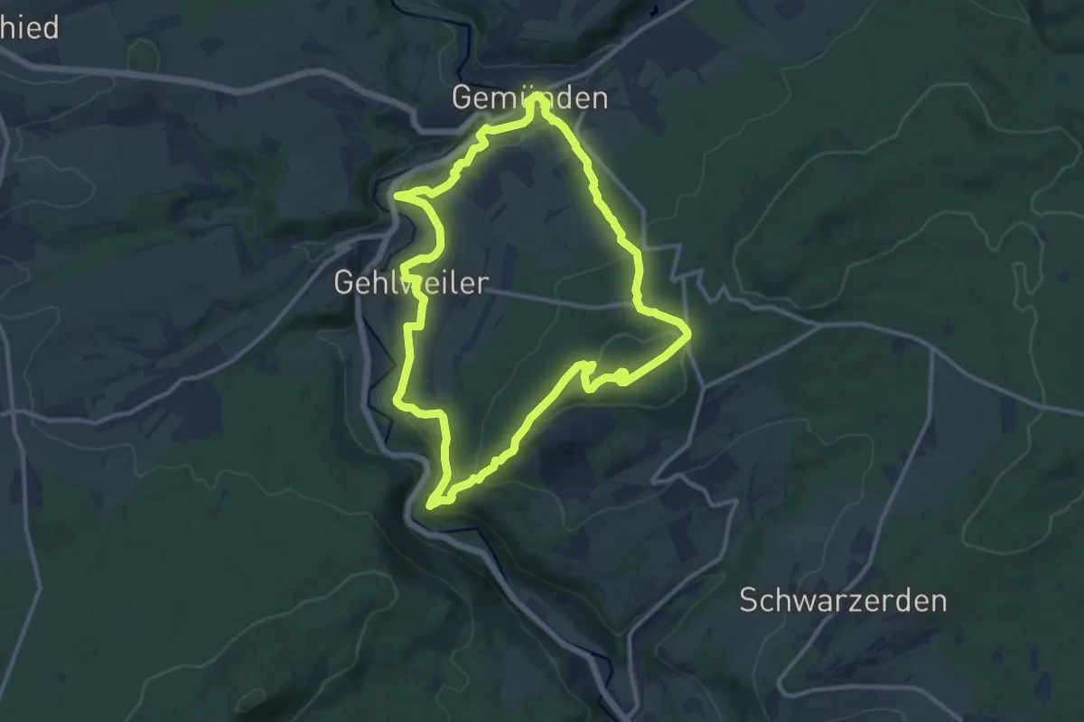
Demanding · Summit
Traumschleife Heimat
10.5 km · ↑ 404 m · 3 h 30 min
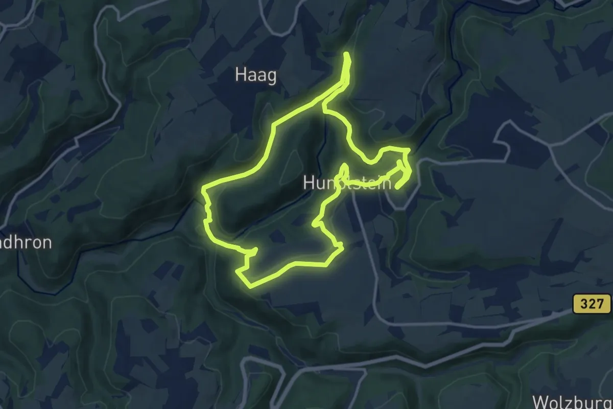
Medium · Trail
Traumschleife Hunolsteiner Klammtour
10.6 km · ↑ 334 m · 3 h 23 min
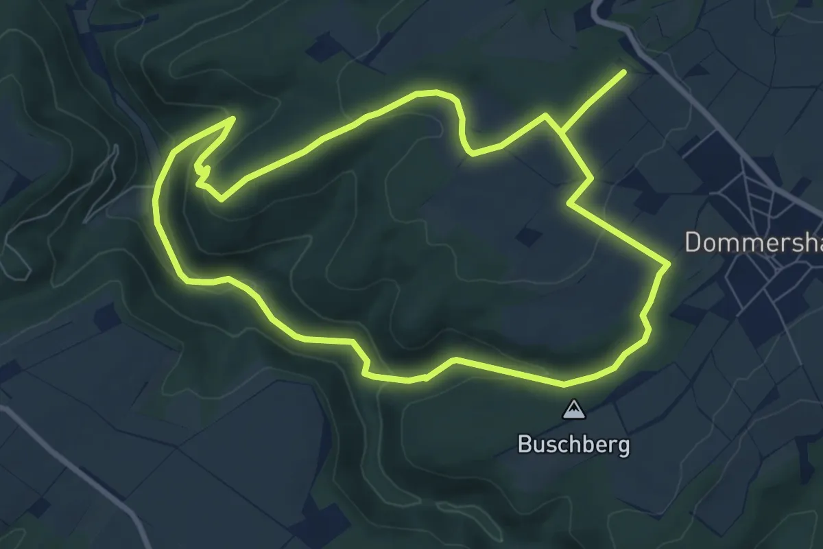
Easy · Summit
Traumschleife Josefsblick
7.7 km · ↑ 251 m · 2 h 28 min
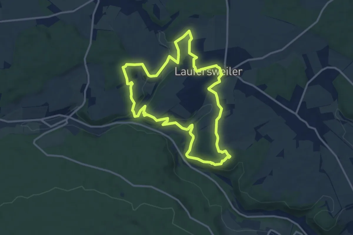
Medium · Trail
Traumschleife Kappleifelsentour
8.5 km · ↑ 248 m · 2 h 40 min
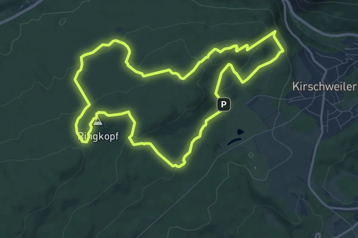
Medium · Summit
Traumschleife Kirschweiler Festung
8.9 km · ↑ 301 m · 2 h 52 min
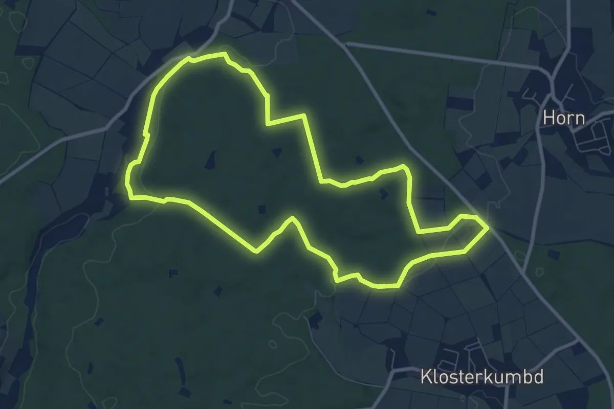
Medium · Trail
Traumschleife Klingelfloß
7.8 km · ↑ 127 m · 2 h 13 min