Trails in Germany
36,852 hiking trails, each with its route, climb, walking time and grade.
All trails, page 632 of 768
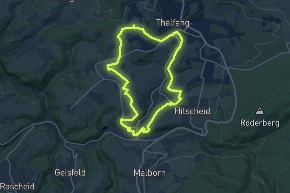
Medium · Trail
Traumschleife Lecker Pfädchen
11.5 km · ↑ 295 m · 3 h 30 min
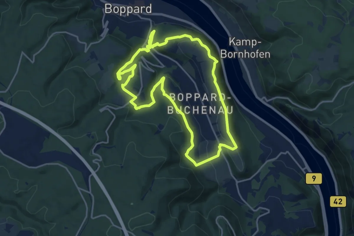
Medium · Summit
Traumschleife Marienberg
11.5 km · ↑ 376 m · 3 h 42 min
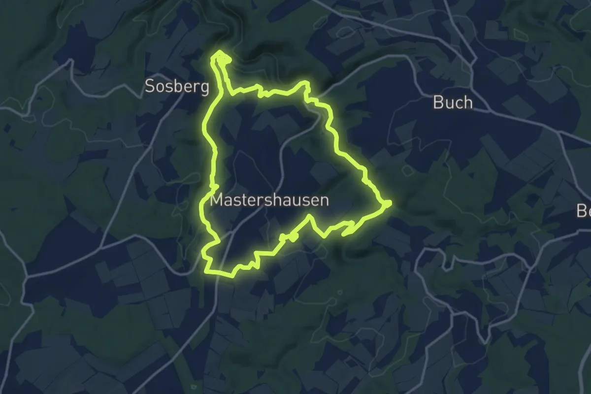
Medium · Trail
Traumschleife Masdascher Burgherrenweg
12.7 km · ↑ 375 m · 3 h 59 min
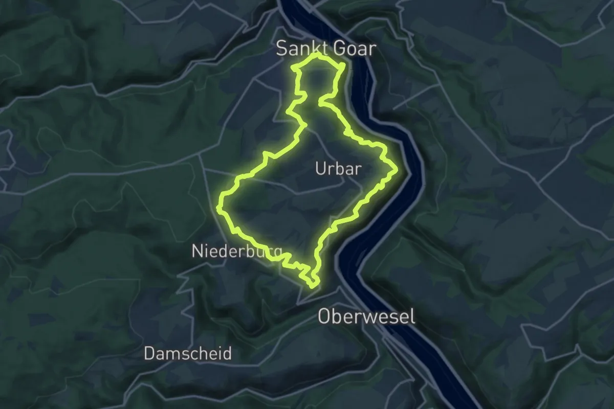
Medium · Summit
Traumschleife Mittelrhein
14.7 km · ↑ 546 m · 4 h 51 min
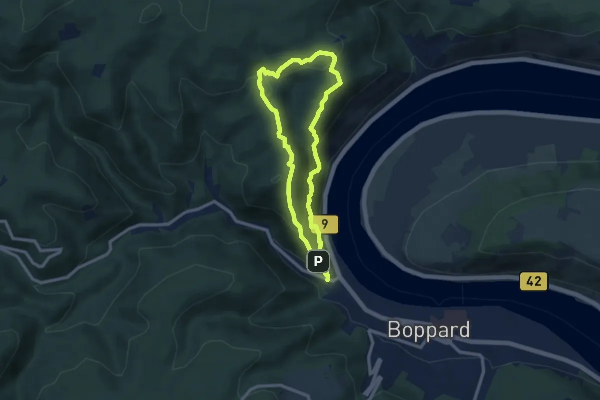
Demanding · Summit
Traumschleife Mittelrhein-Klettersteig
5.1 km · ↑ 296 m · 1 h 56 min
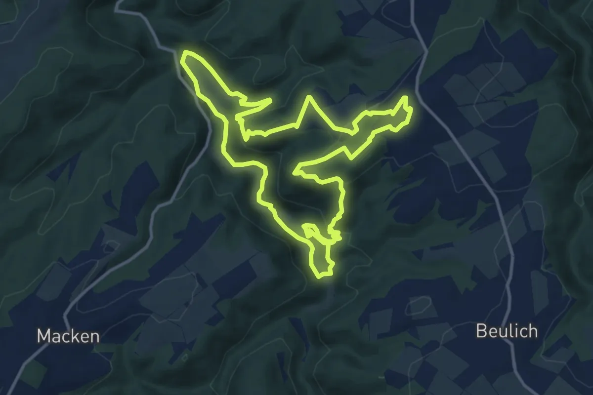
Demanding · Trail
Traumschleife Murscher Eselsche
10.7 km · ↑ 354 m · 3 h 26 min
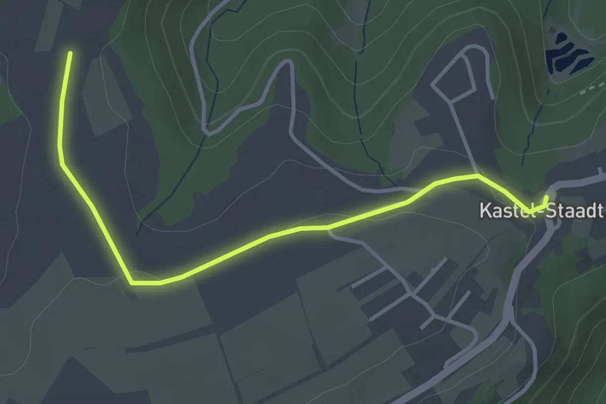
Easy · Trail
Traumschleifen Saar-Hunsrück Zuwegung
3.2 km · ↑ 42 m · 51 min
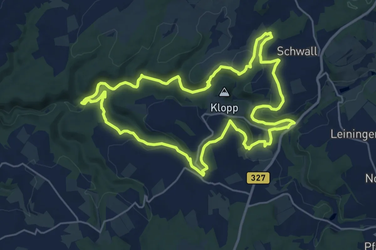
Medium · Trail
Traumschleife Oberes Baybachtal
15.4 km · ↑ 354 m · 4 h 37 min
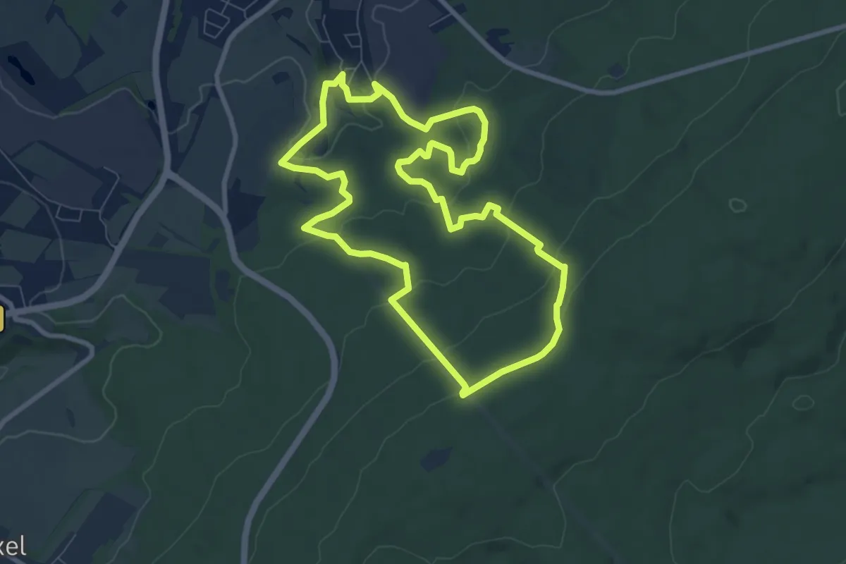
Easy · Trail
Traumschleife Ölmühlen-Tour
7.5 km · ↑ 274 m · 2 h 29 min
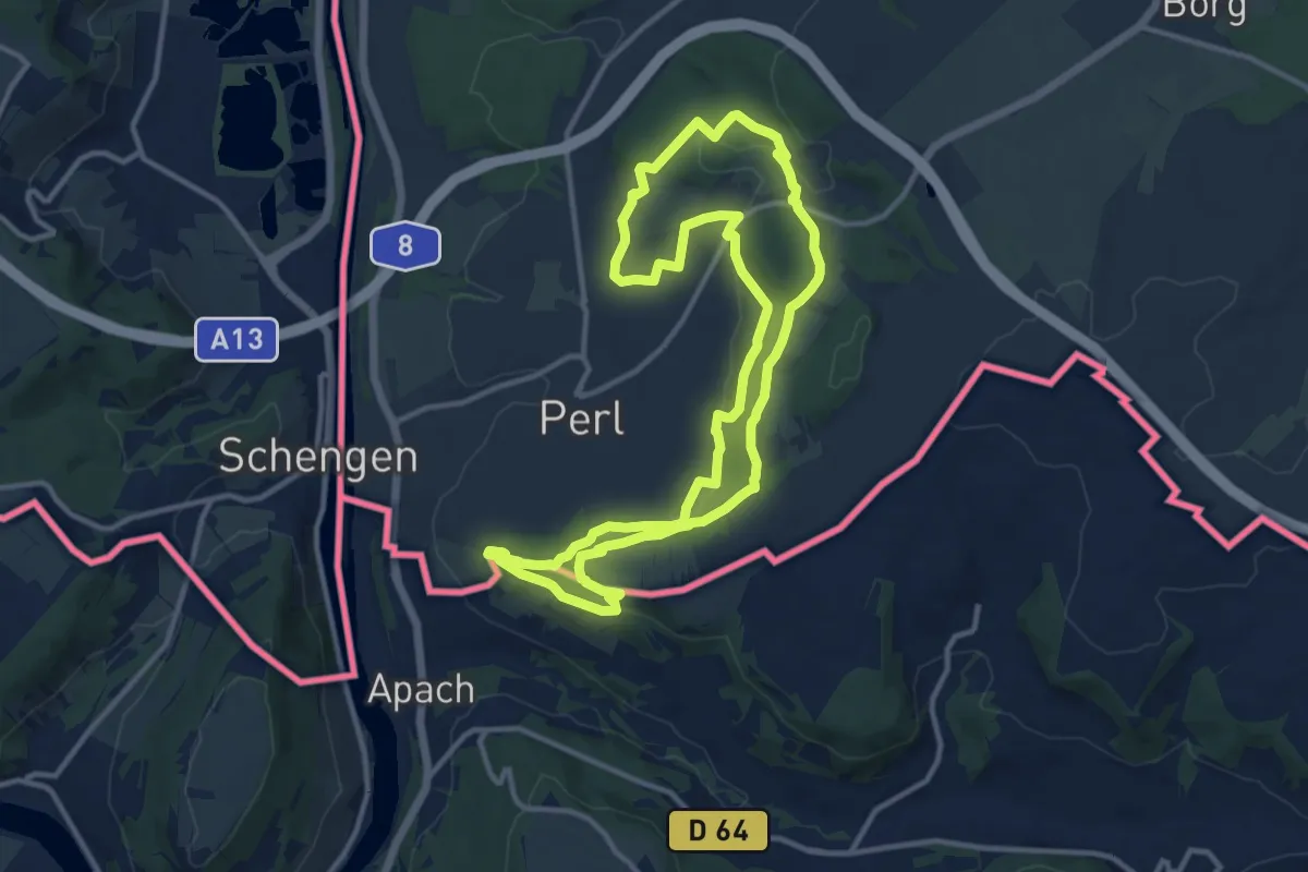
Medium · Trail
Traumschleife Panoramaweg Perl
11.4 km · ↑ 332 m · 3 h 34 min
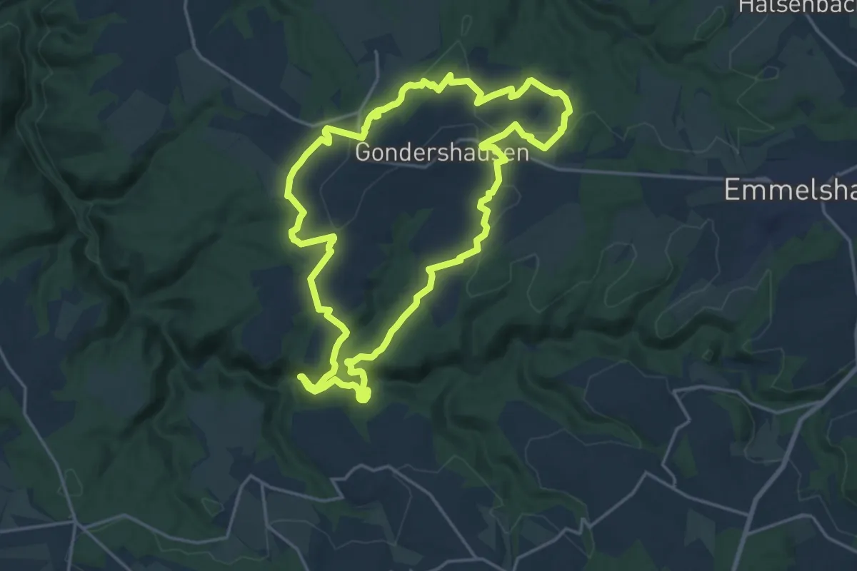
Medium · Trail
Traumschleife Rabenlay
16.0 km · ↑ 340 m · 4 h 44 min
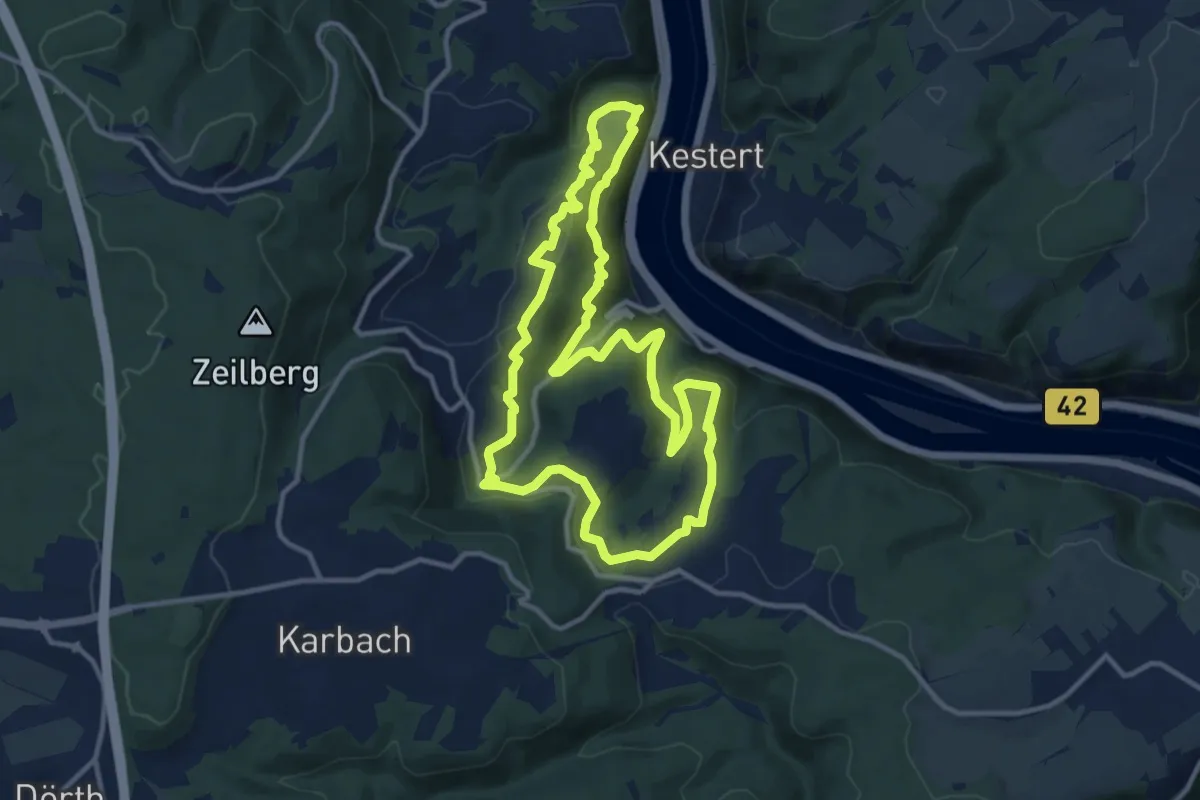
Medium · Summit
Traumschleife Rheingold
10.9 km · ↑ 507 m · 3 h 50 min
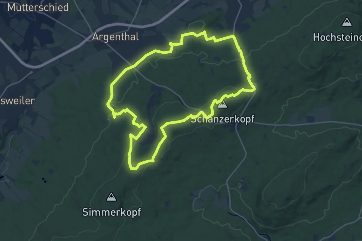
Medium · Summit
Traumschleife Schanzerkopf-Tour
14.9 km · ↑ 277 m · 4 h 19 min
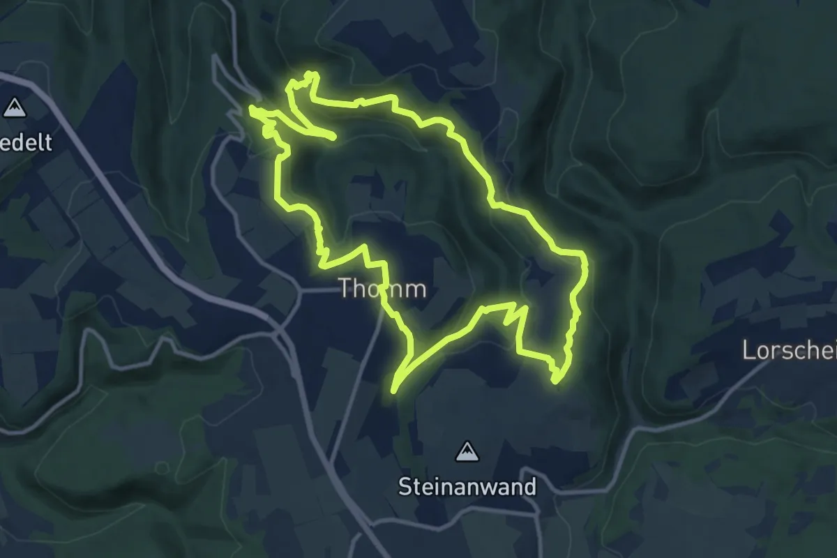
Medium · Summit
Traumschleife Schiefer-Wackenweg
10.9 km · ↑ 418 m · 3 h 38 min
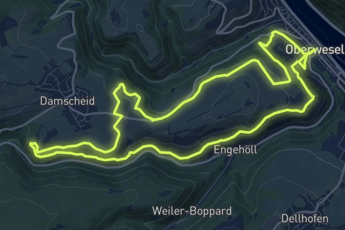
Medium · Trail
Traumschleife Schwede-Bure
12.2 km · ↑ 417 m · 3 h 58 min
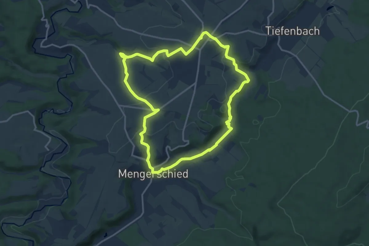
Medium · Trail
Traumschleife Soonwald
10.0 km · ↑ 206 m · 2 h 56 min
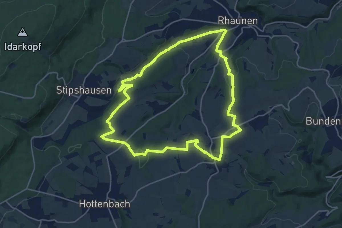
Medium · Trail
Traumschleife Stumm-Orgel-Weg
13.4 km · ↑ 312 m · 4 h 2 min
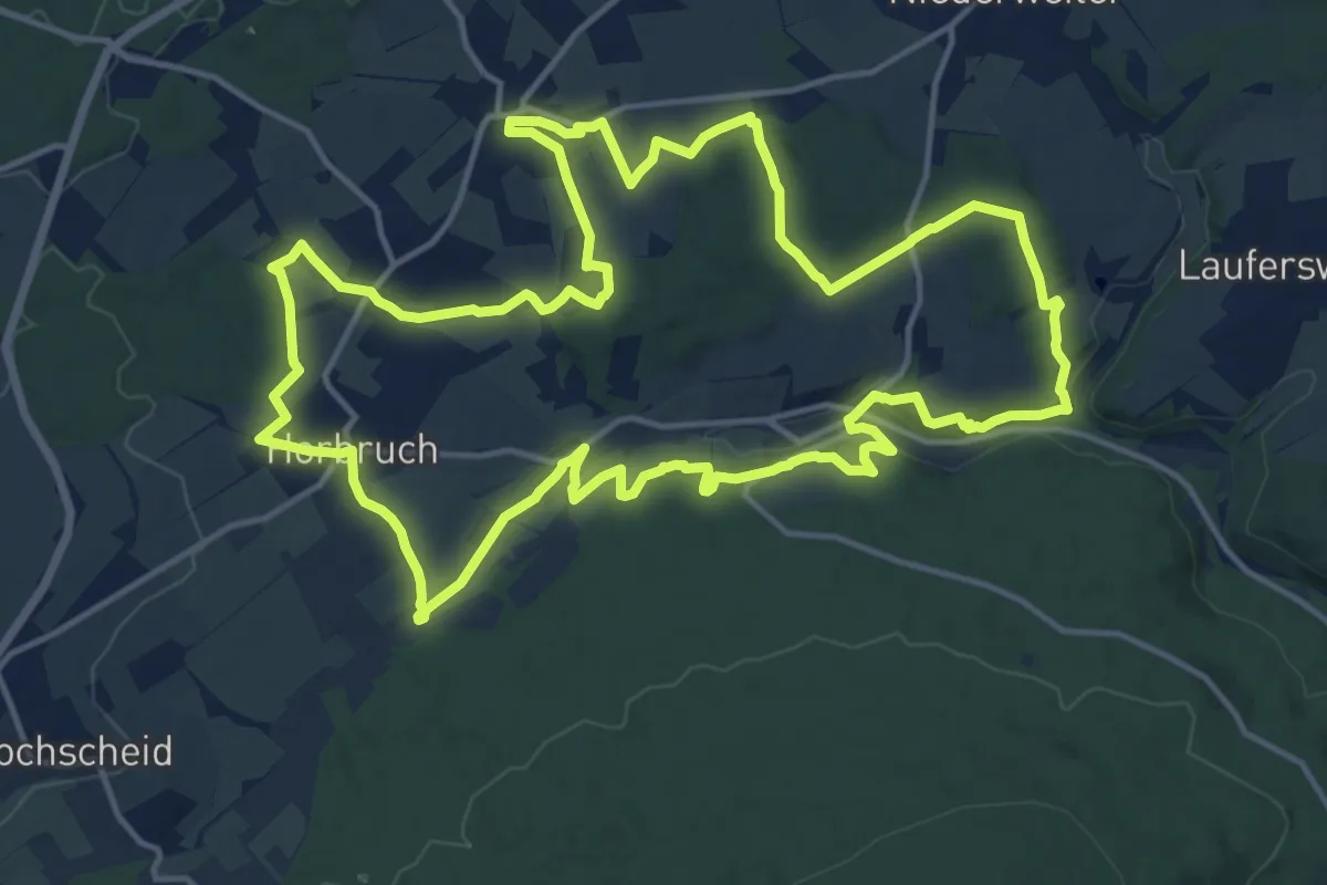
Medium · Trail
Traumschleife Via Molarum
15.8 km · ↑ 289 m · 4 h 35 min
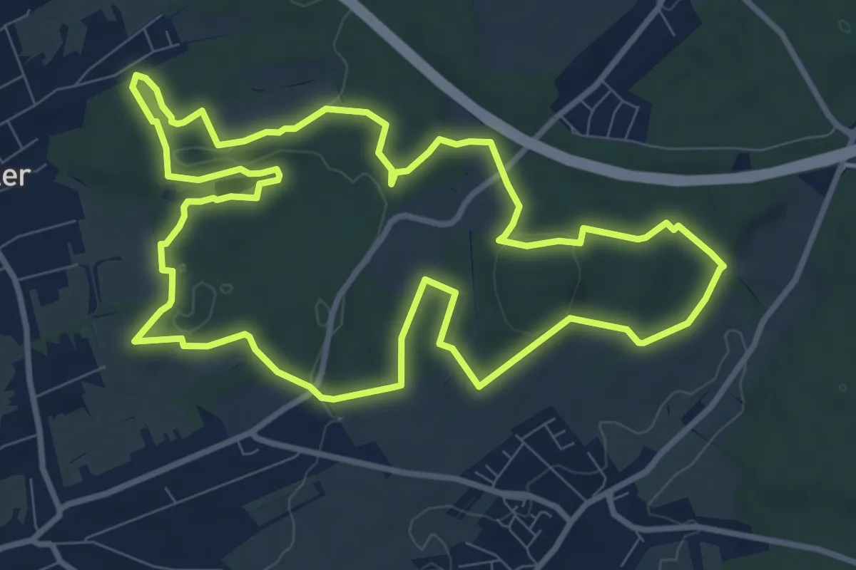
Medium · Summit
Traumschleife Waldzeit
9.3 km · ↑ 140 m · 2 h 38 min
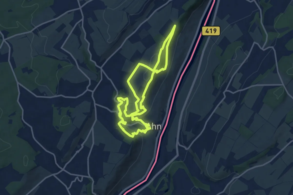
Medium · Trail
Traumschleife Wein- und Naturpfad Palmberg Ahn
9.2 km · ↑ 314 m · 2 h 59 min
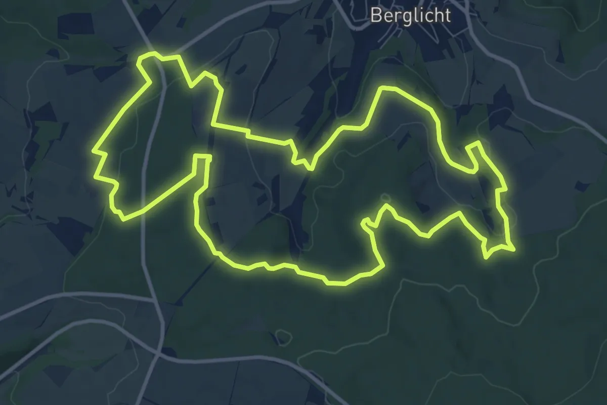
Medium · Trail
Traumschleife Wind, Wasser & Wacken
10.4 km · ↑ 239 m · 3 h 8 min
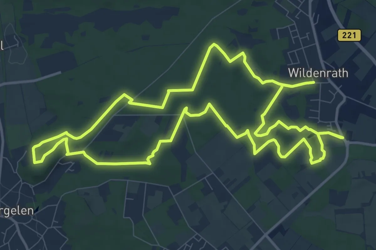
Medium · Trail
Traumweg Wildes Schaagbachtal
10.0 km · ↑ 49 m · 2 h 36 min
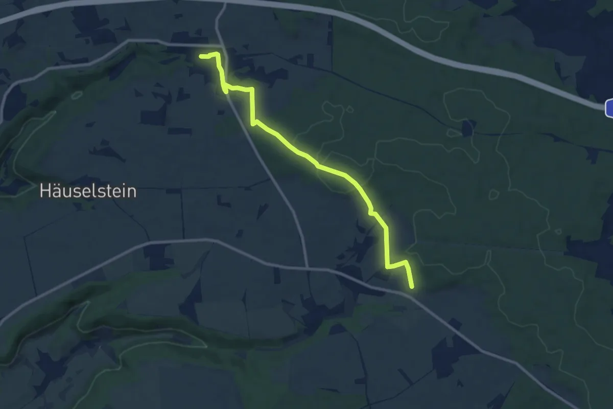
Medium · Trail
Traunfeld-Mettenhofen
8.6 km · ↑ 143 m · 2 h 21 min
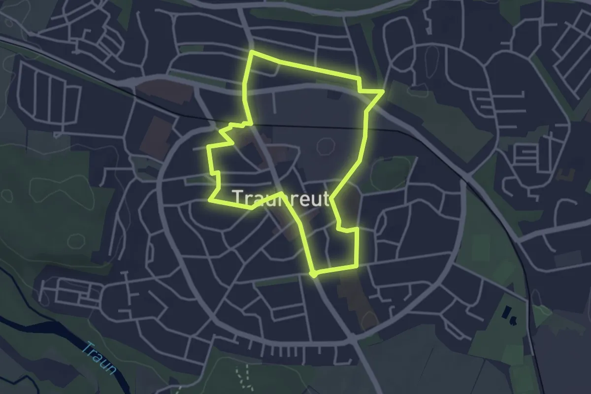
Easy · Trail
Traunreuter Geschichtsweg
3.2 km · ↑ 4 m · 48 min
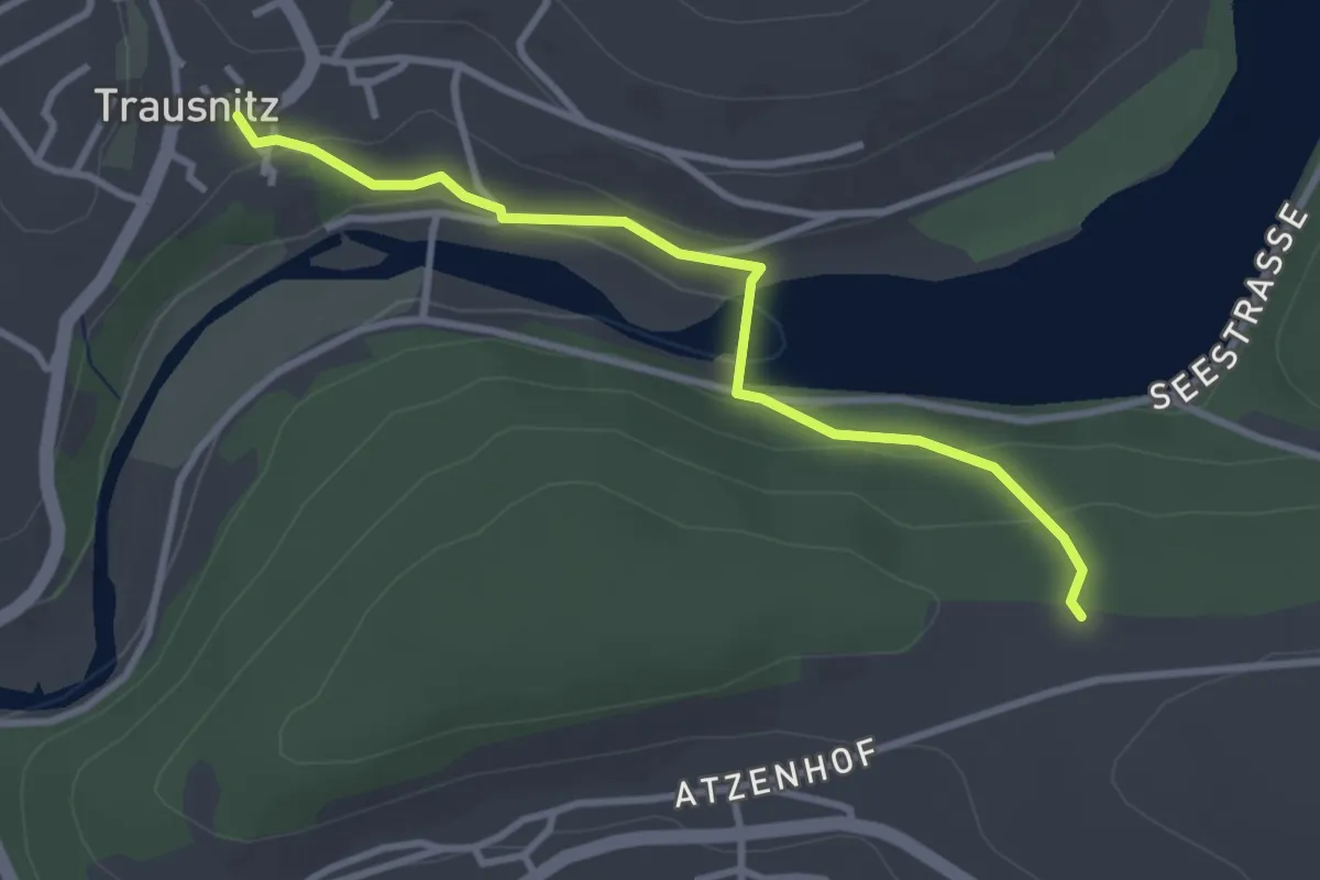
Easy · Trail
Trausnitz - ?? 1
3.0 km · ↑ 106 m · 56 min
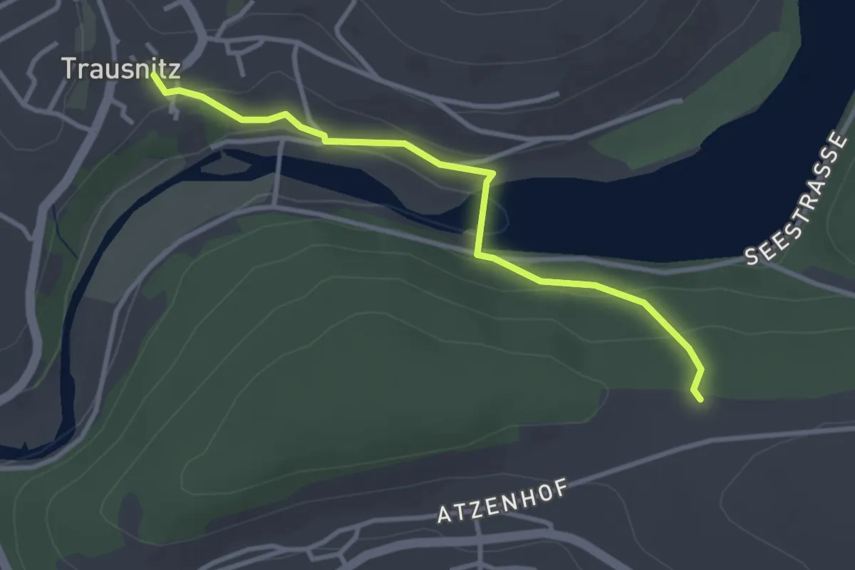
Easy · Trail
Trausnitz - ?? 2
3.0 km · ↑ 106 m · 56 min
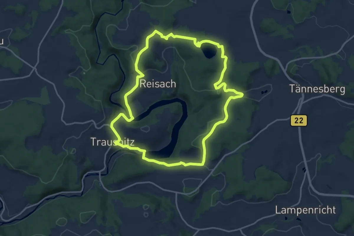
Medium · Trail
Trausnitz - Rabenleite
12.0 km · ↑ 360 m · 3 h 47 min
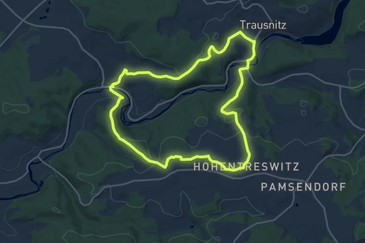
Medium · Trail
Trausnitz-Stein-Hohentreßwitz
10.7 km · ↑ 315 m · 3 h 22 min
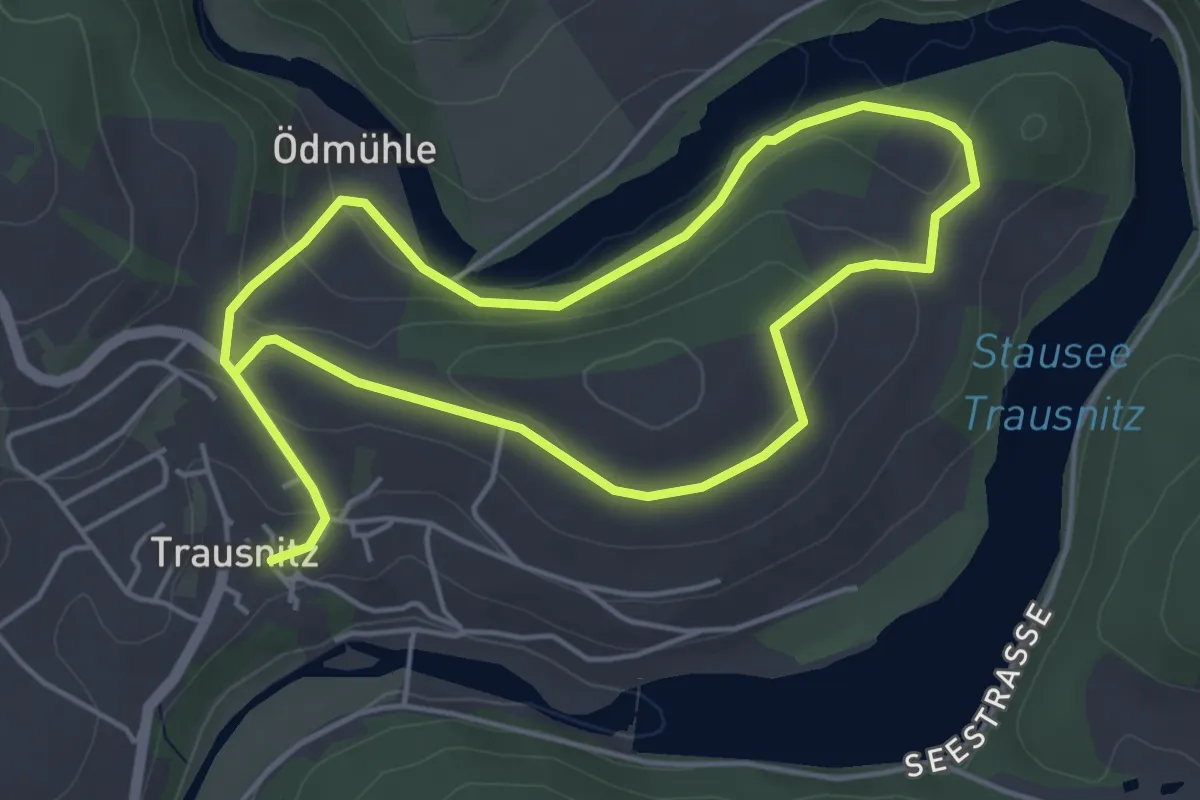
Medium · Trail
Trausnitztalsperre (Rotring)
8.1 km · ↑ 206 m · 2 h 22 min
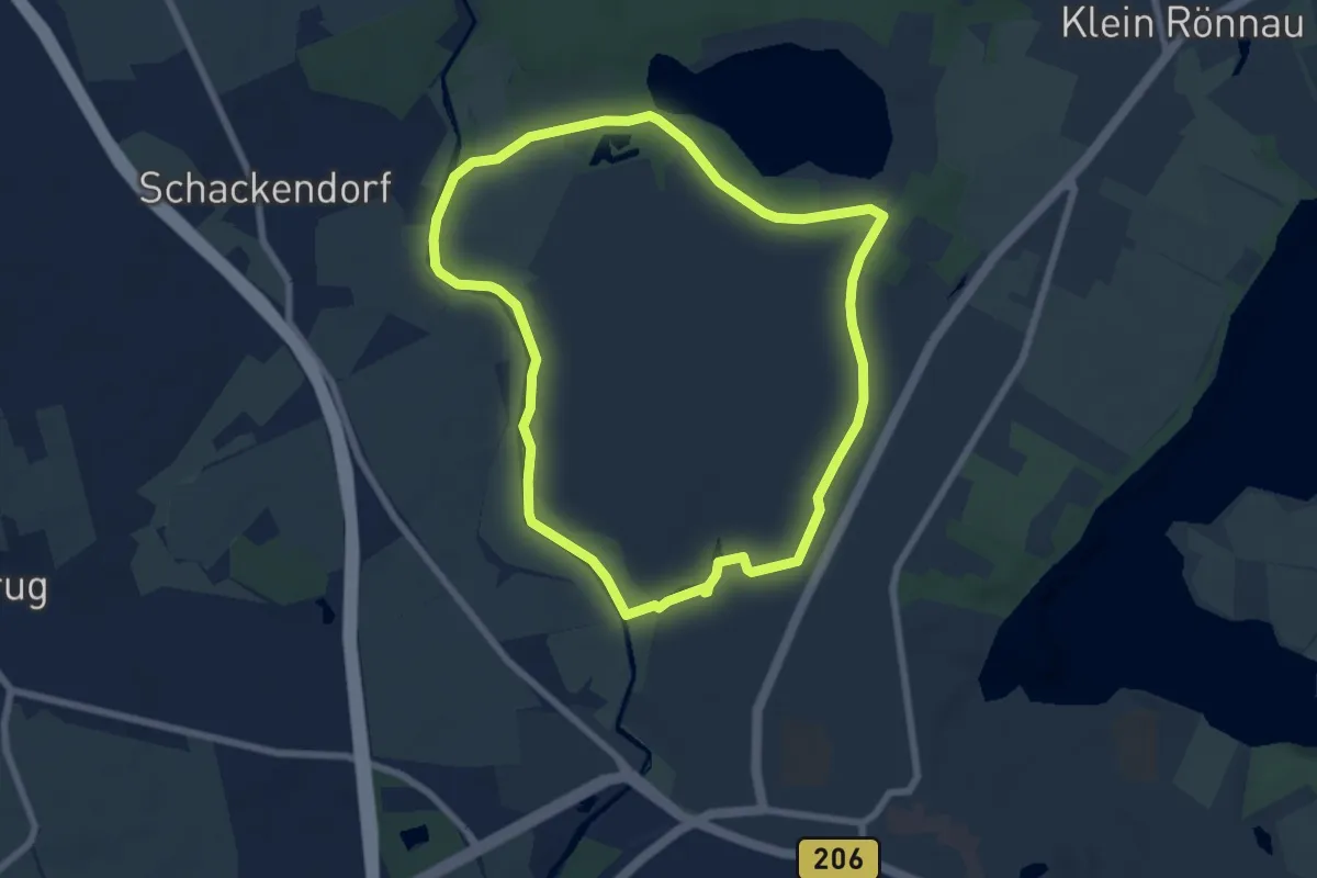
Easy · Trail
Trave-Runde
5.8 km · ↑ 14 m · 1 h 29 min
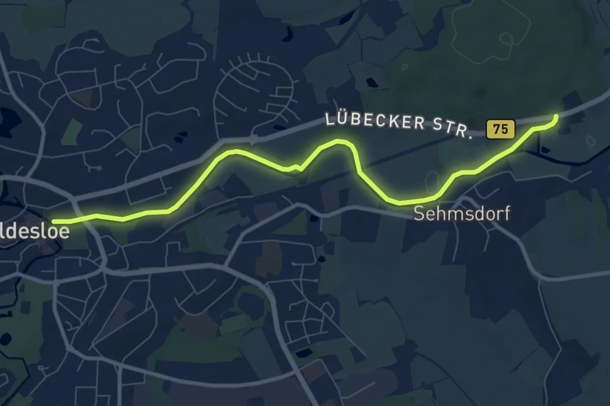
Easy · Trail
Travewanderweg
7.3 km · ↑ 59 m · 1 h 51 min
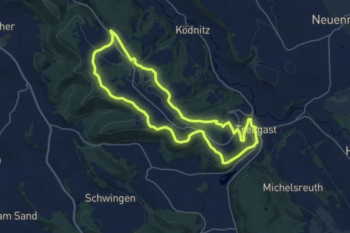
Medium · Trail
Trebgaster-Weg KU 44
14.5 km · ↑ 279 m · 4 h 14 min
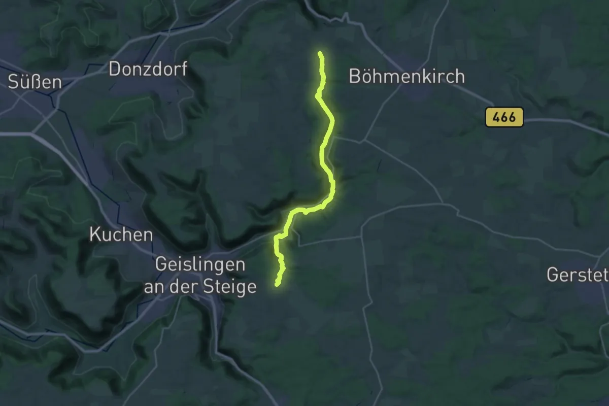
Demanding · Trail
Treffelhausen - Eybach - Abzweig Lindenhof
20.6 km · ↑ 601 m · 6 h 10 min
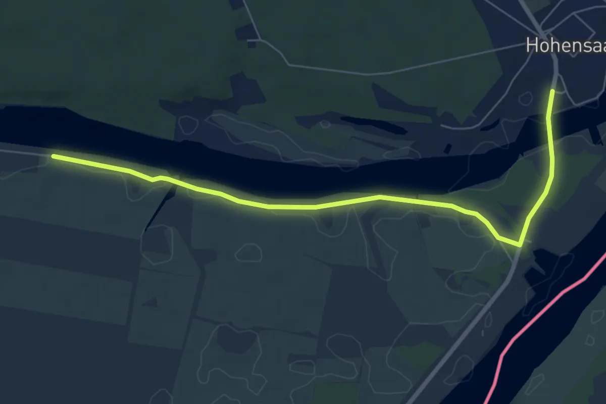
Easy · Trail
Treidelweg
6.4 km · ↑ 14 m · 1 h 32 min
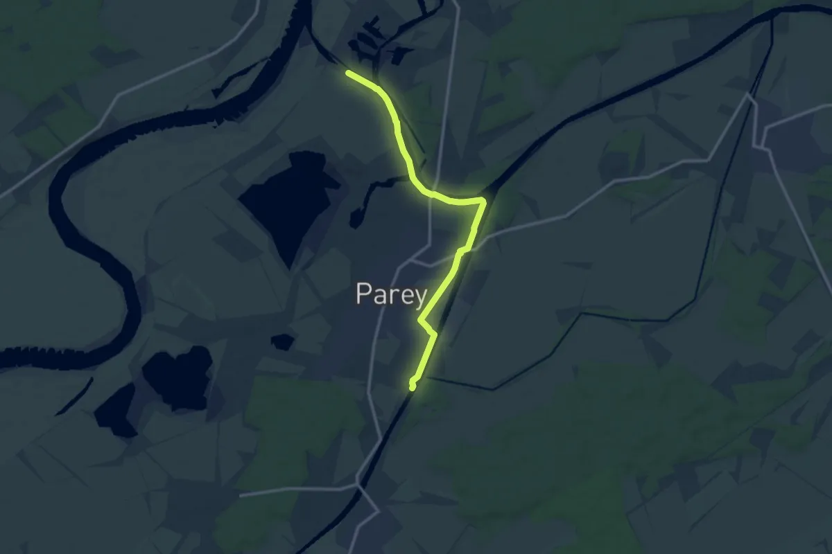
Medium · Trail
Treidelweg Parey
10.1 km · ↑ 12 m · 2 h 25 min
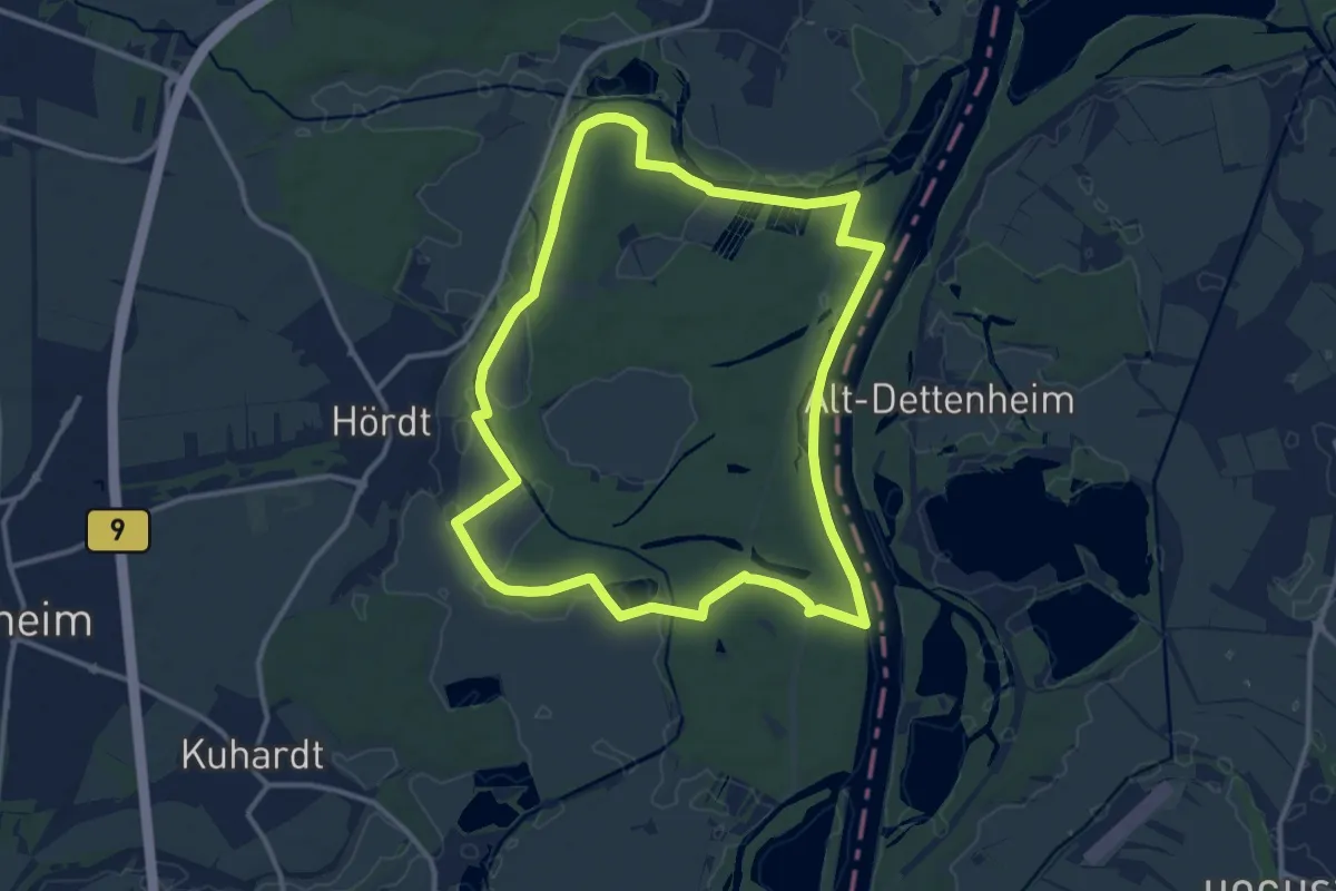
Medium · Trail
Treidlerweg
11.9 km · ↑ 53 m · 3 h 5 min
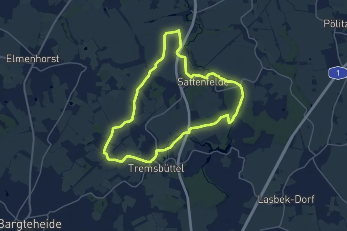
Medium · Trail
Tremsbütteler Runde
12.3 km · ↑ 35 m · 3 h 8 min
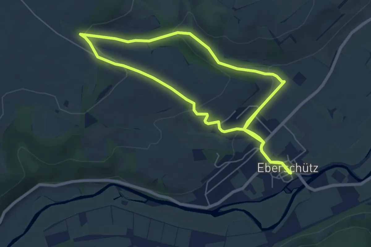
Easy · Trail
Trendelburg - Eberschütz, E1
5.1 km · ↑ 122 m · 1 h 33 min
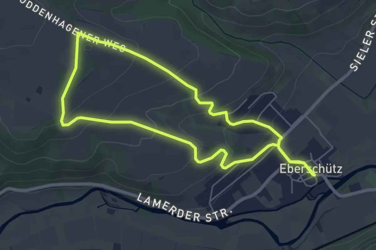
Easy · Trail
Trendelburg - Eberschütz, E2
4.4 km · ↑ 124 m · 1 h 21 min
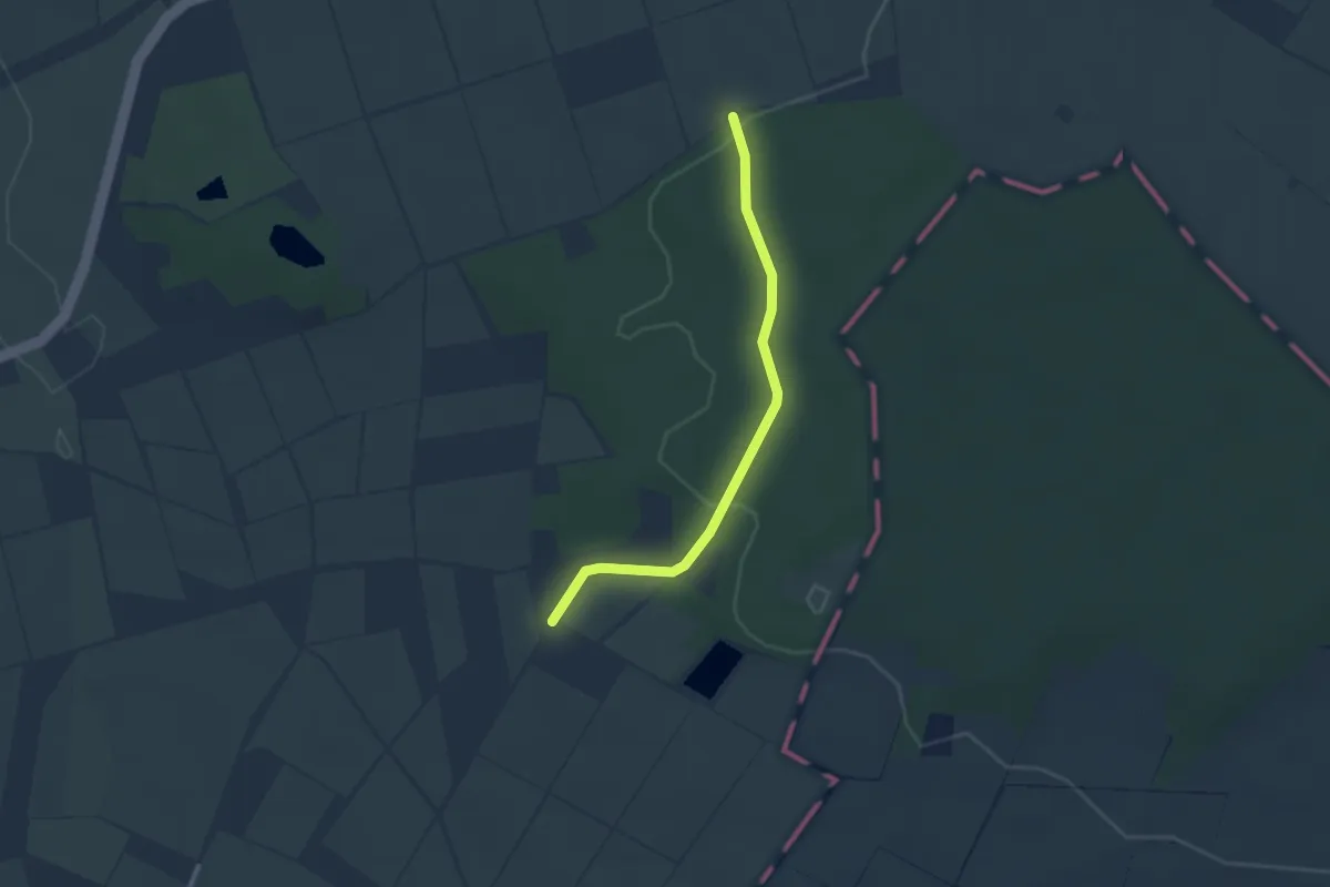
Easy · Trail
Treppenbauerweg
2.4 km · ↑ 29 m · 37 min
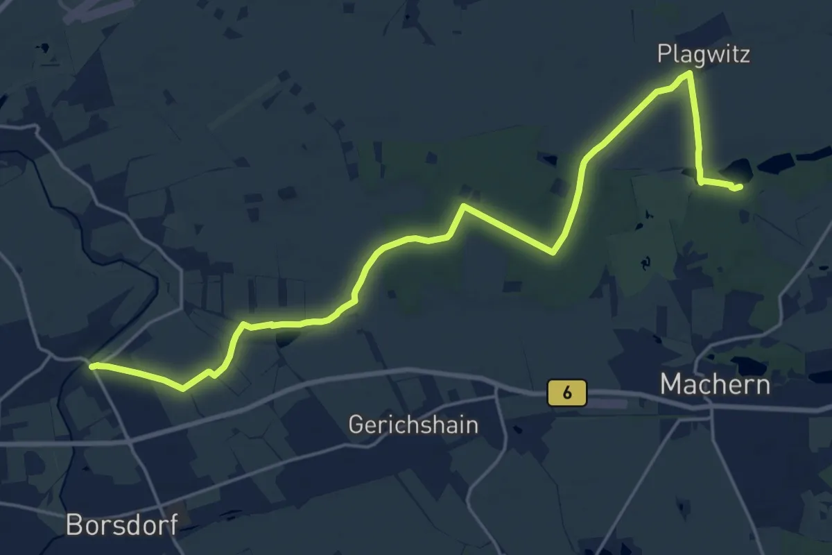
Demanding · Trail
Tresenweg
20.2 km · ↑ 85 m · 4 h 57 min
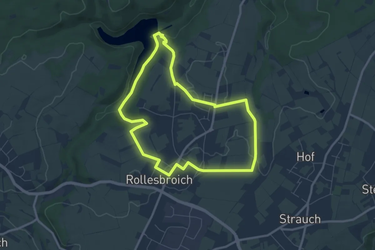
Medium · Trail
Trevvel-Route
6.3 km · ↑ 91 m · 1 h 46 min
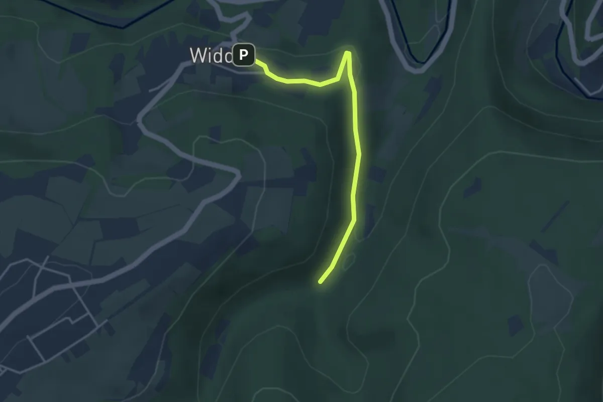
Easy · Trail
Trevvel un Taart
3.0 km · ↑ 79 m · 53 min
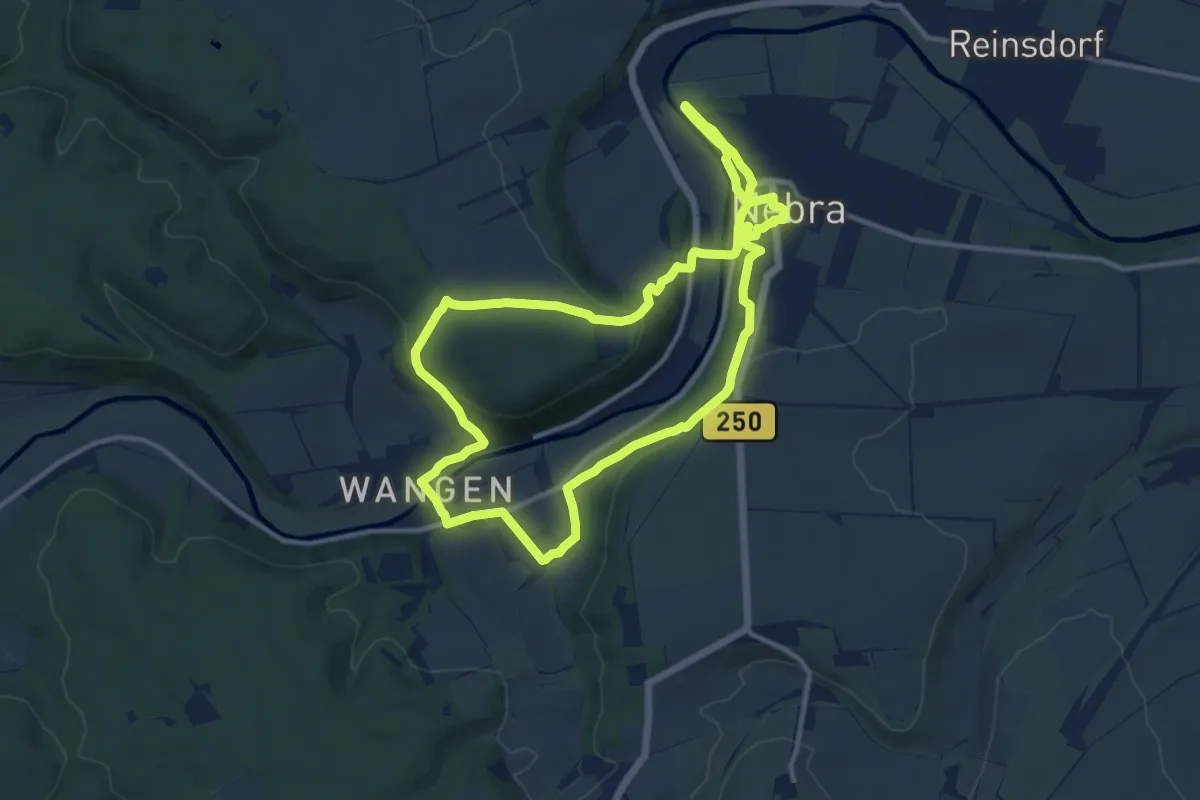
Medium · Trail
Triastor Geopfad Route Ost
10.7 km · ↑ 270 m · 3 h 16 min
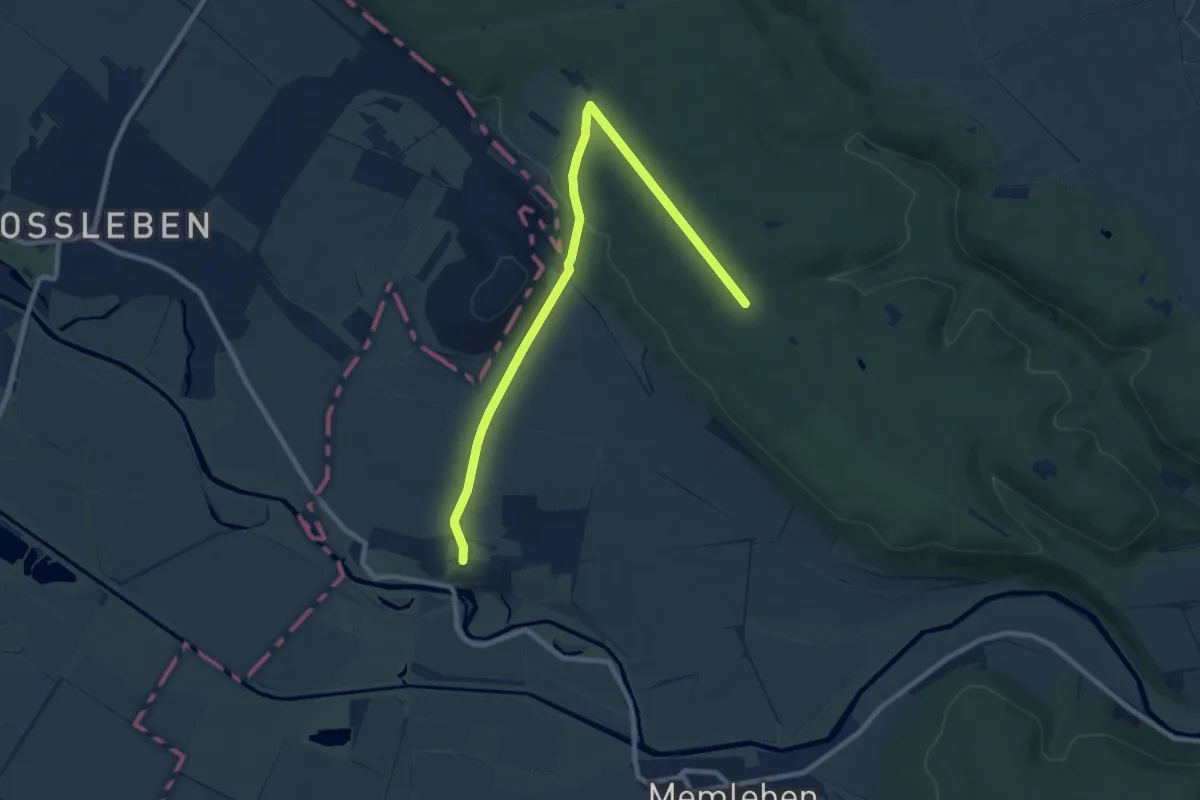
Medium · Trail
Triastor Geopfad Route West
9.4 km · ↑ 126 m · 2 h 30 min
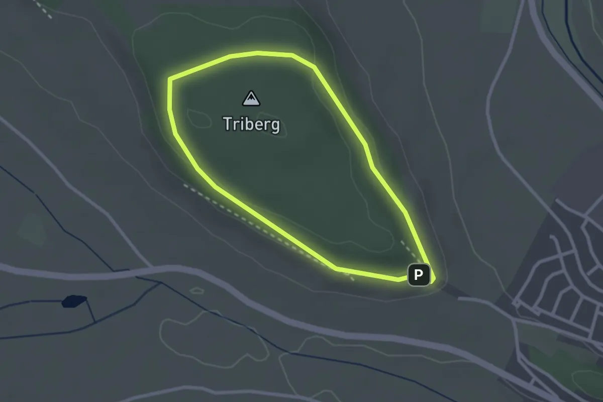
Easy · Summit
Tribergpfad
2.2 km · ↑ 42 m · 39 min
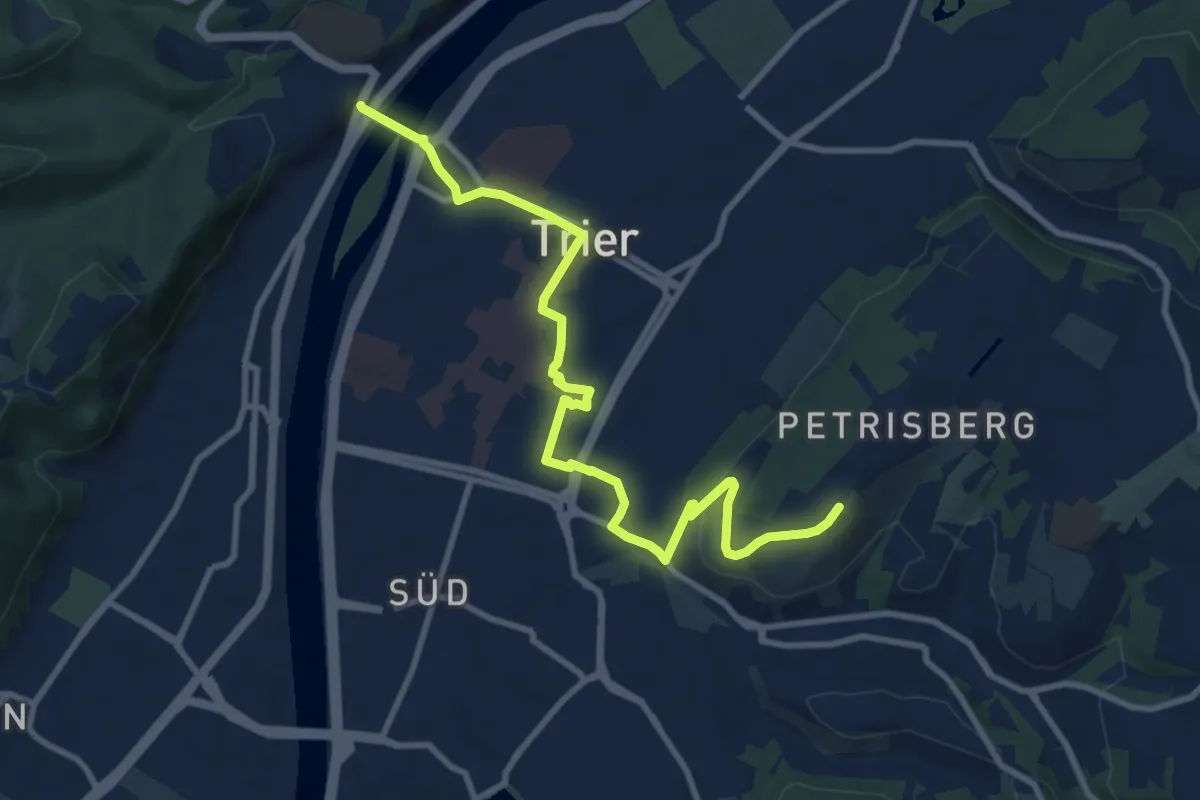
Medium · Trail
Trierer Erlebnis-Route
10.4 km · ↑ 166 m · 2 h 49 min
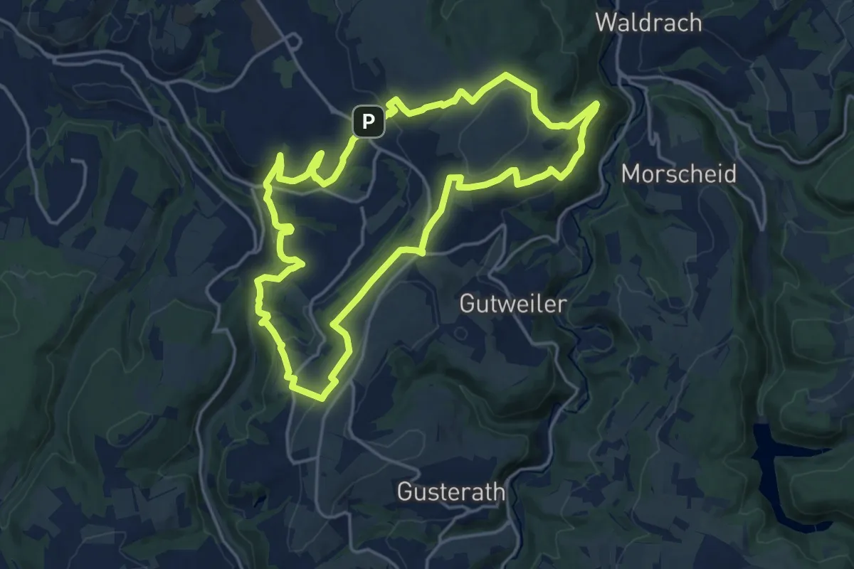
Medium · Summit
Trierer Galgenkopftour
15.9 km · ↑ 424 m · 4 h 53 min