Trails in Germany
36,852 hiking trails, each with its route, climb, walking time and grade.
All trails, page 635 of 768
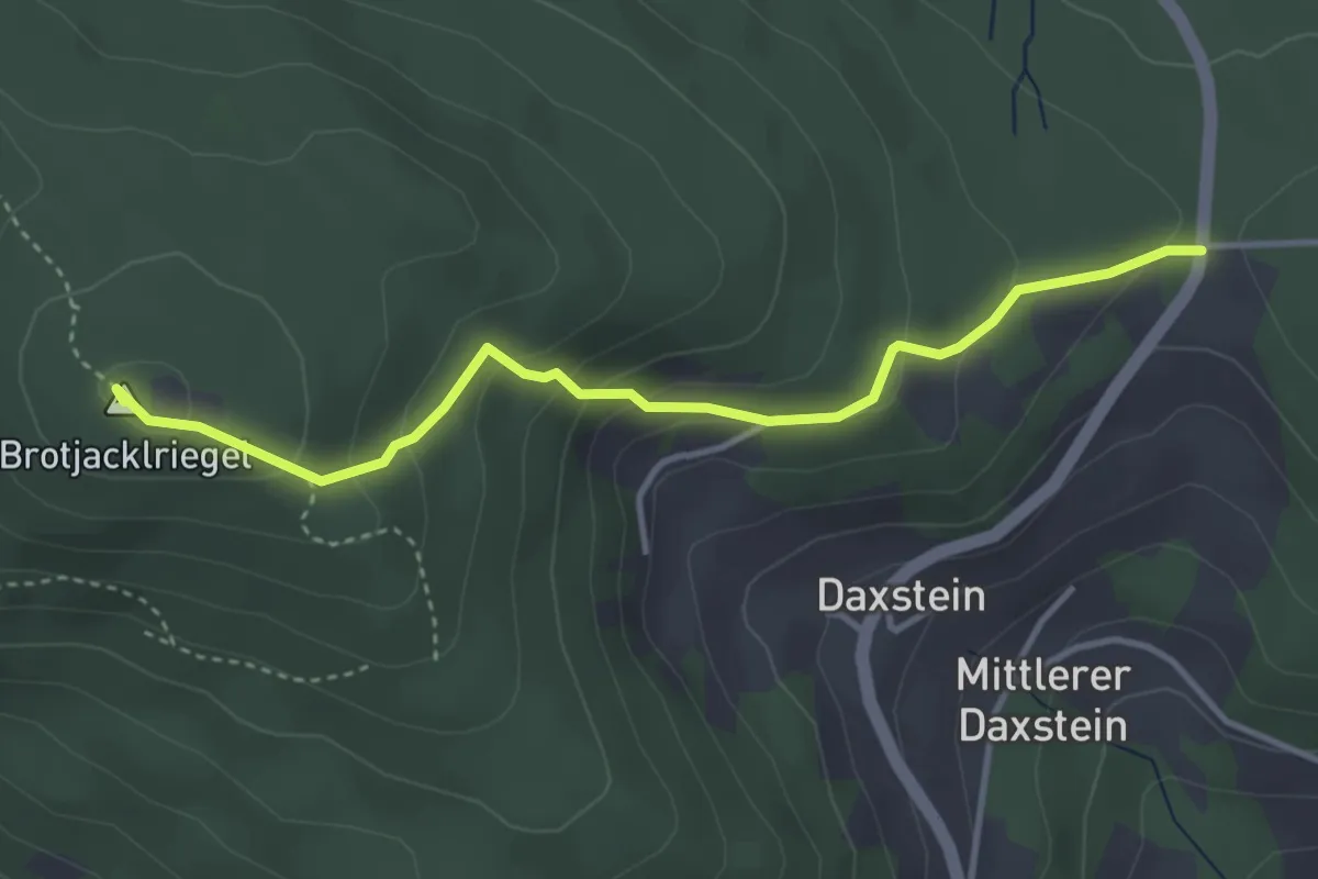
Easy · Summit
Turmweg (Daxstein)
3.6 km · ↑ 200 m · 1 h 17 min
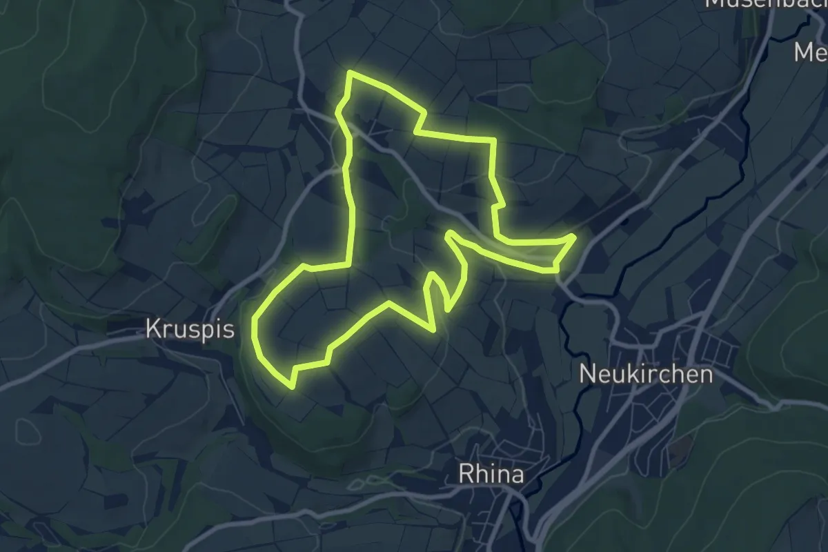
Easy · Summit
Turmweg - Kurzvariante
7.6 km · ↑ 134 m · 2 h 11 min
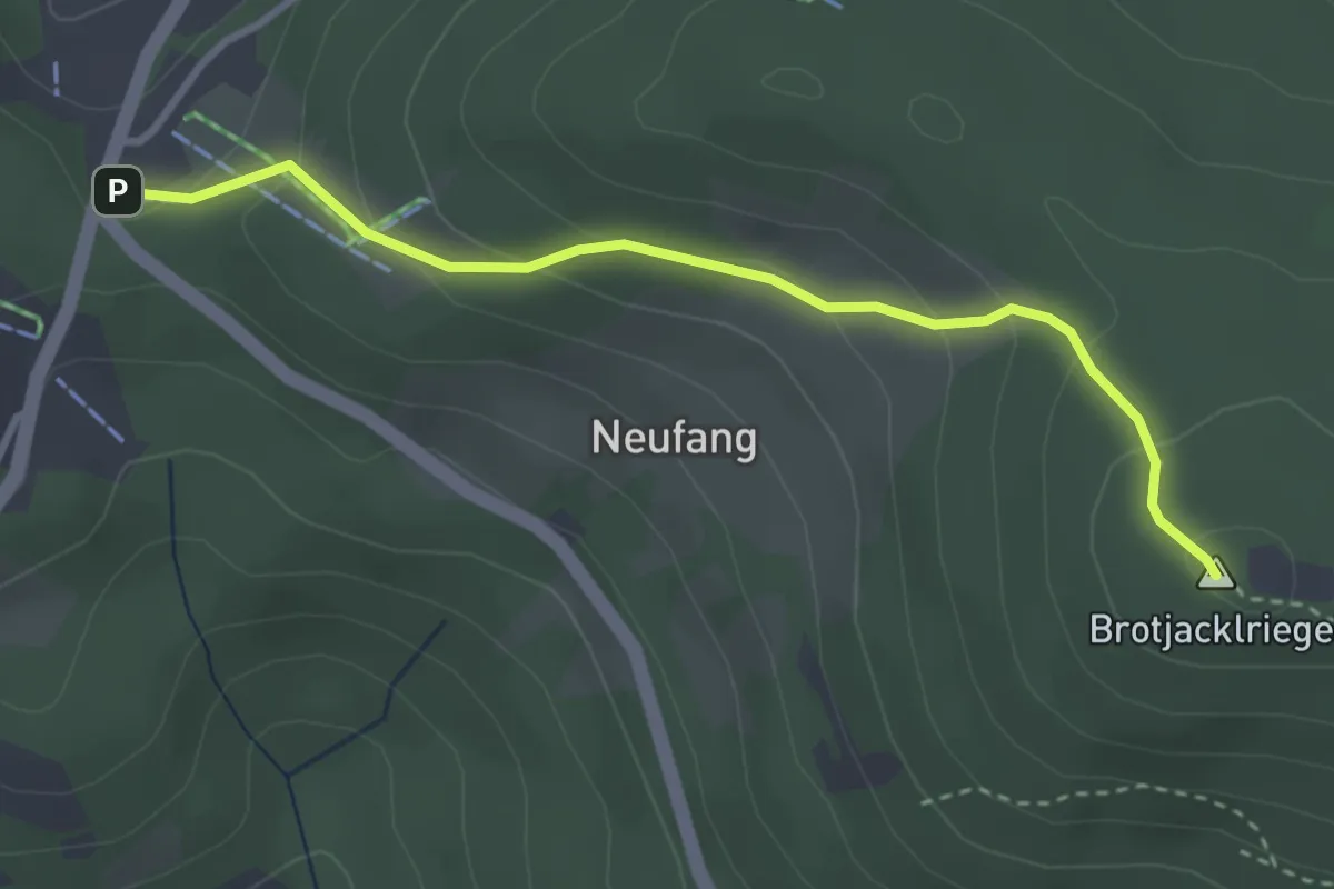
Easy · Summit
Turmweg (Langfurth)
3.1 km · ↑ 184 m · 1 h 8 min
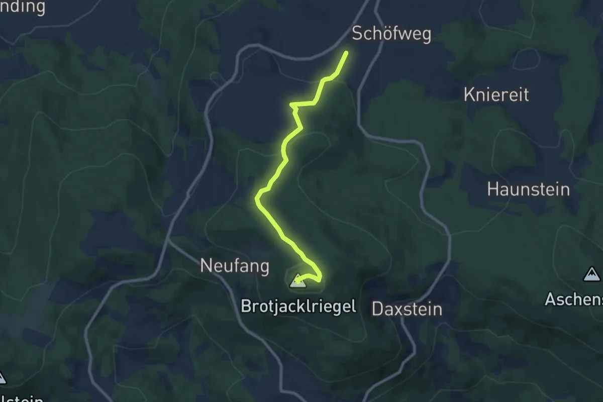
Easy · Summit
Turmweg (Mitterdorf / Schöfweg)
6.7 km · ↑ 245 m · 2 h 7 min
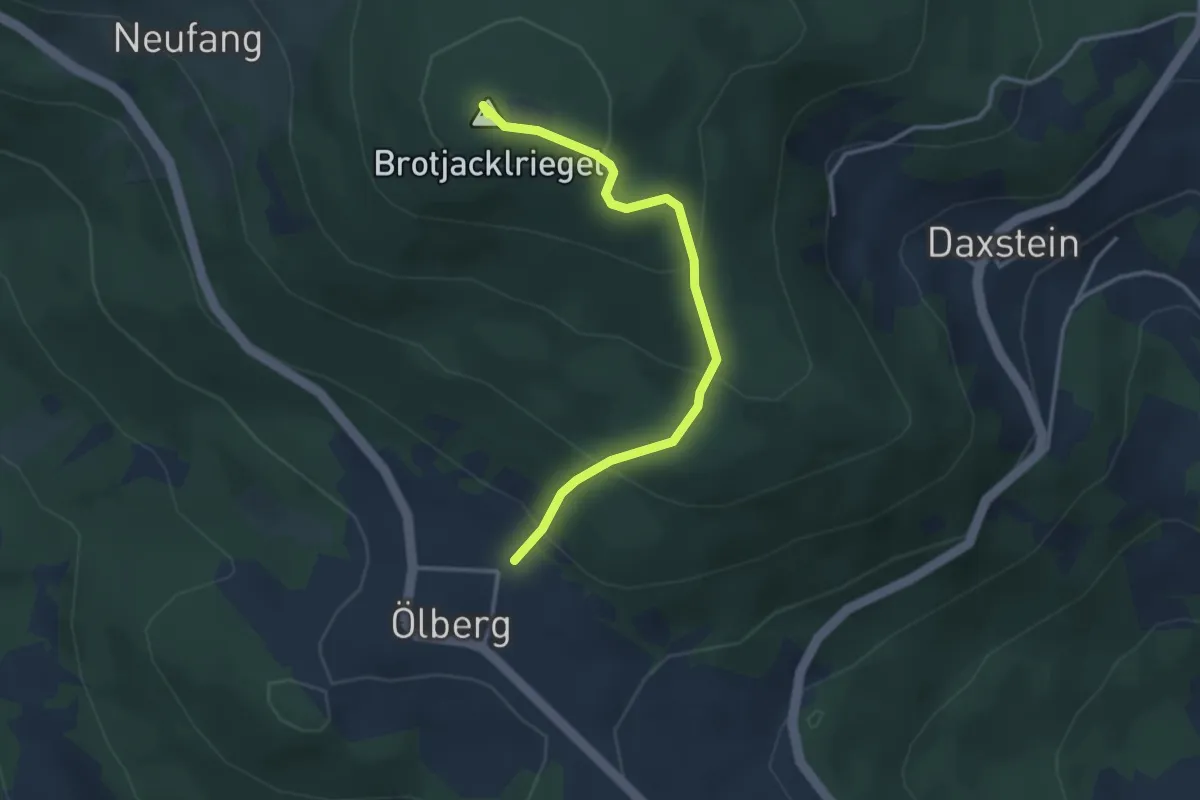
Easy · Summit
Turmweg (Ölberg)
3.1 km · ↑ 233 m · 1 h 14 min
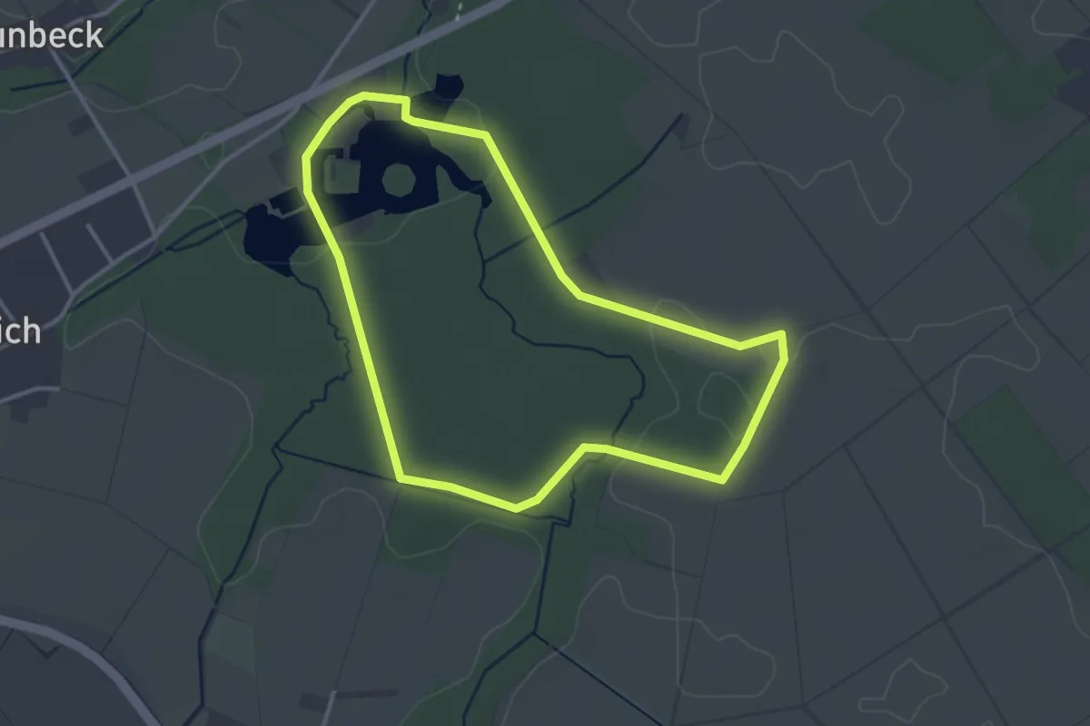
Easy · Trail
Tüschenbroicher Runde
2.9 km · ↑ 9 m · 45 min
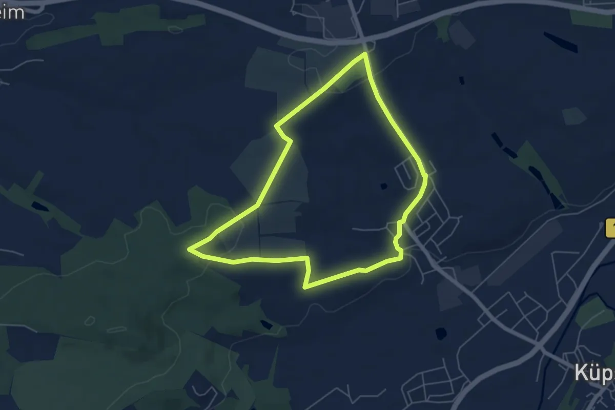
Easy · Trail
Tüschnitzer Lindenweg
4.9 km · ↑ 69 m · 1 h 22 min
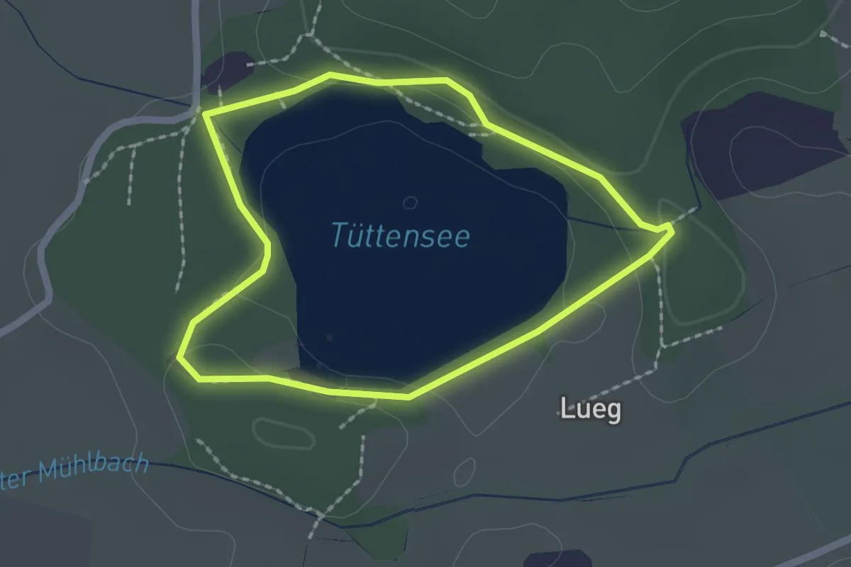
Easy · Trail
Tüttensee-Rundwanderweg
1.7 km · ↑ 25 m · 29 min
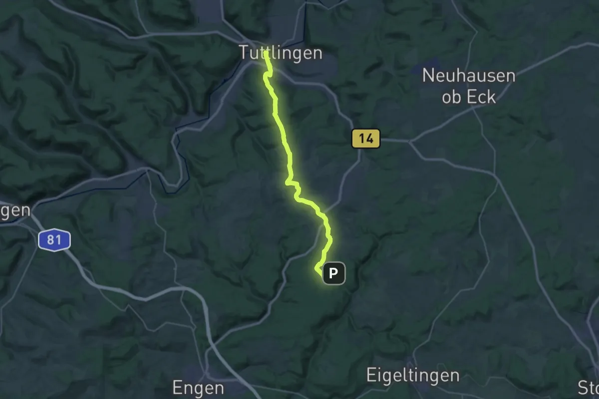
Demanding · Trail
Tuttlingen - Schenkenberg
26.1 km · ↑ 492 m · 7 h 14 min
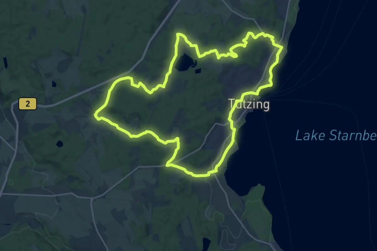
Demanding · Trail
Tutzinger Runde
20.1 km · ↑ 318 m · 5 h 43 min
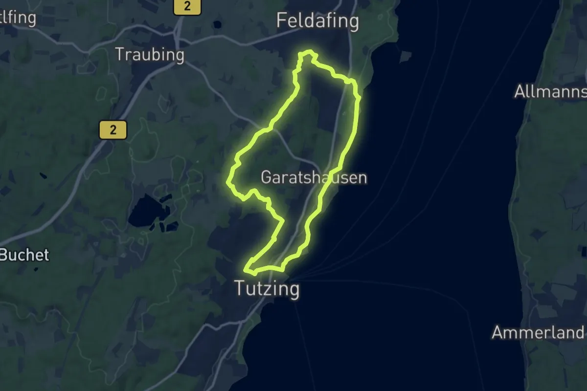
Medium · Trail
Tutzing - Feldafing
10.3 km · ↑ 119 m · 2 h 50 min
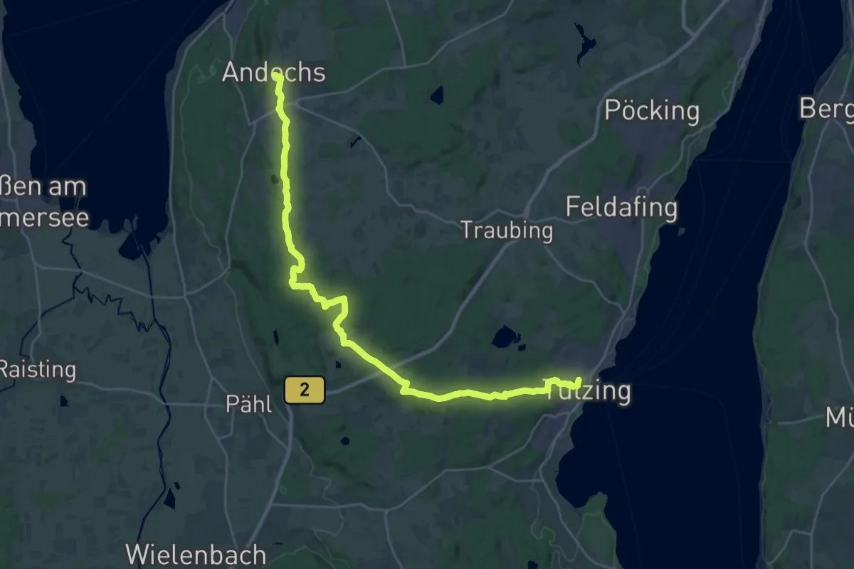
Demanding · Trail
Tutzing - Kerschlach - Andechs
29.6 km · ↑ 440 m · 7 h 56 min
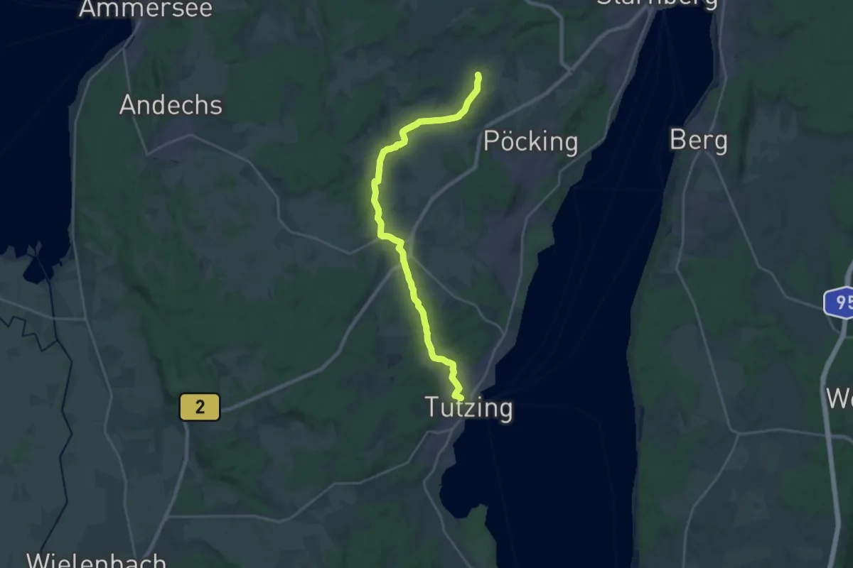
Demanding · Trail
Tutzing - Maisinger See
21.4 km · ↑ 180 m · 5 h 26 min
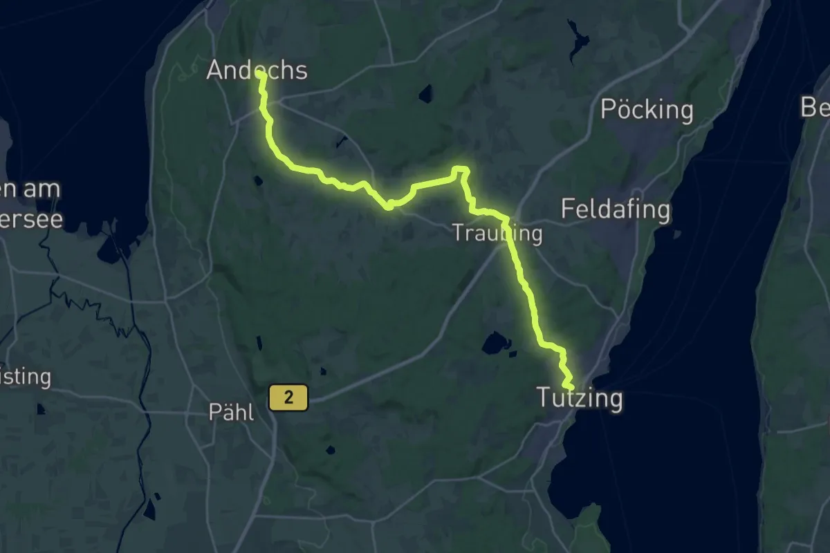
Demanding · Trail
Tutzing - Traubing - Andechs
27.5 km · ↑ 380 m · 7 h 19 min
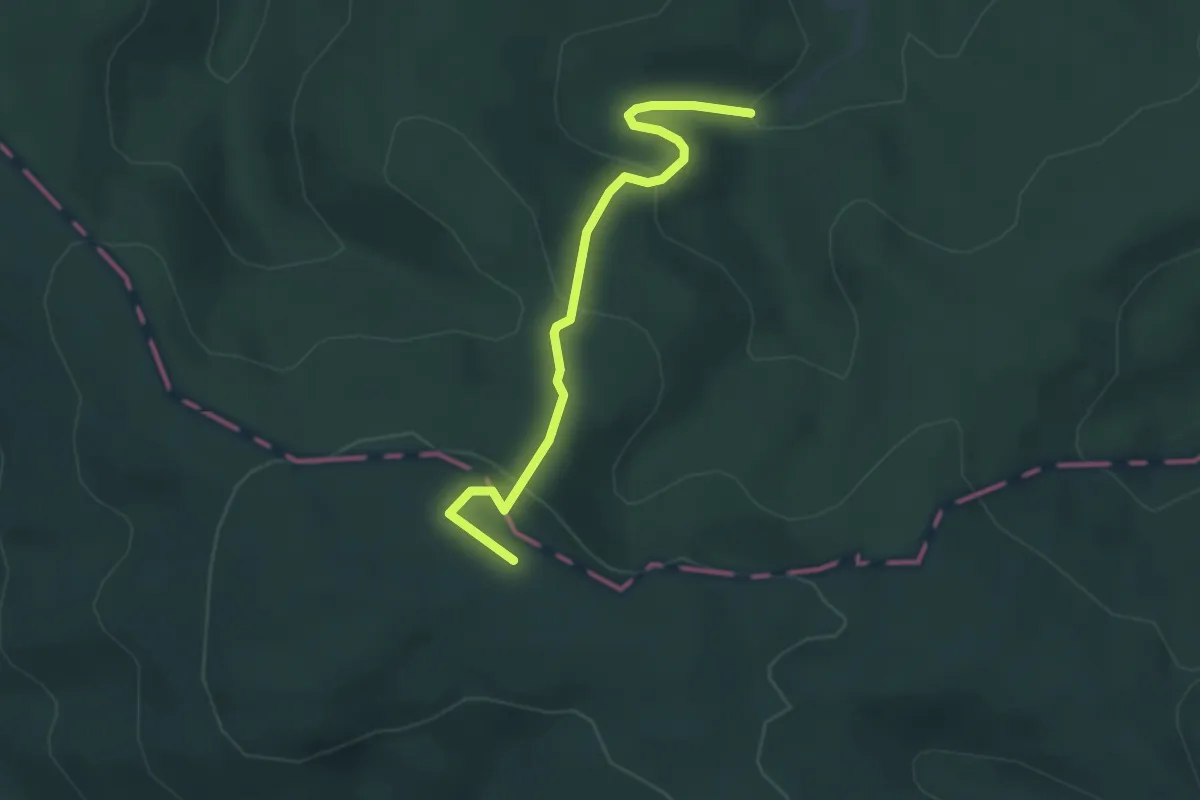
Easy · Trail
[T] Verbindungsweg Giebelberg-Oberfischbach
3.2 km · ↑ 164 m · 1 h 7 min
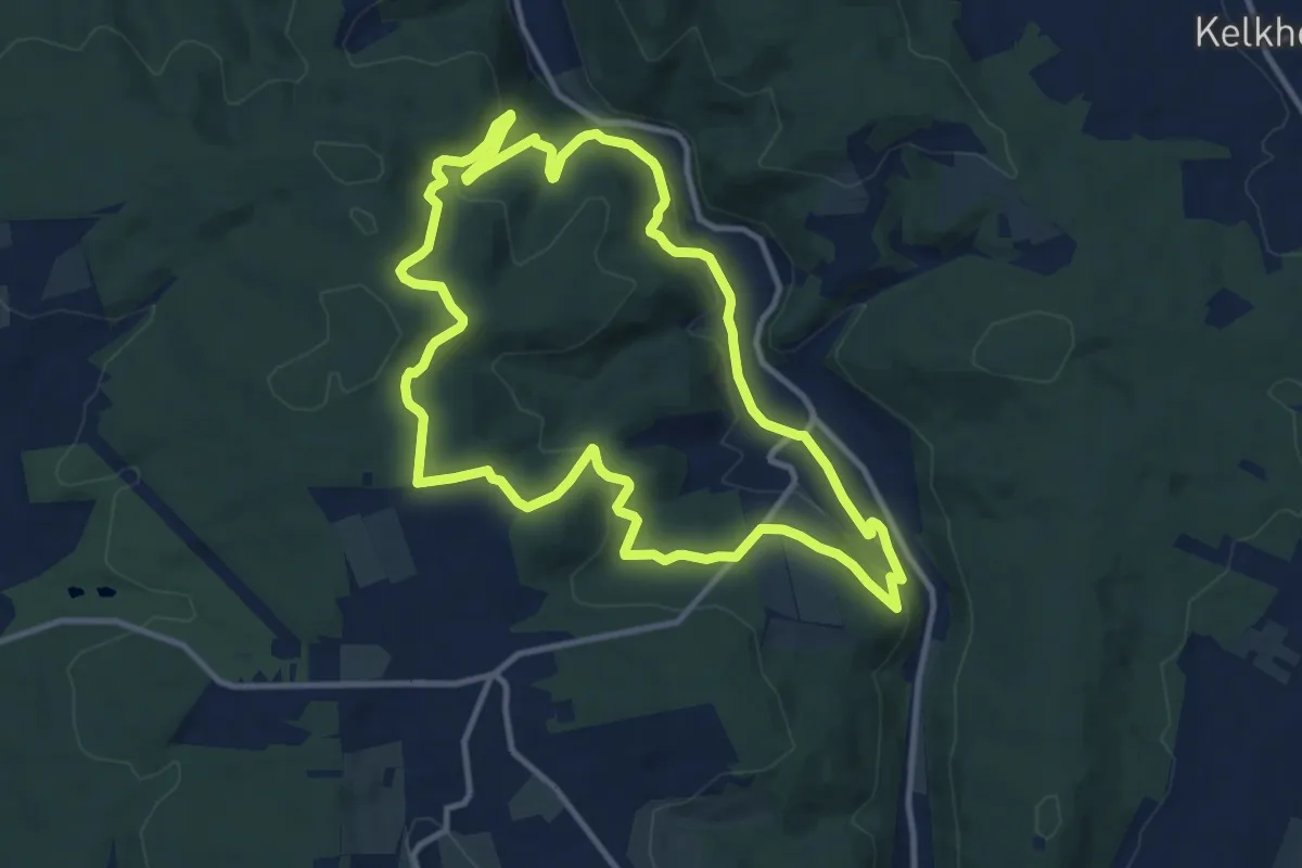
Medium · Trail
TVL
10.7 km · ↑ 348 m · 3 h 26 min
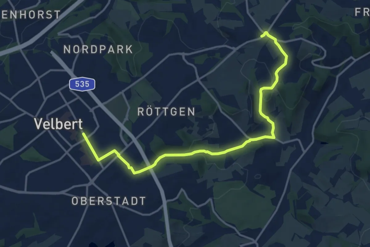
Medium · Trail
T Wanderweg Velbert Ost
11.0 km · ↑ 223 m · 3 h 5 min
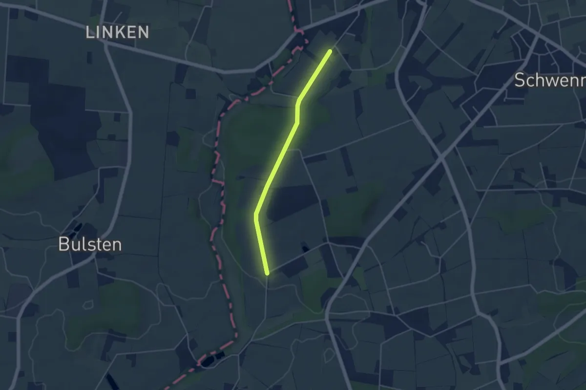
Easy · Trail
twas duüer - querdurch
1.7 km · ↑ 27 m · 28 min
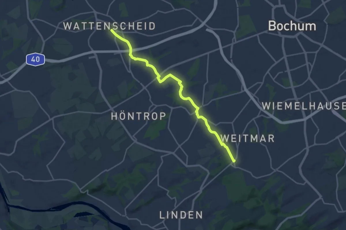
Medium · Trail
T Wattenscheid - Weitmar
14.0 km · ↑ 103 m · 3 h 32 min
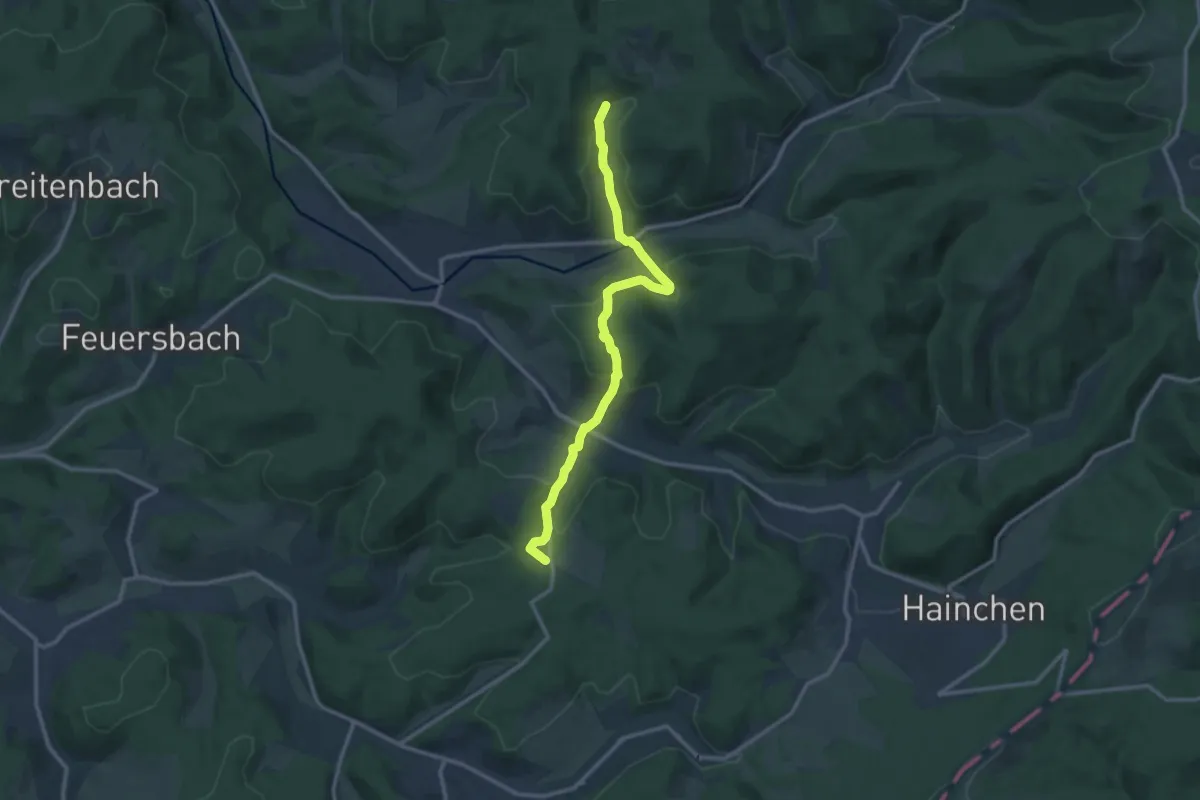
Medium · Trail
[T] Wilgersdorf - Obernau-Talsperre
11.3 km · ↑ 402 m · 3 h 32 min
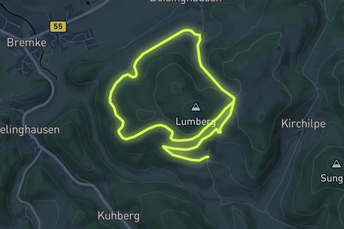
Easy · Trail
Twismecke Rundweg T17
6.8 km · ↑ 189 m · 2 h 10 min
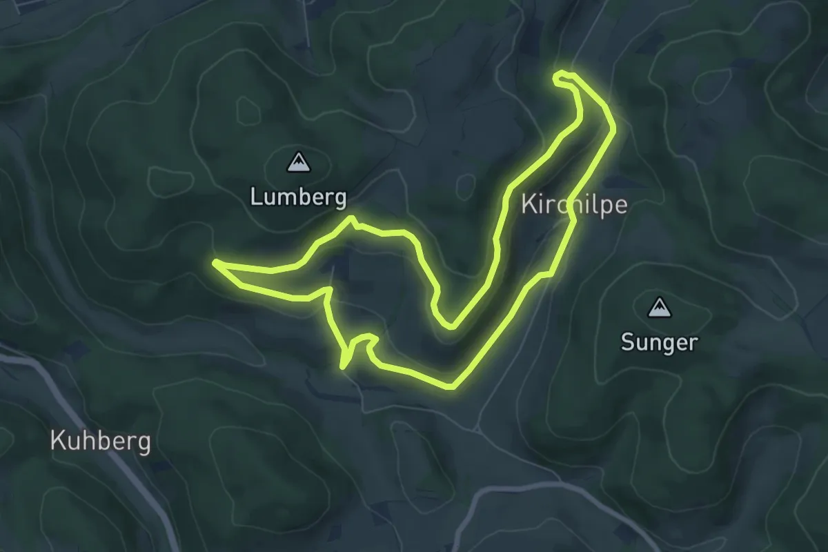
Easy · Trail
Twismecke Rundweg T18
6.8 km · ↑ 209 m · 2 h 10 min
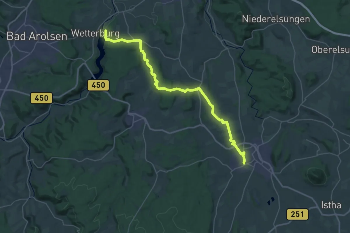
Demanding · Trail
Twistesee - Wolfhagen
25.5 km · ↑ 525 m · 7 h 10 min
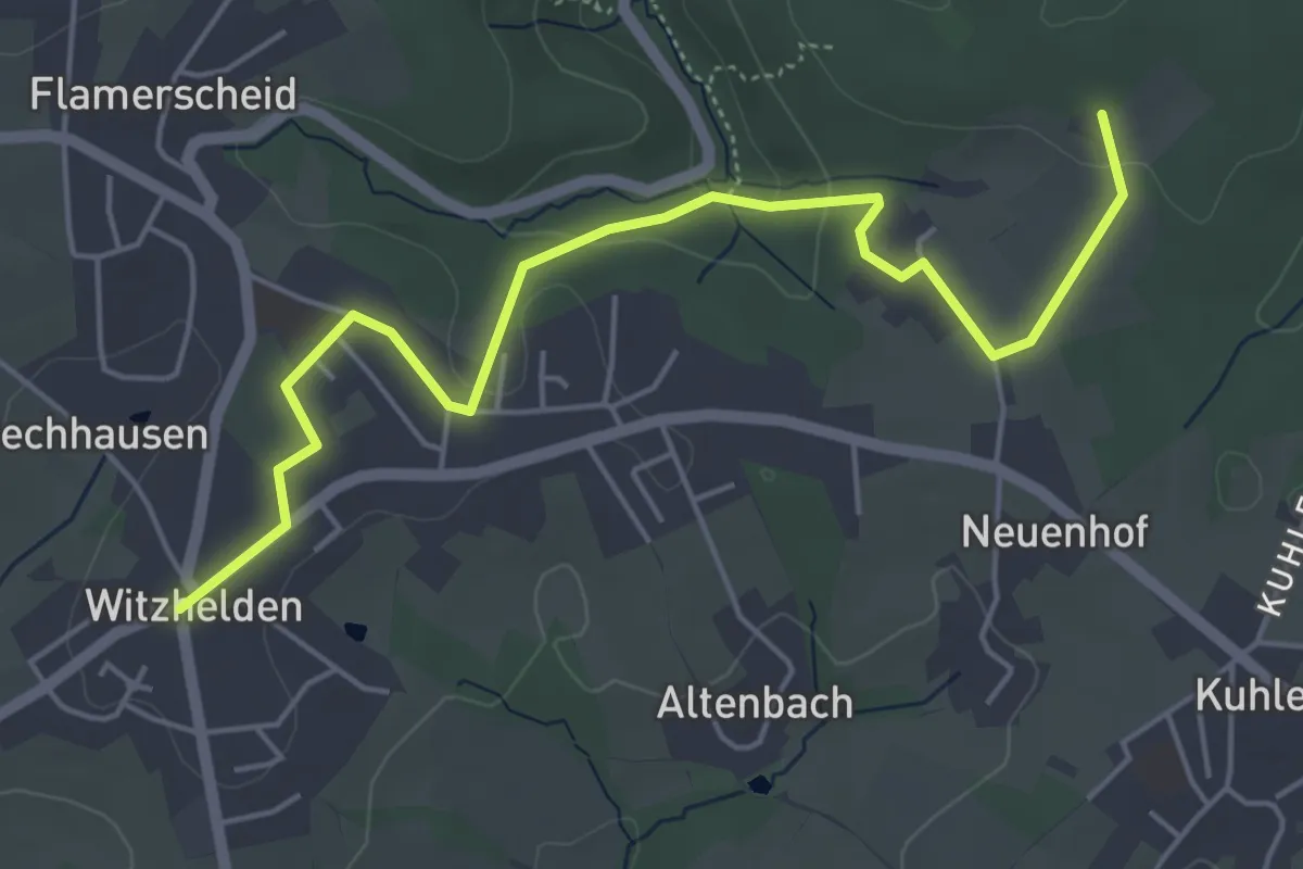
Easy · Trail
T Witzhelden - Dorperhof
5.2 km · ↑ 90 m · 1 h 25 min
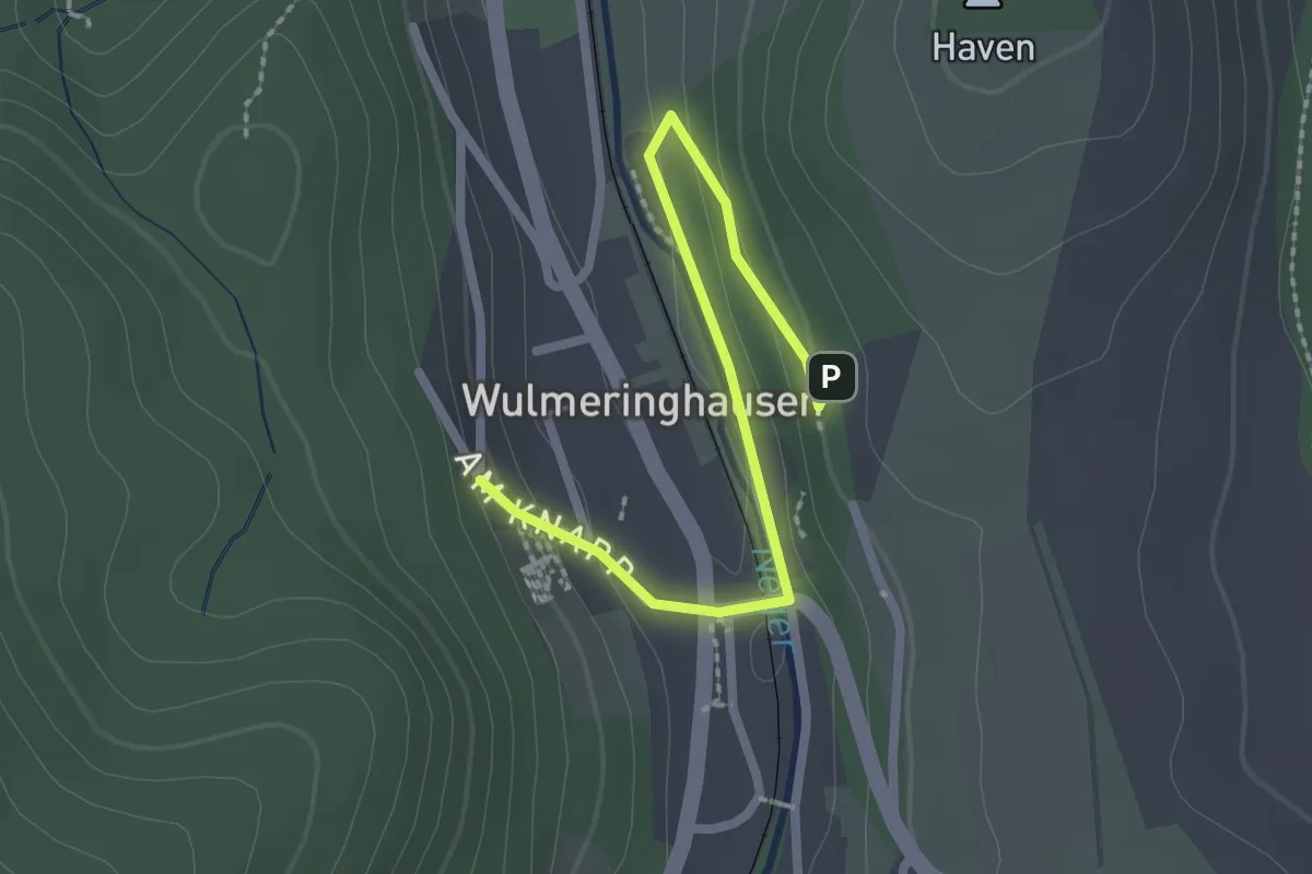
Easy · Trail
T Wulmeringhausen - Wiemeringhausen
2.2 km · ↑ 64 m · 40 min
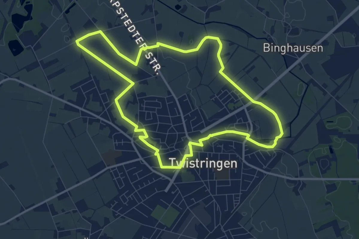
Medium · Trail
Twuster Padd
8.2 km · ↑ 8 m · 2 h 5 min
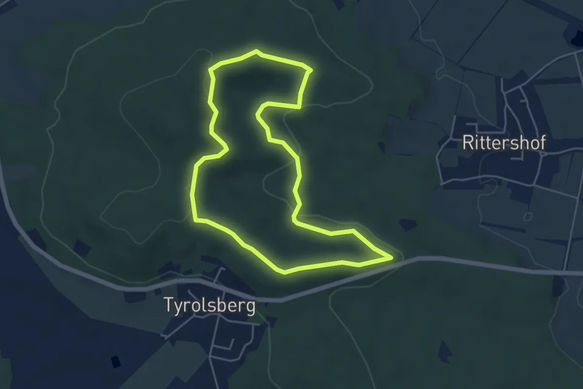
Easy · Trail
Tyrolsberger Waldrundweg
4.2 km · ↑ 64 m · 1 h 11 min
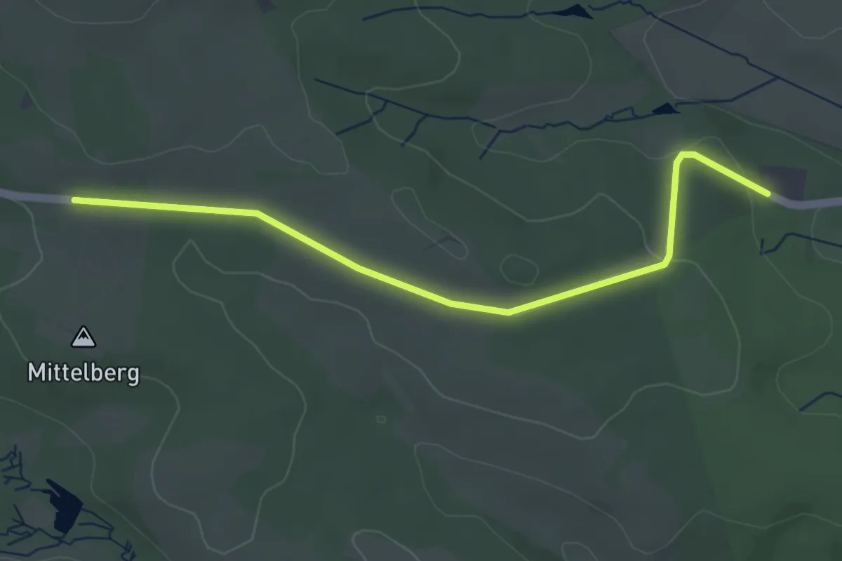
Easy · Trail
U
3.7 km · ↑ 50 m · 1 h
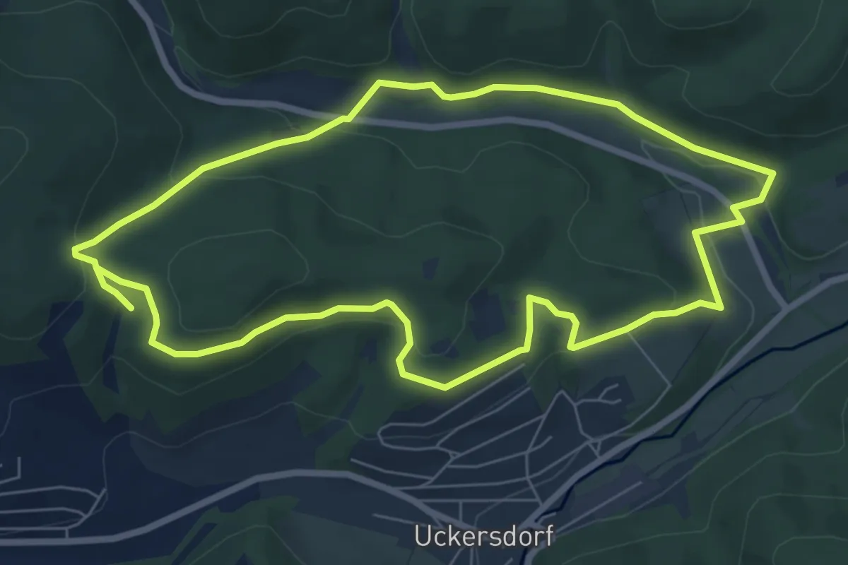
Easy · Trail
U1 Storchenweg
6.2 km · ↑ 170 m · 1 h 55 min
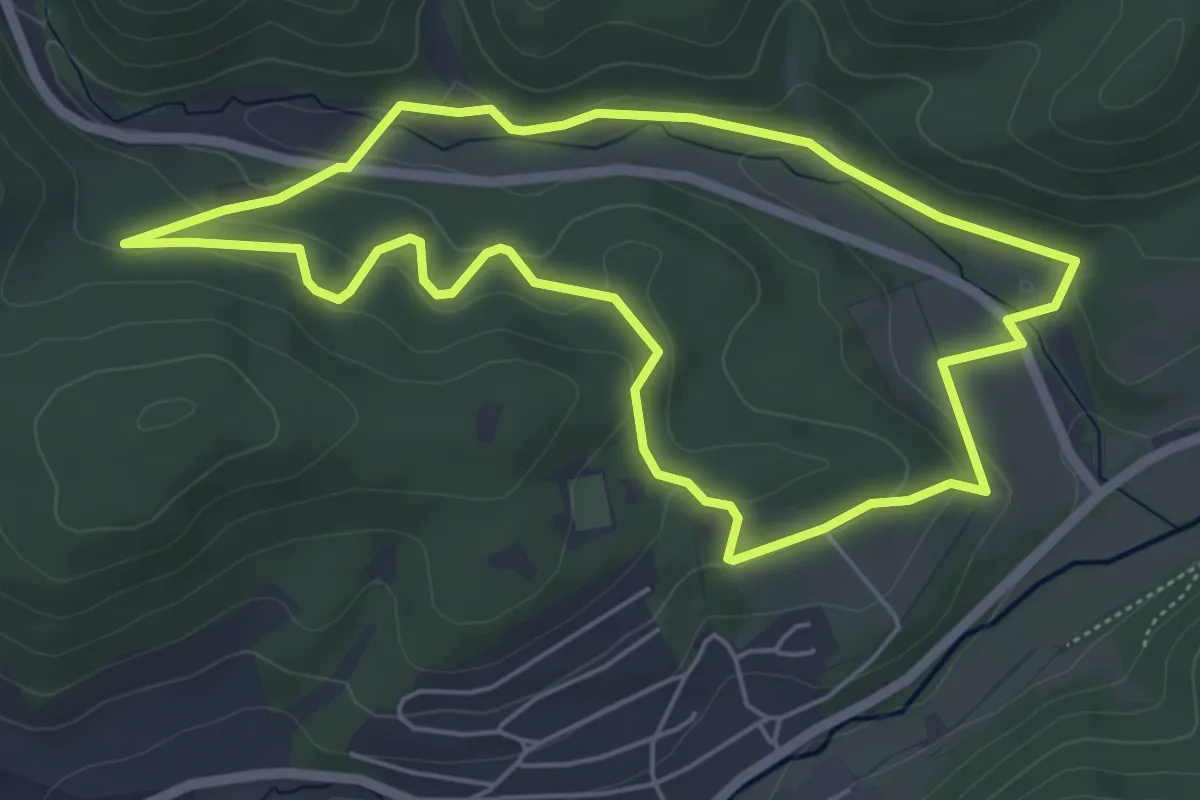
Easy · Trail
U1 Storchenweg mit Wegeabkürzung
4.9 km · ↑ 185 m · 1 h 38 min
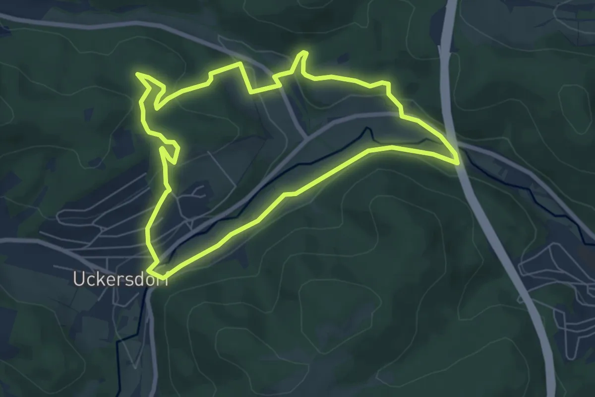
Easy · Trail
U2 Eisvogelweg
5.8 km · ↑ 153 m · 1 h 47 min
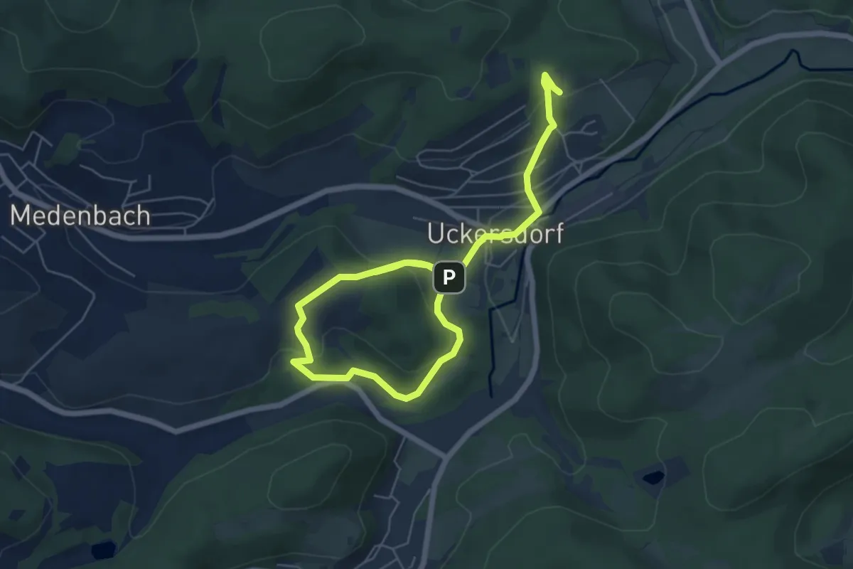
Medium · Trail
U3 Schwalbenweg
8.1 km · ↑ 345 m · 2 h 40 min
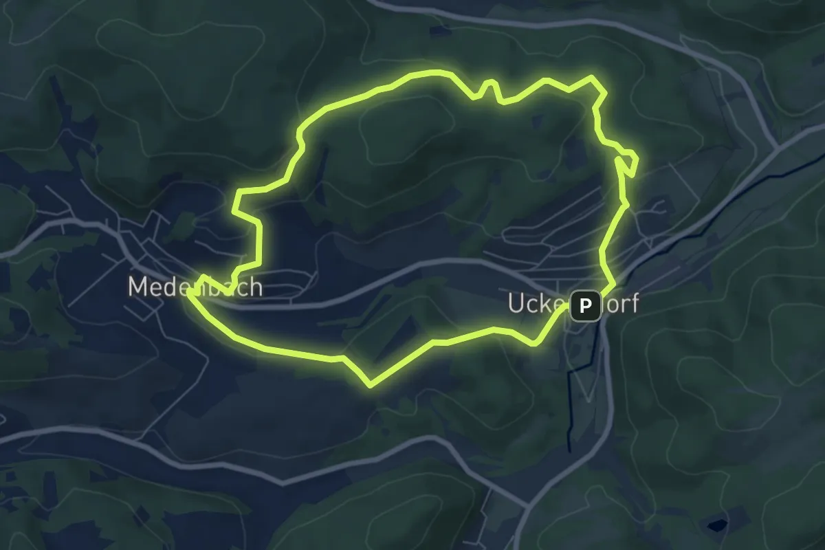
Easy · Summit
U4 Spechtweg
6.8 km · ↑ 238 m · 2 h 13 min
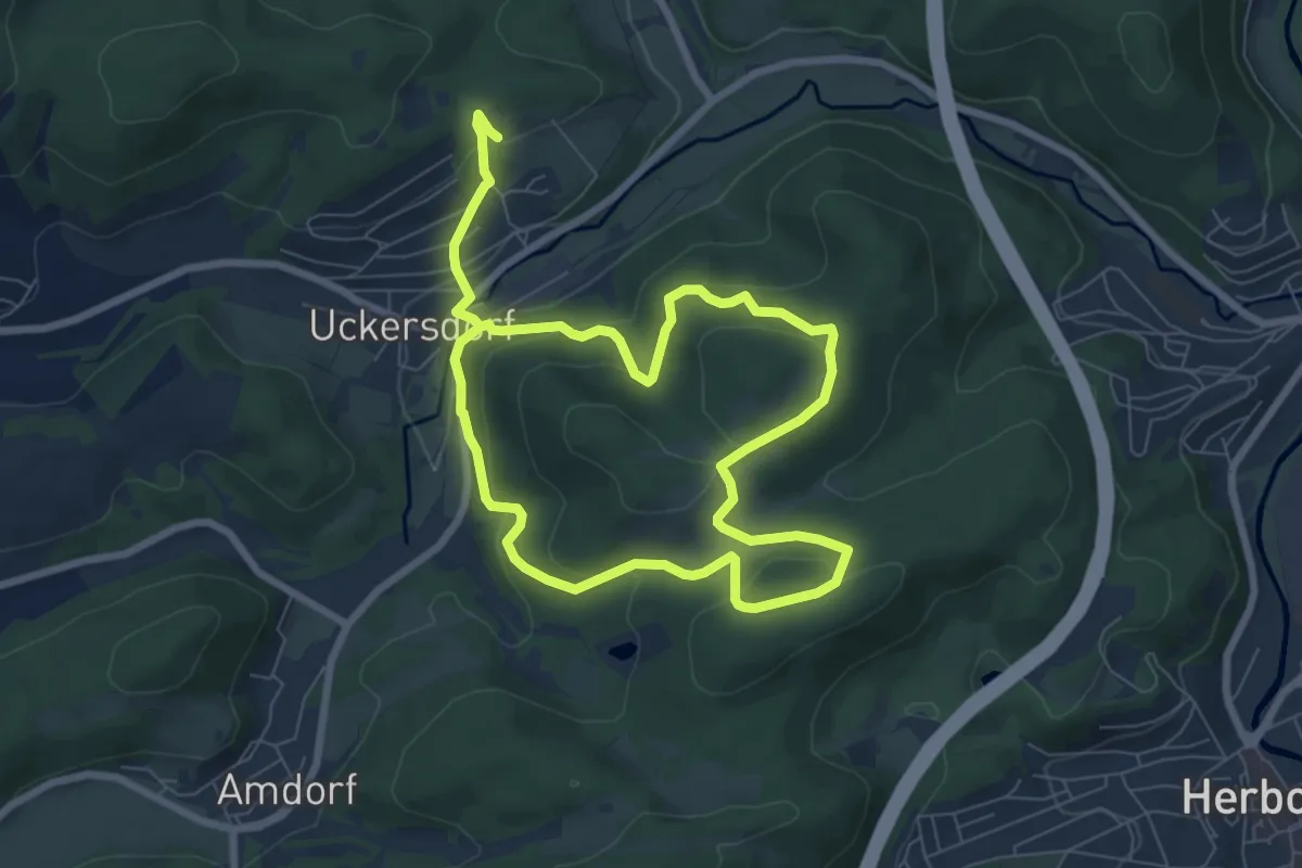
Medium · Trail
U5a Eulenweg mit Wegeverlängerung
12.1 km · ↑ 521 m · 3 h 59 min
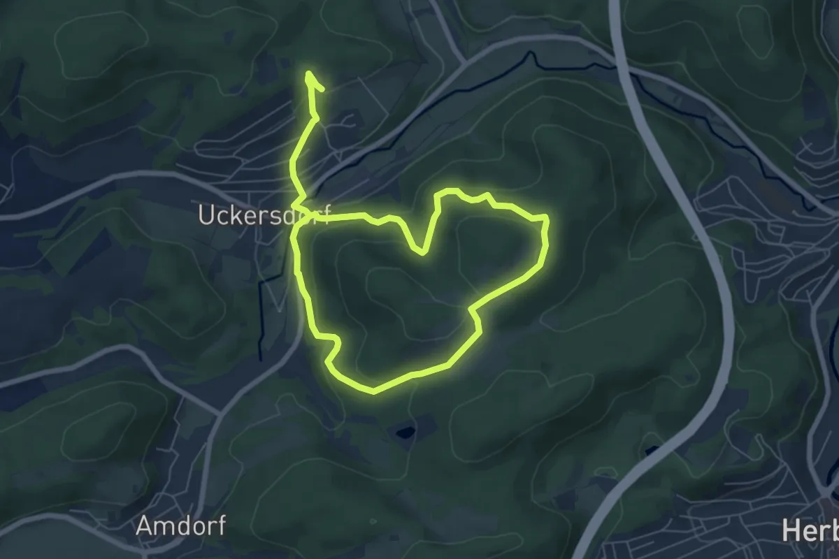
Medium · Trail
U5 Eulenweg
9.9 km · ↑ 448 m · 3 h 18 min
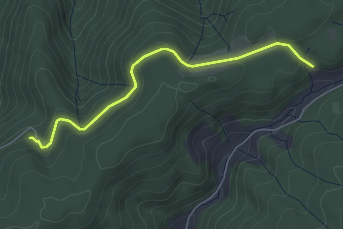
Easy · Trail
Übelbachhangweg - Salzbühl
4.3 km · ↑ 122 m · 1 h 16 min
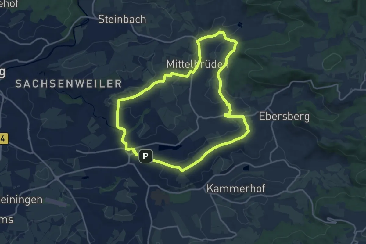
Medium · Summit
Über Auenwald zu den Dresselbachhöfen
11.2 km · ↑ 175 m · 3 h 11 min
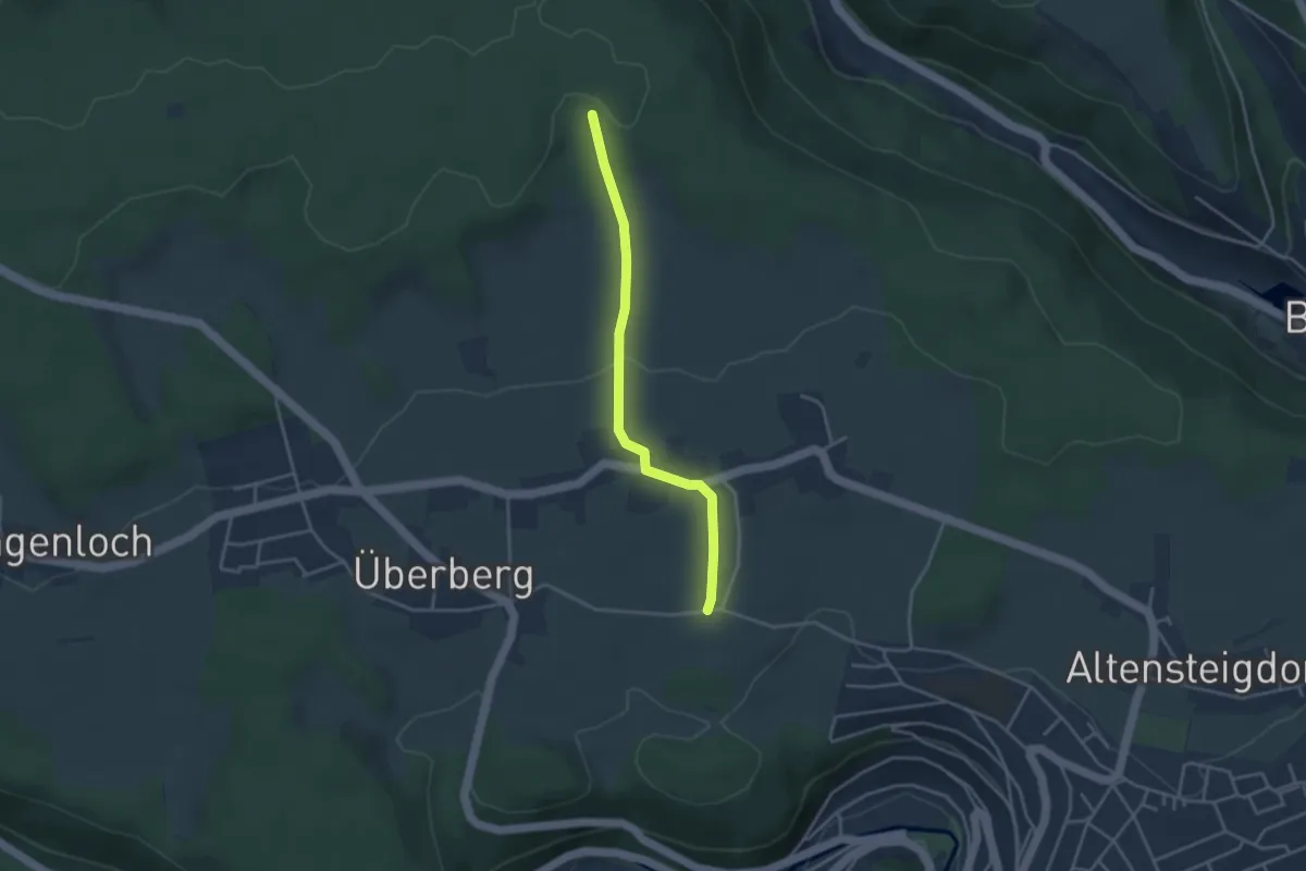
Easy · Trail
Überberger Kirchweg - Überberg Heerweg
3.2 km · ↑ 72 m · 55 min
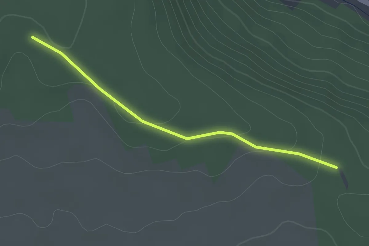
Easy · Trail
Überberg Heerweg - Schleeh-Hütte
2.0 km · ↑ 42 m · 34 min
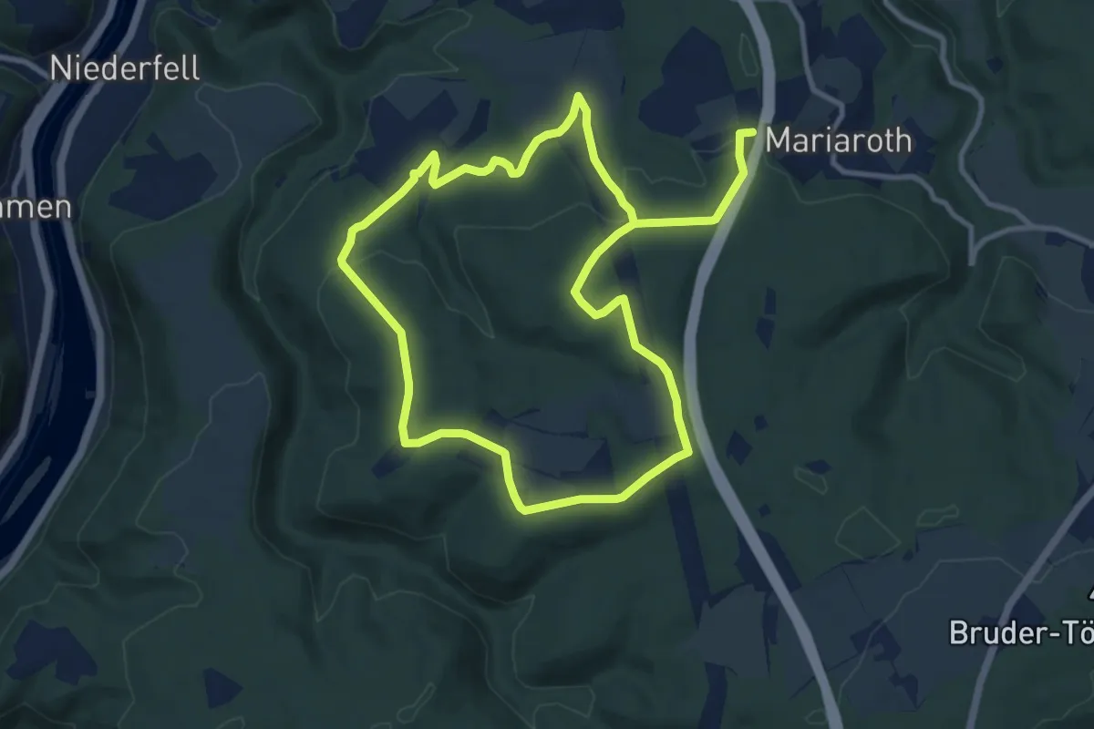
Medium · Trail
Über Berg & Tal - Wanderweg 4
8.7 km · ↑ 298 m · 2 h 48 min
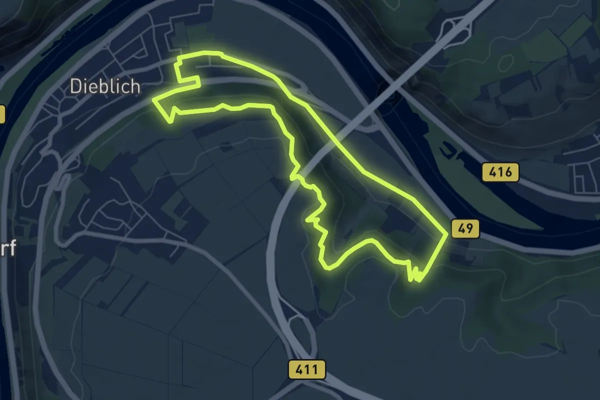
Easy · Trail
Über Berg und Tal
5.8 km · ↑ 275 m · 2 h 3 min
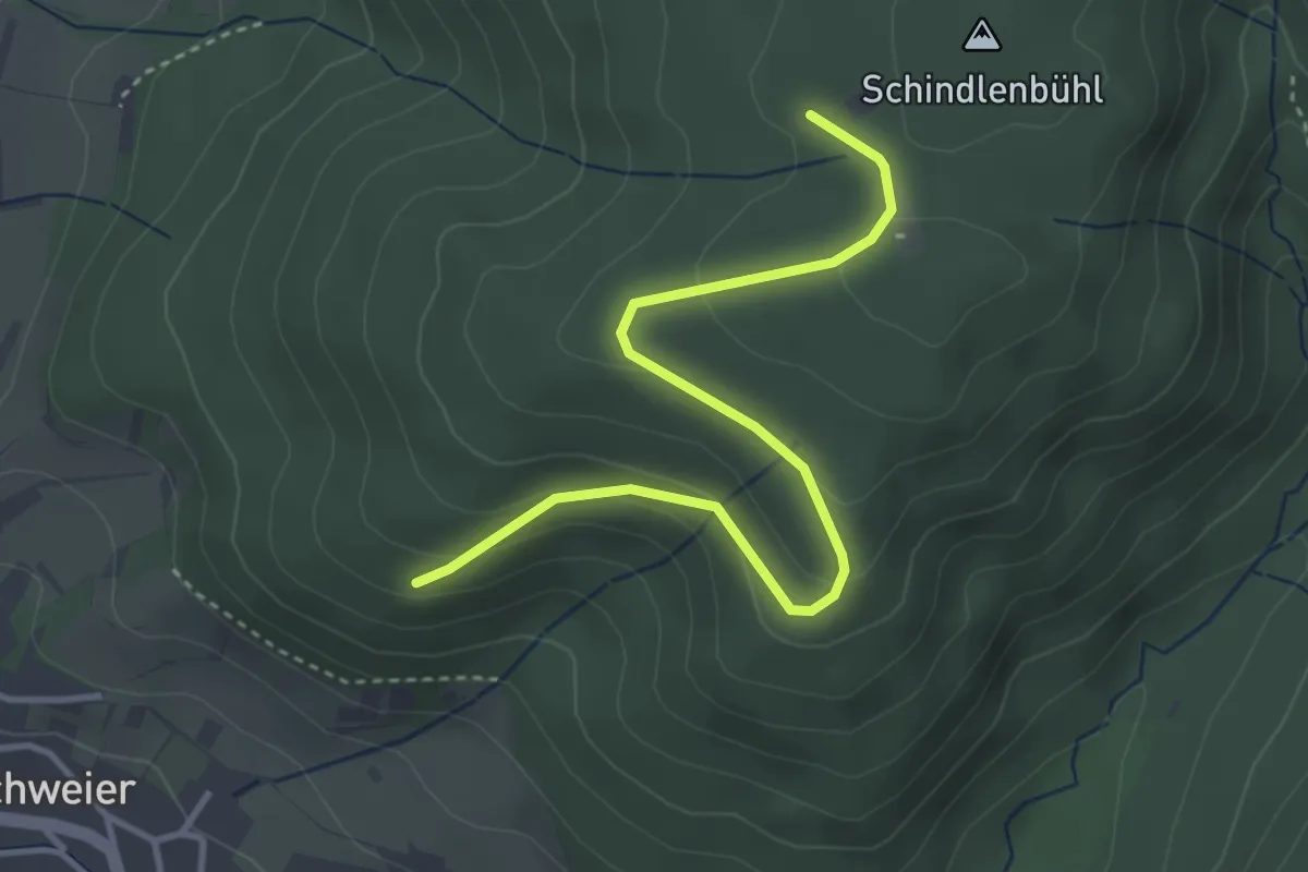
Easy · Trail
Über dem Bruderdobel - Windpark Süd
3.8 km · ↑ 140 m · 1 h 12 min
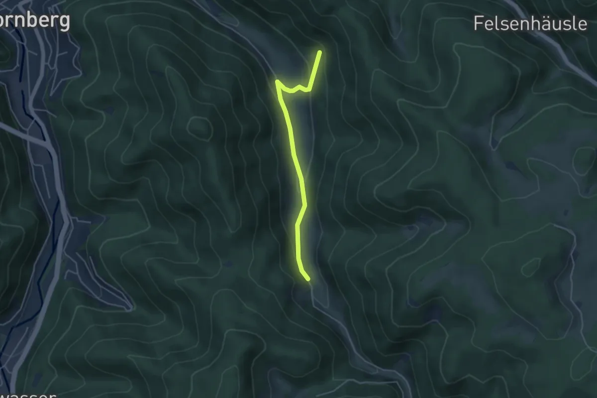
Easy · Trail
Über dem Hasenhof - Schwanenbach Altes Schulhäusle
3.7 km · ↑ 129 m · 1 h 9 min
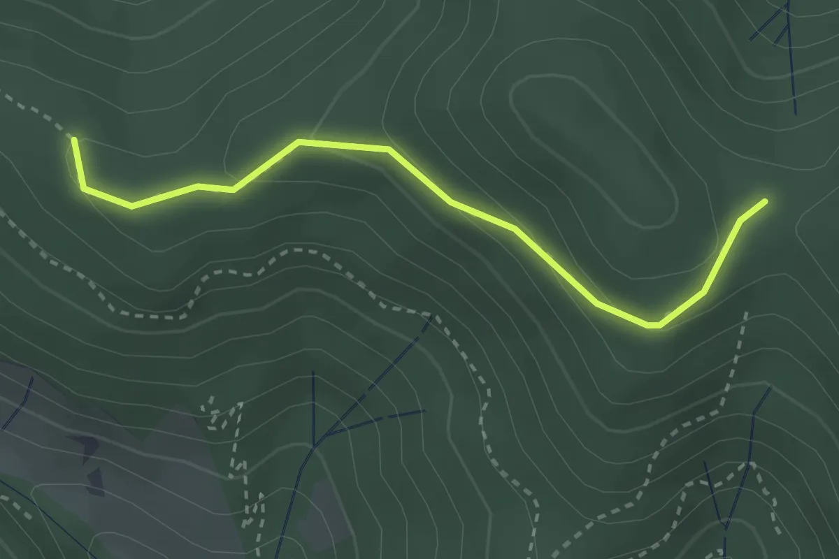
Easy · Trail
Über dem Heuweg - Am Kranzkopf
2.8 km · ↑ 140 m · 58 min
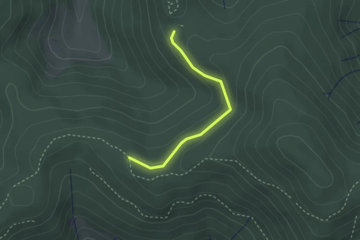
Easy · Trail
Über dem Heuweg - Bei der Schwarzenberghütte
2.2 km · ↑ 69 m · 40 min
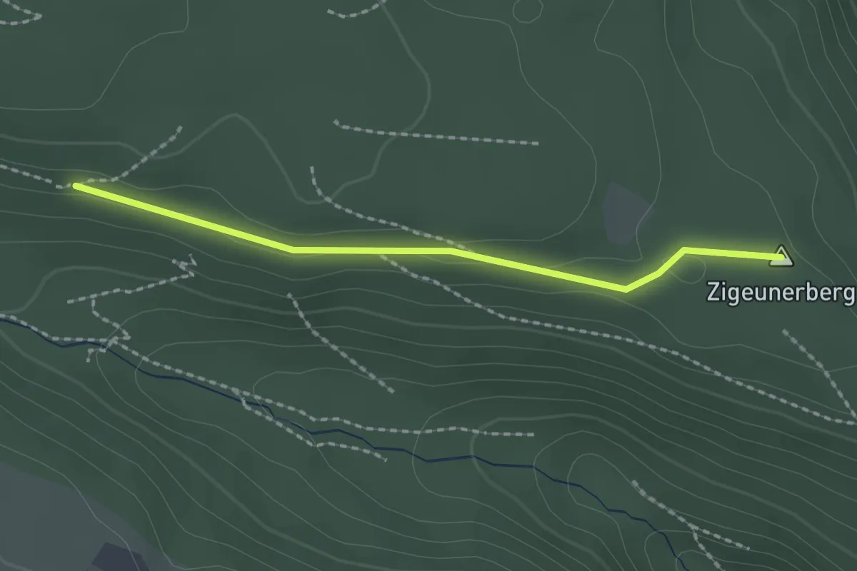
Easy · Summit
Über dem Rötelbach - Schafottweg
1.8 km · ↑ 14 m · 28 min
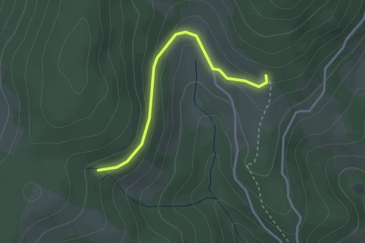
Easy · Trail
Über dem Uhlhof - Oberer Neuenbach
2.3 km · ↑ 108 m · 46 min
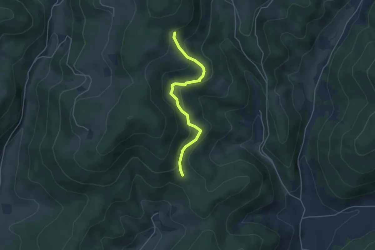
Easy · Trail
Über dem Uhlhof - Über dem Neuenbach
3.6 km · ↑ 188 m · 1 h 16 min