Trails in Germany
36,852 hiking trails, each with its route, climb, walking time and grade.
All trails, page 636 of 768
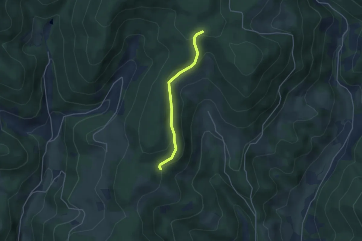
Easy · Trail
Über dem Uhlhof - Über der Gumm
3.0 km · ↑ 121 m · 58 min
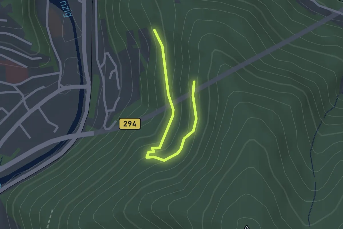
Easy · Trail
Über dem Wildgehege - Oberer Siechenwaldweg
2.3 km · ↑ 113 m · 47 min
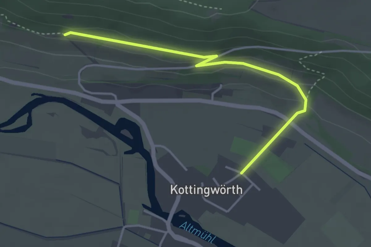
Easy · Trail
Über den Altmühlberg
1.8 km · ↑ 9 m · 30 min
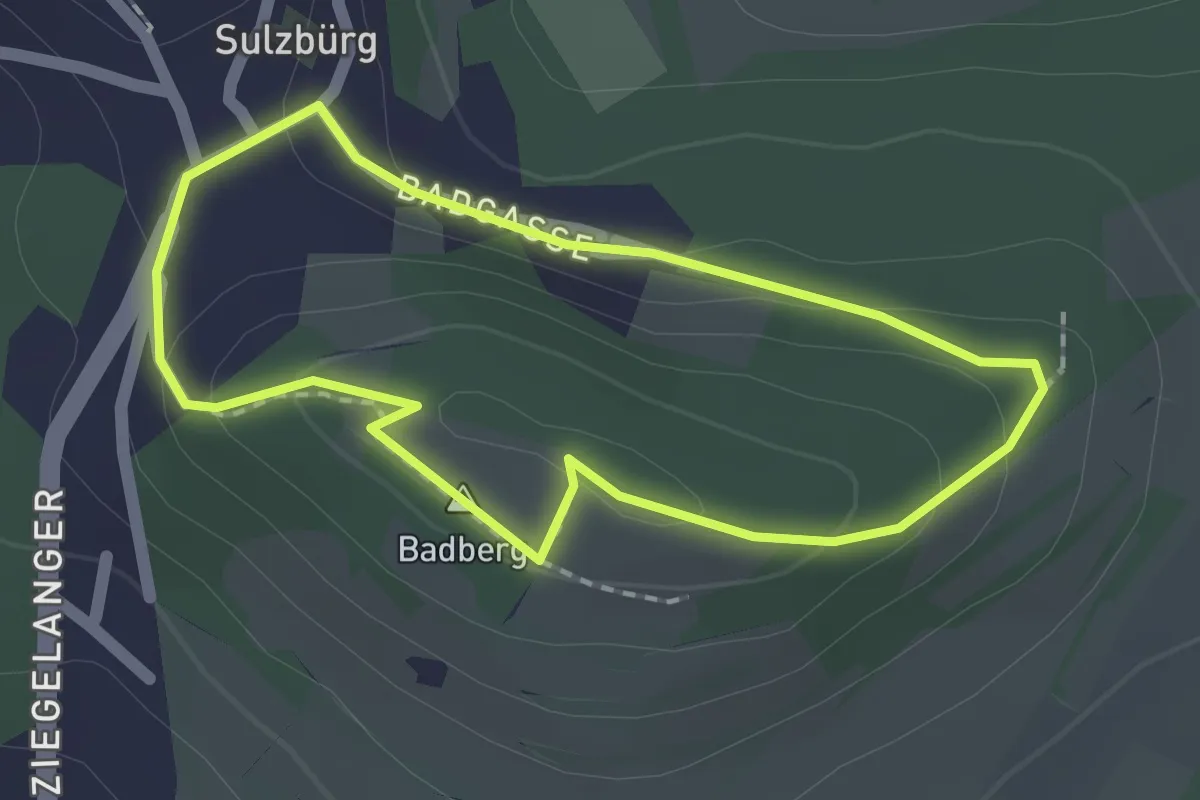
Easy · Summit
Über den Badberg, Sulzbürger Wanderweg Nr. 2
1.5 km · ↑ 39 m · 28 min
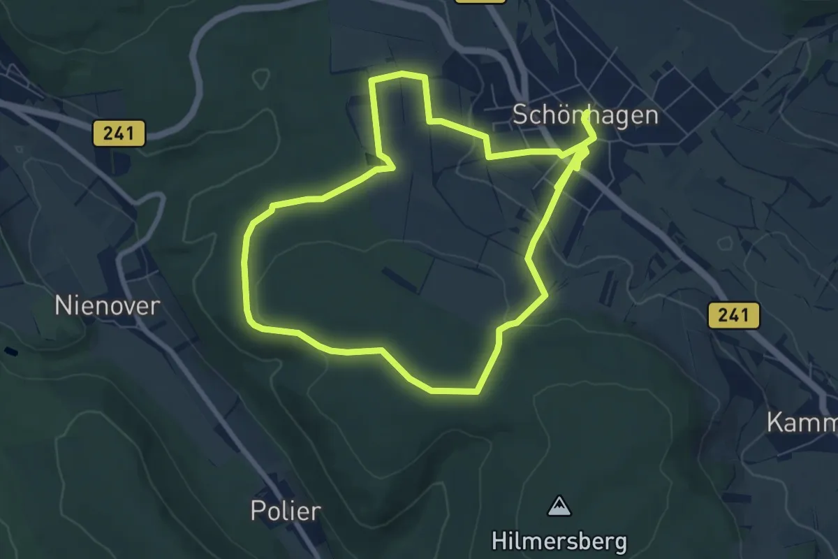
Easy · Summit
Über den Schlammteich durchs Deutsche Haus
6.7 km · ↑ 152 m · 1 h 59 min
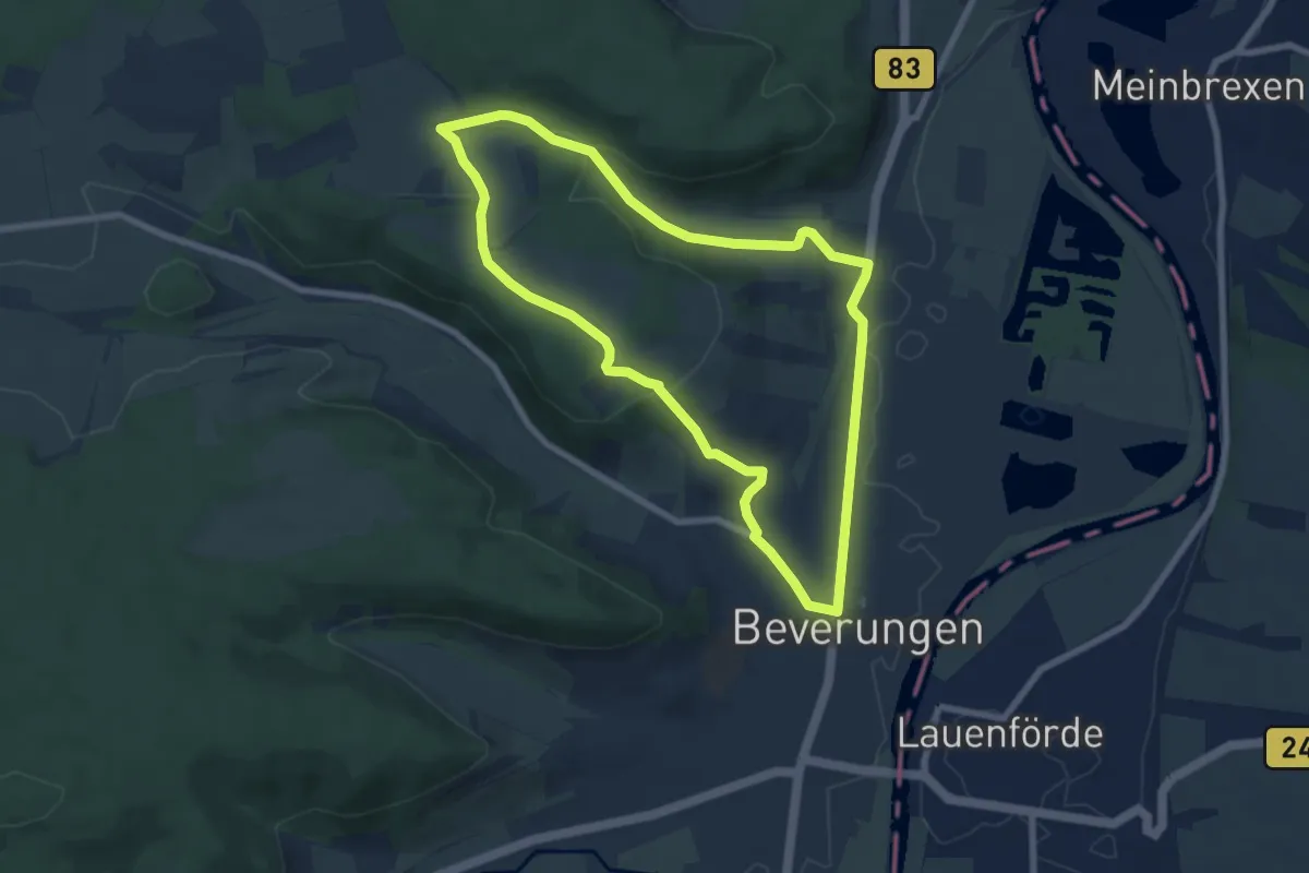
Easy · Trail
Über den Selsberg
6.6 km · ↑ 133 m · 1 h 55 min
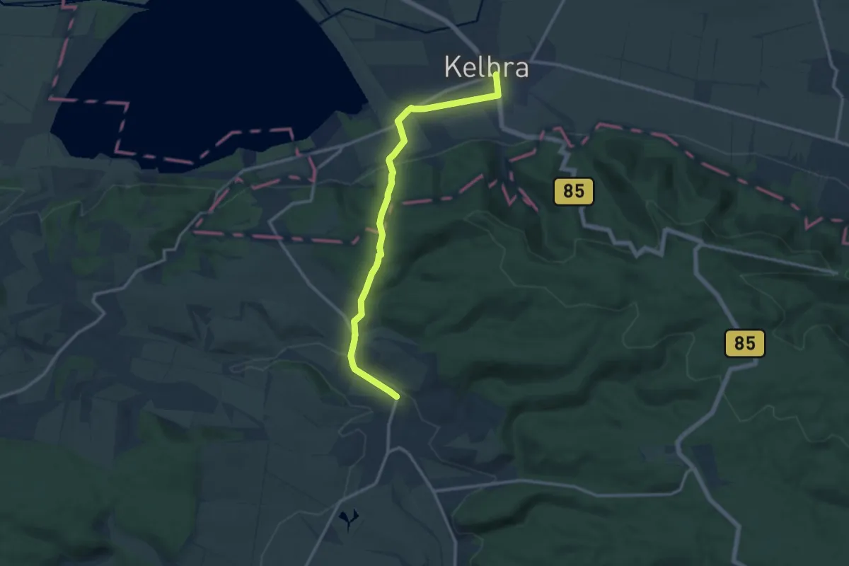
Medium · Trail
Über den Thalebener Berg
10.6 km · ↑ 291 m · 3 h 8 min
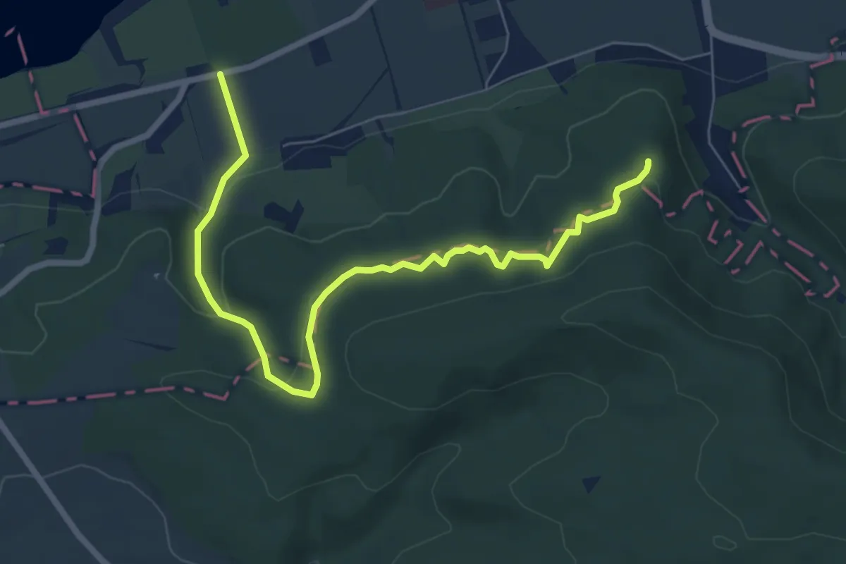
Medium · Summit
Über den Volpertälern
6.9 km · ↑ 344 m · 2 h 22 min
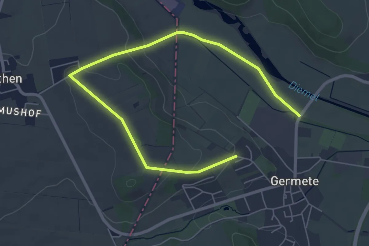
Easy · Trail
Über den Wethener Berg
6.1 km · ↑ 103 m · 1 h 40 min
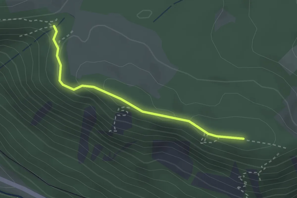
Easy · Trail
Über der Posthalde - Am Piketfelsen
2.3 km · ↑ 64 m · 41 min
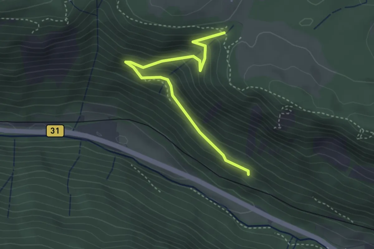
Easy · Trail
Über der Posthalde - Unter der Kaiserwacht
3.4 km · ↑ 301 m · 1 h 27 min
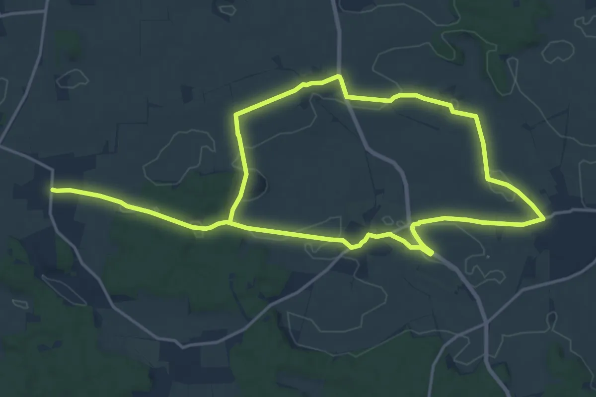
Demanding · Trail
Über die Dörfer Wanderweg Nr. 7
21.6 km · ↑ 214 m · 5 h 34 min
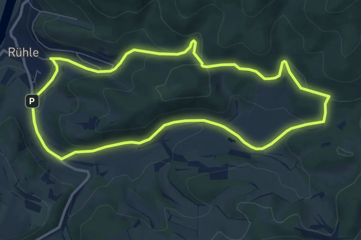
Easy · Summit
Über die Himckeburg ins romantische Rühler Tal
6.4 km · ↑ 189 m · 2 h 1 min
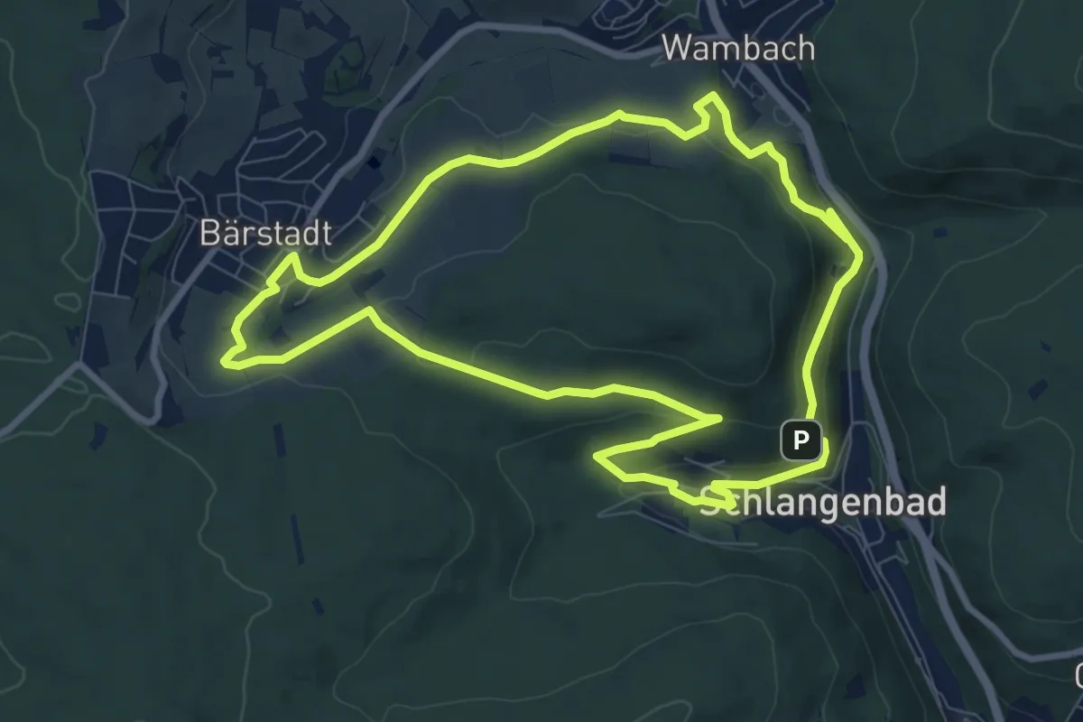
Medium · Summit
Über die Kuckucksley
8.4 km · ↑ 224 m · 2 h 36 min
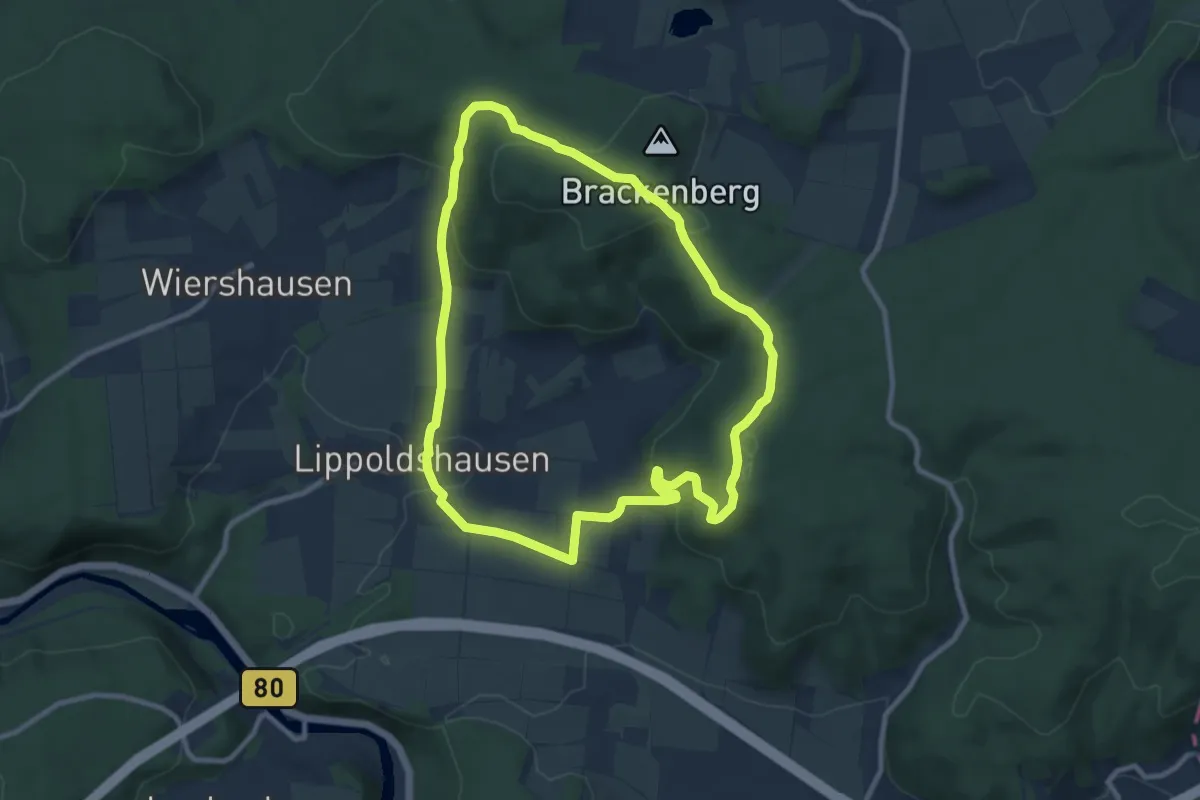
Medium · Summit
Über die Lippoldshäuser Berge
8.5 km · ↑ 291 m · 2 h 45 min
Easy · Trail
Über Eck - Überm Strietparkplatz
3.5 km · ↑ 185 m · 1 h 14 min
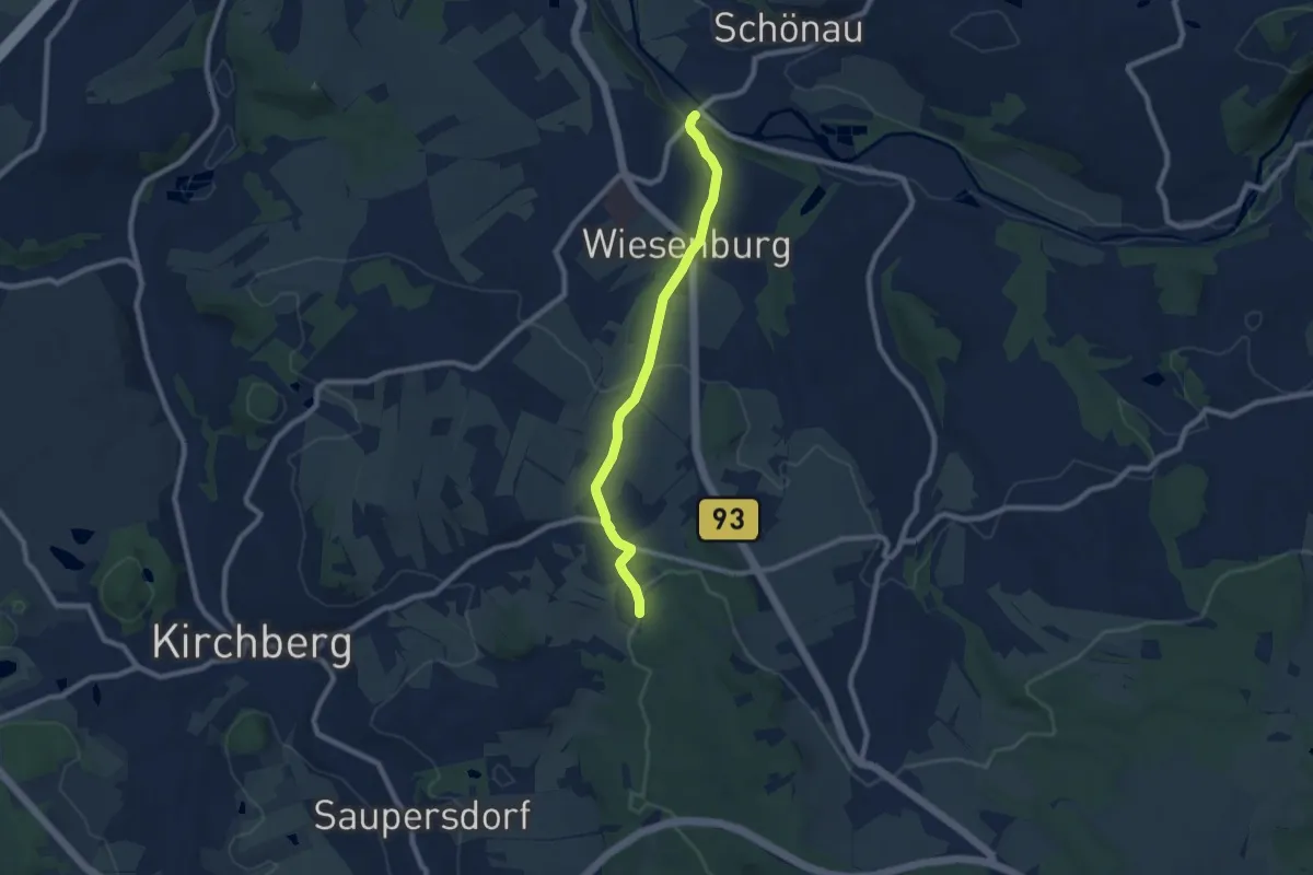
Easy · Trail
Über Herrschaftsgrenzen hinweg
7.1 km · ↑ 205 m · 2 h 7 min
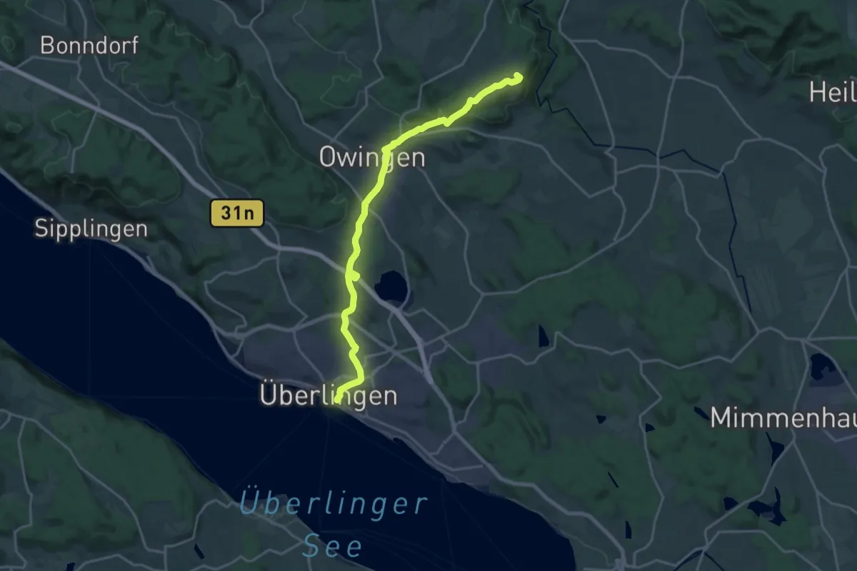
Demanding · Summit
Überlingen - Pfullendorf
19.2 km · ↑ 414 m · 5 h 26 min
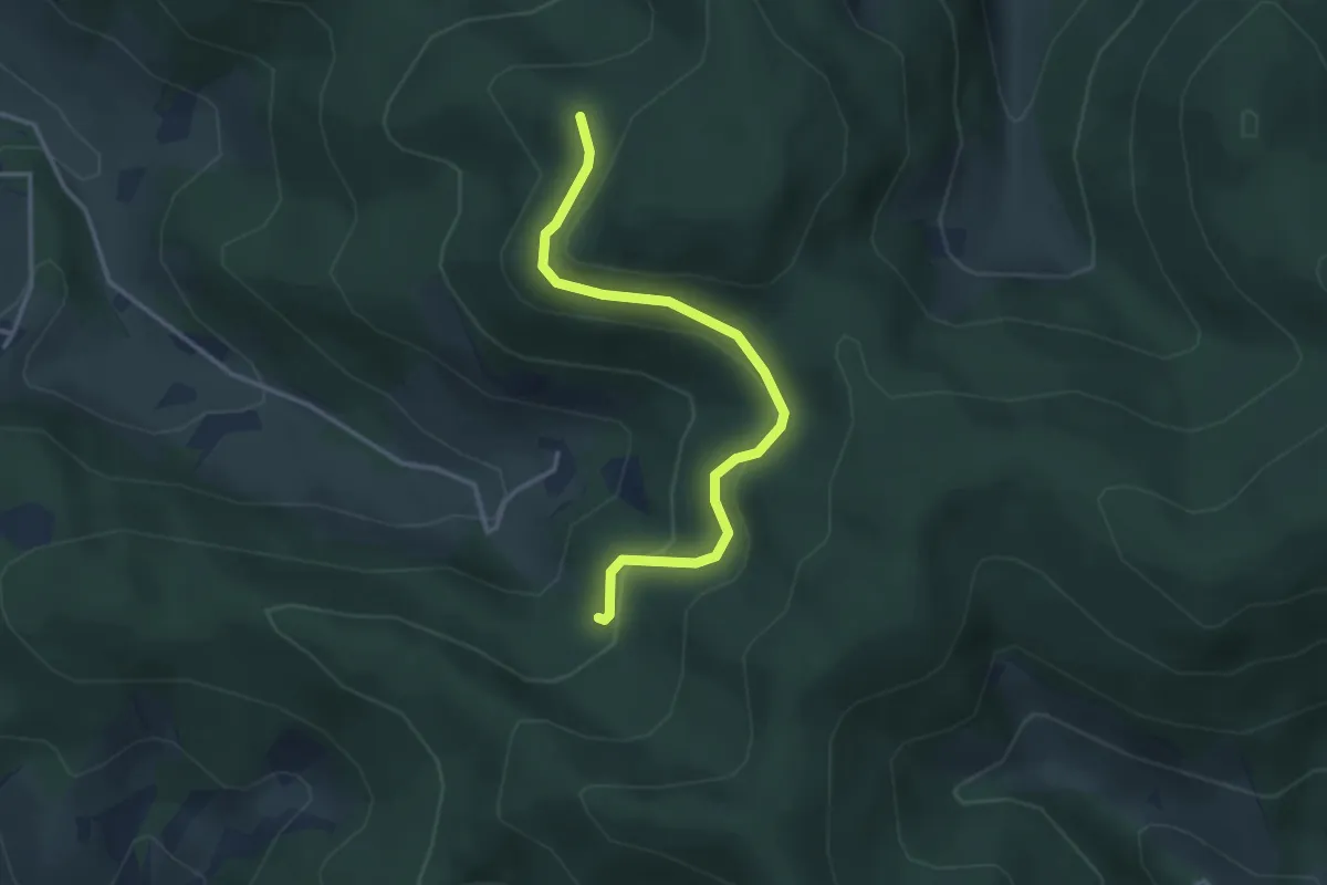
Easy · Trail
Überm Adamshof - Grabenhofrank
3.2 km · ↑ 172 m · 1 h 8 min
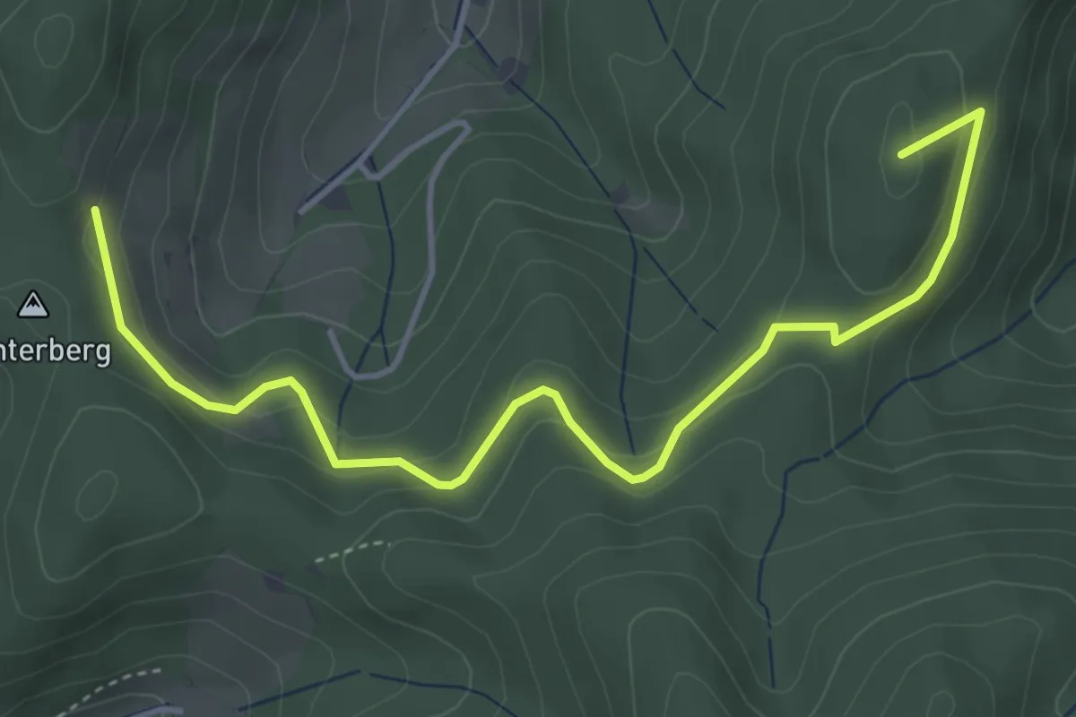
Easy · Summit
Überm Fuggishof - Spitzberg
4.7 km · ↑ 183 m · 1 h 30 min
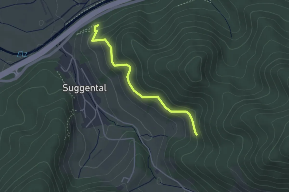
Easy · Trail
Überm Grabenhof - Am Engewald
3.0 km · ↑ 188 m · 1 h 6 min
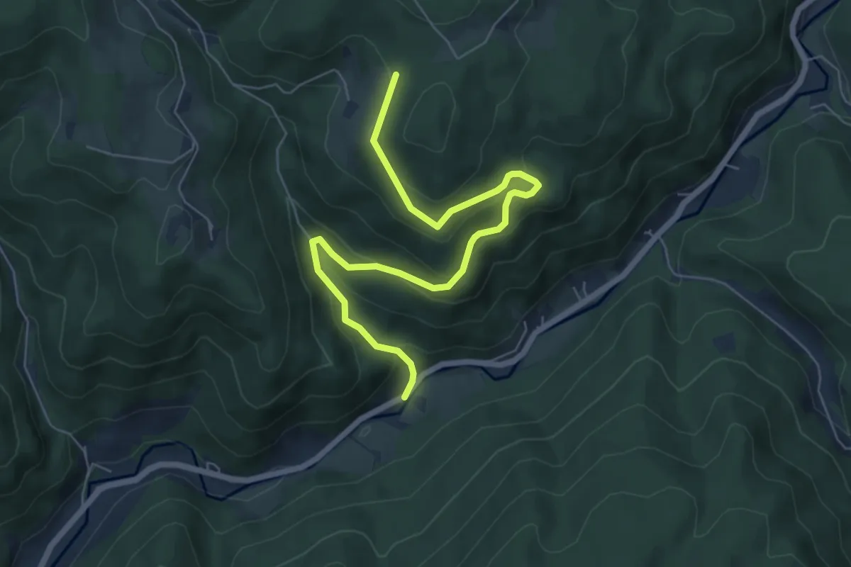
Medium · Trail
Überm Hanselehof - Dohlenbacherhof
6.6 km · ↑ 378 m · 2 h 23 min
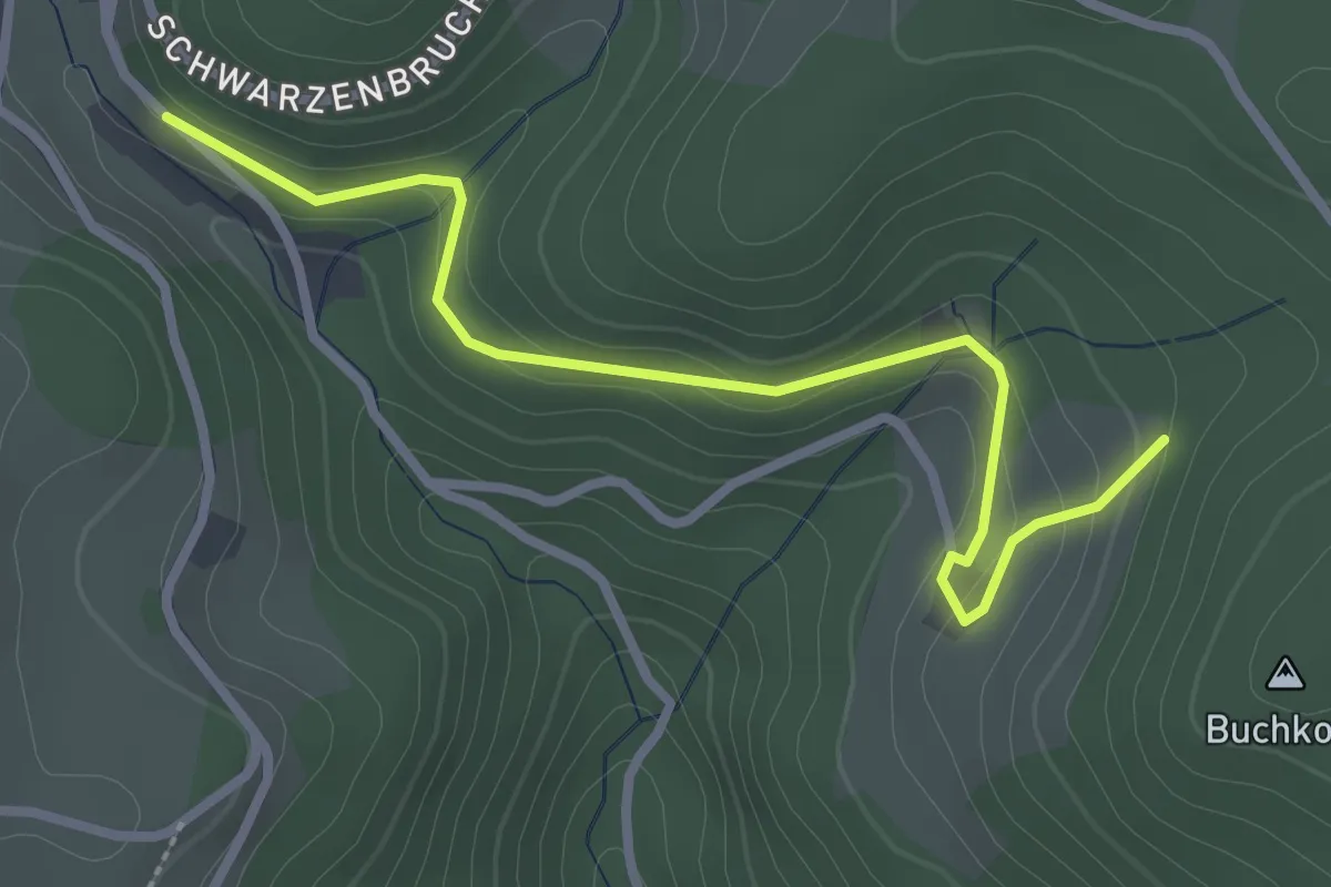
Easy · Trail
Überm Hanselehof - Schwarzenbruch Schremppenhöhe
2.9 km · ↑ 131 m · 58 min
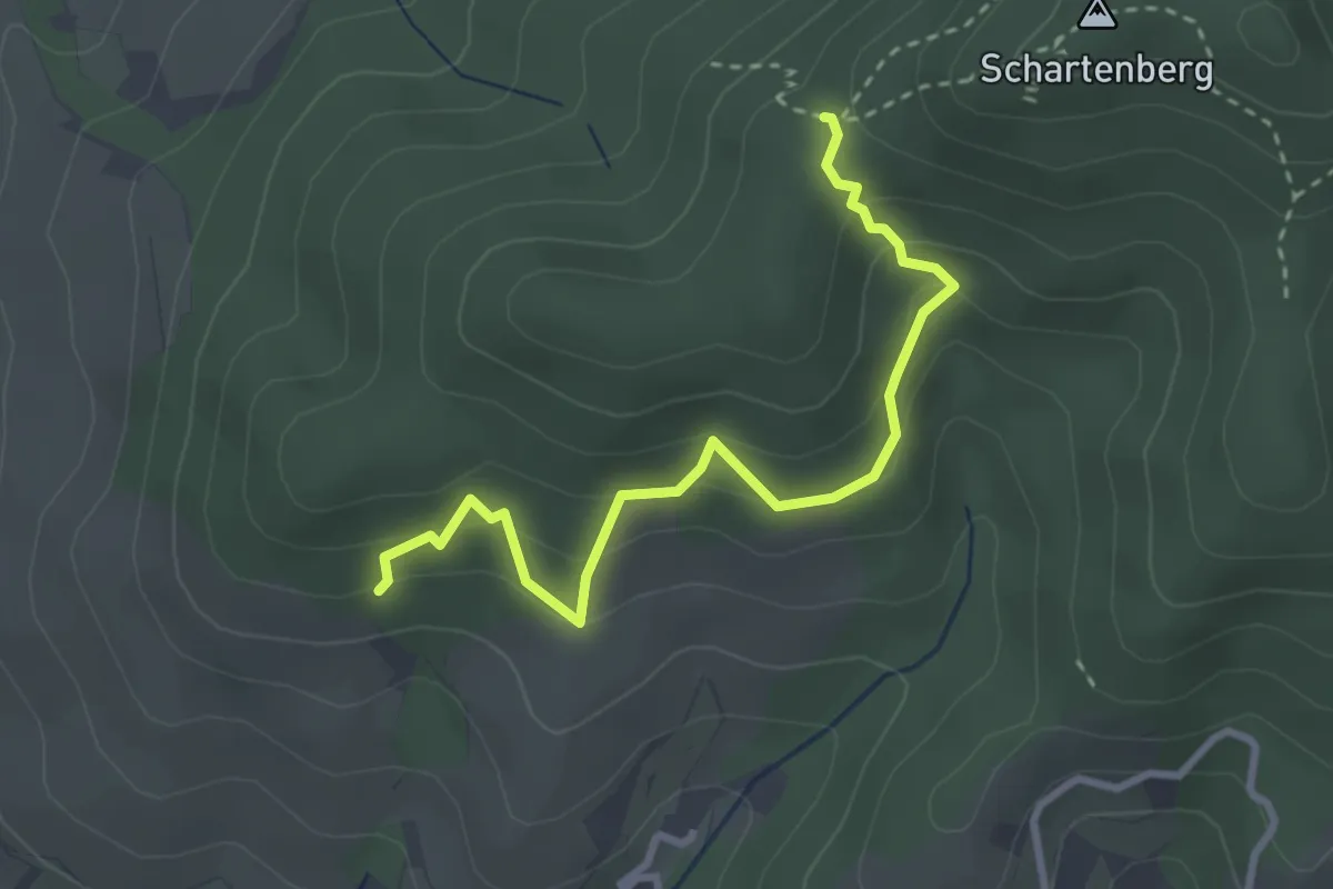
Medium · Trail
Überm Hauenberg - Unterm Schartenberg
3.0 km · ↑ 238 m · 1 h 14 min
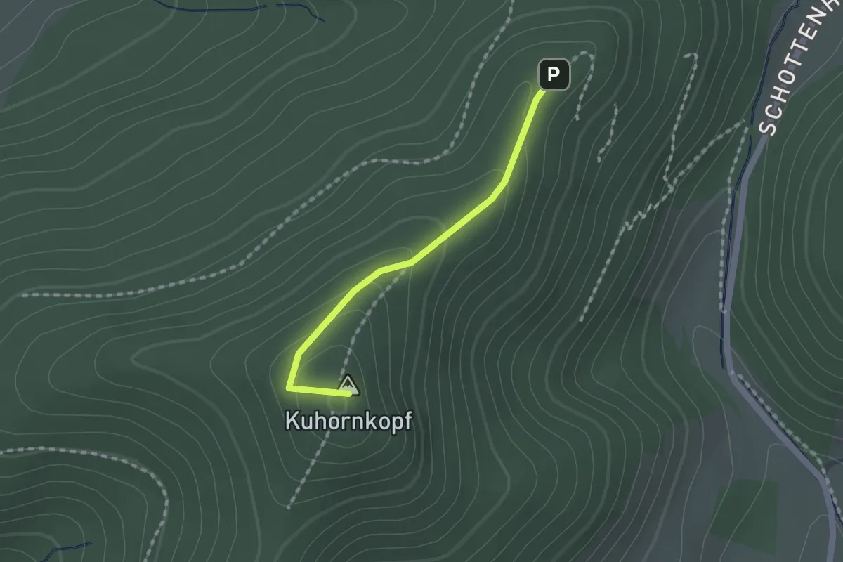
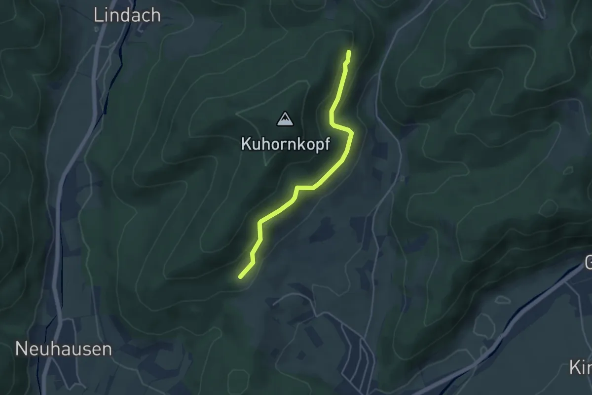
Easy · Summit
Überm Heugraben - Unterm Kuhornkopf
1.4 km · ↑ 70 m · 29 min
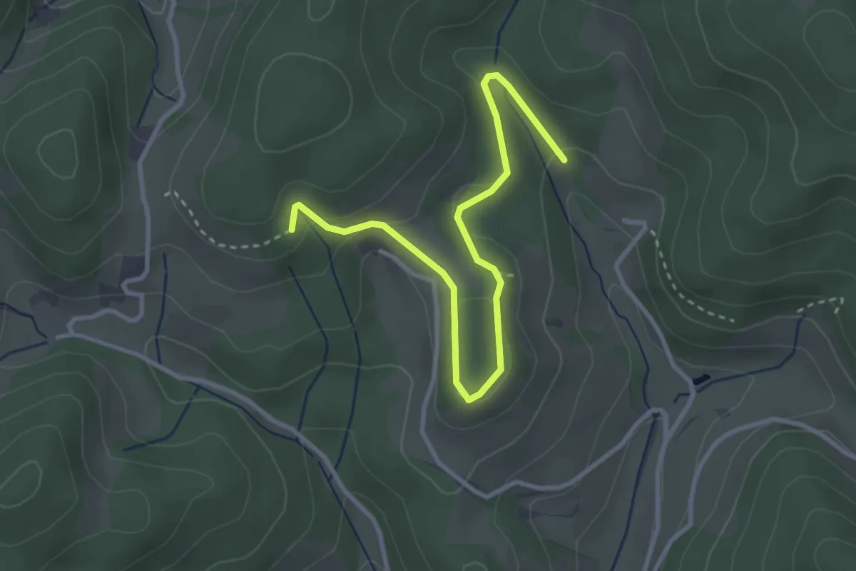
Easy · Trail
Überm Hieslehof - Am Morgenmattenweg
3.5 km · ↑ 141 m · 1 h 7 min
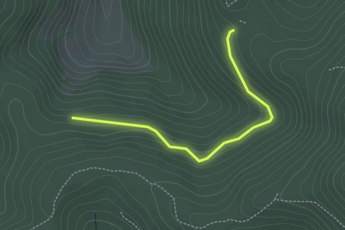
Easy · Trail
Überm Hinteren Bauer - Bei der Schwarzenberghütte
2.4 km · ↑ 99 m · 47 min
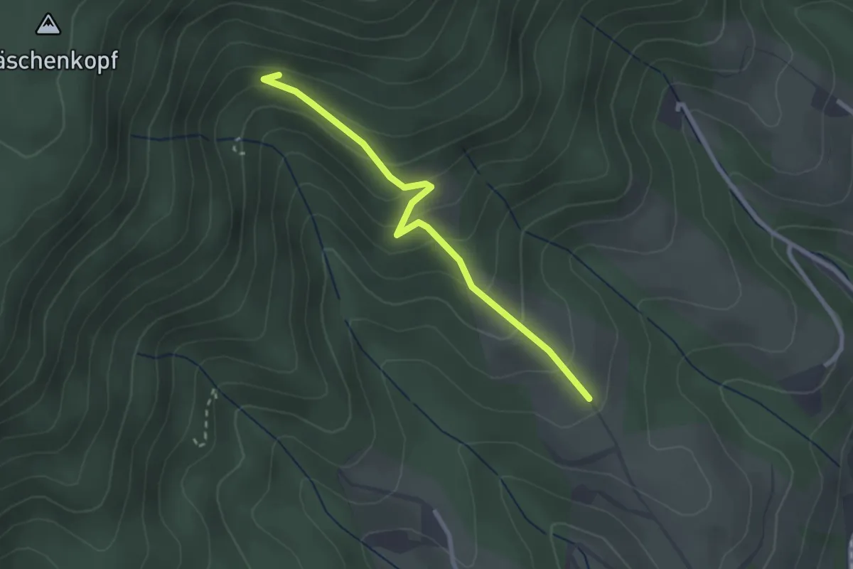
Easy · Trail
Überm Kornjörgle - Zabern
2.4 km · ↑ 198 m · 59 min
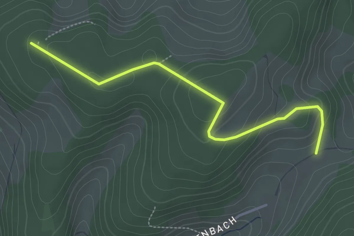
Easy · Trail
Überm Mattenseppenhof - Über Ried
3.0 km · ↑ 117 m · 58 min
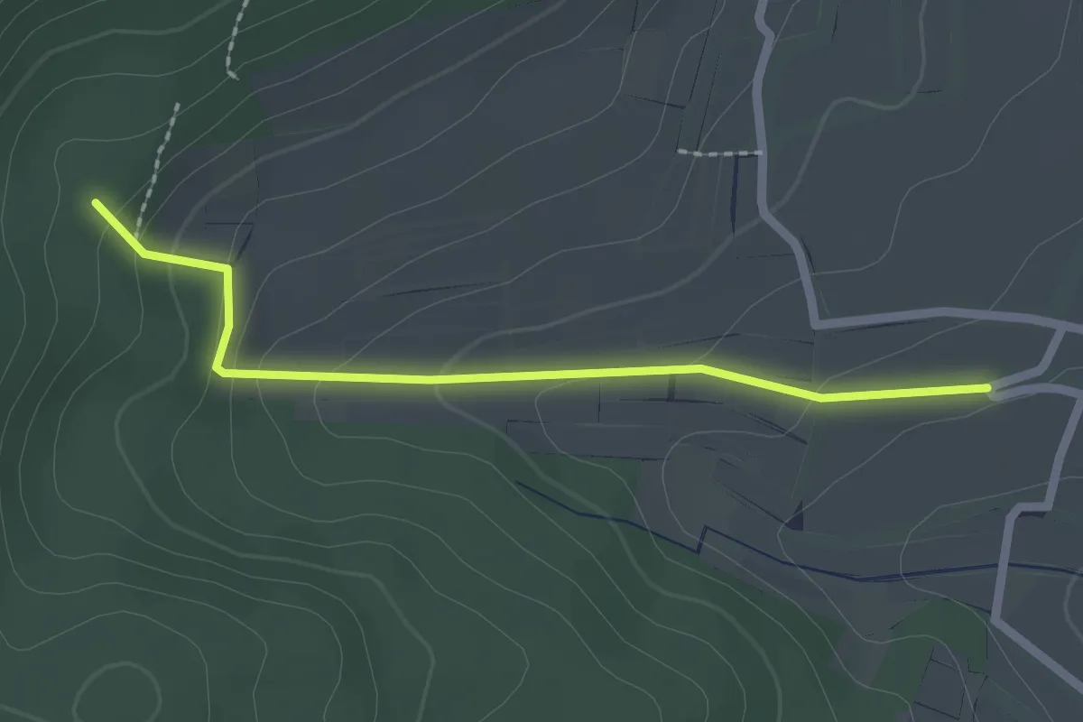
Easy · Trail
Überm Pfaffental - Rütte
2.0 km · ↑ 100 m · 42 min
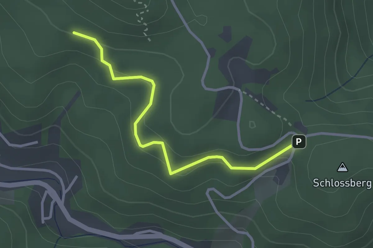
Easy · Trail
Überm Sonnenstein - Am Schloßhof
2.6 km · ↑ 118 m · 53 min
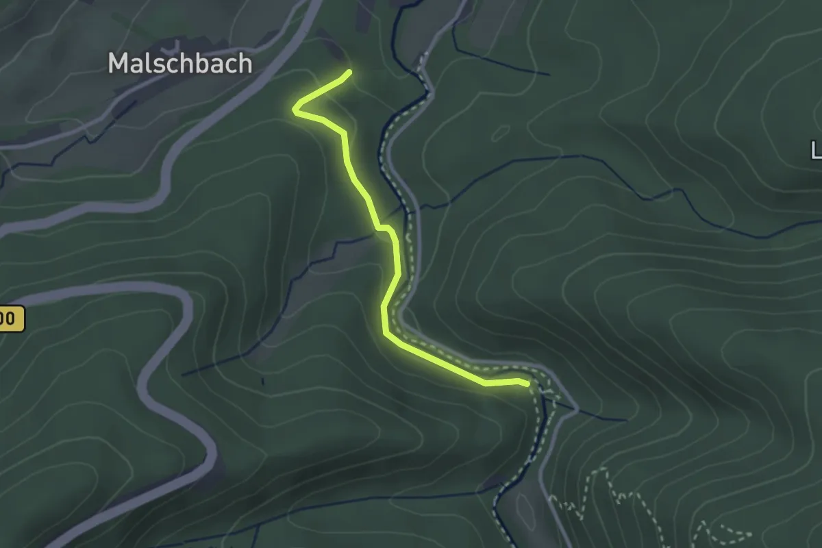
Easy · Trail
Überm Wasserfall - Wanderparkplatz Malschbach
2.4 km · ↑ 85 m · 45 min
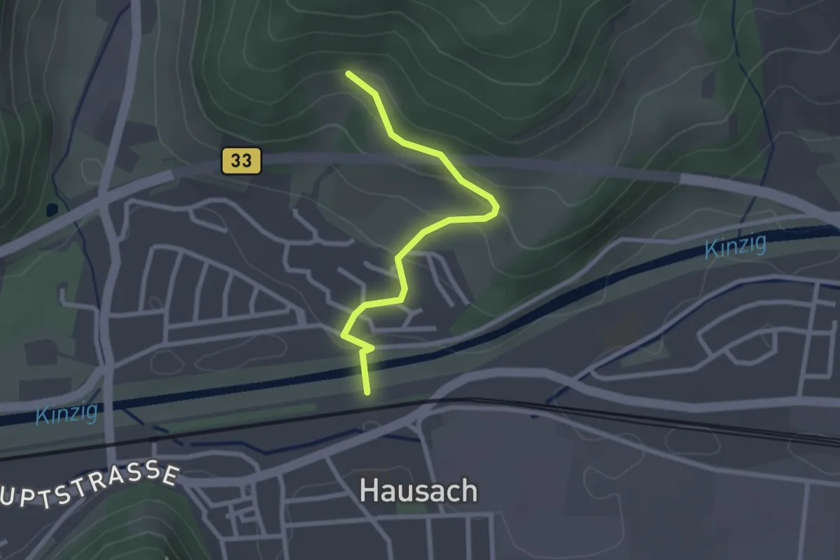
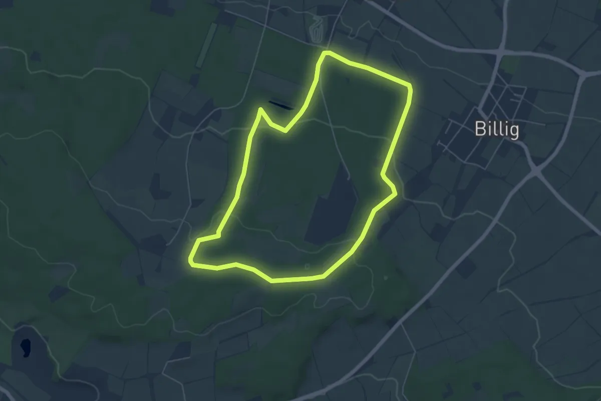
Easy · Trail
Überm Wintermaxenhof - Fußgängerbrücke Kinzig
2.2 km · ↑ 108 m · 45 min
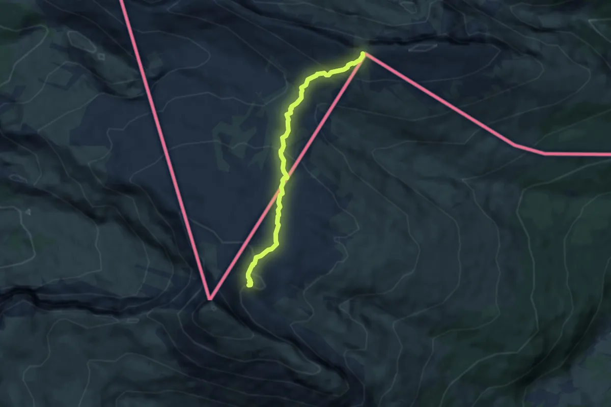
Easy · Trail
Über’n Frühstücksplatz zur Schönen Aussicht
5.2 km · ↑ 106 m · 1 h 32 min
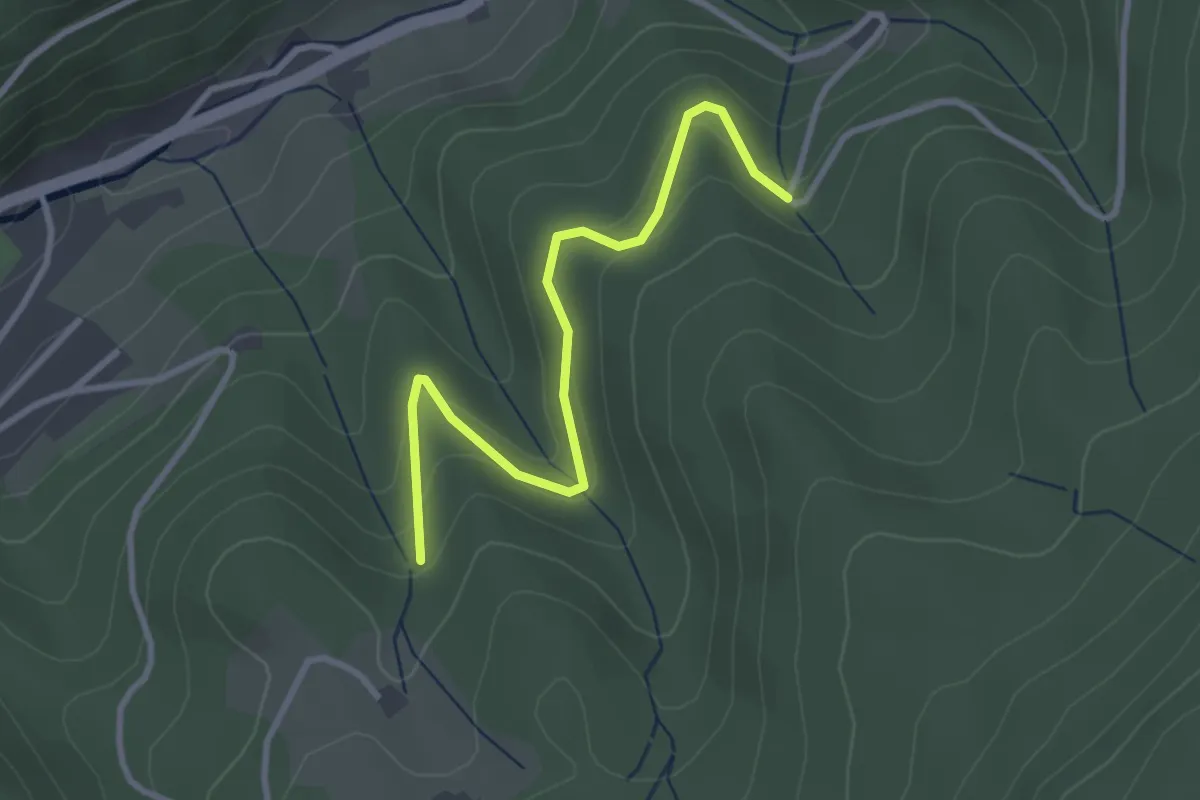
Medium · Trail
Überquerung Gottesackerplateau
6.0 km · ↑ 413 m · 2 h 18 min
Easy · Trail
Über Rühlsbach - Ittersbach
3.0 km · ↑ 178 m · 1 h 5 min
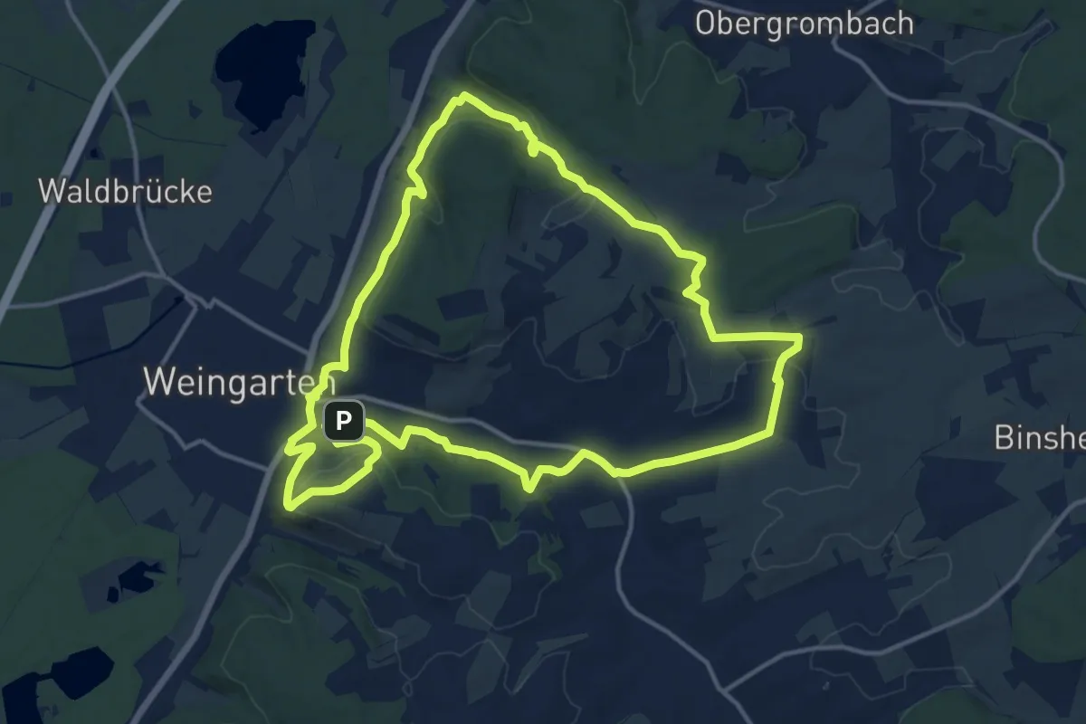
Medium · Summit
Über sanfte Hügel zur Schönen Aussicht
13.9 km · ↑ 305 m · 4 h 9 min
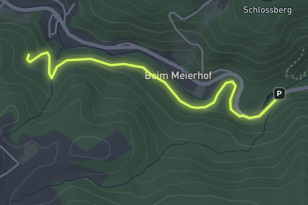
Easy · Trail
Über Siebenlinden - Sammelweiher
3.5 km · ↑ 152 m · 1 h 9 min
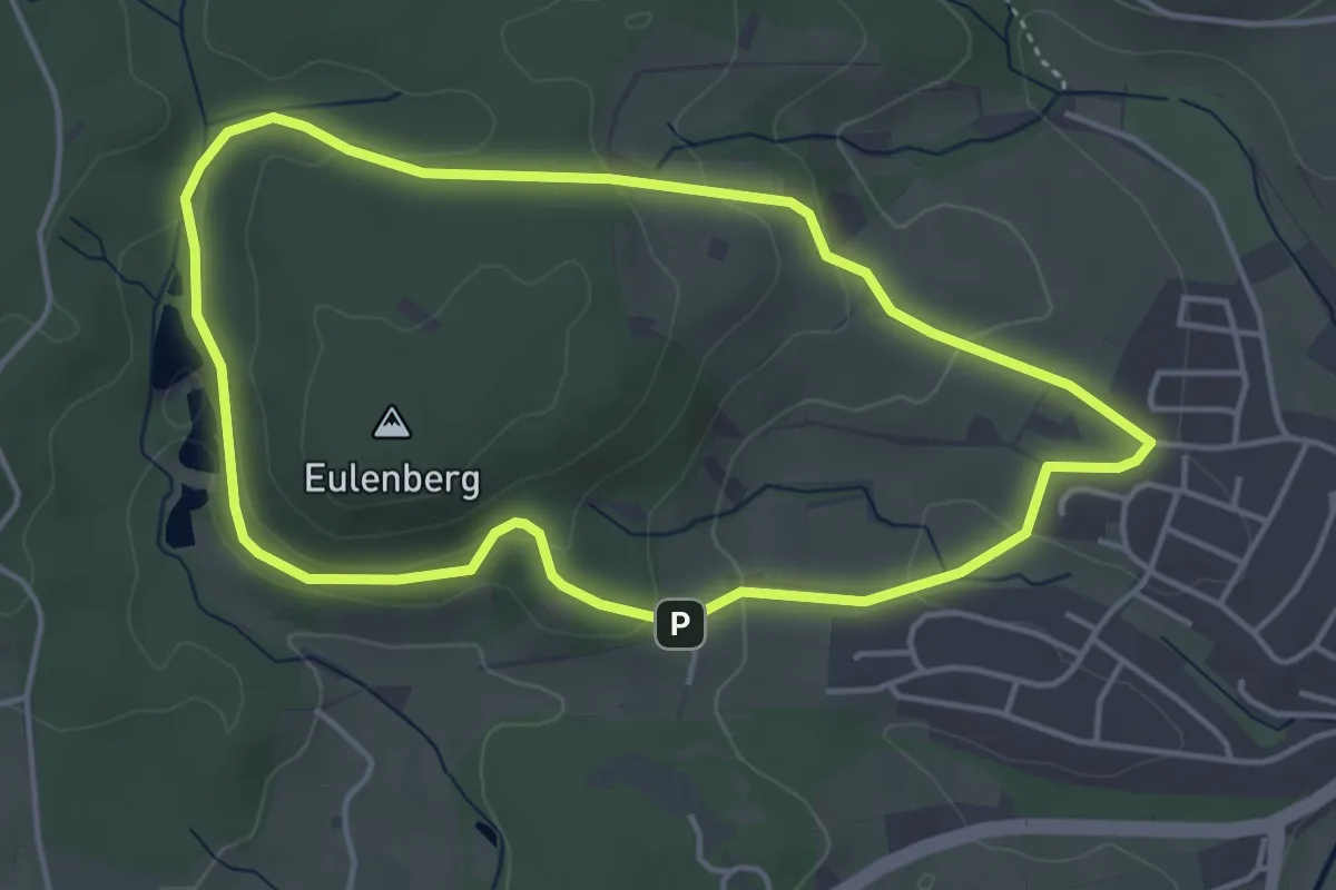
Easy · Trail
Über Streuobstwiesen
4.0 km · ↑ 106 m · 1 h 13 min
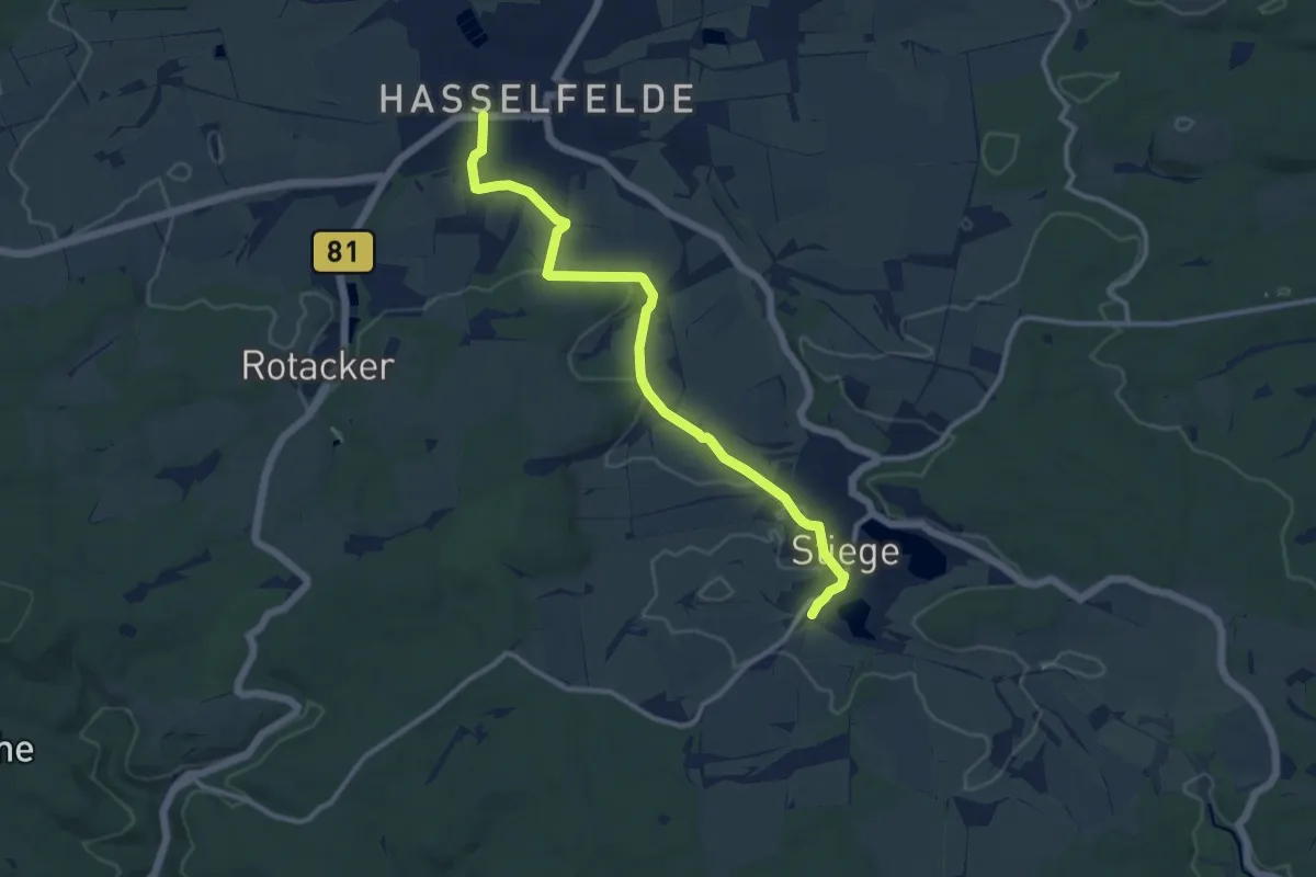
Medium · Trail
Über Wiesen und Felder nach Hasselfelde
10.2 km · ↑ 124 m · 2 h 40 min
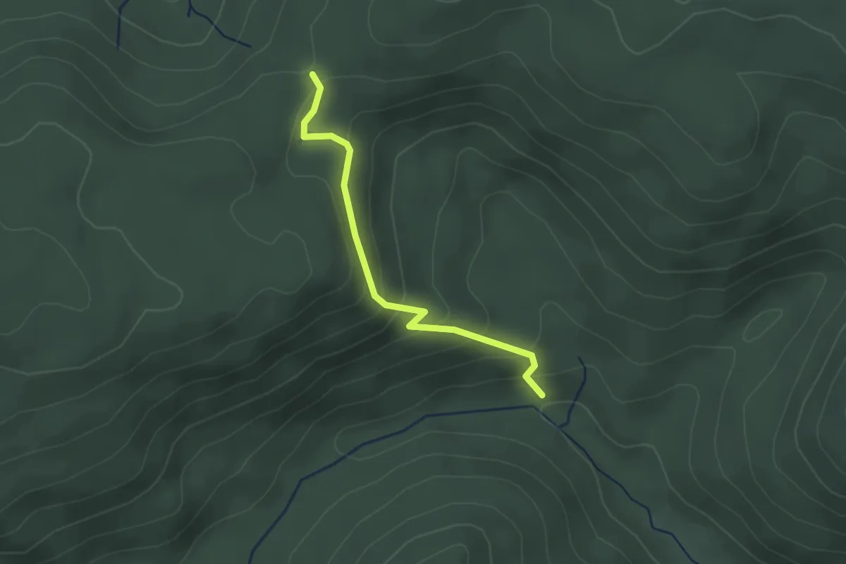
Easy · Trail
Überzwercher Berg - Flößerhütte
2.4 km · ↑ 152 m · 54 min
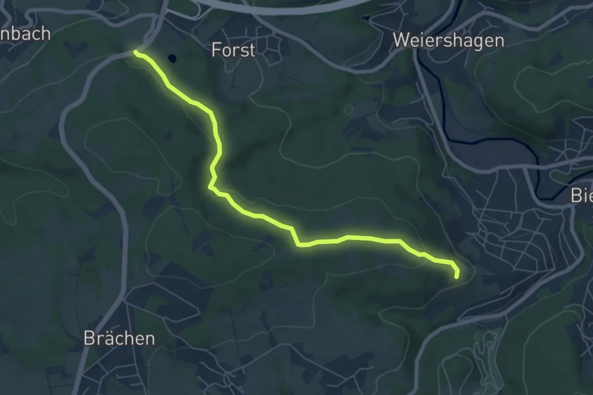
Easy · Trail
U Bielstein-Forst
6.0 km · ↑ 124 m · 1 h 41 min
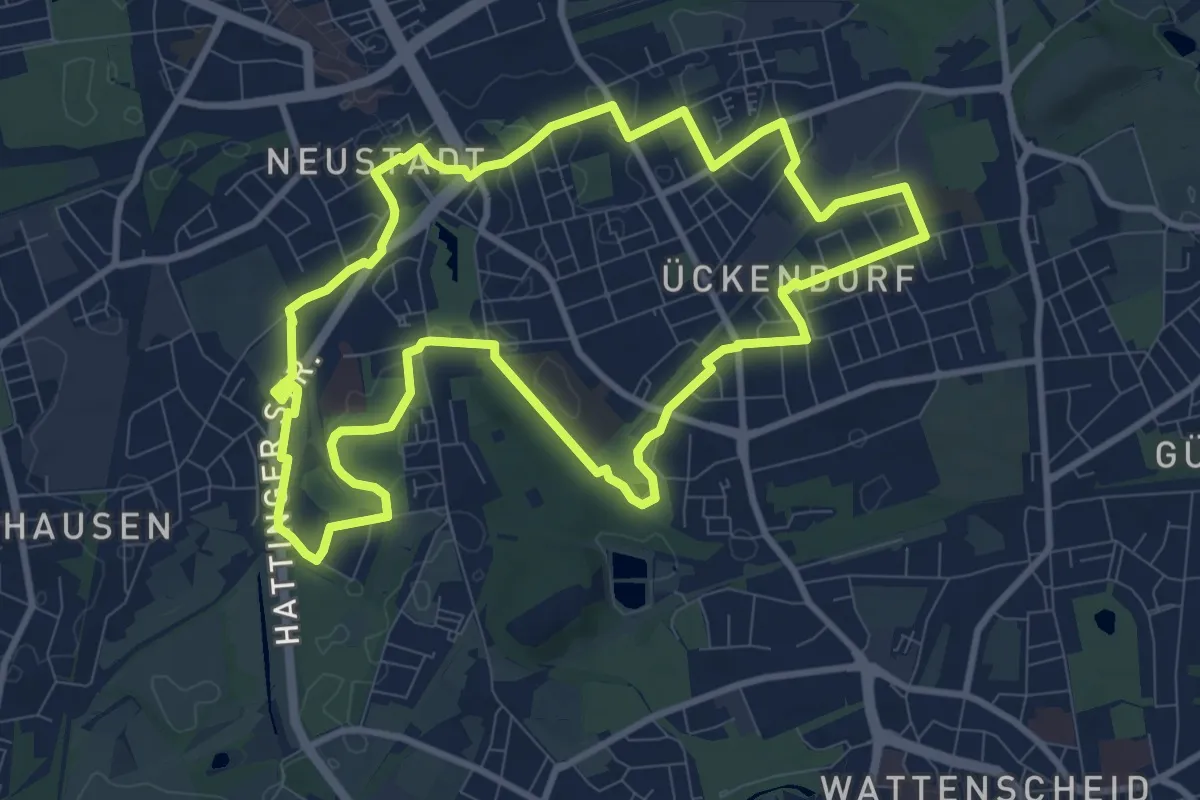
Medium · Trail
Ückendorfer Rundweg
9.3 km · ↑ 18 m · 2 h 21 min
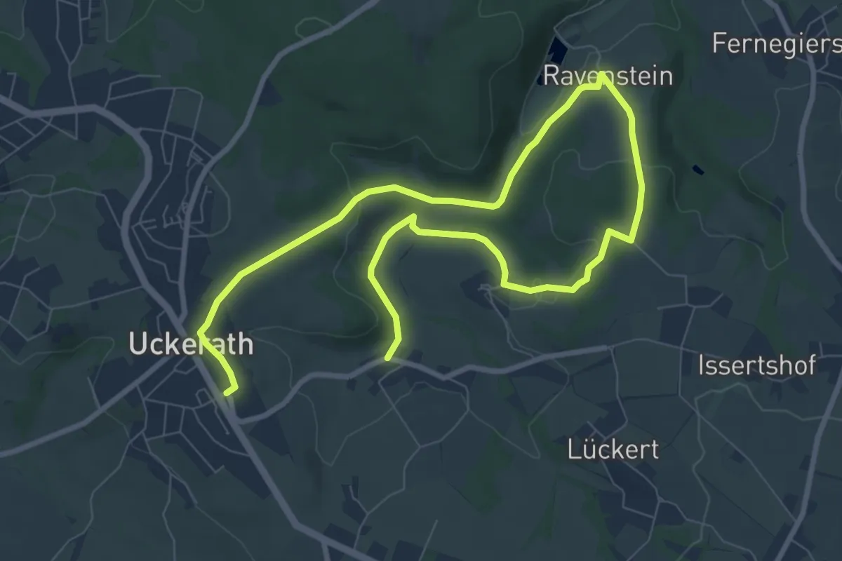
Easy · Trail
Uckerath Rundweg A1
5.7 km · ↑ 144 m · 1 h 43 min
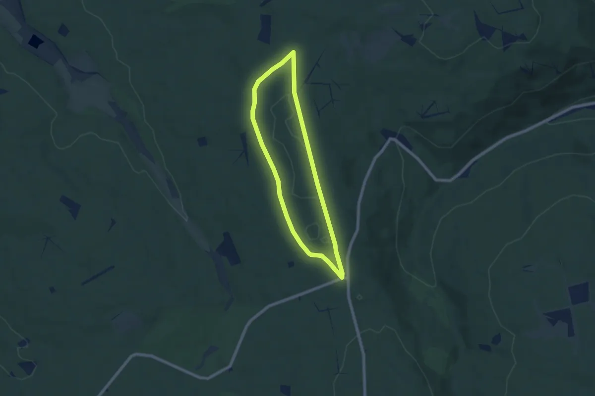
Easy · Trail
Udenhäuser Stock, Rundweg 1
4.8 km · ↑ 26 m · 1 h 15 min
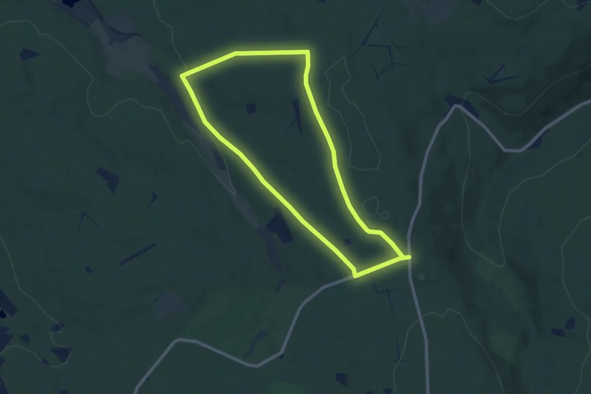
Easy · Trail
Udenhäuser Stock, Rundweg 2
6.0 km · ↑ 110 m · 1 h 45 min
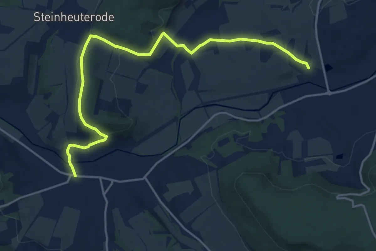
Medium · Trail
Uder nach Heiligenstadt
11.4 km · ↑ 256 m · 3 h 15 min
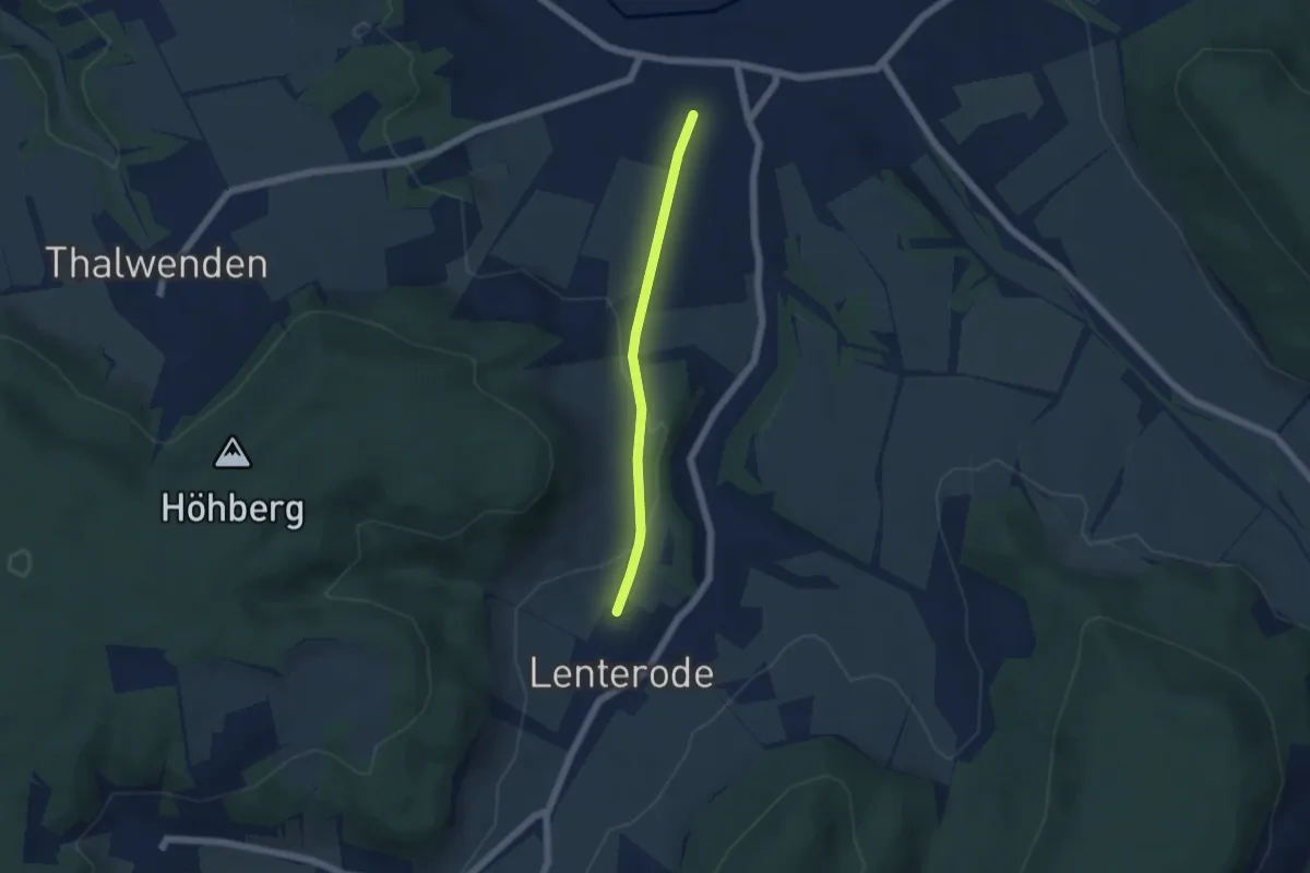
Easy · Trail
Uder nach Lenterode
4.0 km · ↑ 89 m · 1 h 8 min