Trails in Germany
36,852 hiking trails, each with its route, climb, walking time and grade.
All trails, page 637 of 768
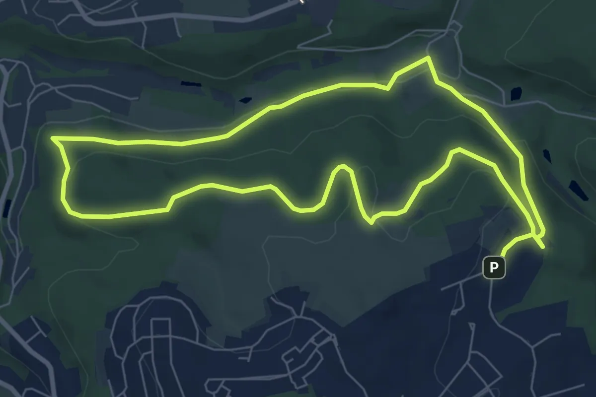
Easy · Summit
Ueberfeld Rundweg A2
6.3 km · ↑ 154 m · 1 h 55 min
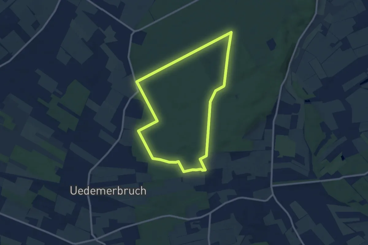
Easy · Trail
Uedemer Hochwald - Rundwanderweg A1
7.0 km · ↑ 48 m · 1 h 52 min
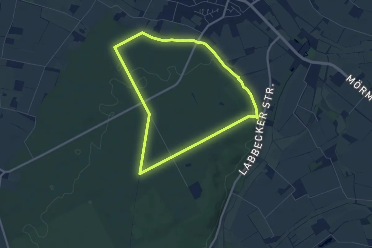
Easy · Trail
Uedemer Hochwald - Rundwanderweg A3
5.6 km · ↑ 54 m · 1 h 31 min
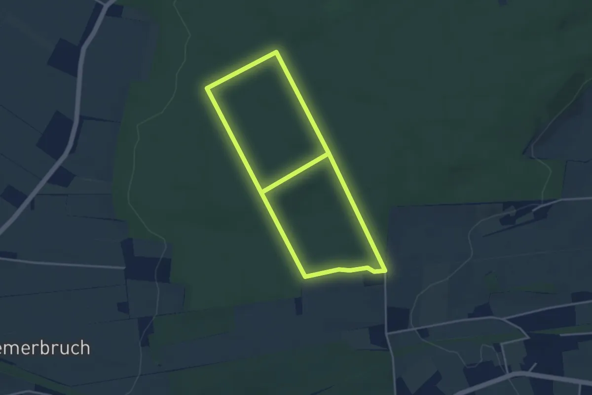
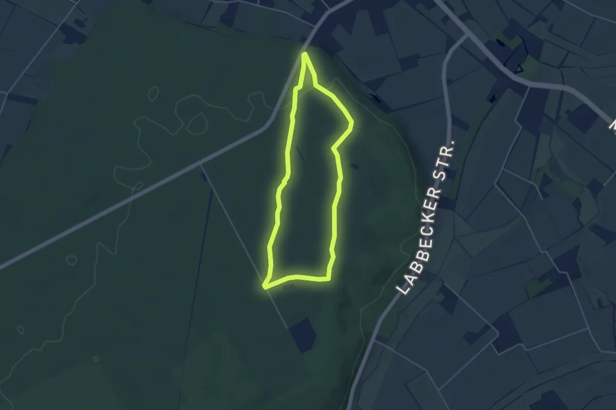
Easy · Trail
Uedemer Hochwald - Rundwanderweg Dreieck
3.2 km · ↑ 26 m · 51 min
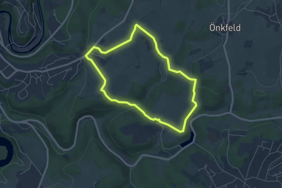
Easy · Trail
Uedemer Hochwald - Rundwanderweg Kreis
3.5 km · ↑ 46 m · 58 min
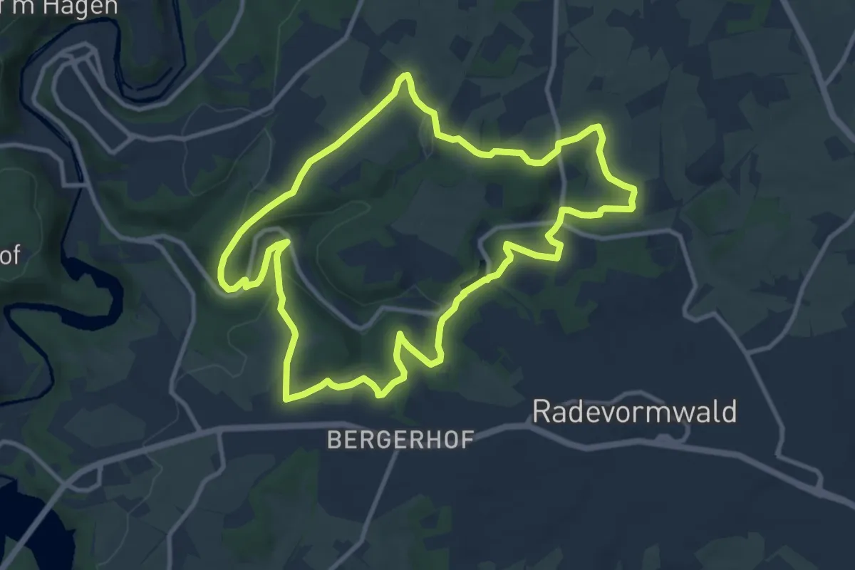
Easy · Trail
Uelfebad Rundweg A4
4.3 km · ↑ 110 m · 1 h 19 min
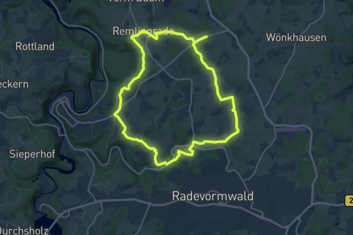
Medium · Trail
Uelfebad Rundweg A5
9.1 km · ↑ 202 m · 2 h 43 min
Medium · Trail
Uelfebad Rundweg A6
11.3 km · ↑ 214 m · 3 h 17 min
Medium · Trail
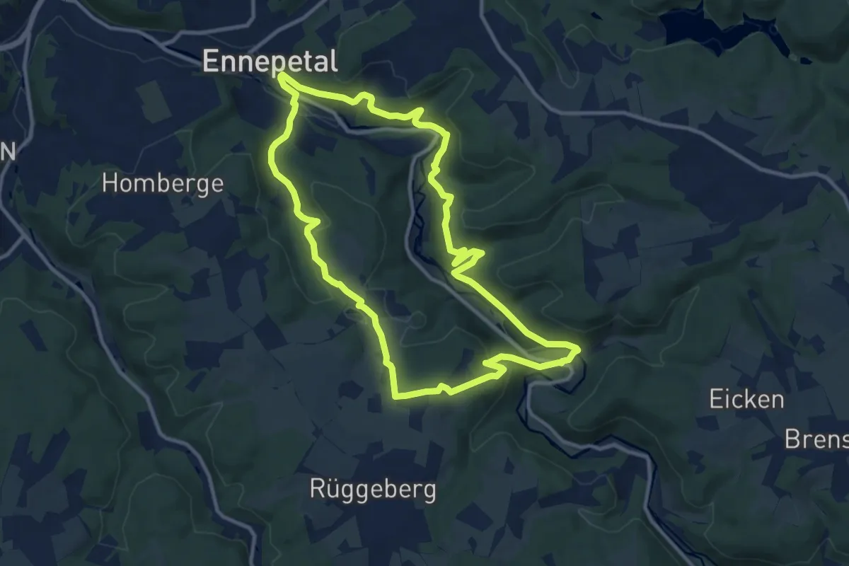
[U] Enneperundweg
9.7 km · ↑ 349 m · 3 h 11 min
Medium · Trail
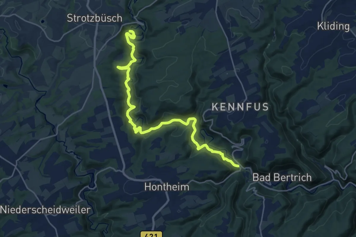
Ueßbachweg
17.8 km · ↑ 660 m · 5 h 39 min
Medium · Trail
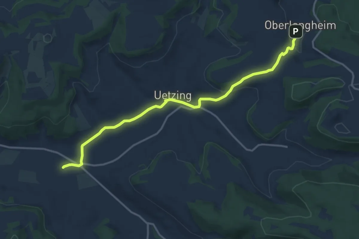
Uetzinger Weg
9.5 km · ↑ 191 m · 2 h 39 min
Demanding · Trail
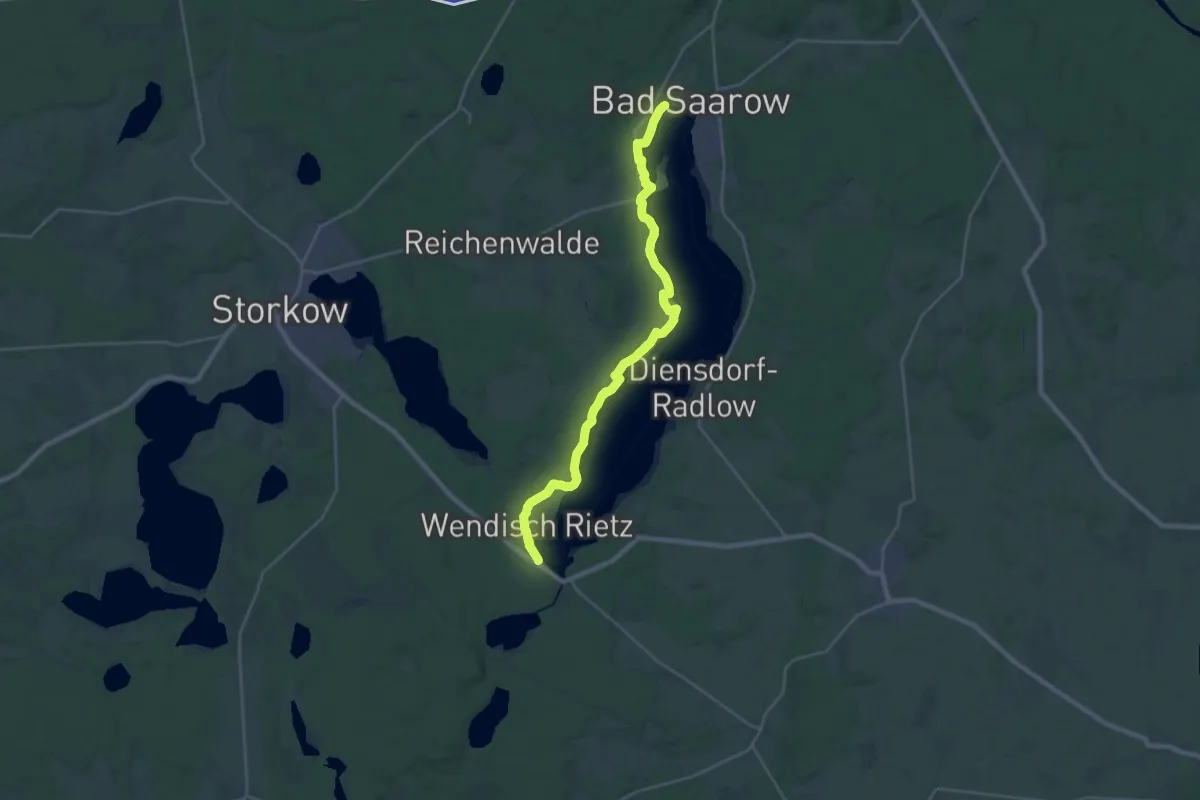
Uferwanderweg Westufer
25.1 km · ↑ 147 m · 6 h 15 min
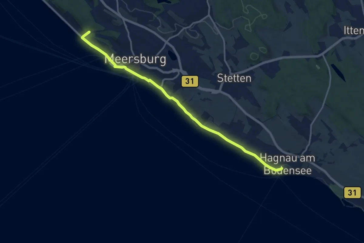
Medium · Trail
Uferweg
11.2 km · ↑ 102 m · 2 h 51 min
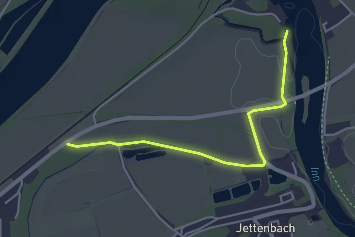
Easy · Trail
Uferweg
3.3 km · ↑ 12 m · 48 min
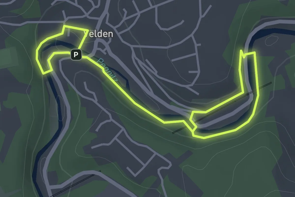
Easy · Trail
Uferweg
4.9 km · ↑ 85 m · 1 h 21 min
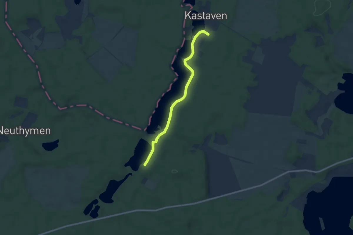
Easy · Trail
Uferweg Kastavensee
6.4 km · ↑ 56 m · 1 h 37 min
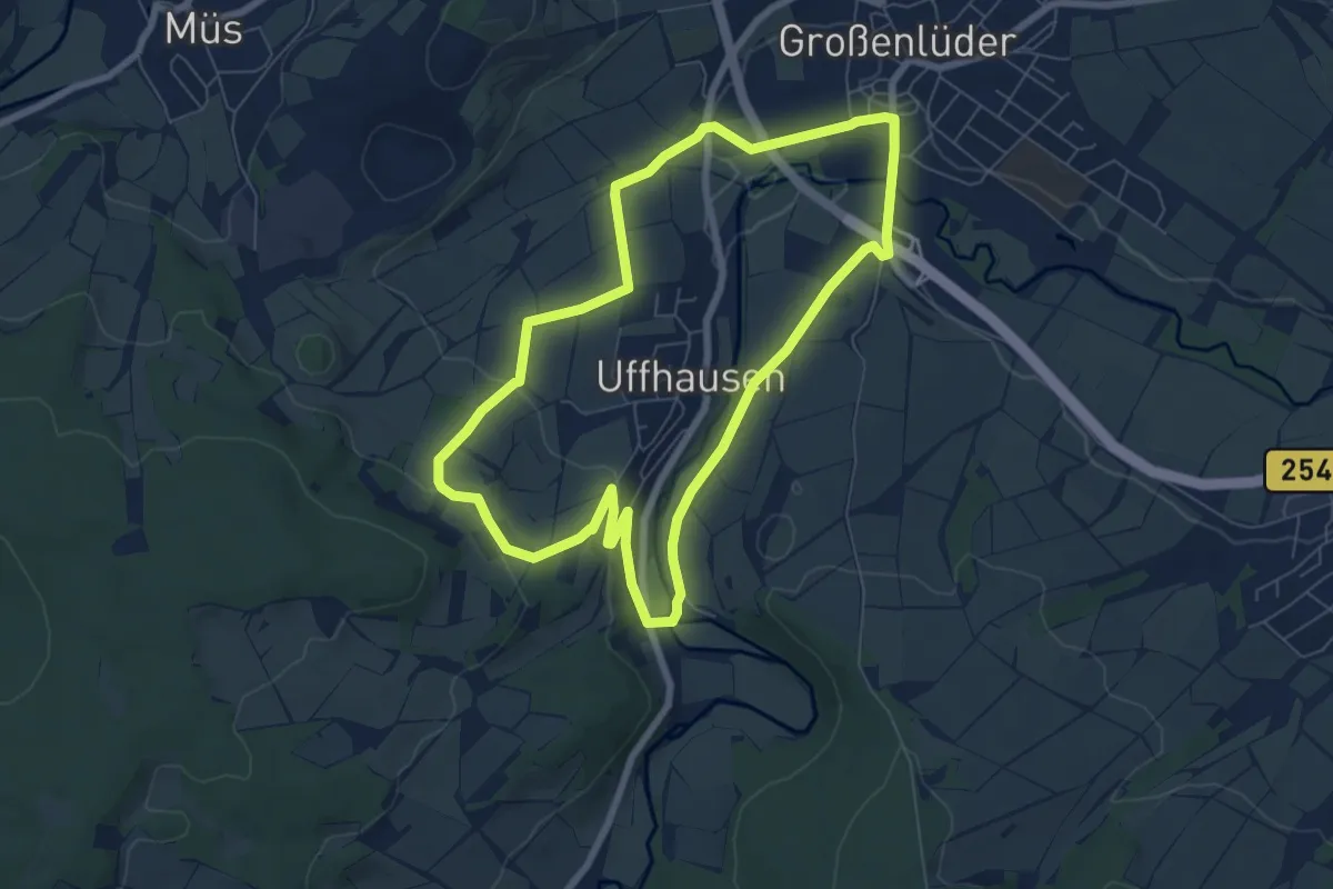
Easy · Trail
Uffenhausen 2
6.5 km · ↑ 110 m · 1 h 51 min
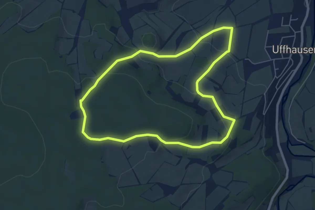
Easy · Summit
Uffenhausen 3
4.7 km · ↑ 150 m · 1 h 31 min
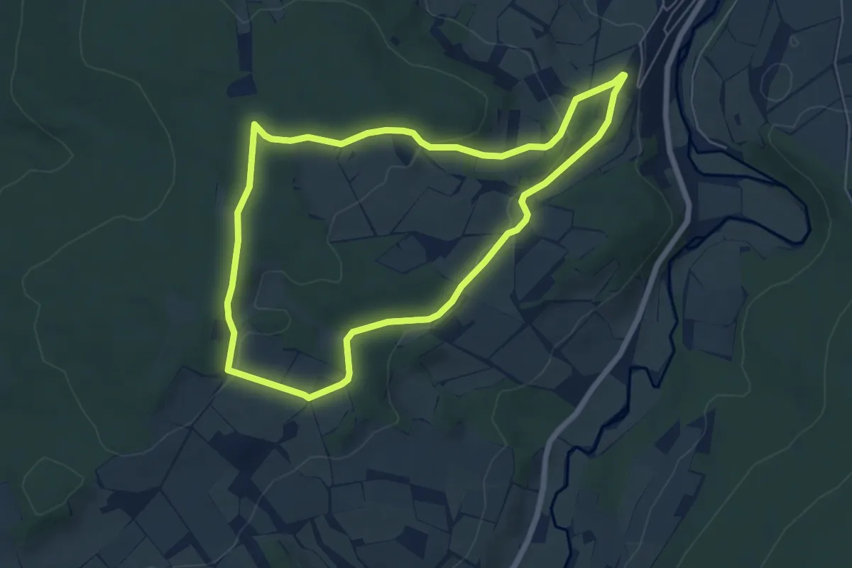
Easy · Trail
Uffhausen 1
5.5 km · ↑ 122 m · 1 h 38 min
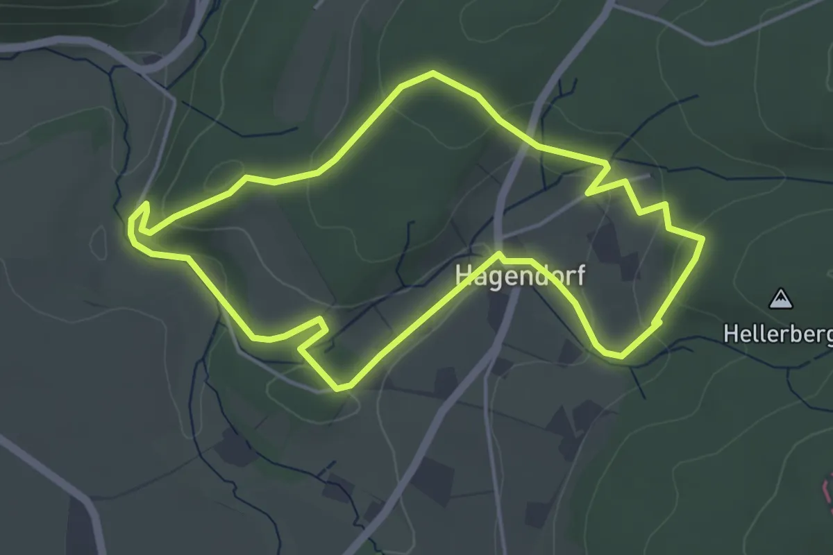
Easy · Trail
Uffopfad, Extertal
3.9 km · ↑ 119 m · 1 h 13 min
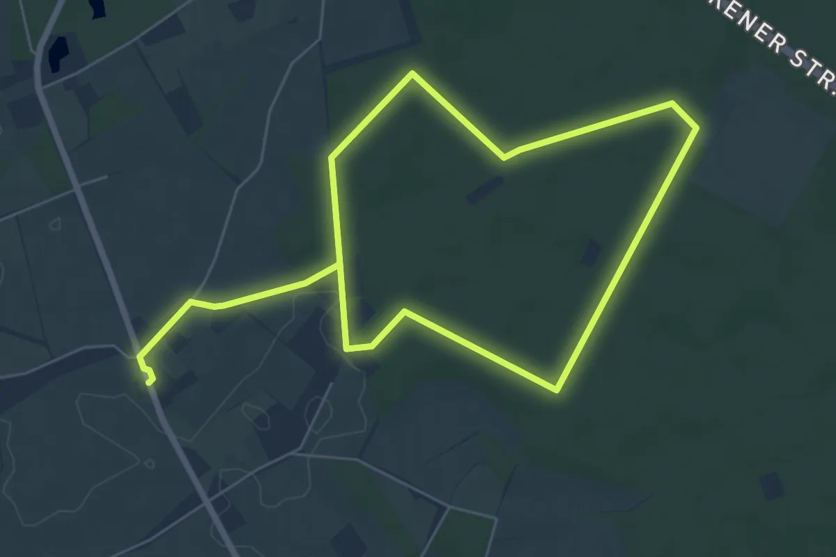
Easy · Trail
Üfte Rundweg A1
4.7 km · ↑ 27 m · 1 h 14 min
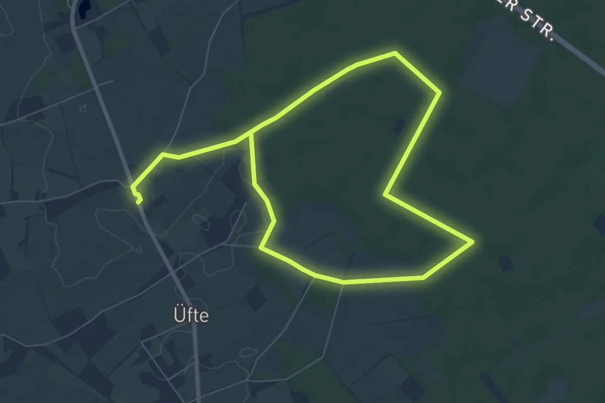
Easy · Trail
Üfte Rundweg A2
5.3 km · ↑ 17 m · 1 h 21 min
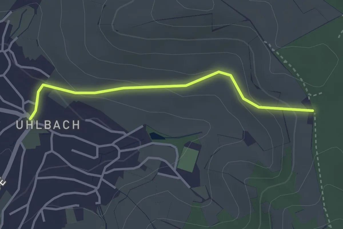
Easy · Trail
Uhlbach (Alte Kelter) - Götzenberg - Tor
2.7 km · ↑ 124 m · 54 min
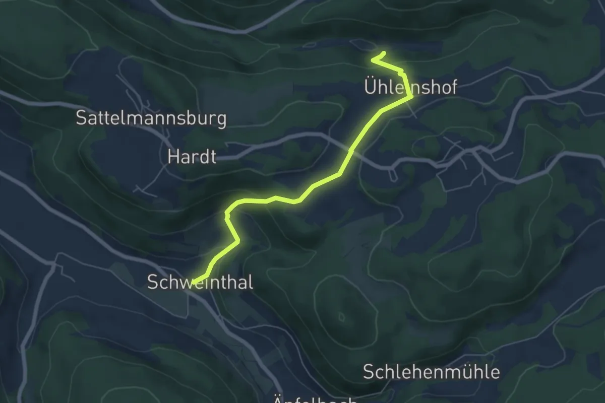
Easy · Trail
Ühleinshof-Schweinthal
5.1 km · ↑ 242 m · 1 h 44 min
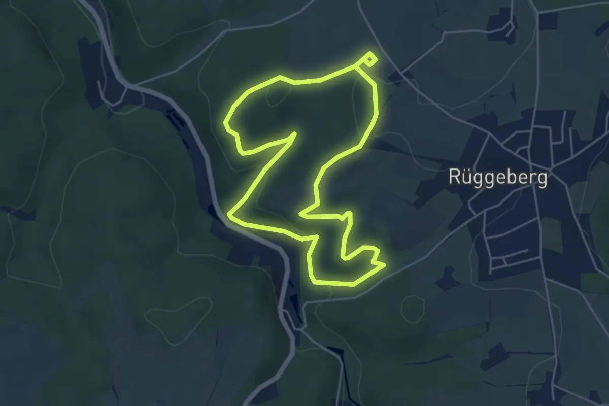
Easy · Trail
Uhlenbart Rundweg A1
4.2 km · ↑ 119 m · 1 h 19 min
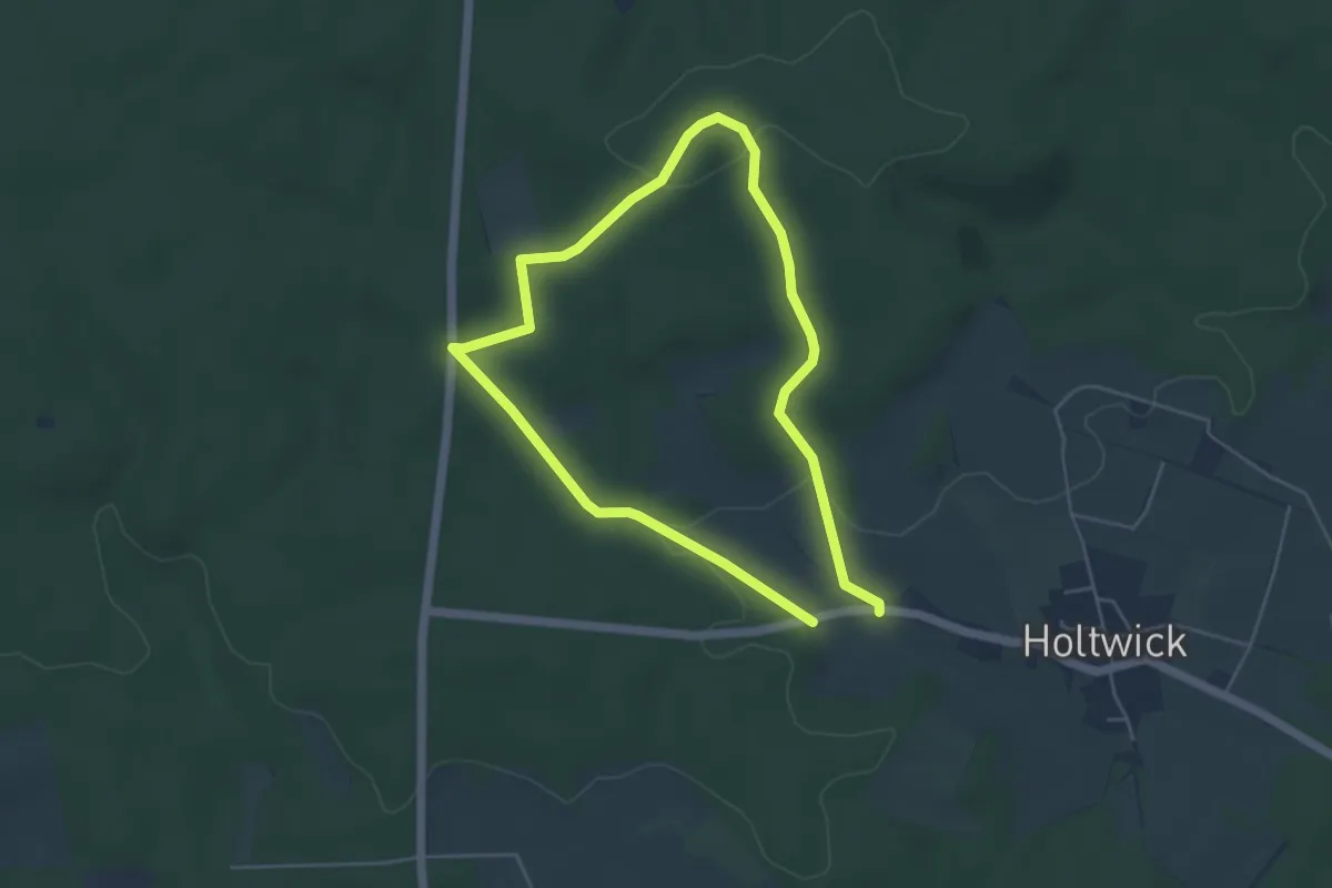
Easy · Summit
Uhlenhof Rundweg A6
3.8 km · ↑ 66 m · 1 h 5 min
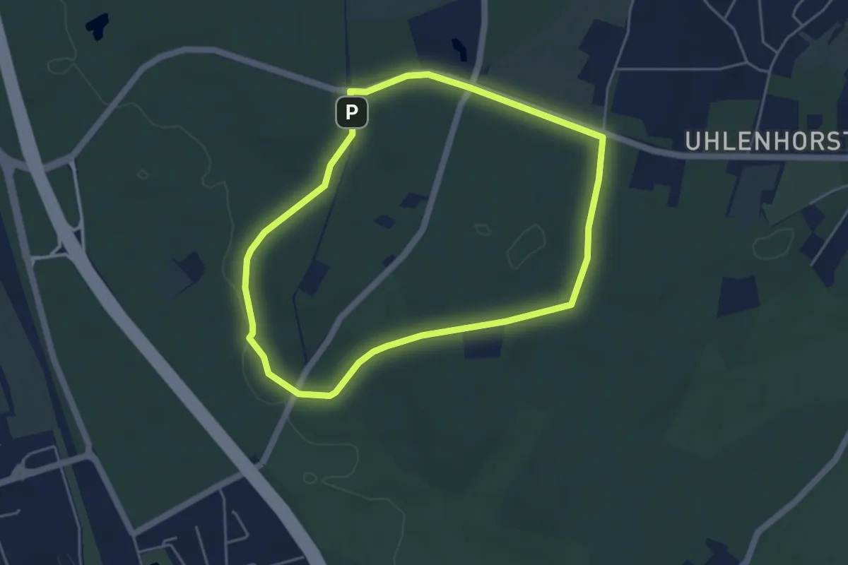
Easy · Trail
Uhlenhorst Rundweg A1
3.9 km · ↑ 36 m · 1 h 3 min
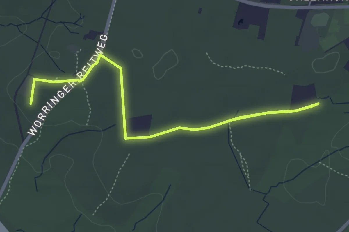
Easy · Summit
Uhlenhorst Rundweg A2
5.2 km · ↑ 9 m · 1 h 16 min
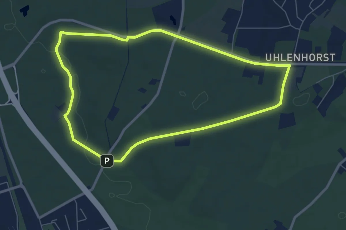
Easy · Trail
Uhlenhorst Rundweg A3
5.3 km · ↑ 49 m · 1 h 26 min
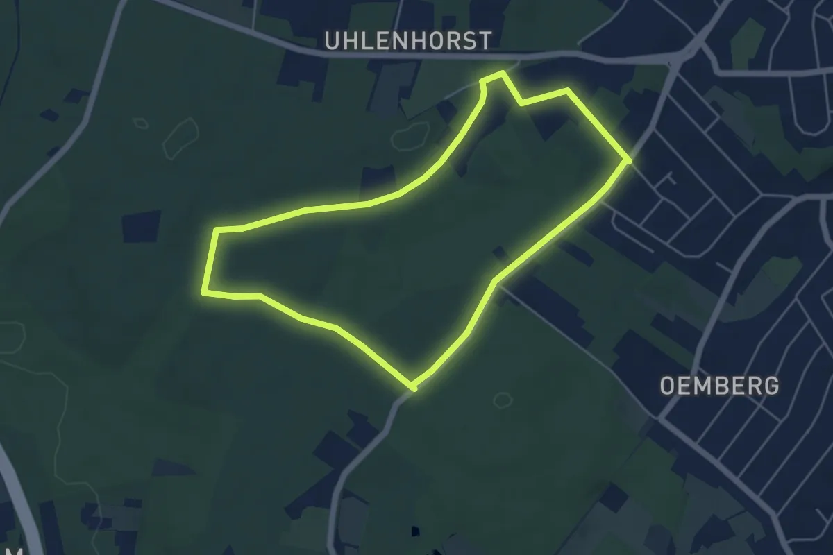
Easy · Trail
Uhlenhorst Rundweg A5
4.4 km · ↑ 26 m · 1 h 9 min
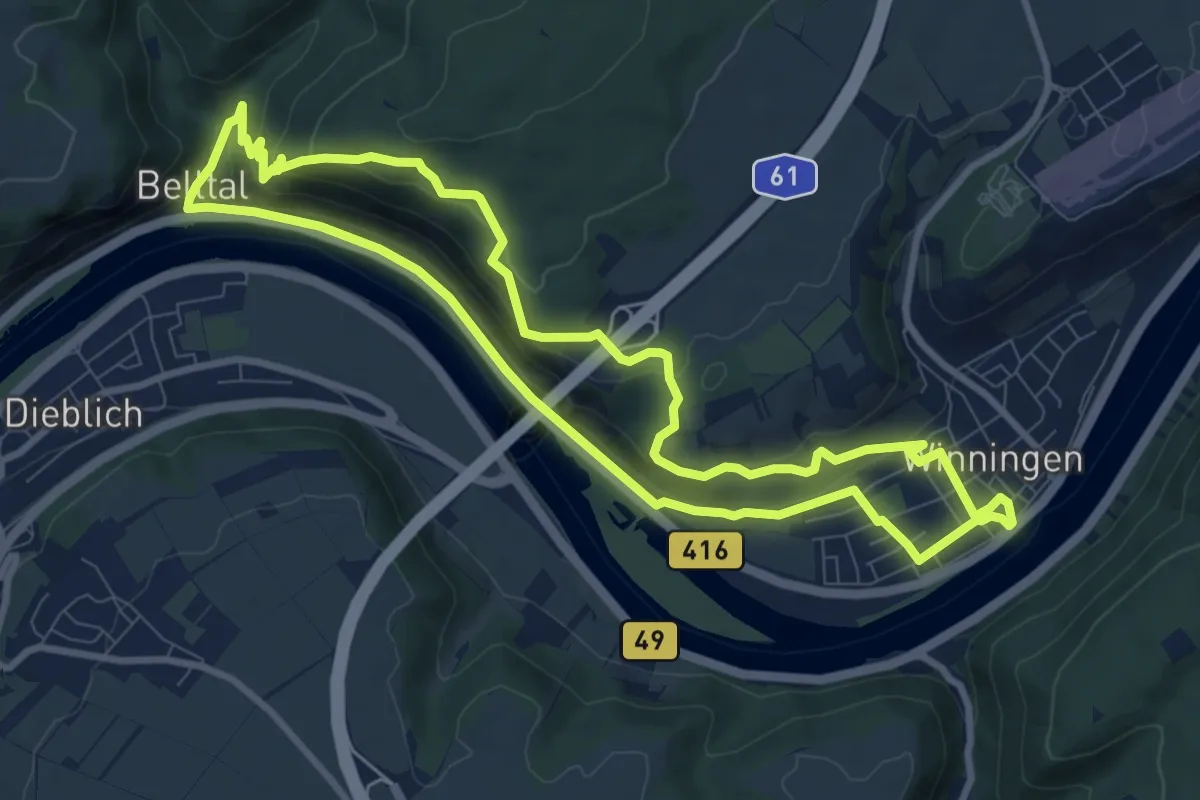
Medium · Trail
Uhlen Weinpfad
8.6 km · ↑ 284 m · 2 h 47 min
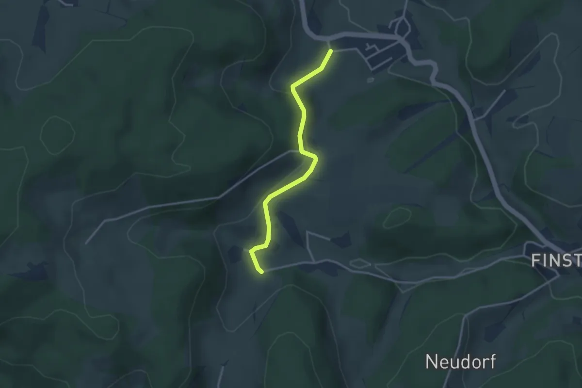
Easy · Trail
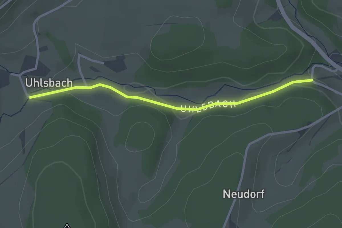
Uhlsbach - Kirchhöfe Friedhof
2.6 km · ↑ 77 m · 47 min
Easy · Trail
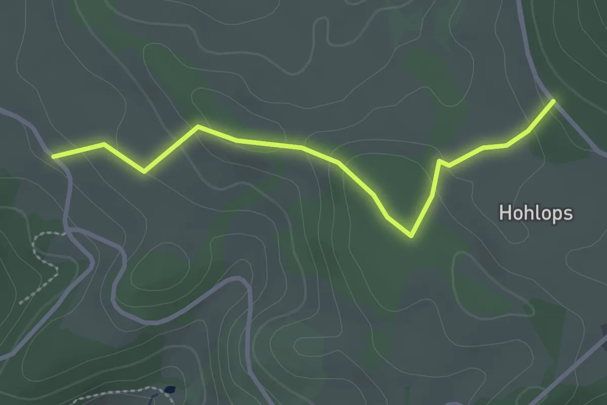
Uhlsbach-Weg - Uhlsbach
2.4 km · ↑ 51 m · 41 min
Easy · Trail
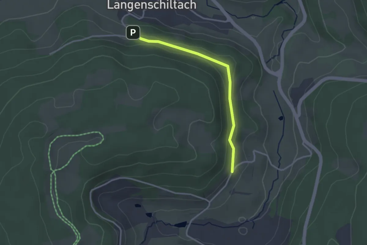
Uhrenbühl - Holops
2.6 km · ↑ 104 m · 50 min
Easy · Trail
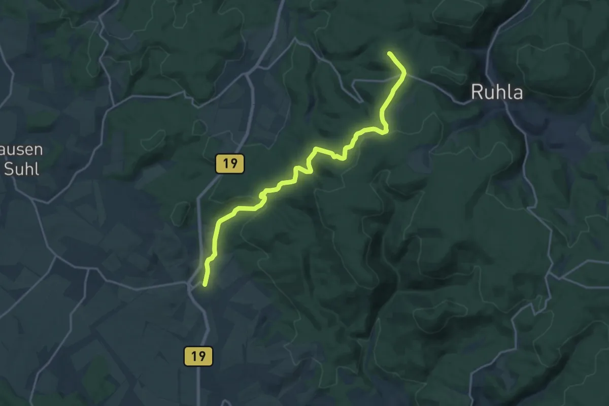
Uhrenhändlerhof - Bruckenwald
2.6 km · ↑ 44 m · 42 min
Medium · Summit
Uhrenweg
15.6 km · ↑ 365 m · 4 h 29 min
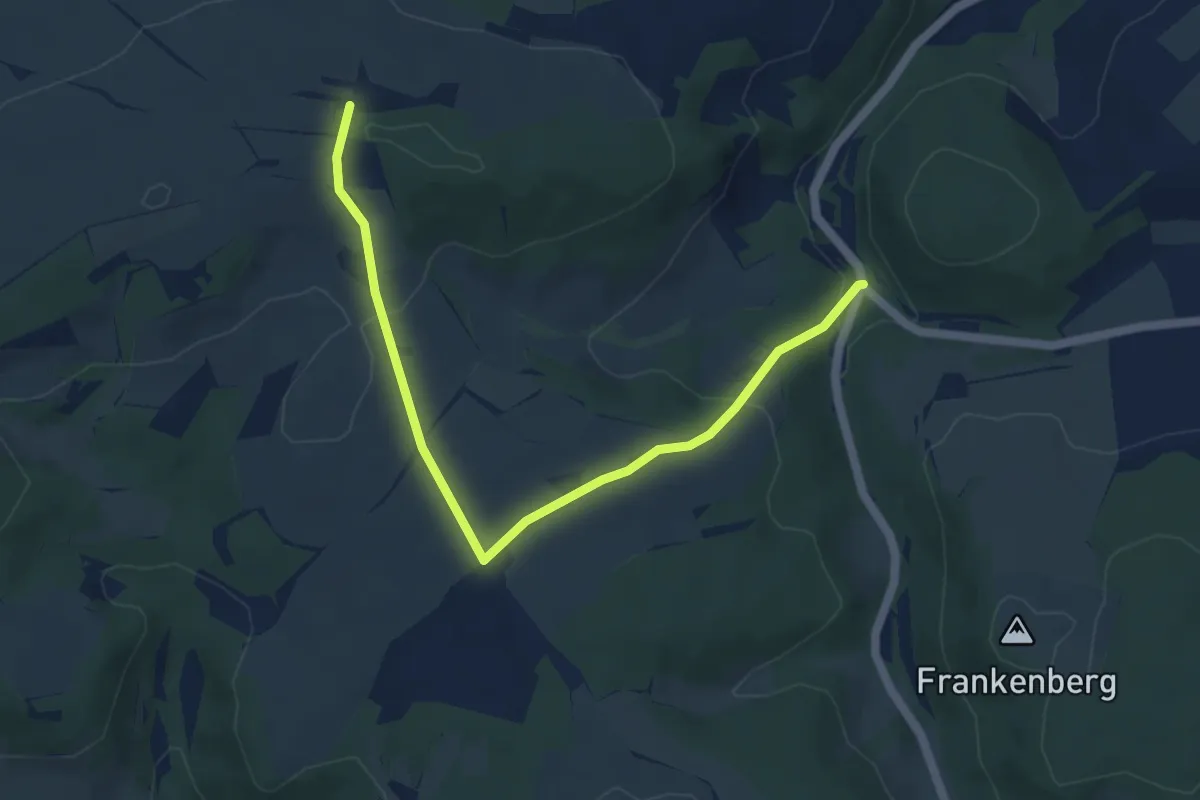
Easy · Trail
Uhuroute
2.6 km · ↑ 148 m · 54 min
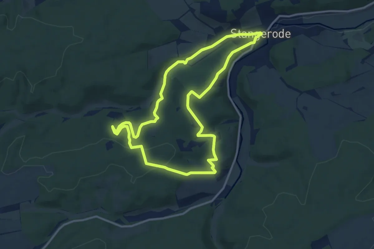
Easy · Summit
Uhuroute
8.0 km · ↑ 182 m · 2 h 23 min
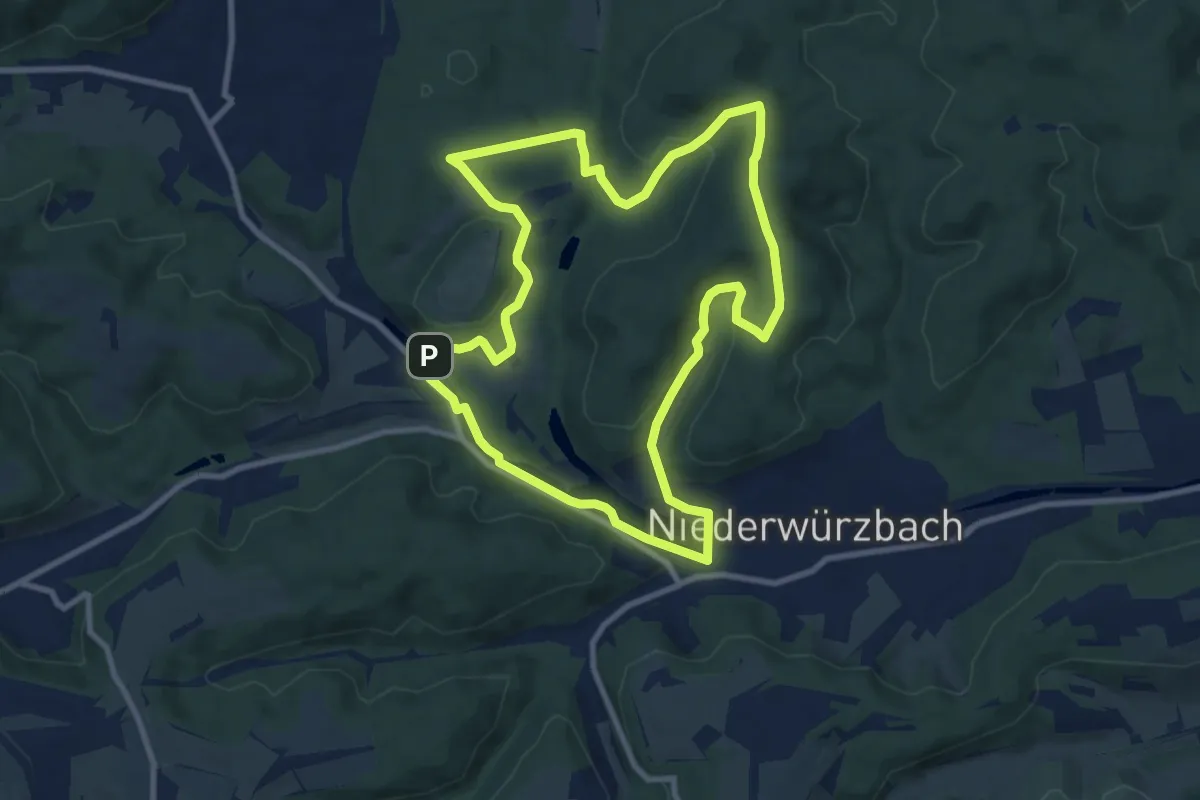
Medium · Summit
UHU Runde
9.1 km · ↑ 272 m · 2 h 51 min
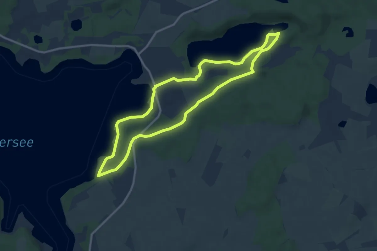
Easy · Trail
Uklei-Route
6.4 km · ↑ 43 m · 1 h 41 min
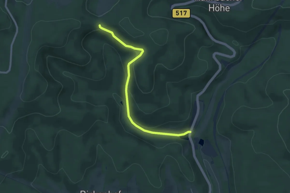
Easy · Trail
U Kruberg-Langenbachtal-Littfeld
5.1 km · ↑ 193 m · 1 h 37 min
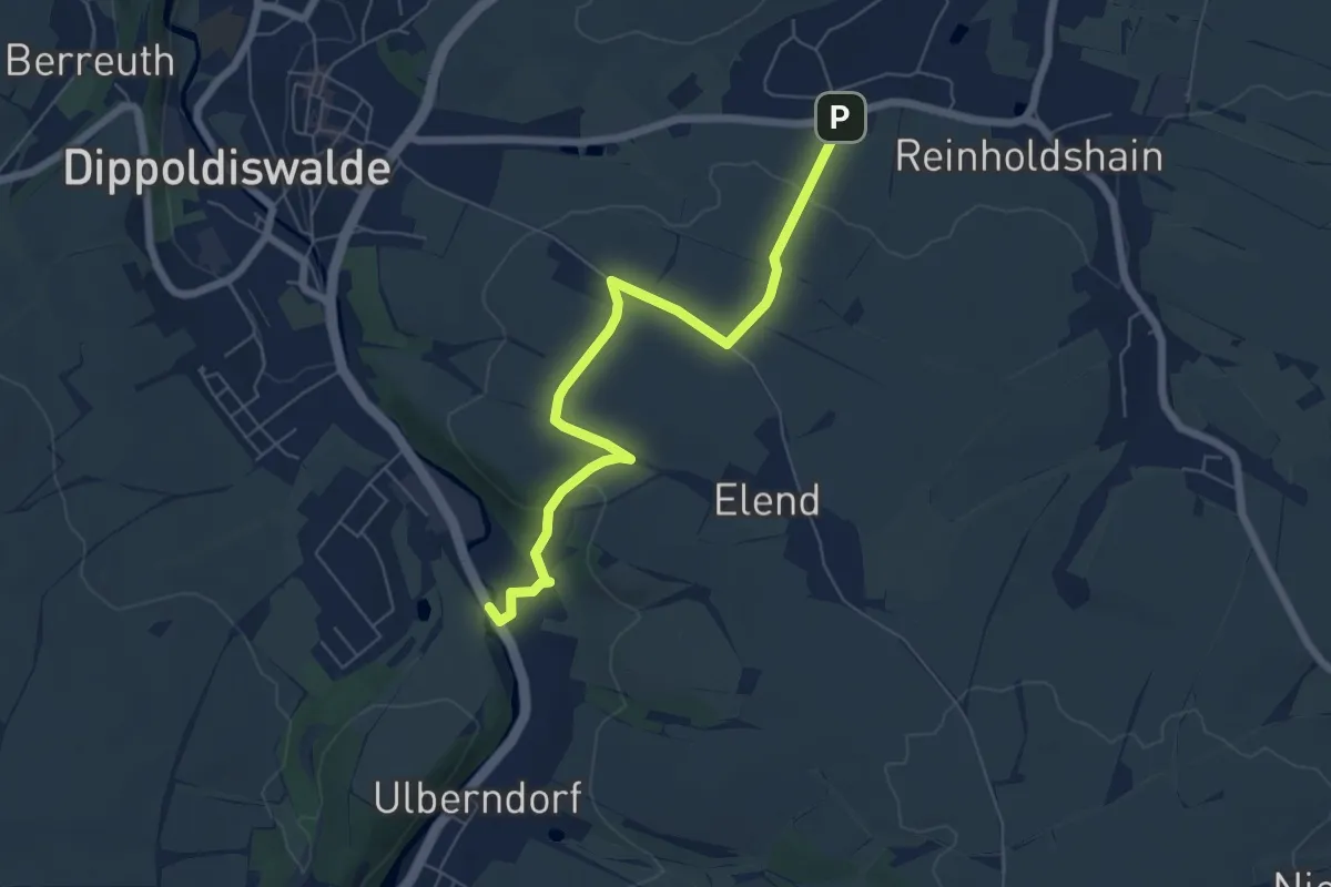
Easy · Trail
Ulberndorf - Oberhäslich
6.0 km · ↑ 85 m · 1 h 36 min
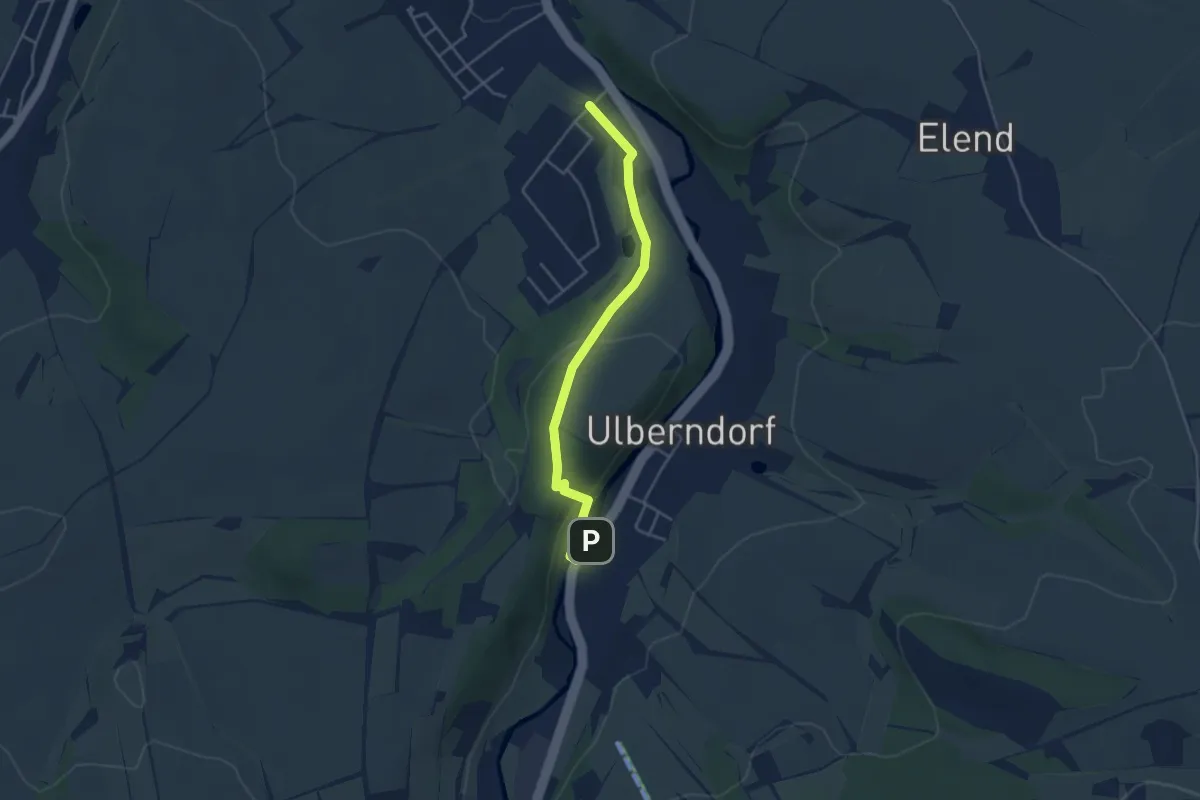
Easy · Trail
Ulberndorf - Ziegenrücken
3.8 km · ↑ 89 m · 1 h 5 min
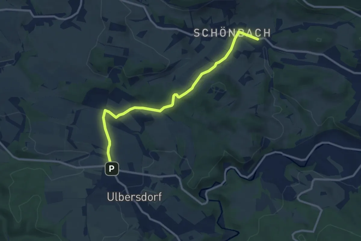
Easy · Trail
Ulbersdorf - Schönbach
7.3 km · ↑ 132 m · 2 h 1 min
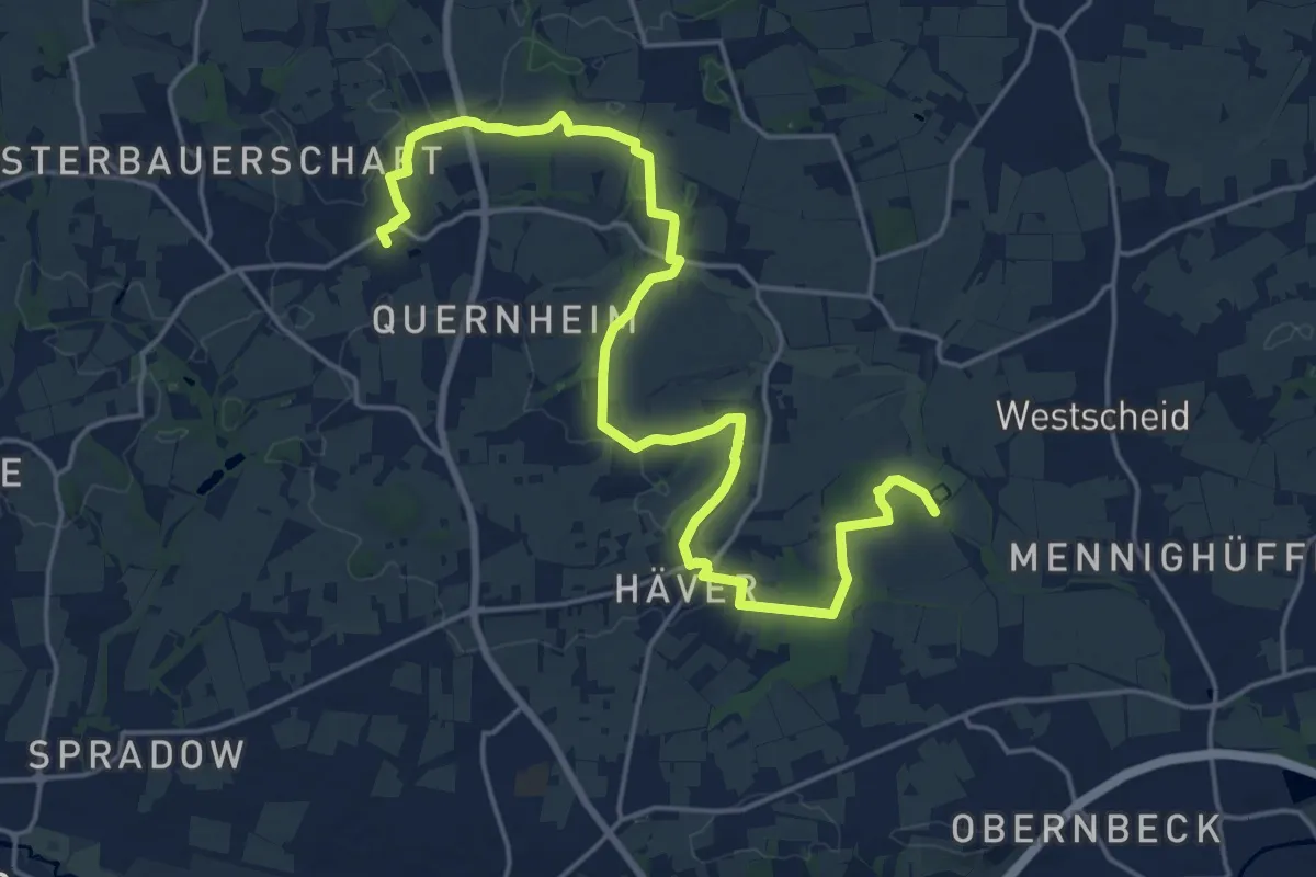
Demanding · Trail
Ulenburgweg
21.0 km · ↑ 213 m · 5 h 25 min
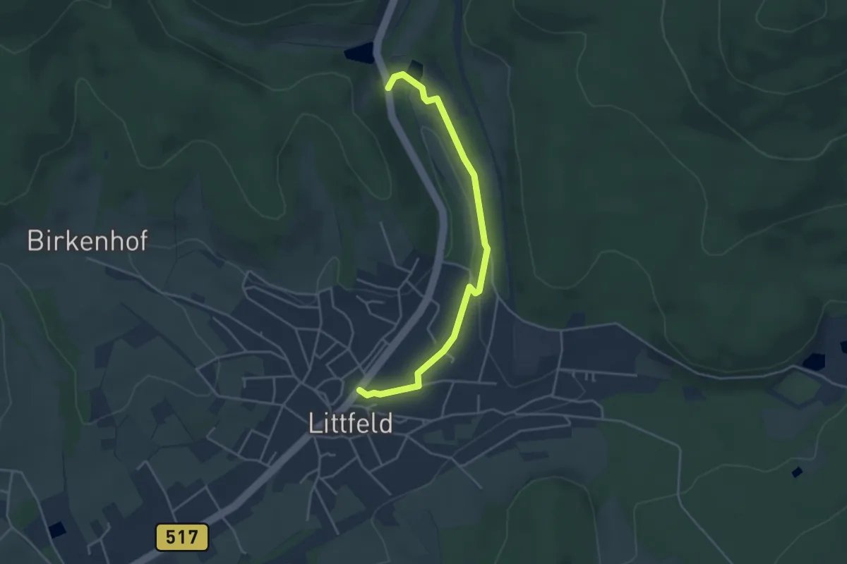
Easy · Trail
U Littfeld - Kruberg
3.7 km · ↑ 58 m · 1 h 1 min
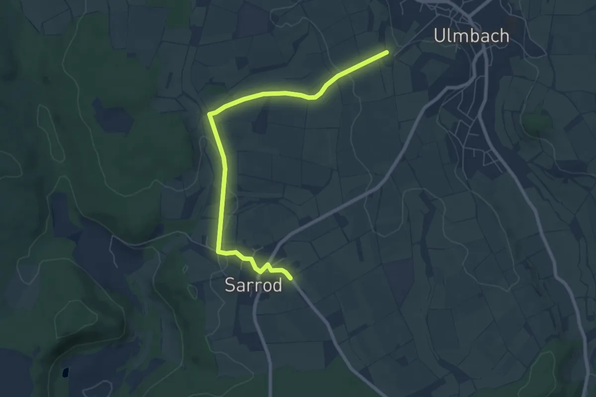
Easy · Trail
Ulmbach - Rundwanderweg US
3.4 km · ↑ 39 m · 56 min
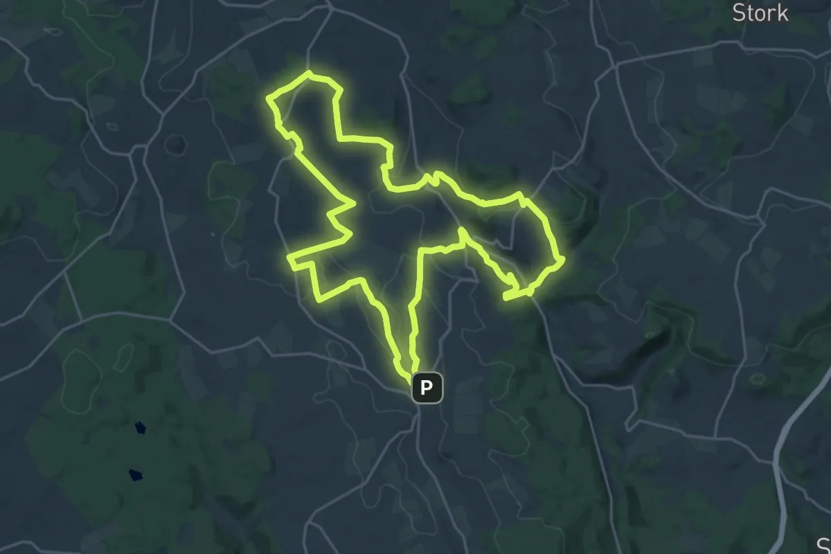
Demanding · Trail
Ulmbach - Rundwanderweg UW
21.7 km · ↑ 379 m · 6 h 14 min