Trails in Germany
36,852 hiking trails, each with its route, climb, walking time and grade.
All trails, page 638 of 768
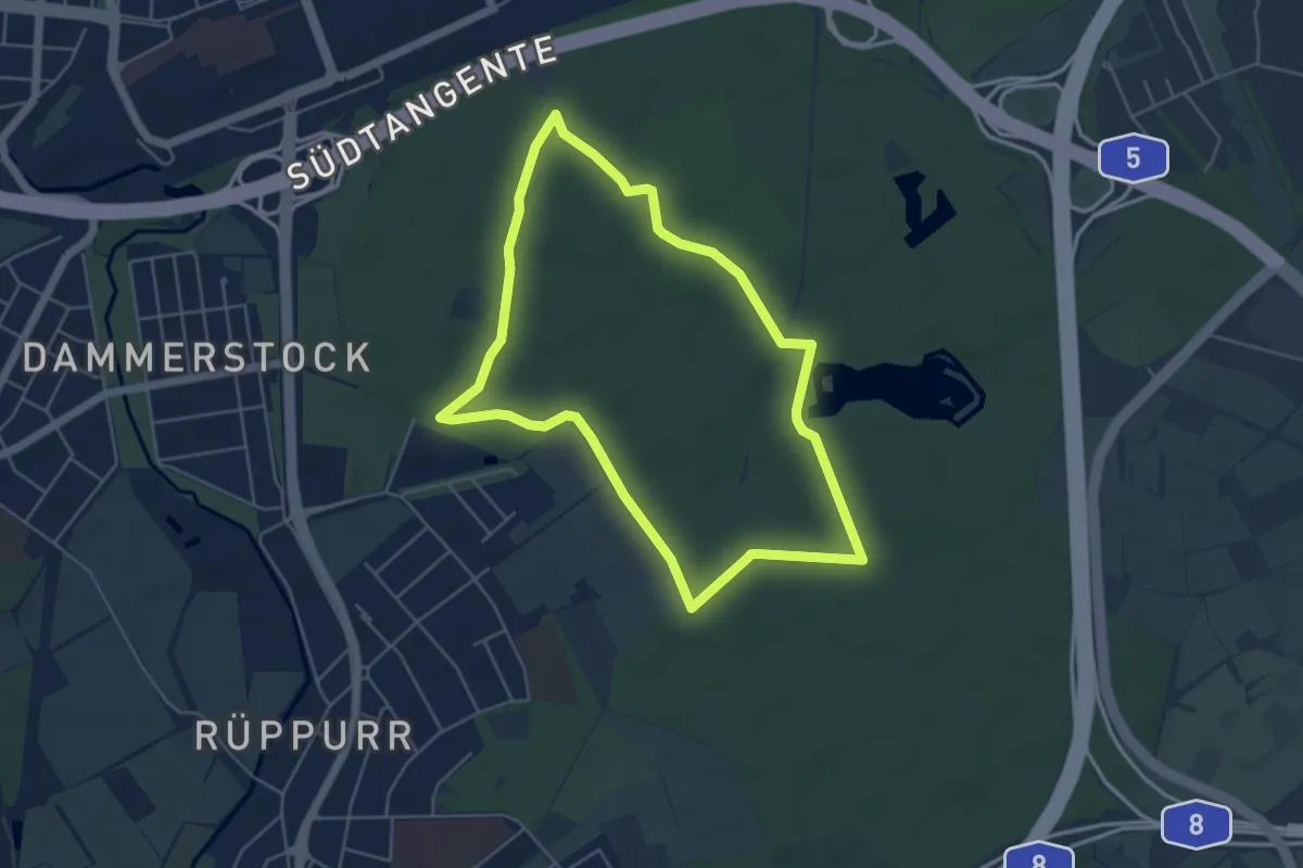
Easy · Trail
Ulmenweg
4.6 km · ↑ 9 m · 1 h 10 min
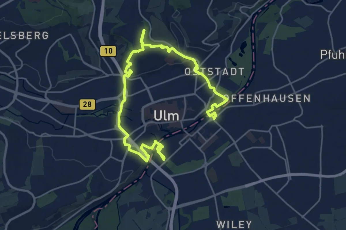
Demanding · Trail
Ulmer Festungsweg
20.2 km · ↑ 251 m · 5 h 19 min
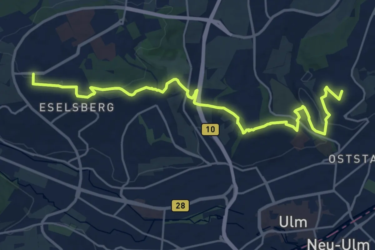
Medium · Summit
Ulmer Höhenweg Hauptroute Süd
15.6 km · ↑ 353 m · 4 h 27 min
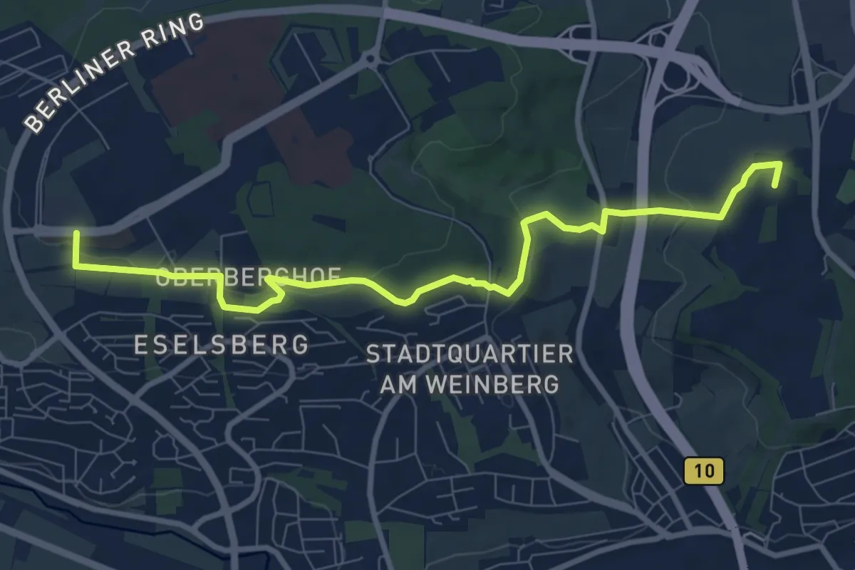
Medium · Summit
Ulmer Höhenweg Nebenroute Nord
8.8 km · ↑ 174 m · 2 h 27 min
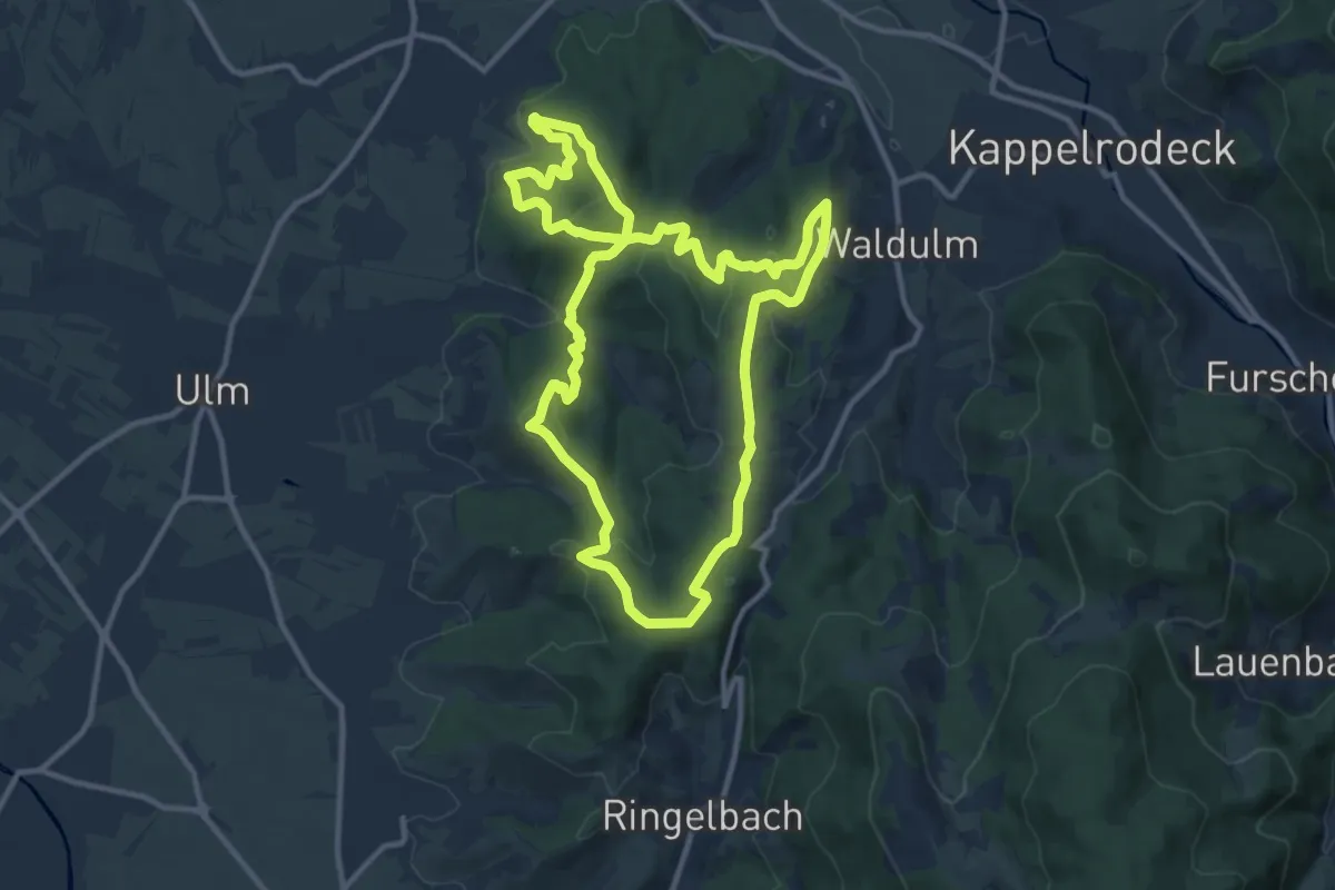
Medium · Trail
Ulmer Panoramaweg
11.1 km · ↑ 439 m · 3 h 44 min
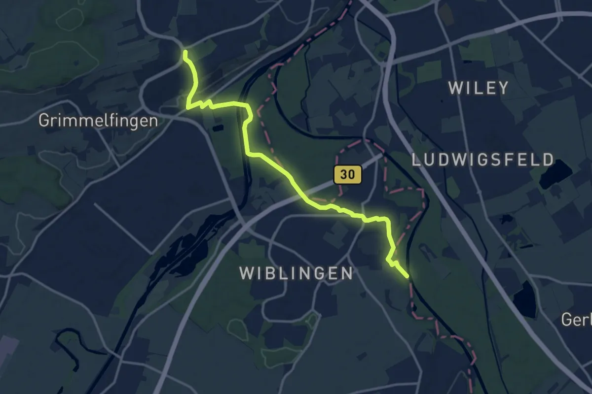
Medium · Trail
Ulm Lindenhöhe - Wiblingen
12.3 km · ↑ 129 m · 3 h 11 min
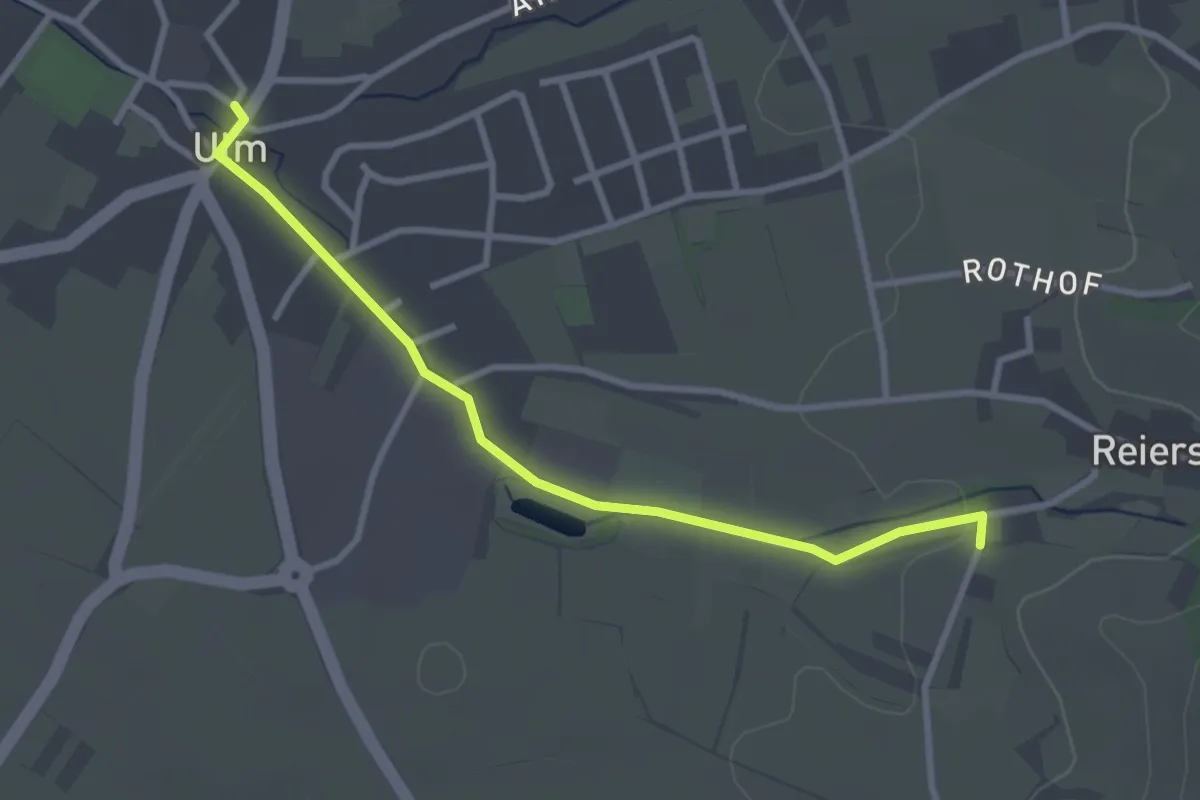
Easy · Trail
Ulm Rathaus - Waldeck
2.9 km · ↑ 18 m · 44 min
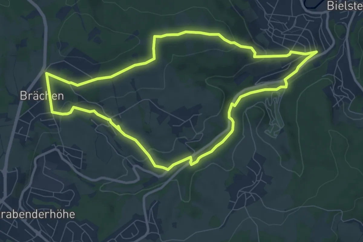
Easy · Trail
Ülpetal Rundweg A3
7.4 km · ↑ 148 m · 2 h 11 min
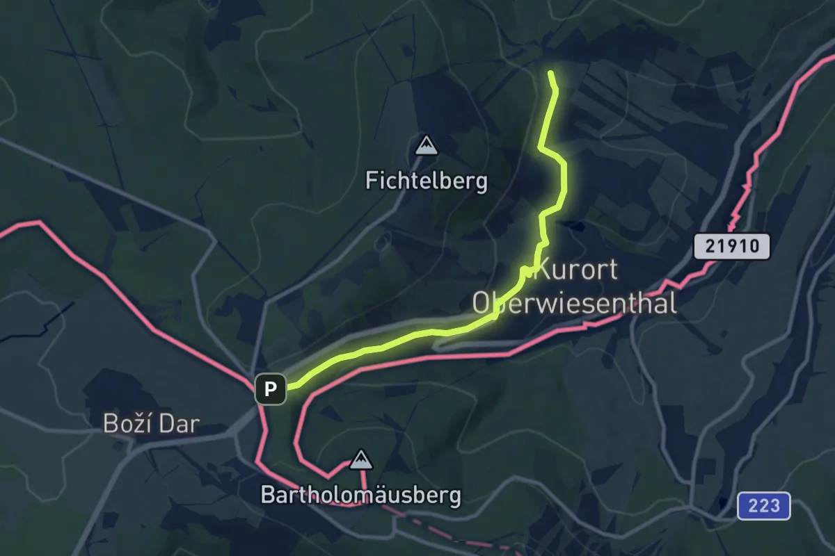
Easy · Trail
Ulrich-Wehling-Tour
4.3 km · ↑ 76 m · 1 h 17 min
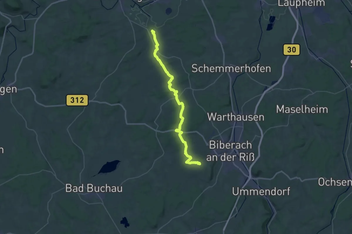
Demanding · Trail
Ulrikaweg - Etappe 1
18.9 km · ↑ 216 m · 5 h 13 min
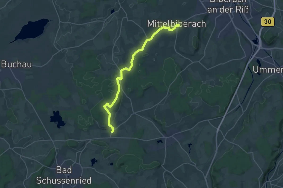
Demanding · Trail
Ulrikaweg - Etappe 2
21.2 km · ↑ 228 m · 5 h 29 min
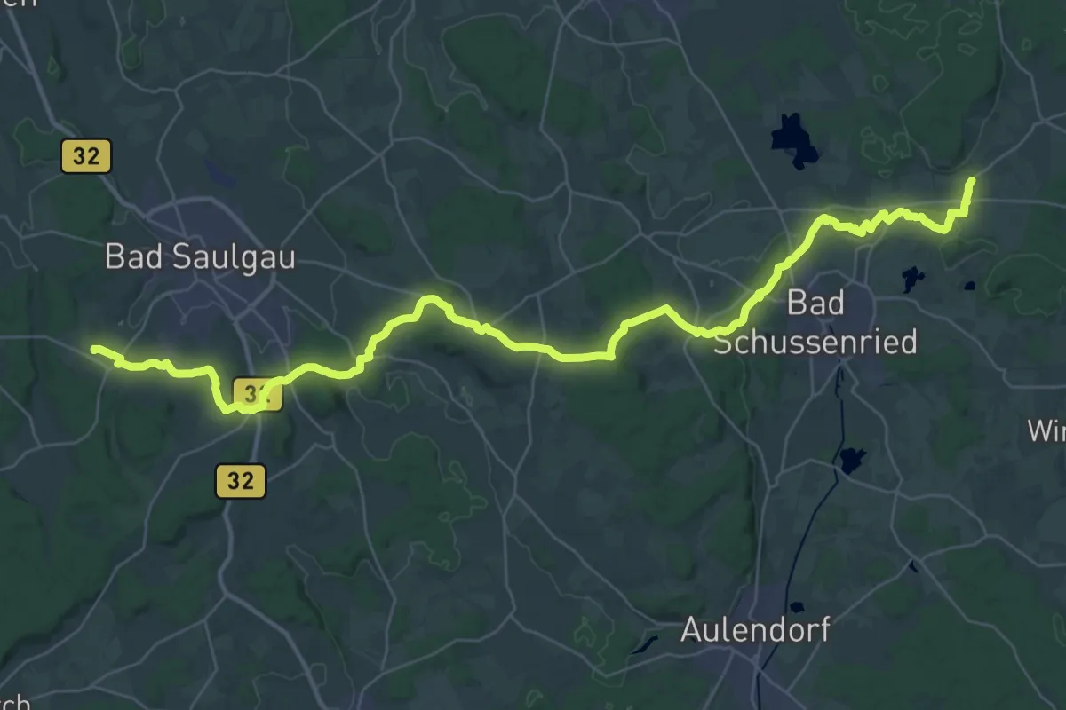
Demanding · Trail
Ulrikaweg - Etappe 3
22.8 km · ↑ 394 m · 6 h 31 min
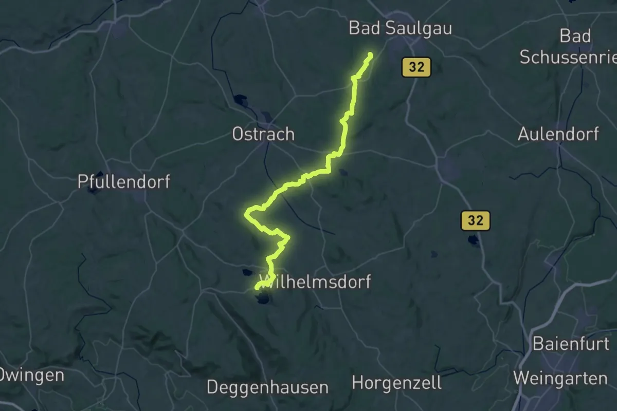
Demanding · Trail
Ulrikaweg - Etappe 4
26.1 km · ↑ 313 m · 7 h 14 min
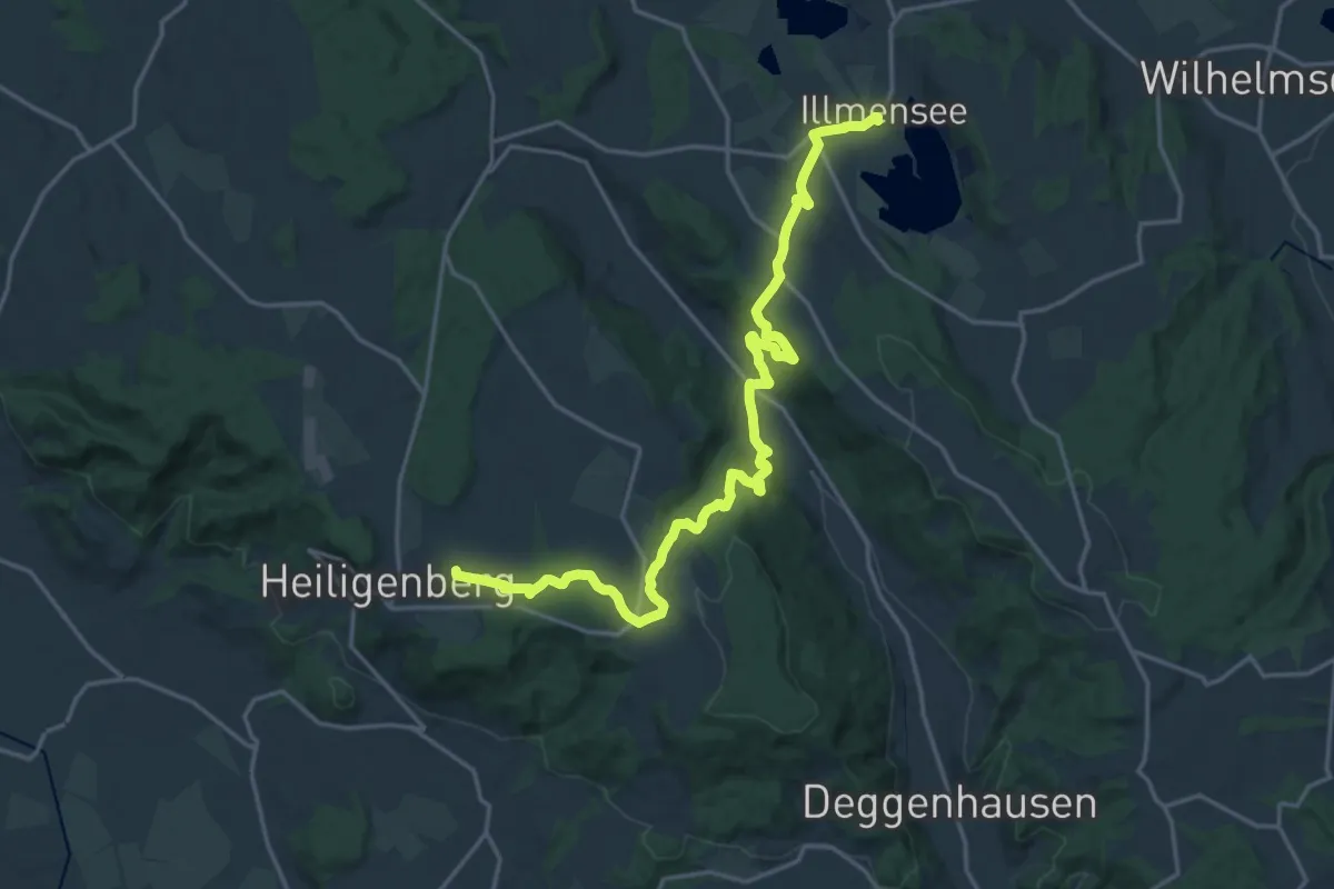
Demanding · Summit
Ulrikaweg - Etappe 5
21.4 km · ↑ 590 m · 6 h 19 min
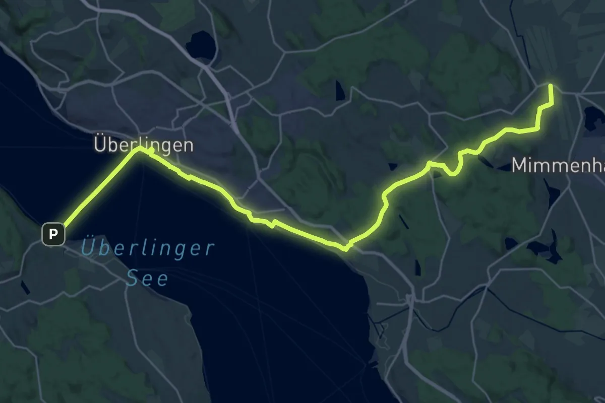
Demanding · Trail
Ulrikaweg - Etappe 6
30.9 km · ↑ 320 m · 7 h 59 min
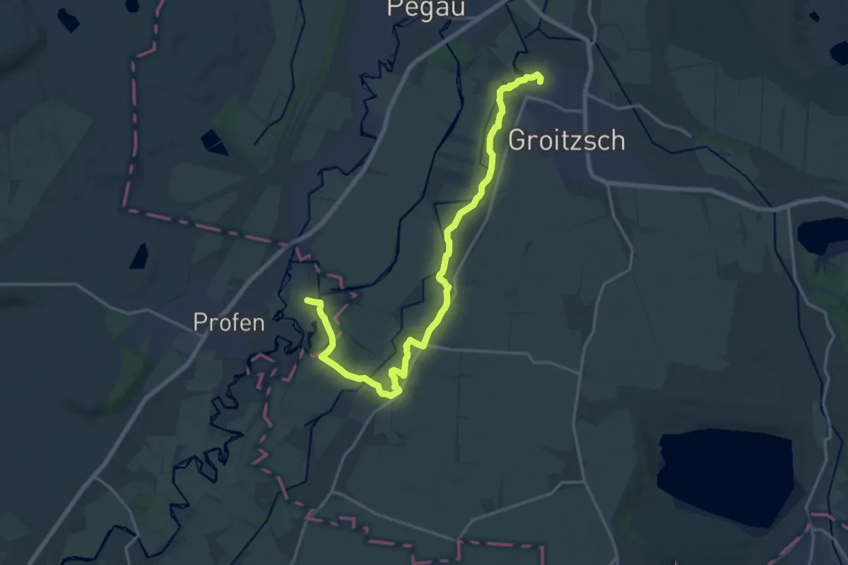
Medium · Trail
Ulrike-von-Levetzow-Wanderweg
16.7 km · ↑ 106 m · 4 h 11 min
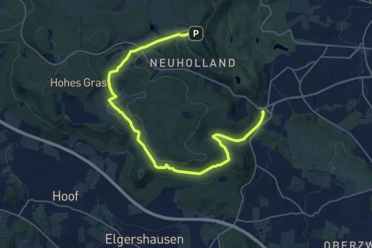
Medium · Trail
Um das Habichtspiel
17.8 km · ↑ 427 m · 5 h 8 min
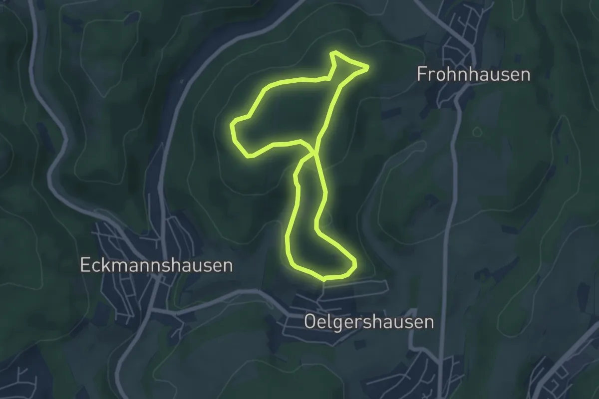
Easy · Summit
Um das Handbeil
4.2 km · ↑ 103 m · 1 h 17 min
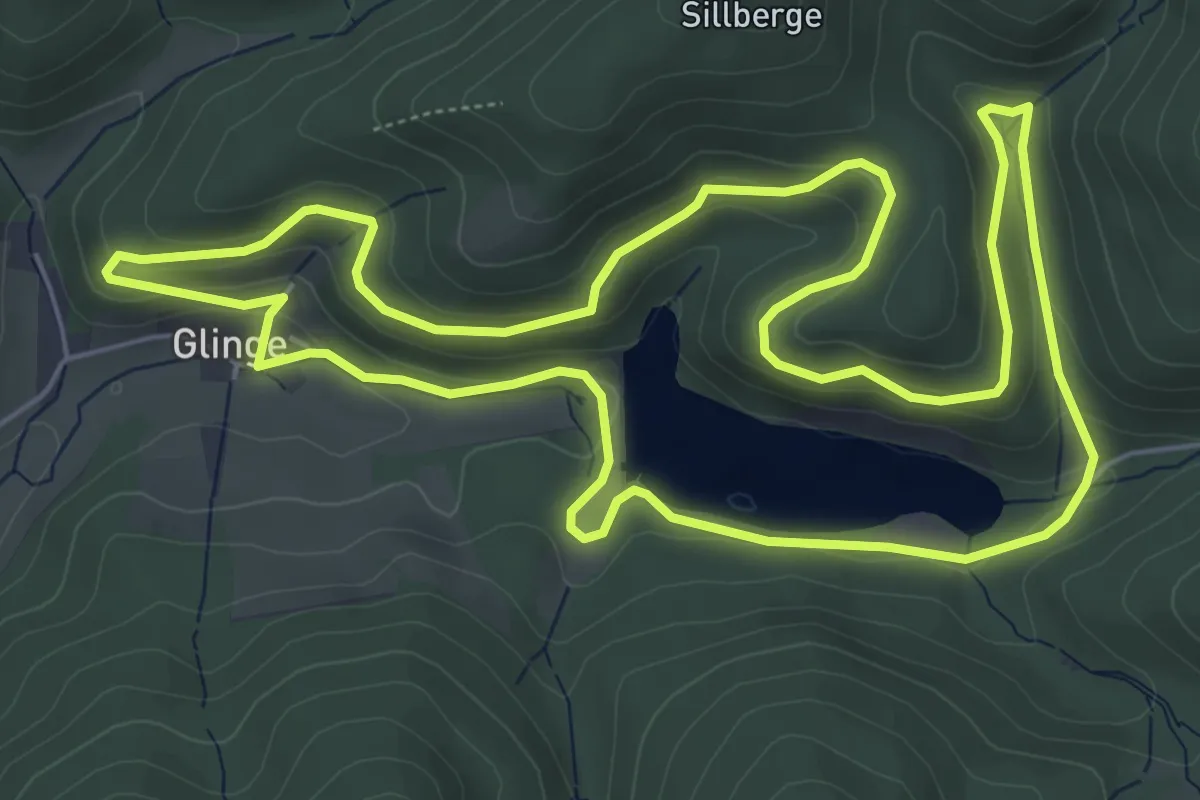
Easy · Summit
Um das Unterbecken
6.1 km · ↑ 241 m · 2 h 3 min
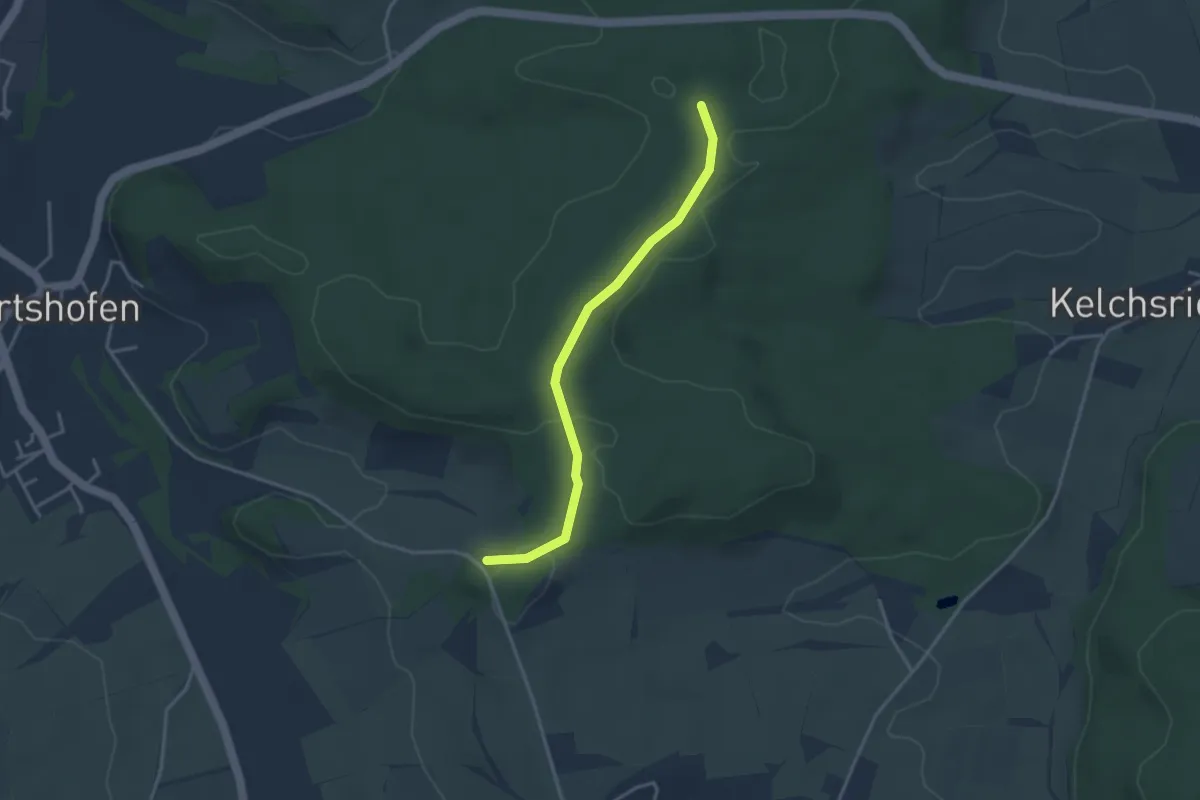
Easy · Trail
Um den Burgberg
3.2 km · ↑ 36 m · 50 min
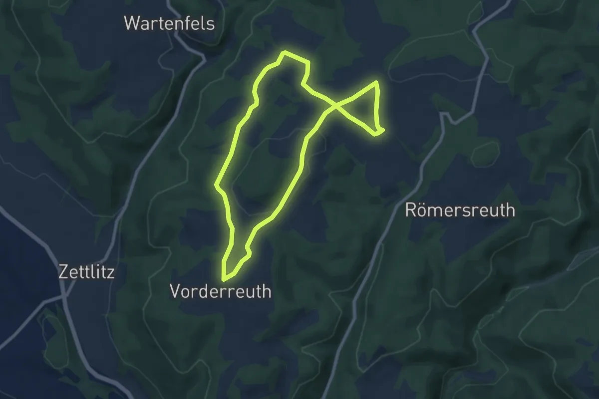
Easy · Trail
Um den Forkel-Knock KU 55
6.3 km · ↑ 126 m · 1 h 51 min
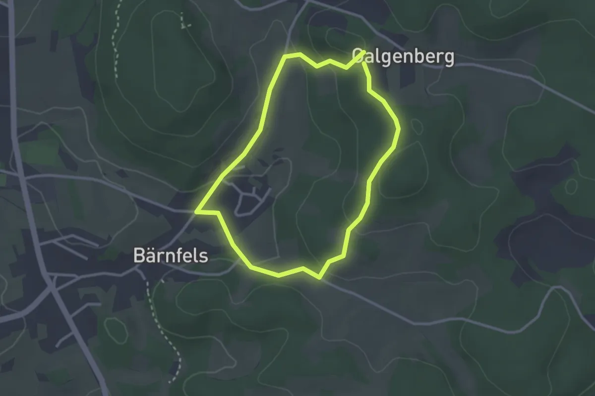
Easy · Trail
Um den Galgenberg
2.4 km · ↑ 72 m · 45 min
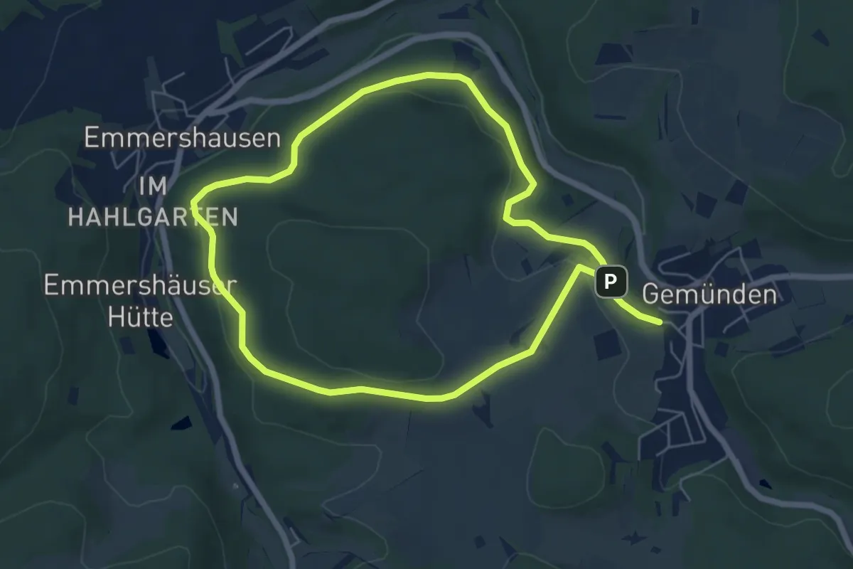
Easy · Trail
Um den Hardtküppel
5.1 km · ↑ 110 m · 1 h 31 min
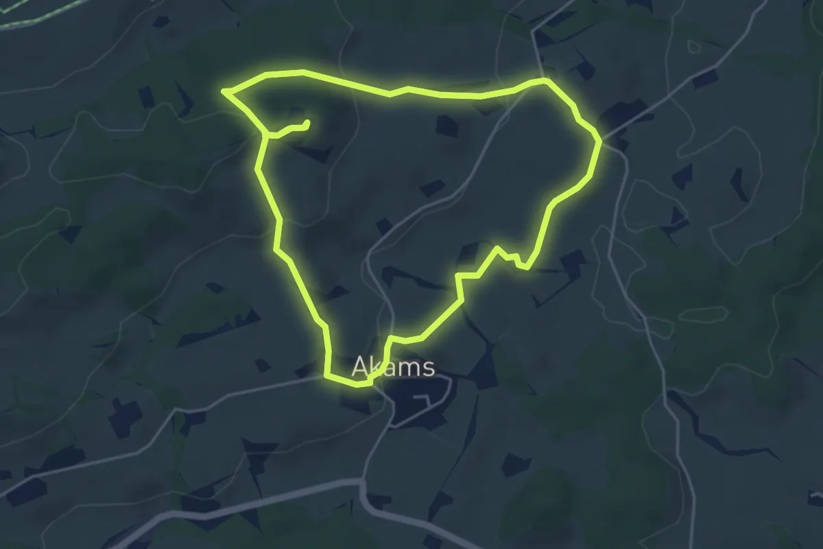
Easy · Trail
Um den Hochholder
4.4 km · ↑ 130 m · 1 h 23 min
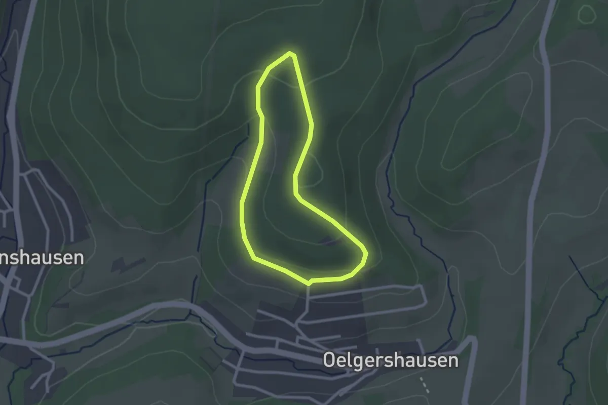
Easy · Trail
Um den Hömberg
1.9 km · ↑ 60 m · 37 min
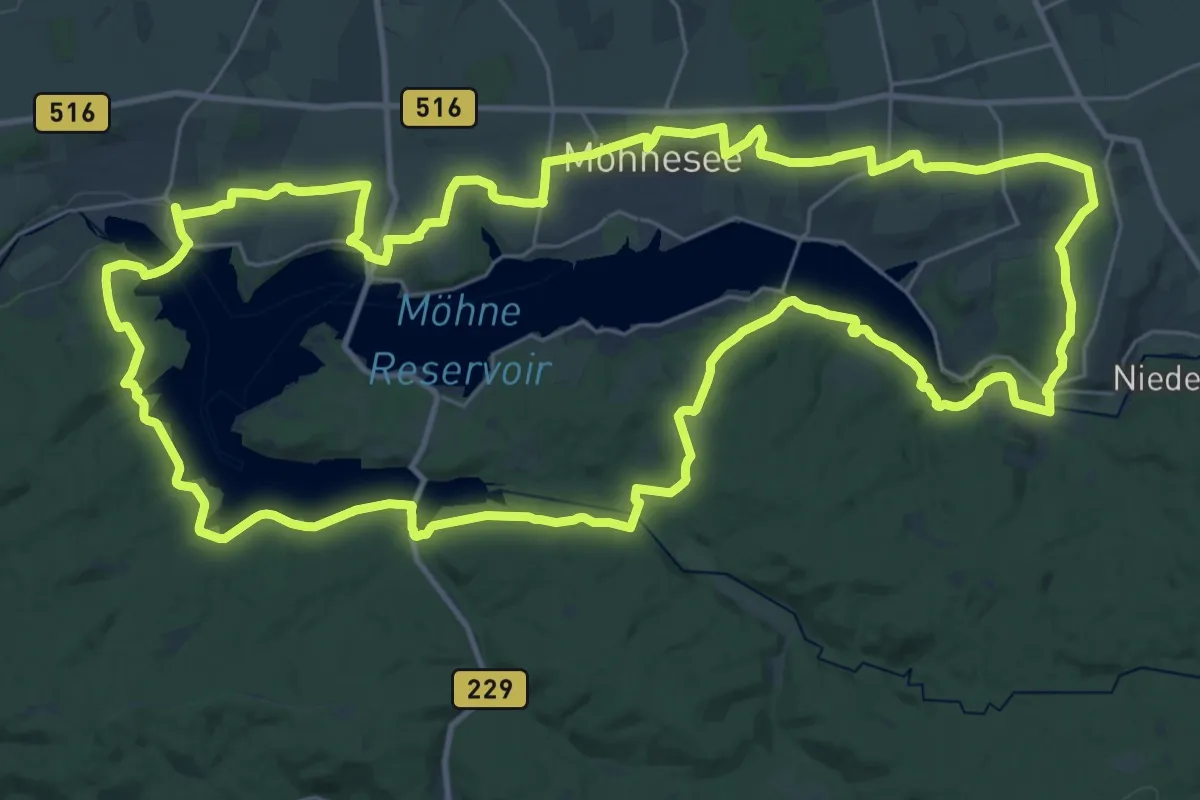
Demanding · Trail
Um den Möhnesee
33.9 km · ↑ 579 m · 9 h 44 min
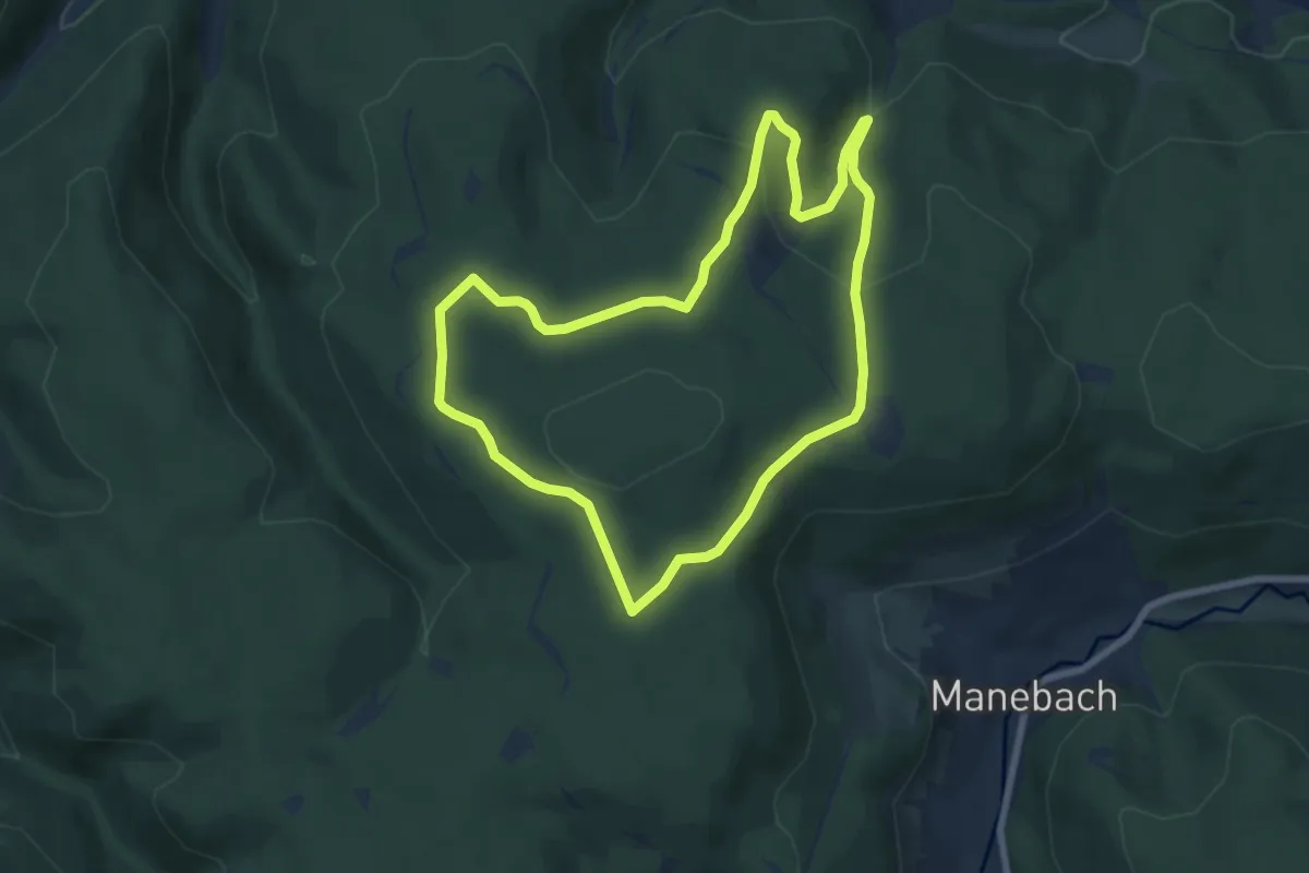
Medium · Trail
Um den Rumpelsberg
6.6 km · ↑ 198 m · 2 h 4 min
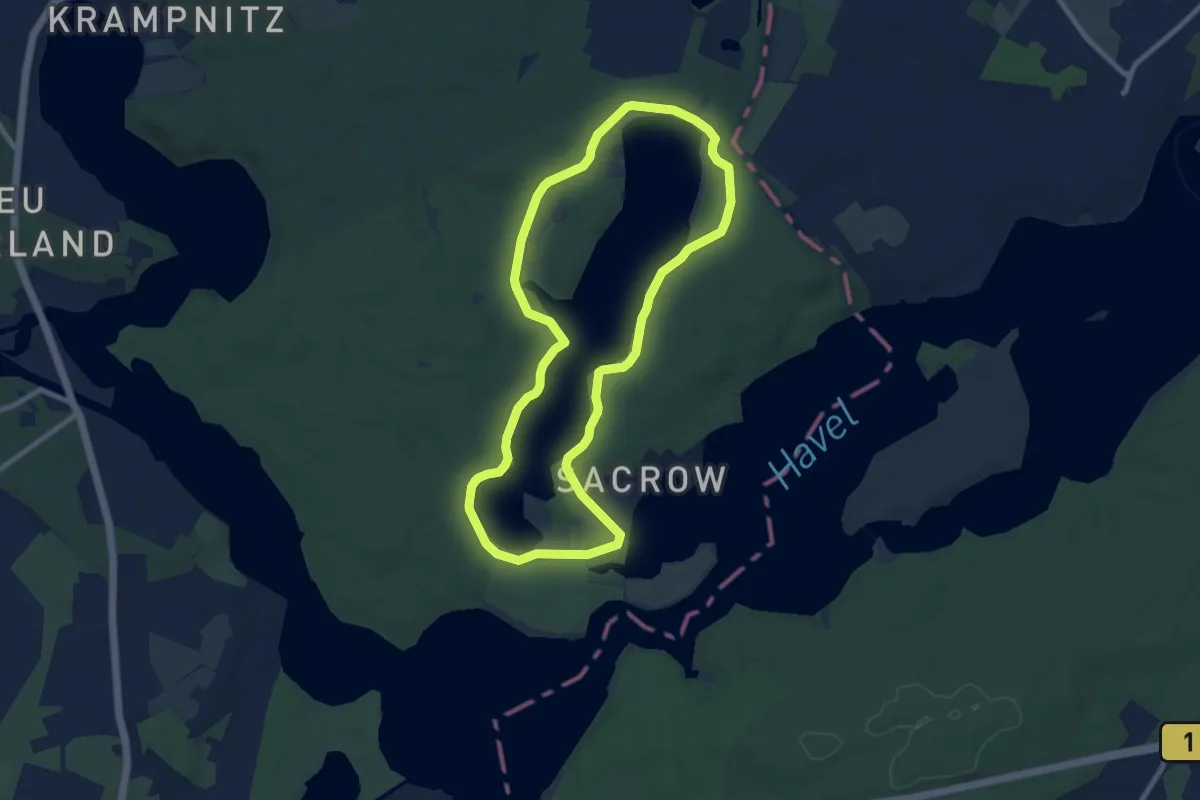
Medium · Summit
Um den Sacrower See
7.8 km · ↑ 56 m · 2 h 4 min
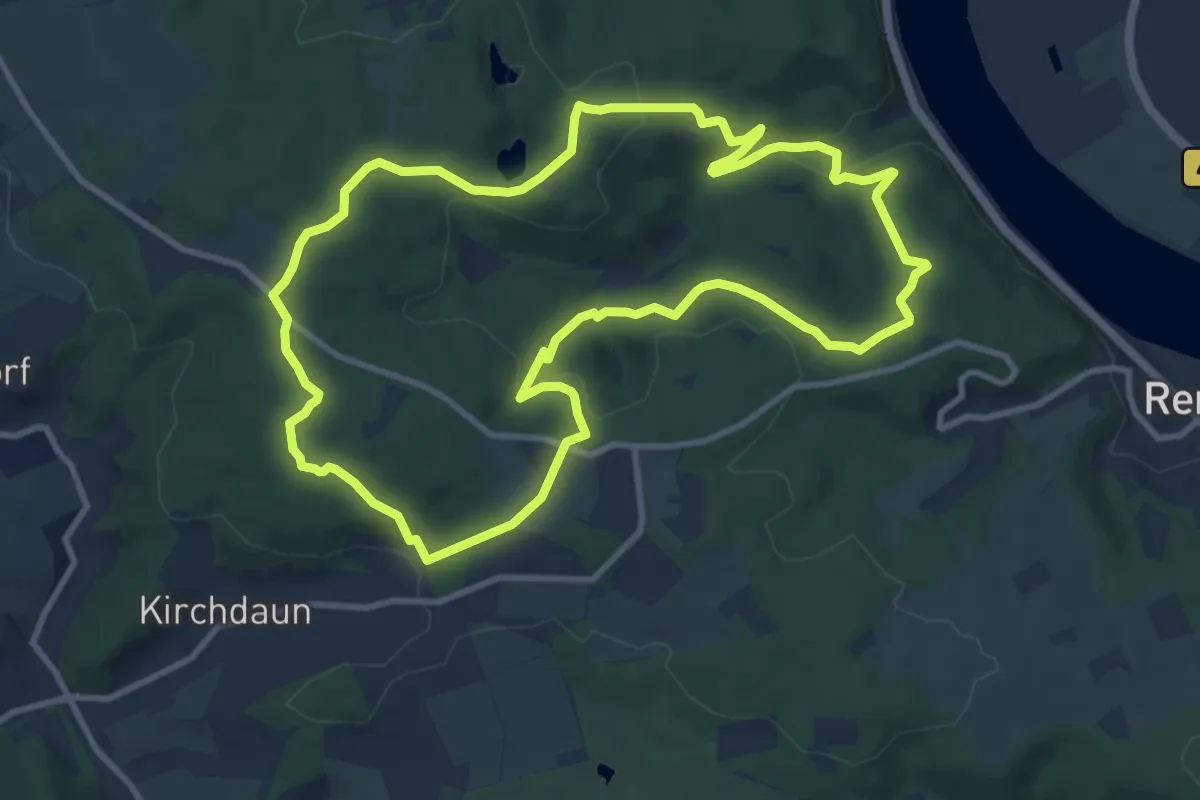
Medium · Trail
Um den Scheidskopf
10.0 km · ↑ 262 m · 3 h 4 min
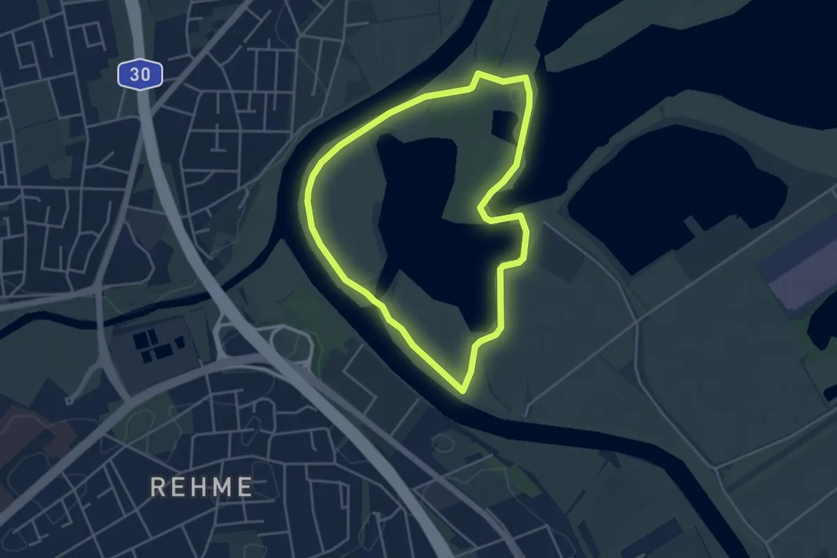
Easy · Trail
Um den Südlichen See A8-PWC
3.3 km · ↑ 0 m · 50 min
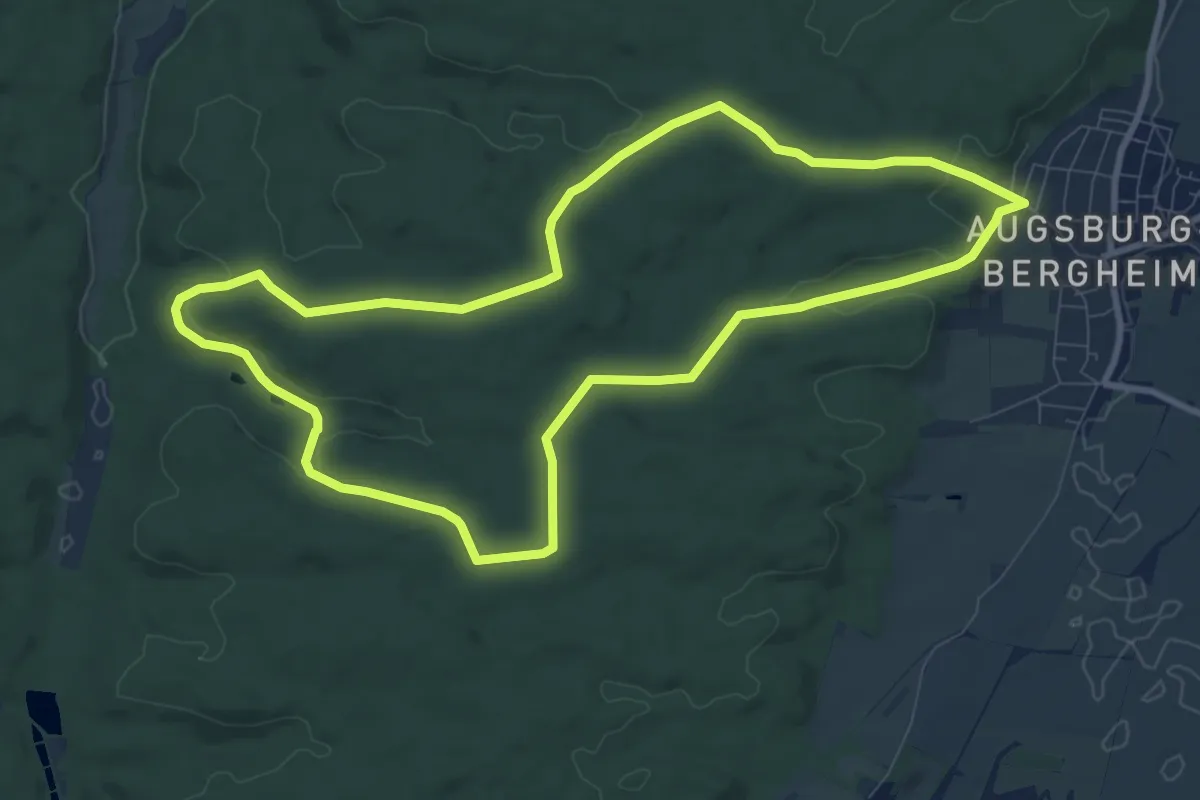
Medium · Trail
Um den Sulzkopf
9.0 km · ↑ 136 m · 2 h 32 min
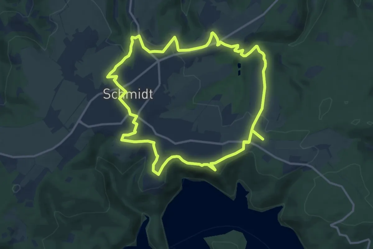
Medium · Trail
Um den Wildpark Schmidt
9.2 km · ↑ 173 m · 2 h 41 min
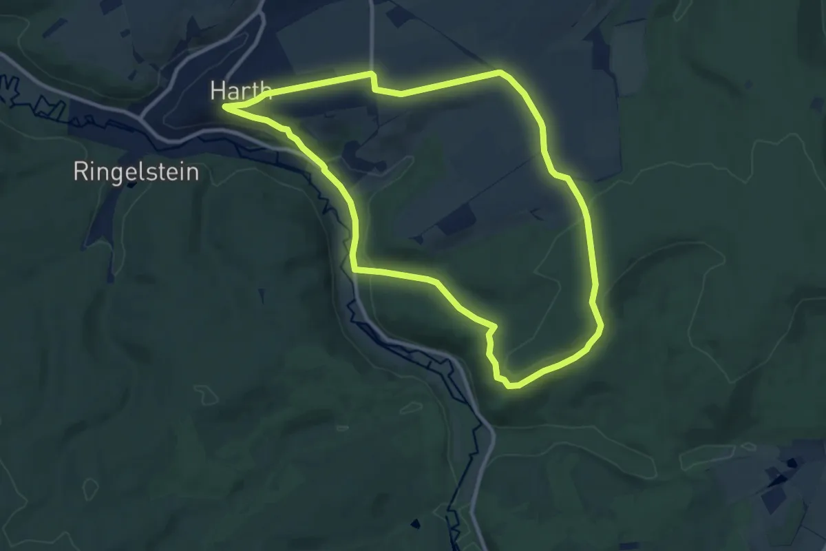
Medium · Trail
Um die Burg
8.7 km · ↑ 145 m · 2 h 29 min
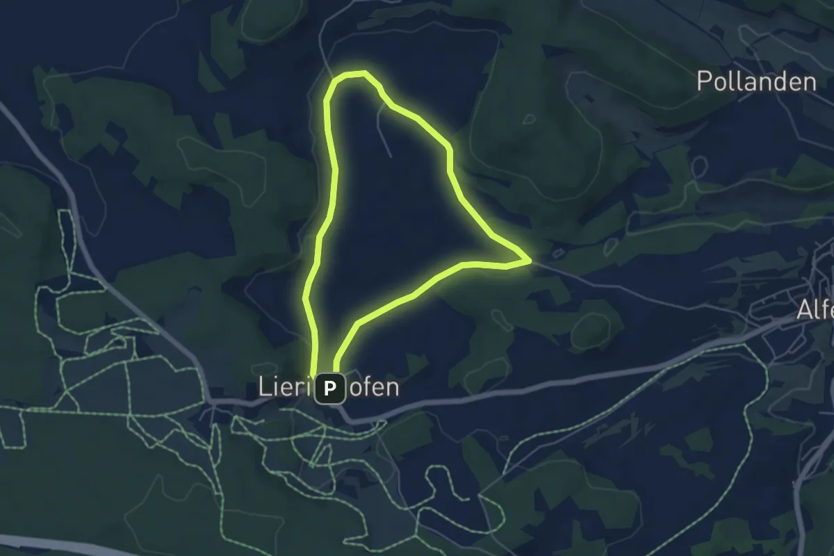
Easy · Trail
Um die Ebene (5)
4.3 km · ↑ 63 m · 1 h 13 min
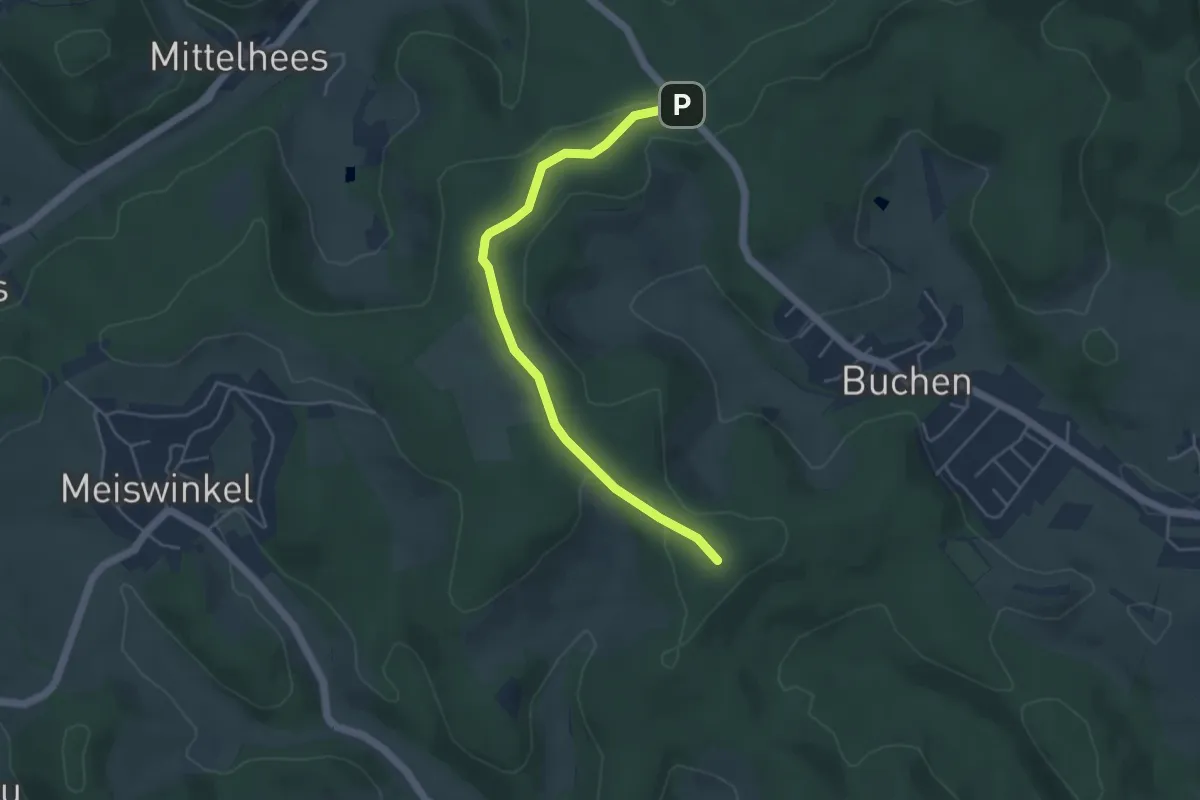
Easy · Summit
umgedrehtes T (Buschhütten)
4.3 km · ↑ 55 m · 1 h 7 min
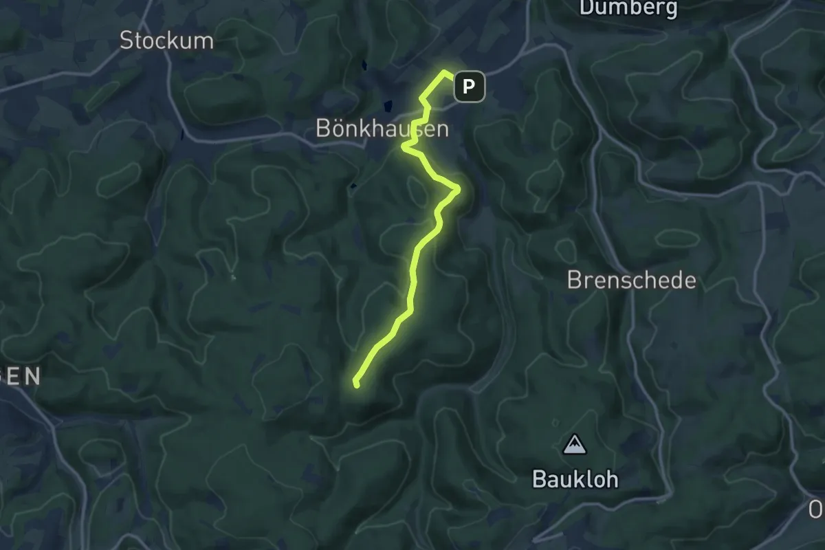
Medium · Summit
[umgedrehtes T] Endorf-Waldeshöh
9.7 km · ↑ 298 m · 2 h 56 min
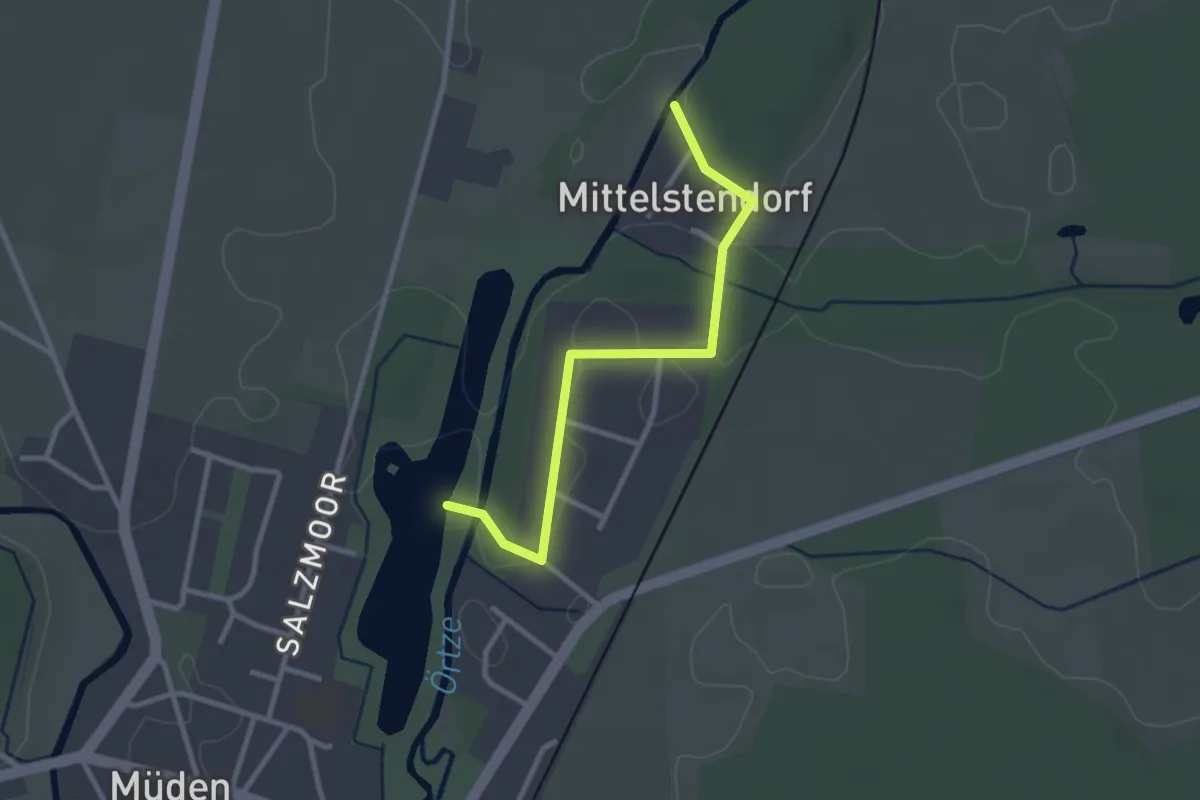
Easy · Trail
Umleitung des Heidschnuckenwegs auf Etappe 9
2.4 km · ↑ 5 m · 35 min
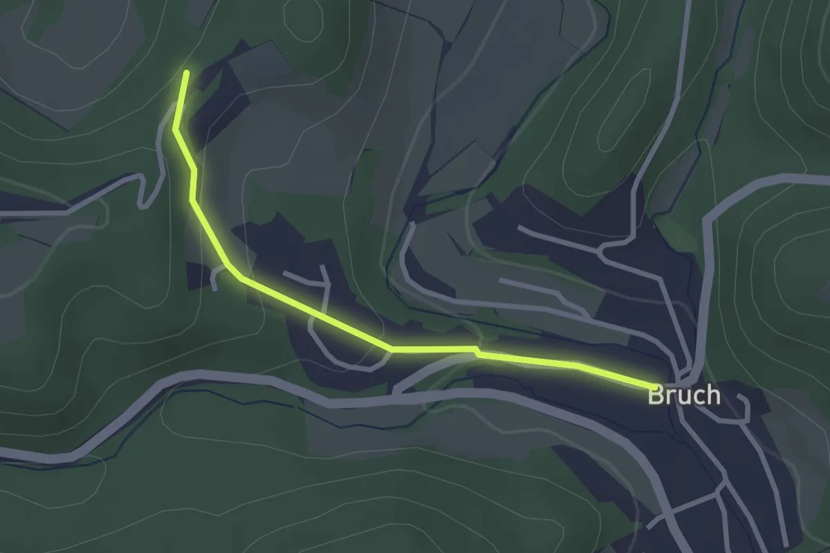
Easy · Trail
Umleitung Eifelsteig in Bruch
2.3 km · ↑ 78 m · 43 min
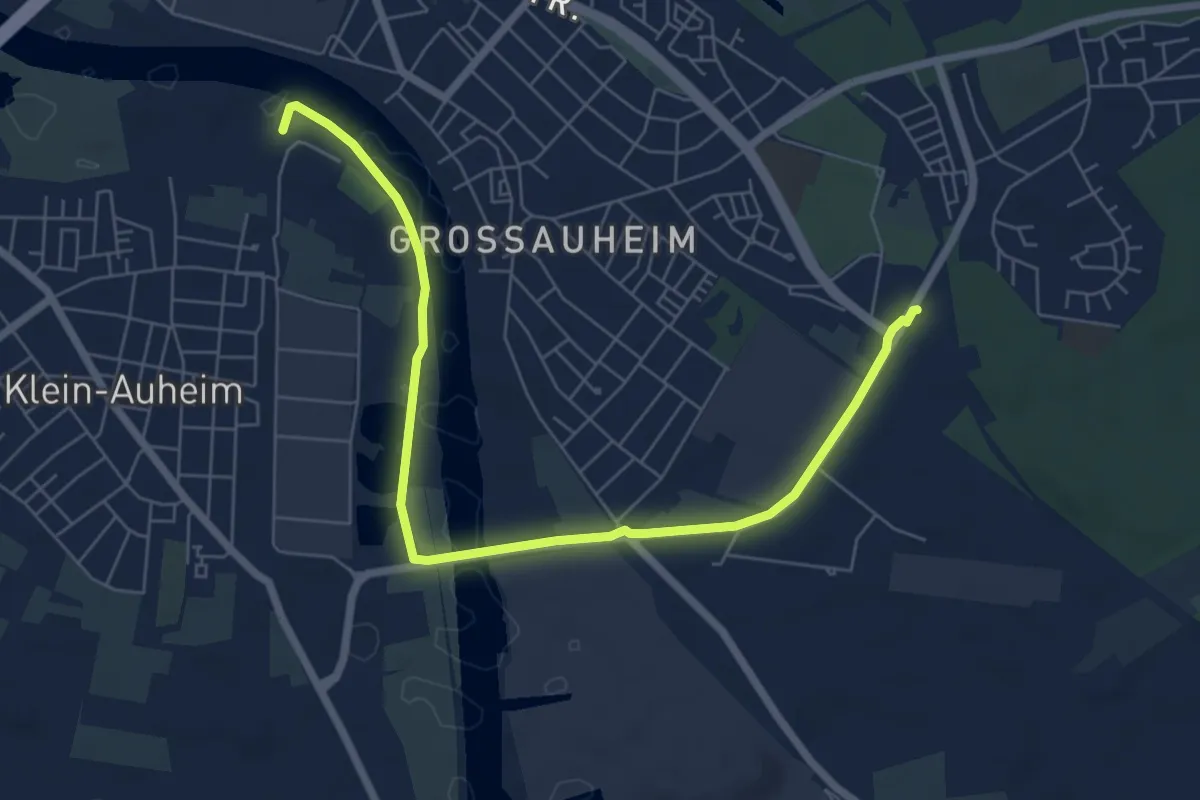
Easy · Trail
Umleitung Gebietswanderweg Steinheim - Großauheim
7.1 km · ↑ 13 m · 1 h 42 min
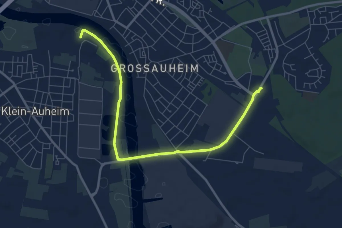
Easy · Trail
Umleitung Hessenweg H2
7.1 km · ↑ 13 m · 1 h 42 min
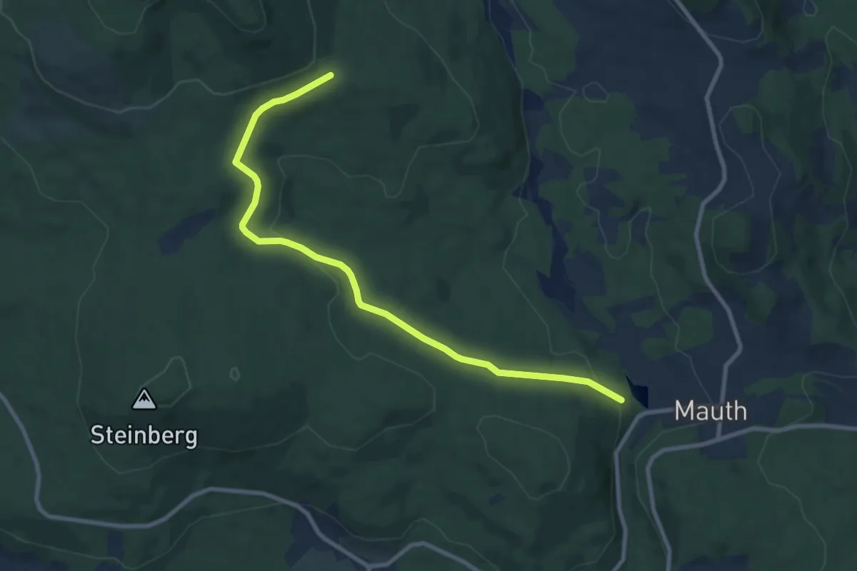
Medium · Trail
Umleitungsstrecke für Wildschutzgebiet um die Steinbachklause.
8.7 km · ↑ 197 m · 2 h 29 min
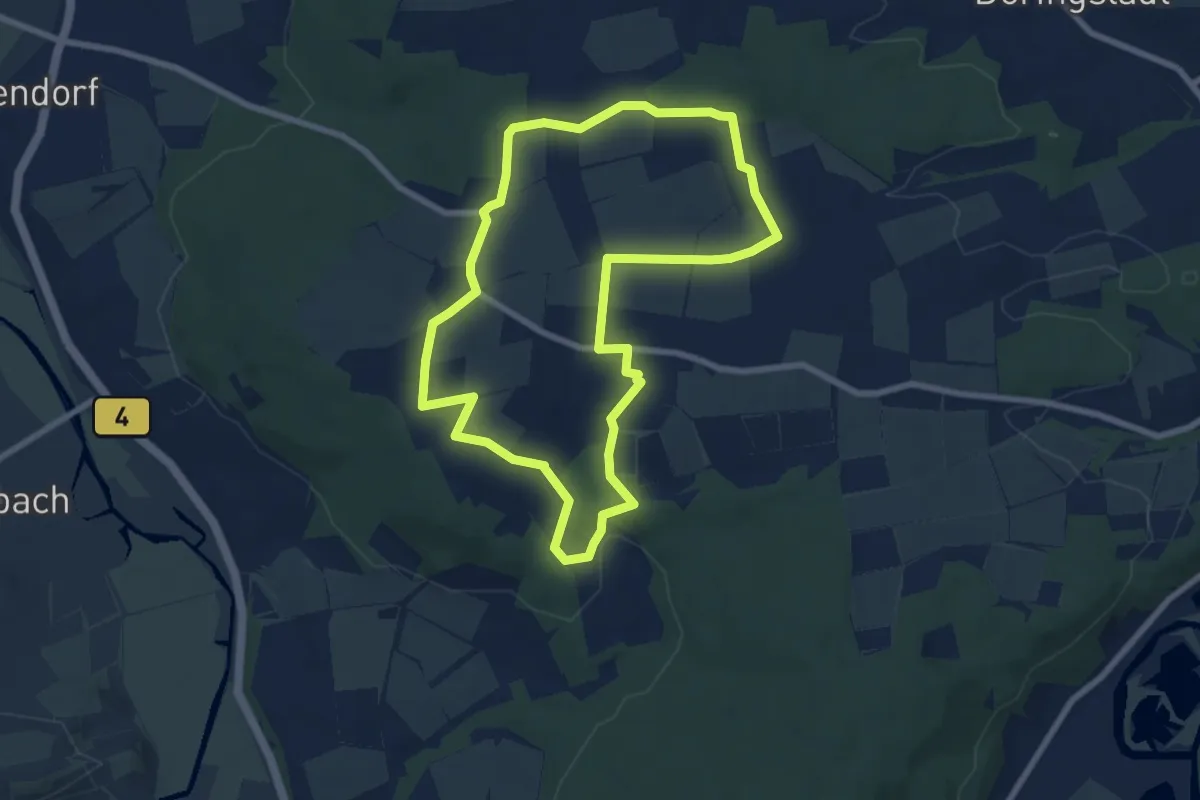
Easy · Trail
Ummersberg Runde
7.0 km · ↑ 106 m · 1 h 59 min
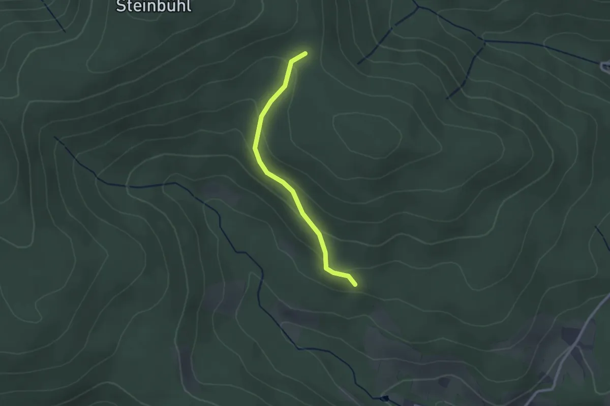
Easy · Trail
Umrankhütte - Hofwald
2.2 km · ↑ 89 m · 42 min
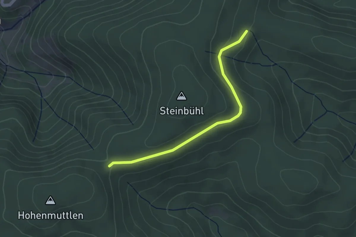
Easy · Trail
Umrank - Sandboden
3.3 km · ↑ 42 m · 52 min
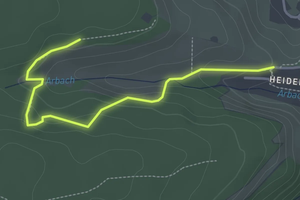
Easy · Trail
Umsetzer Süd - Feldkreuz Hart
3.0 km · ↑ 108 m · 56 min
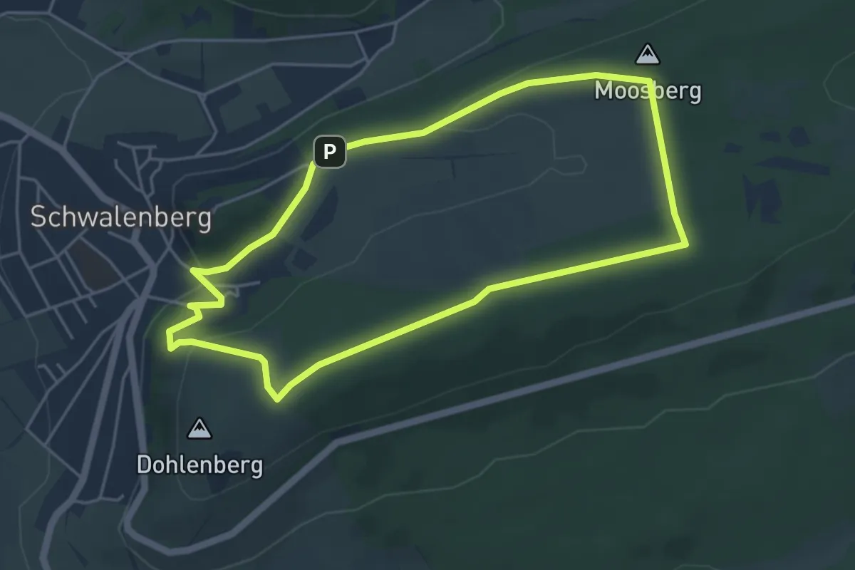
Easy · Summit
Um's Hoffeld A4
4.0 km · ↑ 99 m · 1 h 12 min
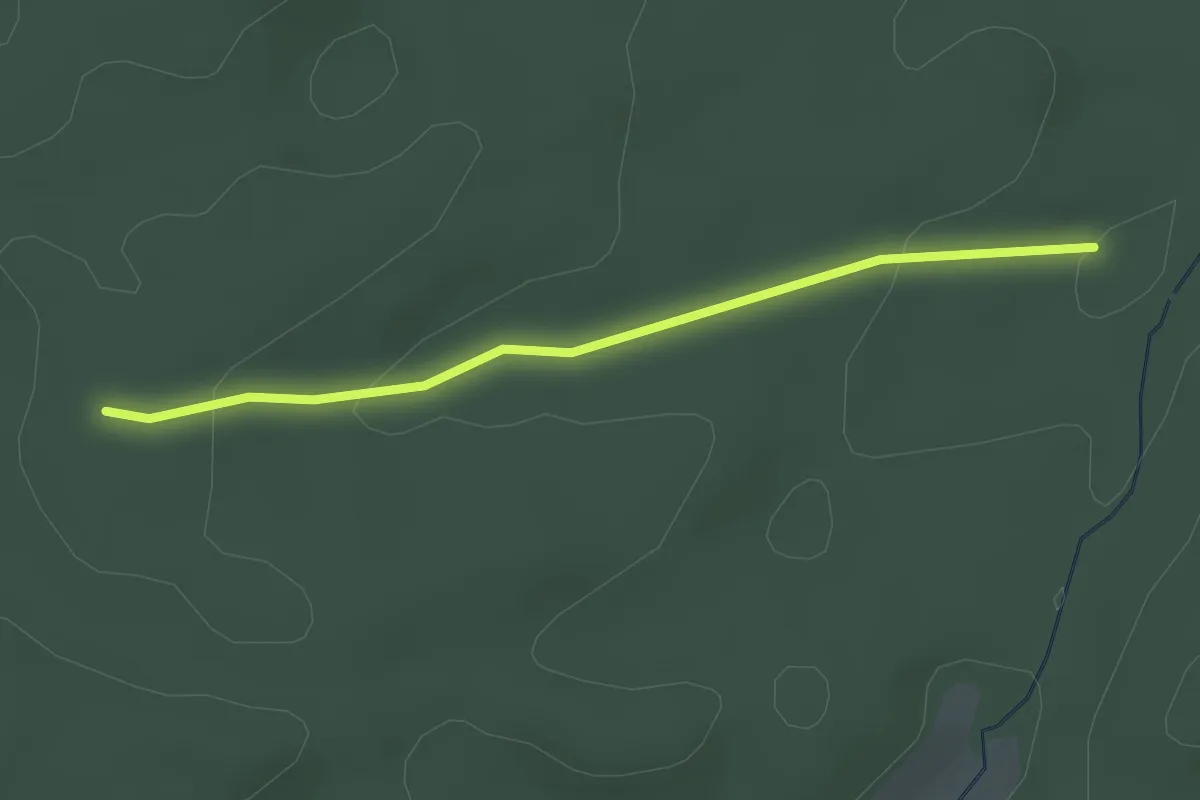
Easy · Trail
Um's rauhe Gehau
2.4 km · ↑ 55 m · 41 min
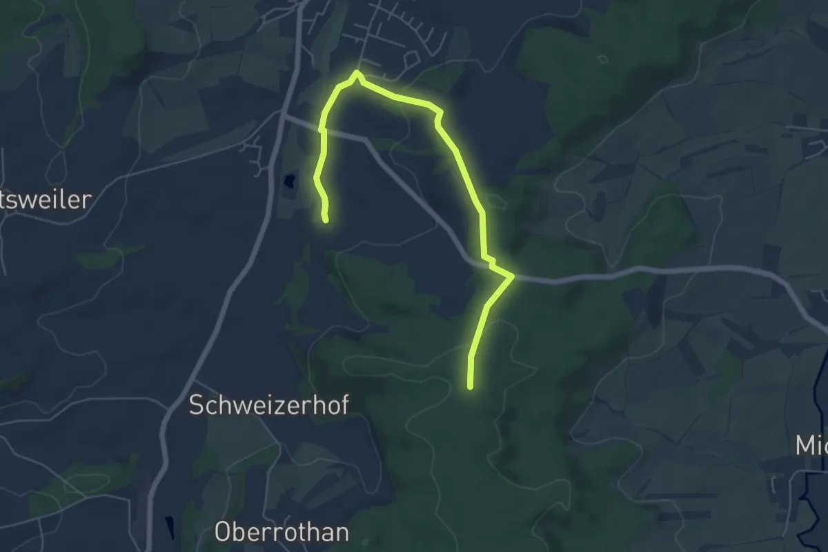
Easy · Trail
Um's schweizer Holz
5.8 km · ↑ 106 m · 1 h 36 min