Trails in Germany
36,852 hiking trails, each with its route, climb, walking time and grade.
All trails, page 640 of 768
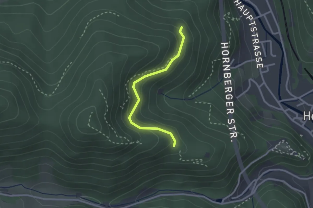
Easy · Trail
Unter der Ziegelkopfschanze - Europakurve
2.0 km · ↑ 171 m · 51 min
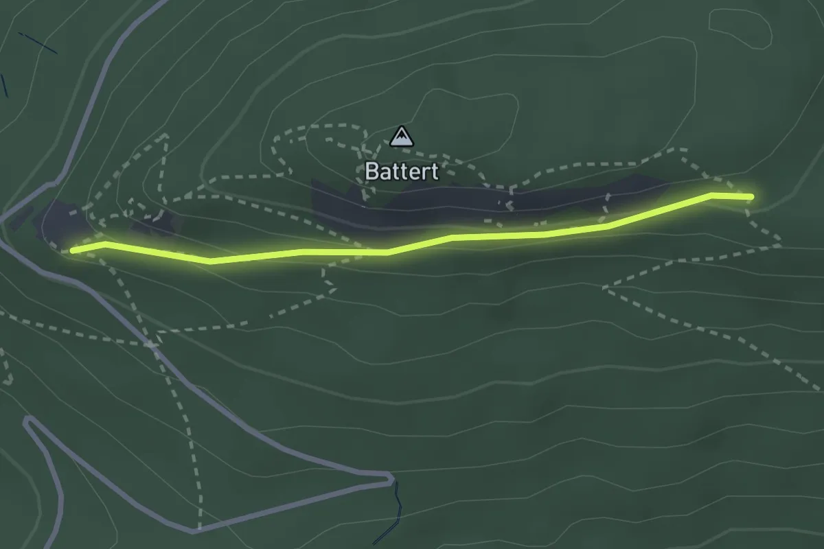
Easy · Trail
Untere Batterthütte - Unterer Felsenweg
2.4 km · ↑ 96 m · 46 min
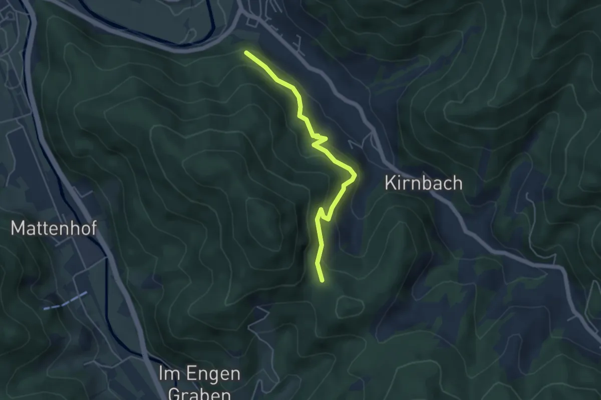
Easy · Trail
Untere Ecke - Baumensteinweg
4.1 km · ↑ 288 m · 1 h 36 min
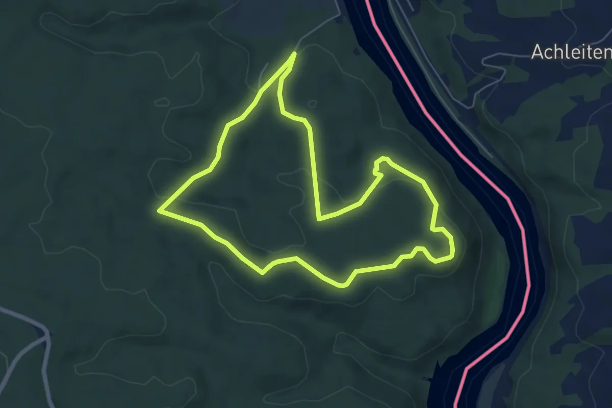
Easy · Trail
Untere Innseite - Ingling
5.5 km · ↑ 125 m · 1 h 39 min
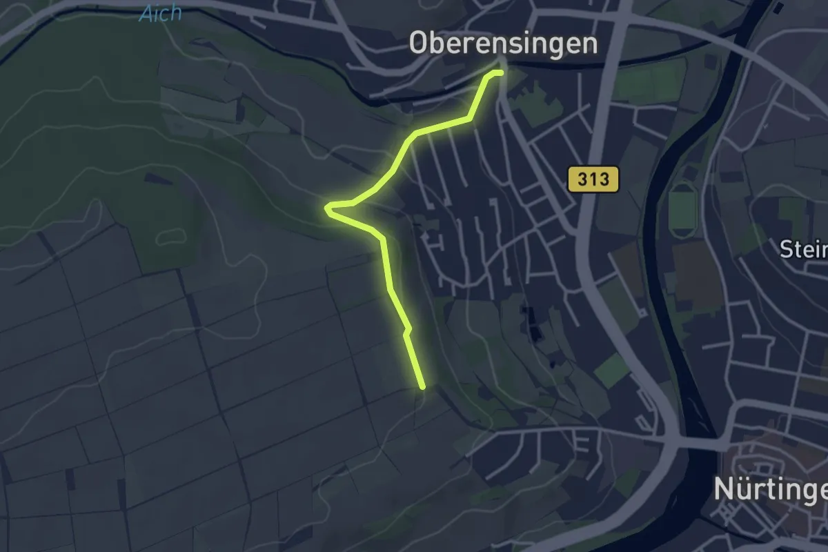
Easy · Trail
Unterensingen - Schillerlinde
2.7 km · ↑ 71 m · 47 min
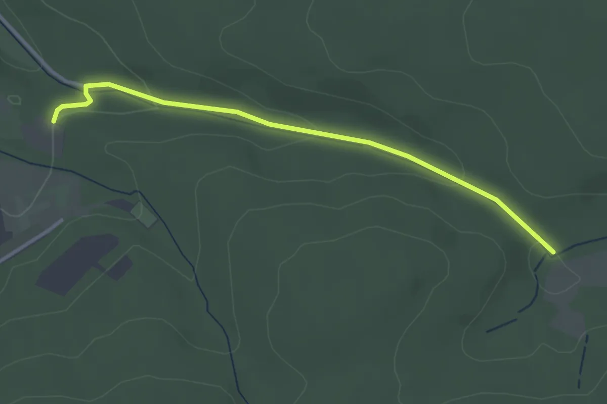
Easy · Trail
Untere Ochsenmatten - Hinterfeld Hubertushof
3.0 km · ↑ 66 m · 51 min
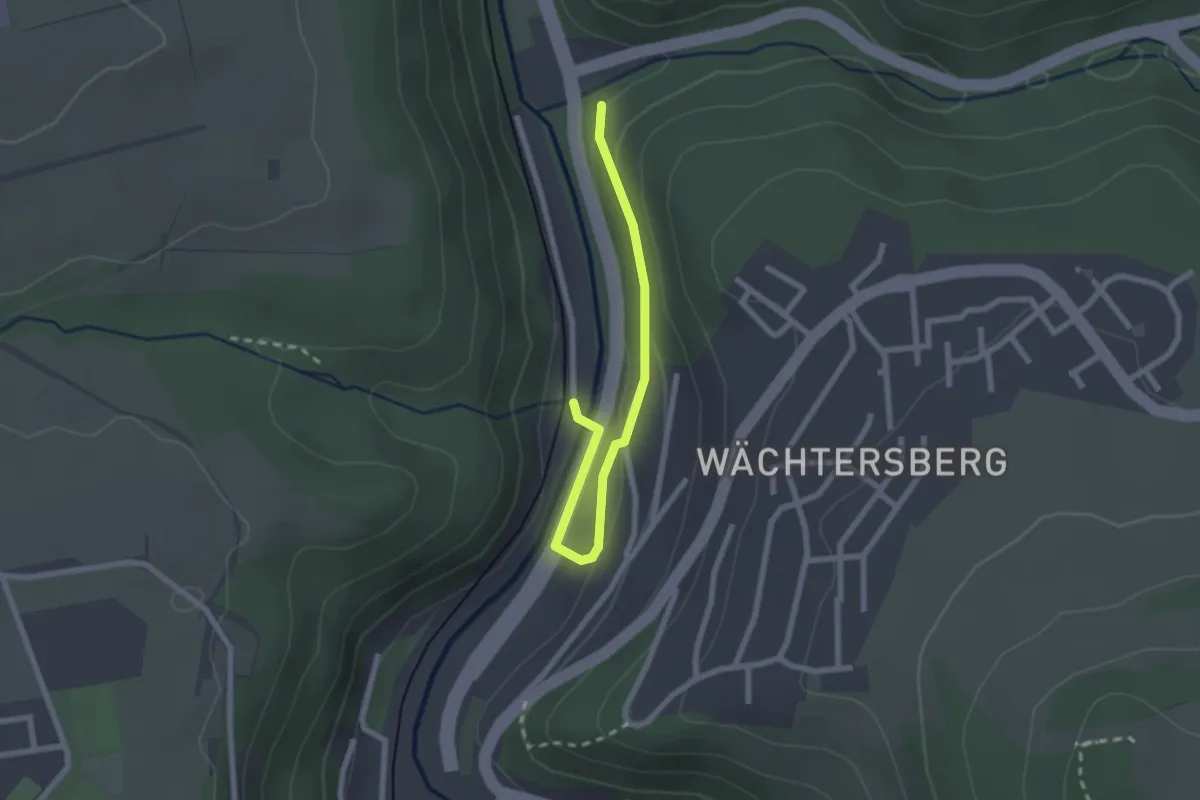
Easy · Trail
Untere Papiermühle - Gutleutbrücke
2.2 km · ↑ 73 m · 41 min
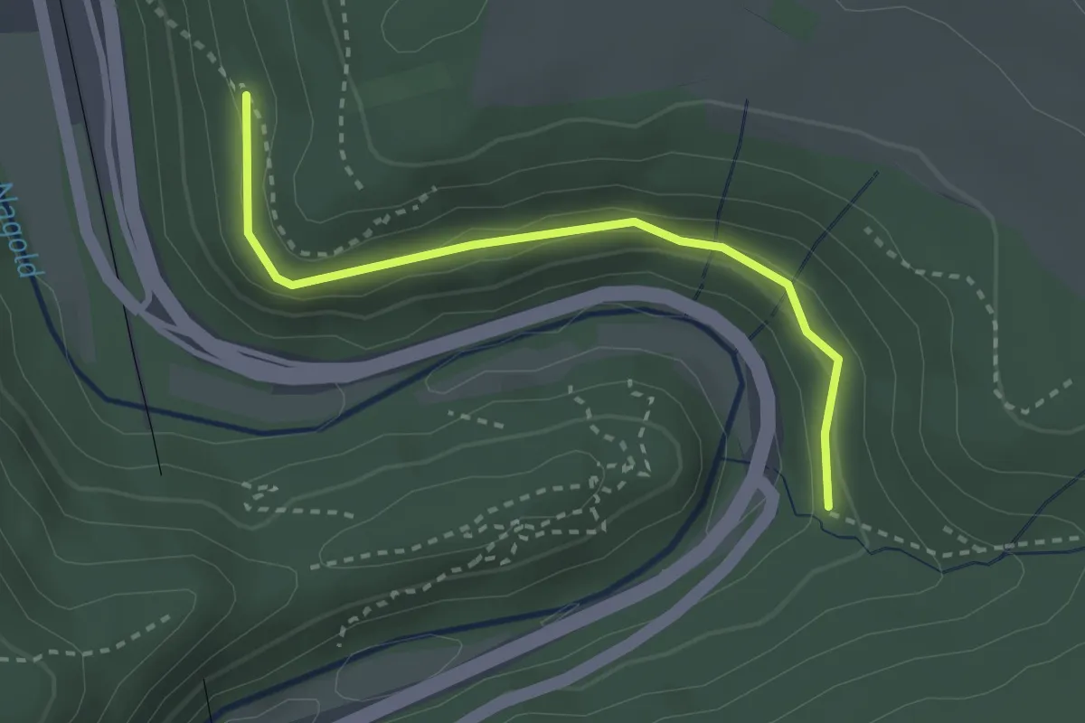
Easy · Trail
Unterer Baiersbach - Totenweg
2.7 km · ↑ 92 m · 50 min
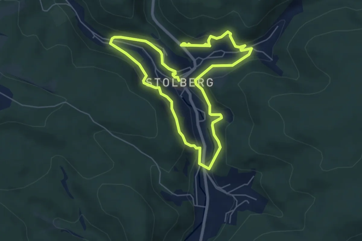
Medium · Trail
Unterer Bandweg
9.2 km · ↑ 289 m · 2 h 48 min
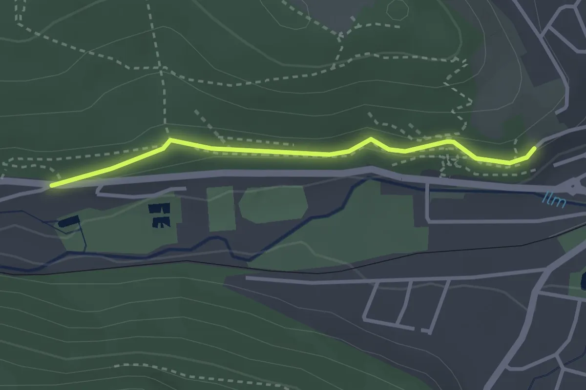
Easy · Trail
Unterer Berggrabenweg
2.4 km · ↑ 42 m · 40 min
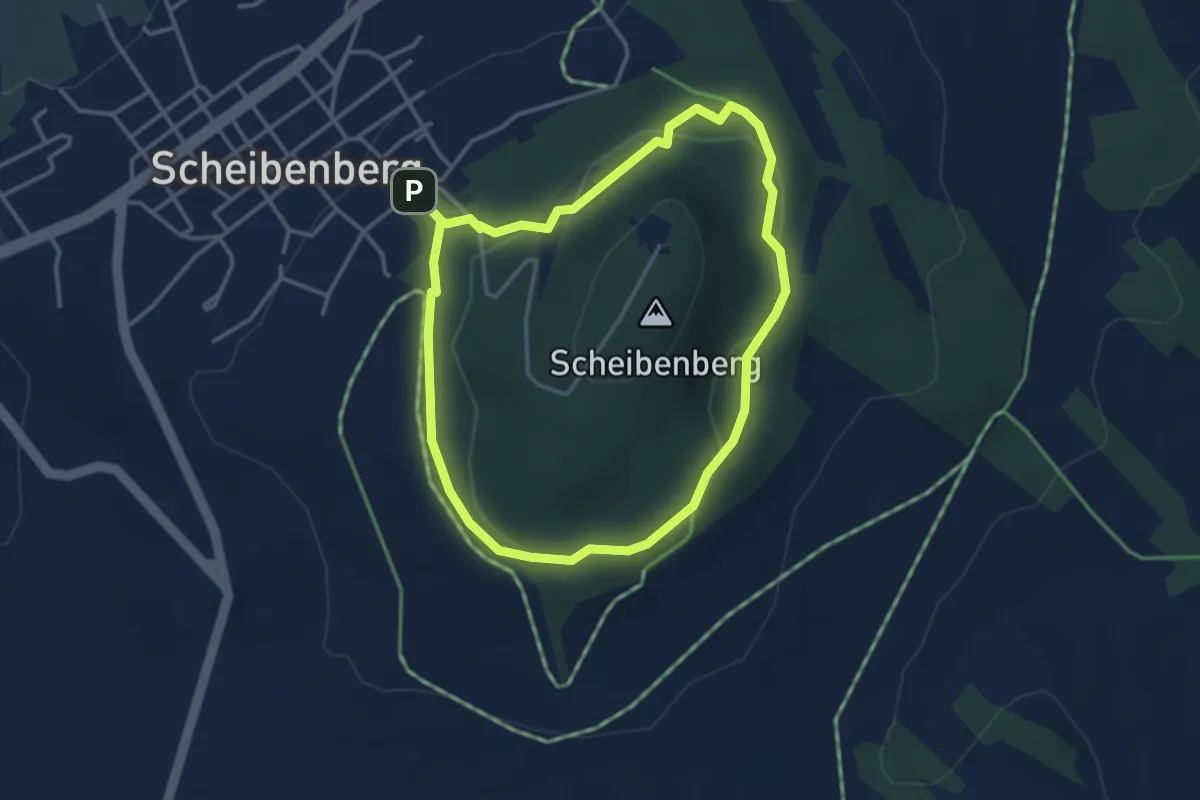
Easy · Trail
Unterer Bergrundgang
3.0 km · ↑ 77 m · 55 min
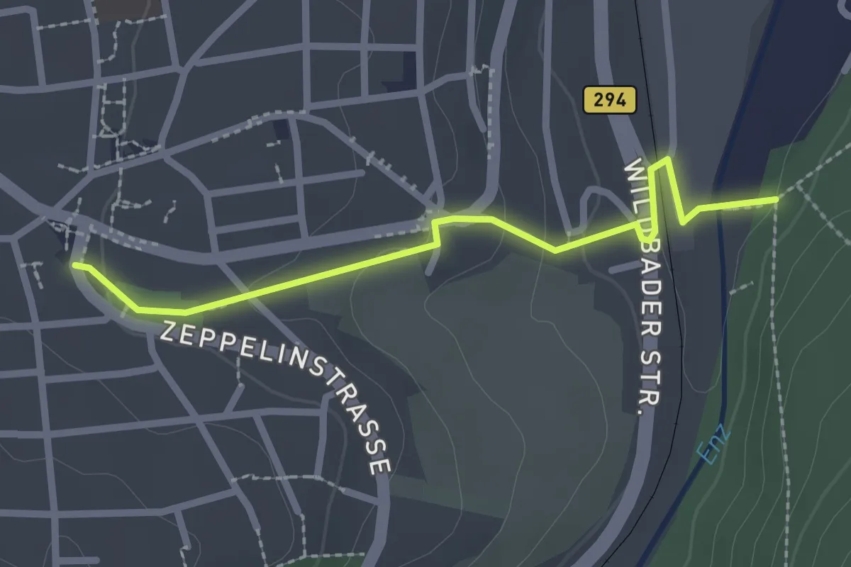
Easy · Trail
Unterer Enzsteg - Birkenfeld Rathaus
2.2 km · ↑ 63 m · 39 min
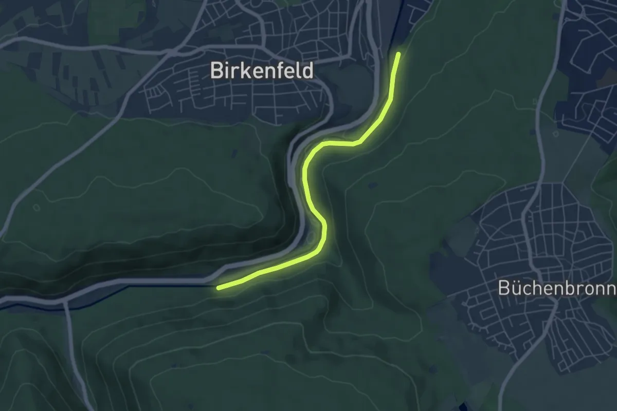
Easy · Trail
Unterer Enzsteg - Oberer Enzsteg
5.2 km · ↑ 75 m · 1 h 23 min
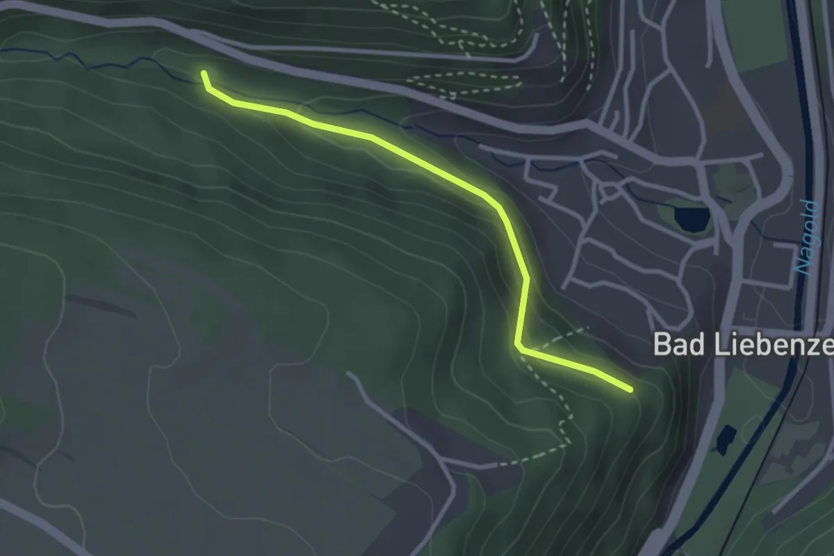
Easy · Trail
Unterer Finkenbergweg - Schönblick
2.6 km · ↑ 112 m · 51 min
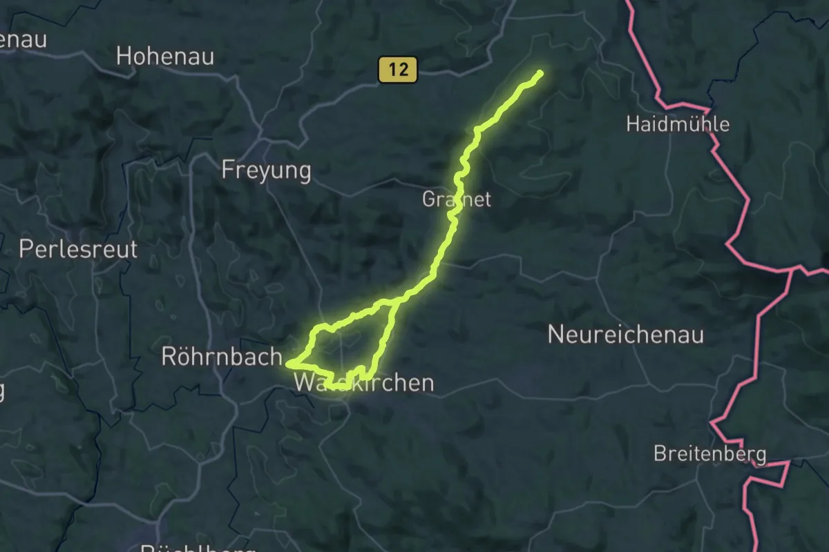
Demanding · Summit
Unterer Goldener Steig
55.3 km · ↑ 1496 m · 16 h 18 min
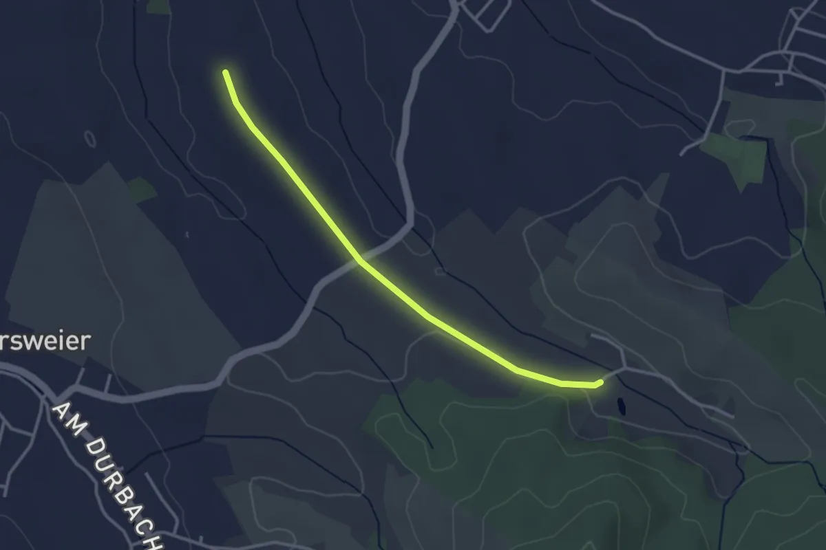
Easy · Trail
Untere Riedhalde - Vor Wiedergrün
3.0 km · ↑ 17 m · 44 min
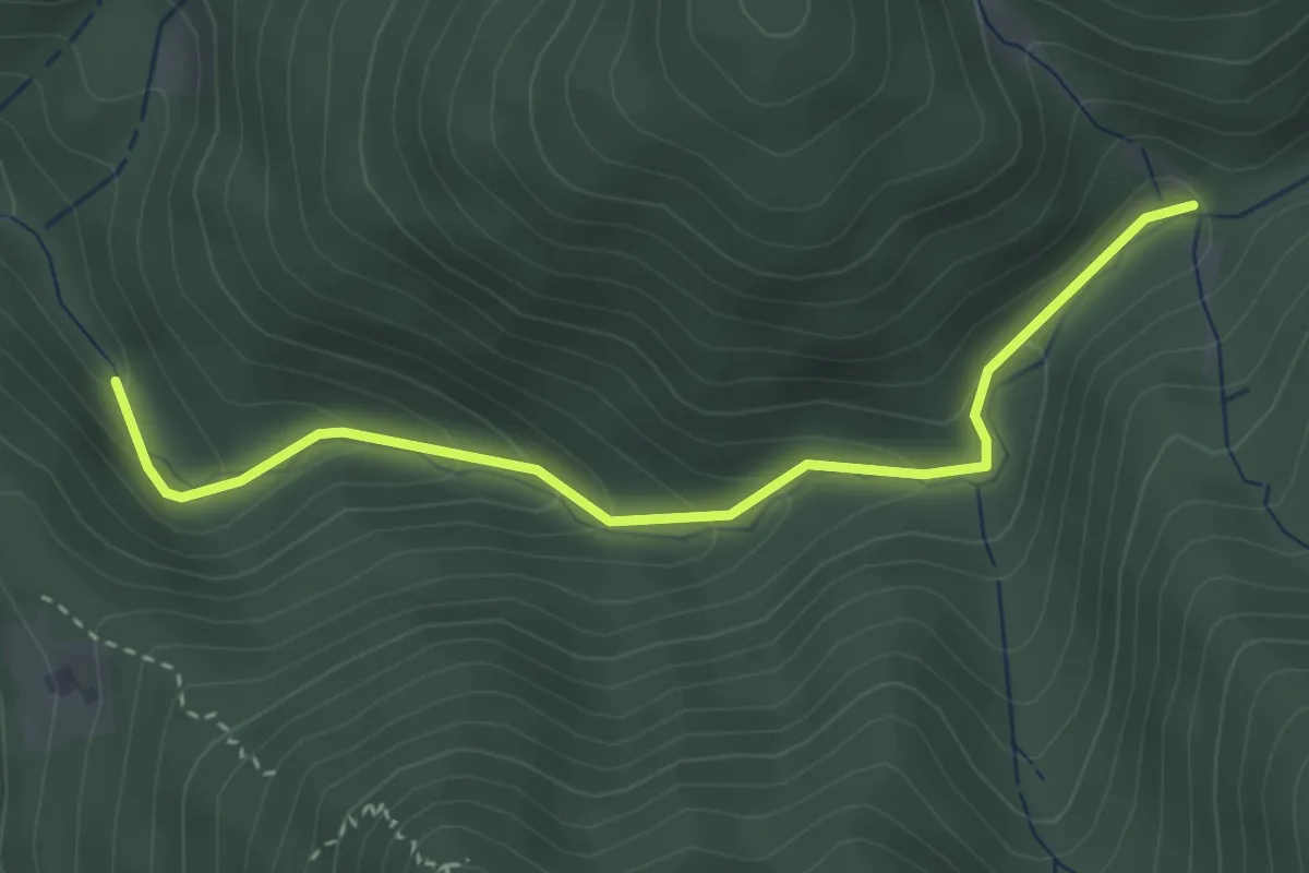
Easy · Trail
Unterer Kilpen - Kilpachtal Herrengartenweg
3.3 km · ↑ 215 m · 1 h 15 min
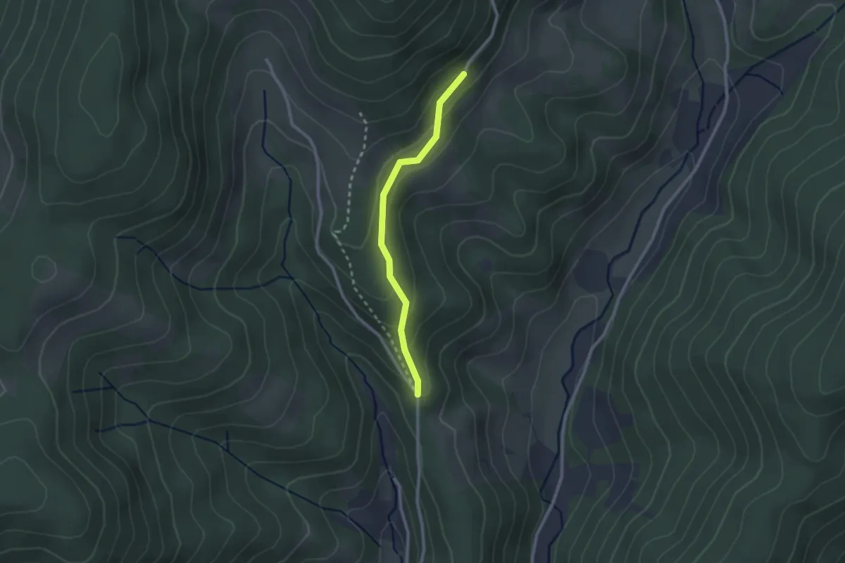
Easy · Trail
Unterer Neuenbach - Mittlere Rautsch
2.1 km · ↑ 148 m · 49 min
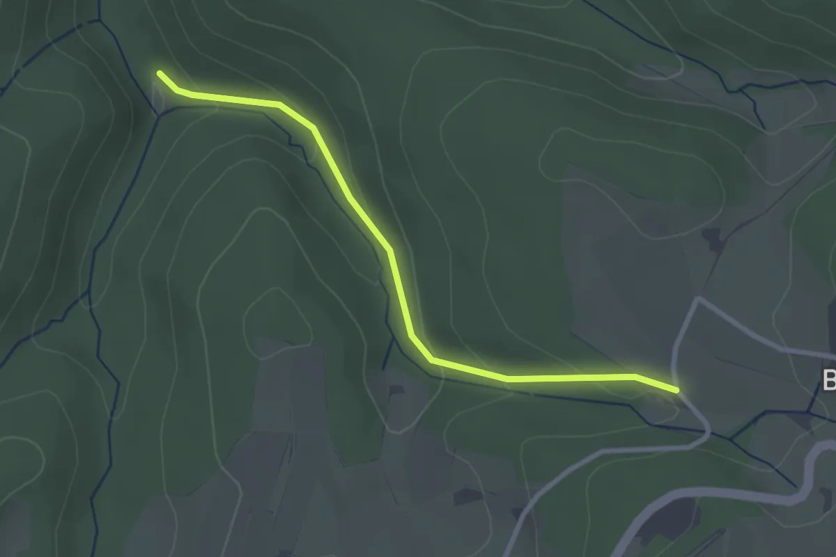
Easy · Trail
Untere Rostmühle - Breite
2.6 km · ↑ 120 m · 53 min
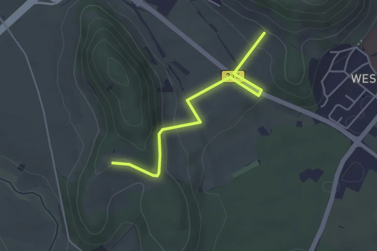
Easy · Trail
Unterer Plören - Weingut Vollmayer
3.6 km · ↑ 91 m · 1 h 3 min
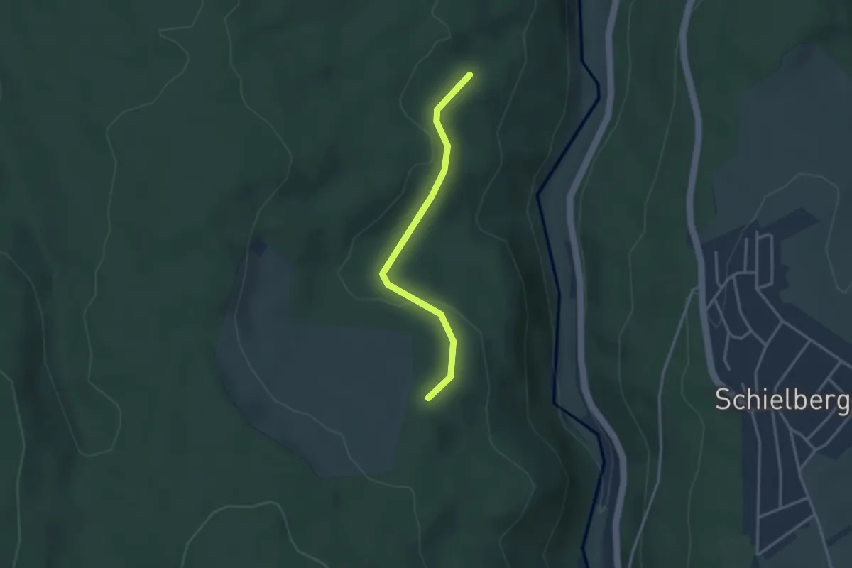
Easy · Trail
Unterer Riesberg - Küblerschlag
2.7 km · ↑ 67 m · 46 min
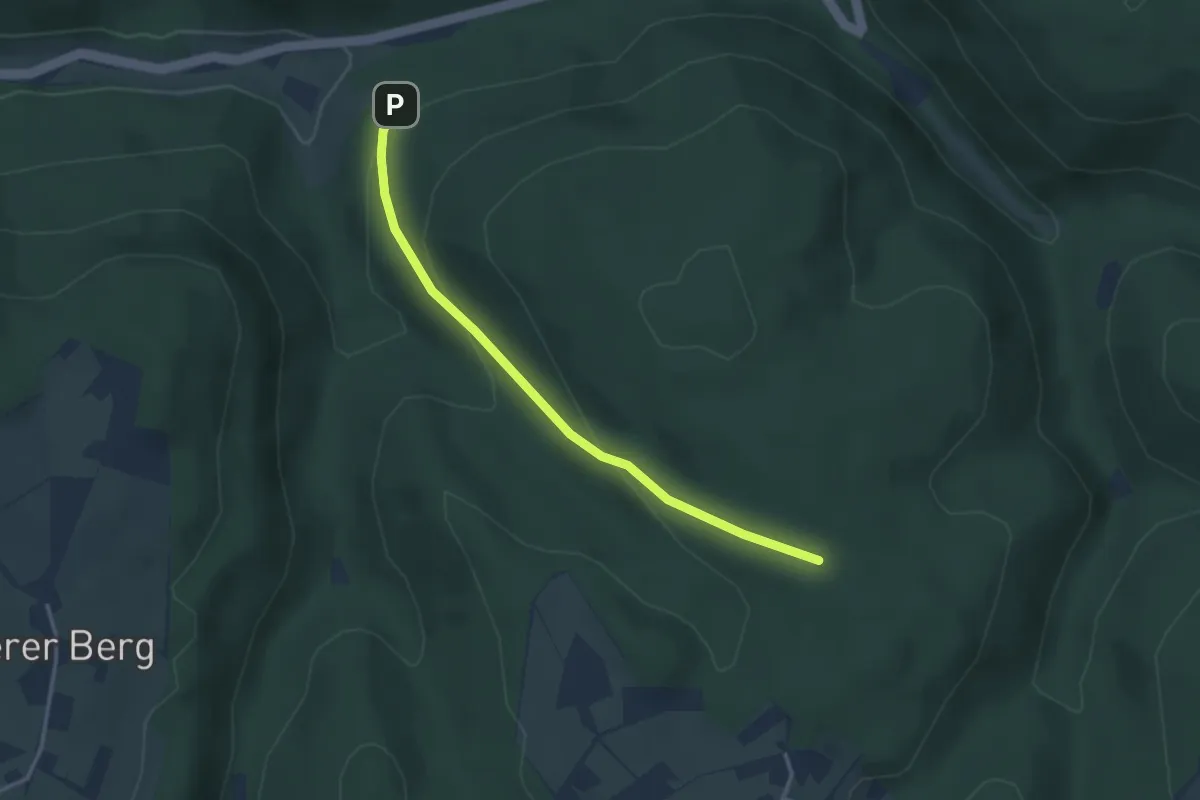
Easy · Trail
Unterer Rollberg - Rollberg
3.1 km · ↑ 139 m · 1 h 1 min
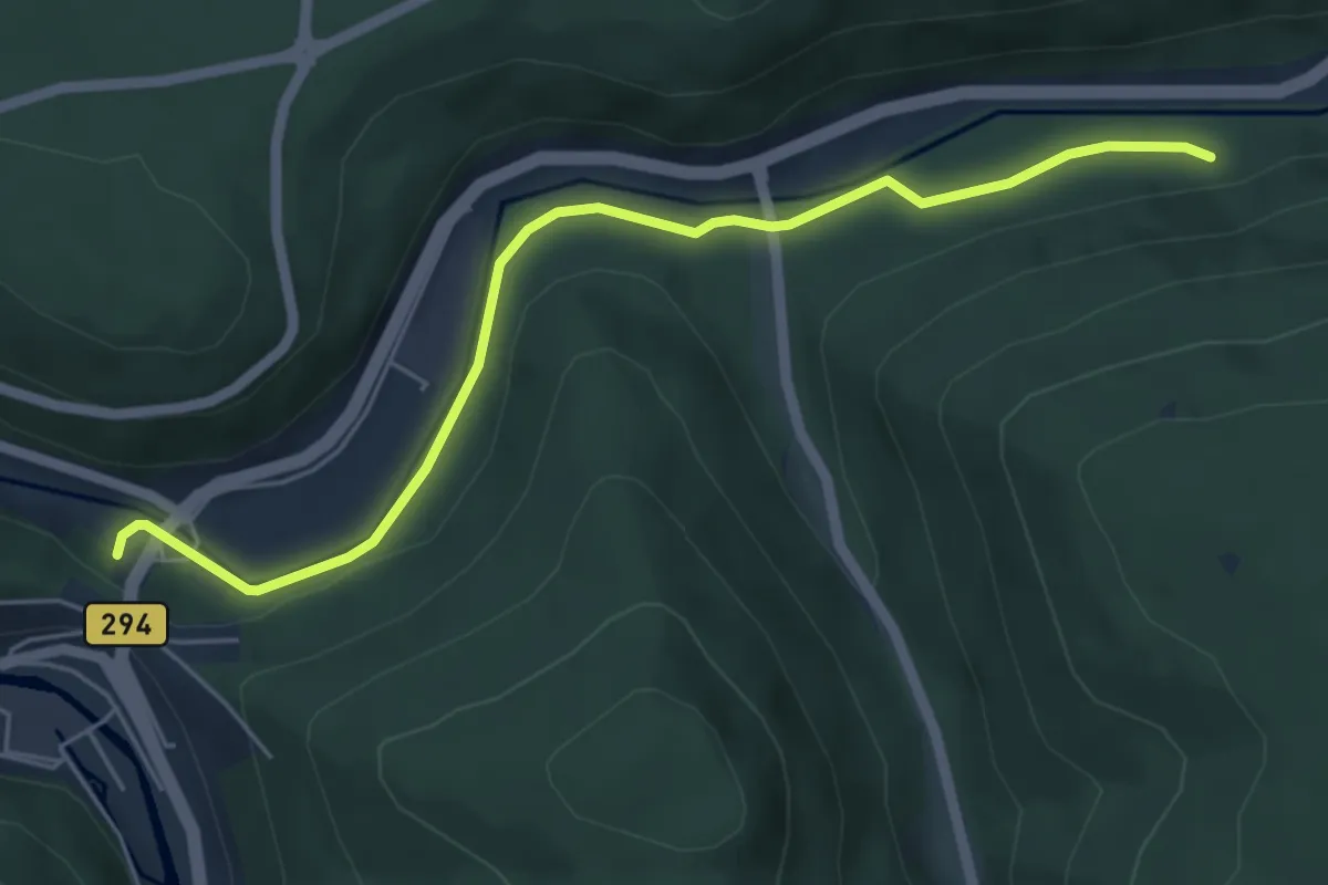
Easy · Trail
Unterer Sauberg - Neuenbürg Eisenbahnbrücke
5.3 km · ↑ 79 m · 1 h 25 min
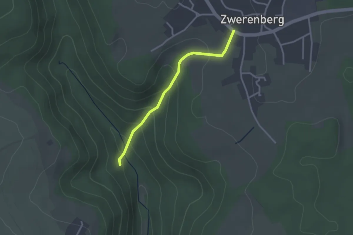
Easy · Trail
Unterer Schloßberg - Zwerenberg Ochsen
2.2 km · ↑ 117 m · 47 min
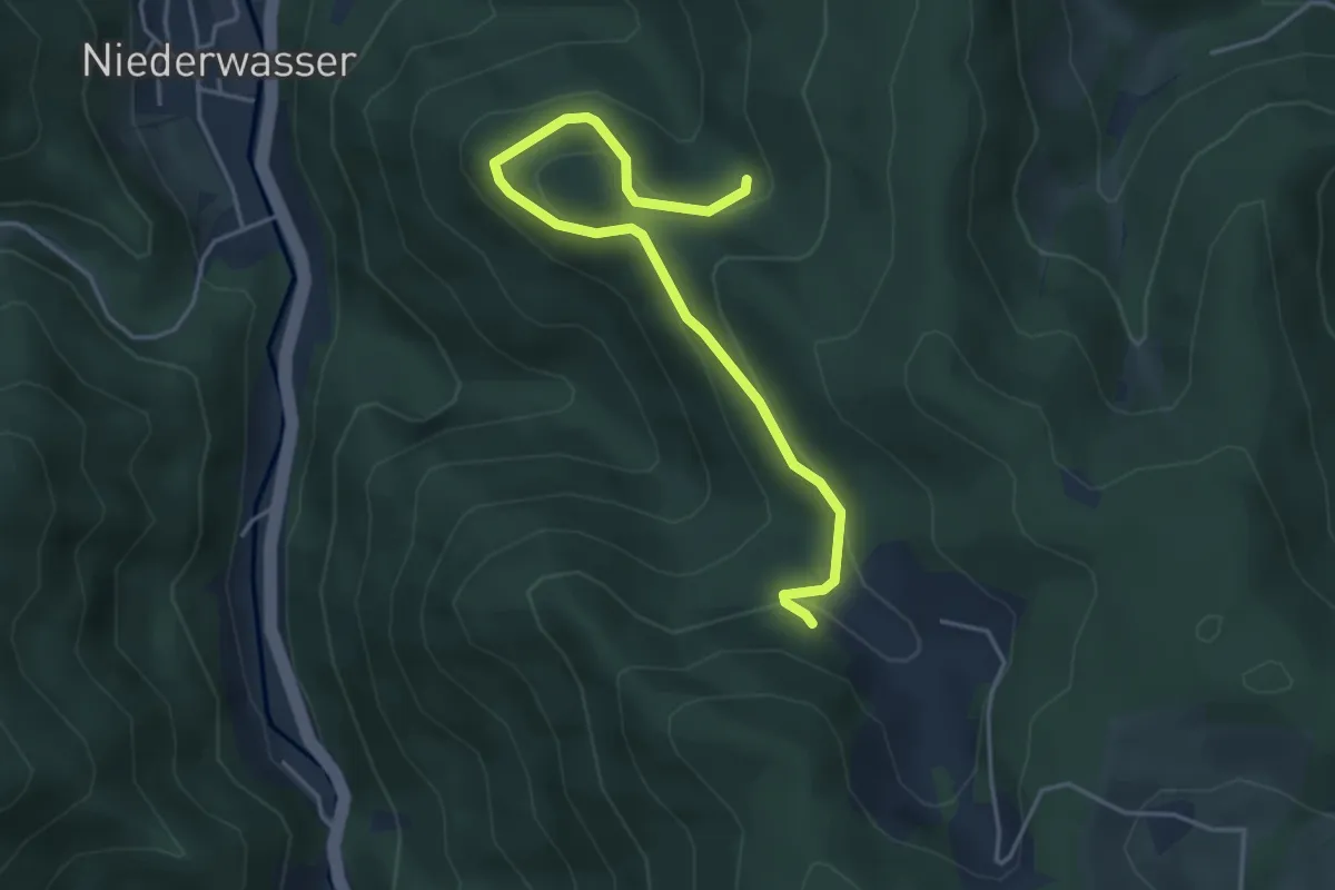
Easy · Trail
Unterer Schloßfelsen - Bertaquelle
4.4 km · ↑ 185 m · 1 h 26 min
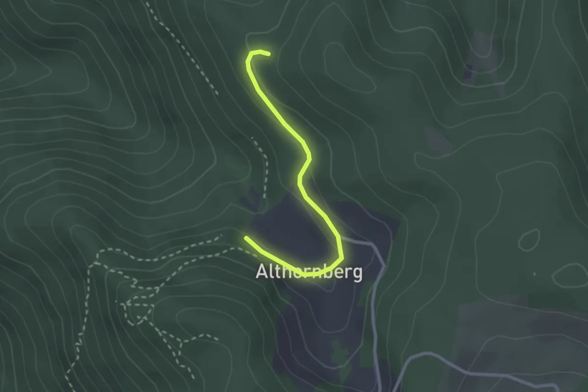
Easy · Trail
Unterer Schloßfelsen - Hornberger Höhe
2.2 km · ↑ 62 m · 39 min
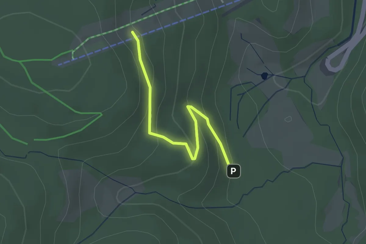
Easy · Trail
Unterer Skiliftparkplatz - Am Skilifthang
2.3 km · ↑ 152 m · 53 min
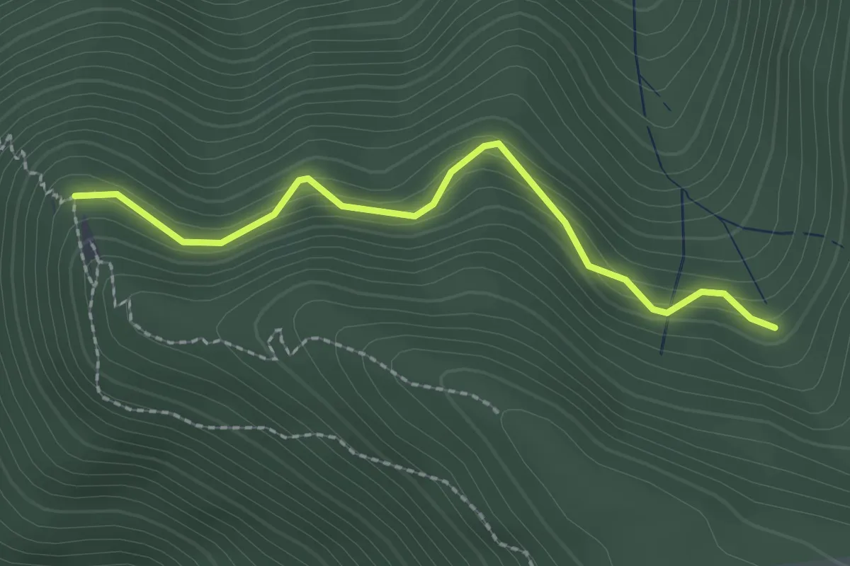
Medium · Trail
Unterer Spitzer Stein - Simonsloch
2.1 km · ↑ 213 m · 58 min
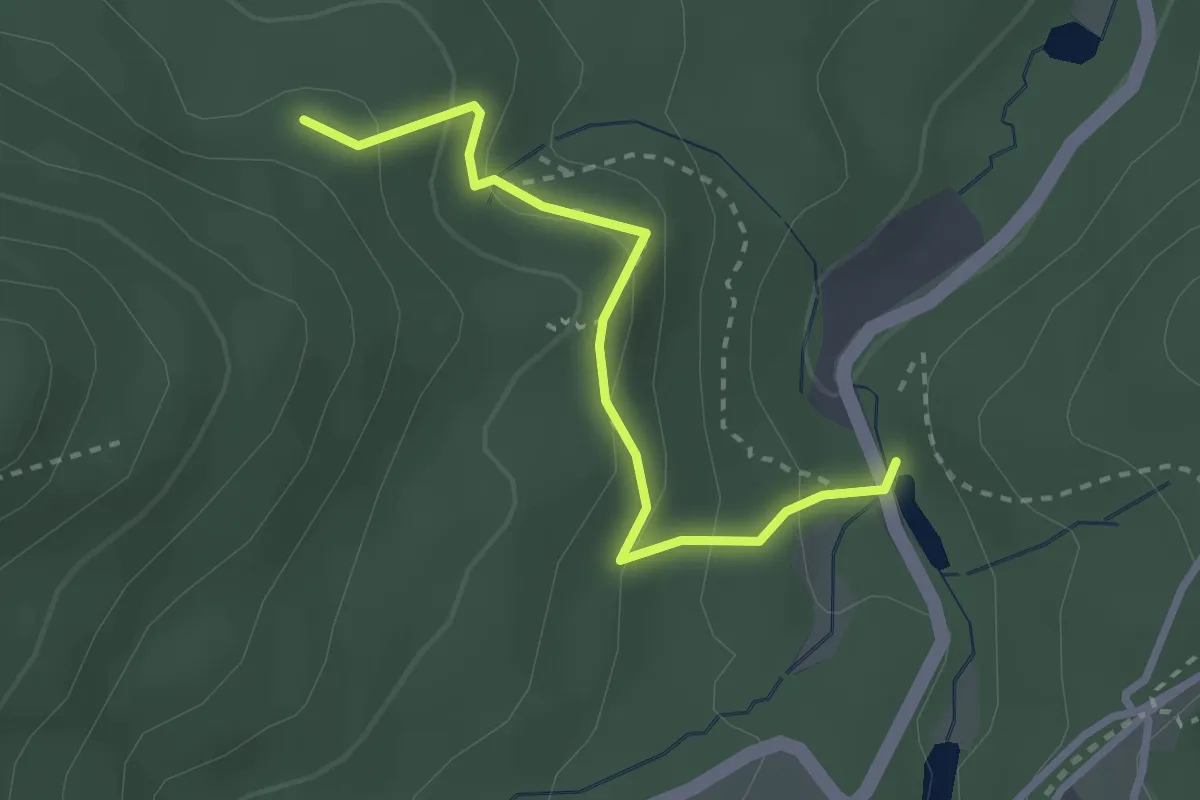
Easy · Trail
Unterer Waldsee - Beim Pulverstein
2.6 km · ↑ 159 m · 57 min
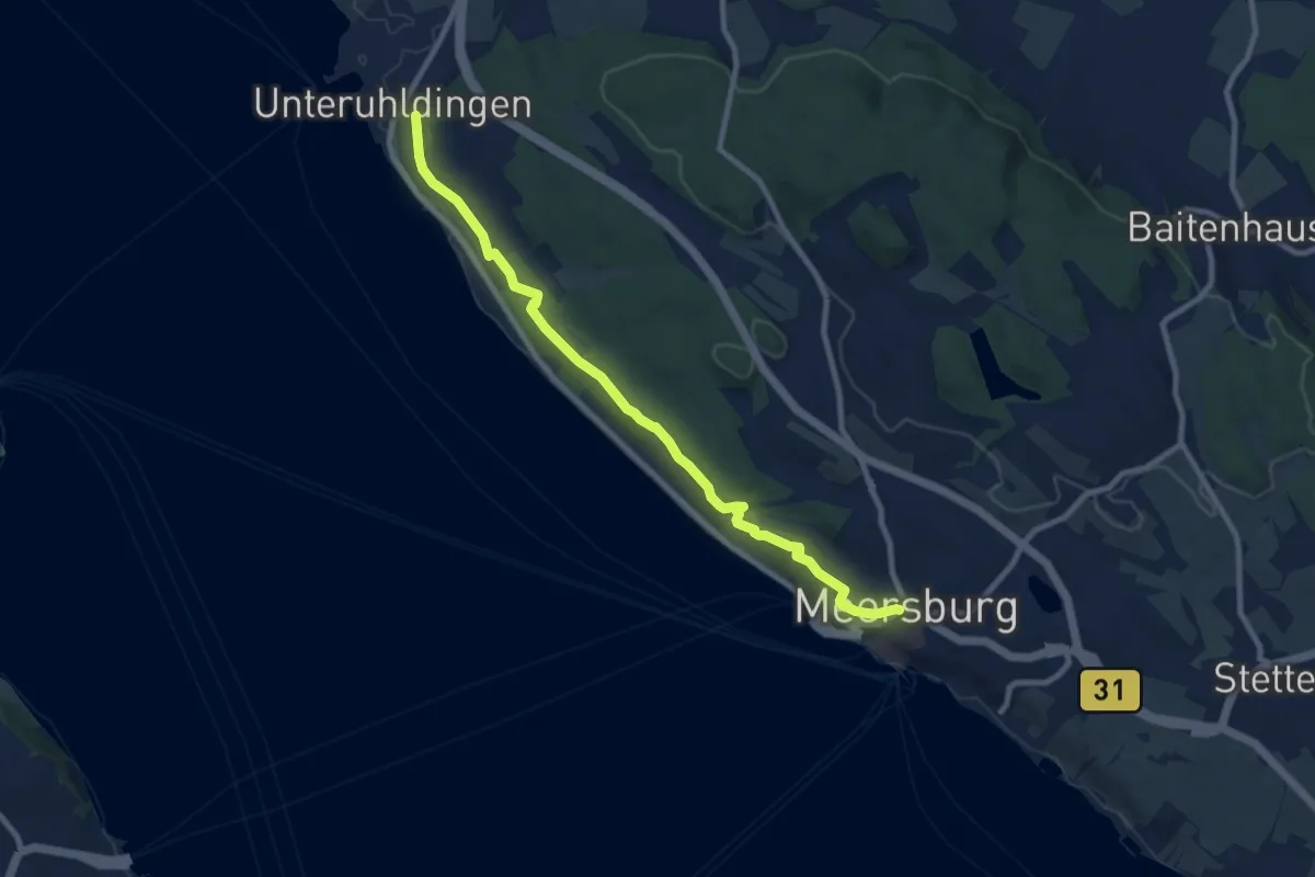
Medium · Trail
Unterer Waldweg
9.2 km · ↑ 138 m · 2 h 29 min
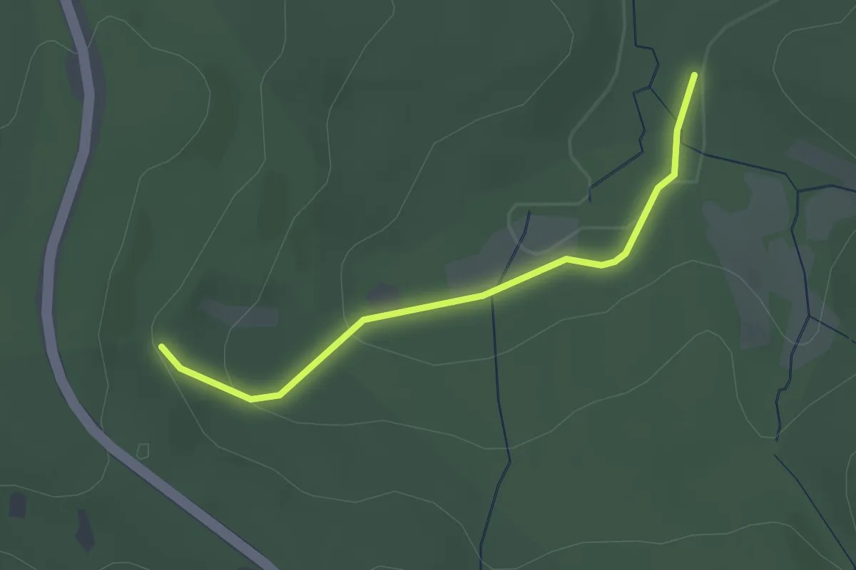
Easy · Trail
Unterer Ziegelwasen - Ziegelwasen
2.3 km · ↑ 59 m · 40 min
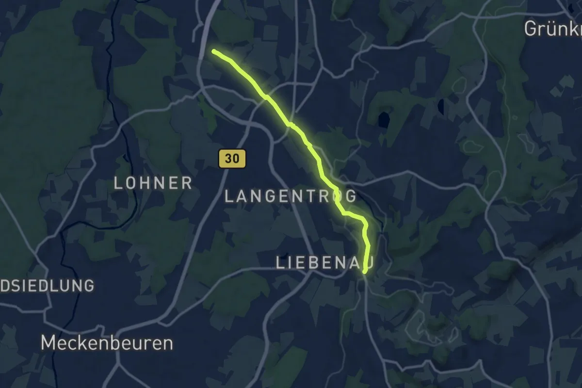
Medium · Trail
Untereschach - Madenreute
8.8 km · ↑ 128 m · 2 h 21 min
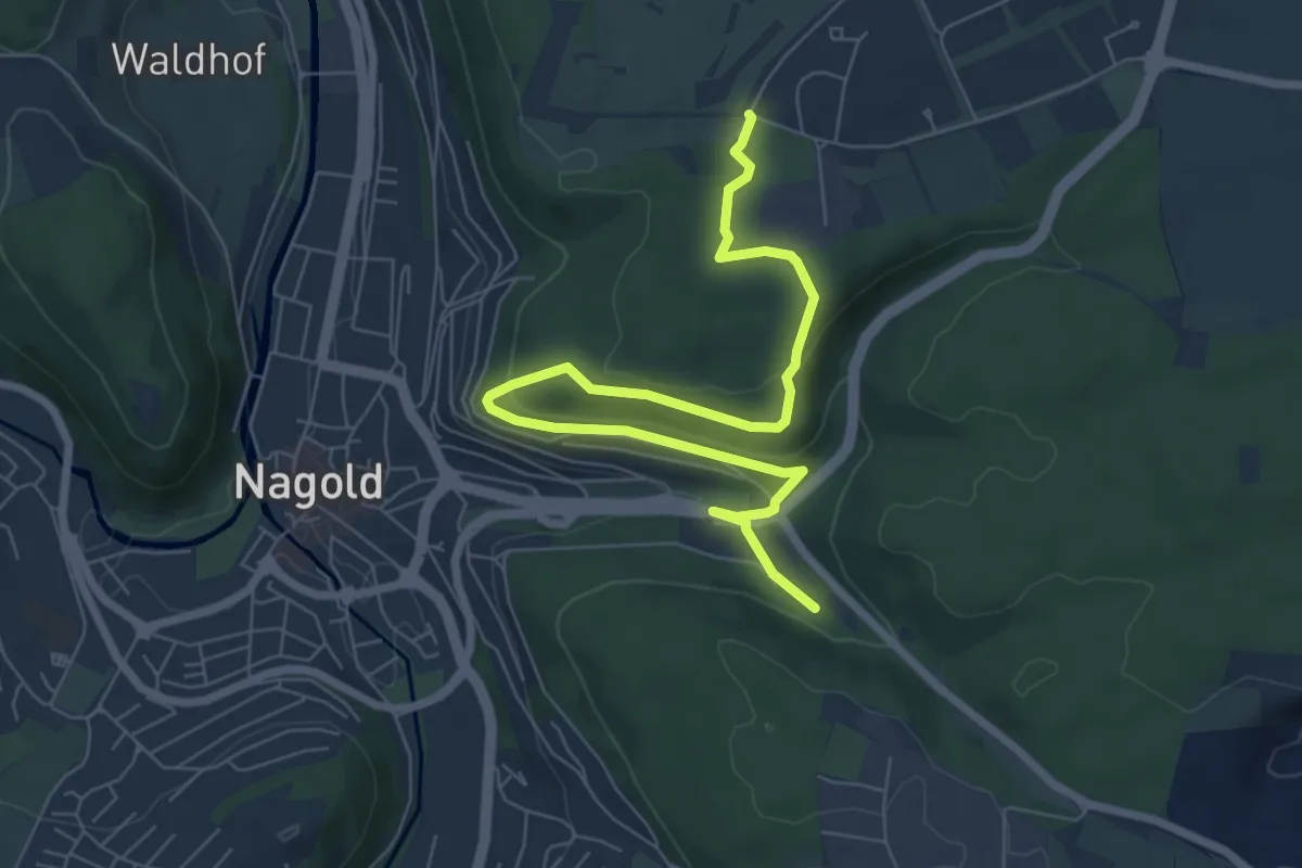
Easy · Trail
Unteres Kreuz - Ehem. Eisberg-Kaserne
7.8 km · ↑ 216 m · 2 h 19 min
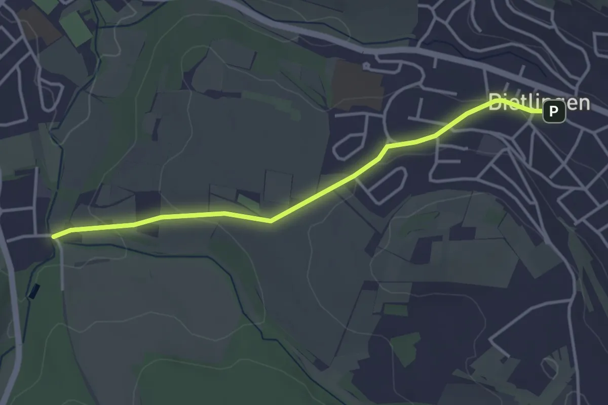
Easy · Trail
Unteres Weitfeld - Dietlingen Poststraße
3.5 km · ↑ 64 m · 57 min
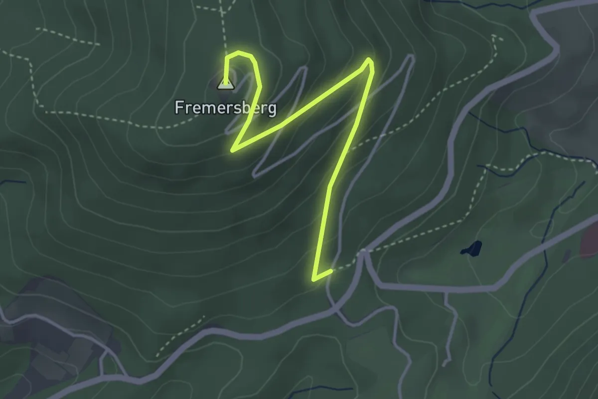
Easy · Summit
Untere Turmstraße - Fremersberg
3.5 km · ↑ 199 m · 1 h 15 min
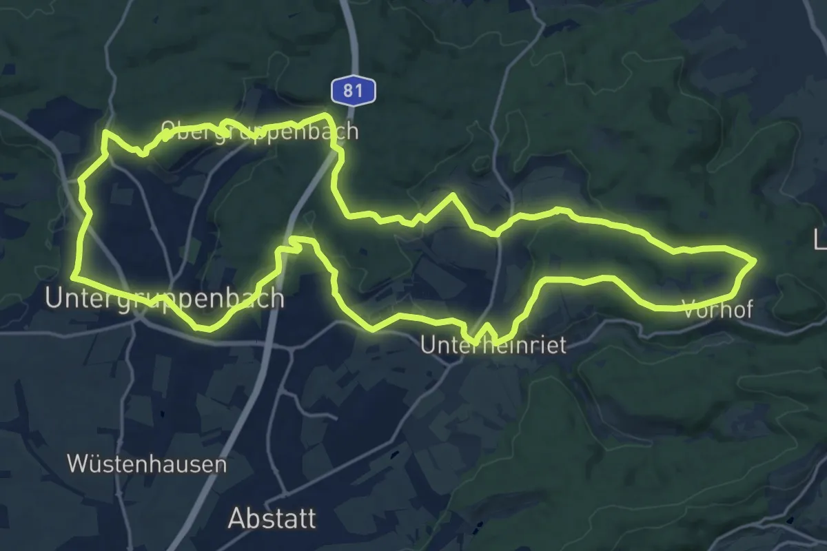
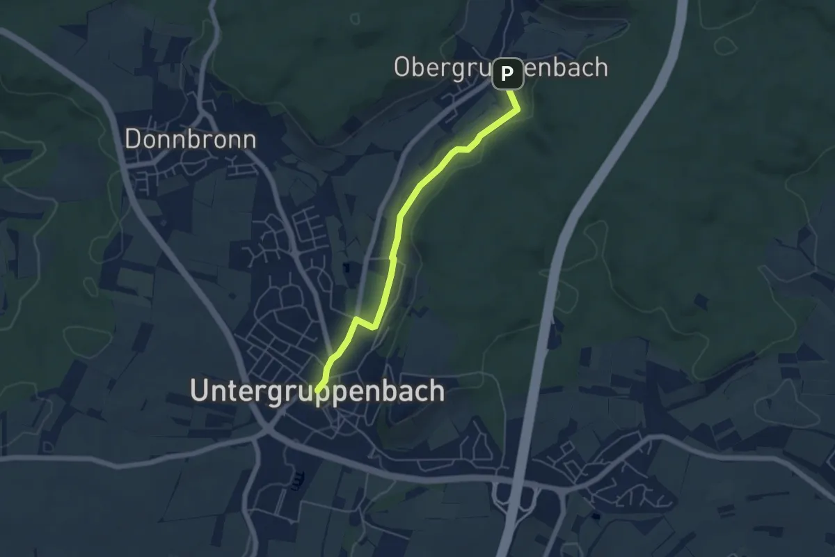
Demanding · Summit
Untergruppenbach Rundwanderweg R
21.1 km · ↑ 378 m · 6 h 6 min
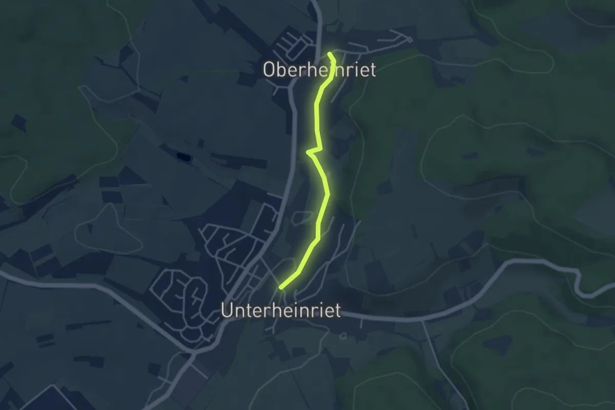
Easy · Trail
Untergruppenbach Rundwanderweg R1
4.6 km · ↑ 43 m · 1 h 11 min
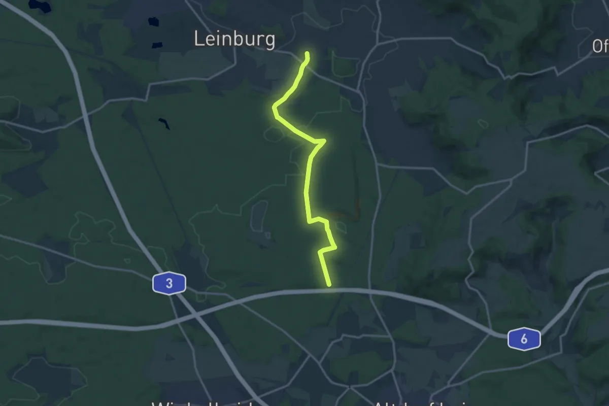
Easy · Trail
Untergruppenbach Rundwanderweg R2
2.9 km · ↑ 8 m · 42 min
Medium · Trail
Unterhaidelbach-Verbindung Dünenweg
11.7 km · ↑ 100 m · 2 h 58 min
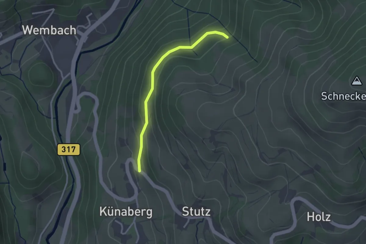
Easy · Trail
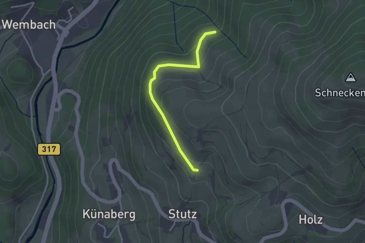
Unterhalb Holzer Kreuz - Oberhalb Künaberg
2.3 km · ↑ 101 m · 46 min
Easy · Trail
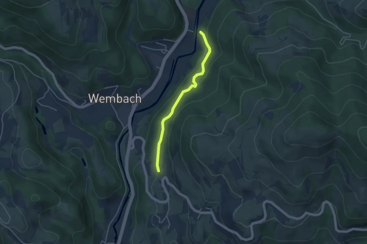
Unterhalb Holzer Kreuz - Wurzen
2.3 km · ↑ 89 m · 45 min
Easy · Trail
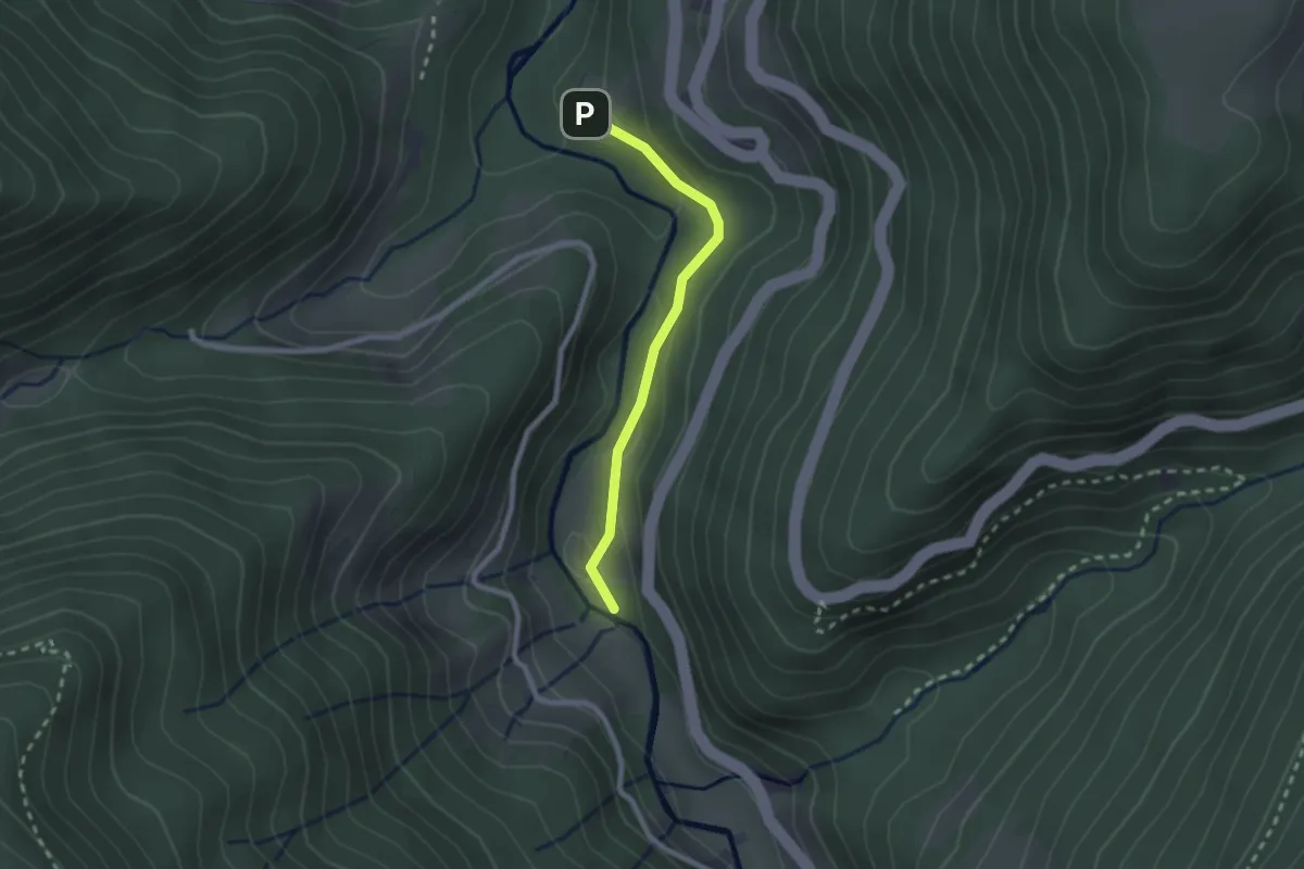
Unterhalb Künaberg - Flüh
3.2 km · ↑ 163 m · 1 h 7 min
Easy · Trail
Unterhalb Sternen - Vitenhof
2.0 km · ↑ 63 m · 37 min
Medium · Trail
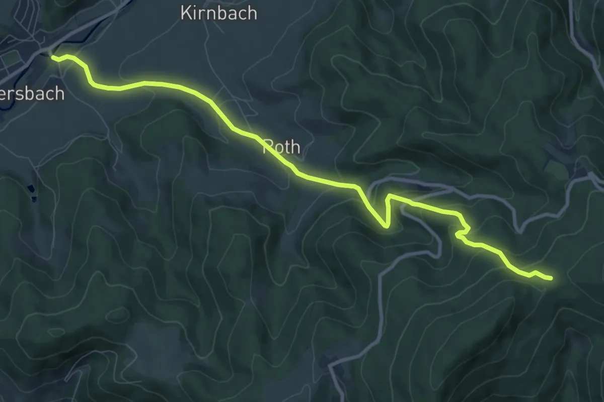
Unterharmersbach - Schwarzenbachsattel
9.9 km · ↑ 545 m · 3 h 31 min
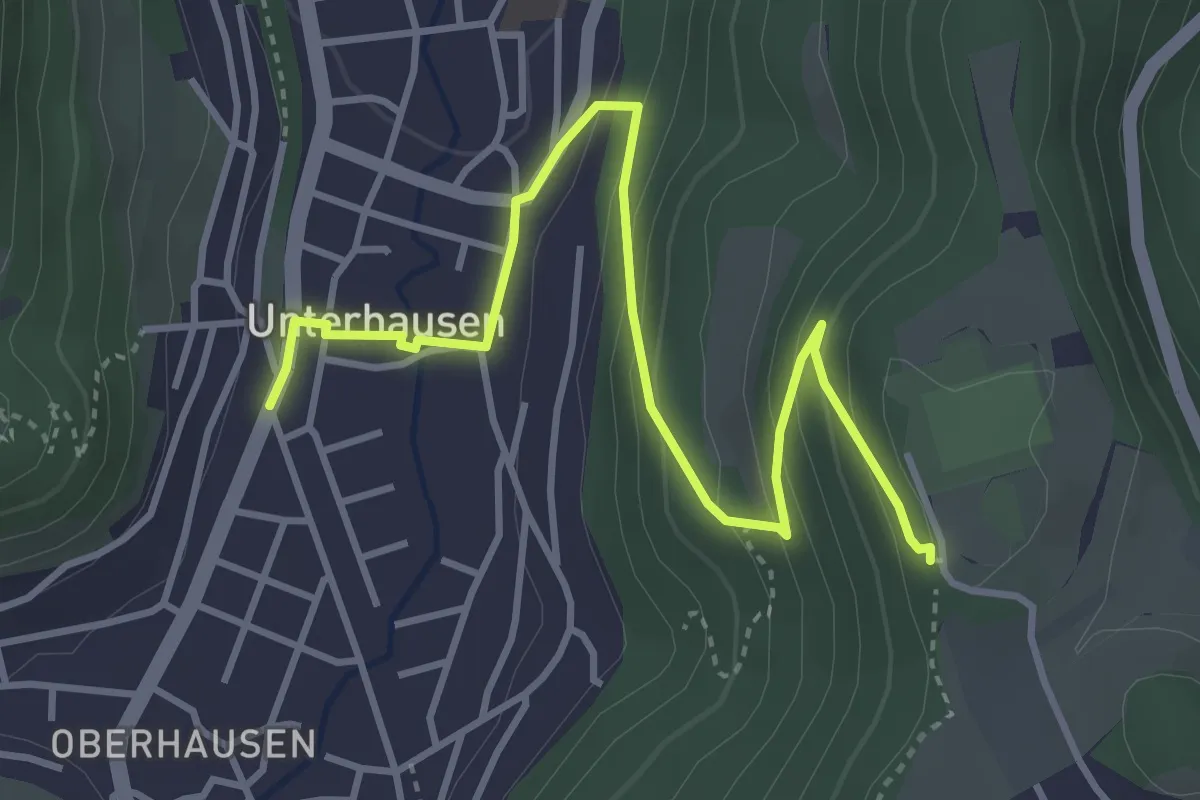
Easy · Trail
Unterhausen-Burgstein
4.2 km · ↑ 227 m · 1 h 29 min
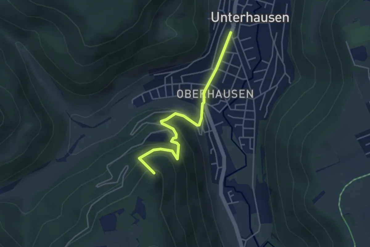
Easy · Summit
Unterhausen - Gießstein
3.7 km · ↑ 250 m · 1 h 25 min
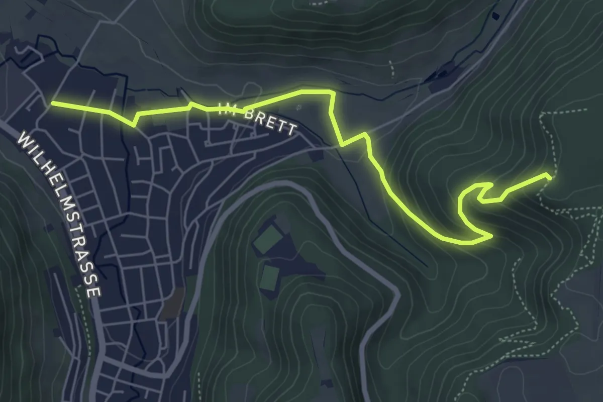
Medium · Trail
Unterhausen - Greifenstein
6.0 km · ↑ 264 m · 1 h 59 min
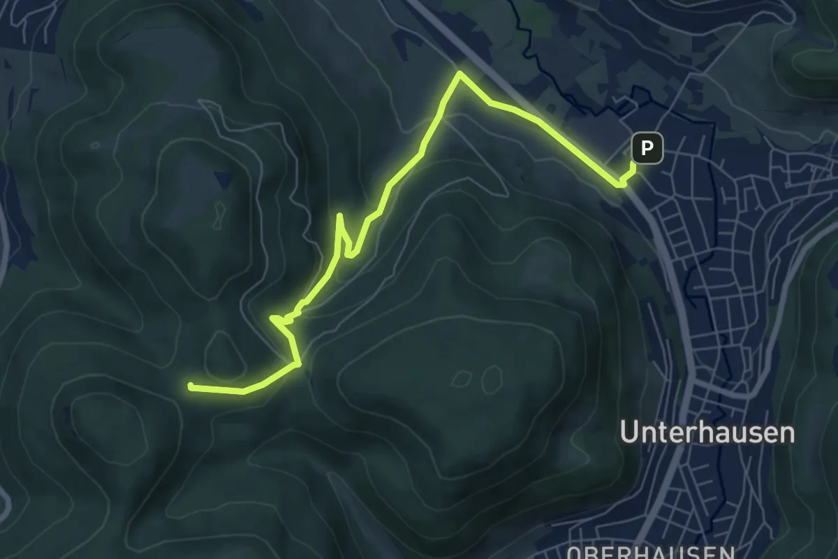
Easy · Trail
Unterhausen-Hinteres Sättele
7.3 km · ↑ 274 m · 2 h 19 min