Trails in Germany
36,852 hiking trails, each with its route, climb, walking time and grade.
All trails, page 641 of 768
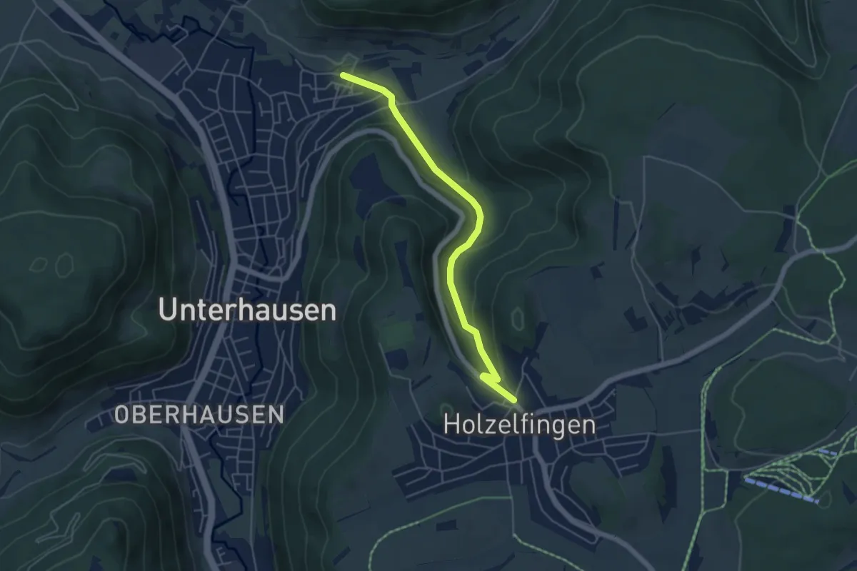
Easy · Trail
Unterhausen - Holzelfingen
4.6 km · ↑ 210 m · 1 h 33 min
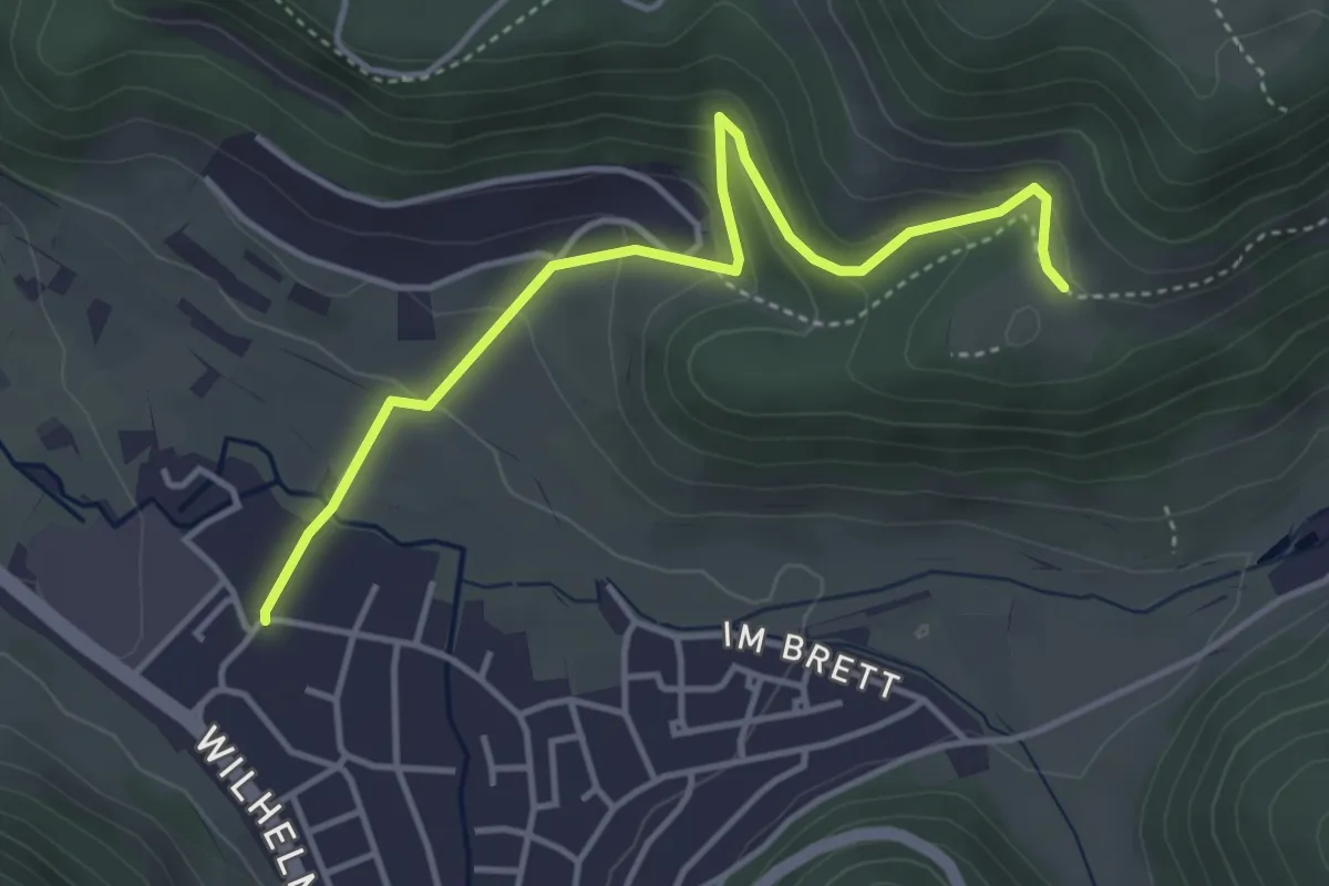
Easy · Trail
Unterhausen-Imenberg
4.1 km · ↑ 208 m · 1 h 24 min
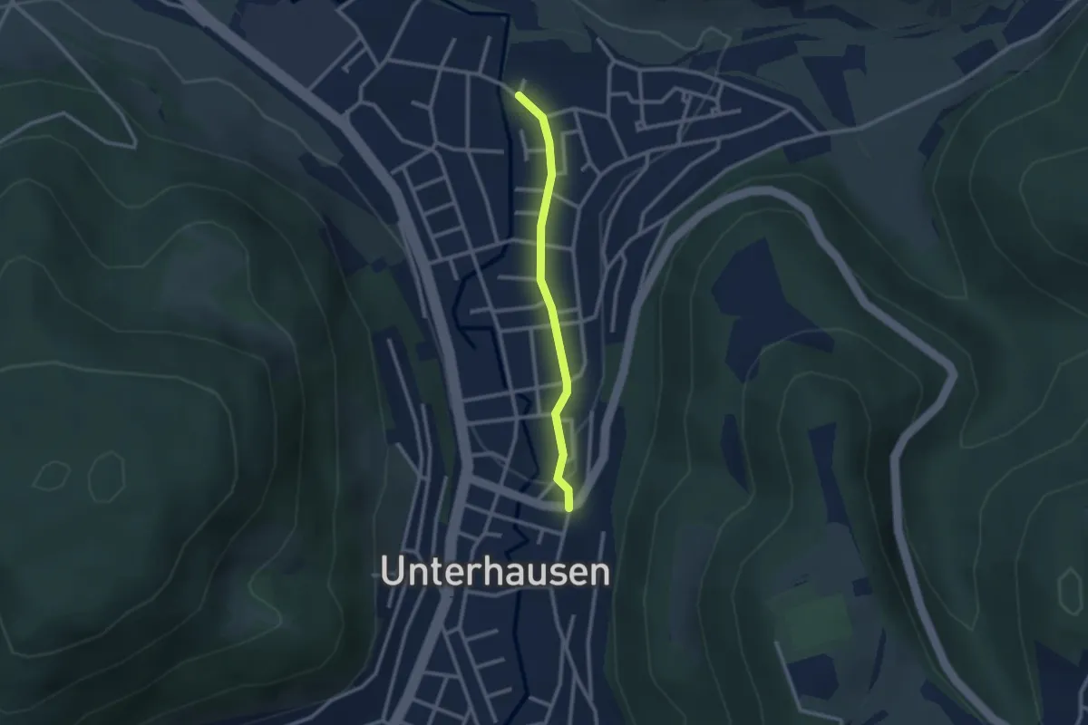
Easy · Trail
Unterhausen - Lichtenstein
2.1 km · ↑ 13 m · 32 min
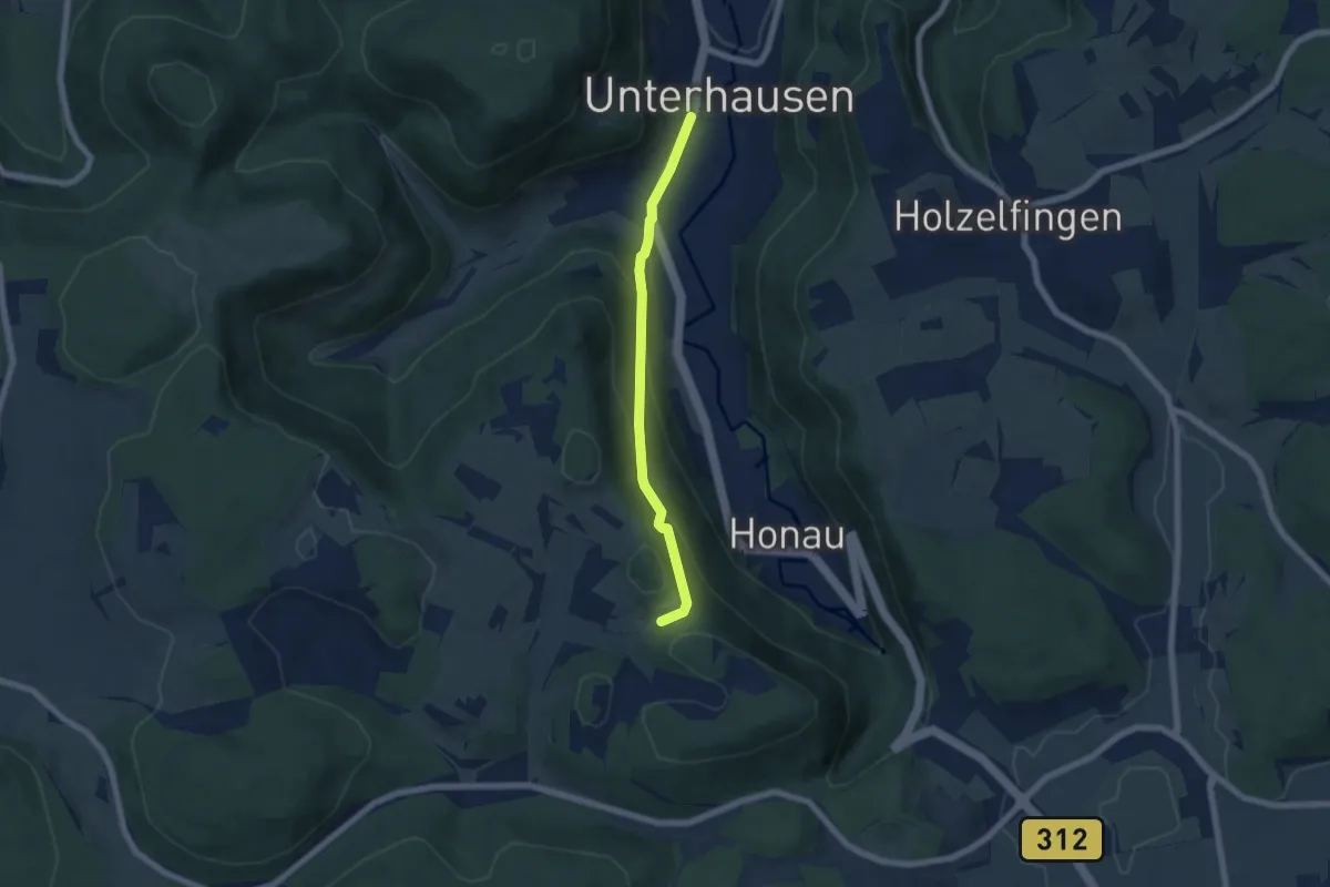
Easy · Trail
Unterhausen - Lichtenstein
5.3 km · ↑ 309 m · 1 h 55 min
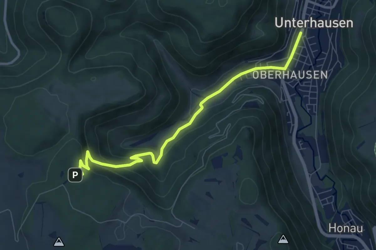
Medium · Trail
Unterhausen - Nebelhöhle
7.7 km · ↑ 336 m · 2 h 32 min
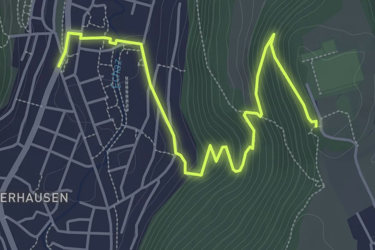
Easy · Trail
Unterhausen Var2 - Burgstein
4.3 km · ↑ 226 m · 1 h 30 min
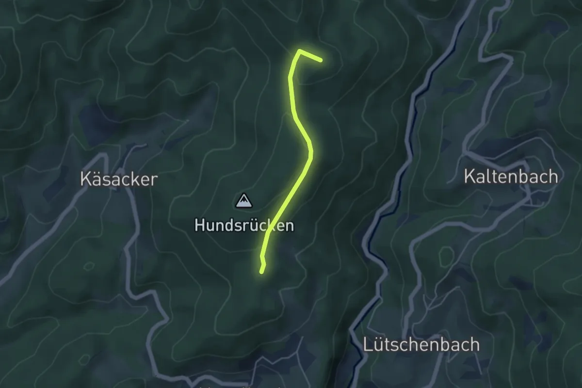
Easy · Summit
Unter Hexenplatz - Gümppen
3.2 km · ↑ 108 m · 59 min
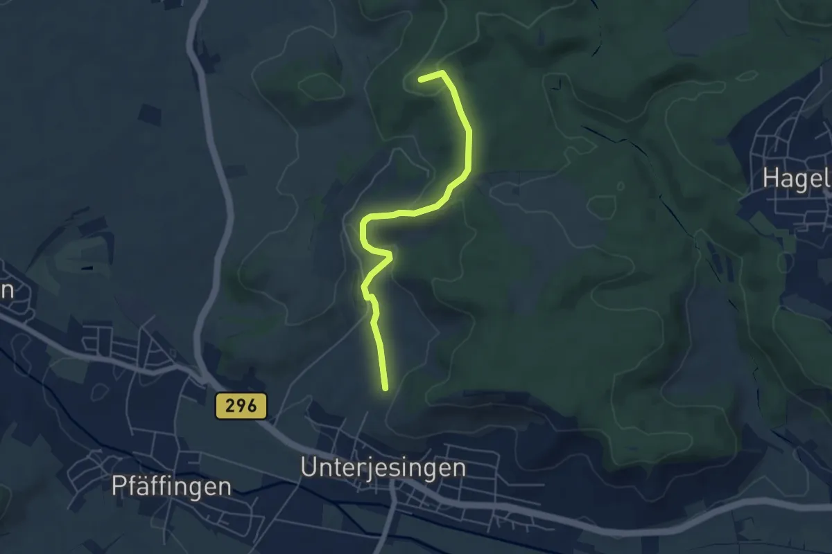
Easy · Summit
Unterjesingen-Hohenentringen
4.9 km · ↑ 139 m · 1 h 28 min
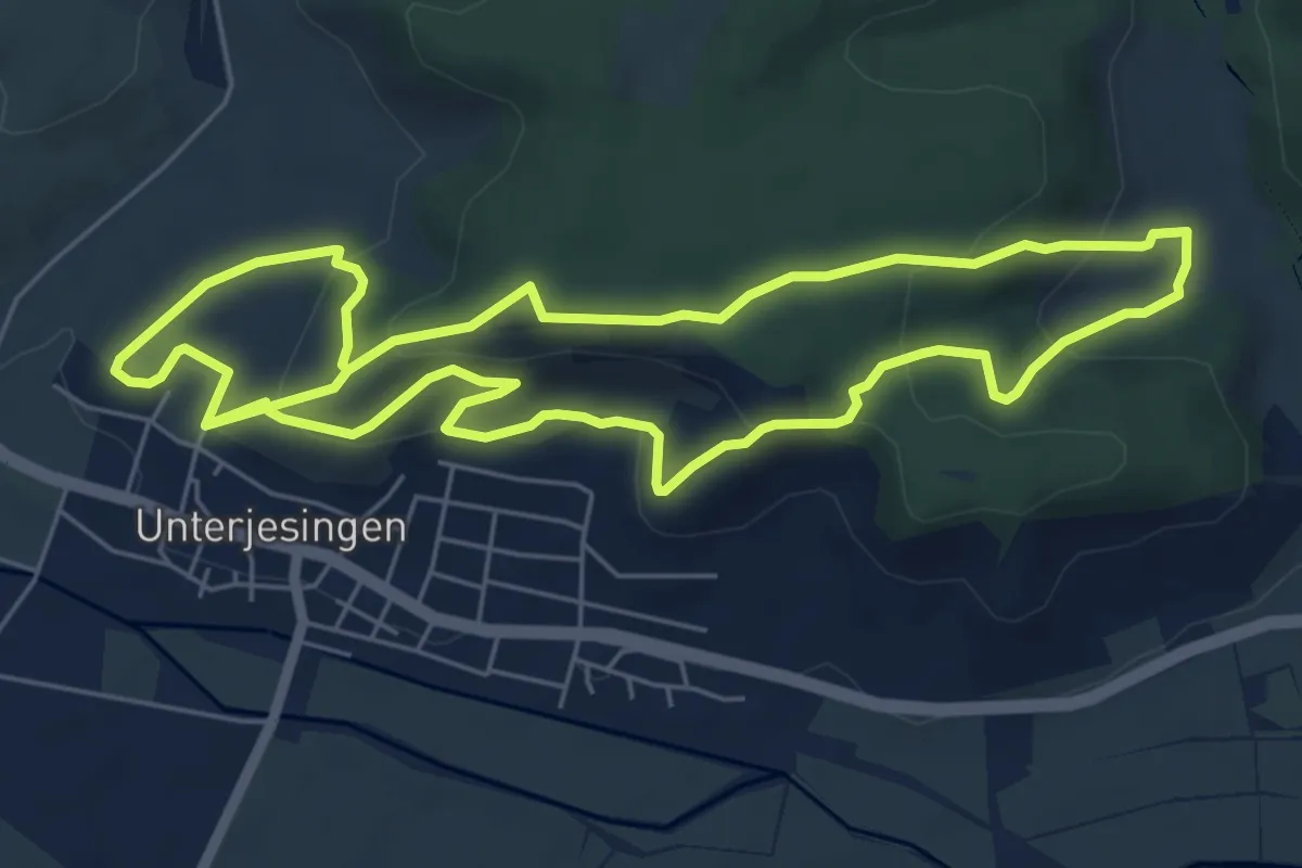
Easy · Trail
Unterjesinger Wengertwegle
6.1 km · ↑ 242 m · 2 h 5 min
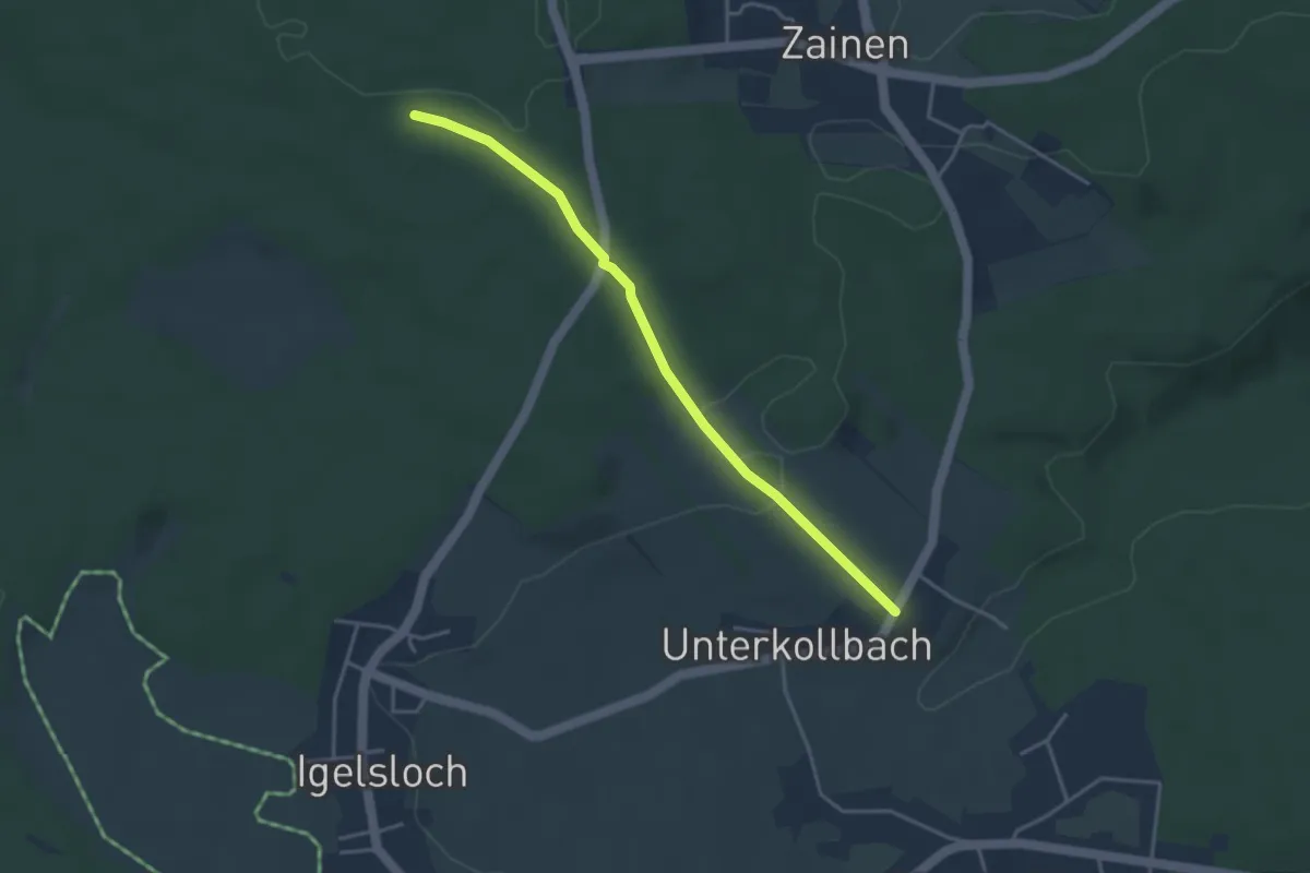
Easy · Trail
Unterkollbach - Teuchelwald
3.5 km · ↑ 78 m · 1 h
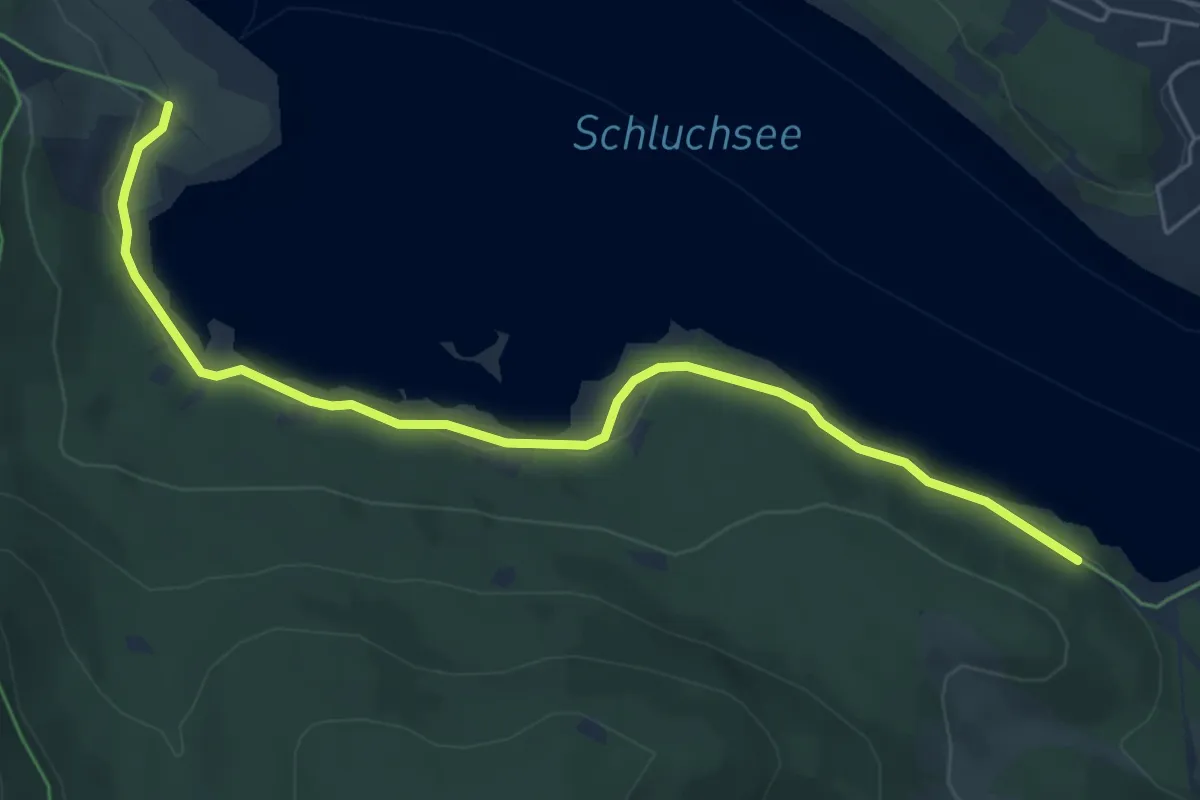
Easy · Trail
Unterkrummen - Unterkrummenweg
6.0 km · ↑ 133 m · 1 h 42 min
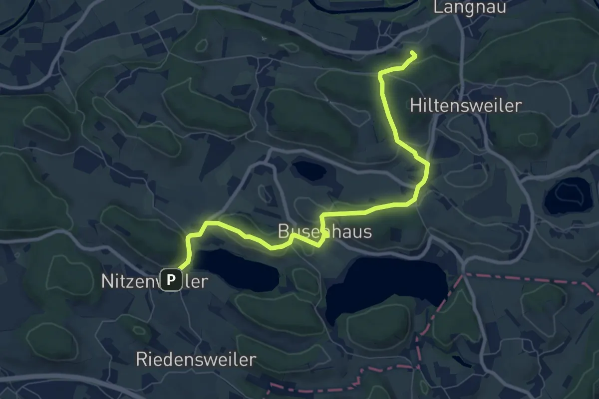
Medium · Trail
Unterlangnau-Nitzenweiler
8.3 km · ↑ 195 m · 2 h 23 min
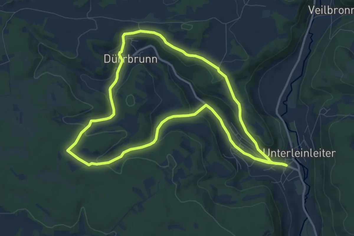
Medium · Trail
Unterleinleiter Rundwanderweg "Grüner Ring"
9.2 km · ↑ 232 m · 2 h 48 min
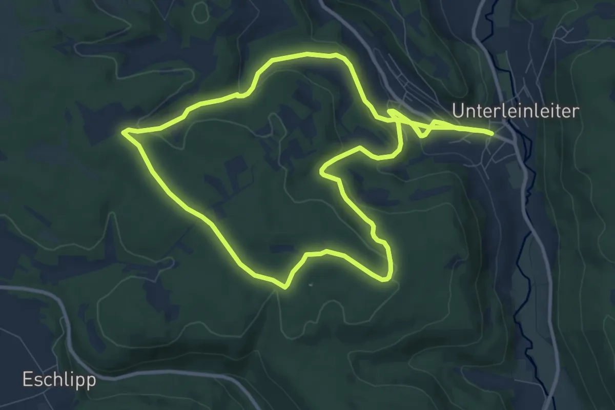
Medium · Trail
Unterleinleiter Rundwanderweg "Roter Ring"
9.5 km · ↑ 247 m · 2 h 53 min
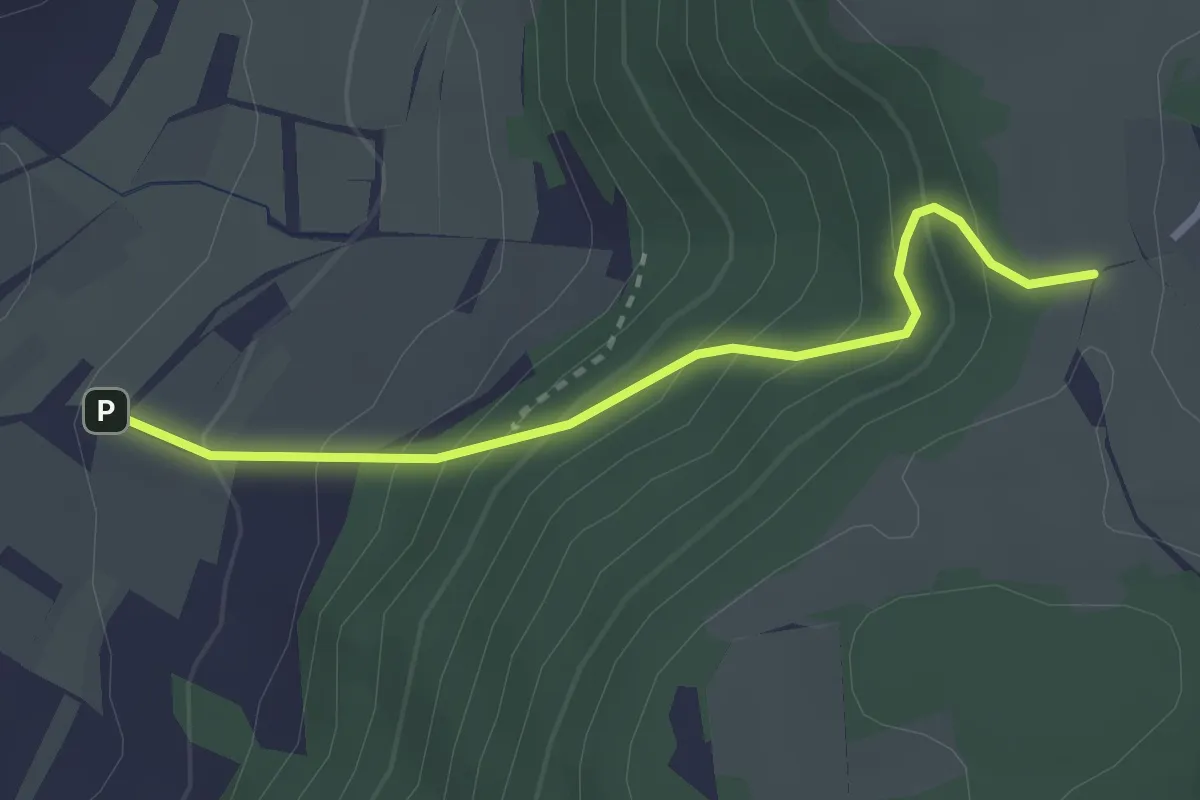
Easy · Trail
Unterlenningen - Engelhof
2.5 km · ↑ 258 m · 1 h 9 min
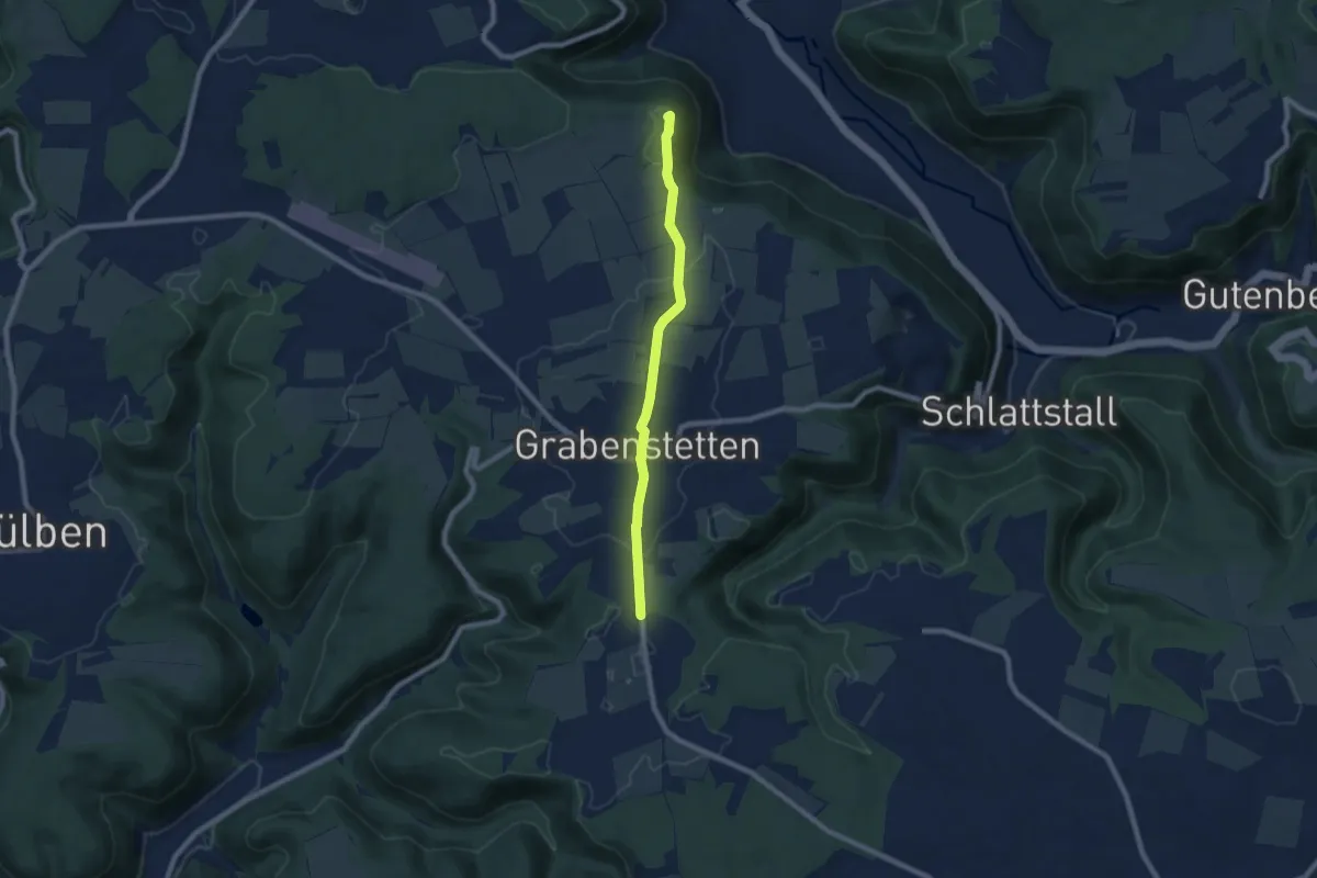
Easy · Summit
Unterlenningen - Erkenbrechtsweiler - Grabenstetten
6.8 km · ↑ 80 m · 1 h 47 min
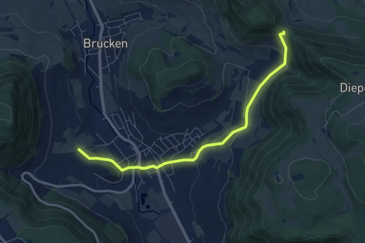
Easy · Trail
Unterlenningen - Sattelbogen
6.7 km · ↑ 209 m · 2 h 2 min
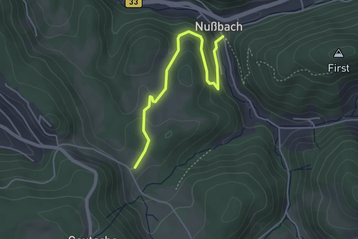
Easy · Trail
Unterliemberg - Ratshaus
3.6 km · ↑ 194 m · 1 h 17 min
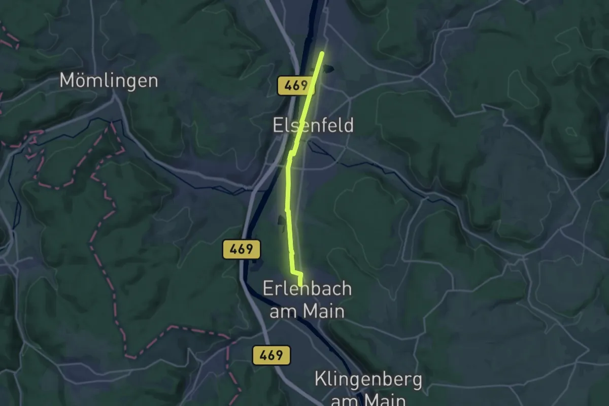
Medium · Trail
Untermain Planetenweg
13.6 km · ↑ 26 m · 3 h 16 min
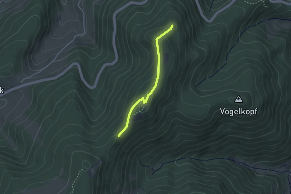
Easy · Trail
Unterm Büchereck - Haselberg Alte Straße
2.3 km · ↑ 97 m · 45 min
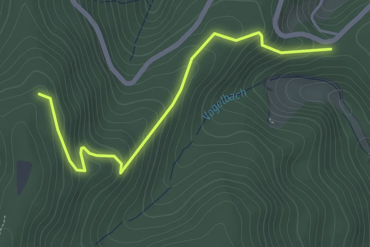
Medium · Trail
Unterm Büchereck - Hinter Sand
3.2 km · ↑ 218 m · 1 h 14 min
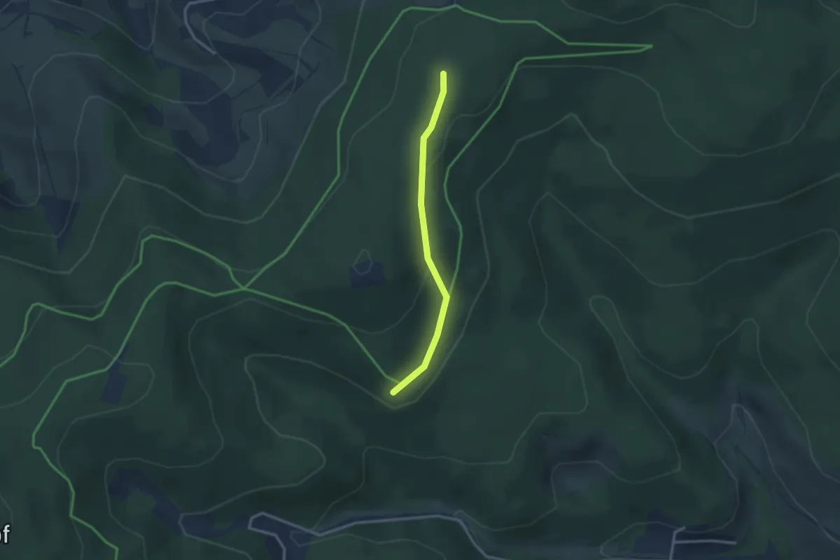
Easy · Trail
Unterm Dietenschwander Kopf - Belchenblick
2.4 km · ↑ 47 m · 39 min
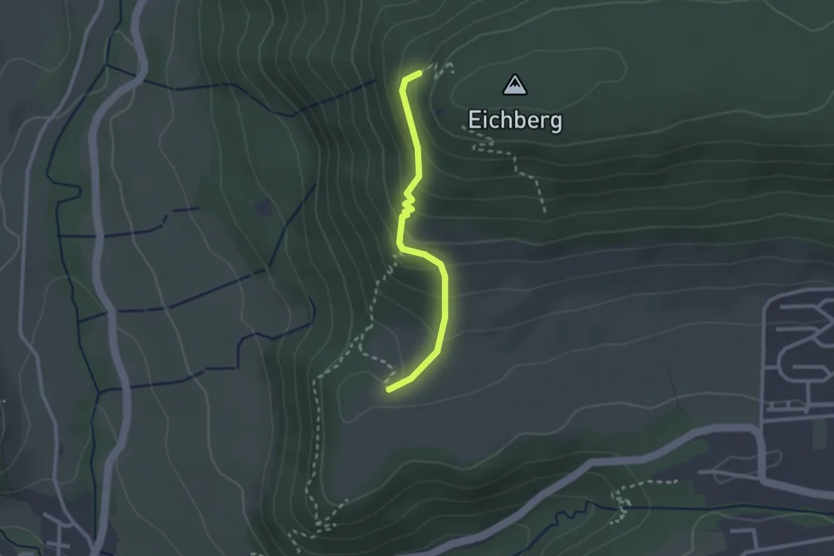
Easy · Trail
Unterm Eichbergstutz - Fohlenstall
2.1 km · ↑ 160 m · 50 min
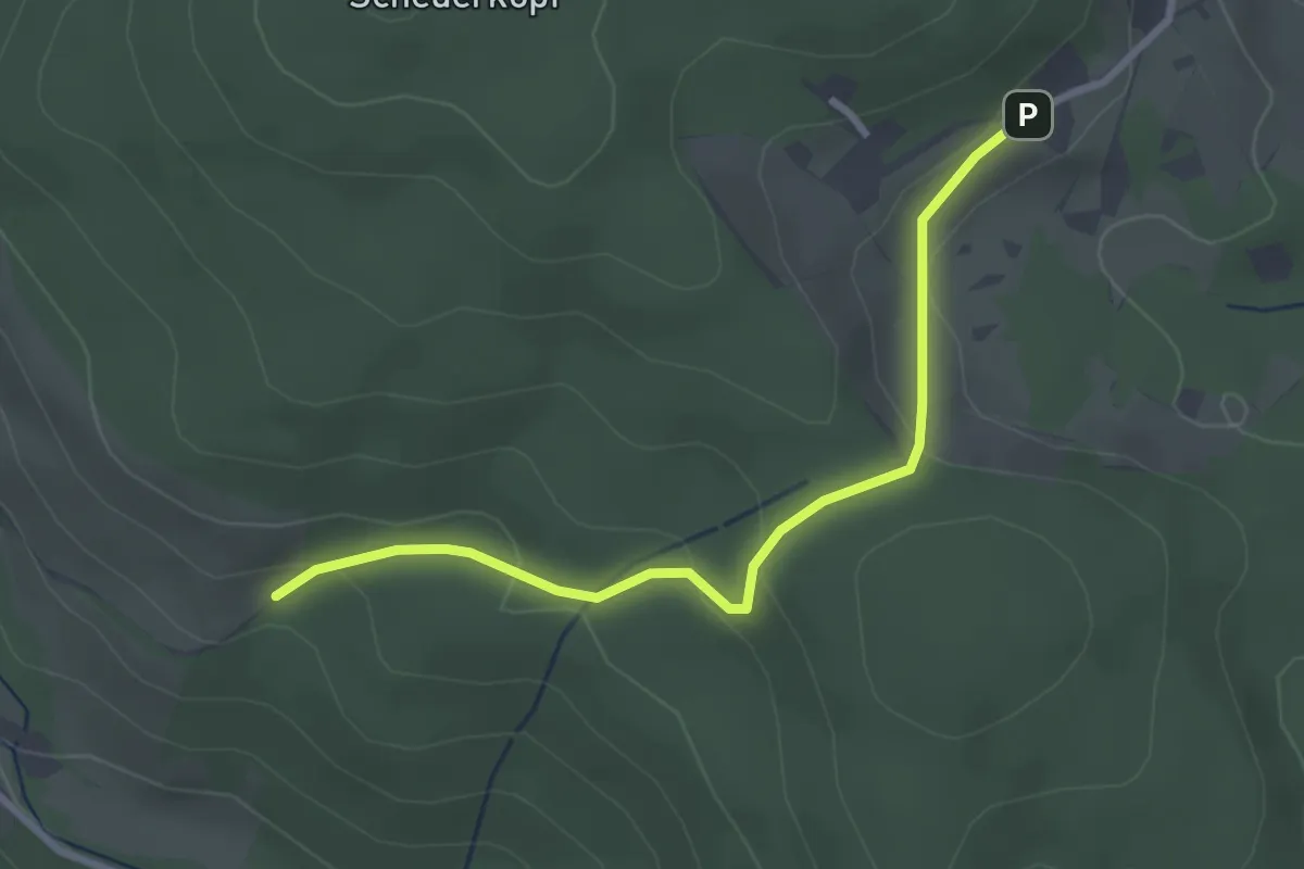
Easy · Trail
Unterm Gatter - Wachshütte
2.8 km · ↑ 106 m · 53 min
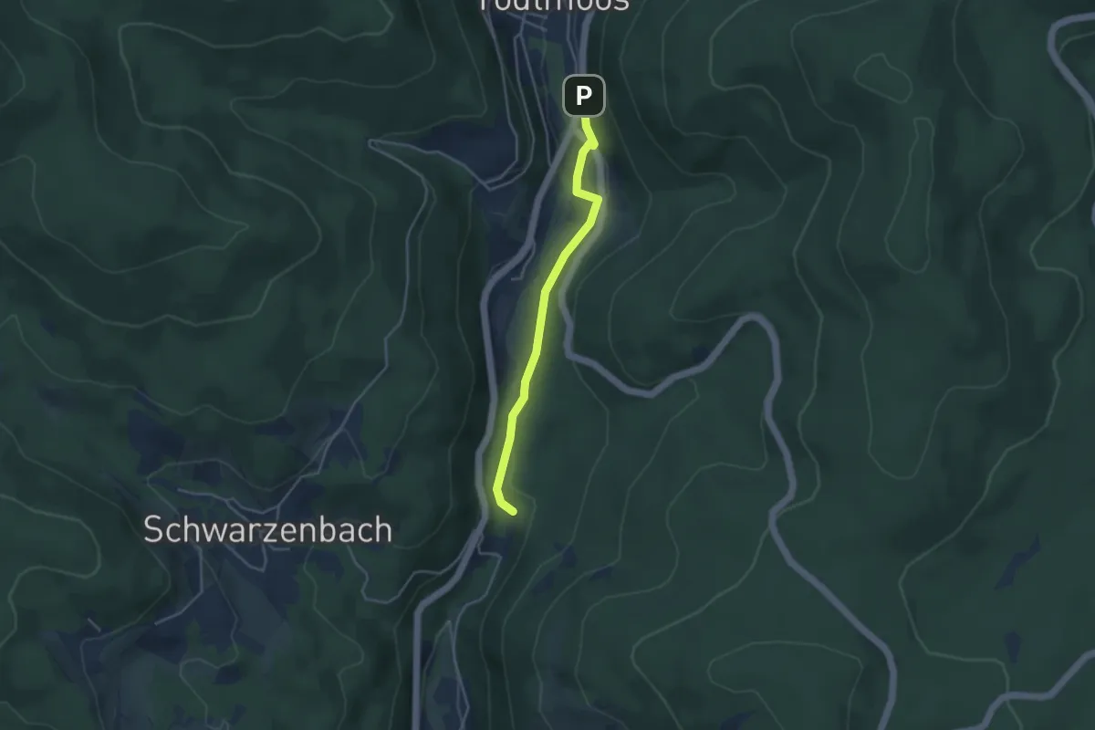
Easy · Trail
Unterm Glaserberg - Lochschweine
3.5 km · ↑ 109 m · 1 h 3 min
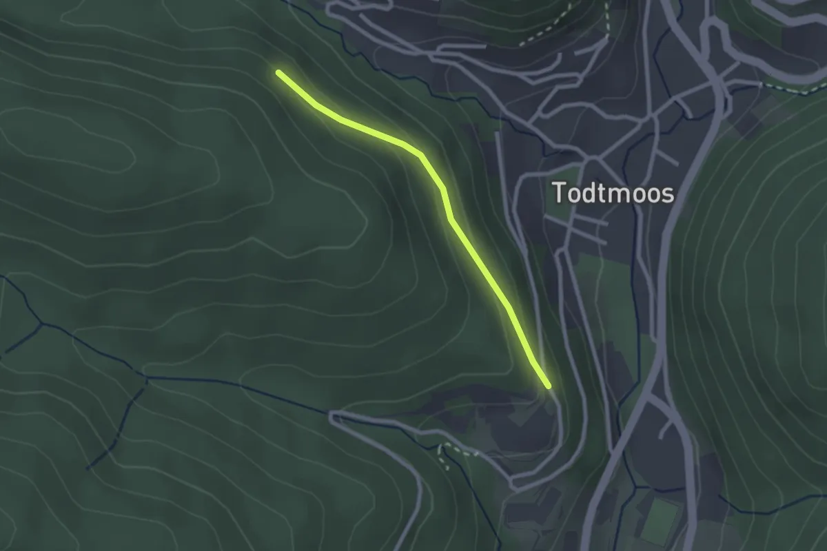
Easy · Trail
Unterm Herrenkopf - Klinik Wehrawald
2.0 km · ↑ 84 m · 40 min
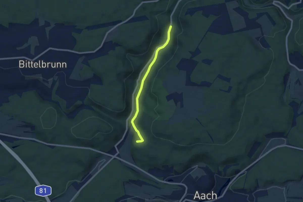
Easy · Trail
? - Unterm Katzensteig
4.9 km · ↑ 78 m · 1 h 20 min
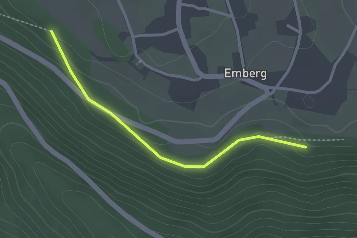
Easy · Trail
Unterm Kirchhof - Laubweg
2.0 km · ↑ 46 m · 34 min
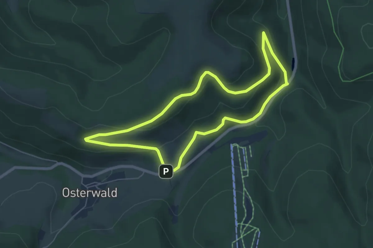
Easy · Summit
Unterm Nonnenstein Rundweg A3
4.6 km · ↑ 152 m · 1 h 29 min
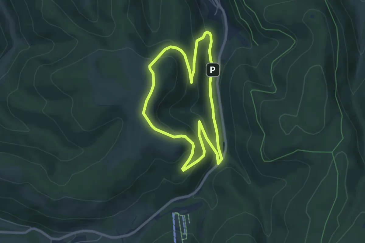
Easy · Summit
Unterm Nonnenstein Rundweg A4
5.0 km · ↑ 208 m · 1 h 42 min
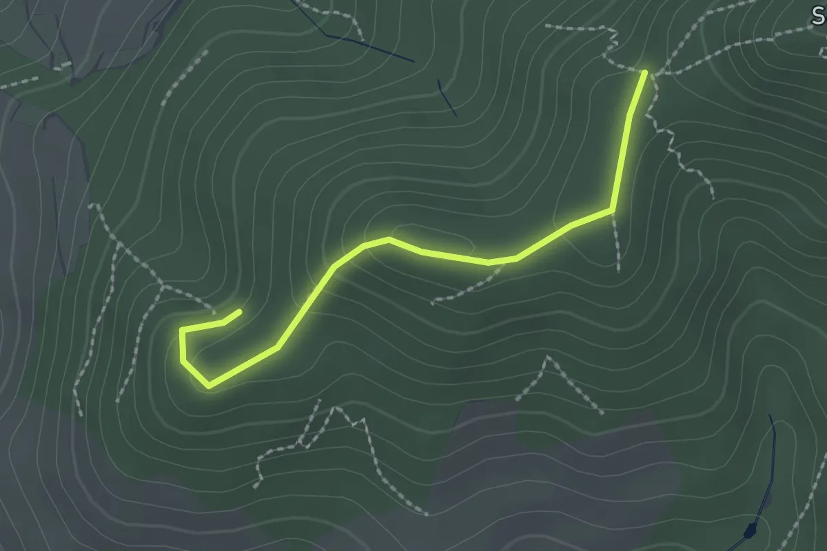
Easy · Trail
Unterm Schartenberg - Tränkehütte
2.0 km · ↑ 103 m · 42 min
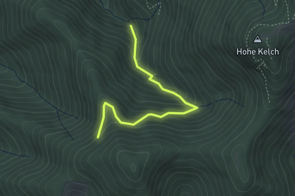
Medium · Cabin
Unterm Stuhlskopf - Stangebodenhütte
3.6 km · ↑ 334 m · 1 h 34 min
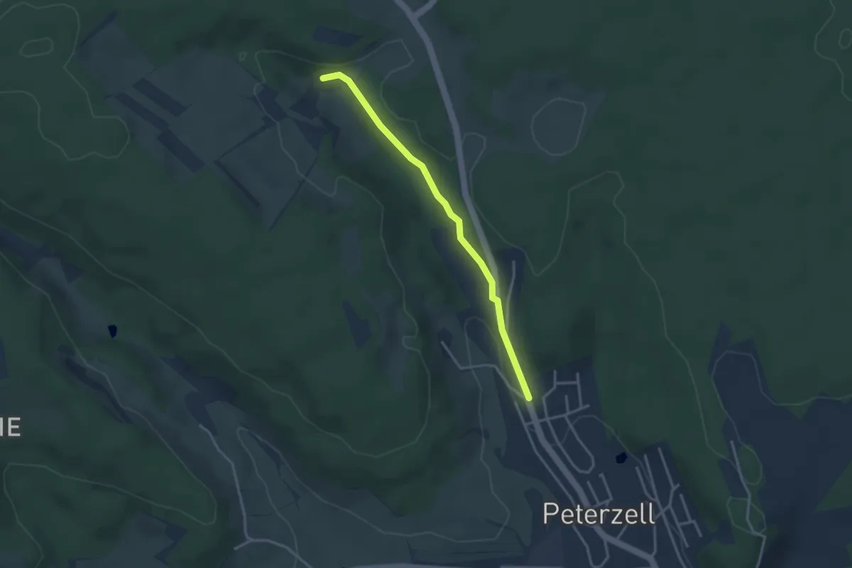
Easy · Trail
Untermühlbachhof - Peterzell Seelochweg
2.9 km · ↑ 35 m · 46 min
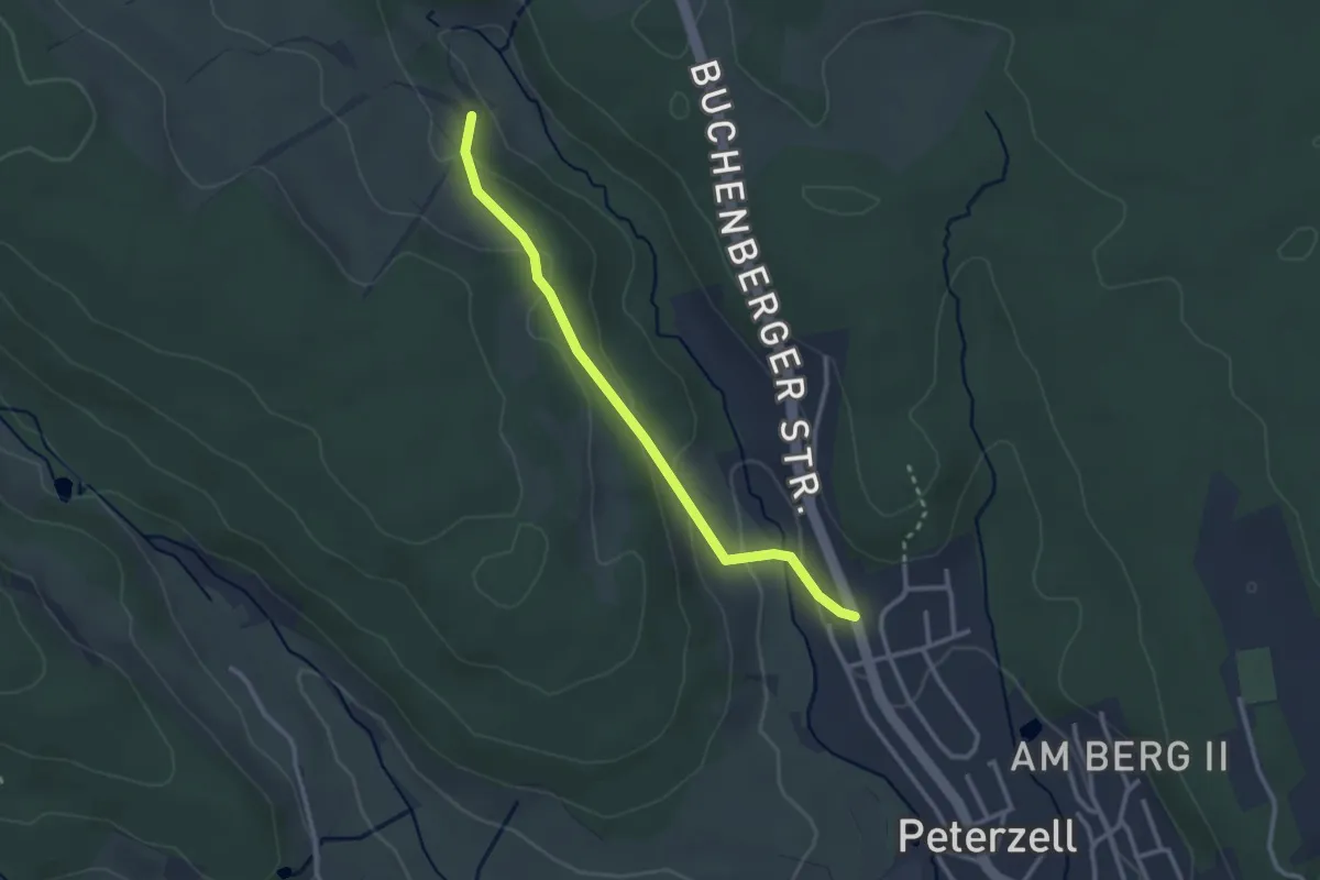
Easy · Trail
Untermühlbach - Peterzell Seelochweg
2.6 km · ↑ 88 m · 49 min
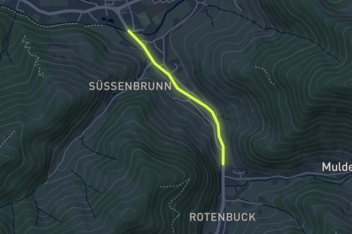
Easy · Trail
Untermünstertal Belchenblick - Im Elsaß
2.5 km · ↑ 40 m · 41 min
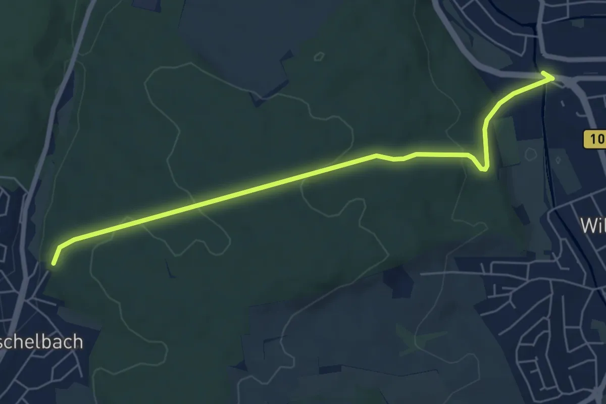
Easy · Trail
Untermutschelbach CVJM Häusle - Remchingen Unterführung
5.7 km · ↑ 153 m · 1 h 41 min
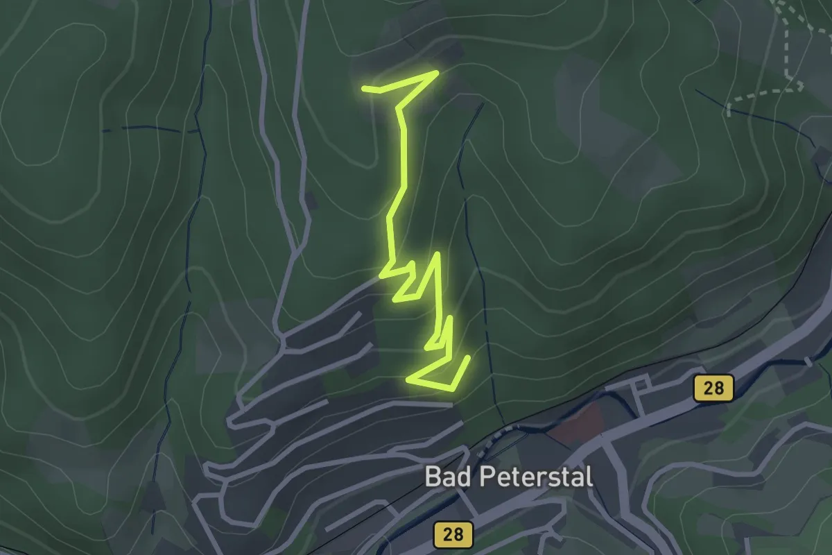
Easy · Trail
Unterm Wendelinsberg - Wendelinsberg
2.8 km · ↑ 151 m · 1 h
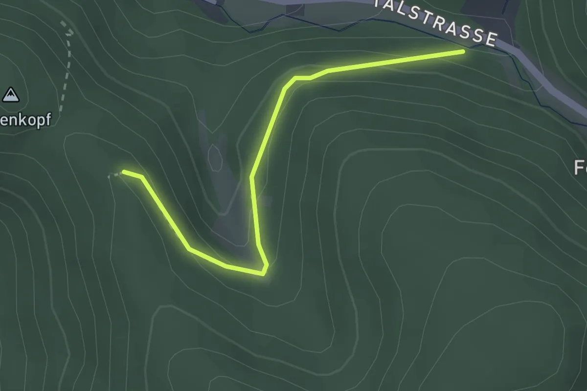
Easy · Trail
Unterreichenbach Krone - Haseneckle
2.5 km · ↑ 121 m · 50 min
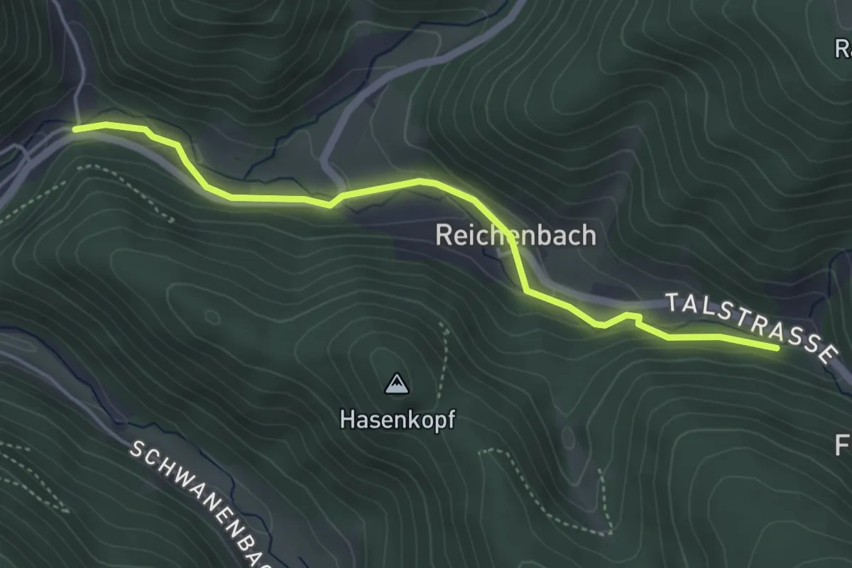
Easy · Trail
Unterreichenbach Krone - Hornberg Schondelgrund
4.2 km · ↑ 133 m · 1 h 17 min
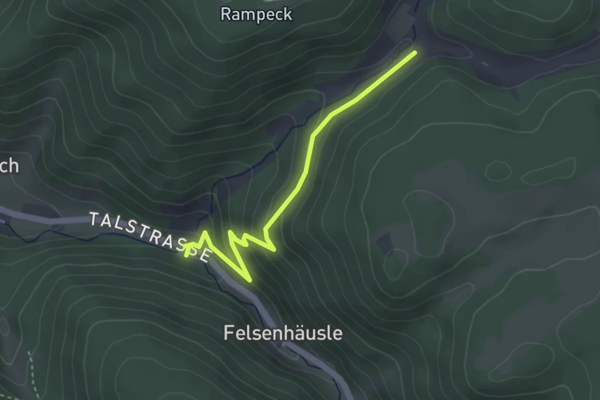
Easy · Trail
Unterreichenbach Krone - Rohrenbauernhof
3.2 km · ↑ 191 m · 1 h 10 min
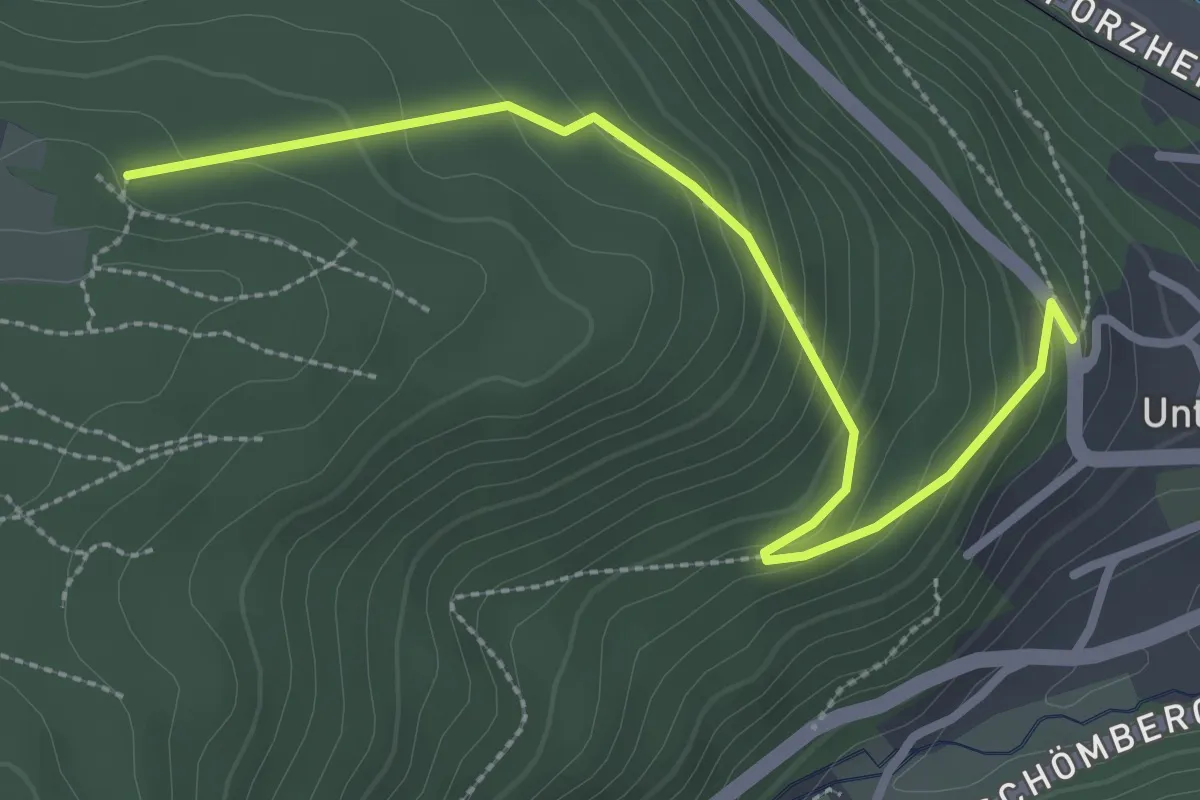
Easy · Trail
Unterreichenbach Wasserwerk - Allmand
3.0 km · ↑ 182 m · 1 h 6 min
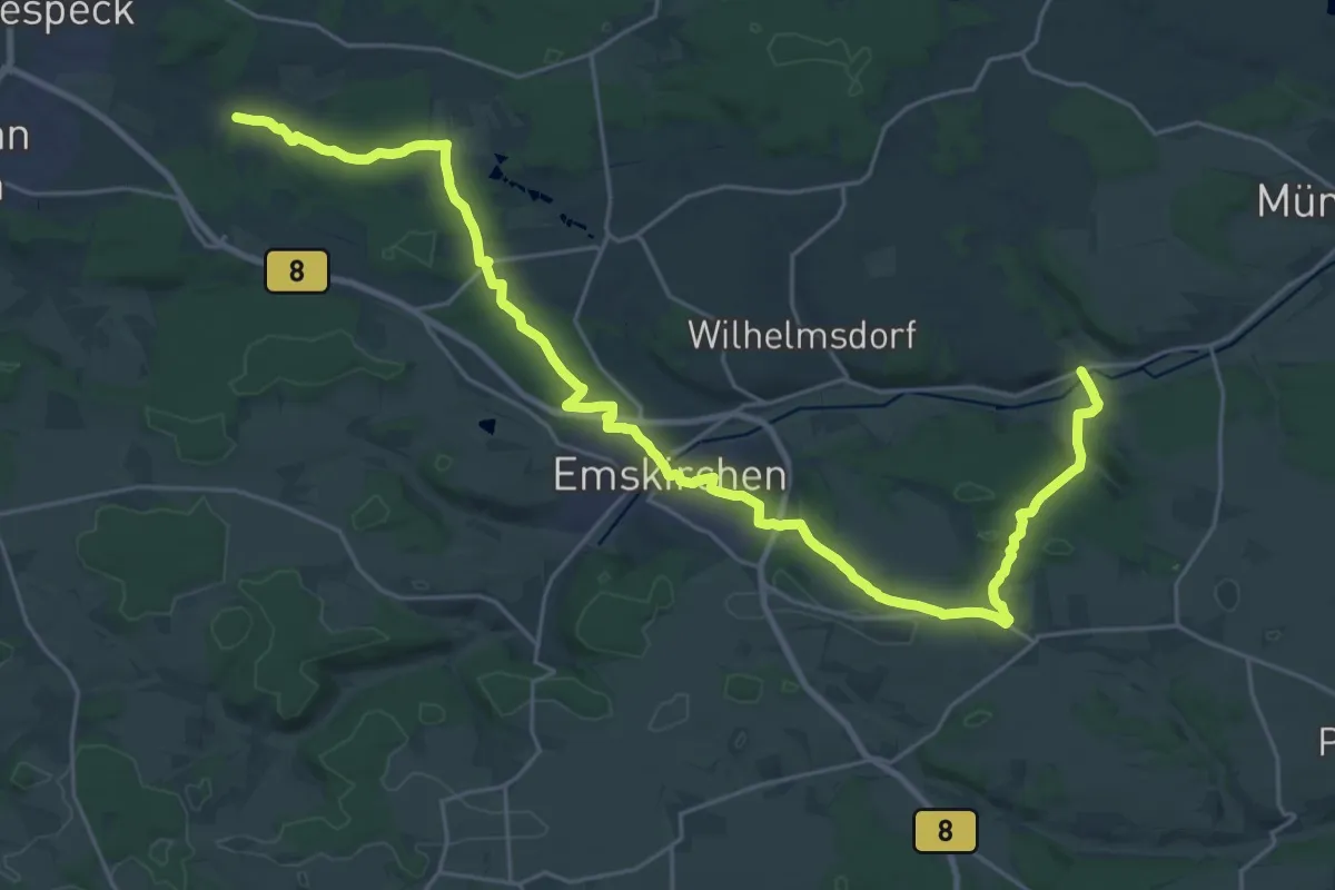
Medium · Trail
Untersachsen – Leitsmühle
15.4 km · ↑ 237 m · 4 h 21 min
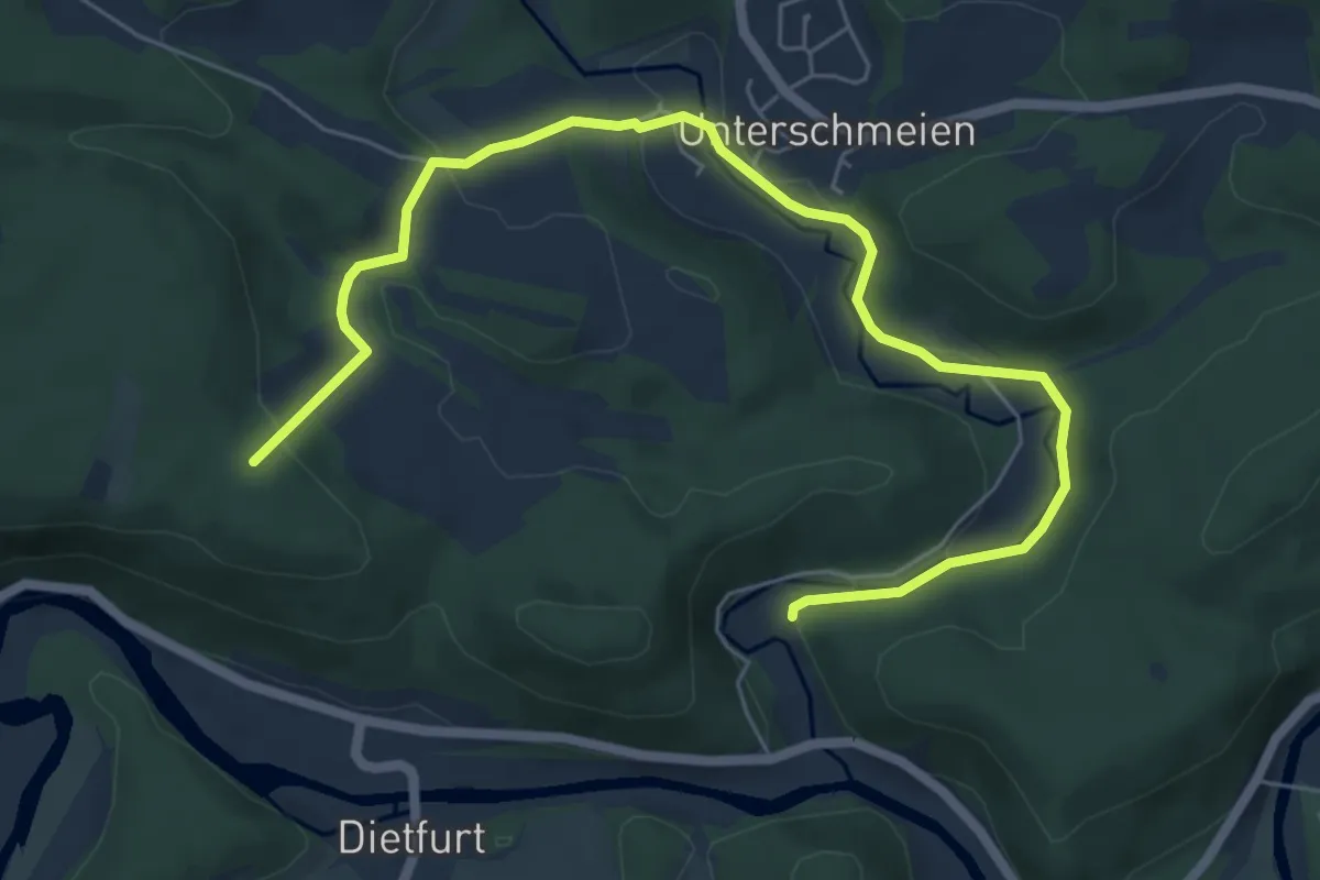
Easy · Trail
Unterschmeien - Schmeietal
7.2 km · ↑ 192 m · 2 h 7 min
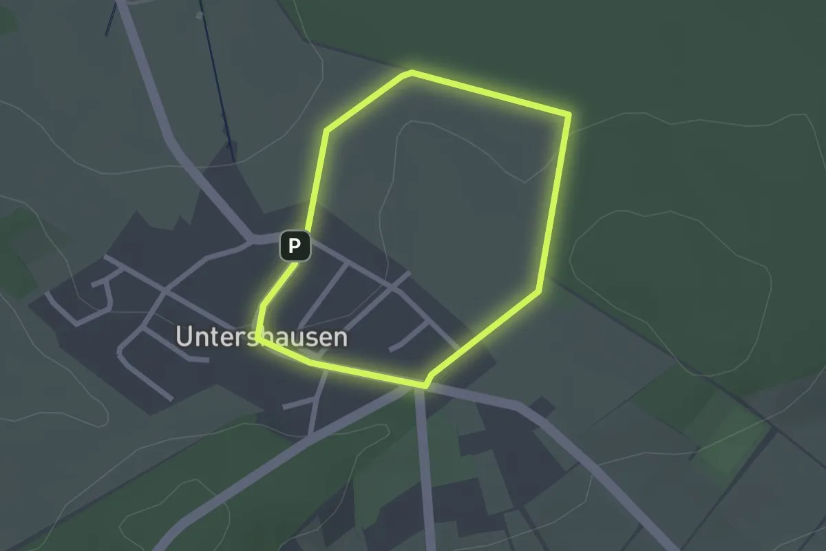
Easy · Trail
Untershausener Rundwanderweg U1
1.7 km · ↑ 18 m · 27 min
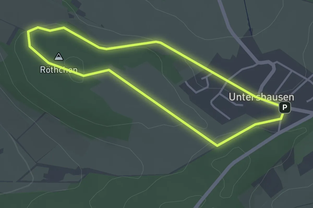
Easy · Summit
Untershausener Rundwanderweg U2
2.8 km · ↑ 43 m · 48 min
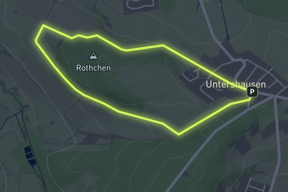
Easy · Summit
Untershausener Rundwanderweg U3
3.4 km · ↑ 59 m · 59 min
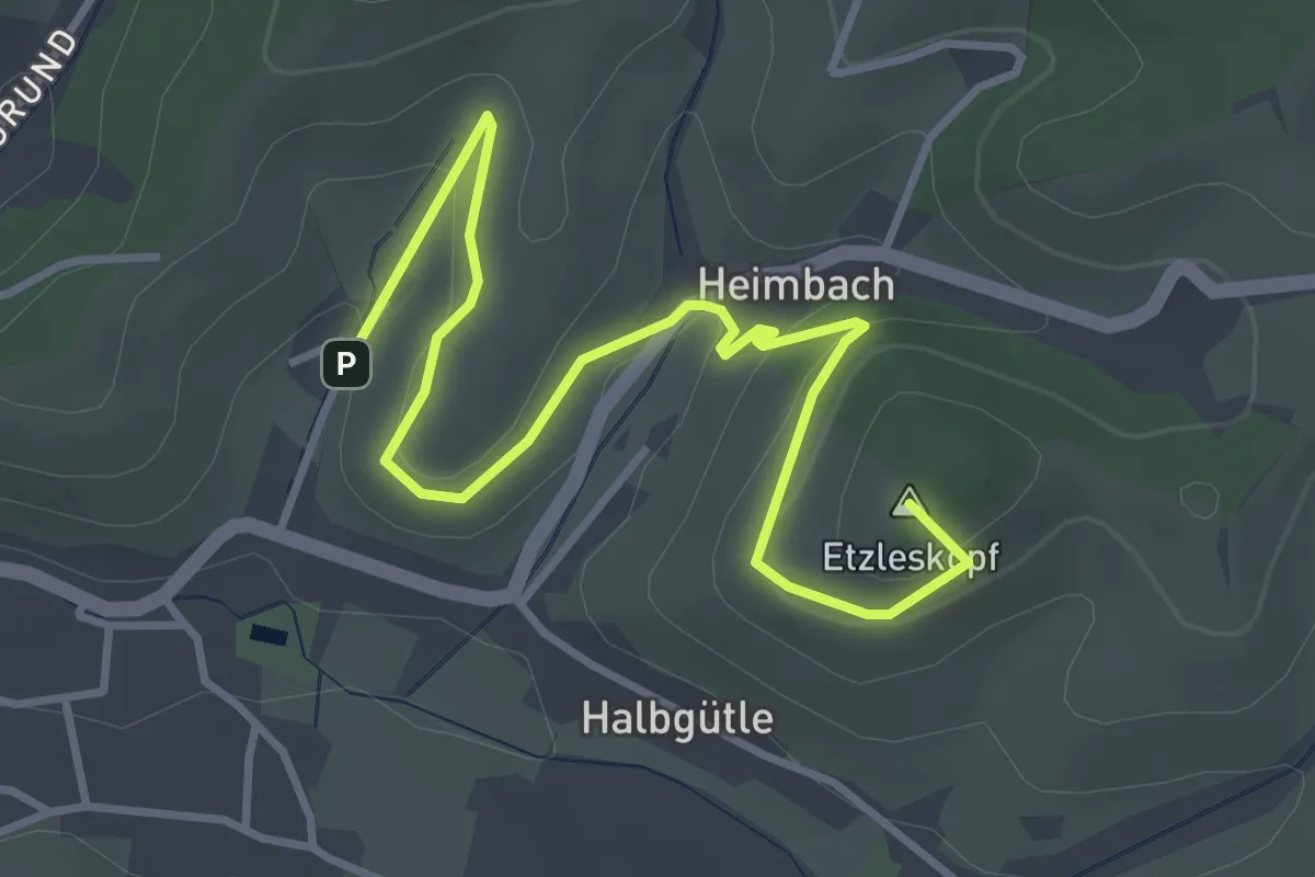
Easy · Summit
Unterspring - Stürzelbach
4.3 km · ↑ 158 m · 1 h 21 min
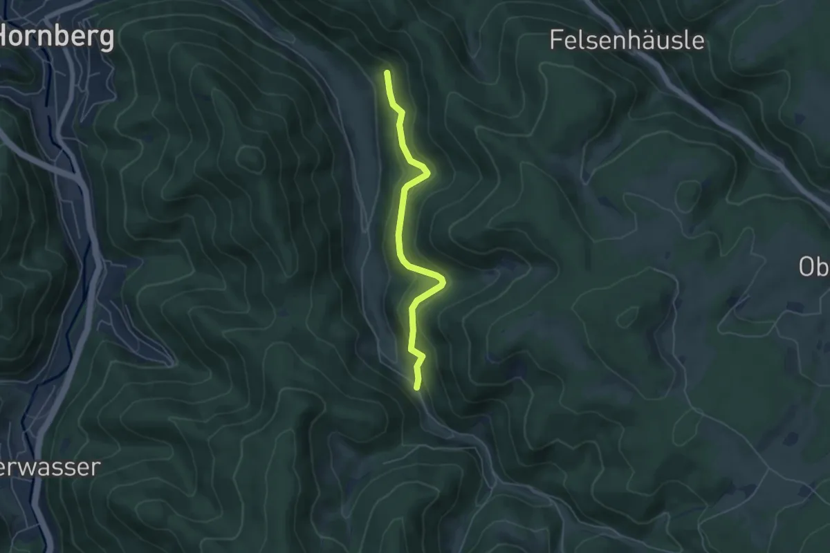
Easy · Trail
Untersteighof - Über dem Hasenhof
4.6 km · ↑ 252 m · 1 h 38 min