Trails in Germany
36,852 hiking trails, each with its route, climb, walking time and grade.
All trails, page 642 of 768
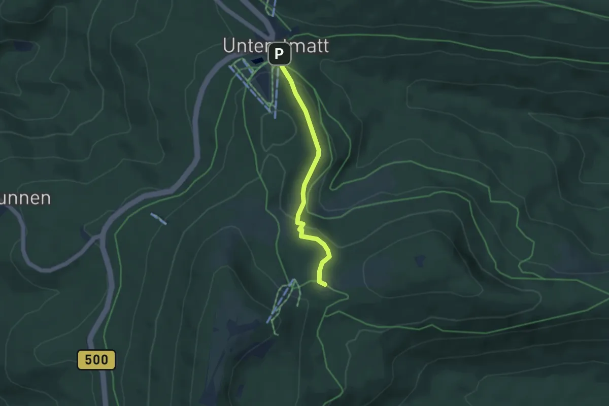
Medium · Cabin
Unterstmatt - Ochsenstall
3.2 km · ↑ 132 m · 1 h 3 min
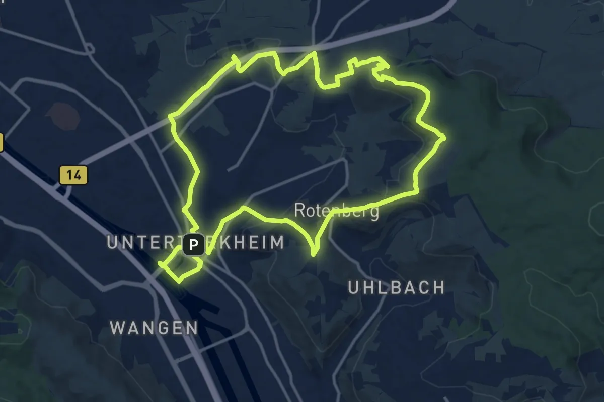
Medium · Summit
Untertürkheimer Rundwanderweg II "...rund um den Wirtemberg"
12.3 km · ↑ 287 m · 3 h 41 min
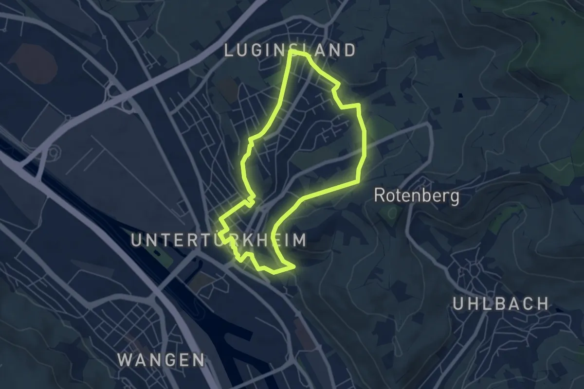
Easy · Trail
Untertürkheimer Rundwanderweg I "...rund um die Kirchturmspitze"
5.1 km · ↑ 78 m · 1 h 27 min
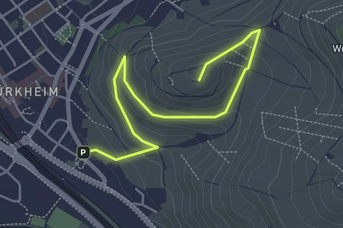
Easy · Summit
Untertürkheimer Wanderweg III "Weintour am Mönchberg"
3.6 km · ↑ 105 m · 1 h 5 min
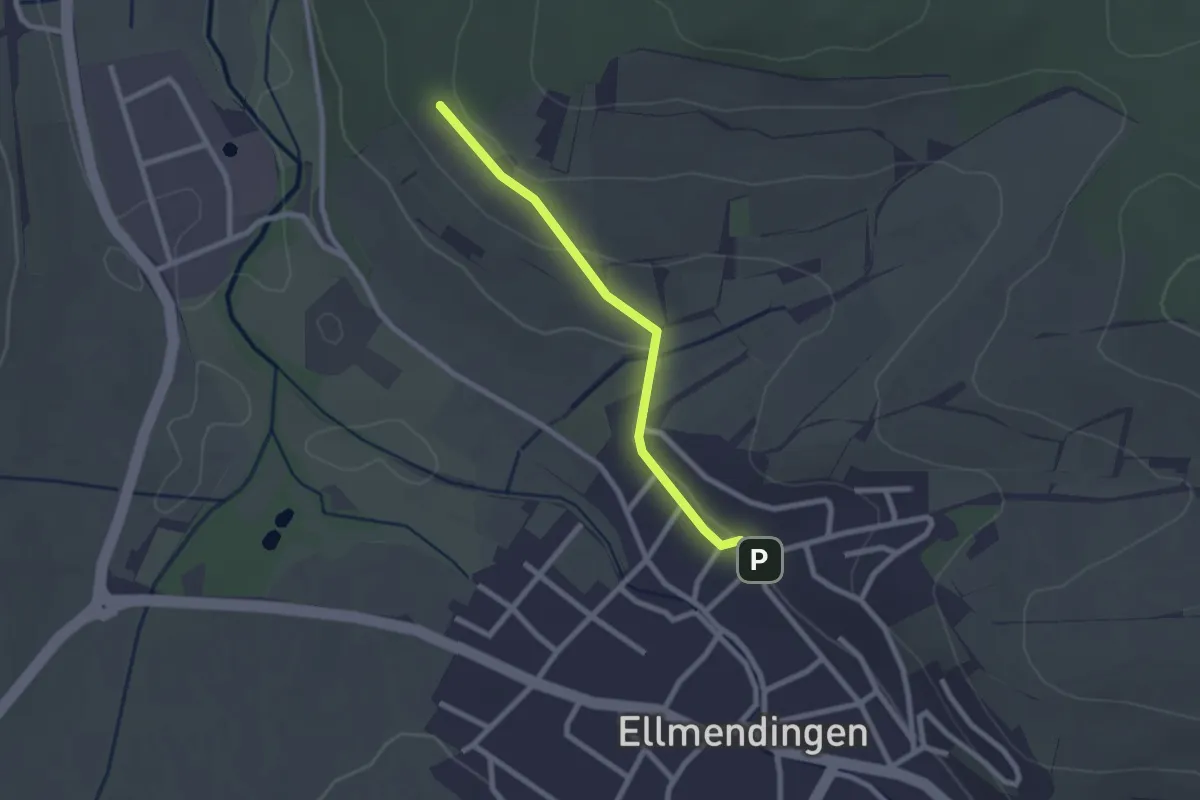
Easy · Trail
Unterwald - Ellmendingen Heimatmuseum
2.1 km · ↑ 32 m · 34 min
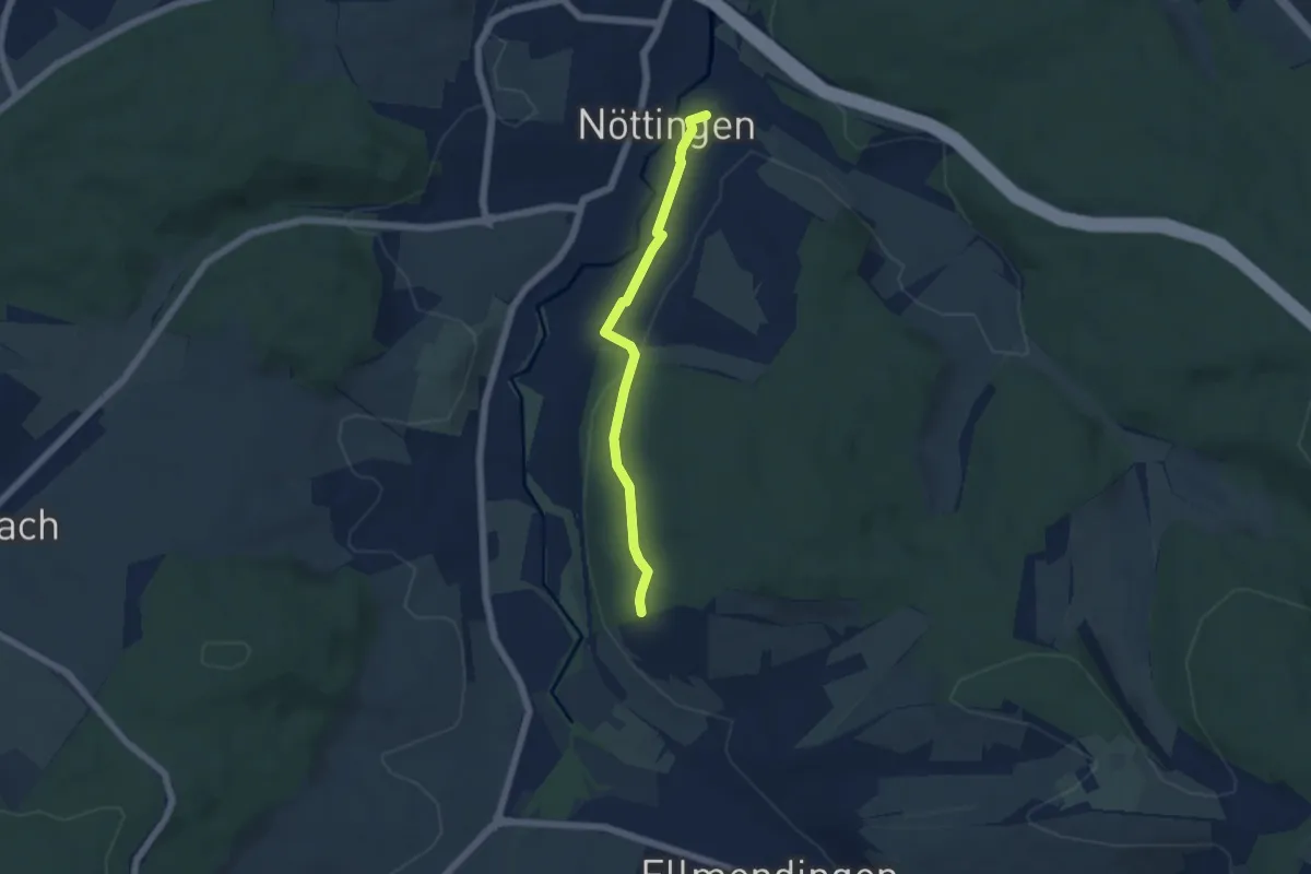
Easy · Trail
Unterwald - Nöttingen Schule
4.6 km · ↑ 78 m · 1 h 15 min
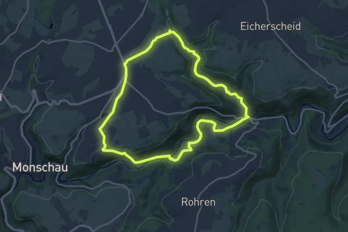
Medium · Trail
Unterwegs in Imgenbroich [32]
9.7 km · ↑ 271 m · 3 h 1 min
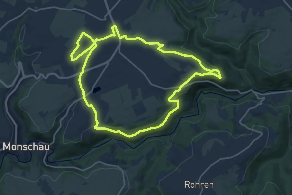
Medium · Trail
Unterwegs in Imgenbroich [42]
9.5 km · ↑ 177 m · 2 h 46 min
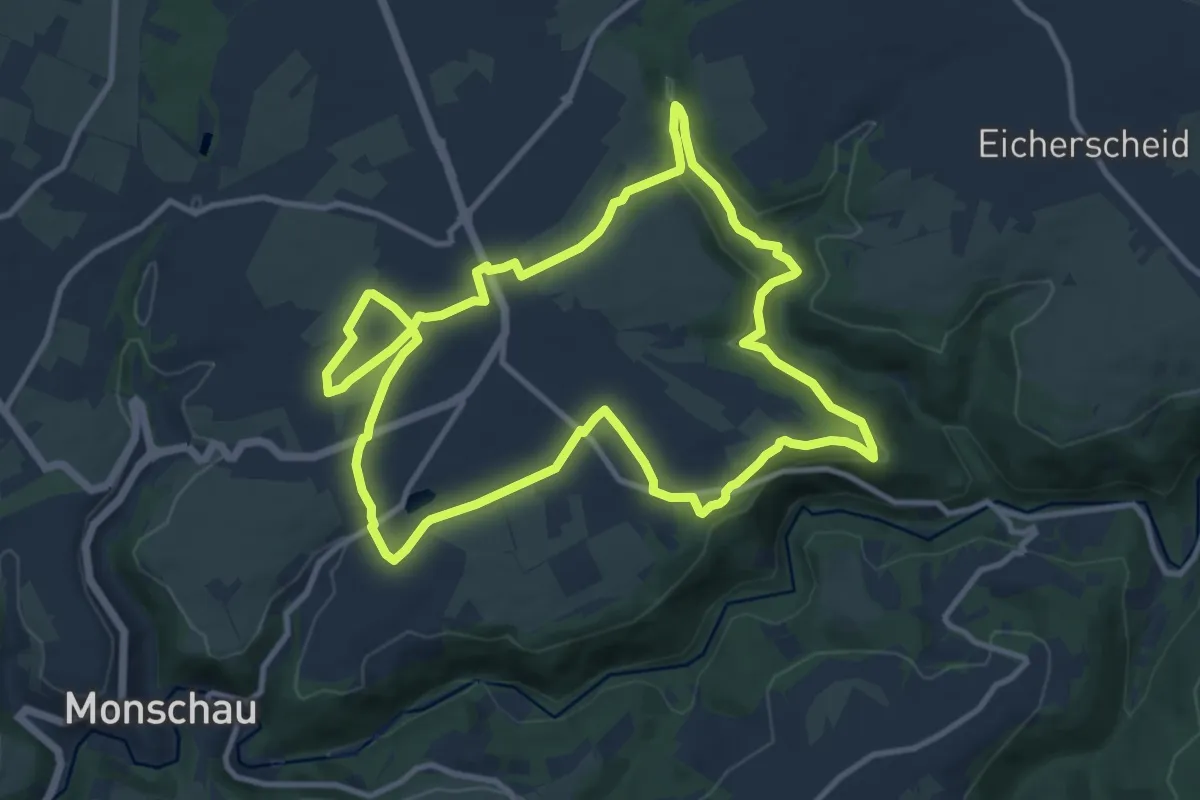
Medium · Trail
Unterwegs in Imgenbroich [62]
10.4 km · ↑ 166 m · 2 h 57 min
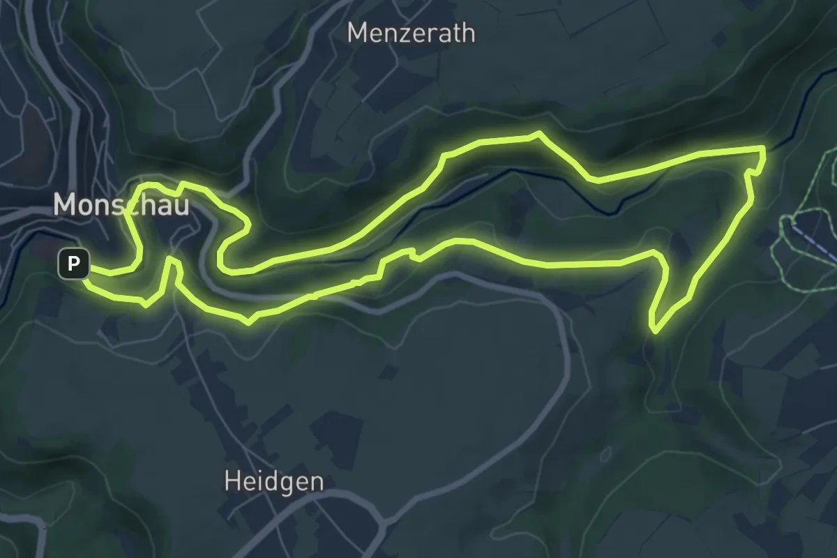
Easy · Trail
Unterwegs in Monschau [35]
7.9 km · ↑ 238 m · 2 h 29 min
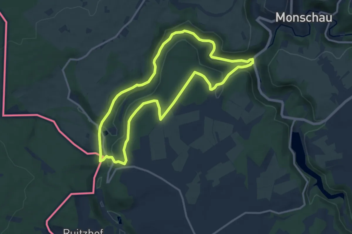
Easy · Summit
Unterwegs in Monschau [55]
7.9 km · ↑ 161 m · 2 h 19 min
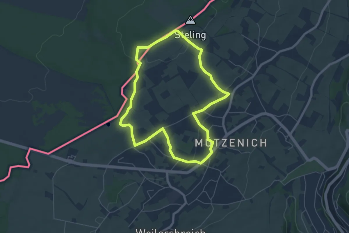
Easy · Summit
Unterwegs in Mützenich [26]
4.9 km · ↑ 89 m · 1 h 26 min
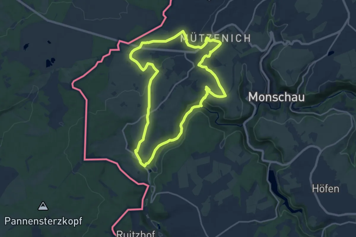
Medium · Trail
Unterwegs in Mützenich [36]
11.2 km · ↑ 178 m · 3 h 11 min
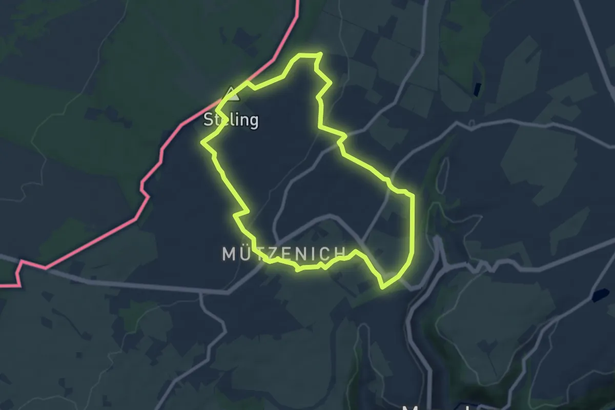
Easy · Summit
Unterwegs in Mützenich [66]
6.8 km · ↑ 148 m · 2 h 1 min
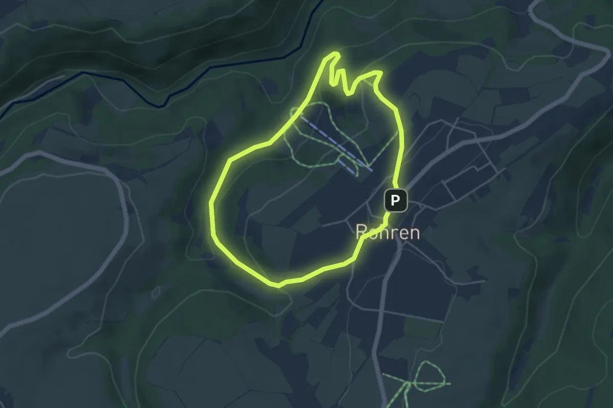
Easy · Trail
Unterwegs in Rohren [27]
3.8 km · ↑ 129 m · 1 h 13 min
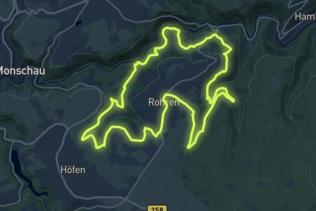
Medium · Trail
Unterwegs in Rohren [57]
15.3 km · ↑ 326 m · 4 h 31 min
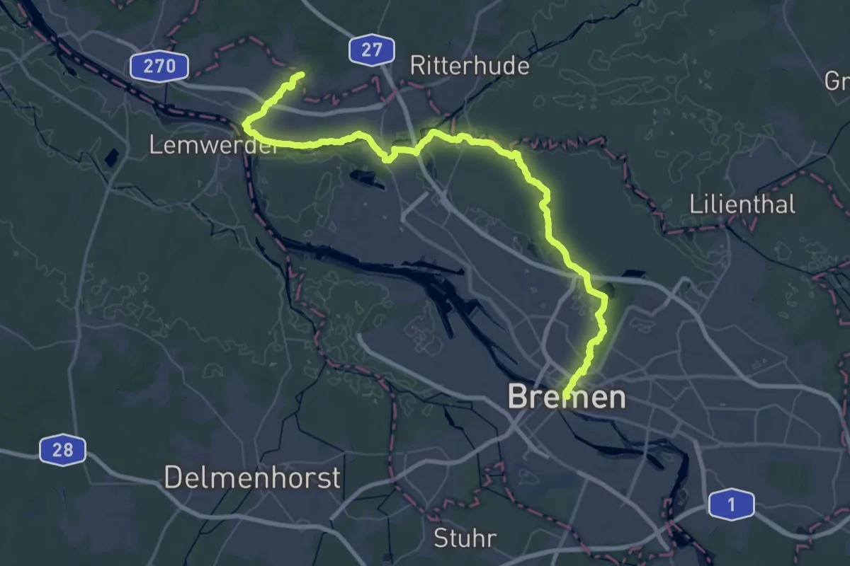
Demanding · Trail
Unterweser-Weg
28.3 km · ↑ 52 m · 7 h 12 min
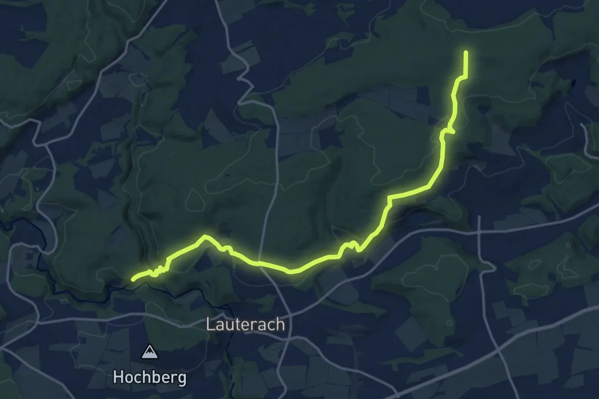
Medium · Trail
Unterwilzingen - Schloss Mochental - Altsteußlingen
16.4 km · ↑ 490 m · 4 h 56 min
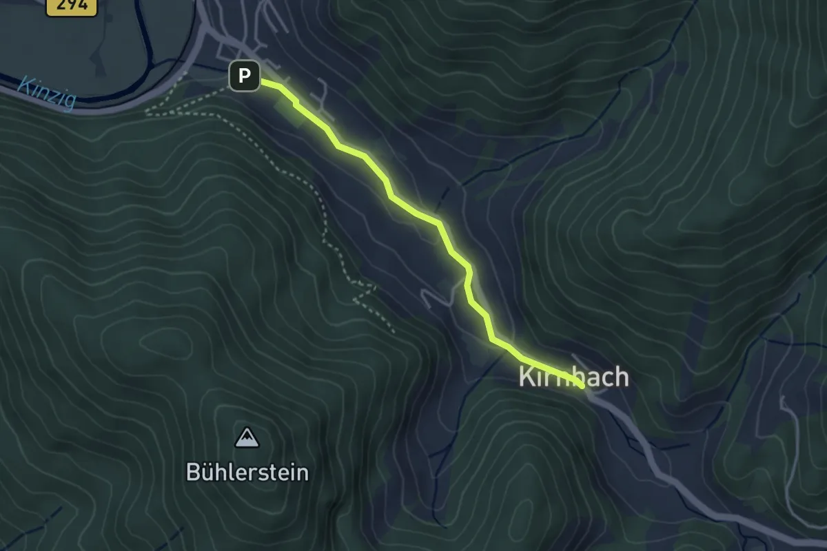
Easy · Trail
Unterwöhrlehof-Wehr - Kirnbach Winterberg
3.0 km · ↑ 58 m · 50 min
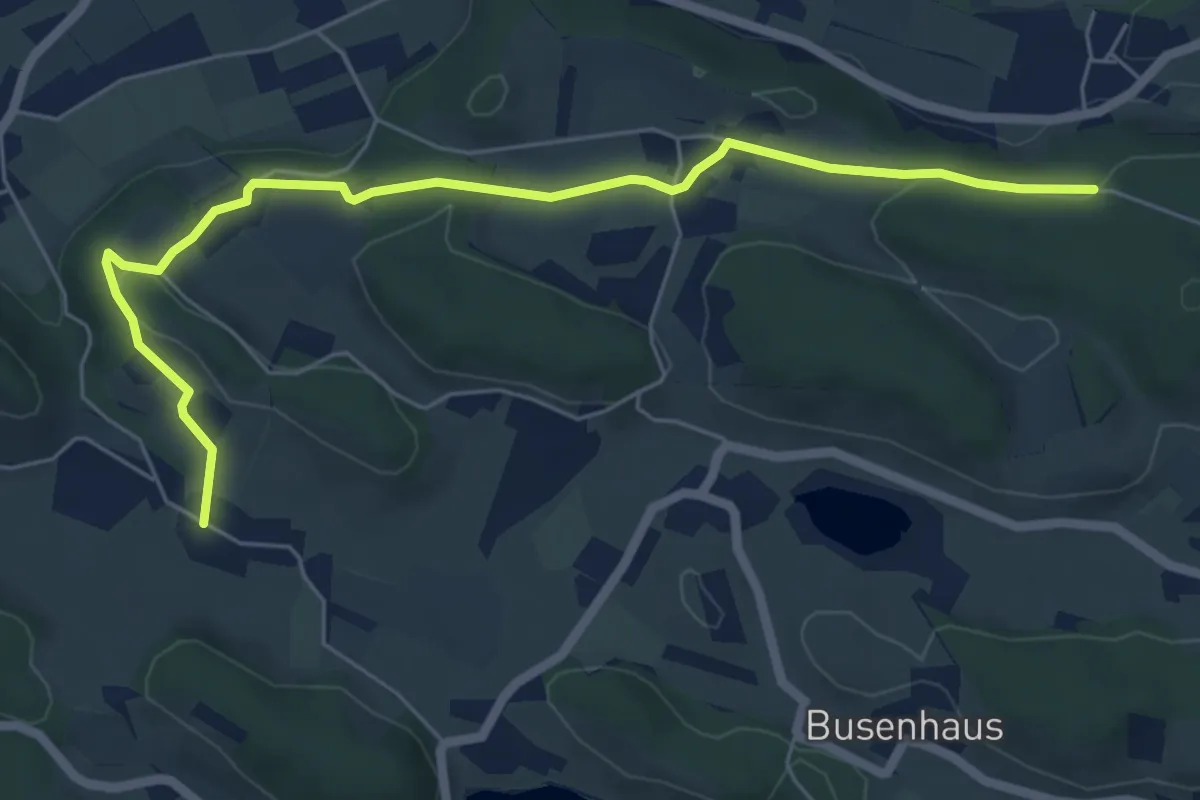
Easy · Trail
Unterwolfertsweiler-Gitzensteig-Rattenweiler
6.4 km · ↑ 110 m · 1 h 46 min
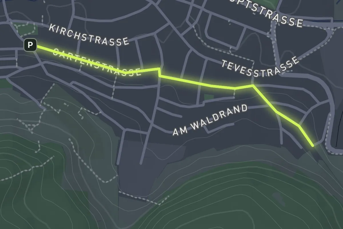
Easy · Trail
Unter Zinnen - Blumberg Evang. Kirche
2.4 km · ↑ 10 m · 35 min
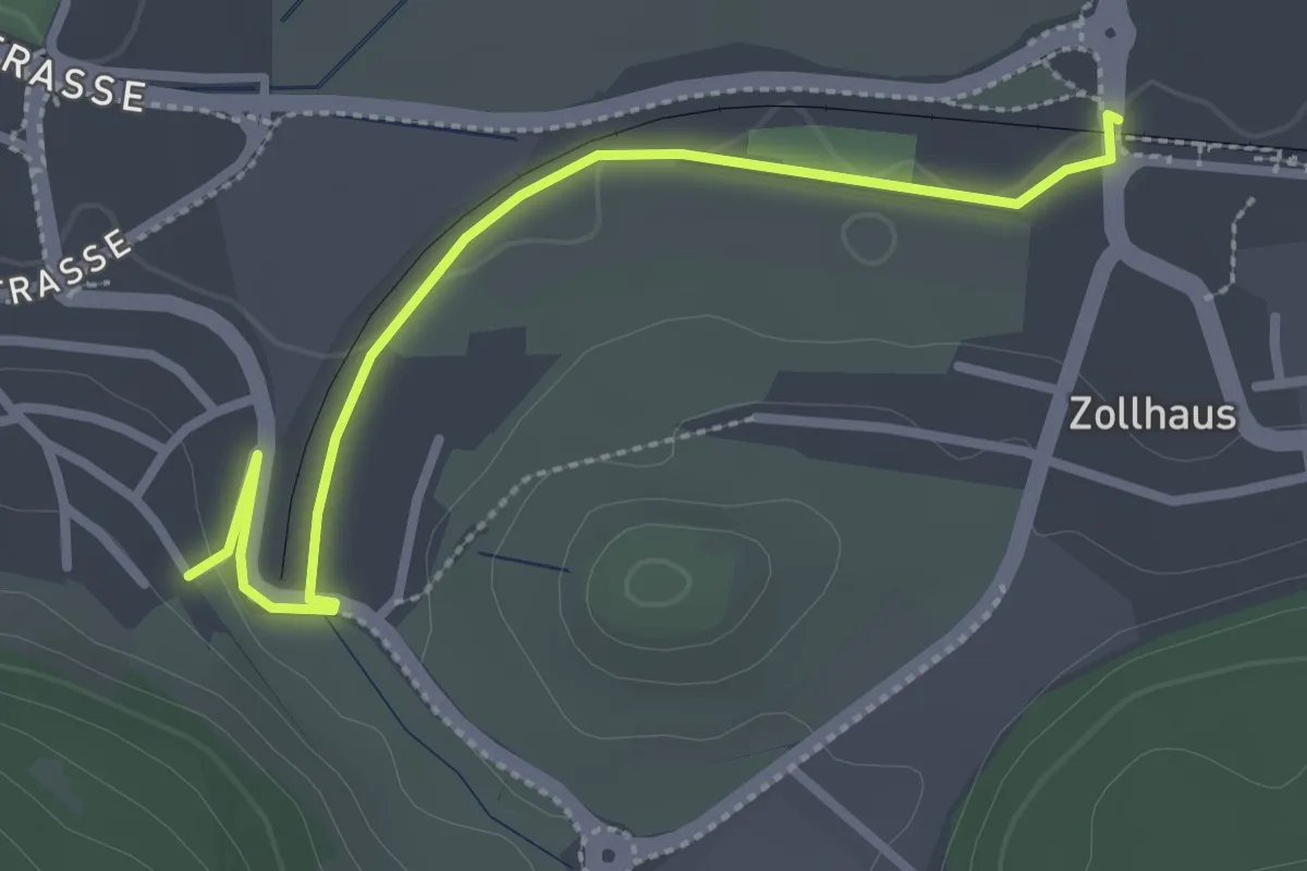
Easy · Trail
Unter Zinnen - Museumsbahnhof Blumberg Zollhaus
2.8 km · ↑ 30 m · 44 min
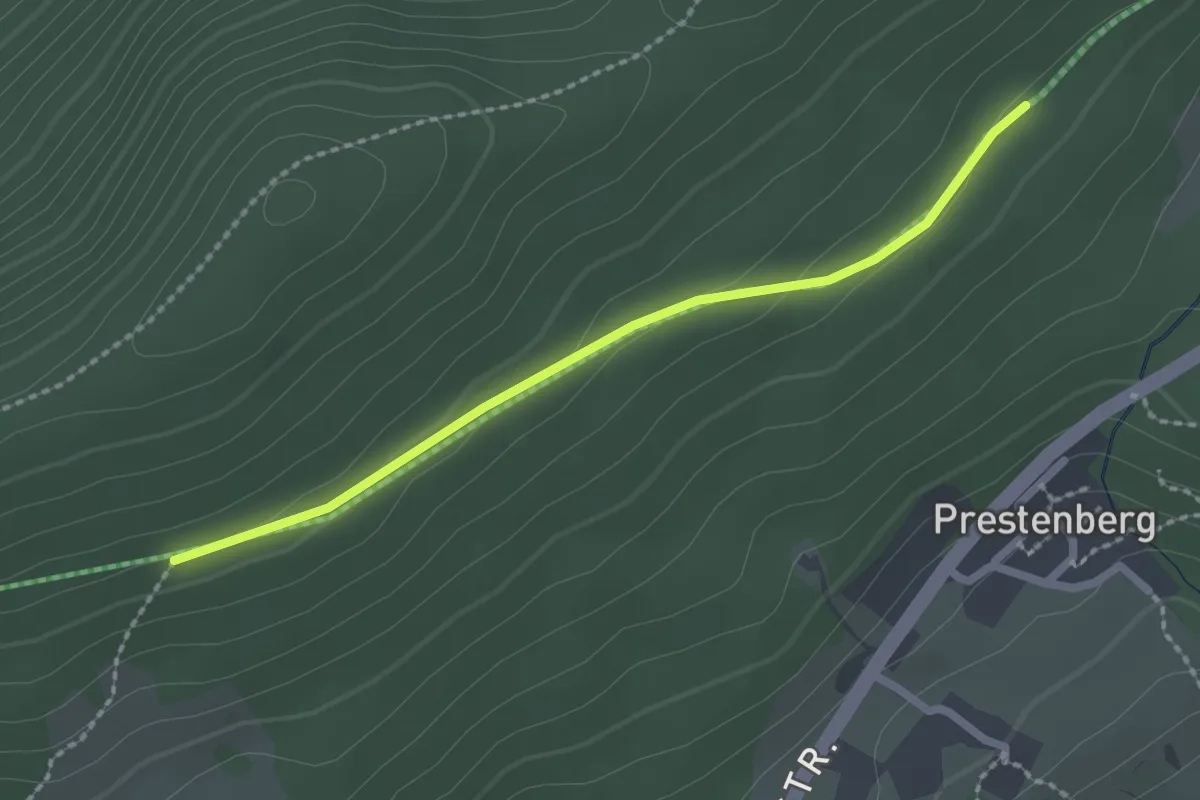
Easy · Trail
Unt. Langenwaldweg Abzw. Prestenberg - Unt. Langwaldweg Abzw. Weidenbuche
2.1 km · ↑ 54 m · 37 min
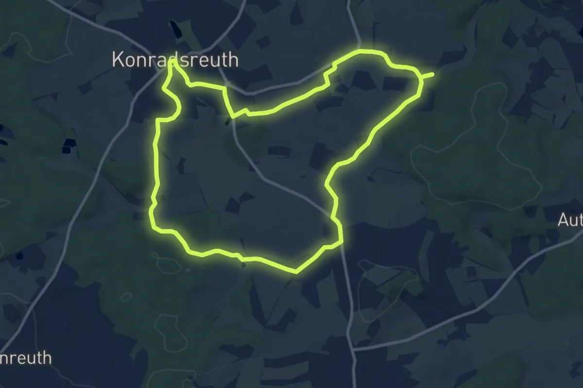
Medium · Trail
Untreu-Weg US 82
9.8 km · ↑ 112 m · 2 h 41 min
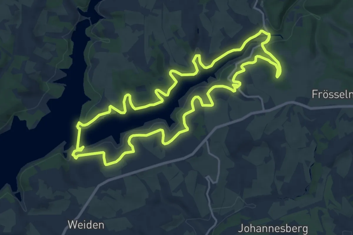
Medium · Trail
unverDHÜNNt 2
11.8 km · ↑ 285 m · 3 h 34 min
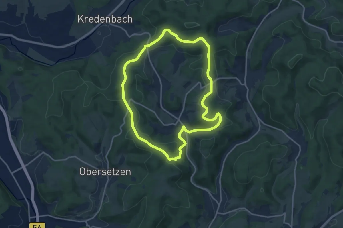
Medium · Summit
(U) Onkelküser Themenrundweg
9.6 km · ↑ 220 m · 2 h 53 min
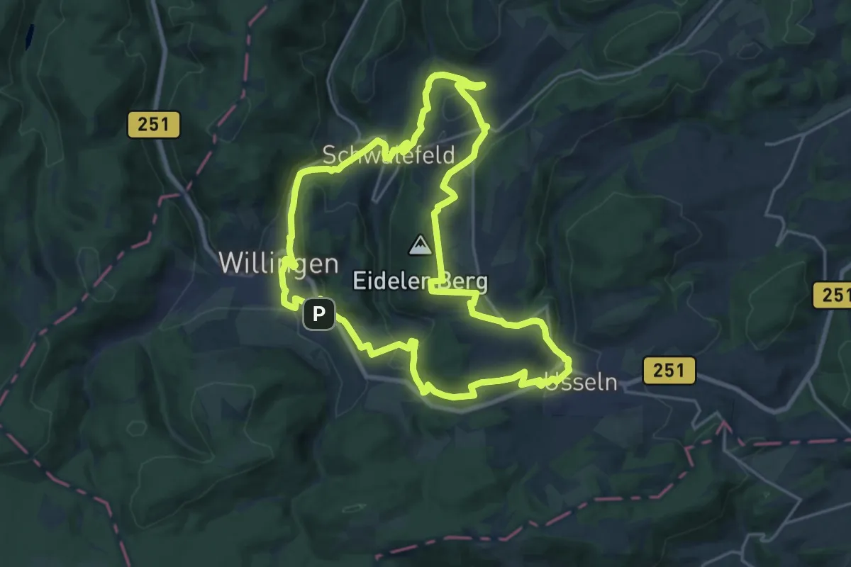
Demanding · Summit
Upländer Pilgerweg 'Besinnungsweg Lebensspuren'
18.2 km · ↑ 412 m · 5 h 26 min
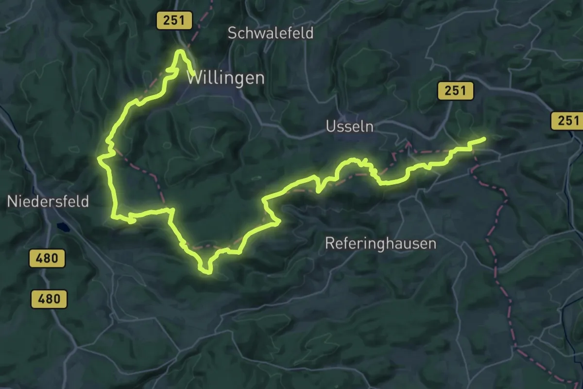
Demanding · Summit
Uplandsteig
27.7 km · ↑ 603 m · 8 h 14 min
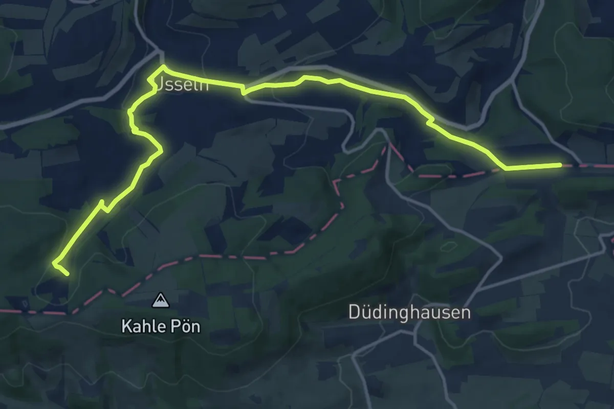
Medium · Trail
Uplandsteig - Talvariante
13.5 km · ↑ 233 m · 3 h 41 min
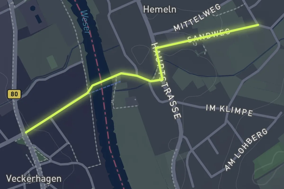
Easy · Trail
Upland-Weserbergland-Weg
2.1 km · ↑ 12 m · 32 min
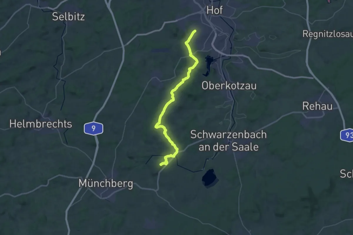
Demanding · Summit
Uprodeweg
31.8 km · ↑ 483 m · 8 h 34 min
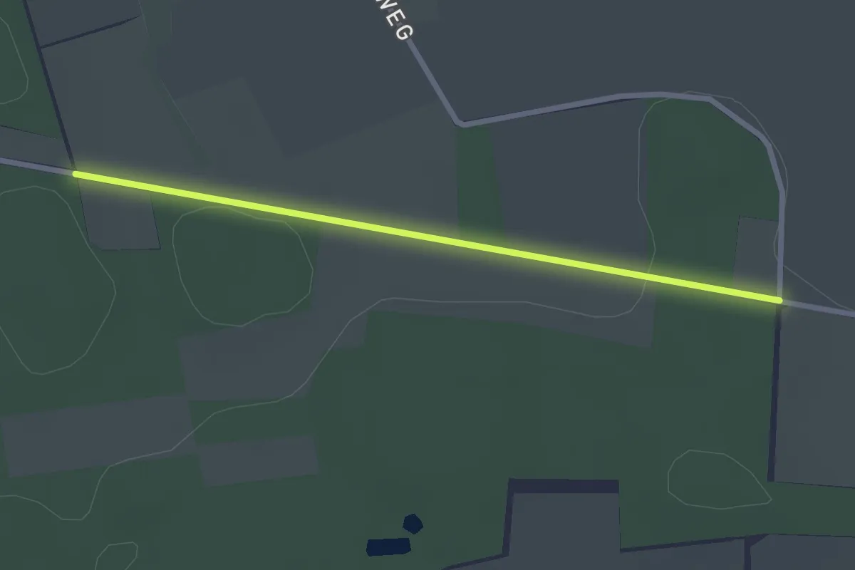
Easy · Trail
Upsprunge Route 2
2.2 km · ↑ 17 m · 33 min
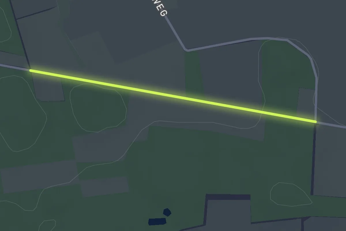
Easy · Trail
Upsprunge Route 3
2.2 km · ↑ 17 m · 33 min
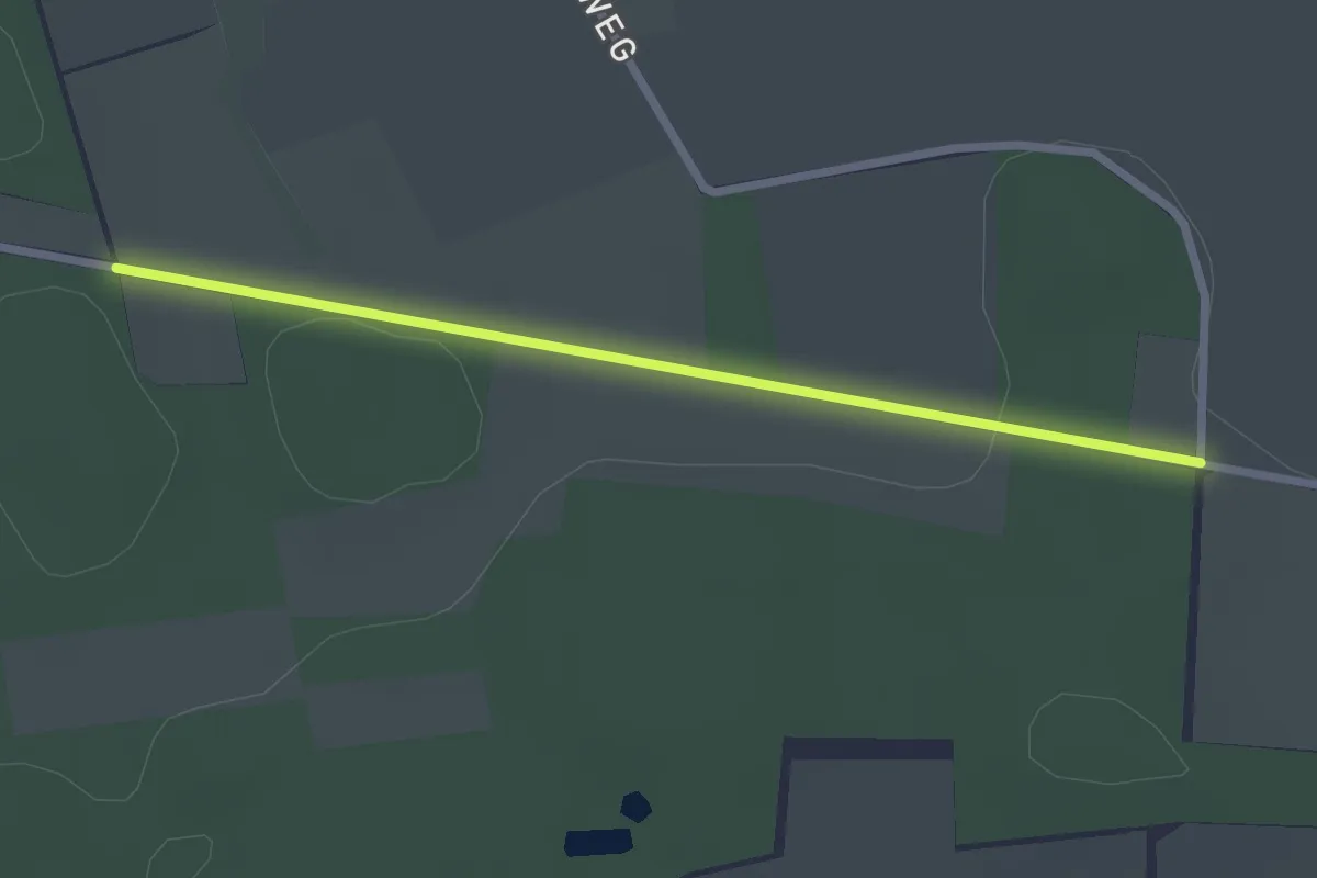
Easy · Trail
Upsprunge Route 4
2.2 km · ↑ 17 m · 33 min
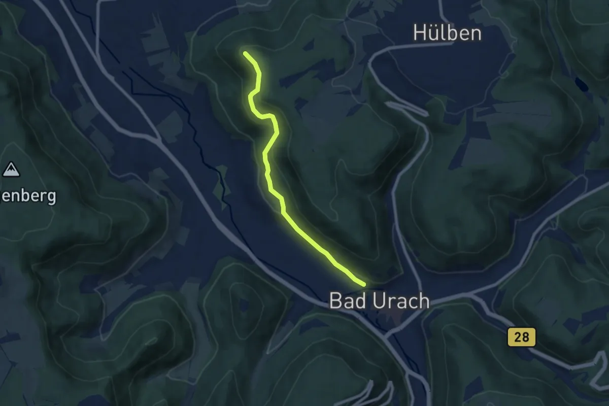
Medium · Summit
Urach - Buckleter Kapf
6.4 km · ↑ 289 m · 2 h 8 min
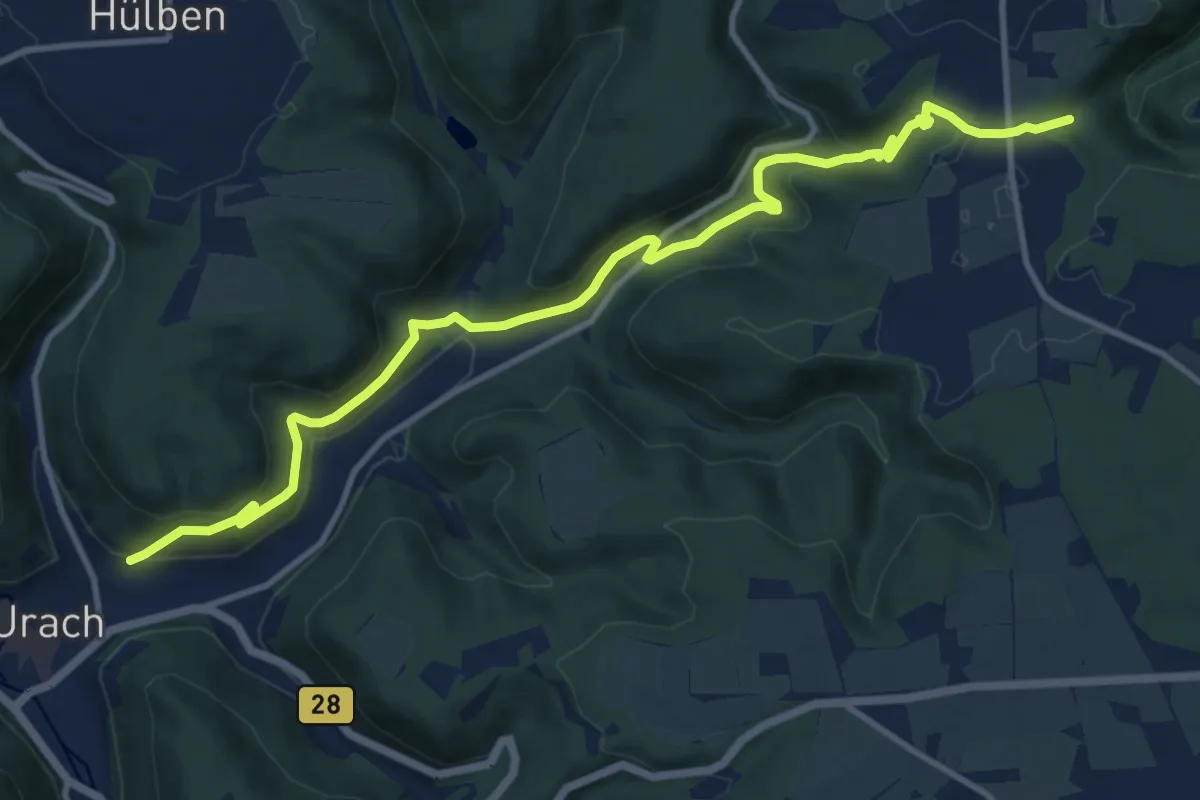
Medium · Trail
Urach - Falkensteiner Höhle - Heidengraben
12.9 km · ↑ 485 m · 4 h 6 min
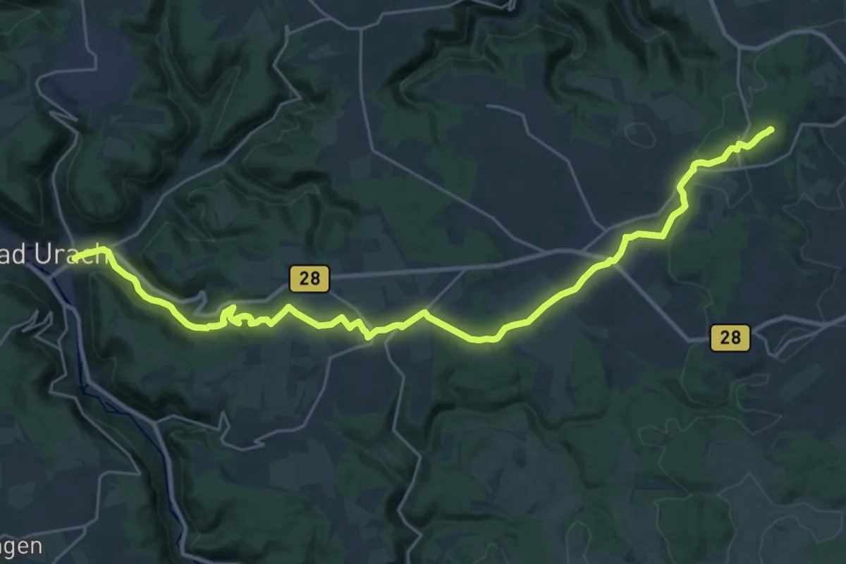
Demanding · Summit
Urach - Römerstein
28.0 km · ↑ 750 m · 8 h 14 min
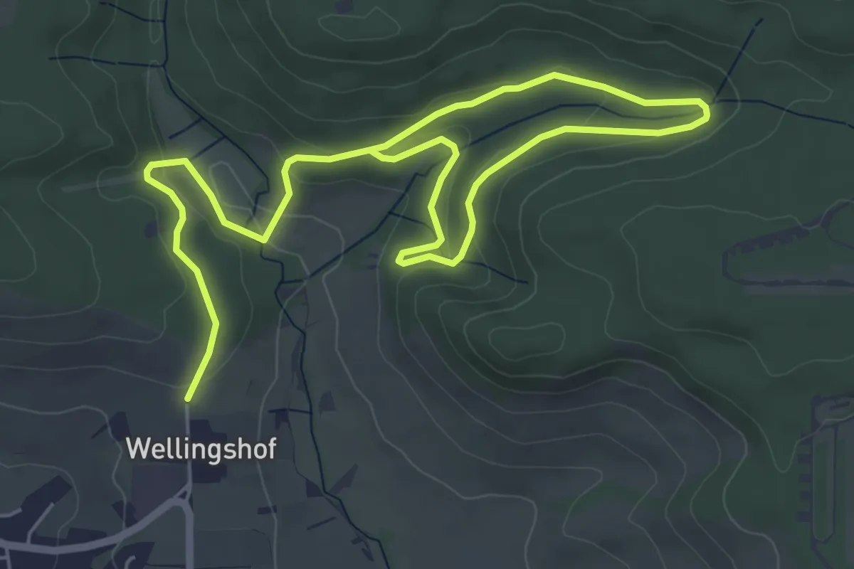
Medium · Trail
Urbacher Wanderweg 1
8.4 km · ↑ 211 m · 2 h 26 min
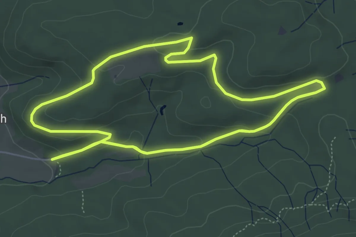
Easy · Trail
Urbacher Wanderweg 11
7.9 km · ↑ 207 m · 2 h 26 min
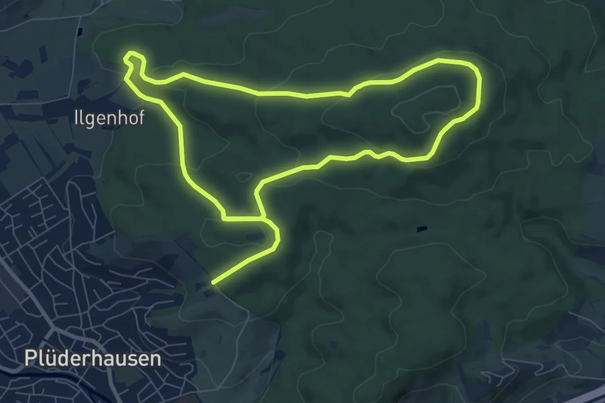
Medium · Trail
Urbacher Wanderweg 12
14.0 km · ↑ 402 m · 4 h 10 min
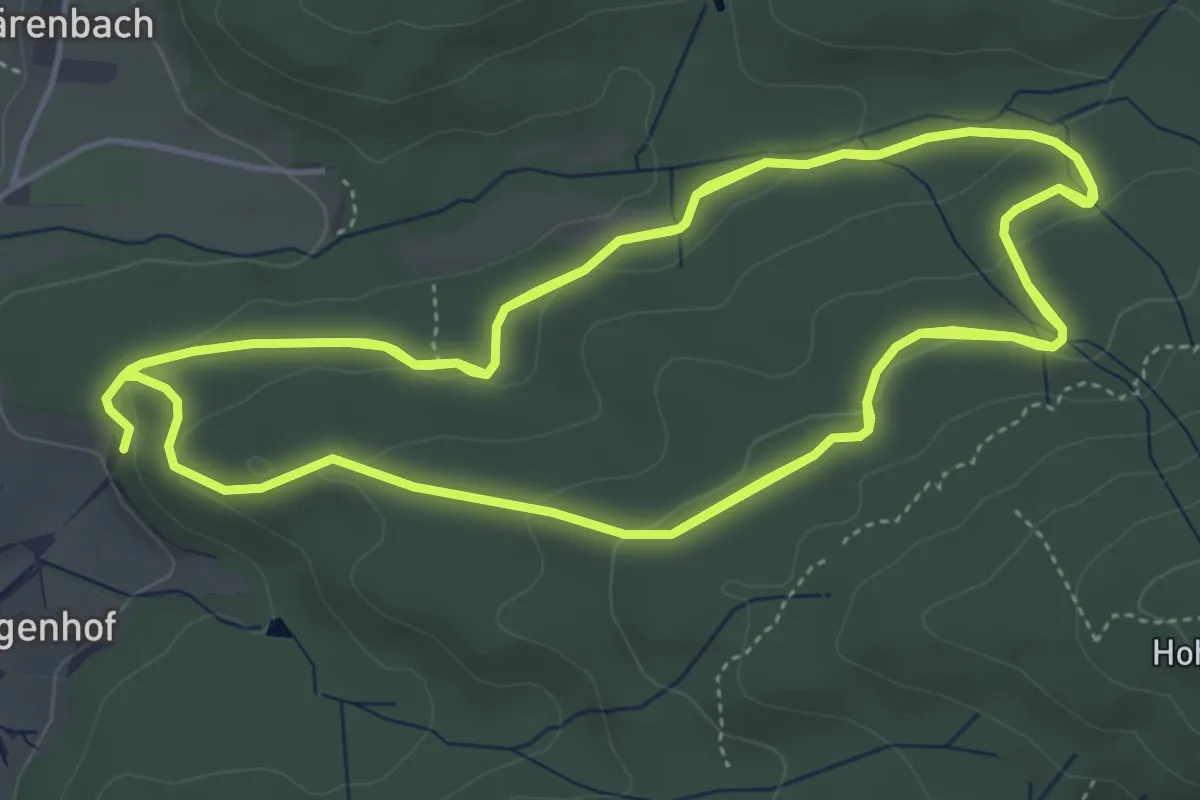
Medium · Trail
Urbacher Wanderweg 13
14.4 km · ↑ 392 m · 4 h 15 min
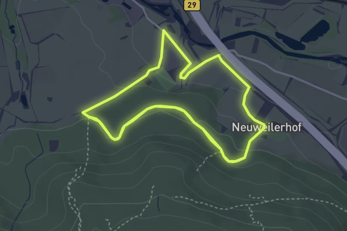
Easy · Trail
Urbacher Wanderweg 14
7.1 km · ↑ 185 m · 2 h 5 min
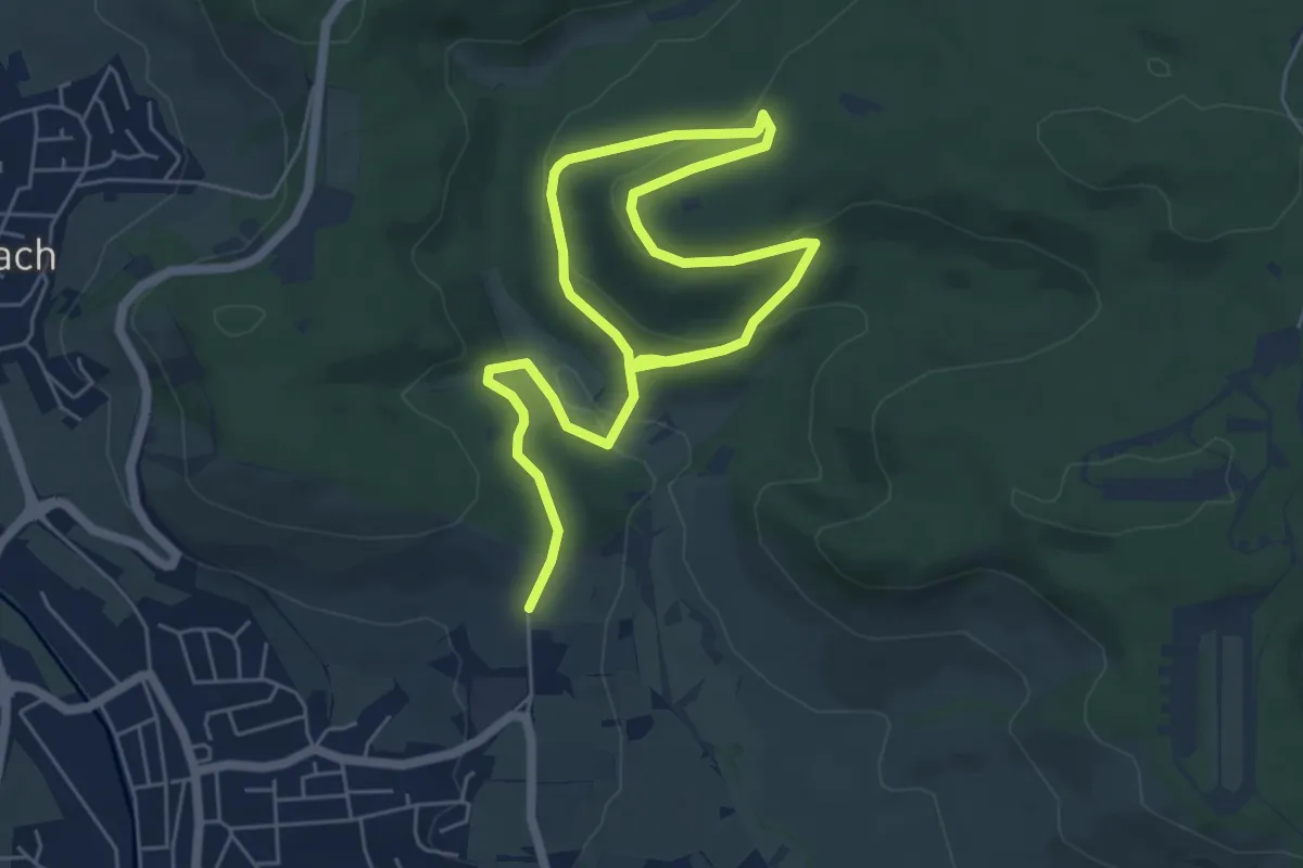
Medium · Trail
Urbacher Wanderweg 2
8.7 km · ↑ 272 m · 2 h 38 min
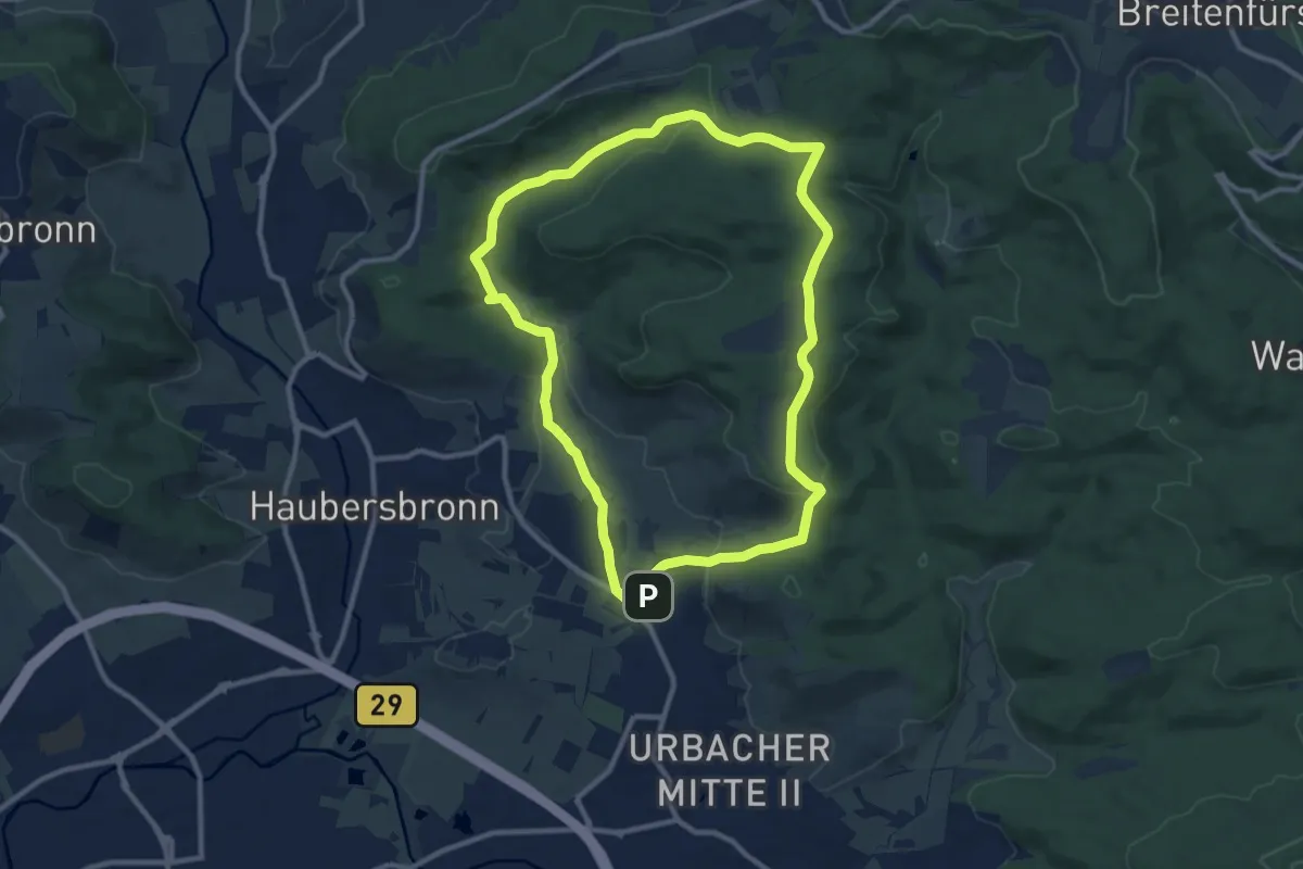
Medium · Trail
Urbacher Wanderweg 3
9.6 km · ↑ 196 m · 2 h 49 min
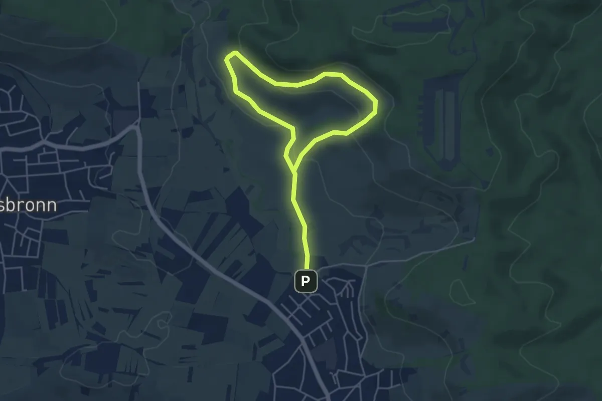
Easy · Trail
Urbacher Wanderweg 4
6.4 km · ↑ 190 m · 1 h 55 min
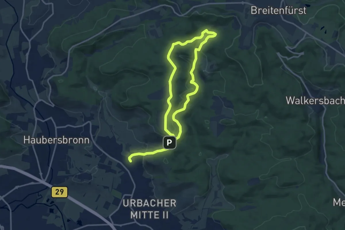
Medium · Trail
Urbacher Wanderweg 5
17.8 km · ↑ 456 m · 5 h 11 min
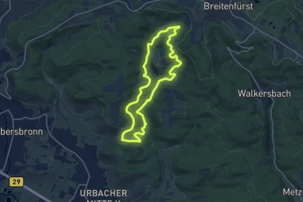
Medium · Trail
Urbacher Wanderweg 6
9.3 km · ↑ 279 m · 2 h 56 min
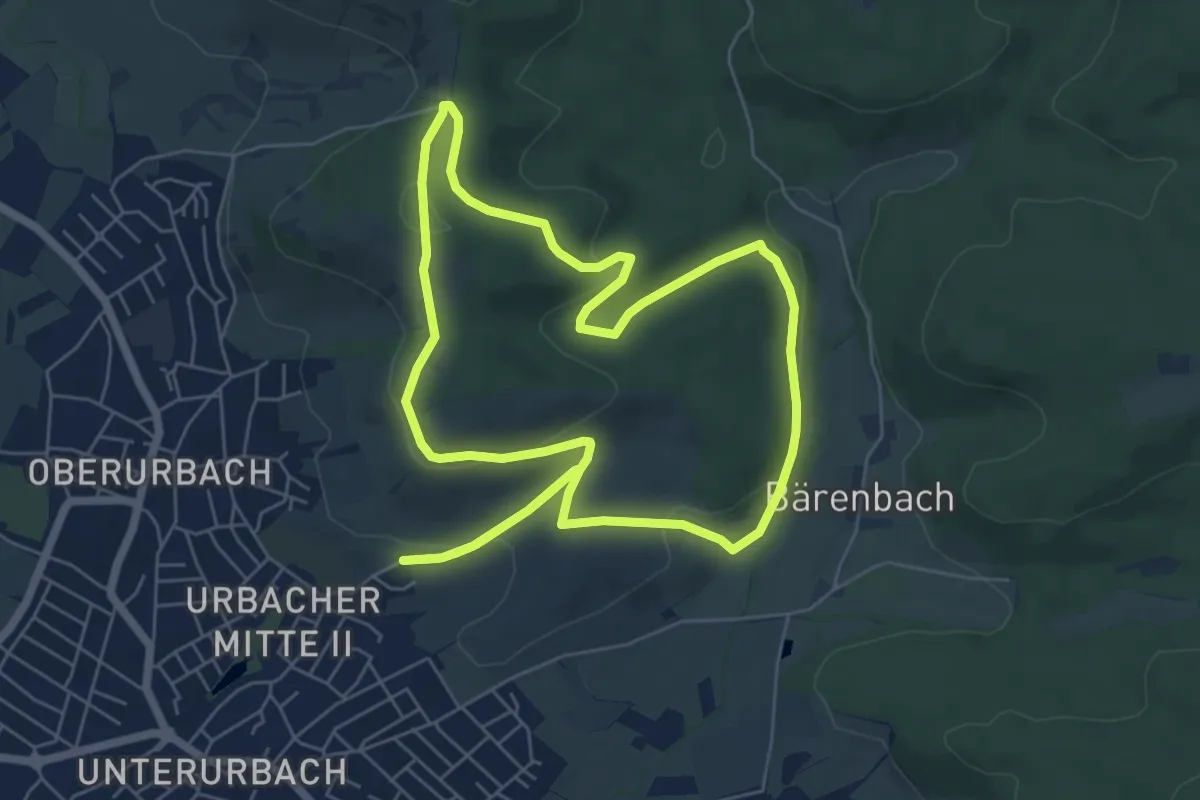
Easy · Summit
Urbacher Wanderweg 7
6.2 km · ↑ 157 m · 1 h 53 min