Trails in Germany
36,852 hiking trails, each with its route, climb, walking time and grade.
All trails, page 643 of 768
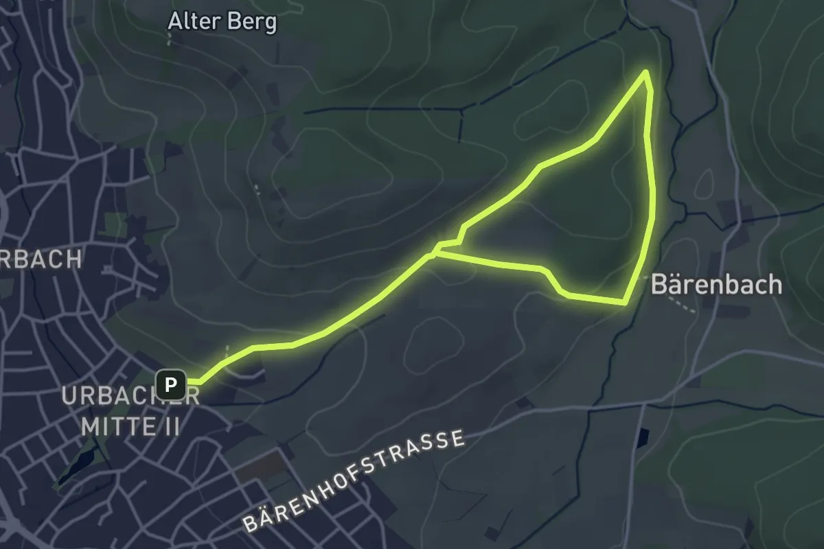
Easy · Trail
Urbacher Wanderweg 8
5.9 km · ↑ 139 m · 1 h 42 min
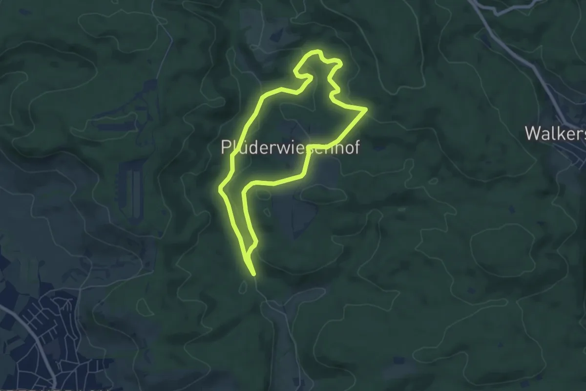
Easy · Trail
Urbacher Wanderweg 9
5.7 km · ↑ 170 m · 1 h 47 min
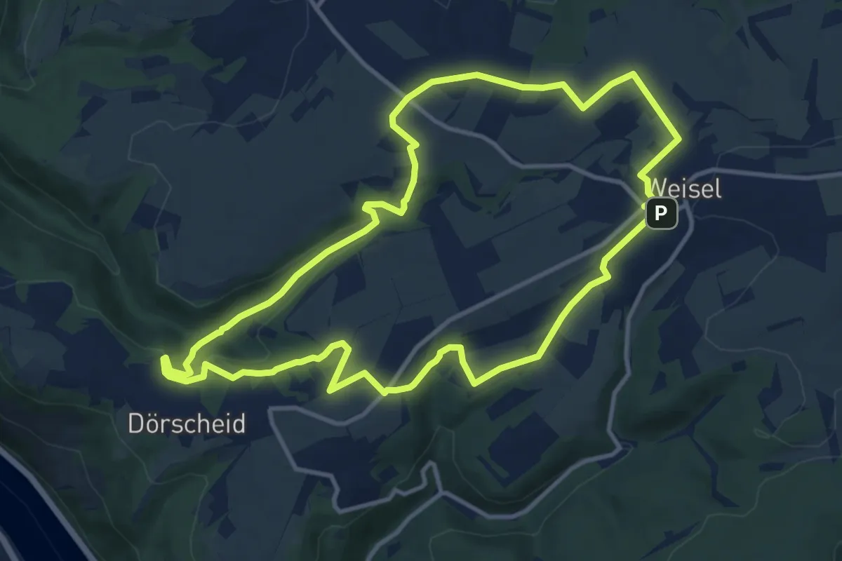
Medium · Trail
Urbach-Runde, Variante A
10.4 km · ↑ 174 m · 2 h 59 min
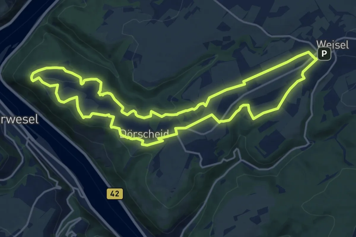
Medium · Trail
Urbach-Runde, Variante B
13.2 km · ↑ 215 m · 3 h 46 min
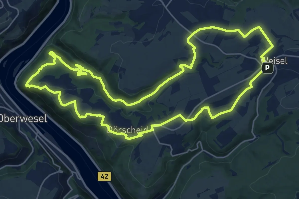
Medium · Summit
Urbach-Runde, Variante C
16.8 km · ↑ 467 m · 5 h 13 min
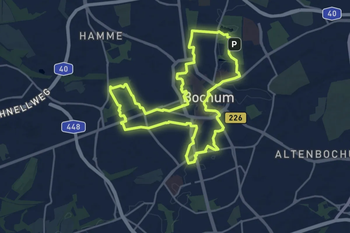
Medium · Trail
Urban.Trail – Bochums Kiez.Hopping
11.0 km · ↑ 66 m · 2 h 54 min
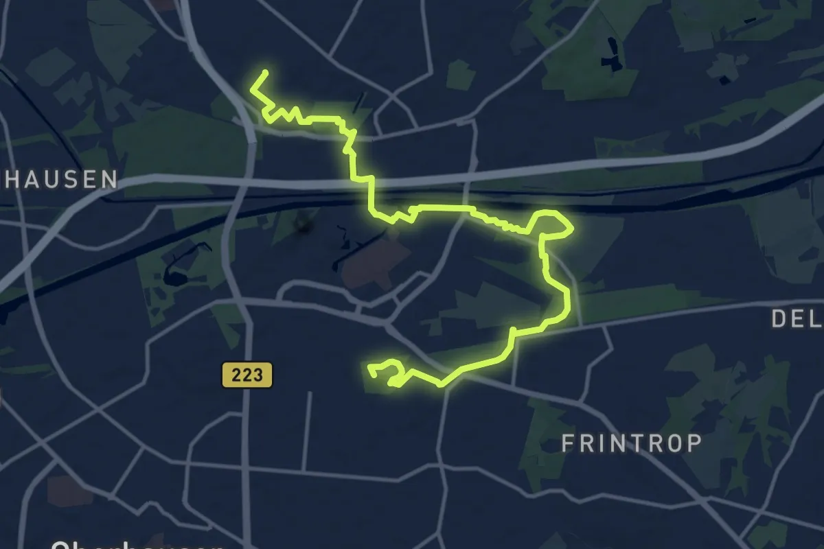
Medium · Summit
Urban.Trail – Erlebnis.Pfad durch Oberhausen
15.5 km · ↑ 80 m · 3 h 49 min
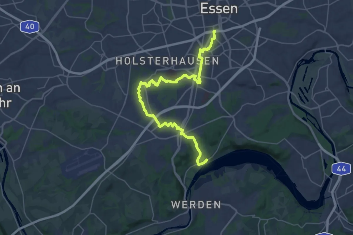
Demanding · Trail
Urban.Trail – Essens Unternehmer.Trail
24.9 km · ↑ 267 m · 6 h 27 min
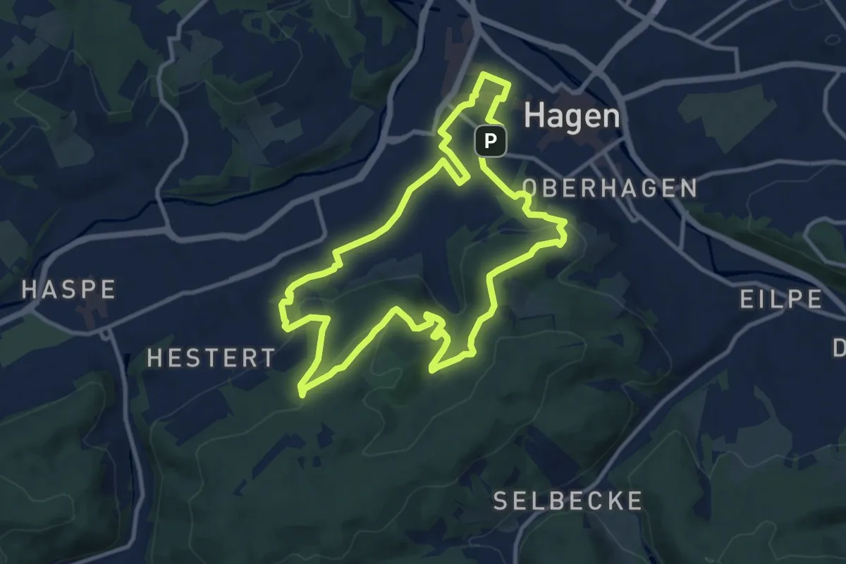
Medium · Summit
Urban Trail Hagen
9.5 km · ↑ 264 m · 2 h 57 min
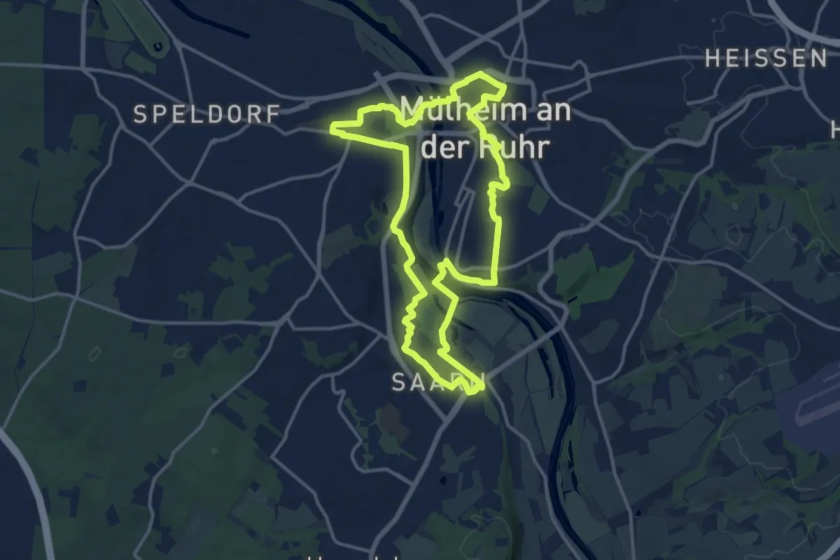
Medium · Trail
Urban Trail Mülheim
11.8 km · ↑ 103 m · 3 h 11 min
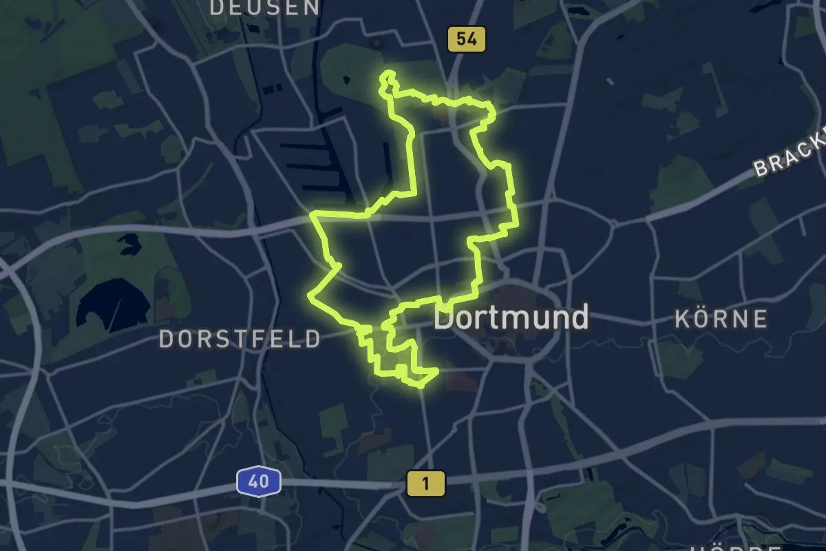
Medium · Trail
Urban.Trail – Sub.KulTour in Dortmund
14.2 km · ↑ 52 m · 3 h 40 min
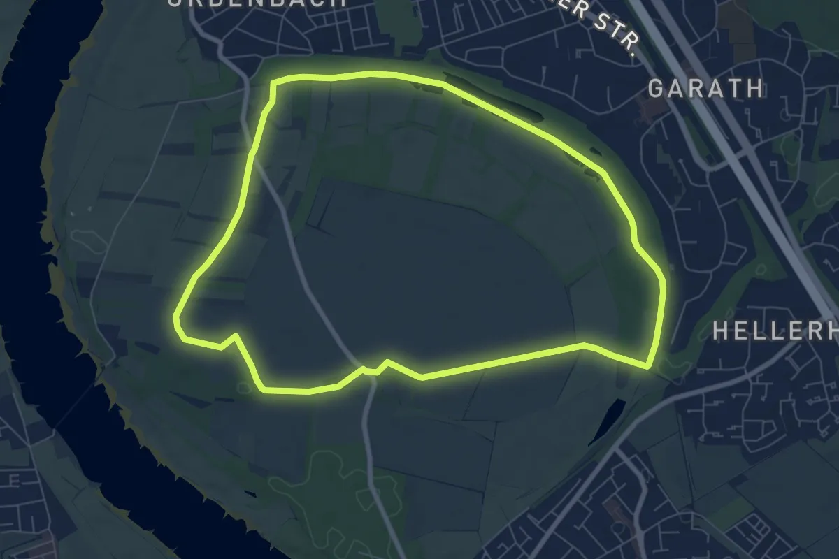
Easy · Trail
Urdenbacher Kämpe - Durch die Obstwiesen zur Feuchtwiese
7.1 km · ↑ 13 m · 1 h 49 min
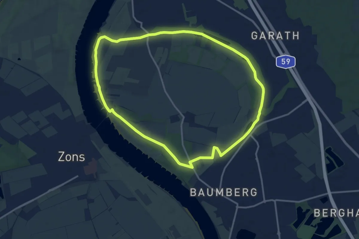
Medium · Trail
Urdenbacher Kämpe - Großer Rundweg
9.6 km · ↑ 23 m · 2 h 26 min
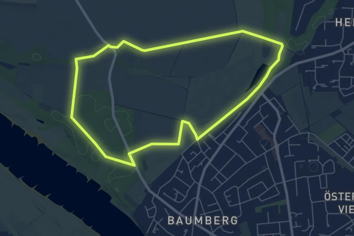
Easy · Trail
Urdenbacher Kämpe - Rund um den Auwald
5.2 km · ↑ 13 m · 1 h 19 min
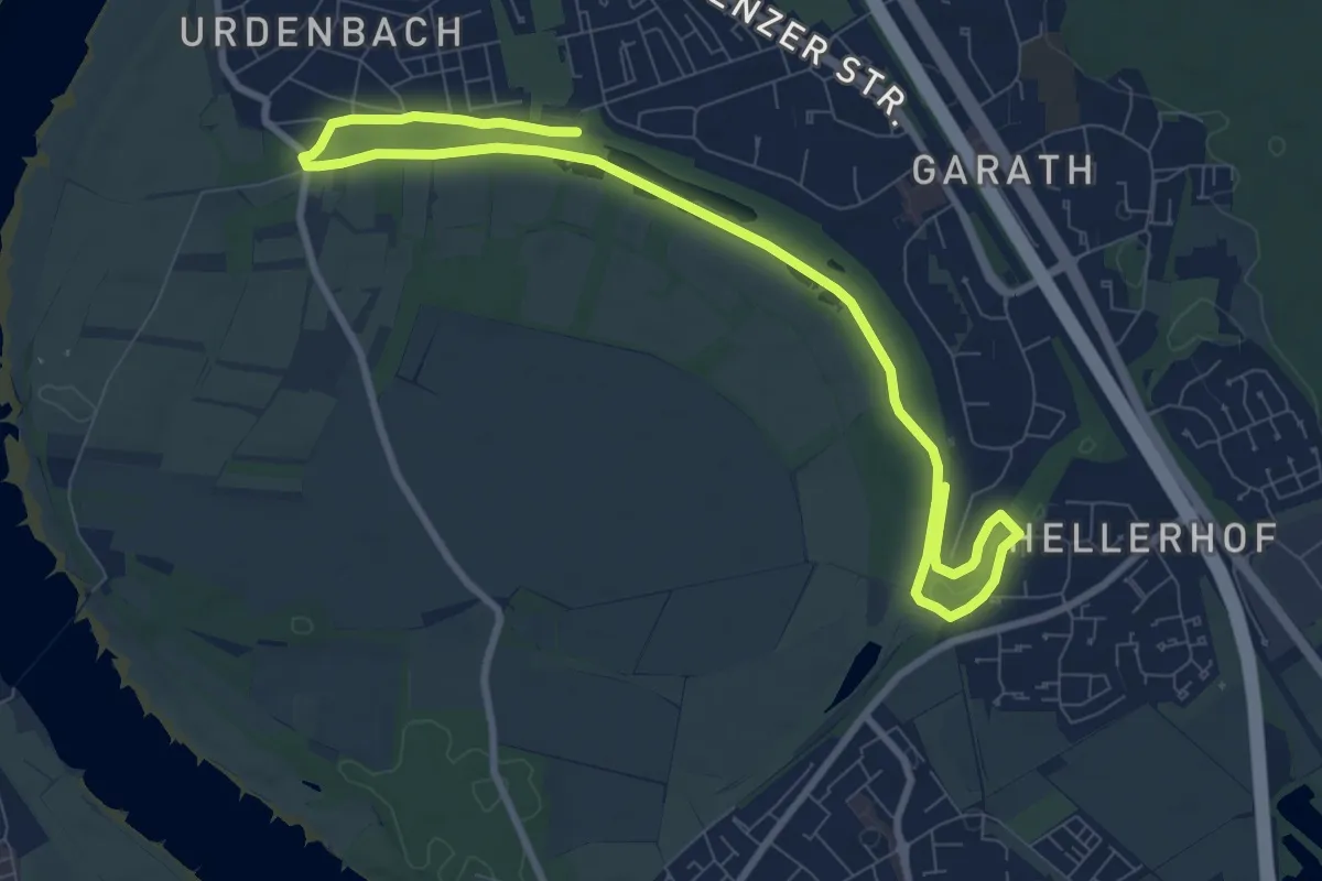
Medium · Trail
Urdenbacher Kämpe - Rund um den Urdenbacher Altrhein
10.8 km · ↑ 13 m · 2 h 34 min
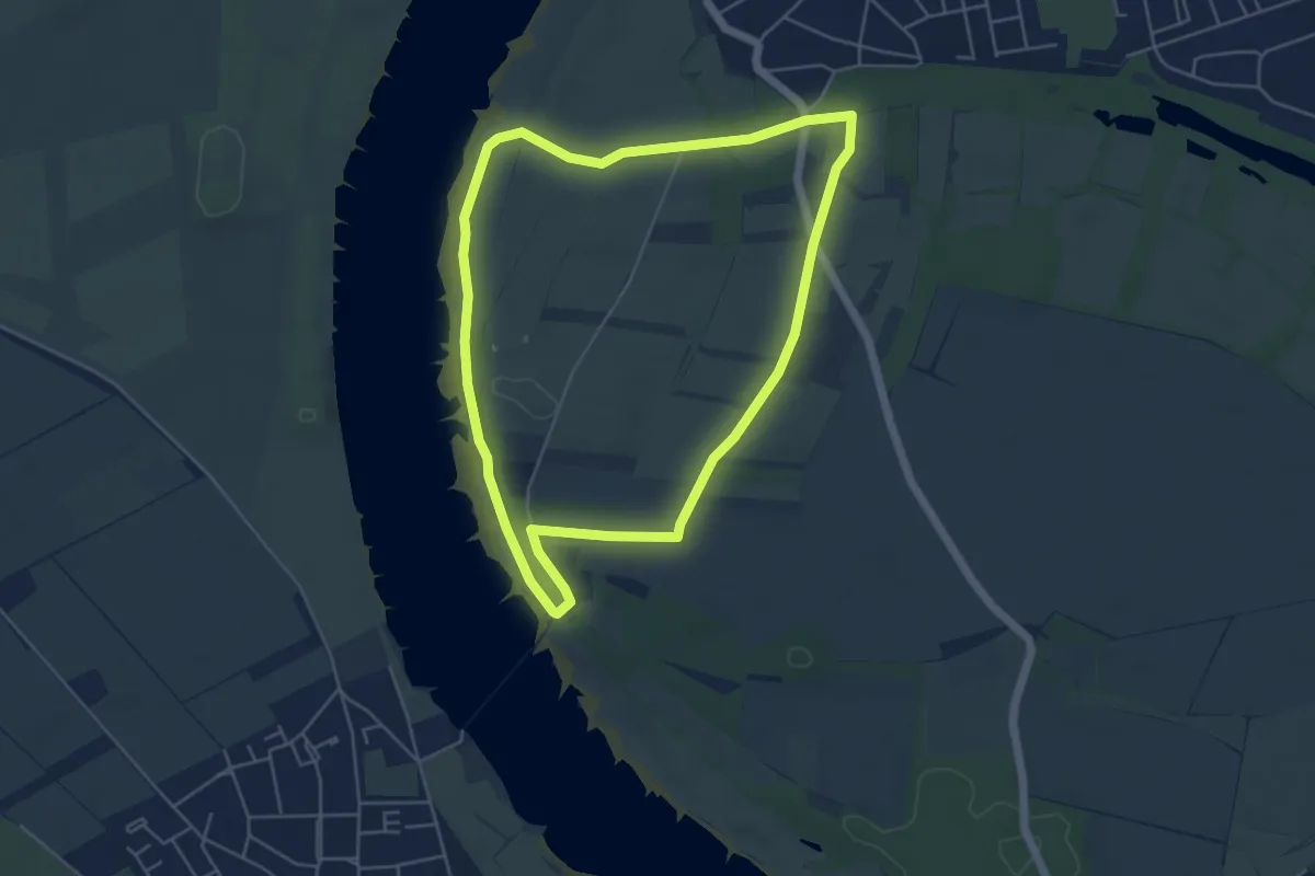
Easy · Trail
Urdenbacher Kämpe - Rund um die Obstwiesen
4.7 km · ↑ 13 m · 1 h 11 min
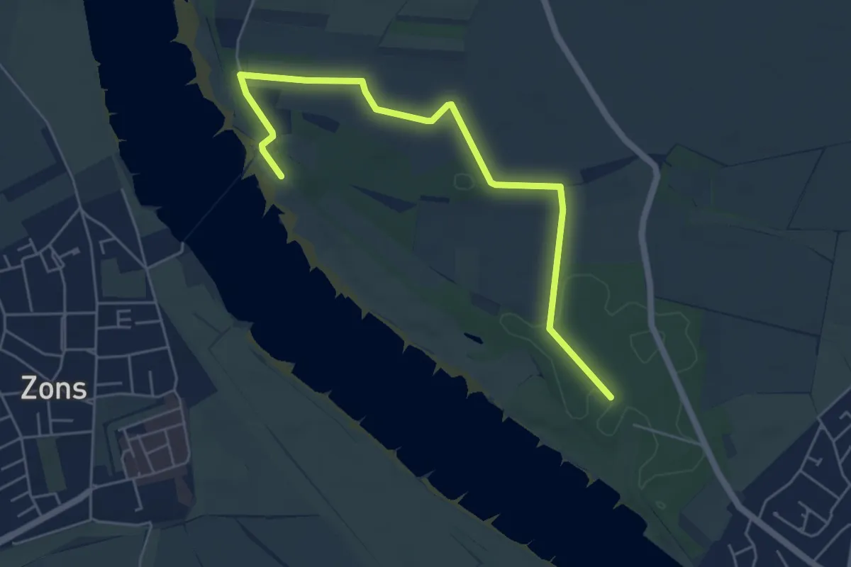
Easy · Trail
Urdenbacher Kämpe - Vom Rhein zum Auwald
2.6 km · ↑ 0 m · 40 min
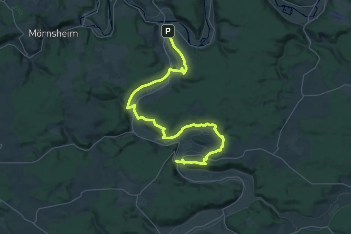
Medium · Trail
Urdonautalsteig Etappe 1 Dollnstein - Wellheim
15.7 km · ↑ 480 m · 4 h 59 min
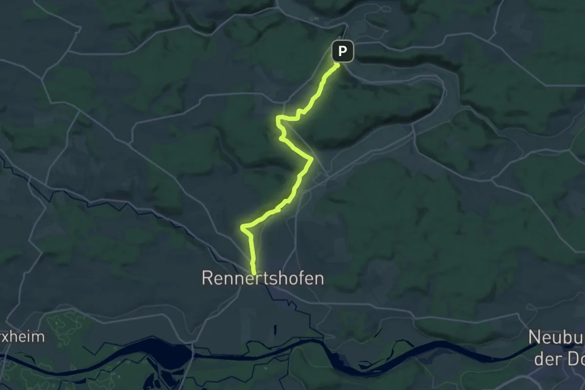
Demanding · Trail
Urdonautalsteig Etappe 2 Wellheim - Rennertshofen
20.4 km · ↑ 572 m · 6 h 3 min
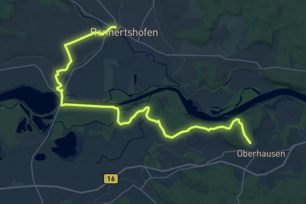
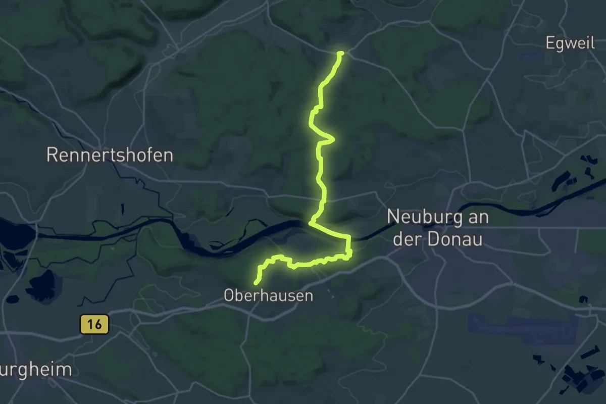
Demanding · Trail
Urdonautalsteig Etappe 3 Rennertshofen - Oberhausen
26.6 km · ↑ 357 m · 7 h 3 min
Demanding · Trail
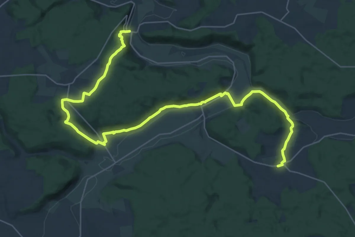
Urdonautalsteig Etappe 4 Oberhausen - Bergen
24.1 km · ↑ 447 m · 6 h 39 min
Medium · Trail
Urdonautalsteig Etappe 5 Bergen - Wellheim
14.3 km · ↑ 329 m · 4 h 18 min
Medium · Trail
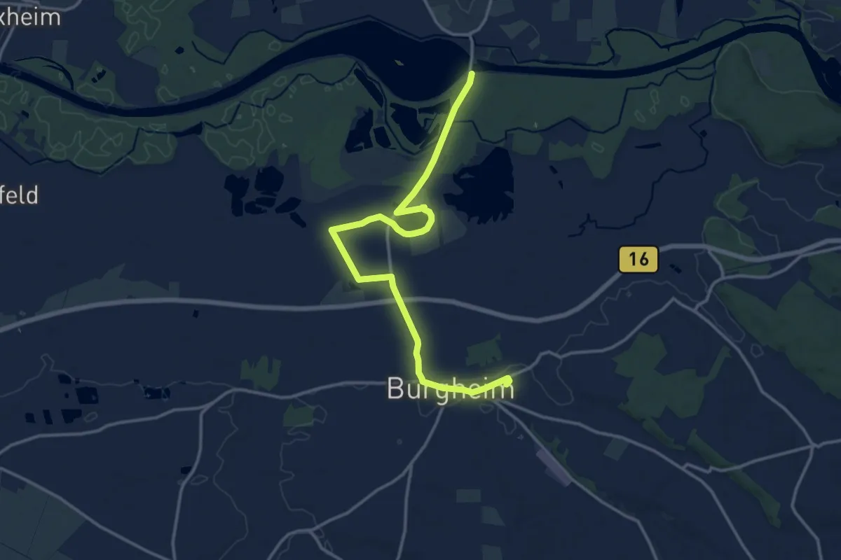
Urdonautalsteigzubringer Bahnhof Burgheim
14.7 km · ↑ 17 m · 3 h 31 min
Easy · Trail
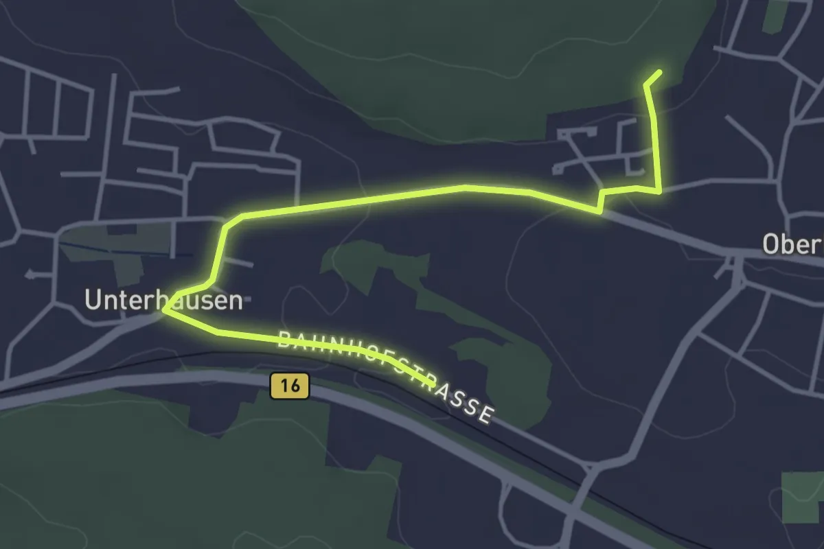
Urdonautalsteigzubringer Bahnhof Unterhausen
4.0 km · ↑ 47 m · 1 h 3 min
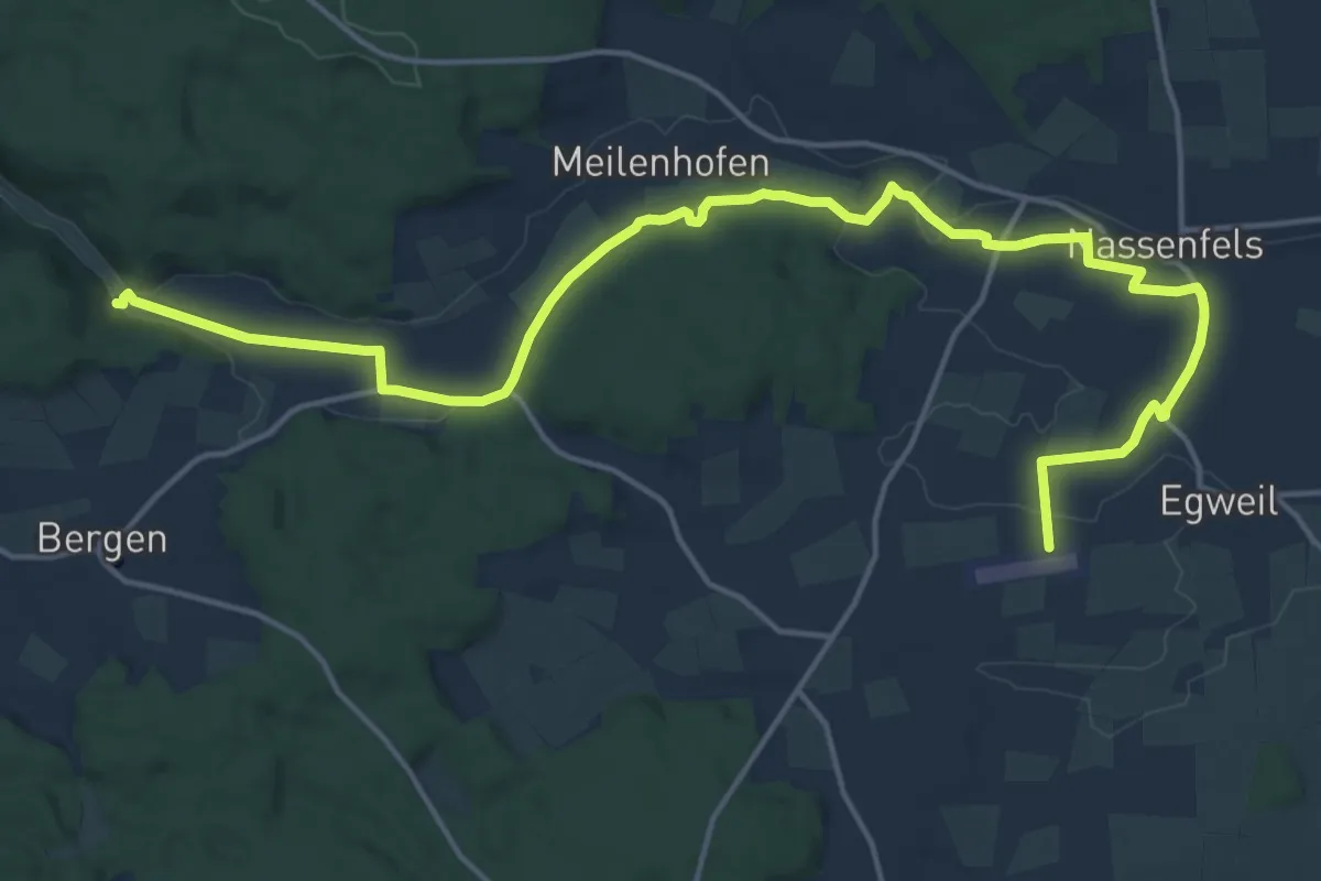
Demanding · Trail
Urdonautalsteigzubringer Nassenfels und Egweil
19.9 km · ↑ 150 m · 5 h 1 min
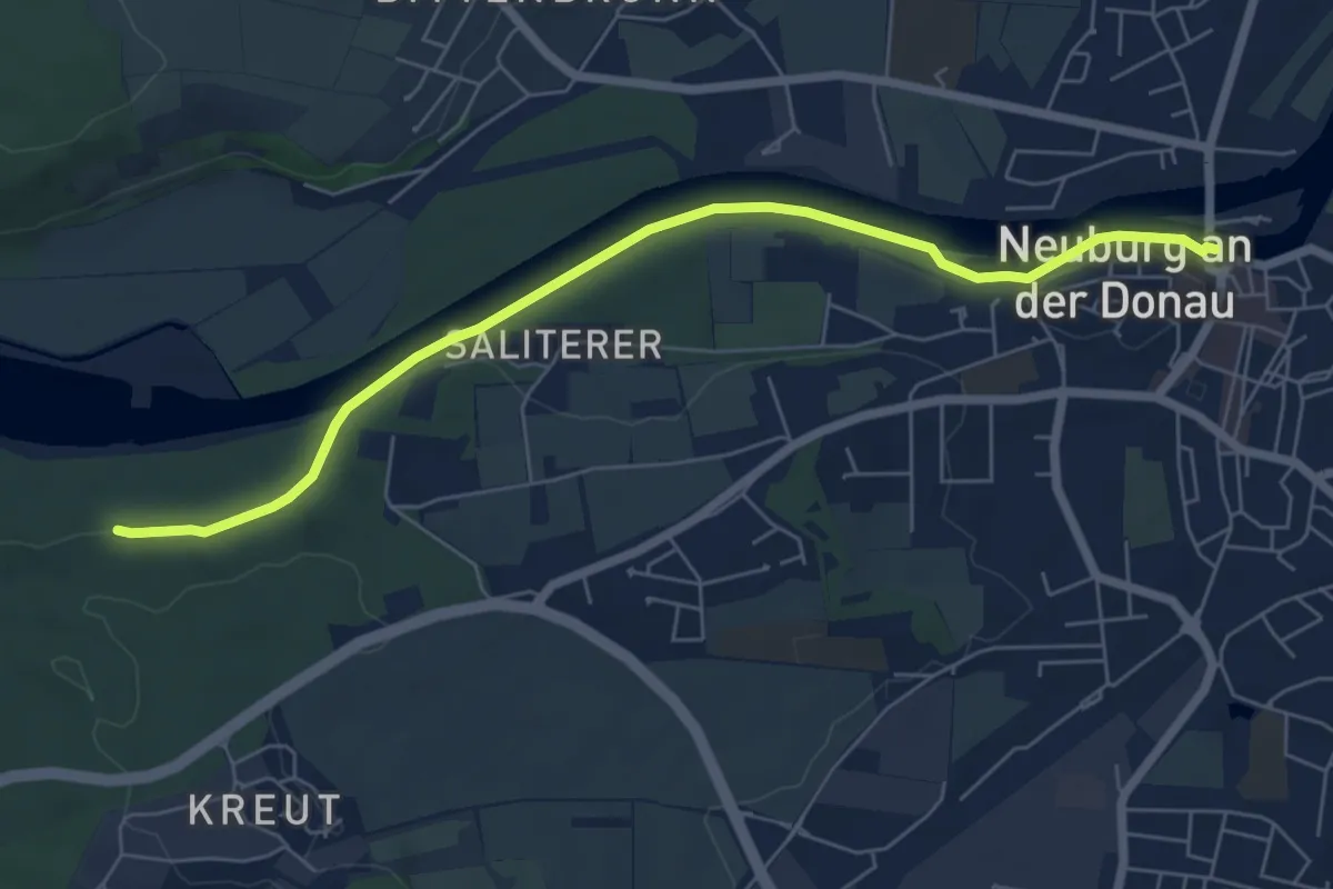
Easy · Trail
Urdonautalsteigzubringer Neuburg a.d. Donau
6.4 km · ↑ 52 m · 1 h 38 min
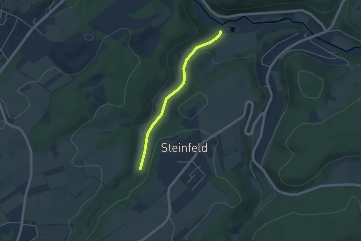
Easy · Trail
Urft-Steinfeld Rundweg 7
3.1 km · ↑ 80 m · 54 min
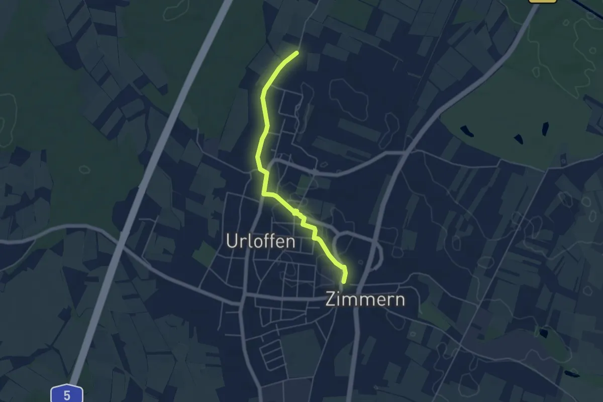
Easy · Trail
Urloffen Unterführung - Wörth
4.6 km · ↑ 13 m · 1 h 7 min
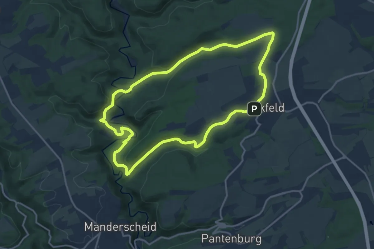
Medium · Summit
Urpferdweg 51
9.5 km · ↑ 271 m · 2 h 57 min
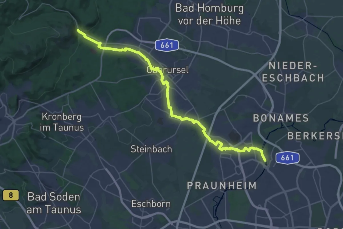
Demanding · Trail
Urselbach Mühlenwanderweg
30.9 km · ↑ 303 m · 7 h 56 min
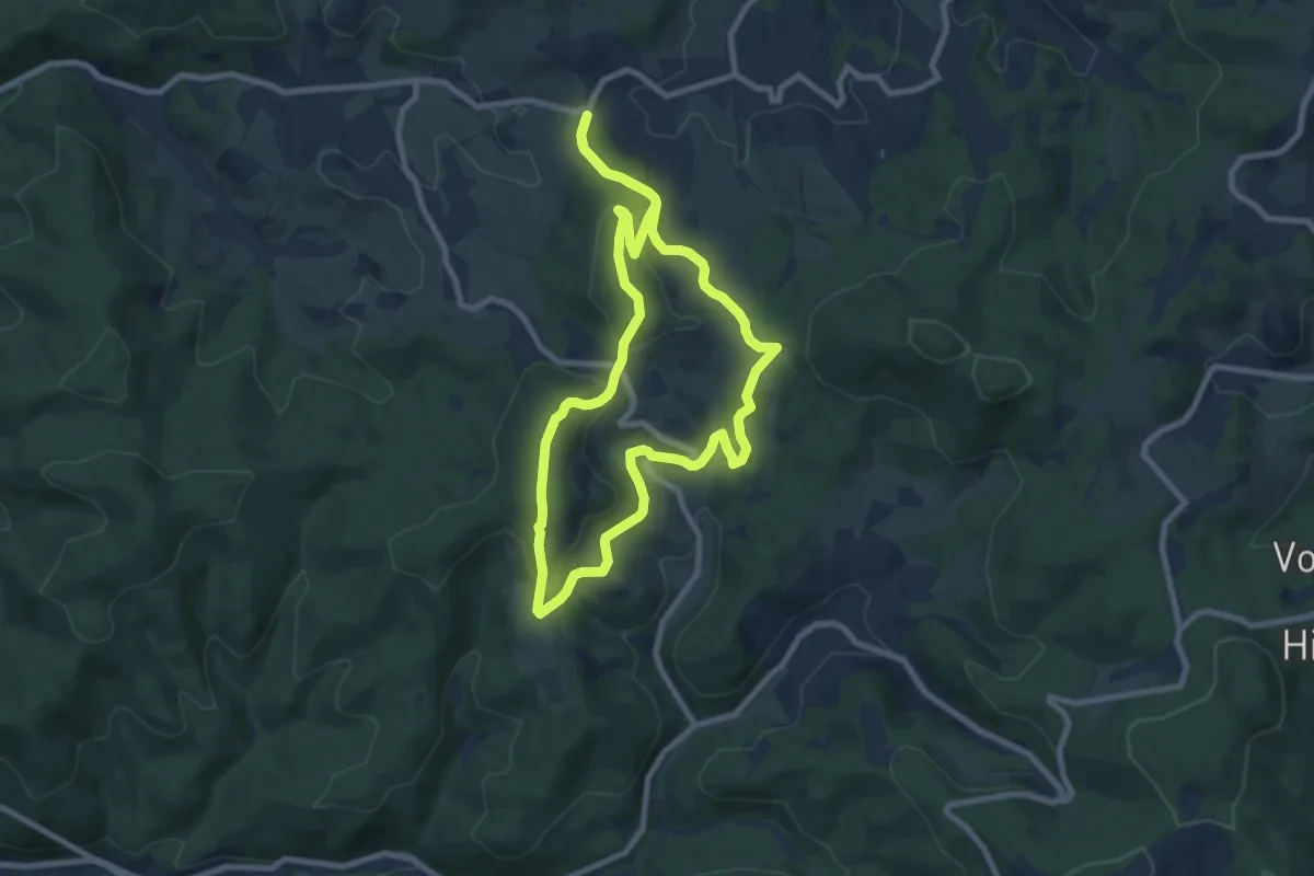
Easy · Summit
Ursenbachweg
7.7 km · ↑ 271 m · 2 h 31 min
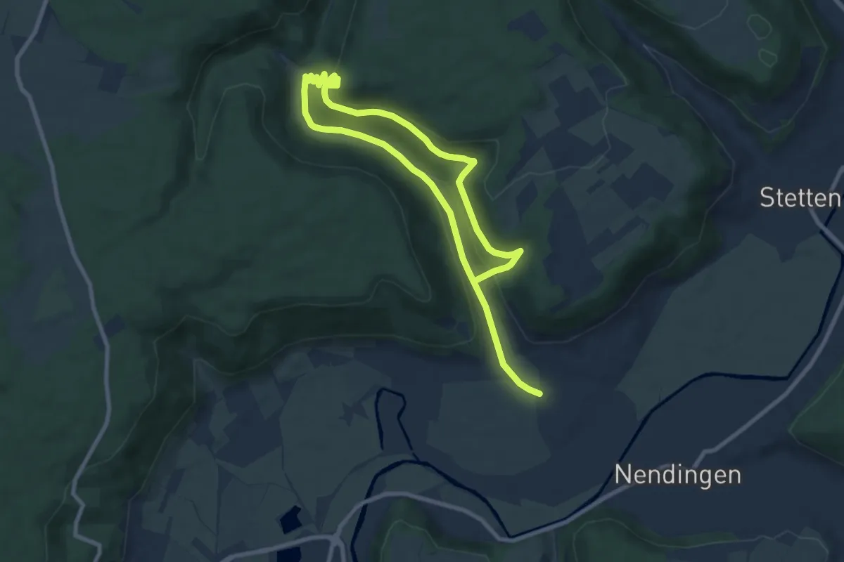
Medium · Trail
Ursental und Bräunisberg
12.4 km · ↑ 412 m · 3 h 50 min
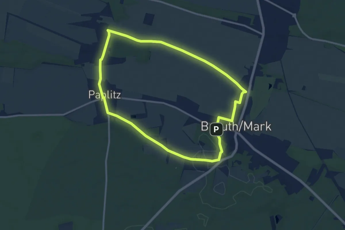
Easy · Trail
Urstromtalweg
7.6 km · ↑ 43 m · 2 h
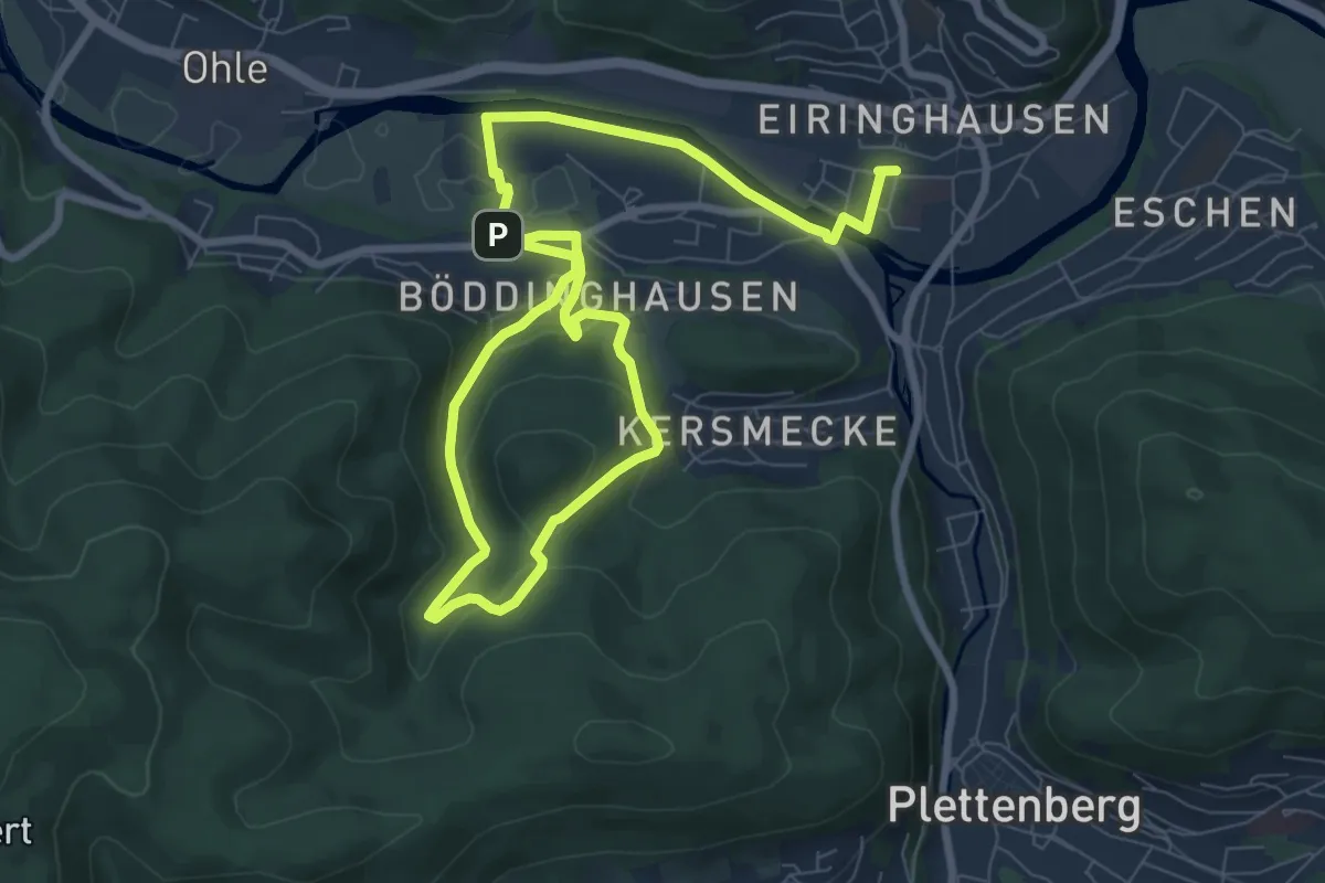
Easy · Summit
[U] Rundweg Bommecketal
6.0 km · ↑ 189 m · 1 h 55 min
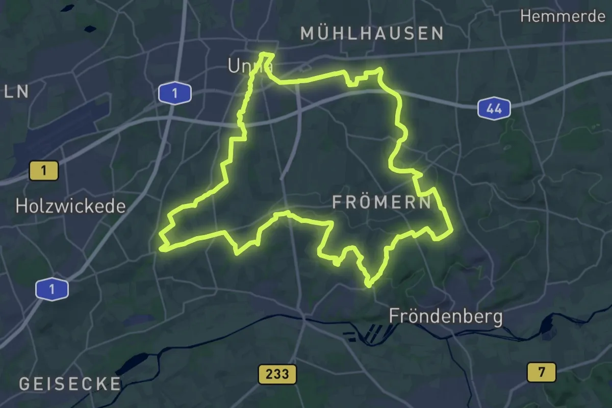
Demanding · Trail
(U) Rundweg Unna
31.5 km · ↑ 366 m · 8 h 40 min
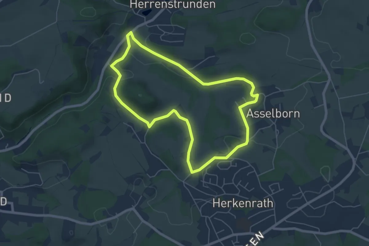
Easy · Trail
[U] Rundweg weißes U Wanderparkplatz Asselborner Mühle
4.8 km · ↑ 87 m · 1 h 23 min
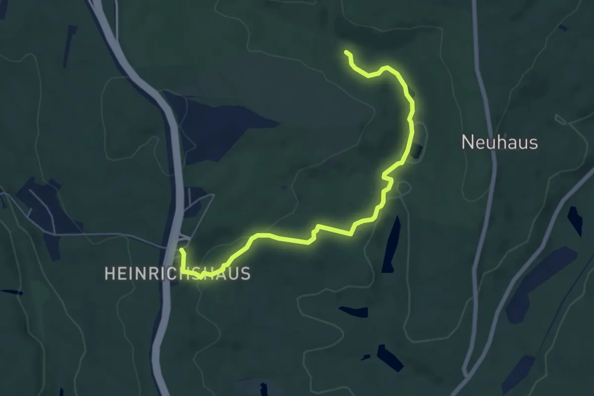
Easy · Trail
Urwaldpfad
5.7 km · ↑ 152 m · 1 h 40 min
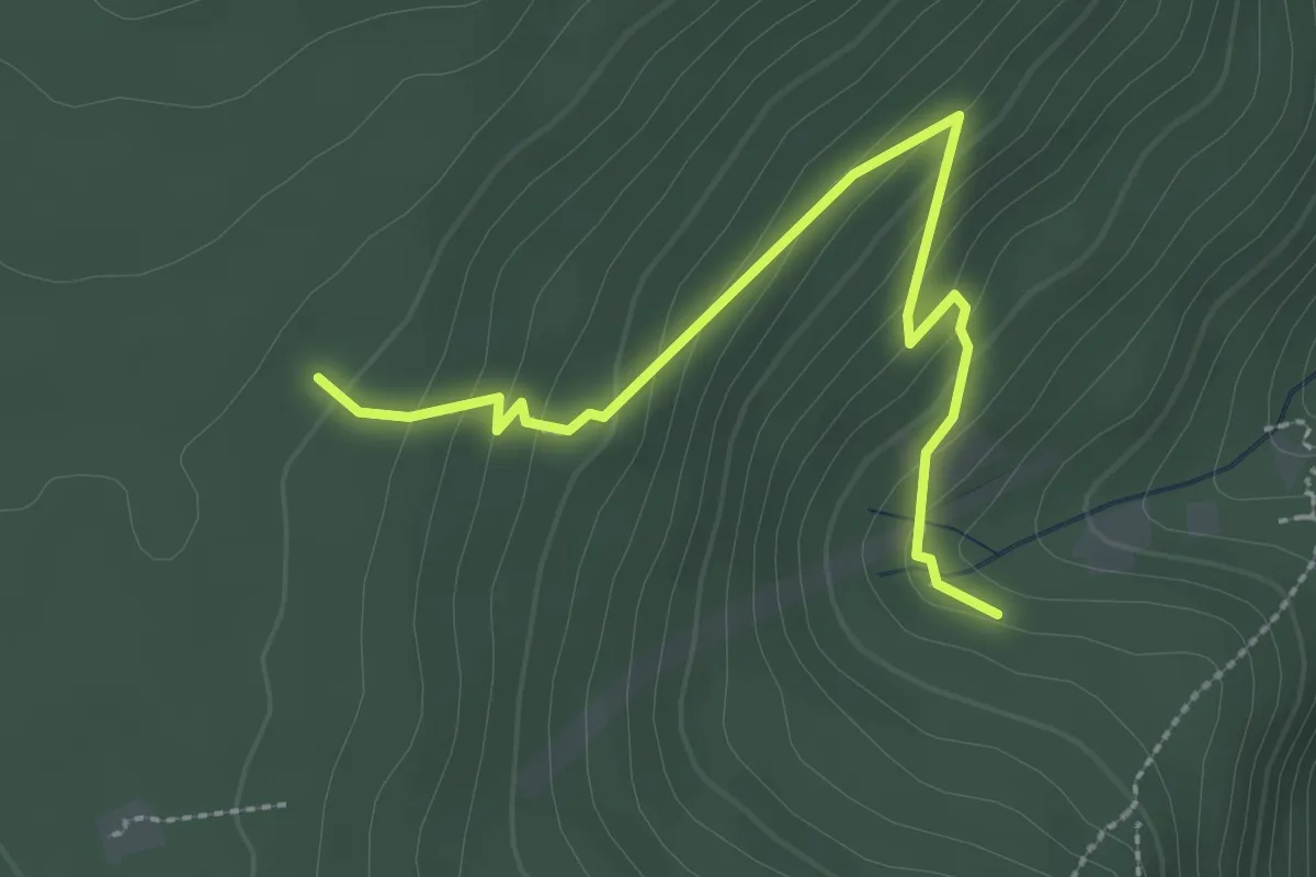
Easy · Trail
Urwaldpfad
2.8 km · ↑ 183 m · 1 h 3 min
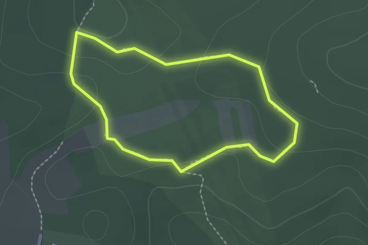
Easy · Trail
Urwaldpfad
1.5 km · ↑ 31 m · 27 min
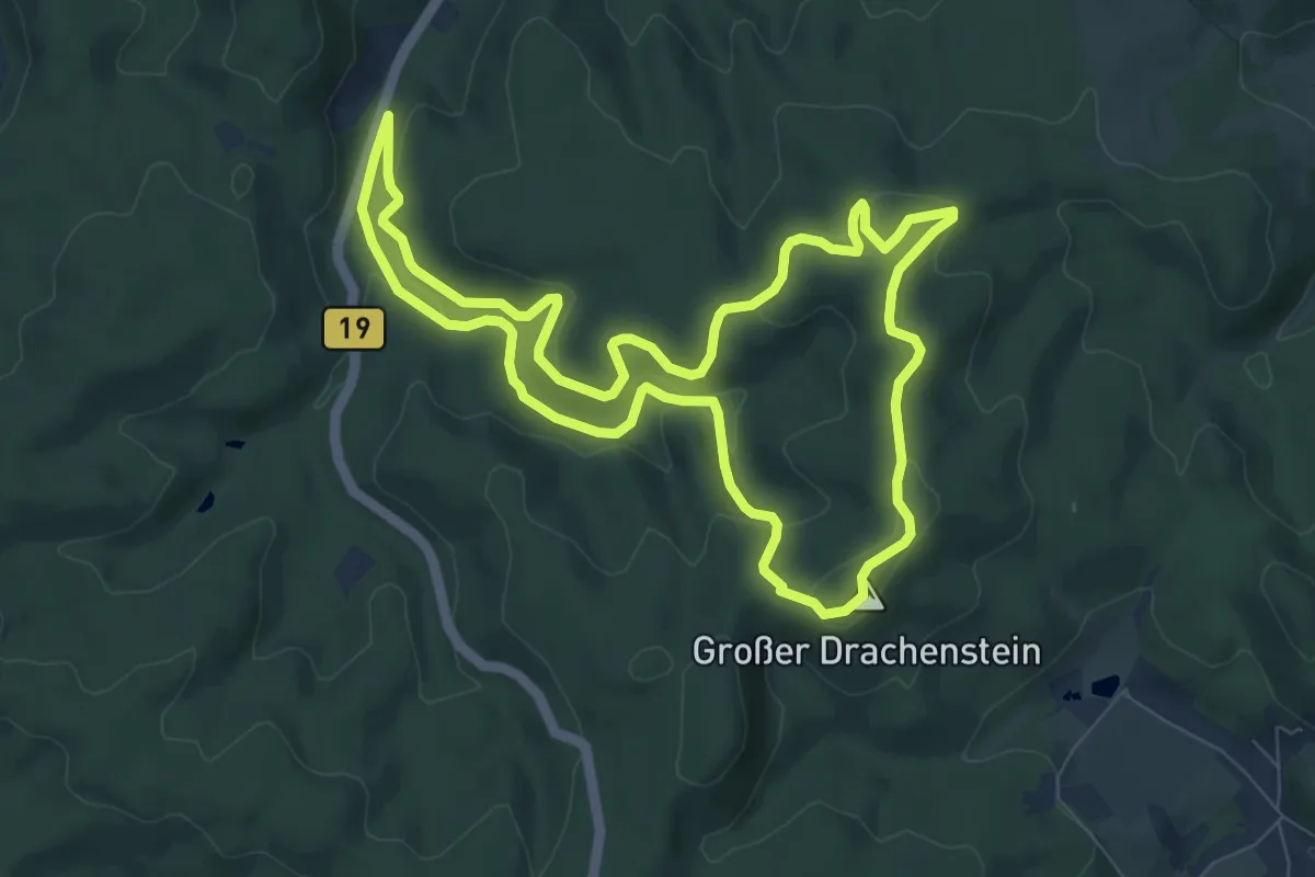
Easy · Summit
Urwaldpfad Eisenach
7.9 km · ↑ 244 m · 2 h 30 min
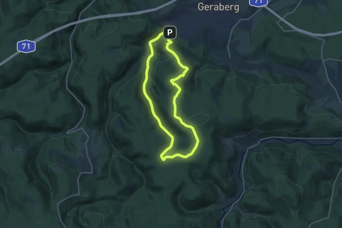
Medium · Summit
Urwaldpfad Jüchnitzgrund
11.2 km · ↑ 371 m · 3 h 36 min
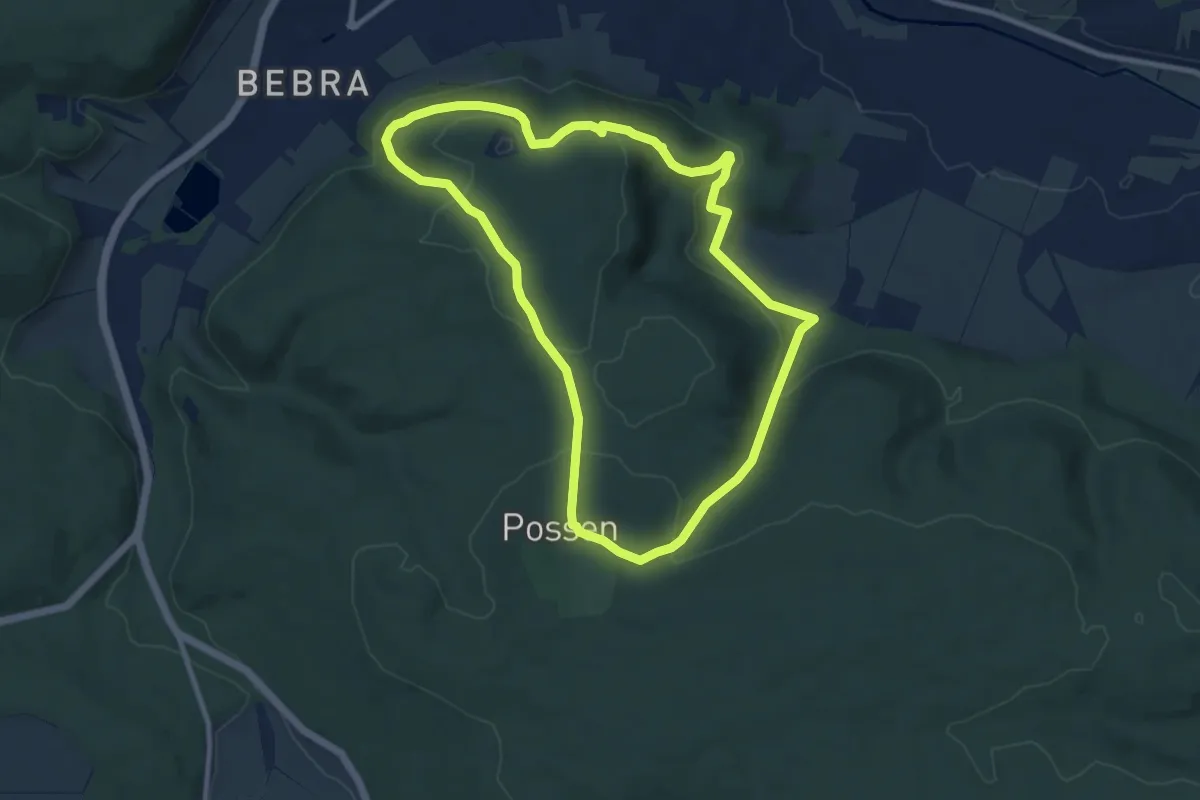
Medium · Summit
Urwaldpfad Possen
8.5 km · ↑ 269 m · 2 h 42 min
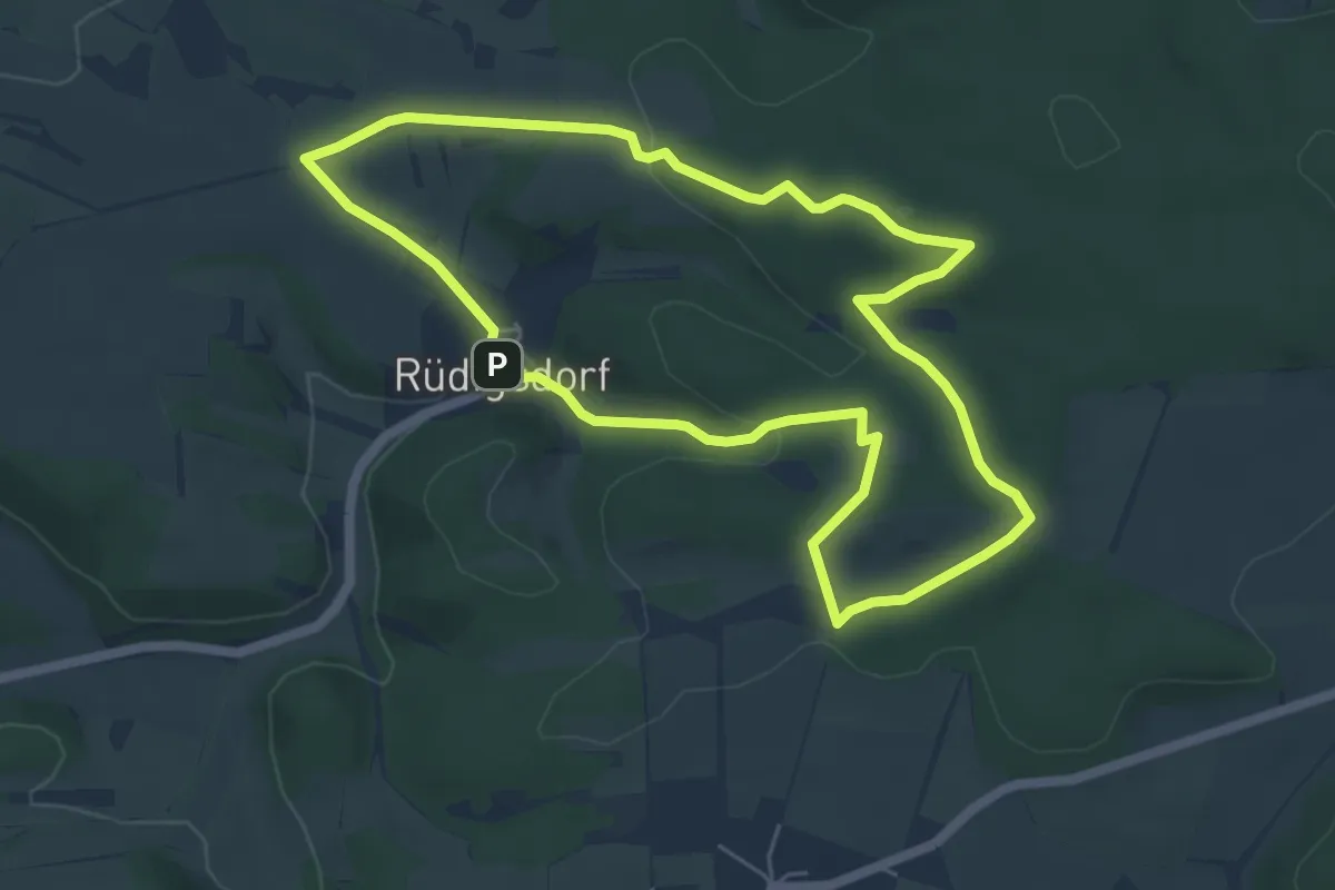
Easy · Trail
Urwaldpfad Rüdigsdorfer Schweiz
5.0 km · ↑ 135 m · 1 h 33 min
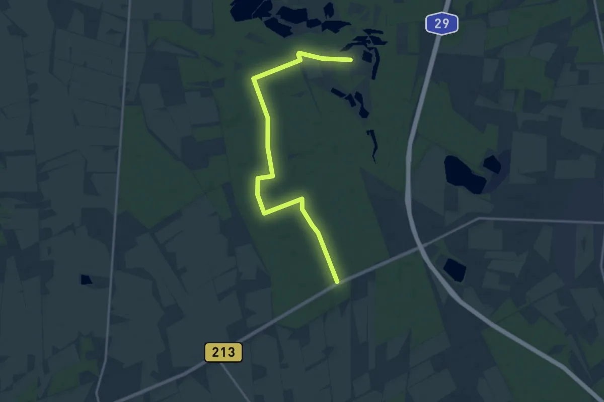
Medium · Trail
Urwaldweg
12.3 km · ↑ 46 m · 3 h
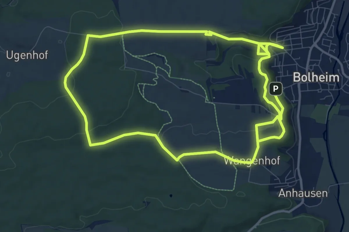
Demanding · Trail
Urweltpfad Bolheim
19.0 km · ↑ 426 m · 5 h 25 min
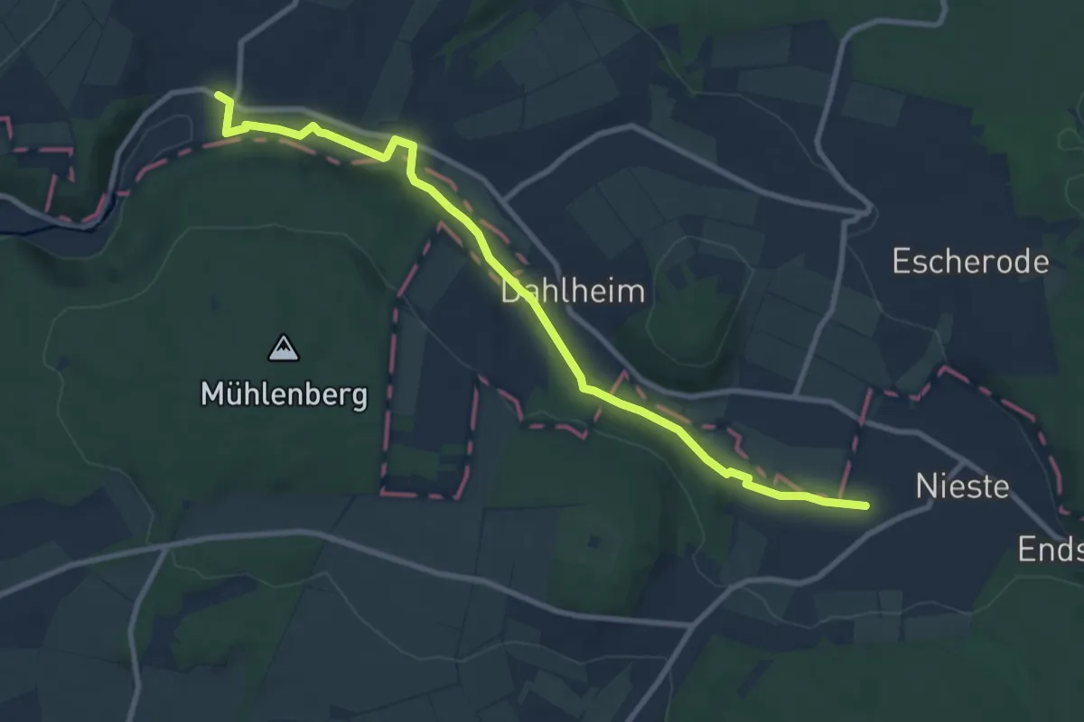
Medium · Trail
Uschlag - Helsa
9.1 km · ↑ 85 m · 2 h 20 min
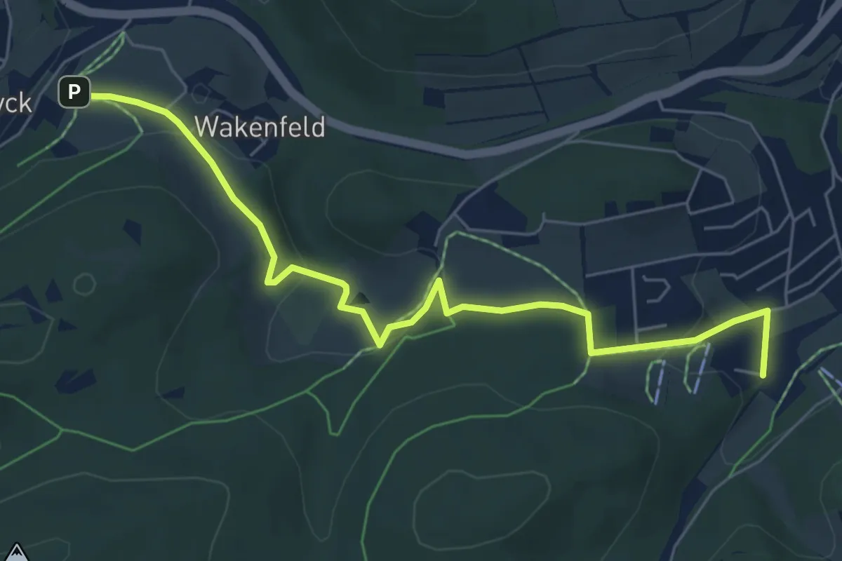
Easy · Trail
Usseln Wanderweg U1
6.2 km · ↑ 168 m · 1 h 49 min
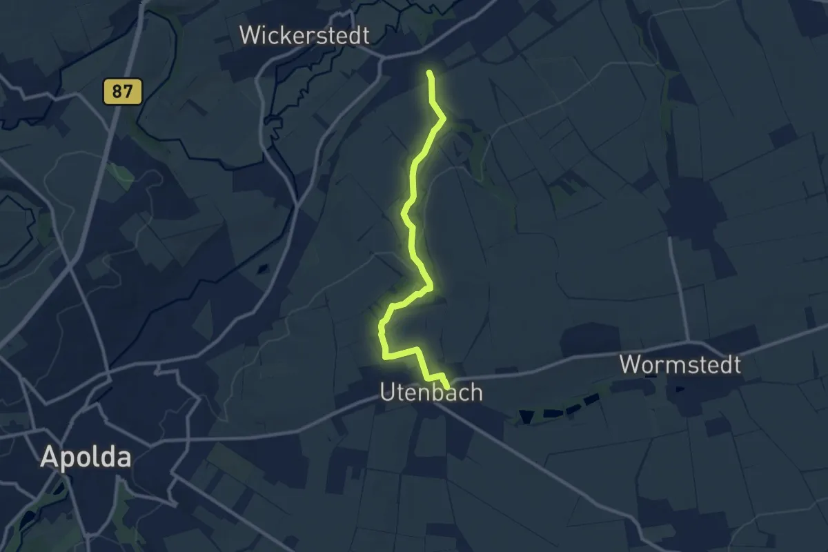
Medium · Trail
Utenbach Wanderweg
8.5 km · ↑ 93 m · 2 h 13 min