Trails in Germany
36,852 hiking trails, each with its route, climb, walking time and grade.
All trails, page 644 of 768
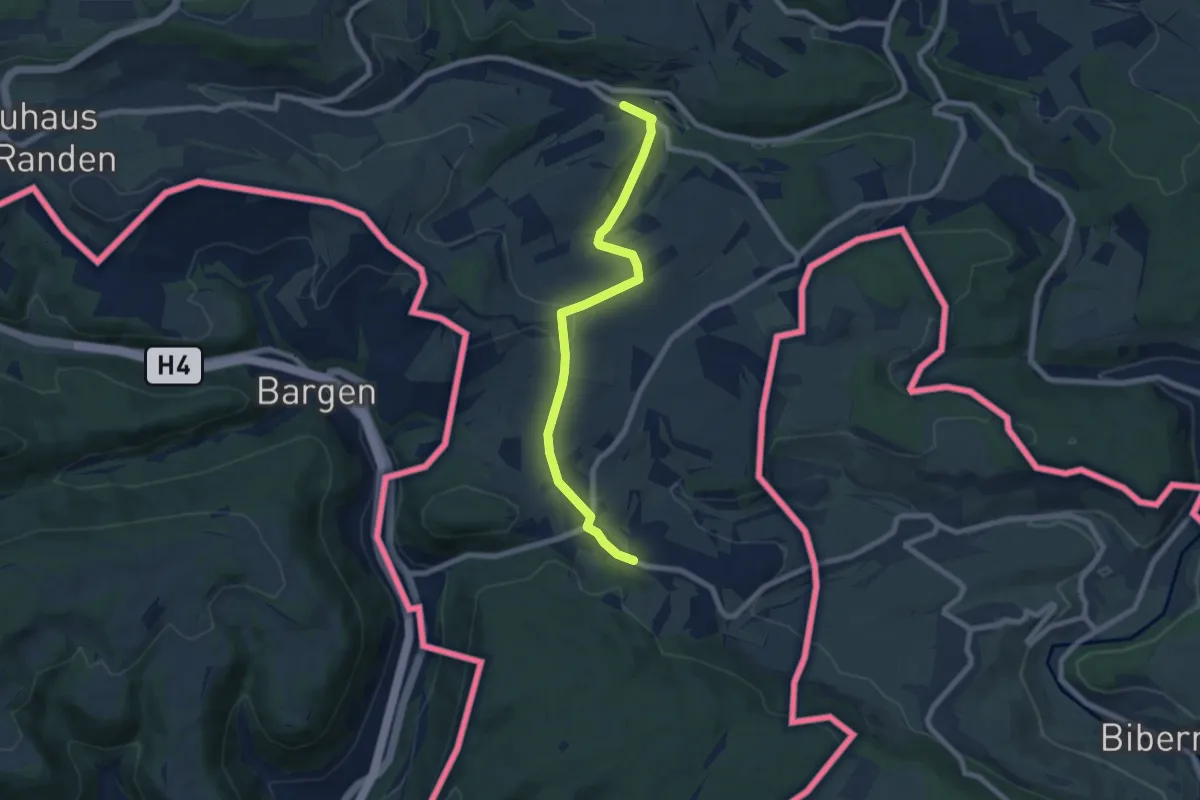
Easy · Trail
Uttenhofen Fuchsbrunnen - Wiechs am Randen
7.2 km · ↑ 147 m · 2 h 1 min
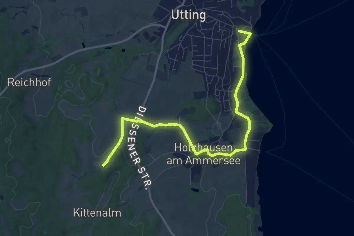
Easy · Trail
Uttinger Runde
4.7 km · ↑ 93 m · 1 h 21 min
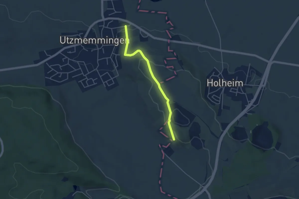
Easy · Trail
Utzmemmingen - Riegelberg
3.5 km · ↑ 86 m · 1 h 1 min
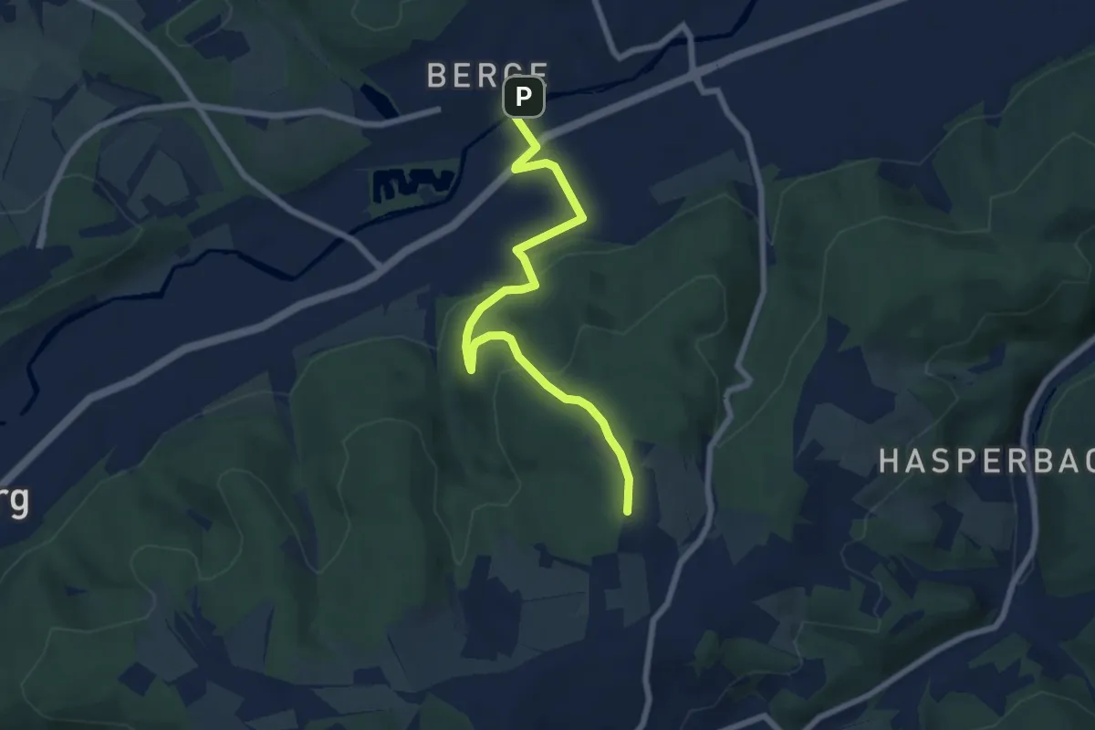
Easy · Trail
[U] Uferbach-Weg
6.5 km · ↑ 237 m · 2 h 3 min
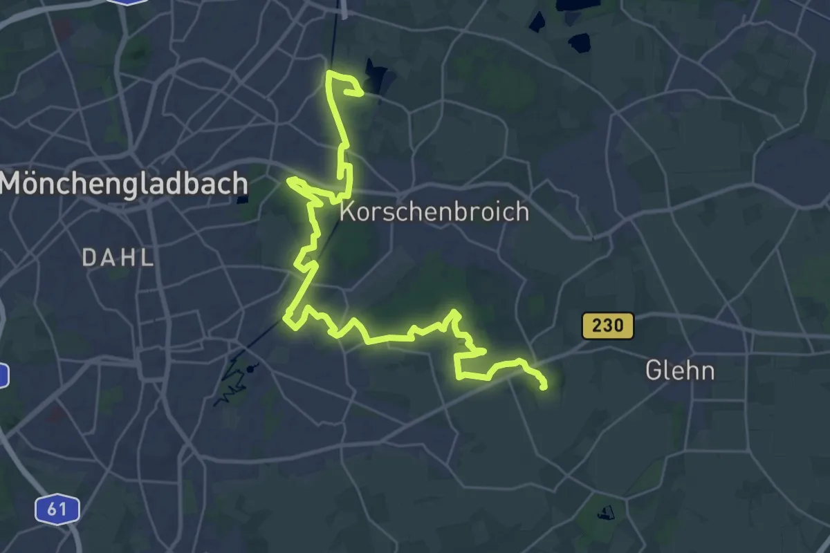
Demanding · Summit
U-Weg Schloß Myllendonk - Schloß Dyck
34.4 km · ↑ 66 m · 8 h 16 min
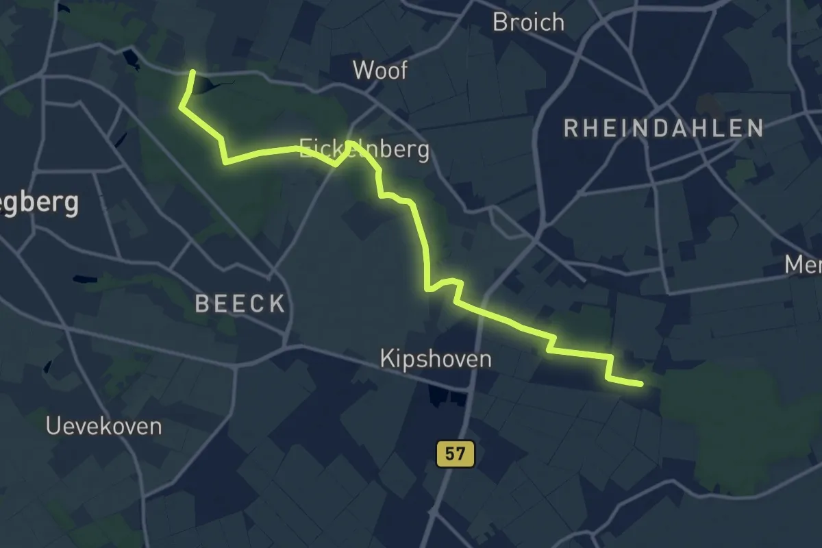
Medium · Trail
U-Weg Wickrath - Holtmühle.
13.3 km · ↑ 22 m · 3 h 11 min
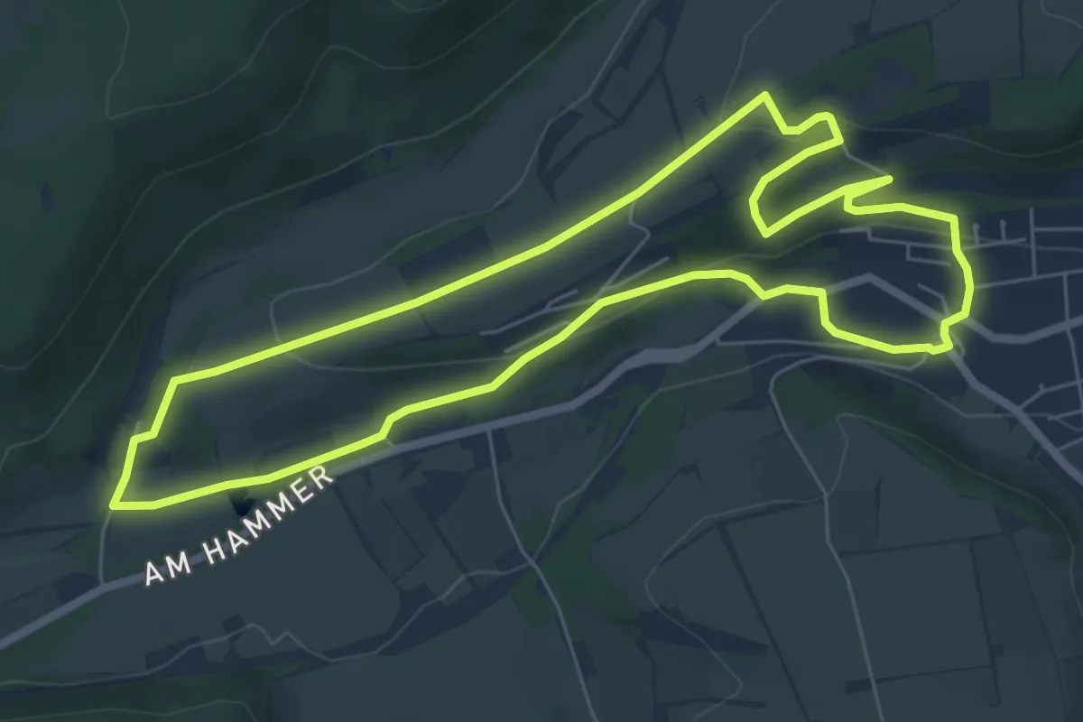
Easy · Trail
V1 "Bahn und Quellen"
5.9 km · ↑ 131 m · 1 h 46 min
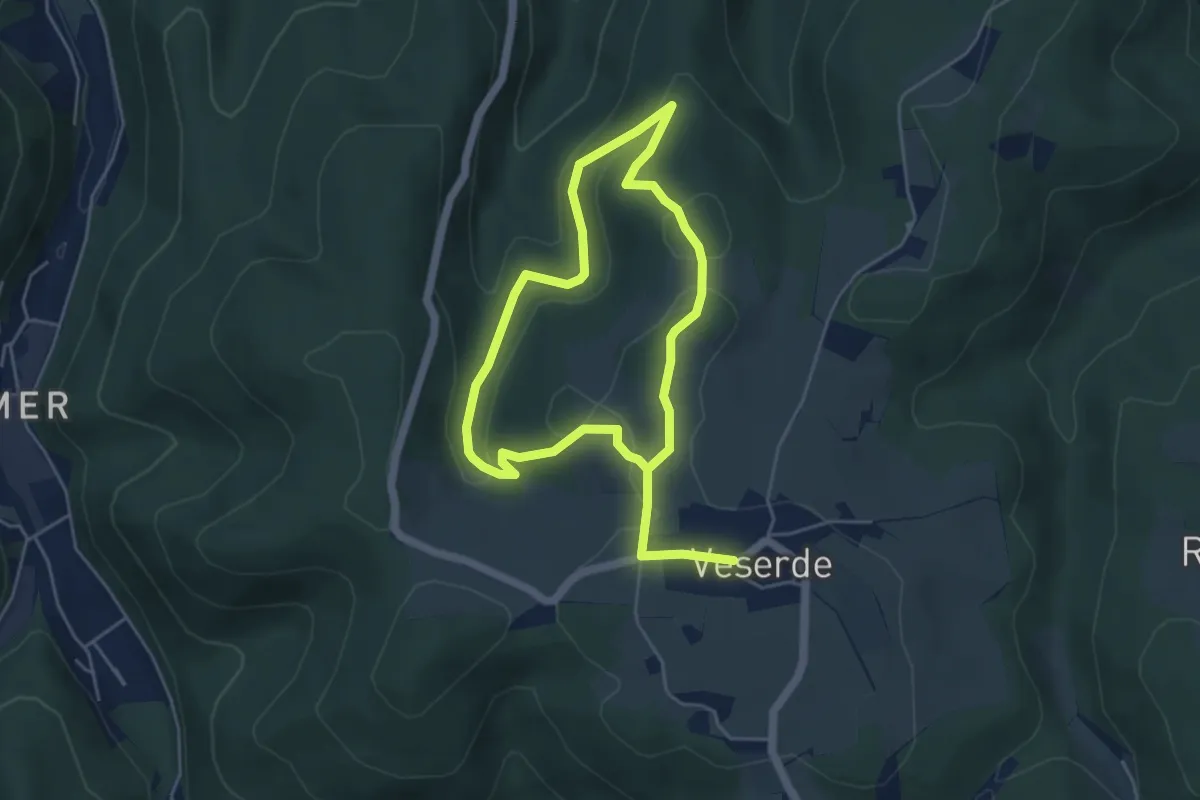
Easy · Trail
[V1] Rundweg Hinterveserde
3.7 km · ↑ 118 m · 1 h 12 min
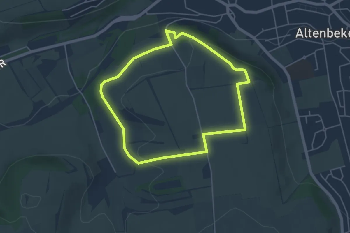
Easy · Summit
V2 "Bahn und Quellen"
3.3 km · ↑ 76 m · 59 min
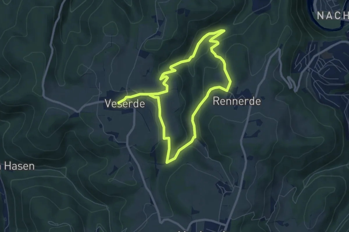
Easy · Trail
[V2] Rundweg Veserde - Rennerde
5.6 km · ↑ 190 m · 1 h 48 min
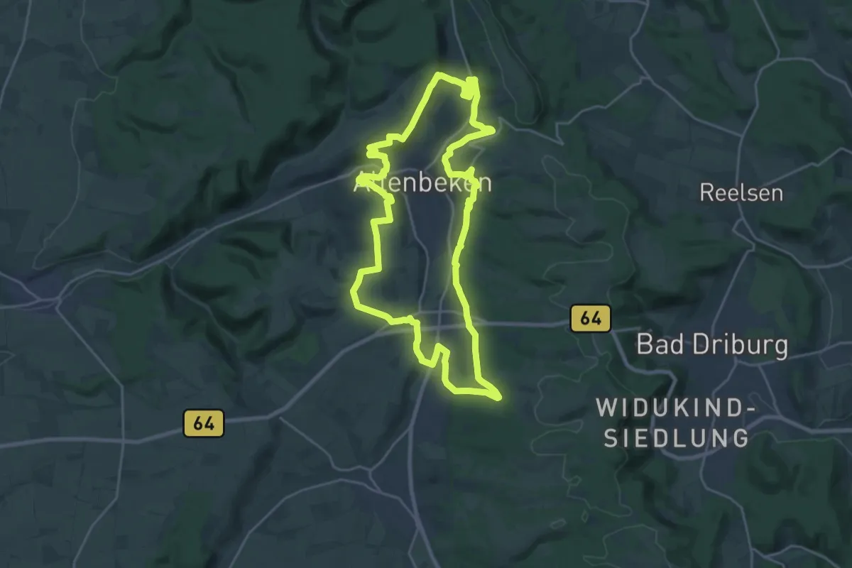
Demanding · Summit
V4 "Bahn und Quellen"
19.1 km · ↑ 357 m · 5 h 34 min
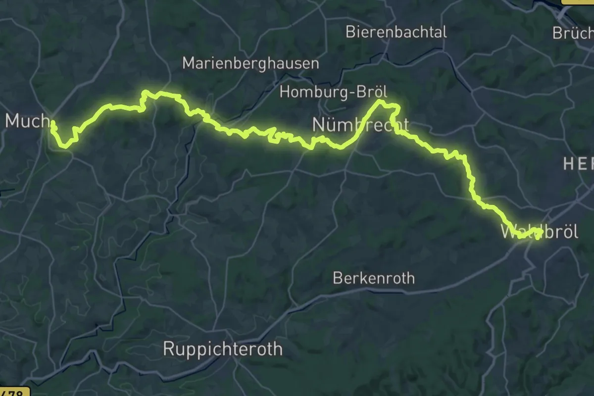
Demanding · Trail
V5 Verbindungsweg Much - Waldbröl
24.2 km · ↑ 409 m · 6 h 58 min
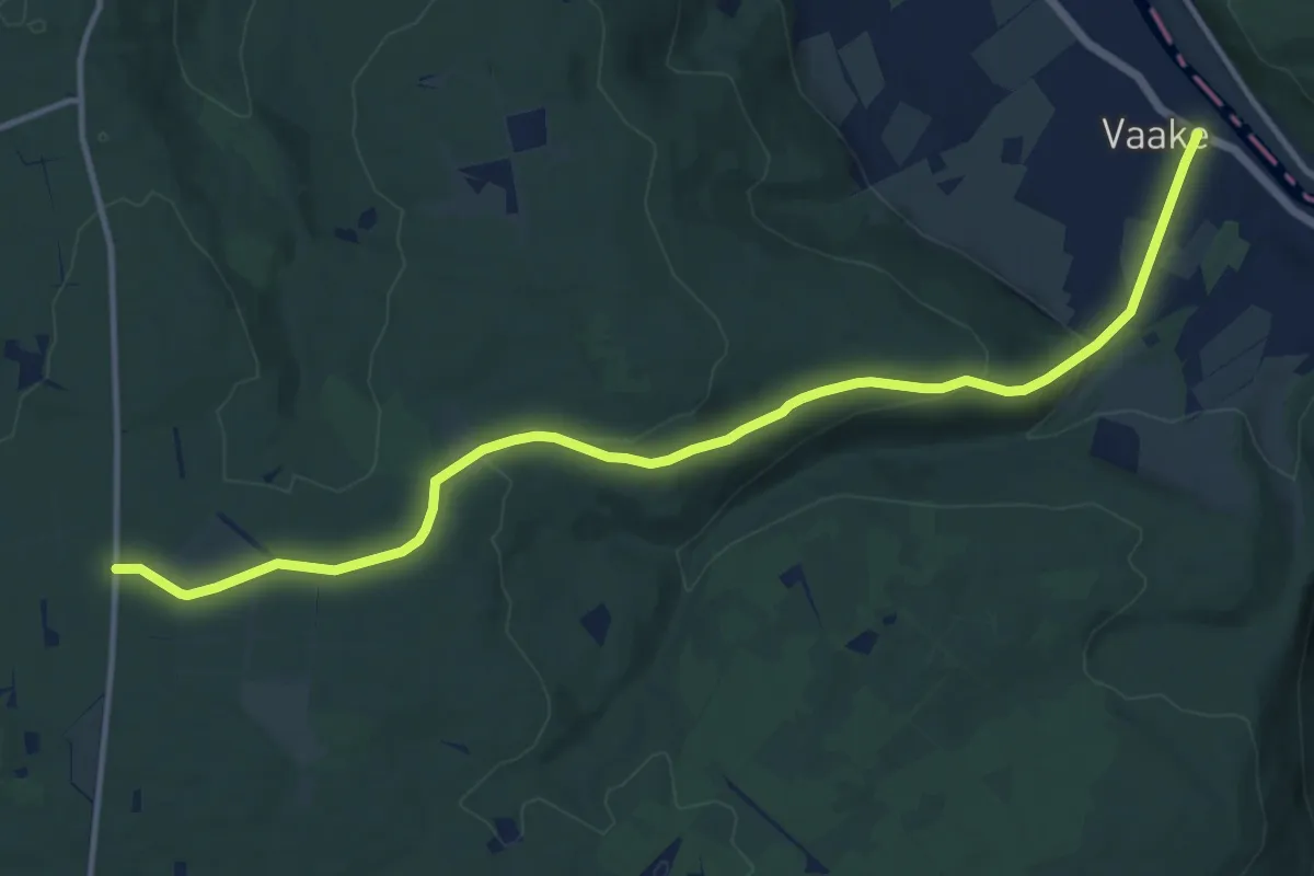
Medium · Trail
Vaake - Schneidersbaum
12.9 km · ↑ 307 m · 3 h 43 min
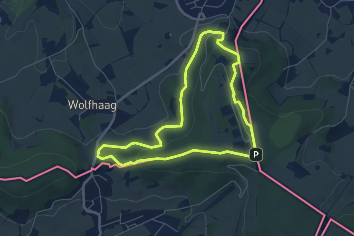
Medium · Summit
Vaals SBB38
4.6 km · ↑ 106 m · 1 h 24 min
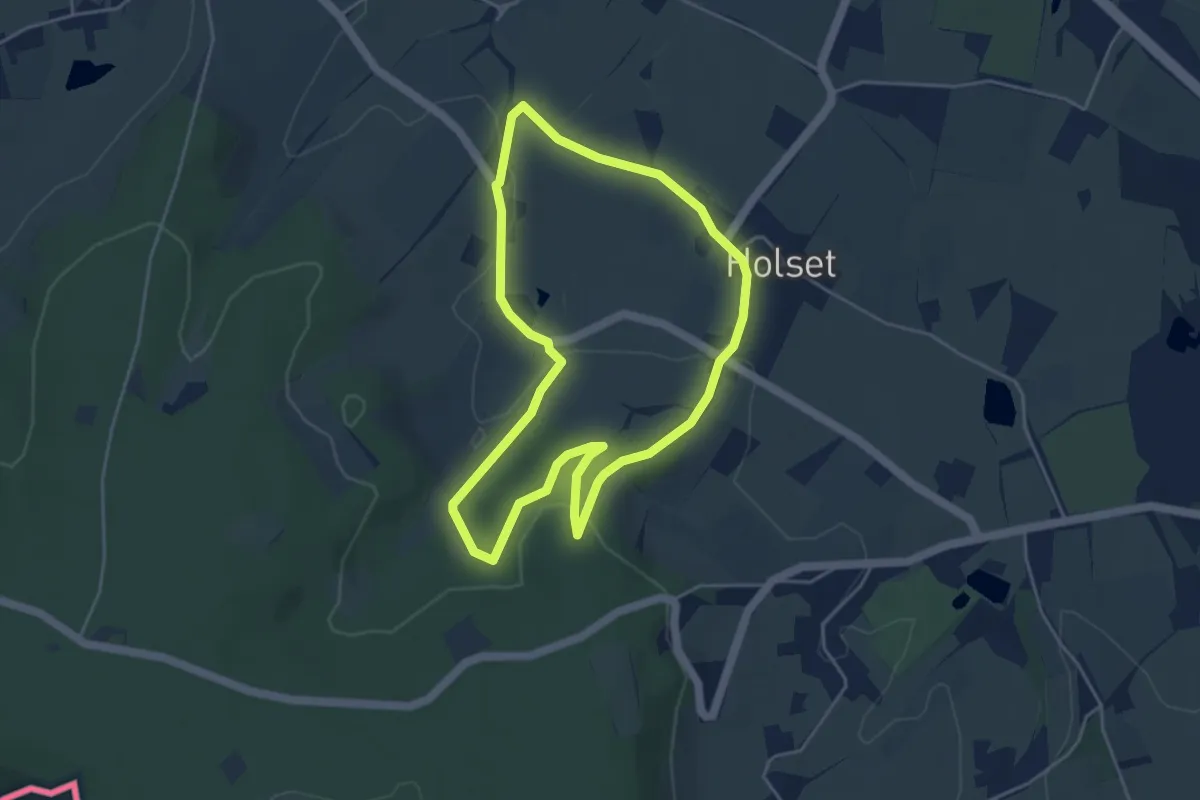
Easy · Trail
Vaals V11
3.9 km · ↑ 78 m · 1 h 9 min
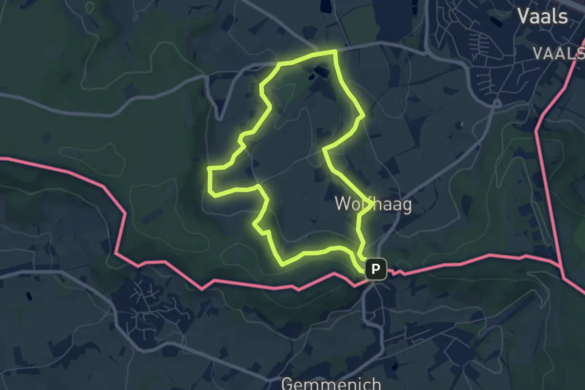
Easy · Trail
Vaals V12
5.8 km · ↑ 157 m · 1 h 47 min
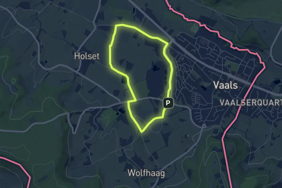
Easy · Trail
Vaals V2
4.6 km · ↑ 58 m · 1 h 16 min
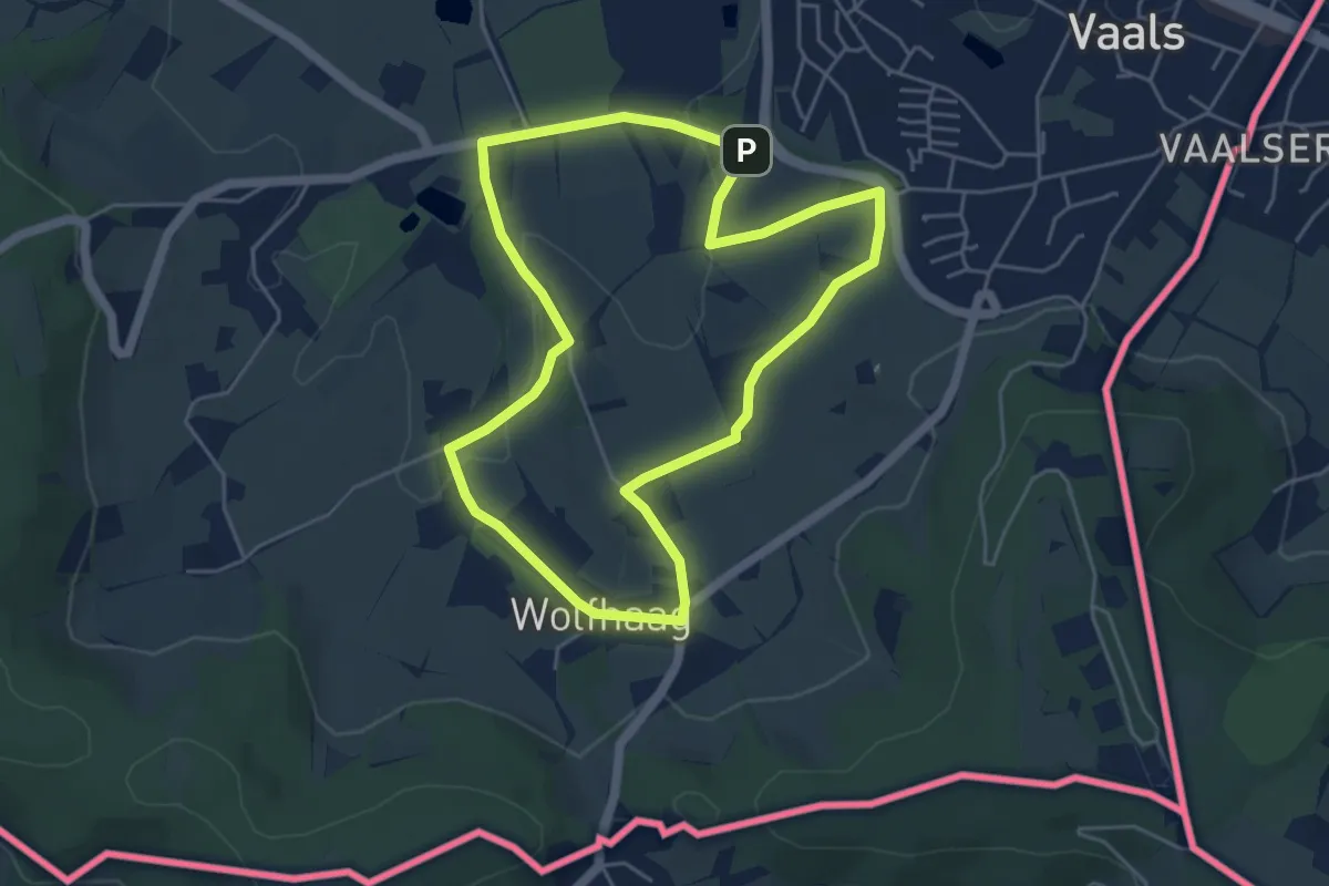
Easy · Trail
Vaals V3
4.4 km · ↑ 67 m · 1 h 14 min
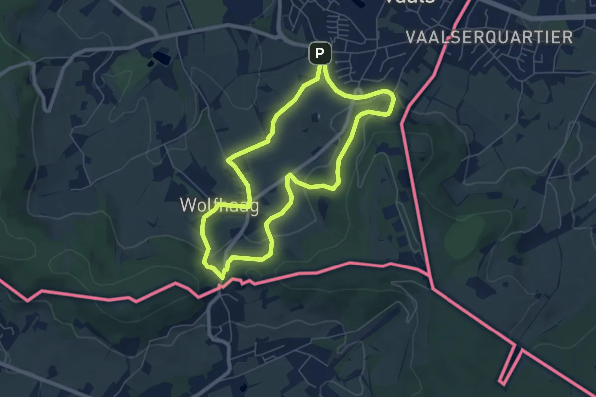
Medium · Trail
Vaals V4
5.1 km · ↑ 119 m · 1 h 32 min
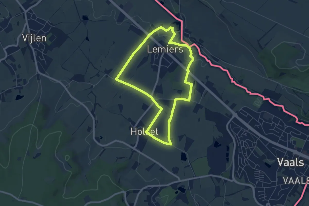
Easy · Trail
Vaals V9
5.4 km · ↑ 43 m · 1 h 26 min
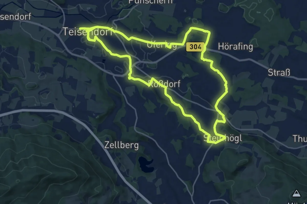
Medium · Trail
Vachenlueg Weg Nr. 6
15.2 km · ↑ 219 m · 4 h 17 min
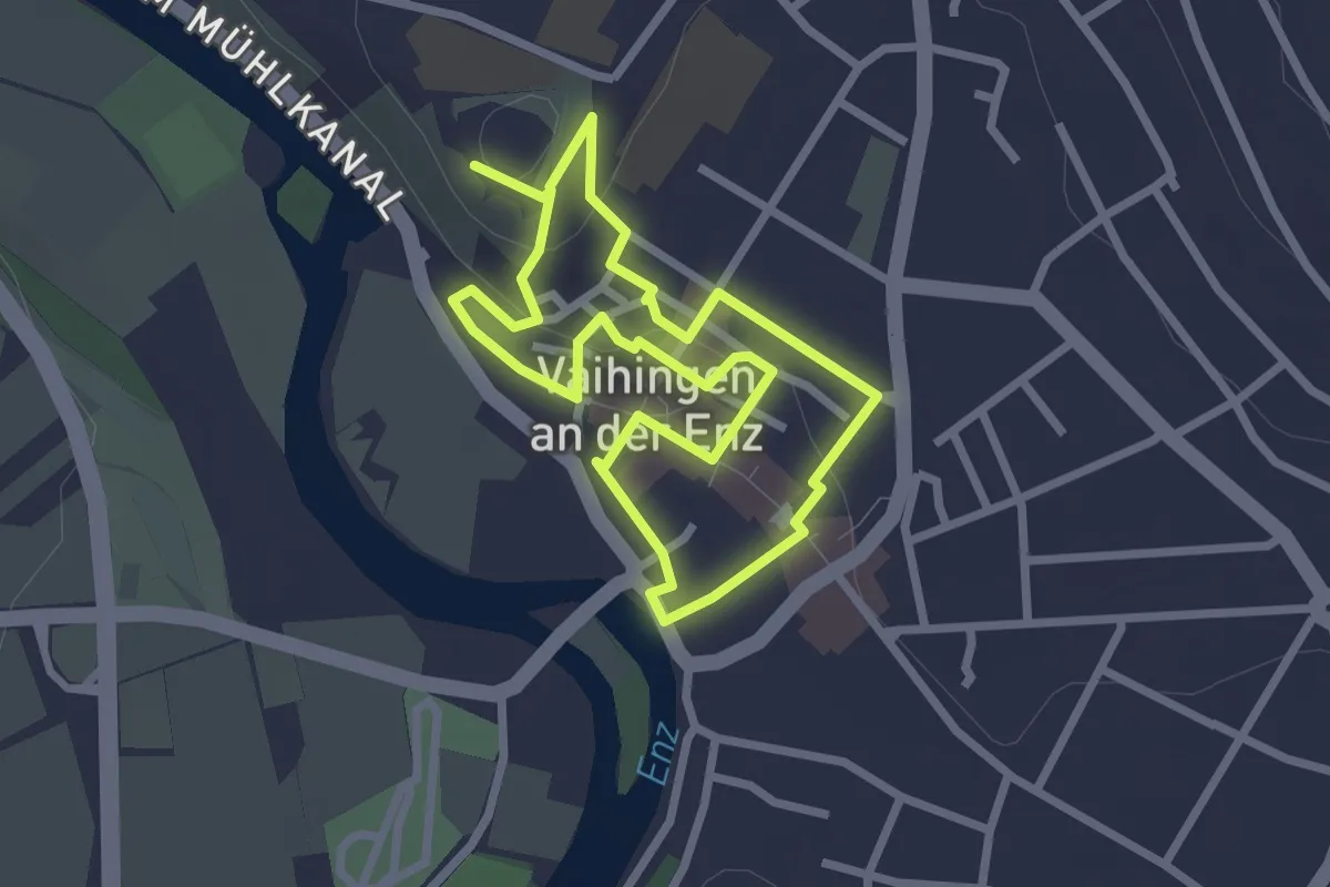
Easy · Trail
Vaihingen - Altstadtrundweg
2.3 km · ↑ 64 m · 43 min
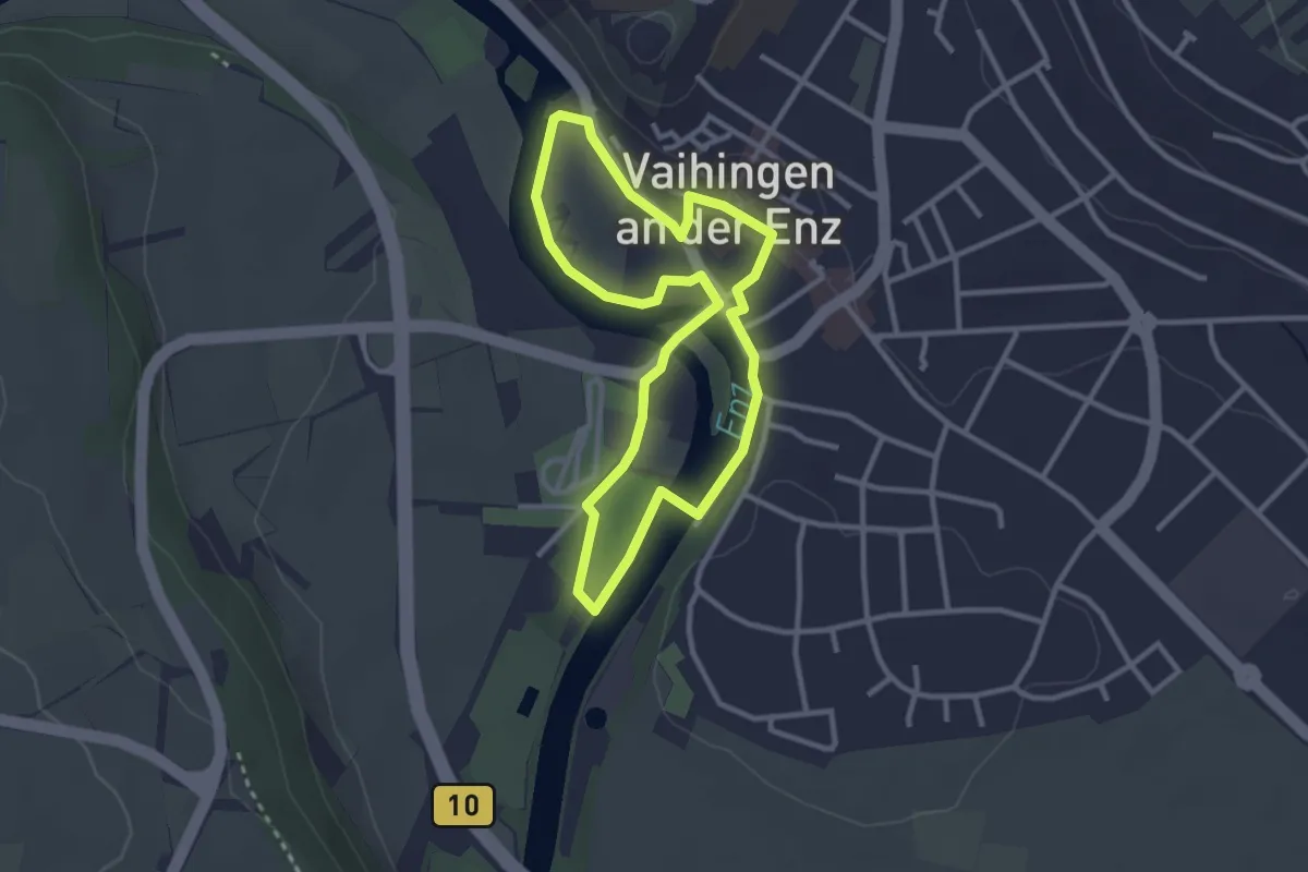
Easy · Trail
Vaihingen - Entlang der Enz
2.6 km · ↑ 10 m · 41 min
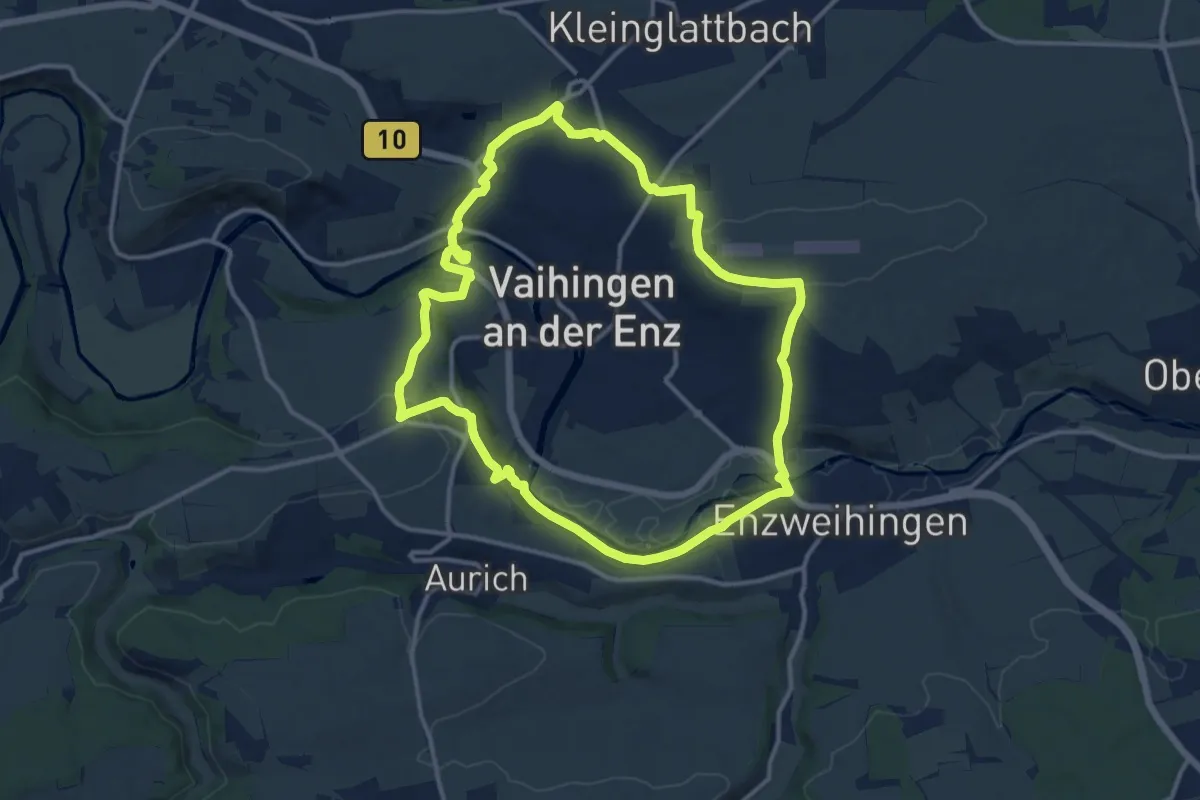
Medium · Trail
Vaihinger Rundweg
12.2 km · ↑ 245 m · 3 h 35 min
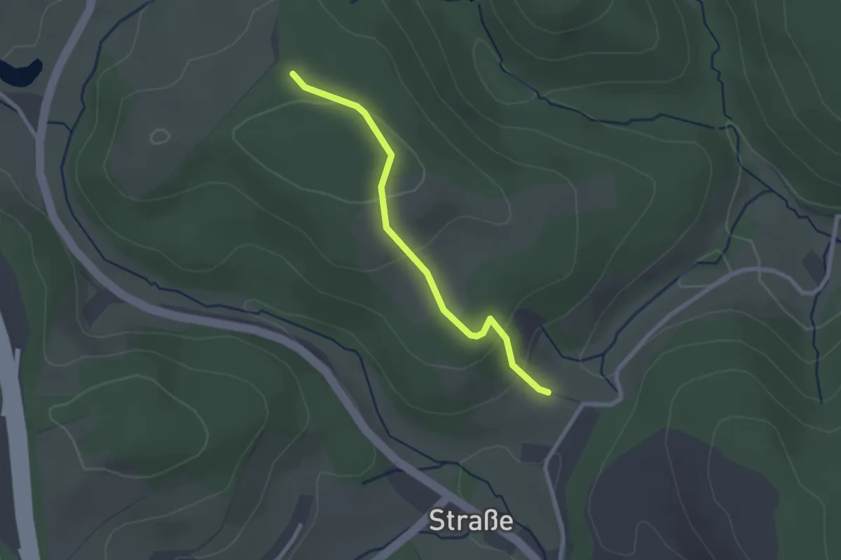
Easy · Trail
Valberter Rundweg (V)
1.0 km · ↑ 75 m · 23 min
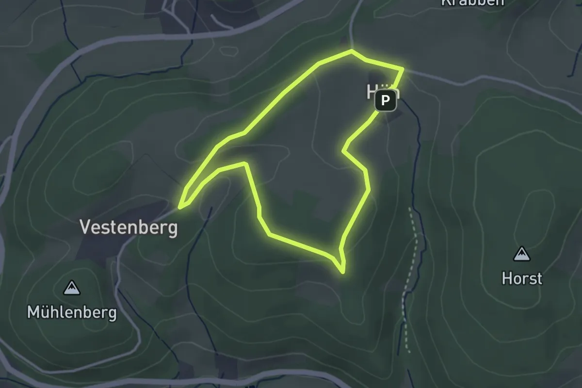
Easy · Summit
Valbert Rundweg A3
2.6 km · ↑ 61 m · 47 min
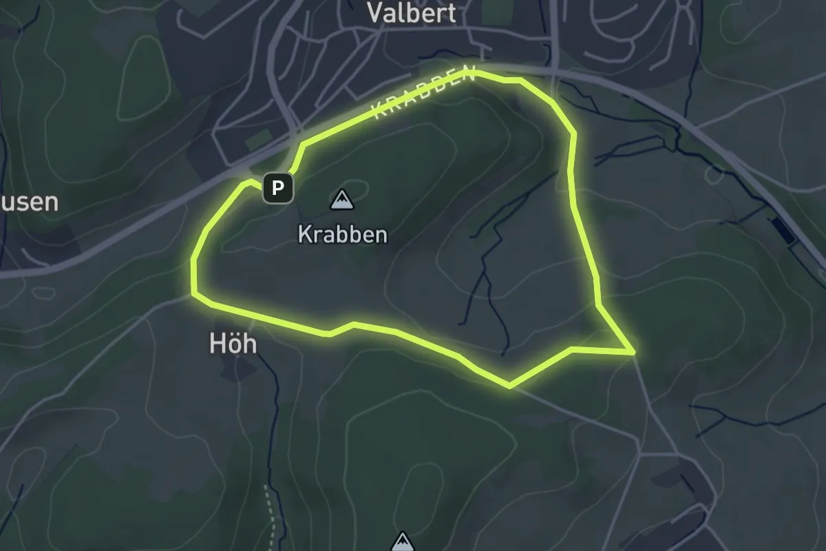
Easy · Trail
Valbert Rundweg A4
3.4 km · ↑ 82 m · 1 h 2 min
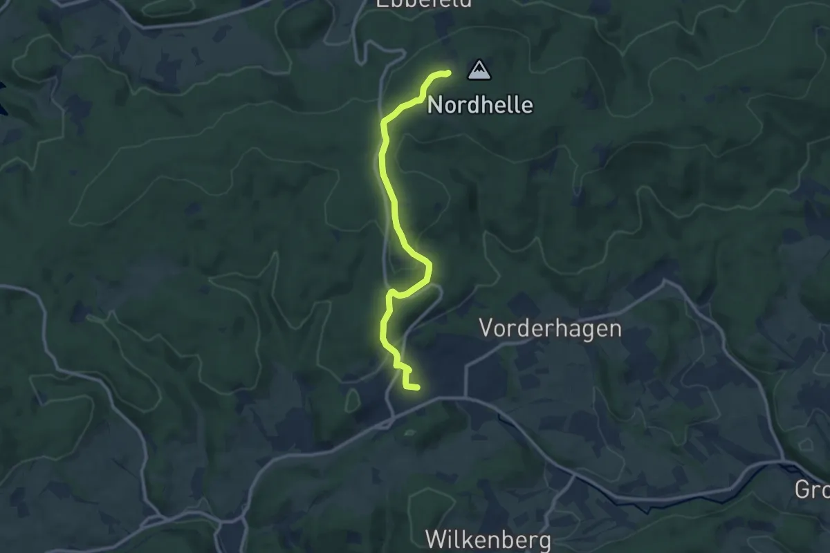
Medium · Trail
Valbert Rundweg Dreieck
8.6 km · ↑ 266 m · 2 h 36 min
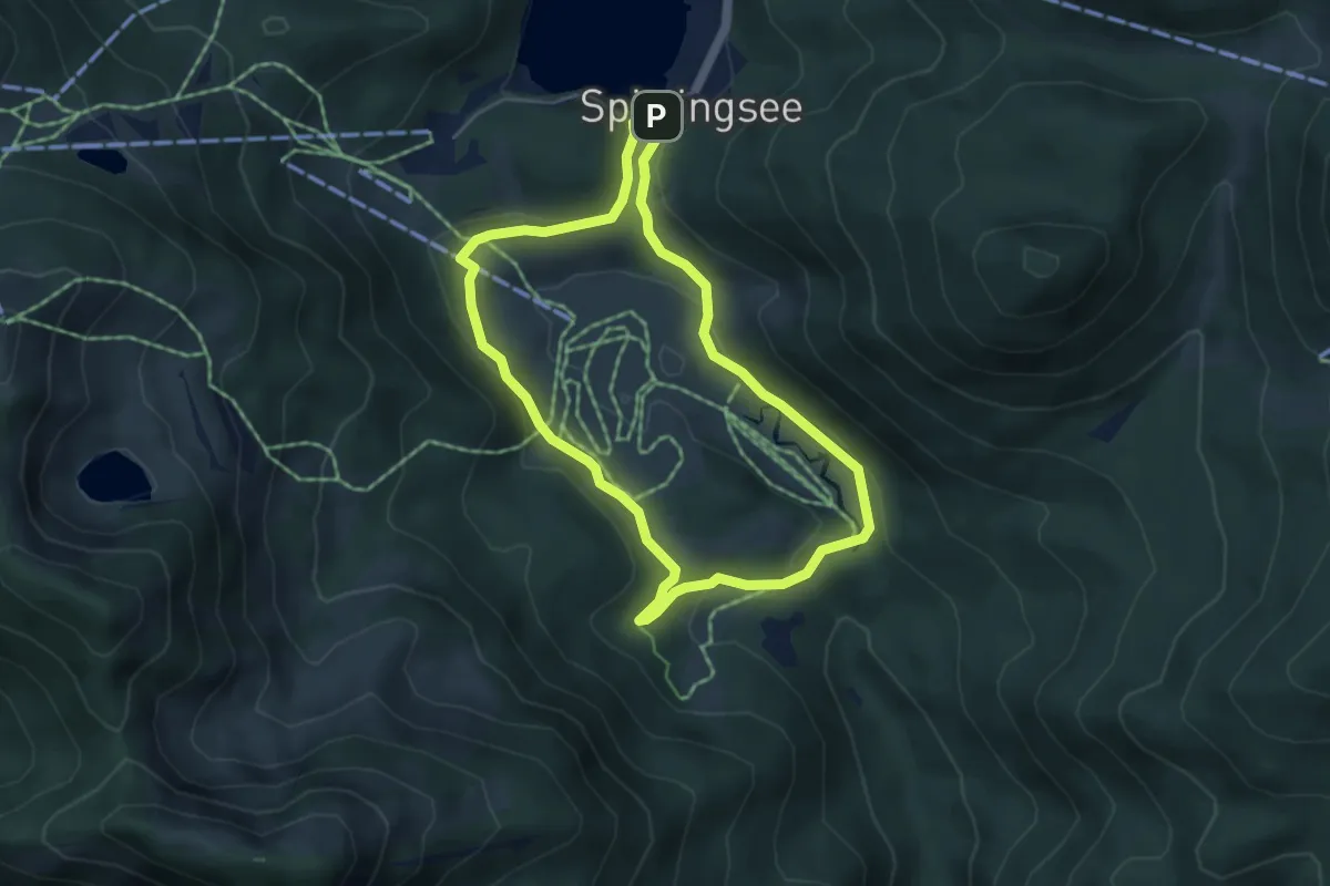
Easy · Trail
Valepper-Almen-Rundweg
4.2 km · ↑ 86 m · 1 h 15 min
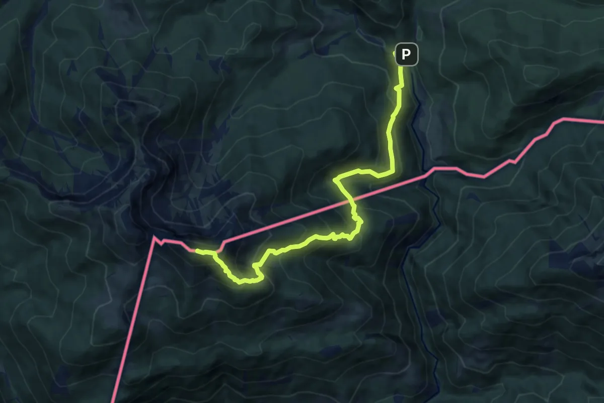
Demanding · Summit
Valepp-Schinder
10.7 km · ↑ 942 m · 4 h 34 min
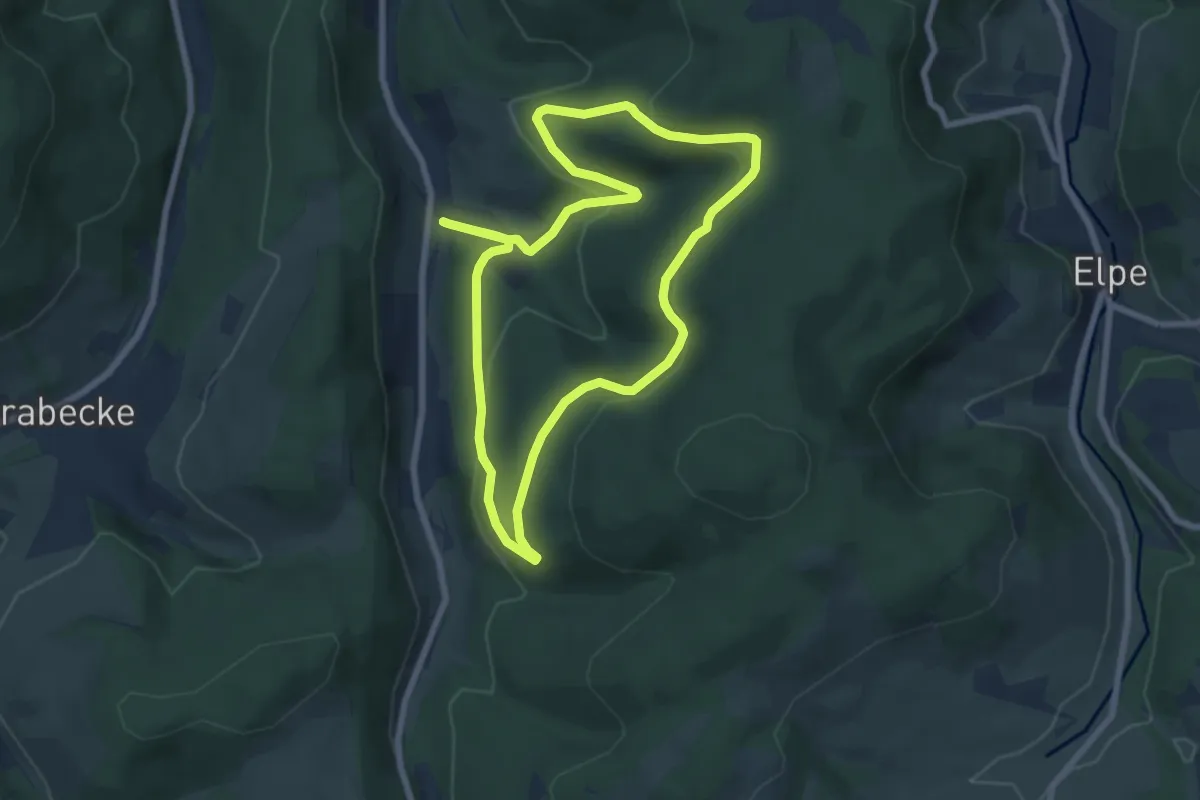
Easy · Trail
Valme Rundweg VA2
6.4 km · ↑ 244 m · 2 h 8 min
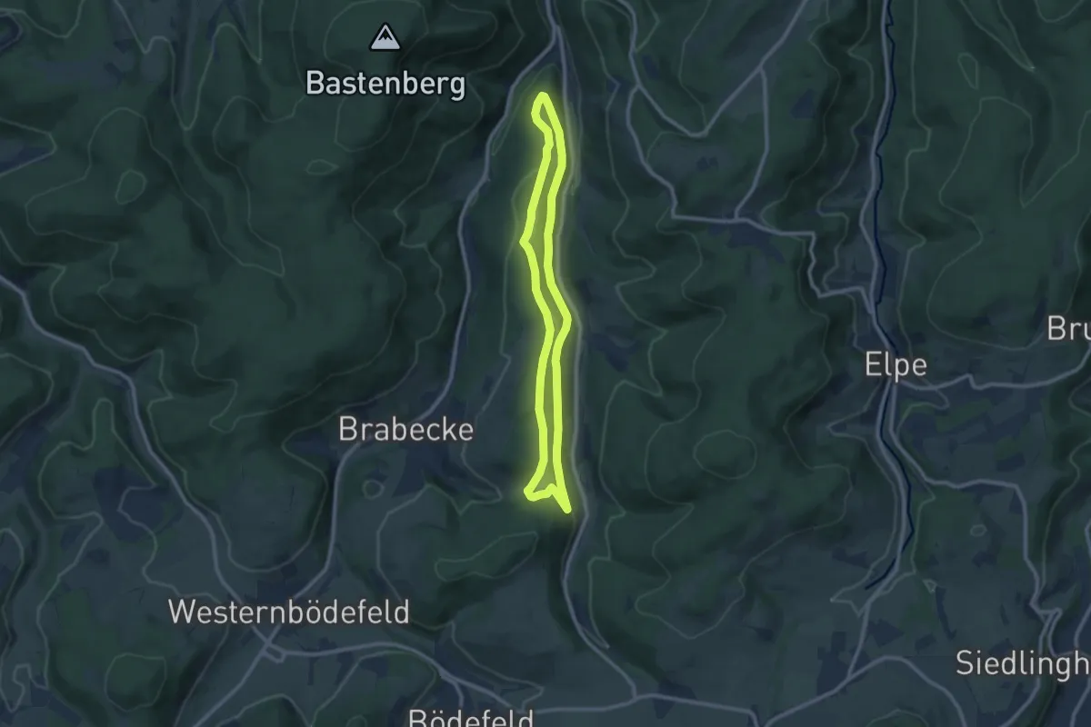
Easy · Trail
Valme Rundweg VA5
7.8 km · ↑ 232 m · 2 h 28 min
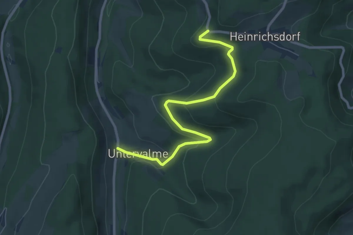
Easy · Trail
Valme Rundweg VA6
5.9 km · ↑ 233 m · 1 h 53 min
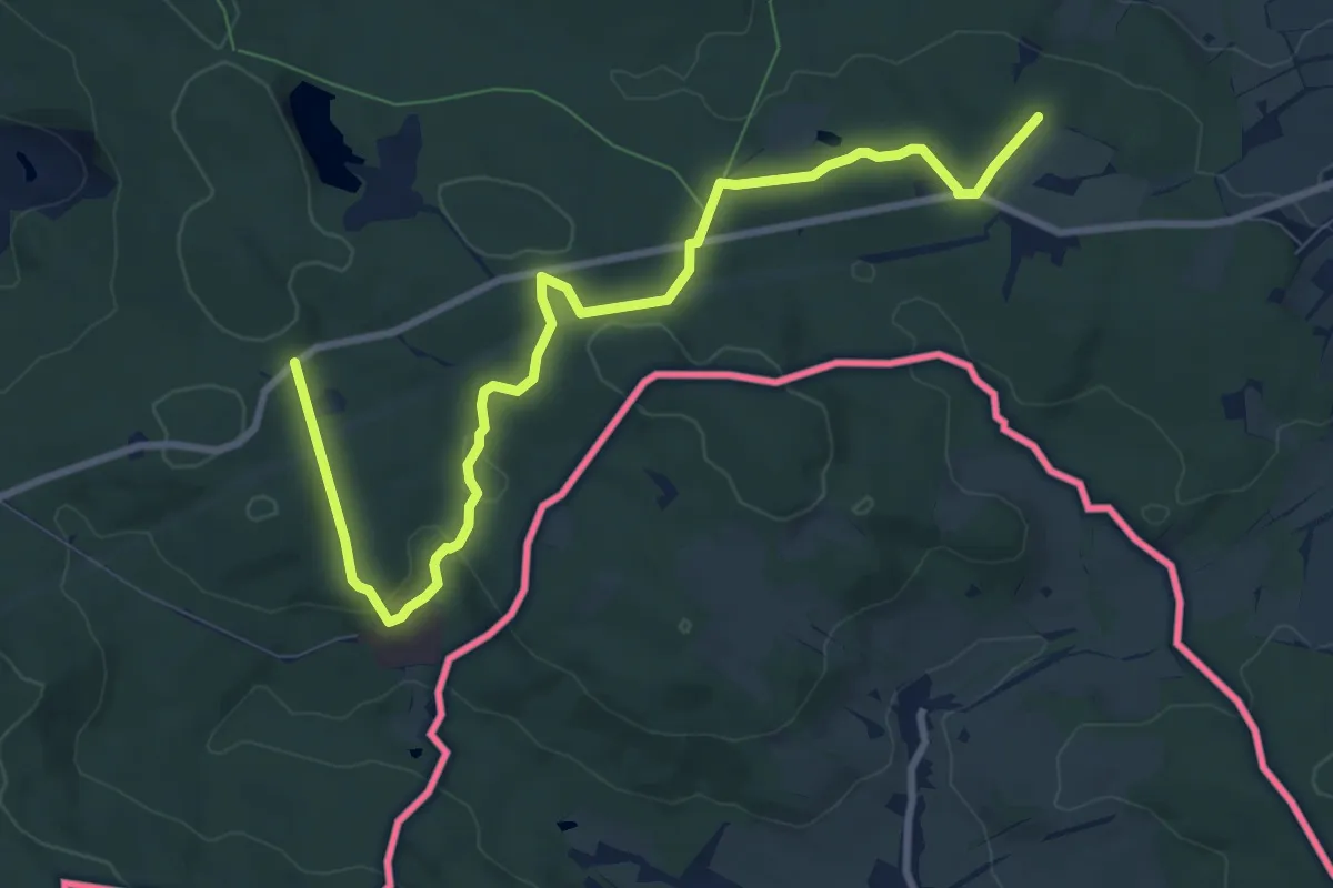
Medium · Trail
Valtenberg Rundweg (grüner Punkt)
9.3 km · ↑ 161 m · 2 h 33 min
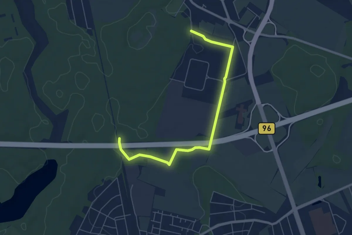
Easy · Trail
Van der Valk Rundwanderweg
5.7 km · ↑ 22 m · 1 h 23 min
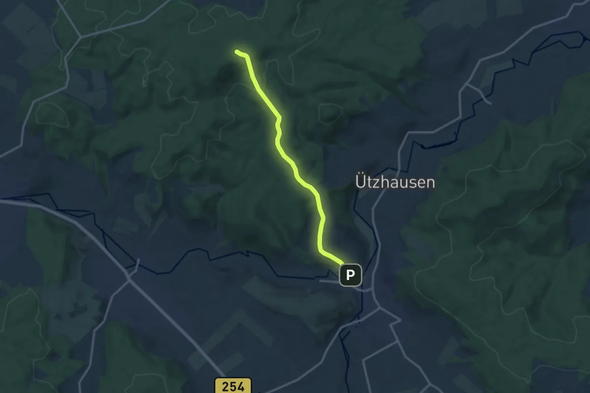
Medium · Trail
Variante - Bad Salzschlirf : Taunus - Rhön - Weg
9.9 km · ↑ 247 m · 2 h 53 min
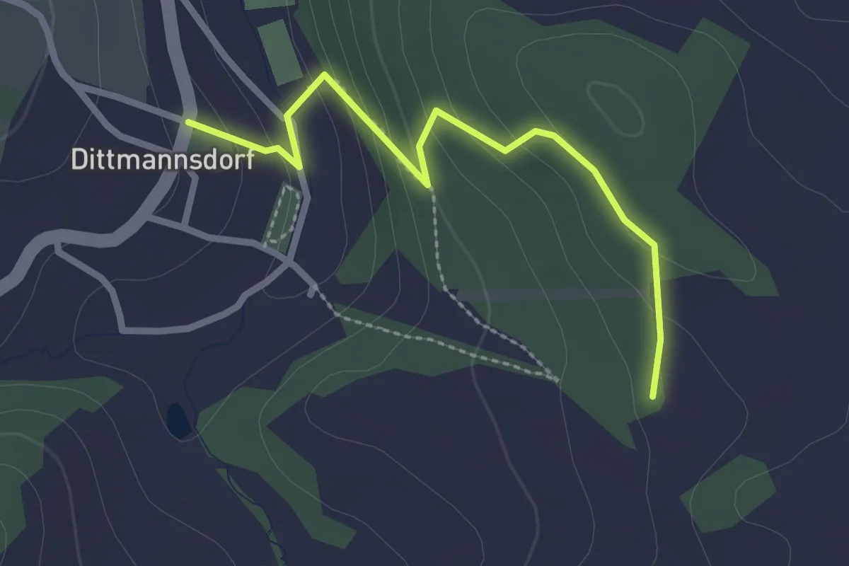
Easy · Trail
Variante Rundwanderweg
2.2 km · ↑ 82 m · 42 min
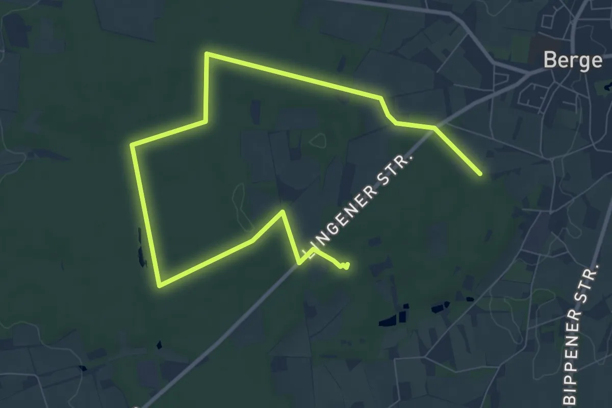
Medium · Trail
Variante TERRA.track Billkuhle
10.4 km · ↑ 87 m · 2 h 39 min
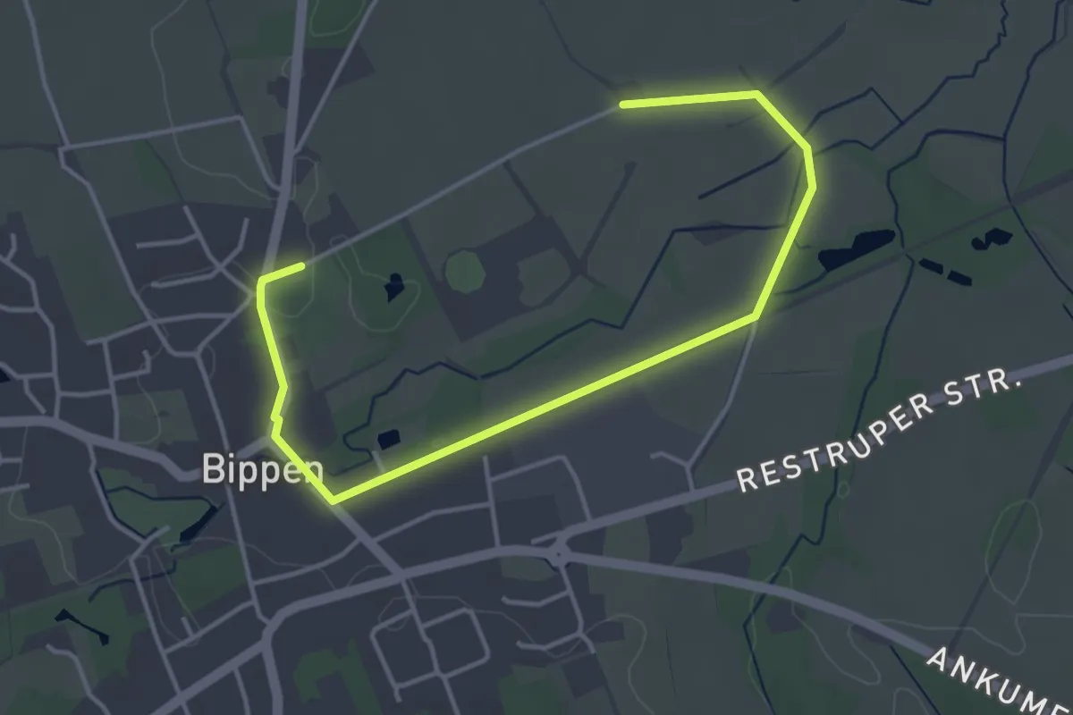
Easy · Trail
Variante TERRA.track Eiszeit-Entdeckerpfad
4.2 km · ↑ 16 m · 1 h 1 min
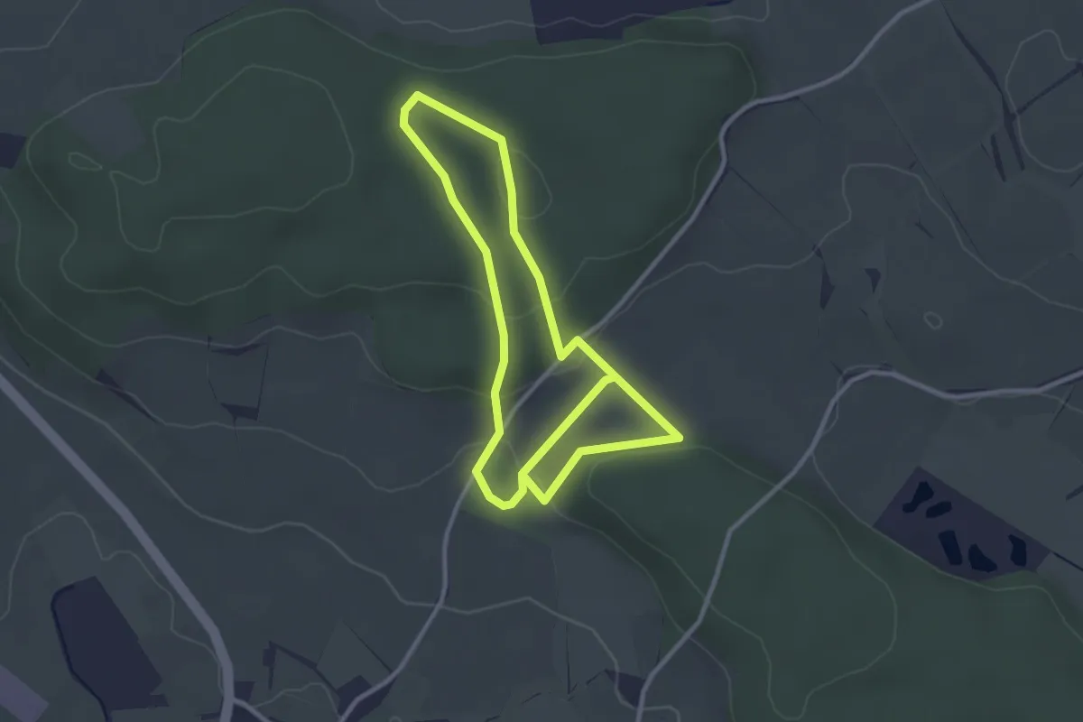
Easy · Trail
Vaterunser-Erlebnisweg
2.6 km · ↑ 53 m · 47 min
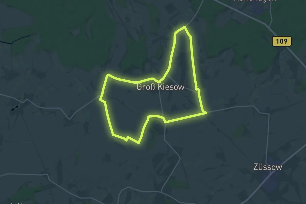
Medium · Summit
Vaterunser-Weg
16.8 km · ↑ 22 m · 4 h 14 min
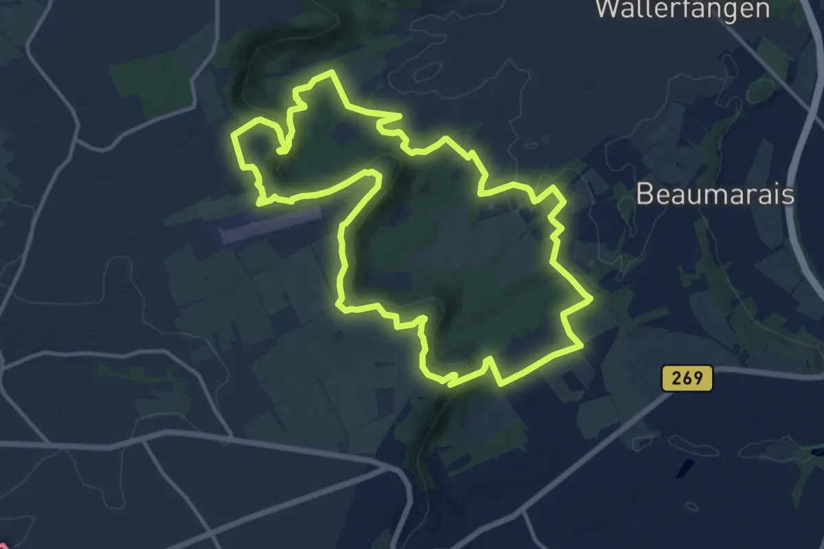
Medium · Trail
Vauban-Steig
11.9 km · ↑ 304 m · 3 h 38 min
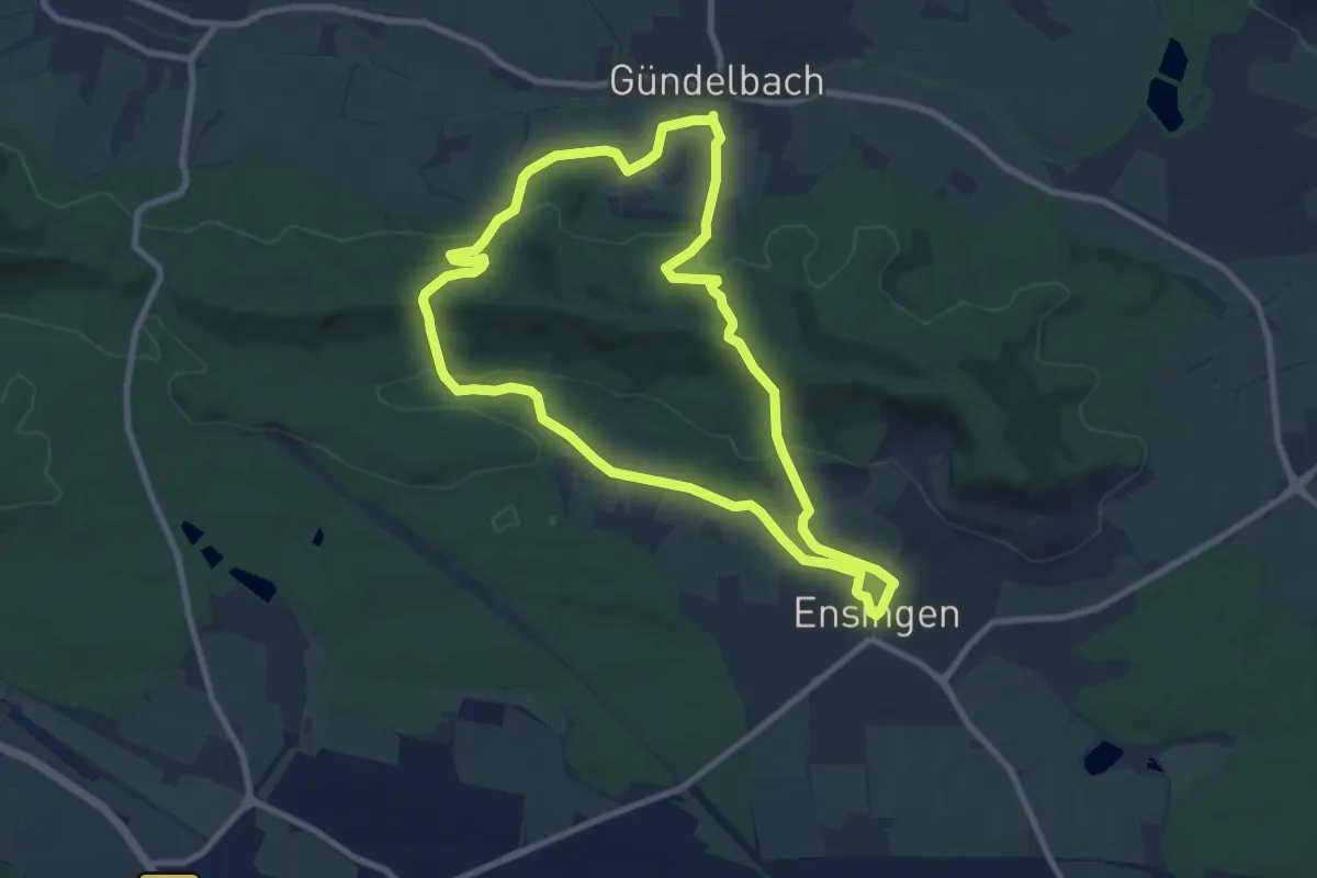
Medium · Summit
VE12 Schreckstein-Rundweg
8.3 km · ↑ 244 m · 2 h 37 min
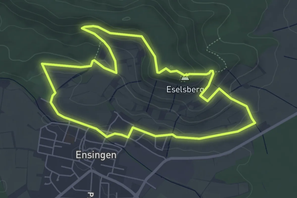
Easy · Summit
VE4 Eselsberg-Rundweg
5.3 km · ↑ 146 m · 1 h 39 min
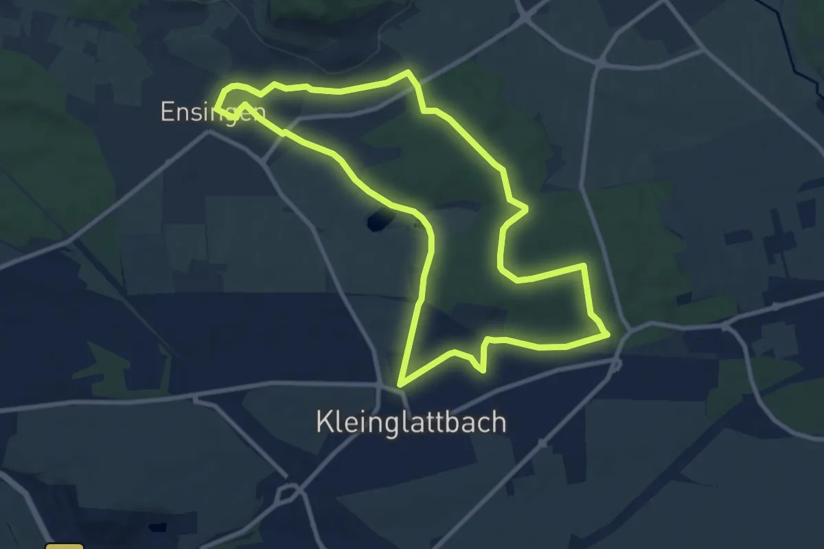
Medium · Trail
VE6 Bartenberg-Rundweg
8.4 km · ↑ 86 m · 2 h 18 min
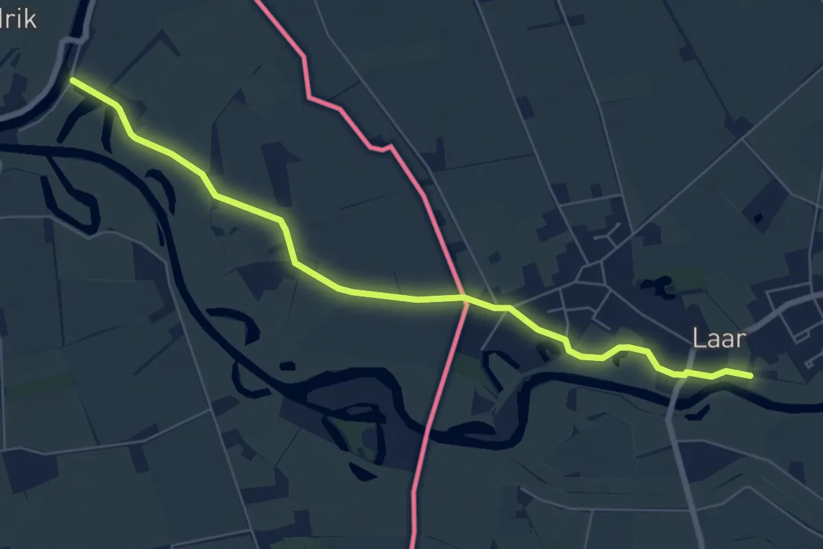
Easy · Trail
Vechtdalpad
6.1 km · ↑ 0 m · 1 h 26 min
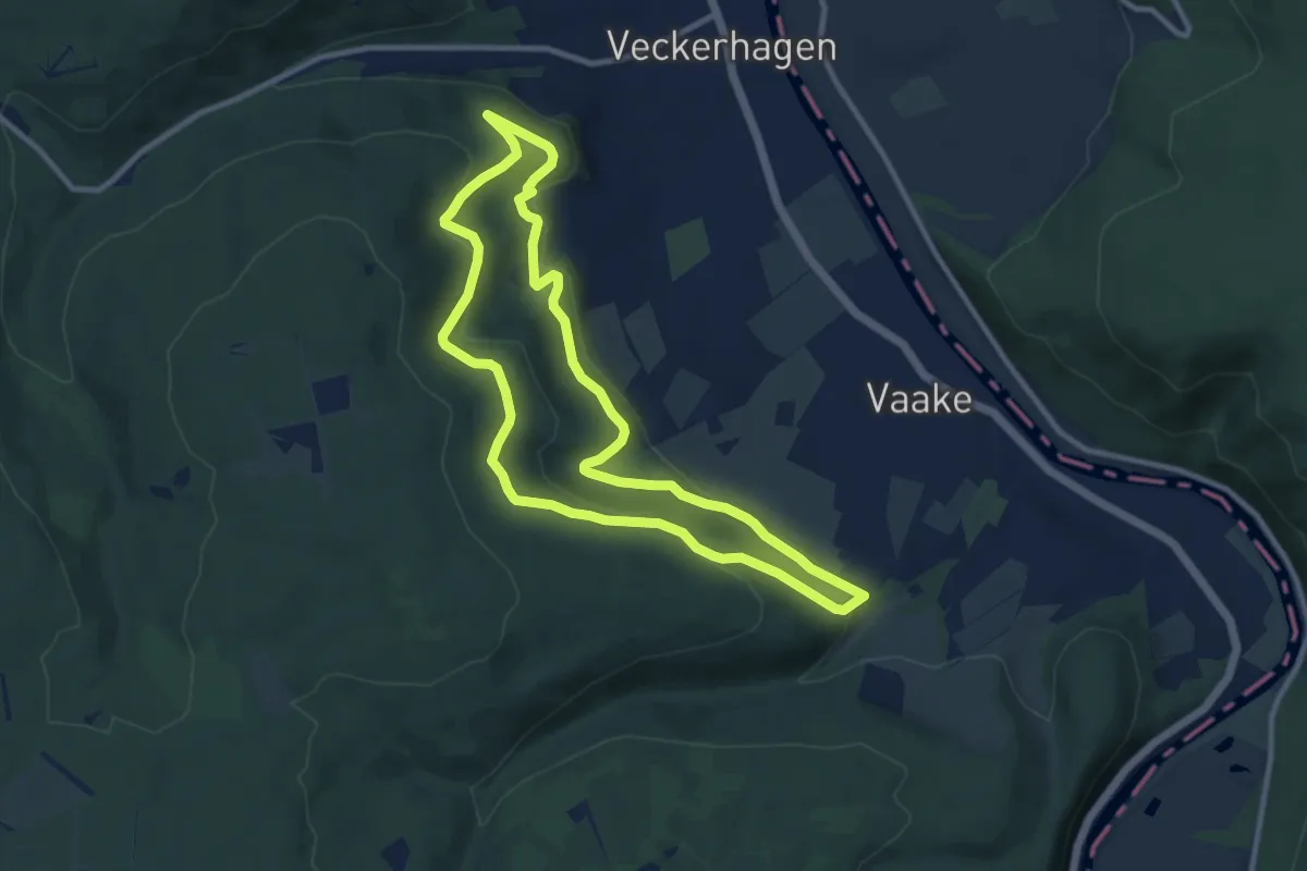
Medium · Trail
Veckerhagen Rundweg 2
8.9 km · ↑ 264 m · 2 h 47 min
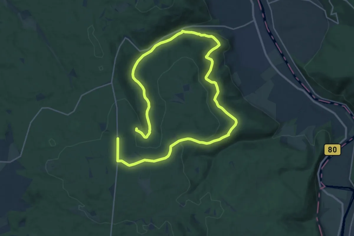
Demanding · Trail
Veckerhagen Rundweg 7
27.1 km · ↑ 532 m · 7 h 33 min