Trails in Germany
36,852 hiking trails, each with its route, climb, walking time and grade.
All trails, page 645 of 768
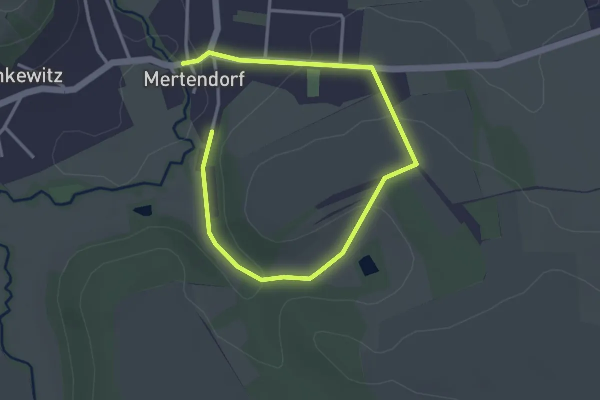
Easy · Trail
Vehrigsweg
3.8 km · ↑ 77 m · 1 h 3 min
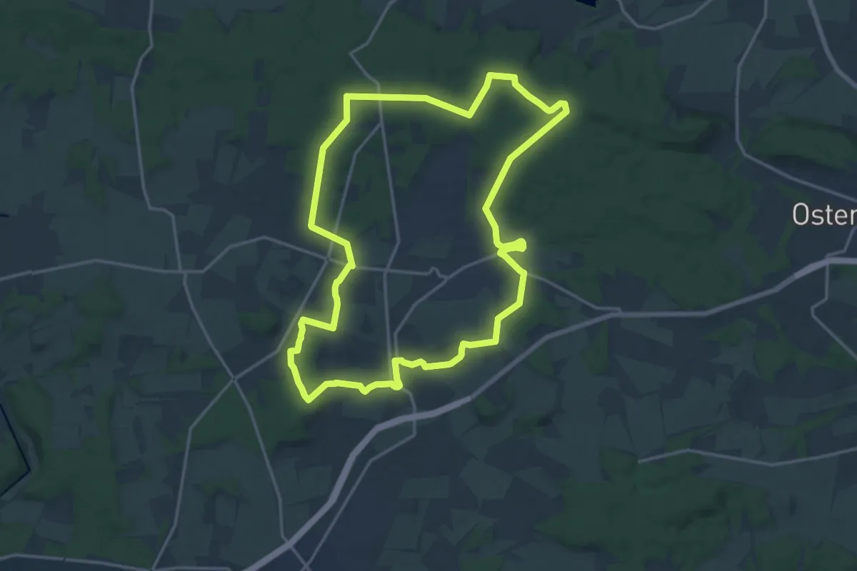
Medium · Summit
Vehrter Rundweg
14.2 km · ↑ 167 m · 3 h 55 min
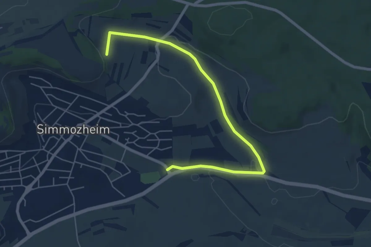
Easy · Trail
Veigelesweg
5.6 km · ↑ 91 m · 1 h 31 min
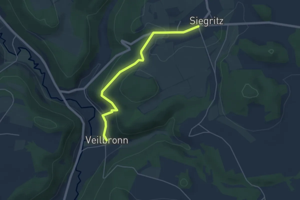
Easy · Trail
Veilbronn-Siegritz
4.1 km · ↑ 141 m · 1 h 17 min
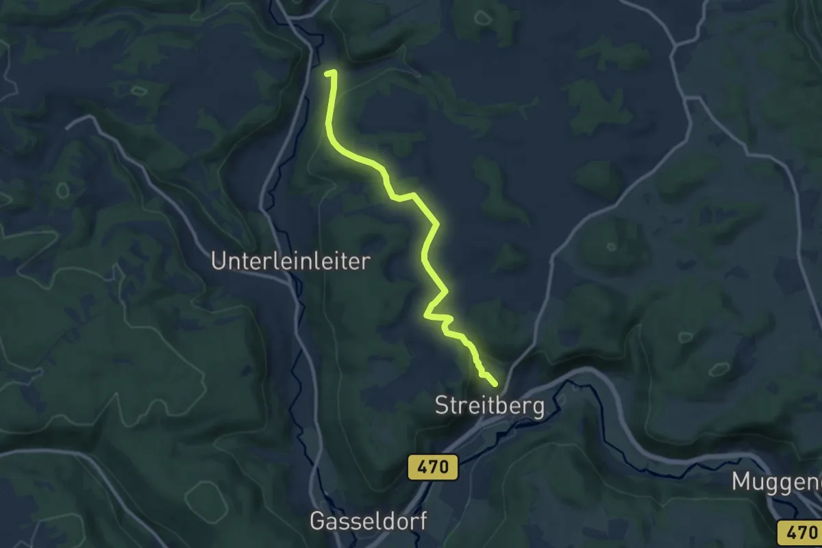
Medium · Summit
Veilbronn-Streitberg
9.0 km · ↑ 263 m · 2 h 42 min
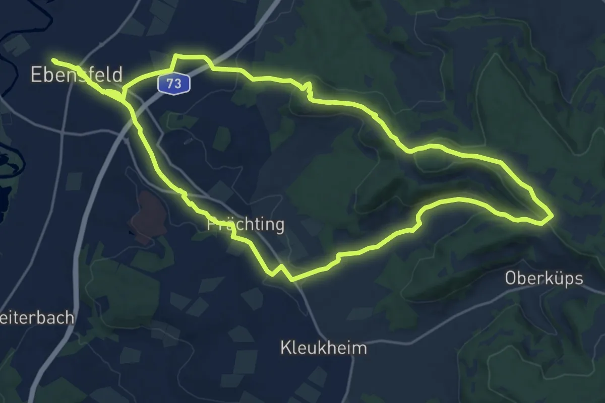
Medium · Summit
Veitsberg Höhenweg
17.5 km · ↑ 306 m · 5 h 2 min
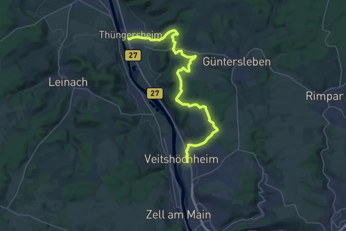
Demanding · Trail
Veitshöchheim - Thüngersheim
24.4 km · ↑ 549 m · 6 h 56 min
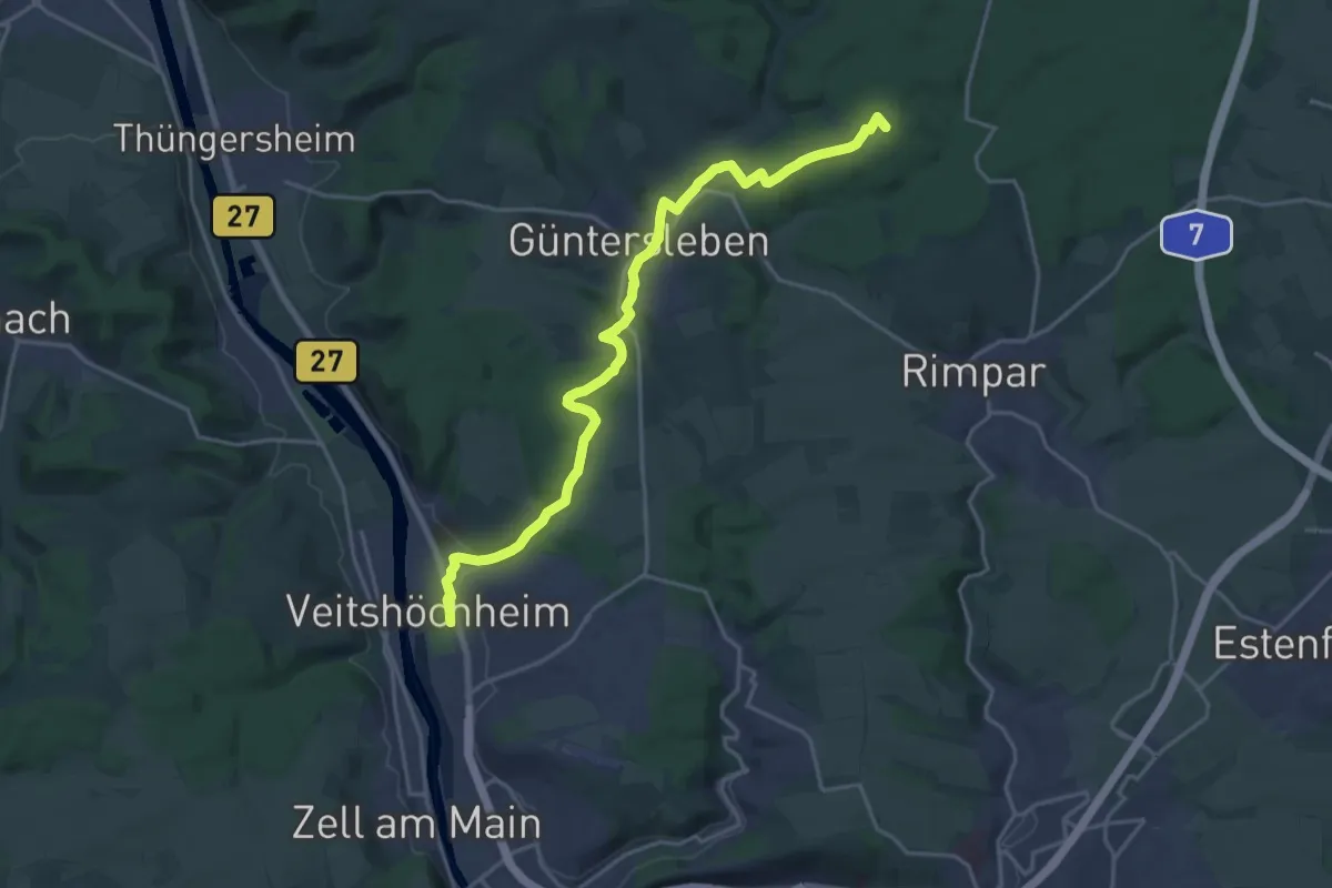
Demanding · Summit
Veitshöchheim - Waldhaus Einsiedel
19.9 km · ↑ 318 m · 5 h 24 min
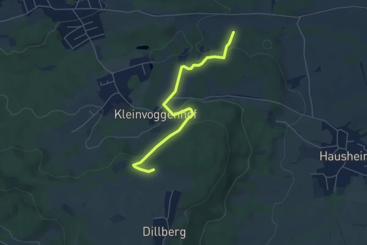
Easy · Trail
Velburger Weg
4.8 km · ↑ 150 m · 1 h 27 min
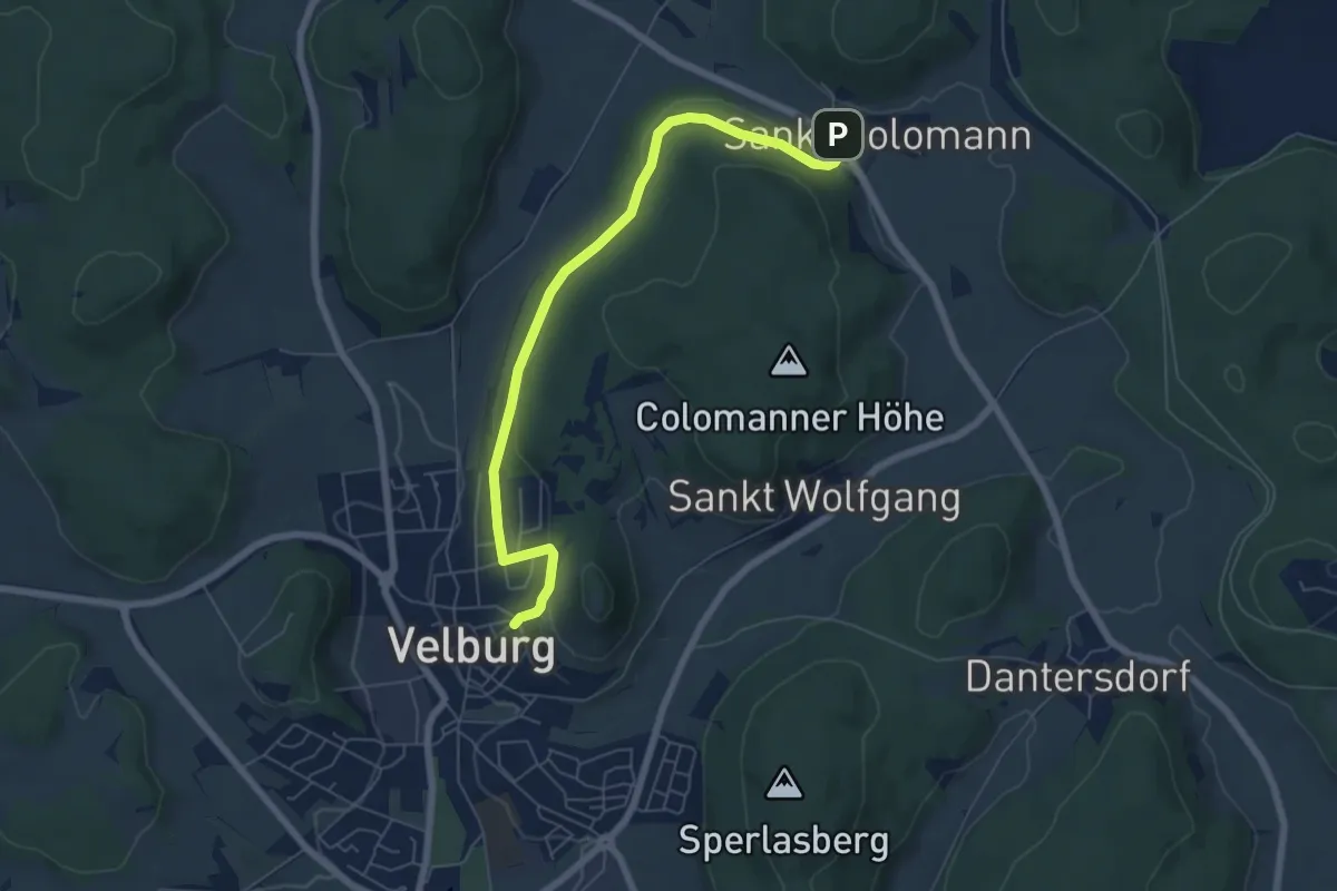
Easy · Trail
Velburg-St.Colomann
6.3 km · ↑ 152 m · 1 h 49 min
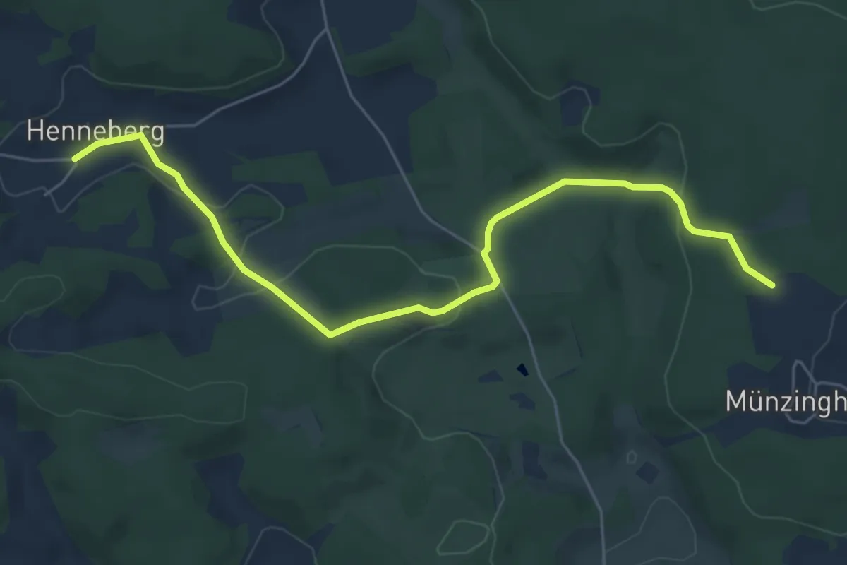
Easy · Trail
Velden-Henneberg
5.9 km · ↑ 158 m · 1 h 44 min
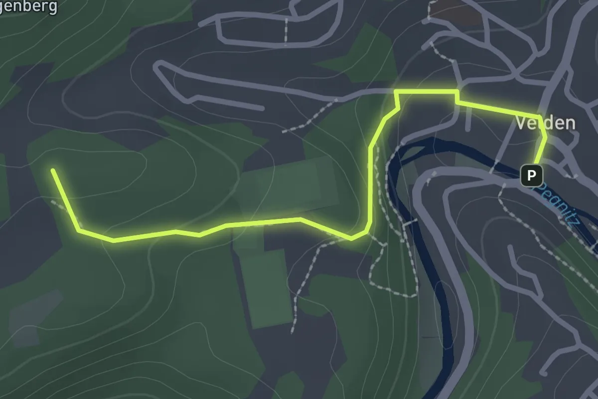
Easy · Summit
Velden – Lungsdorf
2.4 km · ↑ 83 m · 44 min
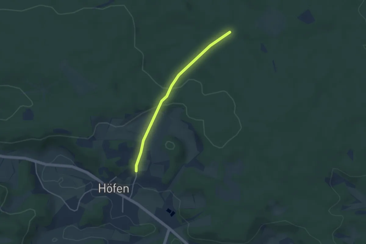
Easy · Trail
Velden-Roßköpfl
3.0 km · ↑ 82 m · 53 min
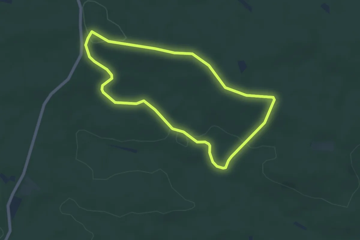
Easy · Trail
Veldensteiner Forst - Rundweg Auerhahn
3.9 km · ↑ 61 m · 1 h 6 min
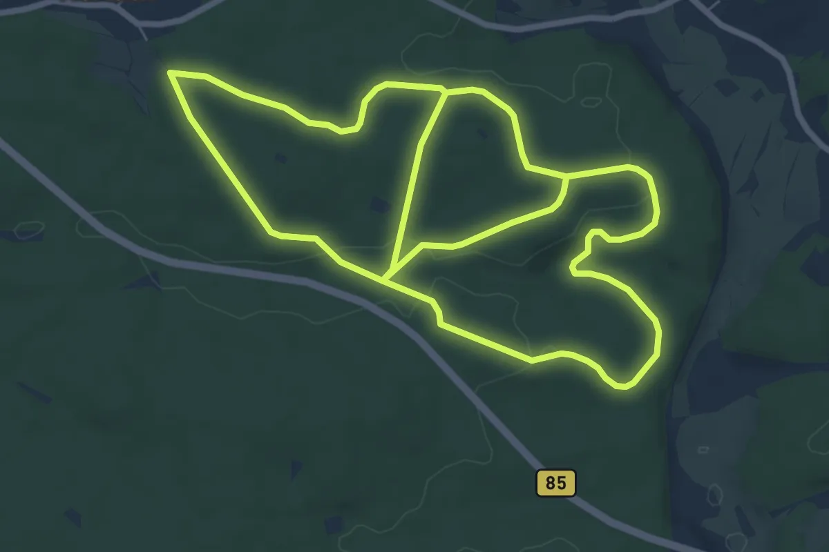
Easy · Trail
Veldensteiner Forst - Rundweg Dachs
7.3 km · ↑ 103 m · 2 h 3 min
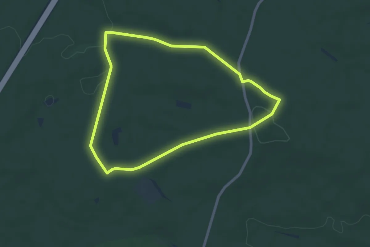
Easy · Trail
Veldensteiner Forst - Rundweg Damhirsch
4.6 km · ↑ 60 m · 1 h 16 min
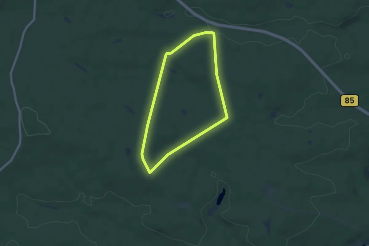
Easy · Trail
Veldensteiner Forst - Rundweg Habicht
3.9 km · ↑ 54 m · 1 h 6 min
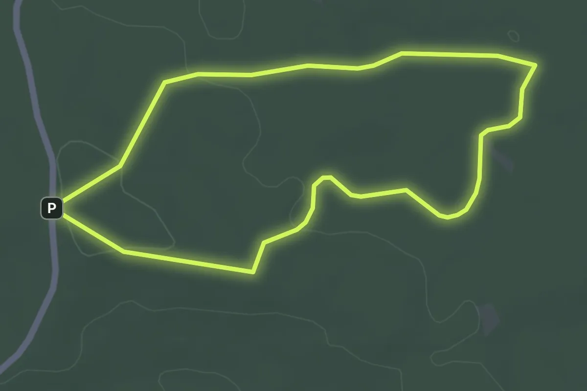
Easy · Trail
Veldensteiner Forst - Rundweg Hase
3.4 km · ↑ 45 m · 56 min
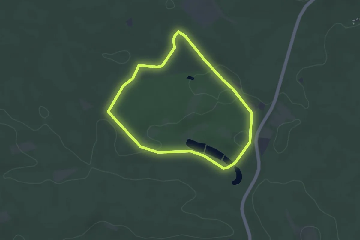
Easy · Trail
Veldensteiner Forst - Rundweg Mufflon
2.6 km · ↑ 29 m · 43 min
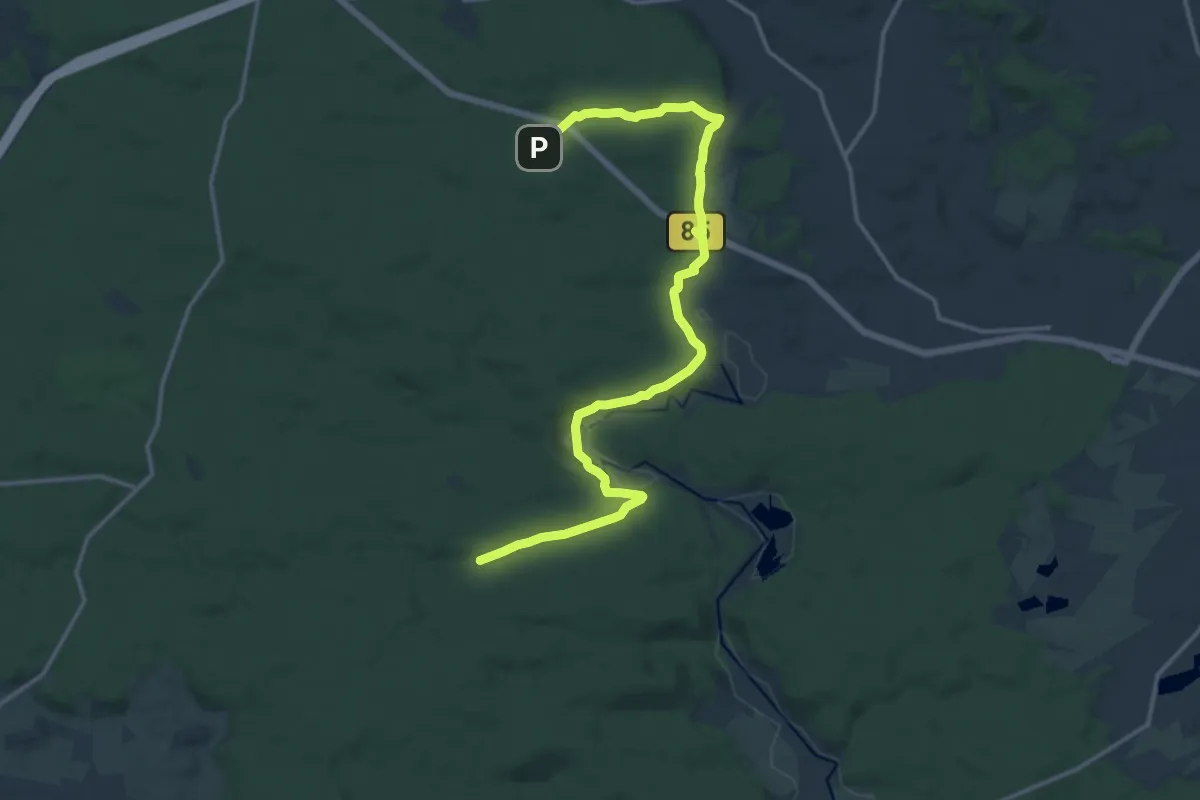
Medium · Trail
Veldensteiner Forst - Rundweg roter Ring
15.6 km · ↑ 204 m · 4 h 7 min
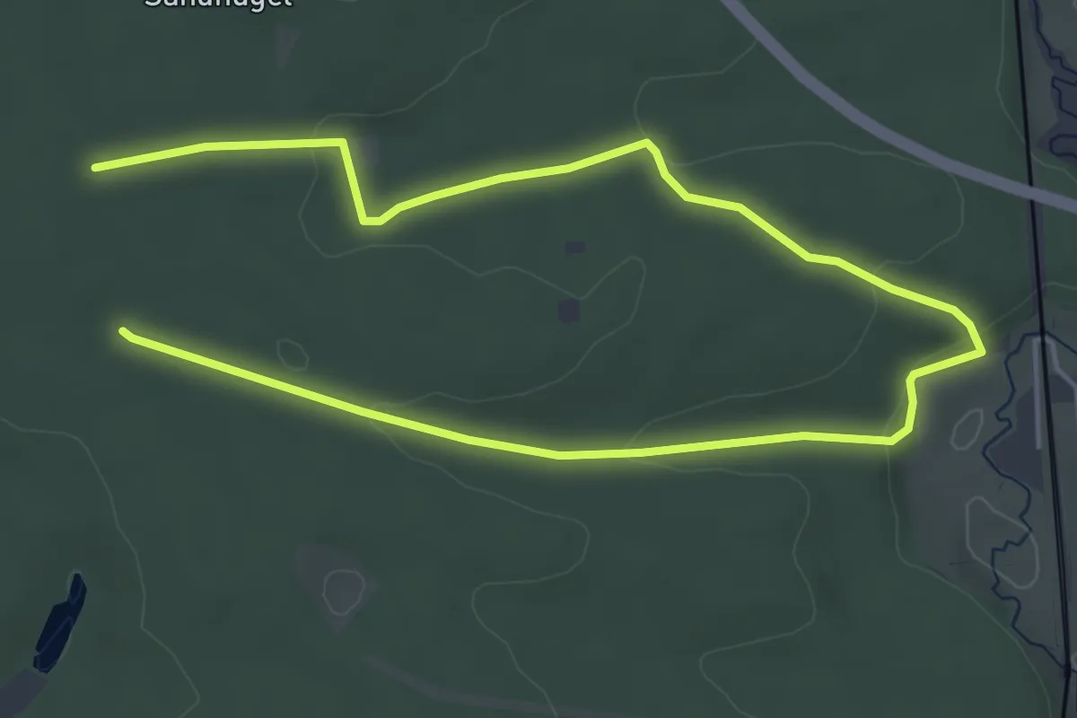
Easy · Trail
Veldensteiner Forst - Rundweg Rothirsch
3.8 km · ↑ 70 m · 1 h 5 min
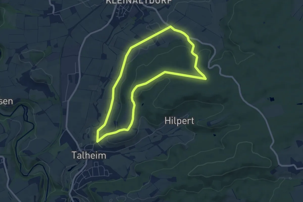
Easy · Trail
Vellberg - RW Laubbaum
6.1 km · ↑ 127 m · 1 h 48 min
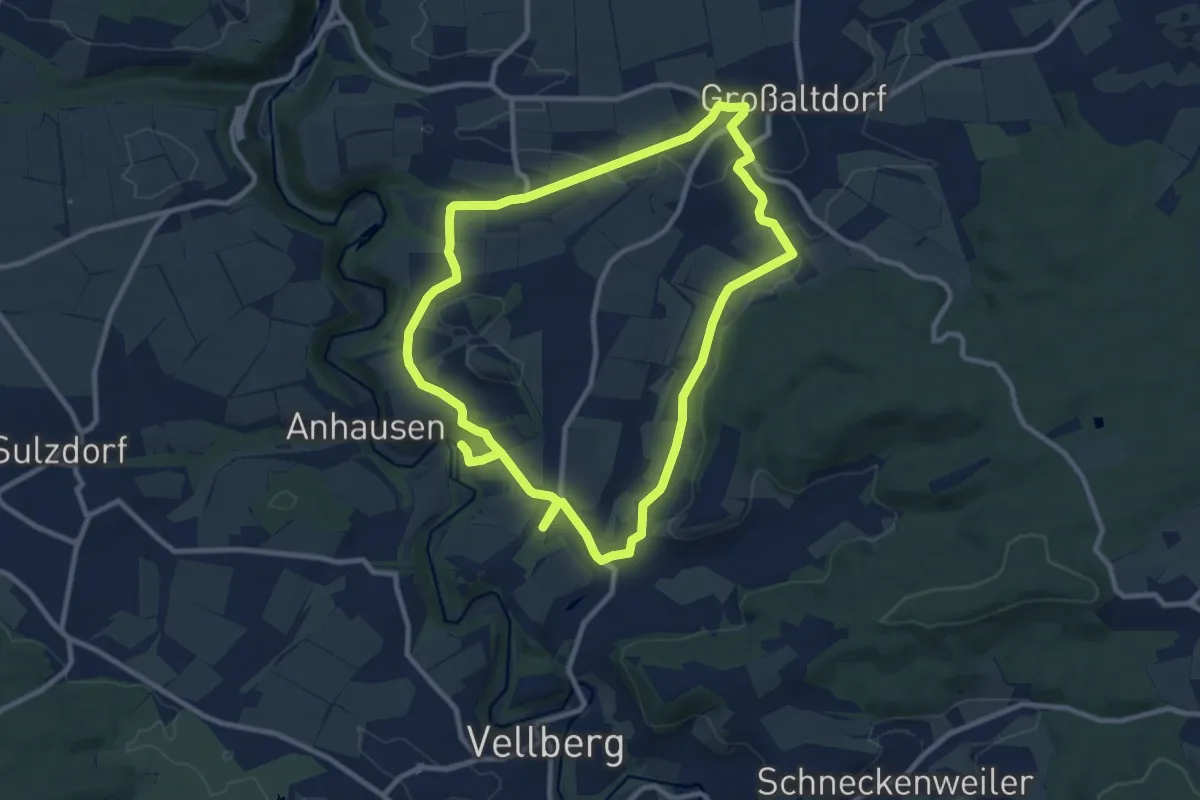
Medium · Trail
Vellberg - RW Schmetterling
9.4 km · ↑ 123 m · 2 h 35 min
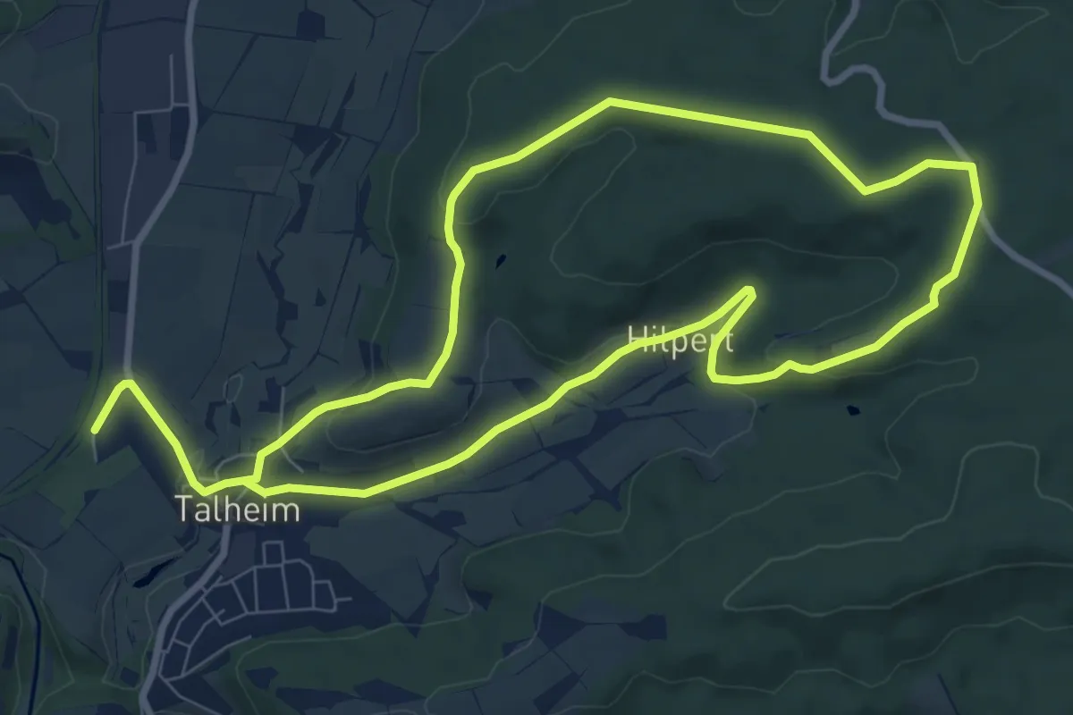
Easy · Trail
Vellberg - RW Schnecke
7.8 km · ↑ 157 m · 2 h 17 min
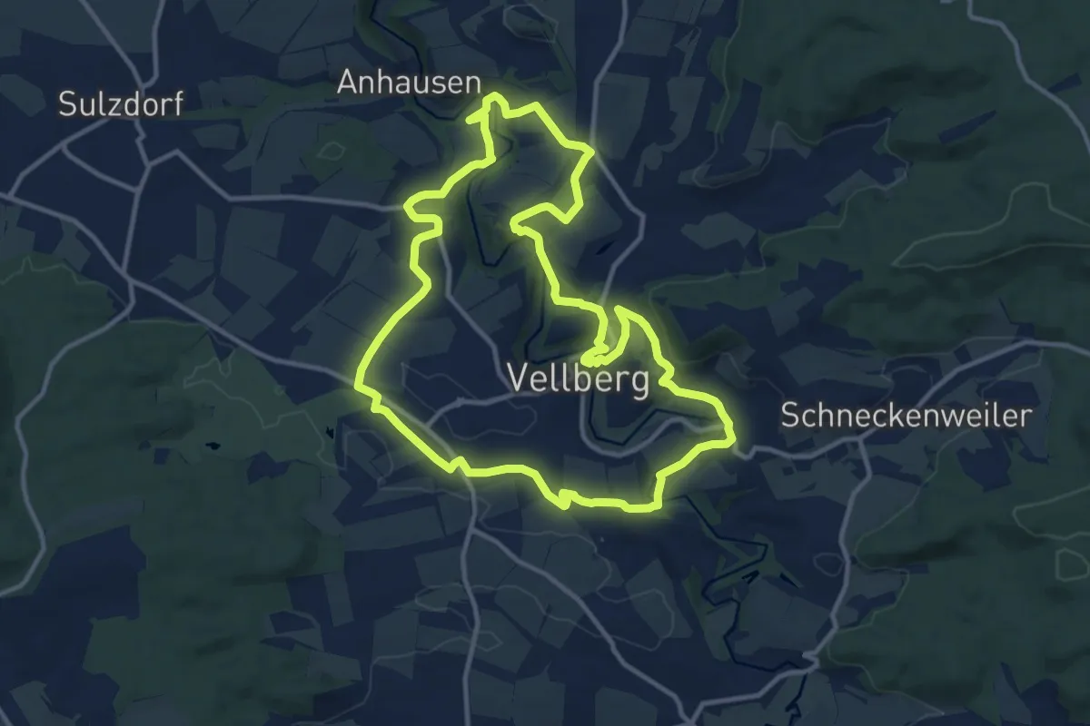
Medium · Trail
Vellberg - RW WK
11.6 km · ↑ 205 m · 3 h 21 min
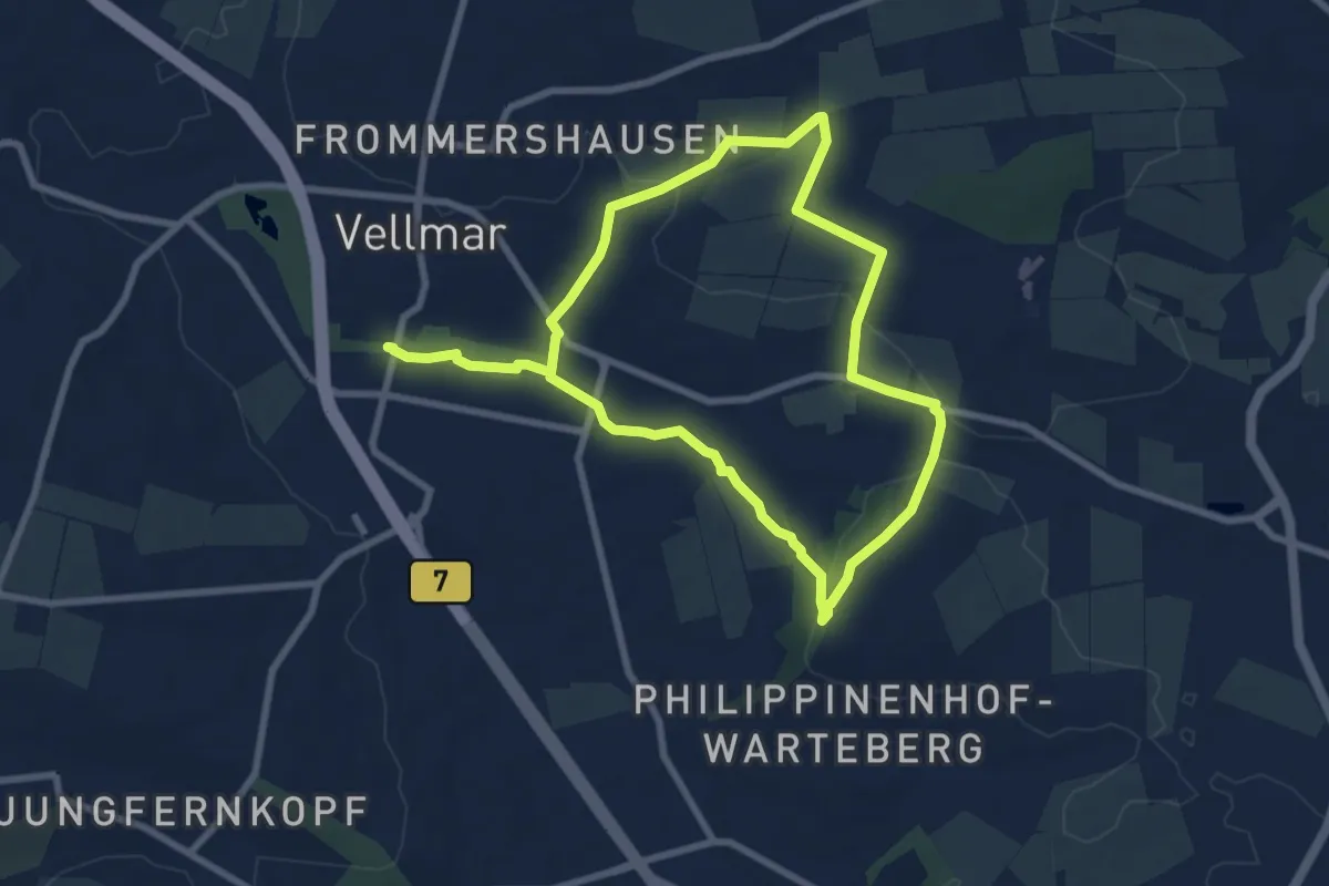
Easy · Summit
Vellmar, H3 - Wartebergweg
6.5 km · ↑ 78 m · 1 h 48 min
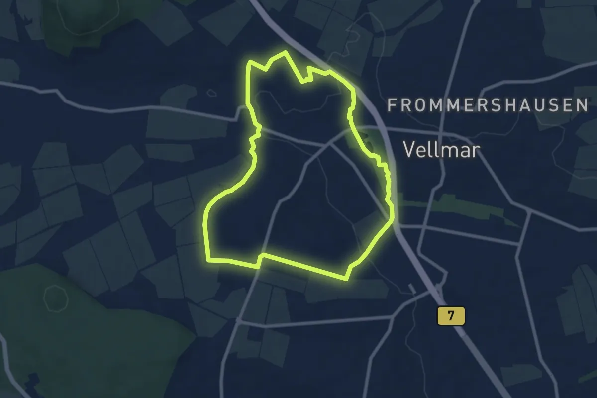
Easy · Trail
Vellmar, V1 - Heideweg
6.1 km · ↑ 69 m · 1 h 40 min
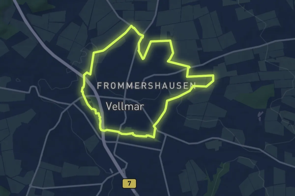
Easy · Trail
Vellmar, V2 - Nordweg
7.9 km · ↑ 71 m · 2 h 8 min
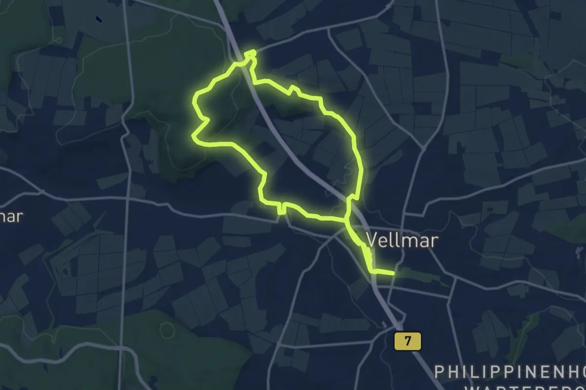
Medium · Summit
Vellmar, V5 - Staufenbergweg
11.2 km · ↑ 155 m · 3 h 7 min
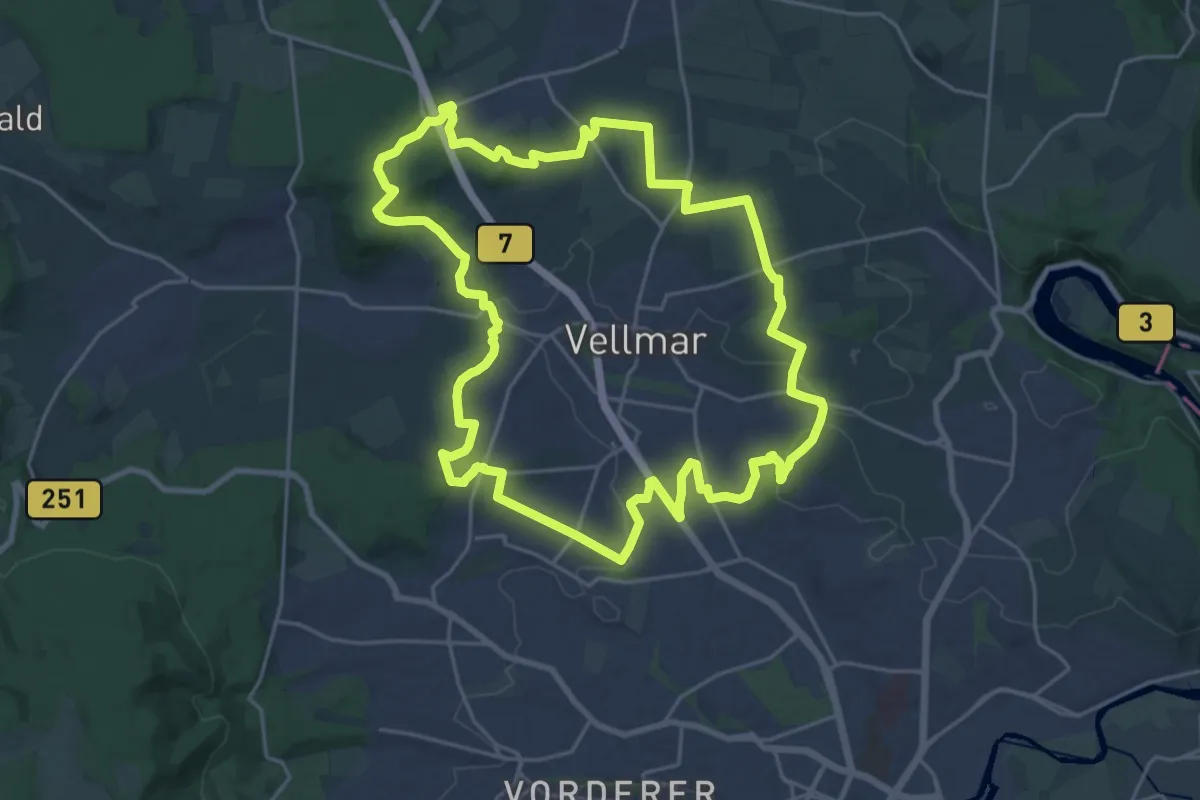
Demanding · Summit
Vellmar, V - Grenzweg
21.5 km · ↑ 288 m · 6 h
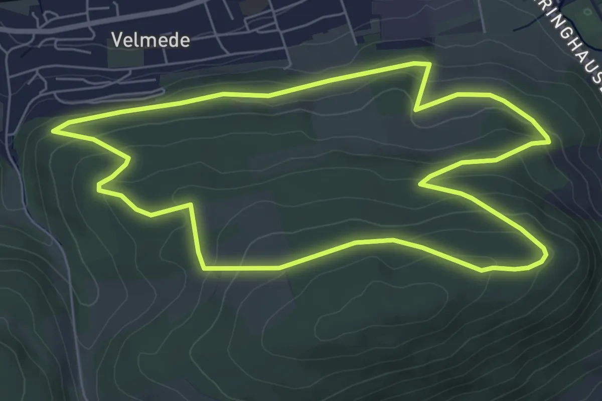
Easy · Trail
Velmede Rundweg V1
5.8 km · ↑ 217 m · 1 h 55 min
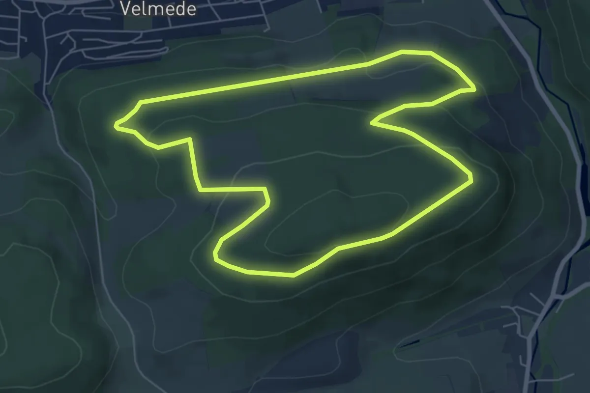
Easy · Summit
Velmede Rundweg V3
5.7 km · ↑ 211 m · 1 h 53 min
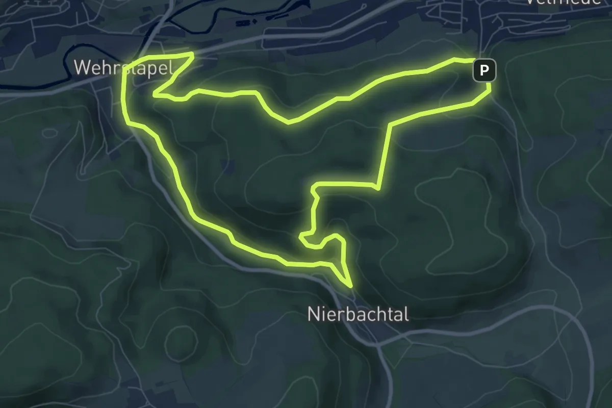
Medium · Summit
Velmede Rundweg V5
8.3 km · ↑ 290 m · 2 h 43 min
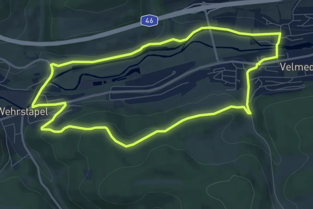
Easy · Summit
Velmede Rundweg V8
7.2 km · ↑ 176 m · 2 h 11 min
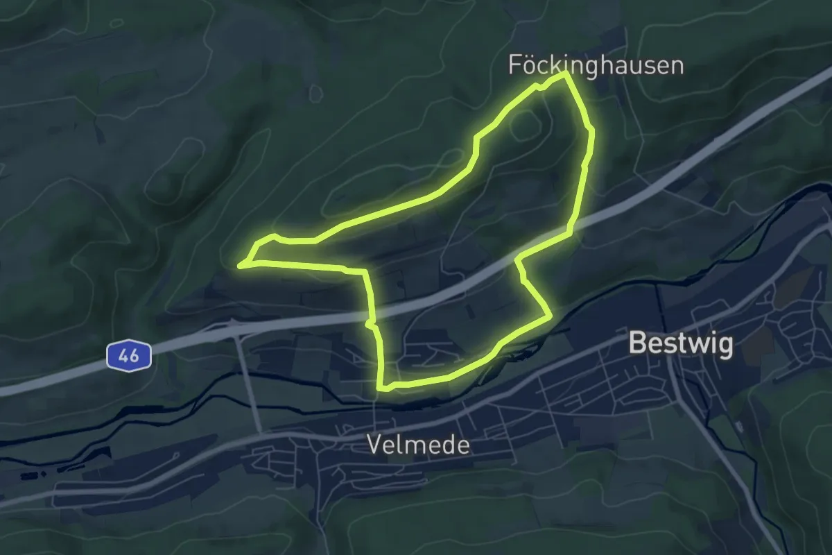
Easy · Trail
Velmede Rundweg V9
6.2 km · ↑ 213 m · 2 h
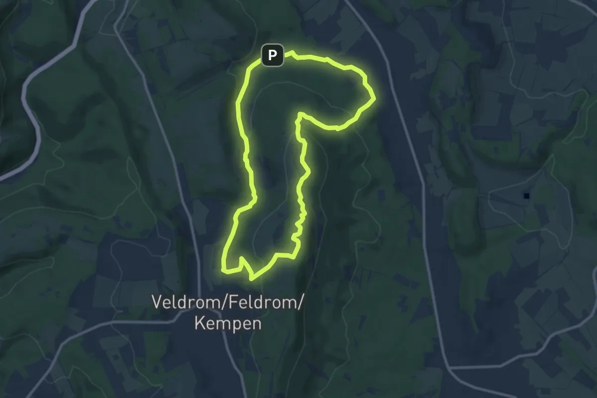
Medium · Summit
Velmerstot-Route
8.1 km · ↑ 227 m · 2 h 31 min
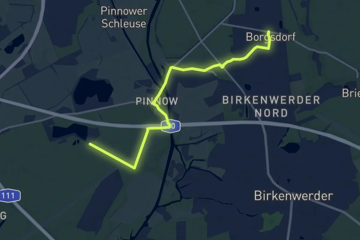
Medium · Trail
Velten-Borgsdorf
11.0 km · ↑ 32 m · 2 h 40 min
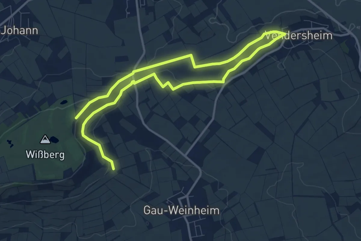
Easy · Trail
Vendersheim
7.2 km · ↑ 105 m · 2 h 3 min
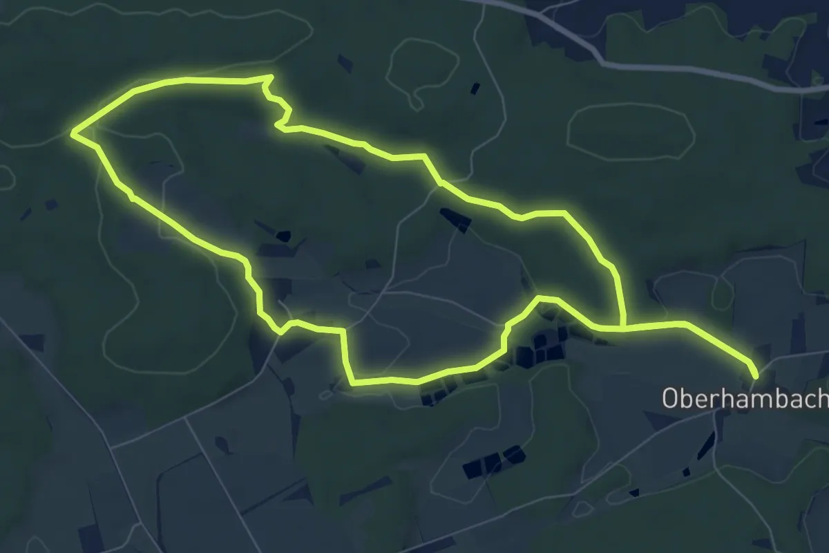
Easy · Trail
Veni-Vidi-Vici Weg
7.9 km · ↑ 115 m · 2 h 13 min
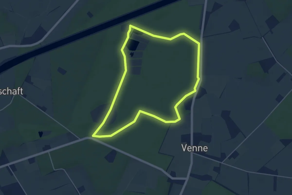
Easy · Trail
Venne Rundweg A9
3.9 km · ↑ 5 m · 59 min
Easy · Trail
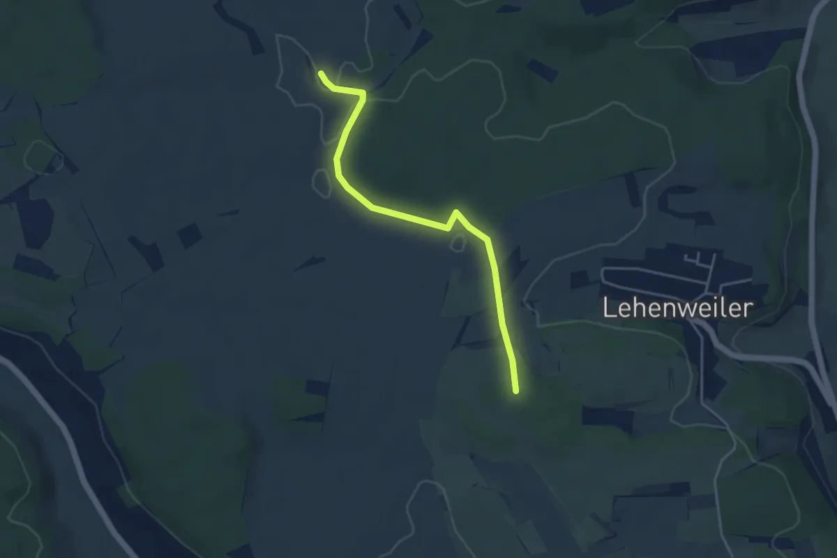
Venusberg - Drei Buchen
3.8 km · ↑ 59 m · 1 h 2 min
Easy · Summit
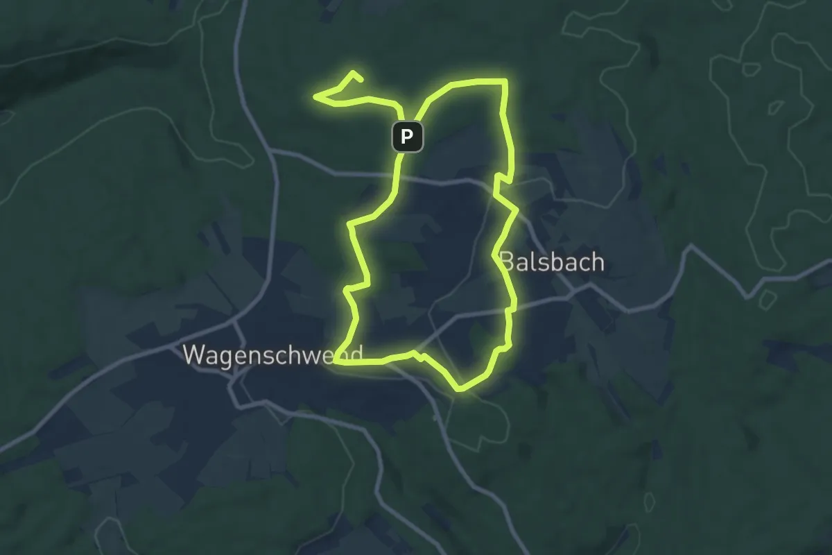
Venuspfad Limbach
7.1 km · ↑ 96 m · 1 h 59 min
Easy · Trail
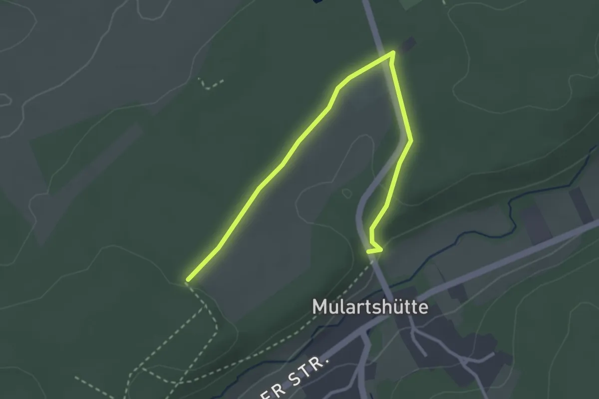
Venwegen Rundweg A1
3.1 km · ↑ 38 m · 48 min
Easy · Trail
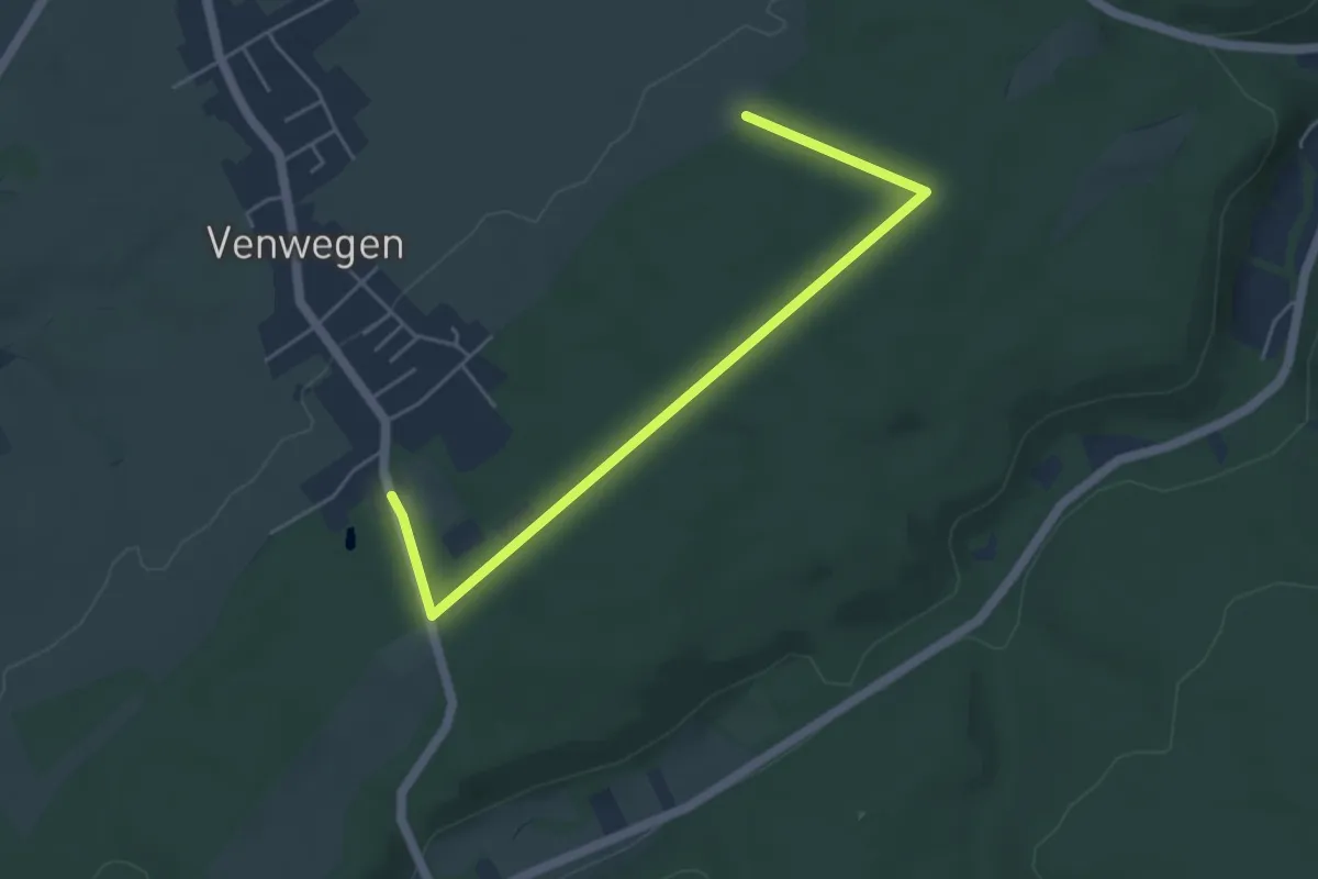
Venwegen Rundweg A2
4.7 km · ↑ 41 m · 1 h 12 min
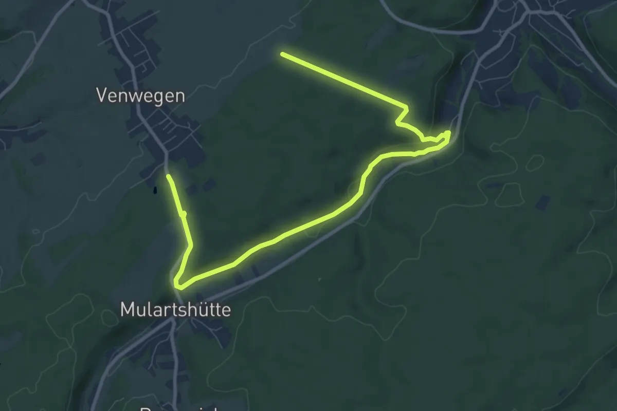
Medium · Trail
Venwegen Rundweg A3
10.1 km · ↑ 165 m · 2 h 44 min
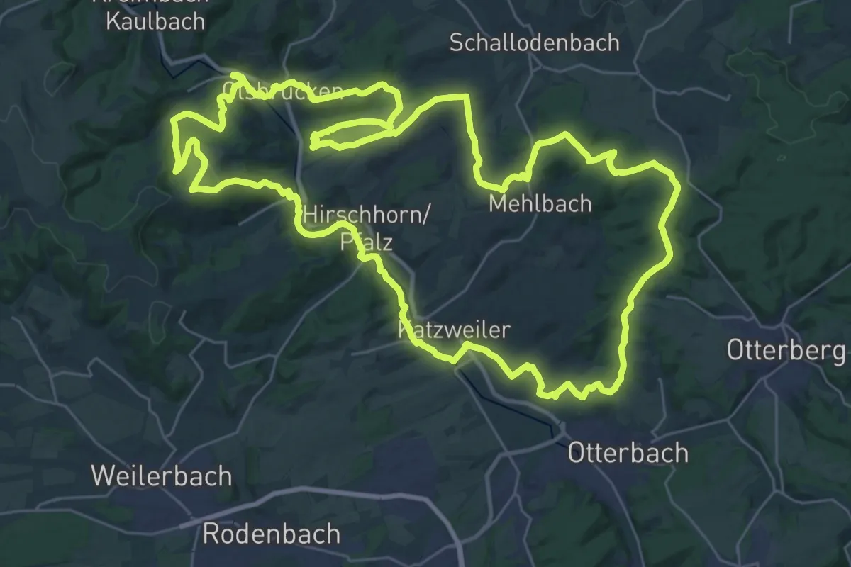
Demanding · Summit
Verbandsgemeinde Otterbach Nr. 10
33.1 km · ↑ 774 m · 9 h 57 min
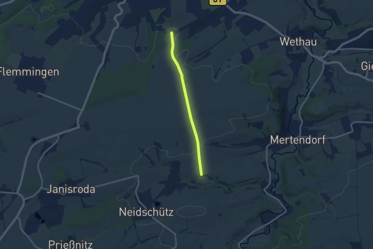
Easy · Trail
Verbinder Mühlenwanderweg
6.7 km · ↑ 75 m · 1 h 45 min
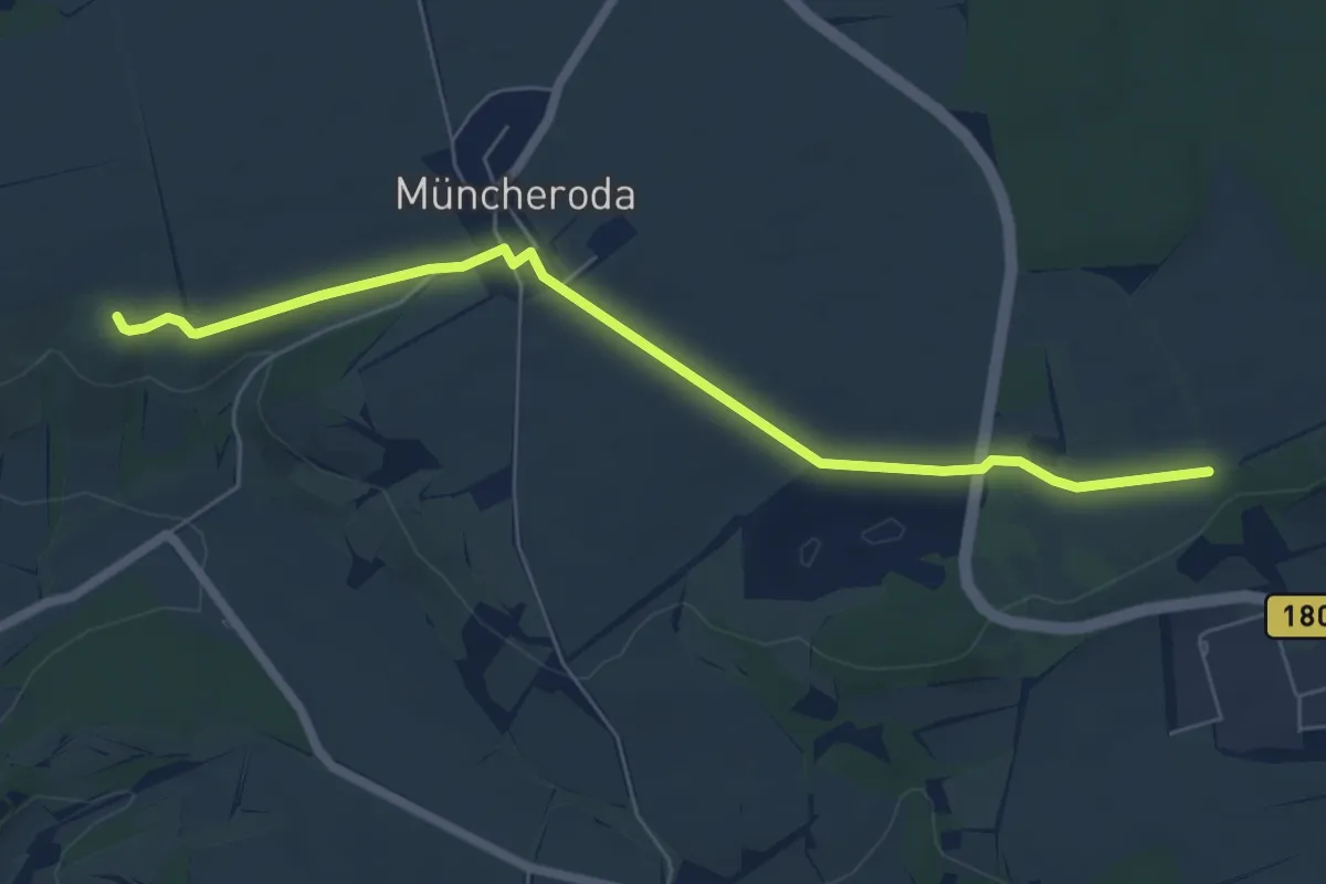
Easy · Trail
Verbinder Nüssenberg Göhle
6.0 km · ↑ 30 m · 1 h 28 min