Trails in Germany
36,852 hiking trails, each with its route, climb, walking time and grade.
All trails, page 646 of 768
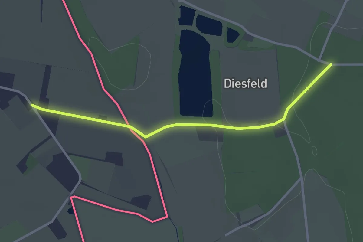
Easy · Trail
Verbindingsroute MBR TP191-Y53
2.5 km · ↑ 10 m · 36 min
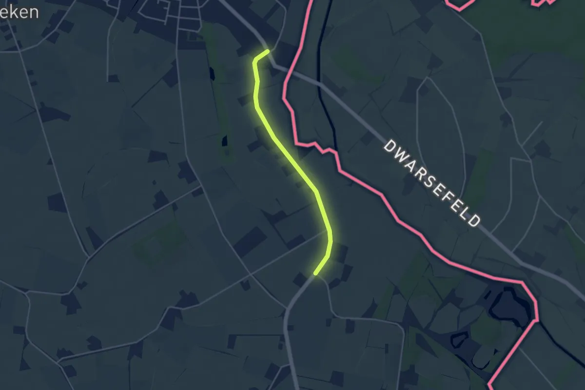
Easy · Trail
Verbindingsroute Y15-Y50
3.1 km · ↑ 0 m · 43 min
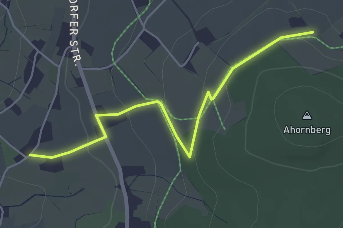
Easy · Trail
Verbindung
3.8 km · ↑ 91 m · 1 h 5 min
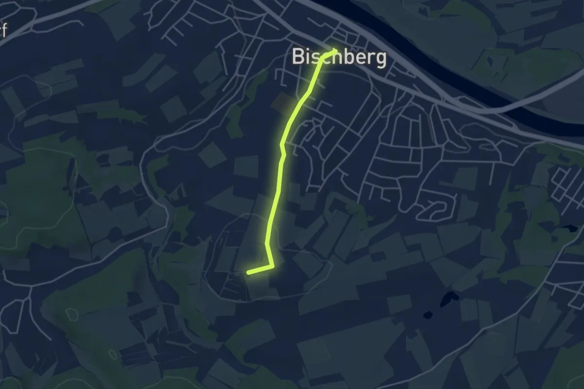
Easy · Summit
Verbindung Bischberg - Vogelberg - Anbindung an den Sieben-Flüsse-Wanderweg
2.9 km · ↑ 71 m · 51 min
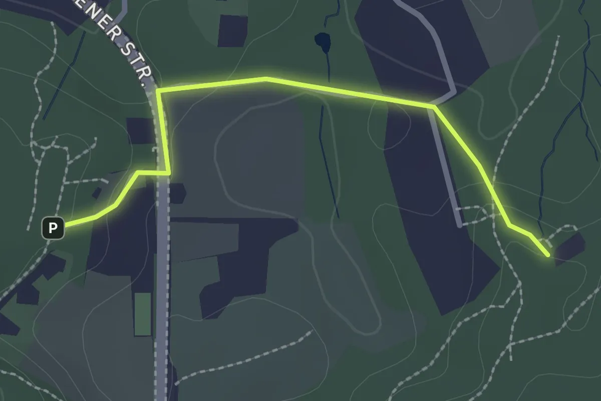
Easy · Trail
Verbindung Blau/Schwarz
2.1 km · ↑ 41 m · 35 min
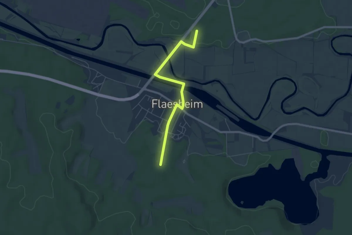
Easy · Trail
Verbindung Dachsbergroute - Heideroute (Haltern)
5.2 km · ↑ 41 m · 1 h 18 min
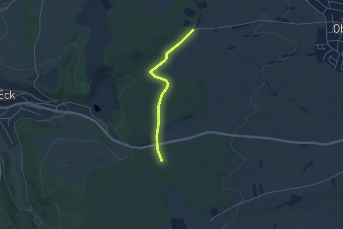
Easy · Trail
Verbindung Gedenkstein Jägerweg Route
3.4 km · ↑ 60 m · 56 min
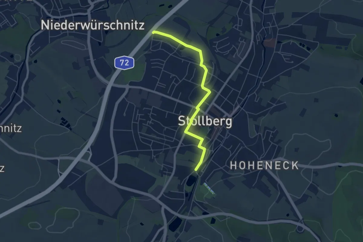
Easy · Trail
Verbindung gelb-Strich
5.3 km · ↑ 55 m · 1 h 22 min
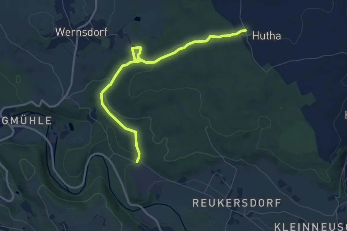
Easy · Trail
Verbindung Hutha-Wernsdorfer Strasse
7.5 km · ↑ 113 m · 2 h 1 min
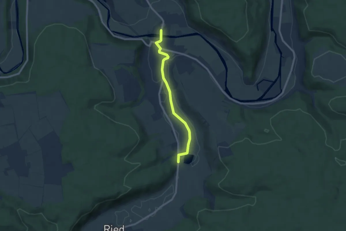
Easy · Trail
Verbindung Jägersteig - Dollnstein
5.5 km · ↑ 5 m · 1 h 18 min
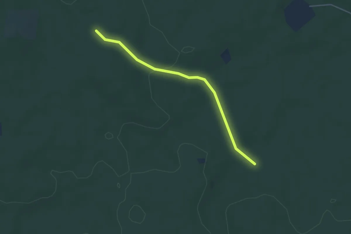
Easy · Trail
Verbindung Jammertalroute - Dachsbergroute (Haltern)
3.4 km · ↑ 50 m · 54 min
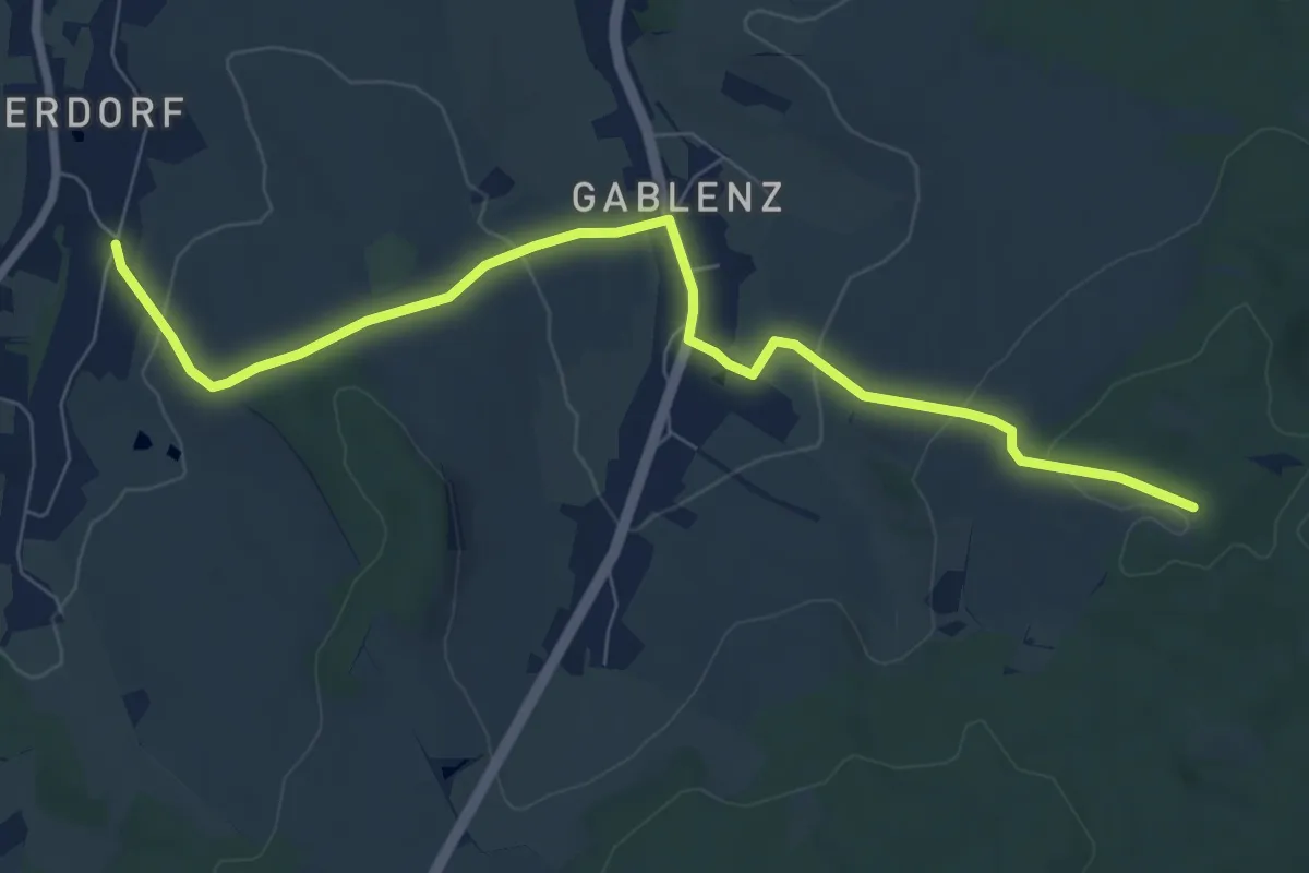
Easy · Trail
Verbindung Oberdorf-Eisenweg
7.7 km · ↑ 237 m · 2 h 21 min
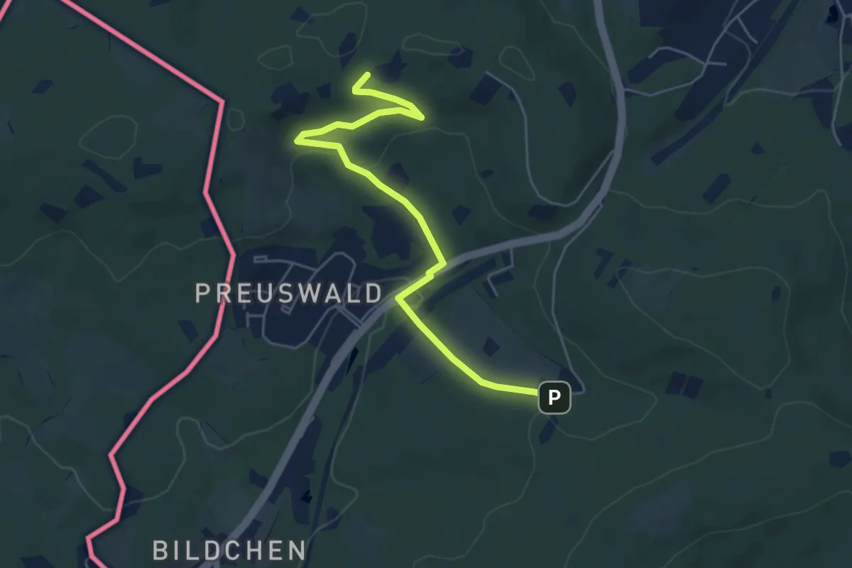
Easy · Trail
Verbindung Rot/Grün
5.2 km · ↑ 138 m · 1 h 31 min
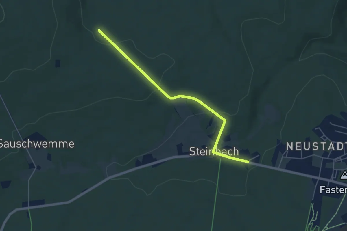
Easy · Trail
Verbindung Rundwanderwege Steinbachtal - Auersberg
4.4 km · ↑ 110 m · 1 h 16 min
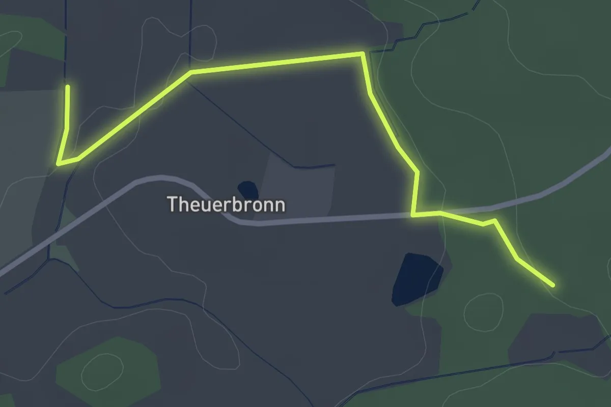
Easy · Trail
Verbindung Schnelldorf - Wettringen
2.4 km · ↑ 32 m · 39 min
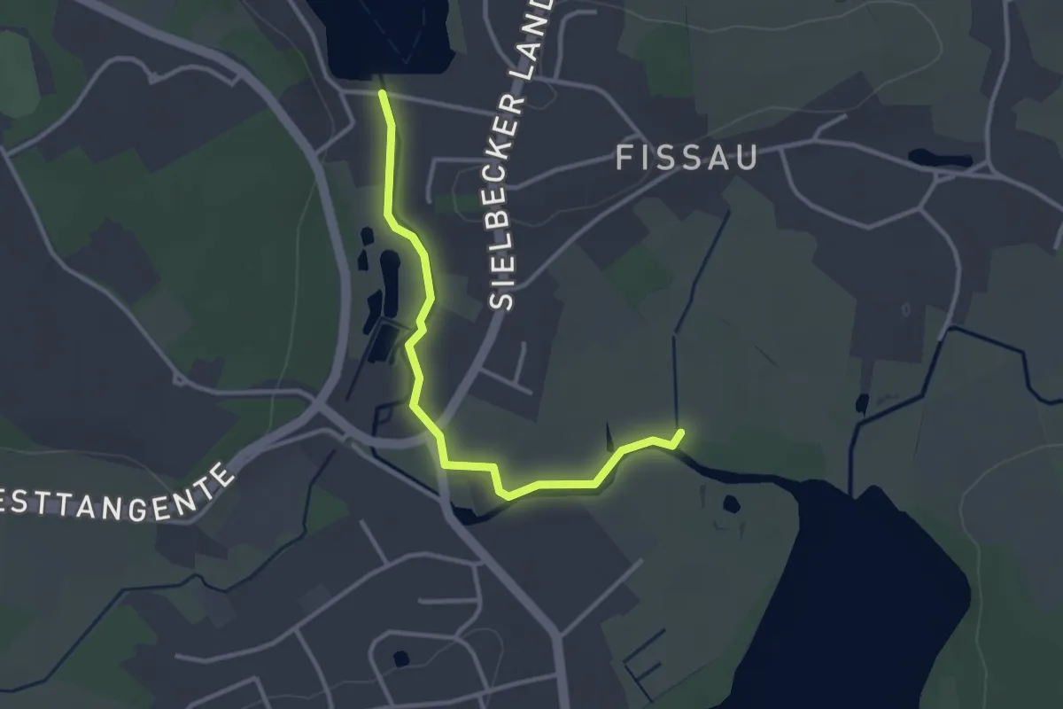
Easy · Trail
Verbindungsstrecke Fissau
2.6 km · ↑ 11 m · 38 min
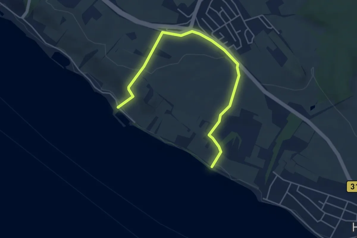
Easy · Trail
Verbindung Stetten - Uferweg
4.6 km · ↑ 134 m · 1 h 23 min
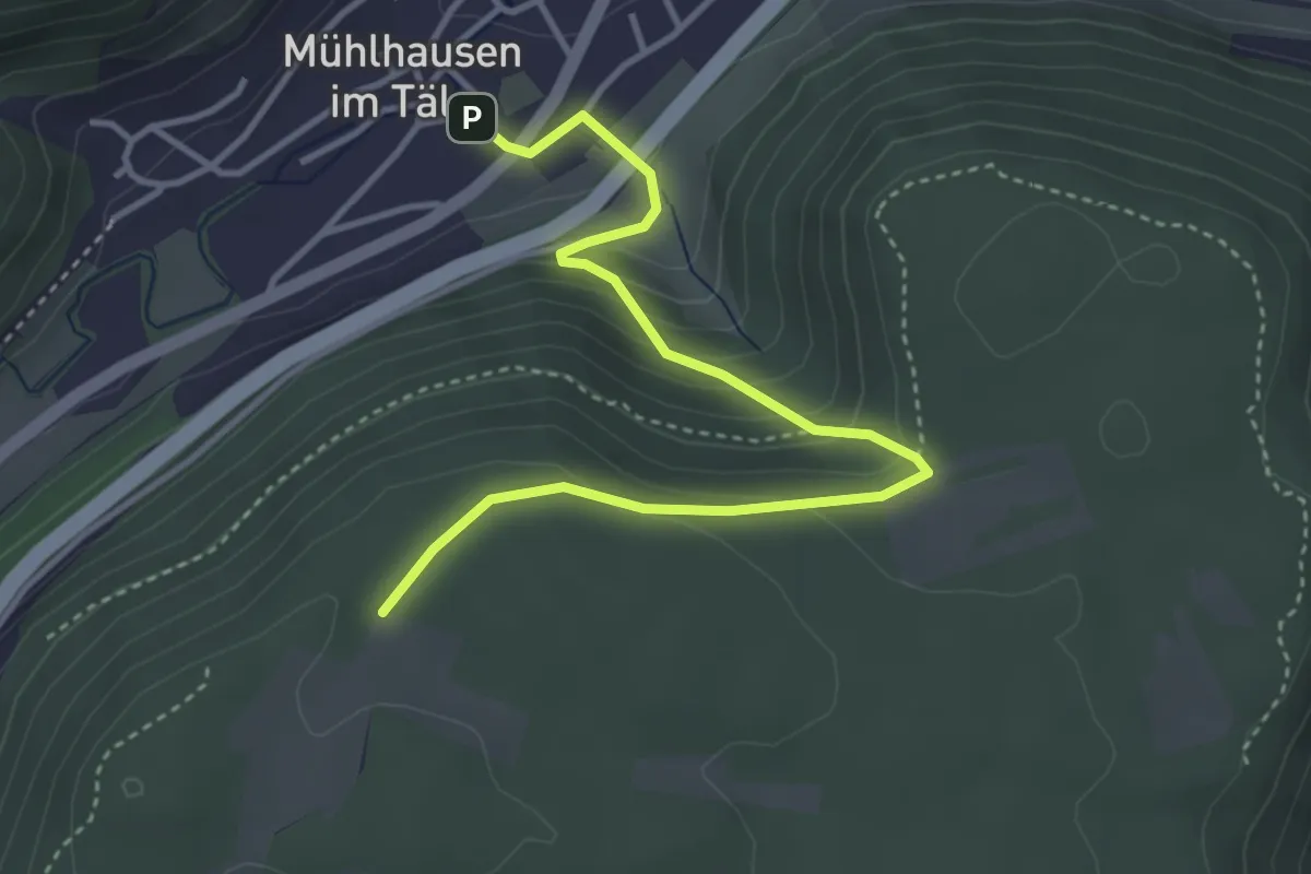
Easy · Trail
Verbindungsweg
4.1 km · ↑ 240 m · 1 h 29 min
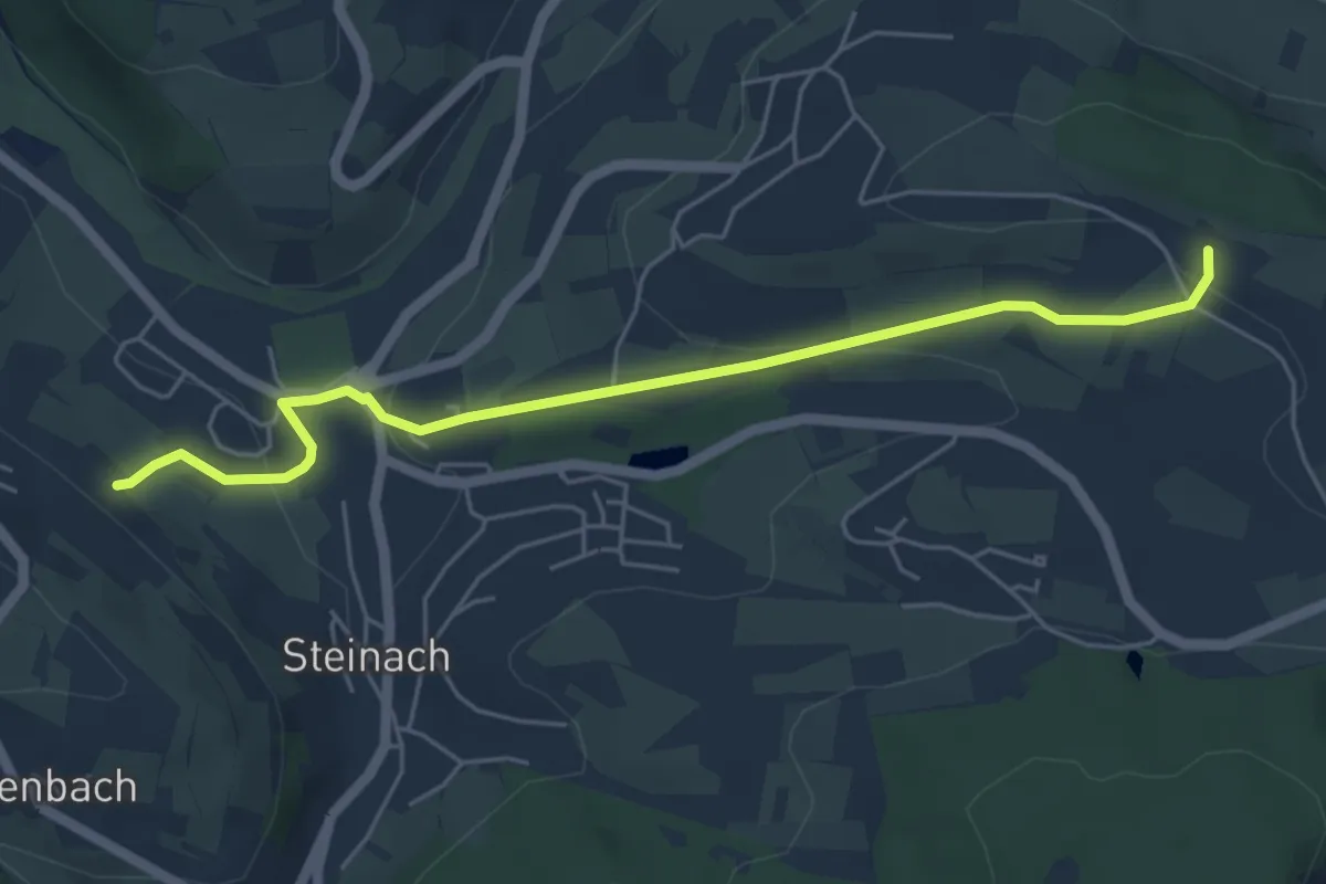
Easy · Trail
Verbindungsweg
5.2 km · ↑ 153 m · 1 h 34 min
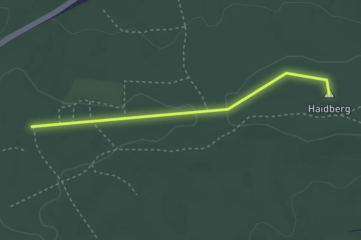
Easy · Summit
Verbindungsweg
2.4 km · ↑ 18 m · 36 min
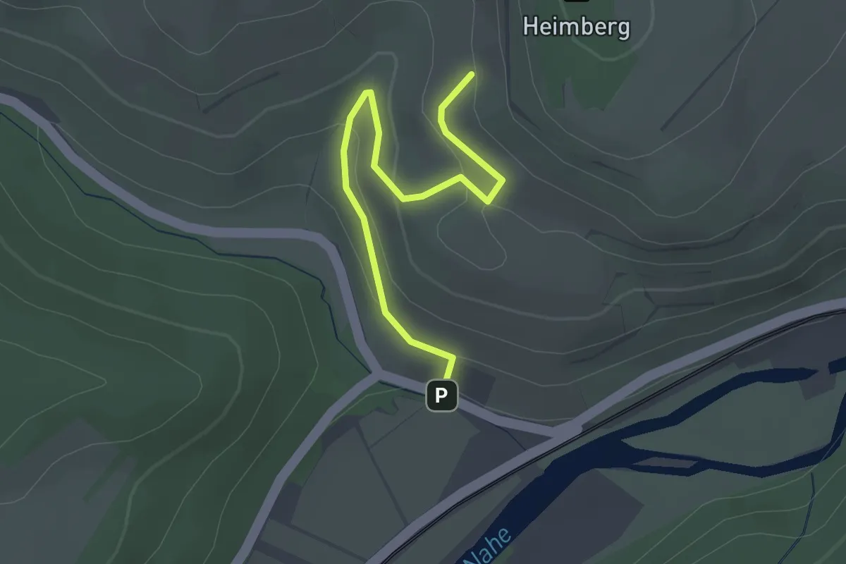
Easy · Trail
Verbindungsweg
2.6 km · ↑ 110 m · 51 min
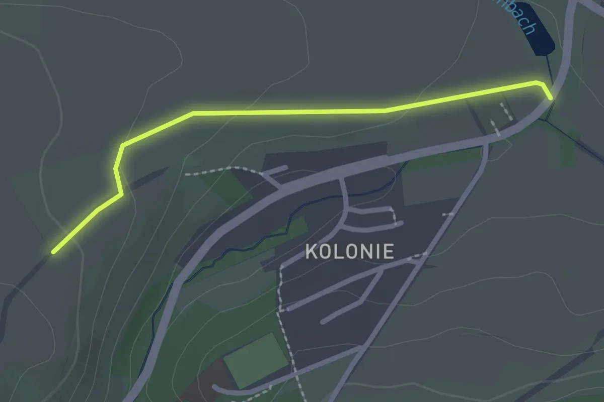
Easy · Trail
Verbindungsweg
2.0 km · ↑ 38 m · 34 min
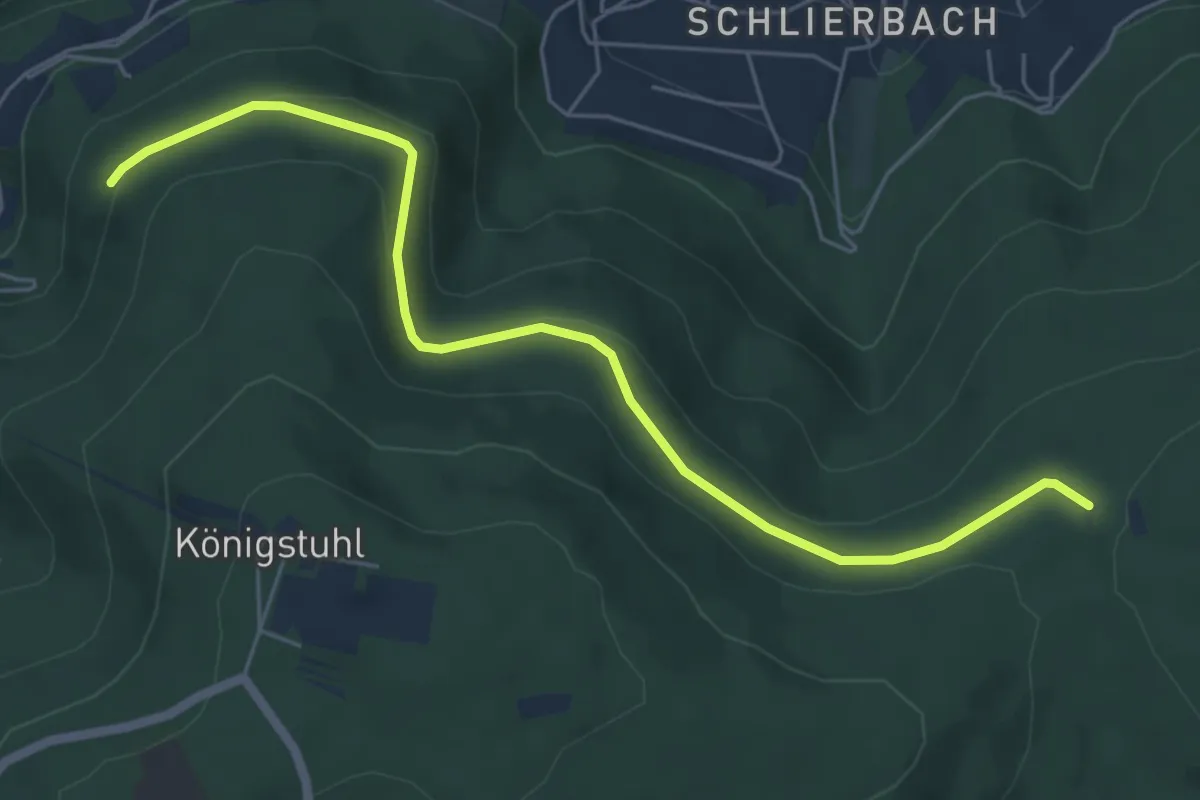
Easy · Trail
Verbindungsweg
5.9 km · ↑ 139 m · 1 h 42 min
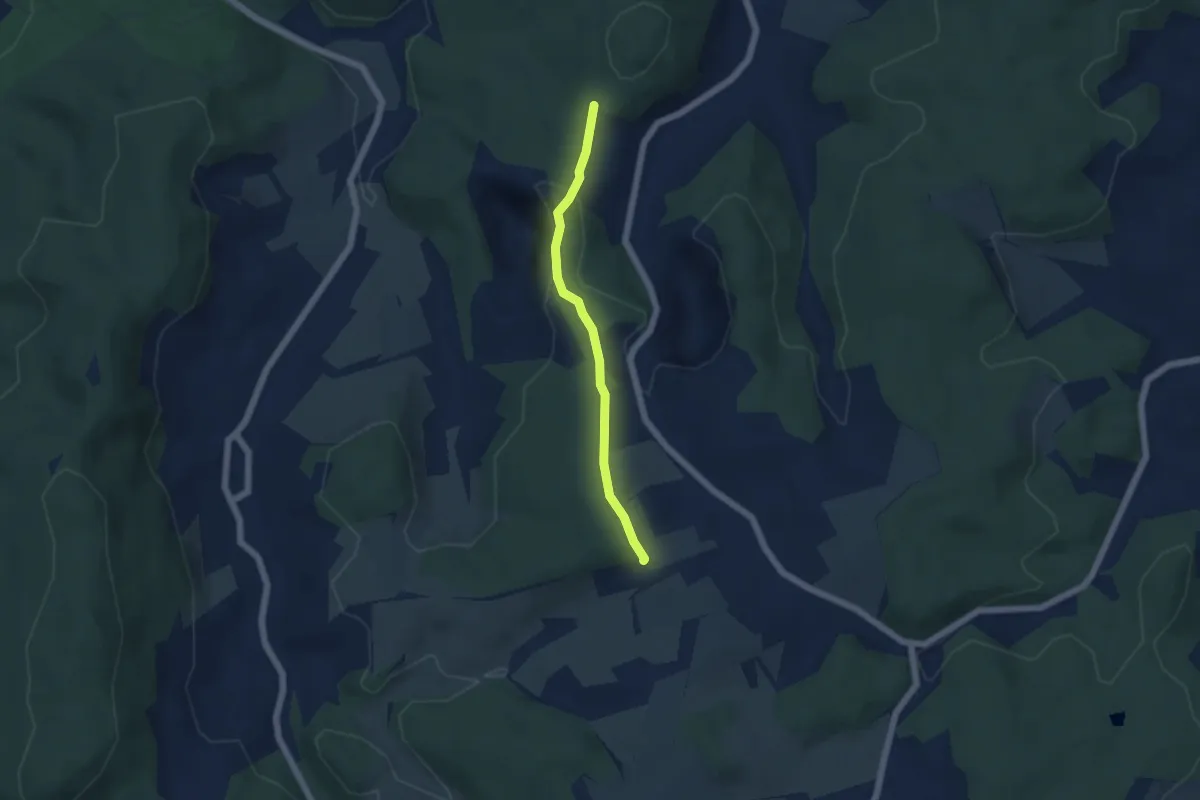
Easy · Trail
Verbindungsweg
2.1 km · ↑ 84 m · 41 min
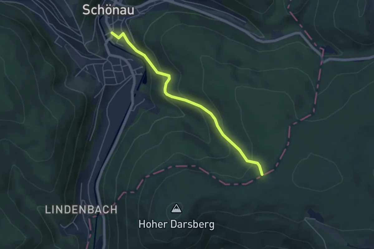
Easy · Trail
Verbindungsweg
4.3 km · ↑ 251 m · 1 h 34 min
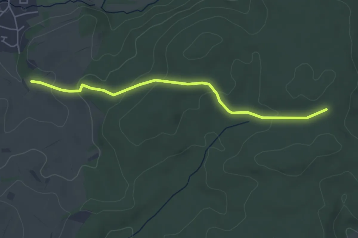
Easy · Trail
Verbindungsweg
4.2 km · ↑ 129 m · 1 h 16 min
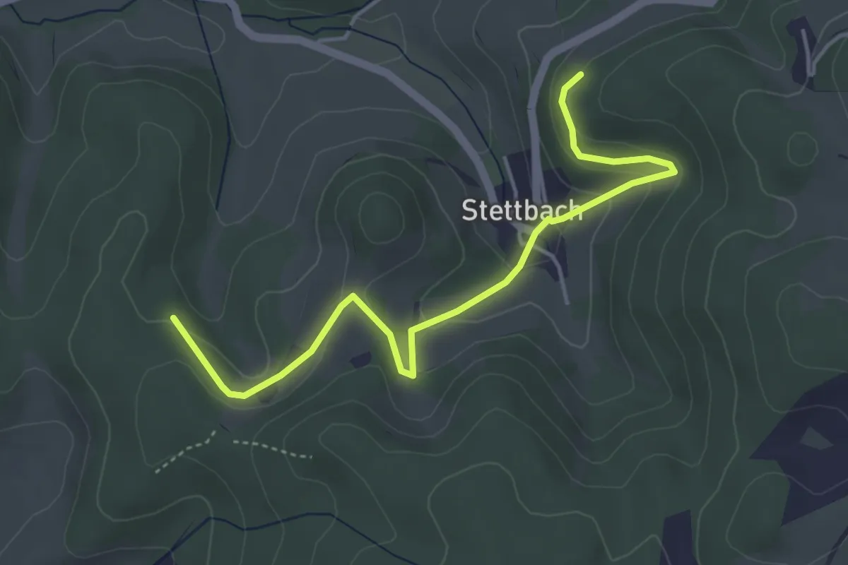
Easy · Trail
Verbindungsweg
4.4 km · ↑ 166 m · 1 h 24 min
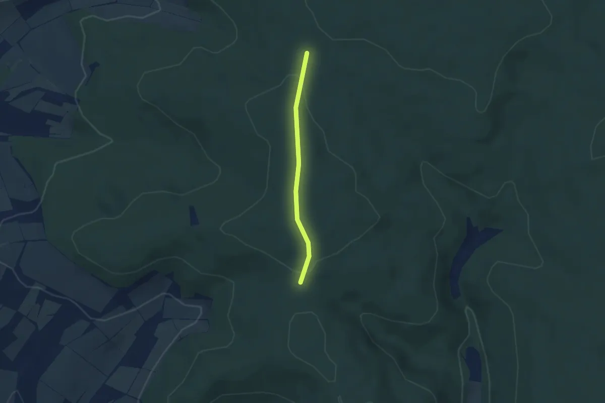
Easy · Trail
Verbindungsweg
2.5 km · ↑ 43 m · 40 min
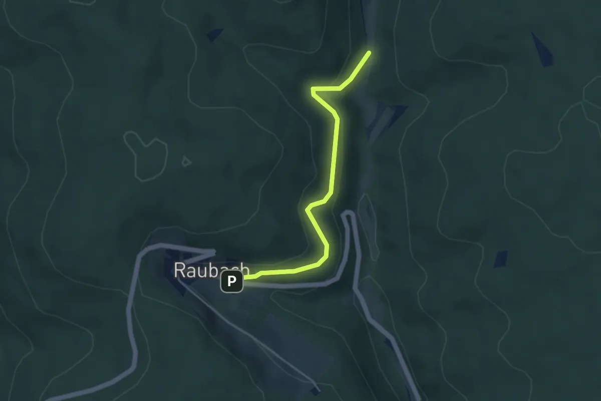
Easy · Trail
Verbindungsweg
3.5 km · ↑ 138 m · 1 h 7 min
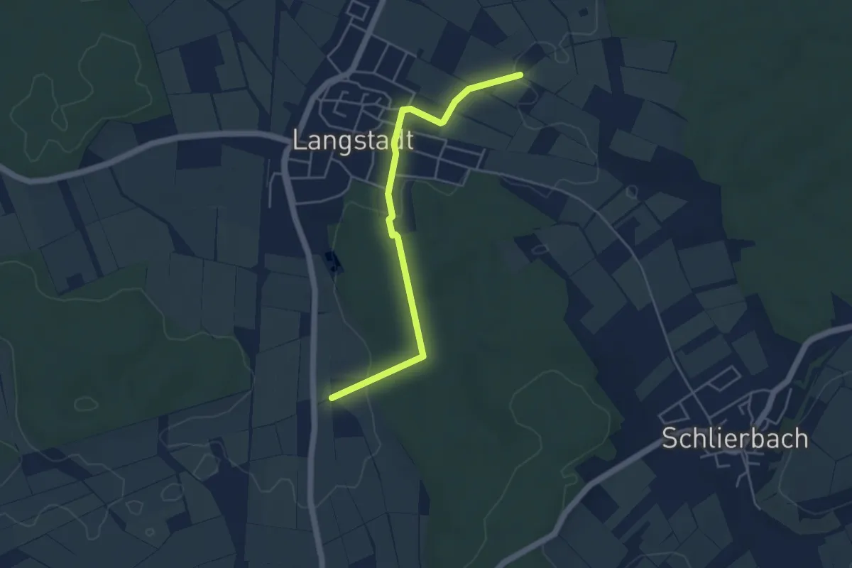
Easy · Trail
Verbindungsweg
4.2 km · ↑ 37 m · 1 h 4 min
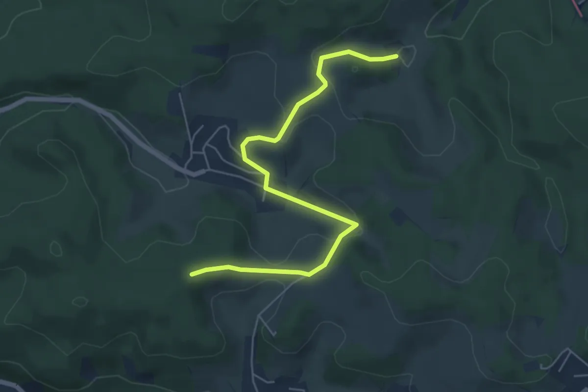
Easy · Trail
Verbindungsweg
5.2 km · ↑ 171 m · 1 h 36 min
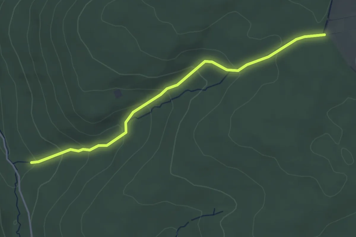
Easy · Trail
Verbindungsweg
3.9 km · ↑ 175 m · 1 h 17 min
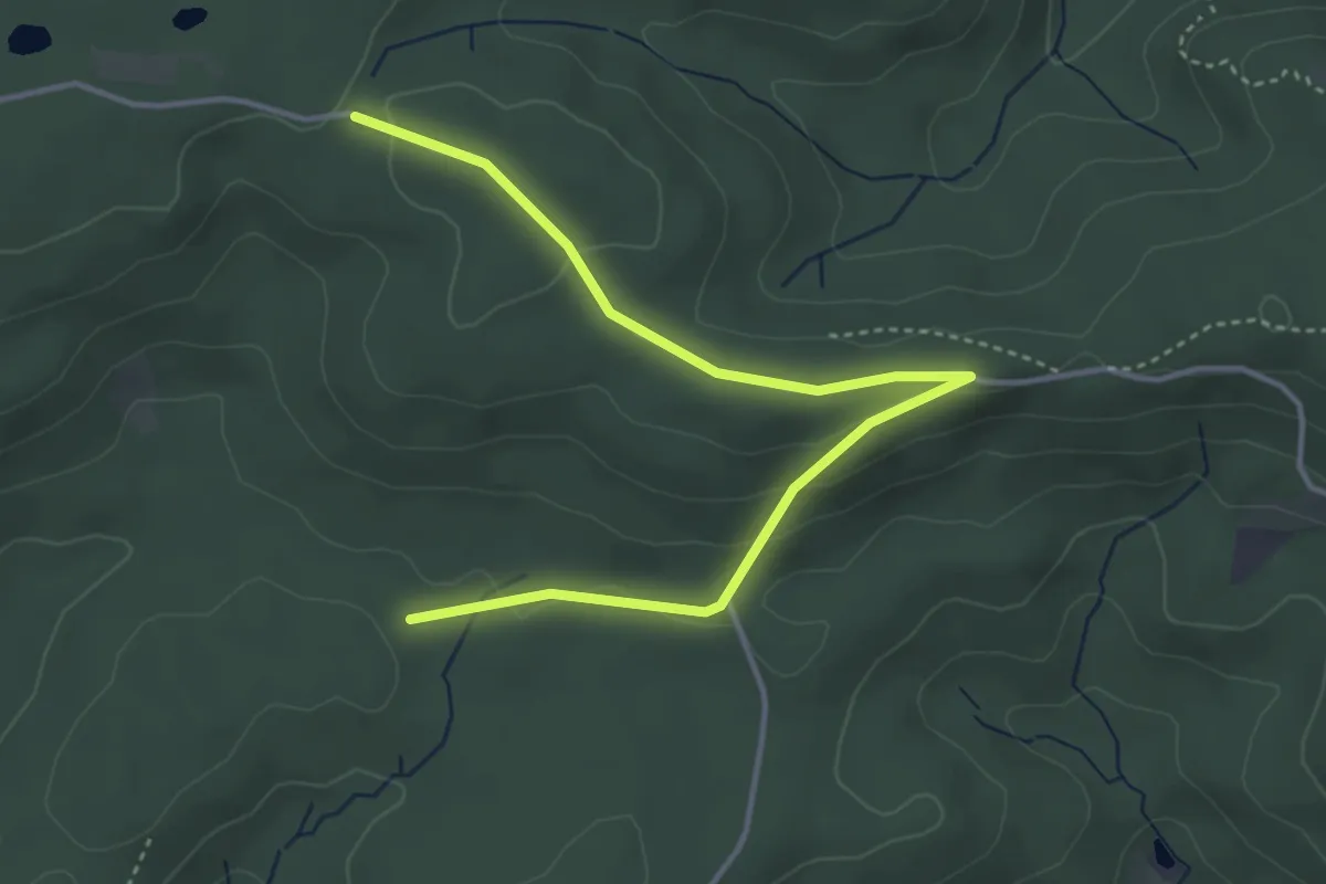
Easy · Trail
Verbindungsweg
4.3 km · ↑ 99 m · 1 h 14 min
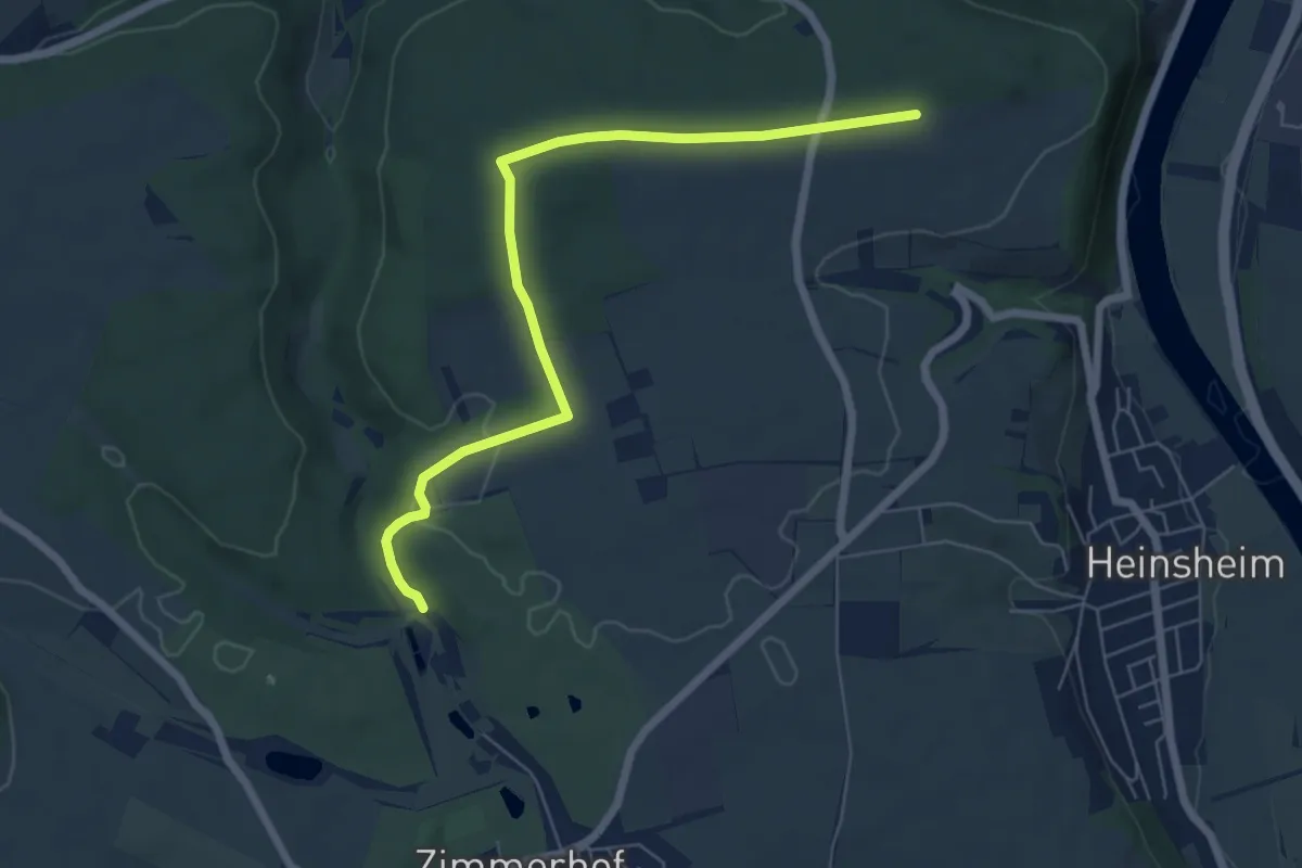
Easy · Trail
Verbindungsweg
6.3 km · ↑ 94 m · 1 h 41 min
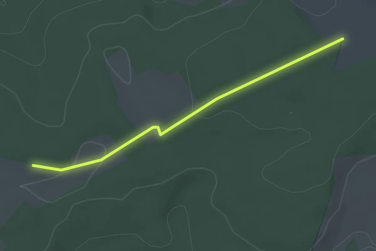
Easy · Trail
Verbindungsweg
2.5 km · ↑ 43 m · 41 min
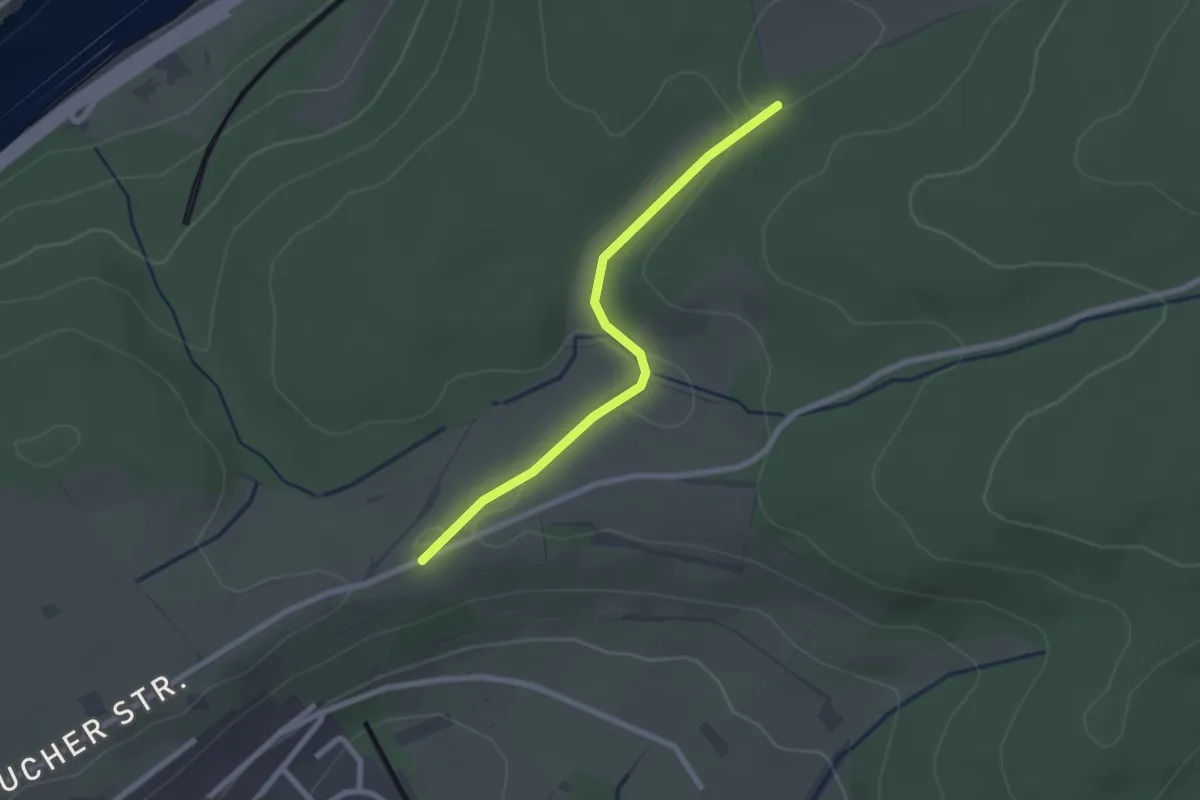
Easy · Trail
Verbindungsweg
2.1 km · ↑ 22 m · 32 min
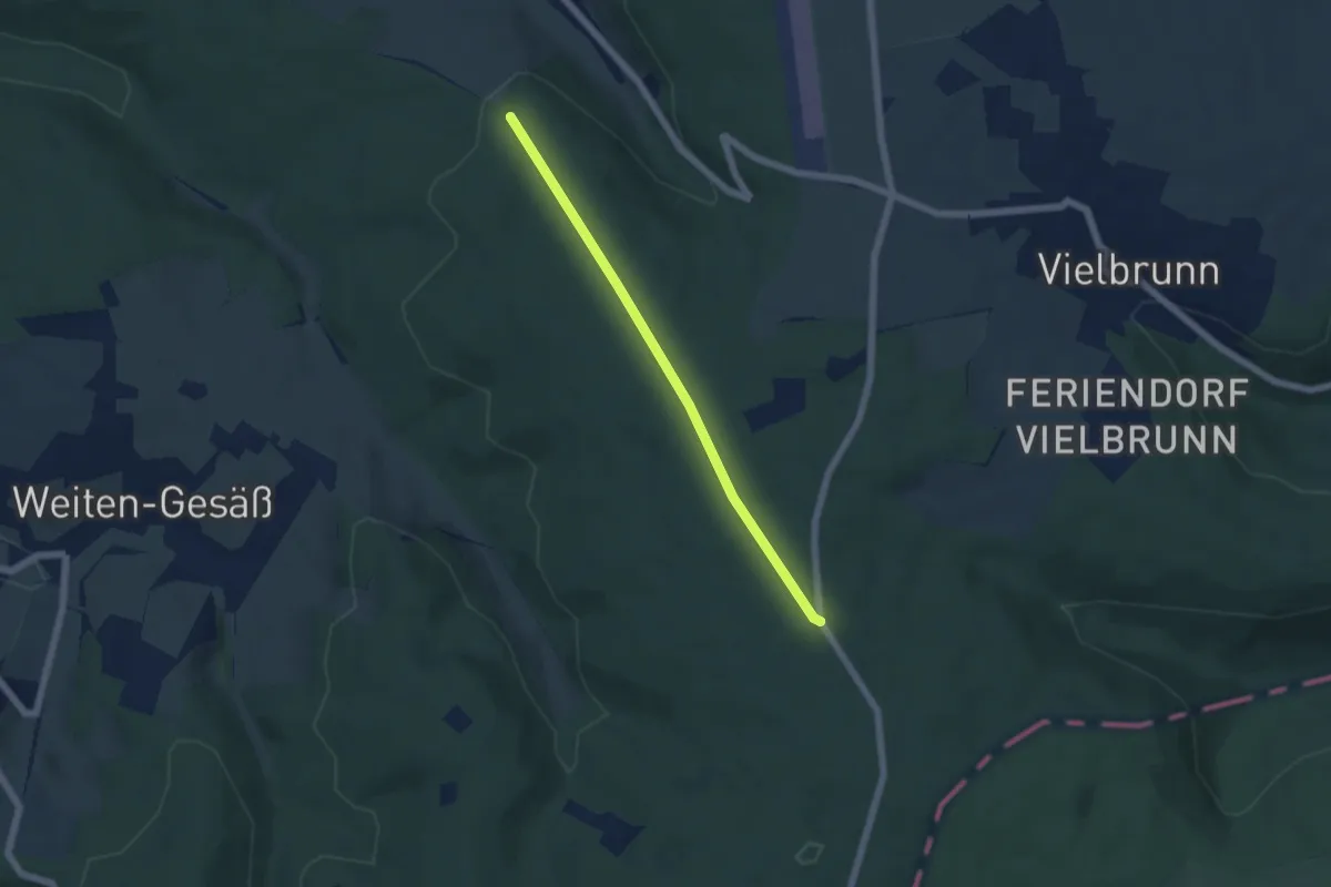
Easy · Trail
Verbindungsweg
4.6 km · ↑ 80 m · 1 h 16 min
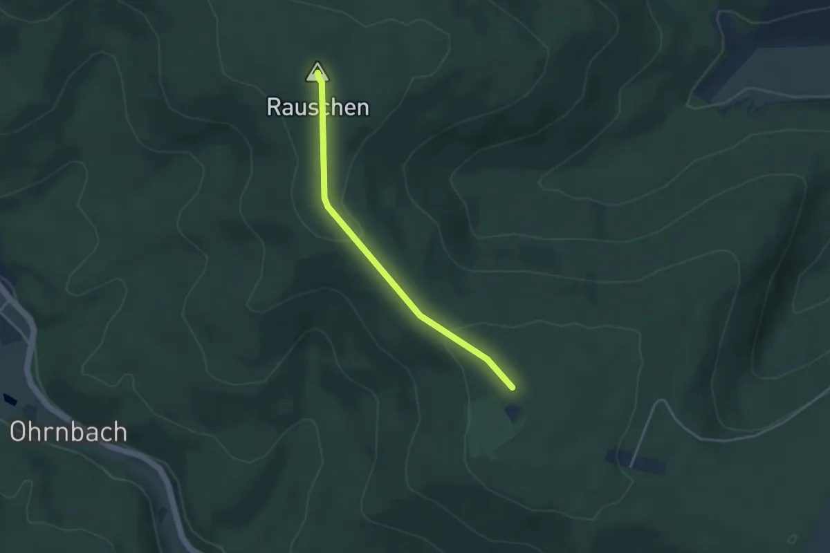
Easy · Summit
Verbindungsweg
3.0 km · ↑ 57 m · 50 min
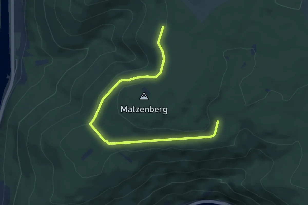
Easy · Trail
Verbindungsweg
5.8 km · ↑ 94 m · 1 h 34 min
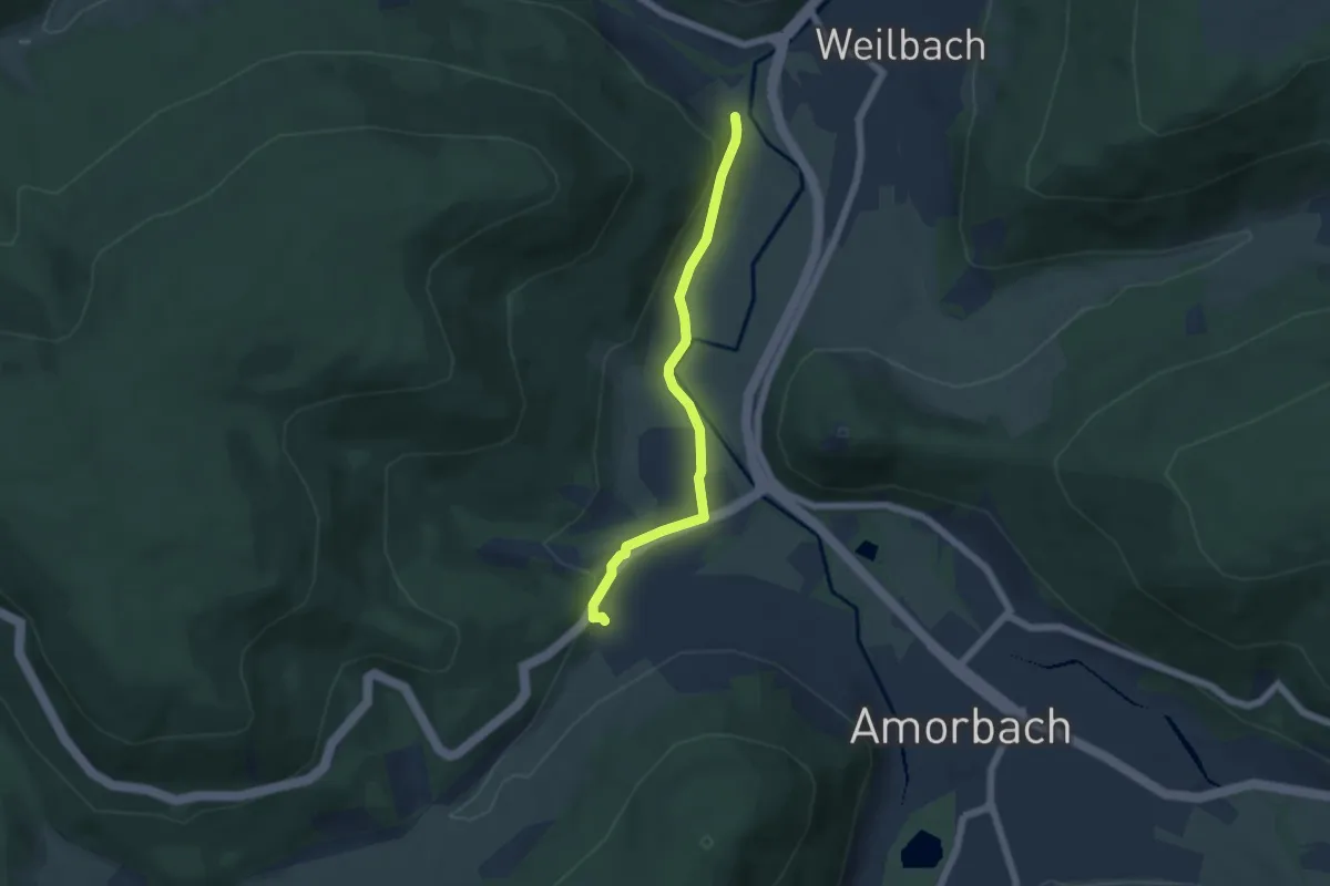
Easy · Trail
Verbindungsweg
4.7 km · ↑ 104 m · 1 h 20 min
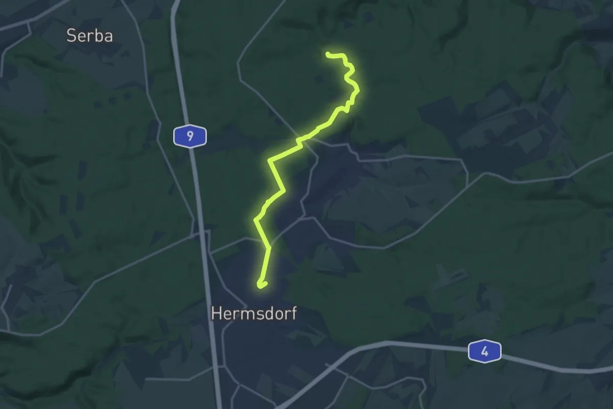
Medium · Trail
Verbindungsweg
12.5 km · ↑ 120 m · 3 h 13 min
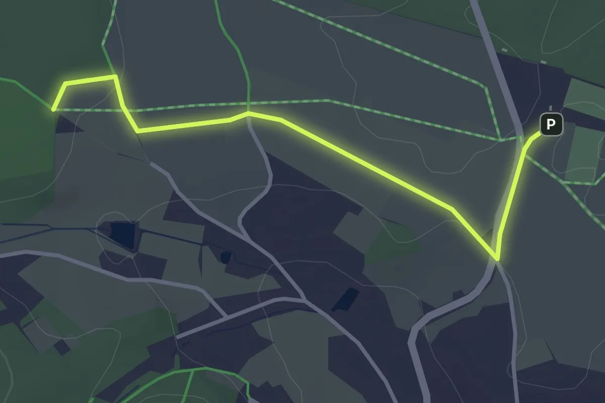
Easy · Trail
Verbindungsweg
3.1 km · ↑ 26 m · 47 min
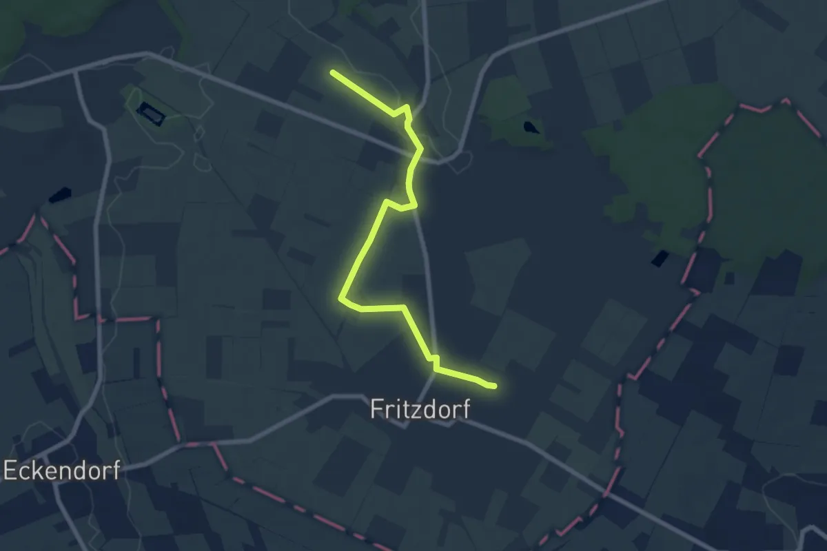
Easy · Trail
Verbindungsweg
6.3 km · ↑ 16 m · 1 h 32 min
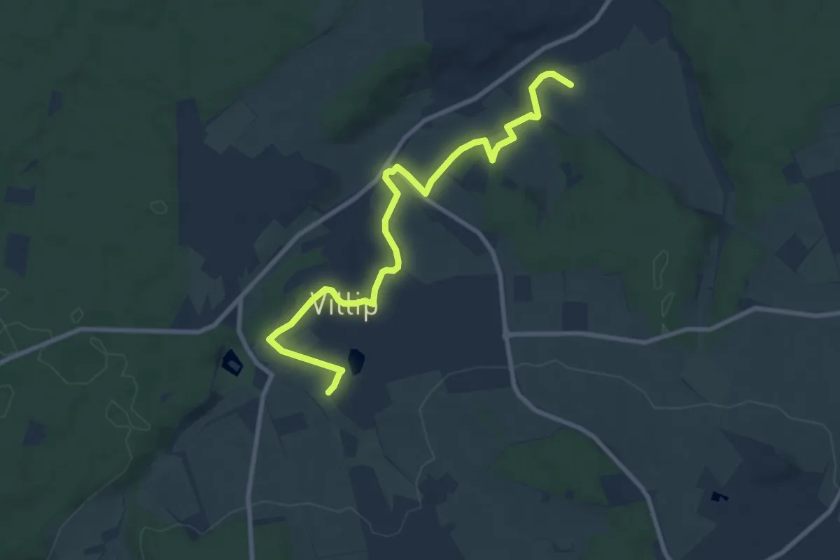
Medium · Trail
Verbindungsweg
8.3 km · ↑ 169 m · 2 h 20 min
Medium · Trail
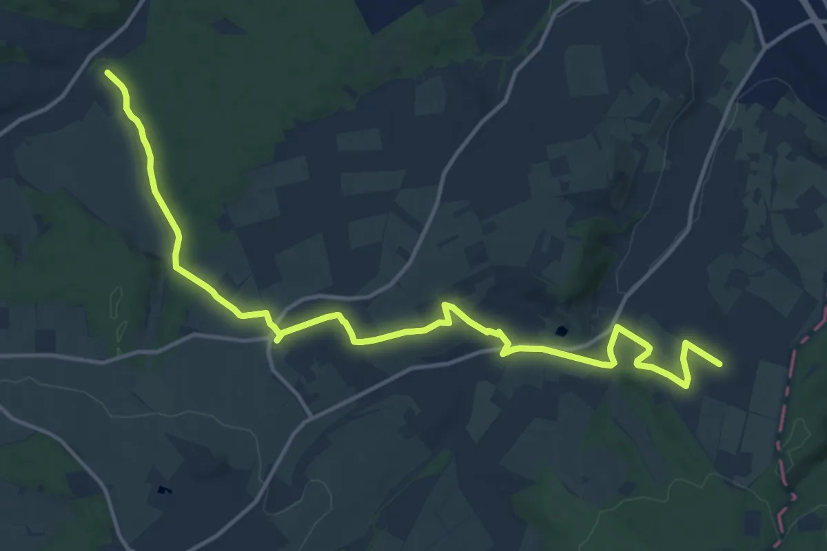
Verbindungsweg
14.5 km · ↑ 245 m · 3 h 58 min
Easy · Trail
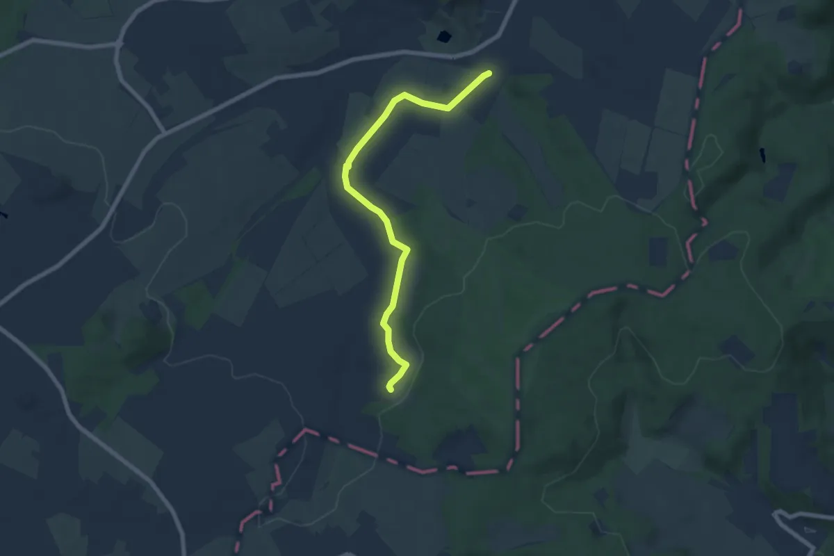
Verbindungsweg
6.0 km · ↑ 82 m · 1 h 35 min
Easy · Trail
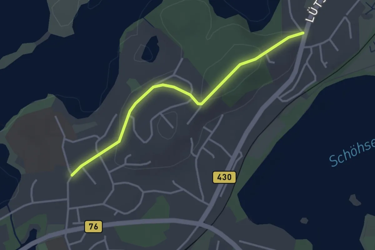
Verbindungsweg
2.8 km · ↑ 63 m · 47 min
Easy · Trail
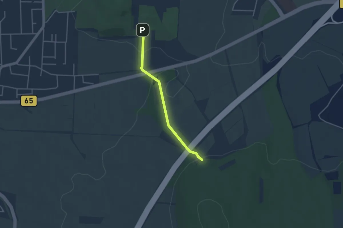
Verbindungsweg
2.5 km · ↑ 77 m · 46 min