Trails in Germany
36,852 hiking trails, each with its route, climb, walking time and grade.
All trails, page 647 of 768
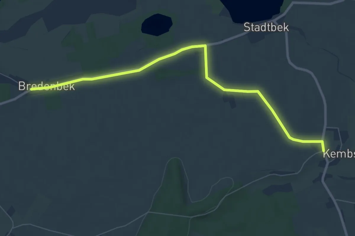
Easy · Trail
Verbindungsweg
6.7 km · ↑ 18 m · 1 h 38 min
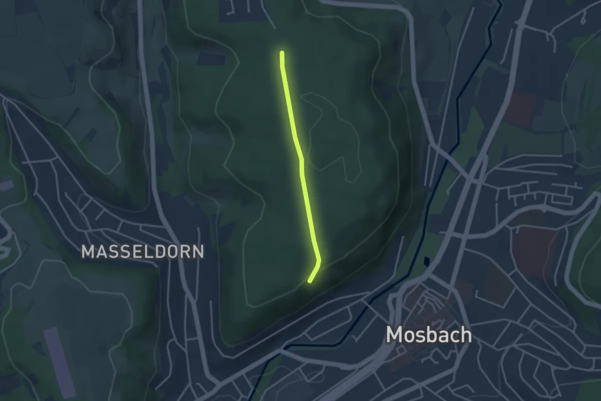
Easy · Trail
Verbindungsweg 1-1
2.3 km · ↑ 66 m · 41 min
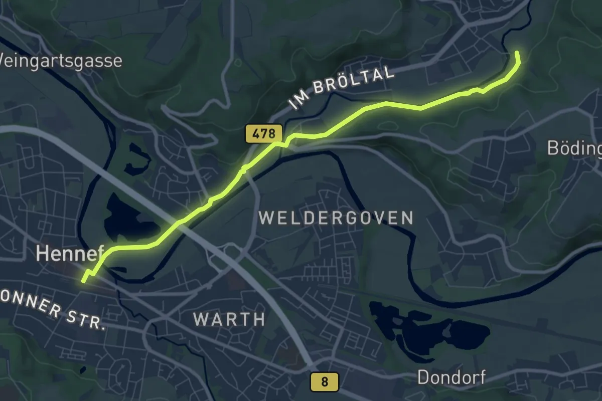
Medium · Trail
Verbindungsweg 9 Hennef-Bröl
8.3 km · ↑ 109 m · 2 h 11 min
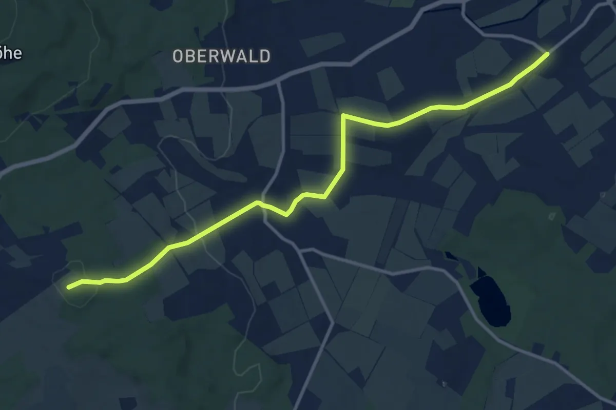
Medium · Summit
Verbindungsweg a)
10.0 km · ↑ 213 m · 2 h 50 min
Easy · Trail
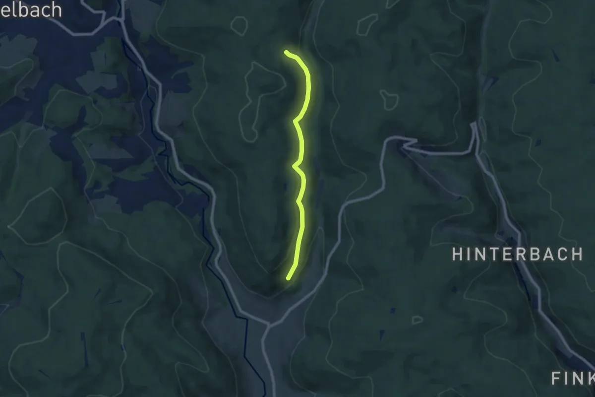
Verbindungsweg Ab4/W8
5.6 km · ↑ 221 m · 1 h 47 min
Easy · Summit
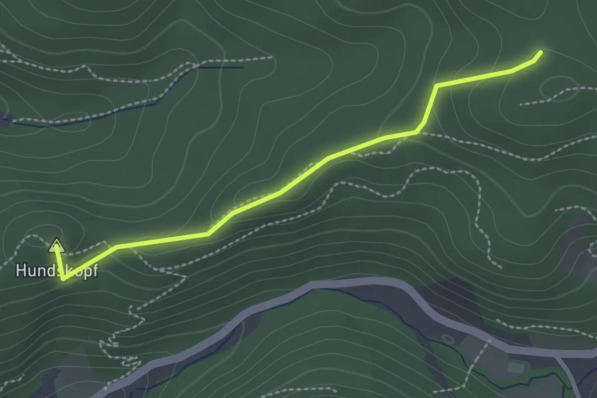
Verbindungsweg am Hundskopf
2.3 km · ↑ 83 m · 43 min
Easy · Trail
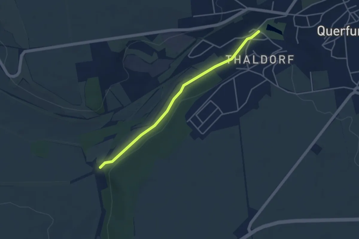
Verbindungsweg am Quernedamm
3.1 km · ↑ 22 m · 46 min
Easy · Trail
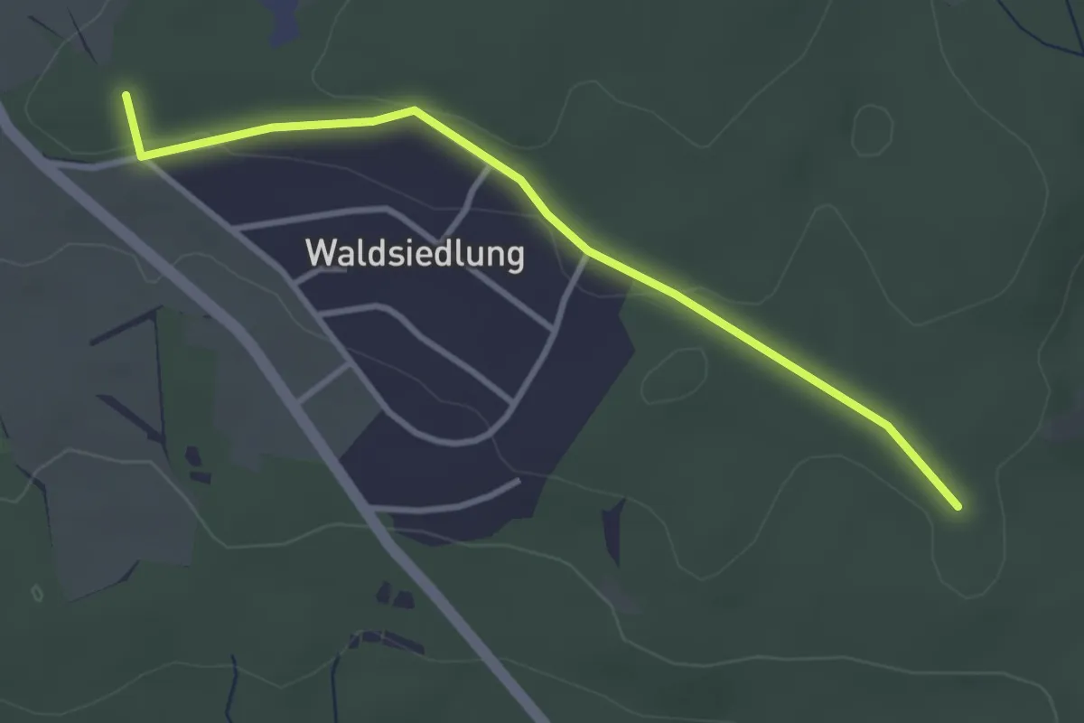
Verbindungsweg b)
3.0 km · ↑ 54 m · 50 min
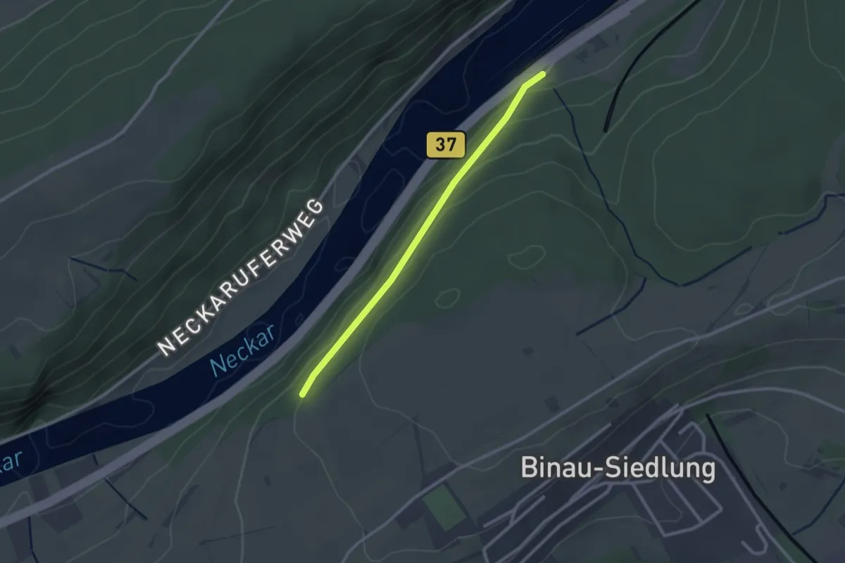
Easy · Trail
Verbindungsweg B1 - NG5
2.2 km · ↑ 74 m · 41 min
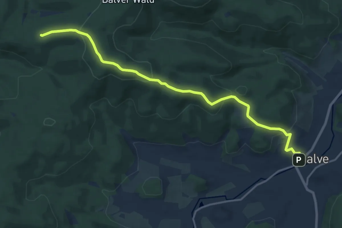
Medium · Summit
Verbindungsweg Balve - Stephanopel
9.8 km · ↑ 364 m · 3 h 6 min
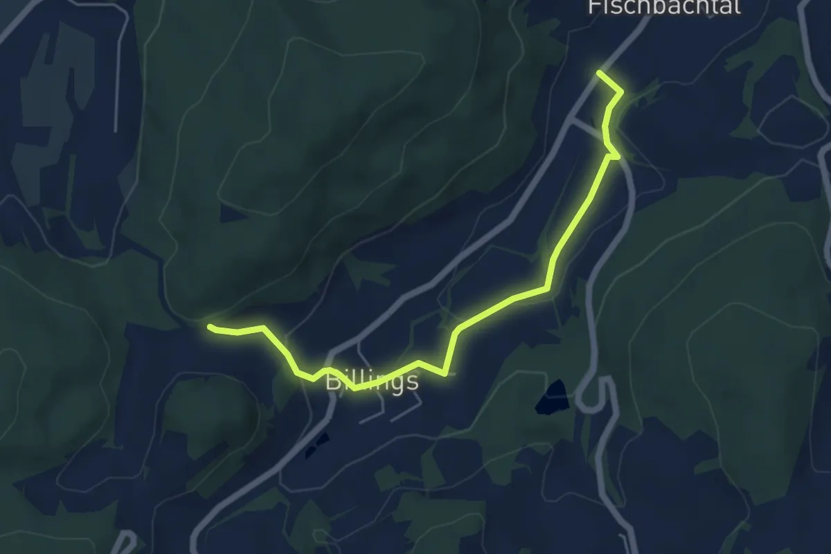
Easy · Trail
Verbindungsweg Billings
4.9 km · ↑ 111 m · 1 h 23 min
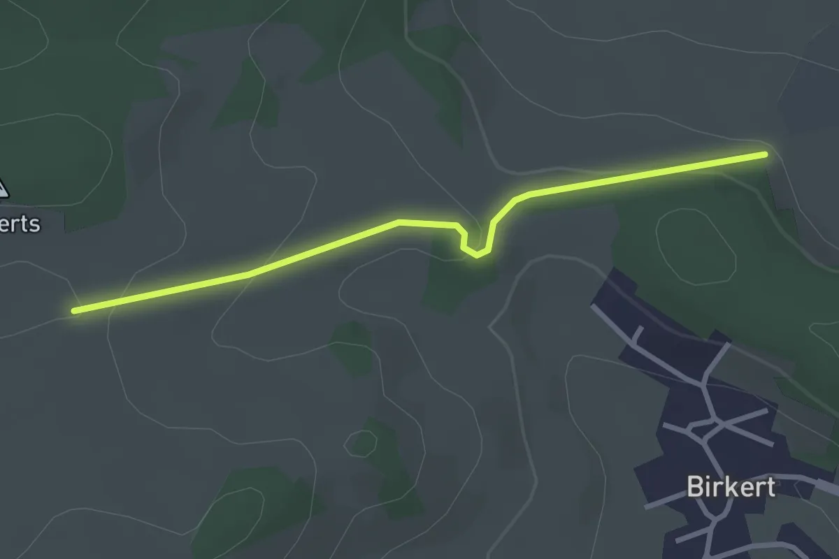
Easy · Trail
Verbindungsweg Birkert
2.6 km · ↑ 77 m · 47 min
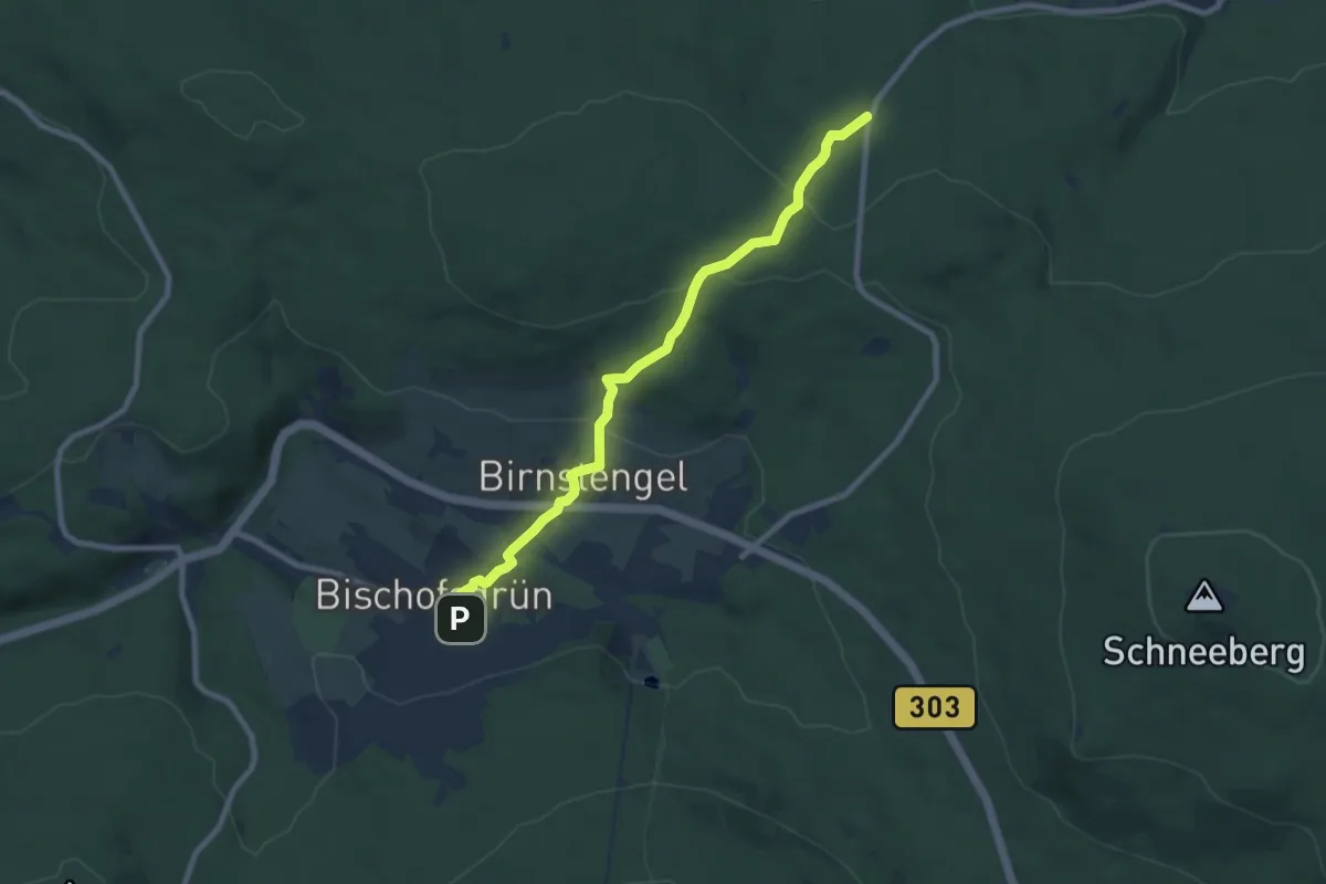
Medium · Trail
Verbindungsweg Bischofsgrün-Egerquelle
8.0 km · ↑ 269 m · 2 h 28 min
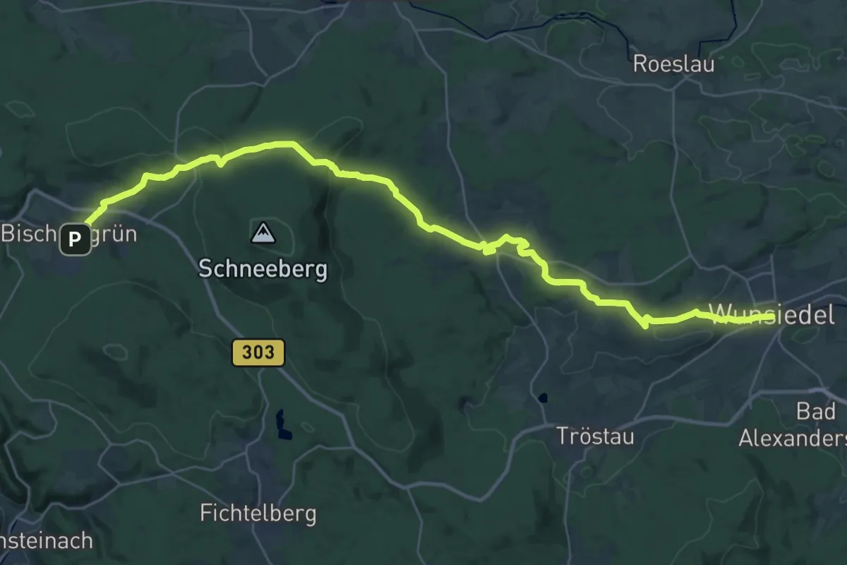
Demanding · Trail
Verbindungsweg Bischofsgrün-Wunsiedel
18.7 km · ↑ 349 m · 5 h 30 min
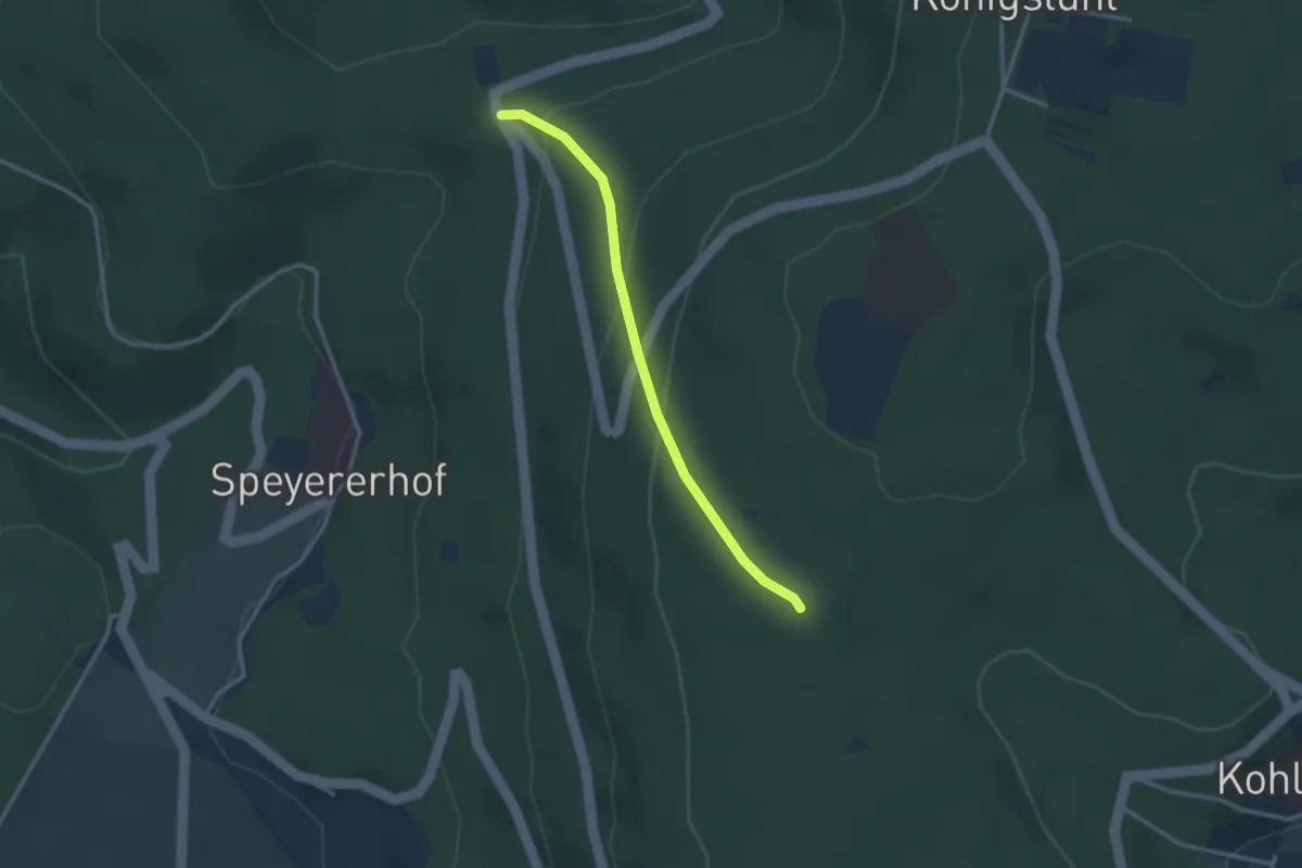
Easy · Trail
Verbindungsweg Blockhaus - Leopoldstein
2.5 km · ↑ 144 m · 55 min
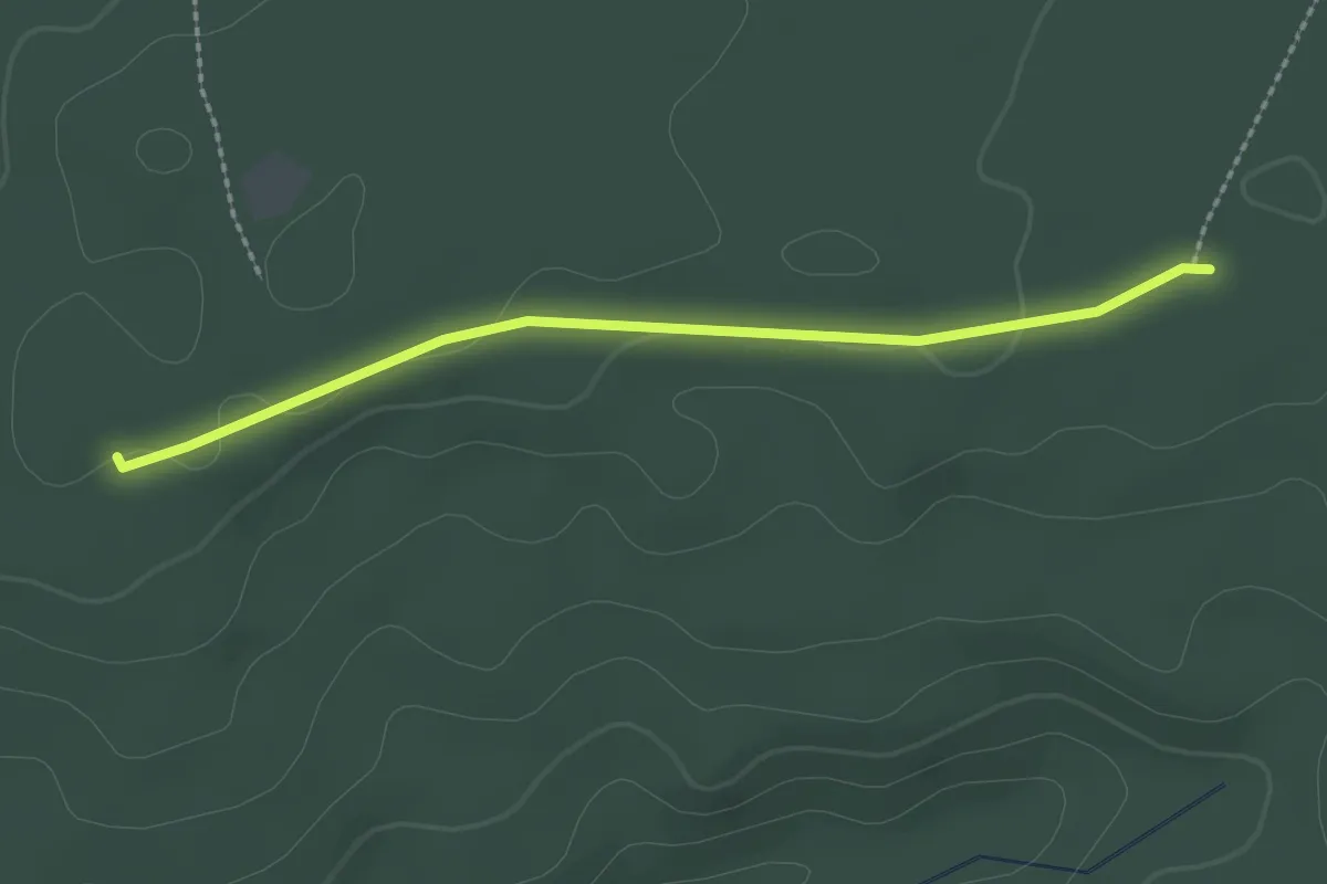
Easy · Trail
Verbindungsweg Blockhütte - Wanderparkplatz
2.2 km · ↑ 19 m · 33 min
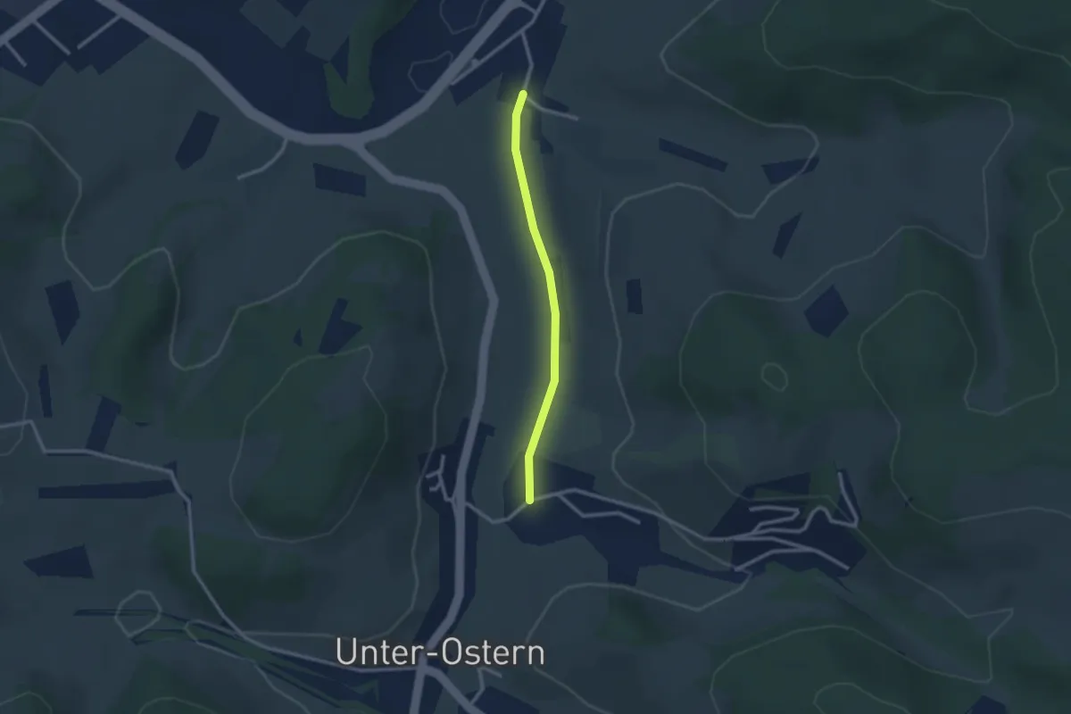
Easy · Trail
Verbindungsweg Bockenrod
2.1 km · ↑ 9 m · 30 min
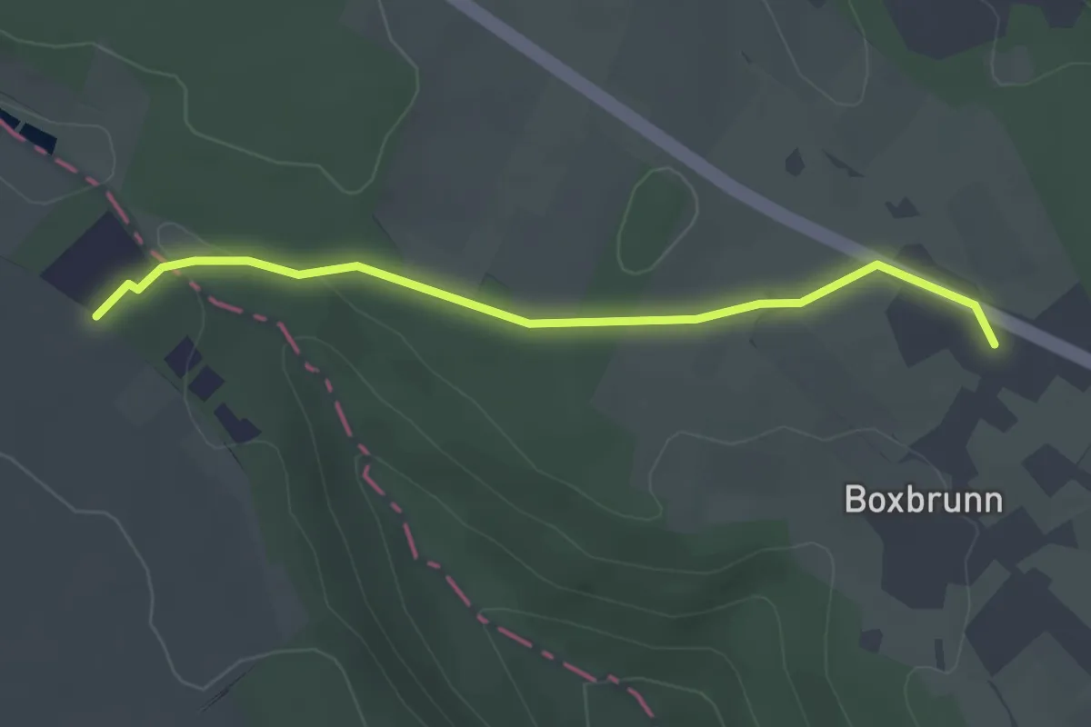
Easy · Trail
Verbindungsweg Boxbrunn/Wü4
1.5 km · ↑ 18 m · 24 min
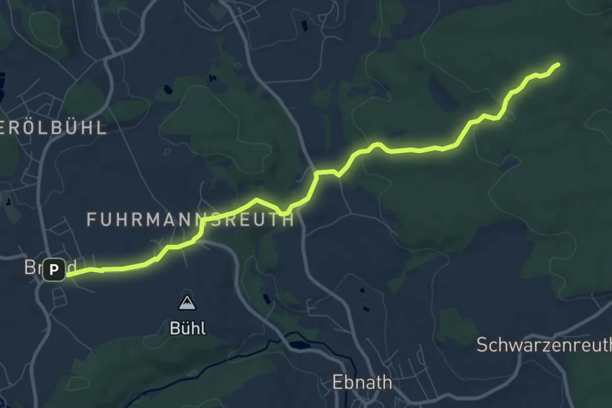
Medium · Trail
Verbindungsweg Brand-Fränkischer Gebirgsweg
9.2 km · ↑ 157 m · 2 h 30 min
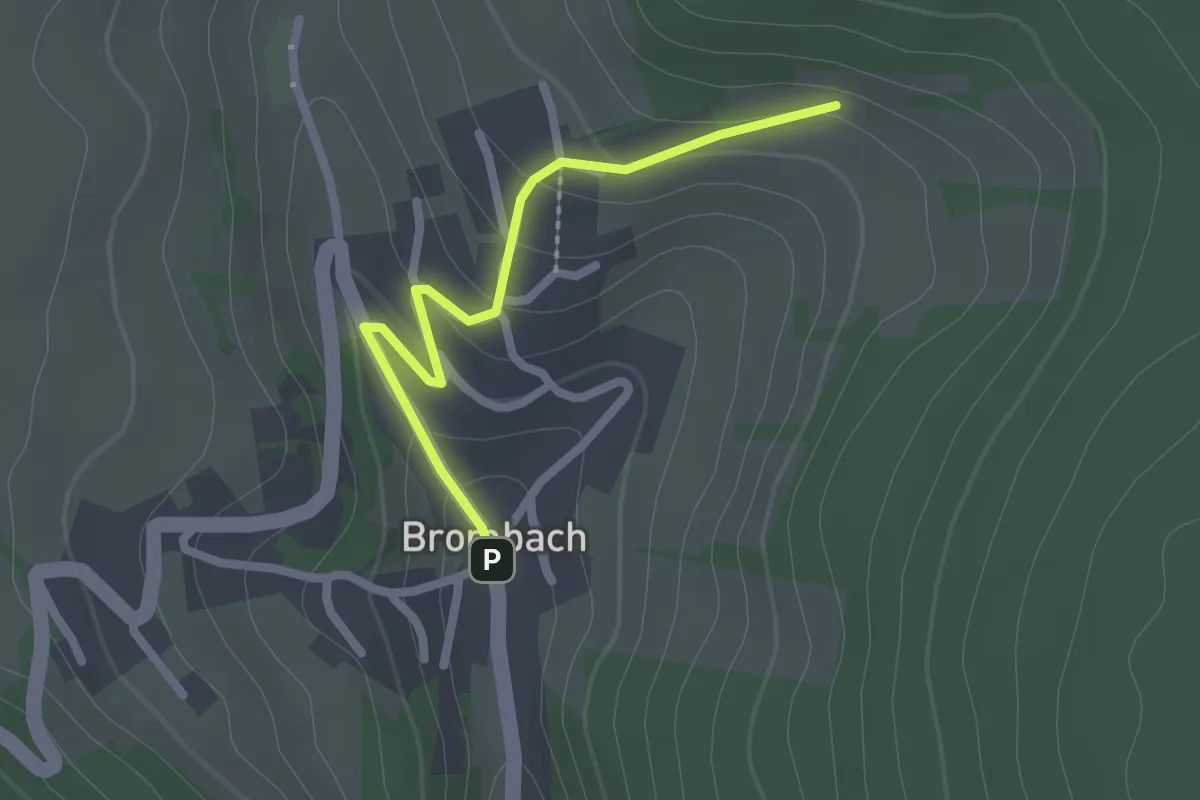
Easy · Trail
Verbindungsweg Brombacher Mühle 2 zu Brombacher Mühle 4
1.0 km · ↑ 82 m · 23 min
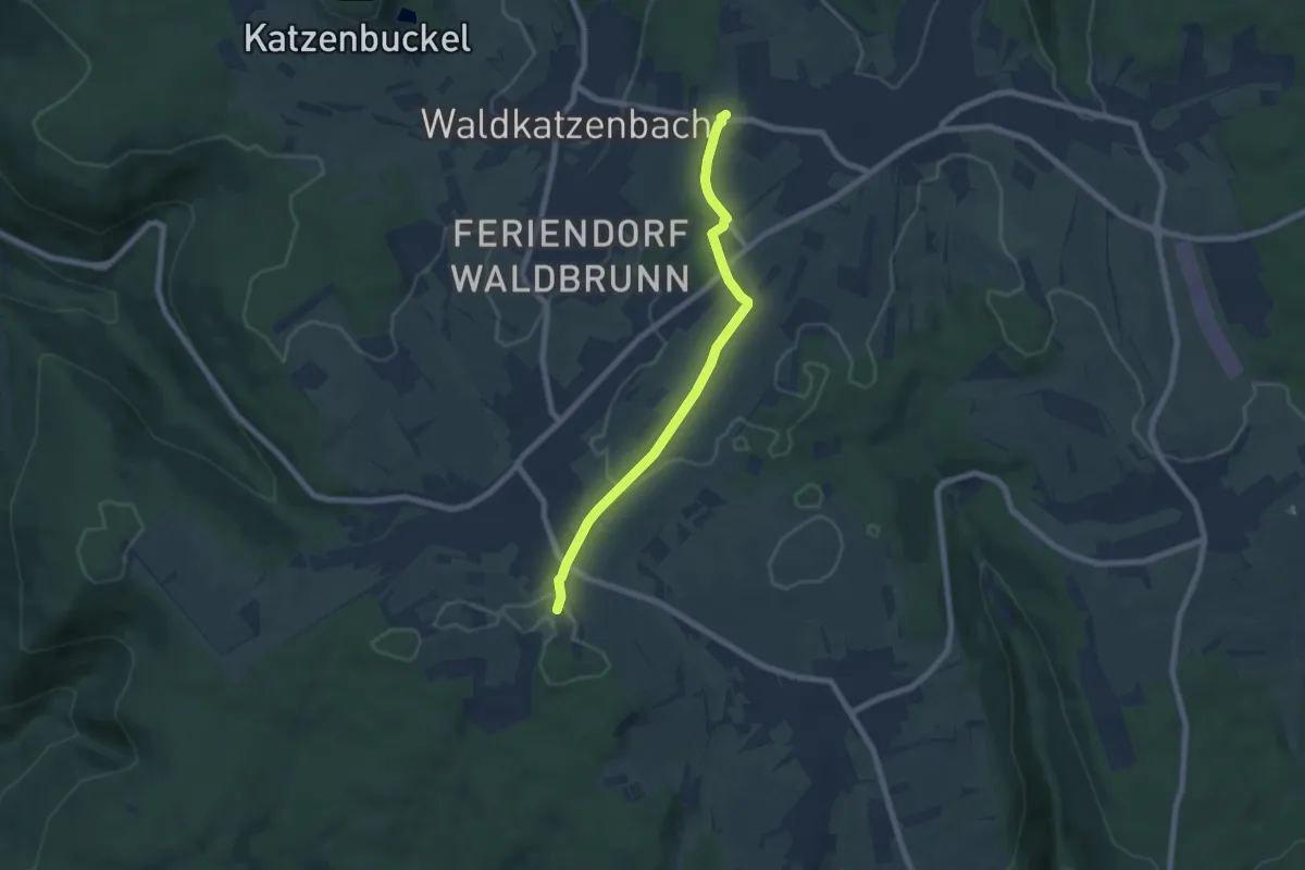
Easy · Trail
Verbindungsweg Brummerkreuz - Unterdielbach
6.3 km · ↑ 52 m · 1 h 37 min
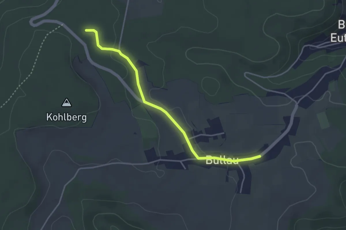
Easy · Trail
Verbindungsweg Bullau Bu1 - Bu1
1.7 km · ↑ 0 m · 26 min
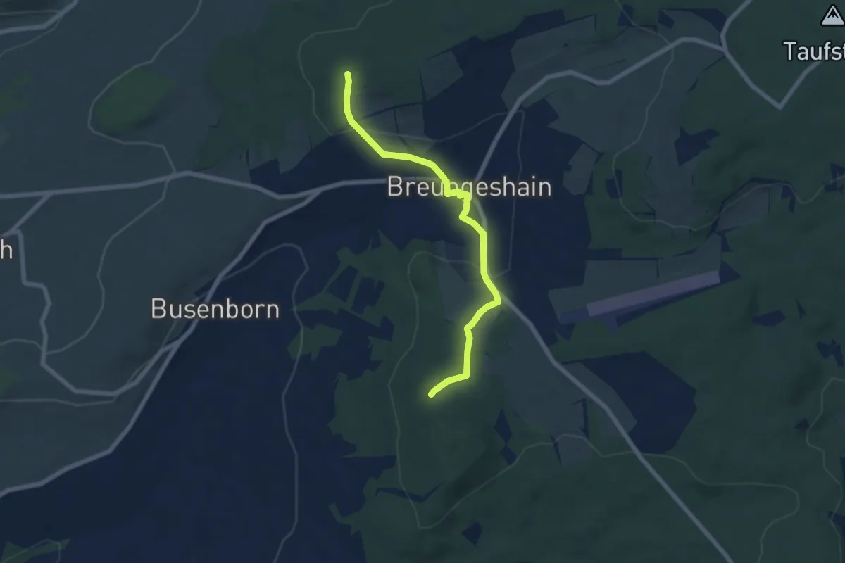
Easy · Summit
Verbindungsweg c)
5.7 km · ↑ 161 m · 1 h 42 min
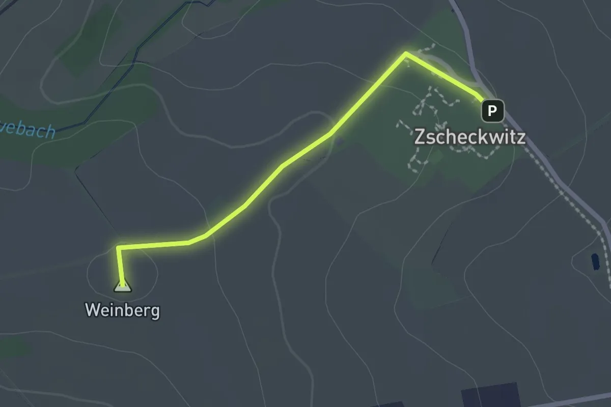
Easy · Summit
Verbindungsweg c2
1.8 km · ↑ 36 m · 30 min
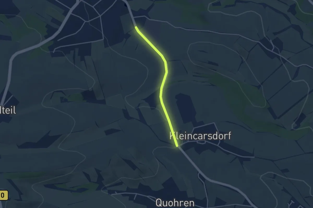
Easy · Trail
Verbindungsweg c4
2.8 km · ↑ 22 m · 43 min
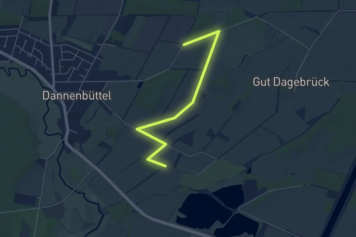
Easy · Trail
Verbindungsweg Campingplatz Beversee - Maschberg
4.9 km · ↑ 4 m · 1 h 11 min
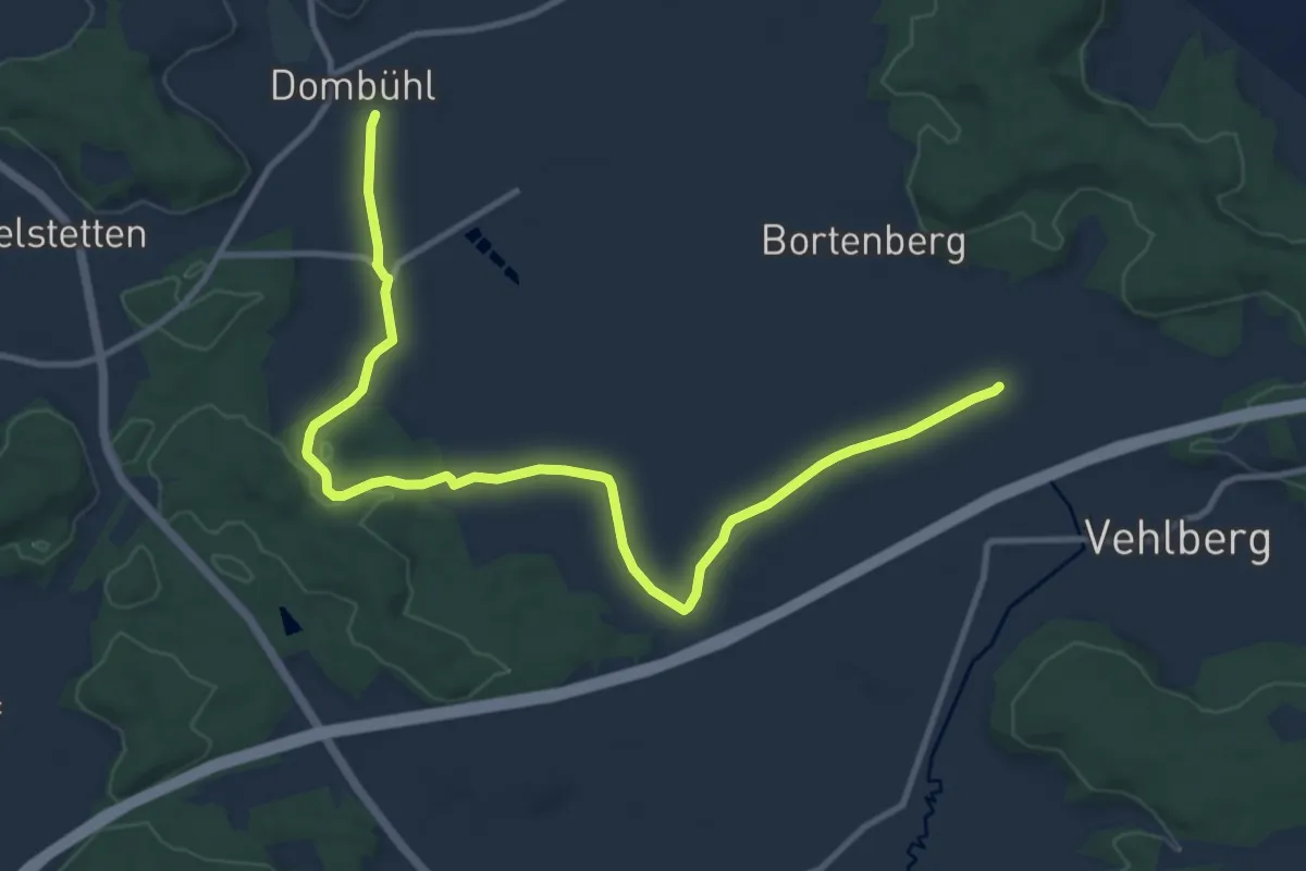
Medium · Trail
Verbindungsweg Dombühl-Baimhofen
12.2 km · ↑ 98 m · 3 h 6 min
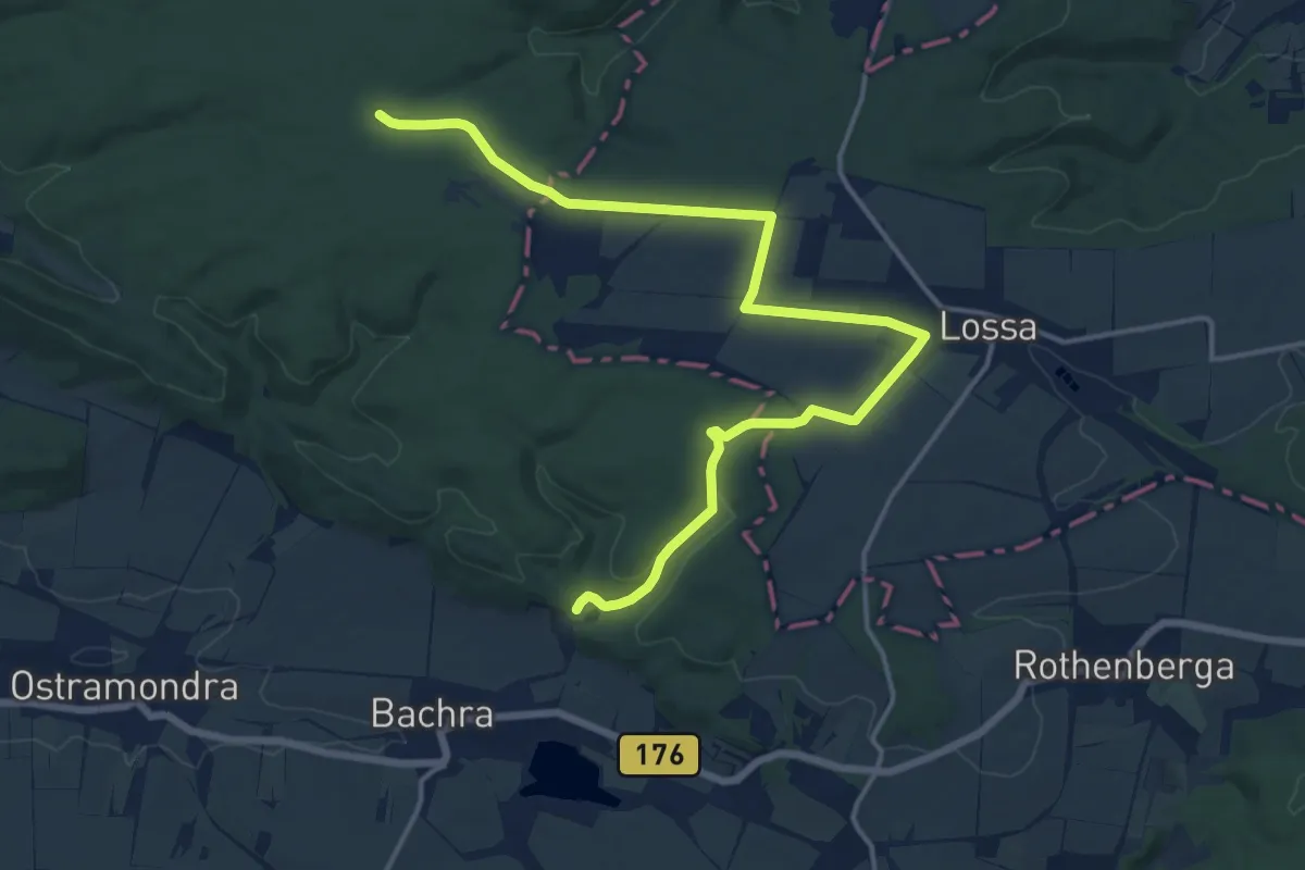
Medium · Trail
Verbindungswege Hohe Schrecke
16.5 km · ↑ 152 m · 4 h 14 min
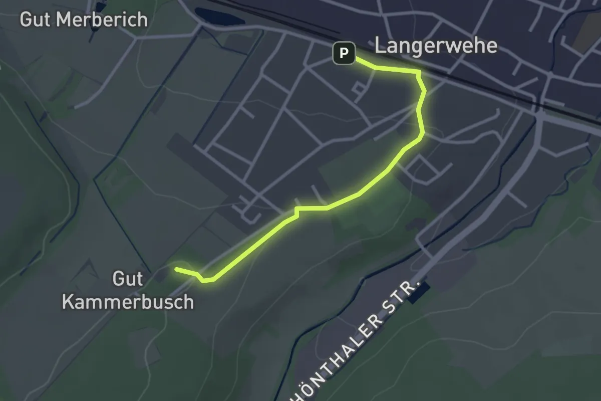
Easy · Summit
Verbindungsweg Eschweiler-Langerwehe
2.6 km · ↑ 45 m · 42 min
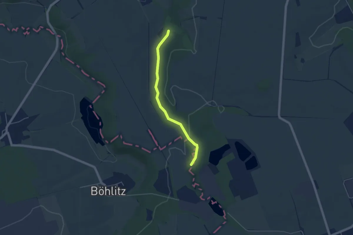
Easy · Trail
Verbindungswege Wethautal
3.4 km · ↑ 46 m · 54 min
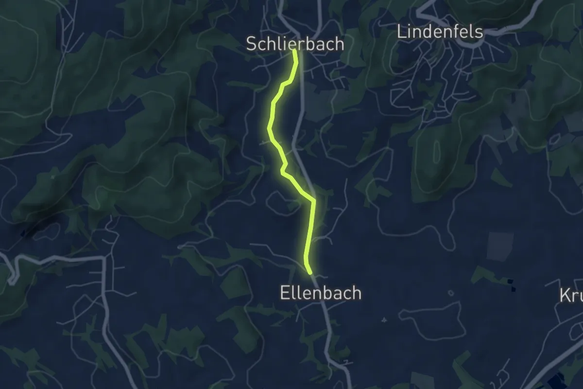
Easy · Trail
Verbindungsweg F10 zu S2 Gerichtspfad
1.9 km · ↑ 14 m · 31 min
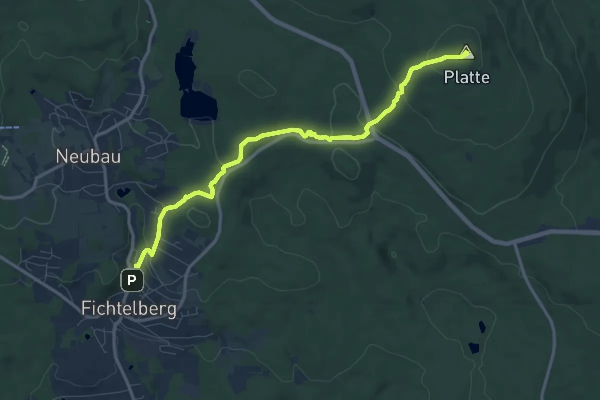
Medium · Summit
Verbindungsweg Fichtelberg - Platte (Plattensteig)
8.2 km · ↑ 231 m · 2 h 26 min
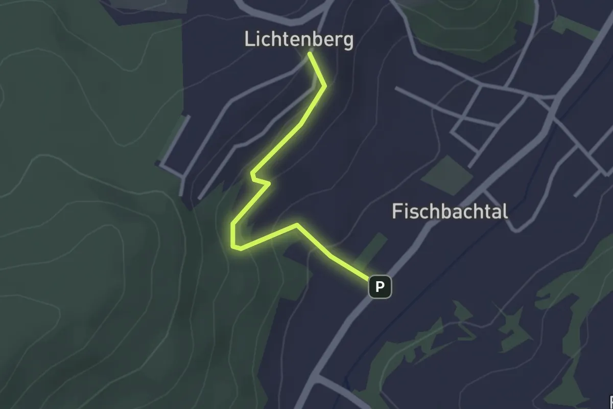
Easy · Trail
Verbindungsweg Fischbachtal
2.1 km · ↑ 83 m · 40 min
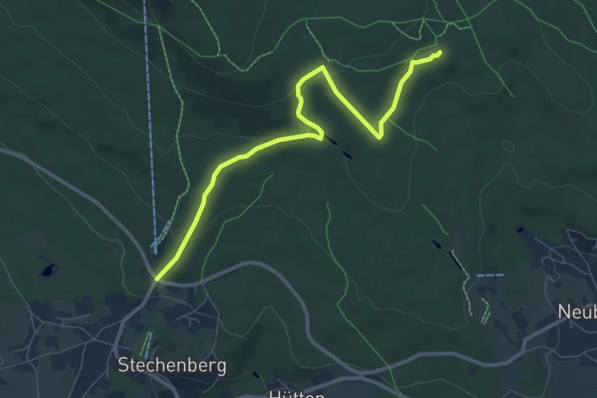
Easy · Trail
Verbindungsweg Fleckl - Fichtelnaabquelle
6.9 km · ↑ 199 m · 2 h 4 min
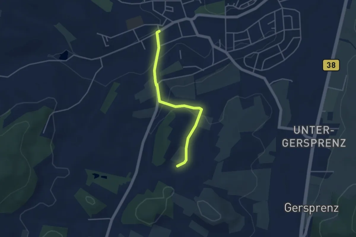
Easy · Trail
Verbindungsweg Fränkisch-Crumbach 1
3.1 km · ↑ 63 m · 52 min
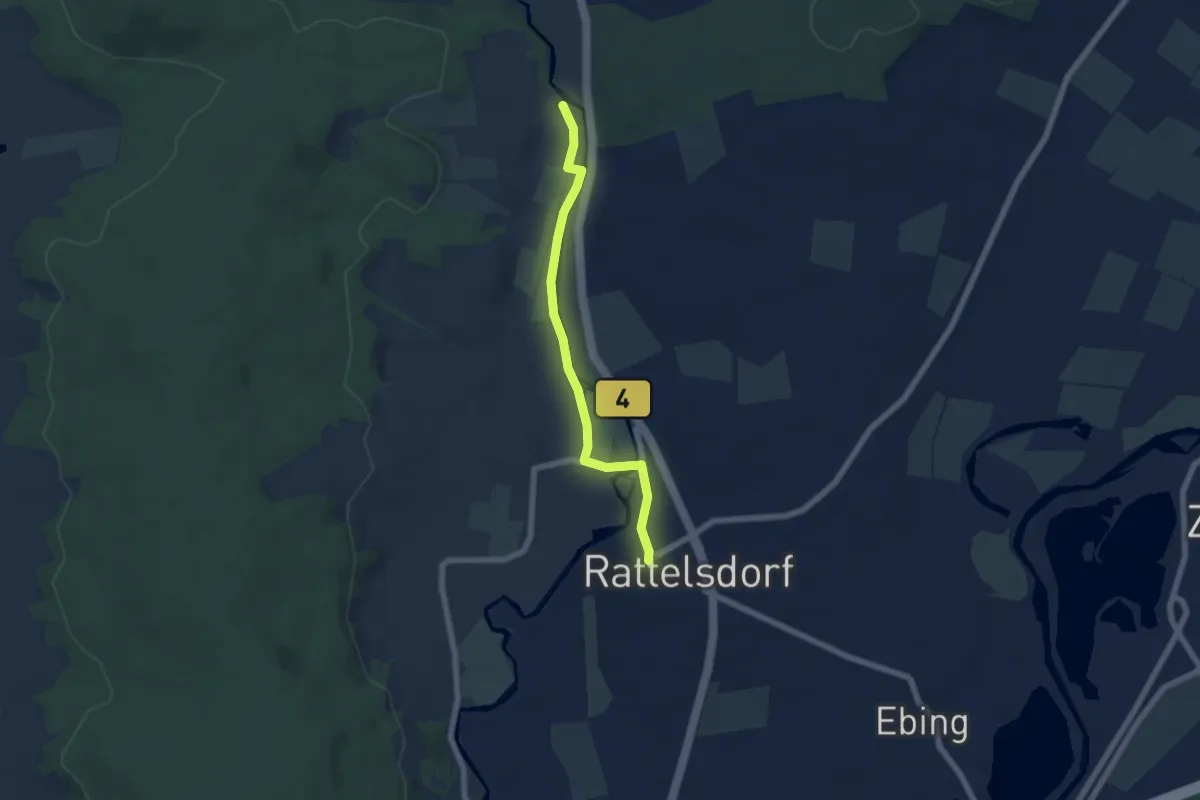
Easy · Trail
Verbindungsweg Freudeneck - Rattelsdorf
5.4 km · ↑ 22 m · 1 h 19 min
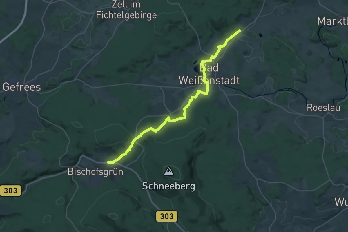
Demanding · Trail
Verbindungsweg Frohnlohe-Bischofsgrün
27.0 km · ↑ 548 m · 7 h 33 min
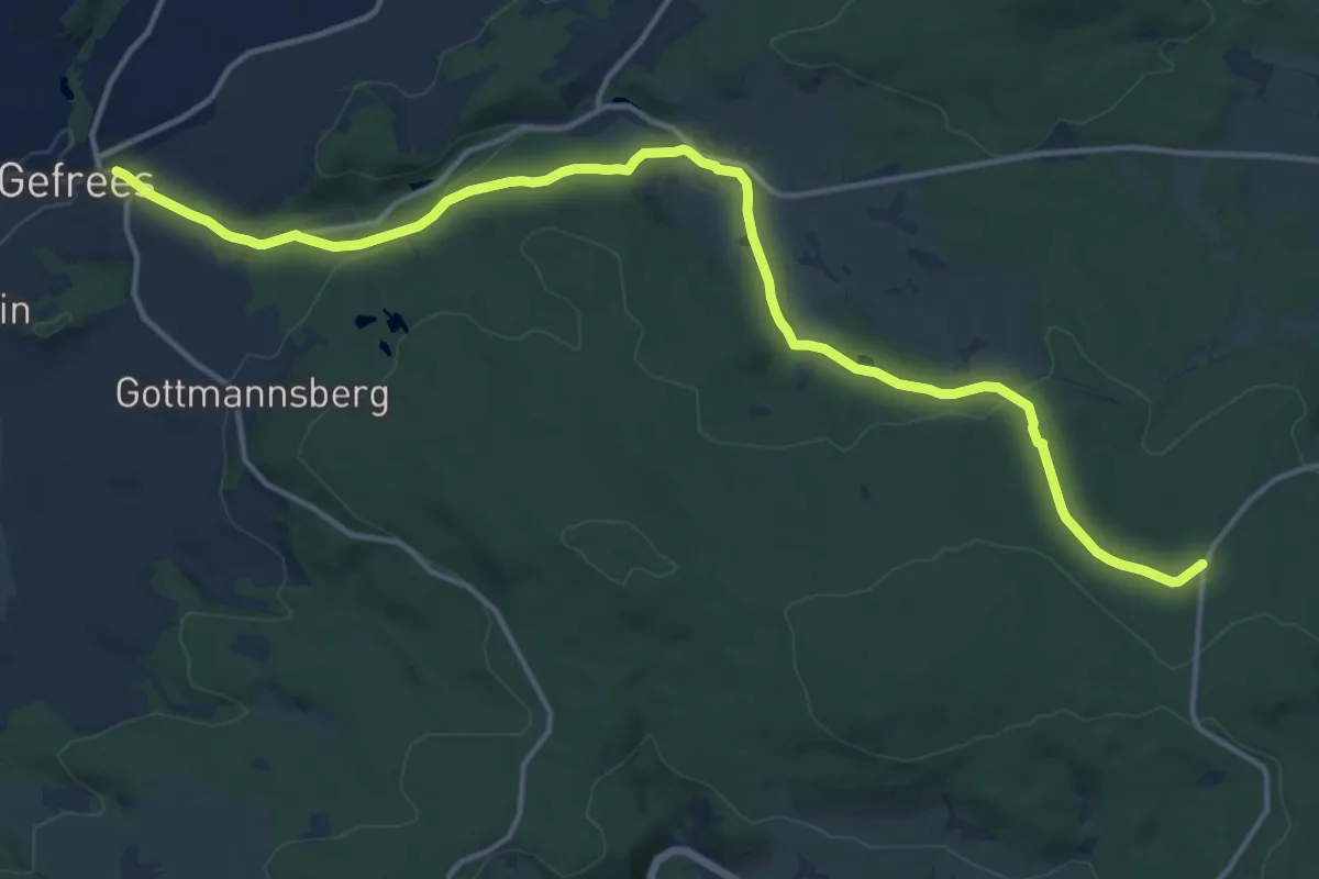
Medium · Trail
Verbindungsweg Gefrees-Egerquelle
15.9 km · ↑ 314 m · 4 h 26 min
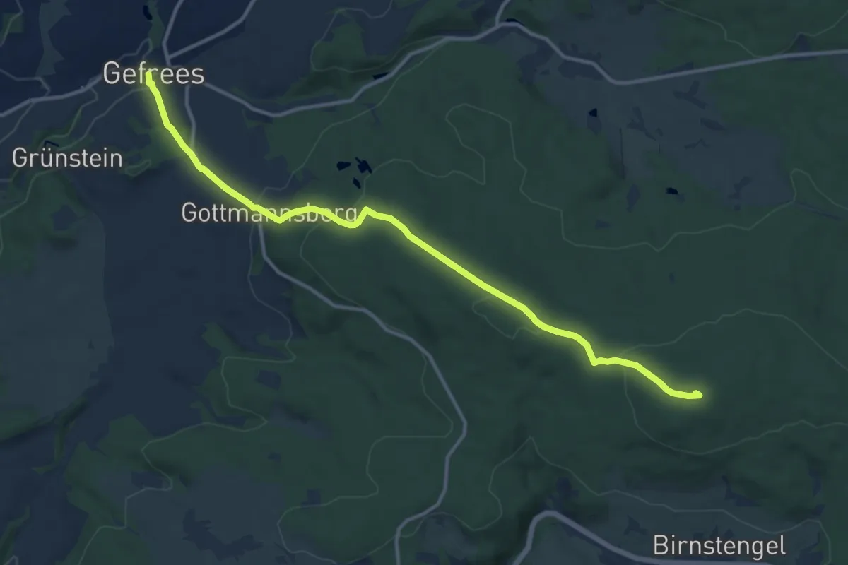
Medium · Summit
Verbindungsweg Gefrees-Egerquelle
12.3 km · ↑ 376 m · 3 h 43 min
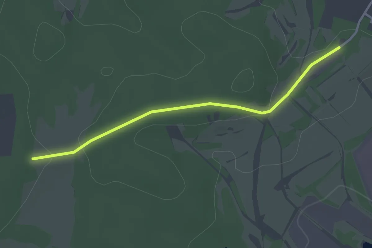
Easy · Trail
Verbindungsweg Gelbbauchunke
1.4 km · ↑ 29 m · 24 min
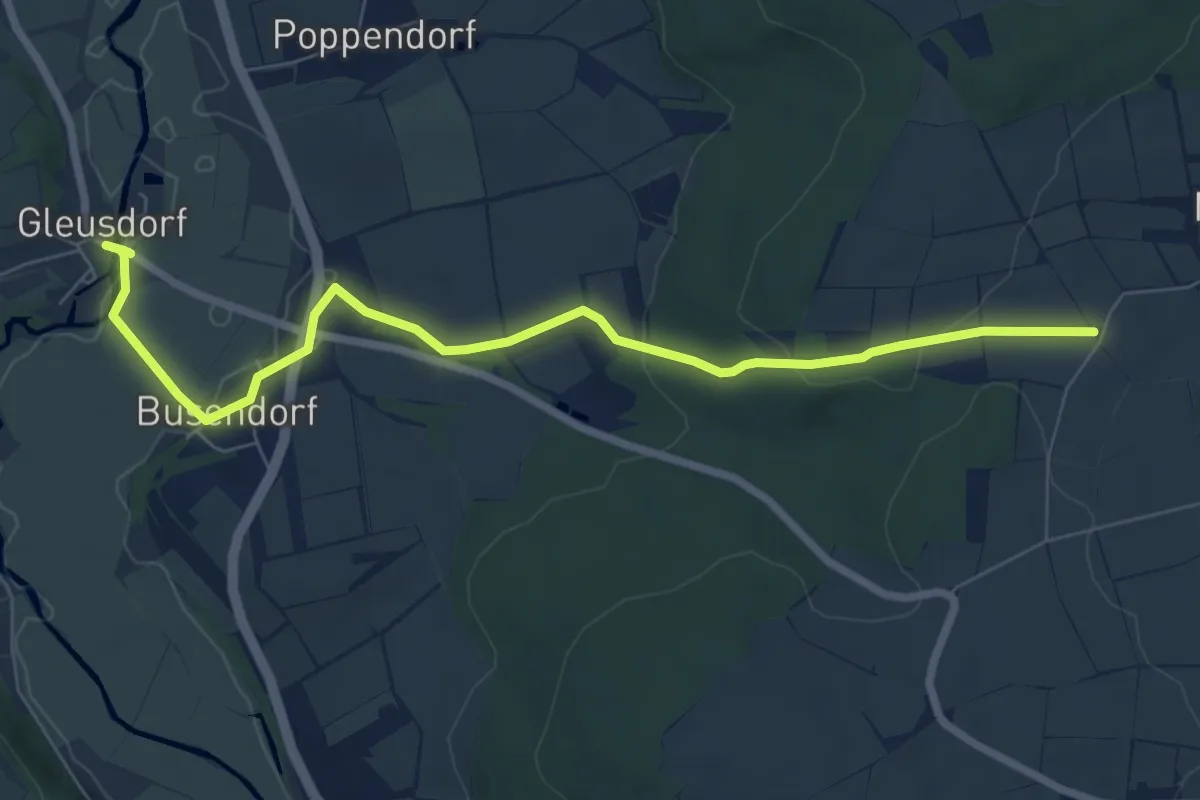
Easy · Trail
Verbindungsweg gelber Balken (Gleusdorf) - Busendorf - Tafel 2688
7.4 km · ↑ 124 m · 2 h
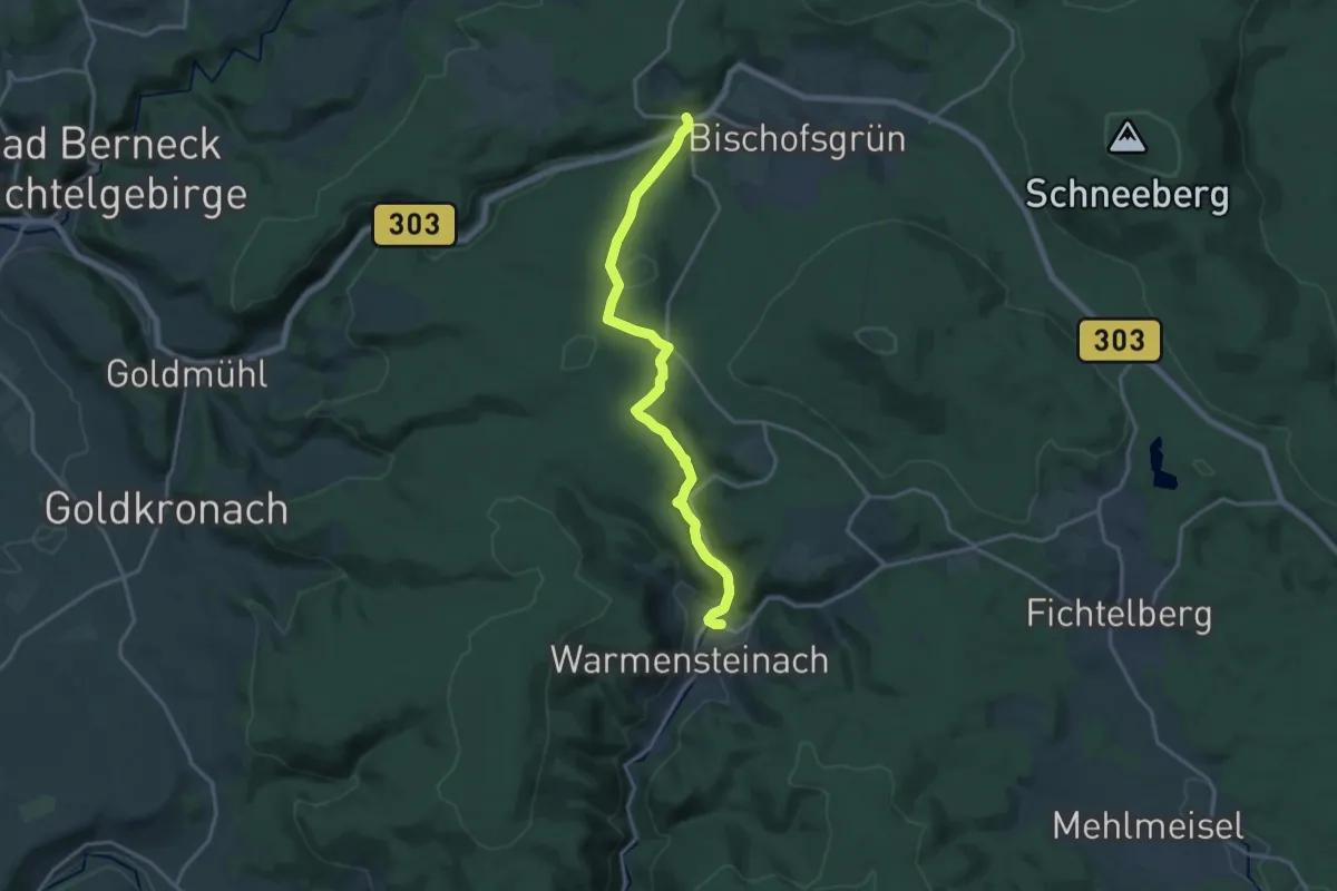
Medium · Trail
Verbindungsweg Glasermühle-Warmensteinach
16.3 km · ↑ 546 m · 5 h 2 min
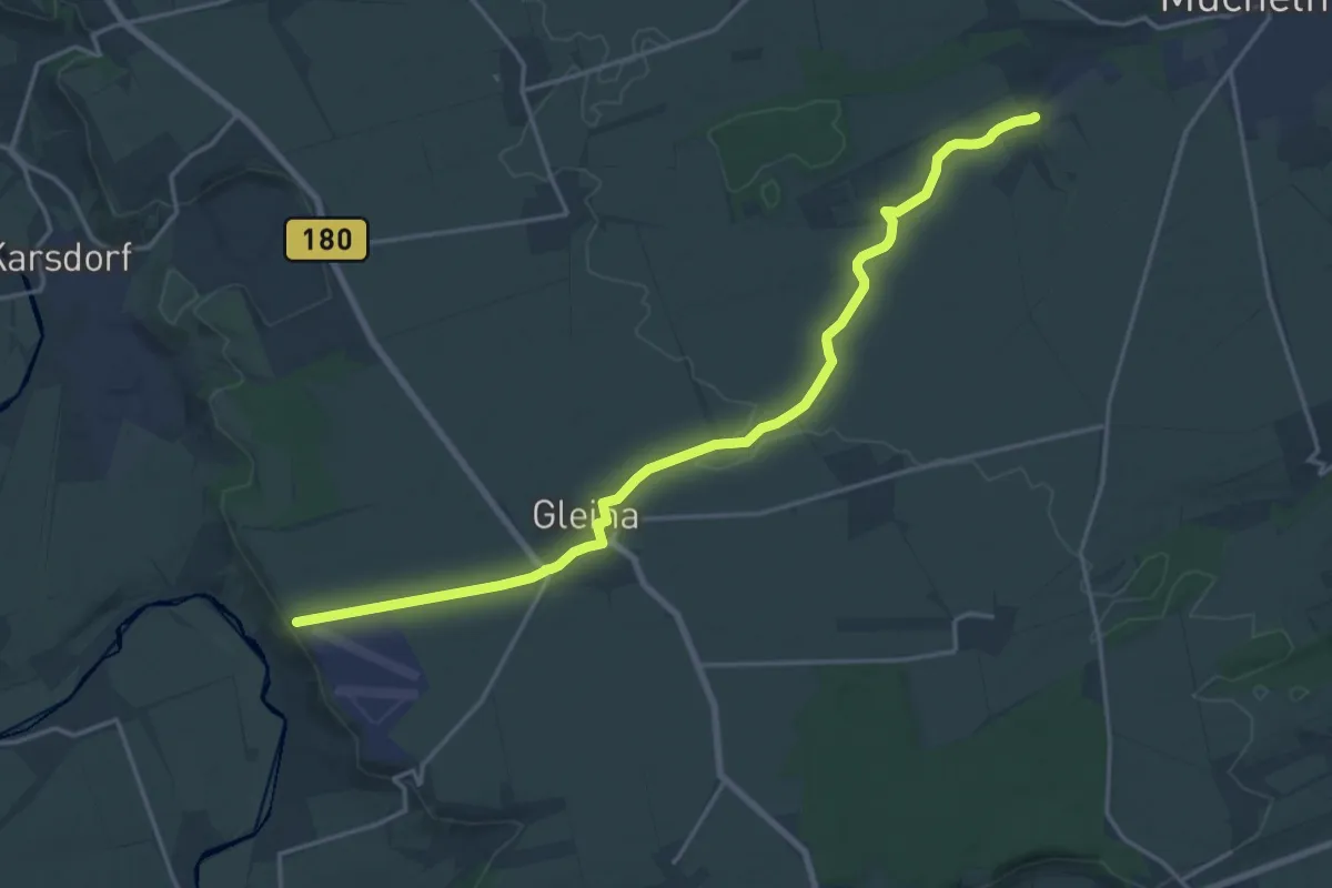
Demanding · Trail
Verbindungsweg Gleina-Mücheln
18.3 km · ↑ 77 m · 4 h 29 min
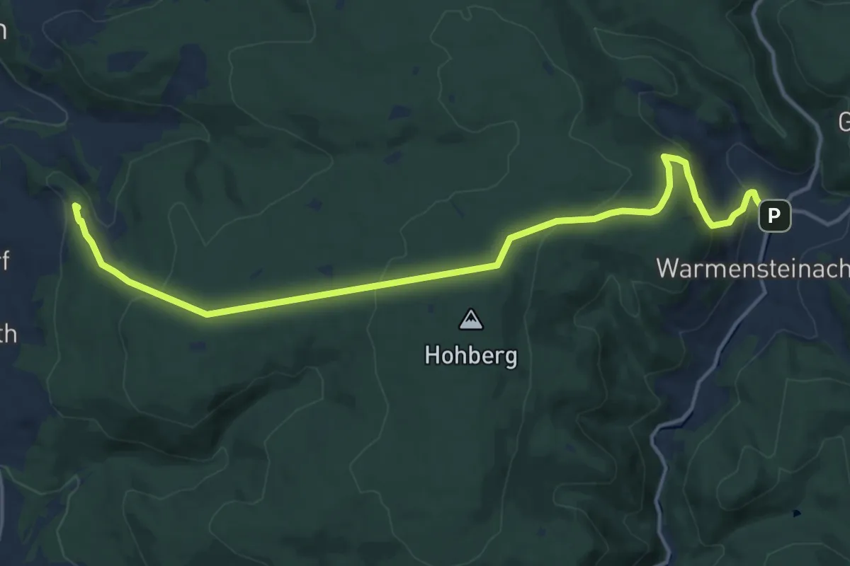
Medium · Summit
Verbindungsweg Goldmühl-Warmensteinach
14.1 km · ↑ 521 m · 4 h 27 min
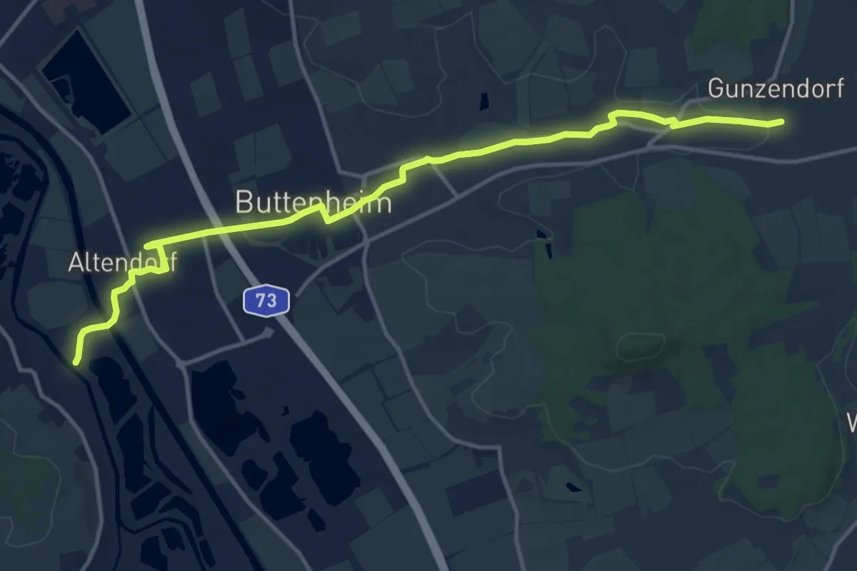
Medium · Trail
Verbindungsweg Gunzendorf - 7-Flüsse-Wanderweg
13.3 km · ↑ 54 m · 3 h 15 min
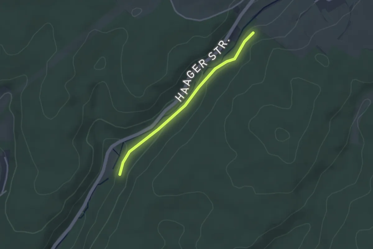
Easy · Trail
Verbindungsweg Haager Mühle
2.5 km · ↑ 49 m · 42 min
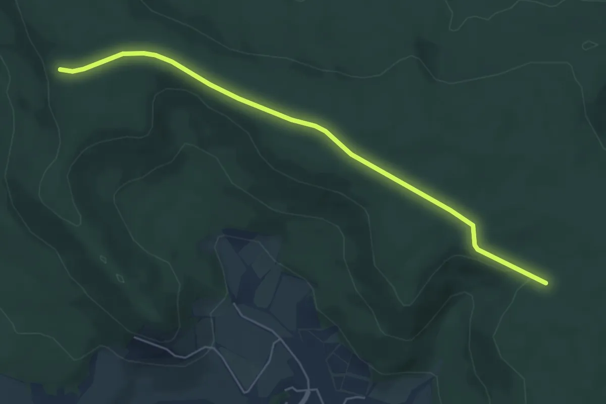
Easy · Trail
Verbindungsweg Handthal
5.2 km · ↑ 56 m · 1 h 22 min
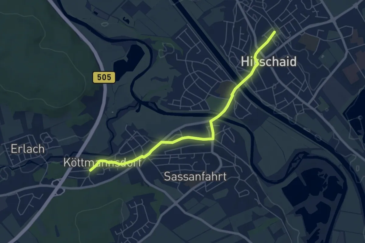
Easy · Trail
Verbindungsweg Hirschaid - 7-Flüsse-Wanderweg
5.9 km · ↑ 21 m · 1 h 27 min