Trails in Germany
36,852 hiking trails, each with its route, climb, walking time and grade.
All trails, page 648 of 768
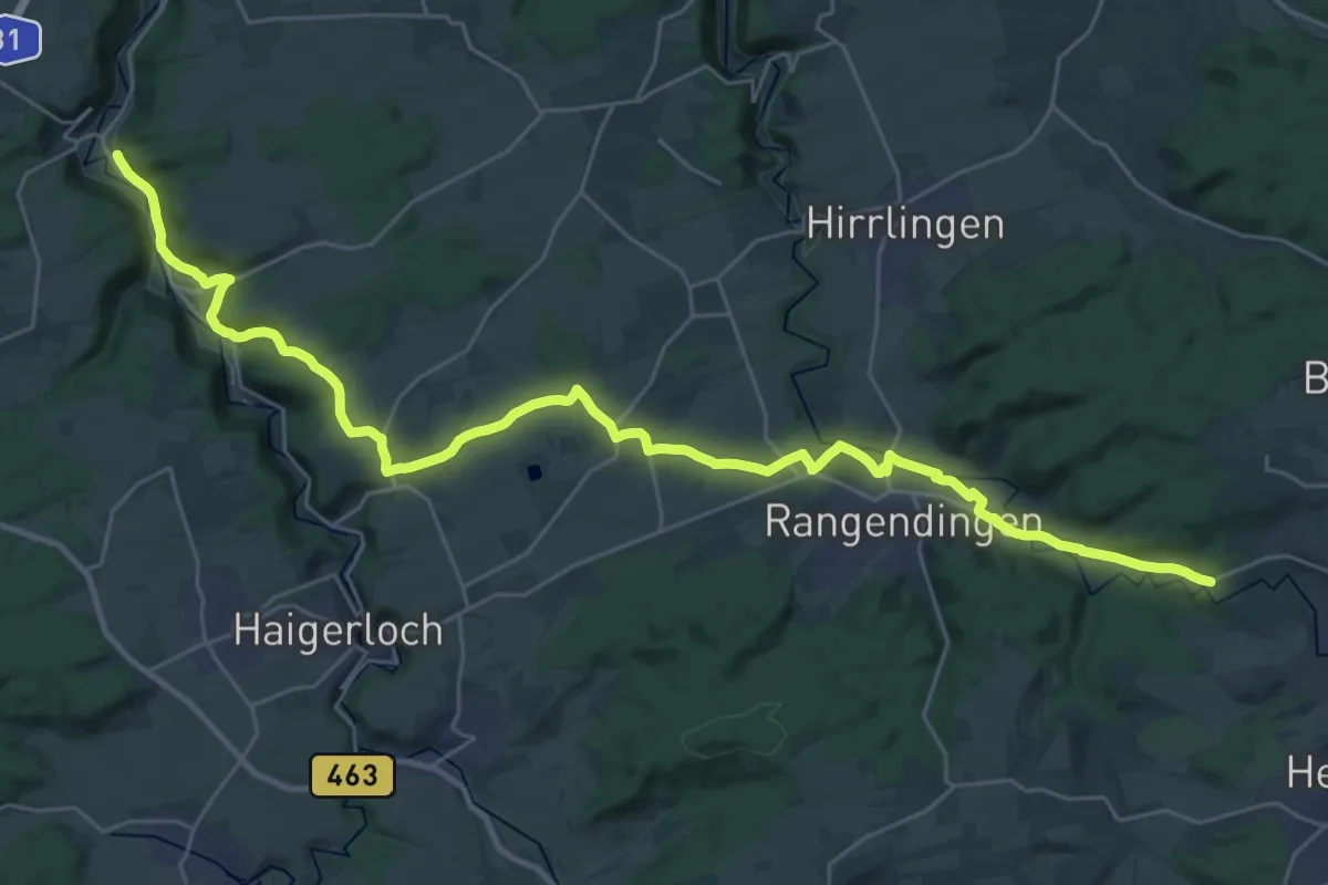
Medium · Pilgrim path
Verbindungsweg Horb - Stein
17.6 km · ↑ 228 m · 4 h 52 min
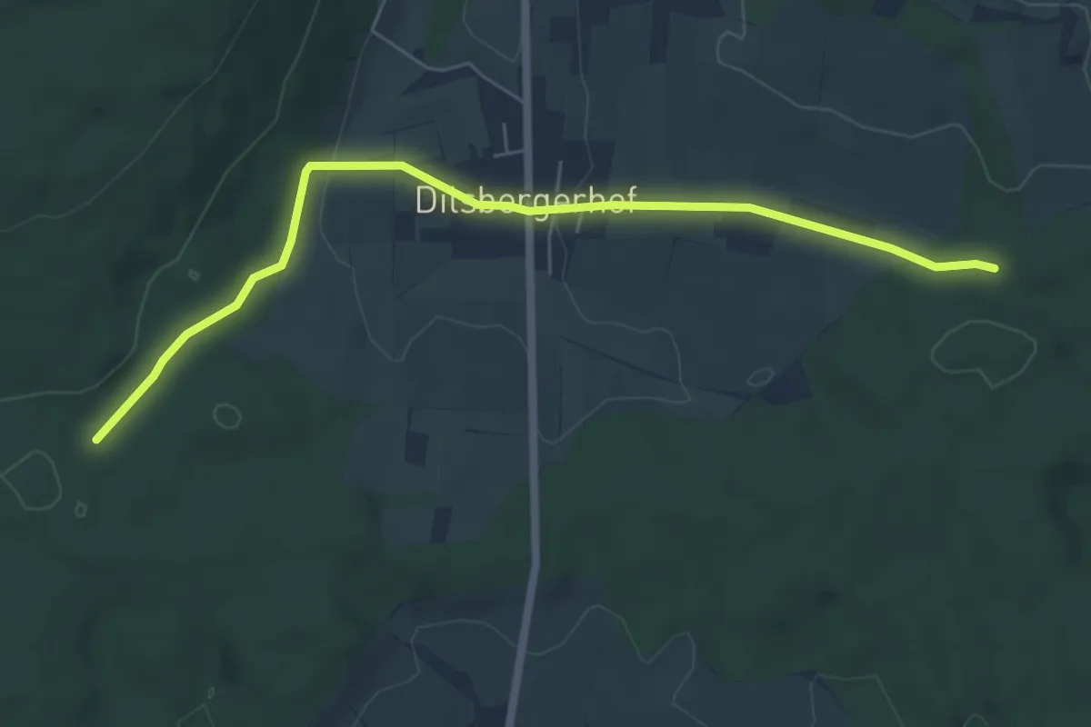
Easy · Trail
Verbindungsweg HW15 - HW38
5.9 km · ↑ 114 m · 1 h 39 min
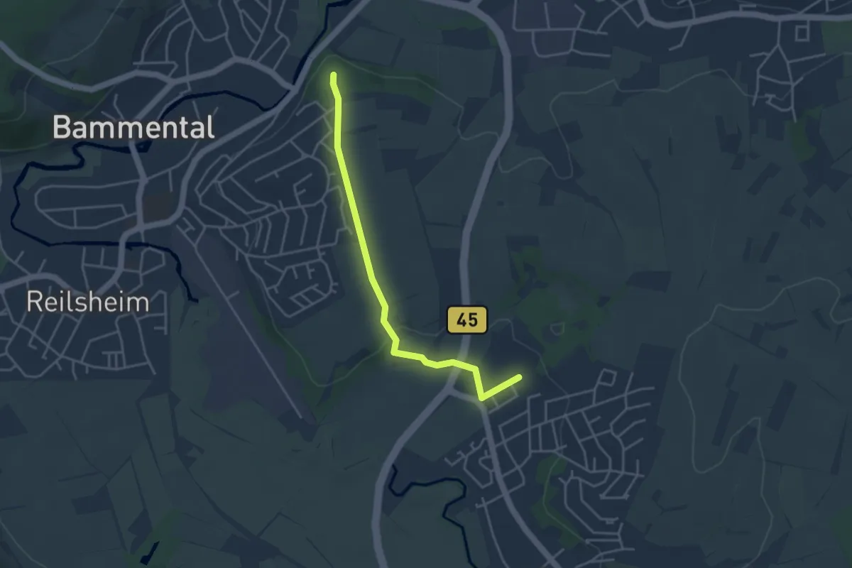
Easy · Trail
Verbindungsweg HW 40 - 1
3.6 km · ↑ 69 m · 1 h
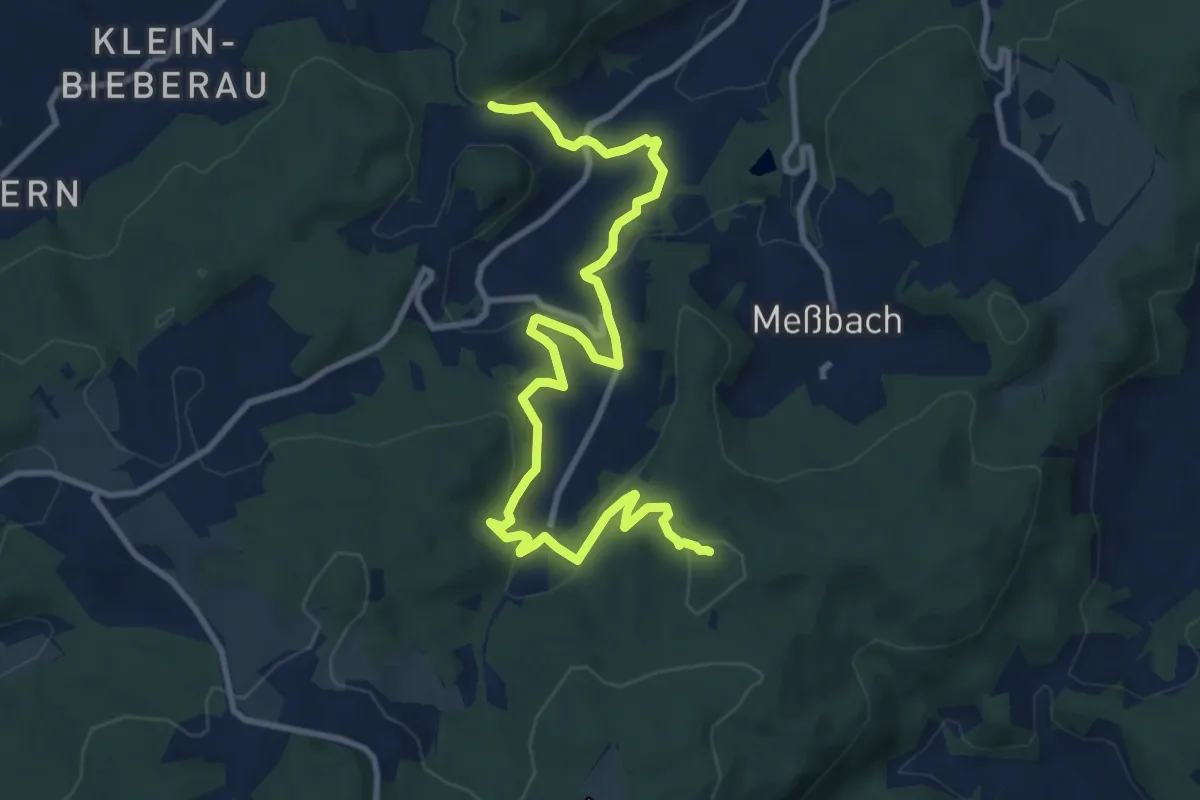
Medium · Summit
Verbindungsweg "J"
11.4 km · ↑ 516 m · 3 h 48 min
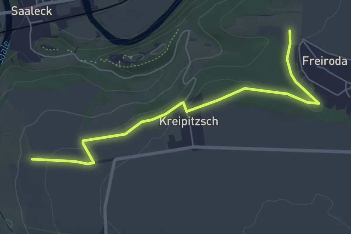
Easy · Trail
Verbindungsweg Kaatschen - Rudelsburg
5.2 km · ↑ 69 m · 1 h 23 min
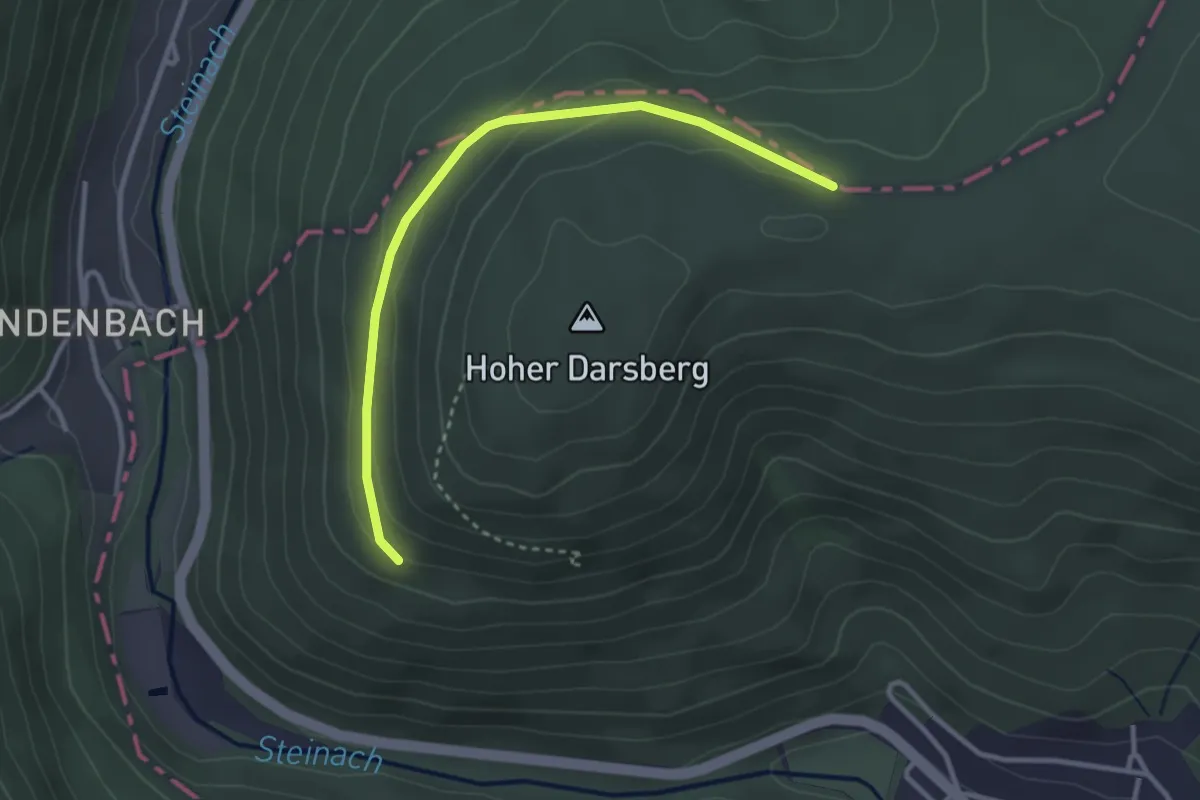
Easy · Trail
Verbindungsweg Kaisereiche 9 zu Kreuzschlag 4
3.0 km · ↑ 87 m · 54 min
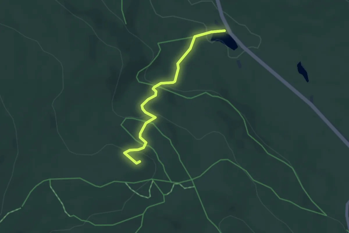
Easy · Summit
Verbindungsweg Karches - Weißmainfels "Goetheweg"
3.3 km · ↑ 162 m · 1 h 8 min
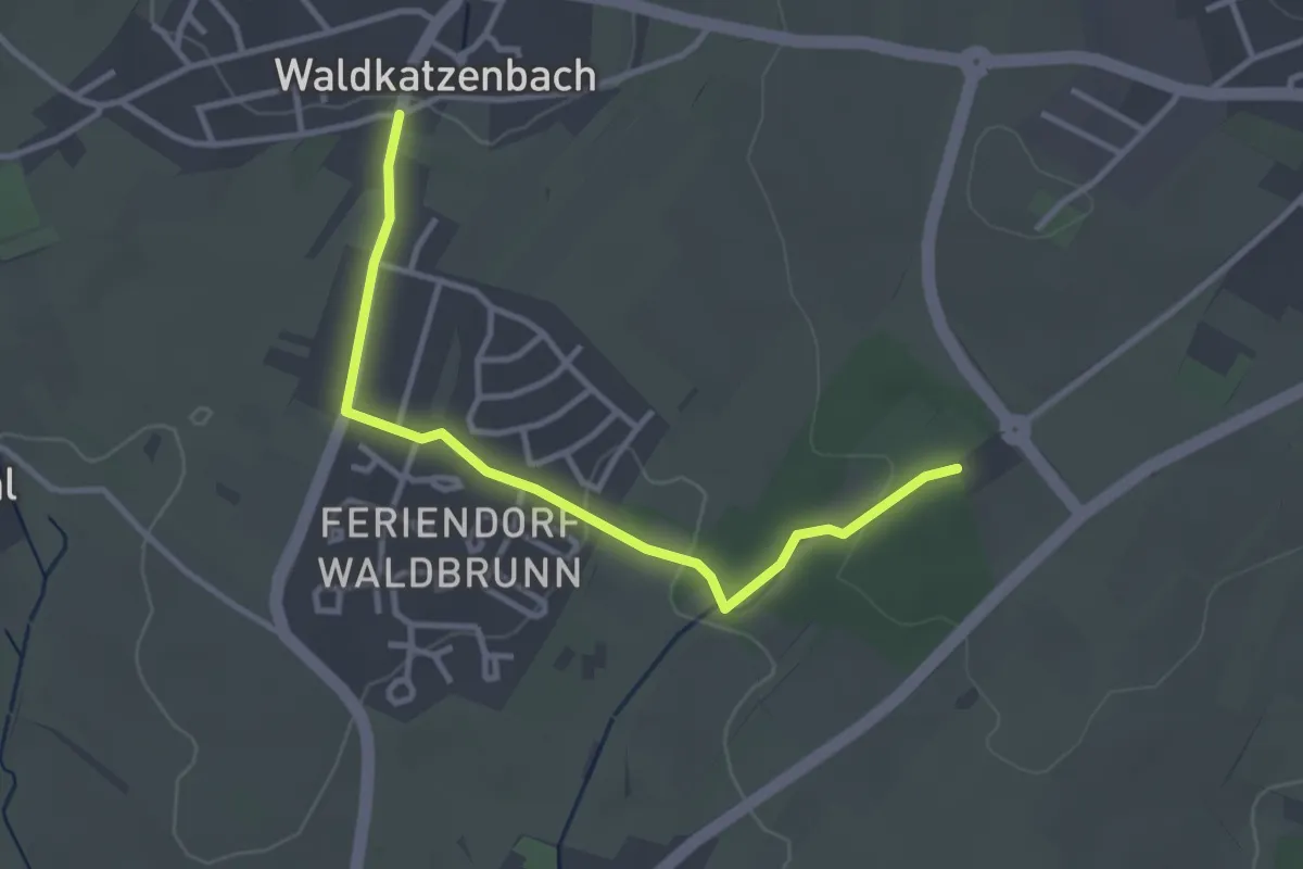
Easy · Trail
Verbindungsweg Katzenbuckel-Therme - HW 34
3.1 km · ↑ 52 m · 51 min
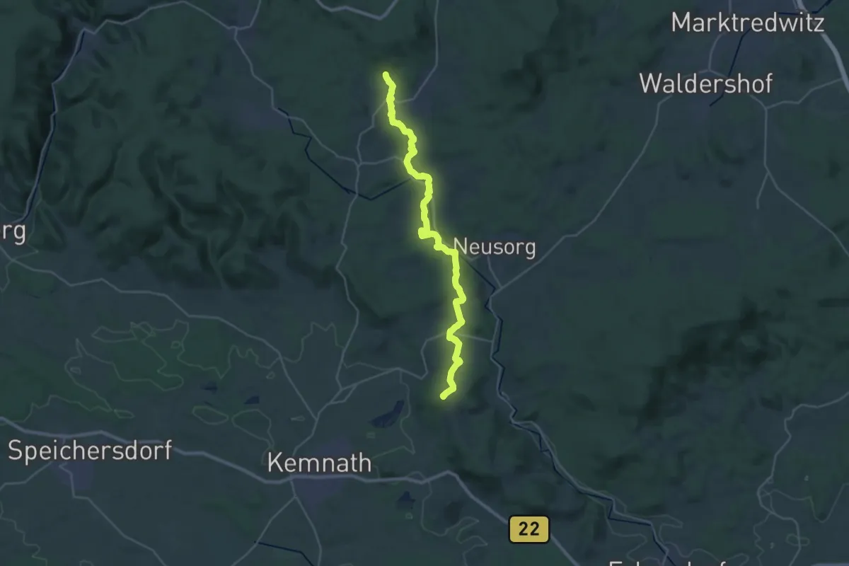
Demanding · Summit
Verbindungsweg Kemnath - Girgelhöhle
29.2 km · ↑ 547 m · 8 h 5 min
Easy · Trail
Verbindungsweg Ki1 - Vi2
2.5 km · ↑ 66 m · 43 min
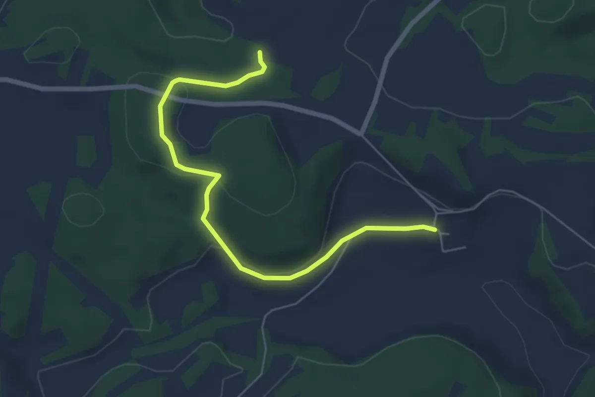
Easy · Trail
Verbindungsweg Köttel - Albrandweg
5.1 km · ↑ 151 m · 1 h 33 min
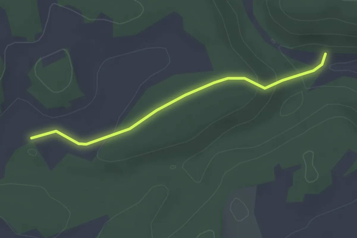
Easy · Trail
Verbindungsweg Kötteler Grund - Tafel 2037
2.8 km · ↑ 88 m · 52 min
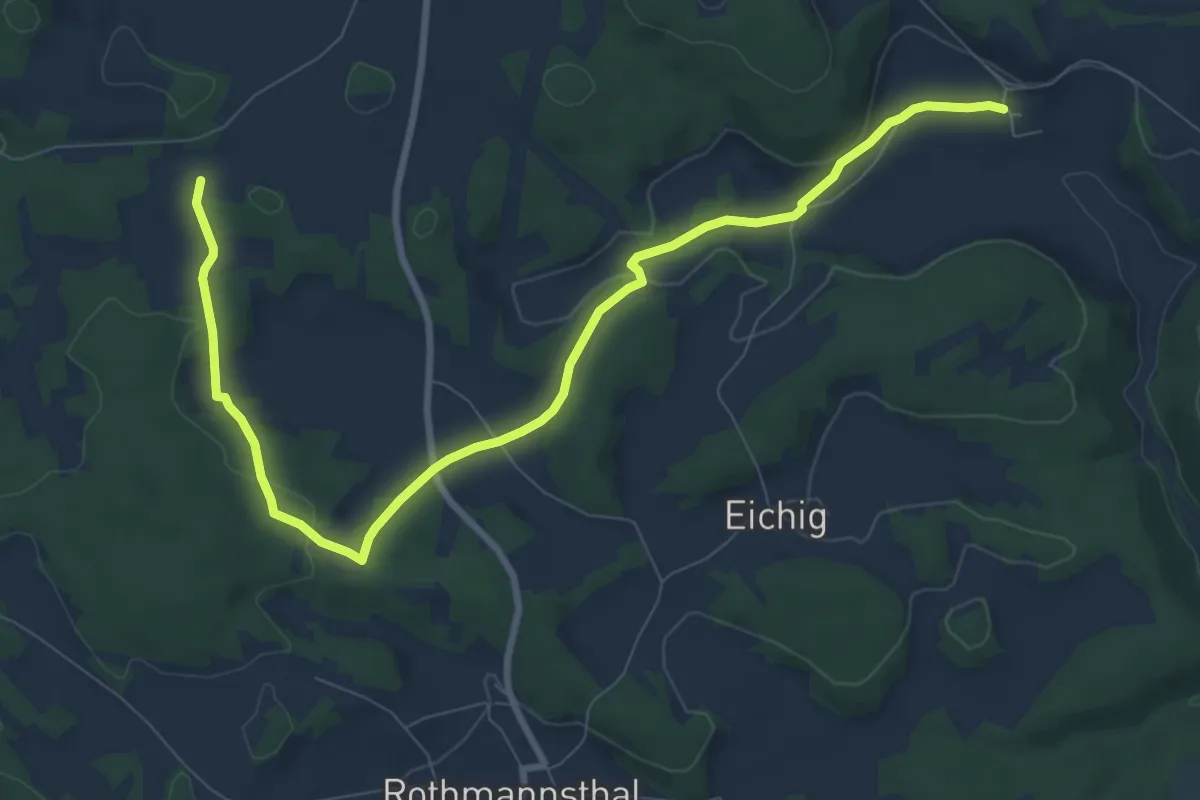
Medium · Trail
Verbindungsweg Köttel - Hoher Bühl
9.7 km · ↑ 186 m · 2 h 41 min
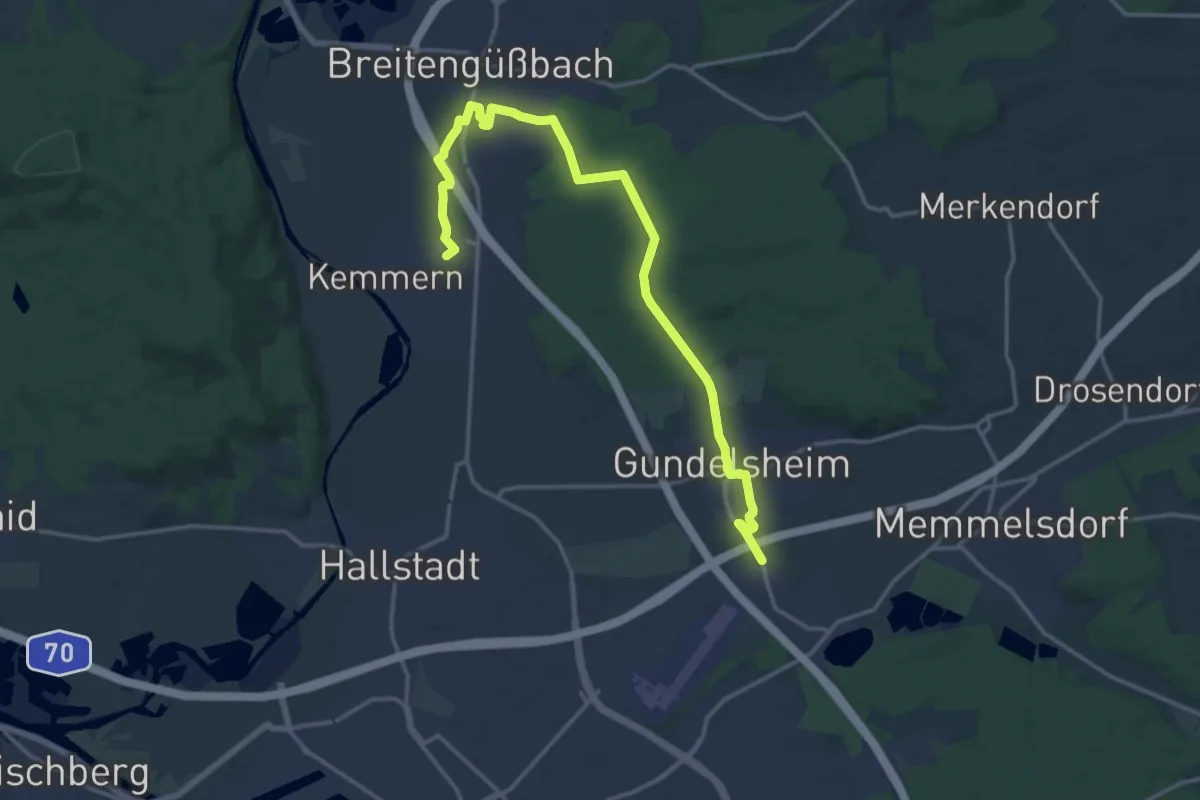
Medium · Trail
Verbindungsweg Lichteneiche - Breitengüßbach
16.7 km · ↑ 109 m · 4 h 10 min
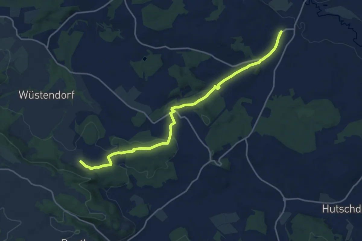
Medium · Trail
Verbindungsweg Lindenberg - Katschenreuth
13.0 km · ↑ 201 m · 3 h 30 min
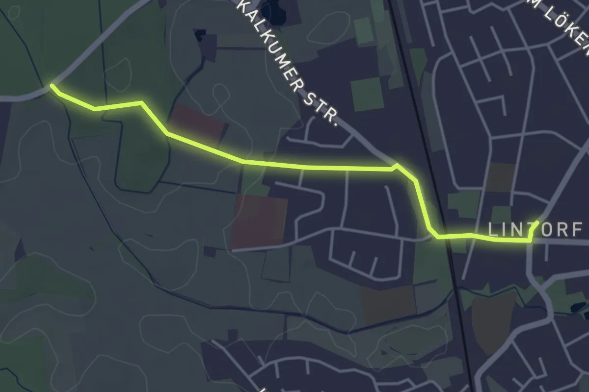
Easy · Trail
Verbindungsweg Lintorf
3.6 km · ↑ 9 m · 53 min
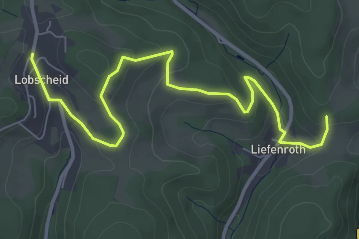
Easy · Trail
Verbindungsweg Lobscheid - X11a
6.3 km · ↑ 220 m · 1 h 58 min
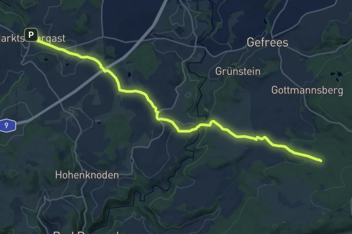
Demanding · Trail
Verbindungsweg Marktschorgast-Schweinsbach
18.2 km · ↑ 357 m · 5 h 4 min
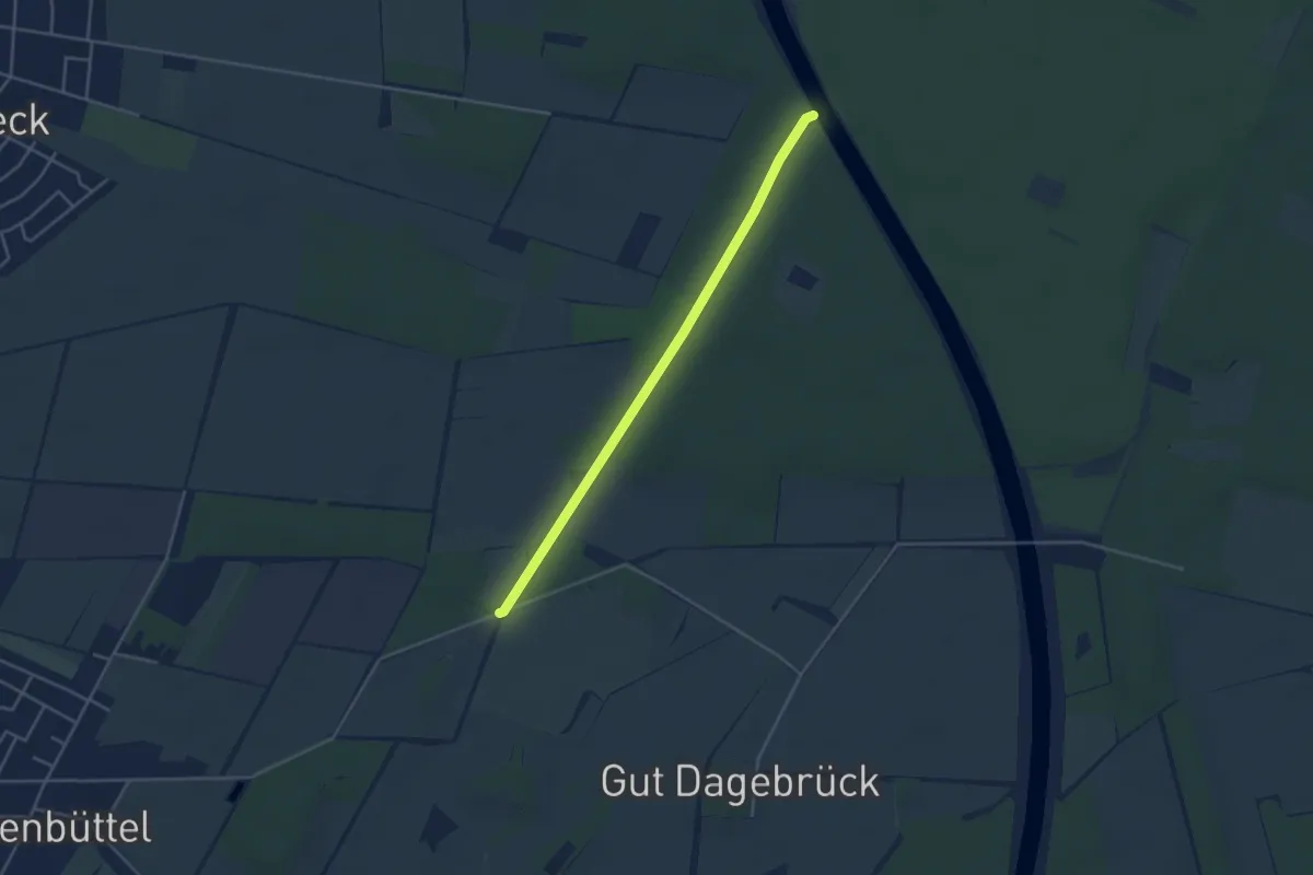
Easy · Trail
Verbindungsweg Maschberg - Elbe-Seitenkanal
3.5 km · ↑ 13 m · 51 min
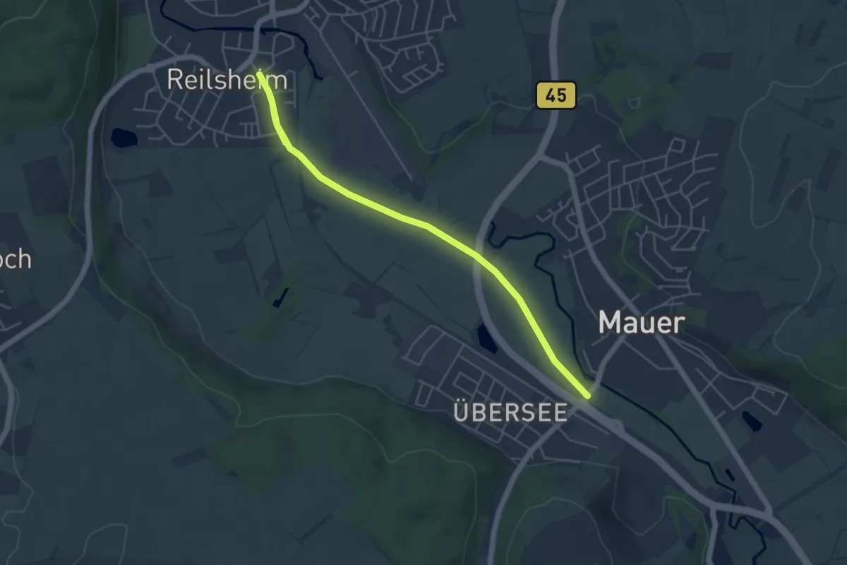
Easy · Trail
Verbindungsweg Mauer - Bammental
5.1 km · ↑ 0 m · 1 h 12 min
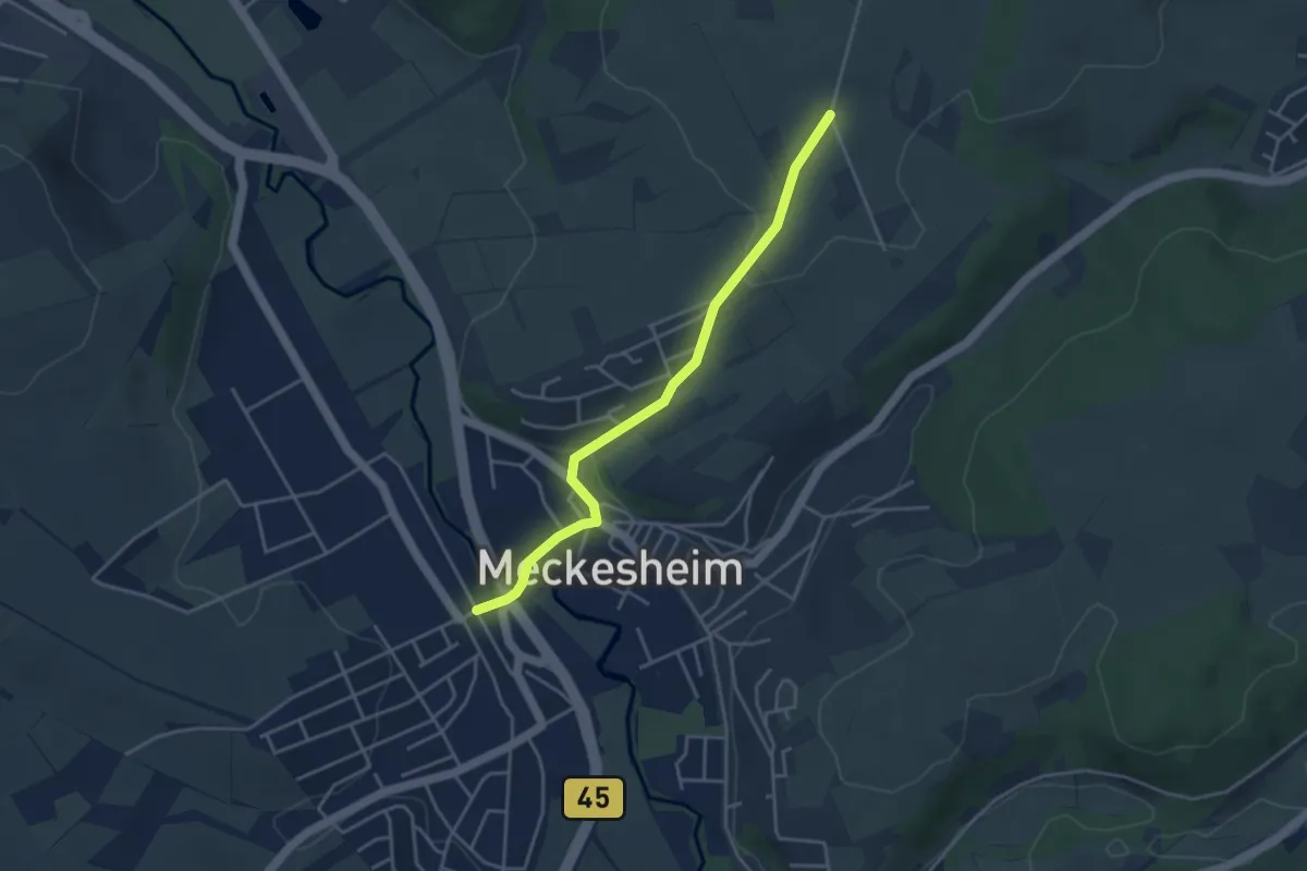
Easy · Trail
Verbindungsweg Meckesheim Bf - 7
3.7 km · ↑ 76 m · 1 h 3 min
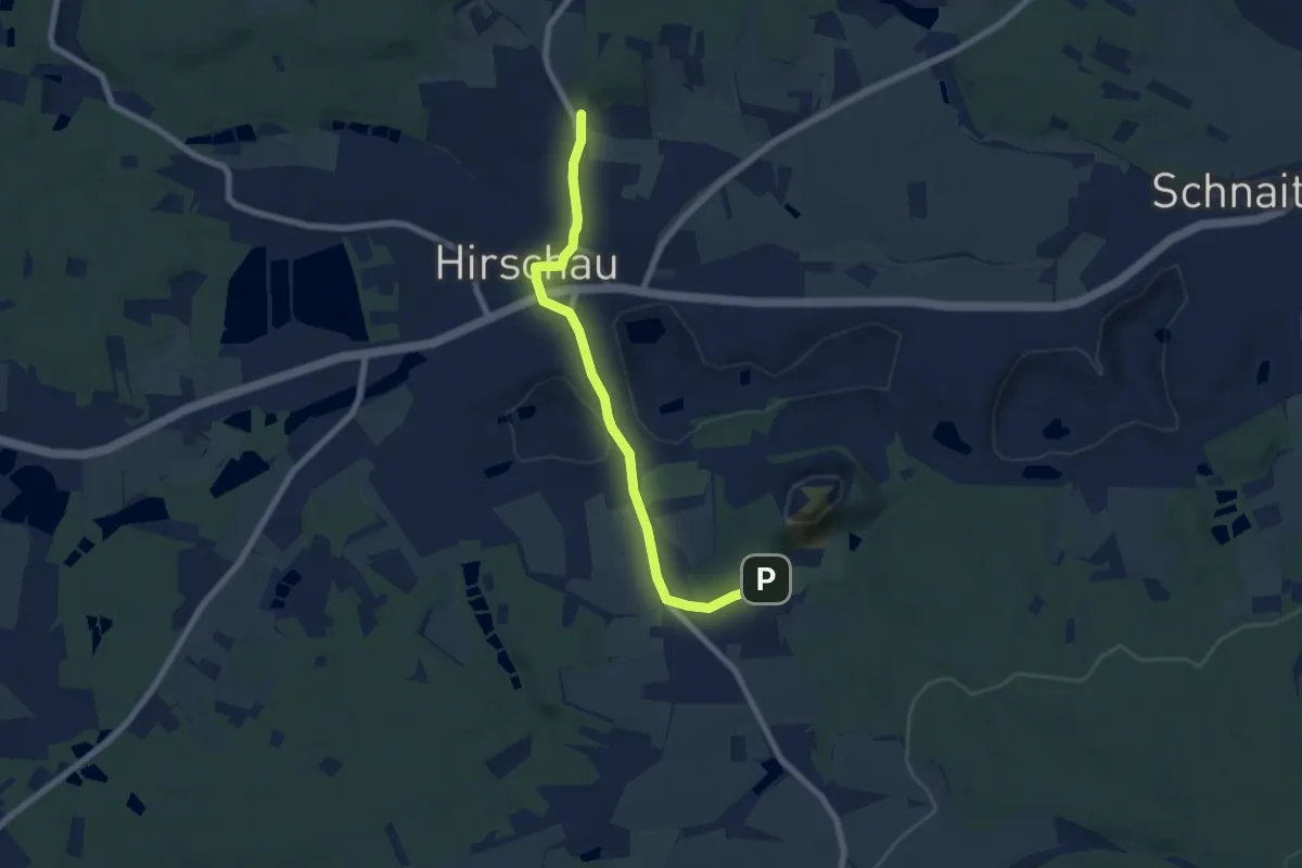
Easy · Trail
Verbindungsweg Monte - Kalvarienberg
6.7 km · ↑ 94 m · 1 h 47 min
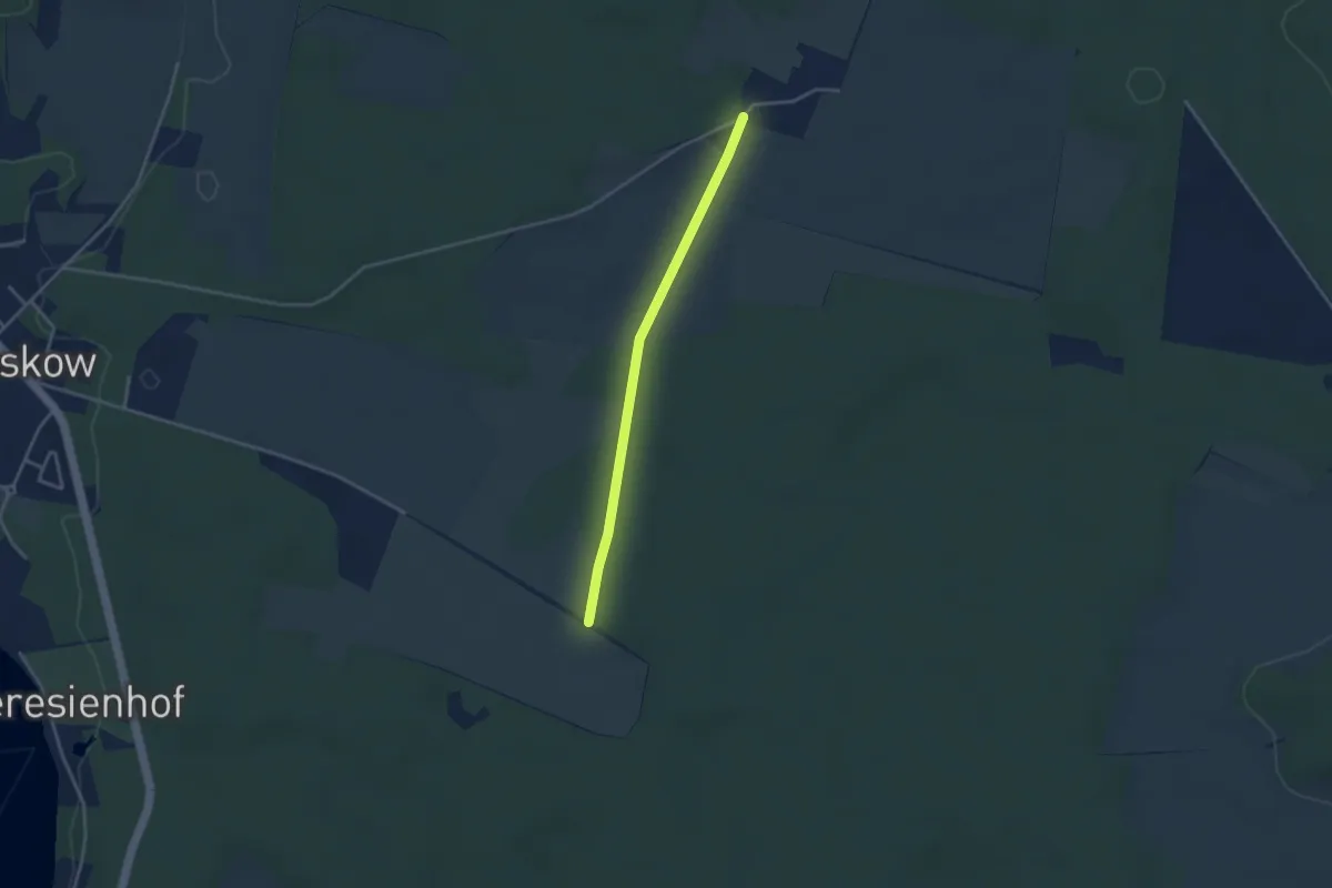
Easy · Trail
Verbindungsweg nach Annenhof
2.9 km · ↑ 22 m · 44 min
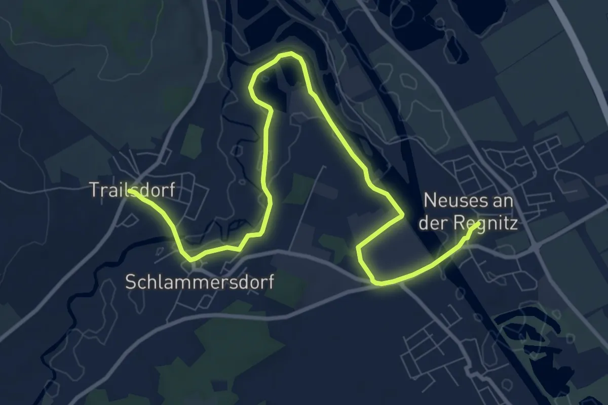
Medium · Trail
Verbindungsweg Neuses - Trailsdorf - 7-Flüsse-Wanderweg
10.4 km · ↑ 31 m · 2 h 31 min
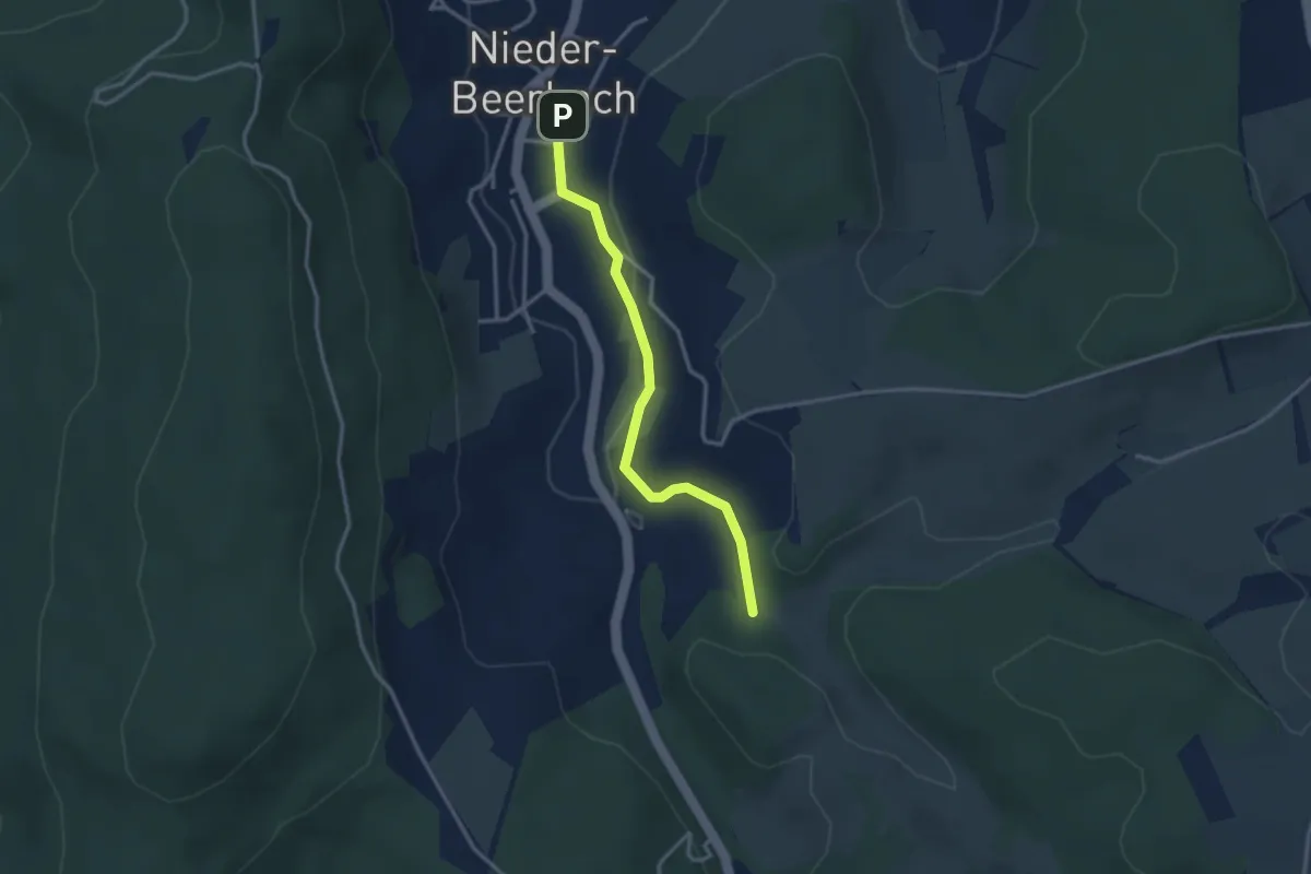
Easy · Trail
Verbindungsweg Nieder-Beerbach V
2.8 km · ↑ 52 m · 46 min
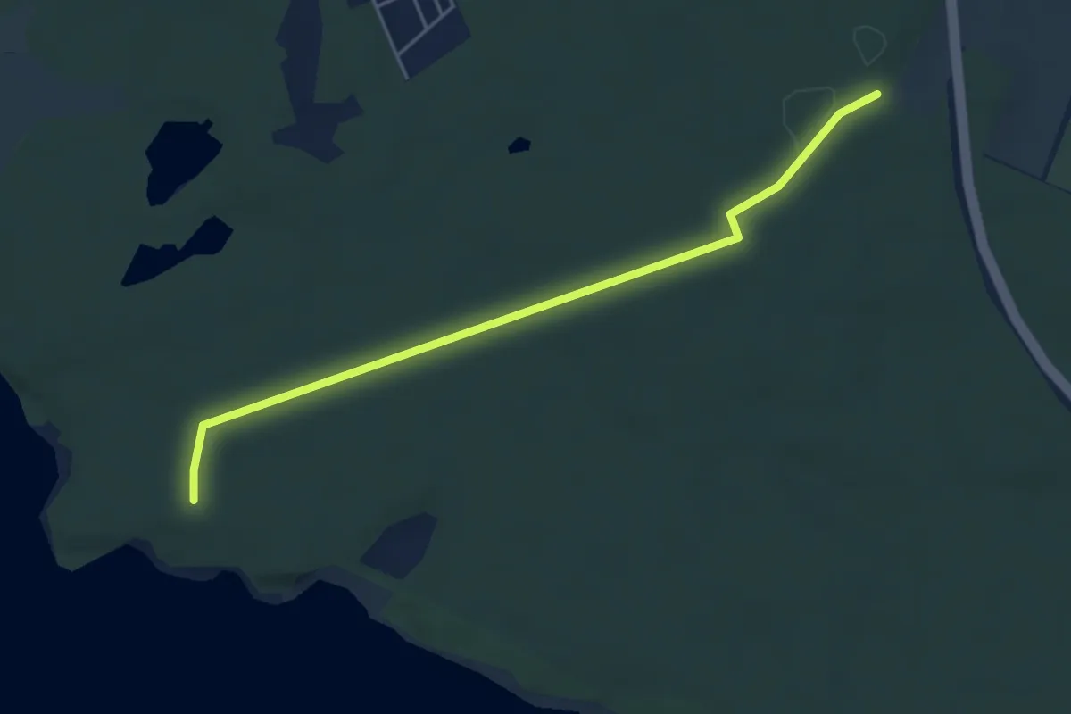
Easy · Trail
Verbindungsweg Niesky - Talsperre Qutzdorf
4.3 km · ↑ 22 m · 1 h 4 min
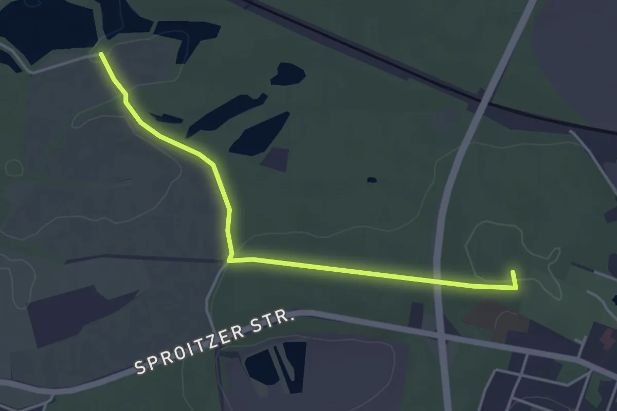
Easy · Summit
Verbindungsweg Niesky - Tonschächte
3.7 km · ↑ 42 m · 58 min
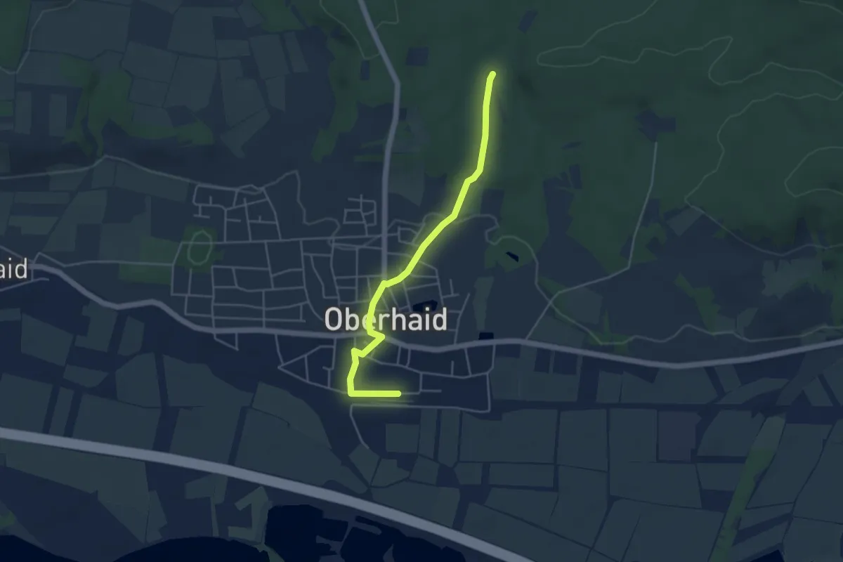
Easy · Trail
Verbindungsweg Oberhaid Bahnhof - 7-Flüsse-Wanderweg
4.2 km · ↑ 37 m · 1 h 4 min
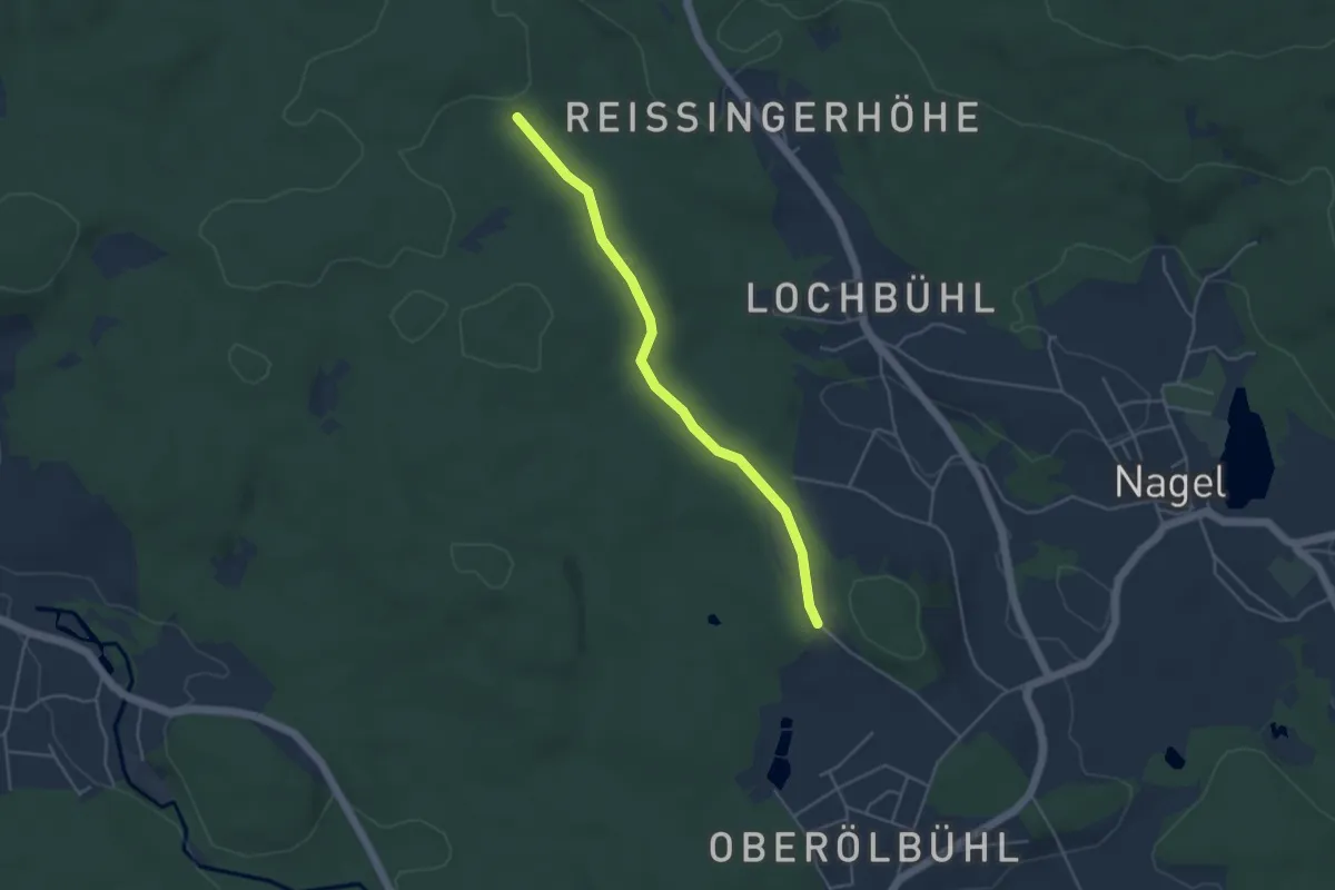
Easy · Trail
Verbindungsweg Ölbühl-Höllschacht
3.9 km · ↑ 69 m · 1 h 4 min
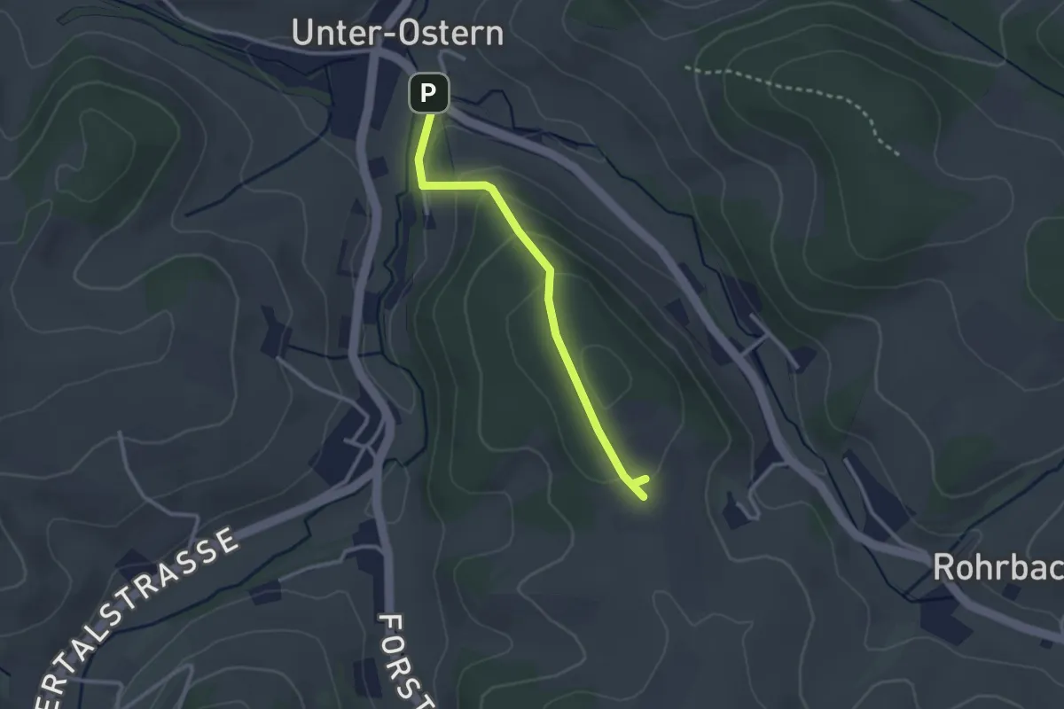
Easy · Trail
Verbindungsweg Ostern
2.5 km · ↑ 137 m · 53 min
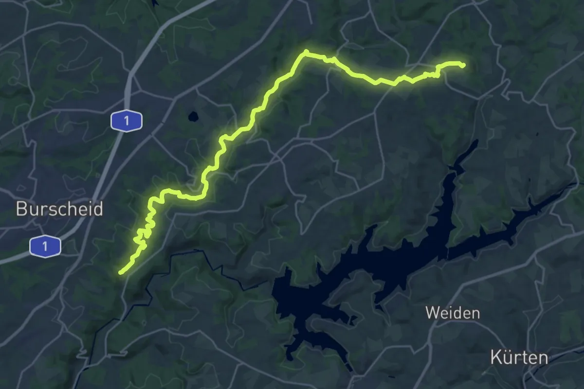
Demanding · Summit
Verbindungsweg Panoramasteig–Bergischer Weg (Nord)
25.8 km · ↑ 598 m · 7 h 23 min
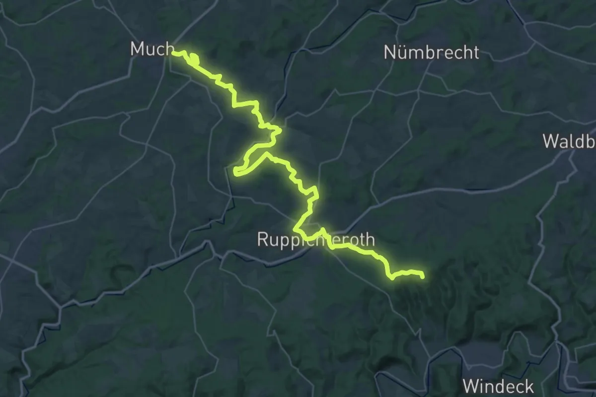
Demanding · Summit
Verbindungsweg Panoramasteig–Bergischer Weg (Süd)
43.5 km · ↑ 882 m · 12 h 11 min
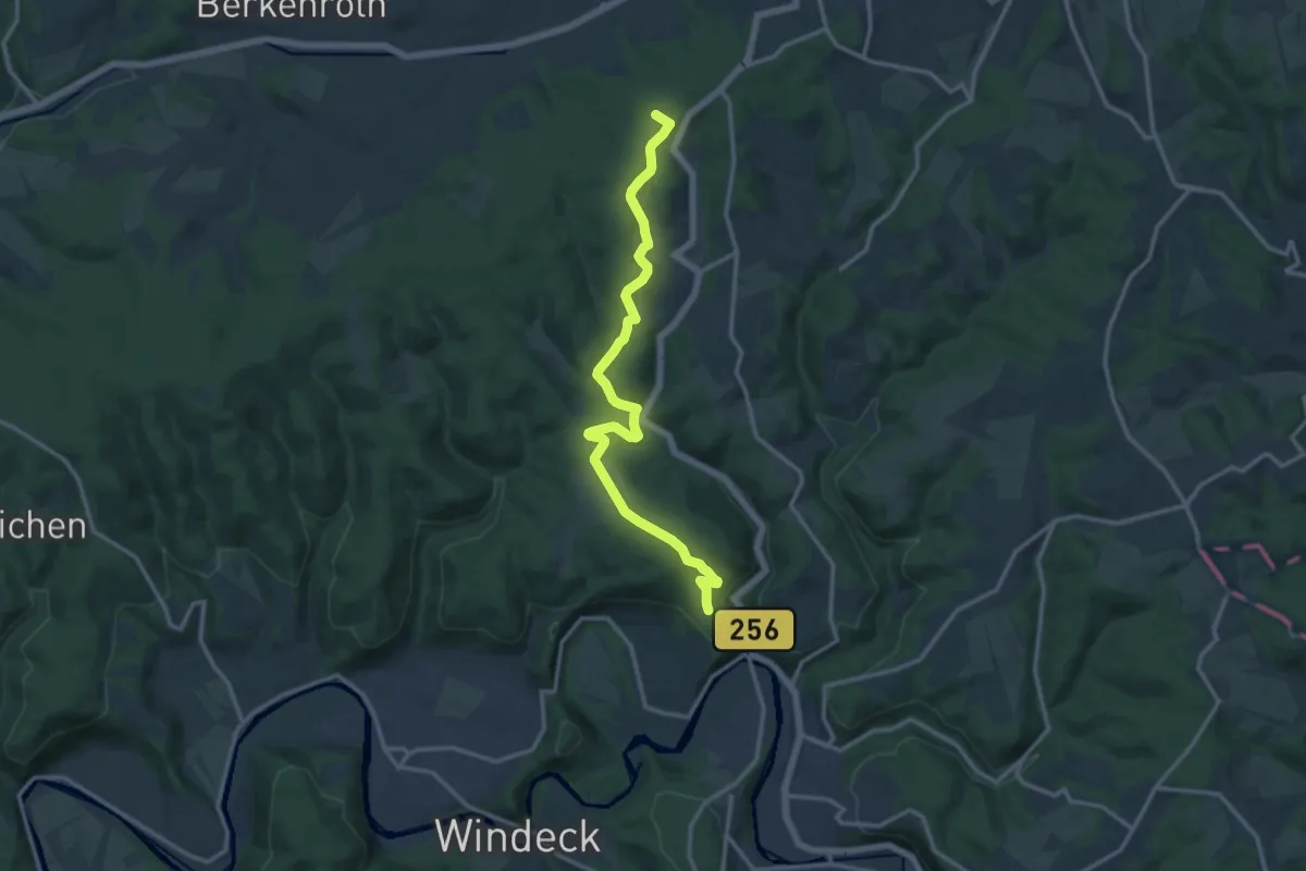
Medium · Summit
Verbindungsweg Panoramasteig - Natursteig Sieg
12.7 km · ↑ 347 m · 3 h 46 min
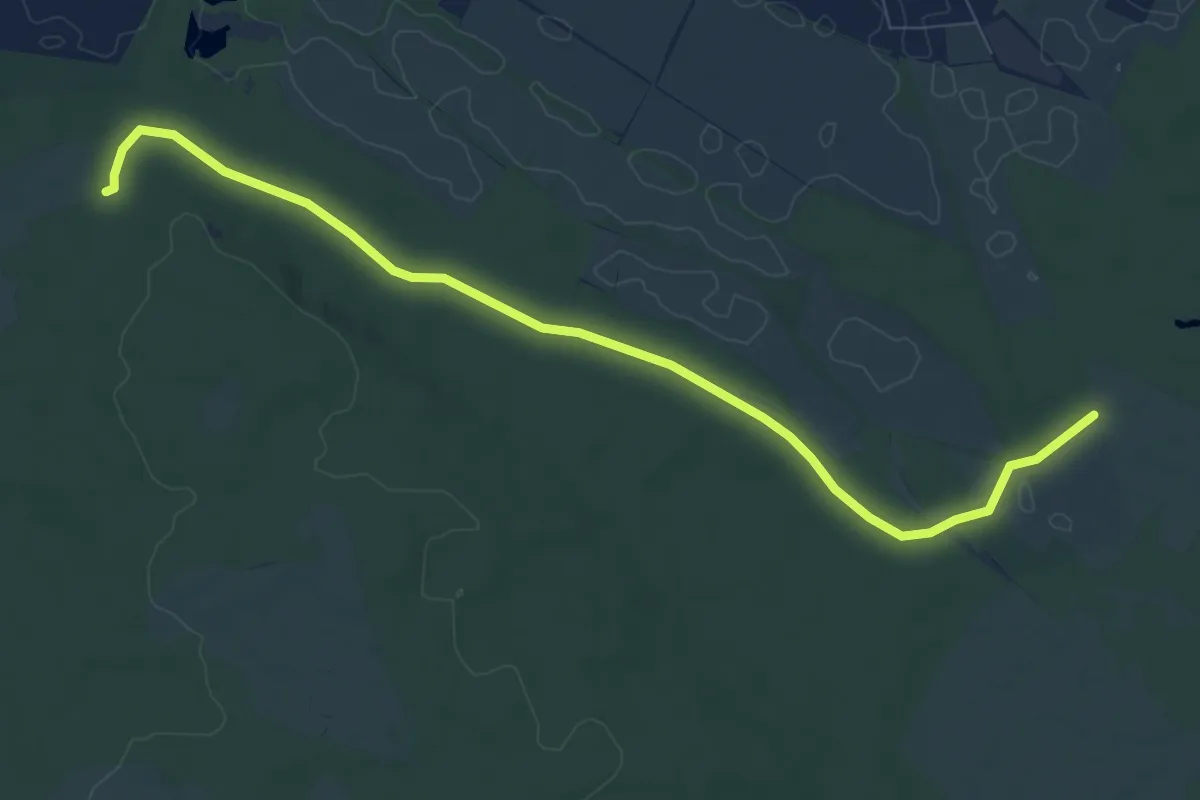
Medium · Trail
Verbindungsweg Pechüle-Felgentreu
8.6 km · ↑ 26 m · 2 h 4 min
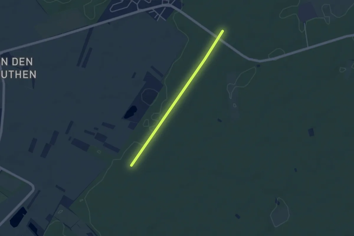
Easy · Trail
Verbindungsweg P. Pechofen / P. Heide 4
1.6 km · ↑ 0 m · 25 min
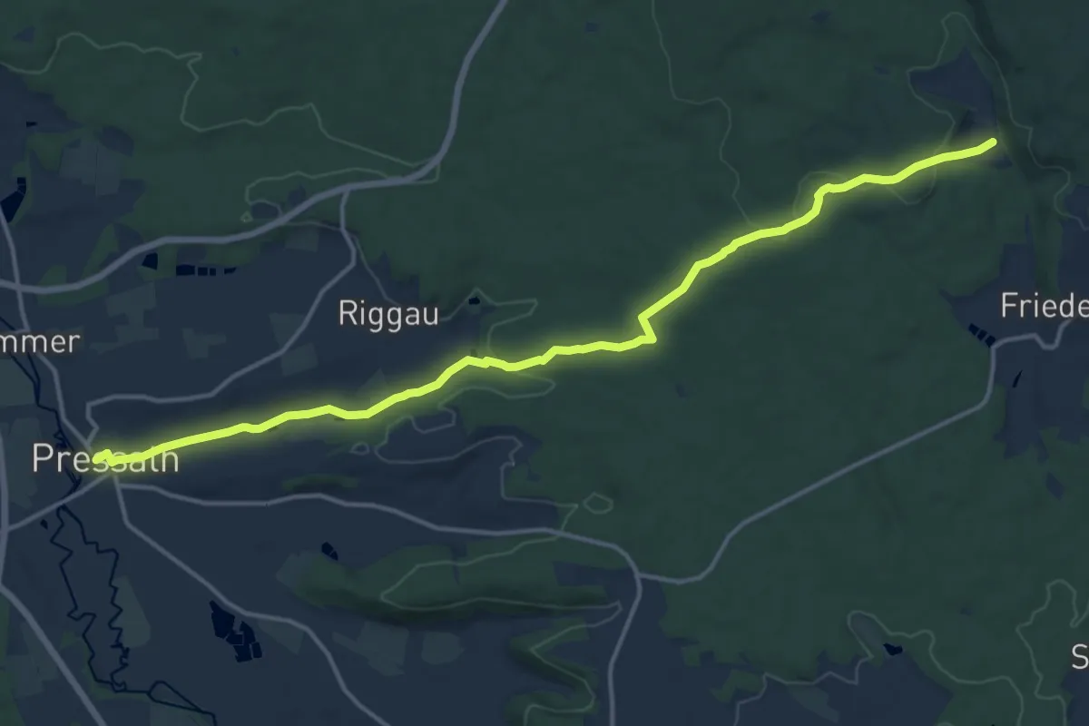
Medium · Trail
Verbindungsweg Pressath-Glashütte
15.3 km · ↑ 266 m · 4 h 11 min
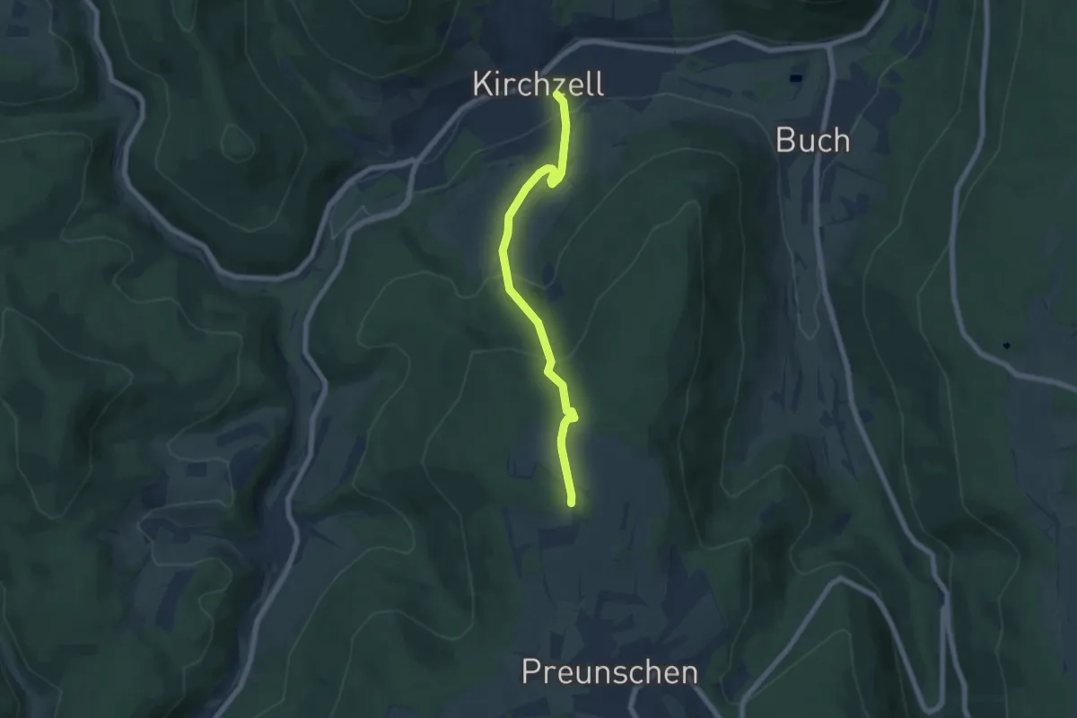
Easy · Summit
Verbindungsweg Preunschen-Kirchzell
5.6 km · ↑ 295 m · 1 h 58 min
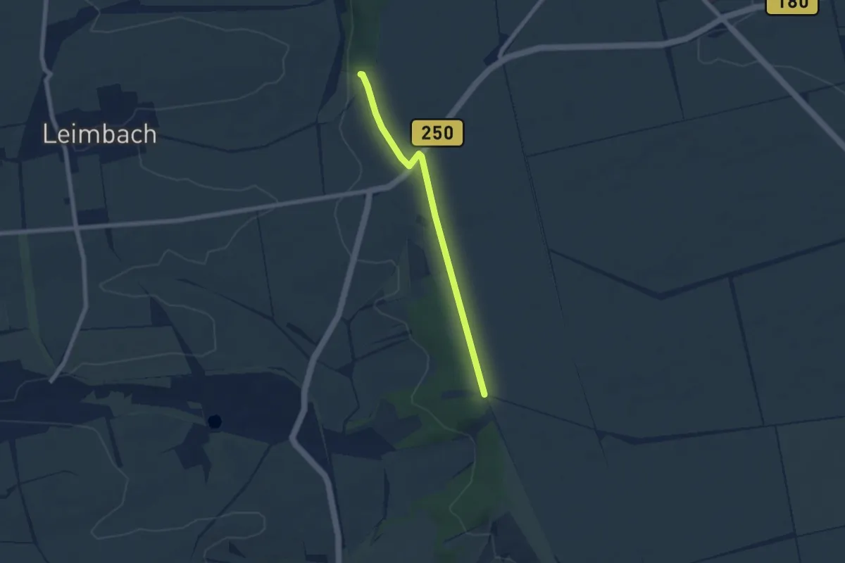
Easy · Trail
Verbindungsweg Querfurt
4.9 km · ↑ 14 m · 1 h 12 min
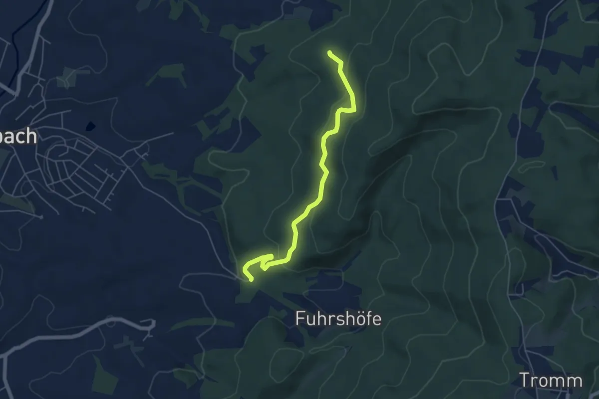
Easy · Trail
Verbindungsweg Rimbach R3 und R3
4.8 km · ↑ 237 m · 1 h 39 min
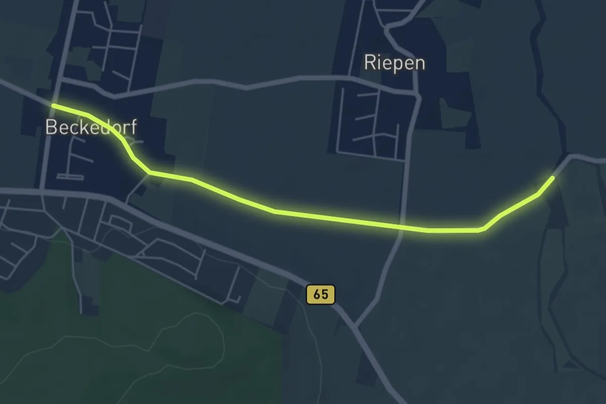
Easy · Trail
Verbindungsweg Roswithaweg - Calenberger Weg
4.6 km · ↑ 17 m · 1 h 8 min
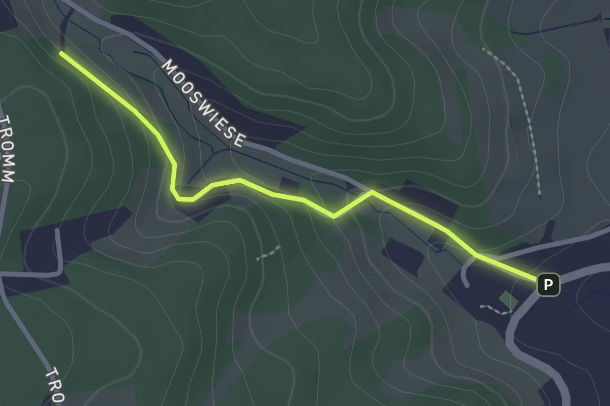
Easy · Trail
Verbindungsweg Scharbach SV
2.2 km · ↑ 95 m · 43 min
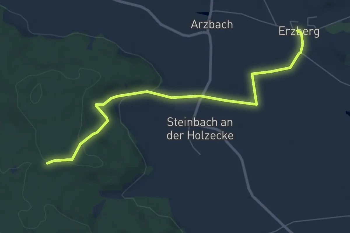
Easy · Trail
Verbindungsweg Schnelldorf-Wörnitz
6.4 km · ↑ 141 m · 1 h 50 min
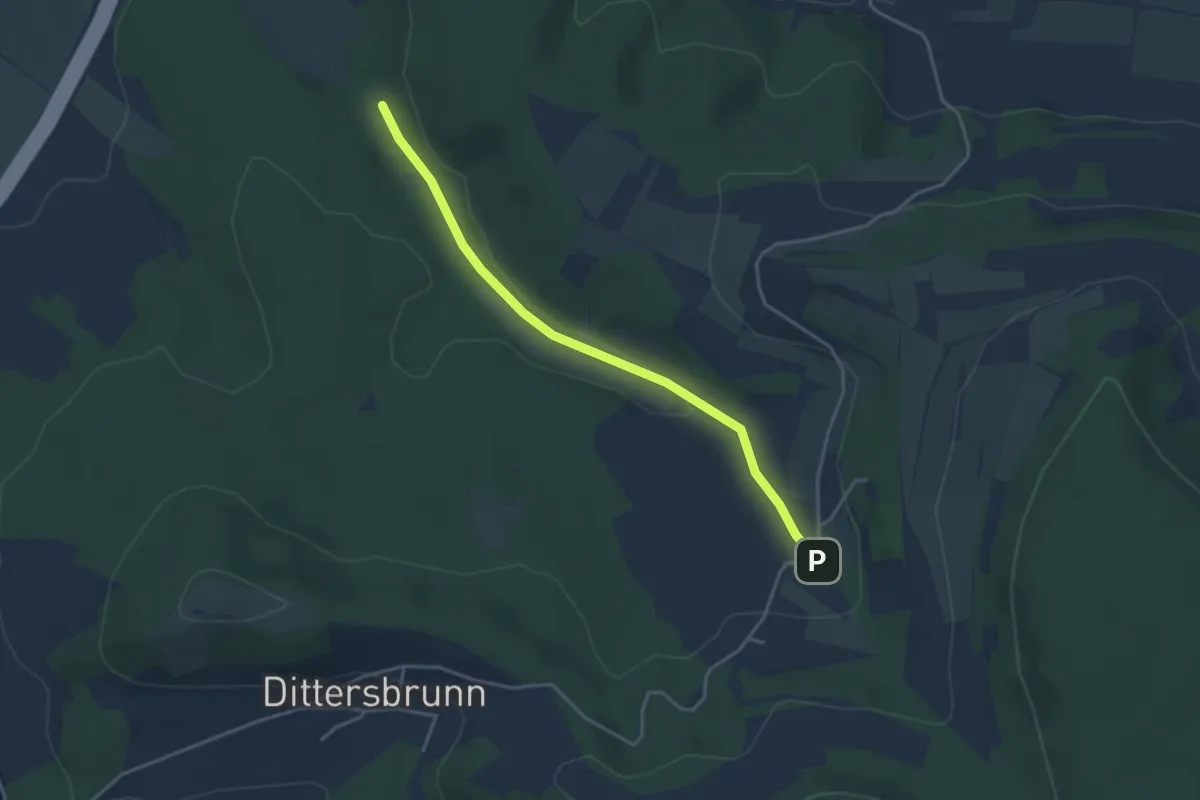
Easy · Trail
Verbindungsweg Seerangen - Sträublingshof
3.5 km · ↑ 54 m · 56 min
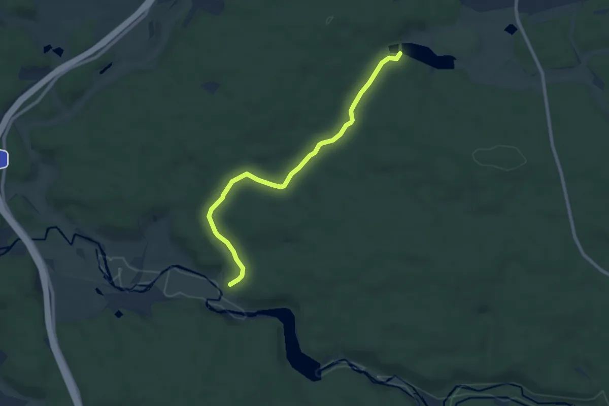
Easy · Trail
Verbindungsweg Selb (Wunsiedler Weiher) - Egerweg
6.3 km · ↑ 128 m · 1 h 46 min
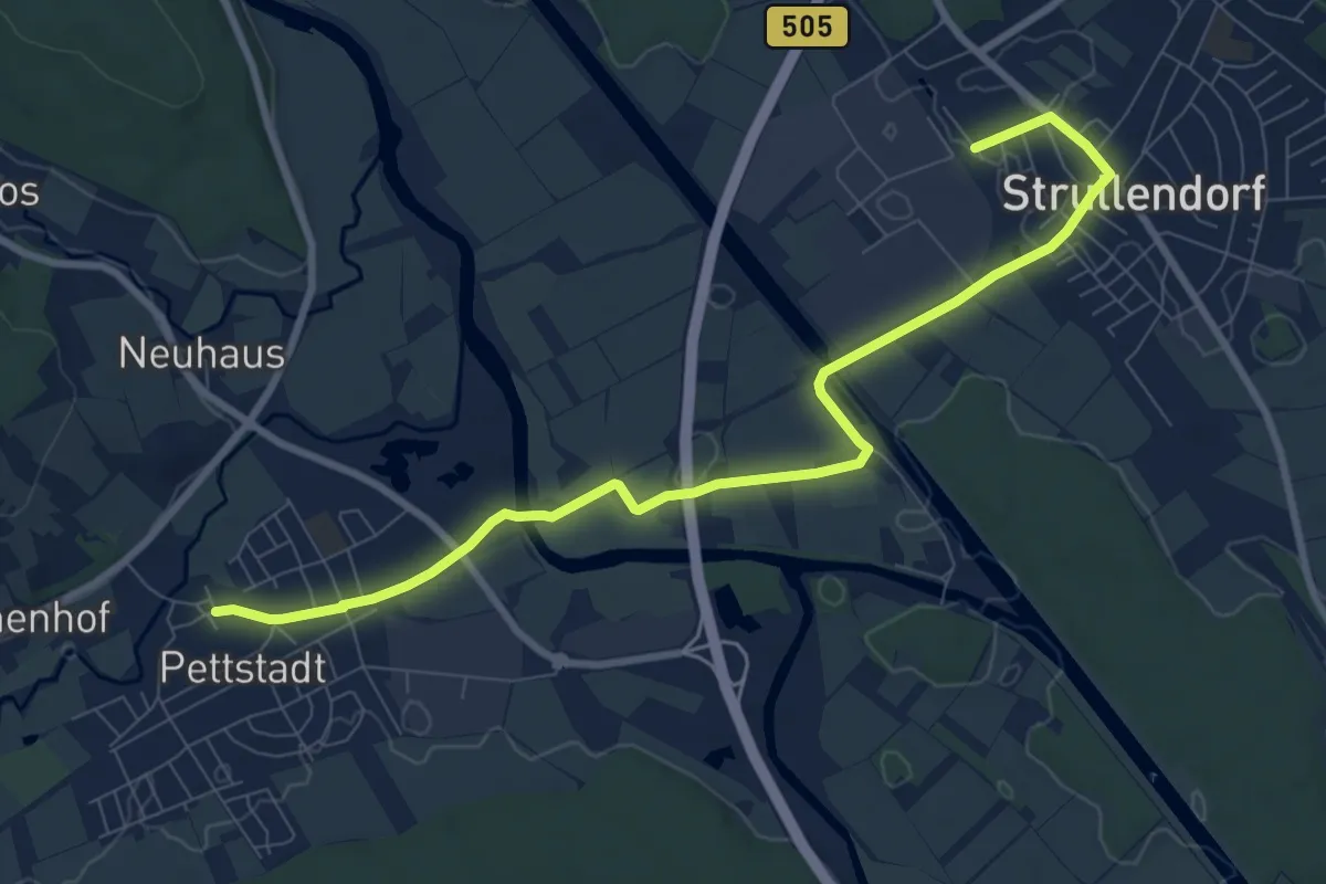
Medium · Trail
Verbindungsweg Strullendorf - 7-Flüsse-Wanderweg
9.0 km · ↑ 21 m · 2 h 10 min
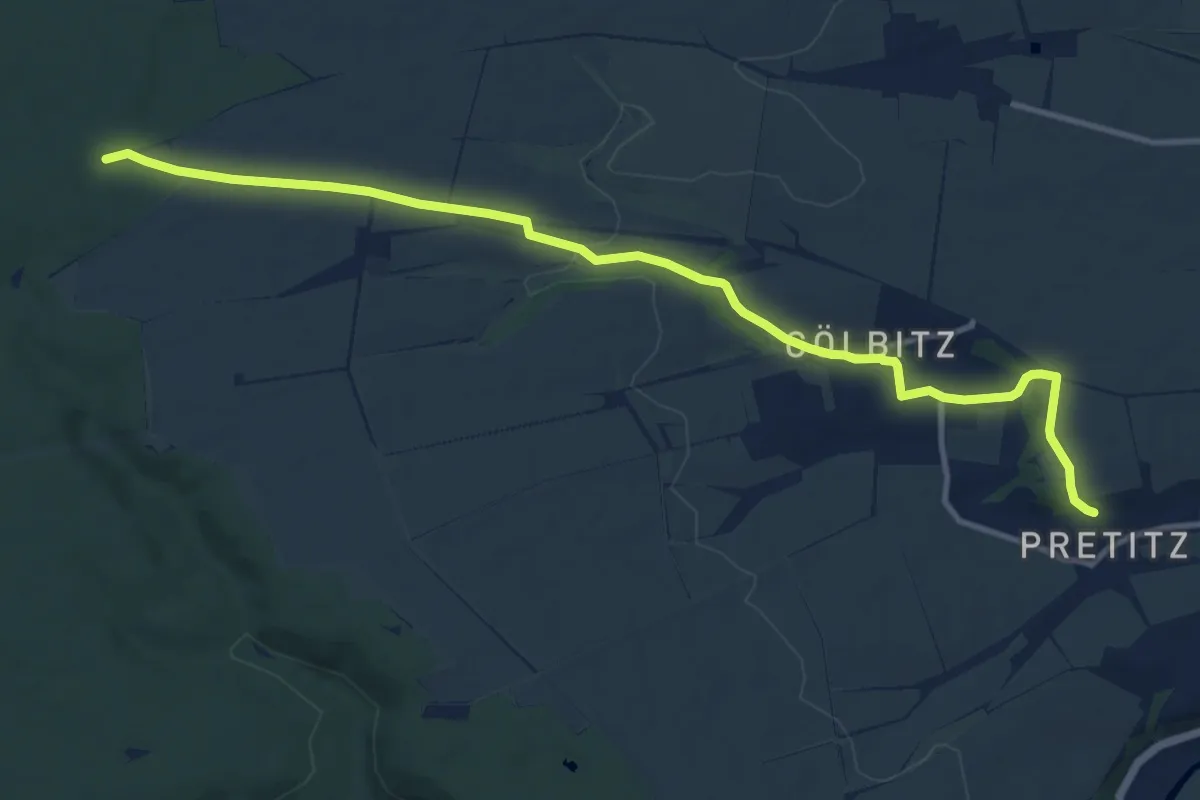
Medium · Trail
Verbindungsweg Südschleife
11.8 km · ↑ 144 m · 3 h 5 min
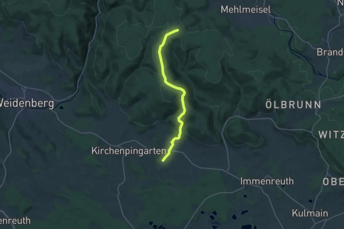
Medium · Trail
Verbindungsweg Tauritzmühle-Königskron-Südweg "Weissblau"
14.4 km · ↑ 397 m · 4 h 16 min
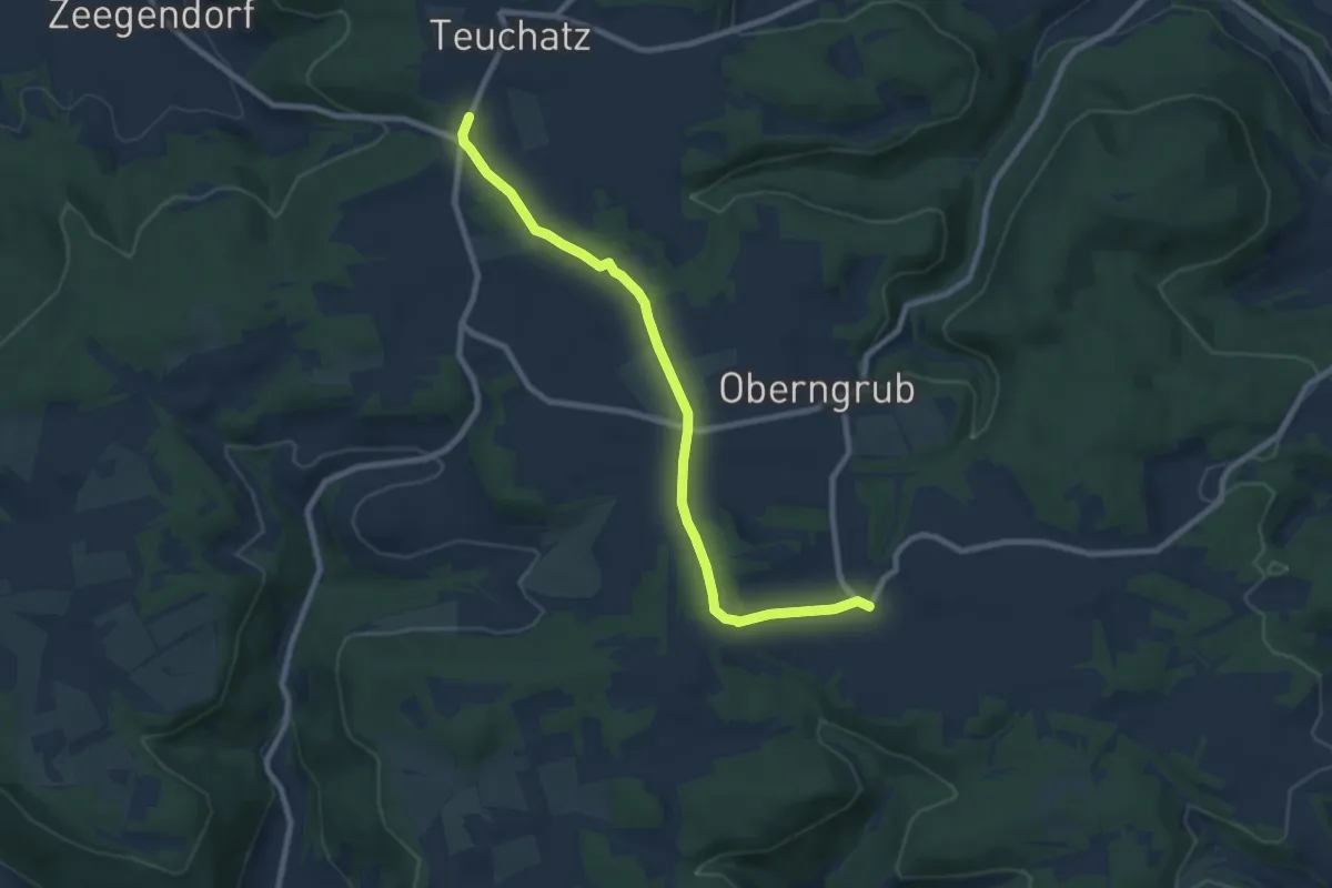
Easy · Trail
Verbindungsweg Teuchatz-Kalteneggolsfeld
8.0 km · ↑ 123 m · 2 h 9 min