Trails in Germany
36,852 hiking trails, each with its route, climb, walking time and grade.
All trails, page 649 of 768
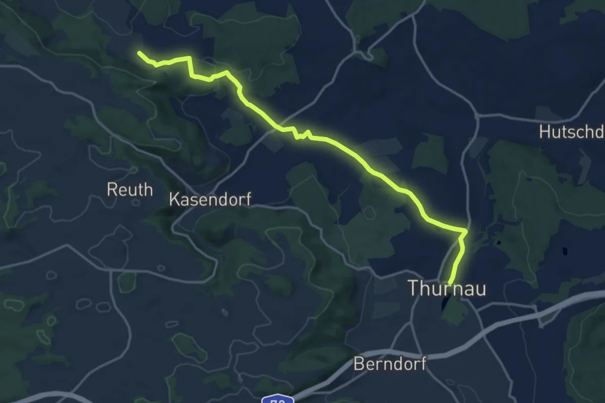
Medium · Trail
Verbindungsweg Thurnau - Lindenberg
12.8 km · ↑ 203 m · 3 h 27 min
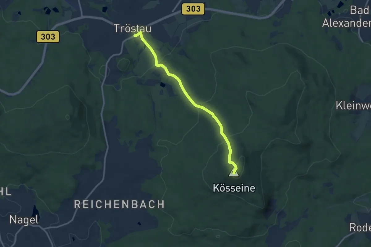
Medium · Summit
Verbindungsweg Tröstau-Kösseine
7.9 km · ↑ 355 m · 2 h 37 min
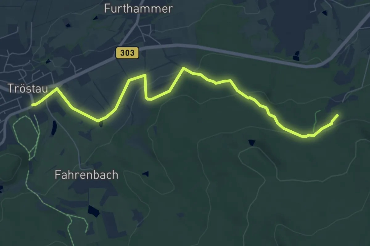
Easy · Trail
Verbindungsweg Tröstau - Luisenburg
7.8 km · ↑ 253 m · 2 h 24 min
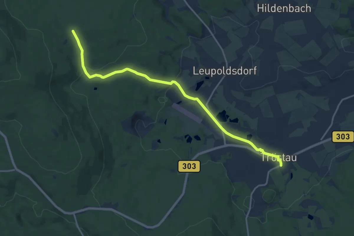
Medium · Trail
Verbindungsweg Tröstau - Schmierofenhütte
11.1 km · ↑ 186 m · 3 h 1 min
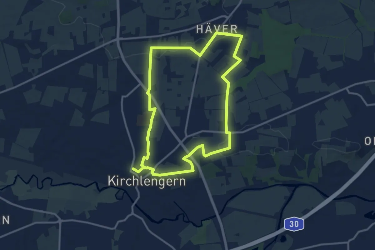
Easy · Trail
Verbindungsweg Ulenburgweg
7.8 km · ↑ 59 m · 2 h 5 min
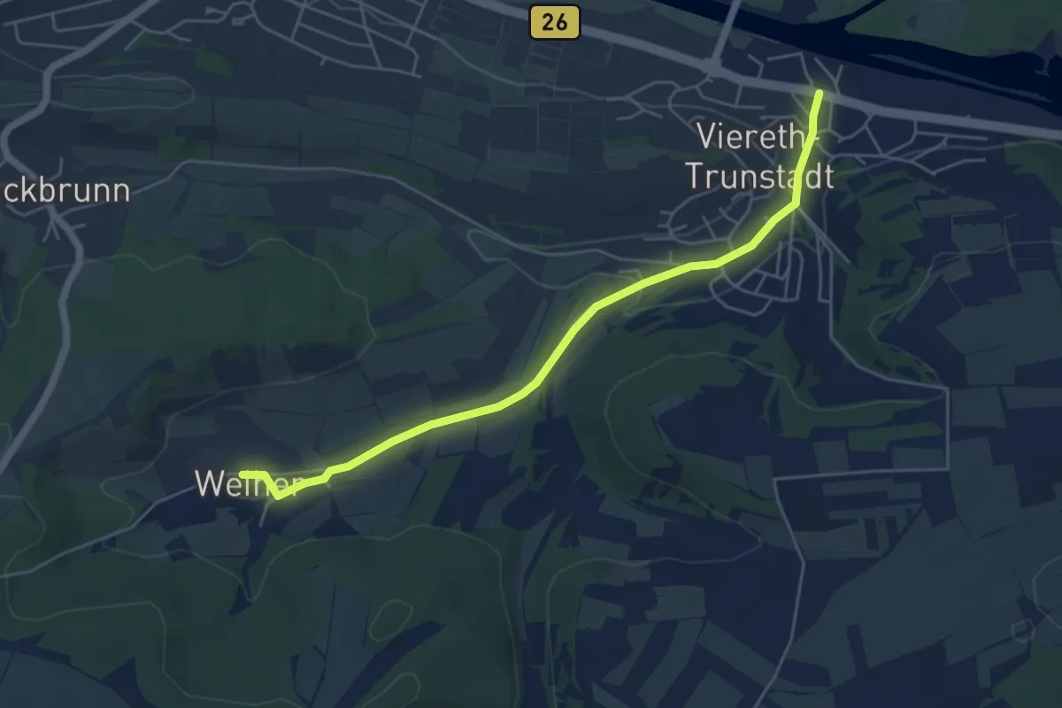
Easy · Trail
Verbindungsweg Viereth - Weiher
5.0 km · ↑ 40 m · 1 h 16 min
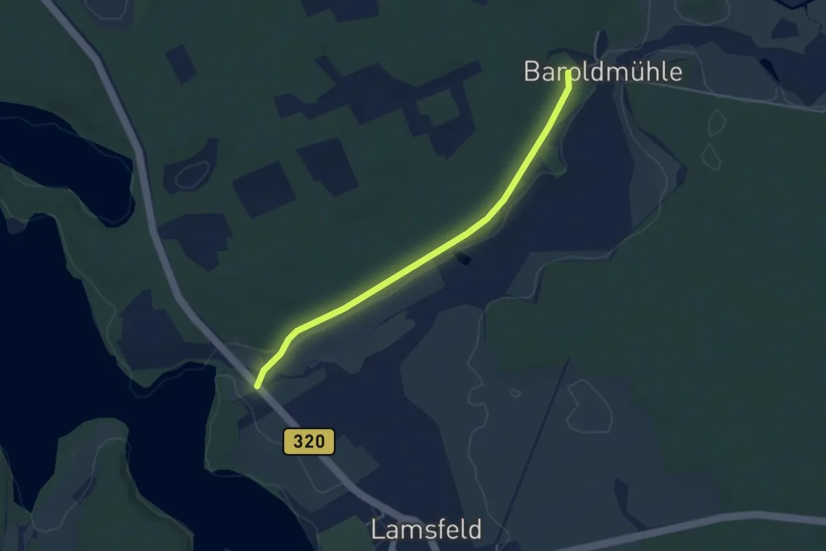
Easy · Trail
Verbindungsweg vom Baroldmühle zum B 320
3.6 km · ↑ 8 m · 53 min
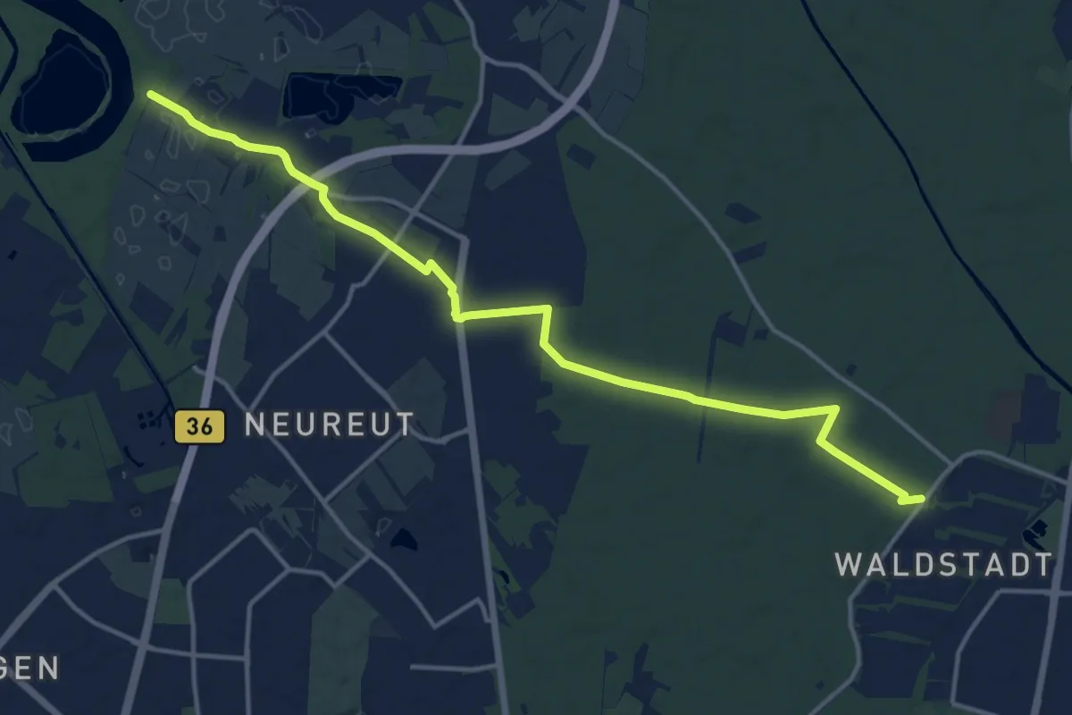
Medium · Trail
Verbindungsweg vom Kleinen Bodensee zum Karl-Knierer- und Graf-von-Wieser-Weg
14.8 km · ↑ 34 m · 3 h 34 min
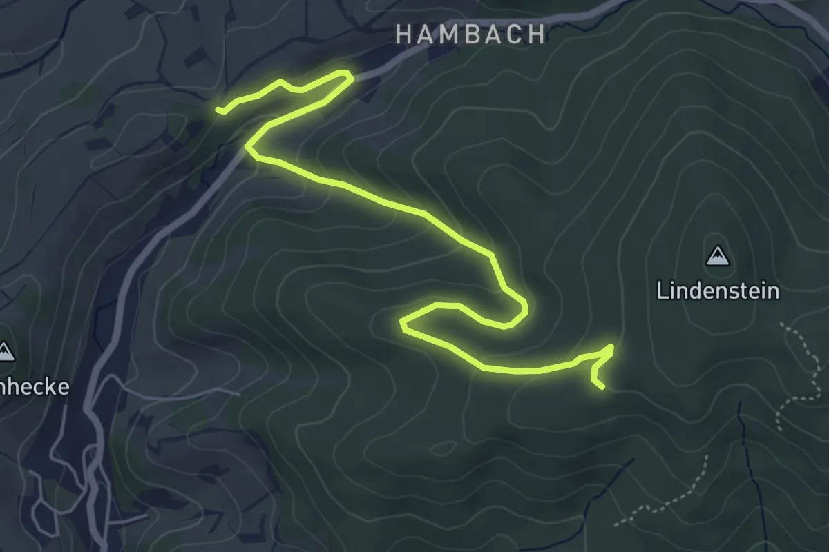
Easy · Trail
Verbindungsweg von H5 zu H5
3.0 km · ↑ 29 m · 54 min
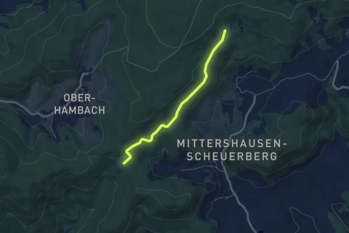
Easy · Trail
Verbindungsweg V zwischen Scheuerberg: RW9 und Jägerrast
4.4 km · ↑ 104 m · 1 h 16 min
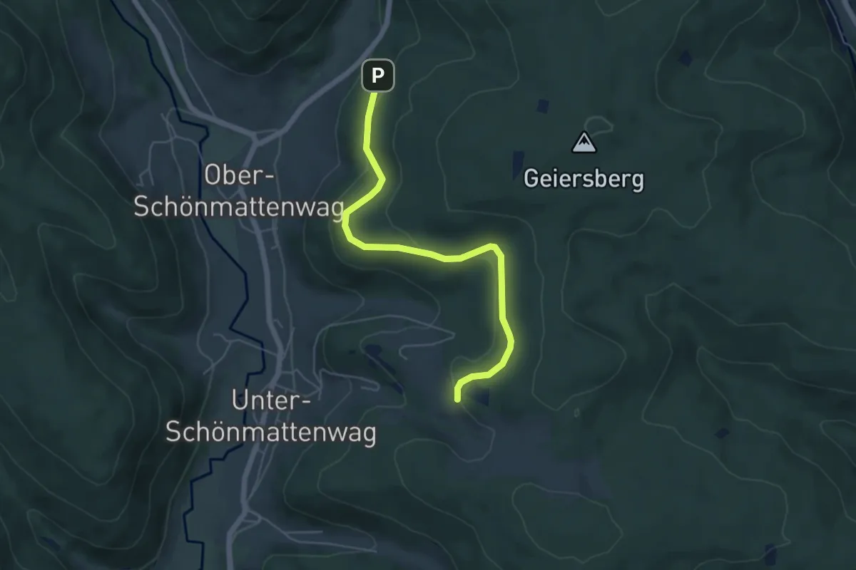
Easy · Trail
Verbindungsweg Waldlehrpfad zu R1, 2, 3 P-Wetschbach
5.0 km · ↑ 124 m · 1 h 27 min
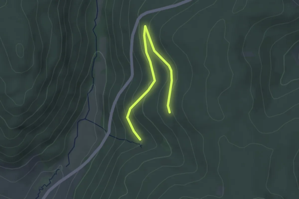
Easy · Trail
Verbindungsweg Waldlehrpfad zu R6 P-Faltersruhe
3.0 km · ↑ 73 m · 52 min
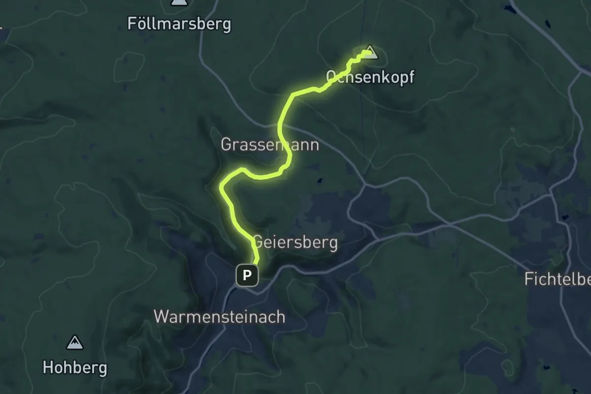
Medium · Summit
Verbindungsweg Warmensteinach-Ochsenkopf
11.0 km · ↑ 465 m · 3 h 36 min
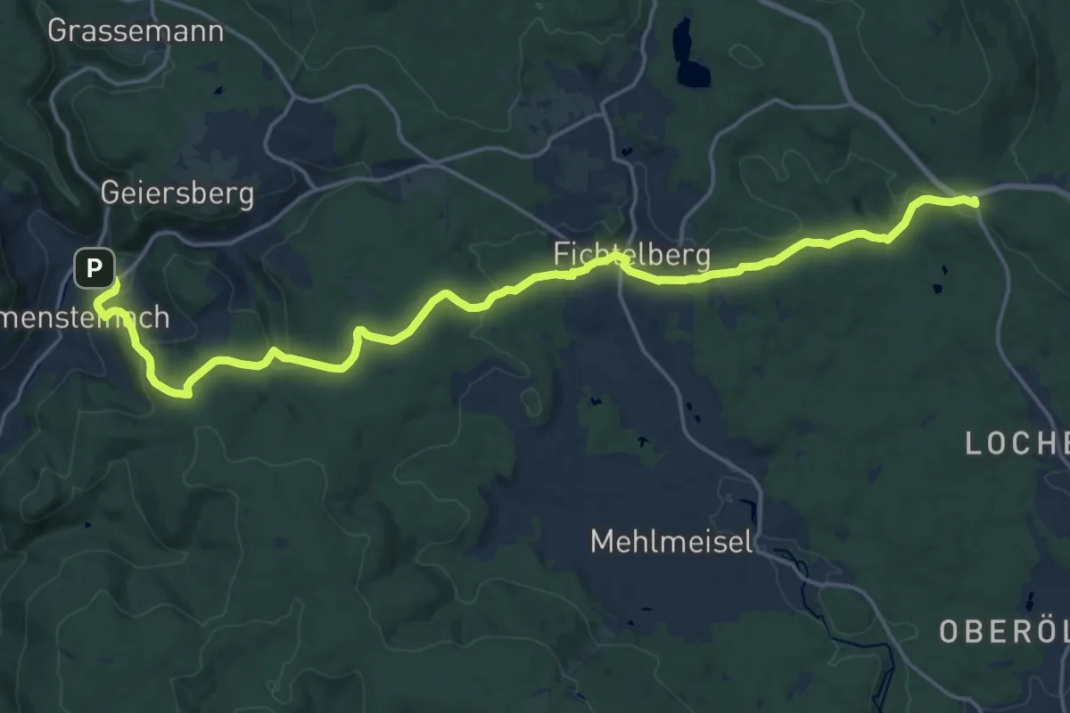
Demanding · Trail
Verbindungsweg Warmensteinach-Silberhaus
21.1 km · ↑ 591 m · 6 h 16 min
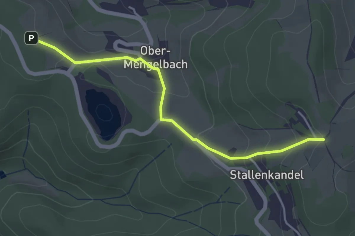
Easy · Trail
Verbindungsweg Weiher V
3.3 km · ↑ 142 m · 1 h 6 min
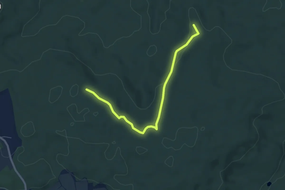
Easy · Summit
Verbindungsweg Weinreichgrab-Weinreichstein
5.4 km · ↑ 96 m · 1 h 29 min
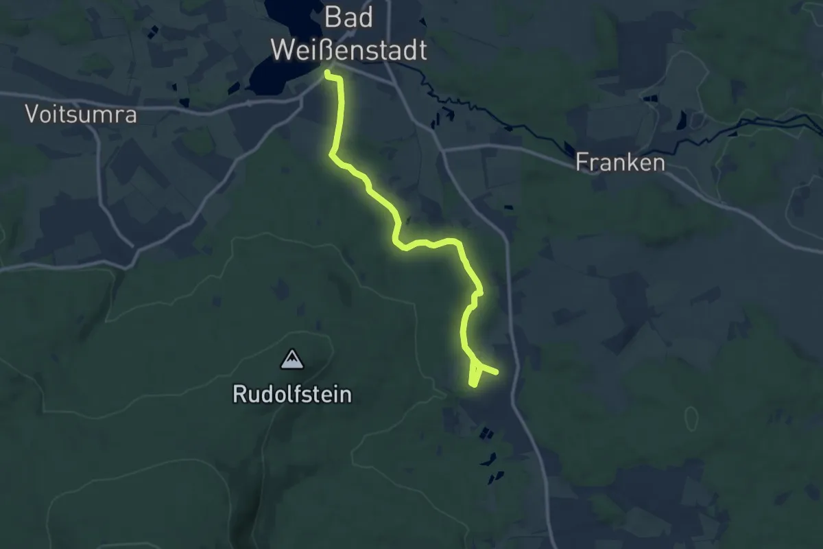
Medium · Trail
Verbindungsweg Weißenstadt-Finkenmühle
9.9 km · ↑ 163 m · 2 h 41 min
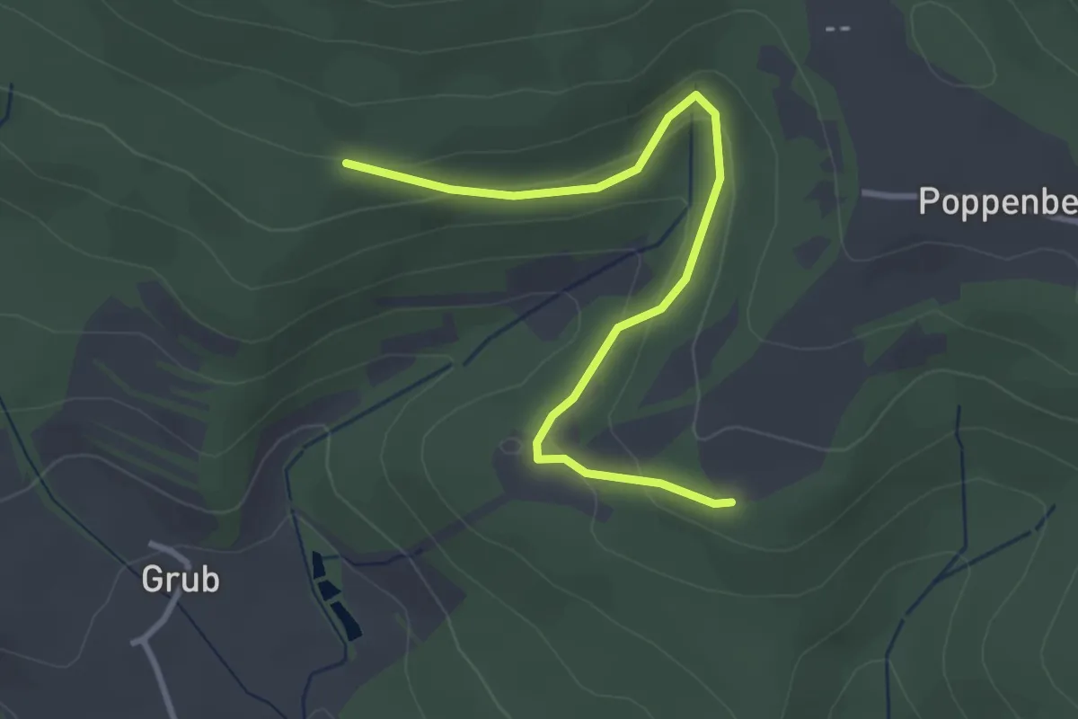
Easy · Trail
Verbindungsweg Westweg-Einmündung Weg 61
3.2 km · ↑ 150 m · 1 h 5 min
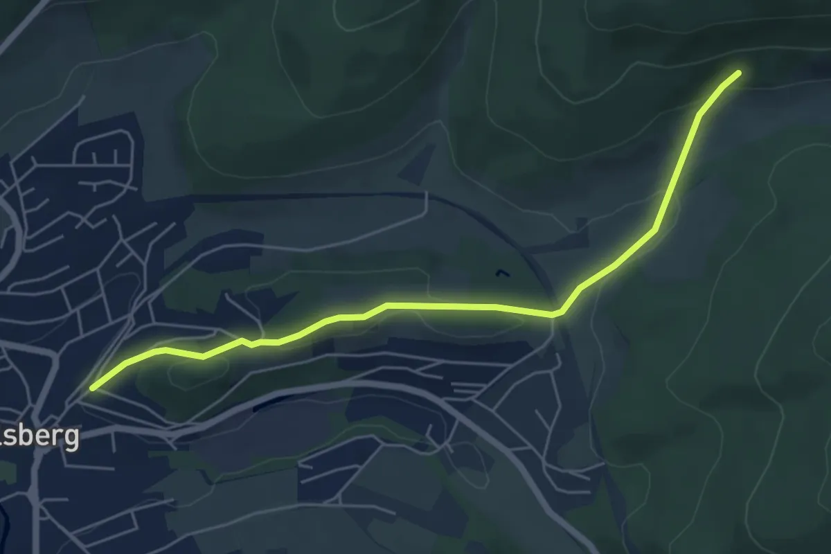
Easy · Trail
[<] Verbindungsweg X1 zum X10
5.1 km · ↑ 145 m · 1 h 31 min
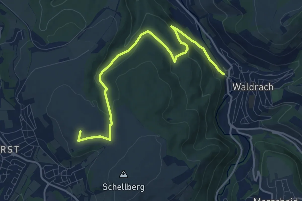
Medium · Summit
Verbindungsweg XV
9.9 km · ↑ 354 m · 3 h 6 min
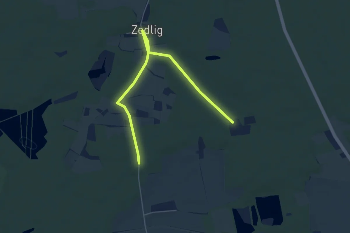
Easy · Trail
Verbindungsweg Zedlig
5.1 km · ↑ 23 m · 1 h 15 min
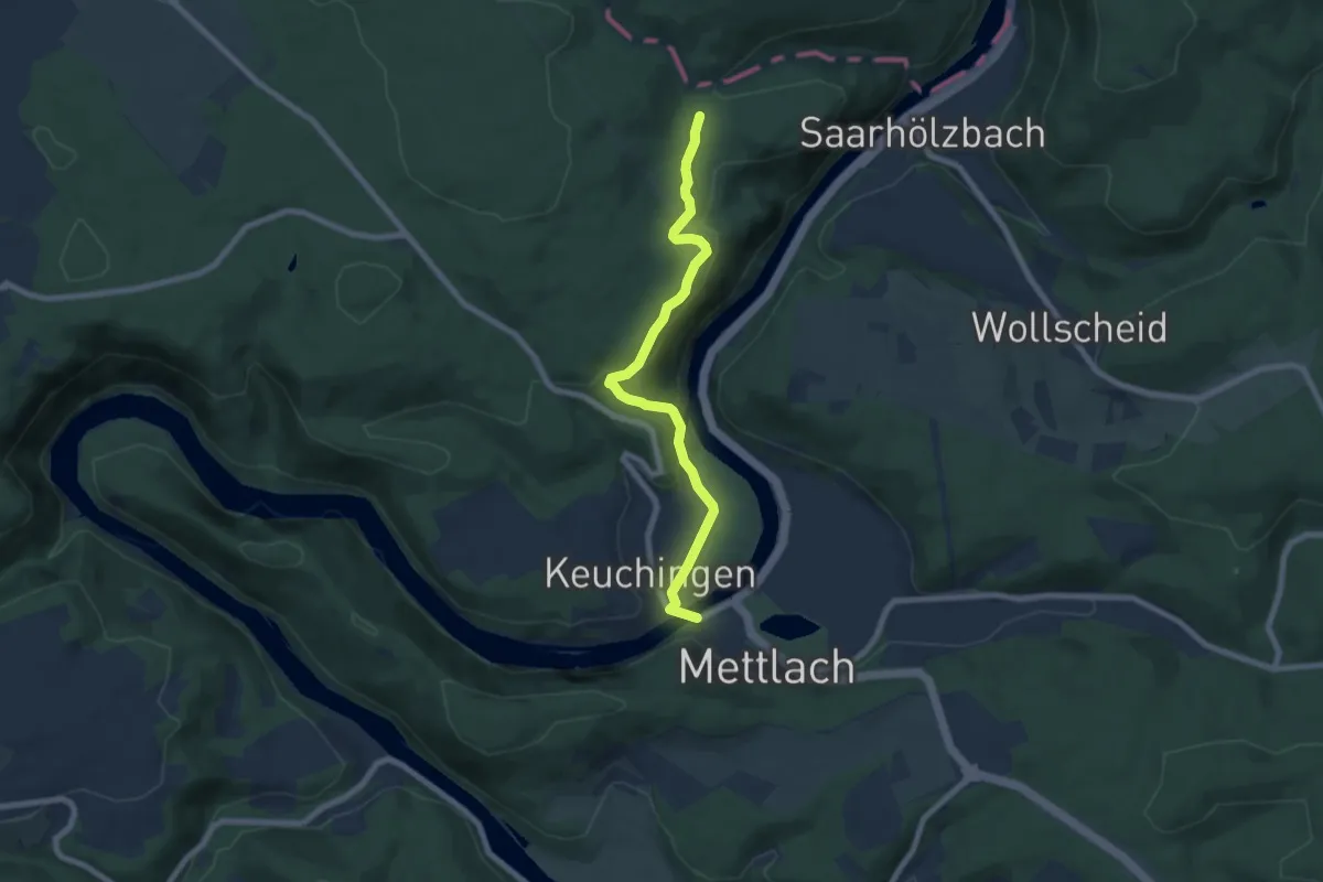
Easy · Trail
Verbindungsweg zum Europäischen Fernwanderweg E3
6.9 km · ↑ 239 m · 2 h 8 min
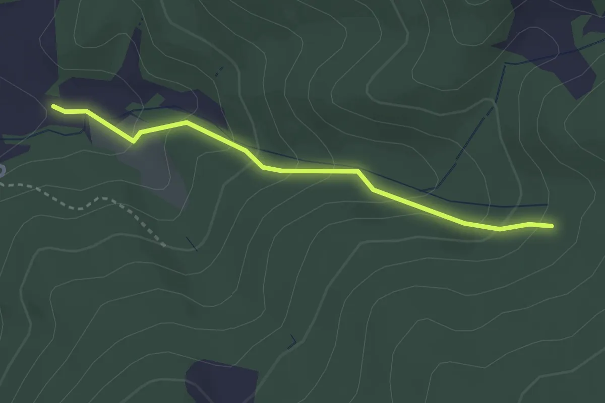
Demanding · Trail
Verbindungsweg zwischen R1 und Sch1
2.7 km · ↑ 199 m · 1 h 4 min
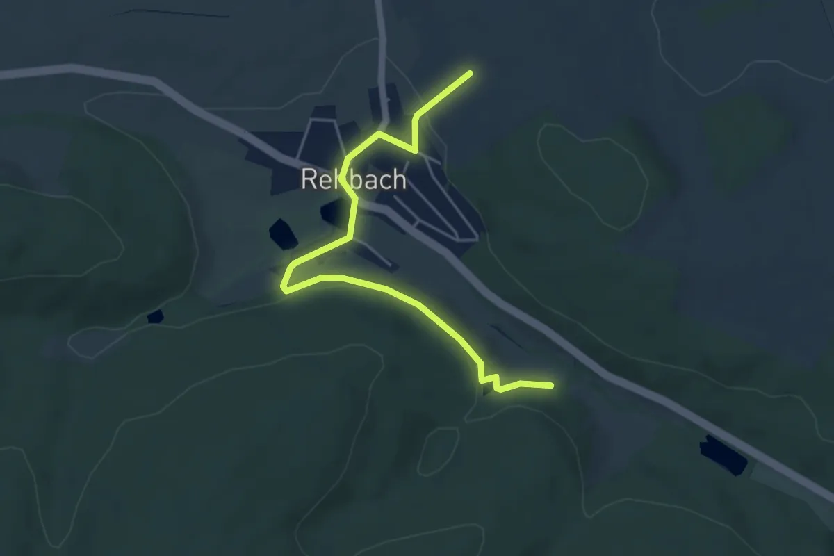
Easy · Trail
Verbindungweg HW18 - ?
4.6 km · ↑ 65 m · 1 h 13 min
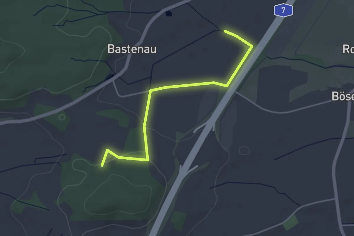
Easy · Trail
Verbindung Wörnitz Erzberg Heinerberg
3.5 km · ↑ 42 m · 55 min
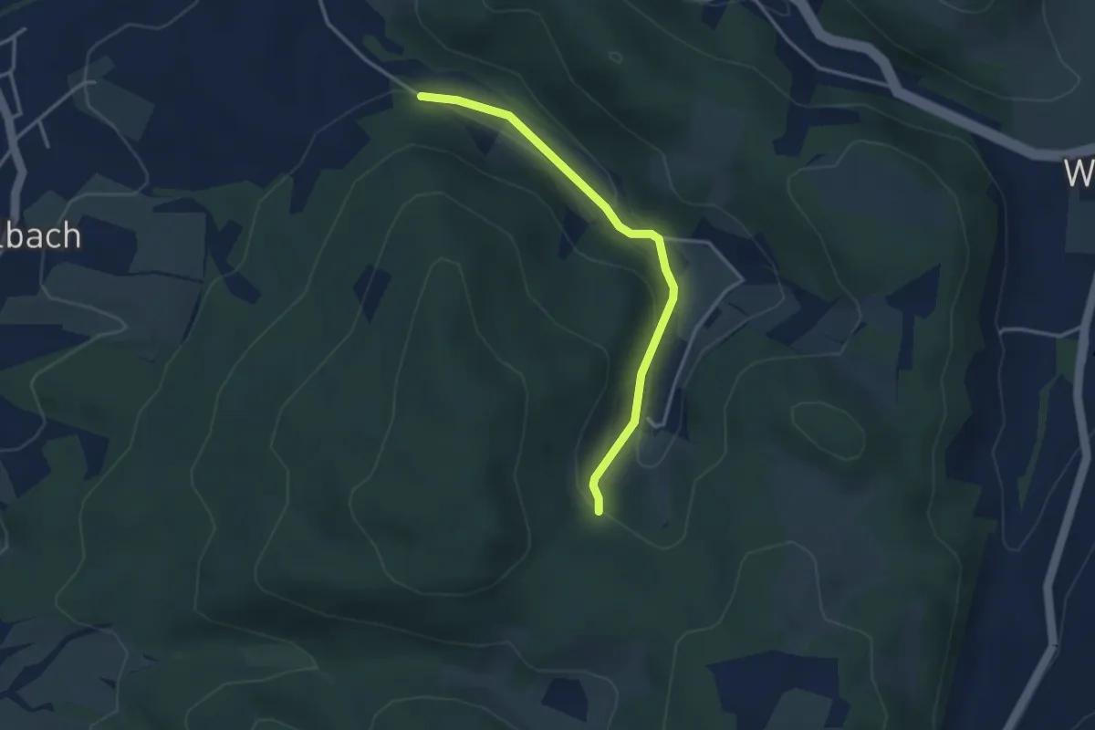
Easy · Trail
Verbindunsweg Feriendorf Kröckelbach 6 & H10
3.0 km · ↑ 102 m · 56 min
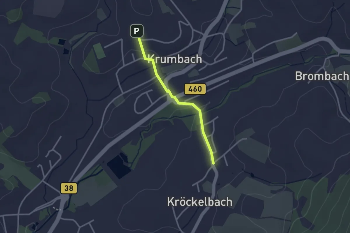
Easy · Trail
Verbindunsweg Feriendorf Kröckelbach 6 & Li4
2.1 km · ↑ 24 m · 33 min
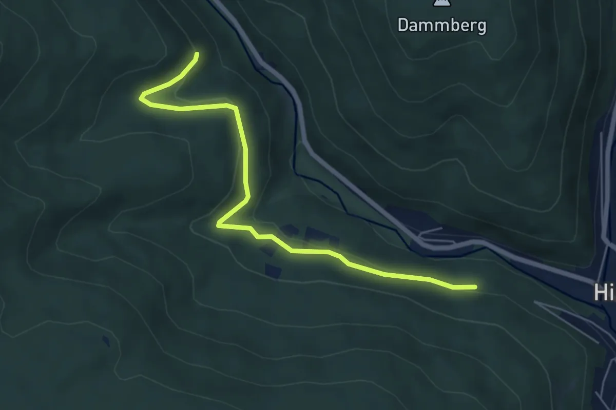
Easy · Trail
Verbindunsweg H4 zu L2
5.4 km · ↑ 193 m · 1 h 41 min
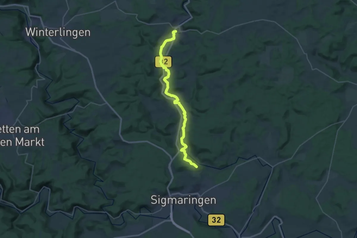
Demanding · Trail
Veringenstadt - Sigmaringen HW2
23.0 km · ↑ 200 m · 5 h 52 min
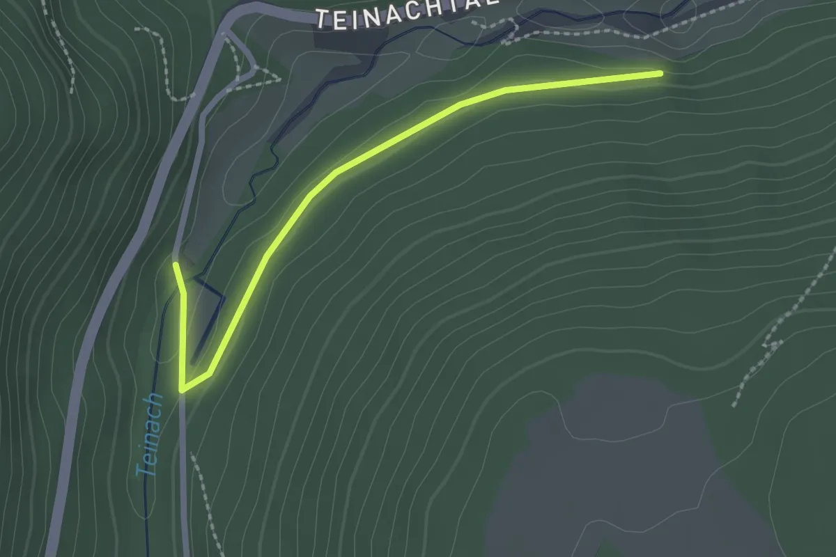
Easy · Trail
Verkehrtes Häusle - Pumpstation
2.2 km · ↑ 19 m · 33 min
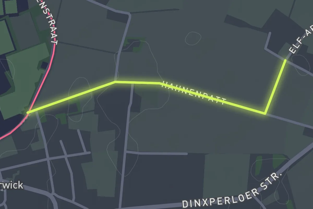
Easy · Trail
Verkorting Grenzenlos Wandelen A89-TP188
2.1 km · ↑ 0 m · 29 min
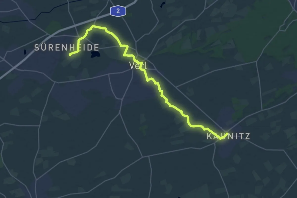
Demanding · Trail
Verler Kirchwege
22.7 km · ↑ 21 m · 5 h 24 min
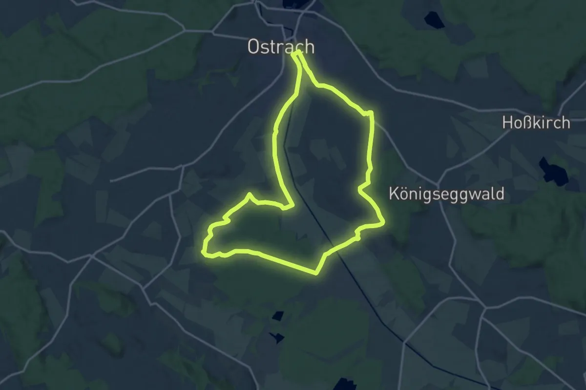
Medium · Trail
Vermessungslehrpfad
14.0 km · ↑ 101 m · 3 h 43 min
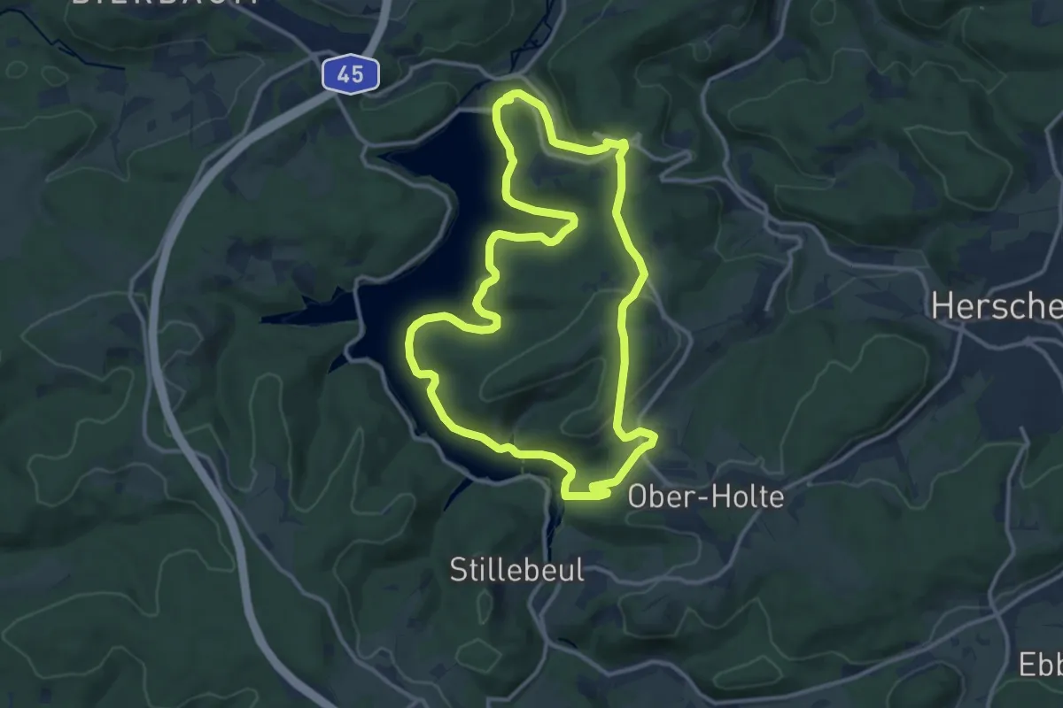
Medium · Trail
Versetalsperre Rundweg A1
10.8 km · ↑ 201 m · 3 h 9 min
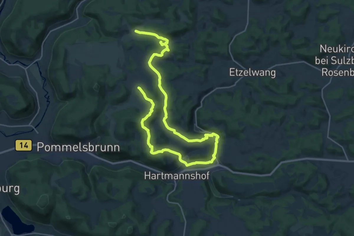
Medium · Summit
Versunkene Kulturen III
13.2 km · ↑ 361 m · 4 h 7 min
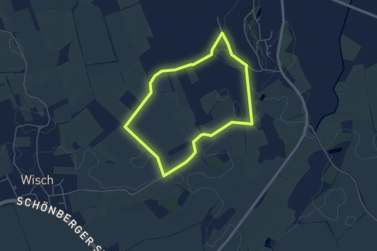
Easy · Trail
Vervellenhof
3.4 km · ↑ 4 m · 52 min
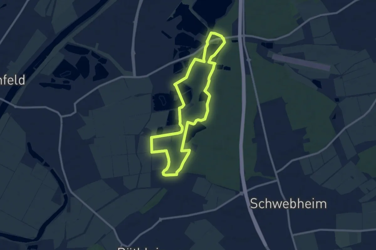
Easy · Trail
Verwunschen-Verwunschen
6.7 km · ↑ 47 m · 1 h 47 min
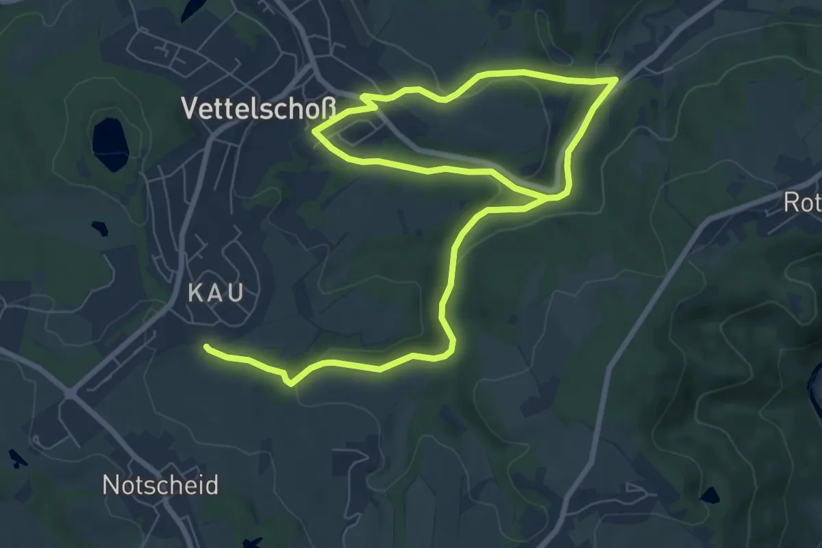
Medium · Trail
Vettelschoß Rundwanderweg R12
11.0 km · ↑ 261 m · 3 h 10 min
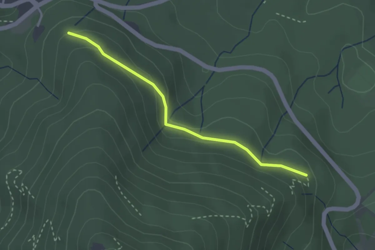
Easy · Trail
Vettersbruch - Zick-Zack-Weg
2.5 km · ↑ 125 m · 52 min
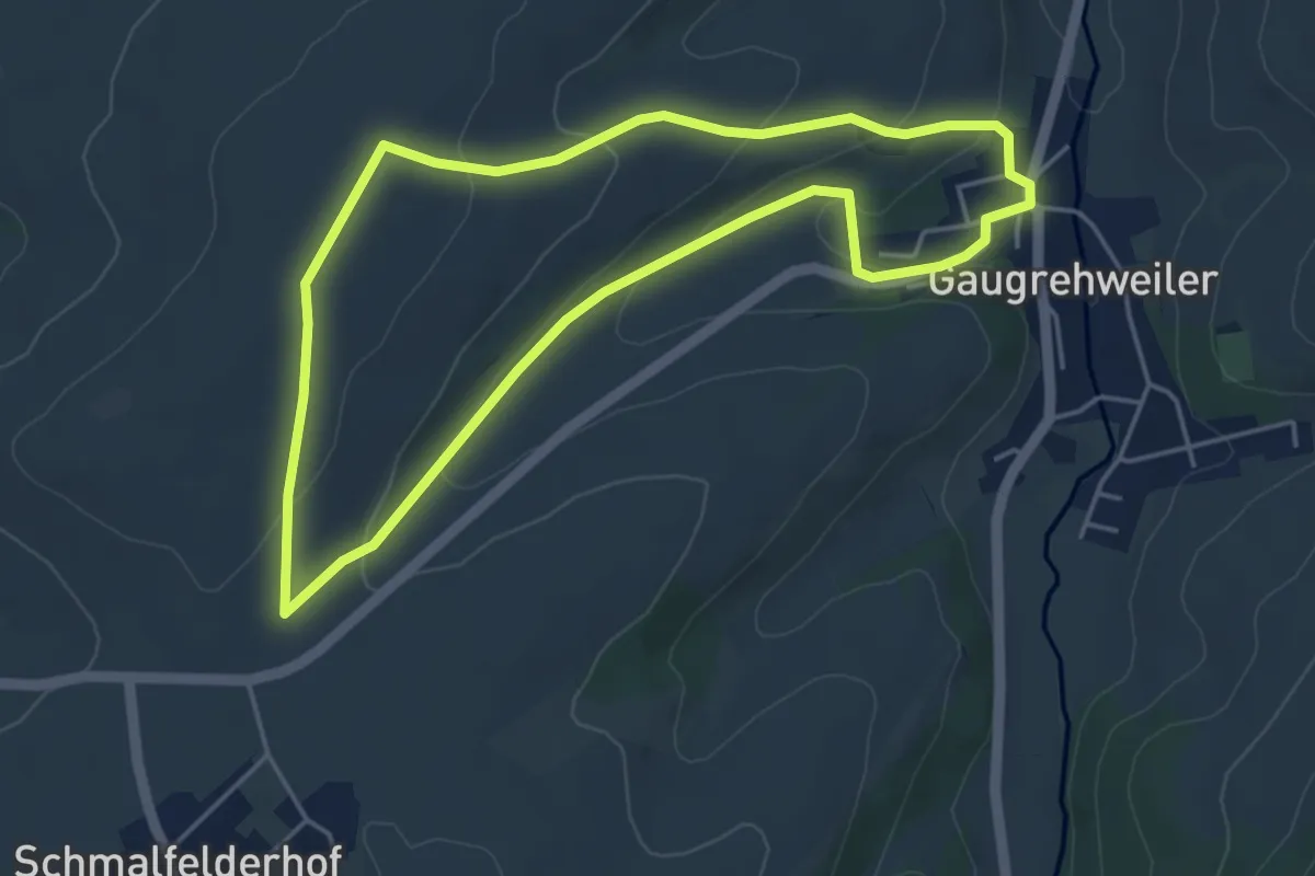
Easy · Trail
VG Alsenz-Obermoschel - Rundwanderweg R34
4.2 km · ↑ 104 m · 1 h 16 min
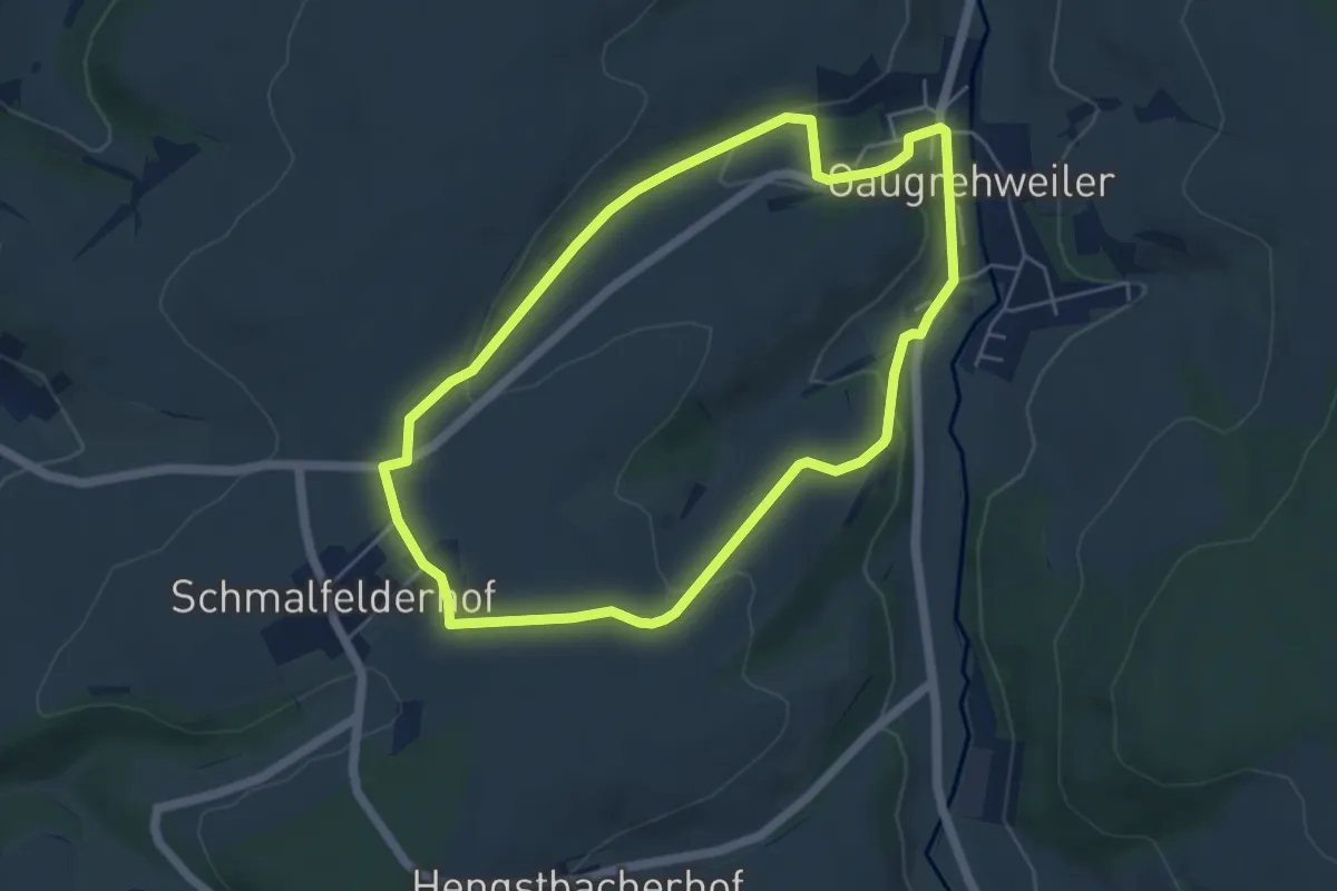
Easy · Trail
VG Alsenz-Obermoschel - Rundwanderweg R35
4.8 km · ↑ 103 m · 1 h 26 min
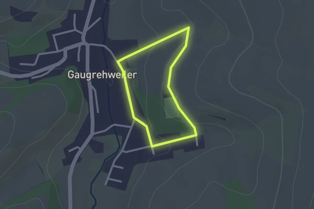
Easy · Trail
VG Alsenz-Obermoschel - Rundwanderweg R36
1.5 km · ↑ 42 m · 28 min
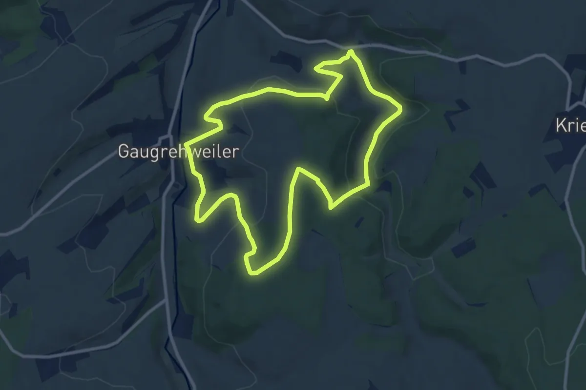
Medium · Trail
VG Alsenz-Obermoschel - Rundwanderweg R37
8.1 km · ↑ 253 m · 2 h 34 min
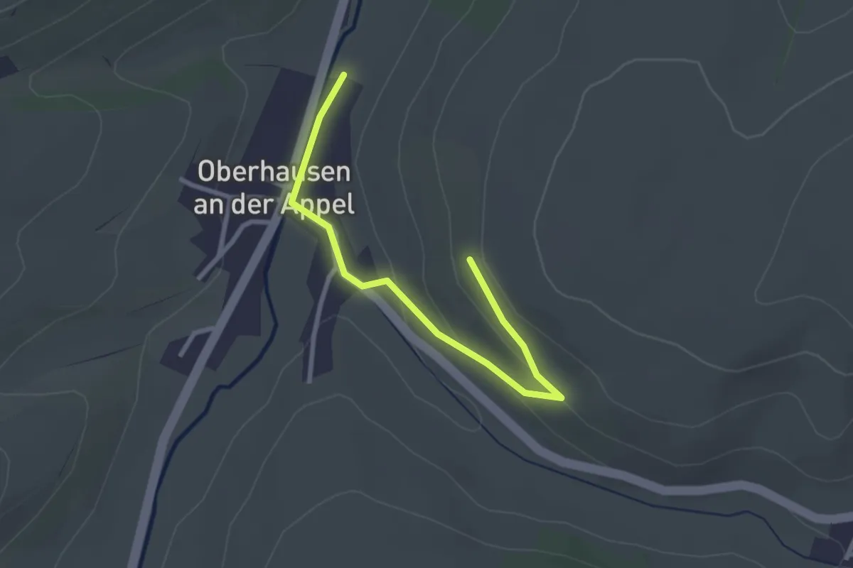
Easy · Trail
VG Alsenz-Obermoschel - Rundwanderweg R38
1.3 km · ↑ 62 m · 26 min
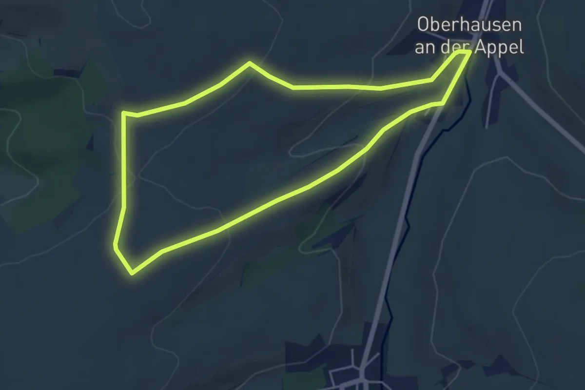
Easy · Trail
VG Alsenz-Obermoschel - Rundwanderweg R39
4.1 km · ↑ 125 m · 1 h 17 min
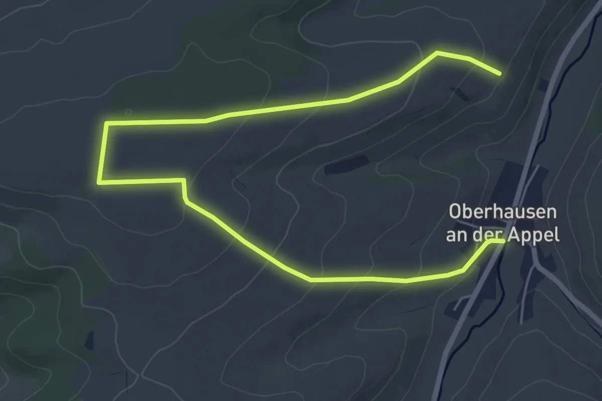
Easy · Trail
VG Alsenz-Obermoschel - Rundwanderweg R40
3.6 km · ↑ 85 m · 1 h 7 min
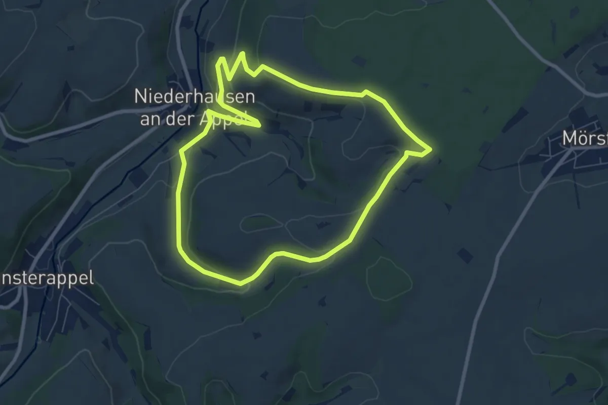
Easy · Trail
VG Alsenz-Obermoschel - Rundwanderweg R45
6.6 km · ↑ 167 m · 2 h
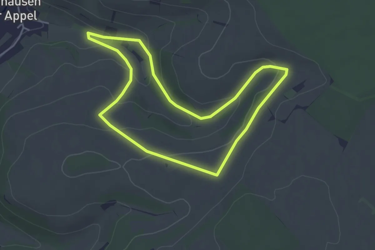
Easy · Trail
VG Alsenz-Obermoschel - Rundwanderweg R46
3.4 km · ↑ 96 m · 1 h 4 min