Trails in Germany
36,852 hiking trails, each with its route, climb, walking time and grade.
All trails, page 650 of 768
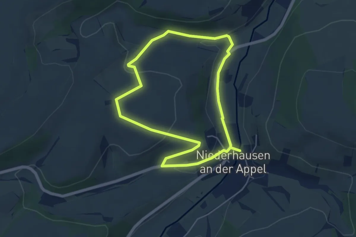
Easy · Trail
VG Alsenz-Obermoschel - Rundwanderweg R47
3.7 km · ↑ 96 m · 1 h 8 min
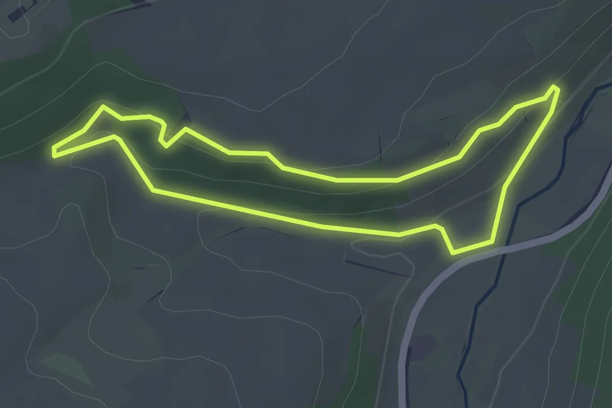
Easy · Trail
VG Alsenz-Obermoschel - Rundwanderweg R48
3.0 km · ↑ 94 m · 57 min
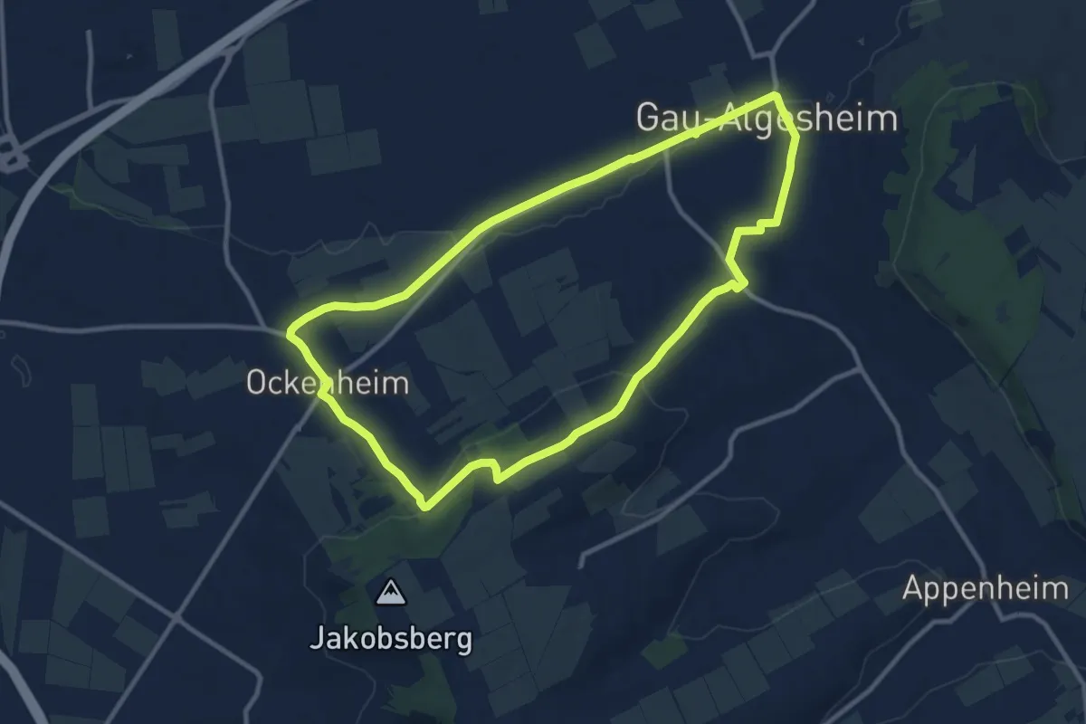
Medium · Trail
VG Gau-Algesheim: 1
9.6 km · ↑ 164 m · 2 h 46 min
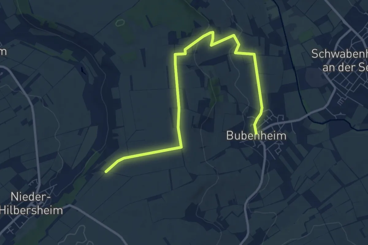
Easy · Trail
VG Gau-Algesheim: 10
4.5 km · ↑ 12 m · 1 h 12 min
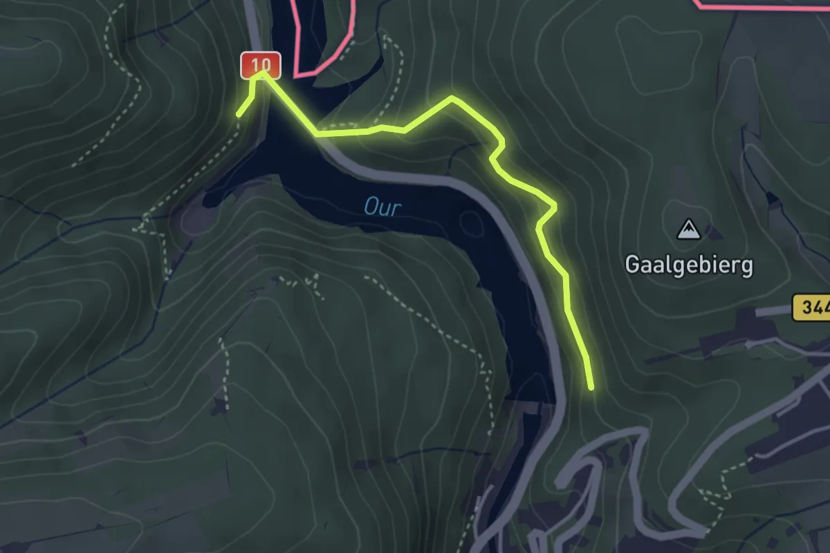
Easy · Trail
VI 3 (Vianden)
1.6 km · ↑ 131 m · 41 min
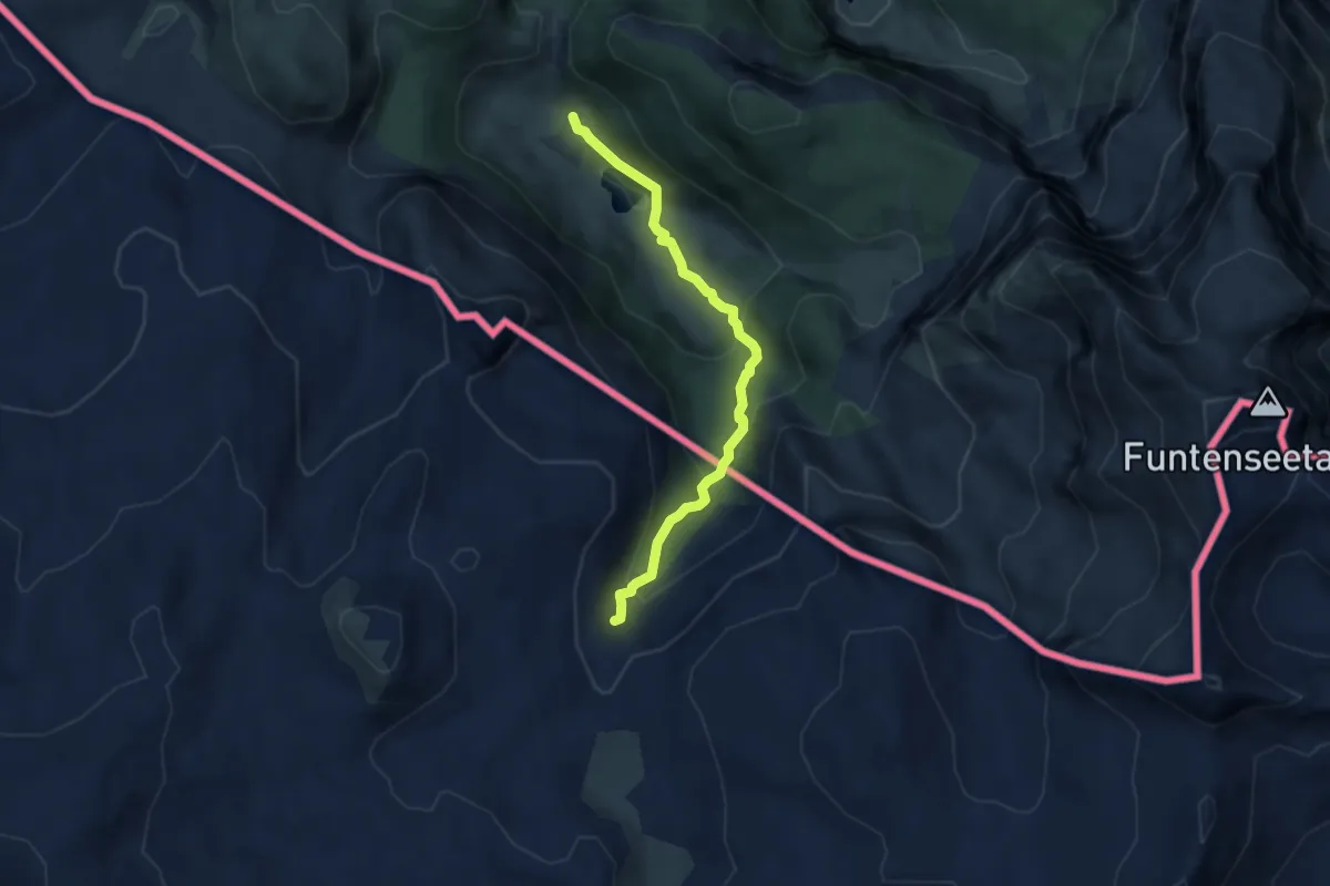
Demanding · Cabin
Via Alpina Purple A40
5.9 km · ↑ 390 m · 2 h 14 min
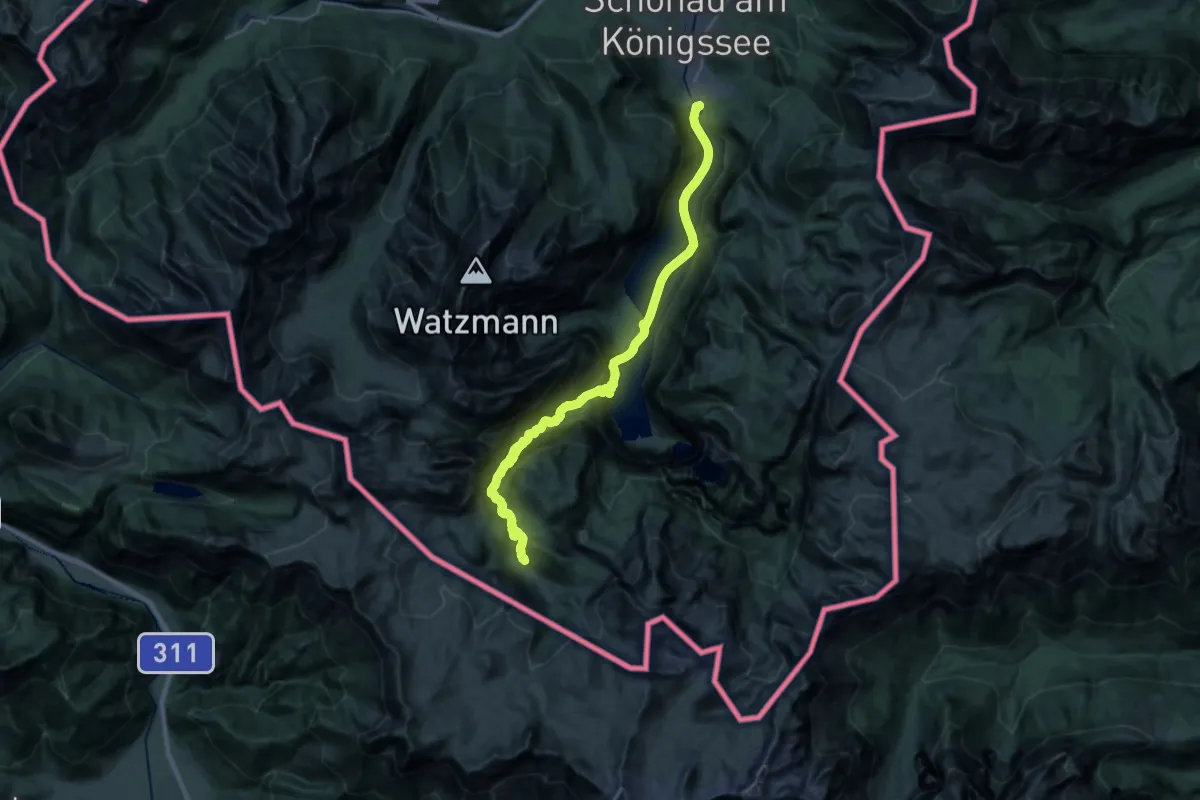
Demanding · Cabin
Via Alpina Purple A41
15.8 km · ↑ 1298 m · 6 h 14 min
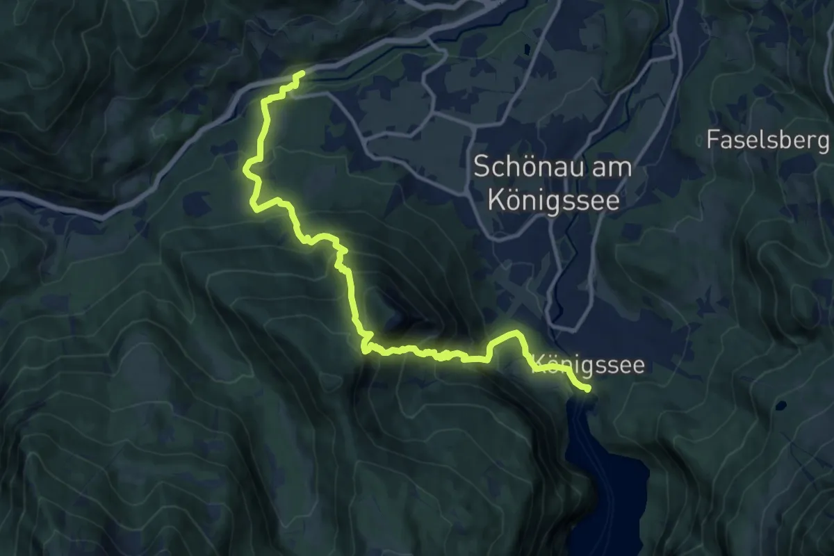
Demanding · Trail
Via Alpina Purple A42
14.1 km · ↑ 1259 m · 6 h 3 min
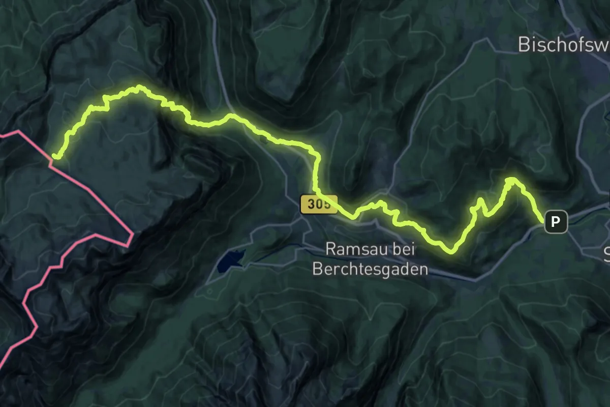
Demanding · Cabin
Via Alpina Purple A43
19.1 km · ↑ 1521 m · 7 h 35 min
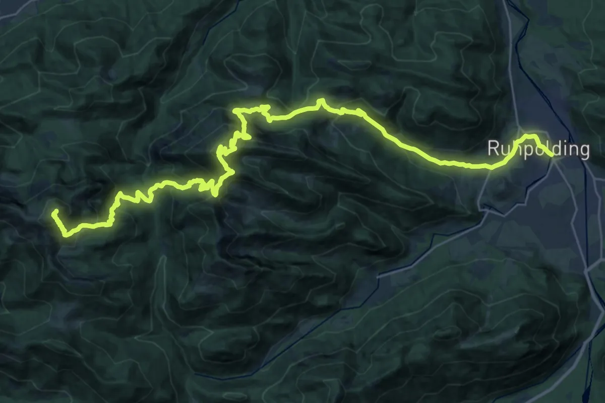
Demanding · Summit
Via Alpina Purple A46
35.4 km · ↑ 2416 m · 13 h 36 min
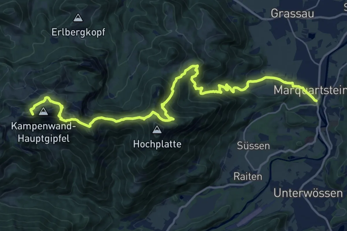
Demanding · Summit
Via Alpina Purple A47
25.6 km · ↑ 1645 m · 9 h 36 min
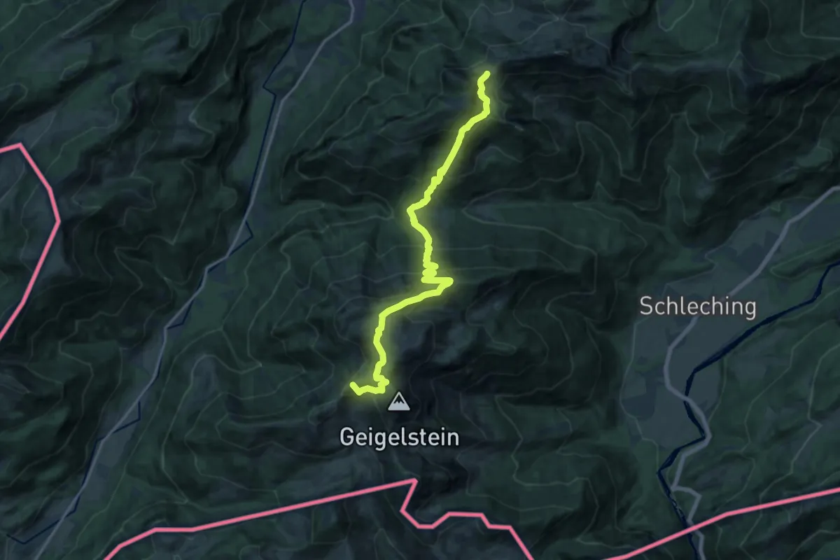
Demanding · Summit
Via Alpina Purple A48
16.2 km · ↑ 1234 m · 6 h 31 min
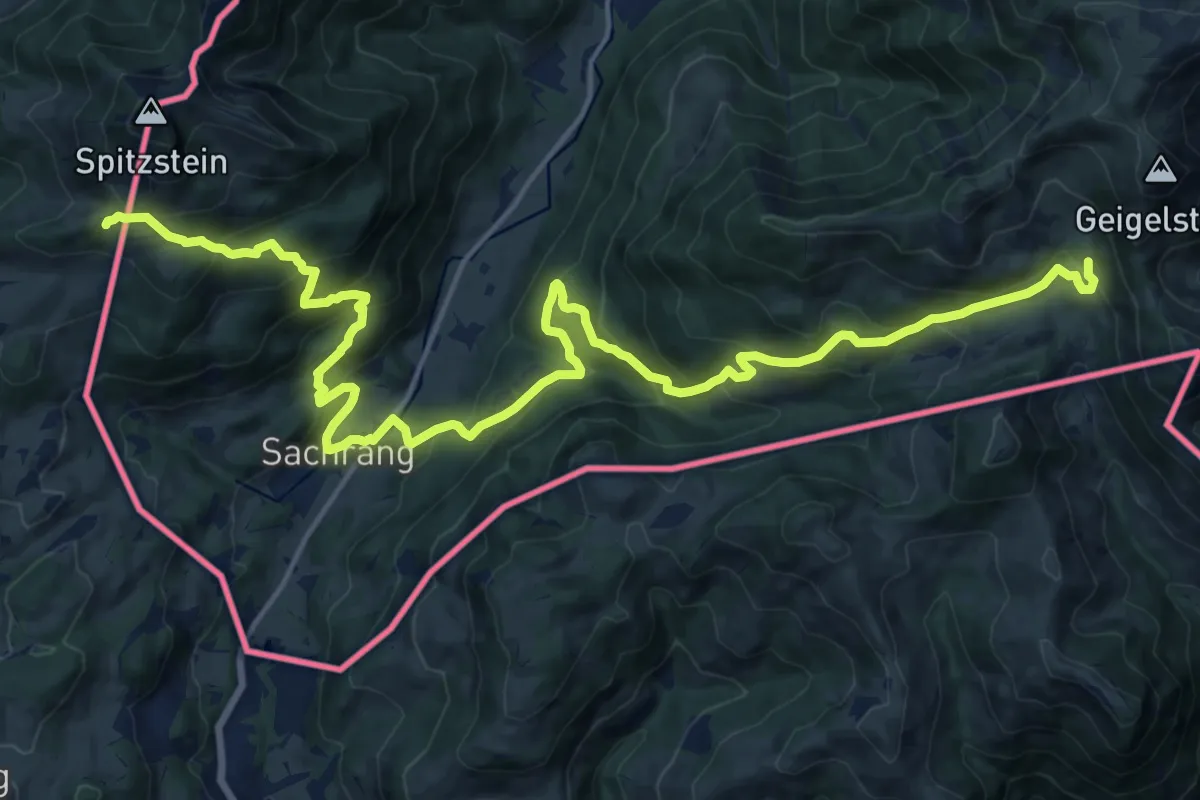
Medium · Cabin
Via Alpina Purple A49
11.2 km · ↑ 615 m · 4 h 13 min
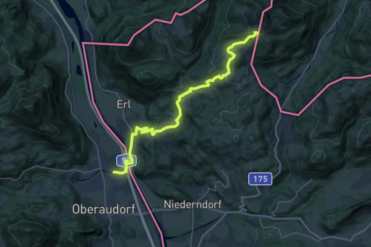
Demanding · Cabin
Via Alpina Purple A50
21.3 km · ↑ 851 m · 6 h 52 min
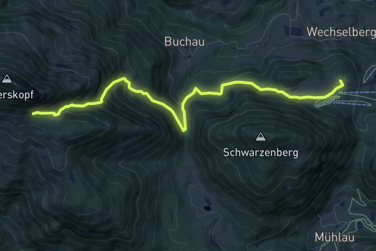
Demanding · Summit
Via Alpina Purple A51
10.3 km · ↑ 829 m · 4 h 13 min
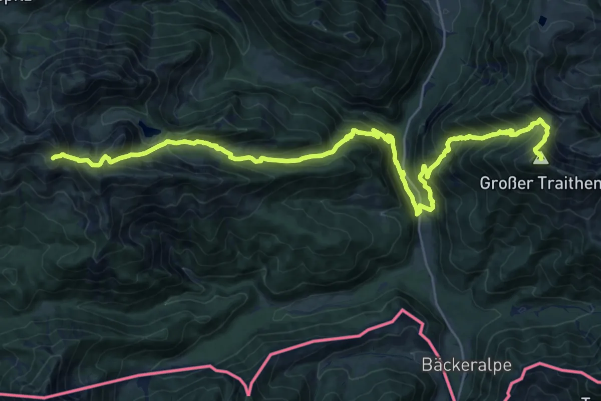
Demanding · Summit
Via Alpina Purple A52
25.1 km · ↑ 2100 m · 10 h 28 min
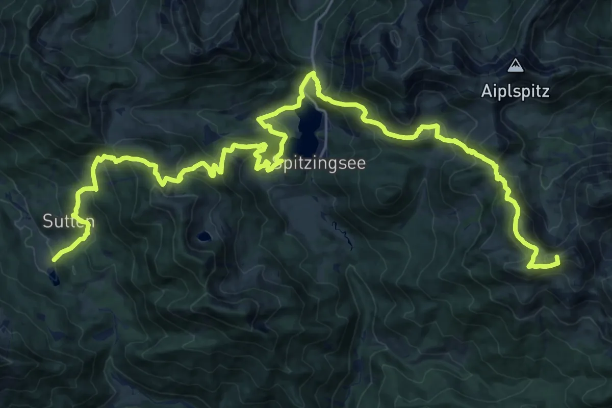
Demanding · Summit
Via Alpina Purple A53
28.9 km · ↑ 1839 m · 10 h 48 min
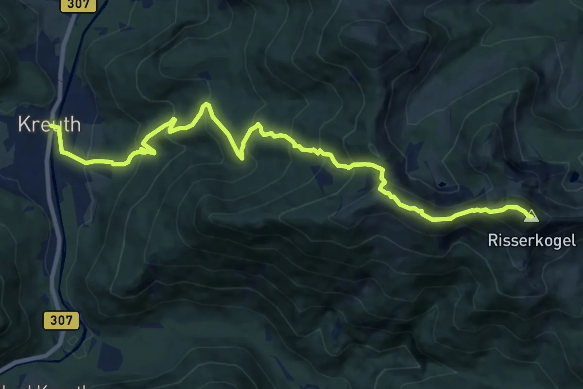
Demanding · Summit
Via Alpina Purple A54
13.0 km · ↑ 1095 m · 5 h 27 min
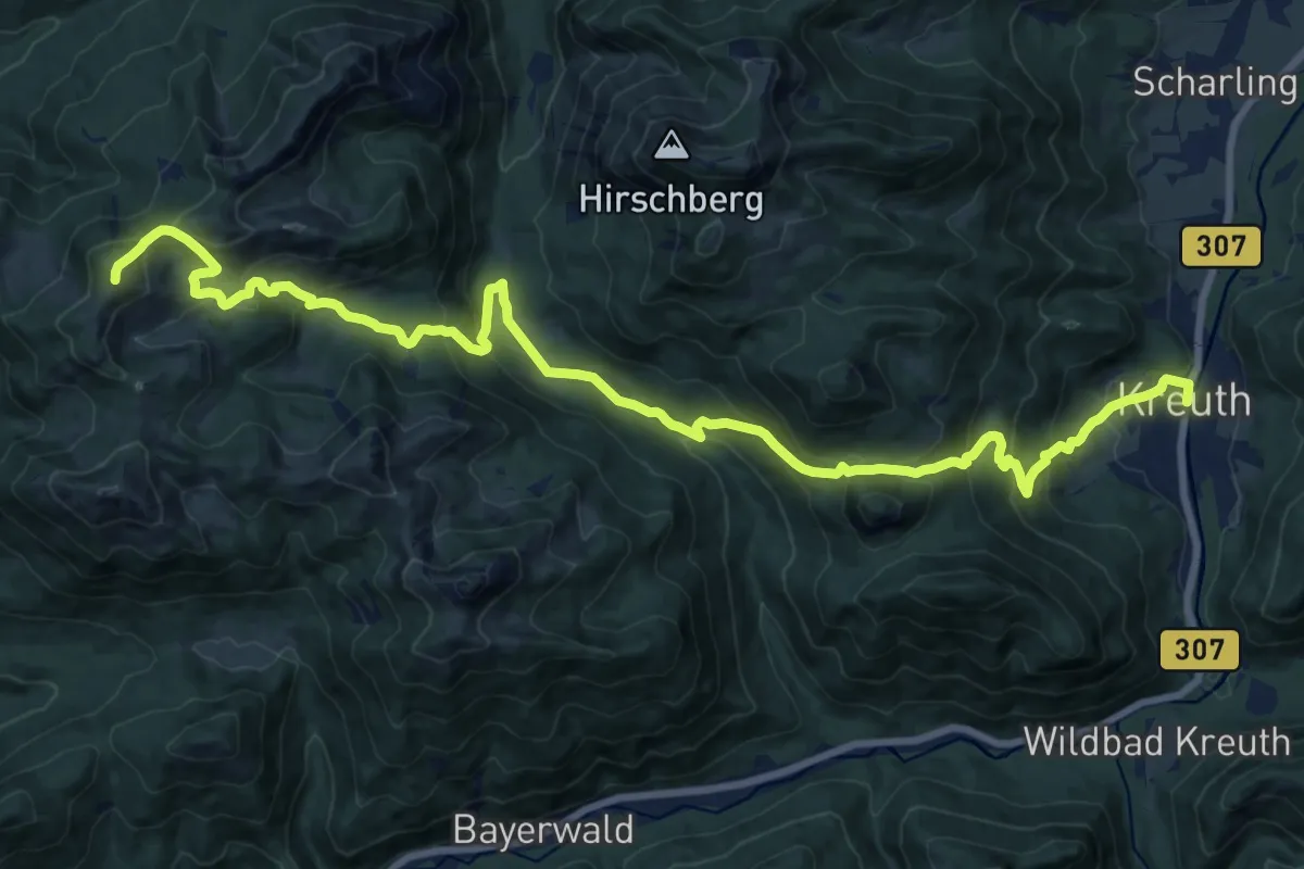
Demanding · Summit
Via Alpina Purple A55
22.6 km · ↑ 1251 m · 8 h 2 min
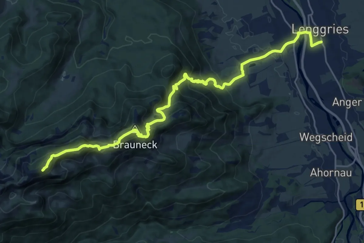
Demanding · Summit
Via Alpina Purple A56
18.9 km · ↑ 1205 m · 7 h 5 min
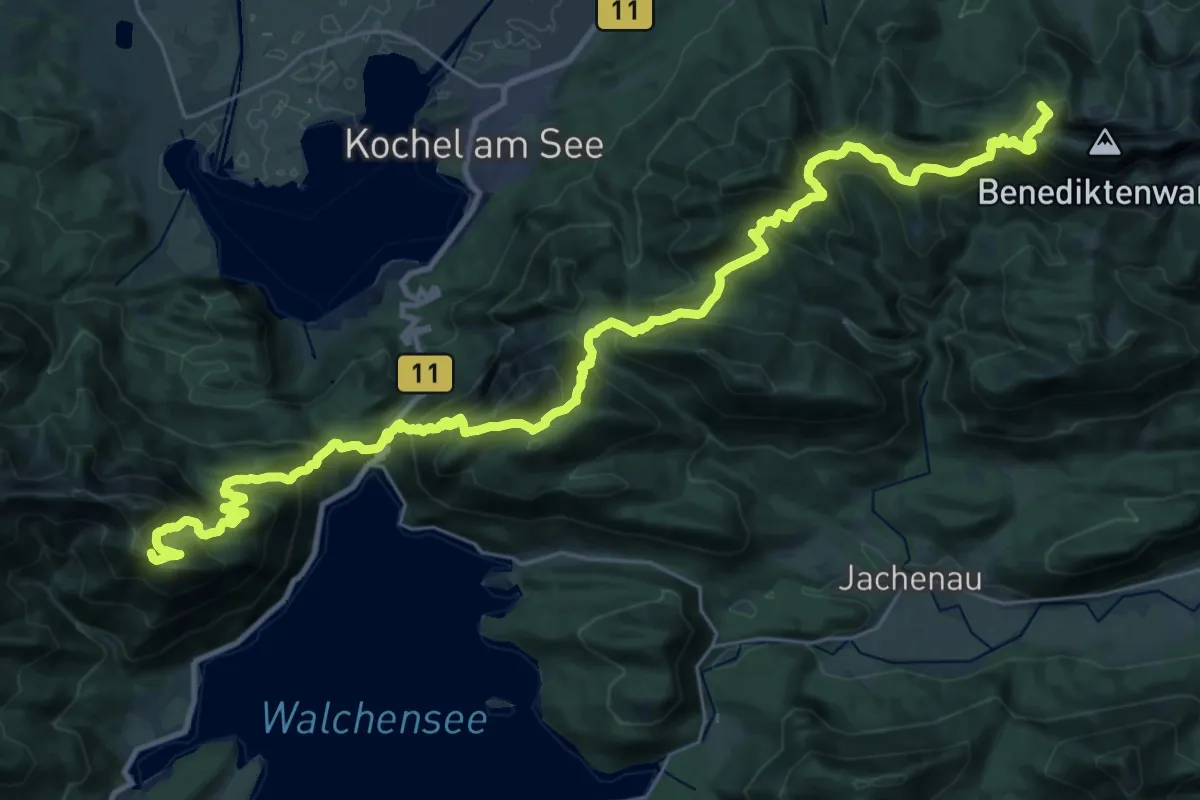
Demanding · Summit
Via Alpina Purple A57
37.5 km · ↑ 2487 m · 14 h 14 min
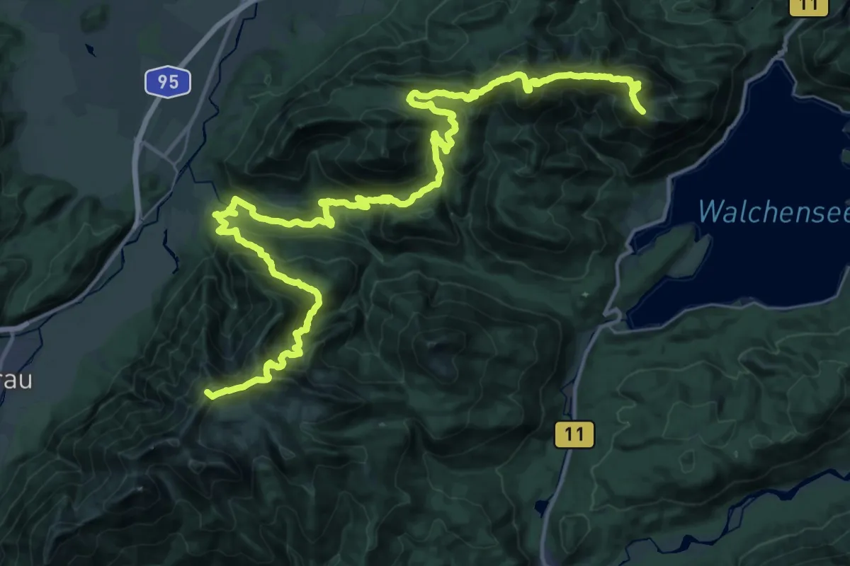
Demanding · Summit
Via Alpina Purple A58
49.7 km · ↑ 3434 m · 19 h 11 min
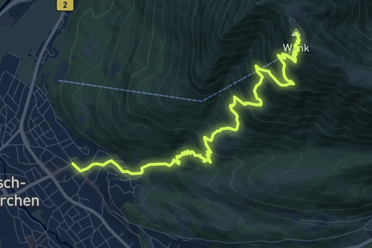
Demanding · Summit
Via Alpina Purple A59
12.6 km · ↑ 1104 m · 5 h 22 min
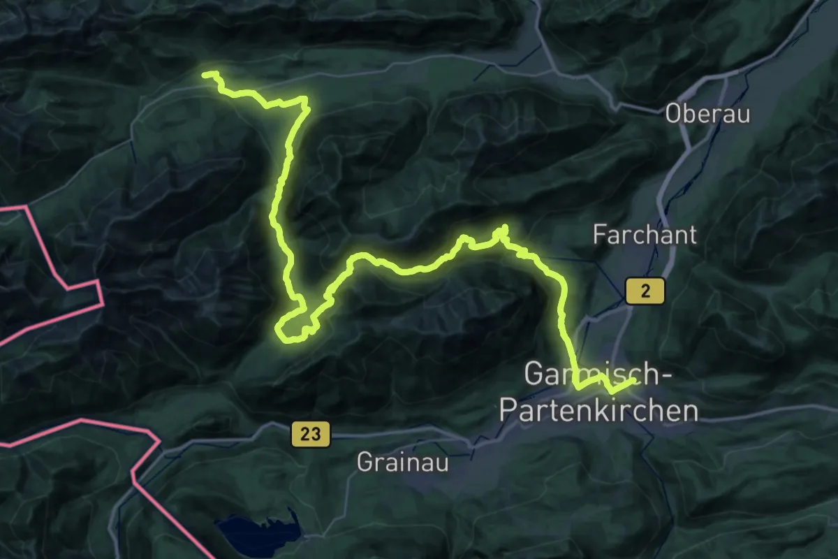
Demanding · Trail
Via Alpina Purple A60
28.7 km · ↑ 1130 m · 9 h 31 min
Medium · Cabin
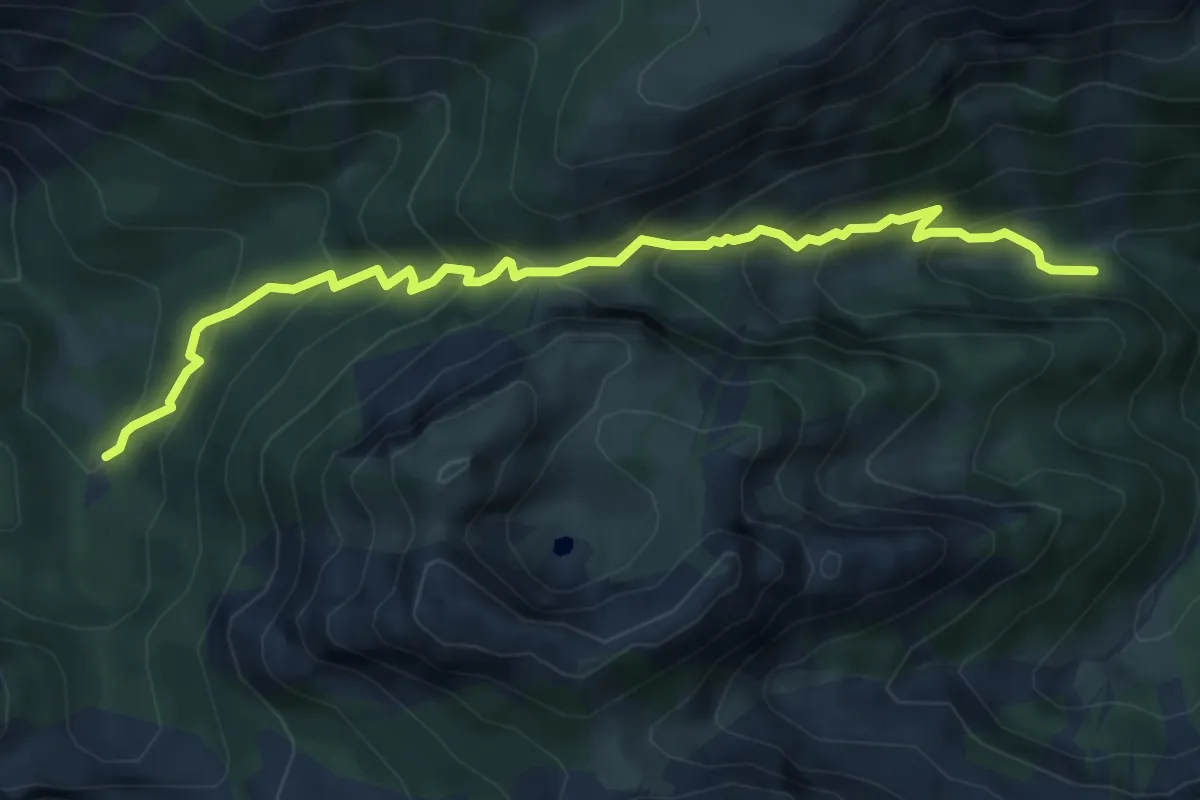
Via Alpina Purple A61
5.8 km · ↑ 490 m · 2 h 26 min
Demanding · Summit
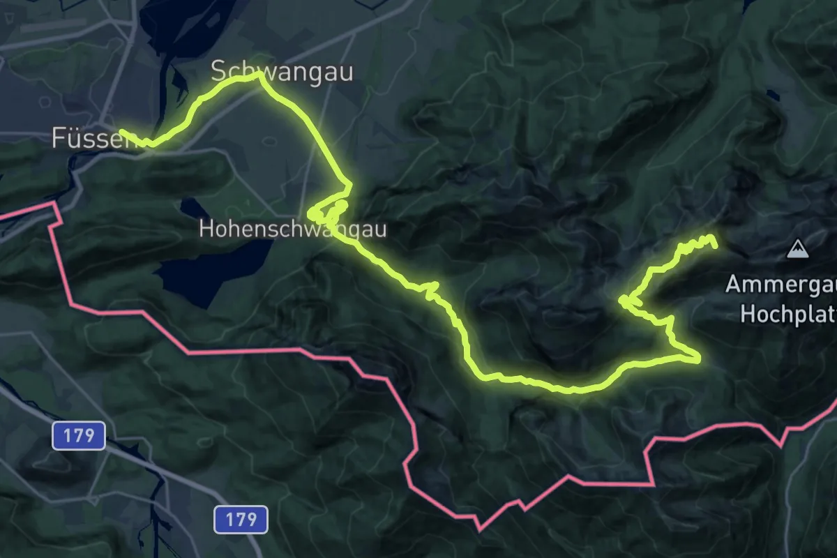
Via Alpina Purple A62
38.7 km · ↑ 1697 m · 12 h 48 min
Medium · Summit
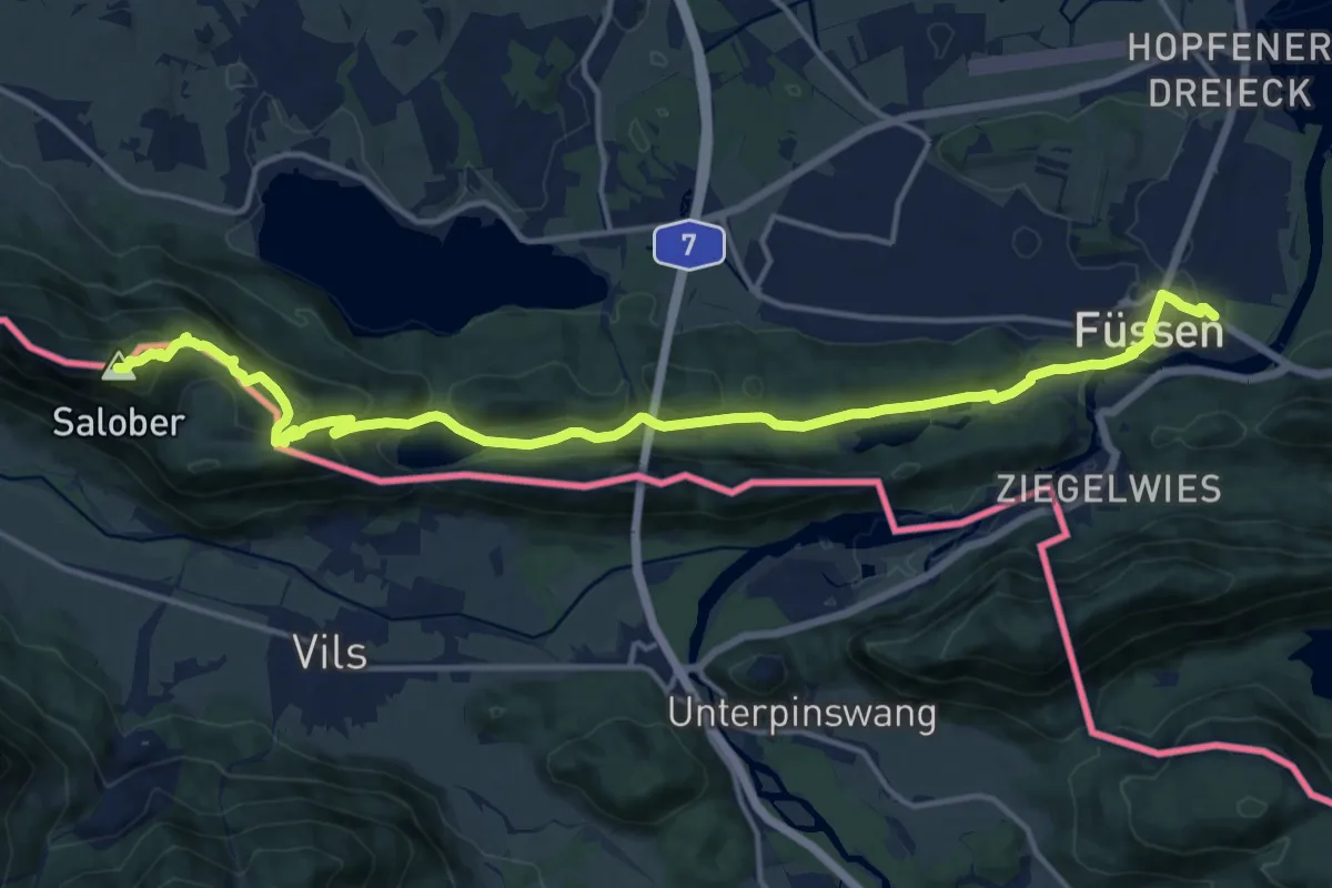
Via Alpina Purple A63
17.4 km · ↑ 778 m · 5 h 47 min
Demanding · Summit
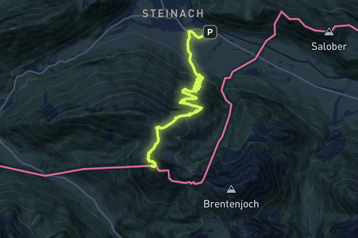
Via Alpina Purple A64
15.9 km · ↑ 1310 m · 6 h 36 min
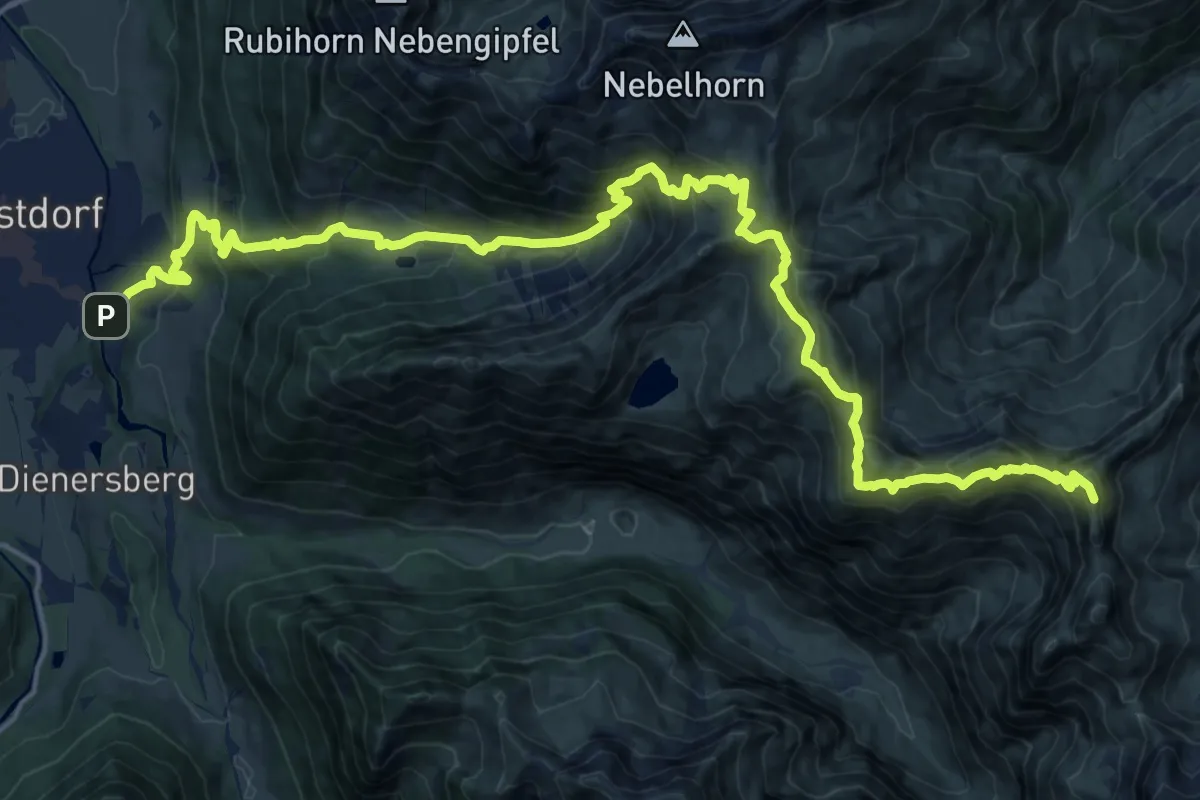
Demanding · Summit
Via Alpina Purple A66
24.4 km · ↑ 1916 m · 9 h 54 min
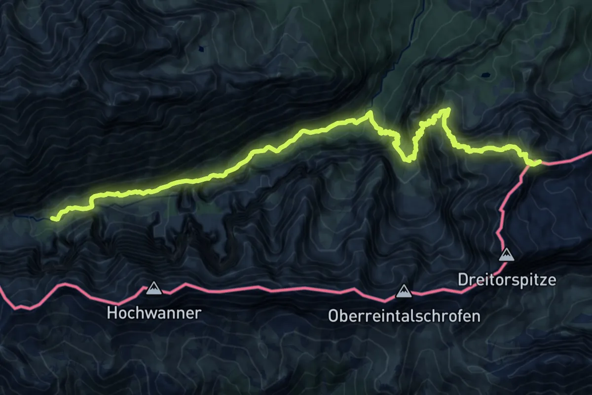
Demanding · Summit
Via Alpina Red R45
22.3 km · ↑ 1969 m · 9 h 32 min
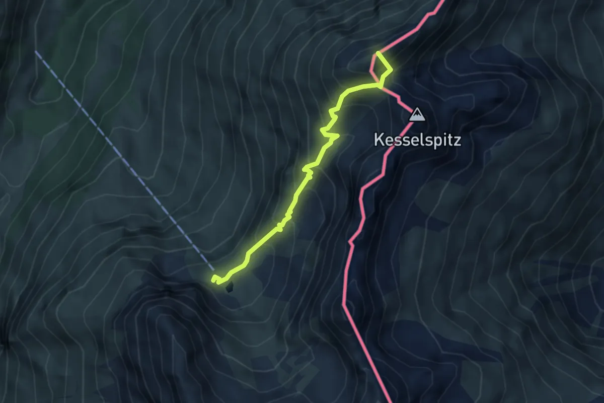
Demanding · Summit
Via Alpina Red R49
4.0 km · ↑ 500 m · 2 h 1 min
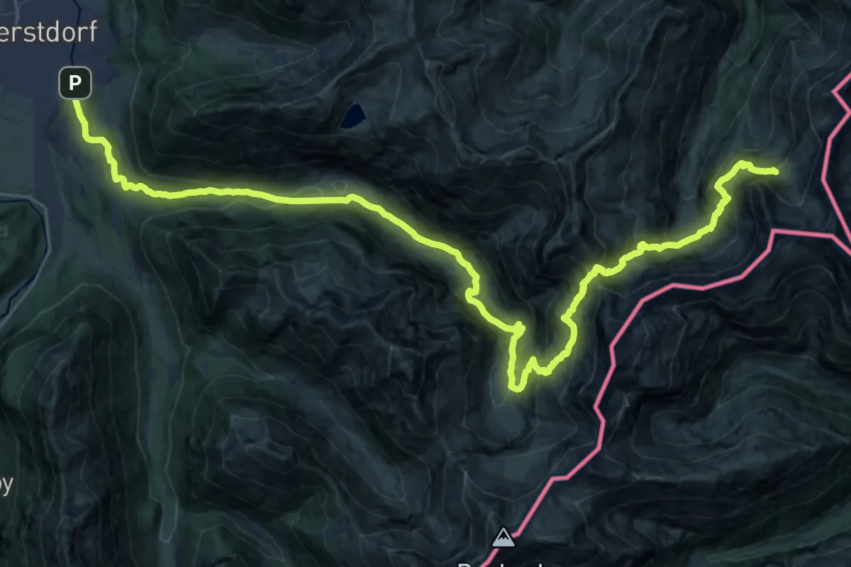
Demanding · Cabin
Via Alpina Red R50
17.3 km · ↑ 1558 m · 7 h 12 min
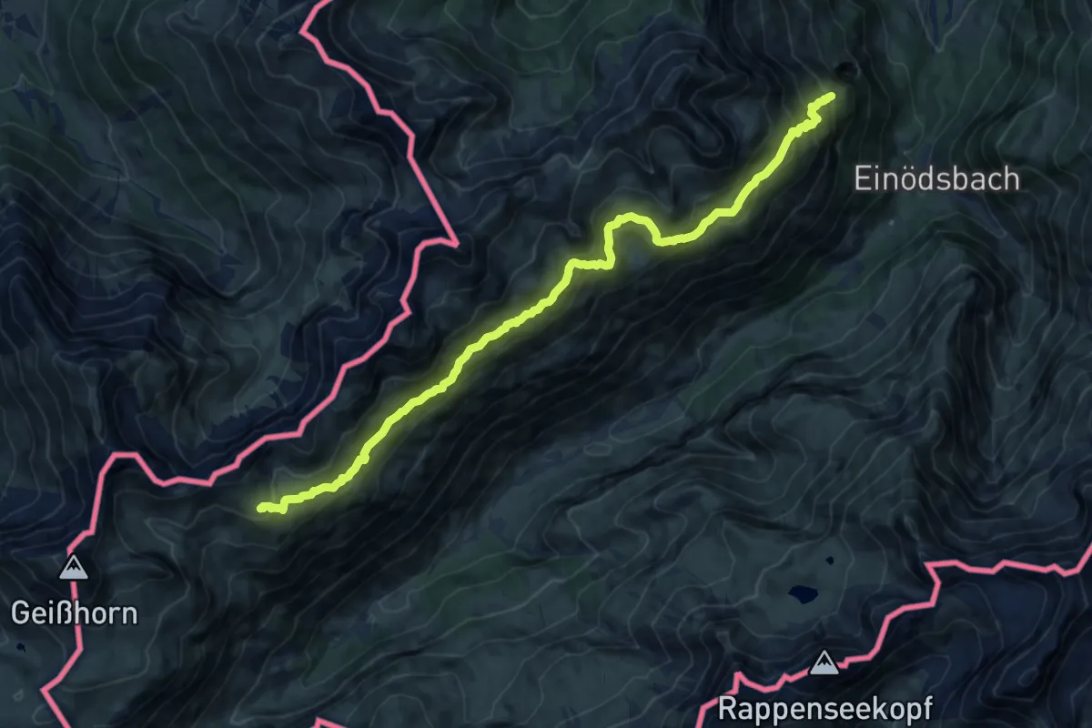
Demanding · Summit
Via Alpina Red R51
13.7 km · ↑ 922 m · 5 h 14 min
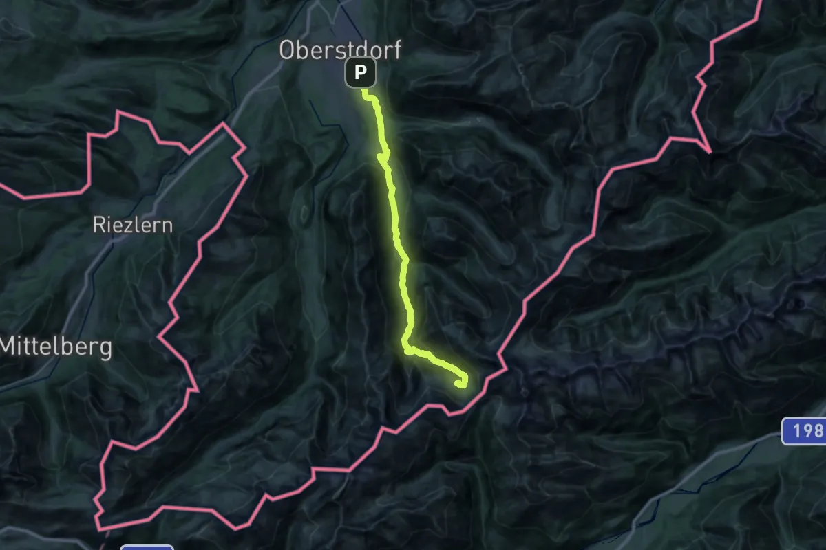
Demanding · Cabin
Via Alpina Yellow B40
13.3 km · ↑ 1118 m · 5 h 15 min
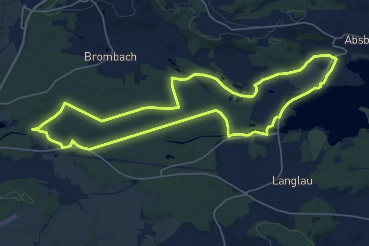
Medium · Trail
Via aqua
15.2 km · ↑ 156 m · 4 h 8 min
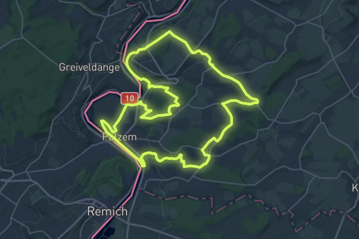
Demanding · Trail
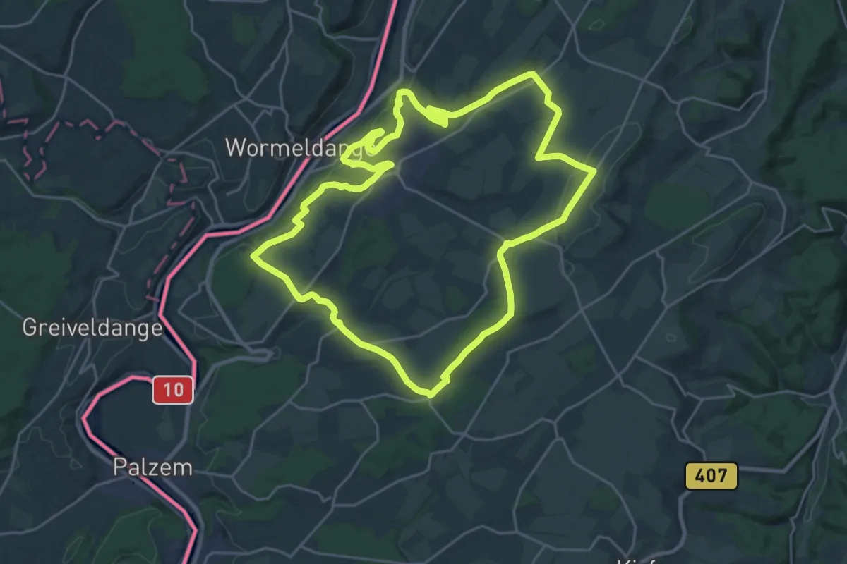
VIA CALIGA - Palzem
22.4 km · ↑ 405 m · 6 h 28 min
Demanding · Trail
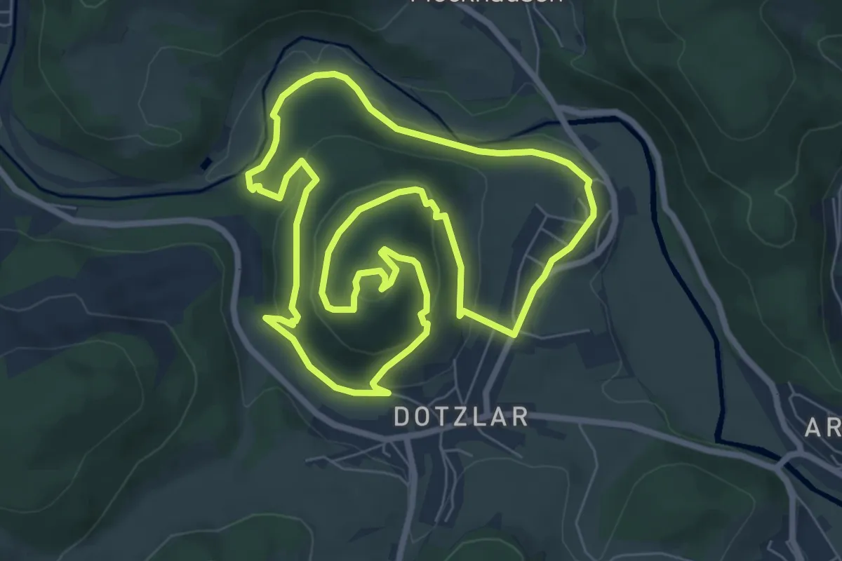
VIA CALIGA - Wincheringen
21.2 km · ↑ 466 m · 6 h 18 min
Easy · Trail
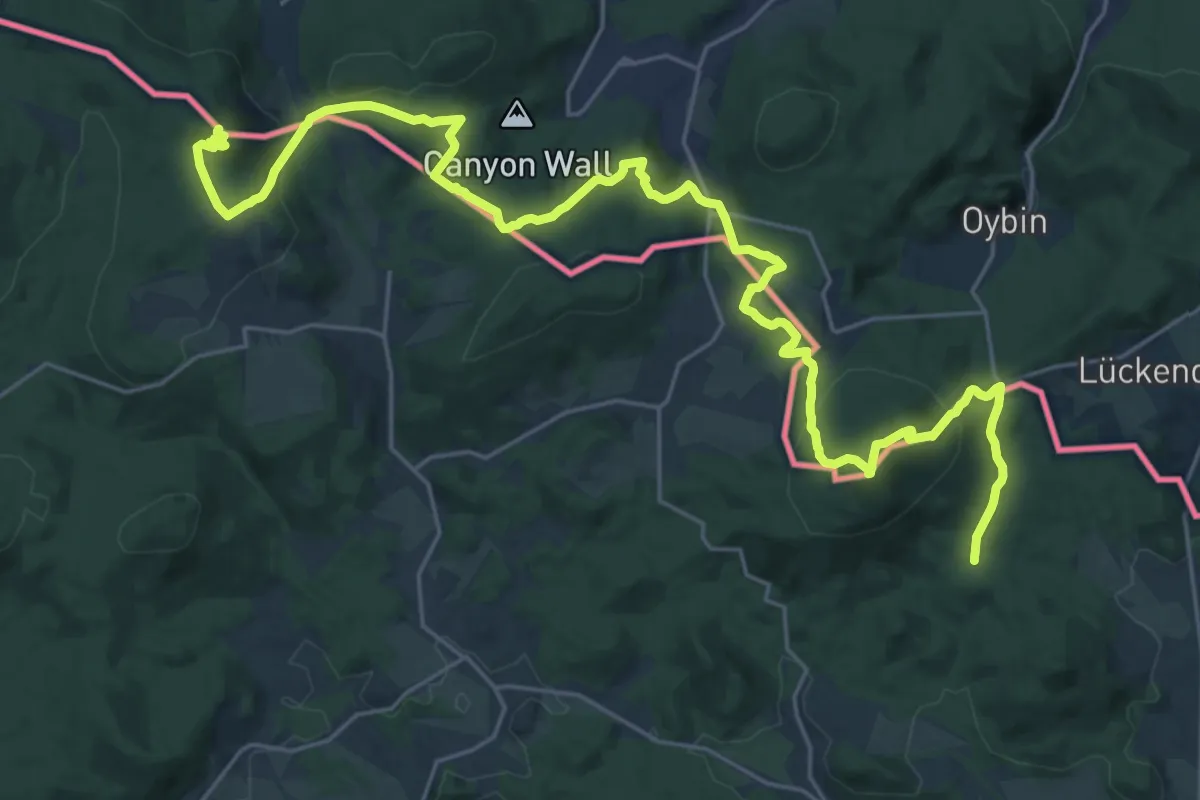
Via Celtica
6.6 km · ↑ 203 m · 2 h 6 min
Demanding · Summit
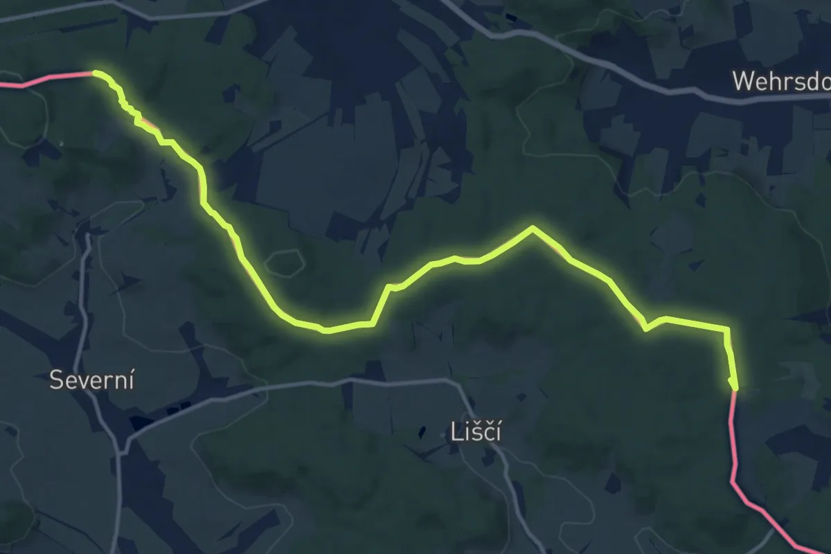
Via Czechia - Severní (4. Lužické hory)
30.0 km · ↑ 995 m · 9 h 14 min
Medium · Summit
Via Czechia - Středozemím (1. Šluknovsko a Lužické hory)
13.9 km · ↑ 301 m · 3 h 56 min
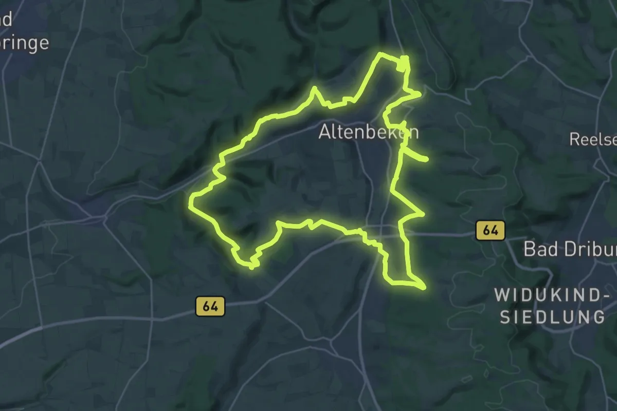
Demanding · Summit
Viadukt-Wanderweg
26.9 km · ↑ 556 m · 7 h 56 min
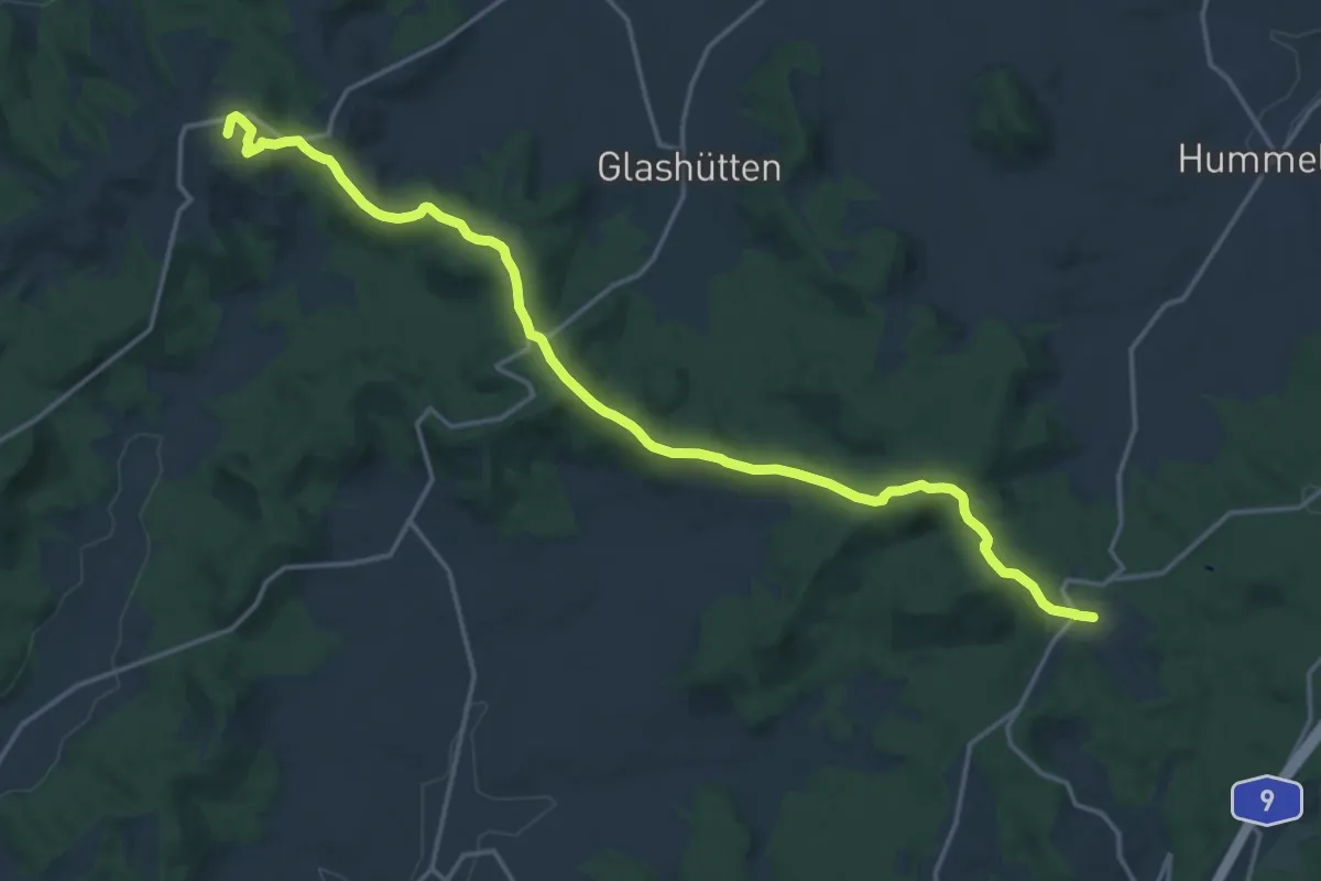
Medium · Summit
Via Imperialis Plankenfels - Muthmannsreuth
17.5 km · ↑ 397 m · 5 h
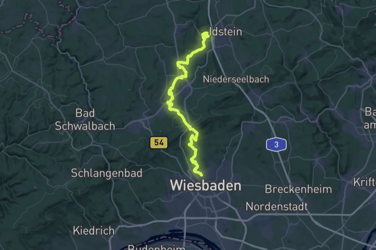
Demanding · Summit
Via Mattiacorum
53.1 km · ↑ 1269 m · 15 h 18 min
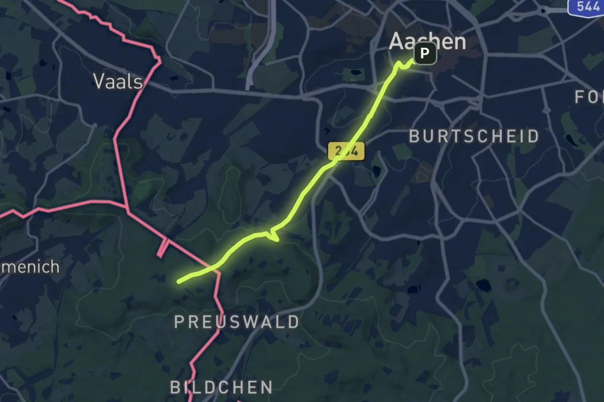
Medium · Trail
Via Mosana
11.1 km · ↑ 170 m · 3 h
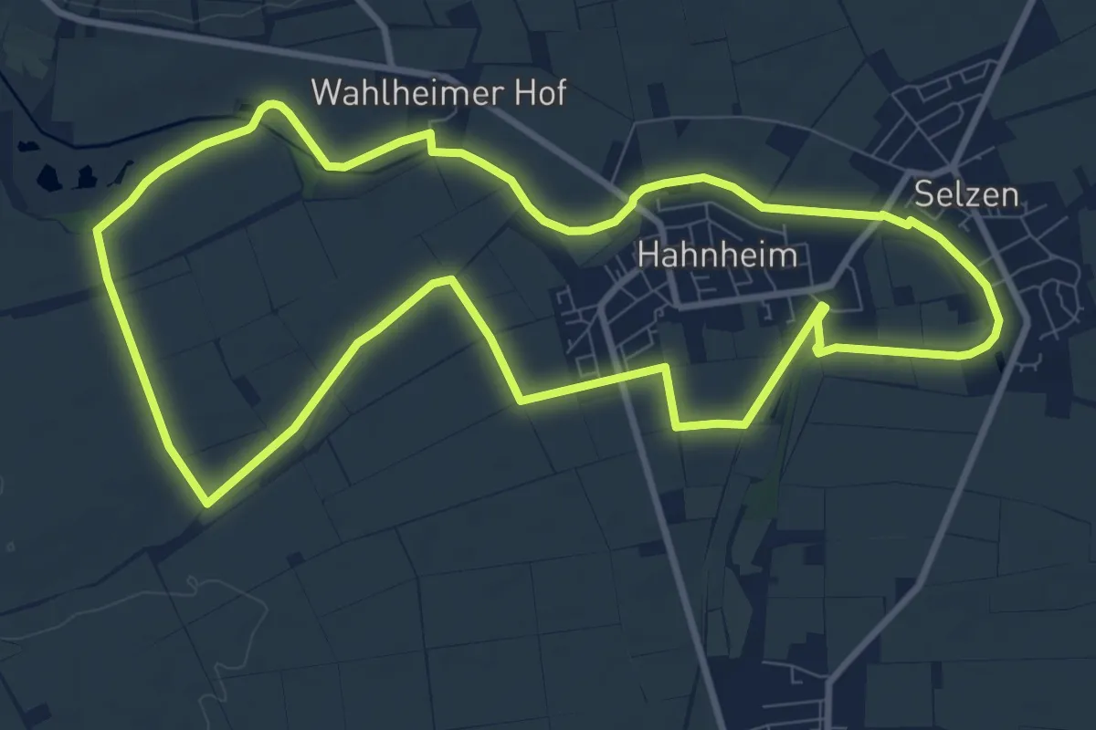
Medium · Trail
ViaNatura
9.4 km · ↑ 35 m · 2 h 25 min
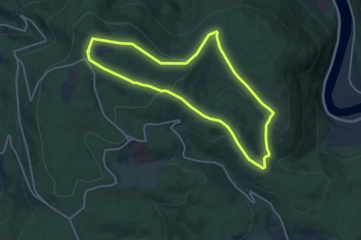
Easy · Summit
Via naturae
7.8 km · ↑ 251 m · 2 h 30 min
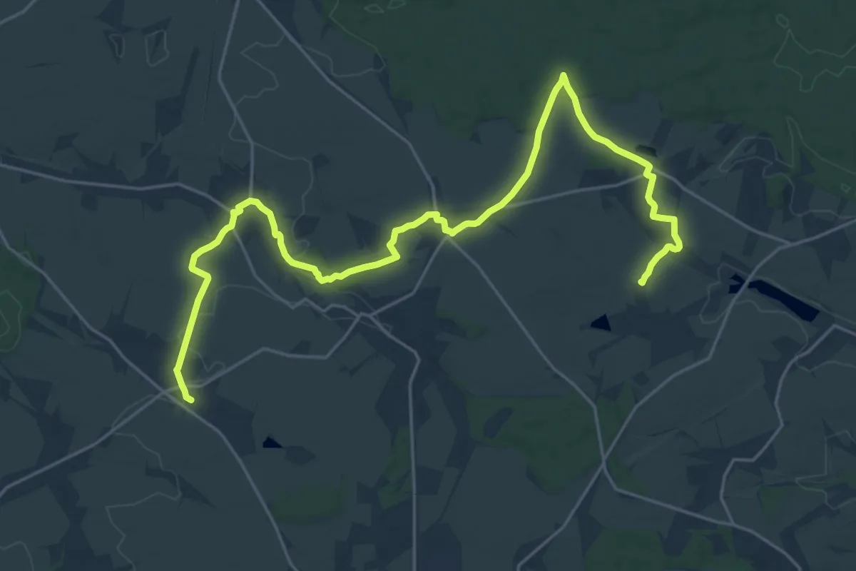
Demanding · Summit
Via Porphyria Etappe 1
24.9 km · ↑ 136 m · 6 h 10 min
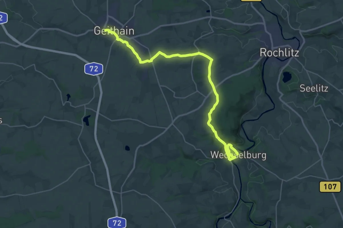
Medium · Pilgrim path
Via Porphyria Etappe 10
12.6 km · ↑ 172 m · 3 h 33 min