Trails in Germany
36,852 hiking trails, each with its route, climb, walking time and grade.
All trails, page 651 of 768
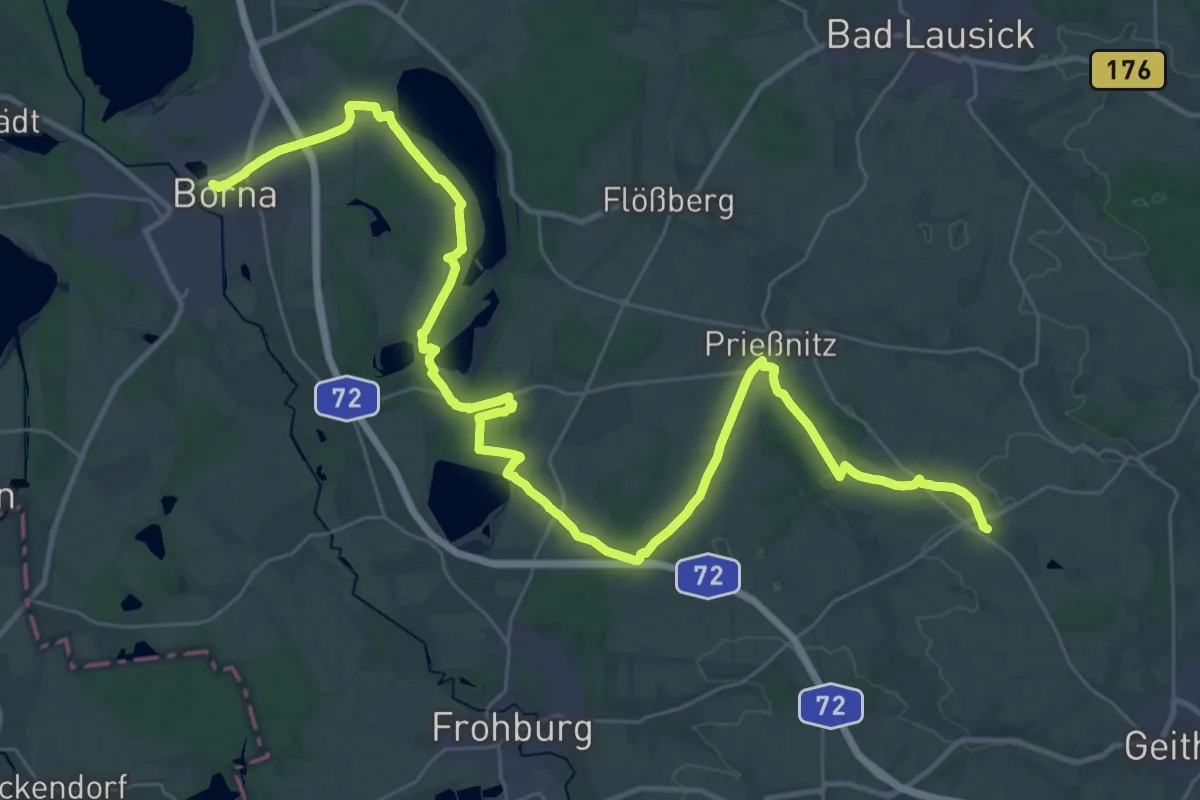
Demanding · Trail
Via Porphyria Etappe 2
21.5 km · ↑ 136 m · 5 h 38 min
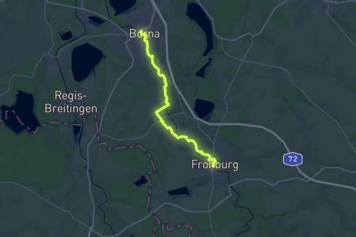
Demanding · Trail
Via Porphyria Etappe 3
24.5 km · ↑ 105 m · 6 h 1 min
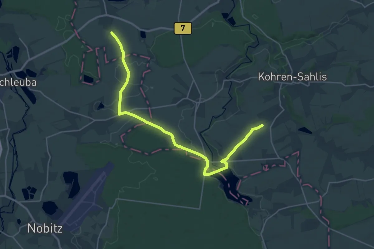
Medium · Pilgrim path
Via Porphyria Etappe 4
9.6 km · ↑ 82 m · 2 h 33 min
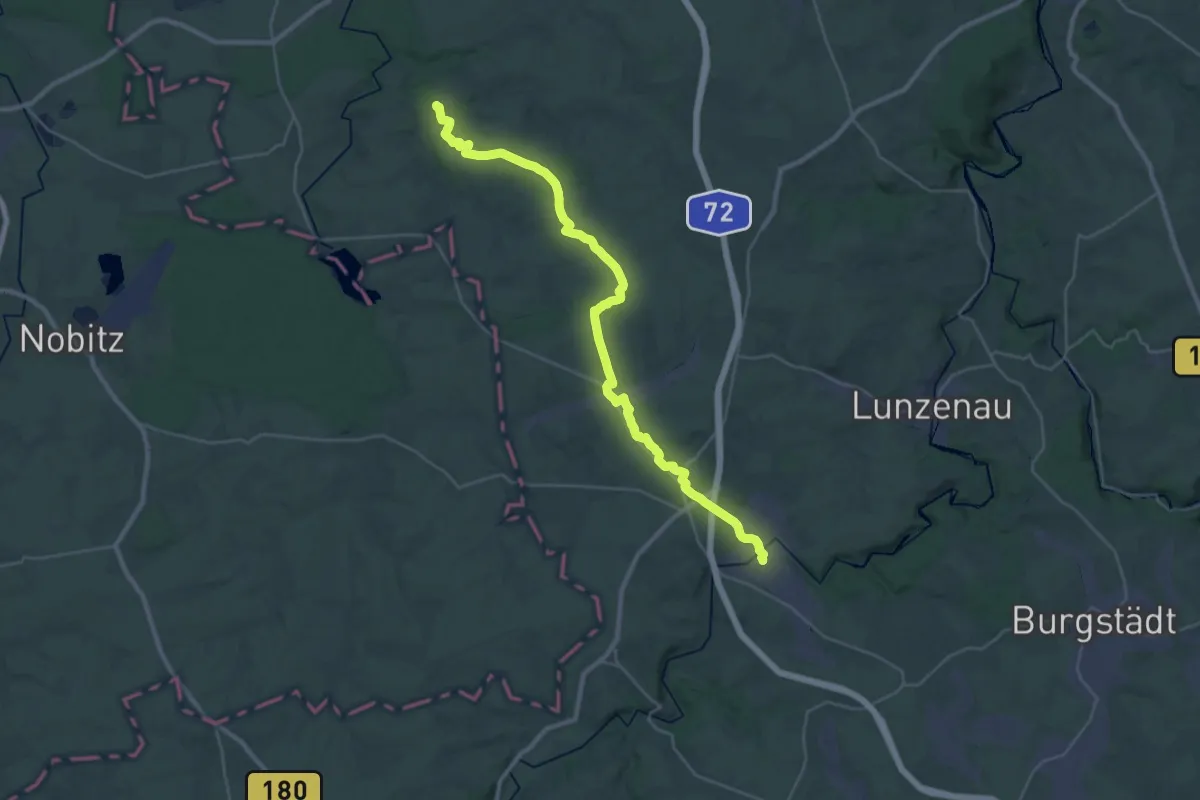
Medium · Trail
Via Porphyria Etappe 5
15.5 km · ↑ 164 m · 4 h 15 min
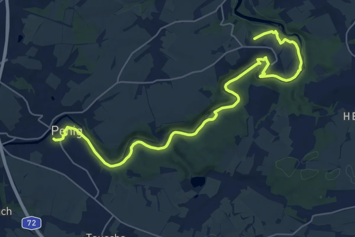
Demanding · Summit
Via Porphyria Etappe 6
19.5 km · ↑ 348 m · 5 h 22 min
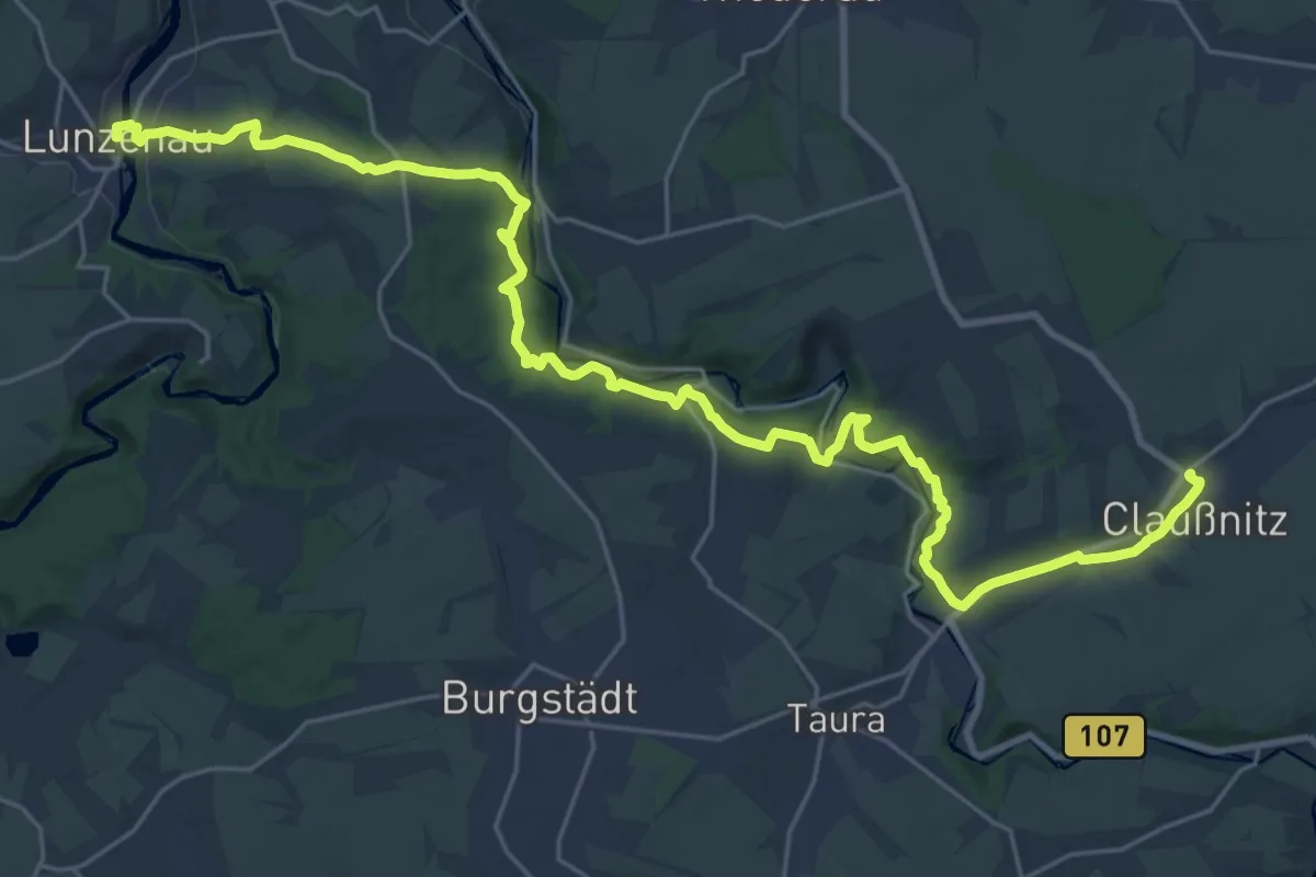
Medium · Trail
Via Porphyria Etappe 7
14.5 km · ↑ 368 m · 4 h 22 min
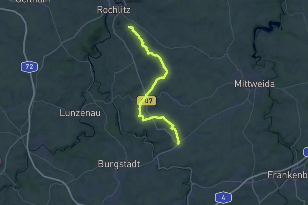
Medium · Pilgrim path
Via Porphyria Etappe 8
17.6 km · ↑ 208 m · 4 h 49 min
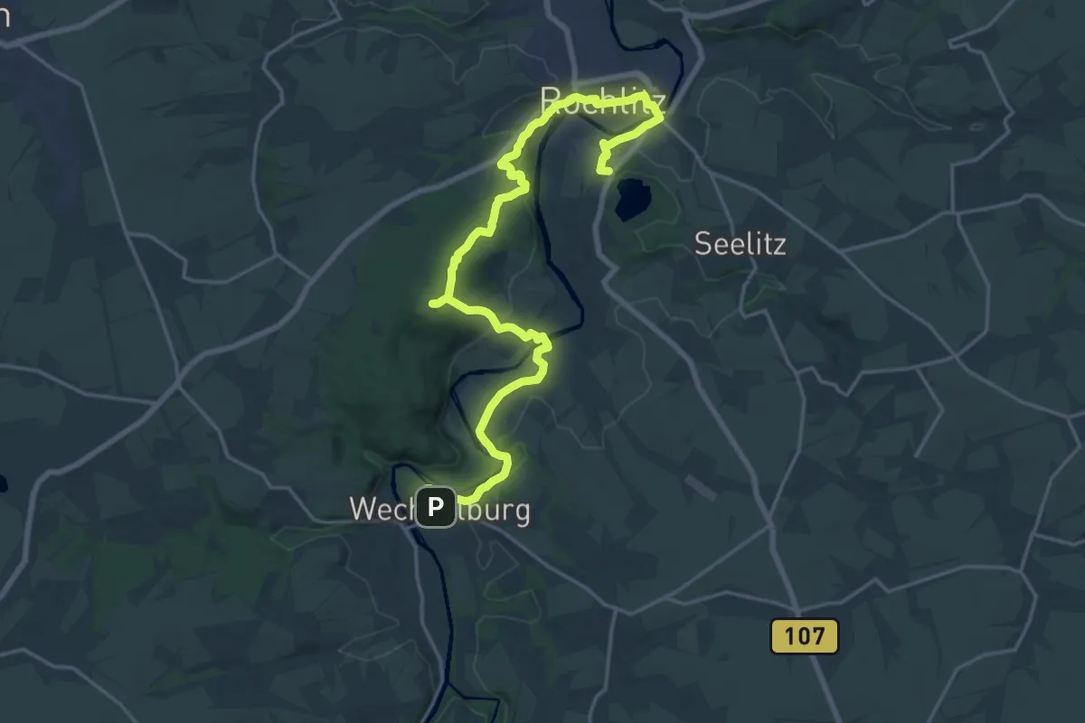
Demanding · Summit
Via Porphyria Etappe 9
21.8 km · ↑ 594 m · 6 h 26 min
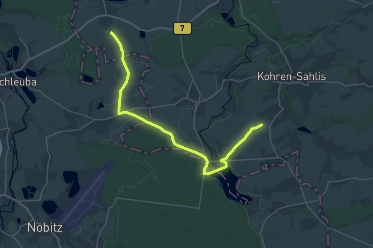
Medium · Pilgrim path
Via Porphyria Gesamtstrecke
9.6 km · ↑ 82 m · 2 h 33 min
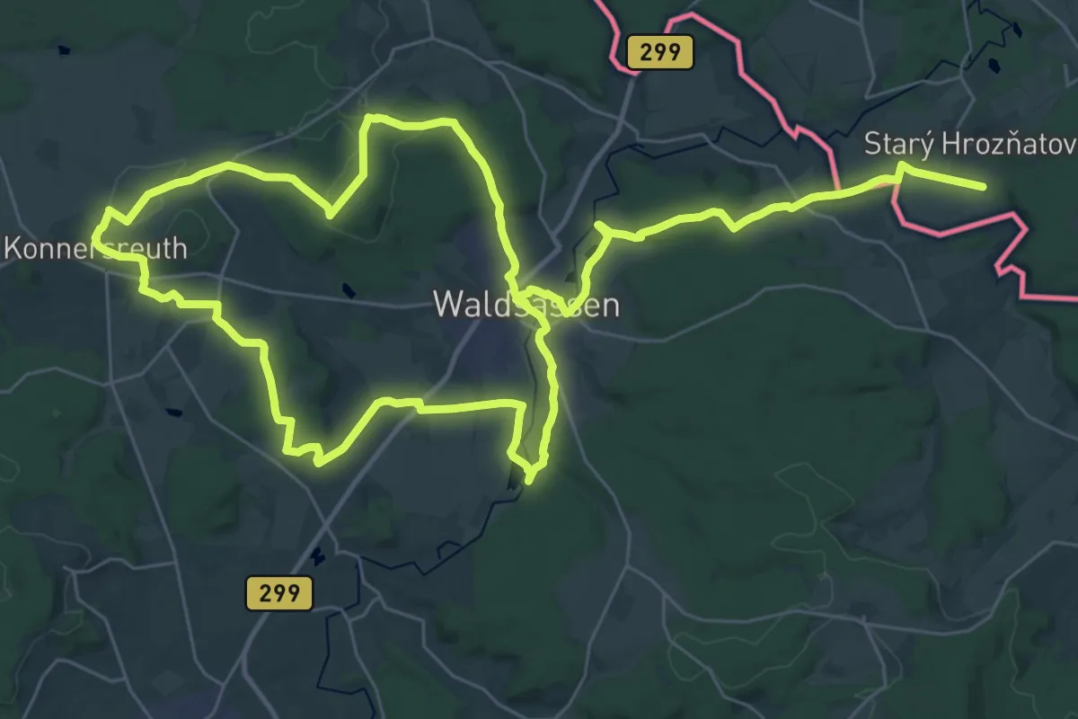
Demanding · Pilgrim path
Via Porta
30.7 km · ↑ 403 m · 8 h 33 min
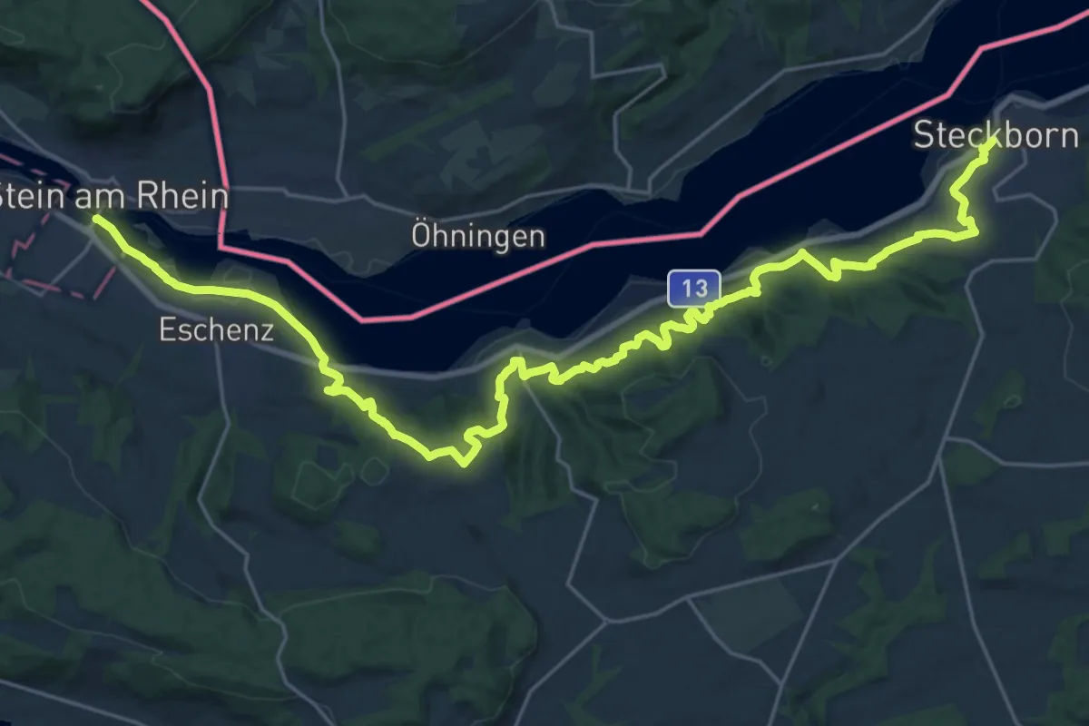
Medium · Trail
ViaRhenana
15.0 km · ↑ 501 m · 4 h 51 min
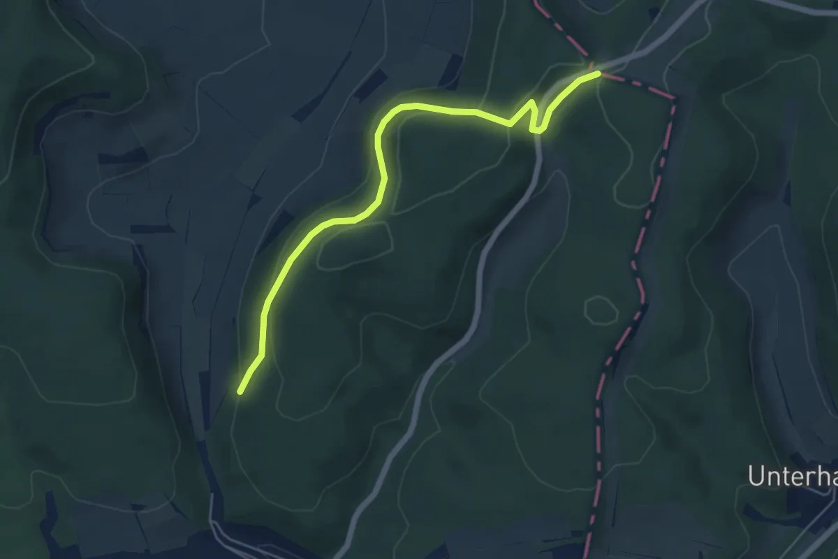
Easy · Trail
Via Romea - Deutschland - Bayern
5.1 km · ↑ 176 m · 1 h 35 min
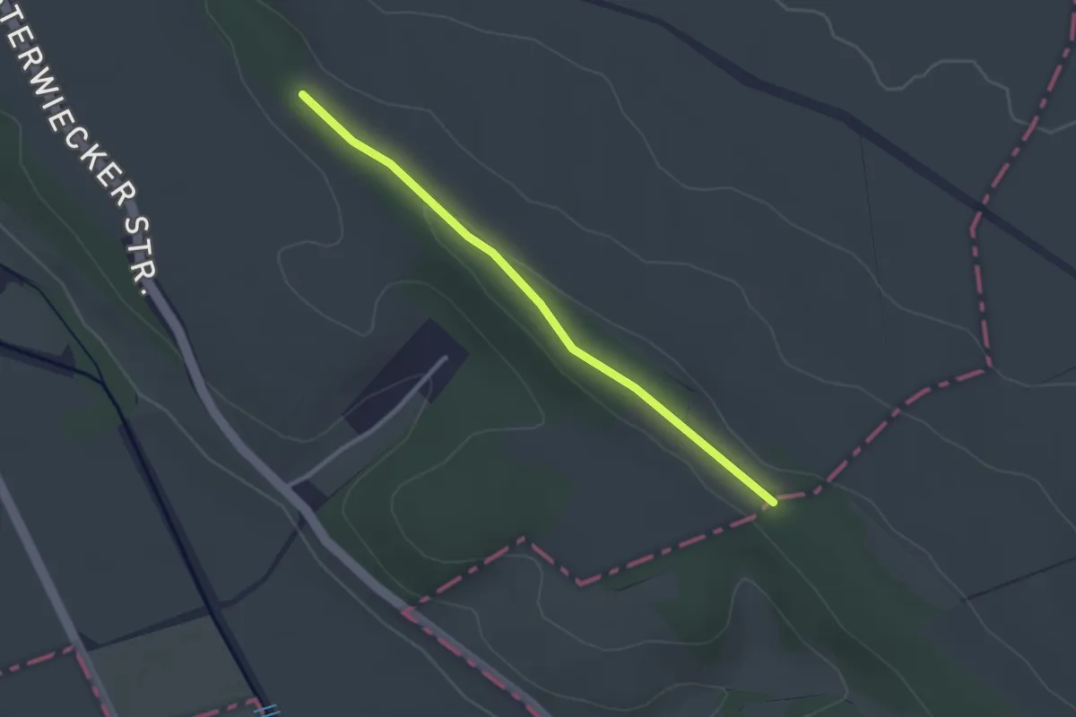
Easy · Trail
Via Romea - Deutschland - Niedersachsen
2.4 km · ↑ 21 m · 36 min
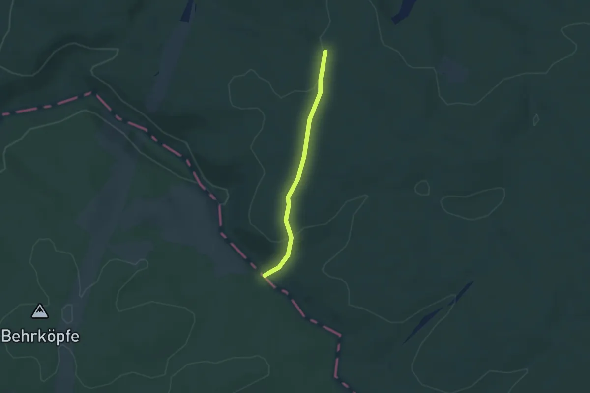
Easy · Trail
Via Romea - Deutschland - Sachsen-Anhalt
2.5 km · ↑ 53 m · 42 min
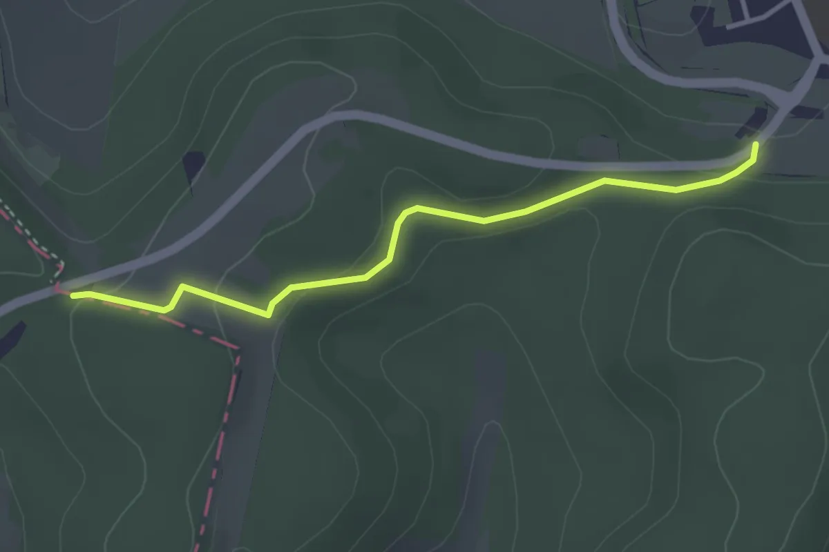
Easy · Trail
Via Romea - Deutschland - Thüringen
3.0 km · ↑ 70 m · 51 min
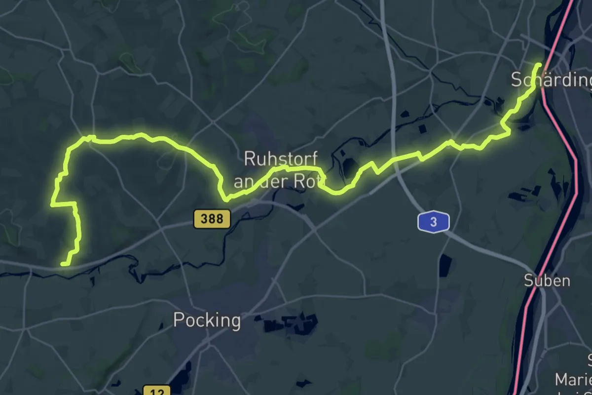
Demanding · Trail
Via Sancti Martini HW-31-02 Neuhaus am Inn - Tettenweis
21.0 km · ↑ 235 m · 5 h 45 min
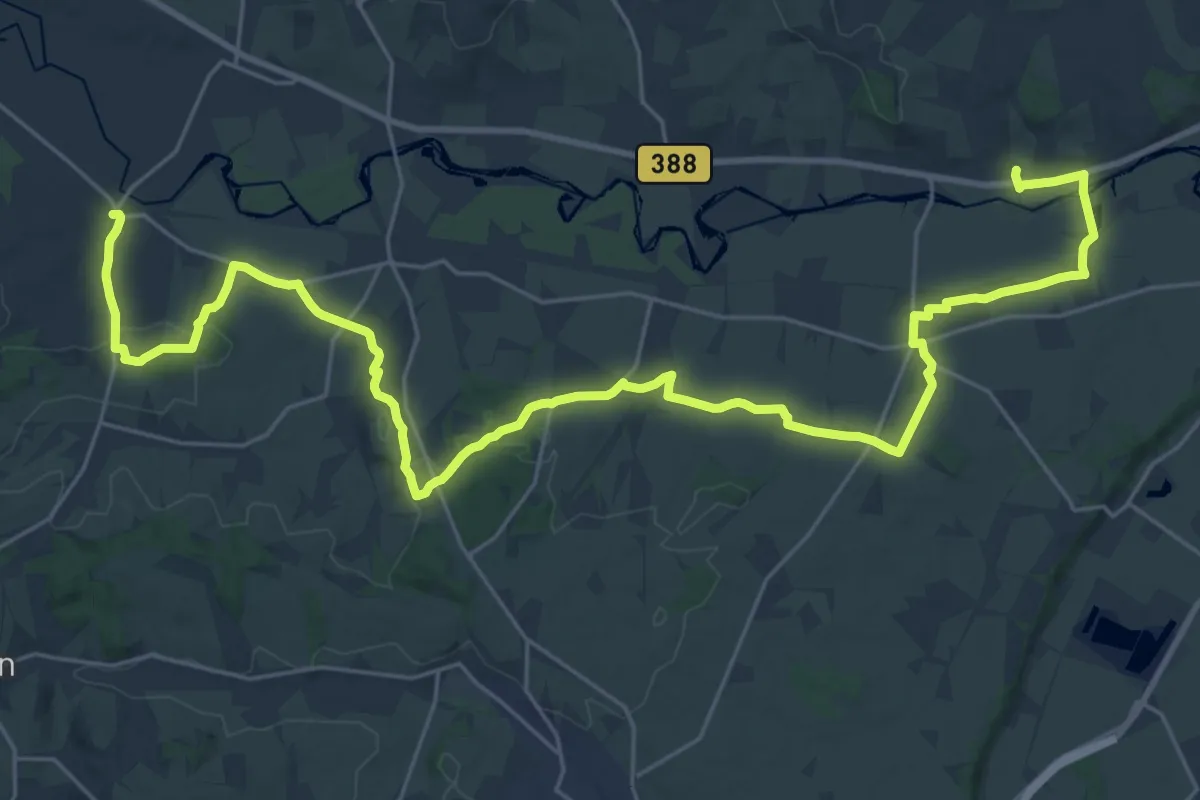
Medium · Trail
Via Sancti Martini HW-31-03 Tettenweis - Bayerbach an der Rott
17.3 km · ↑ 197 m · 4 h 44 min
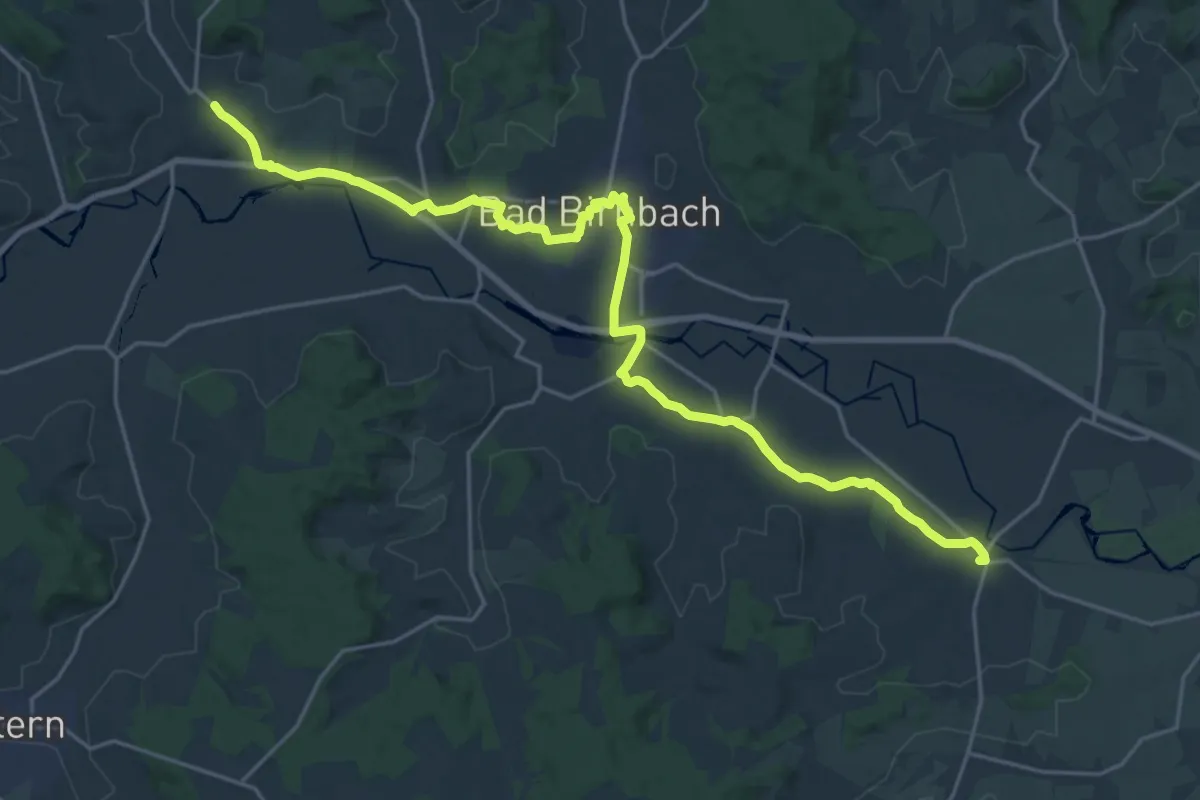
Demanding · Trail
Via Sancti Martini HW-31-04 Bayerbach an der Rott - Bad Birnbach
25.3 km · ↑ 155 m · 6 h 18 min
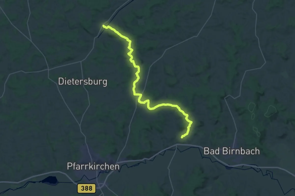
Medium · Trail
Via Sancti Martini HW-31-05 Bad Birnbach - Johanniskirchen
16.7 km · ↑ 309 m · 4 h 51 min
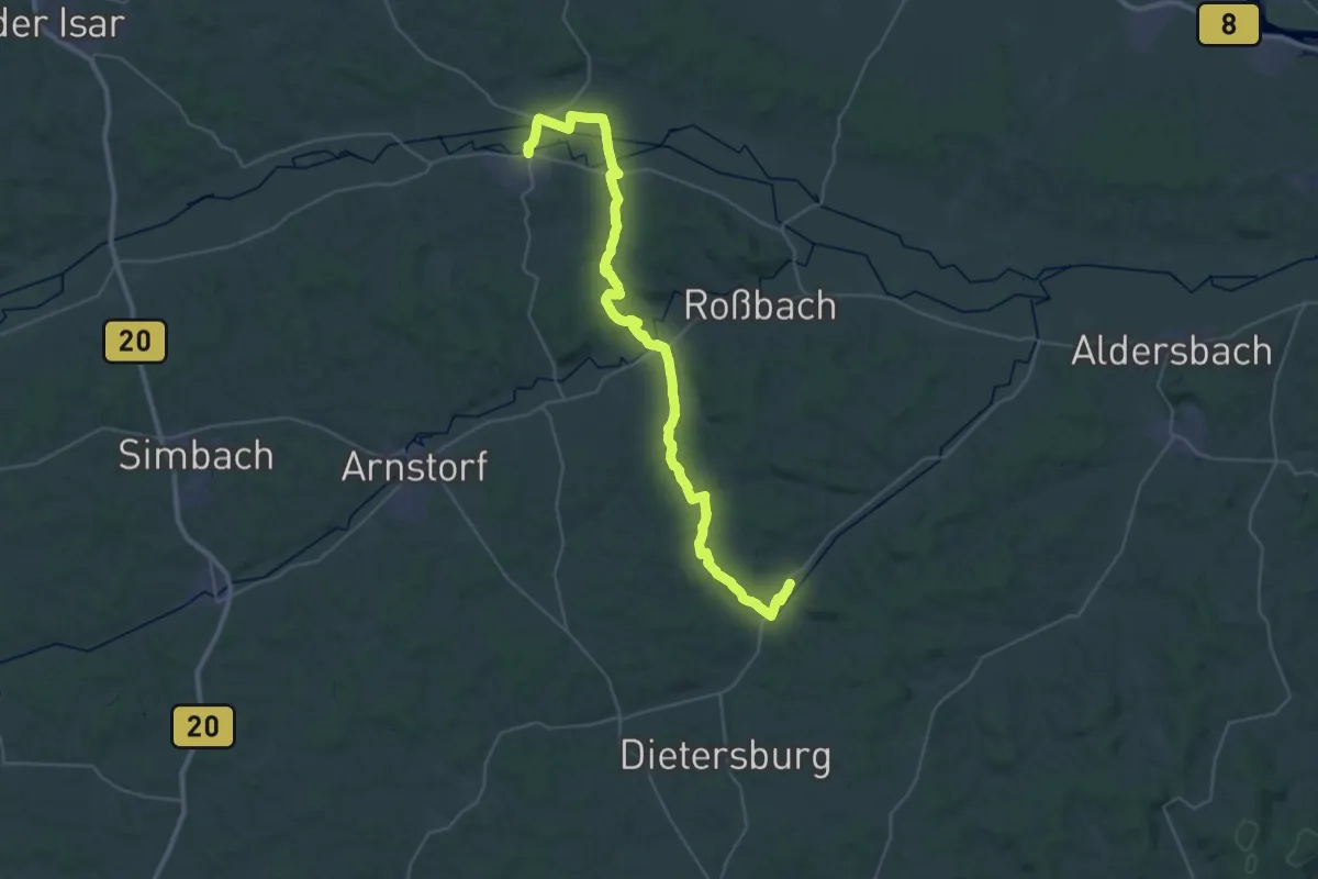
Demanding · Trail
Via Sancti Martini HW-31-06 Johanniskirchen - Eichendorf
21.0 km · ↑ 293 m · 5 h 53 min
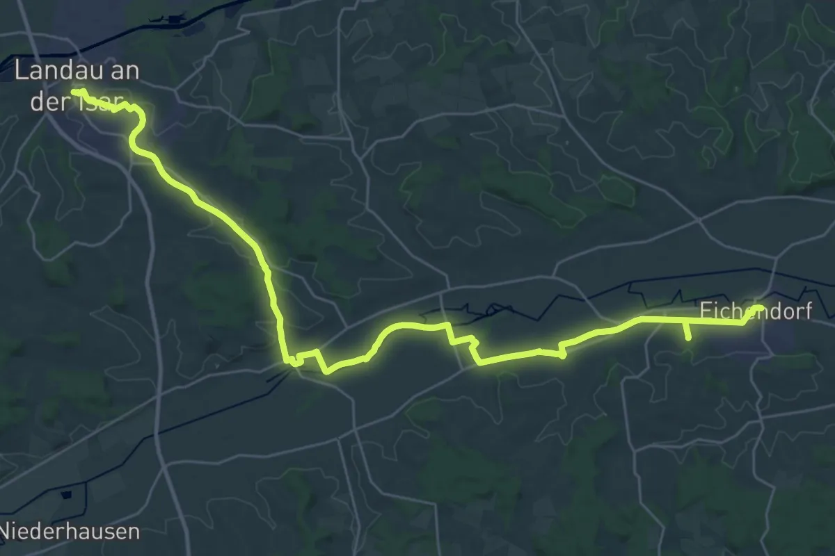
Demanding · Trail
Via Sancti Martini HW-31-07 Eichendorf - Landau an der Isar
18.4 km · ↑ 97 m · 4 h 50 min
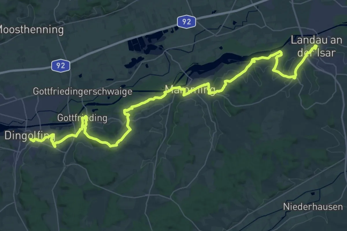
Demanding · Trail
Via Sancti Martini HW-31-08 Landau an der Isar - Dingolfing
24.9 km · ↑ 458 m · 7 h 13 min
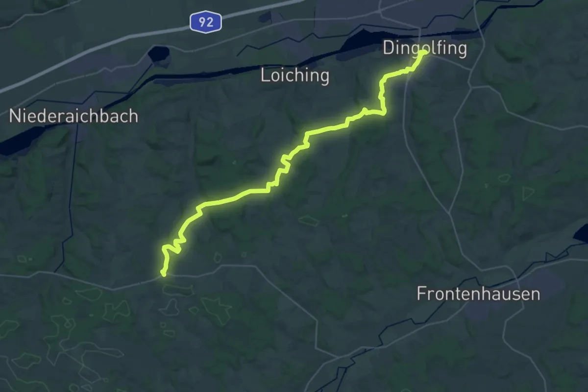
Medium · Trail
Via Sancti Martini HW-32-01 Dingolfing - Kröning
17.7 km · ↑ 280 m · 5 h 4 min
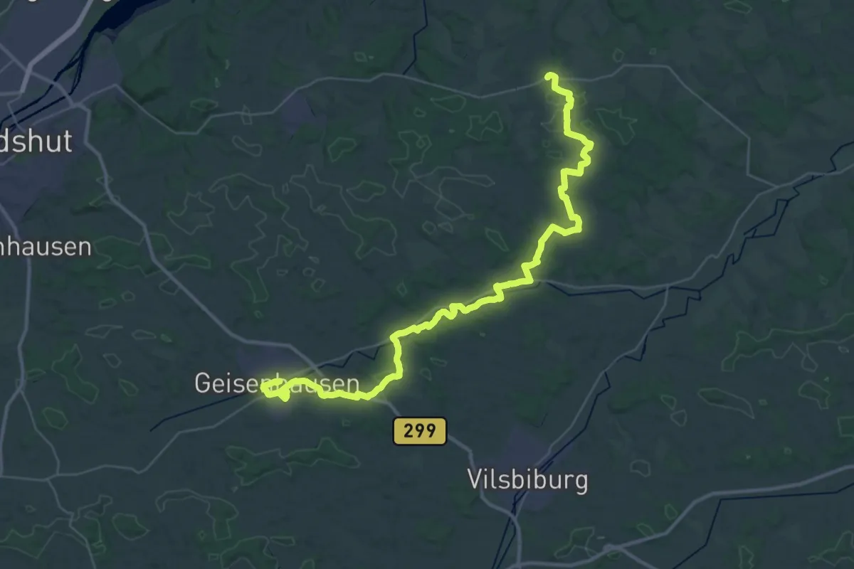
Demanding · Trail
Via Sancti Martini HW-32-02 Kröning - Geisenhausen
22.1 km · ↑ 221 m · 6 h
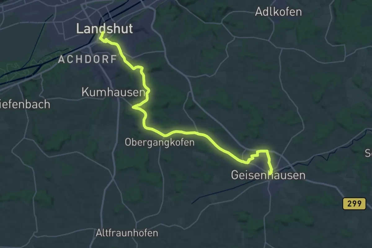
Demanding · Trail
Via Sancti Martini HW-33-01 Geisenhausen - Landshut
30.5 km · ↑ 368 m · 7 h 59 min
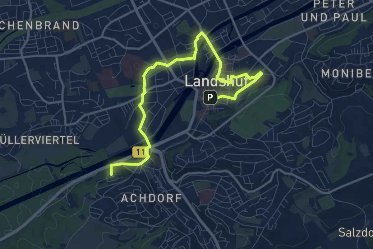
Medium · Summit
Via Sancti Martini HW-33-02 Landshut - Eching
10.1 km · ↑ 99 m · 2 h 36 min
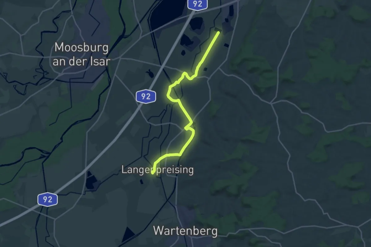
Medium · Trail
Via Sancti Martini HW-33-03 Eching - Langenpreising
17.1 km · ↑ 34 m · 4 h 6 min
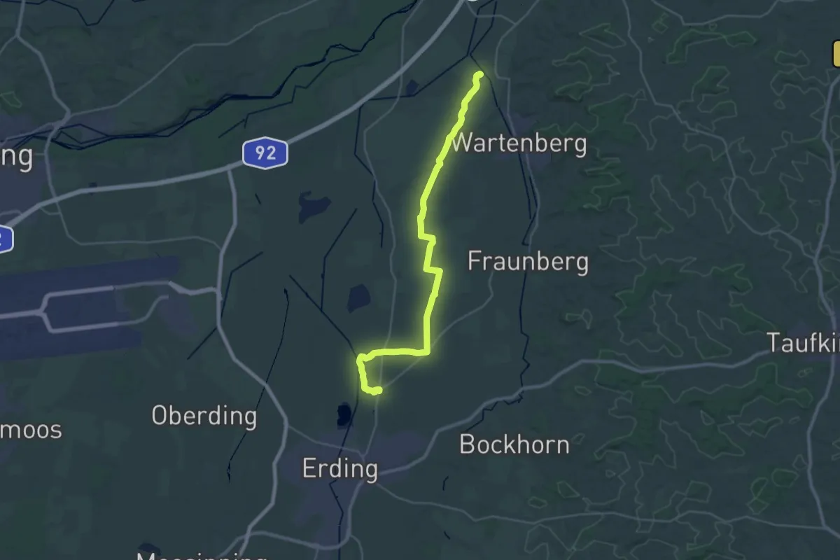
Demanding · Trail
Via Sancti Martini HW-33-04 Langenpreising - Langengeisling
29.8 km · ↑ 33 m · 7 h 6 min
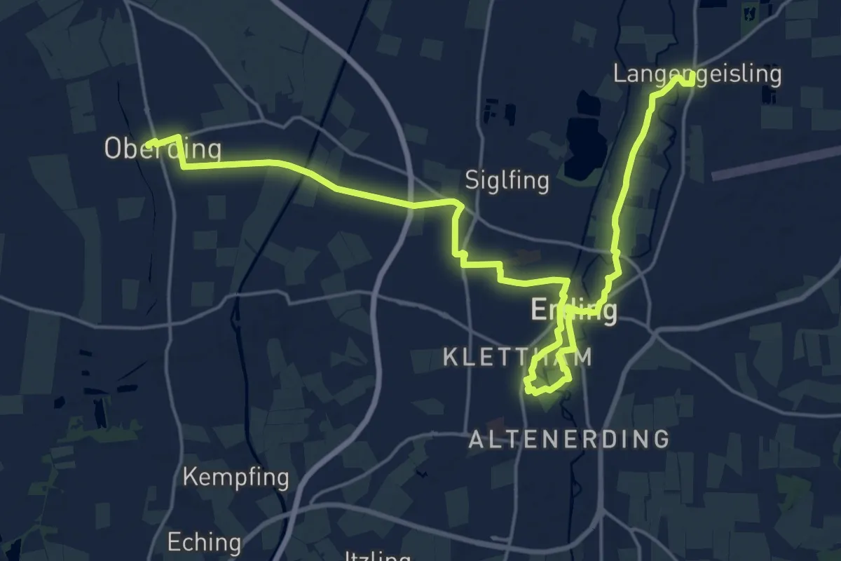
Demanding · Trail
Via Sancti Martini HW-33-05 Langengeisling - Oberding
25.2 km · ↑ 42 m · 6 h 3 min
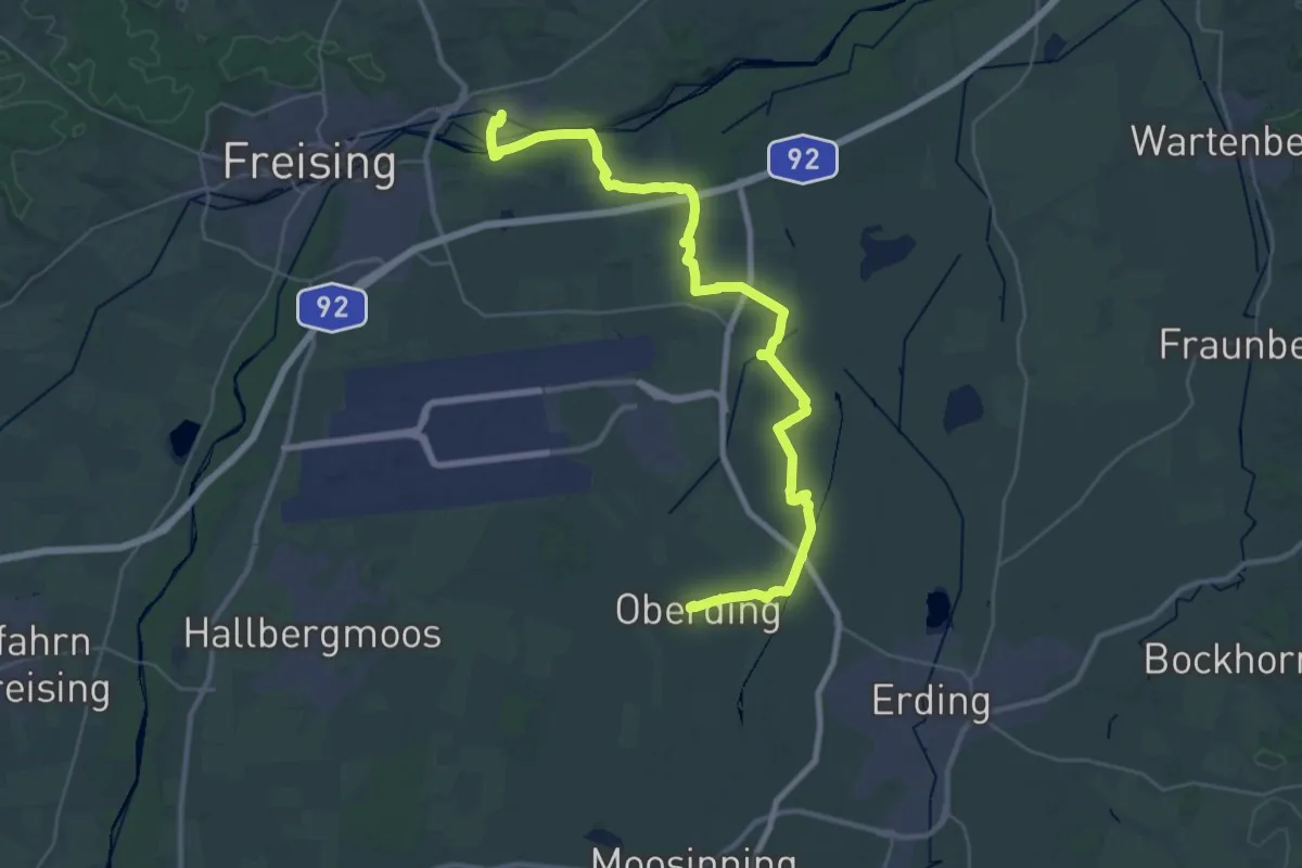
Demanding · Trail
Via Sancti Martini HW-33-06 Oberding - Marzling
19.1 km · ↑ 47 m · 4 h 52 min
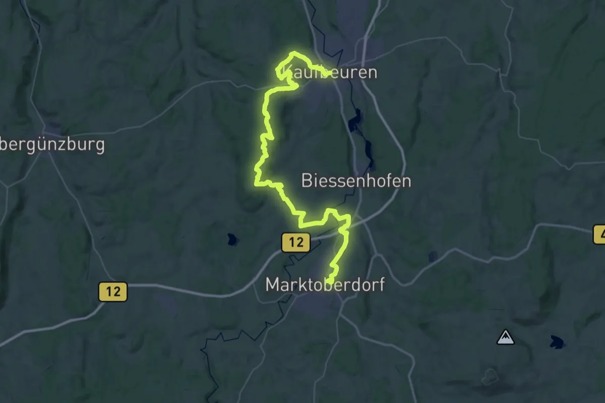
Demanding · Trail
Via Sancti Martini HW-34-x1 Kaufbeuren - Marktoberdorf
27.0 km · ↑ 413 m · 7 h 37 min
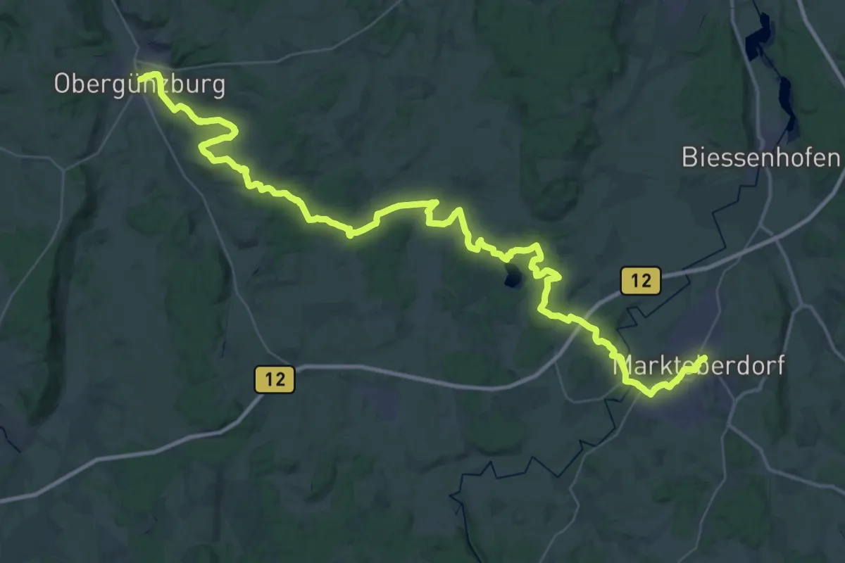
Demanding · Trail
Via Sancti Martini HW-34-x2 Marktoberdorf - Obergünzburg
27.3 km · ↑ 340 m · 7 h 34 min
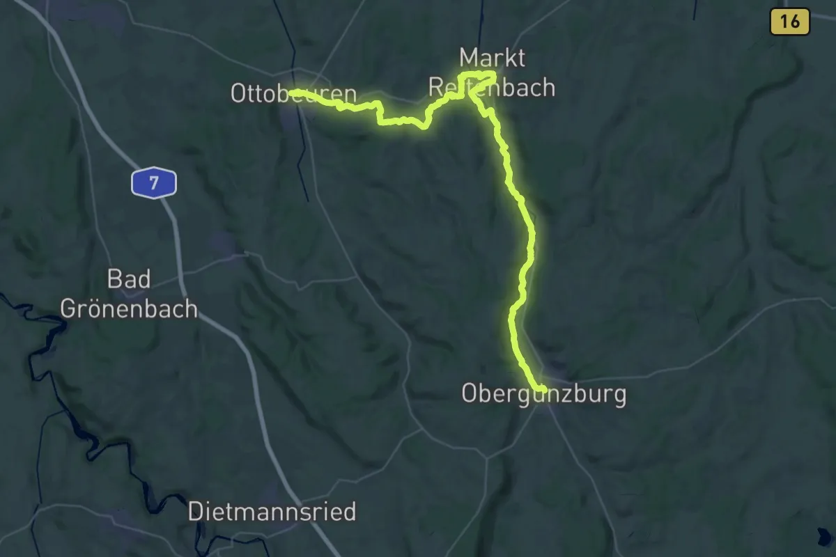
Demanding · Trail
Via Sancti Martini HW-34-x3 Obergünzburg - Ottobeuren
24.2 km · ↑ 306 m · 6 h 45 min
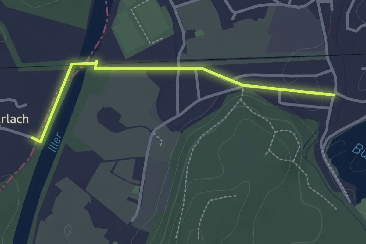
Easy · Trail
Via Sancti Martini HW-34-x4 Ottobeuren - Tannheim
2.3 km · ↑ 12 m · 35 min
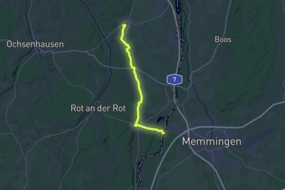
Demanding · Summit
Via Sancti Martini HW-35-01 Tannheim - Ochsenhausen
28.9 km · ↑ 186 m · 7 h 13 min
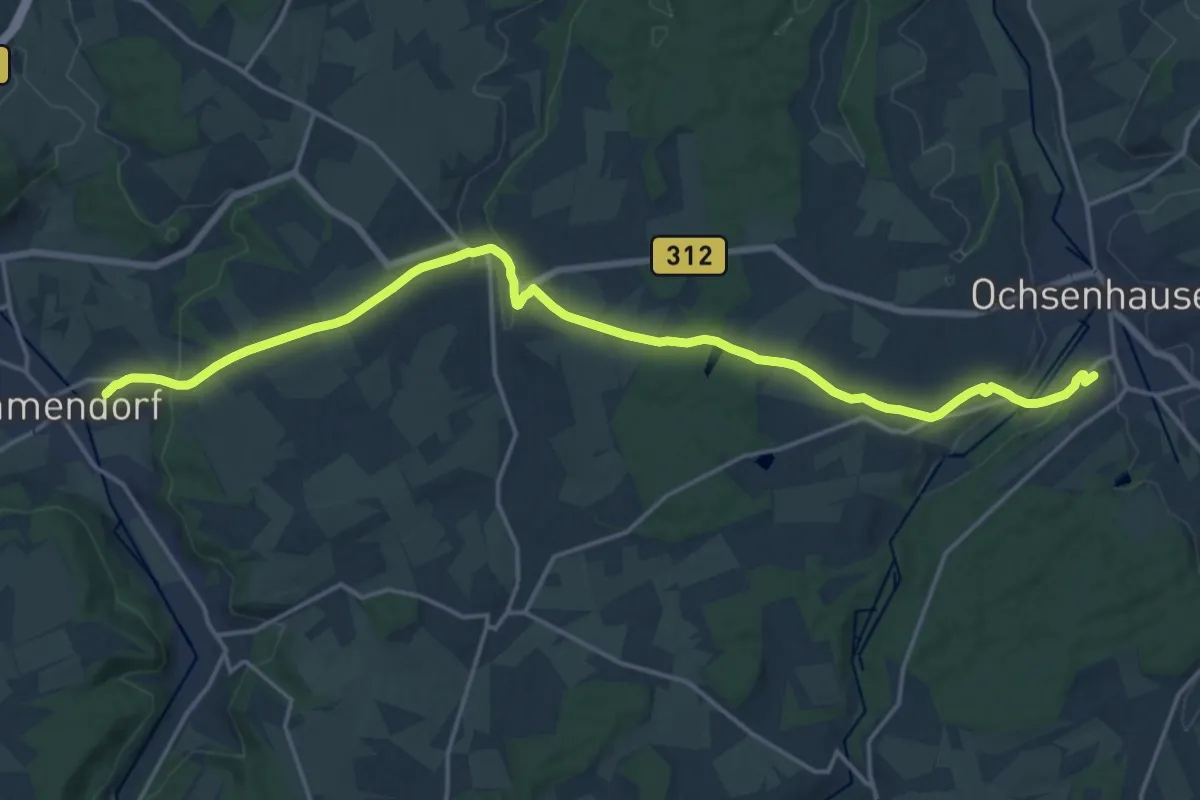
Demanding · Summit
Via Sancti Martini HW-35-02 Ochsenhausen - Biberach
19.6 km · ↑ 287 m · 5 h 15 min
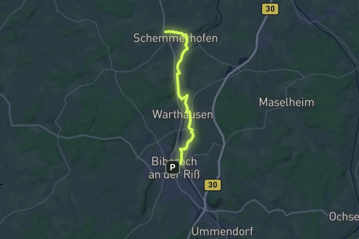
Demanding · Trail
Via Sancti Martini HW-35-03a Biberach - Schemmerhofen
24.6 km · ↑ 66 m · 5 h 58 min
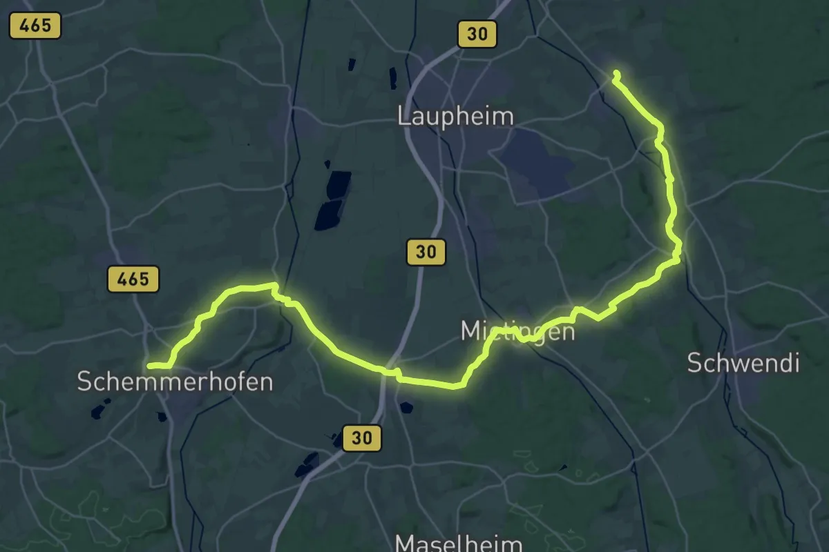
Demanding · Trail
Via Sancti Martini HW-35-03b Schemmerhofen - Burgrieden
22.9 km · ↑ 185 m · 6 h 8 min
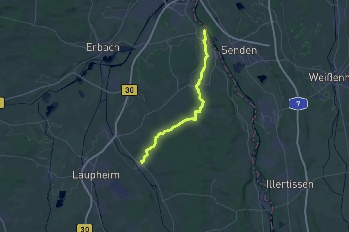
Demanding · Summit
Via Sancti Martini HW-35-04 Burgrieden - Ulm
31.9 km · ↑ 356 m · 8 h 18 min
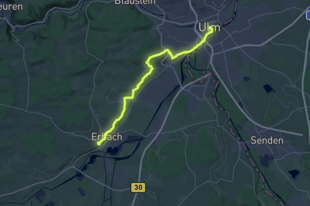
Demanding · Summit
Via Sancti Martini HW-35-05a Ulm - Erbach
30.7 km · ↑ 497 m · 8 h 20 min
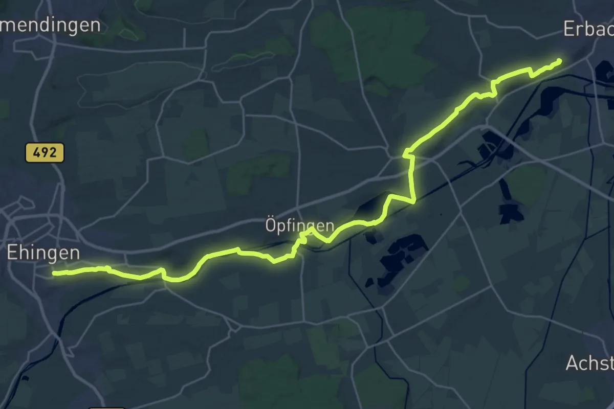
Demanding · Summit
Via Sancti Martini HW-35-05b Erbach - Ehingen
31.4 km · ↑ 302 m · 8 h 4 min
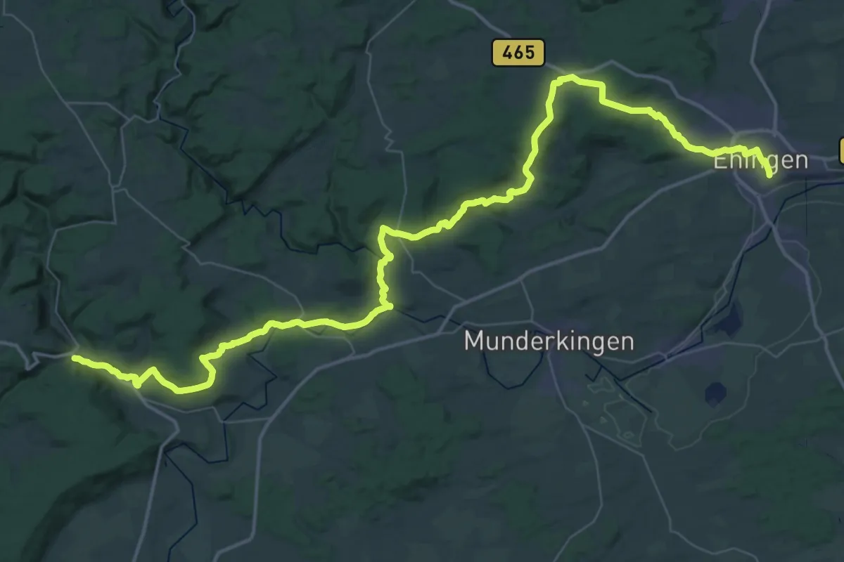
Demanding · Trail
Via Sancti Martini HW-35-06a Ehingen - Zwiefalten
31.5 km · ↑ 735 m · 9 h 27 min
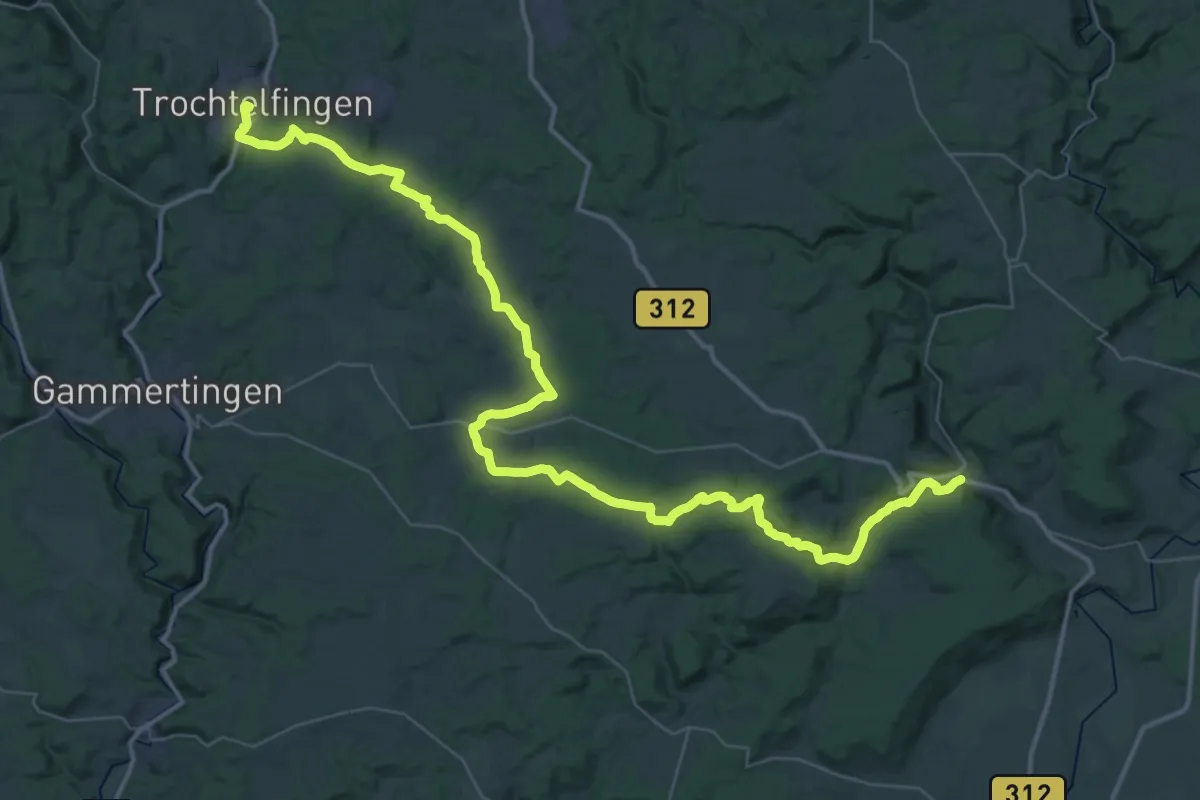
Demanding · Trail
Via Sancti Martini HW-35-07 Zwiefalten - Trochtelfingen
29.4 km · ↑ 606 m · 8 h 35 min
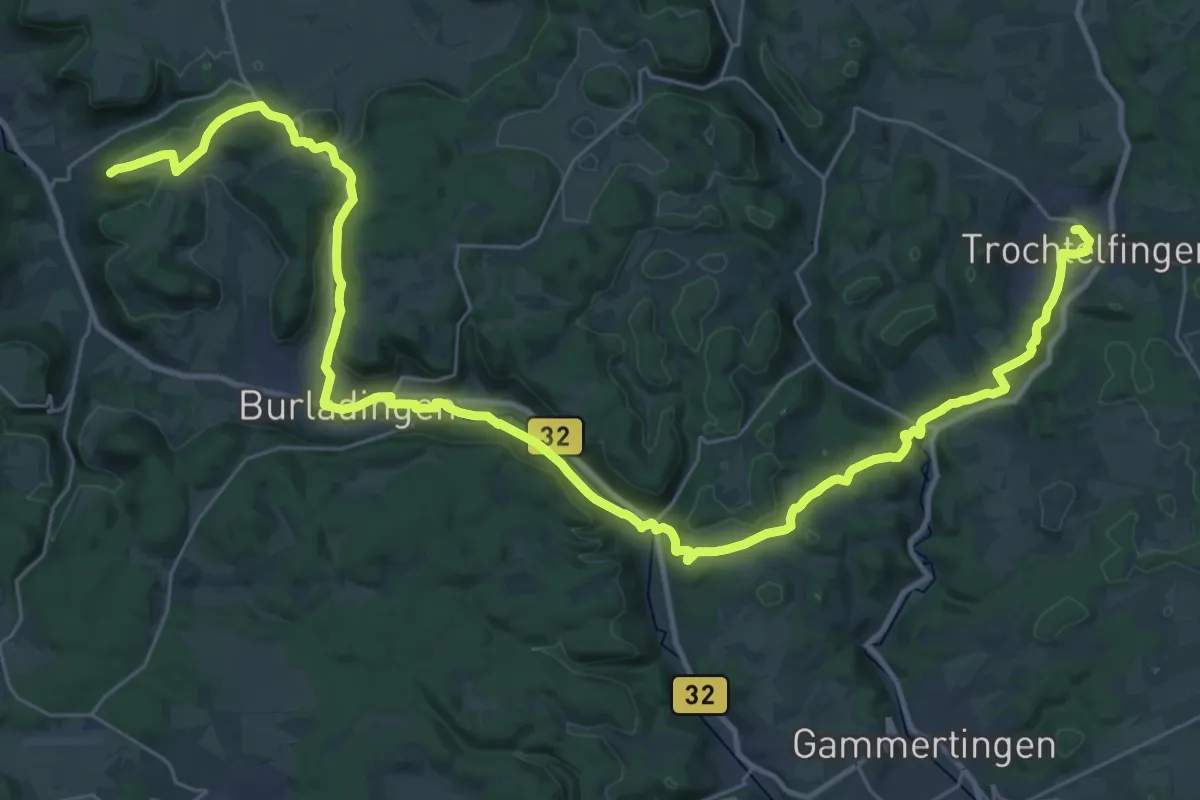
Demanding · Summit
Via Sancti Martini HW-35-08 Trochtelfingen - Hechingen
43.5 km · ↑ 766 m · 11 h 55 min
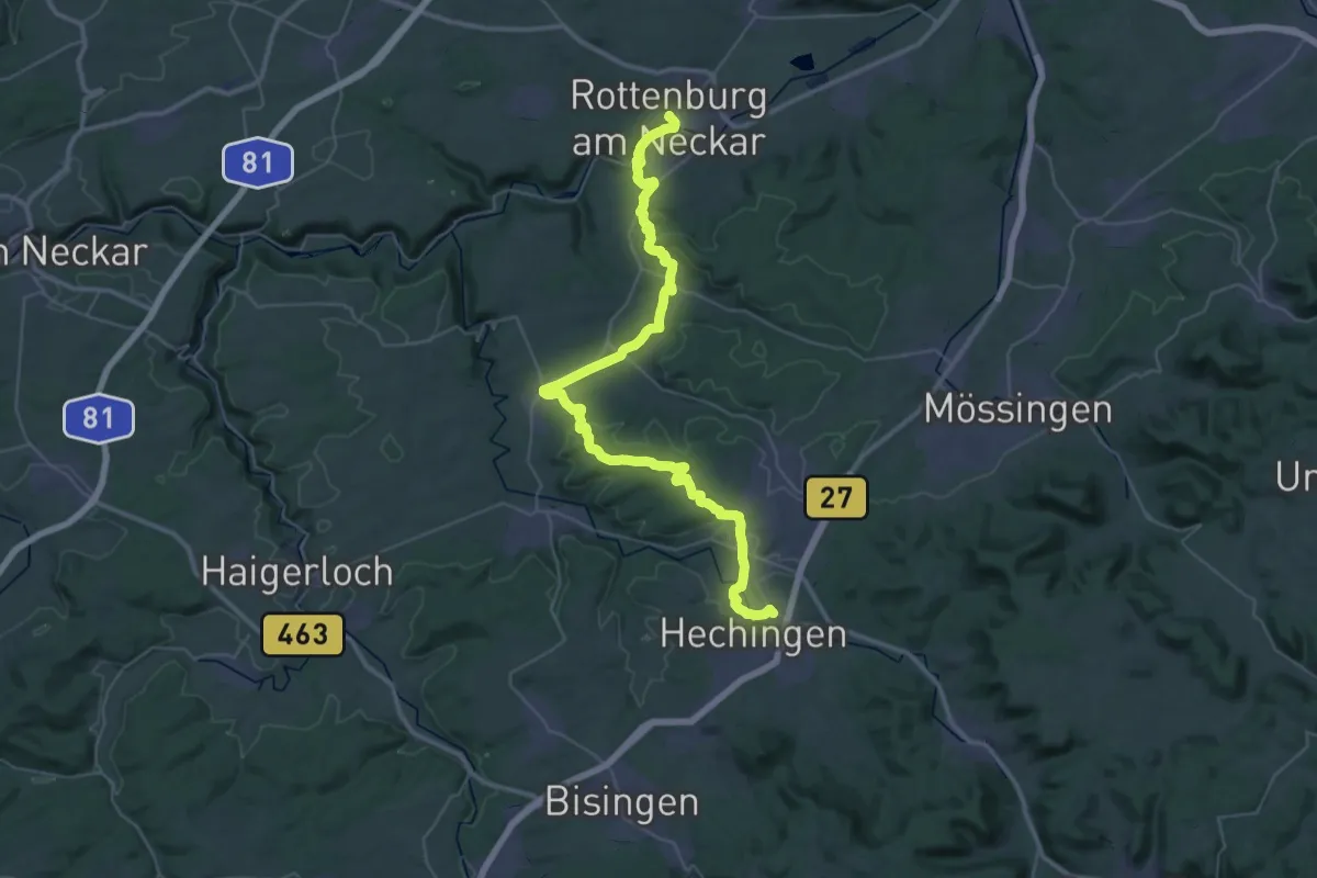
Demanding · Trail
Via Sancti Martini HW-35-09 Hechingen - Rottenburg
23.8 km · ↑ 424 m · 6 h 48 min
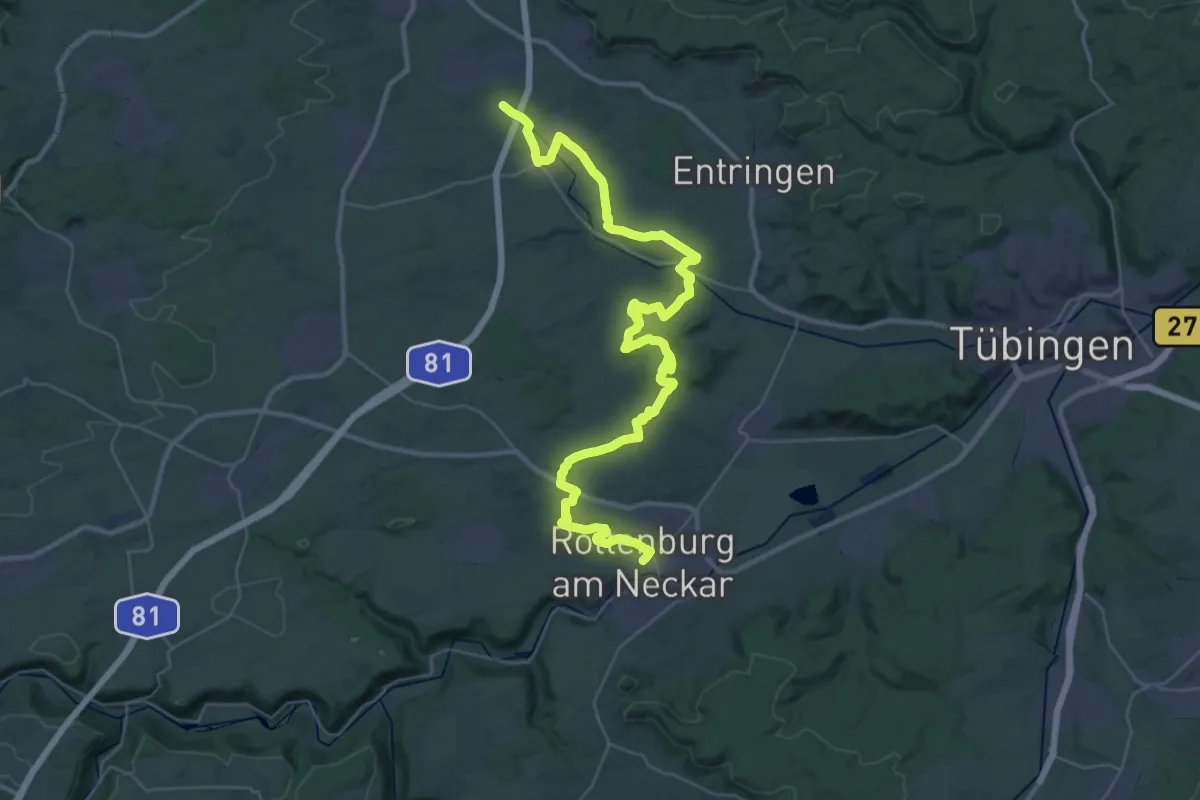
Demanding · Trail
Via Sancti Martini HW-35-10a Rottenburg - Herrenberg
22.4 km · ↑ 285 m · 6 h 13 min
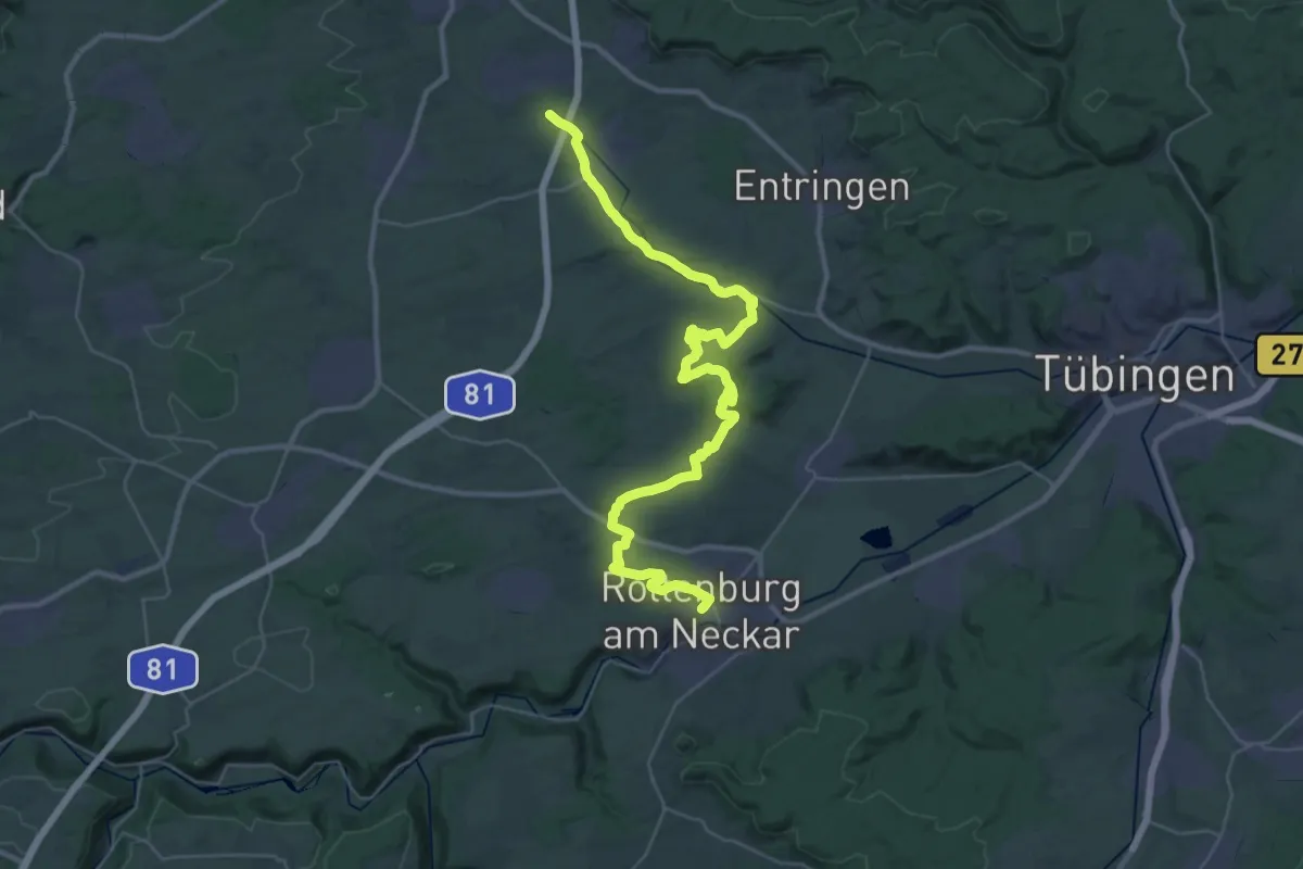
Demanding · Trail
Via Sancti Martini HW-35-10b Rottenburg - Herrenberg
20.7 km · ↑ 240 m · 5 h 43 min
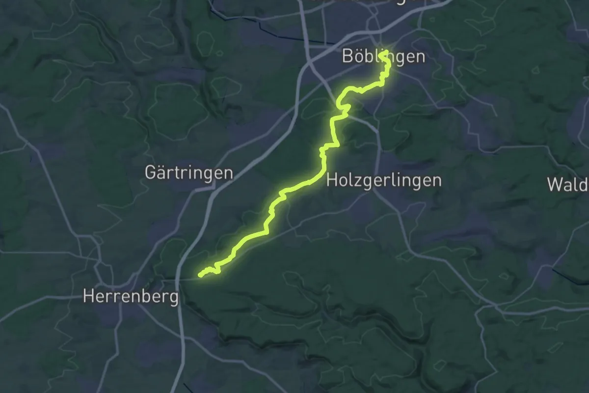
Medium · Summit
Via Sancti Martini HW-35-11 Herrenberg - Böblingen
17.1 km · ↑ 257 m · 4 h 46 min