Trails in Germany
36,852 hiking trails, each with its route, climb, walking time and grade.
All trails, page 652 of 768
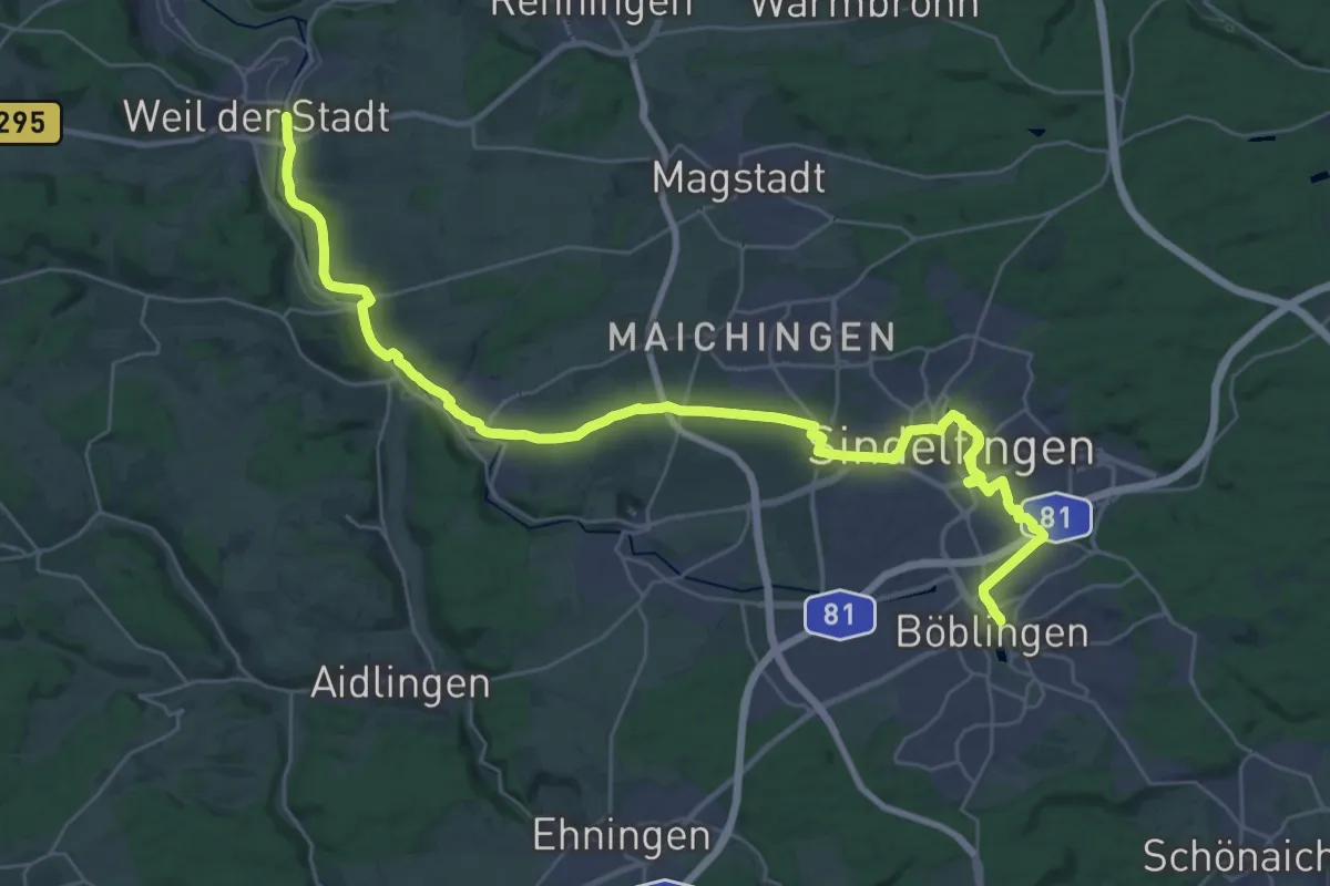
Demanding · Pilgrim path
Via Sancti Martini HW-35-12a Böblingen - Weil der Stadt
18.5 km · ↑ 115 m · 4 h 55 min
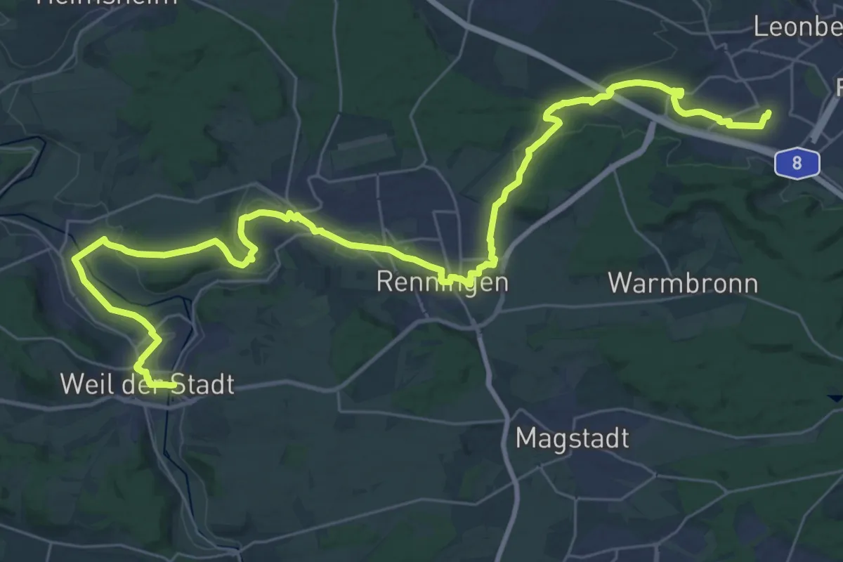
Demanding · Pilgrim path
Via Sancti Martini HW-35-12b Weil der Stadt - Leonberg
20.1 km · ↑ 146 m · 5 h 20 min
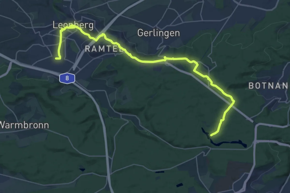
Demanding · Trail
Via Sancti Martini HW-35-12c Leonberg - Stuttgart/Schlossplatz
25.5 km · ↑ 283 m · 6 h 38 min
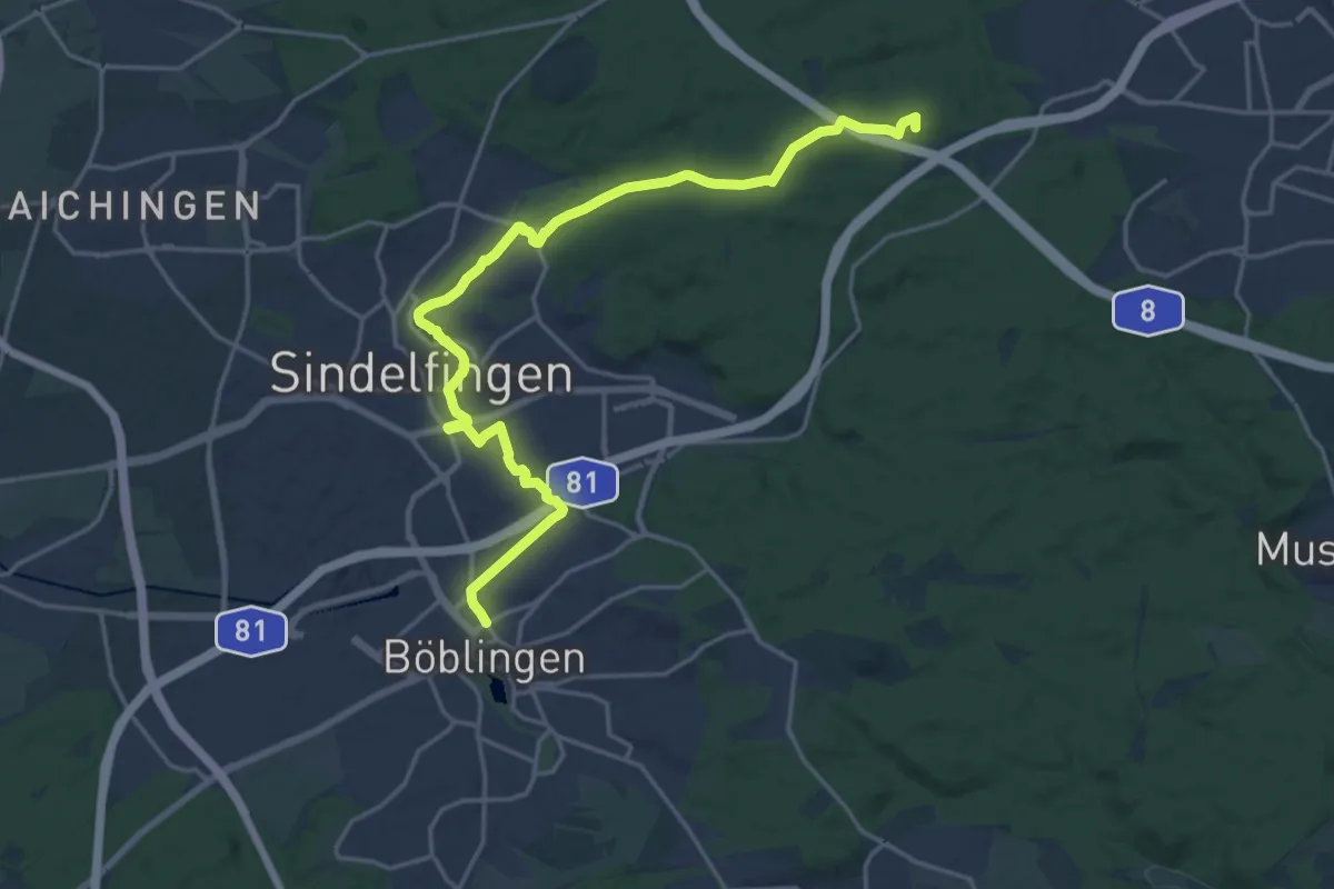
Demanding · Summit
Via Sancti Martini HW-35-12d Böblingen - Stuttgart/Schlossplatz
20.9 km · ↑ 227 m · 5 h 26 min
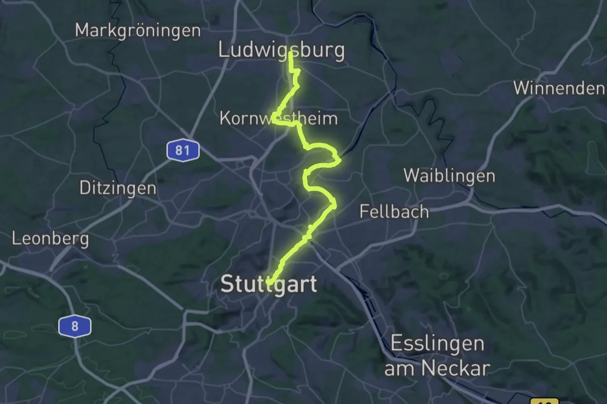
Demanding · Trail
Via Sancti Martini HW-35-13 Stuttgart/Schlossplatz - Ludwigsburg
22.8 km · ↑ 203 m · 6 h 8 min
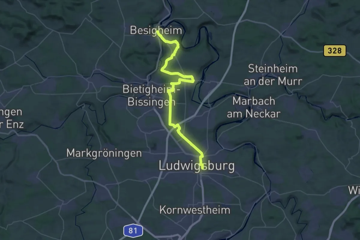
Demanding · Trail
Via Sancti Martini HW-35-14 Ludwigsburg - Besigheim Ludwigsburg
20.8 km · ↑ 320 m · 5 h 51 min
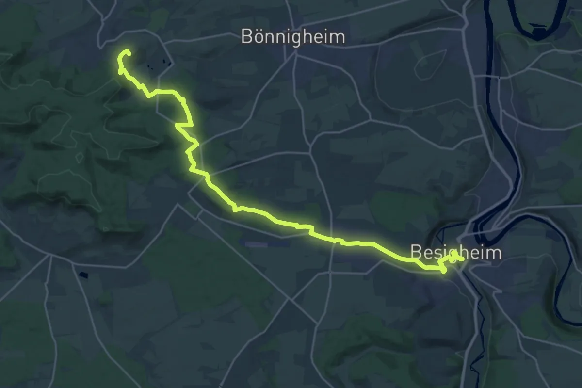
Demanding · Summit
Via Sancti Martini HW-35-15a Besigheim - Lauffen am Neckar
24.5 km · ↑ 349 m · 6 h 32 min
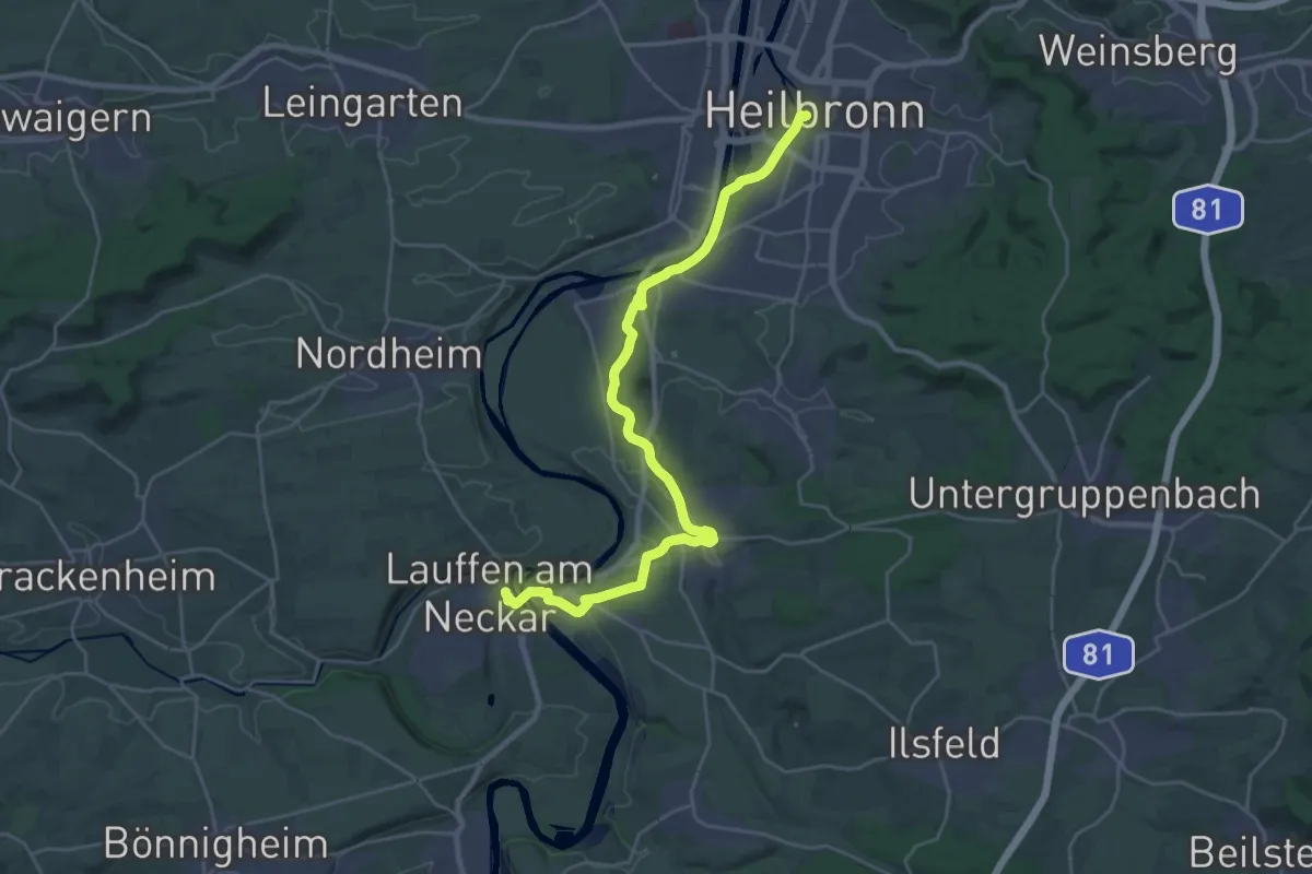
Demanding · Trail
Via Sancti Martini HW-35-15b Lauffen am Neckar - Heilbronn
26.7 km · ↑ 190 m · 6 h 43 min
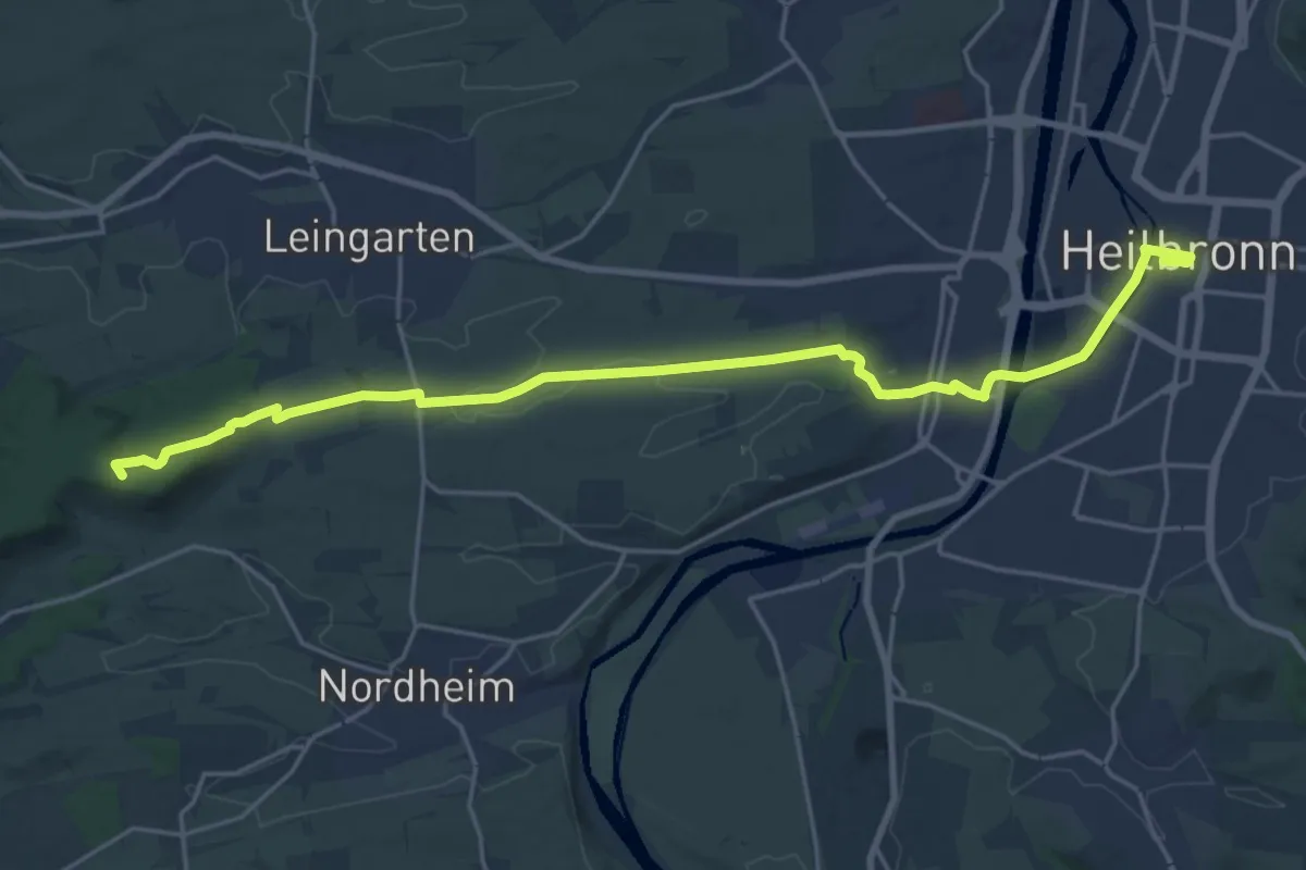
Demanding · Summit
Via Sancti Martini HW-35-16 Heilbronn - Schwaigern
22.0 km · ↑ 220 m · 5 h 41 min
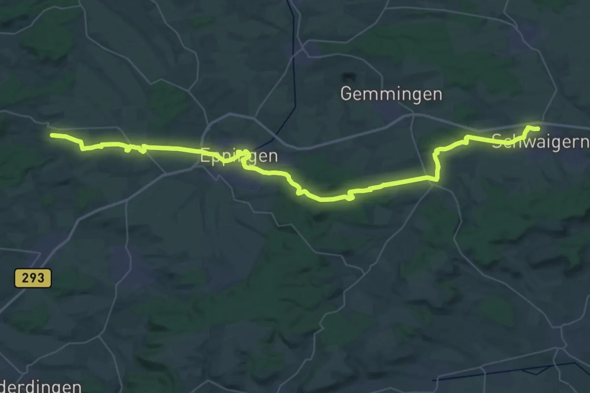
Demanding · Trail
Via Sancti Martini HW-36-01 Schwaigern - Kraichtal
22.3 km · ↑ 304 m · 6 h 12 min
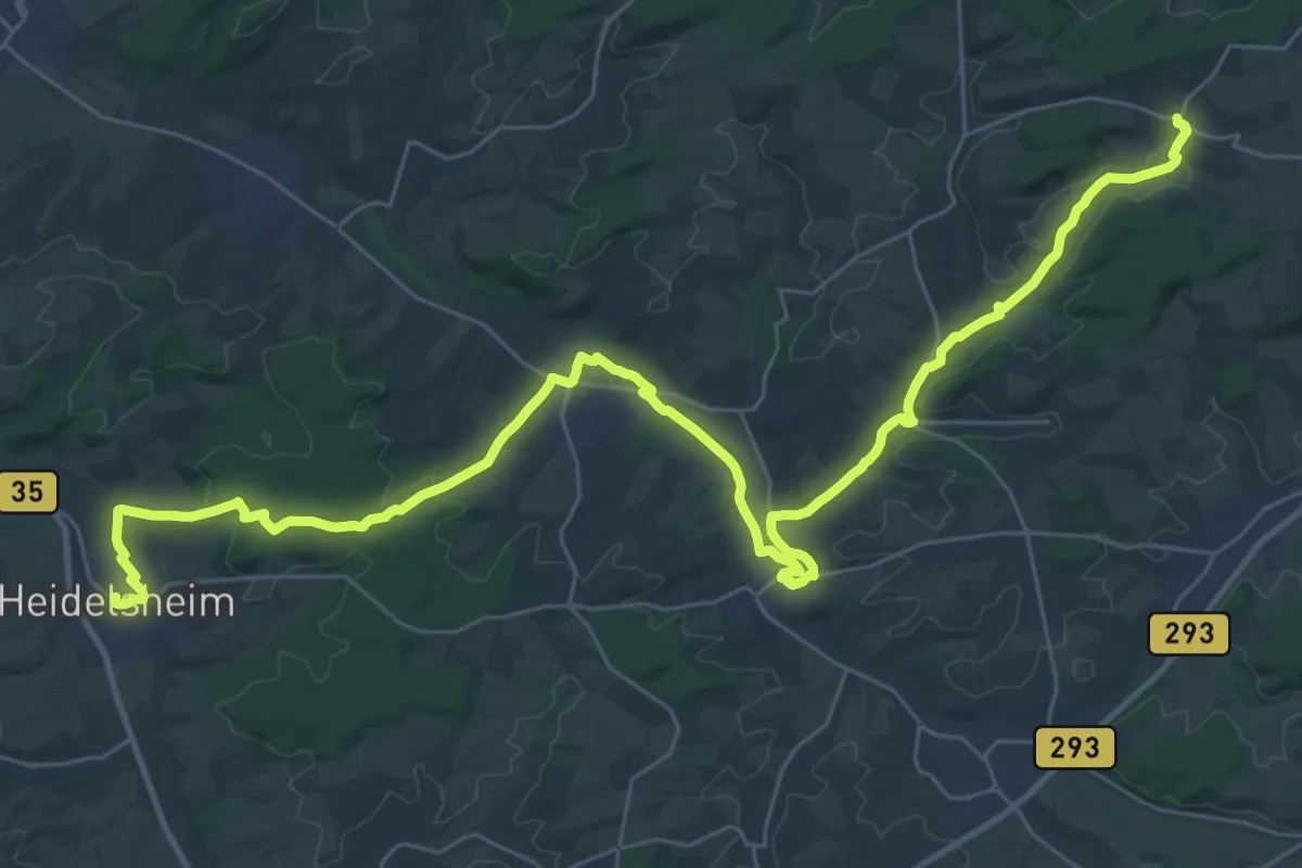
Demanding · Trail
Via Sancti Martini HW-36-02 Kraichtal - Bruchsal-Heidelsheim
20.8 km · ↑ 227 m · 5 h 40 min
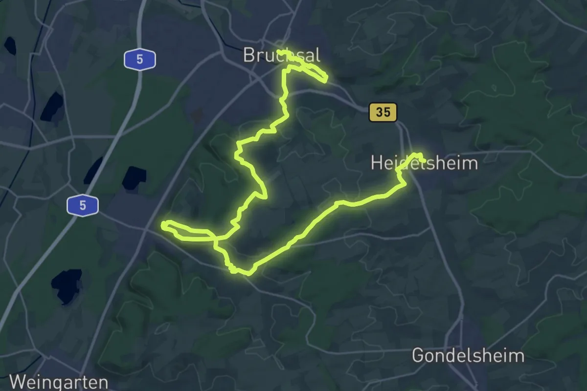
Demanding · Trail
Via Sancti Martini HW-36-03 Bruchsal-Heidelsheim - Bruchsal
19.7 km · ↑ 336 m · 5 h 39 min
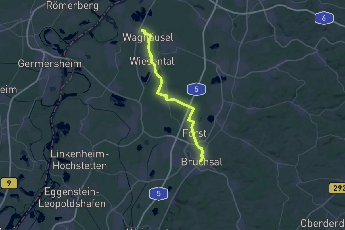
Demanding · Pilgrim path
Via Sancti Martini HW-36-04 Bruchsal - Waghäusel
20.9 km · ↑ 44 m · 5 h 19 min
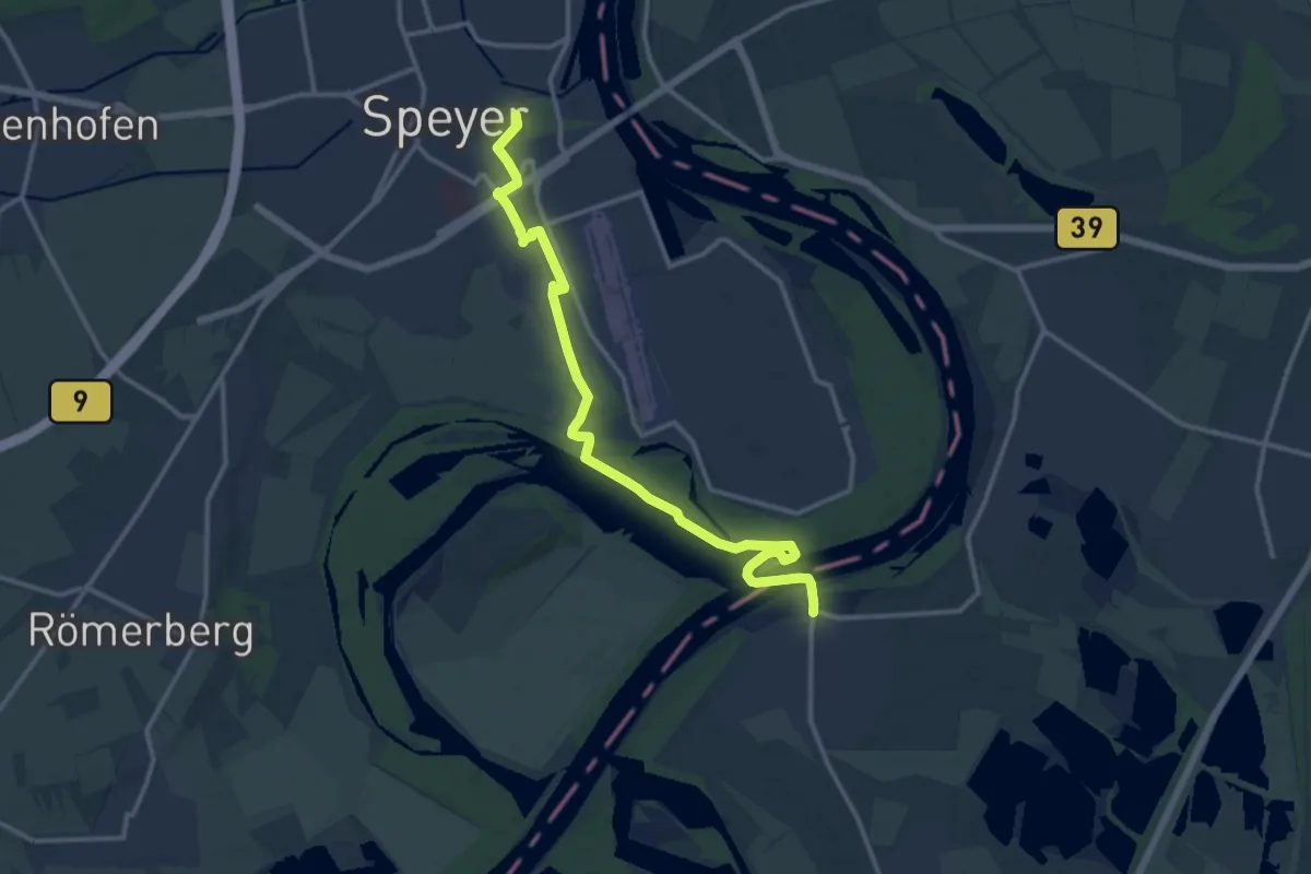
Medium · Trail
Via Sancti Martini HW-36-05a Waghäusel - Speyer
13.7 km · ↑ 67 m · 3 h 23 min
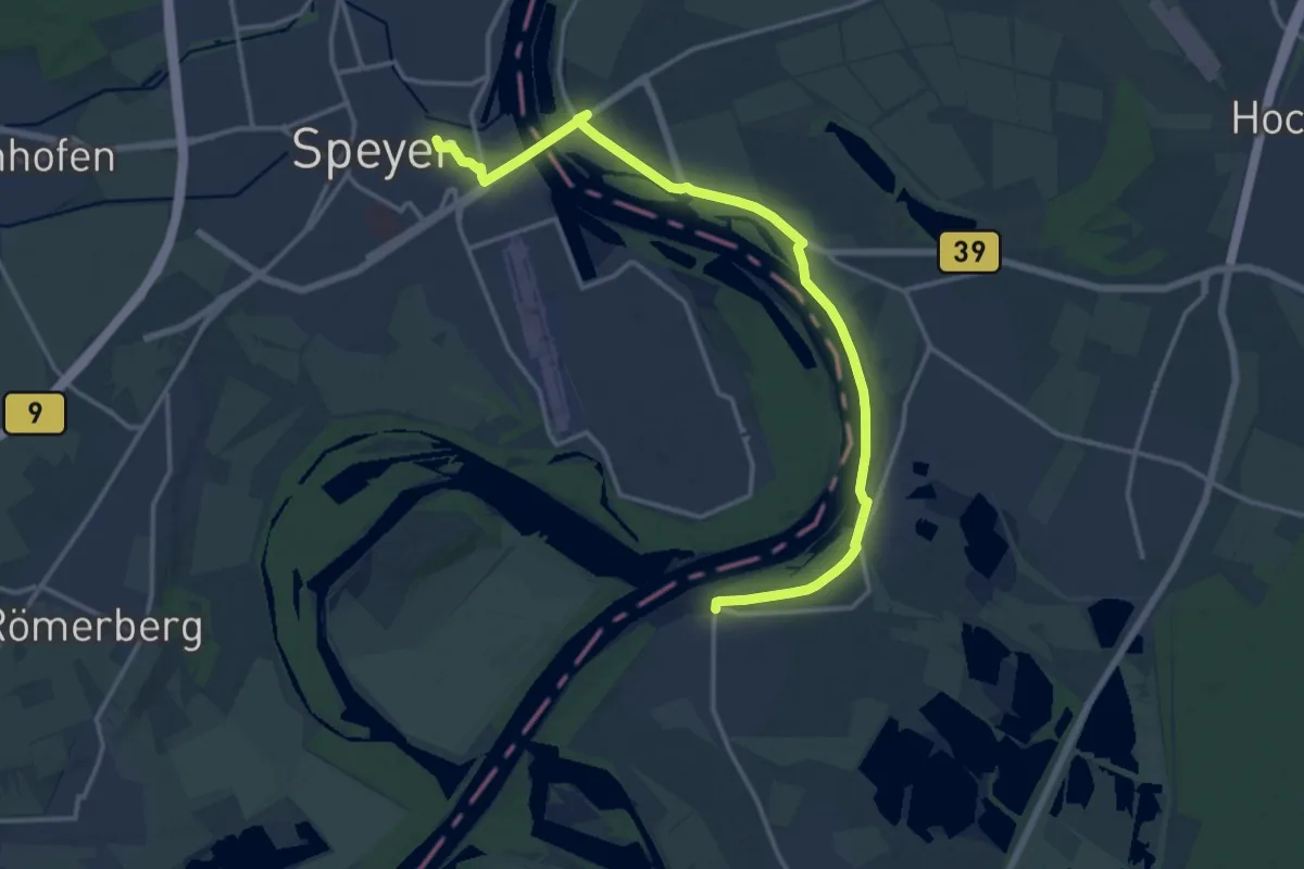
Medium · Pilgrim path
Via Sancti Martini HW-36-05b Waghäusel - Speyer
8.1 km · ↑ 23 m · 2 h 5 min
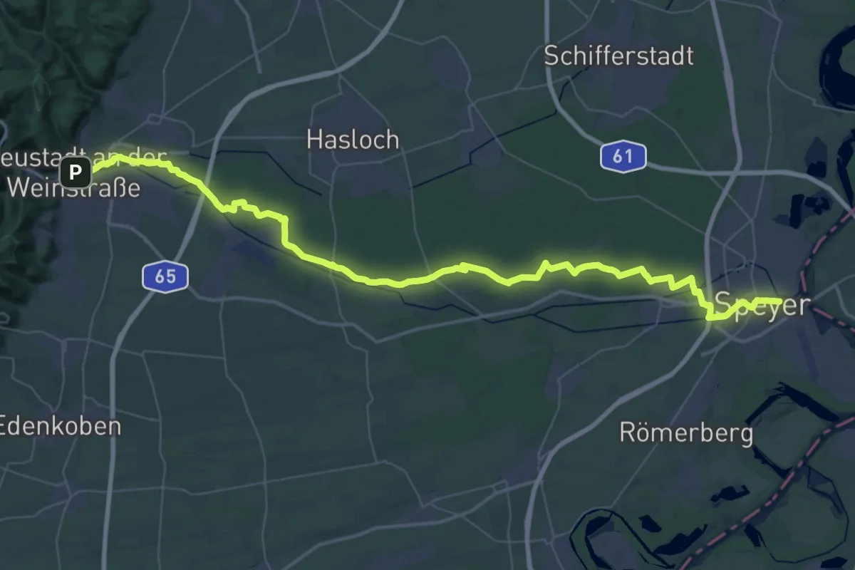
Demanding · Pilgrim path
Via Sancti Martini HW-37-01 Speyer - Neustadt an der Weinstraße
28.0 km · ↑ 53 m · 7 h 7 min
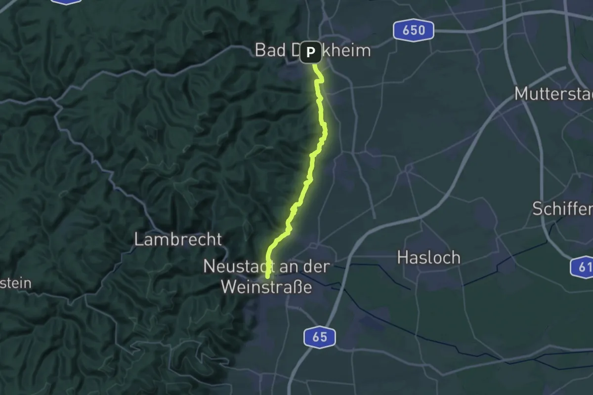
Medium · Pilgrim path
Via Sancti Martini HW-37-03 Neustadt an der Weinstraße - Bad Dürkheim
15.6 km · ↑ 372 m · 4 h 42 min
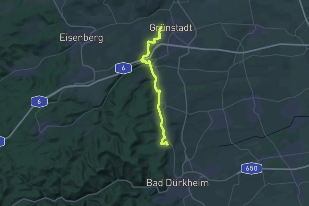
Medium · Summit
Via Sancti Martini HW-37-04 Bad Dürkheim - Grünstadt
12.1 km · ↑ 278 m · 3 h 38 min
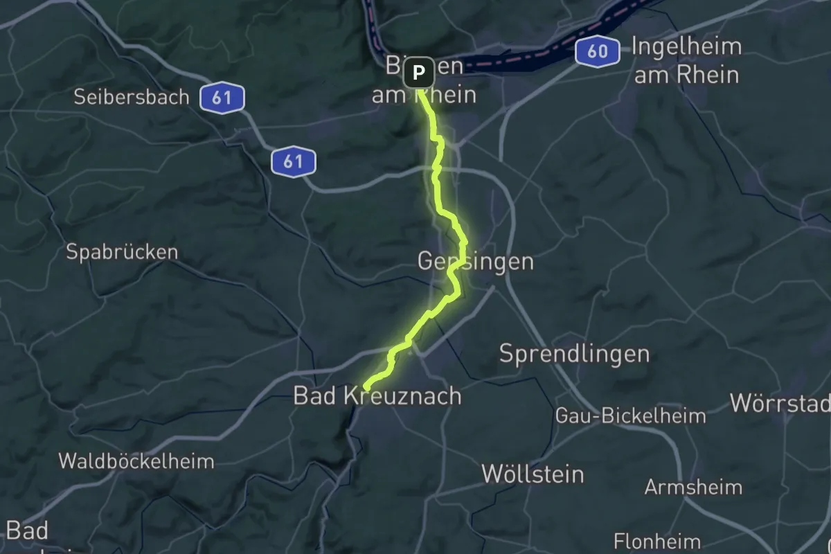
Demanding · Trail
Via Sancti Martini HW-39-01 Bingen - Bad Kreuznach
18.4 km · ↑ 55 m · 4 h 42 min
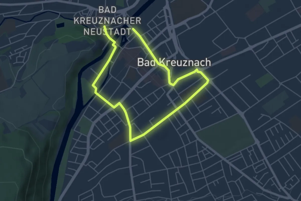
Easy · Trail
Via Sancti Martini HW-39-02 Stadtgang Bad Kreuznach
3.8 km · ↑ 23 m · 59 min
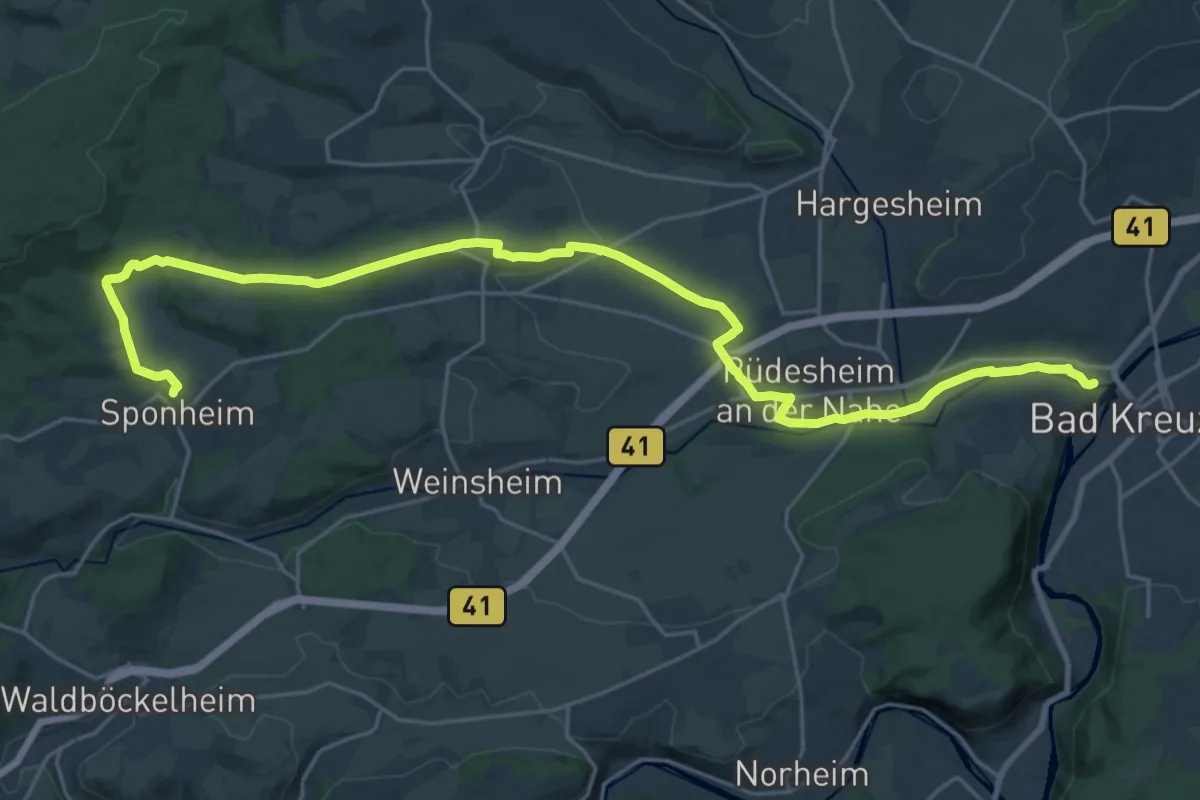
Demanding · Trail
Via Sancti Martini HW-39-03 Bad Kreuznach - Sponheim
27.2 km · ↑ 322 m · 7 h 8 min
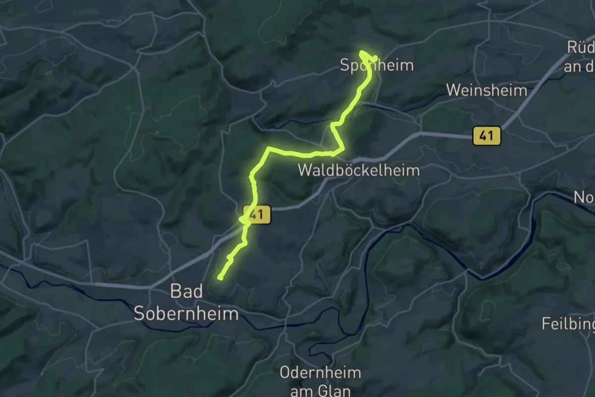
Medium · Summit
Via Sancti Martini HW-39-04 Sponheim - Bad Sobernheim
10.6 km · ↑ 235 m · 3 h 10 min
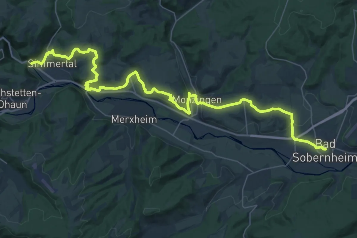
Medium · Pilgrim path
Via Sancti Martini HW-39-05 Bad Sobernheim - Simmertal
16.9 km · ↑ 425 m · 5 h 9 min
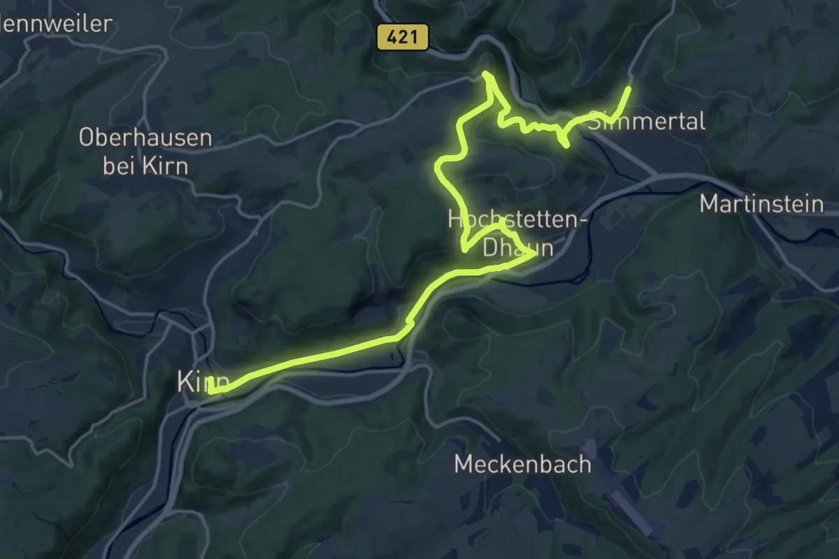
Medium · Pilgrim path
Via Sancti Martini HW-39-06 Simmertal - Kirn
10.2 km · ↑ 229 m · 3 h 3 min
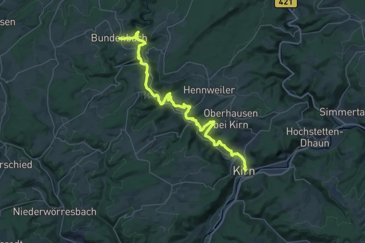
Medium · Pilgrim path
Via Sancti Martini HW-39-07 Kirn - Bundenbach
15.3 km · ↑ 647 m · 5 h 20 min
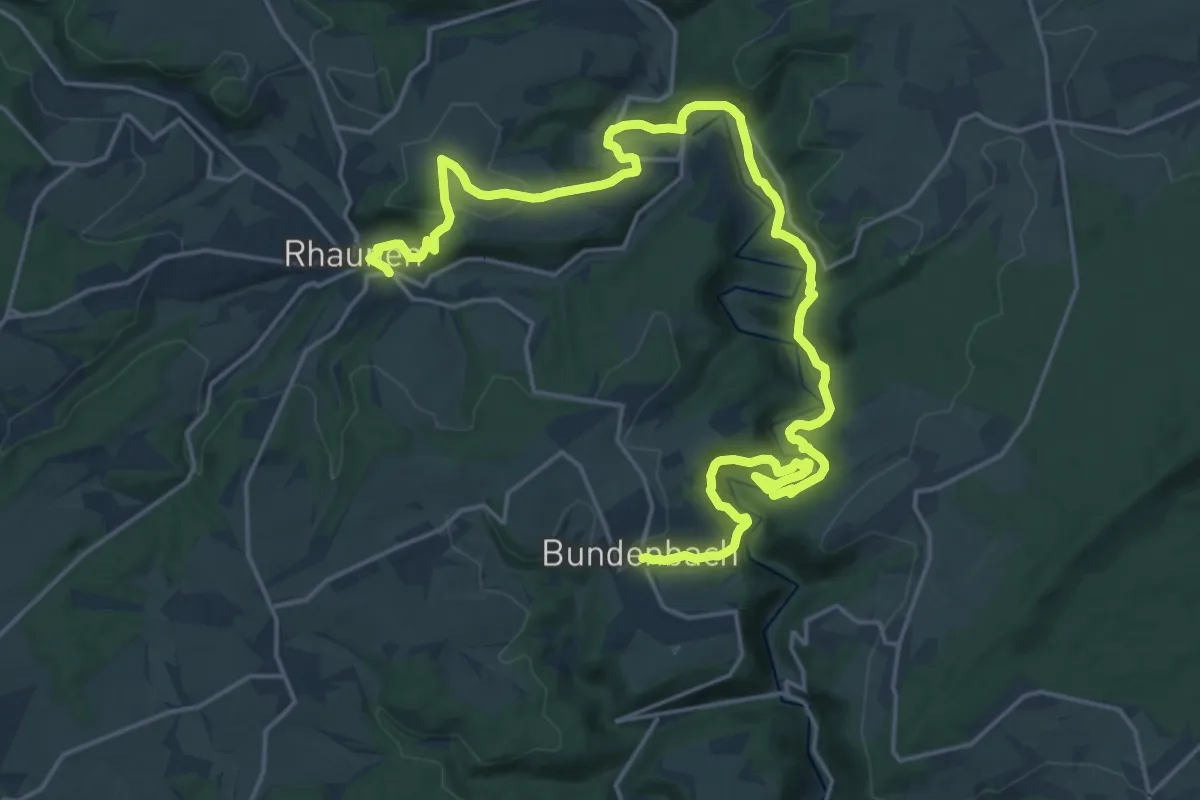
Medium · Pilgrim path
Via Sancti Martini HW-39-08 Bundenbach - Rhaunen
13.0 km · ↑ 381 m · 4 h 6 min
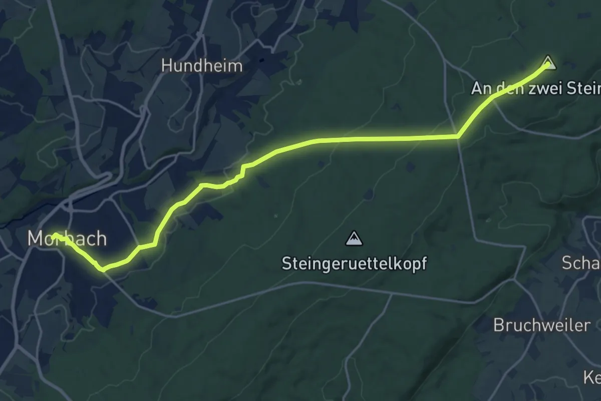
Medium · Summit
Via Sancti Martini HW-39-09 Rhaunen - Morbach
9.2 km · ↑ 375 m · 2 h 57 min
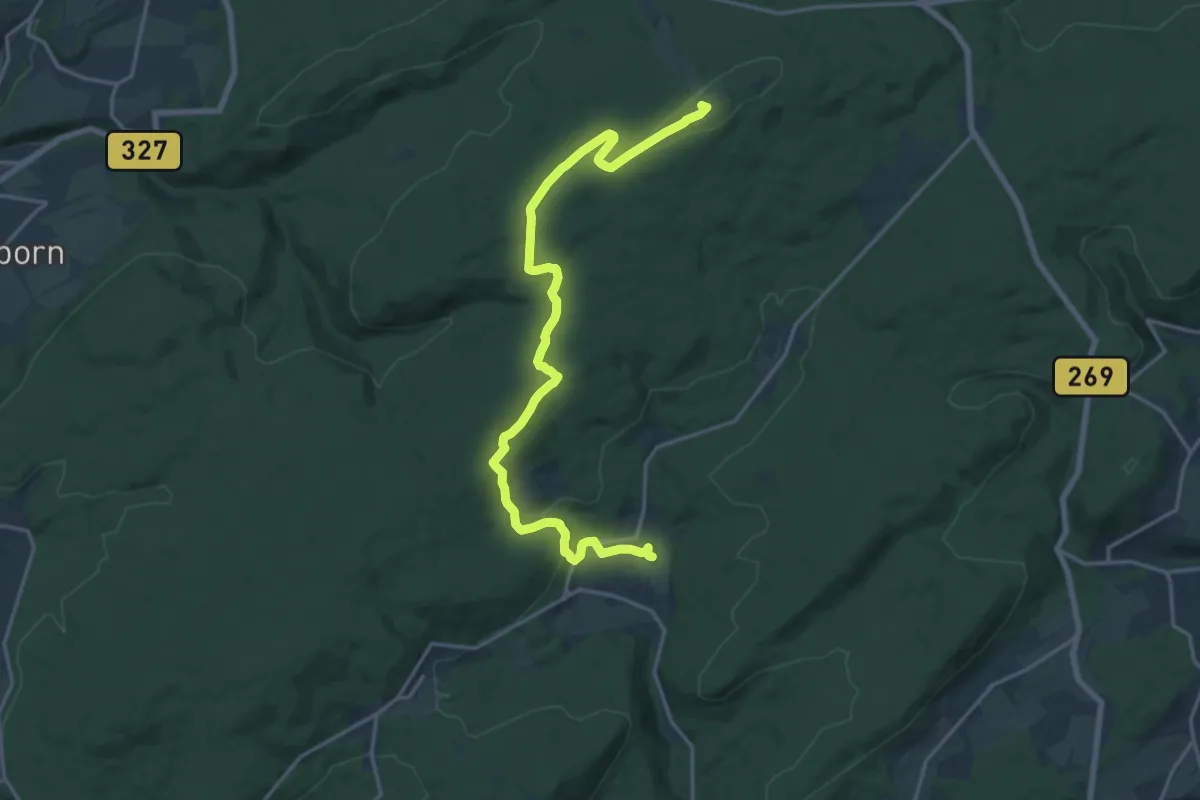
Medium · Summit
Via Sancti Martini HW-39-10 Morbach - Börfink
9.1 km · ↑ 398 m · 2 h 59 min
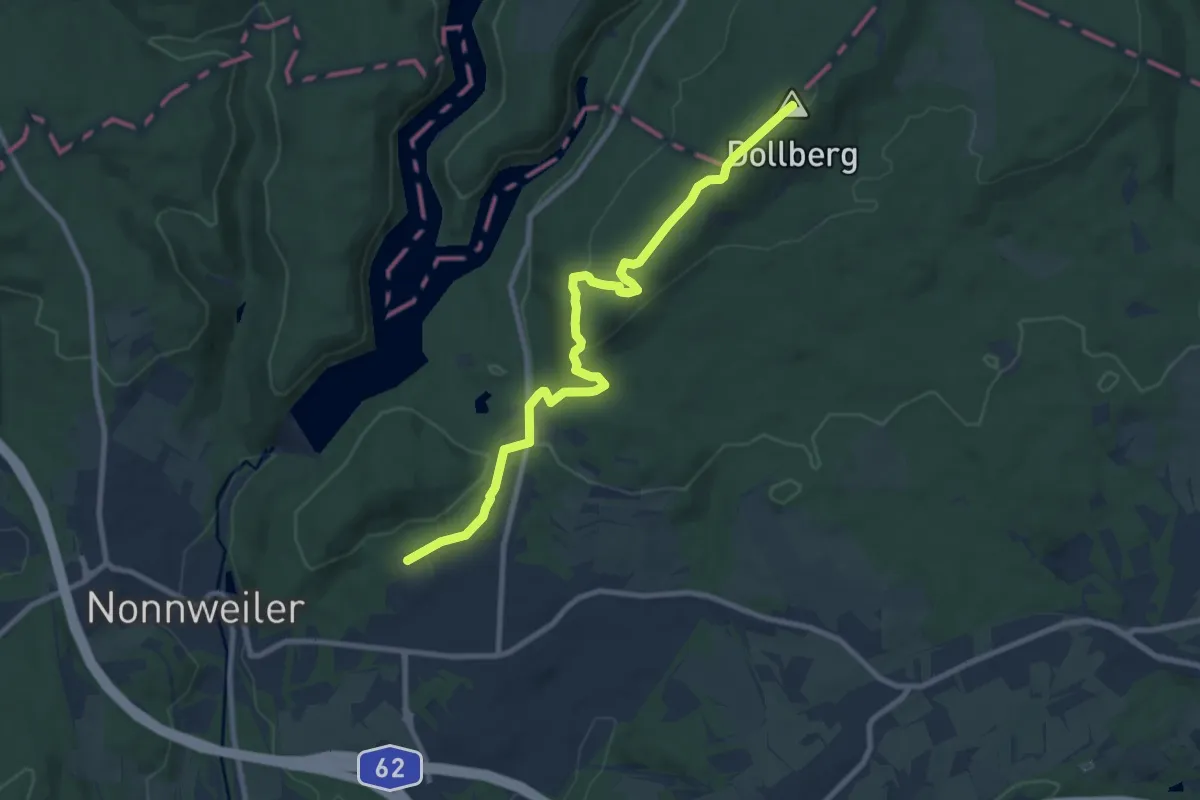
Medium · Summit
Via Sancti Martini HW-39-11 Börfink - Nonnweiler
4.5 km · ↑ 239 m · 1 h 32 min
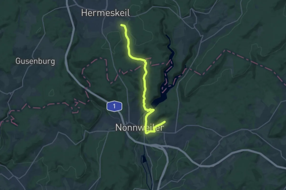
Easy · Pilgrim path
Via Sancti Martini HW-39-12 Nonnweiler - Hermeskeil
8.0 km · ↑ 150 m · 2 h 22 min
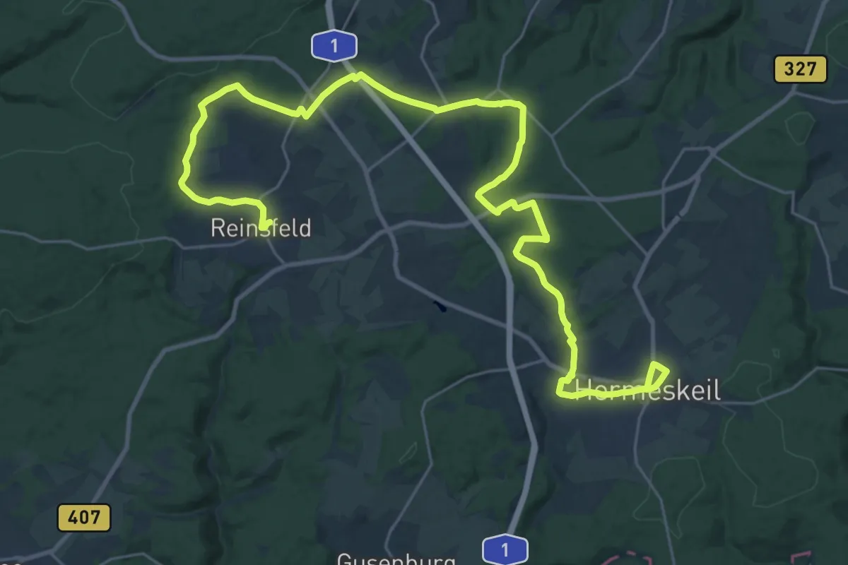
Medium · Pilgrim path
Via Sancti Martini HW-39-13 Hermeskeil - Reinsfeld
15.7 km · ↑ 229 m · 4 h 27 min
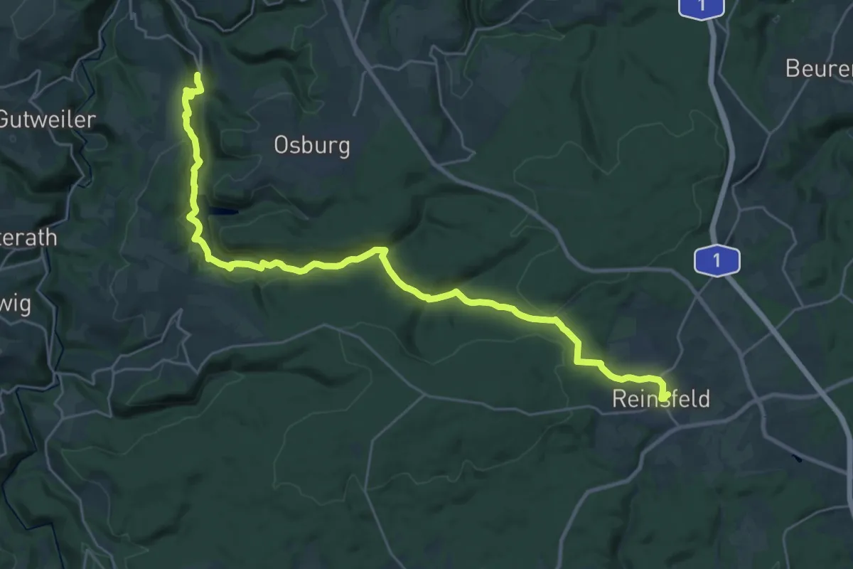
Medium · Pilgrim path
Via Sancti Martini HW-39-14 Reinsfeld - Riveris
14.4 km · ↑ 593 m · 4 h 45 min
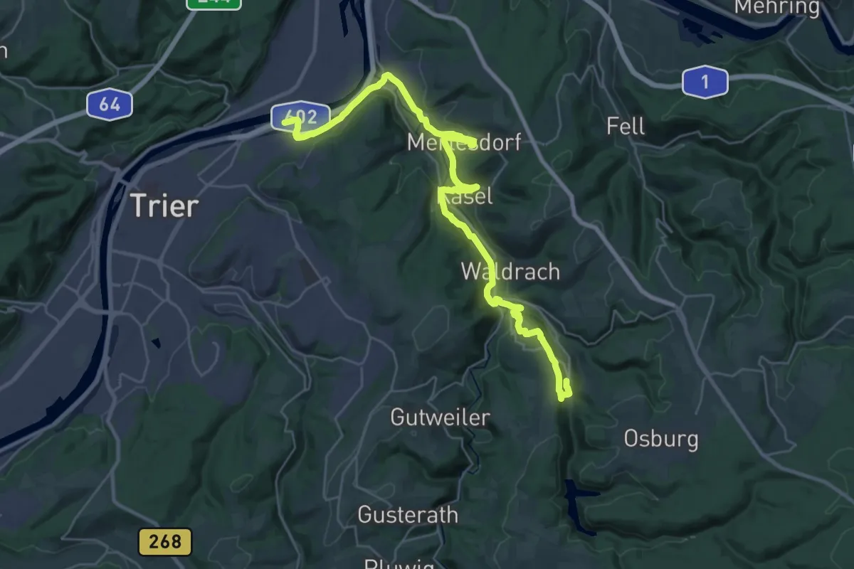
Medium · Pilgrim path
Via Sancti Martini HW-39-15 Riveris - Trier
15.9 km · ↑ 263 m · 4 h 36 min
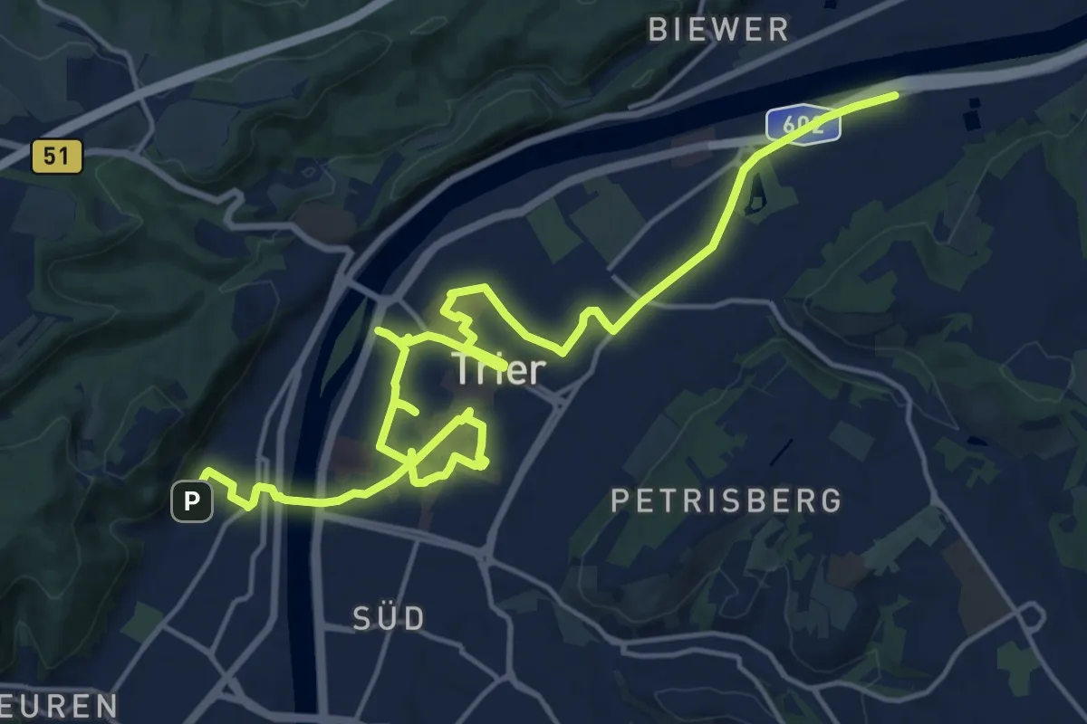
Medium · Pilgrim path
Via Sancti Martini HW-39-16 Stadtgang Trier
10.7 km · ↑ 27 m · 2 h 45 min
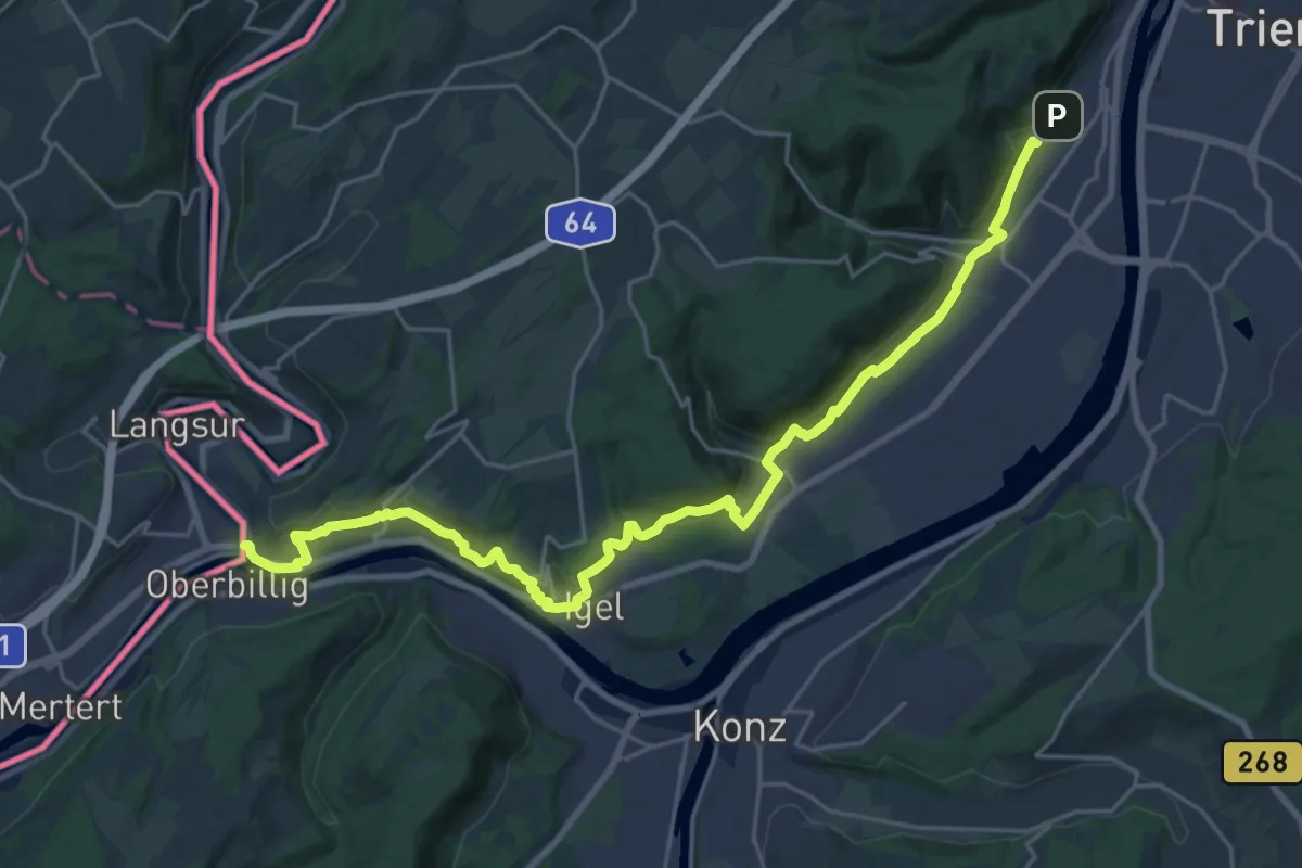
Medium · Pilgrim path
Via Sancti Martini HW-39-17 Trier - Langsur (D)
12.9 km · ↑ 302 m · 3 h 53 min
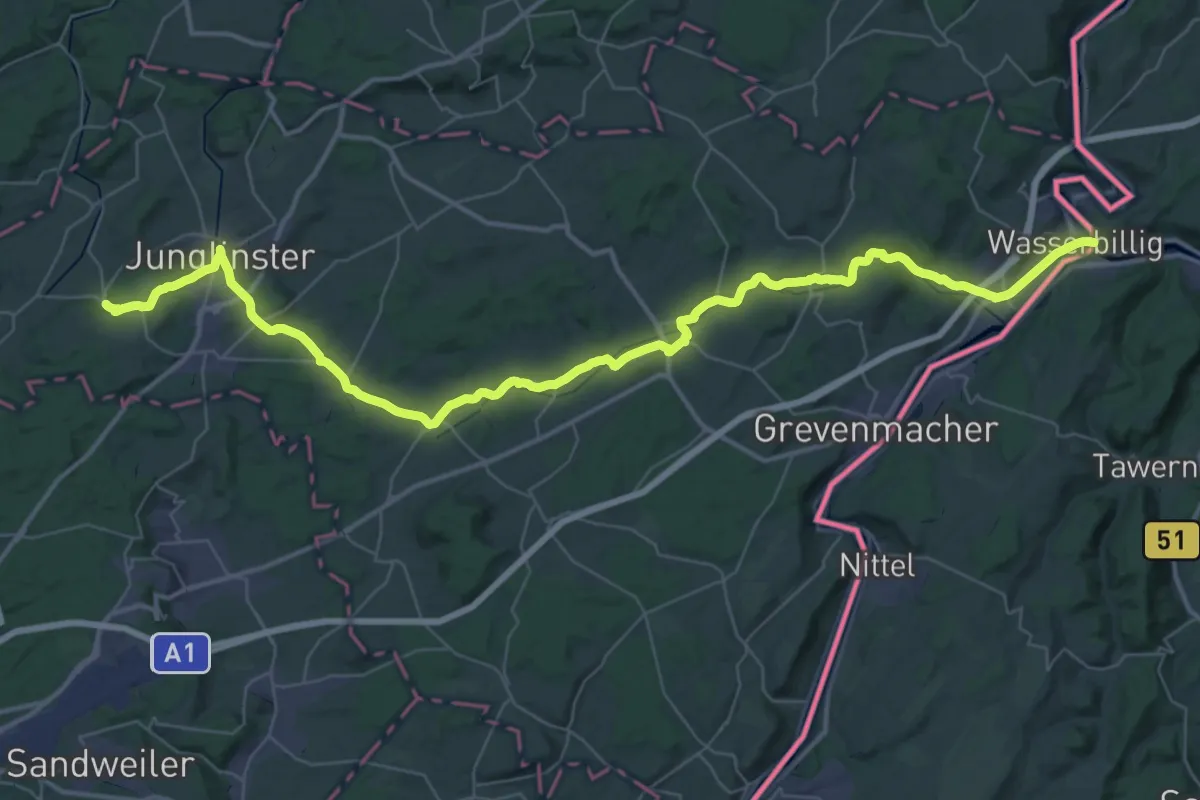
Demanding · Pilgrim path
Via Sancti Martini HW-40-01 Mertert (Lux) - Junglinster
26.7 km · ↑ 389 m · 7 h 24 min
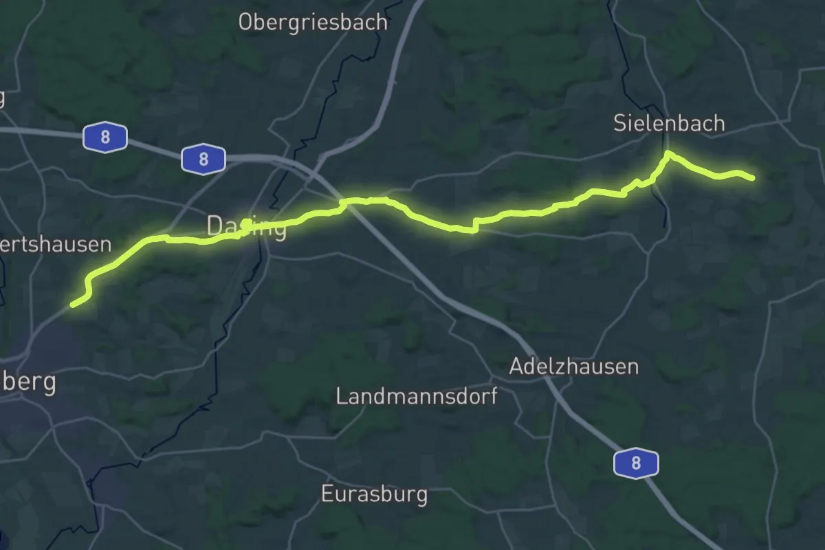
Medium · Trail
Via Sancti Martini Raderstetten - Friedberg
16.6 km · ↑ 118 m · 4 h 24 min
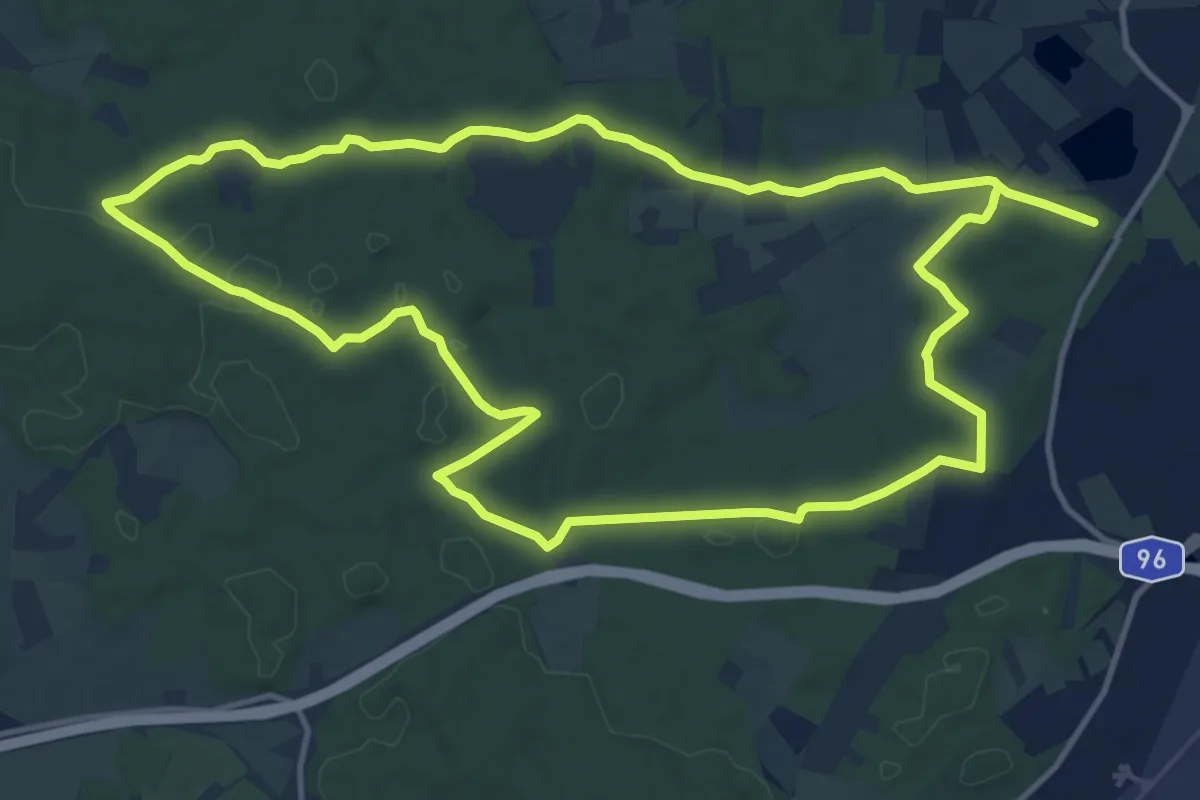
Demanding · Trail
Via Zeitreise - Blaue Route
26.2 km · ↑ 172 m · 6 h 33 min
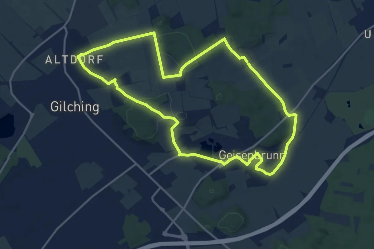
Medium · Trail
Via Zeitreise Gelbe Route
9.7 km · ↑ 126 m · 2 h 42 min
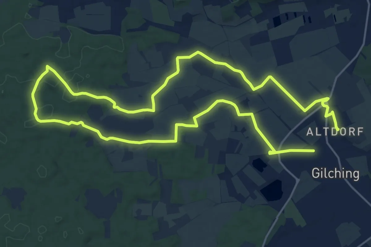
Demanding · Trail
Via Zeitreise Rote Route
27.7 km · ↑ 189 m · 6 h 57 min
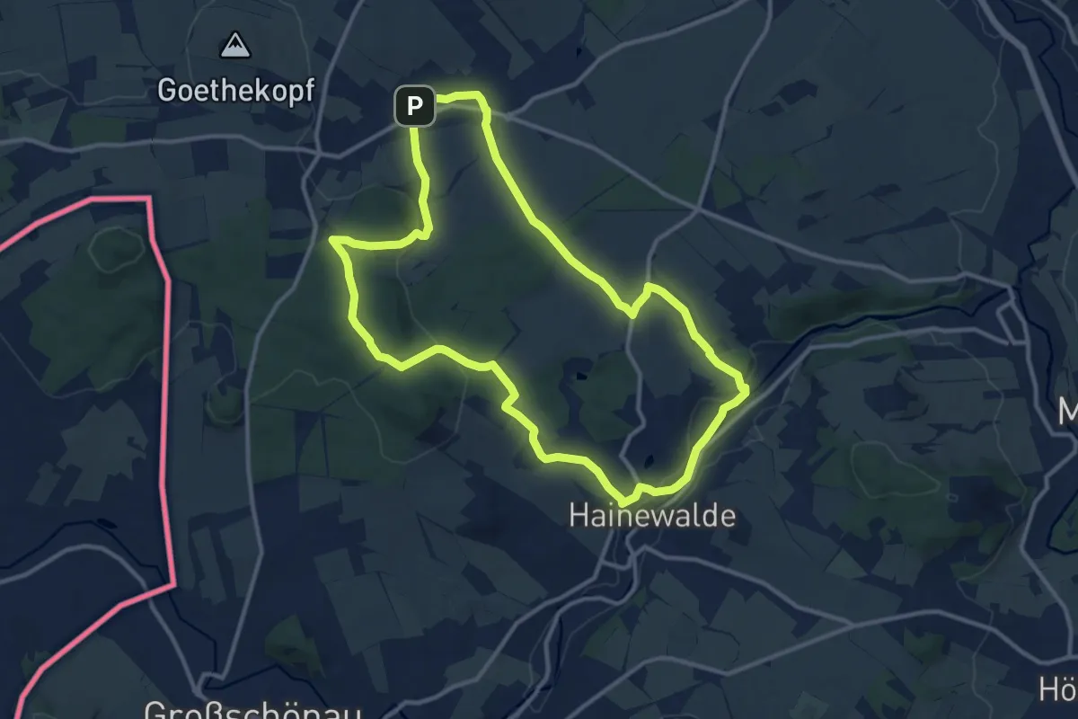
Medium · Trail
Victoriaweg
10.8 km · ↑ 189 m · 3 h 6 min
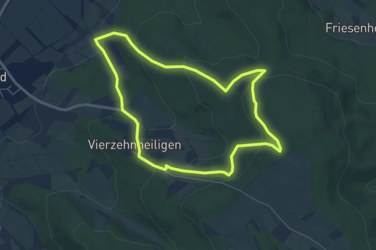
Easy · Trail
Victor-von-Scheffel Rundweg
4.8 km · ↑ 210 m · 1 h 39 min
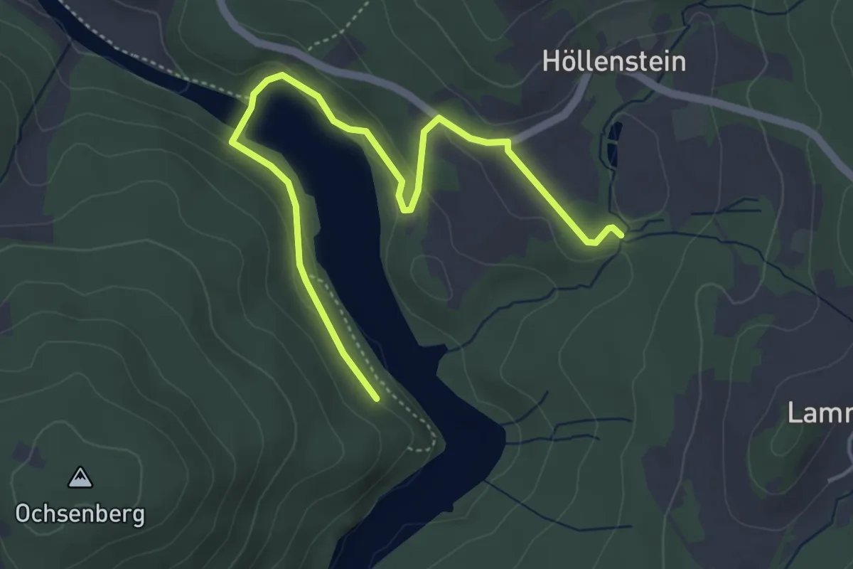
Easy · Trail
Viechtach, Rundweg Nr. 1
2.4 km · ↑ 59 m · 45 min
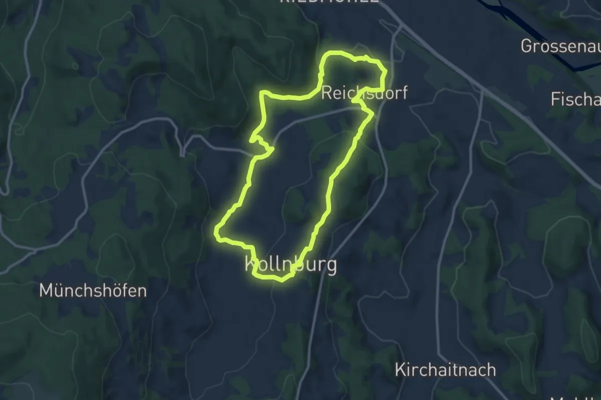
Medium · Trail
Viechtach, Rundweg Nr. 13
9.3 km · ↑ 259 m · 2 h 53 min
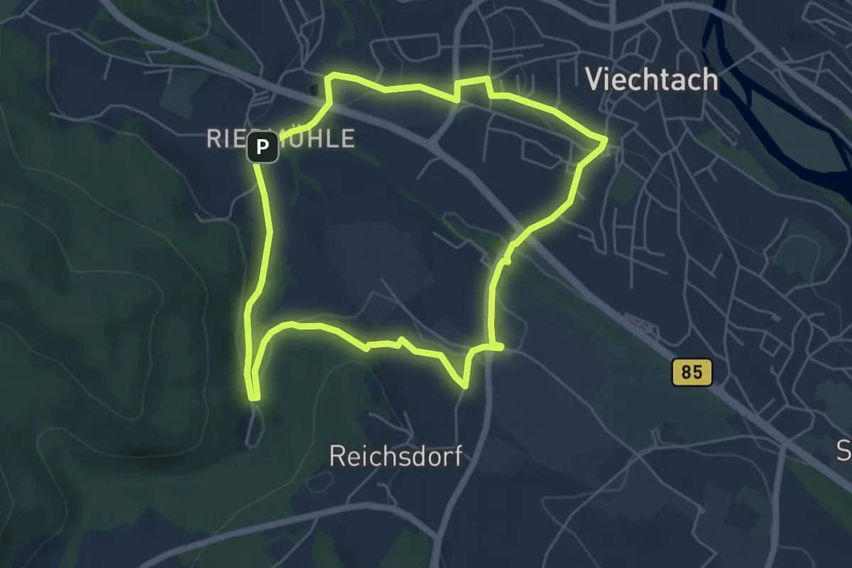
Easy · Trail
Viechtach, Rundweg Nr. 3
5.0 km · ↑ 102 m · 1 h 28 min
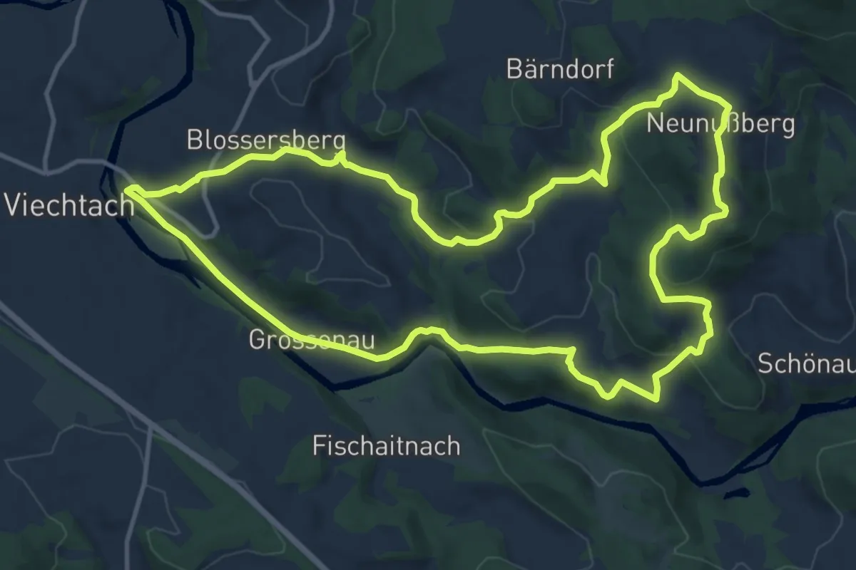
Medium · Summit
Viechtach, Rundweg Nr. 4
11.9 km · ↑ 382 m · 3 h 49 min
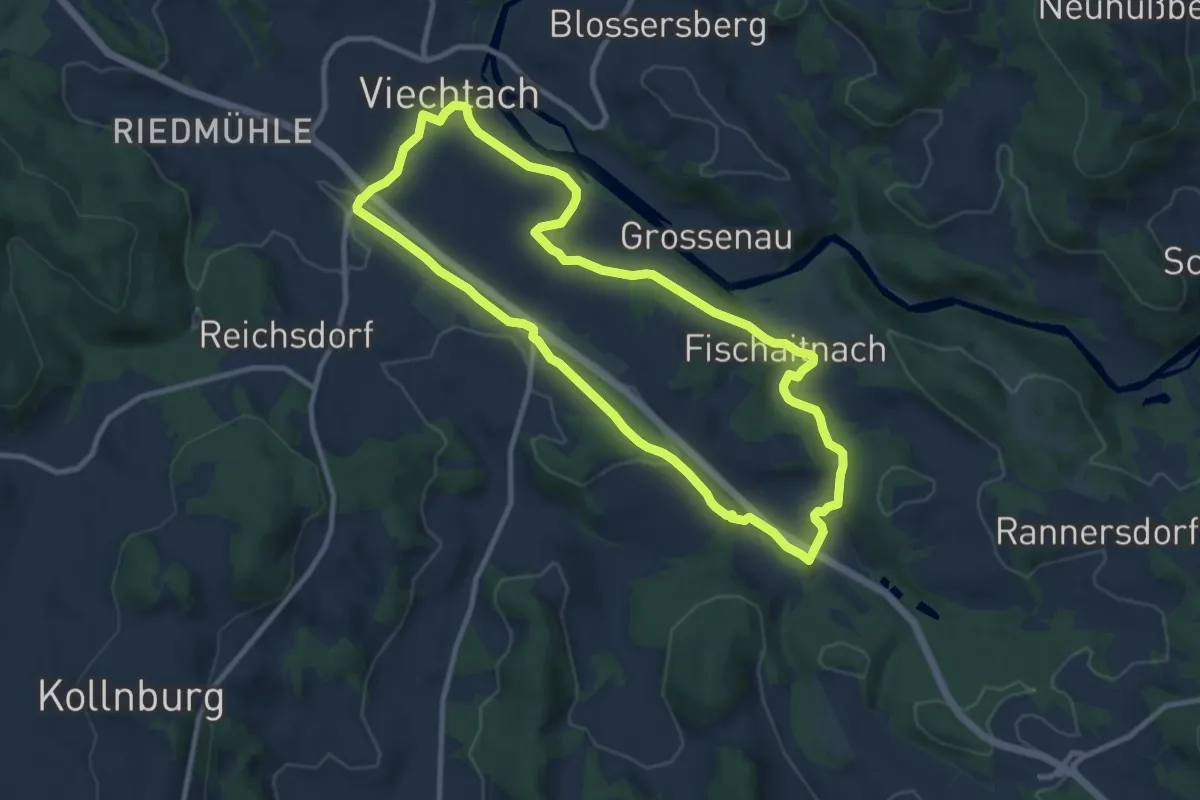
Medium · Trail
Viechtach, Rundweg Nr. 5
9.3 km · ↑ 213 m · 2 h 47 min
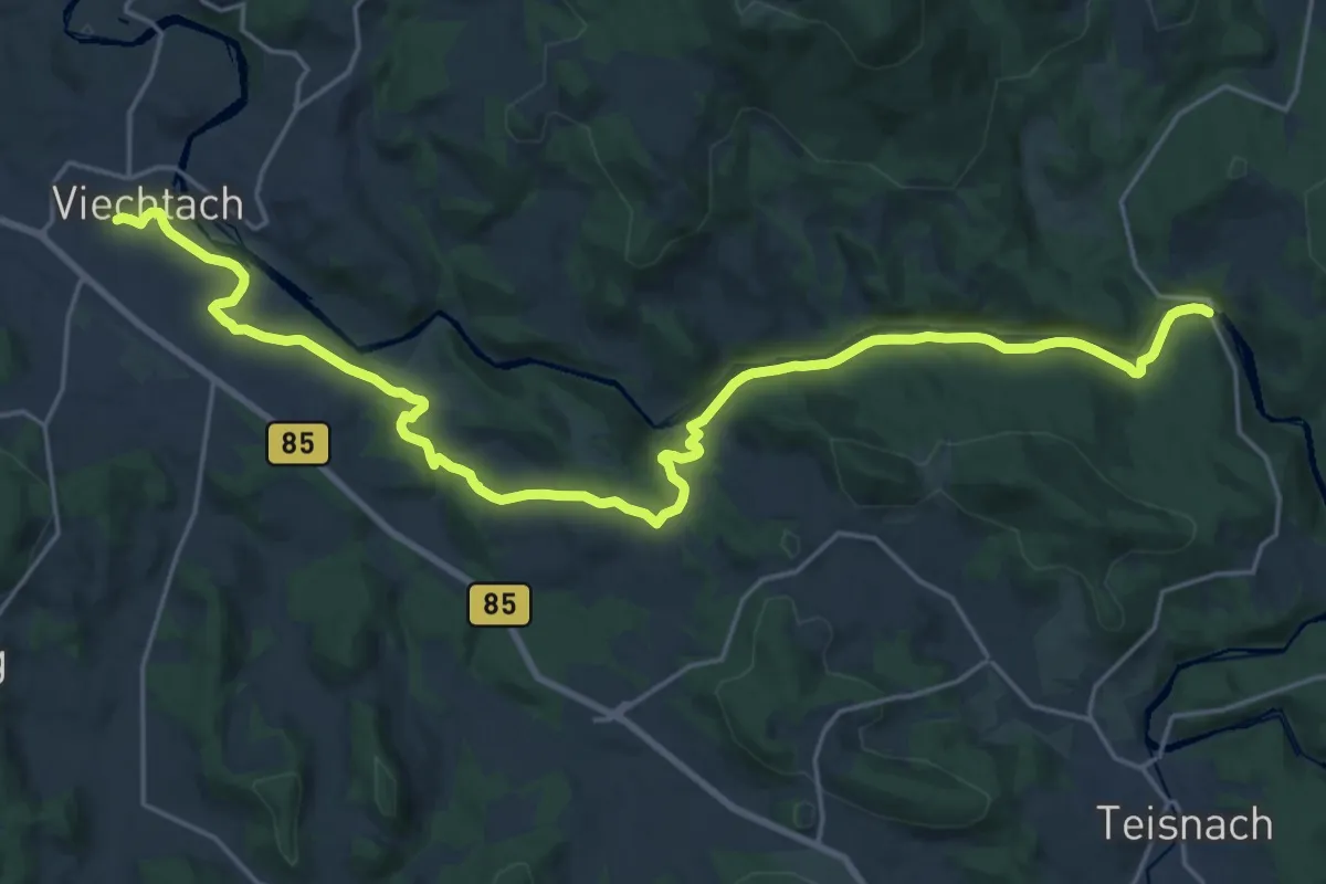
Demanding · Trail
Viechtach, Zielwanderweg 3 nach Gumpenried
24.3 km · ↑ 482 m · 6 h 47 min