Trails in Germany
36,852 hiking trails, each with its route, climb, walking time and grade.
All trails, page 653 of 768
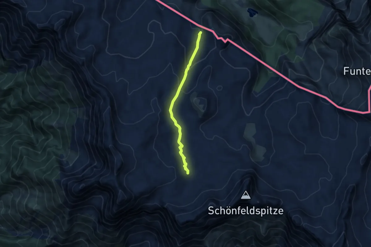
Demanding · Trail
Viehkogeltal
6.8 km · ↑ 332 m · 2 h 20 min
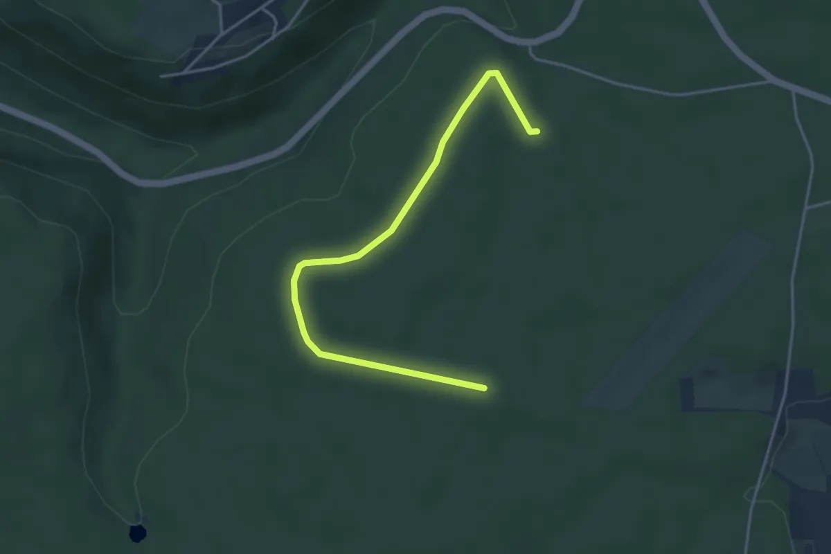
Easy · Trail
Viehstelle - Wolfsgrube
4.0 km · ↑ 22 m · 59 min
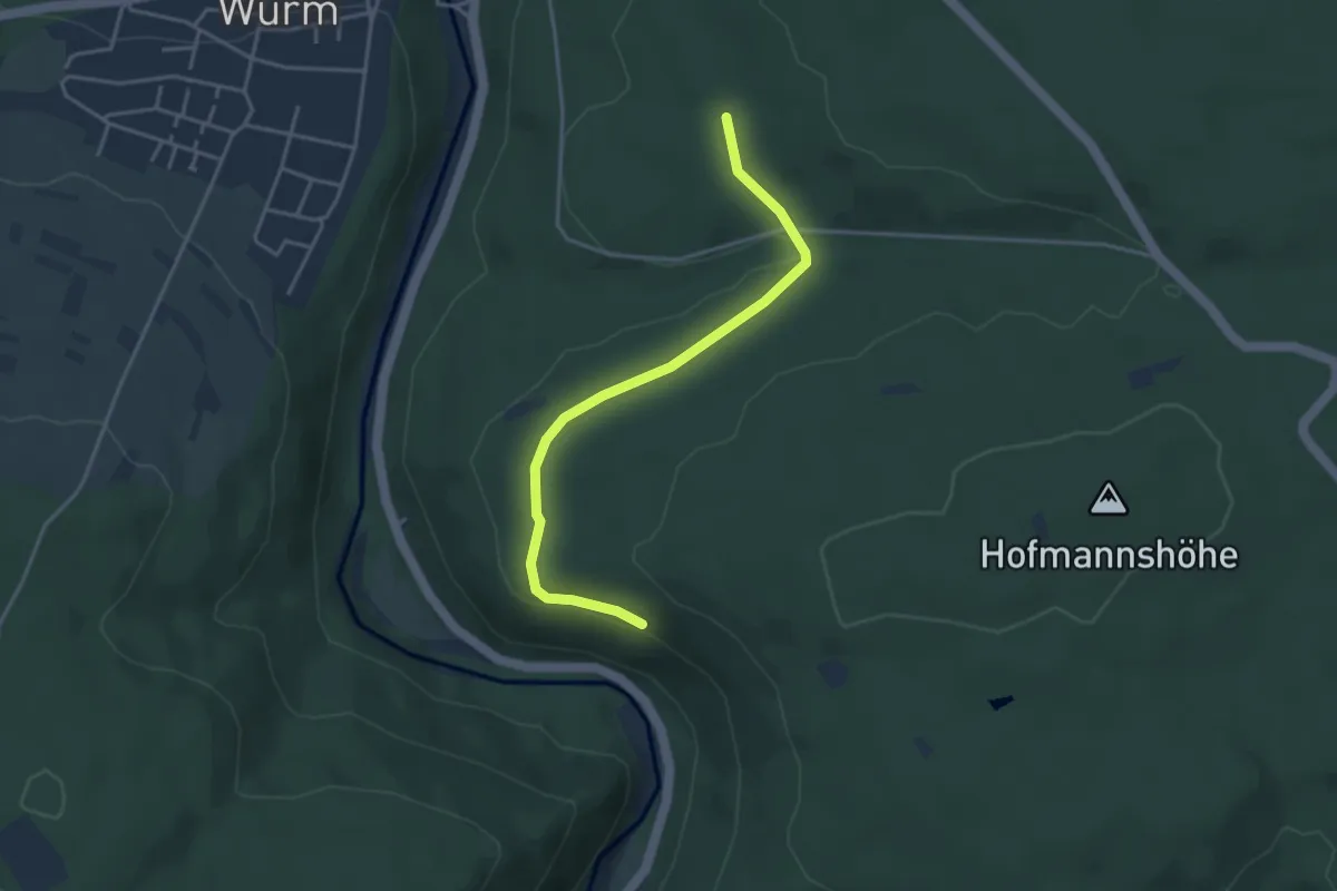
Easy · Trail
Viehtrieb - Liebenecker Kopf
3.6 km · ↑ 39 m · 56 min
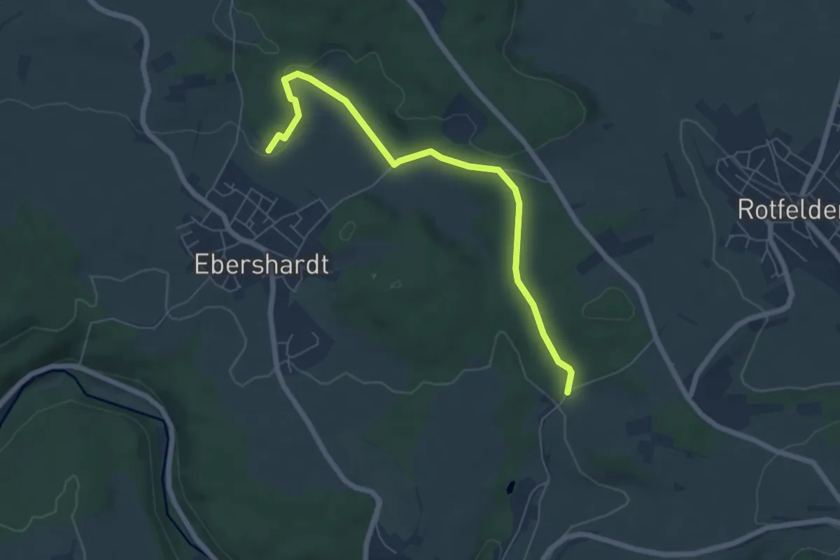
Easy · Trail
Viehtrieb - Obere Breite
6.0 km · ↑ 101 m · 1 h 38 min
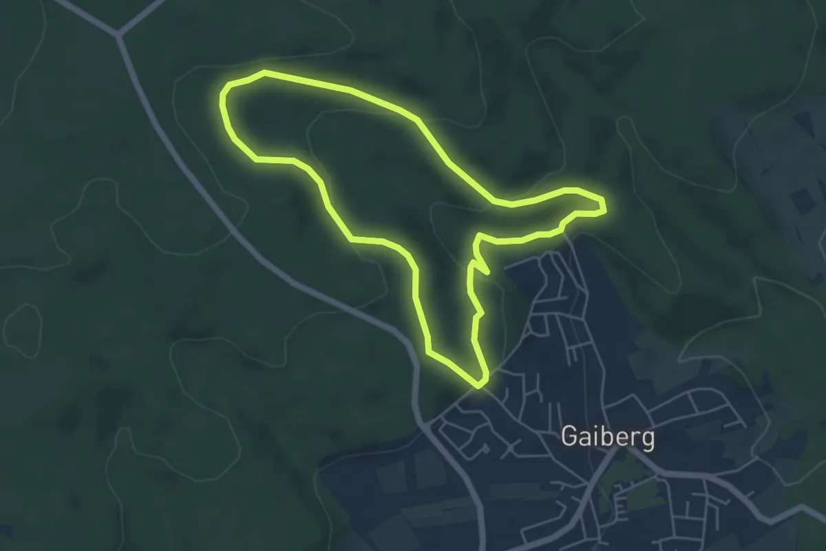
Easy · Trail
Viehtrieb-Weg
4.5 km · ↑ 136 m · 1 h 26 min
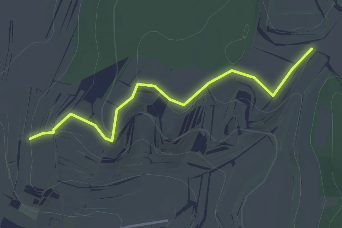
Easy · Trail
Viehweg - Bischoffinger Spielberg
2.9 km · ↑ 94 m · 53 min
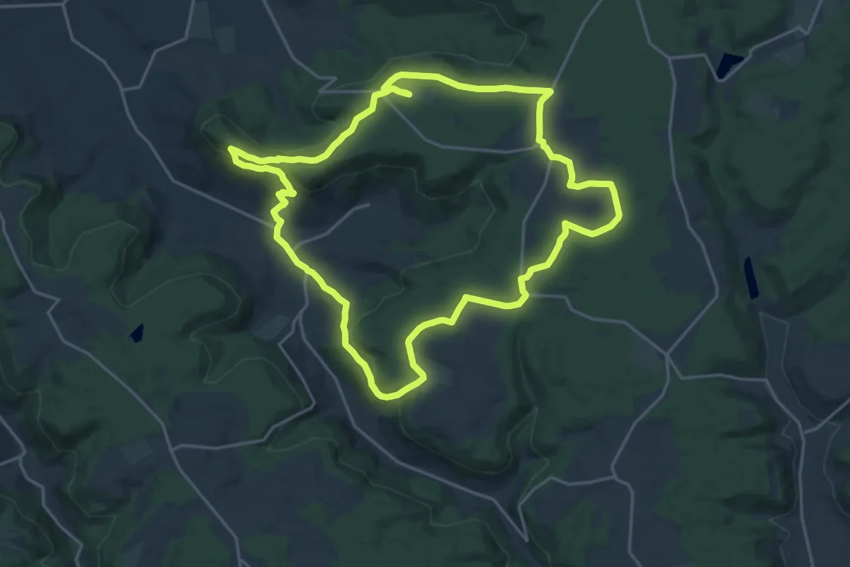
Medium · Trail
Viehweiden und viel Natur
17.5 km · ↑ 300 m · 5 h 1 min
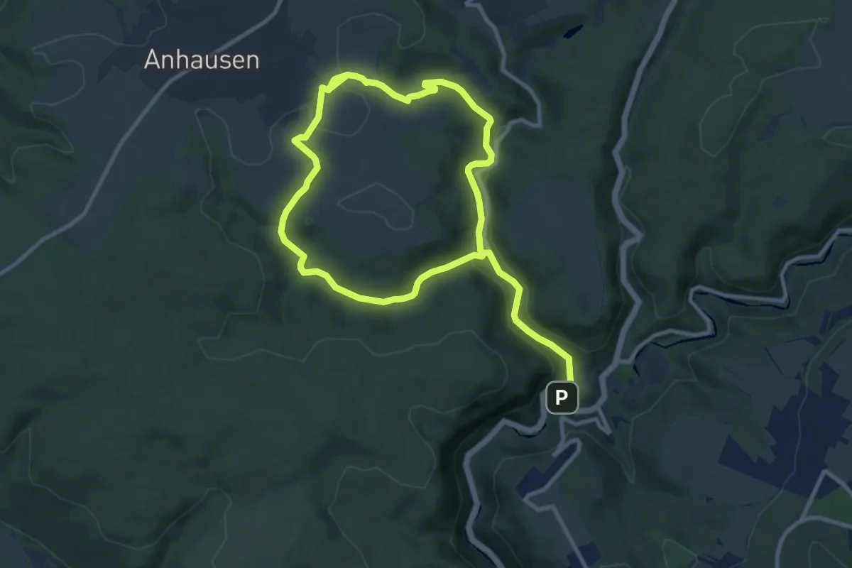
Medium · Trail
Vier Bäche, vier Täler
14.8 km · ↑ 424 m · 4 h 24 min
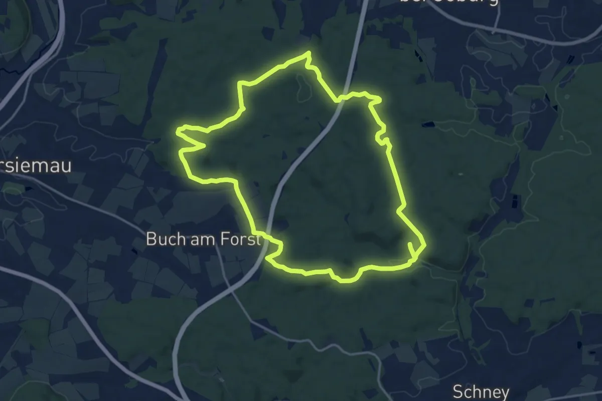
Medium · Trail
Vier-Brunnen-Weg
14.2 km · ↑ 251 m · 4 h 6 min
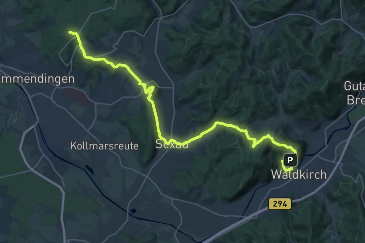
Demanding · Summit
Vierburgenweg
25.9 km · ↑ 850 m · 7 h 58 min
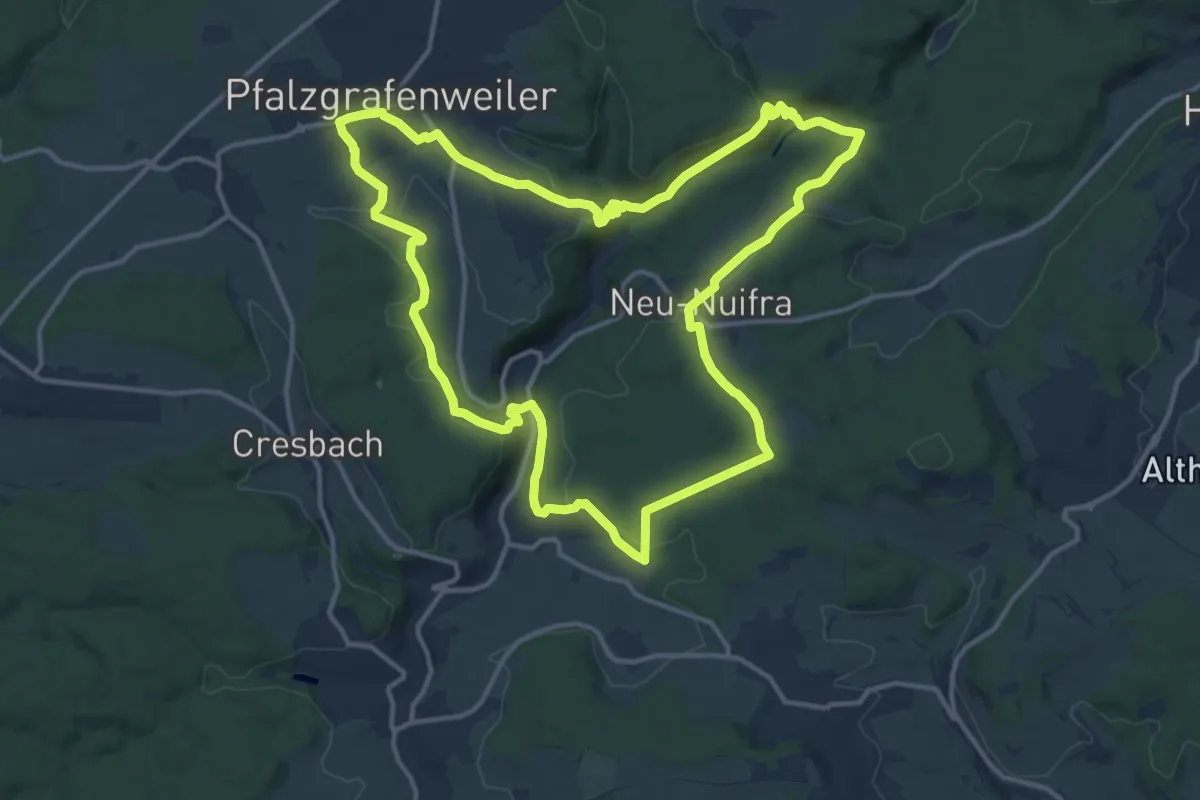
Medium · Trail
Vier-Burgen-Weg
13.8 km · ↑ 382 m · 4 h 16 min
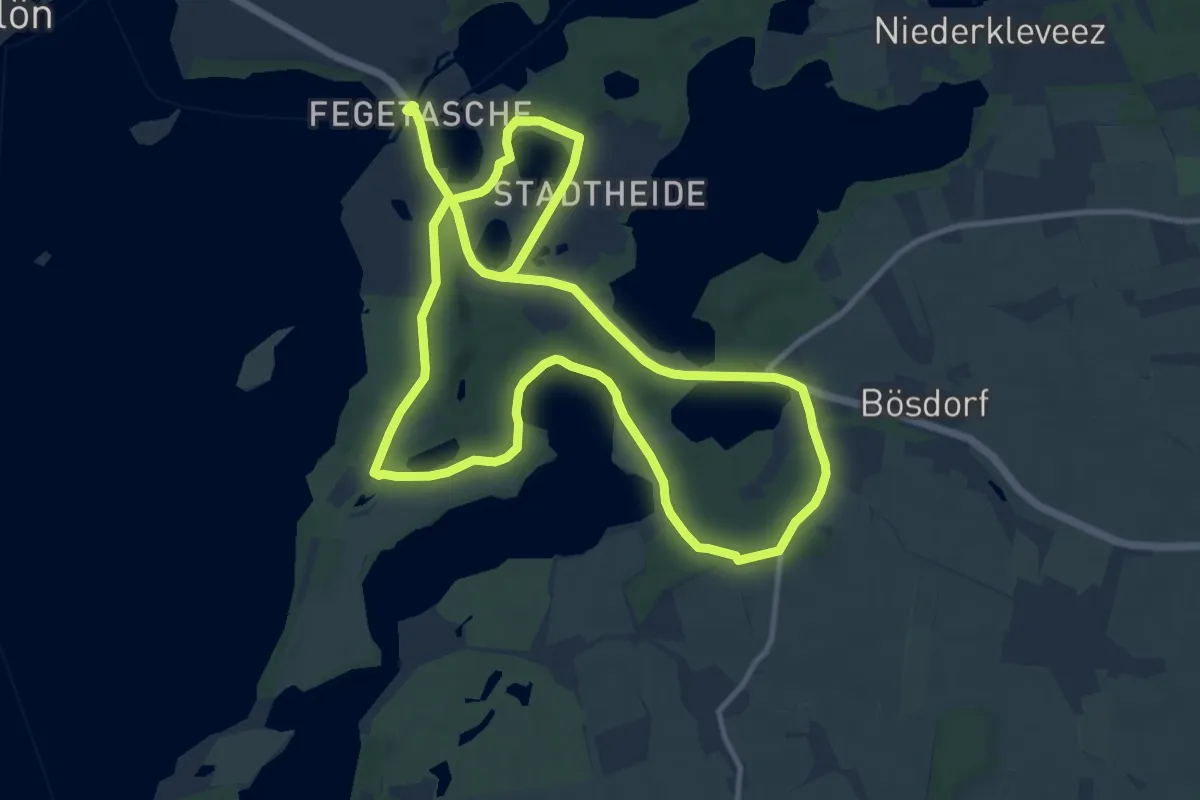
Demanding · Trail
Vierer See
20.4 km · ↑ 116 m · 5 h 4 min
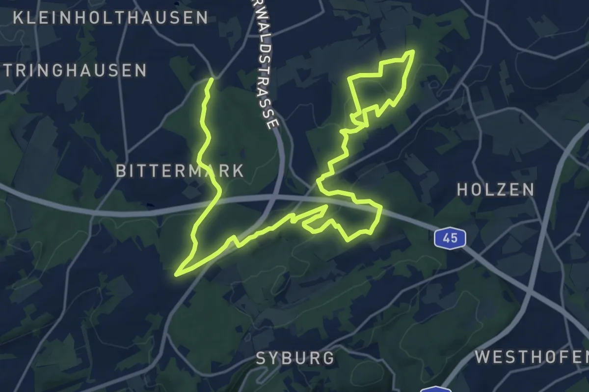
Demanding · Trail
Viermärker Waldlauf
25.5 km · ↑ 444 m · 6 h 58 min
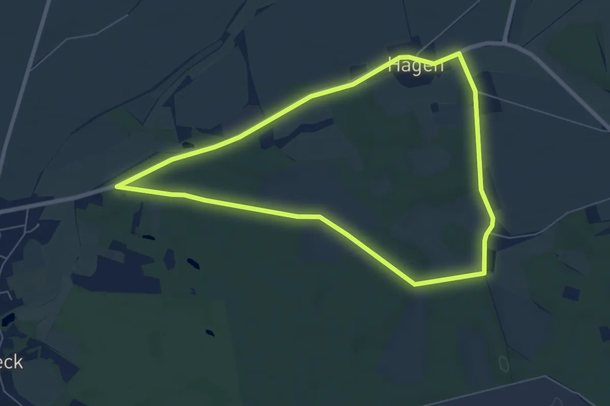
Easy · Trail
Vier-Mühlen-Wanderweg
5.4 km · ↑ 13 m · 1 h 22 min
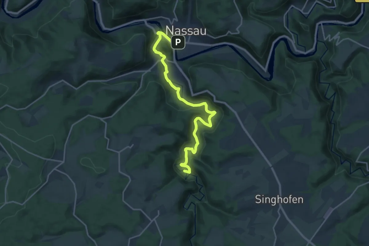
Demanding · Summit
Vier-Täler-Tour
15.0 km · ↑ 353 m · 4 h 18 min
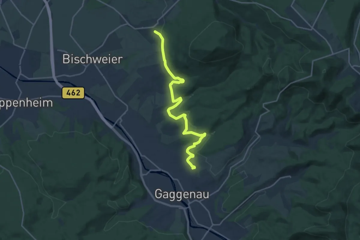
Medium · Trail
Viertälerweg
14.2 km · ↑ 277 m · 3 h 57 min
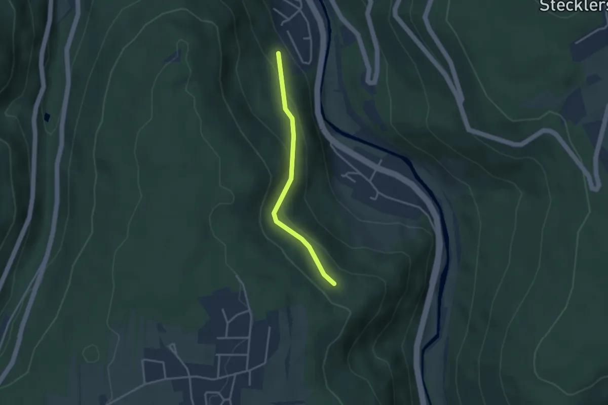
Easy · Trail
Viertelesweg - Maile
2.5 km · ↑ 127 m · 53 min
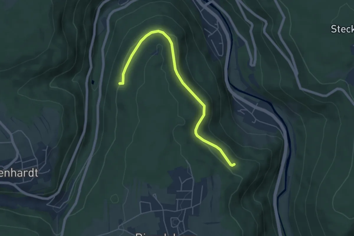
Easy · Trail
Viertelesweg - Tannberg
4.8 km · ↑ 142 m · 1 h 27 min
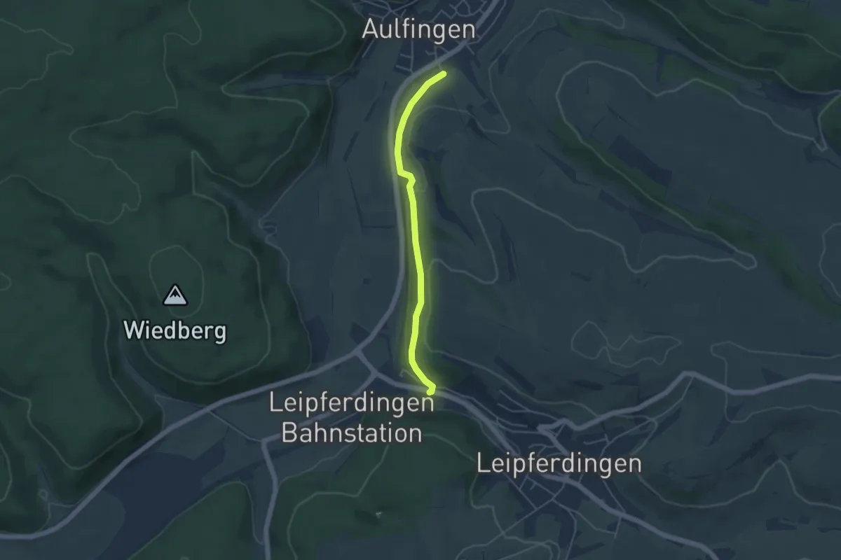
Easy · Trail
Viertelweg - Leipferdingen Am Hölzle
4.0 km · ↑ 73 m · 1 h 6 min
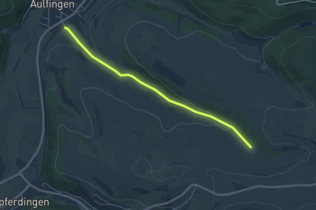
Easy · Trail
Viertelweg - Oberer Viertelweg
4.8 km · ↑ 78 m · 1 h 19 min
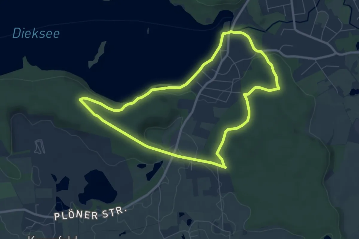
Easy · Trail
Vierth-Route, Bad Malente
6.0 km · ↑ 93 m · 1 h 42 min
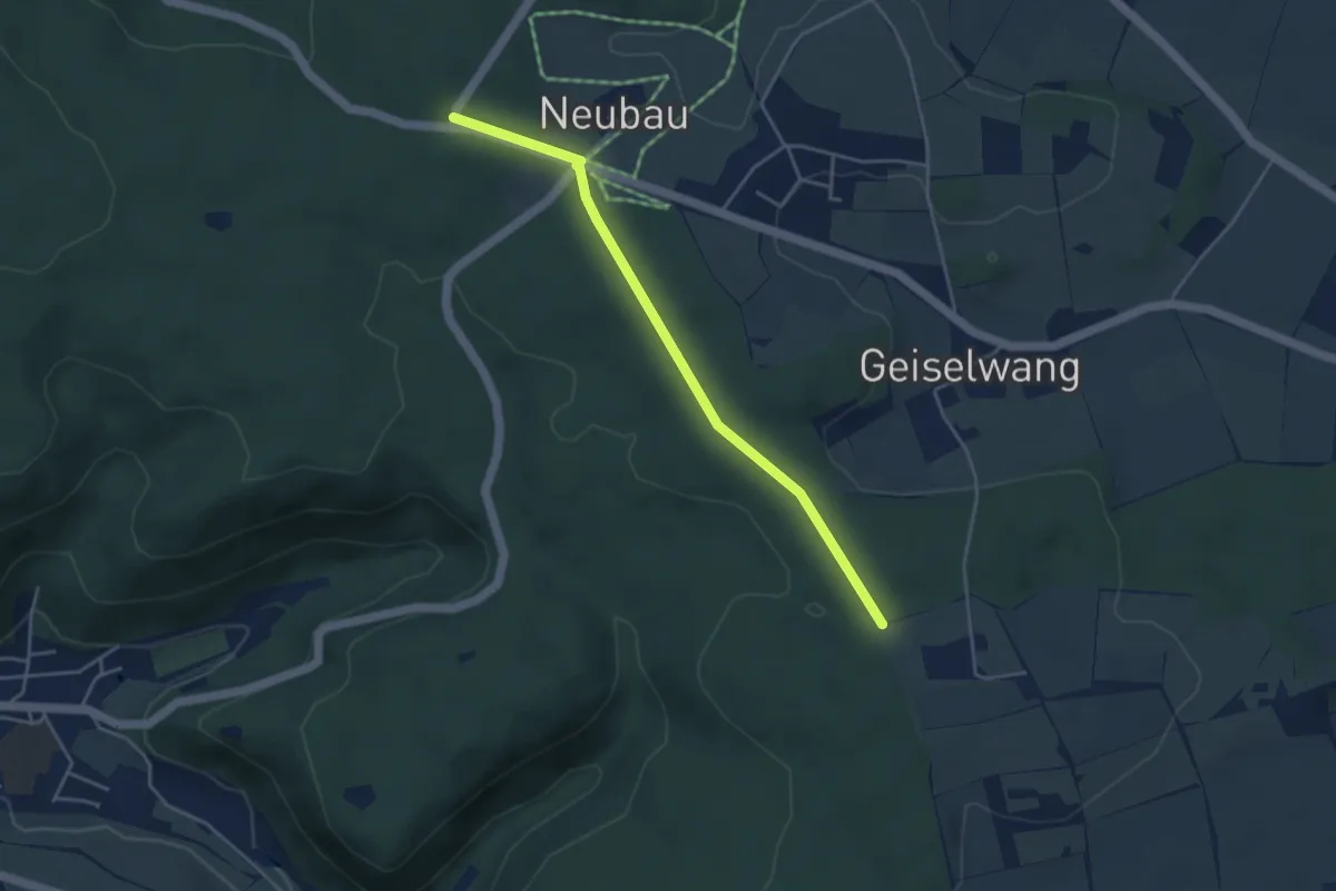
Easy · Trail
Vierwegzeiger - Hohenberg
3.9 km · ↑ 49 m · 1 h 1 min
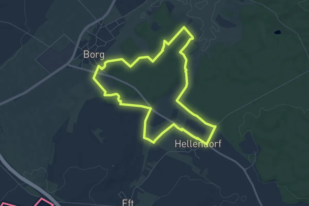
Easy · Trail
Villa Borg Trail
6.9 km · ↑ 69 m · 1 h 53 min
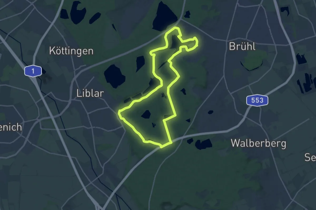
Medium · Trail
Ville 75
15.4 km · ↑ 119 m · 4 h 6 min
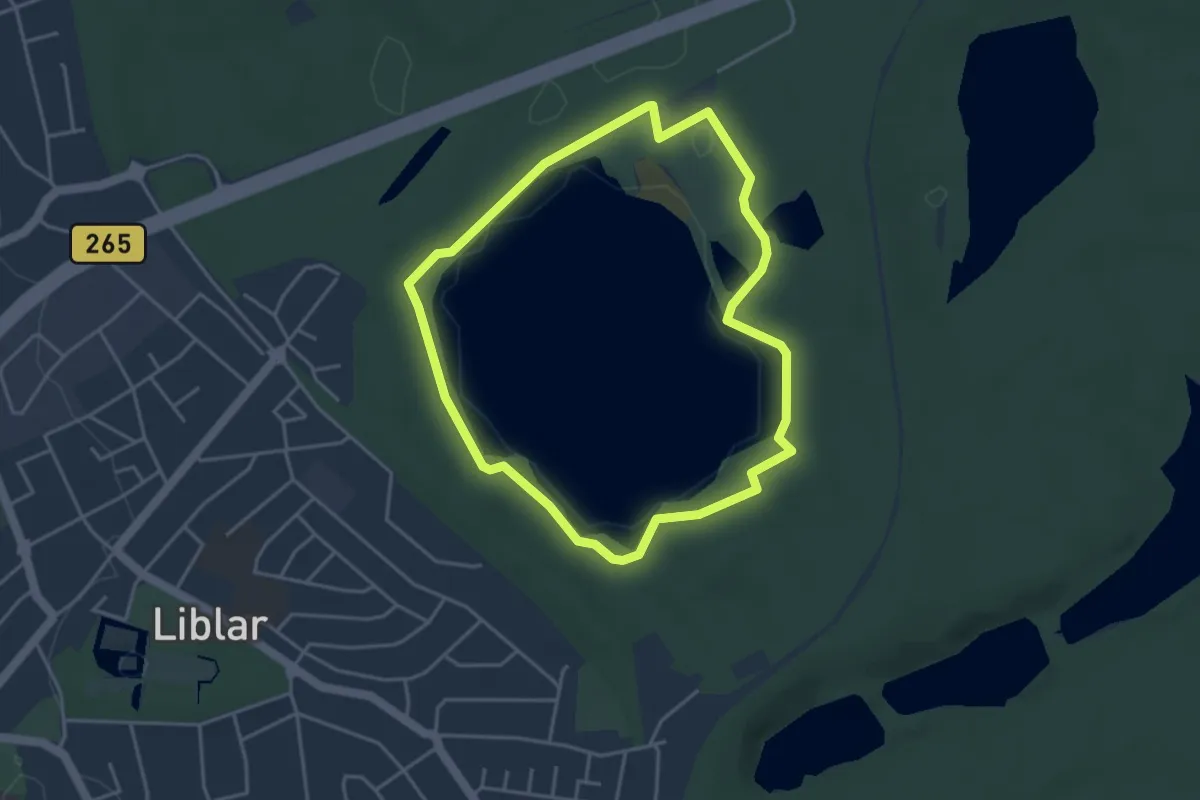
Easy · Trail
Ville A1
3.5 km · ↑ 17 m · 55 min
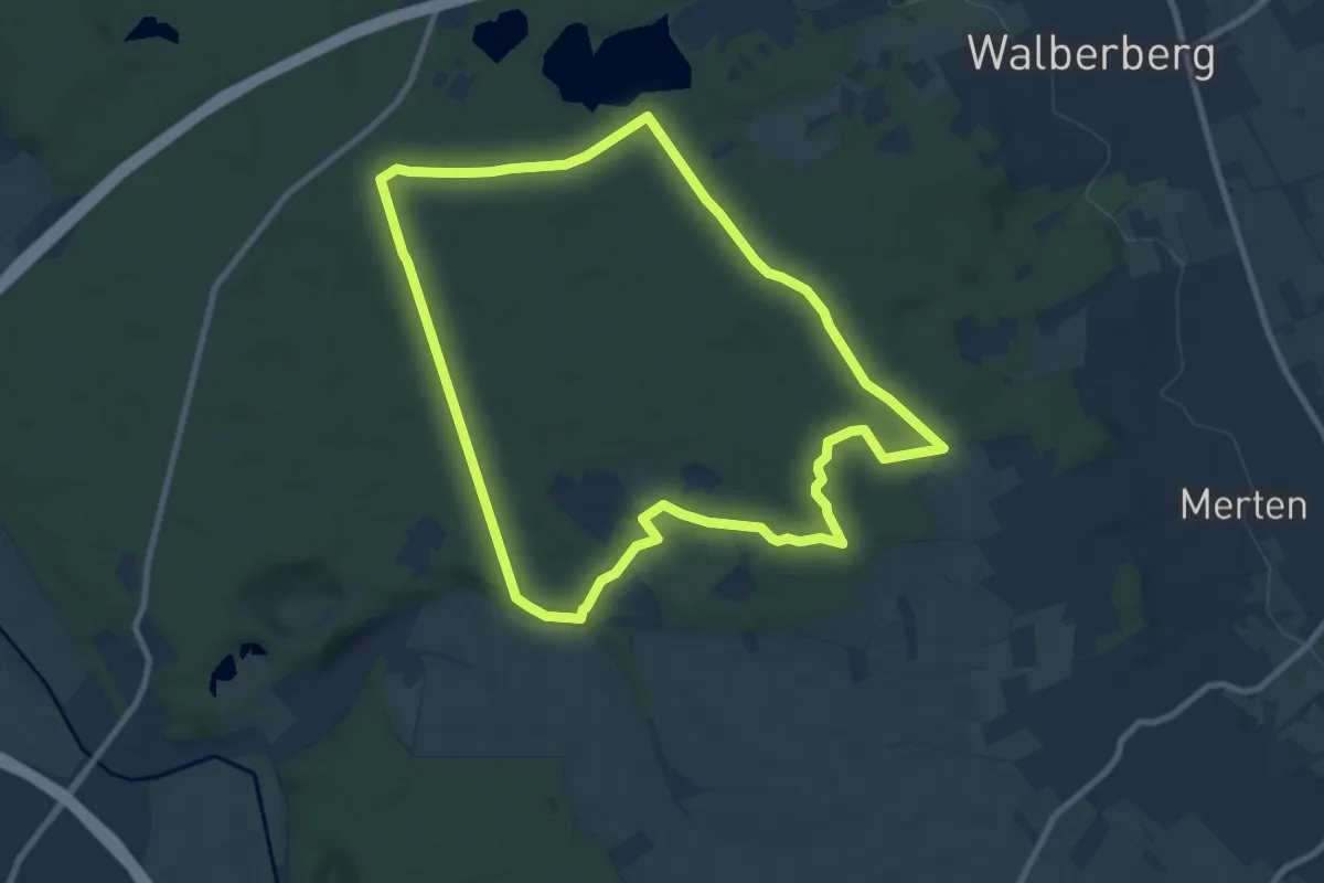
Medium · Trail
Ville A11
8.6 km · ↑ 53 m · 2 h 16 min
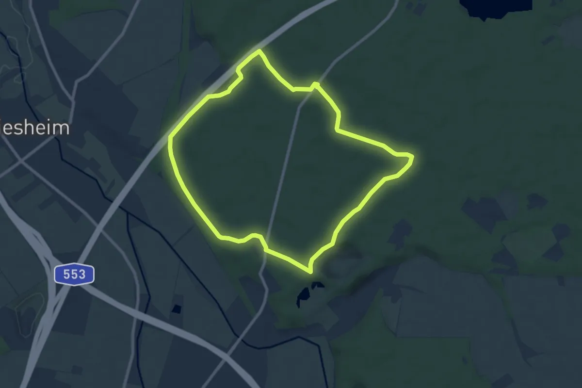
Easy · Trail
Ville A12
6.9 km · ↑ 43 m · 1 h 49 min
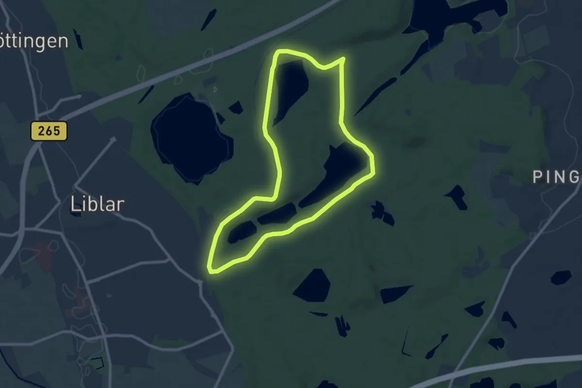
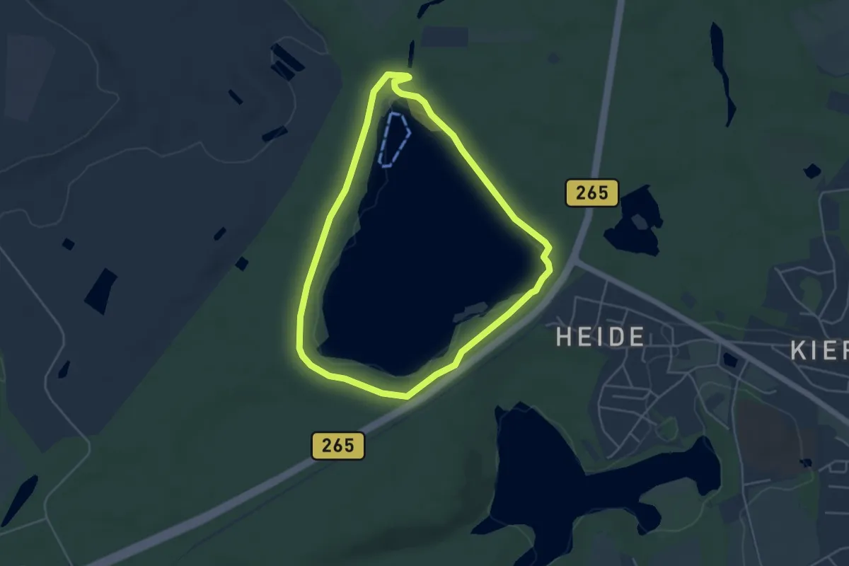
Easy · Trail
Ville A2
6.8 km · ↑ 40 m · 1 h 48 min
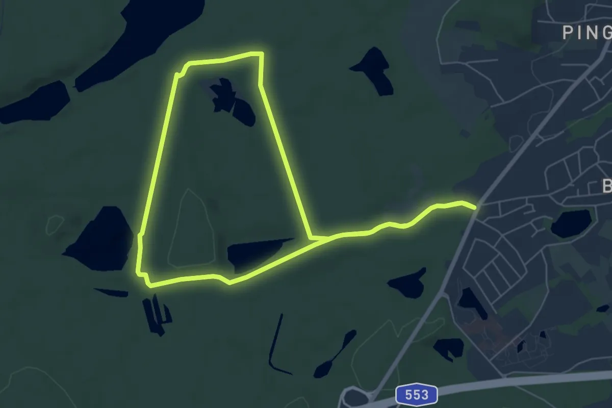
Easy · Trail
Ville A4
4.0 km · ↑ 23 m · 1 h 3 min
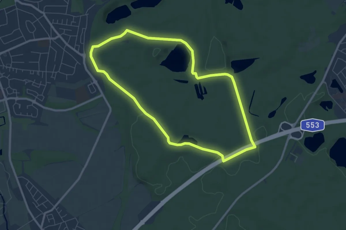
Easy · Trail
Ville A6
5.6 km · ↑ 42 m · 1 h 30 min
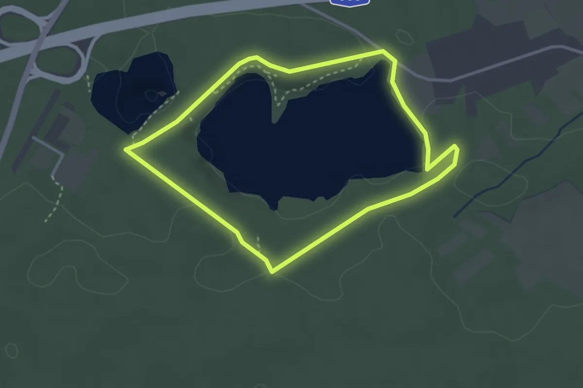
Easy · Trail
Ville A7
6.1 km · ↑ 50 m · 1 h 37 min
Easy · Trail
Ville A9
2.7 km · ↑ 27 m · 44 min
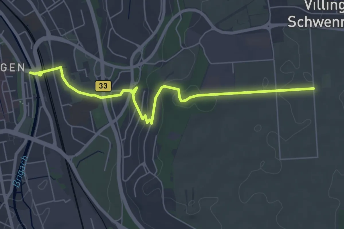
Easy · Trail
Villingen Bickenbrücke - Bertholdshöfe
5.6 km · ↑ 100 m · 1 h 32 min
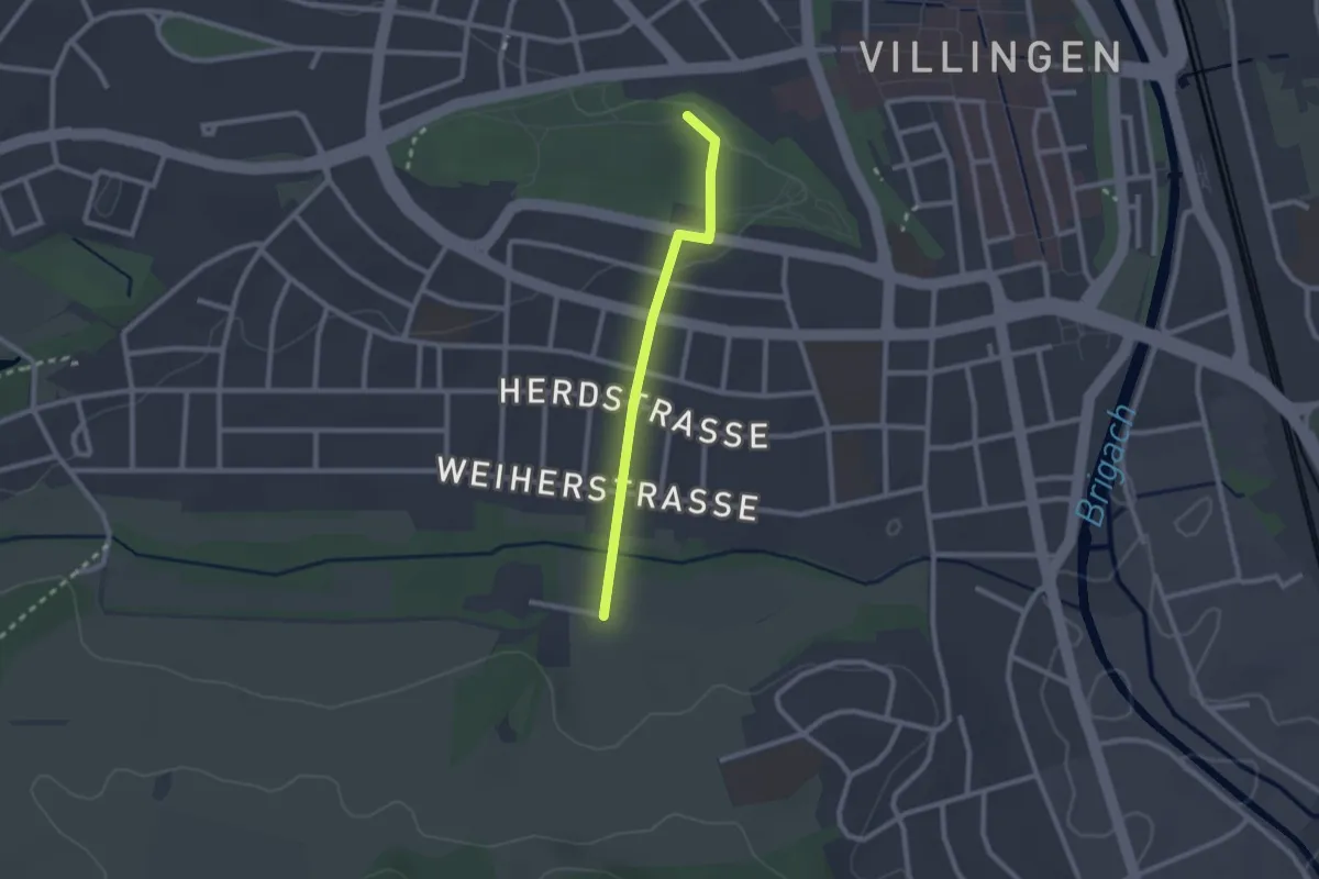
Easy · Trail
Villingen Hubenloch - Warenbachtal Laiblestraße
2.0 km · ↑ 13 m · 30 min
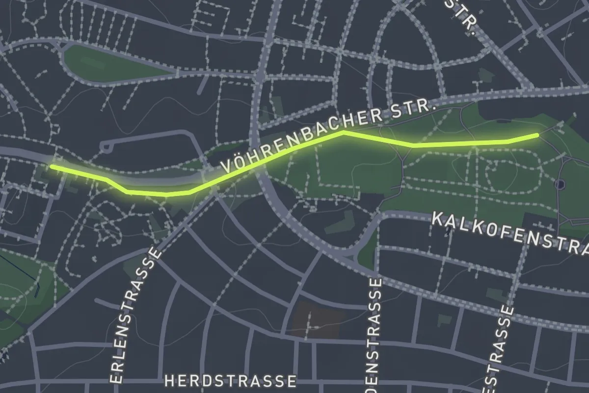
Easy · Trail
Villingen Kliniken - Villingen Hubenloch
2.0 km · ↑ 13 m · 30 min
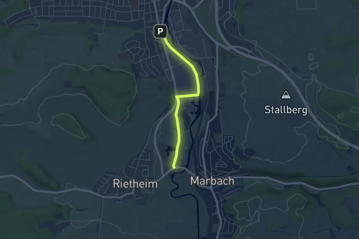
Easy · Trail
Villingen Niederwiesenstraße - Am Sandweg
4.9 km · ↑ 8 m · 1 h 10 min
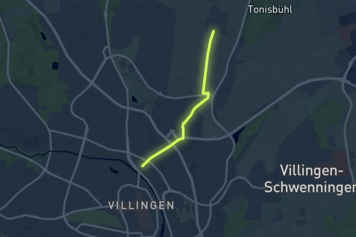
Easy · Trail
Villingen - Nordstetten
5.0 km · ↑ 57 m · 1 h 18 min
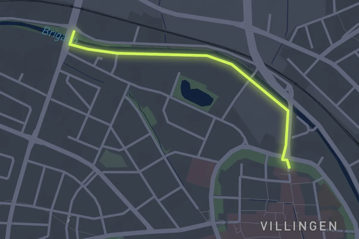
Easy · Trail
Villingen Richthofenbrücke - Villingen Oberes Tor
2.4 km · ↑ 0 m · 34 min
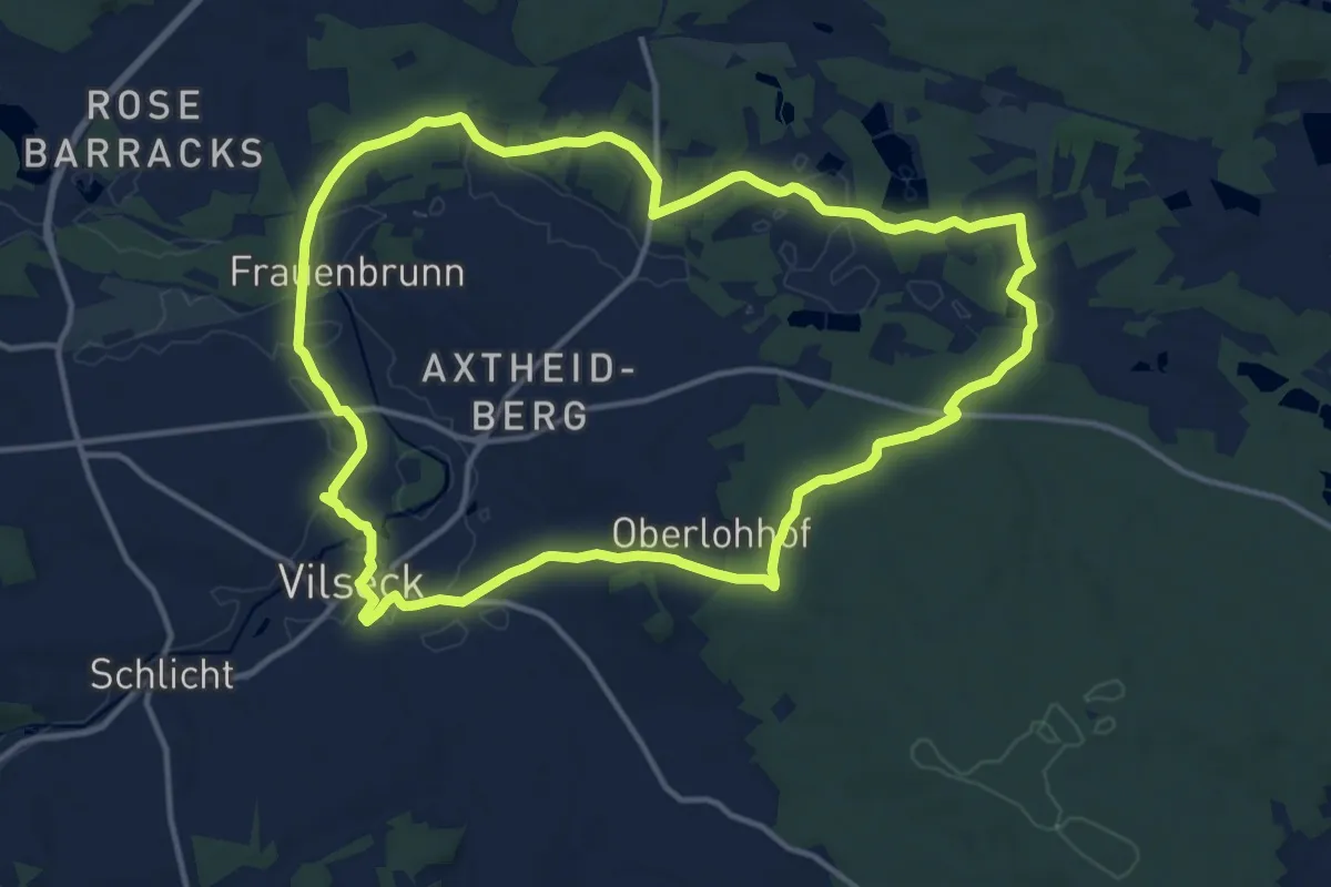
Medium · Trail
Vilsecker Muldenweg
13.2 km · ↑ 125 m · 3 h 35 min
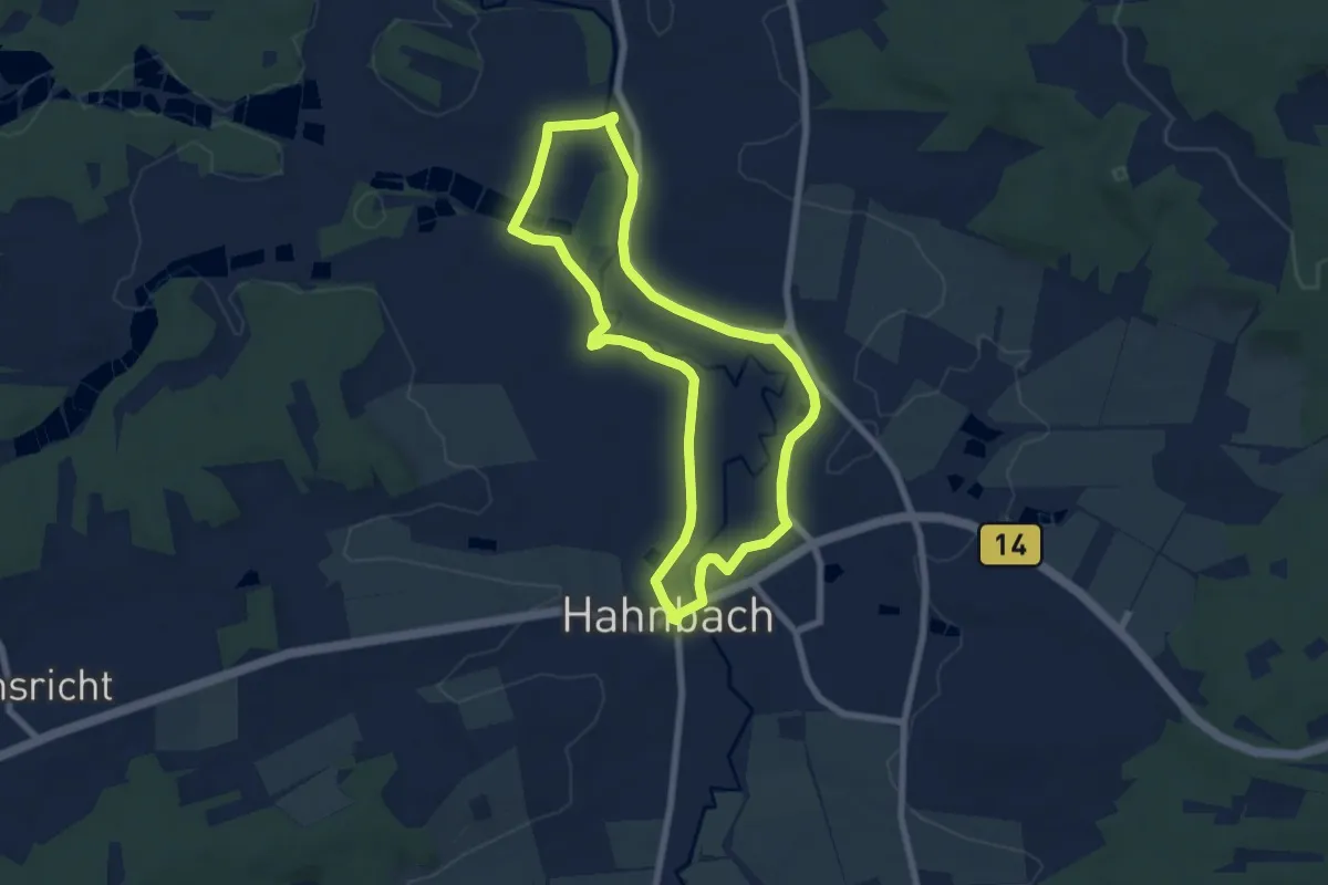
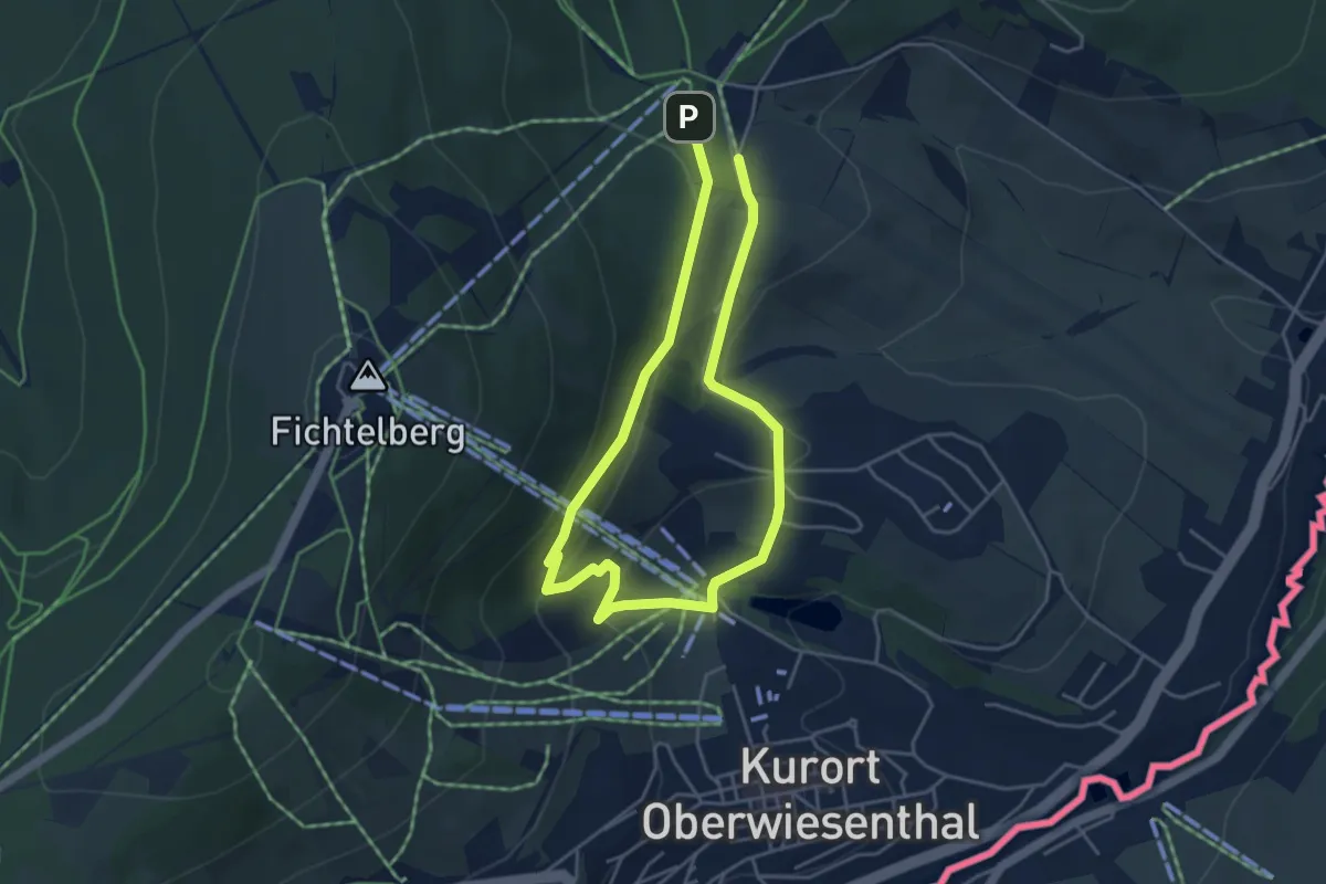
Easy · Trail
Vilserlebsnisweg
6.2 km · ↑ 9 m · 1 h 34 min
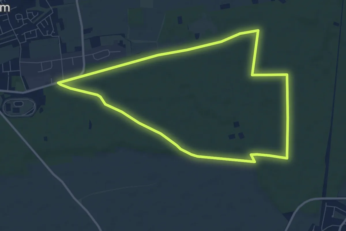
Easy · Trail
Viola-Bauer-Tour
3.4 km · ↑ 118 m · 1 h 7 min
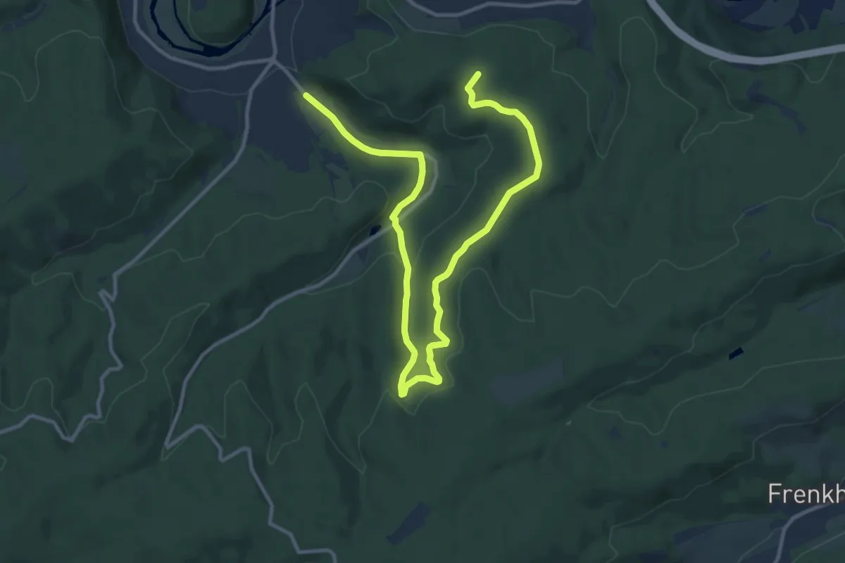
Medium · Trail
Violettes Rechteck - Rundwanderweg in Herxheim ab Grillhütte
8.0 km · ↑ 28 m · 2 h 4 min
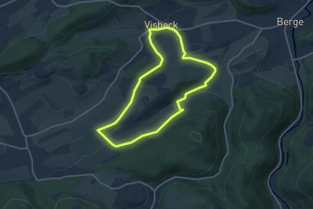
Medium · Summit
Visbecker Pfad
13.8 km · ↑ 326 m · 3 h 58 min
Easy · Trail
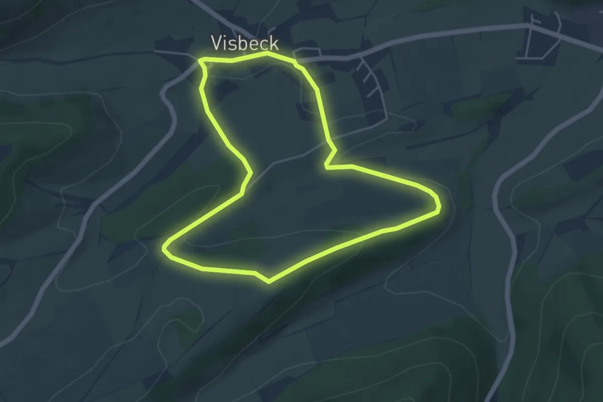
Visbeck Rundweg V1
6.4 km · ↑ 133 m · 1 h 54 min
Easy · Trail
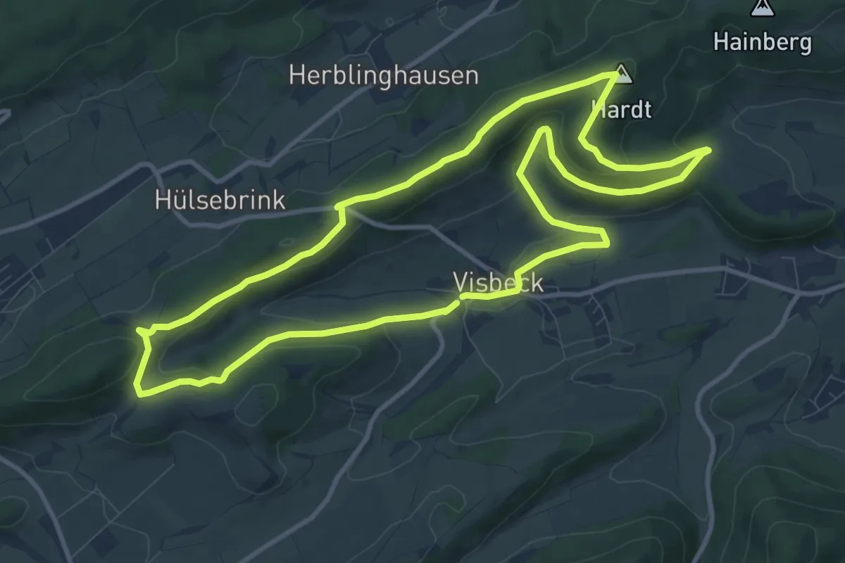
Visbeck Rundweg V2
3.9 km · ↑ 76 m · 1 h 8 min
Medium · Summit
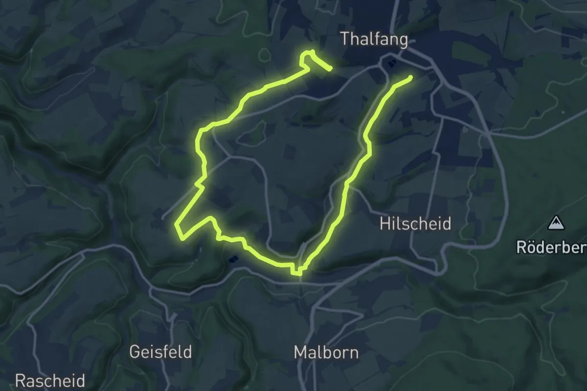
Visbeck V3 Hardt-Rundweg
9.7 km · ↑ 299 m · 3 h 4 min
Demanding · Trail
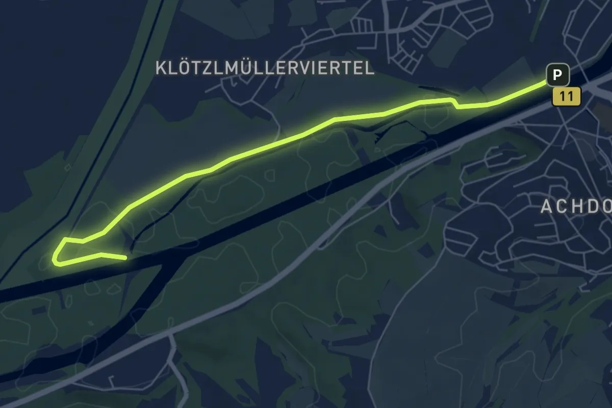
Vital-Aktivtour
20.0 km · ↑ 388 m · 5 h 34 min
Easy · Trail
Vital Route
6.6 km · ↑ 22 m · 1 h 37 min