Trails in Germany
36,852 hiking trails, each with its route, climb, walking time and grade.
All trails, page 654 of 768
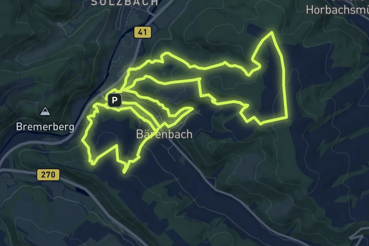
Medium · Trail
Vitaltour: Bärenroute
13.7 km · ↑ 493 m · 4 h 30 min
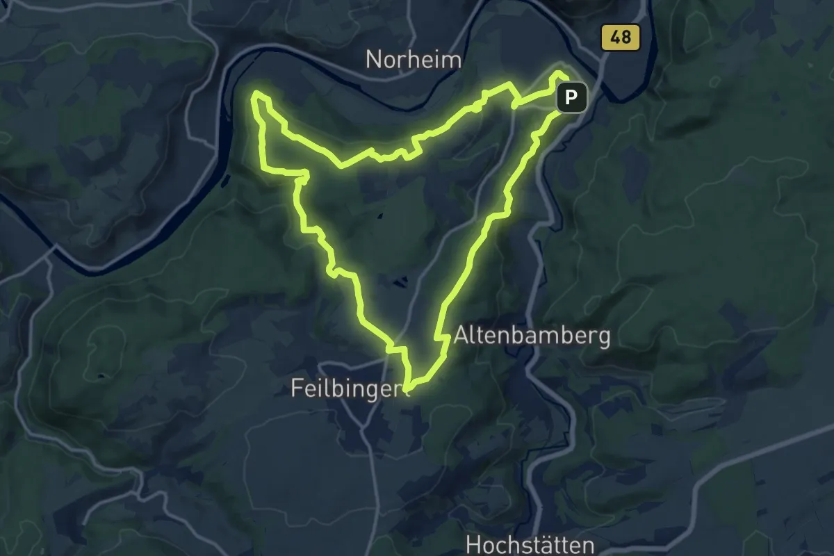
Medium · Trail
VITALtour Ebernburg
14.1 km · ↑ 382 m · 4 h 20 min
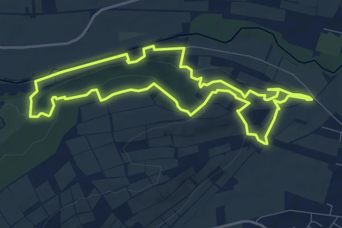
Easy · Trail
Vitaltour Eremitenpfad
7.1 km · ↑ 206 m · 2 h 14 min
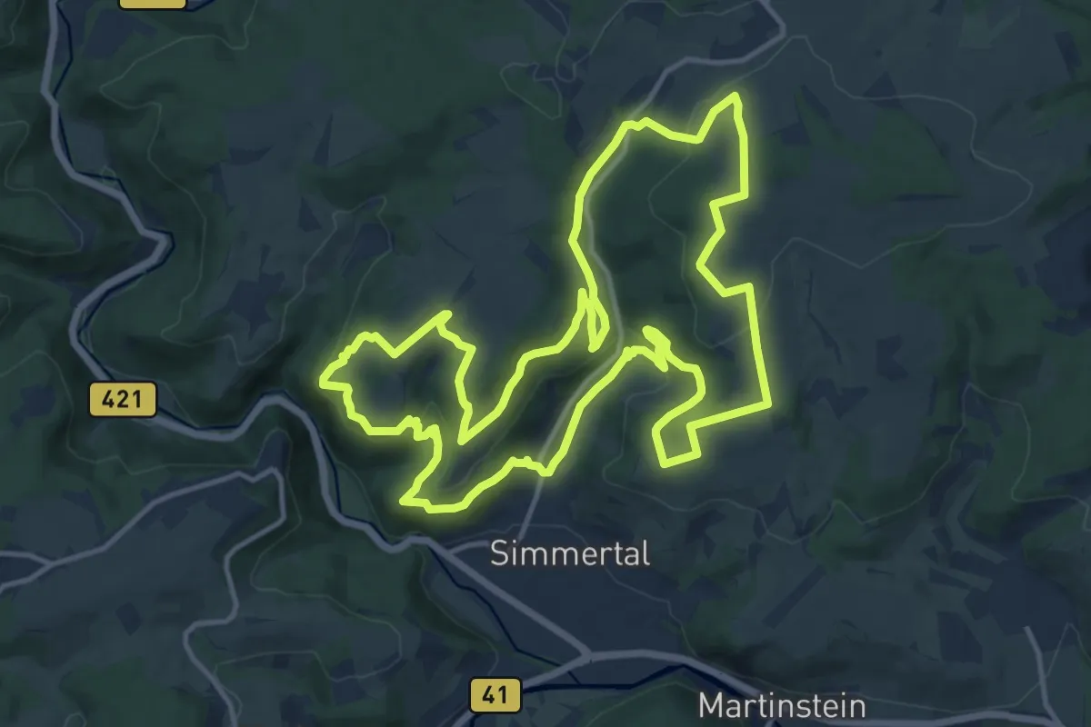
Medium · Trail
VitalTour: Felsengarten
13.7 km · ↑ 400 m · 4 h 18 min
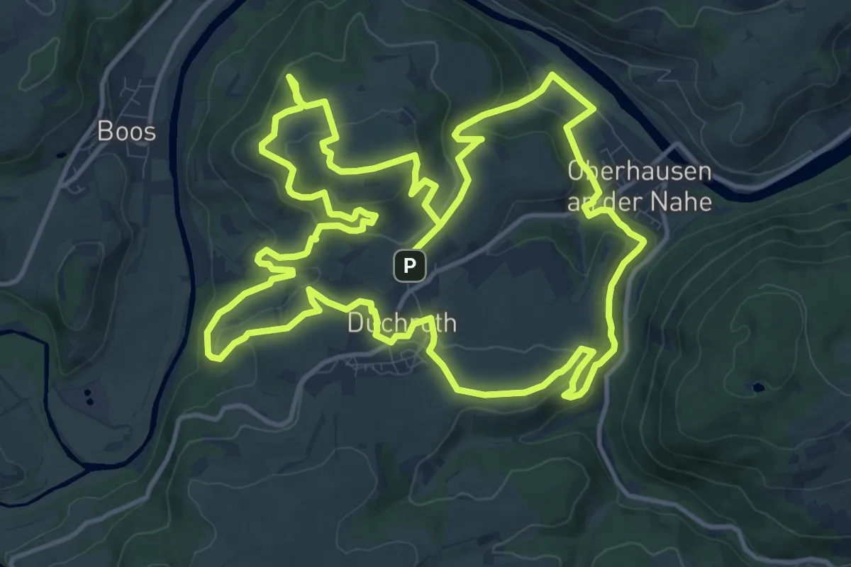
Medium · Summit
Vitaltour Gangelsberg
13.3 km · ↑ 470 m · 4 h 21 min
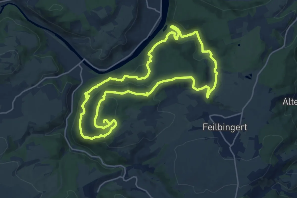
Medium · Trail
VITALtour Geheimnisvoller Lemberg
13.2 km · ↑ 545 m · 4 h 29 min
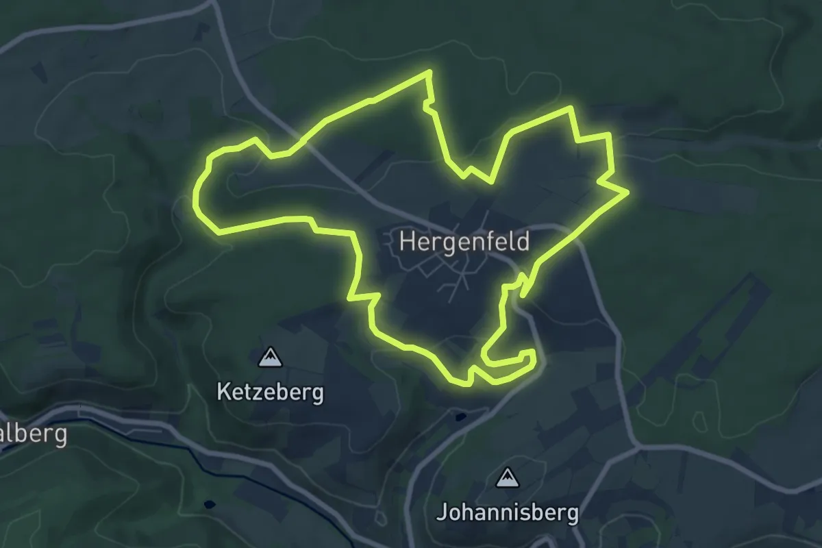
Easy · Trail
VitalTour: Kuckucksweg
7.7 km · ↑ 176 m · 2 h 19 min
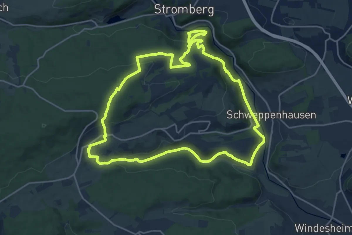
Medium · Trail
VitalTour: Michels Vitaltour
13.1 km · ↑ 399 m · 4 h 8 min
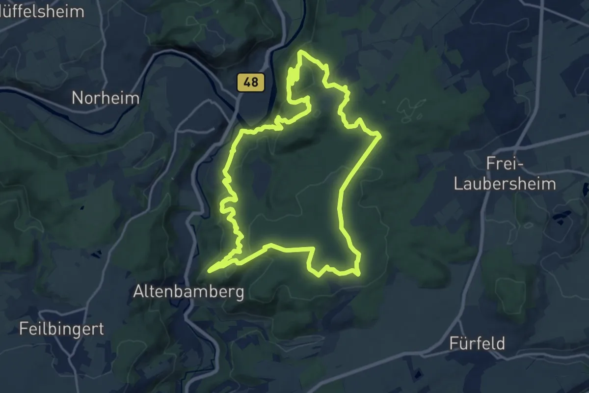
Medium · Summit
VITALtour Rheingrafenstein
14.8 km · ↑ 542 m · 4 h 52 min
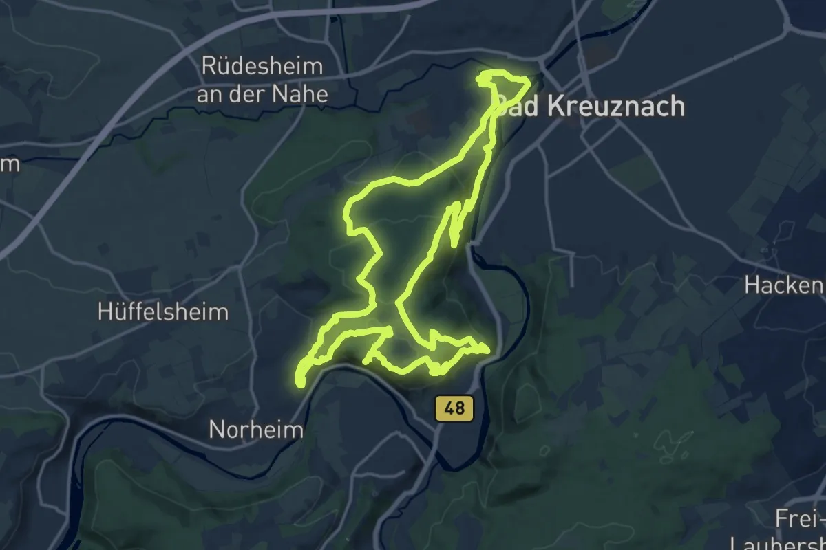
Medium · Summit
VITALtour Rotenfels
16.3 km · ↑ 633 m · 5 h 27 min
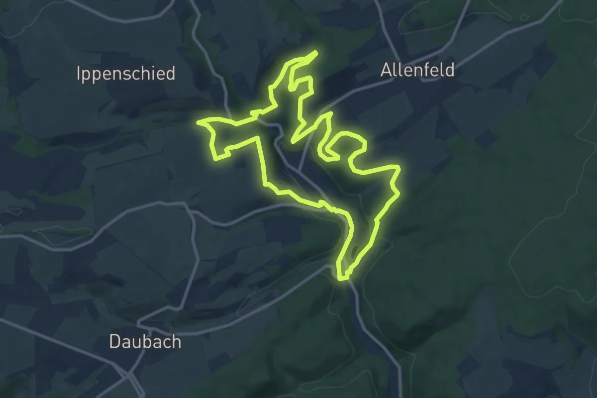
Medium · Trail
Vitaltour Schlossweg
9.3 km · ↑ 276 m · 2 h 55 min
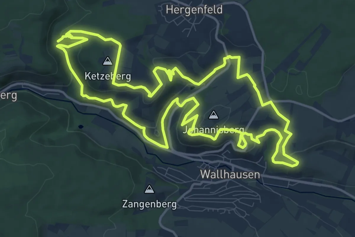
Medium · Summit
VitalTour: Stein, Wein & Farbe
11.7 km · ↑ 317 m · 3 h 38 min
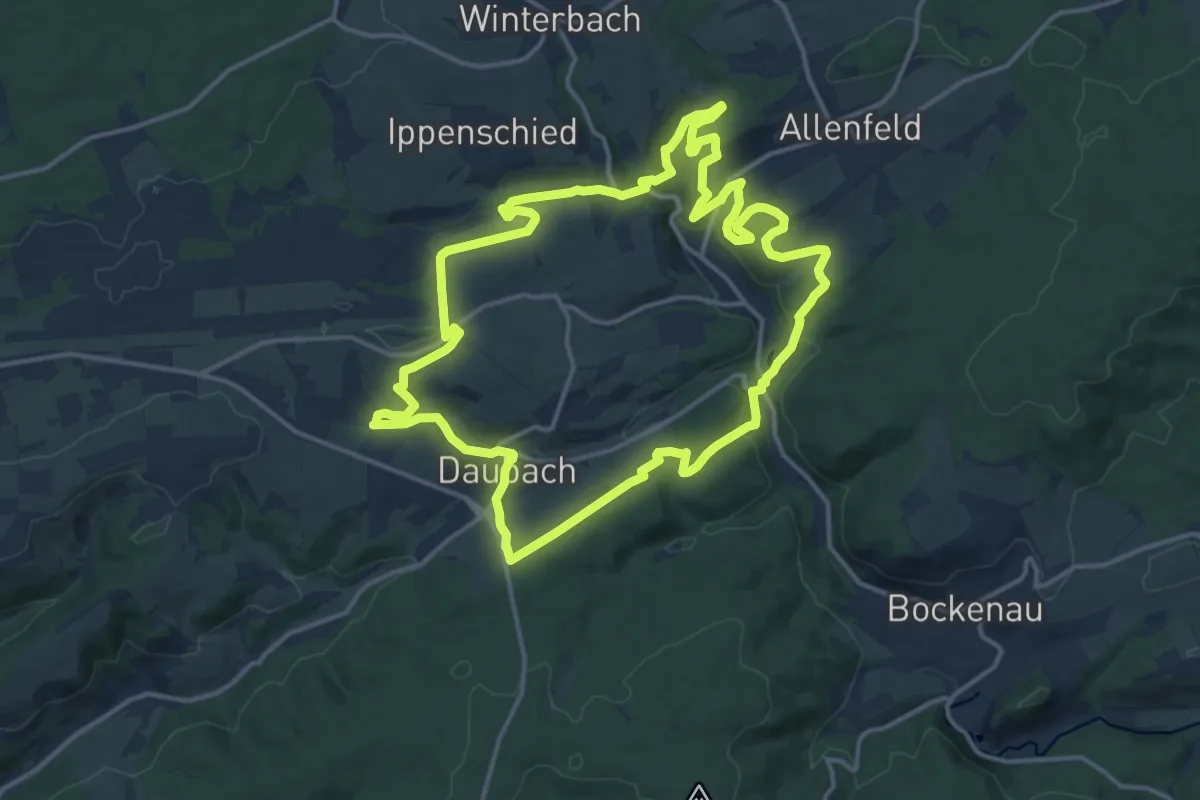
Medium · Trail
Vitaltour Um die Wüstung
14.6 km · ↑ 371 m · 4 h 27 min
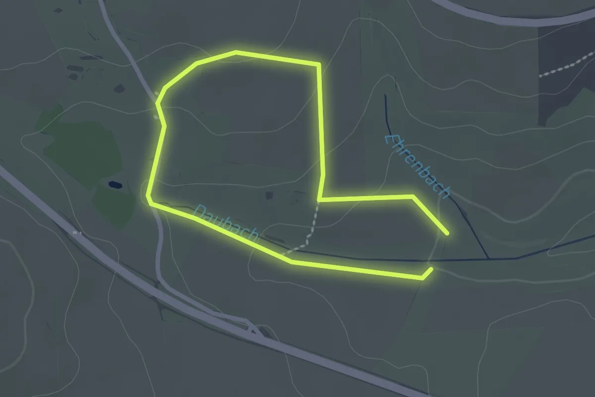
Easy · Trail
Vital-Tour "Um die Wüstung": Abstecher Kirche Eckweiler
1.7 km · ↑ 42 m · 31 min
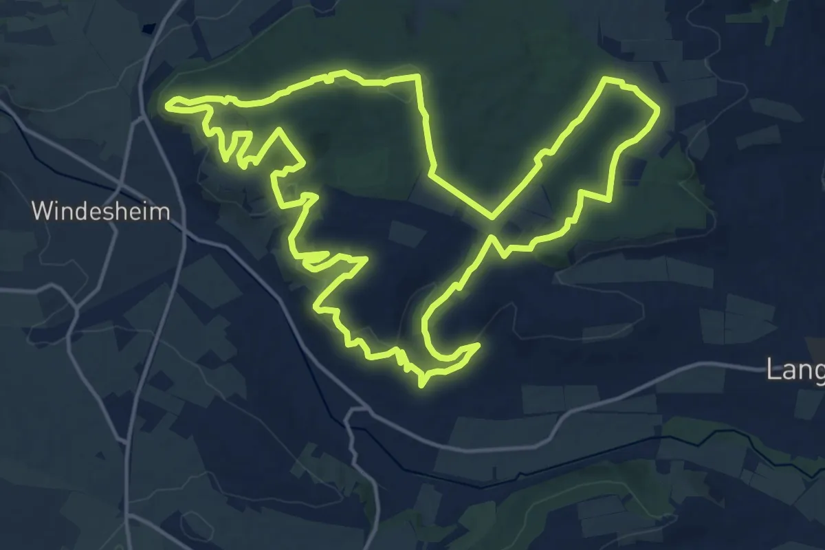
Medium · Summit
VitalTour Wald, Wein & Horizonte
16.7 km · ↑ 443 m · 5 h 8 min
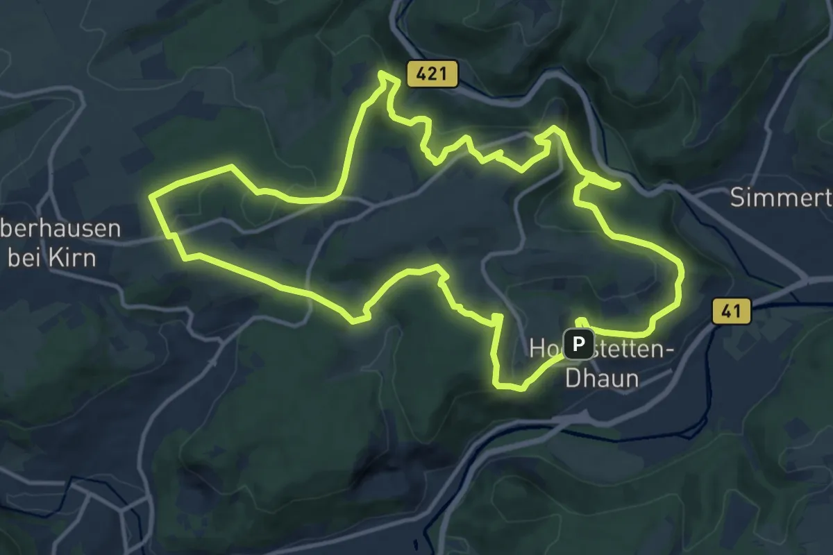
Medium · Trail
VitalTour: Wildgrafenweg
13.0 km · ↑ 459 m · 4 h 14 min
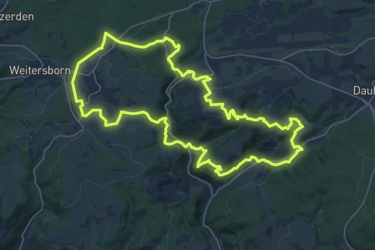
Demanding · Trail
VitalTour: Willigisweg
19.5 km · ↑ 593 m · 6 h 9 min
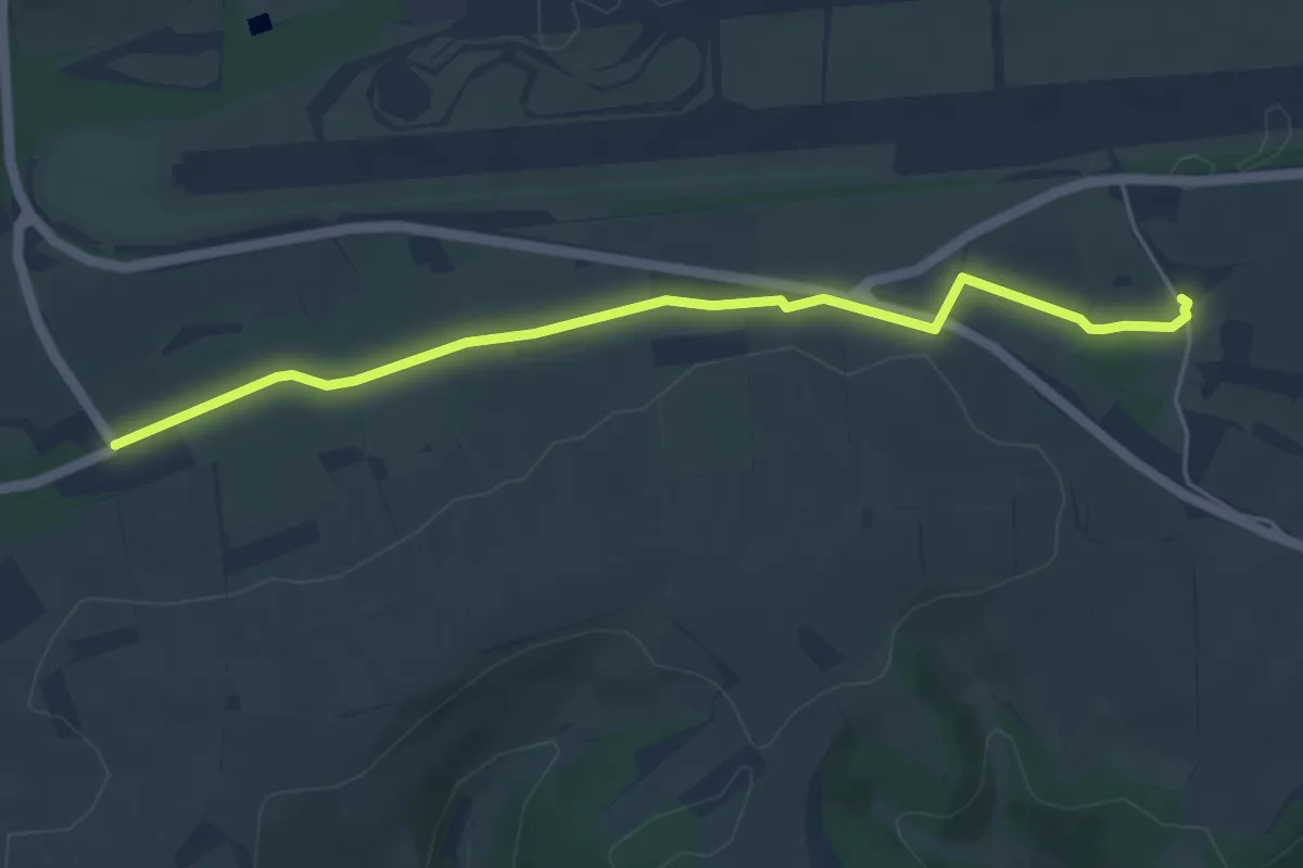
Easy · Trail
Vital-Tour "Willigisweg": Abstecher Kirche Eckweiler
4.8 km · ↑ 40 m · 1 h 14 min
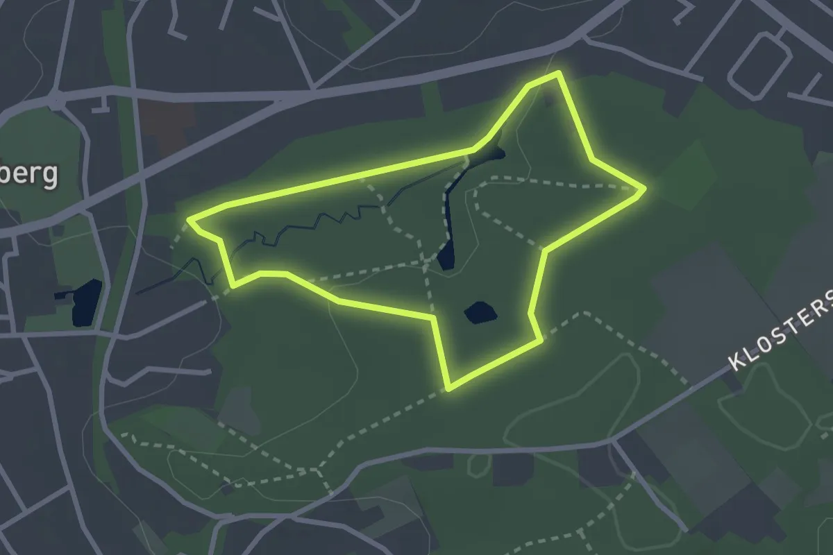
Easy · Trail
Vitalwanderweg 1 "Judenbruch"
2.1 km · ↑ 20 m · 35 min
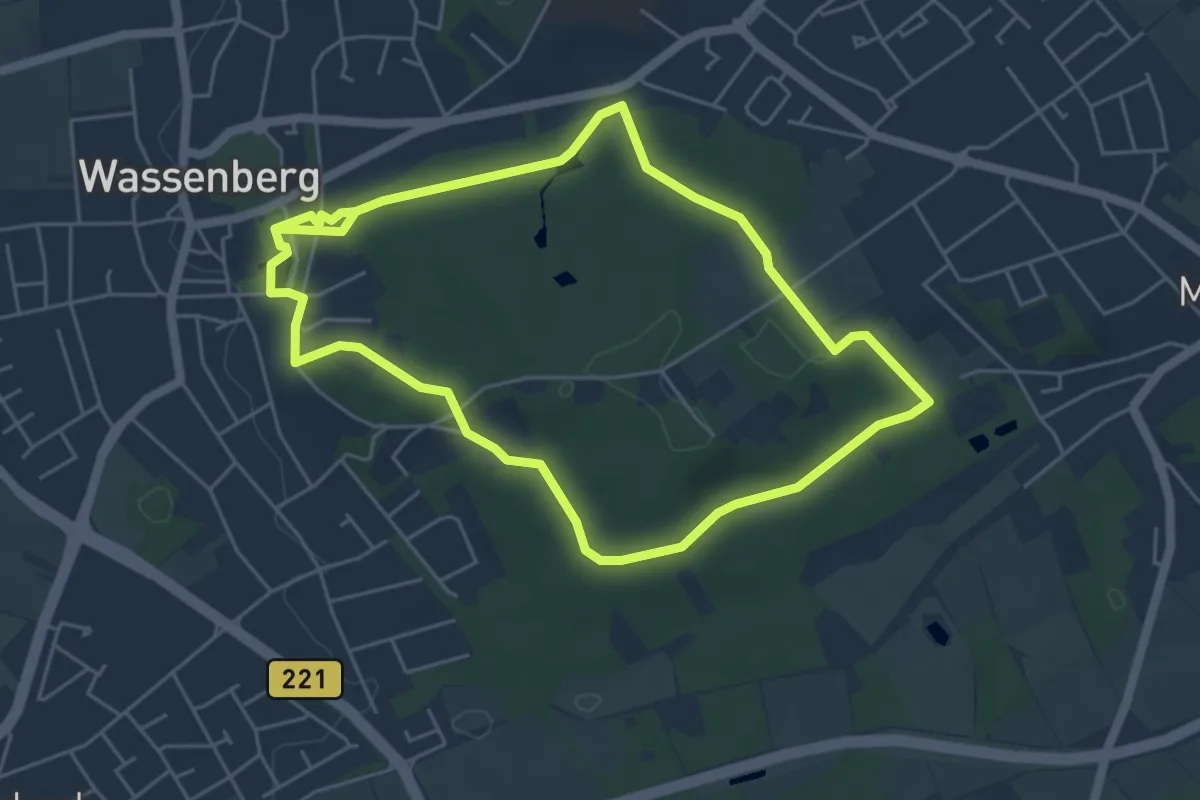
Easy · Trail
Vitalwanderweg 2 "Myhler Schweiz"
4.6 km · ↑ 51 m · 1 h 16 min
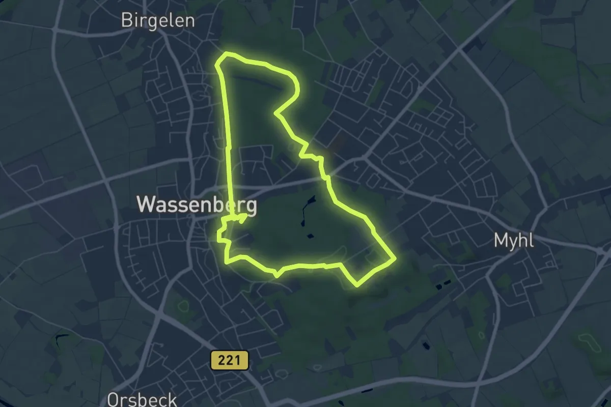
Easy · Trail
Vitalwanderweg 3 "Pützchenroute"
6.2 km · ↑ 72 m · 1 h 41 min
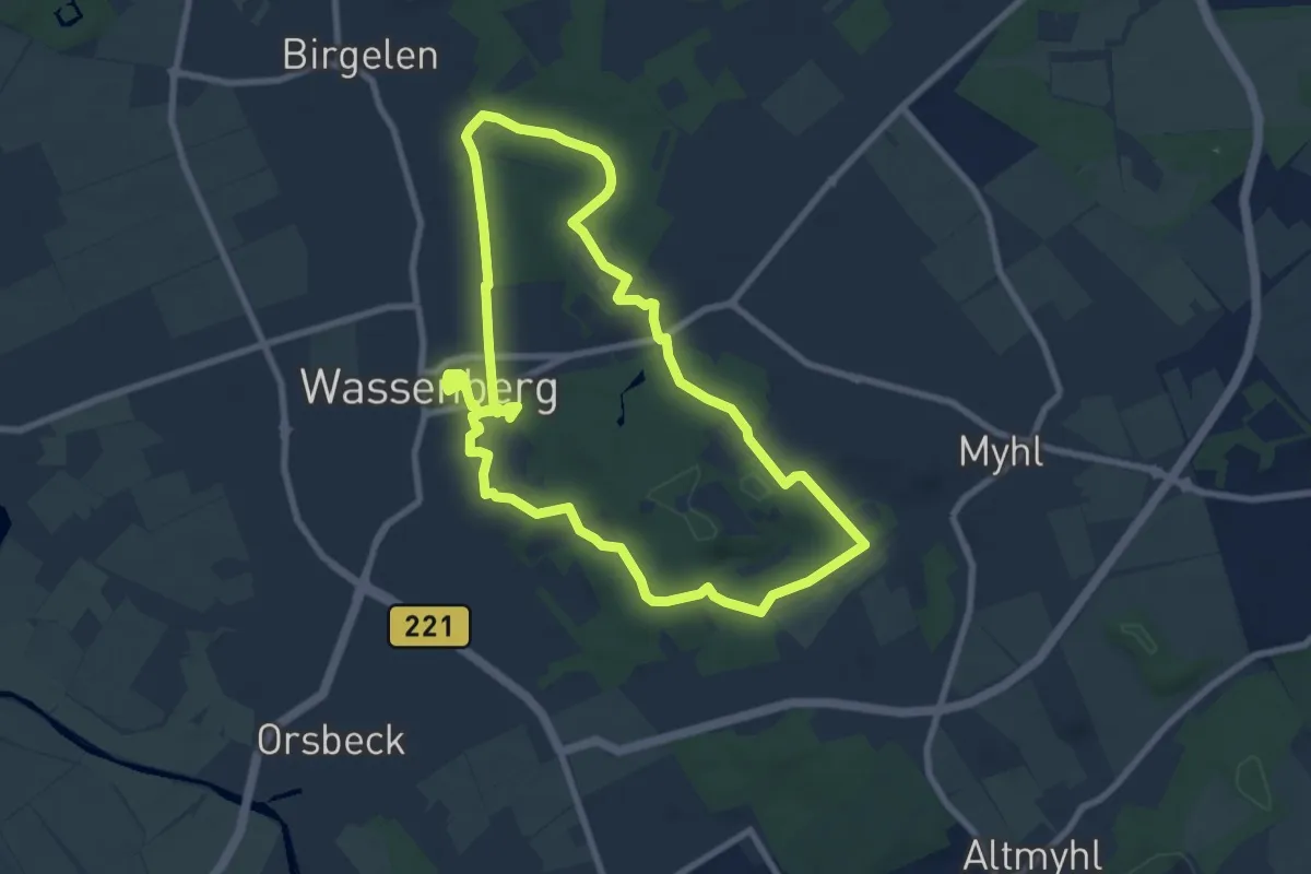
Easy · Trail
Vitalwanderweg 4 "Bergfriedroute"
7.7 km · ↑ 92 m · 2 h 7 min
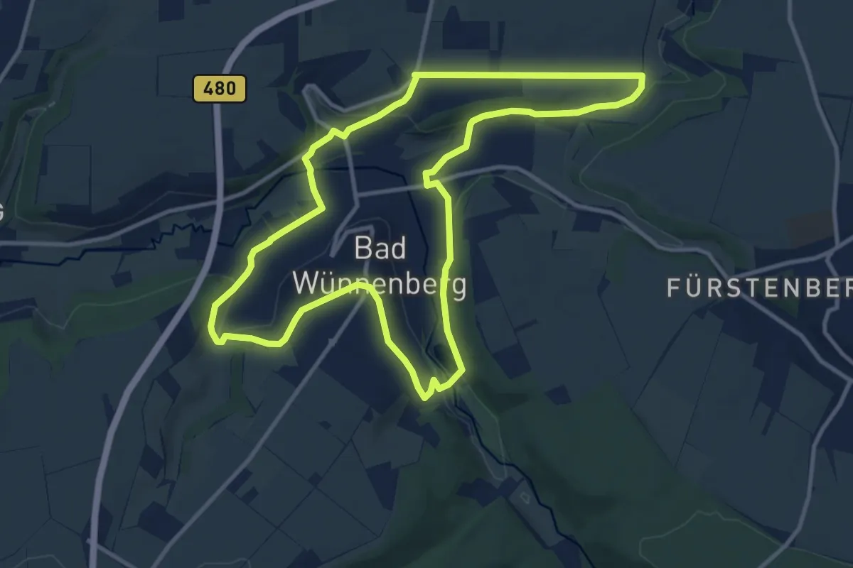
Medium · Trail
Vitalwanderweg "blau - Motivation" Bad Wünnenberg
9.7 km · ↑ 168 m · 2 h 47 min
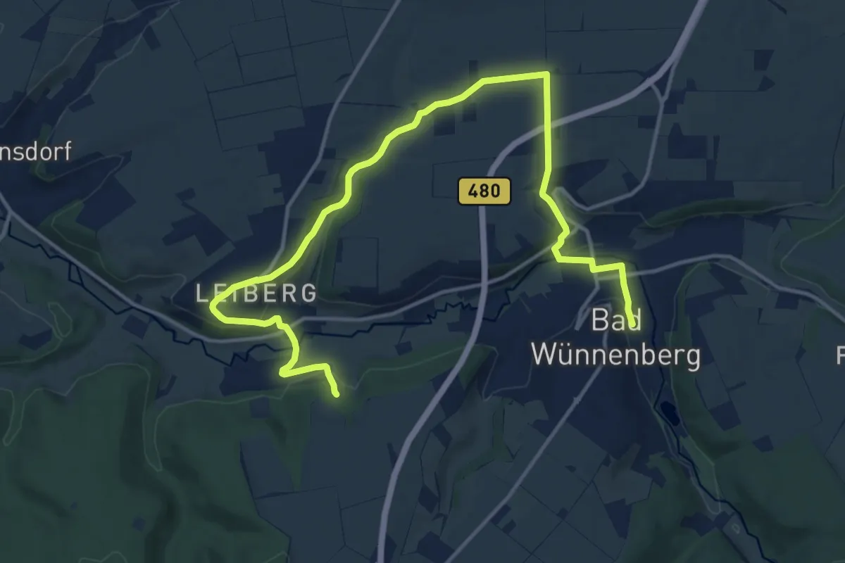
Medium · Trail
Vitalwanderweg "orange - Lebenskraft" Bad Wünnenberg
15.7 km · ↑ 267 m · 4 h 17 min
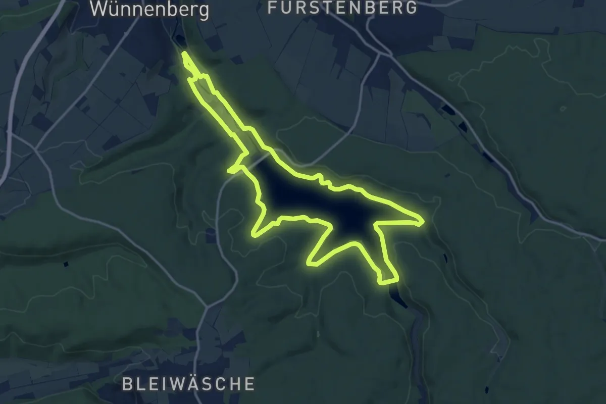
Medium · Trail
Vitalwanderweg "rot - Bewegung" Bad Wünnenberg
12.5 km · ↑ 146 m · 3 h 27 min
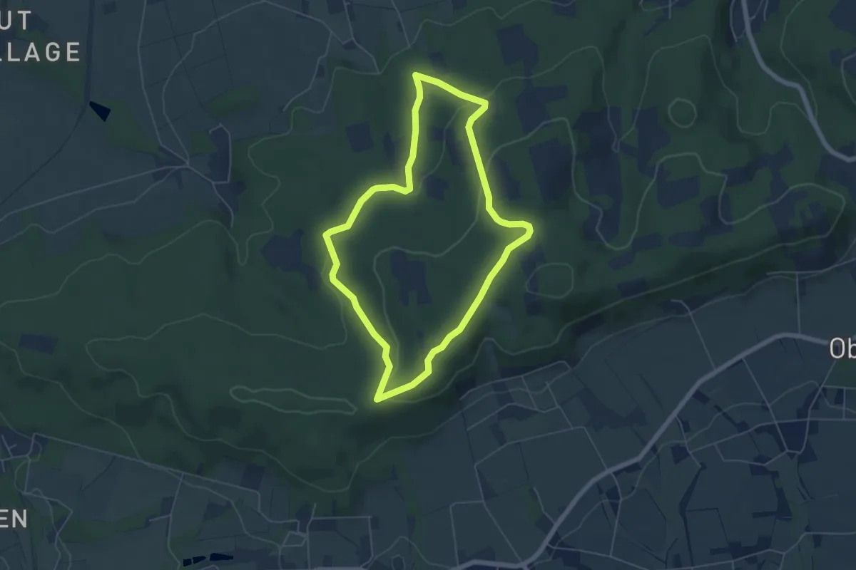
Easy · Summit
VitalWanderWelt: Aufmerksamkeit
4.8 km · ↑ 140 m · 1 h 30 min
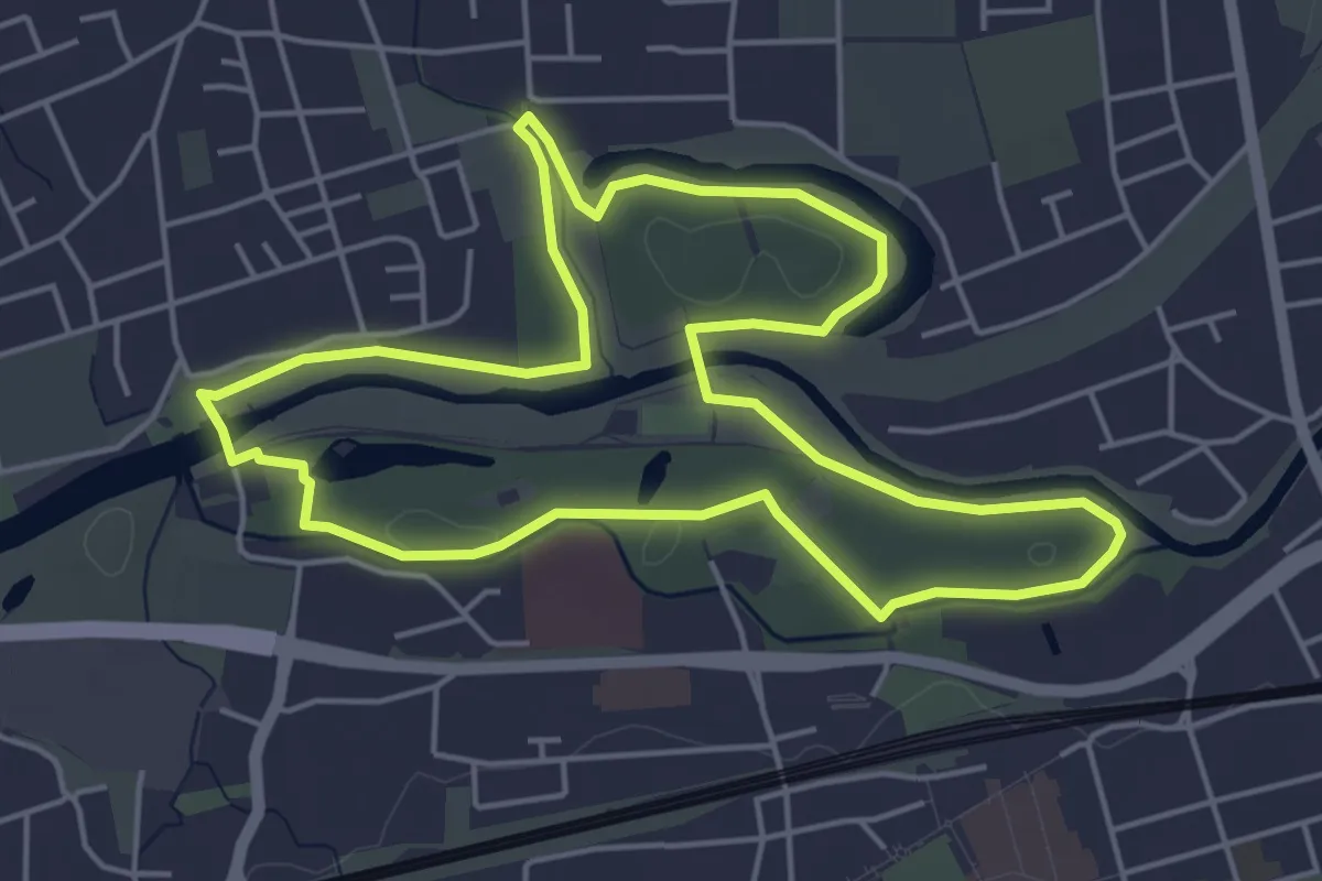
Easy · Trail
VitalWanderWelt - Ausgleich
4.6 km · ↑ 13 m · 1 h 10 min
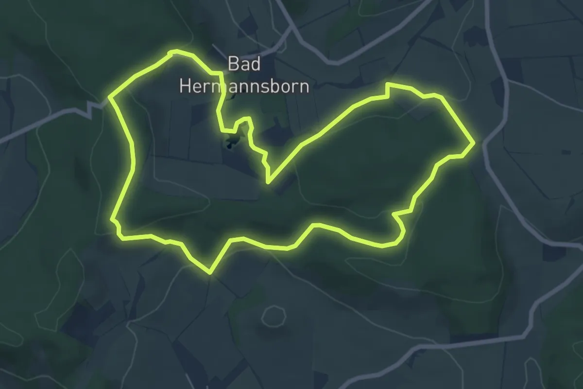
Easy · Trail
VitalWanderWelt - Bad Hermannsborn
5.8 km · ↑ 154 m · 1 h 47 min
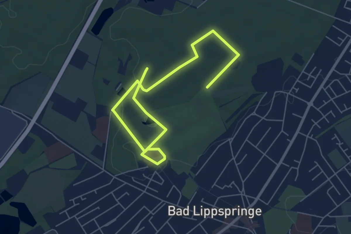
Easy · Trail
VitalWanderWelt [blau] Zutrauen
6.8 km · ↑ 27 m · 1 h 40 min
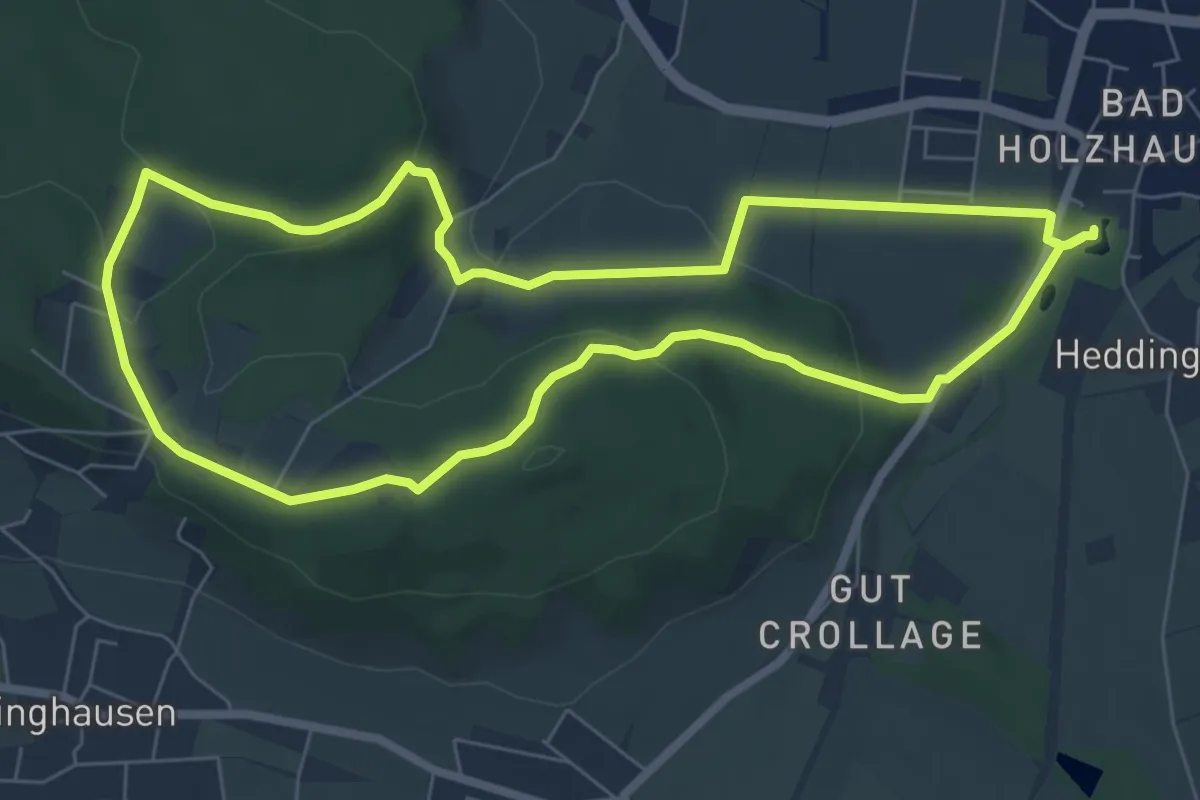
Easy · Summit
VitalWanderWelt: Entspannung
6.4 km · ↑ 141 m · 1 h 54 min
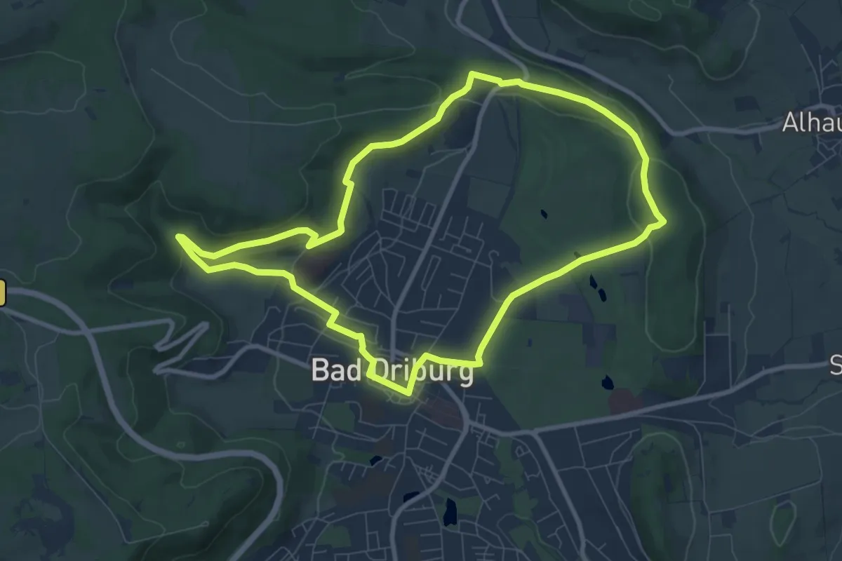
Easy · Summit
VitalWanderWelt - Nördlicher Sachsenring Bad Driburg
7.7 km · ↑ 165 m · 2 h 17 min
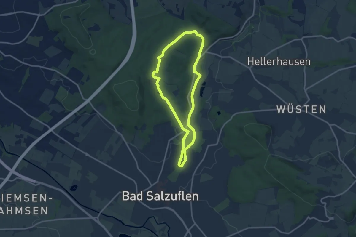
Easy · Trail
VitalWanderWelt Obernberg
7.7 km · ↑ 104 m · 2 h 9 min
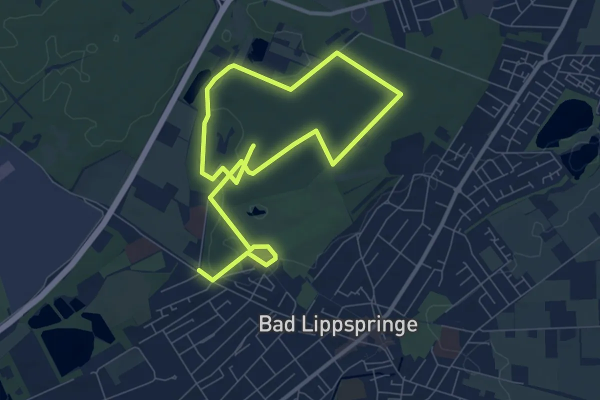
Medium · Trail
VitalWanderWelt [orange] Gelassenheit
10.6 km · ↑ 53 m · 2 h 37 min
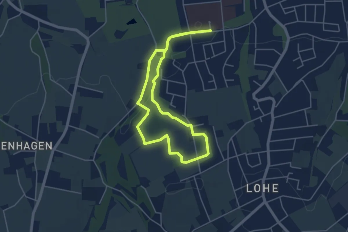
Easy · Trail
VitalWanderWelt - Perspektive
3.3 km · ↑ 55 m · 57 min
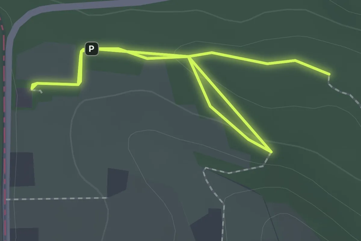
Easy · Trail
VitalWanderWelt: Reflexion
1.5 km · ↑ 14 m · 24 min
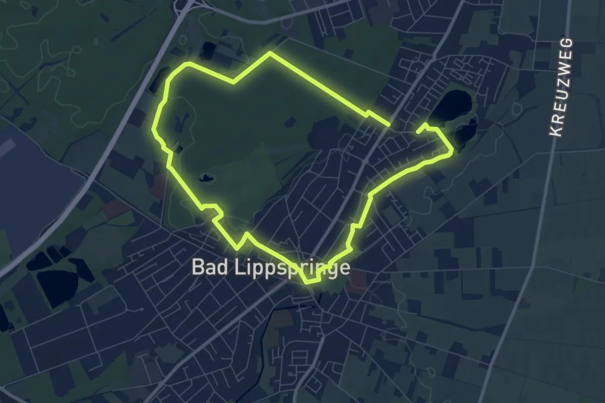
Easy · Trail
VitalWanderWelt [rot] Energie
6.5 km · ↑ 22 m · 1 h 41 min
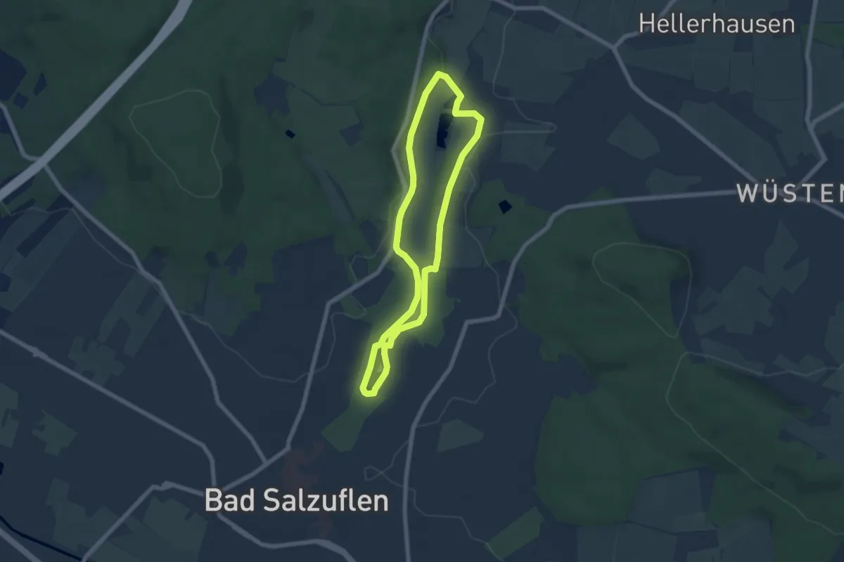
Easy · Trail
VitalWanderWelt Salzetal
4.9 km · ↑ 41 m · 1 h 20 min
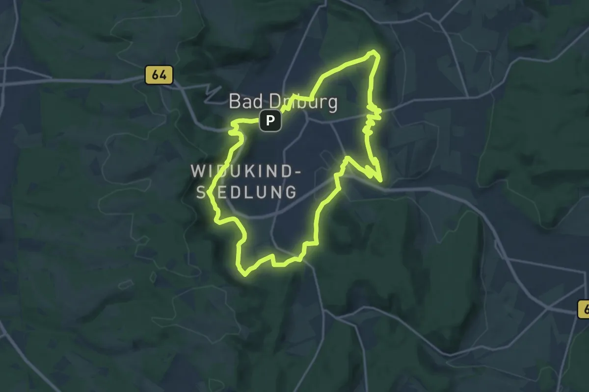
Medium · Summit
VitalWanderWelt - Südlicher Sachsenring Bad Driburg
14.7 km · ↑ 424 m · 4 h 35 min
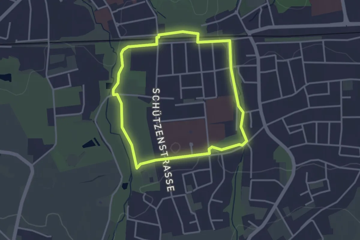
Easy · Trail
VitalWanderWelt - Vertrauen
2.6 km · ↑ 14 m · 41 min
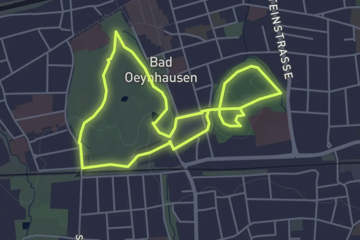
Easy · Trail
VitalWanderWelt - Vielfalt
3.6 km · ↑ 22 m · 57 min
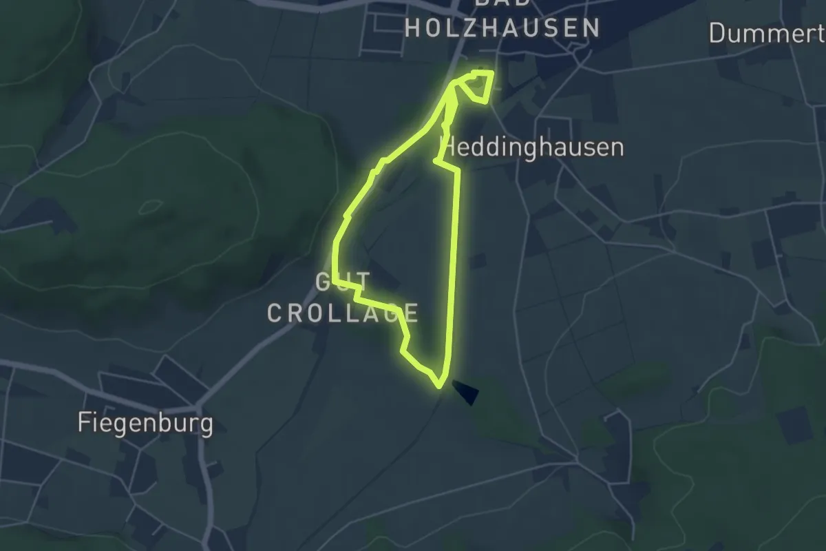
Easy · Trail
VitalWanderWelt: Wahrnehmung
3.8 km · ↑ 33 m · 1 h 1 min
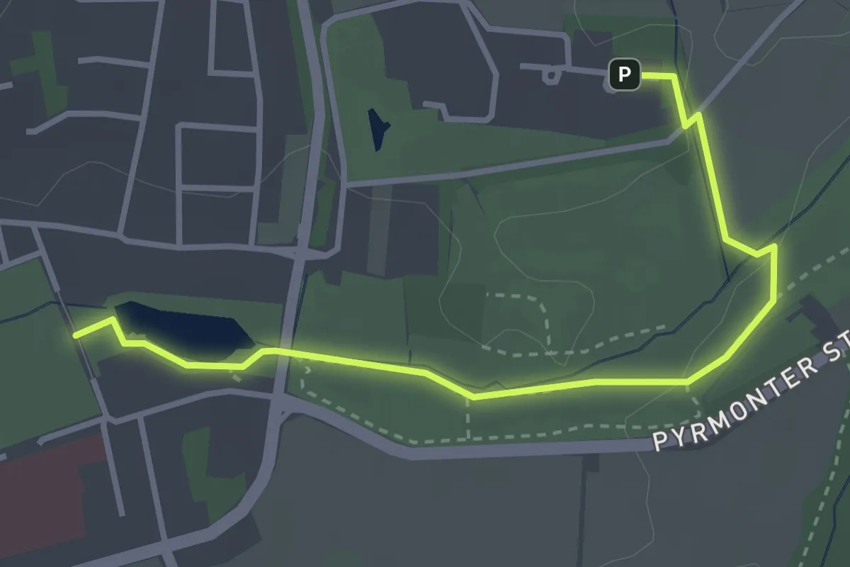
Easy · Trail
VitalWanderWelt Zubringer Start Yogarzentrum / Start Kurpark
3.1 km · ↑ 4 m · 45 min
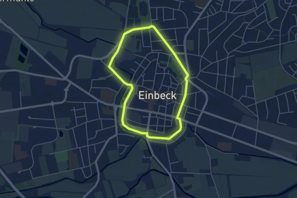
Easy · Trail
VitalWeg 1
3.5 km · ↑ 12 m · 54 min
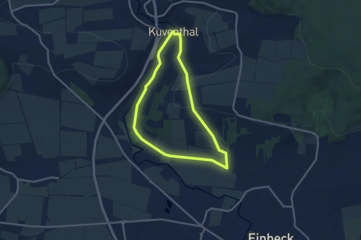
Easy · Trail
VitalWeg 2
5.3 km · ↑ 95 m · 1 h 31 min
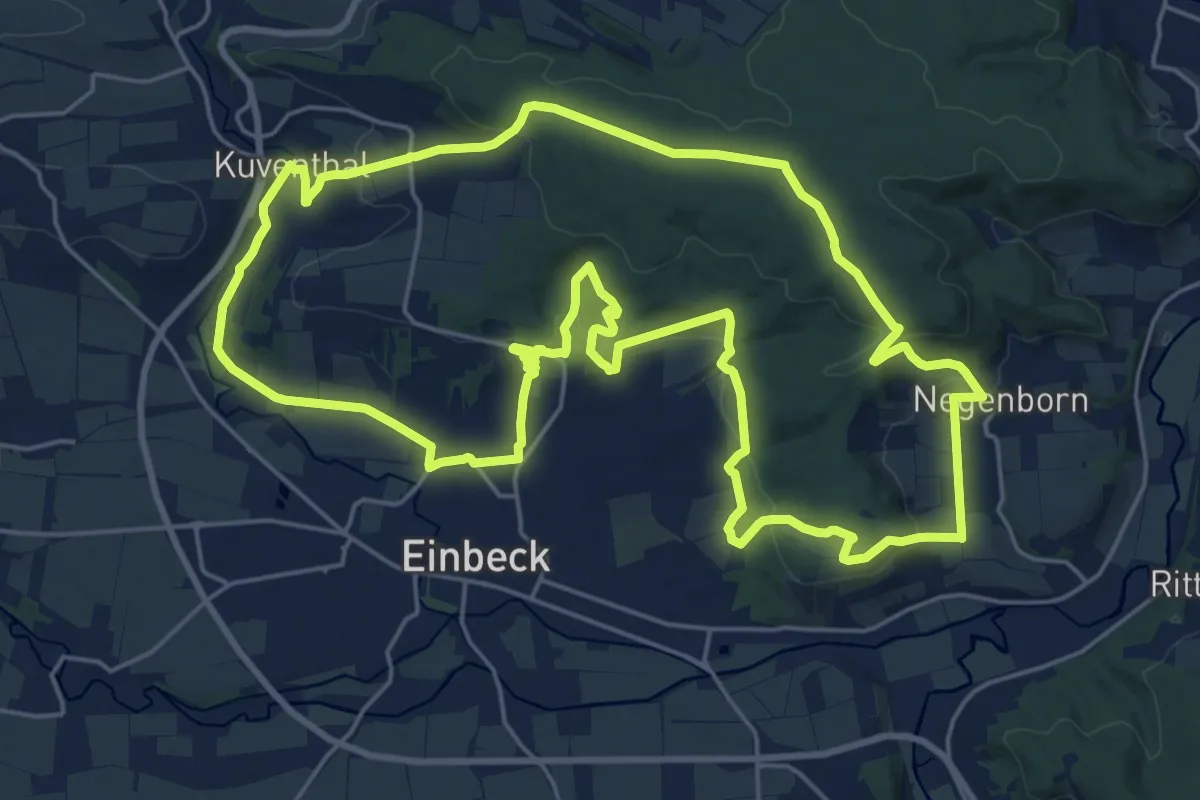
Demanding · Summit
Vitalweg 22
21.6 km · ↑ 524 m · 6 h 32 min
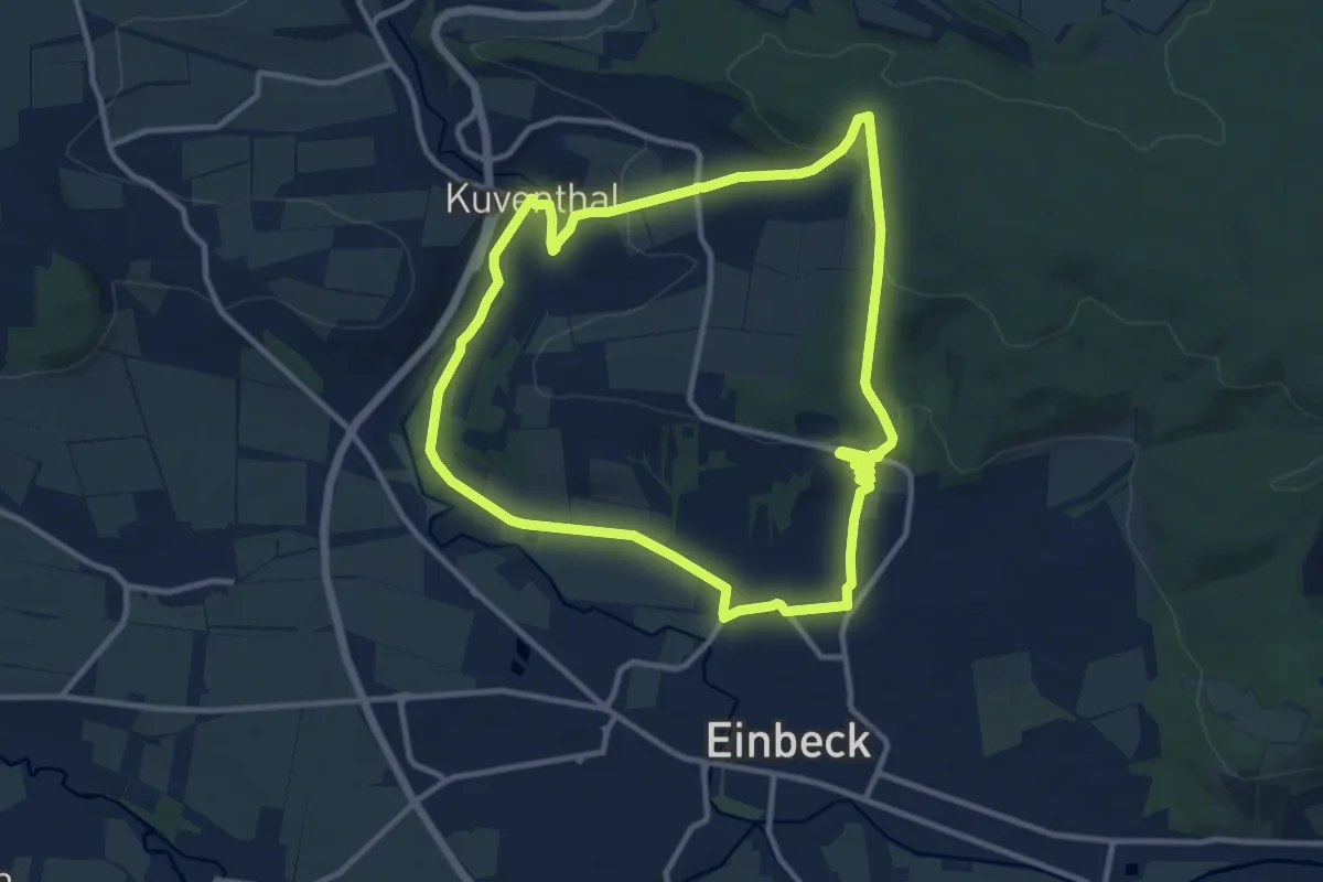
Medium · Trail
VitalWeg 3
10.1 km · ↑ 212 m · 2 h 59 min
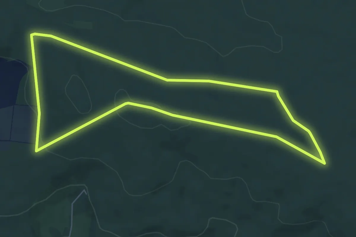
Easy · Summit
VitalWeg 4
5.9 km · ↑ 72 m · 1 h 38 min
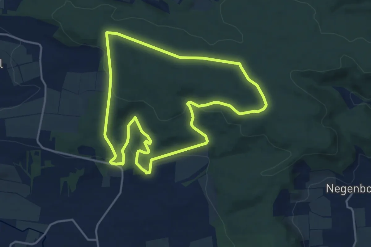
Medium · Trail
VitalWeg 5
9.6 km · ↑ 244 m · 2 h 56 min