Trails in Germany
36,852 hiking trails, each with its route, climb, walking time and grade.
All trails, page 655 of 768
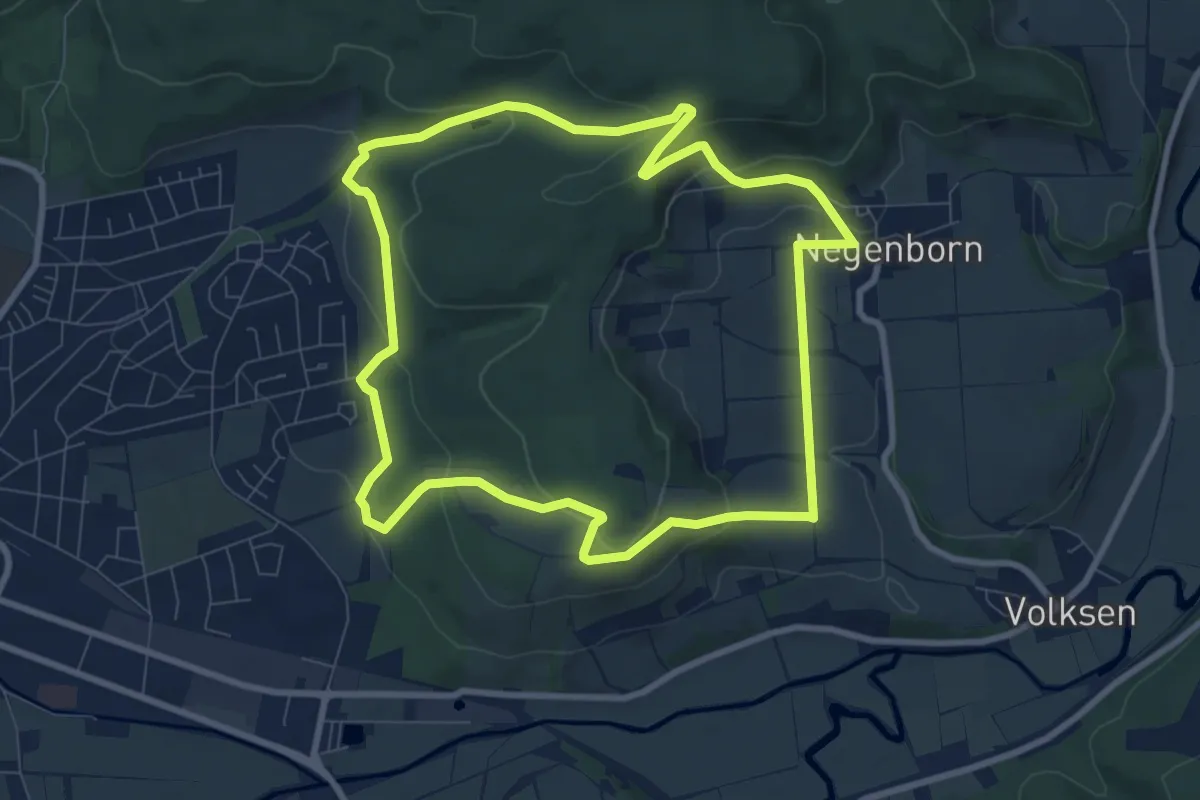
Easy · Summit
VitalWeg 7
7.8 km · ↑ 270 m · 2 h 32 min
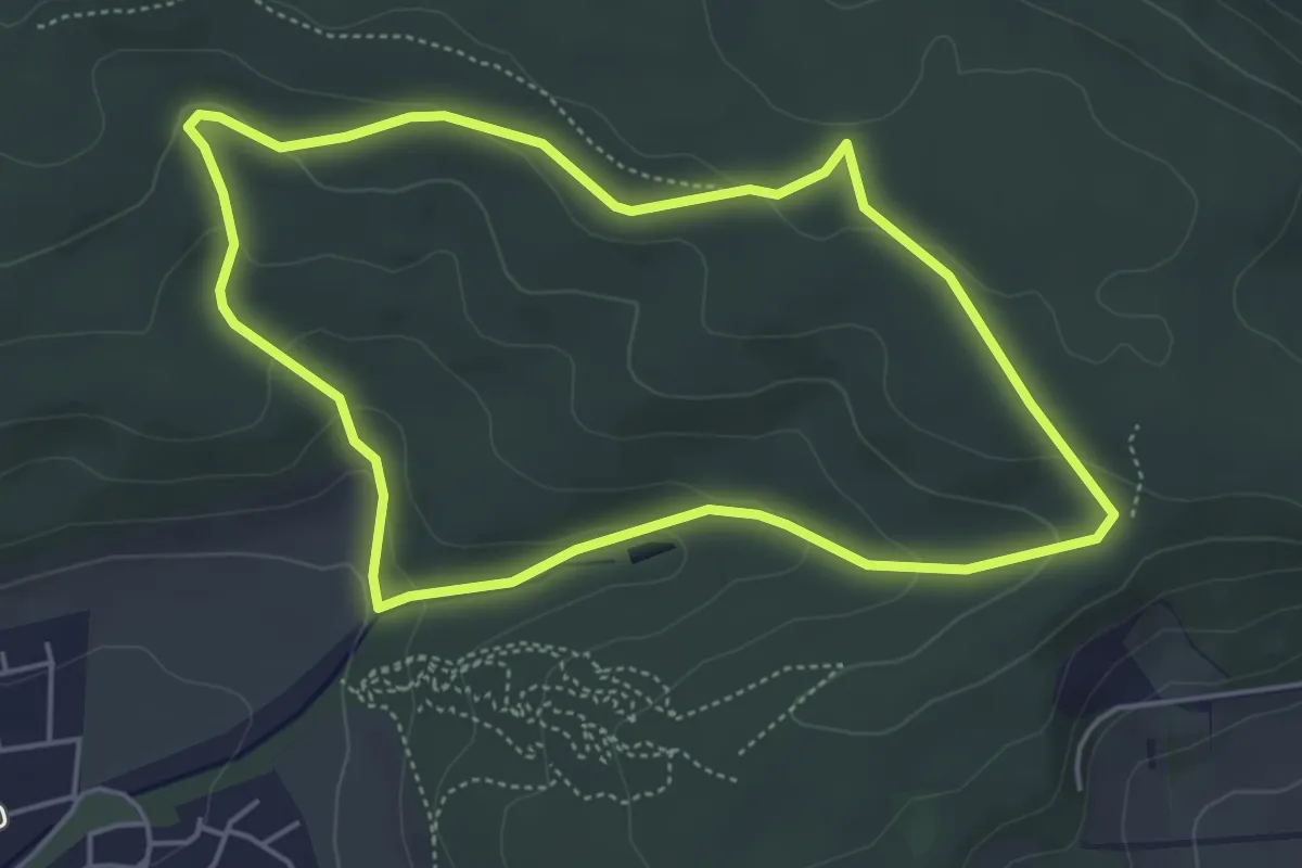
Easy · Trail
VitalWeg 8
4.3 km · ↑ 137 m · 1 h 22 min
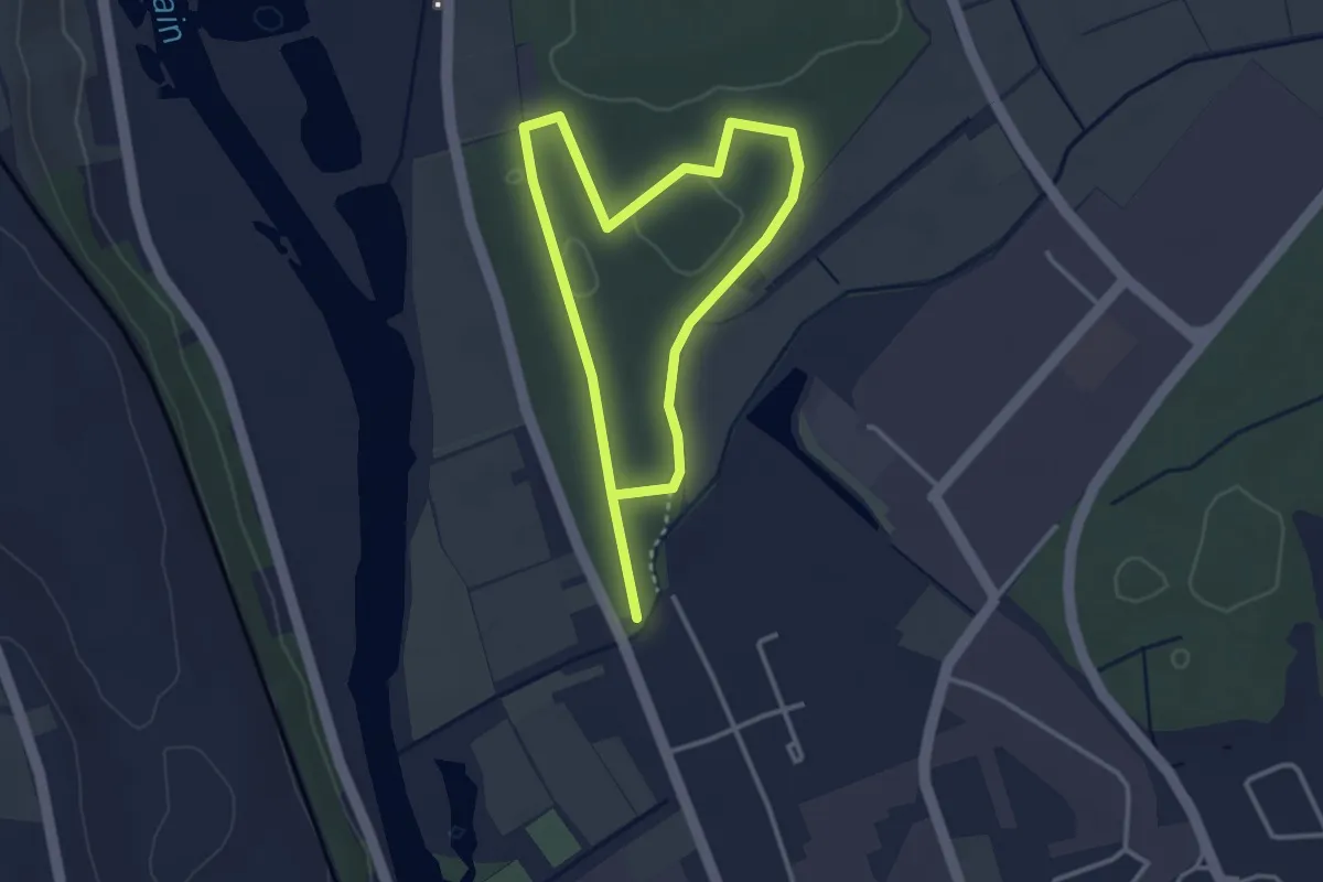
Easy · Trail
Vita Parcours
2.5 km · ↑ 9 m · 38 min
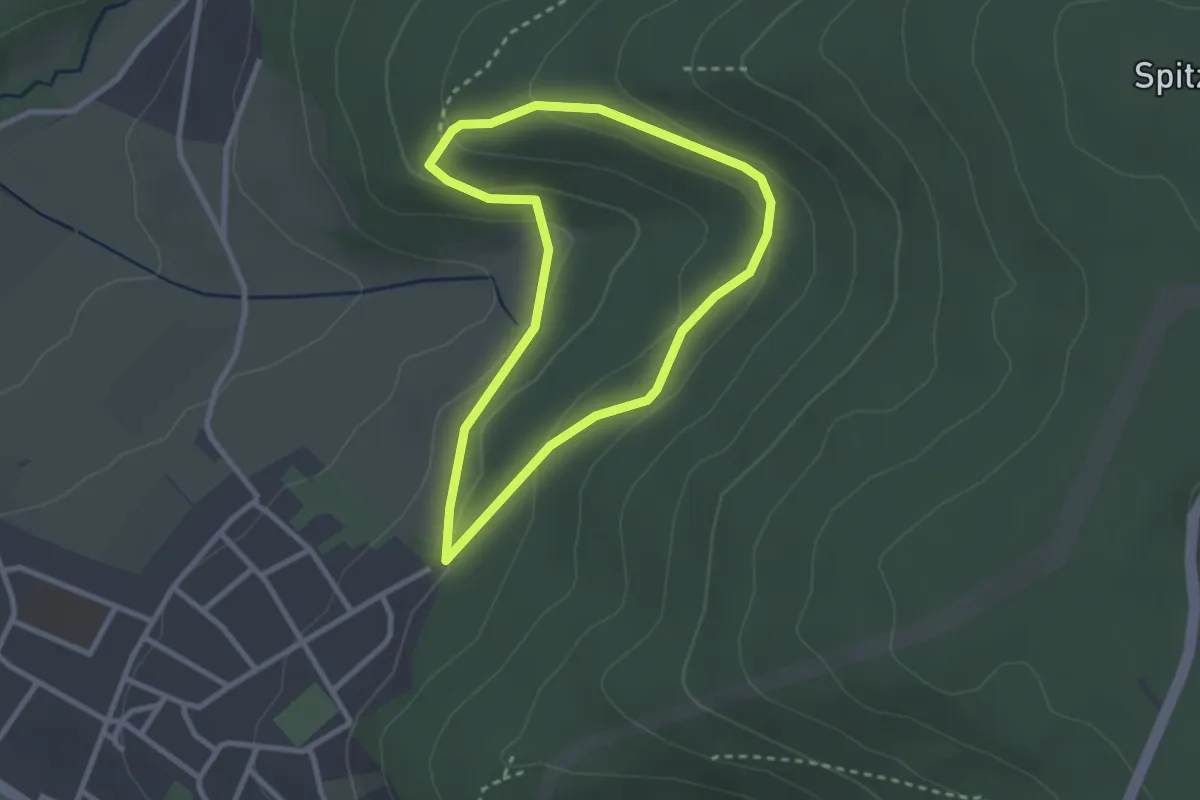
Easy · Trail
Vita-Parcours
2.3 km · ↑ 86 m · 46 min
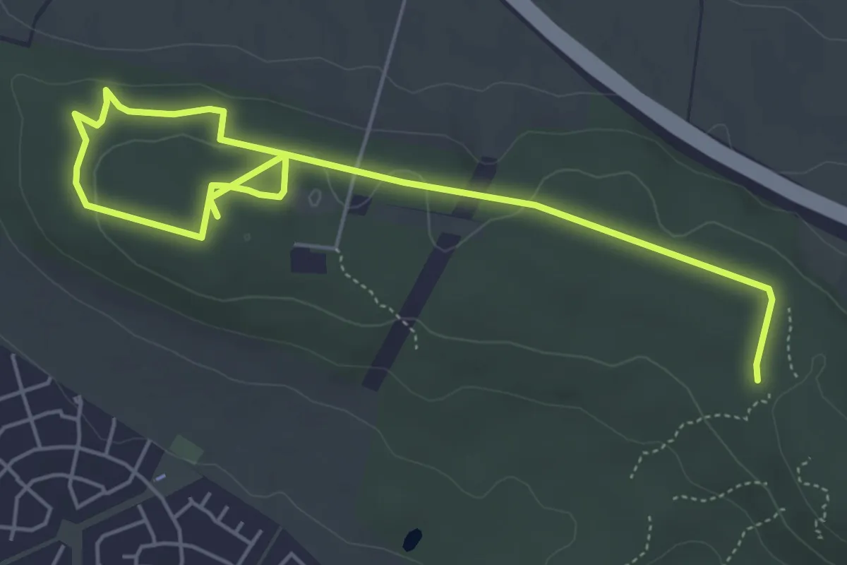
Easy · Summit
Vita-Parcours
6.3 km · ↑ 112 m · 1 h 44 min
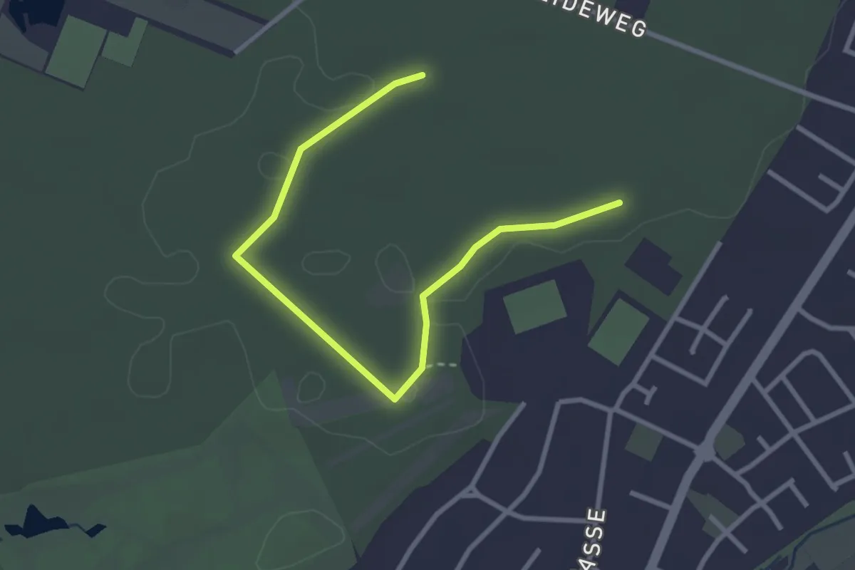
Easy · Trail
Vita-Parcours Bad Lippspringe
3.0 km · ↑ 0 m · 43 min
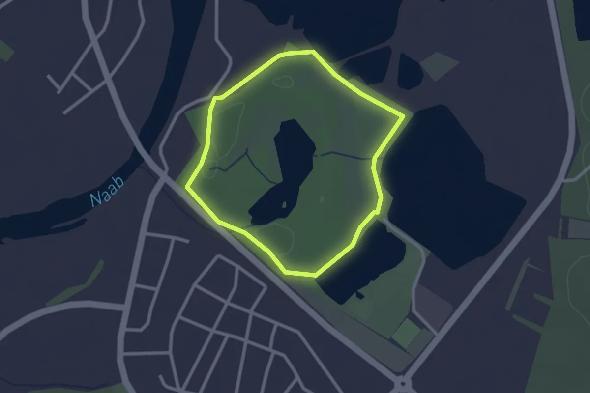
Easy · Trail
Vita Parcours Höllohe
1.9 km · ↑ 4 m · 29 min
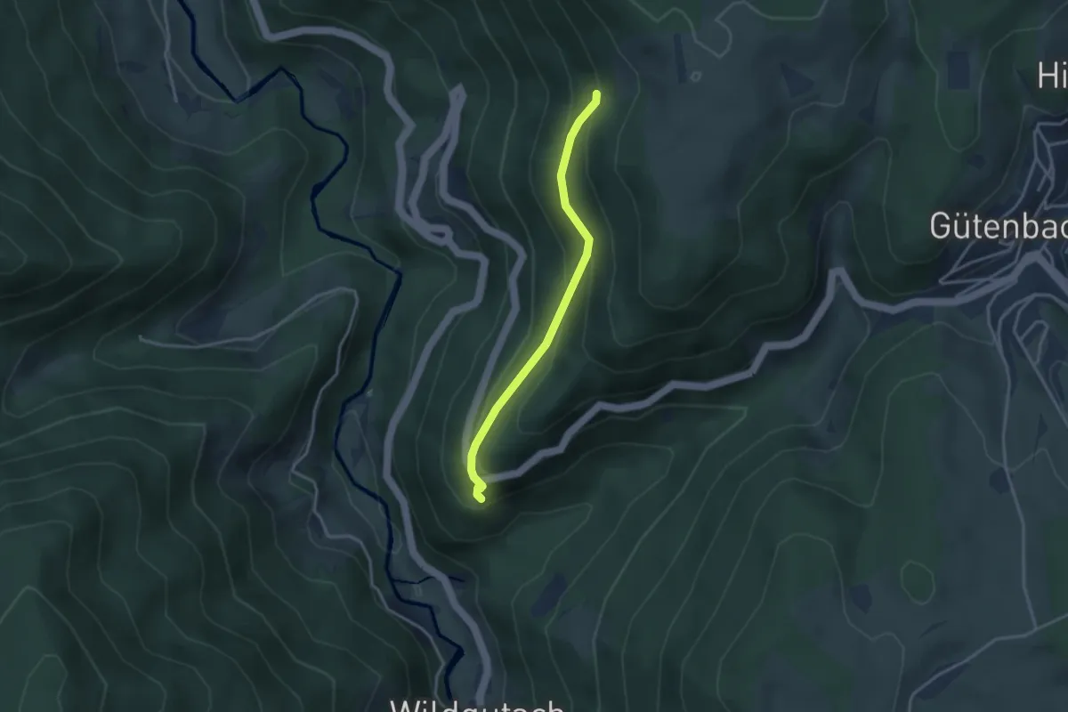
Medium · Cabin
Vitenbühl - Wäldersteig
2.9 km · ↑ 182 m · 1 h 5 min
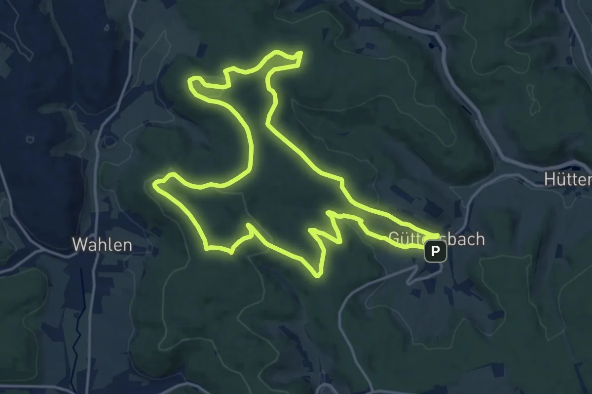
Medium · Summit
VL Güttersbach 14 km Runde
14.1 km · ↑ 291 m · 4 h 9 min
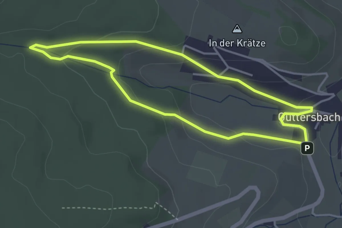
Easy · Trail
VL Güttersbach 3,5 km Runde
3.2 km · ↑ 84 m · 58 min
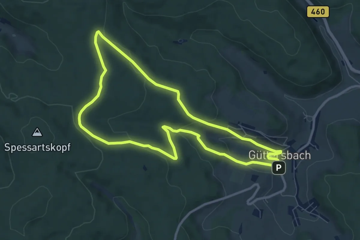
Easy · Trail
VL Güttersbach 7km Runde
7.0 km · ↑ 166 m · 2 h 7 min
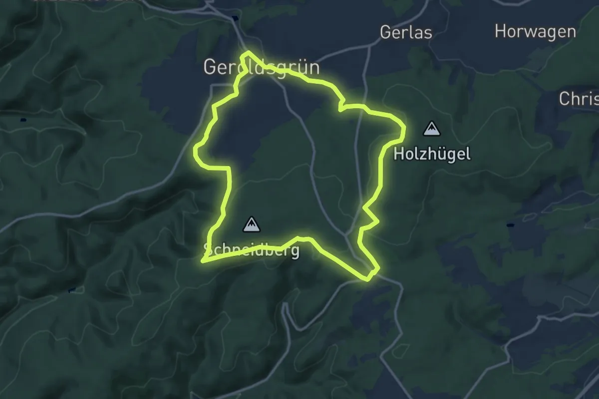
Medium · Trail
Vochelaweg DÖ 91
10.9 km · ↑ 222 m · 3 h 12 min
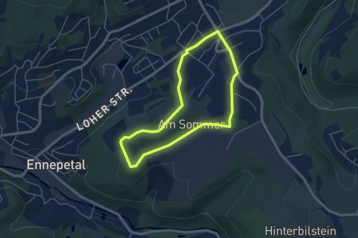
Easy · Trail
Voerde Rundweg A5
3.3 km · ↑ 84 m · 1 h 1 min
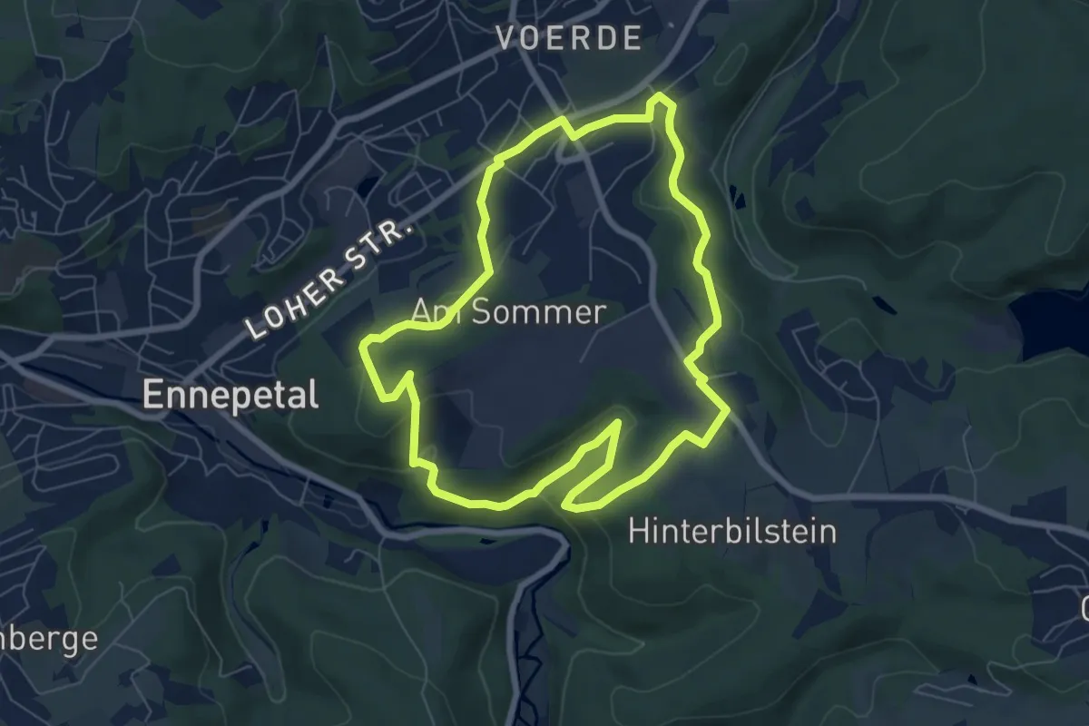
Easy · Trail
Voerde Rundweg A6
6.3 km · ↑ 190 m · 1 h 59 min
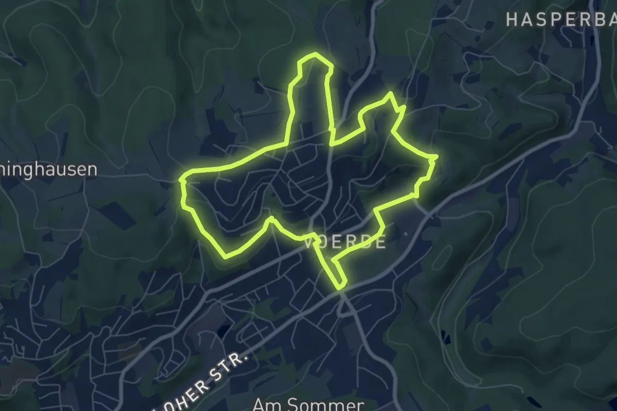
Easy · Trail
Voerde Rundweg A7
6.5 km · ↑ 129 m · 1 h 54 min
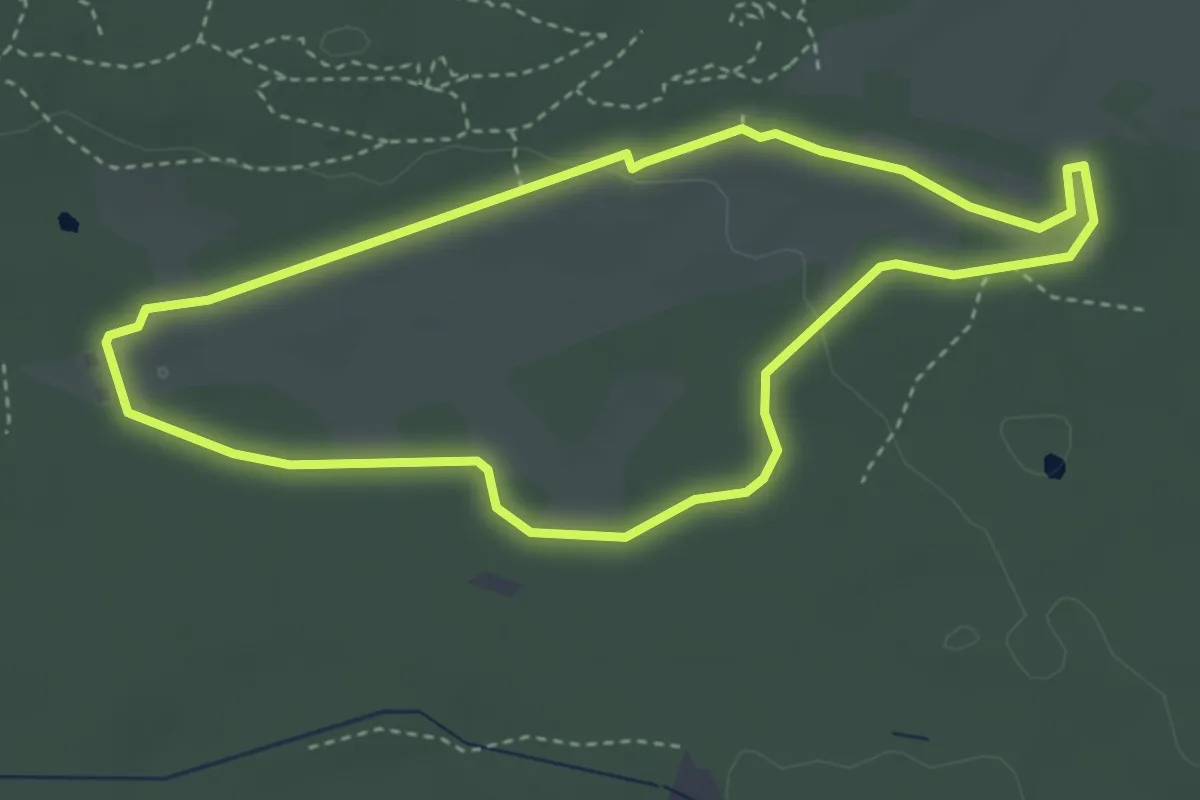
Easy · Summit
Vogel
3.4 km · ↑ 30 m · 55 min
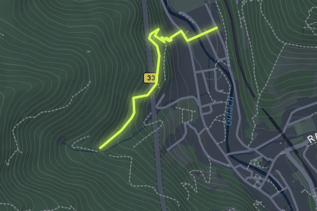
Medium · Trail
Vogelbrunnen - Hornberg Markgrafenwiese
2.0 km · ↑ 173 m · 51 min
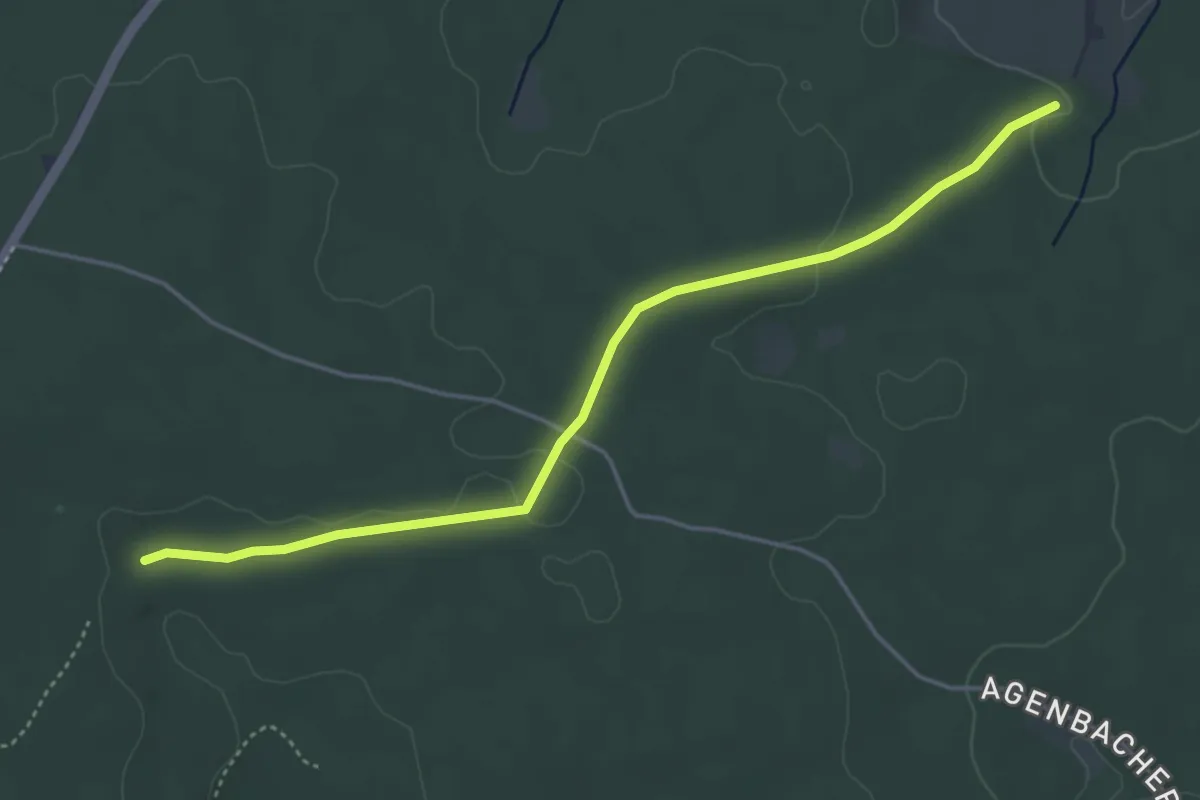
Easy · Trail
Vögelesrain - Oberwürzbach
4.4 km · ↑ 48 m · 1 h 9 min
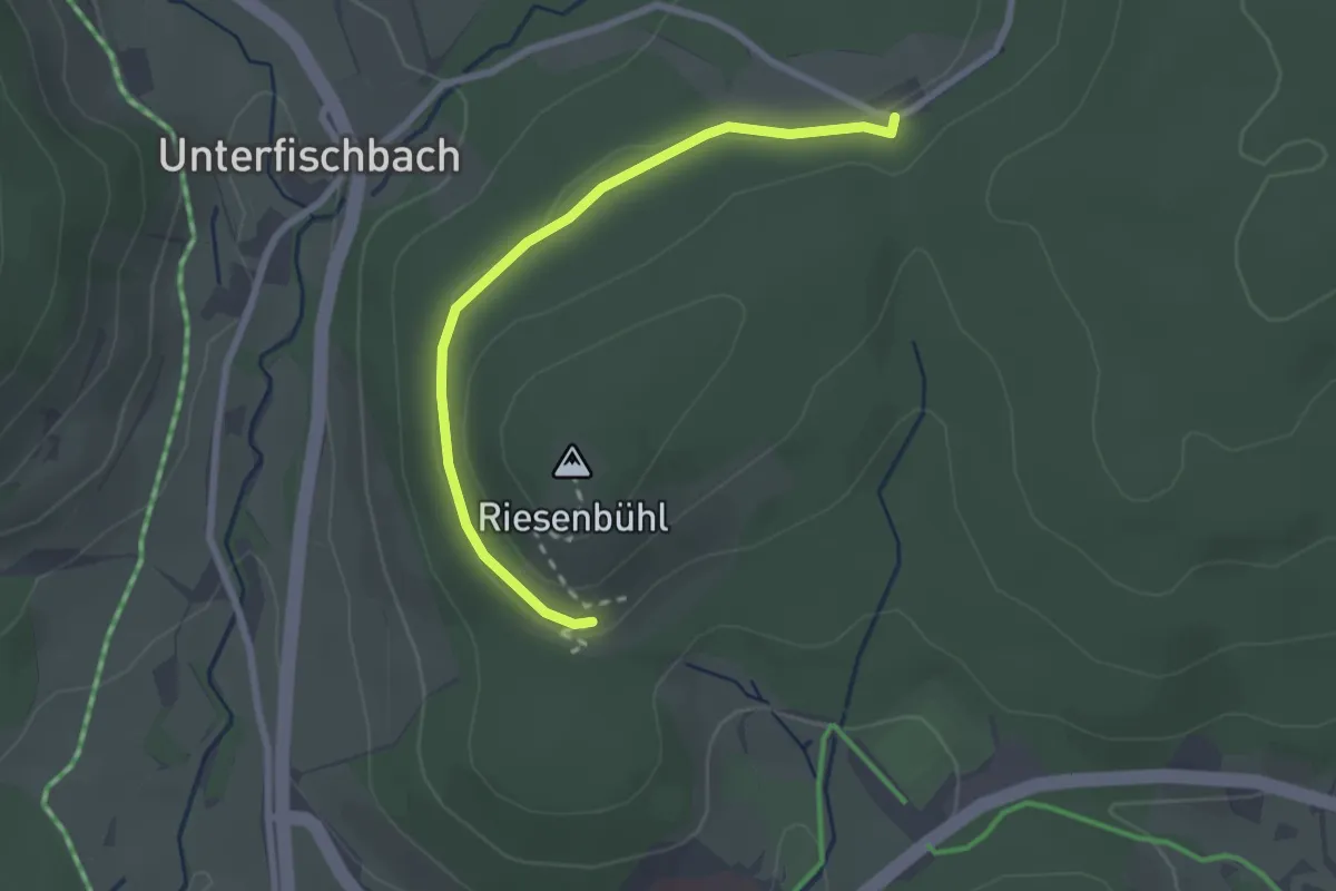
Easy · Trail
Vogelhaus - Riesenbühlweg
2.4 km · ↑ 45 m · 40 min
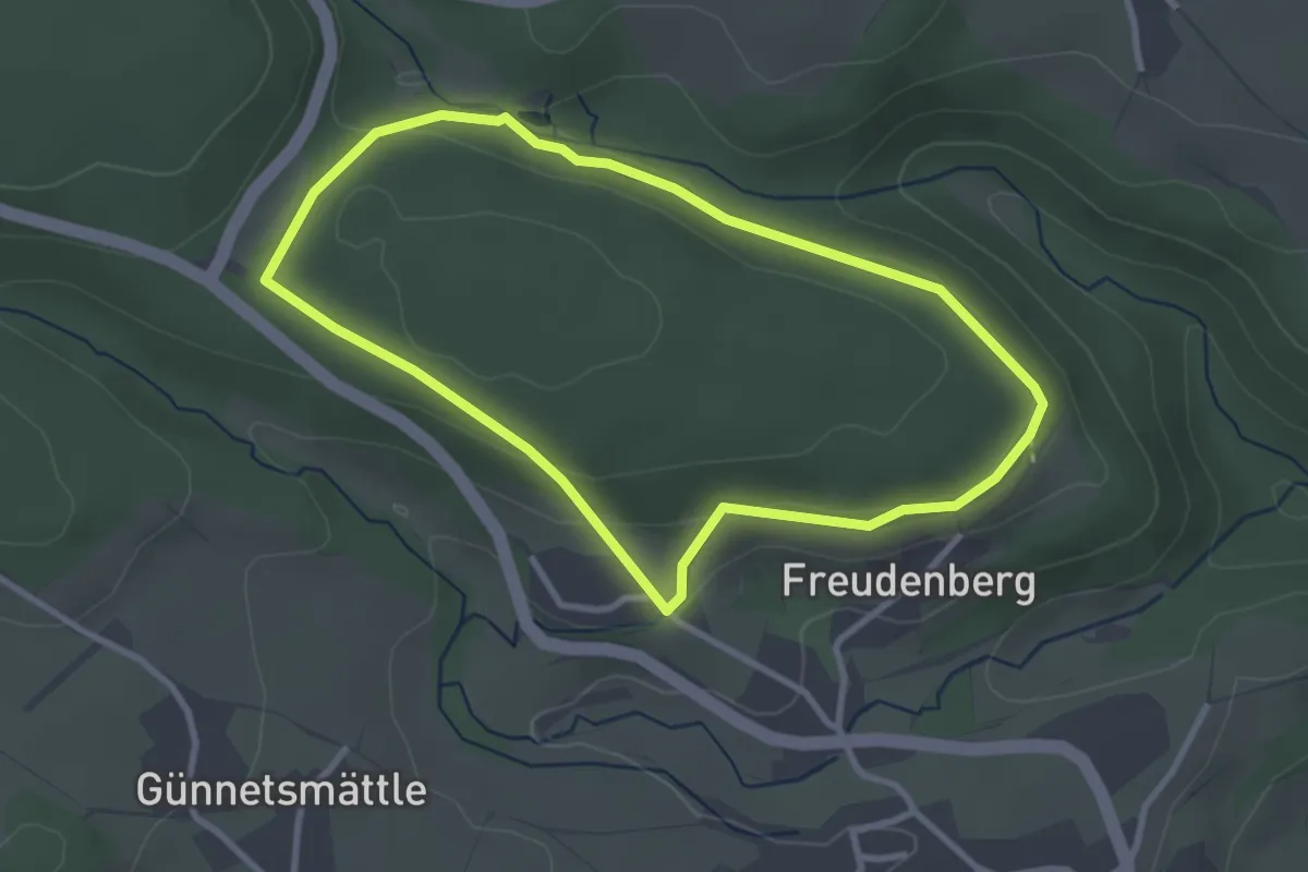
Easy · Trail
Vogellehrpfad
2.8 km · ↑ 59 m · 50 min
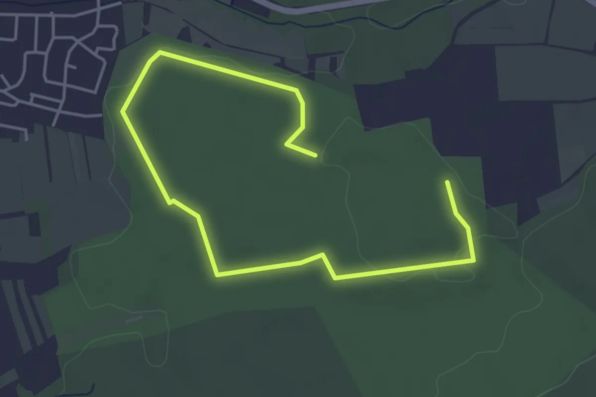
Easy · Trail
Vogellehrpfad Breitengüßbach
5.4 km · ↑ 51 m · 1 h 23 min
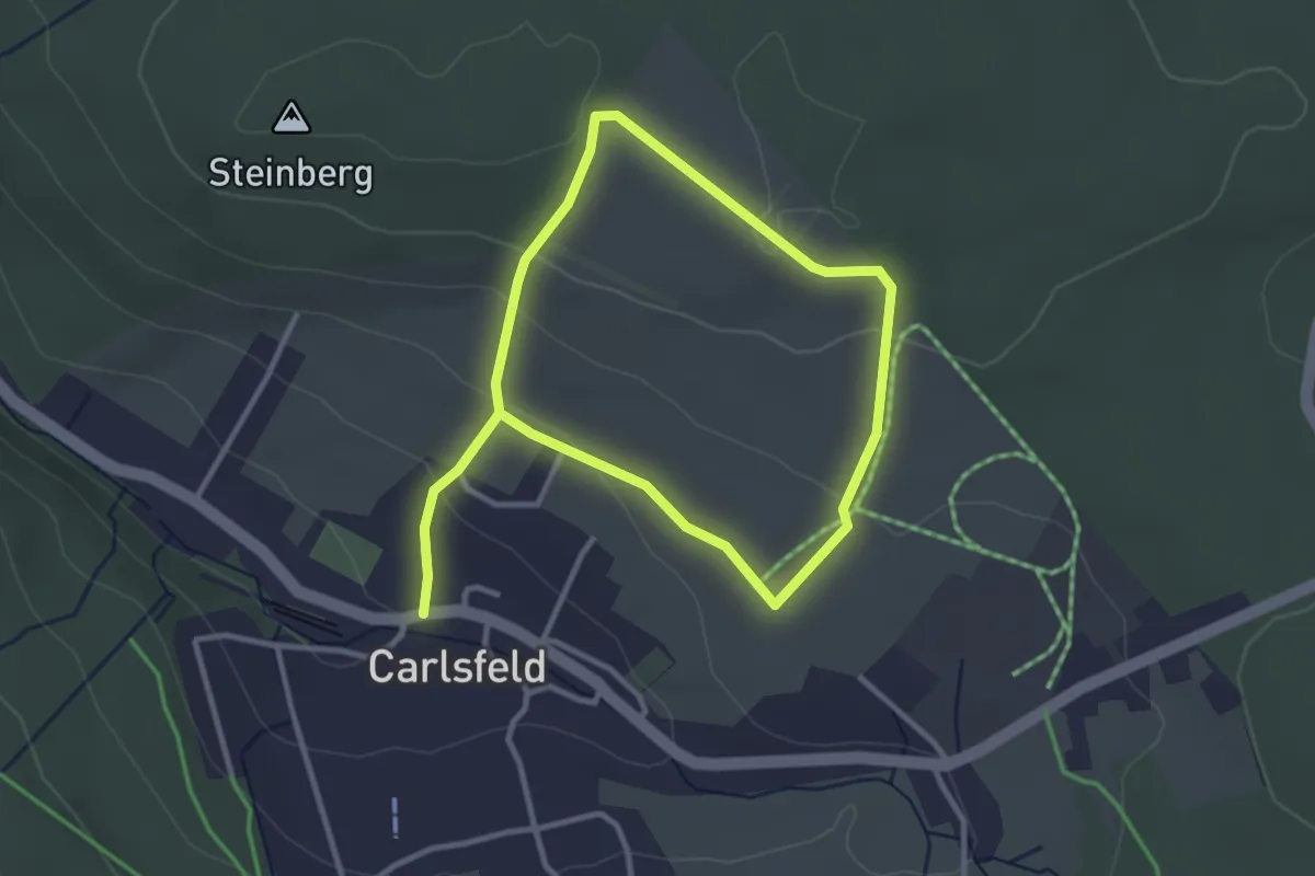
Easy · Trail
Vogellehrpfad Carlsfeld
5.0 km · ↑ 148 m · 1 h 30 min
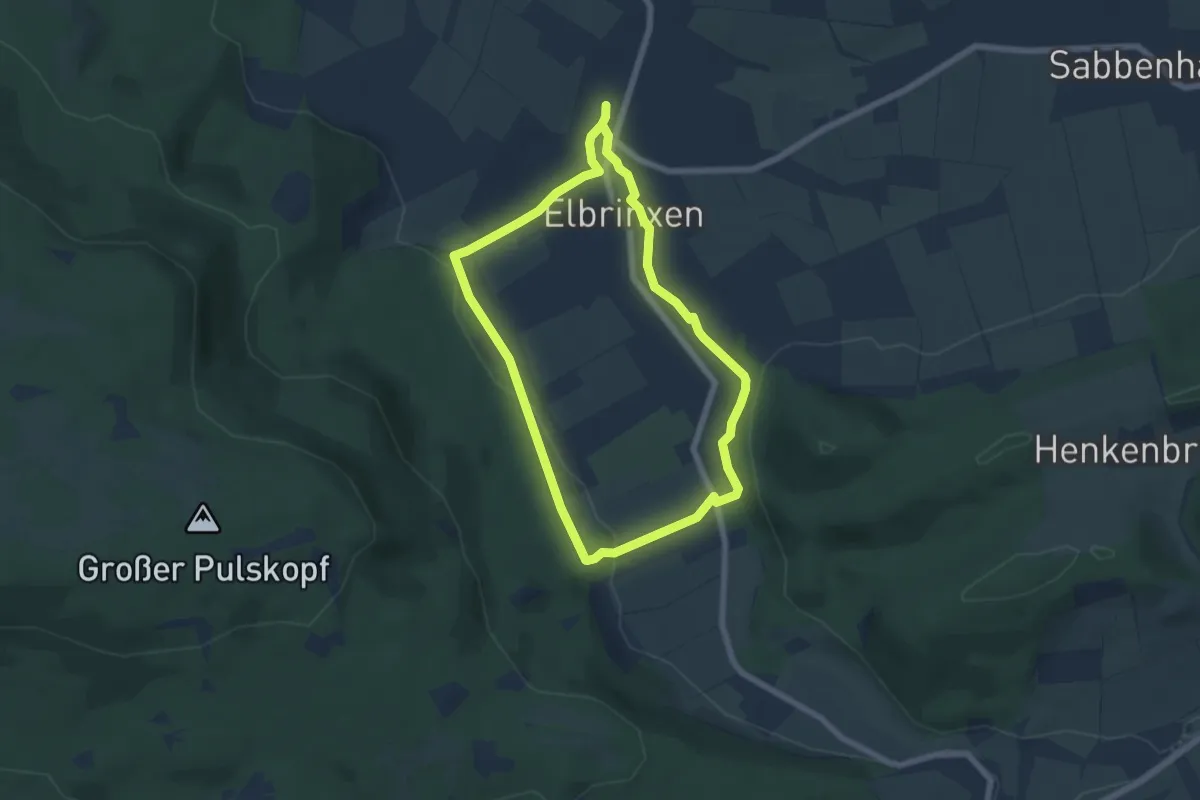
Easy · Trail
Vogellehrpfad Elbrinxen
5.2 km · ↑ 108 m · 1 h 32 min
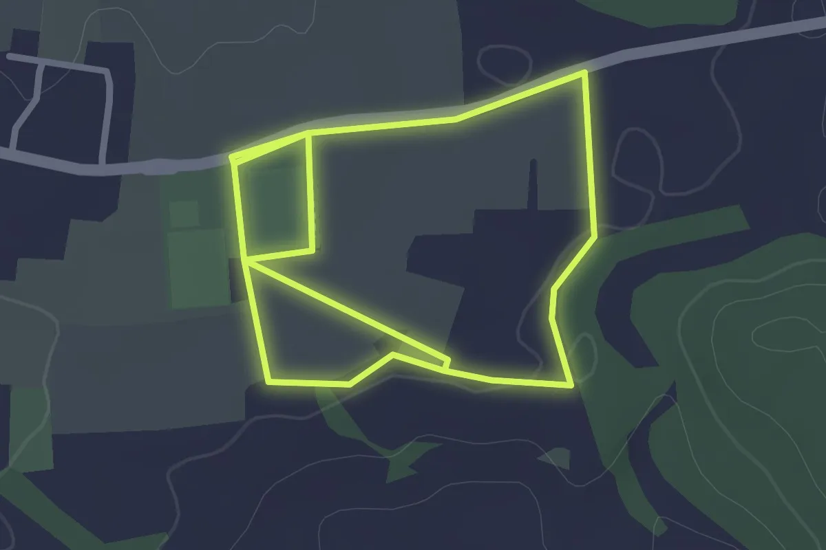
Easy · Trail
Vogellehrpfad Granheim
4.5 km · ↑ 4 m · 1 h 5 min
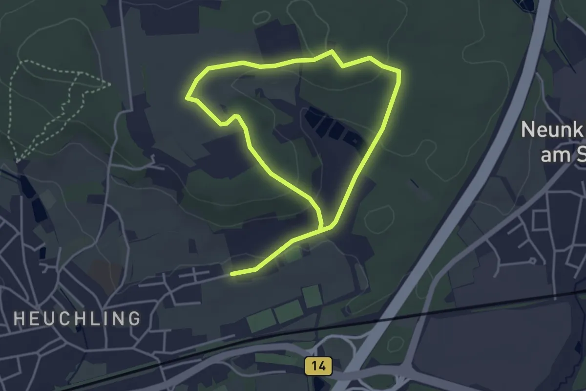
Easy · Trail
Vogellehrpfad Lauf a.d.Pegnitz
2.9 km · ↑ 46 m · 49 min
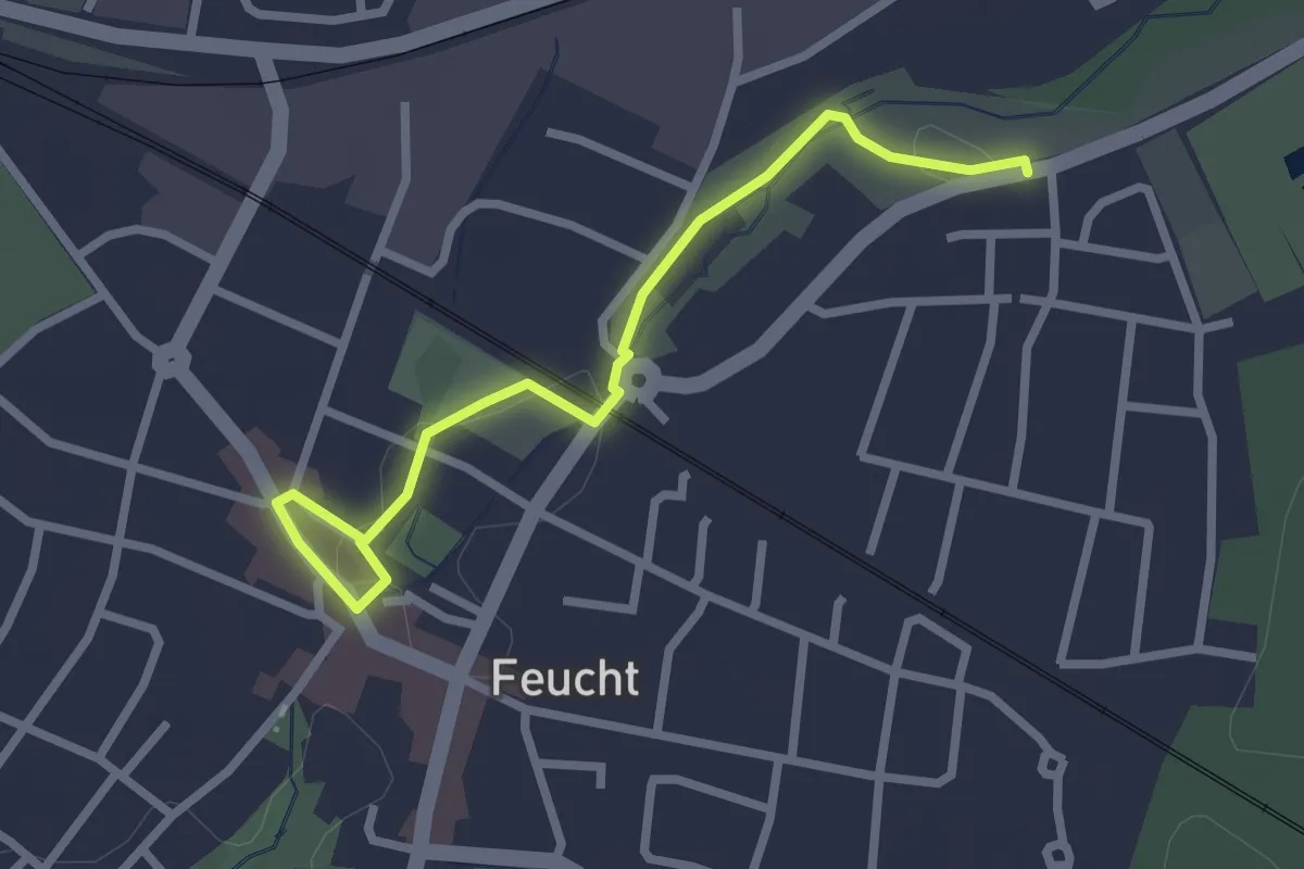
Easy · Trail
Vogellehrpfad Markt Feucht
2.6 km · ↑ 0 m · 36 min
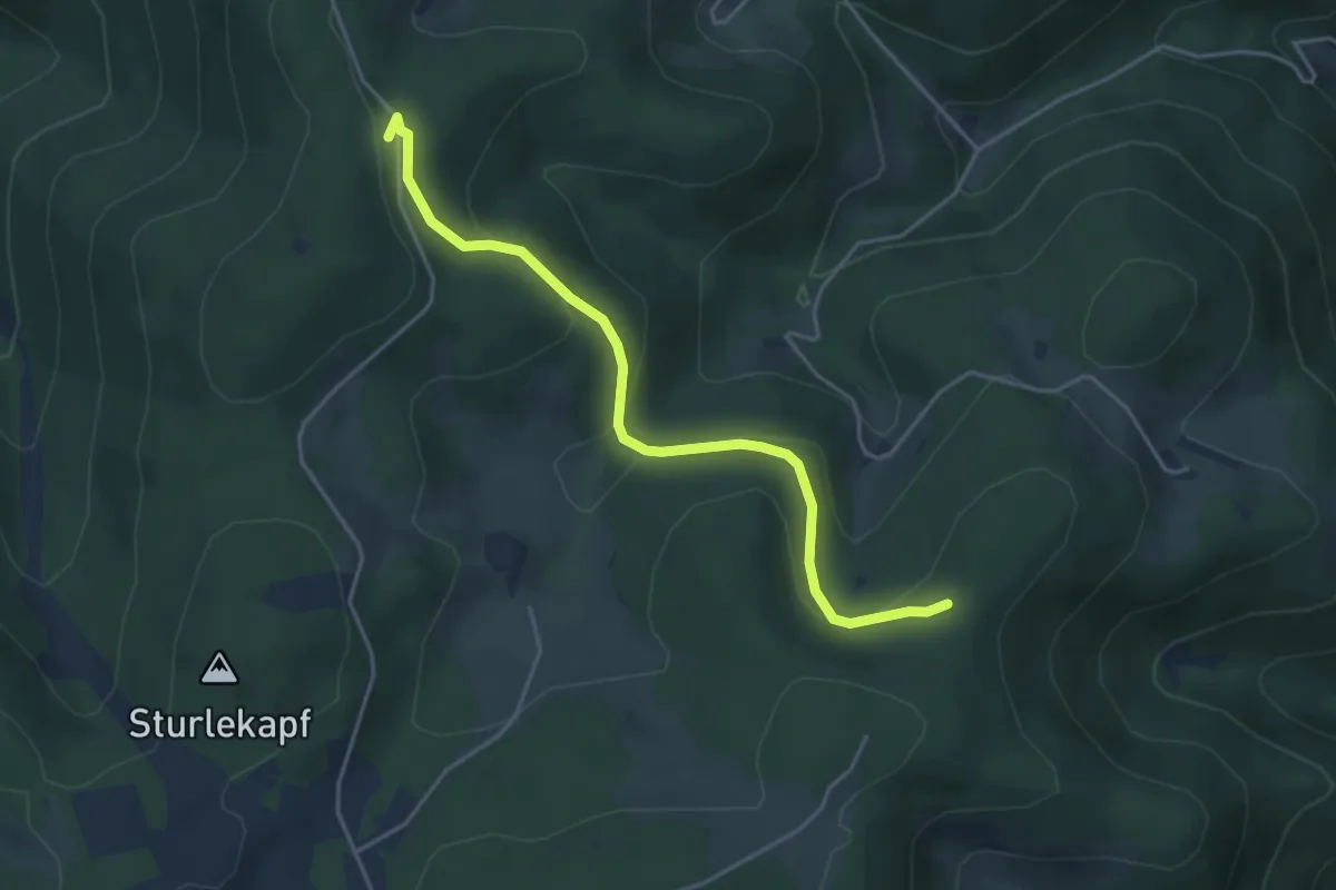
Easy · Trail
Vogelloch - Kohlplatz Schanzenberg
4.1 km · ↑ 152 m · 1 h 18 min
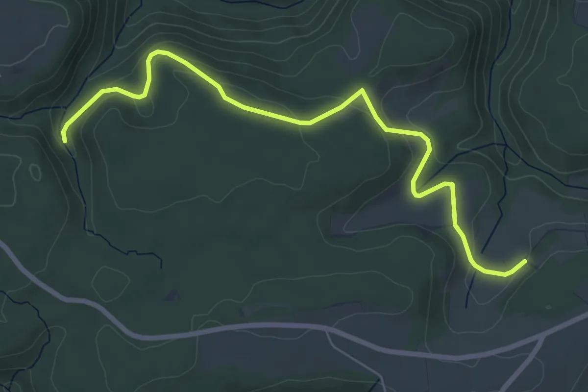
Easy · Trail
Vogelmättle - Niederwies
6.2 km · ↑ 167 m · 1 h 49 min
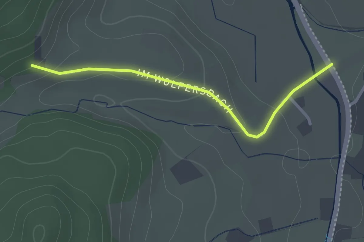
Easy · Trail
Vogelmatt - Wolfersbach
2.1 km · ↑ 56 m · 37 min
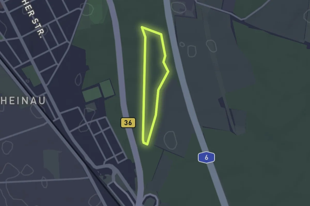
Easy · Trail
Vogelpfad Rheinau
1.5 km · ↑ 4 m · 23 min
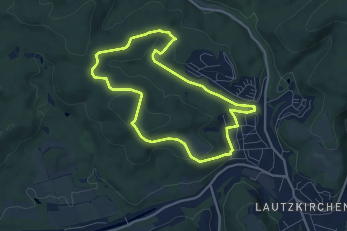
Easy · Summit
Vogel-Rundwanderweg Lautzkirchen
5.7 km · ↑ 156 m · 1 h 46 min
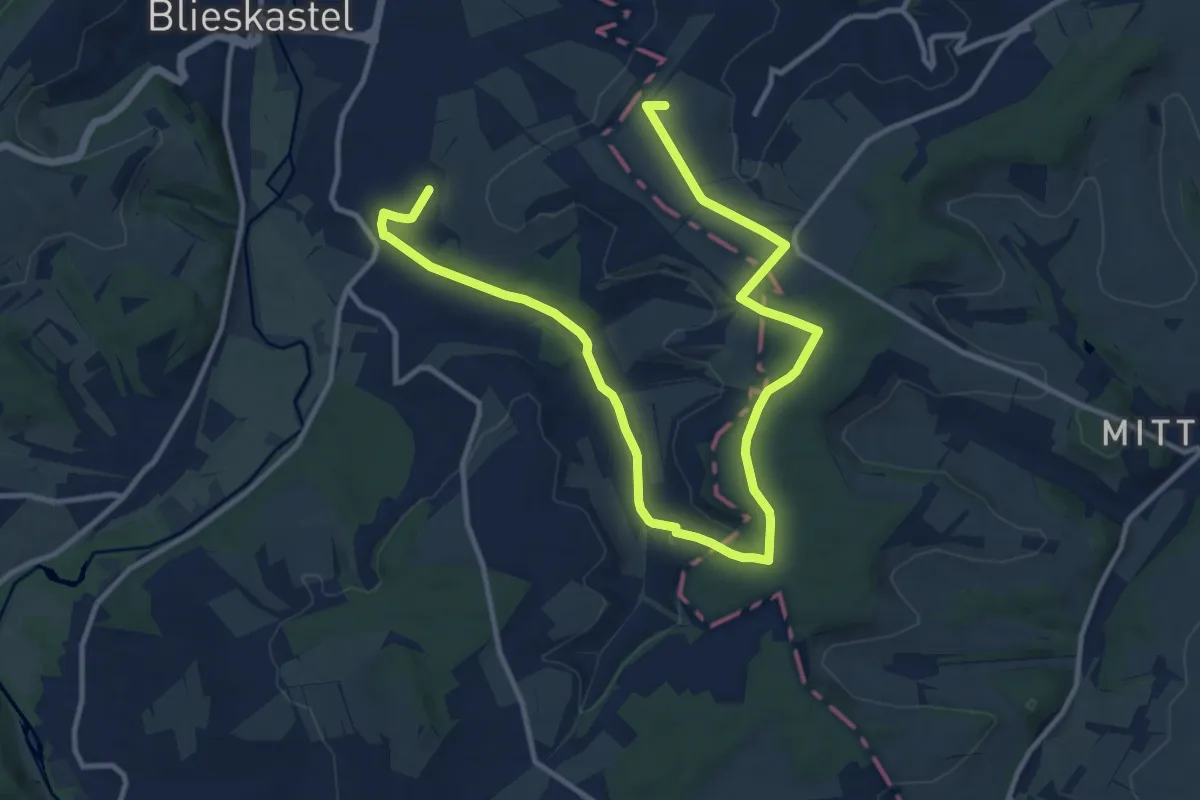
Medium · Summit
Vogel-Rundwanderweg Webenheim/Mimbach?
15.5 km · ↑ 236 m · 4 h 11 min
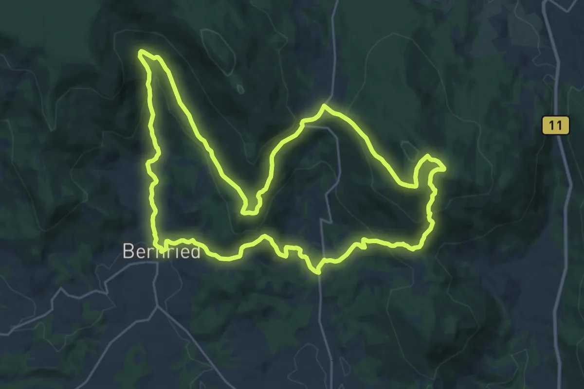
Demanding · Trail
Vogelsanger Weg
21.2 km · ↑ 828 m · 7 h 5 min
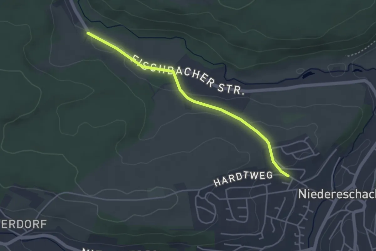
Easy · Trail
Vogelsang-Hof - Niedereschach Hardtweg
3.3 km · ↑ 59 m · 55 min
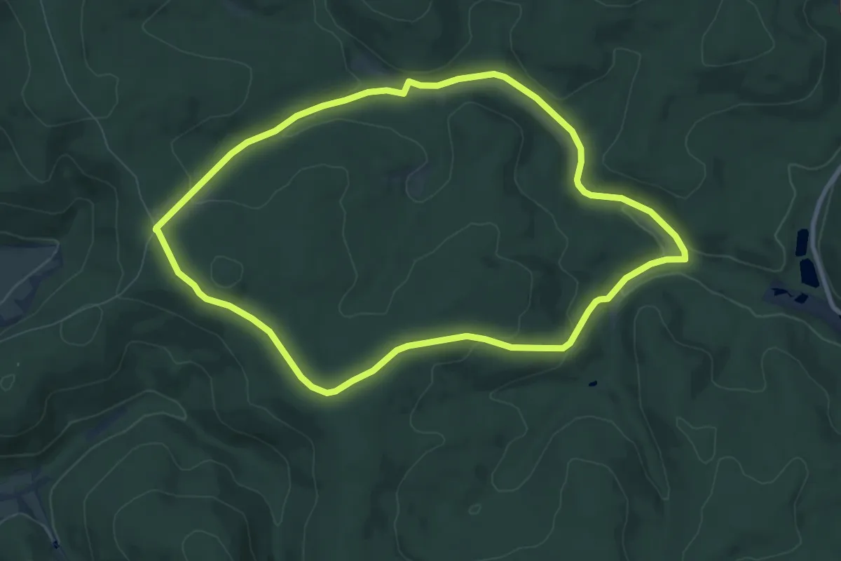
Easy · Trail
Vogelsberg Rundweg A4
7.4 km · ↑ 153 m · 2 h 11 min
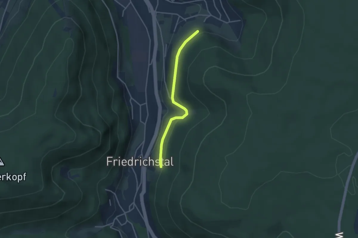
Easy · Trail
Vogelschächle - Surrbach
2.7 km · ↑ 108 m · 52 min
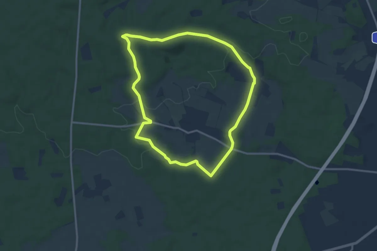
Easy · Summit
Vogelsheide Rundweg A1
7.3 km · ↑ 106 m · 2 h 2 min
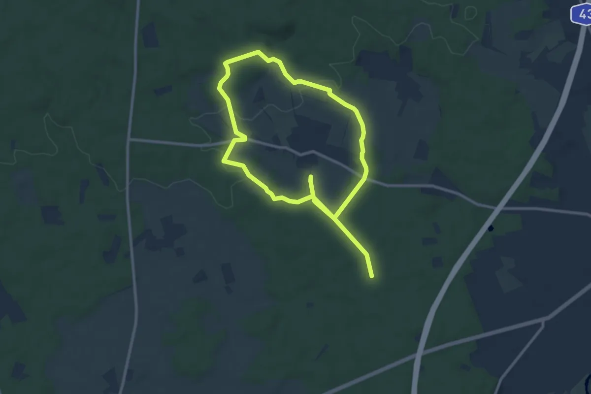
Easy · Trail
Vogelsheide Rundweg A4
6.7 km · ↑ 86 m · 1 h 52 min
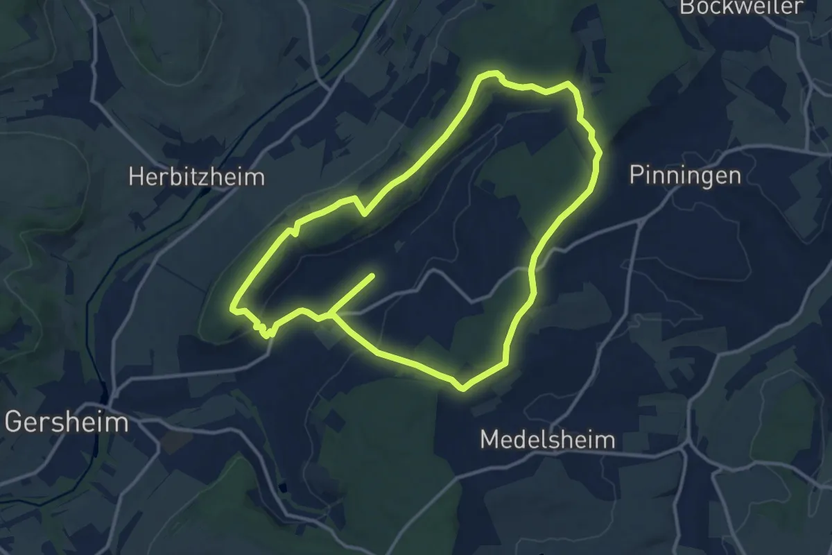
Medium · Trail
Vogesenblick
12.1 km · ↑ 238 m · 3 h 32 min
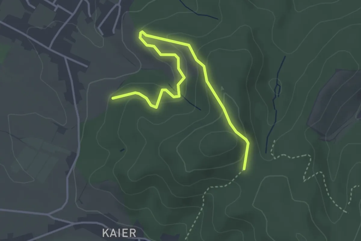
Easy · Trail
Vogesenblick - Bildstöckel-Platz
3.8 km · ↑ 185 m · 1 h 18 min
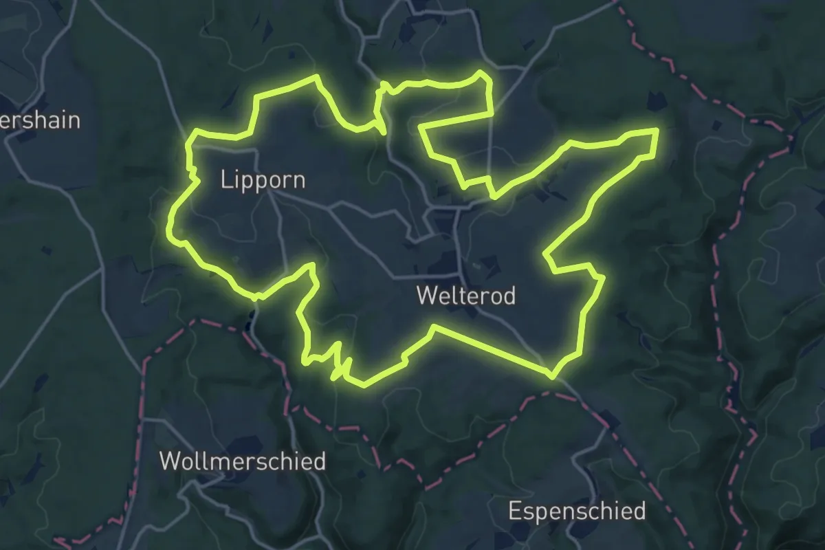
Demanding · Summit
Vogtei-Rundwanderweg
18.7 km · ↑ 352 m · 5 h 26 min
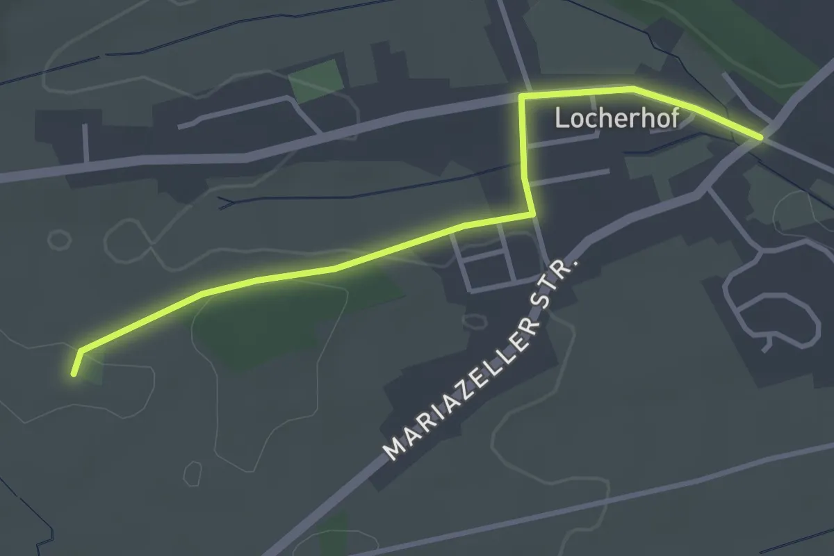
Easy · Trail
Vogte - Locherhof Kirche
3.1 km · ↑ 33 m · 49 min
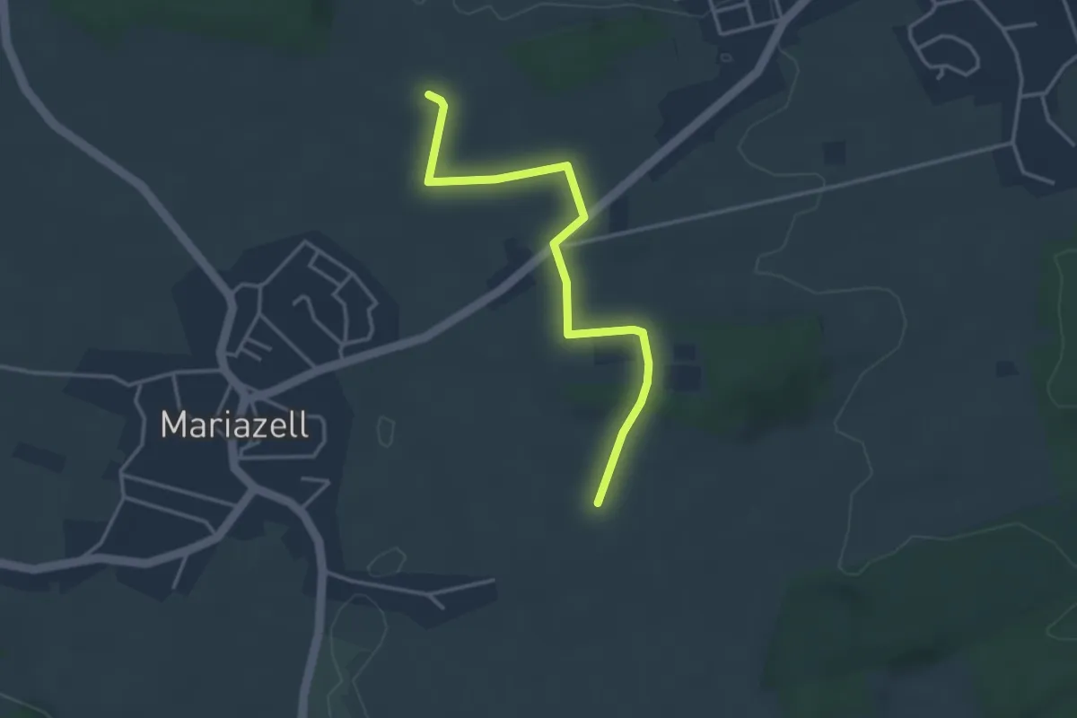
Easy · Trail
Vogte - Mariazell Sportplatz
3.4 km · ↑ 14 m · 49 min
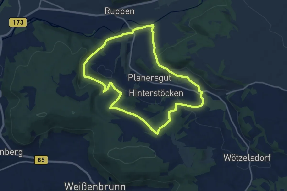
Medium · Summit
Vogtendorfer Weg KC 62
8.8 km · ↑ 228 m · 2 h 42 min
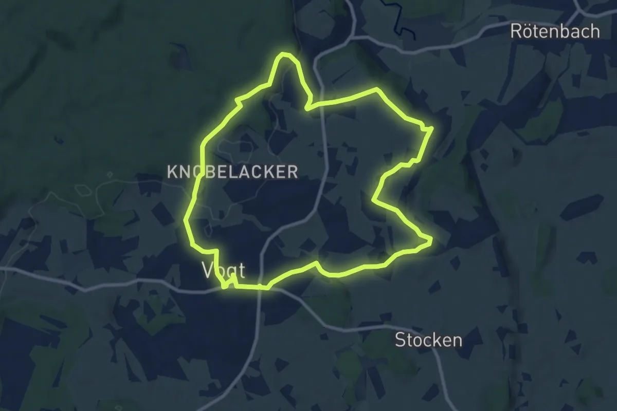
Medium · Trail
Vogter "Sonnenweg"
8.4 km · ↑ 113 m · 2 h 21 min
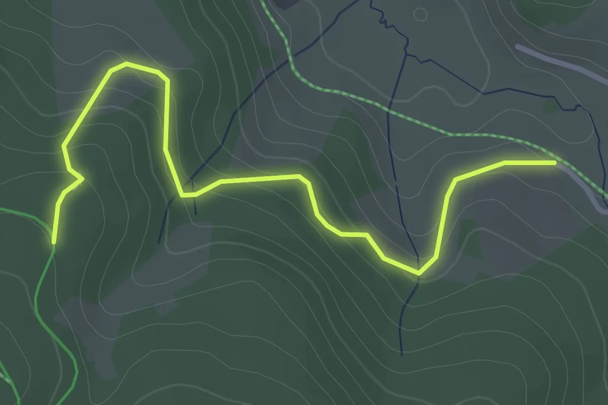
Easy · Trail
Vogte - Steinbühl
3.0 km · ↑ 134 m · 1 h
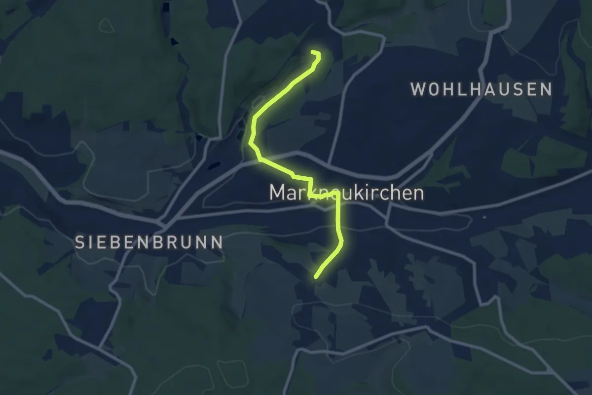
Easy · Trail
Vogtland-Panorama-Weg, Markneukirchen, Kulturvariante
6.2 km · ↑ 161 m · 1 h 49 min
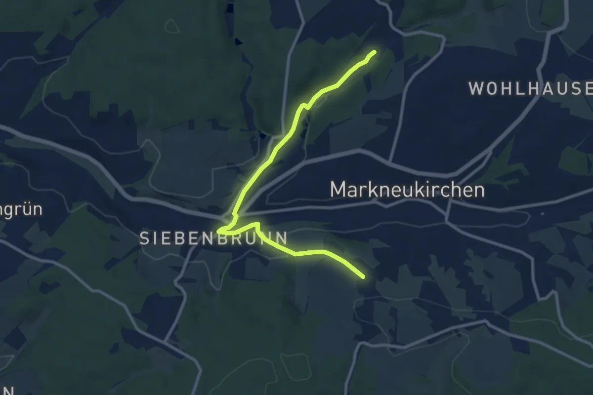
Easy · Trail
Vogtland-Panorama-Weg, Markneukirchen, Naturvariante
7.9 km · ↑ 166 m · 2 h 13 min