Trails in Germany
36,852 hiking trails, each with its route, climb, walking time and grade.
All trails, page 656 of 768
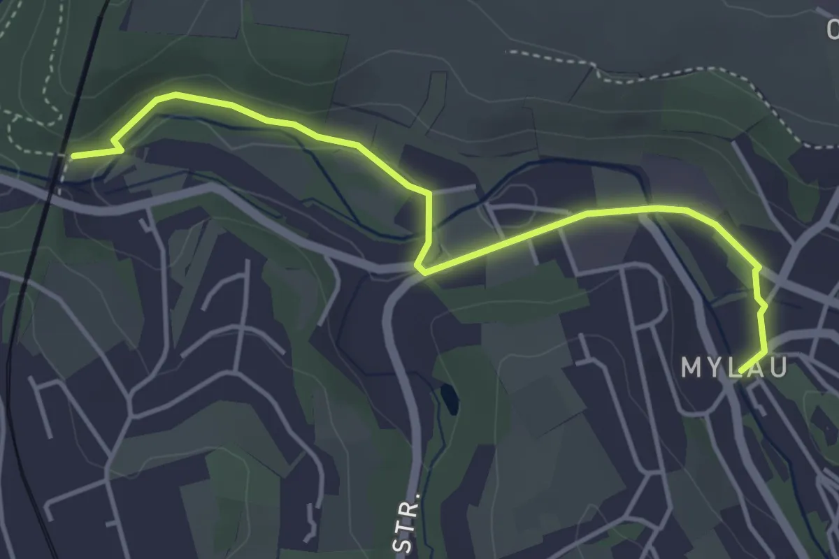
Easy · Trail
Vogtland-Panorama-Weg Talweg
3.9 km · ↑ 23 m · 58 min
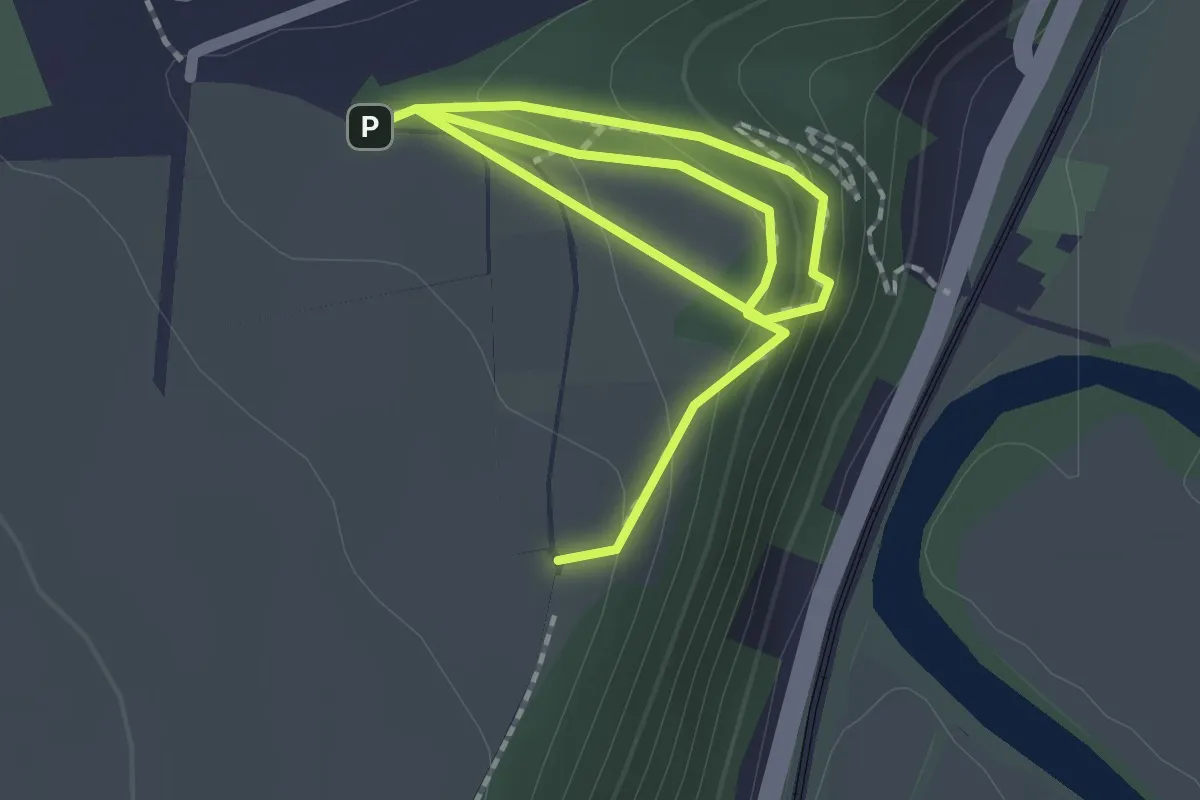
Easy · Trail
Vogtstein RW
2.7 km · ↑ 160 m · 59 min
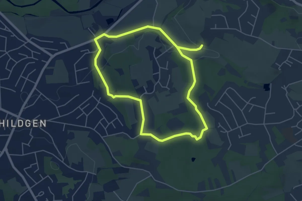
Easy · Trail
Voiswinkel Rundweg A1
4.0 km · ↑ 64 m · 1 h 8 min
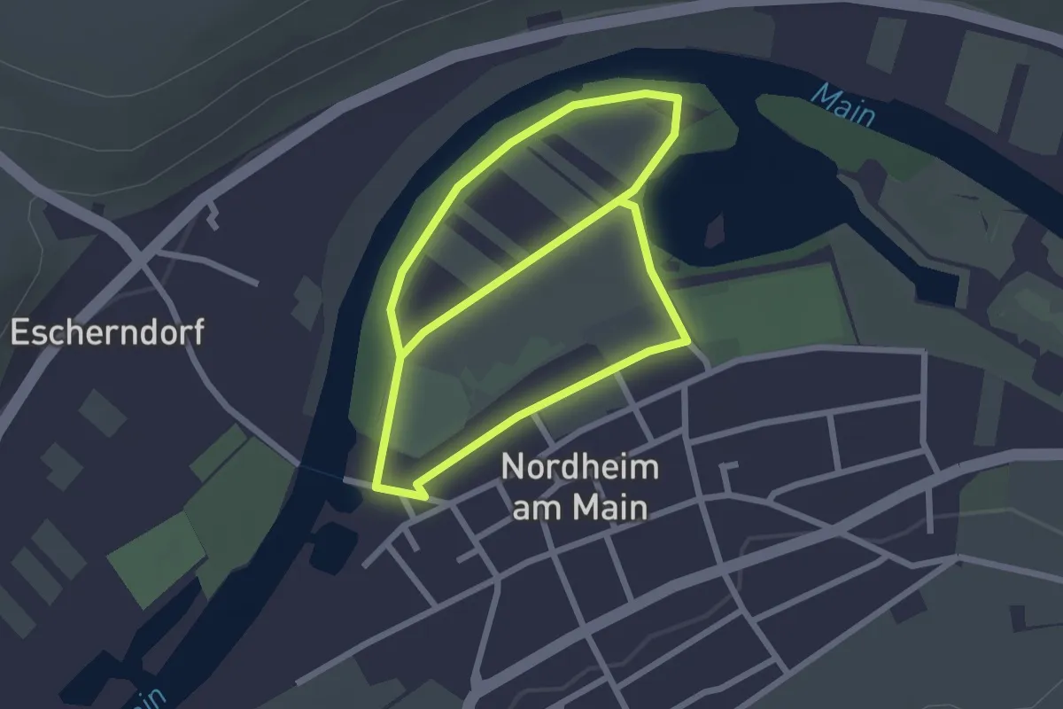
Easy · Trail
Volkacher Mainschleife 1
2.1 km · ↑ 0 m · 32 min
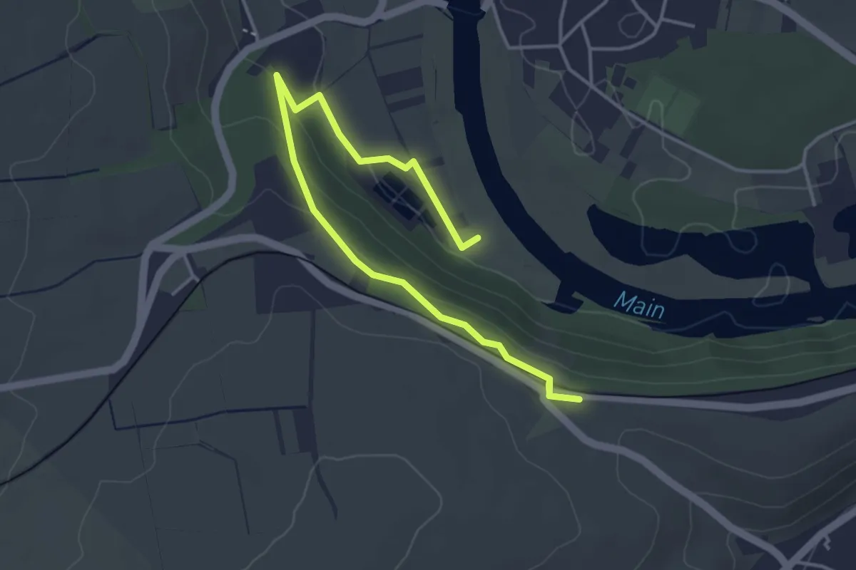
Easy · Trail
Volkacher Mainschleife 14a
4.4 km · ↑ 100 m · 1 h 15 min
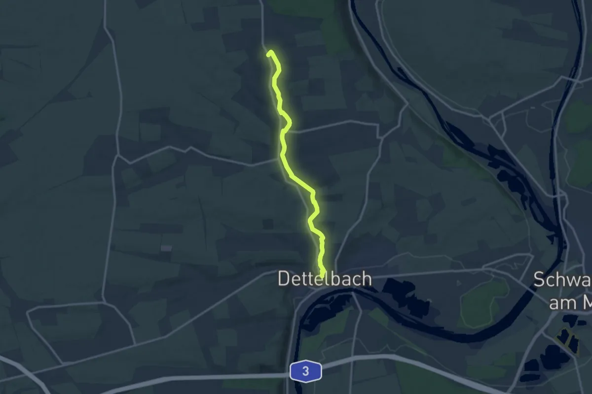
Medium · Trail
Volkacher Mainschleife 17
10.2 km · ↑ 61 m · 2 h 33 min
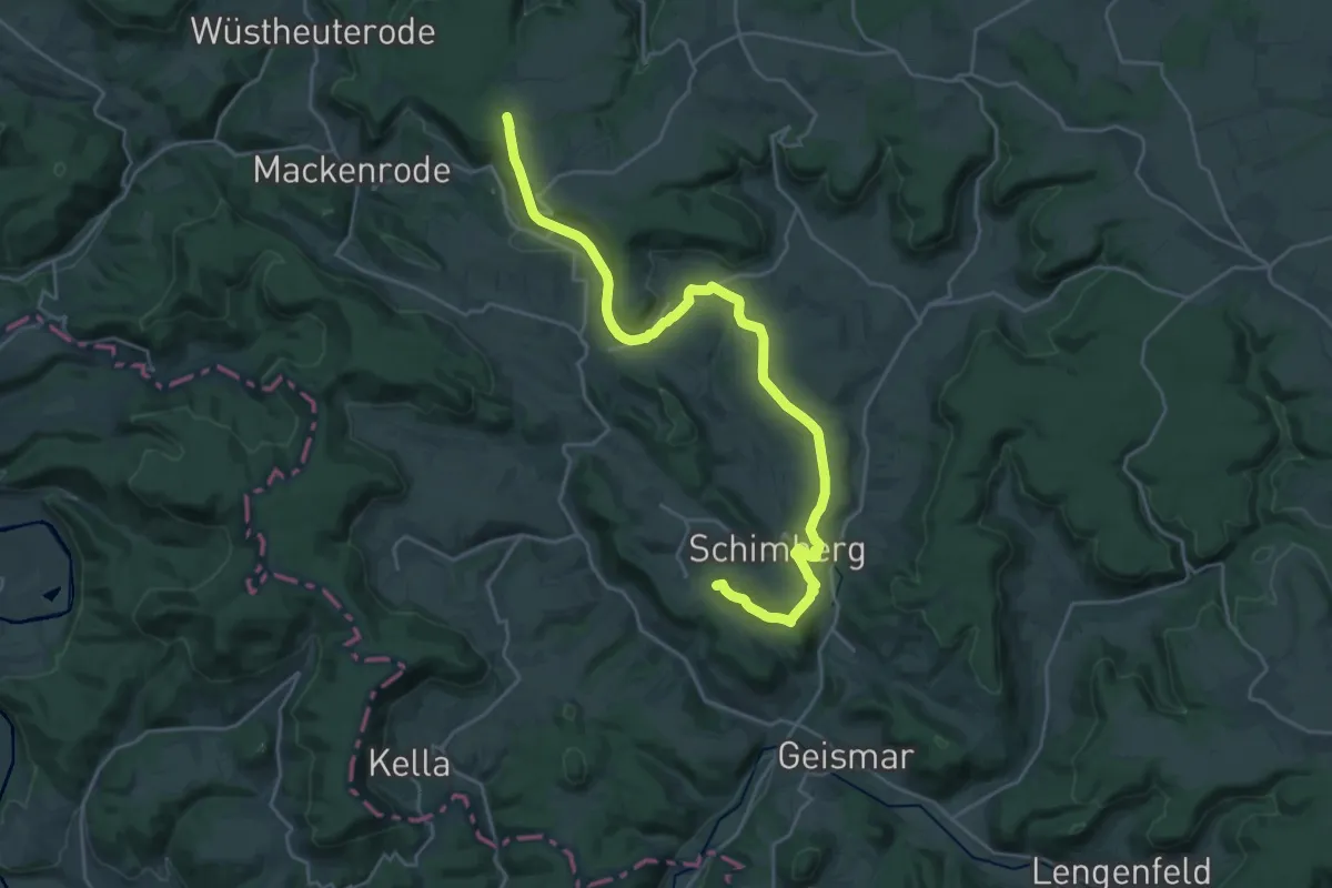
Demanding · Summit
Volkeroda - Sickerode - Ershausen - Krombach - Fürstenhagen
25.5 km · ↑ 442 m · 6 h 59 min
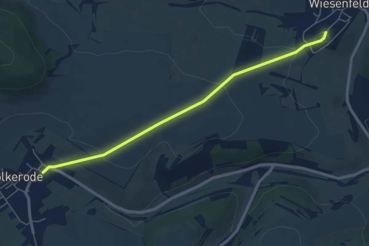
Easy · Trail
Volkerode - Wiesenfeld
4.6 km · ↑ 107 m · 1 h 19 min
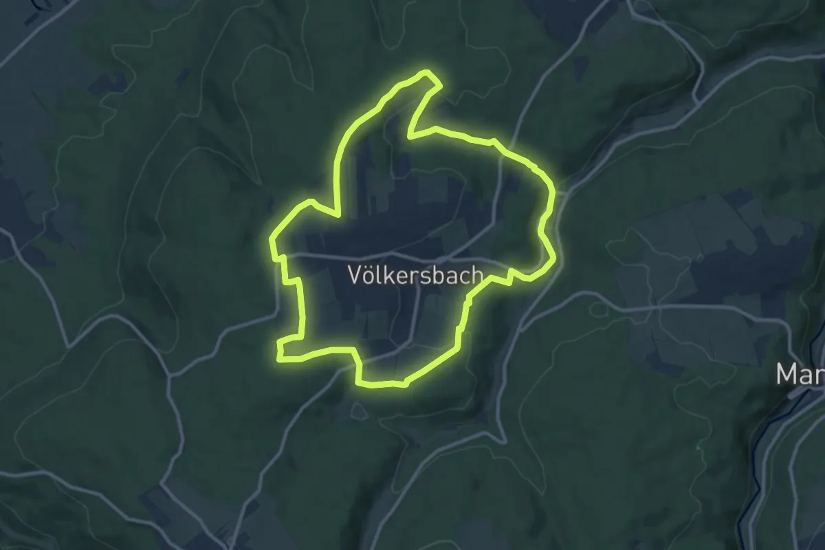
Medium · Trail
Völkersbacher Rundweg (Weitblickwandern)
10.6 km · ↑ 181 m · 3 h 3 min
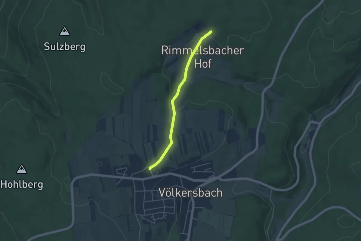
Easy · Trail
Völkersbach Wüststraße - Beim Rimmelsbacher Hof
3.4 km · ↑ 80 m · 59 min
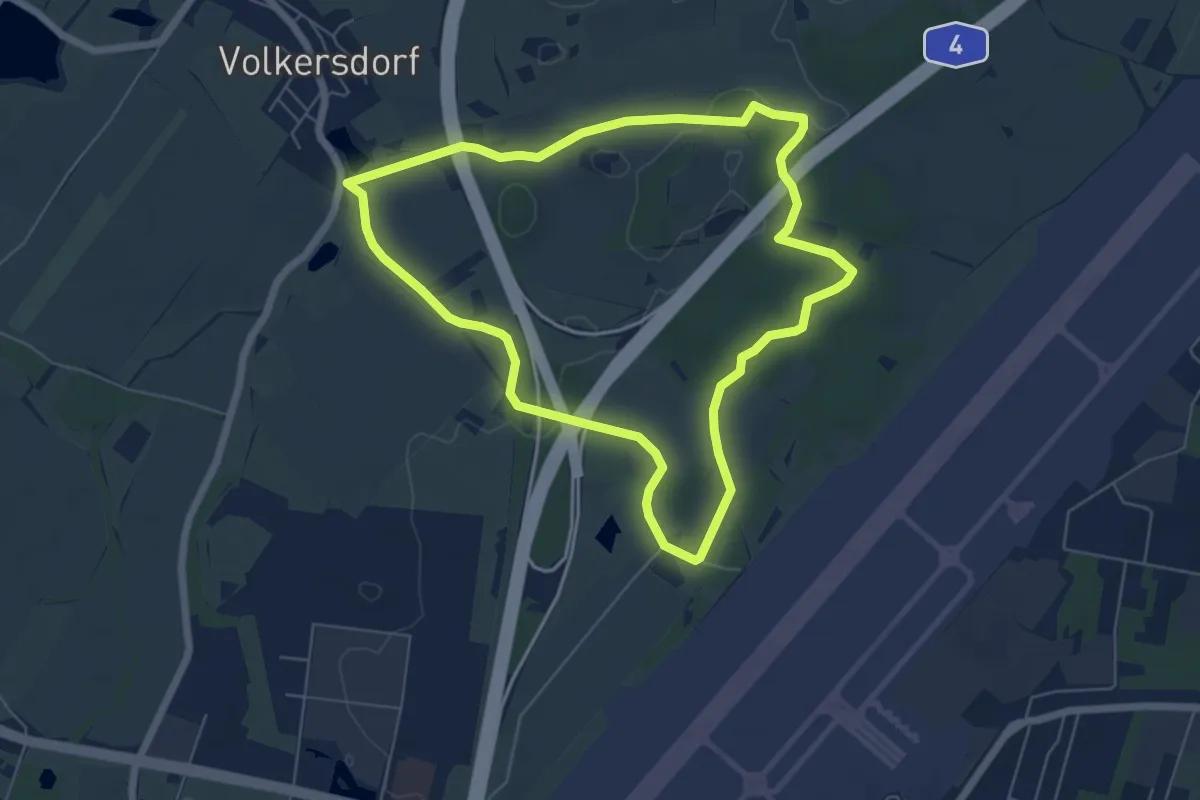
Easy · Summit
Volkersdorfer Rundweg
5.5 km · ↑ 40 m · 1 h 28 min
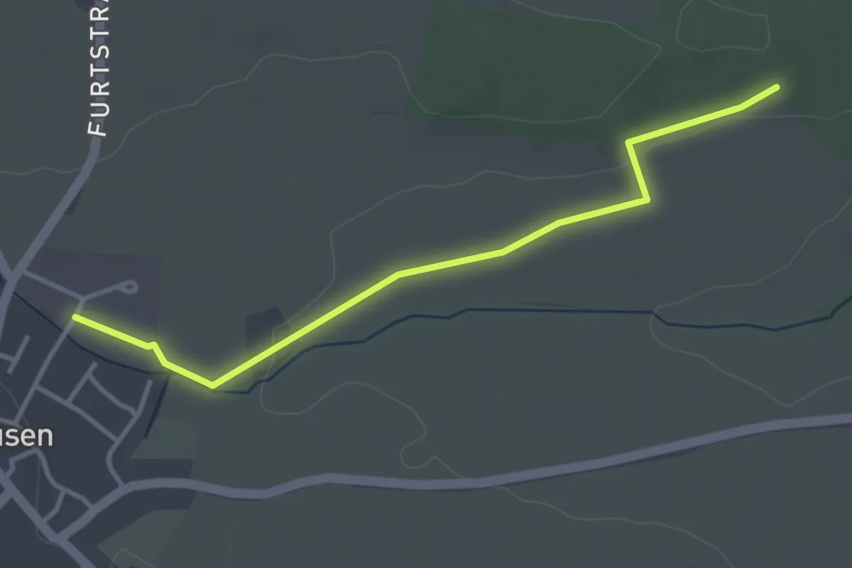
Easy · Trail
Volkerthütte - Neuhausen Welzgraben
3.3 km · ↑ 35 m · 52 min
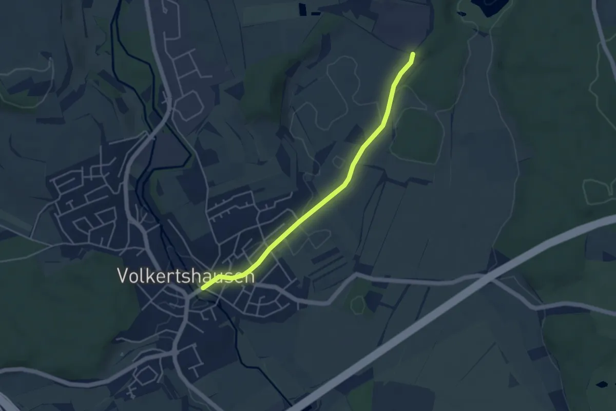
Easy · Trail
Volkertshausen Ortsmitte - Hau
4.0 km · ↑ 9 m · 57 min
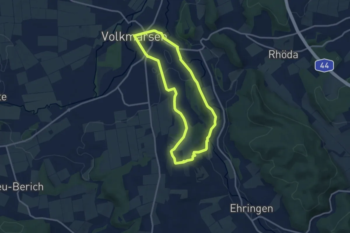
Easy · Trail
Volkmarsen - V1
7.4 km · ↑ 118 m · 2 h 7 min
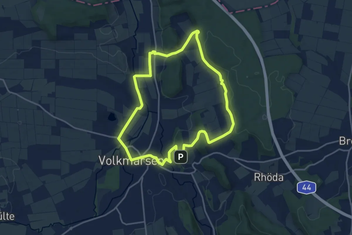
Medium · Summit
Volkmarsen - V2
10.4 km · ↑ 177 m · 2 h 58 min
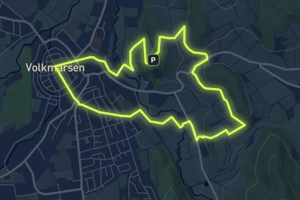
Easy · Summit
Volkmarsen - V3
6.9 km · ↑ 123 m · 1 h 59 min
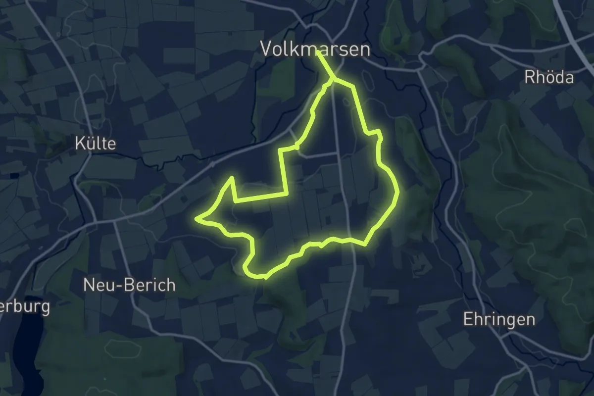
Medium · Trail
Volkmarsen - V4
10.0 km · ↑ 100 m · 2 h 44 min
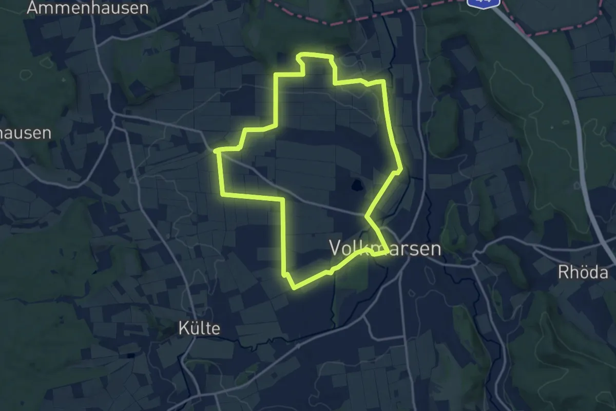
Medium · Summit
Volkmarsen - V5
11.8 km · ↑ 83 m · 3 h 8 min
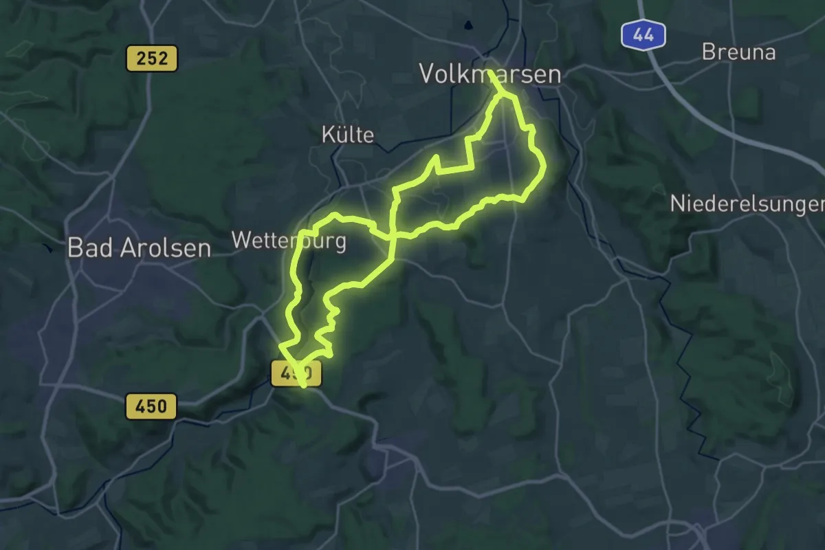
Demanding · Trail
Volkmarsen - V6
21.7 km · ↑ 280 m · 6 h 2 min
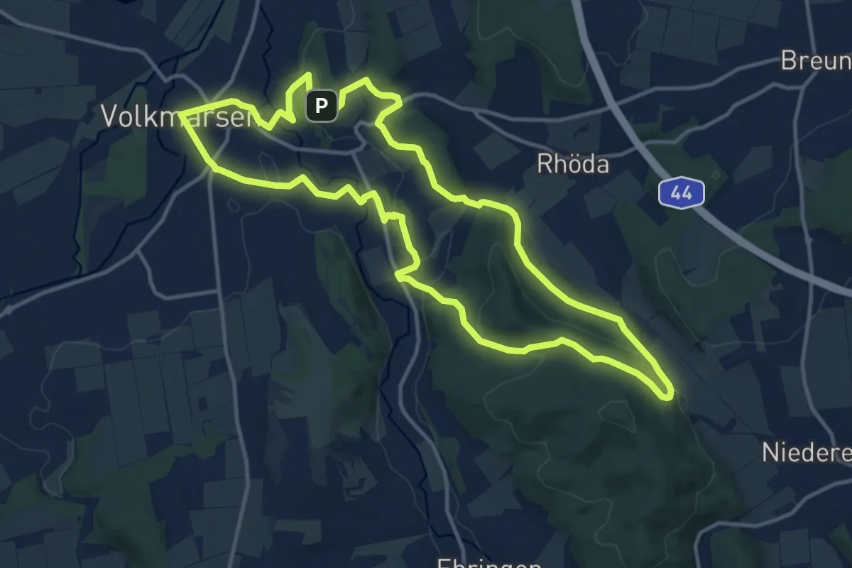
Medium · Summit
Volkmarsen - V7
11.6 km · ↑ 273 m · 3 h 30 min
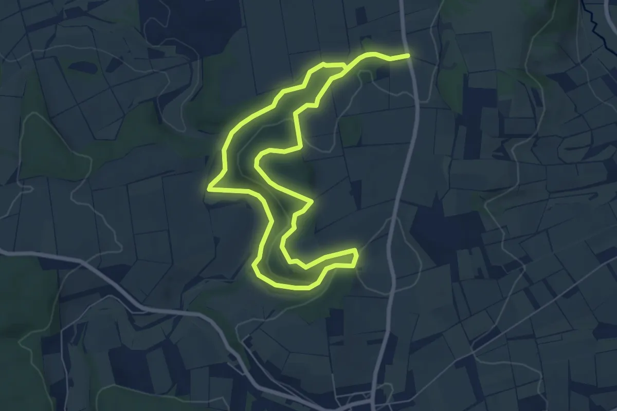
Easy · Summit
Volkmarsen - V8
6.0 km · ↑ 93 m · 1 h 42 min
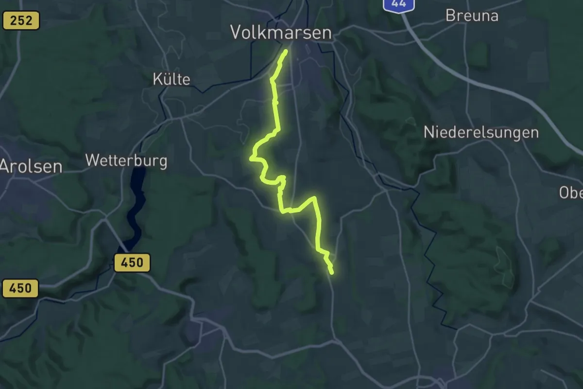
Medium · Trail
Volkmarsen - Viesebeck
17.9 km · ↑ 257 m · 4 h 47 min
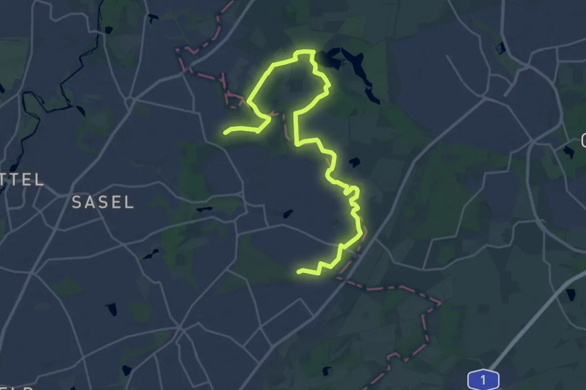
Medium · Summit
Volksdorfer Rundwanderweg
11.3 km · ↑ 36 m · 2 h 55 min
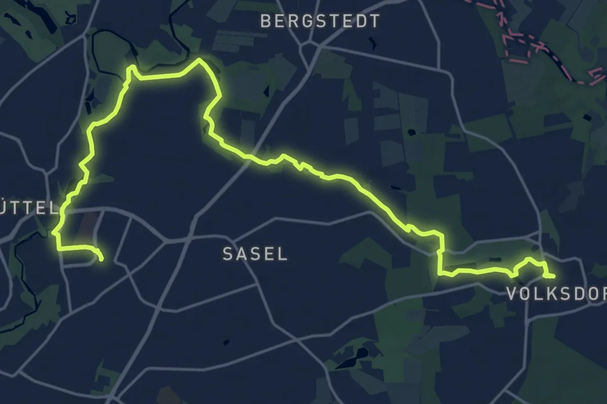
Demanding · Trail
Volksdorf - Poppenbüttel (VD-P)
18.6 km · ↑ 85 m · 4 h 35 min
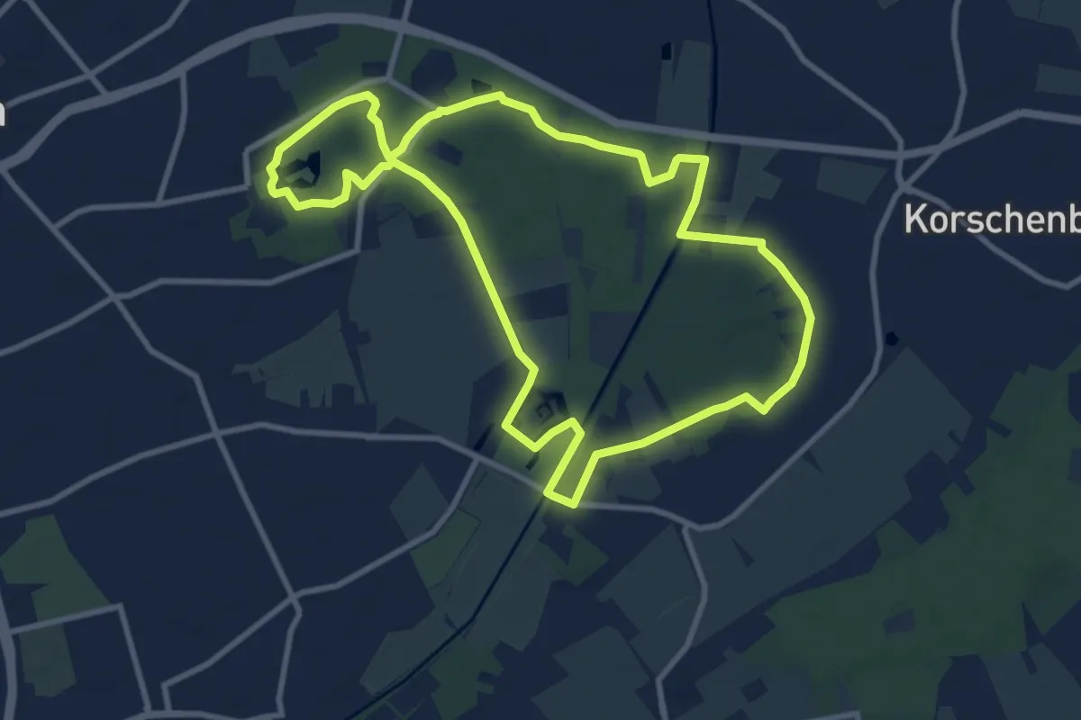
Medium · Trail
Volksgarten Rundweg A1
8.6 km · ↑ 23 m · 2 h 12 min
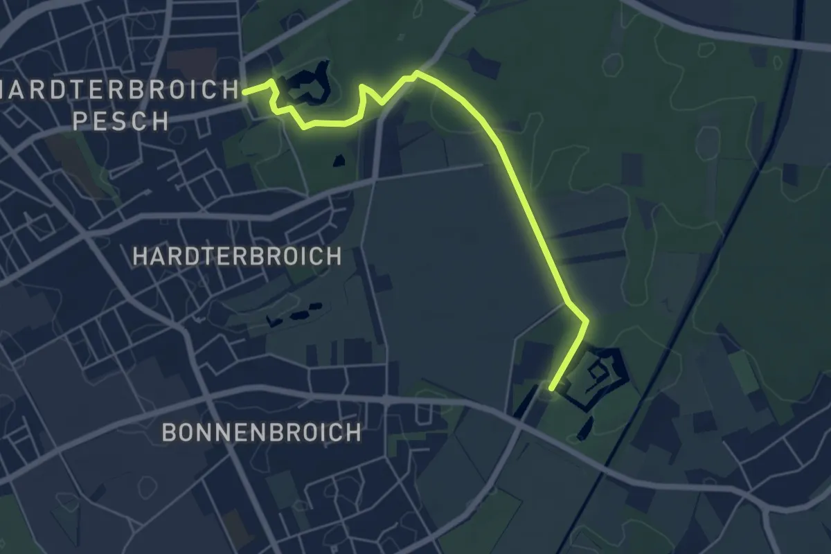
Easy · Trail
Volksgarten - Schloß Rheydt
4.9 km · ↑ 18 m · 1 h 12 min
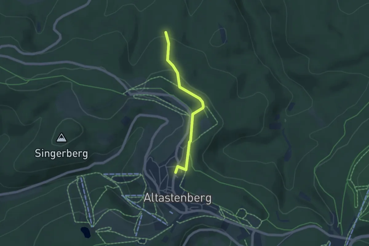
Easy · Trail
Volldreieck Altastenberg - Schafsbrücke
3.5 km · ↑ 92 m · 1 h 1 min
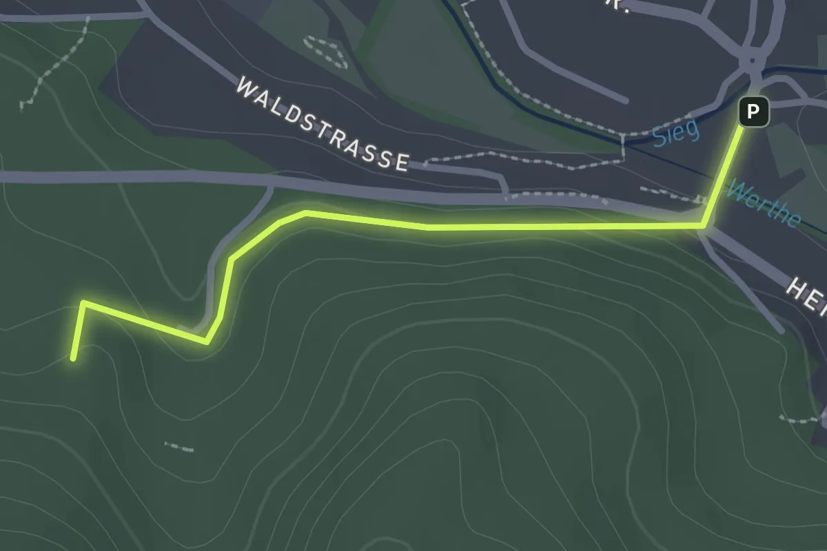
Easy · Trail
[Volldreieck] Deuz - Anzhausen - Wilnsdorf
2.2 km · ↑ 65 m · 40 min
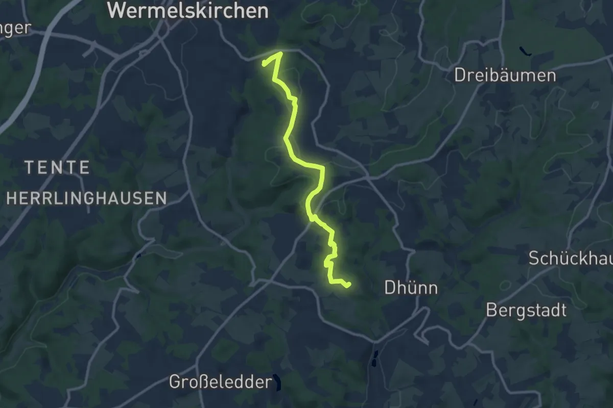
Medium · Summit
[Volldreieck] Eifgen - Dhünn
8.6 km · ↑ 181 m · 2 h 26 min
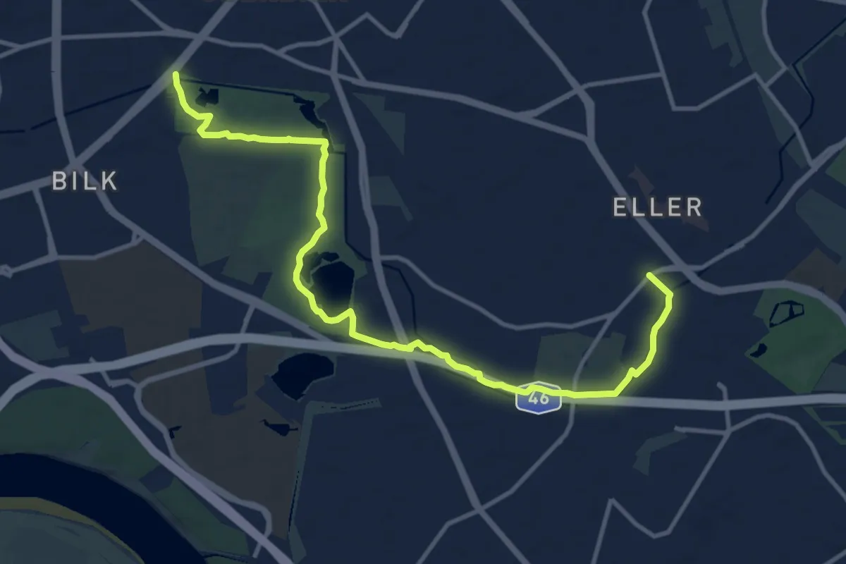
Medium · Trail
[Volldreieck] Eller - Volksgarten
11.6 km · ↑ 21 m · 2 h 47 min
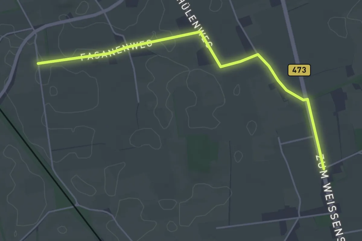
Easy · Trail
Volldreieck Grunewald - Wittenstein
4.4 km · ↑ 0 m · 1 h 2 min
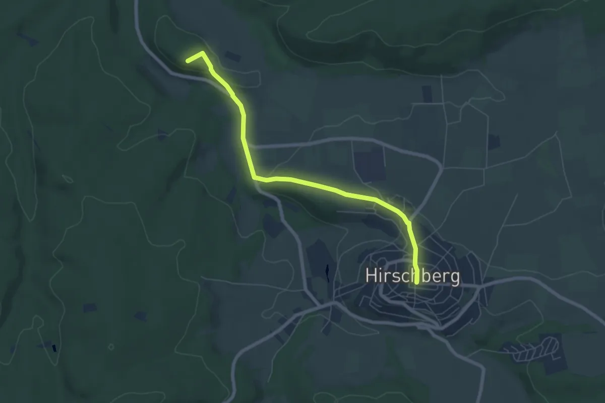
Easy · Summit
Volldreieck Hirschberg - Niederbergheim
5.8 km · ↑ 150 m · 1 h 41 min
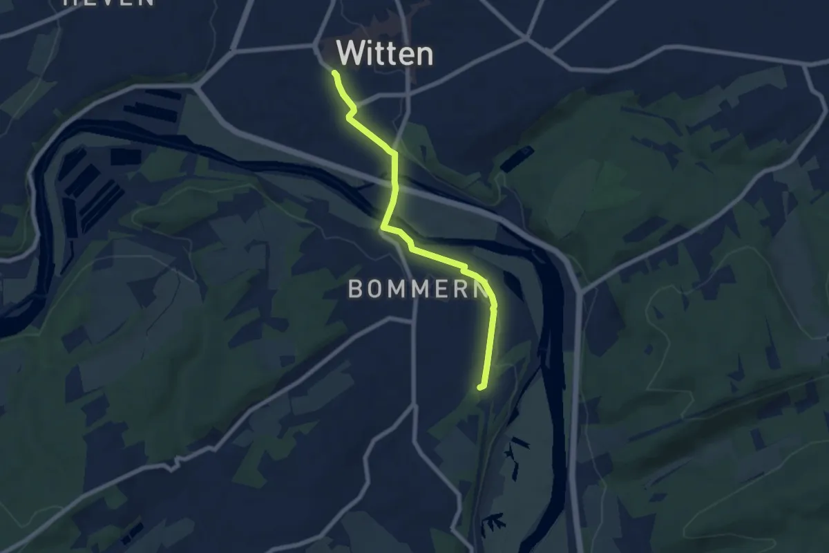
Easy · Trail
Volldreieck Martha-Becker-Weg Witten-Wetter
5.6 km · ↑ 45 m · 1 h 25 min
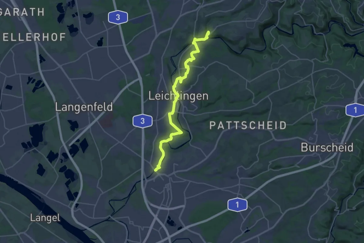
Demanding · Trail
[Volldreieck] Solingen-Opladen
22.6 km · ↑ 288 m · 5 h 58 min
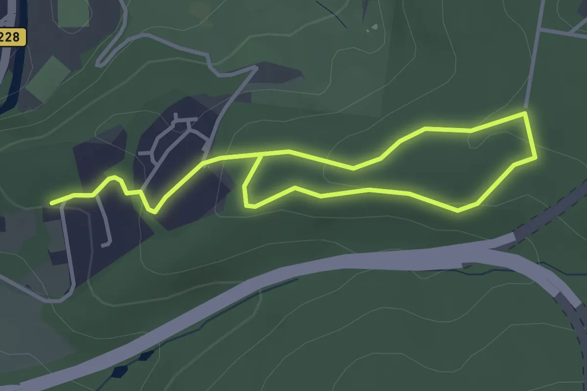
Easy · Trail
[Volldreieck] Sonnborn - Viehhof
4.3 km · ↑ 131 m · 1 h 18 min
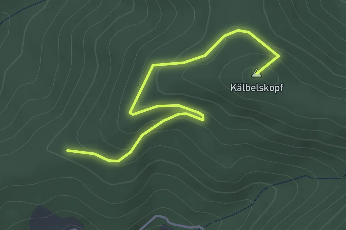
Easy · Summit
Völlerstein - Kälbel Sandgrube
3.7 km · ↑ 170 m · 1 h 14 min
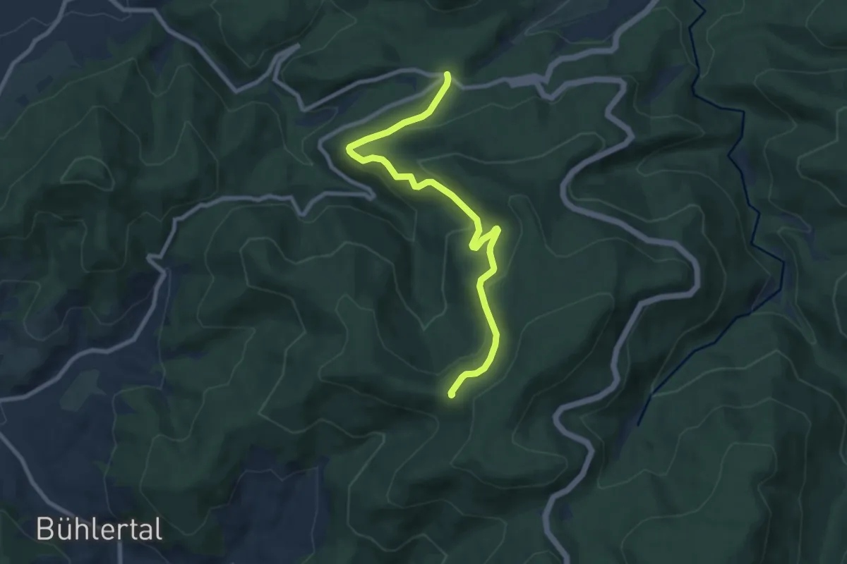
Easy · Trail
Völlerstein - Zimmerplatz
7.9 km · ↑ 318 m · 2 h 33 min
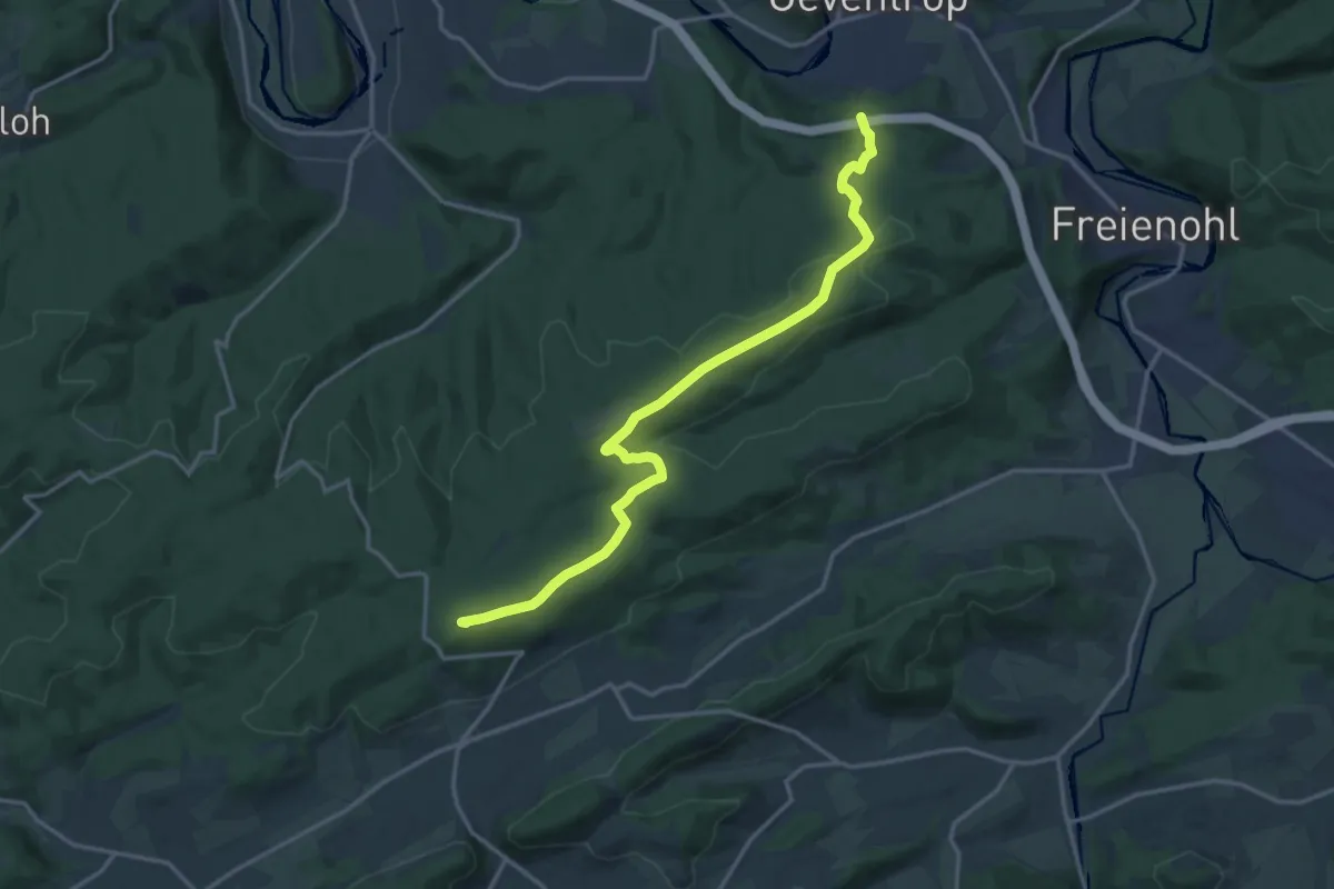
Medium · Summit
[volles Dreieck]
15.1 km · ↑ 355 m · 4 h 20 min
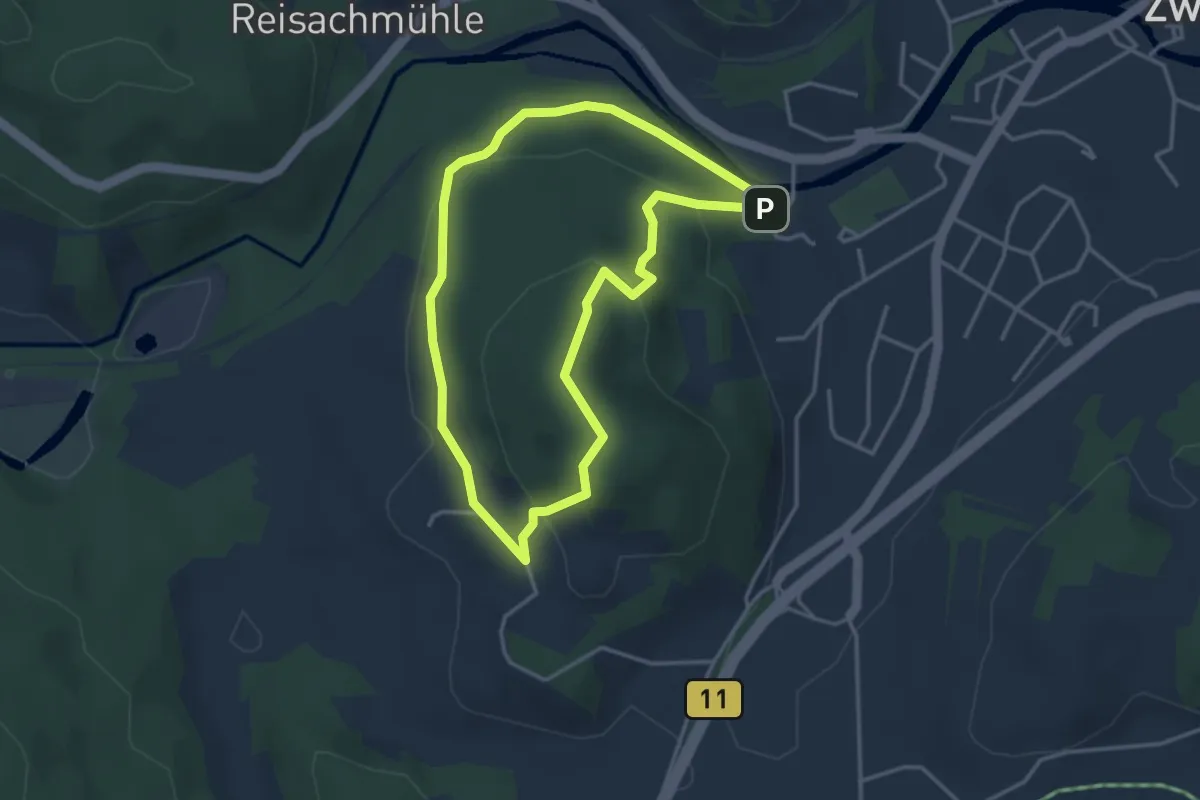
Easy · Trail
Vollhügelrunde (20)
3.2 km · ↑ 140 m · 1 h 6 min
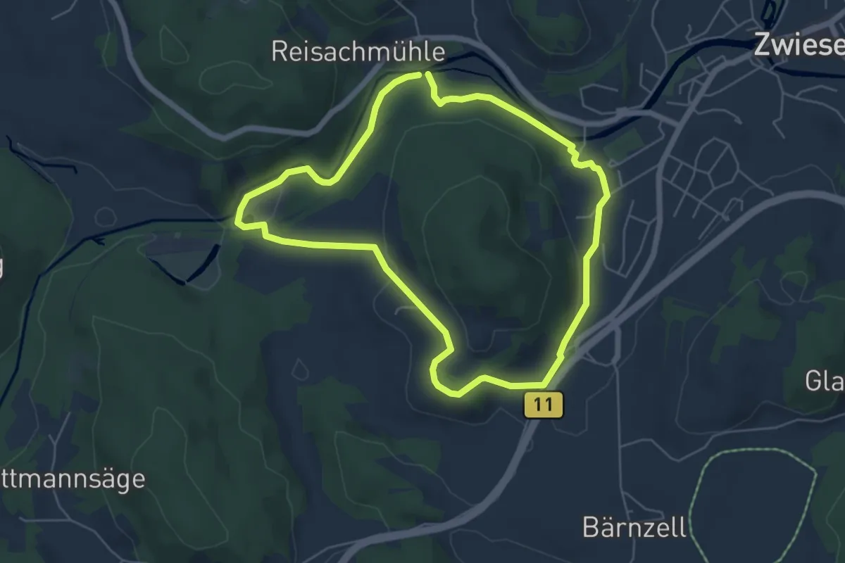
Easy · Trail
Vollhügelwanderung
5.0 km · ↑ 125 m · 1 h 32 min
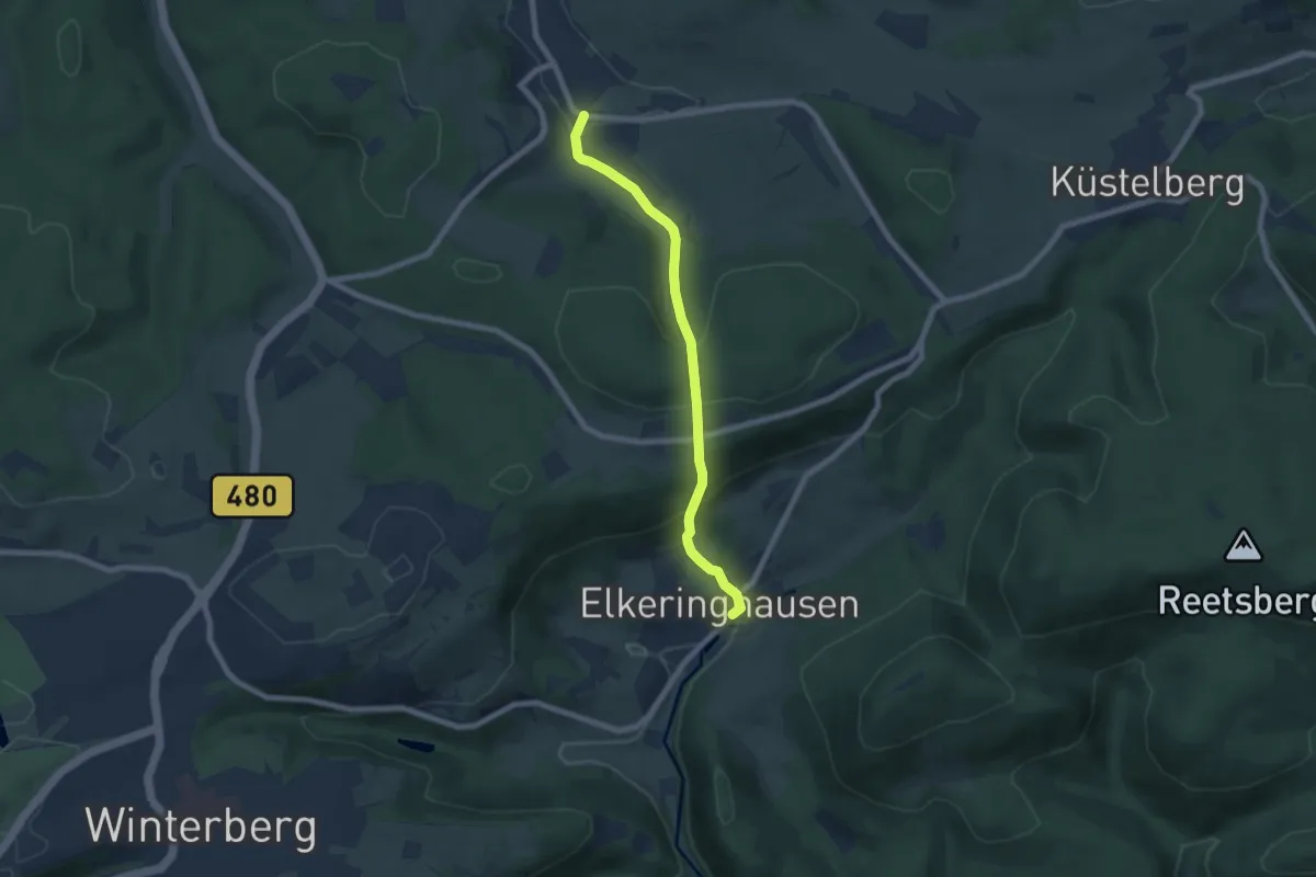
Medium · Trail
Vollkreis Grönebach - Elkeringhausen
6.1 km · ↑ 331 m · 2 h 9 min
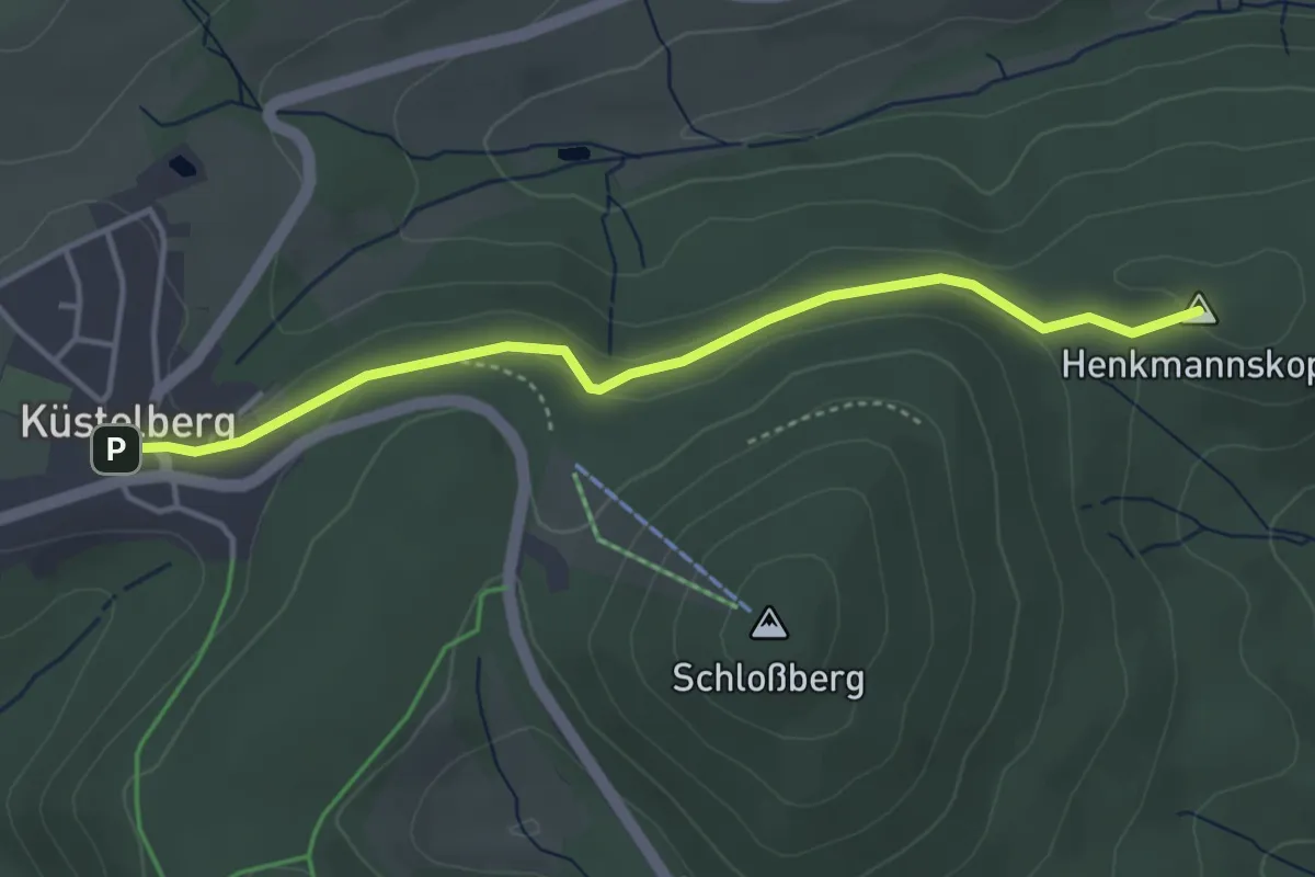
Easy · Summit
Vollkreis Küstelberg - Titmaringhausen
3.6 km · ↑ 49 m · 57 min
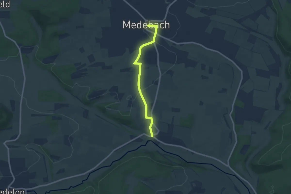
Easy · Trail
Vollkreis Medebach - Medelon
5.4 km · ↑ 79 m · 1 h 26 min
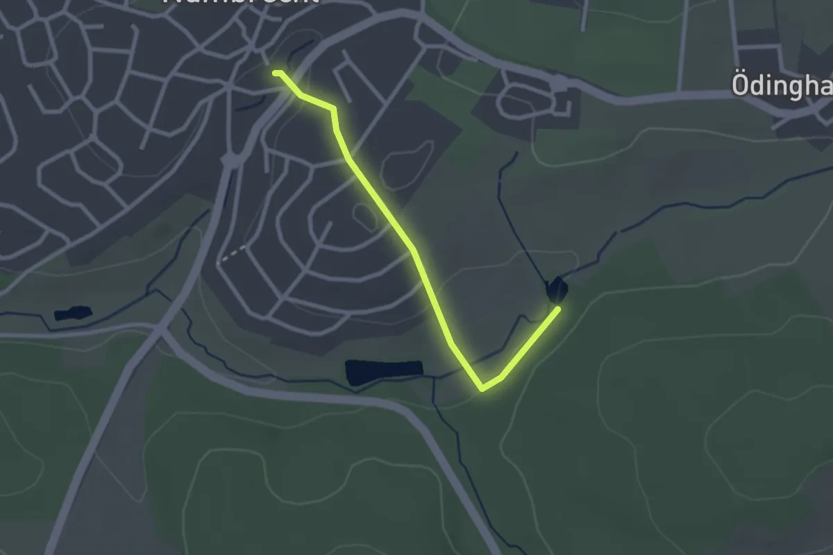
Easy · Trail
Vollkreis Nümbrecht
2.2 km · ↑ 18 m · 33 min
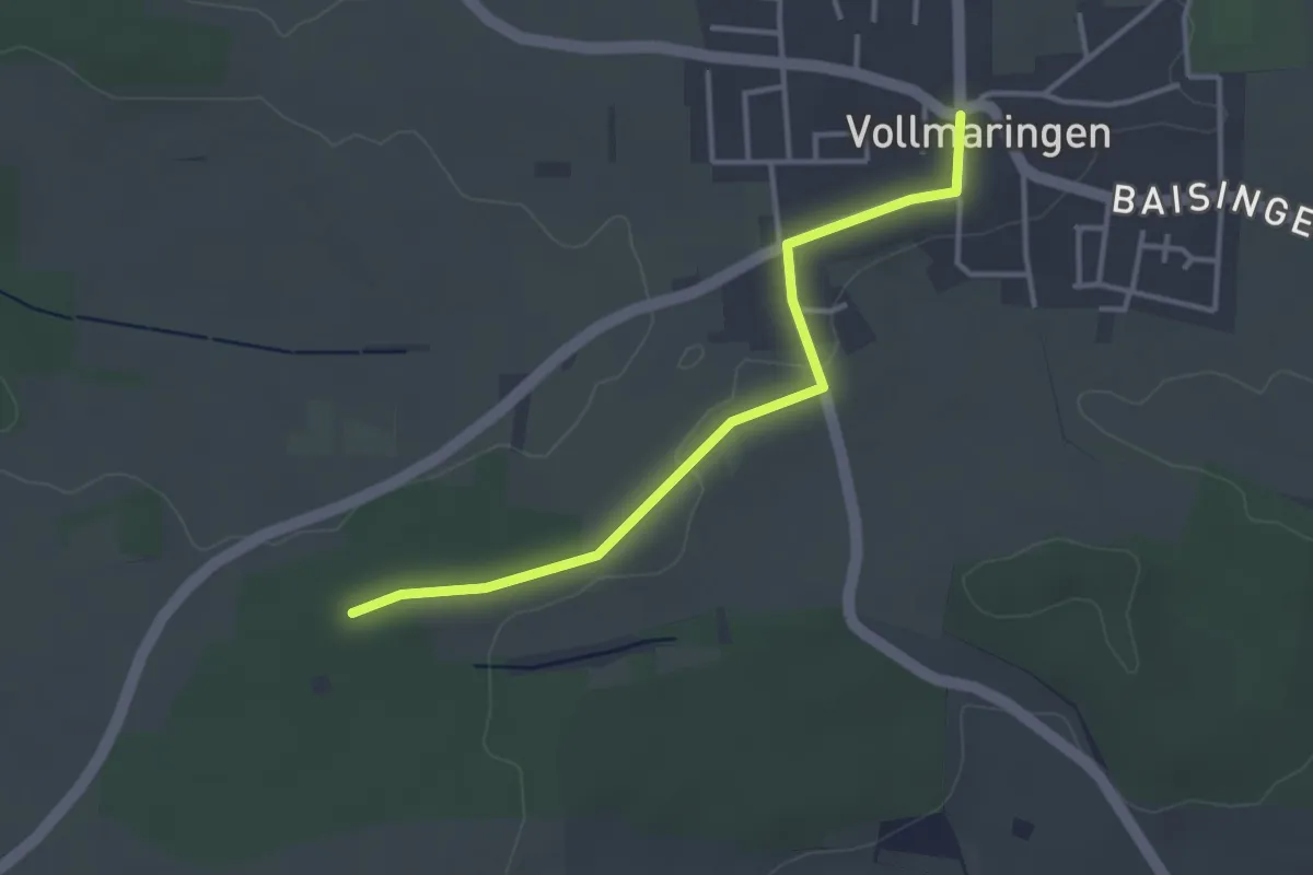
Easy · Trail
Vollmaringen - Im Hau
3.3 km · ↑ 13 m · 48 min
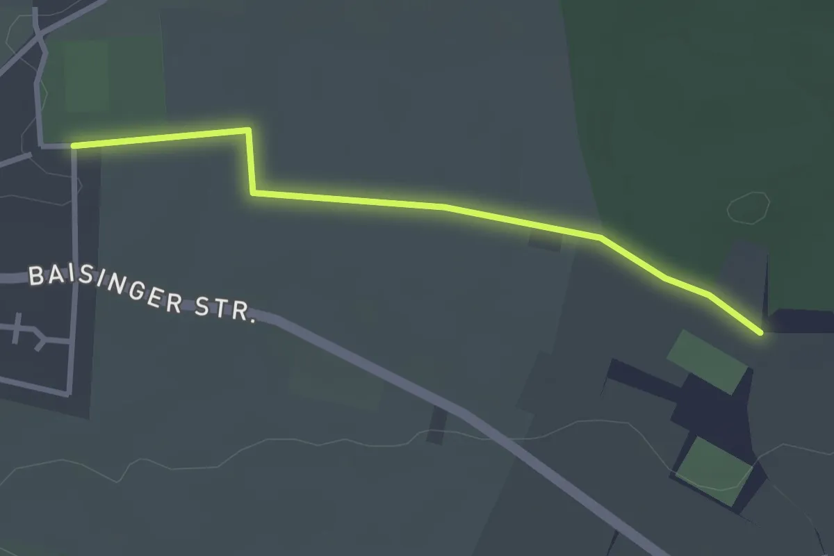
Easy · Trail
Vollmaringen - Jüdischer Friedhof
2.5 km · ↑ 9 m · 37 min
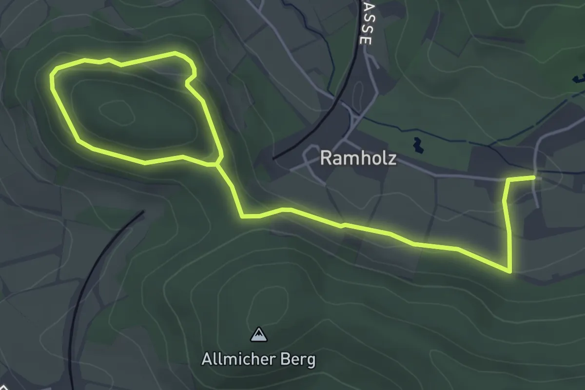
Easy · Summit
Vollmerz Wanderweg VOL1
3.1 km · ↑ 120 m · 1 h
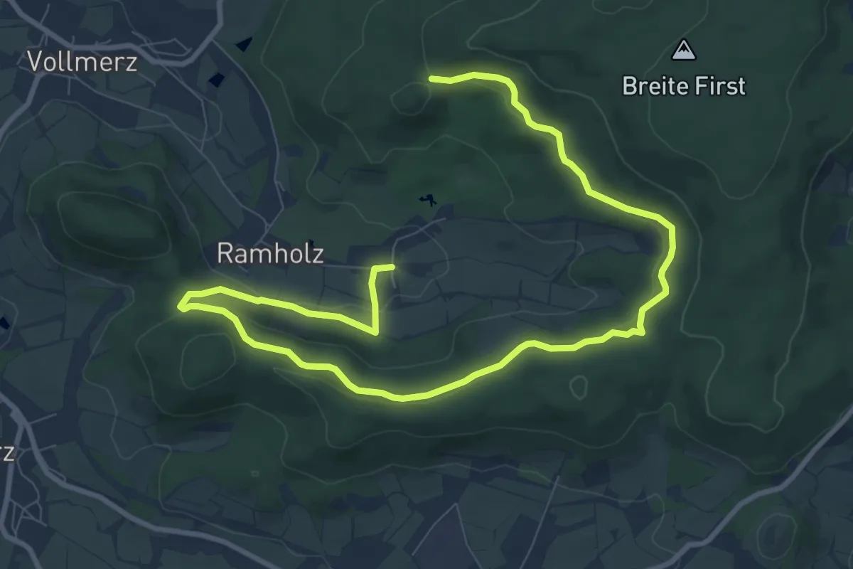
Medium · Trail
Vollmerz Wanderweg VOL2
11.8 km · ↑ 287 m · 3 h 24 min