Trails in Germany
36,852 hiking trails, each with its route, climb, walking time and grade.
All trails, page 657 of 768
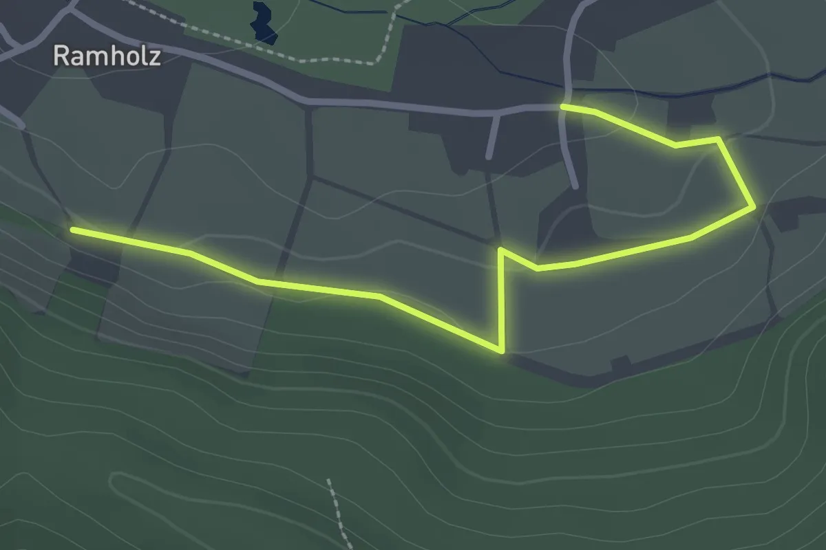
Easy · Trail
Vollmerz Wanderweg VOL3
2.7 km · ↑ 51 m · 44 min
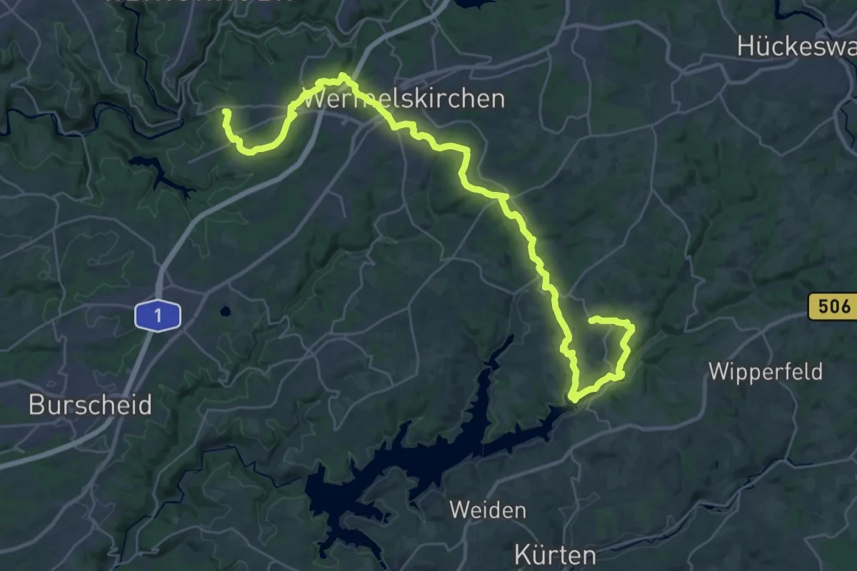
Demanding · Trail
[Vollquadrat] Burg - Dhünntalsperre
18.7 km · ↑ 438 m · 5 h 37 min
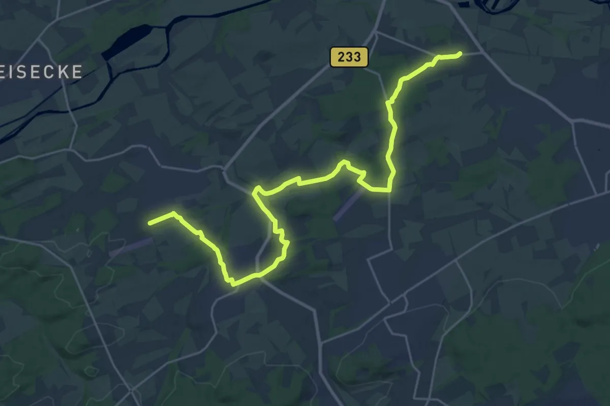
Demanding · Trail
Vollquadrat Halingen - Hennen
22.7 km · ↑ 218 m · 5 h 50 min
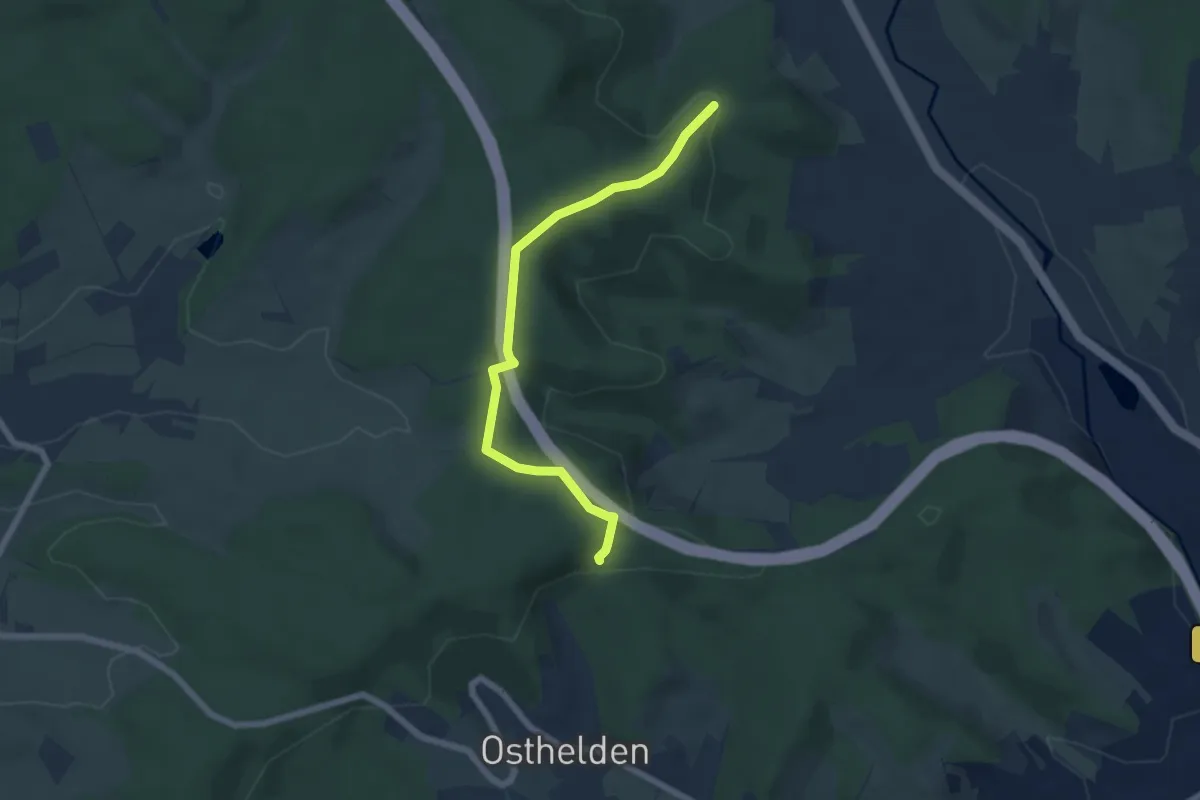
Easy · Summit
Vollquadrat Krombach - Osthelden
5.5 km · ↑ 117 m · 1 h 33 min
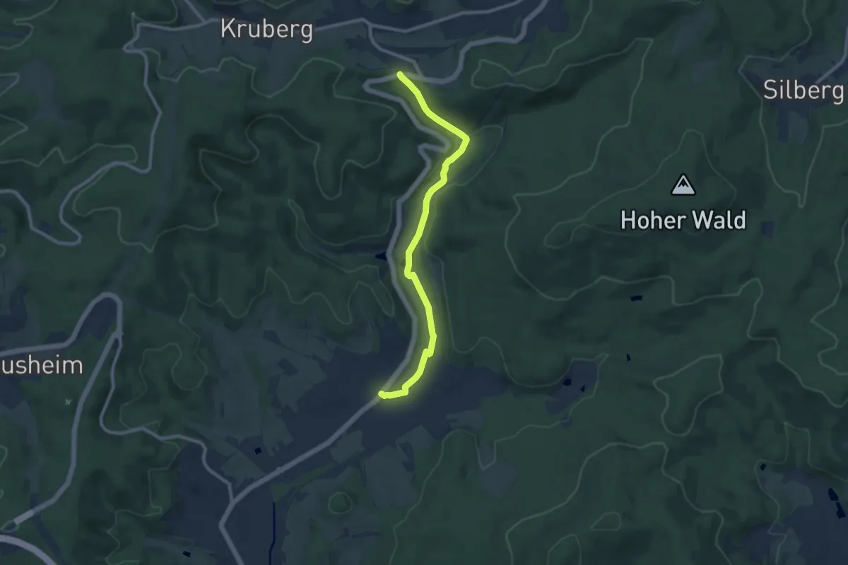
Medium · Trail
Vollquadrat Littfeld - Rahrbach
8.2 km · ↑ 206 m · 2 h 24 min
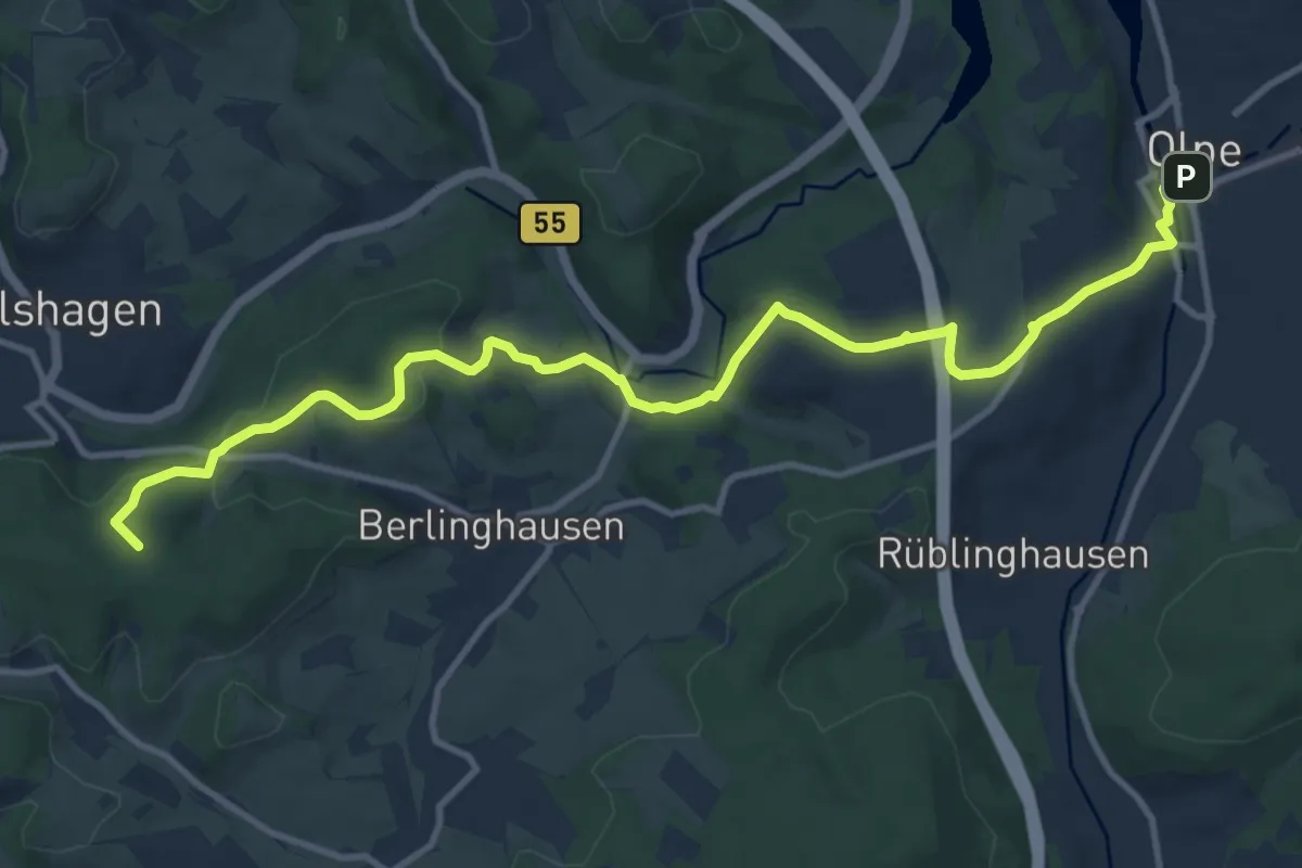
Medium · Summit
Vollquadrat Olpe - Drolshagen
12.3 km · ↑ 324 m · 3 h 36 min
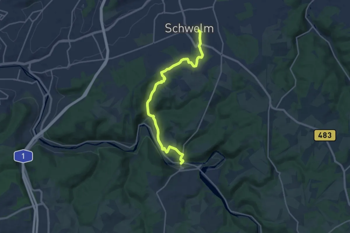
Medium · Trail
[Vollquadrat] Schwelm - Beyenburg
12.3 km · ↑ 409 m · 3 h 47 min
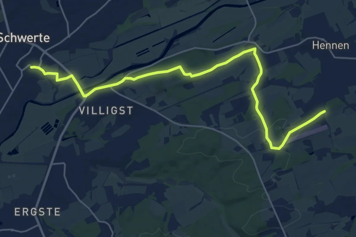
Medium · Trail
Vollquadrat Schwerte - Hennen
16.4 km · ↑ 204 m · 4 h 20 min
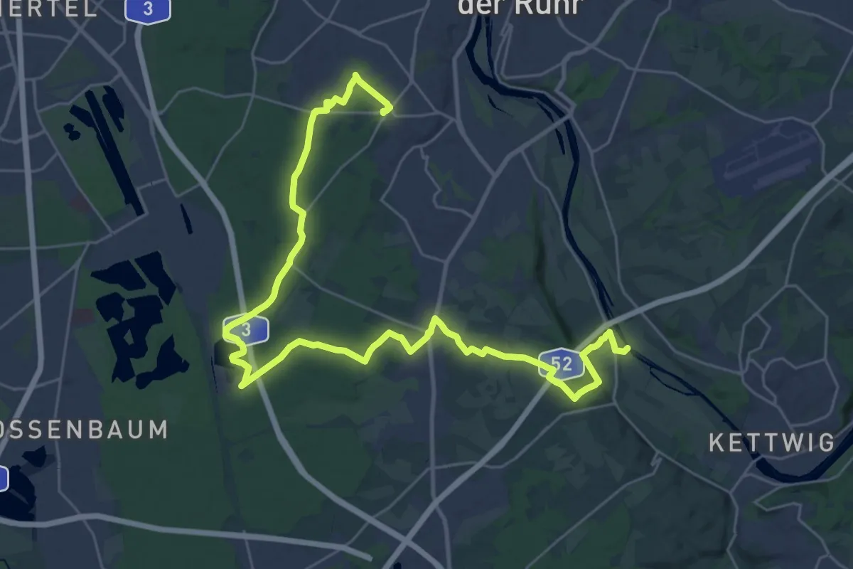
Medium · Trail
Vollquadrat Waldschlößchen - Mintard Wasserbf
16.4 km · ↑ 115 m · 4 h 23 min
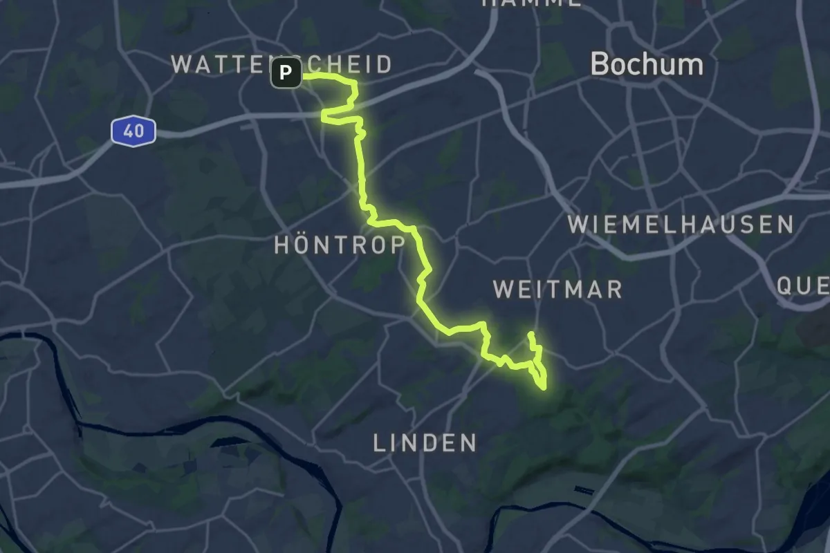
Demanding · Trail
Vollquadrat Wattenscheid-Weitmar
21.7 km · ↑ 198 m · 5 h 34 min
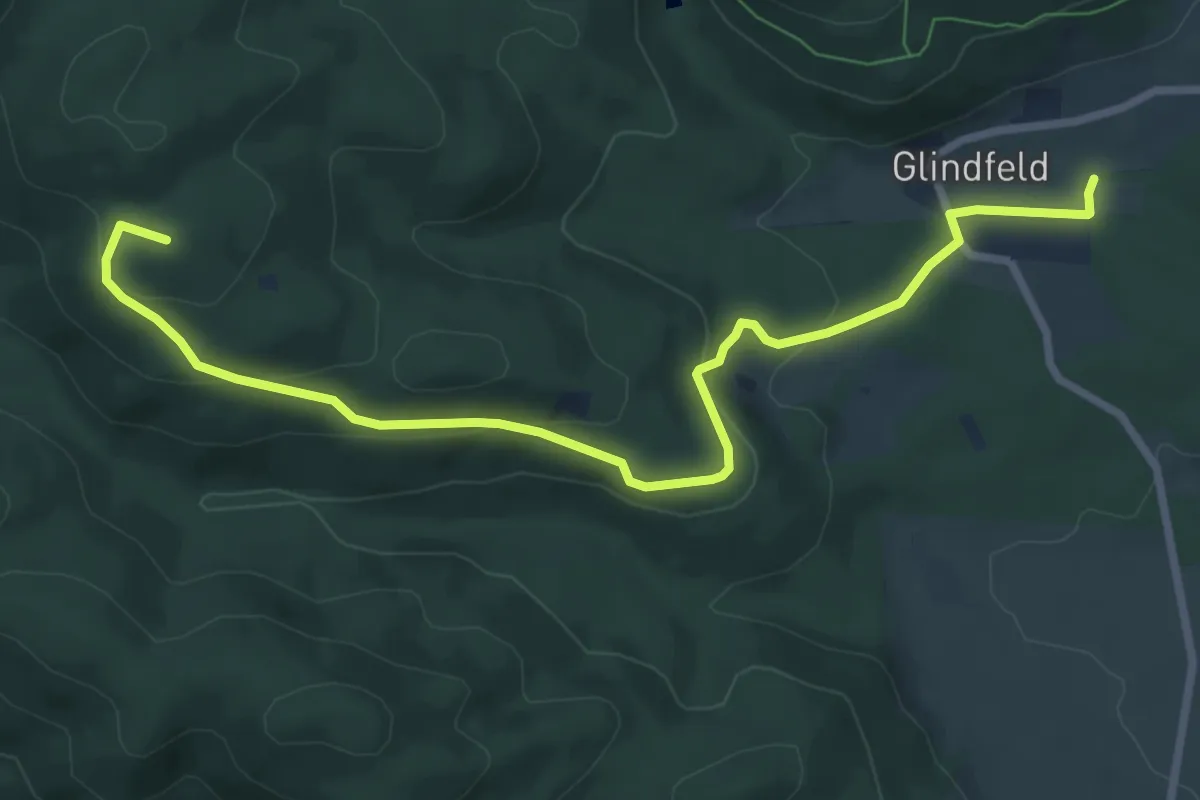
Medium · Summit
Vollqudrat Elkeringhausen - Glindfeld
8.1 km · ↑ 250 m · 2 h 28 min
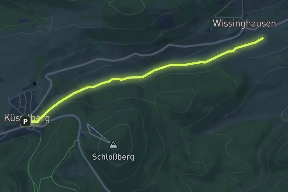
Easy · Trail
Vollqudrat Küstelberg - Oberschledorn
5.9 km · ↑ 141 m · 1 h 42 min
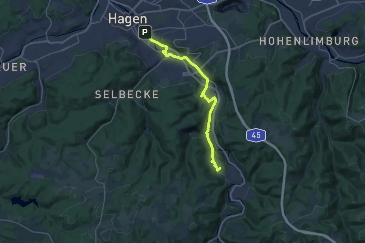
Medium · Summit
Volme-Hang-Weg (Wolfsangel)
15.4 km · ↑ 277 m · 4 h 15 min
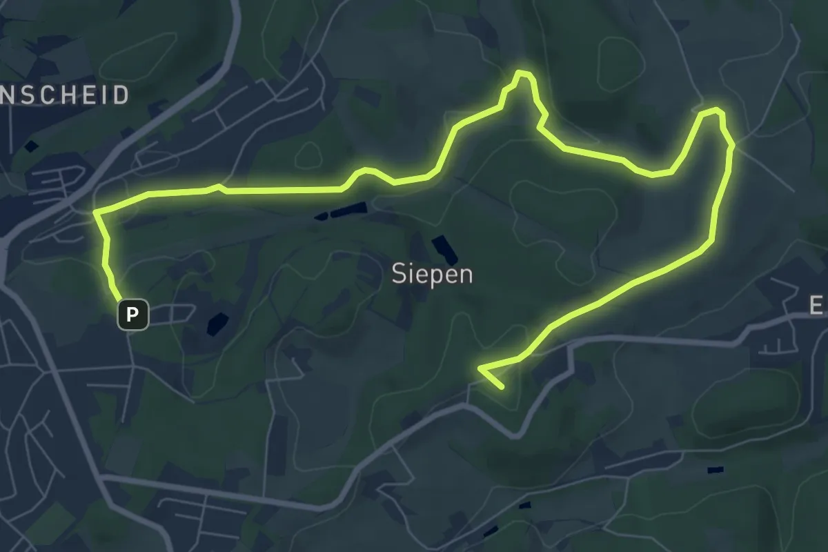
Medium · Summit
VolmeSchatz FREIZEIT
10.6 km · ↑ 167 m · 2 h 53 min
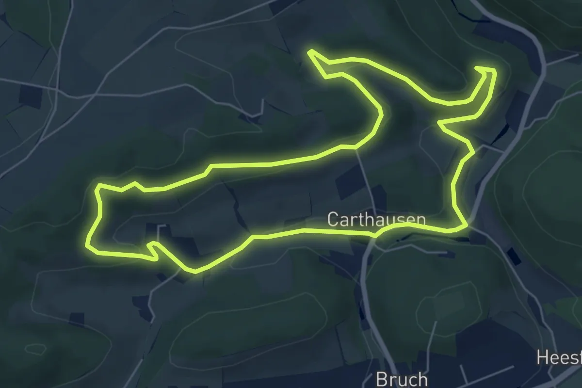
Easy · Trail
VolmeSchatz LANDWIRTSCHAFT
5.9 km · ↑ 153 m · 1 h 48 min
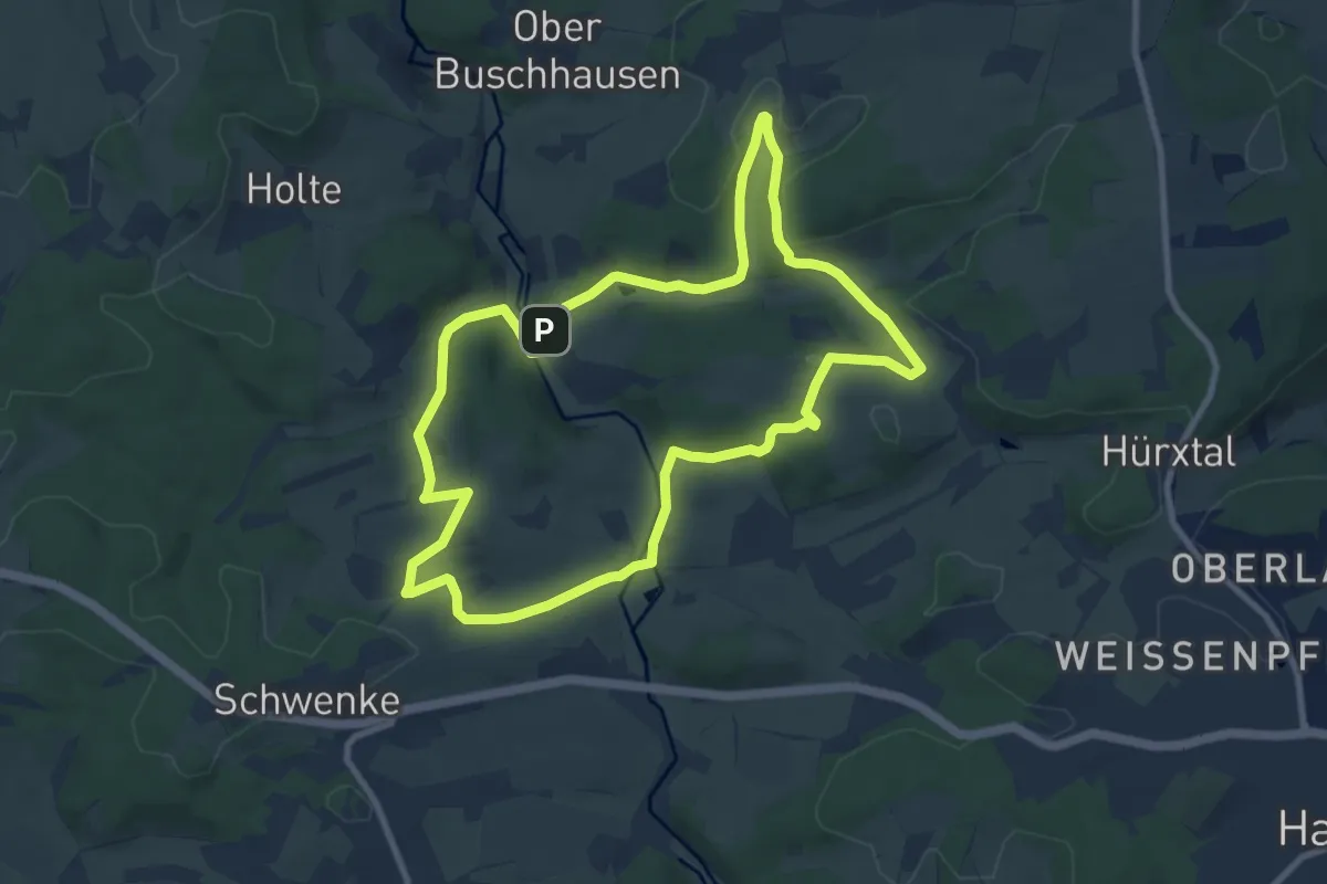
Medium · Trail
VolmeSchatz PANORAMA
8.2 km · ↑ 173 m · 2 h 26 min
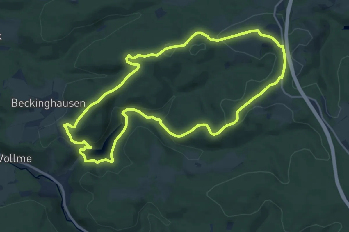
Medium · Summit
VolmeSchatz Talsperren
9.9 km · ↑ 281 m · 3 h 5 min
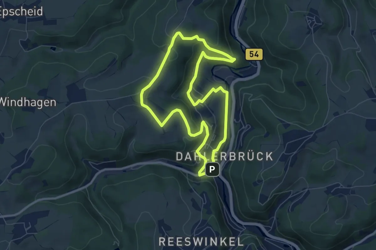
Easy · Trail
VolmeSchatz VOLME
6.3 km · ↑ 257 m · 2 h 8 min
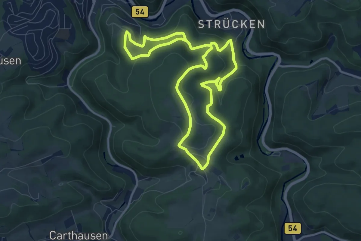
Easy · Trail
VolmeSchatz WALD
7.3 km · ↑ 248 m · 2 h 22 min
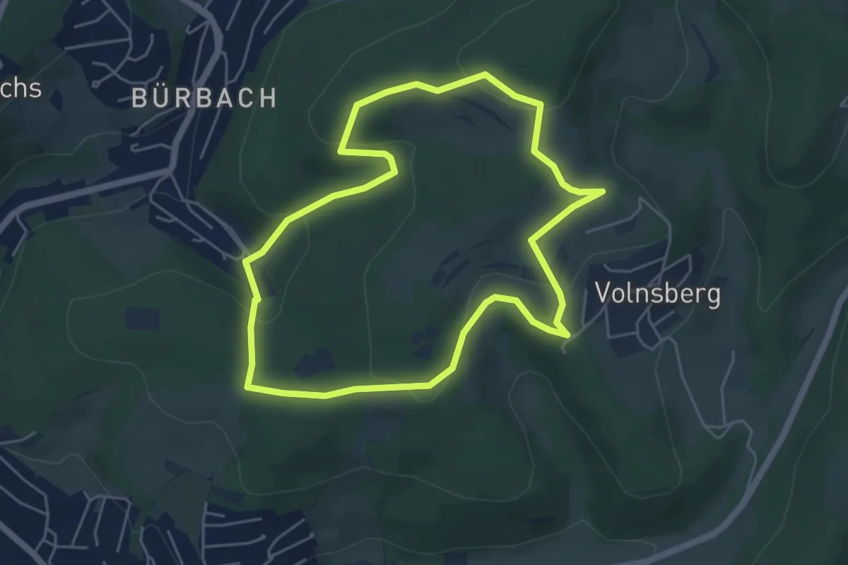
Easy · Trail
Volnsberg Rundweg A1
4.5 km · ↑ 153 m · 1 h 27 min
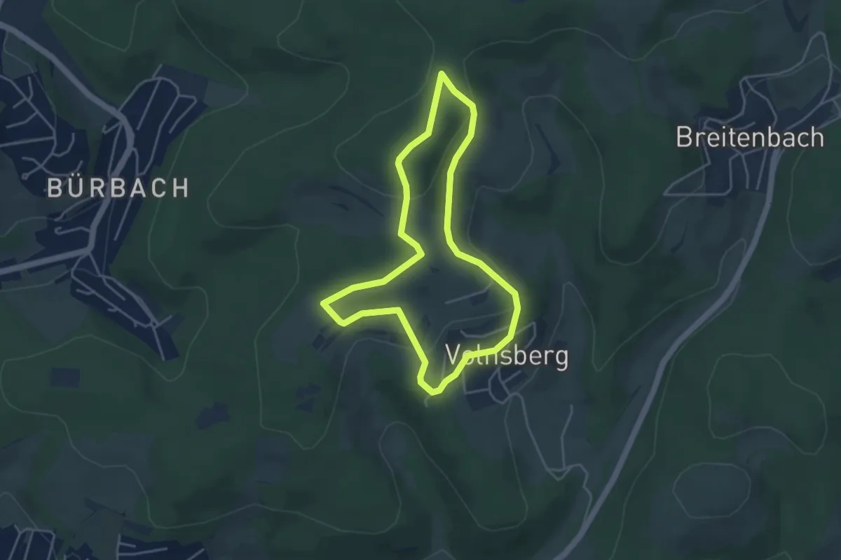
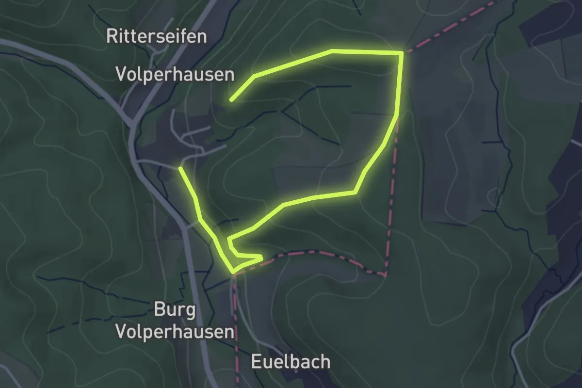
Easy · Trail
Volnsberg Rundweg A3
3.6 km · ↑ 84 m · 1 h 5 min
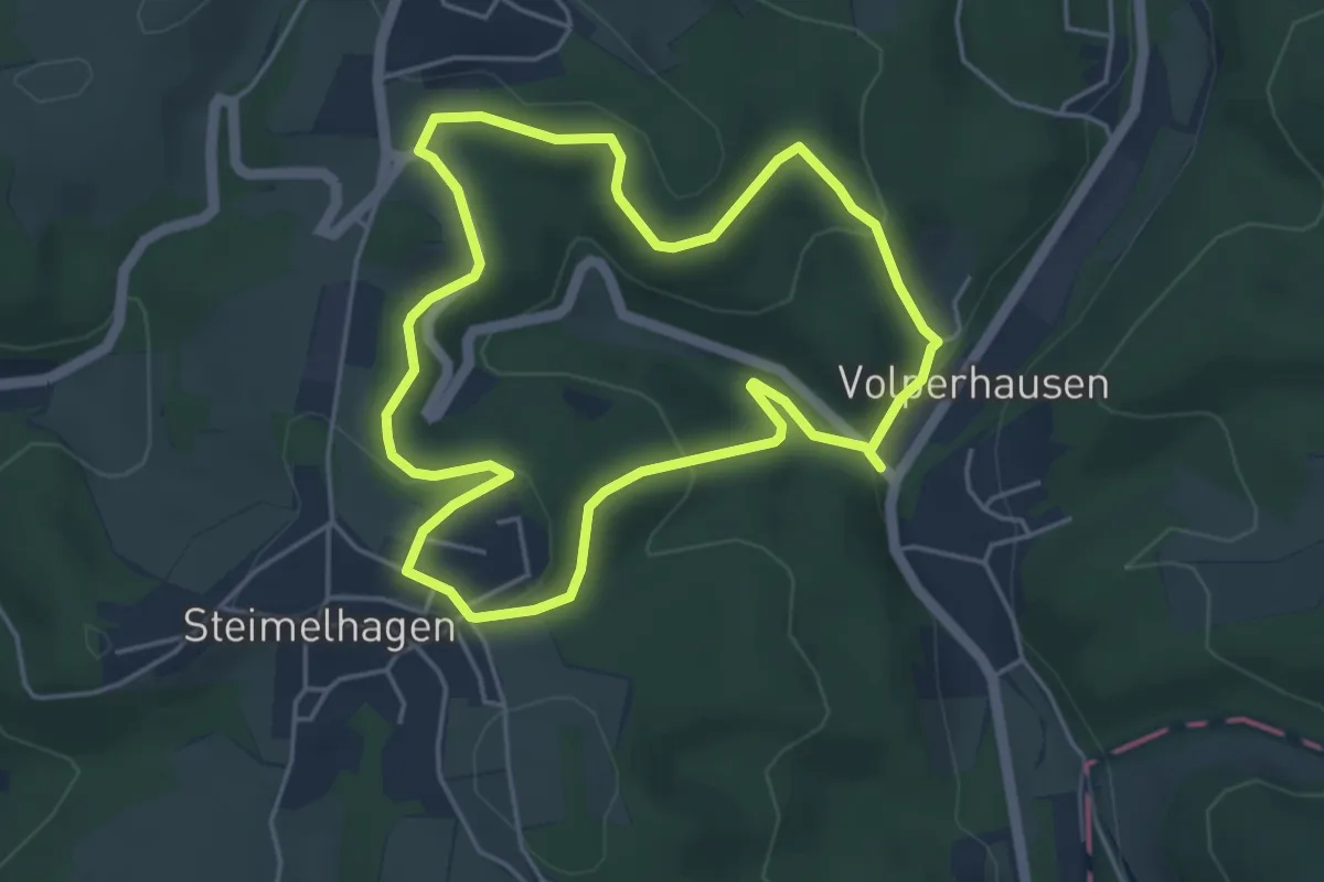
Easy · Trail
Volperhausen Rundweg A2
2.3 km · ↑ 83 m · 44 min
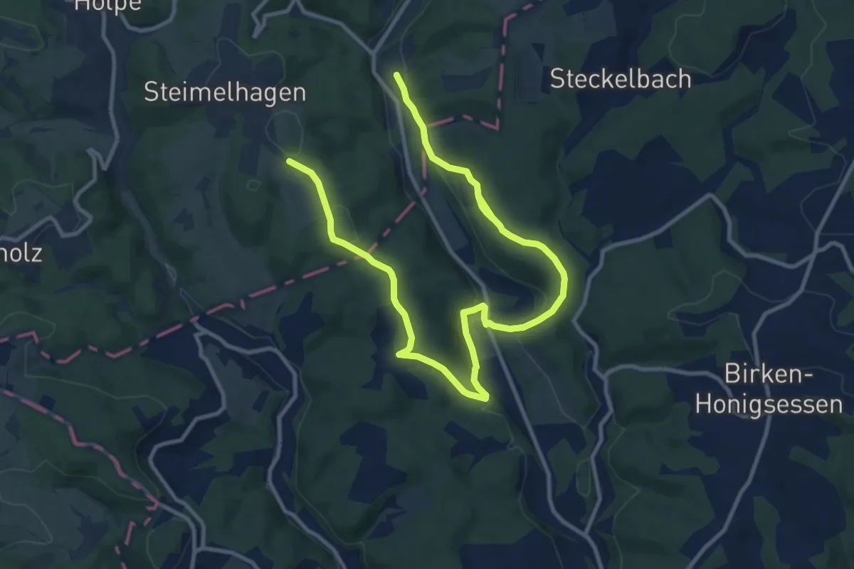
Easy · Trail
Volperhausen Rundweg A3
4.1 km · ↑ 125 m · 1 h 18 min
Easy · Trail
Volperhausen Rundweg T
6.7 km · ↑ 128 m · 2 h
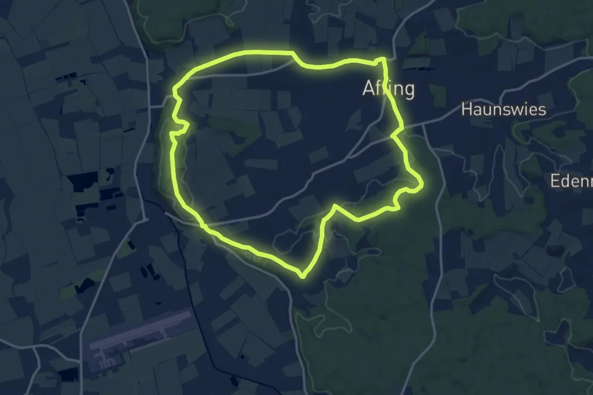
Medium · Trail
Vom Affinger Schloss zur Salzbergkapelle
12.8 km · ↑ 200 m · 3 h 38 min
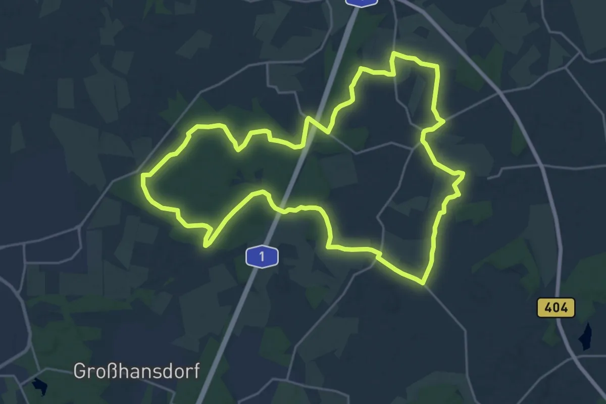
Medium · Trail
Vom Beimoorwald zum Gölmer Moor
17.1 km · ↑ 70 m · 4 h 26 min
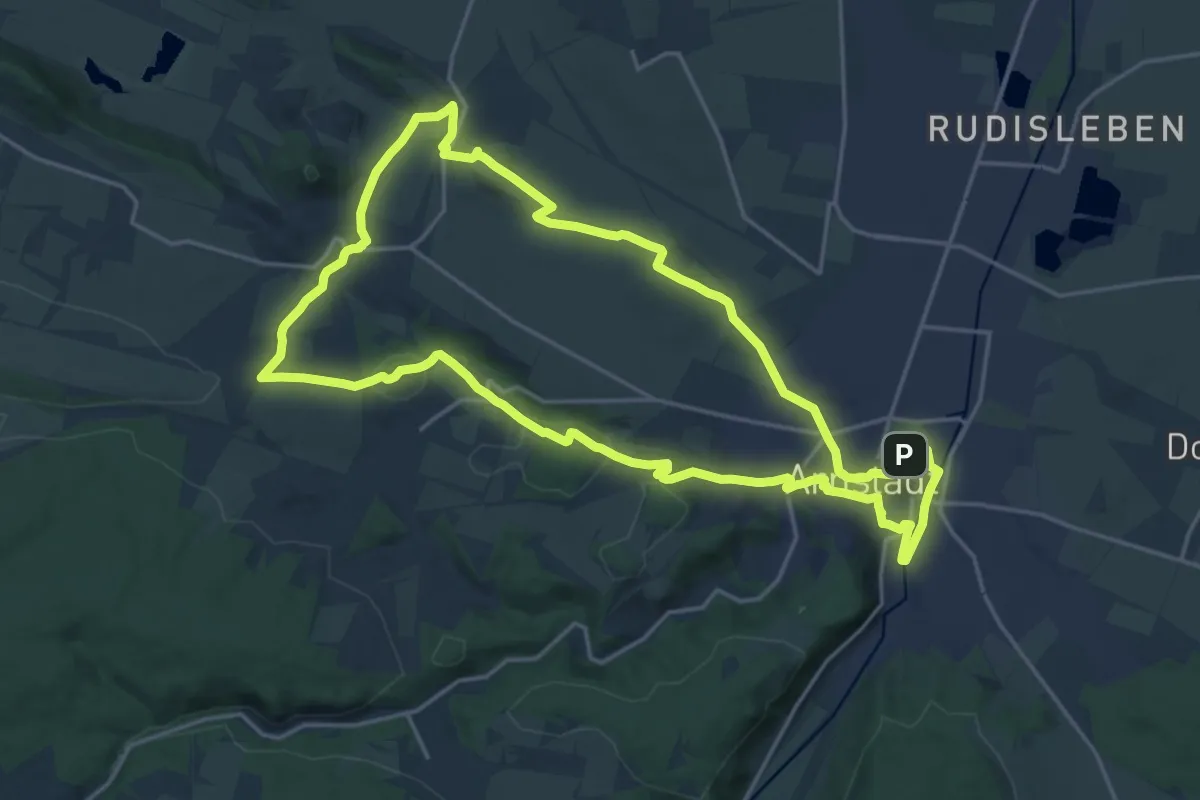
Demanding · Summit
Vom Bier zur Bratwurst
18.4 km · ↑ 294 m · 5 h 14 min
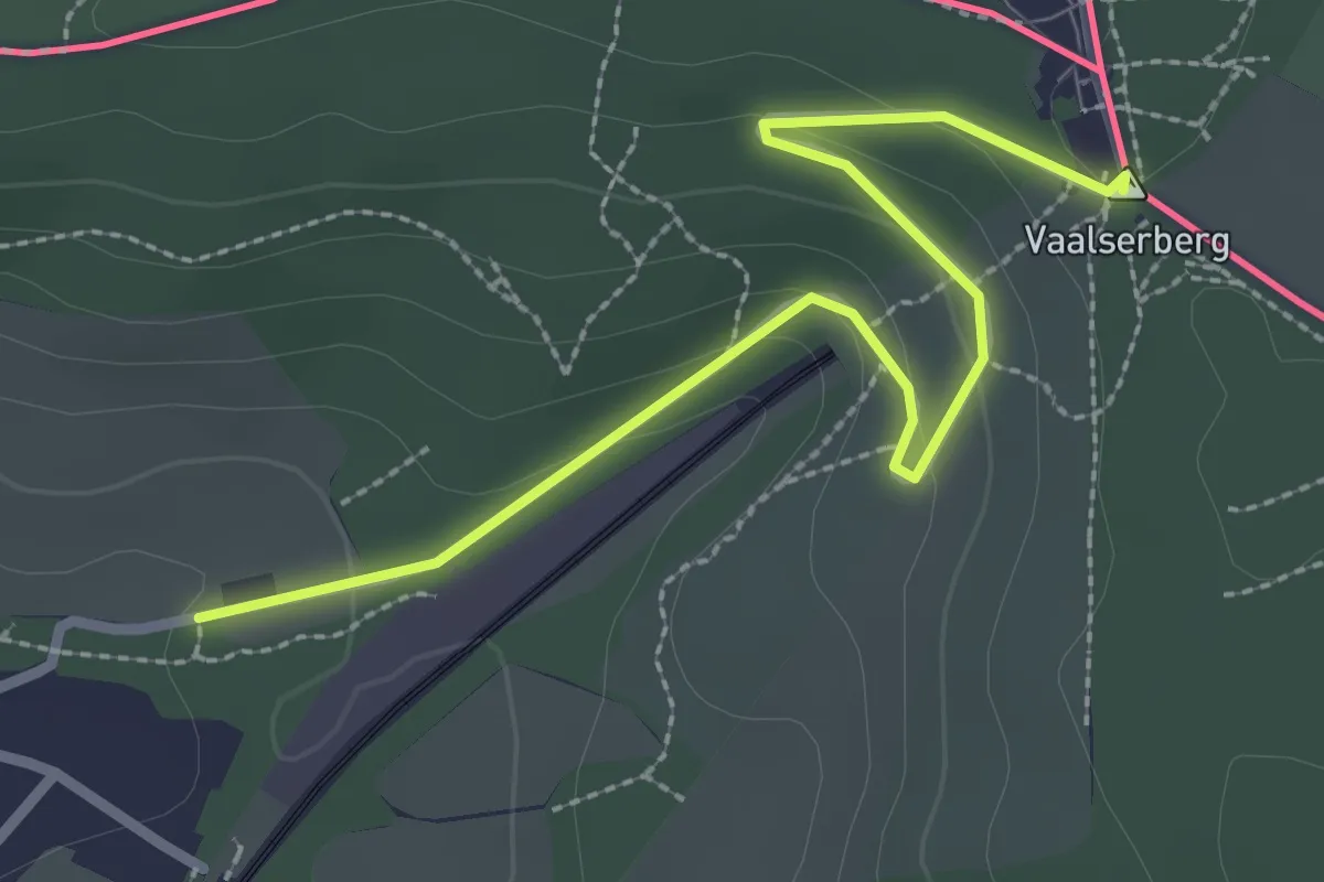
Easy · Summit
Vom Dreiländereck bis zur Göhl
2.7 km · ↑ 81 m · 49 min
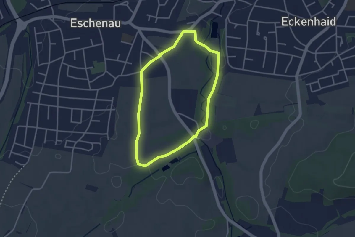
Easy · Trail
Vom Eschenauer Friedhof zur Eckenbachschlucht
2.5 km · ↑ 19 m · 39 min
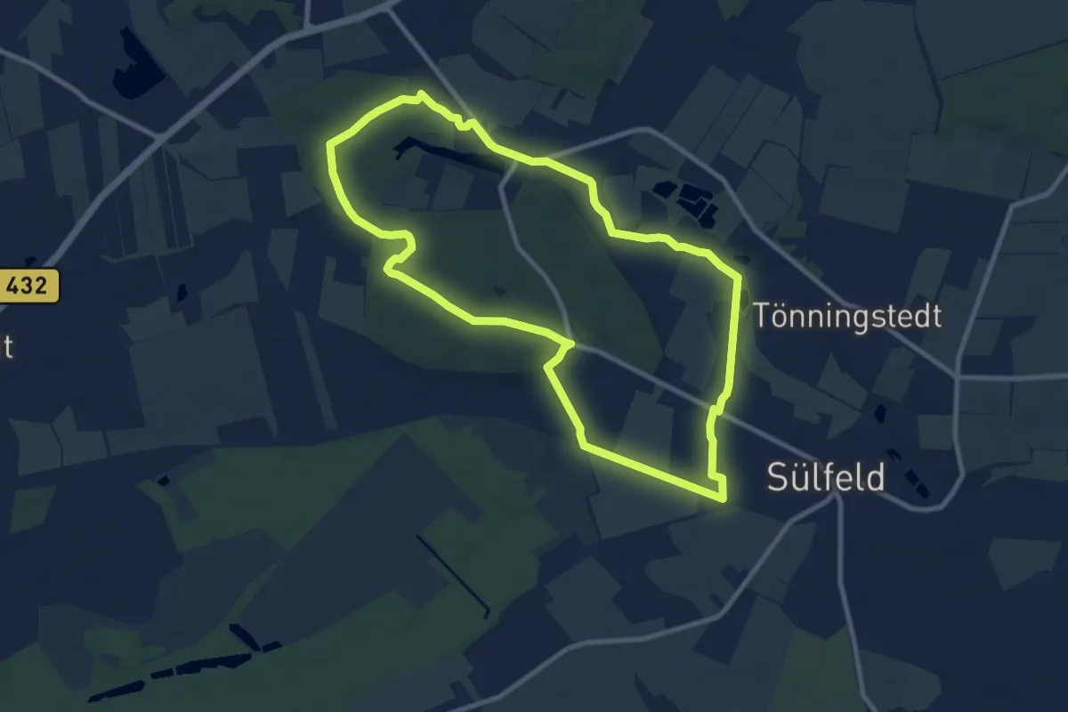
Easy · Trail
Vom Herrenhaus Borstel zum Nienwohlder Moor
8.0 km · ↑ 41 m · 2 h 5 min
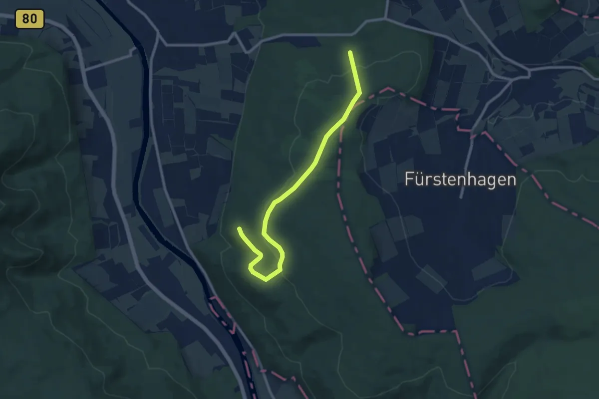
Easy · Summit
Vom Oedelsheimer Wesertal zum Spiekerberg
4.0 km · ↑ 100 m · 1 h 12 min
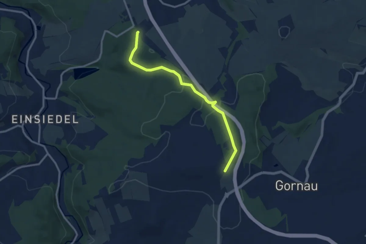
Easy · Trail
Vom Rundweg Dittersdorf zum Goldenen Hahn
6.5 km · ↑ 149 m · 1 h 51 min
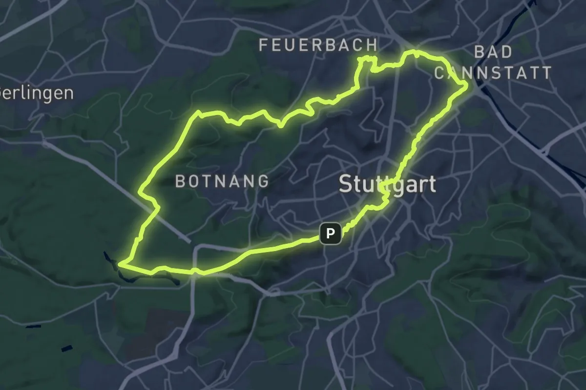
Demanding · Summit
Vom Schloß zum Schlößle
26.4 km · ↑ 457 m · 7 h 35 min
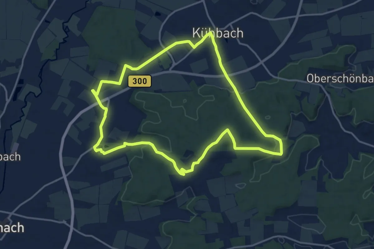
Medium · Trail
Vom Sisi-Schloss zum Stammsitz der Witttelsbacher
11.4 km · ↑ 162 m · 3 h 13 min
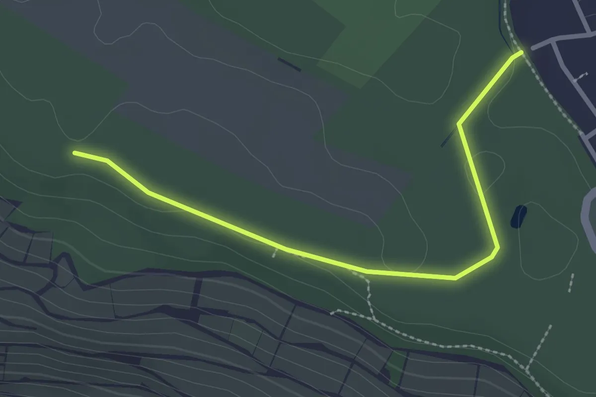
Easy · Trail
Vom Urstrom zum Strom
1.3 km · ↑ 10 m · 20 min
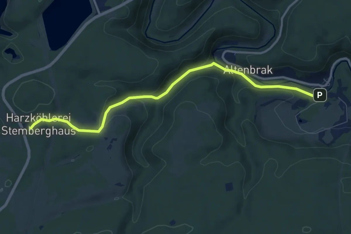
Easy · Trail
Von Altenbrak zu den Harzköhlern
7.6 km · ↑ 190 m · 2 h 12 min
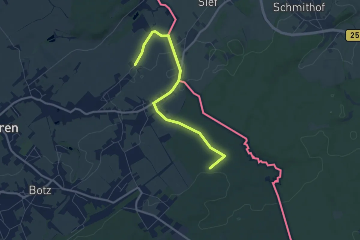
Easy · Trail
Von Alt-Raeren bis Neudorf
3.2 km · ↑ 72 m · 56 min
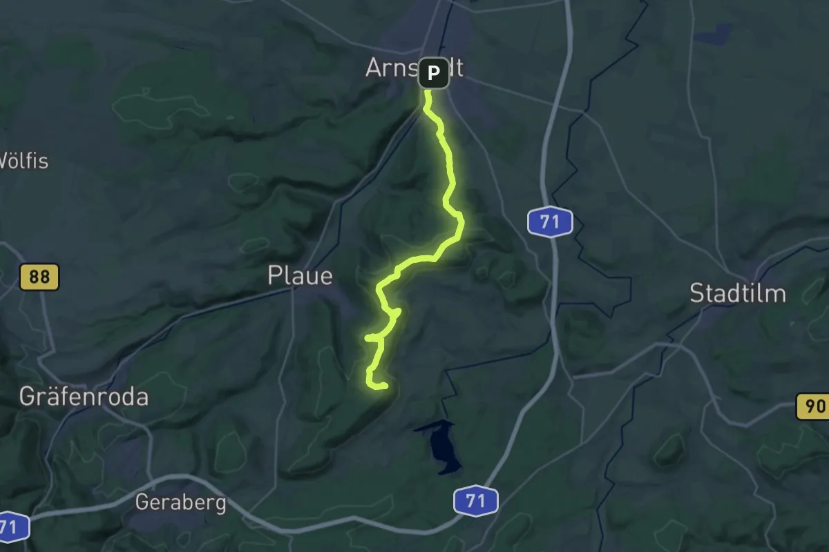
Demanding · Summit
Von Bach zu Goethe
26.6 km · ↑ 737 m · 7 h 53 min
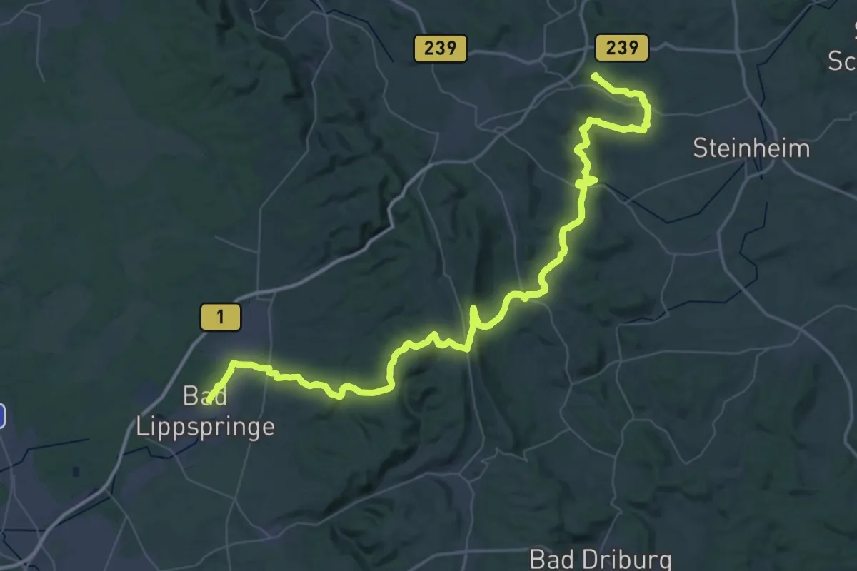
Demanding · Summit
Von Bad zu Bad-Weg
63.0 km · ↑ 1337 m · 17 h 46 min
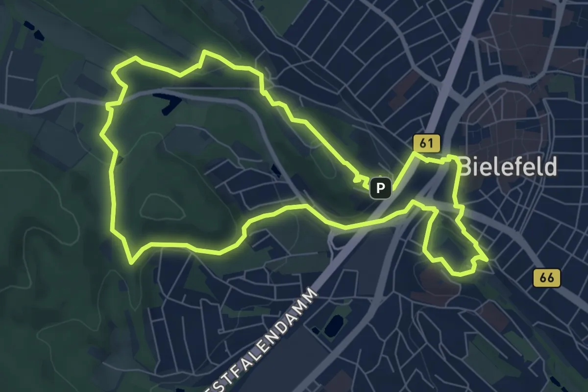
Easy · Summit
Von Burg zu Berg
7.2 km · ↑ 178 m · 2 h 11 min
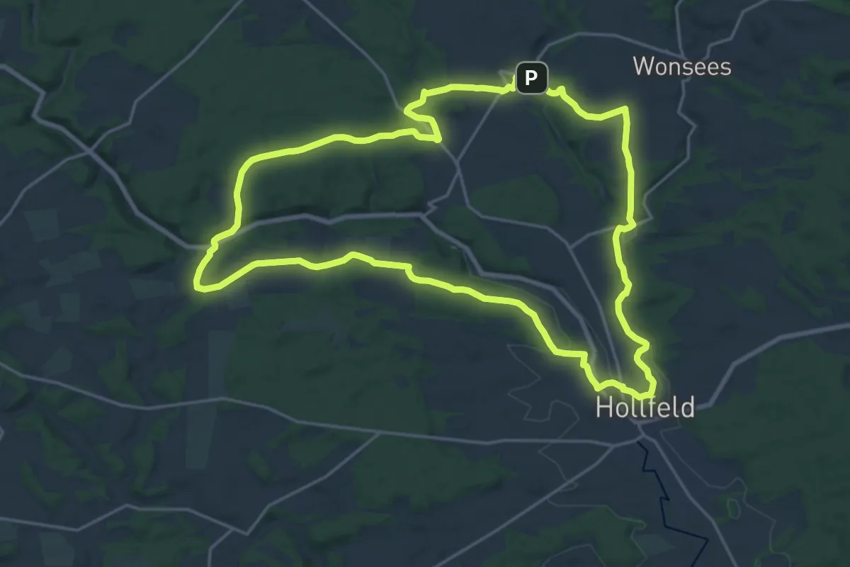
Demanding · Trail
Von Burg zu Burg
18.4 km · ↑ 208 m · 5 h 3 min
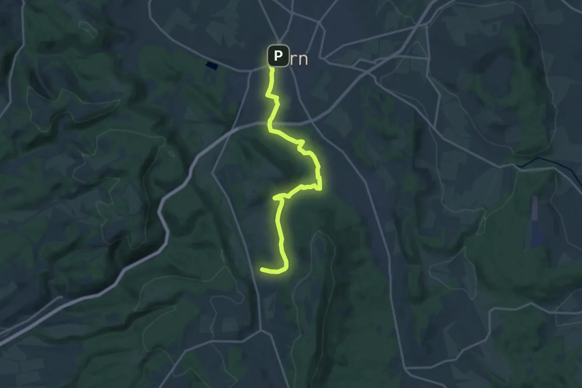
Medium · Trail
Von den Mühlen zur Burg
13.2 km · ↑ 249 m · 3 h 40 min
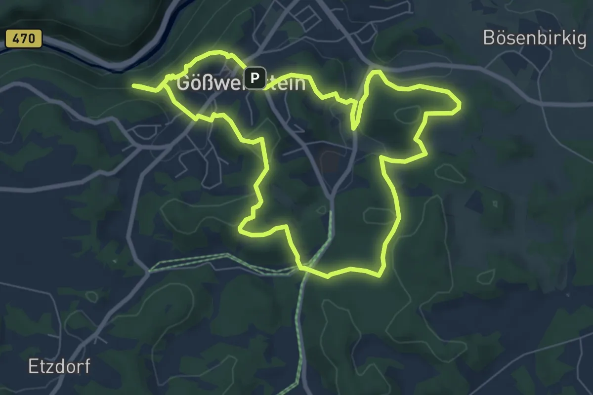
Easy · Summit
Von der Fellner-Doline zur Stempfermühlquelle
6.4 km · ↑ 223 m · 2 h 5 min
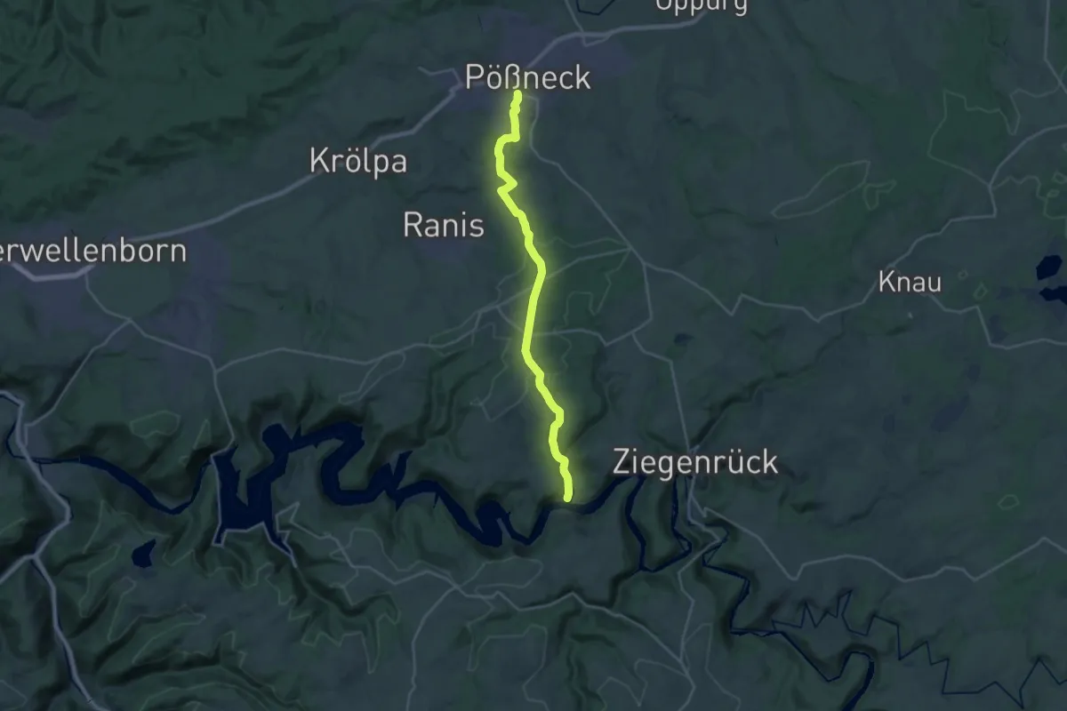
Demanding · Trail
Von der geheimen Lagune zum Thüringer Meer
21.9 km · ↑ 548 m · 6 h 21 min
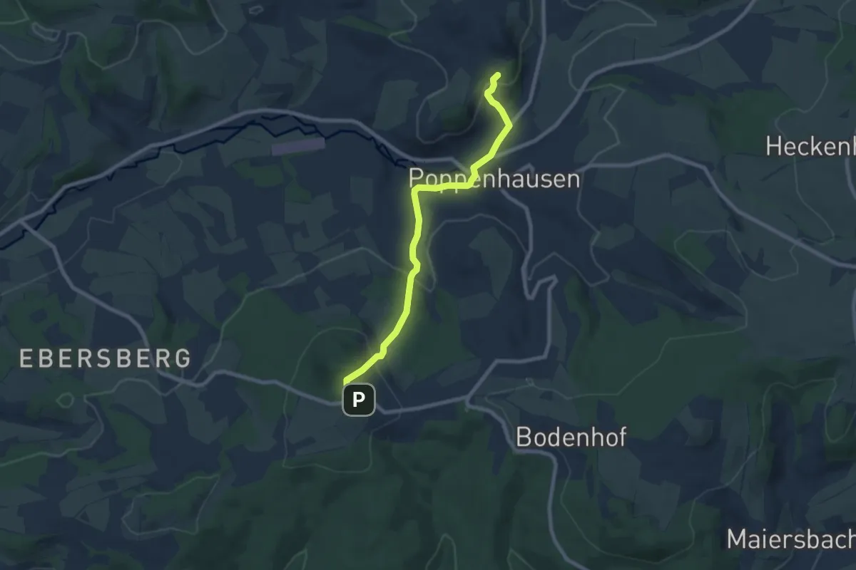
Easy · Trail
Von der Kuppenrhön zur Hochrhön
3.5 km · ↑ 82 m · 1 h 6 min
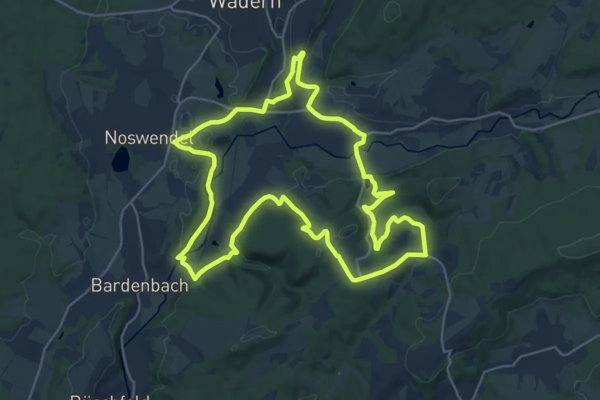
Medium · Summit
Von Felsen und Burgen
15.2 km · ↑ 424 m · 4 h 43 min
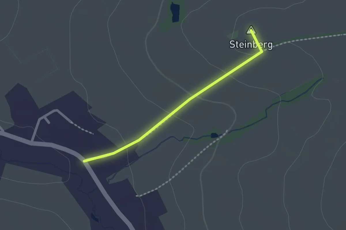
Easy · Summit
Von Görbersdorf zum Ranis
1.6 km · ↑ 46 m · 28 min
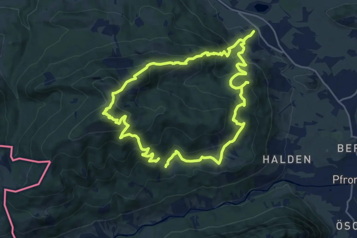
Demanding · Summit
Von Hütte zu Hütte rund um den Edelsberg
12.4 km · ↑ 912 m · 5 h 2 min