Trails in Germany
36,852 hiking trails, each with its route, climb, walking time and grade.
All trails, page 658 of 768
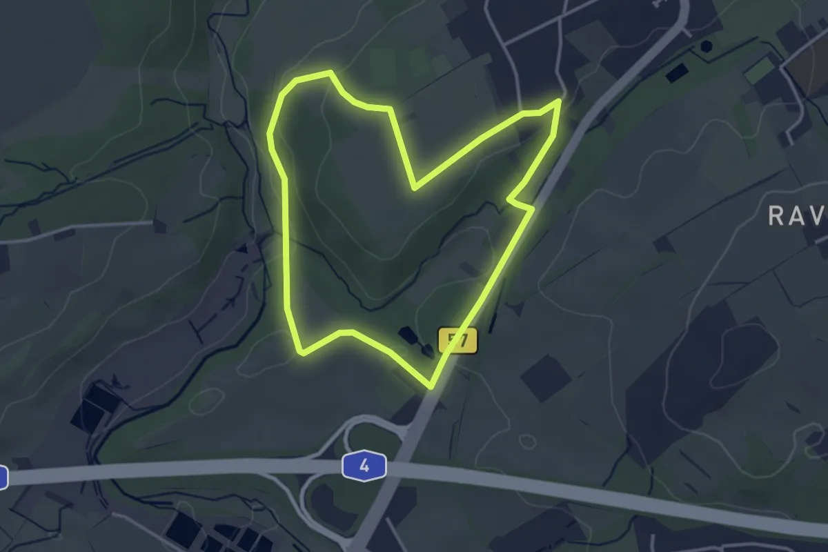
Easy · Trail
Von Kaisersruh um den Kahlenberg
3.1 km · ↑ 46 m · 53 min
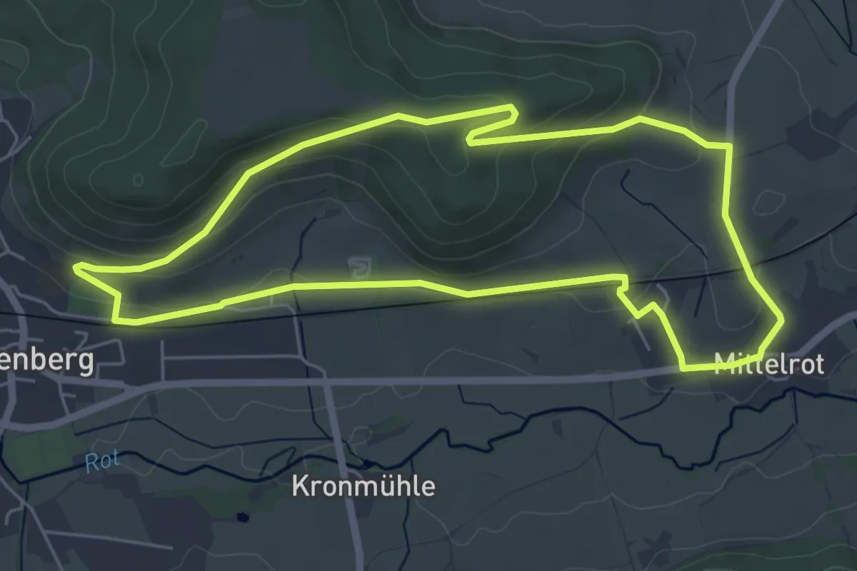
Easy · Trail
Von Kirche zu Kirche
5.3 km · ↑ 127 m · 1 h 36 min
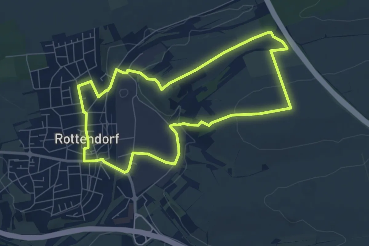
Easy · Trail
Von Kirche zu Kirche
6.1 km · ↑ 91 m · 1 h 43 min
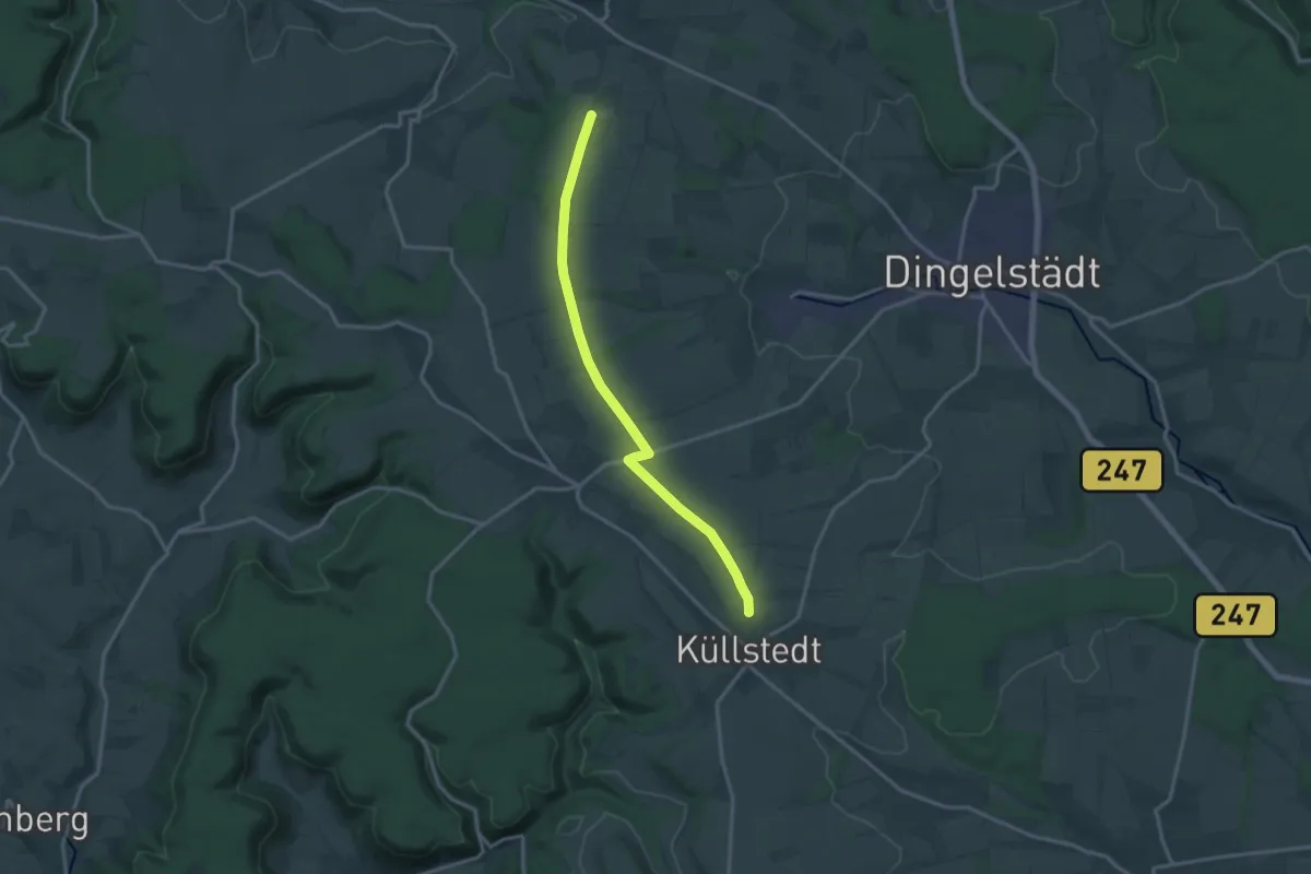
Medium · Trail
Von Küllstedt nach ... (Grüner Punkt)
13.8 km · ↑ 109 m · 3 h 30 min
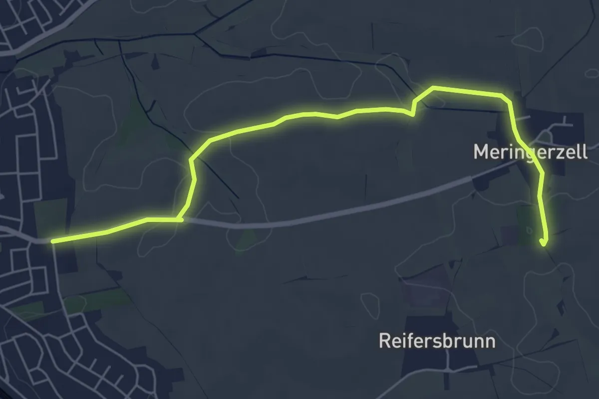
Easy · Summit
Von Mering zu den Schloßbergen
5.9 km · ↑ 48 m · 1 h 29 min
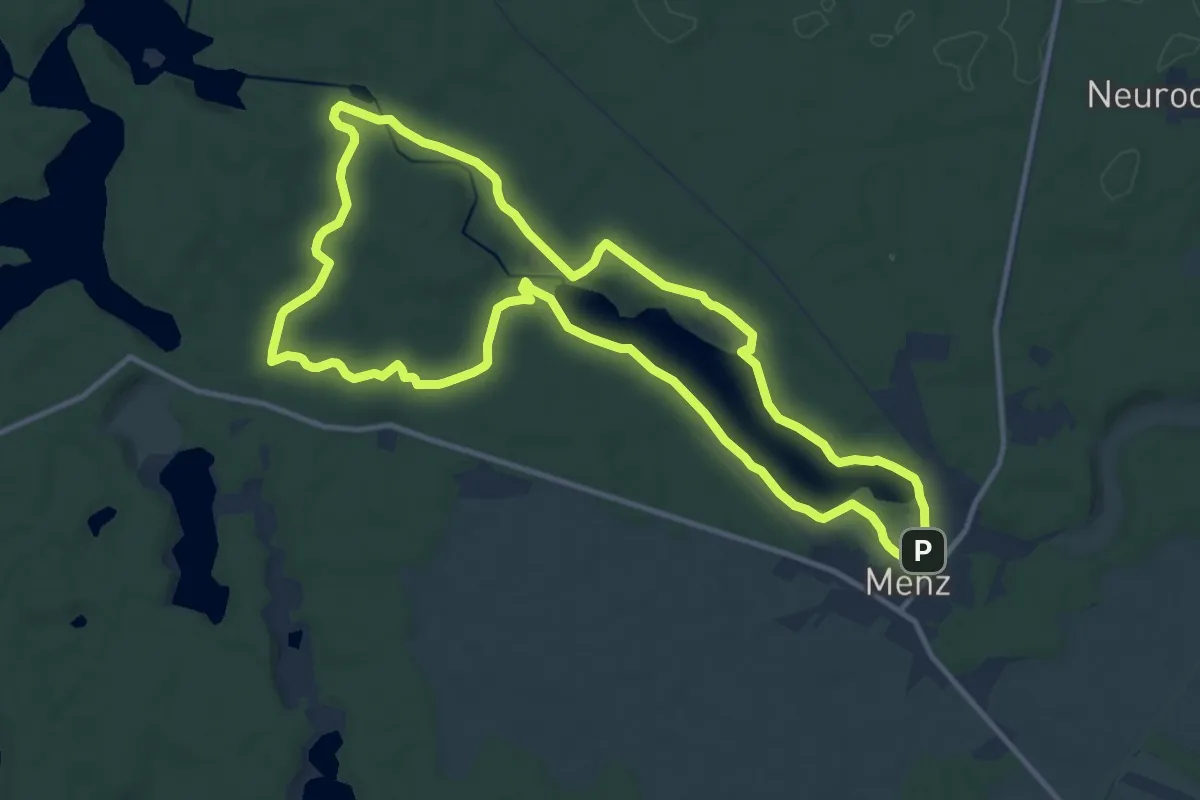
Medium · Summit
Von Moor zu Moor
11.0 km · ↑ 66 m · 2 h 54 min
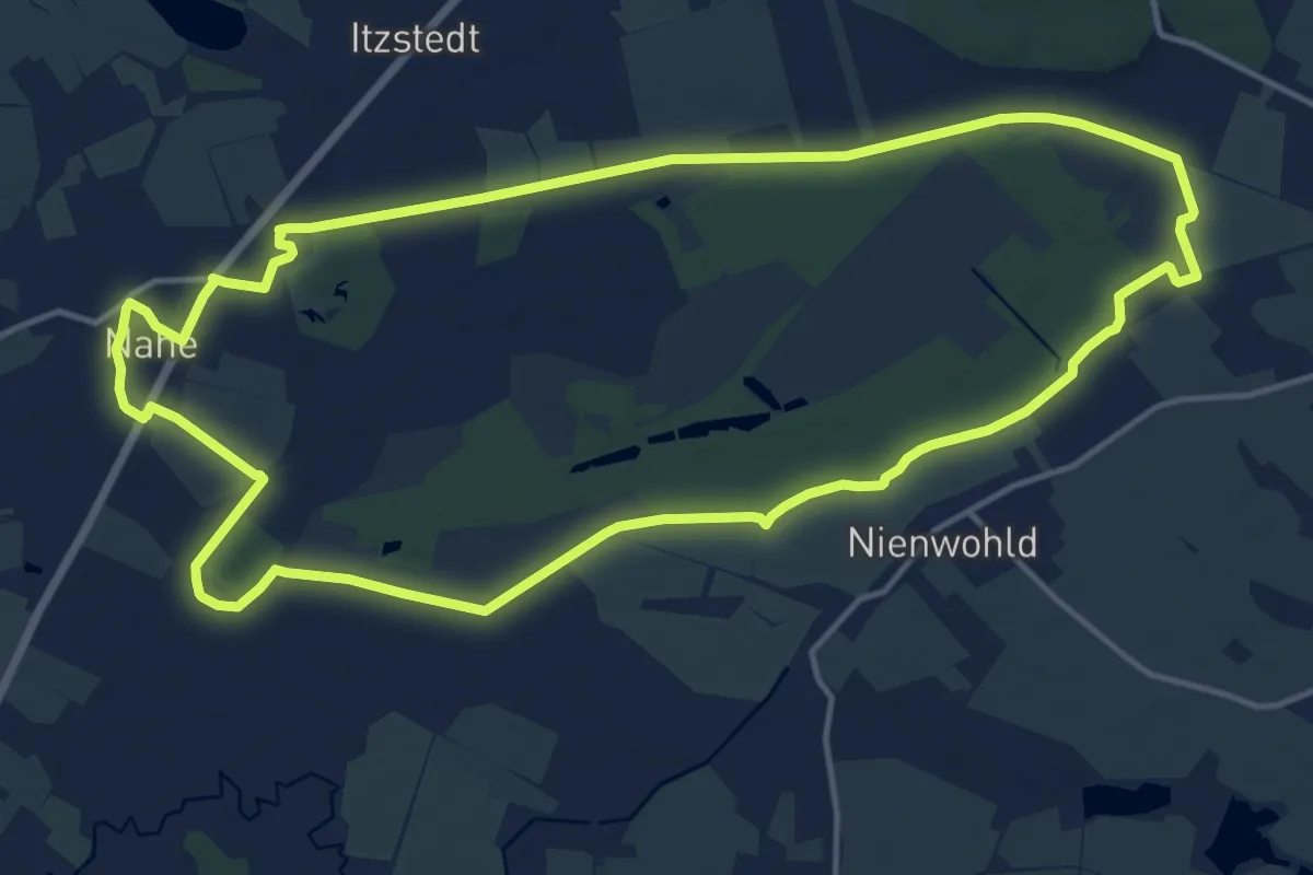
Medium · Trail
Von Nahe zum Nienwohlder Moor
13.5 km · ↑ 21 m · 3 h 25 min
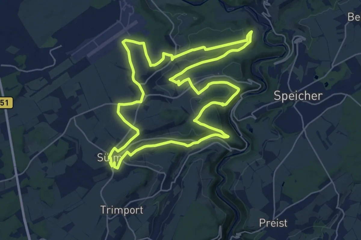
Demanding · Trail
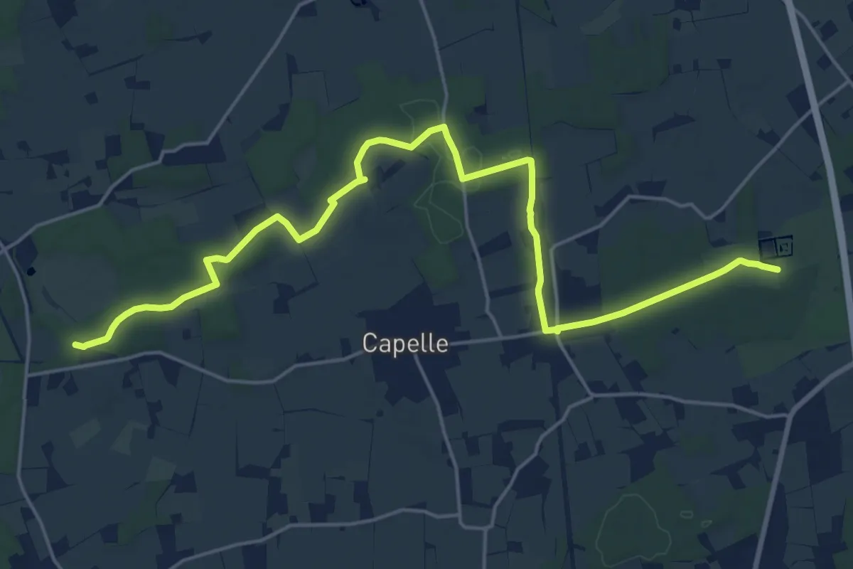
Von Rula und Sulmana
20.0 km · ↑ 332 m · 5 h 42 min
Demanding · Trail
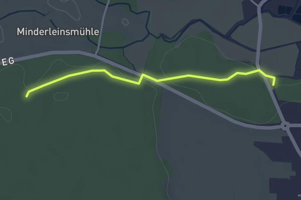
Von Schloss zu Schloss
19.8 km · ↑ 92 m · 4 h 52 min
Easy · Trail
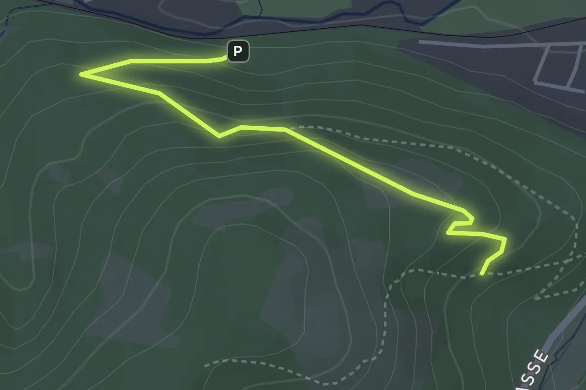
Von Schöllenbach zum Kreuzweiher und zurück
2.7 km · ↑ 41 m · 43 min
Medium · Trail
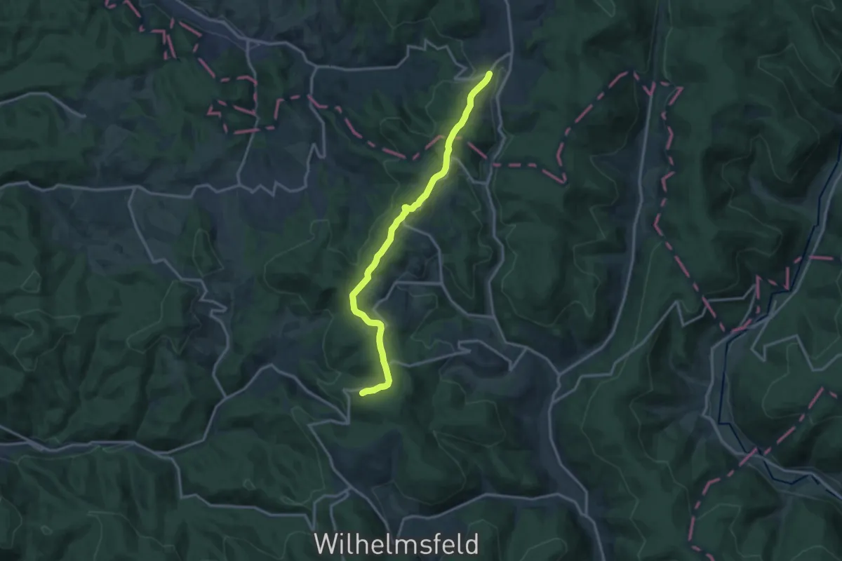
von Treskow Pfad
3.5 km · ↑ 189 m · 1 h 14 min
Medium · Trail
von Tromm zum Kohlhof
12.4 km · ↑ 270 m · 3 h 30 min
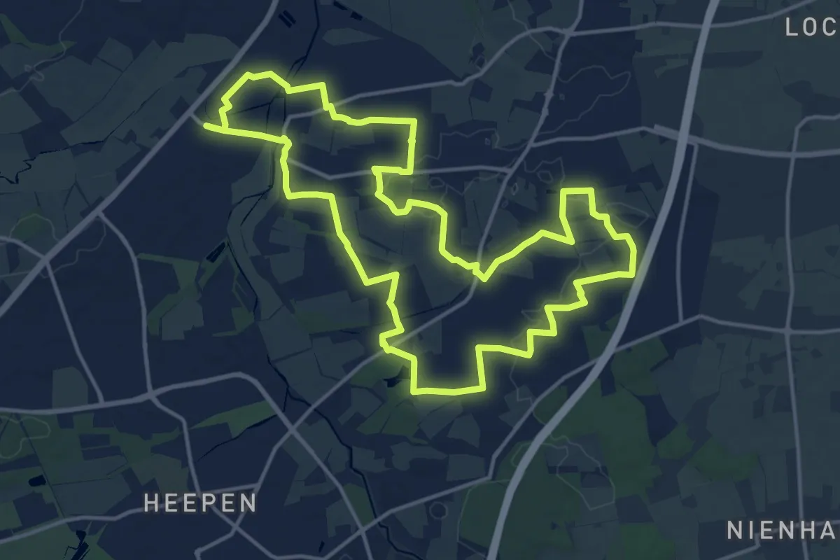
Medium · Trail
Von Turm zu Turm
13.5 km · ↑ 53 m · 3 h 29 min
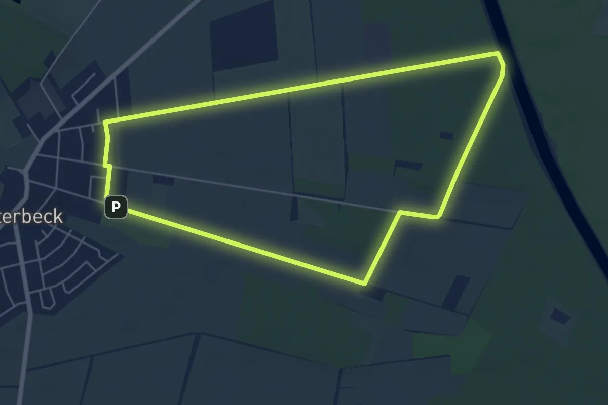
Easy · Trail
Von Westerbeck zum Elbe-Seitenkanal
4.9 km · ↑ 9 m · 1 h 14 min
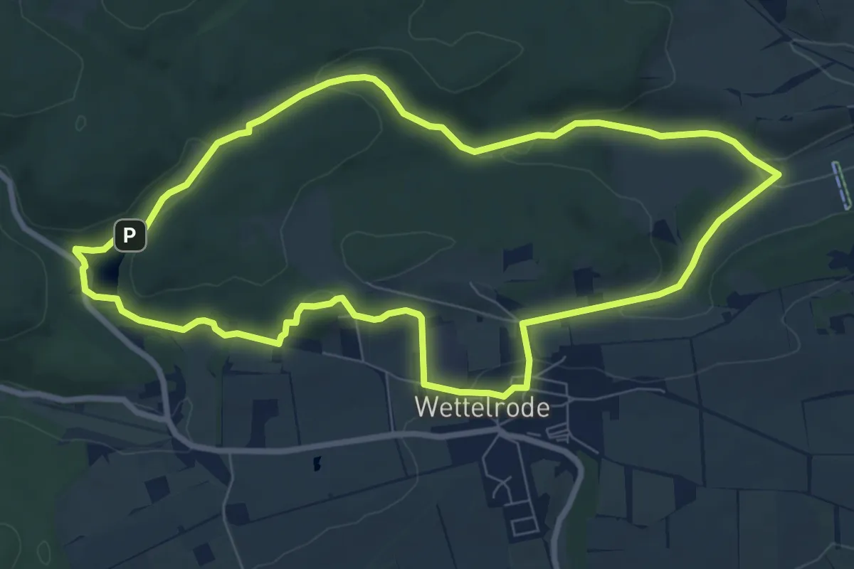
Easy · Trail
Von Wettelrode zum Kalmusgrund
7.4 km · ↑ 156 m · 2 h 11 min
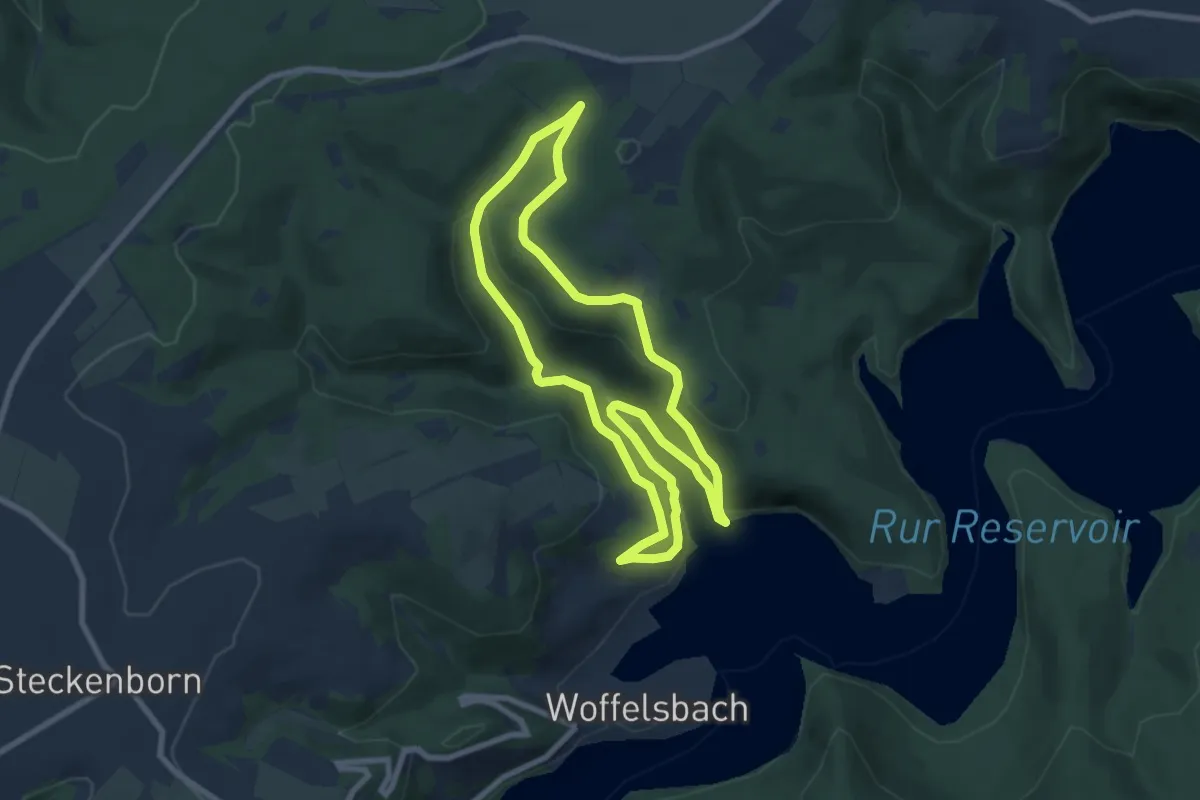
Medium · Trail
Von Woffelsbach nach Klaus
7.3 km · ↑ 263 m · 2 h 24 min
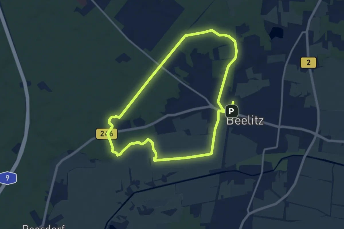
Medium · Trail
Von-Zieten-Rundweg
8.2 km · ↑ 39 m · 2 h 8 min
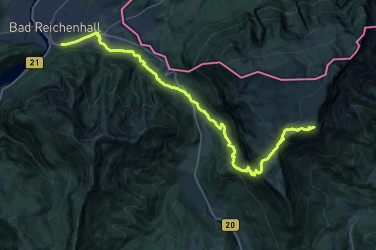
Demanding · Summit
Voralpenweg 04A
26.8 km · ↑ 1689 m · 10 h
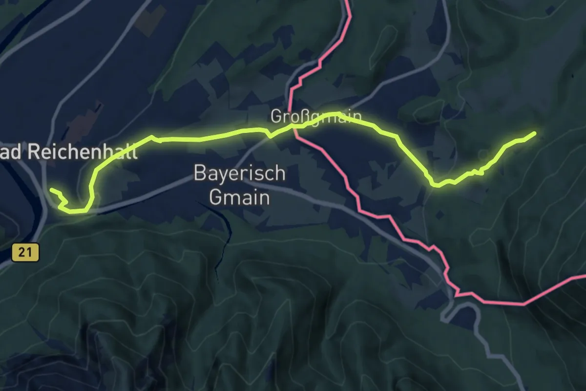
Medium · Trail
Voralpenweg 04 (West: von Wilhelmsburg bis Salzburg)
11.3 km · ↑ 236 m · 3 h 10 min
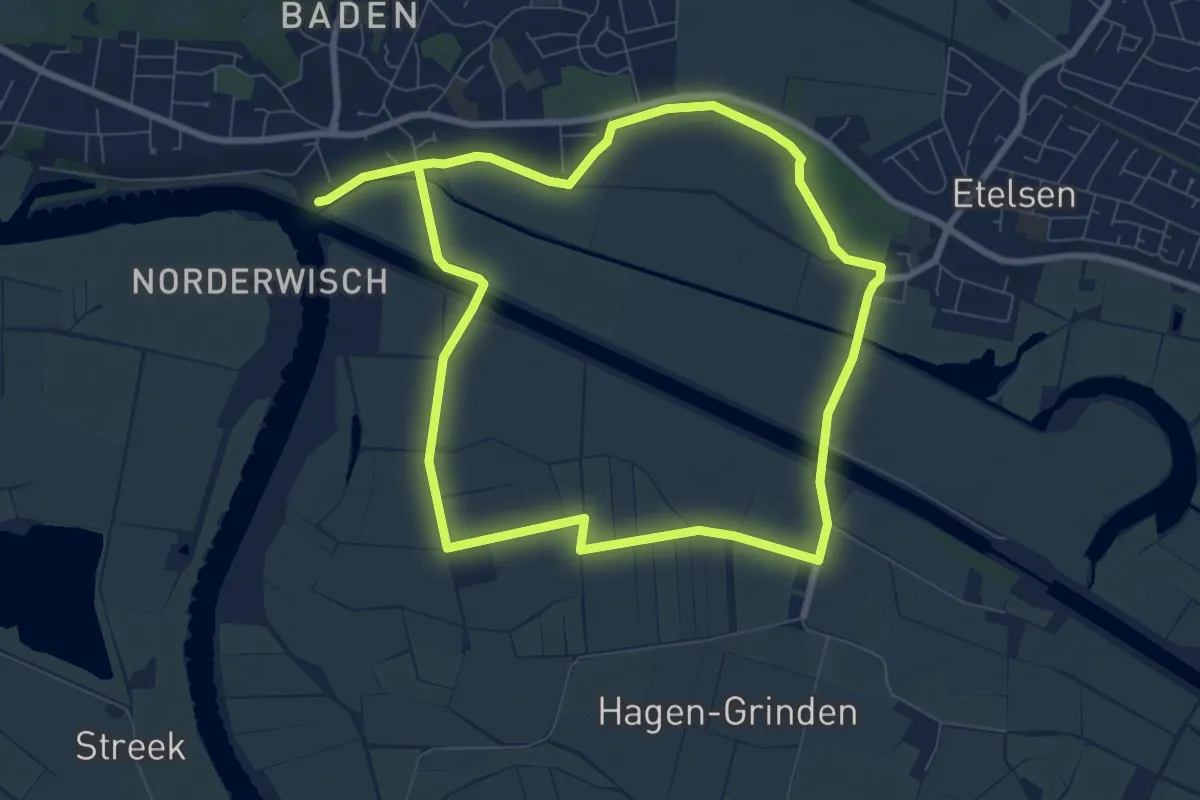
Easy · Trail
Vör de Döör (Vor der Tür)
7.0 km · ↑ 17 m · 1 h 47 min
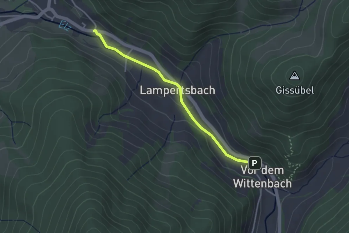
Easy · Trail
Vor dem Wittenbach - Oberprechtal Minigolf
2.7 km · ↑ 29 m · 42 min
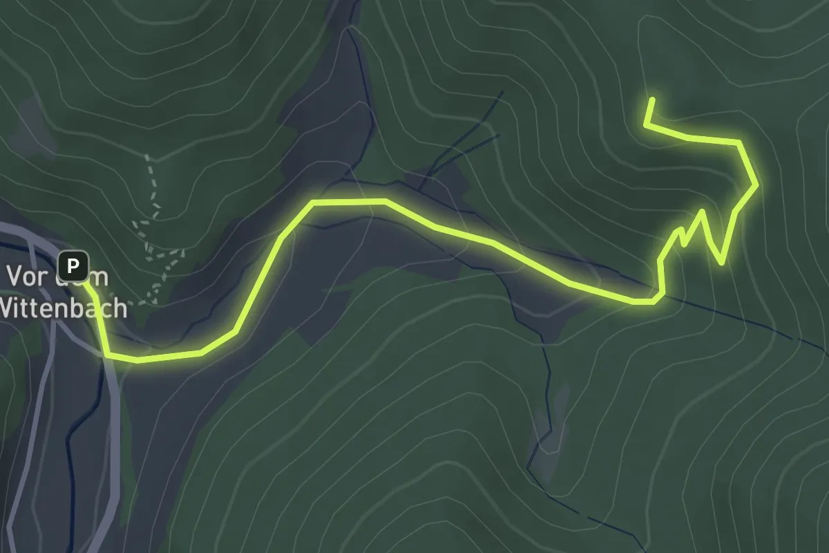
Easy · Trail
Vor dem Wittenbach Rössle - Hirzdobel
4.3 km · ↑ 259 m · 1 h 35 min
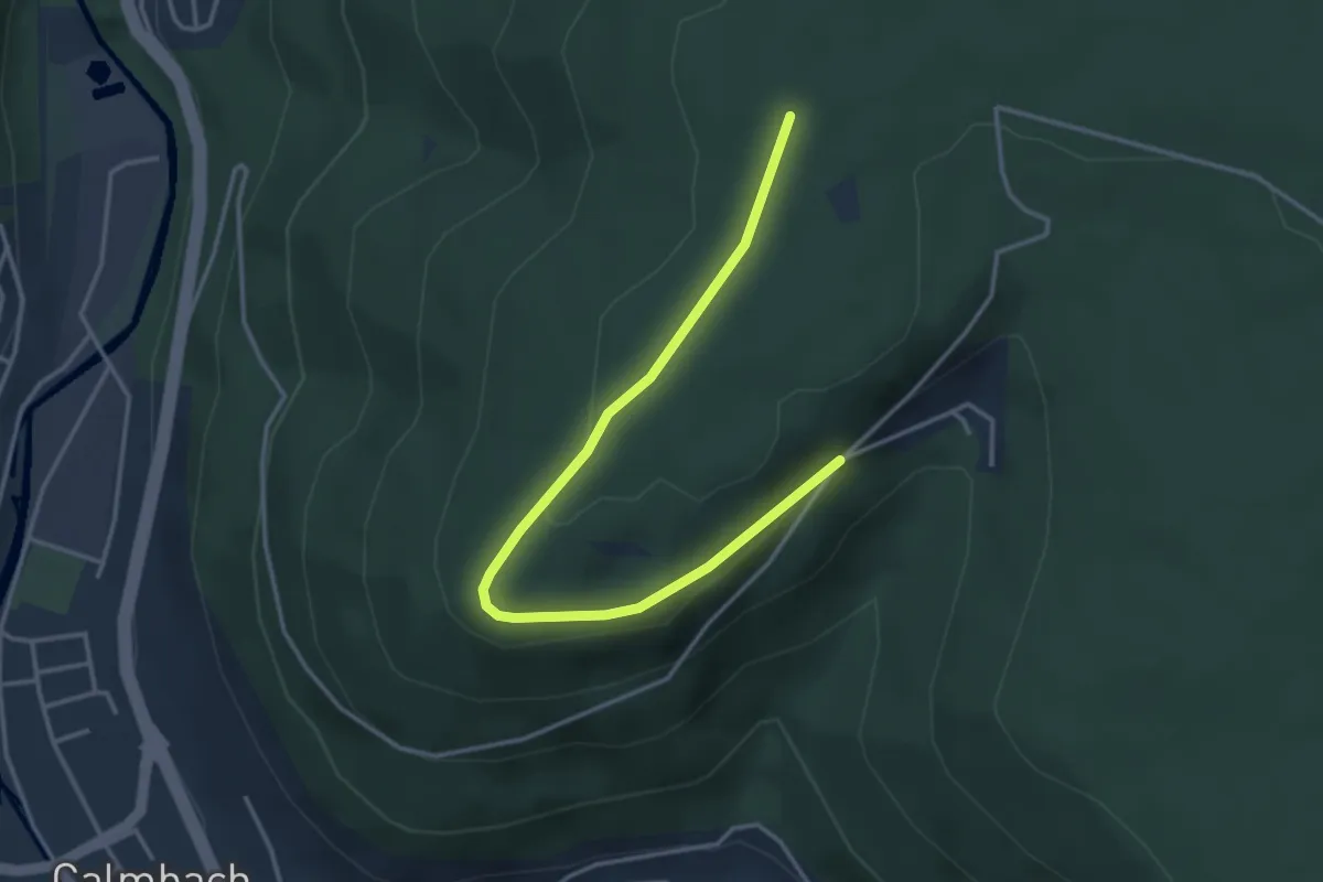
Easy · Trail
Vordere Großtanne - An der Charlottenhöhe
3.8 km · ↑ 59 m · 1 h 2 min
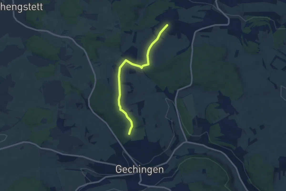
Easy · Trail
Vordere Kirchhalde - Schneller Ost
5.8 km · ↑ 110 m · 1 h 37 min
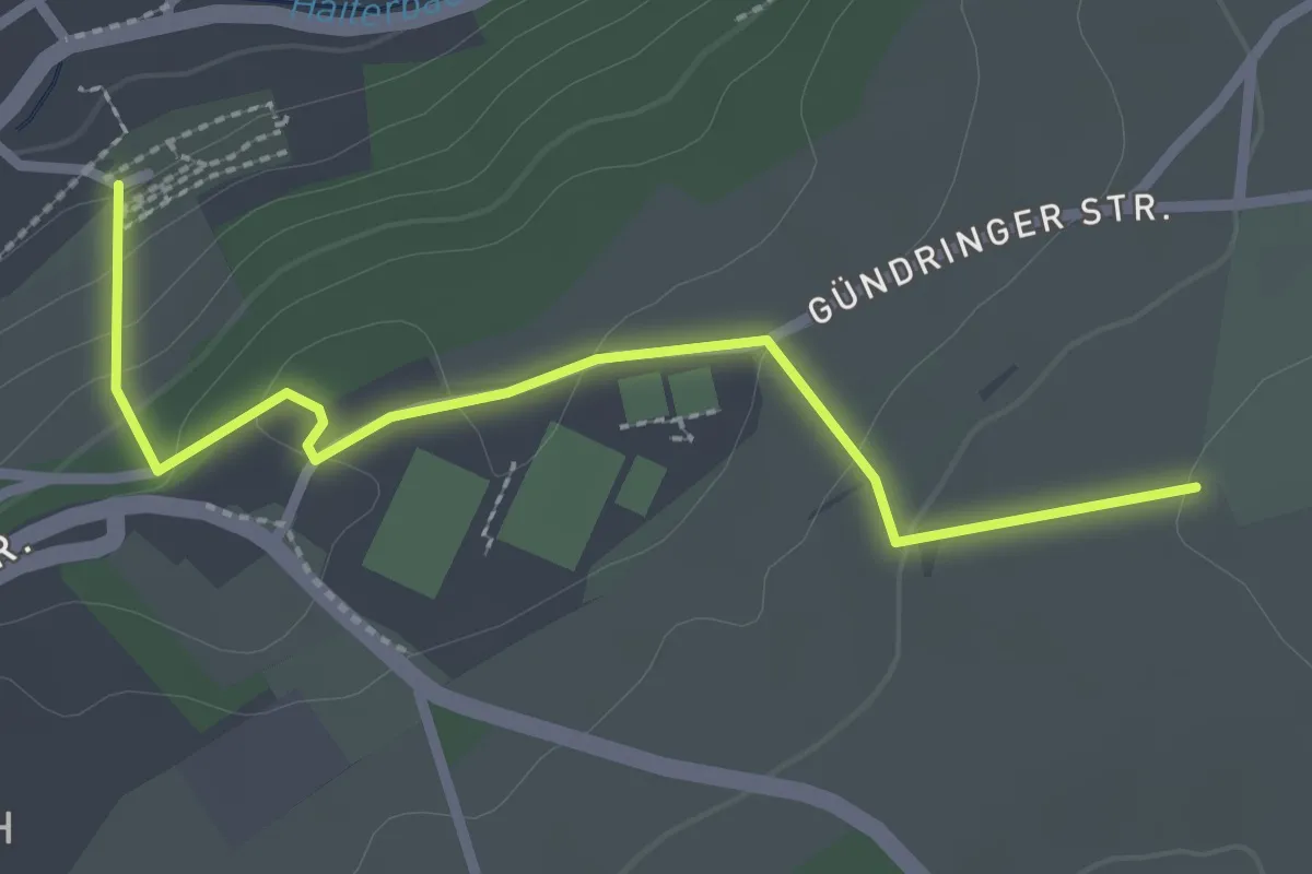
Easy · Trail
Vordere Leber - Haiterbach Friedhof
2.6 km · ↑ 103 m · 50 min
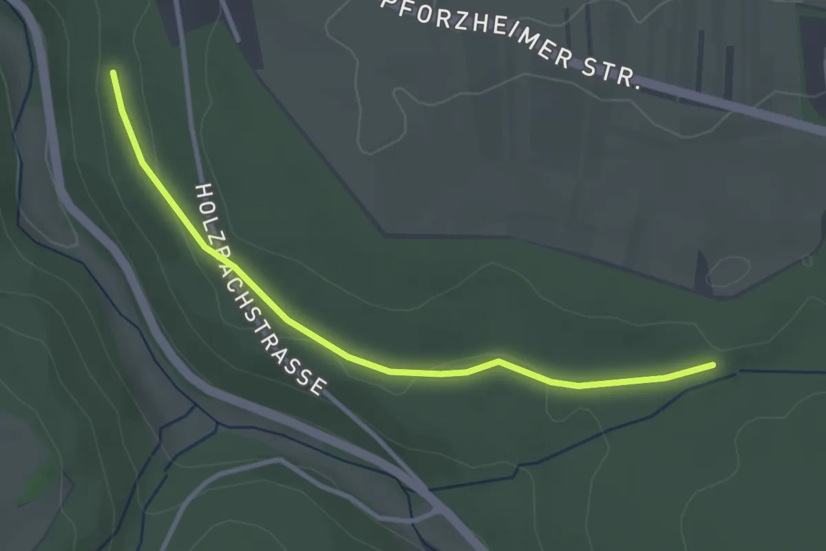
Easy · Trail
Vorderer Brückenschlag - Weinbrunnen
3.0 km · ↑ 53 m · 49 min
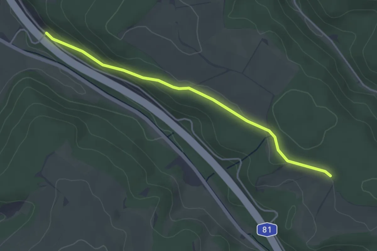
Easy · Trail
Vorderer Gauert - Bühlhalden
3.8 km · ↑ 80 m · 1 h 4 min
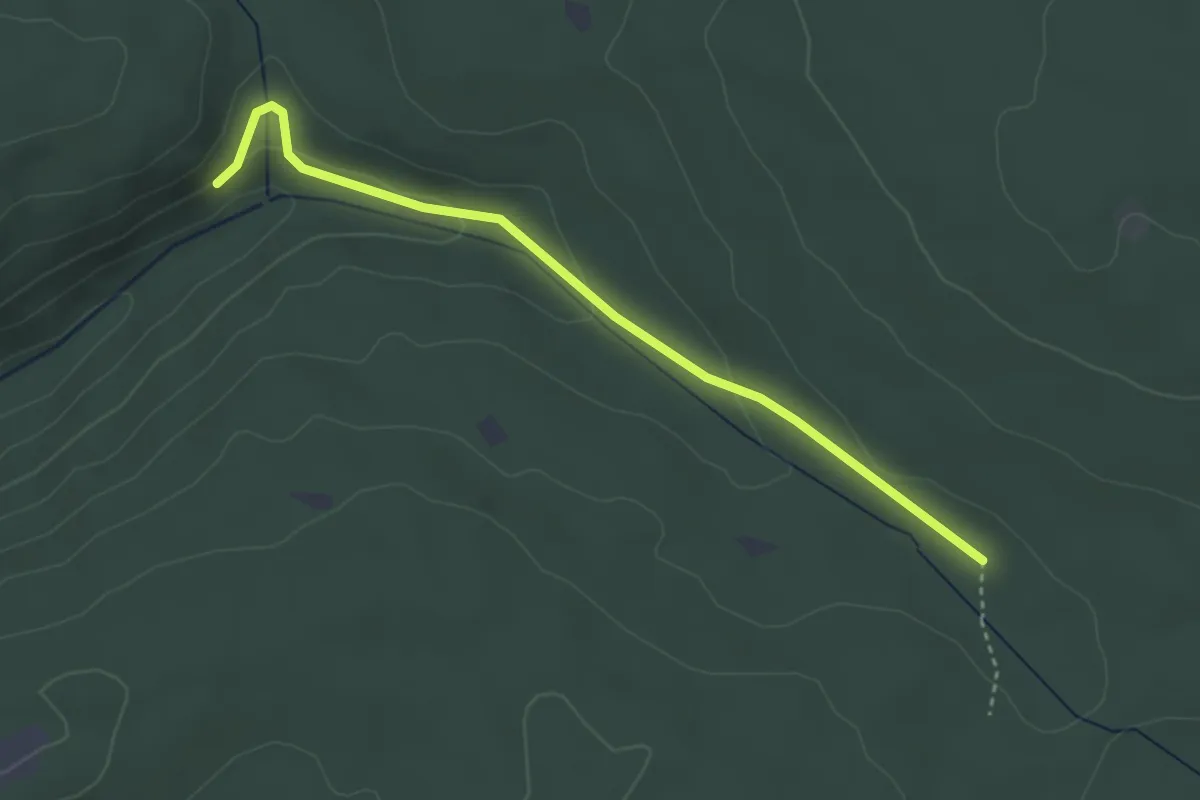
Easy · Trail
Vorderer Hörnlesberg - Schwannbrückle
3.4 km · ↑ 90 m · 1 h
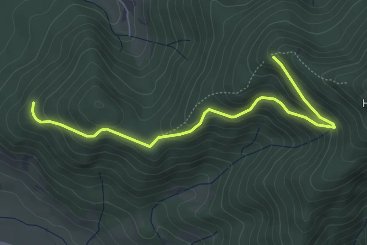
Easy · Trail
Vorderer Hörnlewald - Am Umsetzer
5.2 km · ↑ 295 m · 1 h 53 min
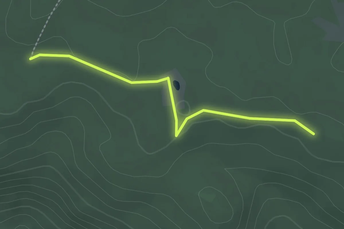
Easy · Trail
Vorderer Plon - Hinterer Plon
2.1 km · ↑ 17 m · 33 min
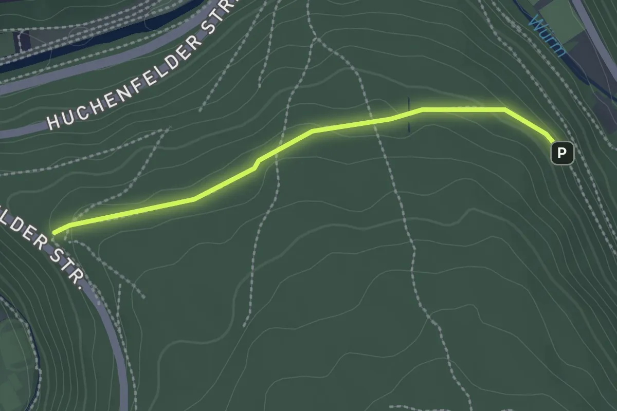
Easy · Trail
Vorderes Tannenhäule - Schöne Buche
2.2 km · ↑ 62 m · 39 min
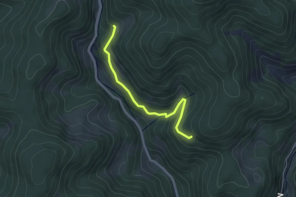
Easy · Trail
Vor der Karfunkelstadt - Kostwald
3.5 km · ↑ 142 m · 1 h 8 min
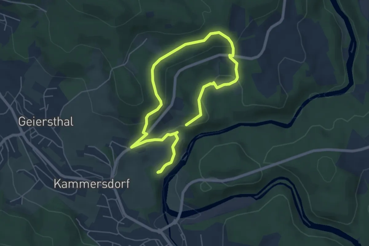
Easy · Trail
Vorderpiflitzer Rundweg
4.0 km · ↑ 162 m · 1 h 21 min
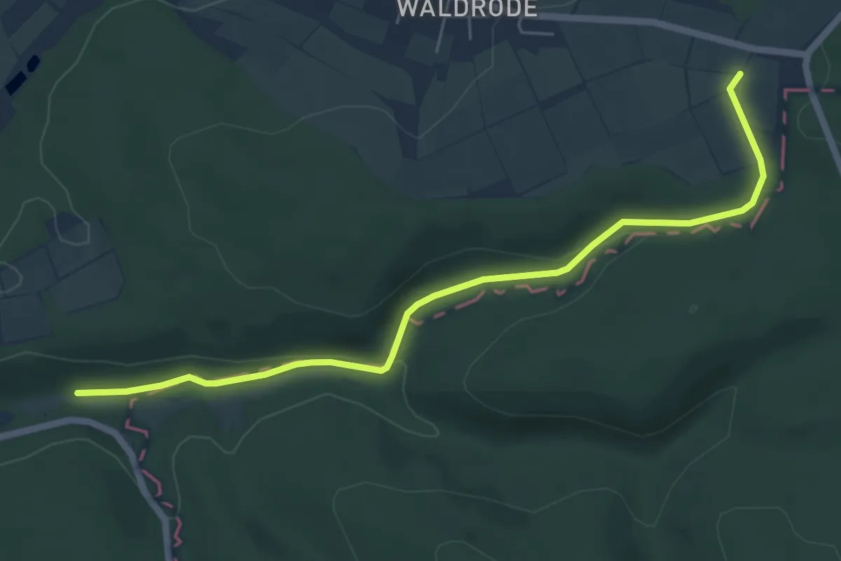
Easy · Trail
Vorderspessartblick Horbach ( Spessartfährten )
2.8 km · ↑ 105 m · 52 min
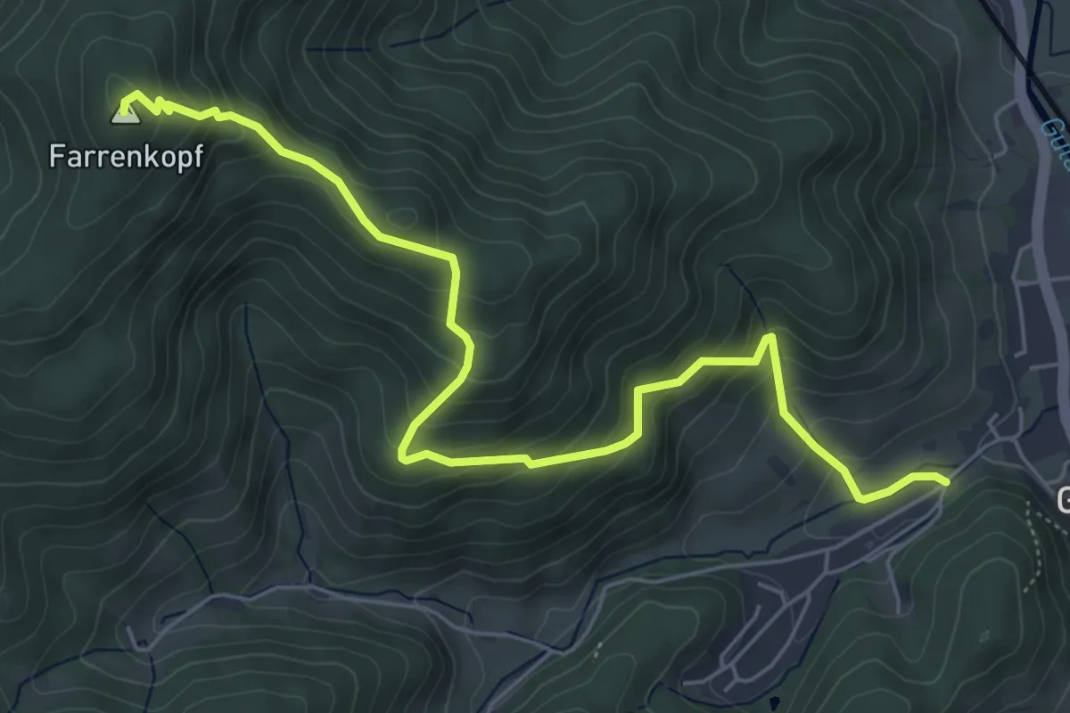
Medium · Summit
Vordersulzbach - Farrenkopf
6.4 km · ↑ 540 m · 2 h 41 min
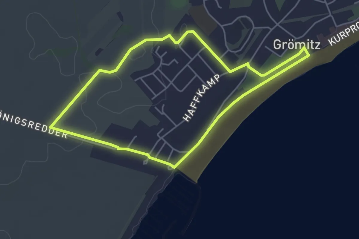
Easy · Trail
Vordingborg-Weg-Route, Grömitz
3.6 km · ↑ 21 m · 56 min
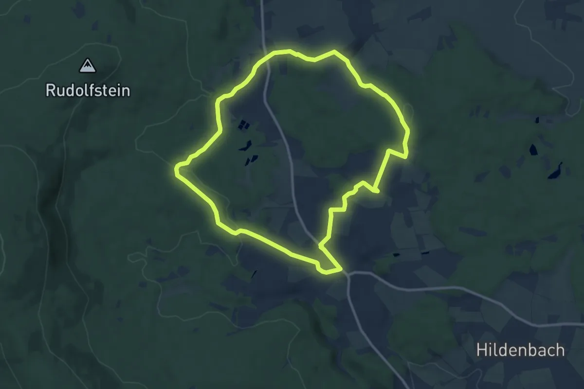
Medium · Trail
Vordorf Rundwanderweg Nr. 1
9.7 km · ↑ 199 m · 2 h 52 min
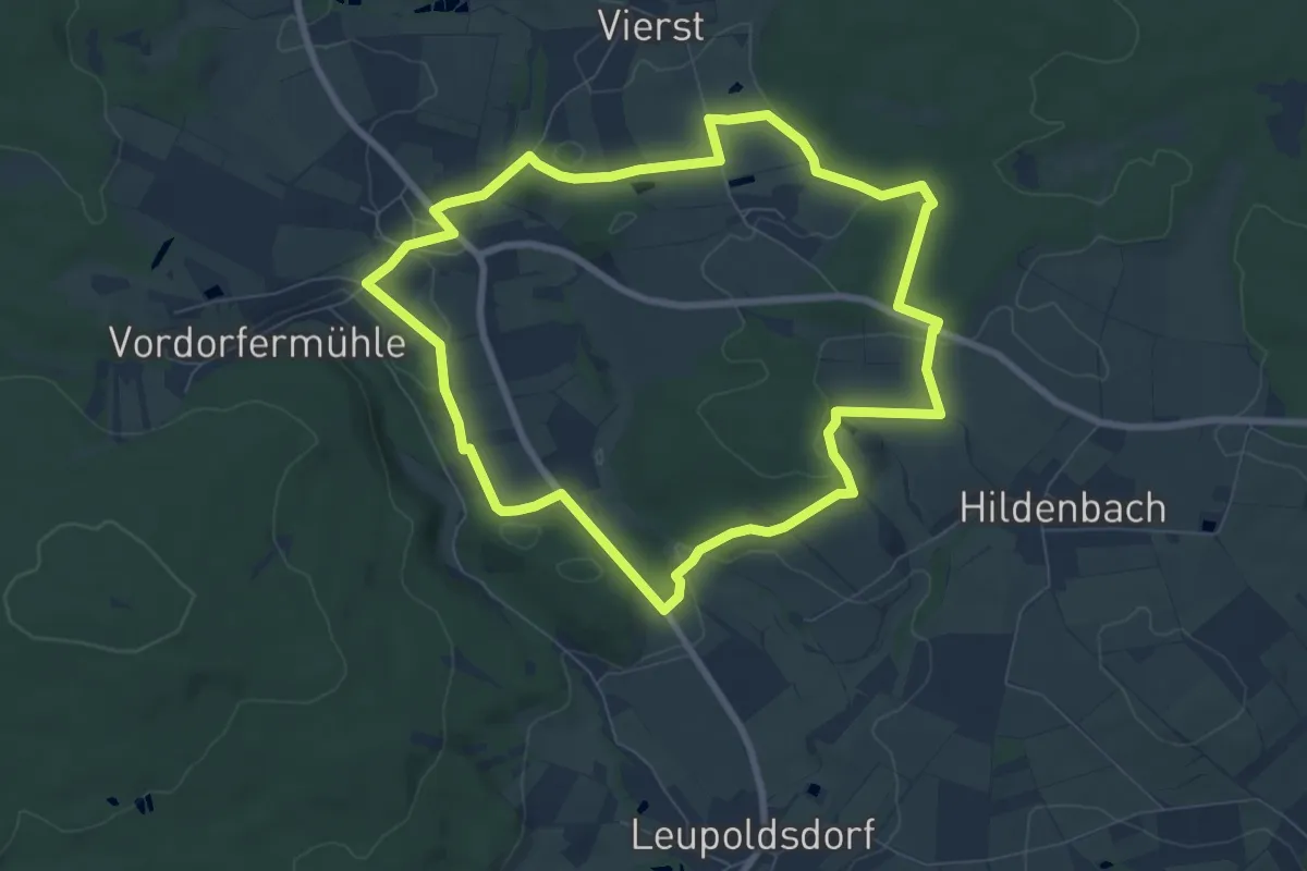
Easy · Trail
Vordorf Rundwanderweg Nr. 2
7.2 km · ↑ 139 m · 2 h 6 min
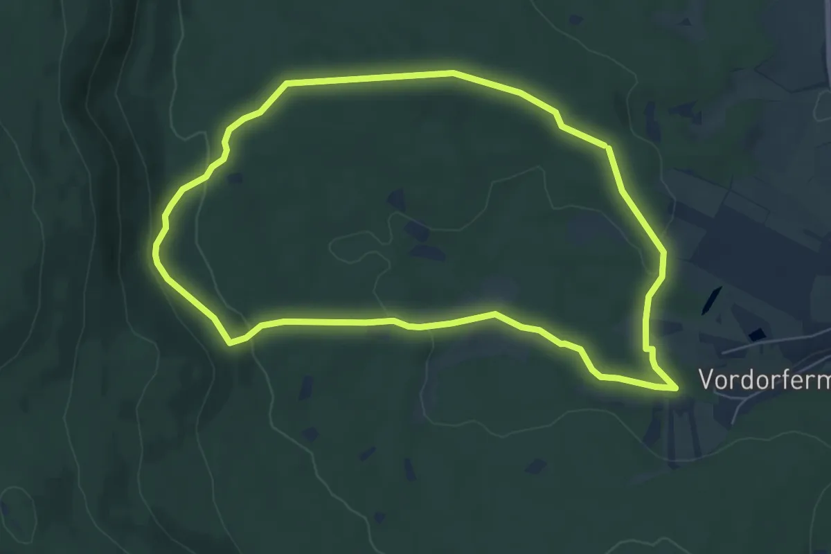
Easy · Trail
Vordorf Rundwanderweg Nr. 3
6.0 km · ↑ 124 m · 1 h 46 min
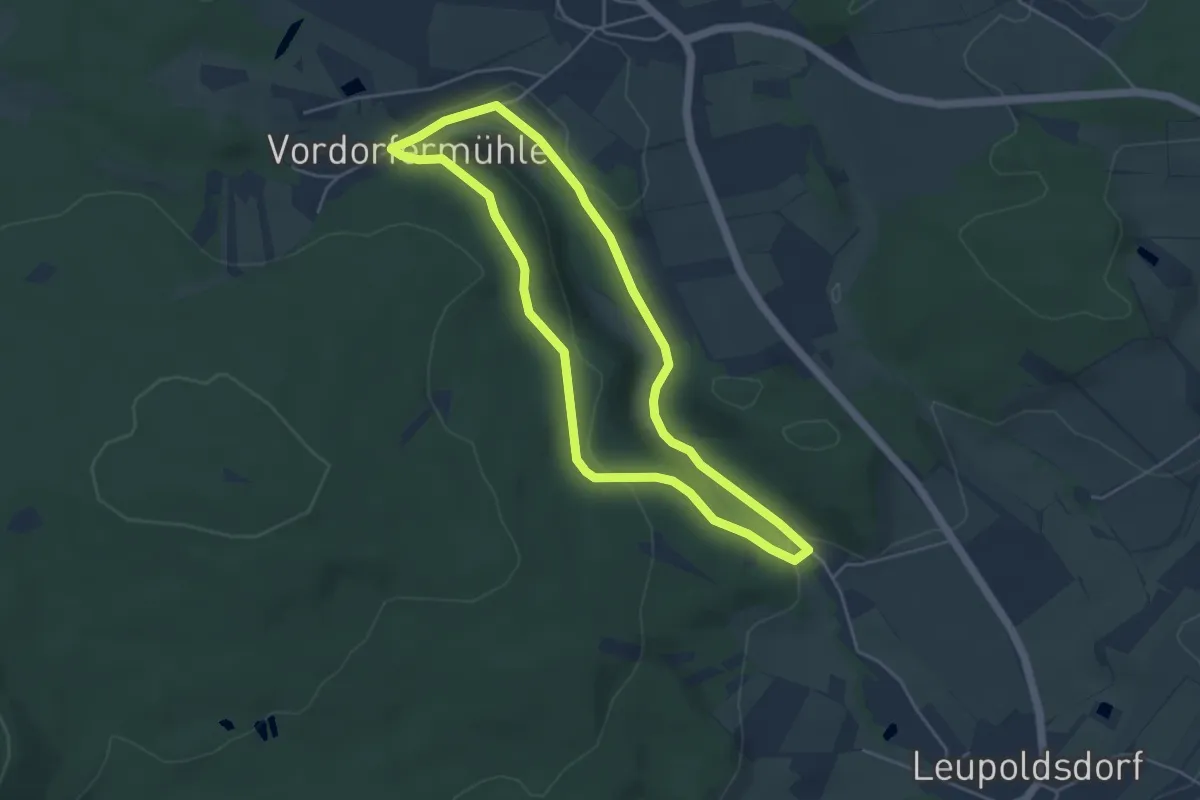
Easy · Trail
Vordorf Rundwanderweg Nr. 4
4.0 km · ↑ 90 m · 1 h 12 min
Easy · Trail
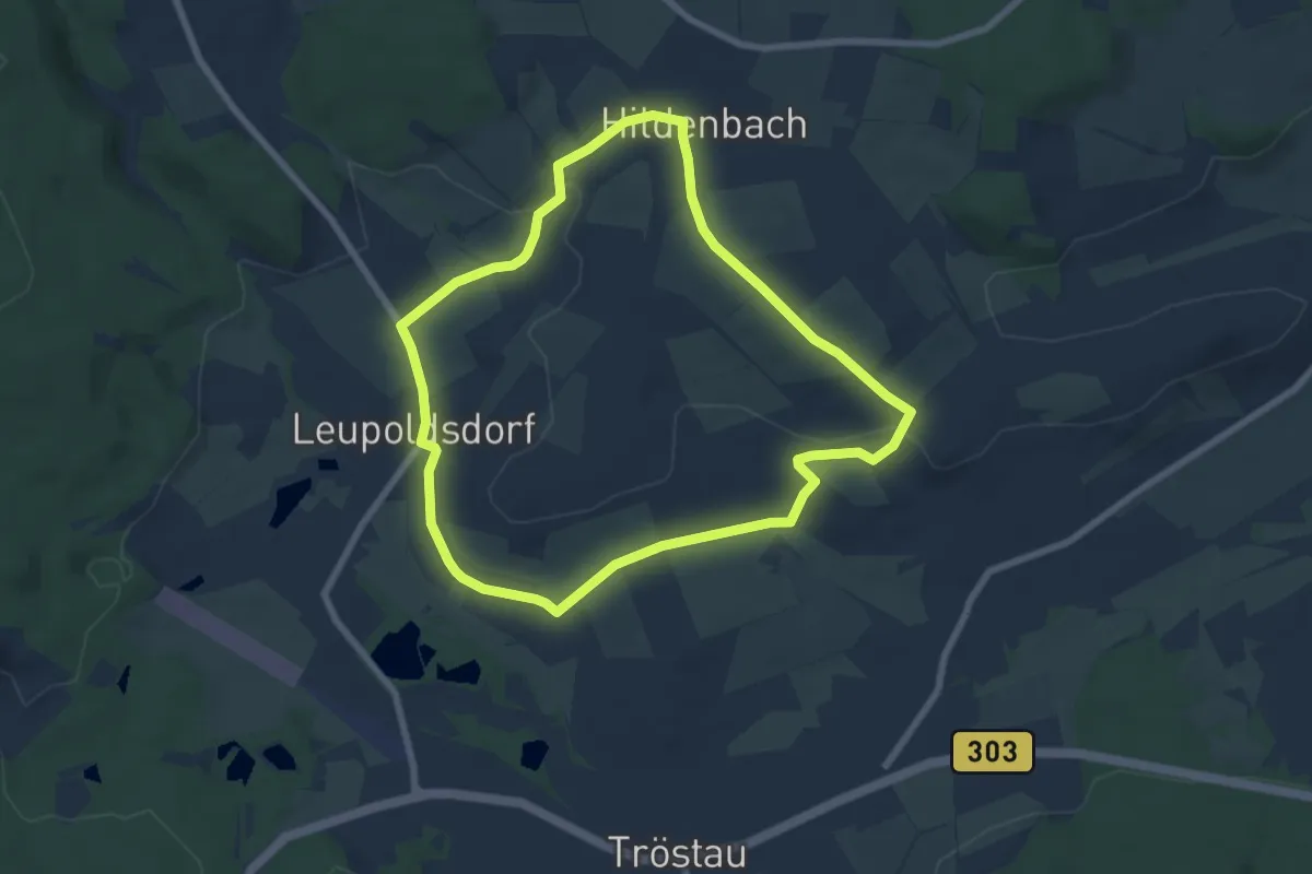
Vordorf Rundwanderweg Nr. 5
6.4 km · ↑ 100 m · 1 h 50 min
Easy · Trail
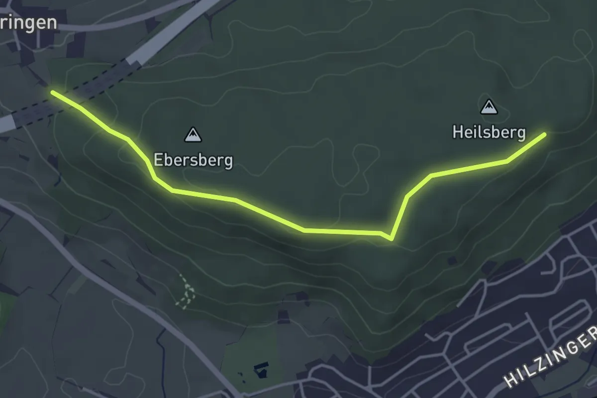
Vor Ebringen - Heilsberg Vor Altstadt
4.0 km · ↑ 85 m · 1 h 8 min
Easy · Trail
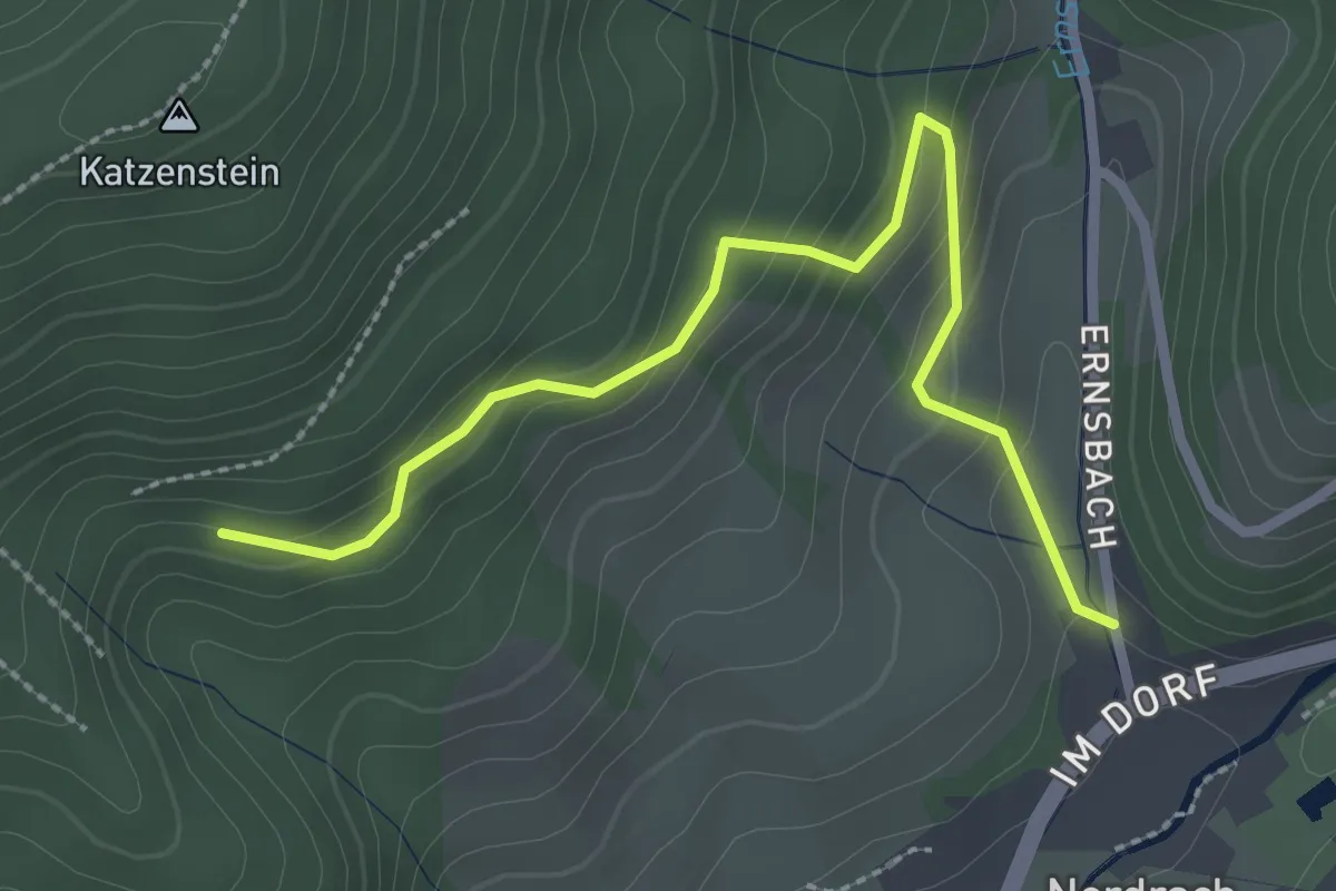
Vor Ernsbach - Herrmehonse Acker
2.7 km · ↑ 165 m · 1 h
Easy · Trail
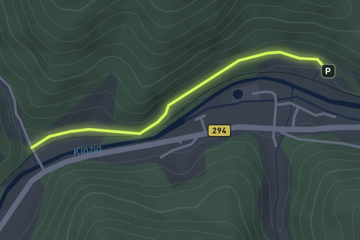
Vor Eulersbach - Vor Sulzbach
2.4 km · ↑ 56 m · 41 min
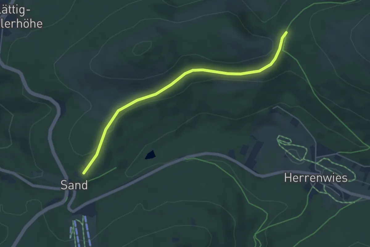
Easy · Trail
Vorfeld - Herrenwieser Sattel
4.3 km · ↑ 77 m · 1 h 11 min
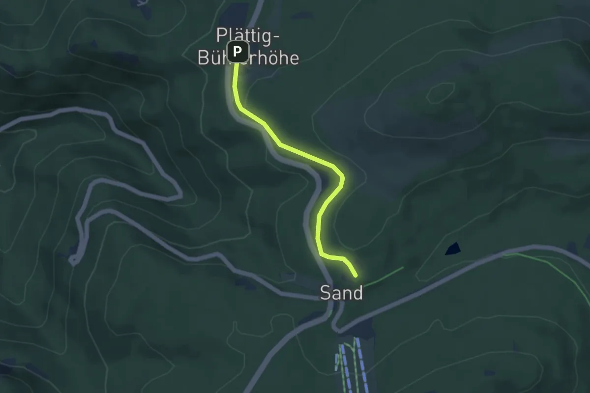
Easy · Trail
Vorfeld - Oberer Plättig
3.4 km · ↑ 97 m · 1 h
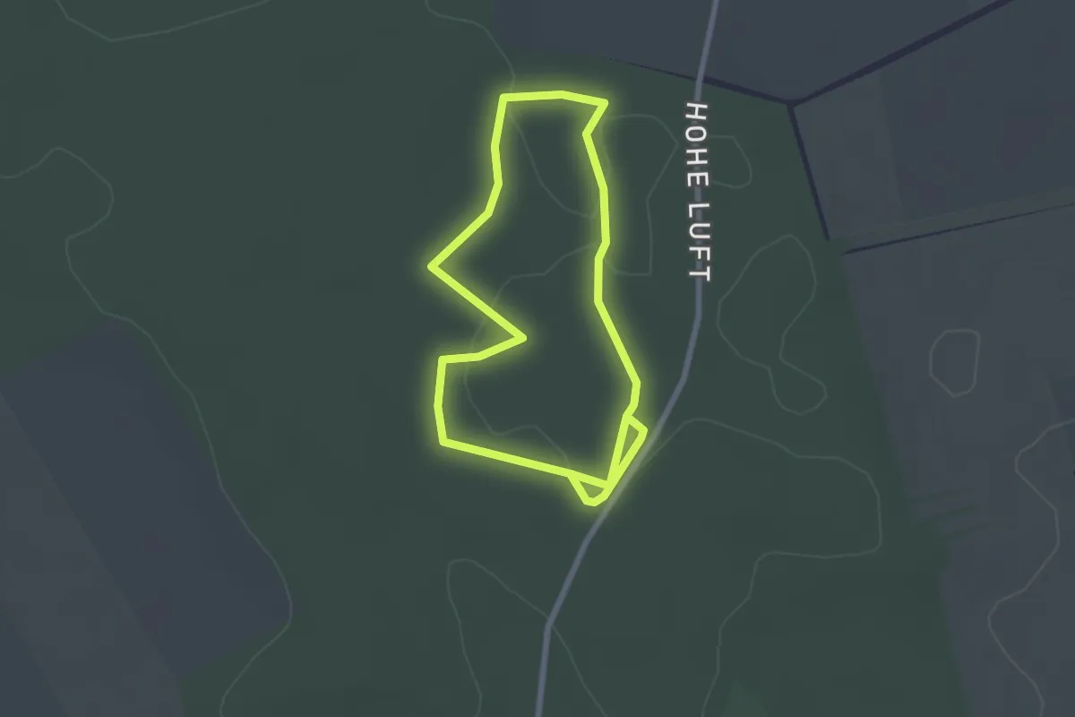
Easy · Trail
Vorgeschichtspfad
1.9 km · ↑ 4 m · 29 min
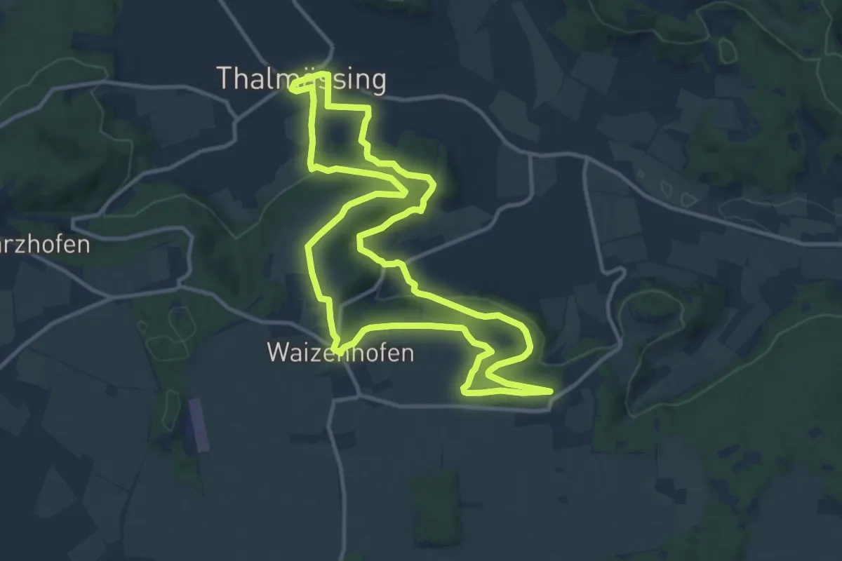
Medium · Trail
Vorgeschichtsweg
11.0 km · ↑ 262 m · 3 h 19 min