Trails in Germany
36,824 hiking trails, each with its route, climb, walking time and grade.
All trails, page 65 of 768
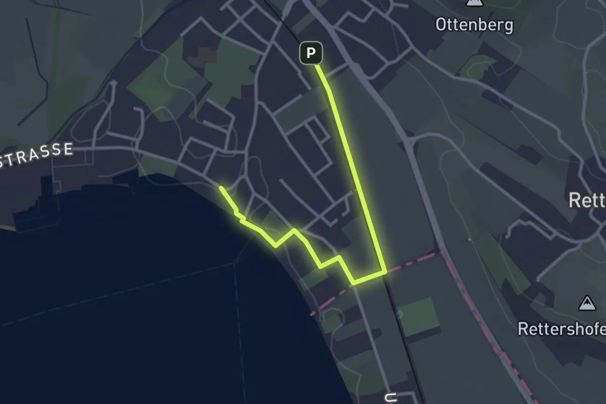
Easy · Trail
Bibelweg
3.0 km · ↑ 18 m · 44 min
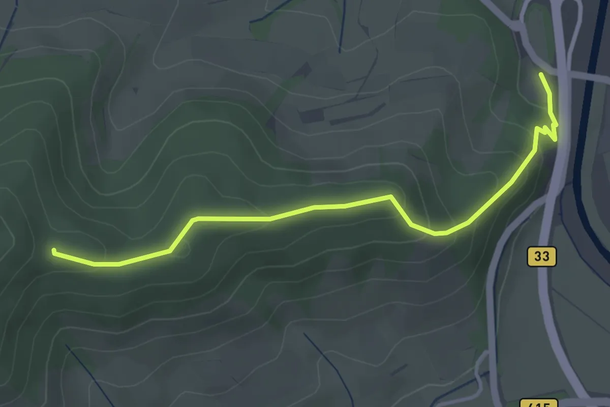
Easy · Trail
Biberach ehem. Ziegelhütte - Sturmbühl
3.5 km · ↑ 173 m · 1 h 12 min
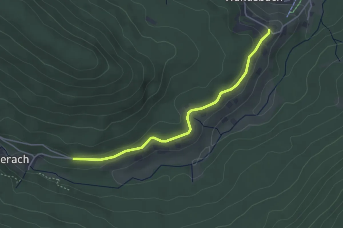
Easy · Trail
Biberach - Hundsbach Kirche
3.4 km · ↑ 91 m · 1 h
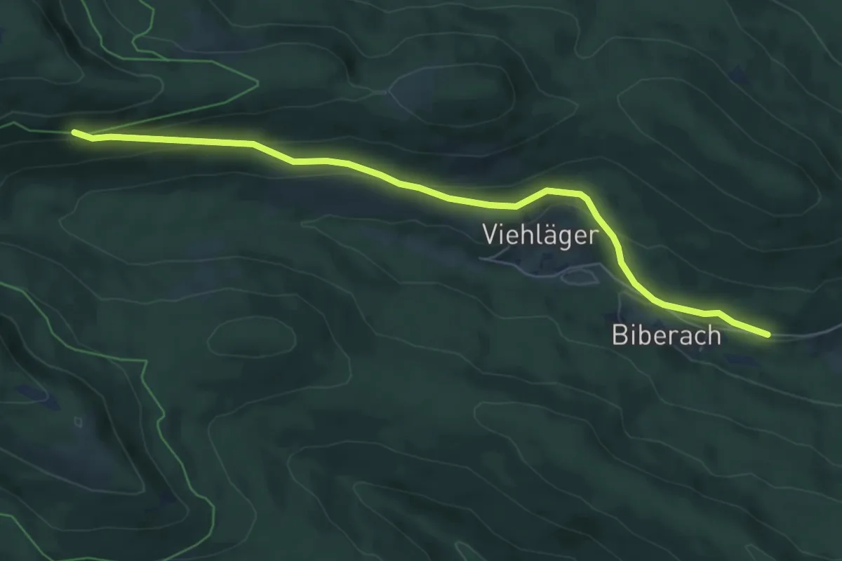
Easy · Trail
Biberach - Ochsenstall Abzweig
6.6 km · ↑ 209 m · 2 h 1 min
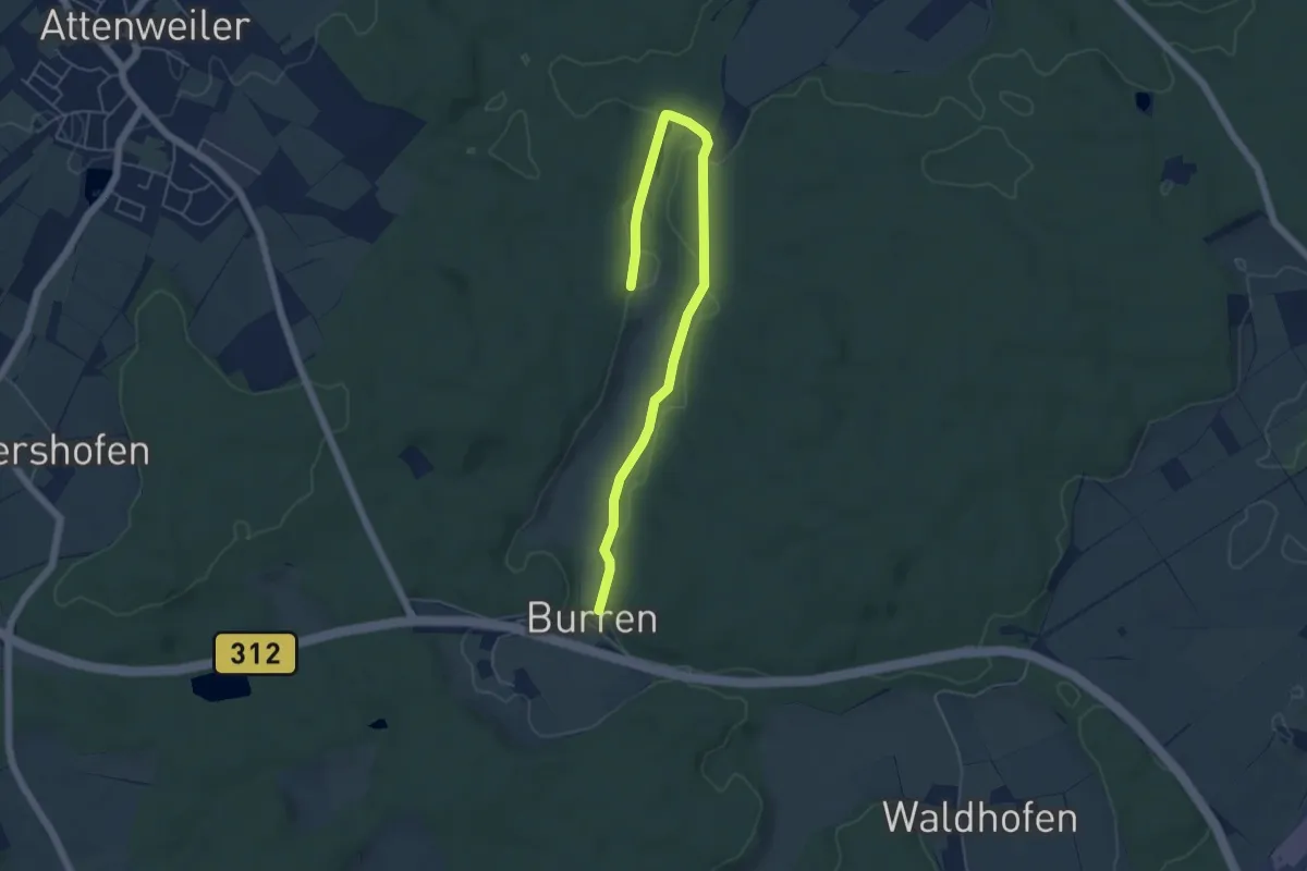
Easy · Trail
Biberach: Wanderweg 3
5.6 km · ↑ 73 m · 1 h 29 min
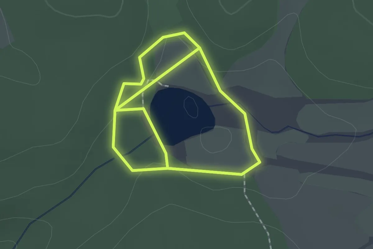
Easy · Trail
Biber-Informationspfad
1.4 km · ↑ 18 m · 23 min
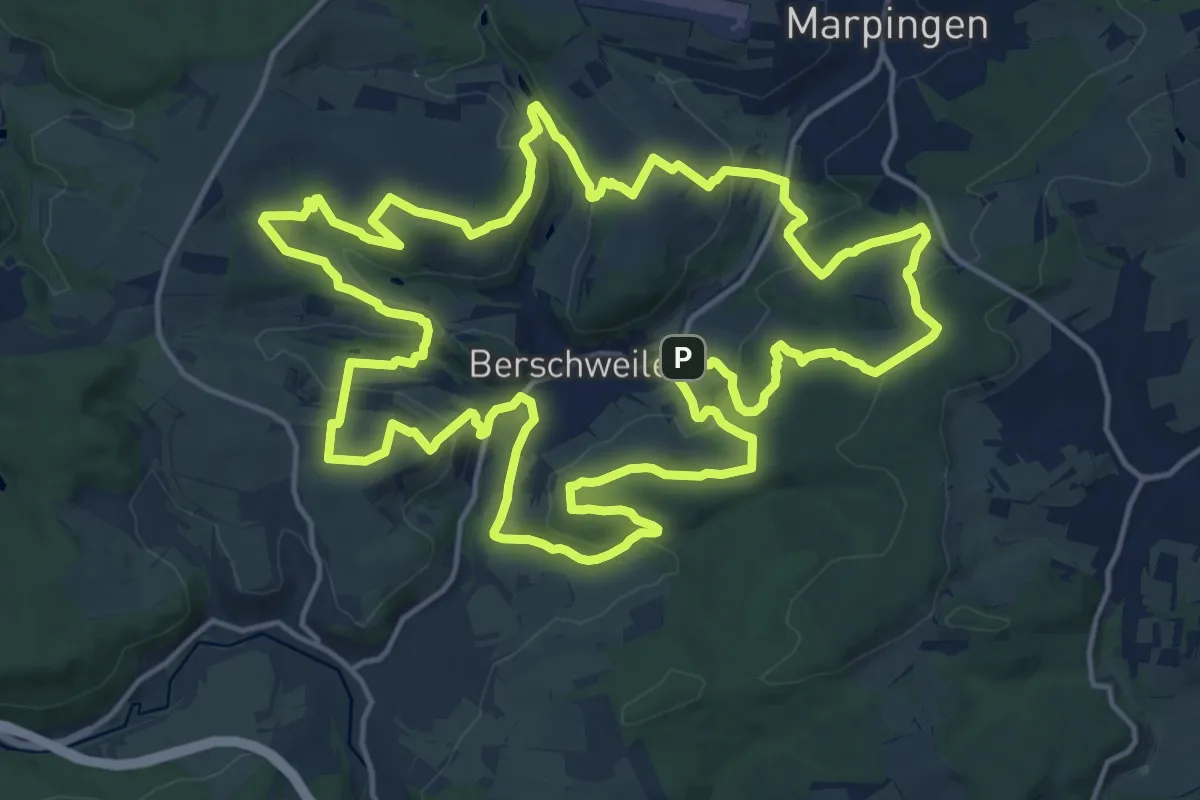
Demanding · Summit
Biberpfad
18.5 km · ↑ 514 m · 5 h 45 min
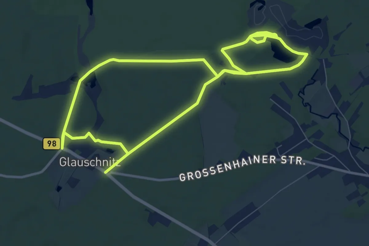
Medium · Trail
Biberpfad
15.2 km · ↑ 111 m · 3 h 50 min
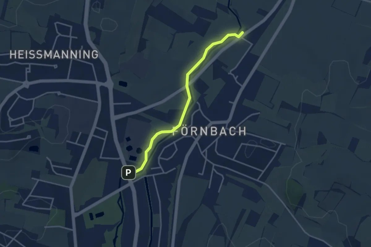
Easy · Trail
Biberpfad Pfaffenhofen
2.8 km · ↑ 0 m · 40 min
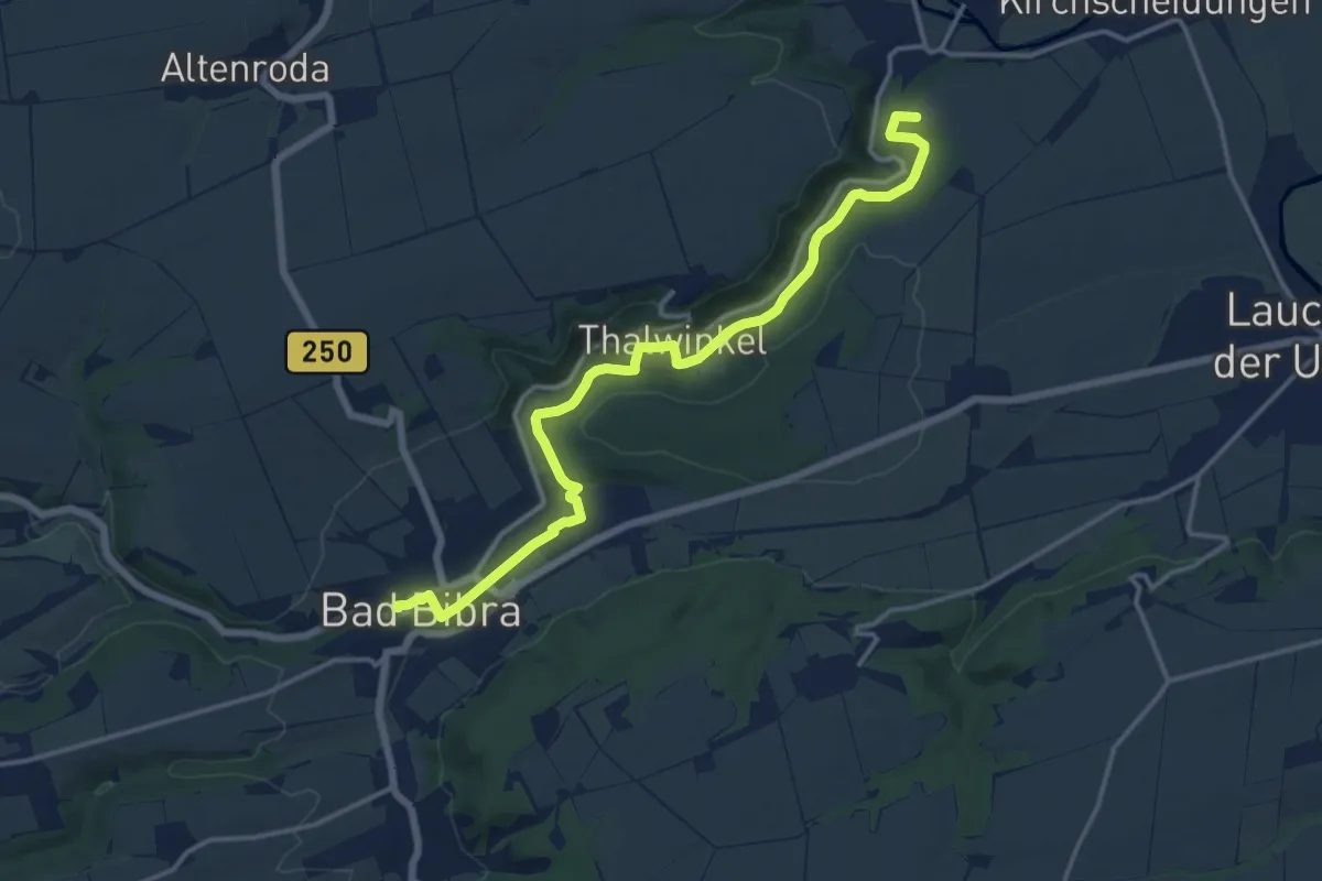
Medium · Summit
Bibertalweg
14.1 km · ↑ 123 m · 3 h 36 min
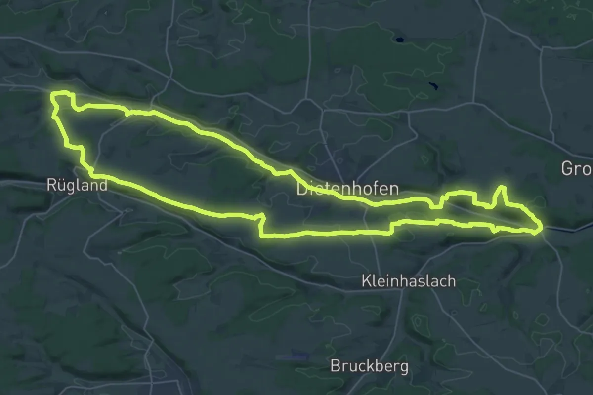
Demanding · Summit
Bibertrundweg
31.4 km · ↑ 358 m · 8 h 37 min
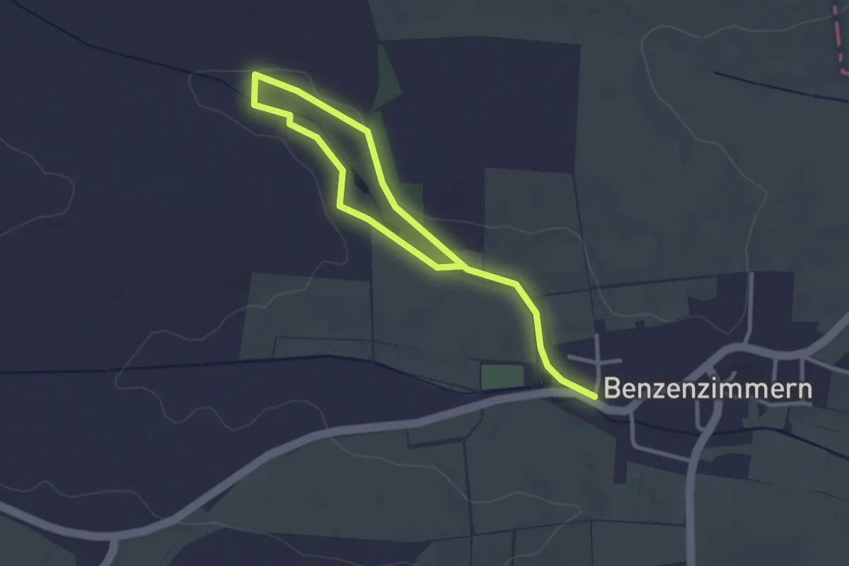
Easy · Trail
Biber- und Baumpfad
3.9 km · ↑ 13 m · 58 min
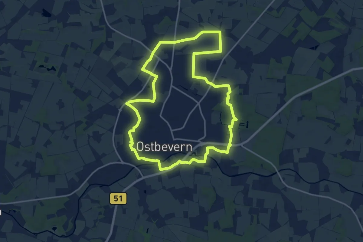
Medium · Trail
Biberwanderroute
11.7 km · ↑ 27 m · 2 h 59 min
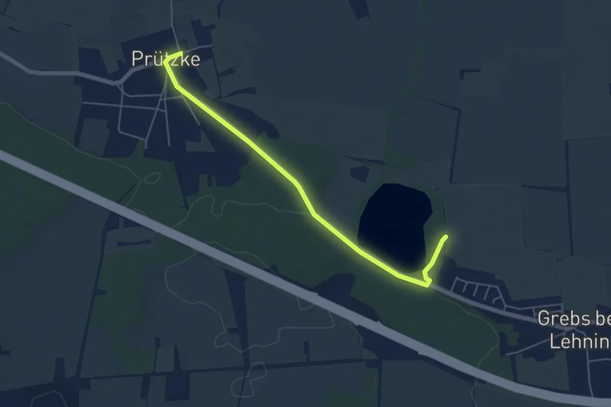
Easy · Trail
Biberwanderweg
4.5 km · ↑ 18 m · 1 h 6 min
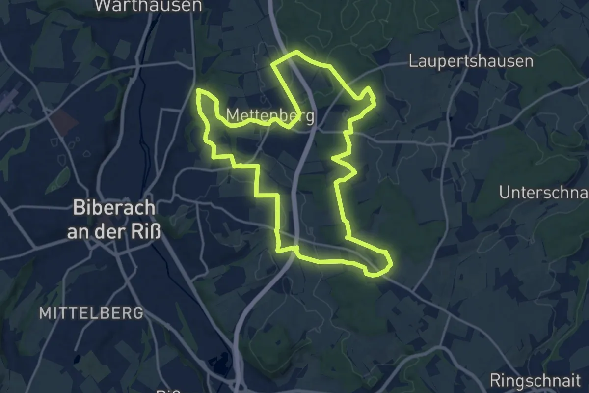
Medium · Trail
Biber-Wanderweg Mettenberg
14.8 km · ↑ 212 m · 4 h 10 min
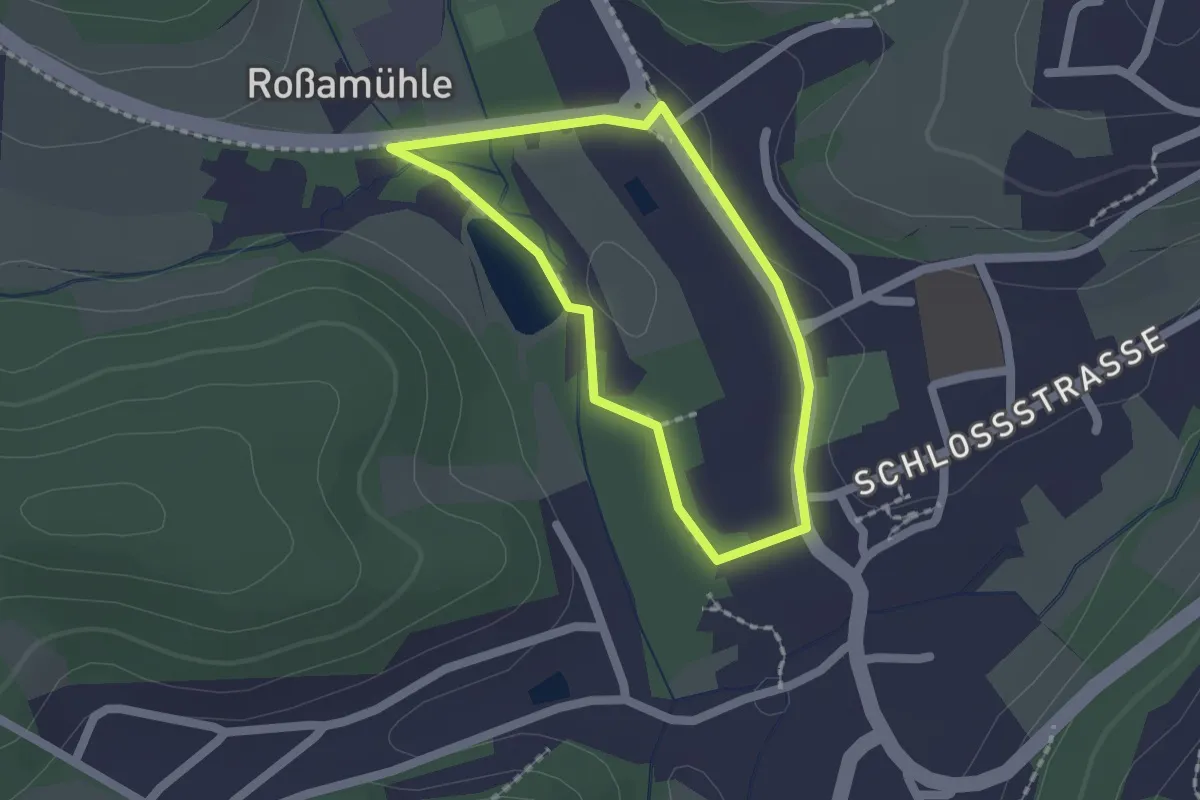
Easy · Trail
Biberweg
1.4 km · ↑ 5 m · 22 min
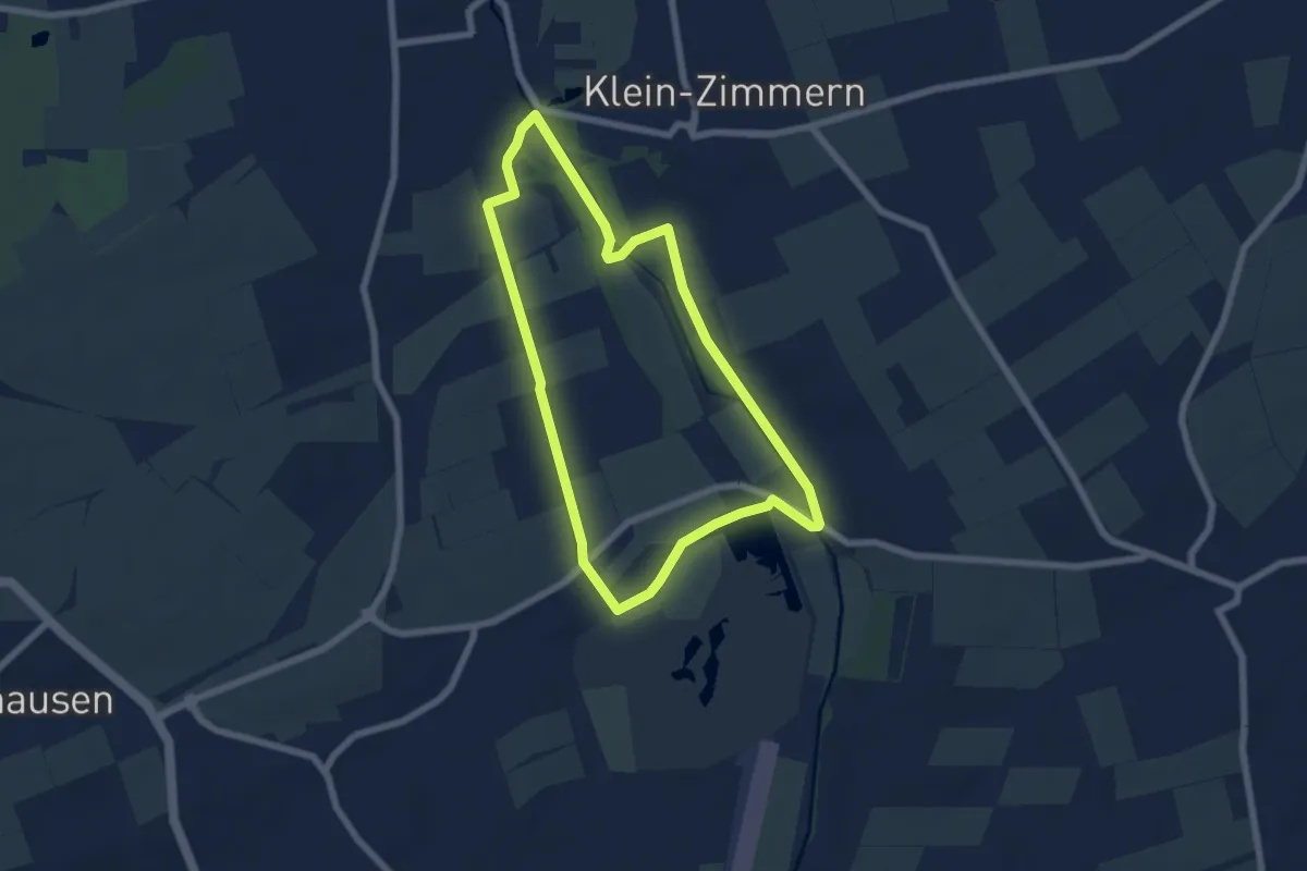
Easy · Trail
Biberweg
5.7 km · ↑ 8 m · 1 h 27 min
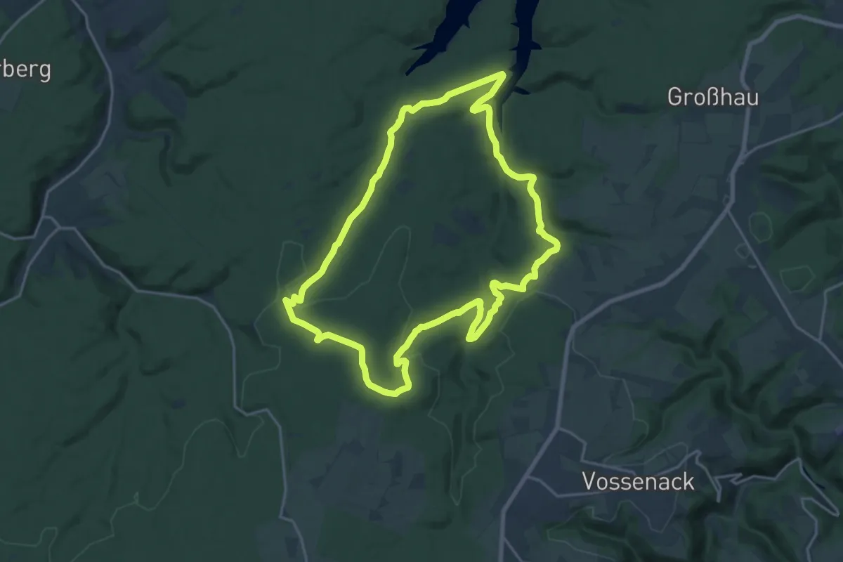
Medium · Trail
Biberweg
16.2 km · ↑ 342 m · 4 h 48 min
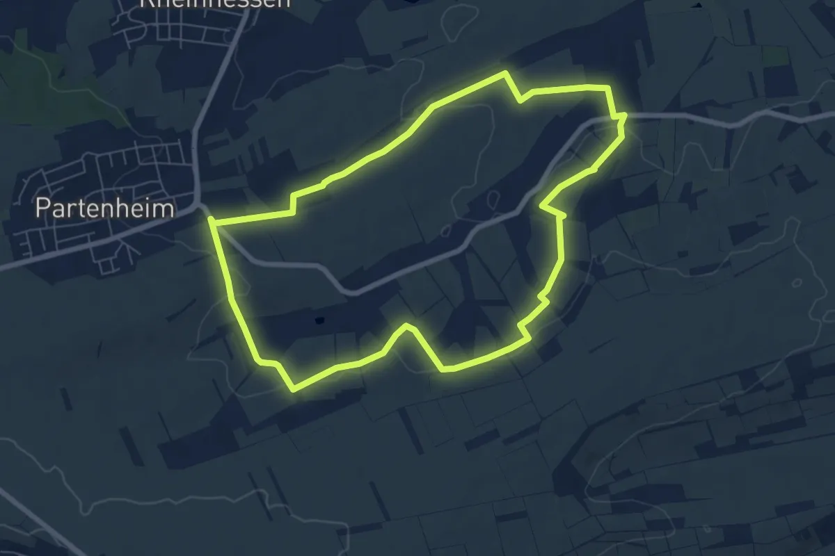
Easy · Trail
Biblischer Weinpfad
6.6 km · ↑ 131 m · 1 h 56 min
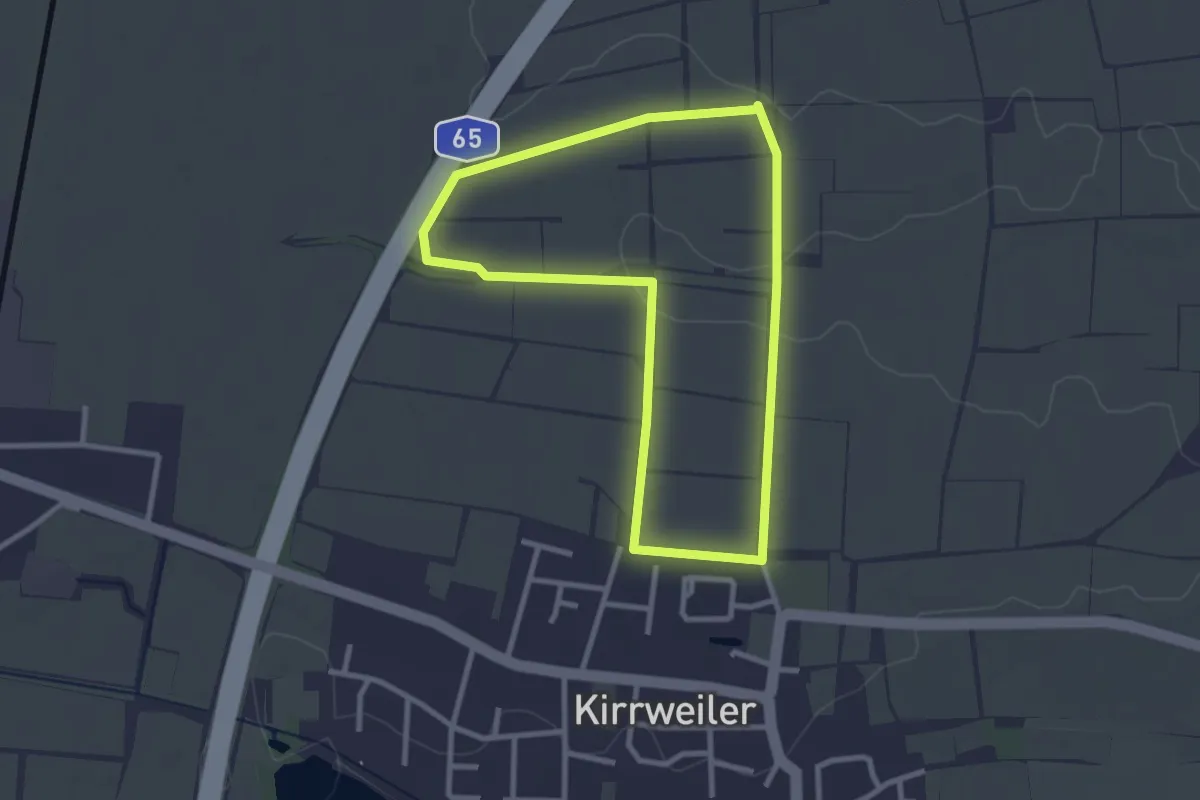
Easy · Trail
Biblischer Weinpfad zu Kirrweiler
2.5 km · ↑ 0 m · 38 min
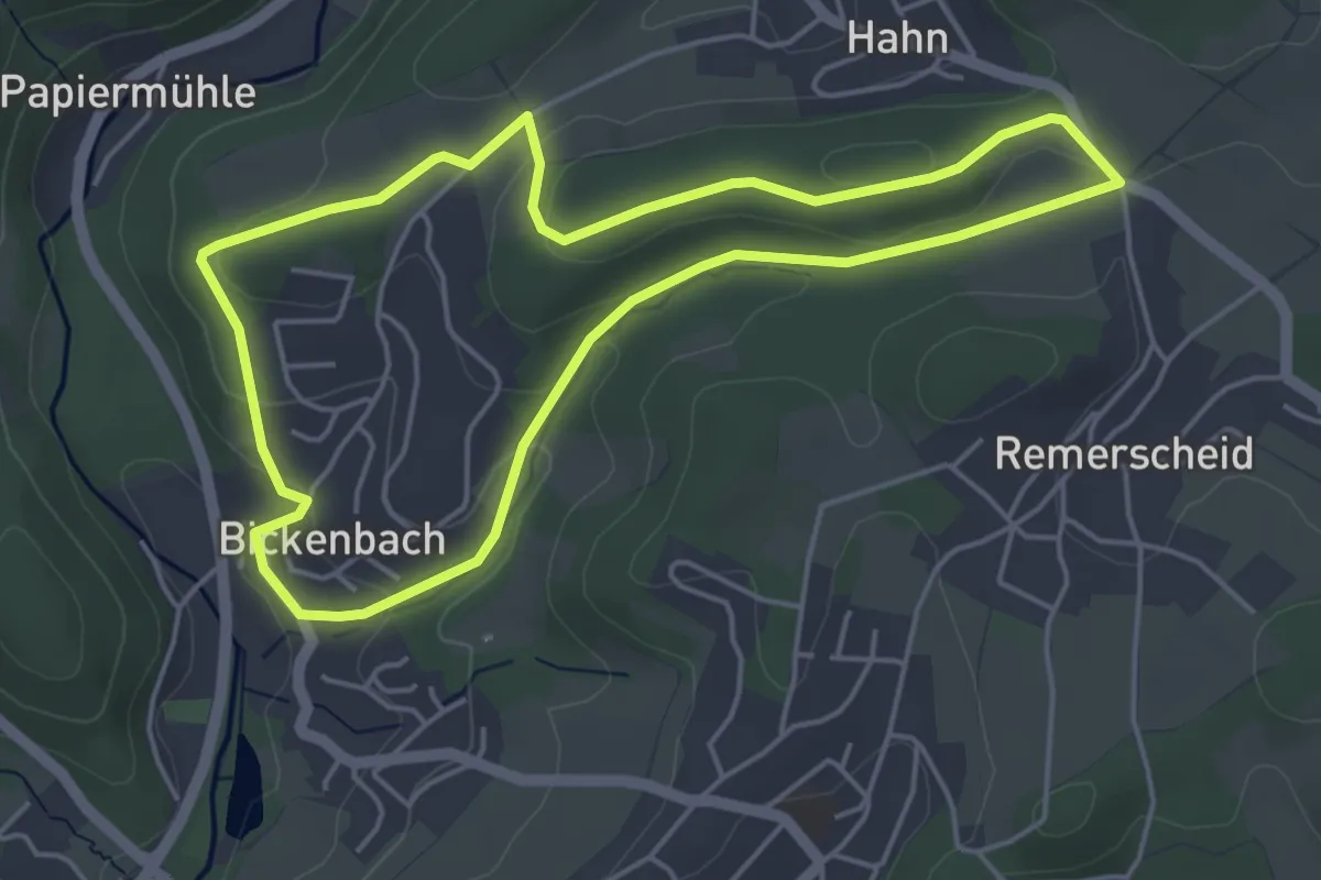
Easy · Trail
Bickenbach Rundweg A1
4.3 km · ↑ 111 m · 1 h 19 min
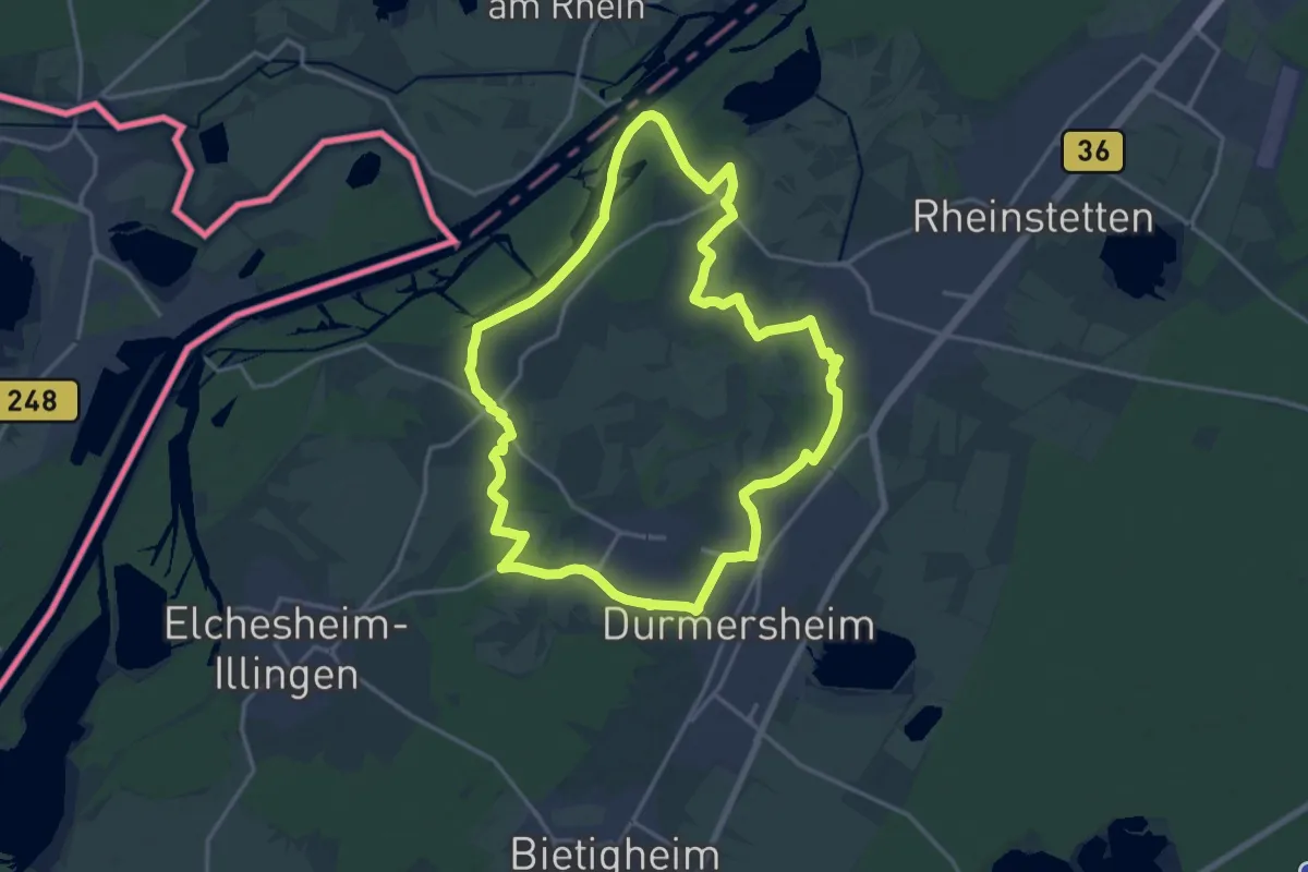
Medium · Trail
Bickesheimer Pilgerpfad
16.3 km · ↑ 26 m · 4 h 8 min
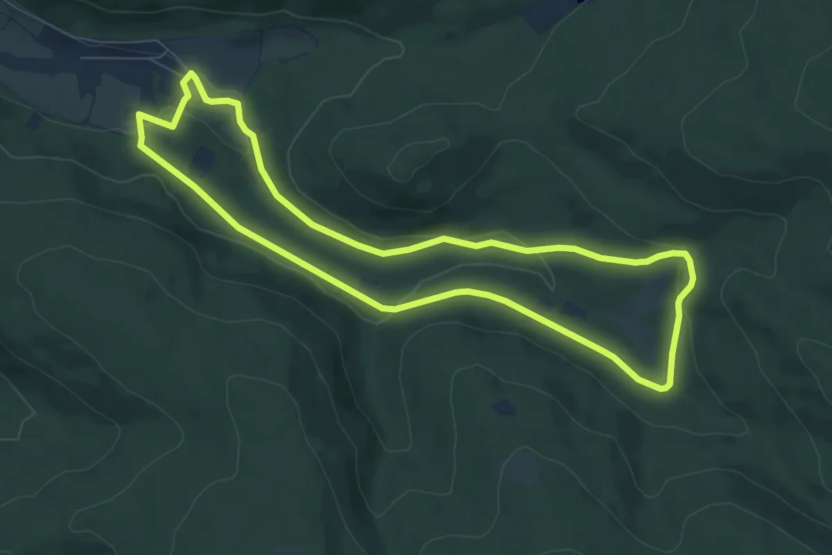
Easy · Trail
Biebergemünd - Rundwanderweg Bg 1
7.0 km · ↑ 120 m · 2 h
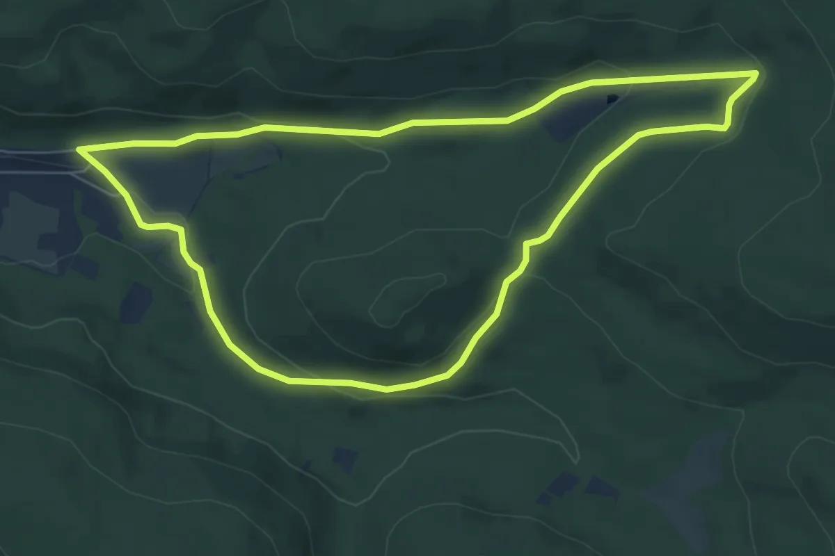
Easy · Trail
Biebergemünd - Rundwanderweg Bg 2
6.3 km · ↑ 166 m · 1 h 56 min
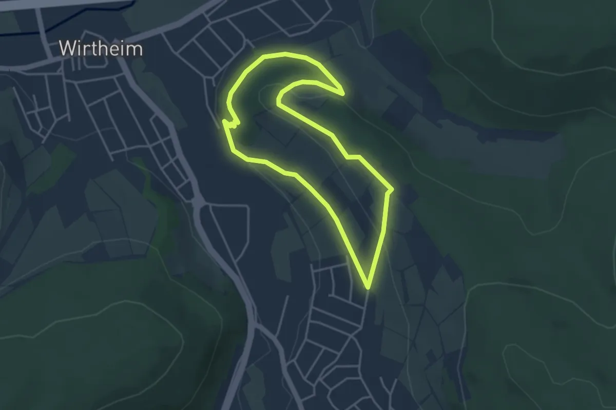
Easy · Trail
Biebergemünd - Rundwanderweg Bg 3
3.2 km · ↑ 67 m · 57 min
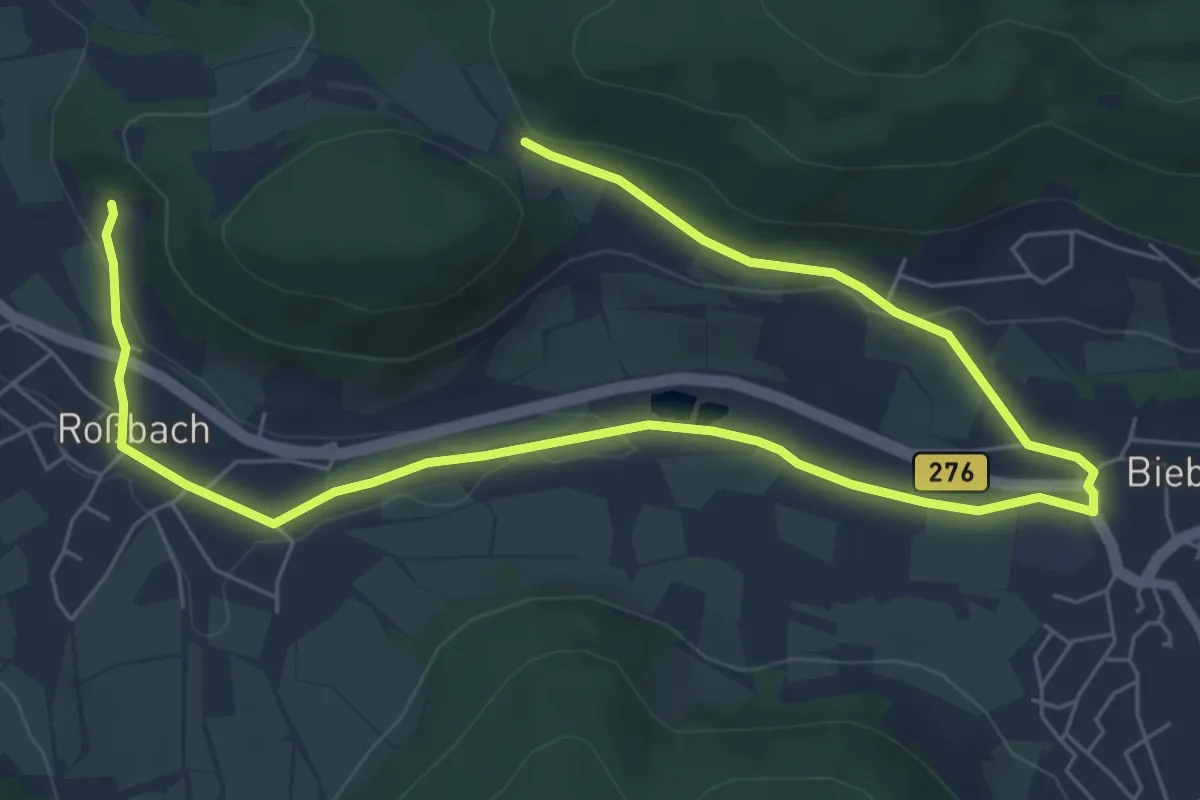
Easy · Trail
Biebergemünd - Rundwanderweg Bg 4
4.6 km · ↑ 24 m · 1 h 14 min
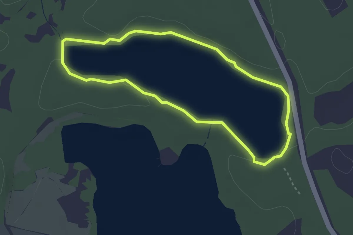
Easy · Trail
Bieberpfad
2.4 km · ↑ 4 m · 37 min
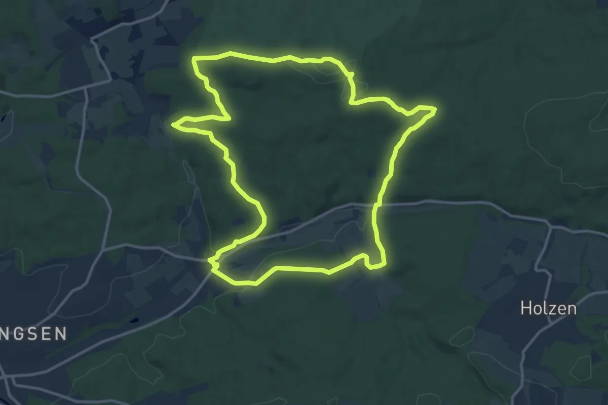
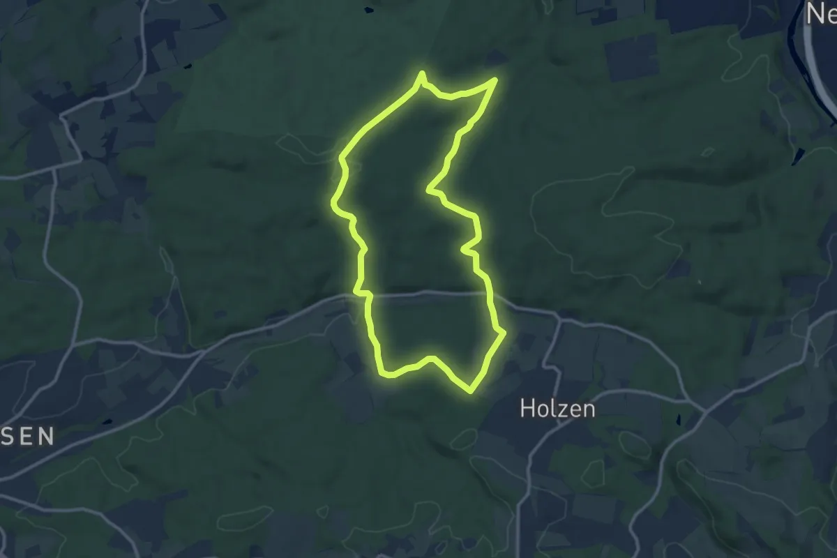
Medium · Summit
Bieber Rundweg A6
11.1 km · ↑ 225 m · 3 h 16 min
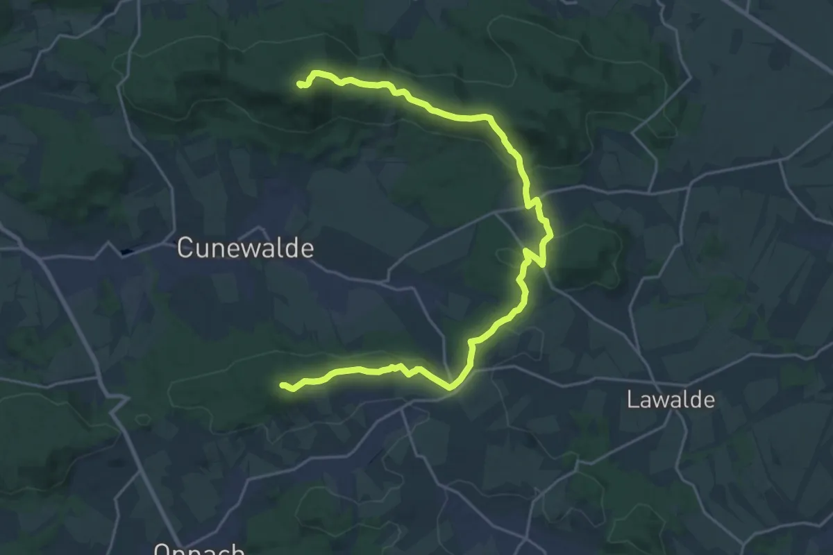
Medium · Summit
Bieber Rundweg A7
9.5 km · ↑ 218 m · 2 h 51 min
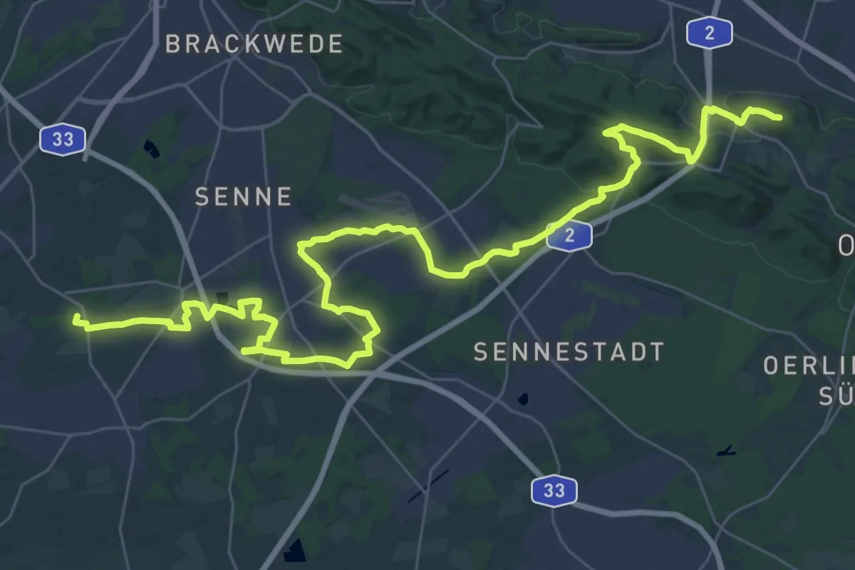
Demanding · Summit
Bieleboh - Czorneboh (gelber Strich)
22.8 km · ↑ 531 m · 6 h 32 min
Demanding · Summit
Bielefelder Lämmerweg: Hauptweg
41.8 km · ↑ 375 m · 10 h 40 min
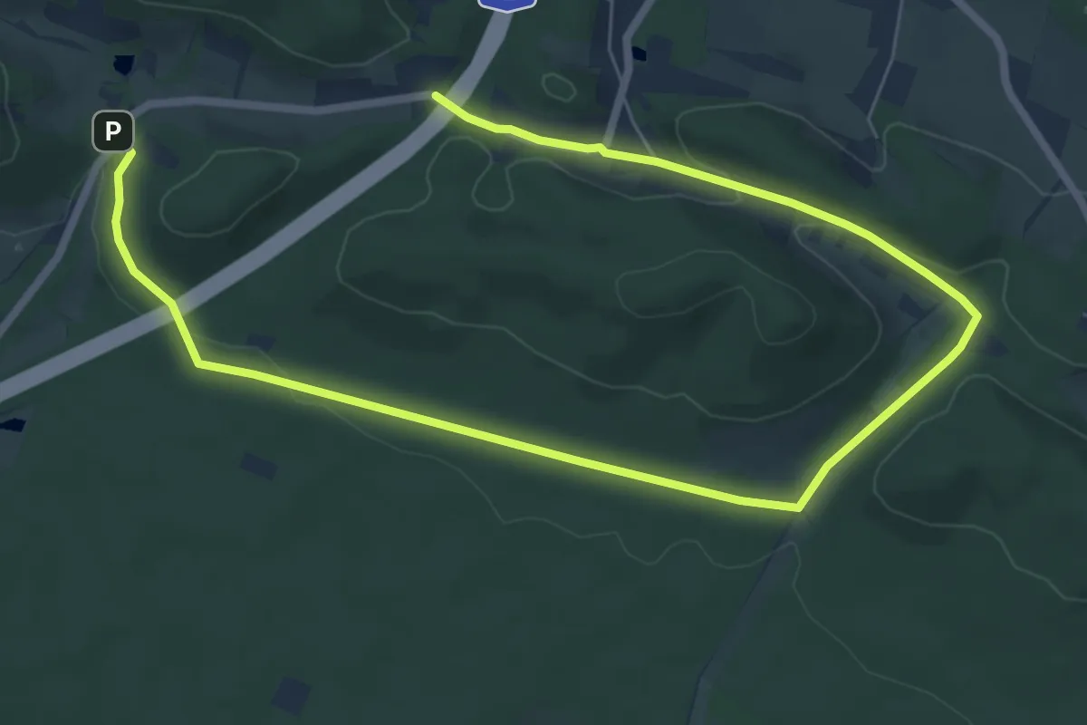
Easy · Summit
Bielefelder Lämmerweg: Rundtour 1 (Ubbedissen - Eisgrund)
4.6 km · ↑ 82 m · 1 h 19 min
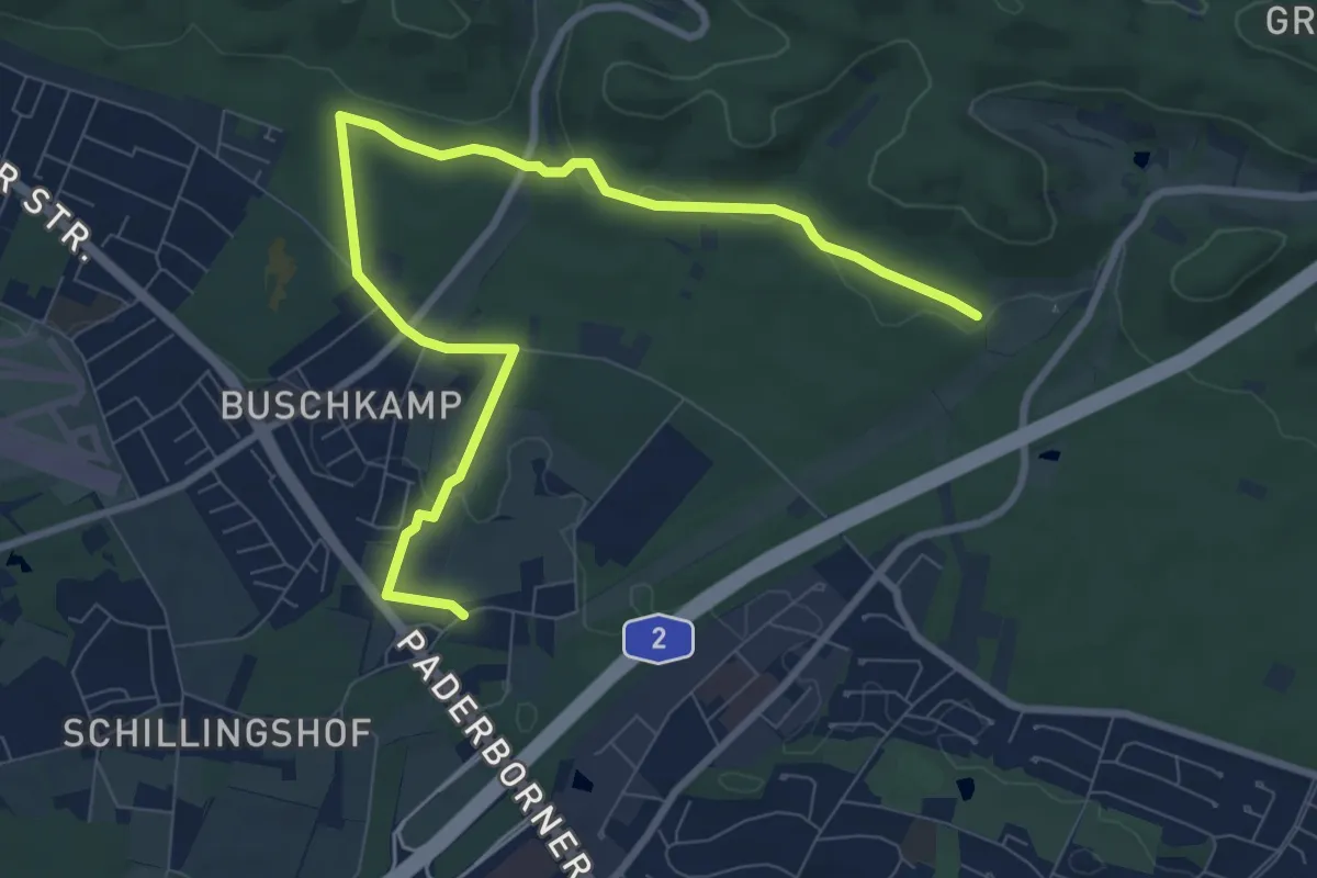
Easy · Trail
Bielefelder Lämmerweg: Rundtour 2 (Eisgrund - B68)
4.5 km · ↑ 86 m · 1 h 18 min
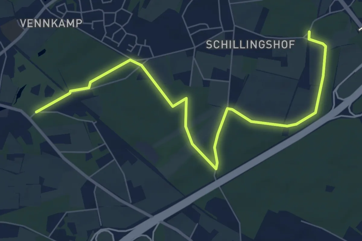
Easy · Summit
Bielefelder Lämmerweg: Rundtour 3 (B68 - Bahnhof Windelsbleiche)
3.6 km · ↑ 4 m · 54 min
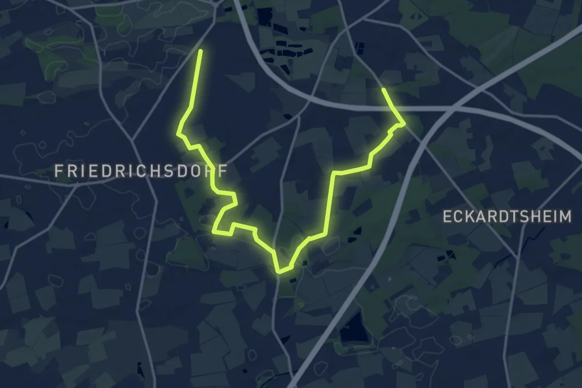
Easy · Trail
Bielefelder Lämmerweg: Rundtour 4 (Bahnhof Windelsbleiche - Osthusschule)
7.2 km · ↑ 40 m · 1 h 53 min
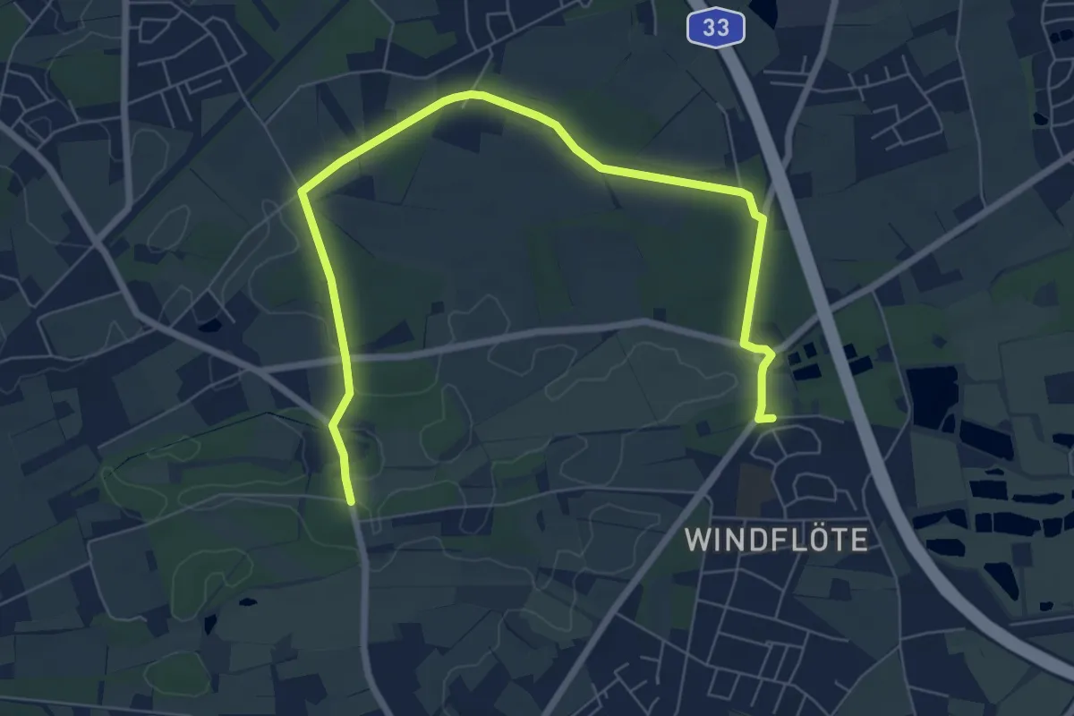
Easy · Trail
Bielefelder Lämmerweg: Rundtour 5 (Osthusschule - Landschaftspflegehof Ramsbrock)
3.8 km · ↑ 9 m · 59 min
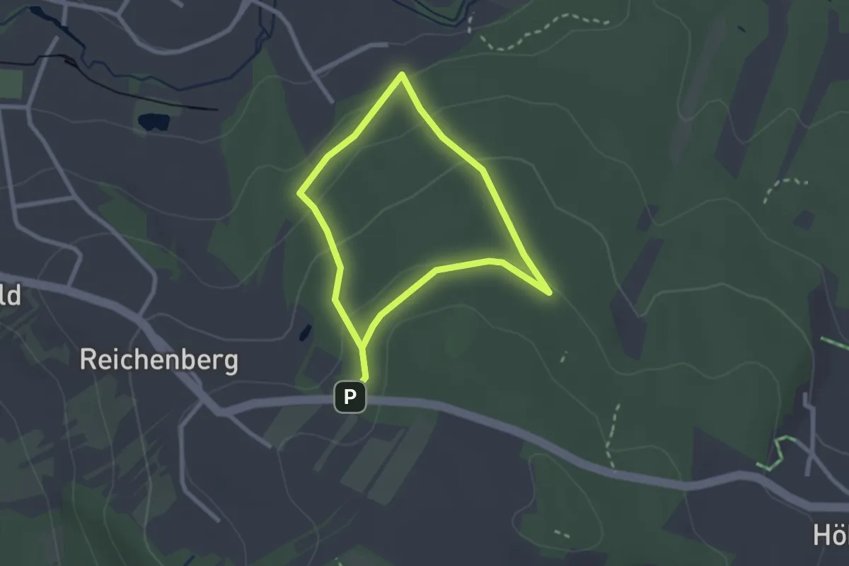
Easy · Trail
Biene
1.9 km · ↑ 77 m · 39 min
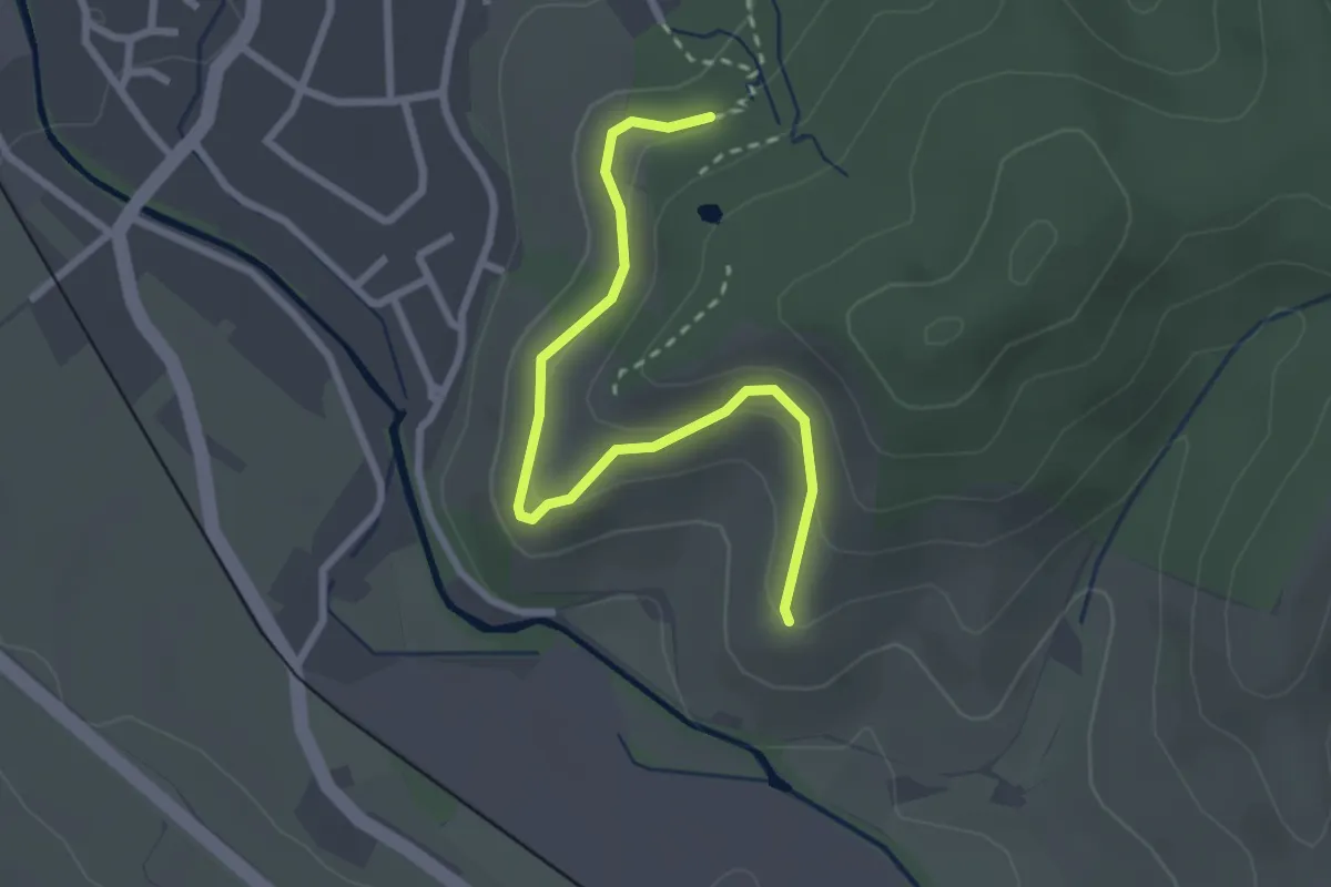
Easy · Trail
Bienenberg - Sausteig
2.7 km · ↑ 160 m · 59 min
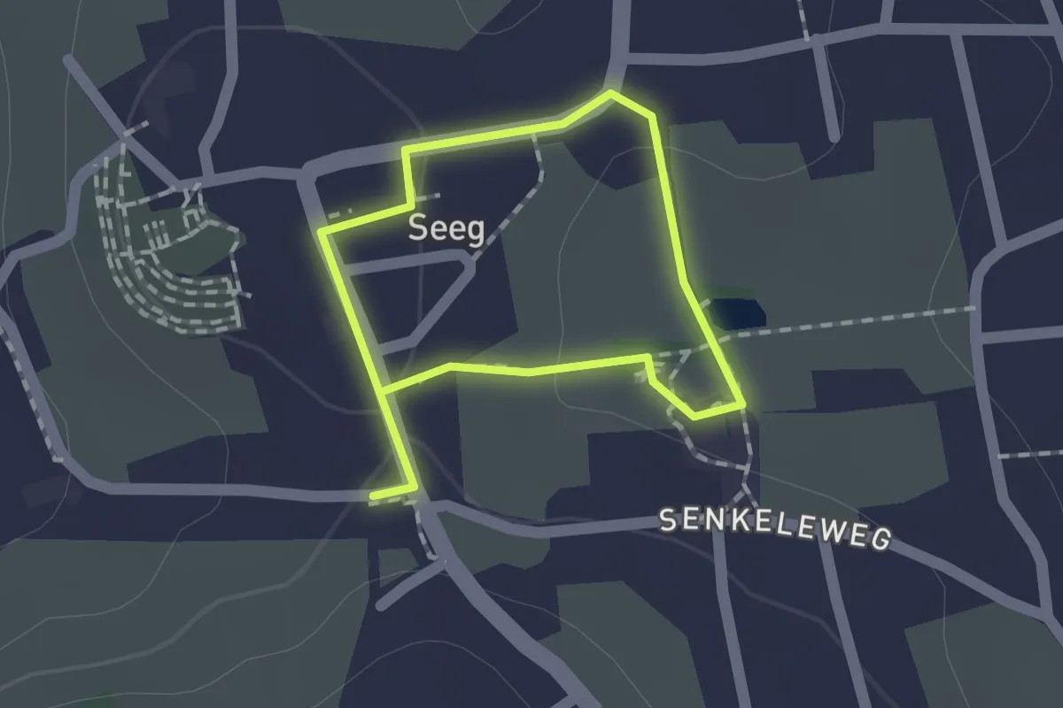
Easy · Trail
Bienen-Erlebnispfad
1.0 km · ↑ 10 m · 17 min
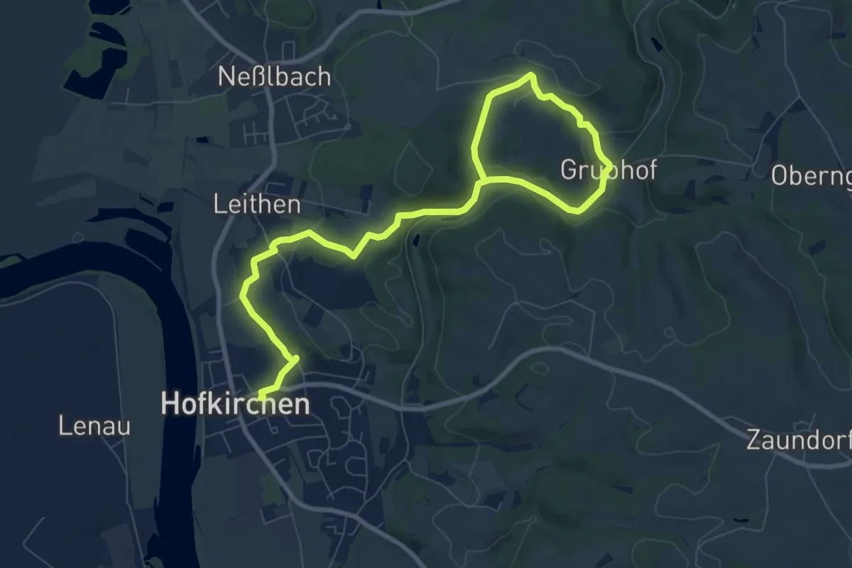
Easy · Trail
Bienenerlebnisweg
5.3 km · ↑ 110 m · 1 h 34 min
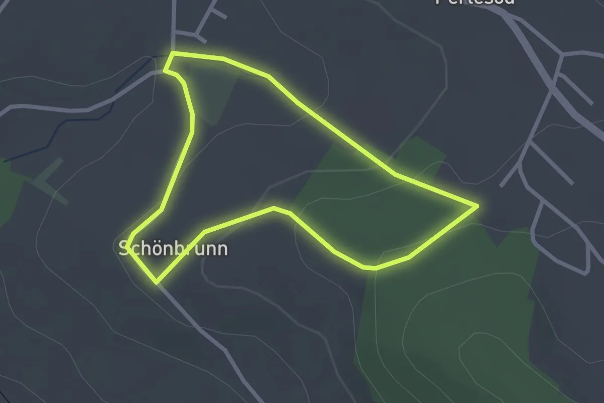
Easy · Trail
Bienenerlebnisweg
2.2 km · ↑ 83 m · 43 min
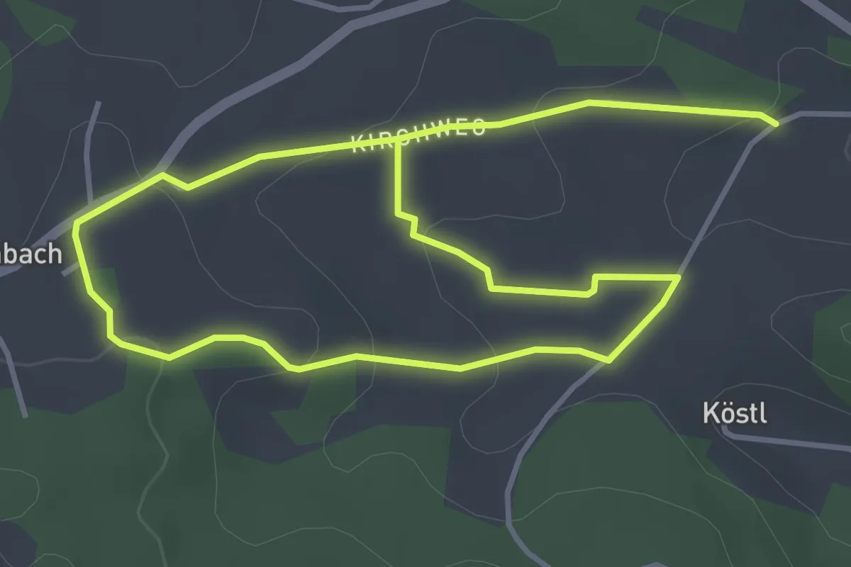
Easy · Trail
Bienenlehrpfad
3.1 km · ↑ 73 m · 57 min
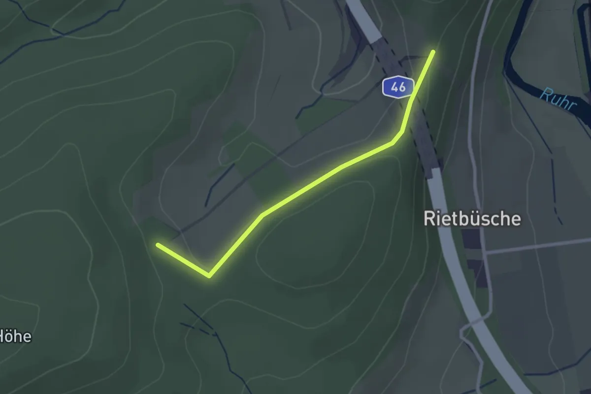
Easy · Trail
Bienenlehrpfad
2.1 km · ↑ 43 m · 35 min
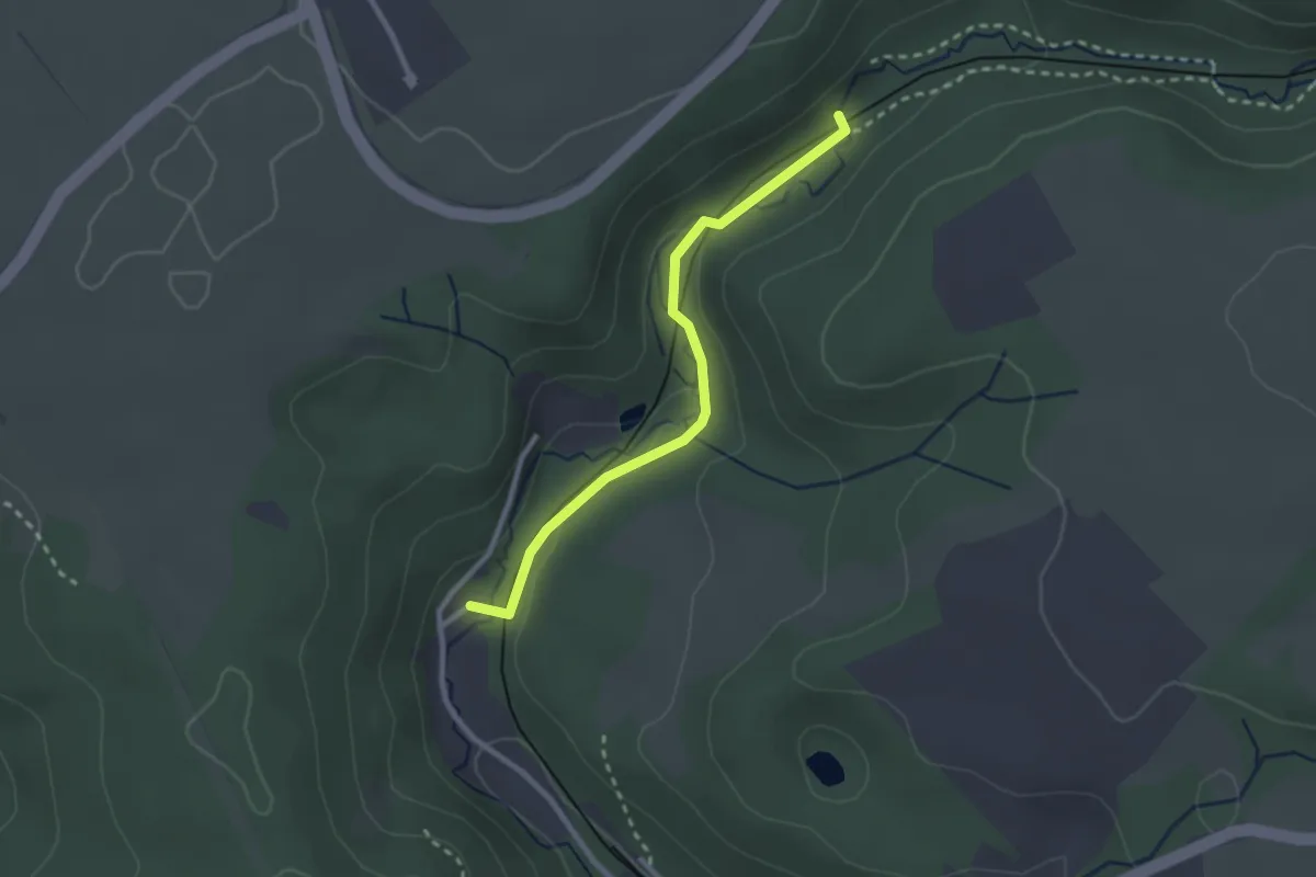
Easy · Trail
Bienenlehrpfad Kasbachtal
2.3 km · ↑ 40 m · 37 min
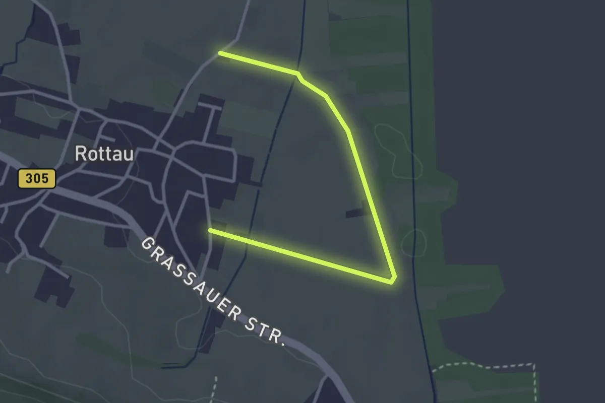
Easy · Trail
Bienenlehrweg
3.1 km · ↑ 0 m · 43 min
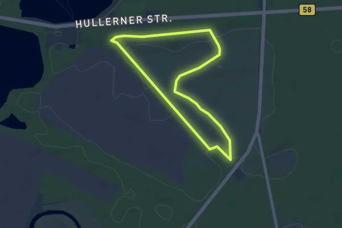
Easy · Trail
Bienenroute (Haltern Westruper Heide)
3.2 km · ↑ 5 m · 48 min
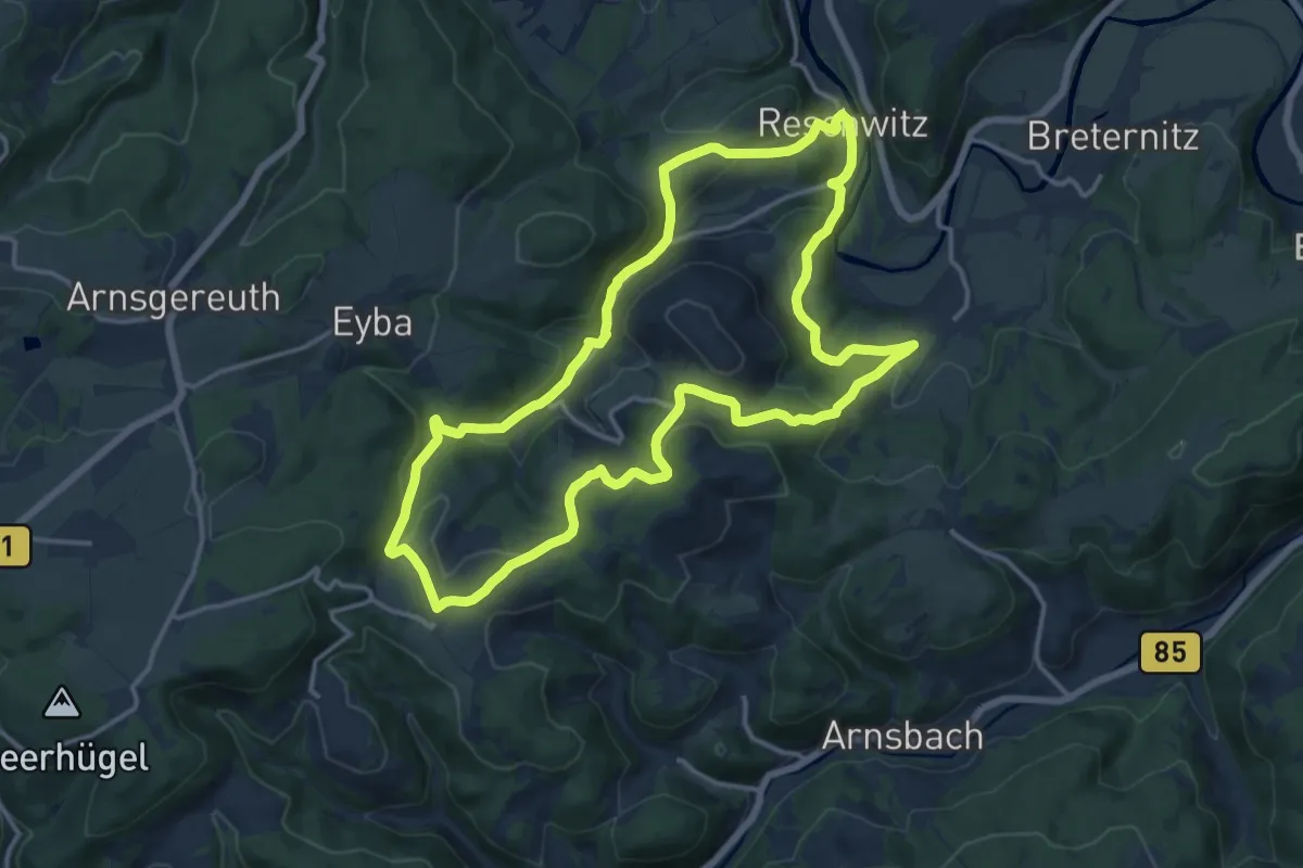
Medium · Summit
Bienen und Naturlehrpfad
13.7 km · ↑ 458 m · 4 h 25 min
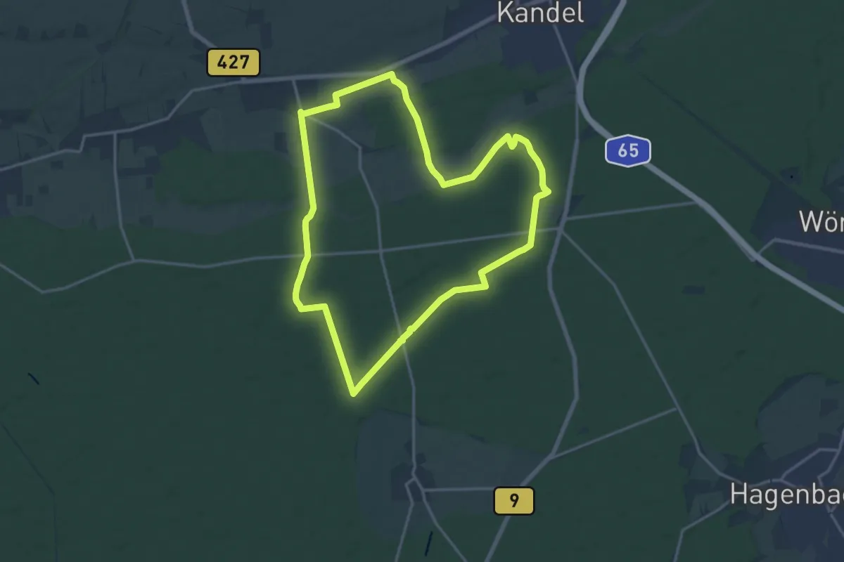
Medium · Trail
Bienwald-Brunnenweg
14.7 km · ↑ 46 m · 3 h 46 min