Trails in Germany
36,824 hiking trails, each with its route, climb, walking time and grade.
All trails, page 66 of 768
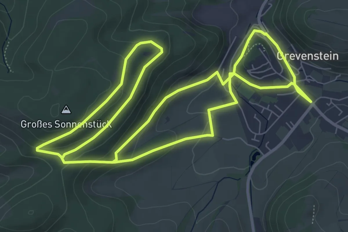
Medium · Trail
Bierbrauwunderweg
13.5 km · ↑ 377 m · 4 h 1 min
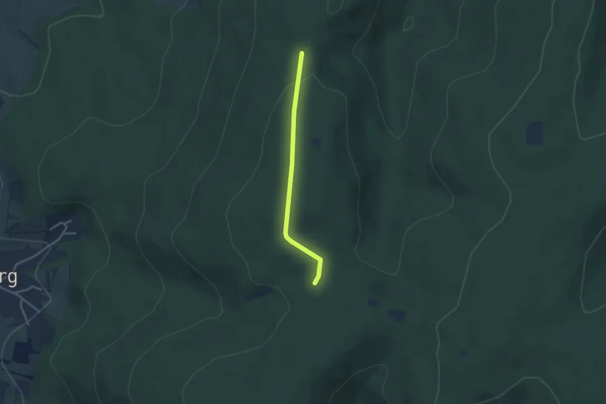
Easy · Trail
Bierbrunnen - Heidenkopf
2.3 km · ↑ 63 m · 41 min
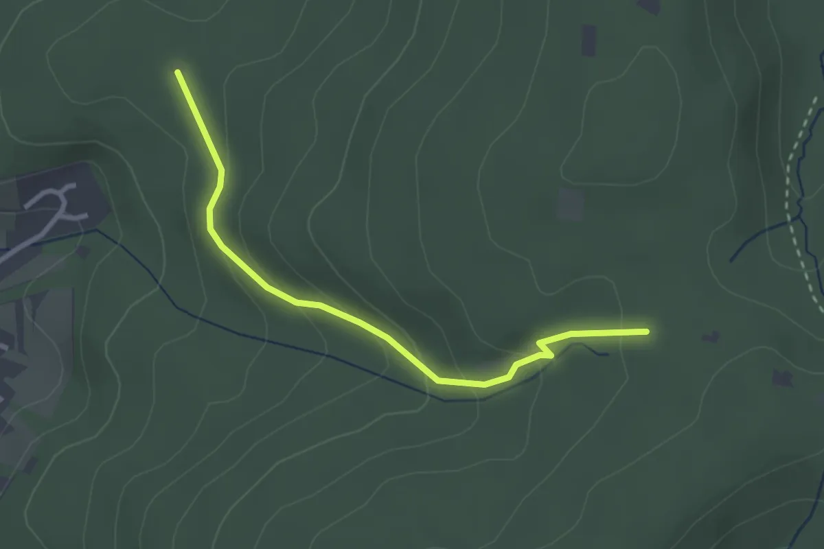
Easy · Trail
Bierbrunnen - Orschweierer Hütte
2.7 km · ↑ 145 m · 57 min
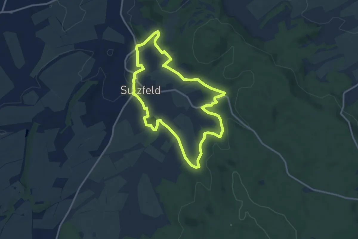
Medium · Trail
Biergartenwanderweg
8.0 km · ↑ 164 m · 2 h 22 min
Medium · Trail
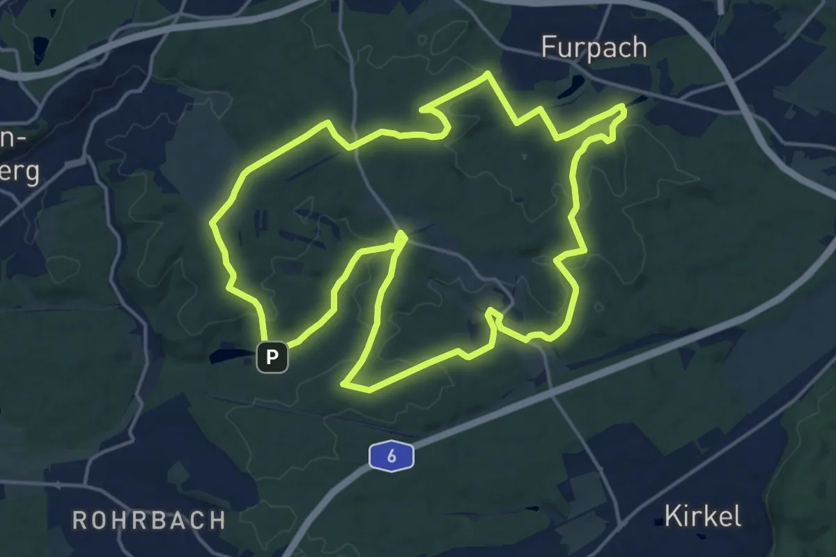
Biergartenweg
16.3 km · ↑ 289 m · 4 h 42 min
Medium · Trail
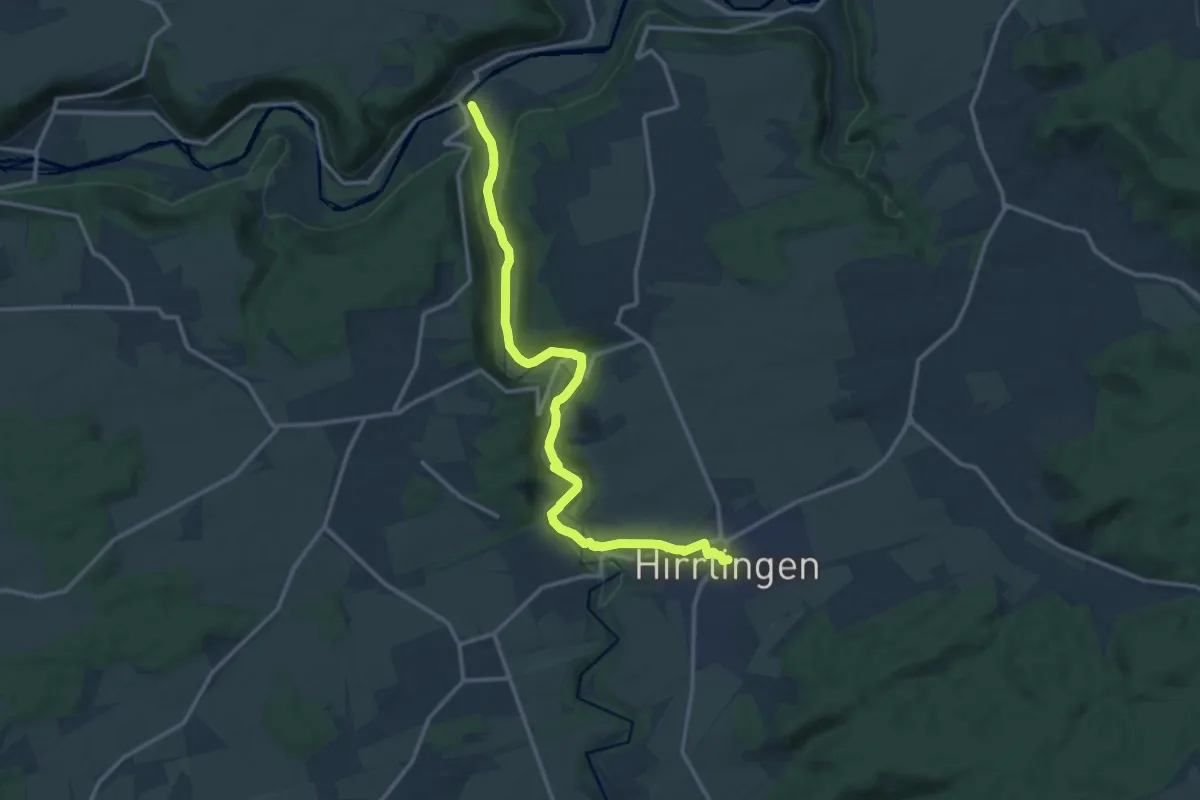
Bieringen - Hirrlingen
14.0 km · ↑ 198 m · 3 h 43 min
Easy · Trail
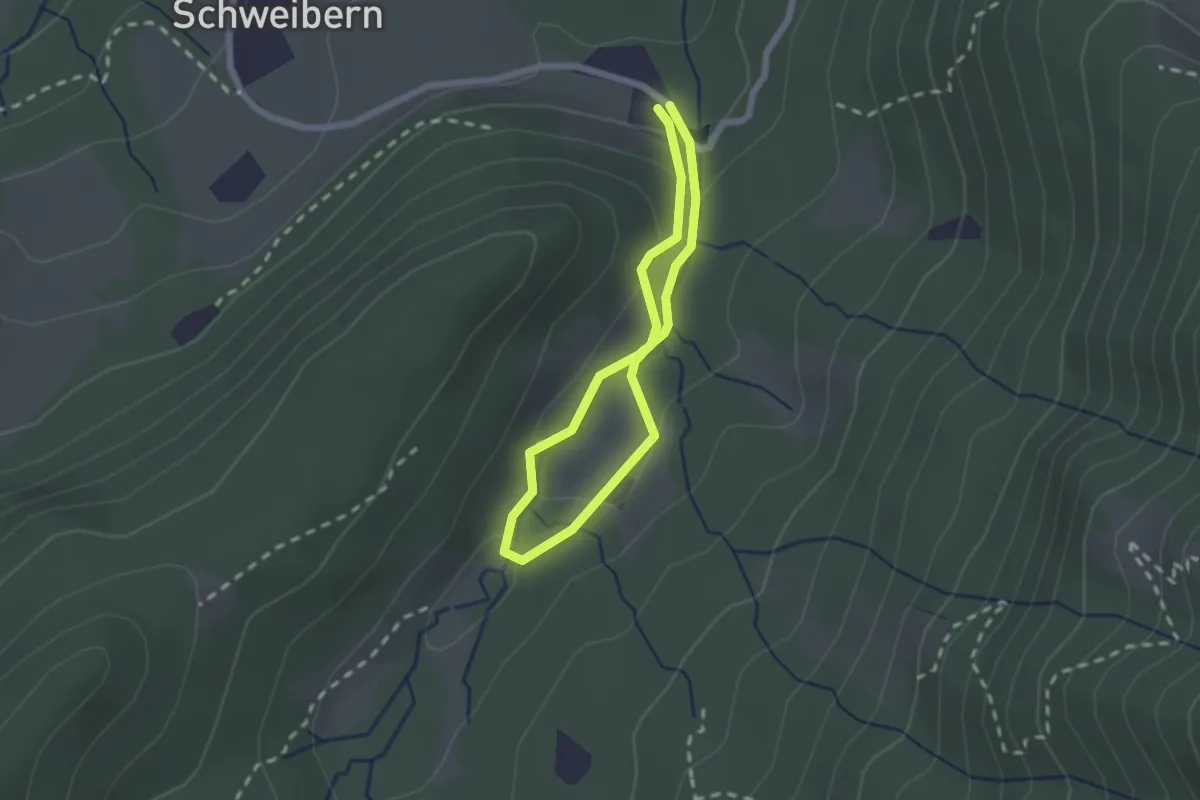
Bierlehrpfad
1.6 km · ↑ 64 m · 32 min
Easy · Trail
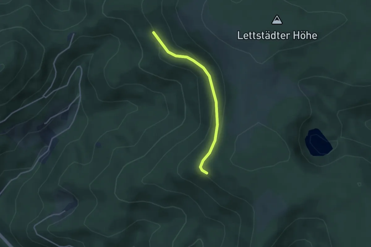
Bierlessteinweg - Langenberger Ries
2.7 km · ↑ 123 m · 54 min
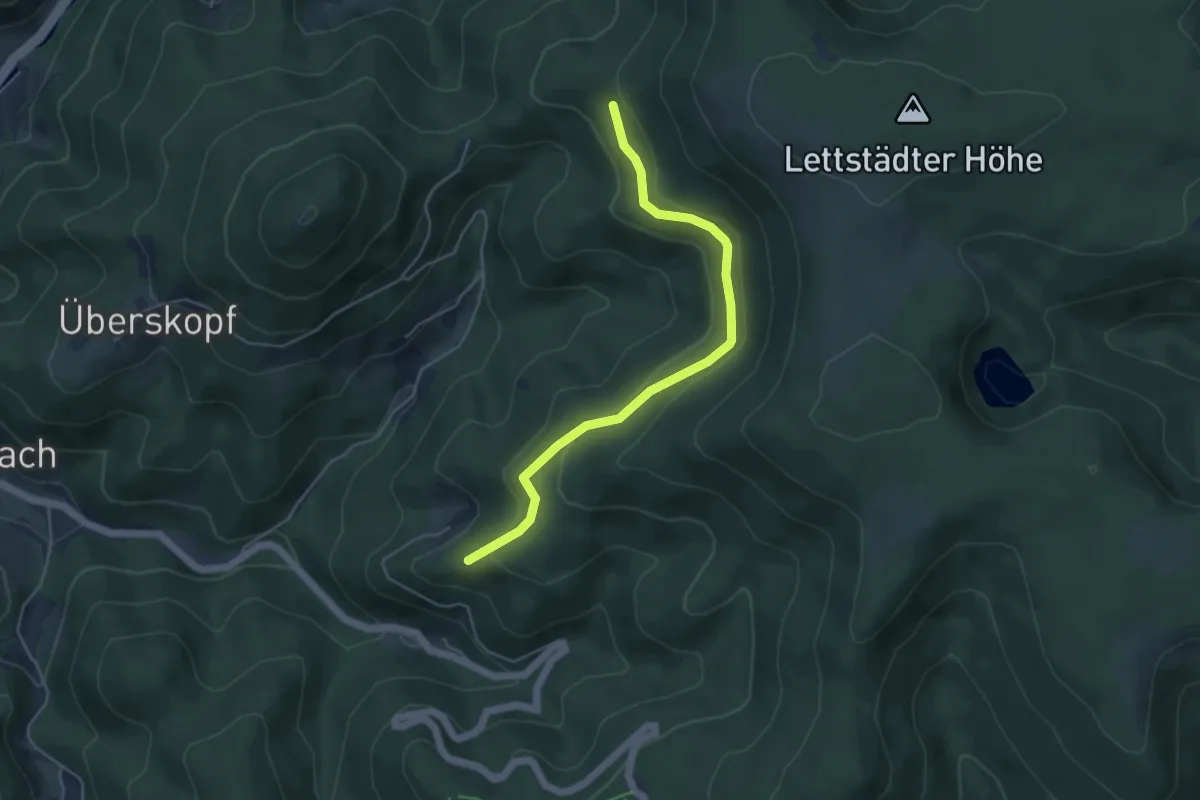
Easy · Trail
Bierlessteinweg - Palmspringseck
4.6 km · ↑ 175 m · 1 h 28 min
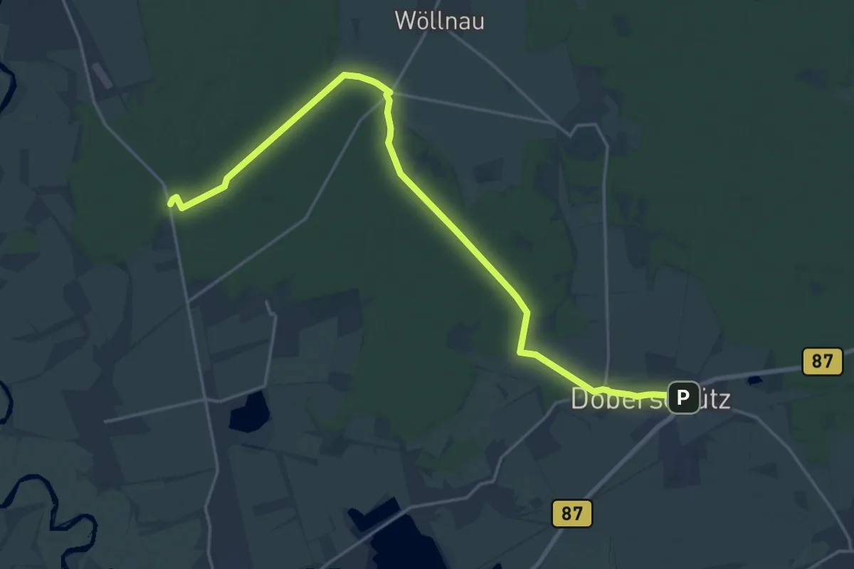
Demanding · Trail
Bierlinie
19.6 km · ↑ 33 m · 4 h 42 min
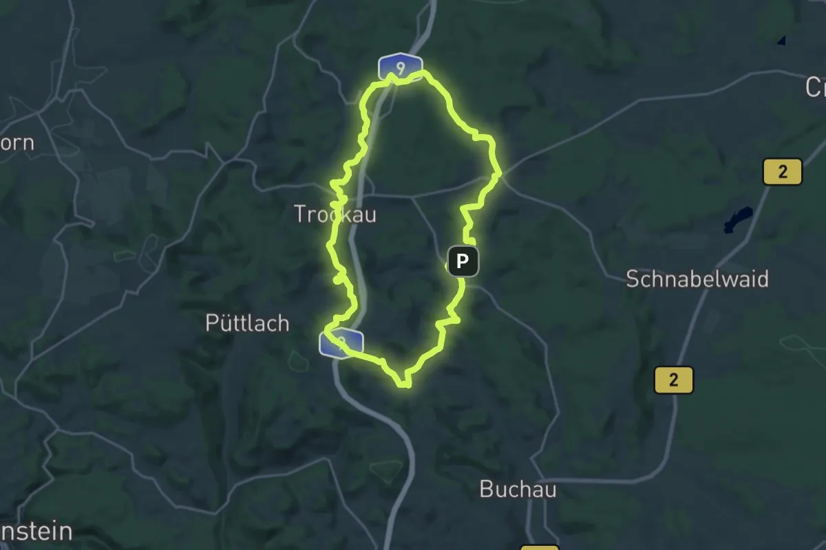
Medium · Trail
Bierquellen-Wanderweg
17.5 km · ↑ 382 m · 5 h 12 min
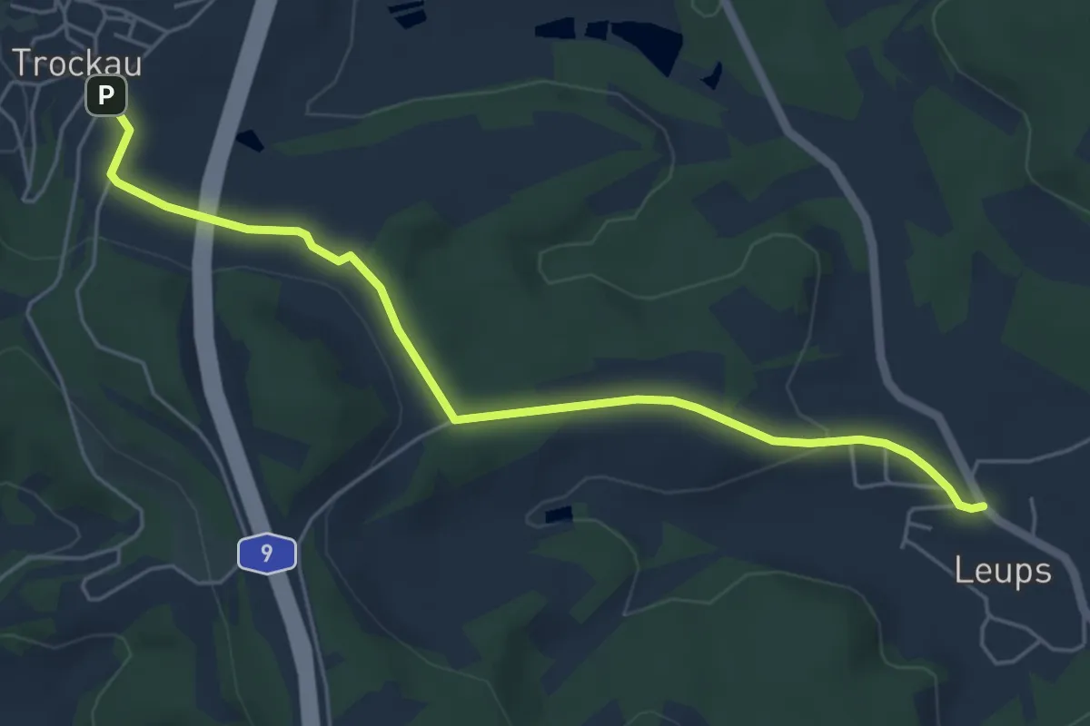
Easy · Trail
Bierquellen-Wanderweg Variante
5.1 km · ↑ 79 m · 1 h 23 min
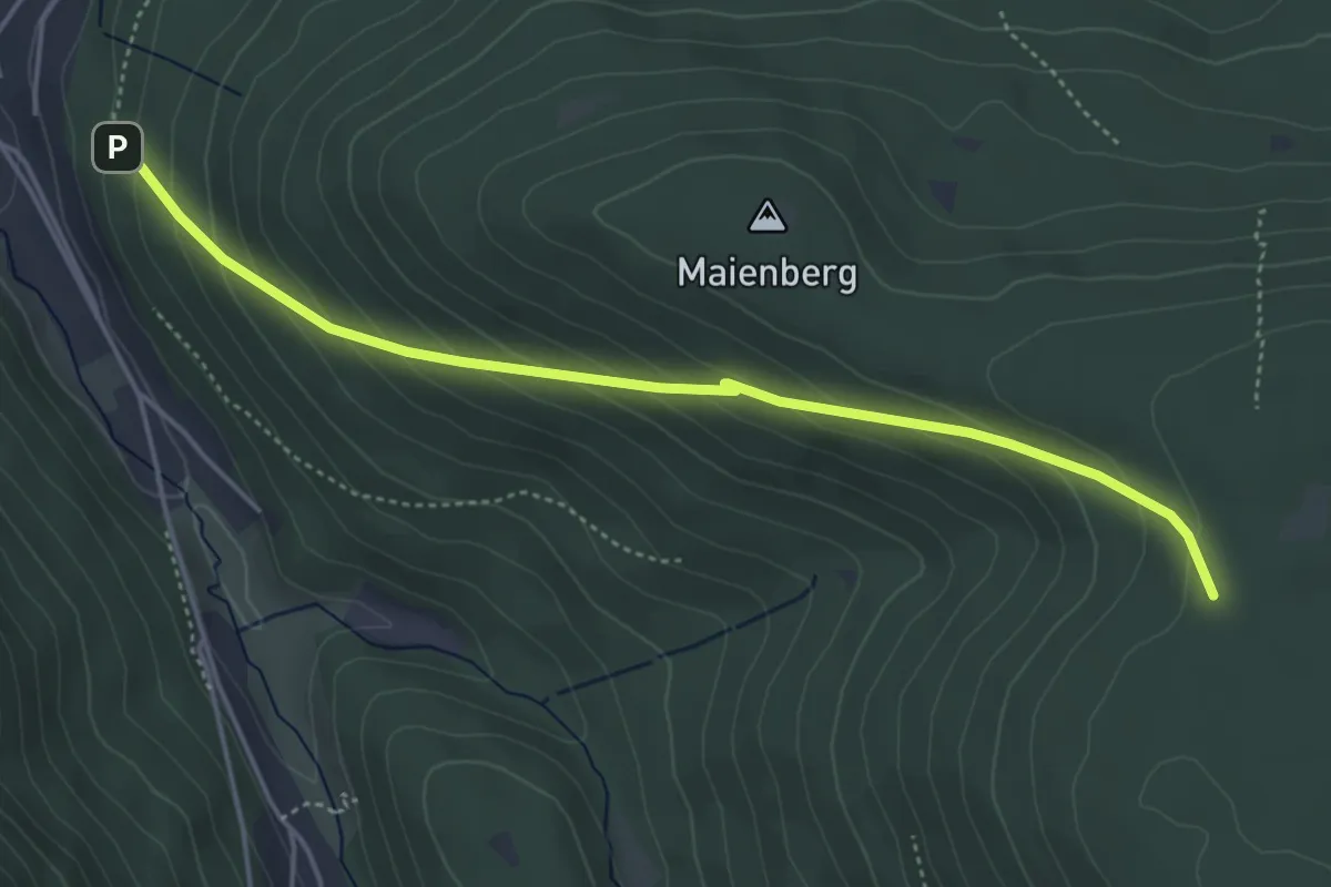
Easy · Trail
Bierrank - Mehlwegle
4.6 km · ↑ 295 m · 1 h 43 min
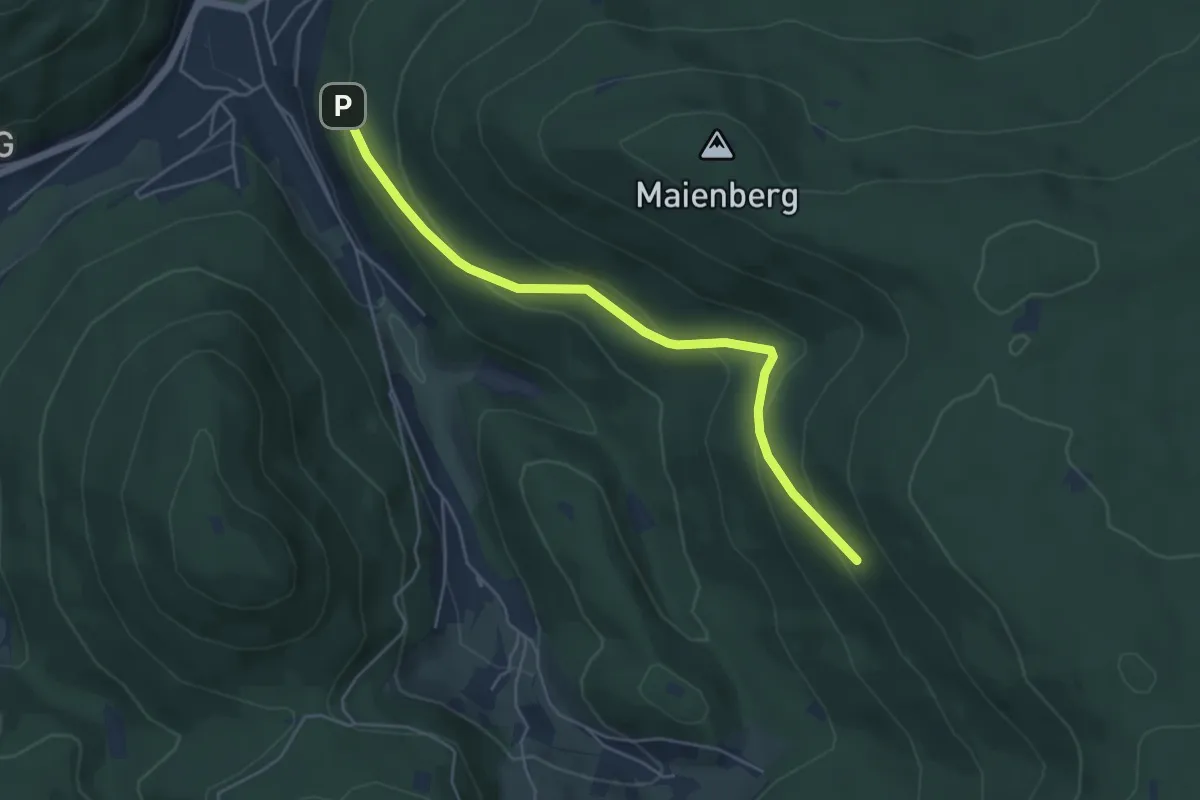
Easy · Trail
Bierrank - Schörsighalde
4.8 km · ↑ 235 m · 1 h 39 min
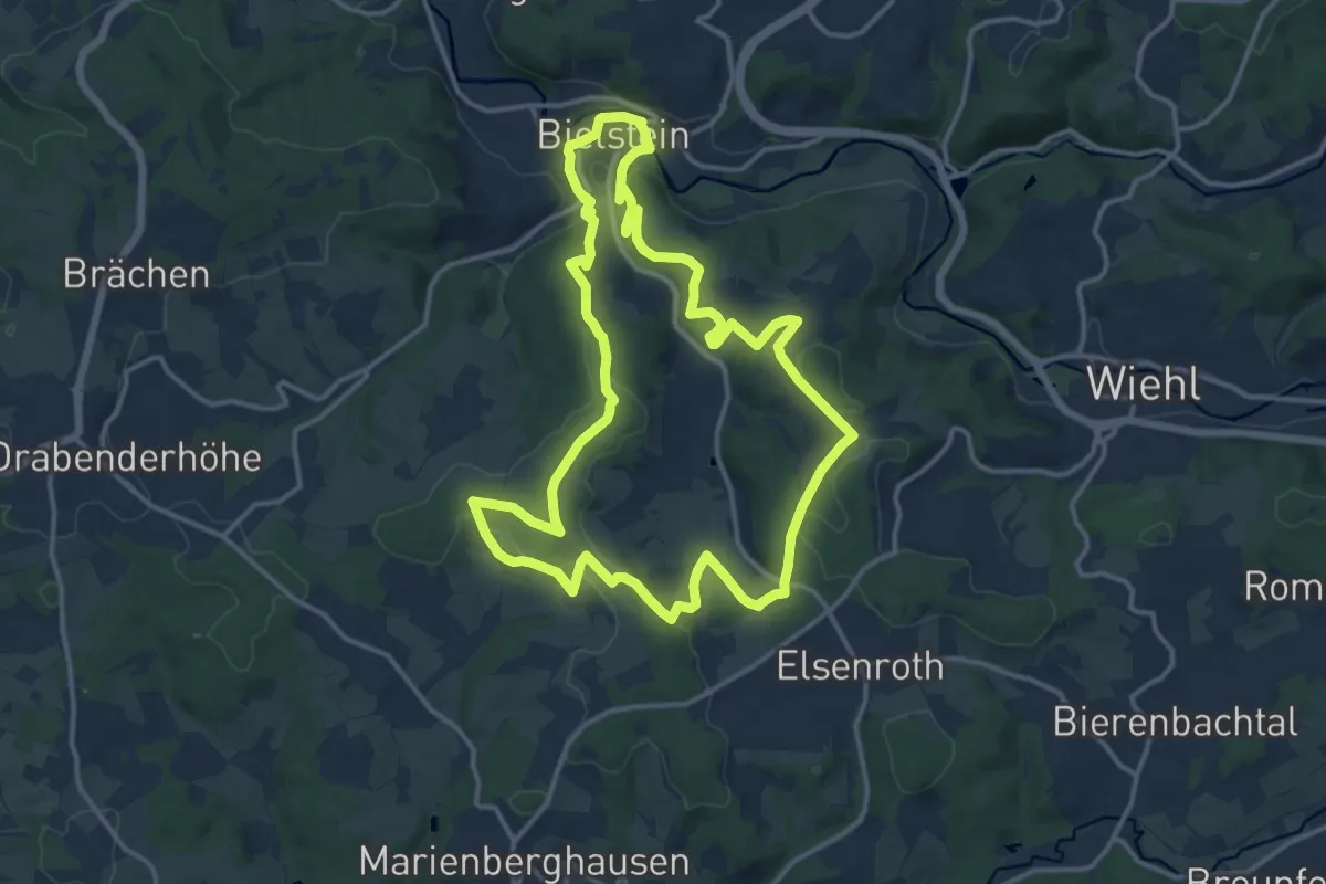
Medium · Trail
Bierweg
13.0 km · ↑ 239 m · 3 h 46 min
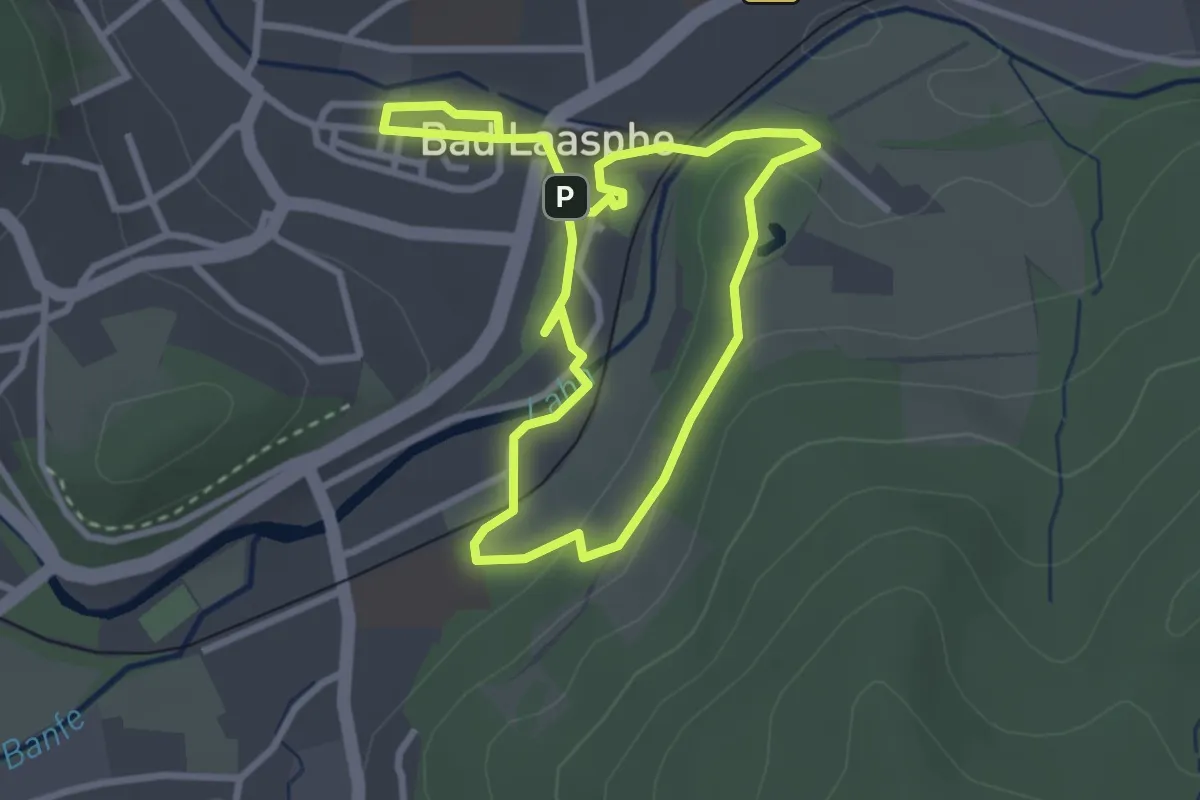
Easy · Summit
Bierwegelchen
2.4 km · ↑ 30 m · 40 min
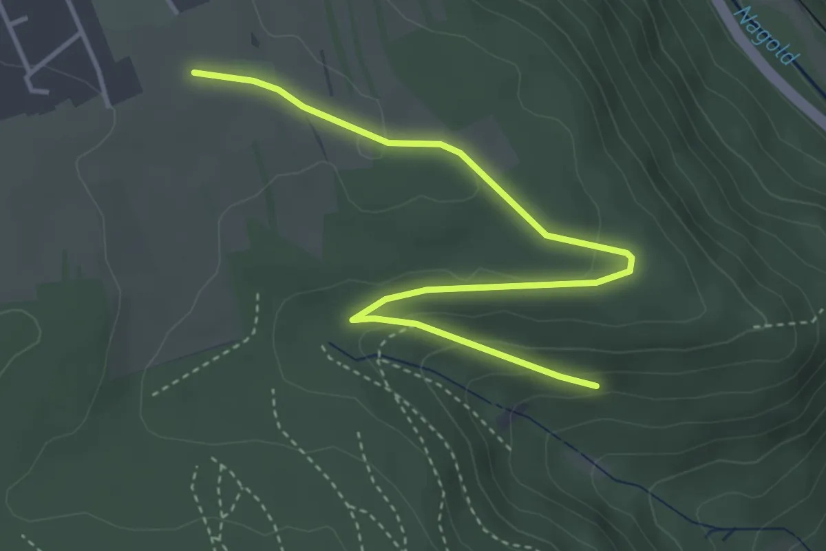
Easy · Trail
Bieselsberg Sternwarte - Bieselsteige
4.2 km · ↑ 94 m · 1 h 12 min
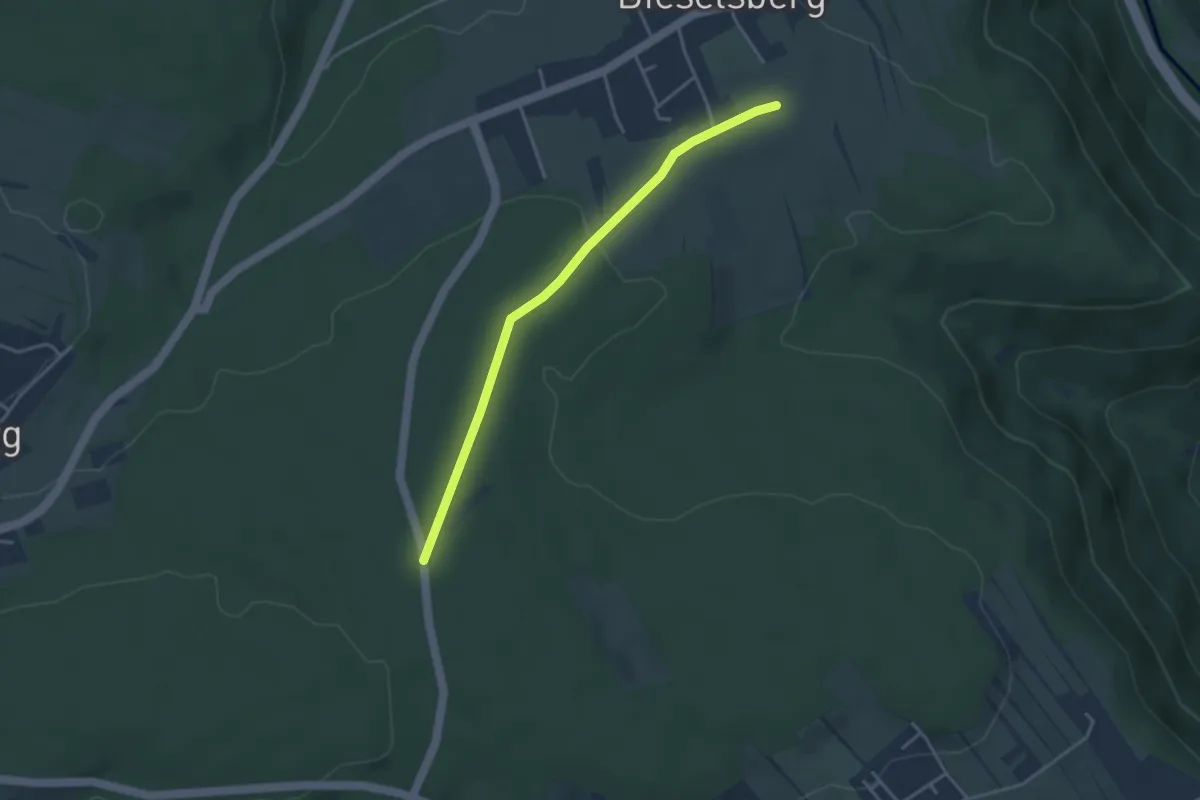
Easy · Trail
Bieselsberg Sternwarte - Mahdsbrunnen
3.4 km · ↑ 63 m · 56 min
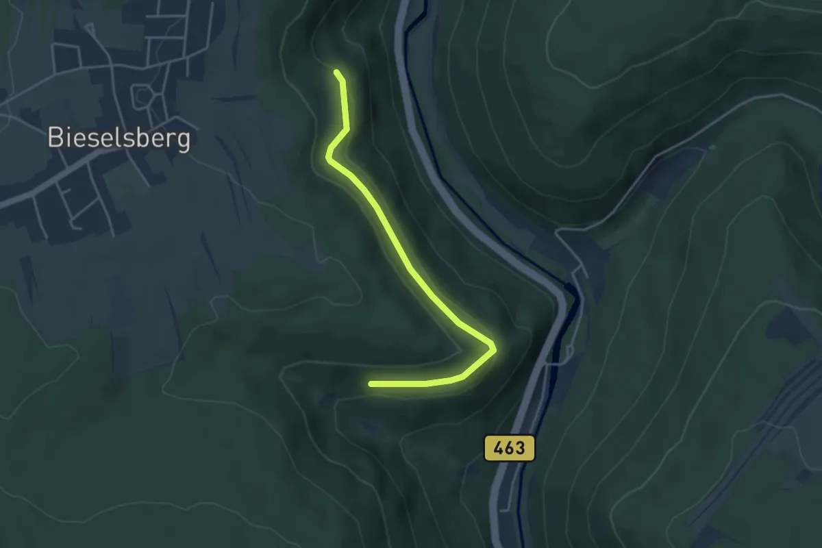
Easy · Trail
Bieselsteige - Säuklinge II
3.7 km · ↑ 118 m · 1 h 8 min
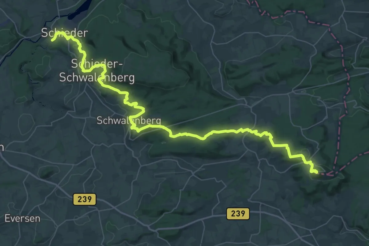
Demanding · Summit
Biesterfeldweg
43.7 km · ↑ 1233 m · 13 h
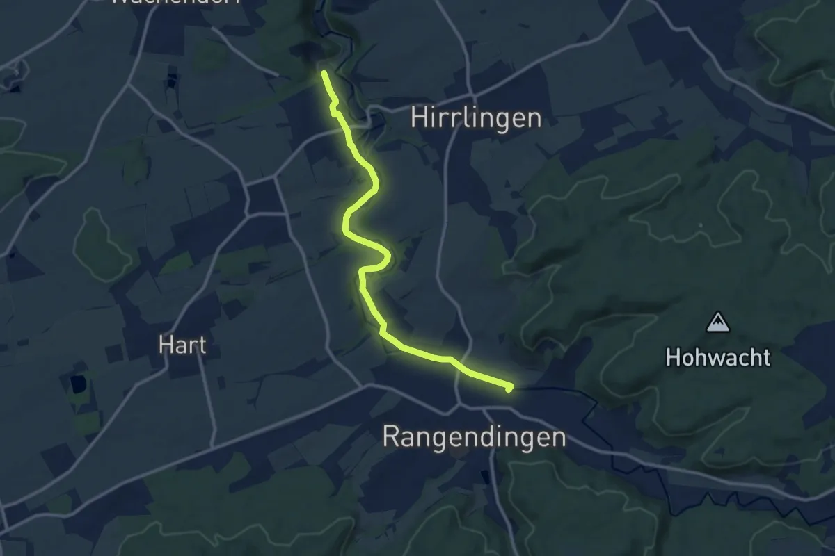
Medium · Trail
Bietenhausen -Starzeltal - Rangendingen
10.6 km · ↑ 92 m · 2 h 42 min
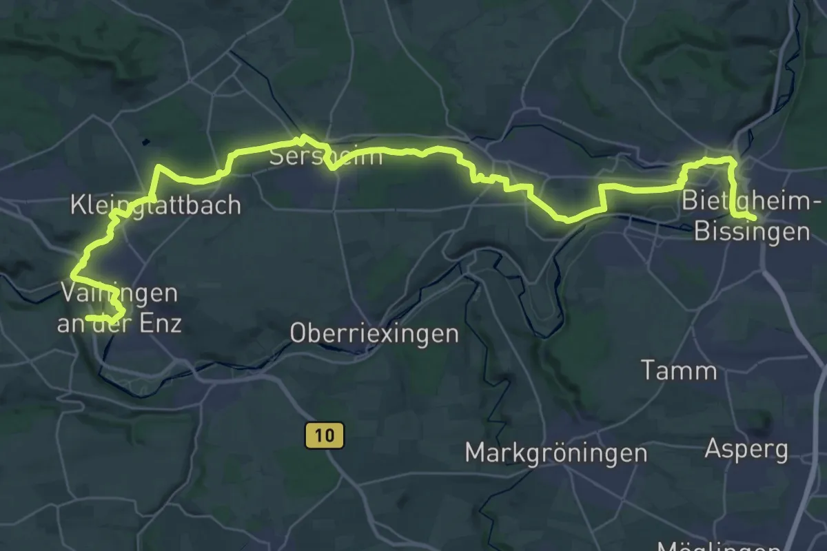
Demanding · Trail
Bietigheimer Weg
23.3 km · ↑ 276 m · 6 h 26 min
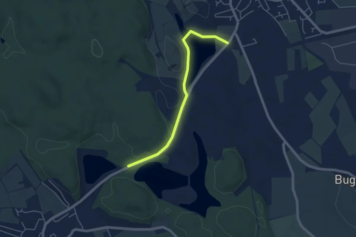
Easy · Trail
Bifangweiher - Killenweiher
3.8 km · ↑ 55 m · 1 h 1 min
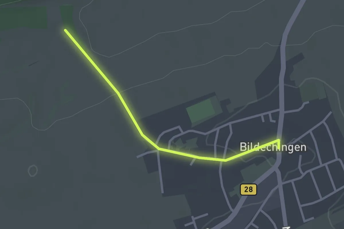
Easy · Trail
Bildechingen Ortsmitte - Ried
2.4 km · ↑ 37 m · 39 min
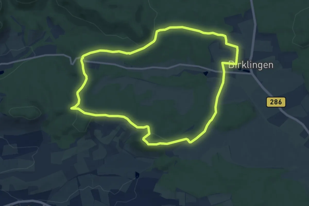
Medium · Trail
Bildeichenweg
8.7 km · ↑ 141 m · 2 h 29 min
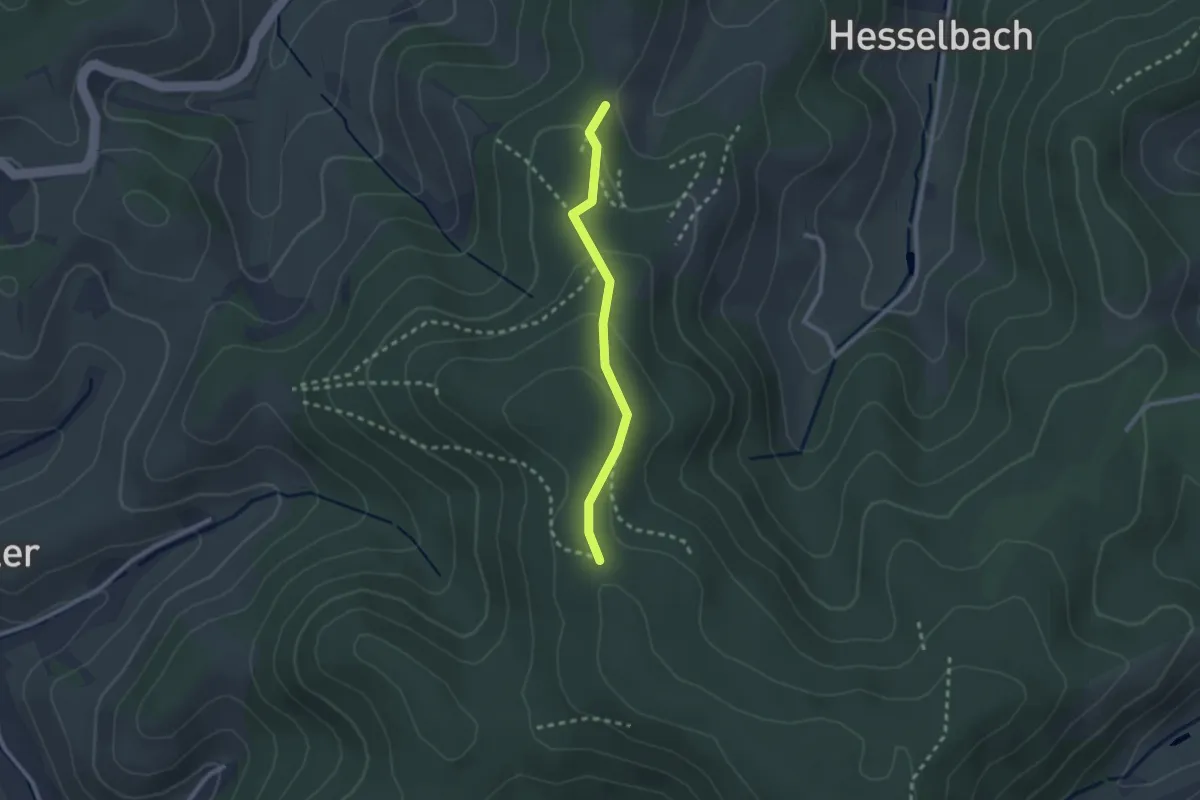
Easy · Trail
Bildeiche - Schafhof-Höhe
2.1 km · ↑ 86 m · 41 min
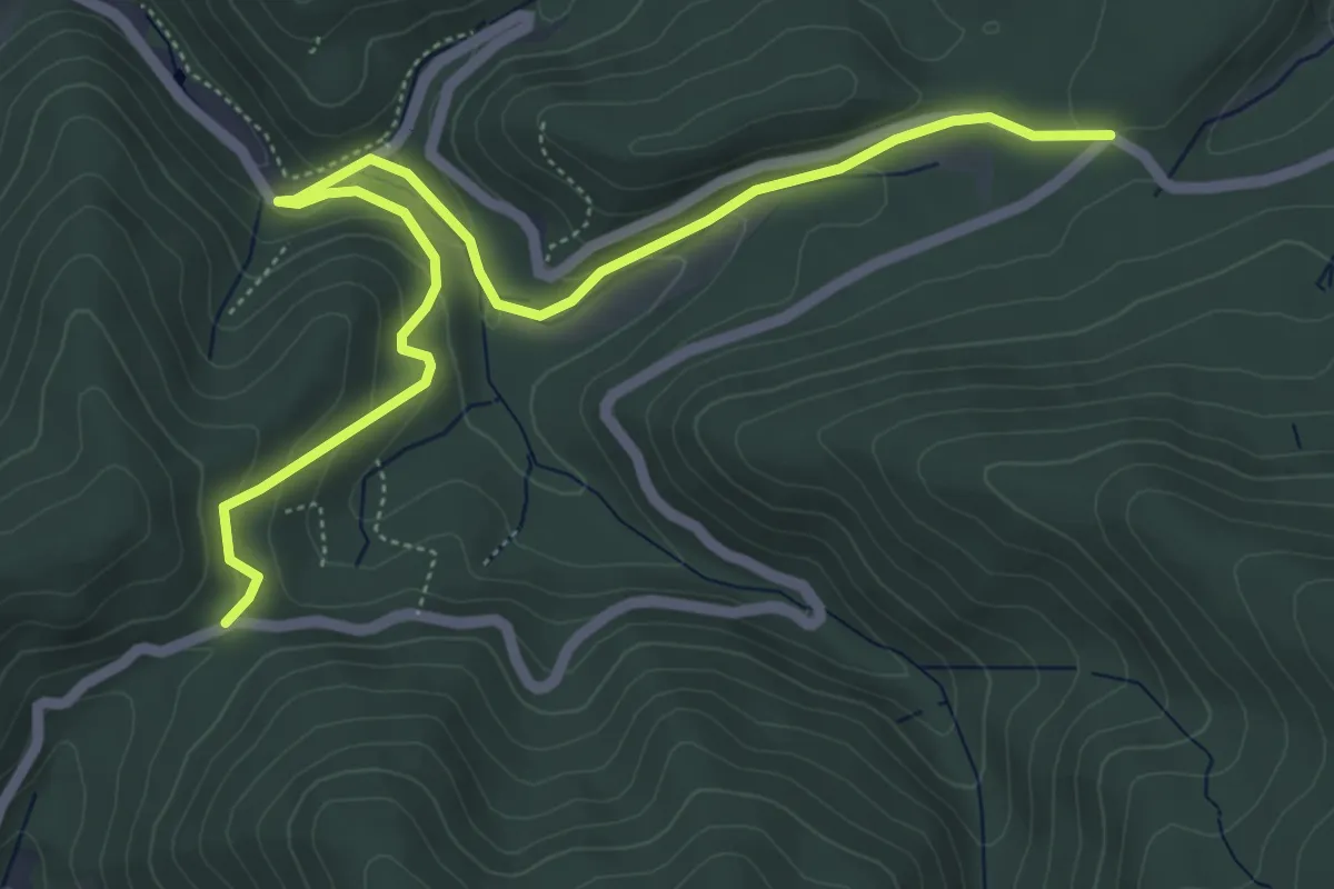
Easy · Trail
Bildeiche - Zimmerplatz
6.1 km · ↑ 291 m · 2 h 4 min
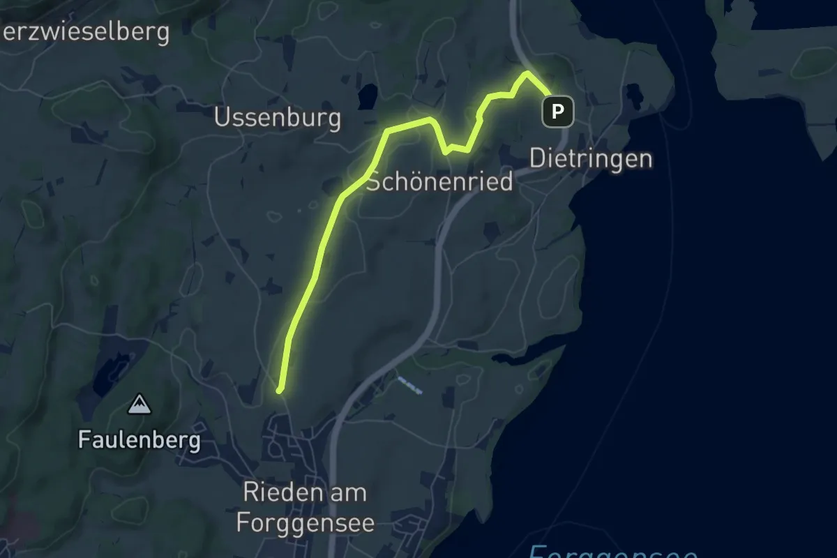
Easy · Trail
Bilderbuchwanderung am Forggensee
3.3 km · ↑ 58 m · 56 min
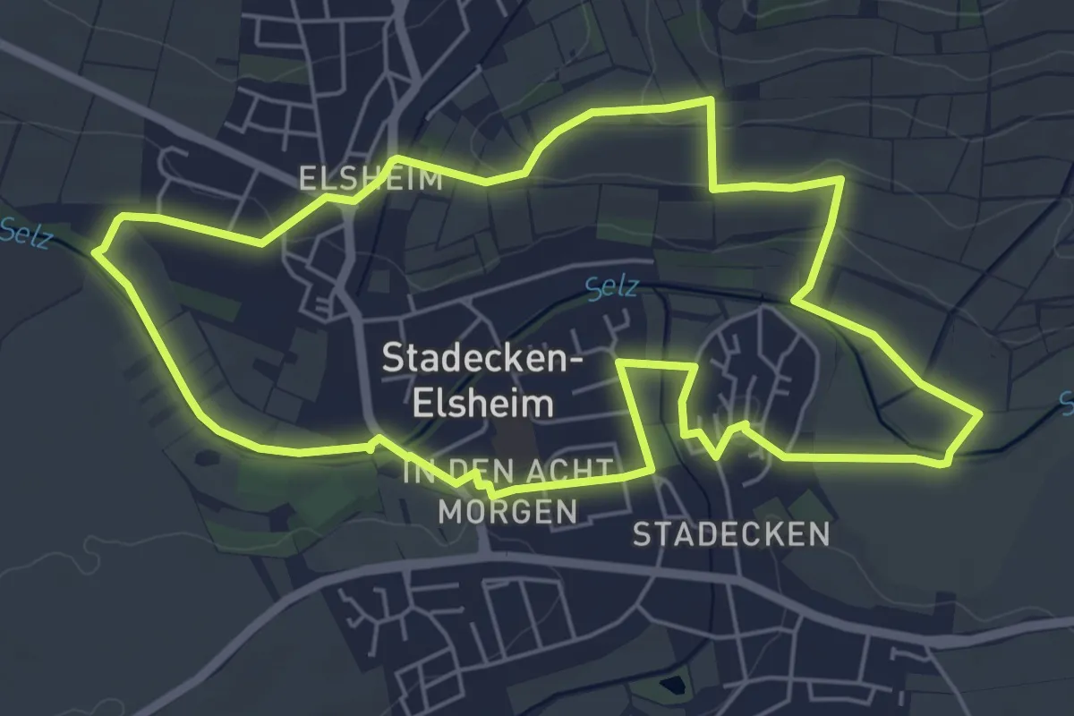
Easy · Trail
Bilderweg
5.6 km · ↑ 84 m · 1 h 35 min
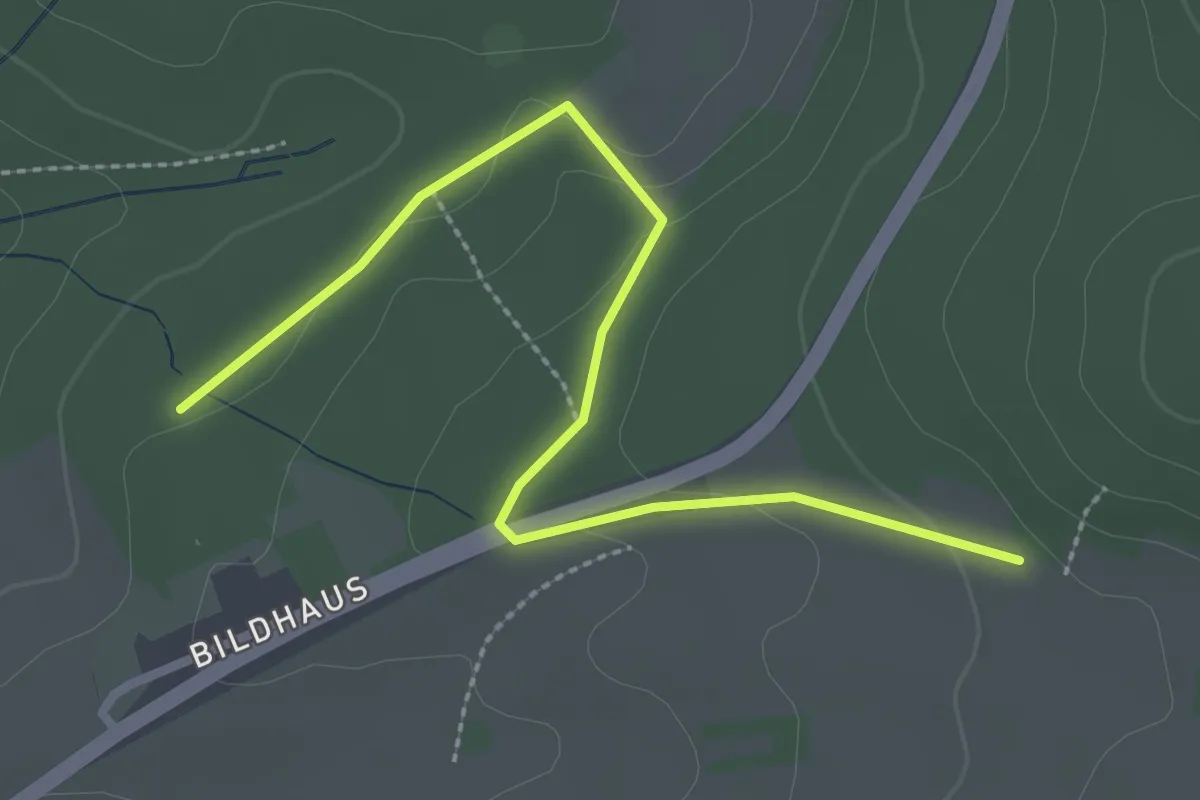
Easy · Trail
Bildhaus - Benzenlehen
2.9 km · ↑ 71 m · 50 min
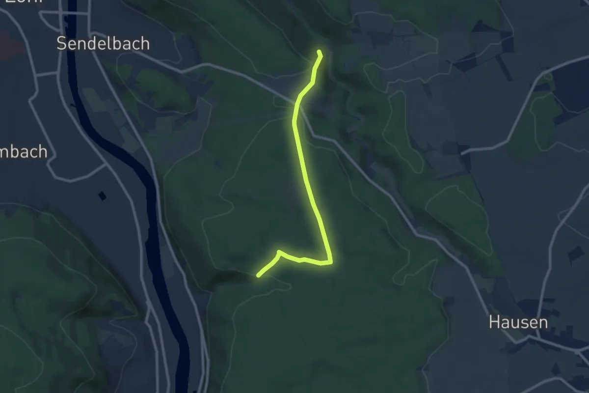
Easy · Trail
Bildhäuschen-Weg Maria-Buchen - Pflochsbach
7.3 km · ↑ 132 m · 2 h
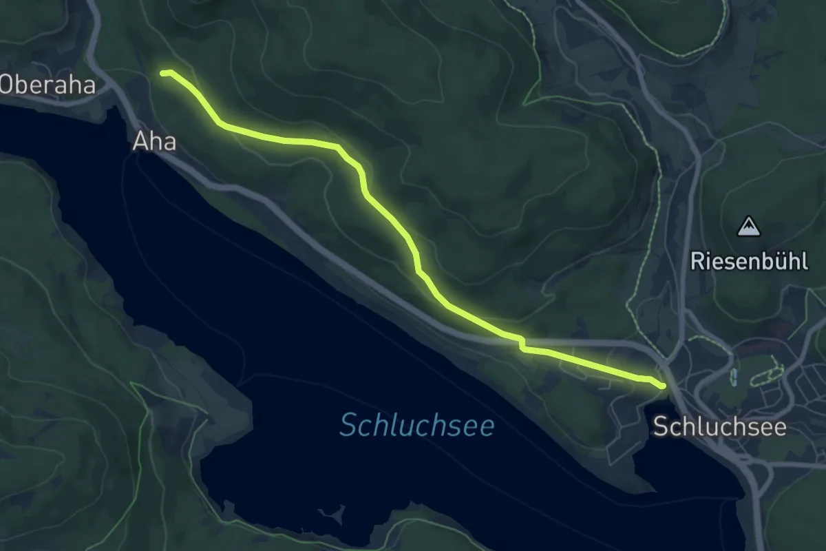
Easy · Trail
Bildsteinweg - Schluchsee Parkplatz Wolfsgrund
7.3 km · ↑ 192 m · 2 h 8 min
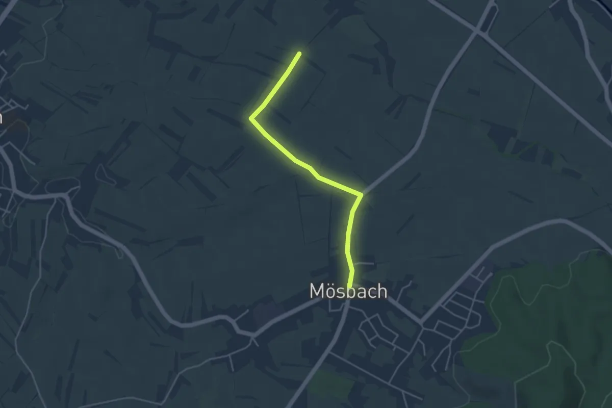
Easy · Trail
Bildstöckel Nesselhuf - Mösbach Ortsmitte
3.6 km · ↑ 31 m · 55 min
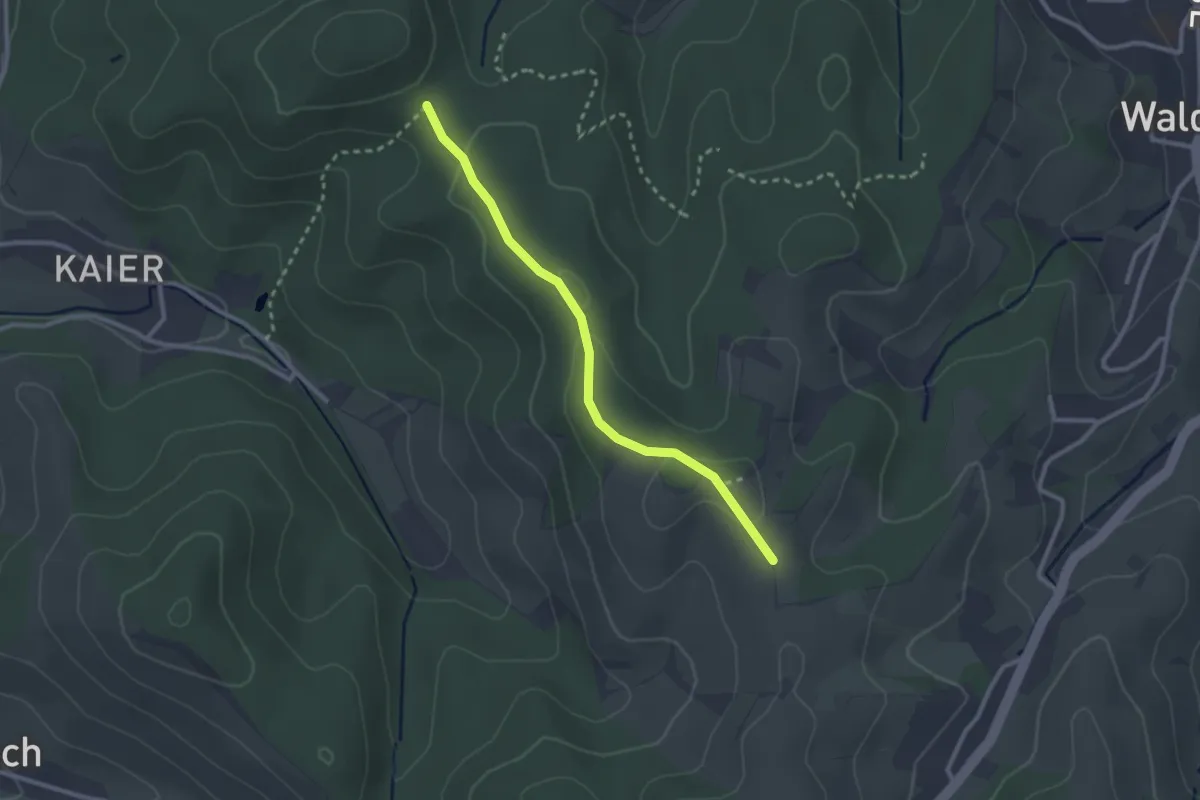
Easy · Trail
Bildstöckel-Platz - Scherd
2.4 km · ↑ 50 m · 41 min
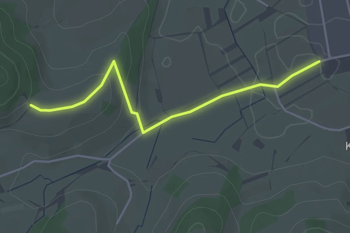
Easy · Trail
Bildstöckle - Eckle
3.2 km · ↑ 78 m · 55 min
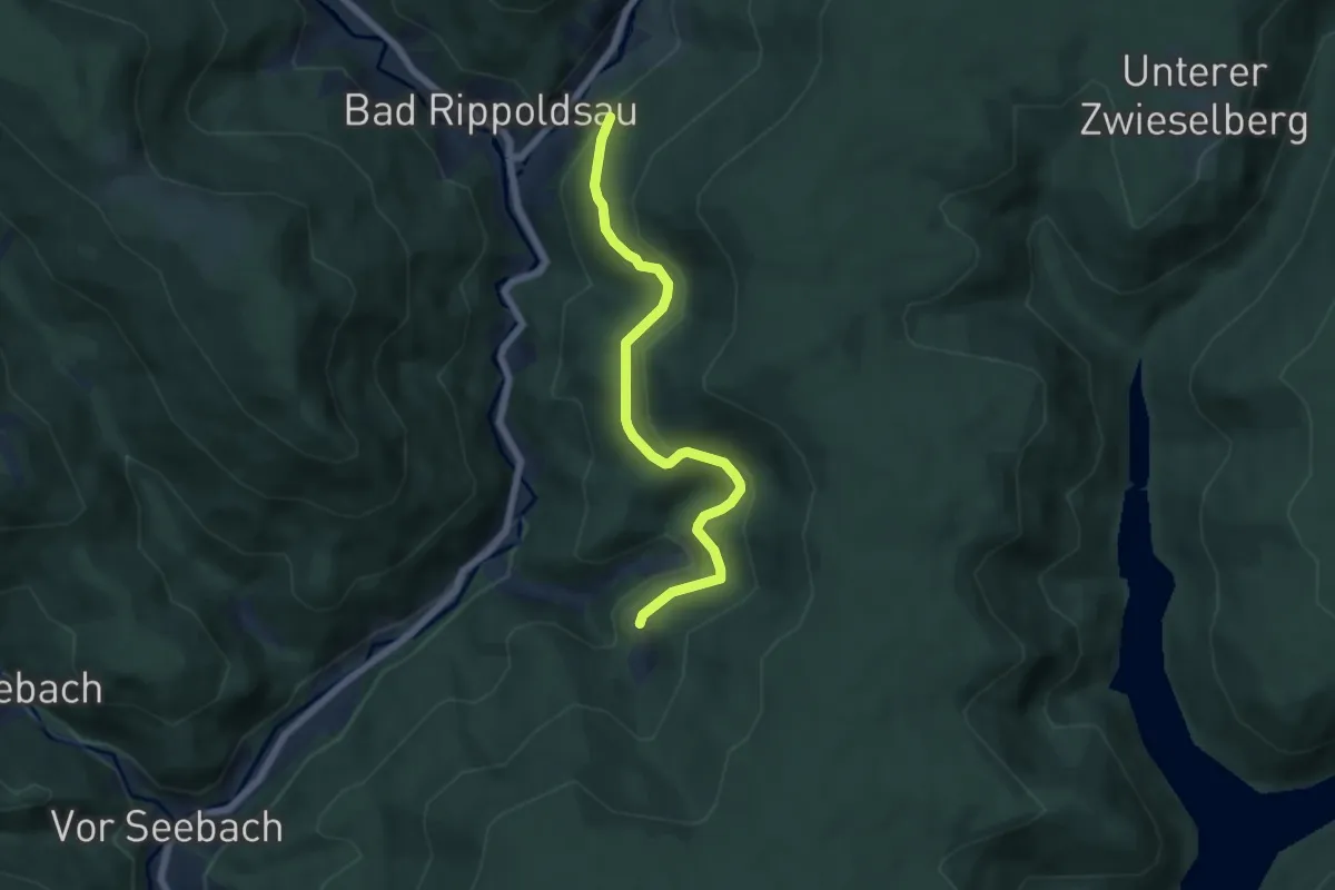
Easy · Trail
Bildstöckle Felsen - An der Steig
5.6 km · ↑ 223 m · 1 h 49 min
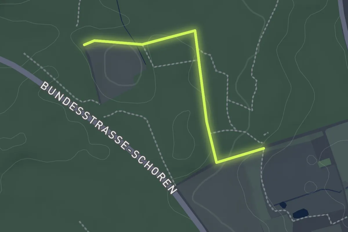
Easy · Trail
Bildstöckle - Gifitzenmoos
2.0 km · ↑ 28 m · 33 min
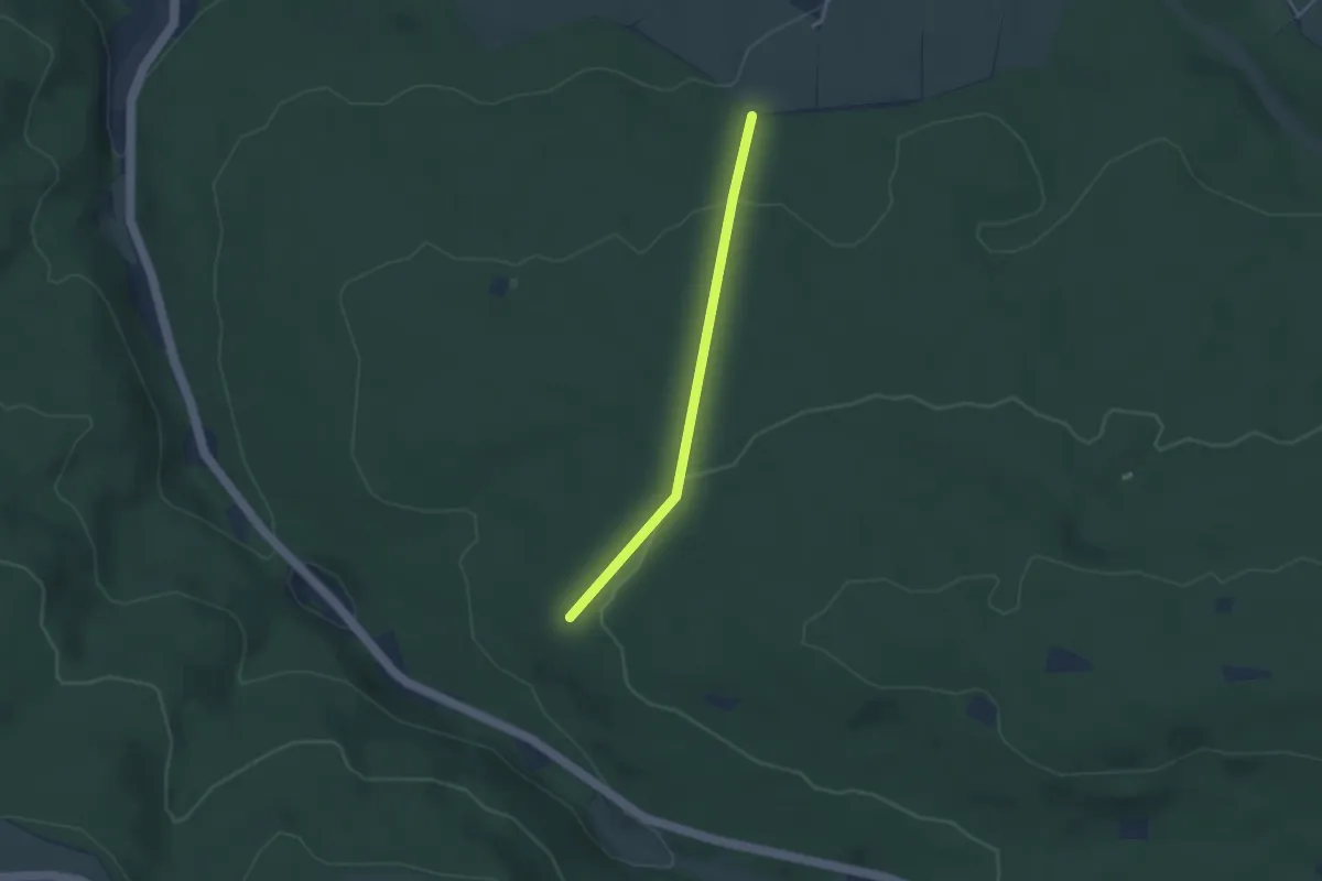
Easy · Trail
Bildstöckle - Hansgaß
2.9 km · ↑ 91 m · 53 min
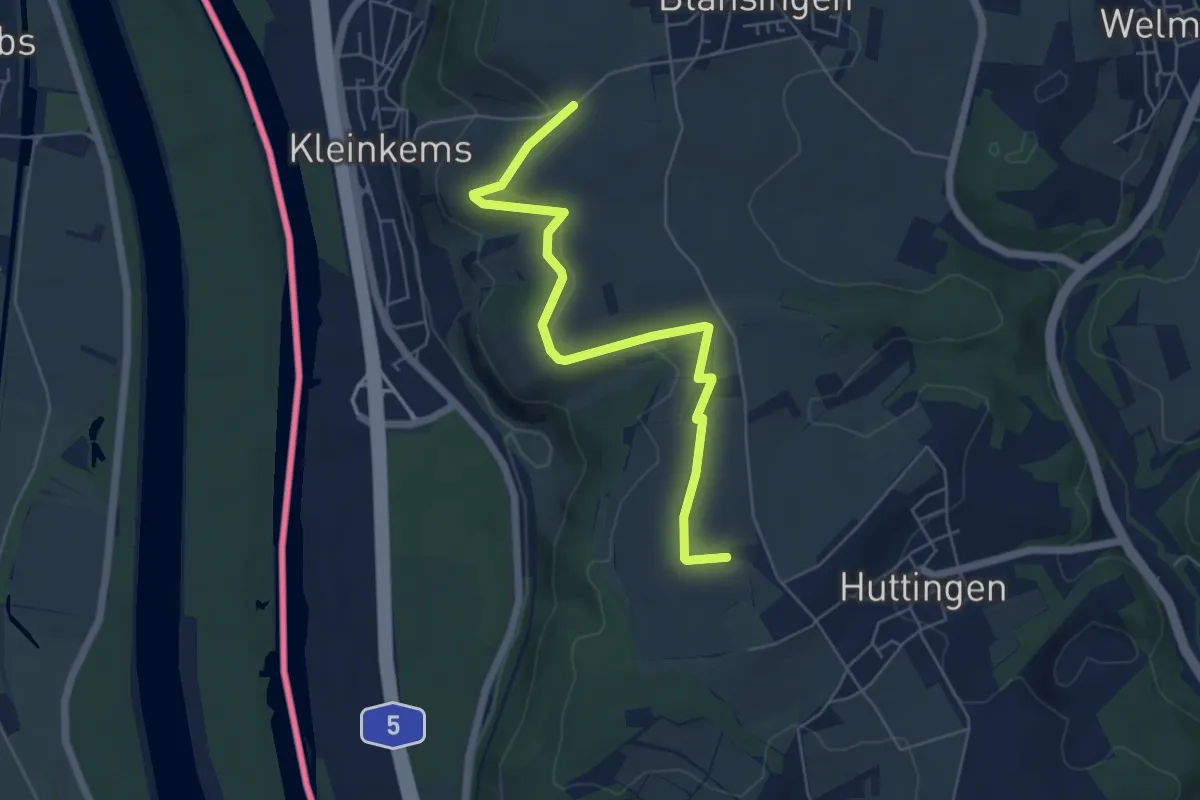
Easy · Trail
Bildstöckle - Im Wolf
6.0 km · ↑ 142 m · 1 h 43 min
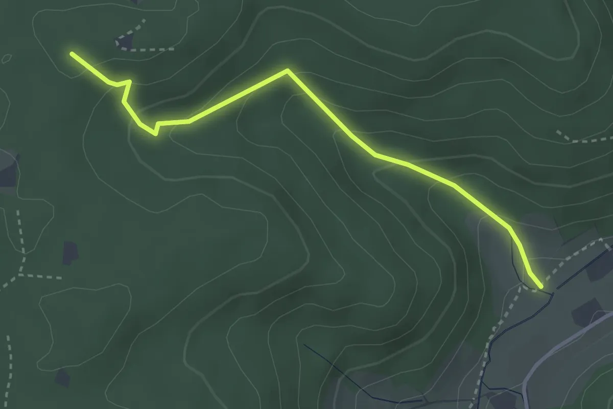
Easy · Trail
Bildstöckle - Pfaffenhof
3.2 km · ↑ 208 m · 1 h 12 min
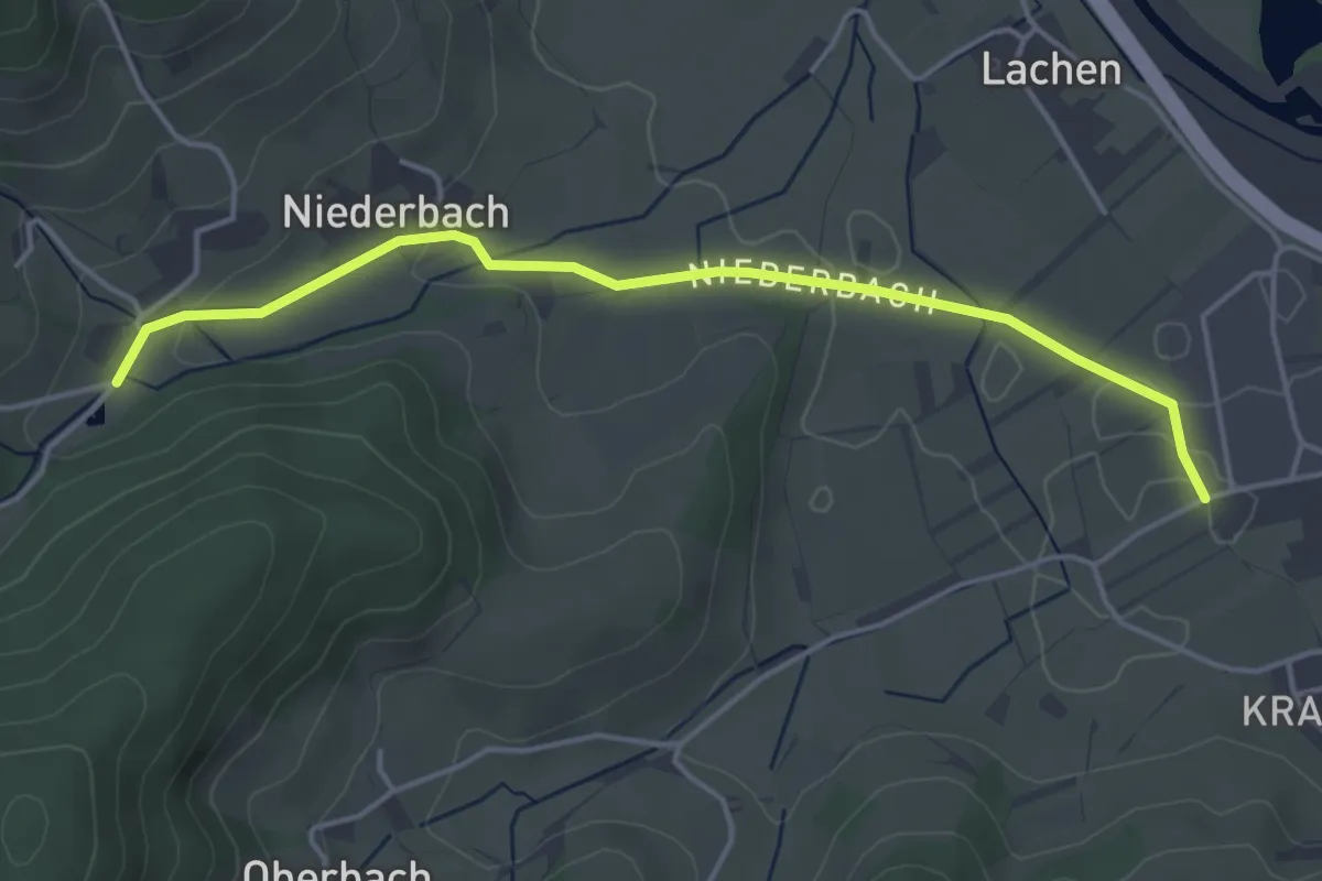
Easy · Trail
Bildstöckle - Räzmatt
4.2 km · ↑ 51 m · 1 h 6 min
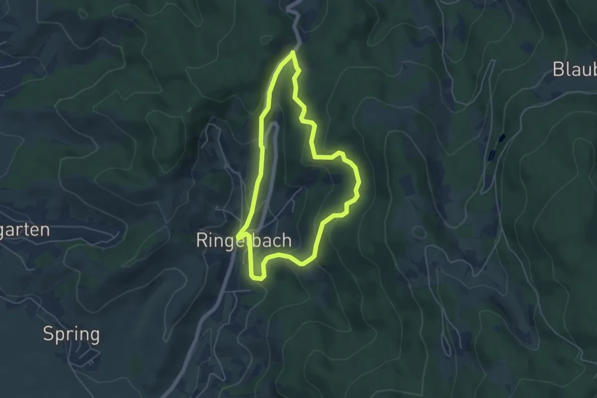
Easy · Trail
Bildstöckle-Rundweg
4.2 km · ↑ 219 m · 1 h 31 min
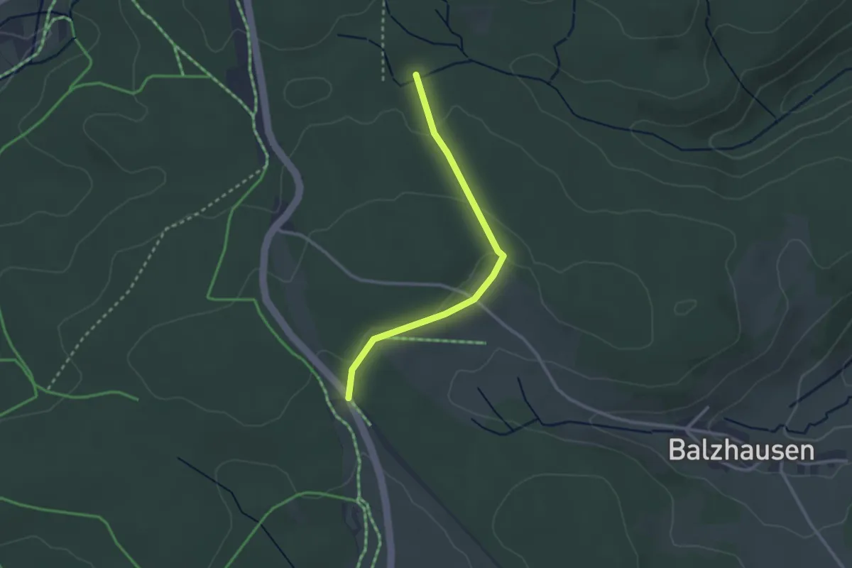
Easy · Trail
Bildstöckle - Steinatal
2.5 km · ↑ 47 m · 42 min
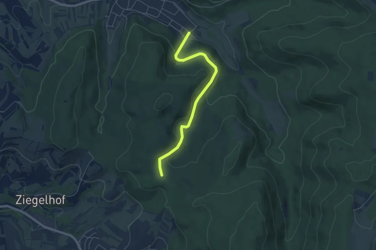
Easy · Trail
Bildstöckle - Sulz Waldstraße
4.9 km · ↑ 167 m · 1 h 31 min
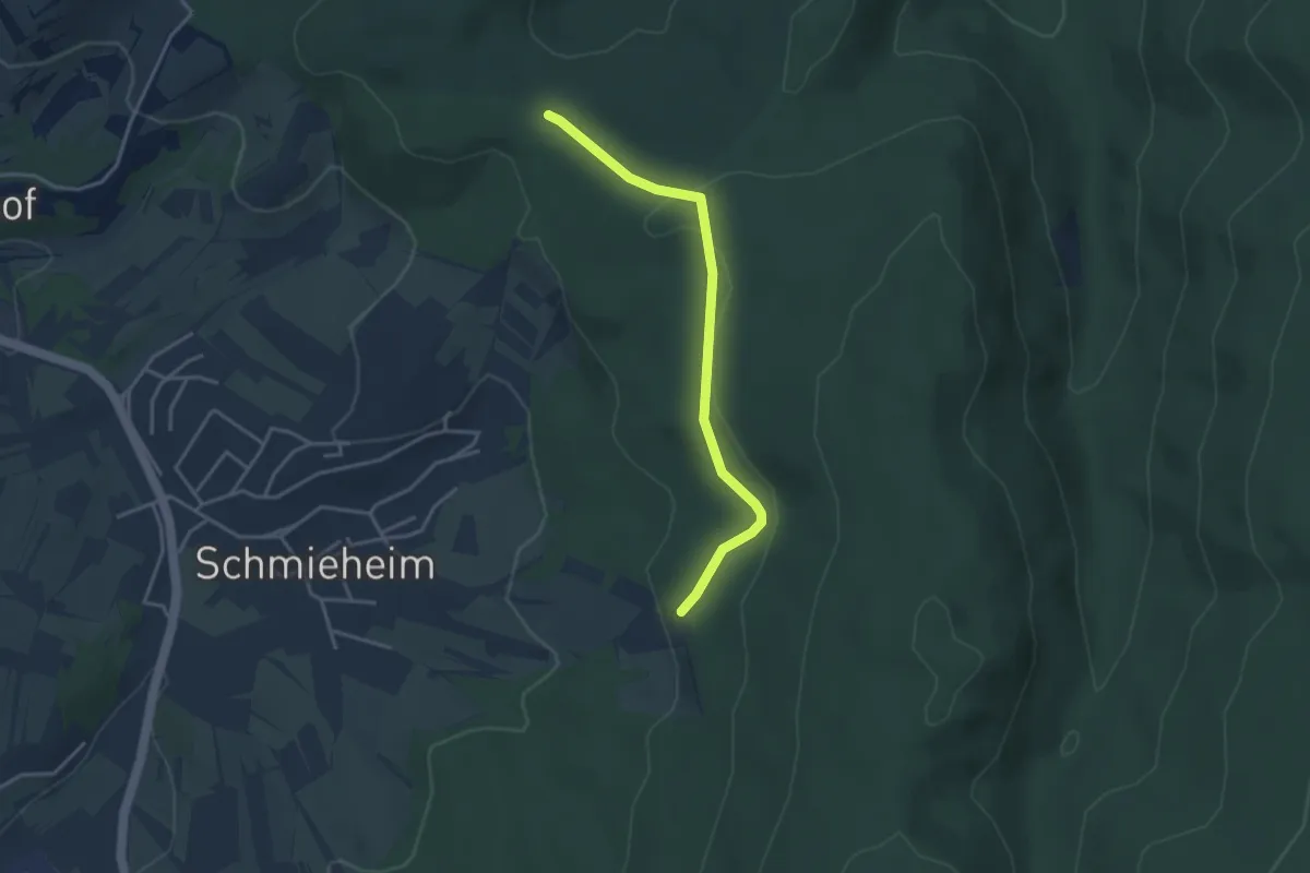
Easy · Trail
Bildstöckle - Vogesenblick
3.3 km · ↑ 100 m · 1 h
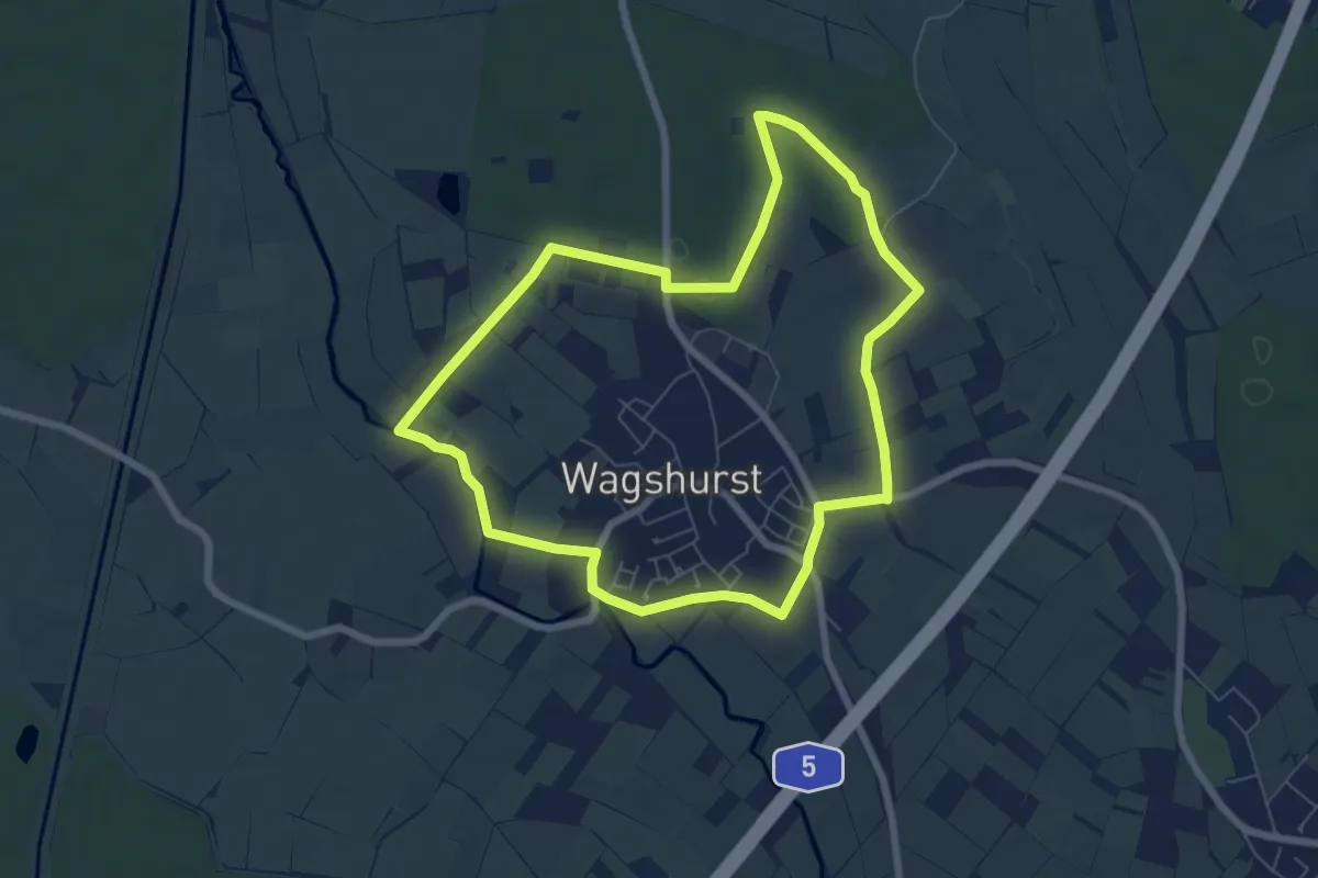
Easy · Trail
Bildstöckl-Rundweg (kurz)
6.5 km · ↑ 14 m · 1 h 39 min
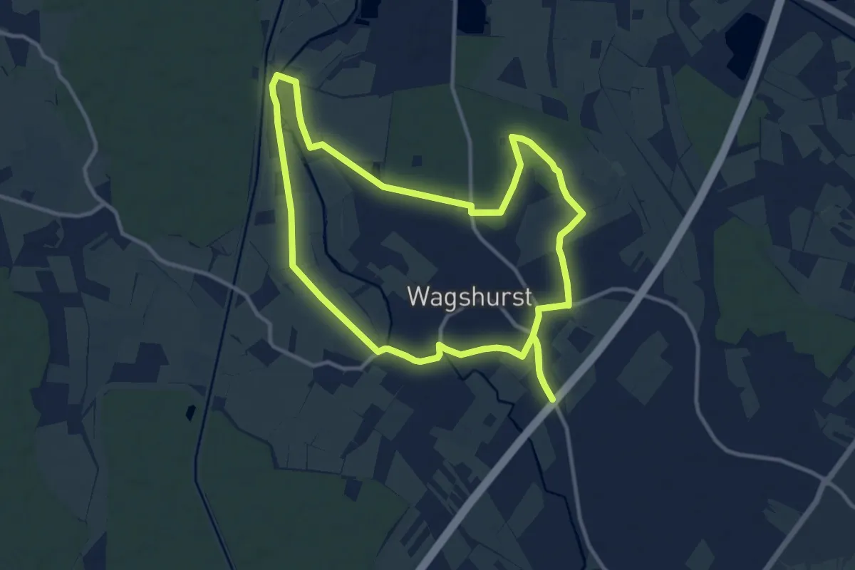
Medium · Trail
Bildstöckl-Rundweg (lang)
10.7 km · ↑ 20 m · 2 h 43 min
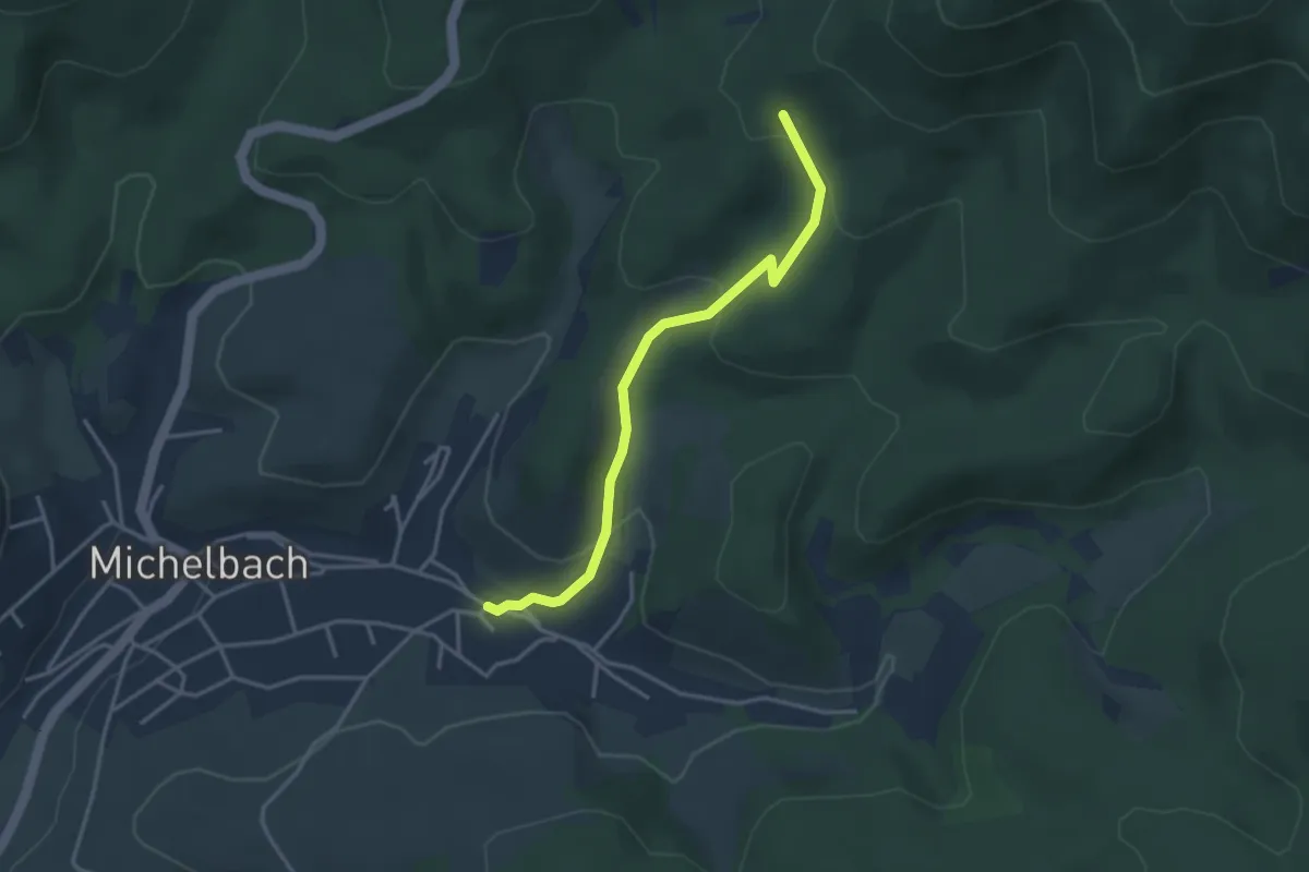
Easy · Trail
Bildstock - Michelbach Mühlwegplatz
3.2 km · ↑ 138 m · 1 h 4 min