Trails in Germany
36,824 hiking trails, each with its route, climb, walking time and grade.
All trails, page 67 of 768
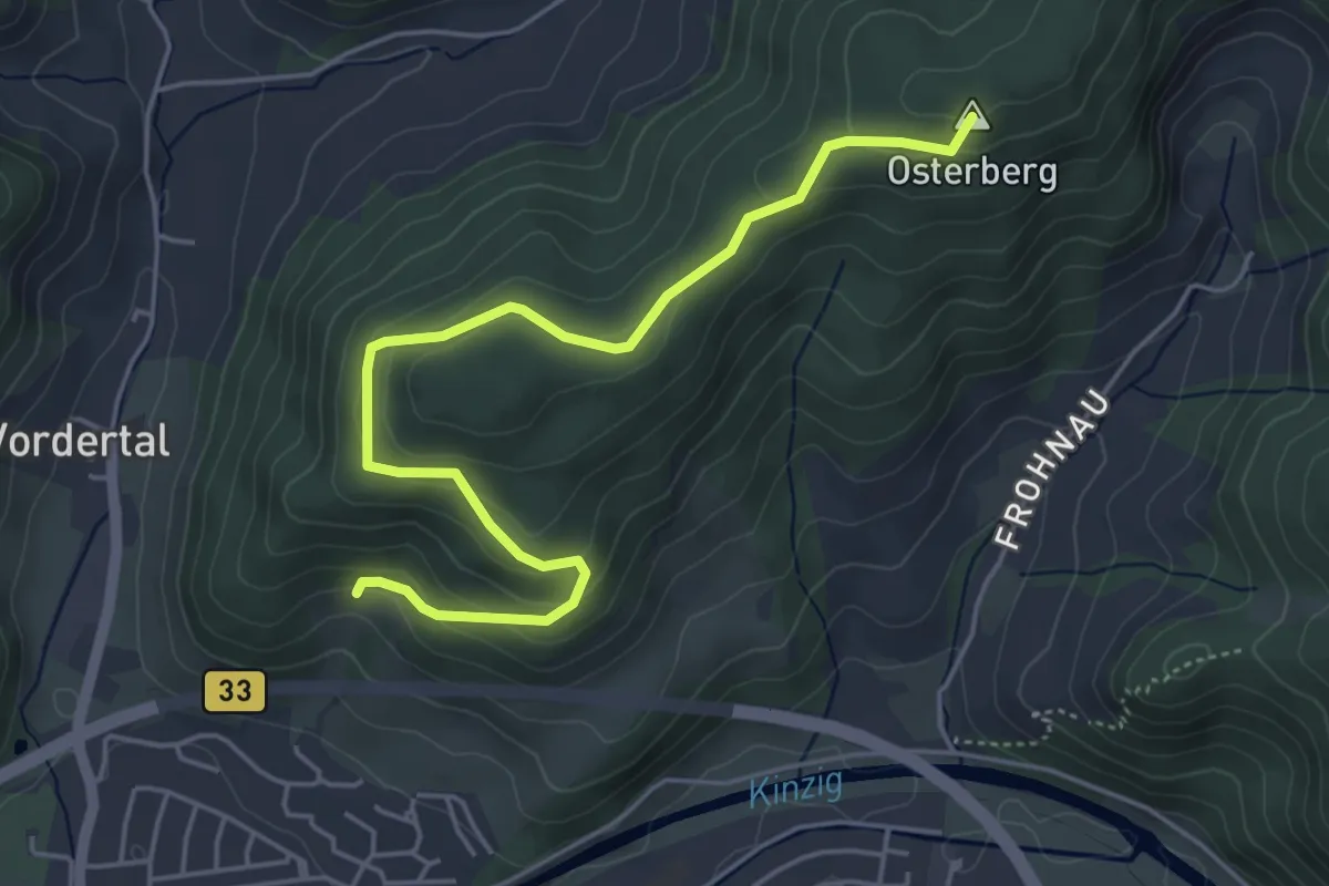
Easy · Summit
Bildstock - Überm Wintermaxenhof
5.1 km · ↑ 262 m · 1 h 47 min
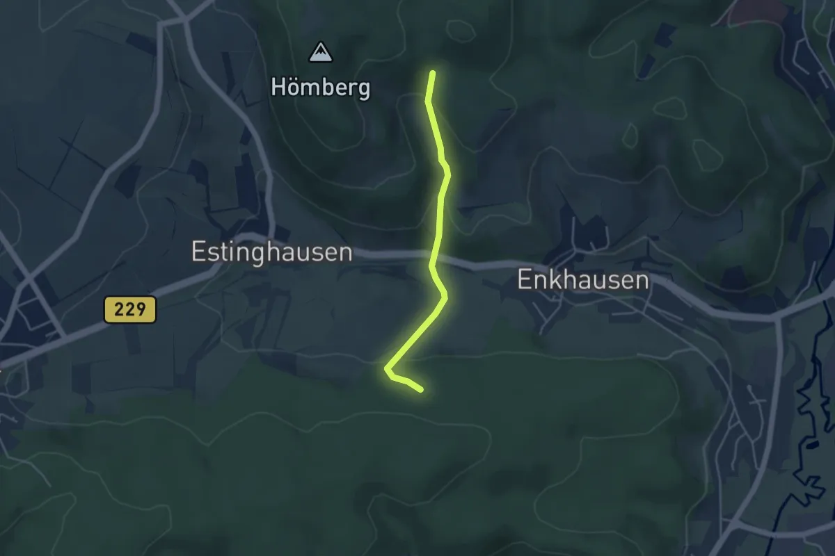
Easy · Trail
Bildstockwanderweg
3.2 km · ↑ 165 m · 1 h 6 min
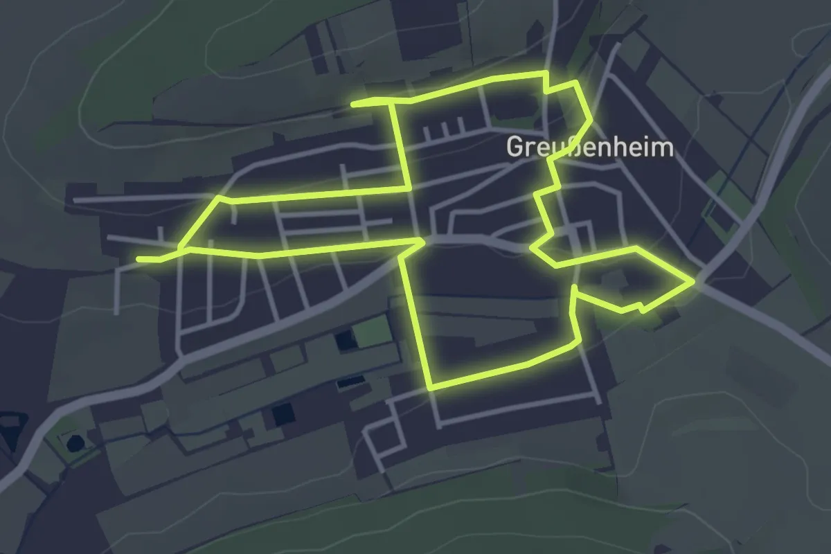
Easy · Trail
Bildstockweg Greußenheim 1
3.4 km · ↑ 51 m · 58 min
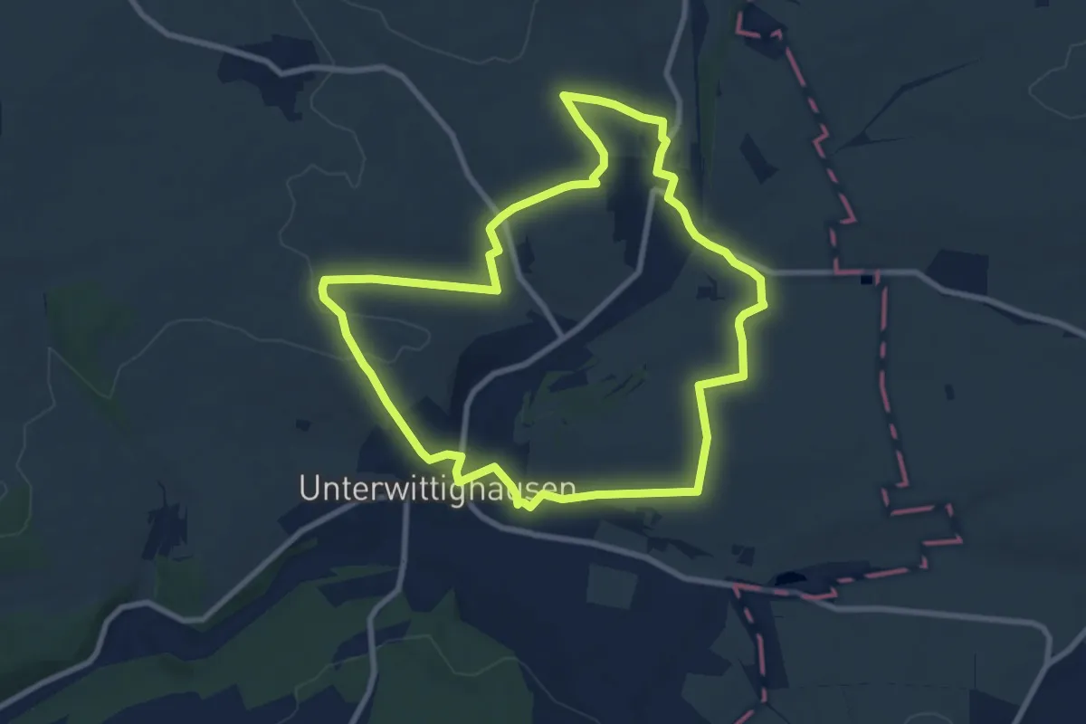
Easy · Trail
Bildstockweg Wittighausen
7.9 km · ↑ 137 m · 2 h 16 min
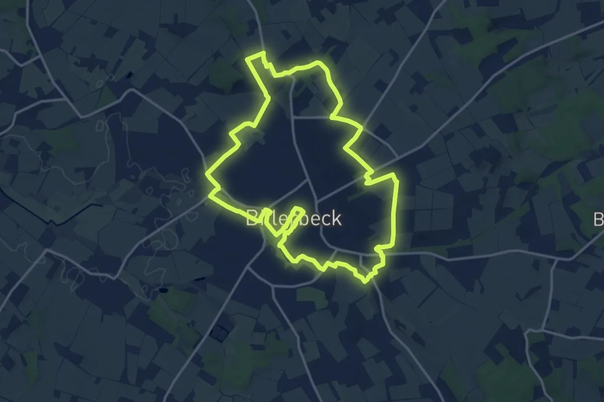
Medium · Trail
Billerbeck Rundweg B1
12.0 km · ↑ 83 m · 3 h 10 min
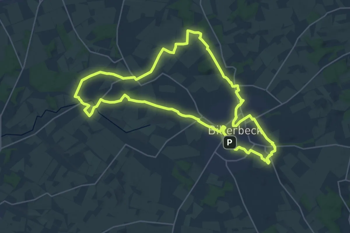
Demanding · Trail
Billerbeck Rundweg B10
19.0 km · ↑ 148 m · 5 h 4 min
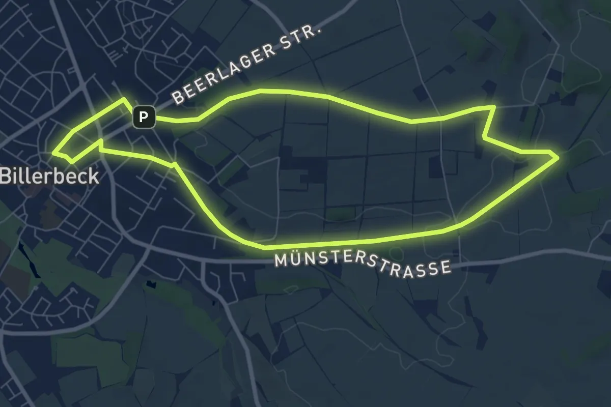
Easy · Trail
Billerbeck Rundweg B2
6.6 km · ↑ 44 m · 1 h 45 min
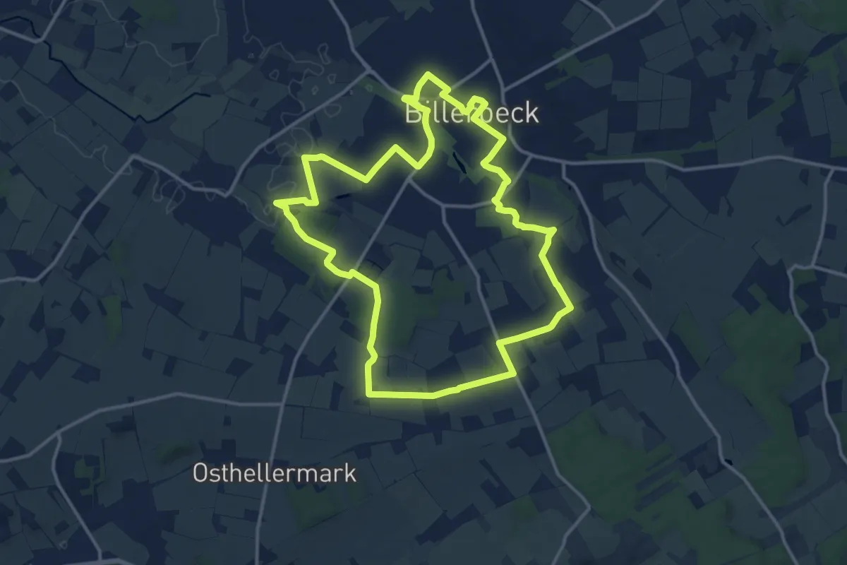
Medium · Summit
Billerbeck Rundweg B3
12.0 km · ↑ 77 m · 3 h 10 min
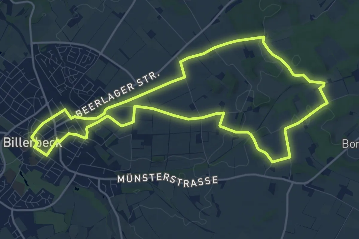
Medium · Summit
Billerbeck Rundweg B4
10.7 km · ↑ 108 m · 2 h 55 min
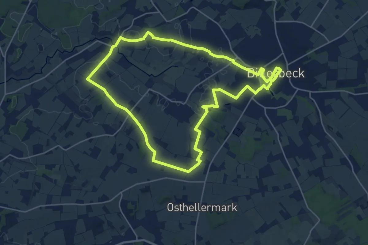
Medium · Trail
Billerbeck Rundweg B5
15.5 km · ↑ 79 m · 4 h 3 min
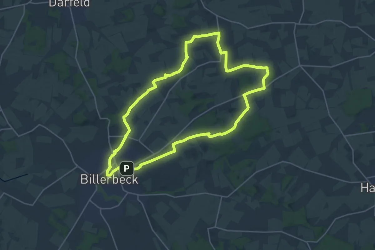
Medium · Trail
Billerbeck Rundweg B7
16.4 km · ↑ 144 m · 4 h 24 min
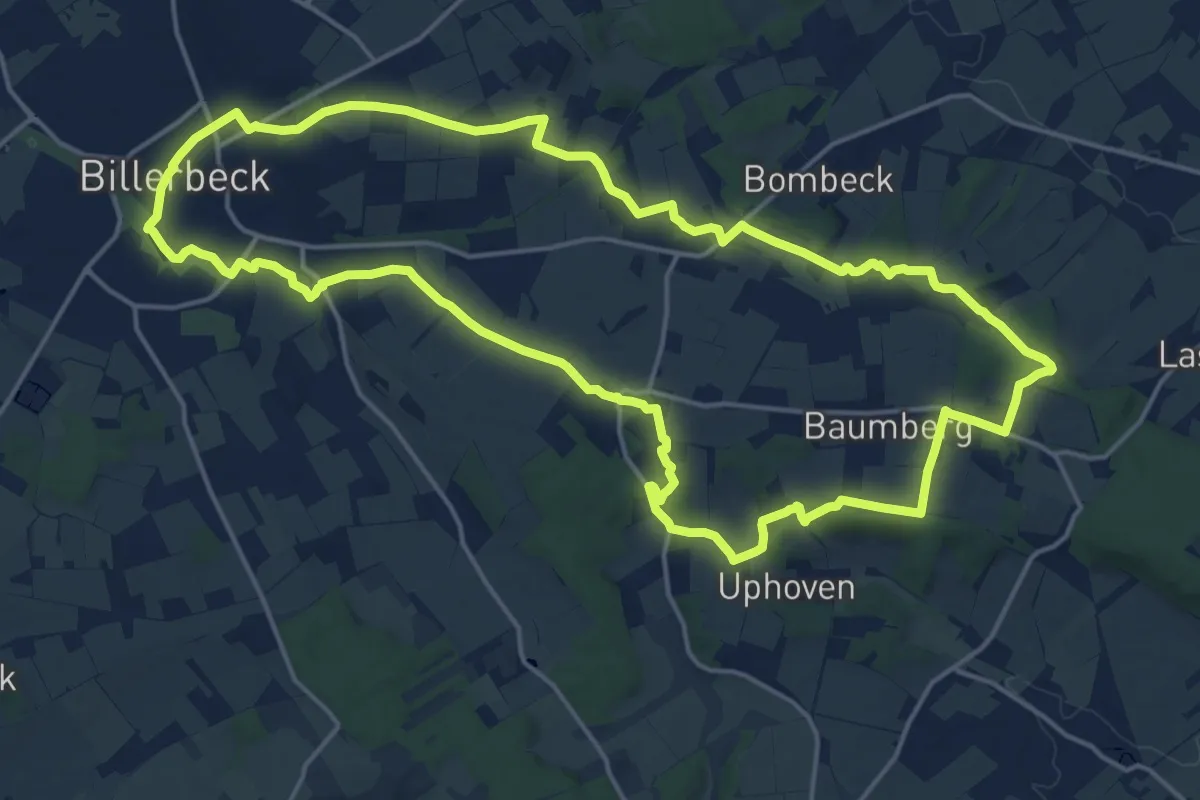
Medium · Summit
Billerbeck Rundweg B8
17.1 km · ↑ 164 m · 4 h 37 min
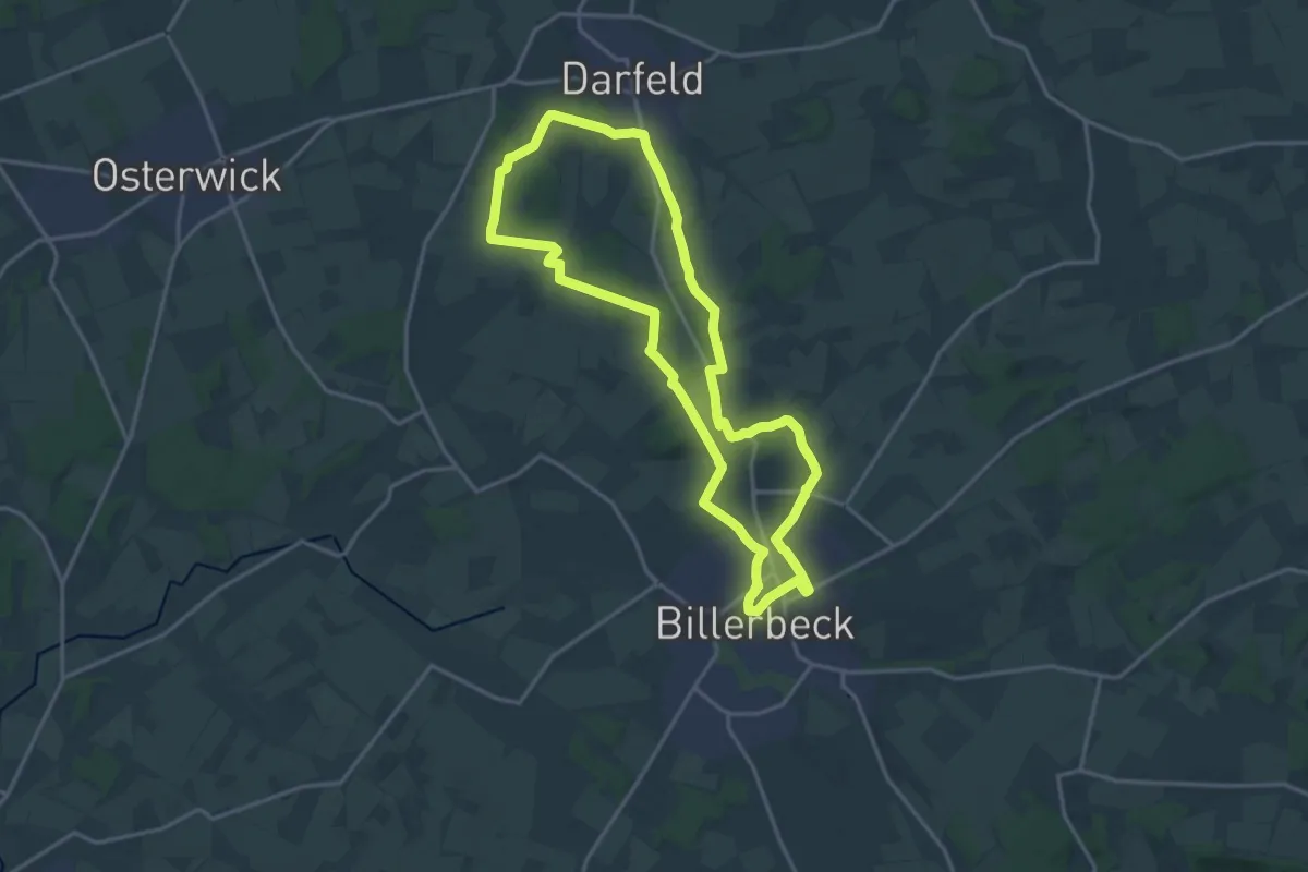
Medium · Trail
Billerbeck Rundweg B9
14.8 km · ↑ 158 m · 4 h 2 min
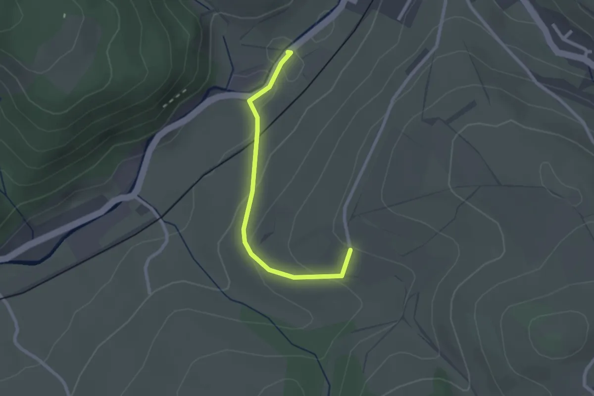
Easy · Trail
Billersberg - Hagenbach Kornbauernhof
2.1 km · ↑ 75 m · 39 min
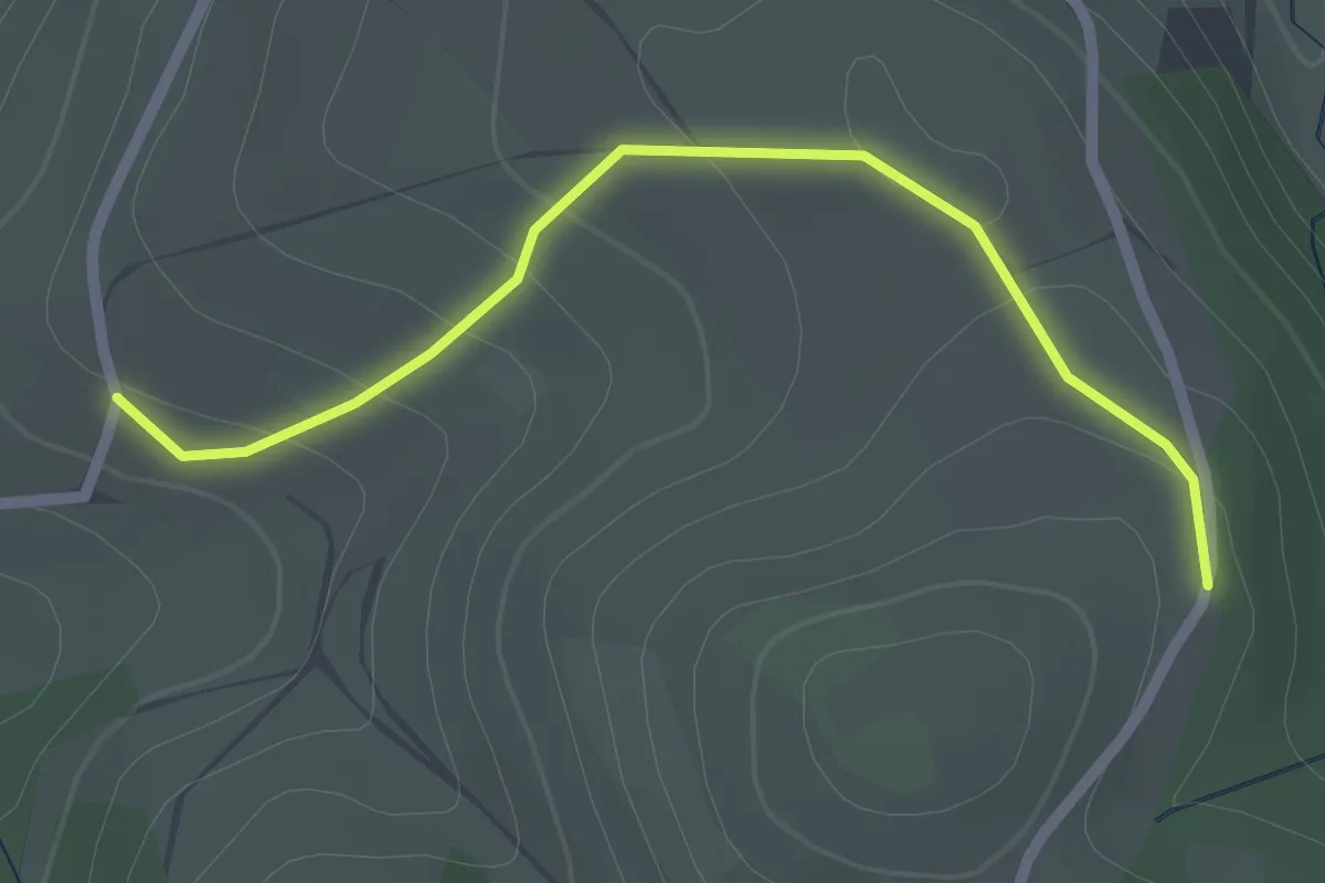
Easy · Trail
Billersberg - Häldele
2.2 km · ↑ 75 m · 41 min
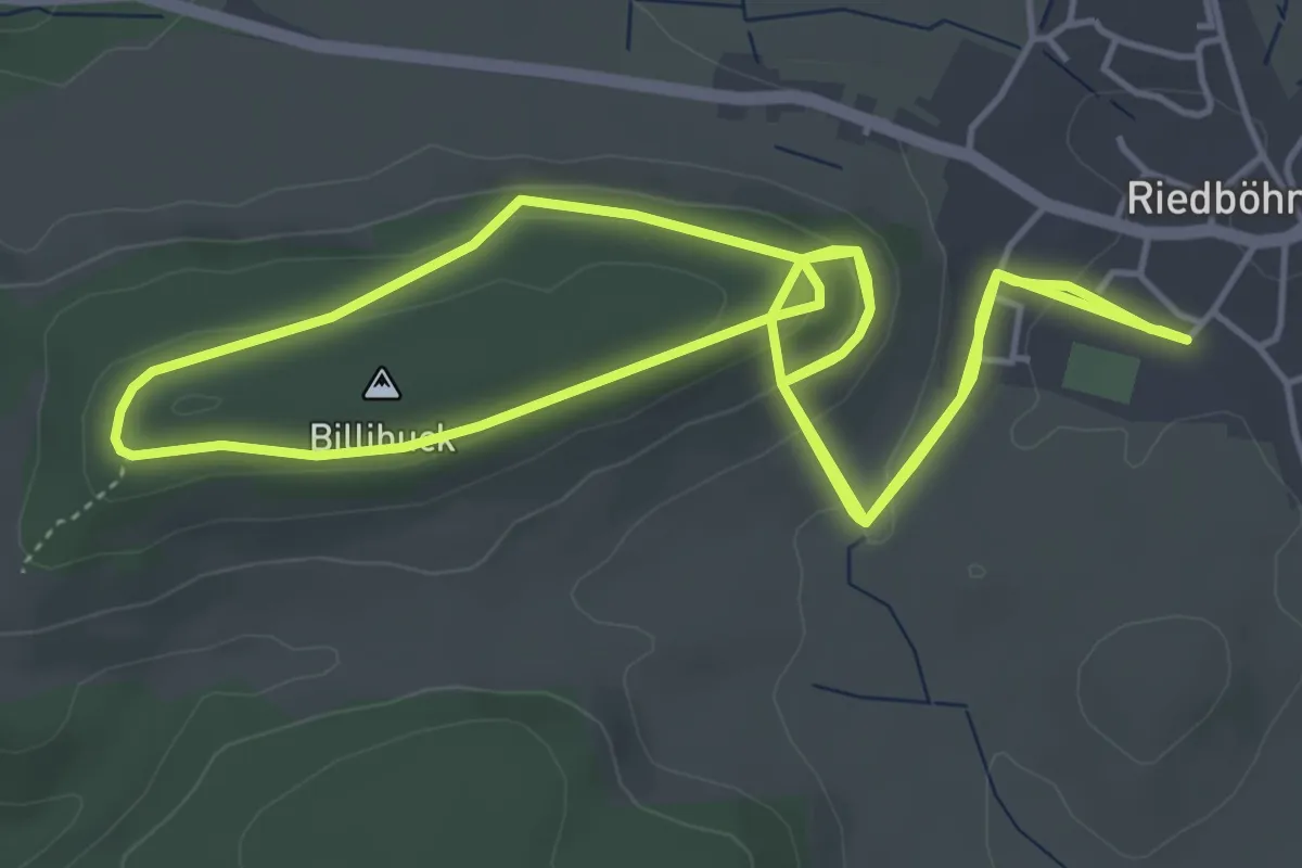
Easy · Summit
Billibuckweg
6.1 km · ↑ 211 m · 1 h 56 min
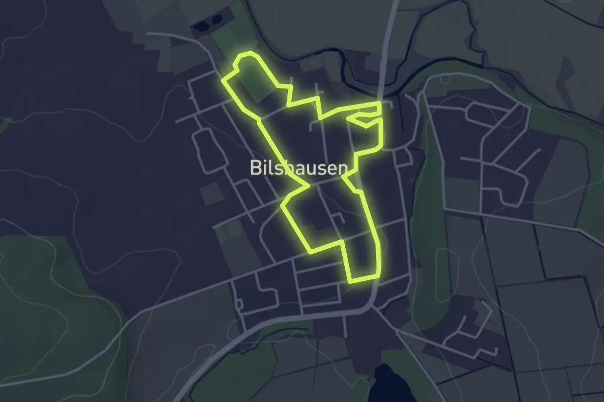
Easy · Trail
Bilshausen Rundweg A
3.0 km · ↑ 22 m · 48 min
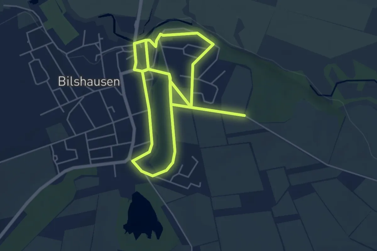
Easy · Trail
Bilshausen Rundweg B
4.5 km · ↑ 67 m · 1 h 16 min
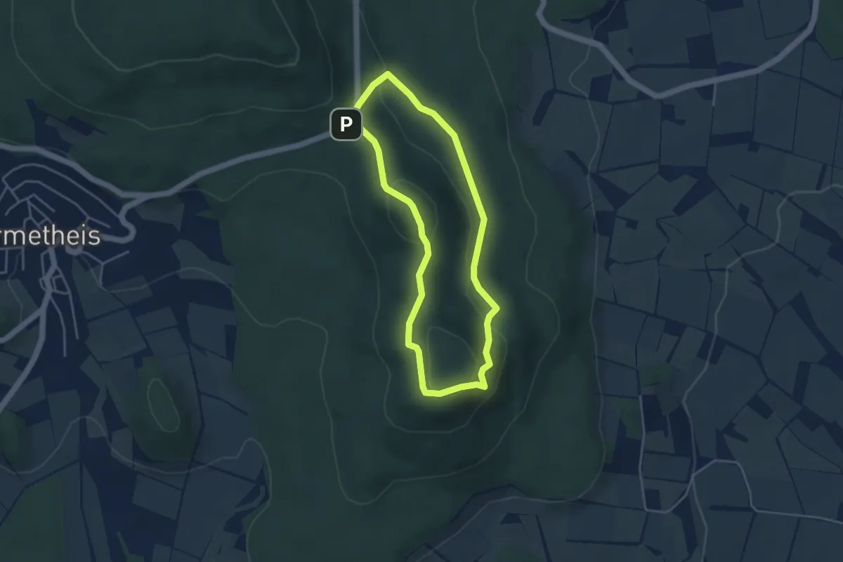
Easy · Summit
Bilsteinblick, Naturparkweg 1
3.4 km · ↑ 117 m · 1 h 6 min
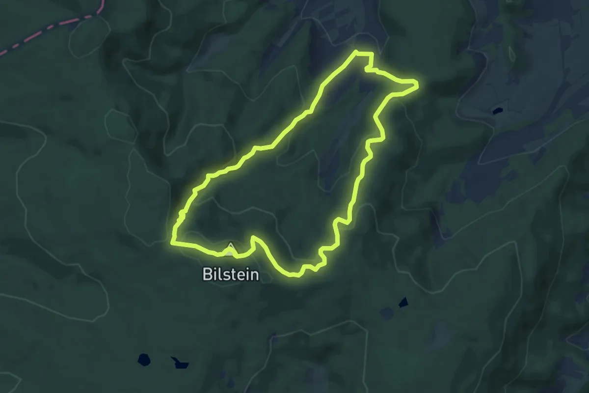
Medium · Summit
Bilsteinrundweg
8.4 km · ↑ 357 m · 2 h 53 min
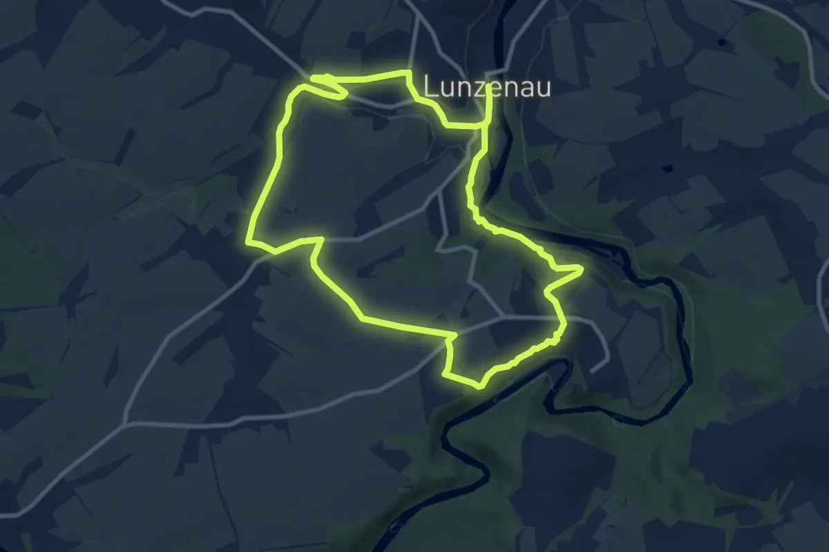
Medium · Summit
Bilz-Wanderweg
8.8 km · ↑ 119 m · 2 h 27 min
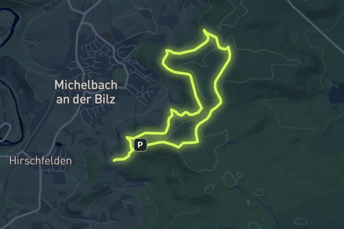
Easy · Trail
Bilzweg
6.4 km · ↑ 211 m · 2 h 3 min
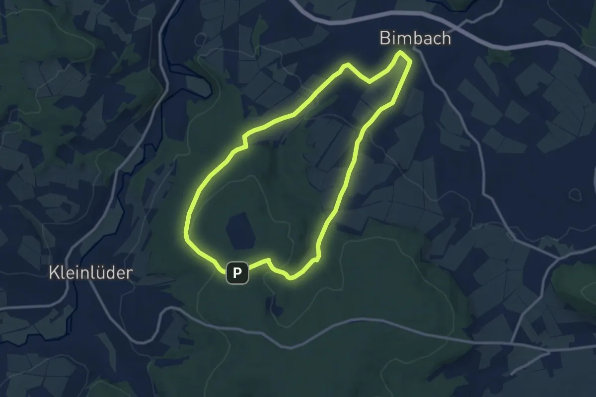
Medium · Trail
Bimbach 2
8.6 km · ↑ 168 m · 2 h 31 min
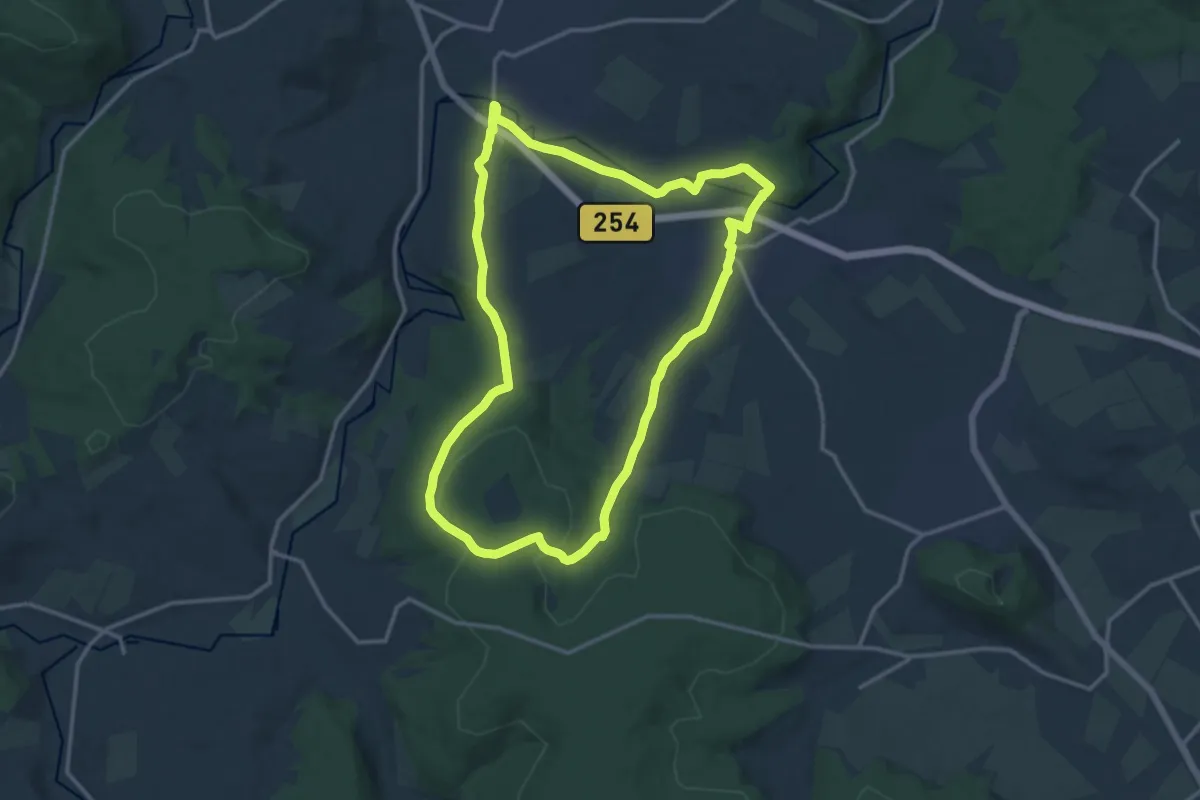
Medium · Trail
Bimbach 3
13.0 km · ↑ 192 m · 3 h 40 min
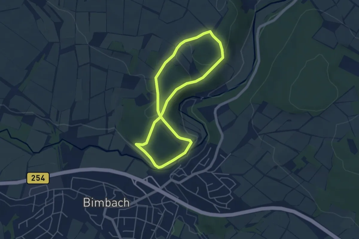
Easy · Trail
Bimbach-Rundweg Nr. 1
3.7 km · ↑ 91 m · 1 h 7 min
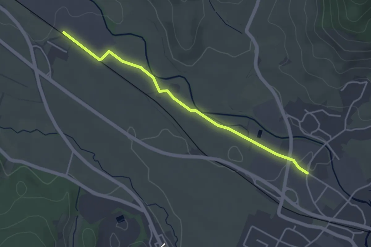
Easy · Trail
Bindfadenfabrik - Kappelrodeck Bronnmatt
3.5 km · ↑ 17 m · 52 min
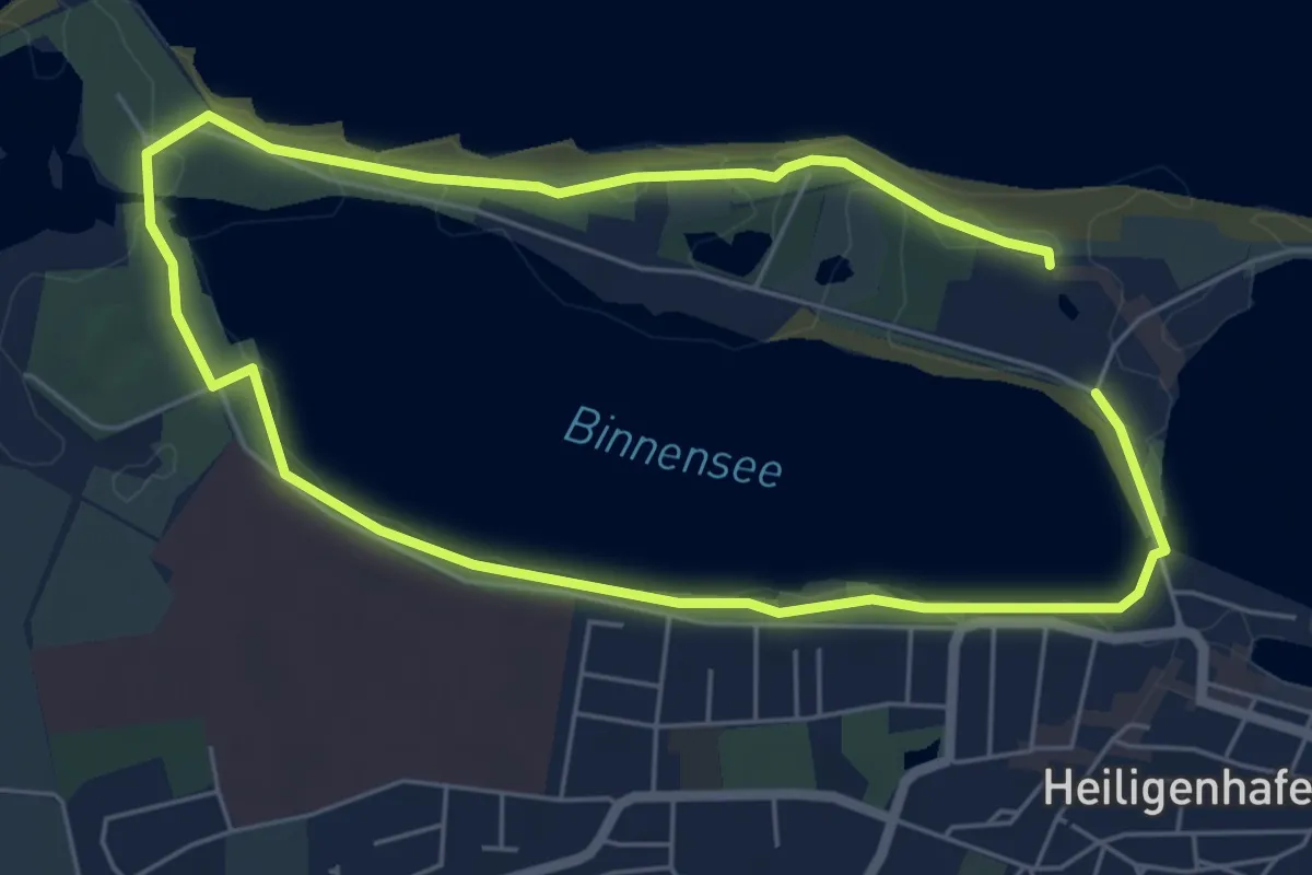
Medium · Trail
Binnenseeroute Kurz
8.8 km · ↑ 64 m · 2 h 13 min
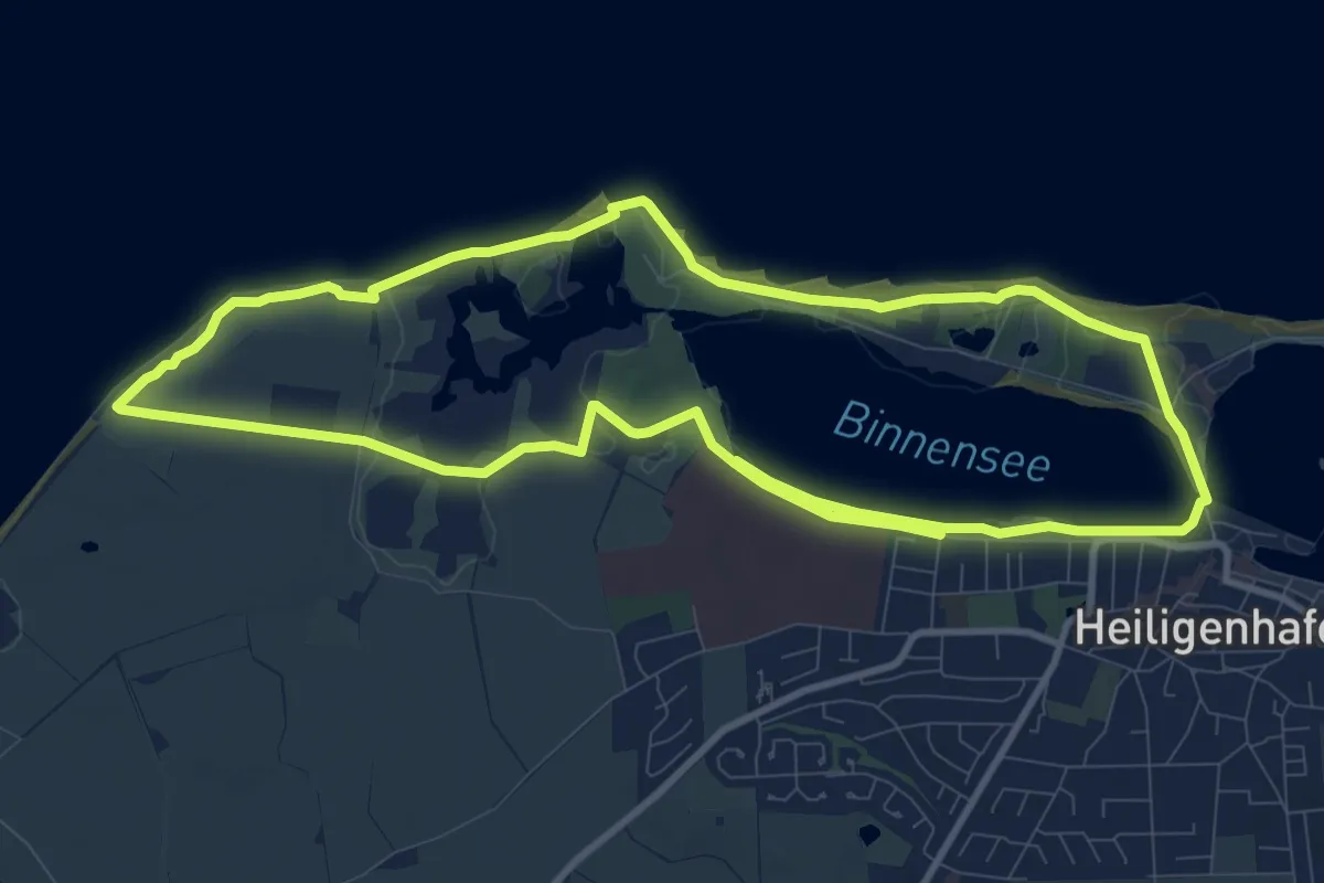
Demanding · Trail
Binnenseeroute Lang
18.4 km · ↑ 103 m · 4 h 34 min
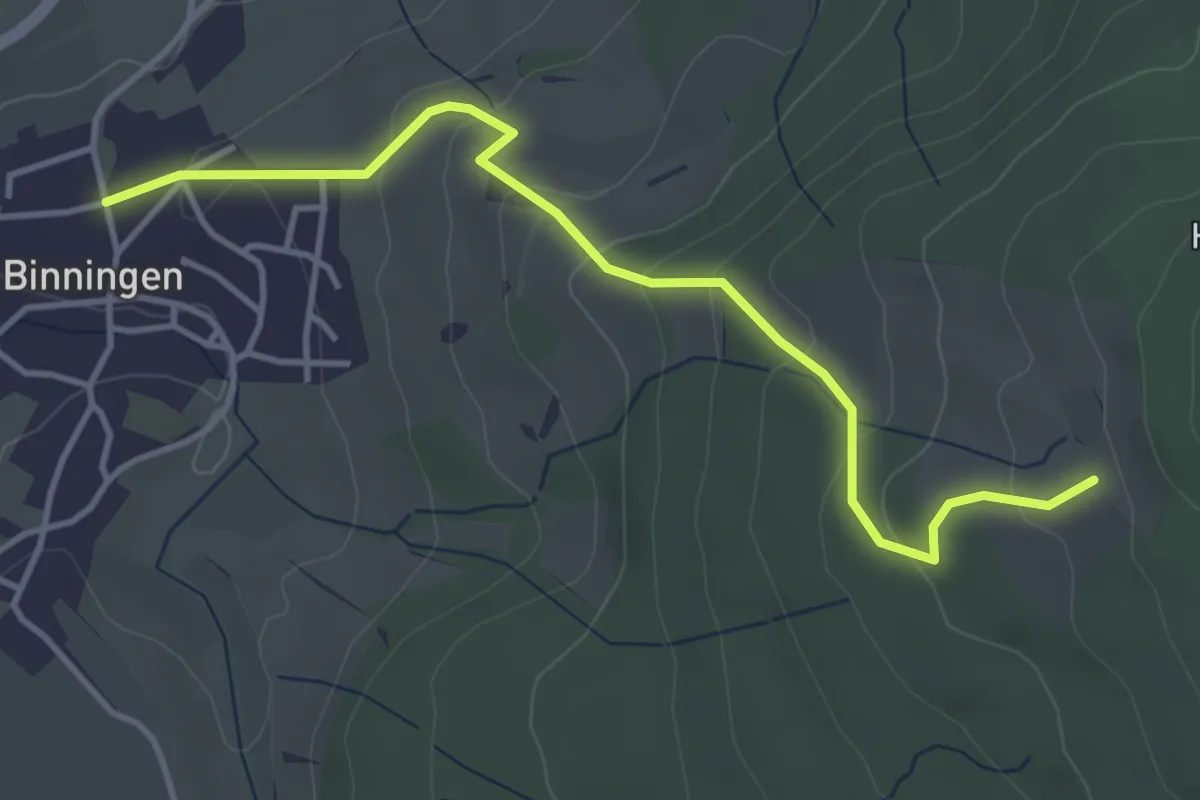
Easy · Trail
Binningen Staig - Stofflerhof
4.1 km · ↑ 215 m · 1 h 27 min
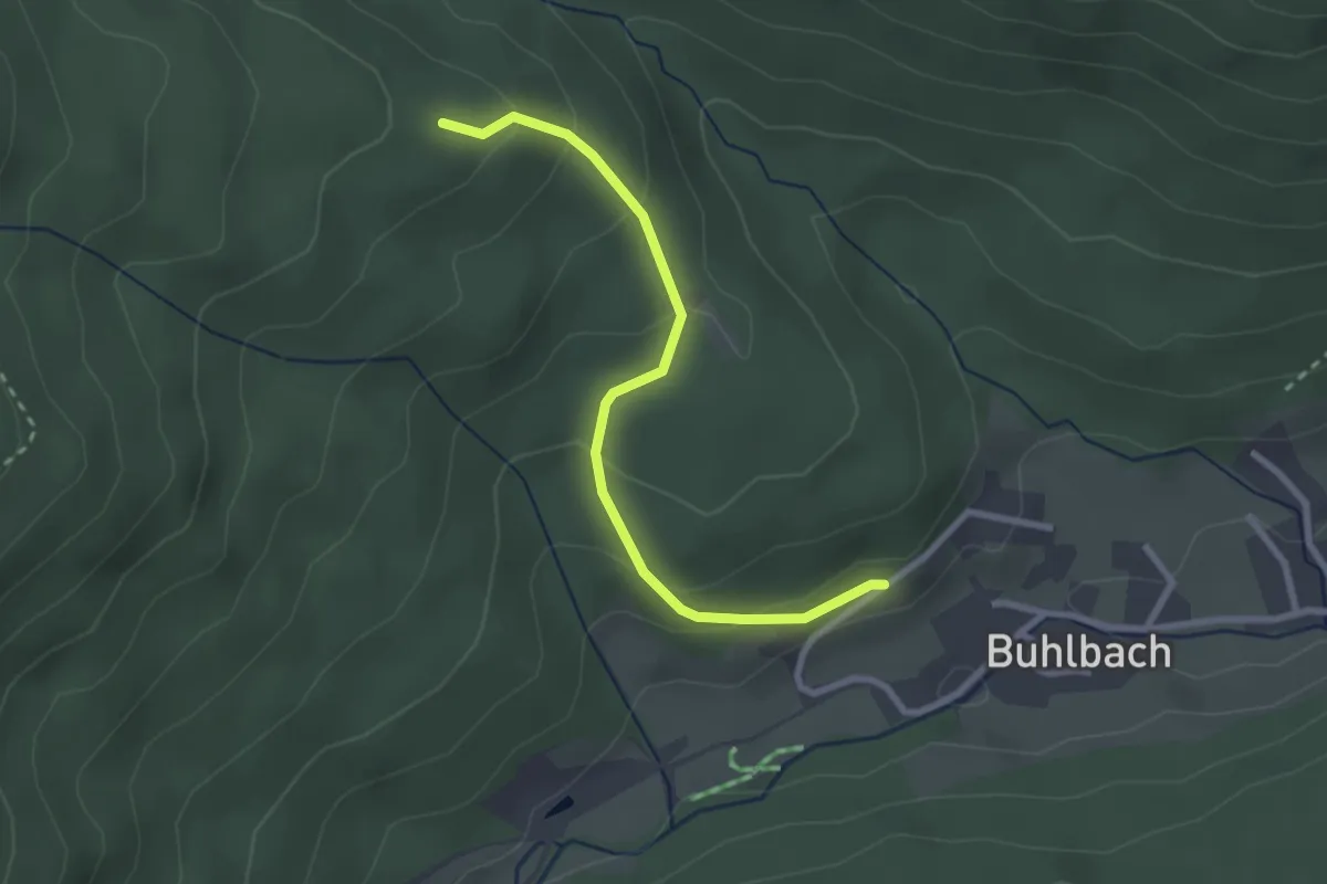
Easy · Trail
Binsenhütte - Hänger
2.5 km · ↑ 152 m · 56 min
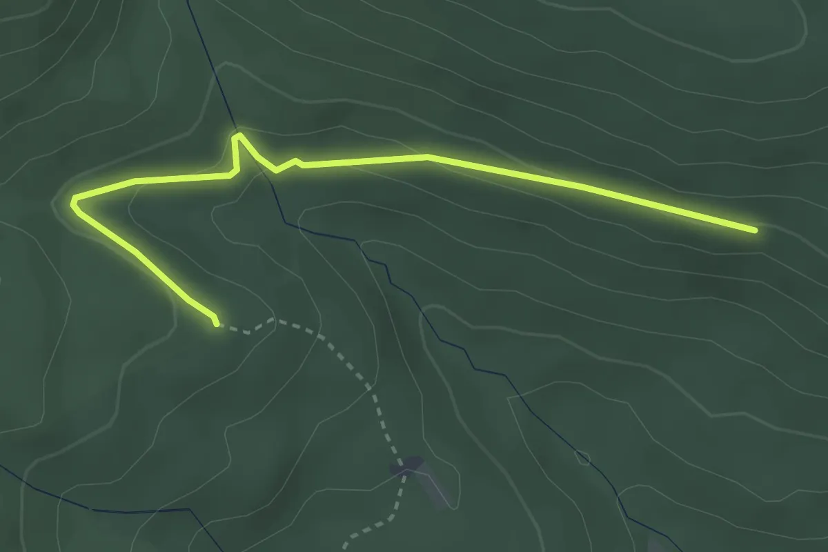
Easy · Trail
Binsenhütte - Röhrsberghalde
3.3 km · ↑ 88 m · 58 min
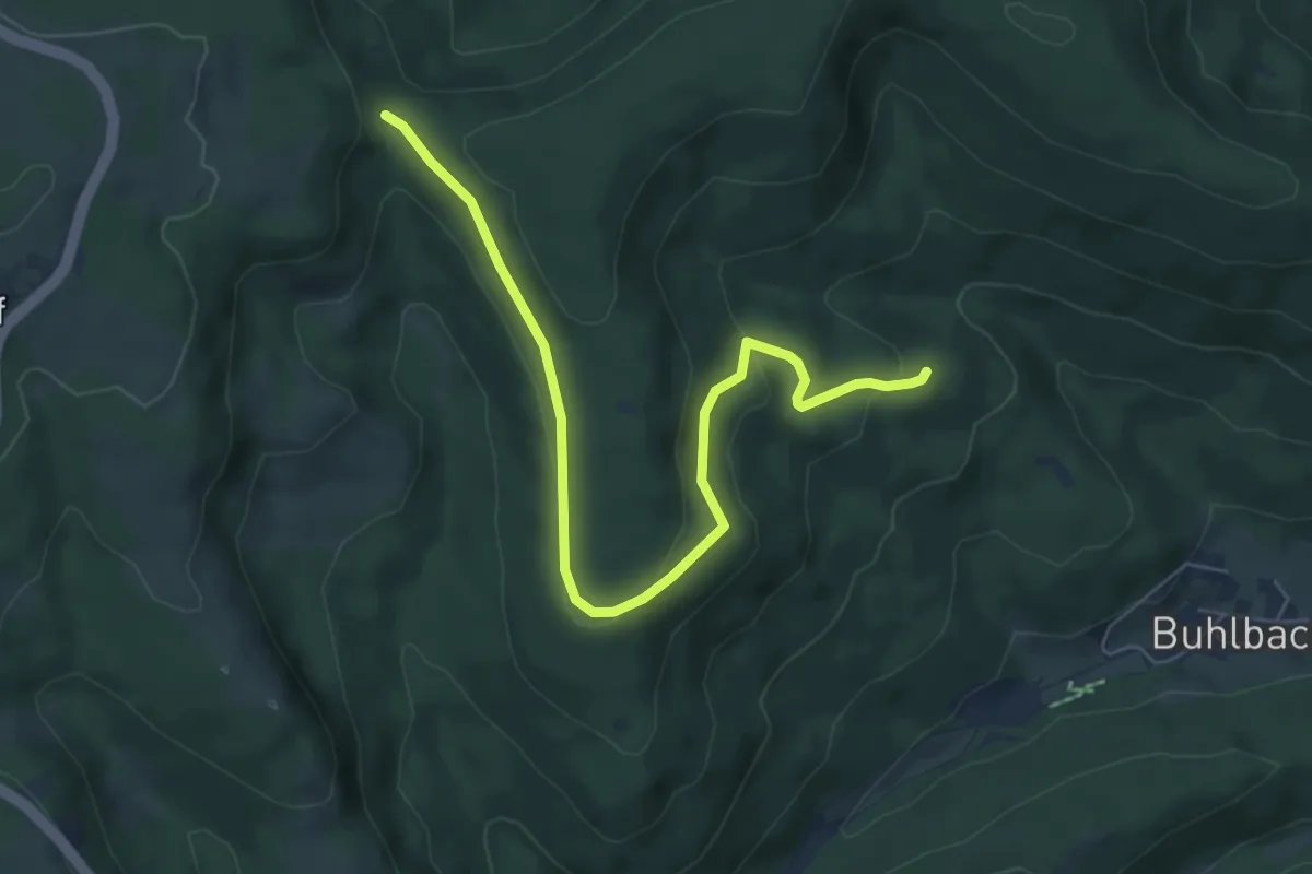
Easy · Trail
Binsenhütte - Roter Schliff
6.5 km · ↑ 169 m · 1 h 54 min
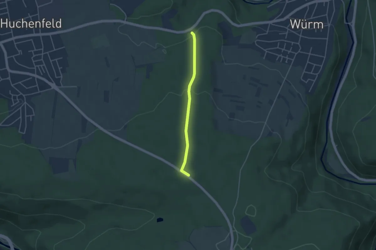
Easy · Trail
Binsenwald - Dreimarkstein
3.0 km · ↑ 101 m · 56 min
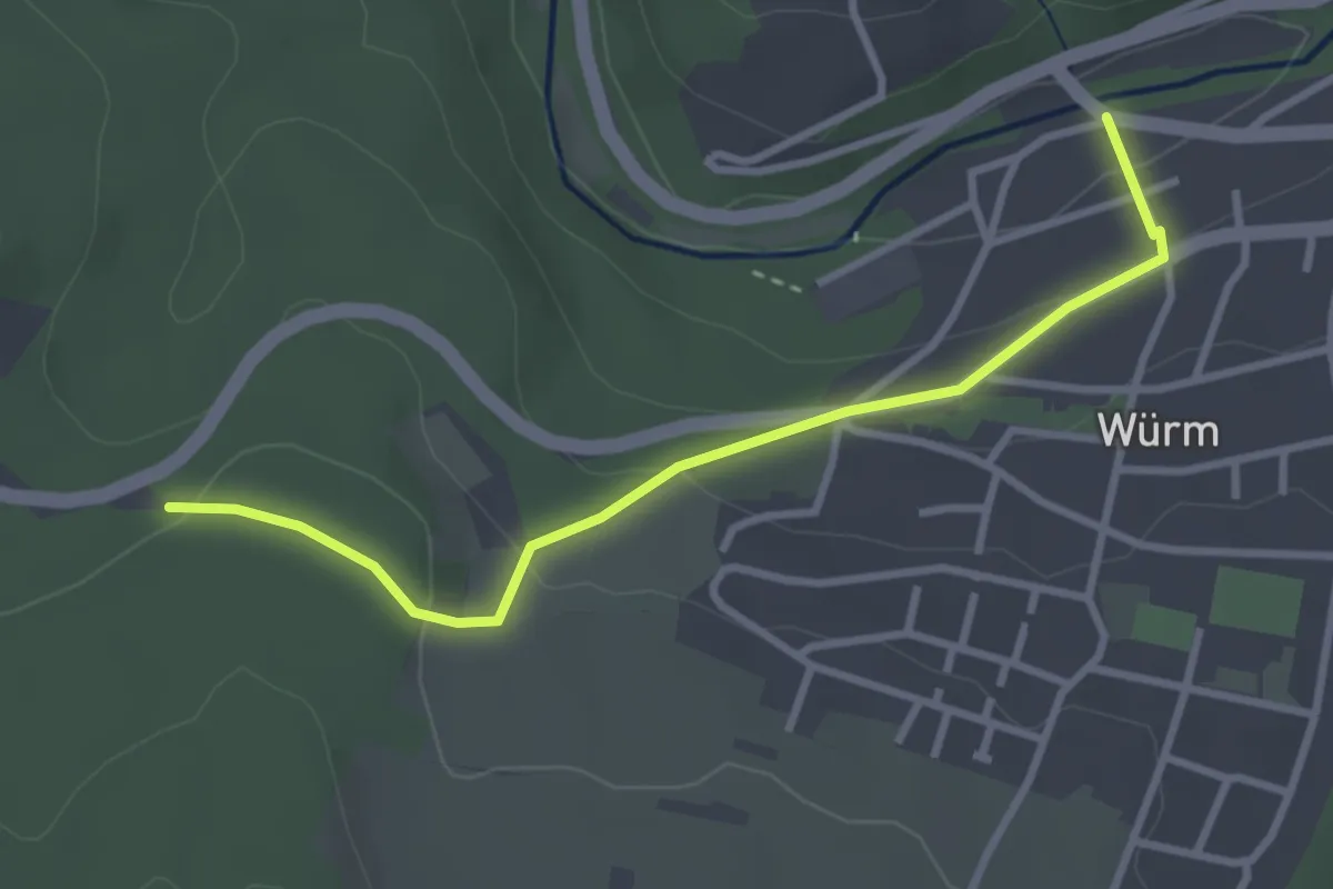
Easy · Trail
Binsenwald - Würm Würmbrücke
3.1 km · ↑ 117 m · 58 min
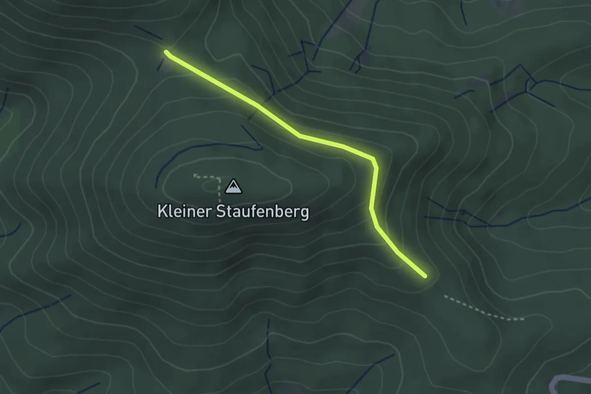
Easy · Trail
Binsenwasen - Kohlplättel
2.7 km · ↑ 96 m · 50 min
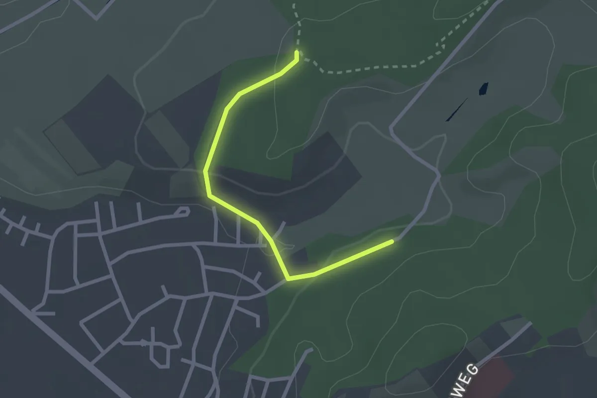
Easy · Trail
Binzmatt - Niederholz
2.1 km · ↑ 50 m · 37 min
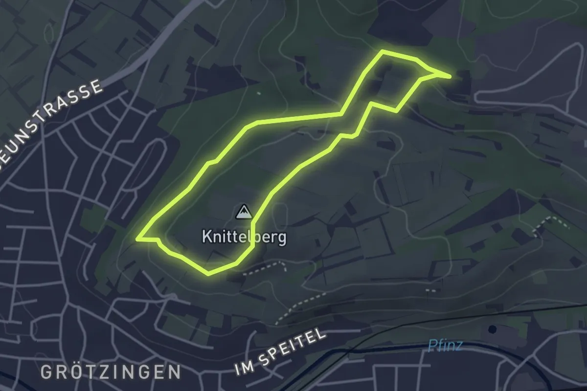
Easy · Summit
Biodiversitätspfad Karlsruhe-Grötzingen
3.1 km · ↑ 87 m · 58 min
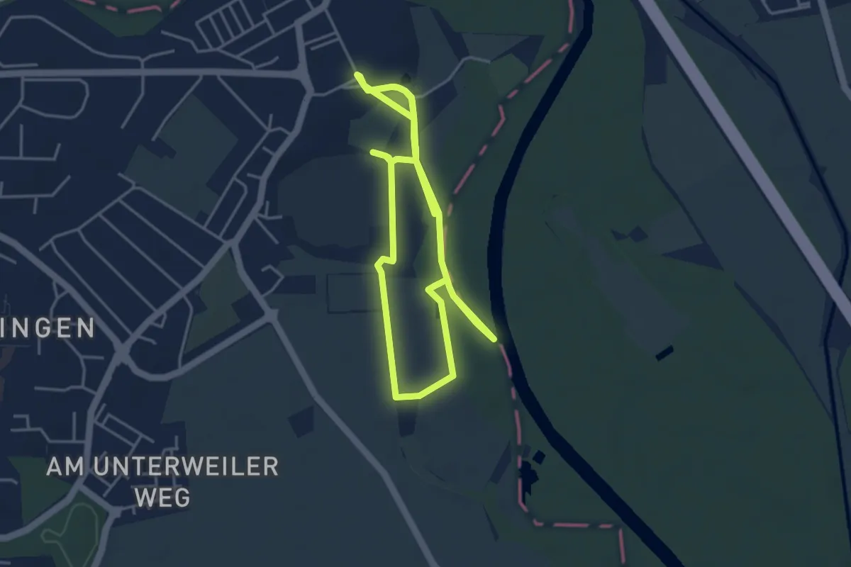
Easy · Trail
Biodiversitätspfad Wiblinger Auenweg
8.0 km · ↑ 44 m · 1 h 59 min
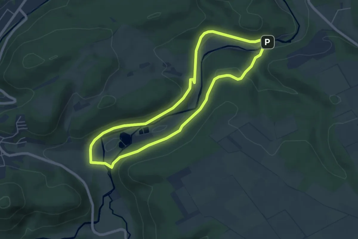
Easy · Trail
Bionik-Pfad
4.7 km · ↑ 138 m · 1 h 29 min
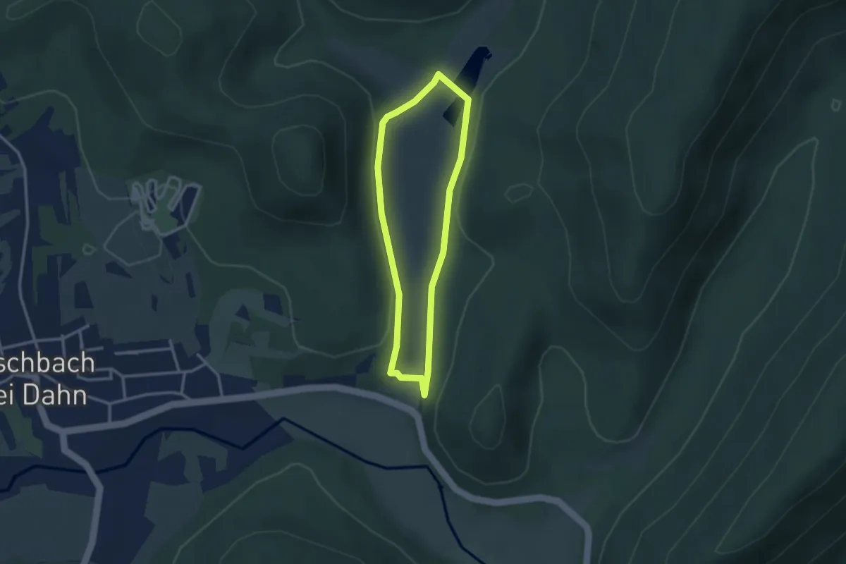
Easy · Trail
Biosphären-Erlebnisweg
2.3 km · ↑ 36 m · 39 min
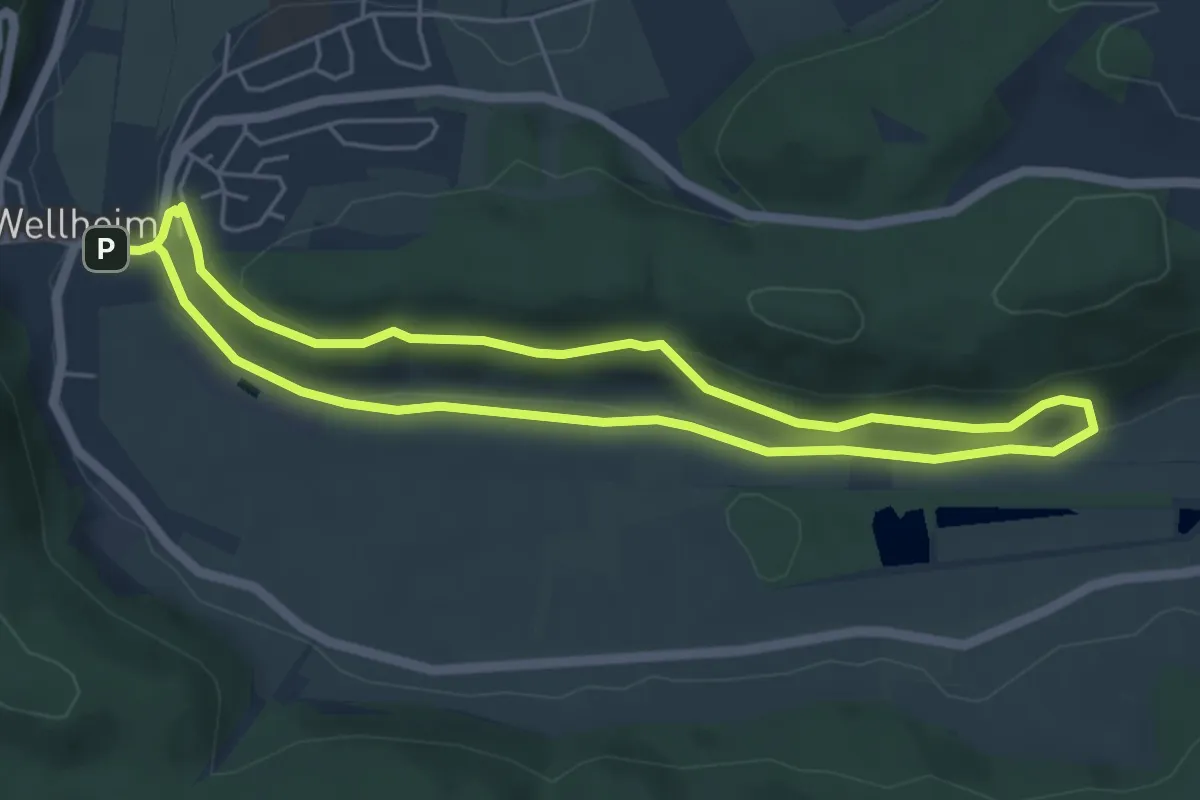
Medium · Trail
Biotoplehrpfad
4.6 km · ↑ 106 m · 1 h 23 min
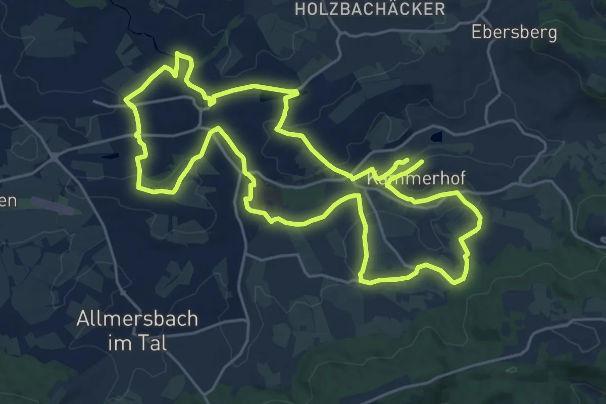
Medium · Summit
Biotoplehrpfad
15.3 km · ↑ 202 m · 4 h 16 min
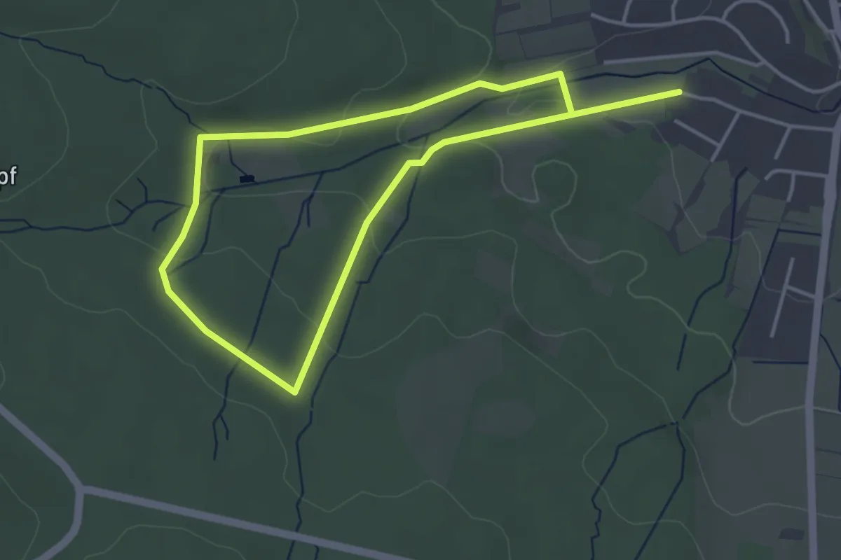
Easy · Trail
Biotoplehrpfad
6.3 km · ↑ 153 m · 1 h 49 min
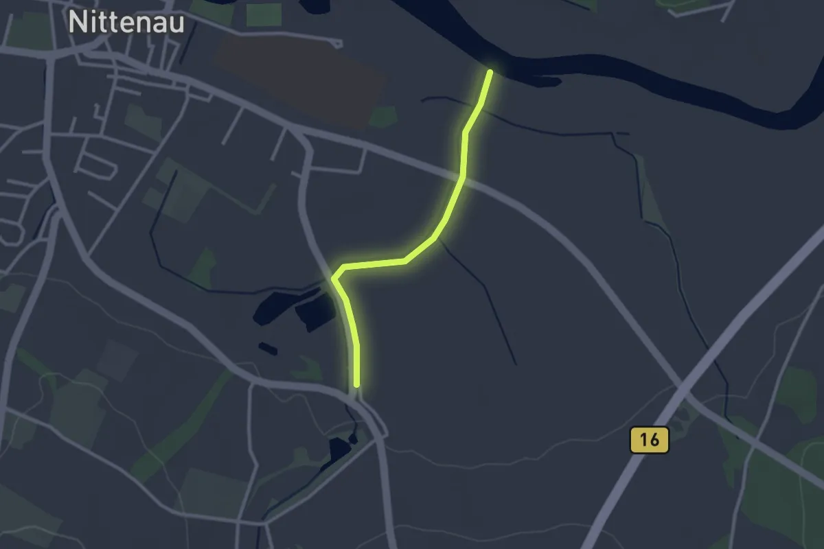
Easy · Trail
Biotoplehrpfad "Der Bunte Weg" Nittenau
2.2 km · ↑ 8 m · 32 min
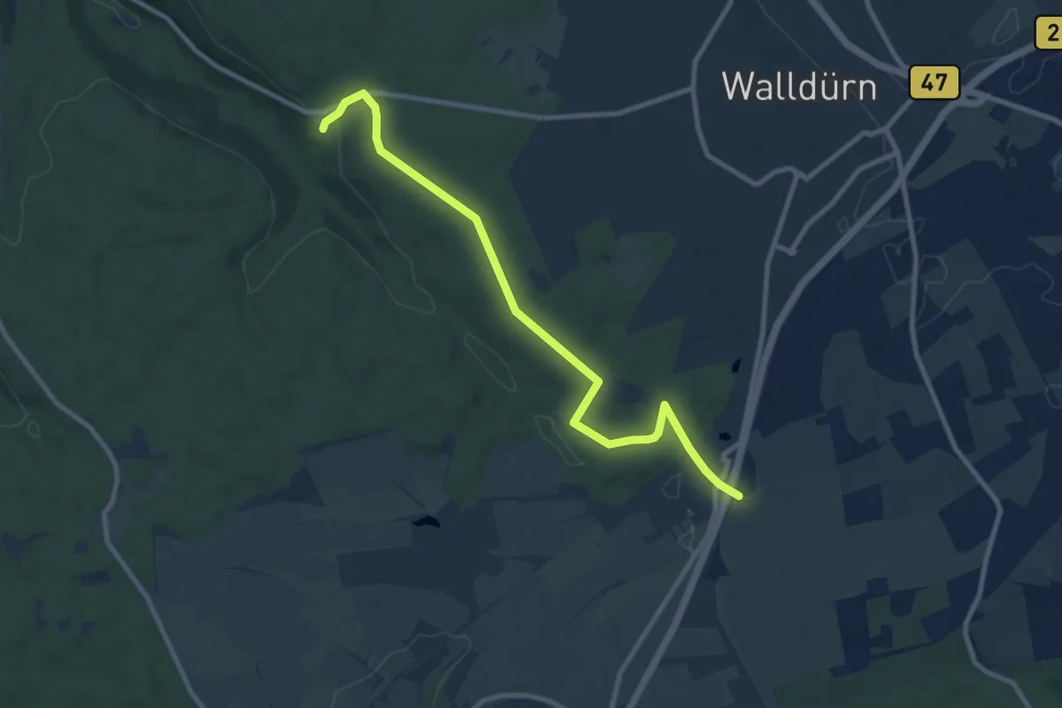
Medium · Trail
Biotoplehrpfad - Variante 3 - Über die Eiderbach zum Fledermausturm
8.8 km · ↑ 100 m · 2 h 18 min
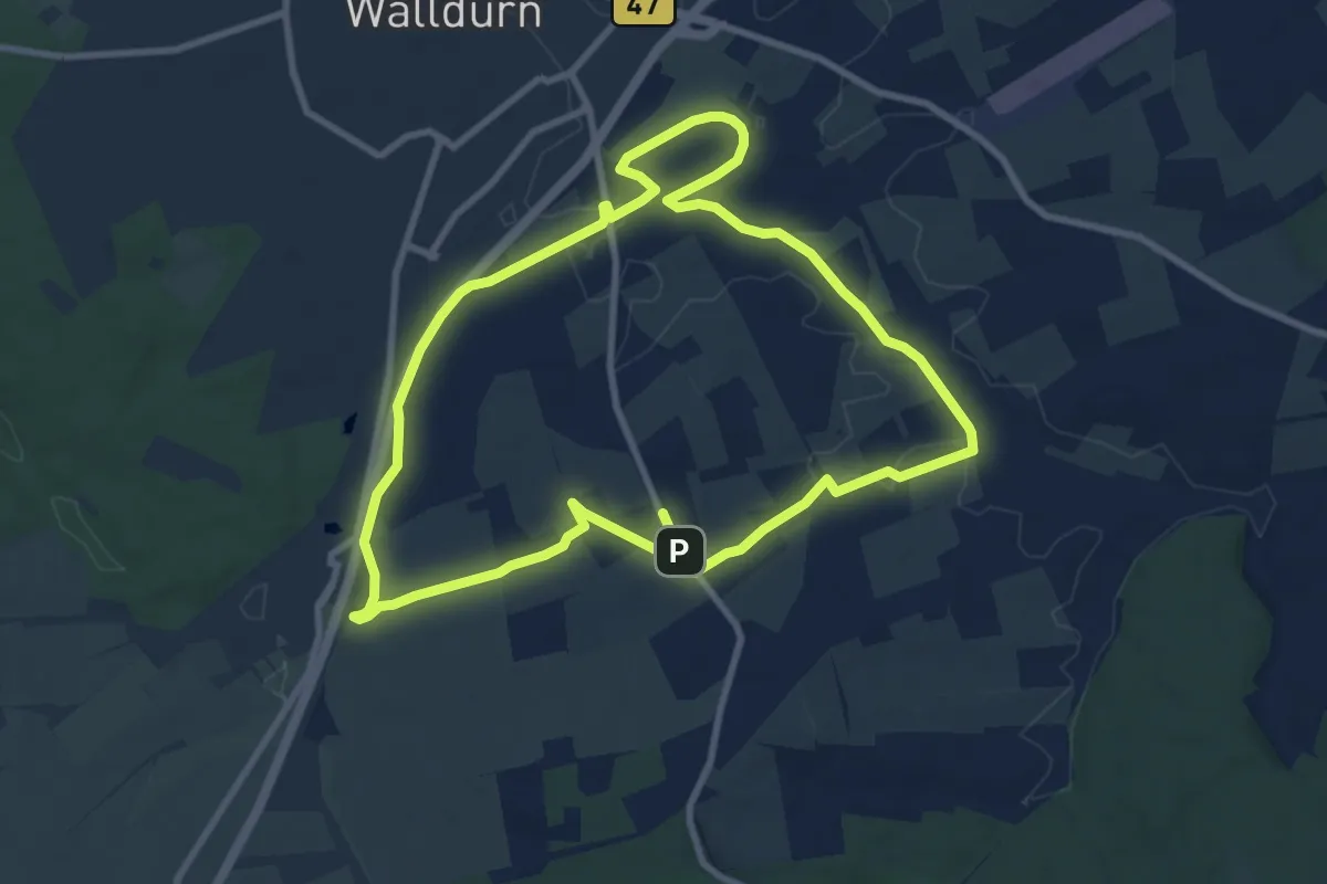
Medium · Trail
Biotoplehrpfad Walldürn
17.2 km · ↑ 77 m · 4 h 14 min
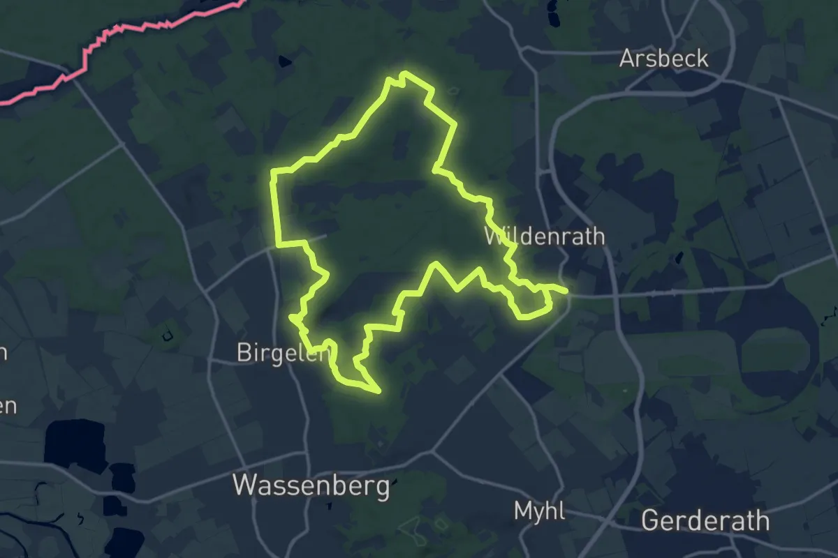
Medium · Trail
Birgeler Urwald
14.2 km · ↑ 115 m · 3 h 48 min
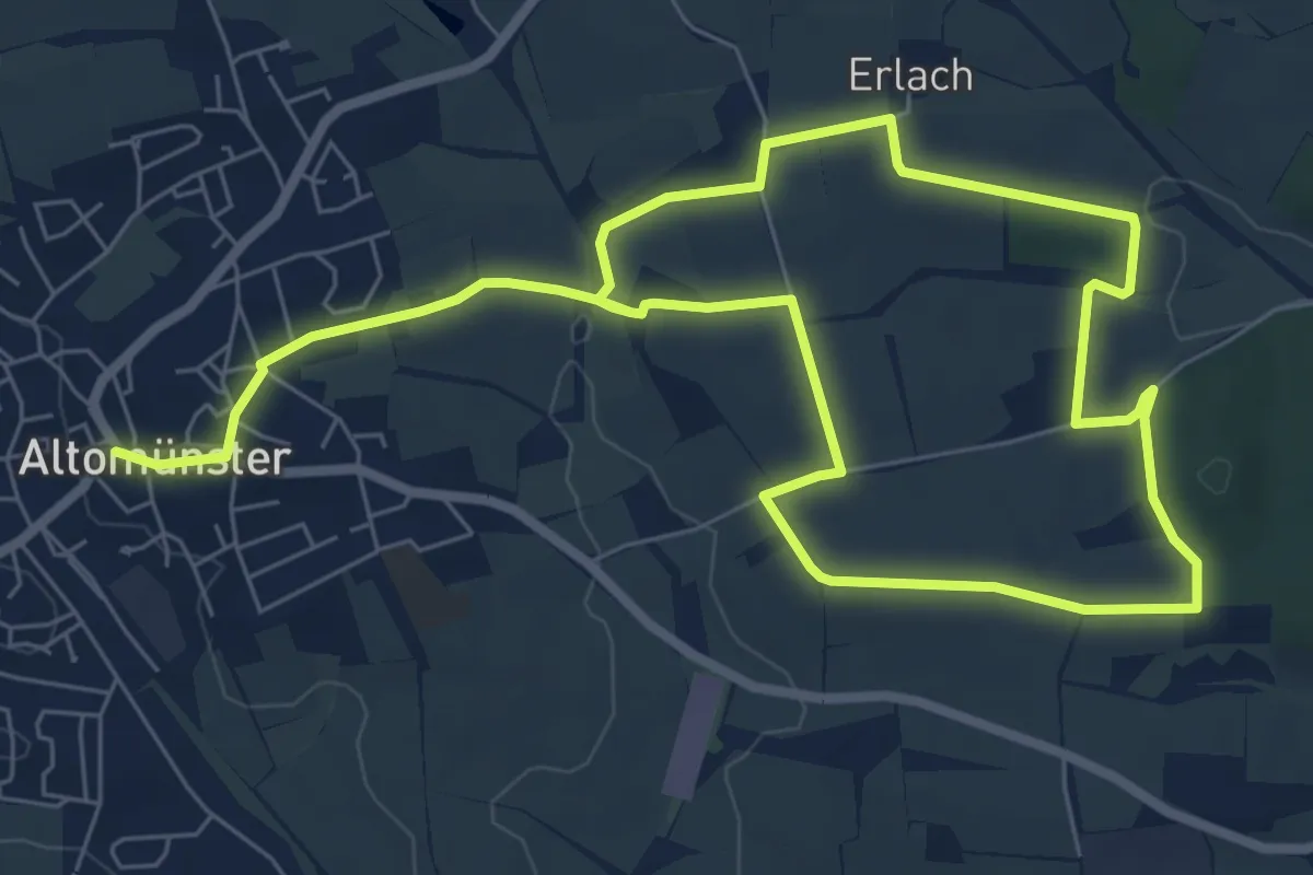
Medium · Trail
Birgittenweg
12.2 km · ↑ 174 m · 3 h 16 min