Trails in Germany
36,824 hiking trails, each with its route, climb, walking time and grade.
All trails, page 68 of 768
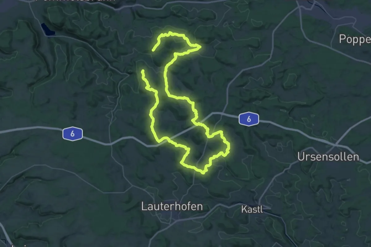
Demanding · Summit
Birgland-Rundwanderweg
34.4 km · ↑ 939 m · 10 h 37 min
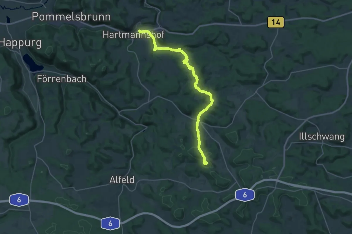
Demanding · Summit
Birglandtrail
22.2 km · ↑ 738 m · 6 h 50 min
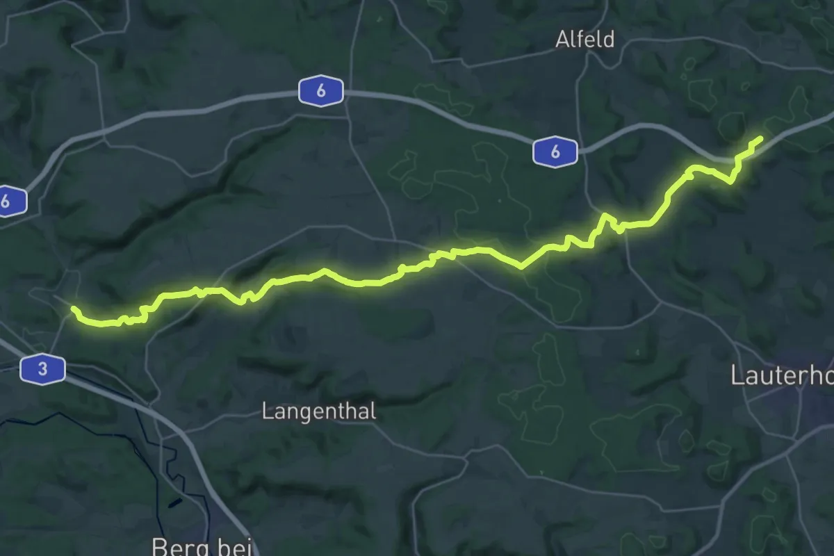
Demanding · Trail
Birglandweg
18.1 km · ↑ 519 m · 5 h 32 min
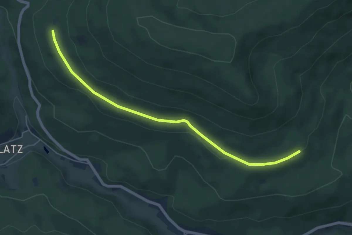
Easy · Trail
Birkenaustraße - Hohkopf
4.6 km · ↑ 62 m · 1 h 13 min
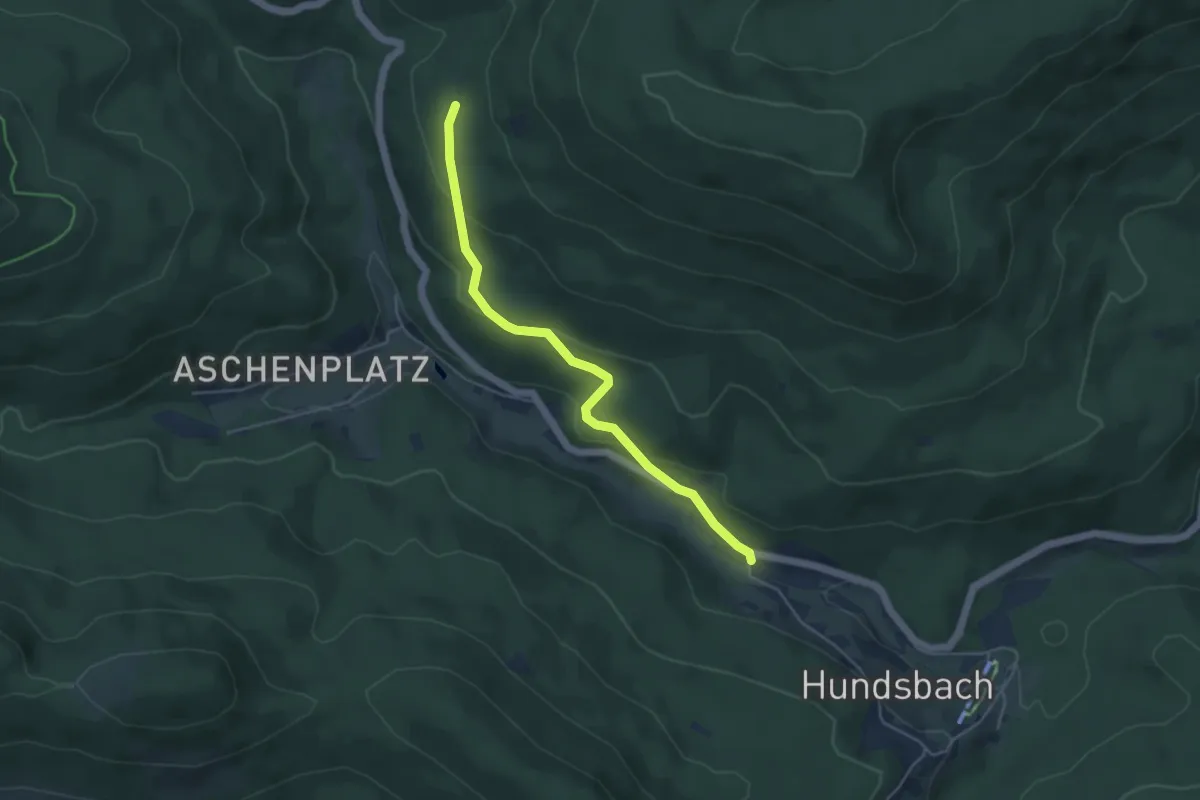
Easy · Trail
Birkenaustraße - Weiherbrücke
4.3 km · ↑ 172 m · 1 h 23 min
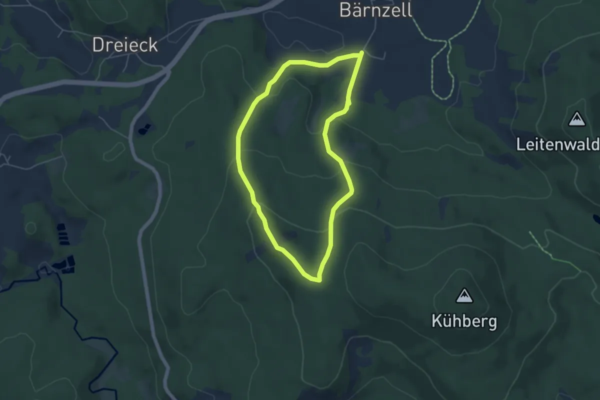
Easy · Summit
Birkenbergrunde (22)
4.3 km · ↑ 187 m · 1 h 28 min
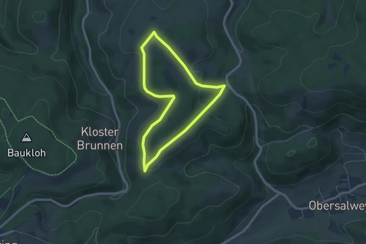
Easy · Summit
Birkenbrauck Rundwanderweg A1
4.1 km · ↑ 110 m · 1 h 16 min
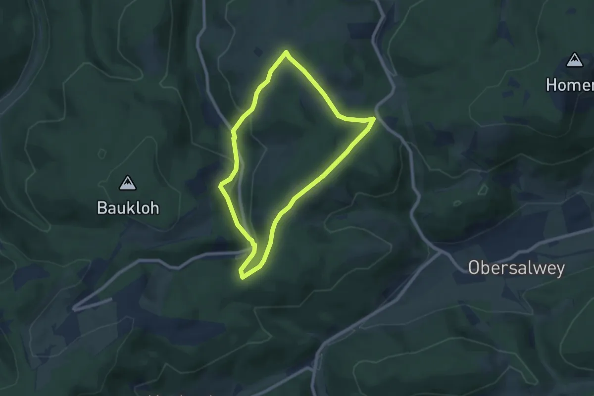
Easy · Trail
Birkenbrauck Rundwanderweg A2
5.0 km · ↑ 200 m · 1 h 42 min
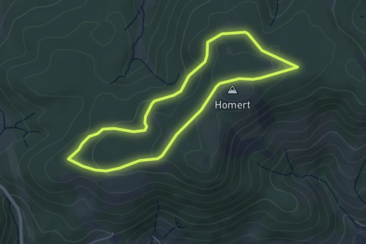
Easy · Summit
Birkenbrauck Rundweg A3
3.8 km · ↑ 96 m · 1 h 9 min
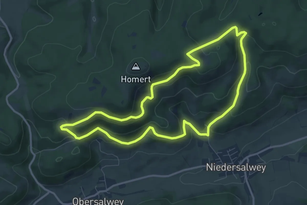
Medium · Summit
Birkenbrauck Rundweg A4
7.5 km · ↑ 332 m · 2 h 35 min
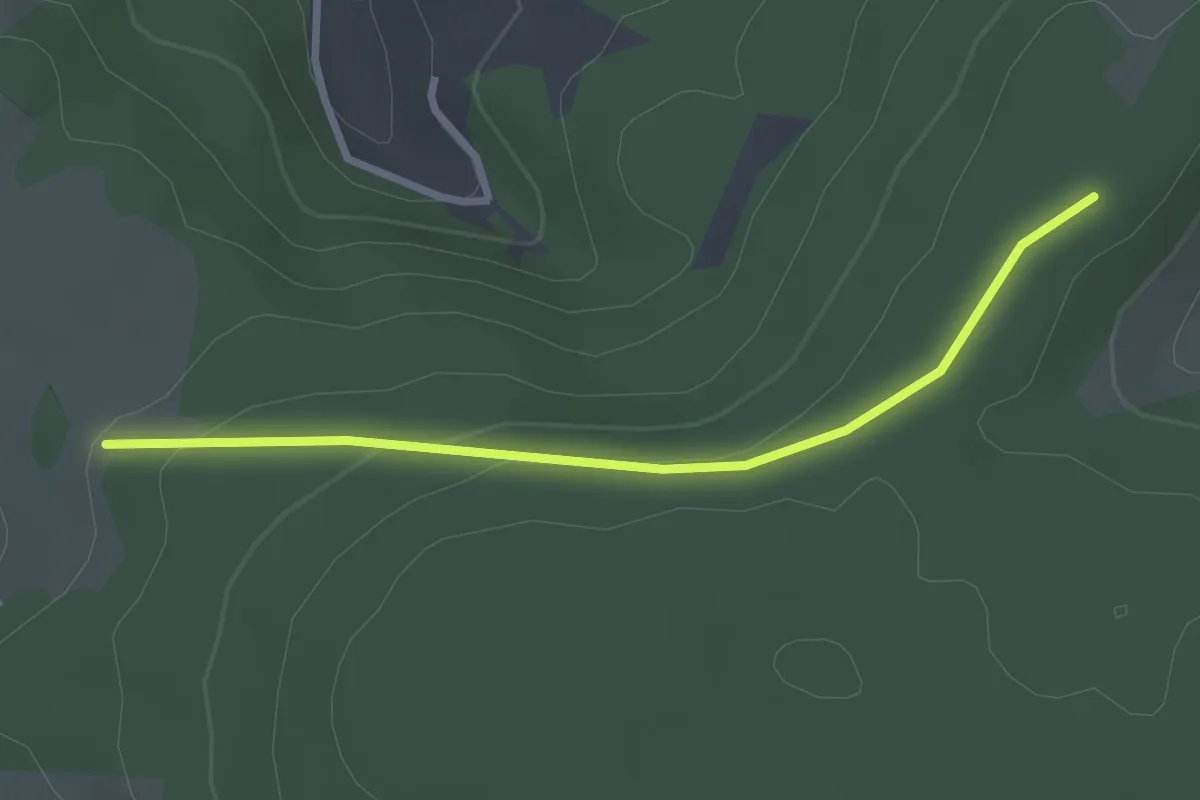
Easy · Trail
Birkenbühl - Hohe Straße
2.6 km · ↑ 71 m · 47 min
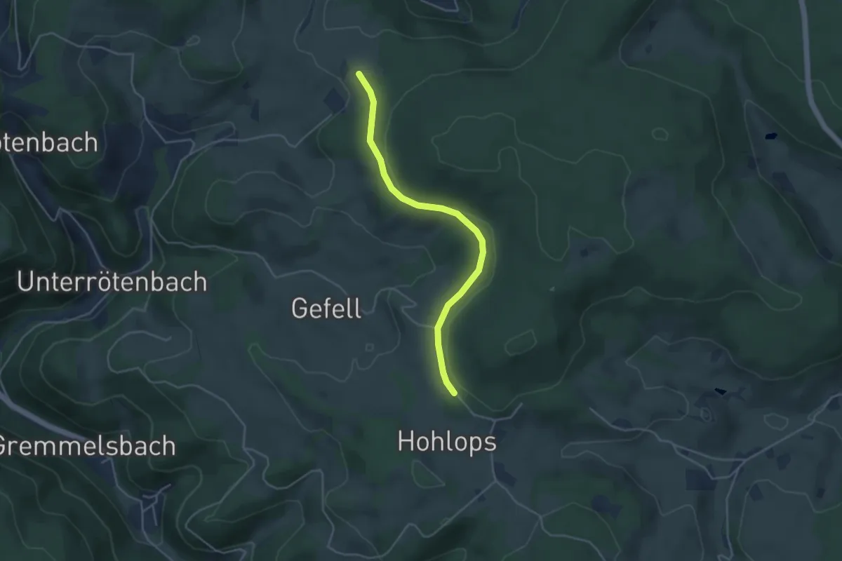
Easy · Trail
Birkenbühl - Holops
3.7 km · ↑ 78 m · 1 h 3 min
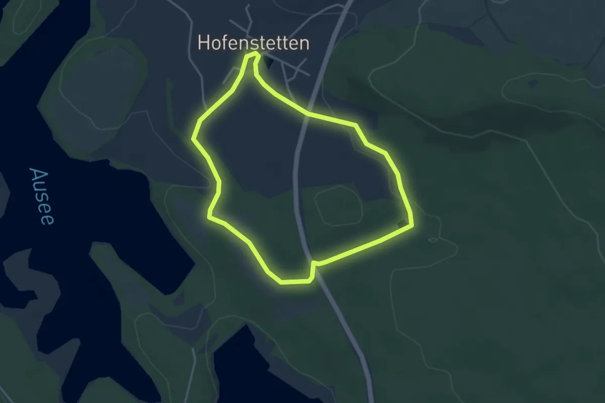
Easy · Trail
Birkenhofweg
3.2 km · ↑ 41 m · 54 min
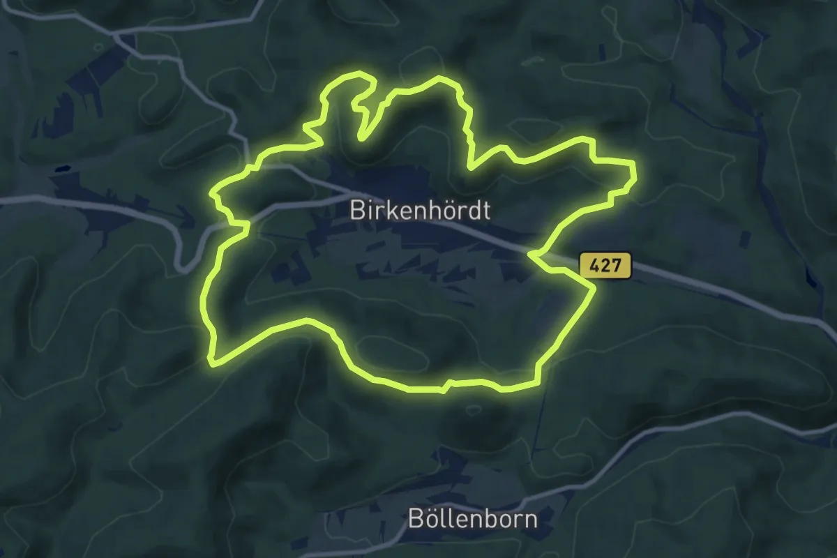
Medium · Trail
Birkenhördter Höhenweg
10.9 km · ↑ 398 m · 3 h 35 min
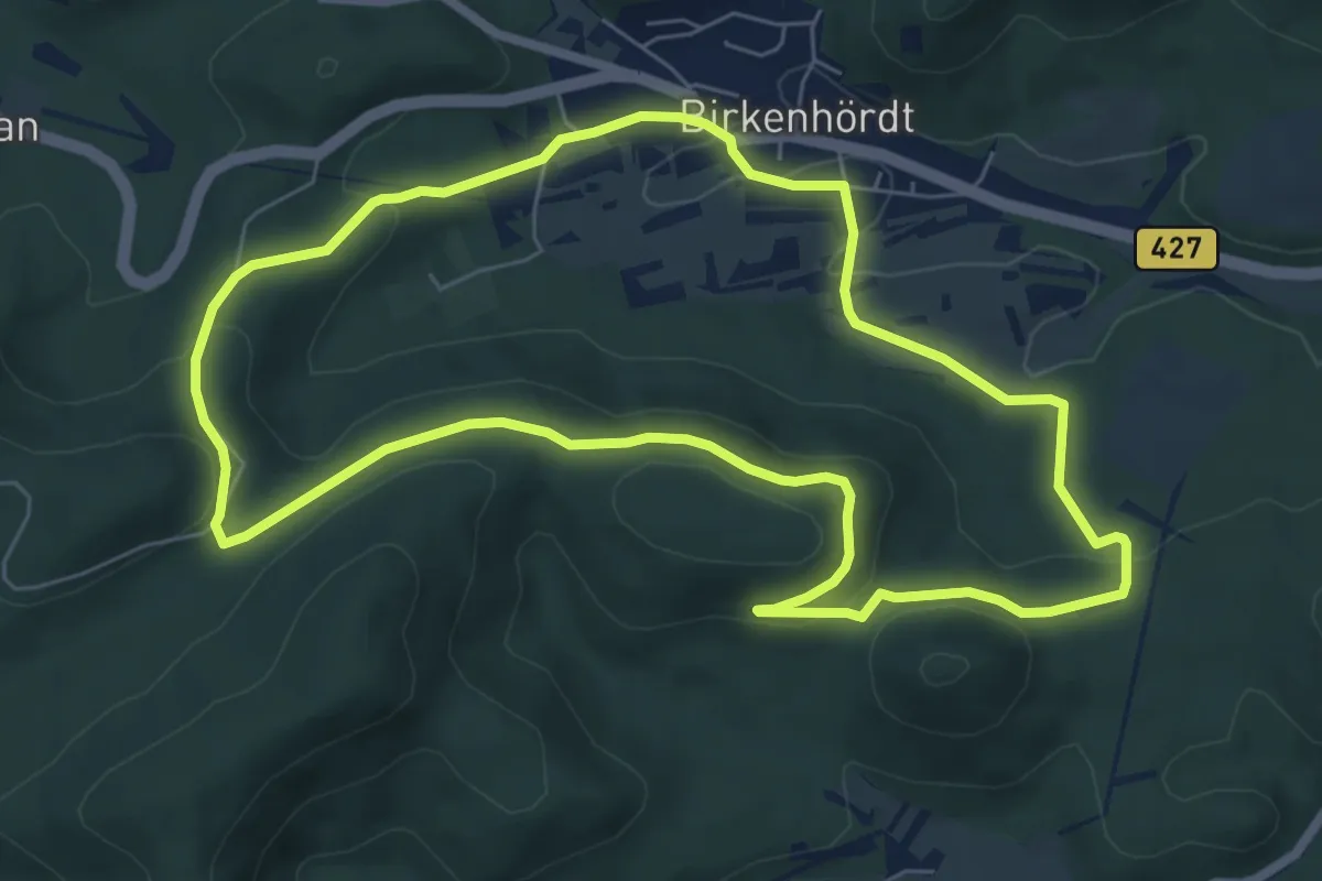
Easy · Trail
Birkenhördter Mösigweg
6.6 km · ↑ 194 m · 2 h 4 min
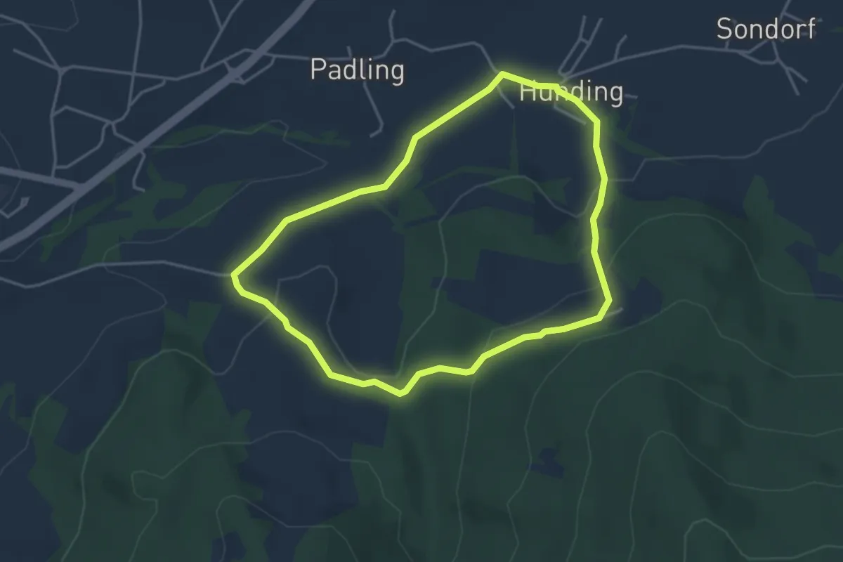
Easy · Trail
Birkenödweg
3.5 km · ↑ 117 m · 1 h 7 min
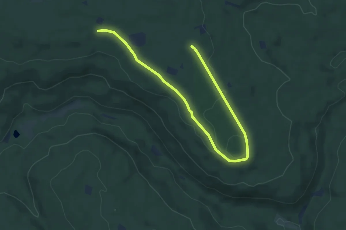
Easy · Trail
Birkensee-Runde
3.3 km · ↑ 32 m · 54 min
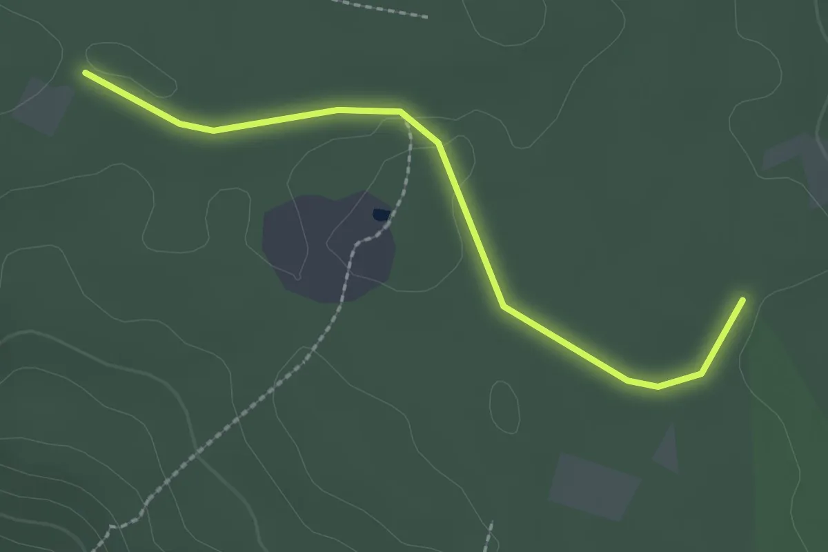
Easy · Trail
Birkensee-Runde Abkürzung
1.1 km · ↑ 17 m · 18 min
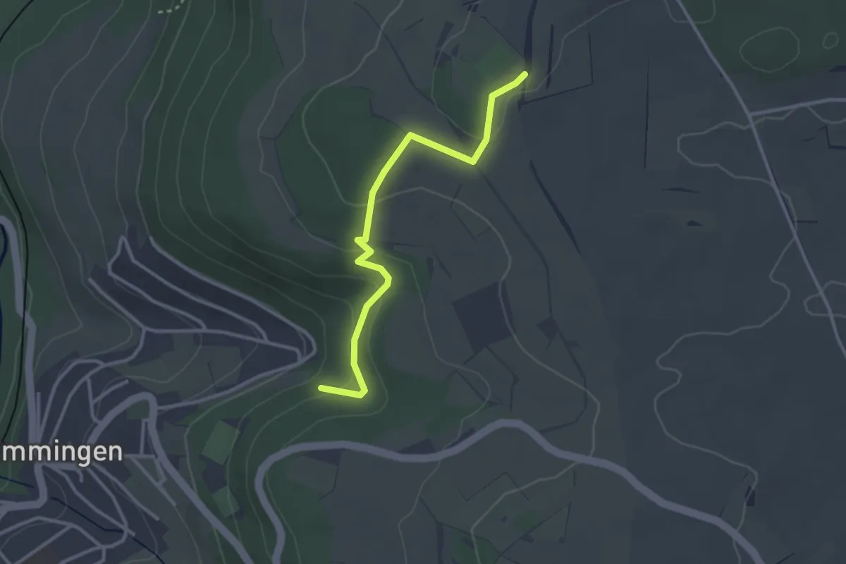
Easy · Trail
Birkensteig - Kühlenberg
2.9 km · ↑ 119 m · 57 min
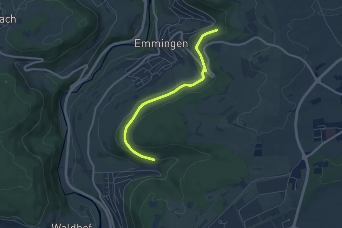
Easy · Trail
Birkensteig - Rötenbad
5.4 km · ↑ 102 m · 1 h 30 min
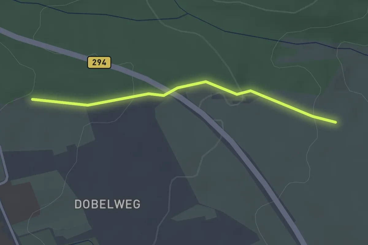
Easy · Trail
Birkenwaldhütte - Karl-Meier-Bank
2.4 km · ↑ 60 m · 42 min
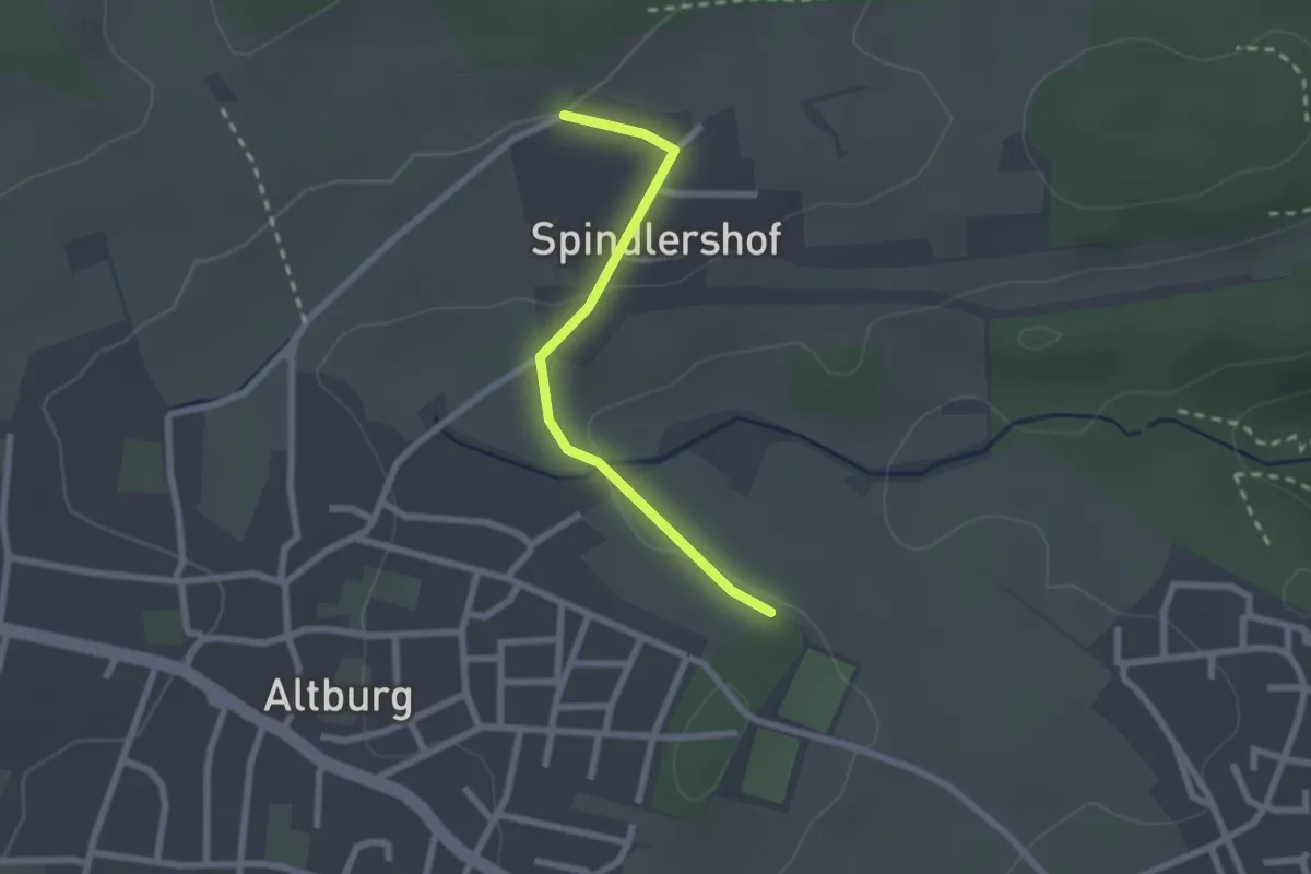
Easy · Trail
Birkenwäldle - Spindlershof
2.0 km · ↑ 43 m · 34 min
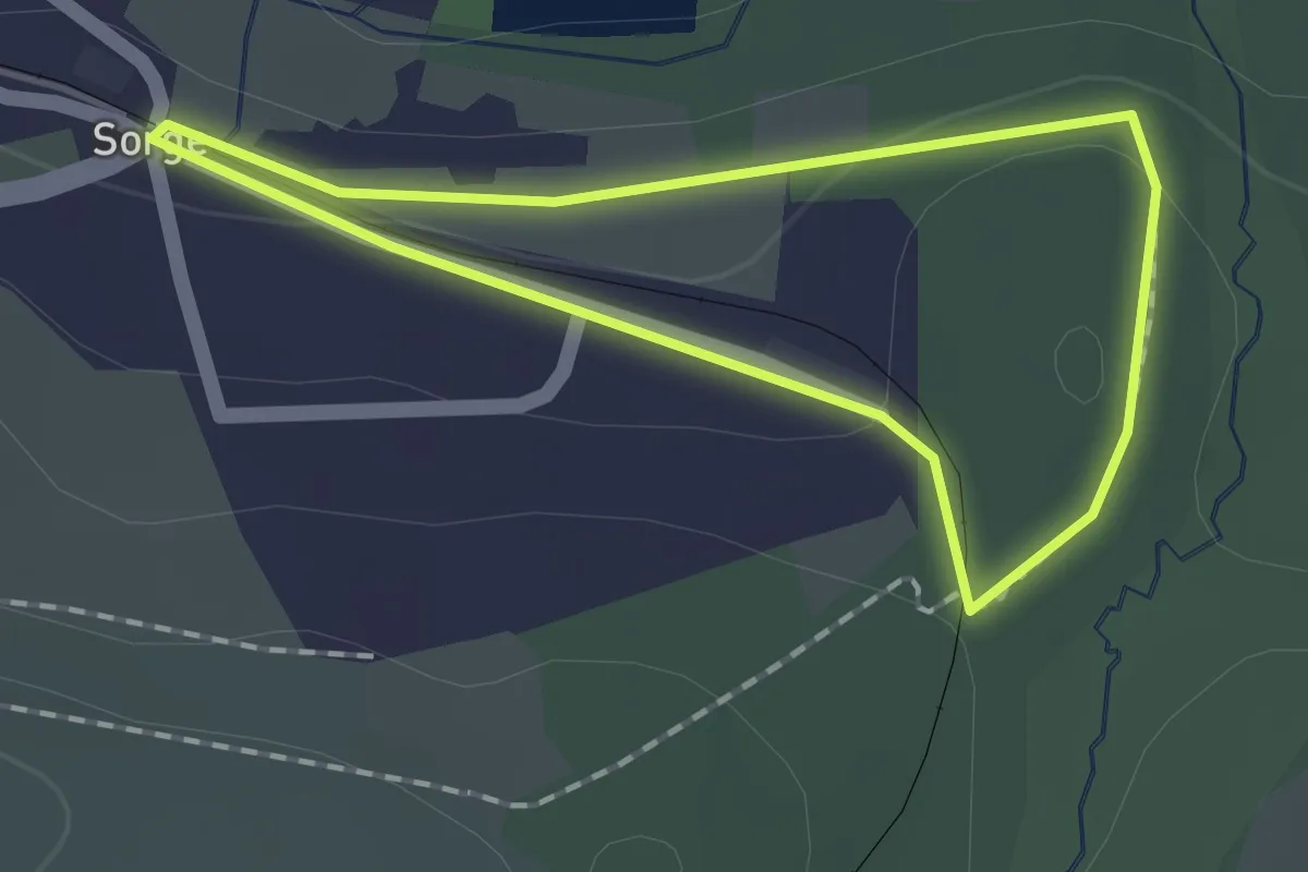
Easy · Trail
Birkenweg
1.2 km · ↑ 23 m · 21 min
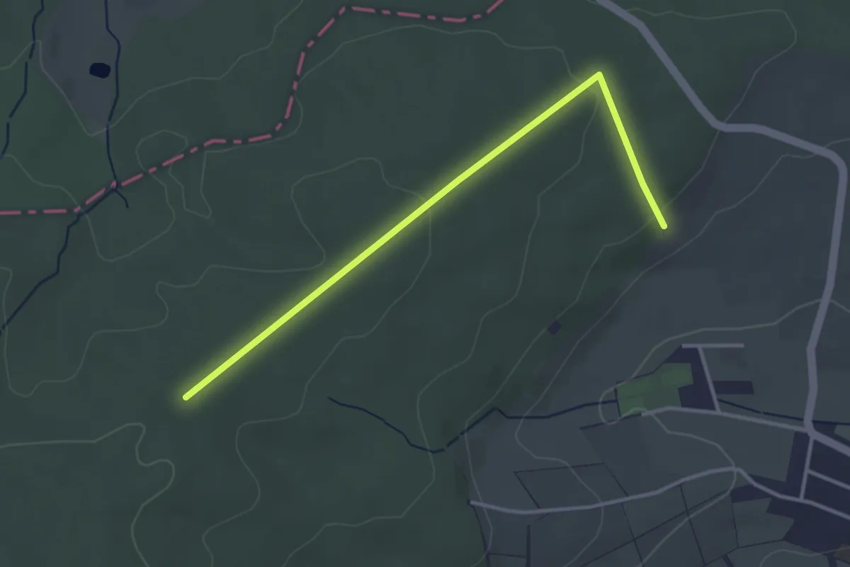
Easy · Trail
Birkenzweig
1.7 km · ↑ 0 m · 26 min
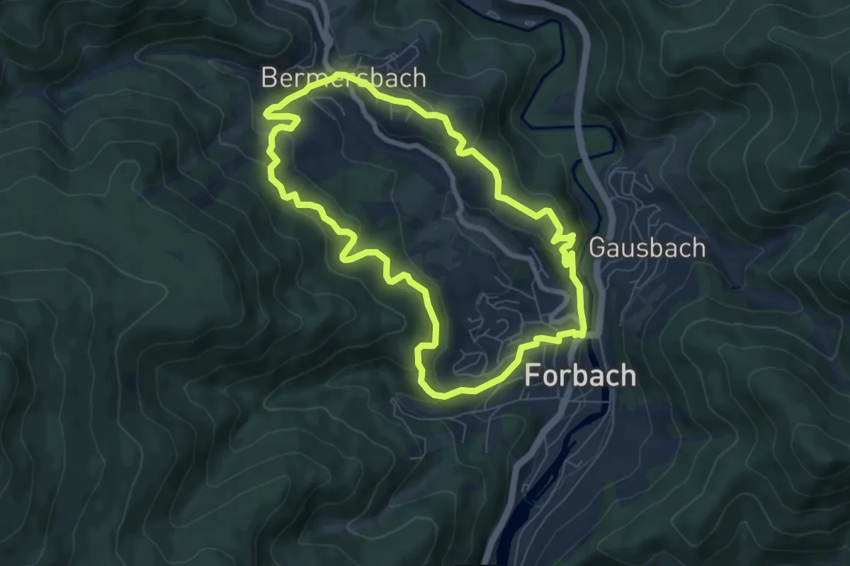
Medium · Trail
Birket-Kirren-Rundweg
6.6 km · ↑ 313 m · 2 h 19 min
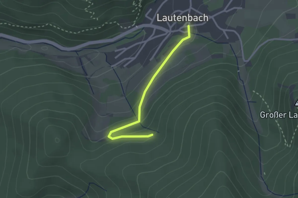
Easy · Trail
Birketsgrund - Lindenweg
2.2 km · ↑ 98 m · 43 min
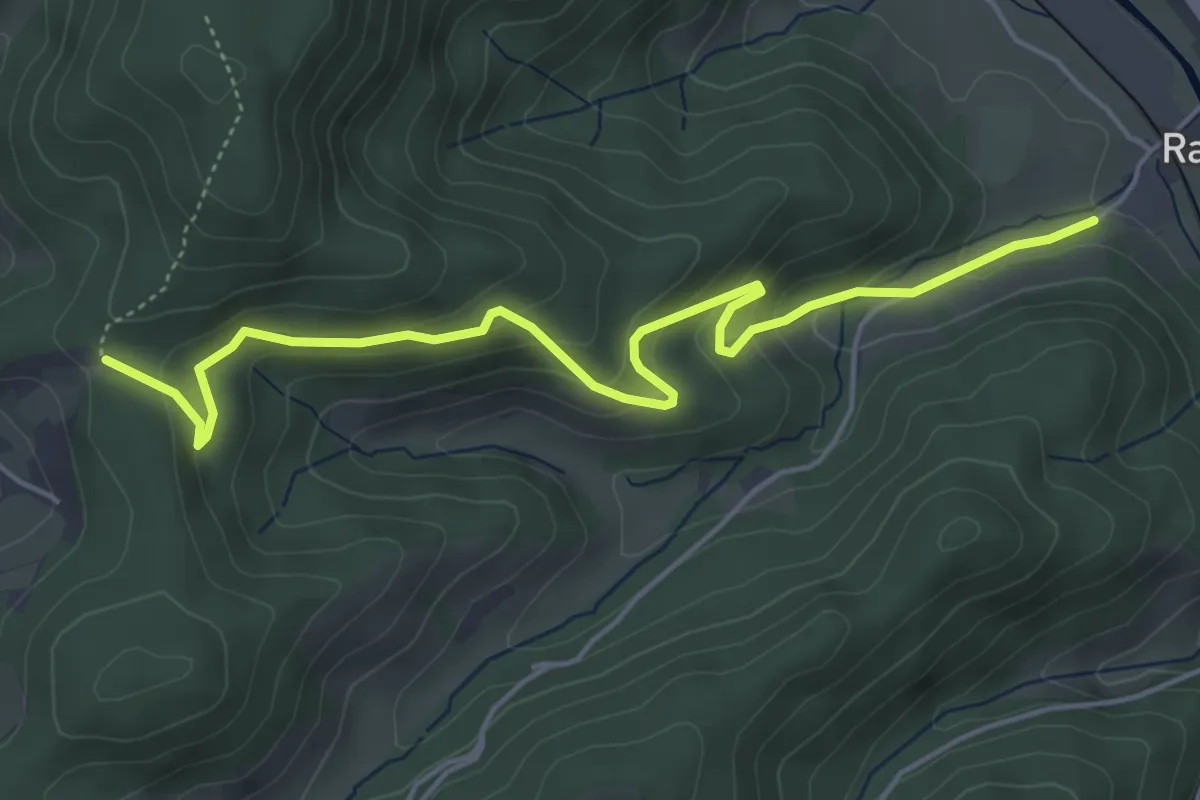
Medium · Trail
Birkhof - Grünberghütte
5.2 km · ↑ 330 m · 1 h 57 min
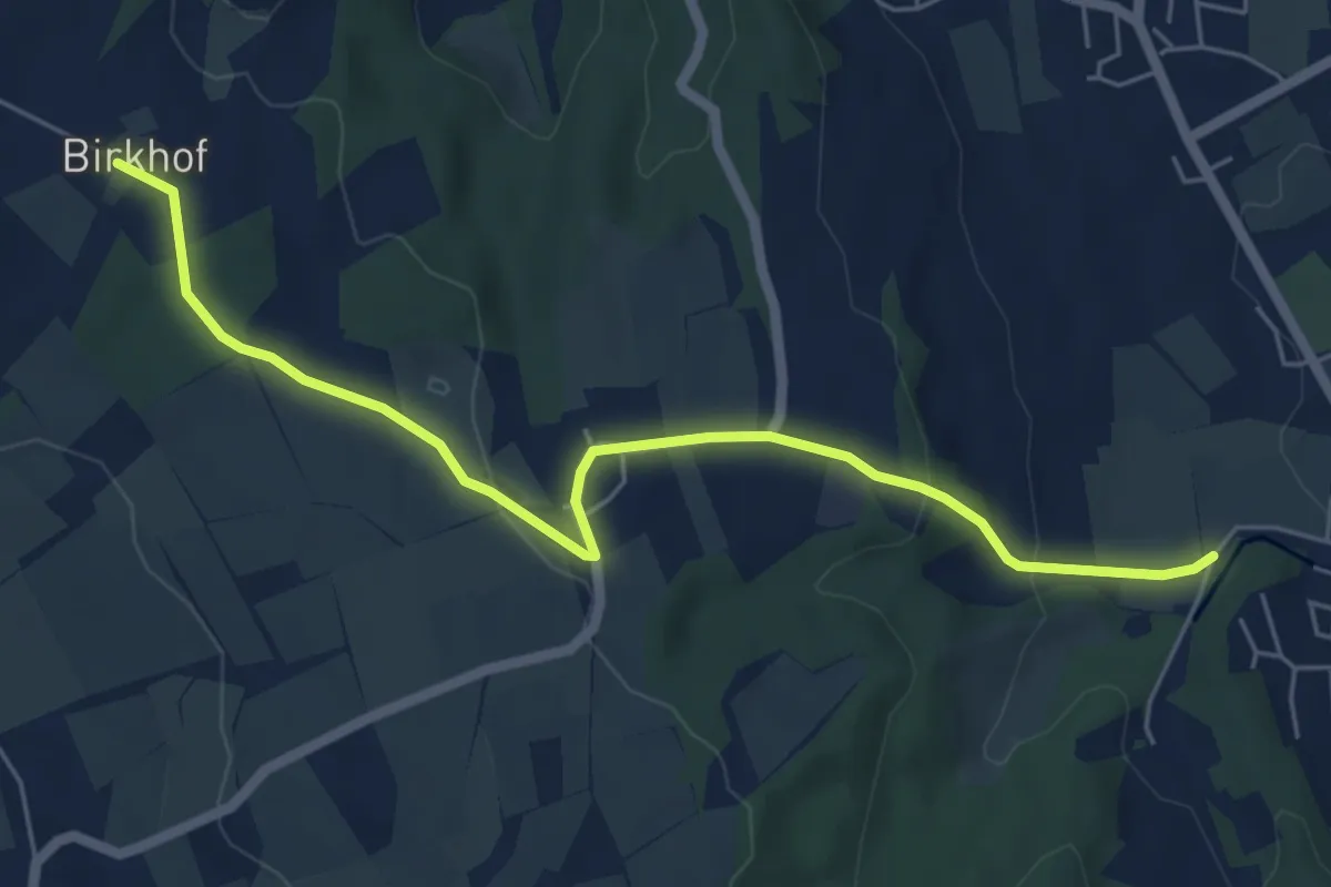
Easy · Trail
Birkhof - Zußdorf
6.0 km · ↑ 166 m · 1 h 46 min
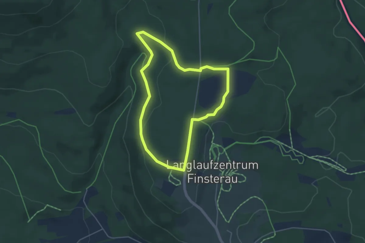
Easy · Trail
Birkhuhn
3.5 km · ↑ 69 m · 1 h 1 min
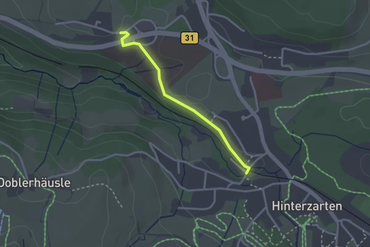
Easy · Trail
Birklehof - Eingang Löffeltal
2.1 km · ↑ 18 m · 32 min
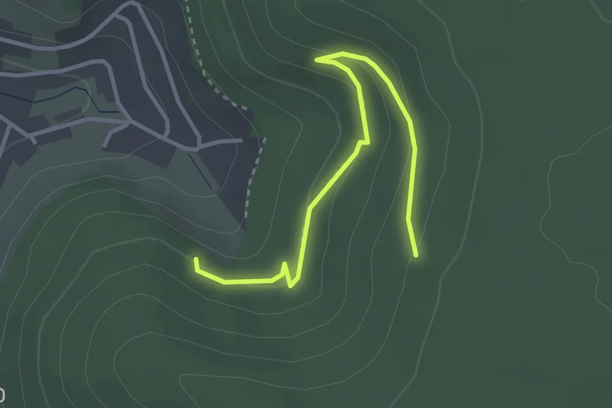
Easy · Trail
Birkles-Hütte - Surrbachwegle
2.9 km · ↑ 115 m · 57 min
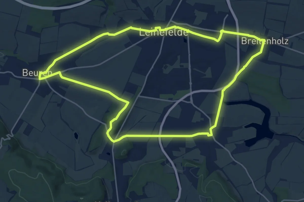
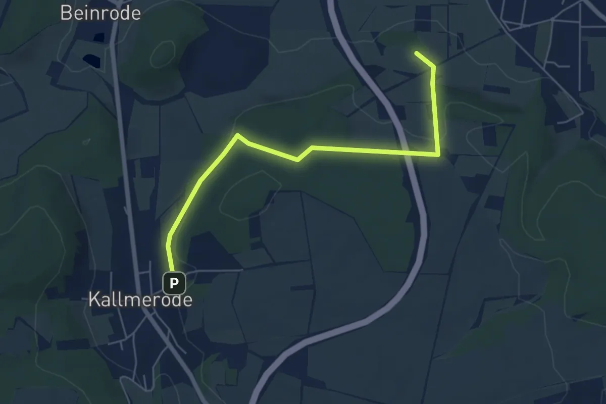
Medium · Summit
Birkungen - Beuren - Leinefelde - Breitenholz - Birkungen
14.9 km · ↑ 111 m · 3 h 58 min
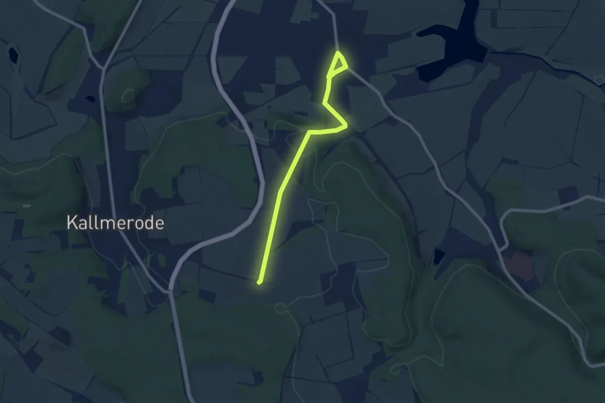
Easy · Summit
Birkungen - Dachsborn - Kallmerode
5.0 km · ↑ 129 m · 1 h 28 min
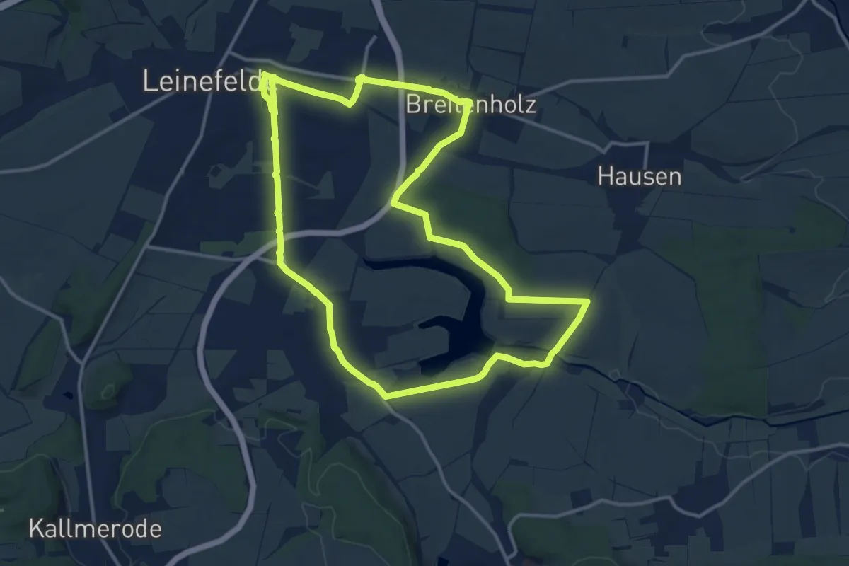
Easy · Trail
Birkungen - Dingelstädter Wald - Dingelstädt
6.3 km · ↑ 97 m · 1 h 42 min
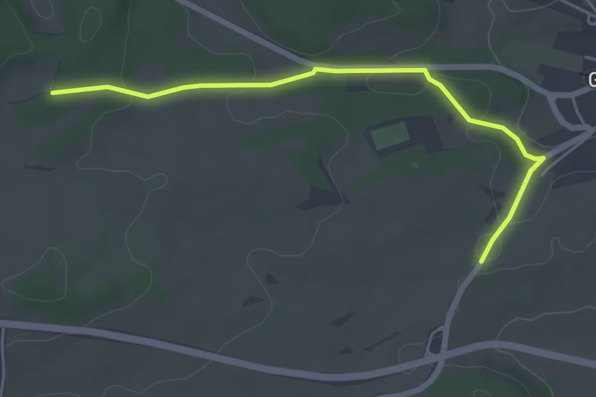
Medium · Trail
Birkungen - Leinefelde - Breitenholz - Stausee - Birkungen
11.8 km · ↑ 69 m · 3 h 6 min
Easy · Trail
Birkwasen - Grünmettstetten Lindenkreuzplatz
4.4 km · ↑ 95 m · 1 h 15 min
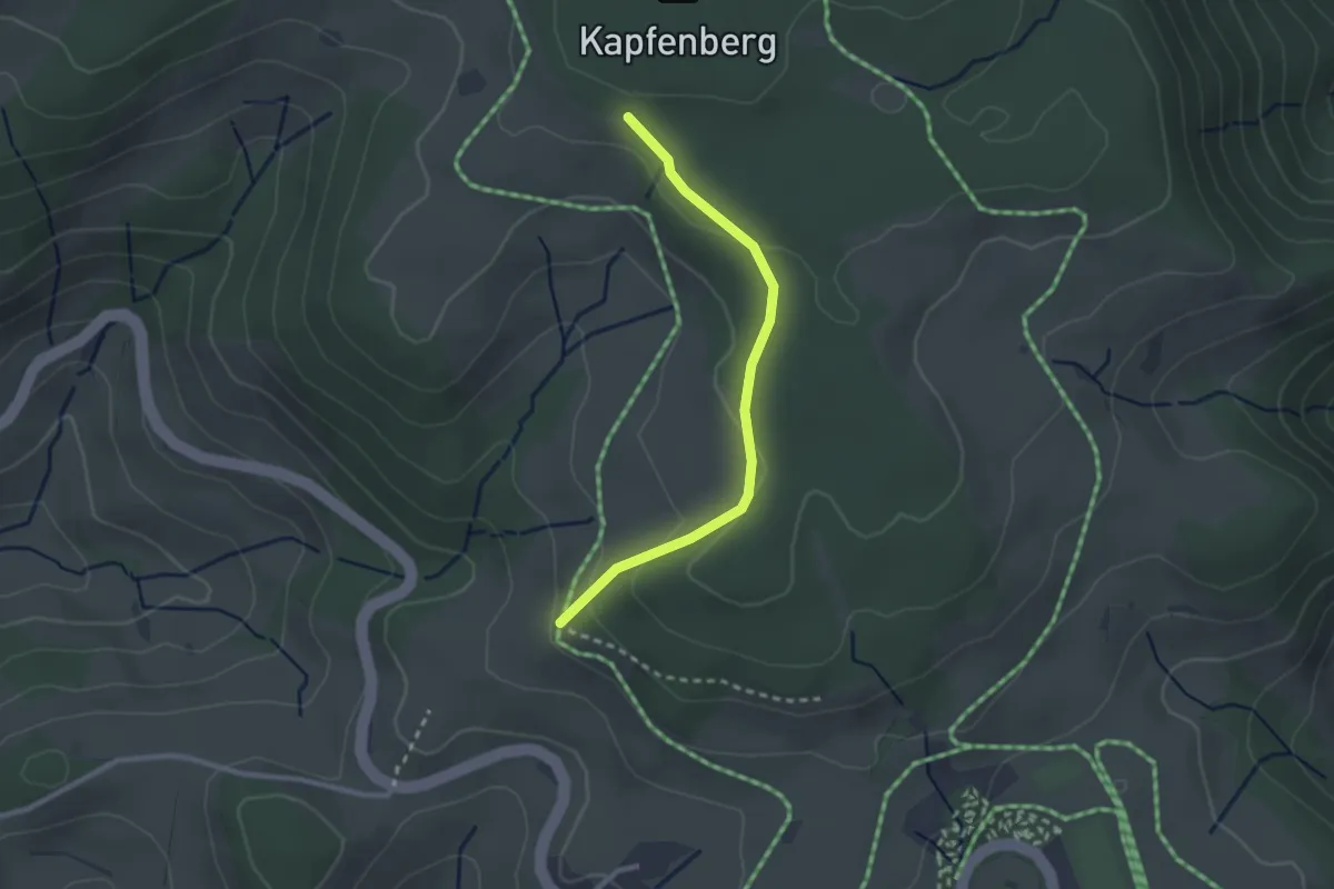
Easy · Trail
Birkwegeck - Bei der Kapfenkapelle
2.4 km · ↑ 110 m · 48 min
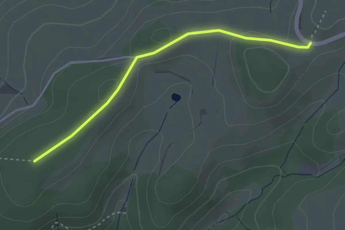
Easy · Trail
Birkweghof - Hugswald
2.7 km · ↑ 66 m · 47 min
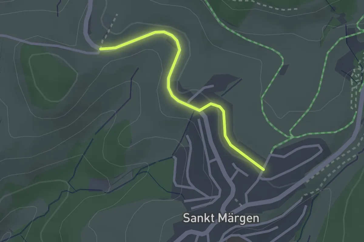
Easy · Trail
Birkweghof - Trafostation
2.1 km · ↑ 53 m · 37 min
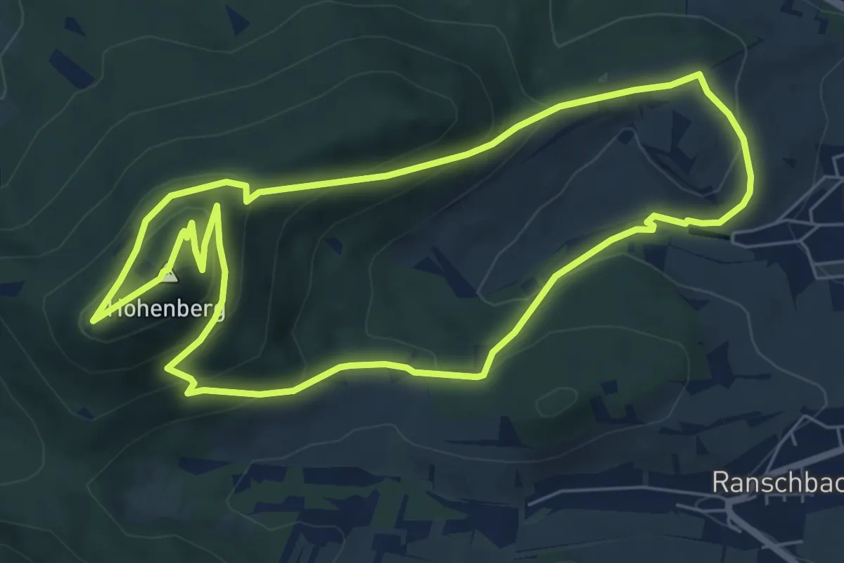
Medium · Summit
Birkweiler Rundwanderweg Hohenberg
6.3 km · ↑ 348 m · 2 h 20 min
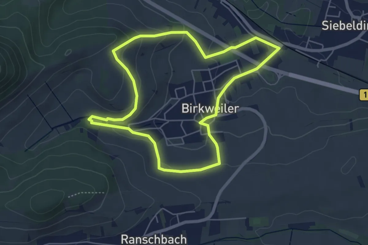
Easy · Trail
Birkweiler Rundwanderweg Rund-ums-Dorf
4.3 km · ↑ 127 m · 1 h 21 min
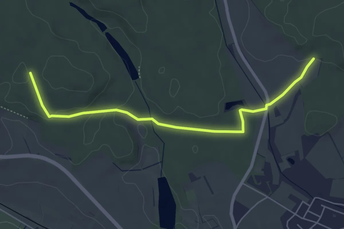
Easy · Trail
Birnau - Banzenreuter Wald
5.1 km · ↑ 50 m · 1 h 18 min
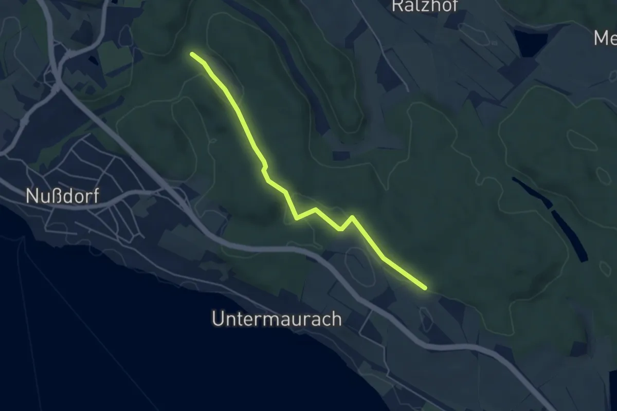
Easy · Trail
Birnau - Nußbachtal
4.7 km · ↑ 96 m · 1 h 19 min
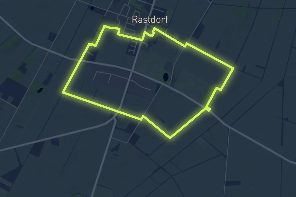
Easy · Trail
Birnen-Route
5.8 km · ↑ 12 m · 1 h 29 min
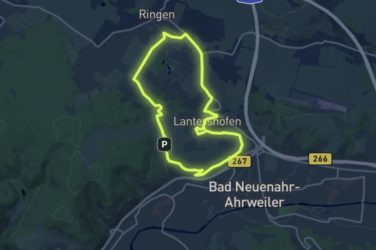
Medium · Summit
Birnen-Rundwanderweg
8.1 km · ↑ 137 m · 2 h 19 min
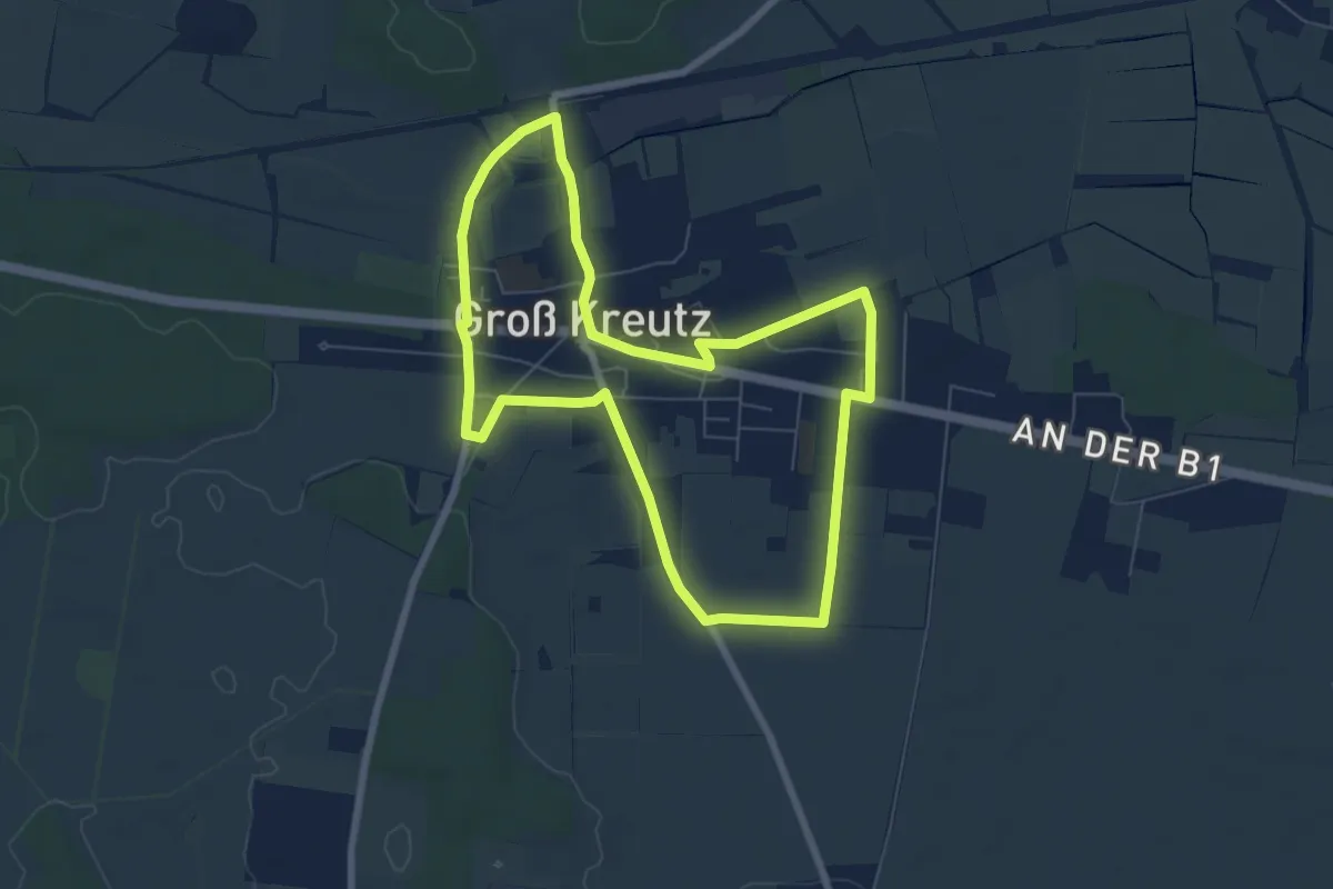
Easy · Trail
Birnenrundweg
6.1 km · ↑ 13 m · 1 h 34 min
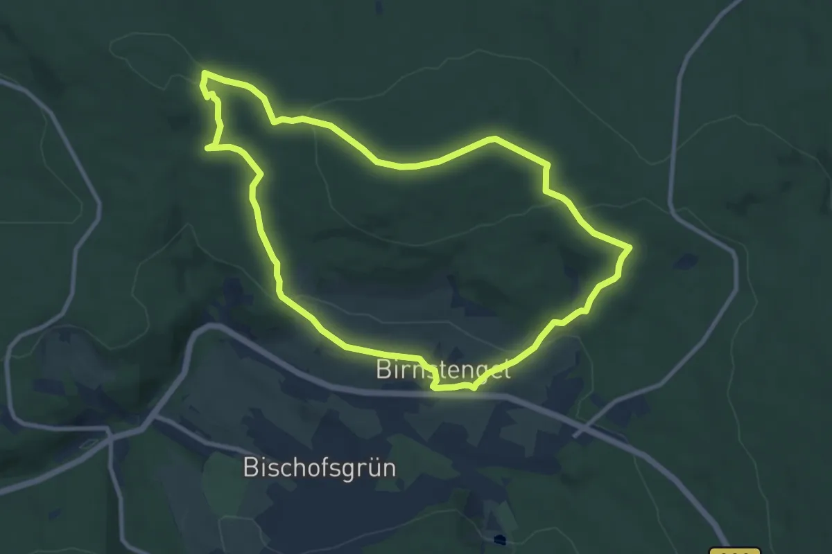
Medium · Summit
Bischofsgrün Rundwanderweg Nr. 1
8.1 km · ↑ 212 m · 2 h 29 min
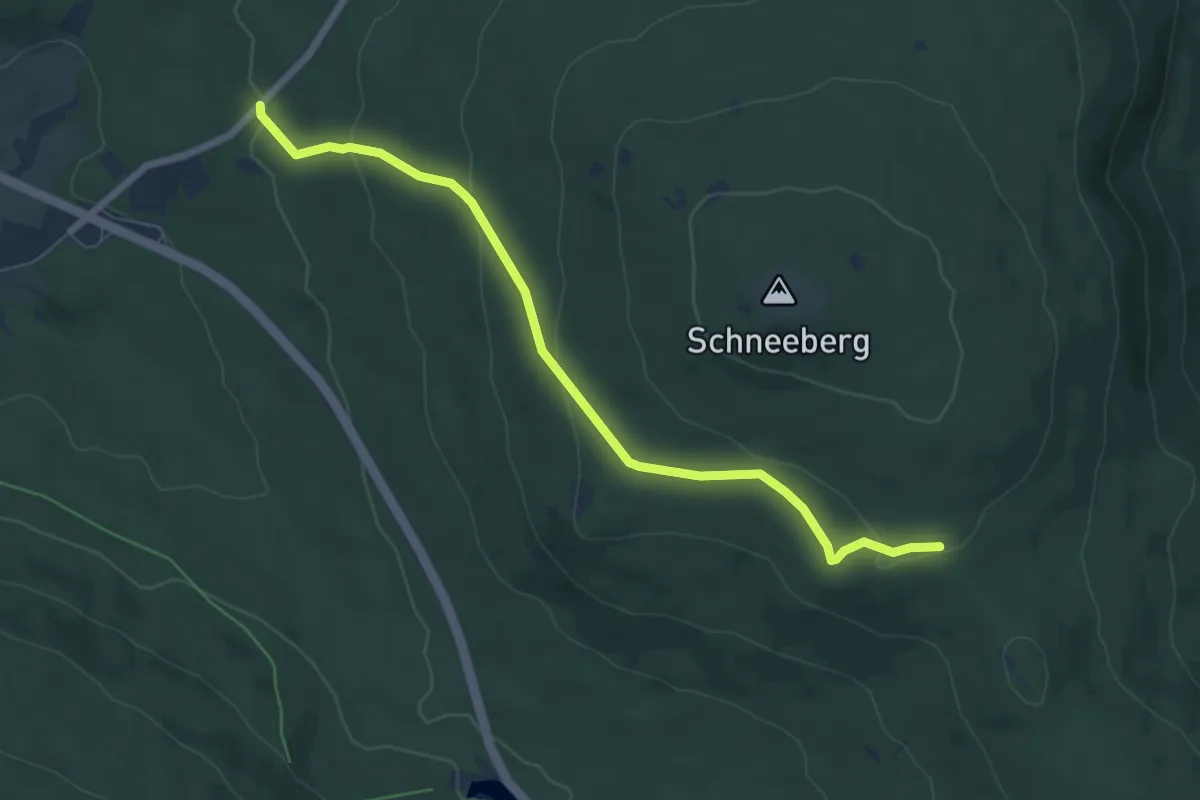
Easy · Trail
Bischofsgrün-Schneebergsattel
6.4 km · ↑ 220 m · 2 h