Trails in Germany
36,824 hiking trails, each with its route, climb, walking time and grade.
All trails, page 69 of 768
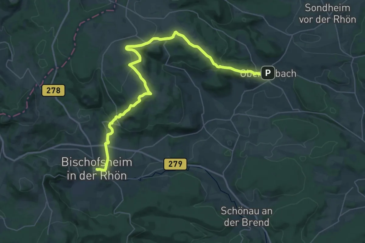
Medium · Trail
Bischofsheim - Oberelsbach
16.5 km · ↑ 461 m · 5 h 6 min
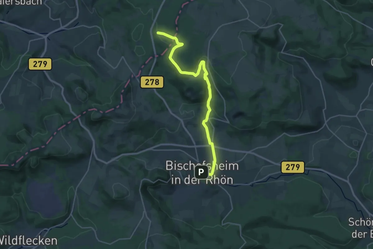
Demanding · Trail
Bischofsheim - Rotes Moor
18.9 km · ↑ 491 m · 5 h 31 min
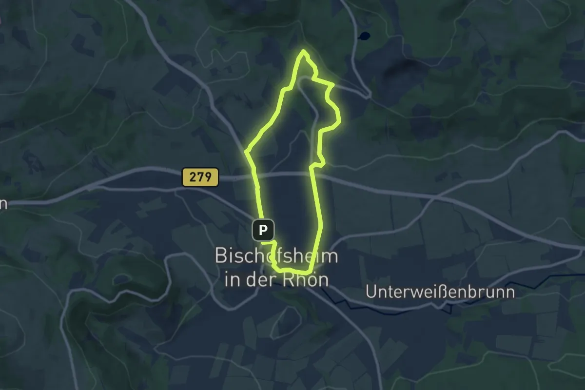
Easy · Trail
Bischofsheim Rundweg 1 - Zum Bauersberg
6.5 km · ↑ 151 m · 1 h 57 min
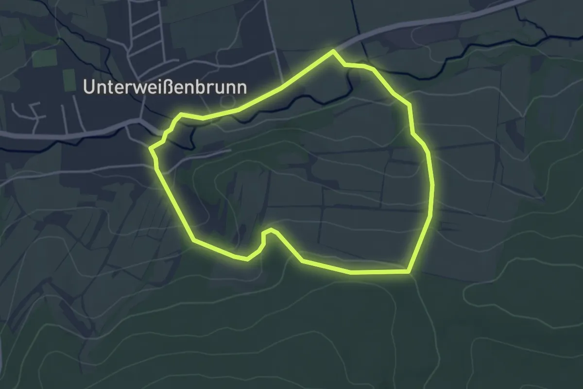
Easy · Trail
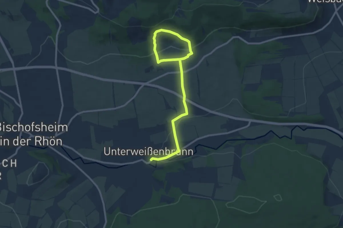
Bischofsheim Rundweg 2 (Unterweißenbrunn) - Zur Lourdesgrotte
3.5 km · ↑ 115 m · 1 h 7 min
Easy · Trail
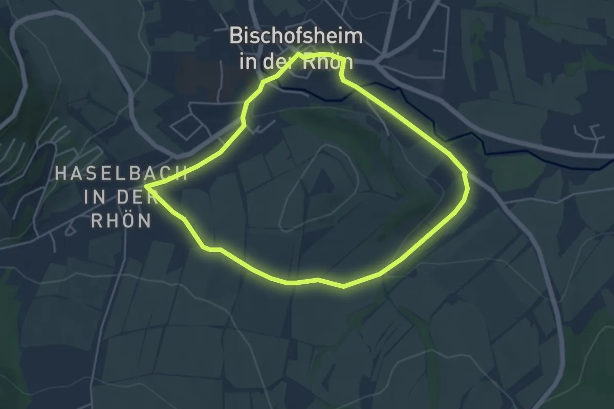
Bischofsheim Rundweg 3 Unterweißenbrunn - Zur Geißruheiche
4.0 km · ↑ 93 m · 1 h 15 min
Easy · Trail
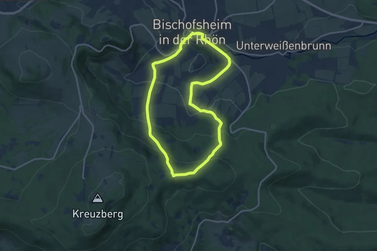
Bischofsheim Rundweg 4 - Rund um den Finkelberg
3.9 km · ↑ 54 m · 1 h 5 min
Medium · Trail
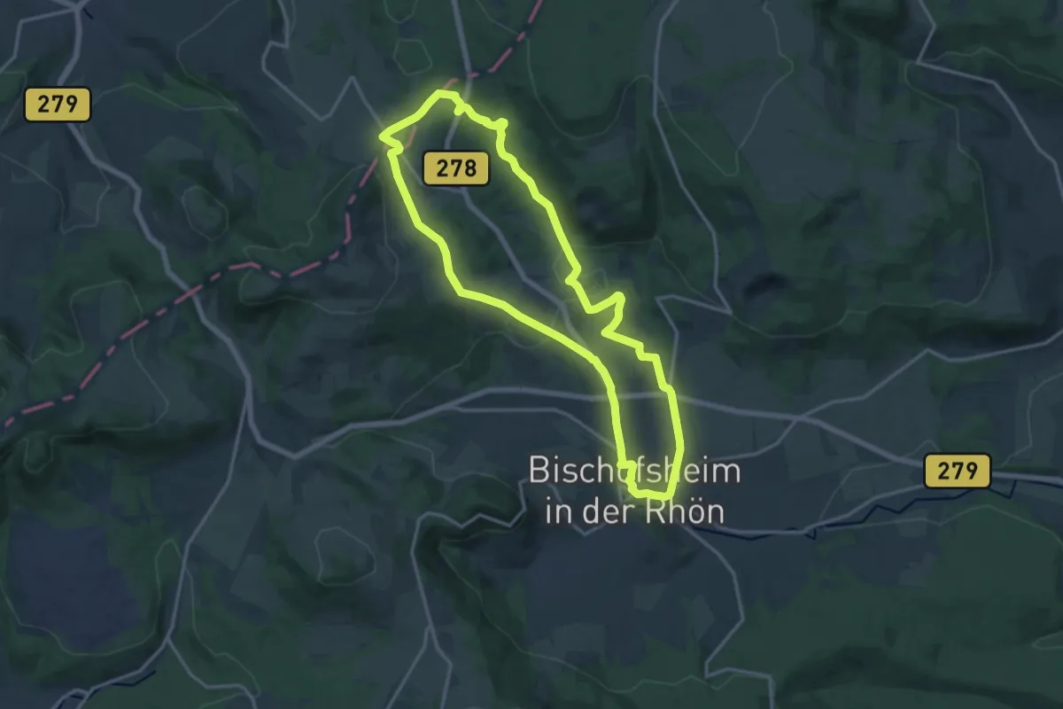
Bischofsheim Rundweg 5 - Auf den Käuling
8.6 km · ↑ 320 m · 2 h 50 min
Medium · Trail
Bischofsheim Rundweg 6 - Zum Rhönhäuschen
13.5 km · ↑ 366 m · 4 h 10 min
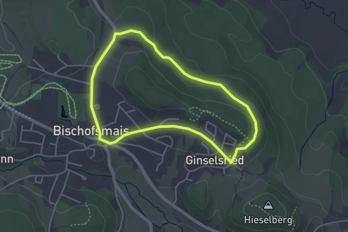
Easy · Trail
Bischofsmais Nr. 1
3.1 km · ↑ 64 m · 54 min
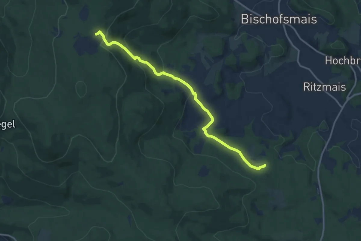
Medium · Cabin
Bischofsmais Nr. 10
9.5 km · ↑ 315 m · 2 h 56 min
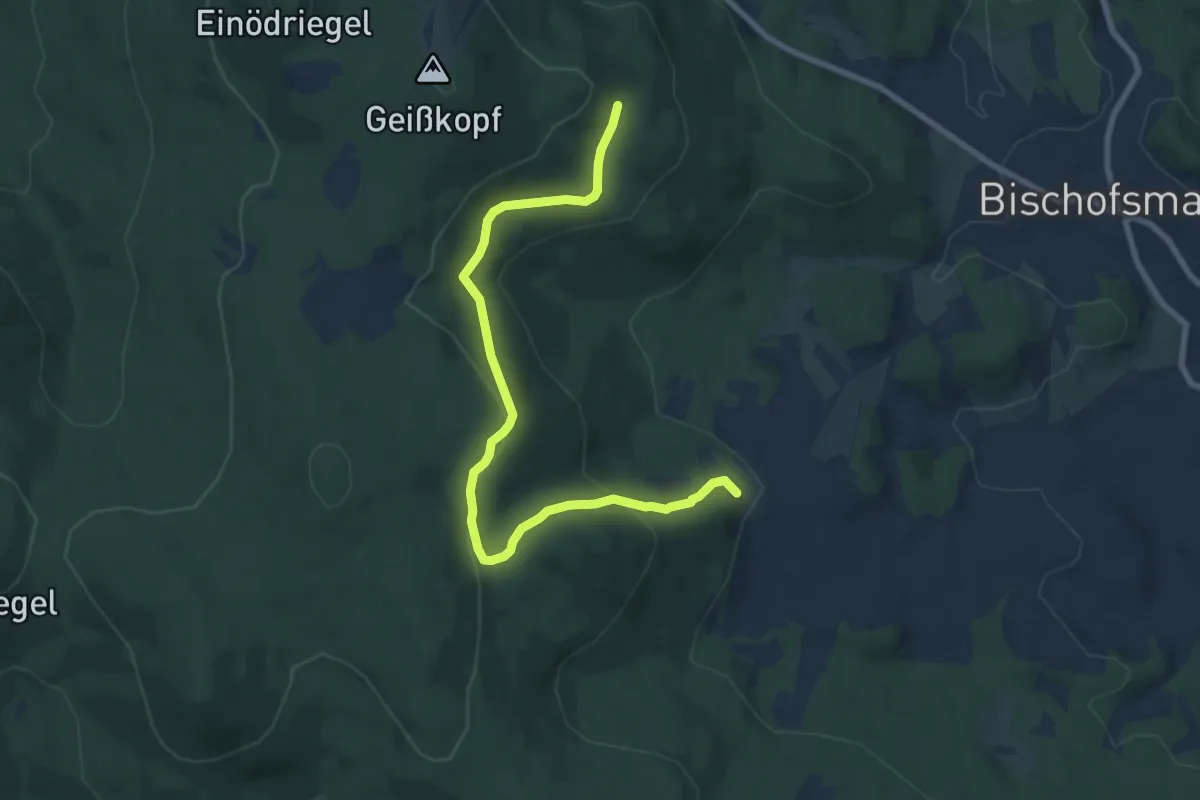
Medium · Trail
Bischofsmais Nr. 11
8.3 km · ↑ 346 m · 2 h 42 min
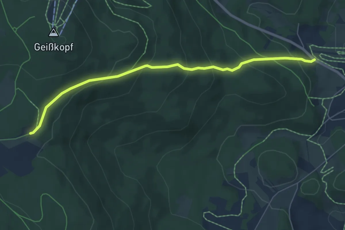
Easy · Cabin
Bischofsmais Nr. 12
5.7 km · ↑ 303 m · 1 h 59 min
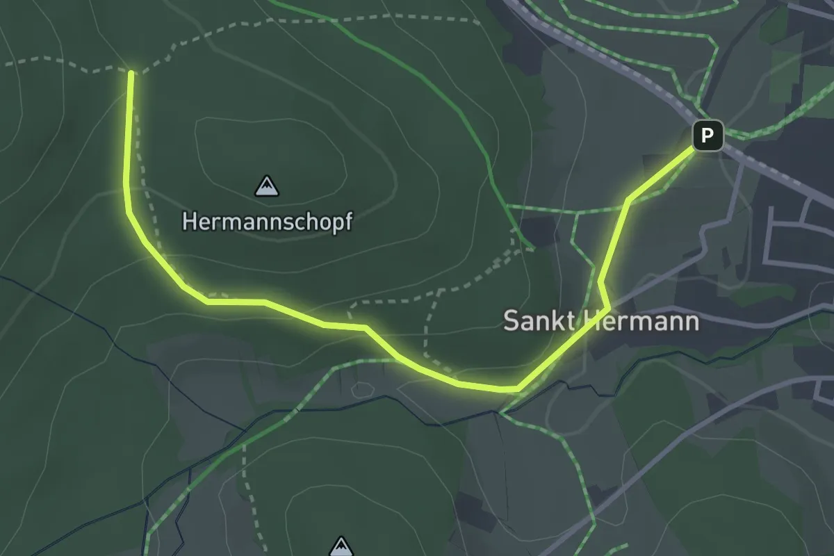
Easy · Trail
Bischofsmais Nr. 13
3.4 km · ↑ 132 m · 1 h 5 min
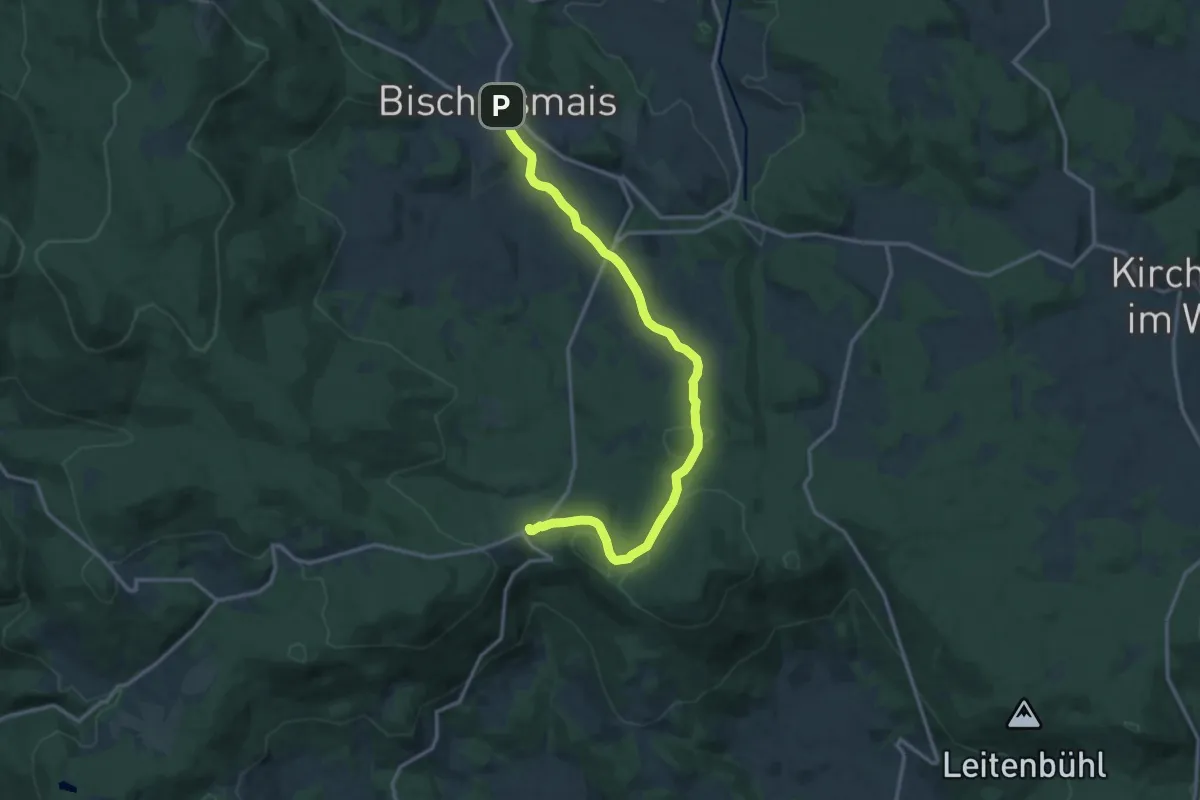
Medium · Trail
Bischofsmais Nr. 14
14.9 km · ↑ 326 m · 4 h 14 min
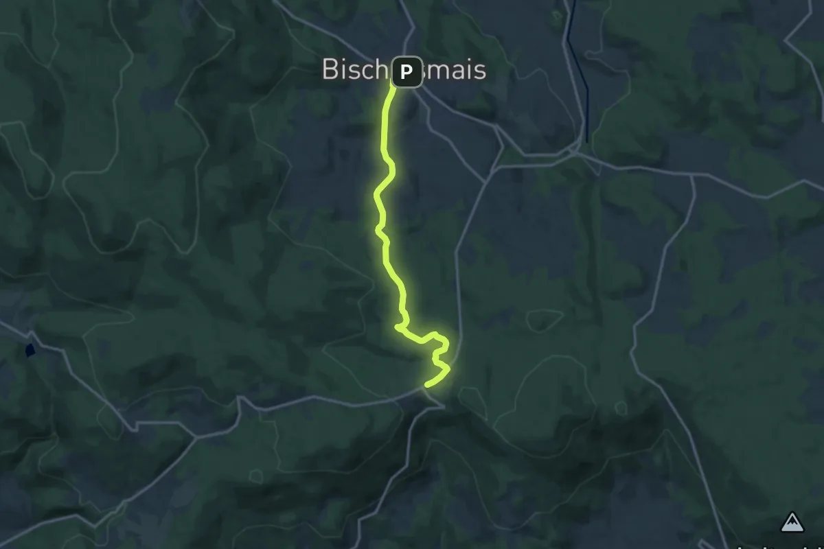
Medium · Trail
Bischofsmais Nr. 15
12.0 km · ↑ 284 m · 3 h 27 min
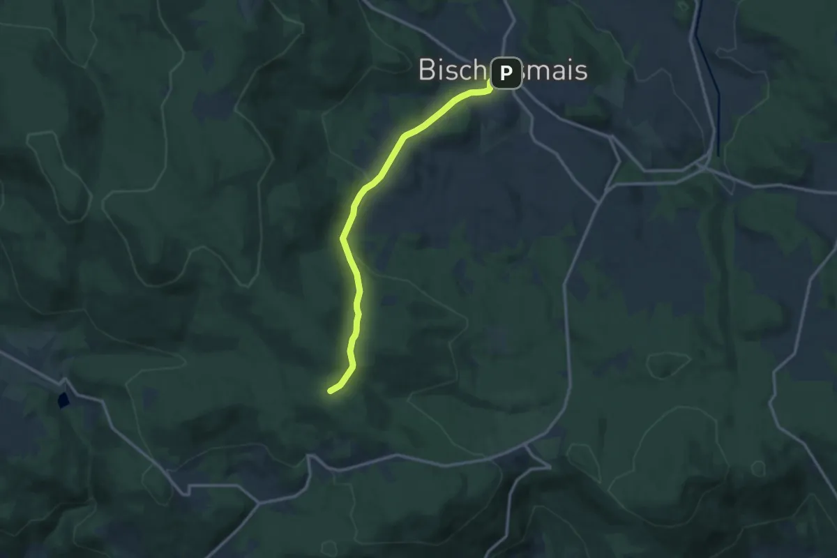
Medium · Trail
Bischofsmais Nr. 16
10.2 km · ↑ 295 m · 3 h 3 min
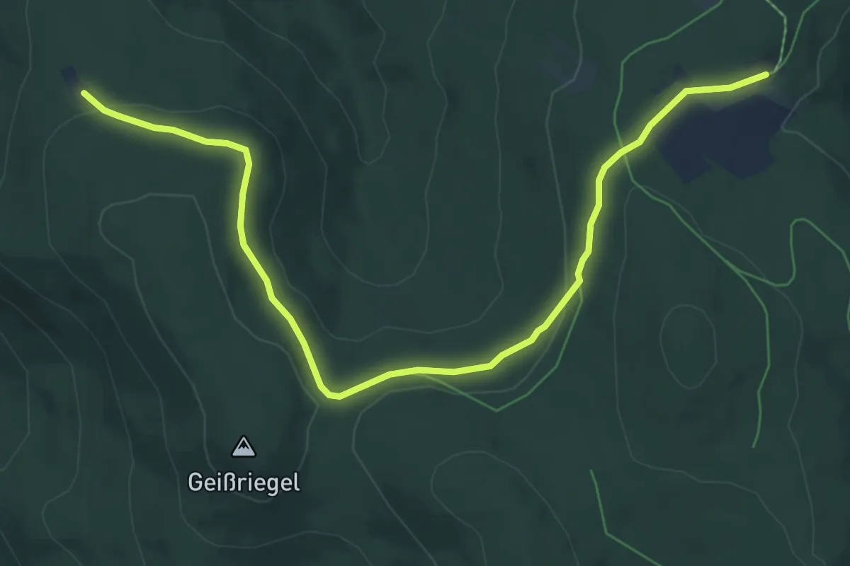
Easy · Cabin
Bischofsmais Nr. 17 (Zur Loderhart)
7.8 km · ↑ 187 m · 2 h 15 min
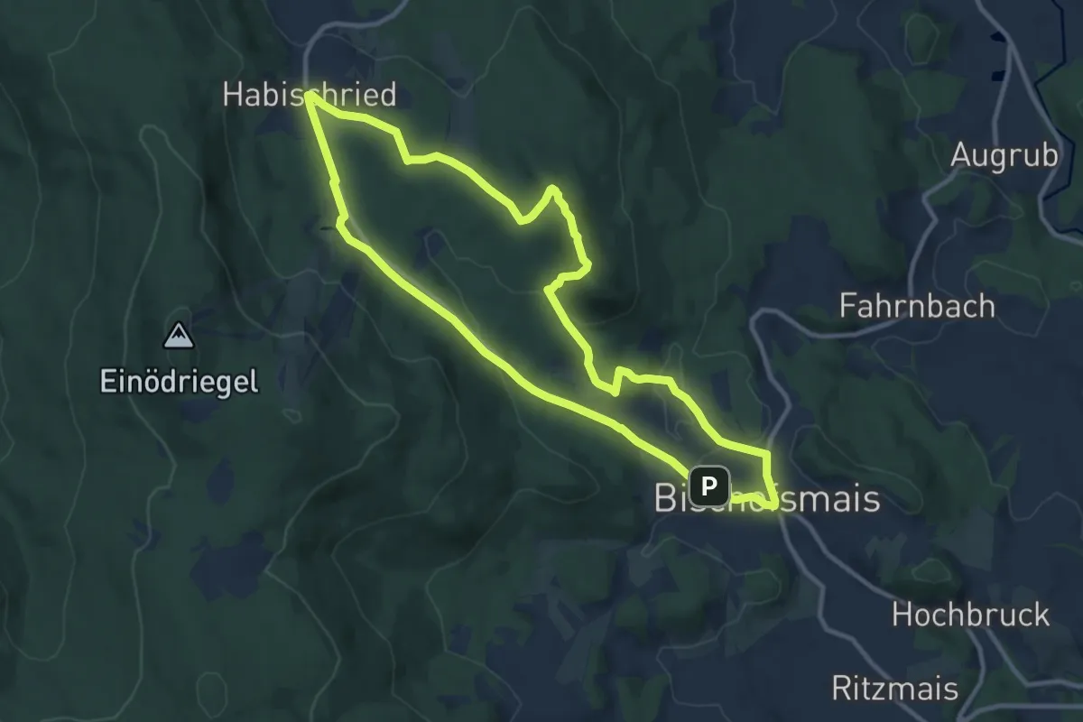
Medium · Summit
Bischofsmais Nr. 3
10.0 km · ↑ 249 m · 3 h 2 min
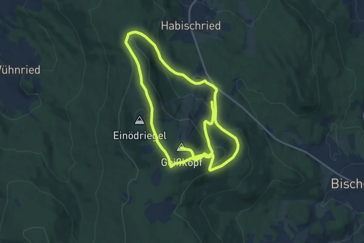
Medium · Summit
Bischofsmais Nr. 4
17.9 km · ↑ 720 m · 5 h 47 min
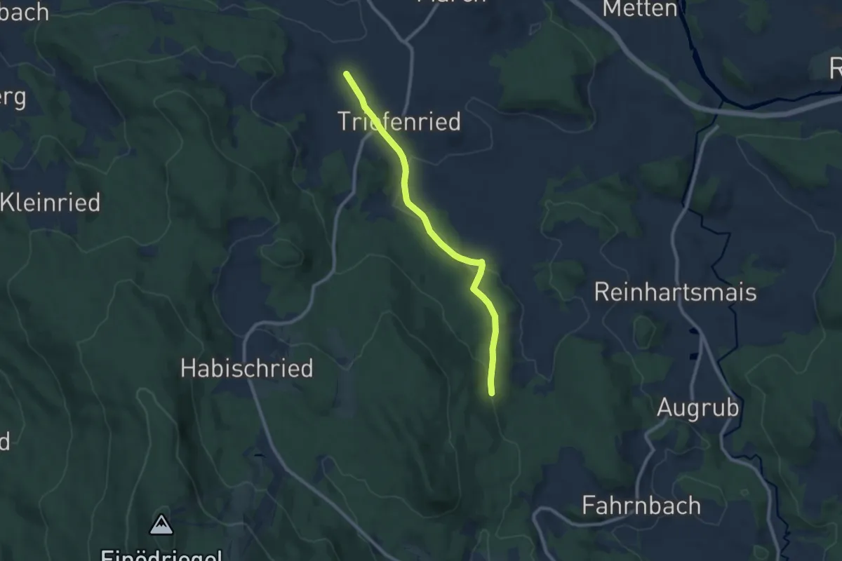
Easy · Trail
Bischofsmais Nr. 5
7.9 km · ↑ 159 m · 2 h 13 min
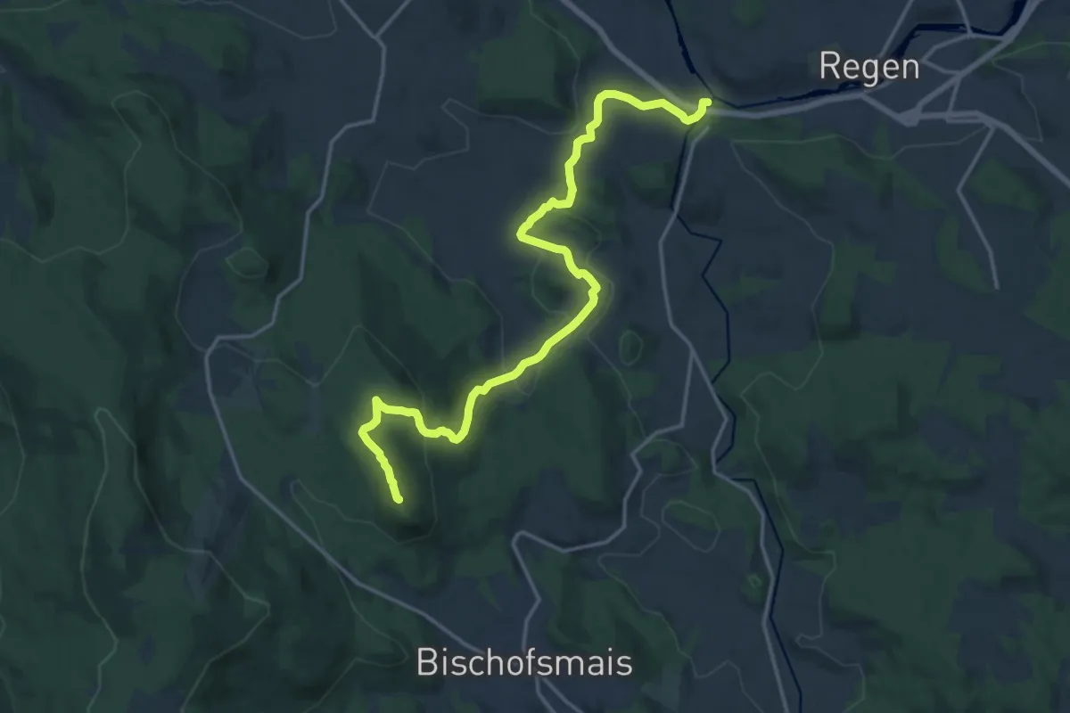
Medium · Summit
Bischofsmais Nr. 6
16.6 km · ↑ 530 m · 5 h 4 min
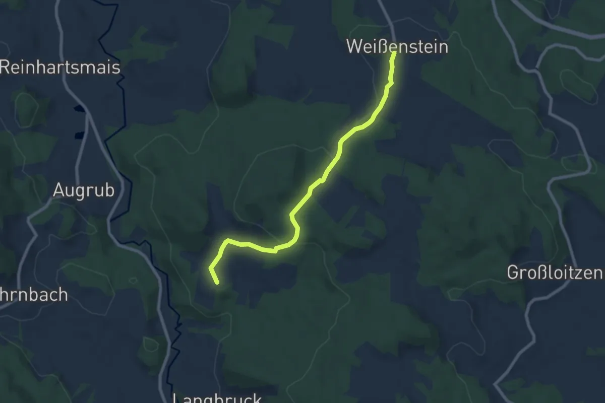
Easy · Summit
Bischofsmais Nr. 7
6.7 km · ↑ 202 m · 2 h 2 min
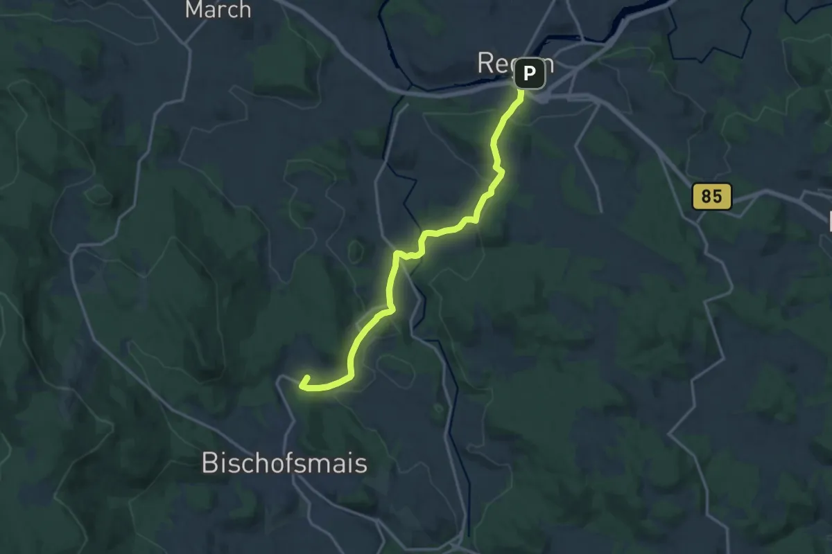
Medium · Summit
Bischofsmais Nr. 9
13.7 km · ↑ 442 m · 4 h 12 min
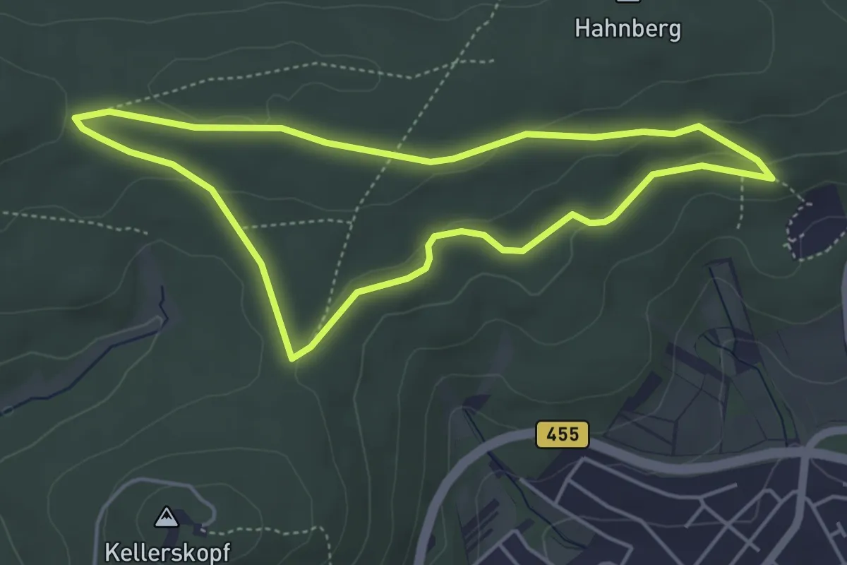
Easy · Trail
Bischofsweg
4.0 km · ↑ 72 m · 1 h 10 min
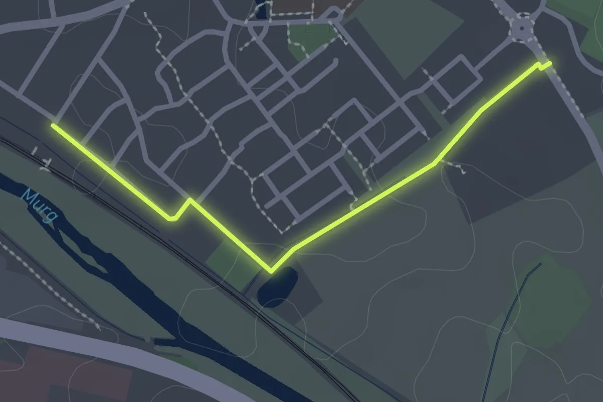
Easy · Trail
Bischweier An der Ziegelei - Bischweier Winkelweg
2.2 km · ↑ 4 m · 31 min
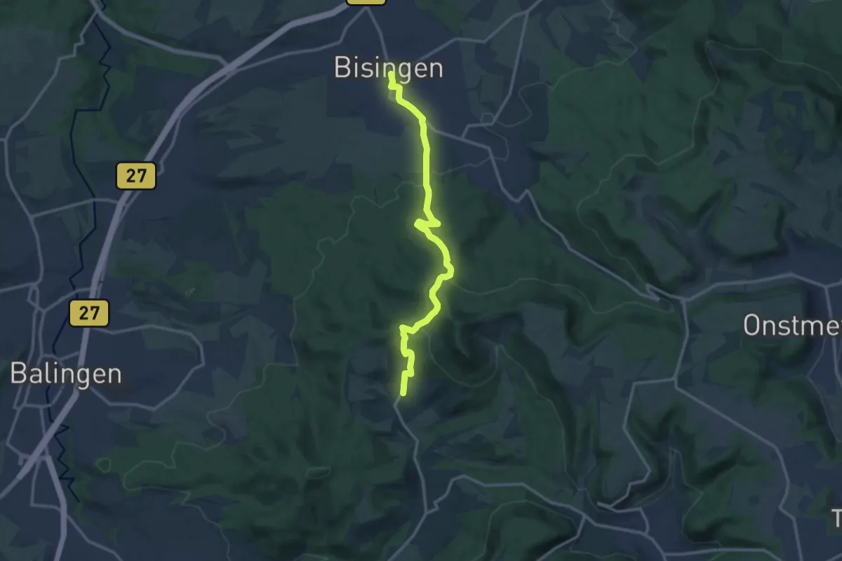
Medium · Trail
Bisingen - Streichen
12.1 km · ↑ 430 m · 3 h 47 min
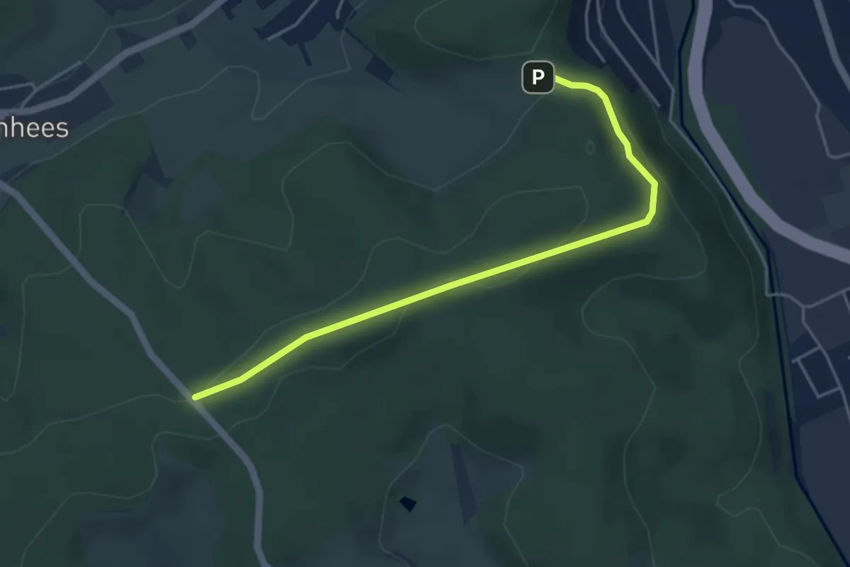
Easy · Trail
Bismarckeiche Rundweg A1 (Mäckeseiche)
2.0 km · ↑ 76 m · 39 min
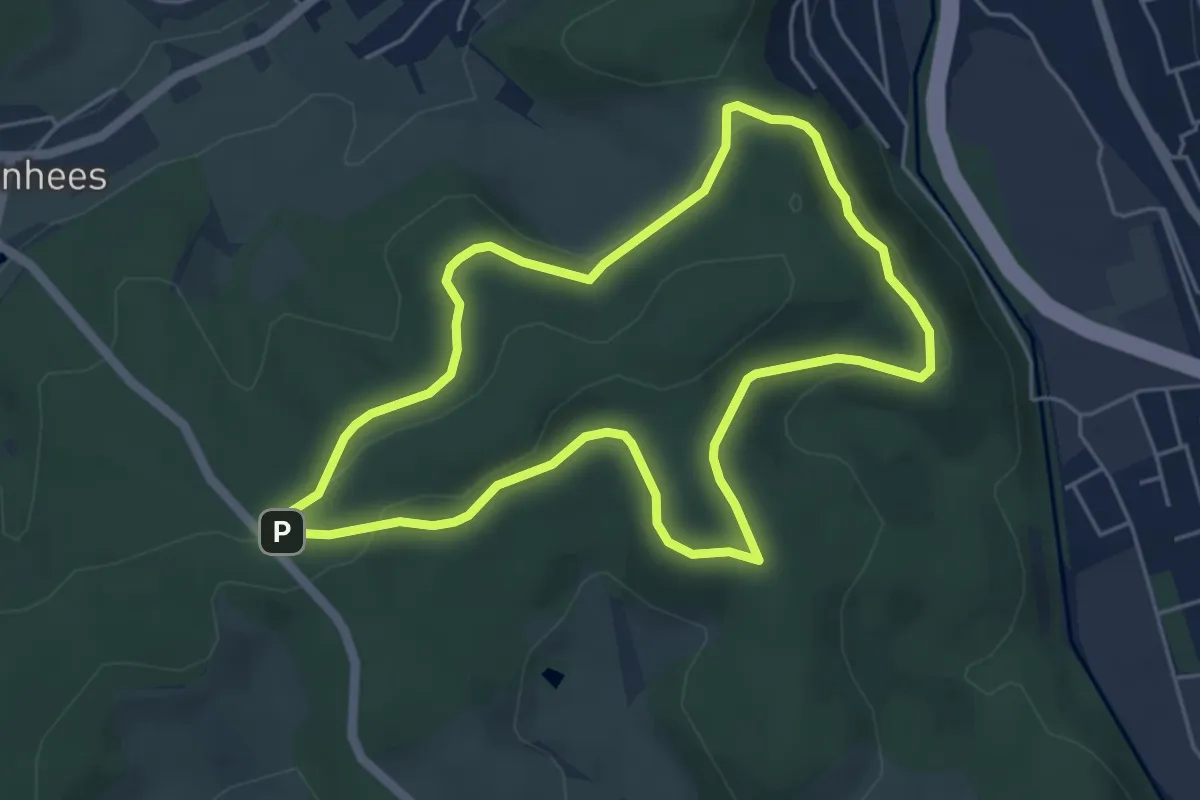
Easy · Summit
Bismarckeiche Rundweg A2 (Um den Kohlenberg)
4.6 km · ↑ 104 m · 1 h 22 min
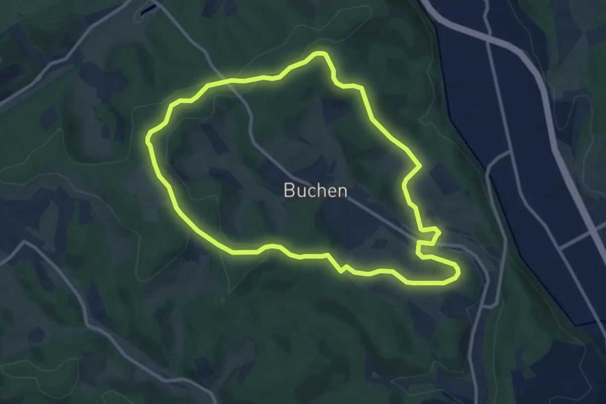
Easy · Summit
Bismarckeiche Rundweg A3 (Rund um Buchen)
7.6 km · ↑ 143 m · 2 h 12 min
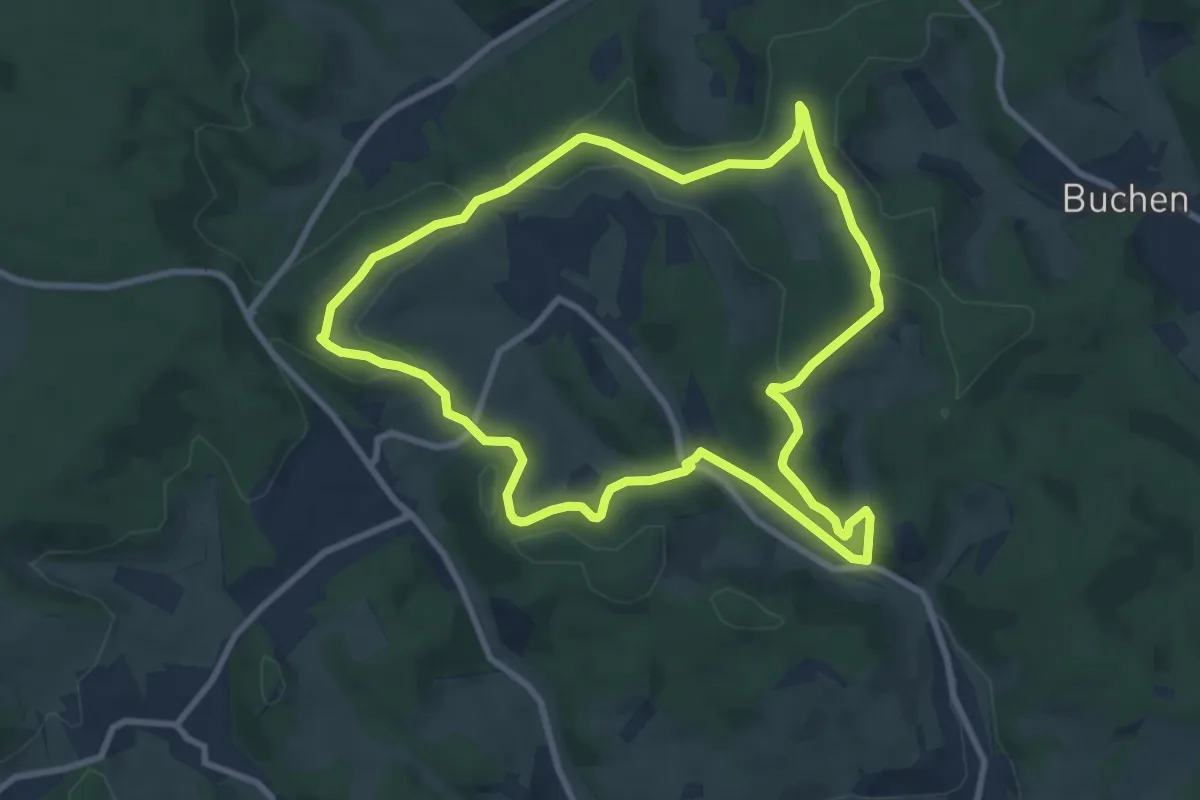
Medium · Trail
Bismarckeiche Rundweg A4 (Rund um Meiswinkel)
8.2 km · ↑ 174 m · 2 h 26 min
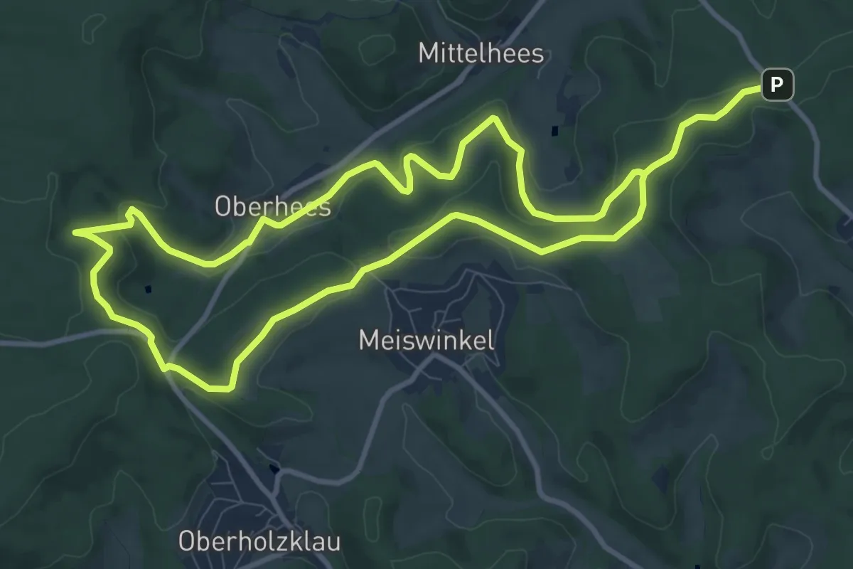
Medium · Trail
Bismarckeiche Rundweg A5 (Zur Heesquelle)
8.6 km · ↑ 223 m · 2 h 38 min
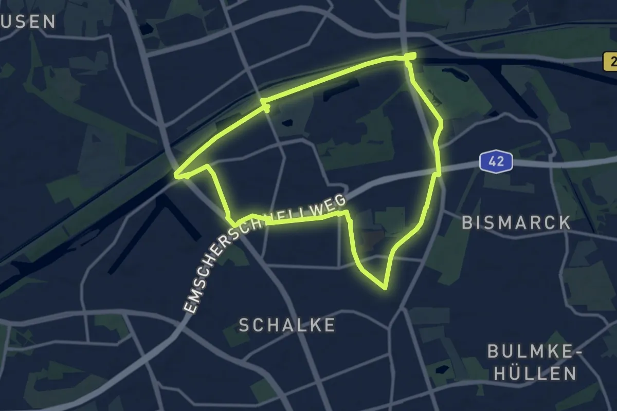
Medium · Trail
Bismarck Rundweg Dreieck
9.2 km · ↑ 21 m · 2 h 21 min
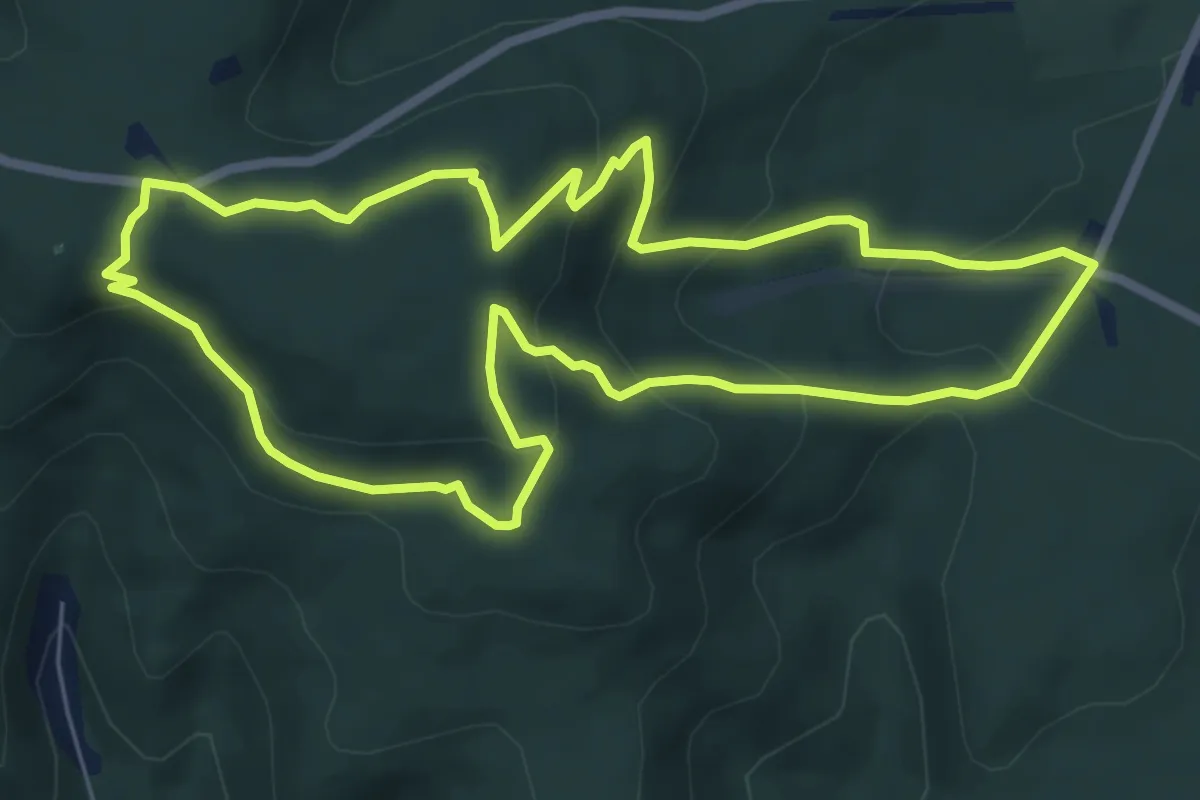
Easy · Summit
Bismarckturm-Heidenfels
6.2 km · ↑ 277 m · 2 h 9 min
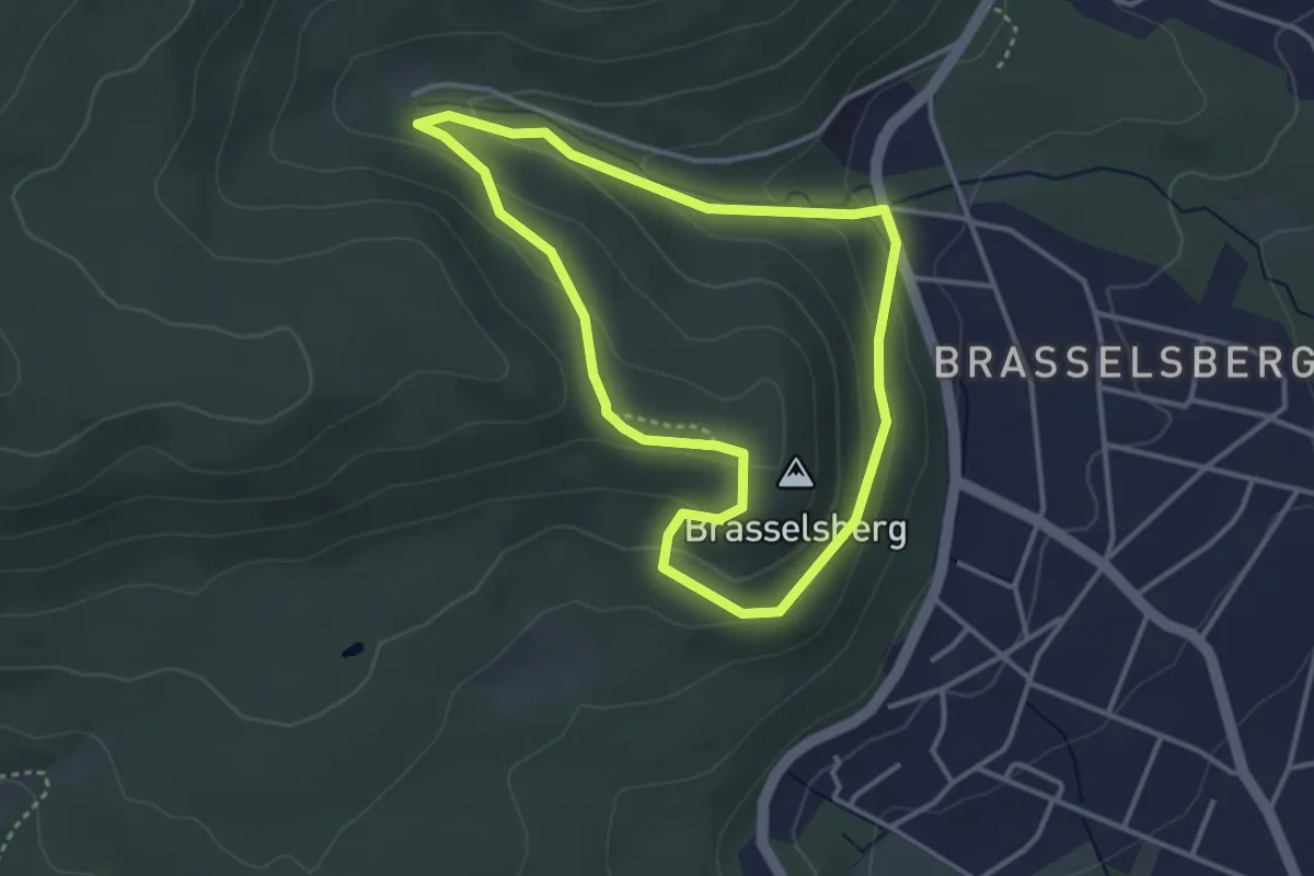
Easy · Summit
Bismarckturm, Naturparkweg 4
3.0 km · ↑ 122 m · 1 h 1 min
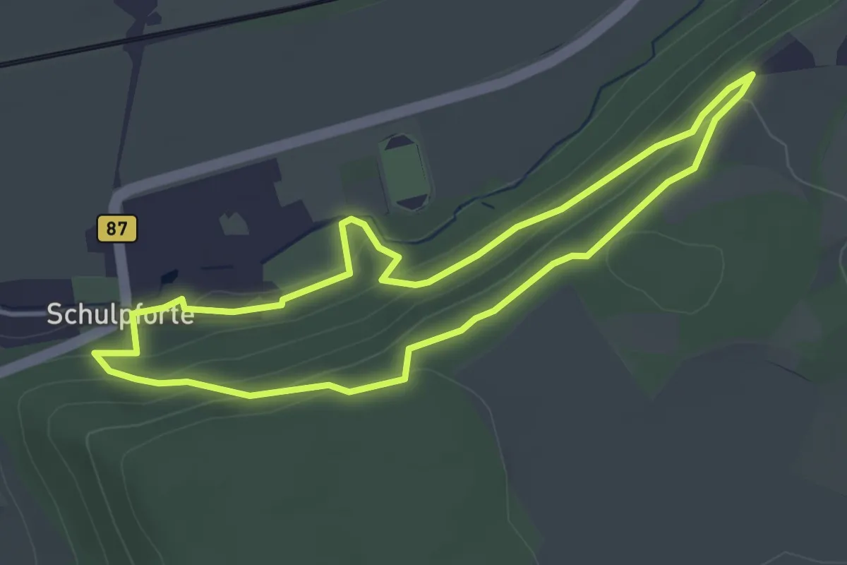
Easy · Trail
Bismarckturm Weg
3.5 km · ↑ 115 m · 1 h 8 min
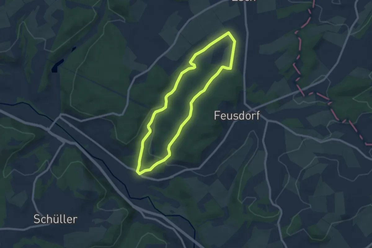
Easy · Trail
Bisselbachtal
5.5 km · ↑ 142 m · 1 h 41 min
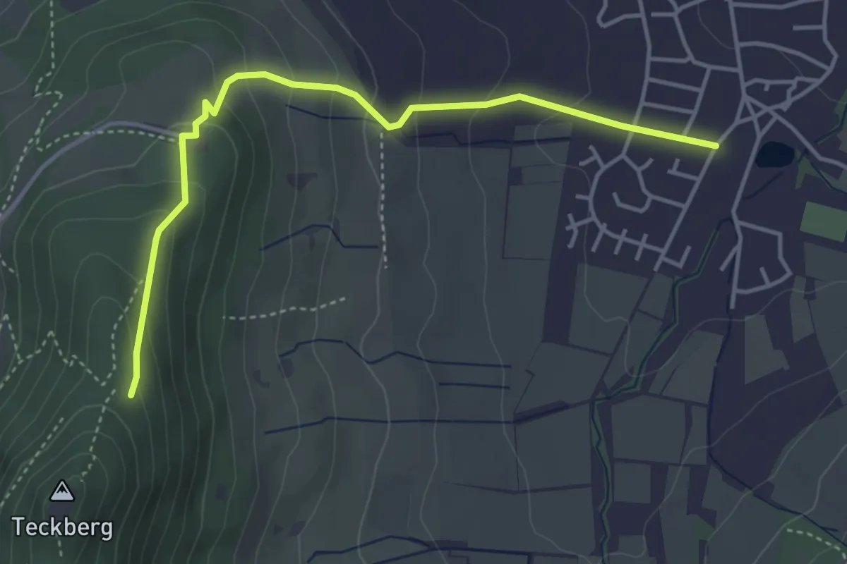
Easy · Trail
Bissingen - Hörnle
4.1 km · ↑ 258 m · 1 h 32 min
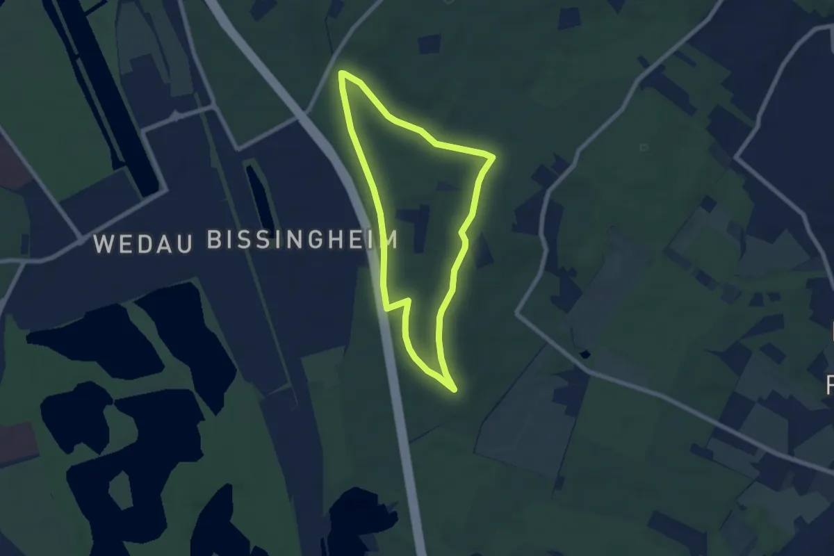
Easy · Trail
Bissingheim Rundweg A1
5.1 km · ↑ 48 m · 1 h 23 min
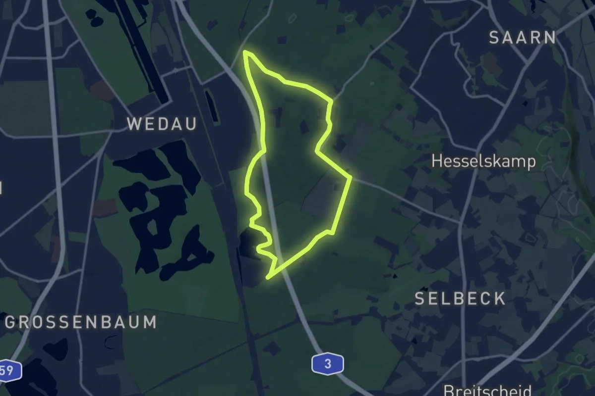
Medium · Trail
Bissingheim Rundweg A2
9.3 km · ↑ 60 m · 2 h 28 min
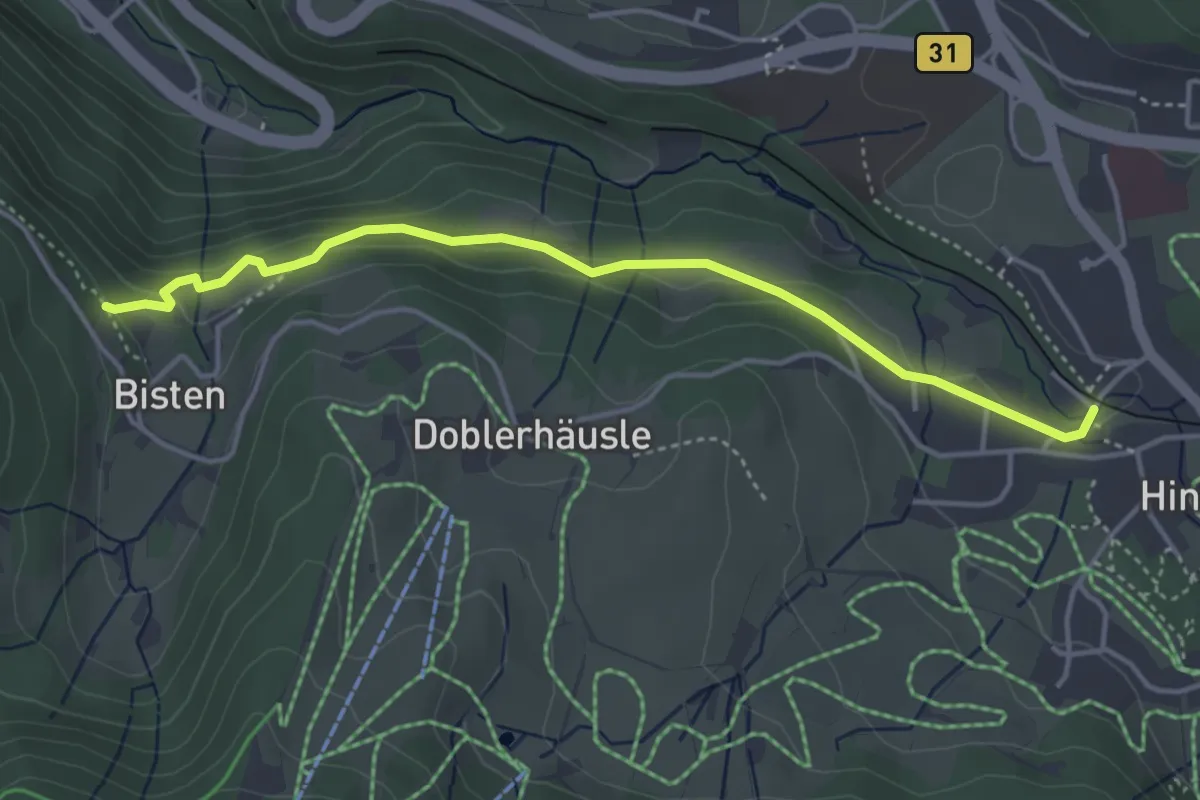
Medium · Trail
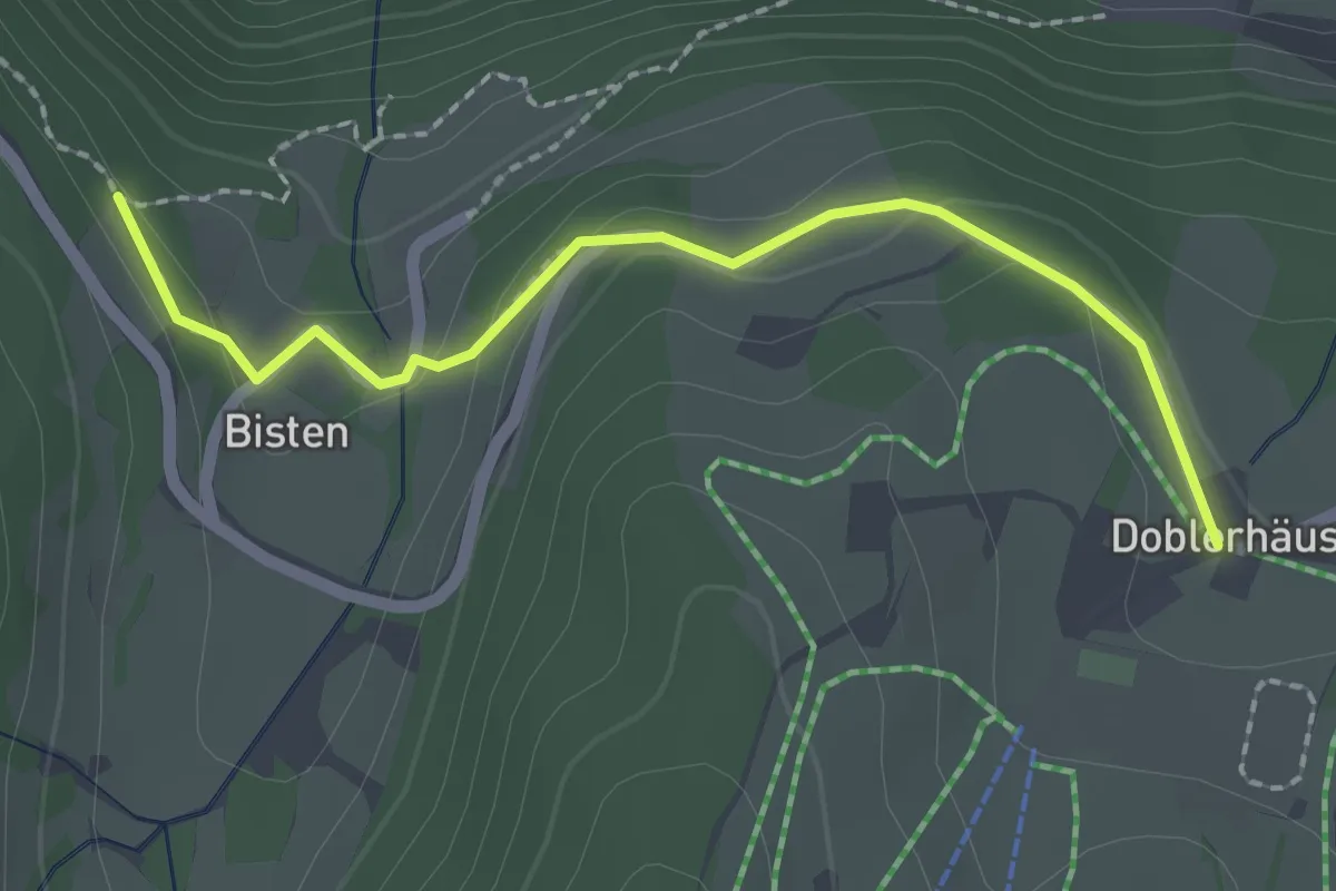
Bisten - Eingang Löffeltal
4.1 km · ↑ 89 m · 1 h 10 min
Easy · Trail
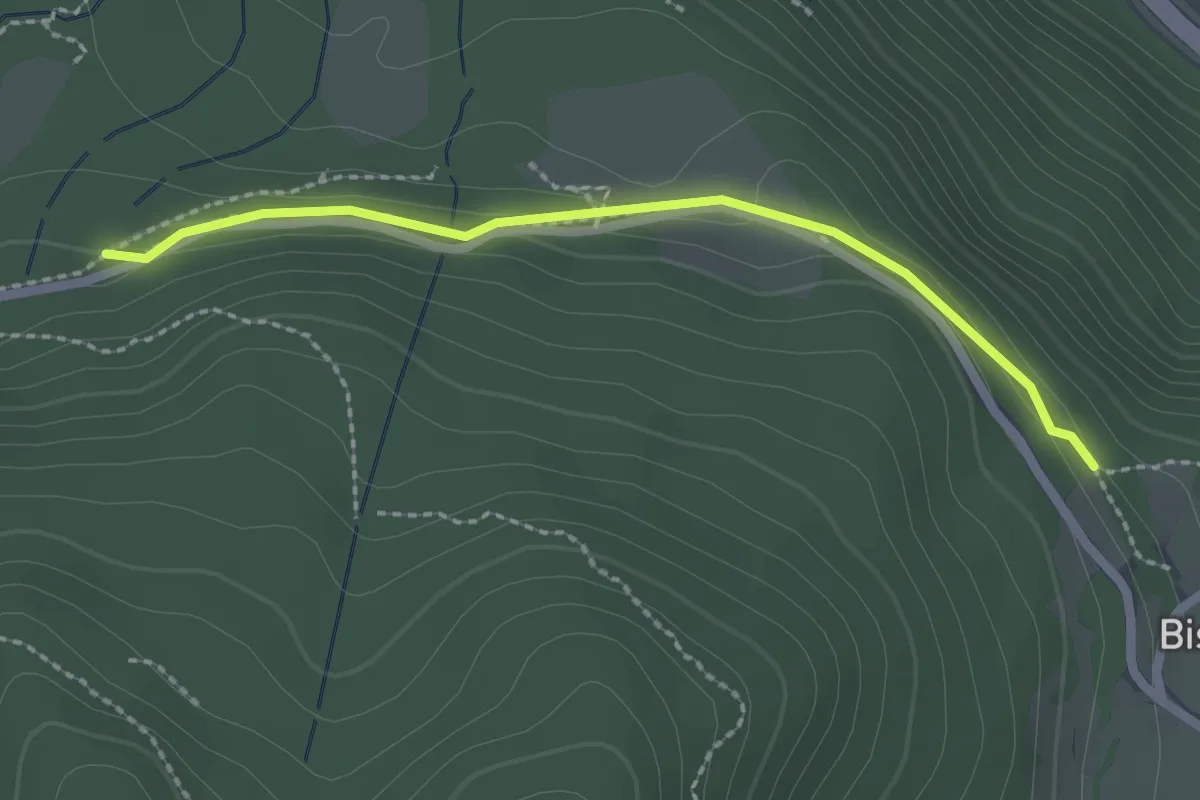
Bisten - Skihütte Thoma
2.1 km · ↑ 55 m · 37 min
Easy · Trail
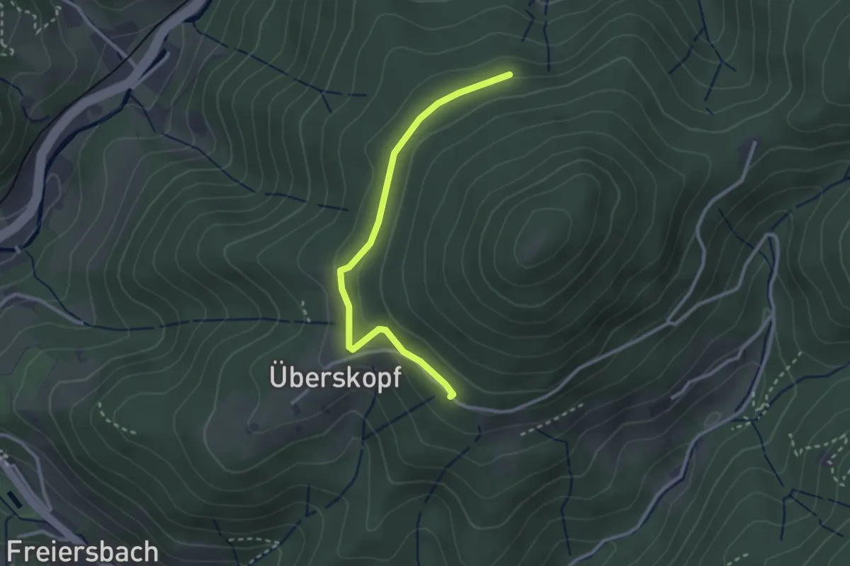
Bisten - Weberhansenkreuz
2.1 km · ↑ 62 m · 38 min
Medium · Trail
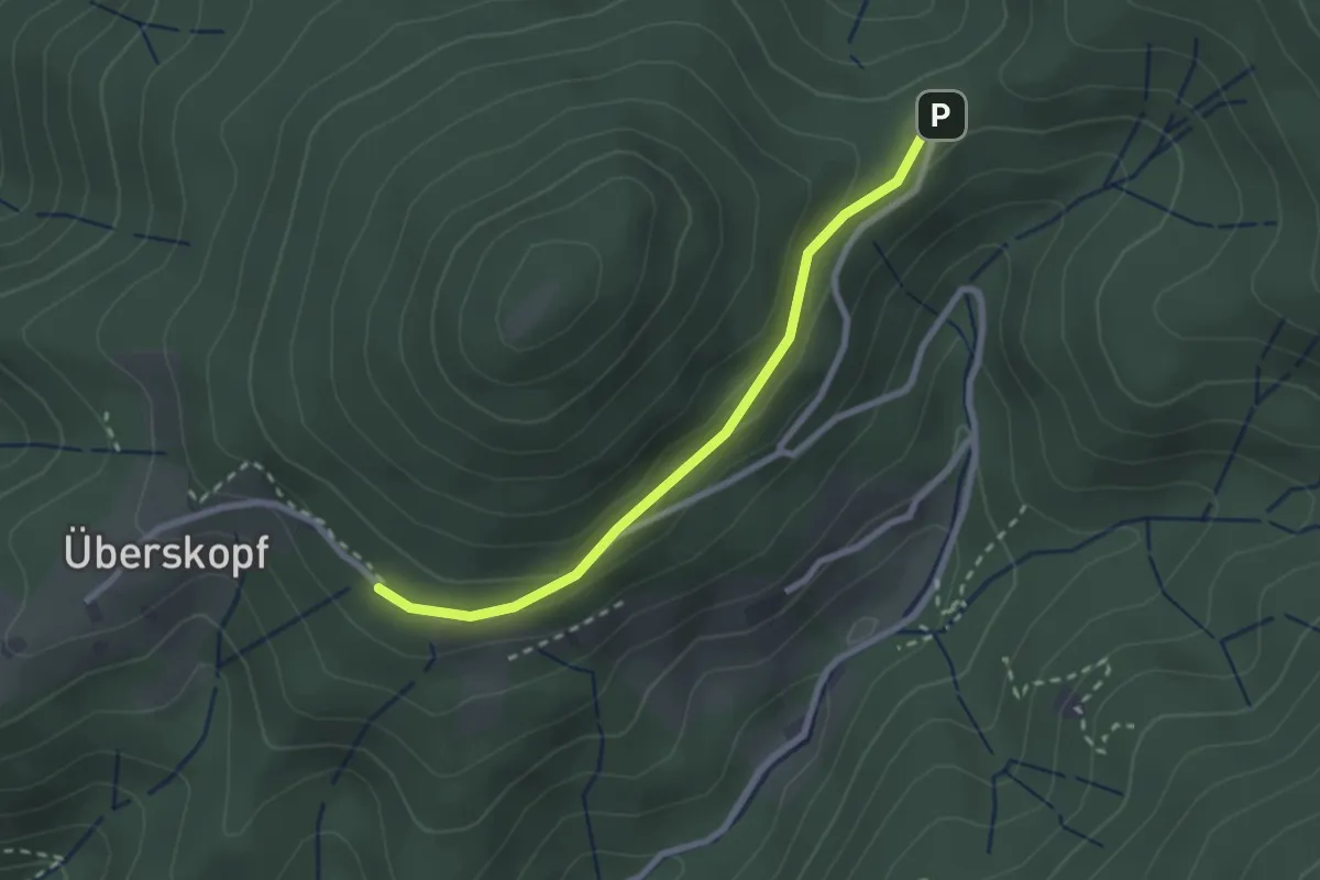
Bistrich - Gaisloch
2.6 km · ↑ 83 m · 48 min
Easy · Trail
Bistrich - Mülbensattel
2.3 km · ↑ 66 m · 41 min
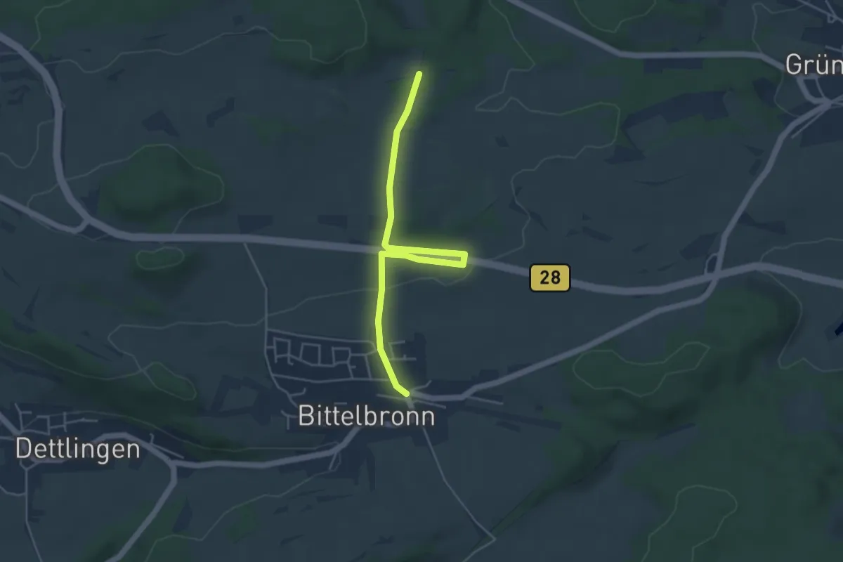
Easy · Trail
Bittelbronn Bahnhof - Birkwasen
4.4 km · ↑ 89 m · 1 h 14 min
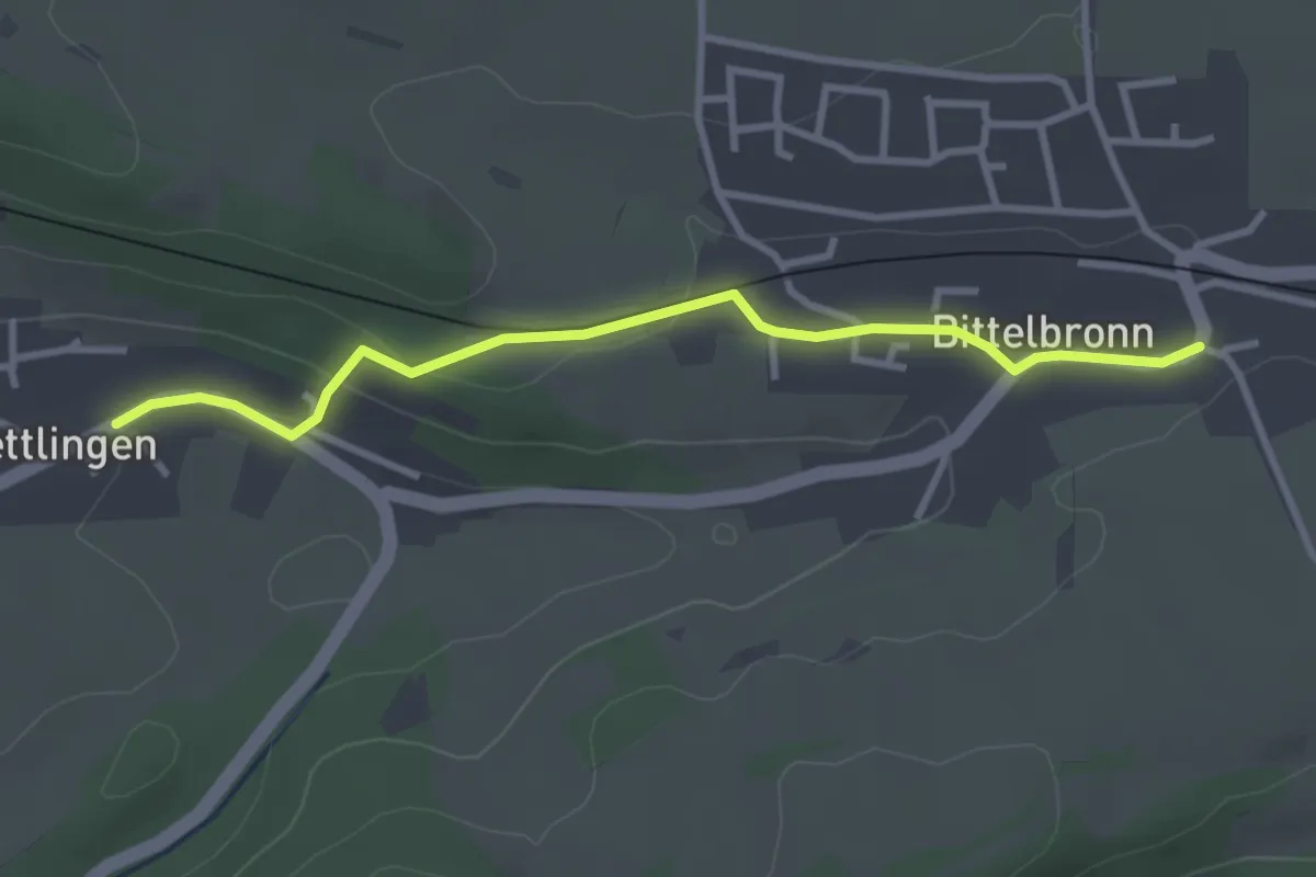
Easy · Trail
Bittelbronn Maierhaus - Dettlingen Dorfmitte
3.1 km · ↑ 84 m · 55 min
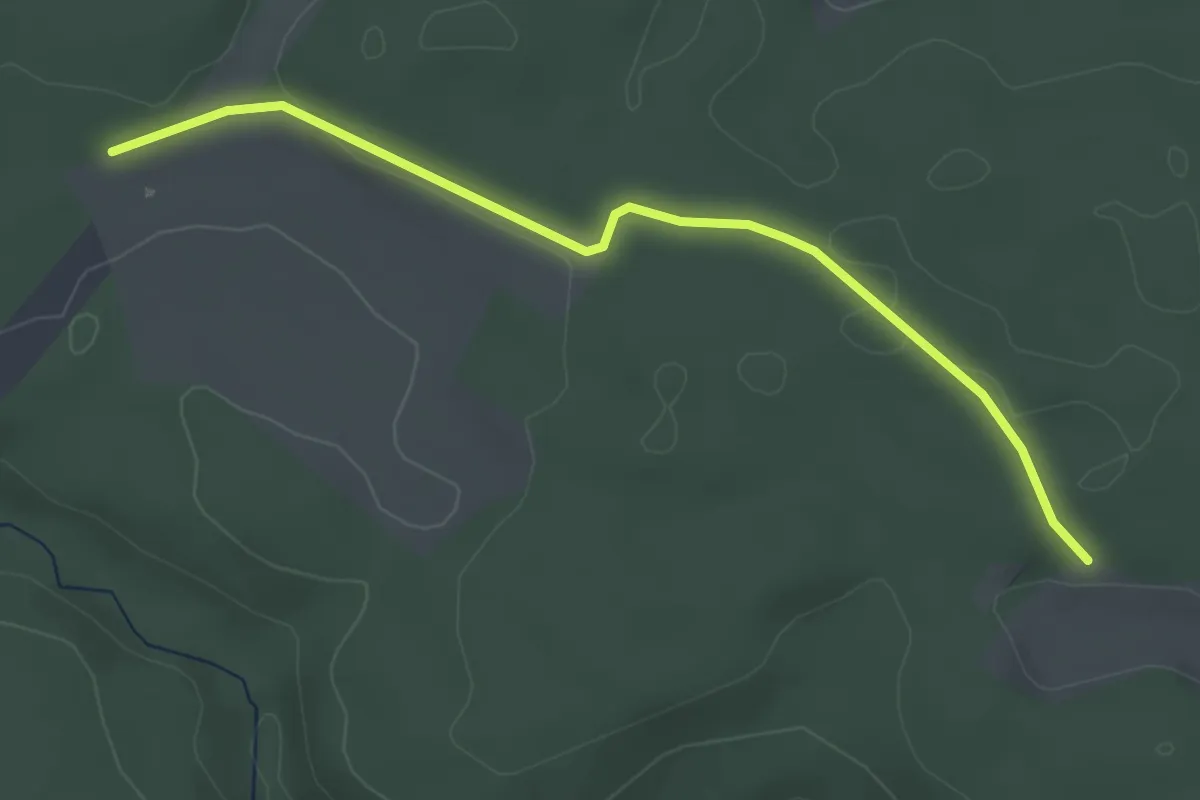
Easy · Trail
Bittelbrunn - Weißtanne
3.6 km · ↑ 33 m · 55 min
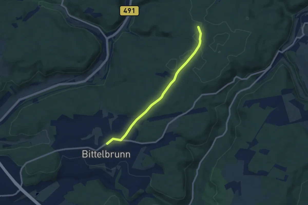
Easy · Trail
Bittelbrunn Zum Schrofen - Schlatterhau
6.1 km · ↑ 69 m · 1 h 35 min