Trails in Germany
36,824 hiking trails, each with its route, climb, walking time and grade.
All trails, page 70 of 768
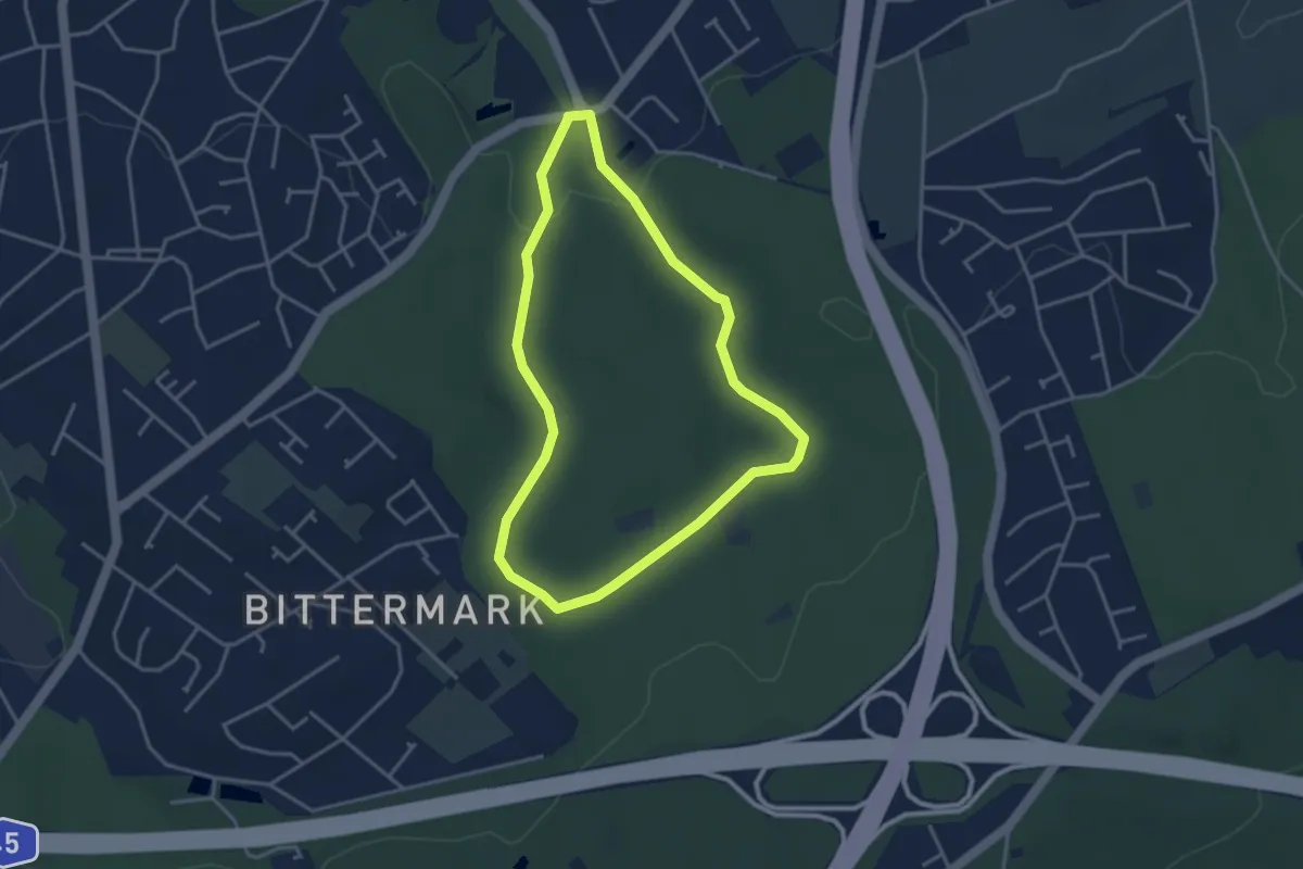
Easy · Trail
Bittermark Rundweg B1
3.1 km · ↑ 57 m · 54 min
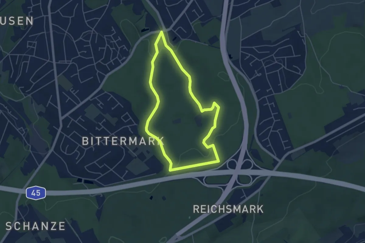
Easy · Trail
Bittermark Rundweg B2
4.2 km · ↑ 82 m · 1 h 13 min
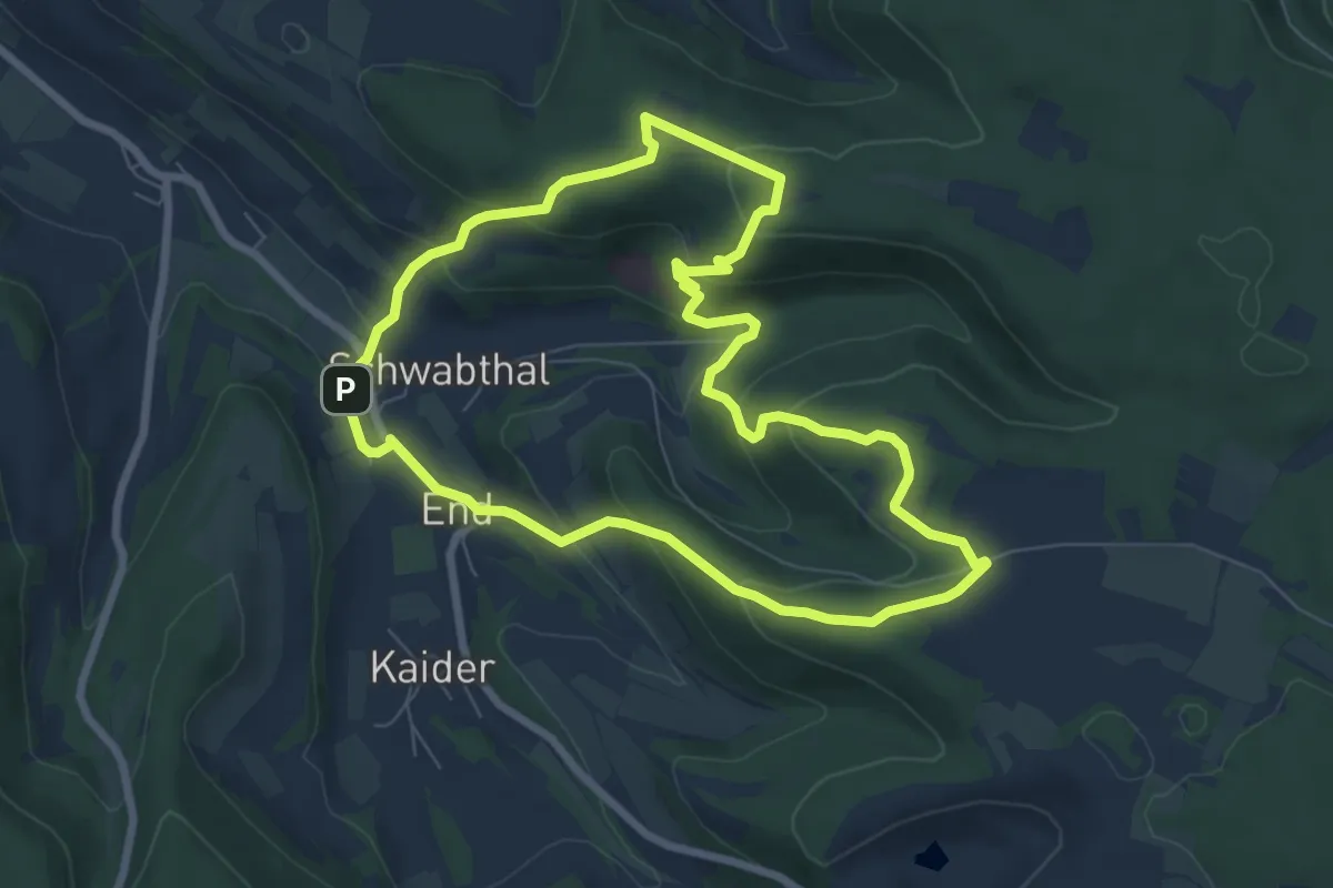
Easy · Trail
Bittmannstein Rundweg
6.8 km · ↑ 291 m · 2 h 20 min
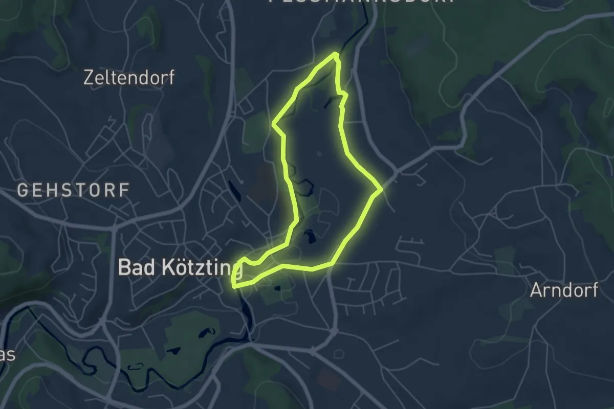
Easy · Trail
Bk01 Rundwanderweg Sperlhammer
4.2 km · ↑ 21 m · 1 h 7 min
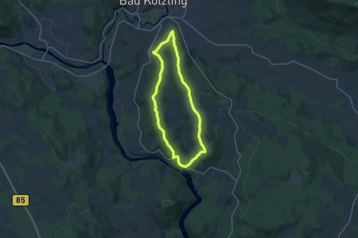
Medium · Trail
Bk02 Rundwanderweg Höllensteinsee - Sackenried
9.9 km · ↑ 300 m · 3 h 7 min
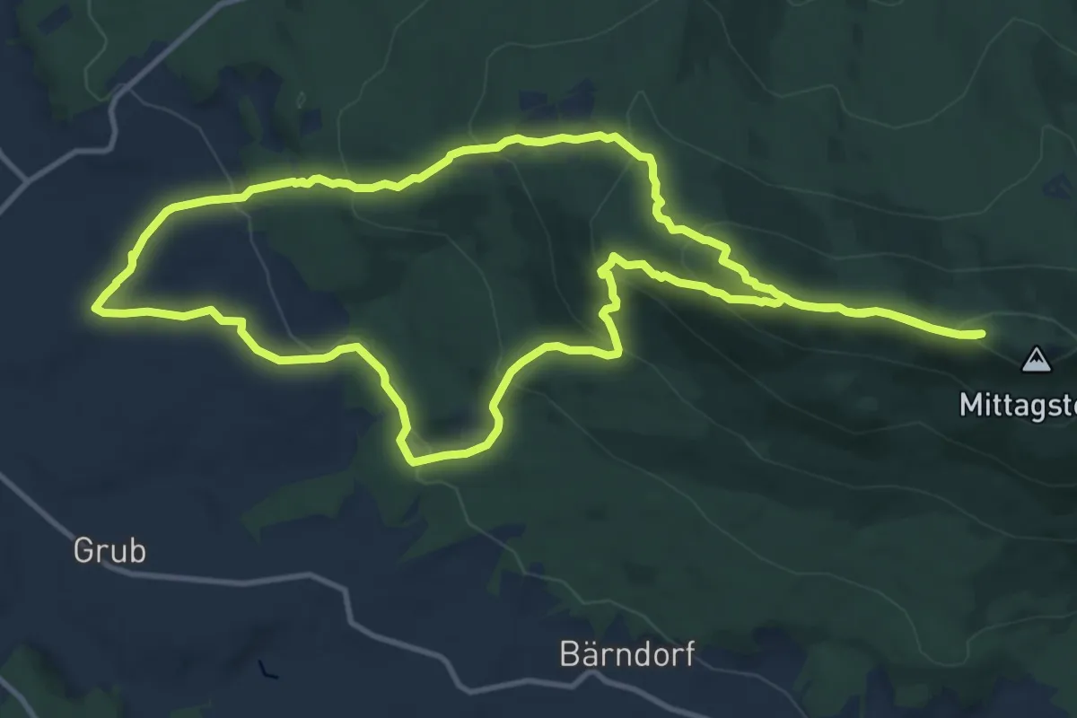
Demanding · Summit
Bk03 Rundwanderweg Kaitersberg - Kötztinger Hütte
11.7 km · ↑ 598 m · 4 h 13 min
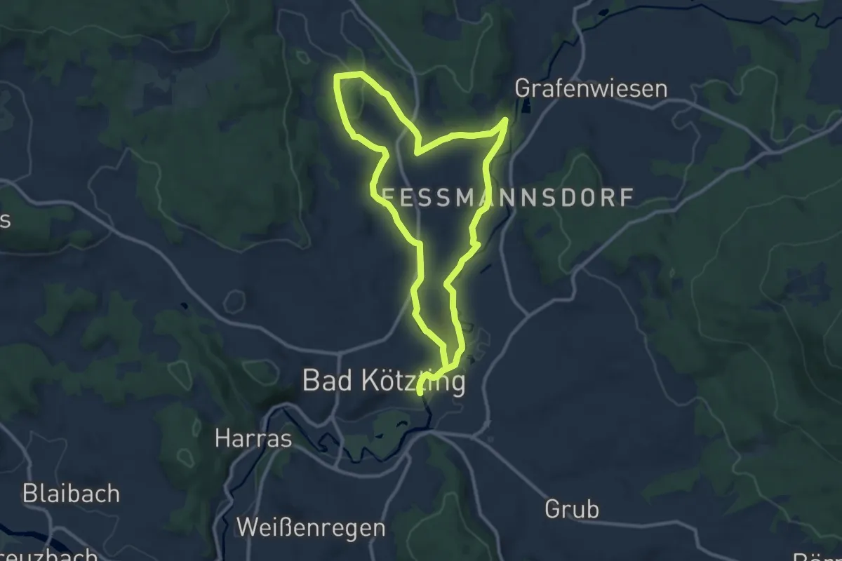
Medium · Trail
Bk04 Rundwanderweg Bachmeierholz
9.2 km · ↑ 126 m · 2 h 35 min
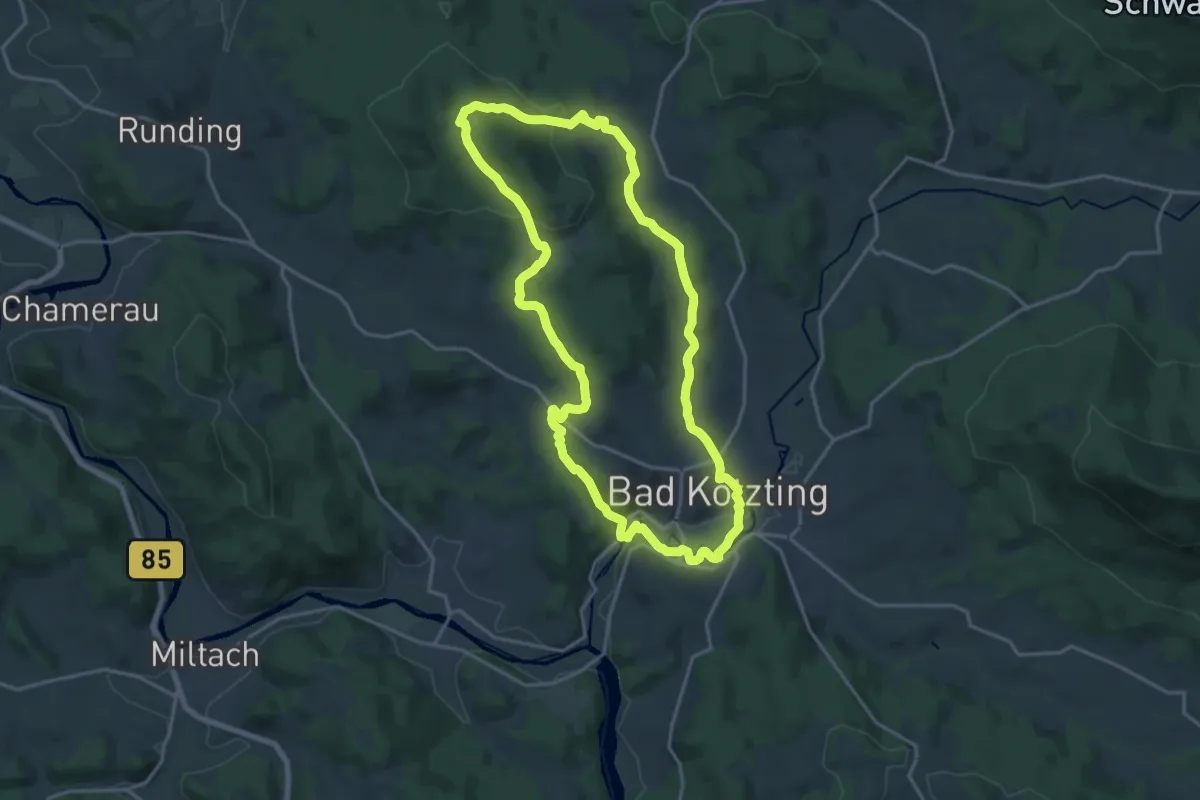
Medium · Trail
Bk05 Rundwanderweg Haidstein Ried
16.8 km · ↑ 425 m · 5 h 8 min
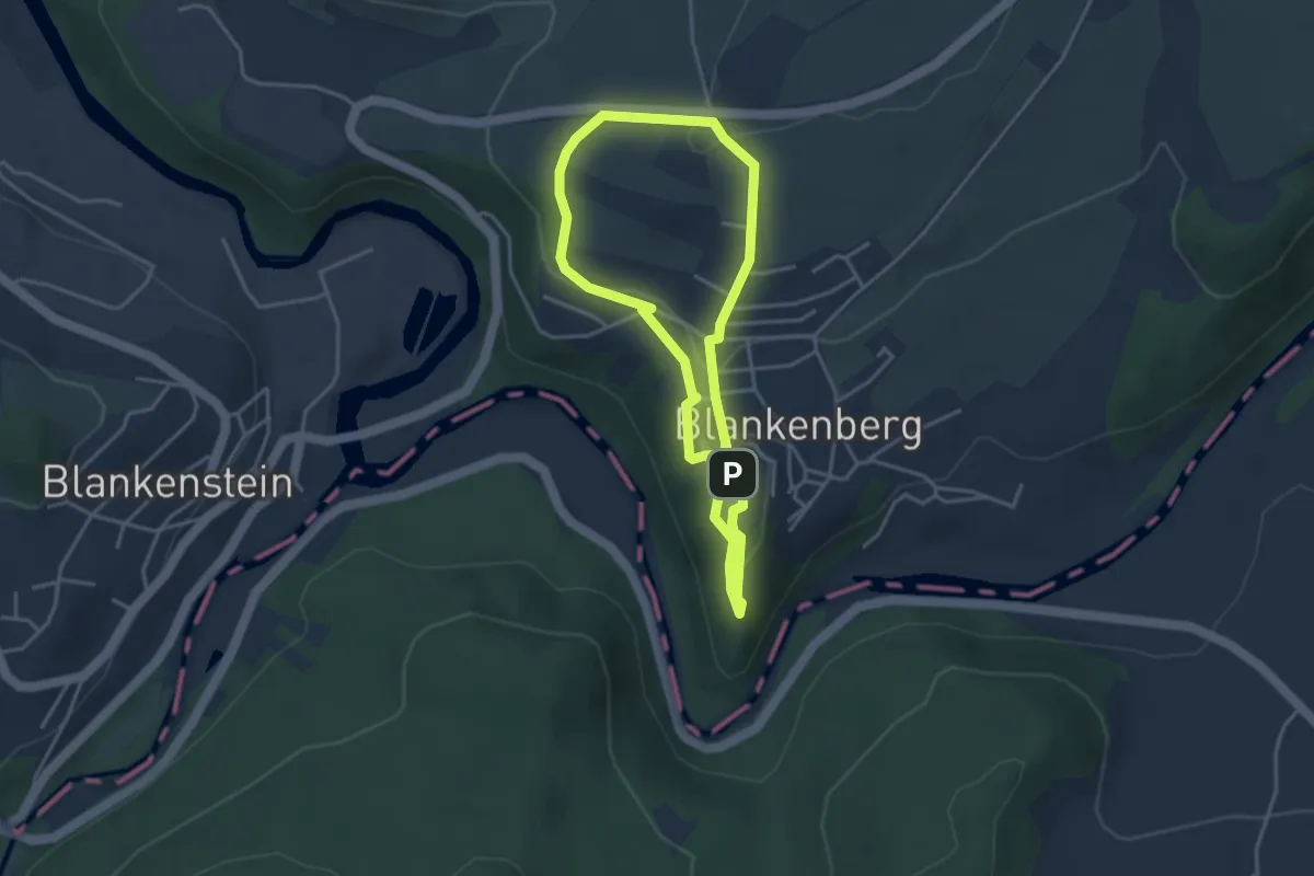
Easy · Trail
Blankenberger Panoramaweg
3.2 km · ↑ 86 m · 1 h
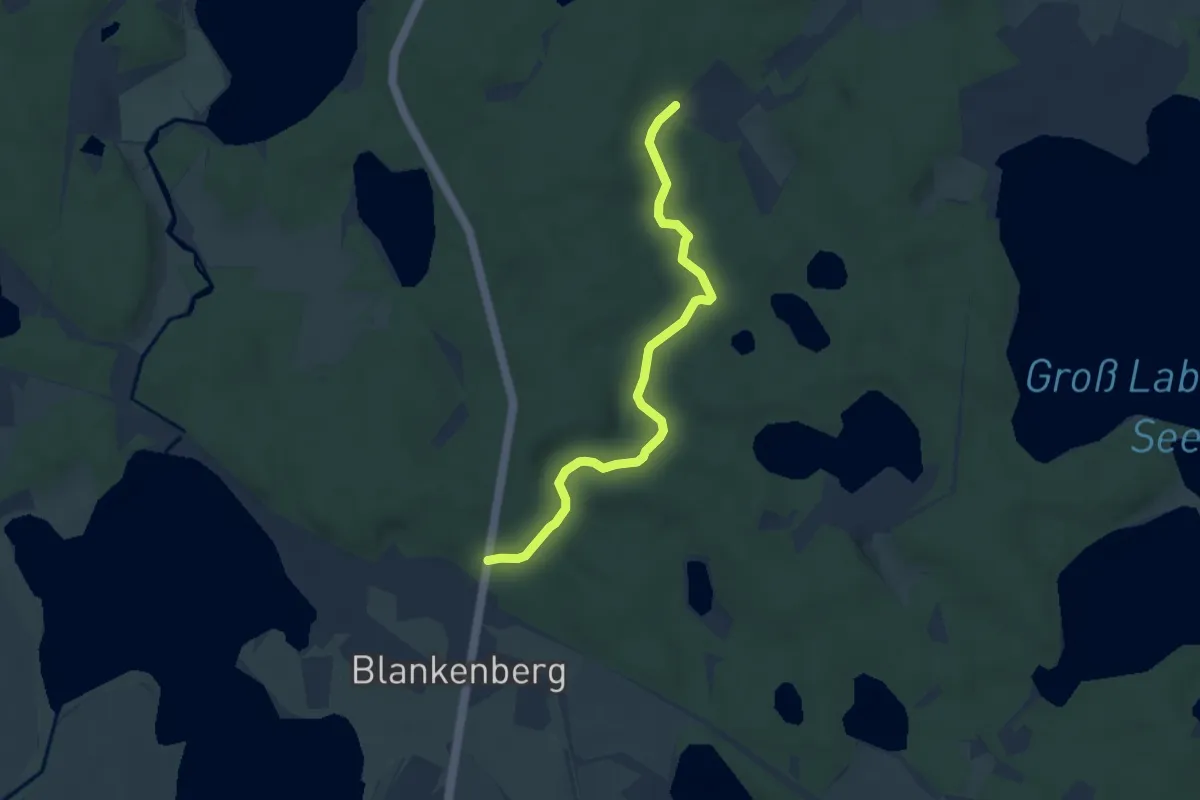
Easy · Trail
Blankenberg - Graupenmühle
5.7 km · ↑ 43 m · 1 h 26 min
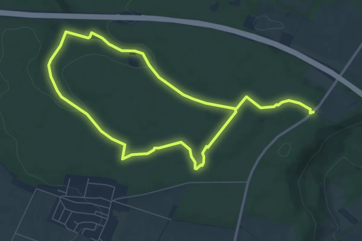
Easy · Trail
Blankenrode Rundweg A14
5.3 km · ↑ 87 m · 1 h 31 min
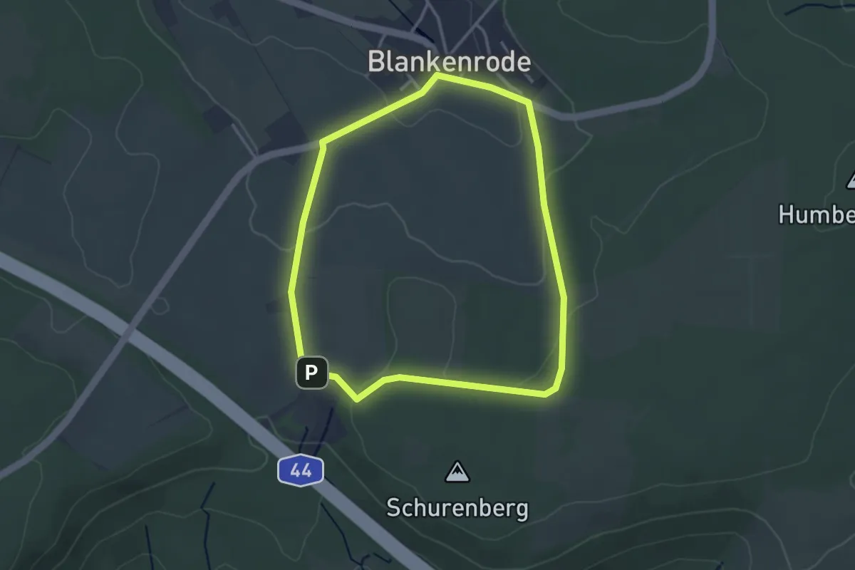
Easy · Trail
Blankenrode Rundweg A5
2.8 km · ↑ 51 m · 49 min
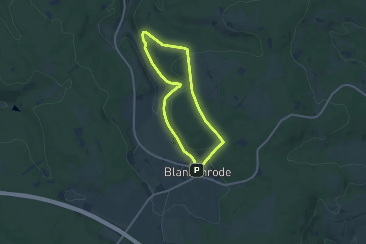
Easy · Trail
Blankenrode Rundweg A6
4.4 km · ↑ 103 m · 1 h 19 min
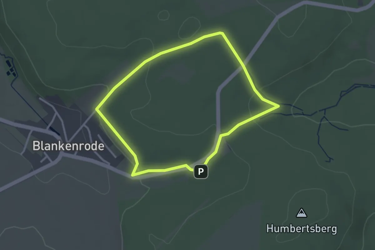
Easy · Trail
Blankenrode Rundweg A7
2.4 km · ↑ 53 m · 43 min
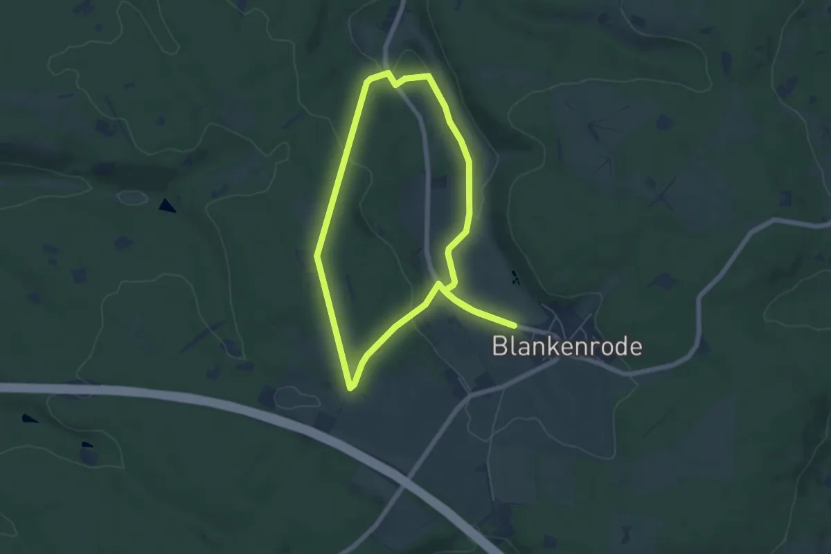
Easy · Trail
Blankenrode Rundweg A8
5.1 km · ↑ 94 m · 1 h 28 min
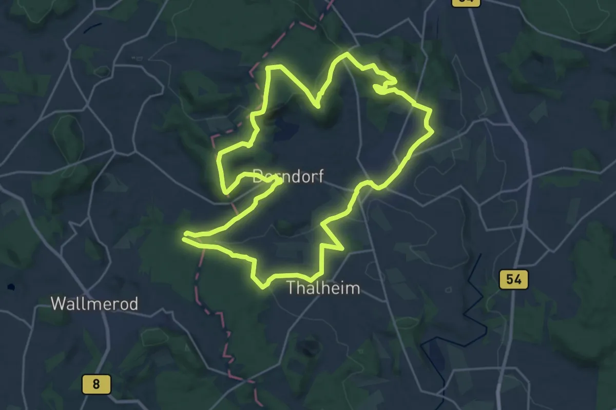
Demanding · Summit
BlasiusSteig
19.4 km · ↑ 401 m · 5 h 44 min
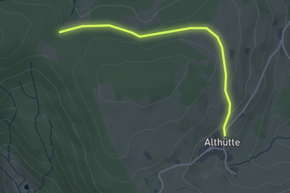
Easy · Trail
Blasiwald Althütte - Wittemle
3.2 km · ↑ 55 m · 53 min
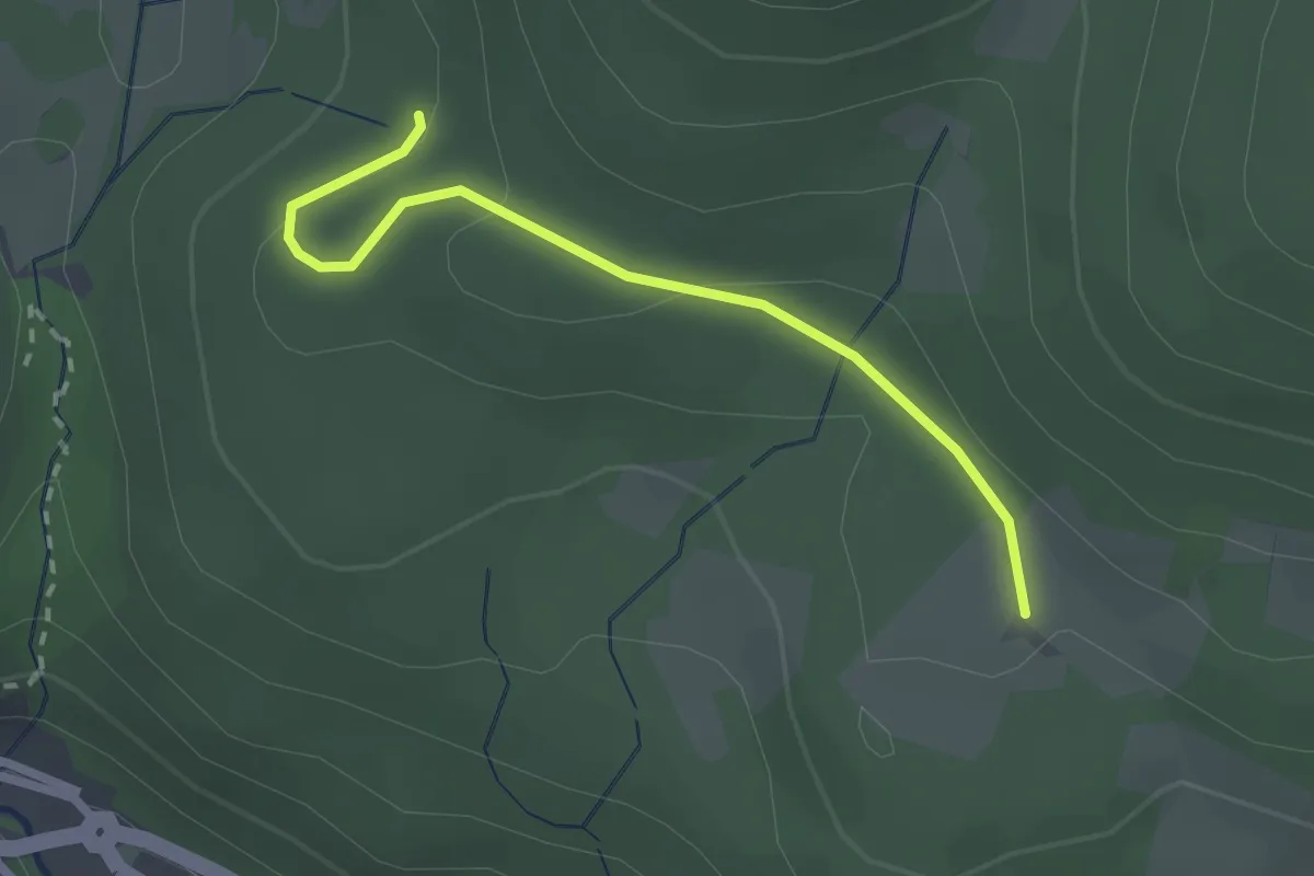
Easy · Trail
Blasiwalderweg - Bücken
2.3 km · ↑ 77 m · 42 min
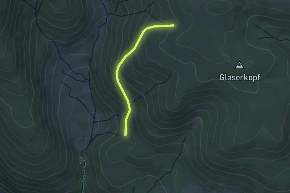
Easy · Trail
Blasiwalderweg - Sandgrube
2.5 km · ↑ 167 m · 57 min
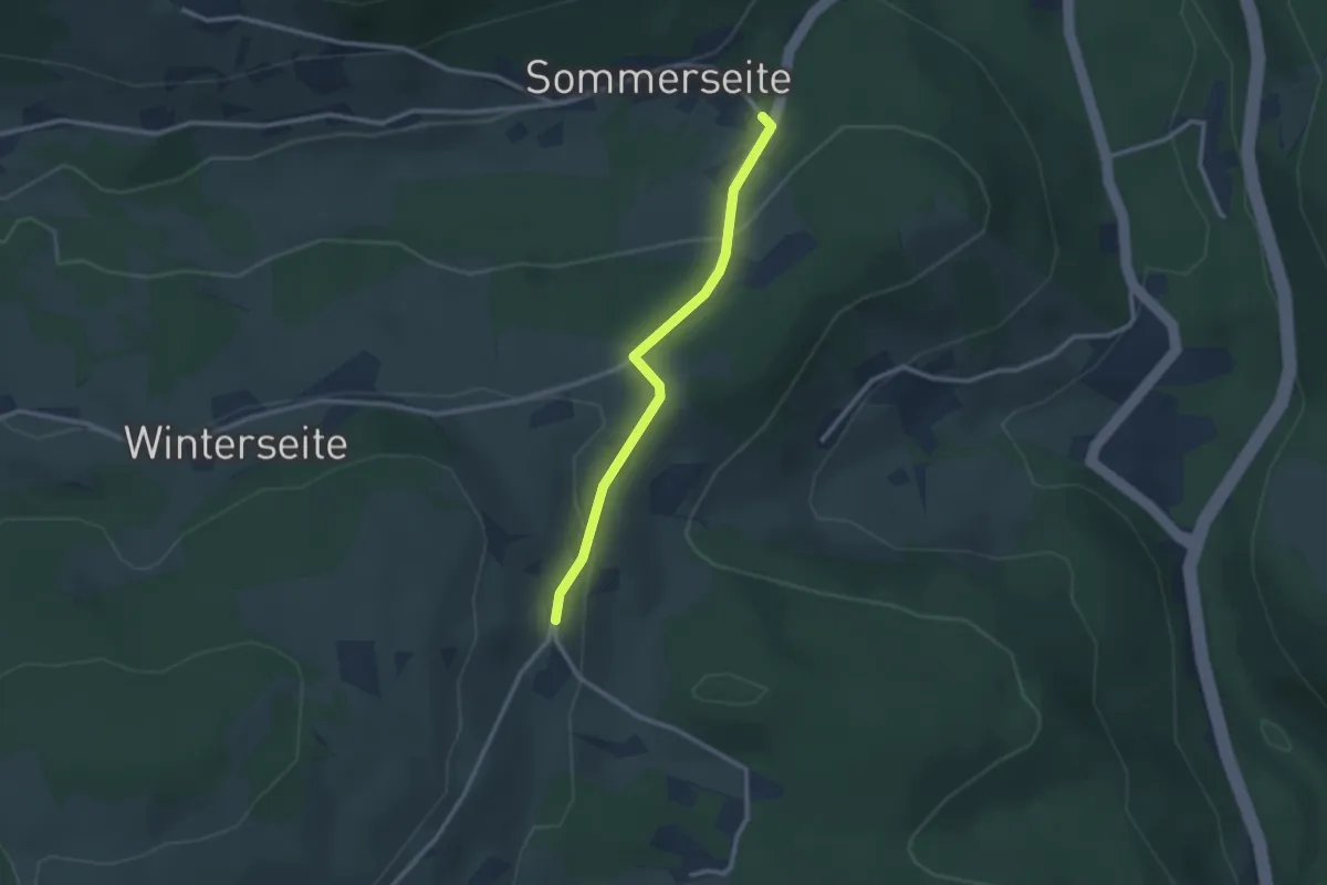
Easy · Trail
Blasiwald Sommerseite - Blasiwald Straß
2.4 km · ↑ 81 m · 44 min
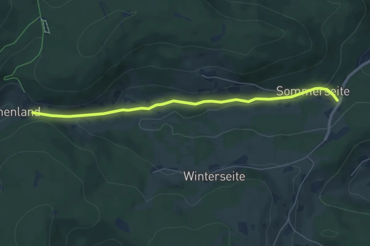
Easy · Trail
Blasiwald Sommerseite - Muchenland Parkplatz
5.4 km · ↑ 123 m · 1 h 32 min
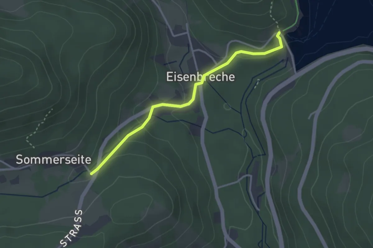
Medium · Trail
Blasiwald Sommerseite - Schluchsee Staumauer
2.9 km · ↑ 105 m · 55 min
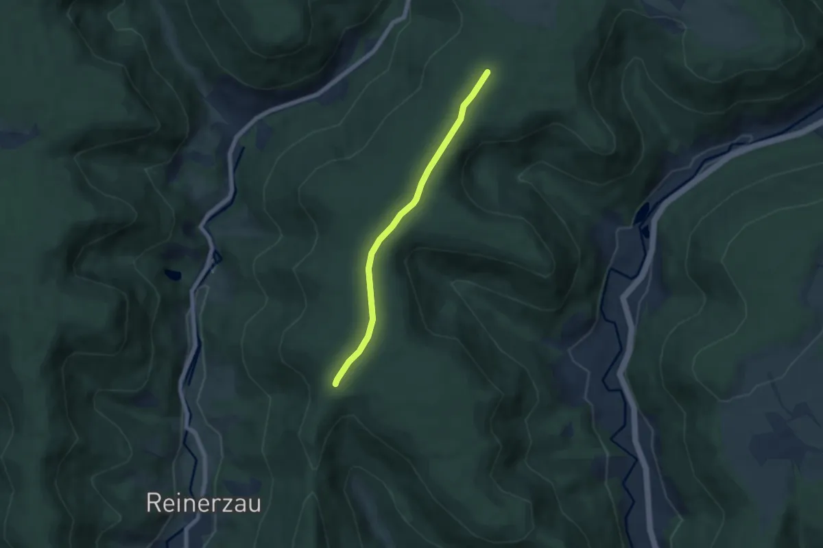
Easy · Trail
Blassenbuch - Heilenberg
4.9 km · ↑ 53 m · 1 h 17 min
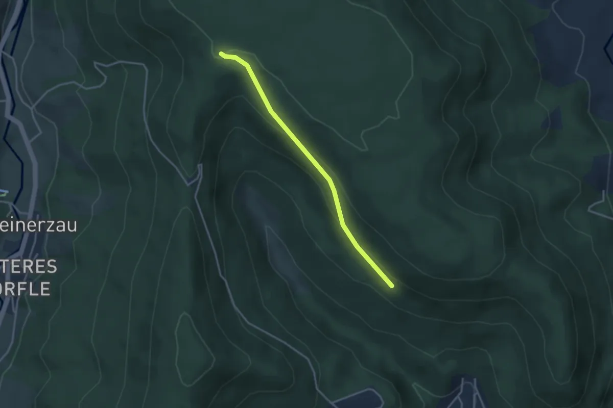
Easy · Trail
Blassenbuch - Metzgersträßle
2.8 km · ↑ 118 m · 56 min
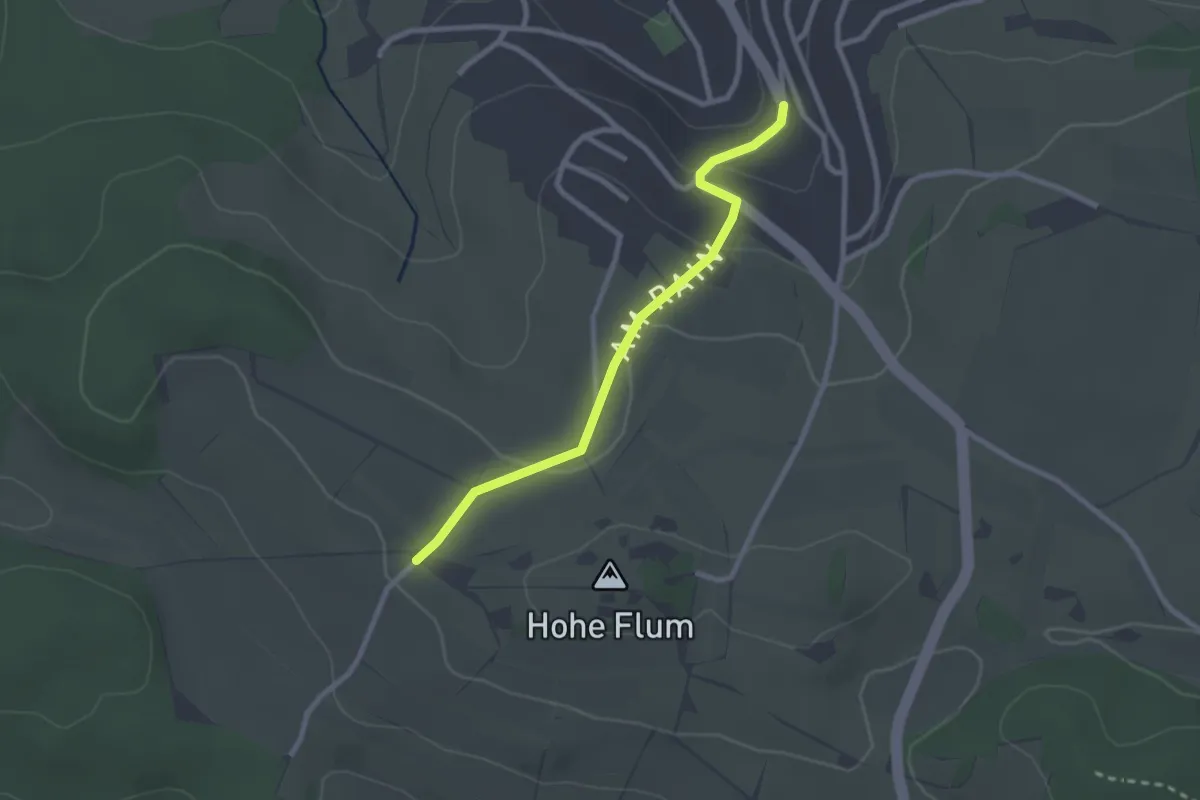
Easy · Trail
Blattenbrünnli - Wiechs Buurelade
2.4 km · ↑ 55 m · 41 min
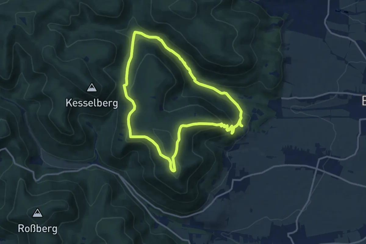
Medium · Trail
Blättersbergweg Rhodt
9.6 km · ↑ 372 m · 3 h 12 min
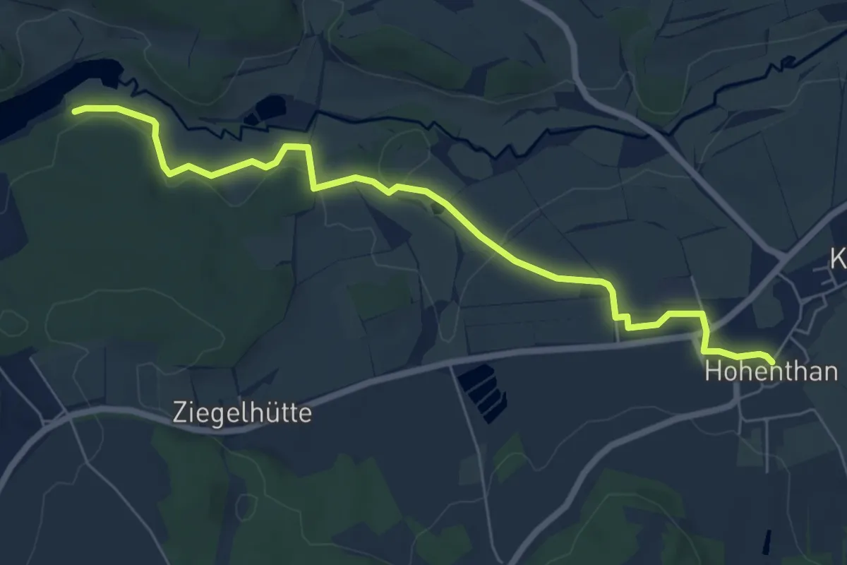
Easy · Trail
blau auf weiß Segelboot (Hohenthan-Liebensteinspeicher)
6.5 km · ↑ 84 m · 1 h 43 min
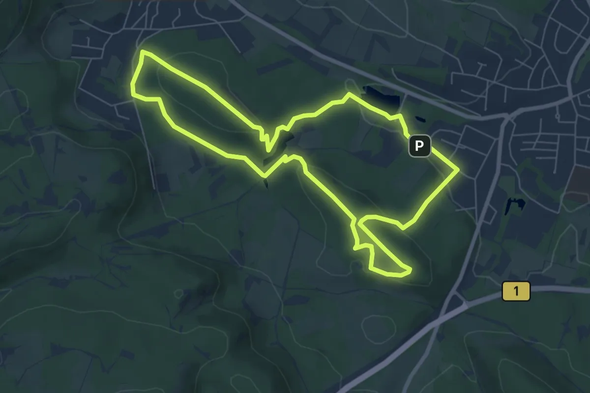
Easy · Summit
Blaubeer-Route
6.2 km · ↑ 152 m · 1 h 53 min
Easy · Trail
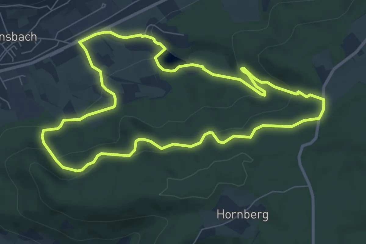
Blaubeerweg
6.3 km · ↑ 210 m · 2 h 2 min
Demanding · Trail
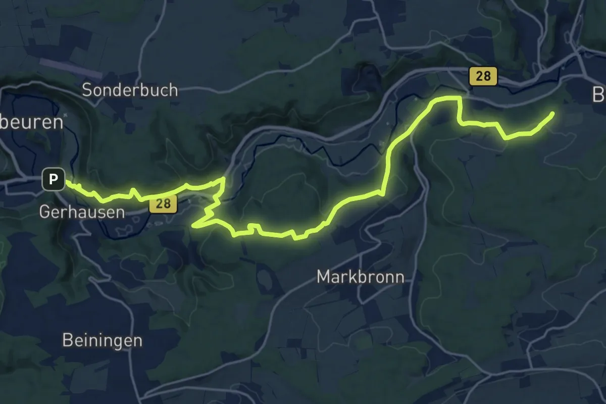
Blaubeuren Arnegg
24.9 km · ↑ 801 m · 7 h 37 min
Easy · Trail
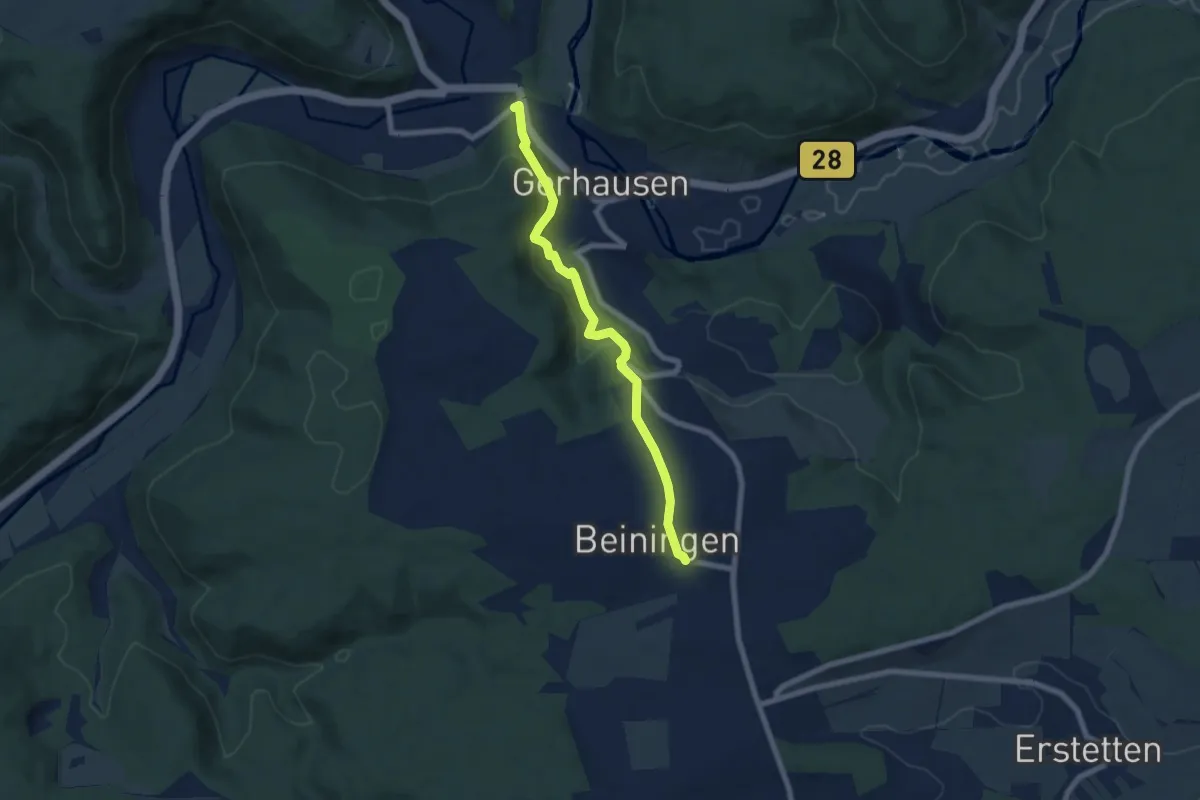
Blaubeuren - Beiningen
6.4 km · ↑ 317 m · 2 h 12 min
Medium · Summit
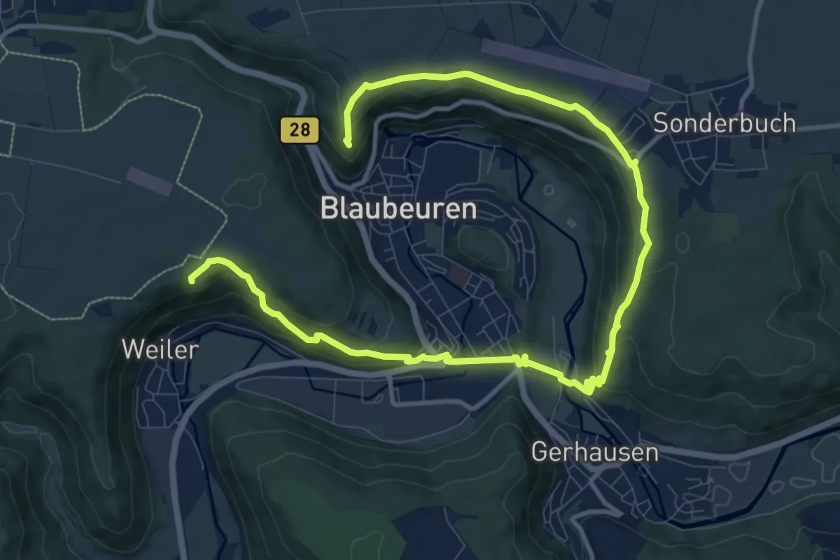
Blaubeurer Felsenstieg
13.6 km · ↑ 529 m · 4 h 22 min
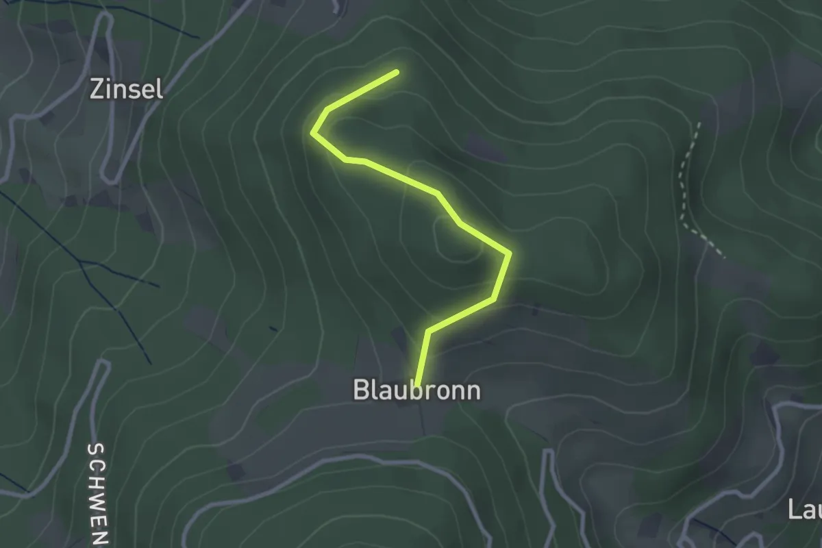
Easy · Trail
Blaubronn - Bobenholz
2.3 km · ↑ 126 m · 49 min
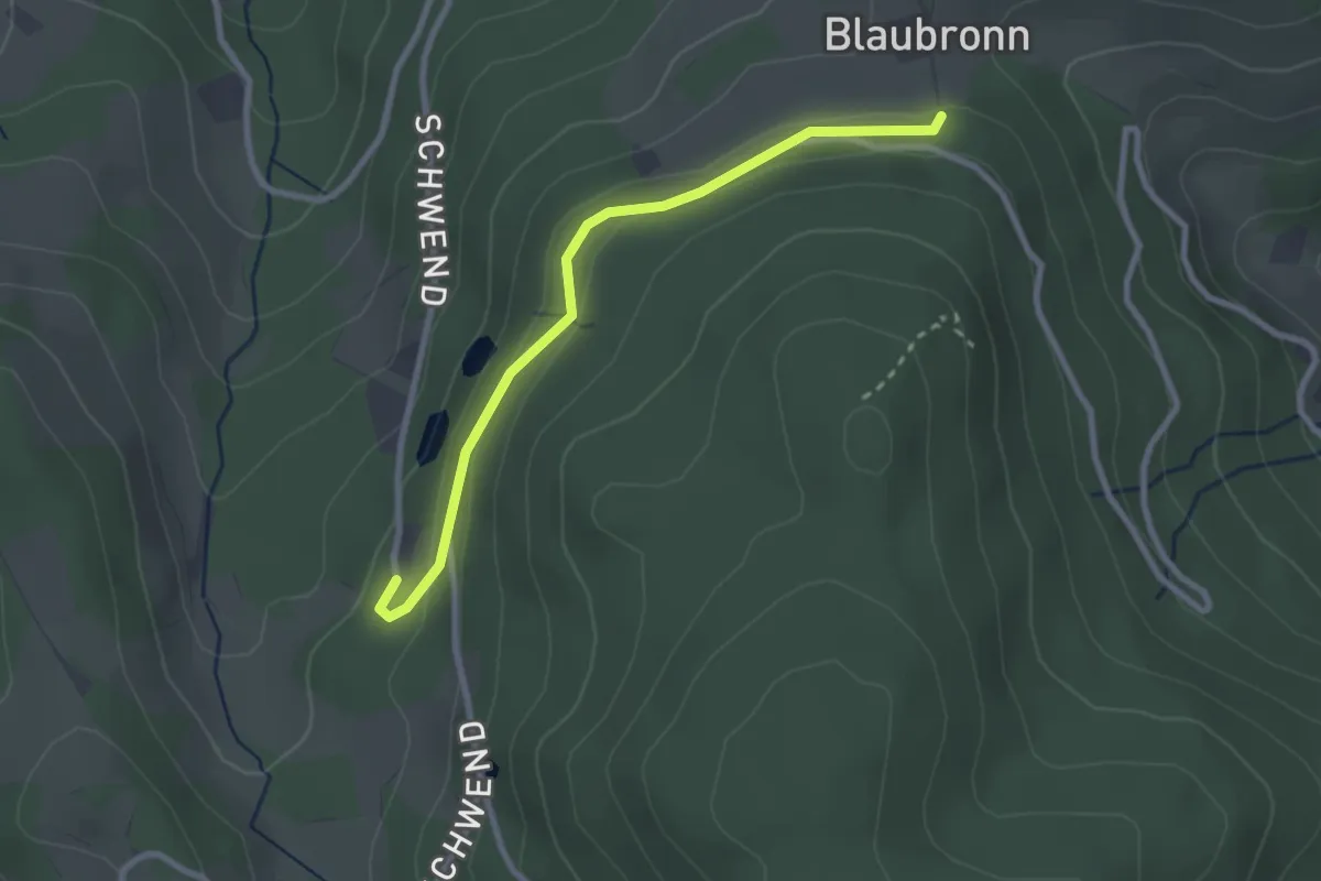
Easy · Trail
Blaubronn Löschwasserteich - Forsthaus Schwend
2.6 km · ↑ 73 m · 46 min
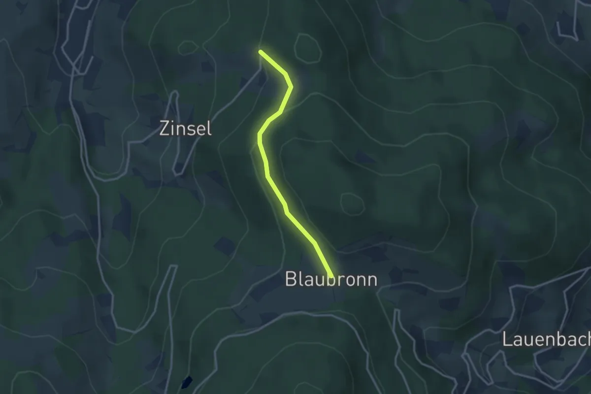
Easy · Trail
Blaubronn - Zinsel Eckelsmatt
2.4 km · ↑ 91 m · 46 min
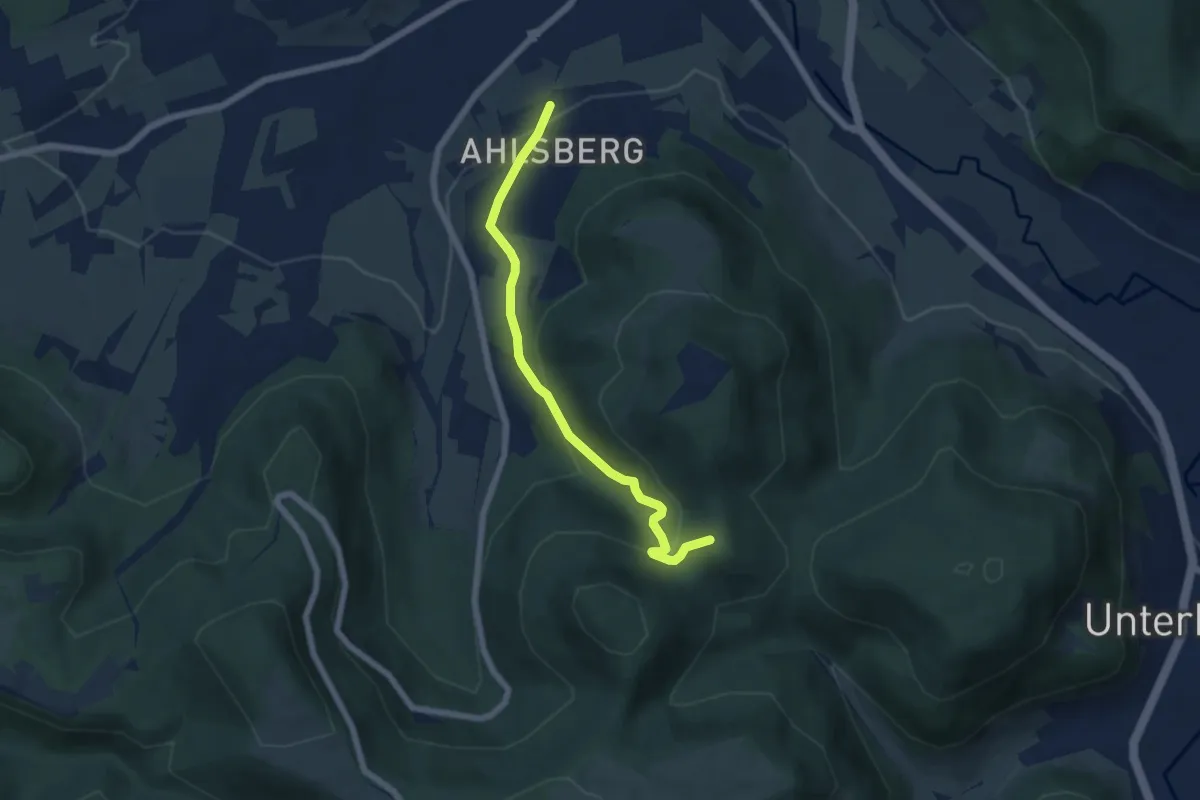
Easy · Summit
blaue Gabel Ahlsberg - Sättele
5.5 km · ↑ 287 m · 1 h 55 min
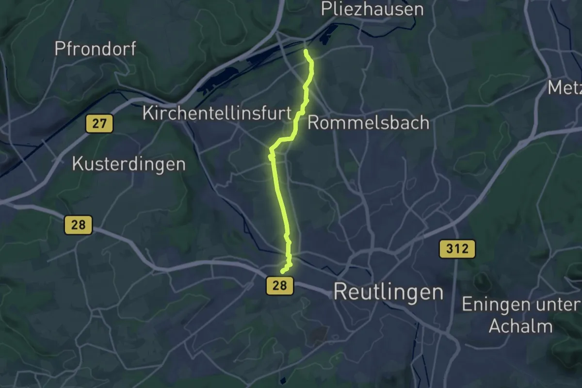
Medium · Trail
blaue Gabel, Alteburg - Sickenhausen - Degerschlacht - Betzingen Bhf
13.7 km · ↑ 150 m · 3 h 34 min
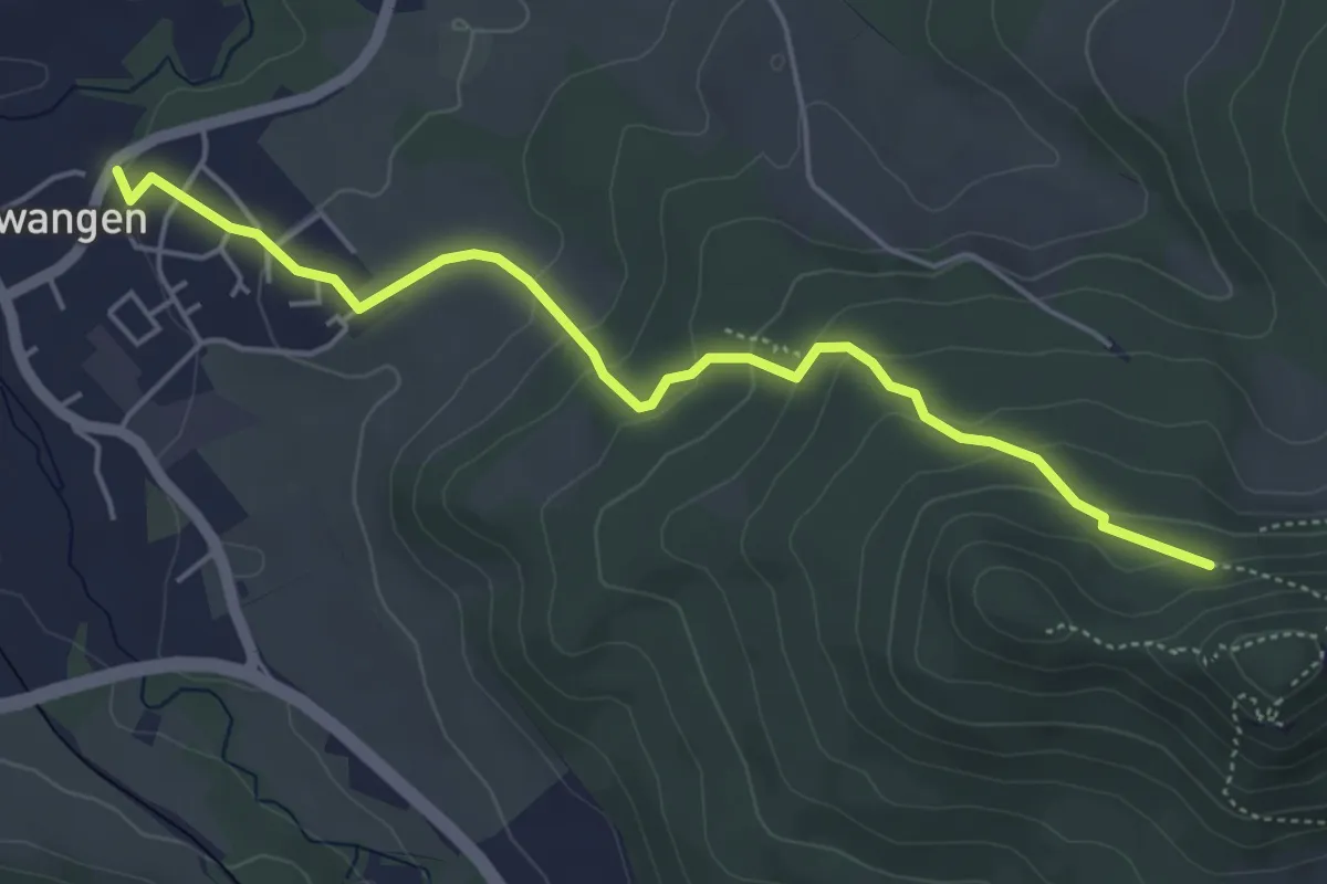
Medium · Trail
blaue Gabel Dürrwangen - Schalksburg
4.9 km · ↑ 240 m · 1 h 41 min
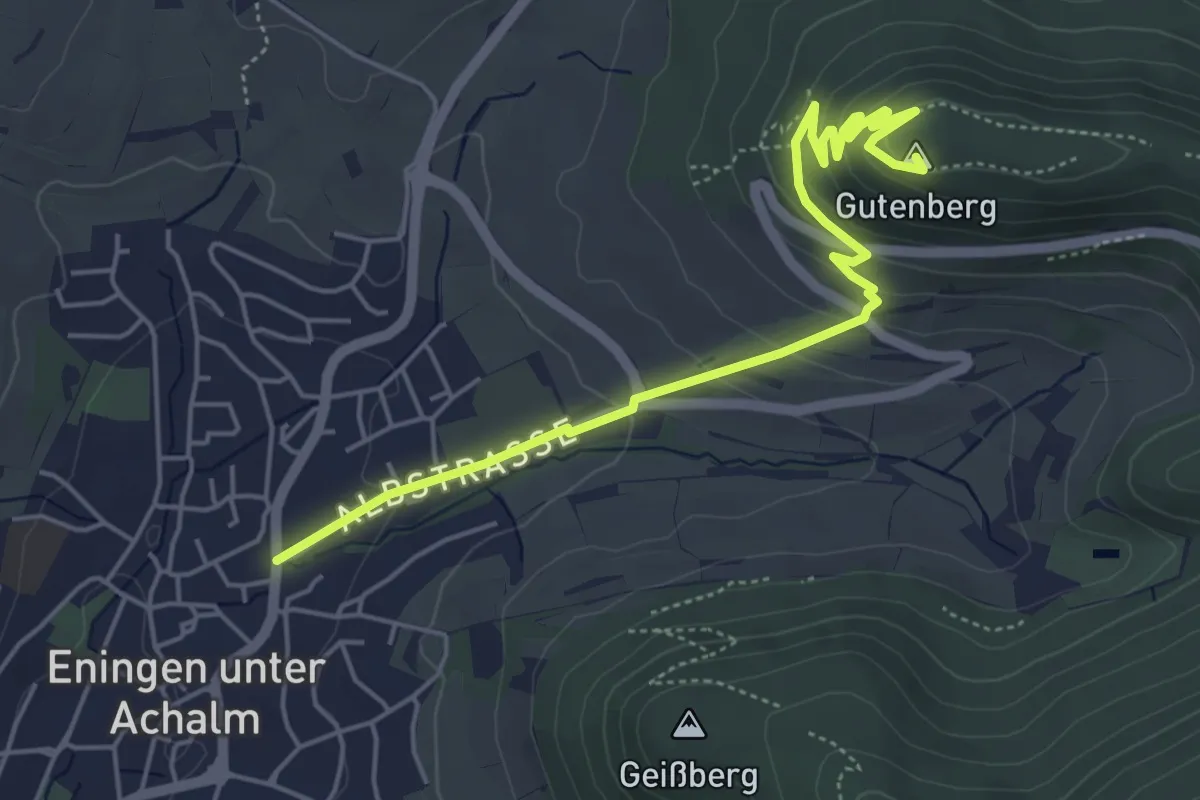
Easy · Summit
blaue Gabel Eningen Gutenberg Speicherbecken
5.6 km · ↑ 248 m · 1 h 51 min
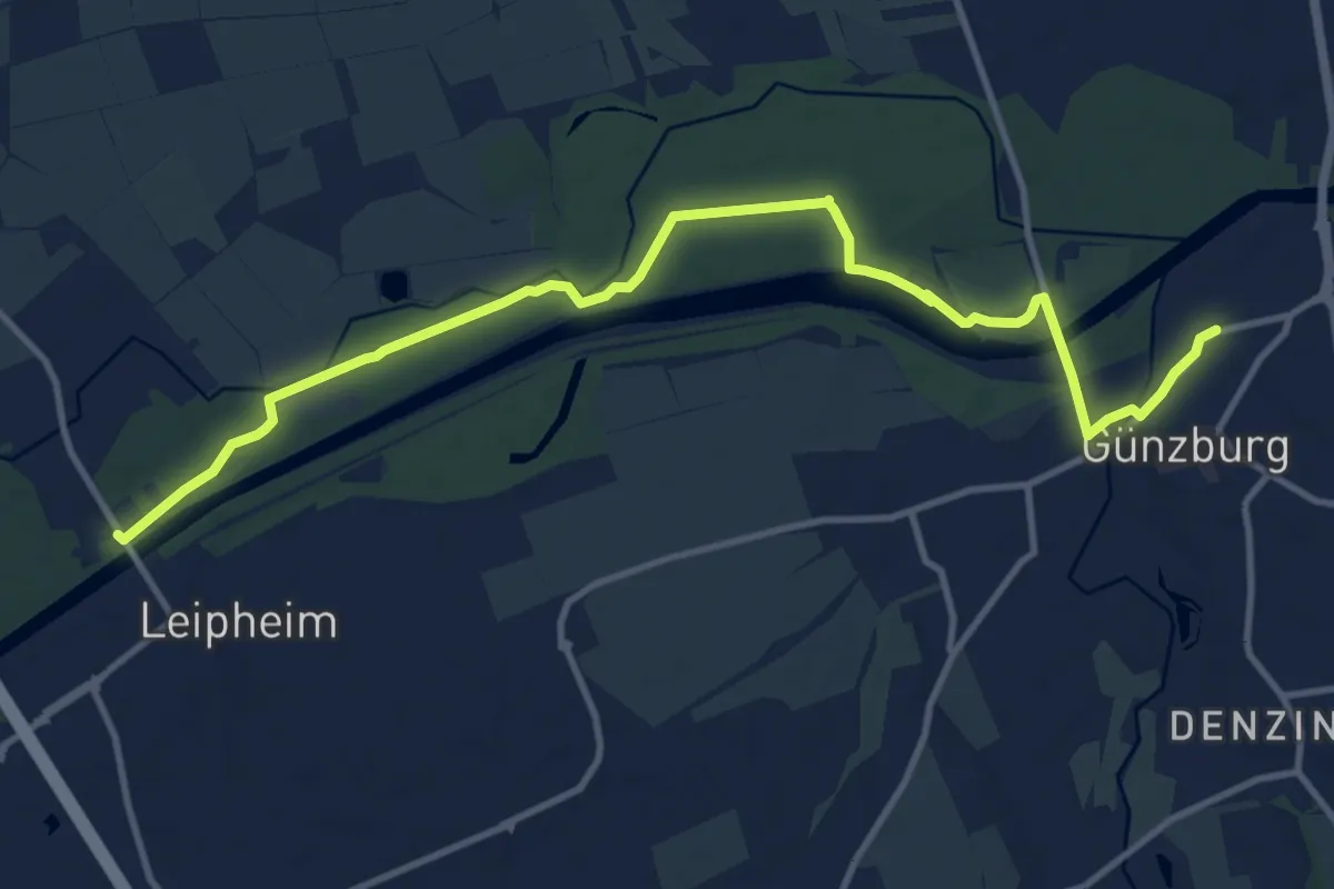
Medium · Trail
blaue Gabel Günzburg - Laupheim
12.9 km · ↑ 34 m · 3 h 8 min
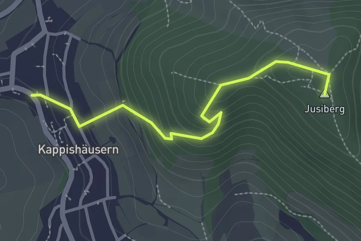
Easy · Summit
blaue Gabel Kappishäusern - Jusi
2.6 km · ↑ 179 m · 1 h
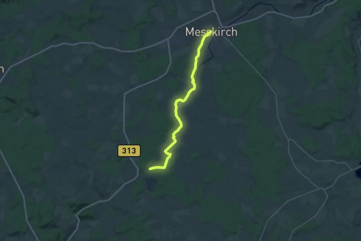
Demanding · Trail
blaue Gabel Messkirch
21.7 km · ↑ 151 m · 5 h 27 min
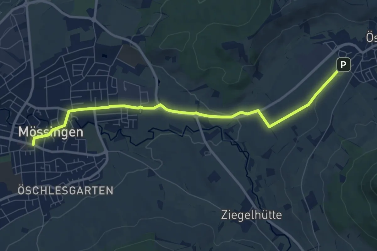
Easy · Trail
blaue Gabel Mössingen - Öschingen
7.8 km · ↑ 76 m · 2 h
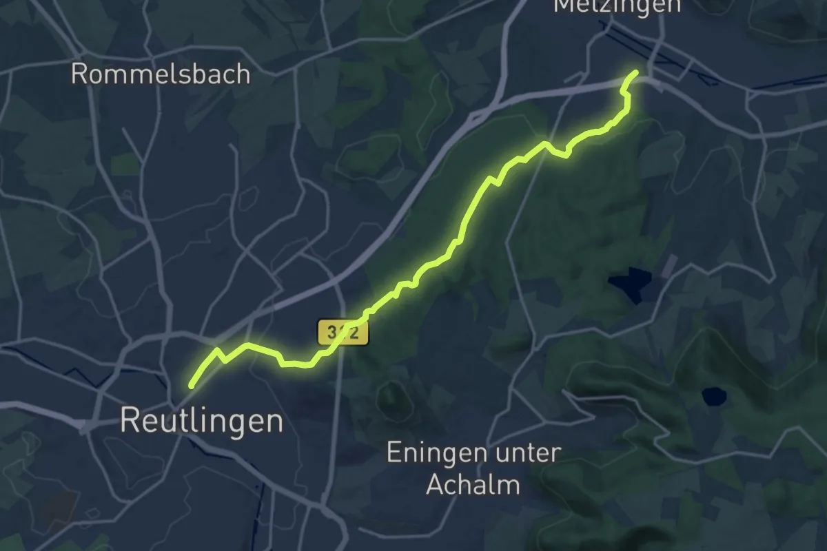
Medium · Trail
blaue Gabel Reutlingen Bhf - Maienwald - Bongertwasen - Metzingen
16.9 km · ↑ 282 m · 4 h 36 min
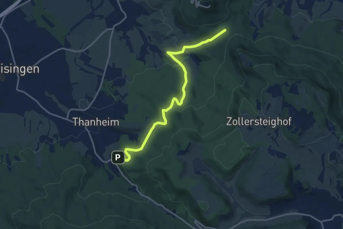
Medium · Trail
blaue Gabel Thanheim
9.7 km · ↑ 322 m · 3 h
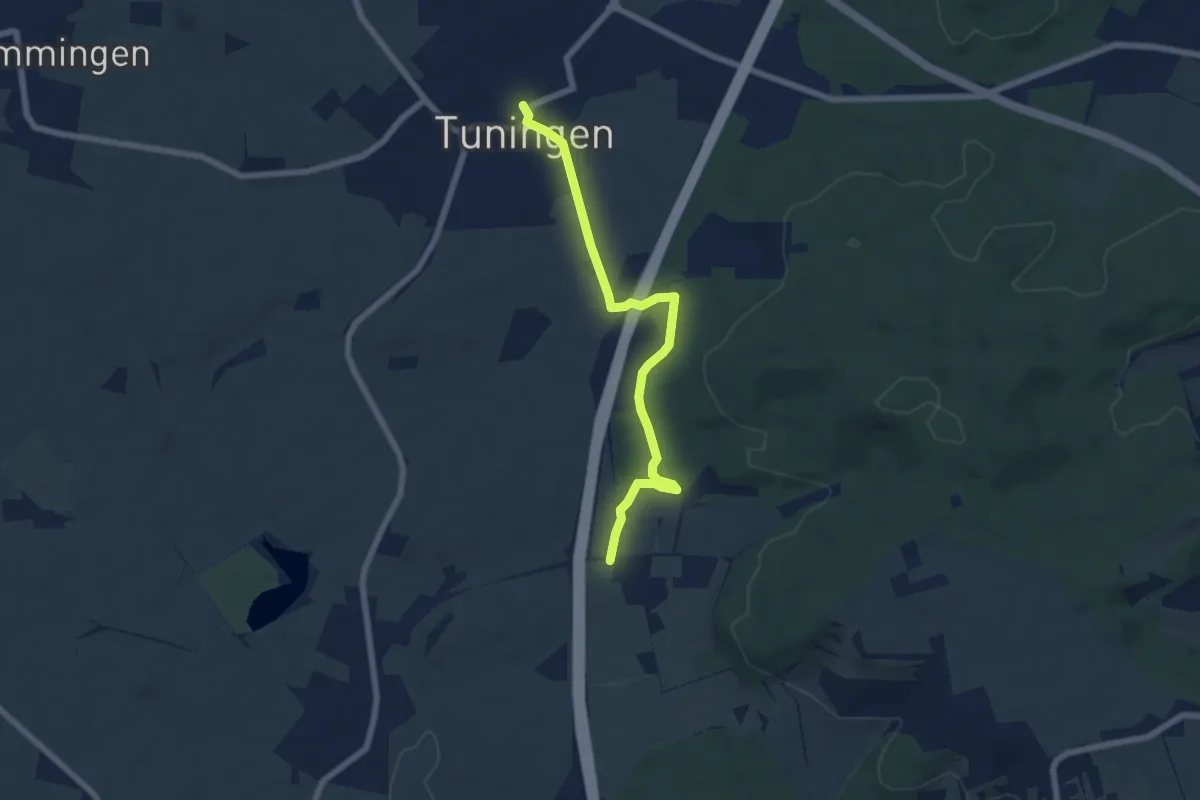
Easy · Trail
blaue Gabel Tuningen
6.3 km · ↑ 68 m · 1 h 38 min
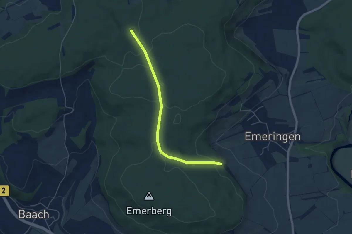
Easy · Trail
blaue Gabel Zwiefalten - Sonderbuch
4.5 km · ↑ 76 m · 1 h 14 min
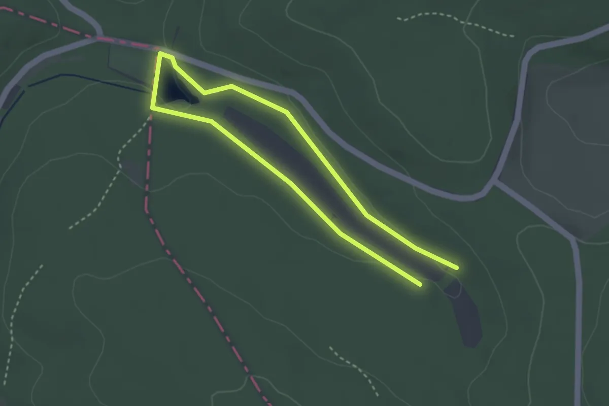
Easy · Trail
Blaue Libelle, Rundwanderweg Wiesbütt
2.4 km · ↑ 28 m · 40 min