Trails in Germany
36,852 hiking trails, each with its route, climb, walking time and grade.
All trails, page 674 of 768
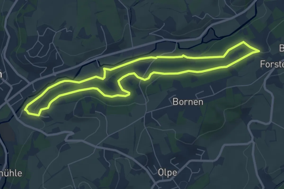
Easy · Trail
Wanderparkplatz Sportplatz Rundweg A1
5.6 km · ↑ 126 m · 1 h 41 min
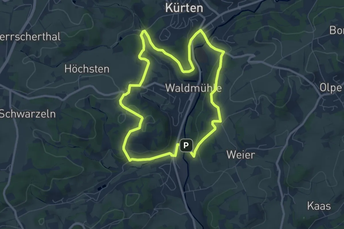
Easy · Summit
Wanderparkplatz Sportplatz Rundweg A2
6.6 km · ↑ 159 m · 2 h
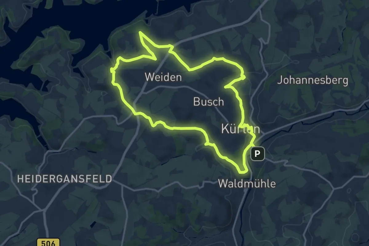
Medium · Summit
Wanderparkplatz Sportplatz Rundweg A3
10.6 km · ↑ 262 m · 3 h 13 min
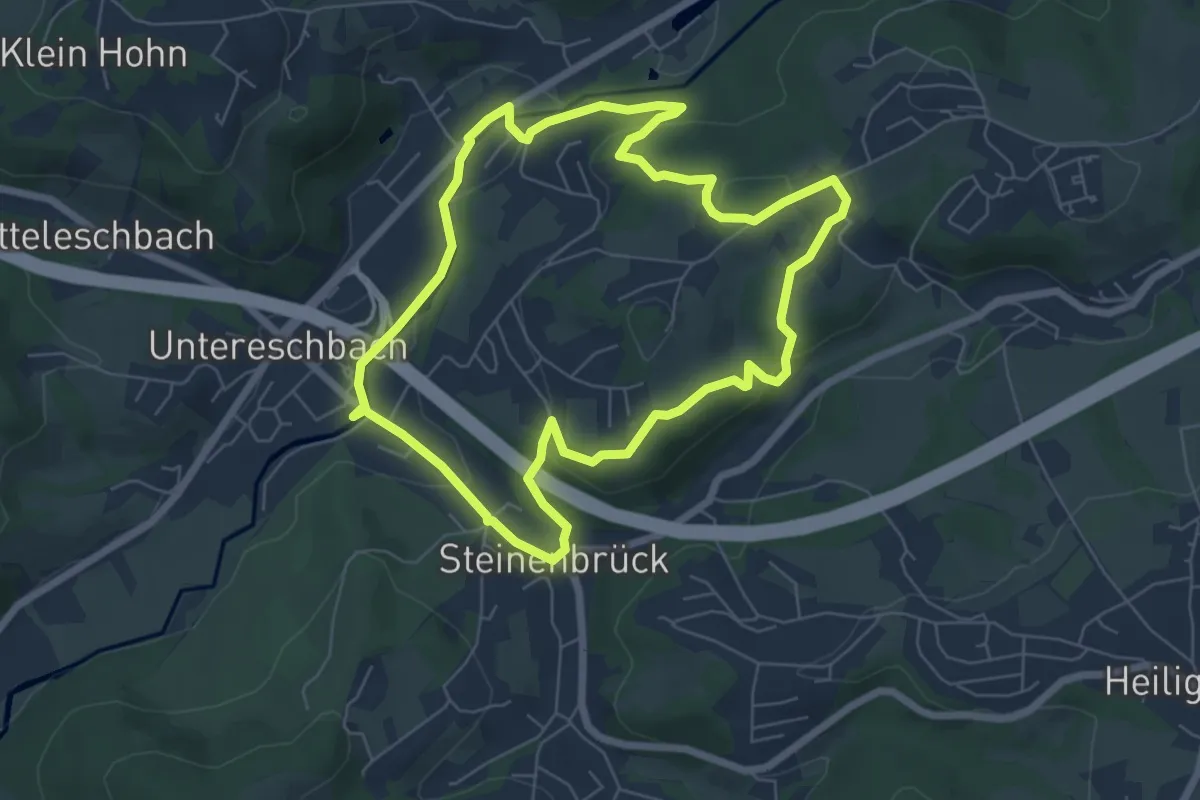
Easy · Trail
Wanderparkplatz Steinenbrück Rundweg A3
6.0 km · ↑ 143 m · 1 h 48 min
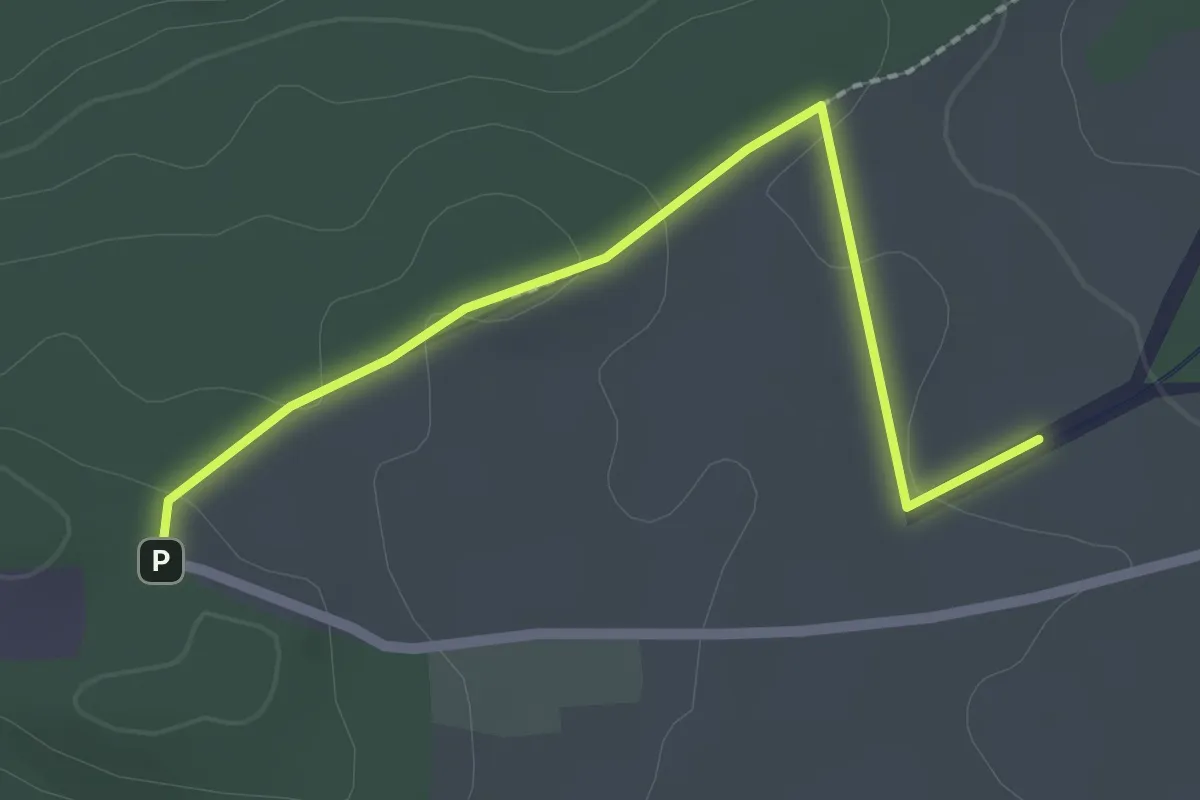
Easy · Trail
Wanderparkplatz Türnleberg - Guckenbühl
2.3 km · ↑ 34 m · 37 min
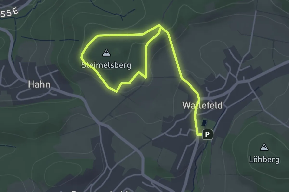
Easy · Summit
Wanderparkplatz Wallefeld Rundweg A1
2.3 km · ↑ 83 m · 44 min
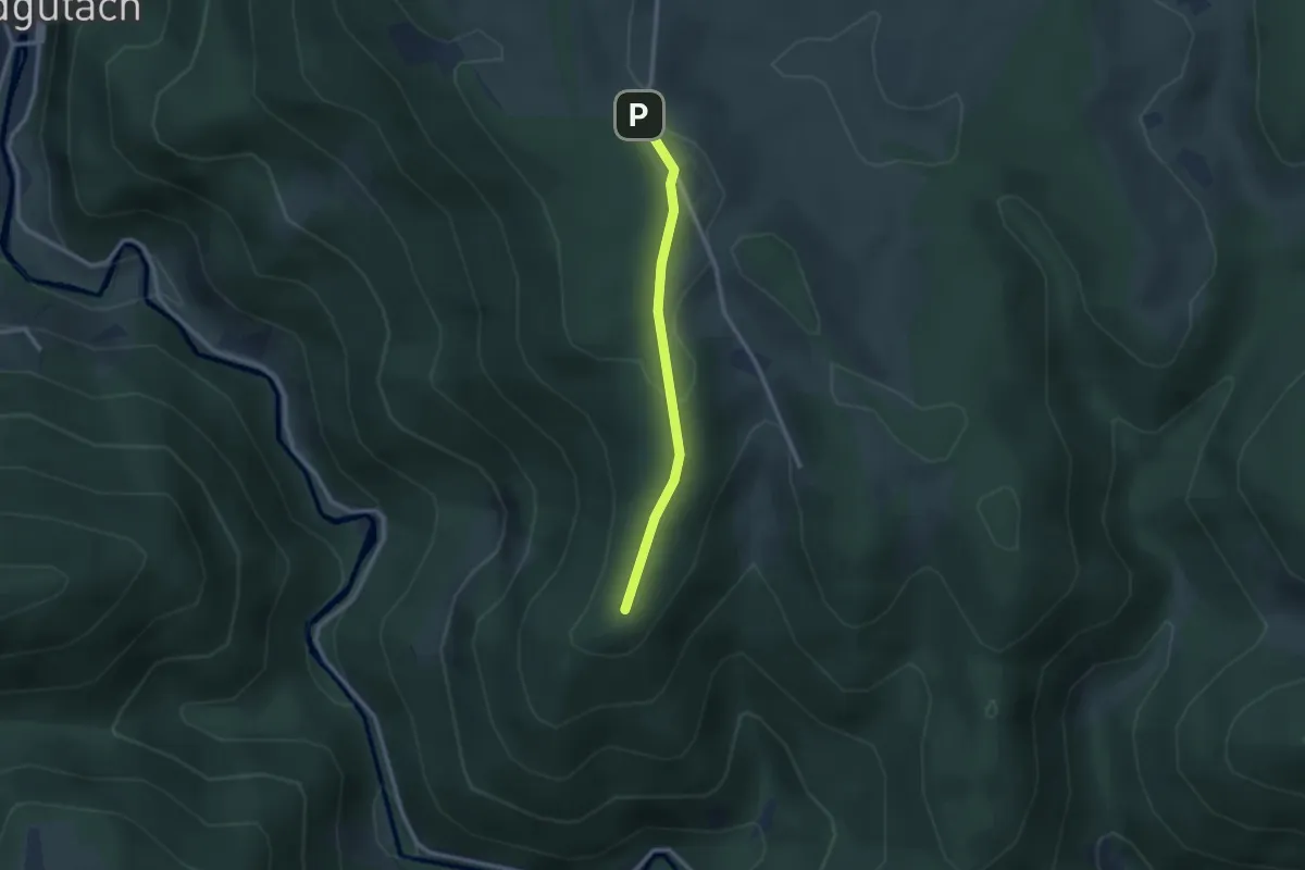
Easy · Trail
Wanderparkpl. Balzer Herrgott - Balzerhergott
2.2 km · ↑ 70 m · 41 min
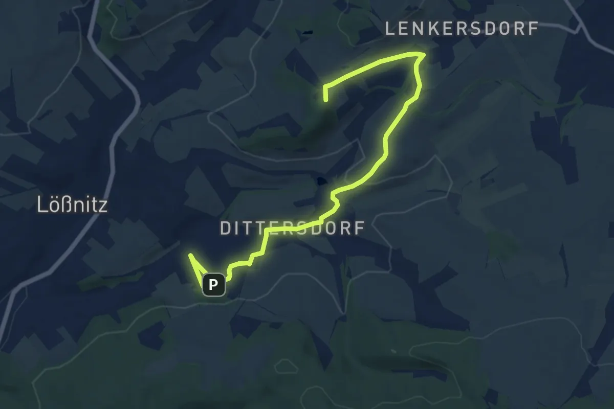
Medium · Summit
Wanderpfad Historische Schieferbrüche
9.9 km · ↑ 209 m · 2 h 47 min
Easy · Trail
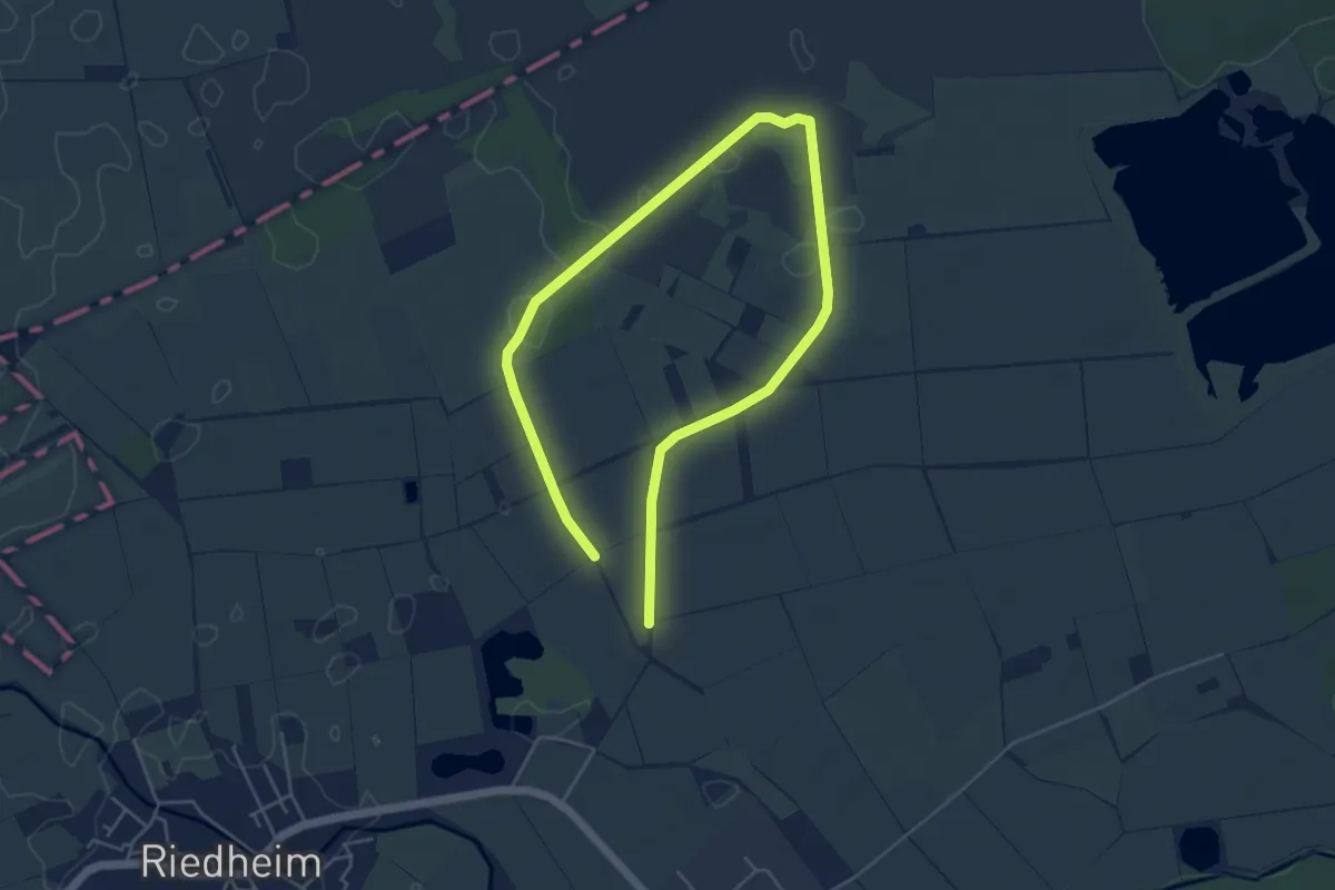
Wanderpfad "Natur erleben"
3.7 km · ↑ 4 m · 55 min
Easy · Trail
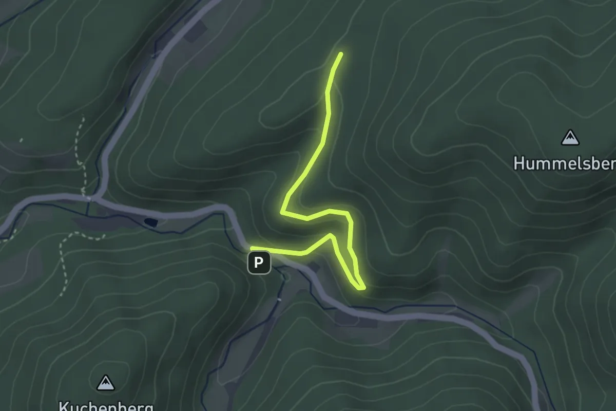
Wanderportal Gaisbach - Holzplatzebene
3.1 km · ↑ 172 m · 1 h 6 min
Medium · Trail
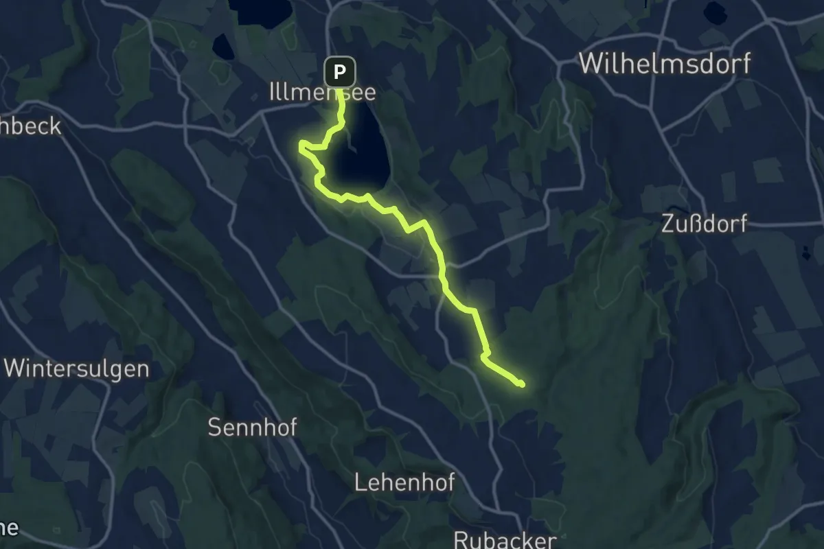
Wanderregion Nördl. Bodensee
11.2 km · ↑ 77 m · 2 h 48 min
Easy · Trail
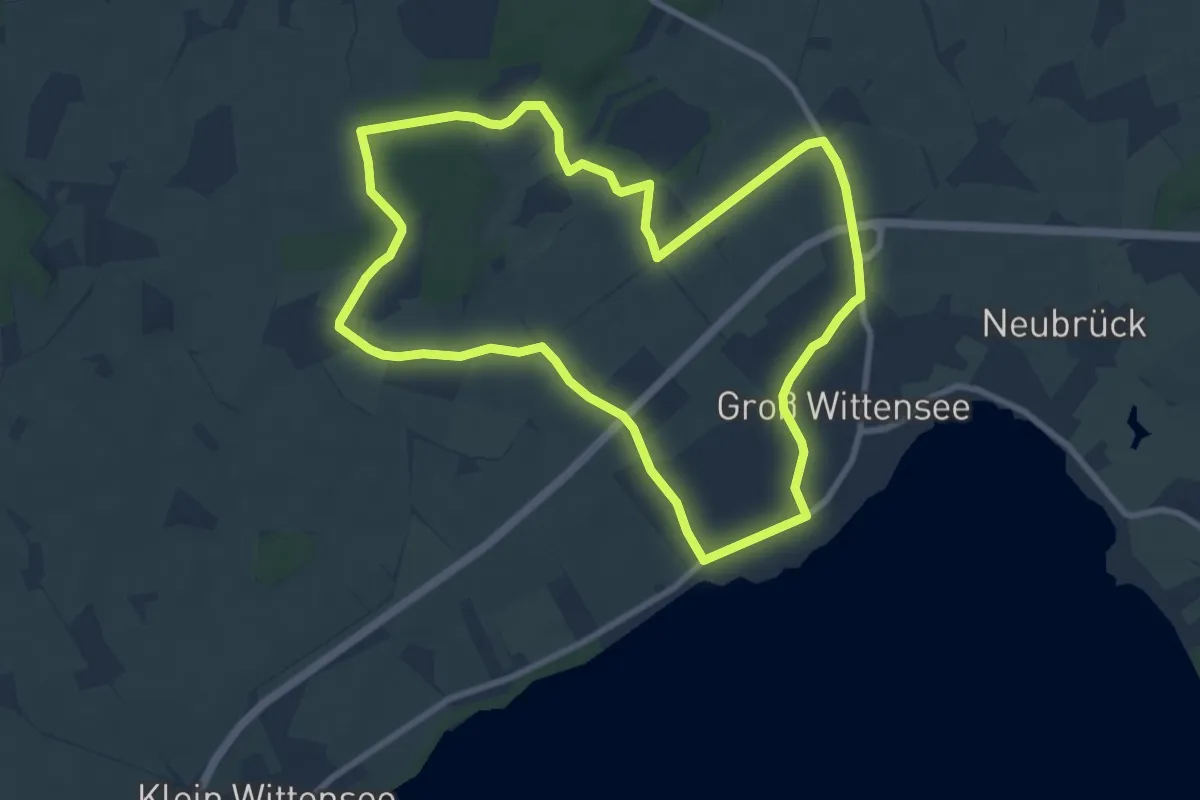
Wanderroute 10: Groß Wittensee - Kirchhorst
7.5 km · ↑ 25 m · 1 h 56 min
Medium · Trail
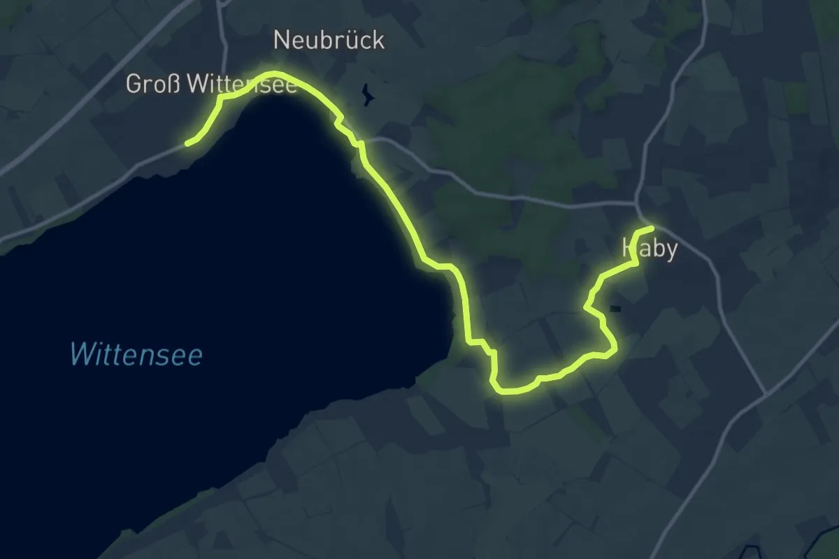
Wanderroute 11: Groß Wittensee - Schlaukweg - Haby
12.9 km · ↑ 17 m · 3 h 5 min
Demanding · Trail
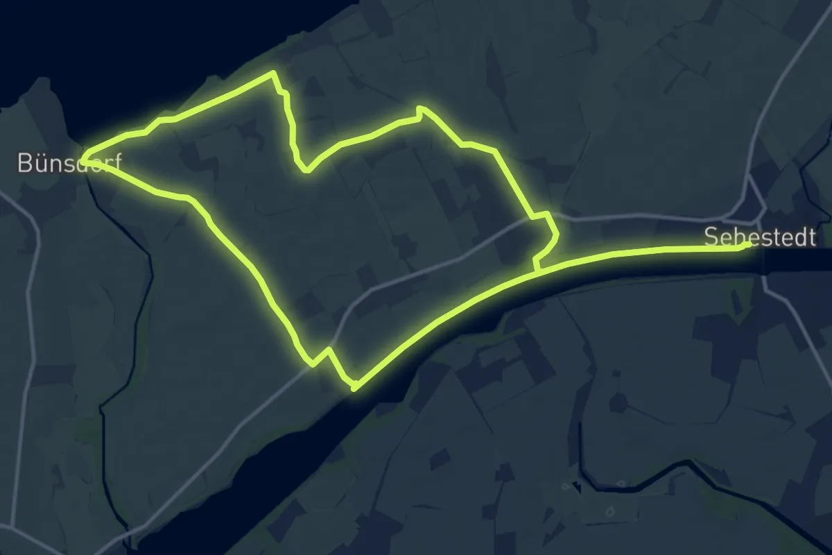
Wanderroute 12: Bünsdorf - Sehestedt
21.9 km · ↑ 50 m · 5 h 17 min
Demanding · Trail
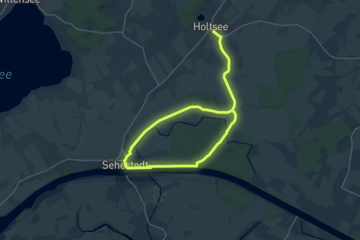
Wanderroute 13: Holtsee, Sehestedt
20.5 km · ↑ 76 m · 5 h 1 min
Medium · Trail
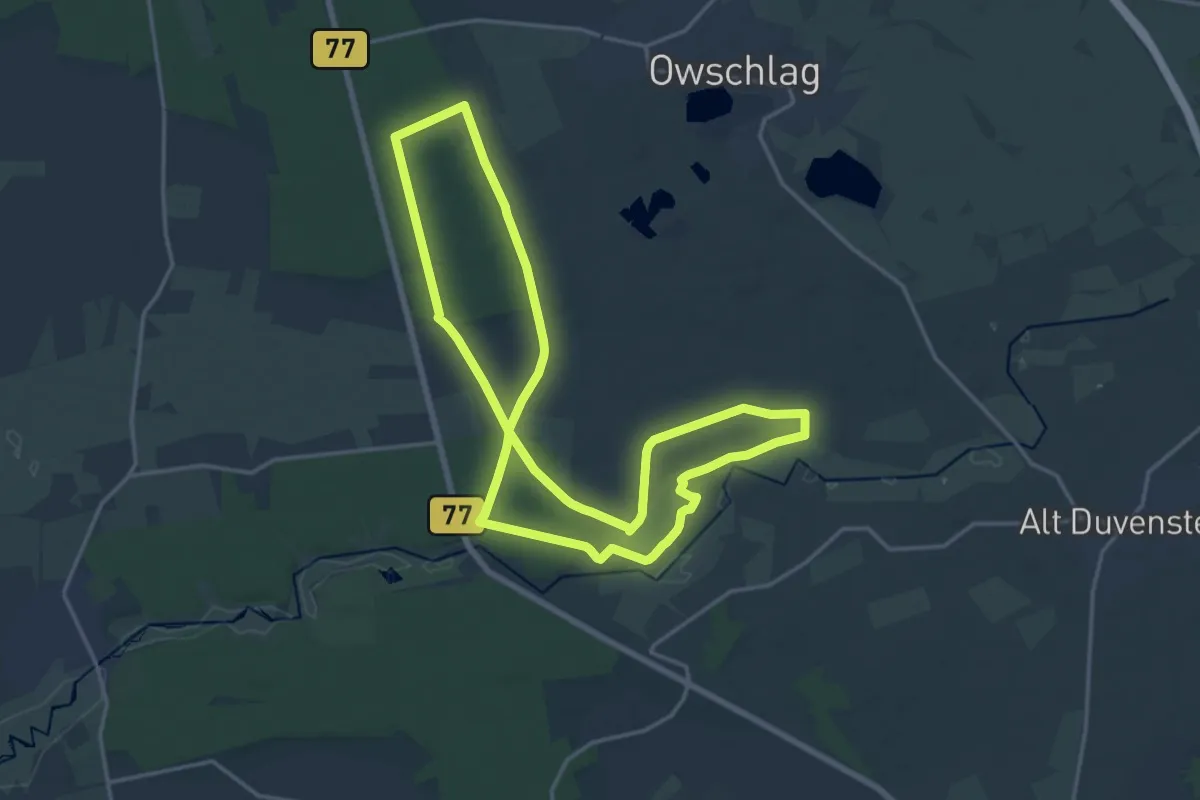
Wanderroute 14: Ochsenweg - Sorgwohlder Binnendünen
14.8 km · ↑ 38 m · 3 h 47 min
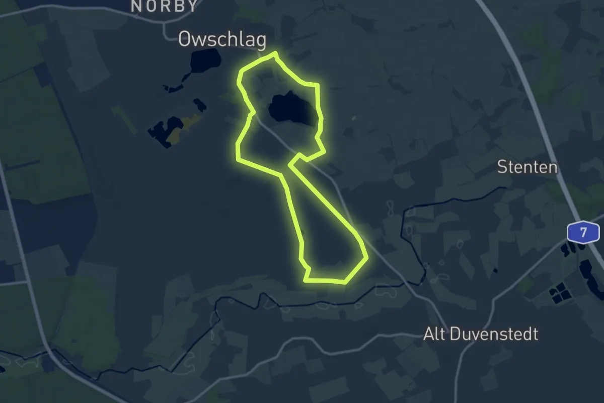
Medium · Trail
Wanderroute 15: Owschlager See - Owschlager Moor
8.7 km · ↑ 13 m · 2 h 12 min
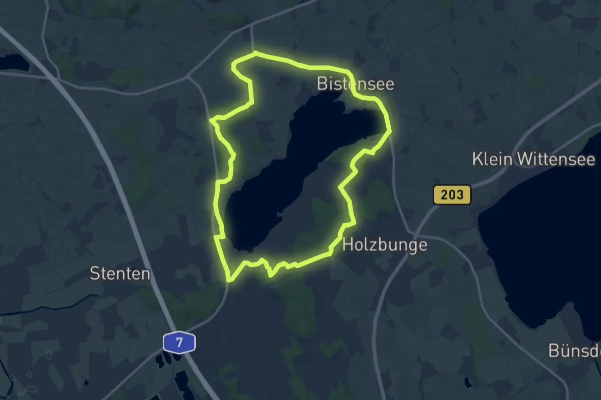
Medium · Trail
Wanderroute 16: Bistensee Rundwanderweg
9.9 km · ↑ 73 m · 2 h 37 min
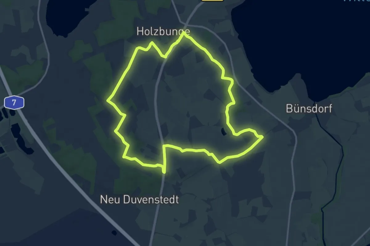
Medium · Trail
Wanderroute 17: Holzbunge - Heidberg
9.7 km · ↑ 58 m · 2 h 33 min
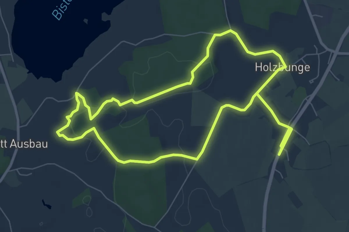
Medium · Trail
Wanderroute 18: Töpferhaus - Holzbunge
11.5 km · ↑ 158 m · 3 h 3 min
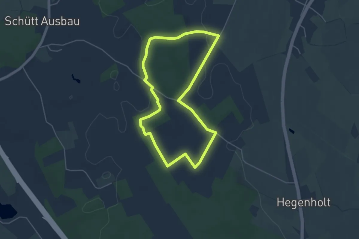
Easy · Trail
Wanderroute 19: Kolonistenhof - Freudental
3.4 km · ↑ 28 m · 55 min
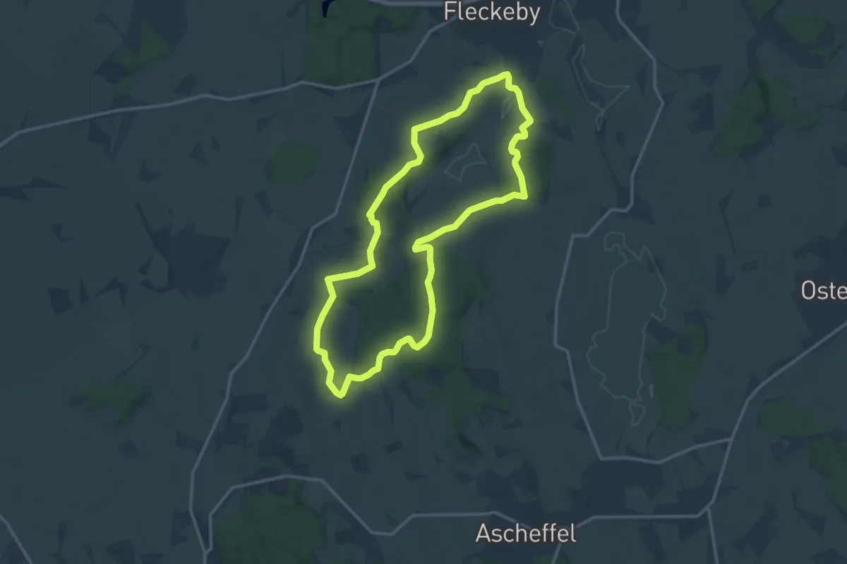
Medium · Trail
Wanderroute 1: Fleckeby, Fellhorst, Gehege Krummland
10.6 km · ↑ 100 m · 2 h 52 min
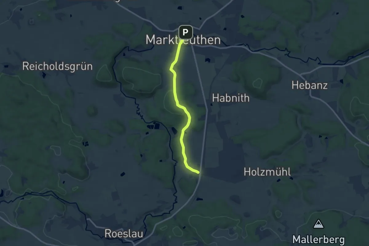
Medium · Trail
Wanderroute 1 (Marktleuthen)
8.1 km · ↑ 174 m · 2 h 17 min
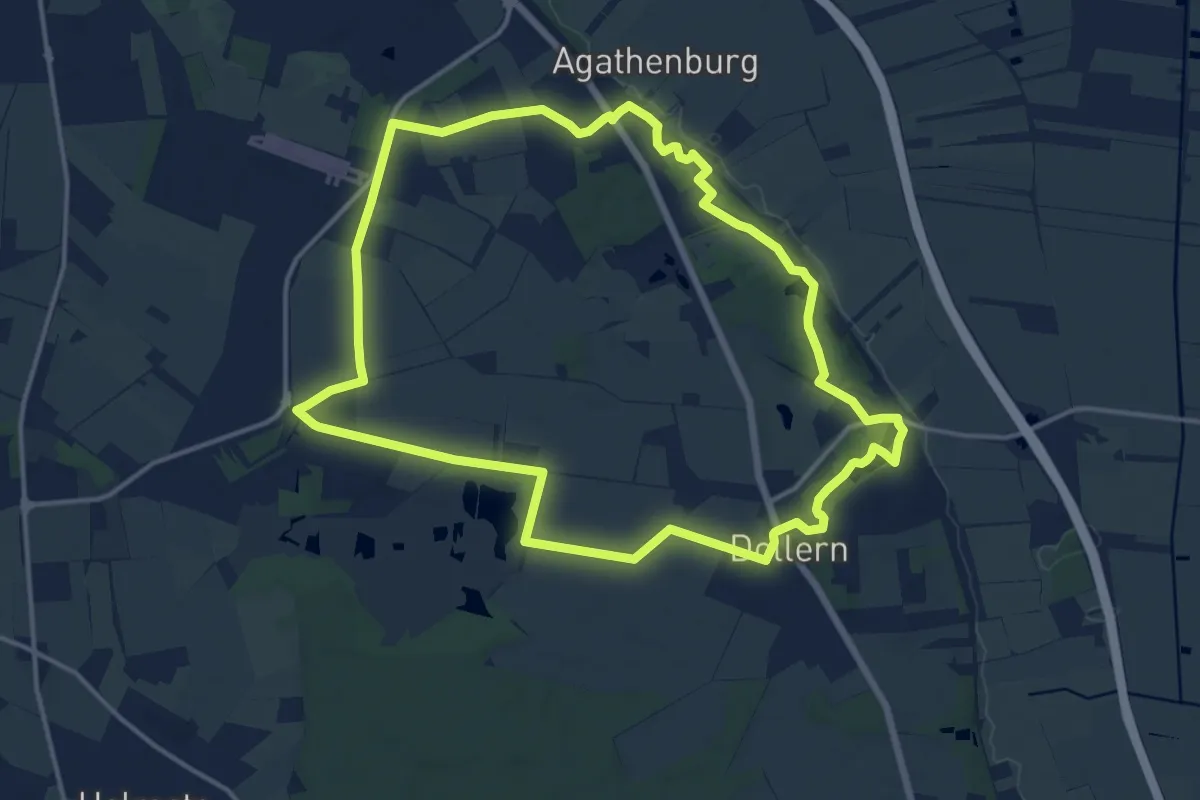
Medium · Trail
Wanderroute 1: Schlossweg
12.9 km · ↑ 54 m · 3 h 21 min
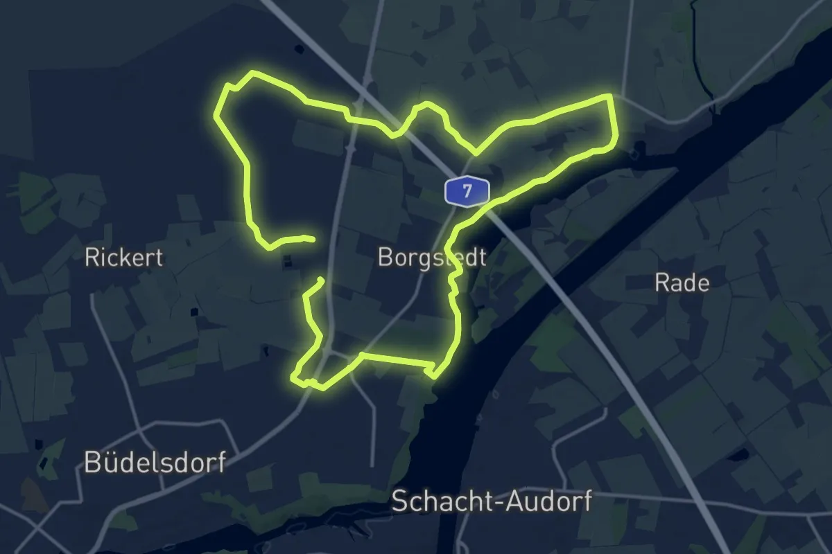
Demanding · Trail
Wanderroute 20: Borgstedt - Lehmbek - Büdelsdorf
25.4 km · ↑ 44 m · 6 h 6 min
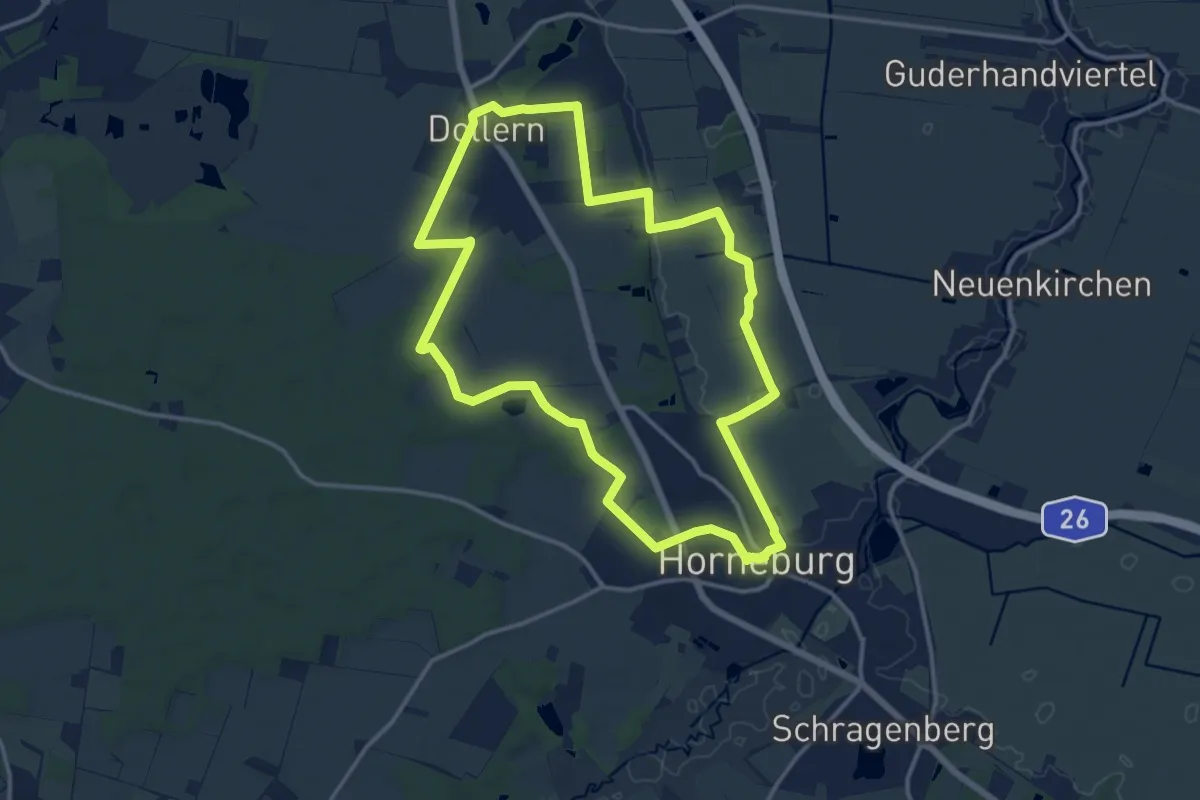
Medium · Trail
Wanderroute 2: Geestrand
12.2 km · ↑ 47 m · 3 h 9 min
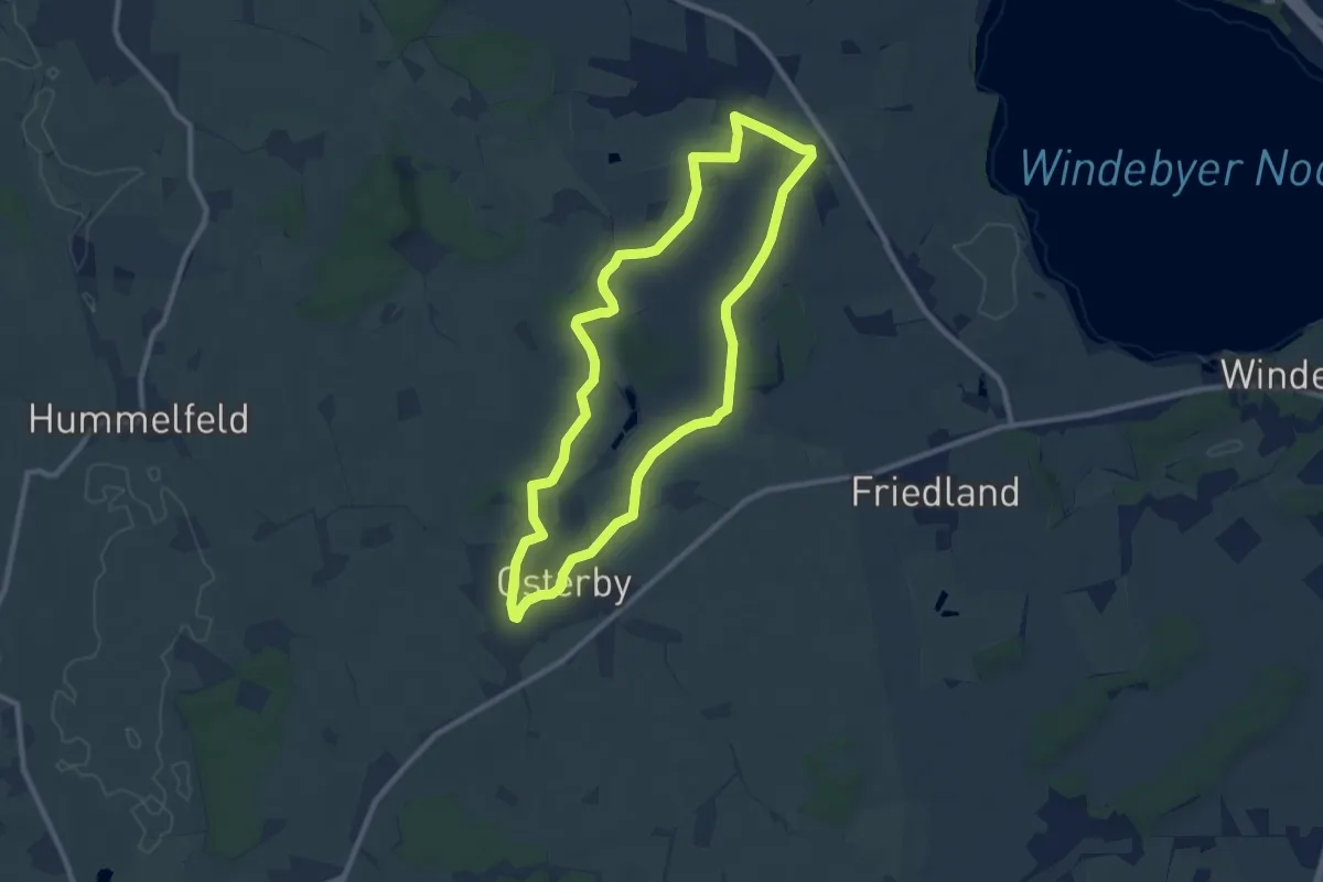
Easy · Trail
Wanderroute 2: Osterby, Kochendorf
7.5 km · ↑ 26 m · 1 h 56 min
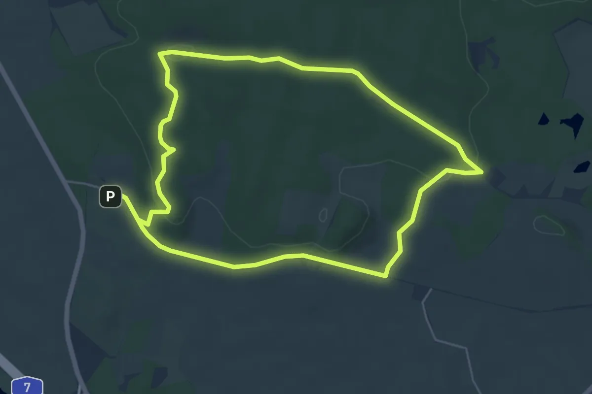
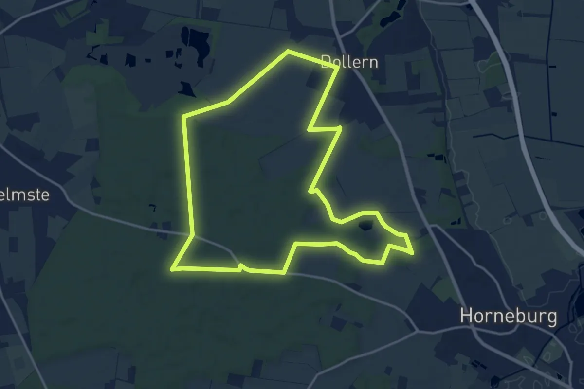
Easy · Trail
Wanderroute 3: Eiche, Brekendorfer Forst
4.2 km · ↑ 65 m · 1 h 11 min
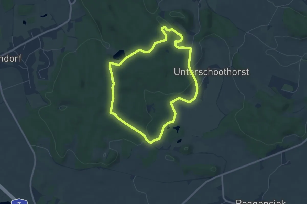
Medium · Trail
Wanderroute 3: Geestrücken
11.9 km · ↑ 52 m · 3 h 5 min
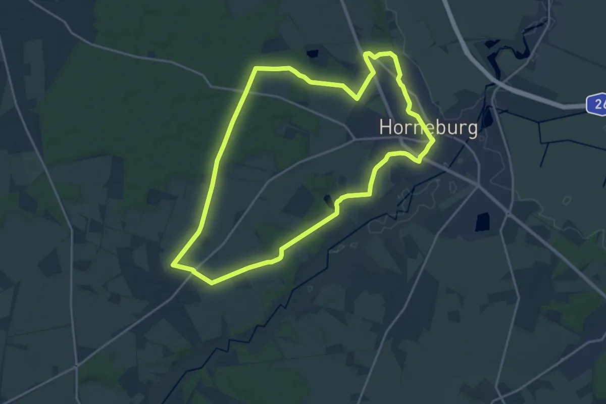
Easy · Summit
Wanderroute 4: Reh, Brekendorfer Forst
5.1 km · ↑ 86 m · 1 h 27 min
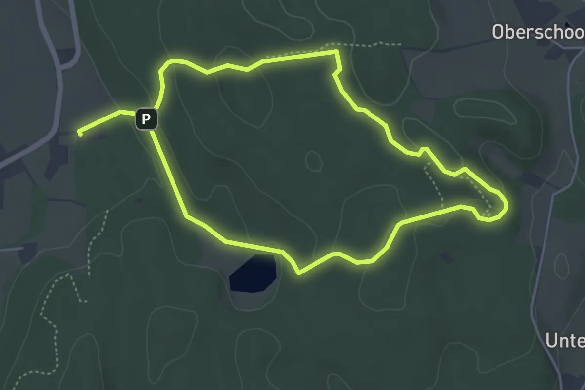
Medium · Trail
Wanderroute 4: Wald- und Gutsweg
13.4 km · ↑ 54 m · 3 h 28 min
Easy · Summit
Wanderroute 5: Eichhörnchen, Brekendorfer Forst
3.6 km · ↑ 62 m · 1 h 3 min
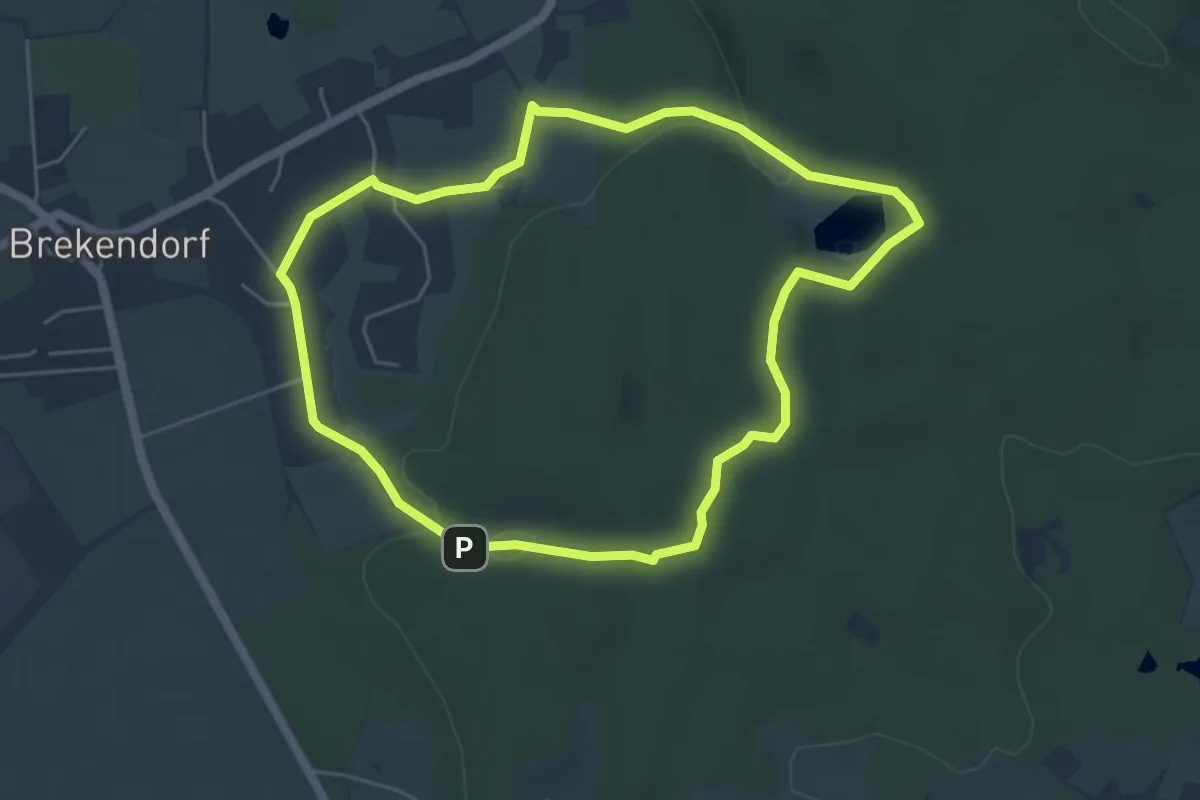
Easy · Trail
Wanderroute 6: Falke, Brekendorfer Forst
4.2 km · ↑ 55 m · 1 h 10 min
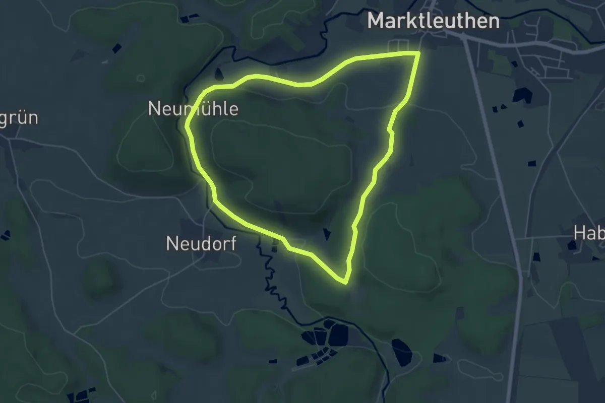
Easy · Summit
Wanderroute 6 (Marktleuthen)
5.1 km · ↑ 77 m · 1 h 27 min
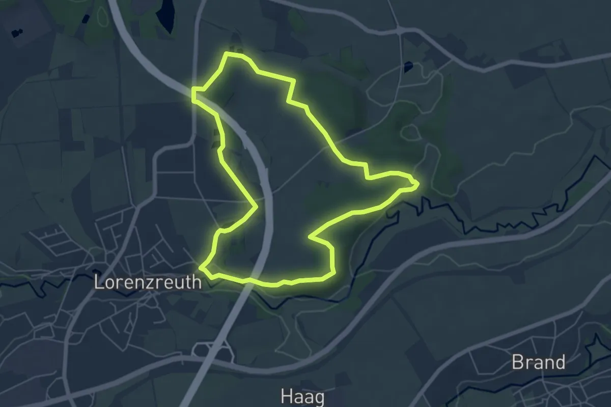
Easy · Trail
Wanderroute 6 Marktredwitz
5.2 km · ↑ 65 m · 1 h 27 min
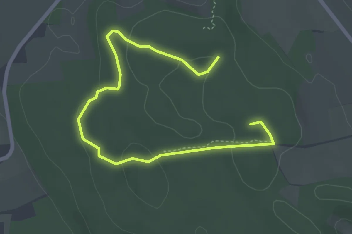
Easy · Summit
Wanderroute 7: Tanne, Brekendorfer Forst
4.3 km · ↑ 67 m · 1 h 10 min
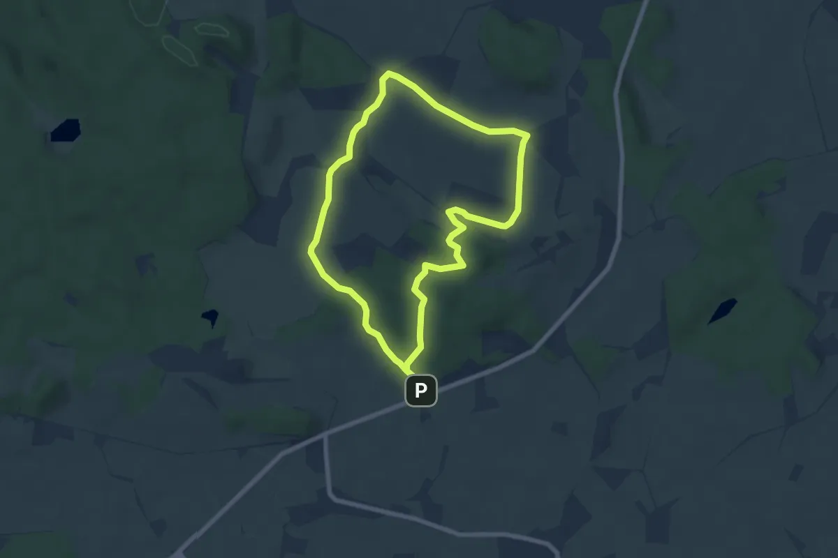
Easy · Summit
Wanderroute 8: Aschberg - Schoothorster Tal
5.1 km · ↑ 99 m · 1 h 29 min
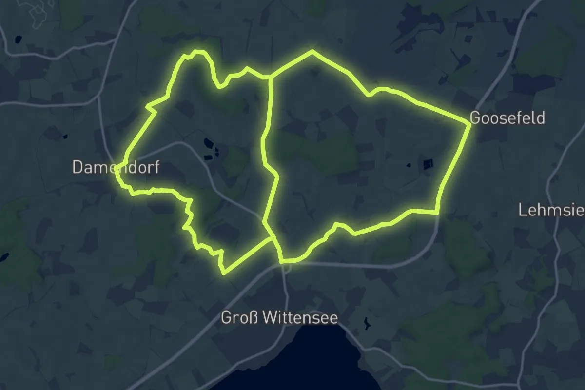
Medium · Trail
Wanderroute 9: Groß Wittensee - Damendorf - Goosefeld
16.6 km · ↑ 66 m · 4 h 18 min
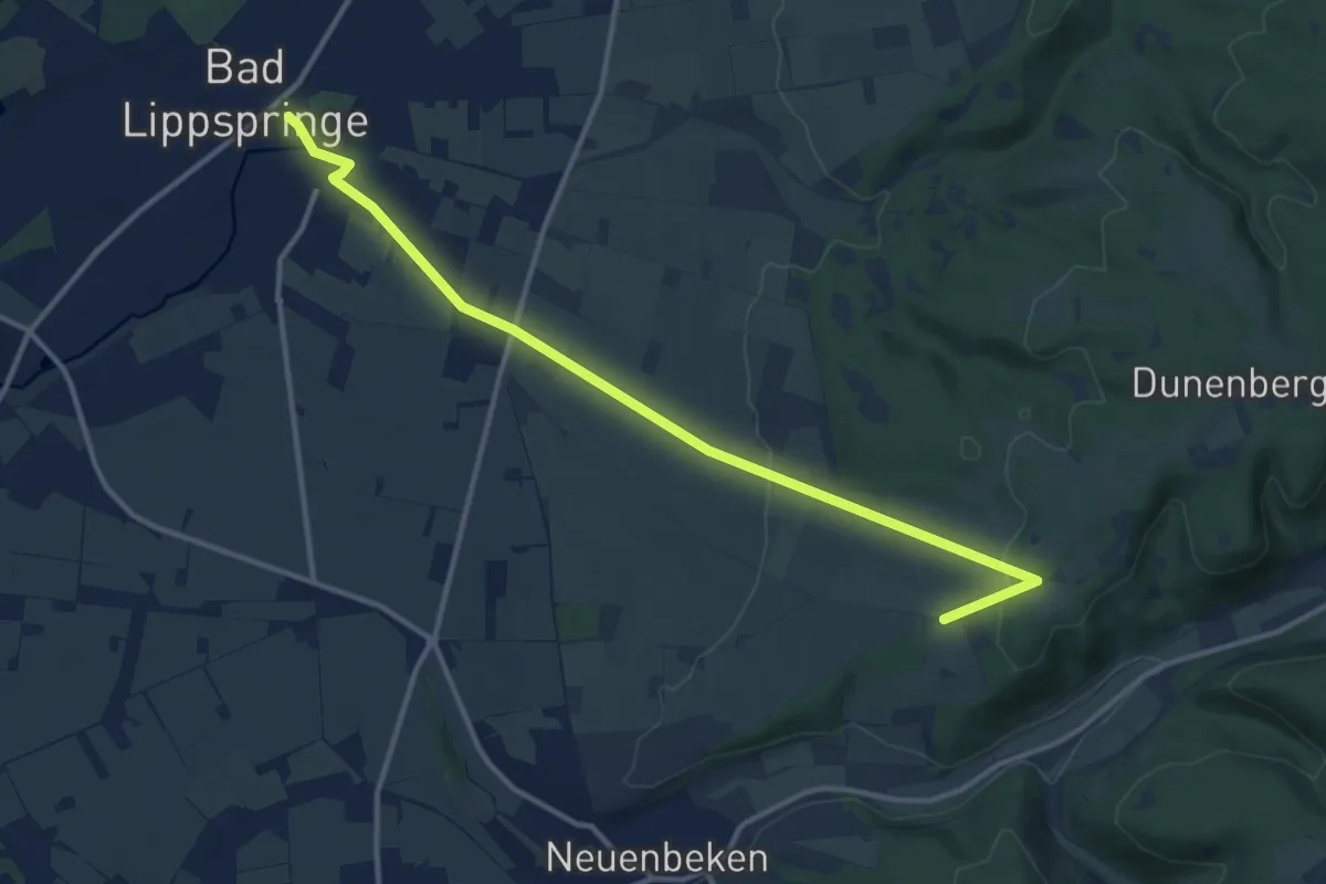
Medium · Trail
Wanderroute A7 (Bad Lippspringe)
11.6 km · ↑ 206 m · 3 h 11 min
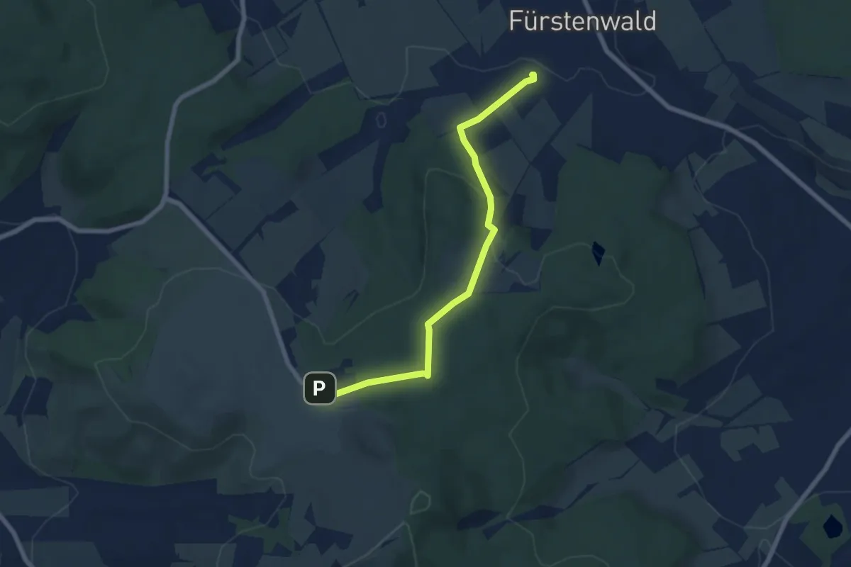
Easy · Trail
Wanderroute Bahnhof Fürstenwald <-> Naturparkzentrum Habichtswald
5.8 km · ↑ 165 m · 1 h 43 min
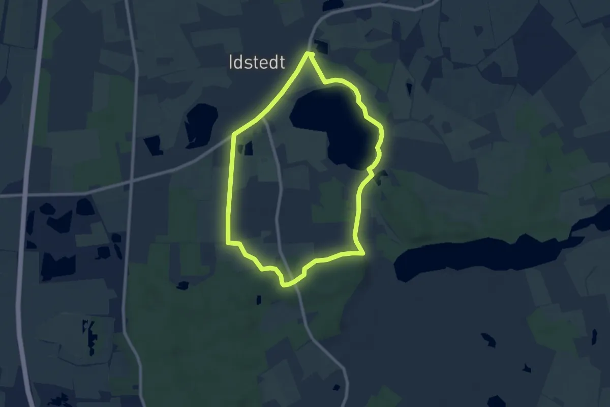
Easy · Trail
Wanderroute, blau
5.6 km · ↑ 28 m · 1 h 28 min
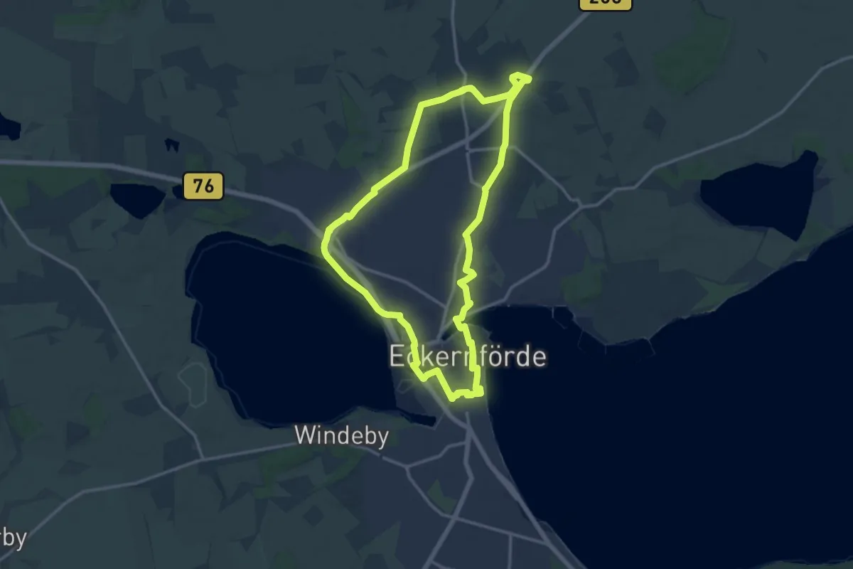
Medium · Trail
Wanderroute Carlshöhe - Barkelsby - Borby
11.0 km · ↑ 44 m · 2 h 50 min
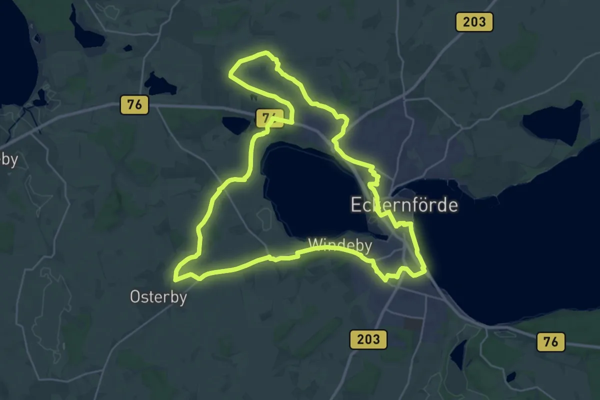
Demanding · Trail
Wanderroute Carlshöhe - Gammelby - Schnaap - Kochendorf - Friedland - Windeby
22.3 km · ↑ 92 m · 5 h 46 min
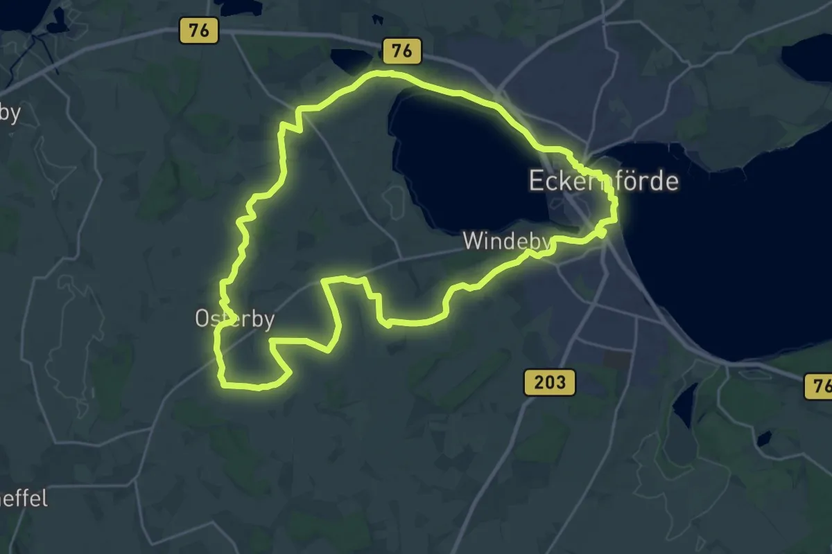
Demanding · Trail
Wanderroute Carlshöhe - Kochendorf - Osterby - Friedland - Windeby
20.9 km · ↑ 71 m · 5 h 24 min
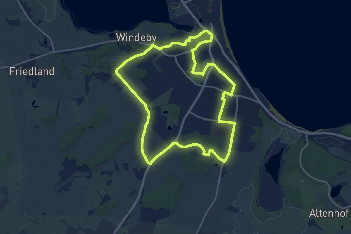
Medium · Trail
Wanderroute Eckernförde
10.2 km · ↑ 40 m · 2 h 38 min
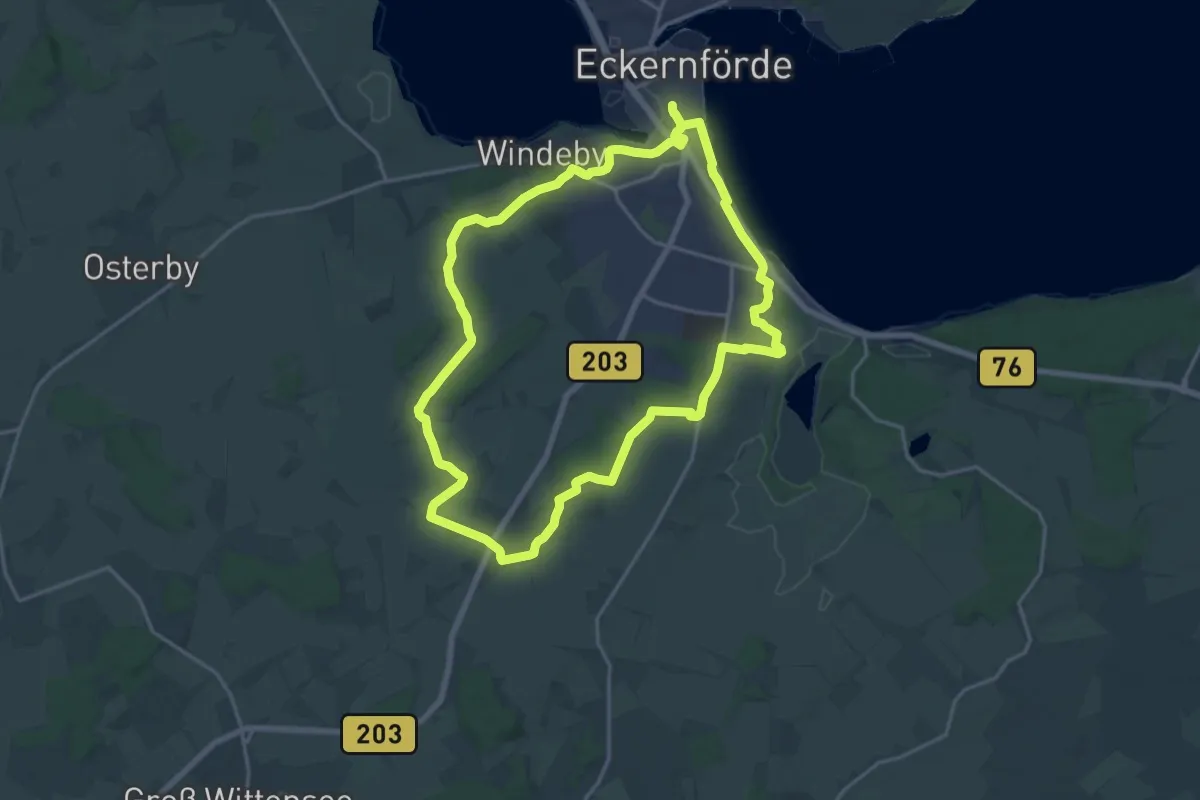
Medium · Trail
Wanderroute Eckernförde
14.9 km · ↑ 74 m · 3 h 52 min
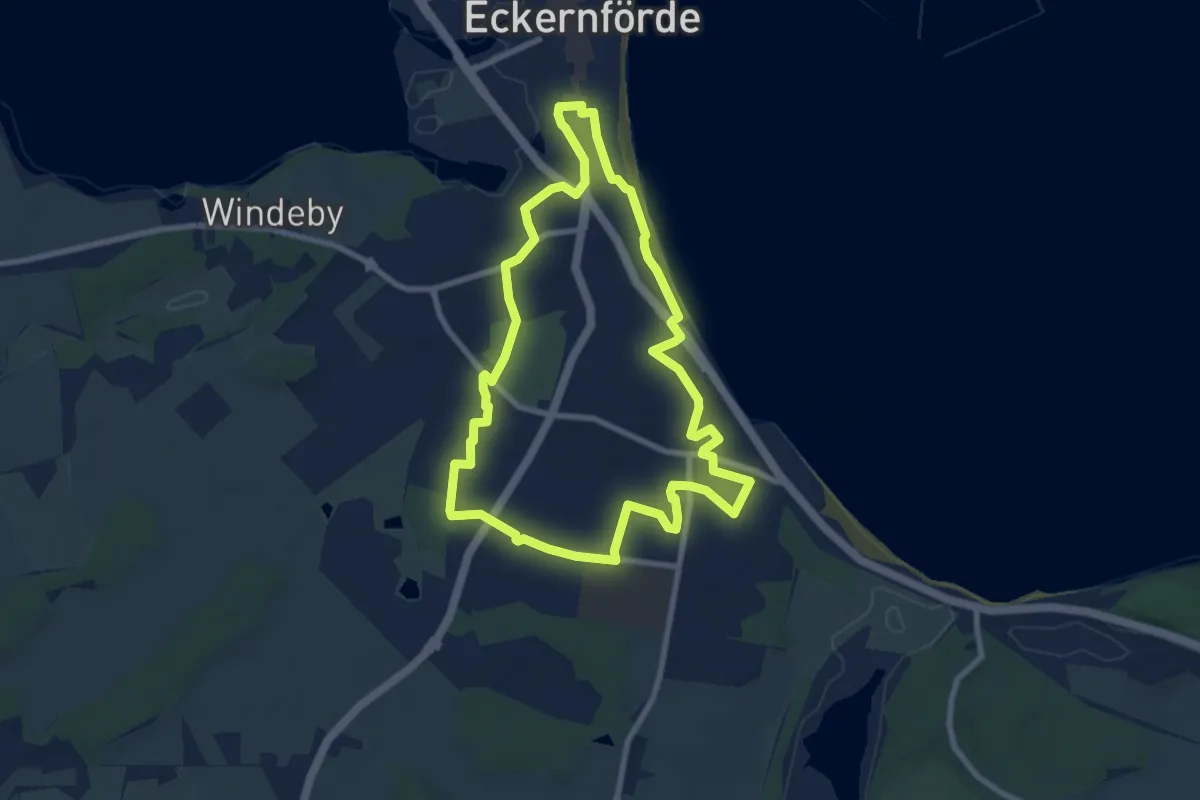
Easy · Trail
Wanderroute Eckernförde
7.1 km · ↑ 31 m · 1 h 50 min
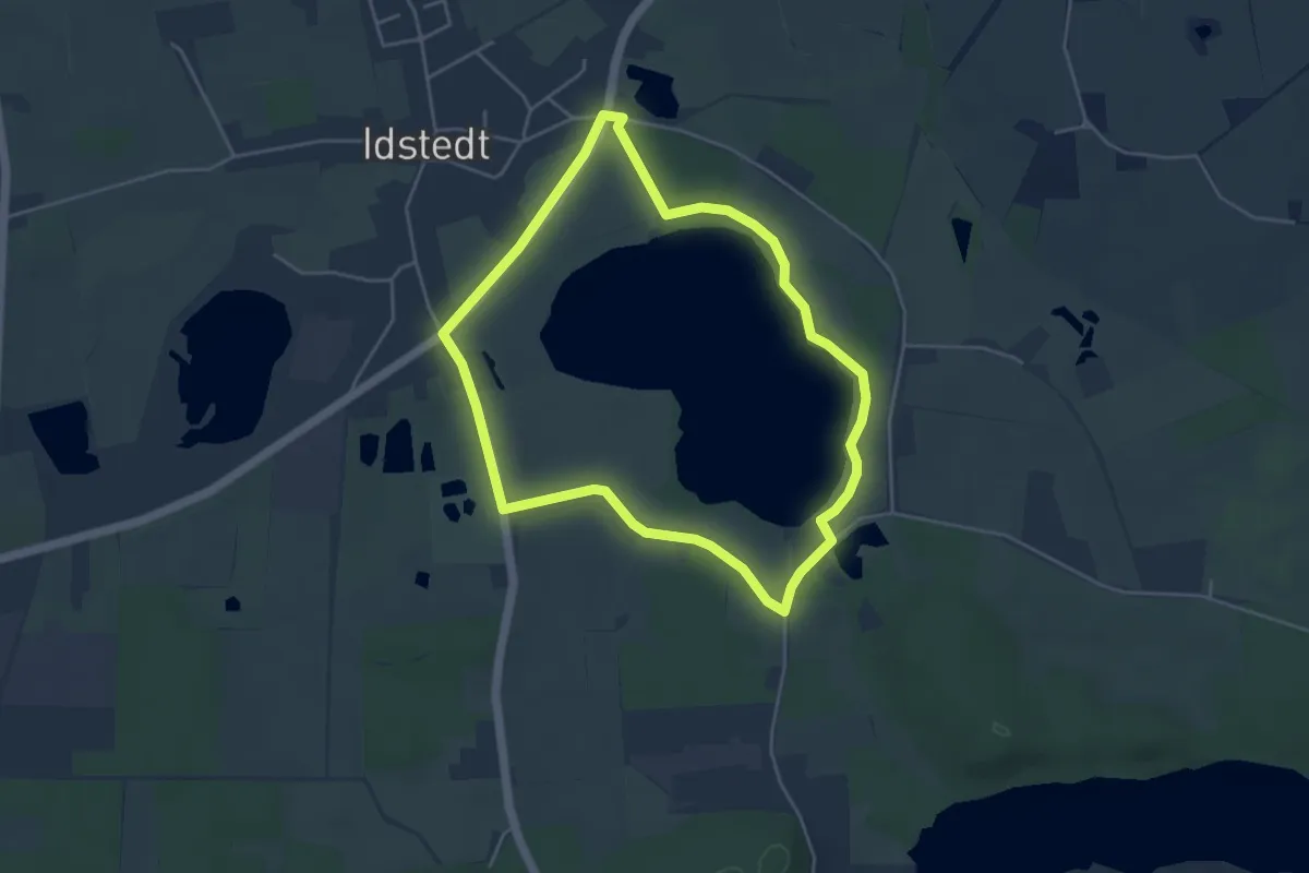
Easy · Trail
Wanderroute, gelb
3.7 km · ↑ 9 m · 56 min